Cumberland Gap NHP - The Old Way West
Monday, November 10, 2014
 Cumberland Gap, Tennessee, United States
Southwesternmost Virginia seems like the true heart of
Appalachia along with eastern Kentucky and southern West Virginia, the declining
coal country that contains some of the poorest and most rapidly depopulating
counties in the country . To be honest, though, I’ve gradually found much of the
rural South to be looking significantly less hardscrabble than two or three
decades ago. Good new roads enable people to escape or replace their old
shotgun shacks with more modern doublewides in trailer parks.
Cumberland Gap is the spot where Virginia, Kentucky, and
Tennessee meet and represents a lower notch or gap in the Cumberland Range which
was easiest place for about 300,000 early settlers to cross the Appalachians to
the American frontier between 1775 and 1810 on the so-called Wilderness Road
from the Shenandoah Valley. The range including the crossing is now part of
Cumberland Gap National Historic Park, an NPS unit oriented toward hiking with
a trail along the top of the ridge for the length of the park. The park itself,
though, is quite small in comparison with Shenandoah or Great Smokies. I just
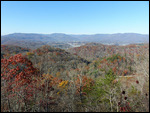
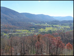
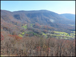
checked out the visitor center and drove up to the Pinnacles Overlook, a
viewpoint over the gap with a view of the three states, a pleasant view but not
particularly high even by eastern standards at 2,440 feet. Lee County, the
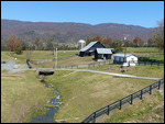
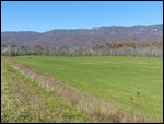
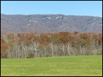
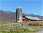
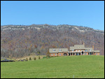
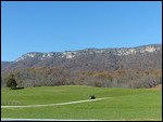
westernmost in Virginia, is apparently outside the coal mining belt and is
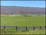
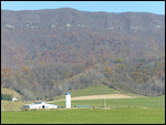
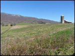
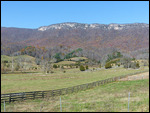
actually a very beautiful landscape of wide farmed valleys. With passing
through the four far western counties in Virginia I can now add the state to my
list of states in which I have been in every county in the state (and in
Virginia’s case independent cities too).
Other Entries
-
57Fredericksburg - At the Center of the Battles
Oct 2120 days prior Fredericksburg, United Statesphoto_camera48videocam 0comment 0
 -
58Virginia Museum of Fine Arts
Oct 2219 days prior Richmond, United Statesphoto_camera132videocam 0comment 0
 -
59Richmond - Capital of the Confederacy
Oct 2318 days prior Richmond, United Statesphoto_camera109videocam 0comment 0
 -
60Charlottesville - THomas Jefferson Country
Oct 2417 days prior Charlottesville, United Statesphoto_camera79videocam 0comment 0
 -
61Montpellier & The Central Virginia Wine Country
Oct 2516 days prior Orange, United Statesphoto_camera35videocam 0comment 0
 -
62Appomattox - Where Brothers Stopped Fighting
Oct 2516 days prior Appomattox, United Statesphoto_camera19videocam 0comment 0
 -
63Virginia's Southern Piedmont Sights
Oct 2615 days prior Lynchburg, United Statesphoto_camera31videocam 0comment 0
 -
64The Blue Ridge Parkway
Oct 2714 days prior Linville Falls, United Statesphoto_camera48videocam 0comment 0
 -
65Asheville - Hip Metropolis of Southern Highlands
Oct 2813 days prior Asheville, United Statesphoto_camera41videocam 0comment 0
 -
66The Up-Country South
Oct 2912 days prior Greenville, United Statesphoto_camera18videocam 0comment 0
 -
67Atlanta - Capital of the South
Oct 3110 days prior Atlanta, United Statesphoto_camera81videocam 0comment 0
 -
68High Museum of Art, Atlanta
Nov 019 days prior Atlanta, United Statesphoto_camera116videocam 0comment 0
 -
69Two Democrats in One Day in Atlanta
Nov 028 days prior Atlanta, United Statesphoto_camera52videocam 0comment 0
 -
70Booth Museum - Western Art in the Southeast
Nov 046 days prior Cartersville, United Statesphoto_camera64videocam 0comment 0
 -
71Auburn & Tuskegee - Deep in Dixie
Nov 055 days prior Auburn, United Statesphoto_camera25videocam 0comment 0
 -
72Montgomery - As Deep South as it Gets
Nov 064 days prior Montgomery, United Statesphoto_camera42videocam 0comment 0
 -
73Birmingham Museum of Art
Nov 073 days prior Birmingham, United Statesphoto_camera66videocam 0comment 0
 -
74Chickamauga & Chattanooga - Civil War in the South
Nov 091 day prior Chattanooga, United Statesphoto_camera25videocam 0comment 0
 -
75Cumberland Gap NHP - The Old Way West
Nov 10 Cumberland Gap, United Statesphoto_camera24videocam 0comment 0
 -
76The Greenbrier Valley - Deep in the Alleghenies
Nov 111 day later White Sulphur Springs, United Statesphoto_camera15videocam 0comment 0

 Cumberland Gap, Tennessee, United States








2025-05-23