Trek Day 11 - Ordesa-Monte Perdido National Park
Thursday, July 10, 2008
 Ordesa-Monte Perdido National Park, Spain and Canary Islands
 Ordesa-Monte Perdido National Park, Spain and Canary Islands
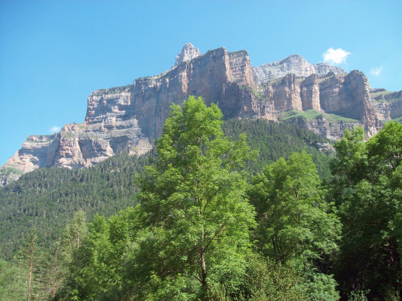
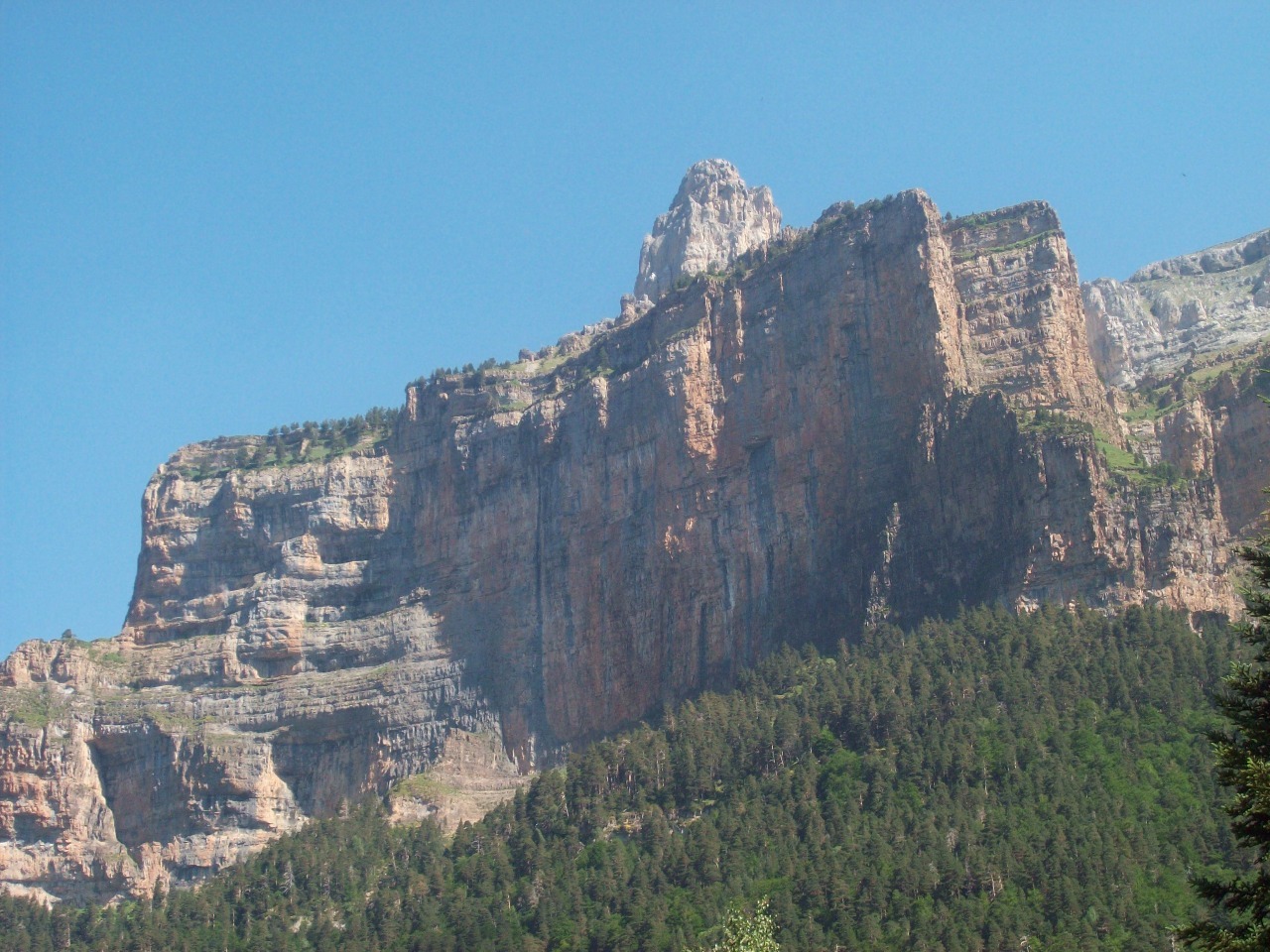
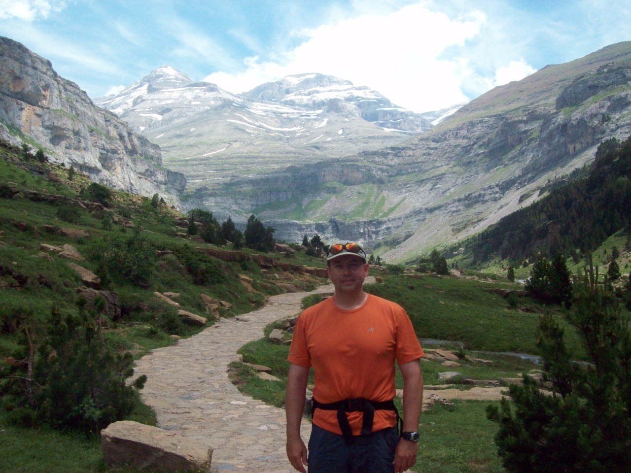
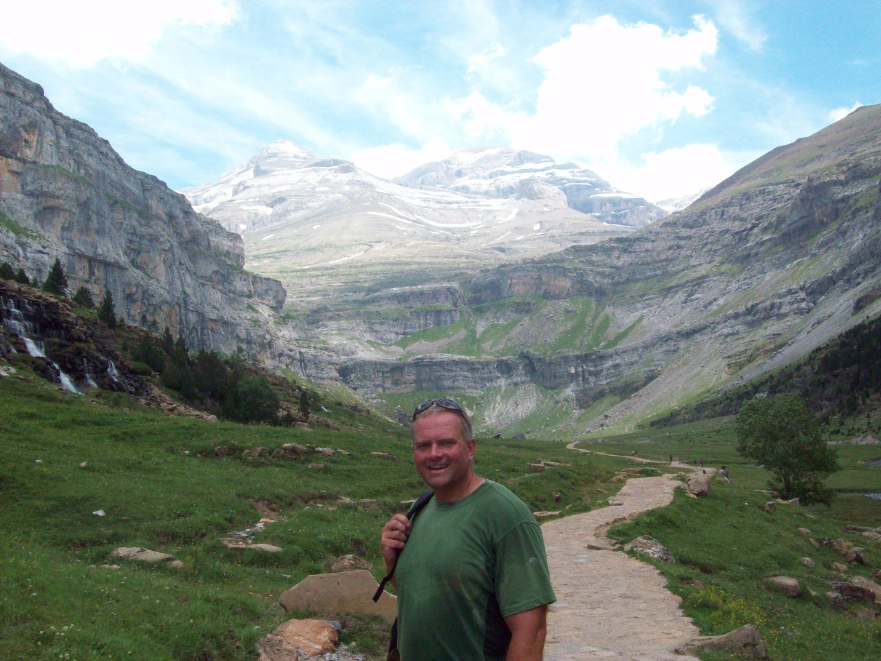
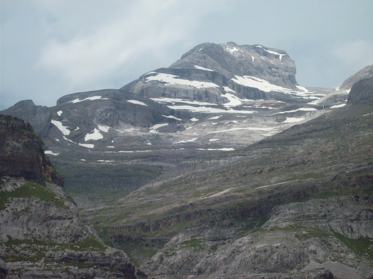
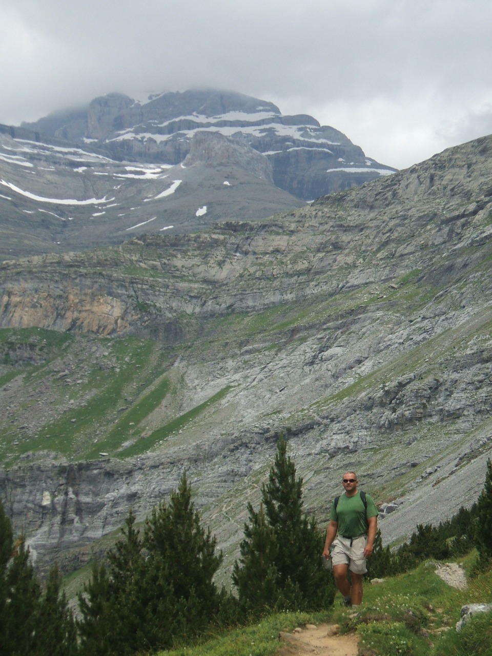
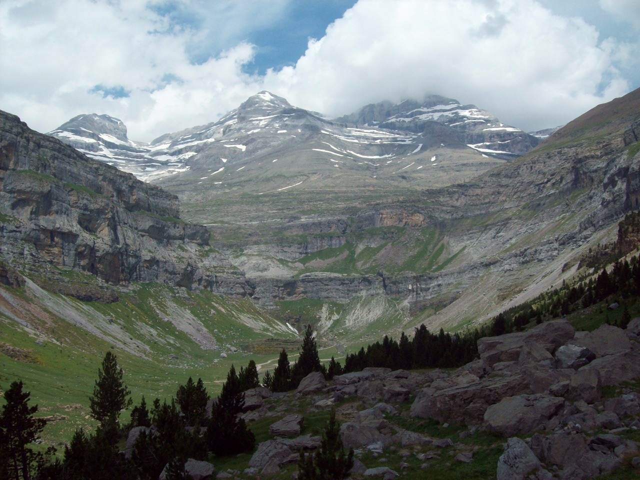
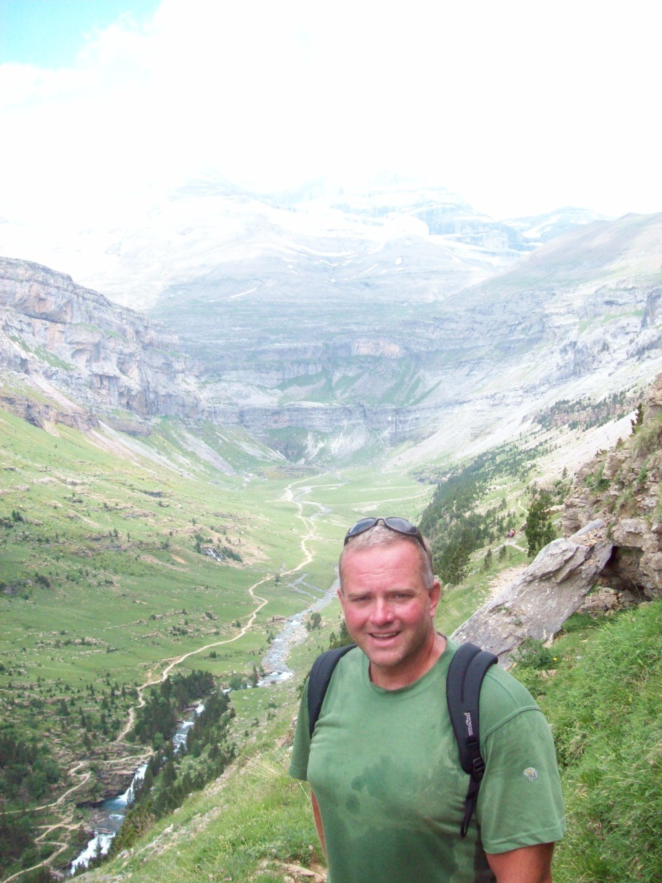
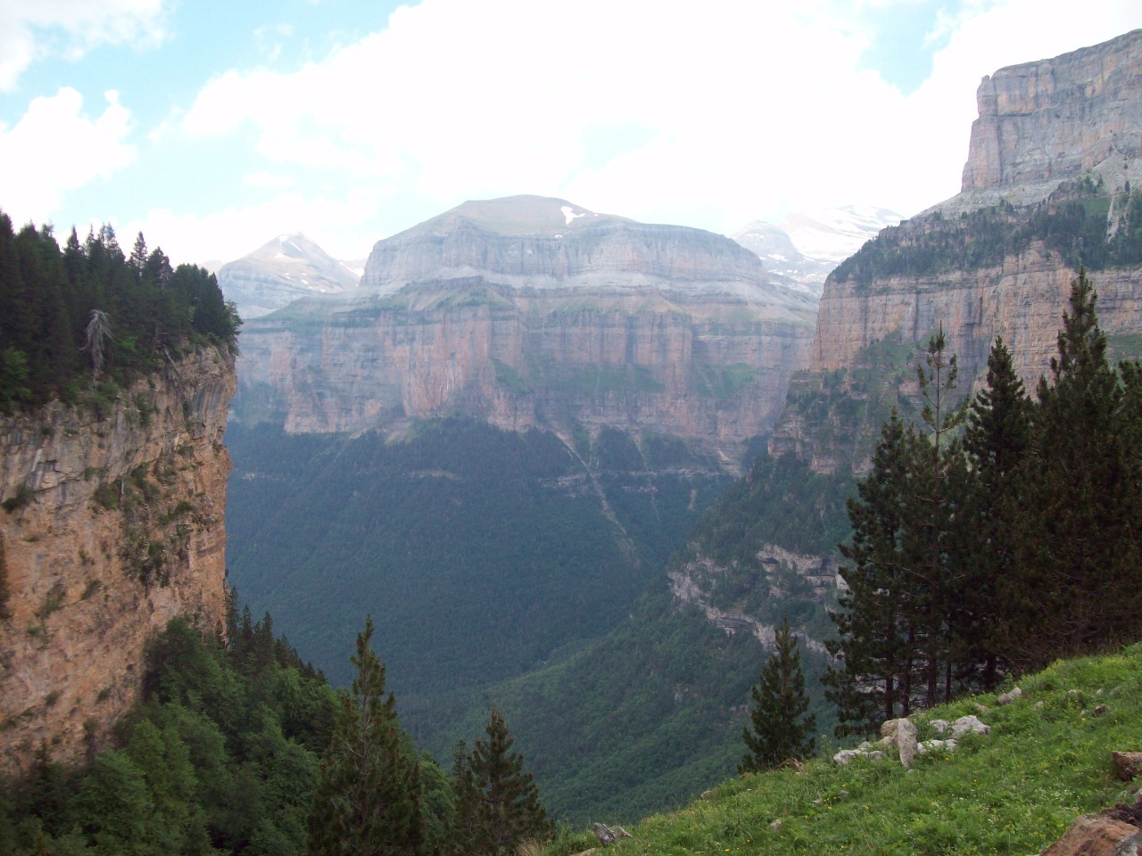
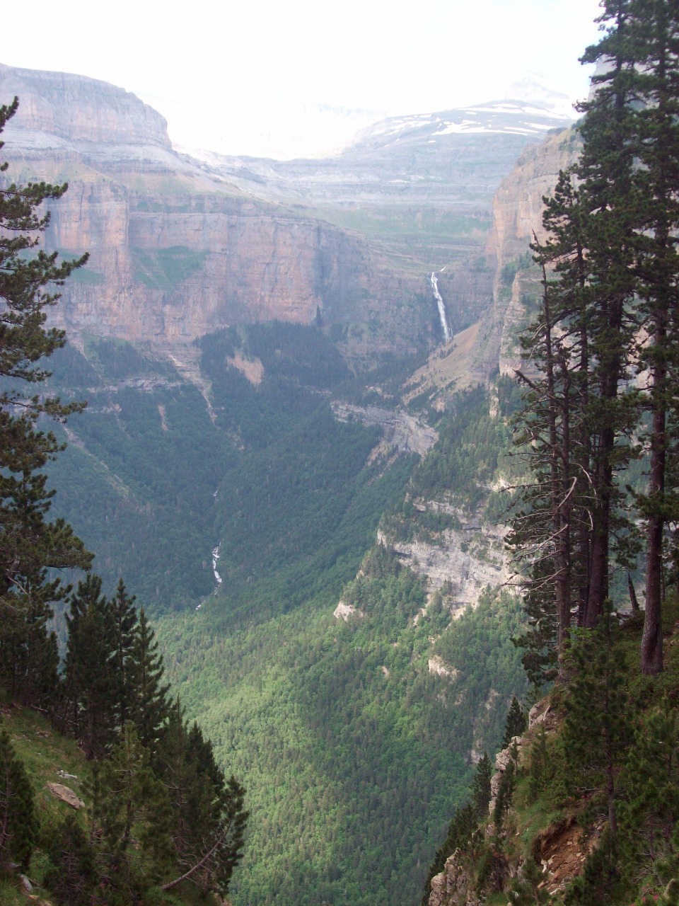
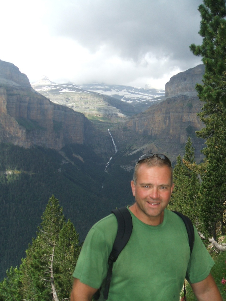
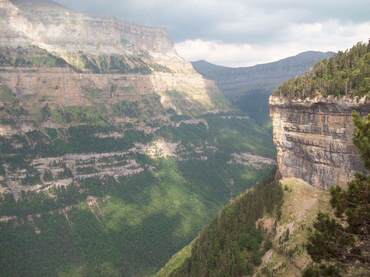
Ordesa-Monte Perdido National Park is a UNESCO World Heritage
site formed of three parts, the separate Ordesa and Anisclo Canyons and Monte
Perdido, the third highest peak in the Pyrenees . Since we were able to leave
our big backpacks in Torla and walk in the park with only our small daypacks, I
suppose this day technically wasn’t part of our Pyrenean trek, but it still
involved a full day of hiking in the park. I think it’s also one advantage of
not continuing on with my original Atlantic to Mediterranean plans. If I had
done so I would not have gone through Ordesa and would have missed one of the
most scenic places in the Pyrenees.
As in some heavily visited American national parks like Zion,
during the summer months the road to Ordesa is closed to passenger vehicles and
all cars must park in Torla and passengers take a shuttle bus to the Ordesa
Park visitor center at the entrance to the canyon. After ten days on our own in
the wilderness we now felt like complete package tourists among the masses compared
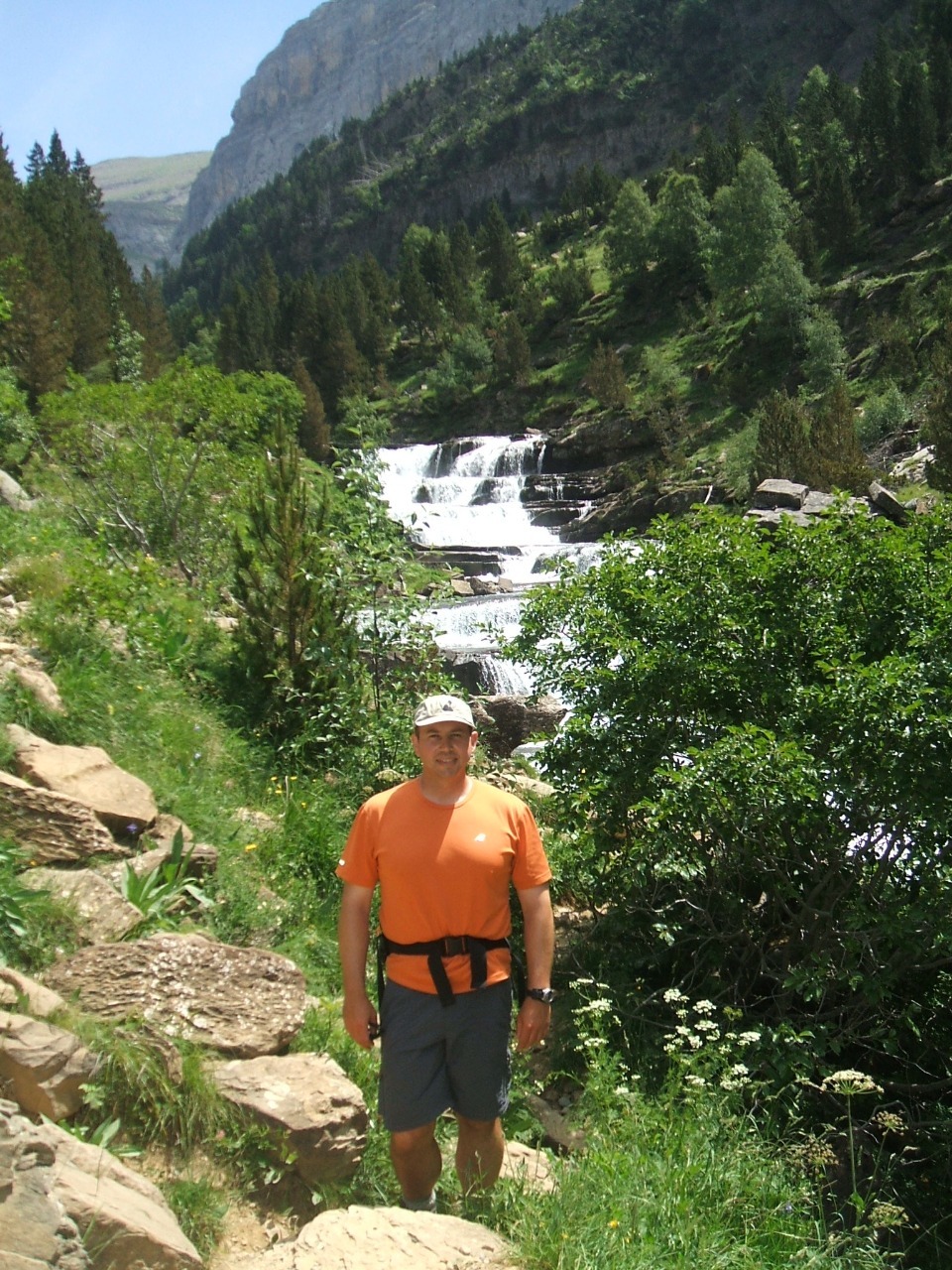
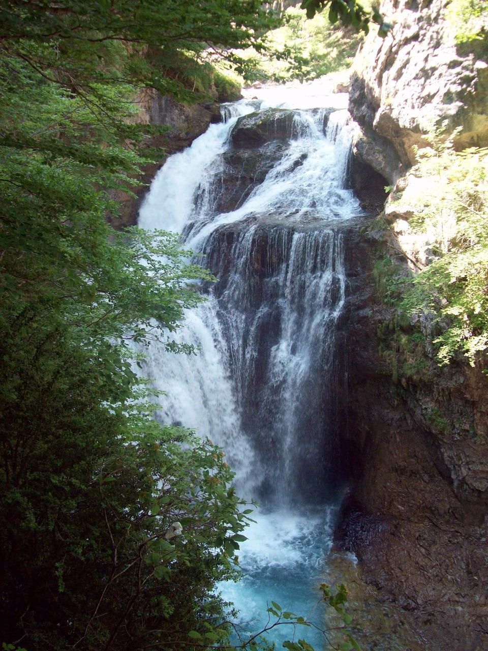
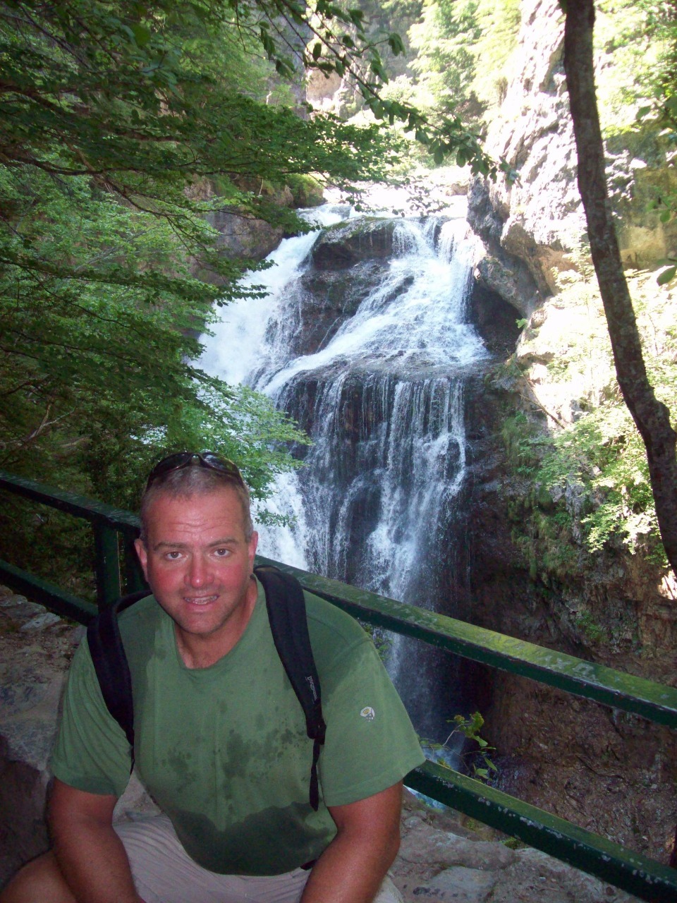
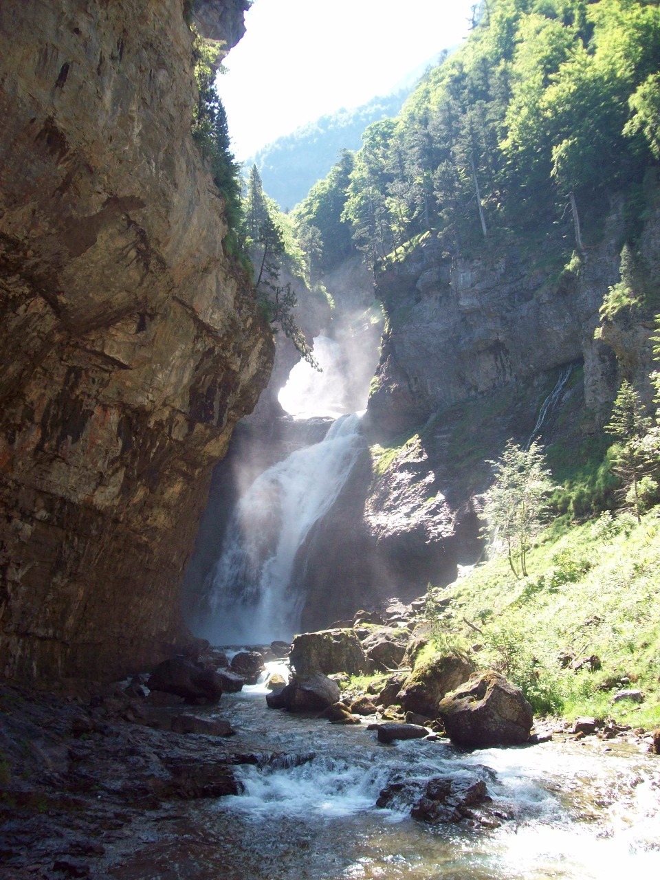
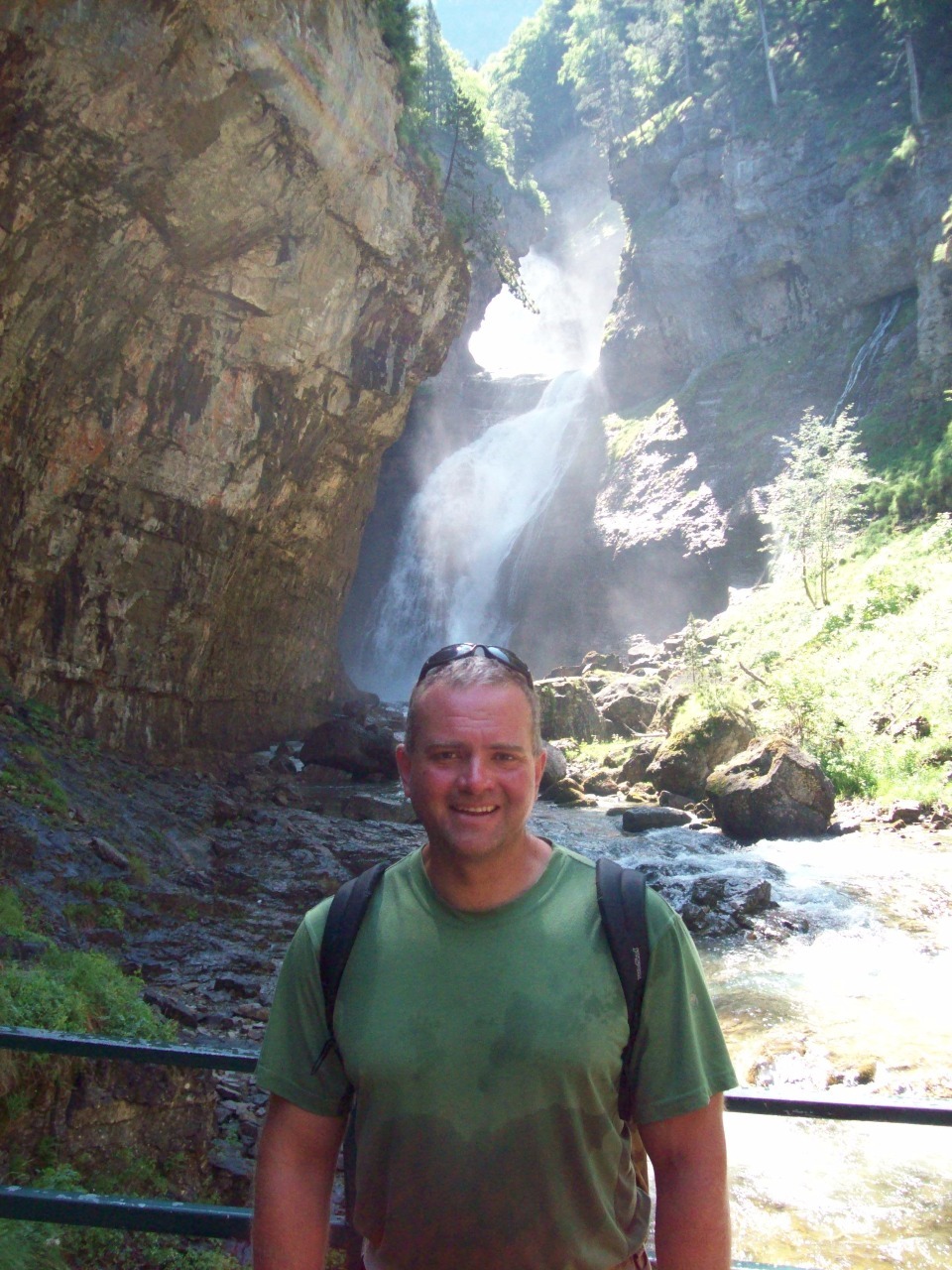
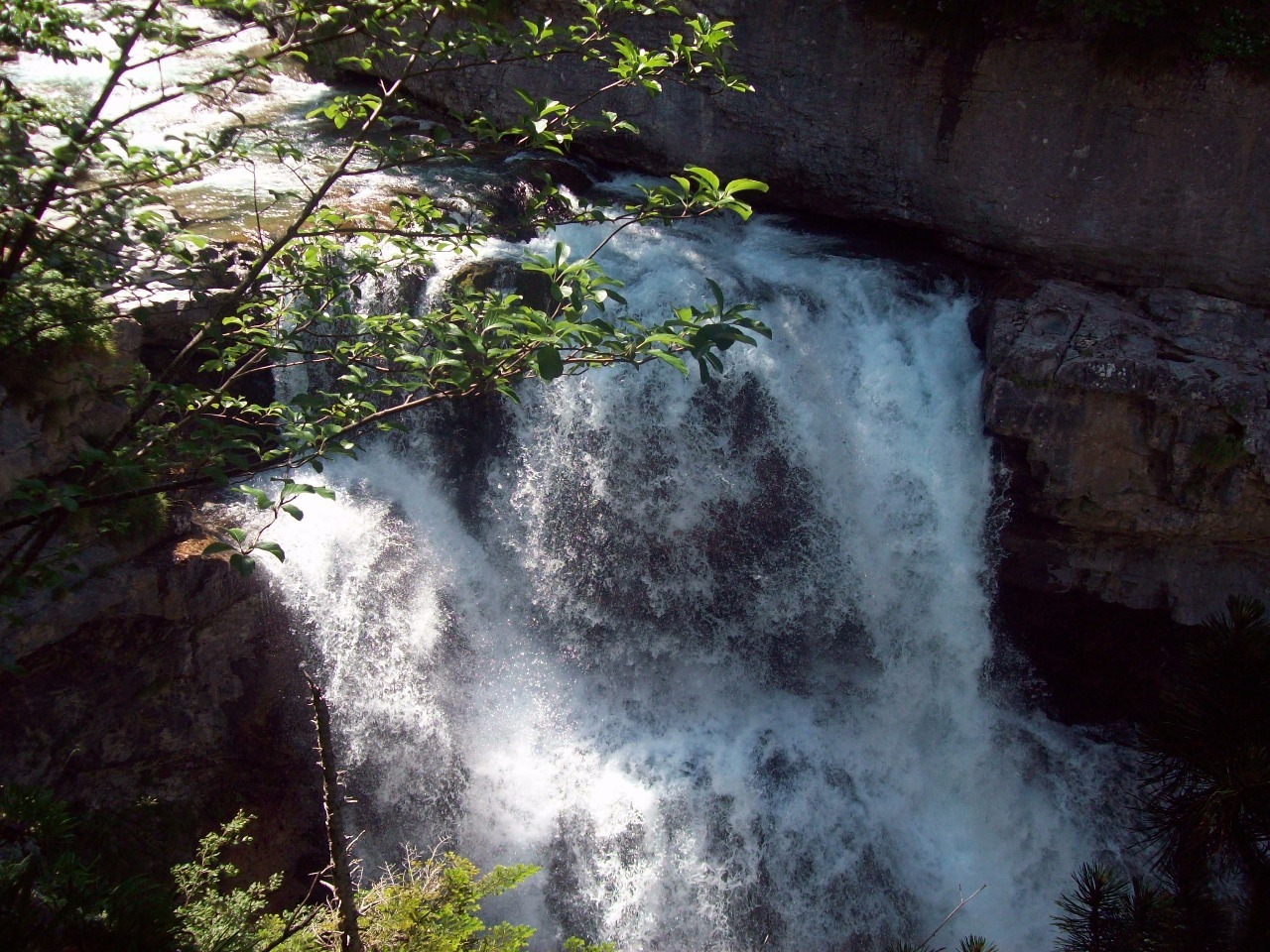
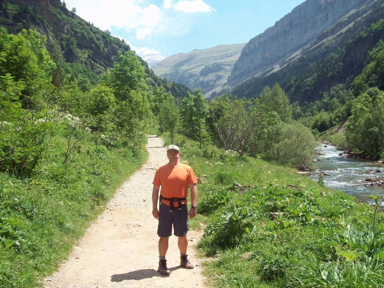
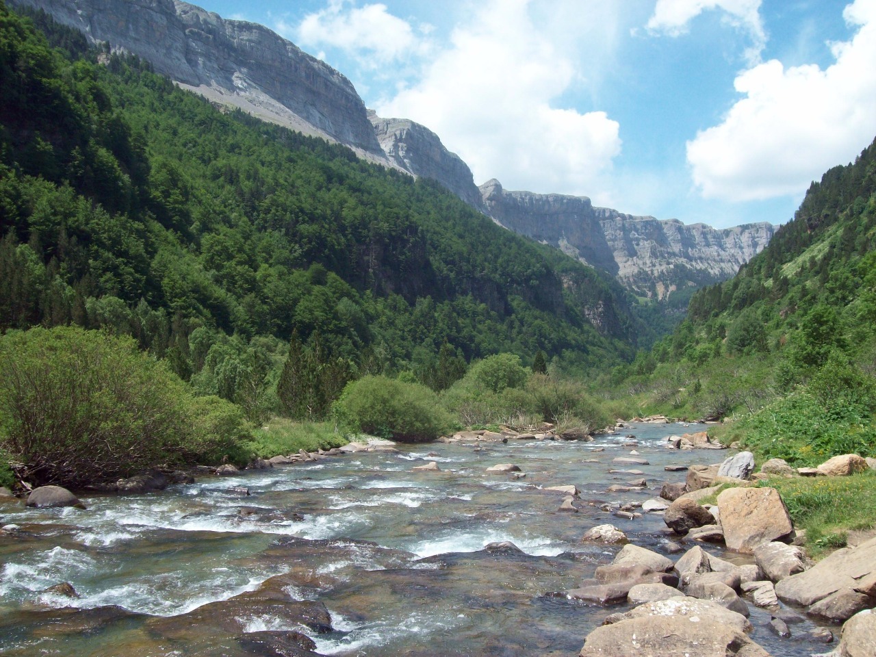
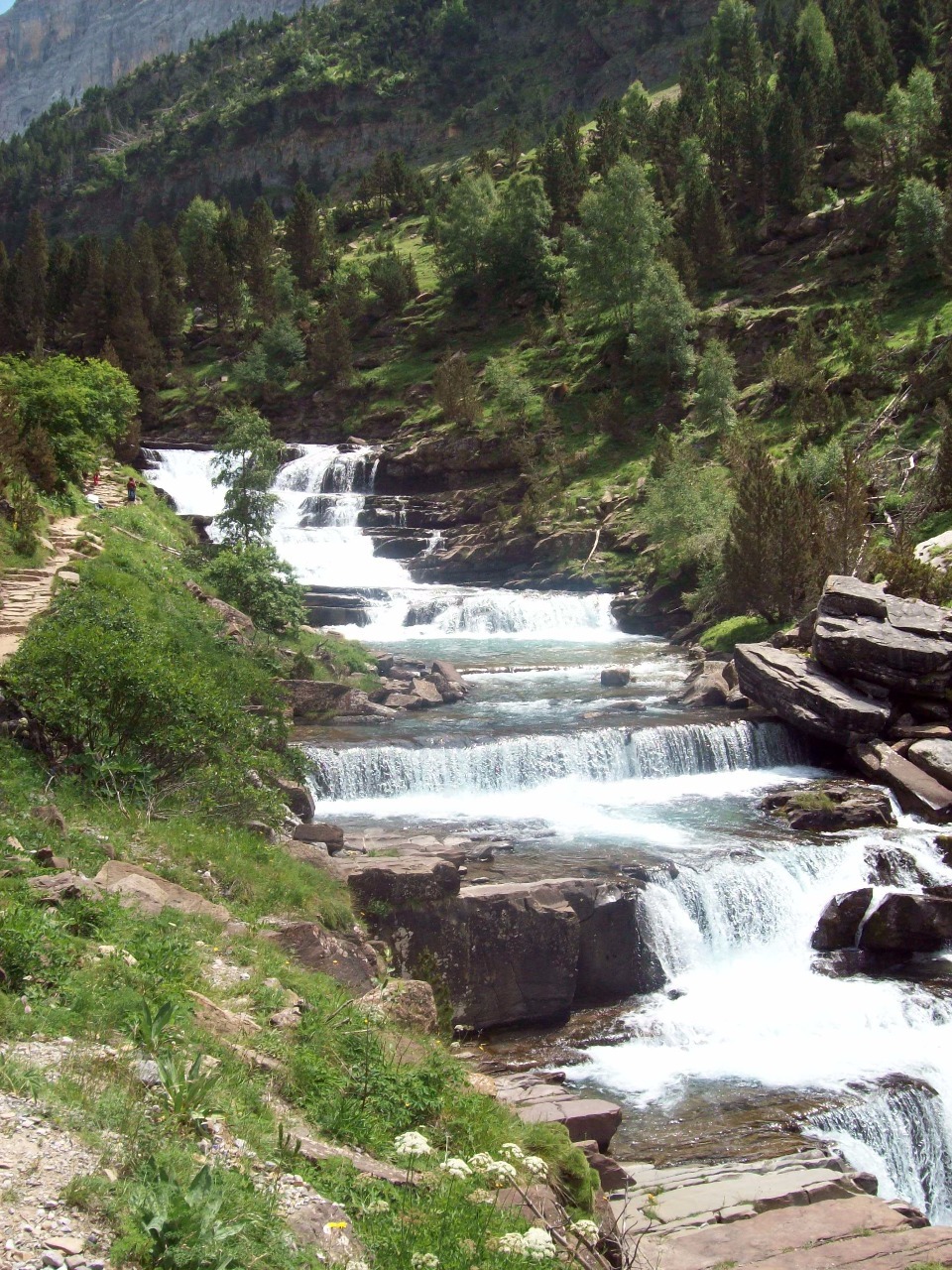
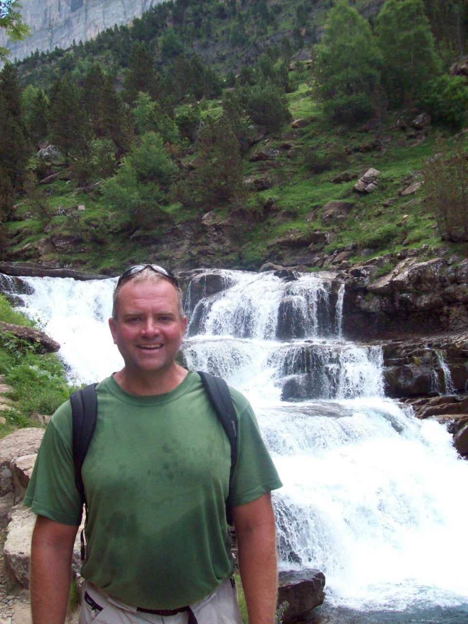
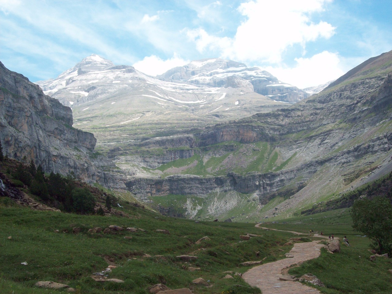
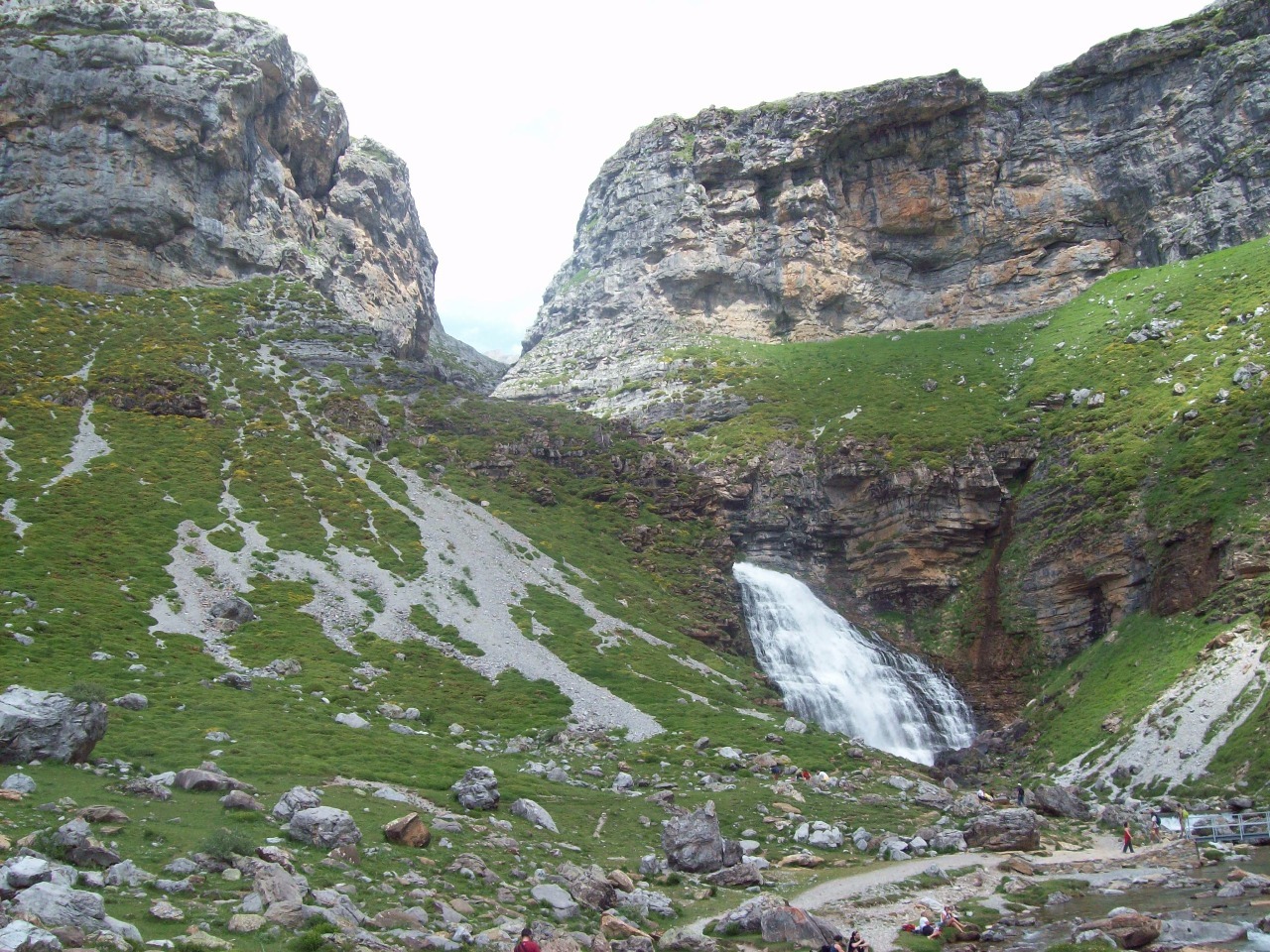
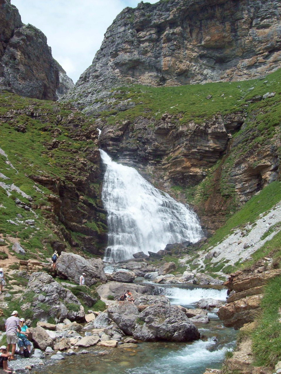
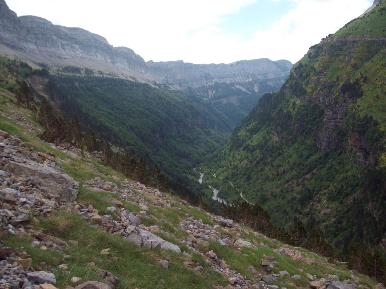
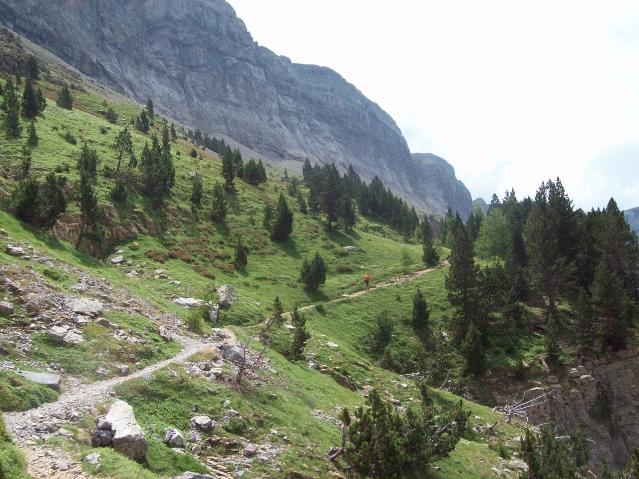
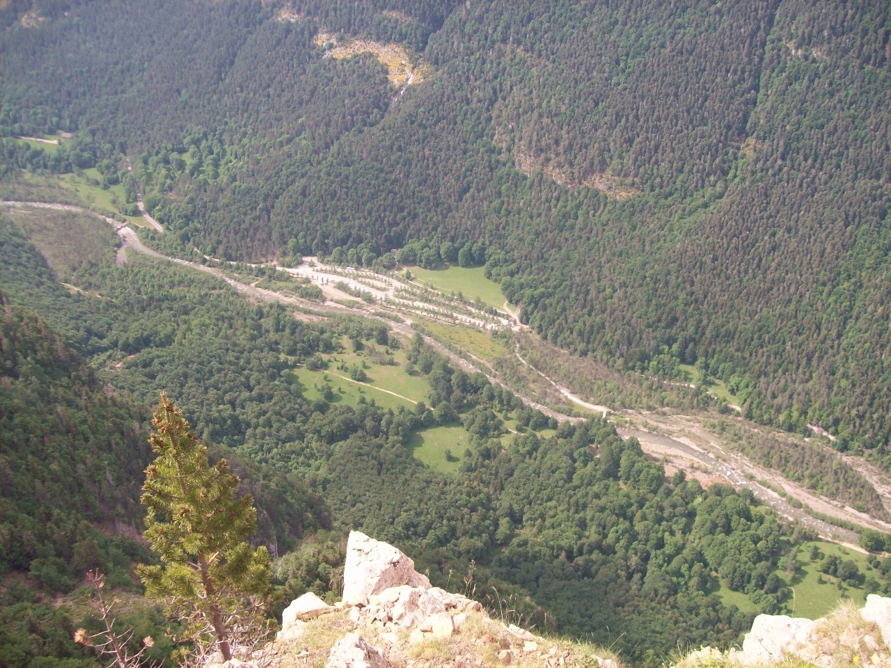
to what we had just done. The main trail up the canyon from the visitor center
is really like a walk in the park. The trail
is virtually a road with signpost for every last little waterfall and
attraction along the way in front of which the tourist hordes all want to be
photographed. The gradient is mild, and it’s
quite crowded with other walkers, including little old Spanish ladies with perfectly
coiffed hair.
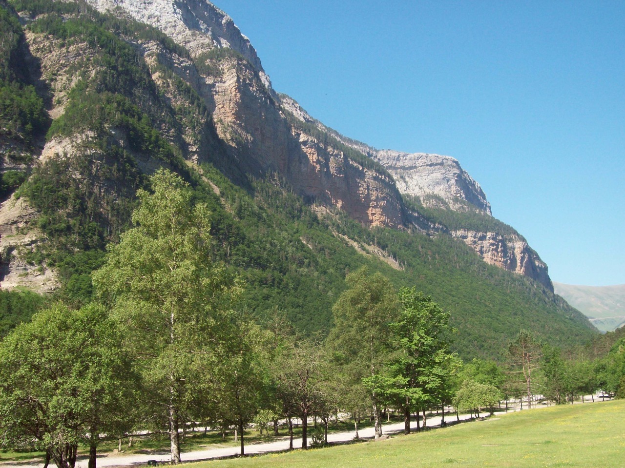
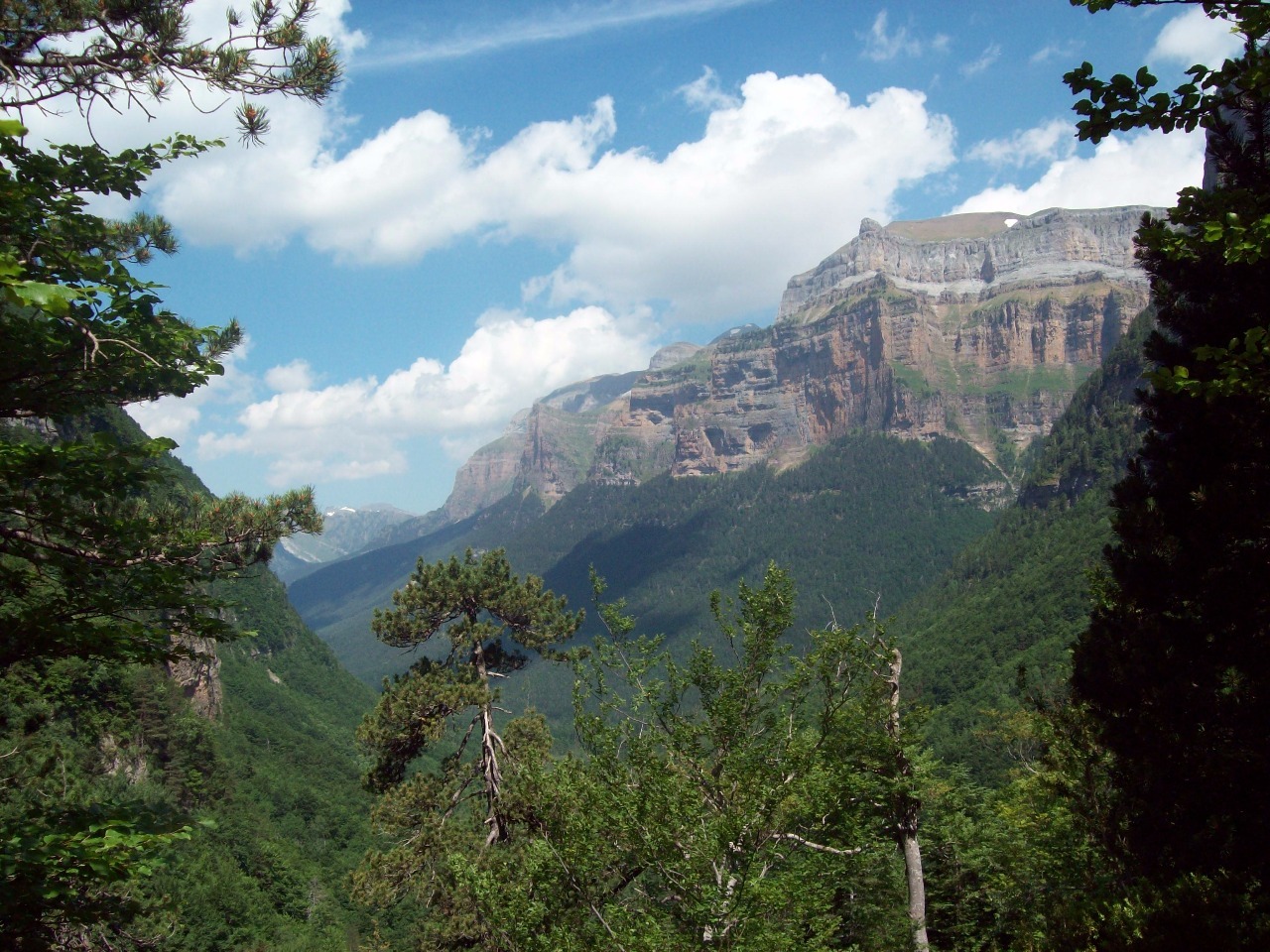
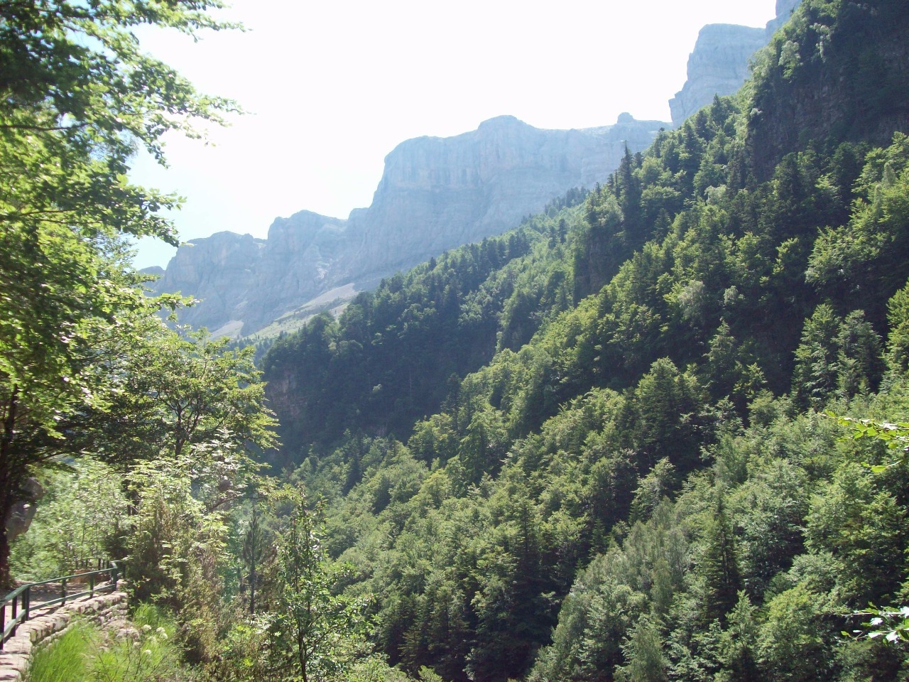
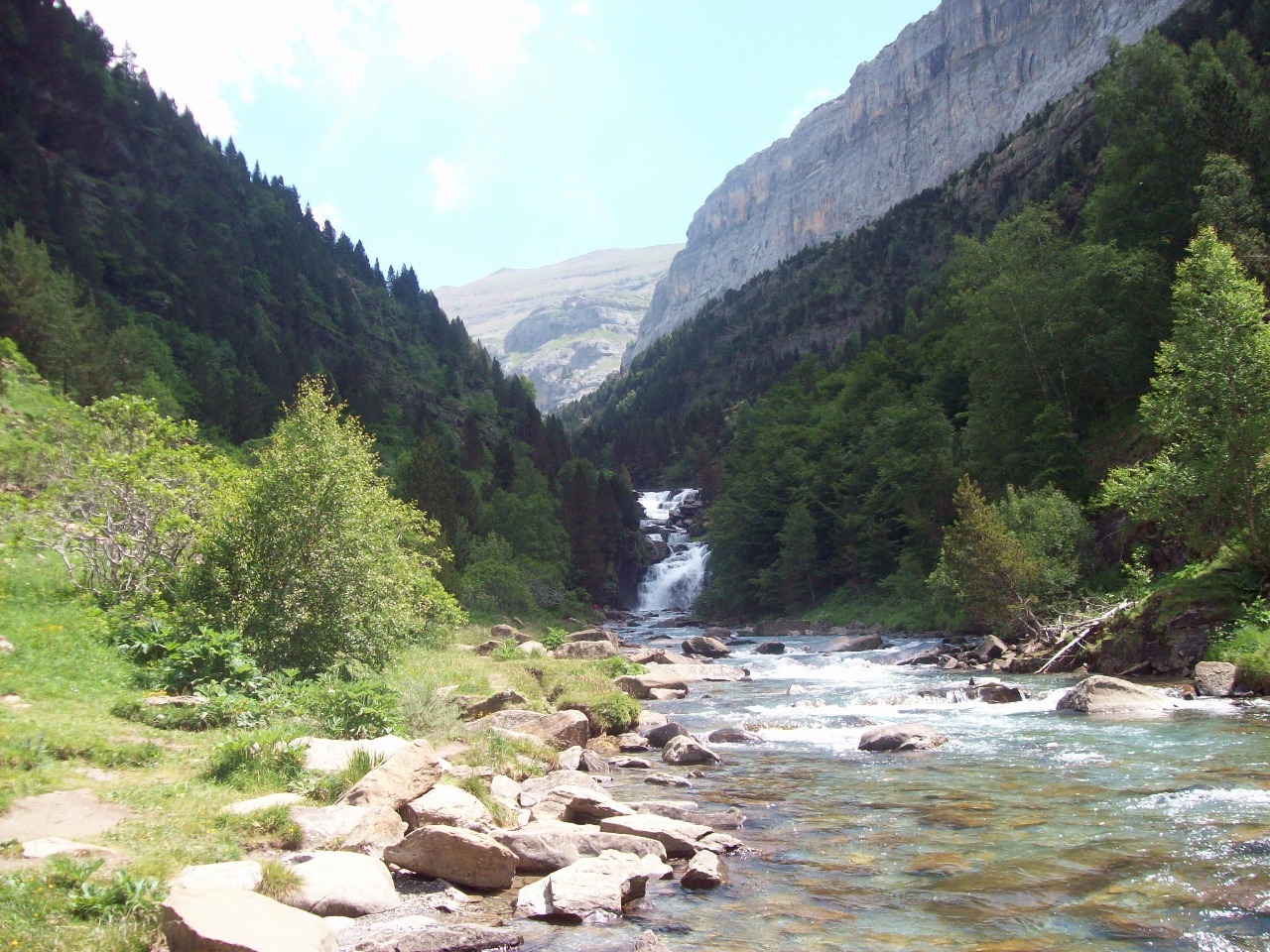
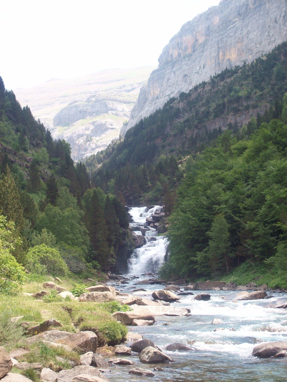
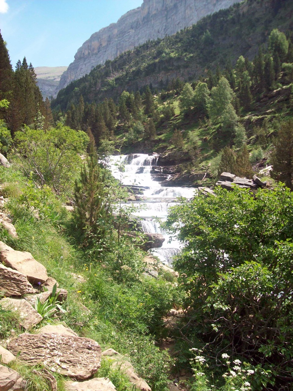
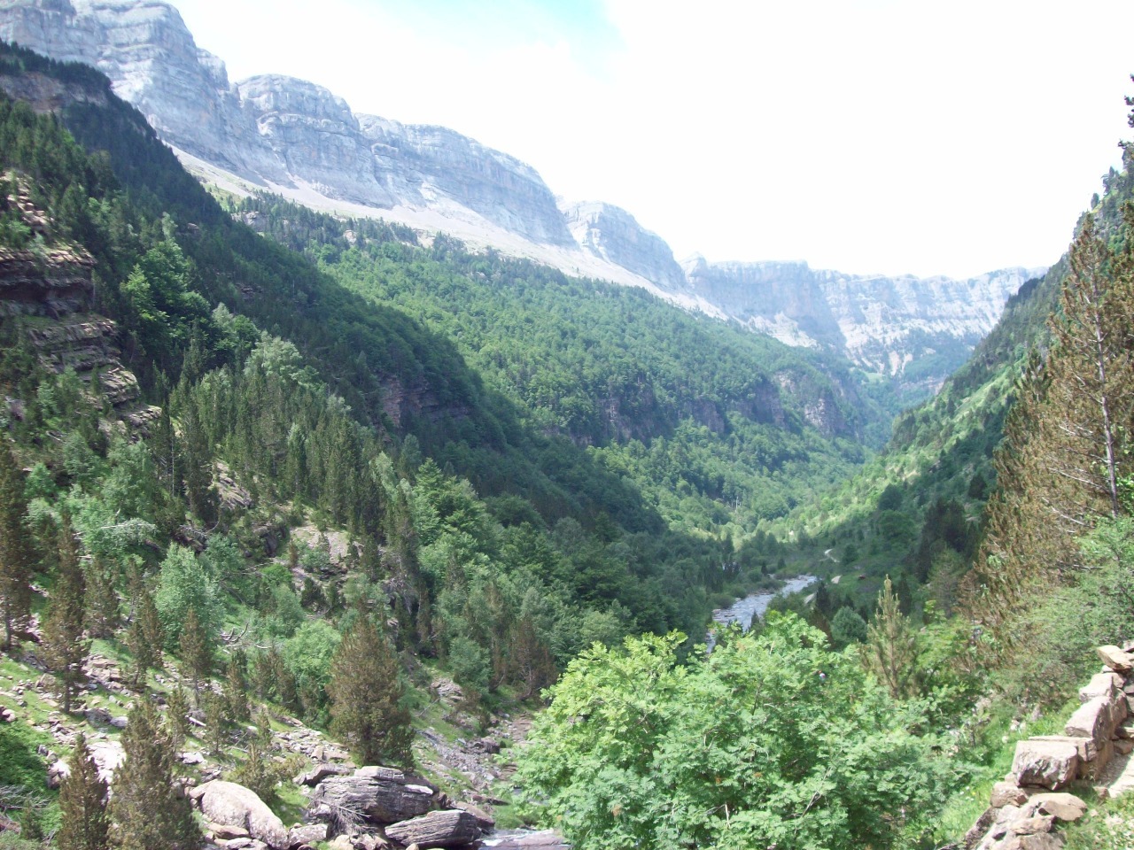
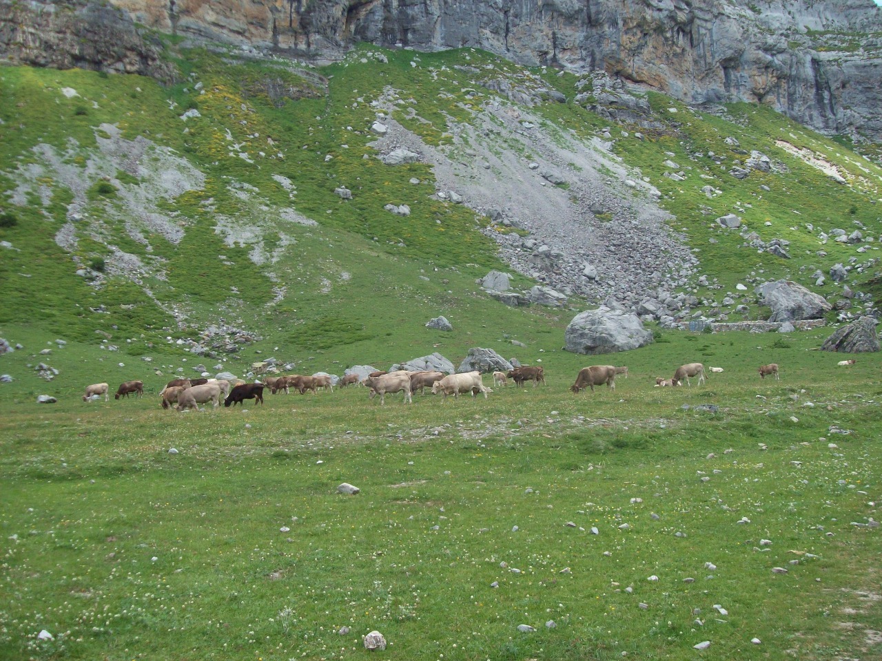
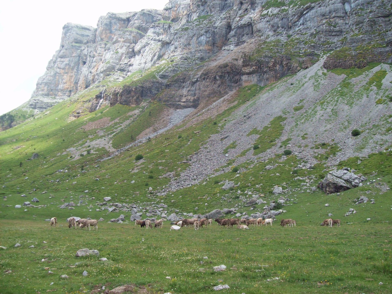
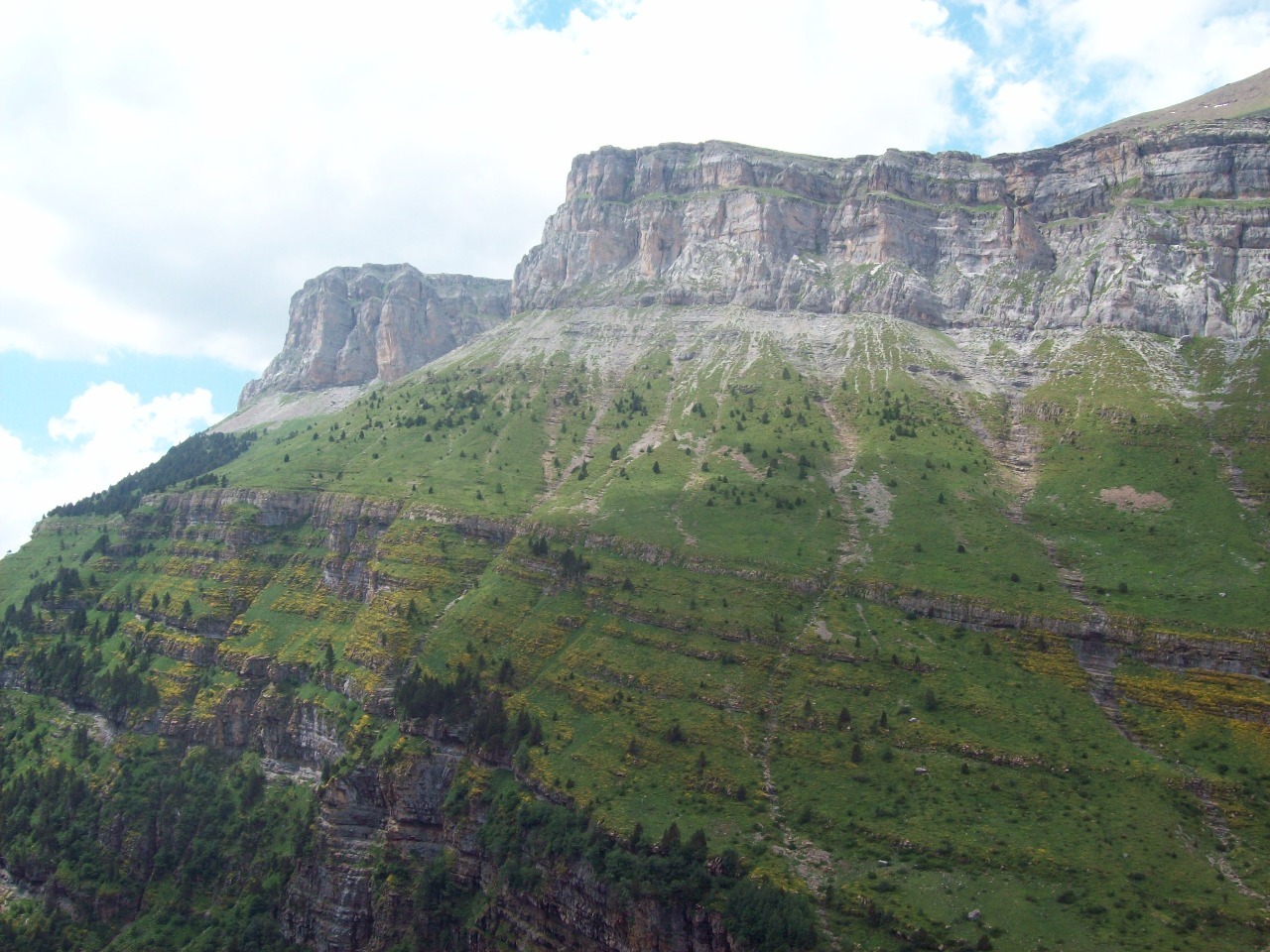
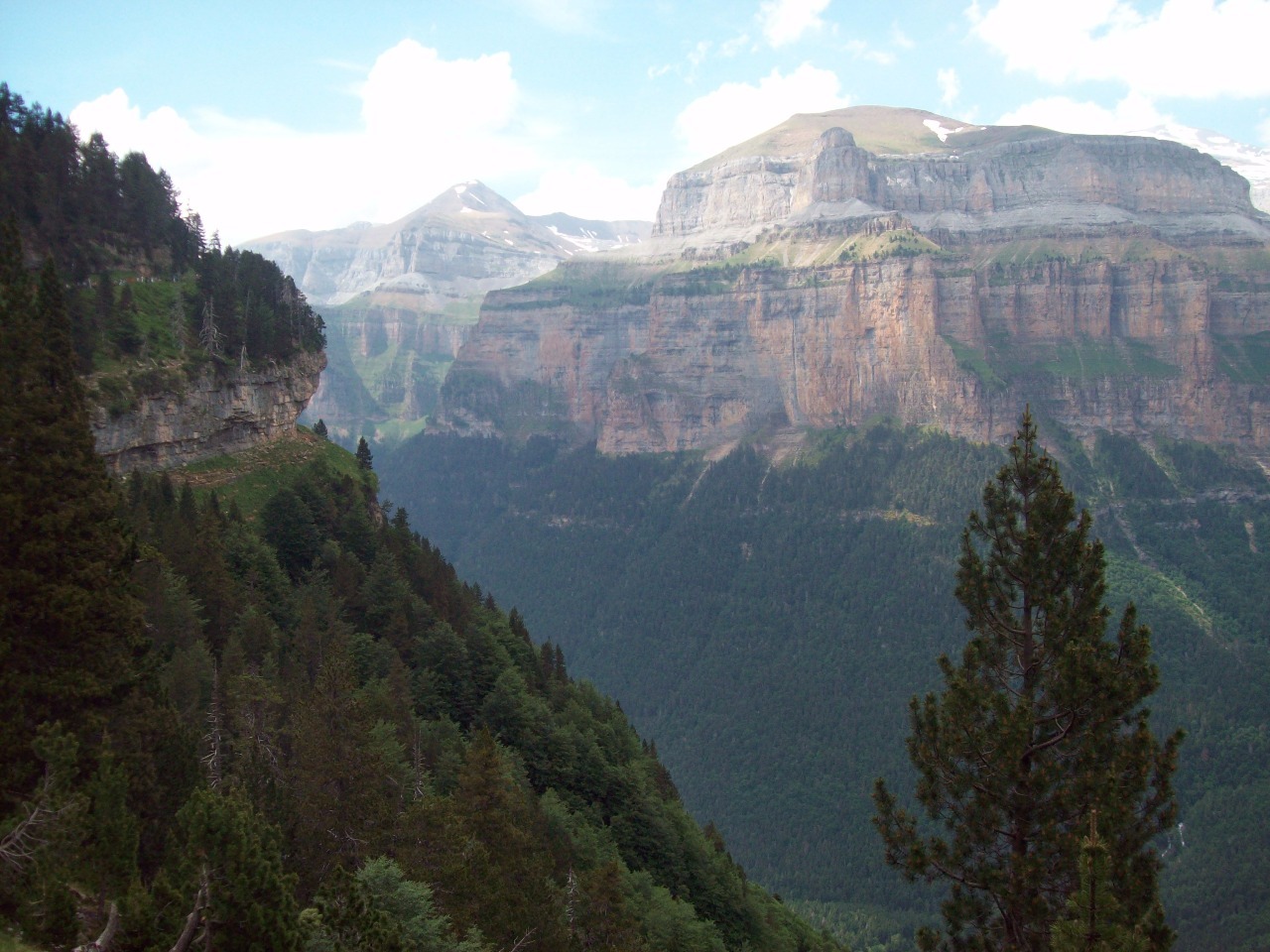
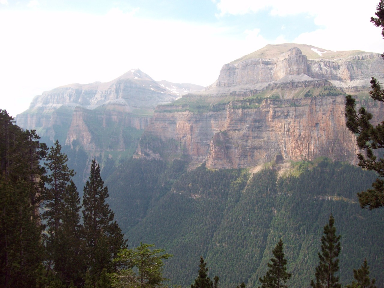
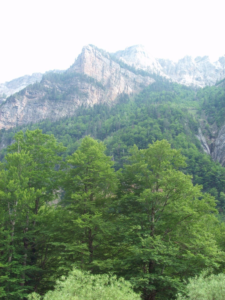
It’s hard to compare Ordesa to other places since it’s
unique in many ways. My first glimpses of it reminded me a little of Yosemite
and Kings Canyon in California and then of some places in Utah’s canyon country
like Zion, but these similarities are really quite superficial I’m sure . The
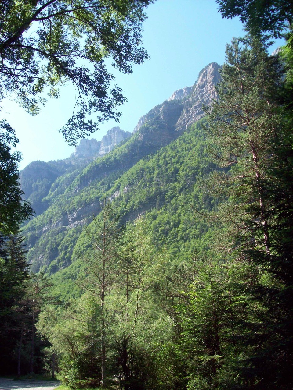
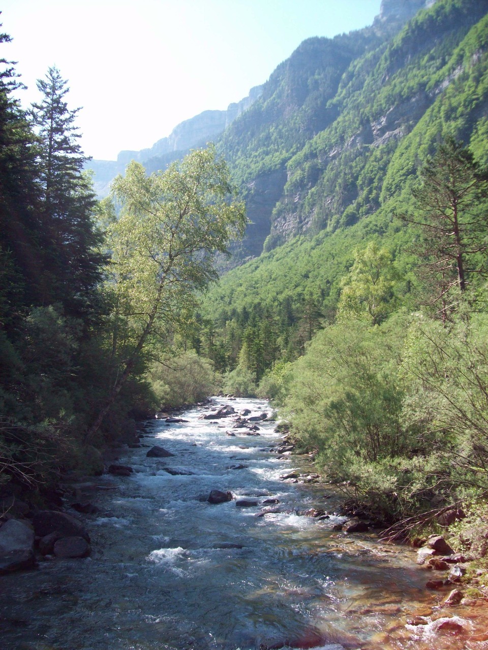
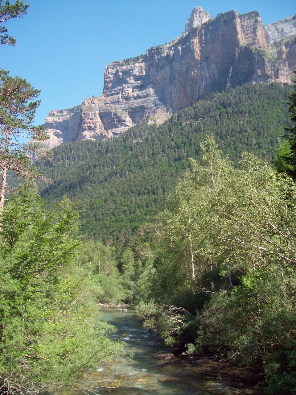
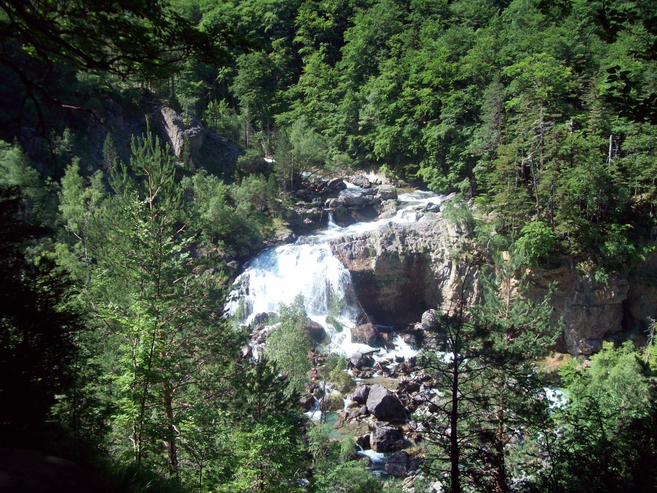
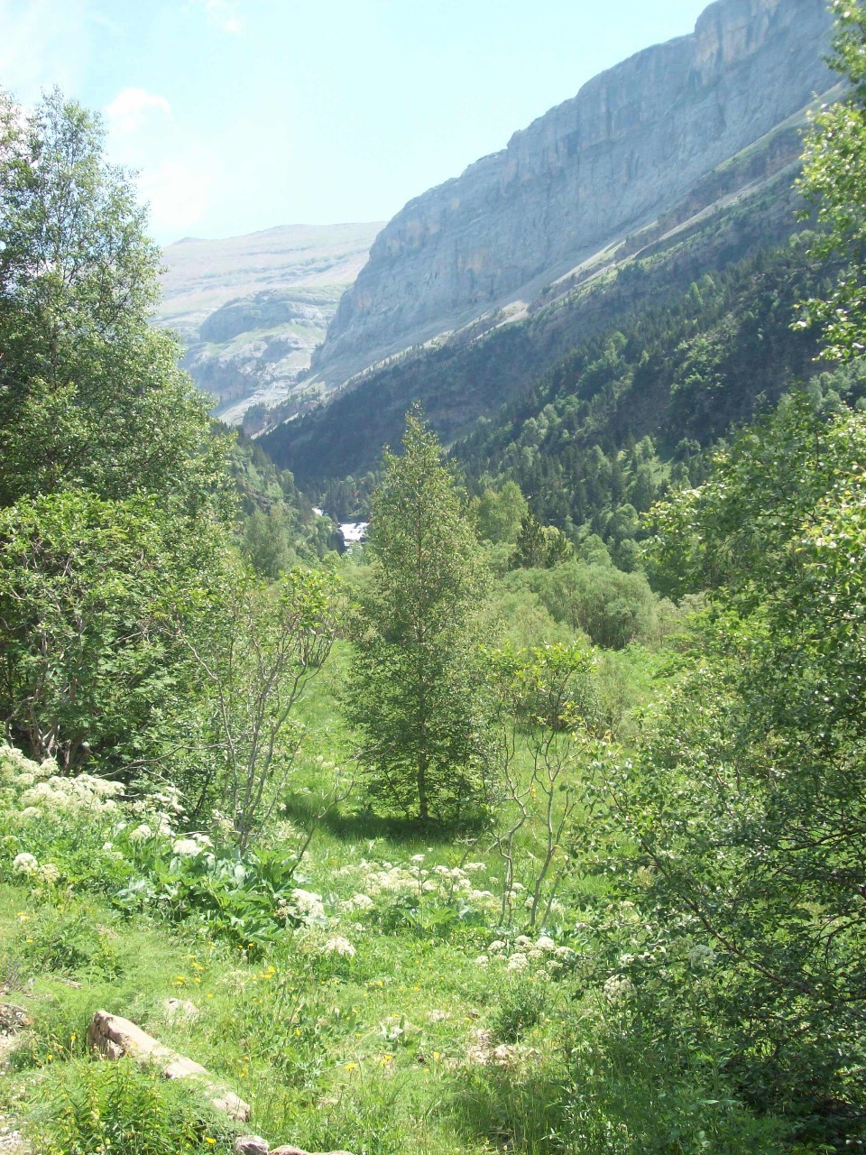
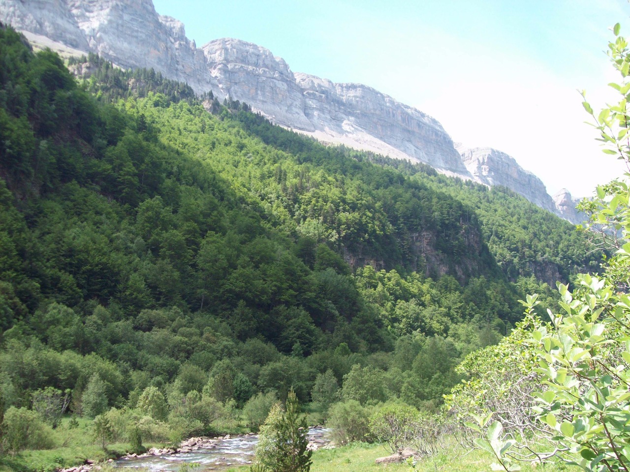
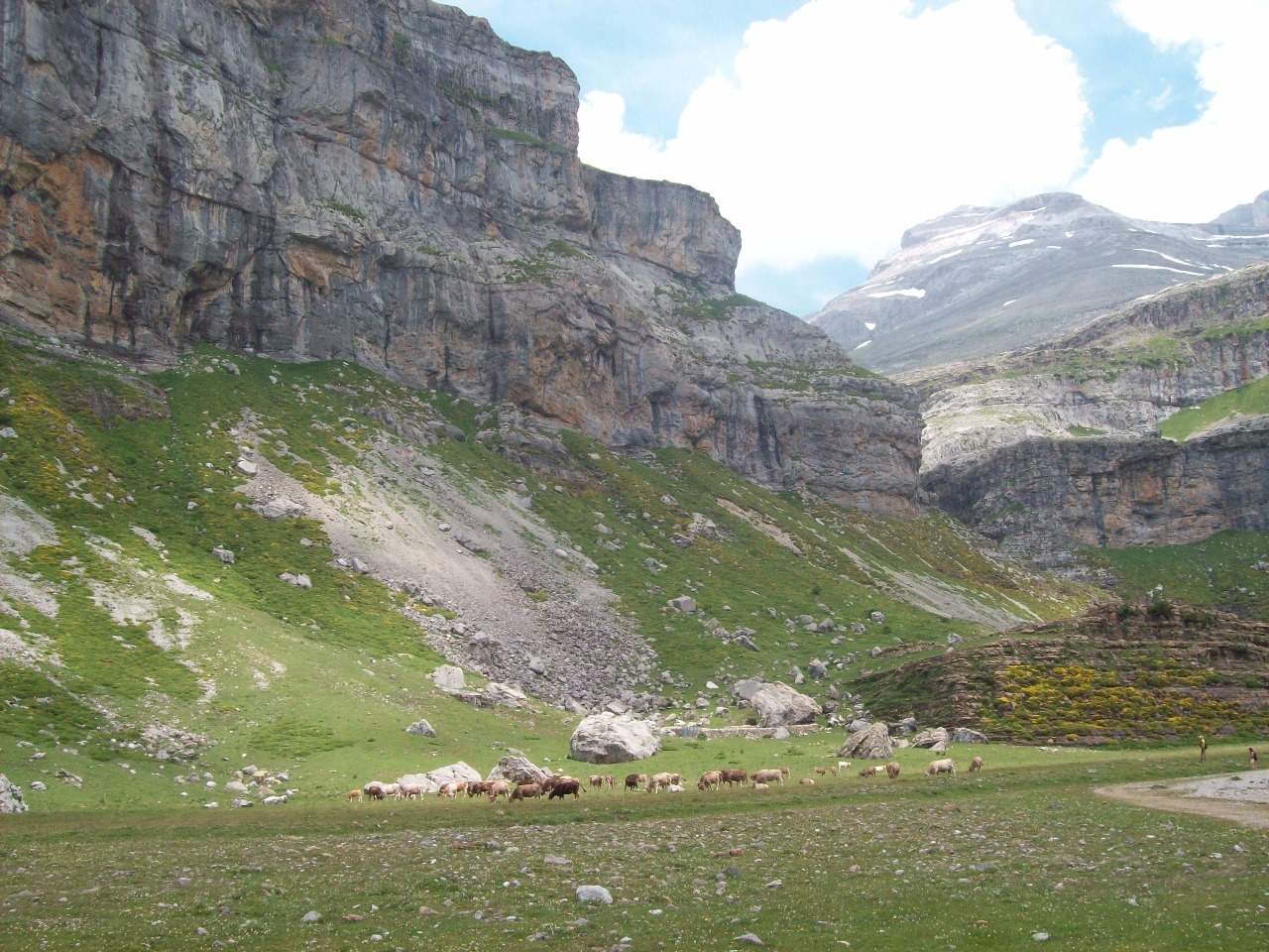
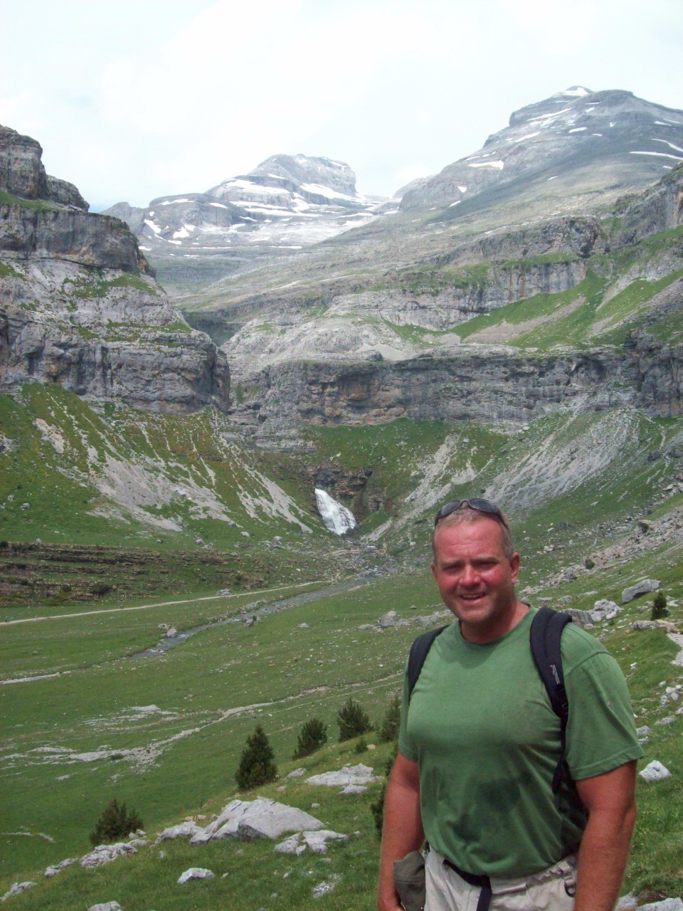
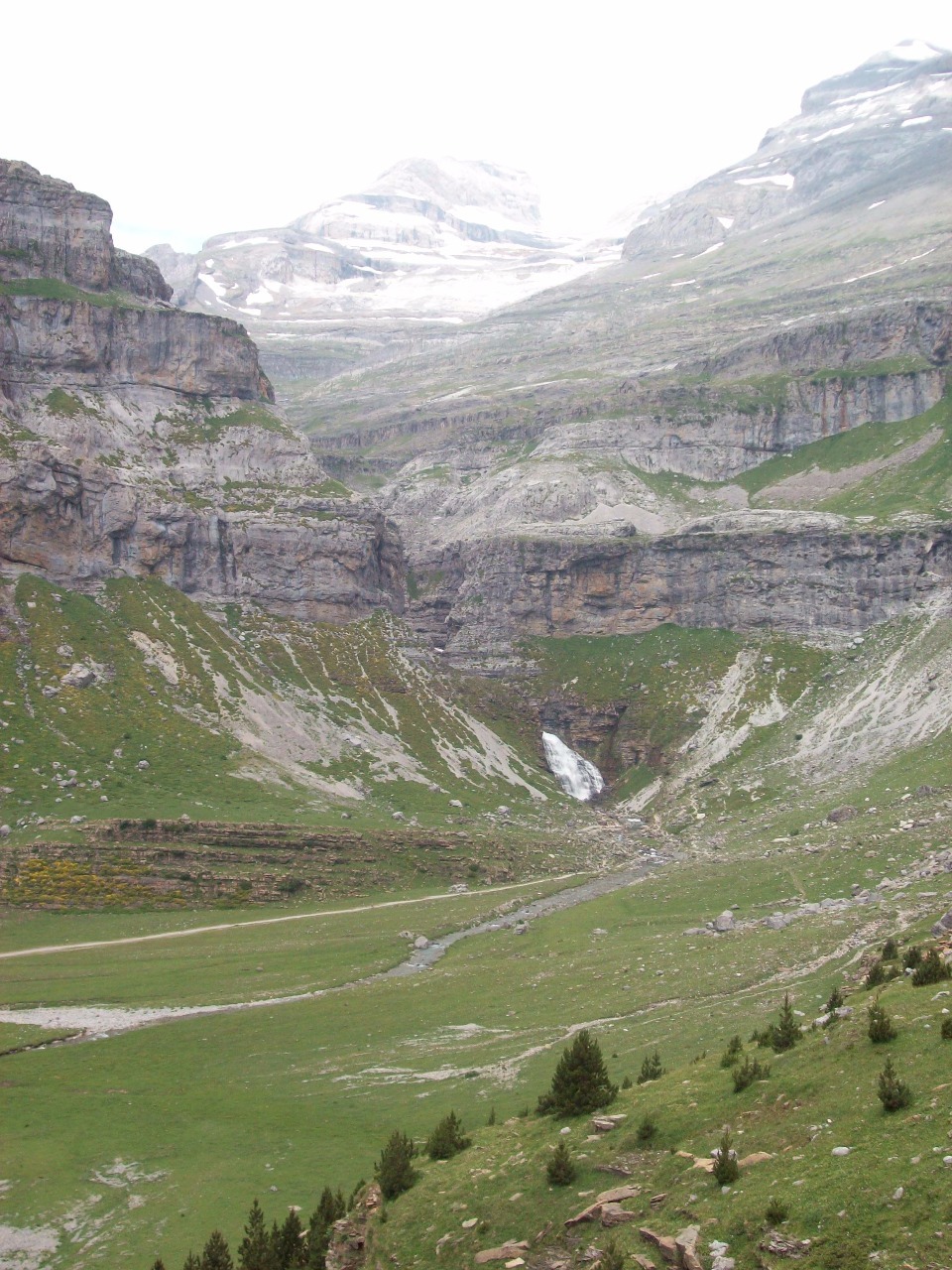
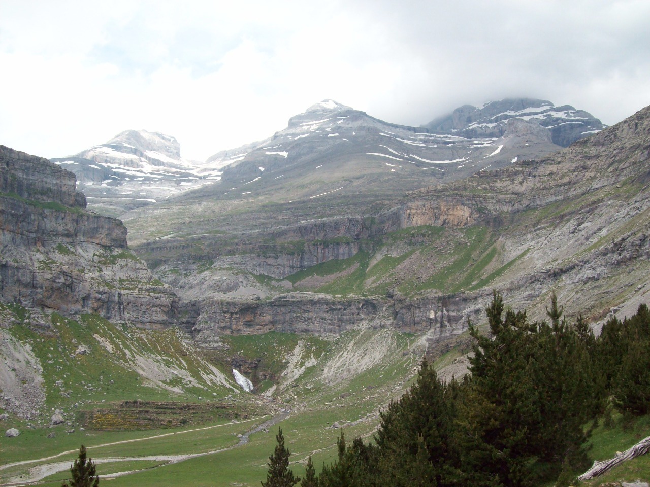
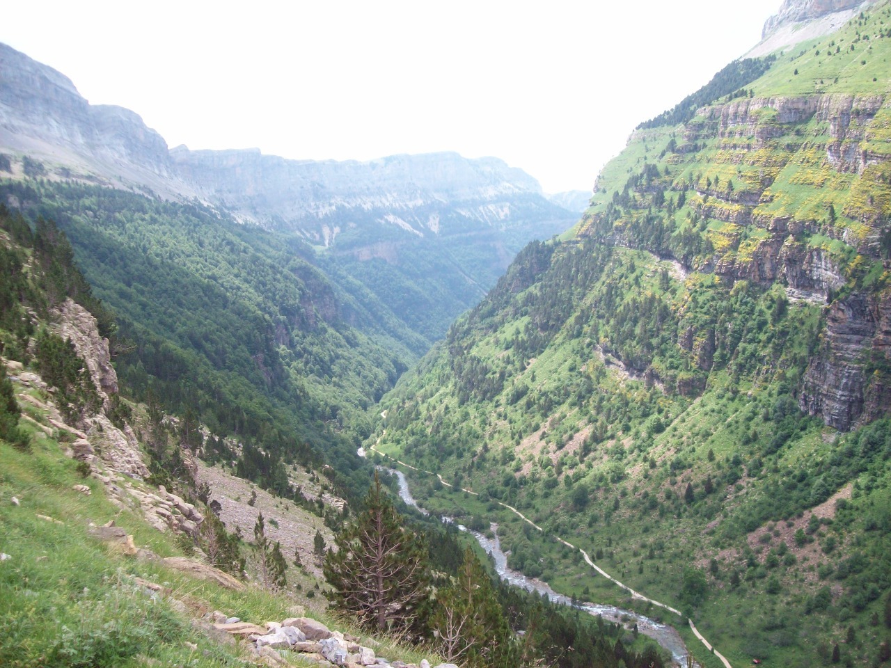
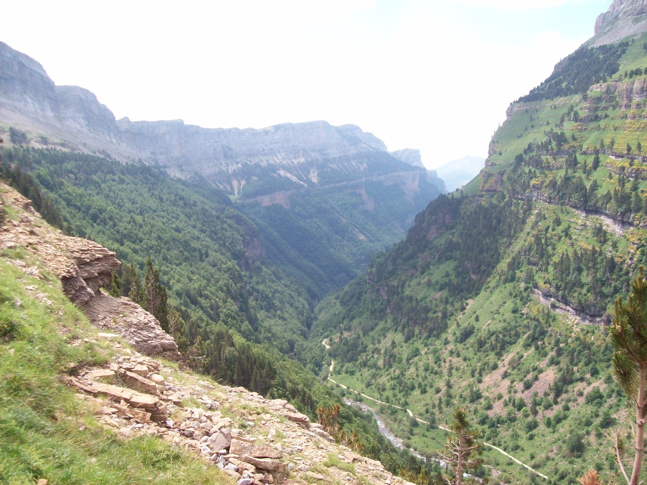
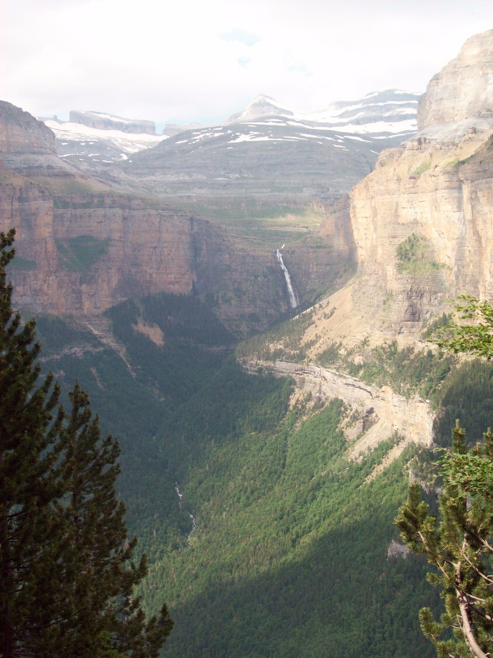
thickly forested valley of the Rio Arazas rises quite rapidly between near
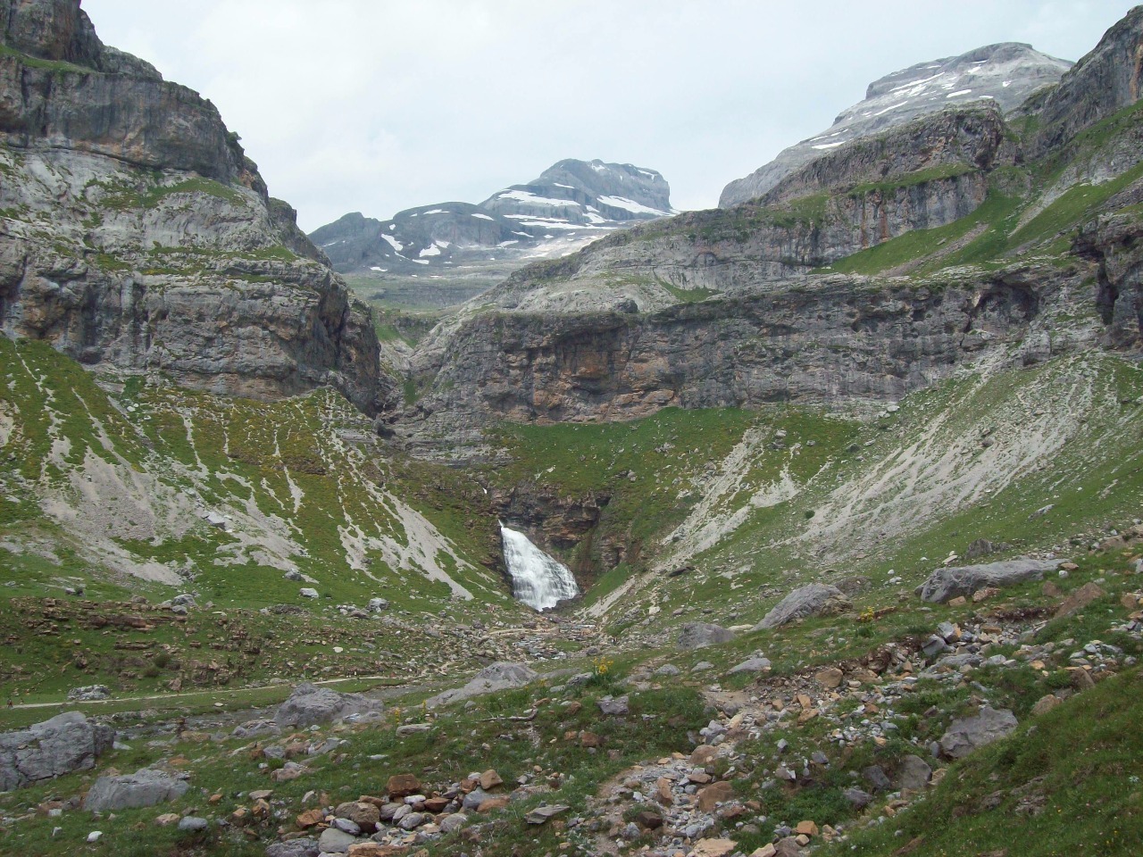
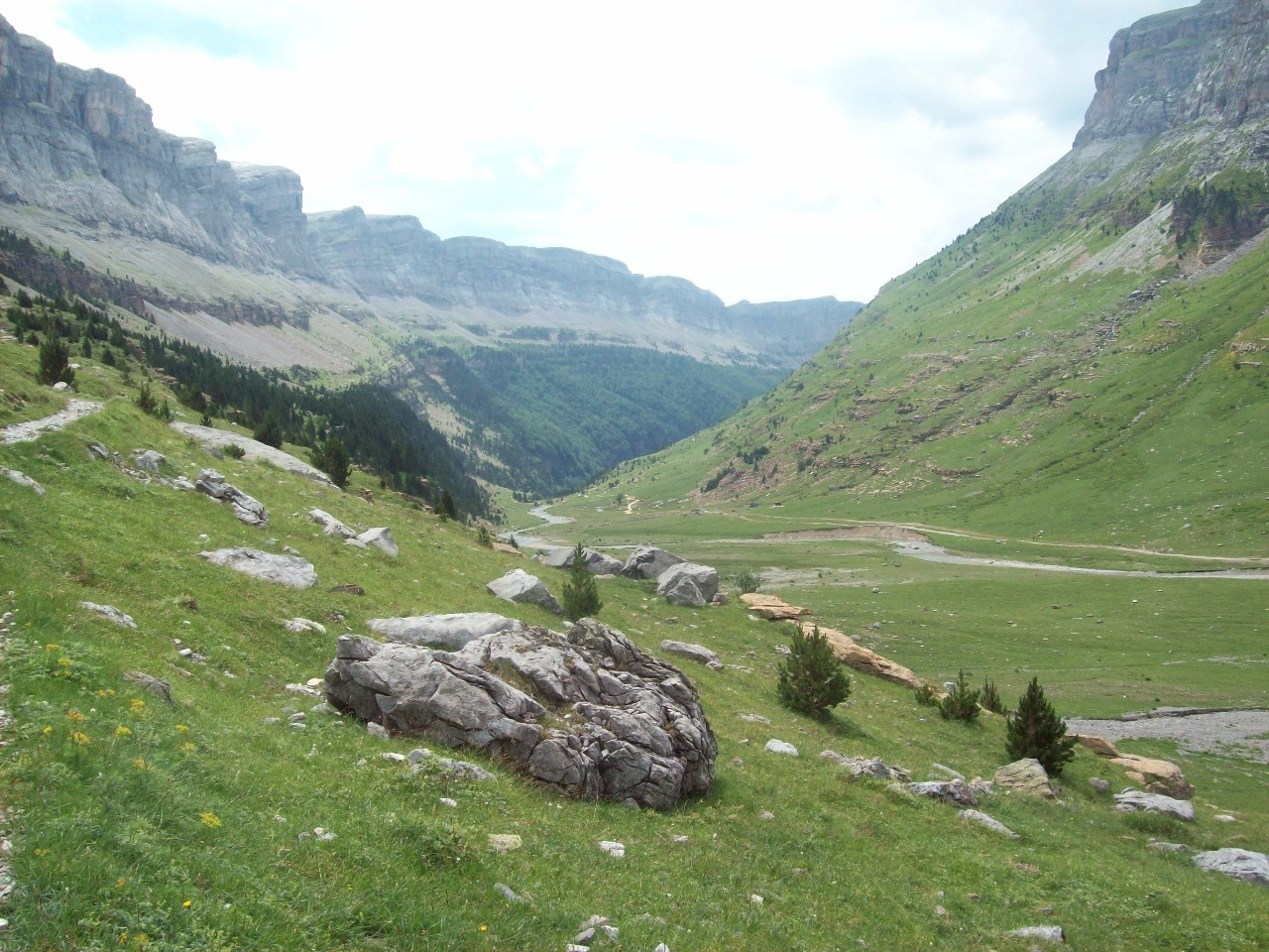
vertical walls and past multiple cascades. After about eight miles of gradual
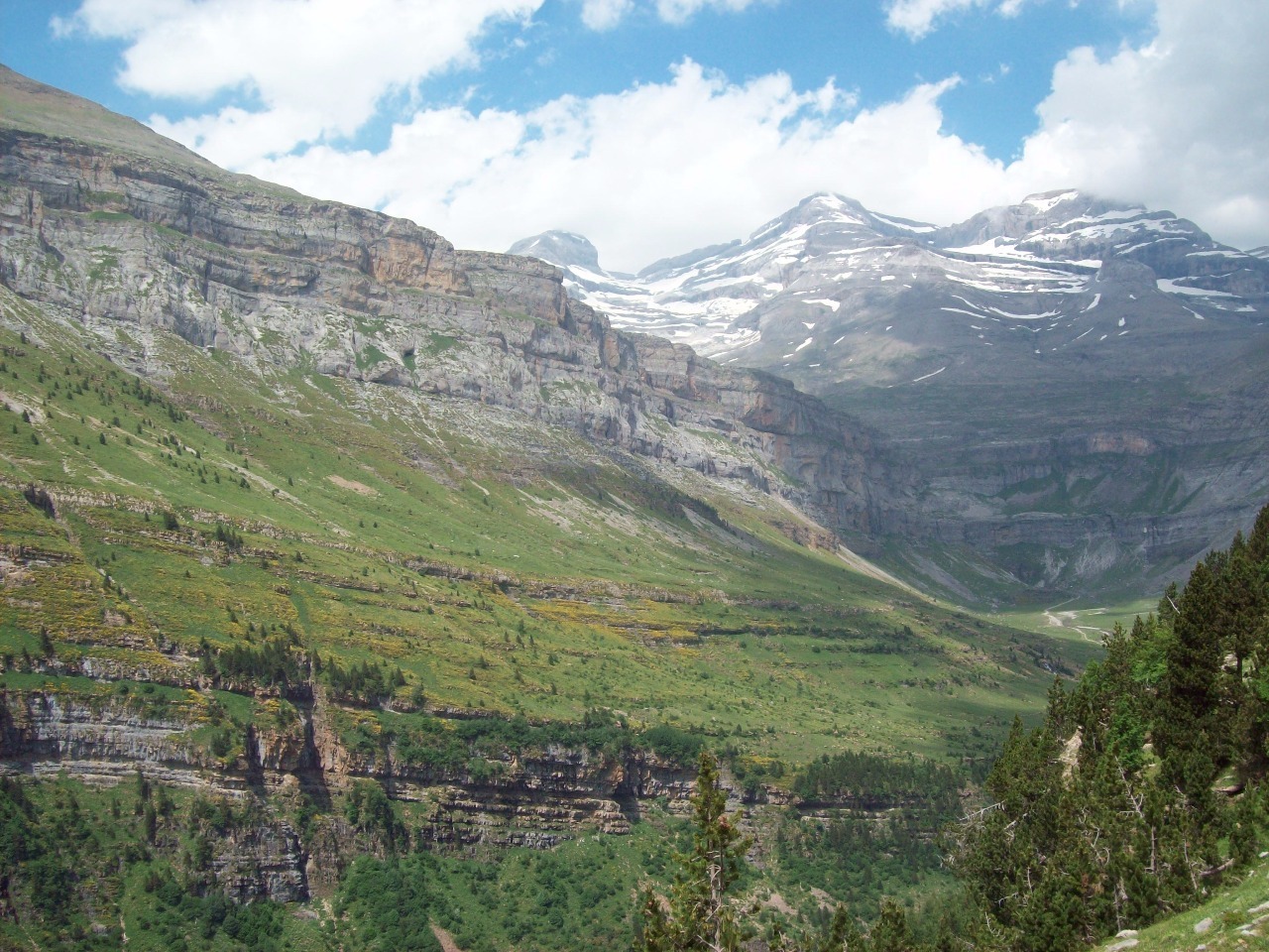
uphill walking the valley opens up to some spectacular meadows between the
mountains. The canyons and peaks here are also very different from anything
else we saw along the way on our trek, most of which was of the French side of
the range.
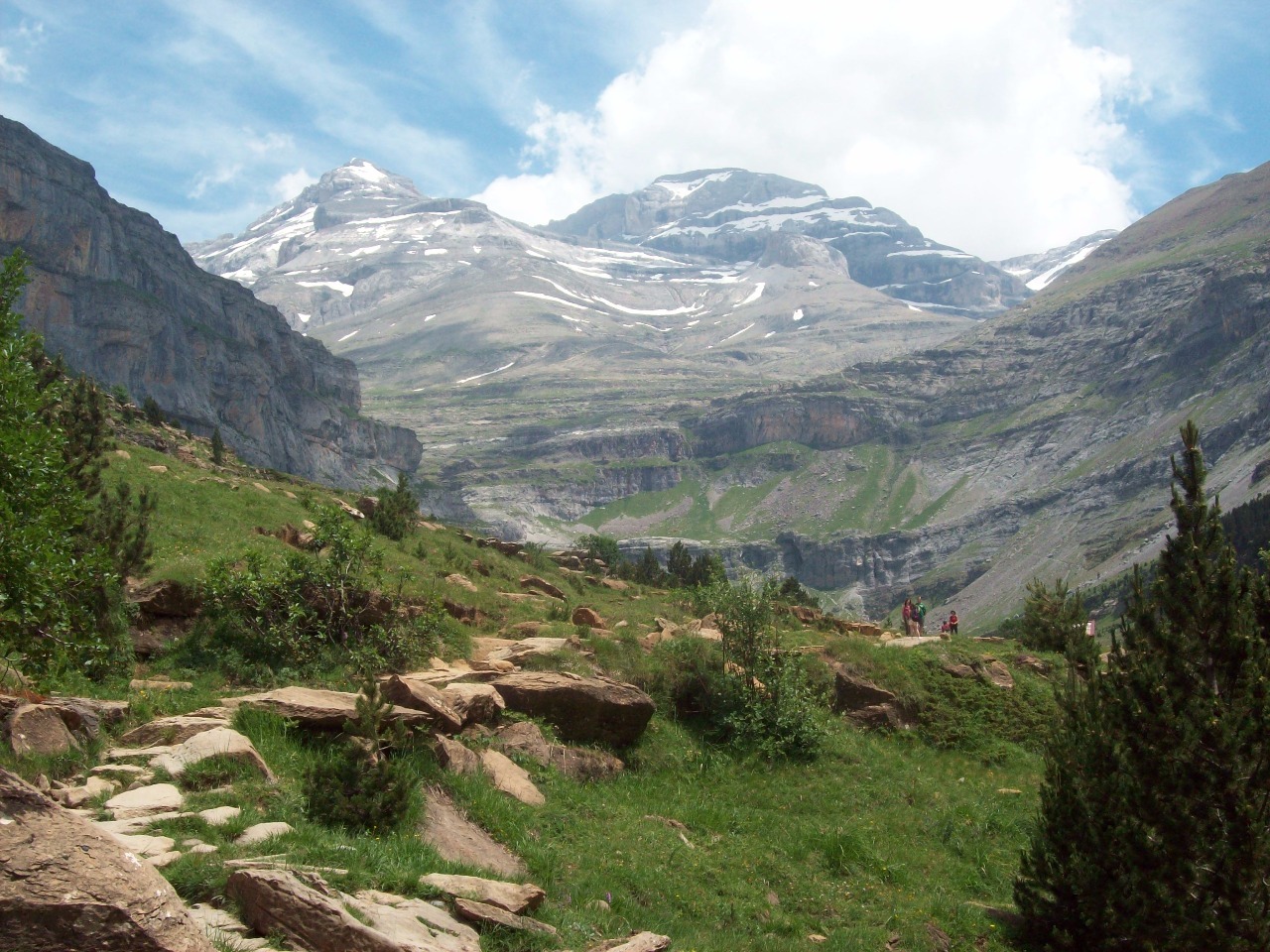
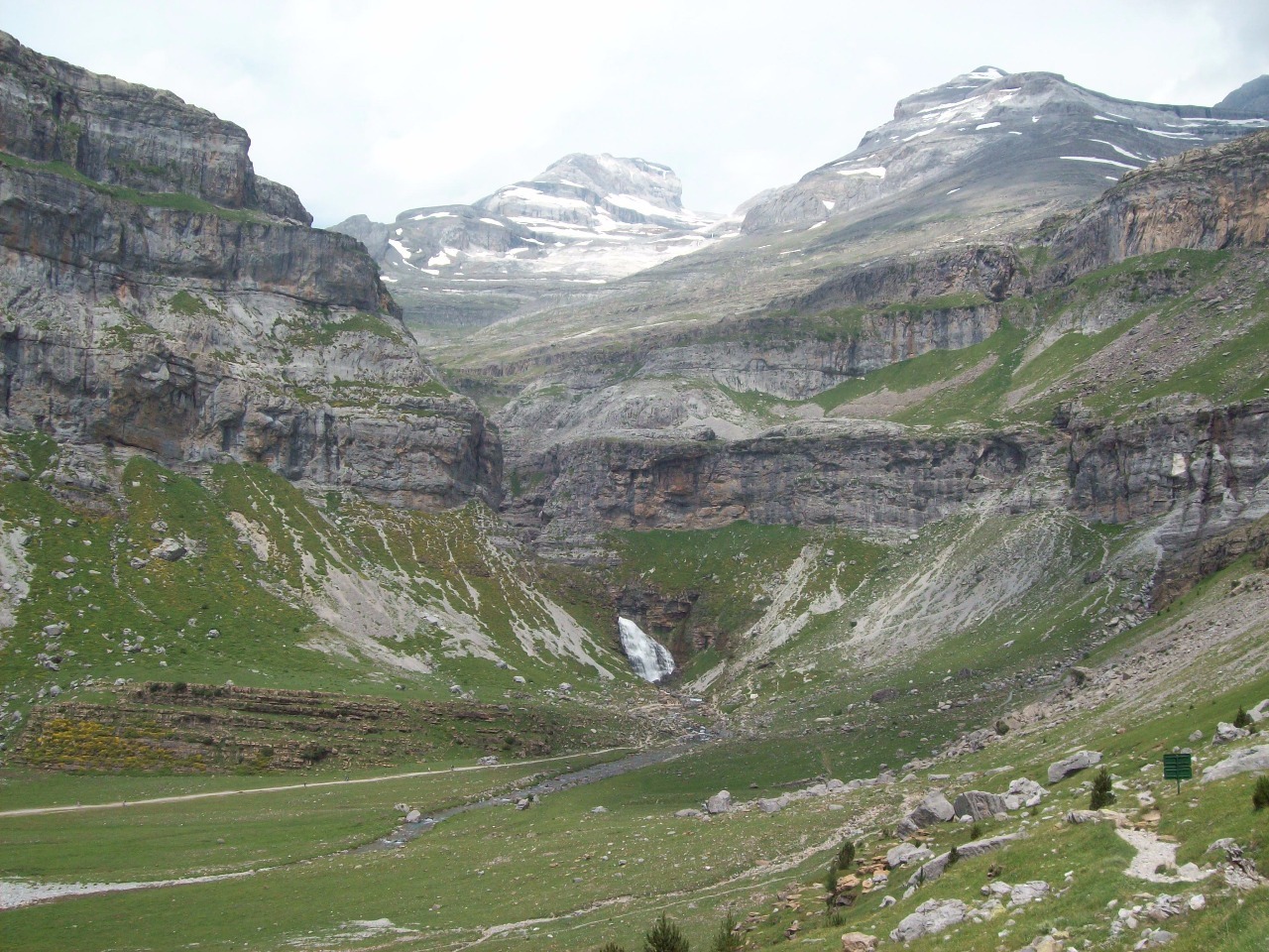
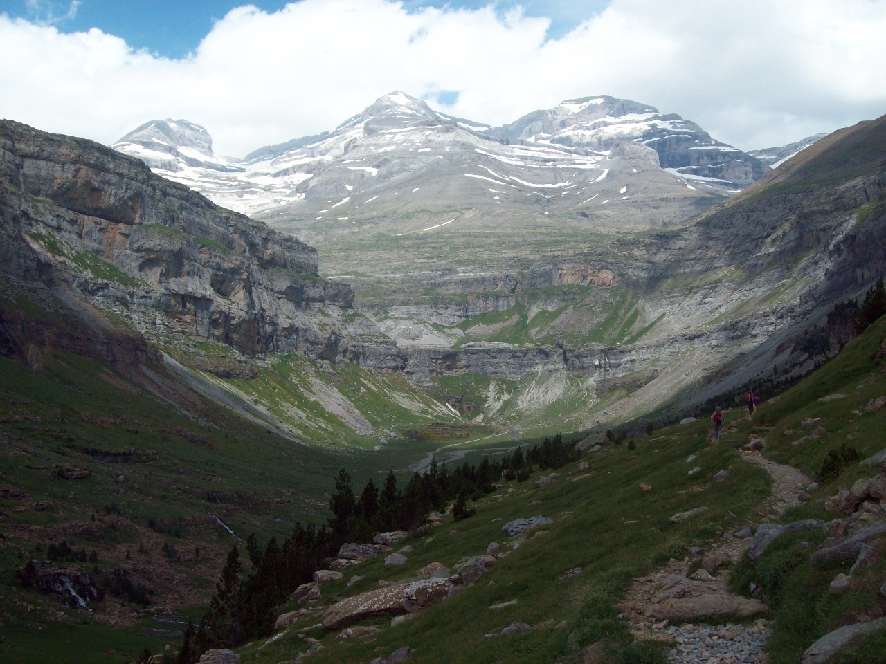
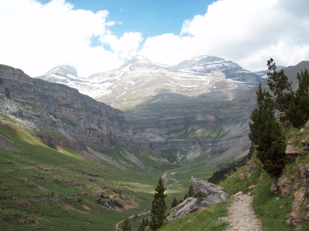
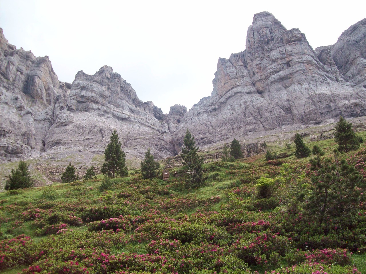
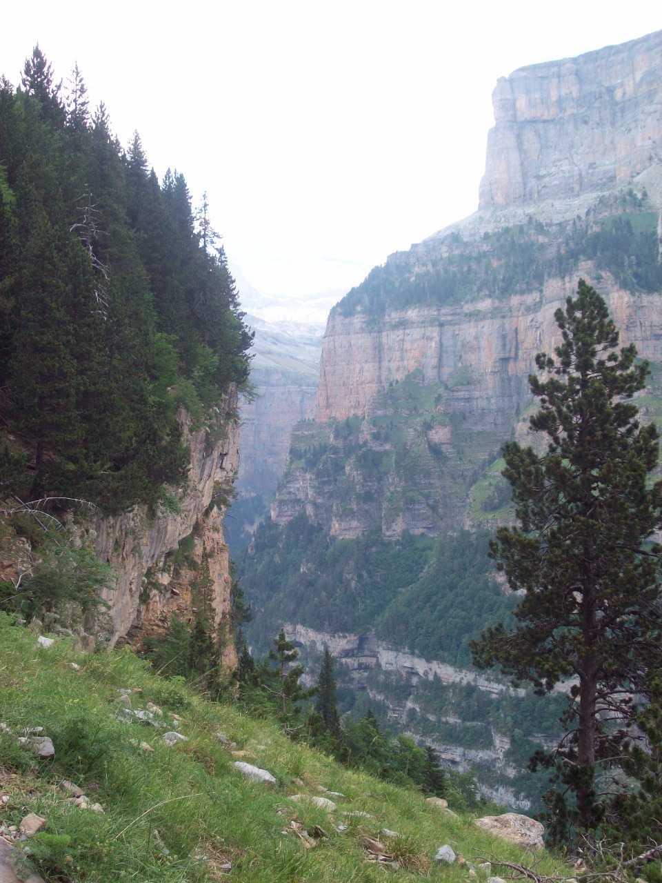
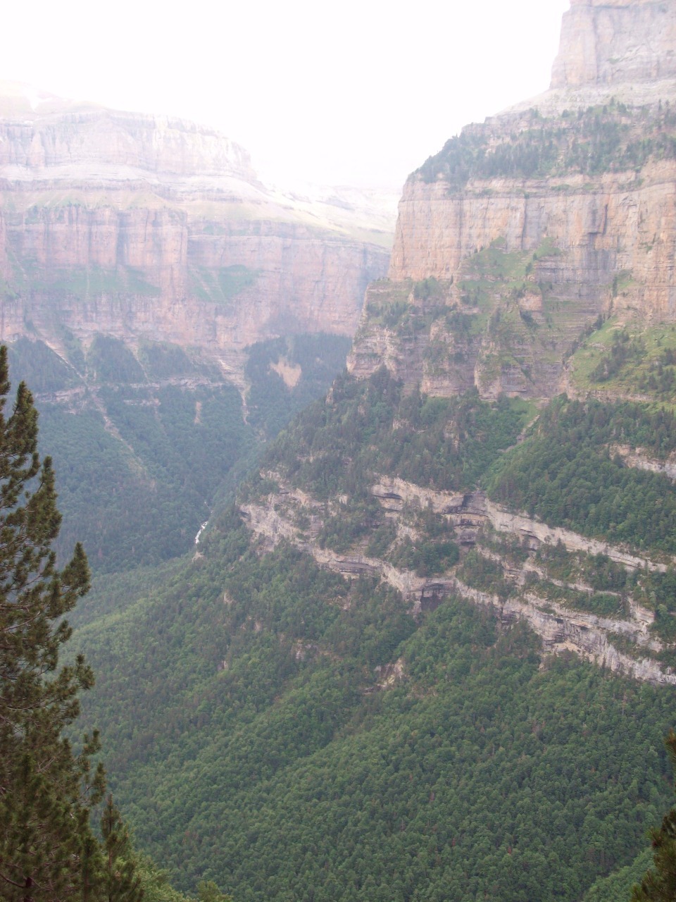
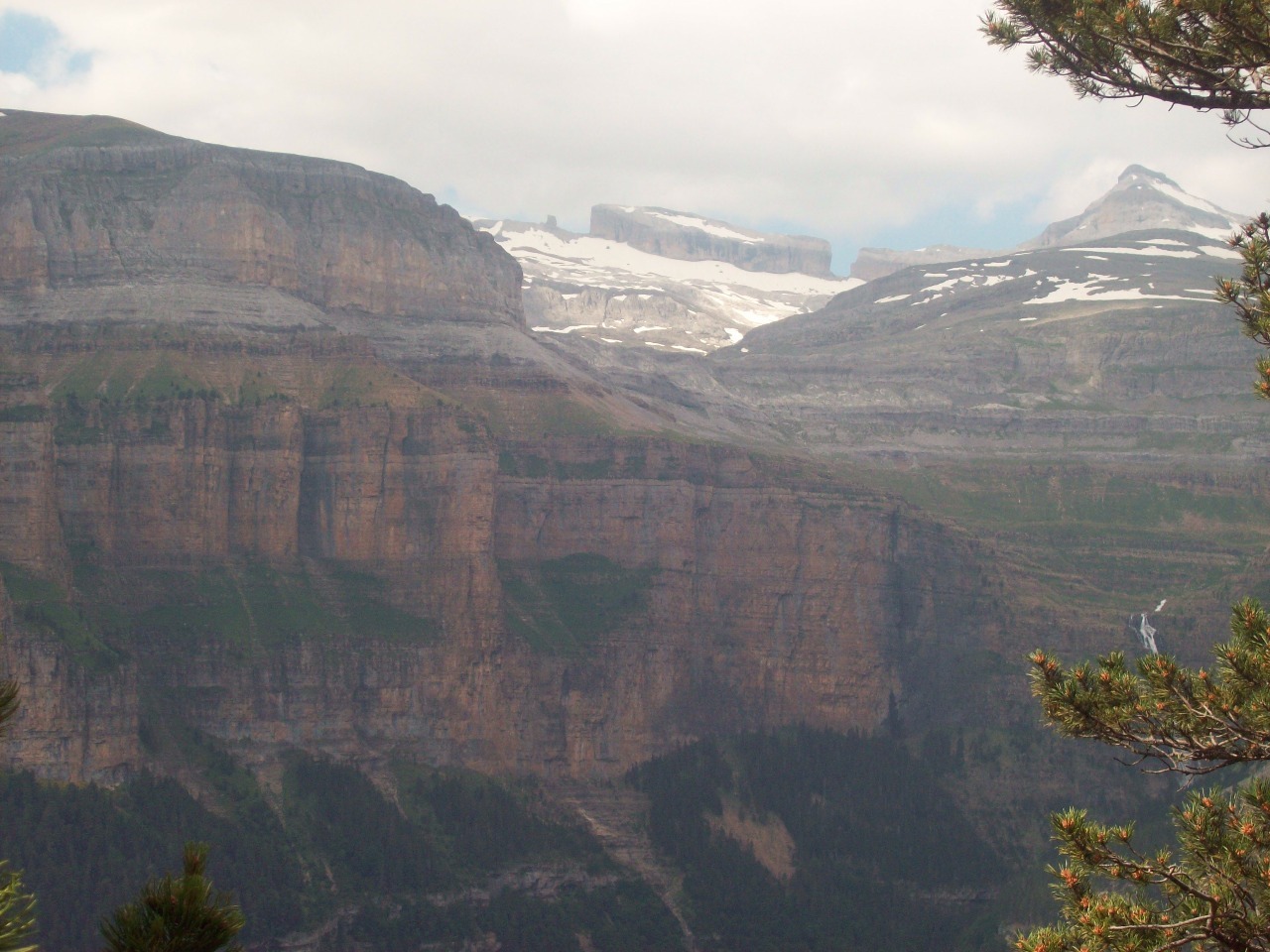
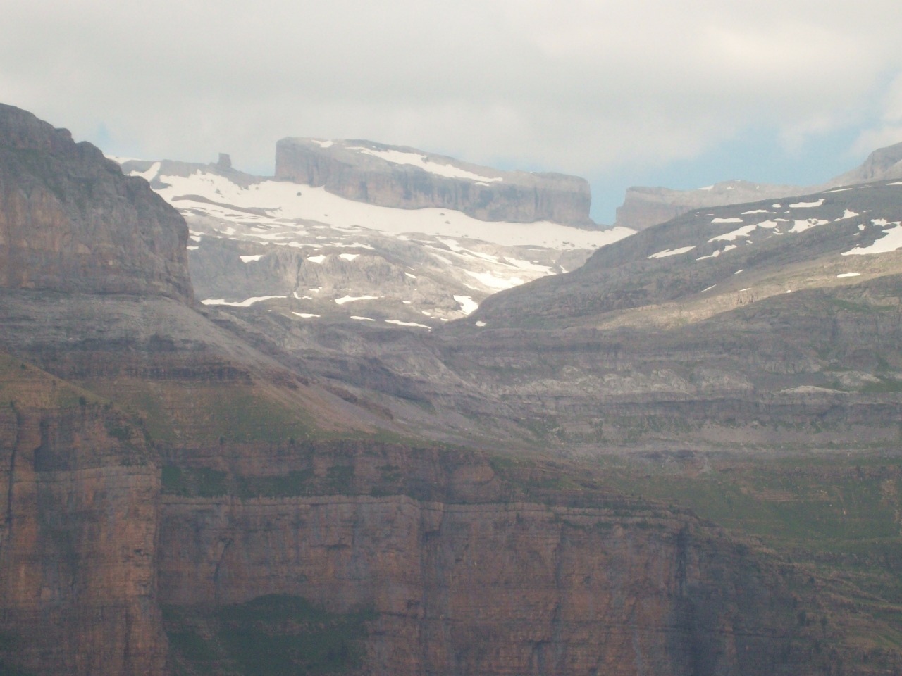
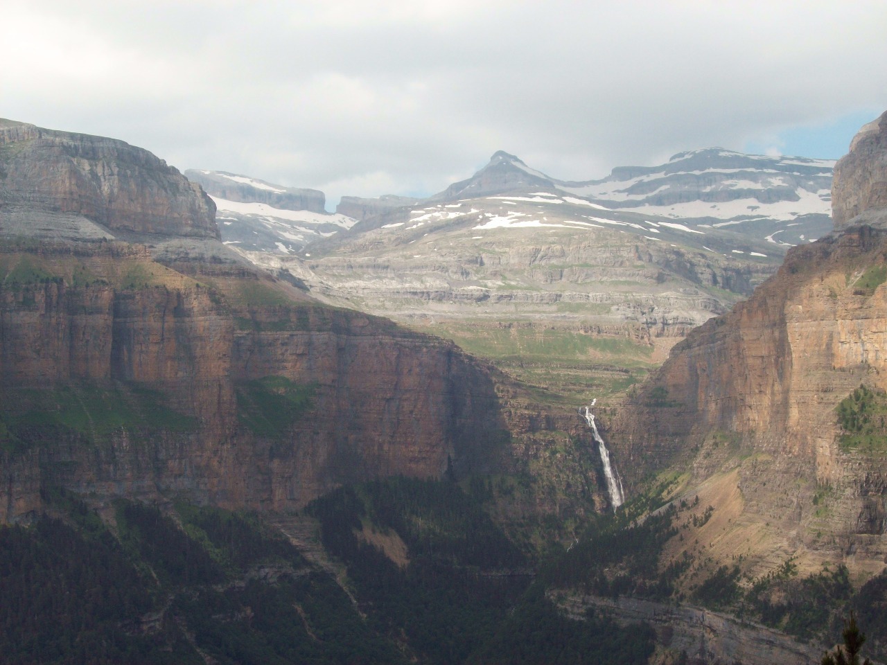
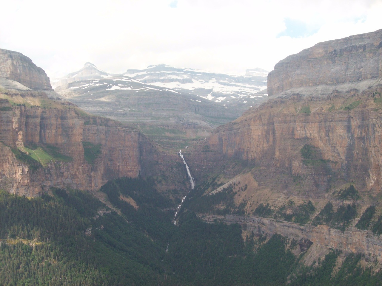
From there it’s possible to continue on a steeper route that
involves some scrambling and ultimately either to the Breche de Roland and
France or to climb the peak of Monte Perdido. But Doug and I were by now
looking for an easier day. To shake things up a bit, instead of returning via
the valley floor route we decided to take the Faja de Pelay, a trail that rises
a bit farther from the top of the valley as it backtracks along the southern
wall of Ordesa Canyon, rising ever higher above its floor along the 1,900-meter
(6,300 foot) elevation contour line.
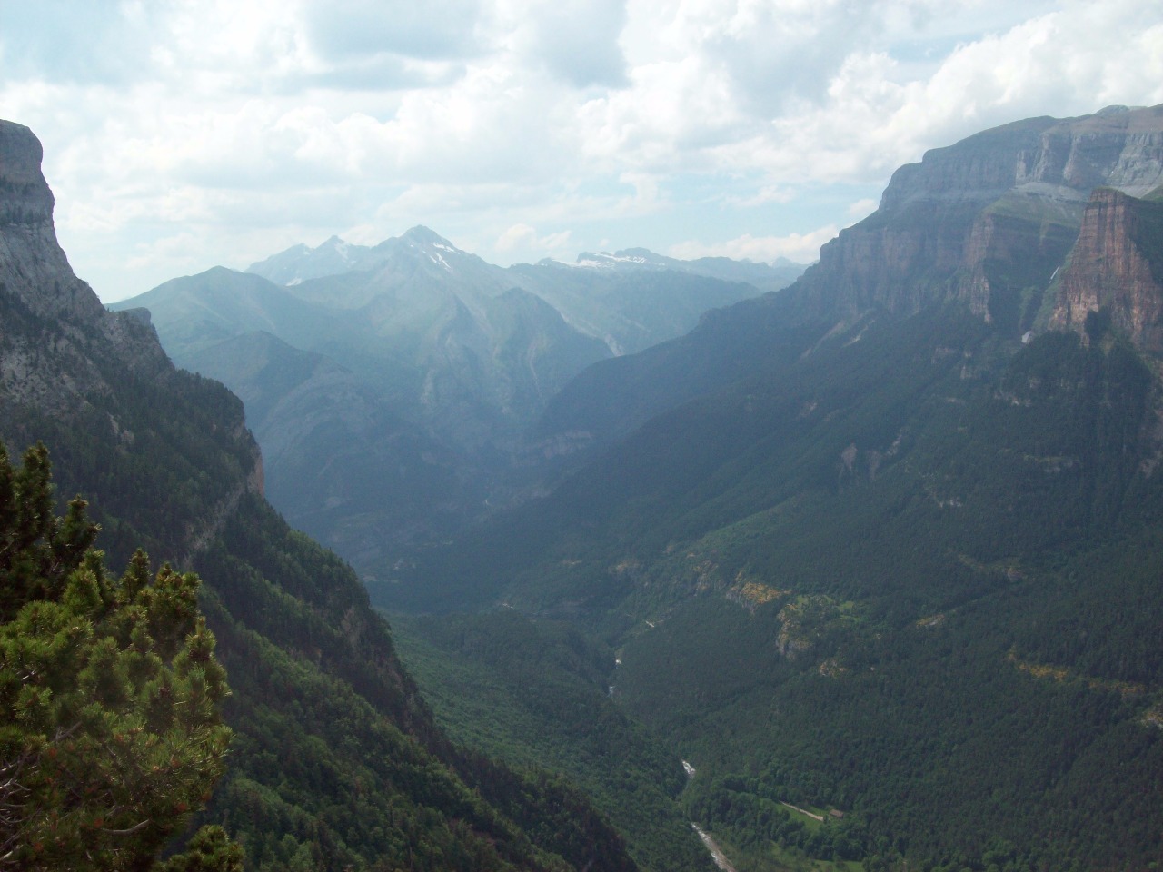
Despite having no steep stretches and being free of our
backpacks, the Faja de Pelay trail probably had one of the highest “fear
factors” of our entire trek since it was one of the only complete cliff walks
where a wrong step could easily result in tumbling a thousand feet or more to
your death as you sometimes hear happens in places like the Grand Canyon, a
feeling that was relieved only in some stretches by pine trees and other
vegetation which blocked the views of the long direct way down .
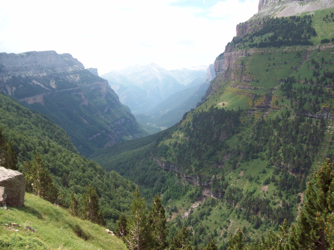
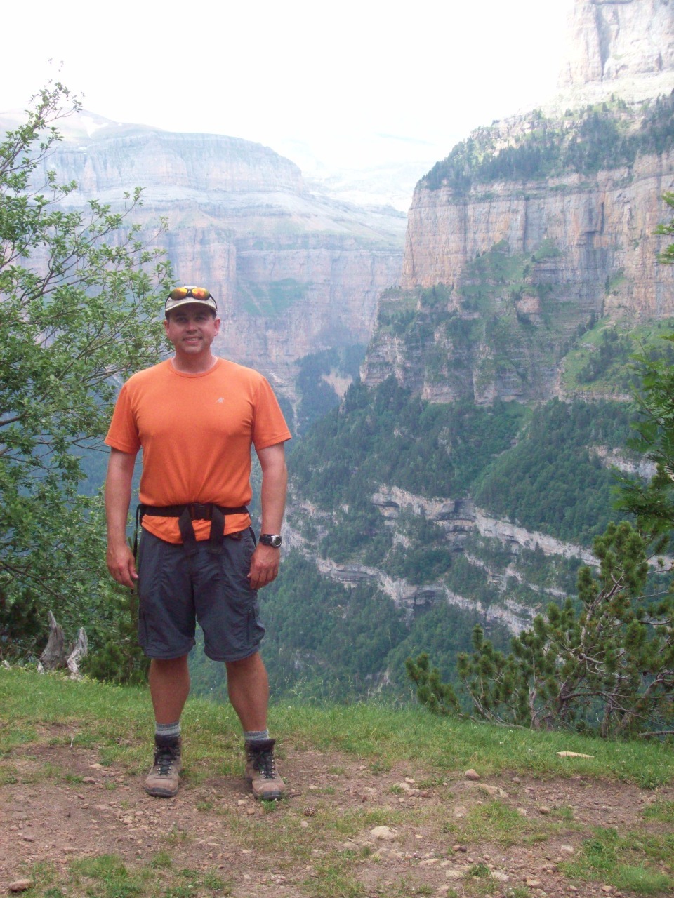
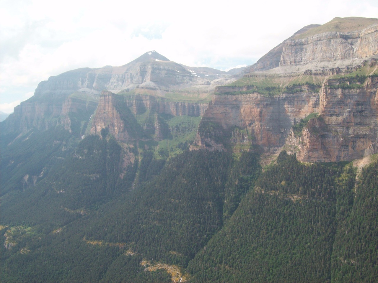
The trail continued onwards along the contour, but we
decided to make our departure point at the Mirador de Calcillaruego, the
lookout point about 500 vertical meters (1,600 feet) directly above the visitor
center on the valley floor, a view something along the lines of Yosemite’s
Glacier Point. There’s an official trail down – directly down! – from there to
the valley floor, probably the steepest trail I have ever hiked on in my life.
I’m definitely going to need a beer as soon as I get to the café at the bottom
-and no, it can’t wait until after the bus ride back to Torla!
Other Entries
-
Jul 082 days prior Gavarnie, France
 -
Jul 091 day prior Torla, Spain and Canary Islands
 -
Jul 10
Ordesa-Monte Perdido National Park, Spain and Canary Islands -
Jul 111 day later
Torla, Spain and Canary Islands -
Jul 122 days later
Pamplona, Spain and Canary Islands -
Jul 133 days later
Zaragoza, Spain and Canary Islands -
Jul 144 days later
Zaragoza, Spain and Canary Islands -
Jul 166 days later Andorra la Vella, Andorra
 -
Jul 188 days later
Valencia, Spain and Canary Islands -
Jul 199 days later
Valencia, Spain and Canary Islands -
Jul 2515 days later
Sitges, Spain and Canary Islands -
Jul 2717 days later
Barcelona, Spain and Canary Islands -
Jul 2818 days later
Barcelona, Spain and Canary Islands -
Jul 2919 days later
Barcelona, Spain and Canary Islands -
Jul 3020 days later
Barcelona, Spain and Canary Islands -
Aug 0122 days later London, United Kingdom
 -
Aug 0324 days later
Guildford, United Kingdom -
Aug 0526 days later
Oxford, United Kingdom


2025-05-22