 Port Stephens, New South Wales, Australia
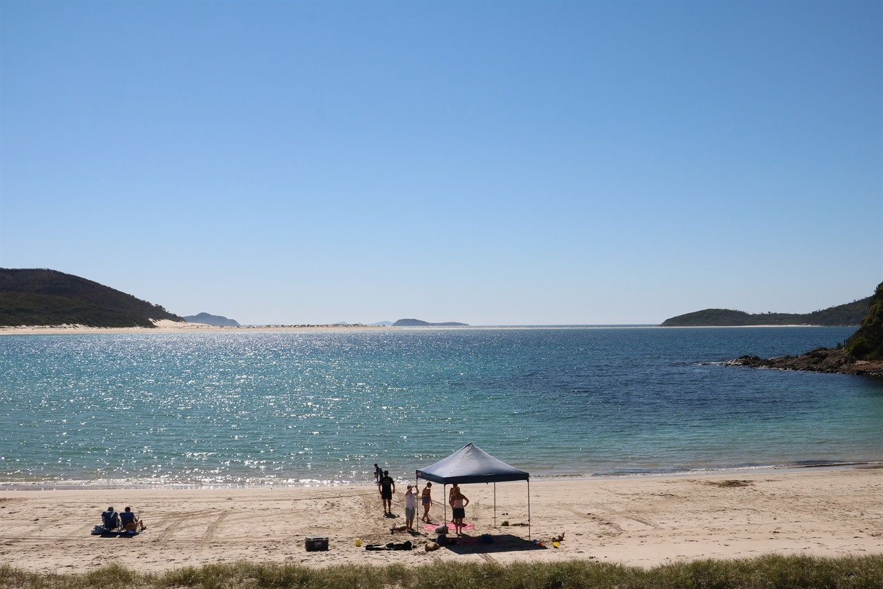
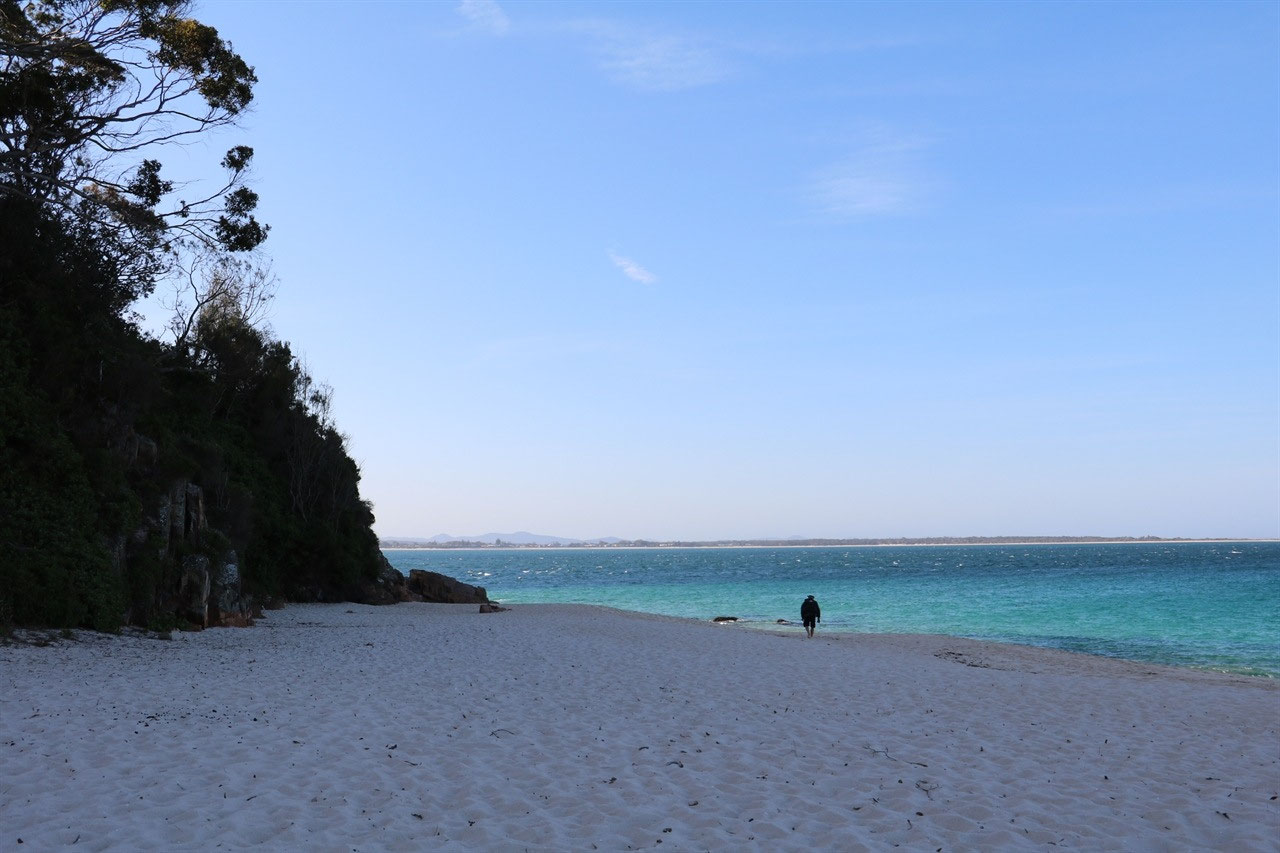
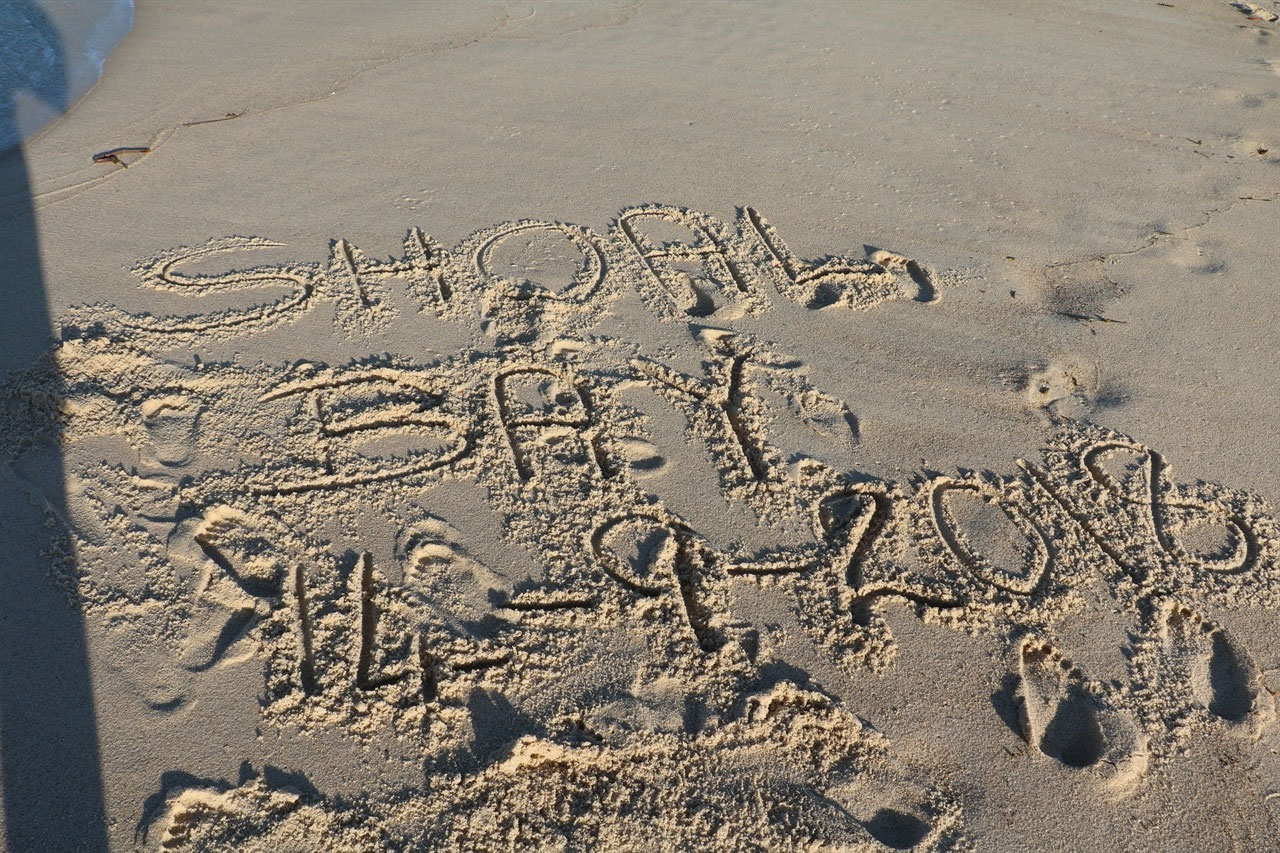
It is said that if you visit Port Stephens you need to be prepared to be relaxed, exhilarated, enchanted and amazed and it has 'an awesome coastline'. It is also written that the magnificent bay is twice the size of Sydney Harbour and the monumental sand dunes are the largest in the southern hemisphere. This part of Australia covers nearly 1,000 square kilometres and it caters for all ages. It is also said in the brochure that whomever said "it's about the journey not the destination" has never turned the corner to arrive at Shoal Bay on a glorious Port Stephens day and been in awe of the scene before them. I have to say "That is how it was for us"! It was such a magical sight. The aqua Pacific Ocean was hugging the white sands of a curved bay, that was harboured beneath a lush green headland.
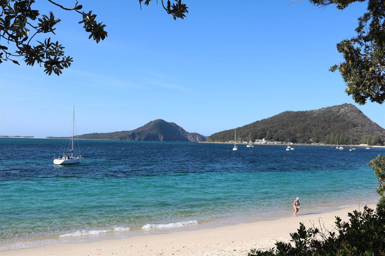
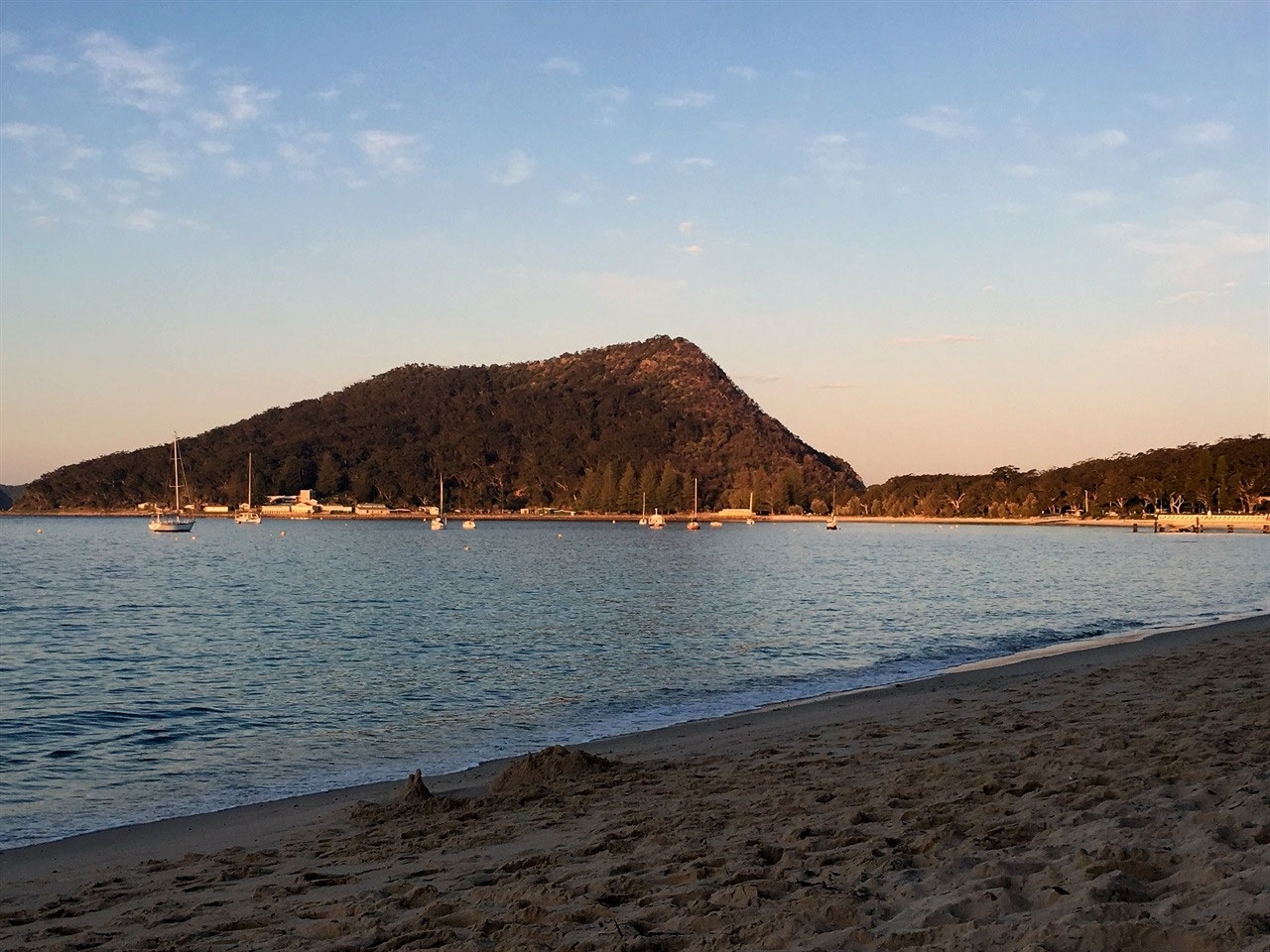
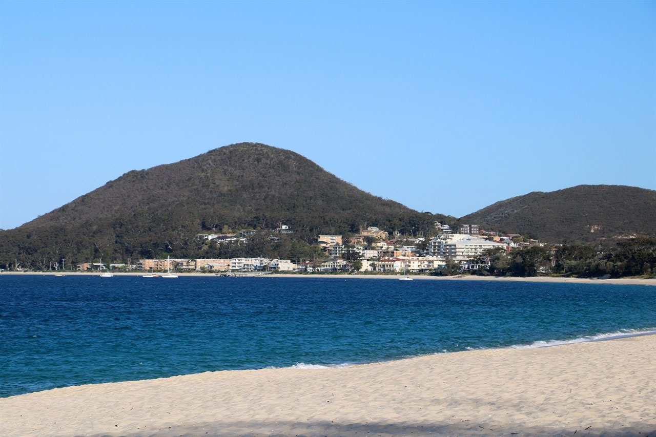
Port Stephens is a 'Valley Estuary' and a natural harbour of approximately 134 square kilometres located in the Hunter Valley of New South Wales. It is only 160 kilometres north east of Sydney. Port Stephens is formed by the confluence of the Myall and Karuah Rivers, Tiligery Creek and the Tasman Sea of the South Pacific Ocean. My goodness that is a lot of water coming together to form this magnificent estuary. A narrow entrance between two striking hills of volcanic origin marks the opening of Port Stephens to the sea. The southern headland, Tomaree or South Head, rises to 120 metres, whilst Yacaaba, the northern headland, is 210 metres. The harbour is mostly shallow and sandy but contains sufficient deep water to accommodate large vessels.
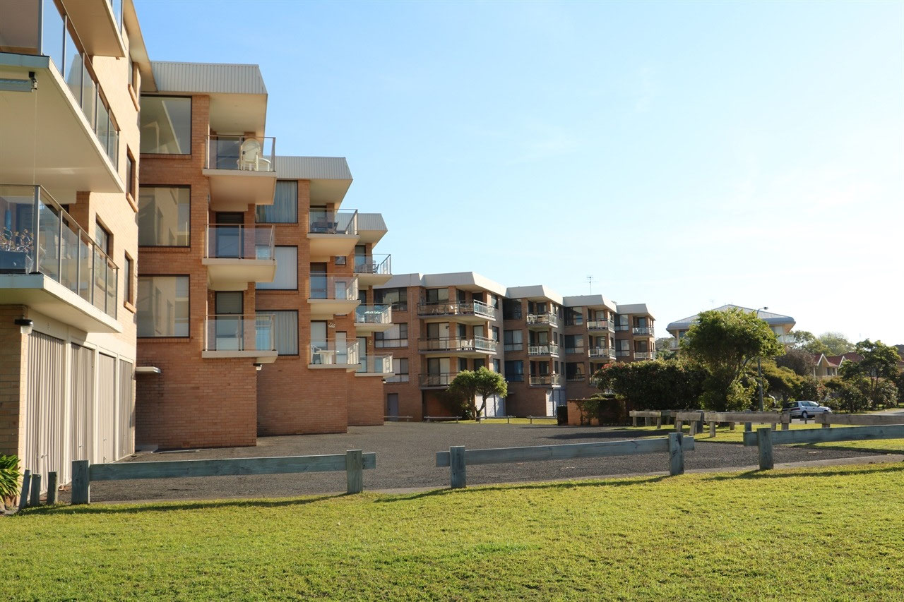
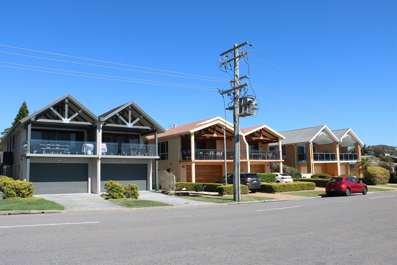
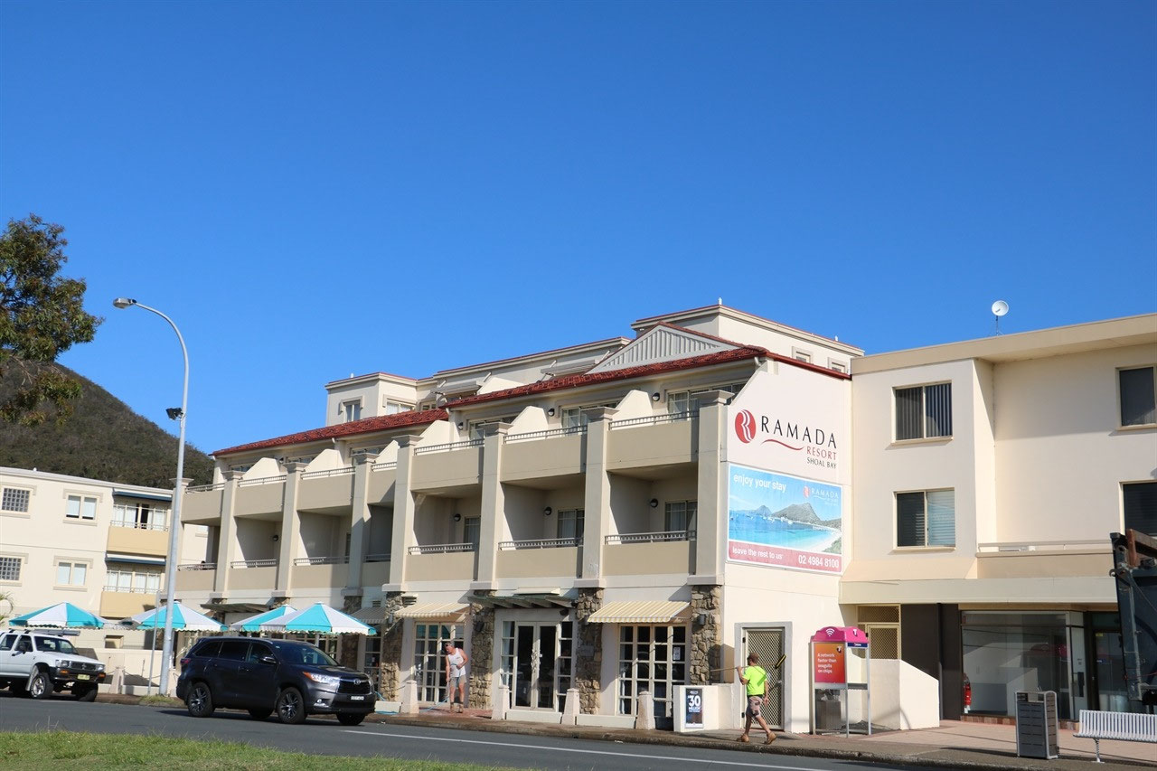
There are a number of bays that you are able to stay at and lots of choices of caravan parks. We chose to stay at Shoal Bay Caravan Park and the company owning this park, also has one at Fingal Bay and Anna Bay. So glad Peter chose this bay, although there wasn't quite as much traffic at Fingal Bay. We didn't go for a drive to Anna Bay, it is on the Tasman Sea side of the peninsula. Other bays are Salamander Bay and Nelson Bay. The main shopping area is at Nelson Bay. On Foreshore Drive of Salamander Bay, there were some beautiful permanent residents homes. A great deal of the accommodation at the other 'Bays' does appear to be holiday flats/units and there are lots of them.
The estimated 2017 population of the Port Stephens local government area was 71,716. The Tomaree Peninsula has the biggest population and it was this Peninsula that we were staying on. The port was named by Captain Cook when he passed on 11 May 1770, honouring Sir Phillip Stephens, who was Secretary to the Admiralty. The first ship to enter the port was the 'Salamander', a ship of the Third Fleet that later gave the suburb of Salamander Bay its name, in 1791. In that same year escaped convicts, then known as 'bolters', discovered coal in the area. Port Stephens became a popular haven for escaped convicts and so in 1820 a garrison of soldiers was established at what is now known as Soldiers Point. The suburb of Corlette was named after Captain James Corlette who began shipping timber and wool out of the Port in 1816. Port Stephens has rather poor soil for the most part, and has limited agricultural potential. For this reason, no large towns developed here and it was never developed as a significant port. Newcastle at the mouth of the Hunter River, was developed as a significant port 45 kilometres south west of Port Stephens. The Tomaree National Park covers much of the Tomaree Peninsula we have been staying on.
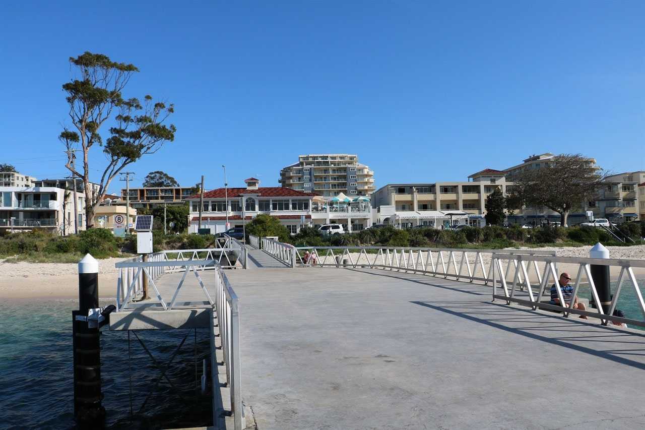
That's enough of the history.....now to what we did in Port Stephens. Not a lot! That is what the place is all about. Beautiful beaches and relaxing. Peter and I went for a walk on Friday afternoon into the small township of Shoal Bay and then along the beach to Nelson Head. It was a bit windy and we had our jacket on and off quite a bit of the time. Peter asked one of the locals about going around what we found out on Saturday to be Nelson Head. The young girl said we could walk to Little Bay. Because the tide was low, she said "We would be okay"! We started off and then I decided it was too late to head off around this headland, not having any idea where we were going! So we turned back. Just as well, because when we saw on Saturday where we would have ended up, it would have been quite a walk back to the caravan park.
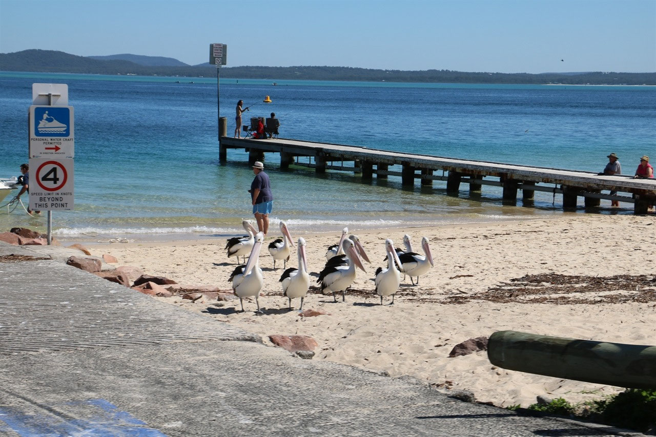
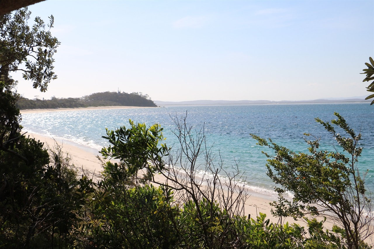
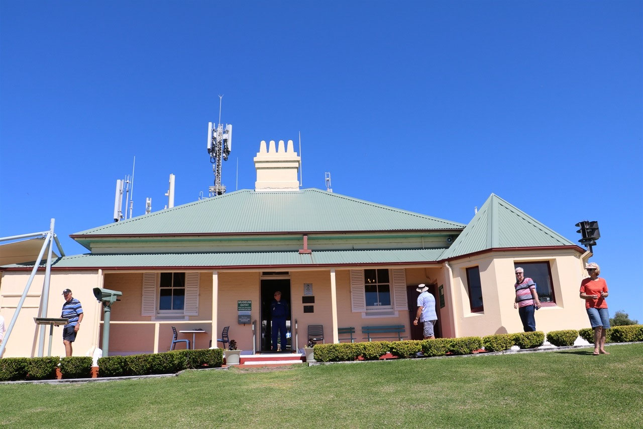
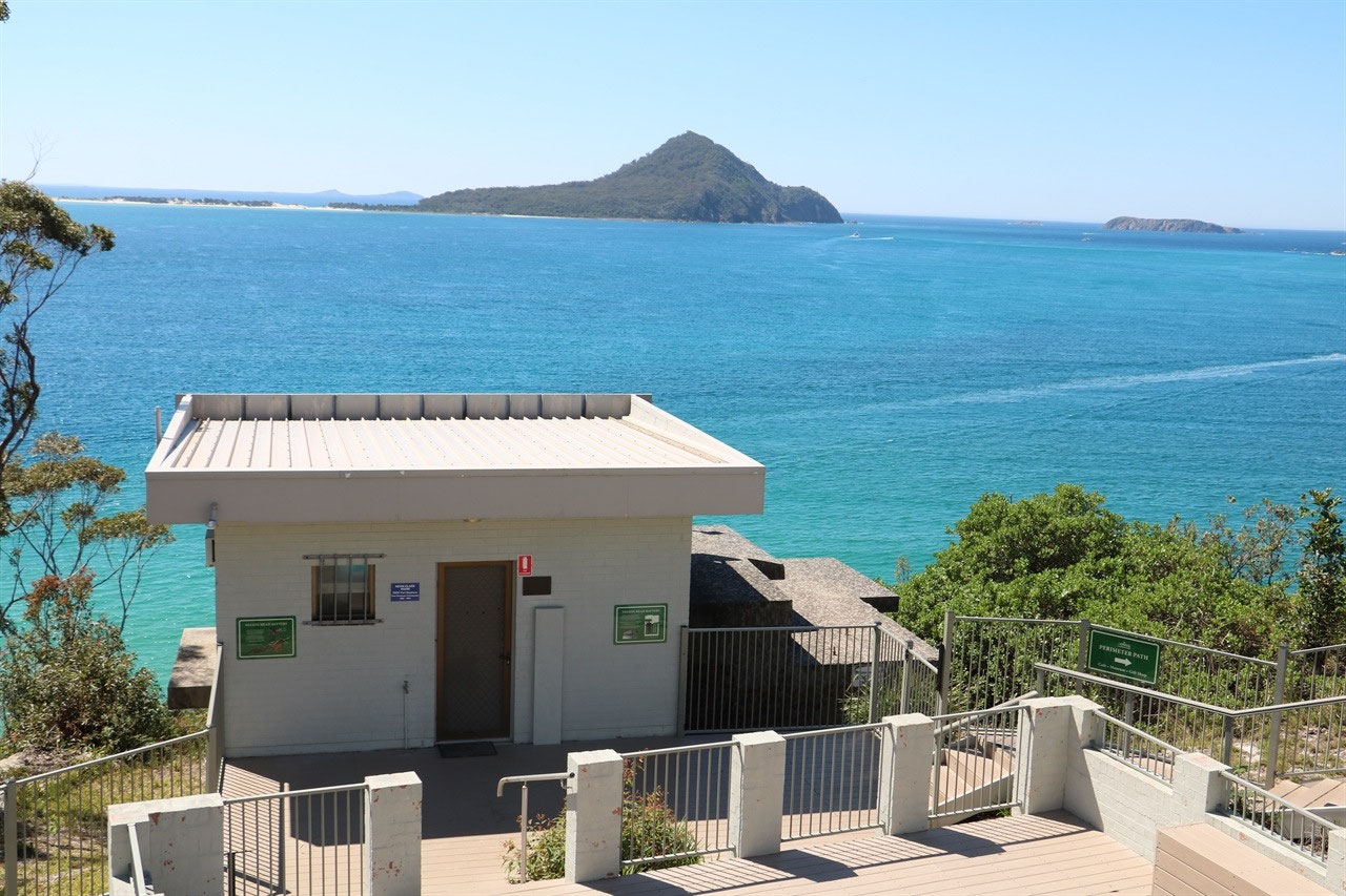
On Saturday we drove to the bays. We liked the look of Fingal Bay. There is 'Tidal Fingal Spit' that you can walk across on low tide to an island that has the Lighthouse on. There was great views from the 'Barry Park Lookout' across to the Island and it is a great viewing spot for the migration of the humpback whales. There is a photo opportunity if you wish to walk up to the 'Tomaree Head Lookout' on the southern end of Shoal Bay. But we weren't into that! We were able to drive up onto Nelson Head to the Inner Light Tearooms. The old lighthouse keepers cottage is now 'Tearooms' and the the Inner Lighthouse still operates, but of course the original that was installed in 1872 and it consisted of a kerosene lamp mounted on a wooden tower. It was maintained and lit every evening and it was visible out to see for 10 miles. The light was automated in 1948 and placed outside the 'Light Room' in 1983. In 1995 a light was mounted on a mast on the WWII bunker. The 'Light Room' is now part of the Cottage Museum .
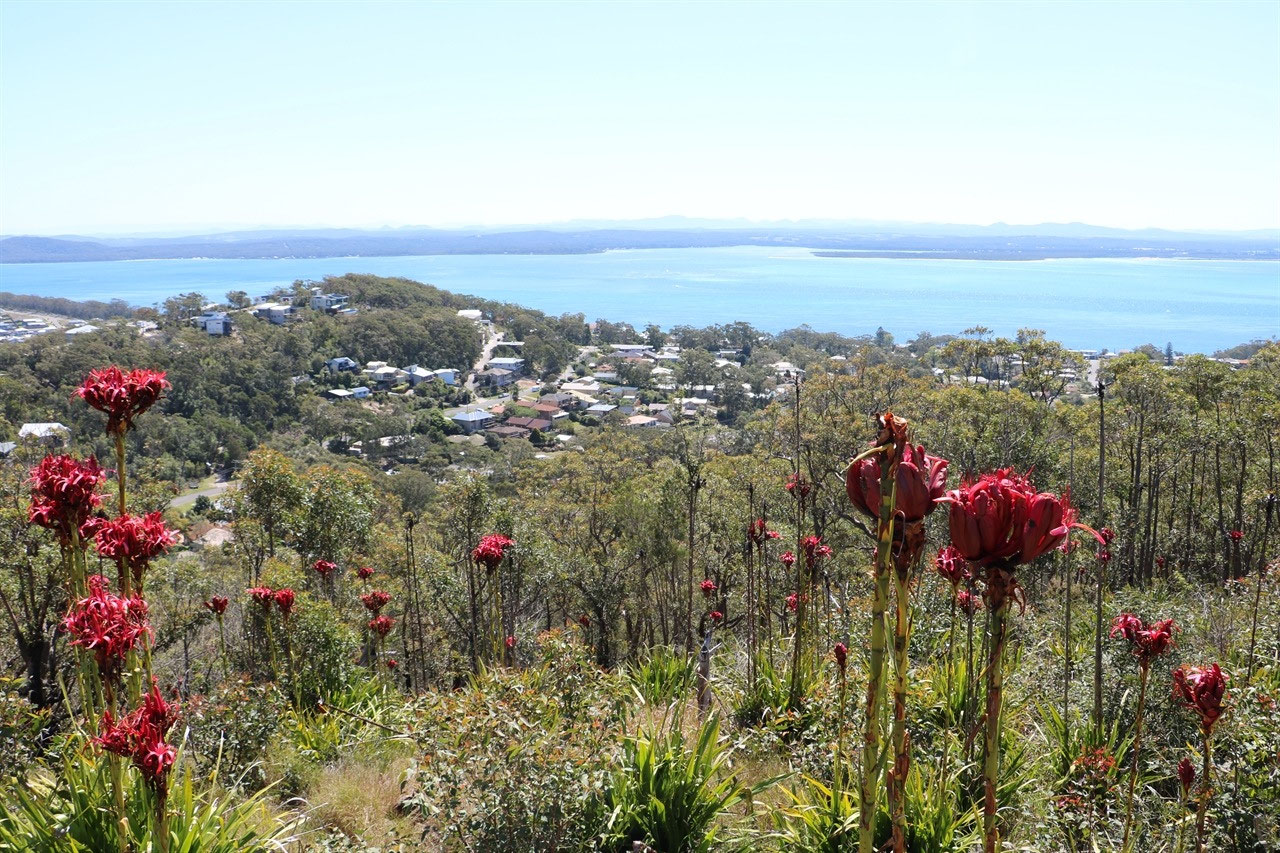
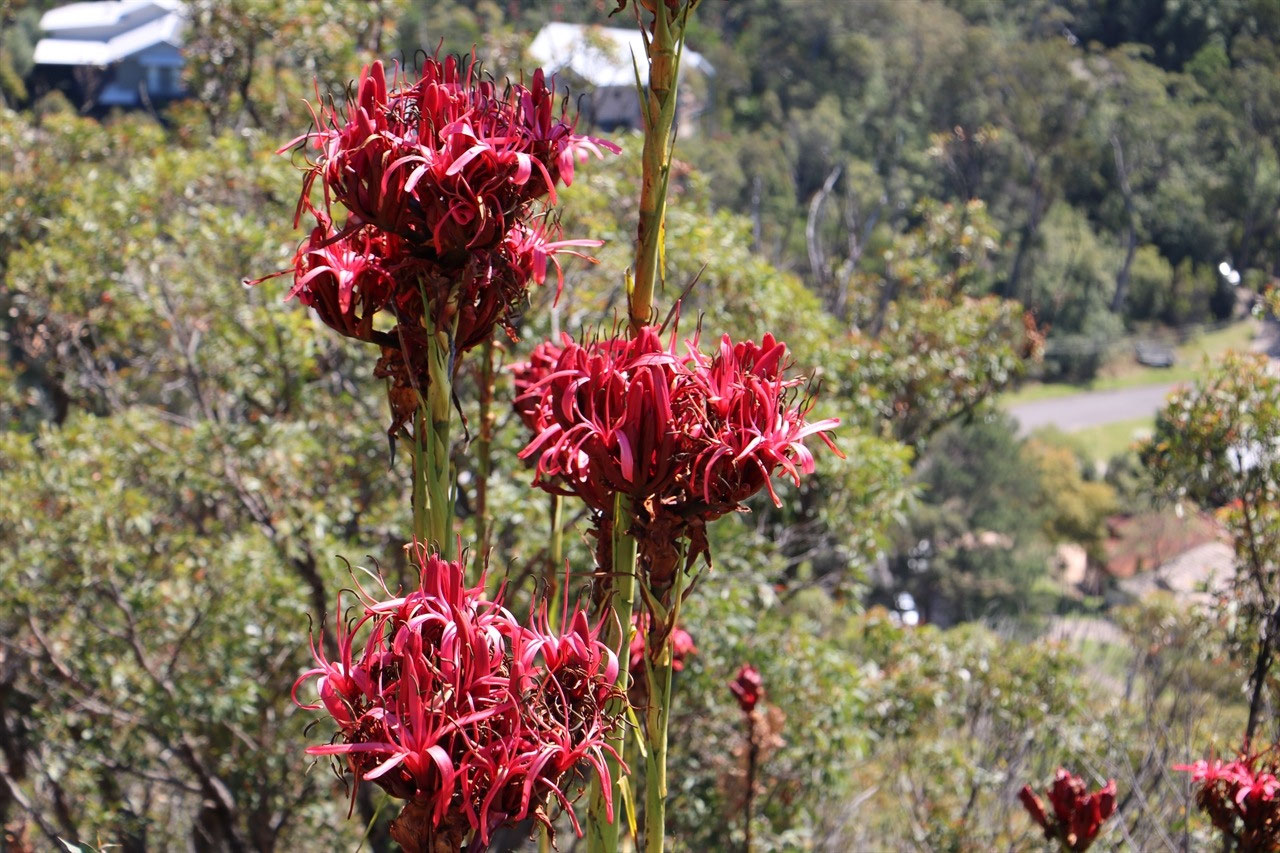
The 'Gan Gan Lookout' was probably the highlight of our touring on Saturday morning. There was so many lilies flowering on the slopes of the lookout. Gymea Lilies are iconic plants of the Sydney Basin and are commonly a dramatic feature at Gan Gan Lookout. The plants are extremely hardy with a very major root system that helps them resist both drought and fire. The fire actually triggers the Gymea Lily to flower. They made a spectacular display and certainly added a splash of colour to the foreground of the photos. 'Gan Gan Lookout' provides views in all directions of the Tomaree Peninsula.
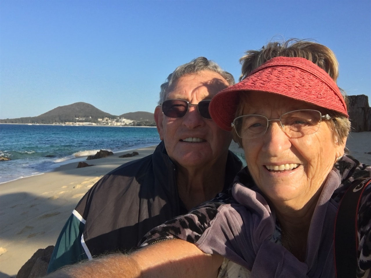
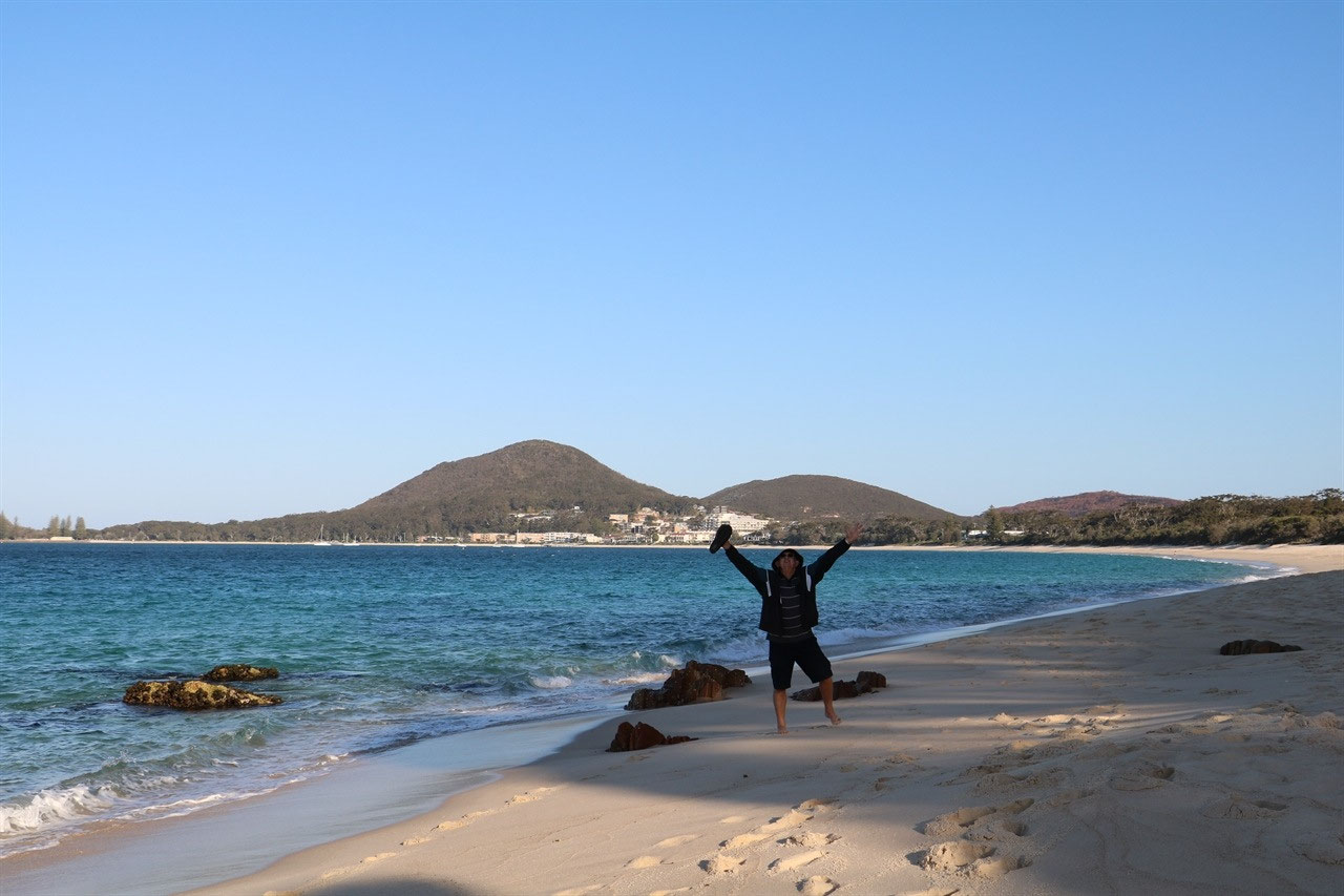
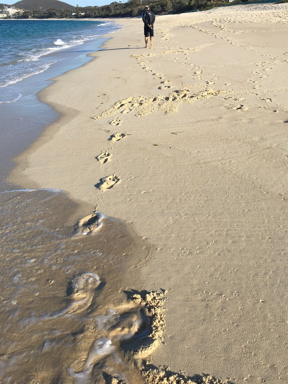
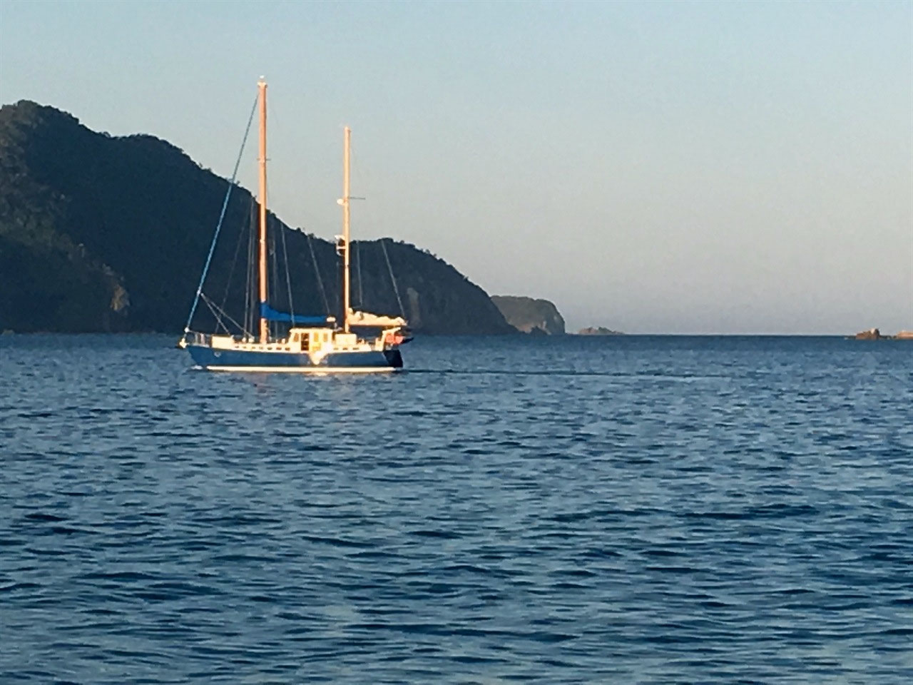
Peter took John & Dorothy into the shopping centre in Nelson Bay on Saturday afternoon, but I chose to read a book for a while and then go for a walk along the beach. I walked to Nelson Head again and then came back and sat on the beach. The was a Sydney Premium Charters boat anchored not far off the beach. There was about six young men having a great time with kayaks etc. It had been such a beautiful day. The temperature probably got to 30 degrees and there were so many people still on the beach as the sun began to set. Next thing I had that 'Man' of mine join me. He had actually gone for a swim when he got back from shopping. We sat there with our toes in the sand, soaking up our last day on the coast. We are off inland tomorrow and we probably won't get back to the ocean again, unless we stay a few days in Streaky Bay on the way home.
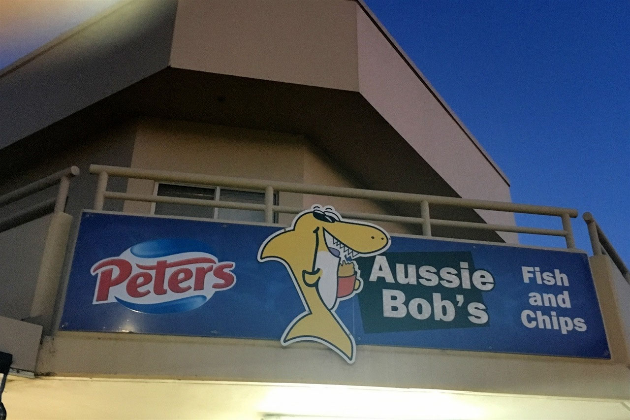
We walked into the small shopping area of Shoal Bay and purchased fish and chips from 'Aussie Bob's' for our Saturday night dinner. It was a popular choice for us and quite a lot of others. The queue was out the front door! I had ordered grilled Barramundi, that ended up being crumbed, but it was very nice. Peter had his usual Seafood Basket.
I could handle a few more days here, but tomorrow we are off to see what this 'Adventure Trip' provides for us as we travel out through the Hunter Valley. We've not been there before.


Jenny
2018-09-16
Looks like you has a relaxing time doing your own thing. Will be interested to read your Hunter Valley blog.
Heather
2018-09-16
Sounds like you should have had a glorious week relaxing at this beautiful beach location.
Barbara
2018-09-18
Called in there Port Stephens when we did the Barrier Reef. I did a tidal walk between two islands last week whilst holidaying on the Isles of Scilly. It is a rare occurance with the tides, never had chance to of done it on previous visits. George now settling in to Greenwich Uni