Scenic Byway 12 ... Bryce to Torrey
Thursday, October 03, 2013
 Escalante, Utah, United States
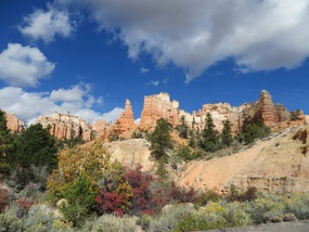
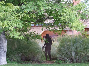
We left Bryce behind and drove on past yet more lovely scenery, including leaves on the turn, and our first Indian, or should I say Native North American, lurking in some undergrowth!
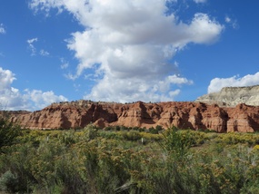
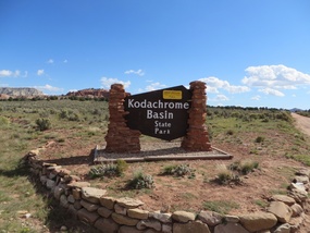
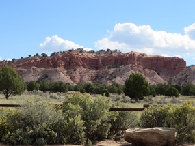
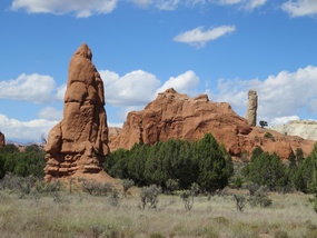
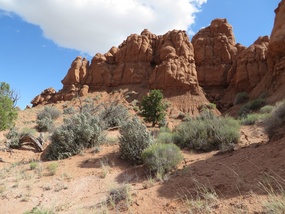
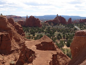
We were so pleased we stopped to visit Kodachrome Basin State Park which is famous for its 67 sedimentary pipes.
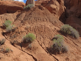
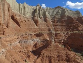
Most of the red rock is made of 150 million year old sandstone. It is easily eroded, especially by heavy rain falls that cause flash floods in the summer, and rivulets of water cause cracks in the surface. The pipes are made of harder sedimentary rock and are left when the surrounding softer layers erode.
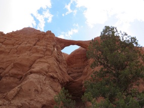
We did two short hikes, the first The Sentinel Trail to Shakespeare's Arch ...
Then The Angel's Palace Trail ...
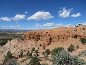
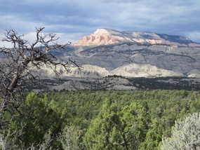
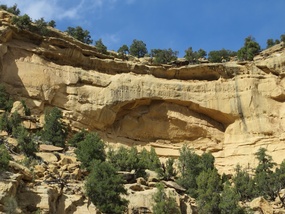
We continued on the Scenic Byway 12, and as advised by the leaflet, stopping at The Blues Overlook of the pink ledges of Powell Point, where miraculously we managed to take our photo from the same spot as the leaflet! We managed the same trick at the Upper Valley Granary which was once a storage place of ancient Puebloans.
We checked in to Rainbow B&B for the night, and had a great dinner at the Circle D Eatery, home smoked brisket, the beef raised by Todd Phillips in Escalante, with mash and beans for me, and a Circle D black bean burger and chips for Chris. When we returned to Rainbow, the fire was lit in the games room and we played a couple of games of pool while chatting to the other guests, a guy from Amsterdam and a couple from Colorado who had brought their nanny and two kids on holiday with them, in a trailer, they were goats who liked to hike!
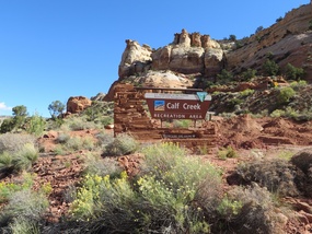
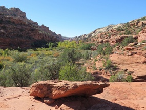
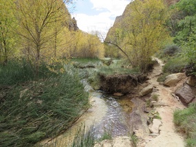
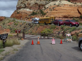
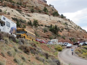
Next day we went to Calf Creek Falls. We were advised by Catherine at Rainbow that people had been parking on the roadside then walking Calf Creek Falls, even through the park was closed. We managed to find a spot to park and continued down the 3 mile hike alongside the creek.
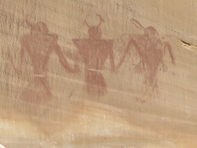
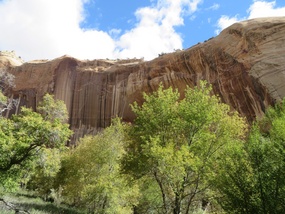
Along the way we passed another granary built by the Fremont Culture AD700-1300 and also pictographs painted on the rock. We also saw 'desert varnish', vertical coloured striping of the rock caused by the action of microscopic life.
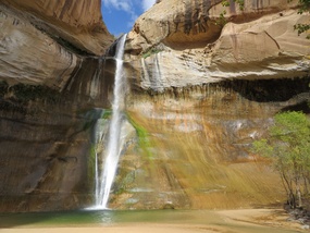
The creek ran through the canyon and there was a 126ft waterfall at the end ... the water was icy!
Once we got back to the road, we were pleased to see many more people were ignoring the No Parking sign and just getting on with their vacation!
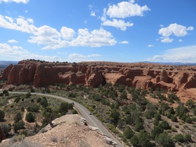
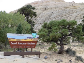
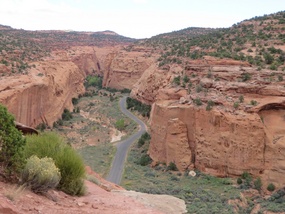
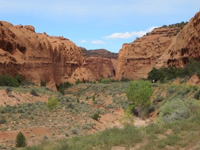
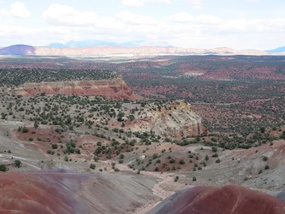
We stopped for a quick restorative snack at the Kiva Koffeehouse with a fabulous view, then continued to Boulder, where we joined the Burr Trail, a scenic route that took us into the Grand Staircase-Escalante National Monument, first through slickrock, then down into Long Canyon which continued for 7 miles with tall red cliffs either side of the road, to a viewpoint across to a line of red cliffs called the Waterpocket Fold.
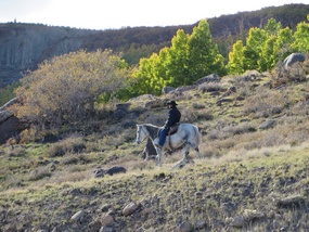
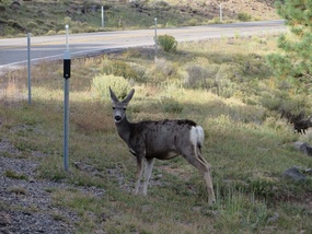
We then returned to Boulder and continued on the scenic route 12 to Torrey, which took us up to 9,600ft through highland pastures, pines and aspens, where we saw a cowboy and also deer.
We finally got to the end of Scenic Byway 12 and turned left into Torrey.
Other Entries
Comments
2025-05-22
Comment code: Ask author if the code is blank

 Escalante, Utah, United States

Clive & Yoka
2013-10-07
Great photos Elaine. Looks like you are having a wonderful time.
We have watered your plants and they all look lush. Can't wait for the next instalment!
Take care x