Cape Cod - Way Out to Sea
Friday, April 29, 2016
 Chatham, Massachusetts, United States
 Chatham, Massachusetts, United States
Italy must be the world’s land mass with the finest shape on
a map or as seen from space, but a close second to Italy’s boot has to be Cape
Cod’s fist-clenched arm bent at the elbow with hand pulled back . That landmass
overall constitutes the world’s largest sandy glacial moraine, where an ice
sheet pushed forward sand into its current location which has so-far remained
above sea level through melting ice sheets.
I had originally planned to spend most of two days between
leaving New Bedford and checking into my timeshare in Provincetown with a trip
across to Martha’s Vineyard, one of the two main resort islands off the Massachusetts
coast. I had been to the islands once on a boating trip with my brother around
2000. We rented bikes to cycle around Nantucket and spent some time in
Nantucket town, but all I saw of the Martha’s Vineyard was the harbor at
Edgartown where we moored plus dinner at a restaurant in the town in the
evening. I had planned to drive around the island to take in its natural beauty
plus any sights that might be open at this time of year. However, when I got to
ferry port at Wood’s Hole I discovered the short ferry crossing was $68 each
way rather than the $43 I had believed it to be from the ferry company’s
website . That’s kind of steep! In addition, since I didn’t have a reservation I
would only be able to make it onto the last ferry of the evening in about two
hours. “Screw that”, I decided. I’ll make Martha’s Vineyard a longer
destination in itself sometime later in the season.
After two consecutive nights of car camping I decided a
motel room for a night was necessary and found one in an old roadside motel
north of Falmouth. Hey, it’s off-season and mine is about the only car in the
lot – it should be pretty cheap! But in New England everything is pricey and
the most basic outdated place set me back over $70 with taxes. At least I got
to use Wi-Fi all evening and keep the remains of my paella chilled in the
fridge until breakfast.
If Cape Cod is shaped like a big arm “making a muscle”, most
of the people live on the more suburbanized upper arm area between the shoulder
and the elbow. To a large extent this region of the Cape has become quite
developed and looks a fair amount like other parts of New England with plenty
of housing developments, an airport, shopping malls and strip centers, and
quite a lot of traffic . Even in the off-season it seems to be an area where
road infrastructure hasn’t kept up with growth. Although I am more familiar
with farther out areas of the Cape, this part is in fact where most of the
resort accommodations are located, partly because it has the best beaches and
warmest summer water temperatures. The relatively shallow water of Nantucket
Sound south of the Cape warms up quite nicely in summer even while Cape Cod Bay
stays chilly and the east-facing beaches of the Cape’s forearm remain exposed
to the Labrador Current and stay frigid. This is the land of the Kennedys among
others with their posh family compound at Hyannis, but towns like Falmouth,
Yarmouth, and Harwich all have nice beaches and resort areas as well.
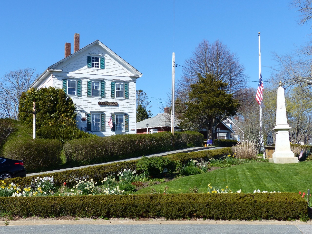
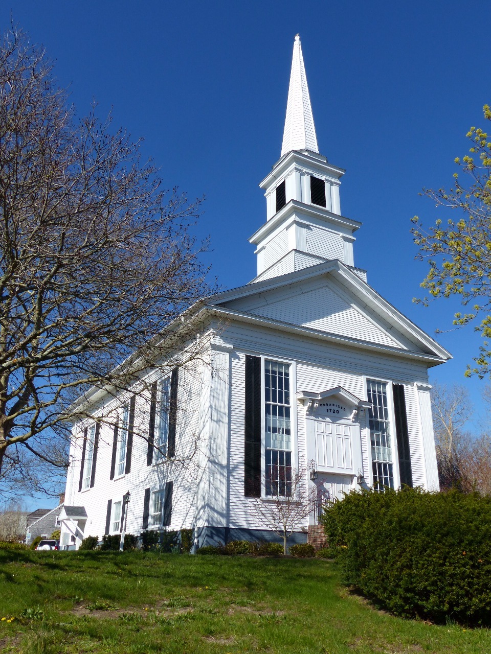
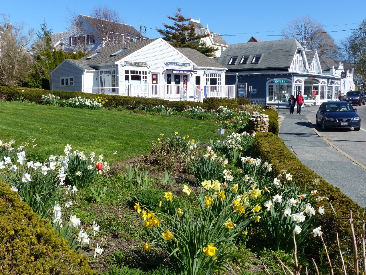
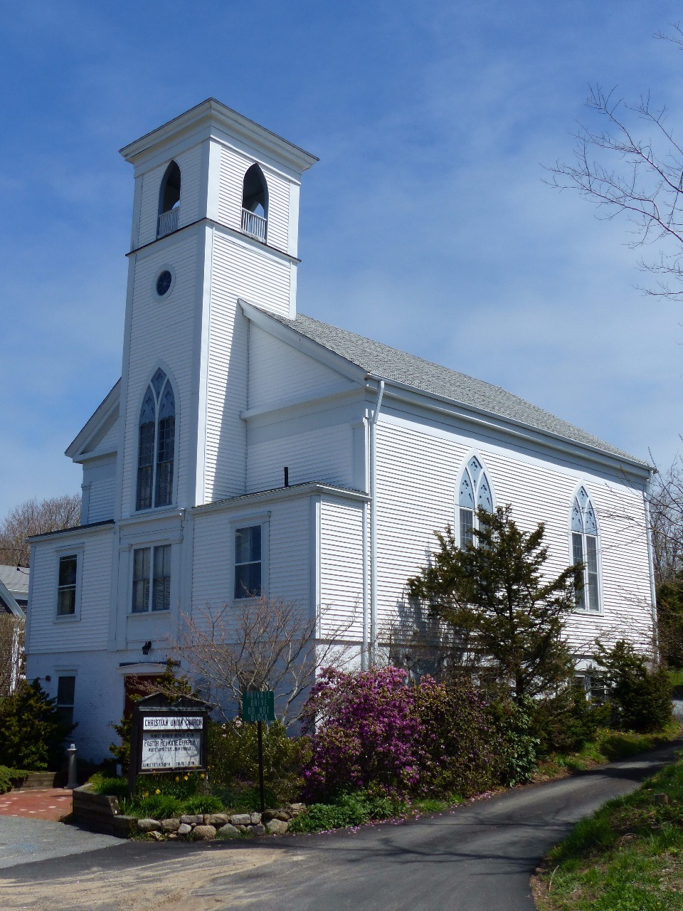
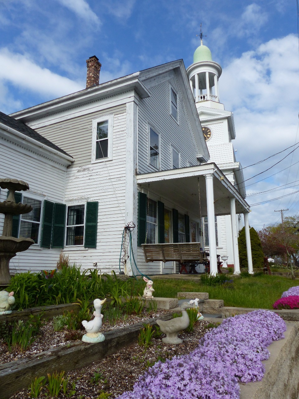
I drove fairly quickly through the Cape’s upper arm to get
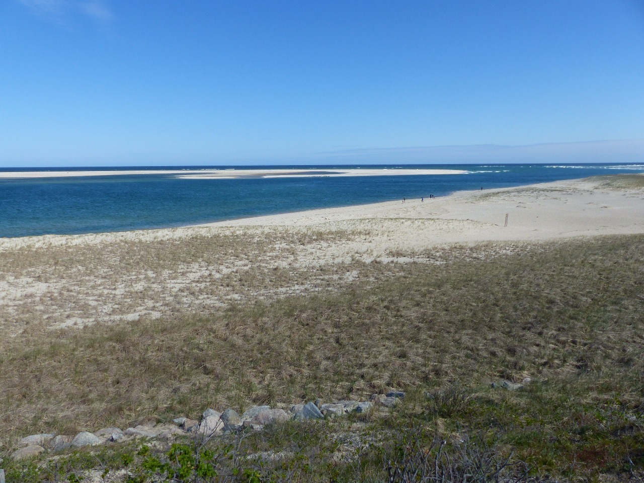
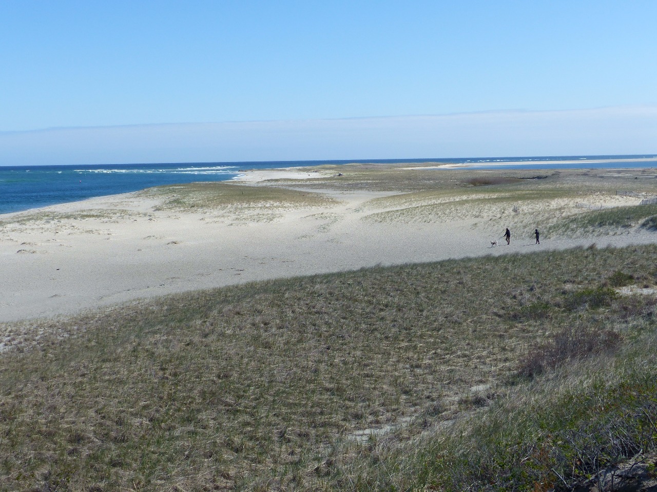
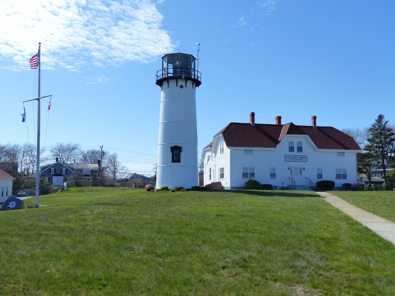
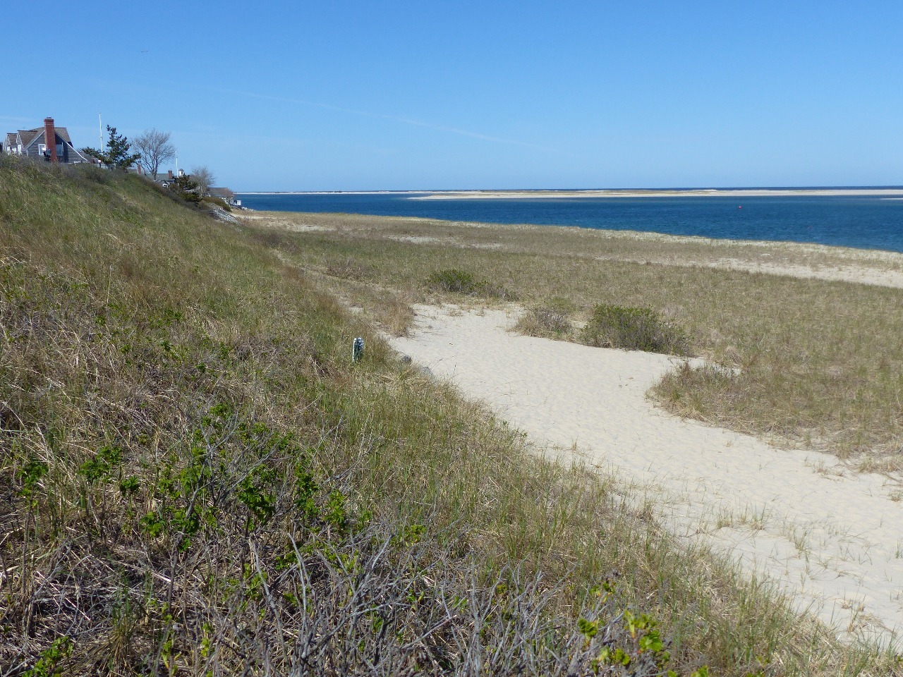
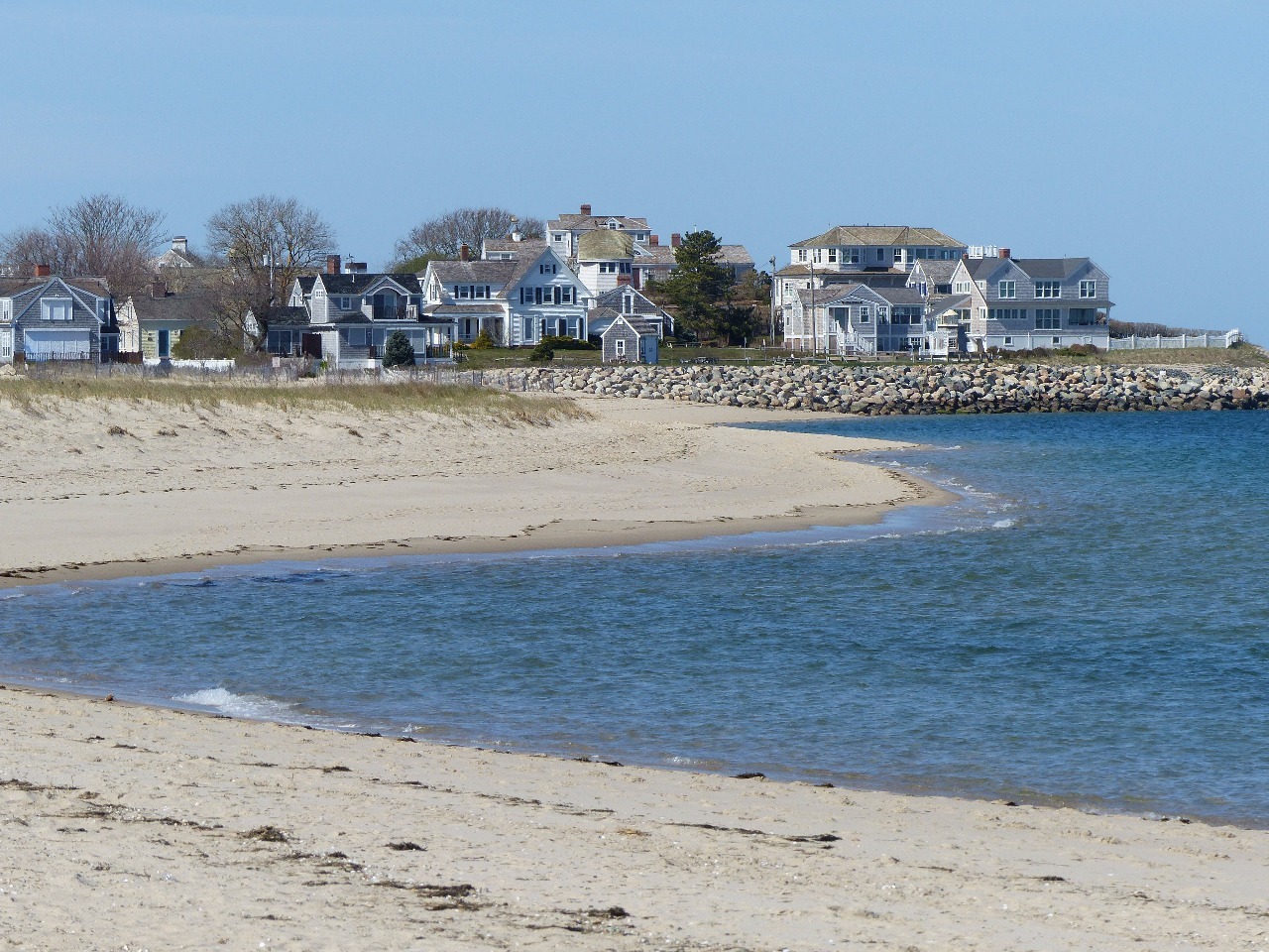
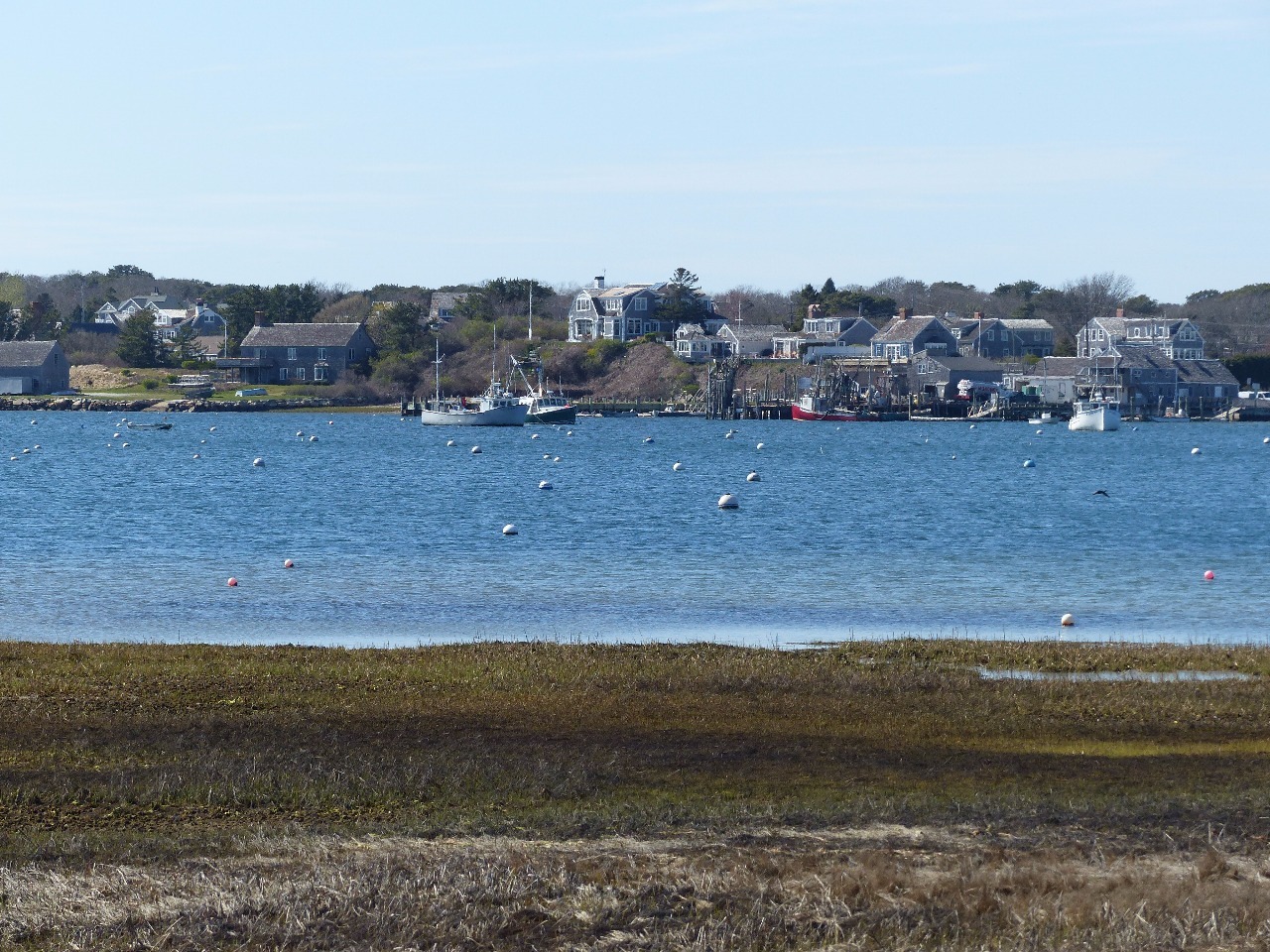
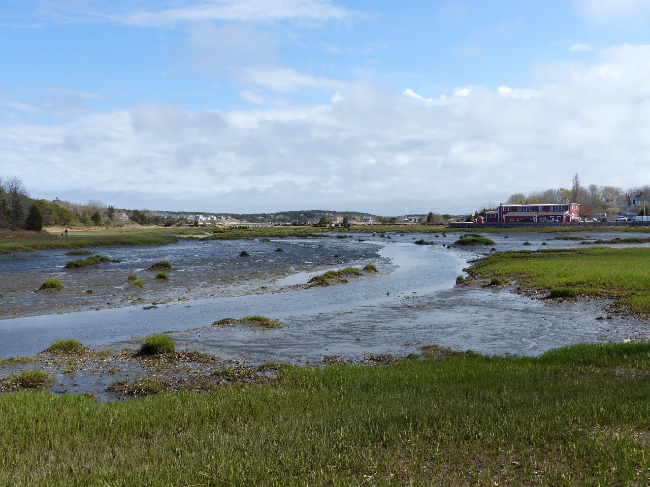
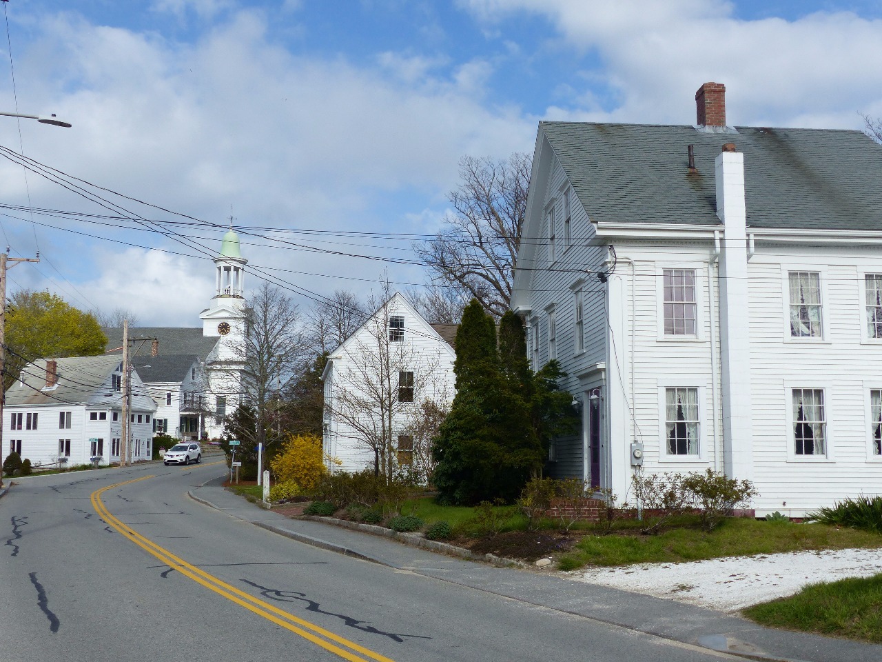
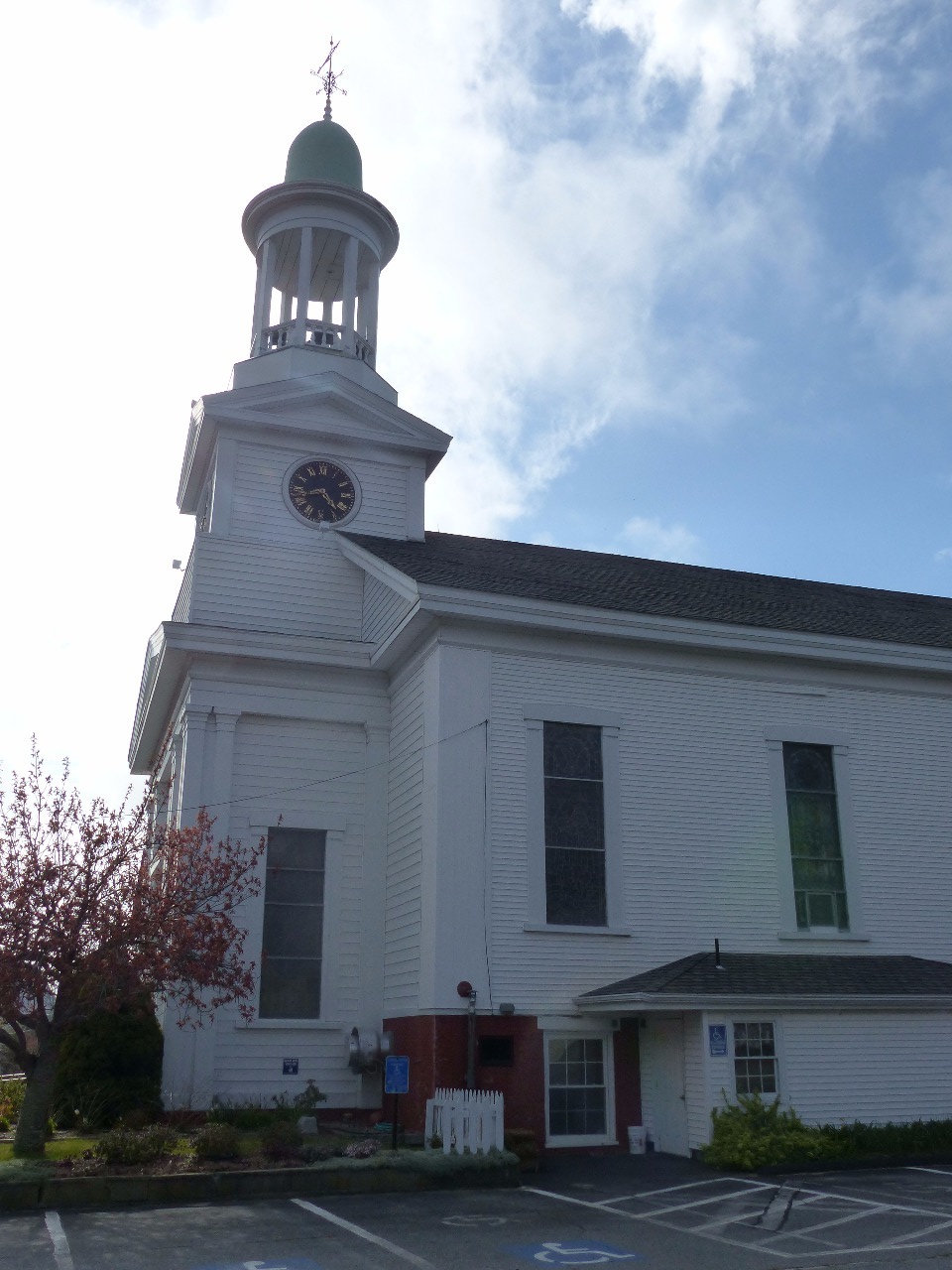
to Chatham, the historic small town at its elbow. Chatham is apparently where
Cape Cod’s main meteorological station is located because you hear TV
weathermen mentioning it a lot during Nor’easter storms. It is well-known for
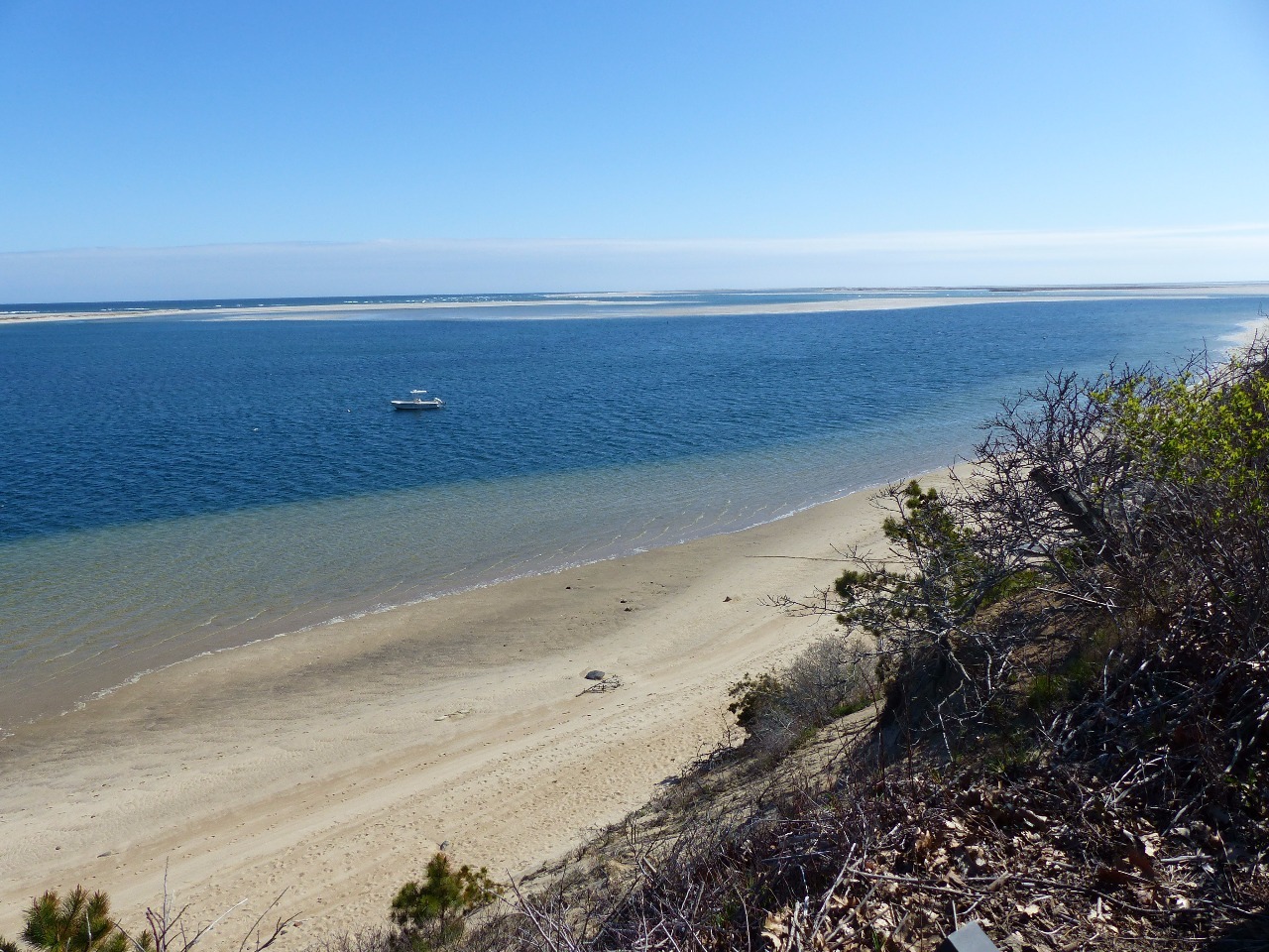
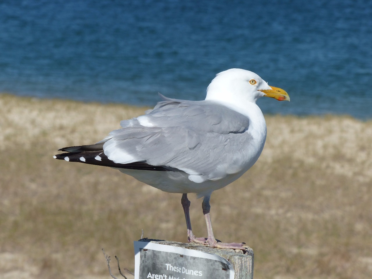
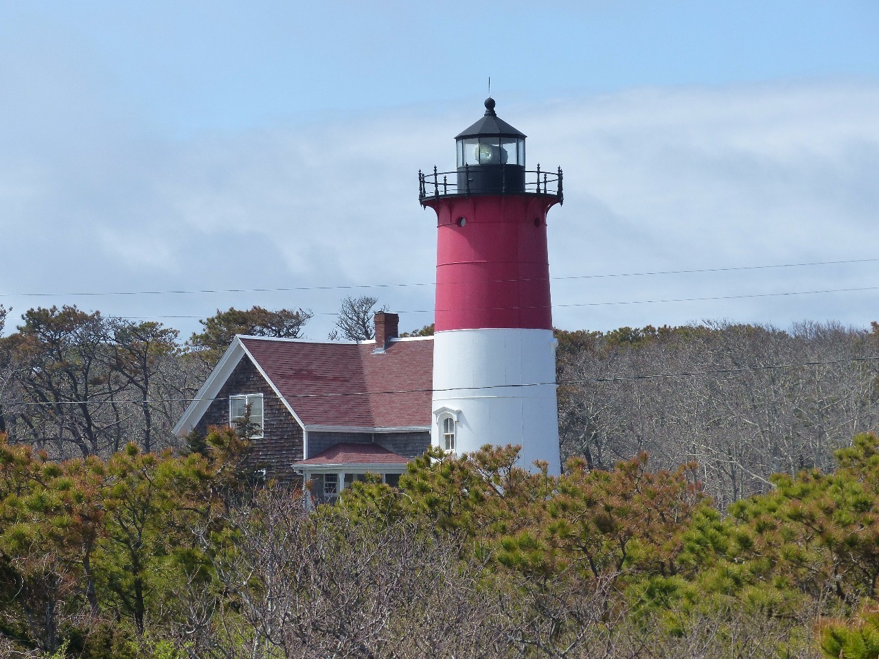
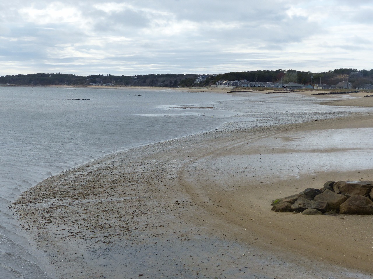
its lighthouse and beaches sheltered from the Atlantic by sand bank barriers . I
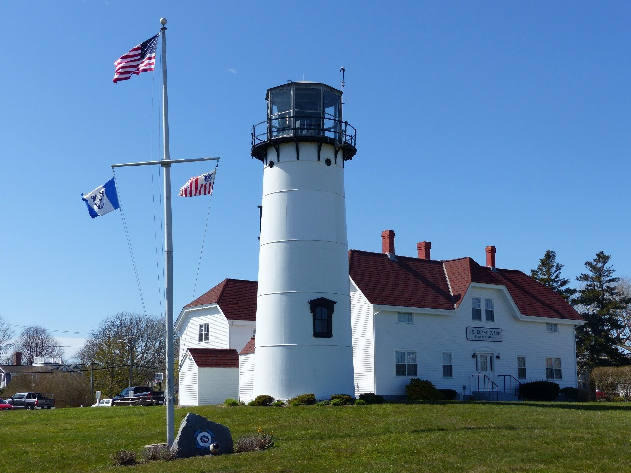
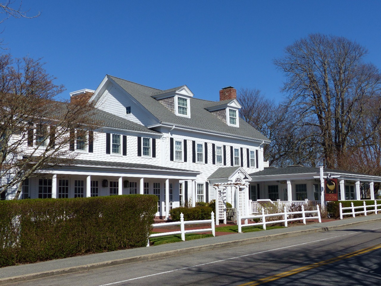
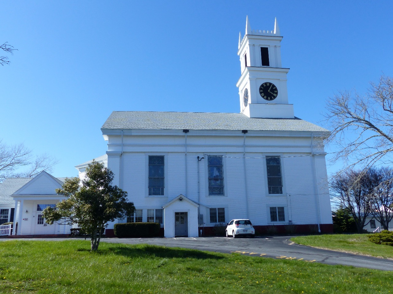
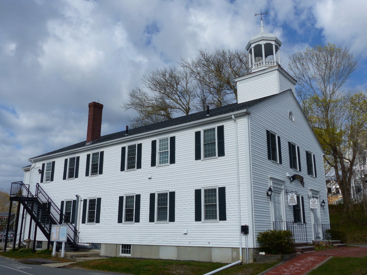
found the town’s center to be quite appealing as a stereotypical New England
village.
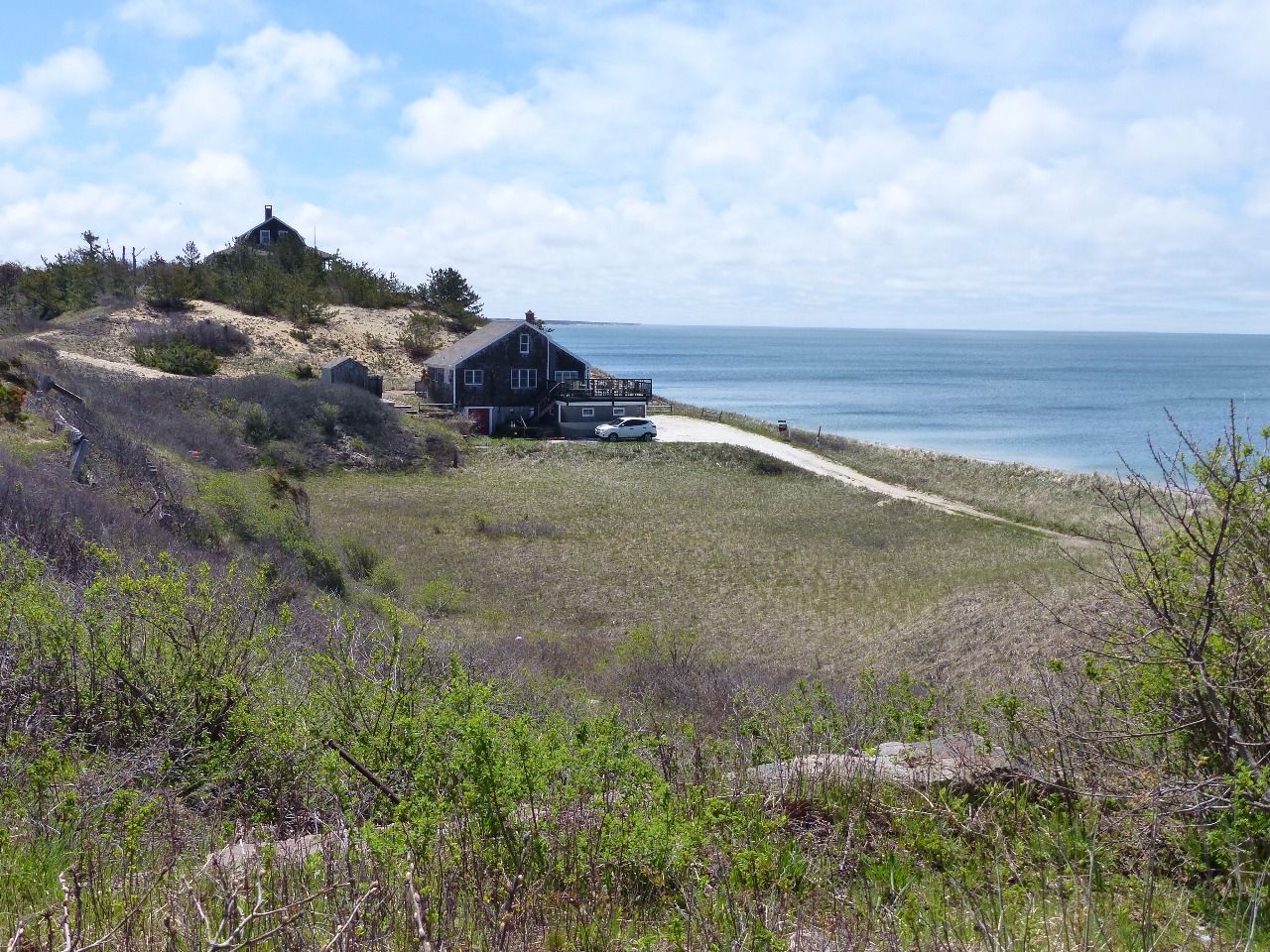
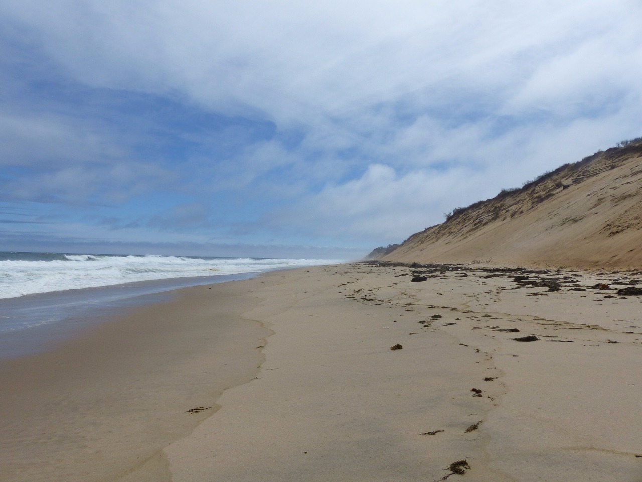
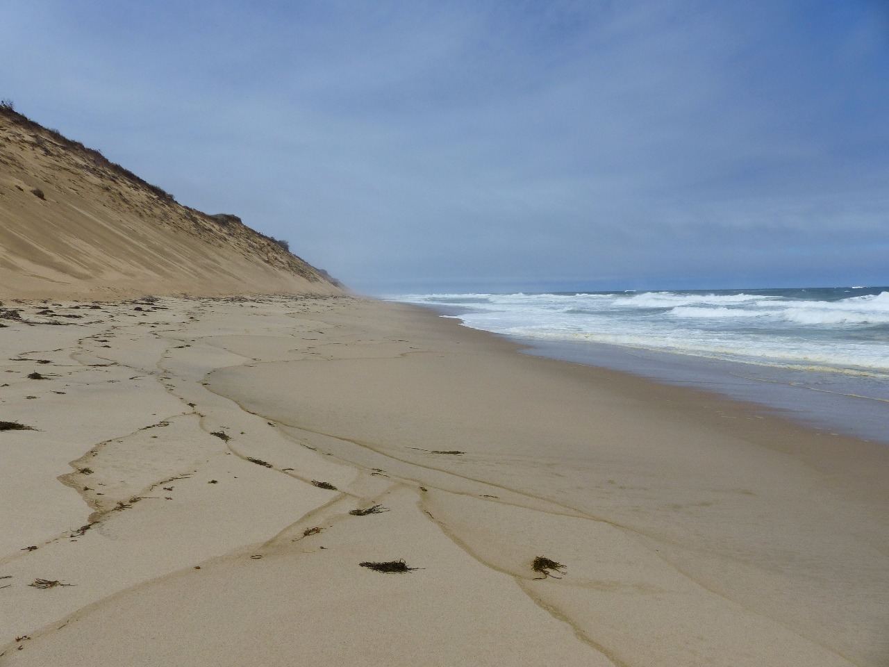
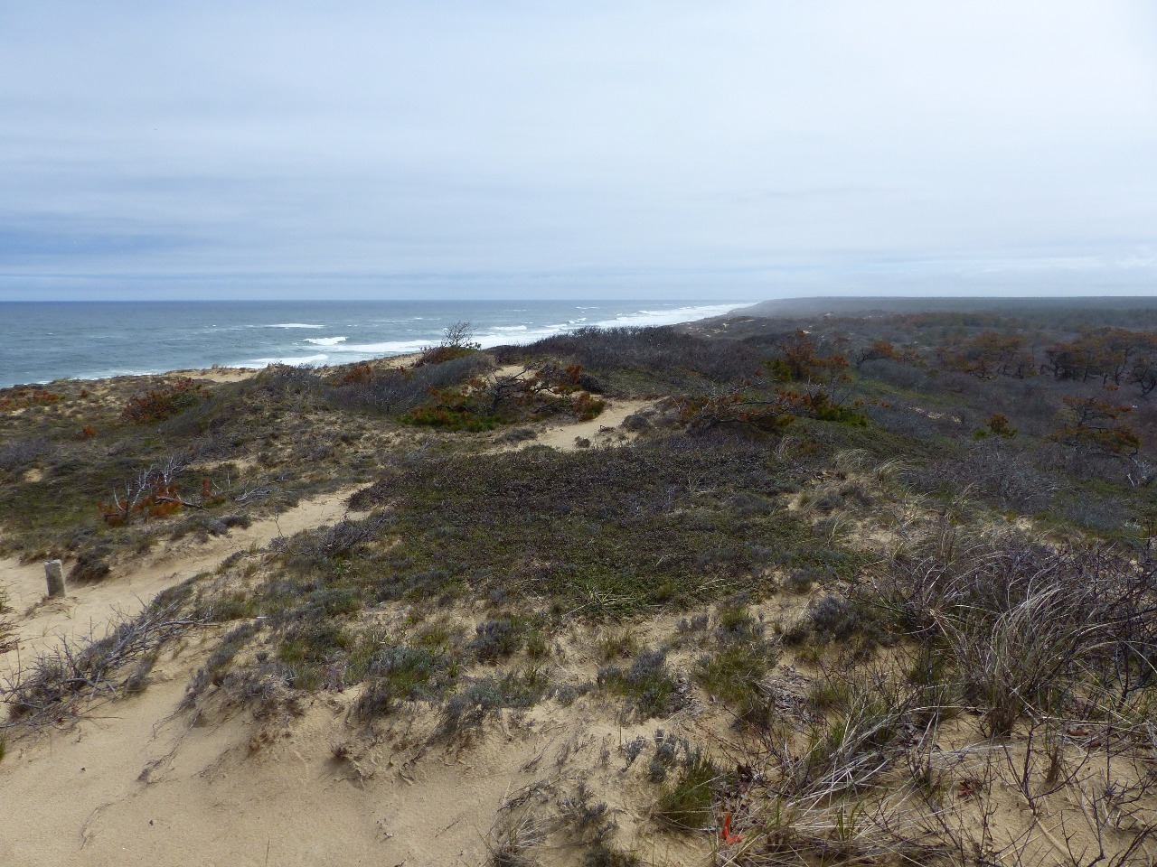
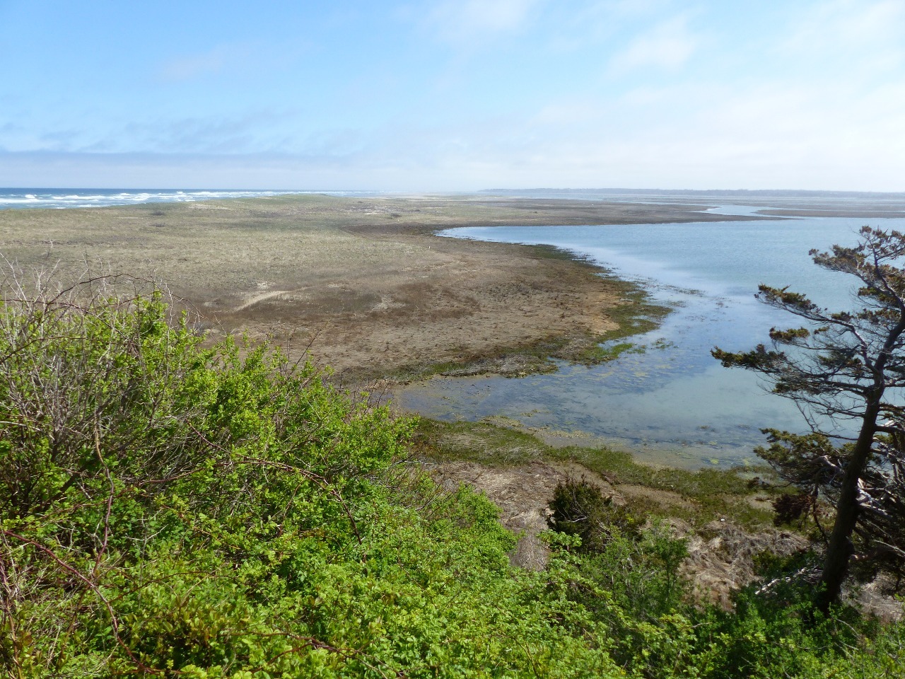
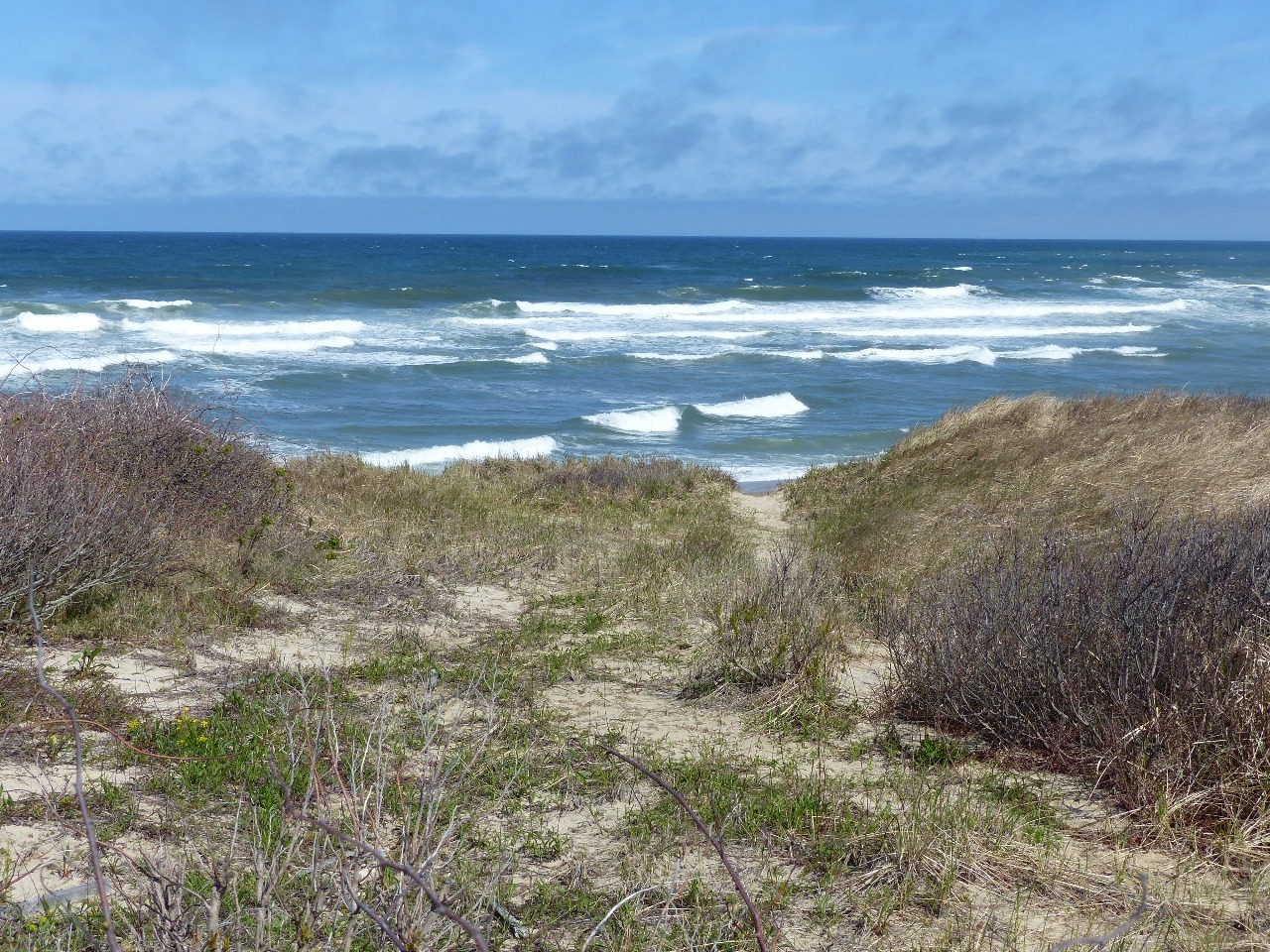
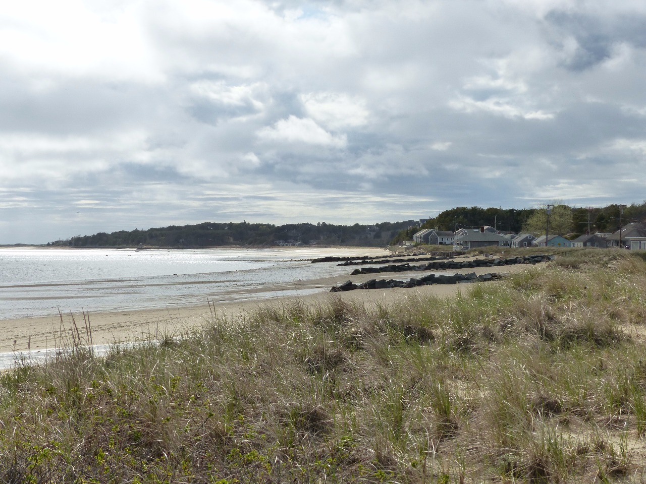
Cape Cod’s forearm is much more lightly populated with much
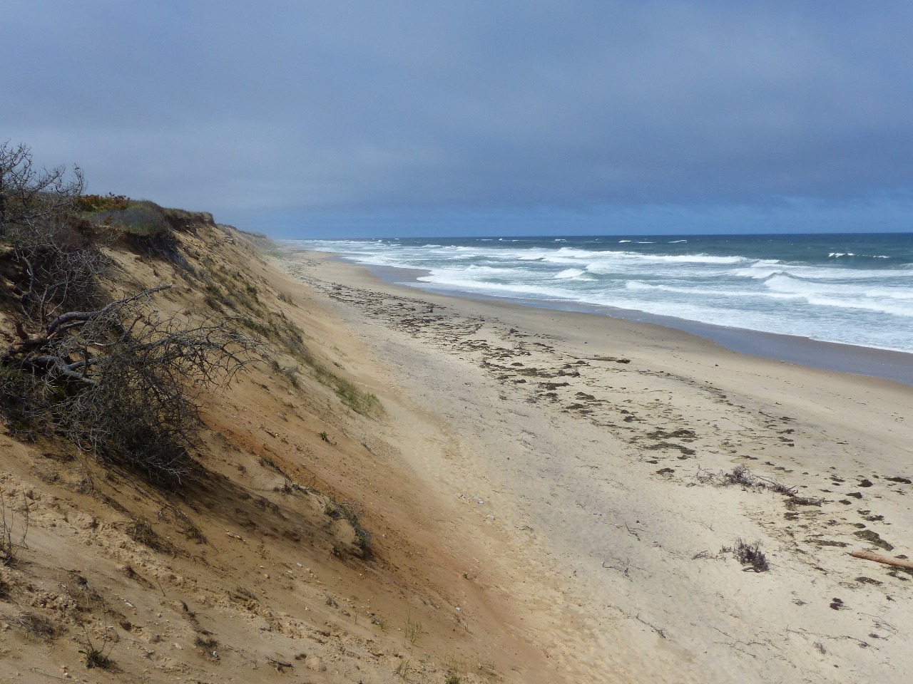
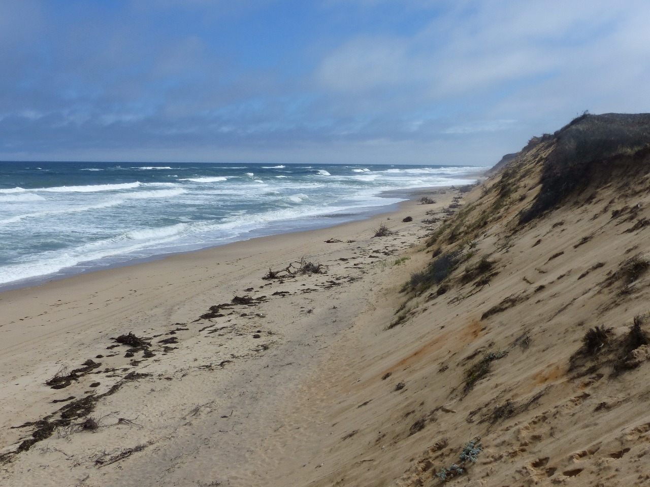
of its land a part of Cape Cod National Seashore. The beaches here are below
significant sand cliffs and feel very wild in nature. I had hoped to take
advantage of outdoor recreation in the area during my week’s stay in
Provincetown, maybe some hiking, possibly renting a bicycle to ride its trails,
maybe even going to a beach if there was a warm sunny day. The chilly, rainy
weather through the week foiled such plans of mine, though.
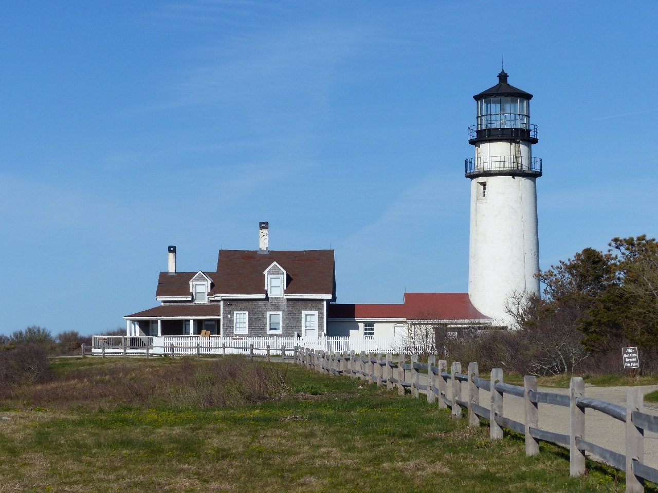
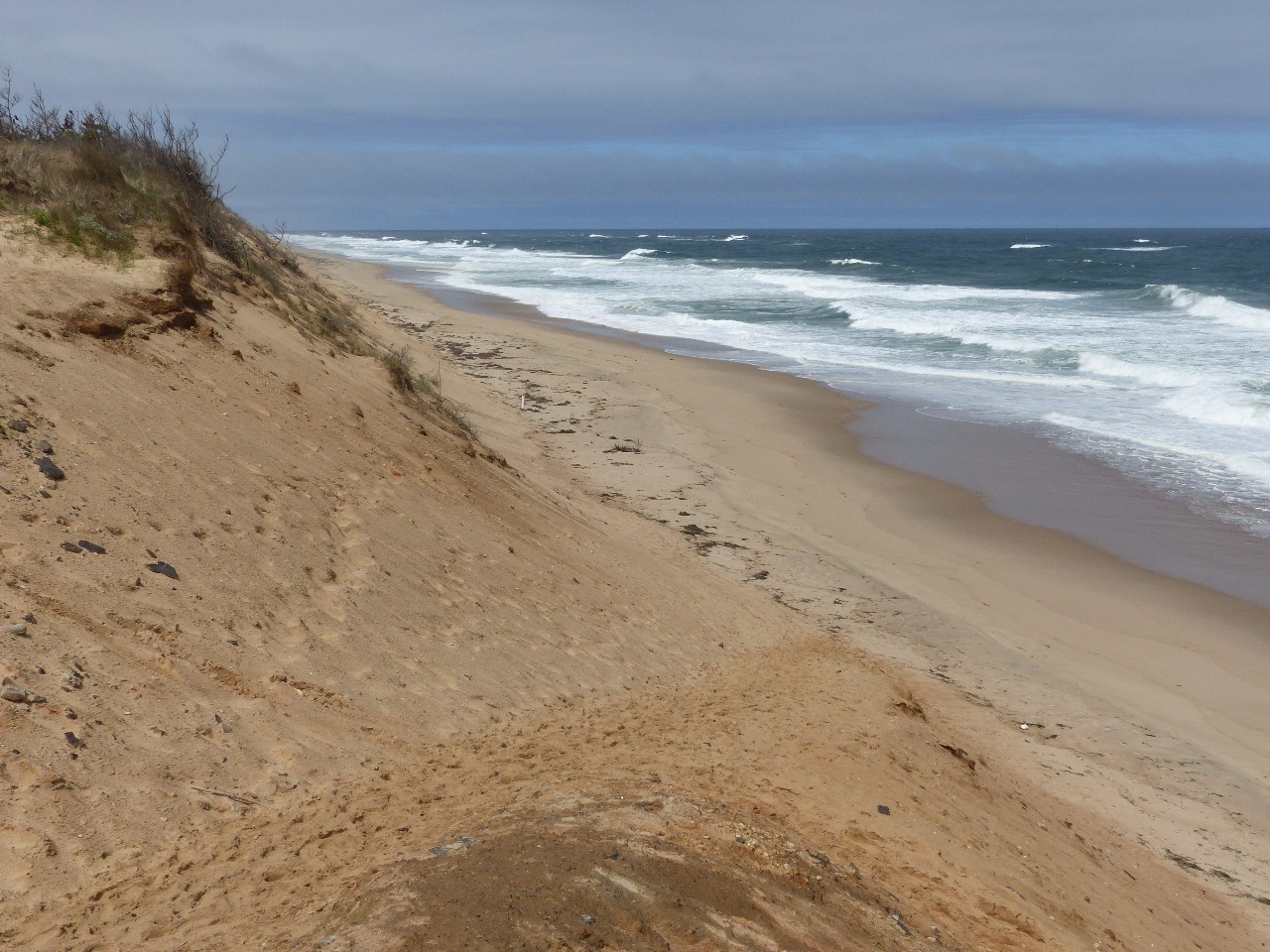
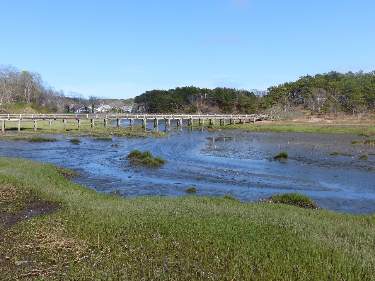
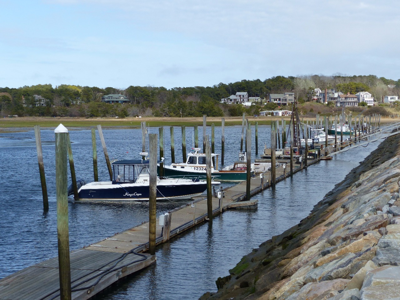
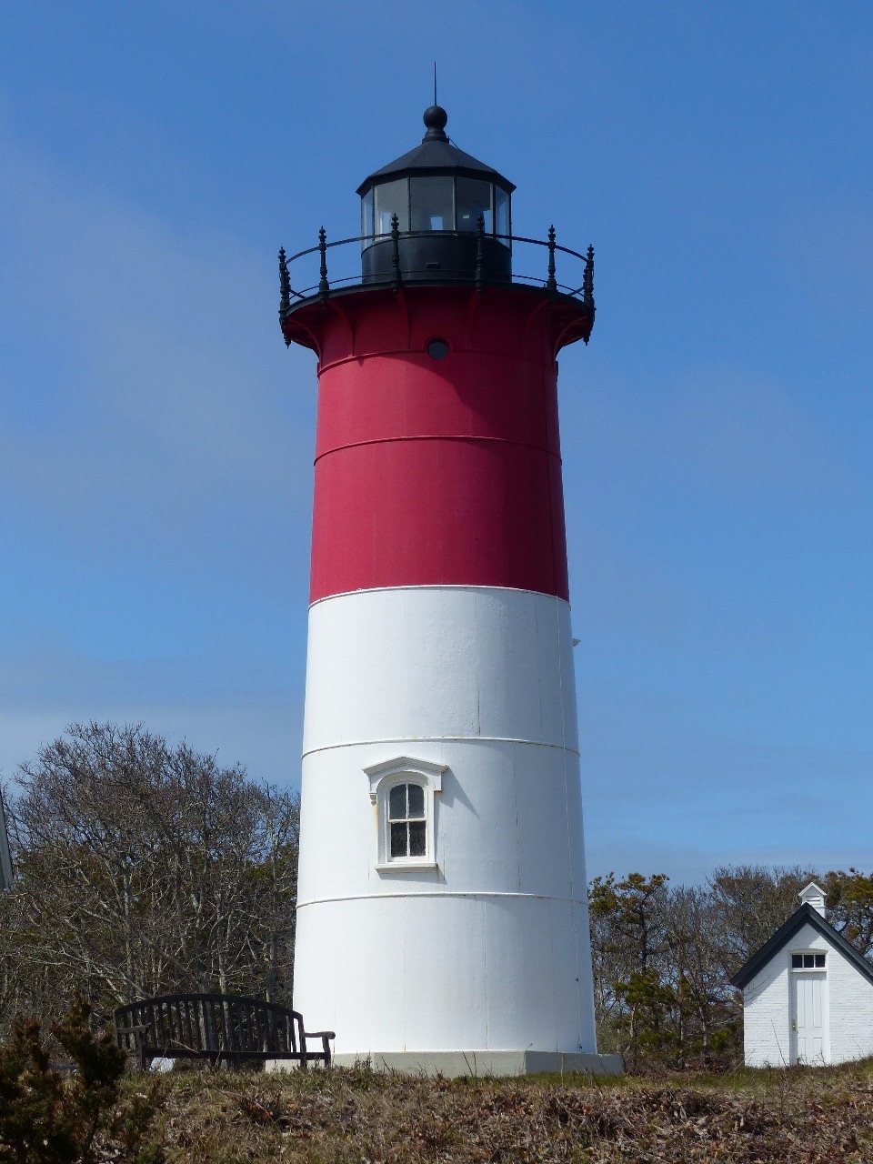
The only decent weather turned out to be on Friday, the day
before I left the Cape. I decided to drive south from Provincetown and see what
I could of the mid-Cape’s sights. Those consist largely of the appealing
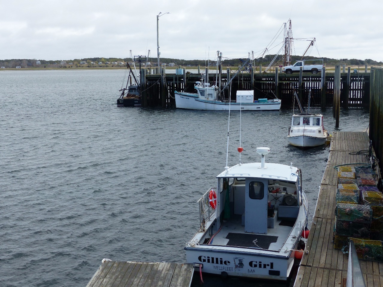
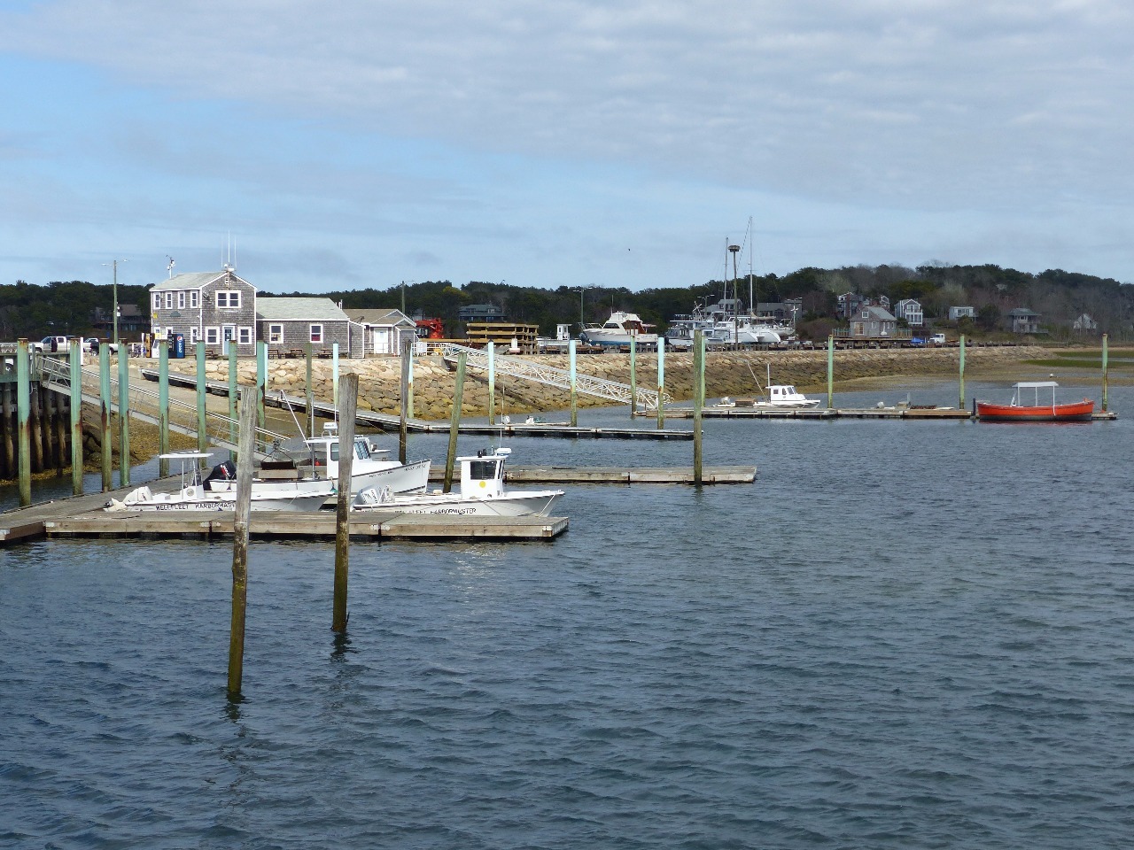
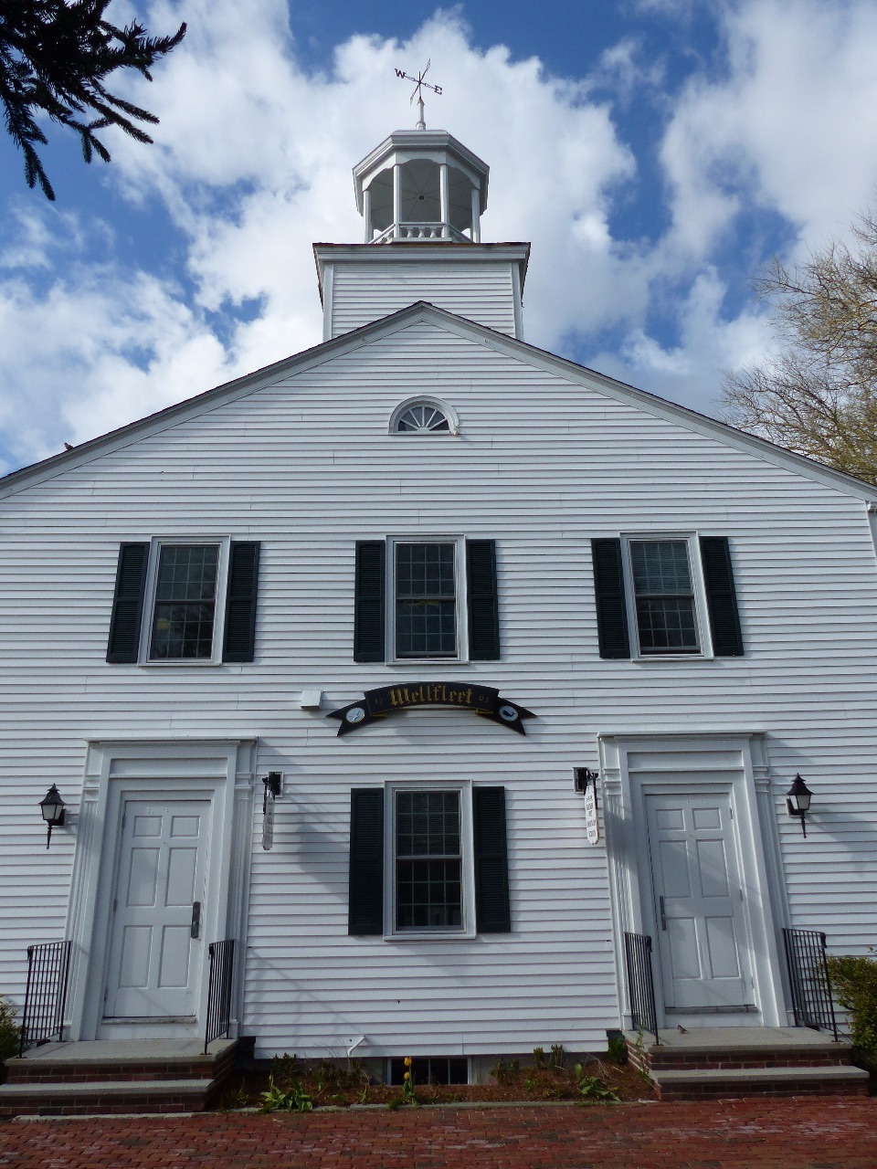
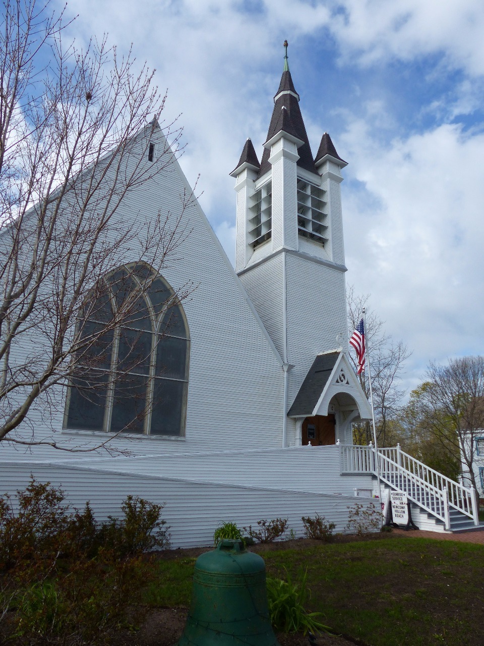
beaches, the harbor of the town of Wellfleet (where the oysters come from), and
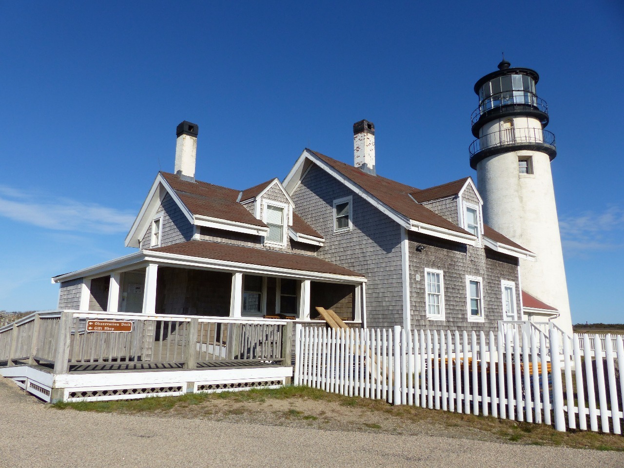
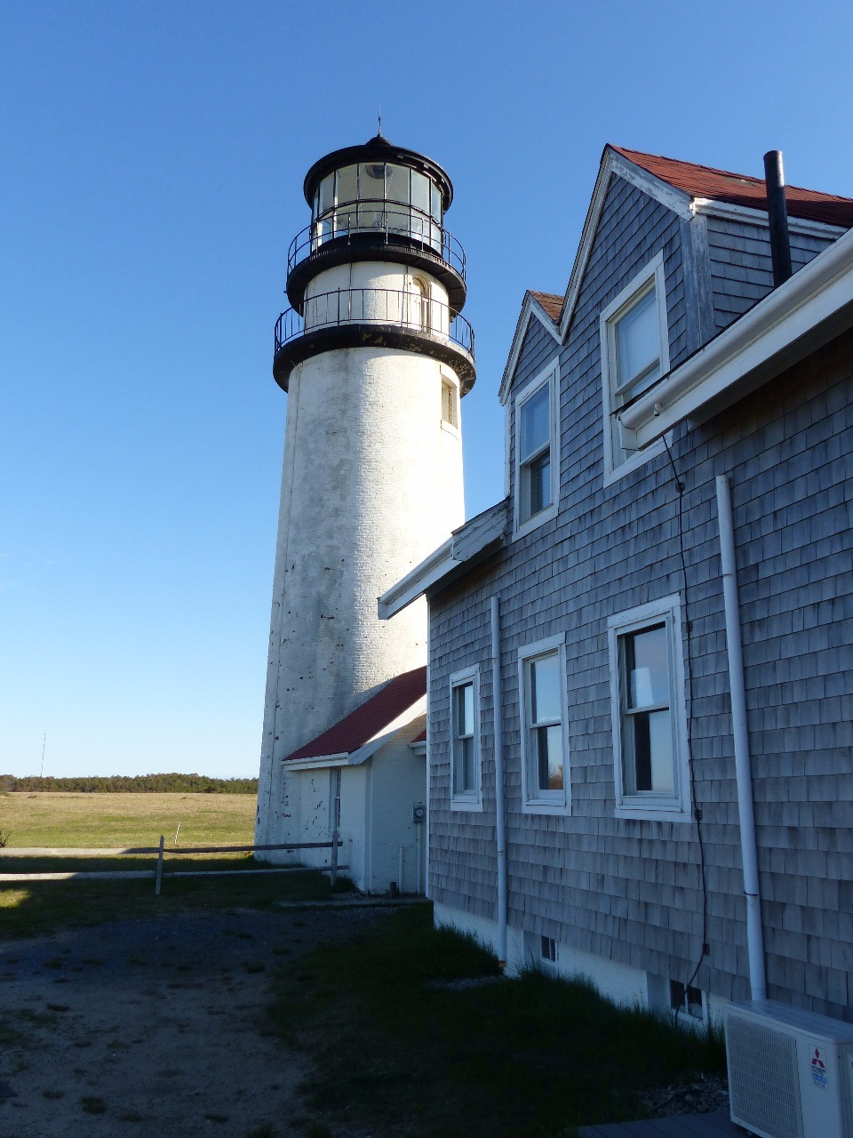
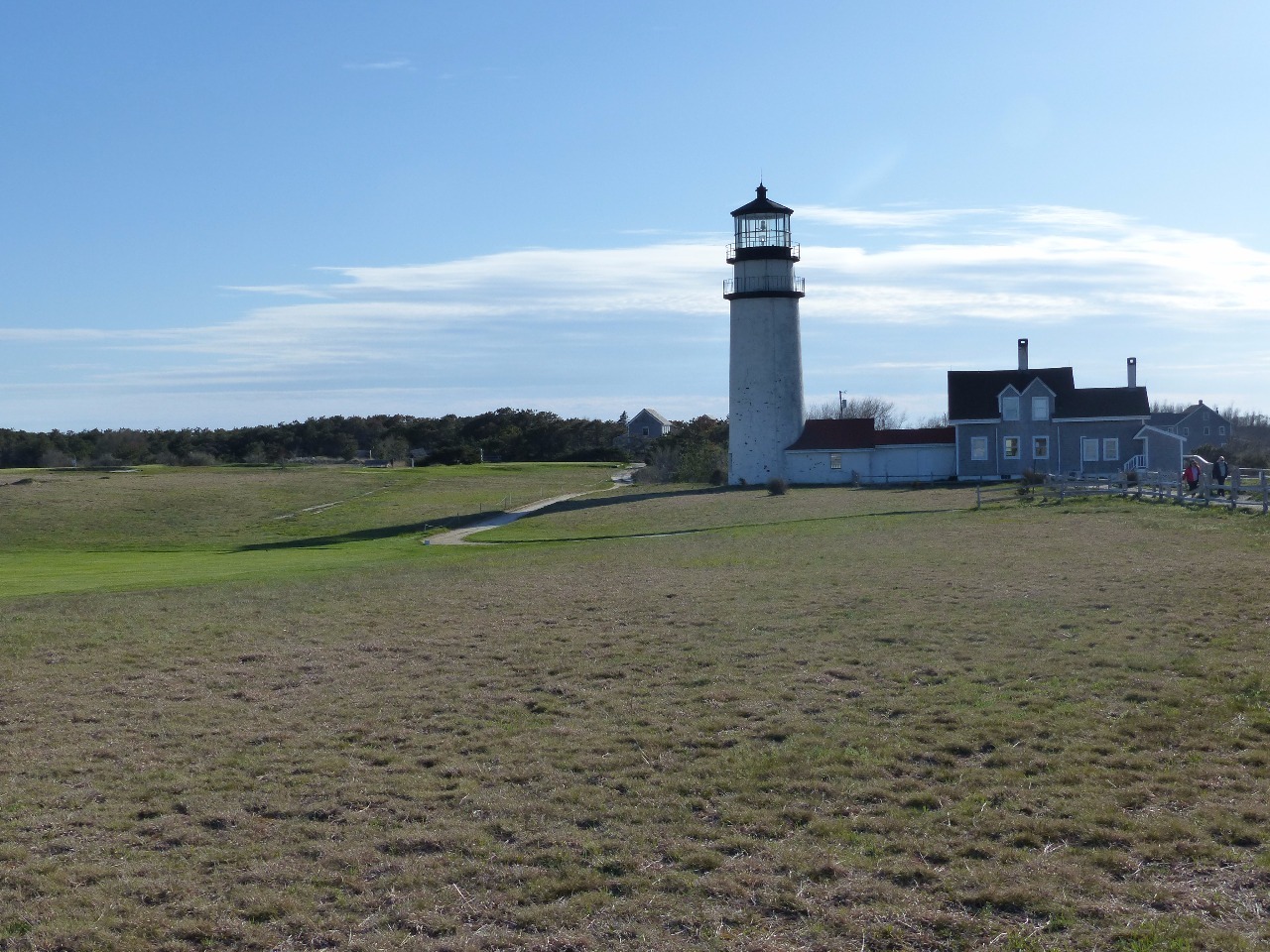
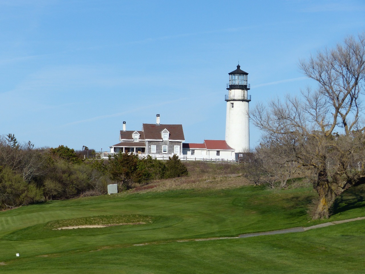
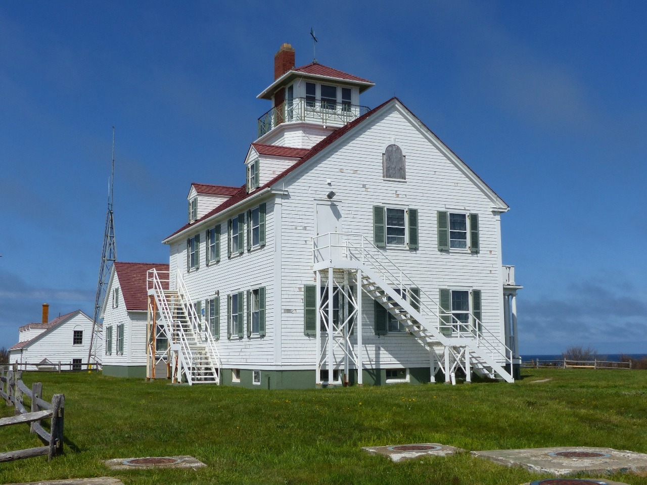
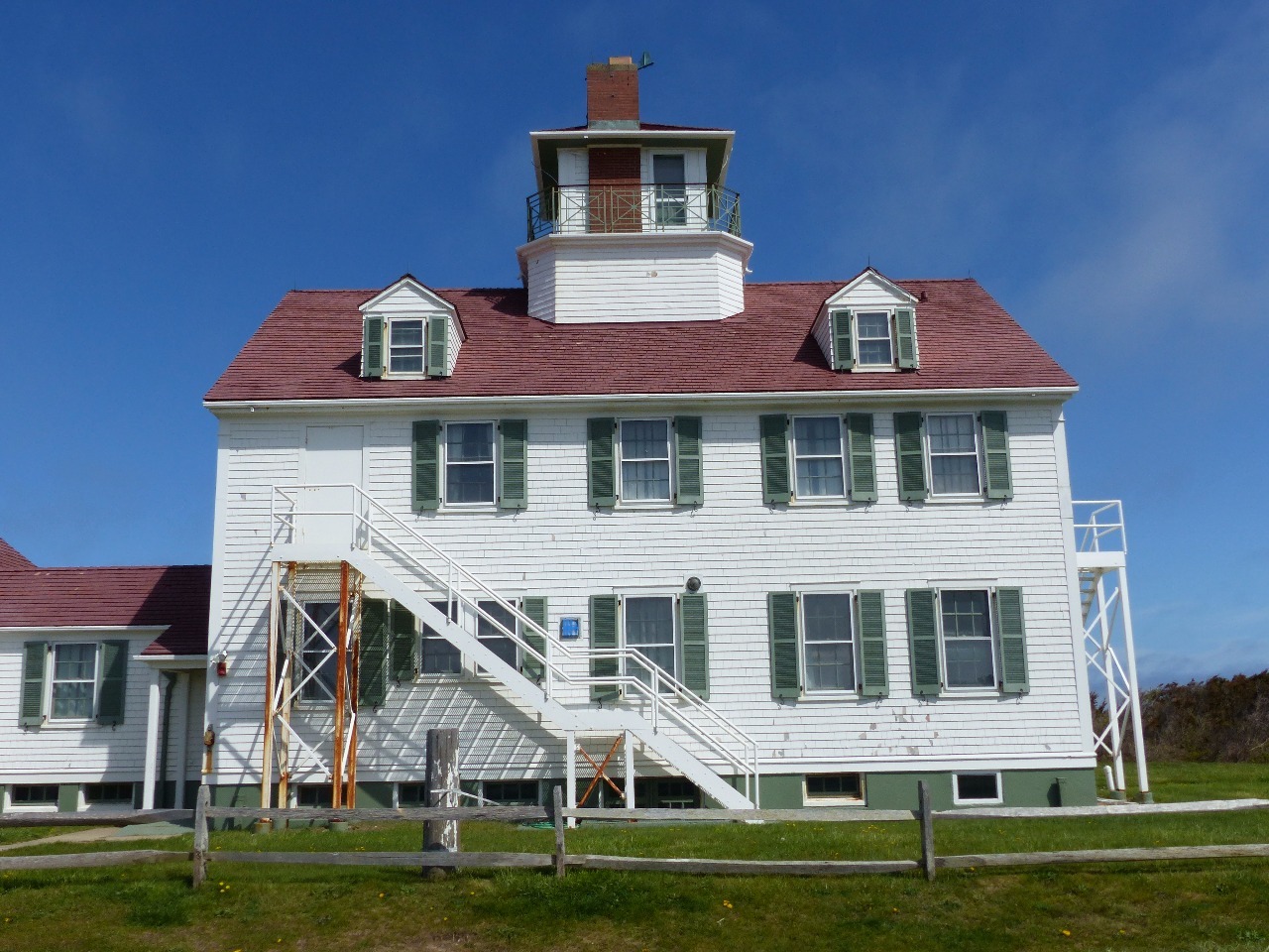
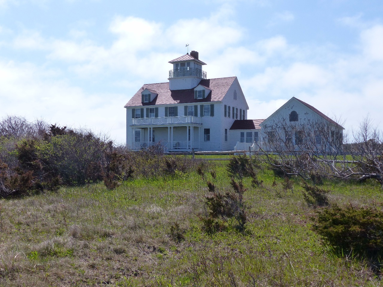
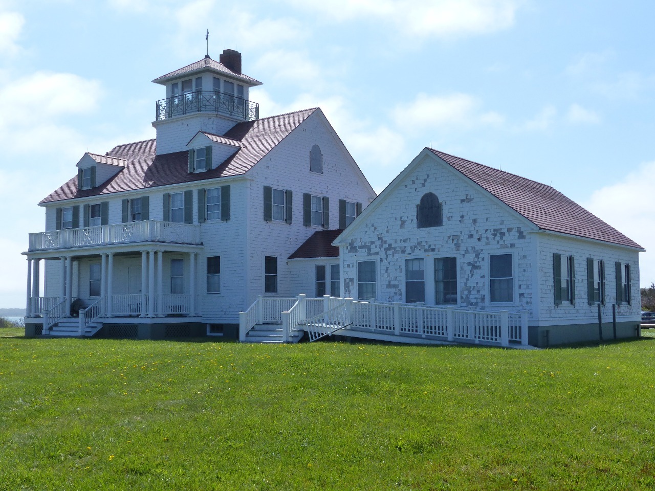
the lighthouses and other historic buildings and markers within the National
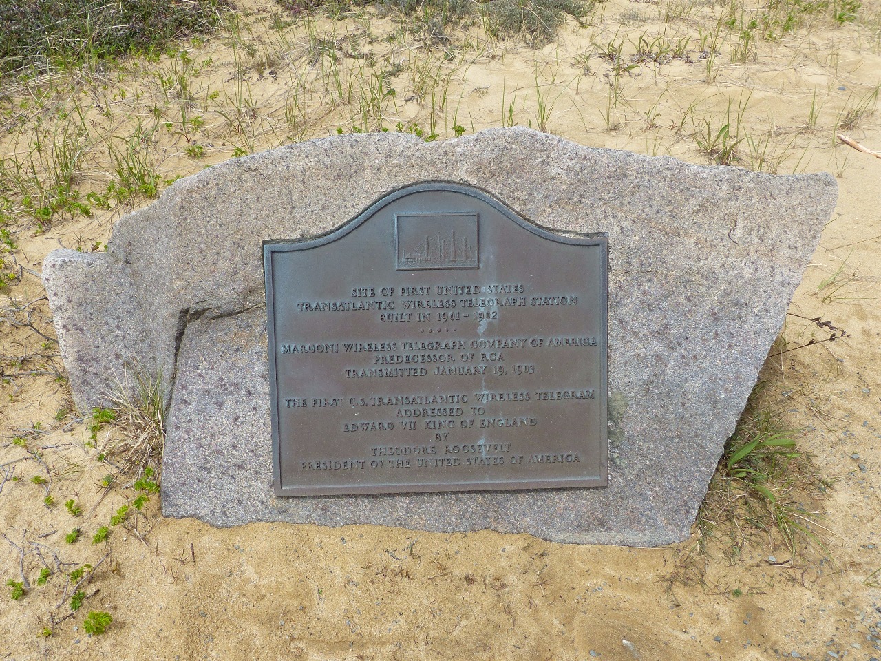
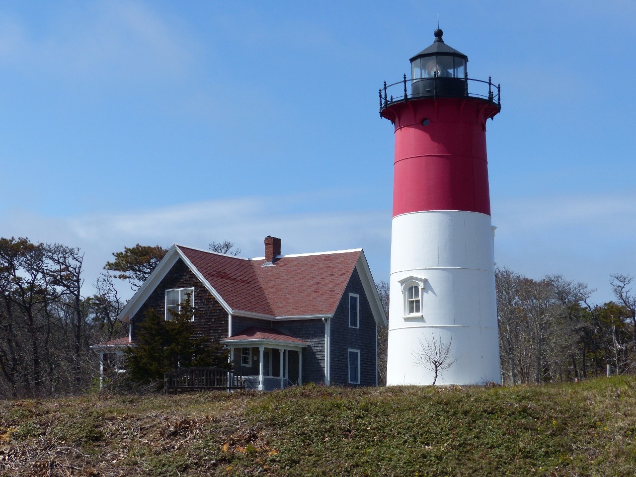
Seashore – Highland Light, Nauset Light, the Marconi Station from which the
first trans-Atlantic telegraph was sent, and the Old Harbor Life-Saving
Station . It was even nice enough to do a few walks on the beach and on trails
through the woodlands and marshes. I got a kick out of how several gigantic
parking lots along the beach each had only about three cars in them during the
first week of May.
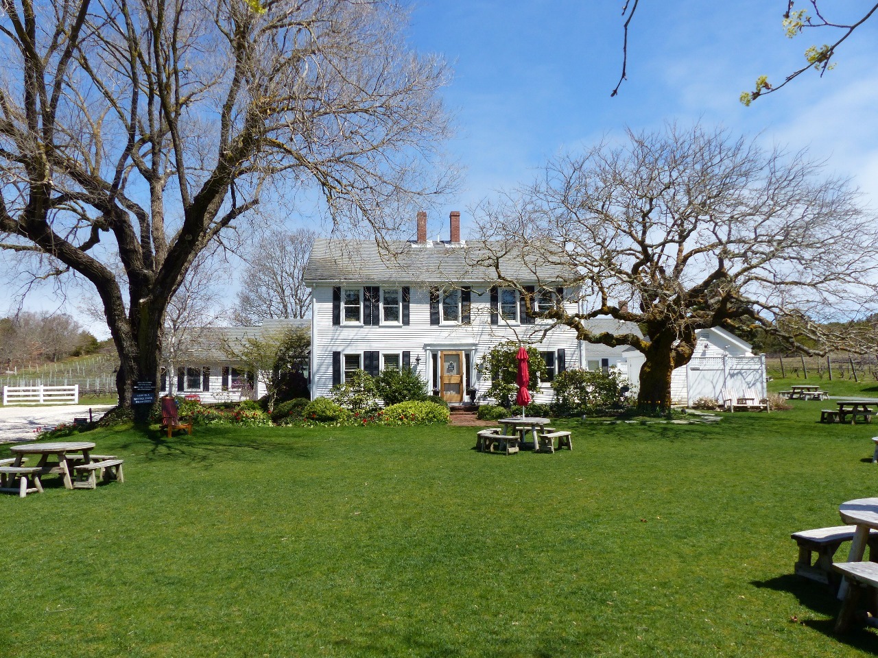
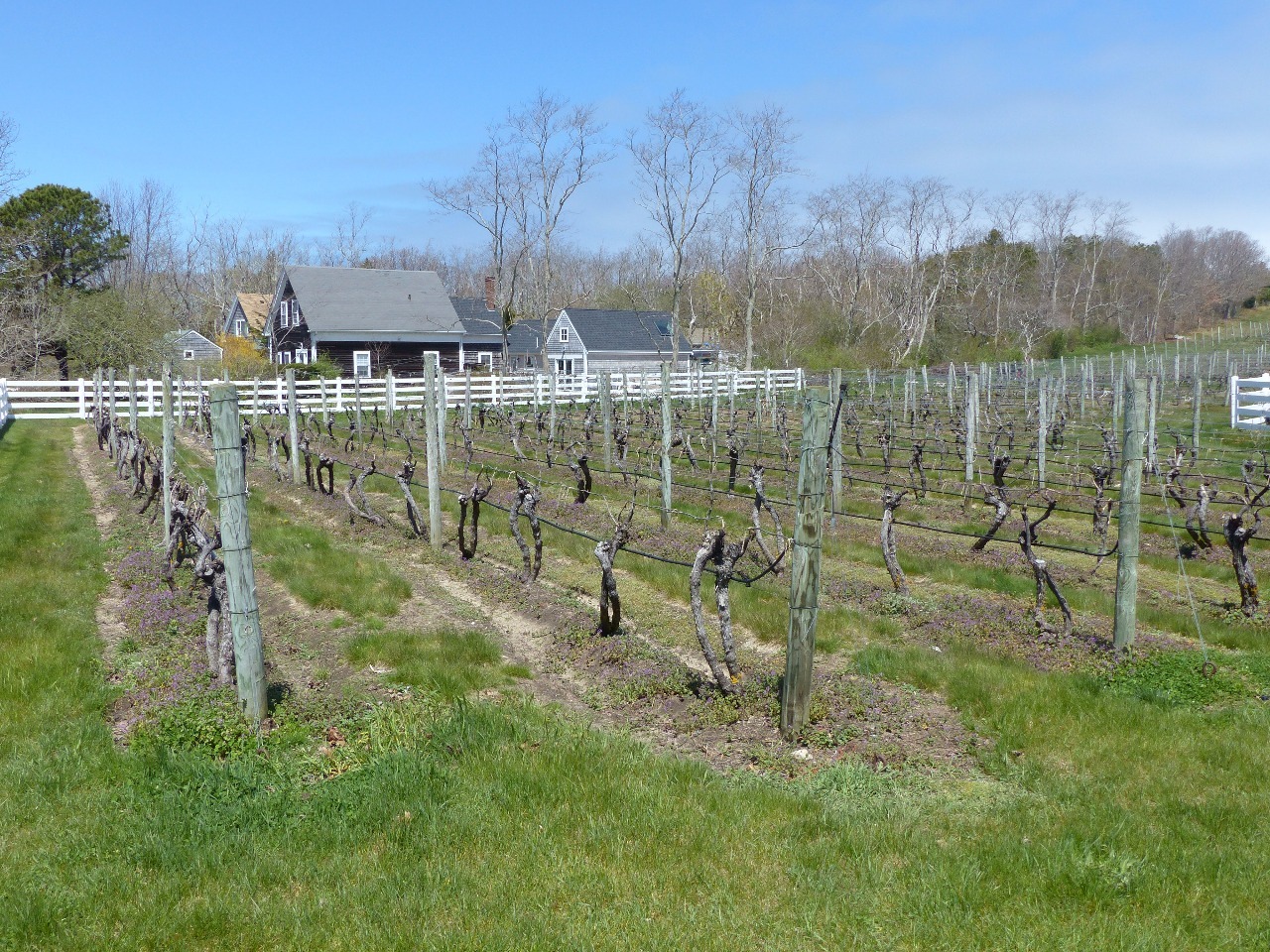
Cape Cod is not a place I’d associate with vineyards because
of its sandy soil as well as chilly climate, but it does have a few wineries. I
stopped for a tasting at Truro Vineyards in the town of the same name a few
miles southeast of P-Town. Truro makes a number of wines from a variety of
grapes grown elsewhere, but a few grape varietals like Cabernet Franc and
Riesling grow well in the Cape’s cold climate. The moderating influence of the
sea means that late frosts aren’t a concern, but late flowering and slow growth
through the cool summer and fall mean most warmer-climate varietals can’t grow
here. I thought their wines were fair, but I’m not much of a connoisseur. I
like most wine so instead qualify as a wino. Distilleries are the big new thing
in artisanal booze production, and South Hollow Spirits is adjacent to and
affiliated with Truro Vineyards . They make a pretty mean spiced rum and are
scheduled to release their third distilled product, a gin, in a few weeks.
Other Entries
-
Apr 272 days prior Hartford, United States
 -
Apr 281 day prior
New Bedford, United States -
Apr 29
Chatham, United States -
May 023 days later
Provincetown, United States -
May 078 days later
Boston, United States -
May 089 days later
Boston, United States -
May 0910 days later
Cambridge, United States -
May 0910 days later
Cambridge, United States -
May 1011 days later
Salem, United States -
May 1112 days later
Lowell, United States -
May 1112 days later
Andover, United States -
May 1213 days later
Gloucester, United States -
May 1213 days later
Rockport, United States -
May 1314 days later
Portsmouth, United States -
May 1415 days later
Brunswick, United States -
May 1516 days later
Worcester, United States -
May 3132 days later
Cooperstown, United States -
Jun 0133 days later
Utica, United States -
Jun 0234 days later
Ithaca, United States -
Jun 0335 days later
Seneca Falls, United States -
Jun 0436 days later
Rochester, United States

2025-05-22