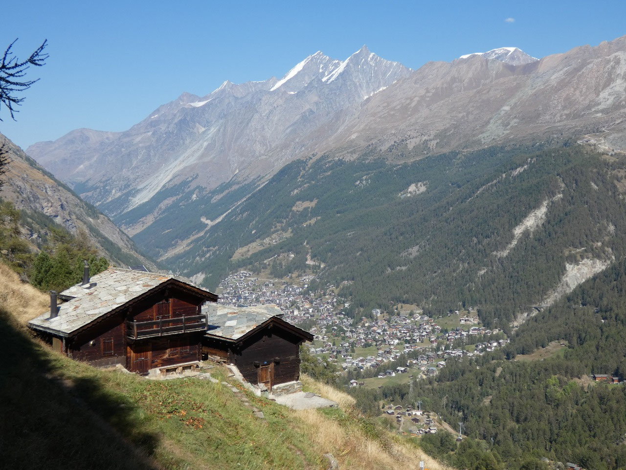
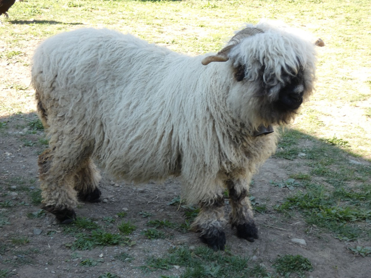
 Zermatt, Valais, Switzerland
My second full day in Zermatt turned out as beautifully
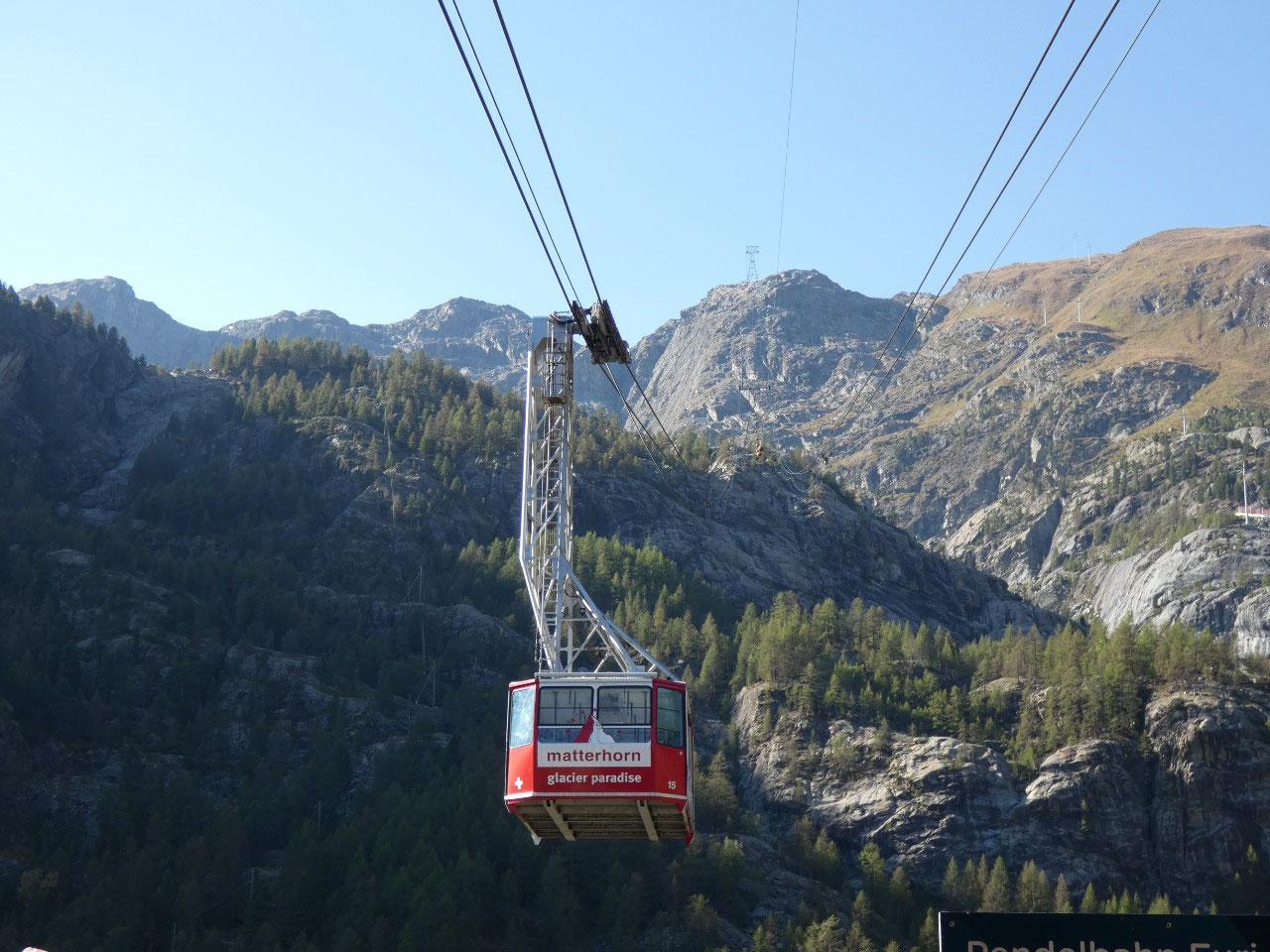
sunny as the first. The second trip I had targeted was to take the tramway to
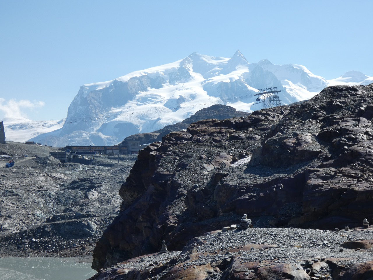
Matterhorn Glacier Paradise, the highest aerial tram in Europe at 3,883 meters
(over 12,000 feet) on the border with Italy on a peak in a sea of ice and snow.
This is where you can do your summer skiing all year or ski down to Cervinia in
Italy in the winter, the sister ski resort to Zermatt on the Italian side. While
that looked like fun and great scenery, you can’t walk down from there, so the
cost of going all the way to the top and part of the way back down again is
extremely steep.
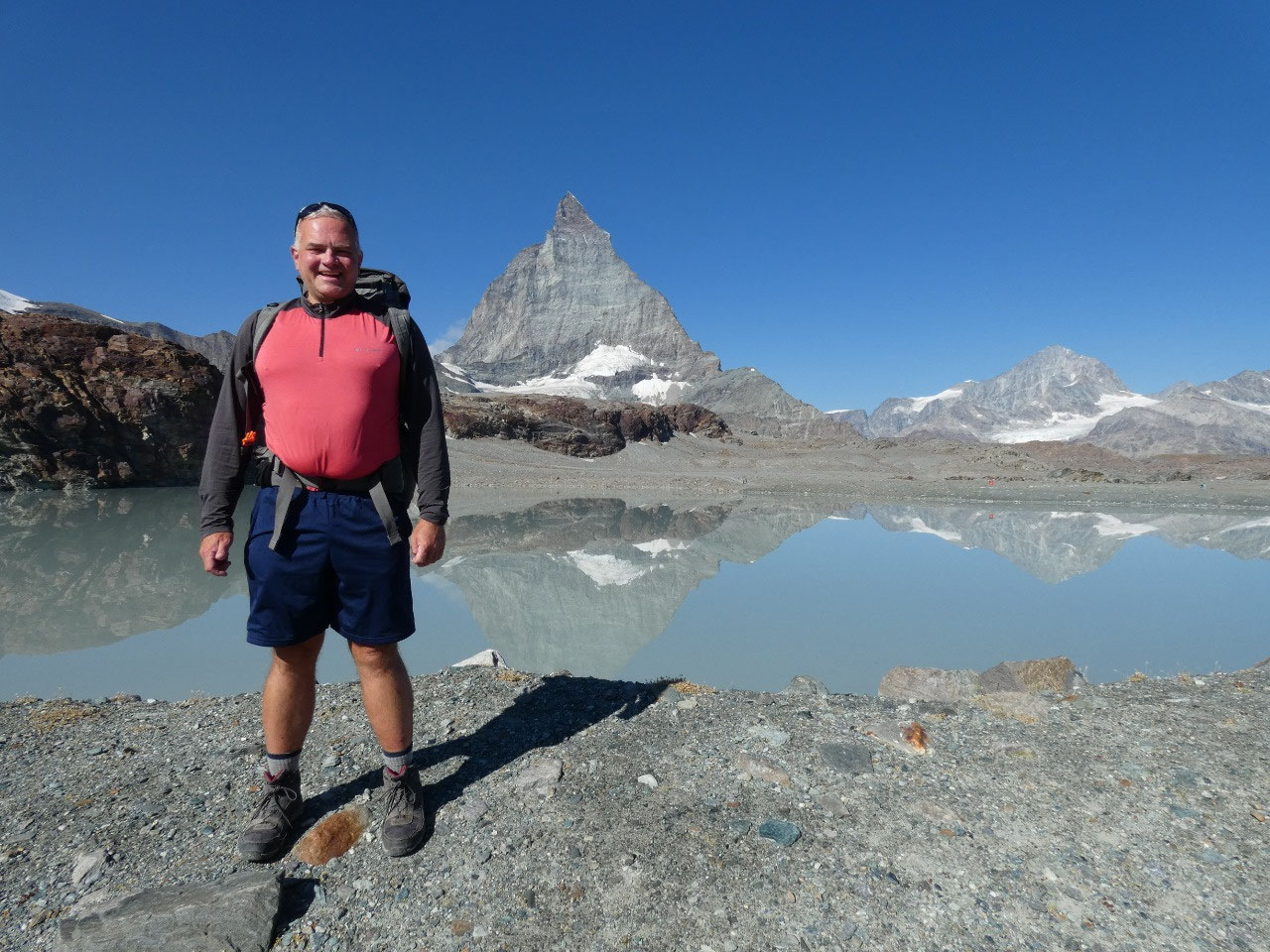
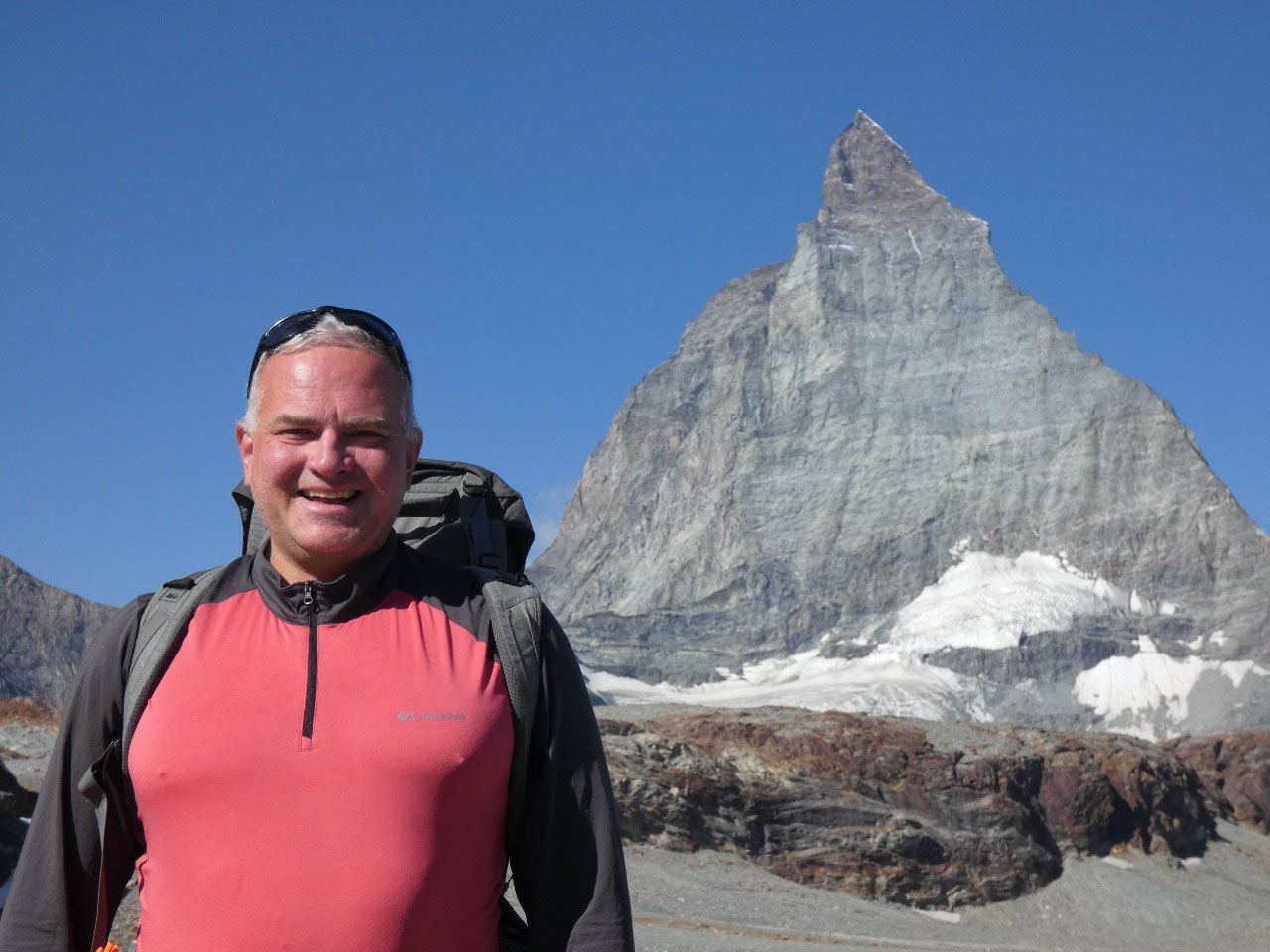
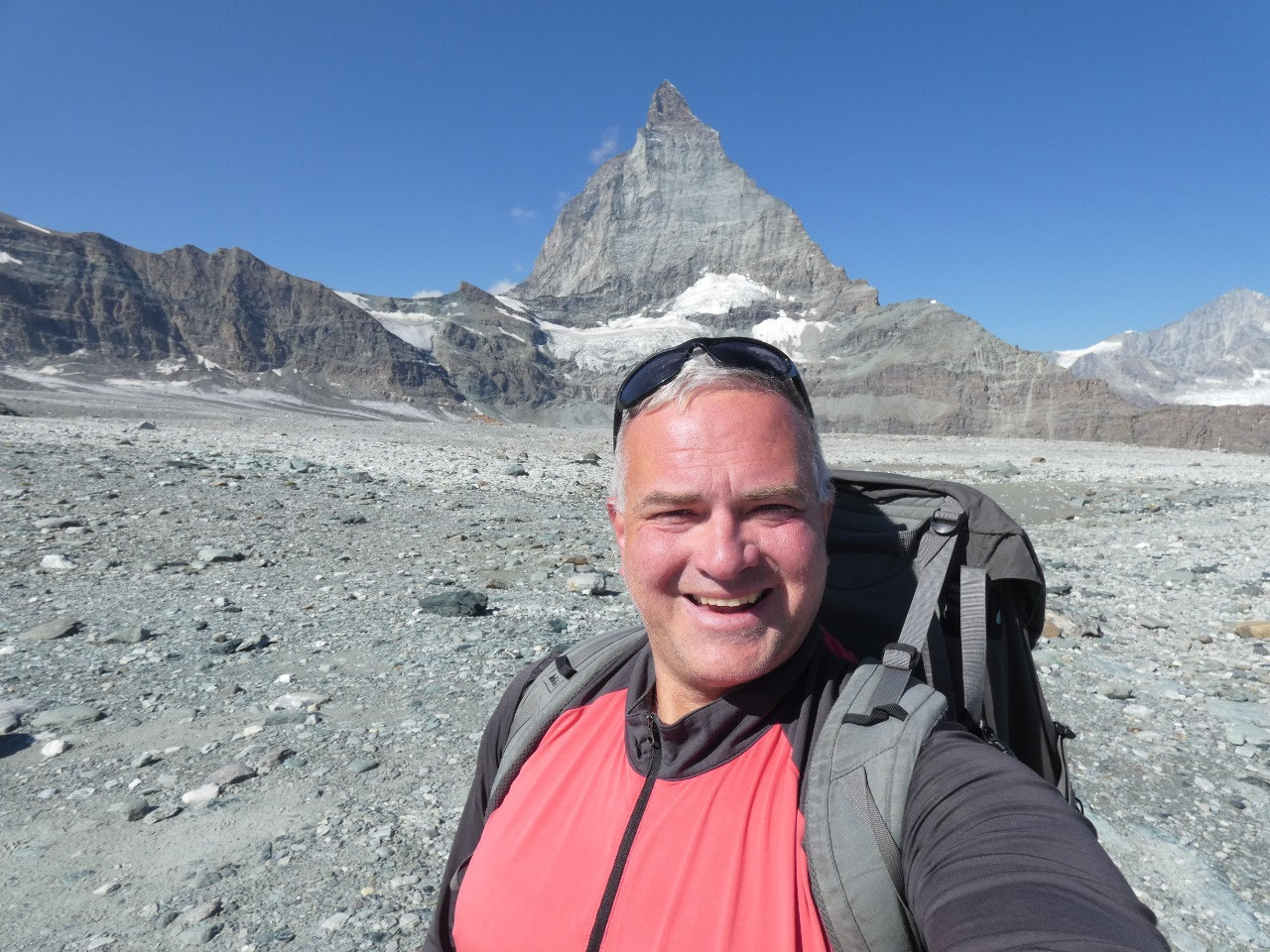
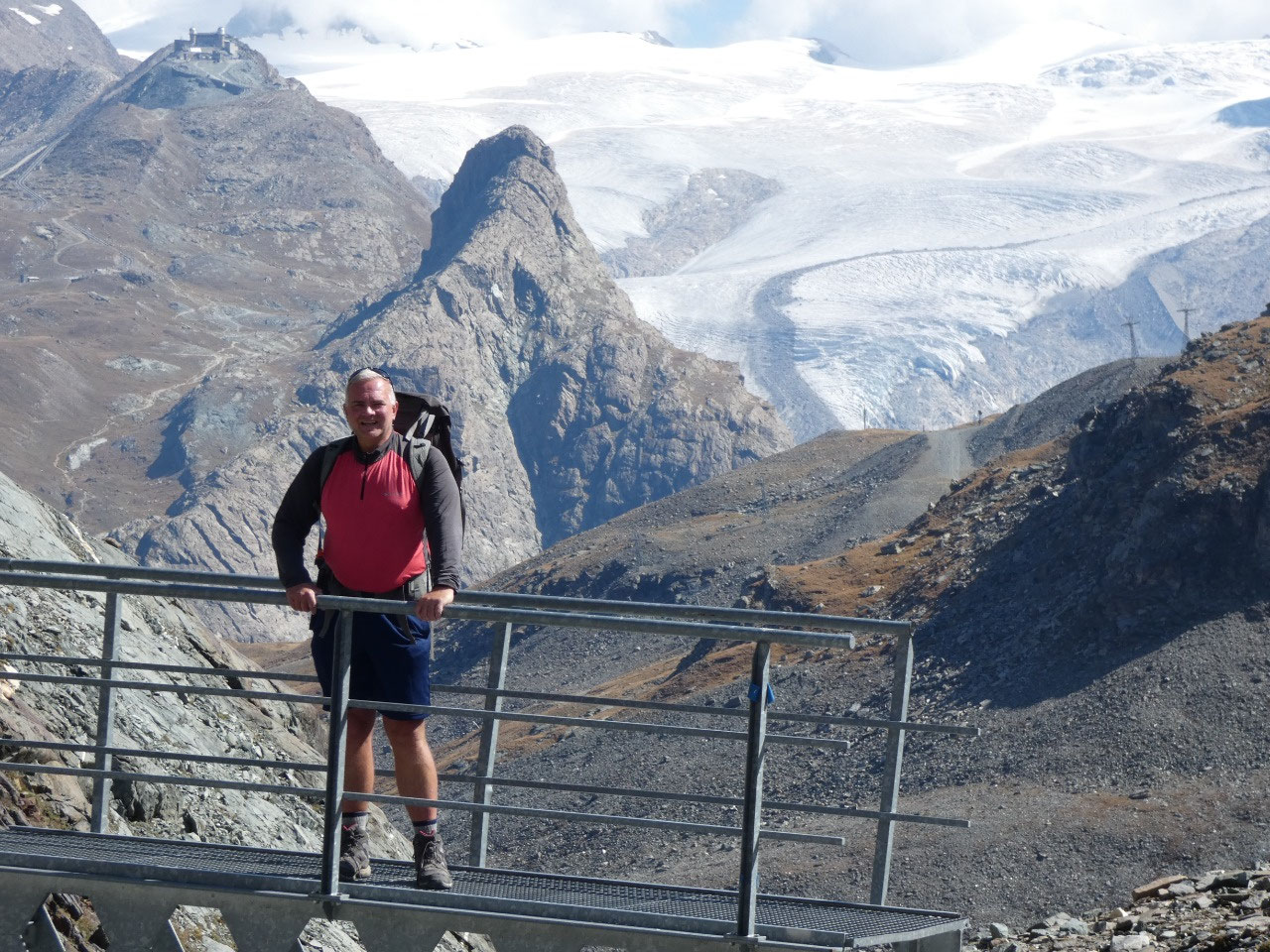
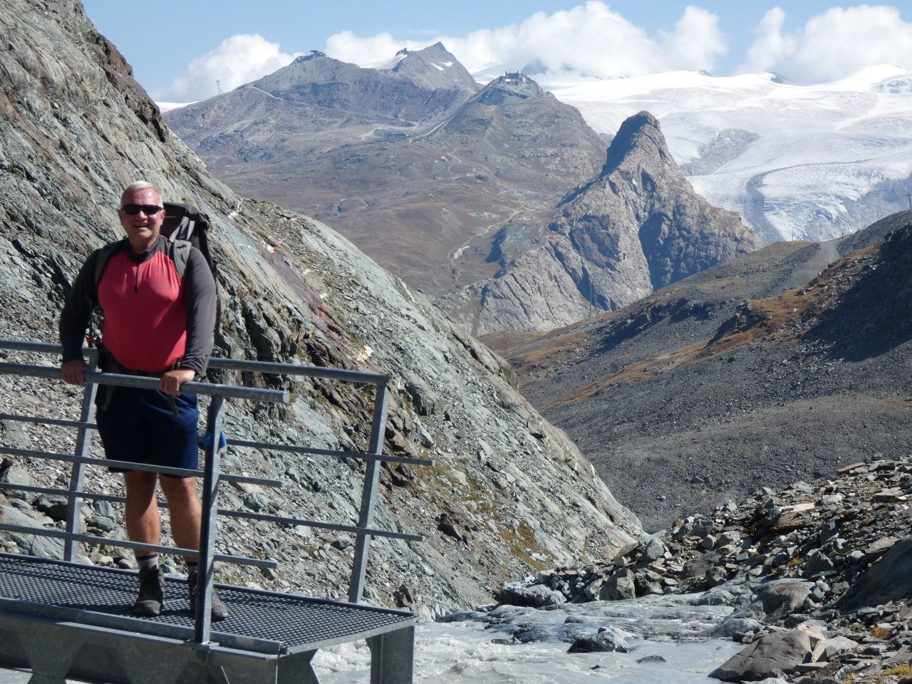
My new roommate at the hostel, a middle-aged Swiss dude
named Peter, was amenable to joining me on the alternative I suggested, to take
the aerial tram much of the way to a mid-station at 2,939 meters (over 9,500
feet) named Trockener Steg and then walk what’s called the Matterhorn Glacier
Trail above the bottom of the glaciers to the base of the Matterhorn.
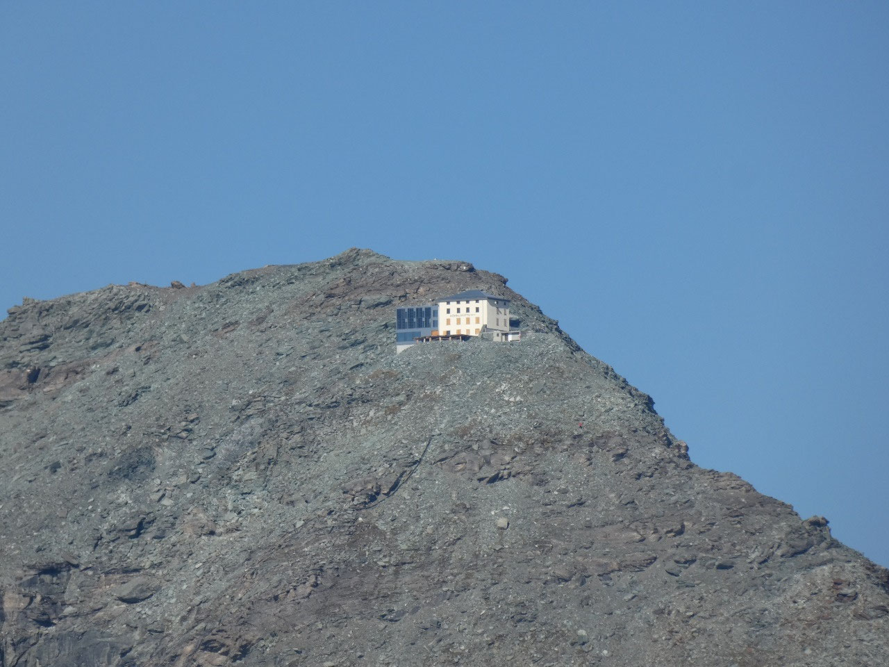
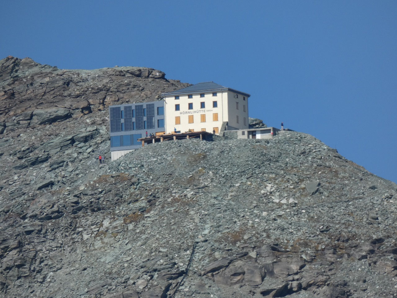
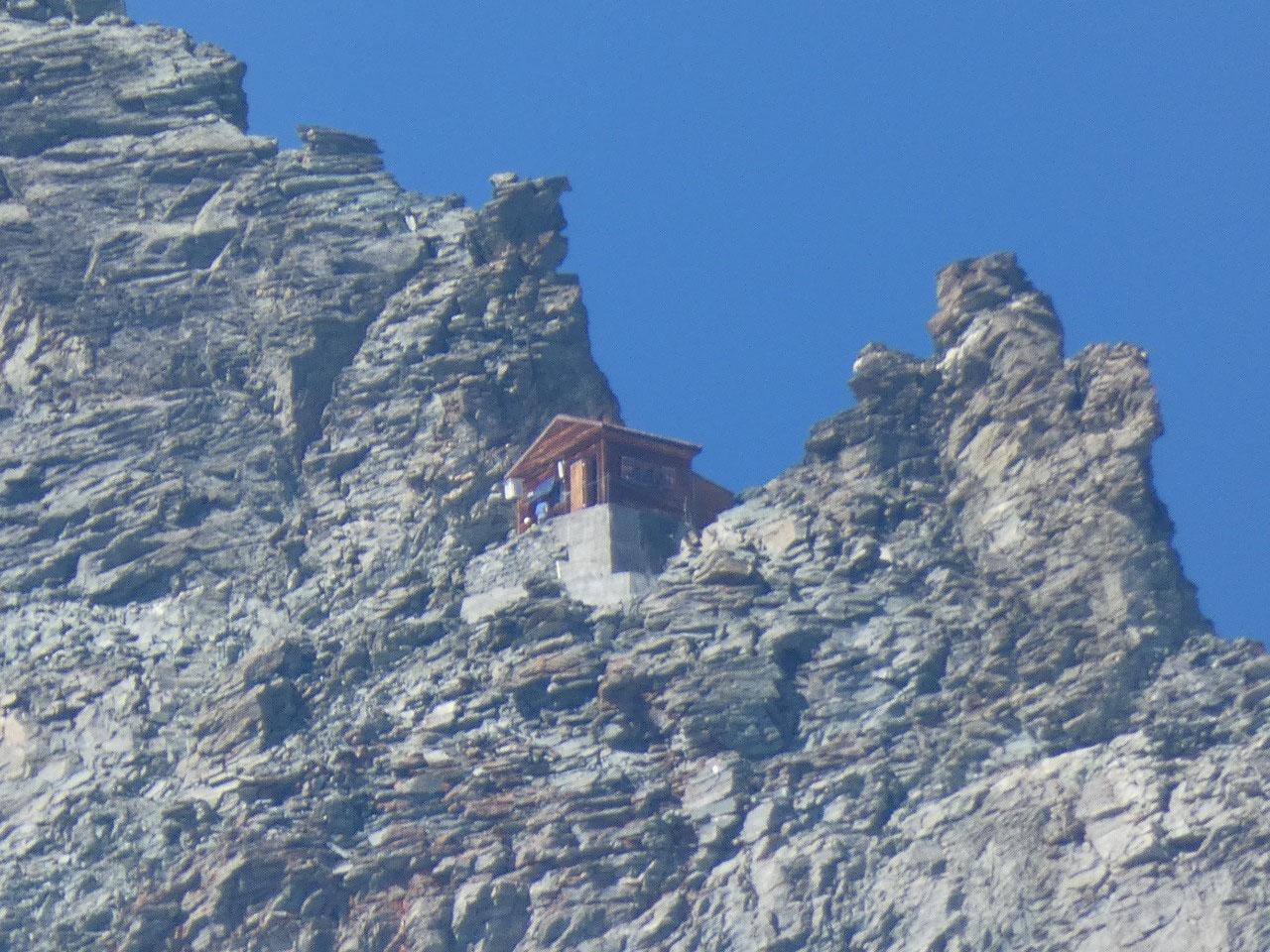
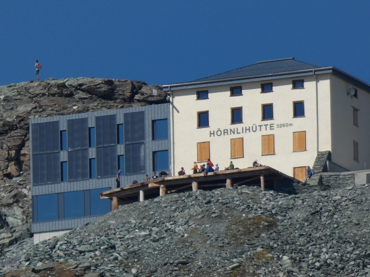
Peter expressed some interest in going to the Hornli Hut, a
substantial climb up the side of the base of the Matterhorn to the mountain hut
high on its side used as a base by climbers.
It’s probably not as scary when
you’re doing it as it looks from below, but as we got a better look at what might
be involved with it, Peter changed his mind. I honestly has no intention of
climbing up. I feel like I’m on vacation now that I’ve made it to Zermatt; I’m
only walking downhill.
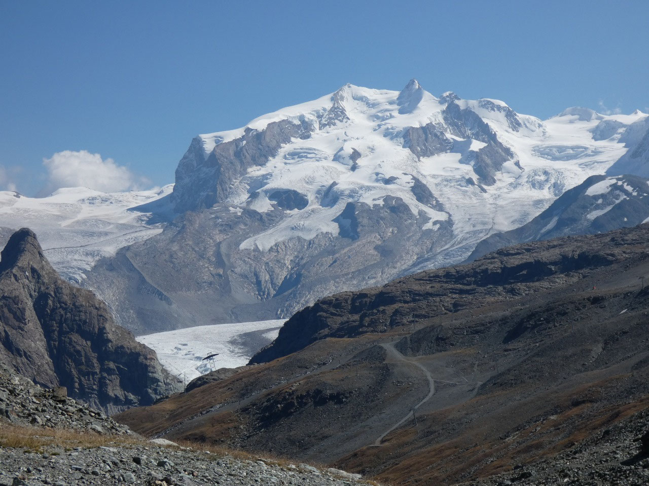
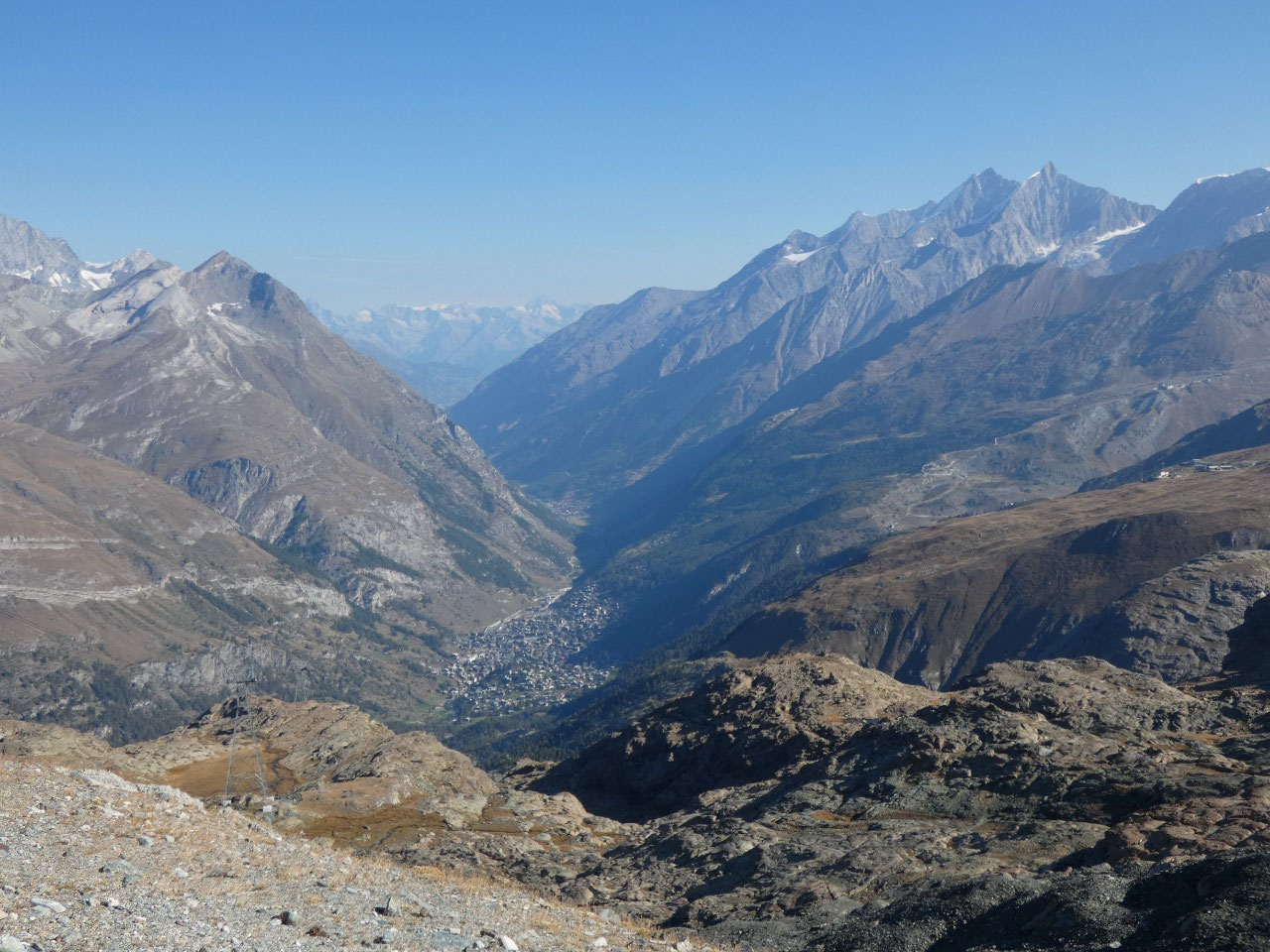
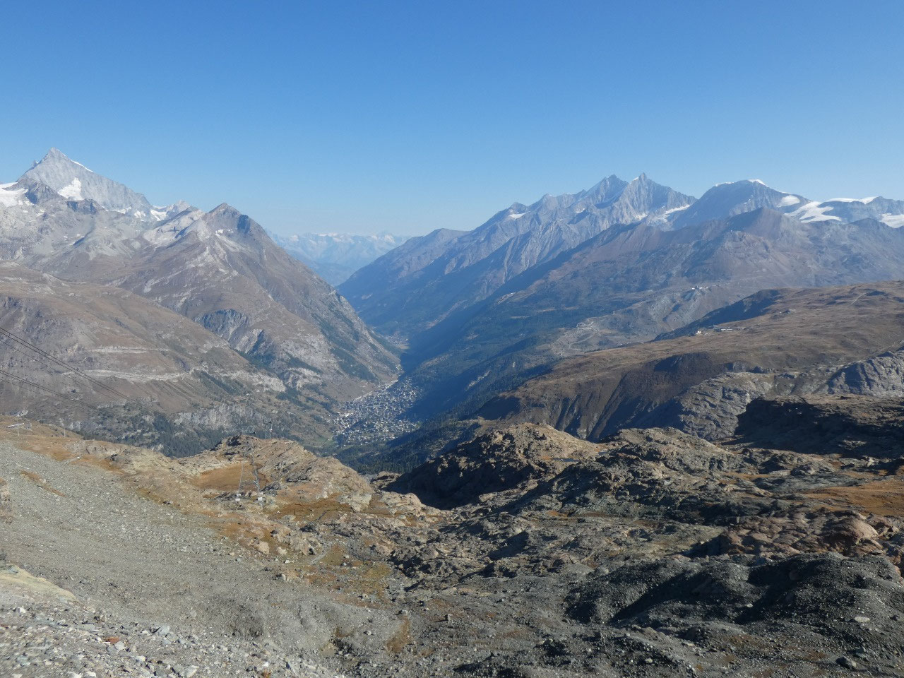
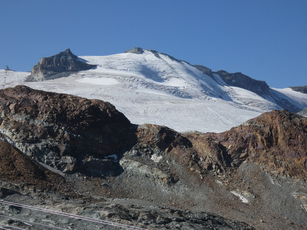
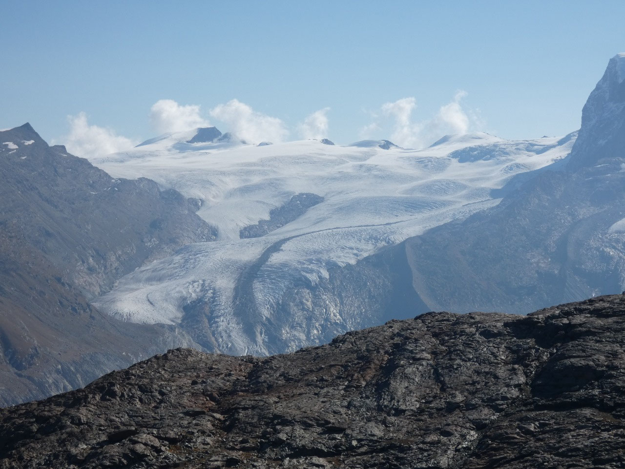
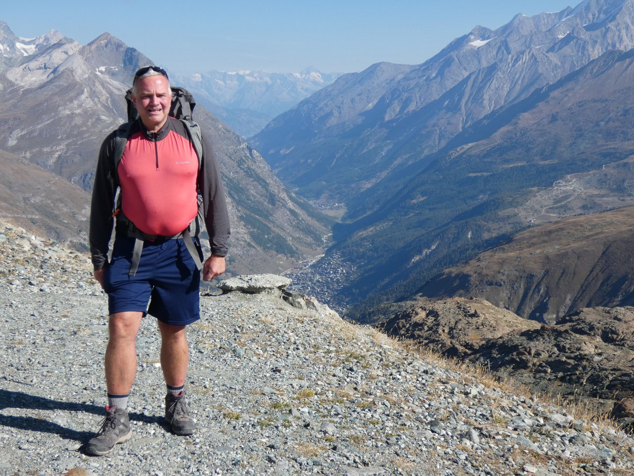
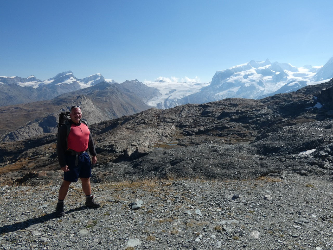
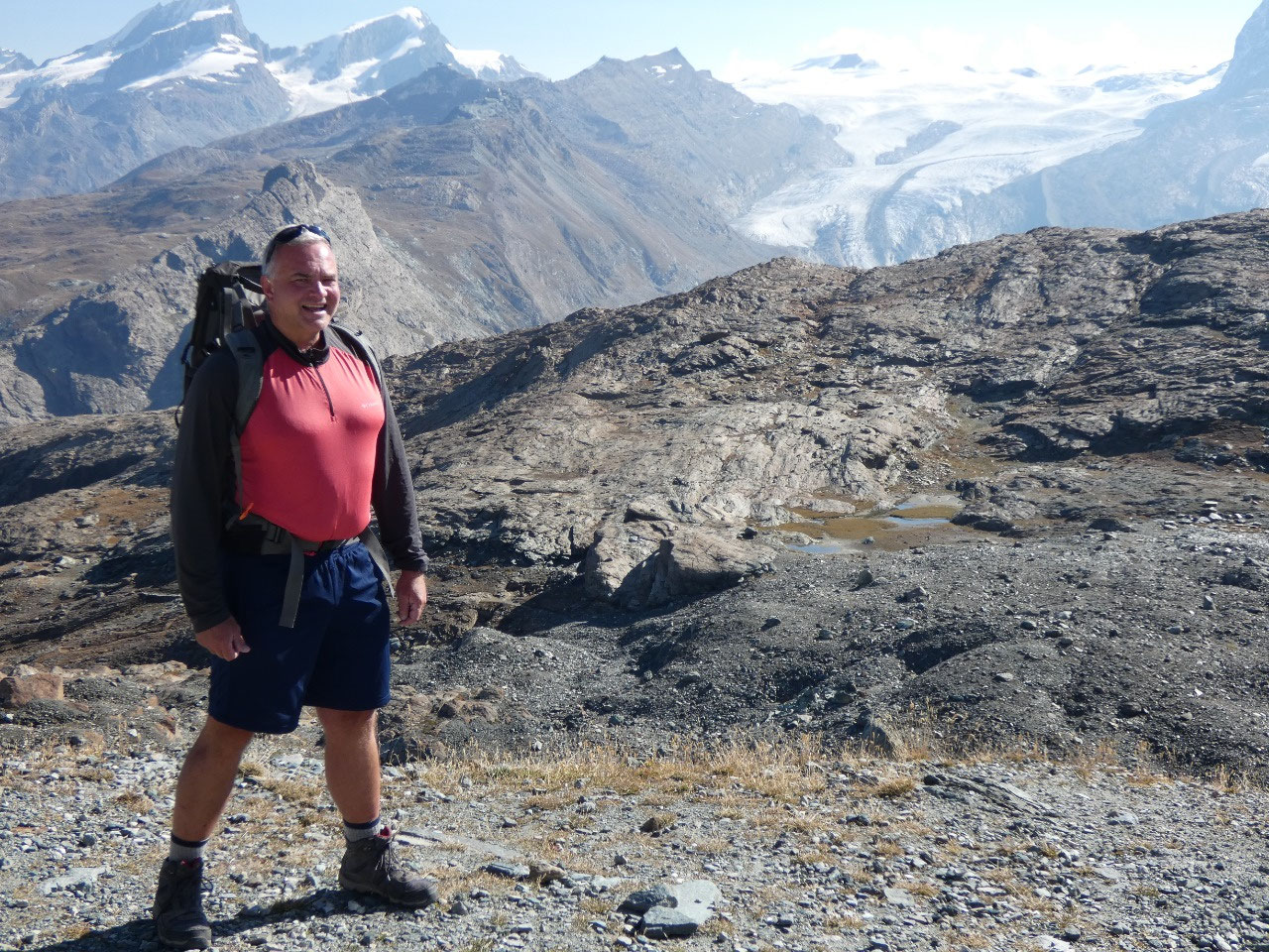
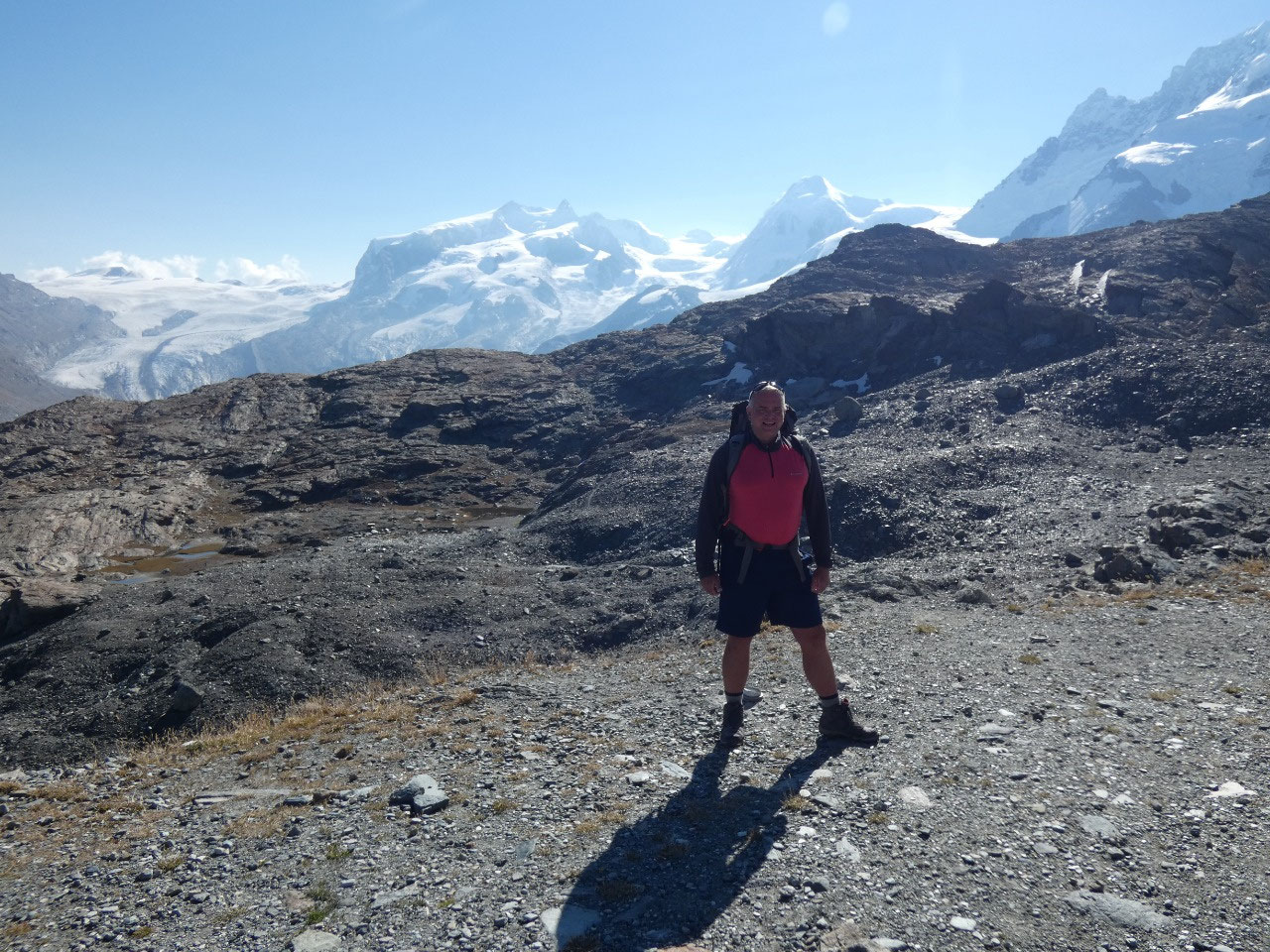
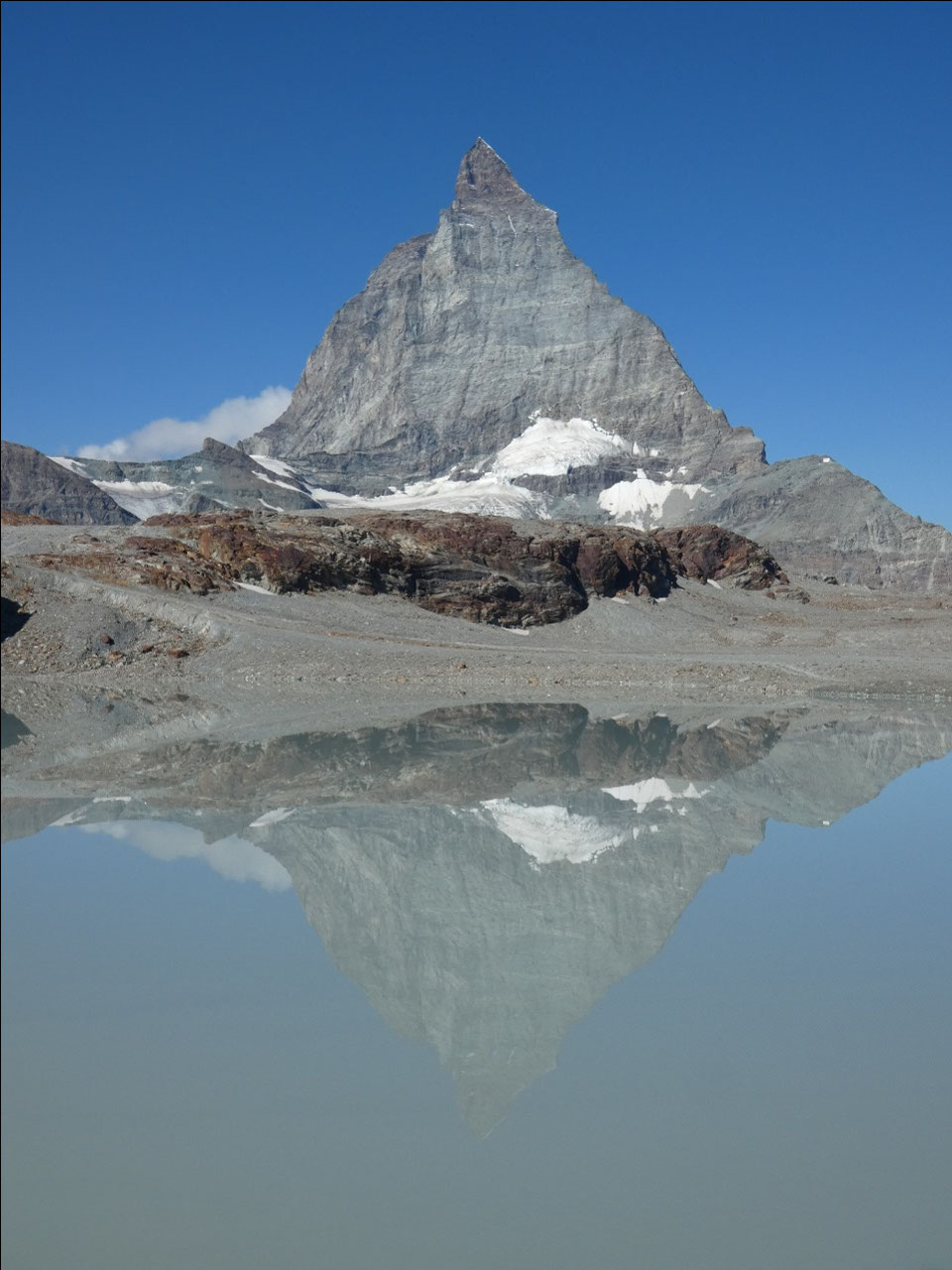
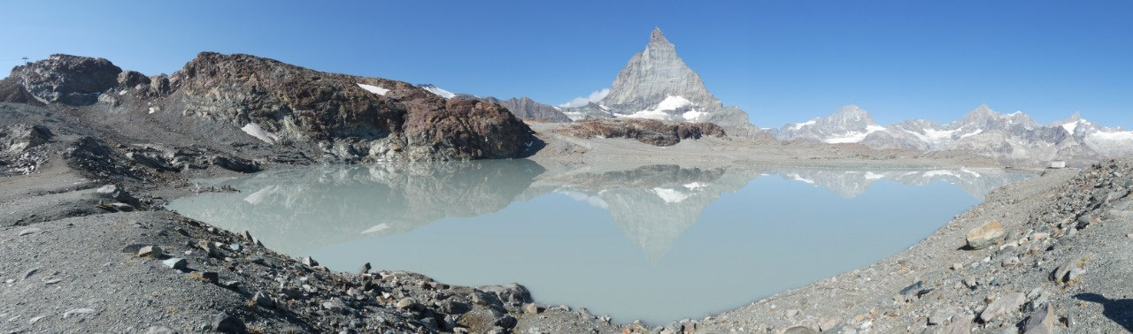
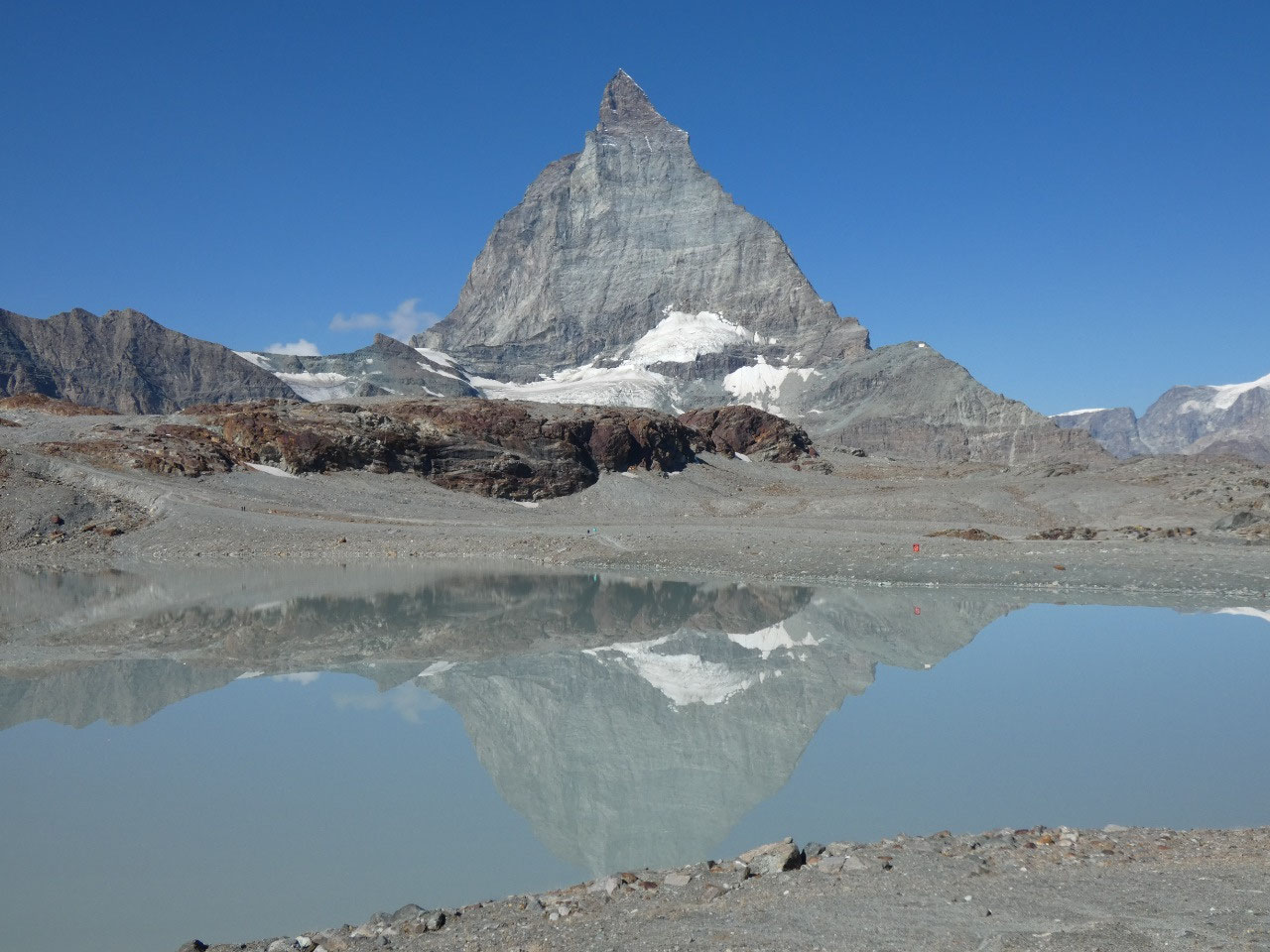
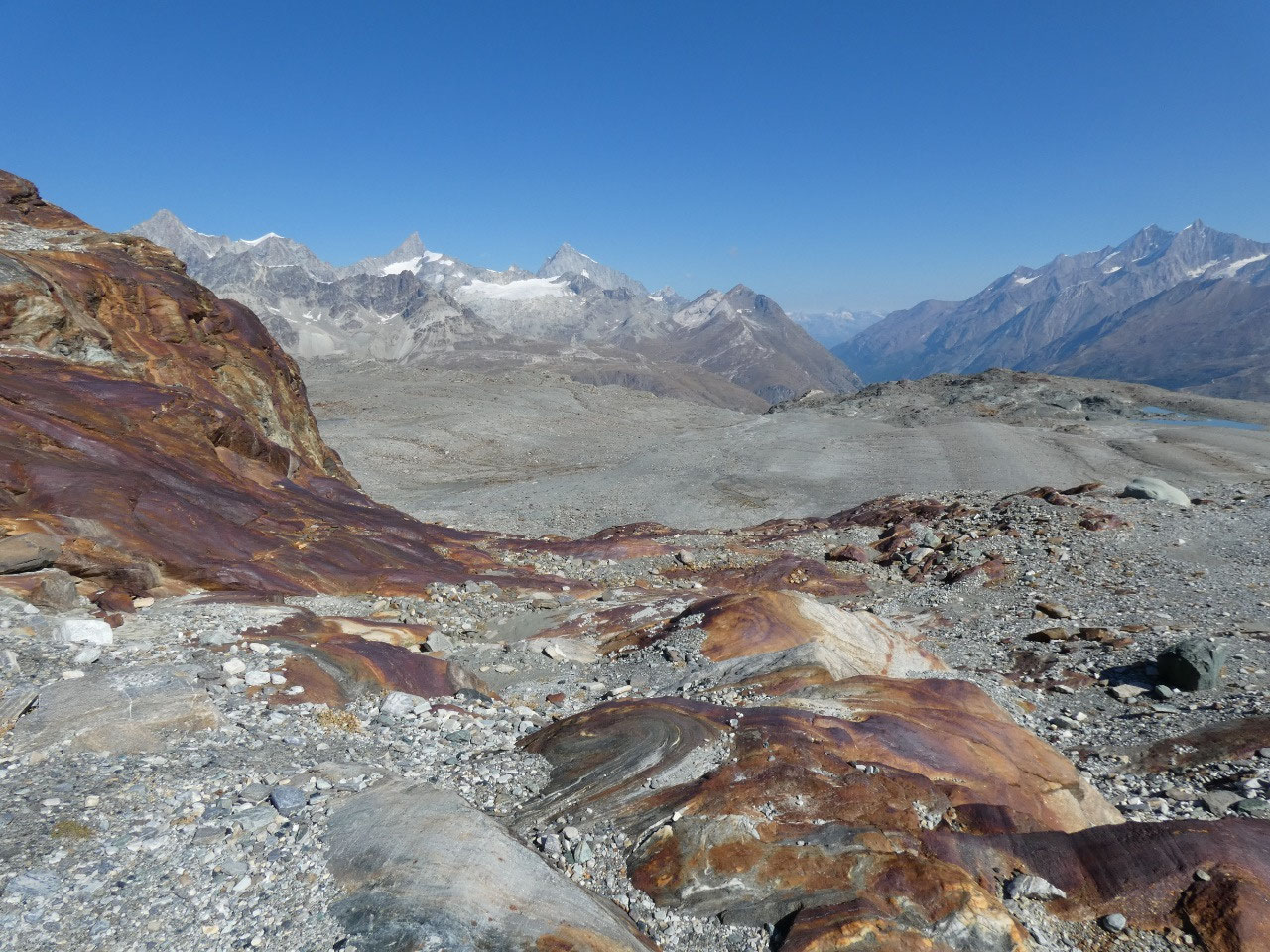
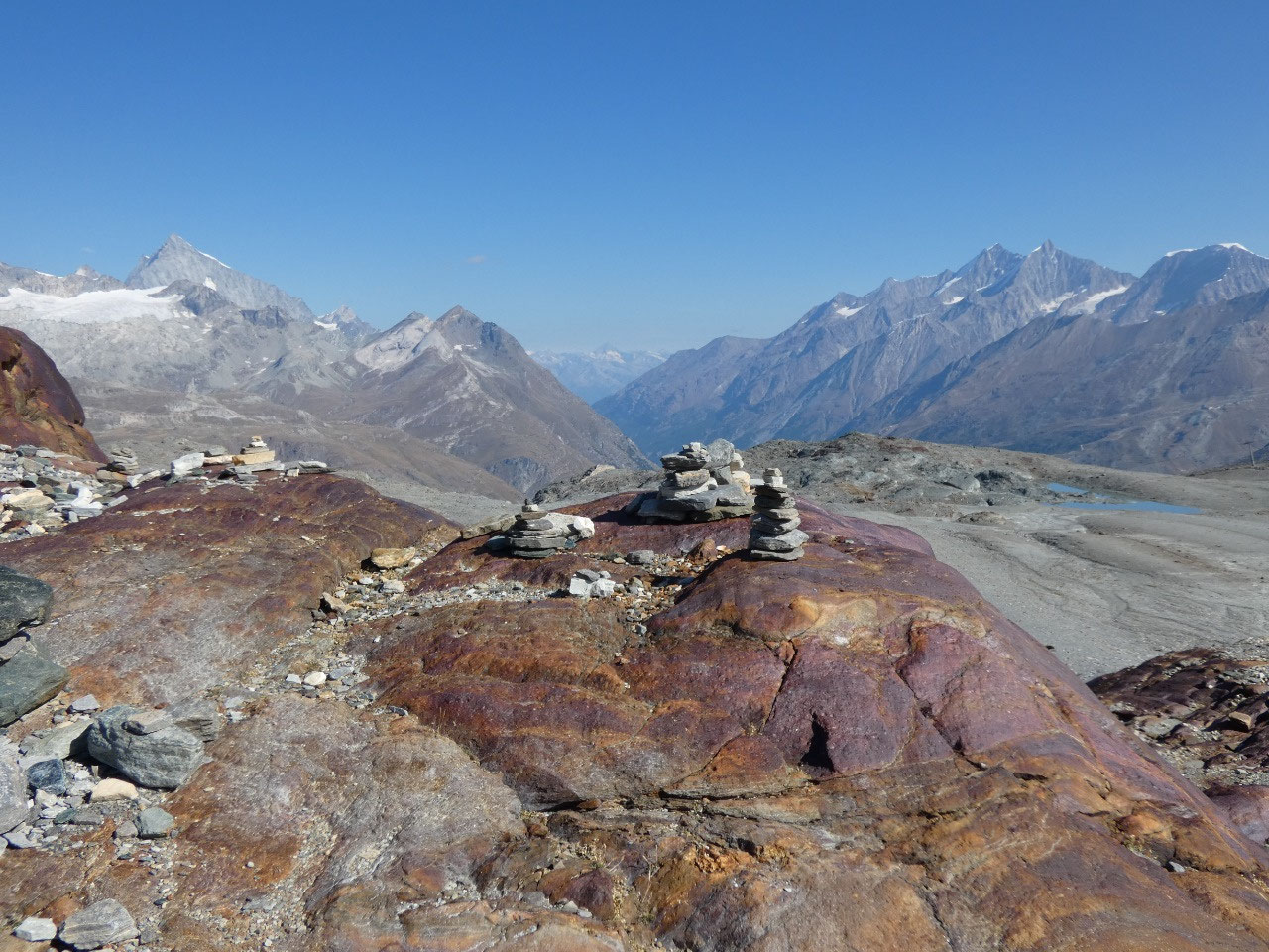
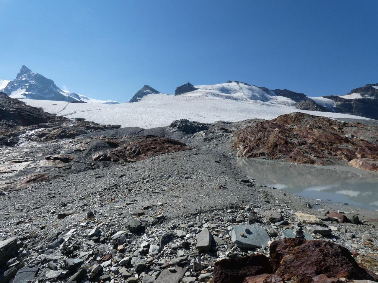
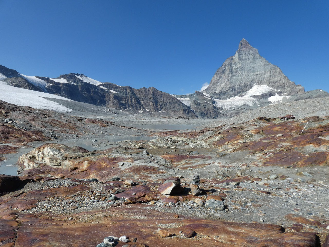
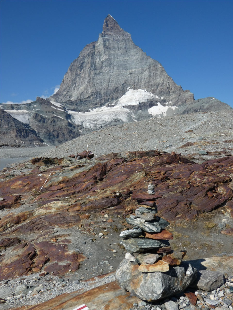
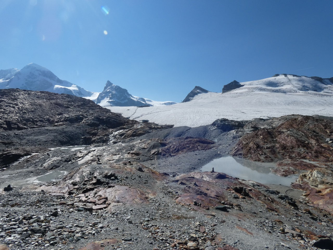
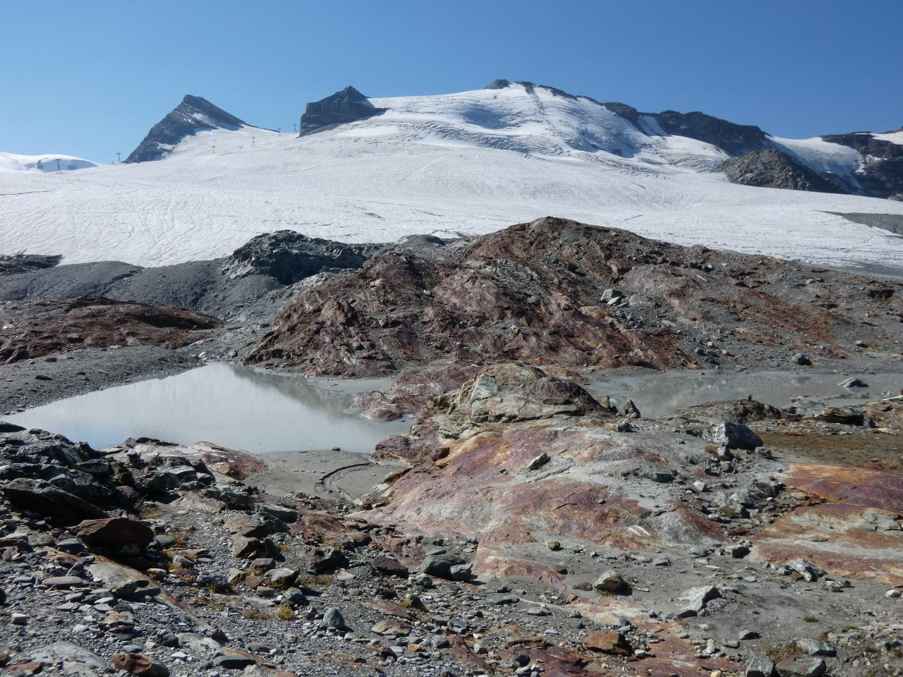
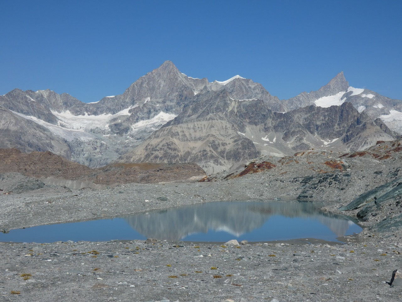
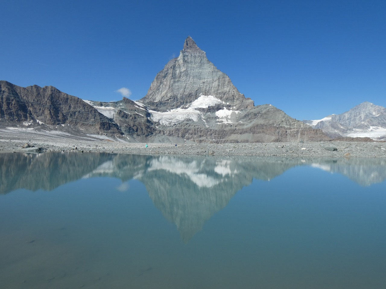
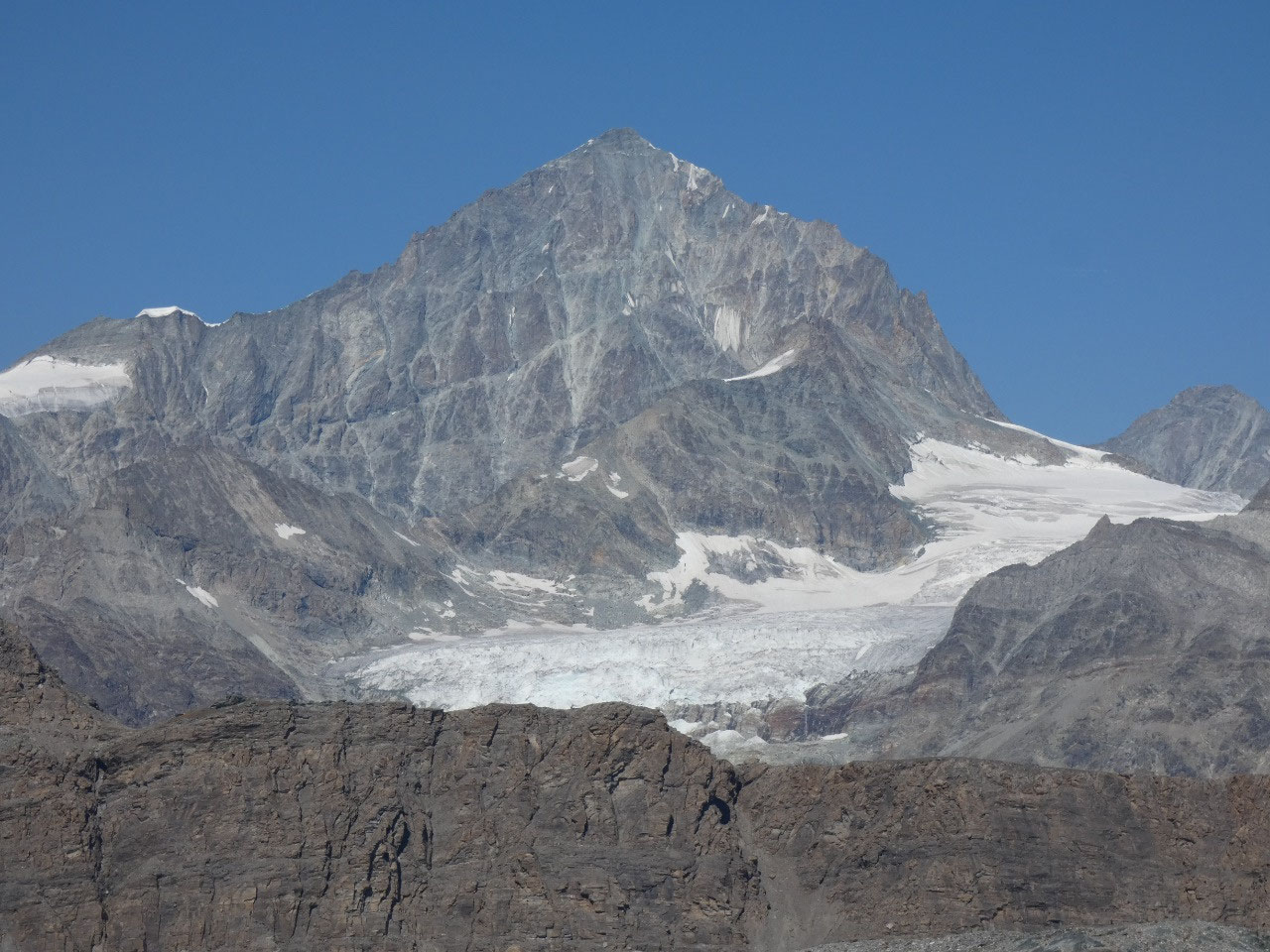
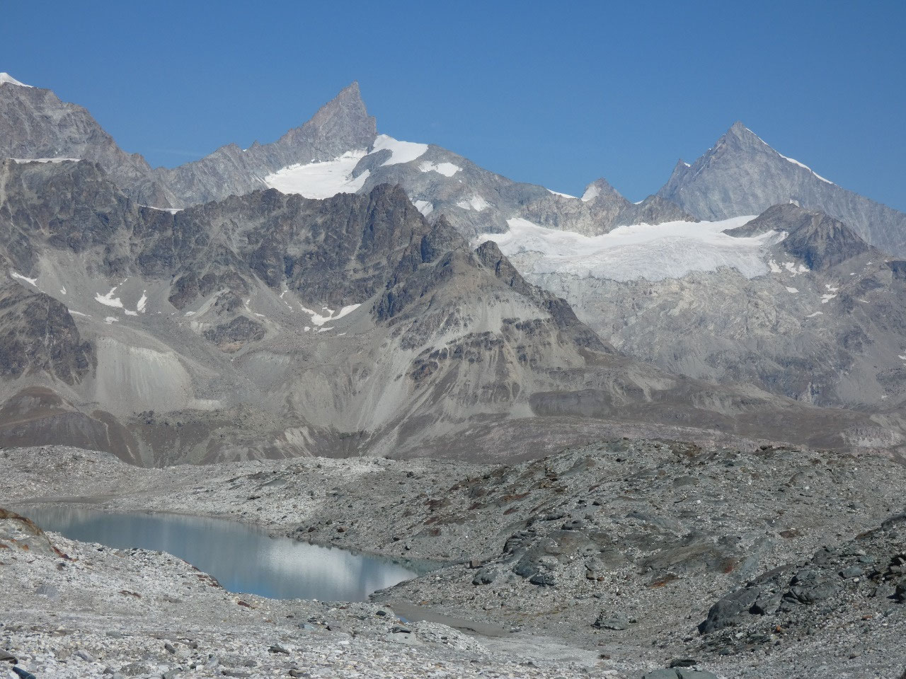
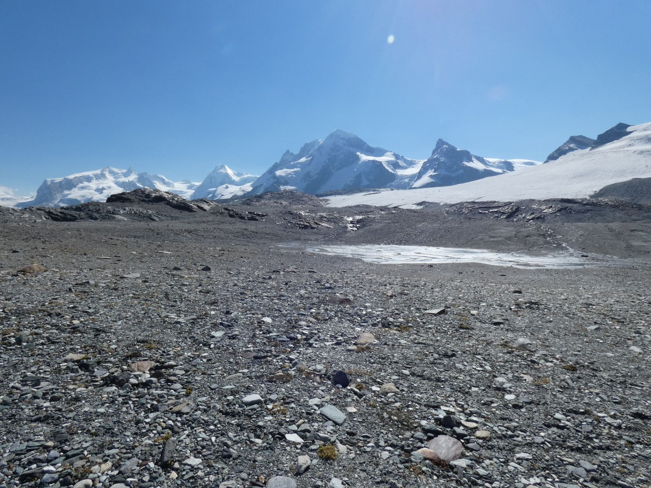
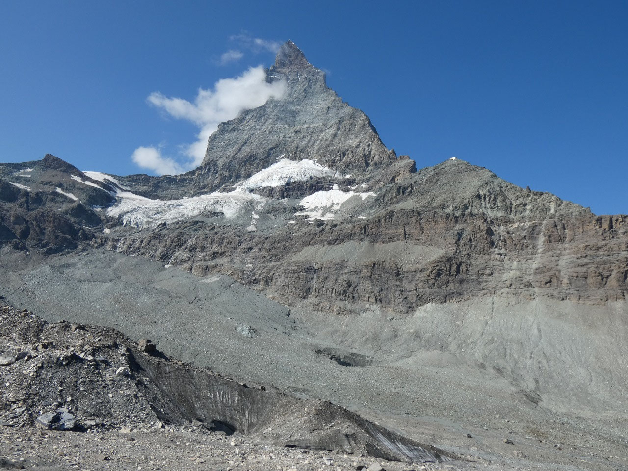
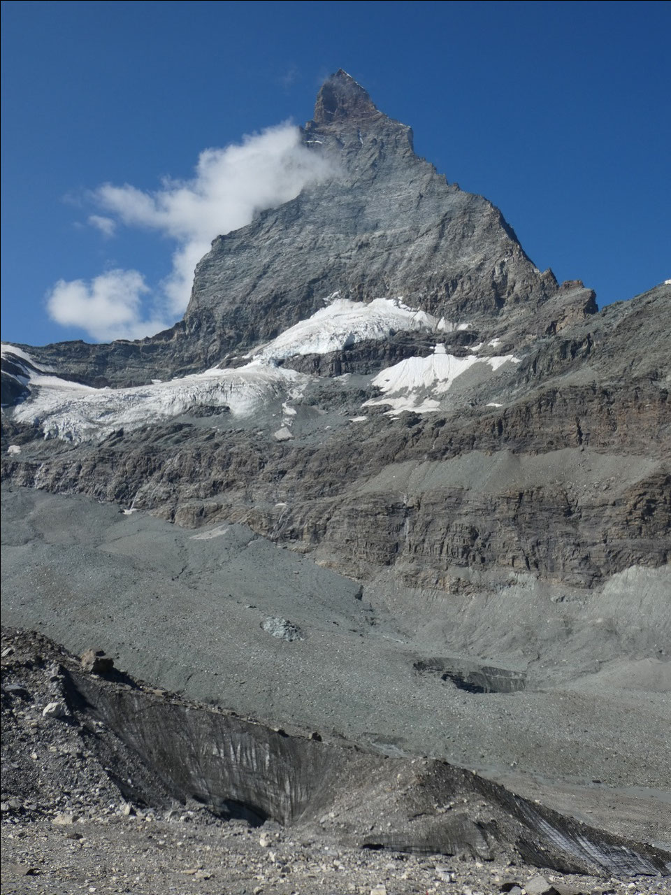
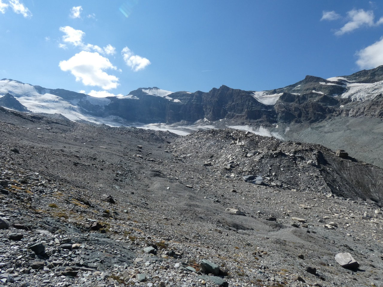
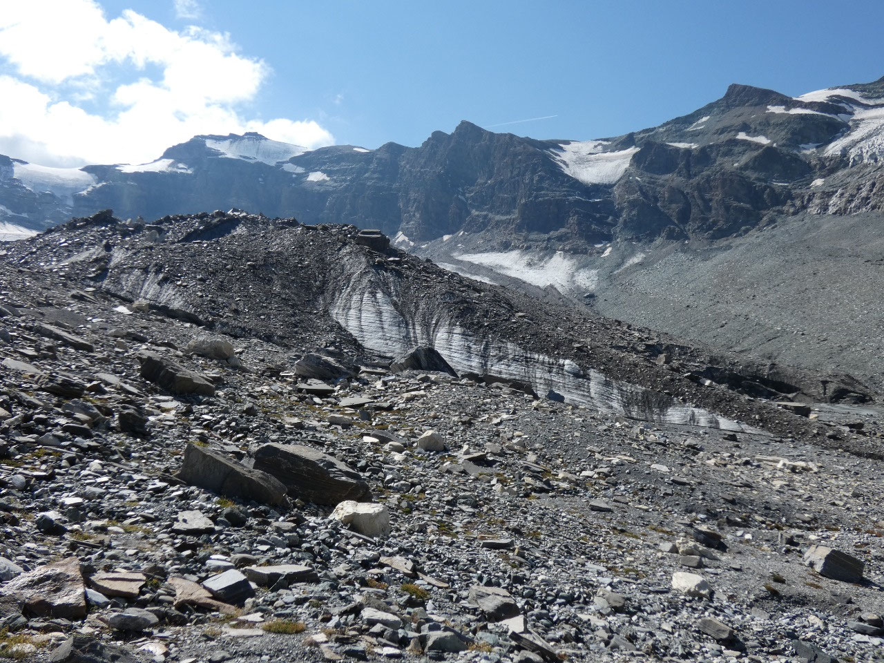
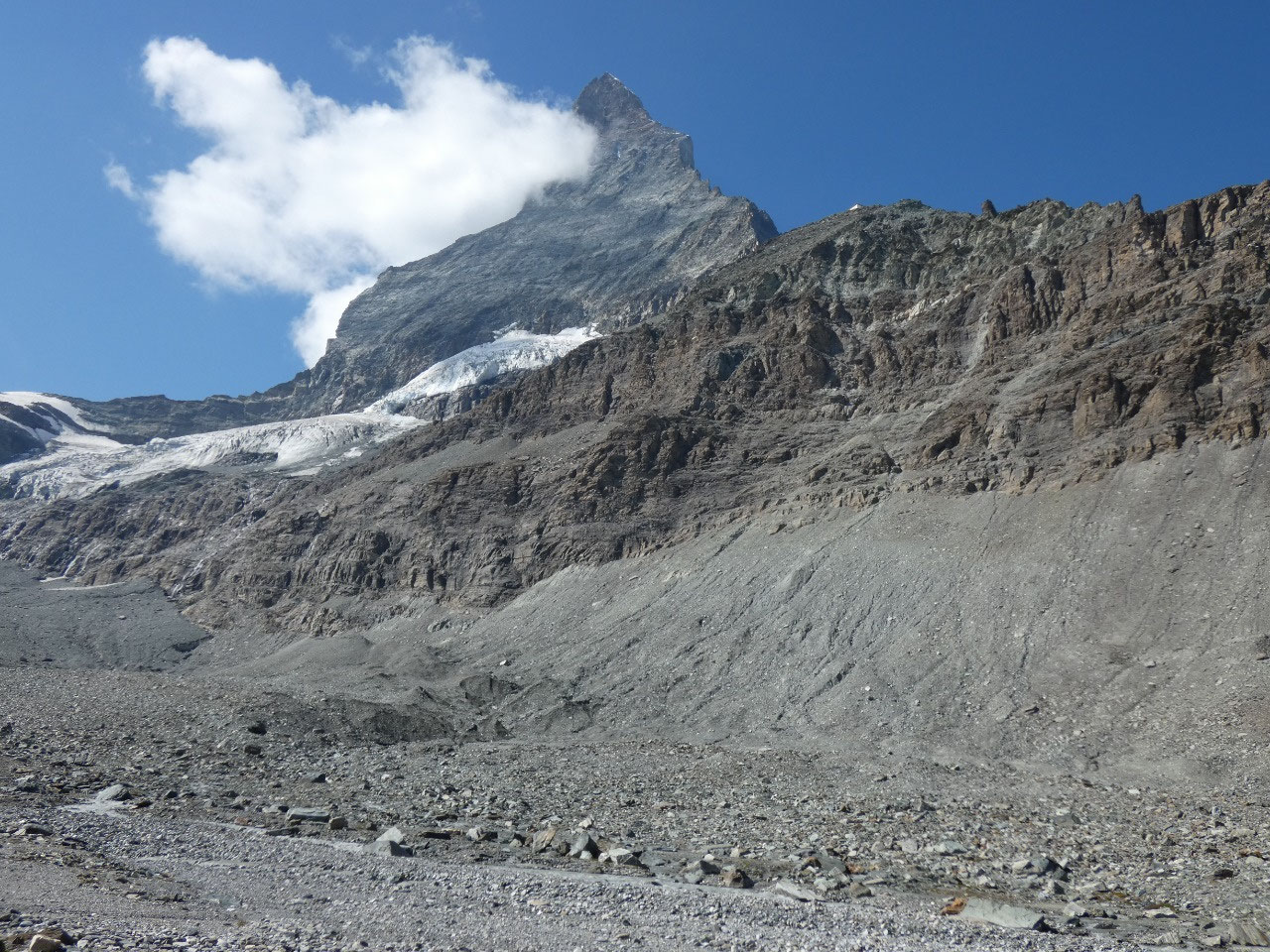
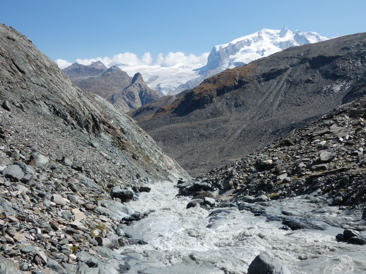
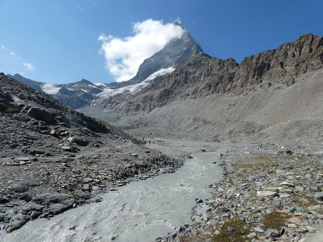
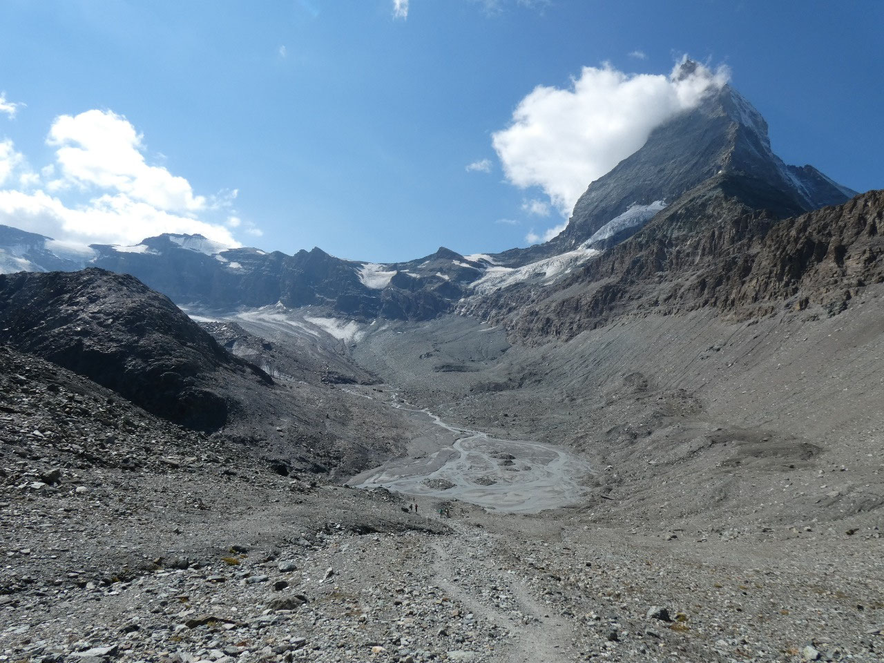
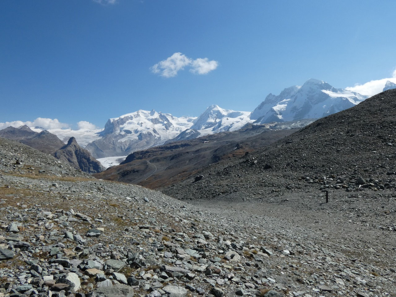
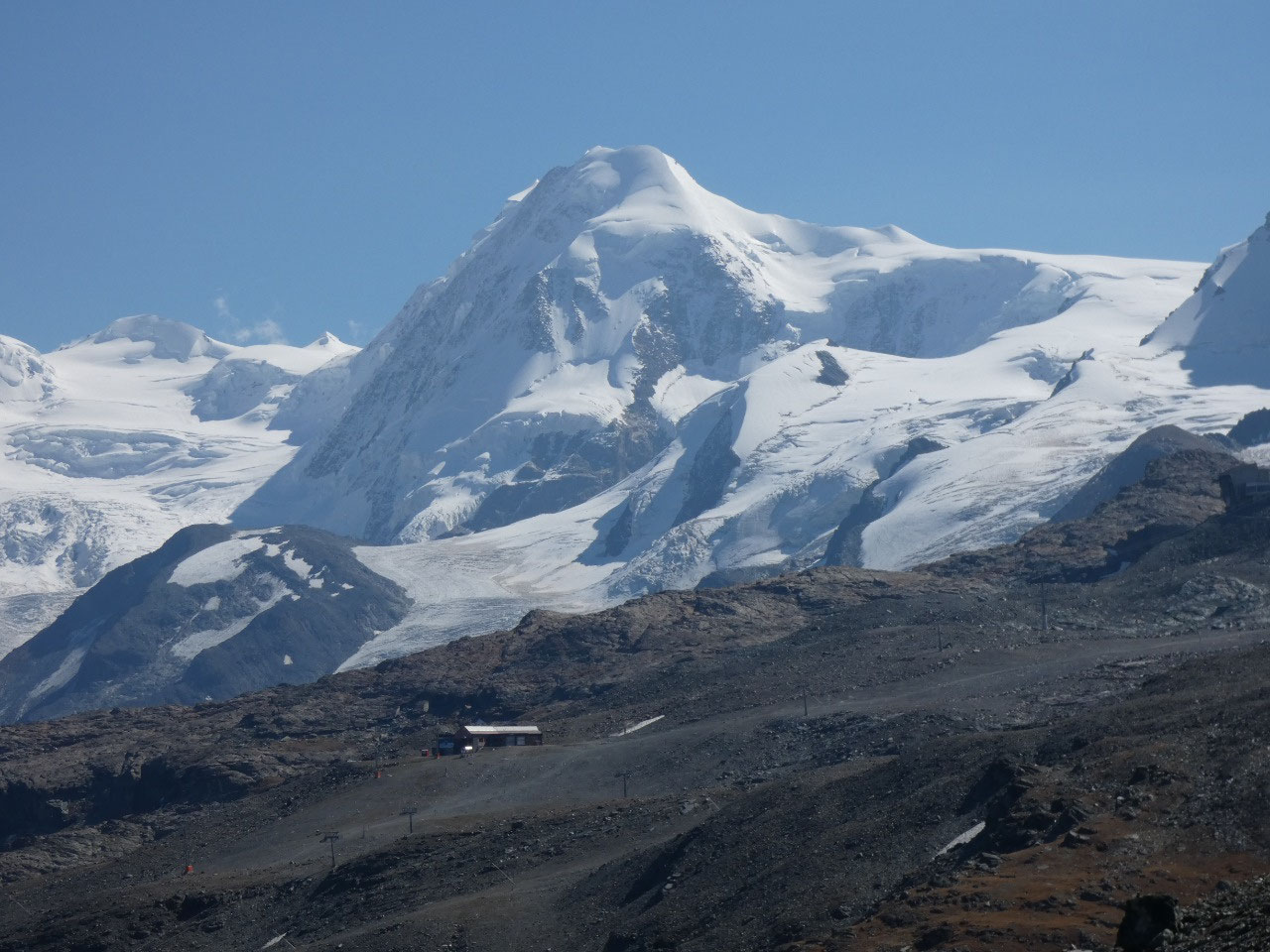
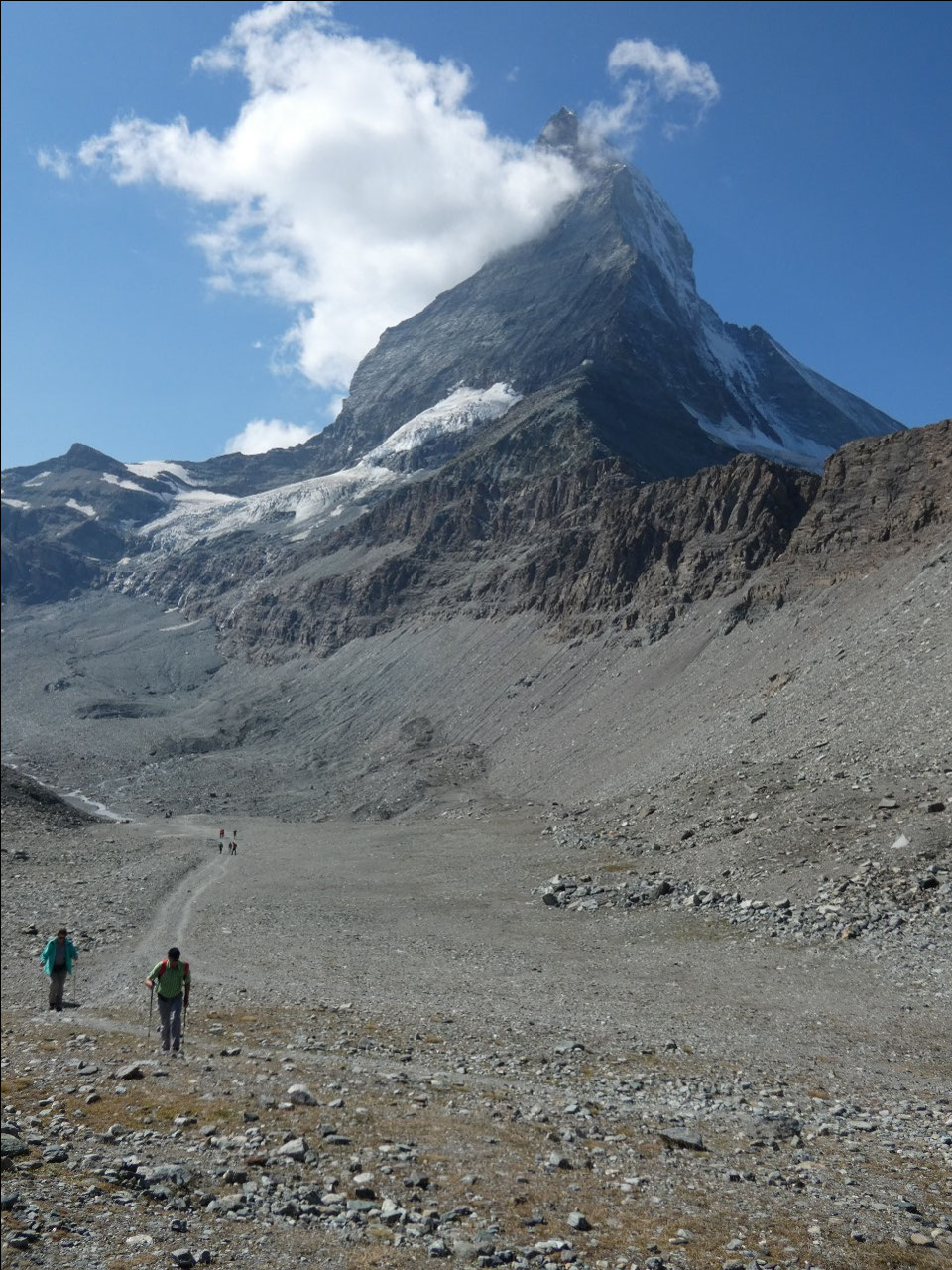
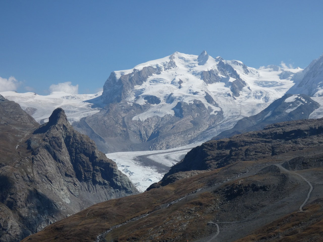
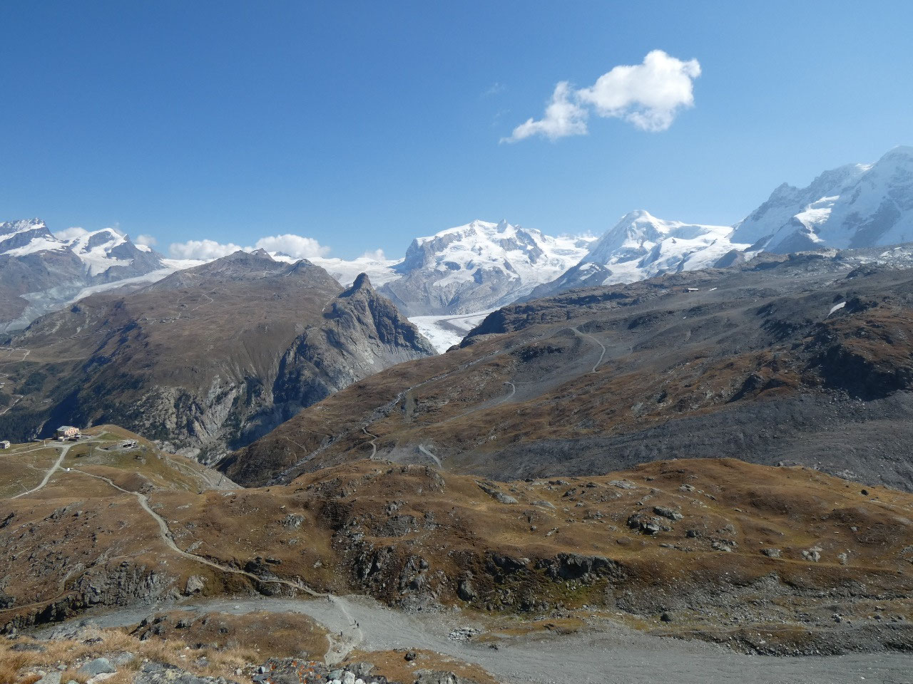
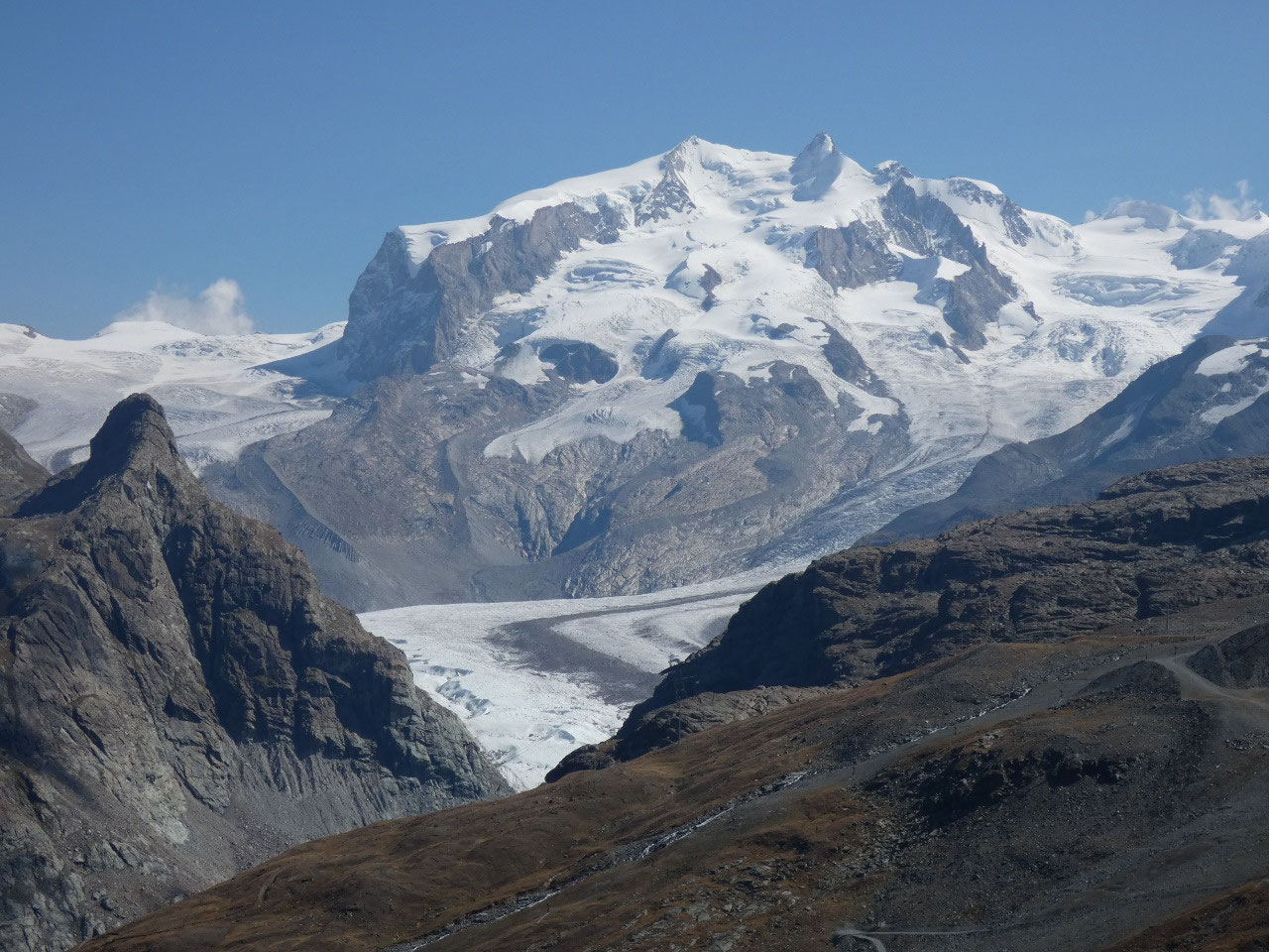
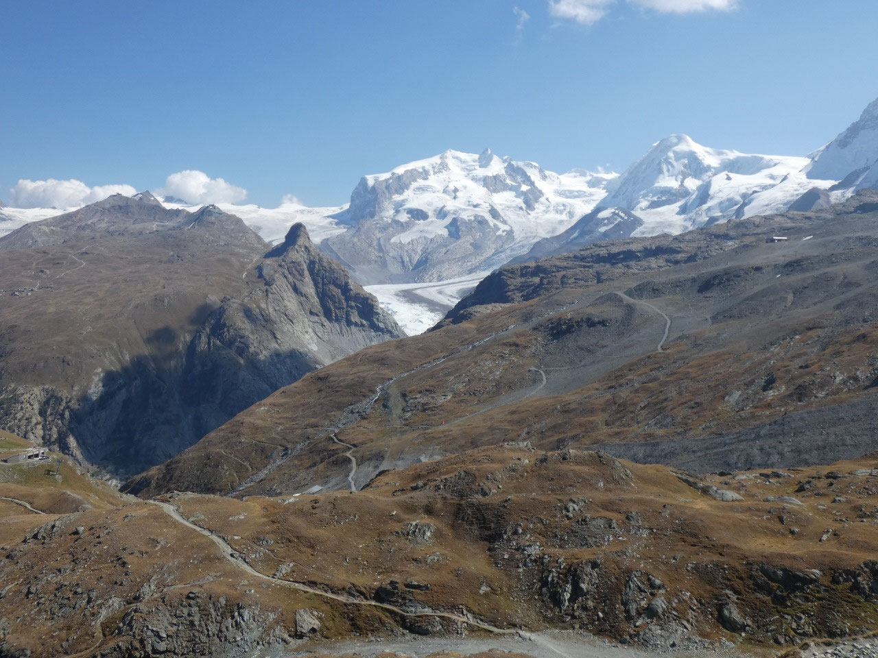
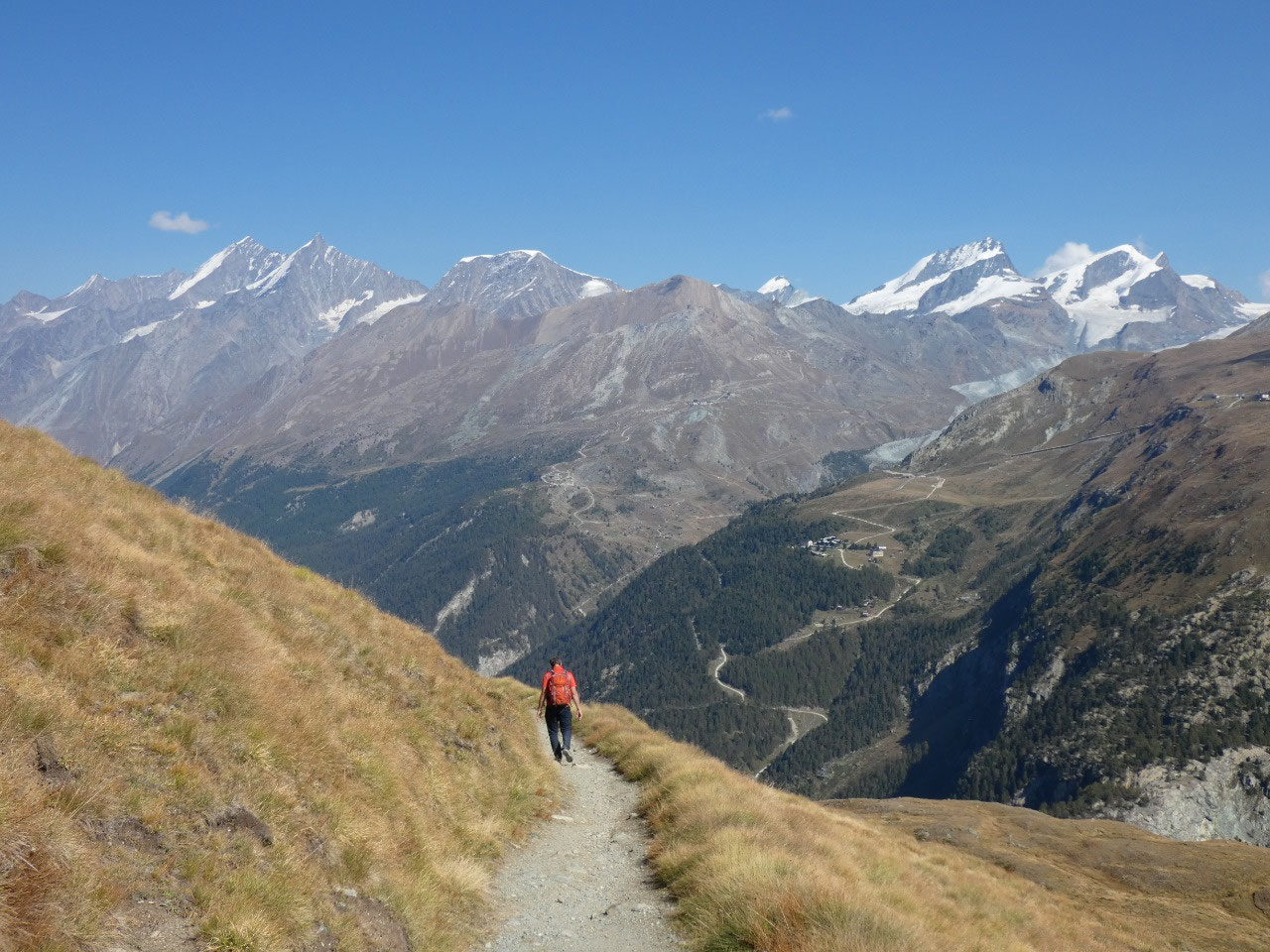
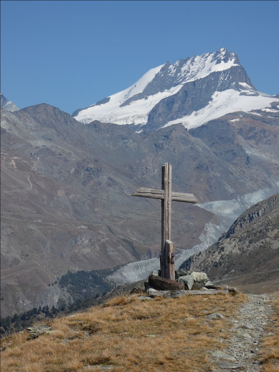
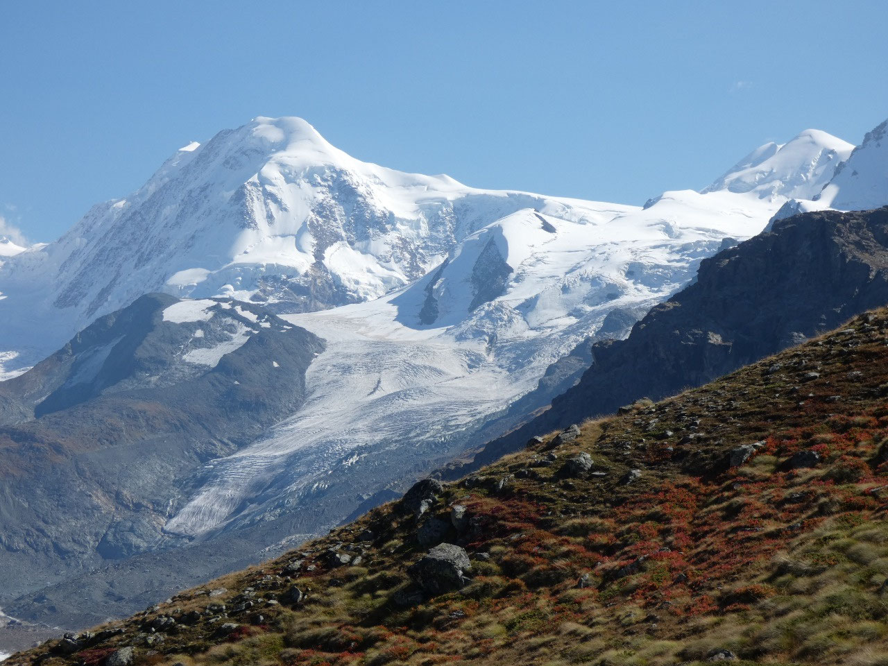
The first part of the days hike was a relatively level walk
with some easy ascents and descents along the snowfields, above the Matterhorn
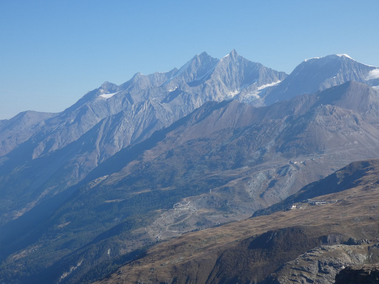
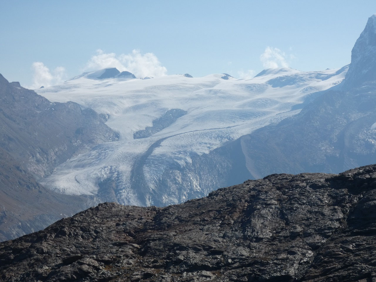
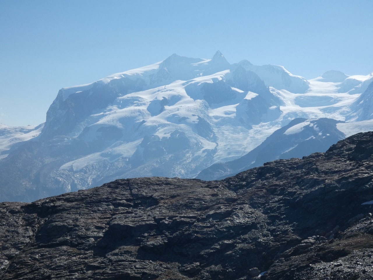
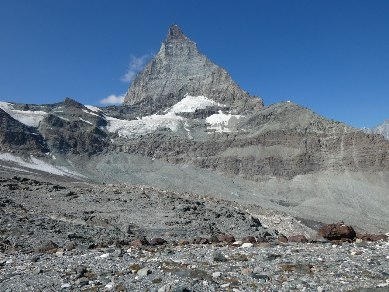
glacier, and through the rocky barren landscape that used to be covered with
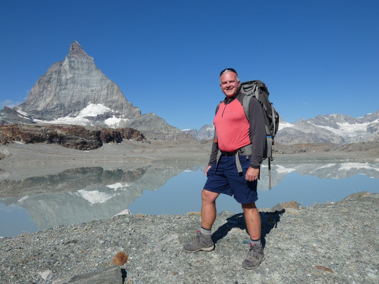
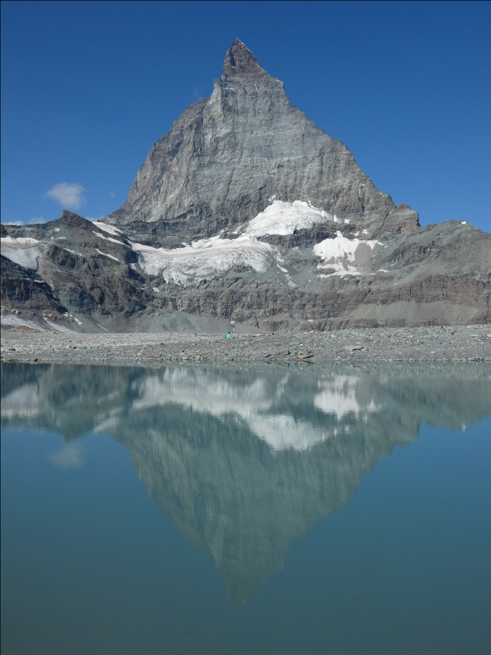
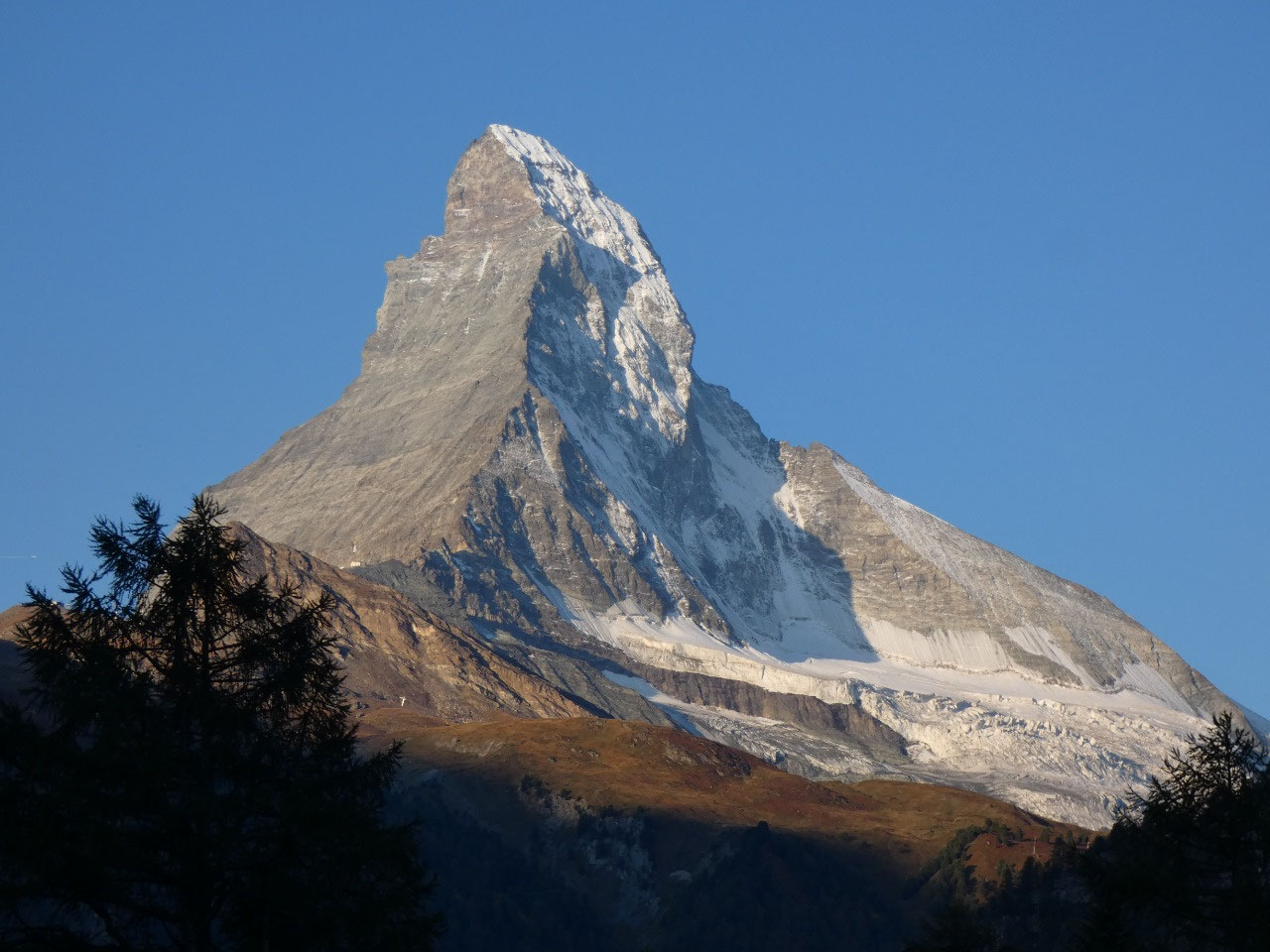
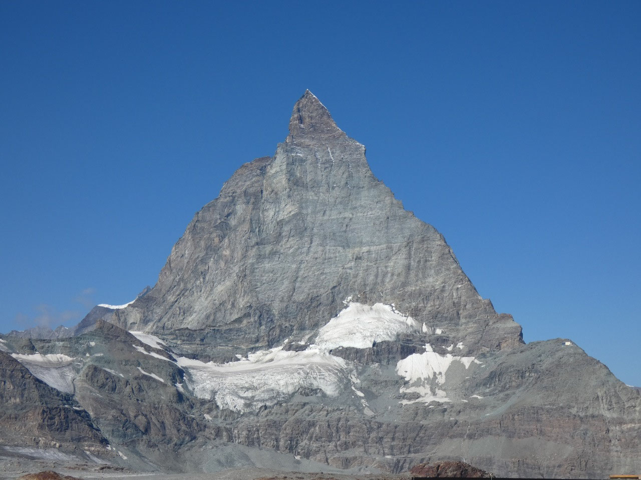
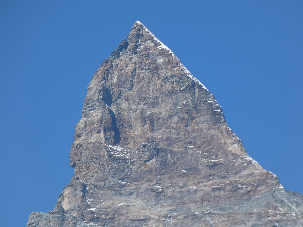
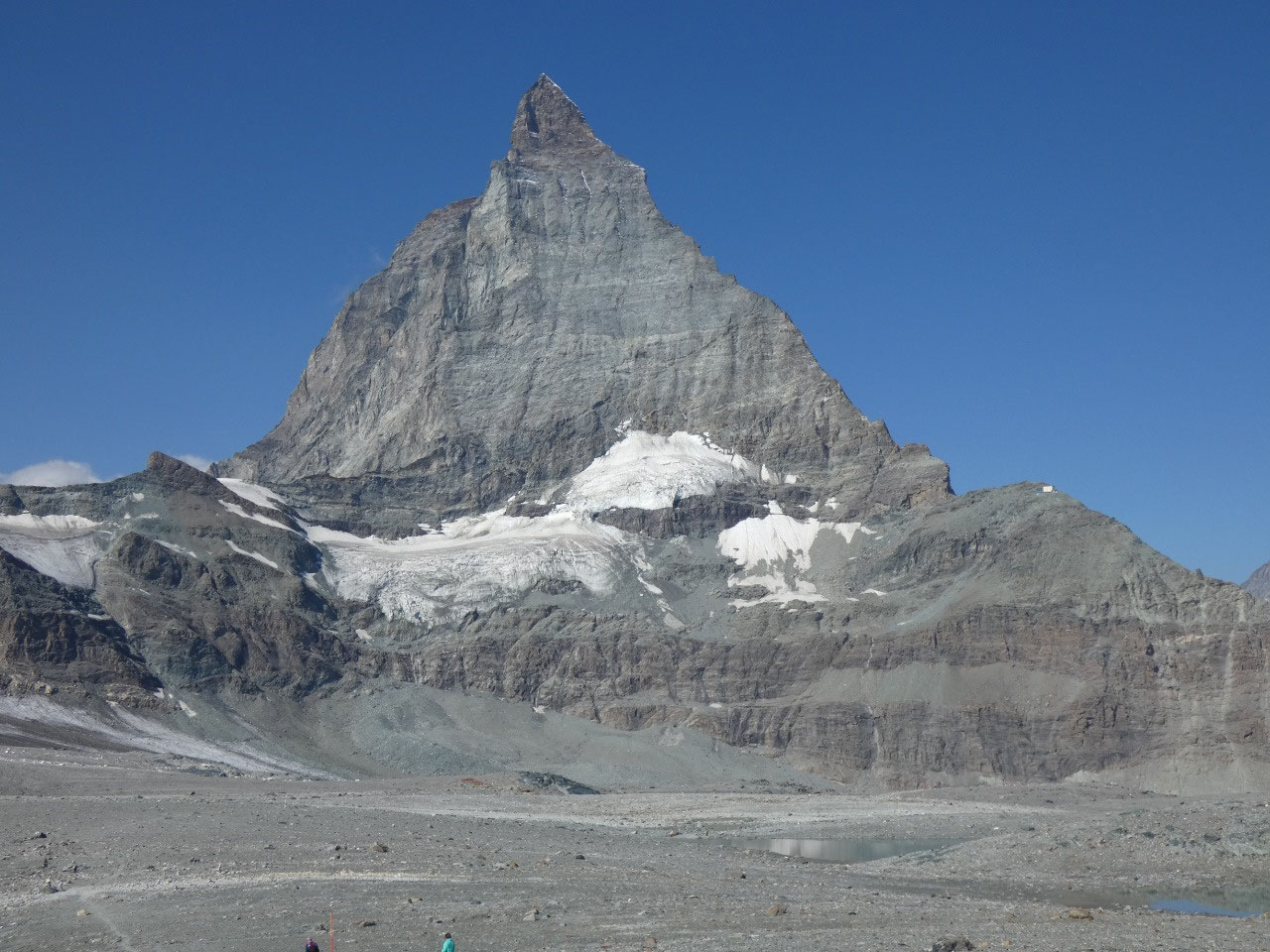
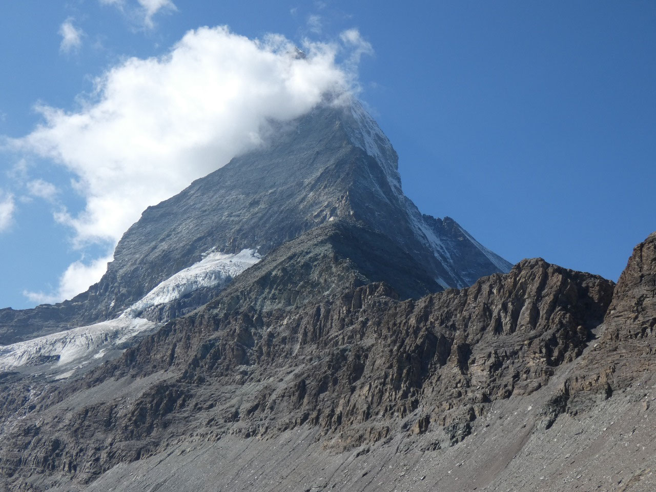
the glaciers until not that long ago. The views of the Matterhorn were stunning
throughout as it kept slowly getting bigger as we got closer. You realize the
immensity of it when you’re close up and the summit is still literally a
vertical mile straight above you. The Matterhorn is arguably the world’s most
famous mountain, and is completely different in appearance from everything else
in view from Zermatt or elsewhere in the Alps.
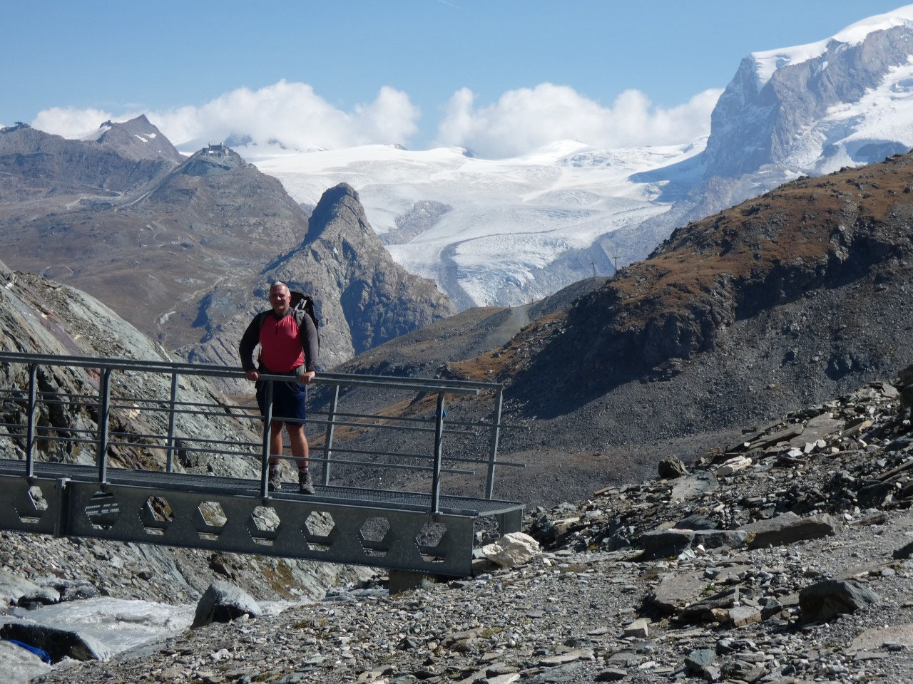
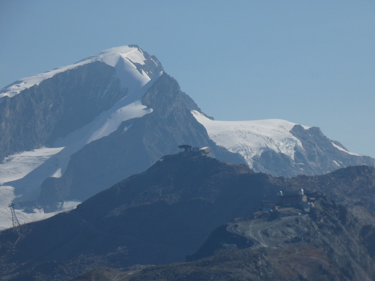
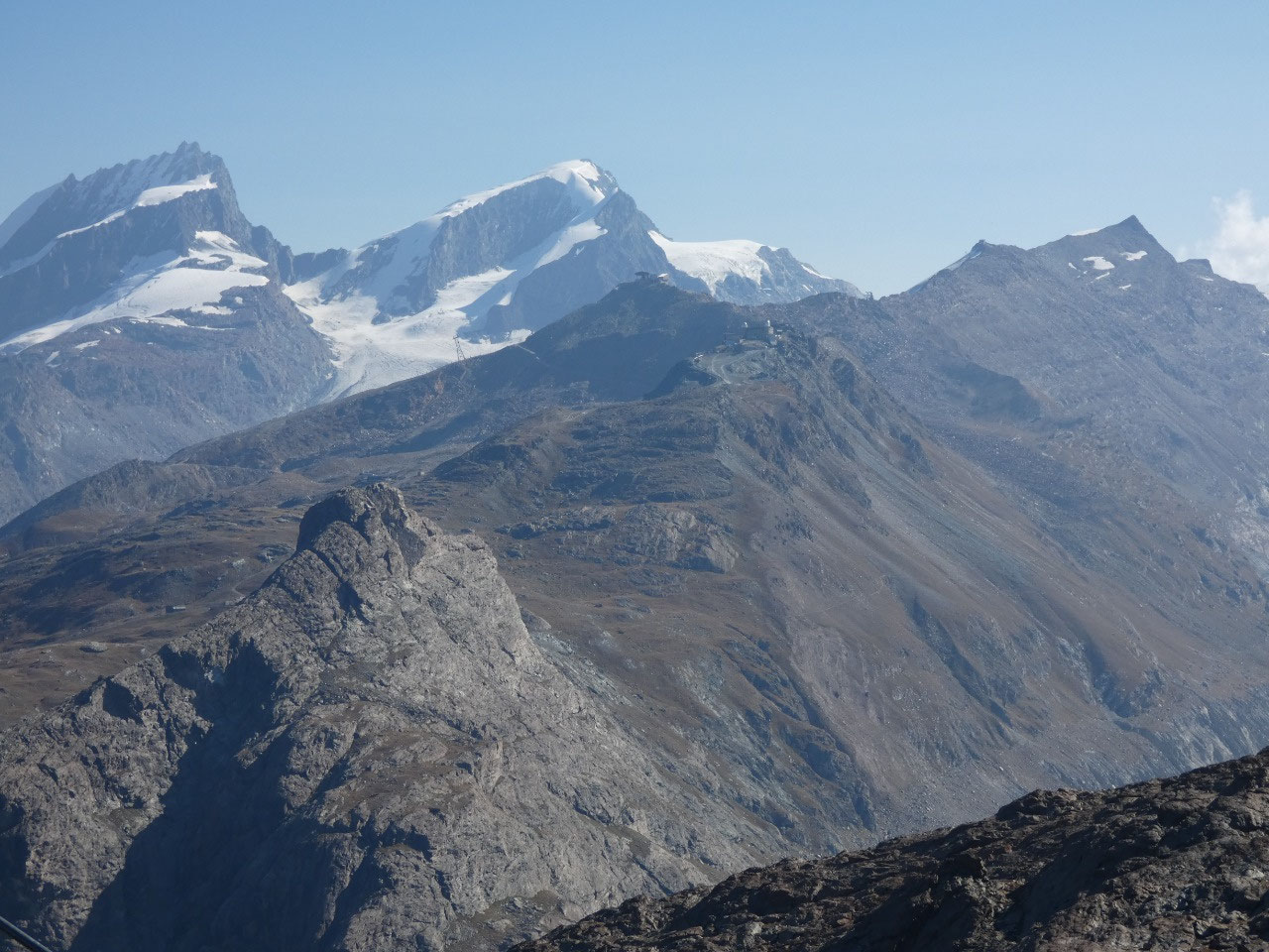
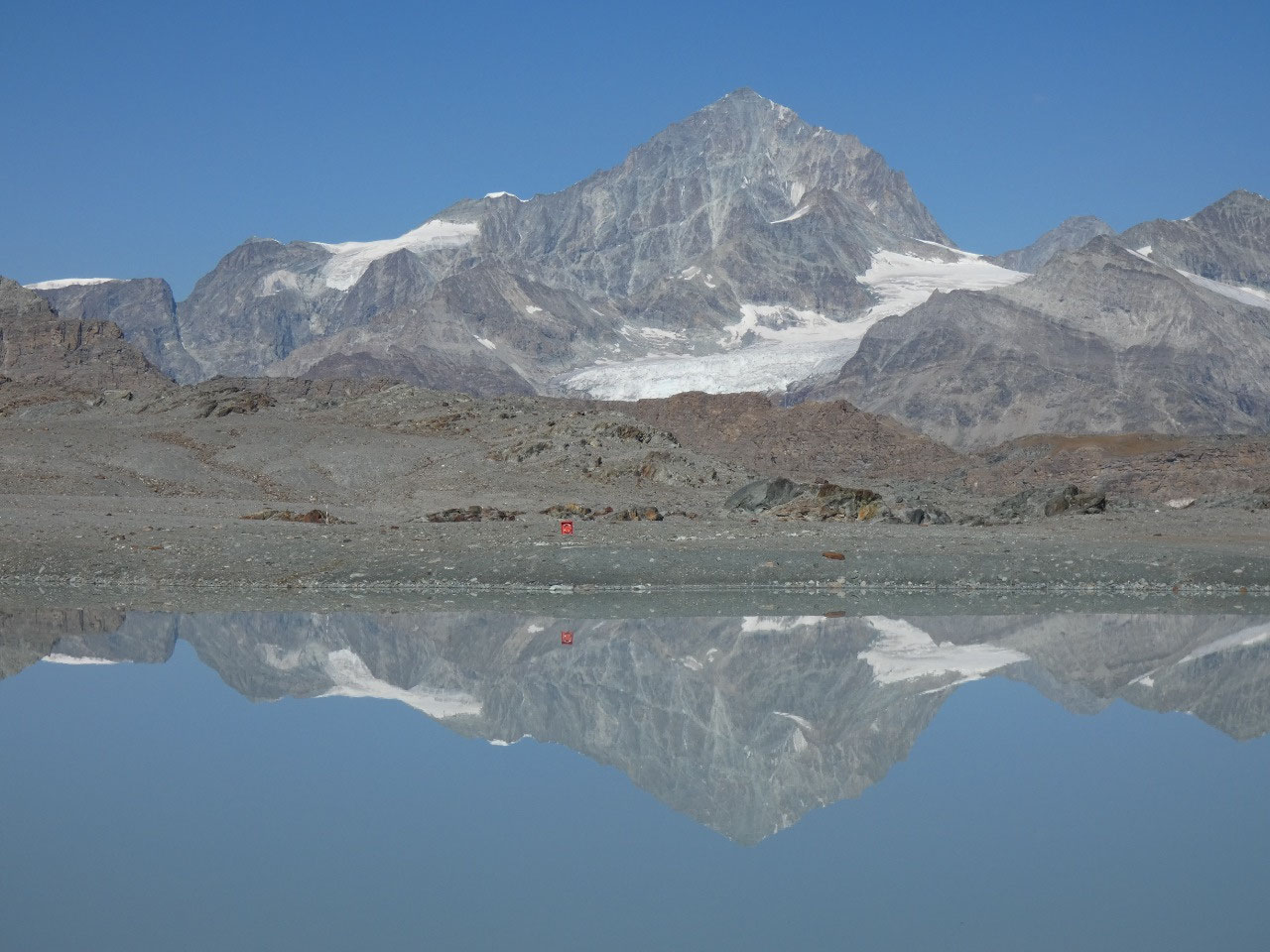
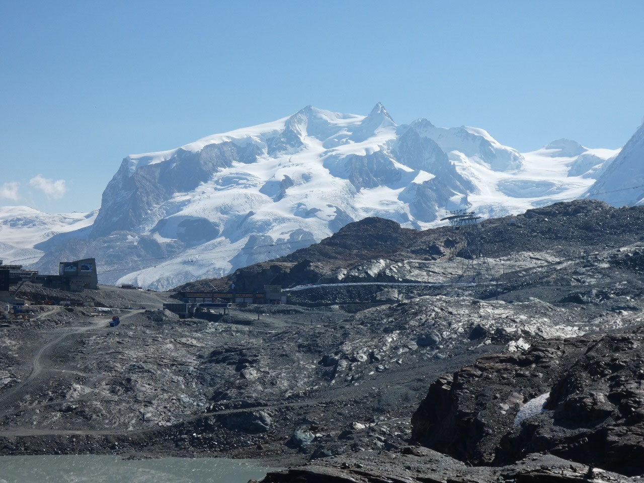
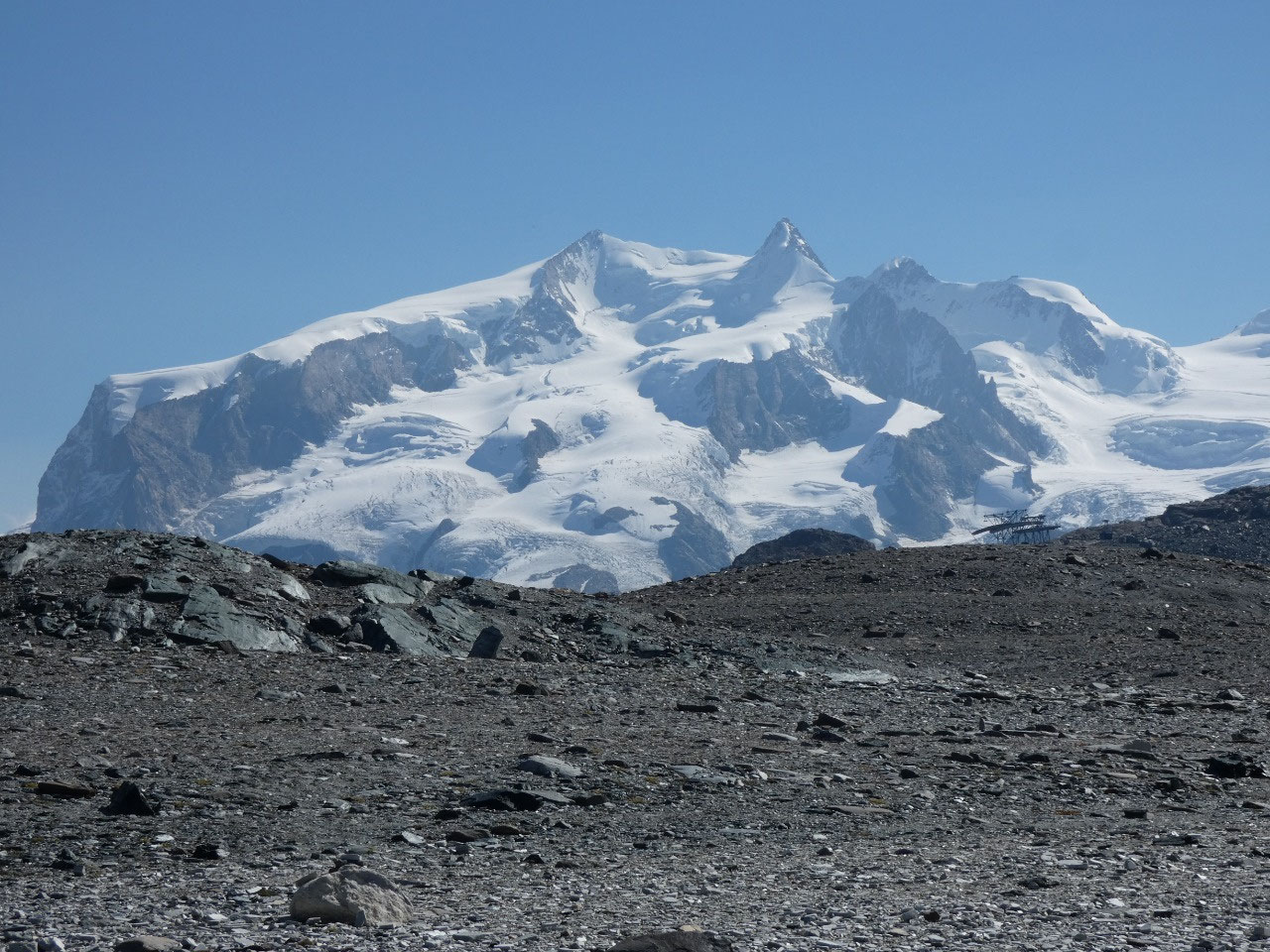
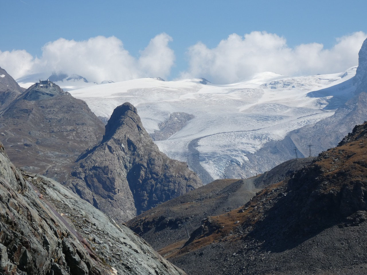
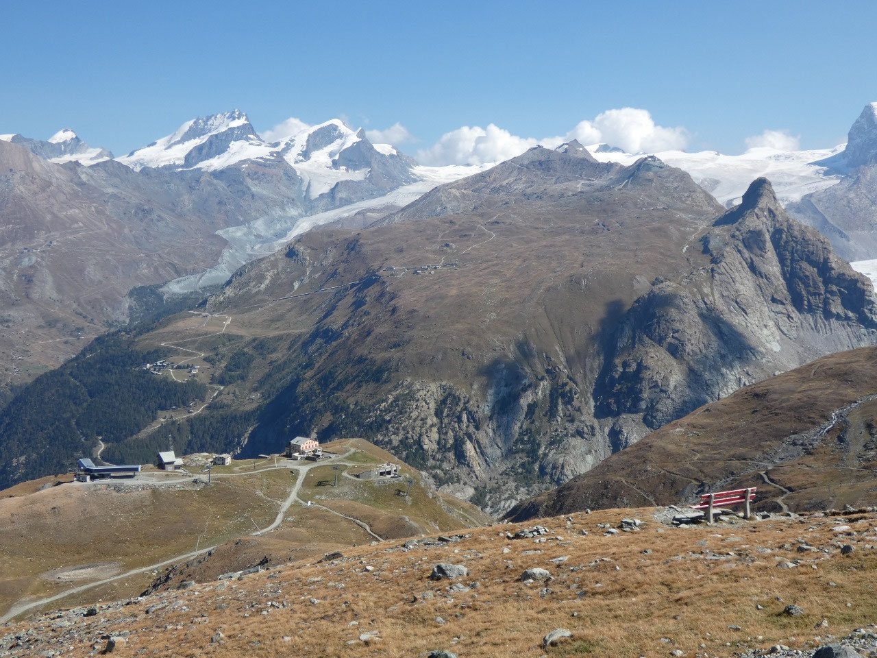
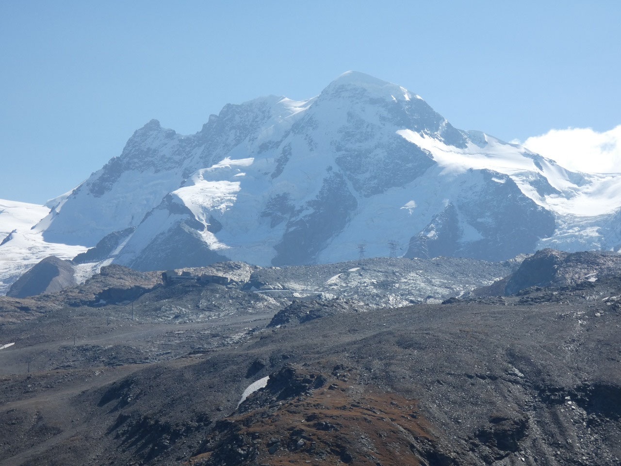
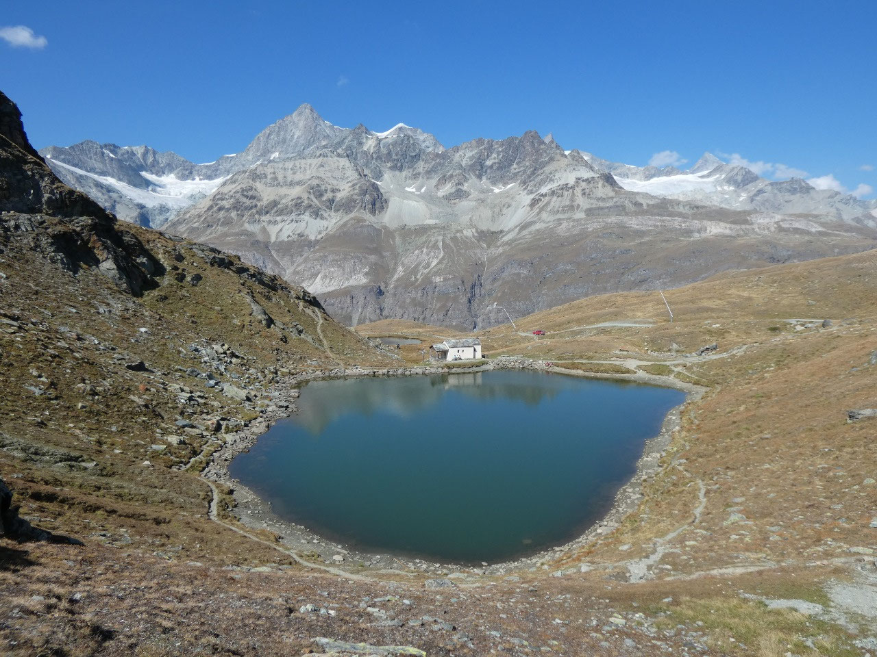
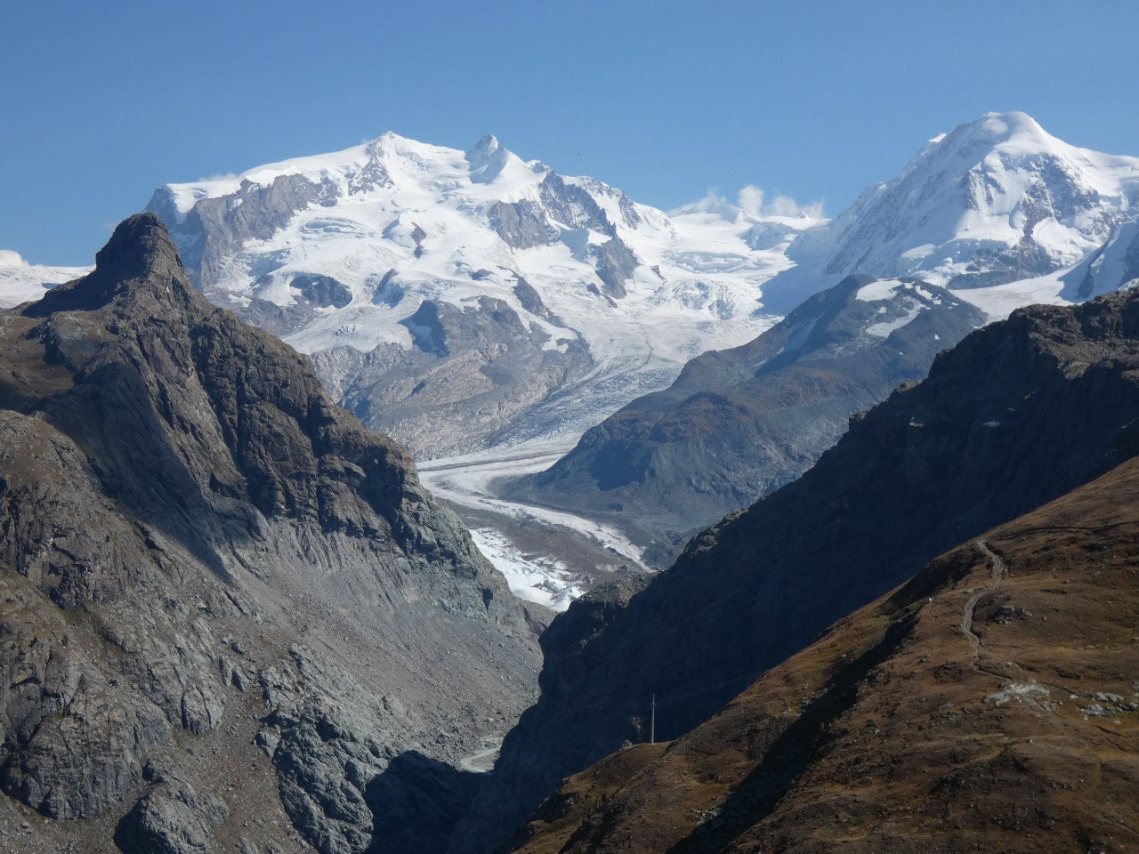
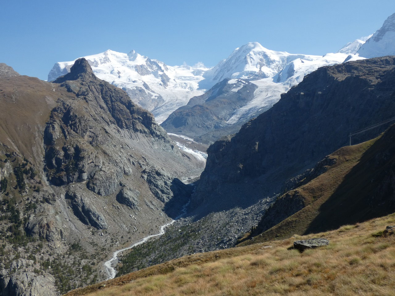
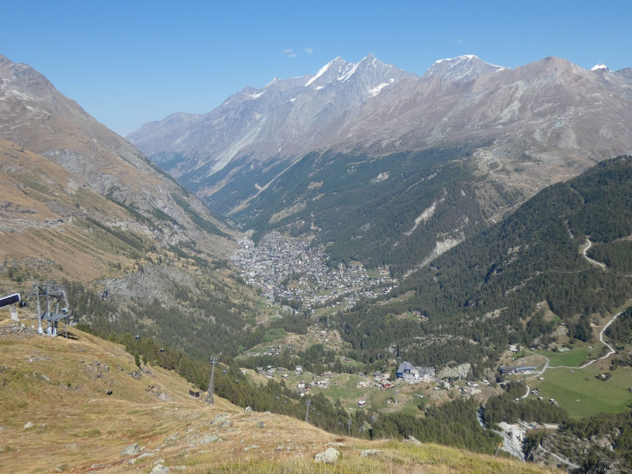
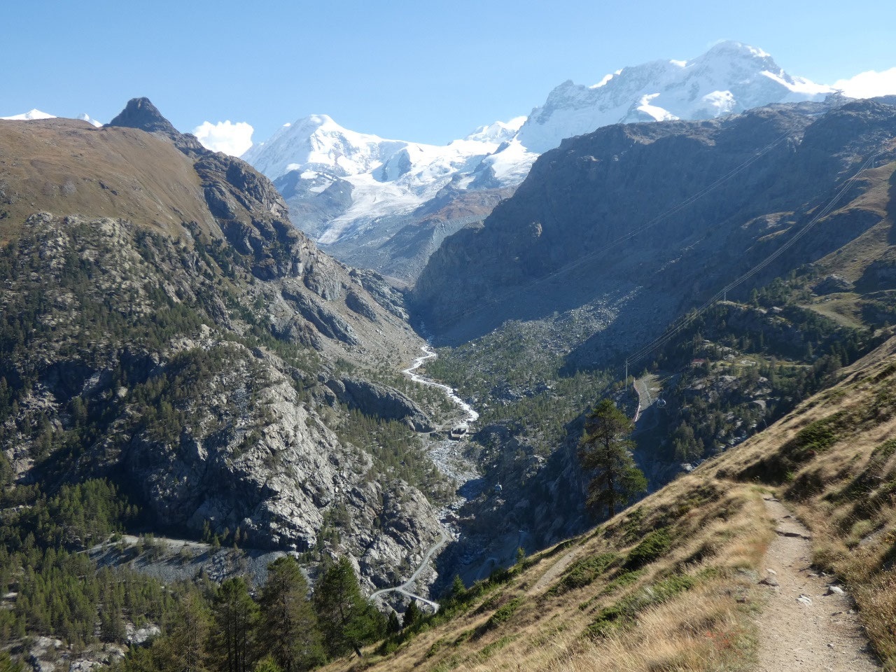
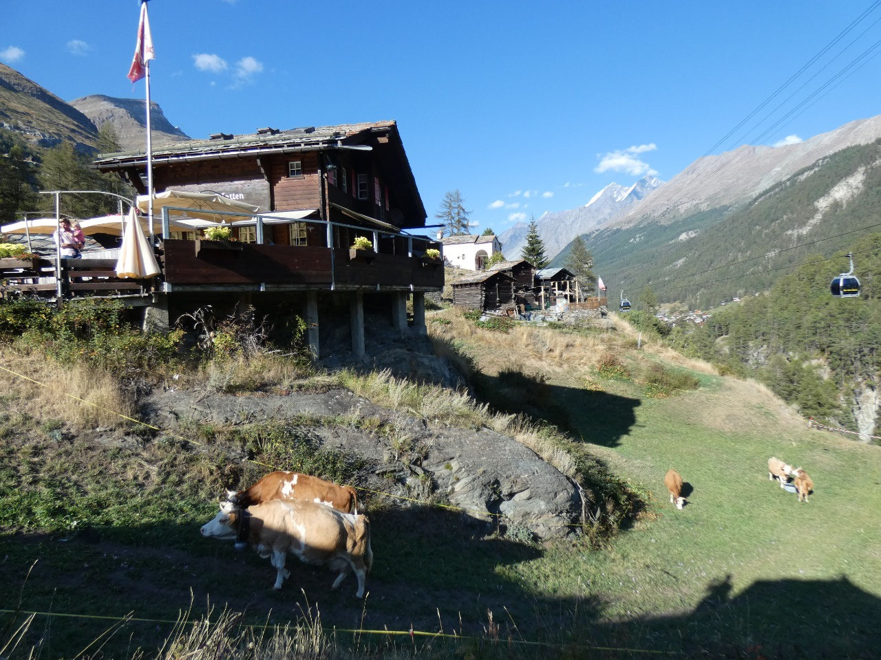
Frem there we descended to the Schwarzsee mid-station with
stunning views in every direction.
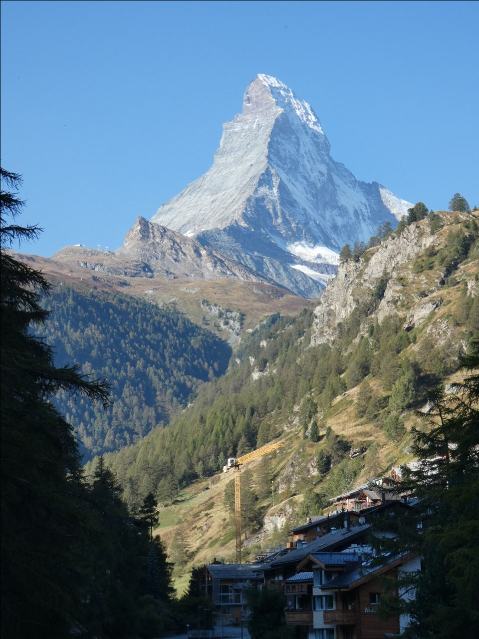
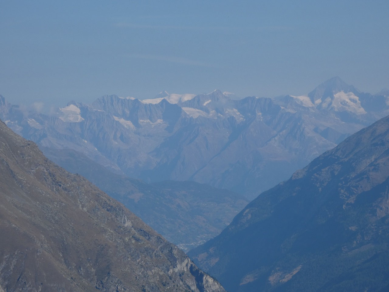
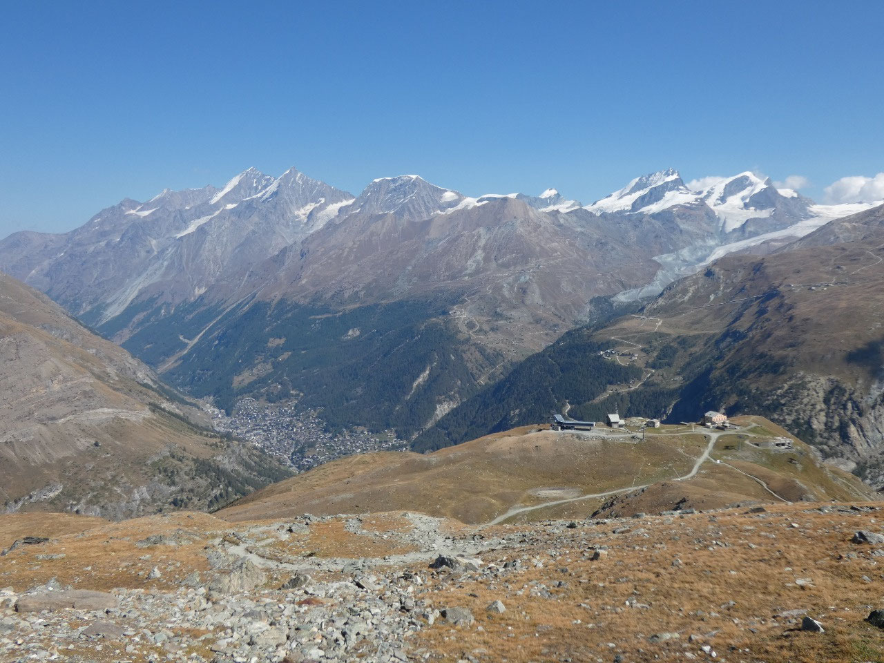
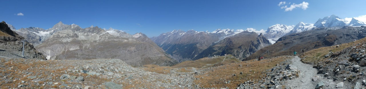
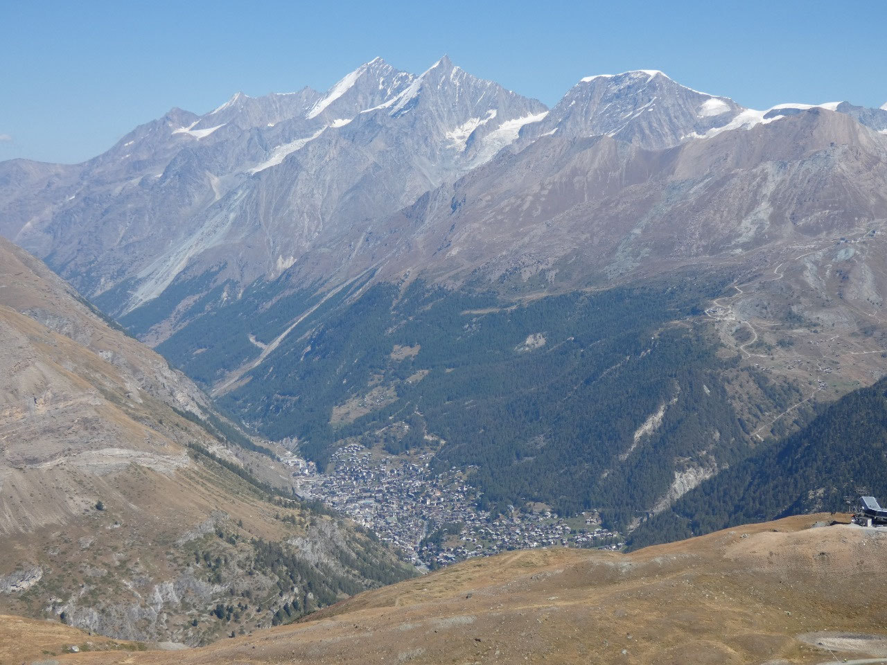
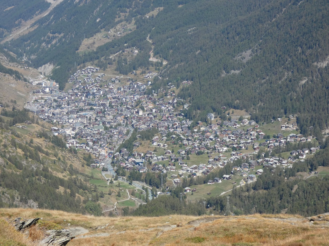
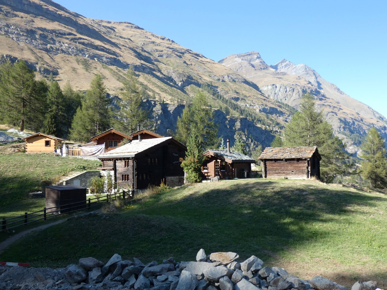
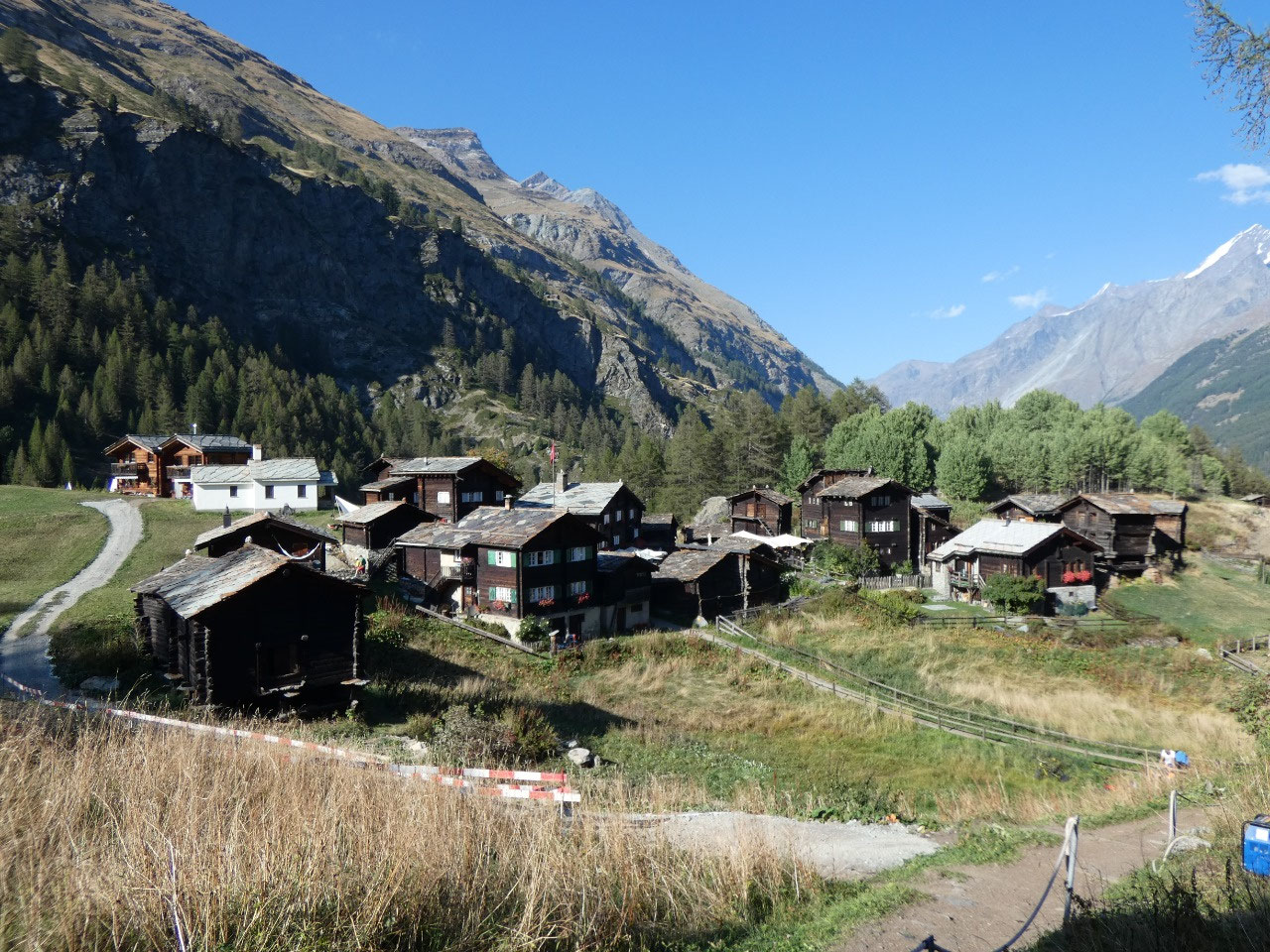
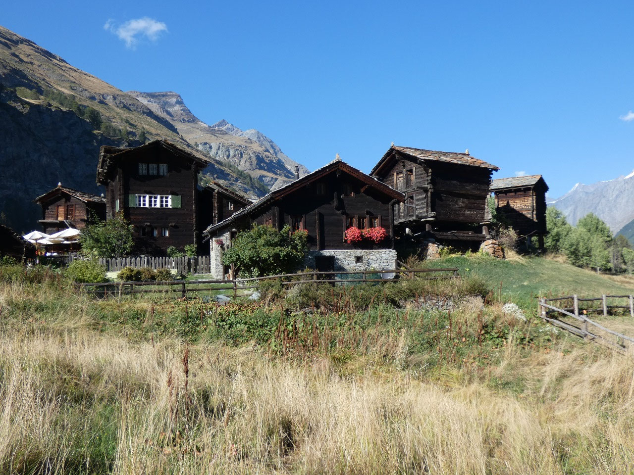
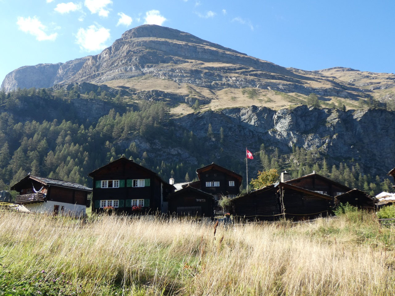
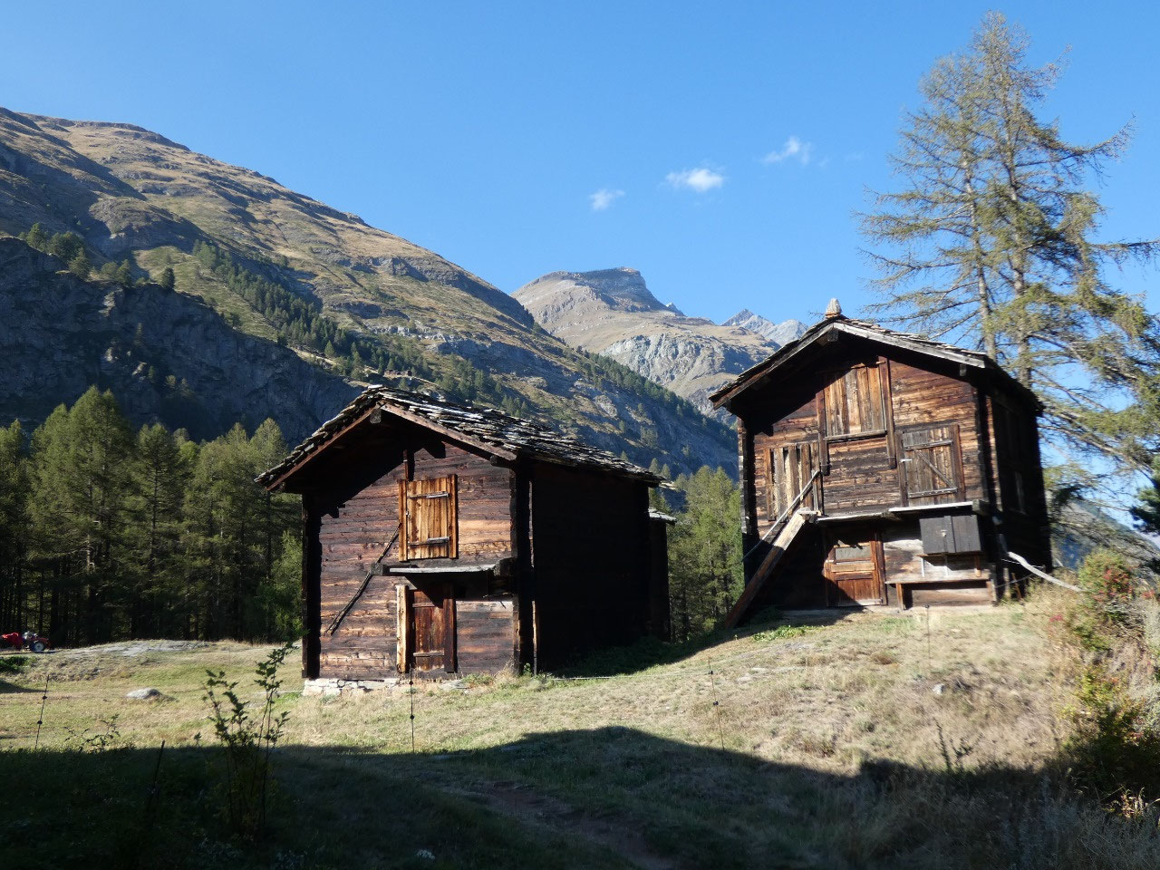
Then there was the long descent into the valley
around Furi on good trails. Compared to the trails I did on Haute Route, those
around Zermatt are all well-maintained and relatively easy. And I’m not just
saying that because I’m only walking downhill here! Trails around Zermatt are
for nature lovers; the Haute Route is for us he-men.
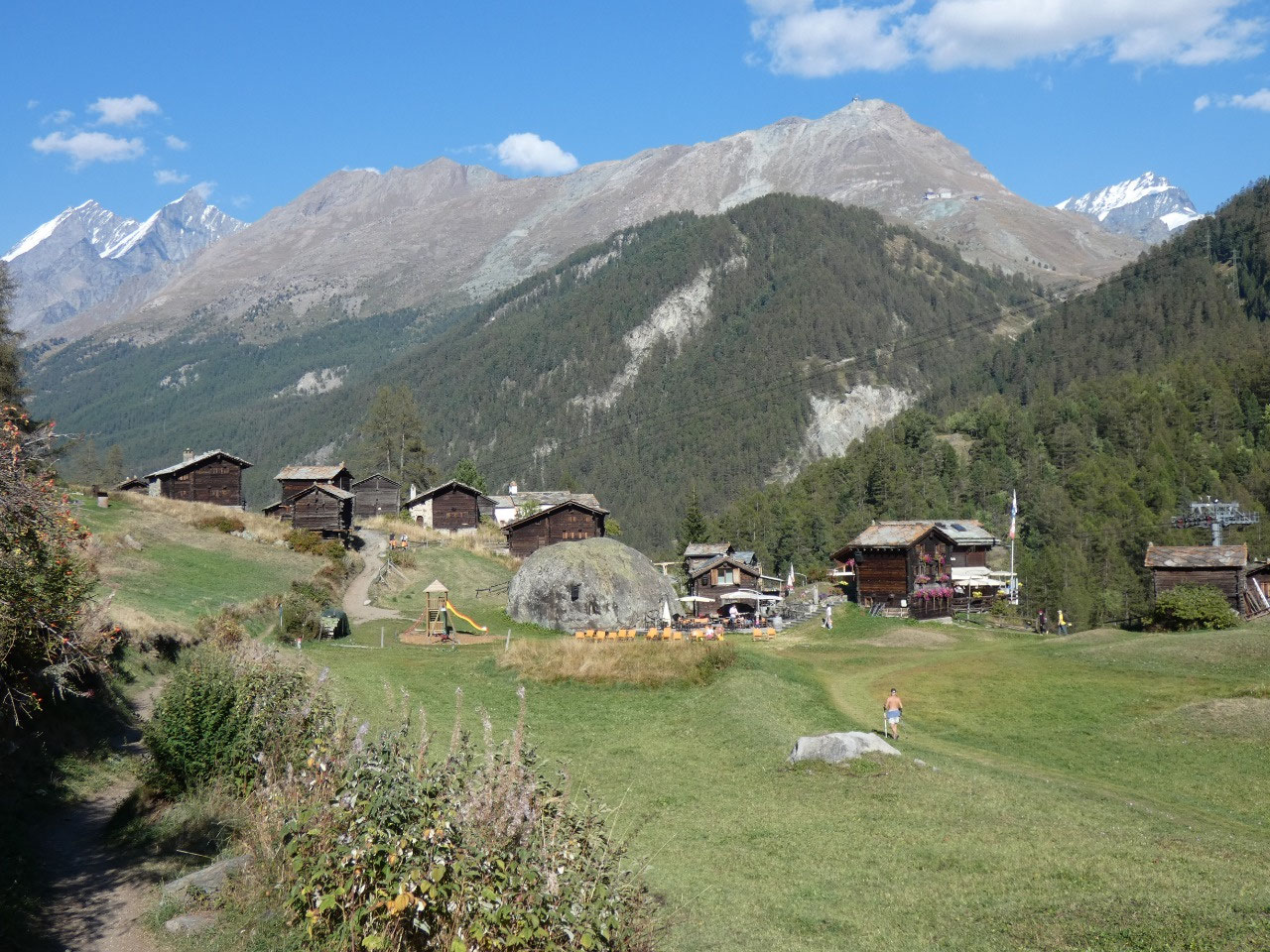
When you think you’ve gotten into the valley and are close
to Zermatt you actually have about another hour to go to get to town. There are
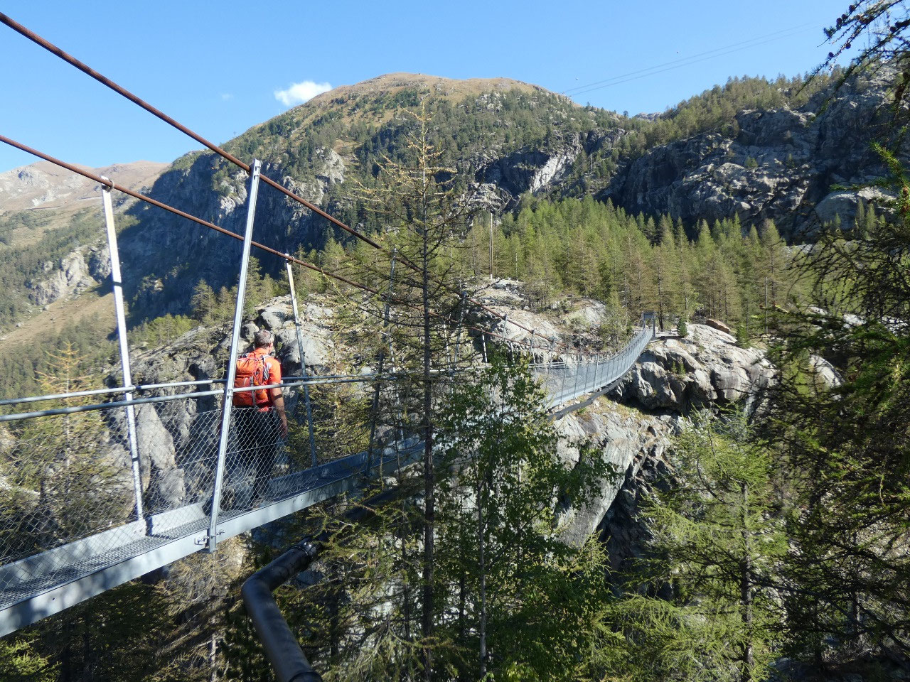
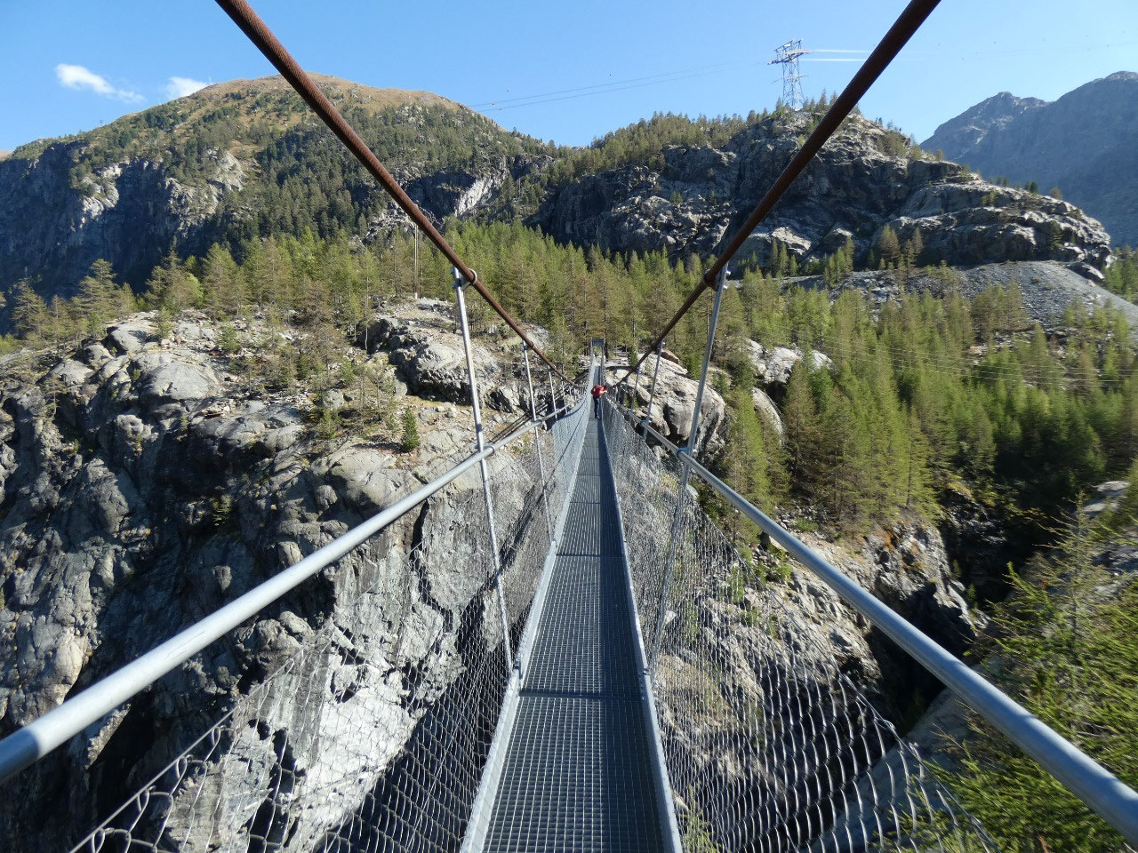
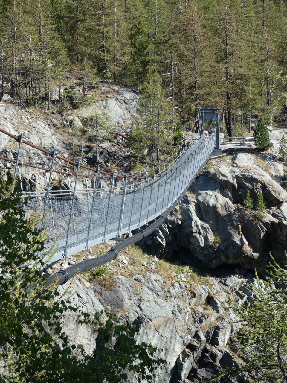
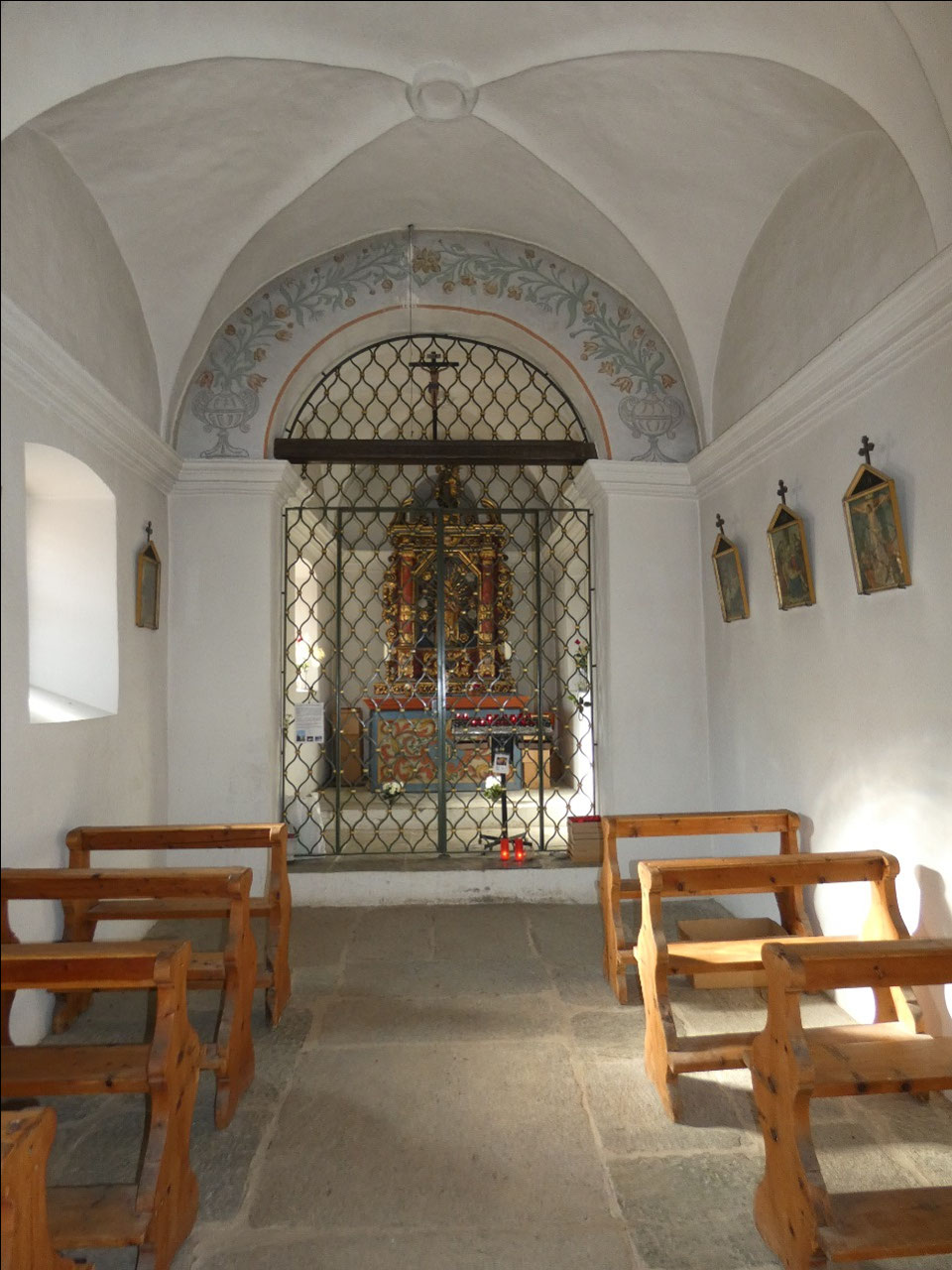
two attractions in the forested area, though. One is the hanging suspension
bridge over Gorner Glacier Garden. Back in the 1850s near the end of “The
Little Ice Age” the Gorner Glacier advanced as far the Furi area. Wouldn’t it
be great to have another “Little Ice Age”? With the way global warming is
going, though, it won’t take many more beautiful dry summers like this one
before there’s not going to be much left of the glaciers in the Alps.
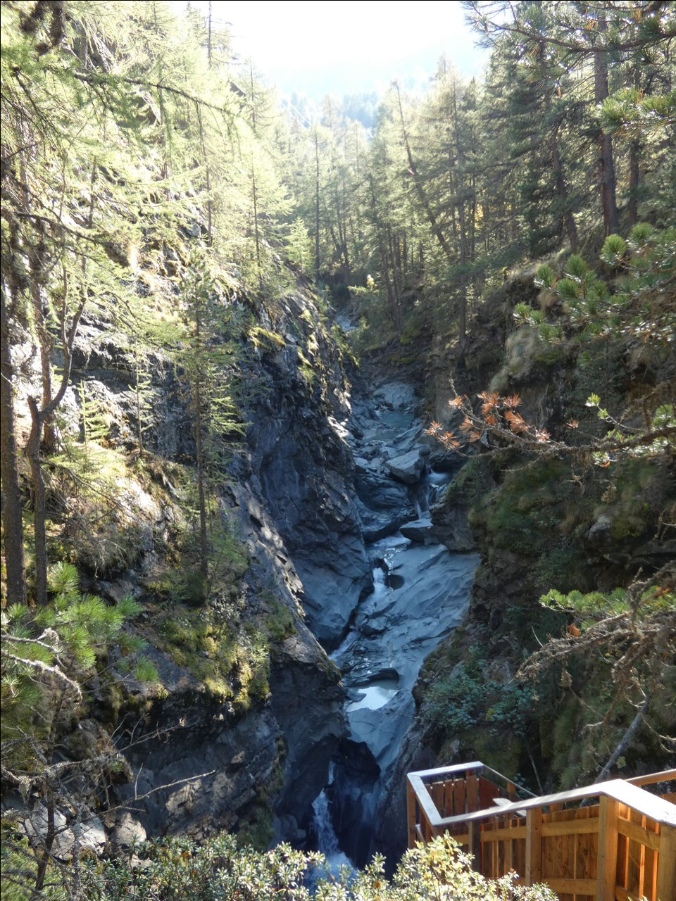
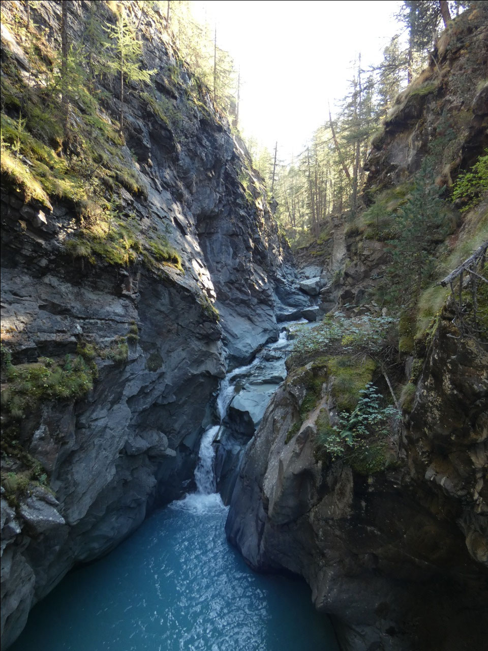
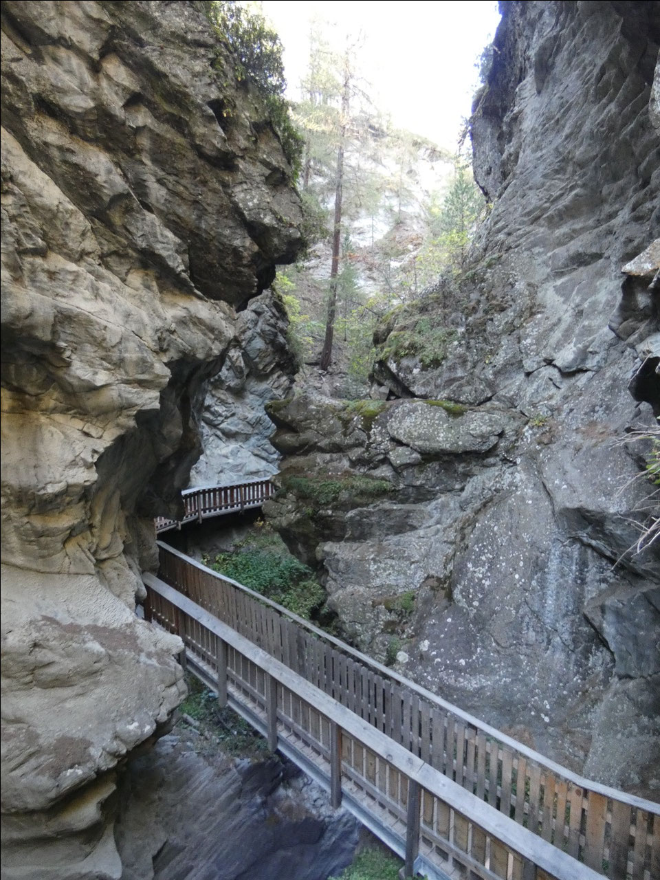
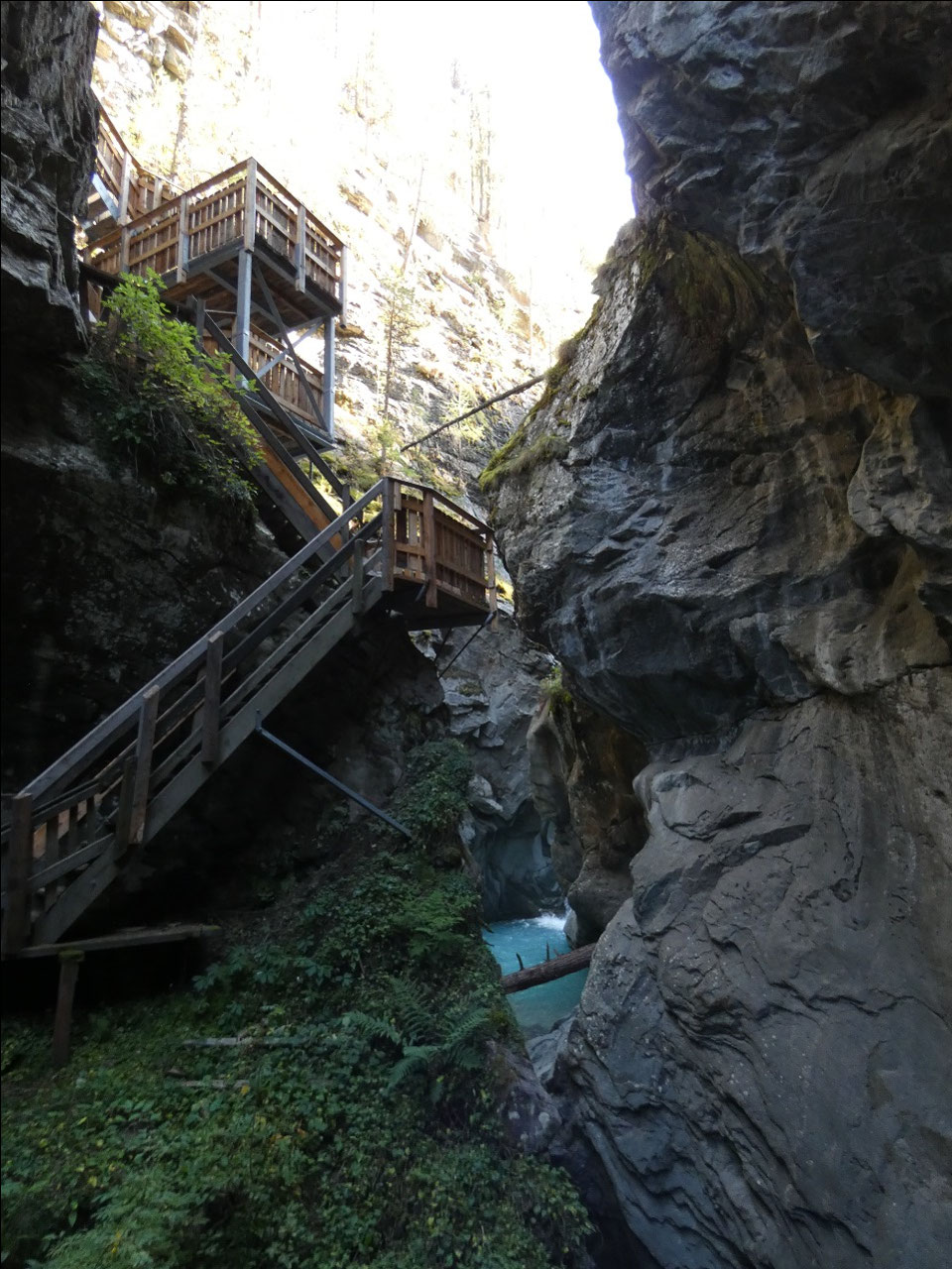
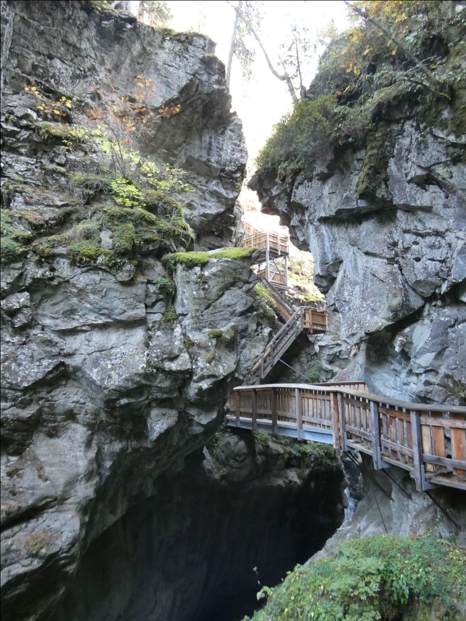
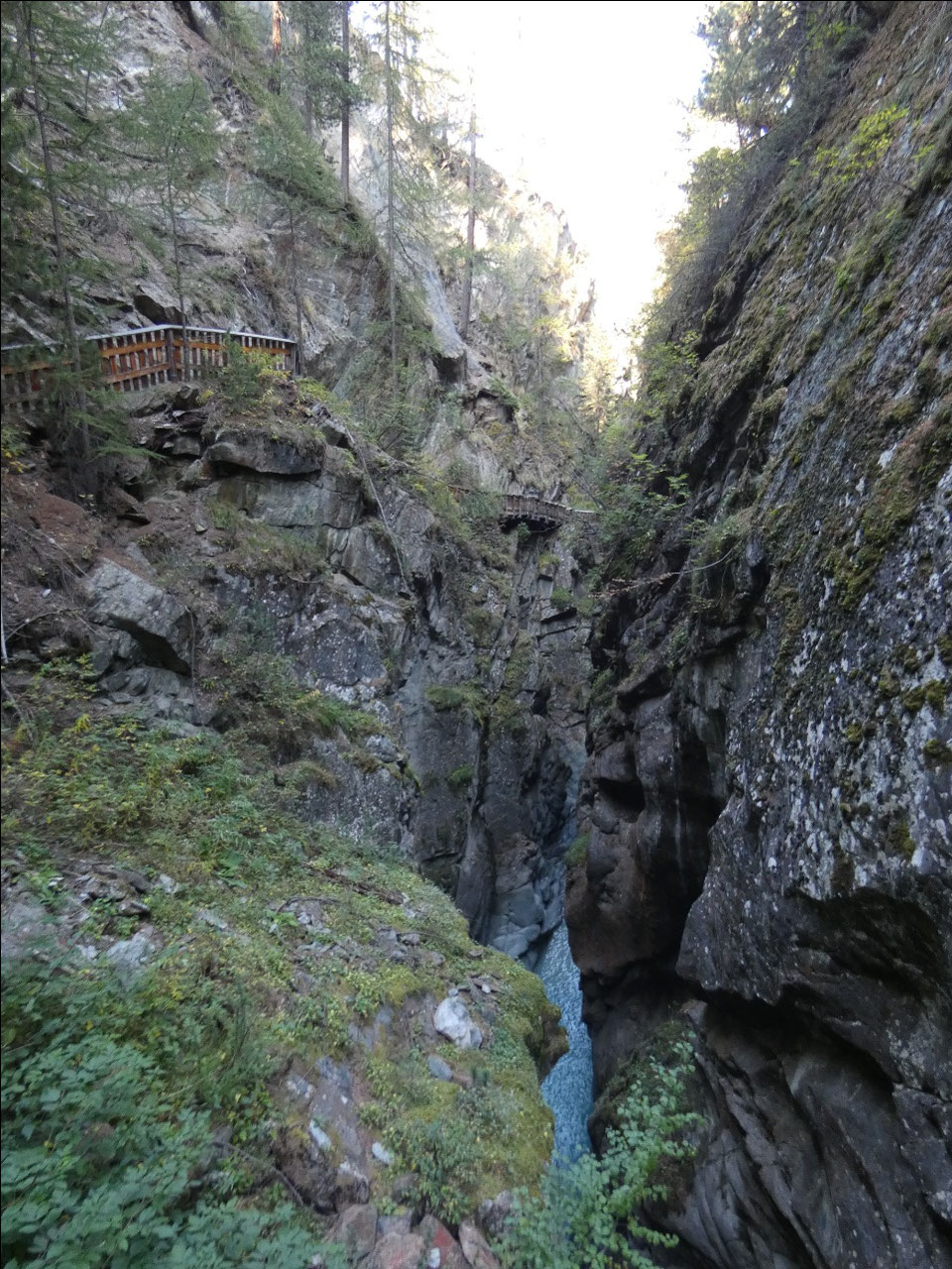
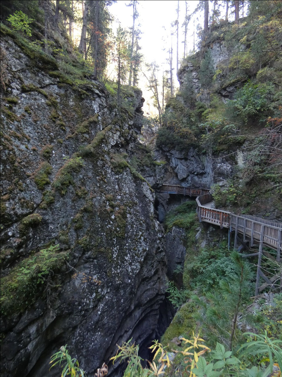
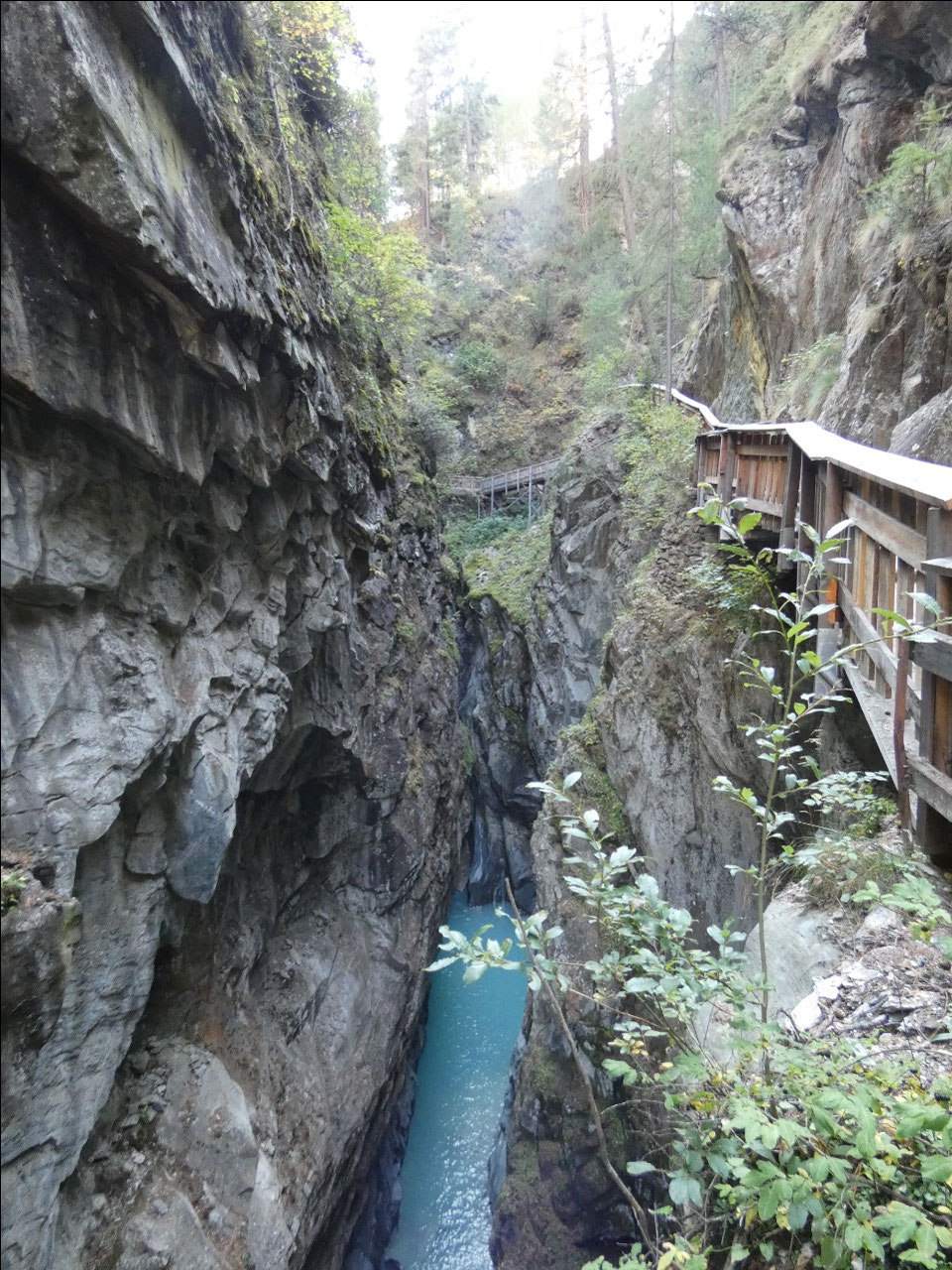
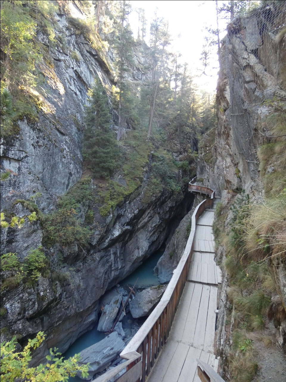
The second lower altitude attraction between Zermatt and
Furi is the Gorner Gorge where stream funnels through narrow gorge it created
through erosion. There’s a hanging wooden trail through the gorge, a little
like some of the Notches in northern New England. Overall it was another tiring
descent of over 4,000 feet but with some of the most impressive and varied
scenery yet.


2025-05-23