 Matavera CICC Church, Cook Islands
A Drive around Rarotonga &
Inland tour
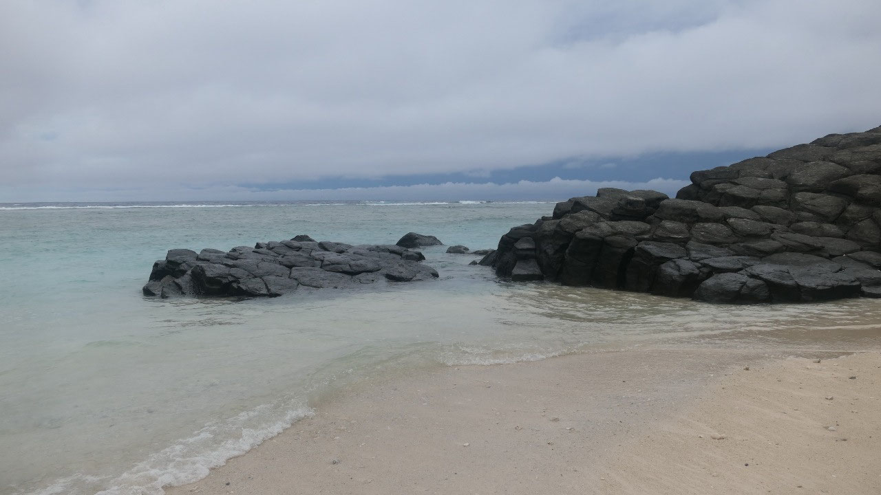
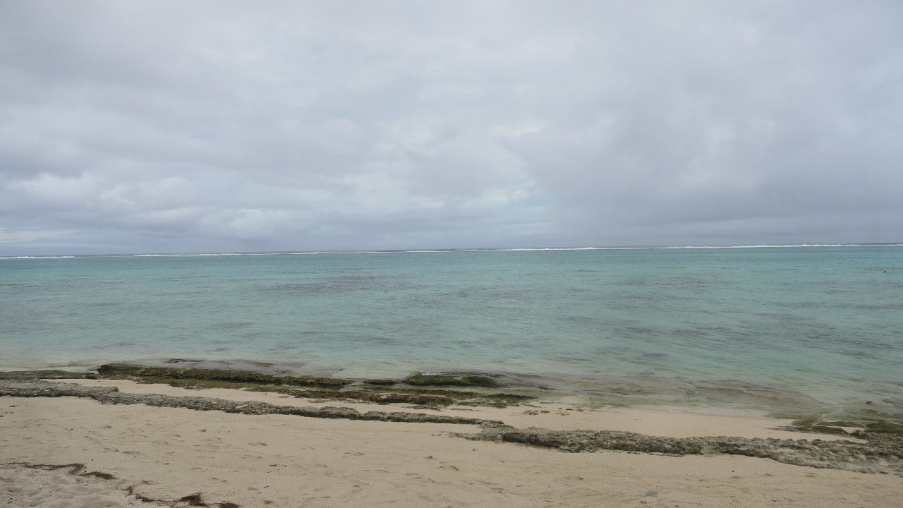
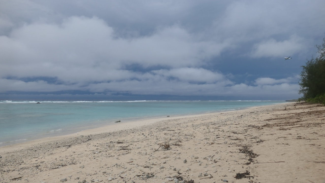
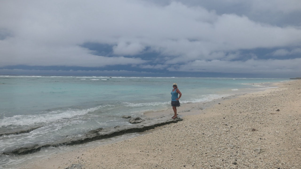
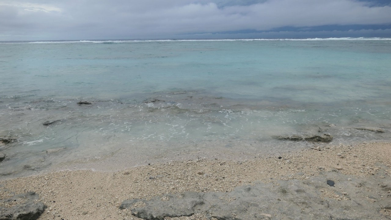
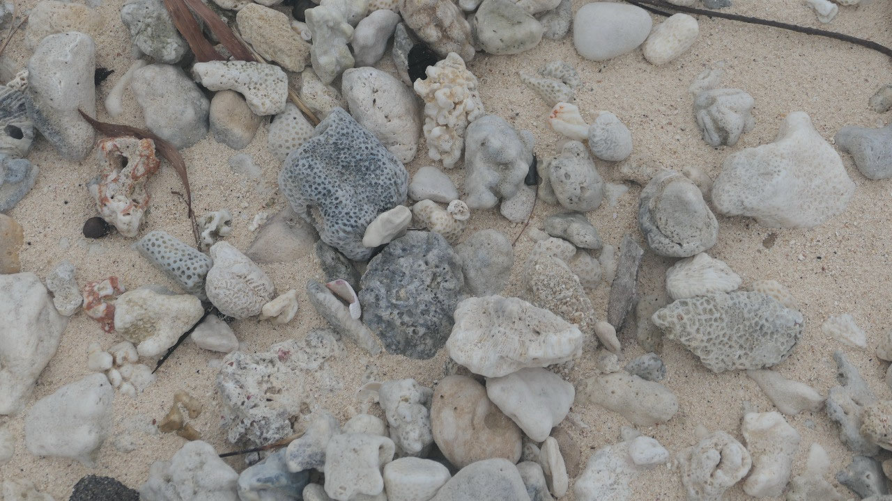
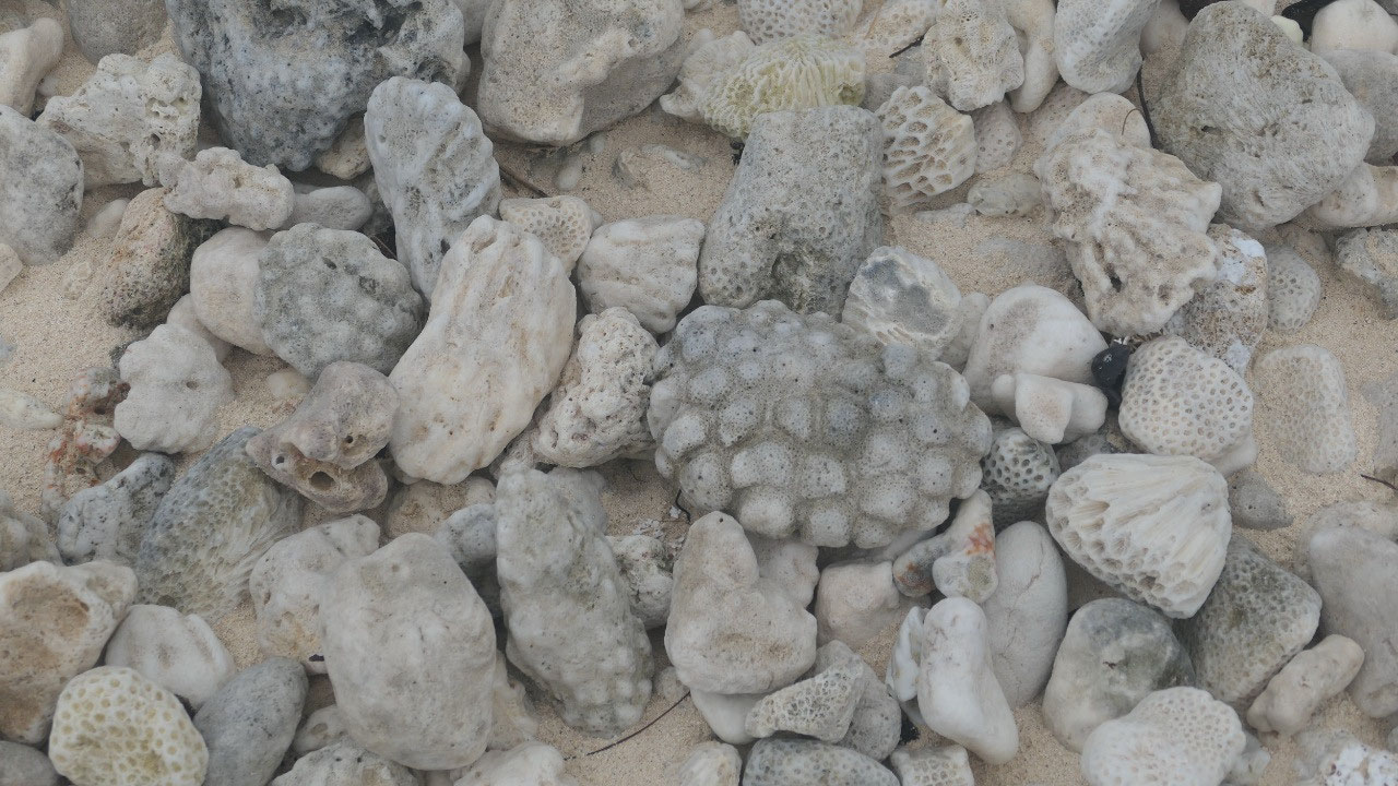
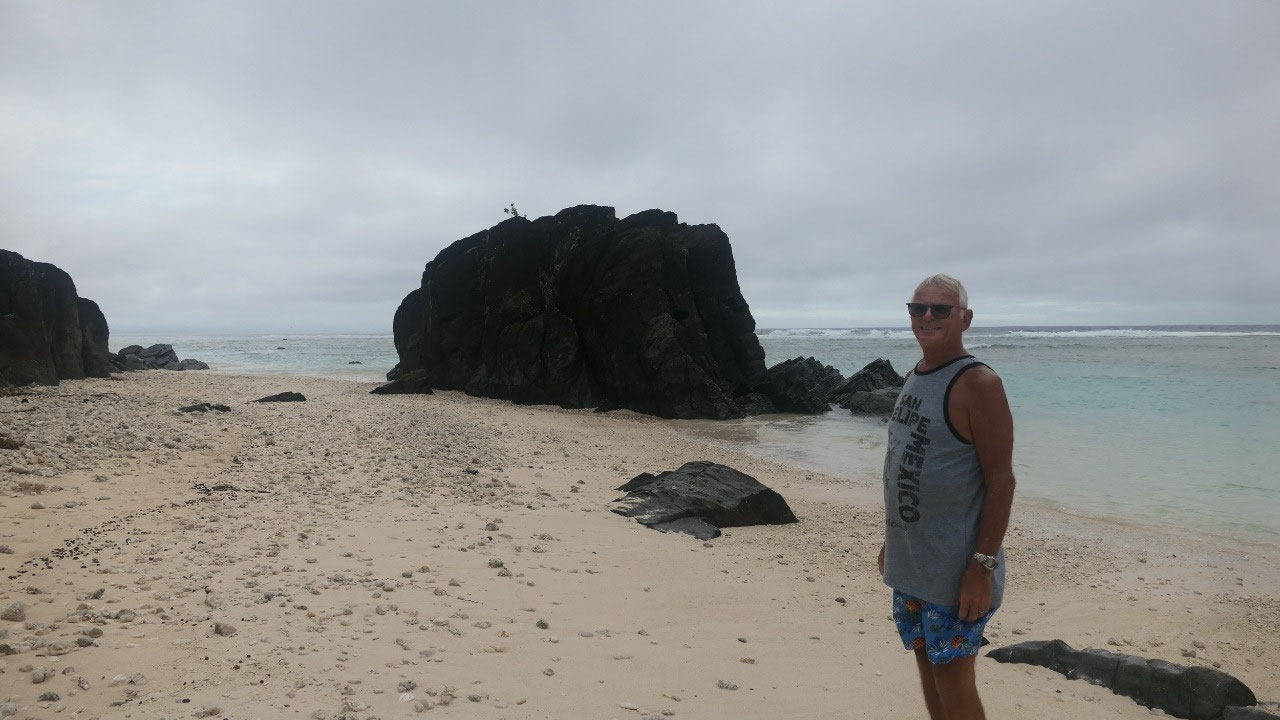
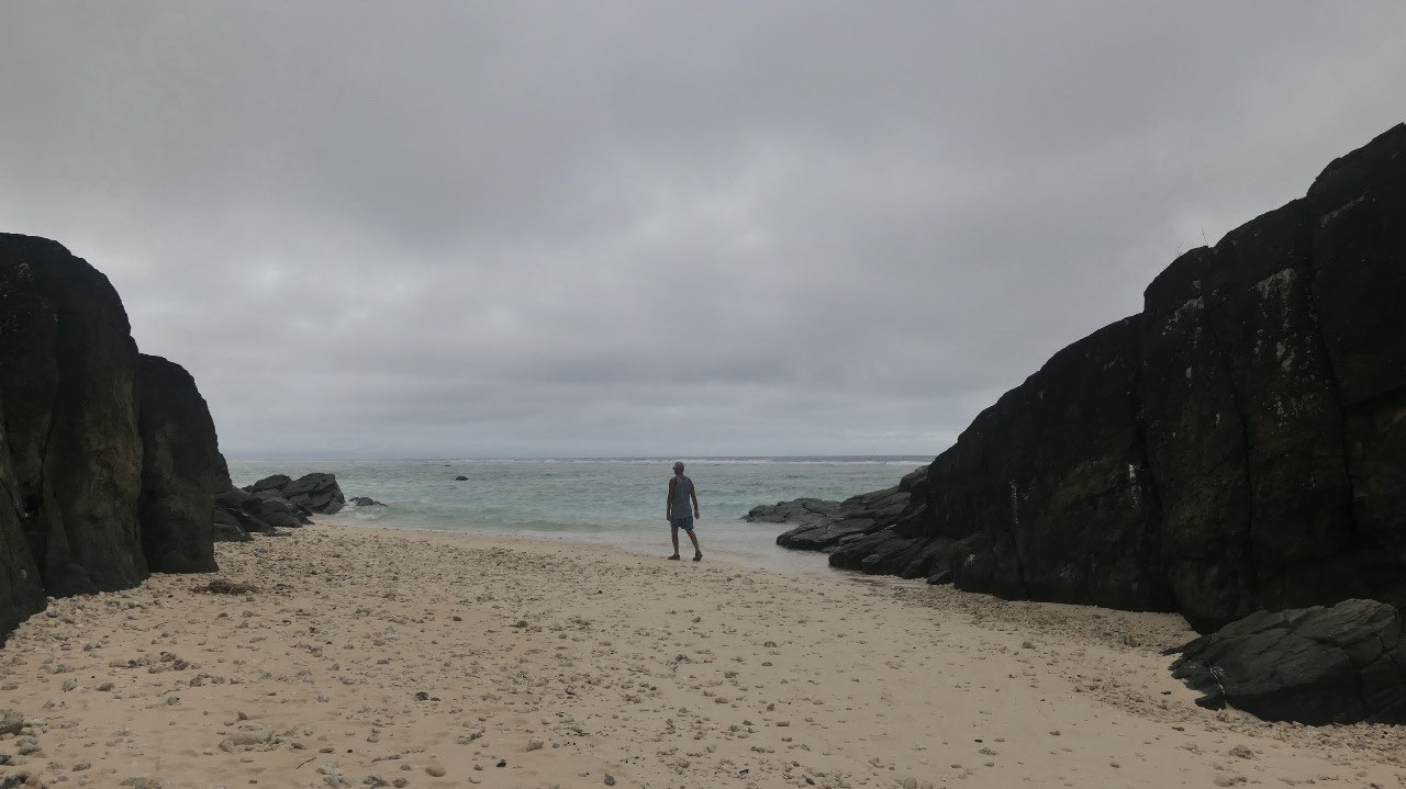
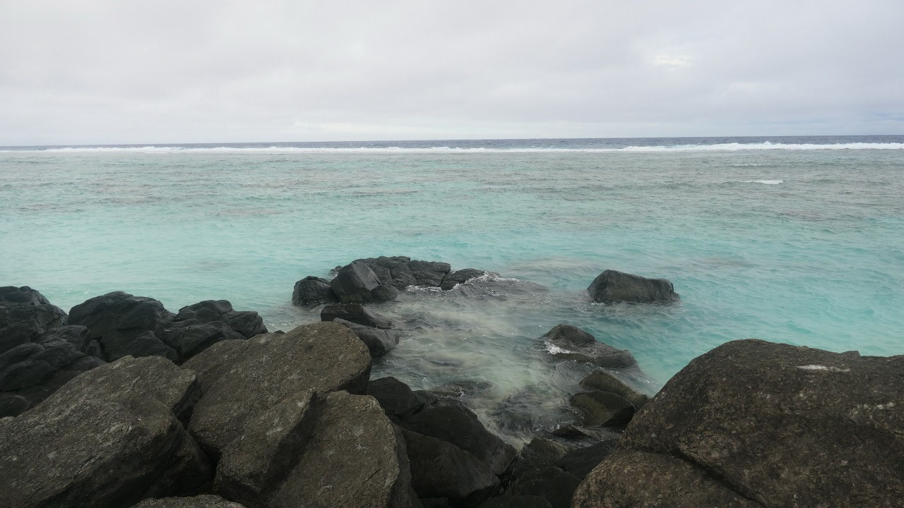
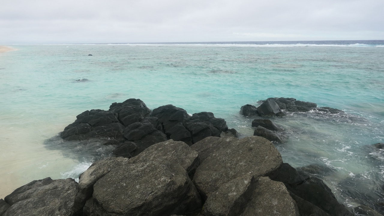
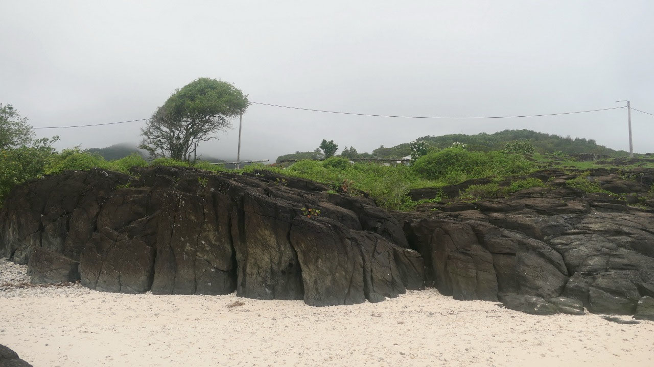
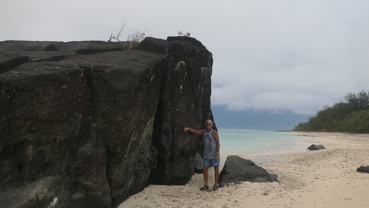
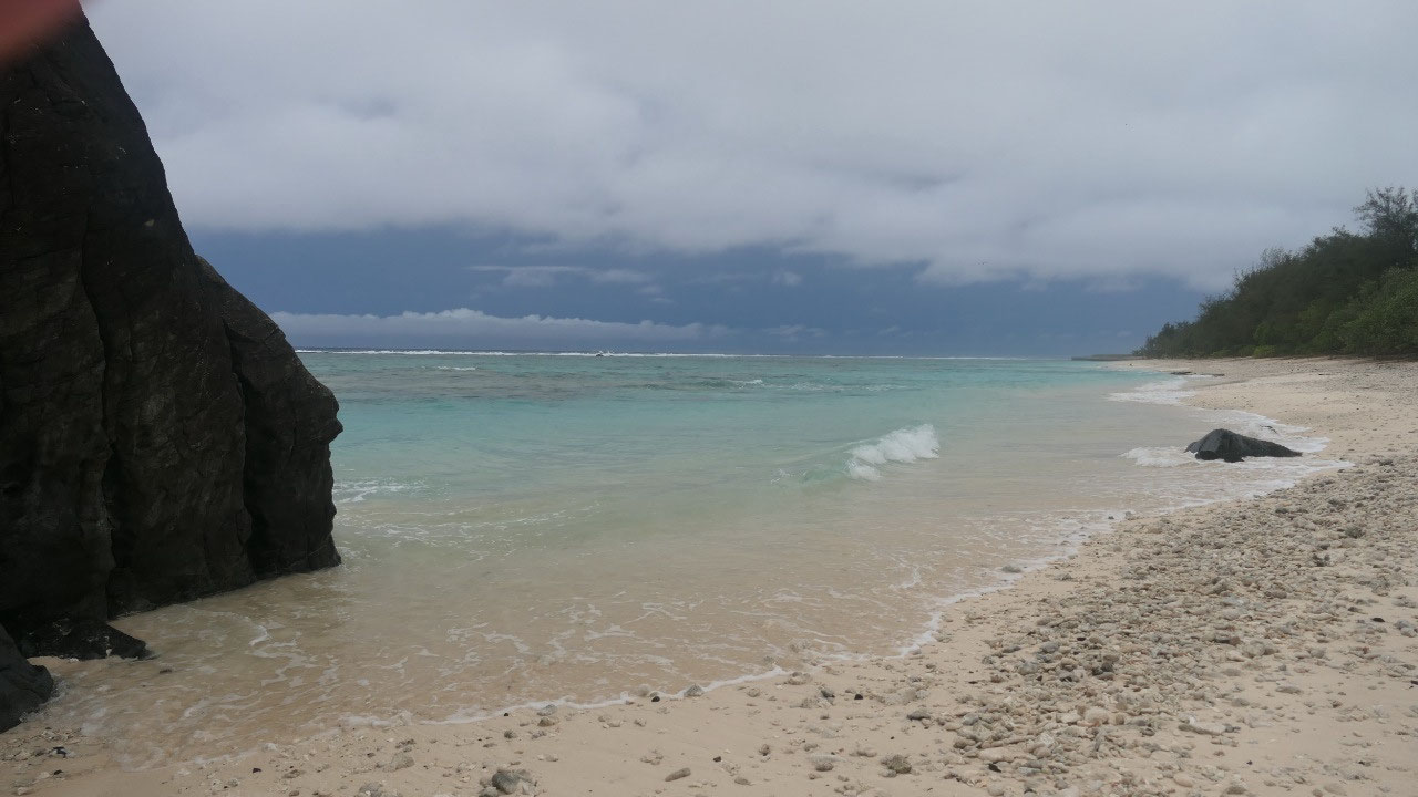
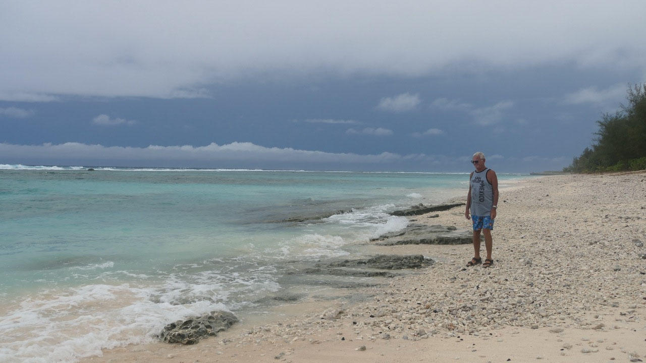
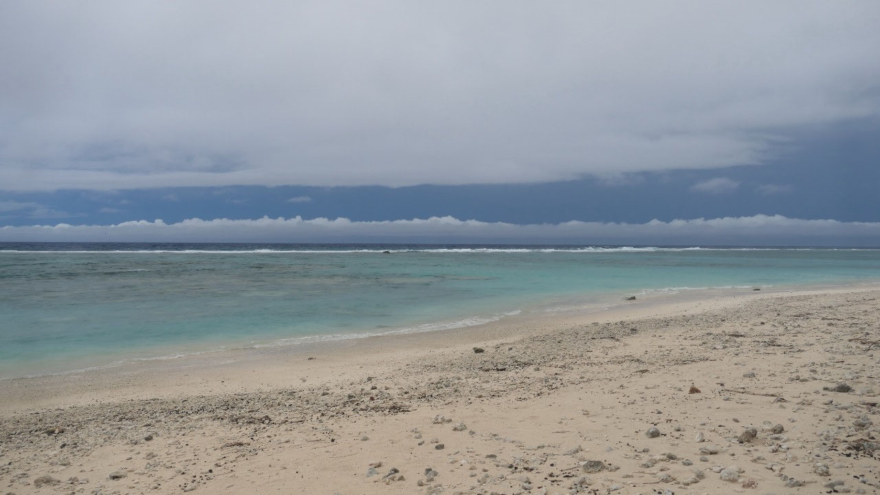
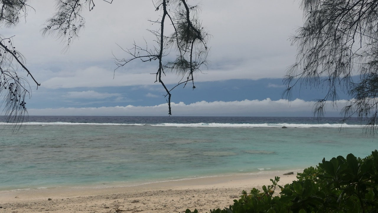
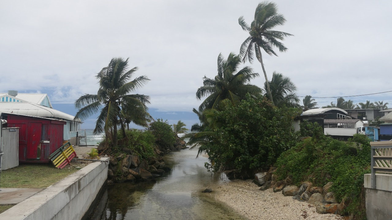
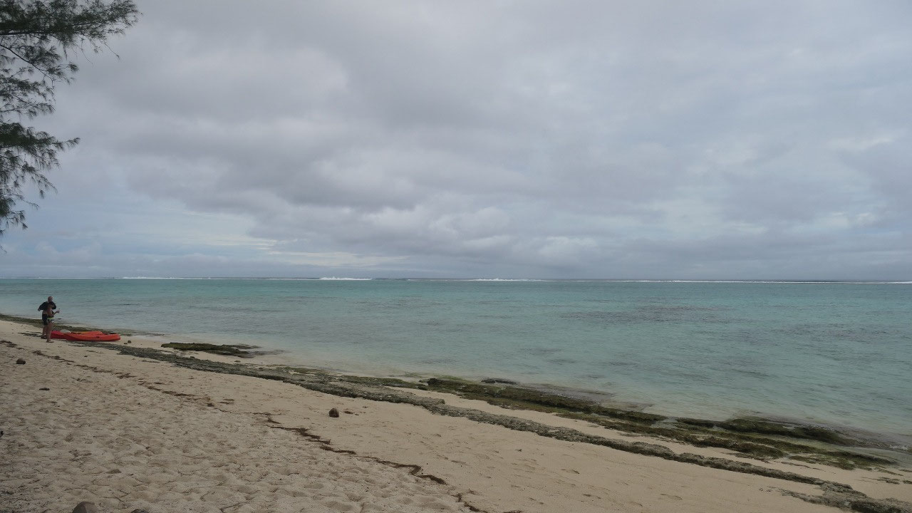
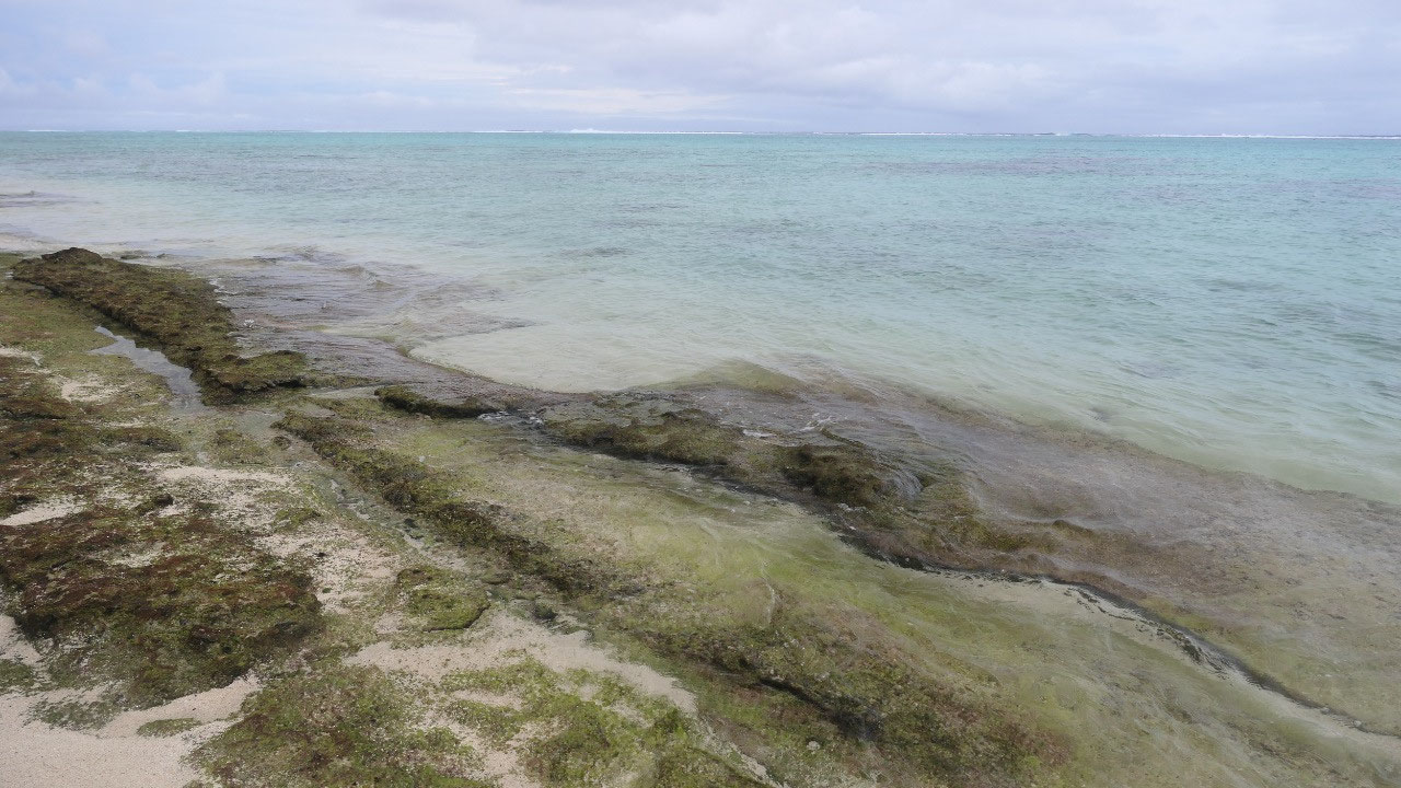
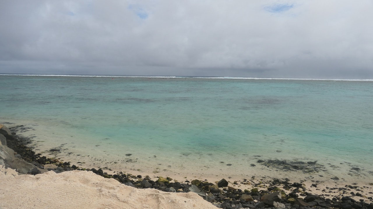
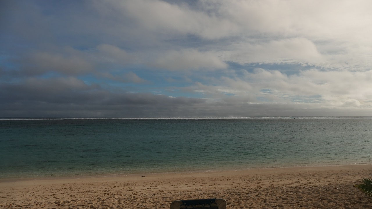
Black Rock Beach
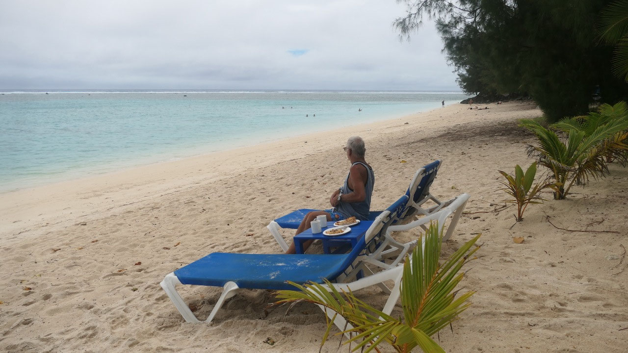
We had a lot of rain last night
and it still was raining a bit this morning – after breakfast (and fish
feeding) the sun came out!!! Awesome –we decided to relax a bit in the warm
sunshine right in front of our place as you never know on how long the sun will
be out. Afterwards, we decided to head out and our first stop was at the Black
Rock Beach: Gine wanted to walk along and check out the black rocks a bit more,
they were so super cool – as it was cloudy we decided it is not beach time but
exploring-time.
As we came towards the airport, we
did stop but then since we were not sure when a plane is taking off, decided to
continue on and right then and there a plane took off over the road (we were
earlier at the airport to pick up a map of the island and saw that a small
plane was here – and it did leave).
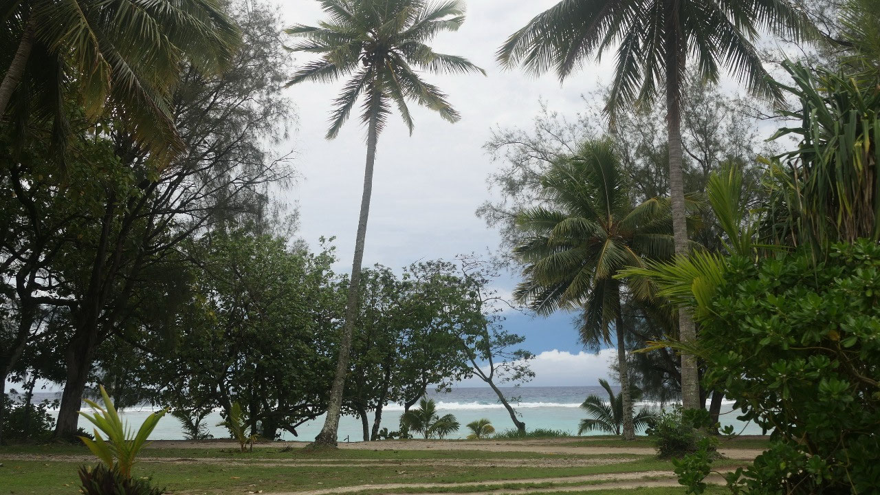
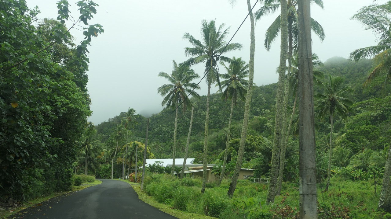
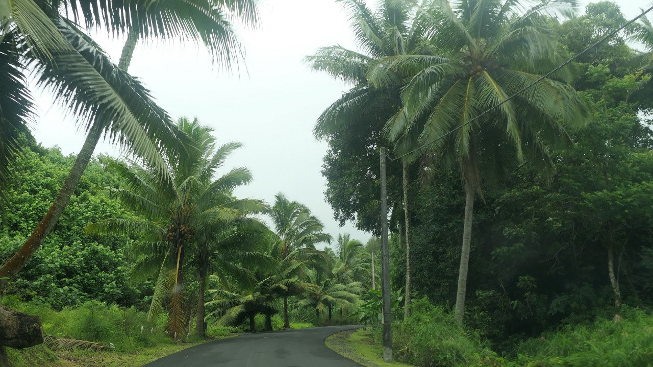
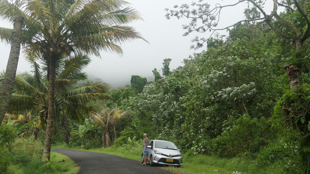
Heading Inland
When you look at the map of
Rarotonga you can see that there is one major road going around the island (32
km – so it takes you by car around an hour if you don’t stop) there are a few
side roads but no road goes across the island and on the map, you can see that
there are only two roads from the north heading a bit inland, we decided to
check them out.
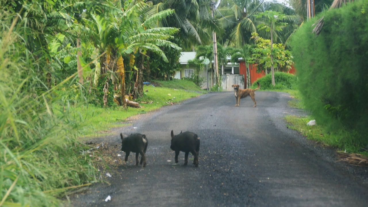
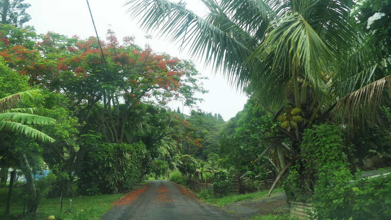
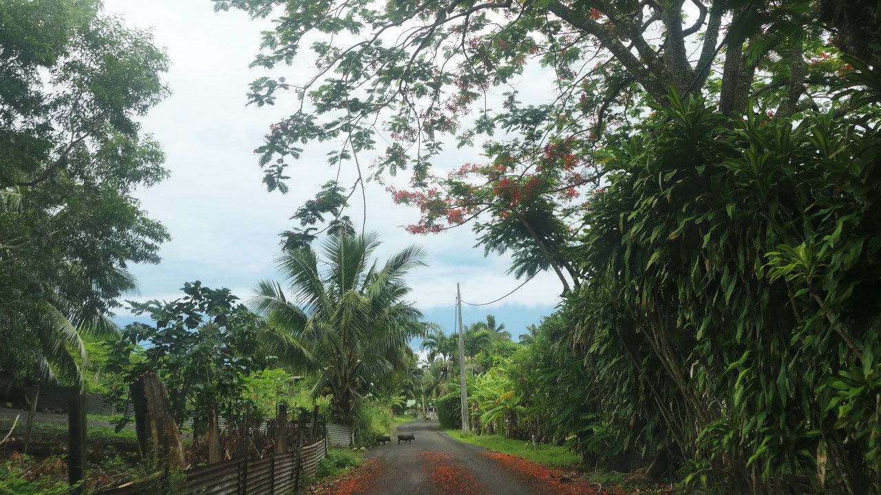
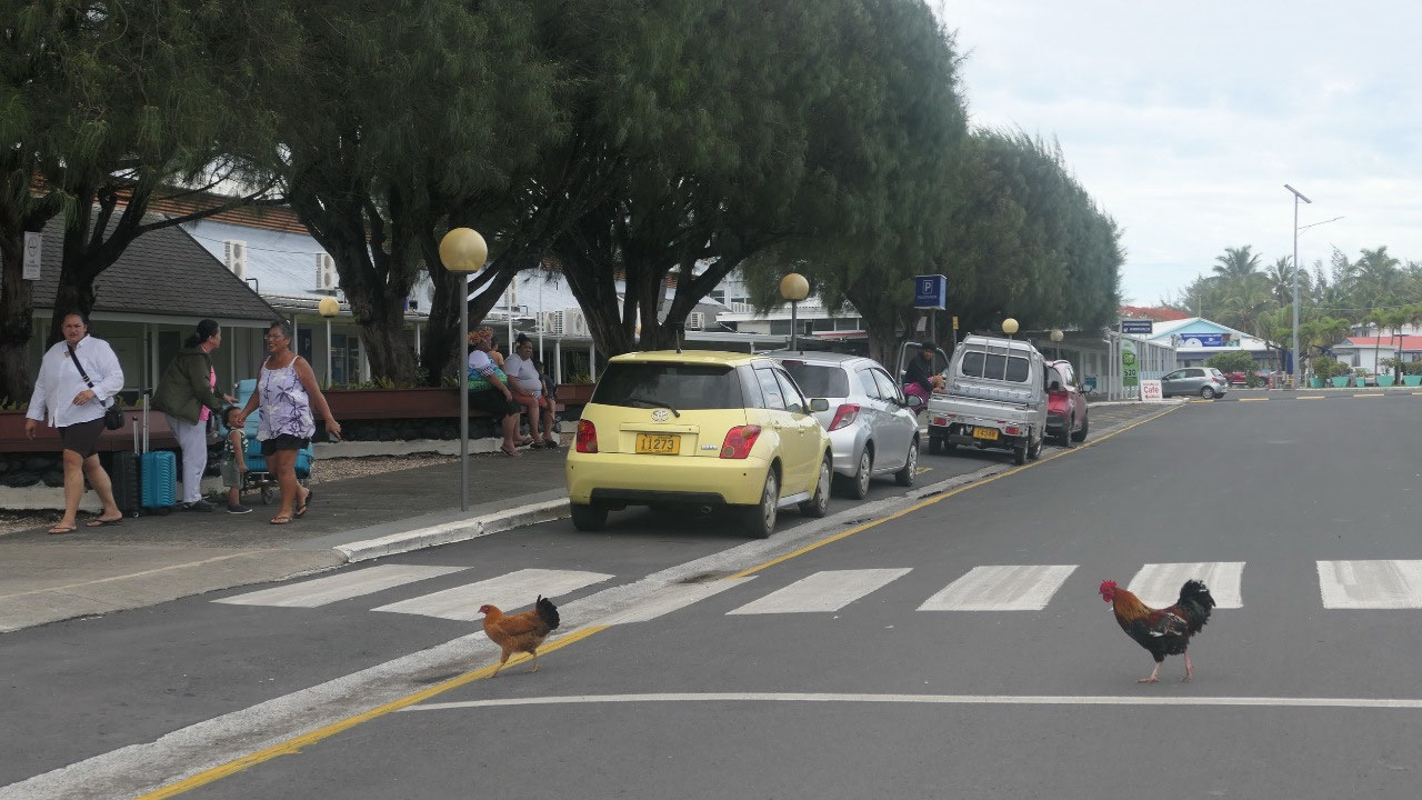
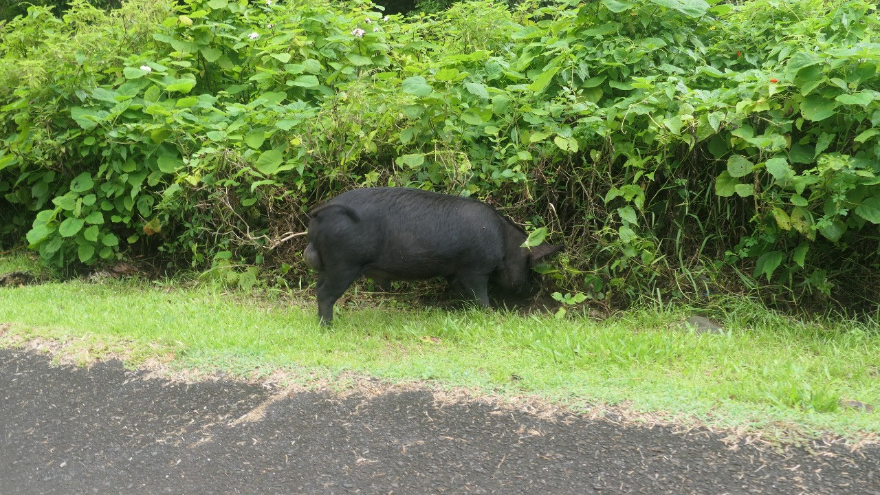
We encountered the Chicken
crossing -road, pigs running on the road and the dogs who think that we should
stop.
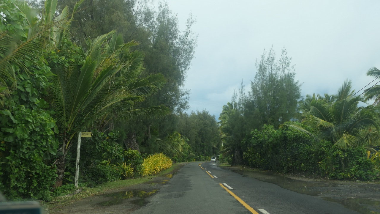
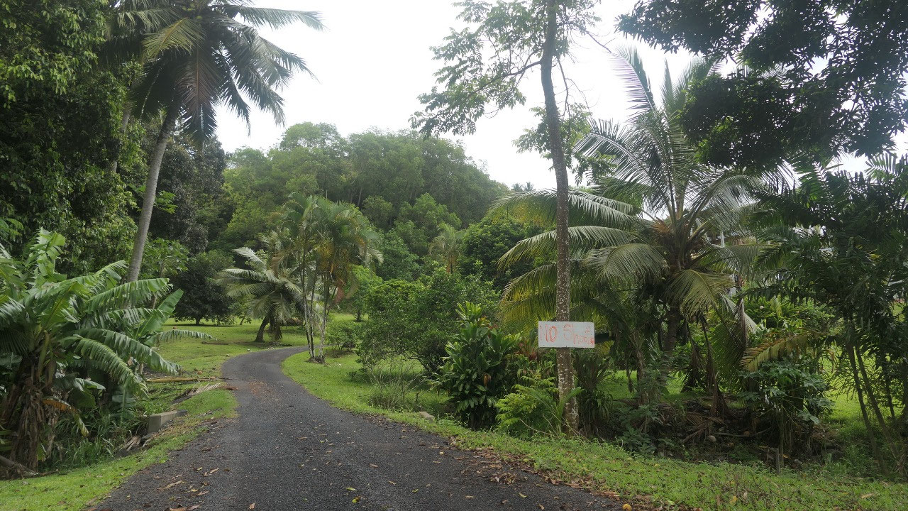
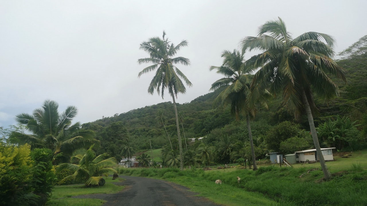
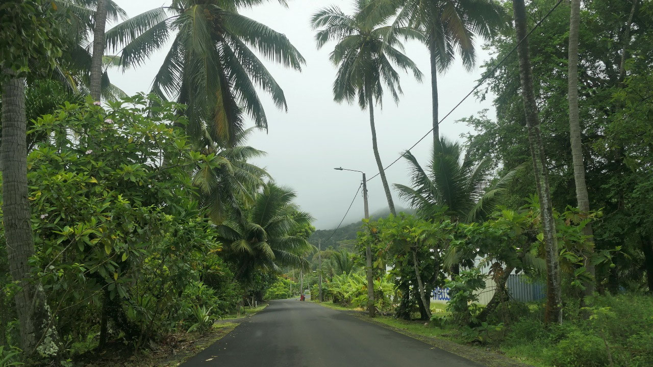
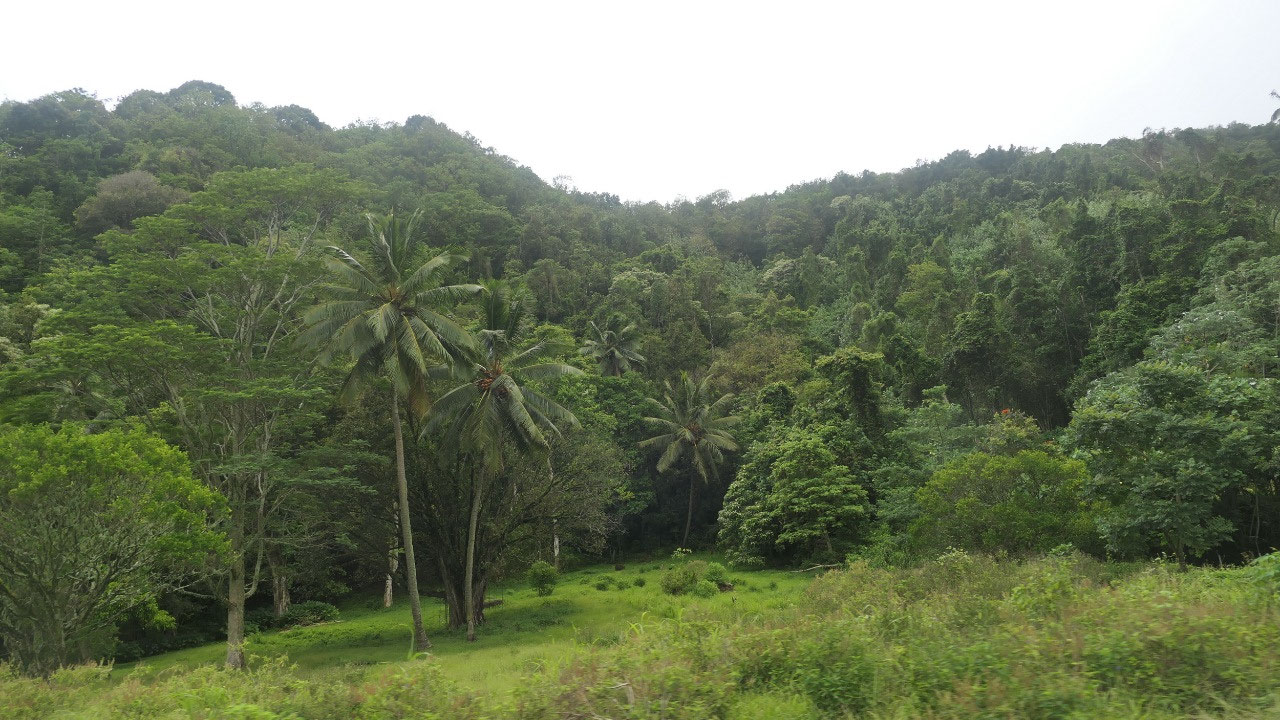
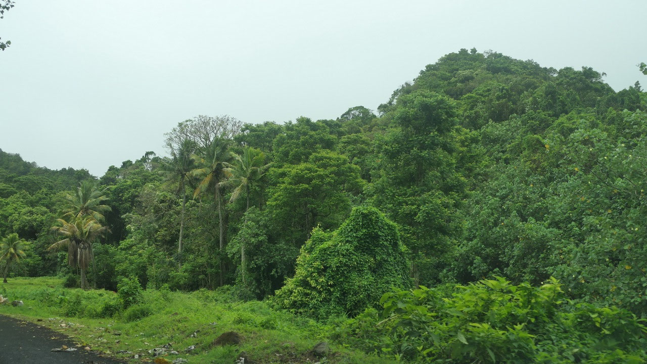
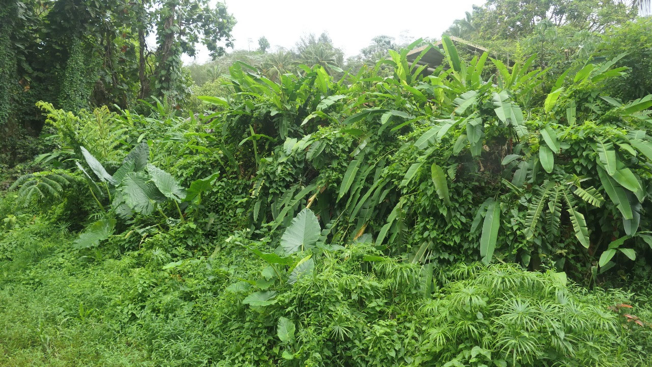
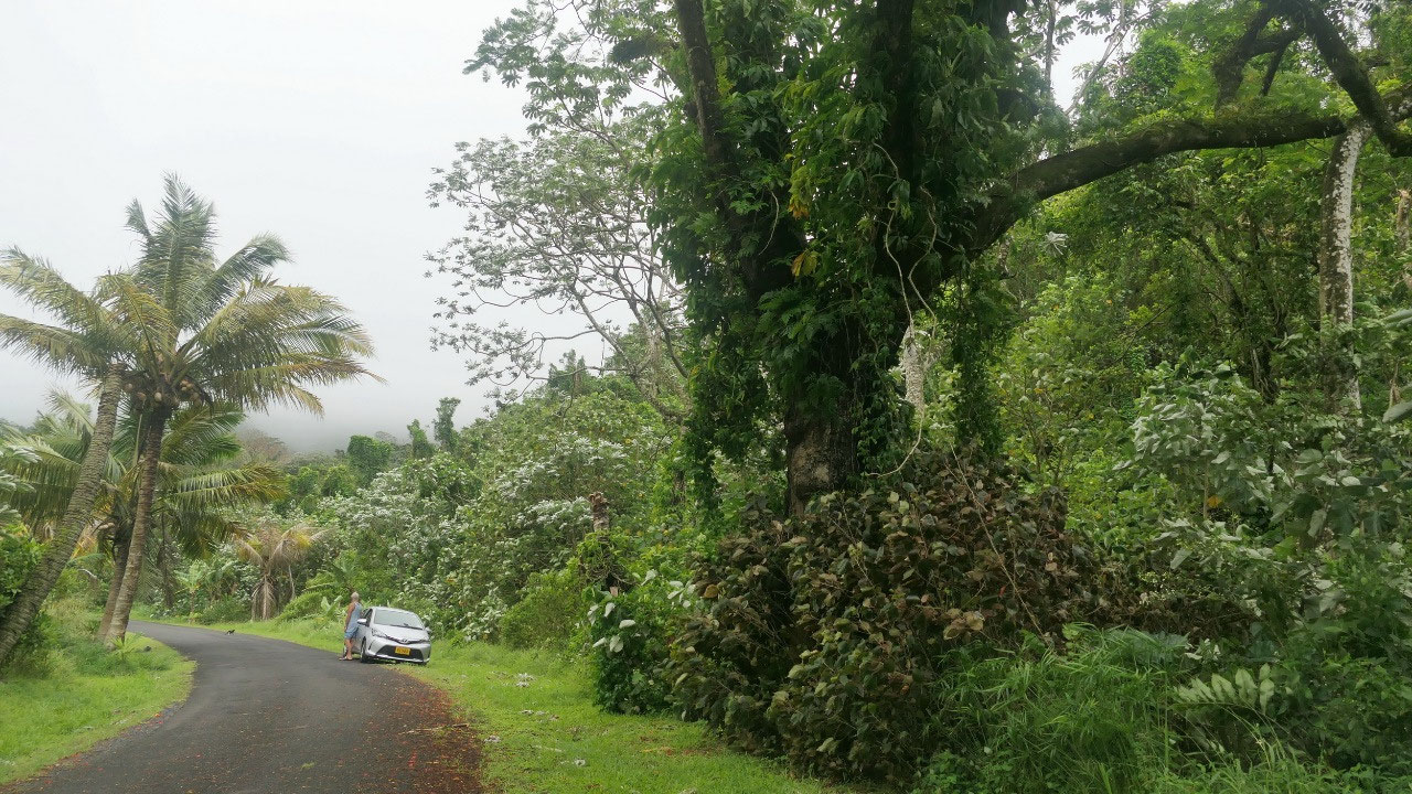
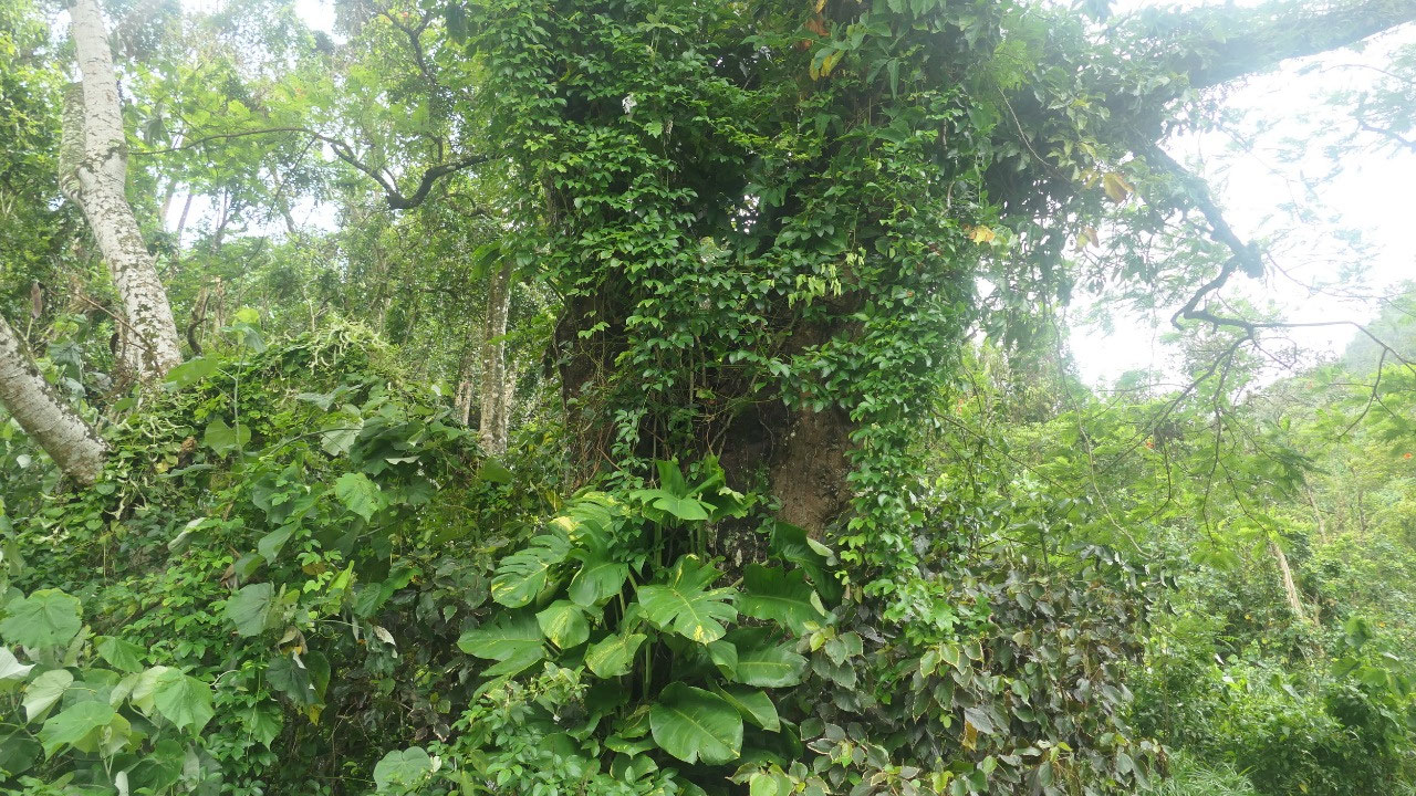
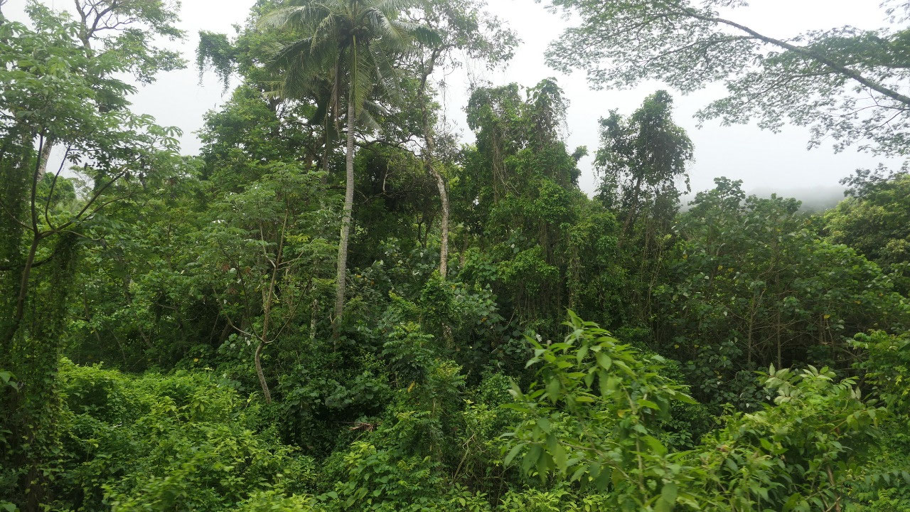
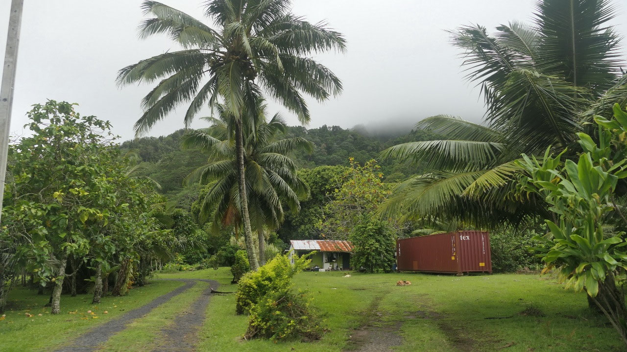
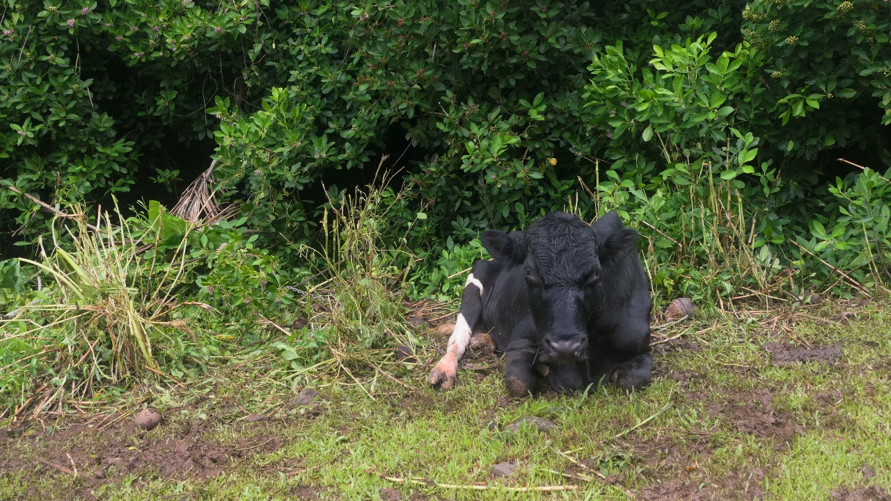
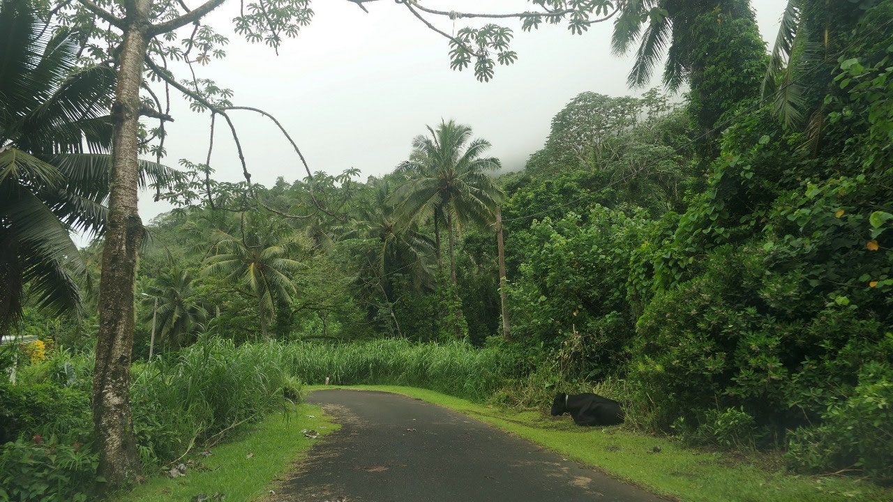
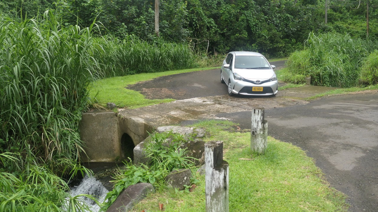
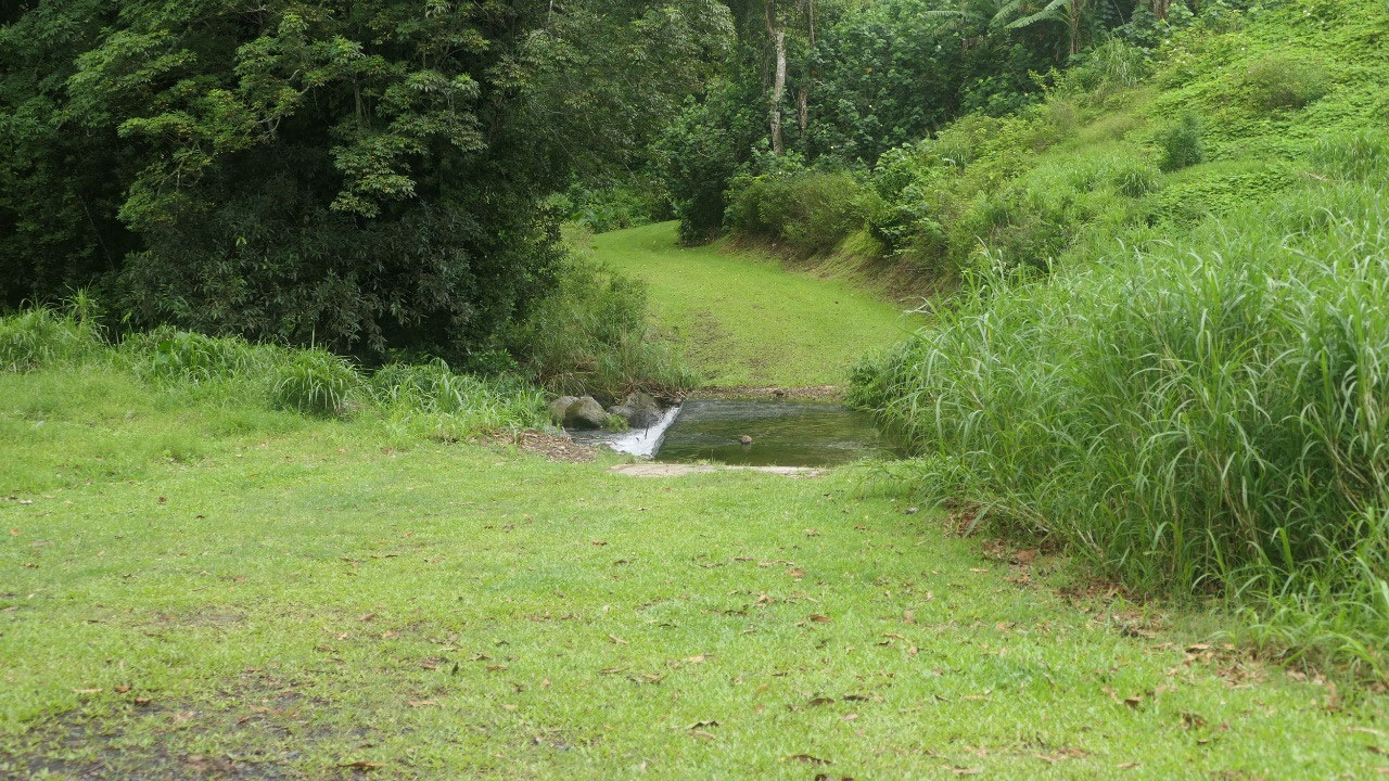
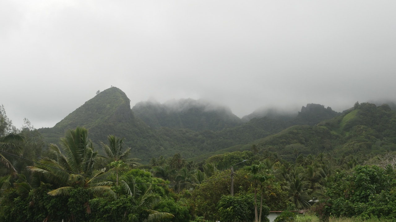
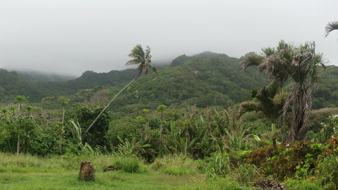
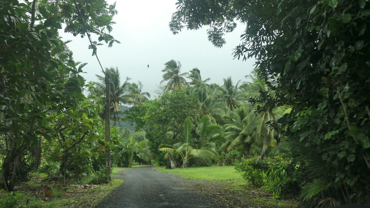
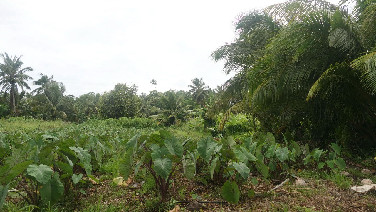
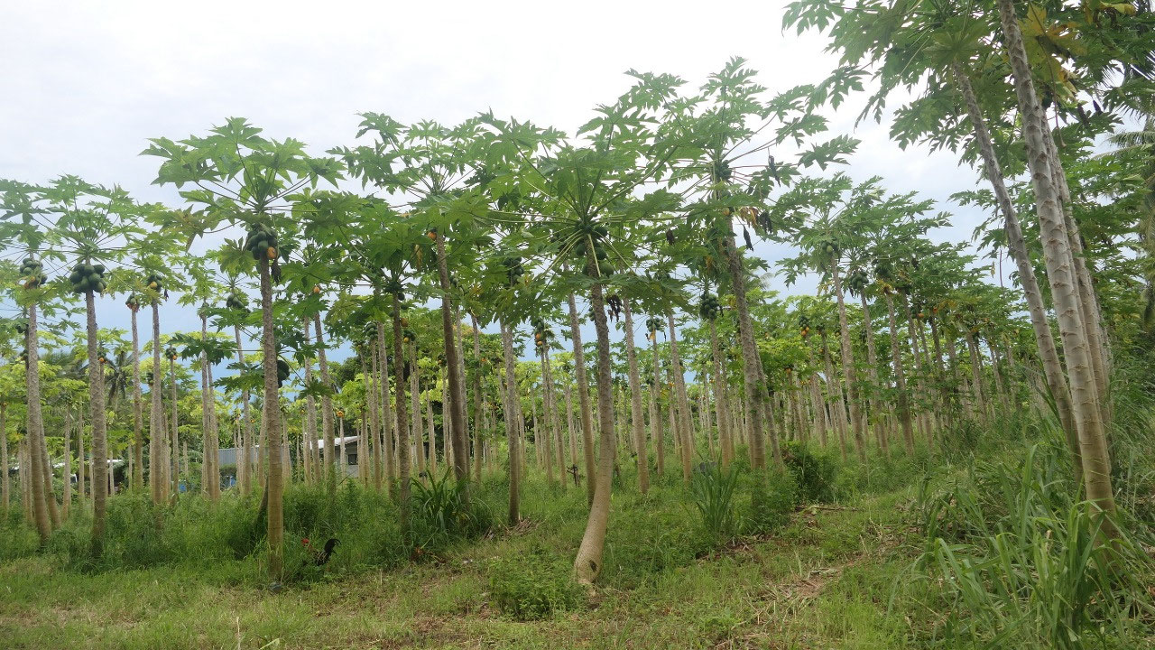
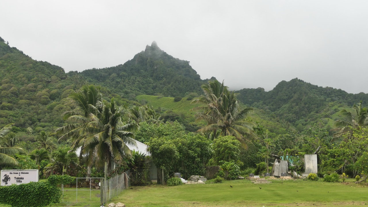
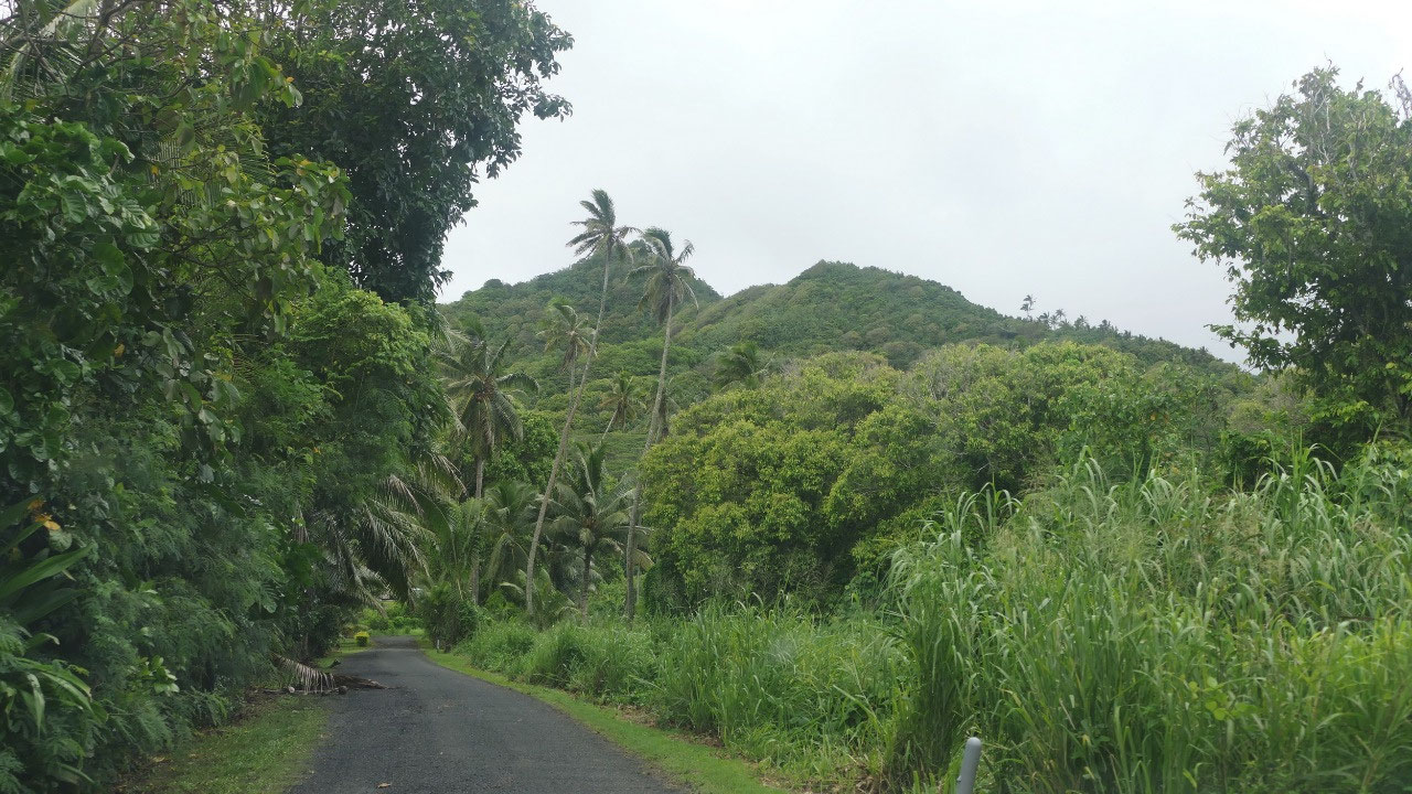
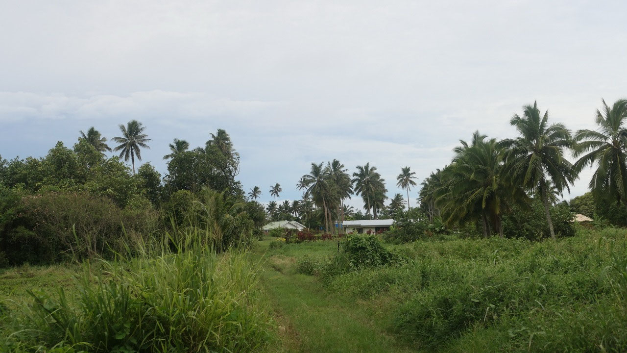
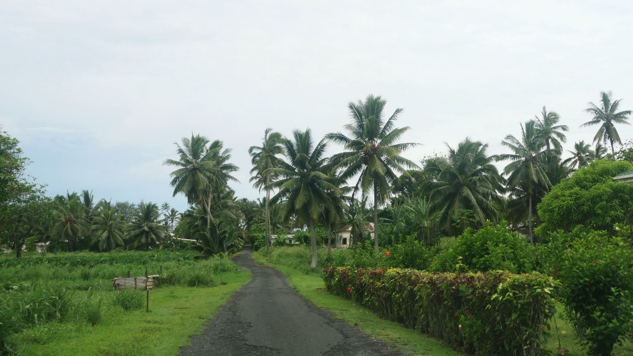
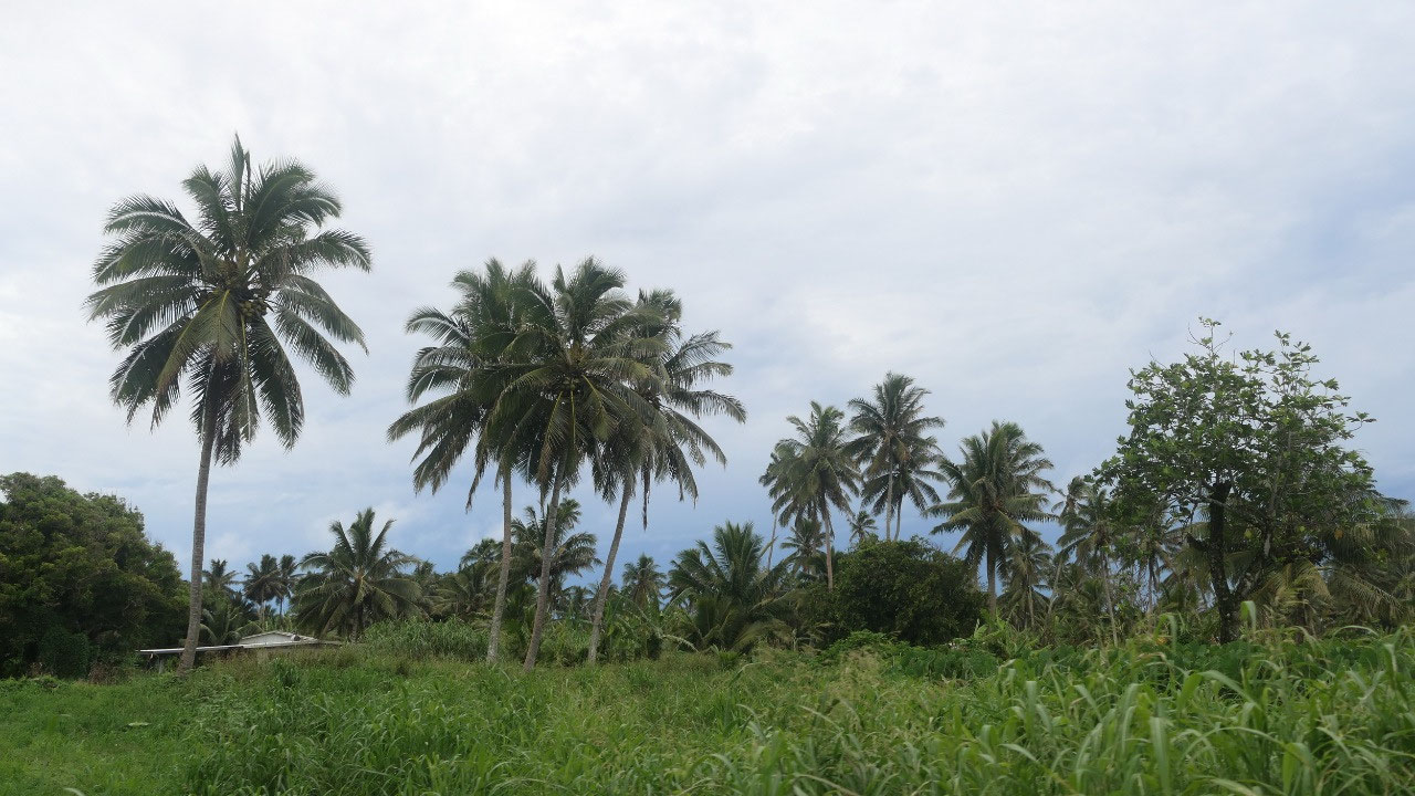
As we head inland the road is more
narrow and you really feel like you are in the jungle – this is the
none-tourist area and it is super green – the green vines growing over the
trees and everything - super amazing, we
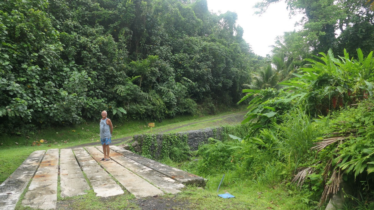
drive slowly and enjoy it –then comes the end of the road from here on you
would walk and then you come out on the south near the waterfall after around
4-5 hours (and it shouldn’t rain as otherwise it is very slipper). We walk onto
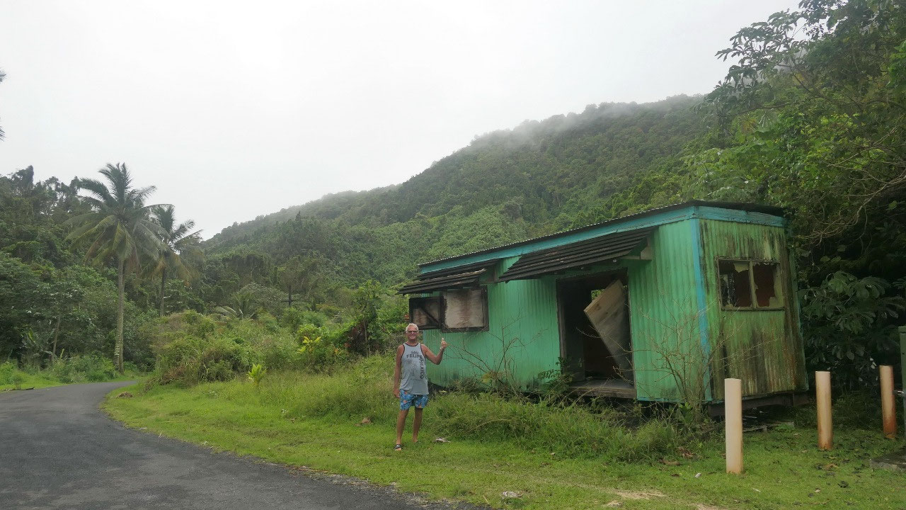
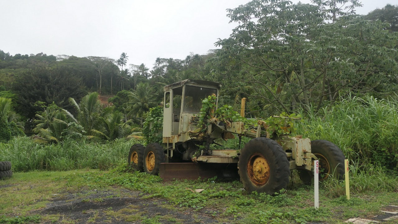
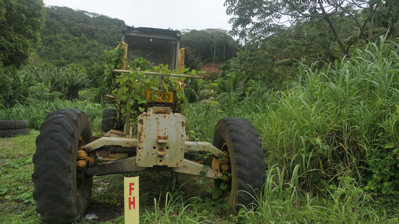
that funky concrete bridge – wonder if it holds a car. We stopped at one time
as the machinery here is also totally overgrown and made us wondering if they
can be used again – not as per Paul.
And like everywhere on the island,
you can find a little cemetery – as also sometimes the graves are in the front
yard of a house – there are definitely a lot of graves around here!!!
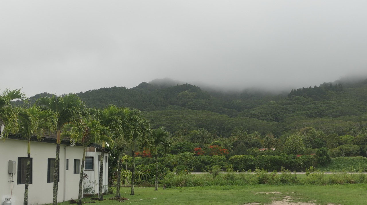
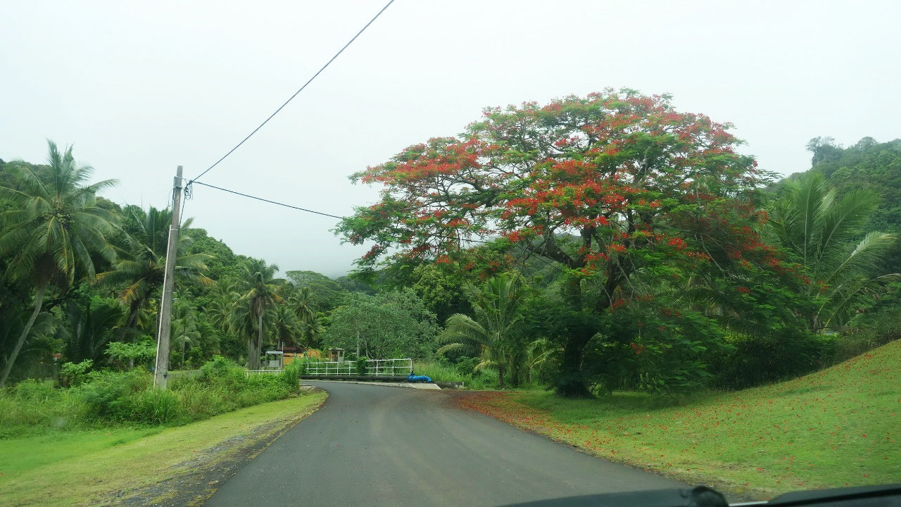
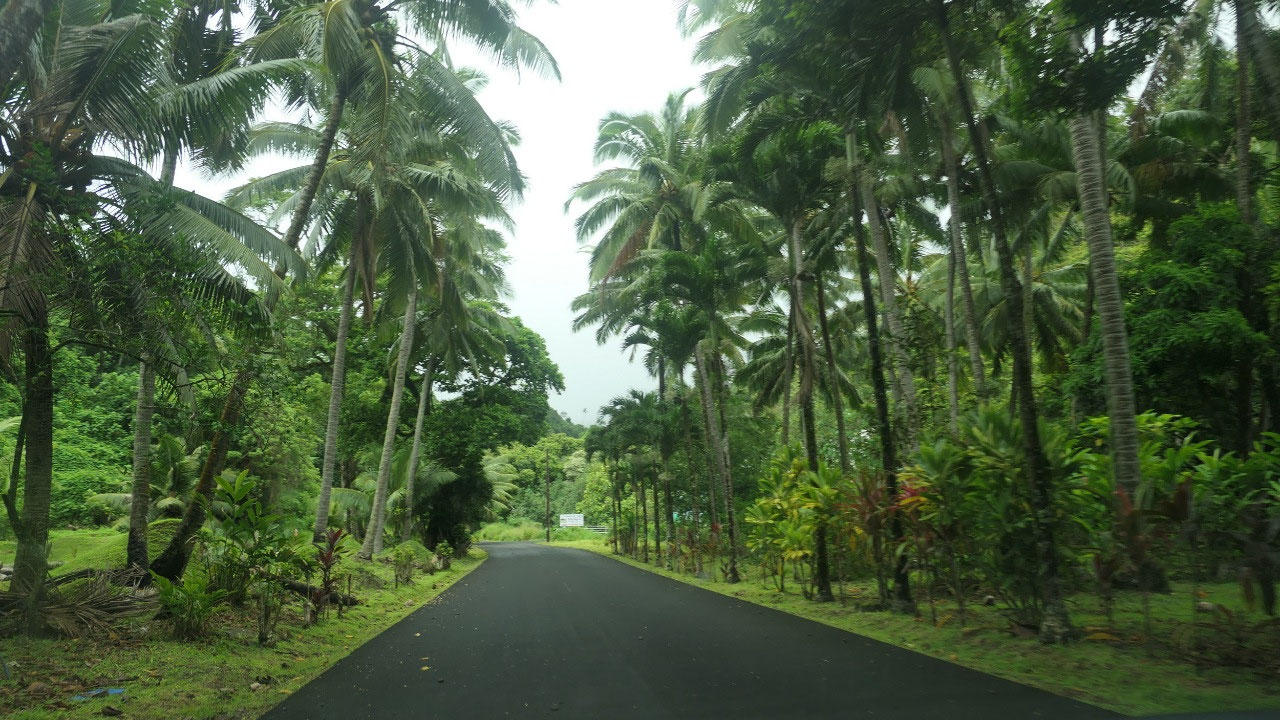
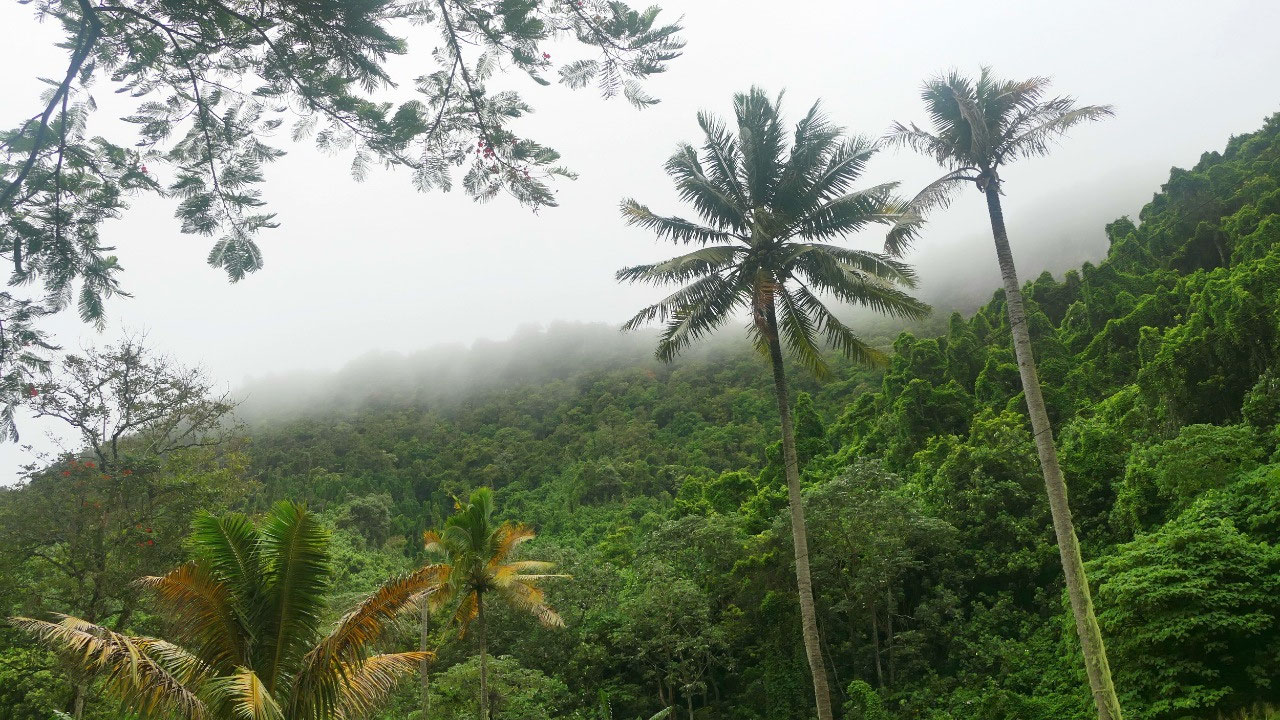
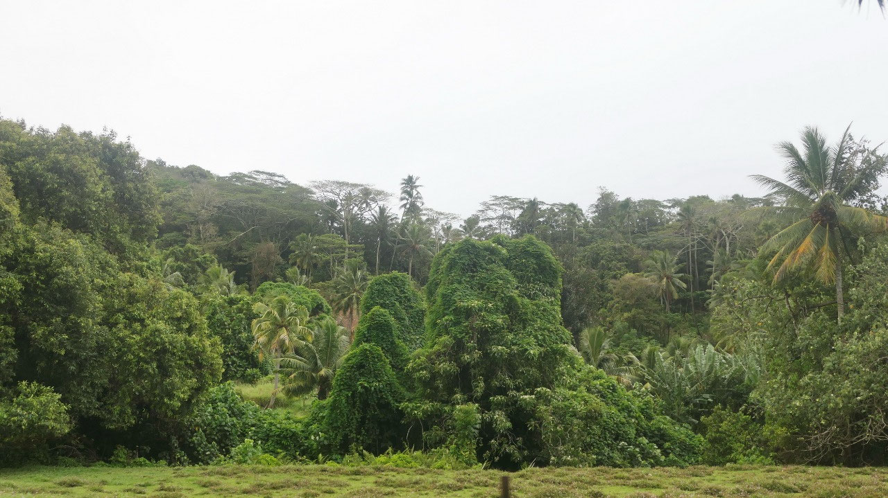
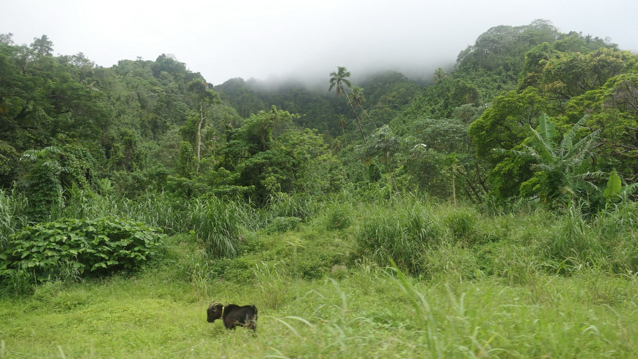
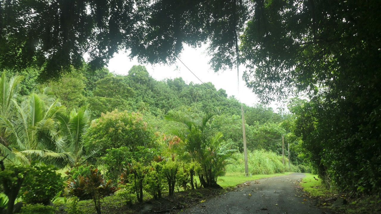
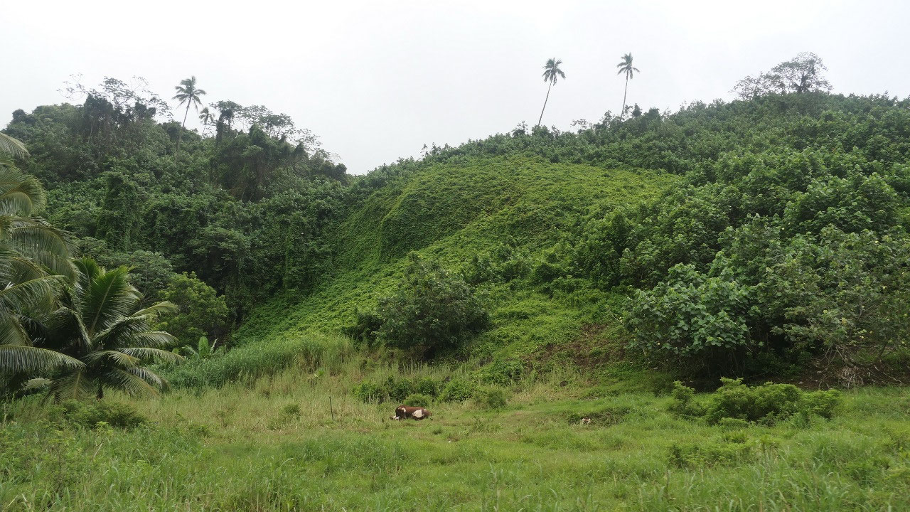
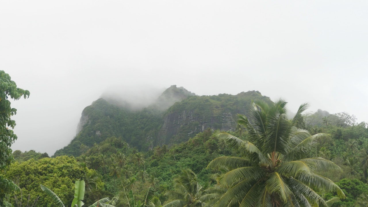
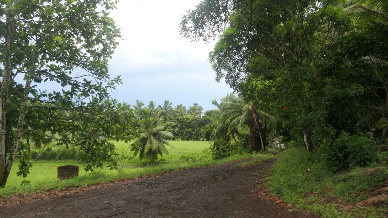
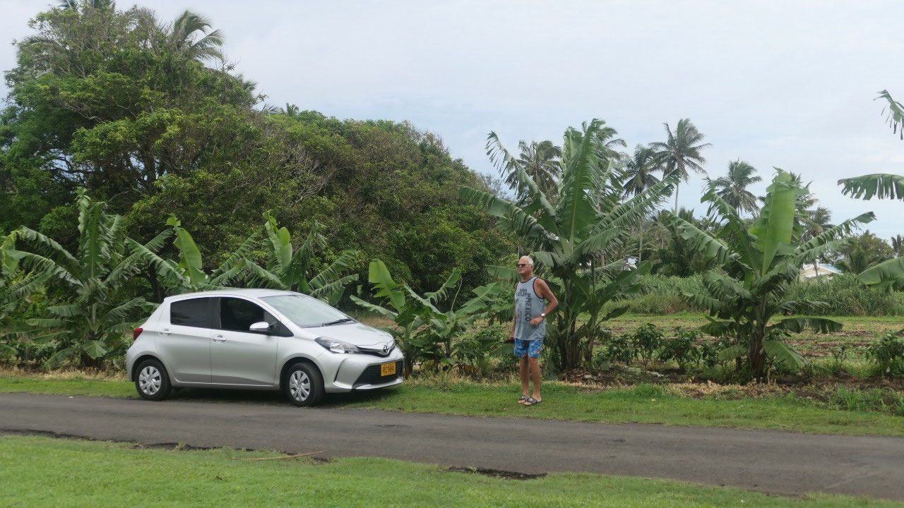
We came back to town to head back
into the bush another road heading around 2 km inland – another overgrown
narrow road and once in a while we can glimpse the mountains of the island
covered in the clouds
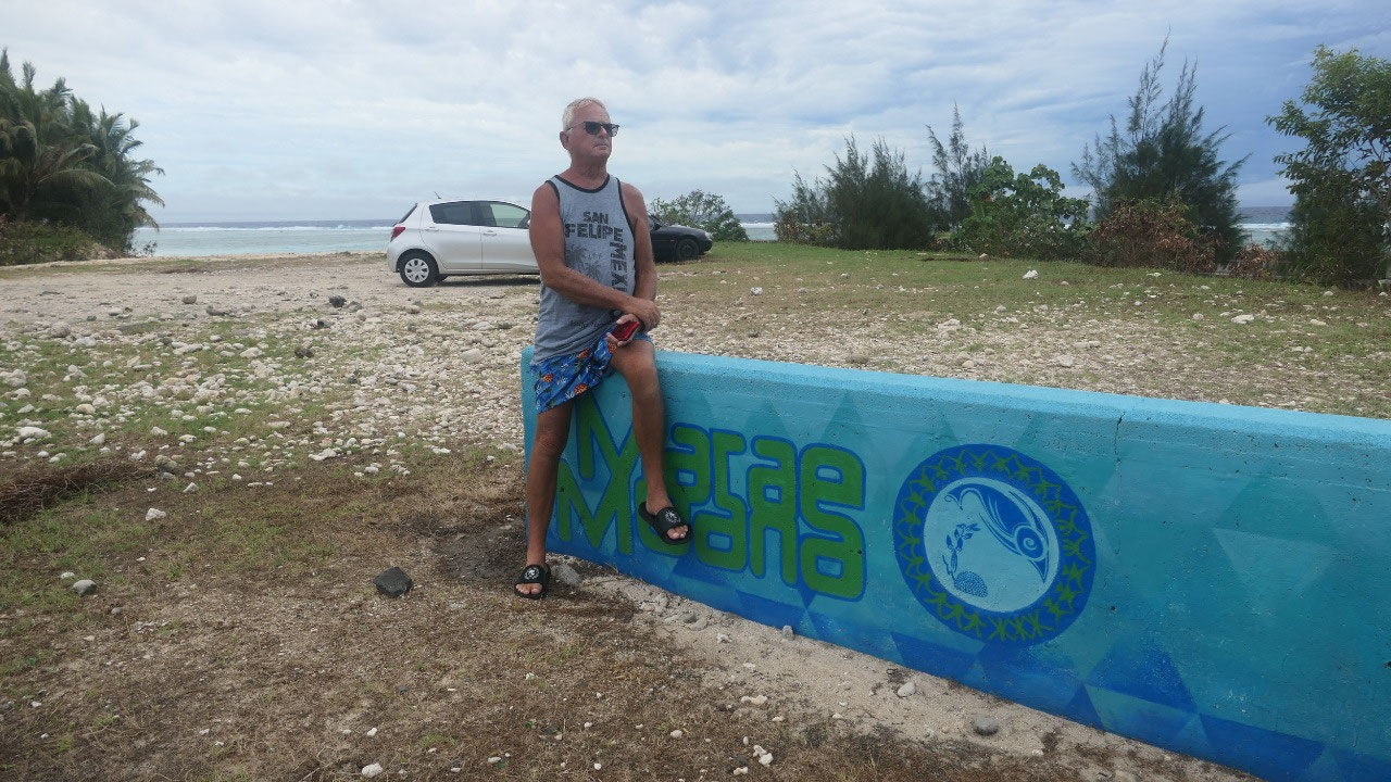
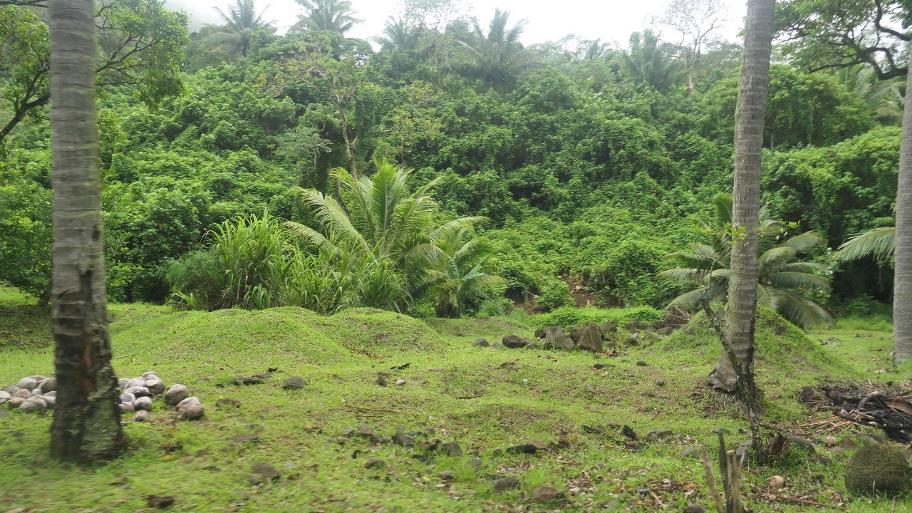
Marae Arai Te Tonga
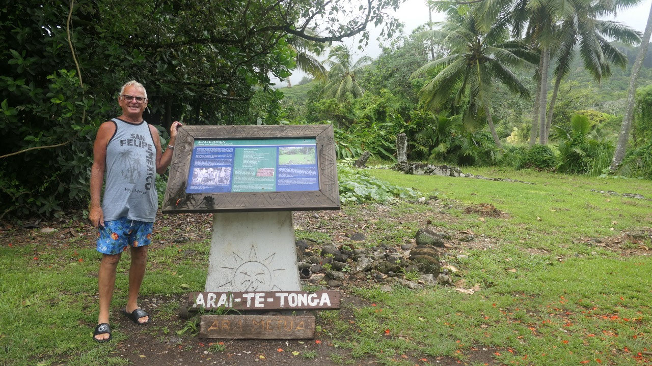
After continuing on around the
island we turn a road inland towards the old historic highway which is a bit
more inland and narrower– one of the reasons is, there are a few historic
places: the first one is the Arai Te Tonga:
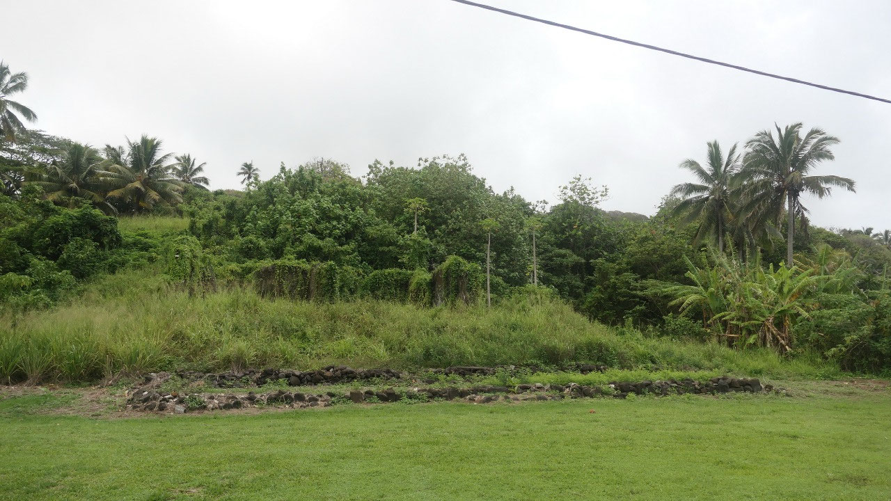
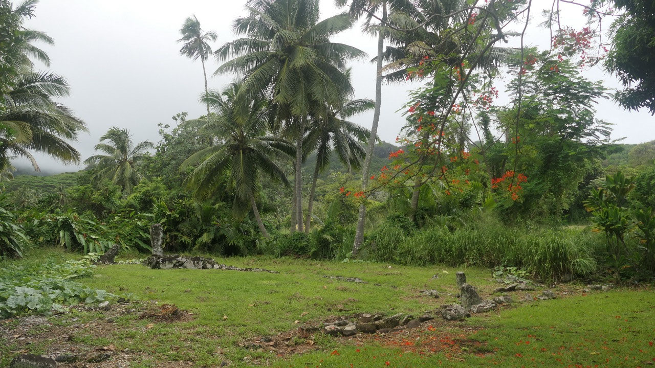
What can we see after driving
through some banana plants overgrown by vines: a small field with black rocks
in a square and some more blocks in the front…. And imagination what was once
here
- Arai Te Tonga was the main Koutu and Marae of the Makea Tribe, it was one of the first 3 built when Tangiia Nui came to Rarotonga around 1350
- They used it for worshipping gods and give them offerings
- There is a square platform with a pilar – the Ariki was lifted unto the Pillar with crossed spears on which he sat
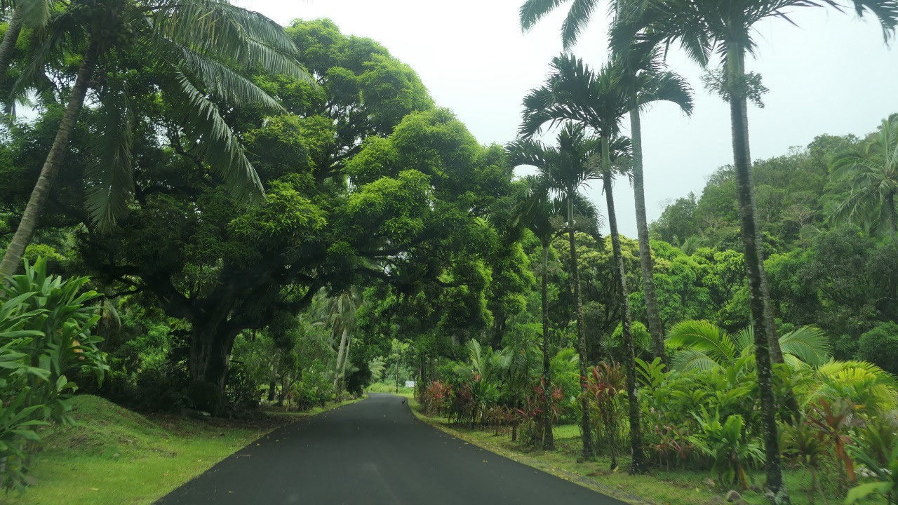
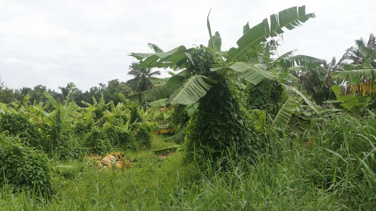
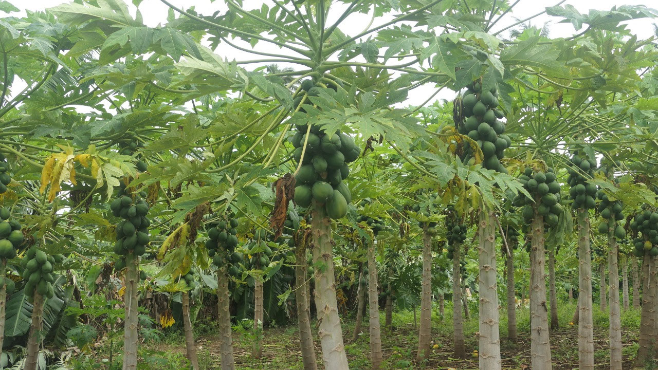
Afterwards we came through some “tropical
orchards” and drove narrow roads until we came to the main circular road again.
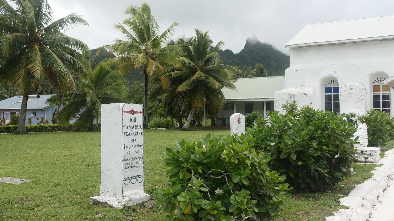
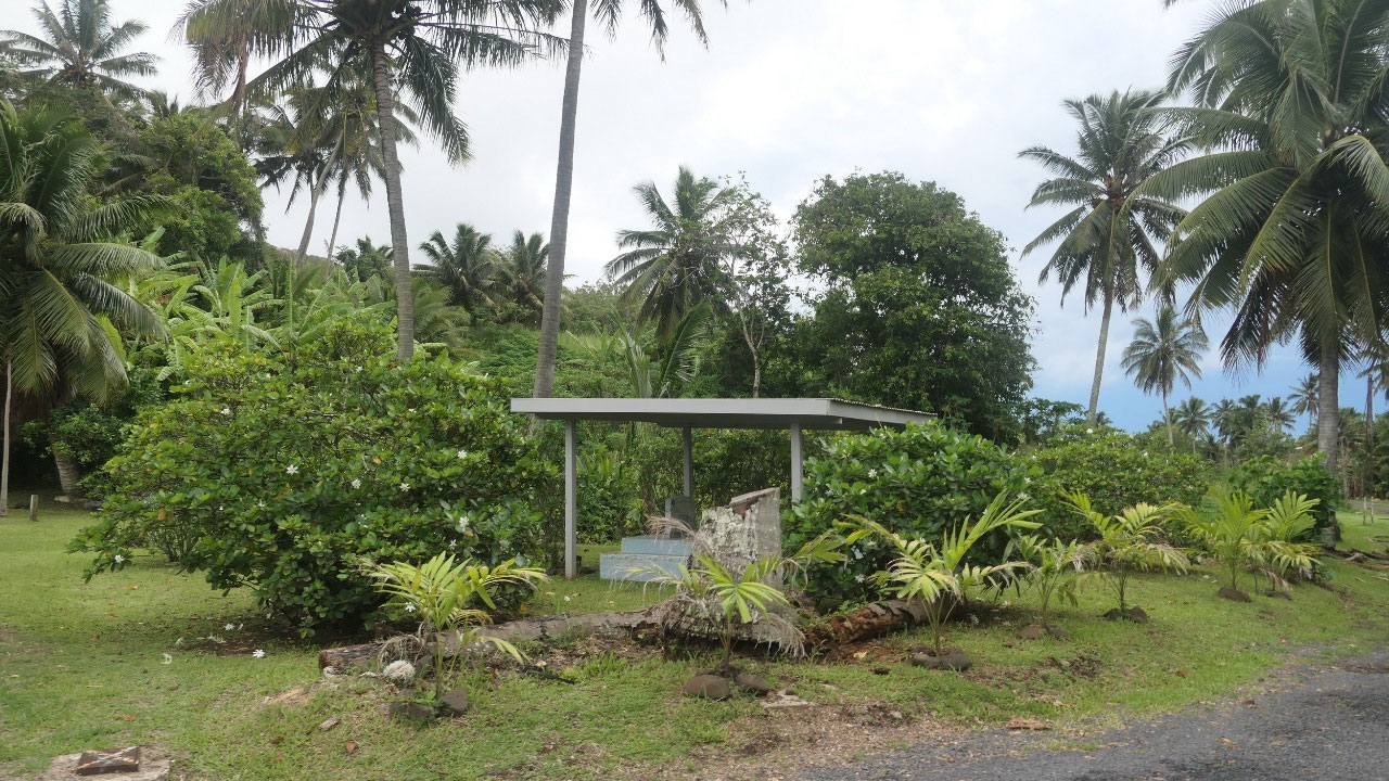
Matavera CICC Church
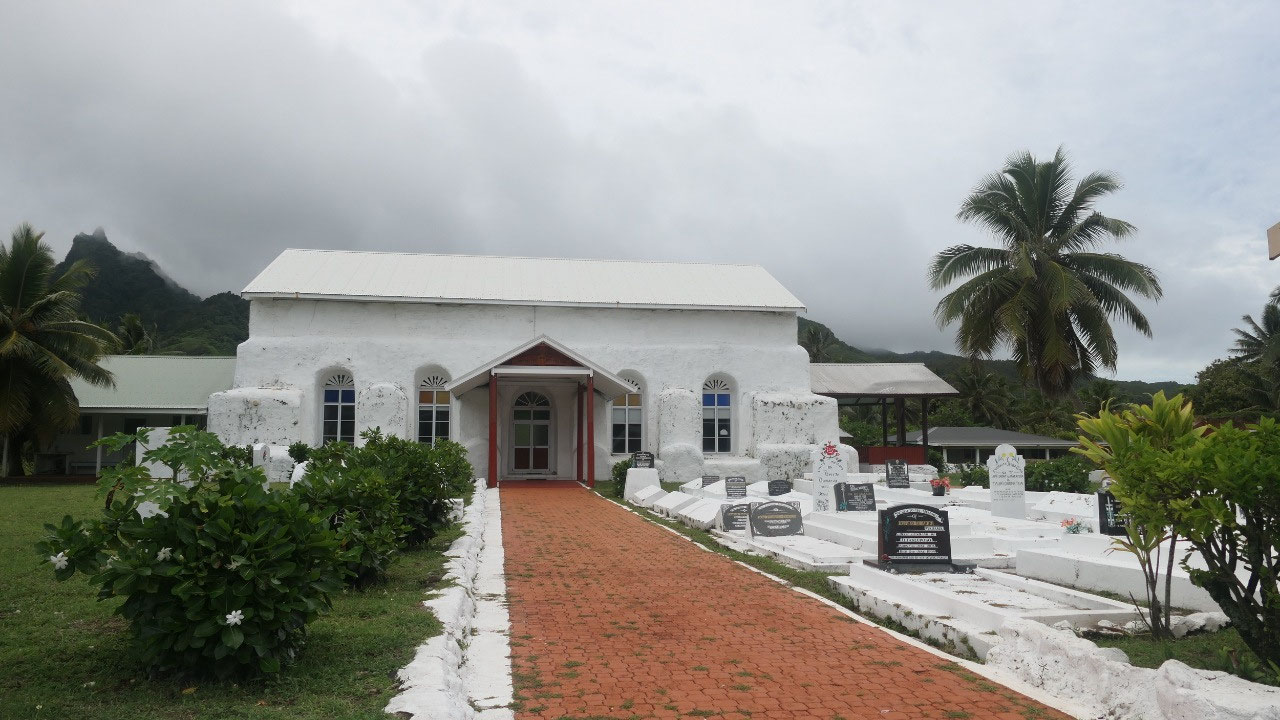
Soon after we came by another CICC
Church in Matavera: as per Paul, he seen now enough white limestone churches
and cemeteries and yes they all look similar, Gine thinks, it is interesting to
read the different stories on each of them and it clearly shows on how
Christianity influenced the Cook Islands.
- The original Church/silo was built in 1857 and was the highest building in Rarotonga – when they renovated it in 1949 the height got reduced to make it more cyclone proof
- Before the arrival of Christianity to Rarotonga in July 1823 a native priest made a prophecy: “An Almighty God will arrive – from the edges of heaven – the land will be upturned – the ocean will be out turned – the coral tree will bloom – the offspring of the tropic bird will emerge”: soon after on July 25 1823 Reverend John Williams and a Tahitian Teacher arrived in Avarua
- They set up four stations: Avarua (1823), Ngatangiia (1827), Arorangi (1828) and Titikaveka (1838)
- finally the people of Matavera built their own chapel here in 1849, the chief of Ngatangiia was not to happy about it, the chapel was burned down, they rebuilt and the Silo “the gate to heaven” was completed in 1857
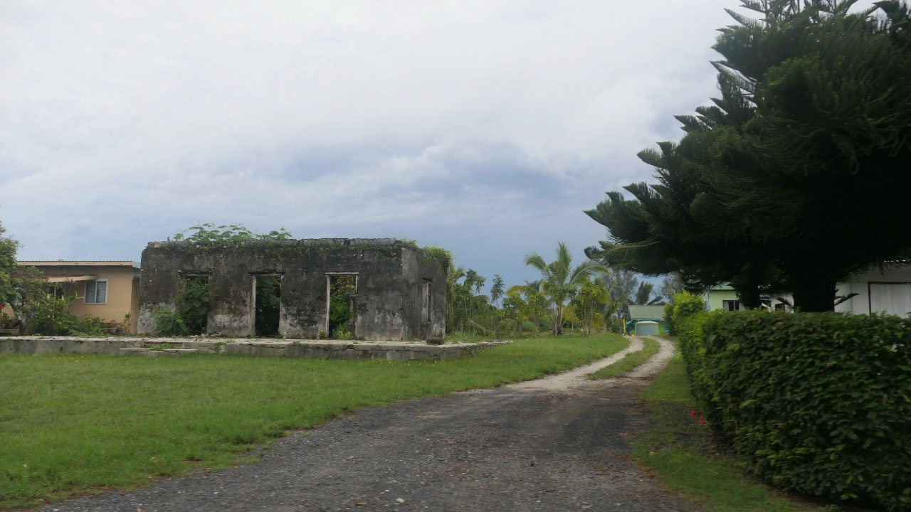
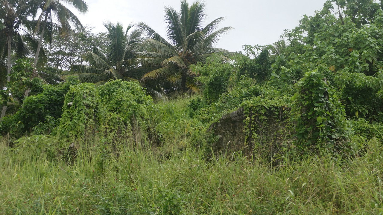
Ruins under the Vines
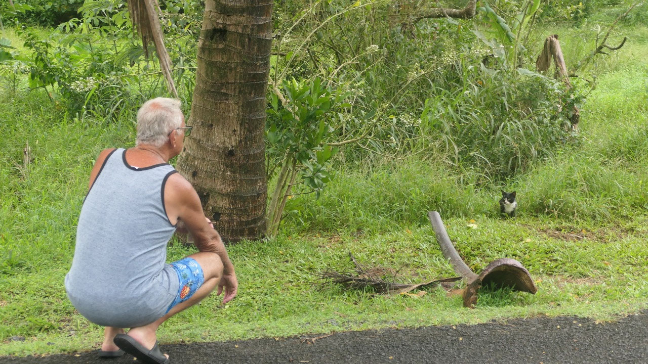
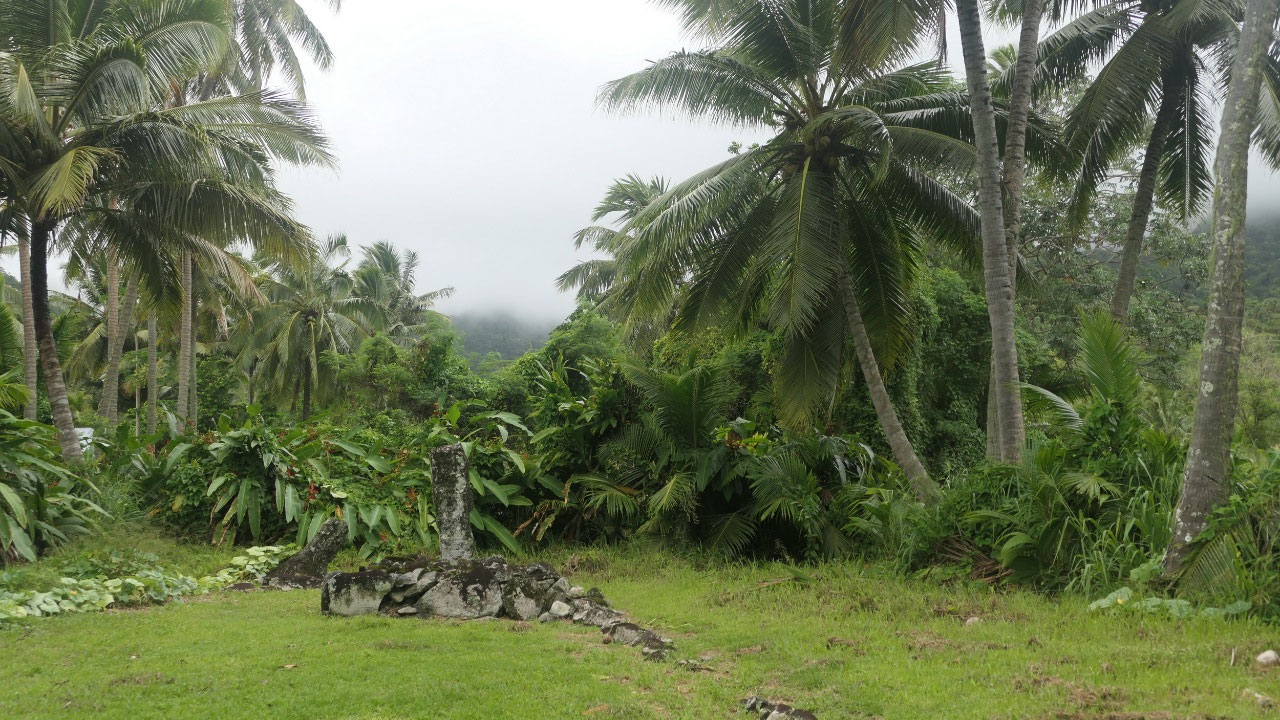
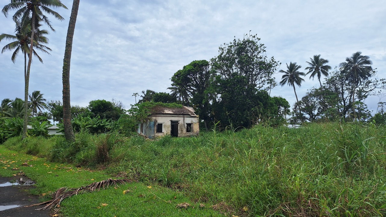
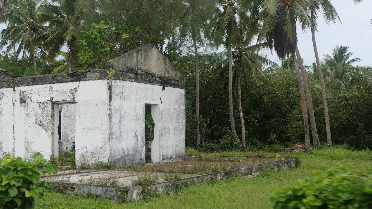
According to the Rarotonga map
there is a palace and pa site somewhere on the old highway and so we slowly
drove along here (it is not a big deal to drive slow as there is no traffic) we
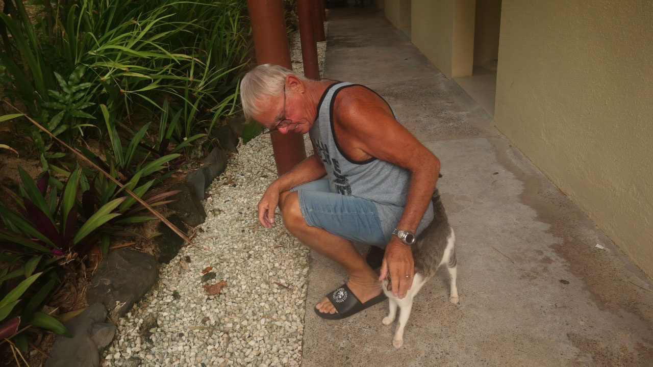
couldn’t really find anything but then Paul stopped because he saw a cat and
that is when we discovered to rows of black stones as well behind there were
walls overgrown with vines – no we couldn’t go there because there was no path
to walk to… and then we wondered on how old are those ruins and did we find the
“historic palace”??? The road back to the main road was so narrow that Paul couldn’t
believe it is road: but is has an official name.
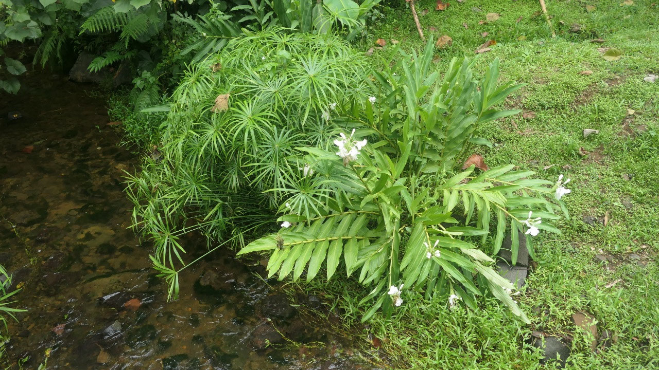
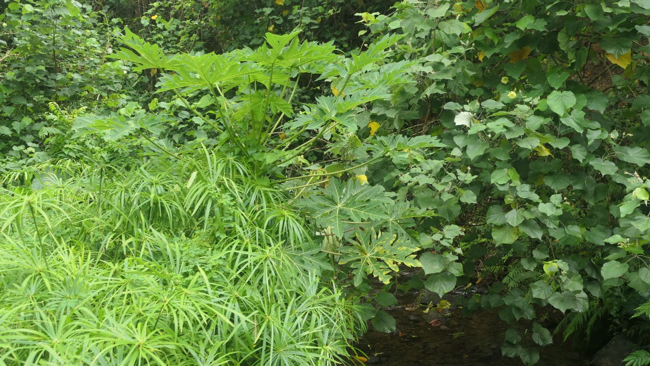
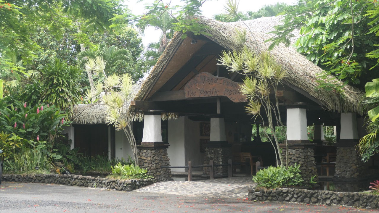
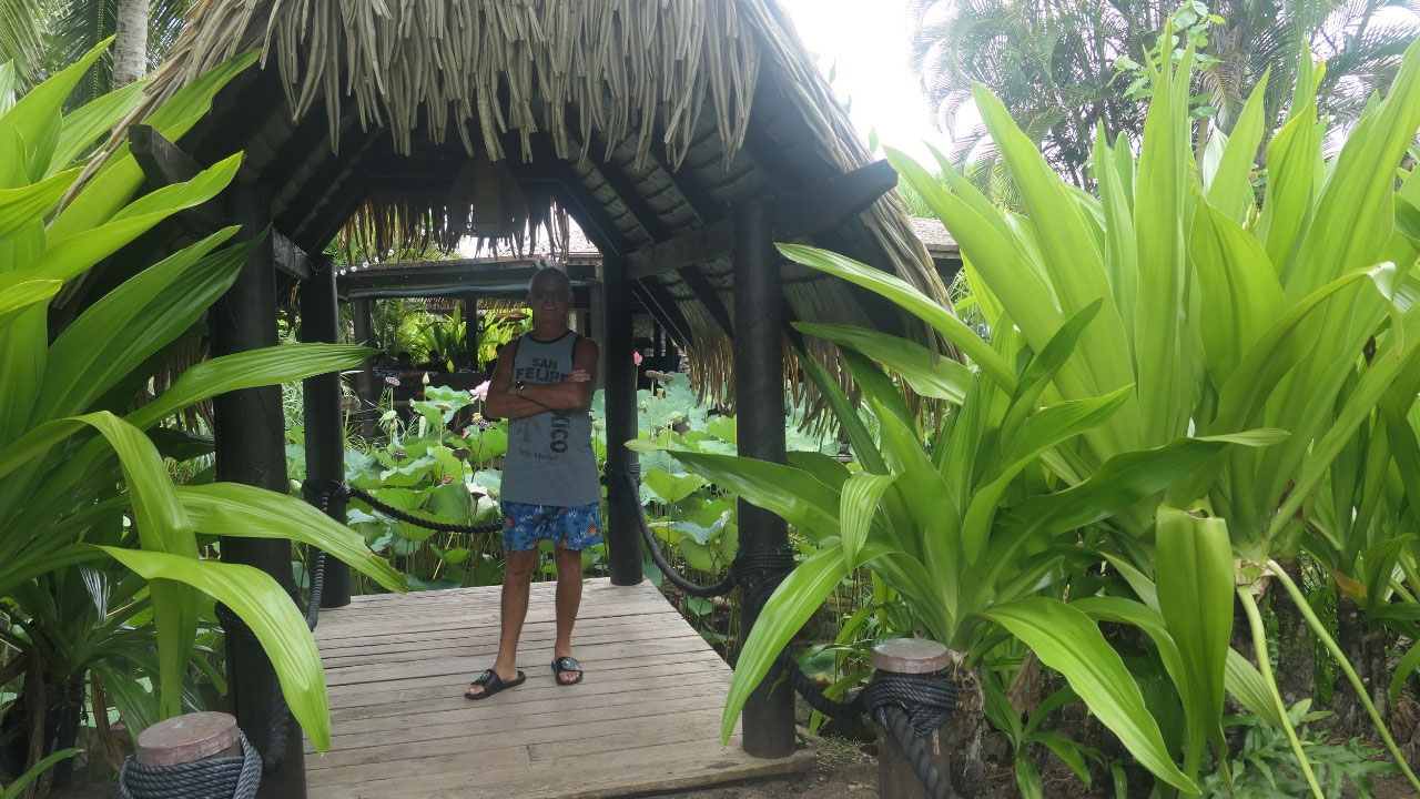
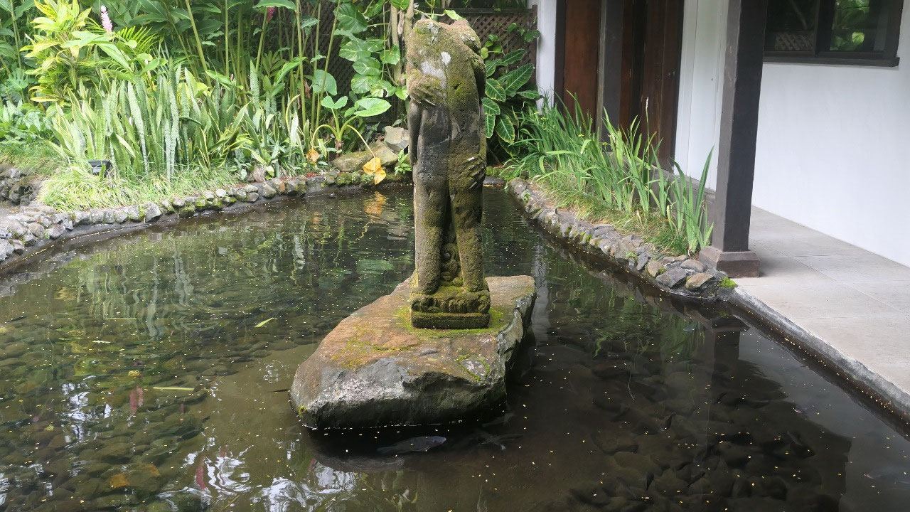
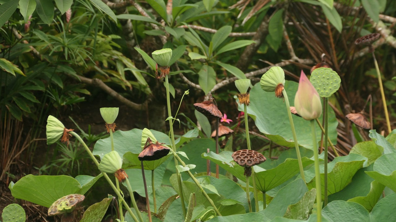
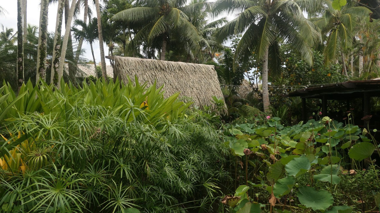
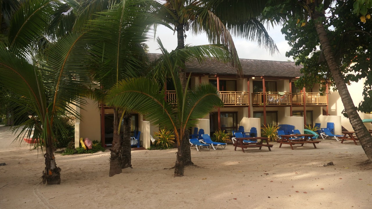
Checking out some Resorts
We are now back on known roads as
we came by Muri beach and decided to check out some of the Resorts as we were
hoping that one of them has some nice ocean-front-restaurant, where we could
eat (and is not too pricy) – we did found some fancy places and checked them out,
but the meals were super pricy and weird and totally not our style. But in the
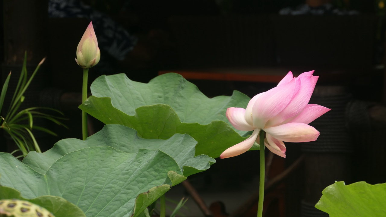
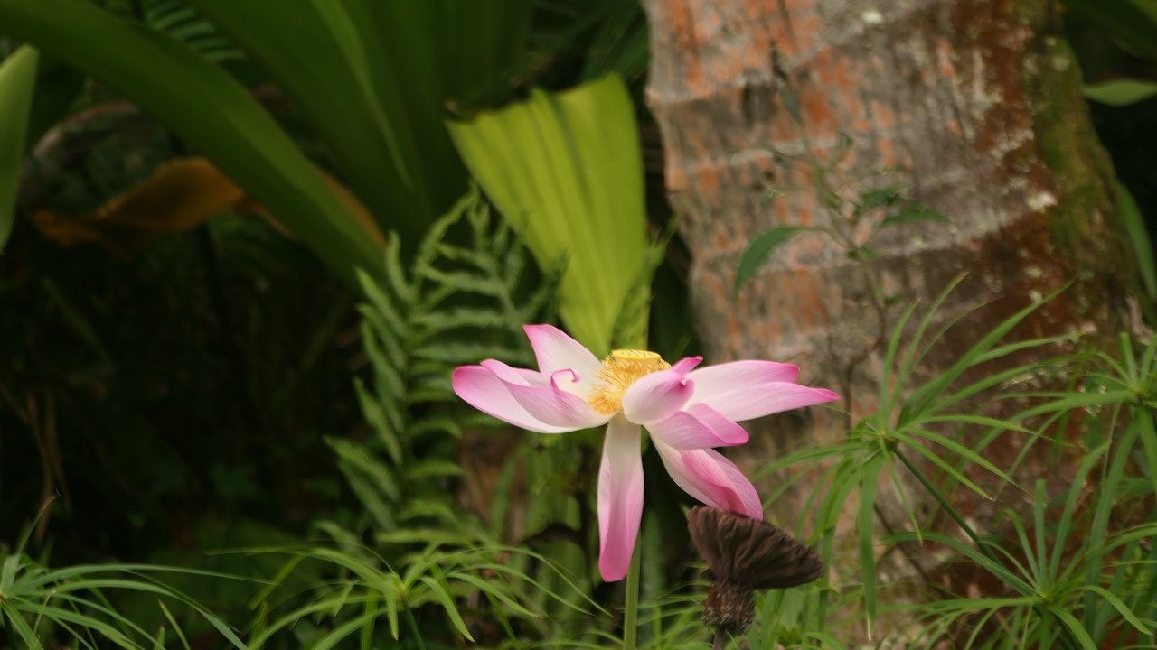
Pacific Resort we saw some super cool flowers and plants in their garden –
super cool!
The deity of Rarotonga:
Tangaroa
Since we on Rarotonga, we saw a
lot of those wooden statues and they are all male (no there is no doubt about
that!!) – so what is up with that???
- He is the god of fertility and sea and is the most popular inspiration for carvings across the Cook Islands – his “strength” is always emphasized (that means it is big)
- By the way there is a small male god made here sometime in the late 18th century which was given to English missionaries around 1827 as the local population converted to Christianity and it came to the British Museum in 1911 in London where it still is
- So what is the Maori soy about Tangaroa the son of the Sky and earth, he is the father of the sea creatures, the fish and the reptiles. But he held a grudge against Tane his brother the god of the forest because he offered refuge to his runaway children the reptiles. Tangoroa is sometimes also displayed as a whale as where Tane is the father of birds, trees and humans and so the ocean and the land are on opposed realms. When the People go out to sea to fish or travel (and they are representing Tane) they are entering the Tanees Enemy: Tangaroa –it was important to make offerings to him
- You fill find Tangaroas statue around the island and on the Cook Island 1$ coin
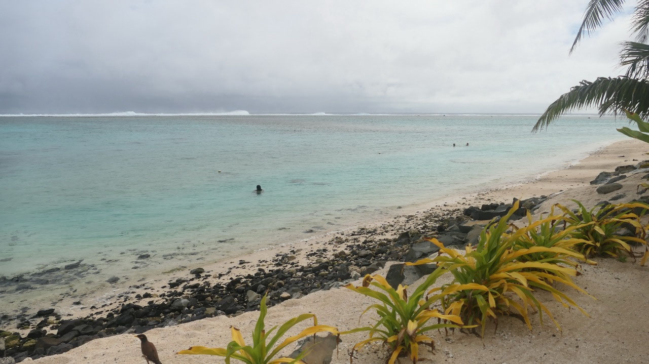
The Fruitbeach
When you look on the printed map
it says Fruit beach: this is where are a lot of fish in the water, when you go
to google it can’t find it, so Gine looked for two spots before and after and
we relied also on Paul’s memory which is there are some nice houses… but we did
find it and yes, it is another snorkeling beach.
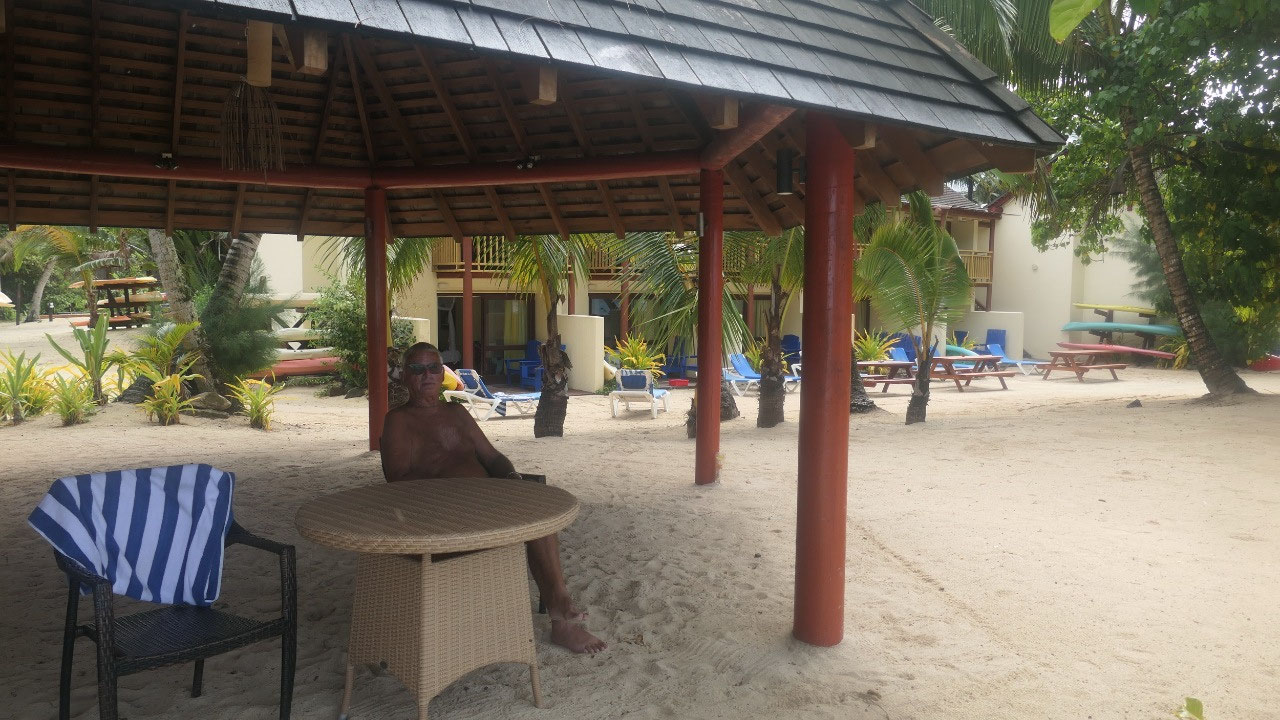
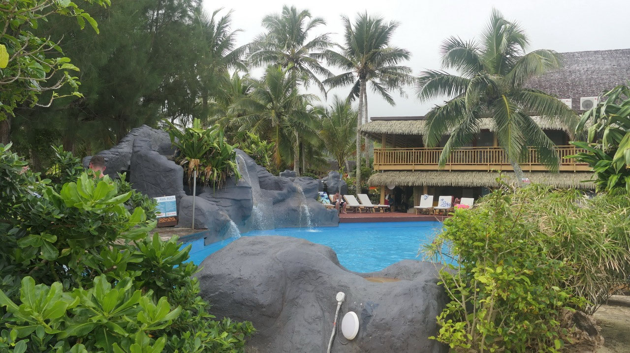
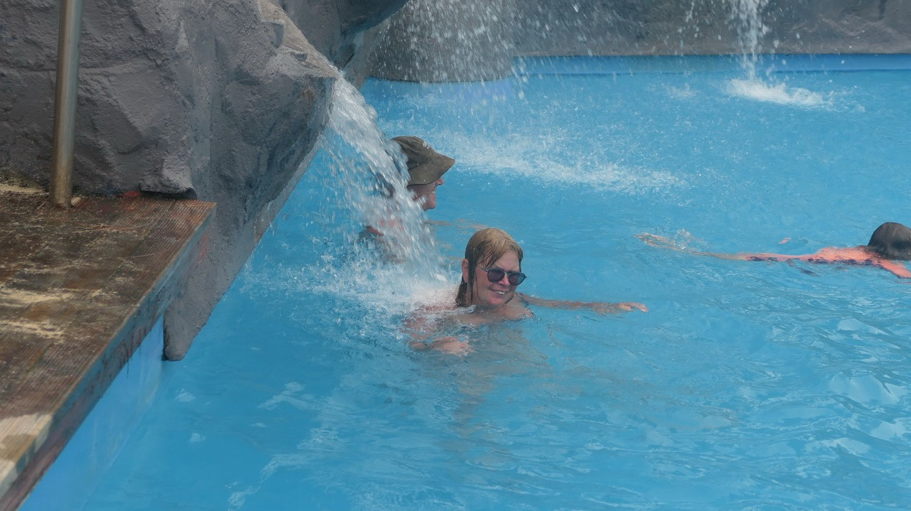
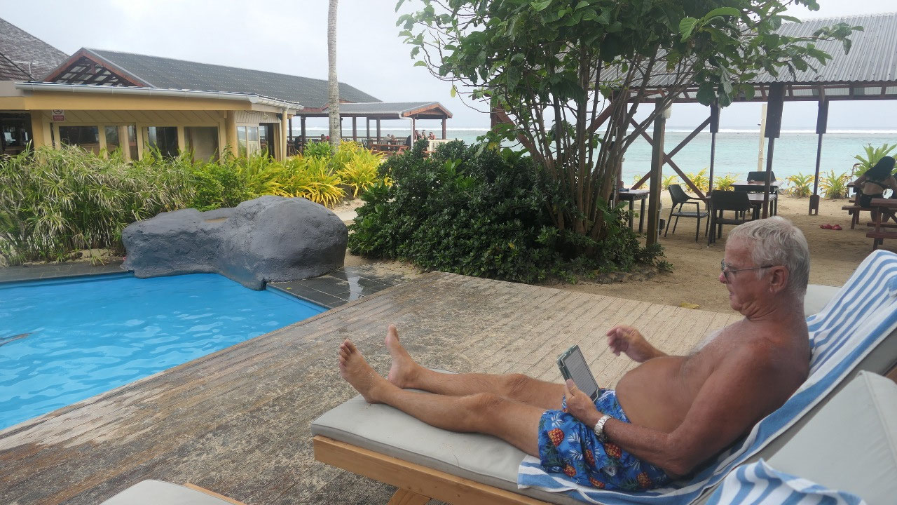
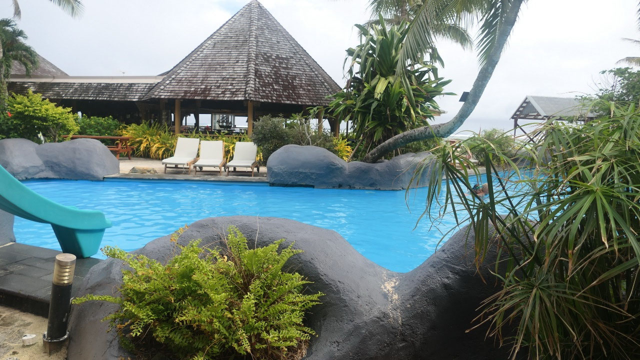
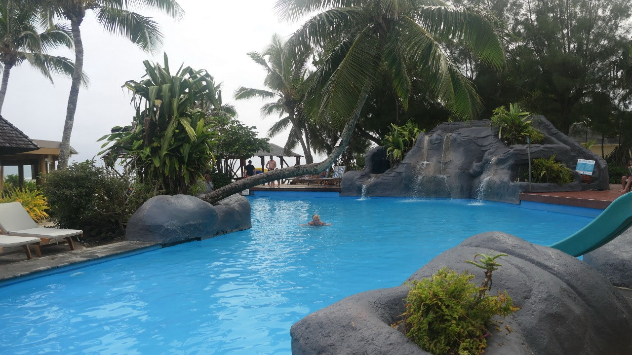
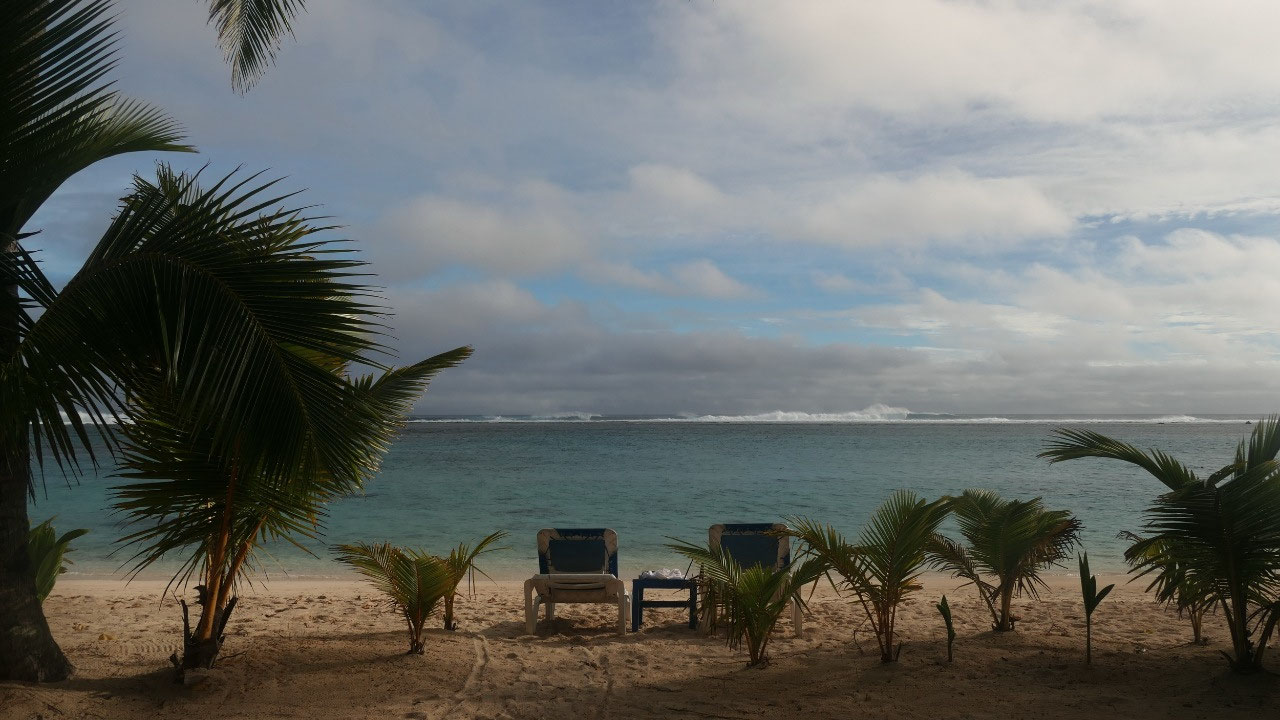
Relaxtime…
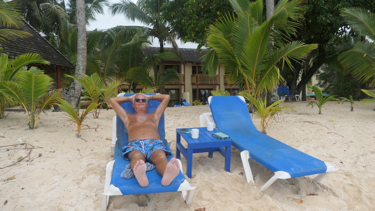
It took us a bit over 4 hours to
circle and to check it all out (so much you circle in an hour), back at our place we could see all the people
checking in (this morning when we left everyone was checking out) – and as it
is overcast but still super nice and warm we had coffee in the loungers at the
beach and then spend some time in the shady area around the pool after enjoying
a lot of massaging under the waterfalls.
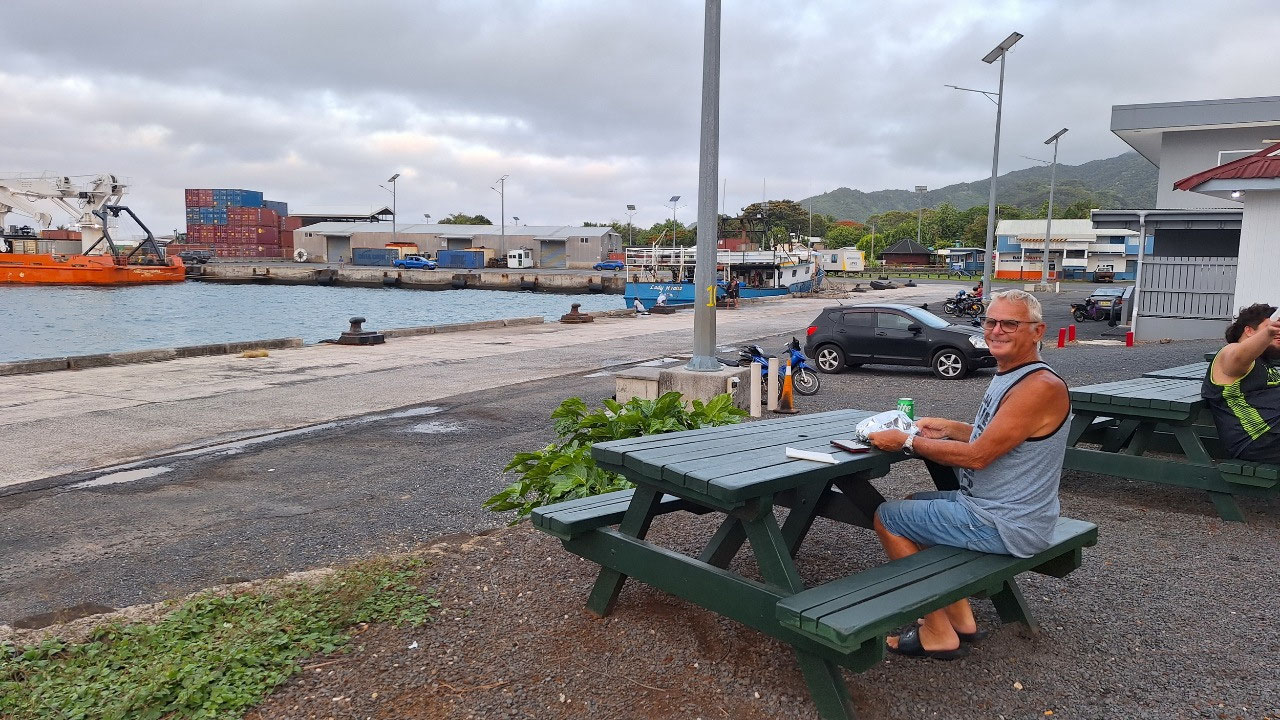
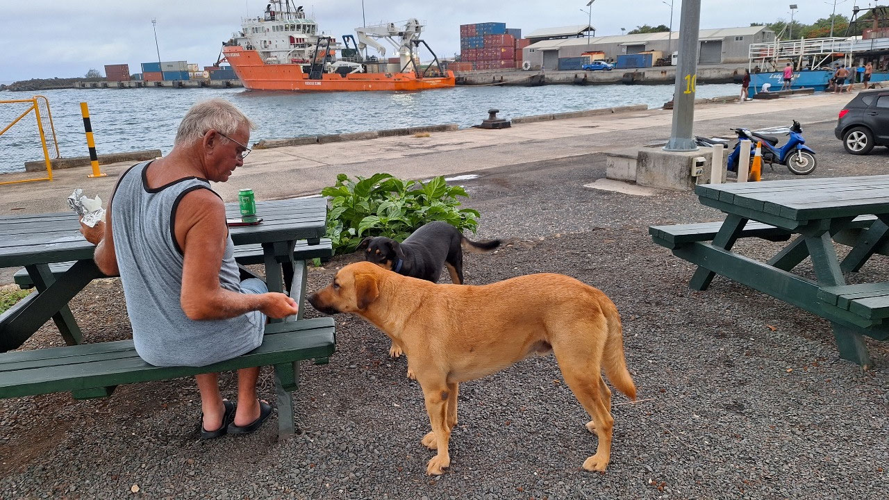
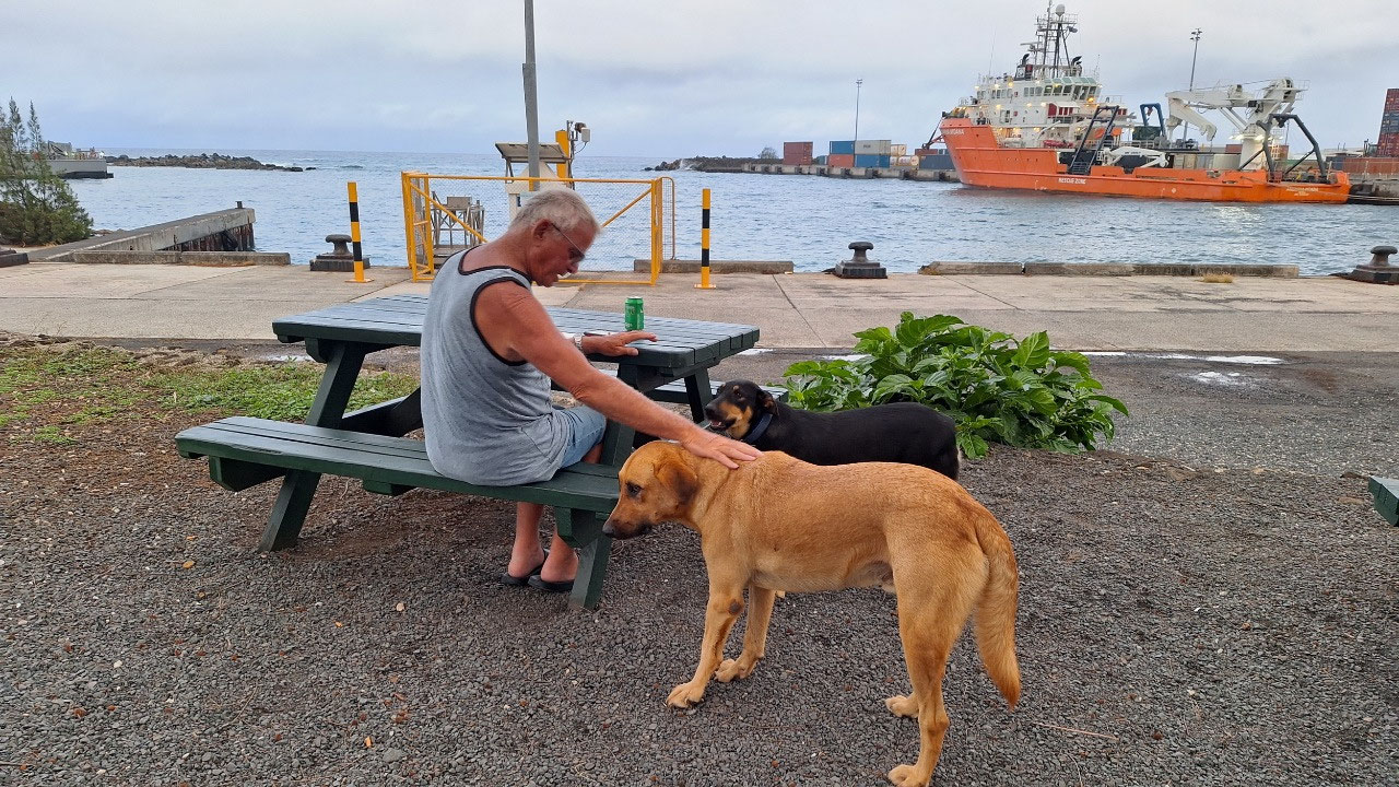
Fishplate at the Harbour
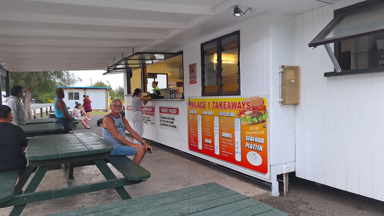
Today we decided to have a
take-away dinner at the harbour with the locals, when we arrived at the shack
there were lots and lots of locals here you even had to stand in line –we
ordered a Fishplate: that means you get 2 fish, 2 eggs (yes that is right),
salad and chips and tomato sauce (that is ketchup)…. we were eating it at those
greasy picnic tables overlooking the container harbour and the boys jumping in
the water, it was more than we could eat…. Afterwards Paul was feeding the dogs
running around. We decided to go down to watch a bit the boys jumping in the
water (yes, there is a sign no swimming) but as we arrived at the water edge it
started to rain and so we headed back to the car and now it is pouring – but
once we arrived back at our place it stopped again.
I thought it is funny when we
listen to the weather forecast and they say the northern Islands have… and the
southern island weather will be: Really the islands are hundreds of kilometers
apart and the sun can shine in Aitutaki and it rains in Rarotonga…. Guess here
you will never know, and it can rain on one side of Rarotonga and the sun
shines on the other side.


2025-05-23