Today is the second day of our Southern Utah Whirlwind Park Tour. There are just so many parks and monuments to see in southern Utah, that we would be here for weeks to see them all, and we would like to be home by early September. So we are trying to see as many as we can in a short period of time, which means that we can't really see all that each has to offer. Mostly we miss out on the hikes as most of these parks have great hiking, with most of the trails taking either a half or full day.
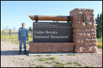
We set out early this morning for the Cedar Breaks National Monument
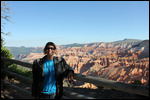
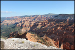
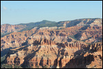
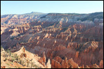
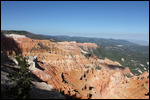
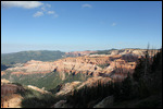
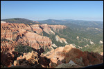
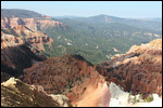
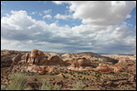
. So early, that when we got there at 8:50, the Visitors Center wasn't even open yet. So we hung around Point Supreme and took a bunch of pictures while the rangers got there act together and opened the Visitor Center at 9:15. We got our passports stamped and bought a couple of t-shirts and headed out to the scenic drive. Cedar Breaks is a very small park, it's basically a scenic drive on UT-148 with 4 scenic overlooks. It's just that each scenic overlook is above 10,000 feet so the views are spectacular. We made quick work of Cedar Breaks and were done by 10:00.
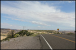
We were feeling confident that with Bryce Canyon only 27 miles away, we would be there easily before 11:00. Unfortunately, today was the day that Utah decided it was time to seal the roadway on UT-143 between Cedar Breaks and Scenic Highway 12 where Bryce Canyon is located. We were stuck at a flagman stop for about 30 minutes before we could finally get back under way. Not too bad , we thought until we saw the next sign for the flagman less than 10 miles away
. Same drill, 30 minute delay at the flagman stop while they sealed another section of road. So it's now past 11:00 and we aren't even at UT-12 yet.
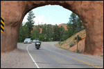
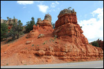
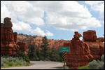
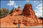
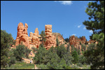
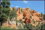
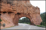
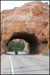
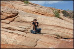
Scenic Highway 12 or UT-12 is a wonderful stretch of road across southern Utah. It is 124 miles long and ends in Torrey, UT, our final destination for the day. Now one of the biggest problems with Scenic Highways is that they tend to be scenic. So if you are trying to make up for lost time, Scenic Highways tend not to help. Scenic Highway 12 is no exception. Right at the start at the intersection of UT-89 is a place in the Dixie National Forest called Red Canyon. Of course it is spectacular, and the first few miles of UT-12 have Scenic Viewpoints every quarter mile. There were also a bunch of short hikes at each of the viewpoints, so of course we had to stop and take pictures, and at least wander in the beginning of some of the hikes. There were even 2 short tunnels cut into the rock, and Jody was able to get pictures of me riding through. So by the time we got to Bryce Canyon it was close to 1:00
.
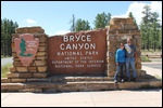
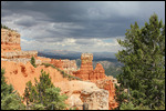
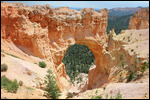
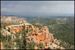
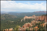
Bryce Canyon is one of those dead end parks, where the main scenic drive is 18 miles long into the park and dead ends. Then there is a turnaround loop at the end and you have to drive back the 18 miles on the same road. We got to the Visitors Center, had our passports stamped and watched the obligatory 20 minute movie. After checking the map, we decided the best idea would be to drive all the way to the end of the 18 mile road, check out the overlooks there and then begin the ride back, stopping at all the overlooks along the way. Besides, the clouds were beginning to look a little ominous, and We at least wanted to make it to the end.
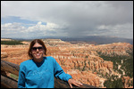
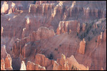
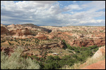
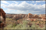
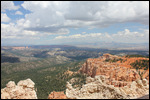
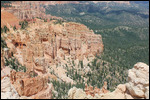
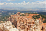
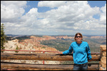
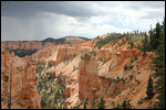
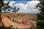
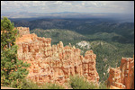
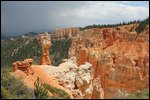
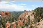
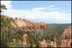
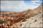
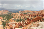
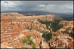
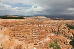
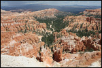
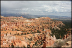
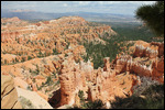
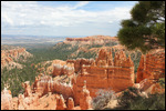
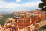
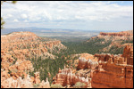
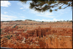
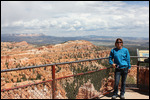
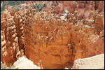
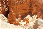
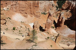
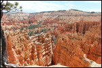
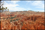
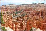
The overlooks in Bryce Canyon are really spectacular. The road is at about 8000 to 9000 feet elevation, and you look down into the canyons below. The rock formations are everywhere, with hoodoos and canyons, with bright reds and oranges and browns. It's difficult in a photograph the sheer size of all of this, but it is certainly spectacular to see. We stpooed at each of the overlooks, took lots of pictures, but after yesterdays hiking experiences in Zion, we were still a little tired and were trying not to get as many steps
. A couple of hours later, we had visited most of the overlooks and skipped most of the hikes. There was a really interesting loop hike on Sunset Point that actually went down somewhat into the canyon so that you would be among the hoodoos and formations when you took your pictures. But it was 1.3 miles and very steep and the sky was looking more ominous. So we skipped the hike and settled for lunch at the Lodge instead as we were getting pretty hungry.
By the time we finished lunch, it was getting close to 3:30, and luckily the threatening clouds gave only a couple of sprinkles. We still had over 100 miles to the hotel and it would all be on Scenic Highway 12. The Garmin said that if we left now, we would make it to the hotel by 6:30 so we thought we'd better get going. After a quick stop at the Ruby Inn General Store to get a couple of t-shirts, we were on our way. The Visitors Center for the Grand Staircase Escalente National Monument was also on UT-12, and about 40 miles from Bryce. We made it to the Visitors Center by 4:15 just before it closed at 4:30
. Just enough time to check out the park which was mostly dedicated to off-road driving for 4WD and high clearance 2WD vehicles - definitely not for Goldwings. So we just got our passports stamped and got back on the road.
Scenic Highway 12 turned out to be just a wonderful scenic ride. The views in the first 60 miles were awesome, and once we got out of Red Canyon, there weren't really many overlooks, and the road wasn't particularly challenging, so we could just cruise along in high gear and enjoy the view. Then there was a big lit up sign saying "Caution Motorcycles: Very Sharp Curves Next 20 Miles". We were veterans of many twisty roads so far on this trip, so we weren't worried, just a little surprised by the sign. And the curves ahead were about typical for mountain roads with switchbacks to get us up and down the mountains.
Then as we were heading to the summit of one of the mountains at about 9100 feet, the ground began to fall away on both sides of the road! Normally, mountain roads are cut into the side of the mountain, and there is a steep rise on one side and a steep drop on the other
. But in this case, the road was built on the plateau, and the plateau just kept getting narrower and narrower until there was very little shoulder left on either side of the road. Luckily there was a pullout at the summit, so we stopped to take some pictures, but I'm not sure they really show how quickly the sides dropped off on either side of the road. And just beyond the turnout when we got back on the road, was an area where there was virtually no shoulder on either side of the road and we were just suspended in space between two valleys. Not so good for my fear of heights,but we were so in awe by the experience at the time, we just held on and kept going.
Once we got beyond the dropoffs, the road immediately started a steep descent. Some of the grades were 10%. And the switchbacks were very tight, in some cases they were cut into the rock, so that the steep red canyon walls were right next to the road. We got to stop a couple of times to take some pictures, but mostly there was no room to pull over. There were lots of motorcycles on this road, as it's a very popular place to ride. As Sturgis just finished up yesterday, some of the bikes were returning and decided to make Scenic Highway 12 part of their ride home. It really is an awesome motorcycle road!
We finally made it to the hotel at about 7:00. Since we ate at the Lodge late, we just grabbed a quick snack. Tomorrow is another day of the Southern Utah Whirlwind Park Tour. We are staying in Torrey, UT right next to the Capitol Reef National Park and we end up in Monticello, UT just south of Moab, so it should be another fun day.
241.2 miles today
14,145.8 miles total
7.893 gallons today
341.537 gallons total
Day 79 - Utah, So Many Parks, So Little Time
Monday, August 10, 2015
 Torrey, Utah, United States
Other Entries
-
63Day 62 - Fisherman's Wharf & Alcatraz
Jul 2417 days prior San Francisco, United Statesphoto_camera48videocam 0comment 0
 -
64Day 63-Hippie, Scientist, Artist - In 21,000 Steps
Jul 2516 days prior San Francisco, United Statesphoto_camera69videocam 0comment 1
 -
65Day 64 - Escaped a Marathon, Found a Mountain
Jul 2615 days prior Oakhurst, United Statesphoto_camera25videocam 0comment 0
 -
66Day 65 - Yosemite is an Awesome Park!
Jul 2714 days prior Oakhurst, United Statesphoto_camera44videocam 0comment 0
 -
67Day 66 - Two Parks, Big Trees, and a Bigger Rock
Jul 2813 days prior Oakhurst, United Statesphoto_camera47videocam 0comment 0
 -
68Day 67-Steamtrain Morning, CruiseControl Afternoon
Jul 2912 days prior Seaside, United Statesphoto_camera20videocam 0comment 0
 -
69Day 68 - What a Highway, What a Castle!
Jul 3011 days prior Pismo Beach, United Statesphoto_camera64videocam 0comment 0
 -
70Day 69 - Best Car Collection Ever - Nethercutt!
Jul 3110 days prior Sylmar, United Statesphoto_camera73videocam 0comment 0
 -
71Day 70 - Finished the PCH, Made it to San Diego!
Aug 019 days prior San Diego, United Statesphoto_camera8videocam 0comment 0
 -
72Day 71 - Balboa Park - Museums, Museums, Museums
Aug 028 days prior San Diego, United Statesphoto_camera74videocam 0comment 0
 -
73Day 72 - San Diego Zoo is THE Best Zoo!
Aug 037 days prior San Diego, United Statesphoto_camera56videocam 0comment 0
 -
74Day 73- Motorcycle Tires & the Last of Balboa Park
Aug 046 days prior San Diego, United Statesphoto_camera29videocam 0comment 0
 -
75Day 74 - Goodbye San Diego - Hello Hot! Hot! Hot!
Aug 055 days prior Yucca Valley, United Statesphoto_camera22videocam 0comment 0
 -
76Day 75 - Tale of Two Deserts
Aug 064 days prior Henderson, United Statesphoto_camera42videocam 0comment 2
 -
77Day 76 - Hoover - A Damn Fine Dam
Aug 073 days prior Henderson, United Statesphoto_camera50videocam 0comment 0
 -
78Day 77 - Red Rocks to Cruise Control
Aug 082 days prior Kanab, United Statesphoto_camera25videocam 0comment 0
 -
79Day 78 - Zion is Spectacular!
Aug 091 day prior Cedar City, United Statesphoto_camera59videocam 0comment 0
 -
80Day 79 - Utah, So Many Parks, So Little Time
Aug 10 Torrey, United Statesphoto_camera60videocam 0comment 0
 -
81Day 80 - Parks, Rain, More Parks
Aug 111 day later Monticello, United Statesphoto_camera56videocam 0comment 0
 -
82Day 81 - Great Rock Formations, Ancient Ruins
Aug 122 days later Williams, United Statesphoto_camera51videocam 0comment 0
 -
83Day 82 -Grand Canyon, On a Motorcycle, In the Rain
Aug 133 days later Williams, United Statesphoto_camera62videocam 0comment 0
 -
84Day 83 - We Got Our Kicks on Route 66
Aug 144 days later Williams, United Statesphoto_camera12videocam 0comment 0
 -
85Day 84-Who Needs a Roller Coaster After Jerome,AZ
Aug 155 days later Mesa, United Statesphoto_camera32videocam 0comment 0
 -
86Day 85 - Climbed Another Mountain!
Aug 166 days later Eagar, United Statesphoto_camera32videocam 0comment 2
 -
87Day 86 - Awesome Day on the Coronado Trail
Aug 177 days later Deming, United Statesphoto_camera22videocam 0comment 0
 -
88Day 87 - Not Everything is Big in Texas
Aug 188 days later Carlsbad, United Statesphoto_camera20videocam 0comment 0
 -
89Day 88 - Carlsbad Caverns - Best Cave & Bats Too!
Aug 199 days later Carlsbad, United Statesphoto_camera64videocam 0comment 0
 -
90Day 89 - Searched for Aliens & Found a Ghost Town
Aug 2010 days later Santa Fe, United Statesphoto_camera21videocam 0comment 0
 -
91Day 90 - Back in the Mountains With Indian Ruins!
Aug 2111 days later Mesa Verde National Park, United Statesphoto_camera44videocam 0comment 0
 -
92Day 91 -More Indian Ruins & Better Motorcycle Road
Aug 2212 days later Mesa Verde National Park, United Statesphoto_camera42videocam 0comment 0
 -
93Day 92 - We Just Kept Climbing Higher & Higher!
Aug 2313 days later Salida, United Statesphoto_camera36videocam 0comment 0
 -
94Day 93-We Just Kept Climbing Until We Hit 12,183ft
Aug 2414 days later Estes Park, United Statesphoto_camera54videocam 0comment 0
 -
95Day 94 - A Wonderful Ride & A Return to 6000 ft
Aug 2515 days later Manitou Springs, United Statesphoto_camera18videocam 0comment 0
 -
96Day 95 - As High As We Can Get - 14,115 ft
Aug 2616 days later Manitou Springs, United Statesphoto_camera60videocam 0comment 0
 -
97Day 96 - The Sad Farewell Tour of the Mountains
Aug 2717 days later Pueblo, United Statesphoto_camera34videocam 0comment 0
 -
98Day 97 - Started Slow But Ended in Gunfire!
Aug 2818 days later Dodge City, United Statesphoto_camera46videocam 0comment 2

 Torrey, Utah, United States

2025-05-23