sep 4 Pines Recreation Area Charles Russel Wildlife Refuge Lake Peck MT
This is going to be very difficult since I am sitting in the shade of the tent opening and trying to write this.
Here at least there is no glare from the sun, but I have realized that, when the netbook is not plugged in, it saves battery power by dimming the screen. Consequently I cannot see what I am typing and I cannot see where the cursor goes.
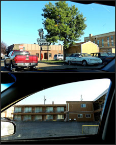
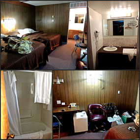
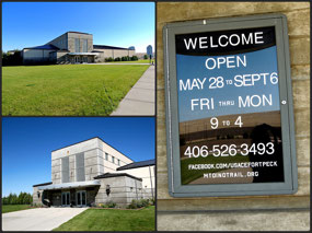
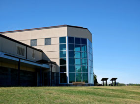
So I woke up around 5 am, then 6 am, then I think it was 7 am before I really got moving. I showered, then went for coffee, checked the food offerings. There was some sort of cereal but it did not look appealing so I opted for the last serving of my Bobs Red Mill muesli. I packed up, dropped off my key, and left. On the way out of town I bought 3 qts of oil for the car and then headed for Fort Peck Interpretive Center.
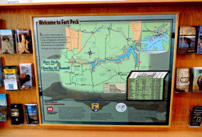
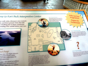
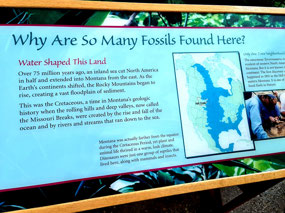
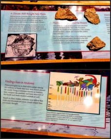
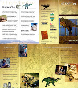
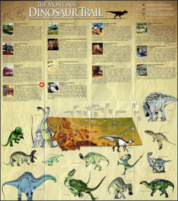
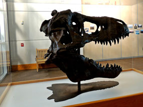
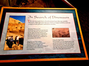
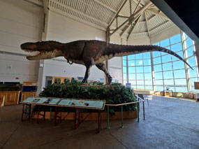
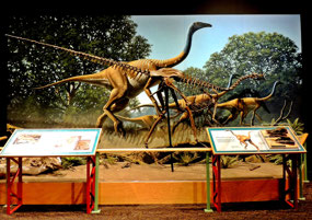
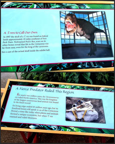
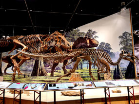
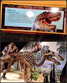
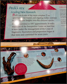
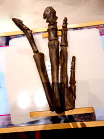
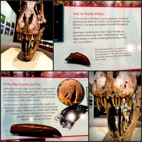
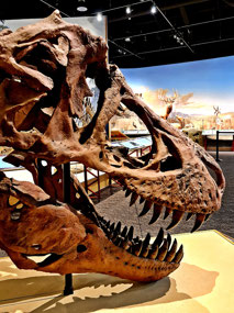
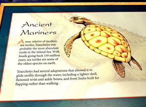
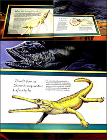
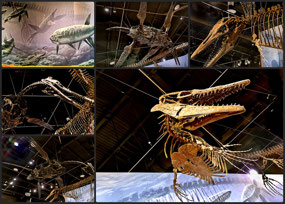
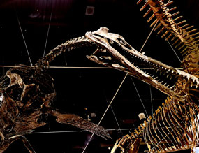
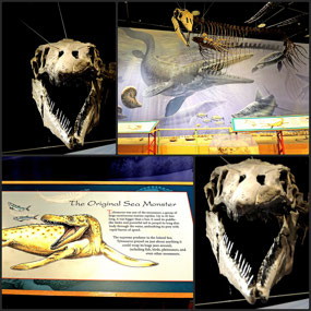
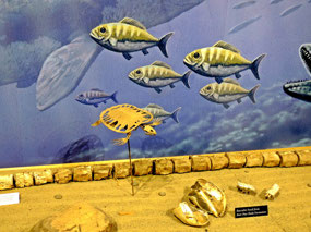
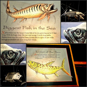
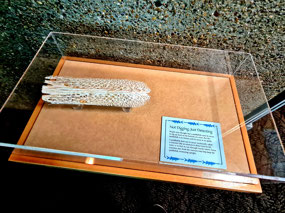
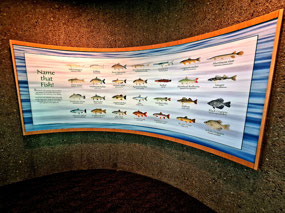
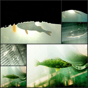
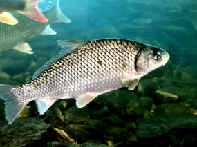
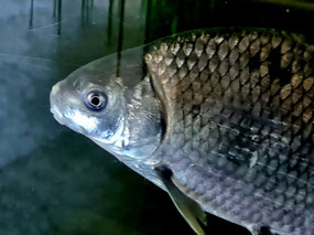
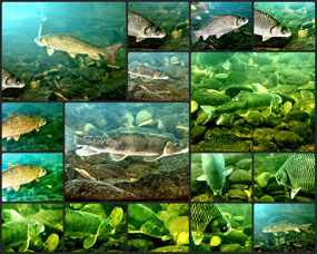
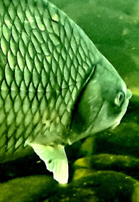
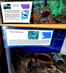
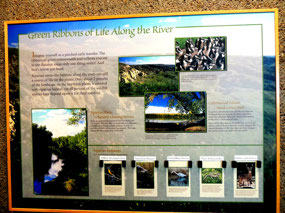
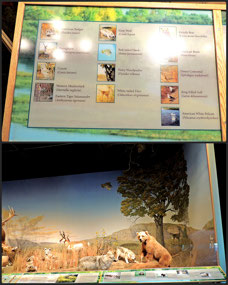
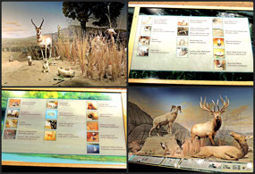
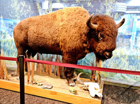
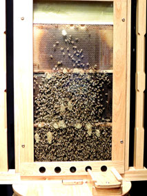
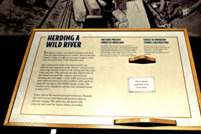
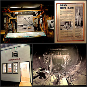
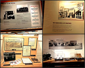
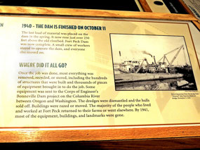
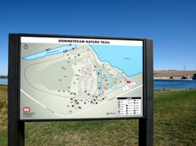
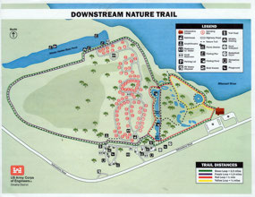
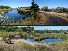
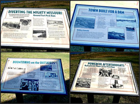
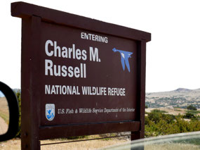
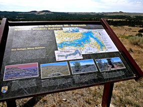
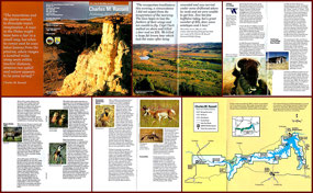
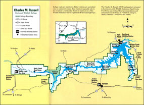
When I got there - with a little trial and error. The game warden at the Center gave me some good advice - she told me all the spots where I could see the various parts of the dam and a few places in Charles Russell Wildlife Refuge, both near and farther toward Malta, where I might see wildlife. And even camp, but she wasn't too sure about that since it was labor day weekend afterall. I picked up a bunch of brochures and went through the center taking lots of photos of the exhibits, the fish in the fish tanks and the dinosaur skeletons - especially the teeth - they did have big, sharp teeth. There was even a little patinted turtle for John. After I went through the museum and had to switch to the cell phone because the Nikon kept jamming, I took the nature trail. I should have paid attention to the map the game warden gave me because I didn't get the full 2 plus miles.
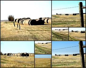
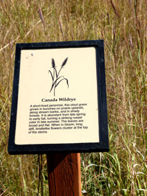
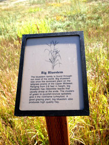
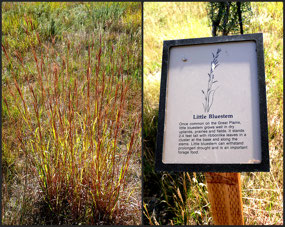
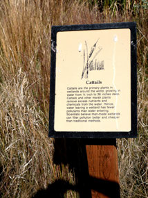
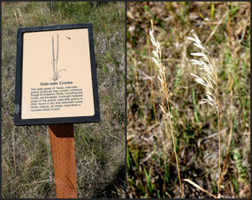
But that was really OK since the landscape, though pleasant, did not change much and most of the trail had no signs that I could see....and photograph.
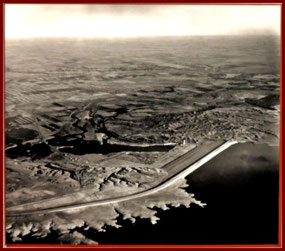
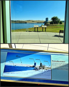
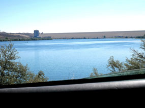
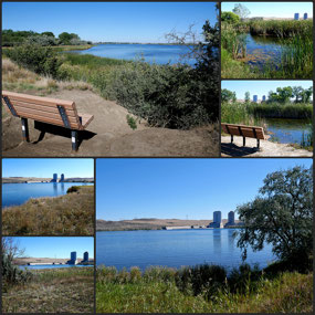
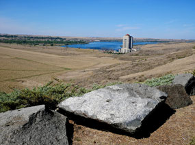
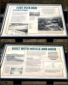
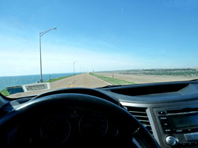
Leaving the Center, I went to Roundhedd Point to check on campsites and see the view of the dam. The dam is pretty spectacular . It is an earthen rather than concrete dam so there is a huge circulation wall of dirt, planted with grass. I have not yet seen the spillway, but I did see the towers connected to the 4 tunnels that allow the water of the Missouri River to pass under the dam and flow into Lake Peck and beyond. There are other overlooks - one supposedly has pelicans - but I am saving those for later.
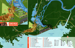
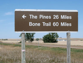
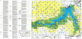
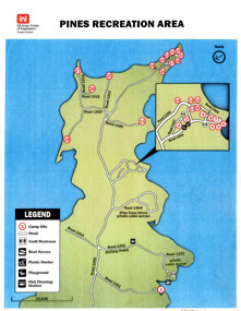
Next on my agenda was to go to the Pines recreaton area. This was more problemmatical because, in trying to follow the map, I got lost several times. I coudl not access it on the gps which is why I was going by map and signs. There were signs eventually but they seemed farther away than I would have thought.
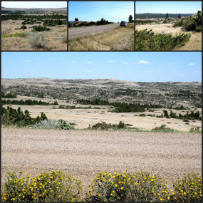
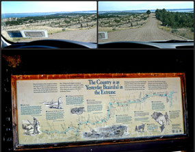
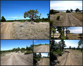
To get there, it is 25 miles on a gravel road - gravel, not dirt.
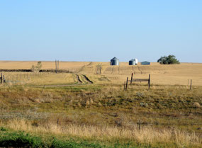
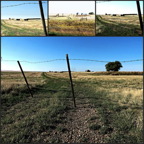
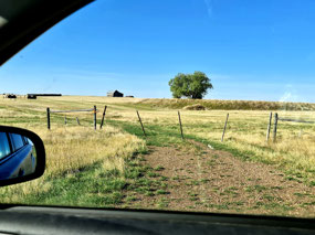
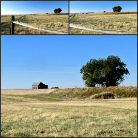
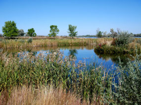
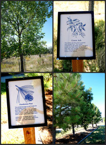
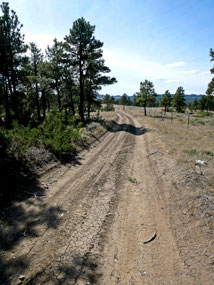
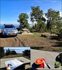
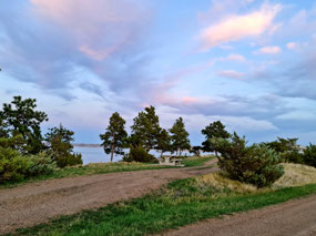
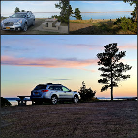
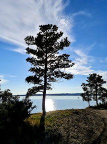
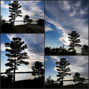
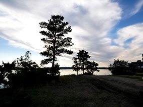
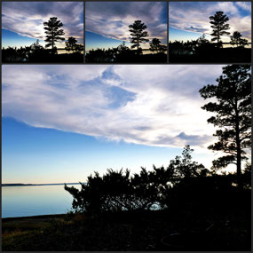
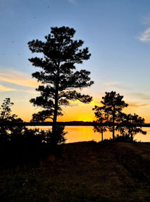
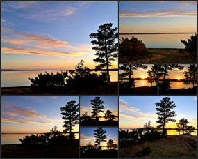
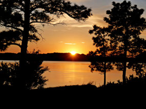
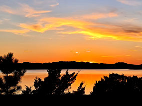
I have never experienced such a long 25 miles. It just seemed to go on and on. First it was through farmland - quite paretty, but hard to stop because the gravel was loose and would throw the car so I was being very careful and trying to drive in the grooves. Eventually there was a turn off for the Pines Rd. That went on for a long time and finally the scrubby landscape starteed to change to more standing pine trees. It is not what I would call forested but I do have my tent in the shade of several pine trees now. I am at the campsite on the point - the very tip of the point. I checked out site #1 which I thought was the campground only to find out that it was only 1 campsite. The road to it was inaccessible for my Outback because the ruts were so deep. I passed other roads - mostly unmarked - and took one to look for more campsites, but there didn't appear to be any so finally headed here to the point where there were supposed to be a dozen or so and I found a couple empty spots. I first picked another one because it had some cover, but then moved to this one because it faces west over the Fort Peck Lake, I am hoping for a nice sunset.
Because I got here before 3 pm, I had a lot of time on my hands and decided to put up the tent even though I am only planning a one night stay.
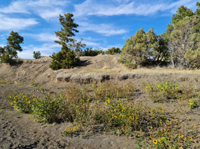
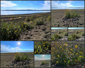
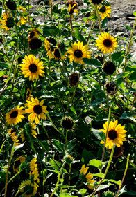
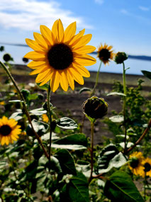
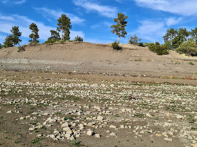
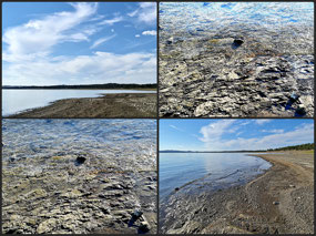
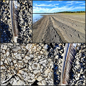
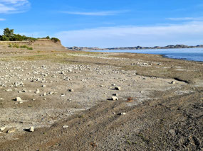
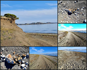
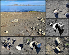
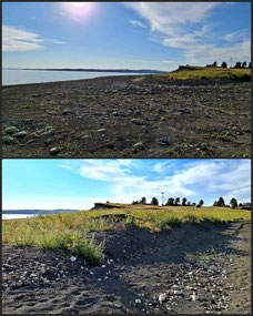
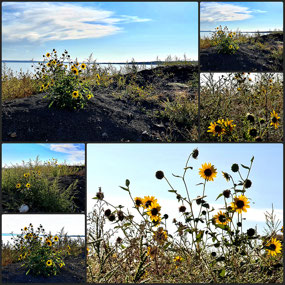
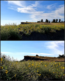
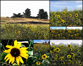
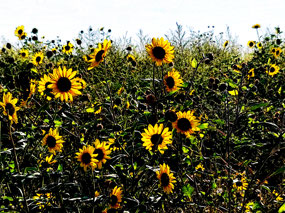
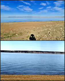
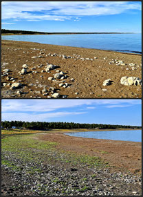
For lunch I ate a portion of the watermelon which is still edible - not bad, but probably not at its prime. Then I chased that with several handfuls of pistachios - in their shells - but I shelled them before eating. Now I am blogging after cleaning - sort of - and tidying the car and organizing. I did go exploring the beaches on both sides of the point: there were some pretty yellow wildflowers and lots of rocks. I saw a few birds flying over the lake. Then I headed up to my campsite to enjoy the sunset.
Now I plan to take a walk with my binoculars and just the cell phone to the end of the point before coming back, fixing some dinner and watching the sunset or the opposite order depending on how long my walk is.
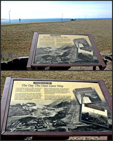
There was something I wanted to add but now I cannot remember what it was...did it have to do with the dam. When I watched the film, I could hardly understand what they were talking about - the engineering sounded very complicated with all the types of soil and rocks and slurry and building this and that and all the tons of everthing. But the thing to remember here is that this is an earthen dam. The spill water is separate from it - possibly so that it doesn't threaten the earthen structure. I don't know.

 Charles M Russell National Wildlife Refuge, Montana, United States


2025-05-22