 Jomsom, Western Region, Nepal
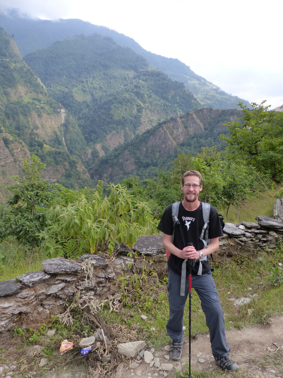
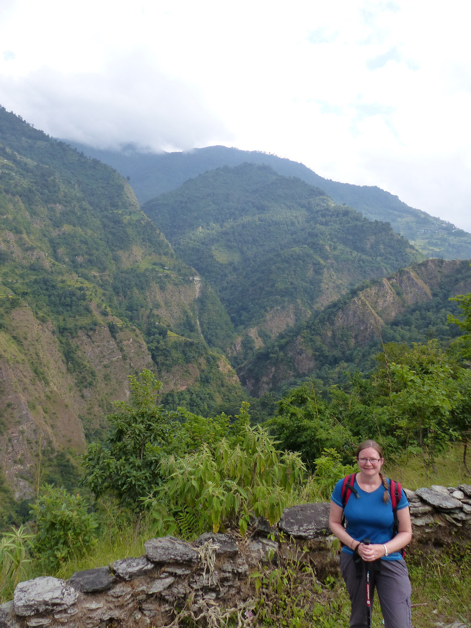
We wanted to do some trekking whilst in Nepal. Our good friend had told us that her journey on the Annapurna Circuit was, "my favourite thing I've ever done!" - and this is from someone who has been travelling around the world twice. Quite an endorsement. So we thought we would do what our friend did, and go trekking on the 'easy' half of the Annapurna Circuit, for 8 days or so.
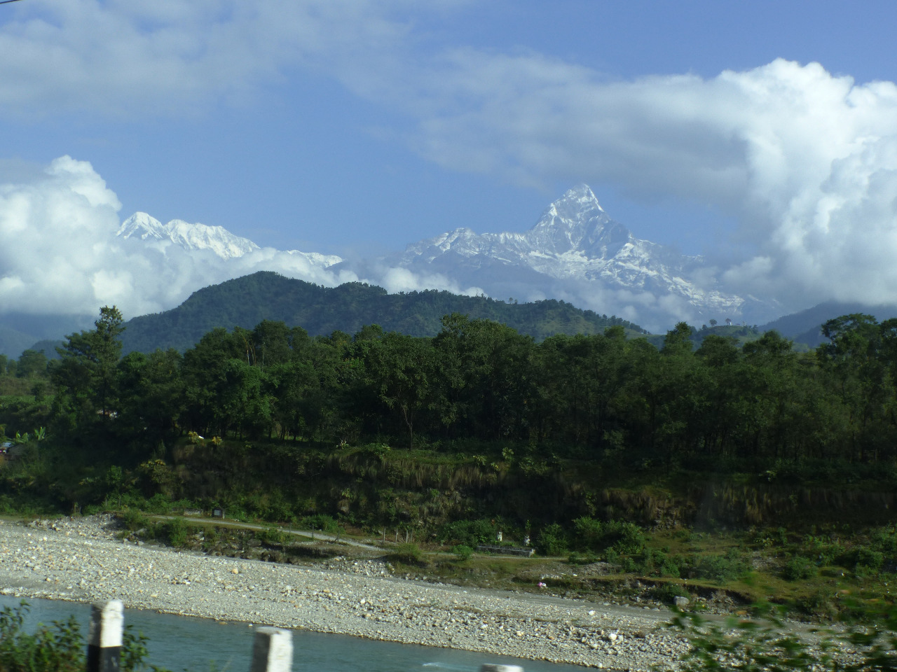
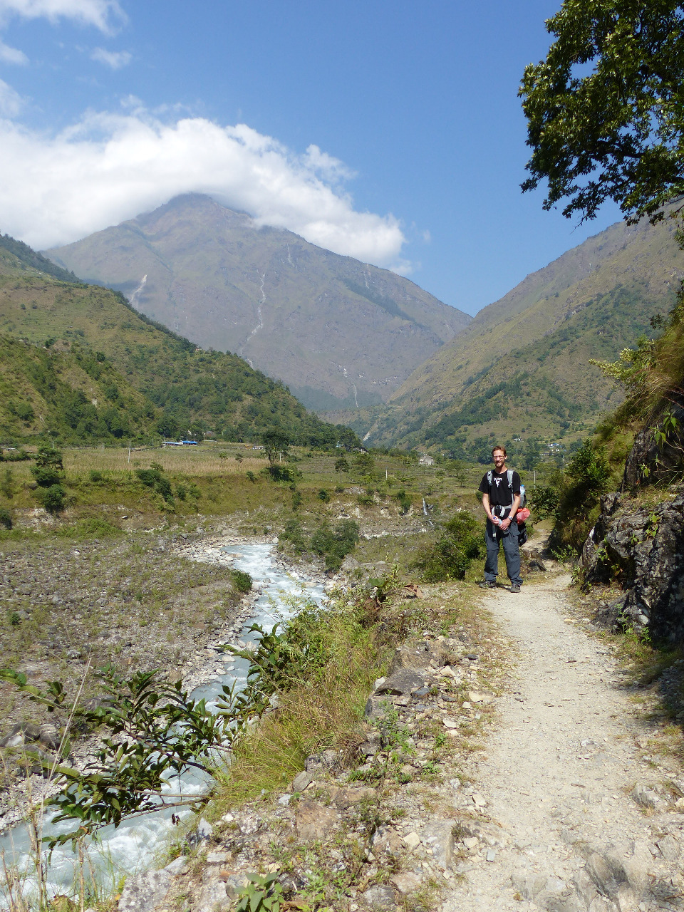
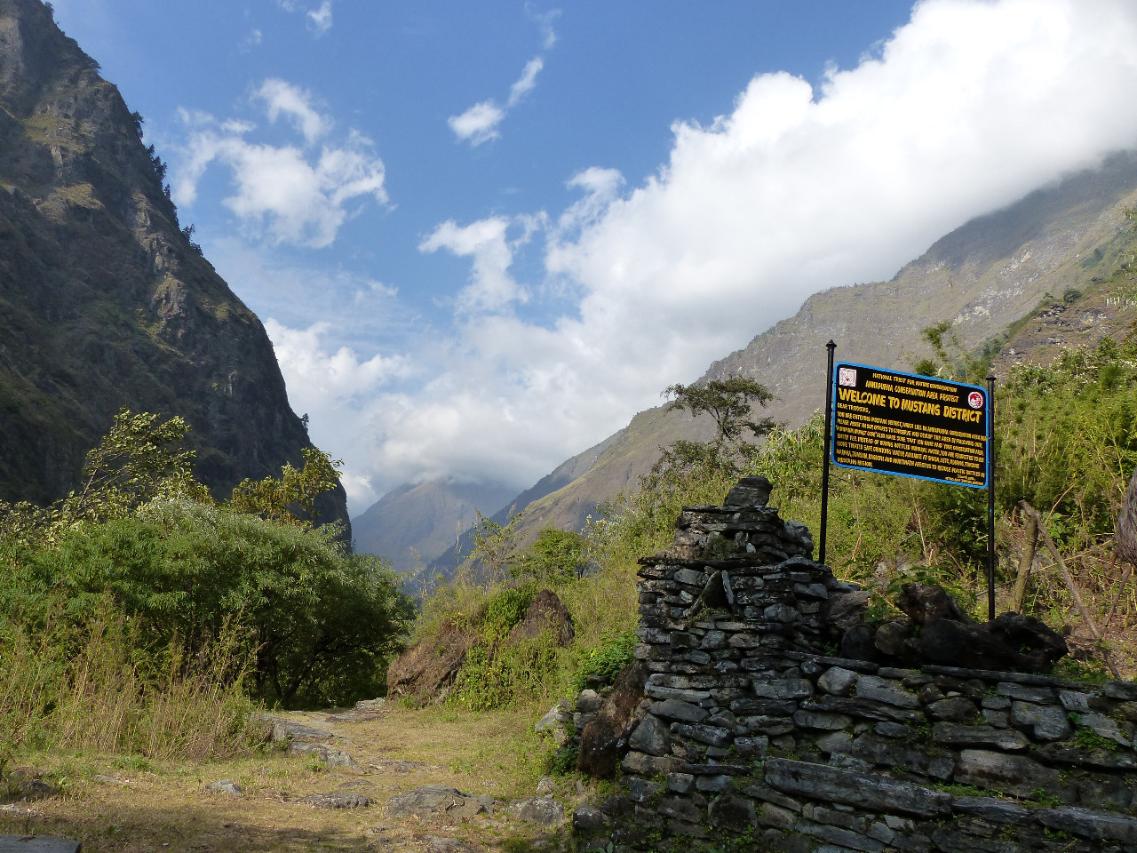
Therefore the plan was to walk from Nayapul, at the far end of the Annapurna Circuit, to Muktinath (an ancient pilgrimage site), and return back to Jomsom, to fly back to Pokhara
. This took in several elevation changes up to a maximum height of 3900 metres, and about 118 kilometres of walking.
Some advice we received before we left/ on our journey: get somewhere to stay before 3.30pm, as places get booked out; avoid the 4pm rain by having somewhere to stay before it arrives; watch out for landslides; enjoy it and take your time. All sound advice, we thought.
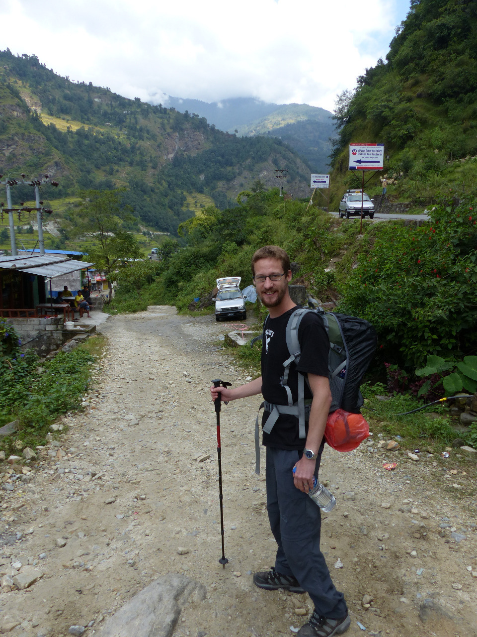
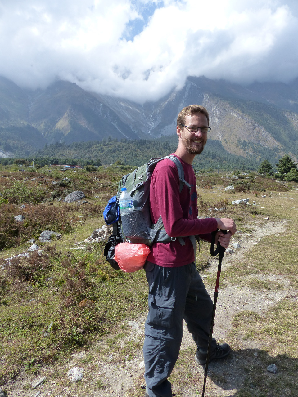
Day 1, Saturday 17th, Nayapul to Ulleri, 9km, 1000 metre altitude gain
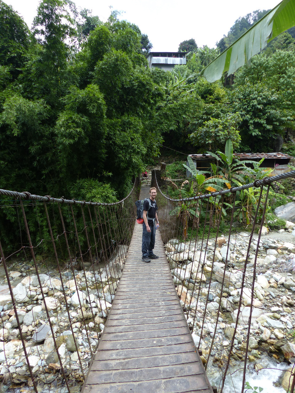
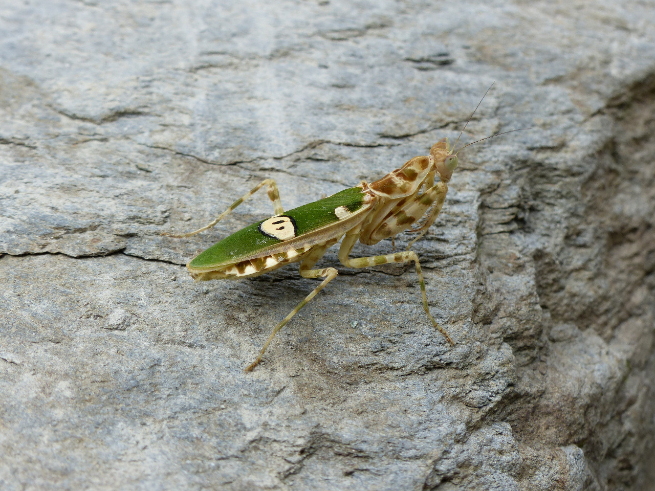
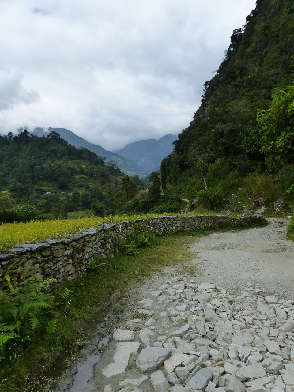
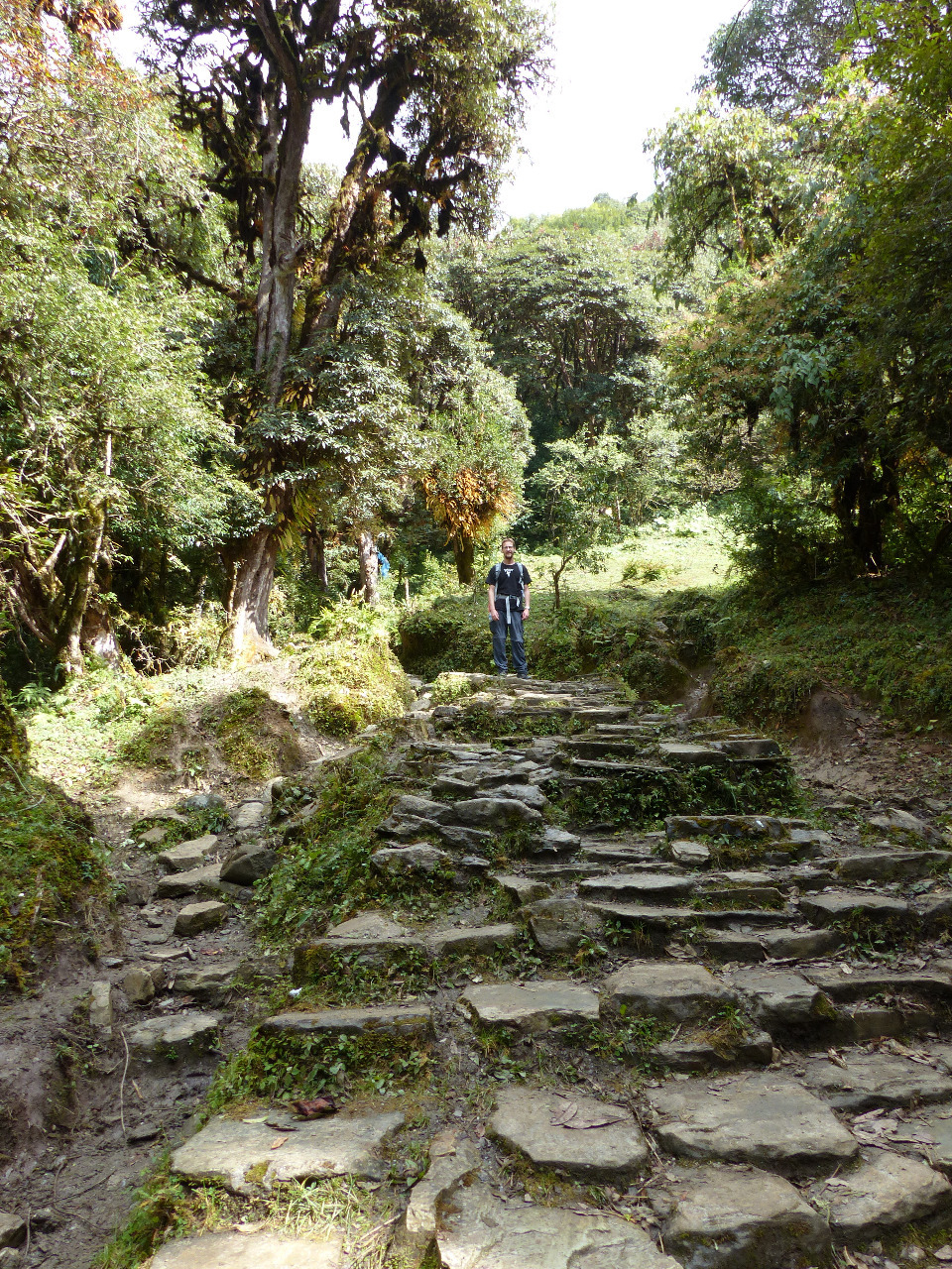
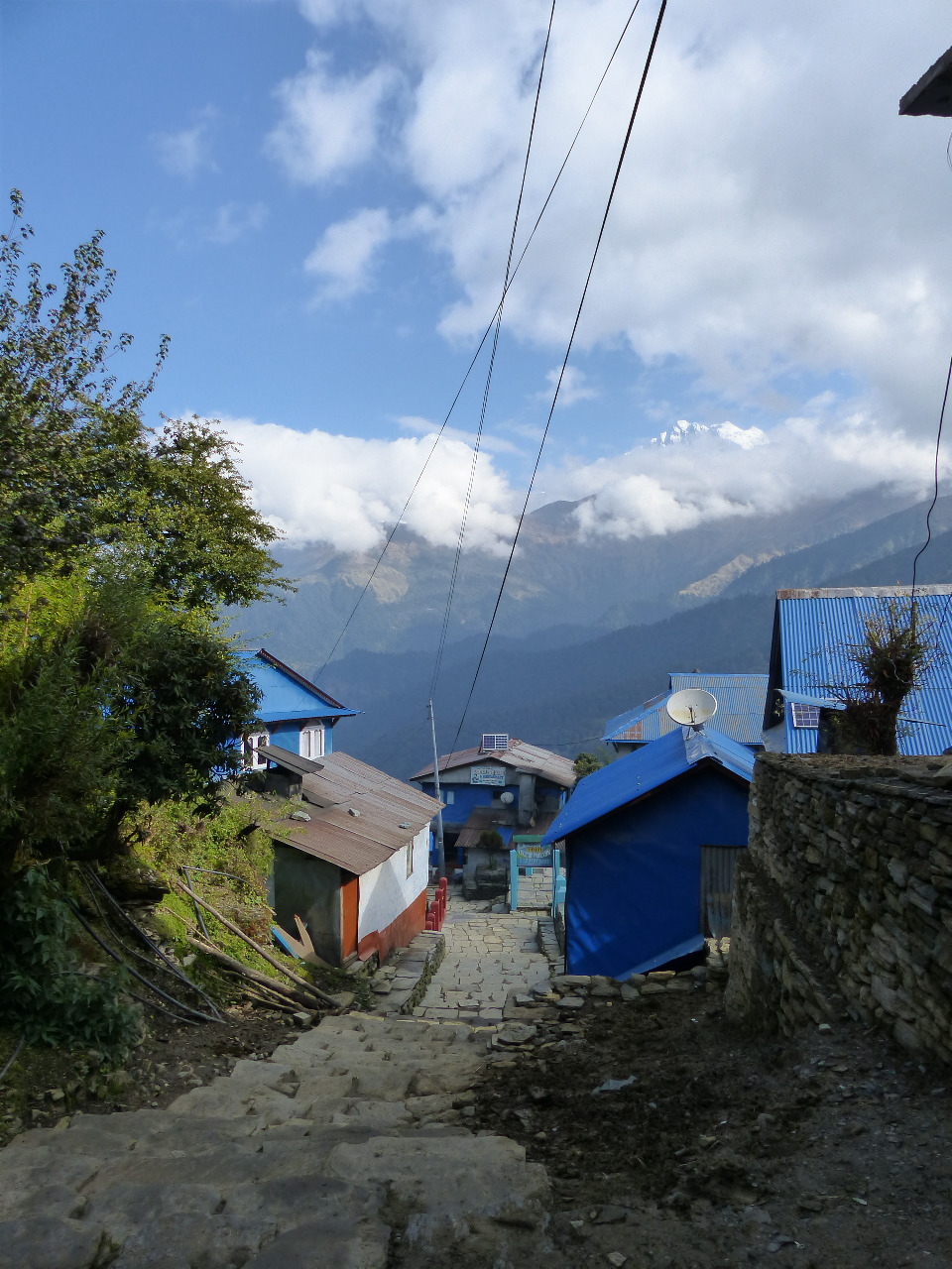
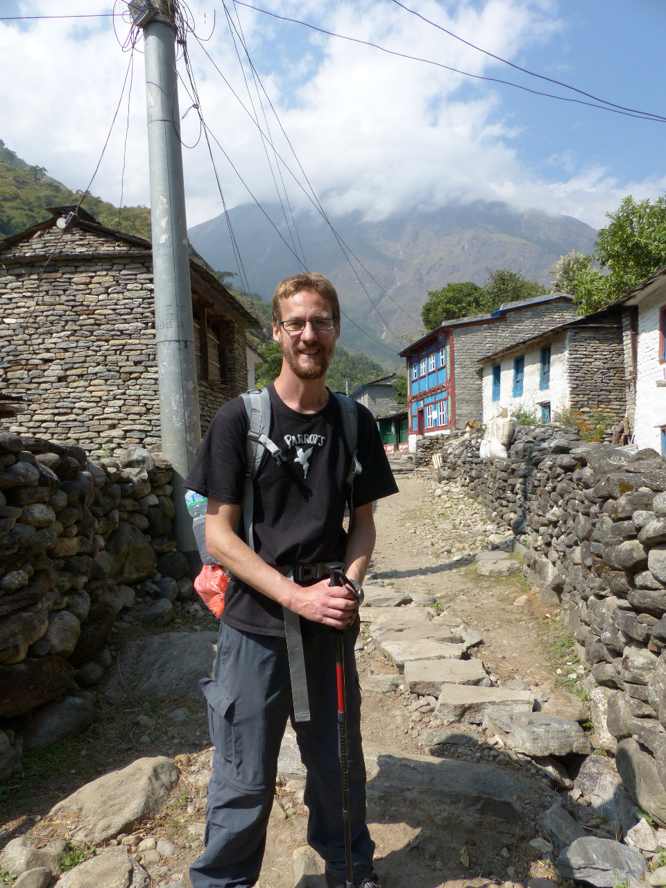
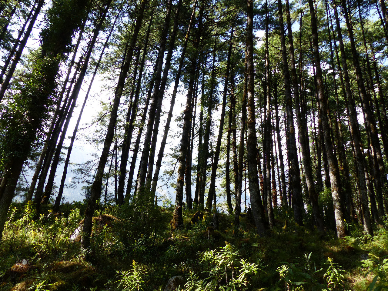
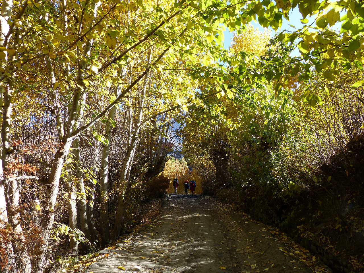
We took a bus to Nayapul from our hotel in Pokhara. The bus was small and comfortable, and took about an hour and a half to get to Nayapul. Immediately after we arrived, we realised that there were no signs saying which way to go - ie. where to start the trek. So we asked, and the locals obliged us by pointing out the way. (This would become a very familiar theme.) We walked on the flat for half an hour to Birethanti, where we checked in with our two different permits to two different offices. On leaving Birethanti, we walked for about two hours, through forested areas and up gentle hills. We saw what looked like a mantis, though a guide told us it was a grasshopper. We also joked with an Aussie couple we kept passing, and met a couple of French guys, Thomas and Jerome, who we walked with for a while. We passed through the villages of Lamduwali, Sudane and Hile, before stopping in Tikhedhunga for lunch (which took ages to cook)
. We'd gone up about 500 metres in altitude but hadn't noticed, as the terrain was gentle.
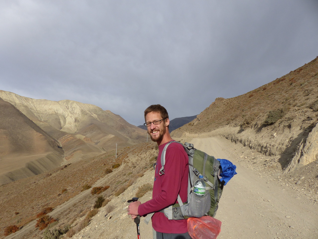
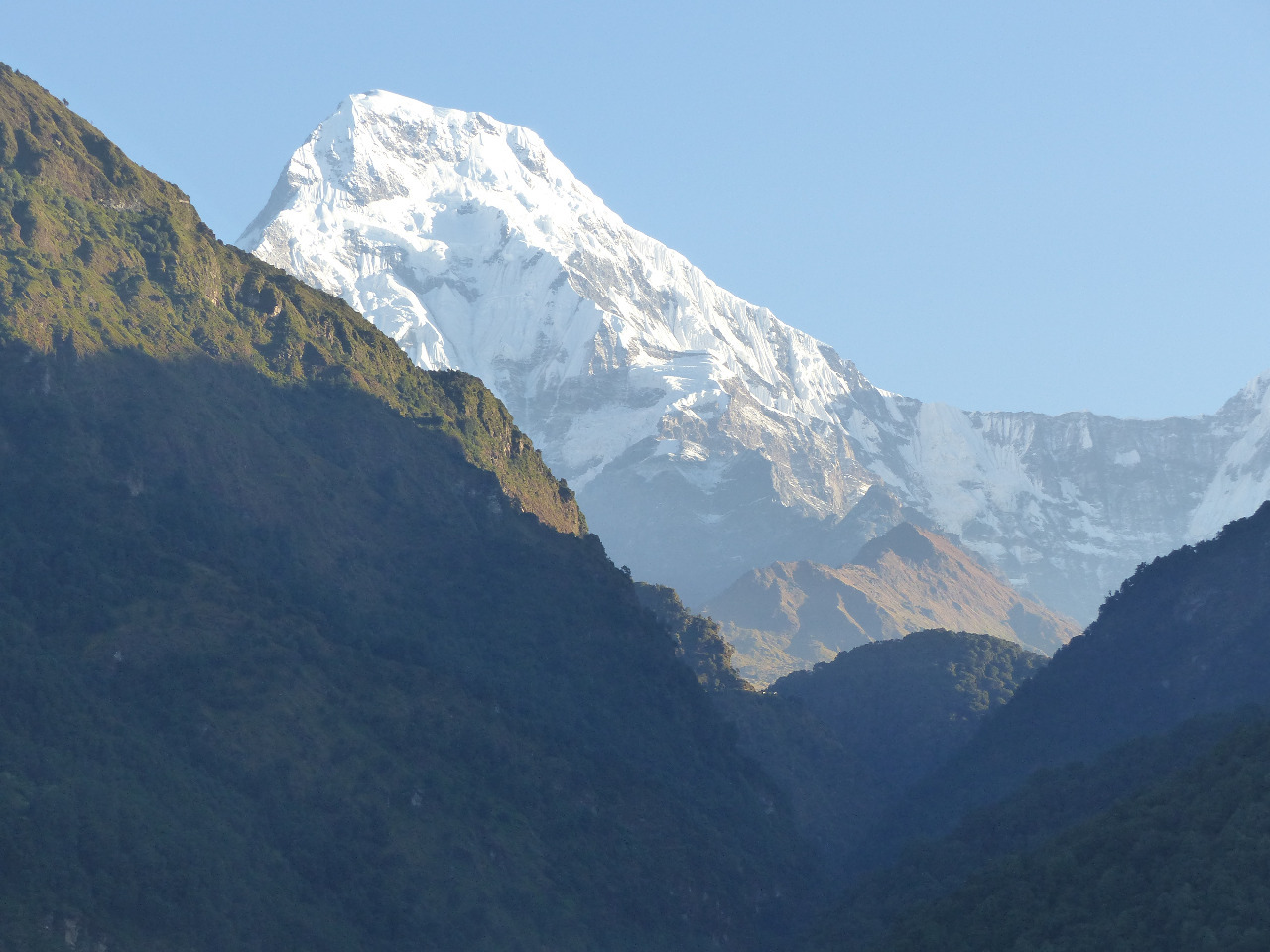
From Tikhedhunga to Ulleri, our very basic linear map from the trekking office said it would take an hour. The chap from the lunch spot said it would take two hours, as it was 500 metres of up over two kilometres. We re-met Jerome, who said that there were 3200 steps to climb to reach Ulleri. We set off, and it took us an hour and a half to reach the top, and there really were 3200 steps to climb. We went straight to the first guest house, Super View, which did indeed have an amazing view of snow capped mountains in the distance. We had a private room, with bedding, and a hot shower, and we were back to altitude at a height of 2010 metres. We had a good evening meal in the hotel, and chatted at length to the Aussies - Nick and Ness - and a Dutch guy called Eric. The light from the dining room attracted various moths and insects, and we enjoyed watching the clever bats swoop past to catch insects
. (Save the bats!)
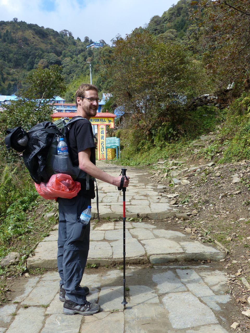
Day 2, Sunday 18th, Ulleri to Ghorepani and Poon Hill, 9km, 1200 metre altitude gain
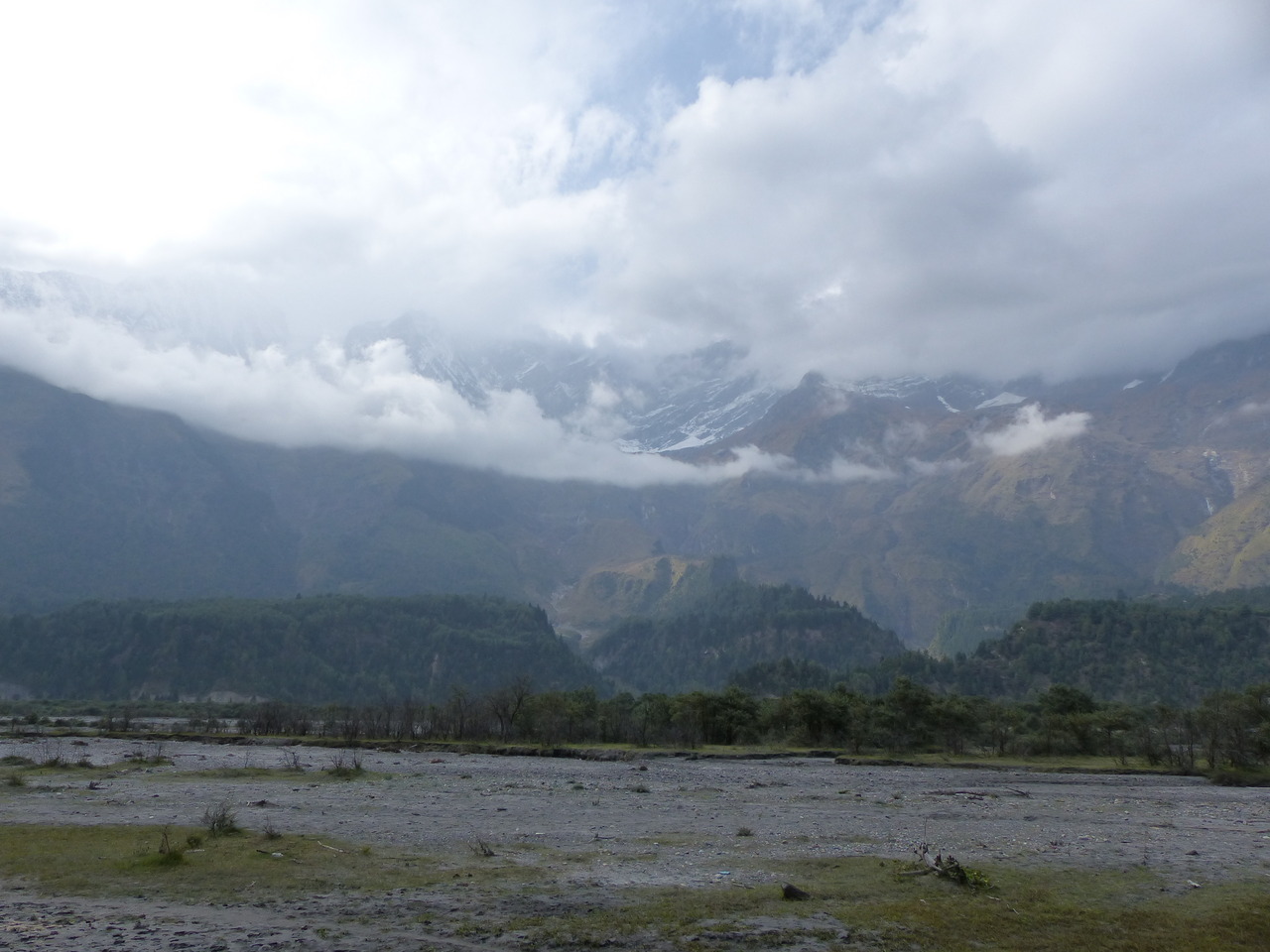
We had an intended easy day. This was so we could climb up to a place called Poon Hill for sunrise the following day, a popular activity. This was also to give us some time to adjust to altitude again. When we woke up, we could see yet more mountains in the distance, ones which had been obscured the previous day by clouds. This view came with us for the first 40 minutes of our journey. The linear map said the journey to Ghorepani from Ulleri would take us three hours. We were told variously four or five hours. (We had learned not to trust the linear map by now.)
We started early with porridge, and set off up yet more steps. Soon these levelled out, and it became more like the stretch on the first day - some hills, interspersed with stretches of flat
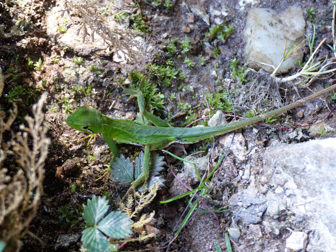
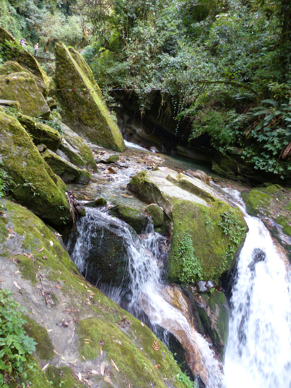
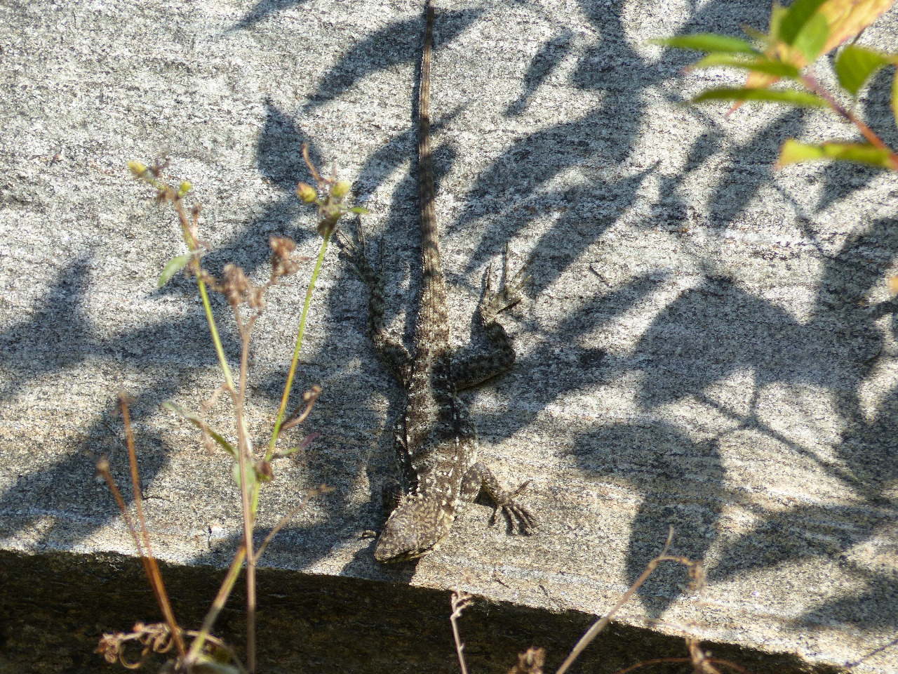
. About half way to Ghorepani, we started to notice the effects of altitude - unusual shortness of breath and dizziness. We started to have problems with access to water, as until this time, water had been available to buy in bottles - but not any more. Instead it was available as refills. This was absolutely fine, except that we didn't have enough bottles to fill. We stopped in a town called Nangethanti for lunch, which had a beautiful flower filled garden. Lunch took an hour to cook (another familiar theme). The sign at the lunch spot said it would take one and a half hours to get to Ghorepani from the lunch stop; we made it in 55 minutes. On the way, we nearly stepped on a stunning green lizard on the path, and strode merrily across bridges over waterfalls. The scenery was gorgeous.
We found somewhere to stay, called Glacier Hotel, directly by a pathway to Poon Hill. This had a double bed in a cosy room, and there was a hot shower available. Ideal. It was cold at the altitude in Ghorepani of 2870 metres, so we cosied up over a pack of cards and whiled the hours away
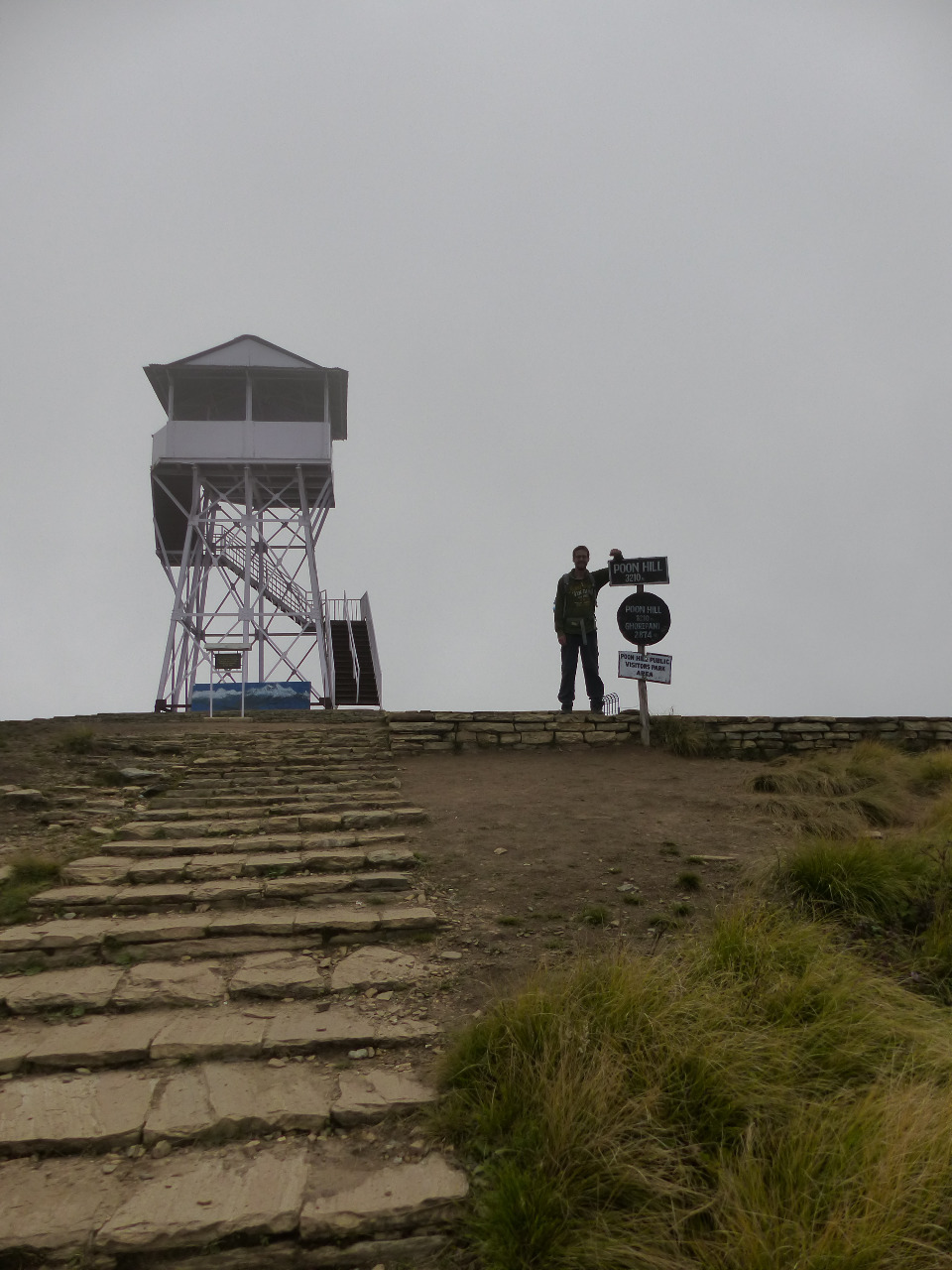
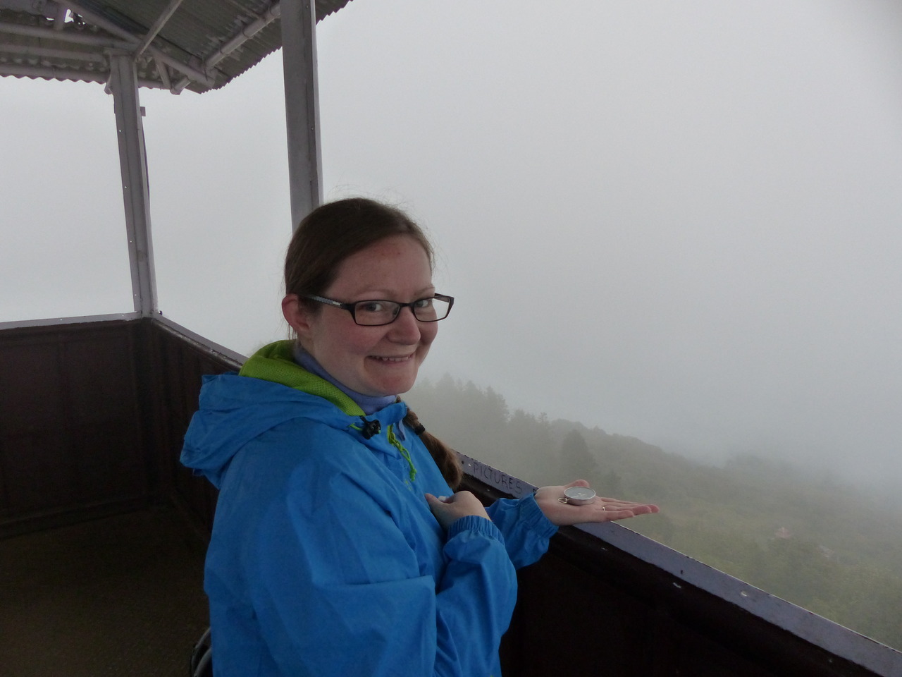
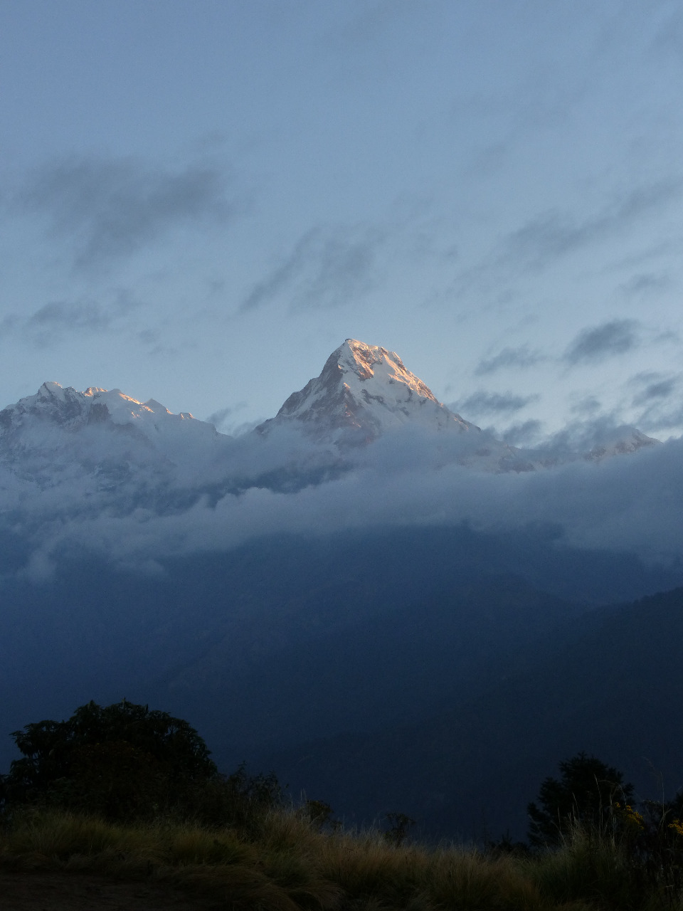
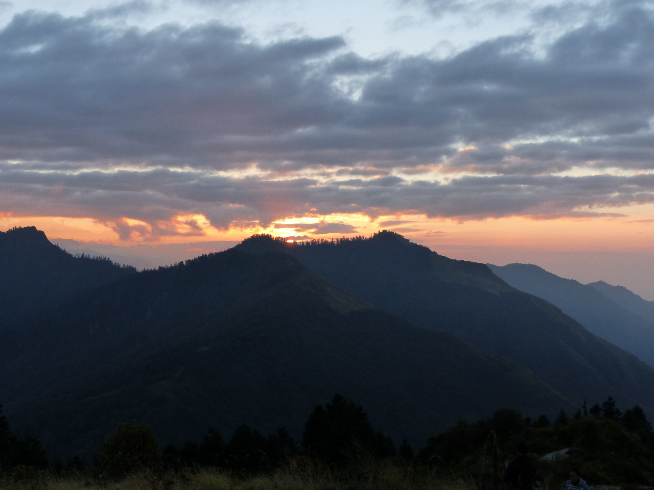
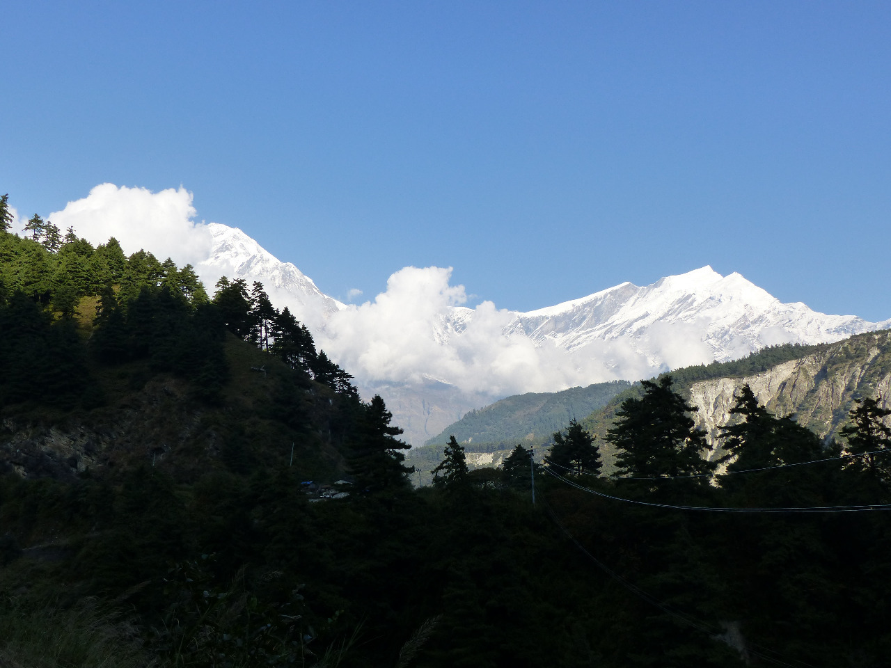
. We equally won and lost at Gin Rummy, and drank copious amounts of tea and coffee. We decided to try for sunset at Poon Hill, as well as sunrise, though the clouds had rolled in. We took our time reaching the top, taking nearly an hour to cover another altitude gain of 340 metres. It was just us and a couple of guys from New Zealand, who we'd walked with for a while and who were also staying in the same hotel. Because of the clouds we didn't see much of anything, but it was atmospheric and still pretty. And cold. Very cold.
On the way down Poon Hill, we saw a worm with a head shaped like a hammerhead (think hammerhead shark), which was interesting and a bit creepy. After half an hour we made it back to the hotel, had dinner (which took a long time) and spoke to some people also staying in the hotel, who were doing very different routes to us.
Day 3, Monday 19th, Ghorepani to Poon Hill and down to Tatopani, 17km, 340 metre altitude gain, 2000 metre altitude loss
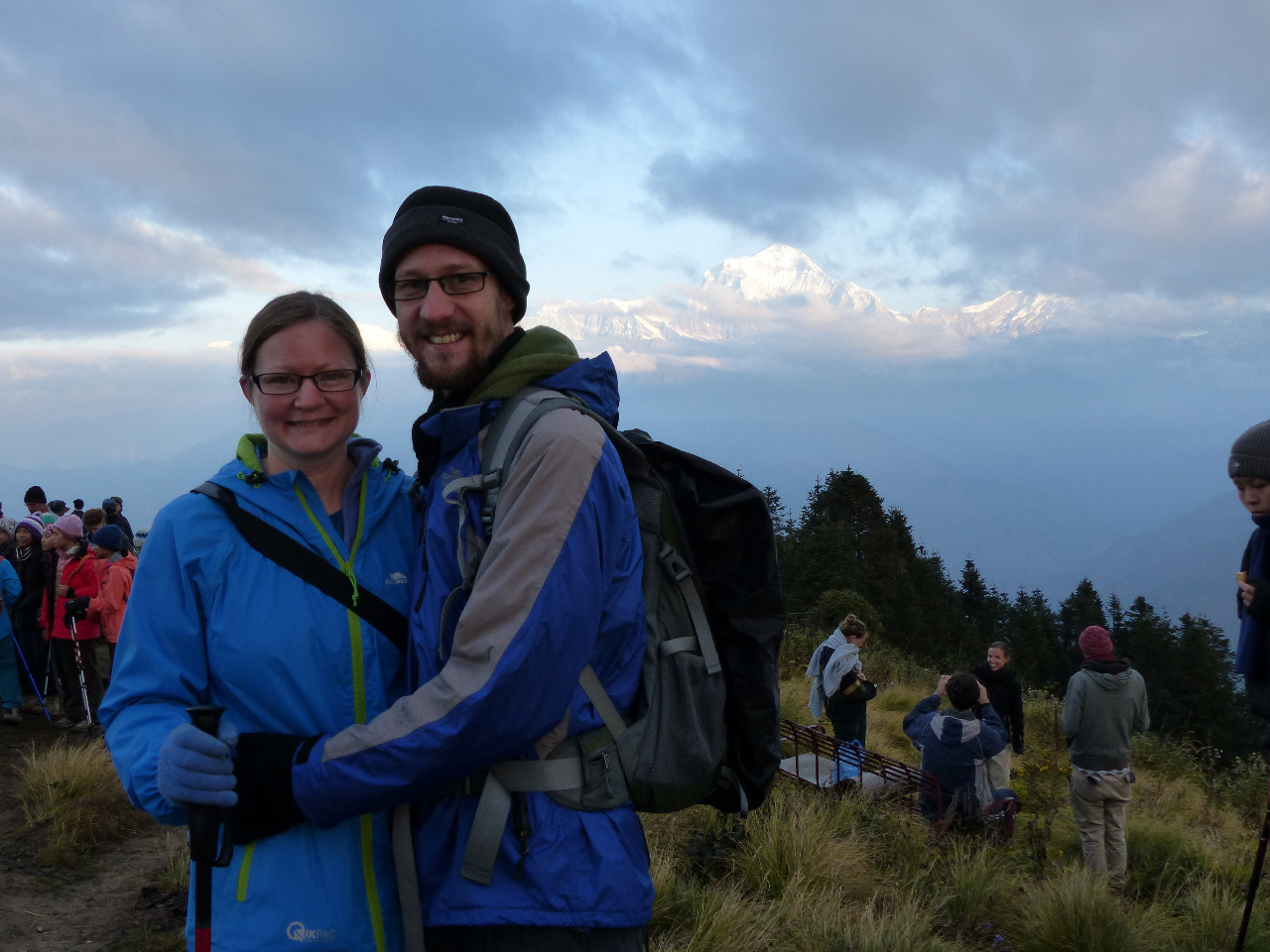
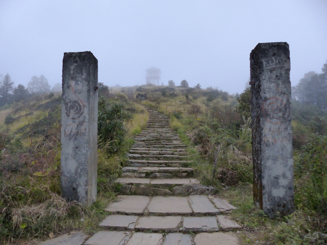
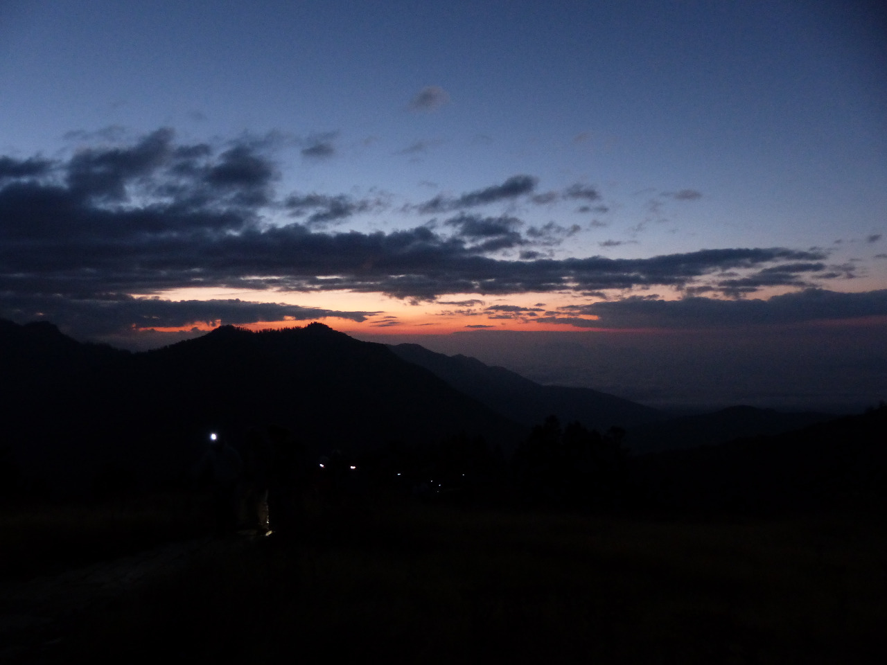
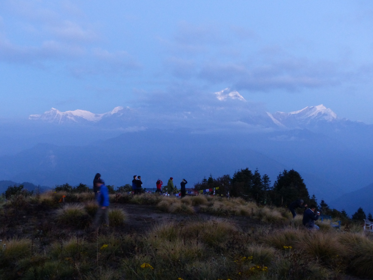
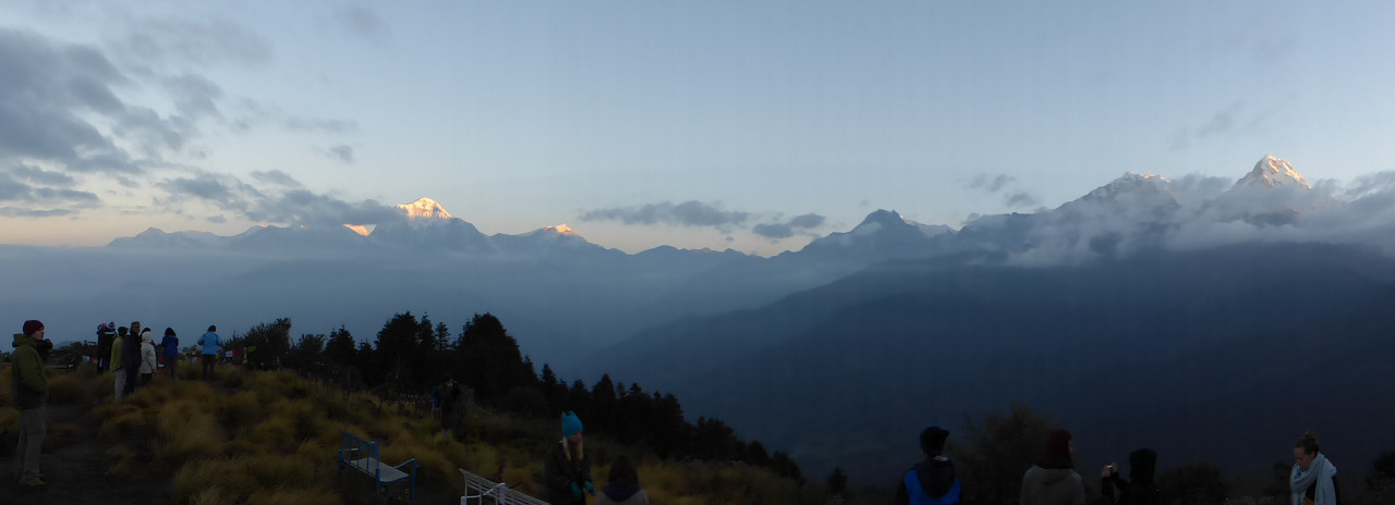
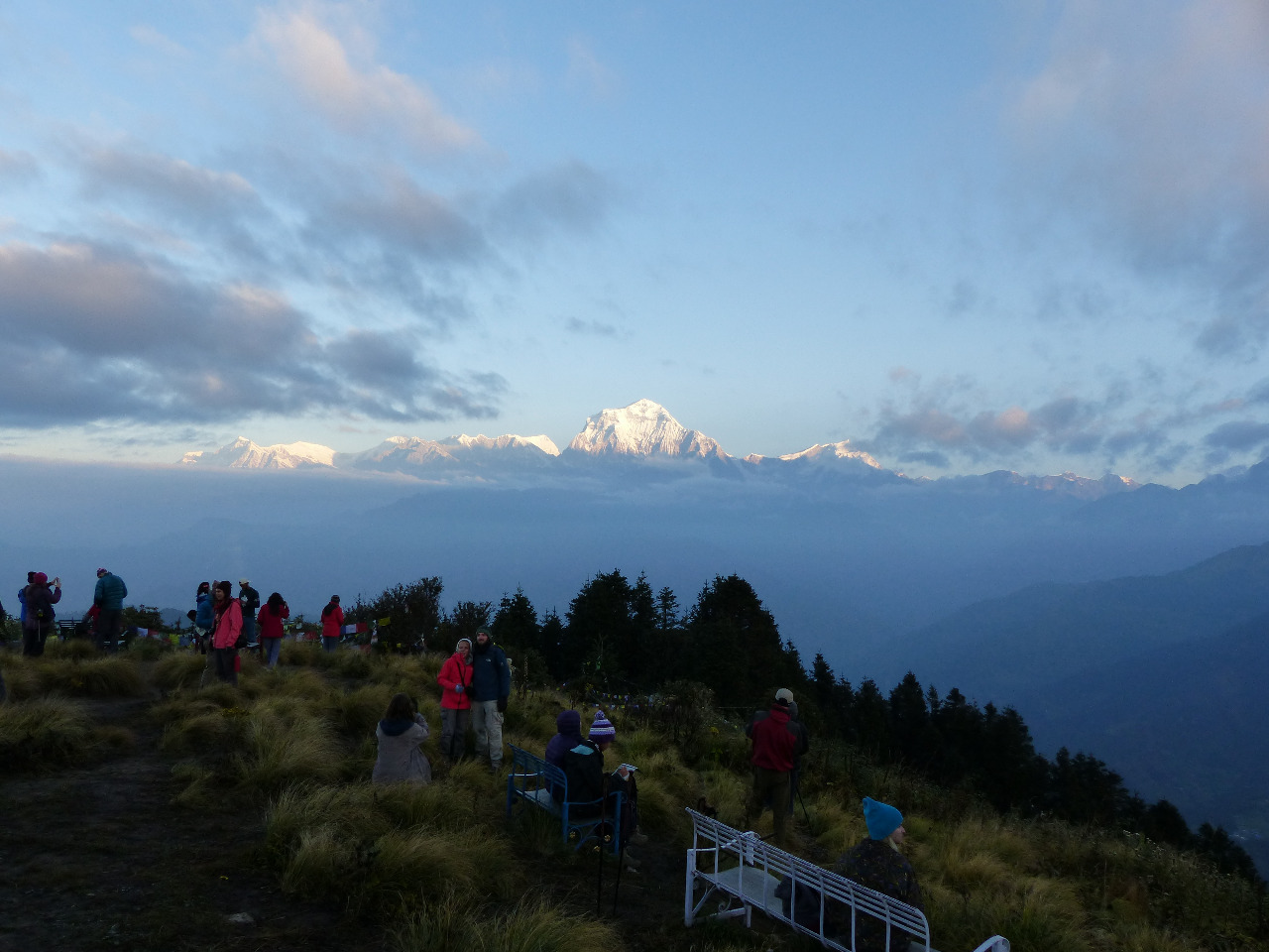
Due to the altitude, we'd slept badly, and woke up at 4am to climb Poon Hill for sunrise
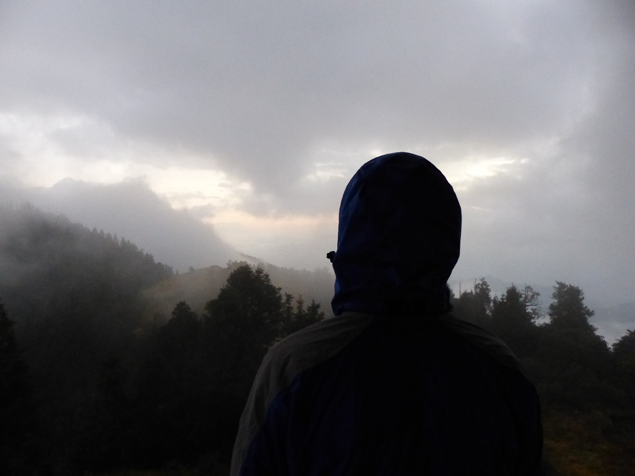
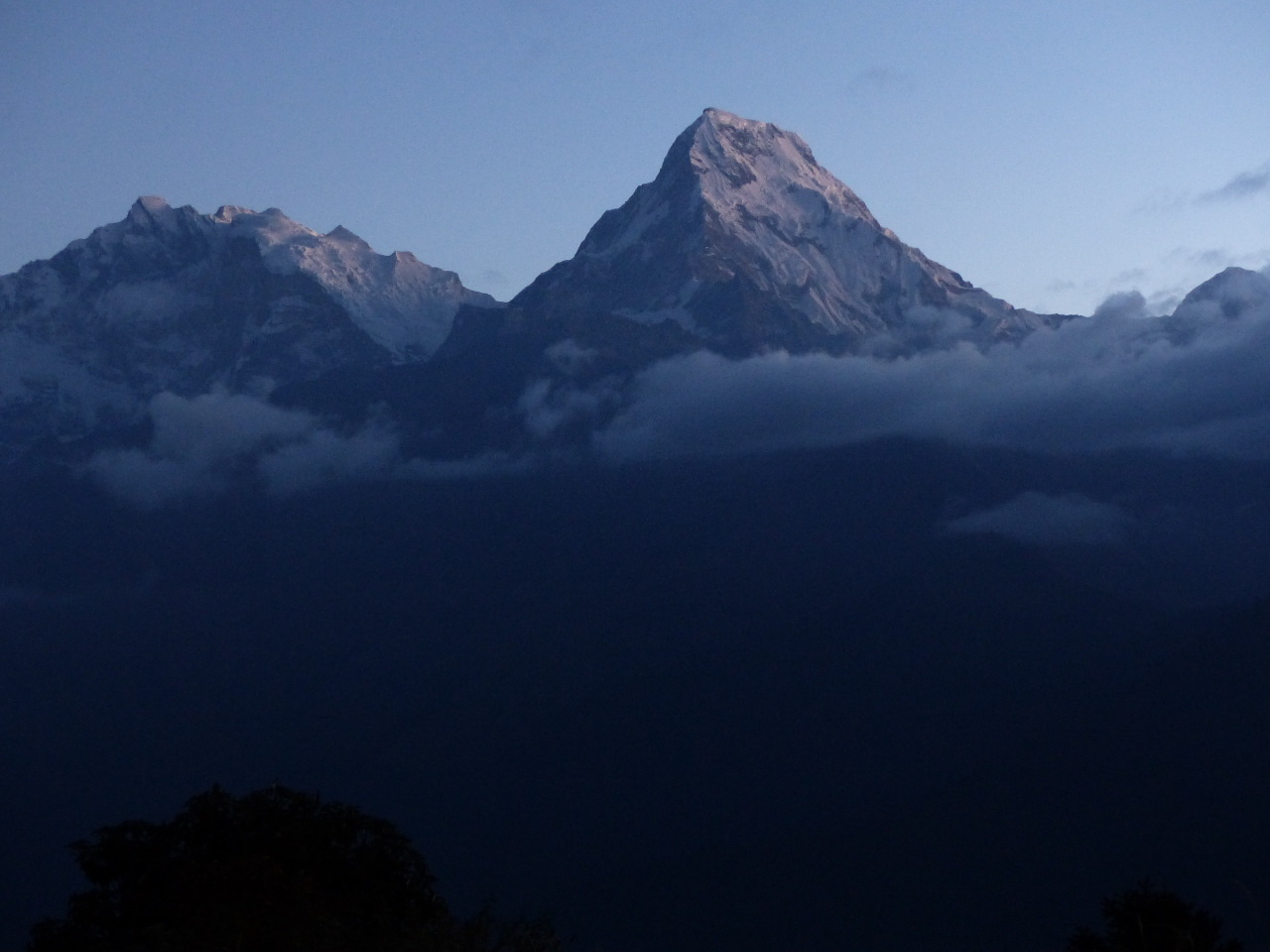
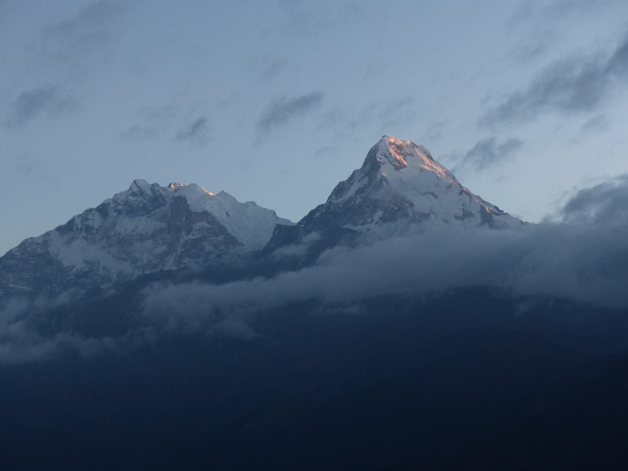
. It was pitch black with the stars out when we left the hotel, but it quickly became lighter as we climbed the hill. This time it took us 45 minutes to reach the top, and we weren't the only ones. About 200 people in total were at the top of Poon Hill for sunrise. We saw almost everyone we'd met along the journey and said hello and goodbye. It was very cold, and sunrise was most welcomed for the sun's warmth! The sun glinted off the surrounding snow-capped mountains, which was very pretty and definitely made the climb and early start worthwhile. We covered the steep downhill in half an hour, and waited for our pre-ordered breakfast. And waited. It came an hour later, and we really started to wonder what we were doing wrong, food-wise, for all of our meals to take so long.
We finally left the hotel at 9am, checked into one of the permit checkpoints, headed up to Upper Ghorepani, and started our descent of nearly 1700 metres over many kilometres. We met an English family on the way, and chatted to them for a while
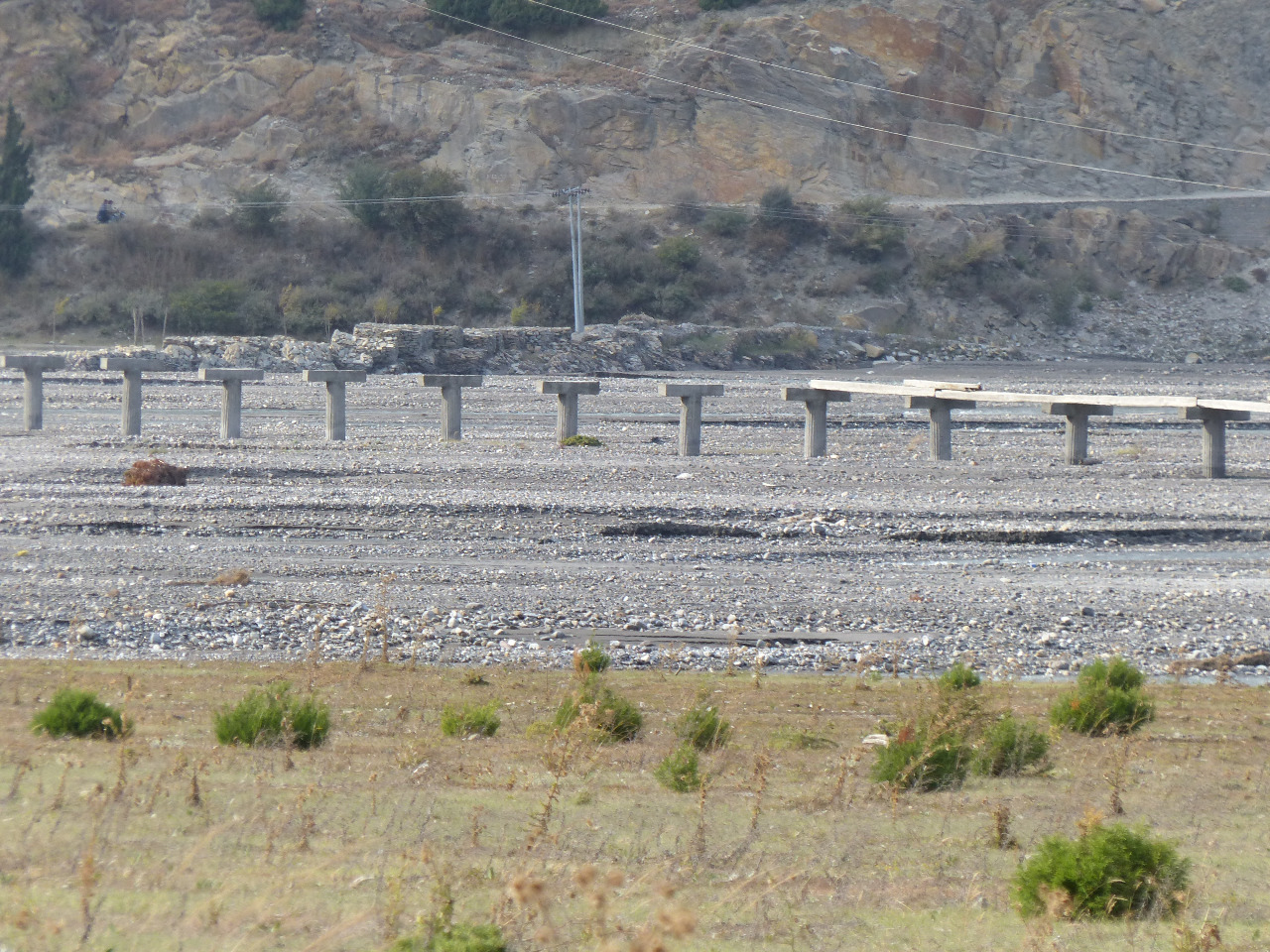
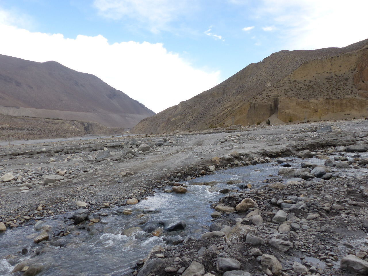
. We passed through the towns of Chitre and Phalate, and stopped in Sikha for lunch. As usual, this was a lengthy affair, and it took an hour and a half for lunch to be ready. In the meantime, we checked into another checkpoint, and had conversations with the English family and Thomas and Jerome, as they all passed us by. After lunch, the downhills continued and now we were under time pressure to reach Tatopani. With sore joints and sore feet, we were surprised to see a monkey run directly across our path, and we suffered from a complete lack of signposts telling us which way to go. When we finally reached the bottom of the hills, we crossed the river twice, checked in at a checkpoint, and were glad of a mile of flat for our weary joints.
We walked through Tatopani without finding a hotel we'd been recommended, so took another path and doubled back on ourselves. We found the hotel, Dhaulagiri Lodge, at nearly sunset. We were there much later than planned. However, we had an en-suite room with hot shower, which was awesome. We met the English family at dinner, played cards, and went to bed at a decent time. We didn't go to the Tatopani hot springs, because we were late in arriving and early in leaving, and because in the interests of packing light, we didn't take swimming costumes with us. Which was a shame because everyone raved about the springs.
Day 4, Tuesday 20th, Tatopani to Ghasa, 13km, 800 metre altitude gain
We woke up early, and had breakfast at 6
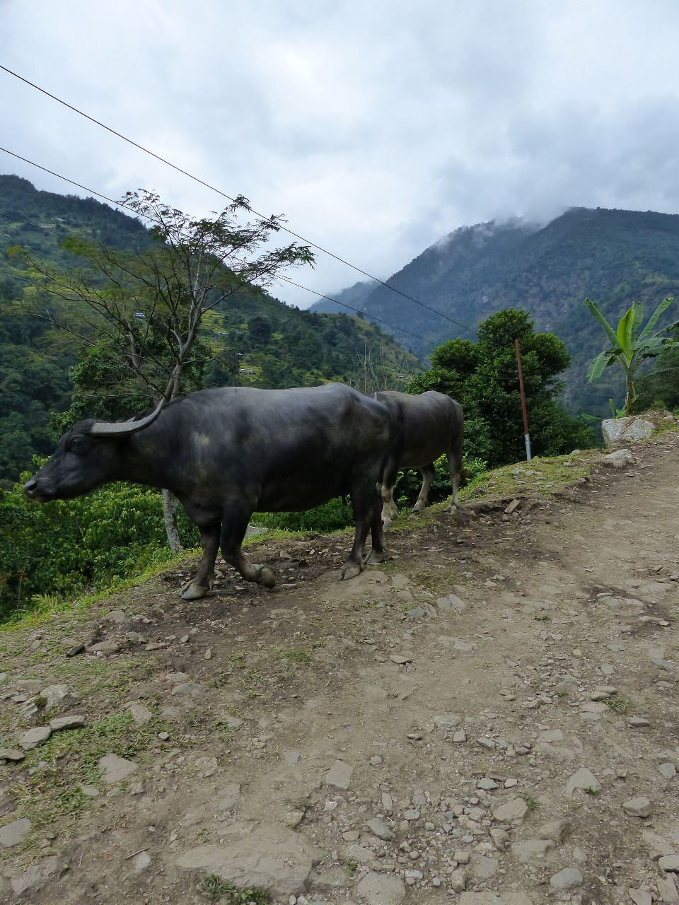
.30am with some great coffee. When we checked out, we were advised to buy a guide book, because the paths could become a bit confusing. So on day 4, we bought a map! We sought advice on the best paths to take, because there were often options of road or path, or alternative paths, or side treks we could take. After debating the best way forward for a little while, we chose old paths wherever possible. These of course were not signposted, and we quickly learned that our map was pretty rubbish at helping us navigate. We had extremely sore muscles and joints from the previous day's killer downhills, and the initial minor ups and downs weren't too bad. We saw hundreds of lizards on the way and it was very hot. We wanted to take it easy because of our sore muscles, and took our time getting to a town called Dana, where we stopped for lunch (it took an hour to cook). We needed to recover after seeing a bunch of scary cows get a bit too rowdy on the path behind us. We thought we might get trampled and edged carefully away towards lunch
.
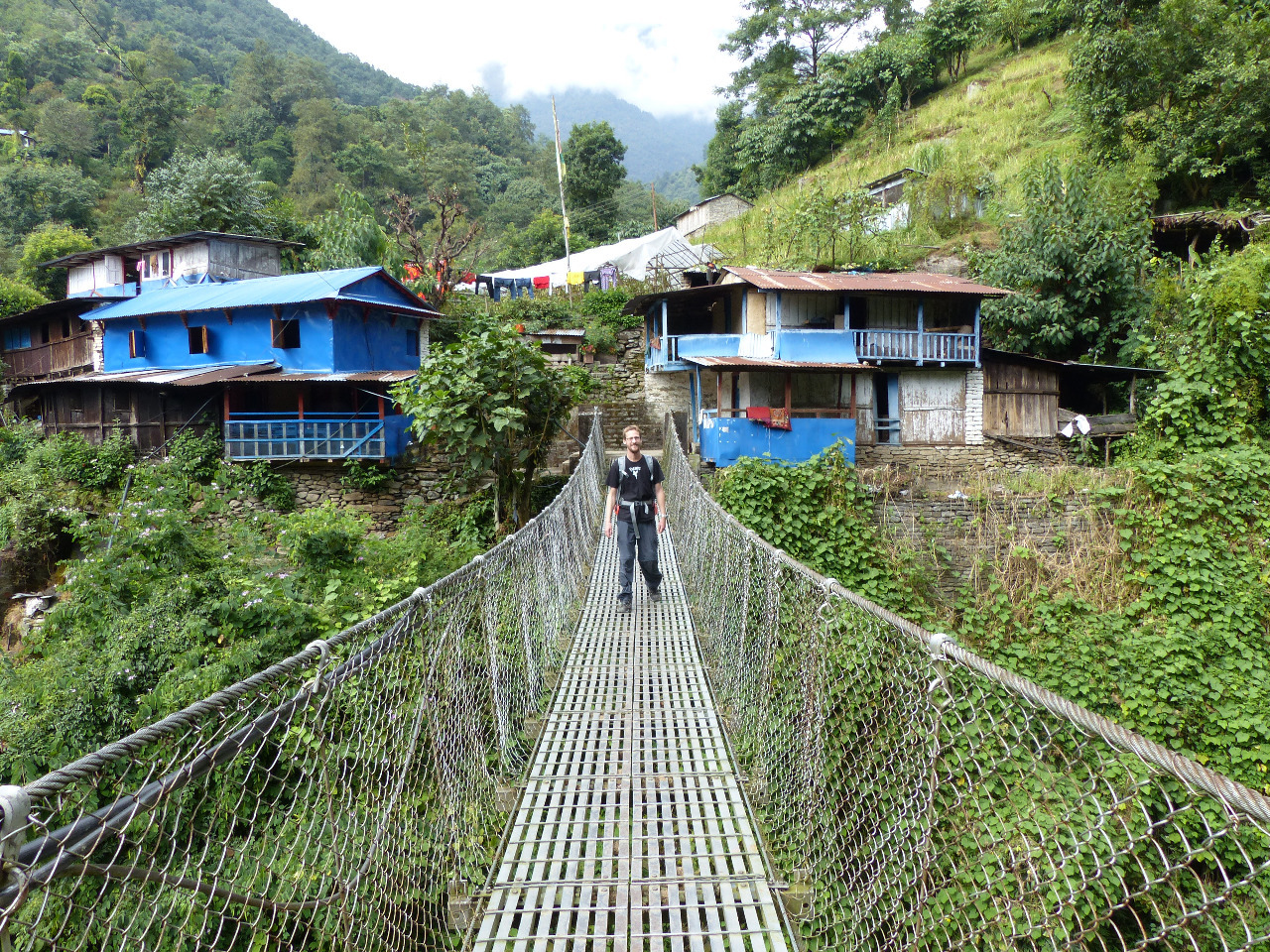
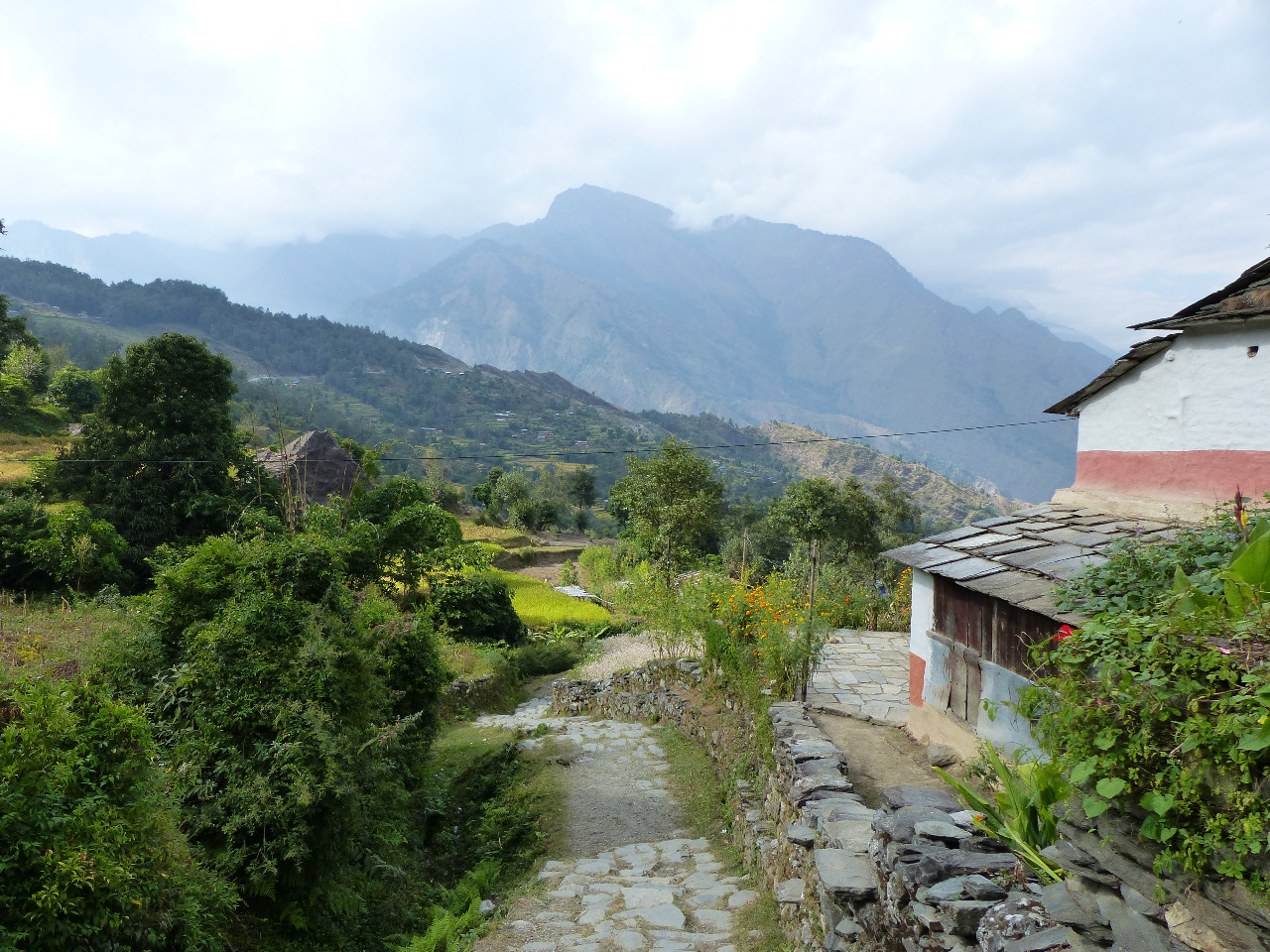
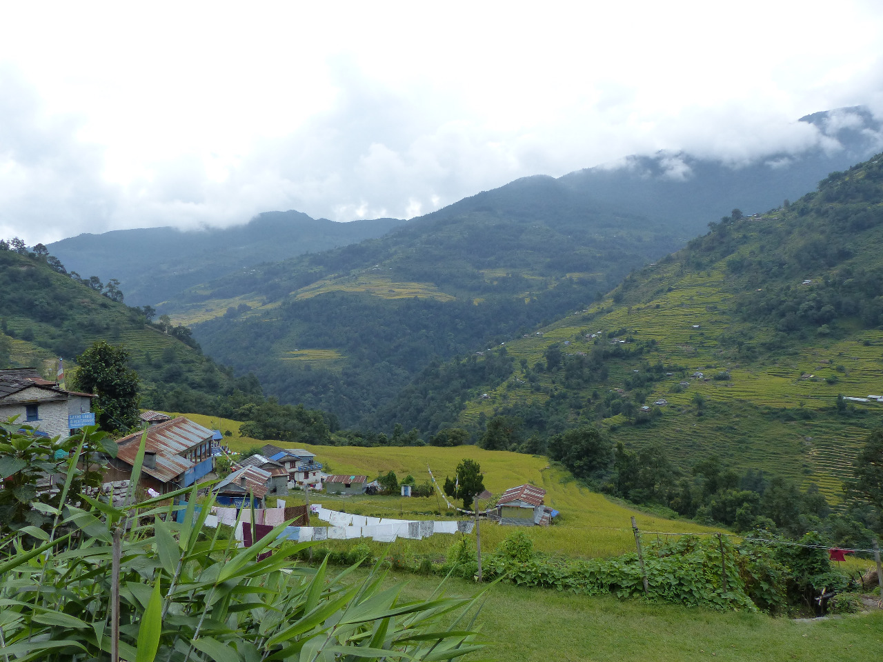
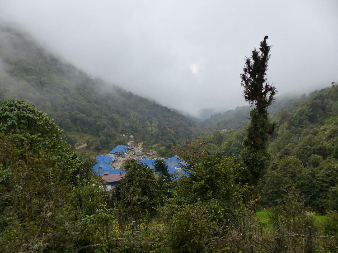
After lunch, the path became much more winding, with lots of ups and downs, which really hurt our sore legs. We passed through a small village where a man sang to us, and later encountered Thomas and Jerome making their lunch in the path. We passed through the village of Kopchepani and met more ups and downs, and eventually had to walk on the road due to landslides on the path. We were very tired by the end. On our approach to Ghasa, we met a chap called Gion, and while we were chatting, Thomas and Jerome caught up with us. We walked to find a hotel that would take all of us, and admired the sudden alpine surroundings at our altitude of 2010 metres. We stopped into Golden Inn Guest House, complete with en suite, and complained when we realised there was no water, let alone hot water. The hotel people sorted that out for us, and, hot showers later, we went and ordered dinner. We told our tales of woe for how long food has taken at almost every opportunity and the same thing happened again, with a whole table full of people being served before us, despite ordering after us. The food took so long to arrive that people started commenting on how unusual it was to take such a long time. We chatted to Thomas, Jerome and Gion, as well as a couple from California, before heading to bed. Where a neighbouring house or hotel was having a party, with lots of cheering and drumming that kept us awake.
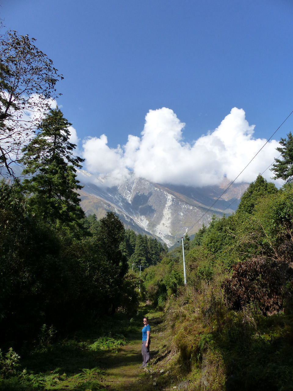
Day 5, Wednesday 21st, Ghasa to Marpha, 24km, 650 metre altitude gain
We woke up early and went for our pre-ordered breakfast at 6
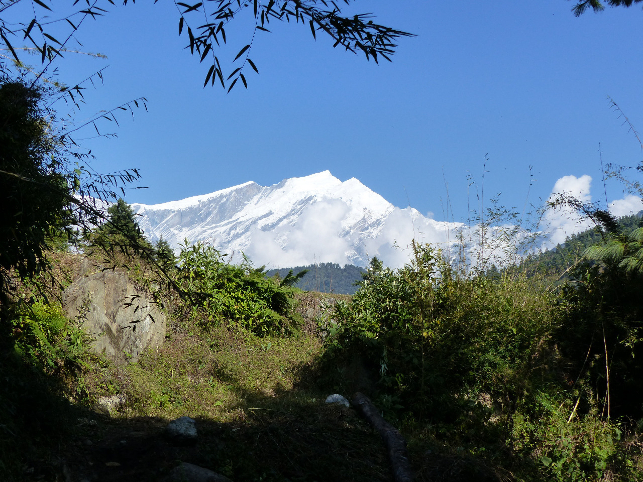
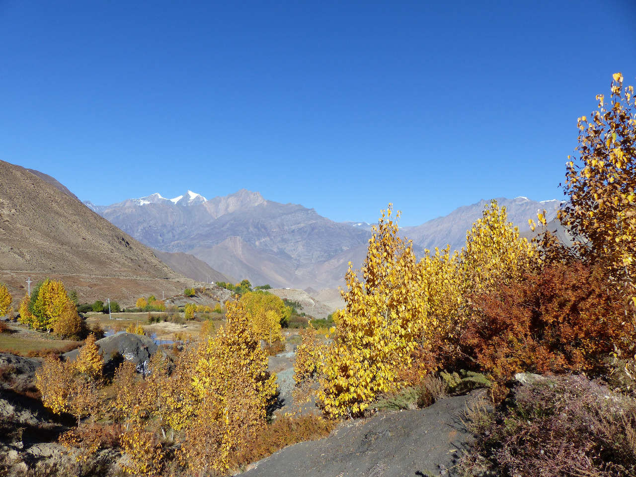
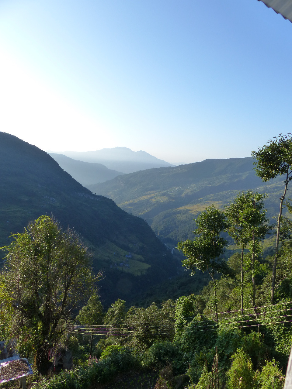
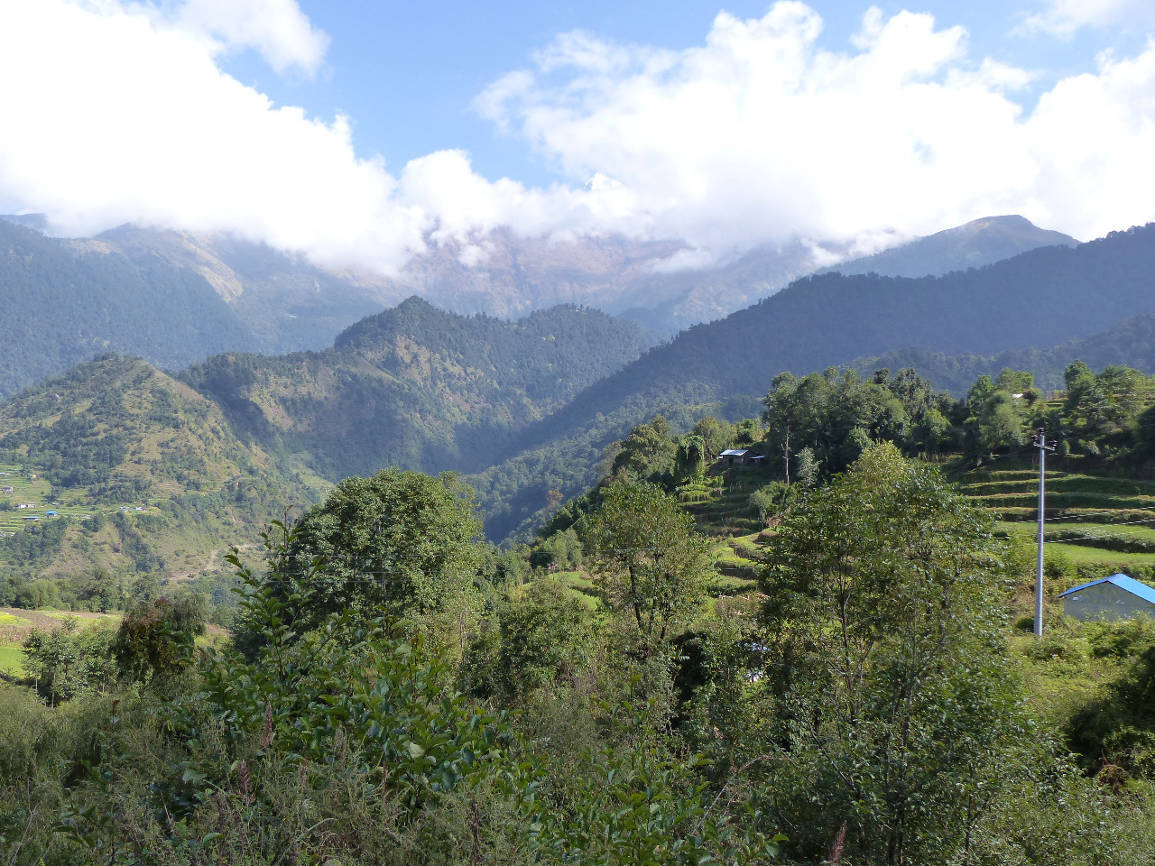
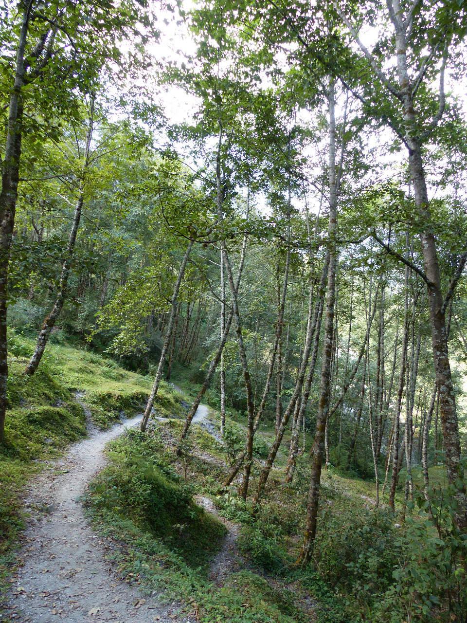
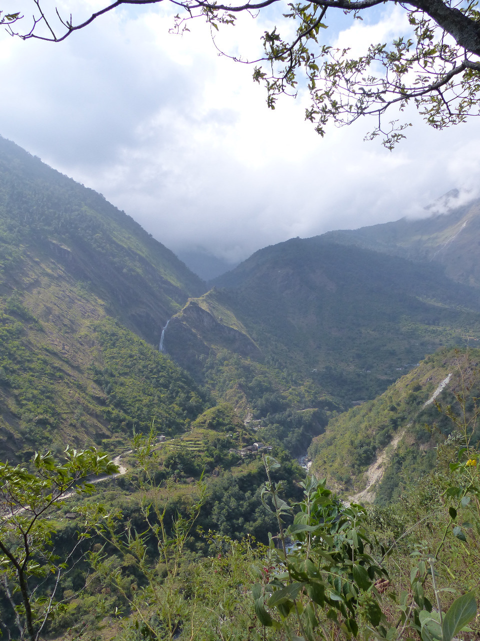
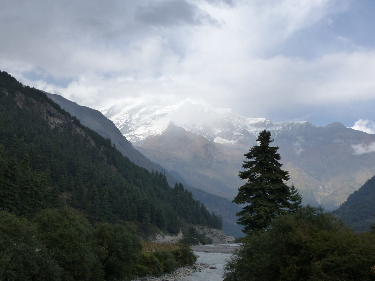
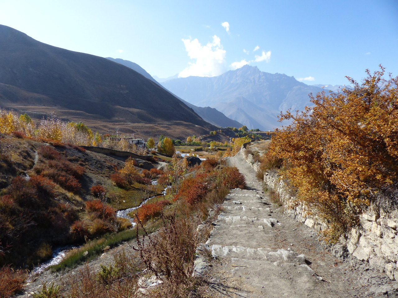
.30am. It was inevitably a little late, so we chatted to the Californians again to pass the time. For whatever reason, water was extortionately priced in Ghasa, so we sought cheaper water from elsewhere, though this was still expensive. We left Ghasa by the road, and walked for a few minutes to join a path. We were on the trail for about 25 minutes, winding up and down through trees and muddy paths. We re-joined the road for a further few minutes, before heading up onto the trail again. This was a lovely flat-ish stretch, with great views and lots of lovely alpine forest. We re-joined the road, doubled back on ourselves for a few minutes to cross a suspension bridge over the river, walked around a dusty road corner, and joined another peaceful trail through alpine forest. It was idyllic. We suffered from a lack of signs and briefly went the wrong way, before emerging into a patch of land between Lete and Kalopani which we equated to moorland. With granite-looking rocks, moss, ferns, scrub and a gently undulating landscape, whilst being surrounded by snow-capped mountains, it was lush
. The morning's walk was hands down our favourite of the journey.
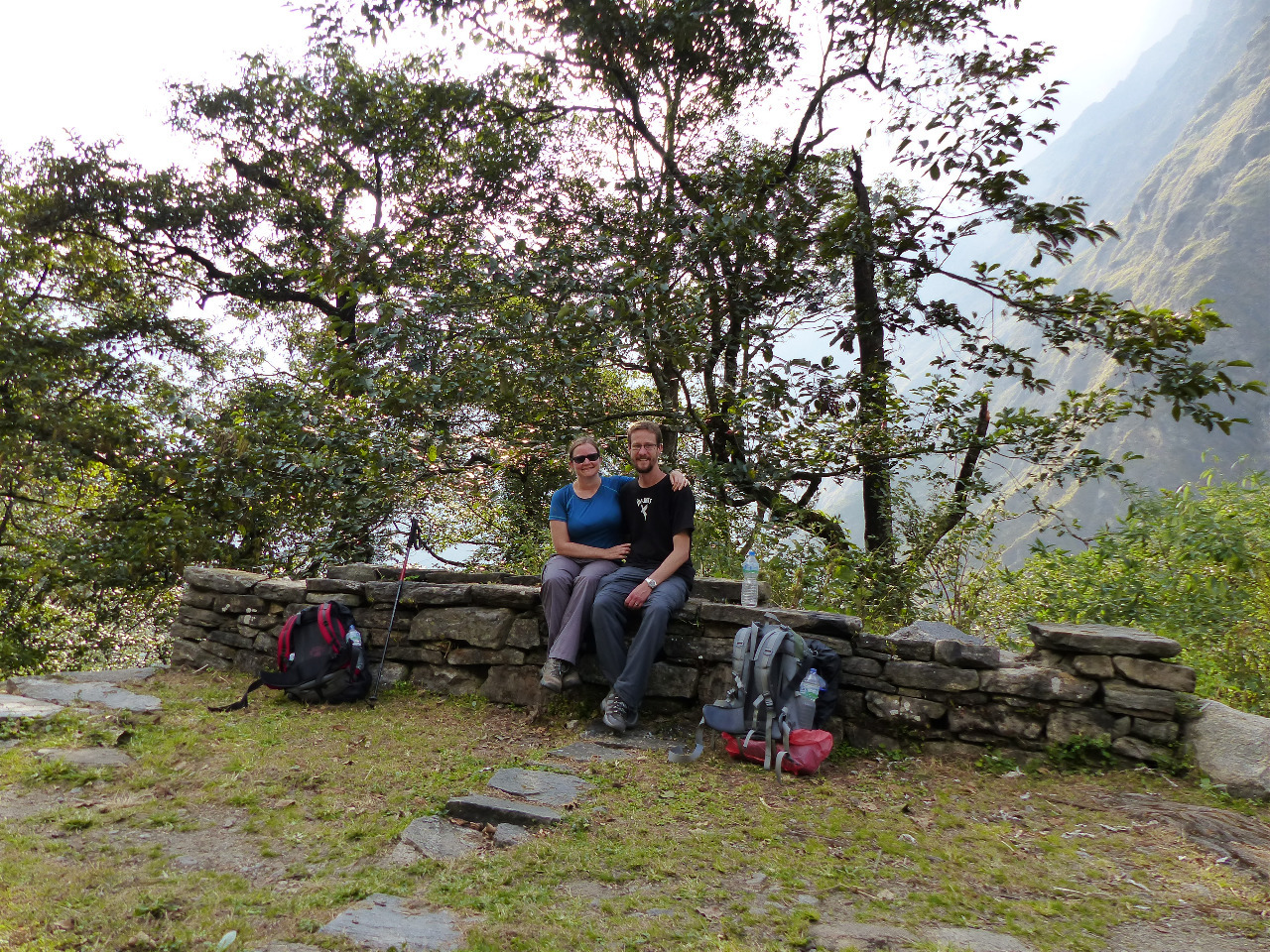
We walked through the moorland, and a little more woodland, before doubling back on ourselves on the road for an early lunch. We stopped into a bakery in Kalopani, and thought we'd order a sandwich to speed things up (yak's cheese - everyone was raving about it). Even this took 45 minutes. 45 minutes for a sandwich! We were utterly perplexed and chalked it up to continued bad luck. We spoke to the owners and fellow walkers who joined us about the path ahead, as Gion had said that there were landslides, but everyone else seemed to think the path was fine. The fellow walkers said that they had used that path that day, so we could feel safe in the knowledge that the path was passable. They also said that Marpha was an easy five hours walk on the flat, and that there were plenty of bridges across the river.
On leaving the bakery, we crossed a suspension bridge onto the side of the river with no towns, no eateries and no hotels
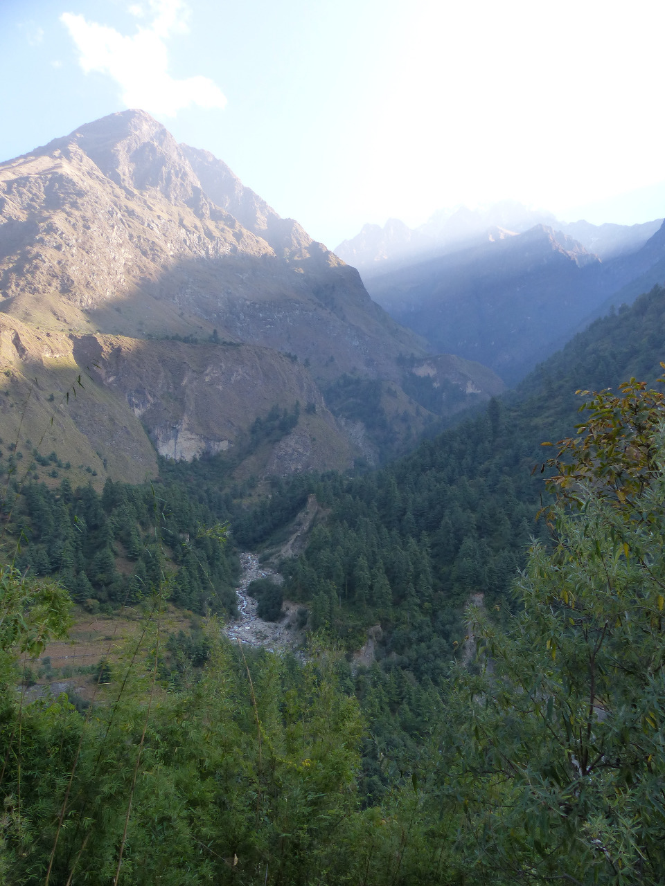
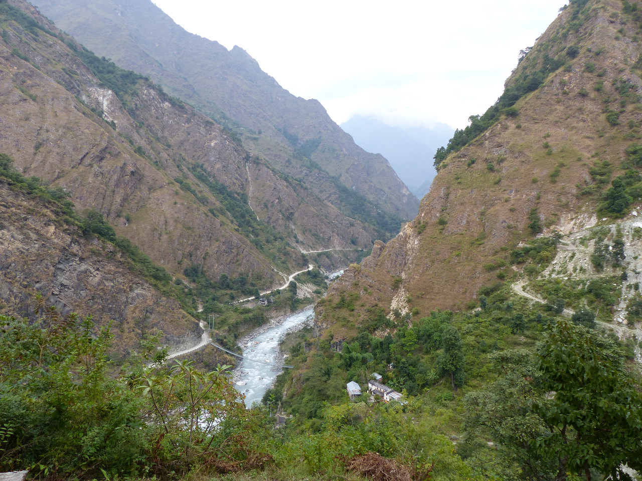
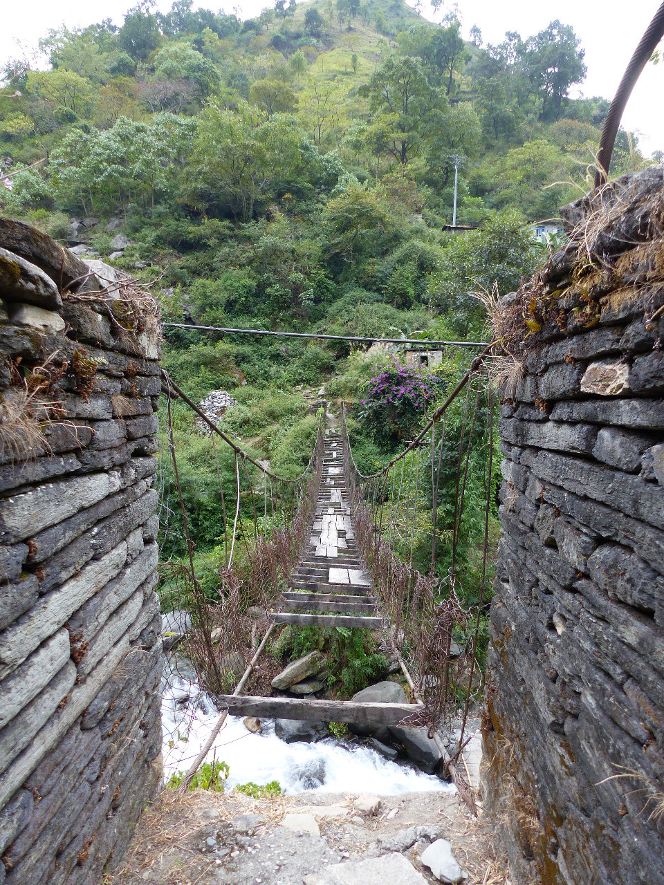
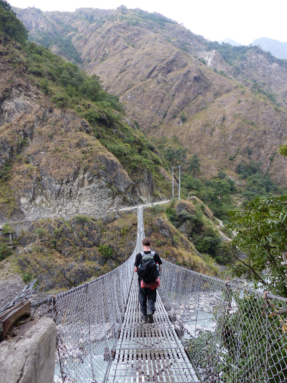
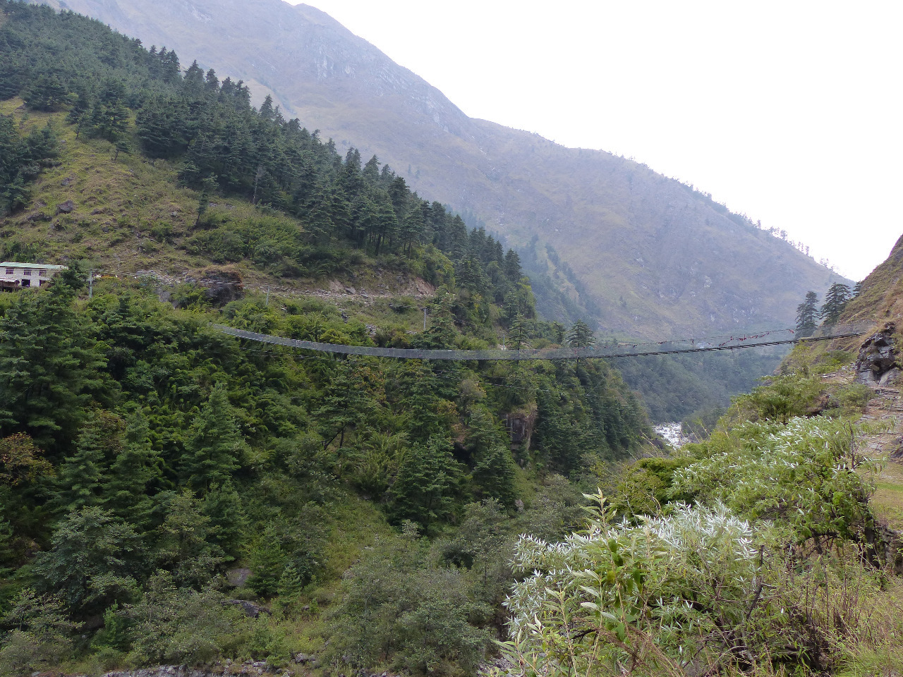
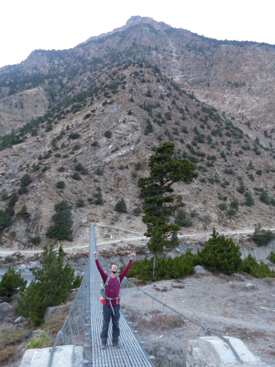
. This was the path, as opposed to the road, and we aimed to re-cross the river to stay in a town called Tukuche for the night. We set off, and it started to rain. We dug out our plastic ponchos and fought with them for a few minutes. Luckily the rain stopped after about 20 minutes, and we'd managed to keep fairly dry. The path was indeed flat, with only minor ups and downs, though we saw no bridges. None that were marked on our map, or on Maps.Me (our GPS system). We had wanted to seek further advice on the landslide issue closer to the place where we'd been told it had happened, but could not because there were no bridges. Worried, we kept going. On the other side of the river, we saw the villages of Larjung and Kobang pass by, still with no bridges to cross. We eventually happened on a small village called Sauru, and asked them about bridges. A lady told us that there was a bridge two hours walk away, but that there were lots of ups and downs to get there. This meant we would be getting to the bridge at approaching sunset. The lady also said that the path was clear, and that there was no problem of a landslide.
We set off, in a hurry to reach a bridge across the river before we could no longer see one in the dark. The bridges apparently in existence according to our map and Maps.Me still did not appear. The path quickly became very steep, and we passed one recent landslide which had knocked over lots of trees into the path
. We scrambled over the trees and continued, up and down some major hills, and looked longingly at Tukuche as we passed it by. Until we came to the landslide that Gion had described, and did indeed exist. It was a 6 metre wide band of middle to large rocks, with a deadly looking loose scree section in the middle, complete with tiny, shifting rocks. On a very steep hillside. We were about 300 metres up from the river bed at this time, with no time or daylight to spare to go around the landslide, or back. So we crossed the landslide. Looking back, this was incredibly dangerous and stupid. Luckily, we survived with no major incidents, and managed to not get swept down the hillside by the rocks. Phew.
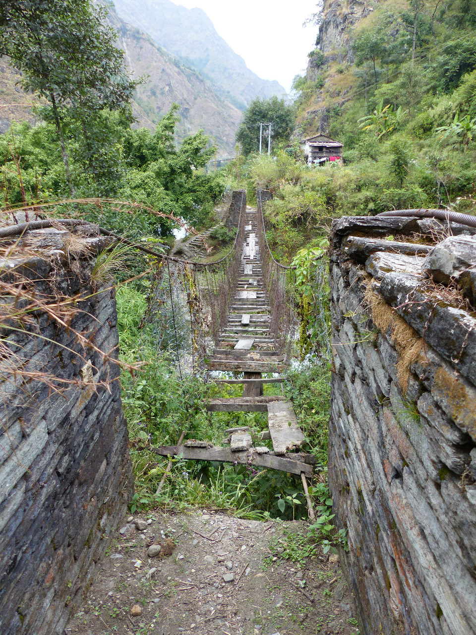
We had yet to make it to a bridge, so continued on with renewed vigour (caused by an excess of adrenaline from the danger). We made it to a tiny village, where a man told us that there was a bridge ten minutes walk away. We hadn't seen it from the high vantage point of the path
. However, the bridge did, at last, exist, though it was not obvious to find from the pathway and of course there were no signs. We found it by walking along the river bed and through some trees. At last, we could reach the other side of the river. It was two hours since we'd spoken to the lady in Sauru, and it was nearly dark. Gratefully, we crossed the bridge, ate a muesli bar for energy, and set off for the final few kilometres to reach Marpha, the next town.
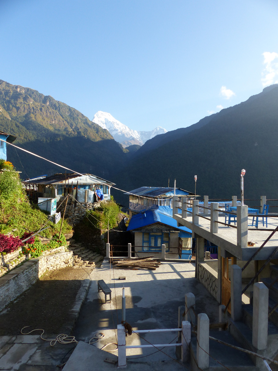
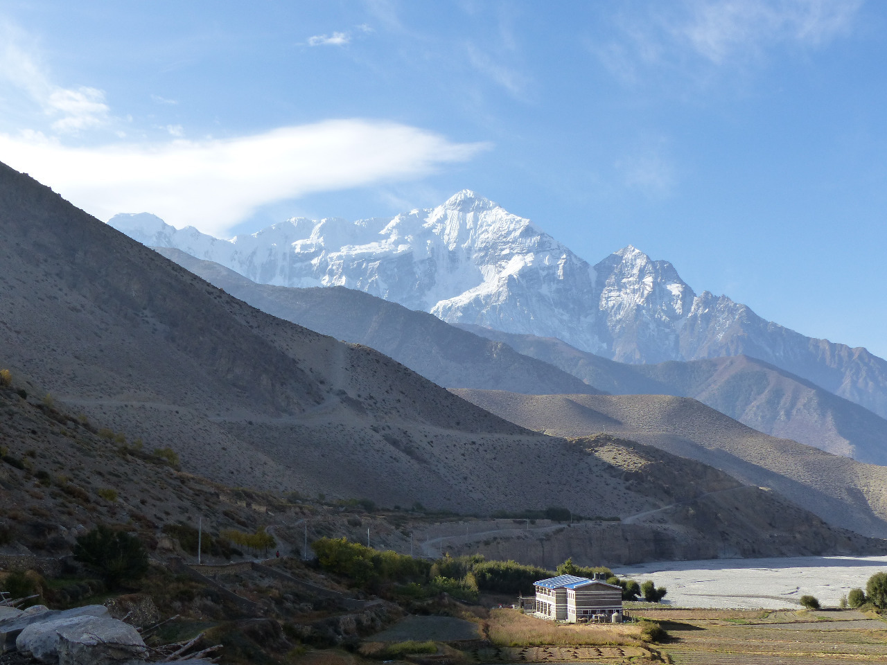
It was very dark by the time we got to the outskirts of Marpha. The landscape had become desert, and we simply stopped into the very first lodgings we found. Rita Guest House turned out to be incredibly nice, and we had a drafty en suite room with hot shower. It was very cold, and we were at an altitude of 2670 metres. We warmed up with a gift of a drink of brandy from a couple of lovely Liverpudlians over dinner. The food was good and the service was great. The hotel even had a small friendly dog we could fawn over
.
Day 6, Thursday 22nd, Marpha to Khinga, 21km, 700 metre altitude gain
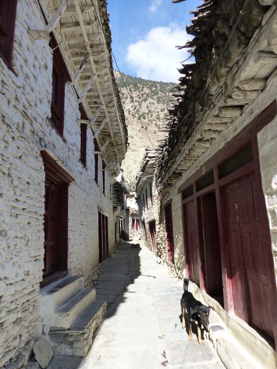
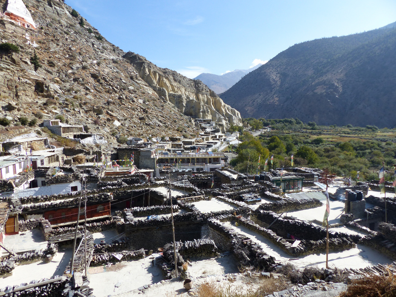
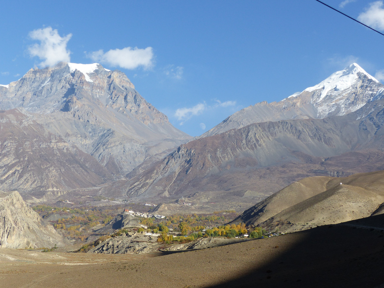
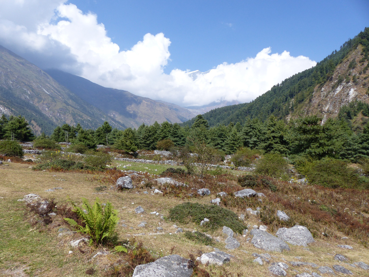
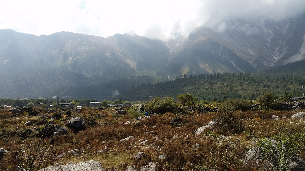
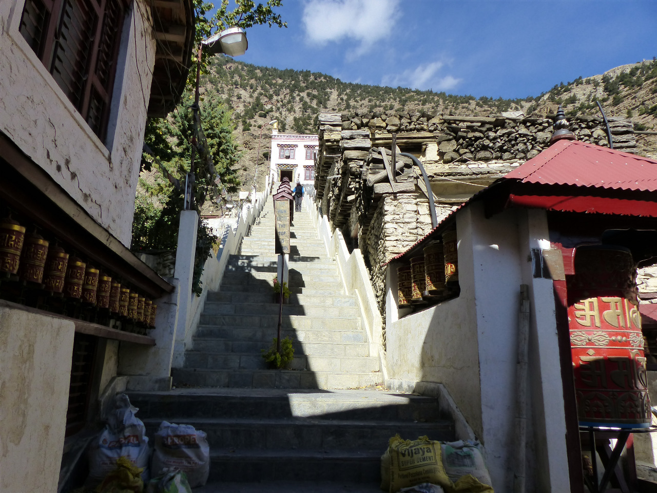
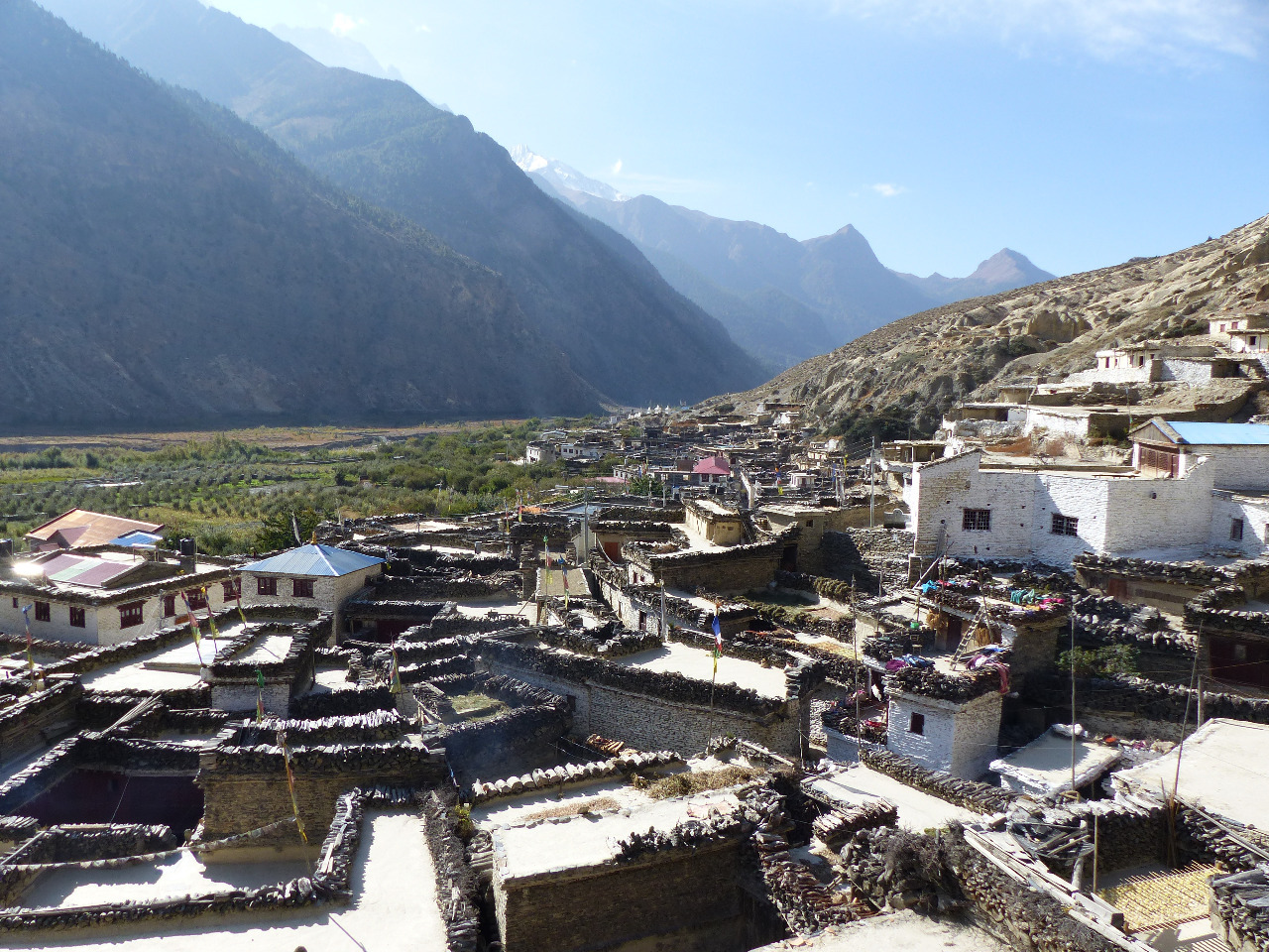
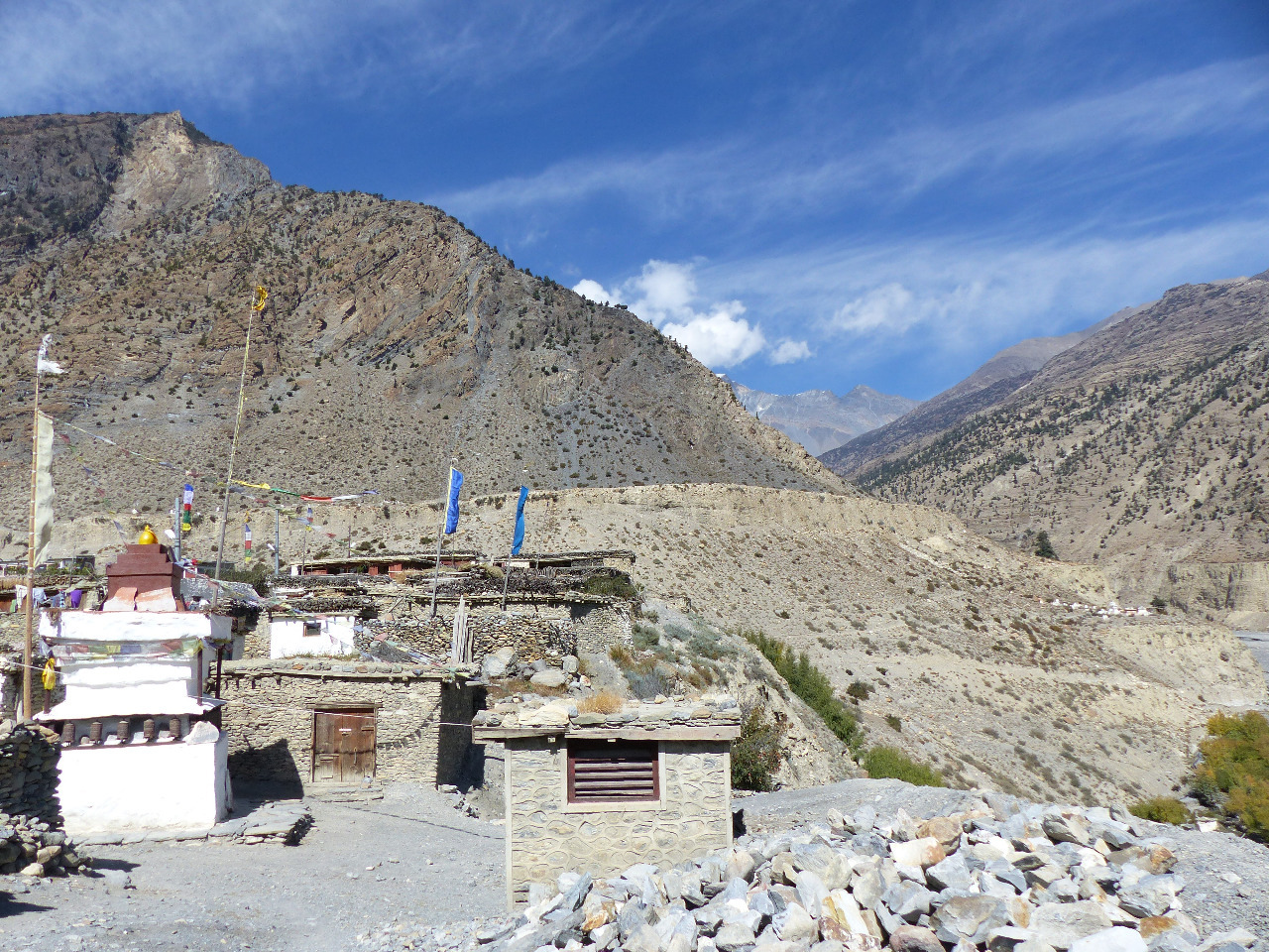
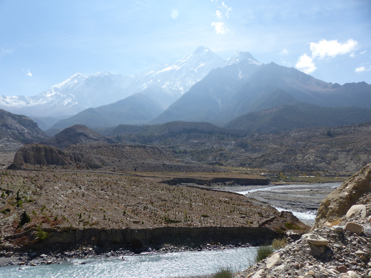
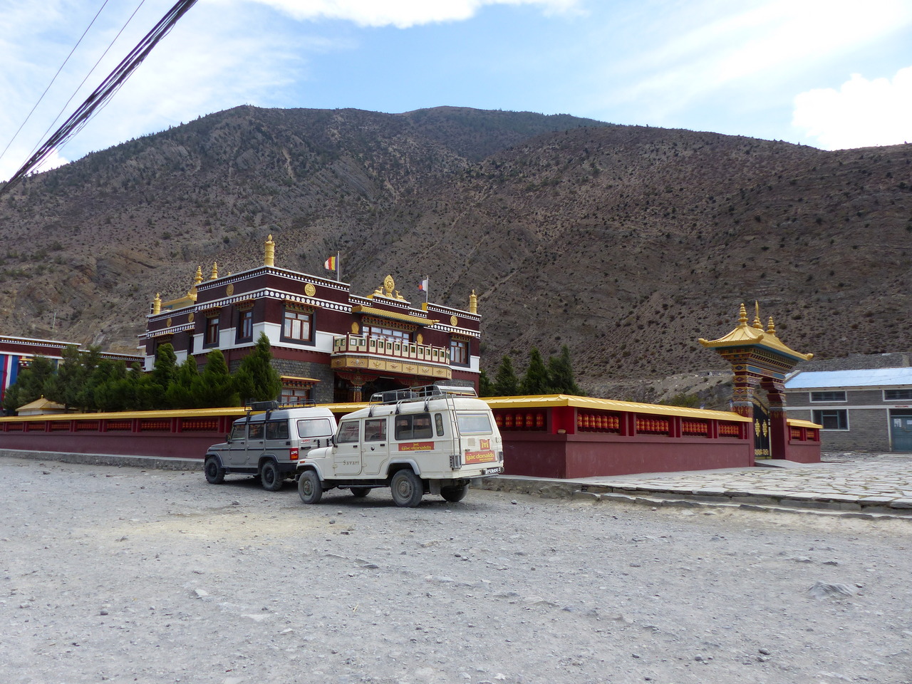
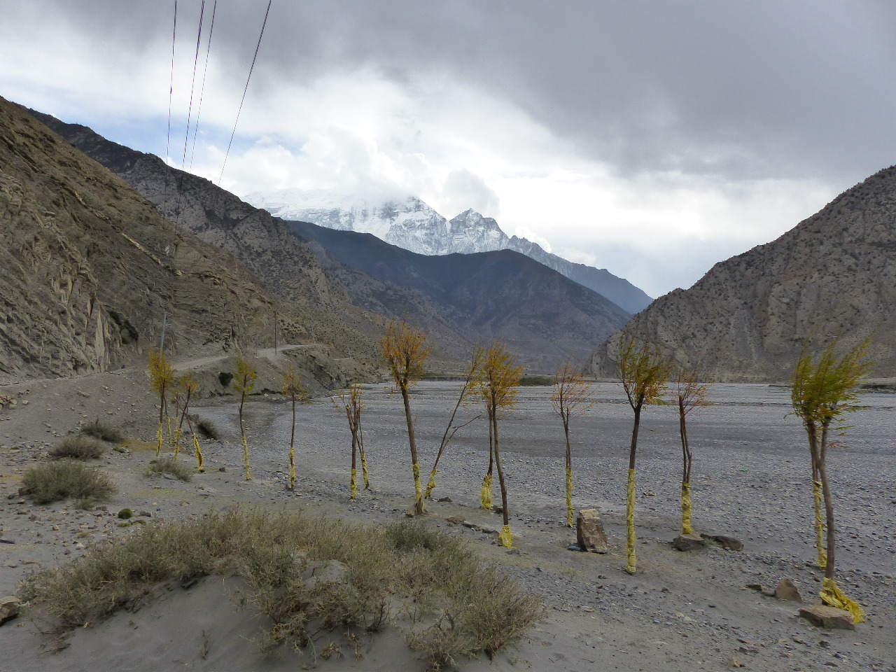
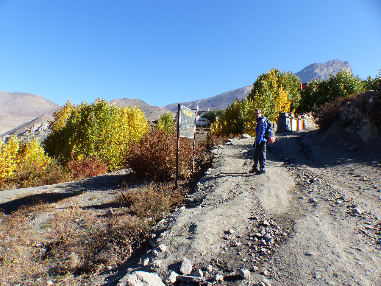
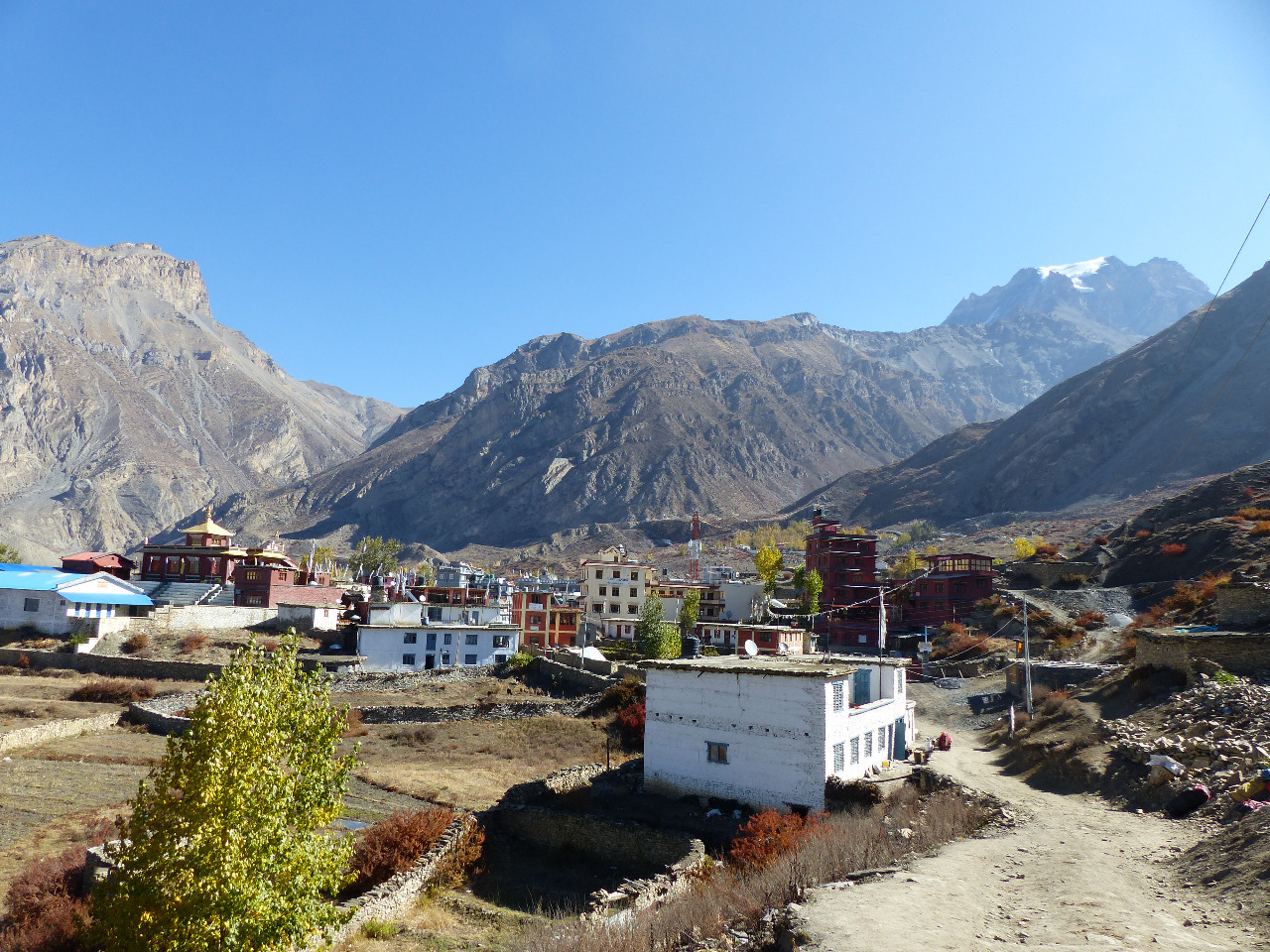
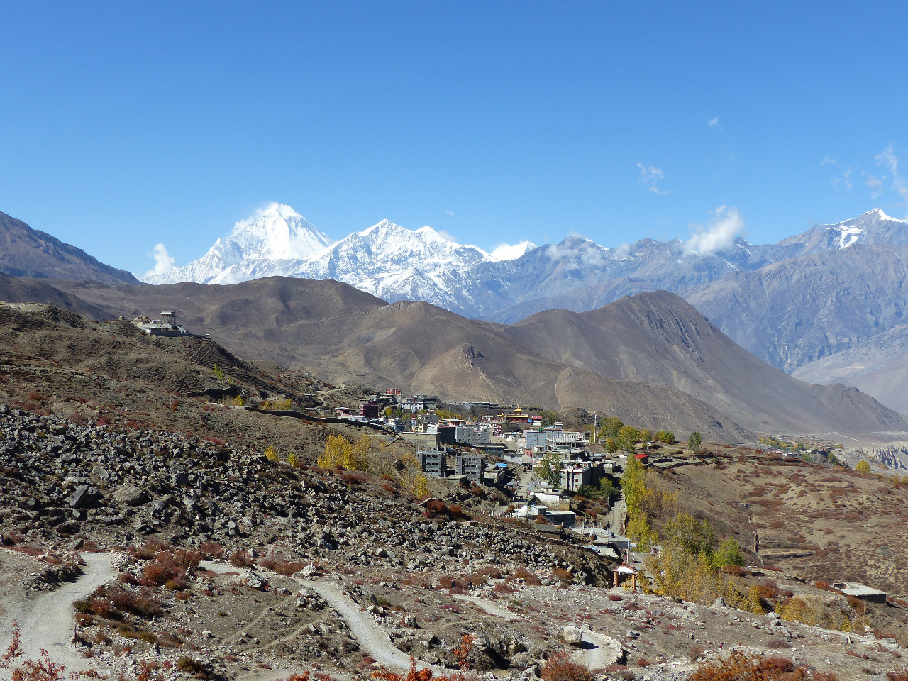
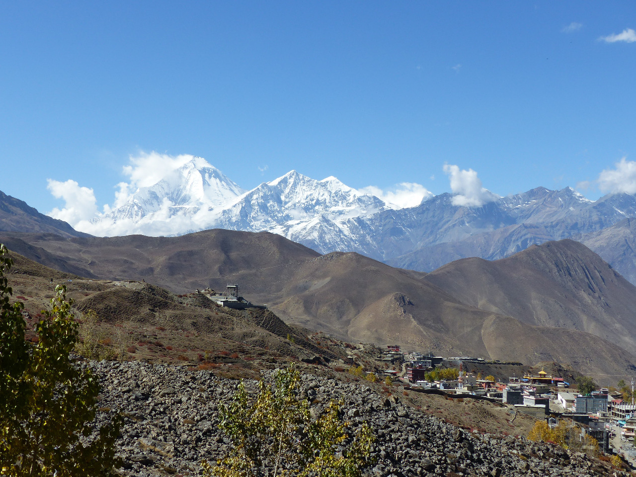
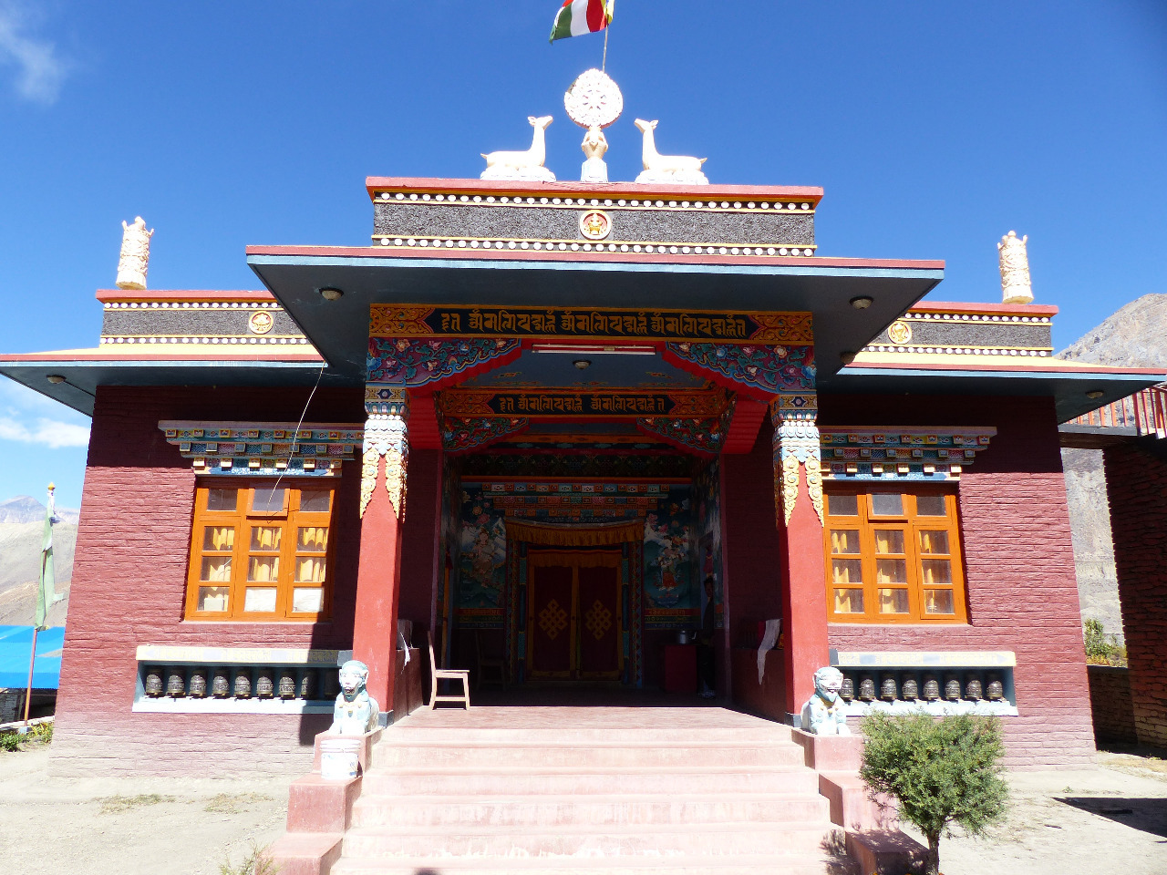
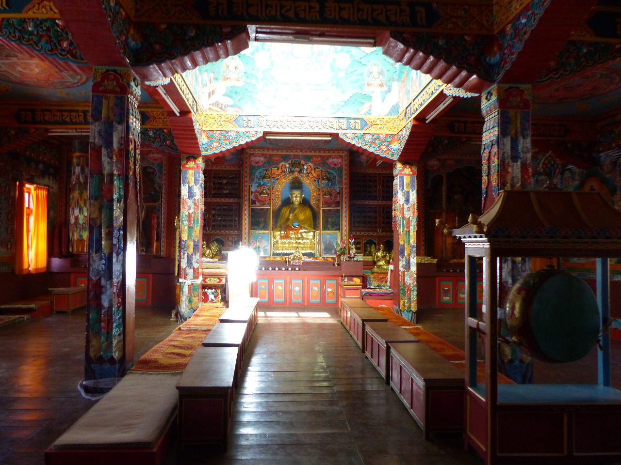
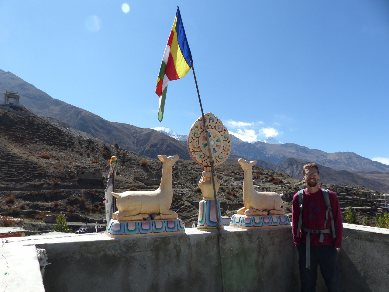
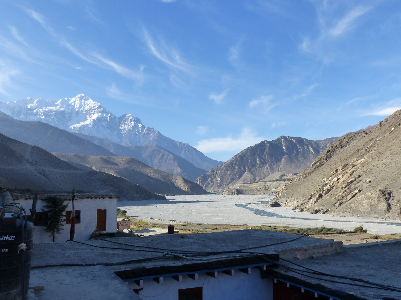
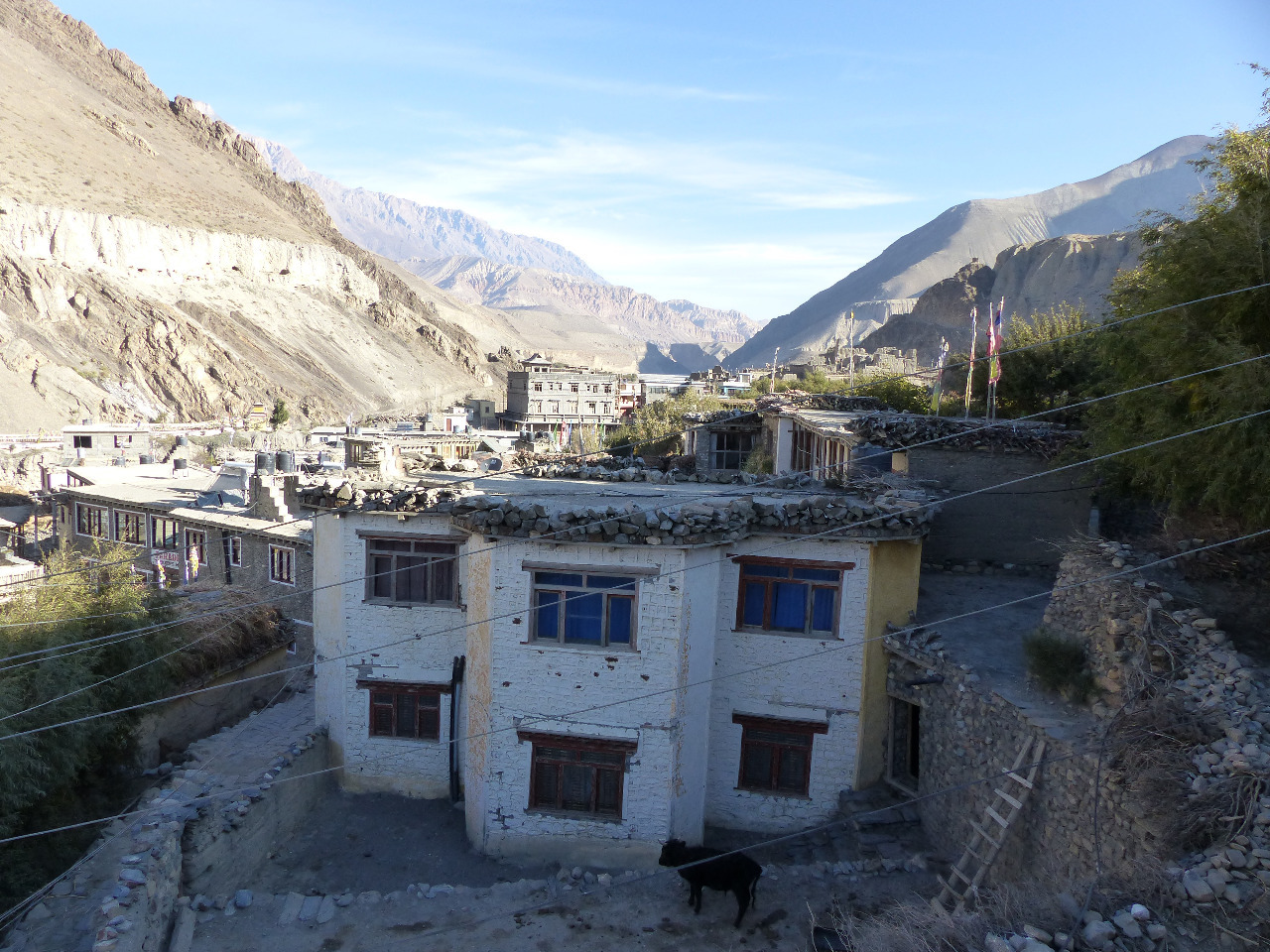
We woke up late at 6.30am, and we hadn't slept well due to the altitude and cold. We had a good breakfast and were on the road at 9am sharp, having seen the friendly dog calmly having a bath in the kitchen. We took the road towards the large town of Jomsom, which was two hours of walking along 7km of desert sand and rocks. On the way, we walked through Marpha village, which was nice and historic with tiny winding cobbled streets. We stopped into the monastery and climbed up to see the monks chanting and praying, and to the rooftop to see the views down over Marpha town. Later on the road, we stopped into another village called Syang, just out of curiosity. It was like Marpha, windy and winding.
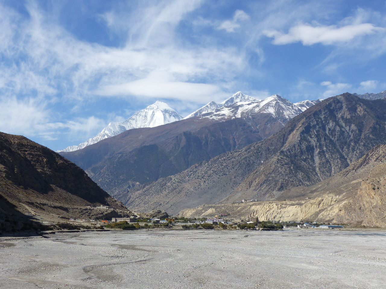
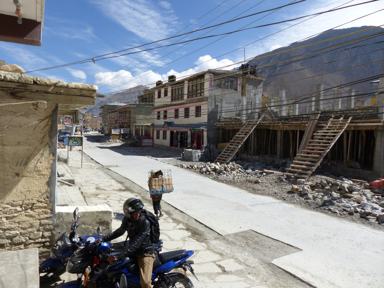
When we reached Jomsom, we had a couple of chores to sort
. Firstly, we needed cash, and luckily a cashpoint worked for us. Secondly, we needed to book transport out of the Himalayas and back to Pokhara. We found the airport in Jomsom and enquired into bookings, and were led to an office where we purchased flights from Jomsom back to Pokhara for a not unreasonable sum. We had to guess how long the rest of the journey would take us, and opted for the safe option of flying on Sunday 25th. This done, we needed coffee, and Jayna's feet needed fixing up as they were hurting. We had coffee and then realised that the next village was some way off. So we stopped for lunch as well. This time it didn't take very long, because the place we stopped into only offered the traditional dal bhat. We enjoyed our dal bhat and our chat to a South Korean woman over lunch, and went on our way.
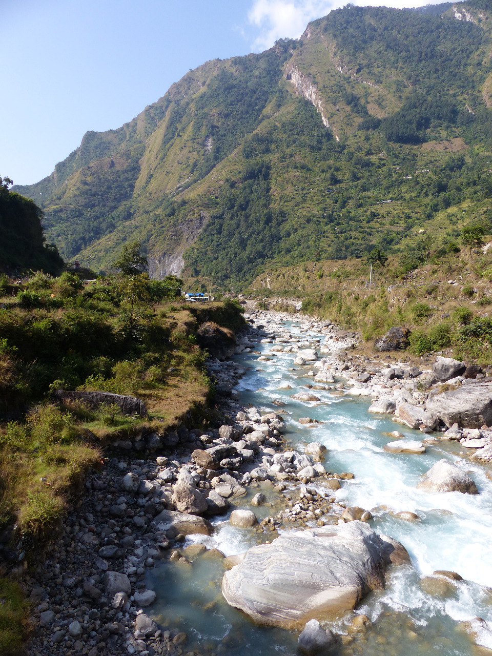
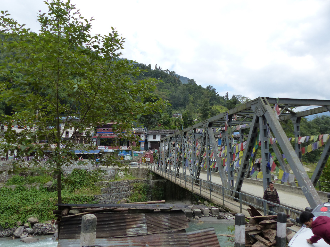
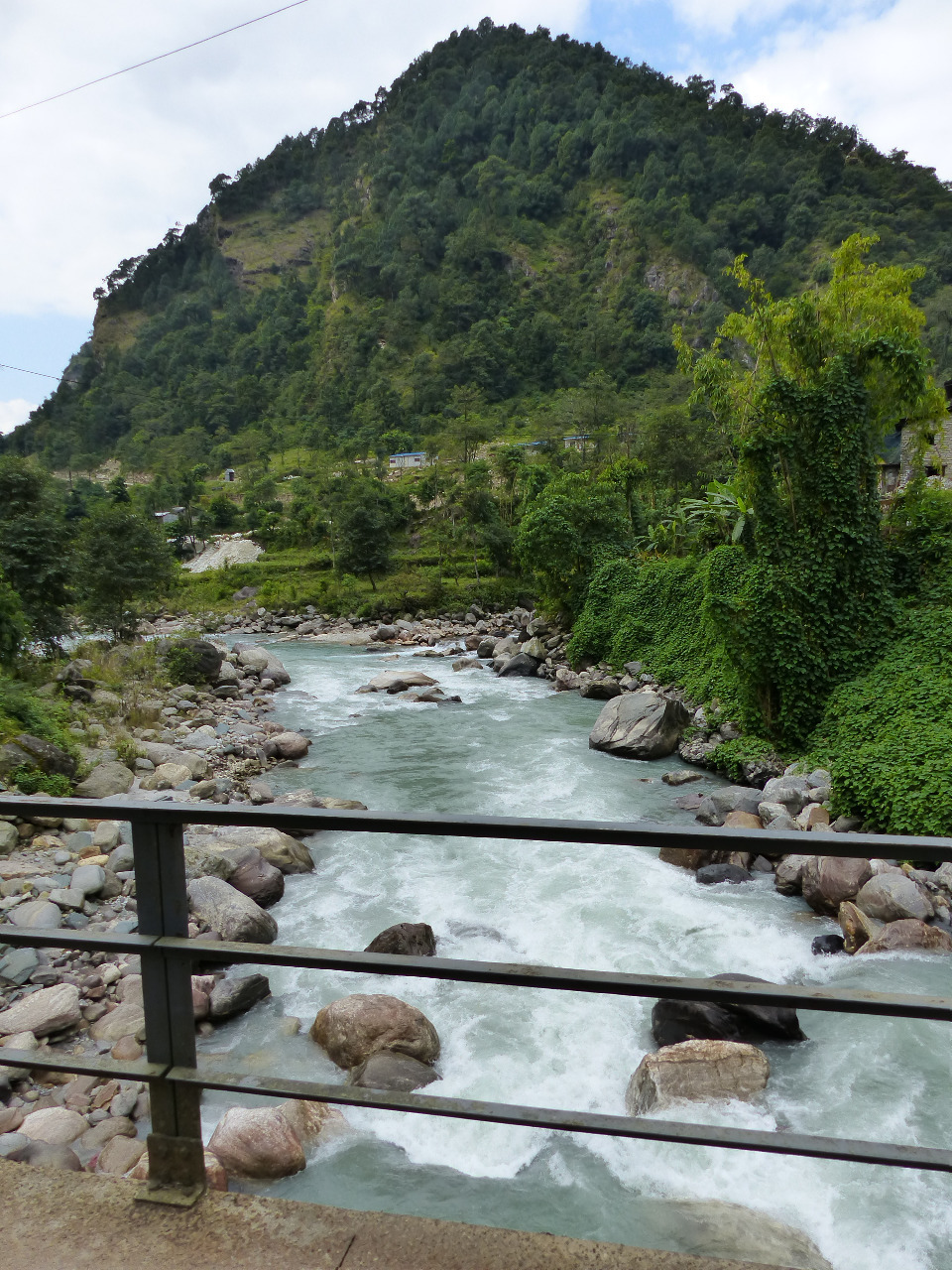
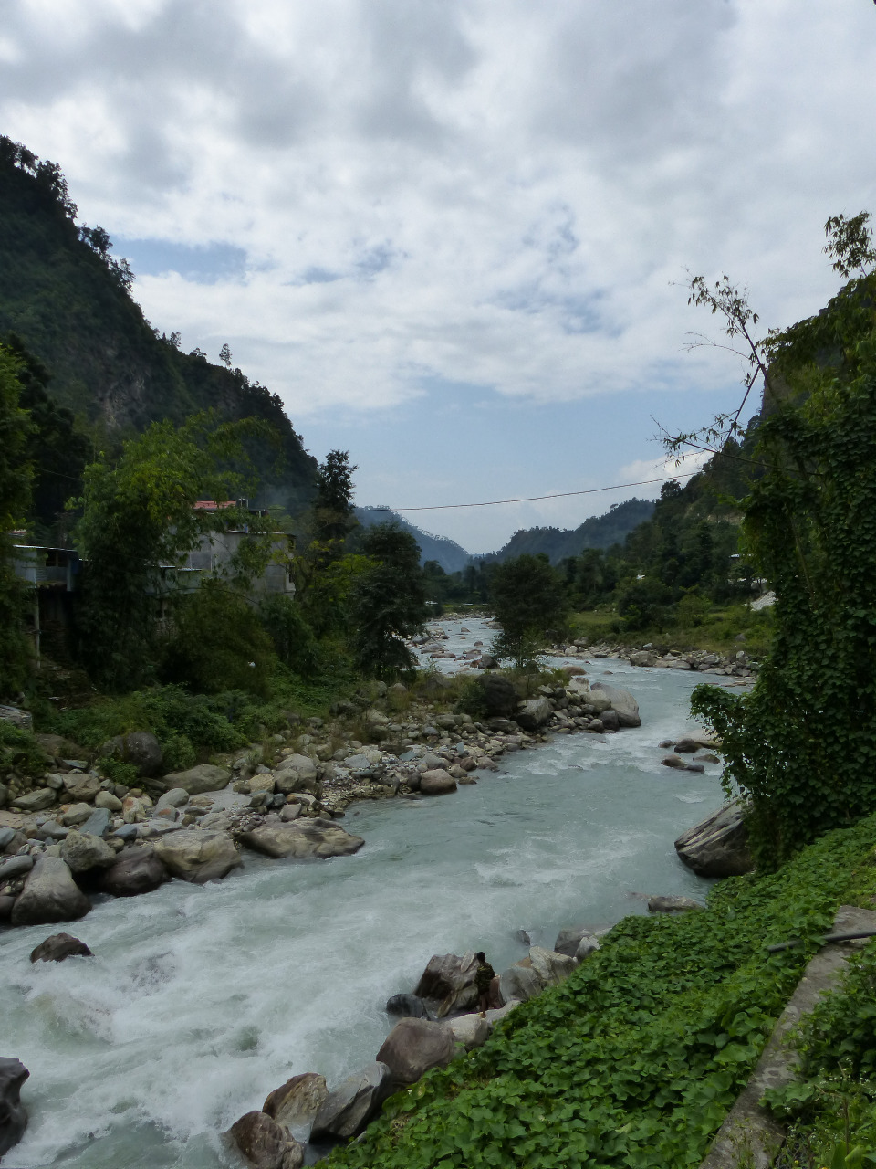
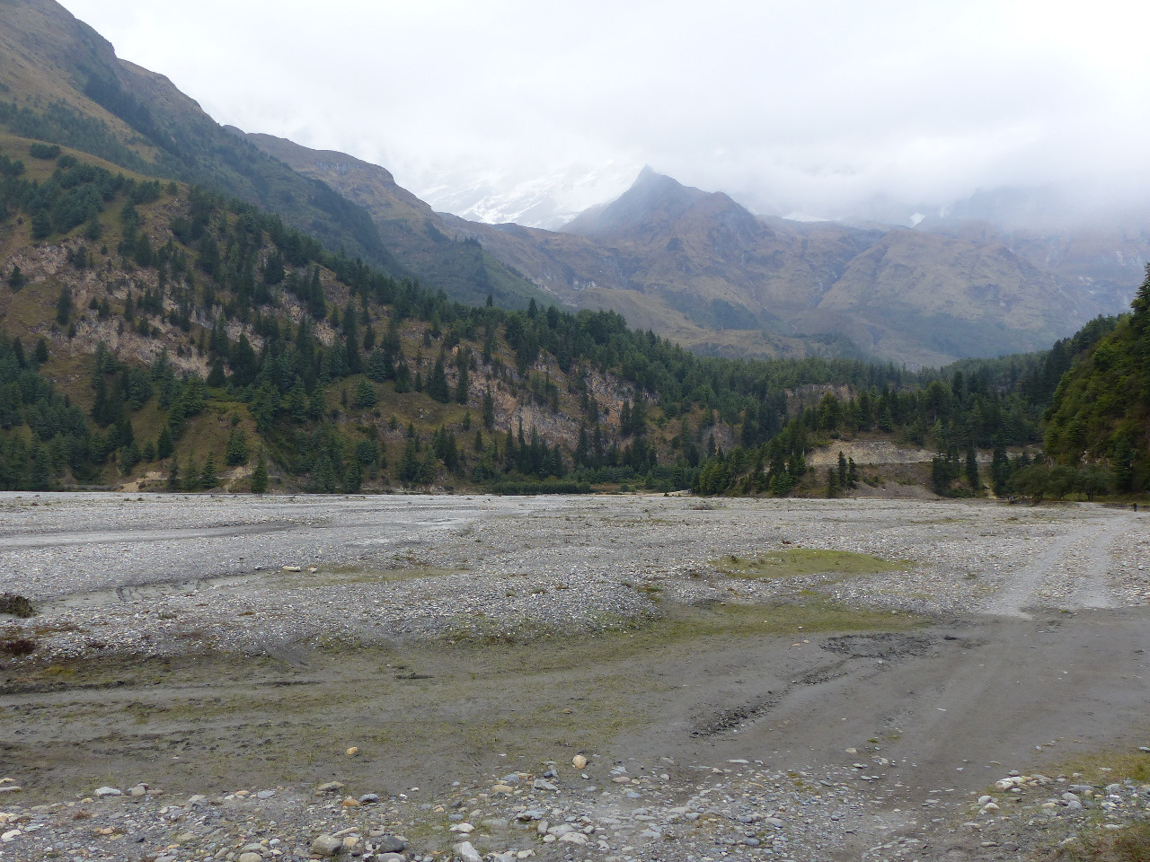
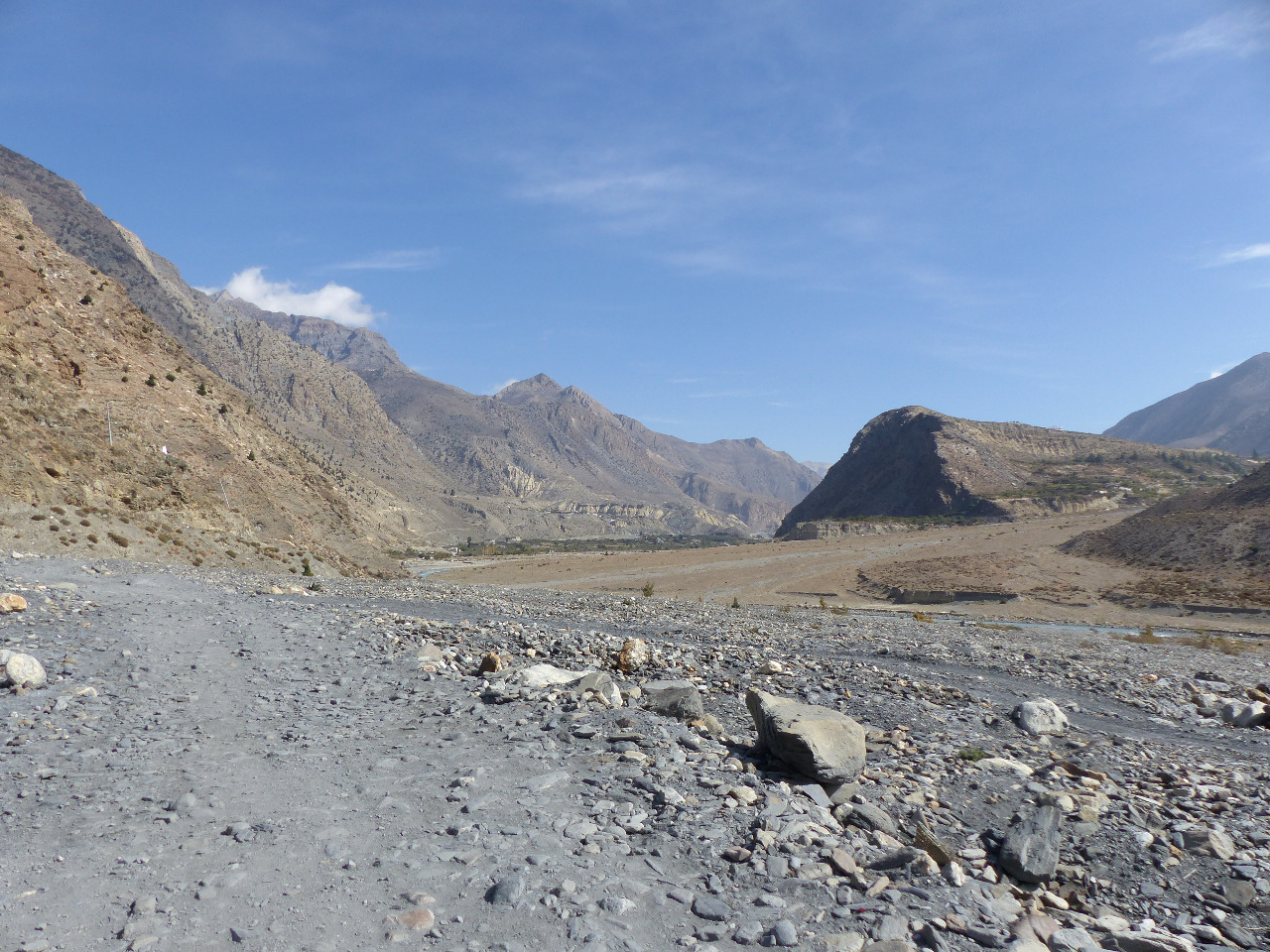
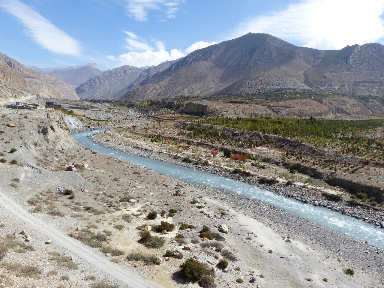
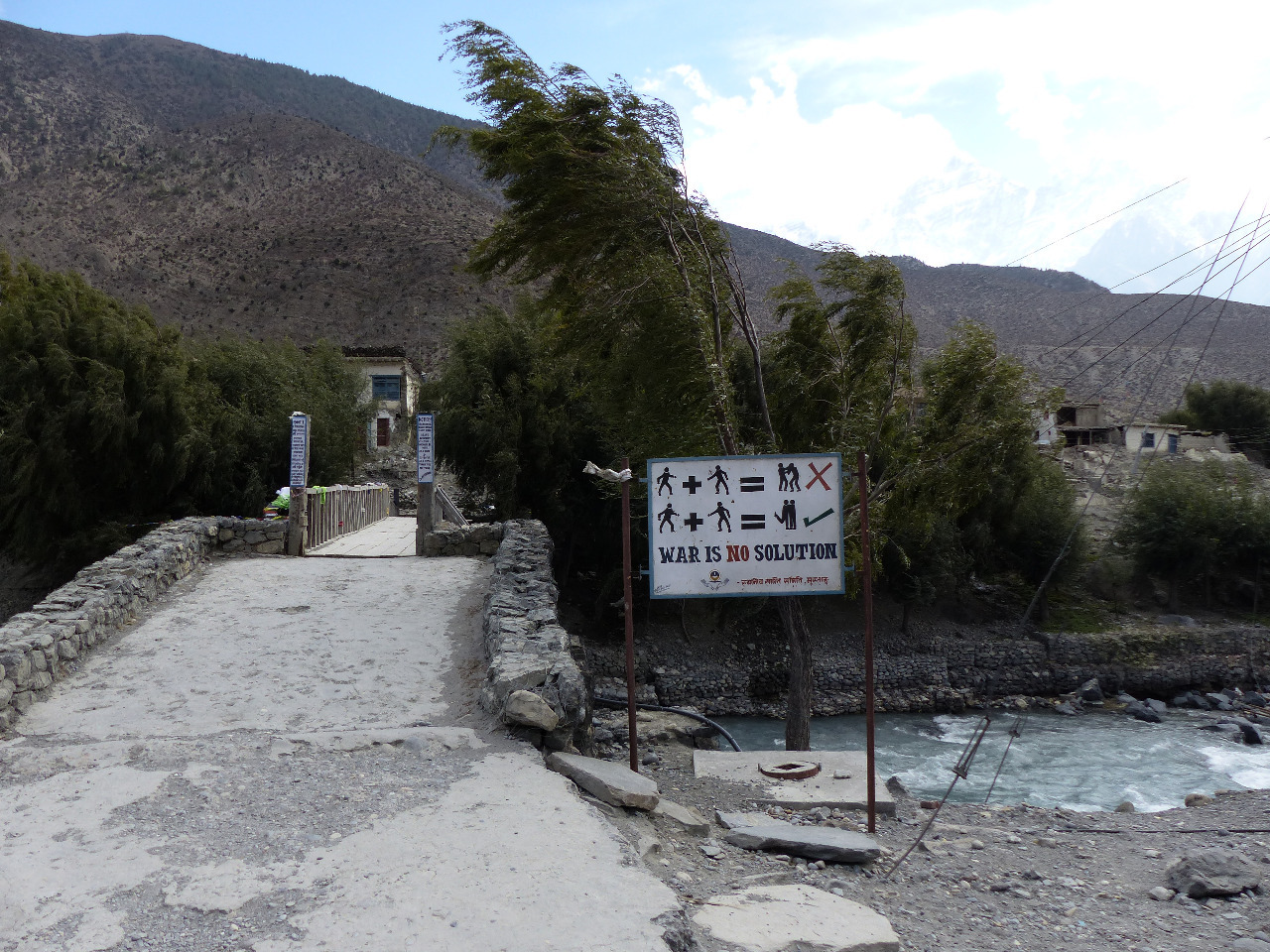
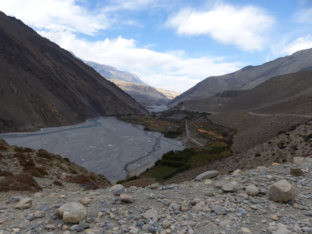
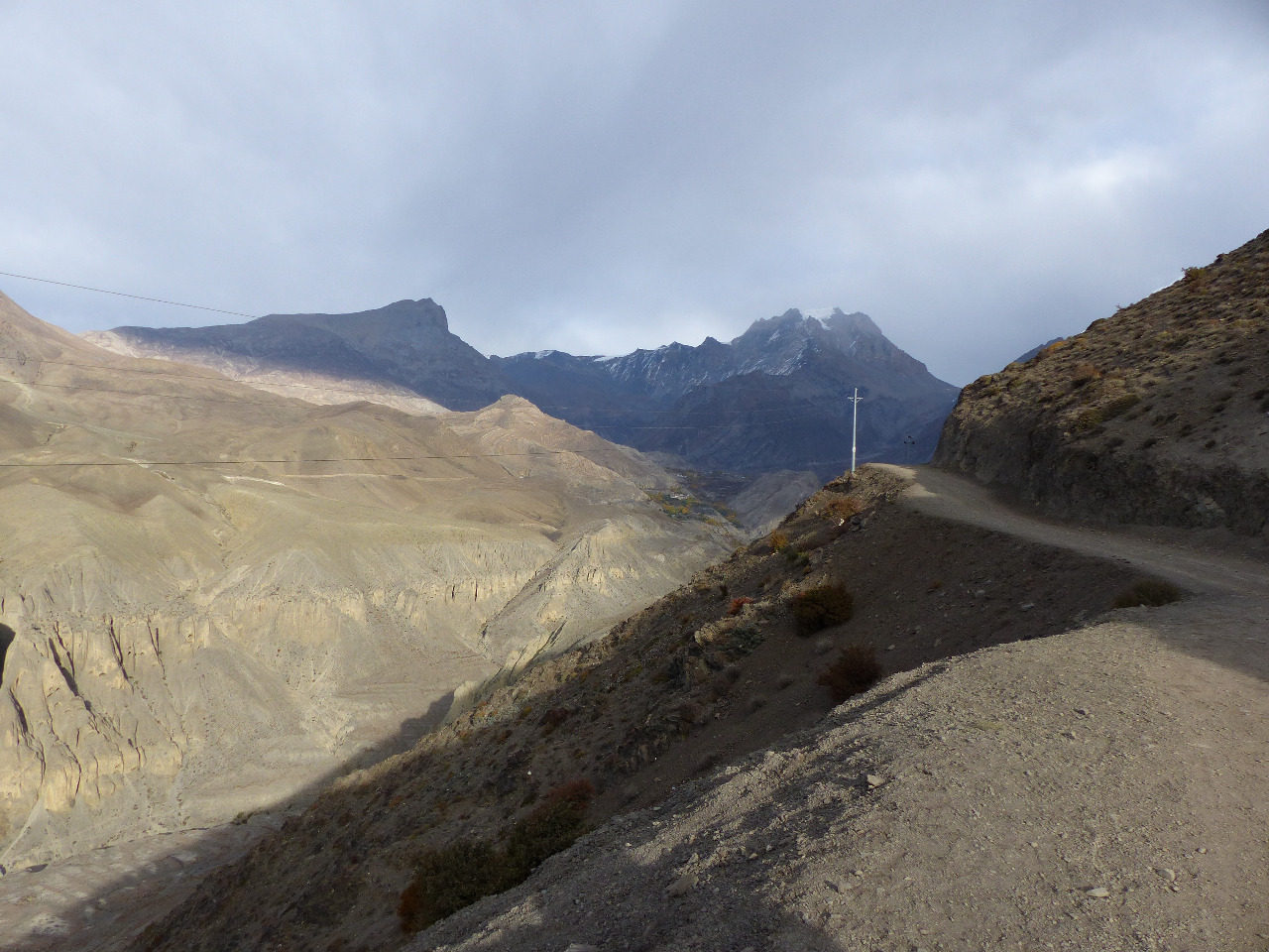
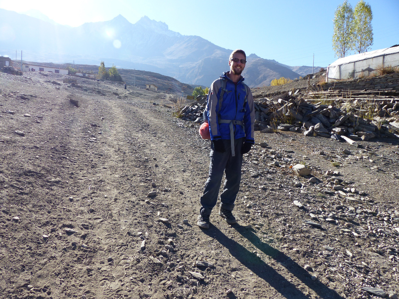
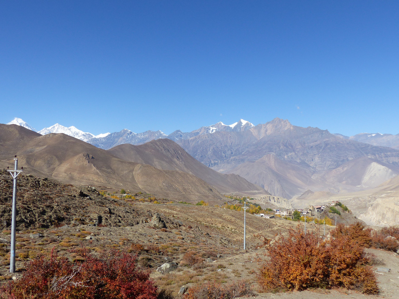
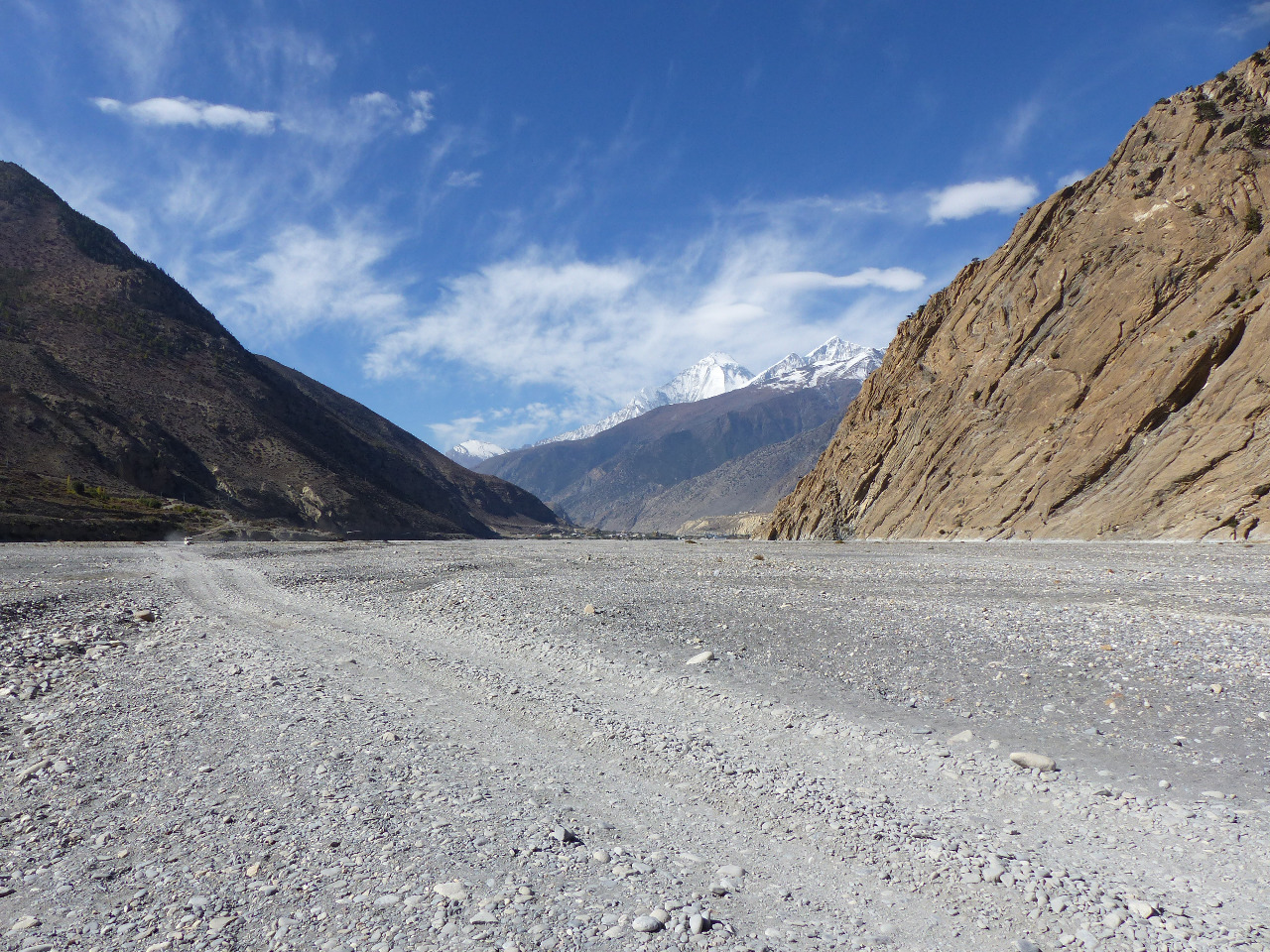
We checked into two checkpoint offices, crossed the river, and continued out of Jomsom (it's surprisingly sprawling). It took us less than two hours to reach Eklebhatti, a small village by the river bed
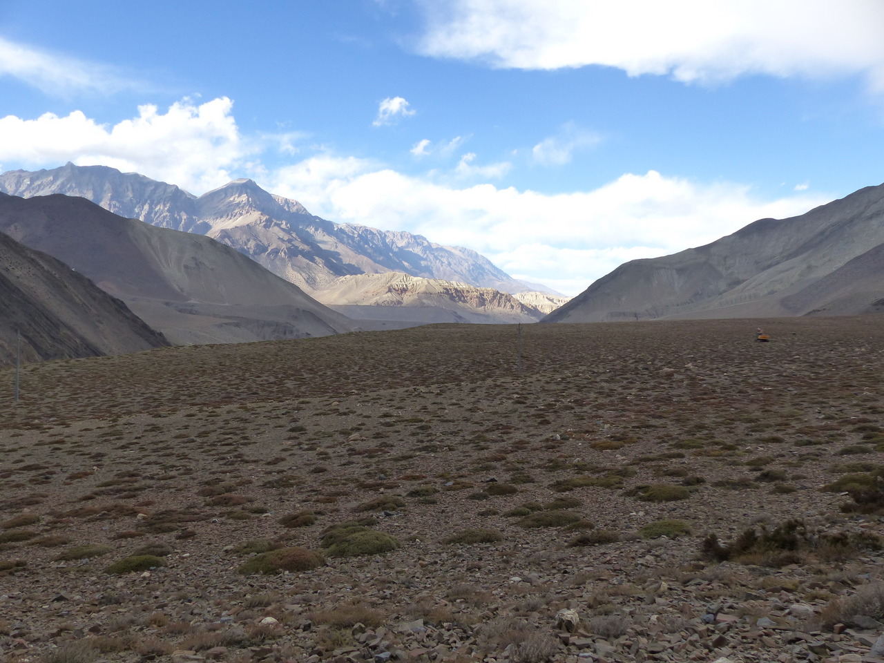
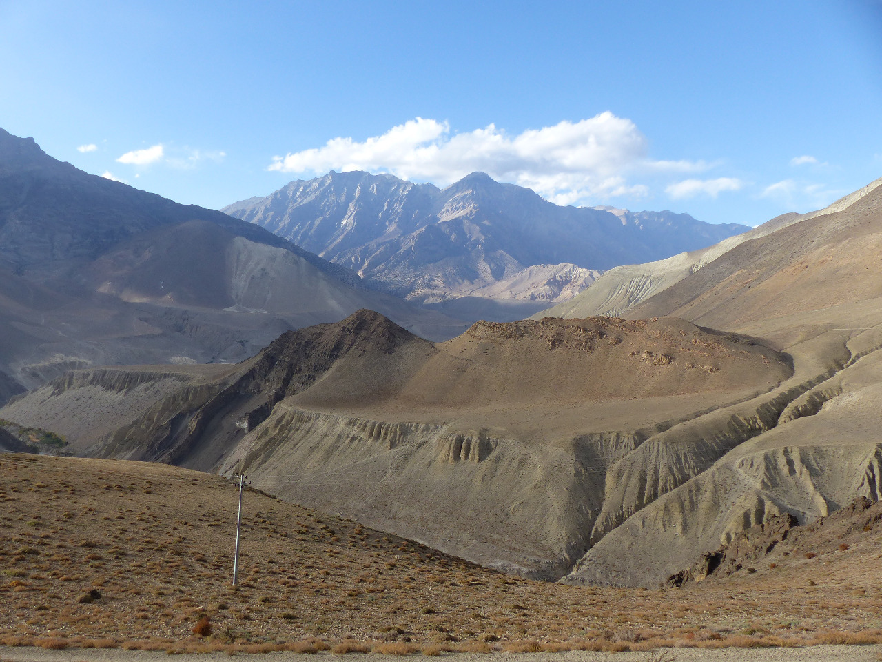
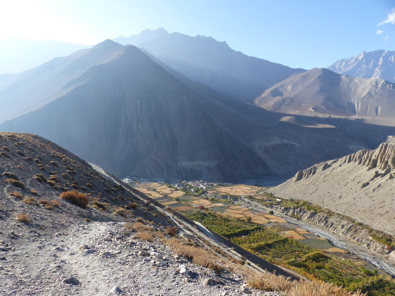
. On the way there, we crossed several streams along the river bed, which apparently contains the remains of fossilised ammonites. At 2700 metres in altitude. Rain was threatening, but we opted to continue on to the village of Khinga. We followed a road sign towards Muktinath, but this took us towards the village of Kagbeni. So we checked Maps.Me and opted for a riskier strategy of joining a higher path... which meant scrabbling up a long scree slope, which seemed to us to be practically vertical. We estimate we climbed about 300 metres in altitude on the scree slope, before finding a path at the top. We joined this and passed a lonely JCB in a desolate desert field, before finally re-joining the road.
We continued on the road for about five more kilometres, with a yak following us all the way and an eagle soaring overhead, before reaching the outskirts of Khinga, standing at 3355 metres in altitude. We saw the autumnal colours of the surrounding trees, and stopped into the first guest house we saw
. It was very run down and had no hot water, so we continued. The second place was the same as the first. The third place had a sign which had all the things we wanted - room, hot water, en suite, good food - but there was noone there. The locals asked us to wait for five minutes for the owners to come. After ten minutes we opted to keep going, as it was getting dark and cold. The fourth place was full, and the fifth place was the winner. Called Sweet Dreams, the room was two single beds with blankets. There was no shower; in fact there was no running water to wash our hands or clean our teeth. We knew that our run of luck with accommodation would come to an end at some point. Dinner took an hour and a half to be cooked, and when it arrived it wasn't what we'd ordered. Still, we were grateful for some food by that point, as the card playing had worn thin and lunch had been a long time before hand. We were in bed by 8pm with an intended early start the following day.
Day 7, Friday 23rd, Khinga to Muktinath, then Muktinath to Kagbeni, 16km, 450 metre altitude gain, 1100 metre altitude loss
We woke up at 5
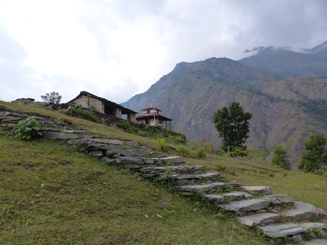
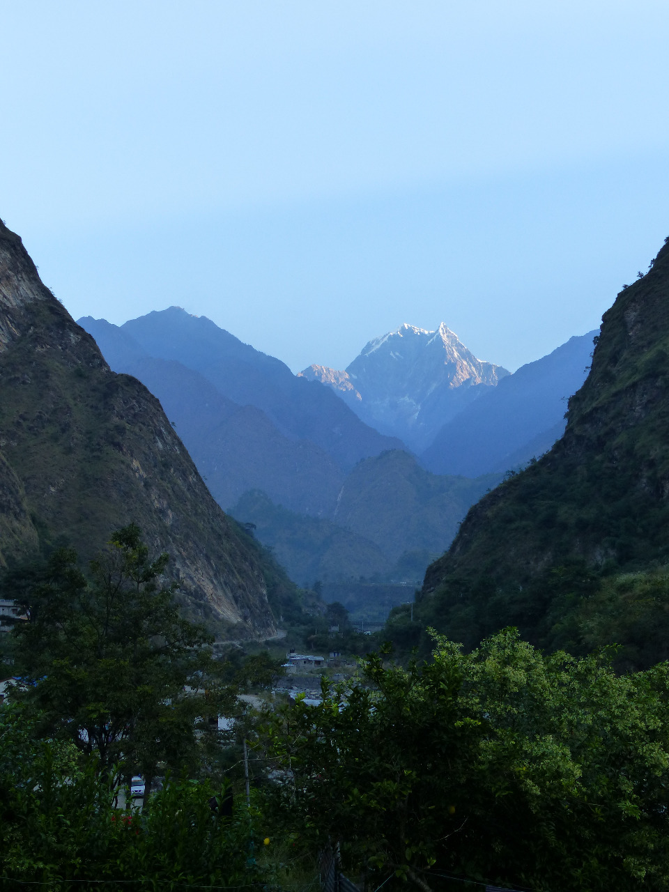
.30am, and it was a very cold morning. Breakfast was a little late at 6.45am, and again it was not what we had ordered. We weren't upset as it was still good, and it was food, and we headed off to see the sun glinting off the mountains surrounding us. It was the final stretch to Muktinath. We walked along a path to reach the village of Jharkot, walked through the village, and saw how it looked like a fortress from the far side. We continued on the dusty, steep terrain, and were warm walking in the brilliant sunshine.
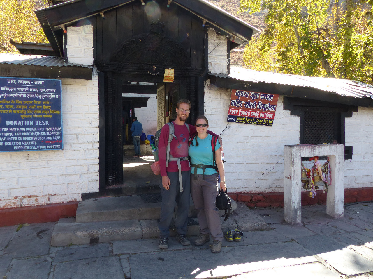
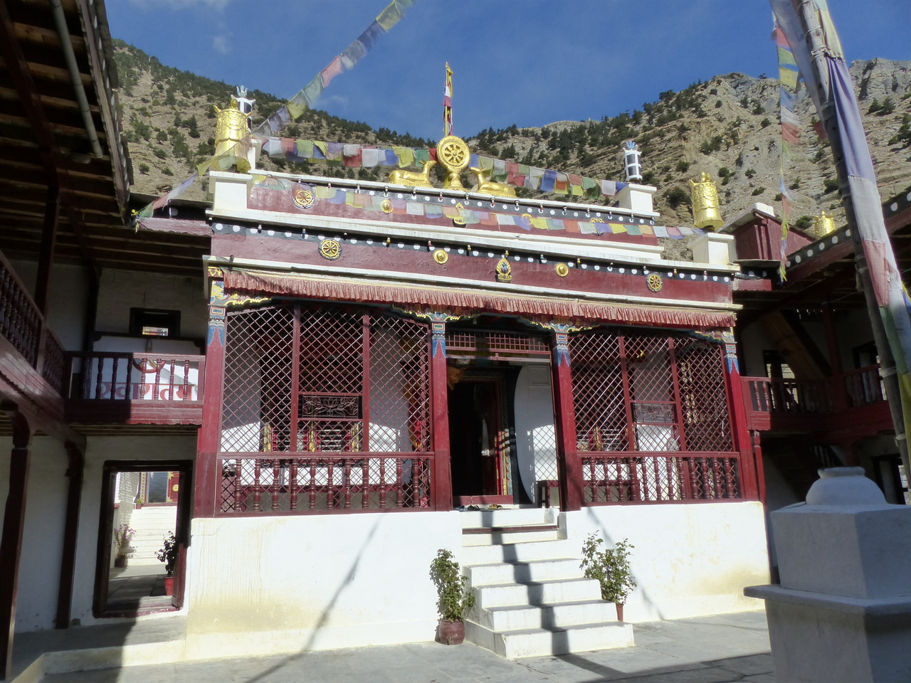
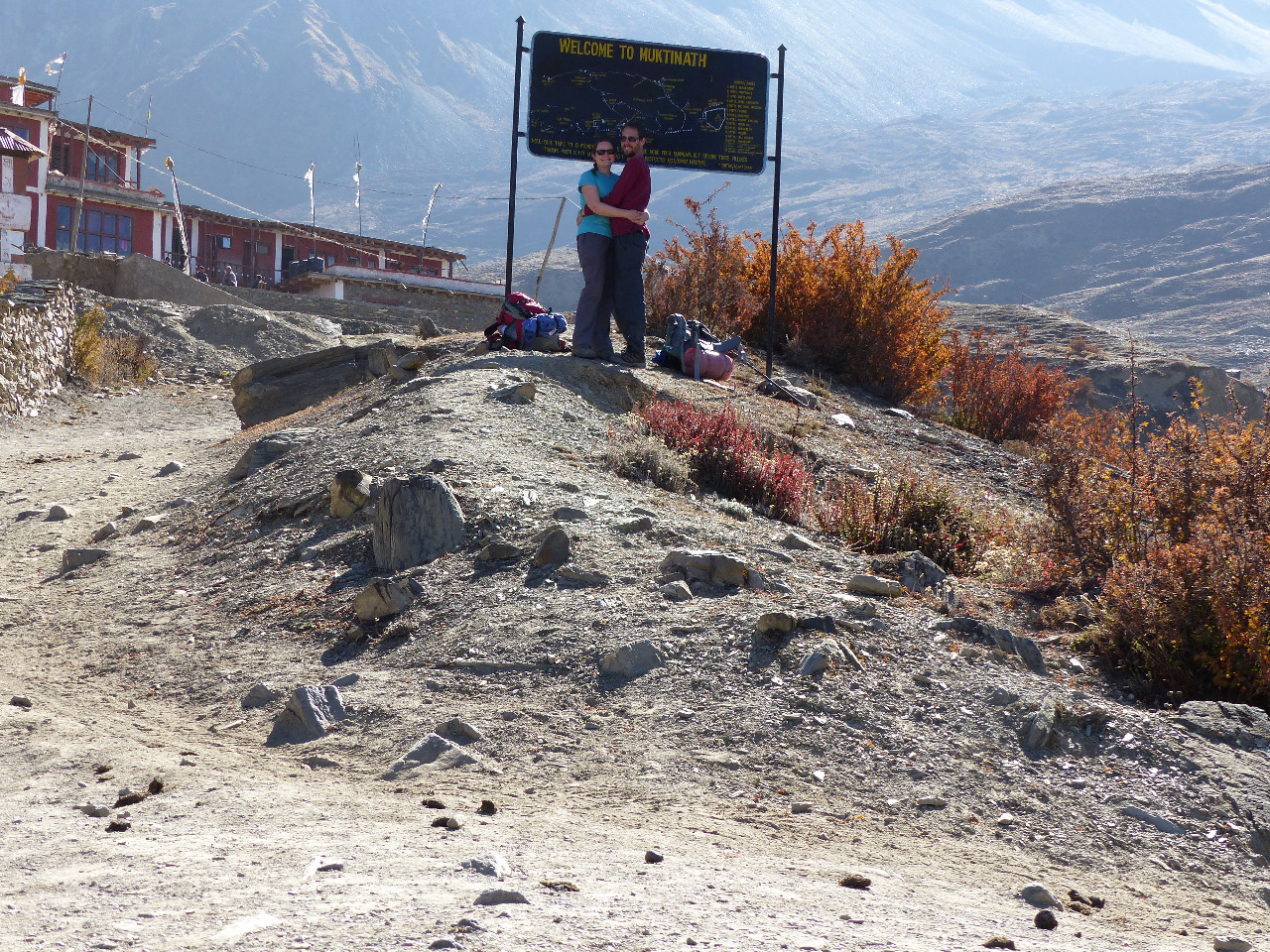
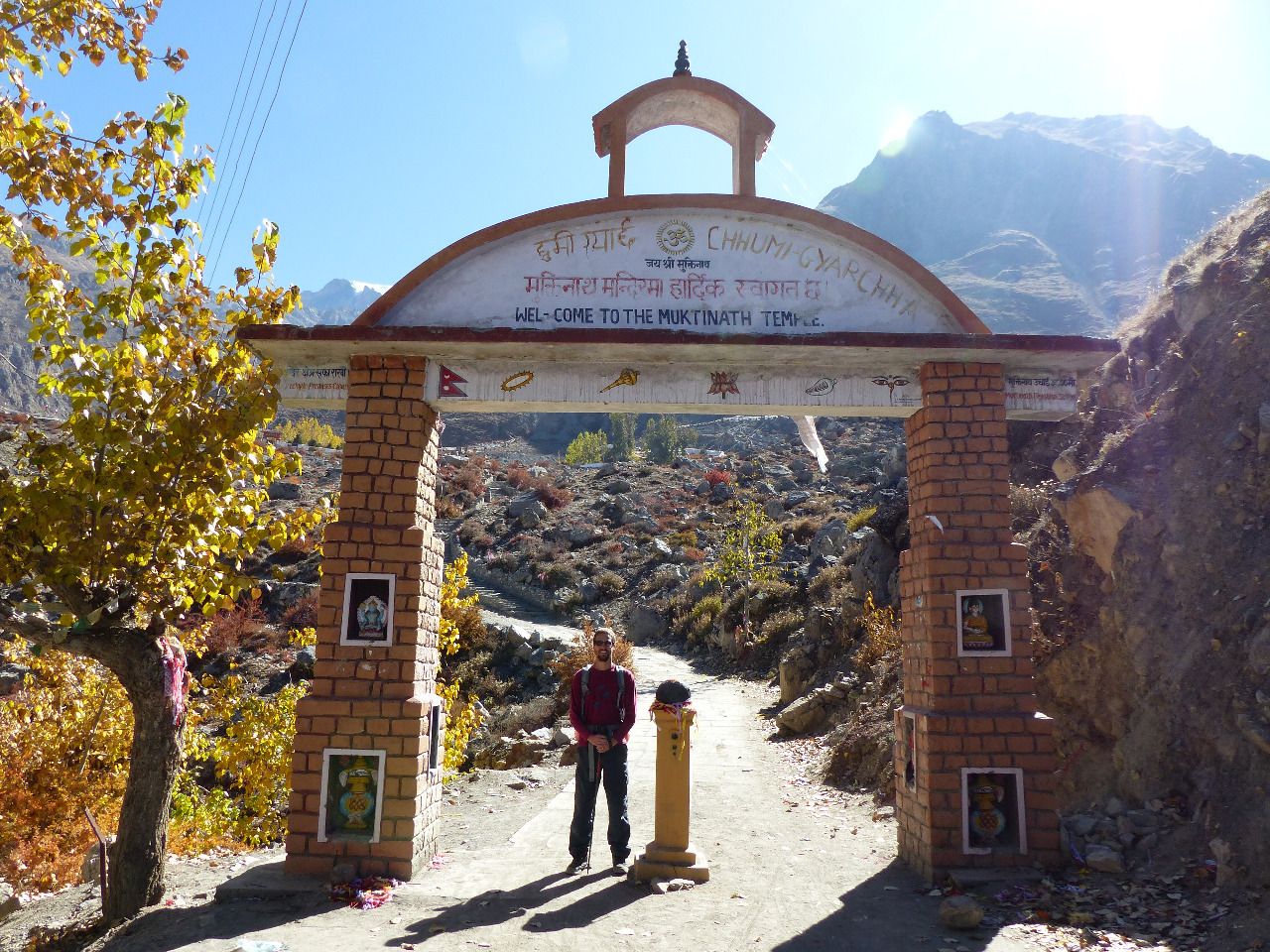
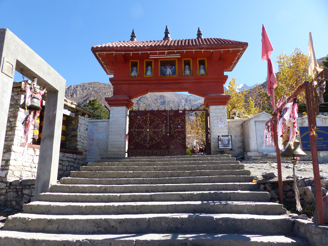
Then... we reached Muktinath! We'd climbed 450 metres in altitude over 4 km, to a height of 3800 metres, and it had taken us a little less than an hour and a half. We celebrated by taking pictures with the Muktinath sign, and walked through the town to take in the sights. We checked in at the two checkpoints, and did some more uphill walking to reach the Muktinath temple complex. On the way, we saw a bottom half naked holy man, who was not afraid to show people that he was indeed partially naked
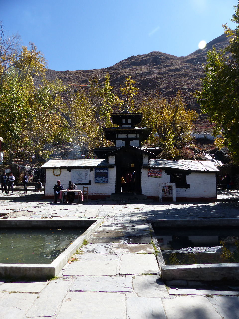
. When we reached the complex, we went to various temples, including Samba Gompa, the Muktinath Temple, Narsingh Gompa, and Patal Ganga. The Muktinath temple was the main temple of the group, and we saw men ritually washing themselves in the freezing running water, the two holy ponds, 108 water spouts, and huge prayer wheels turned by the action of the water. We took our time to enjoy the sights, and went back into town, past the naked holy man.
In town, we wandered to another ornate temple and went inside to have a look. There were more pretty views from the rooftop. We had lunch and coffee in a slightly grotty cafe, and chatted to some bikers whilst the food took 50 minutes to arrive. We found out some more about the latest of the fuel crisis, which was ongoing and severe.
Ken wanted to see the natural gas flame, burning in one of the temples. Apparently we had missed it in our wanderings around the temple complex. So we headed back up the hill and into Jwala Mai temple
. There were plenty of rude pushing people there, but we managed to get a look at the flame. It was seated behind a grate in the ground, below the level of the temple. It smelt sulphurous. The flame was considered so holy that the temple had been built around it. We passed the naked holy man for the fourth time, and started our way downhill.
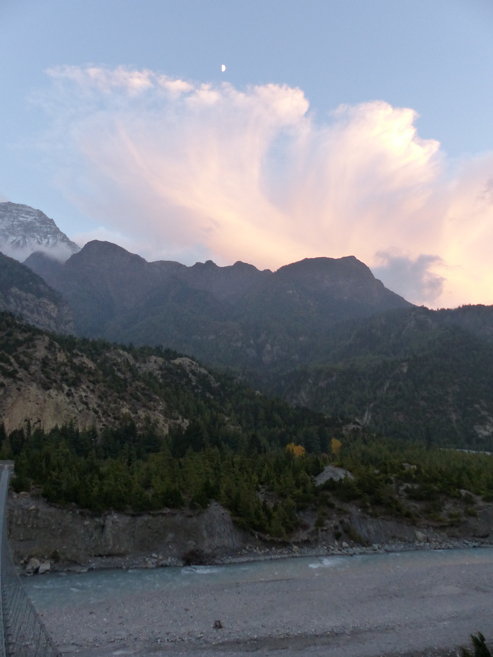
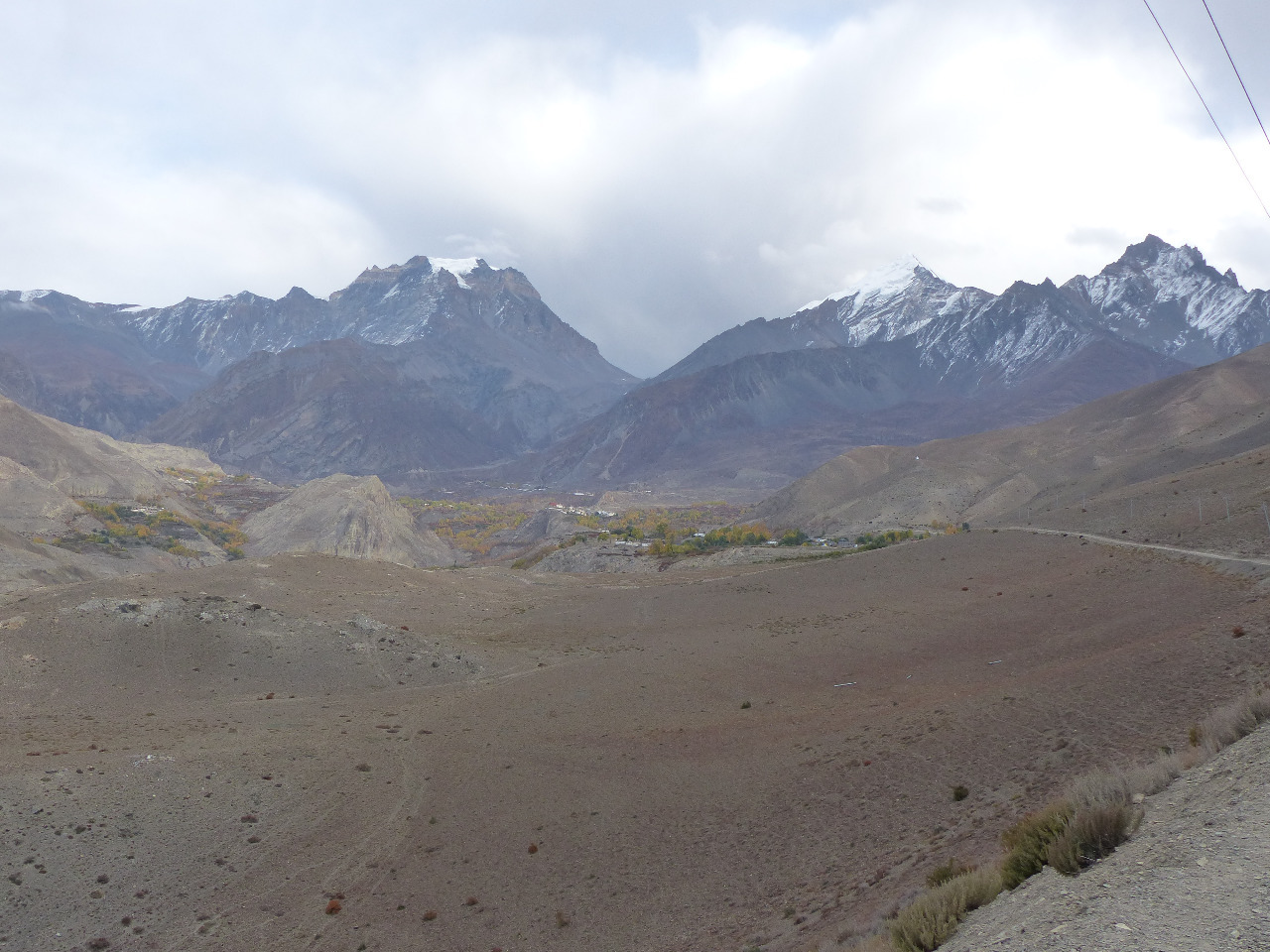
We said goodbye to Muktinath. We were worried about the wind in the windy valley, which would be working against us this time. We decided to stop into Kagbeni, as we'd missed it on the way up to Muktinath. On the way down the hill, we turned around to see the moon rising over the pass between the mountains. The walk involved mostly road walking, and took us about two and a half hours. At the end, it involved some scrambling down scree paths, which would abruptly end, with no way to get to the road other than climb down, or jump. Not ideal, with sore feet and knees. Jayna developed proper blisters on this stretch of the journey. Luckily, we only had patchy wind to deal with, though it was very dusty.
When we arrived in Kagbeni, we turned down the first establishment as it was too expensive (comparatively). We took the second place, just a little further down the path, called Hotel Nilgiri View. The owners said it had a hot water shower, but it was more of a sad lukewarm/ cold dribble. Not what we needed. We took in the excellent view from the rooftop before it got too dark
. After patching up Jayna's feet, we drank tea, and dinner was very welcomed. At 2800 metres, it was not so cold in Kagbeni (again, comparatively).
Day 8, Saturday 24th, Kagbeni to Jomsom, 9km, 80 metre altitude loss
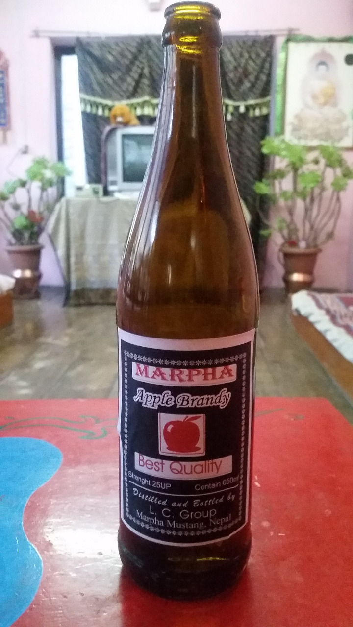
We woke up at 6am, with breakfast at 7am. We intended to get to Jomsom early, for a relaxing day, and to avoid the worst of the wind. Kagbeni turned out to be expensive, like Ghasa, and we tried to negotiate for water which was not extortionate. After half an hour of walking on the flat, we reached Eklebhatti. It was dusty but there was no wind. We carried on retracing our steps, and walked along the road and the river bed, where possible. We kept our eyes open for ammonite fossils but did not see any. After two hours, a little after 10am, we reached the outskirts of Jomsom, at which point the wind started. We bought a bag of apples (tis apple season), and had a nice and cheap coffee in a coffee shop
. Whilst there, we were talking about apple brandy, and the owner gave us a 'shot' of 30% proof apple cider. We bought some bootleg apple brandy from him to celebrate our walking victory, and carried on into the centre of town to look for a hotel. Specifically, we were looking for somewhere with a nice communal area, so we could drink our apple brandy in nice non-hotel-room surroundings. After checking out several establishments, we settled for one called Hotel Mountain View - despite the fact that we couldn't see mountains from the hotel. It had a good-ish hot shower and a pleasant sitting area, so we were happy.
We reflected that we could have easily shaved a day off our journey, and left the mountains the same day as arriving back into Jomsom. However, we were happy to have some time to sit, reflect and rest our legs. We got into the brandy early, and offered to share it with some others staying in the hotel. We had lunch and dinner there, which was okay, and Jayna read an entire book in the afternoon, which we'd picked up from a bookshop in the town. Otherwise, we played cards, drank tea and brandy, and relaxed. It was a very pleasant afternoon and evening.
In the end, the only advice we'd been given that we actually needed and heeded was, take your time, and enjoy it.
And enjoy it we did.
Next stop - Pokhara, again!
(Photos are numbered according to the day they were taken. Eg. '8 Jomsom!' refers to day 8, coming back into Jomsom.)
Trekking in the Himalayas
Saturday, October 17, 2015
 Jomsom, Western Region, Nepal

Other Entries
-
Oct 134 days prior Kathmandu, Nepal
 -
Oct 152 days prior
Pokhara, Nepal -
Oct 17
Jomsom, Nepal -
Oct 258 days later
Pokhara, Nepal -
Oct 269 days later
Sauraha, Nepal -
Oct 3013 days later
Kathmandu, Nepal -
Nov 0216 days later Delhi, India
 -
Nov 0519 days later
Agra, India -
Nov 0721 days later
Jaipur, India -
Nov 1024 days later
Candolim, India -
Nov 2236 days later
Palolem, India -
Nov 2539 days later
Kolkata (Calcutta), India -
Nov 2741 days later Bangkok, Thailand
 -
Dec 0246 days later Siem Reap, Cambodia
 -
Dec 0549 days later
Battambang, Cambodia -
Dec 0751 days later
Phnom Penh, Cambodia -
Dec 1054 days later
Kratie (Kracheh), Cambodia -
Dec 1256 days later
Phnom Penh, Cambodia -
Dec 1357 days later
Koh Rong, Cambodia -
Dec 1660 days later
Sihanoukville, Cambodia -
Dec 1761 days later
Bangkok, Thailand


2025-05-23