 Cahersiveen, County Kerry, Ireland
Last night Richard checked the weather forecast and it is going to be fine today and possibly rain tomorrow. Looking out the window and skylight there is blue sky so here’s hoping we have a clear day for views of the Ring of Kerry.
We have been told by the coach drivers the best and only way to drive the ring of Kerry is anti-clockwise (roadmap book also mentions the same thing), so you are not on the cliffs edge when a coach comes the opposite way. Doubled back to Killarney to the Tourist Information for maps and got caught up in the crowded street as it is the final Gaelic football between Cork and Kerry. Quite a big match there are flags and souvenir stands everywhere.
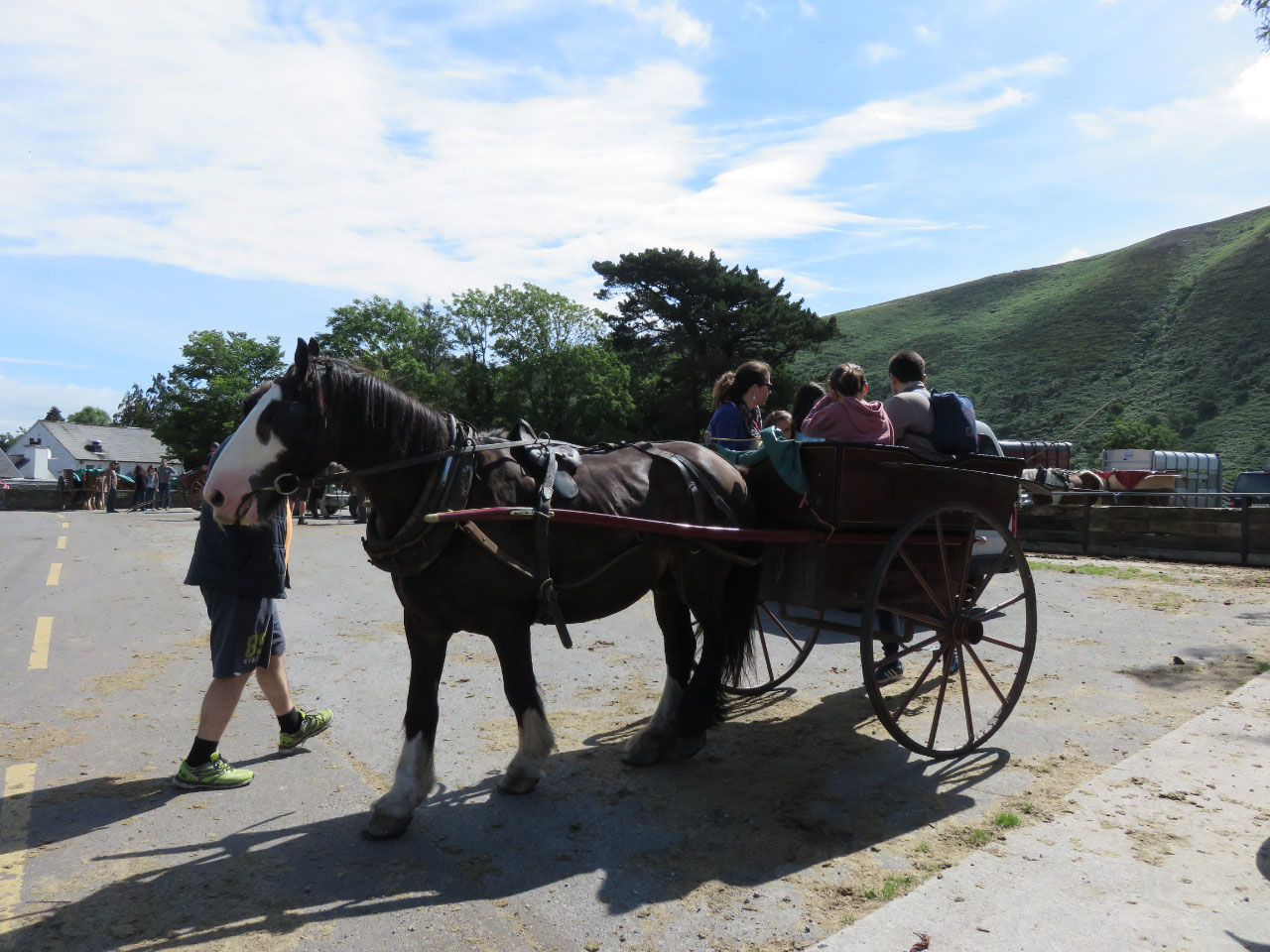
Final we are on our way with the Ring of Kerry starting from Killarney passing through the suburbs with the Jaunting Cars (horse and carriage) holding up the traffic. Nice drive on tree lined road by the golf course and lake on one side and lovely homes the other side.
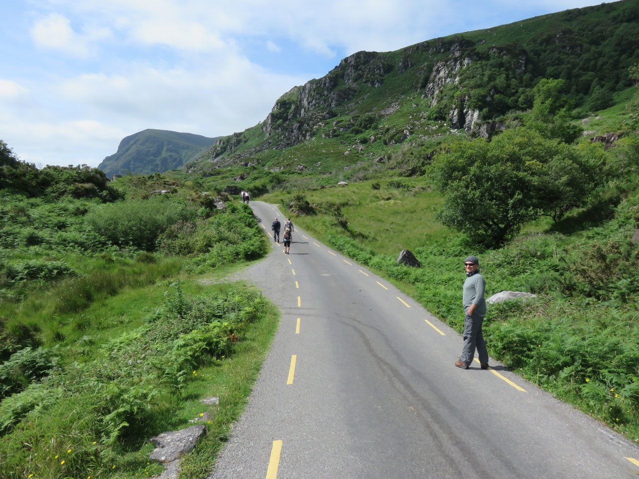
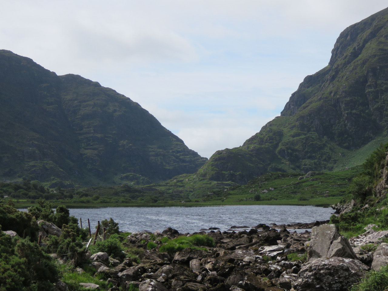
First stop is the Gap of Dunloe down a narrow road through farmland, woodlands, horses, cattle and sheep grazing, homes by the roadside and lucky for us other people were going there so we didn’t get lost.
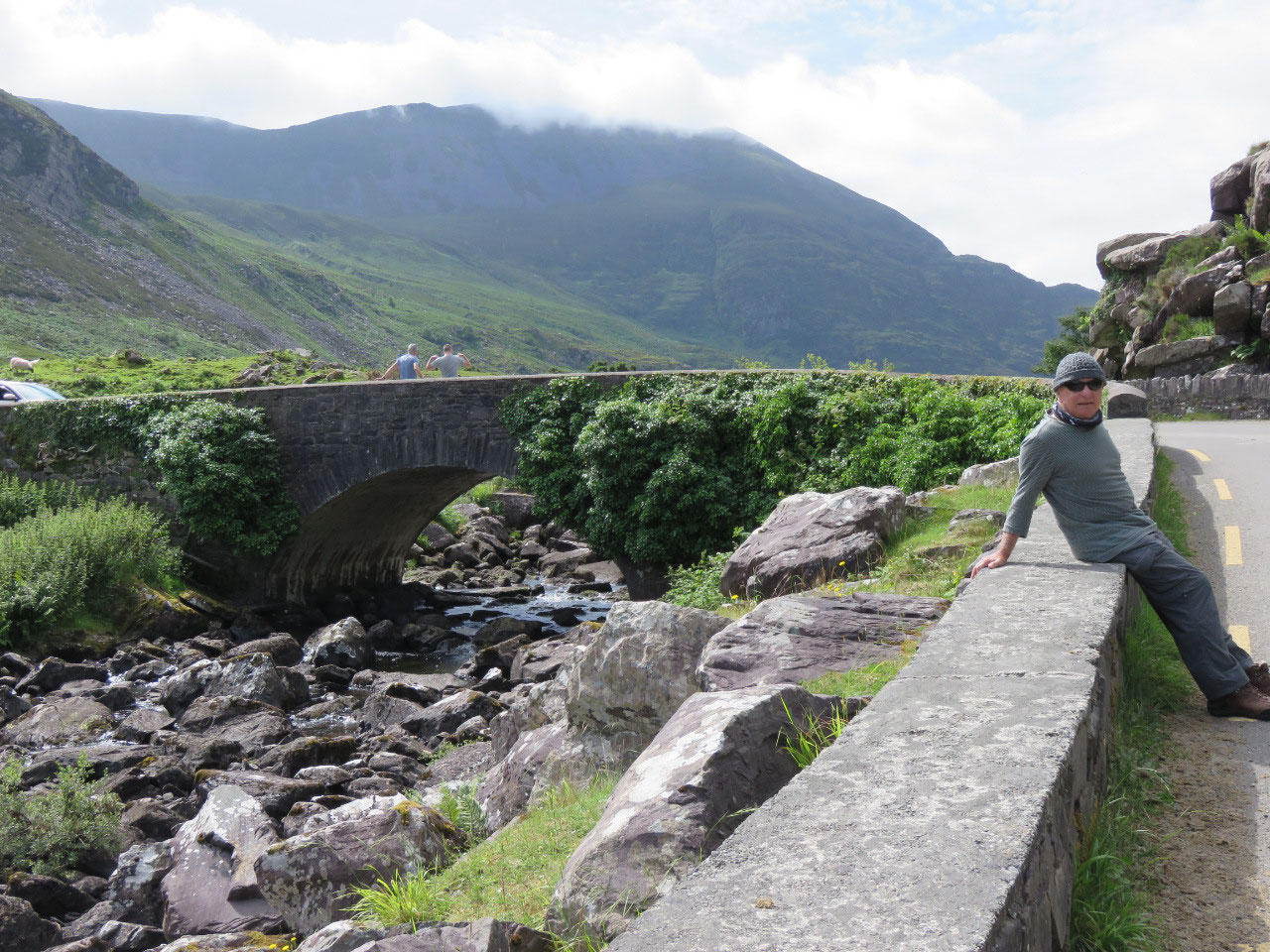
Parking was a pain, so many people either walking to the gap or being lazy and riding in the Jaunting Cars or horseback. If we had known the distance and time it would take we would have ridden our bikes but we enjoyed the walk on the winding road over a couple of bridges with views of lakes, the Purple Mountains, sheep grazing near a couple of homes, which we though were the halfway stop. A truly lovely relaxing sunny day but we didn’t have the extra energy to walk up the mountain top to take in the views of the other side of the gap.
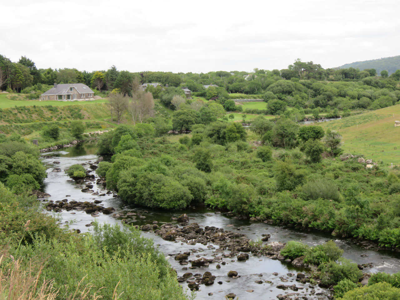
Back on to N72 the ring of Kerry with constant views of the mountains on the distant horizon, get glimpses of farmland, dairy farms through the thick bushes lining the roadside and at times driving through a canopy of trees. Pass by streams with sheep and cattle grazing till we reach the colourful town of Killorglin where we top-up the tank £1.189lt just over the old stone bridge and river.
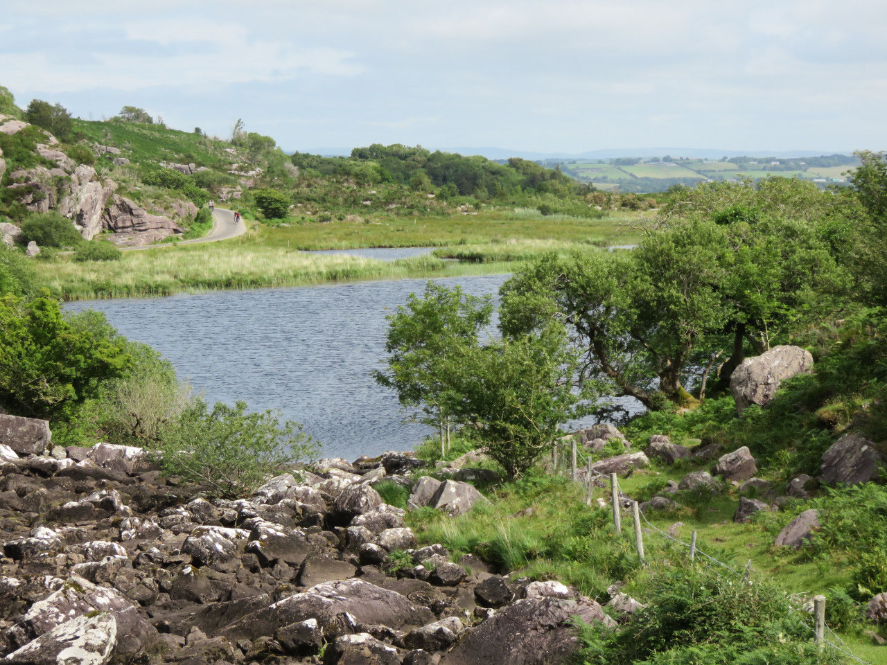
Thought we would have lunch by Lough Caragh but the road signs are terrible went down this small lane for miles and couldn’t find the road to the lake, which we could see at times.
Satnav took us back a different way to N70 and we missed Glenbeigh with its Bog Village Museum and Rossbeigh, Rosbehy Point a long peninsular beach.
Lucky for us we packed on hillside view point for lunch with glorious views of the countryside mountains in the distance and a winding stream flowing to the Lough Caragh we can see before the mountains. To our enjoyment we watched a gypsy lad entertaining a group of tourist with his donkey and goat. You would think these people had never seen a goat before with the amount of filming they were doing but at least the gypsy got his money’s worth.
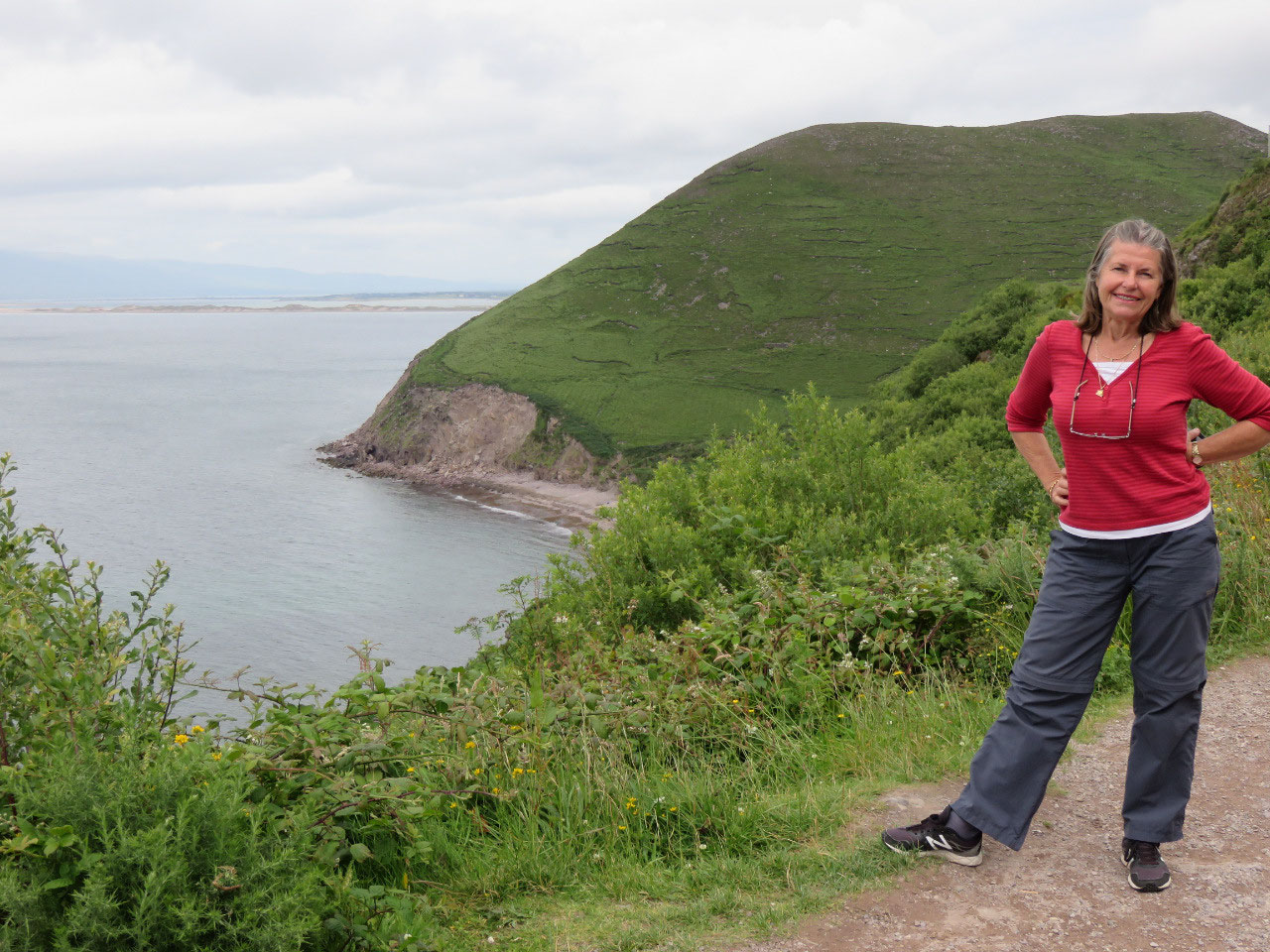
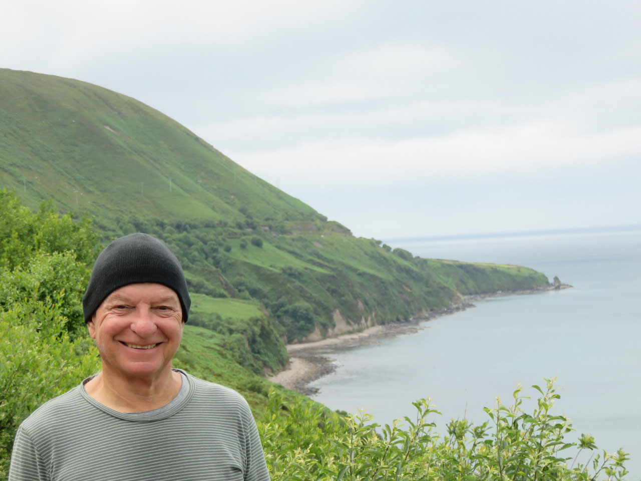
A little further on our drive was a view point where we had panoramic views of Dingle Bay, the red cliffs and in the distance the peninsular of Rosbehy Point and if it wasn’t raining you would be able to see the dingle peninsular across the bay but at the moment you can only see the outline through the mist of rain.
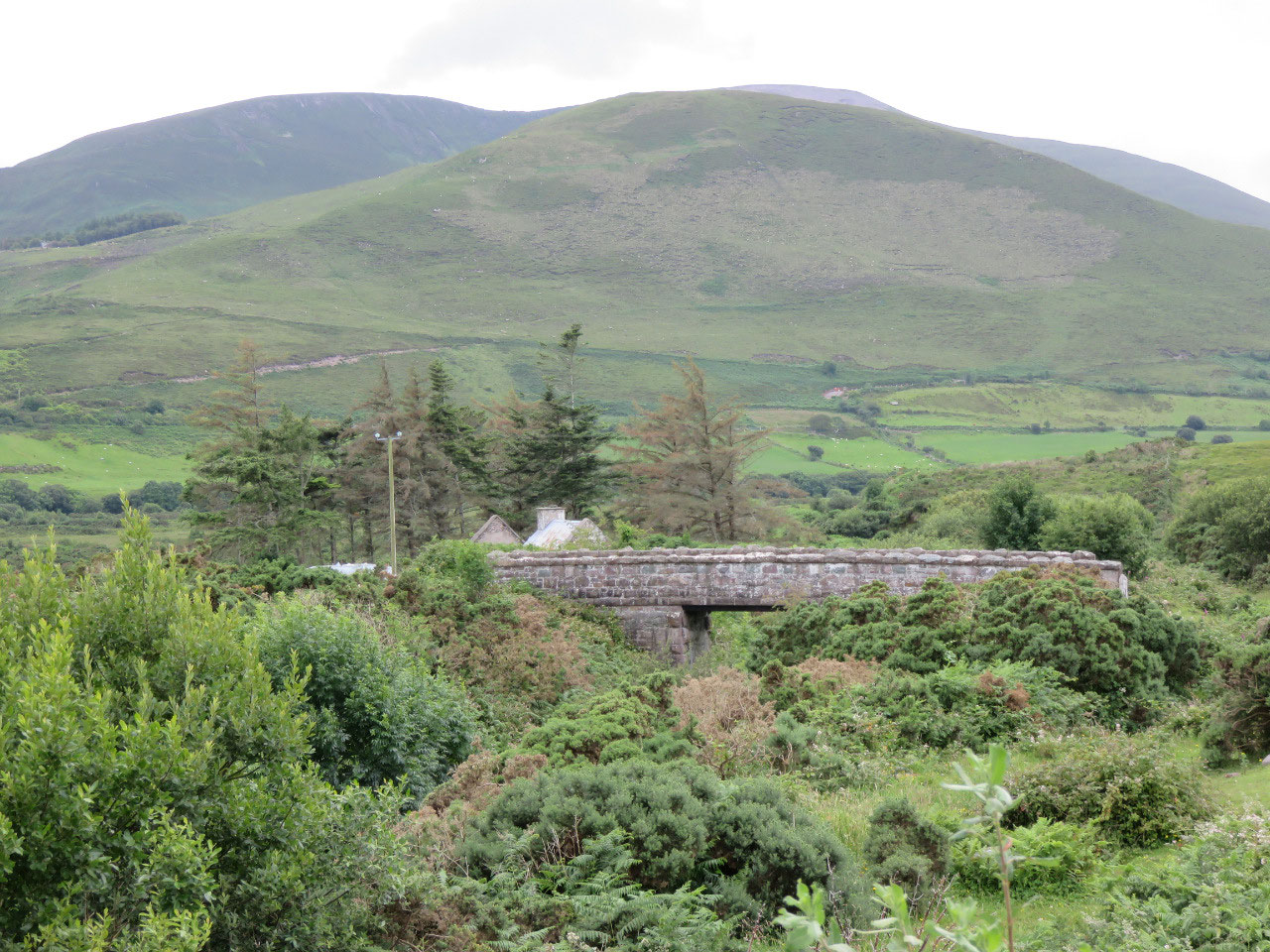
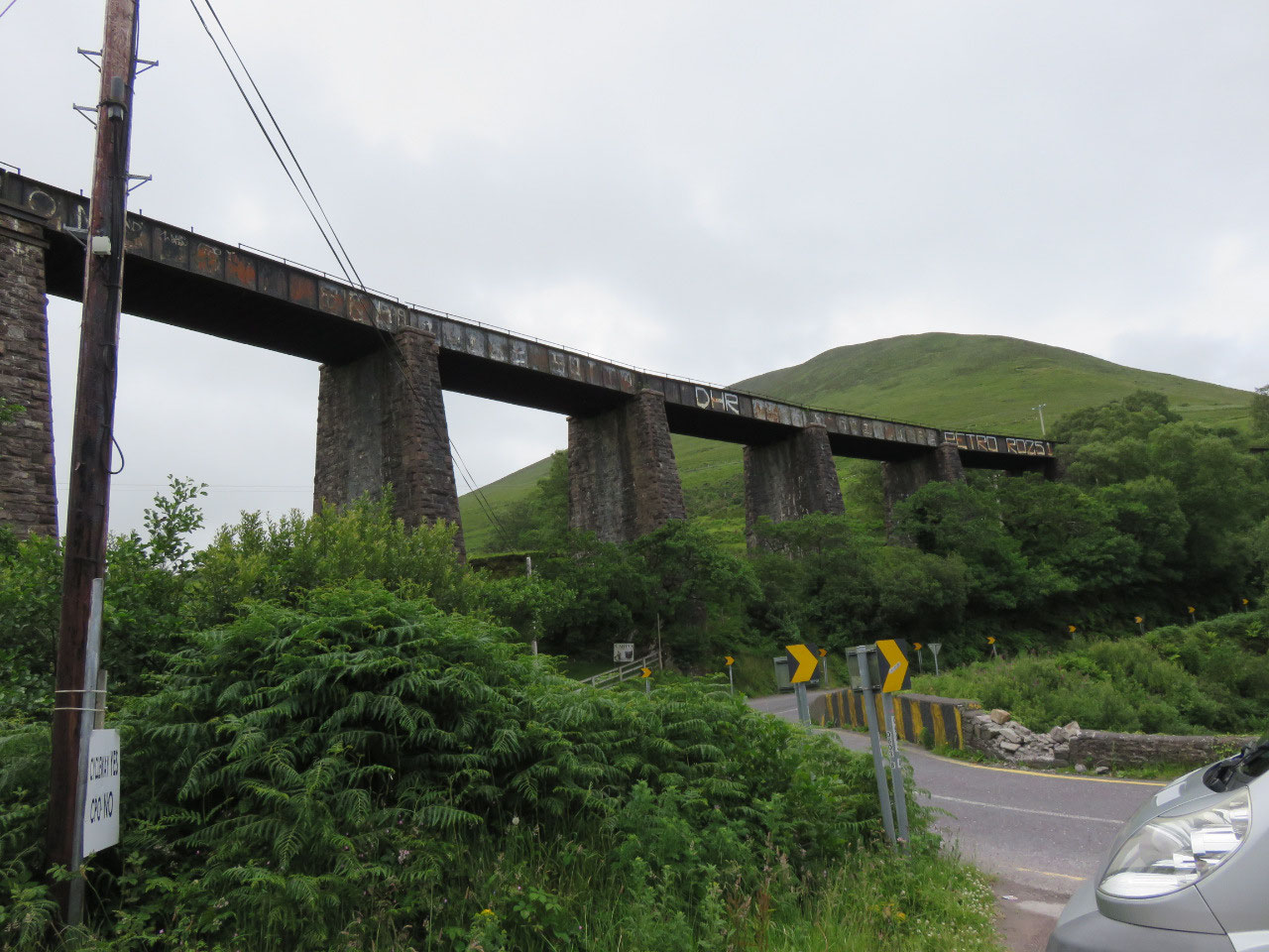
Round a sharp bend was Darby’s Bridge a tall stone arch bridge railway line I think between the mountain range over a gushing brook to the bay where we drove over this small stone bridge on our way to Kells.
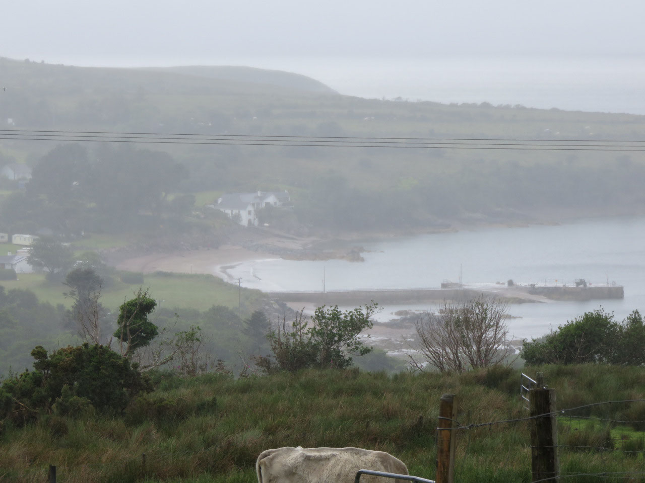
Made a big mistake by taking a very narrow winding road down to Wells Beach a bit hair raising with cars coming in the opposite direction. The rain damped the views of the beach and little fishing harbour but there were people swimming. To them it is a typical summer’s day.
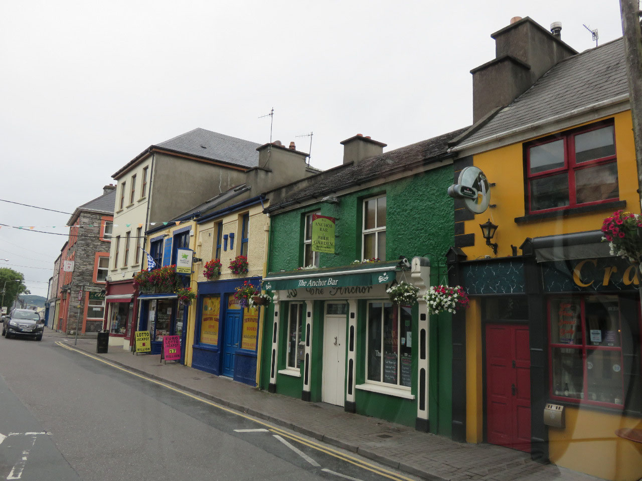
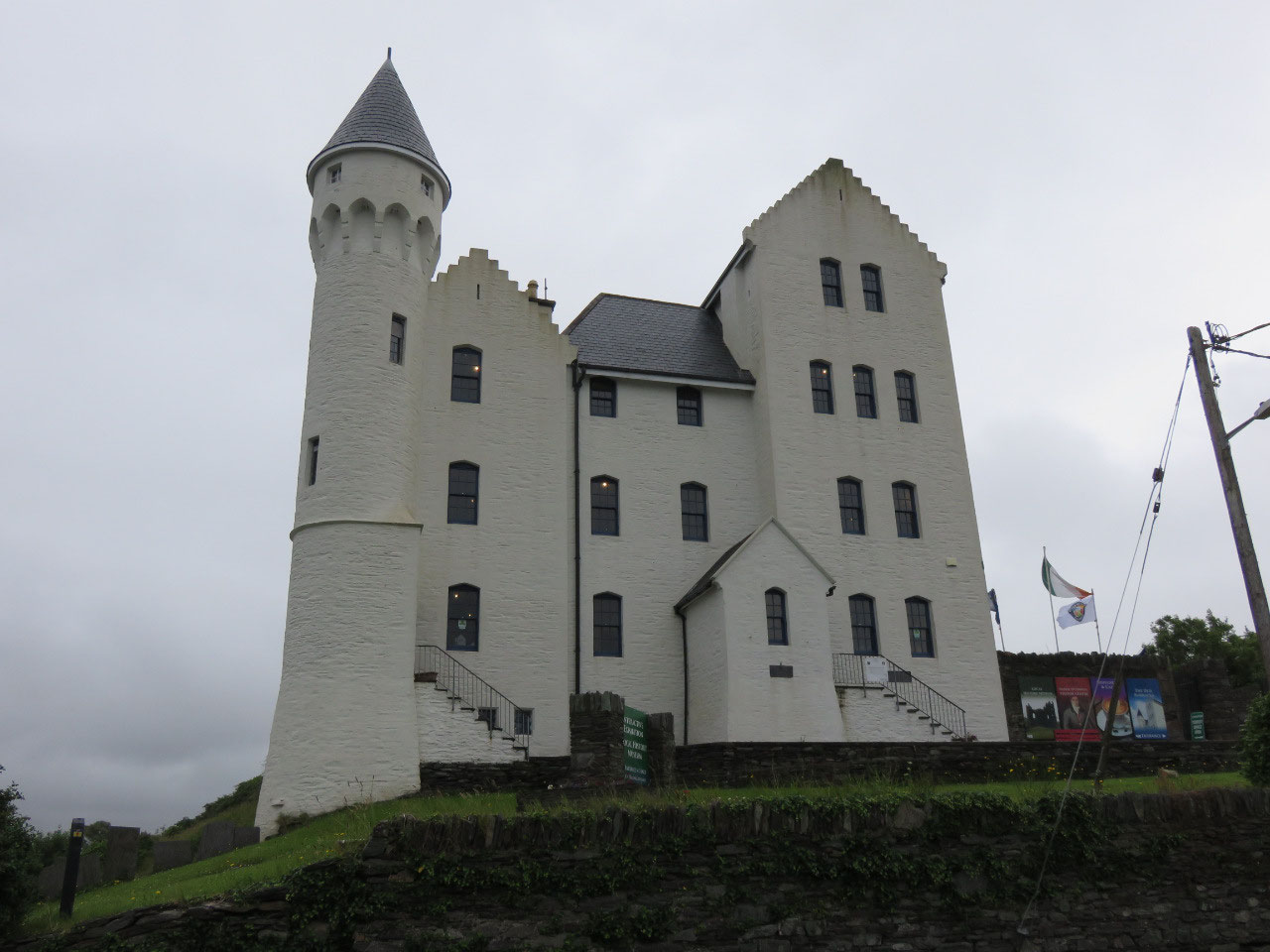
With it raining now you cannot see much of the countryside and mountains through the mist, drove over another stone bridge over the Cahan River to Cahersiveen another colourful Irish town nestled between the mountains and the sea. Stopped by the beautiful Old Barracks which looks more like a fairy-tale castle but now a museum and Tourist Information Centre. Armed with info on the town and a place to wild camp for the night we drove down to the Marina the gateway to the Fertha River and sea for a look and decided to cross the narrow long stone arched bridge over the Fertha River to Cuas Crom Beach for the night.
How we love these narrow winding roads through the mist of rain we could see the ruins of Ballycarbery Castle on the peninsular and we passed by The Cathergal Ring Fort and Leacanabuaile Ring Fort on the hilltops which we will explore tomorrow if it is not raining. There is a tour coach there and you can see the outline of tourist standing up on the forts in the rain.
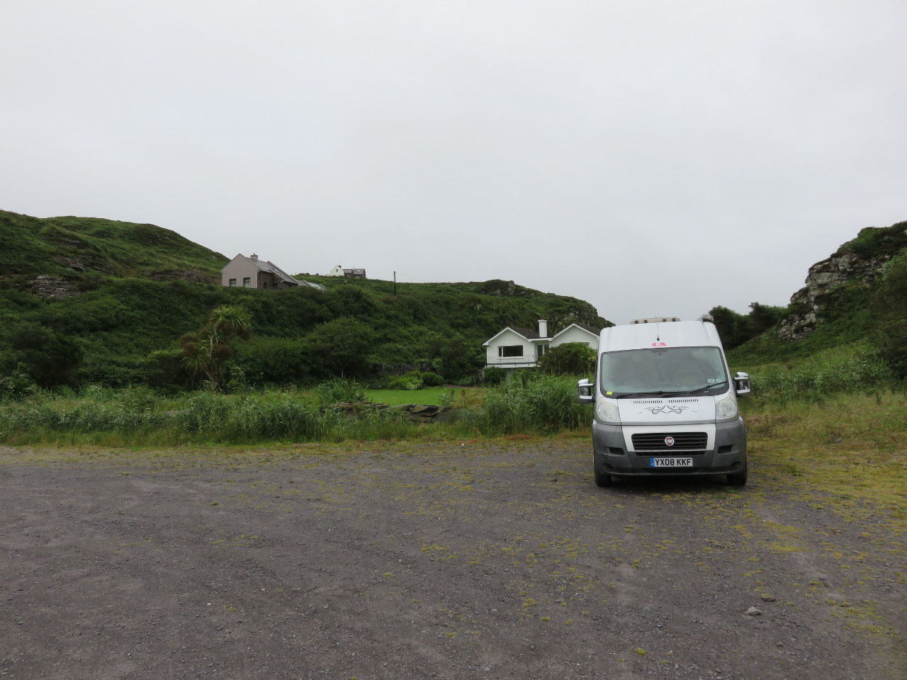
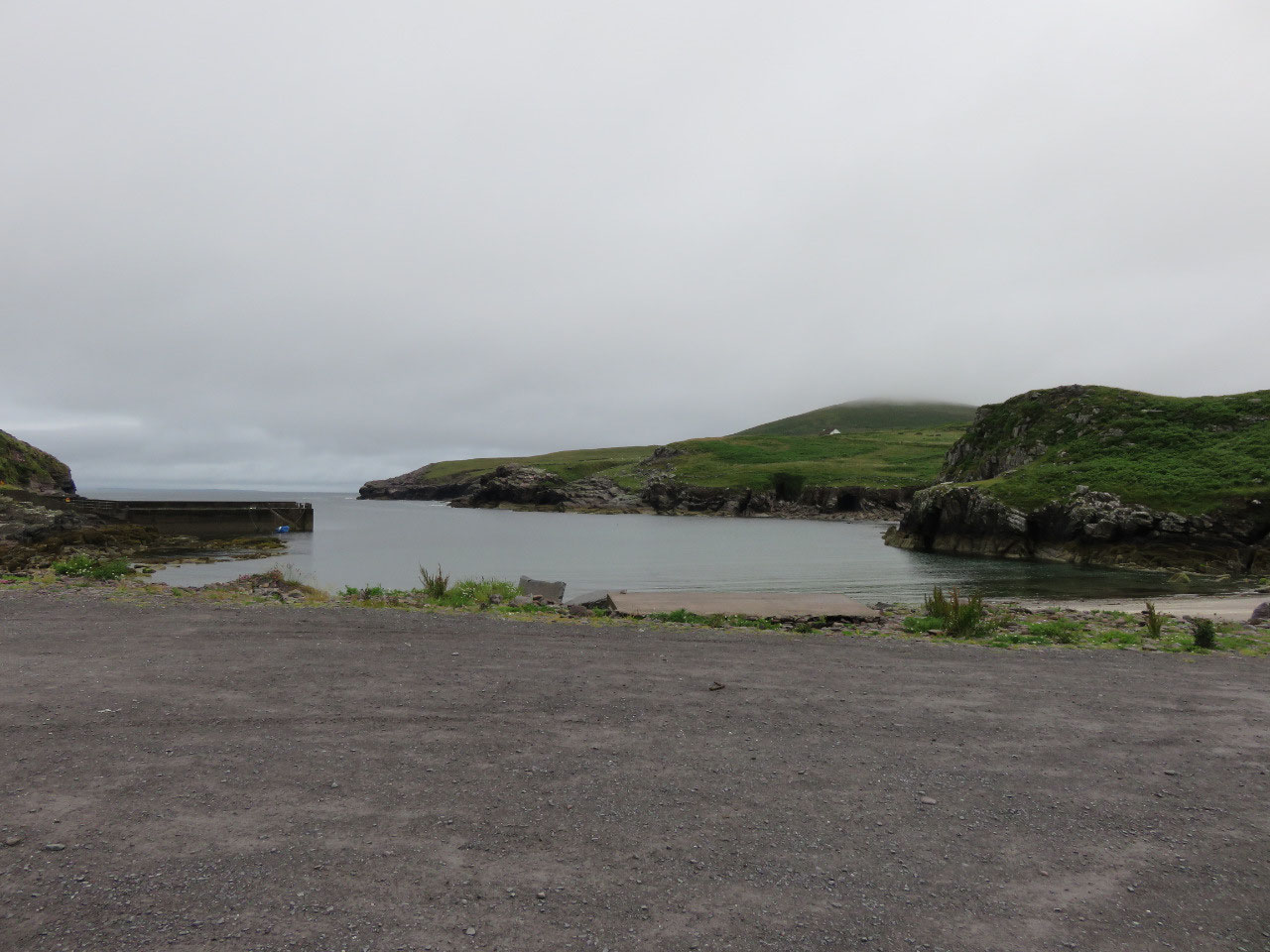
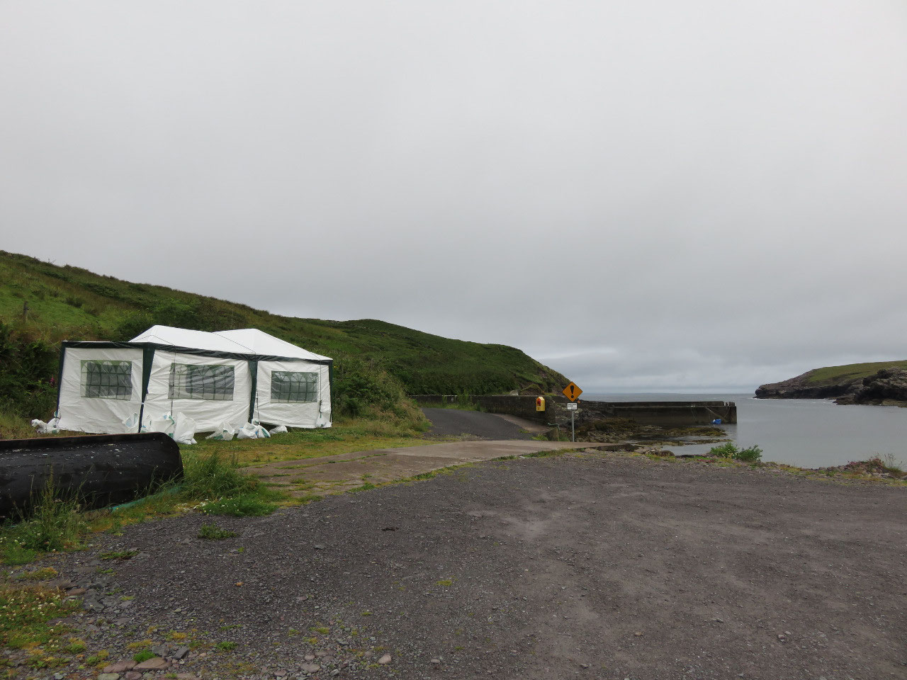
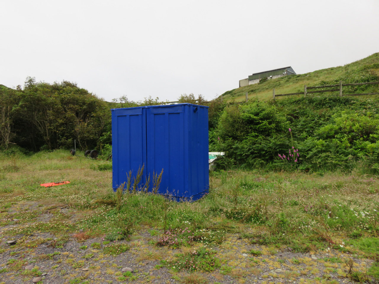
We finally found the little cove rocky beach nestled between the high hills with a small pier for the boats. Watched two lovely Irish ladies (mother and daughter) go for a swim in the rain laughing their heads off enjoying themselves in the cold water which to them is a summer’s day. There is a swimming competition tomorrow at 10am so we will need to be gone early tomorrow, but lucky for us there are two portable toilets and a marque which we can use to cook our evening meal.
The only problem we have is there is no WIFI signal so it is a night of listening to classical music on the radio looking at the view of people swimming in the bay and the waves crashing on the rocky cliffs on the far side of the bay.


2025-05-22