_________________________________________________
YOU TUBE - http://www.youtube.com/user/TravelsWithLobo
---------------------------------------------------------------------------------
Tok Junction and a Second Chance
My first "coup d'envoi" on this trip was Denali National Park.
My second "coup d'envoi" was Wrangell - Saint Elias National Park.
My third "coup d'envoi" was ...was.... well, I did not have one!
Since I had now exhausted most of the paved and some unpaved roads in Alaska, it was time to turn my attention to the Alaskan panhandle.
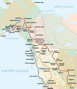
The panhandle is that narrow piece of land and sea which deeply juts into the north-west corner of British Columbia. Haines and Skagway are two towns at the northern end of the panhandle that are an integral part of the Alaska Cruise Circuit. (on the attached map their location has been mistakenly interchanged)
From the main part of Alaska, there is no American land connection with the Alaskan panhandle since it can only be reached by a long drive through the Yukon.
My intended route therefore would have been from Glennallen to Tok (rhymes with Coke) where I would have retraced the Alaska or ALCAN (Alaska/Canada) Highway south to Haines Junction (Blog No. ). From here the plan was to drive south on the Haines Cut-Off Highway to Haines and then later to Skagway.
That was the plan.
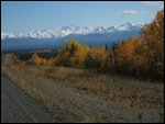
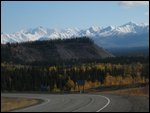
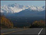
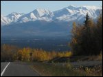
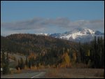
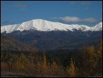
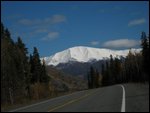
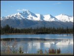
Upon leaving Glennallen, I was dazzled for another 100 km by the Wrangell Mountains of Wrangell - Saint Elias National Park located to the east.
At Slana, I passed the other entry point to the park - Nabesna Road - named after a mine that is located at the end of the 70 km gravel road. Compared to McCarthy Road, it is described as "The Road Less Traveled".
At the end of the road, there is no visual pay-off like McCarthy or Kennecott; instead "true Alaska wilderness beckons".
By the time I had reached Tok, (remember, rhymes with Coke) I had looked at the map often enough to remove any doubt that I had a second chance to make the following sentence from Excursions: Blog No.37 come true:
"However, if I had to do it over again, I would opt to drive the "Top of the World" route."
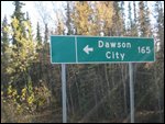
Not only was I within a reasonable driving distance (200 km) of the Top of the World Highway located in the Yukon, but I was also close enough (310 km) to reach a further destination I was longing to see - Dawson City.
That was a second chance and an opportunity I could not refuse.
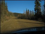
Therefore, after driving 50 km east along the Alaska Highway, I turned north at Tetlin Junction on Taylor Highway. This scenic drive would end at the Yukon border and the start of the Top of the World Highway.
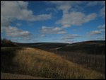
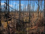
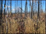
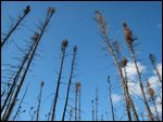
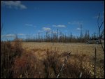
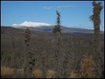
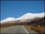
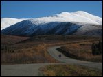
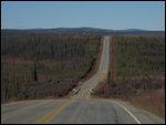
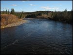
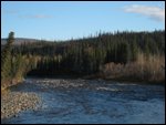
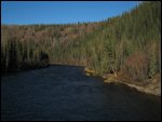
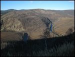
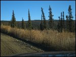
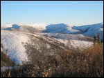
The scenery along most of the Taylor Highway is stark in its contrasting beauty.
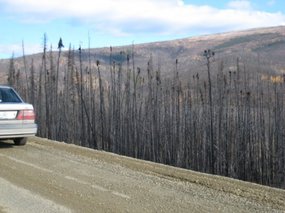
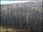
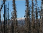
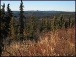
Contrasting because the "beauty" is found in the aftermath of a huge 400 sq. km lightning-caused forest fire which swept through the area in July 1990.
It was so massive that it almost reached the Yukon border. In the other direction, only a last minute change in wind direction saved the town of Tok from being in the path of destruction.
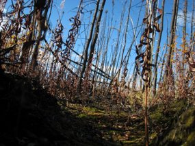
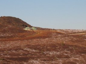
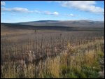
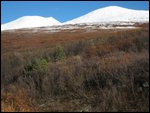
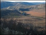
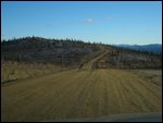
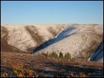
The gray rolling hills are covered with small naked pine trees still waiting to fall down or to be swallowed up by new growth. After 17 years, the blackness of the forest fire seems to have been replaced by the grays and browns that now dominate the landscape.
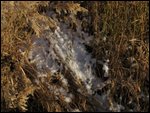
Close examination of ground zero revealed that not much has changed in 17 years as is evidenced by the minimal growth of grasses or shrubs, not to mention the lack of reforestation.
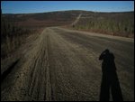
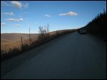
About half way to the Yukon border the Taylor Highway takes on what to me has become a familiar sight - a gravel road.
I am of course starting to feel quite at home on gravel roads and the road surface only adds to my enjoyment of the trip.
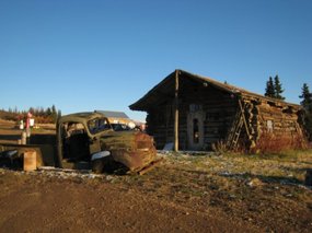
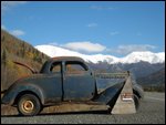
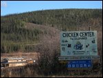
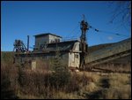
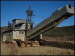
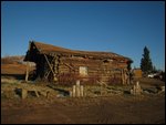
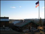
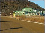
The hamlet of Chicken Center, population 15, presents an opportunity to examine vestiges of a vibrant gold mining past. The highlight is the main building of an abandoned gold mine.
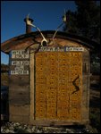
The entire hamlet seems well cared for, clean and organized - right down to labeling the WC doors "hens" and "roosters". I came away with the impression that the whole place must be owned by one family. Raising this point later with someone in the know, I was surprised to hear that the hamlet is split into two fighting factions who barely speak to each other.
In the final analysis, the 180 km drive to the Yukon border took longer than I anticipated due to my tendency to drive slowly, enjoy the scenery and take lots of photos.
In the back of my mind, I was also concerned by the closing of the border crossing at 20:00.
According to my calculations, I should make it there by 19:00. Now, was the border closing at Alaska time or Yukon time? There is an hour difference. In any case, the question was cause to drive a little faster.
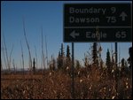
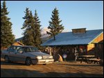
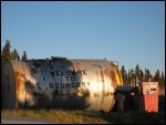
Just before the border, I stopped at the hamlet of Boundary. I hesitate to call it a hamlet since it is only a collection of about four "heritage" buildings
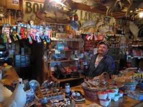
with one inhabitant who runs everything here, meaning the store, lodge and the gas station. Rodney has lived most of his life in Boundary and is quite content being glued to the satellite TV keeping up with the Saturday college football games of the "Lower 48". Other than the satellite TV, nothing seems to have changed here in fifty years.
I asked him about life in this neck of the woods and he said he had no complaints except for some local miners who, from time to time, steal anything from him that is not nailed down.
Boundary was also my last chance to fill up the gas tank at Alaskan prices. I was also glad to learn from him that the border is open until 20:00 - Alaska time. That meant that I had another 45 minutes to get there.
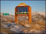
Upon reaching the isolated border post perched on the crest of a long hill, I was greeted with the hugely written words "Border Closed". My heart sunk, for I saw no sign of life. As I examined the sign more closely, it had the words "from 20:00 to 07:00" written in much smaller letters underneath. Who was the brain child behind this sign?
Nevertheless I was glad to see the window at the border control point open and to see the friendly face of the female border agent.
Within minutes I was in the Yukon, on my way along the beautiful ------Top of the World Highway!"
Footnote:
As I passed through the border crossing I had the impression that I might have been the last traveler to pass through here. This was not the case.
Days later, I had occasion to speak with a traveler who arrived at the same border crossing after me at 19:40 and who was confronted by the same sign - "Border Closed". Seeing no sign of life at the control point, he made a U-turn and drove several hundred meters down the road and proceeded to pitch his tent with the intention of spending the night there.
Shortly thereafter, he found it curious that another car should be coming up the road towards the border. Curiosity turned to utter amazement as the car drove up to the control point to be processed by a border agent.
His tent came down in record time as he precipitated himself towards the control point. Apparently, the border agent did not seem to be amused by his story about failing to read the small print.
My only concluding comment is, once again - "Who was the brain child behind this sign?"
_________________________________________________
YOU TUBE - http://www.youtube.com/user/TravelsWithLobo
---------------------------------------------------------------------------------
Tok Junction and a Second Chance
Saturday, September 22, 2007
 Tok, Alaska, United States
Other Entries
-
36Whitehorse - ALASKA: - Part 4
Sep 0616 days prior Whitehorse, Canadaphoto_camera82videocam 0comment 0
 -
37Alaska: Whitehorse to Haines Junction
Sep 0715 days prior Haines Junction, Canadaphoto_camera37videocam 0comment 1
 -
38An Unforgettable Evening Drive towards Alaska
Sep 0715 days prior Destruction Bay, Canadaphoto_camera25videocam 0comment 7
 -
39A L A S K A - At Last -- Part 7
Sep 0814 days prior Delta Juncition, United Statesphoto_camera94videocam 0comment 0
 -
40Fairbanks - Part 8
Sep 0913 days prior Fairbanks, United Statesphoto_camera38videocam 0comment 0
 -
41Denali National Park (A) - Alaska: Part 9
Sep 1012 days prior Nenema Canyon, United Statesphoto_camera64videocam 0comment 0
 -
42Denali Nationl Park (B) - Alaska - Part 10
Sep 1210 days prior Nenema Canyon, United Statesphoto_camera38videocam 0comment 0
 -
43Anchorage - A Great Location
Sep 1210 days prior Anchorage, United Statesphoto_camera37videocam 0comment 0
 -
44Anchorage to Seward - The Kenai Peninsula - P. 12
Sep 148 days prior Seward, United Statesphoto_camera174videocam 1comment 0
 -
45Seward to Homer - The Kenai Peninsula - Part 13
Sep 157 days prior Homer, United Statesphoto_camera170videocam 0comment 0
 -
46Glenn Highway - Anchorage to Glennallen
Sep 184 days prior Glennallen, United Statesphoto_camera35videocam 0comment 0
 -
47Richardson Highway - Glennallen to Valdez
Sep 193 days prior Valdez, United Statesphoto_camera119videocam 0comment 0
 -
48Trail of the Whispering Giants: Peter Wolf Toth
Sep 202 days prior Valdez, United Statesphoto_camera5videocam 0comment 0
 -
49Wrangell - Saint Elias National Park- Part 1 of 4
Sep 202 days prior McCarthy, United Statesphoto_camera45videocam 0comment 0
 -
50Wrangell - Saint Elias National Park - Part 2 of 4
Sep 22earlier that day McCarthy, United Statesphoto_camera69videocam 0comment 0
 -
51Wrangell - Saint Elias National Park - Part 3 of 4
Sep 22earlier that day Kennecott, United Statesphoto_camera65videocam 0comment 0
 -
52Wrangell - Saint Elias National Park - Part 4 of 4
Sep 22earlier that day Kennecott, United Statesphoto_camera64videocam 0comment 0
 -
53Tok Junction and a Second Chance
Sep 22 Tok, United Statesphoto_camera67videocam 0comment 0
 -
54Top of the World Highway to Dawson City
Sep 22later that day Dawson City, Canadaphoto_camera42videocam 0comment 0
 -
55Dawson City and the Klondike Gold Rush
Sep 22later that day Dawson City, Canadaphoto_camera61videocam 0comment 1
 -
56A Third Chance: This One I Could Not Refuse
Sep 231 day later Dawson City, Canadaphoto_camera2videocam 0comment 0
 -
57Dempster Highway - The Essentials
Sep 231 day later Dawson City, Canadaphoto_camera18videocam 0comment 0
 -
58Dempster Highway - The Drive to Eagle Plains
Sep 242 days later Fort McPherson, United Statesphoto_camera69videocam 0comment 0
 -
59Dempster Highway - The Push to the Arctic Circle
Sep 242 days later Fort McPherson, United Statesphoto_camera49videocam 0comment 0
 -
60Dempster Highway - Inspector William Dempster
Sep 253 days later Fort McPherson, United Statesphoto_camera1videocam 0comment 1
 -
61Dempster Highway - North to Inuvik?
Sep 253 days later Fort McPherson, United Statesphoto_camera62videocam 0comment 2
 -
62Dawson City - The Han - "People of the River"
Sep 253 days later Dawson City, Canadaphoto_camera4videocam 0comment 1
 -
63Another Day at the Office
Sep 264 days later Dawson City, Canadaphoto_camera18videocam 0comment 0
 -
64Whitehorse: Robert J. Sawyer: Mr. Science Fiction
Sep 264 days later Whitehorse, Canadaphoto_camera17videocam 0comment 0
 -
65Whitehorse - Frank Turner and the Yukon Quest
Sep 275 days later Whitehorse, Canadaphoto_camera46videocam 0comment 3
 -
66Whitehorse: How I Lost It
Sep 275 days later Whitehorse, Canadaphoto_camera1videocam 0comment 0
 -
67South to Alaska
Sep 286 days later Whitehorse, Canadaphoto_camera78videocam 0comment 0
 -
68Paying Hommage to the Historic Chilkoot Trail
Sep 297 days later Skagway, United Statesphoto_camera48videocam 0comment 0
 -
69Strategizing in Skagway
Sep 297 days later Skagway, United Statesphoto_camera56videocam 0comment 0
 -
70Juneau - The Unique Capital of Alaska
Sep 297 days later Juneau - the Unique Capital of Alaska, United Statesphoto_camera93videocam 0comment 0
 -
71Sitka - Steeped in History
Oct 0210 days later Sitka, United Statesphoto_camera35videocam 0comment 0

 Tok, Alaska, United States


2025-05-22