 Camaret-sur-Mer, Brittany, France
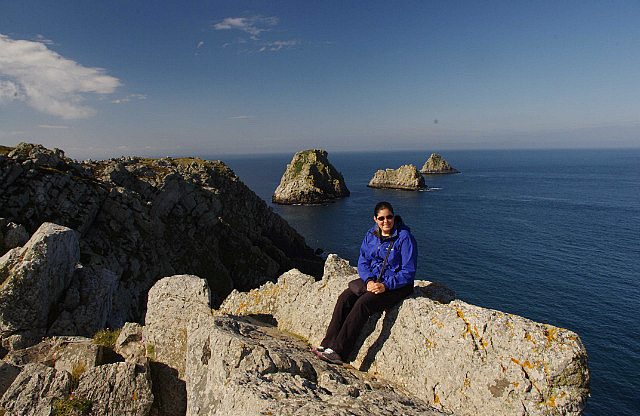
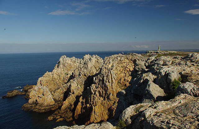
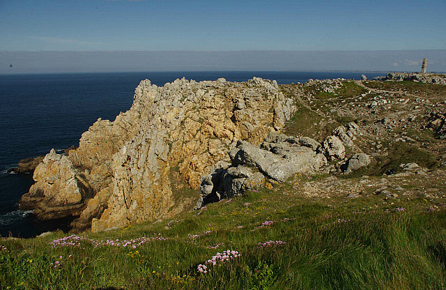
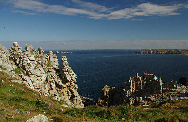
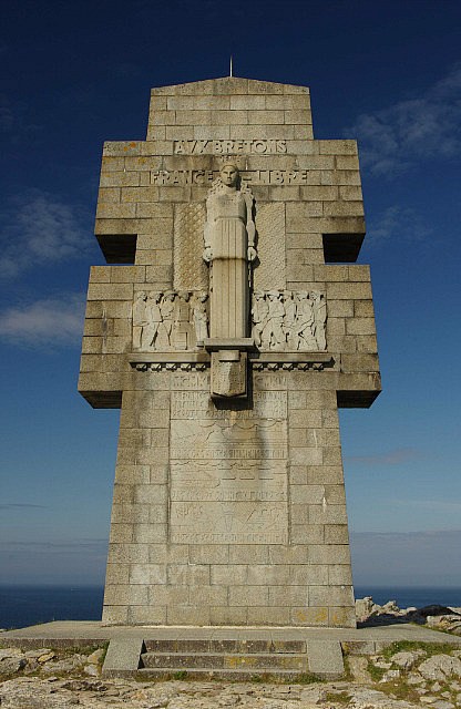
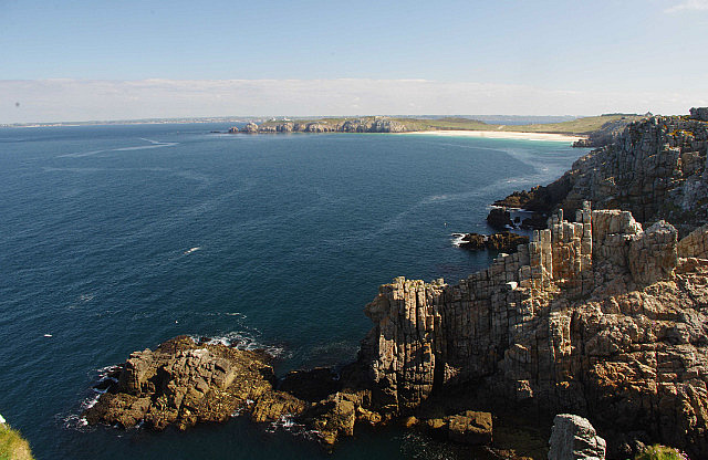
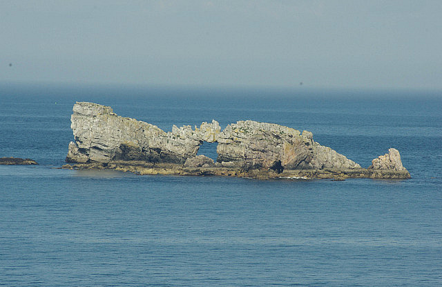
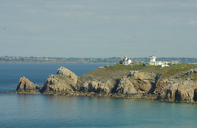
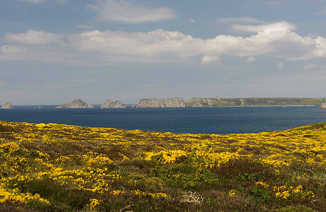
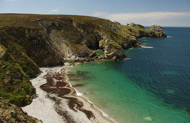
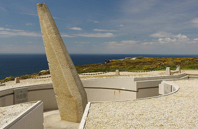
It was a beautiful, sunny day out and we were all set to explore some of the coastline on Presqu'ile de Crozon. "Presqu’ile" literally translates to “almost island” and that pretty much describes this anchor-shaped peninsula that juts out from the Brittany mainland. Our first stop was Pointe de Penhir, a few miles south of Camaret (the't’ is surprisingly pronounced). The point has a lone WWII memorial and otherwise is just composed of sheer cliffs, rising about thirty meters above sea level, that form the jagged coastline.
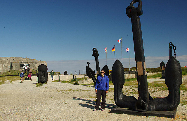
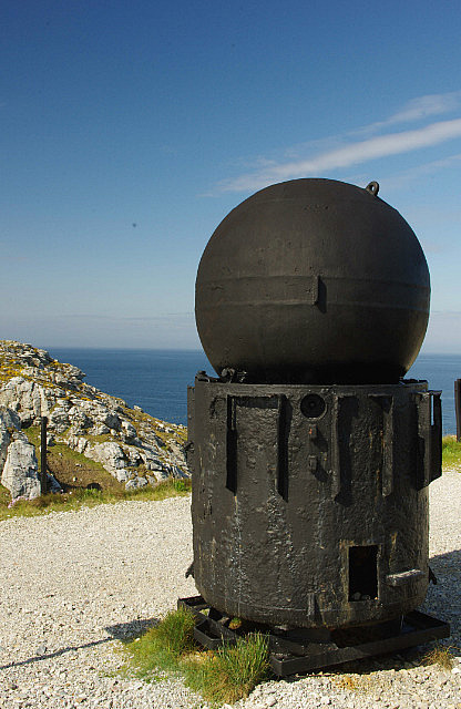
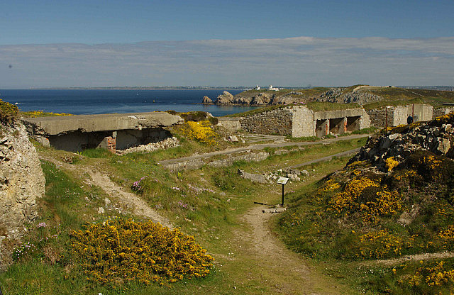
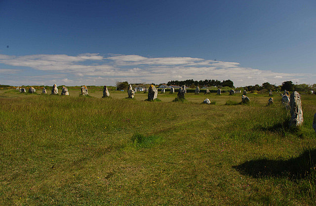
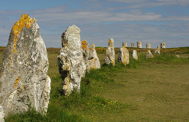
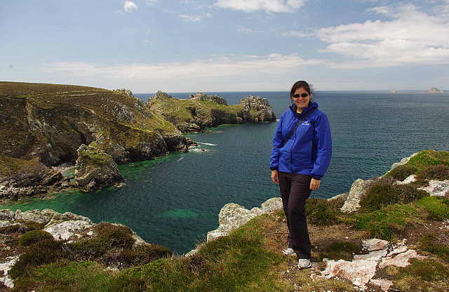
The early morning sunshine and the clear blue skies made for some great photo opportunities and unlimited visibility; the picture where it looks like Megs is sitting on a rock at cliff’s edge is precisely that. We wandered around the point for a bit before heading along the coastline a bit further to the second WWII memorial, dedicated to the mariners. There were real anchors from various war ships lining the entrance to the remains of the coastal bunkers. On beautiful days such as this and with stunning views, I always find it hard to picture this as the setting for a war. Before heading into Camaret, our final stop was at a megalithic alignment of stones, dating from about 2500 B.C. Although so simple in their arrangement, they are still a puzzle today – how were they raised and why? This was just an introduction to what we were going to see at Carnac in a few days time.
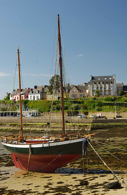
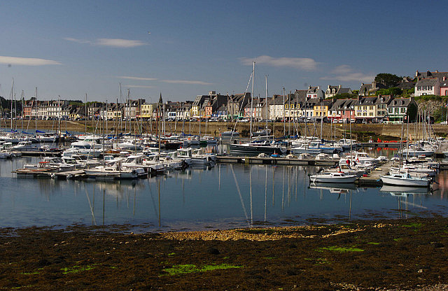
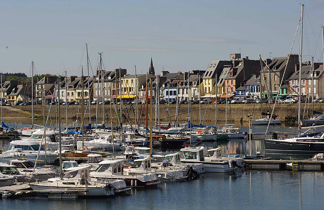
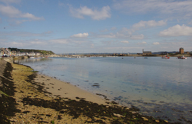
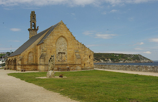
Camaret-sur-Mer is a small port town, once frequented for commercial purposes, but now mainly surviving on the tourist trade. In fact, this is essentially the story of most of Brittany’s coastal towns and we have to say that the French sure realize the value of tourism and do their utmost to promote it, while trying to maintain the small-town look and feel. Camaret’s waterfront is lined with colourful buildings, mostly restaurants, hotels and tourist shops.
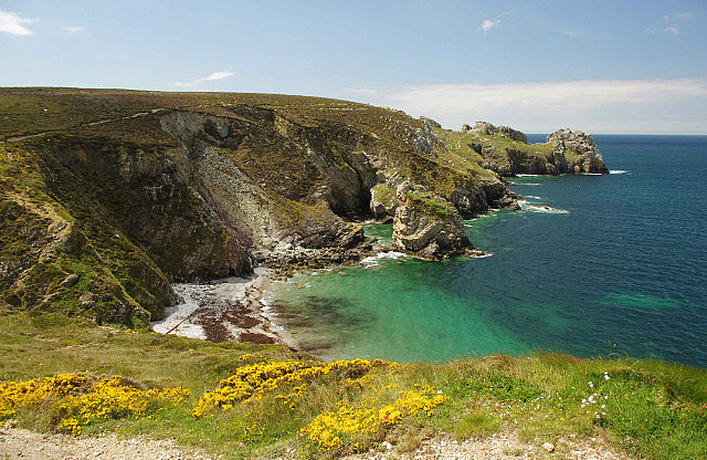
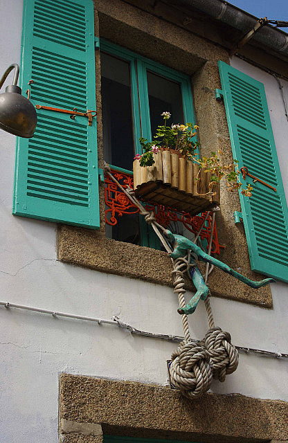
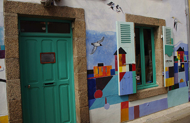
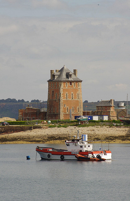
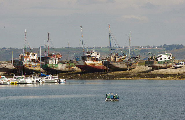
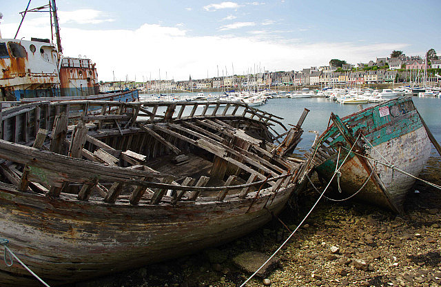
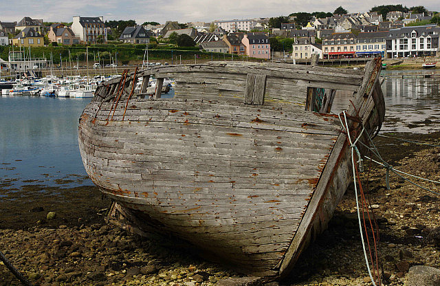
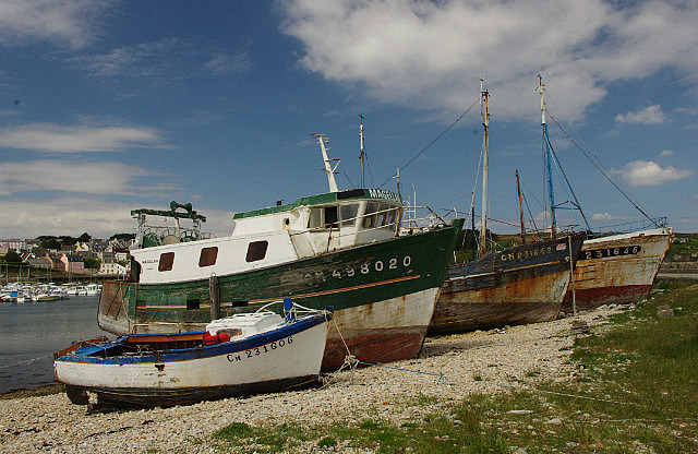
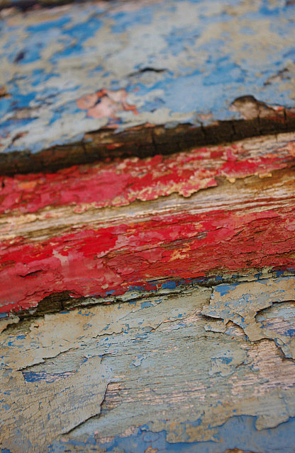
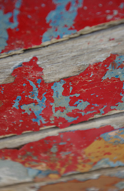
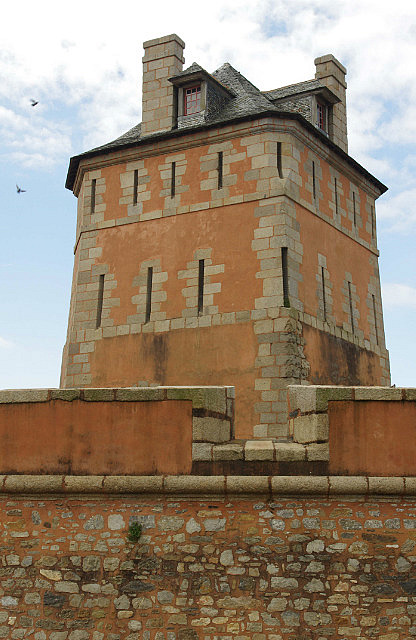
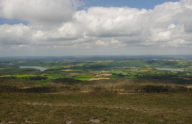
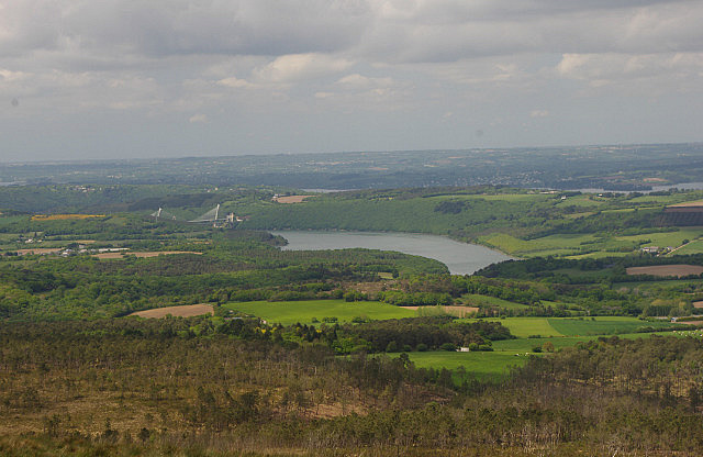
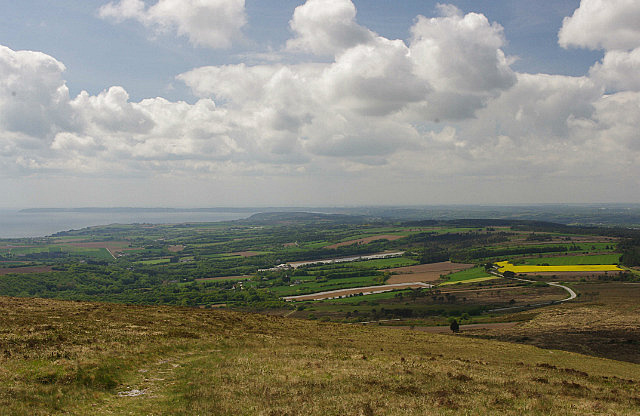
One street inland, it is home to quite a few artists’ galleries, most of which were closed in the off-season. We did wander into one gallery where the artist was doing etchings and pencil sketchings of rope. The amazing amount of detail he had put into these made the rope seem life-like, like it was right there in front of you. We found a bench by the port to enjoy our picnic lunch of bread and cheese. After lunch, we wandered down to the end of the pier, past the boat graveyard and towards the Vauban tower. Unfortunately, the tower was closed for renovations so we couldn’t enter but we did find an illegally abandoned boat (we knew this because of the solemn notice from the Mairie stapled to its hull) that was great for close-up photos. From Camaret, we spent the rest of the afternoon checking out more viewpoints at the Pointe de Dinan and the Cap de Chêvre. Pointe de Dinan was much more impressive than the Cap but we had to go the cape because of its name, if for nothing else. Our final stop of the day was at Menez Hom, the highest spot in the region (at a lofty 300 m!), from where we got nice views all around, especially over the Douarnenez bay.
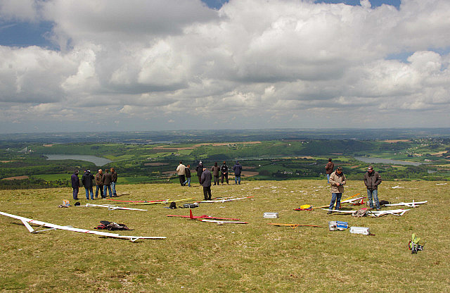
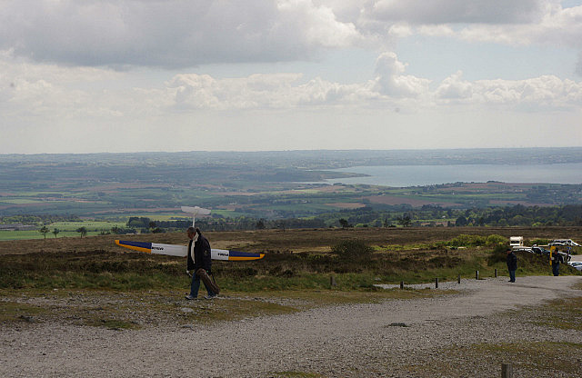
The wind was blowing quite strong up here and we could see why it was so popular with the dozen or so people flying their remote-controlled glider planes. These planes were quite large, with wingspans well over two and a half meters, and they were zipping around above our heads. From there, we drove further south to our campsite in Locronan, which we were planning on visiting the next day. Once again, we were treated to a campsite with an excellent inland view and the best washroom facilities we’ve had on this trip, rivalling that of a hotel.
Beautiful views near Camaret
Wednesday, May 22, 2013
 Camaret-sur-Mer, Brittany, France
Other Entries
-
May 184 days prior Perros-Guirec, France
 -
May 202 days prior
Roscoff, France -
May 22
Camaret-sur-Mer, France -
May 231 day later
Locronan, France -
May 242 days later
Quimper, France -
May 253 days later
Pont-Aven, France -
May 264 days later
Quiberon, France -
May 286 days later
Vannes, France -
Jun 0110 days later
Saint-Hilaire-la-Palud, France -
Jun 0312 days later
Saint-Martin-de-Ré, France -
Jun 0615 days later
Royan, France -
Jun 0817 days later
Sarlat-la-Canéda, France -
Jun 0918 days later
Saint-Cirq-Lapopie, France -
Jun 1019 days later
Millau, France -
Jun 1423 days later
Meyrueis, France -
Jun 1625 days later
Saliers par Arles, France -
Jun 1726 days later
Les Baux de Provence, France -
Jun 2029 days later
Gordes, France -
Jun 2130 days later
Lourmarin, France -
Jun 2231 days later
Roussillon, France -
Jun 2332 days later
L'Isle-sur-la-Sorgue, France


2025-05-22