 Chéticamp, Nova Scotia, Canada
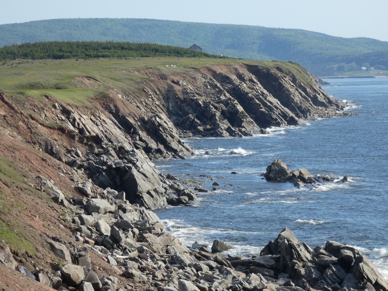
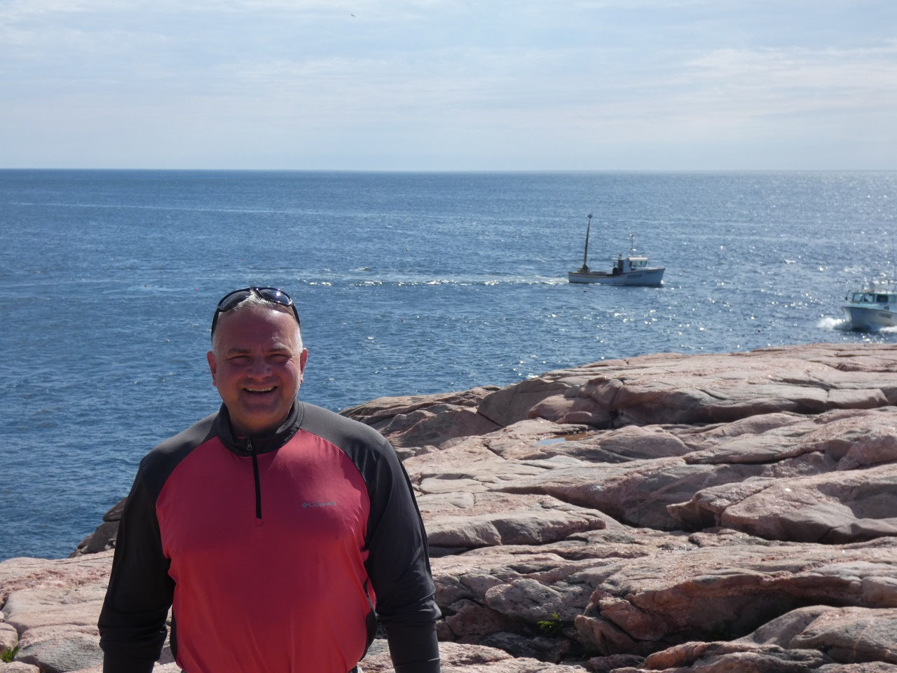
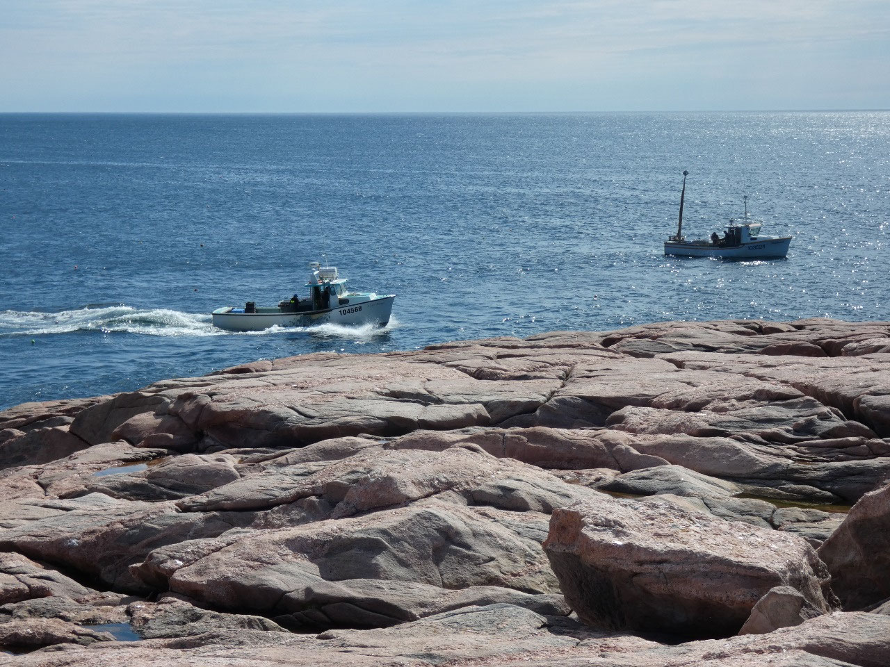
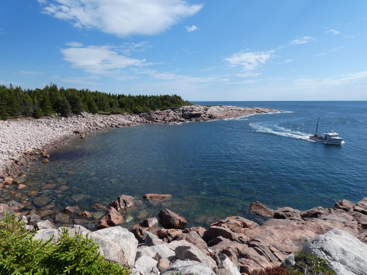
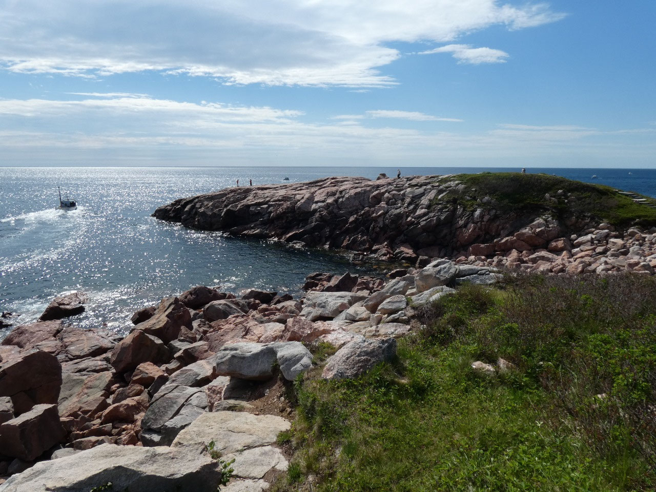
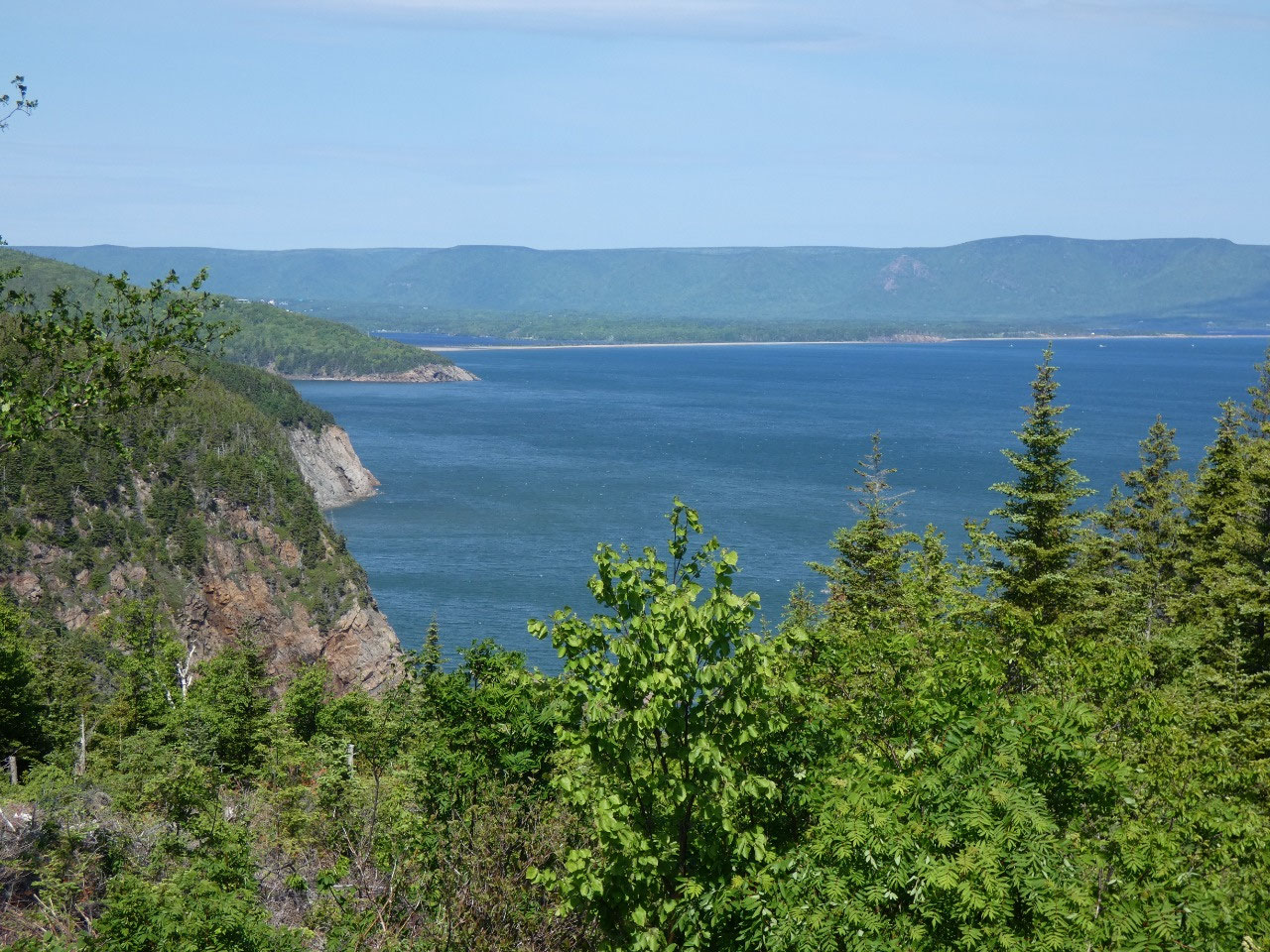
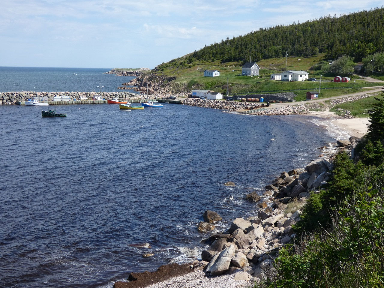
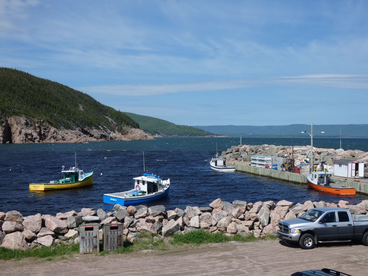
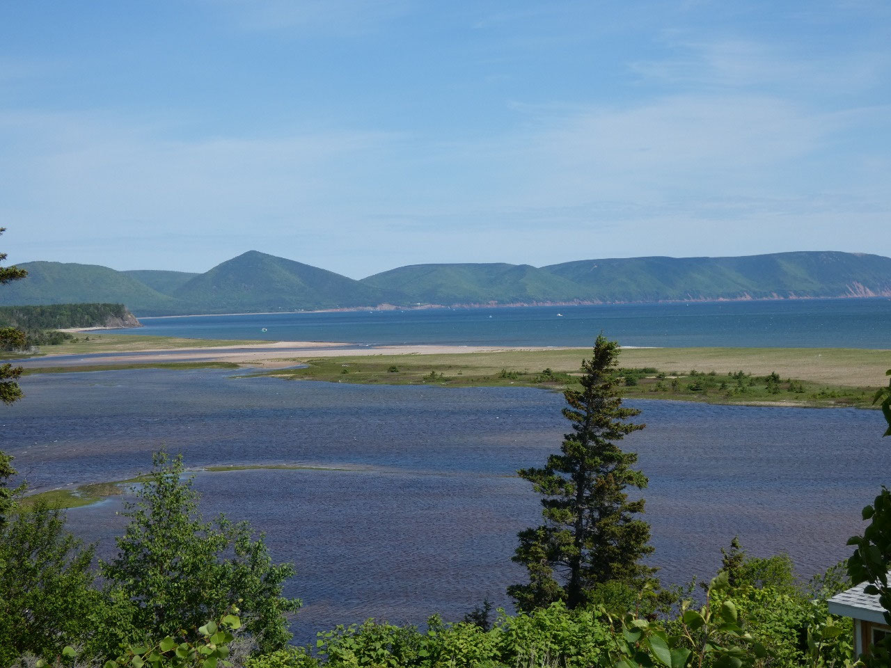
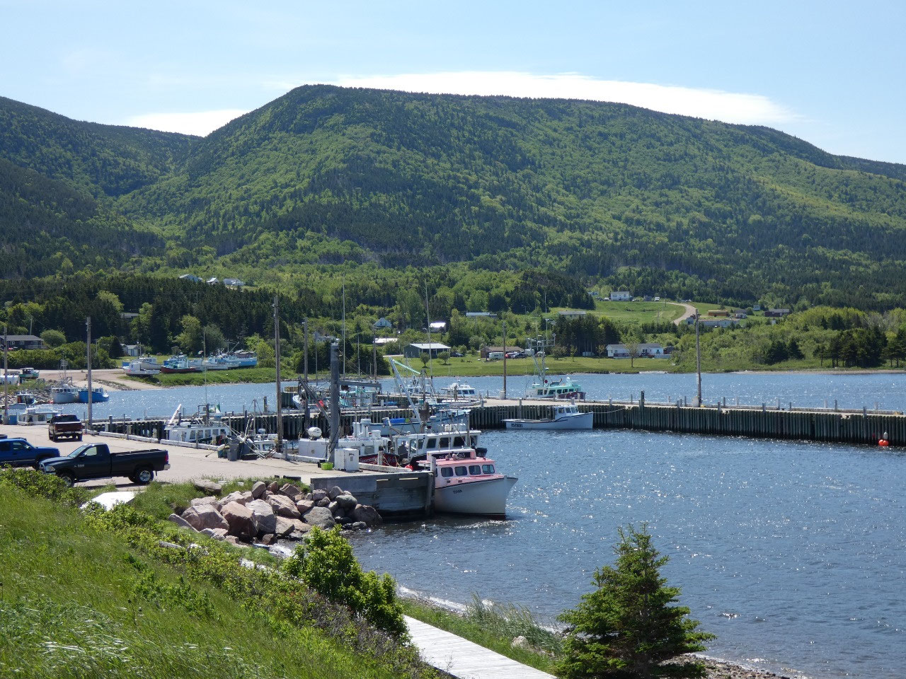
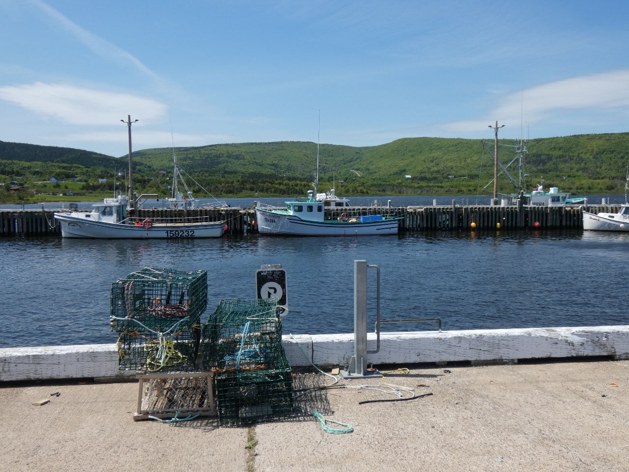
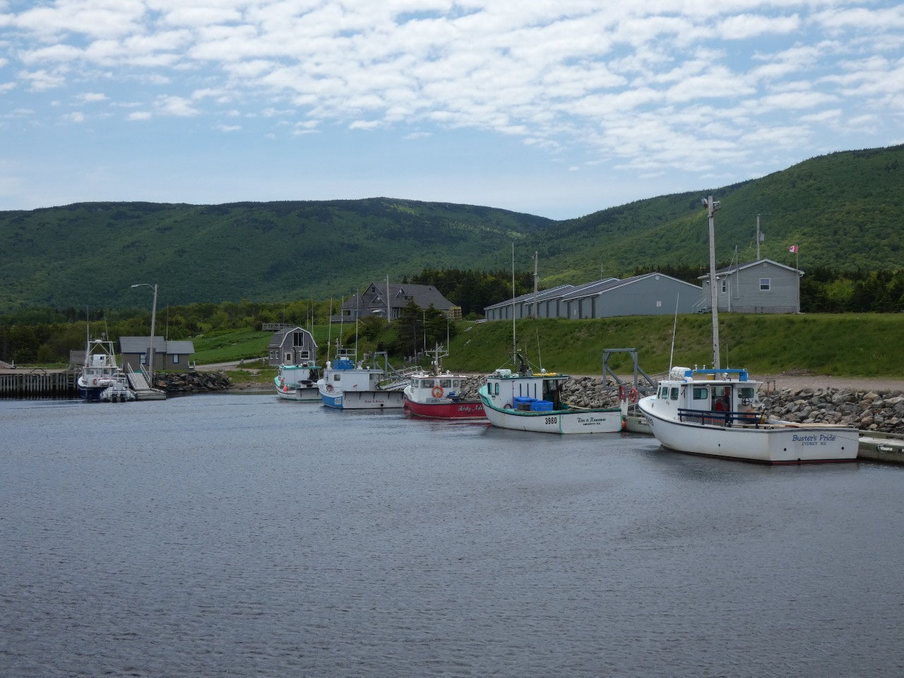
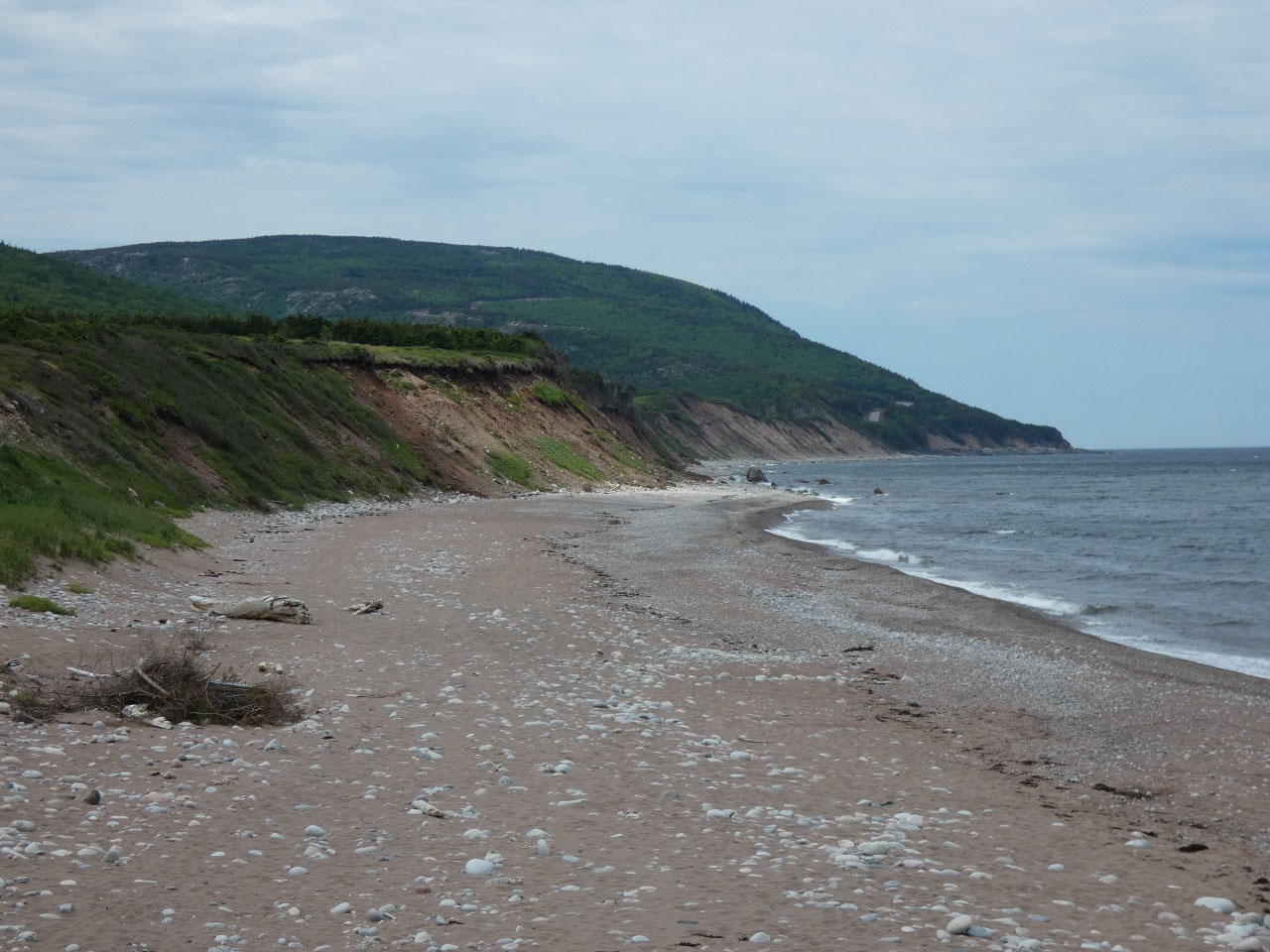
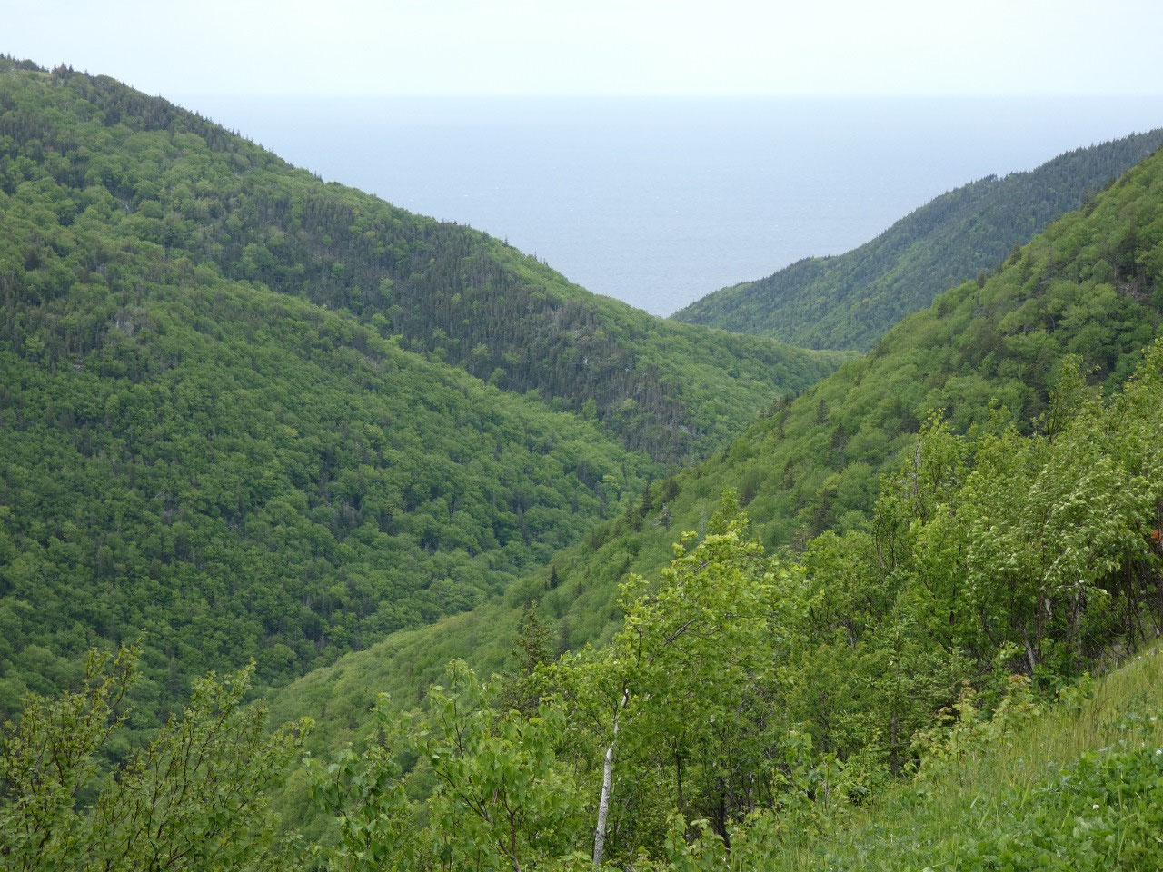
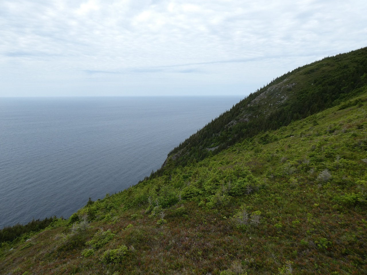
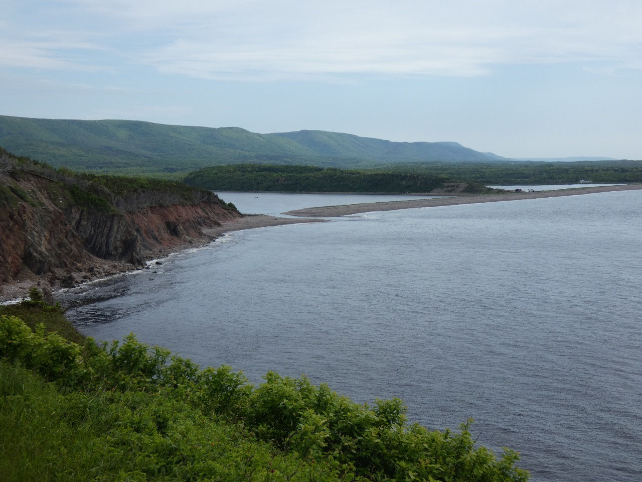
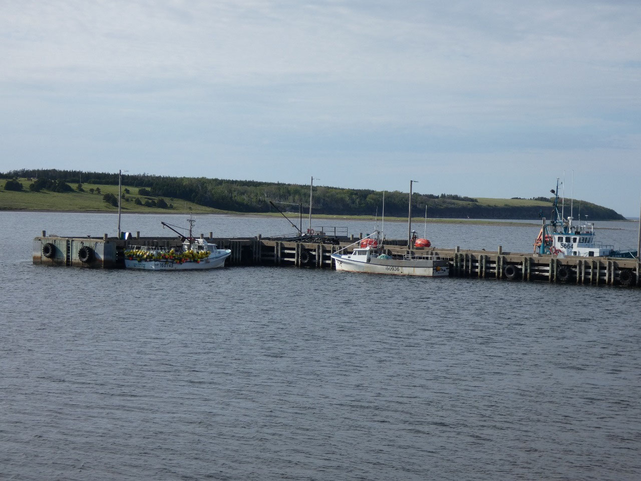
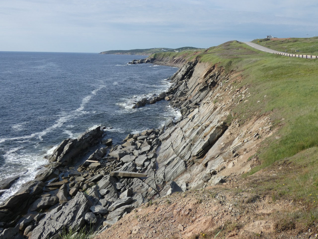
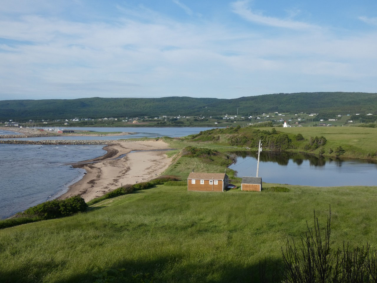
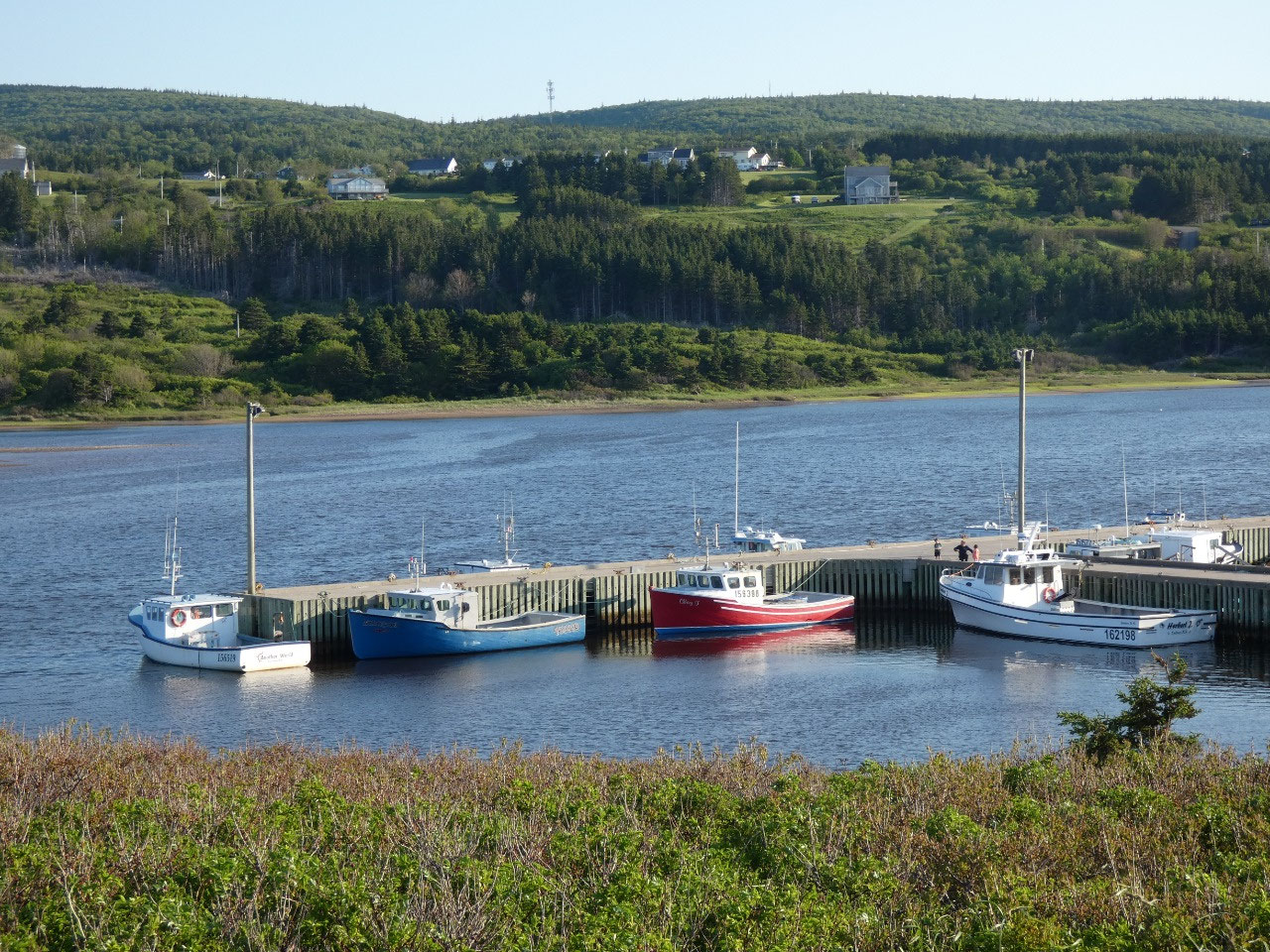
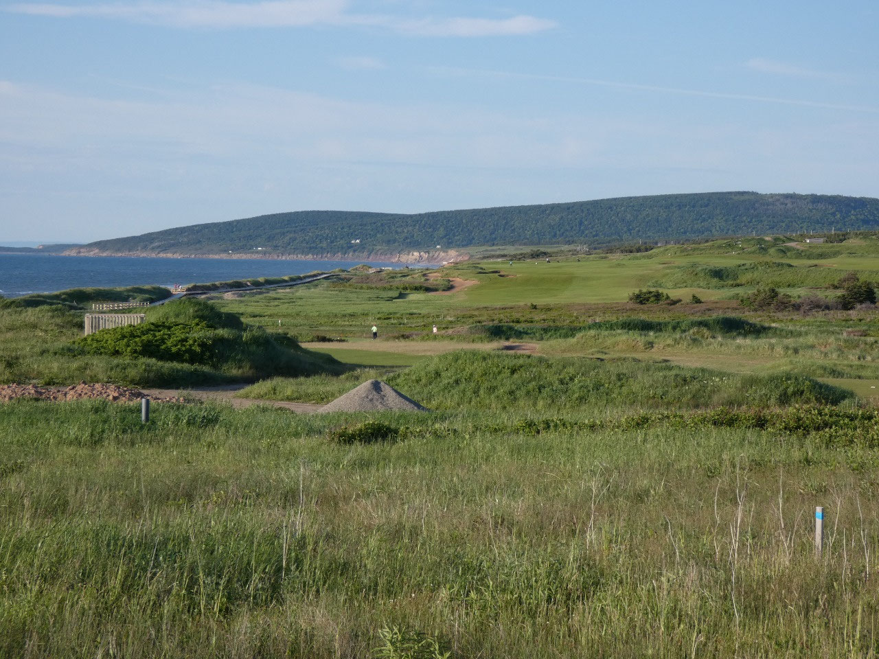
For me the greatest beauty of Cape Breton is the meeting of the mountains and the sea in a mixture of coves, beaches, and rocky headlands. I didn’t realize it, but the Saint Lawrence Strait between the top of Cape Breton and Newfoundland is only about 50 miles, the reason I was able to see land at every point during my crossing on a sunny day. Not all of the northern peninsula is included in the park, though, and there are numerous coastal fishing villages. My understanding, though, is that nowadays the “fishing” consists mostly of catching crabs and lobsters in two differently shaped contraptions called lobster traps and crab pots which attractively decorate the small ports.
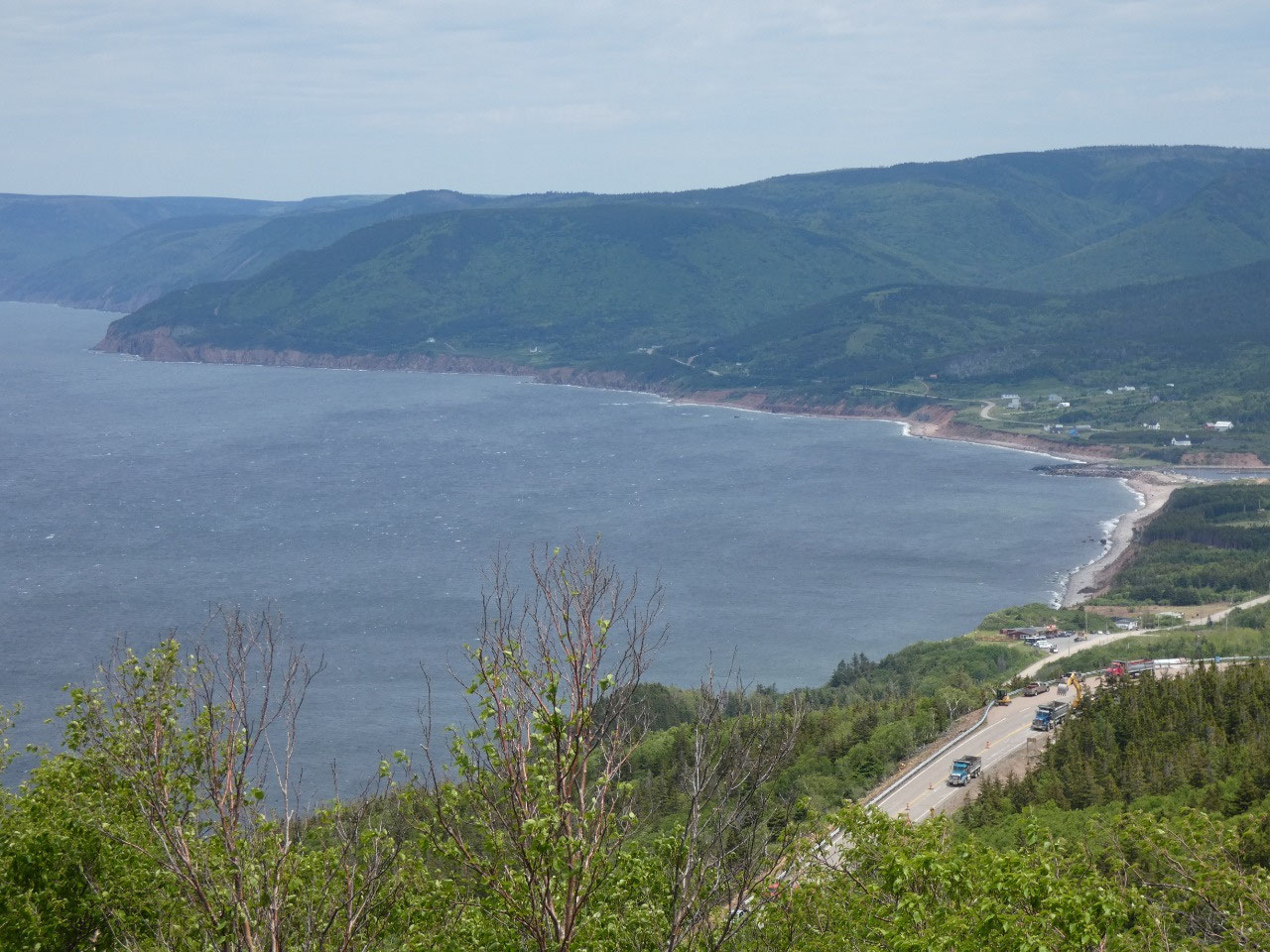
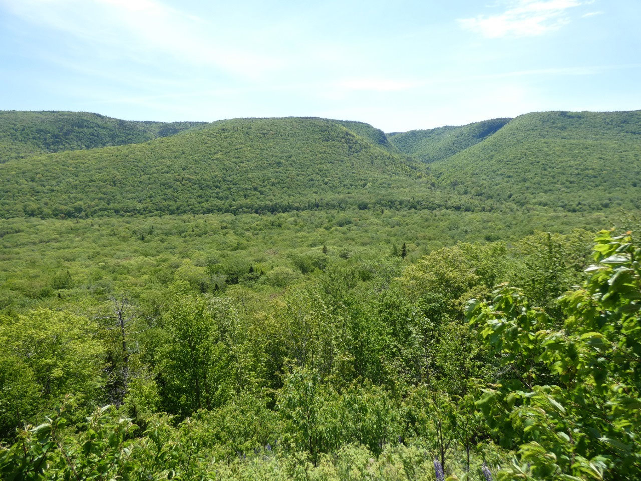
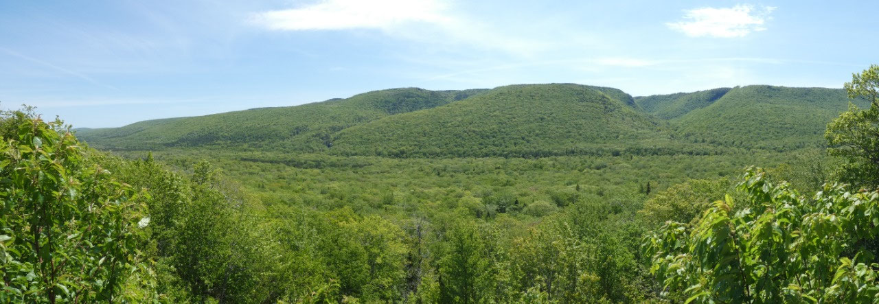
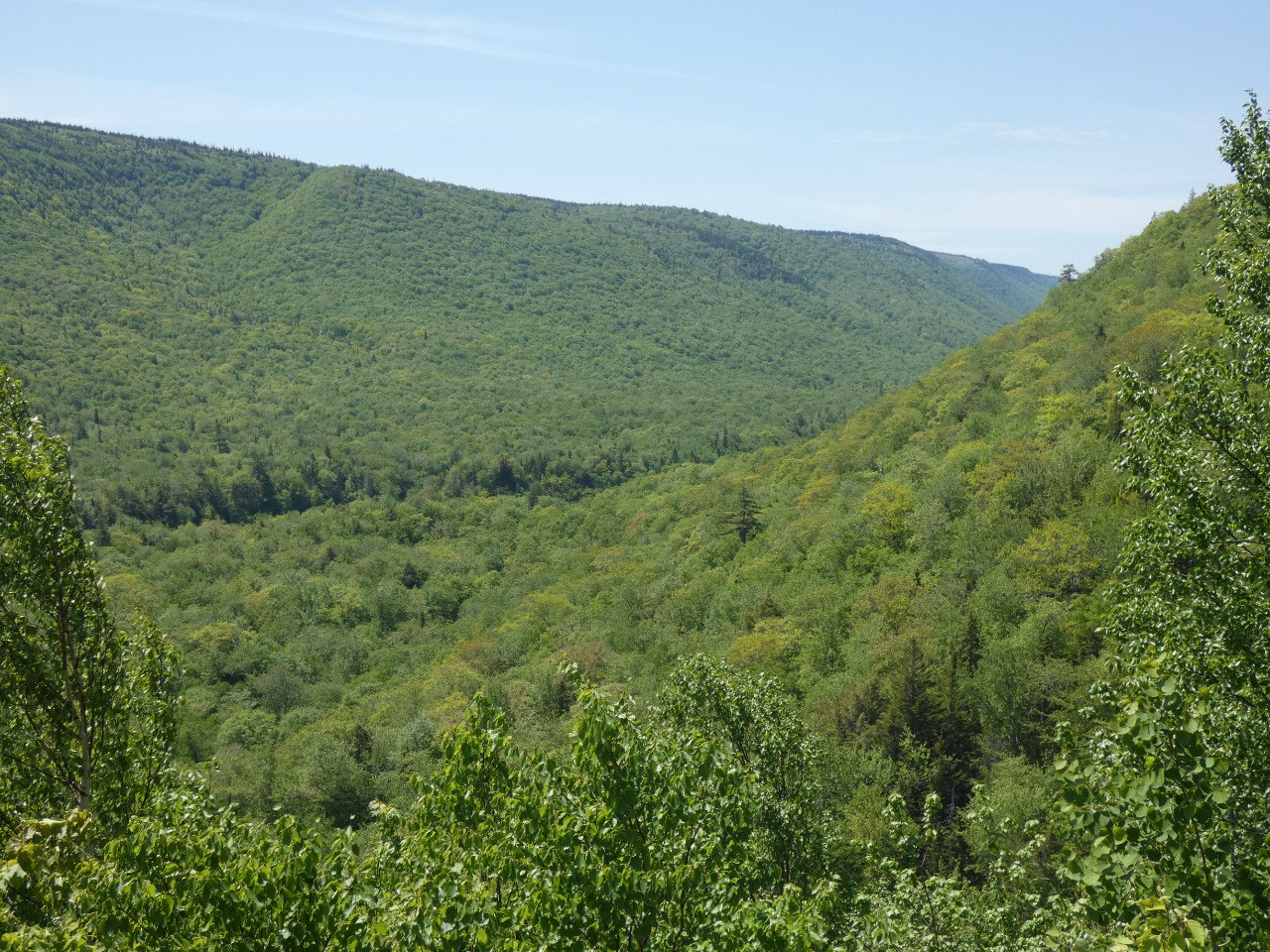
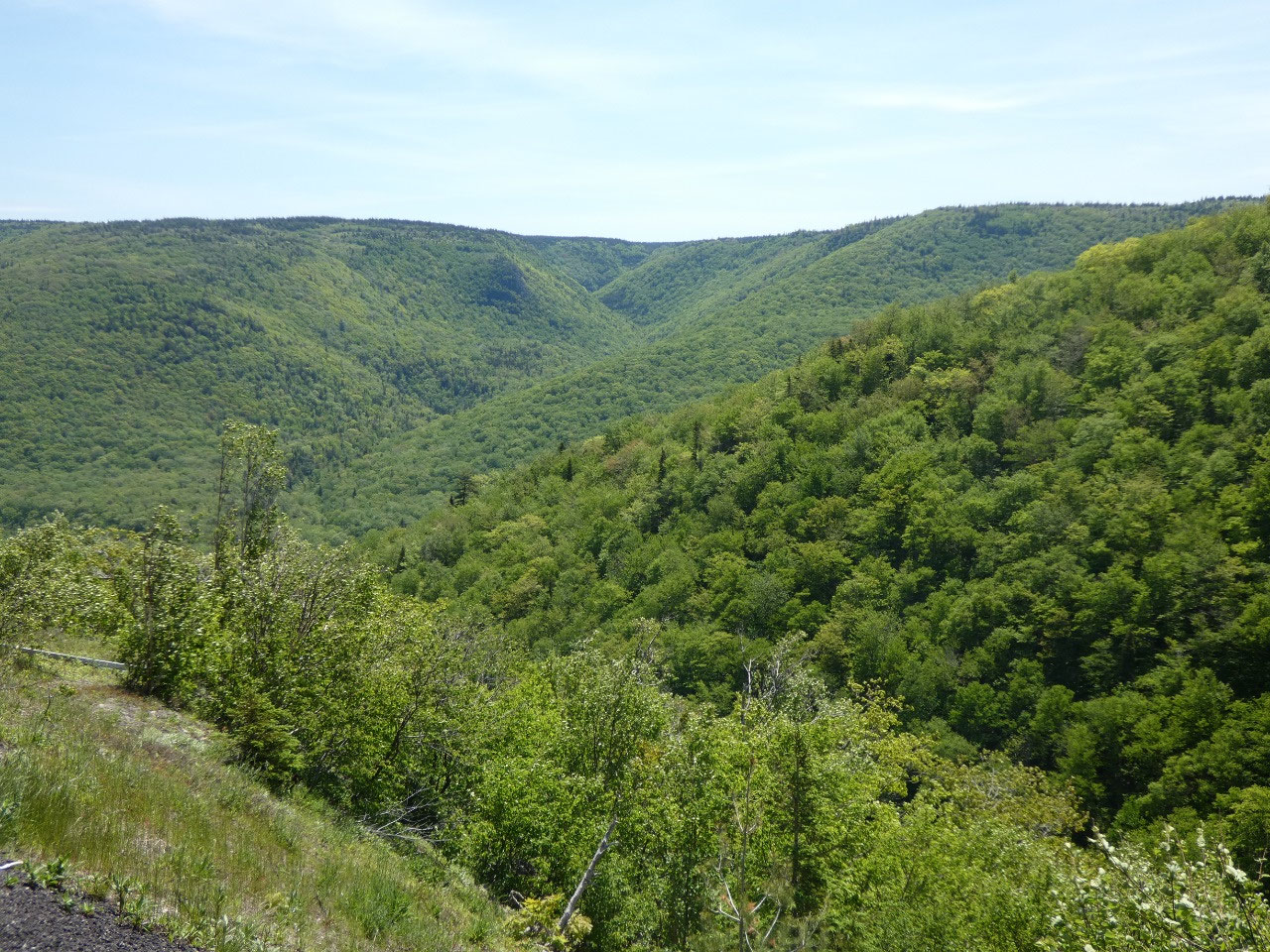
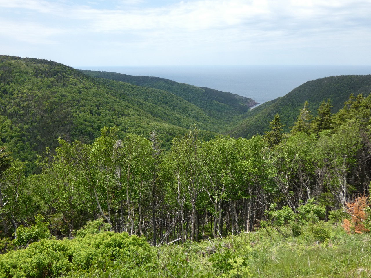
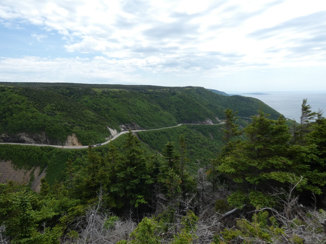
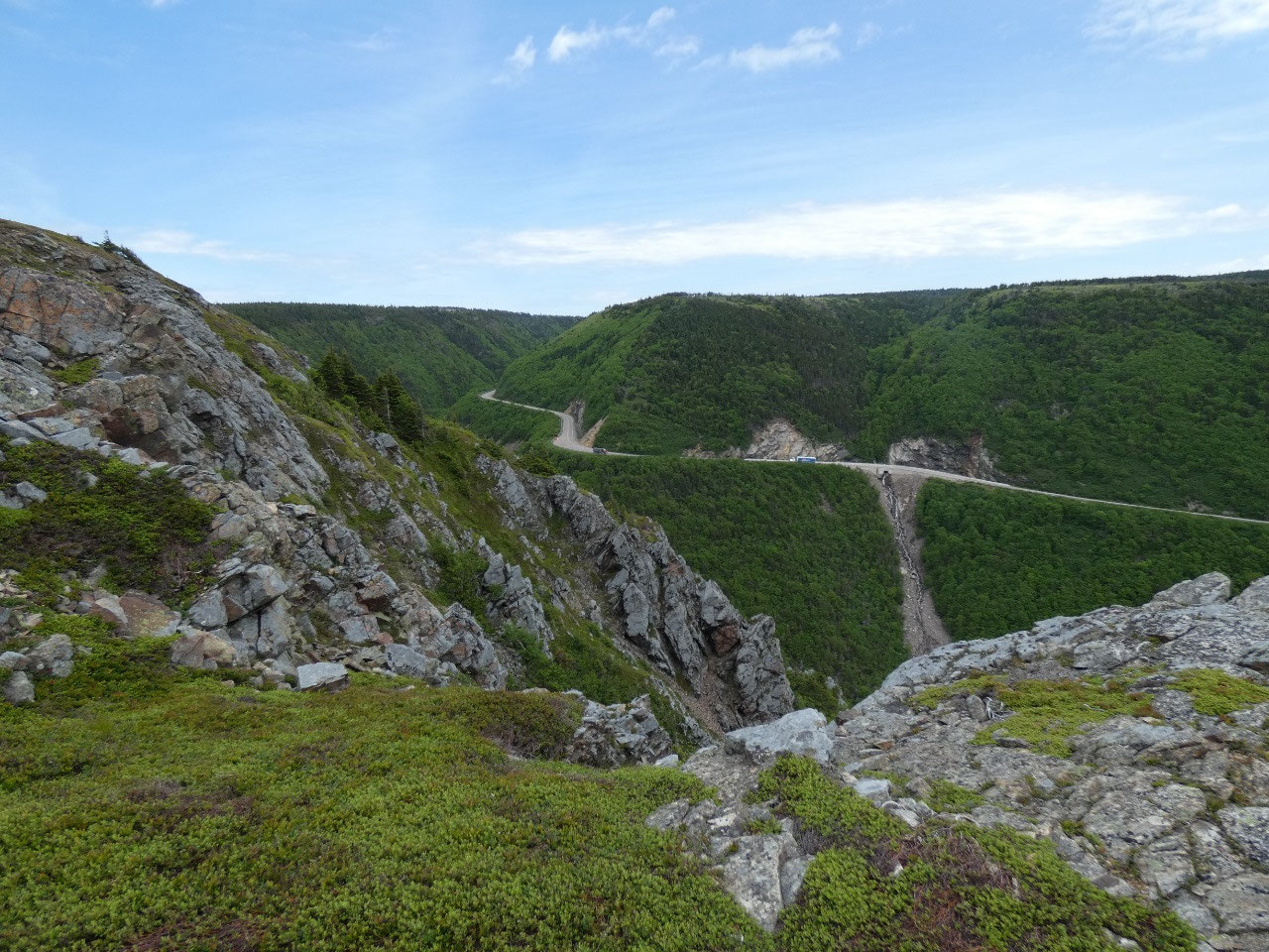
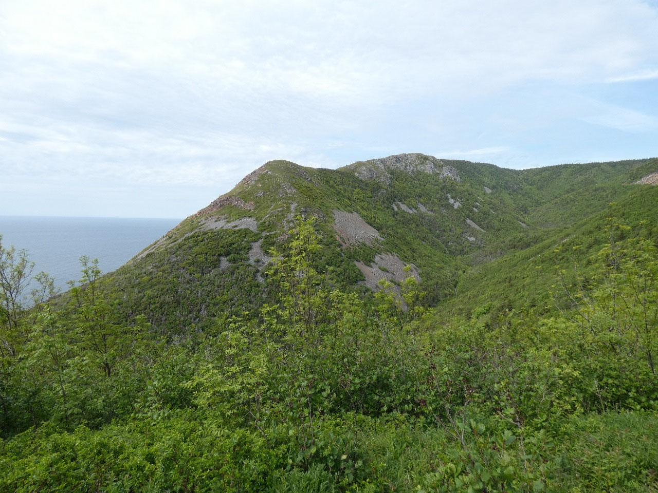
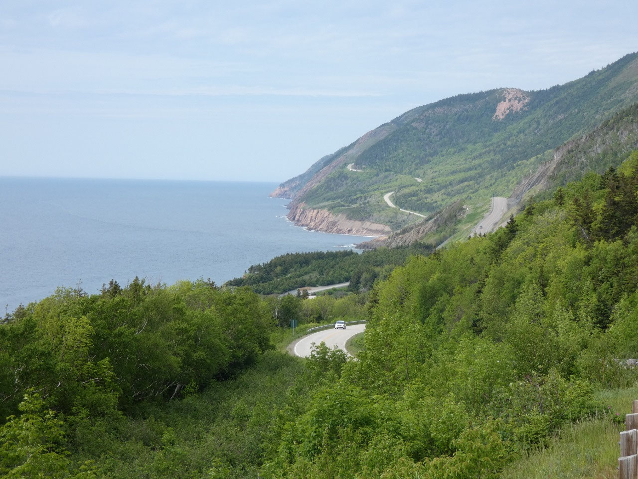
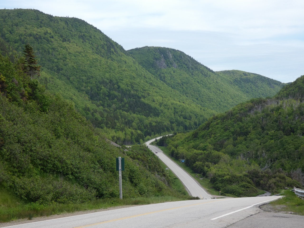
The road across the park rises to around 400 meters at two points before dropping back to sea level at the coast and rivers. As in Gros Morne, the topography of the mountainous interior is actually somewhat more of a plateau gouged by glacial valleys than a folded mountain range. And although not all that high up, they said some snow fell on French Mountain during the storm two days before my visit.
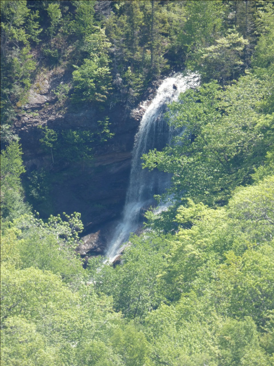
What had been a sunny day weirdly clouded up for a while for some of the best scenery as I was crossing the park. And the roads all seemed to be under construction with some of the best viewpoints blocked off on stretches of road where cards had to follow a vehicle lead on one lane. It seems like all the roads in Nova Scotia and Newfoundland were under construction like this. I guess that’s what happens when you can only do road work a few months of the year.
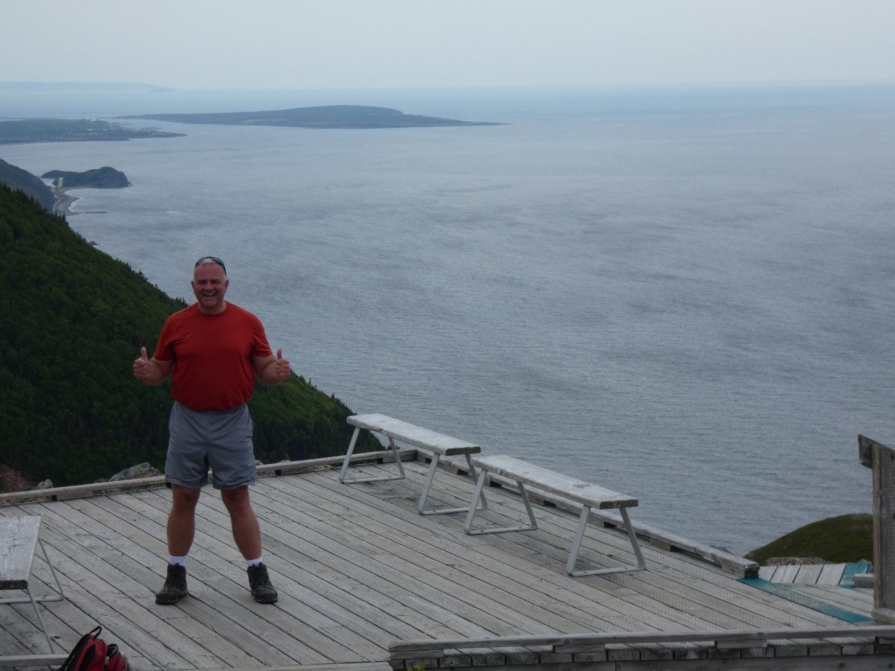
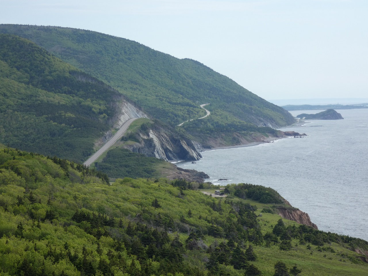
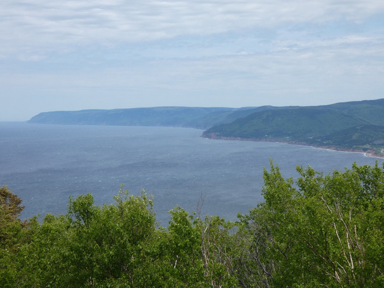
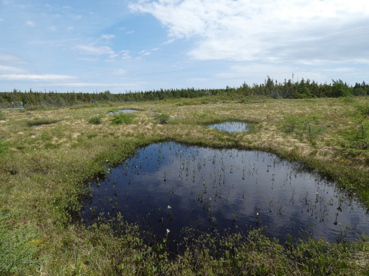
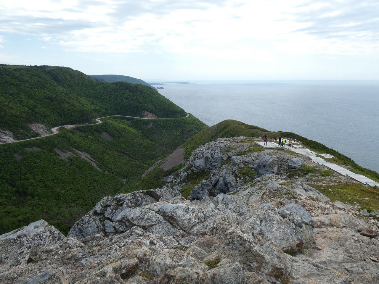
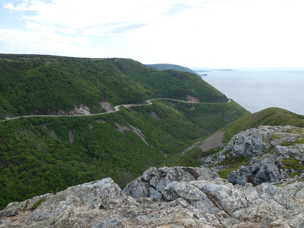
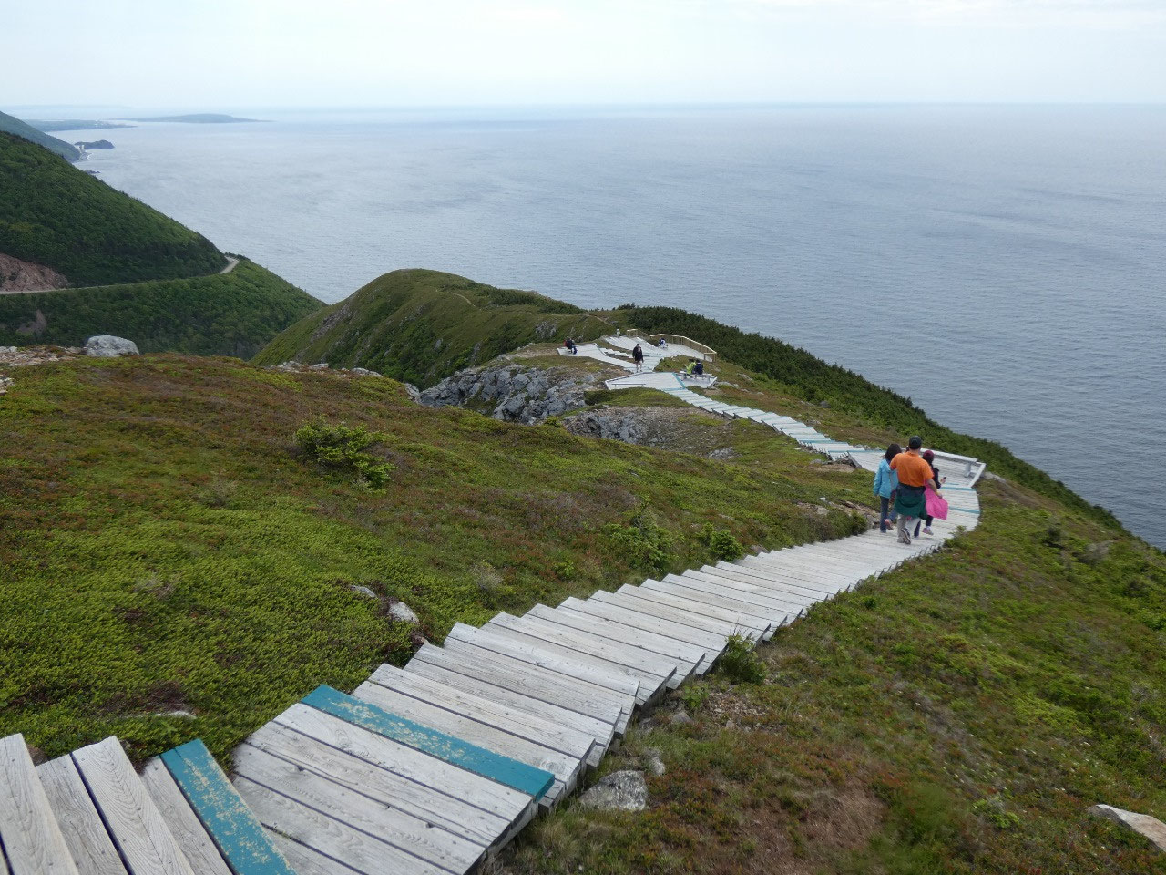
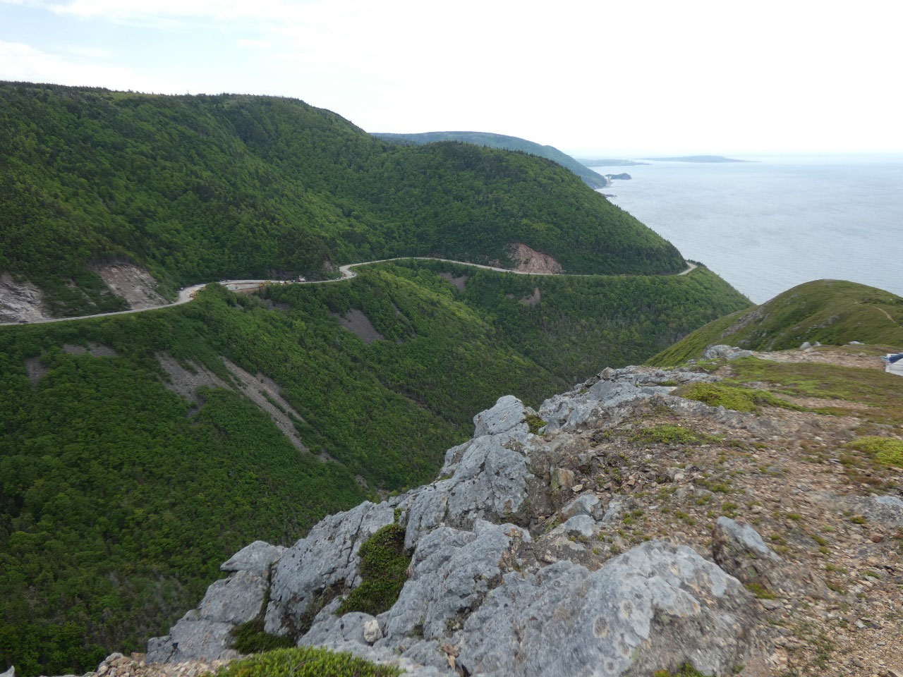
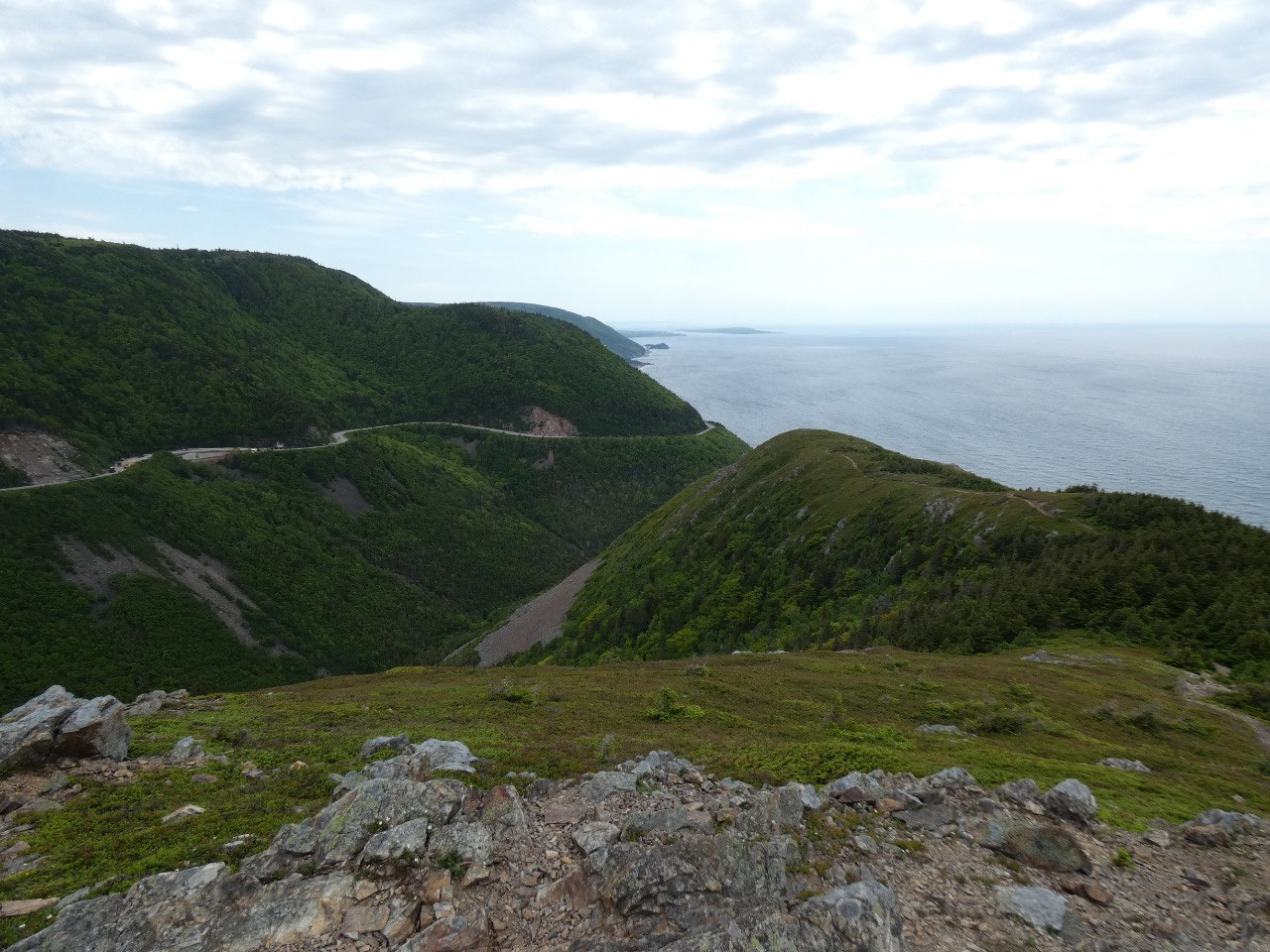
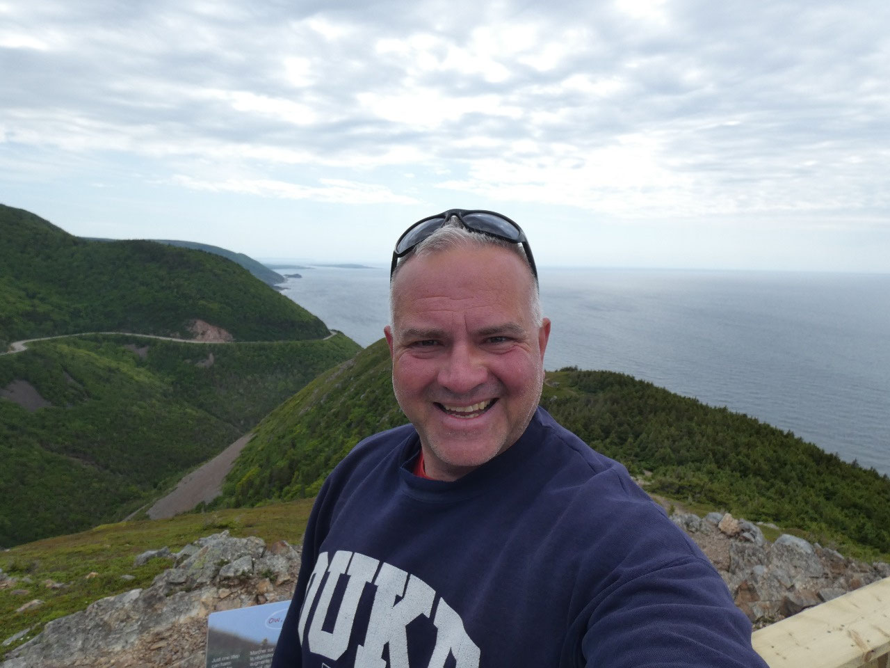
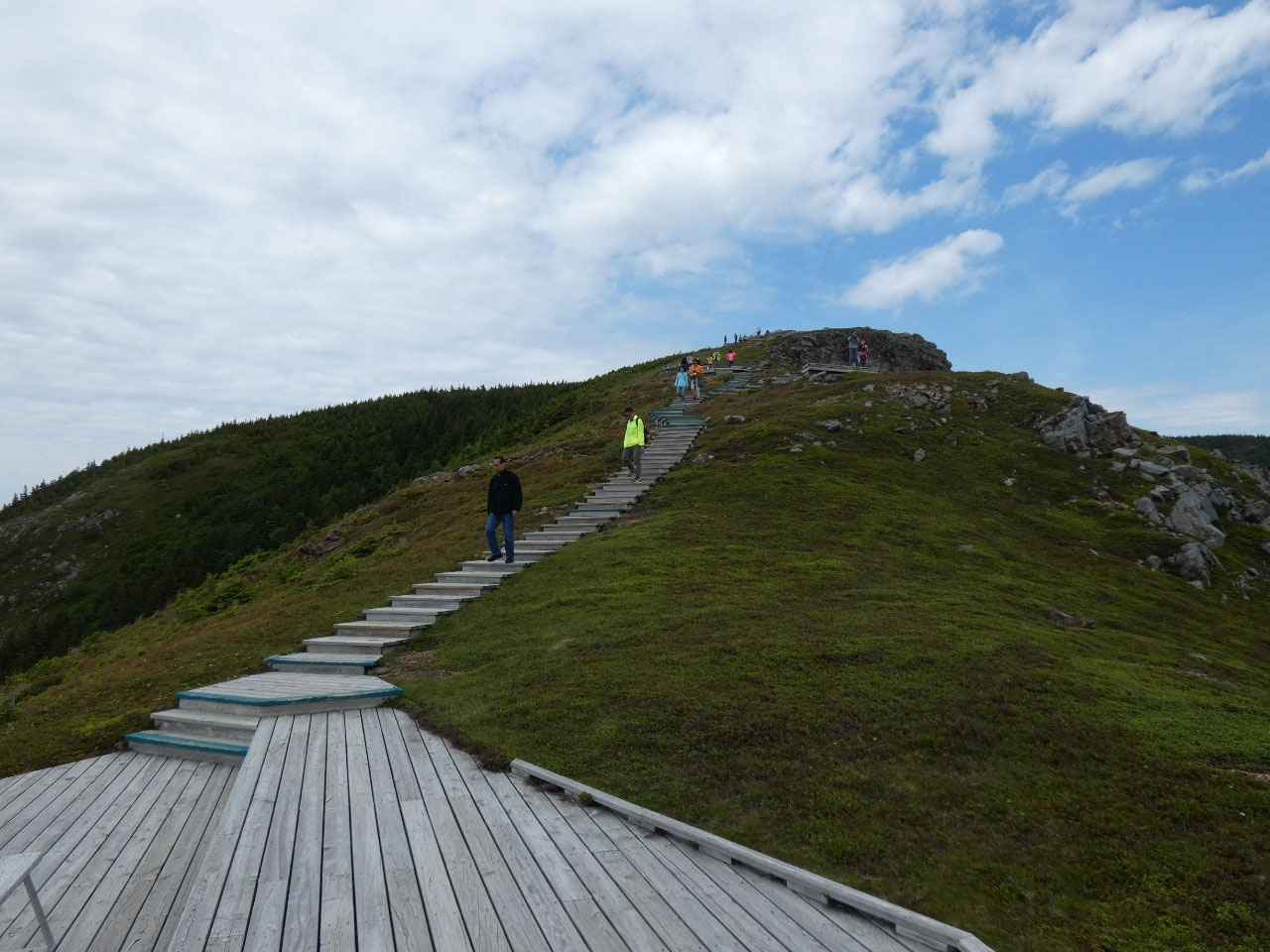
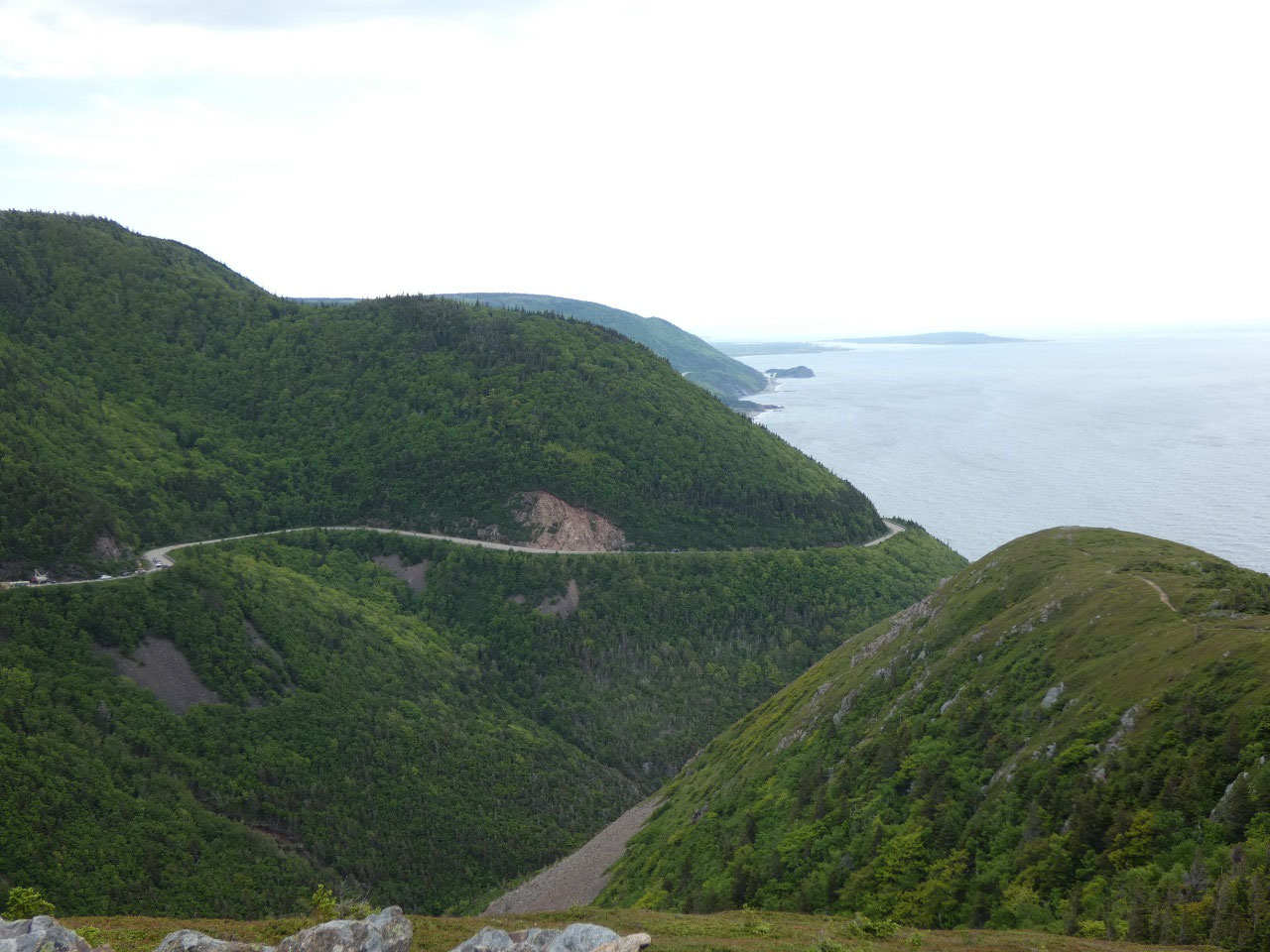
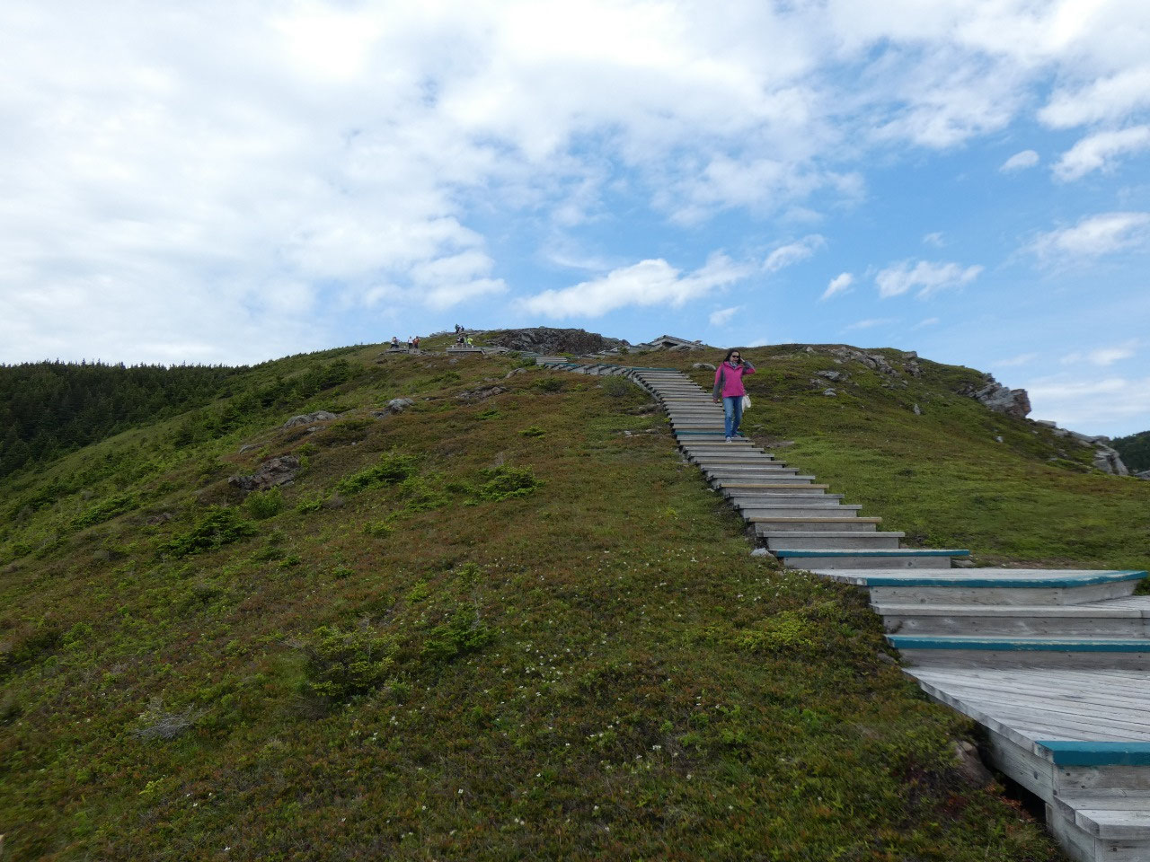
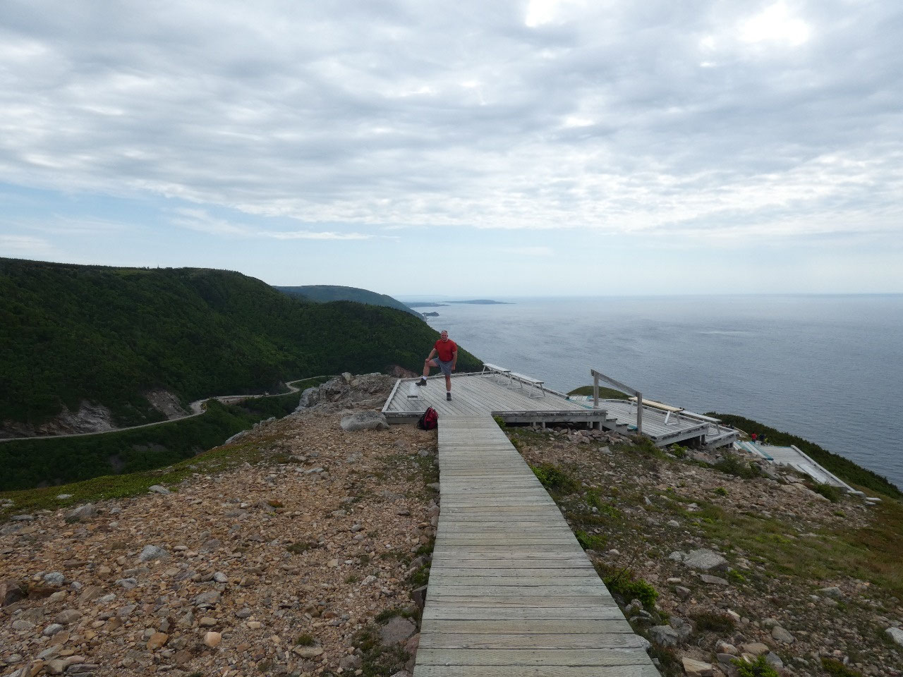
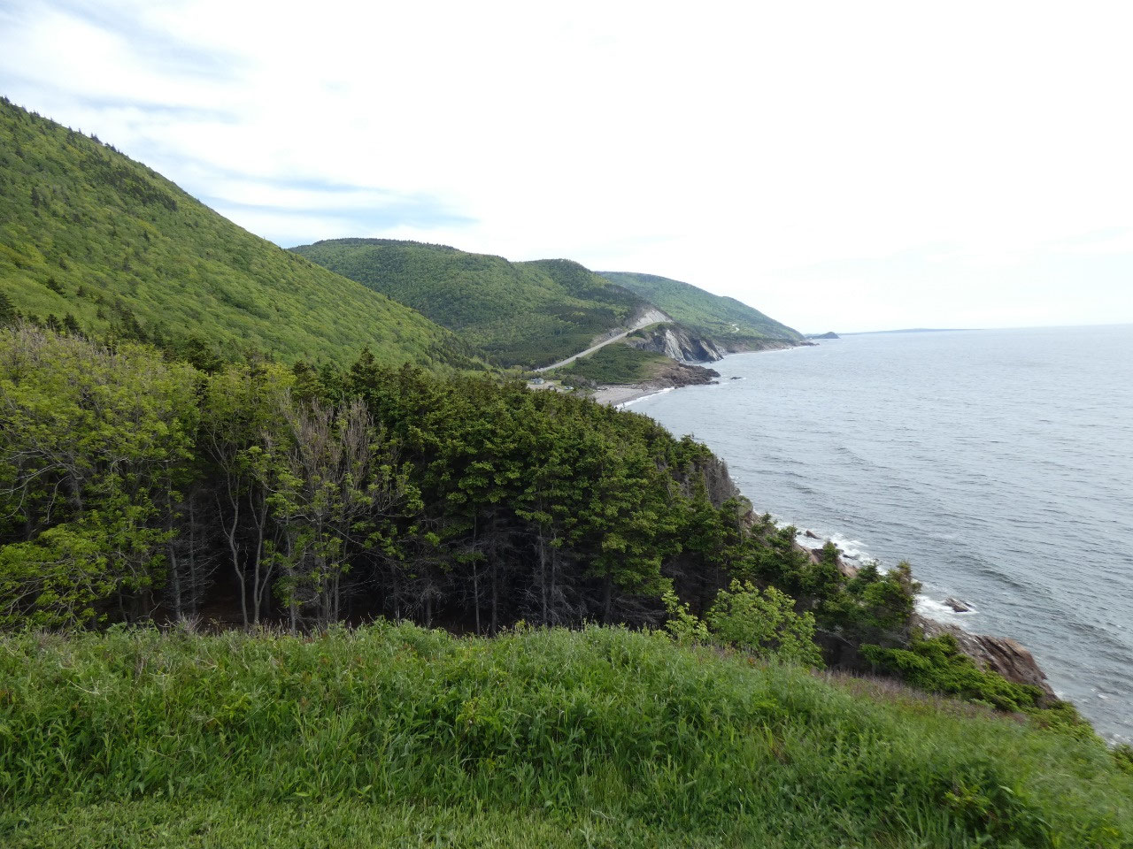
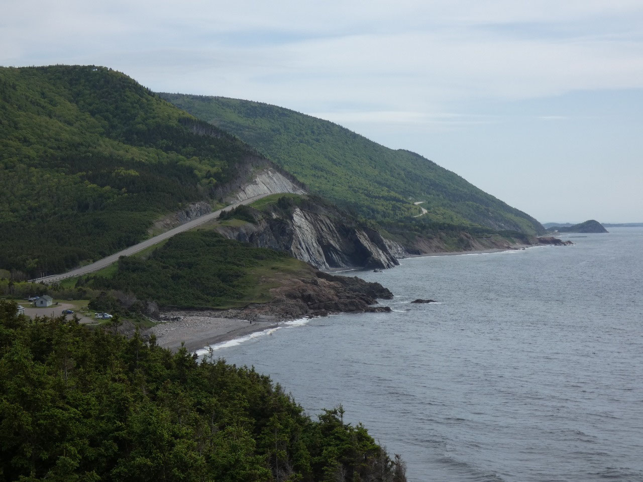
The hiking trail I targeted to do because it’s said to be the best in the park is the Skyline Trail. Well, that’s apparently the trail almost everyone who visits the park does, because the parking lot for it is enormous. At about five miles round trip and with a name like Skyline, I expected a long high ridge walk with continual views of the sea. The reality is most of it is through the woods and even through an open savannah type of landscape that results from a mix of fires and over browsing of young birch tree saplings by the enormous moose population in the park. The latter part of the trail descends steeply on steps and boardwalk to one of the park’s classic views over the Cabot Trail and the Gulf of Saint Lawrence, but it certainly is popular!
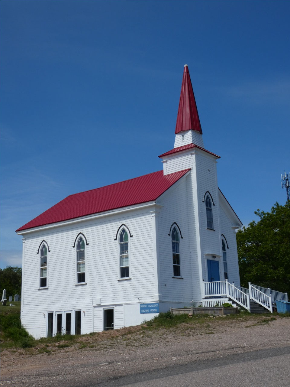
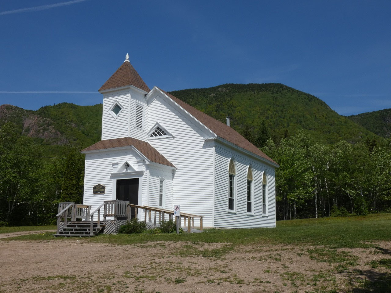
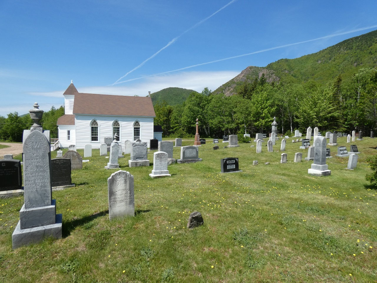
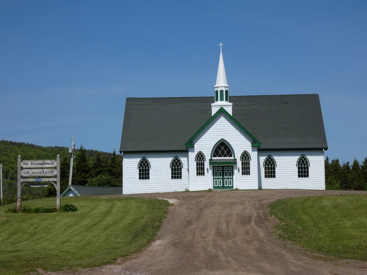
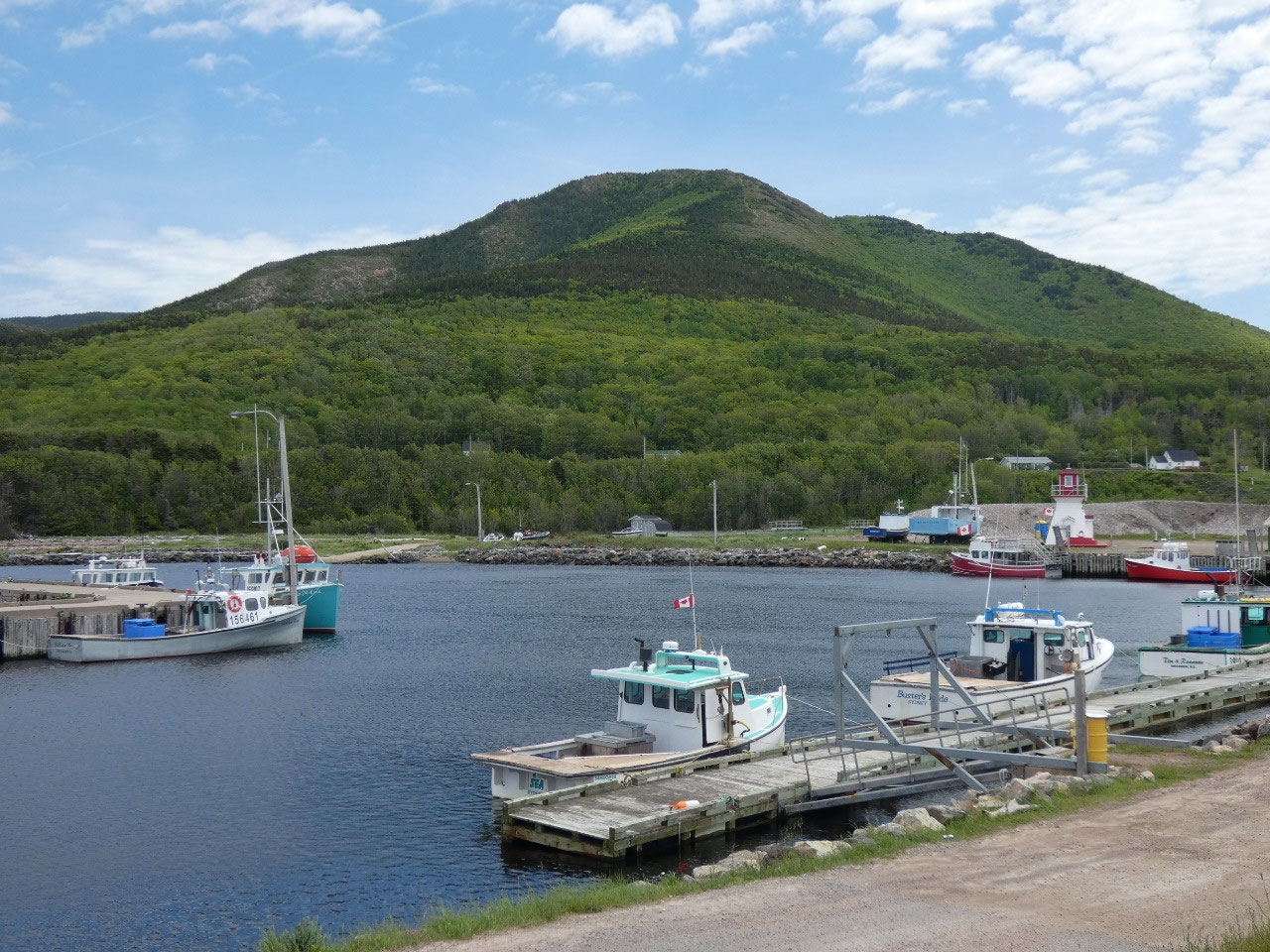
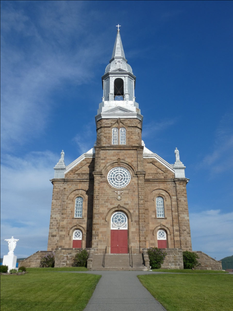
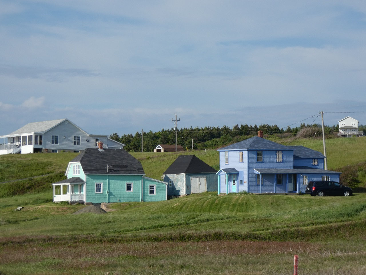
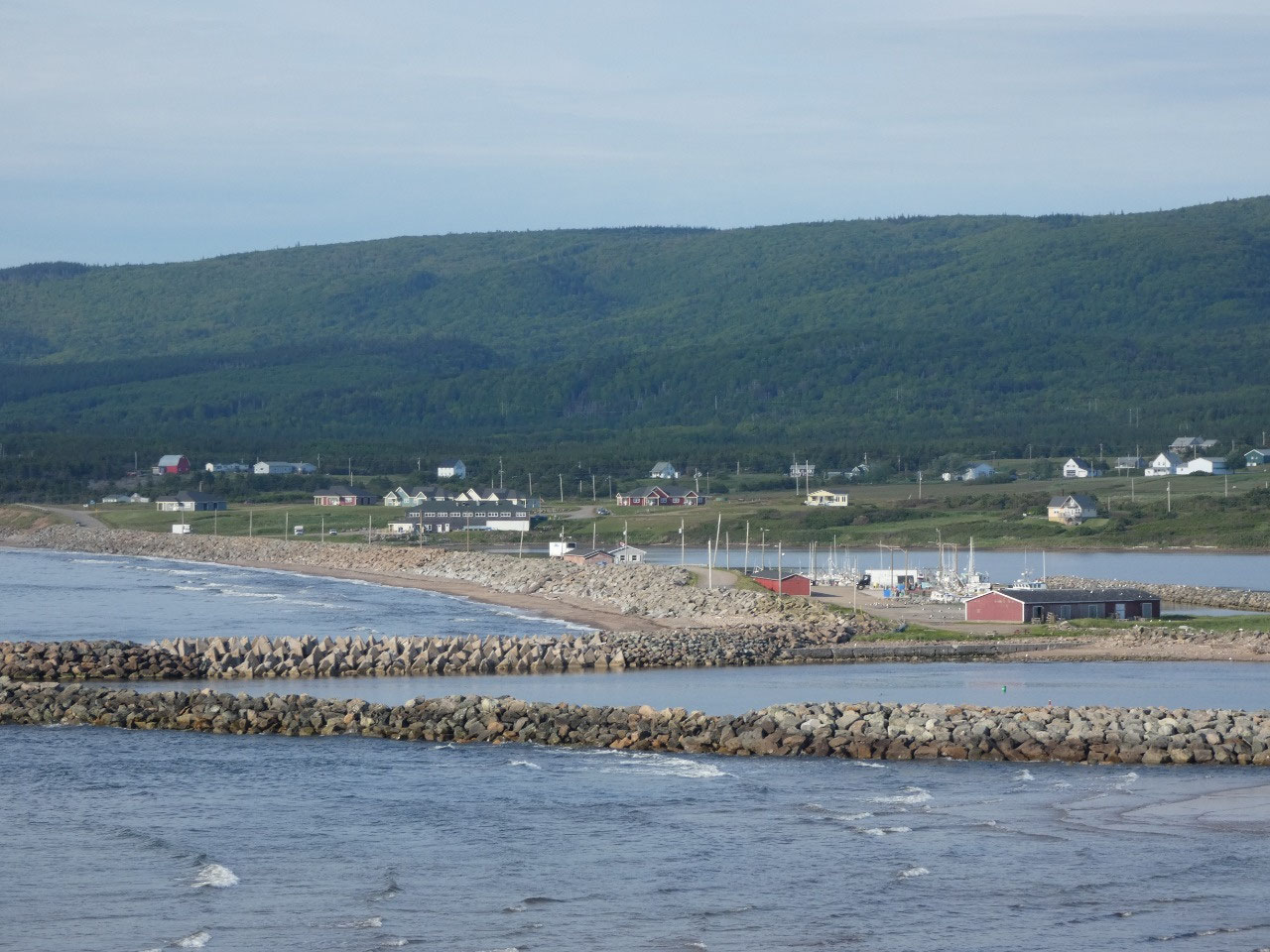
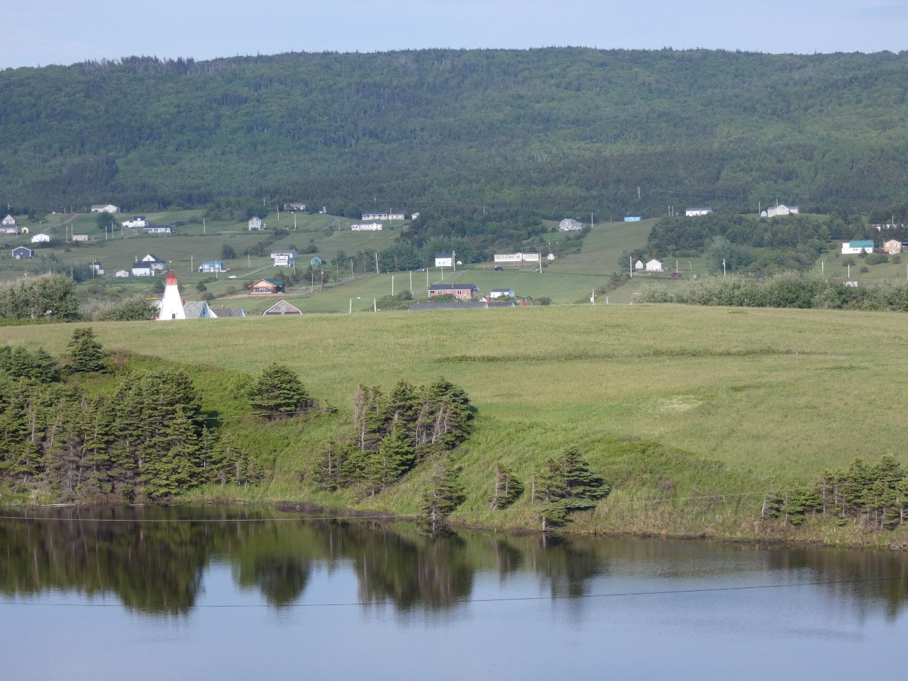
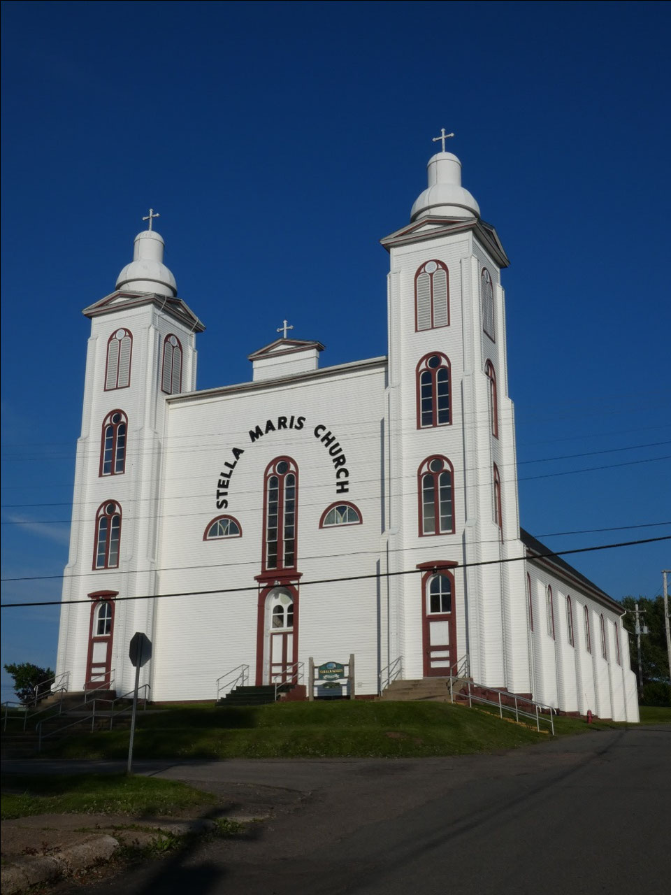
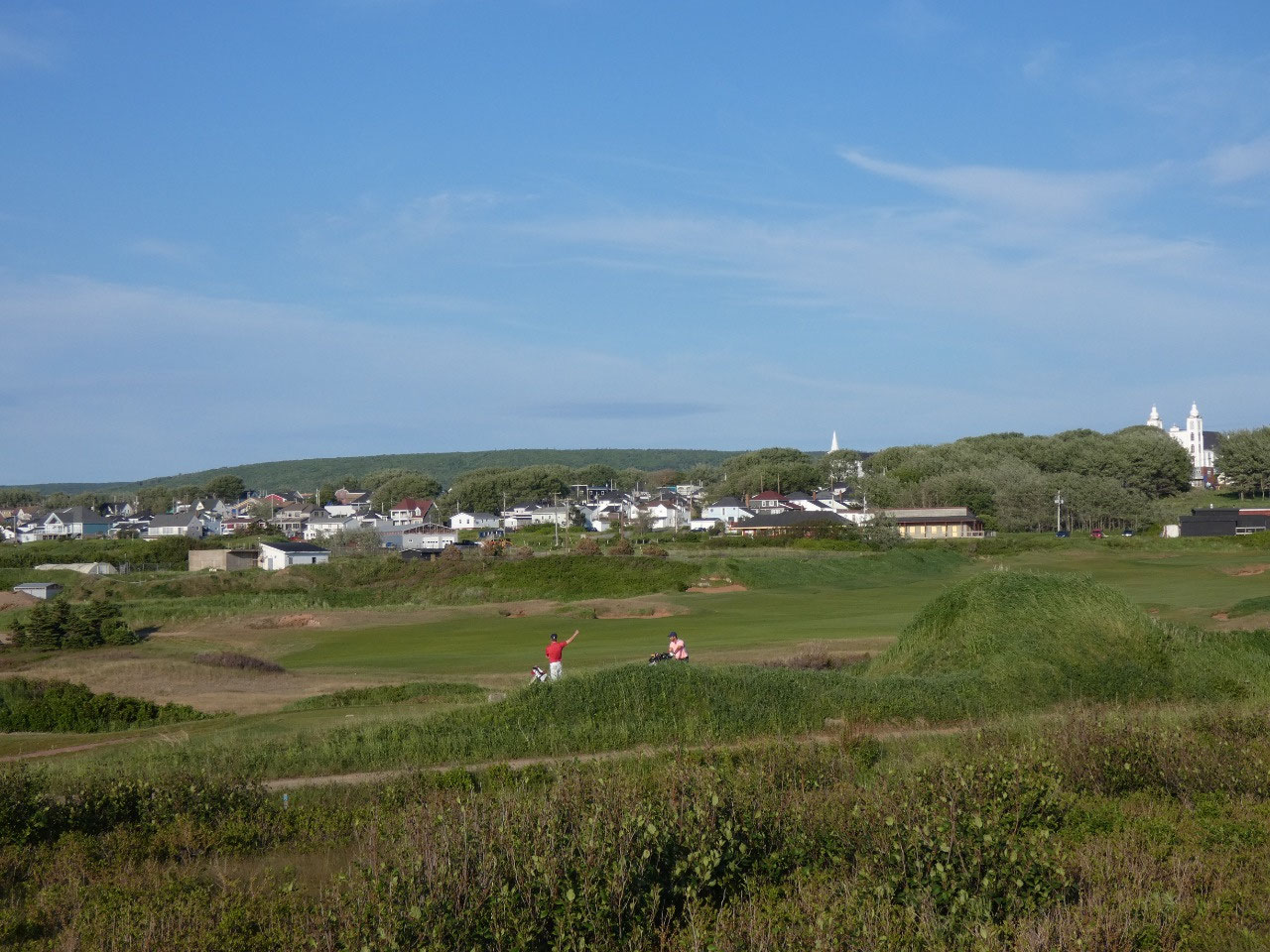
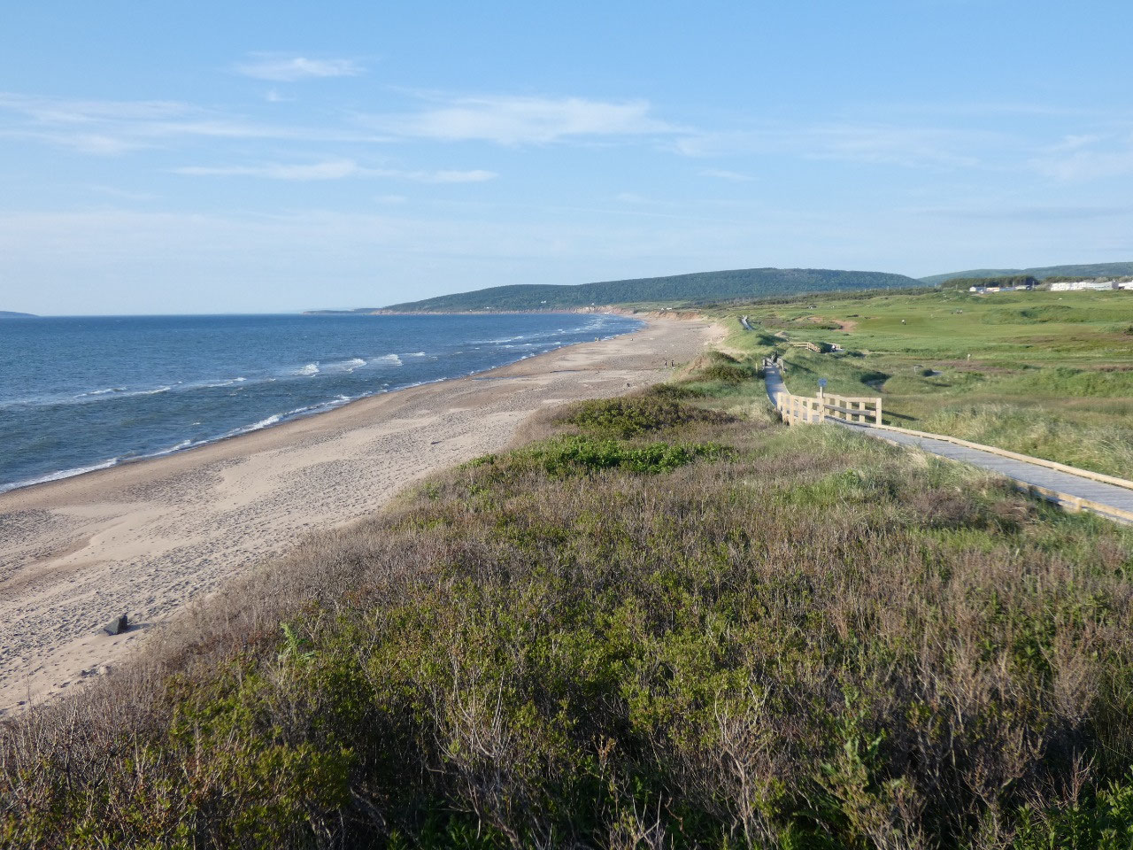
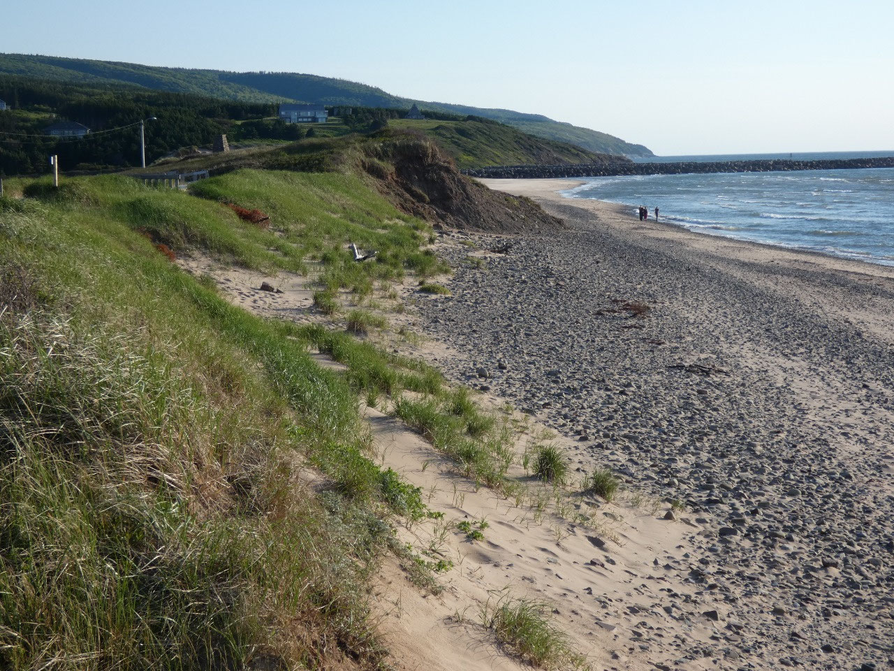
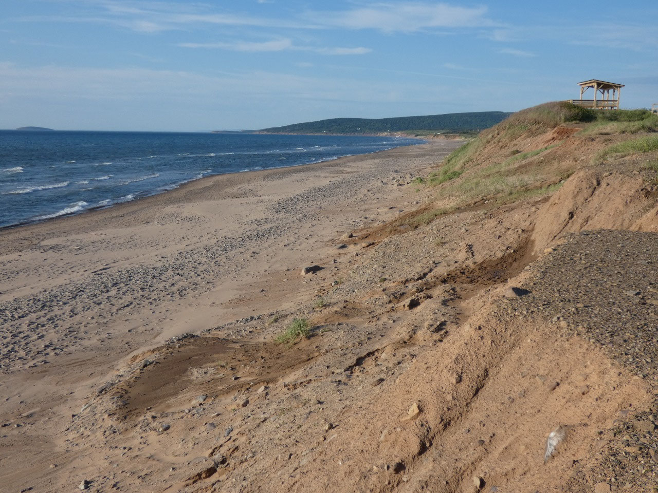
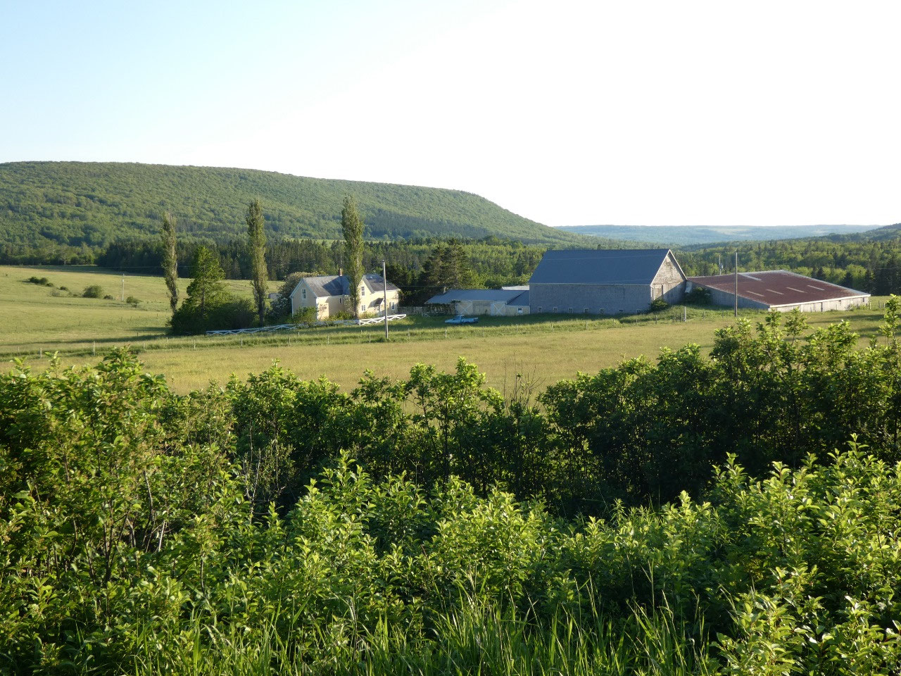
The main service and port town outside the west entrance to the park on the Cabot Trail is Cheticamp, one of several Acadian (French) settlements on Cape Breton that contrasts with the mostly Scottish areas. The main physical difference from other places on the island is the large Catholic church instead of numerous smaller Protestant ones.I followed the coastal route south along the coast through the evening as the sun got lower on the horizon on the Cabot Trail and what’s known as the Ceilidh Trail along seaside bluffs, through farmland, and past small towns. The scenery looked almost exactly as I remembered it 34 years ago as we headed in the opposite direction on the same route late on a sunny afternoon on the family road trip. On a sunny evening the stretch of sunset coast rivals what I’ve seen in Oregon or California’s Sonoma Coast in terms of varied seaside beauty.


2025-05-23