Finally a nice warm sunny day! There haven’t been many yet in my first three
weeks in Bozeman. That calls for making the best of it and getting out for a
hike. I’ve been studying up on hiking
opportunities in the region and planning some out for the season. An issue is that April is still very early in
the season and mountain hikes and valleys are still likely to be snowed
in. Hey, there are places you usually
can’t hike until July because of snow, and this was a rather snowy winter
here.
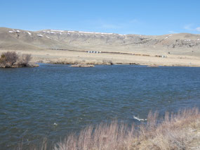
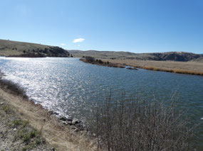
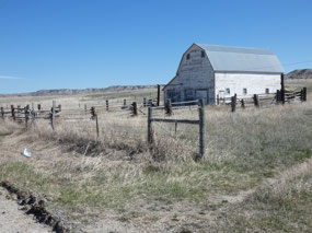
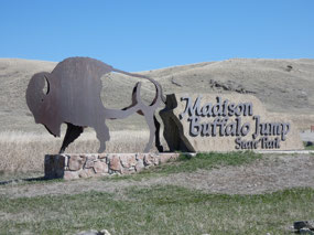
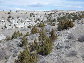
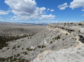
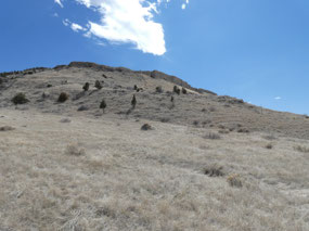
Thus I targeted Madison Buffalo Jump State Park about 20
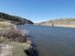
miles or so west-northwest from Bozeman. It is located on the edge of the
Madison River Valley, somewhat lower in elevation that Bozeman itself and in
sort of a rain shadow of the Tobacco Root Mountains. A glance at a precipitation map of the area
indicates that while Bozeman itself on the upslope to the Gallatin and Bridger
Ranges receives 19 inches of precipitation annually the lower lying areas in
the valleys to the west receive only 10 to 15 inches. And yes, I was correct; the trails were snow
free and not even muddy.
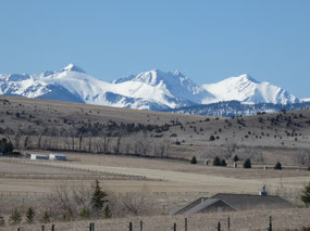
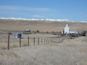
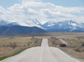
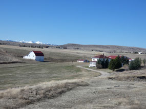
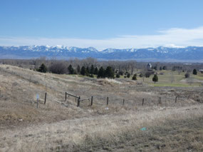
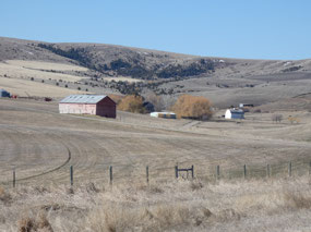
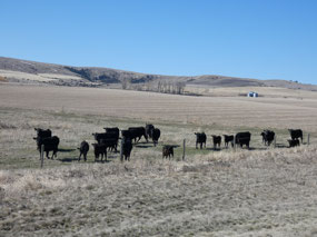
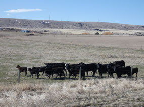
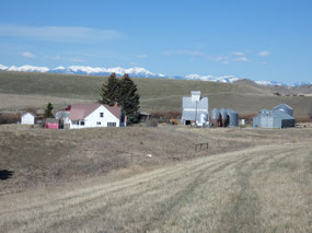
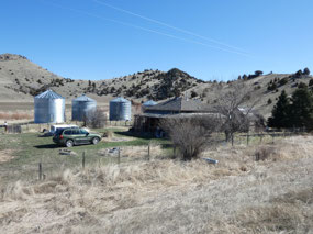
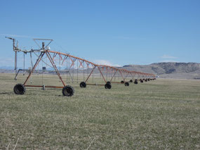
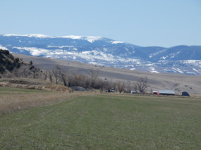
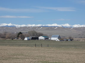
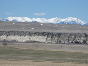
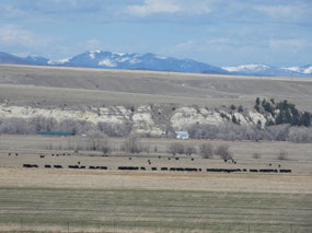
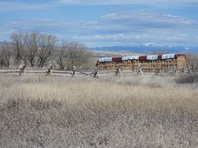
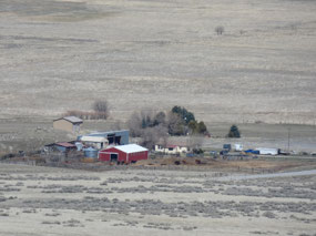
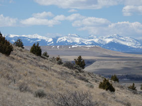
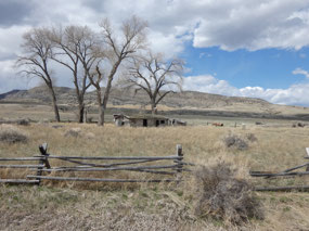
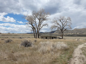
My route took me directly west from Bozeman through some
beautiful ranch country with snow-covered peaks in all directions – Bridger Range
to the east, Gallatin range to the south, Spanish Peaks and Madison Range to
the southwest, and Tobacco Root Mountains to the west. These create a colorful
contrast to the still mostly brown rangeland in the valleys. It’s true west country only a few miles from
the small university and tech hub of Bozeman.
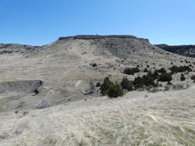
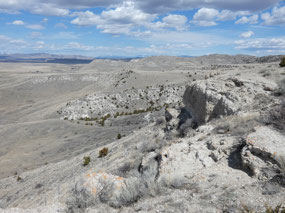
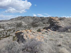
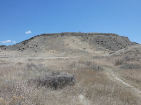
Madison Buffalo Jump is one of several locations identified
in the American West that Native Americans used to hunt bison before the
introduction of the horse by the Spanish conquistadors. One of those hunting methods was to scare herds
of the animals into stampeding over a cliff below which any injured survivors
would be killed by those waiting and the animals butchered. Even though
American Indians were ingenious in using most parts of the animal, the
locations can be identified by the archaeological remains of the hunts which
took place many times over the millennia.
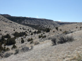
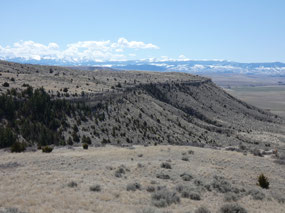
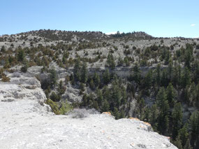
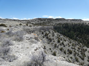
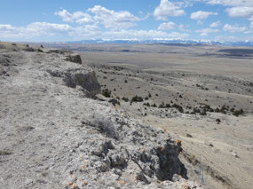
By the standards of mountain hikes, the several hundred foot
altitude gain from the valley to the top of the cliffs is a relatively easy
one, and several weeks on the treadmill in Bozeman made the climb easier than
it would have been on my arrival.
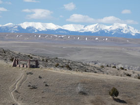
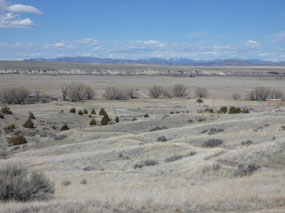
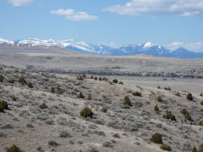
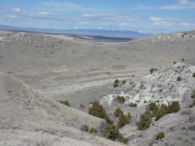
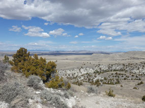
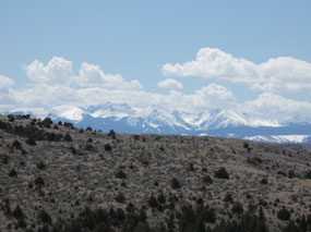
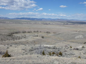
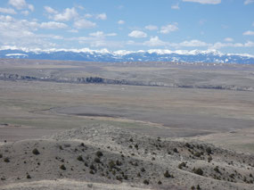
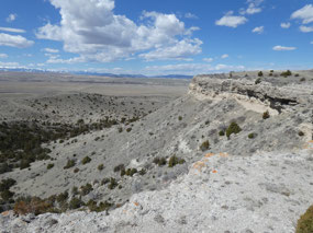
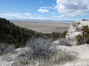
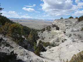
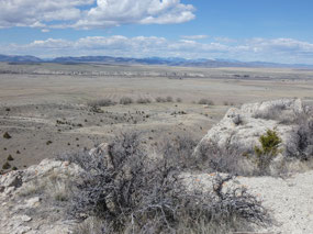
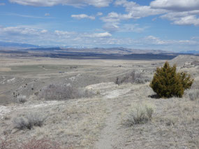
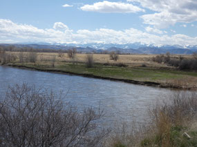
The views of the Big Sky Country from the top
are impressive, mostly across the dry Madison Valley to the rugged snow-capped
Tobacco Root Mountains on the other side.
The two hours on the trail were adequate to stretch my legs
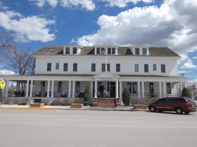
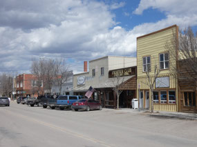
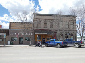
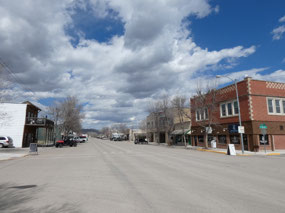
somewhat, but the day was still young enough to continue the drive. Three Forks
is the next town down the road in the western corner of Gallatin County.
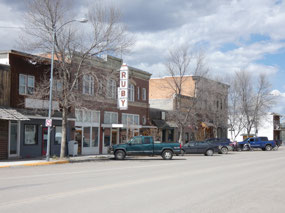
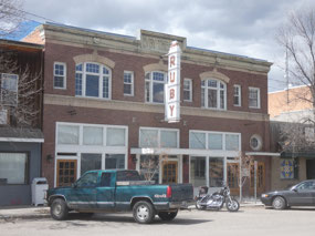
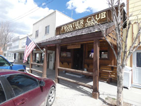
Supposedly it has a population of about 2,000, but you’d hardly guess it from
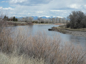
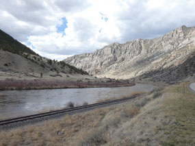
the deserted main street through the historic downtown. Three Forks geographic claim to fame is being
the place where the Gallatin, Madison, and Jefferson Rivers which drain
southwestern Montana come together to form the Missouri River. The town’s original
growth spurt in the early 20th century was due to it being an important
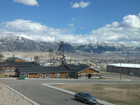
railroad junction. From there I
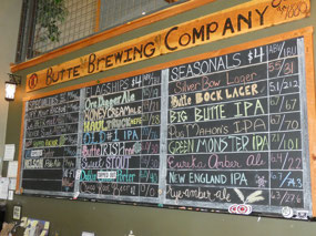
continued west to historic Butte for a pint at the Butte Brewing Company before
returning the 80 miles back to Bozeman on the interstate. Overall a great day
and first hike of the season.

 Madison Buffalo Jump, Montana, United States




2025-05-22