 Twin Bridges, Montana, United States
I decided it was time again for a sightseeing drive a little
farther afield than my recent hiking within a short distance of Bozeman. I
decided to head west to do a loop of under 200 miles including going through
Virginia City and Nevada City, historic mining towns that I didn’t stop in on
past trips through the state, as well as to take in the scenery and check out a
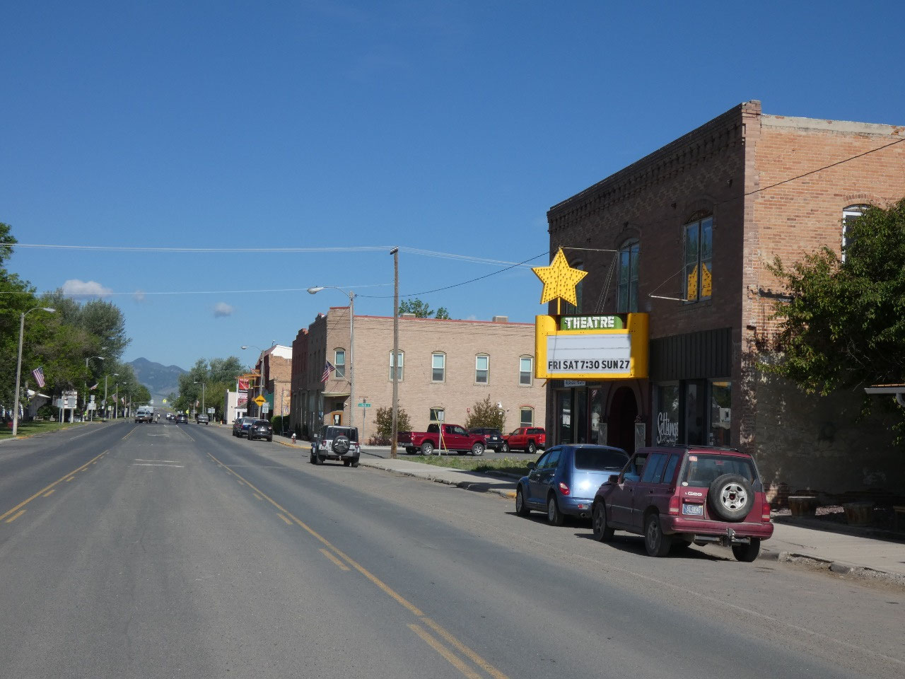
few small towns like Whitehall and Twin Bridges along the way.
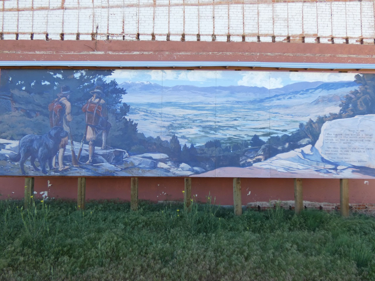
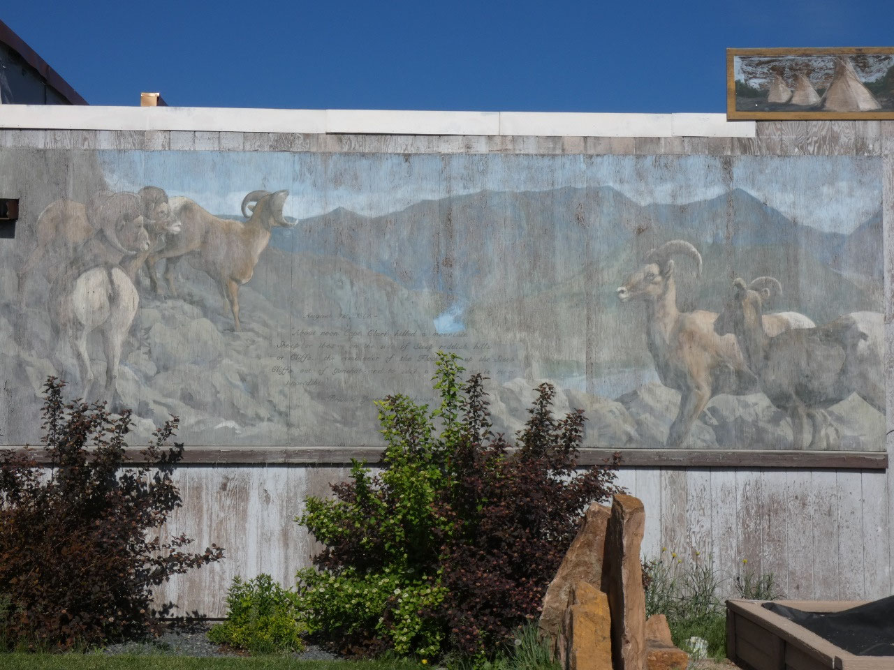
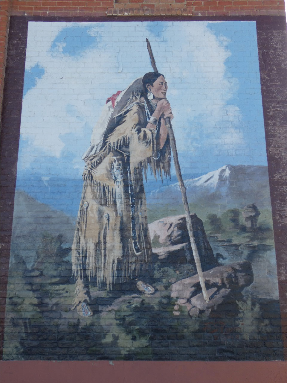
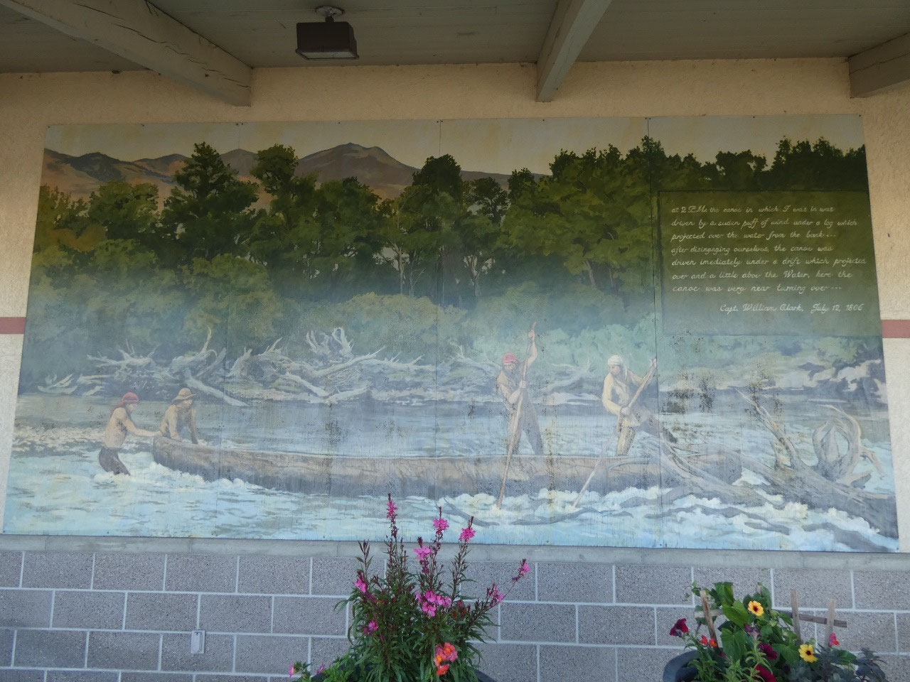
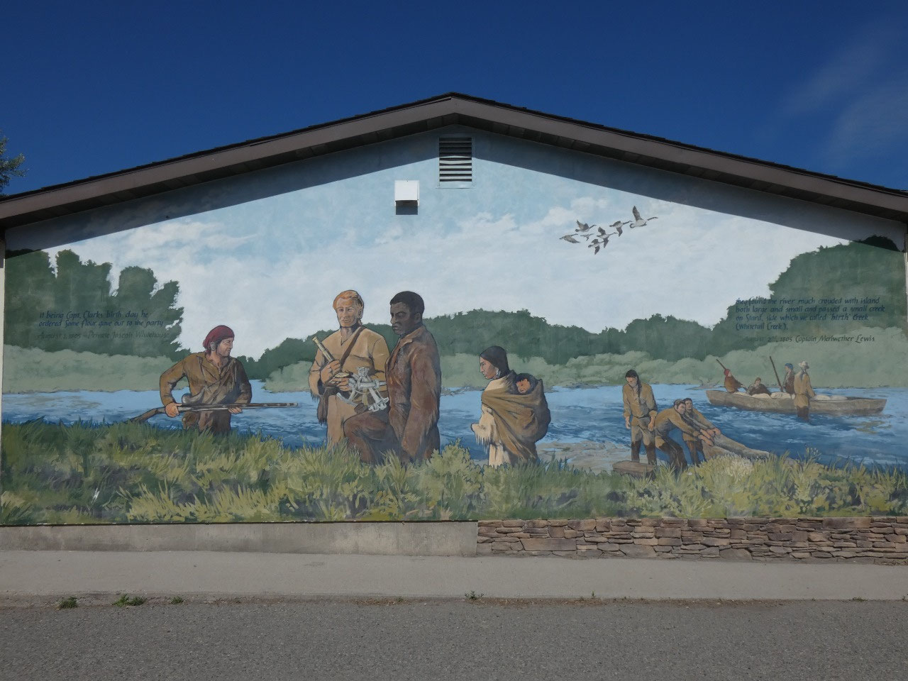
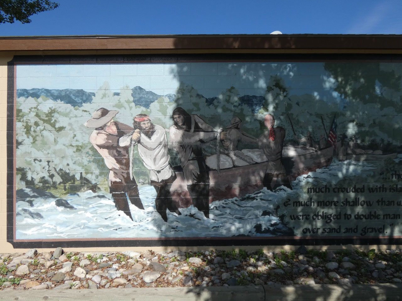
My sightseeing started in Whitehall where I got of I-90. The
small town is in Jefferson County and there’s not much to it. It’s touristic claim
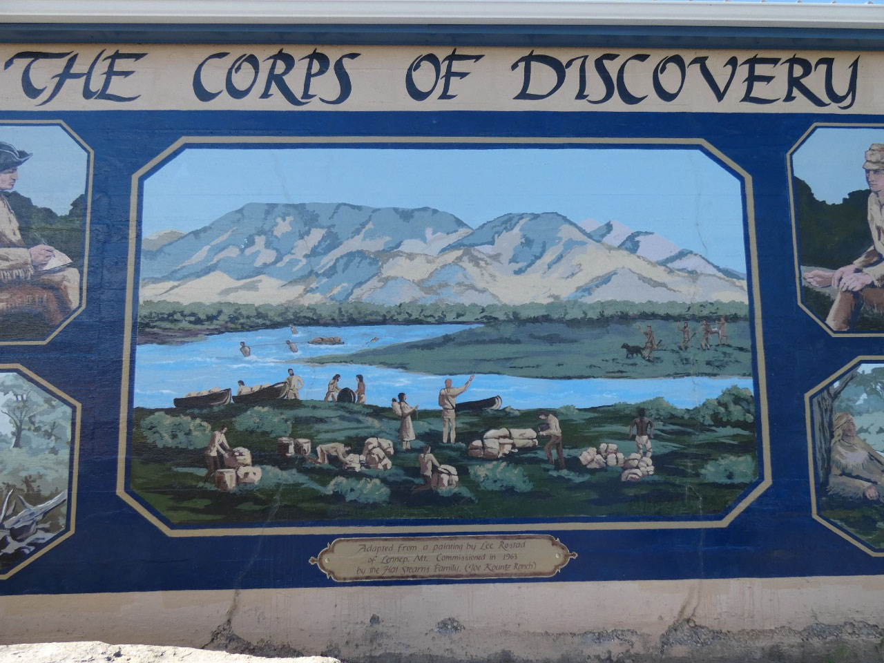
to fame is about 15 outdoor murals painted on buildings around town that depict
various events of Lewis & Clark’s exploration of the region in 1805. There’s
something almost biblical about some of them, somewhat like renaissance era religious
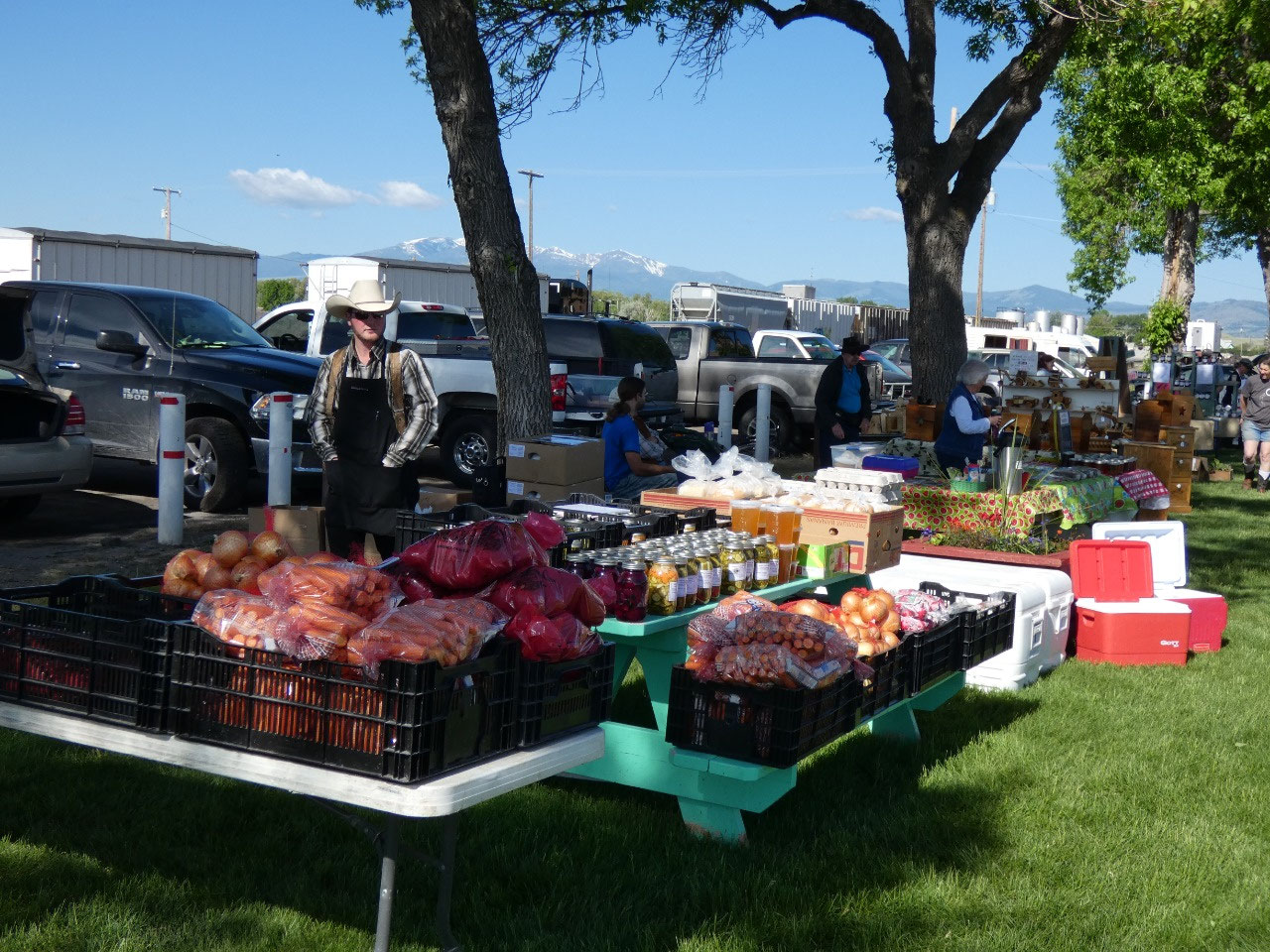
paintings. There was also a small farmers market taking place, manned mostly by
Hutterites. I couldn’t resist buying somejars of pikled vegetables from them.
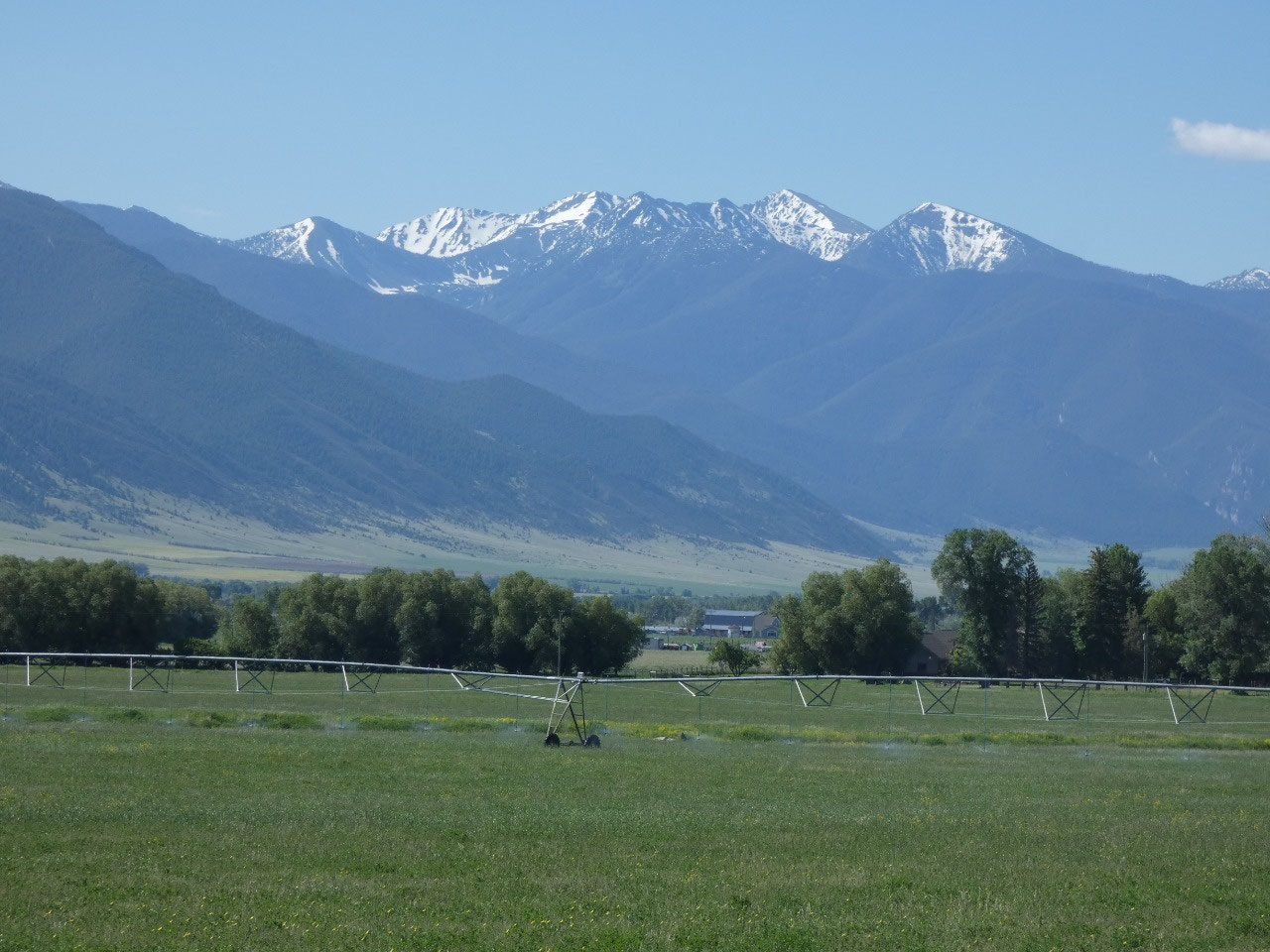
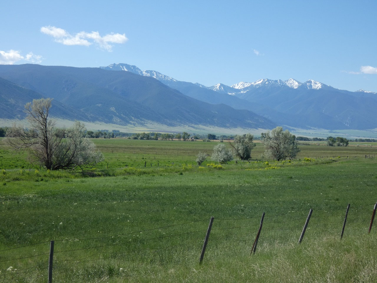
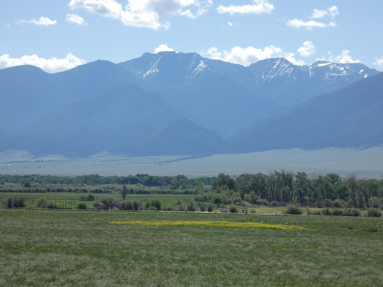
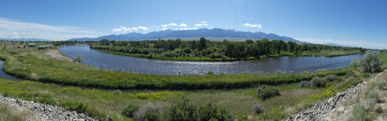
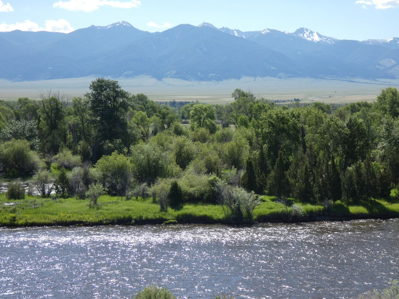
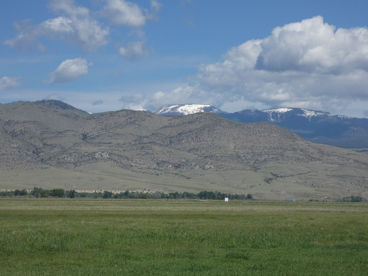
The road southwest parallels the main branch of the
Jefferson River through the Jefferson Valley between the Tobacco Root Mountains
and Highlands Range, both of which are terra incognita to me, but both have
interesting looking hikes I’ve targeted for later in the season.
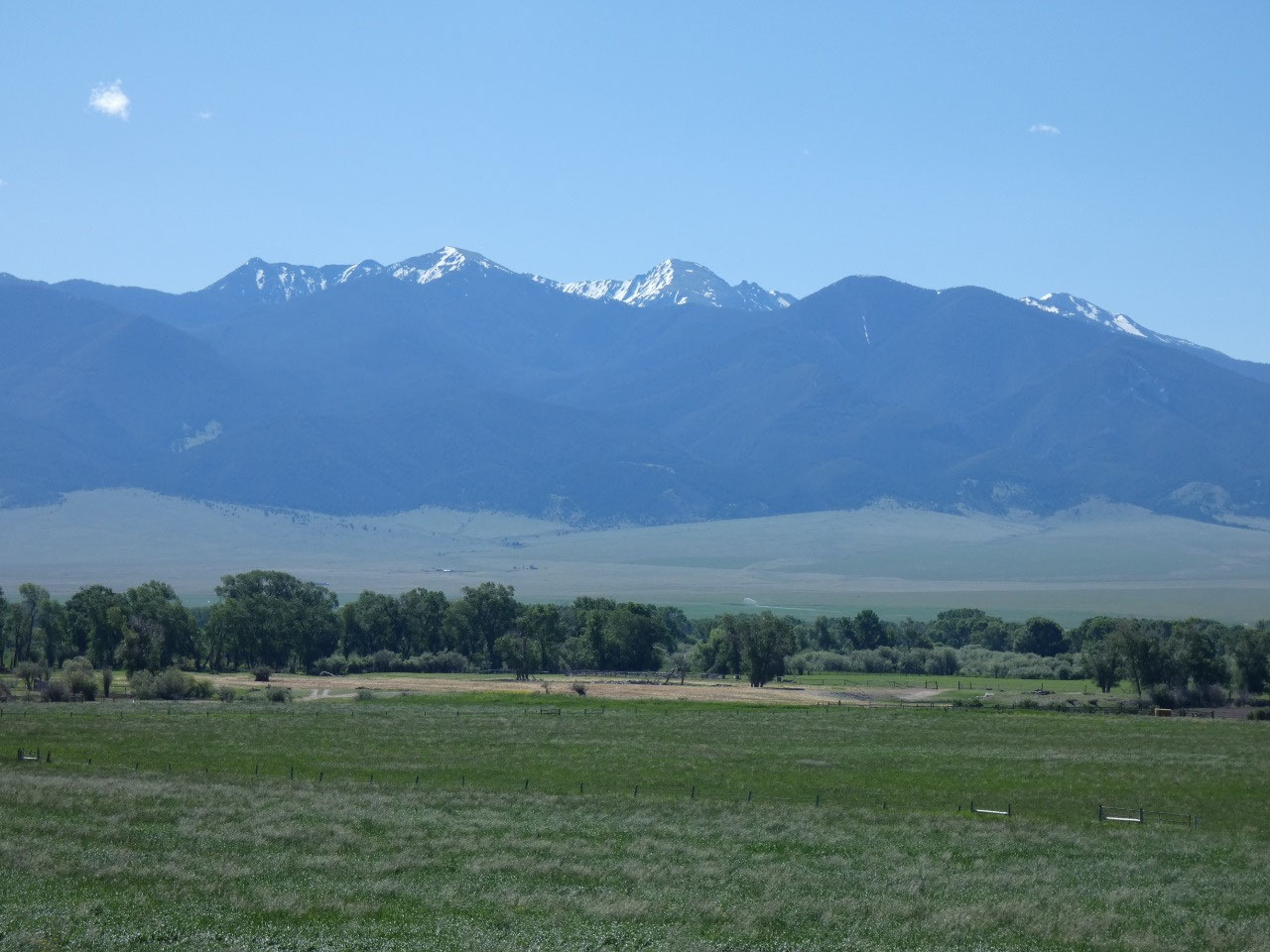
Western
Montana looks mostly green on topographical maps because of its mountains and
forests. The reality, though, is that the valleys in between take up a lot of space
and are mostly arid, some areas like the Jefferson Valley receiving less than
10 inches of precipitation on average. It definitely looks like the Wild West
through these parts.
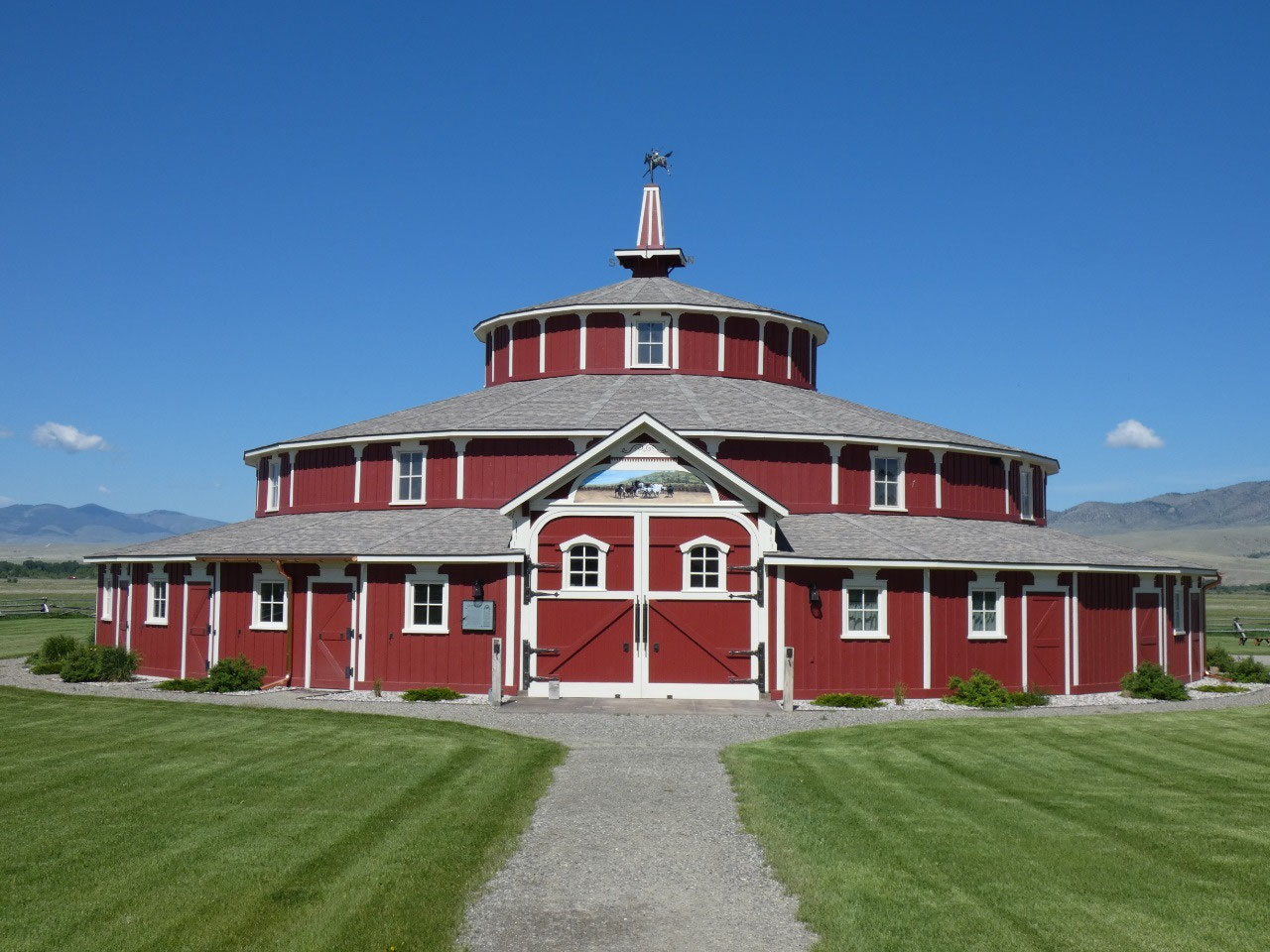
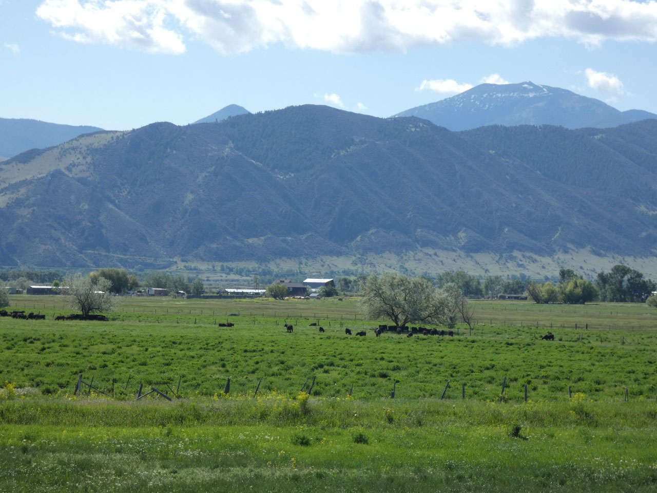
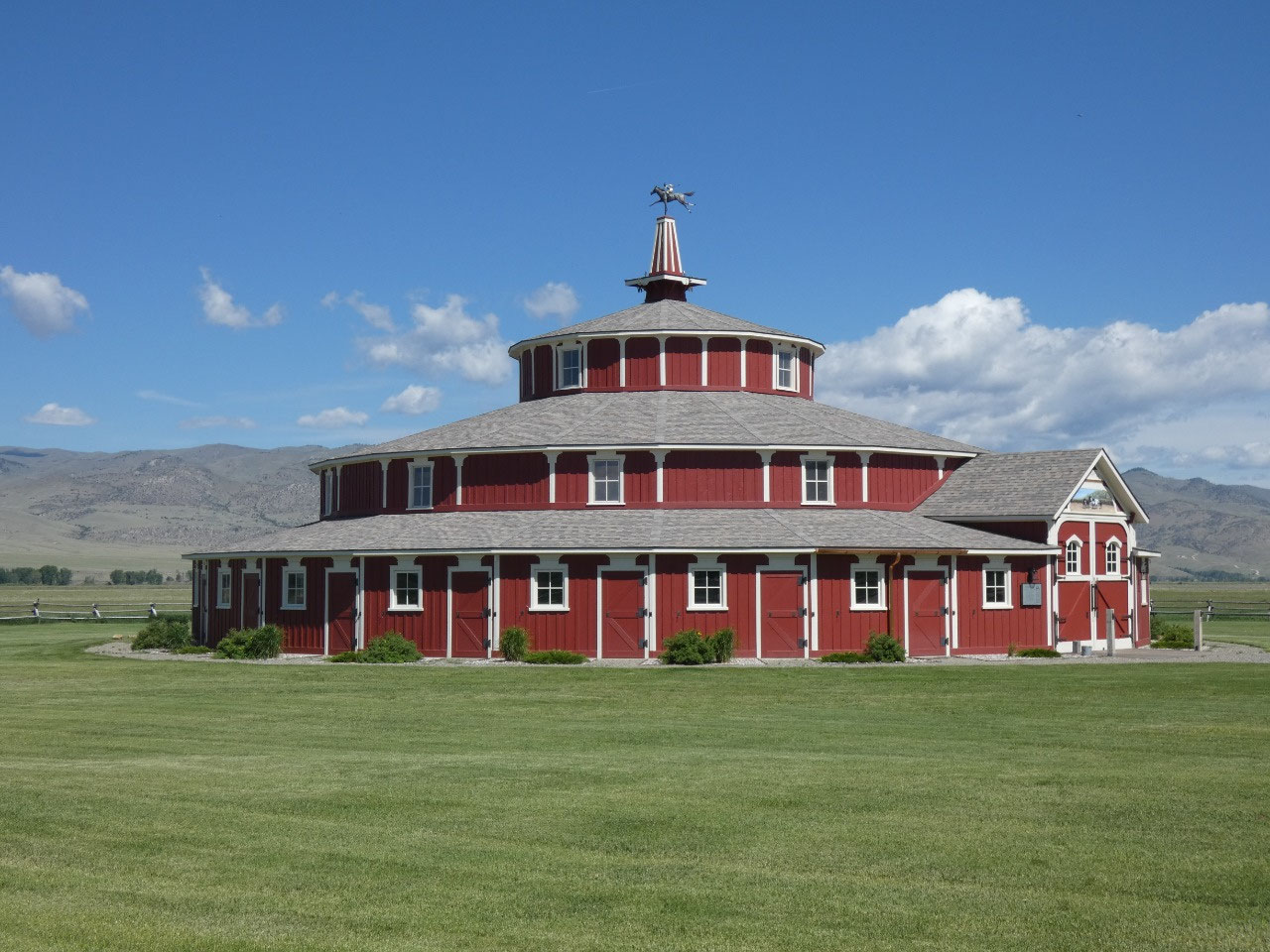
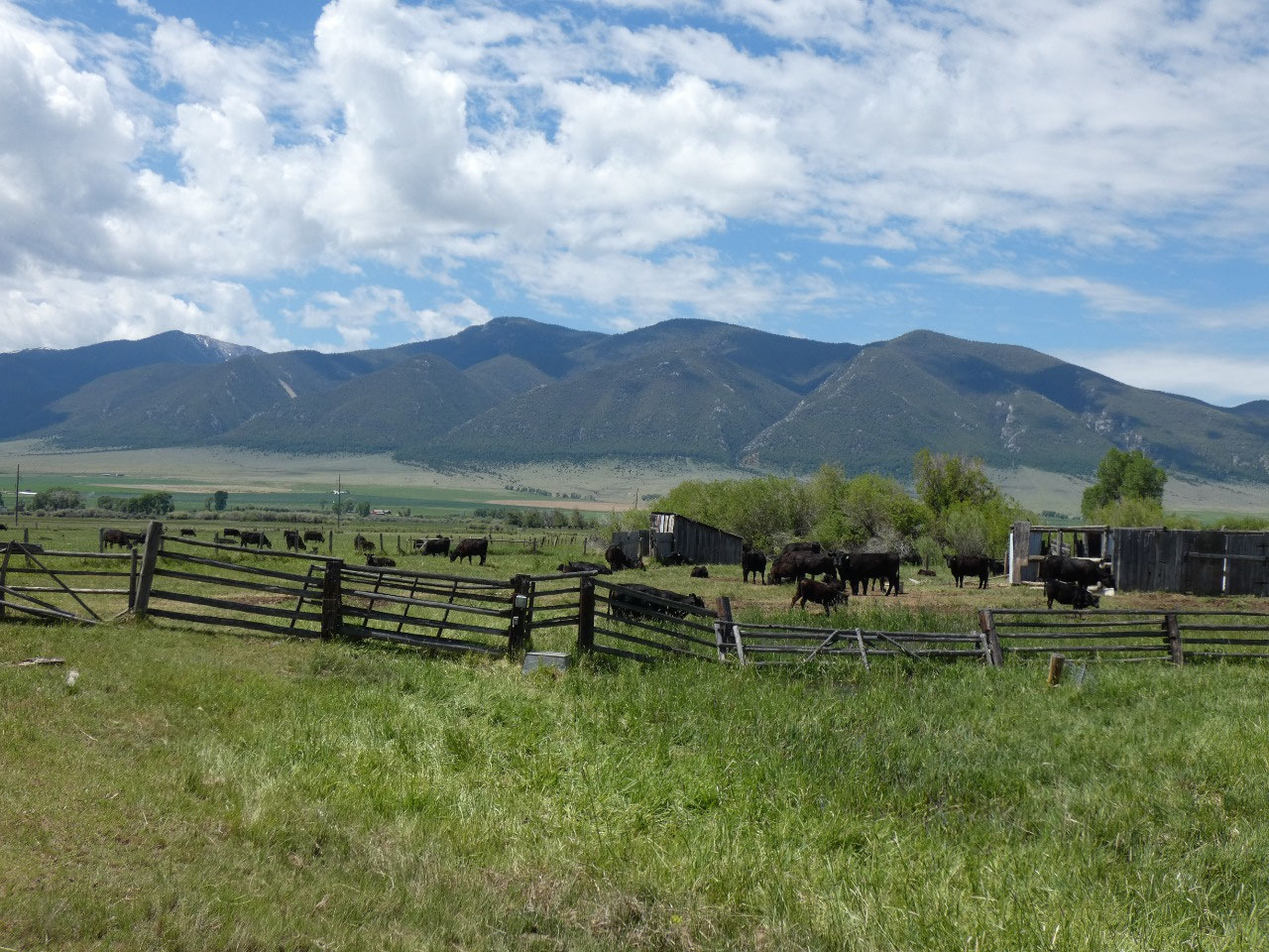
The Doncaster Round Barn is considered one of Montana’s
iconic buildings, a beautifully designed circular barn originally part of a
ranch that raised thoroughbred horses when the high altitude was considered
beneficial to building lung capacity for racing ability. Now it’s part of a
cattle ranch but seems to be used for special events like weddings rather than anything
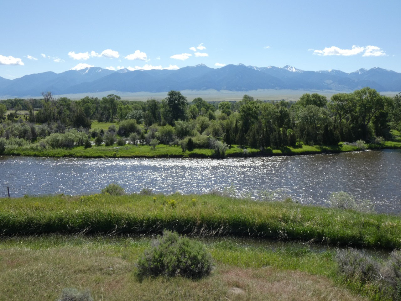
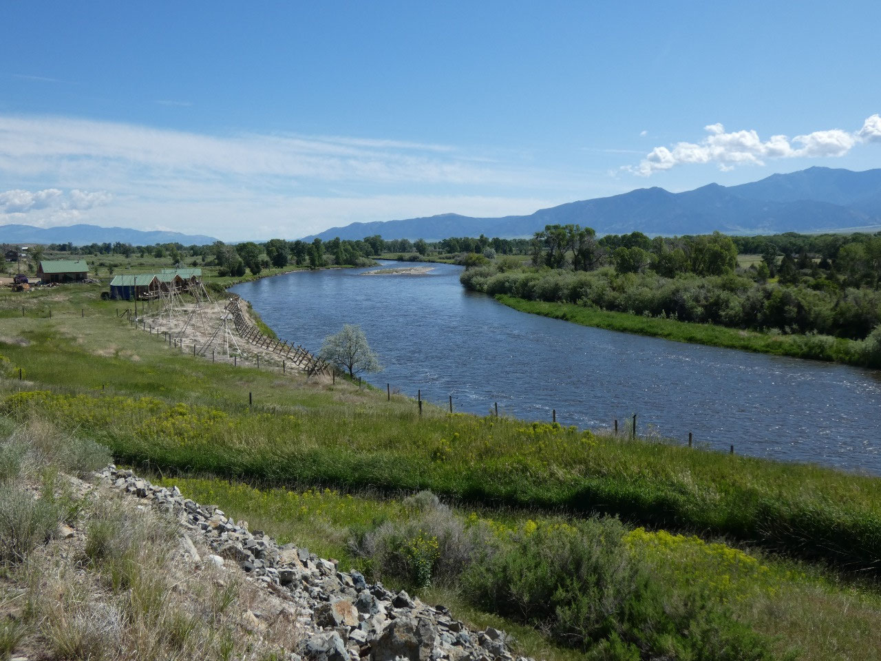
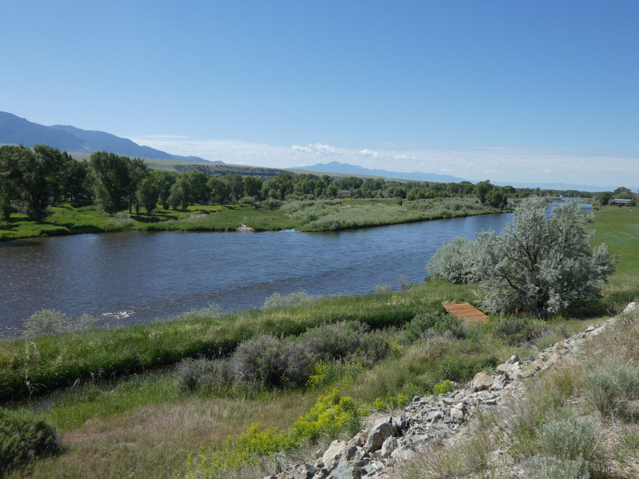
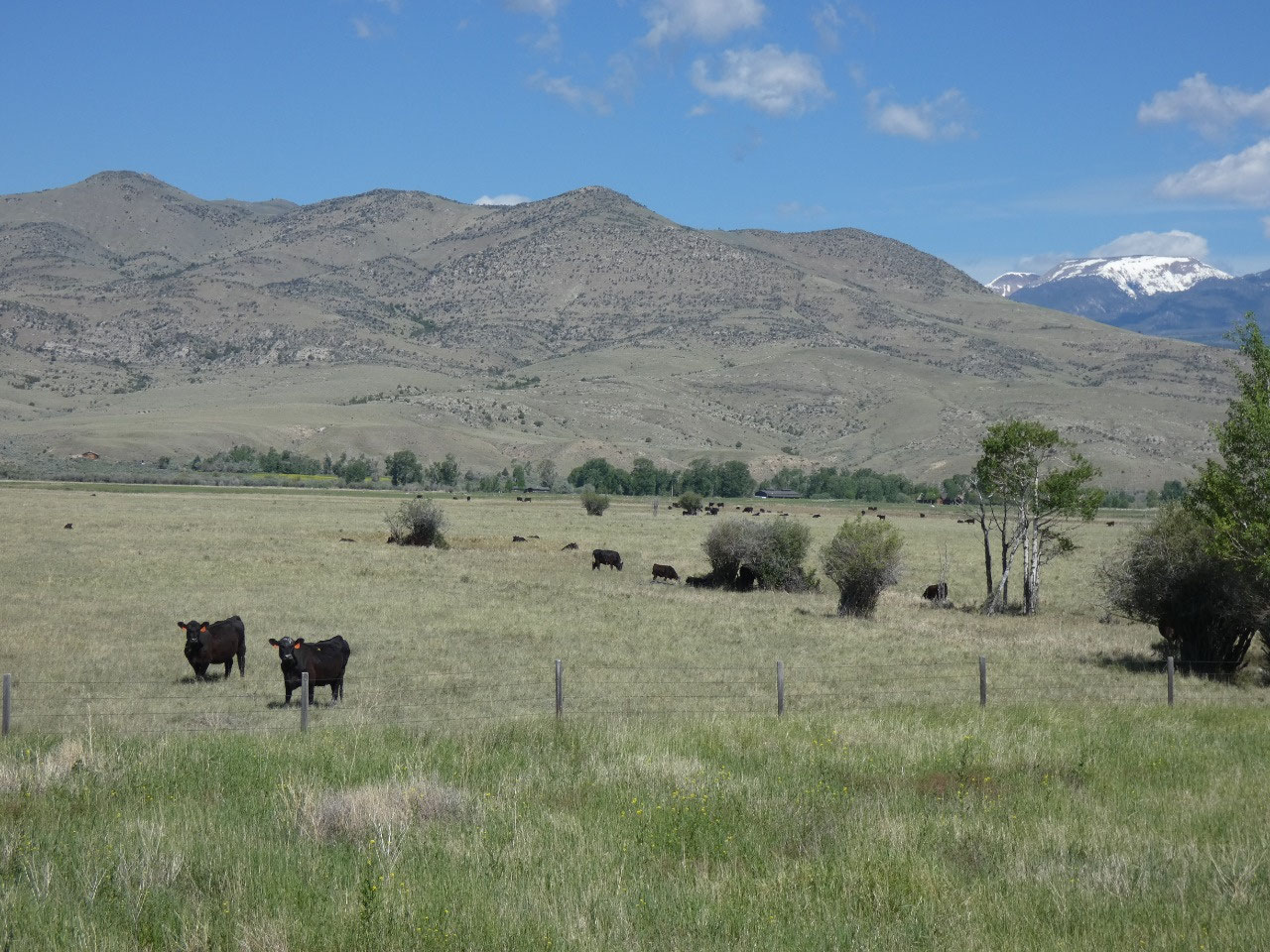
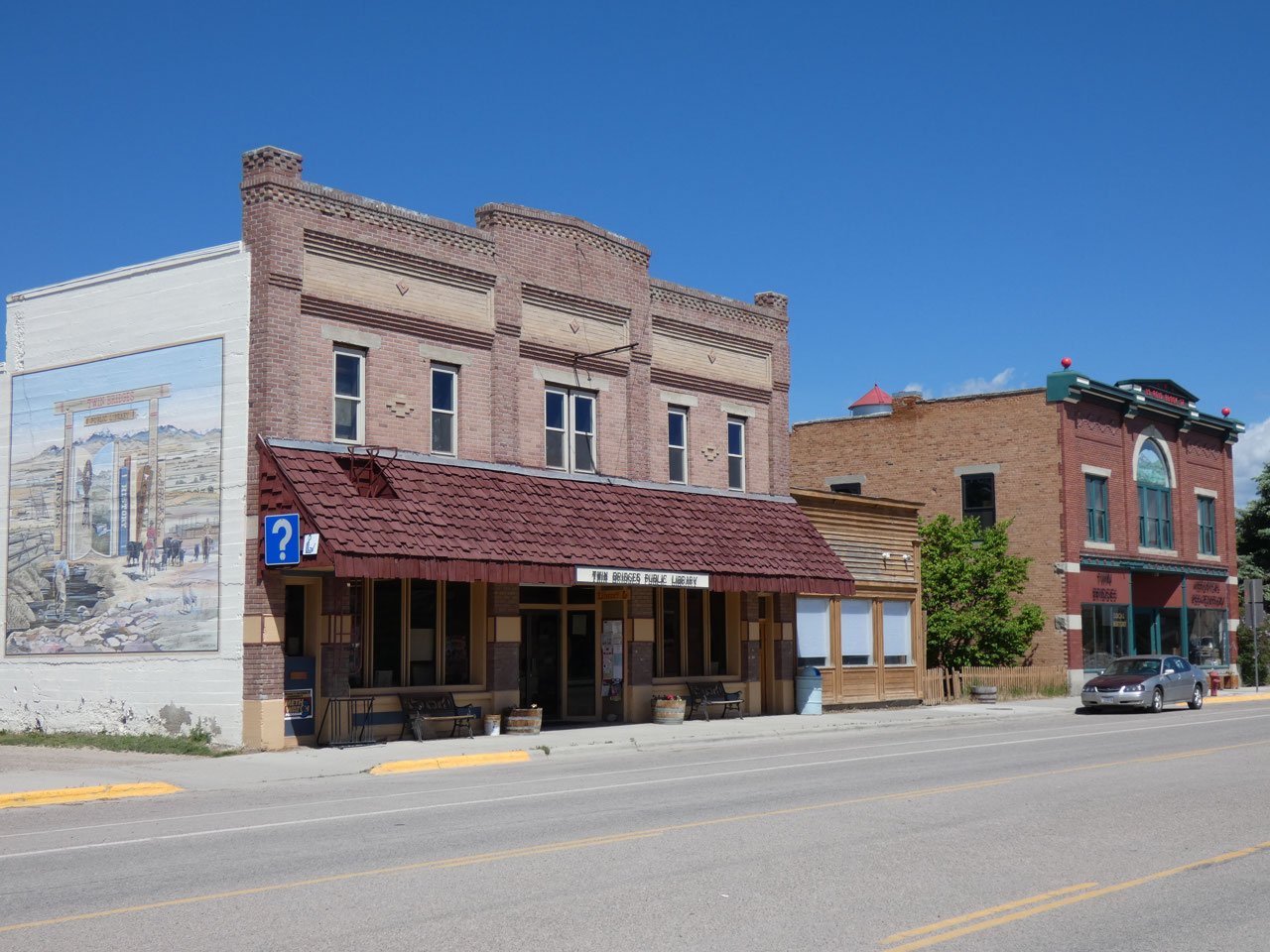
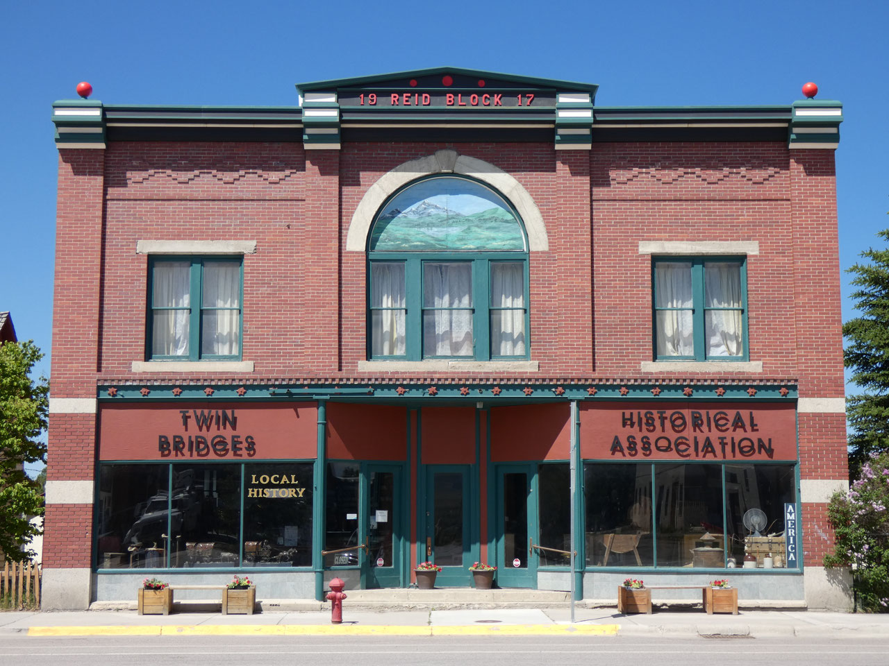
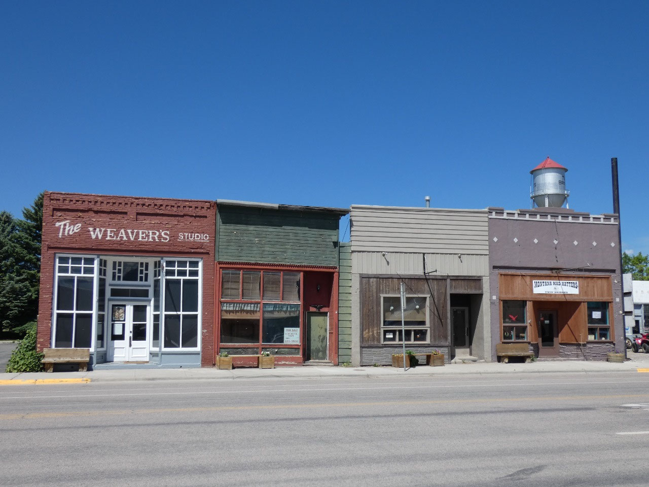
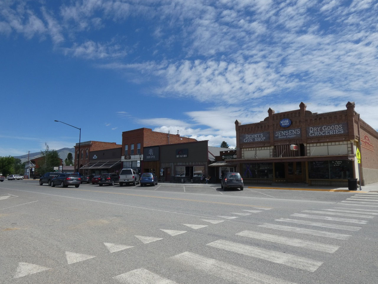
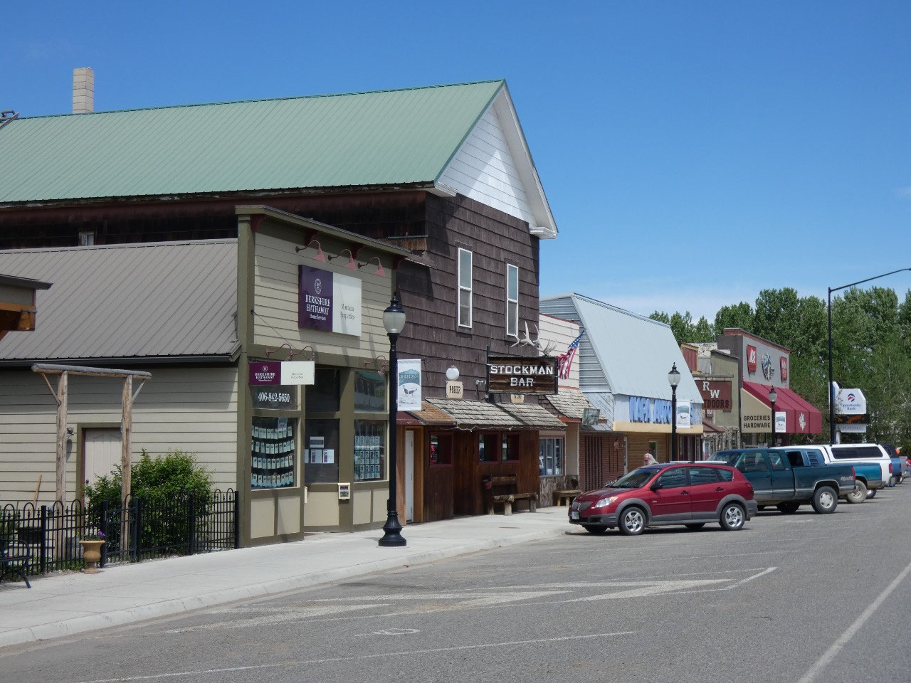
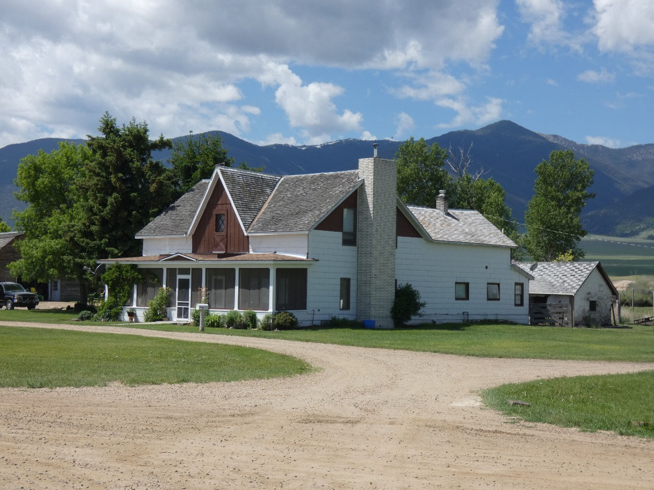
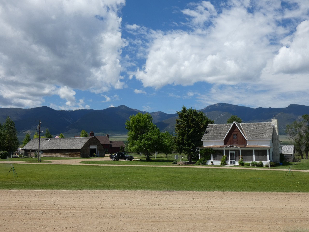
resembling its original purpose. Nearby Twin Bridges is the center of the
Jefferson Valley and mostly known for its fly-fishing camps on one of the West’s
best trout rivers.
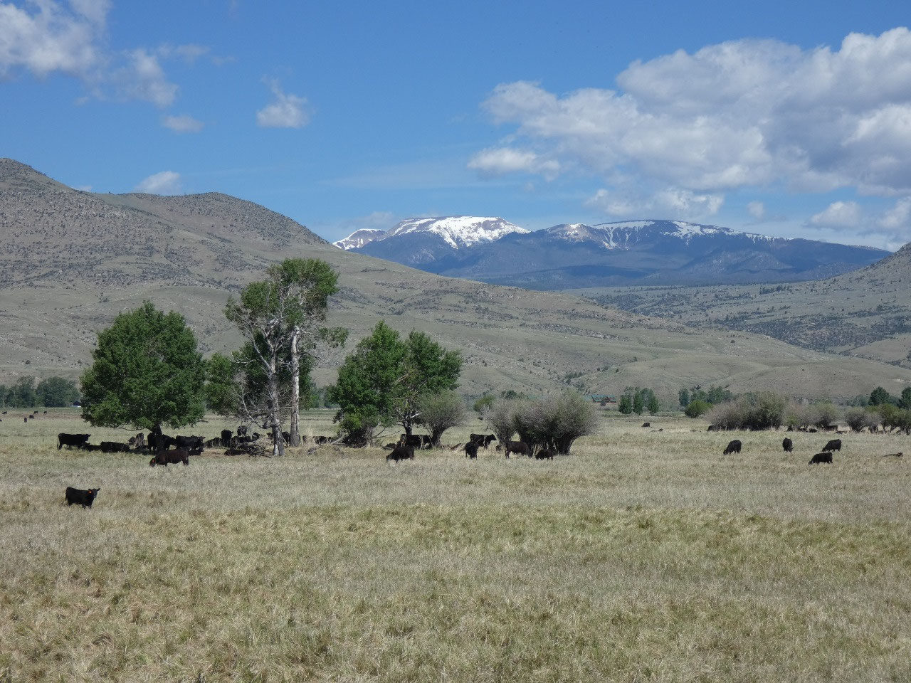
It’s sometimes hard to tell where one valley ends and the
next one starts, but Sheridan, the next town to the southeast, is considered
part of the Ruby Valley along with Laurins.
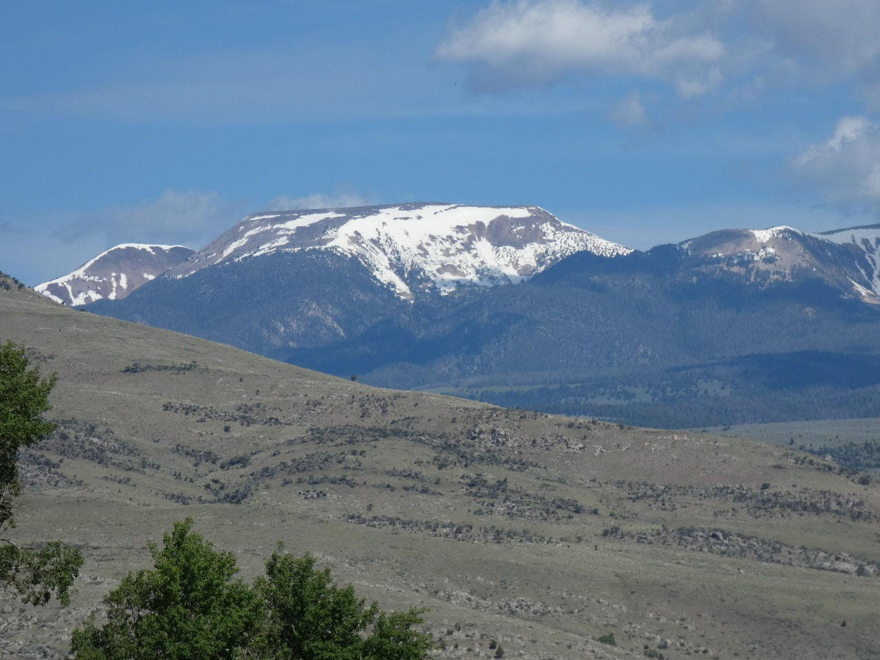
The lower mountain range to the
south is the Gravelly Mountains and seems especially remote country. The area
got its name from the gemstones found in the area which were originally thought
to be rubies but are actually garnets. I certainly would not know the
difference between the two.
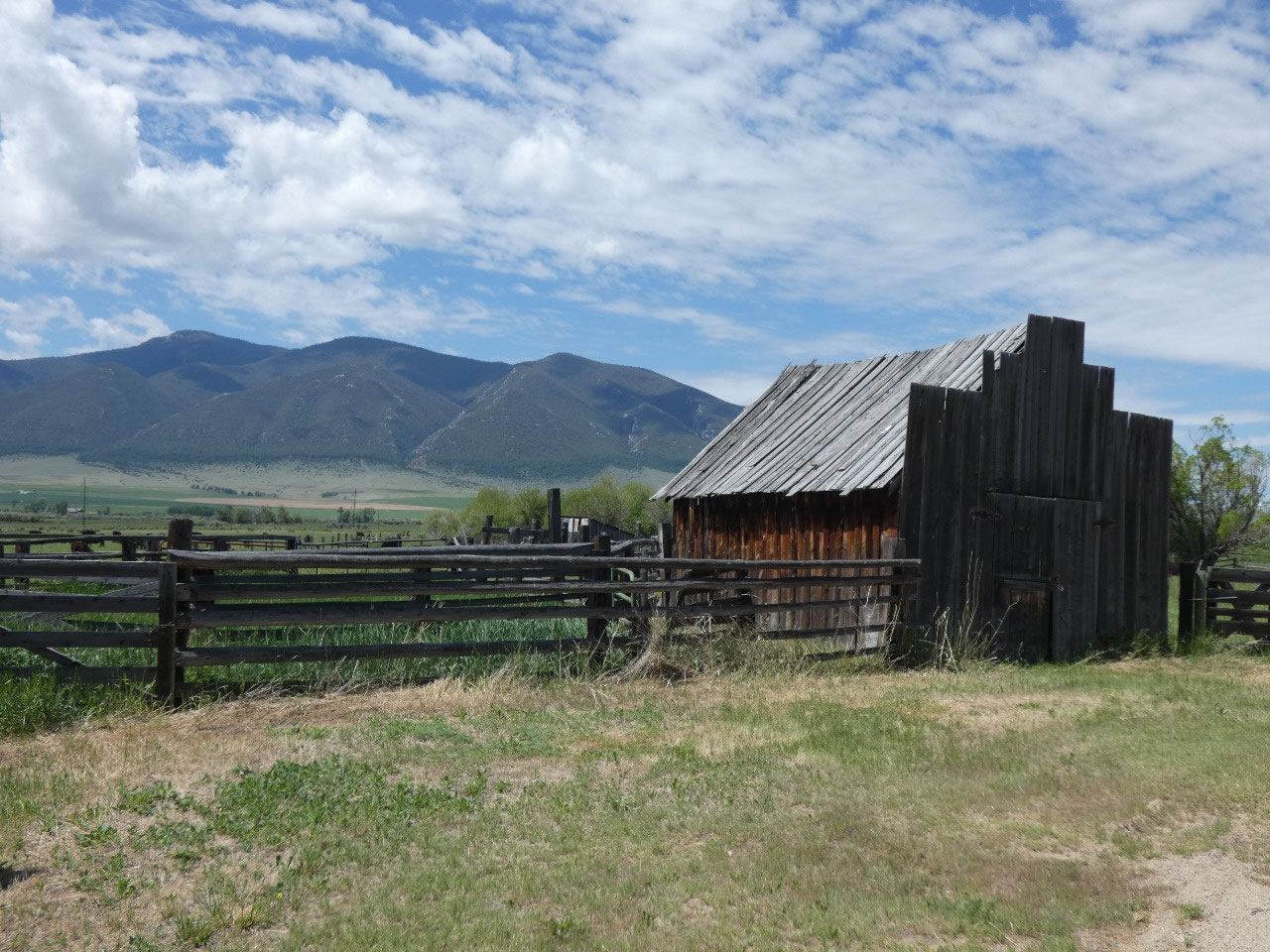
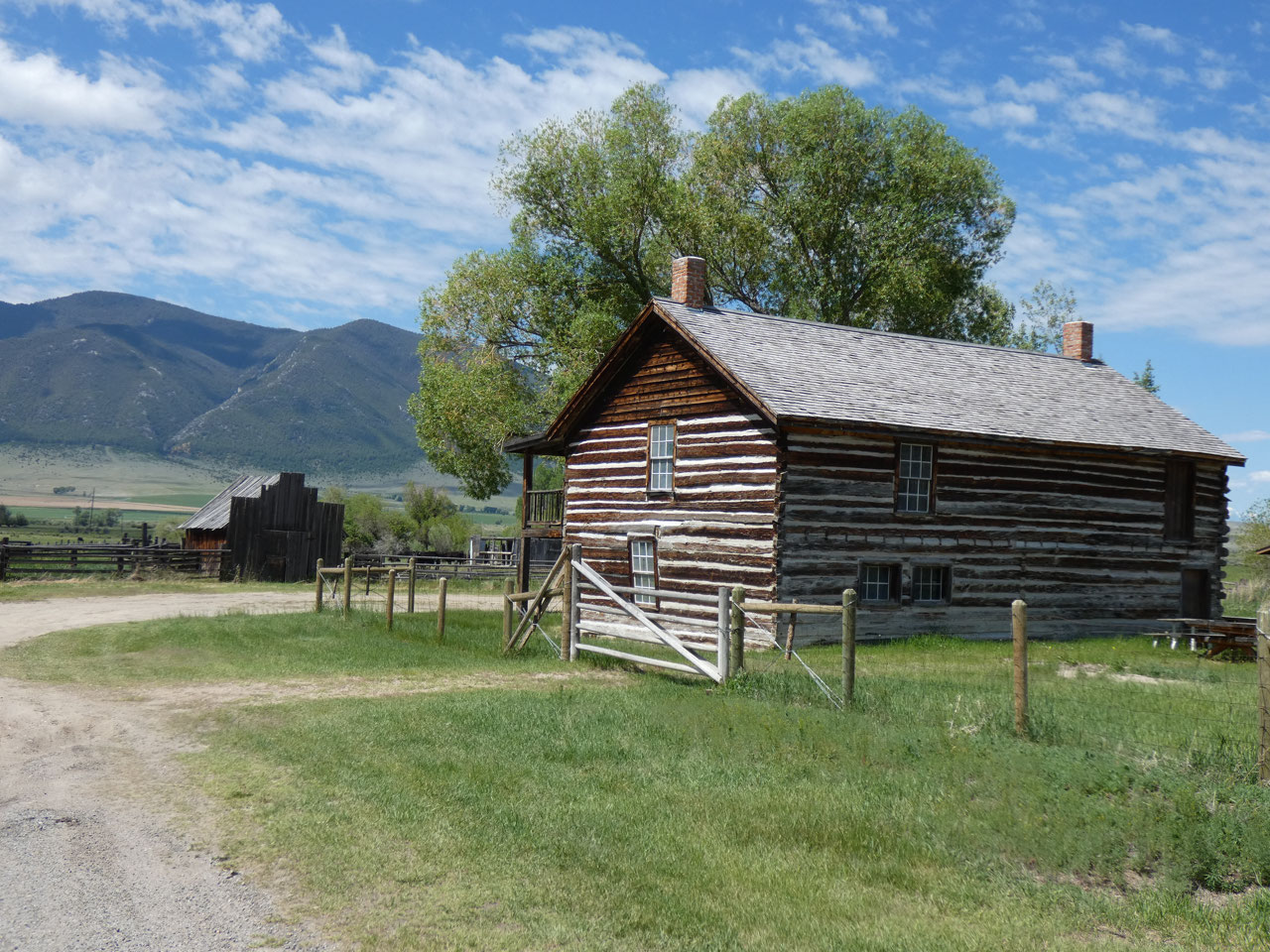
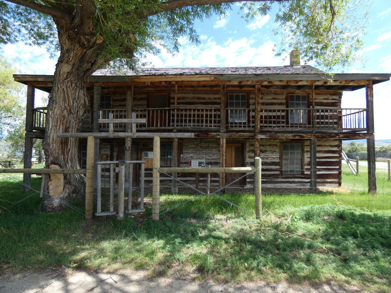
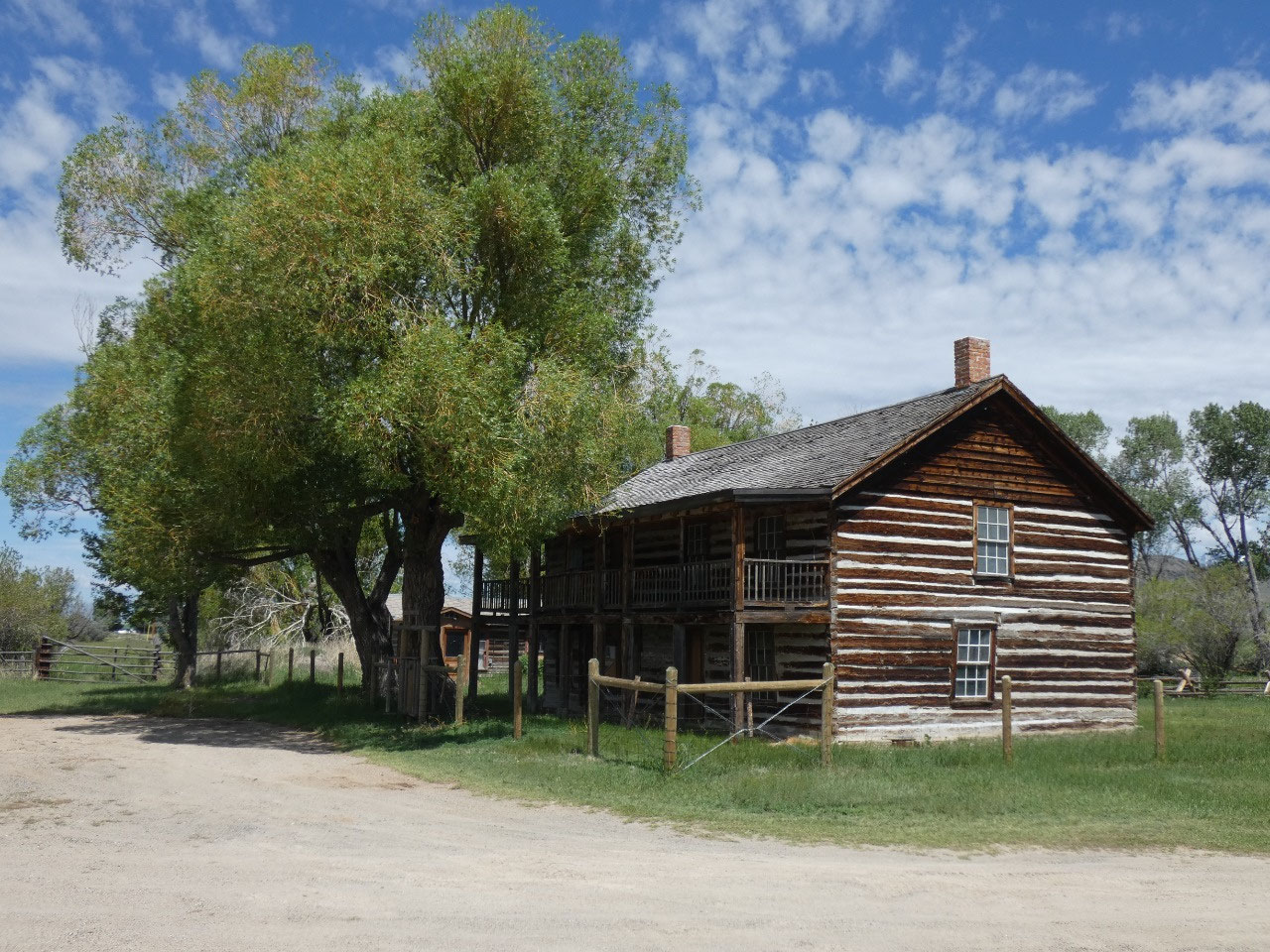
One historic stop along the way is an old disused wooden building,
a former inn along one of the trails between the mining camps in southwestern
Montana during the gold rush, that was known as a hangout for outlaw gangs who
would travelers on their way after they stopped to eat, drink, or sleep at the
inn – real wild, wild West! And despite
it being a nice Saturday afternoon in June, I had all the sites through this
area like the Doncaster Barn and Robber’s Roost completely to myself.


2025-05-22