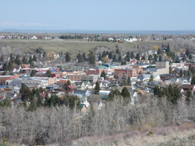
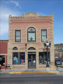
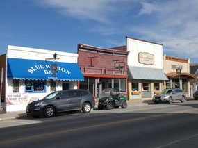
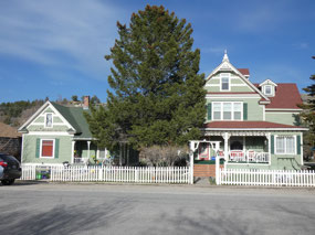
Red Lodge is one of my favorite towns, maybe because it was
the first I saw in Montana and one of the first in the Rockies back on my first
road trip to the West in 1988. My mother
and I stayed a night in a motel there before crossing Beartooth Pass into
Yellowstone. Standing at the base of the
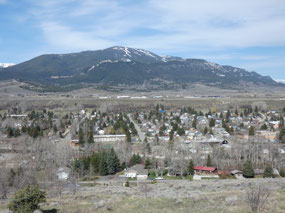
Beartooth Mountains on possibly the most scenic approach to Yellowstone, the
former coal mining town is nowadays a tourism draw, also because it has a small
ski area a few miles up the road. It’s a
place I could consider living in the unlikely event I determine Bozeman is just
too, too big.
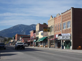
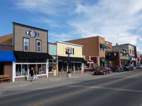
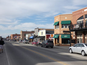
Things were very quiet, though, on Sunday night during what’s
known in much of the West as “mud season” that relatively moist time of year
when the ski areas have closed but there’s still too much snow in high
elevations for hiking and lower level trails are often very muddy. The Beartooth
Highway to Yellowstone typically doesn’t open for the season until Memorial Day
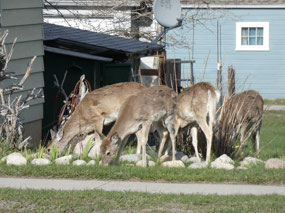
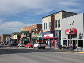
weekend anyway. Upon my arrival I took a
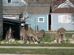
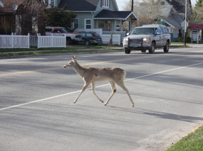
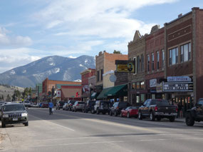
short walk around town and was impressed by the herd of deer munching away in
someone’s garden along Main Street.
That’s
quite brazen of them; deer usually wait until cover of darkness to pillage yards.
People in Montana are just so nice! I decided on dinner at Red Lodge Pizza, but still
trying to get skinny I ordered a single slice along with the salad bar. “Oh, we’re about to break that down before
closing and won’t be adding any more stuff to it. I’ll let you get a plate
while it still out there – no charge!” I
felt compelled to buy a second beer as well as leave a generous tip. After they
closed I moved next door to Natali’s Front Bar, where after a while I was the
only patron. The bartender asked me what
kind of music I’d like him to play. “Oldies of Country,” I said. George Jones, Loretta Lynn, Merle Haggard in an
old-time saloon in Montana – I was in heaven.
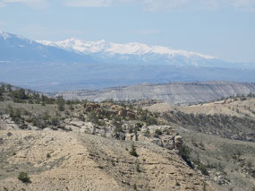
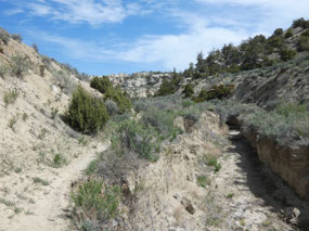
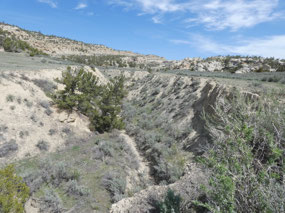
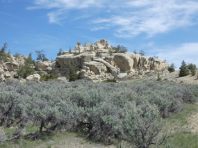
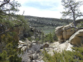
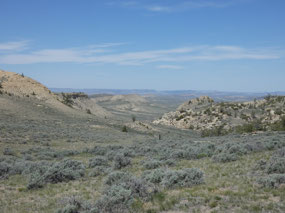
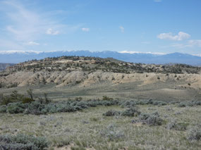
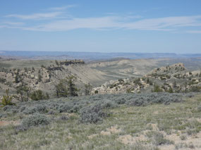
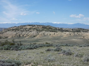
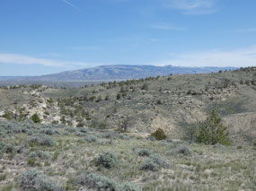
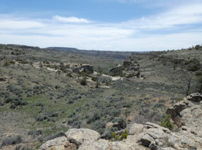
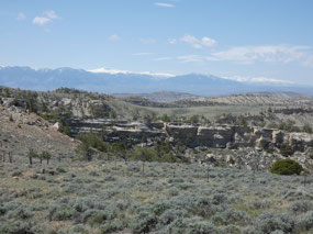
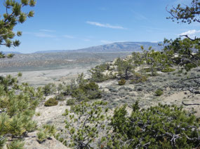
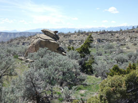
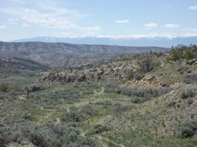
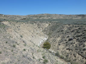
I was in the area to hike at a place called Weatherman Draw
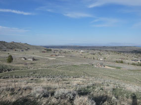
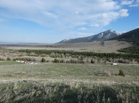
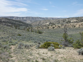
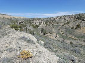
that is detailed in the Montana Classic Hikes book I recently bought. Located in the Clarks Fork Valley at a low
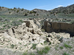
elevation between the Bridger and Pryor Mountains, the scenic eroded badlands
area is a different kind of hike from the mountain and lake hikes that prevail
in Montana, more like scenery and terrain in Utah and elsewhere in the Southwest.
The trailhead is located about 10 miles down a dirt road from Belfry, east of
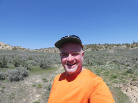
Red Lodge, and on a Monday morning in May, I was the only one there. In fact, I didn’t see another human in the entire
area over nearly five hours.
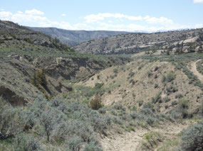
Weatherman draw is described in the book as a loop hike, but
the trails weren’t very obvious and directions not all that clear, so I found
myself wandering up a ridge on a faint trail that I suspect wasn’t the intended
route. In open country like this,
though, it’s hard to get truly lost since you can always see around you. I was more concerned about coming to an
effective dead end at some of the cliffs and having to backtrack, but I managed
to come up with my own route through the area.
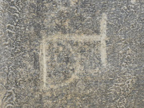
Weatherman Draw is also described as having some of the most extensive
prehistoric Indian Pictographs in the West.
I tried hard to them where they were marked on the map not too far from
the hike but managed to find exactly one.
Oh well!

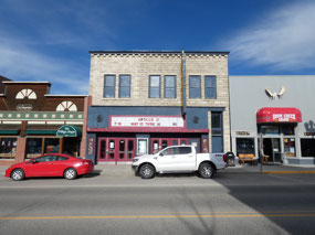
 Red Lodge, Montana, United States


2025-05-22