Owyhee County covers a huge area of remote country in the
southwestern corner of the state including high desert, mountainous uplands,
and a few ghost towns. South of the northern fringe in the Snake River Valley
which has a few settlements, it’s essentially empty. That’s its appeal to drive
through. In a book I have on scenic backcountry drives on public lands in the
west, there’s an entry for the Owyhee Backcountry Scenic Byway, a 100-mile unpaved
road through some of the most remote country in the lower forty-eight. That has
my name all over it!
But first I wanted to see world-famous Balanced Rock,
located a short distance southwest of Twin Falls. The signage for it is
supposedly not great, so I decided to use the navigation system on my phone to
get there on the day I drove around the so-called Magic Valley. That turned out
to be a big mistake. I lost reception at a point where the map showed the site
to still be many miles ahead to the west. I drove on what turned into unpaved
roads quite a few miles out into the desert past huge new dairy operations
before I finally gave up and continued on to Thousand Springs and Hagerman
Fossil Beds. At Hagerman the rangers gave me specific direction on paper to
Balanced Rock, which I decided to try to find again on the following day as I
left the Twin Falls area to go west. With written directions on a paper map it
was much easier that trying to use the GPS on my phone. It turned out I had driven right past it the
previous day but was oblivious to it because of where it appeared to be located
on my phone.
Technology often sucks! That’s why I still use road atlases.
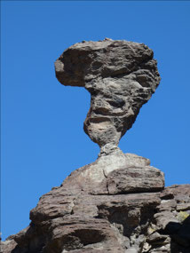
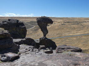
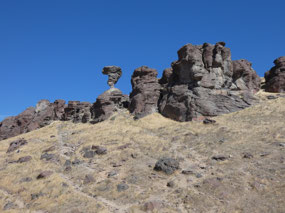
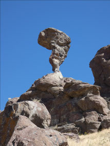
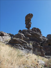
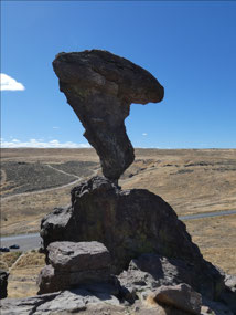
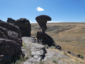
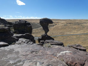
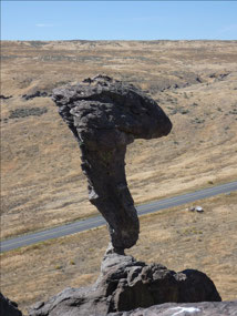
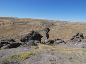
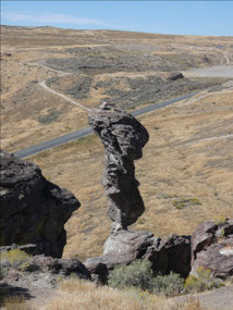
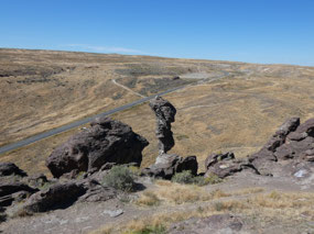
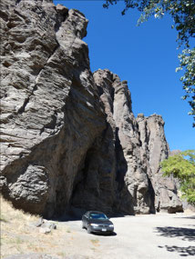
The rock formation at Balanced Rock is quite spectacular. It
doesn’t look to impressive from the parking area along the rose, but if you
hike up a few hundred feet and get close to it, you see how precarious-looking
the whole thing appears, a huge rock weighing many tons on what seems like a
narrow pedestal. It’s the kind of thing that in other places jerks have deliberately
knocked down. As fragile as it looks, though, I suspect it’s still way to big
and solid for simple people power to do it much damage.
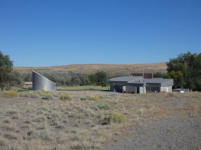
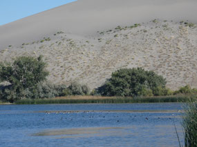
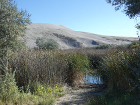
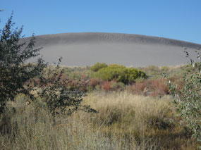
Some distance west toward Boise is the next site in the
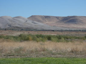
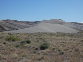
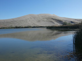
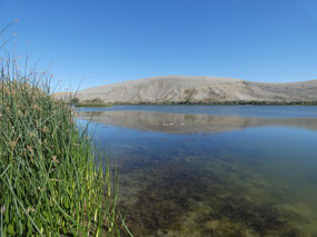
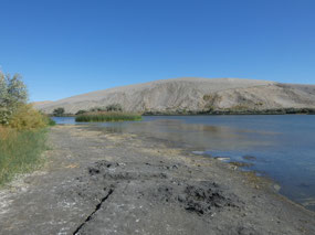
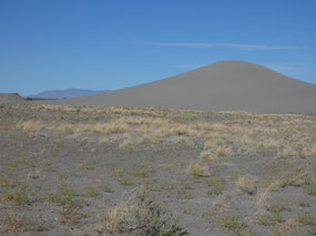
area, Bruneau Sand Dunes State Park. The
two major dunes cover 600 acres and rise 470 feet above the surrounding plains.
They are said to be unique in North America in the sense of being located at
the center of a basin rather than at its fringes (as the Great Sand Dunes in
Colorado area). I drove the access road through the park and guess I could have
hiked up the dunes on the trail, but to be honest, hiking in sand is not a lot
of fun.
In fact, it’s downright unpleasant and I wasn’t really in the mood for
a super hard workout that afternoon.
Among the many guidebooks I have related to travel in the
U.S. West is one covering scenic driving on back country byways, primarily on
BLM land, wilderness country generally less well known than national forest
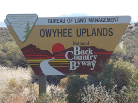
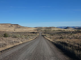
land. One listed is for the Owyhee Uplands Back Country Byway, a slightly more
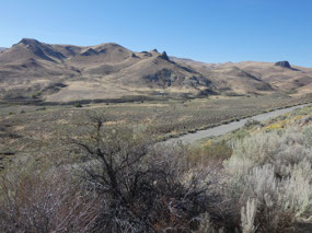
than 100-mile drive on good graded dirt roads through plateaus, mountains, and
canyons in southwestern Idaho. This is
through some really remote country where there are literally no towns and no
services for the entire distance. I
headed out on the drive quite late in the afternoon with the plan to car camp
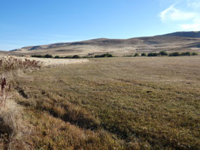
somewhere along the way. The first stretch heading west through farmland, then
open rangeland, and then rising very gradually through a broad canyon along
Poison Creek into the Owyhee Mountains.
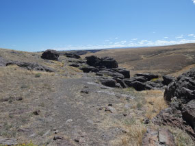
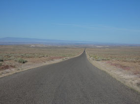
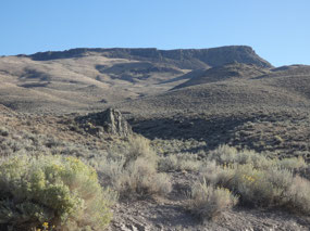
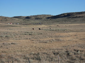
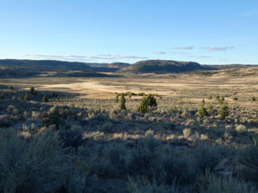
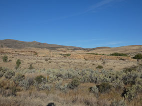
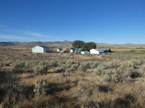
The road seemed to go on forever through open rangeland of mixed
sagebrush and juniper and pinewoods, up and down through the hills.
I probably could count the cars I passed on
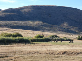
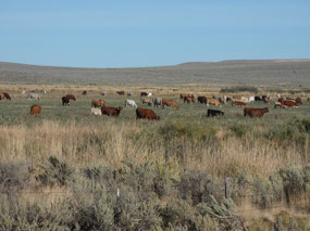
the fingers of one hand. Most of what I saw was cattle on the open range.
Shortly after sunset I stopped at a wide flat spot a short
distance off the road near Juniper Mountain. I watched the twilight fade into complete
darkness in a part of the country with some of the least light pollution in the
Lower 48. And then came the deafening roar of fighter jets somewhere far
overhead. They’re based at Mountain Home
Air Force Base, which I suppose isn’t very far away in jet terms. Shortly after
dark I called it a night, and although it got very cold I felt snug and
comfortable under my sleeping bag for what turned out to be the best night of
sleep on my trip.
I woke up close to sunrise, scraped the frost off the
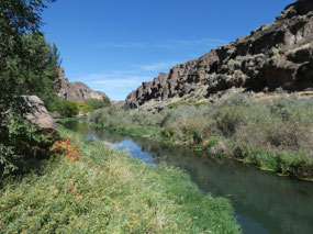
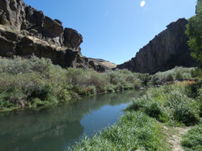
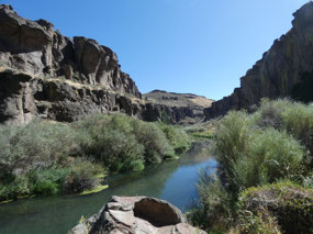
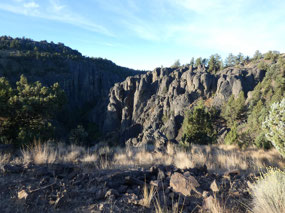
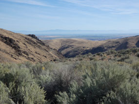
windshield and continued on. The road turned north and more or less followed
the Oregon border through the Owyhee Range, the canyon of the north fork of the
Owyhee River, and then through some very remote ranching country to a small
hamlet named Jordan Valley just across the border in Oregon. I continued north
toward the Snake River Valley and Boise. Overall it was a mostly scenic rather
adventurous route through some really remote country but not one with any
knock-your-socks-off natural wonders.

 Bruneau, Idaho, United States


2025-05-23