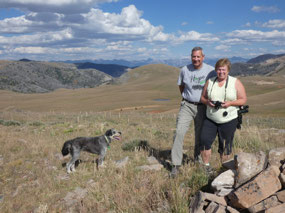
It had been a few weeks since I saw my cousin Deb and her
husband John. Deb suggested meeting up over the Labor Day weekend to go camping
or for a drive or a hike or something. Getting three peoples’ schedules to synch
for more than a few hours is always a chore unless it’s planned well ahead of
time, so we decided a day trip would work out best. Deb suggested going some
place in their truck that I wouldn’t be able to get to in my car and strongly
recommended the Gravelly Range.
I’m still getting my mental map of multitude of mountain
ranges in western Montana straight and only had a vague sense of where the
Gravelly Range is, somewhere in southwestern Montana near Ennis and south of
Virginia City, not all that far in the scheme of things. The range isn’t
mentioned much in hiking guidebooks, so I hadn’t thought of it as a destination
in the way places in the Bitterroots, Tobacco Roots, or Madison Range are to
me.
All mountains are a bit different from each other, though,
which is what makes them interesting.
What’s quite typical in Montana (and other Western states) is to be able
to drive up a valley on a road, often unpaved, cross a pass, and descend into
another valley.
Or as in the case of ranges like the Tobacco Roots and Madison
Range, the roads head some distance into the valleys but don’t traverse the
range. You’re on foot the rest of the
way if you want to get to somewhere with a great view.
On our drive I learned that the Gravelly Range is rather
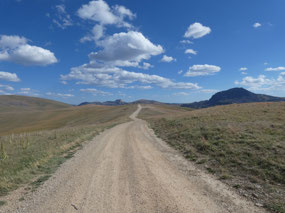
different. The Gravelly Range Road starts near Ennis in the Madison River
Valley, heads south through private ranchland for some distance before
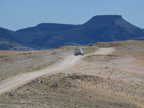
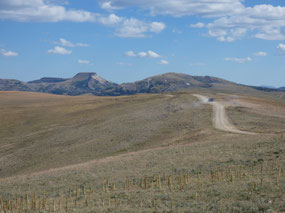
beginning its gradual ascent up the mostly gentle slopes of the range to more or
less follow its rounded crest for about 75 miles south to the Centennial Valley.
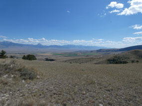
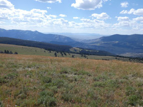
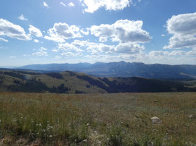
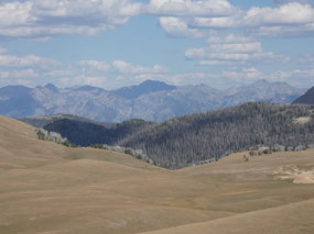
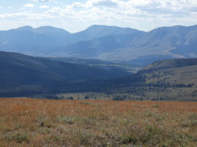
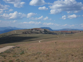
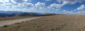
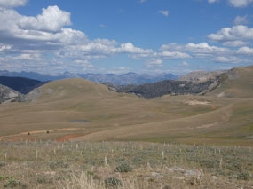
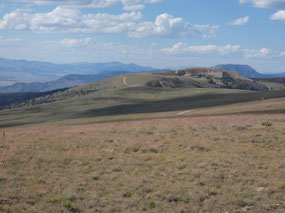
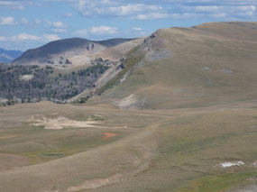
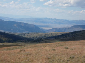
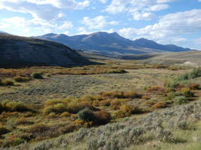
I’ve become used to dense forests and rugged peaks in Montana, but here the
high country is mostly gently rolling with some stretches of forest between
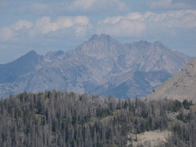
larger expanses of high meadows which allow for great views of the Big Sky Country
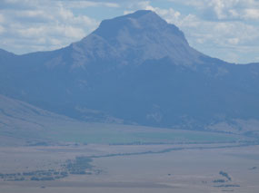
in all directions – to the Madison Range and dramatic Sphinx Mountain to the
east and to the Snowcrest and Ruby Mountains to the west. Even though there’s as much open country as
there is woods here, most of the land in the range is part of
Beaverhead-Deerlodge National Forest.
Despite what Deb had promised for a backcountry experience,
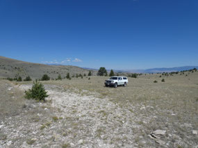
I could have driven the entire well-graded distance of the road in my Buick. Only one little detour we took in a futile search
for some lakes on the map would have gotten my dadmobile stranded, although I’m
sure many more of the side roads back down through canyons to the valleys would
have gotten my vehicle into trouble.
Somewhere along the way we stopped for lunch at a campsite
and tried to enjoy the warm sunshine as we fought off the flies. Our route
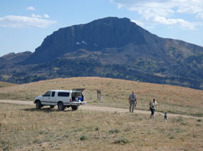
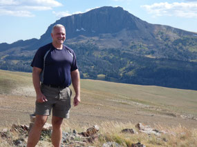
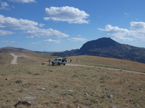
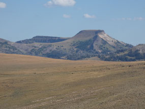
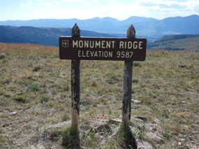
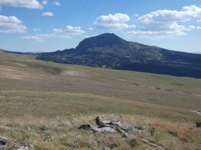
continued ever higher to Monument Ridge at 9,600 feet where there was an
impressive view of Black Butte Mountain, the highest point in the range approximately
a thousand feet higher at 10,547 feet. I
couldn’t help scoping out the mountain from the road as we drove past as a
potential future peak conquest.
Curvy unpaved roads are rather slow-going even when they
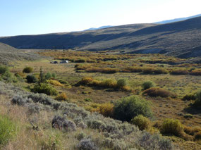
aren’t all the rough. By the time we descended to the southwest into the Ruby River
Valley the sun was getting low and the light golden. August 31st and
it was already starting to look like fall with some of the riparian vegetation
along the river where the cold air sinks at night starting to turn bright
yellow. The still unpaved road north through the remote Ruby Valley took us
another hour to travel, and cell phone service returned right about the time
the pavement did as we approached Alder, one of the small towns in the Alder Gulch
mining district that includes historic Virginia City and Nevada City. Overall
it was a grand day of backcountry exploring.

 Gravelly Range, Montana, United States


2025-05-22