For my last hike in Glacier I decide on Piegan Pass, a hike
that was highly recommended in one of my Montana hiking guides as ranking near
the top for best hikes in the park but also one that was ranked considerably
further down on some other lists of best hiking trails. Piegan Pass can be
accessed from two sides or can be crossed in one direction if you can work out
transportation between Going-To-The-Sun Road on one side and Many Glacier Hotel
on the other. Many of the most popular trails in the park are actually quite
close to each other on the map only separated by mountain ranges and accessed
from different directions.
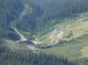
I decided to do the easier out-and-back route from what’s known
at Siyeh Bend on the Going-to-The-Sun Road a few miles to the east of Logan Pass. As such the starting point is already a
fairly high elevation of around 6,000 feet. Like everywhere in Glacier
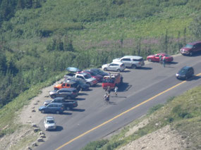
nowadays, you need to get an early start if you hope to find a parking spot
anywhere near the trailhead. I got there about 8:45 for a 9:00 set off on the
trail and things were already getting a little tight.
I really liked the description of the trail and really liked
what I found on it. It is 4.5 miles up
for a 9.0 mile round trip hike, a little longer actually since you go down a
little on the other side of the pass to get the best views. That makes the
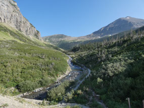
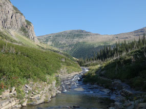
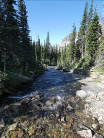
1,750 foot elevation gain a very gradual and mild one. The trail starts out
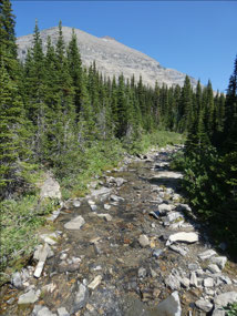
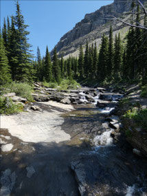
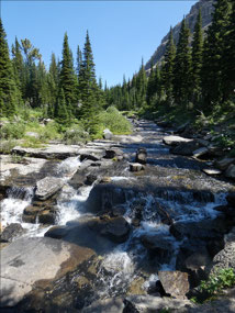
along Siyeh Creek and rises gradually through thick forest in the opposite
direction from the pass. After about a
mile it makes a big turn to continue climbing in the direction of the pass,
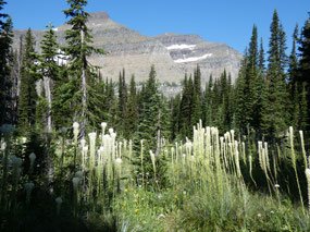
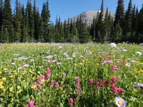
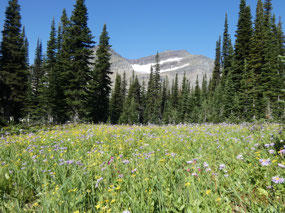
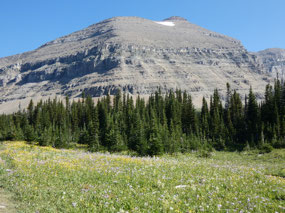
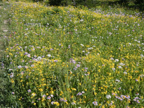
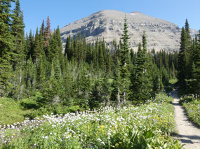
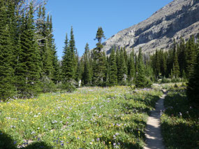
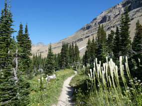
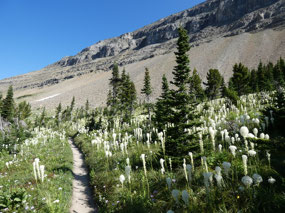
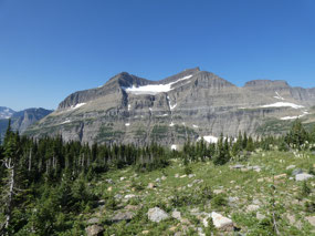
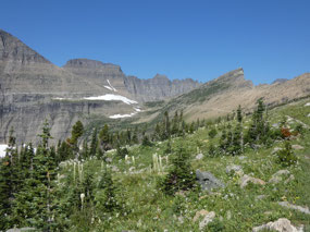
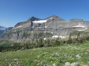
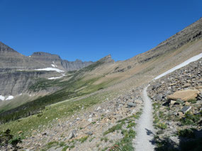
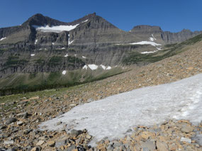
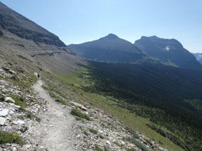
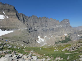
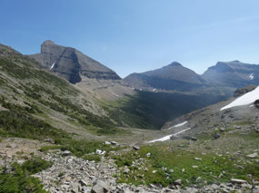
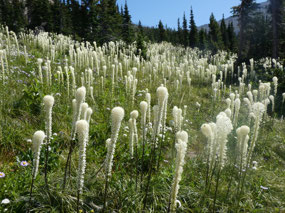
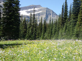
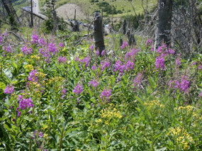
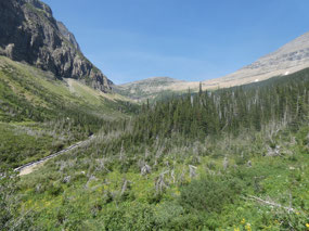
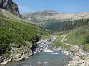
first through forest, then open wildflower meadows, and finally a long way on a
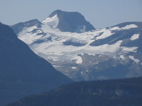
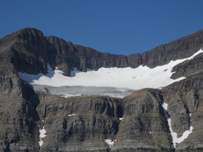
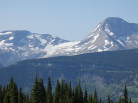
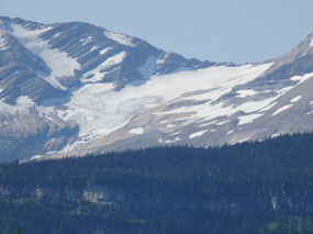
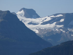
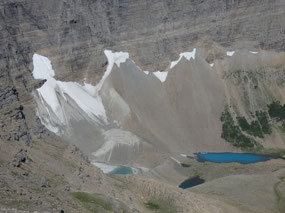
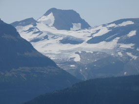
scree slope on the side of the mountain as the views toward the south and the small
nearby Piegan Glacier of Mount Piegan and larger more distant Jackson and
Blackfoot Glaciers to the south come into view.
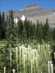
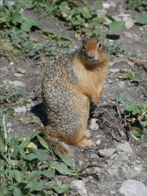
I didn’t see any wildlife beyond a marmot or two on this trail, but the
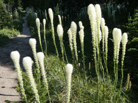
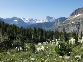
wildflower meadows were some of the best and the areas of flowering bear grass
some of the most extensive on any of the hikes.
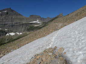
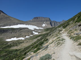
And I also crossed the only snowfield I encountered in Glacier, a rather
easy 50-foot crossing on a fairly steep slope.
Why is snow lingering so long
here in what seems like a sunny spot out in the open?
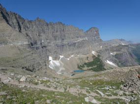
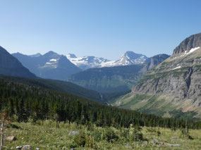
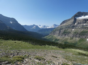
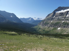
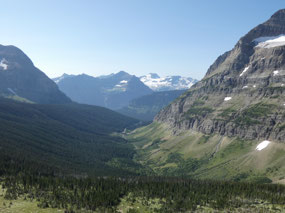
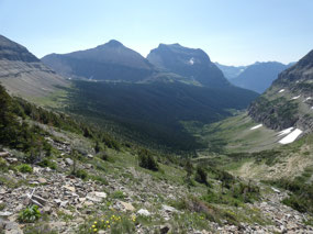
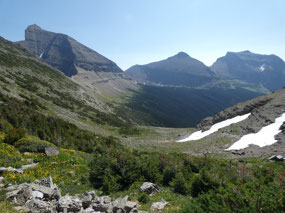
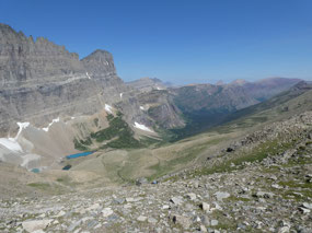
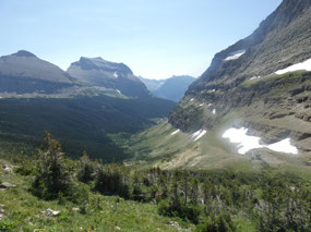
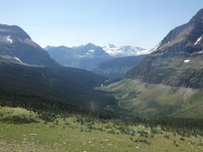
The trail is pretty easy right to the pass between the two
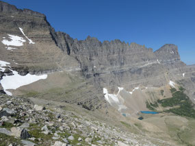
valleys, one that’s surprisingly broad for this land of knife-edge ridges, noting
like some extremely steep ones I crossed last year in the Swiss Alps. The view
on the other side toward the north is absolutely “know-your-socks-off” with the
so-called Garden Wall and small glacial tarns.
In the far distance I could make out a faint somewhat diagonal line on a
mountainside above forest and a lake, which I recognized as the trail to
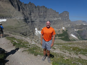
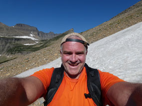
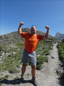
Grinnell Glacier I did two days earlier. I had my lunch and recruited a friendly
older lady from Kalispell to take a few pictures of me before heading back.
Maybe I’m just getting better with about 80 miles of hiking
under my belt this week, but this hike seemed especially pleasant and easy. I arrived
back at the trailhead around 2:00 P.M., almost exactly five hours after
starting. I got into a conversation with a Polish-Canadian man about the hike
when he asked me if I was English or Australian. He insisted I don’t sound like
an American. It’s weird but that happens fairly often. I guess I just have an accent all my own.

 Glacier National Park, Montana, United States



Deb Sherer
2019-10-16
Just so absolutely Fabulous !! Great weather, great views, grerat flower displays. WOW !!! Ever so awesome time you went to Glacier !! WoW!!
modernnomad67
2019-10-16
Highlight of my summer.