 Hat Pass, Wyoming, United States
Day 3 of the trek dawned bright. The winds must have shifted
because the smokey haze of the last five days was mostly gone. Being
significantly behind schedule because of the guy who got altitude sickness and
had to leave the trip, we got off to an early start on what was probably the hardest
day of the trek for a number of reasons.
I’m not entirely clear as to what trails the trek followed
for the trip. For a long time we seemed
to be on the Highline Trail and at others on the Fremont Trail and probably at
some points on both. The signs also indicated we were following the Continental
Divide Trail for much of our route for five days, although the long-distance
trail from the Mexican to Canadian borders mostly follows other trails. We were
certainly not on the Continental Divide itself, which runs along the crest of
glaciated peaks, and were the whole route on the west side of the divide.
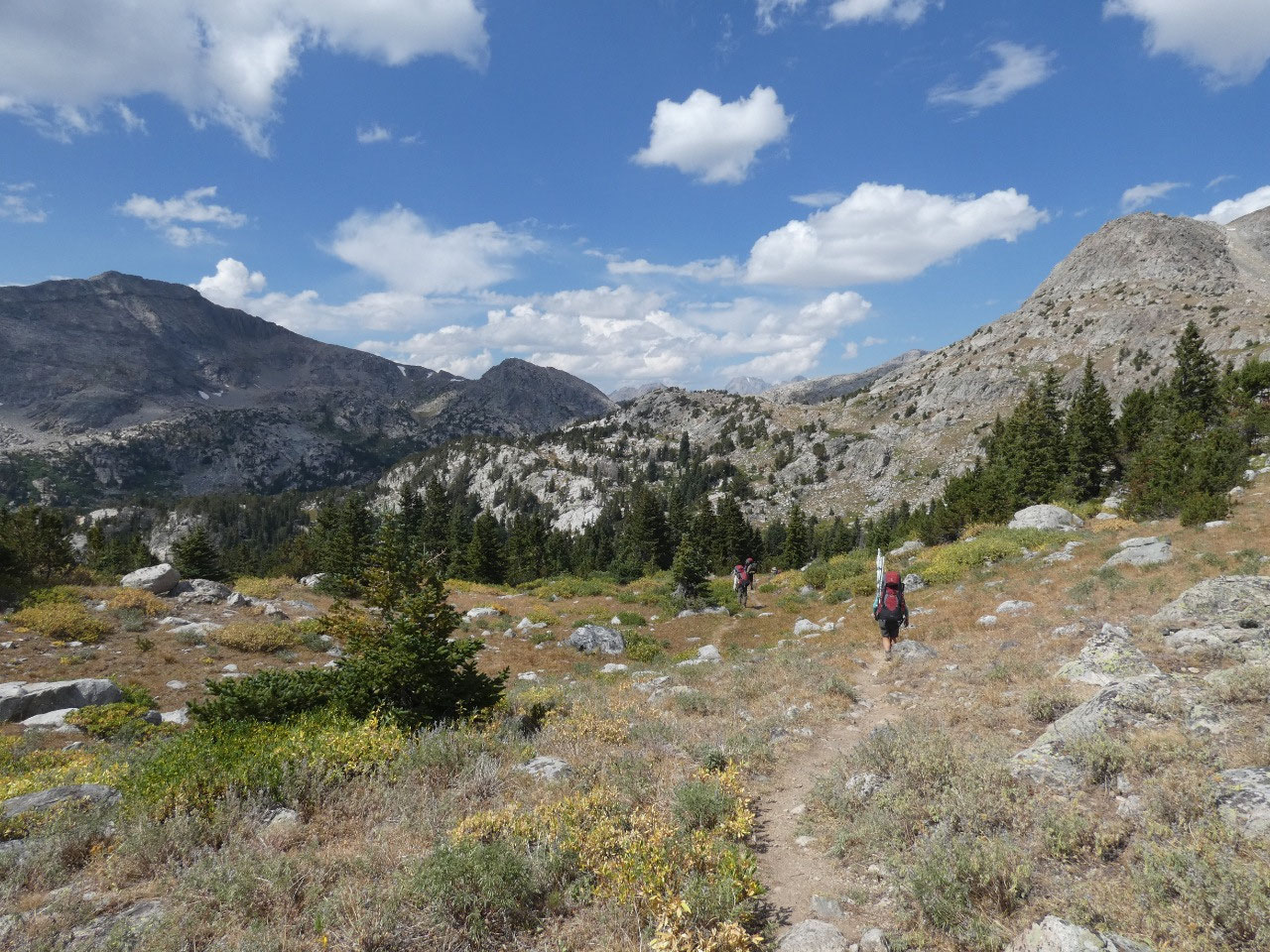
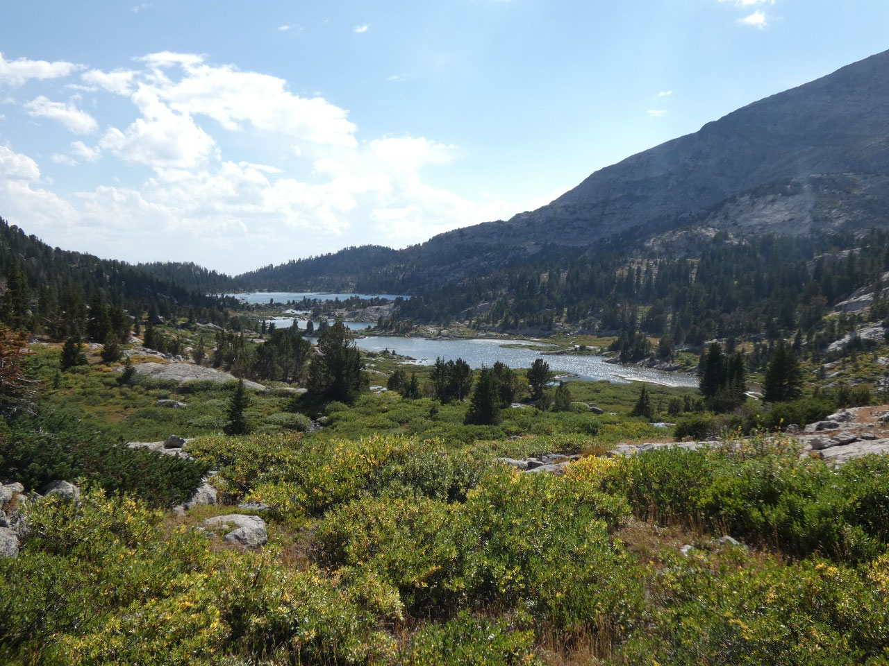
Near North Fork Lake, the route took more or less of a 90*
turn to the left from a mostly northeasterly direction the first two days to a
northwesterly one for the rest of the trek.
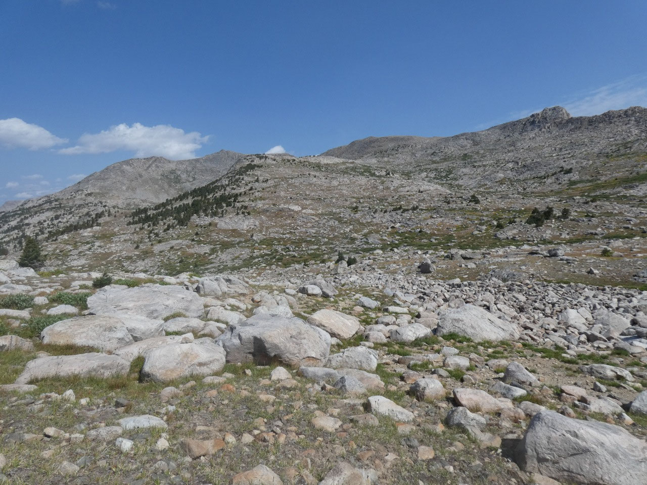
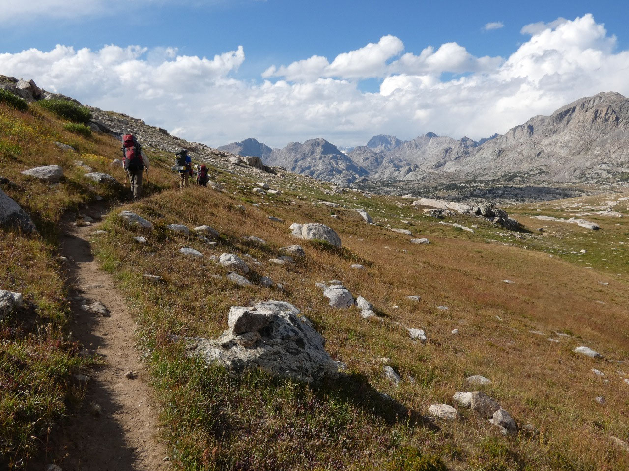
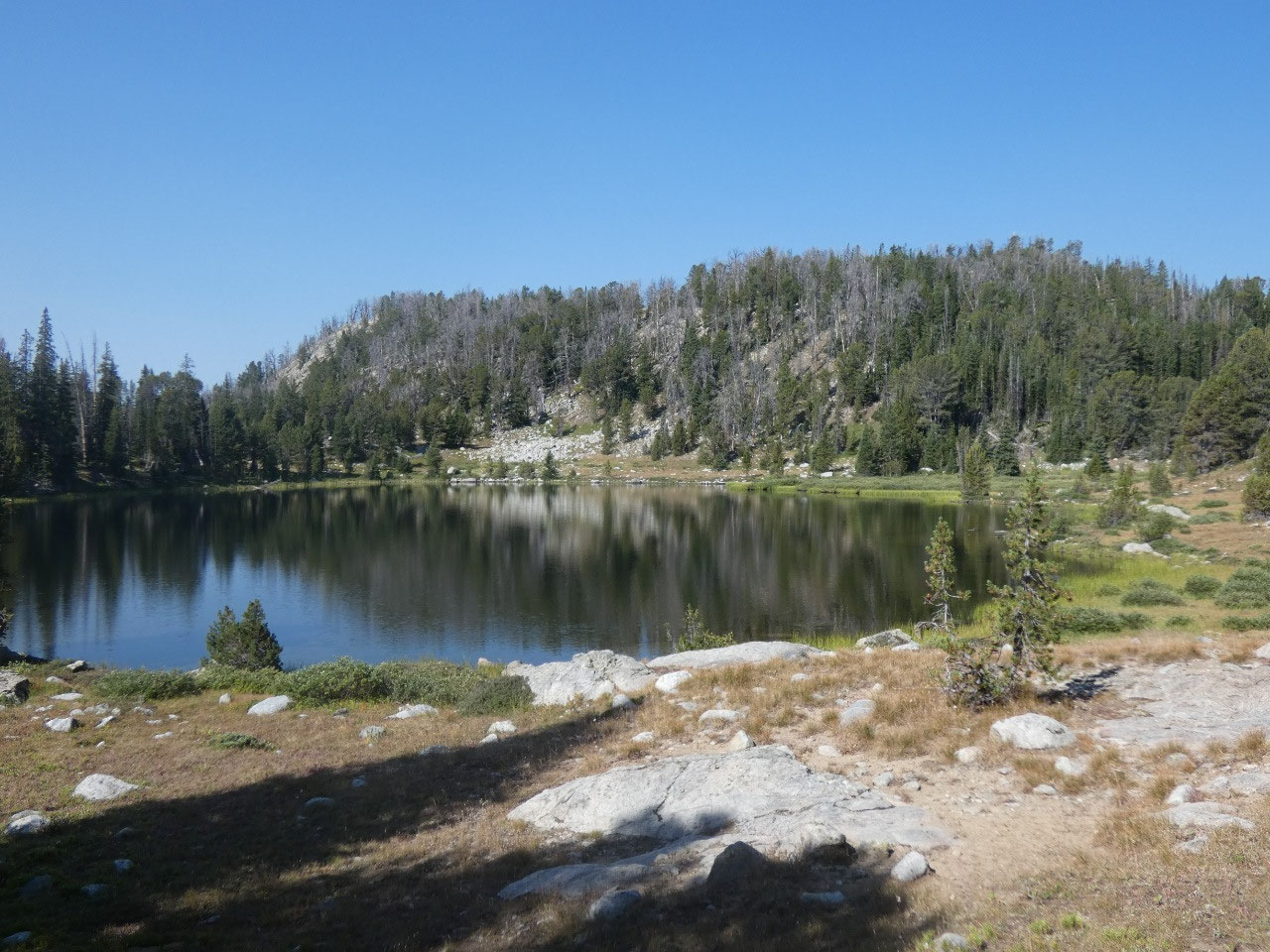
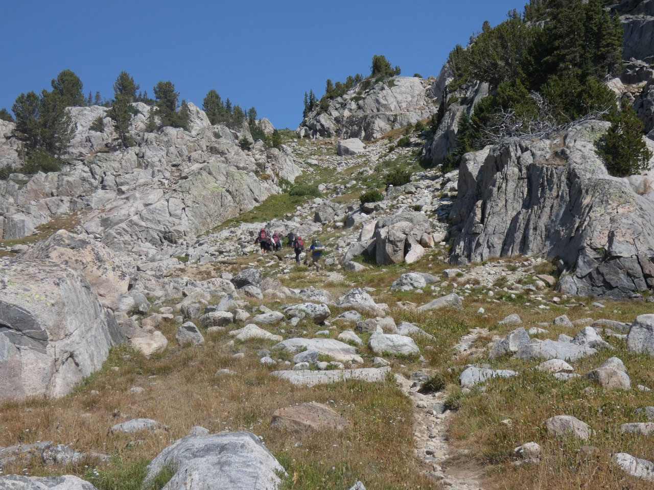
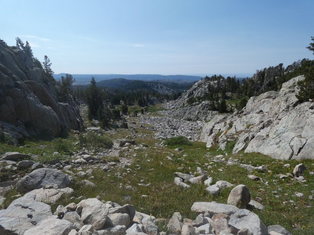
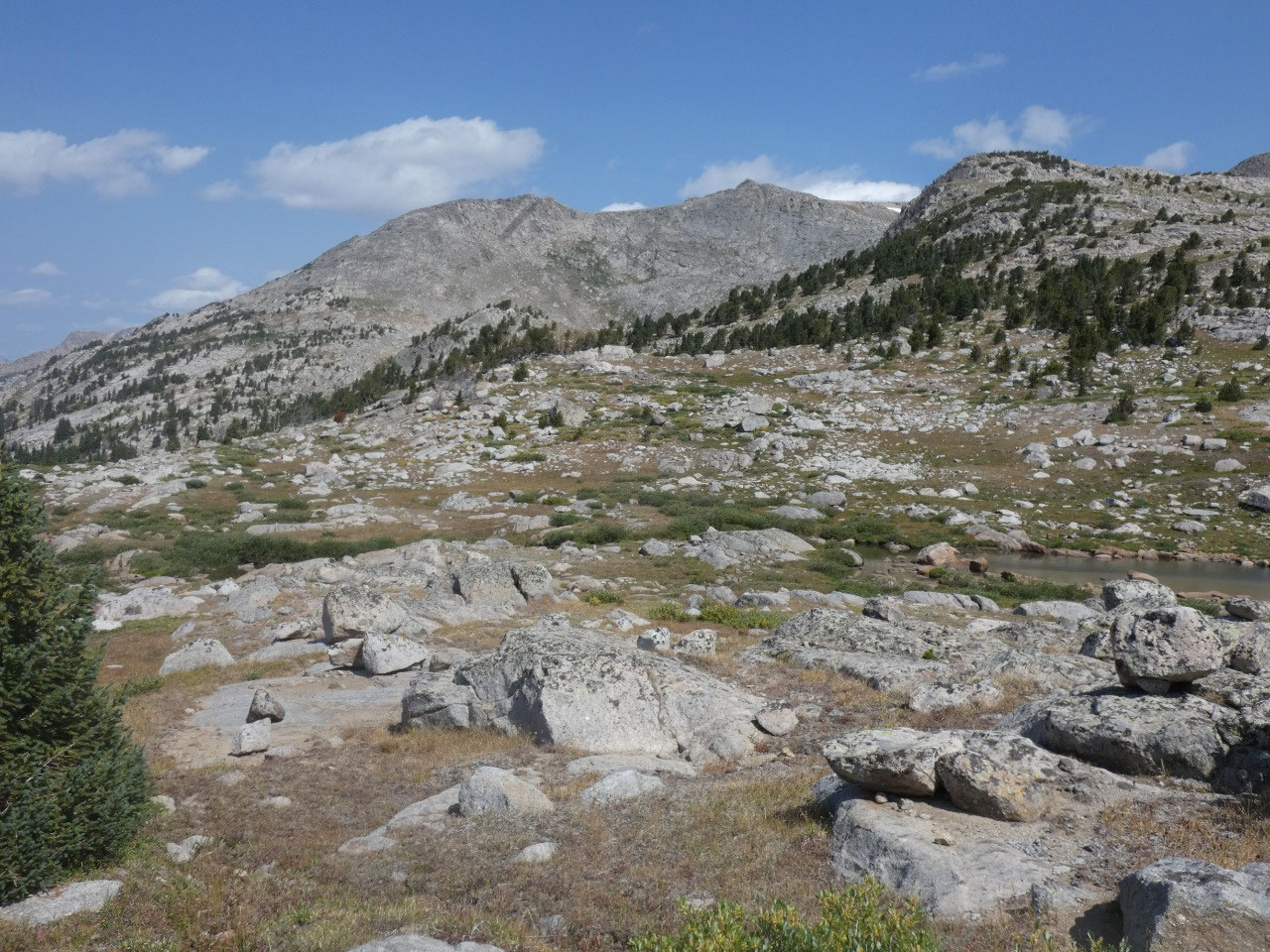
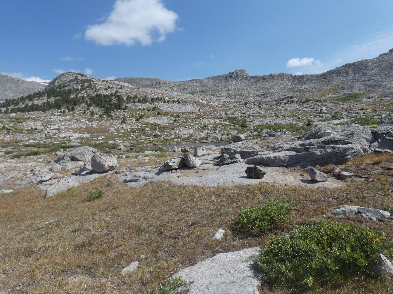
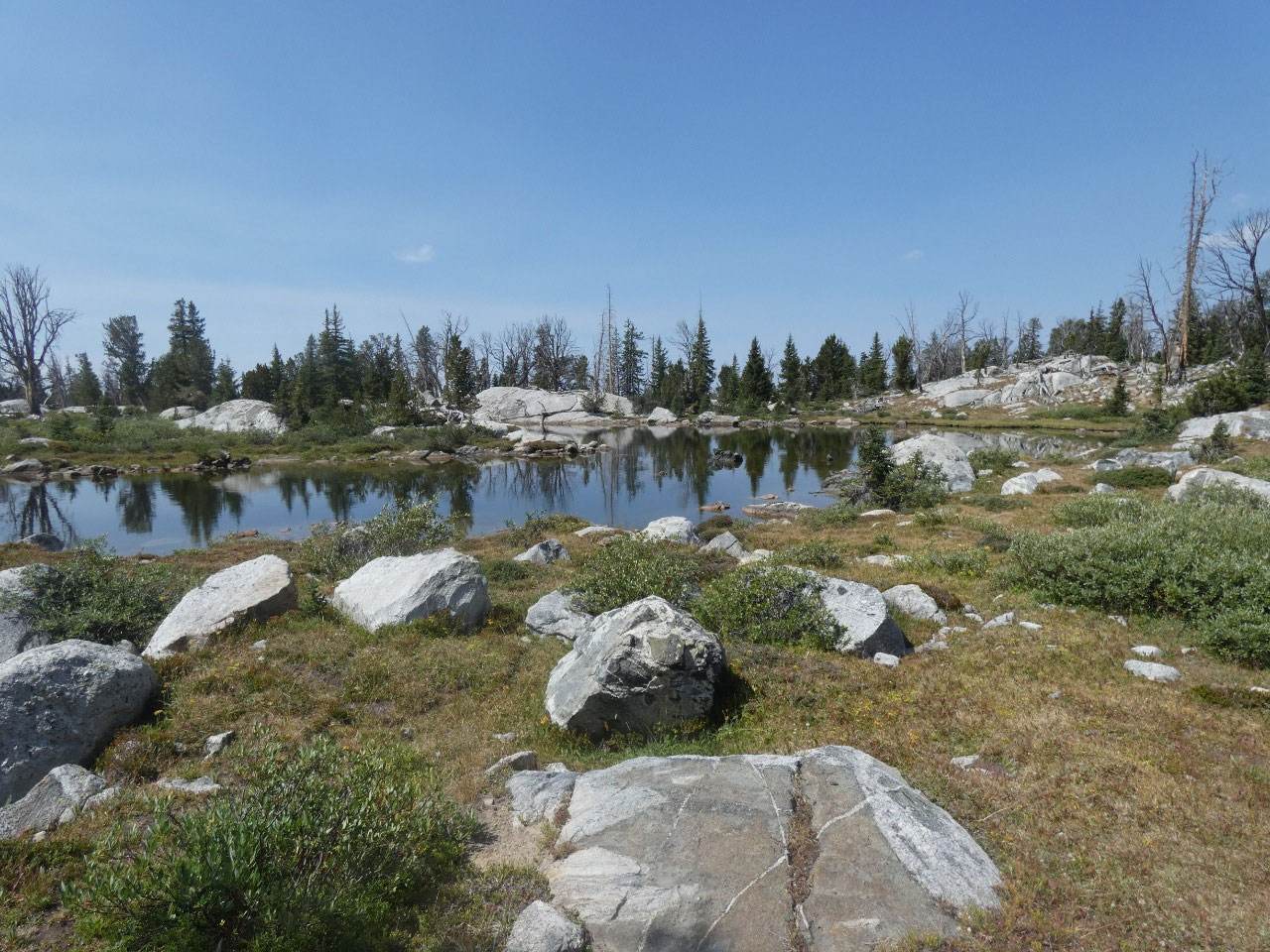
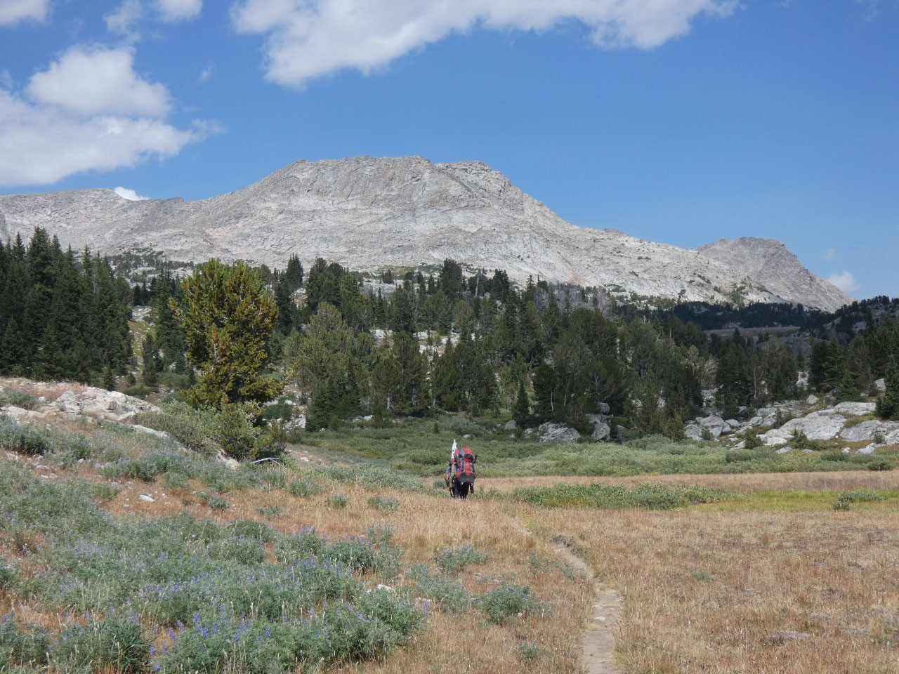
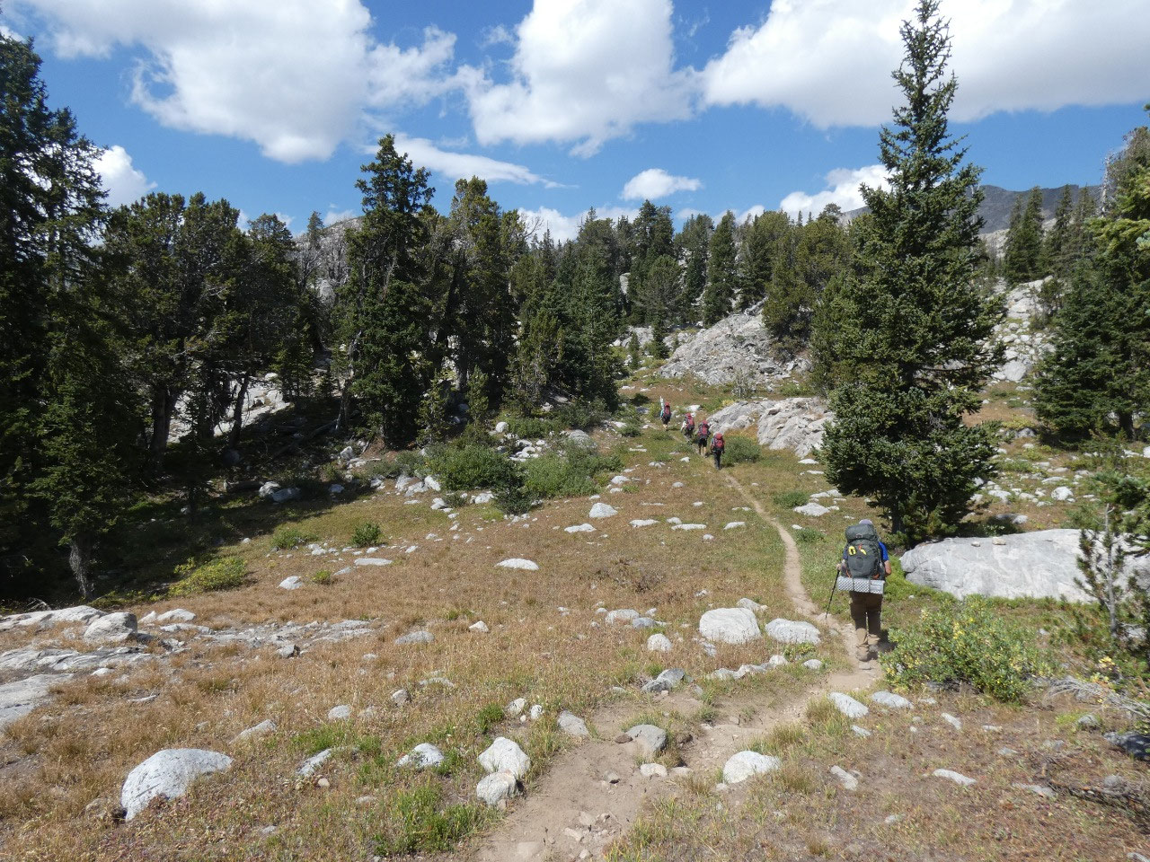
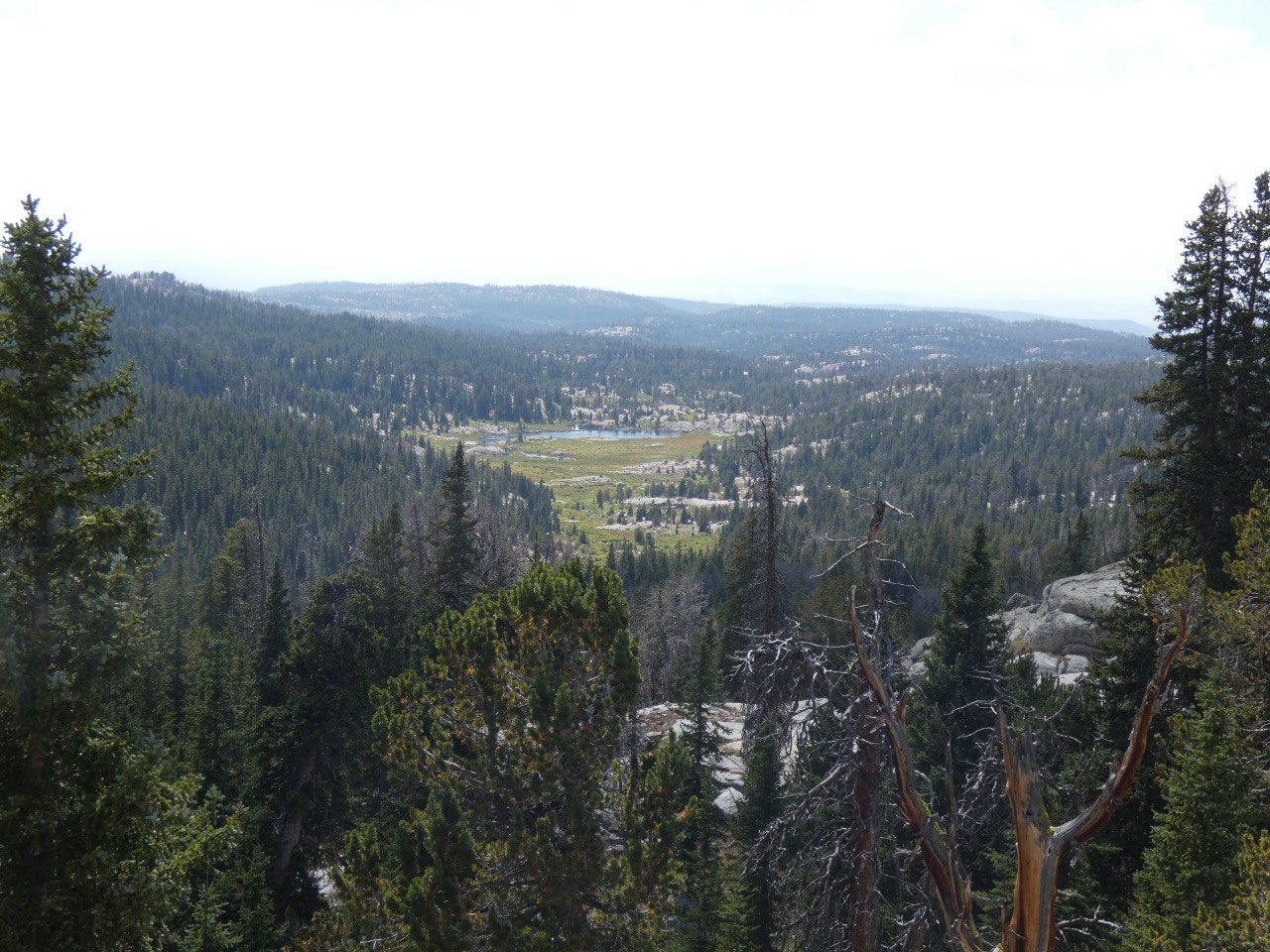
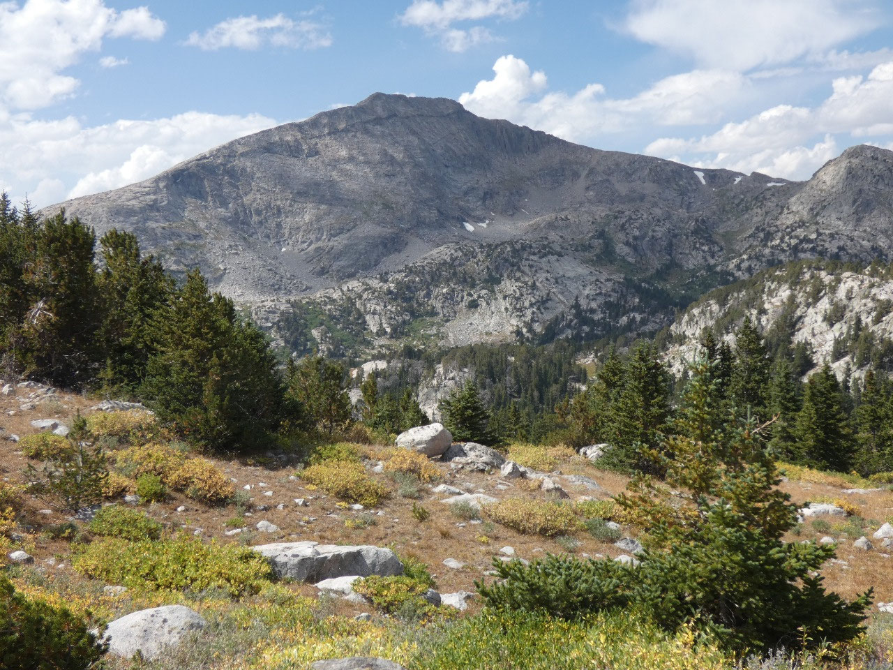
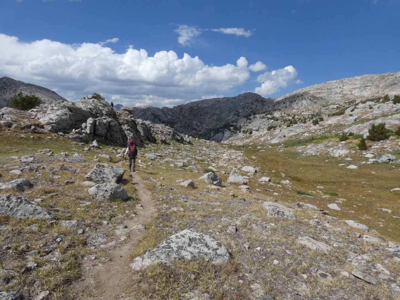
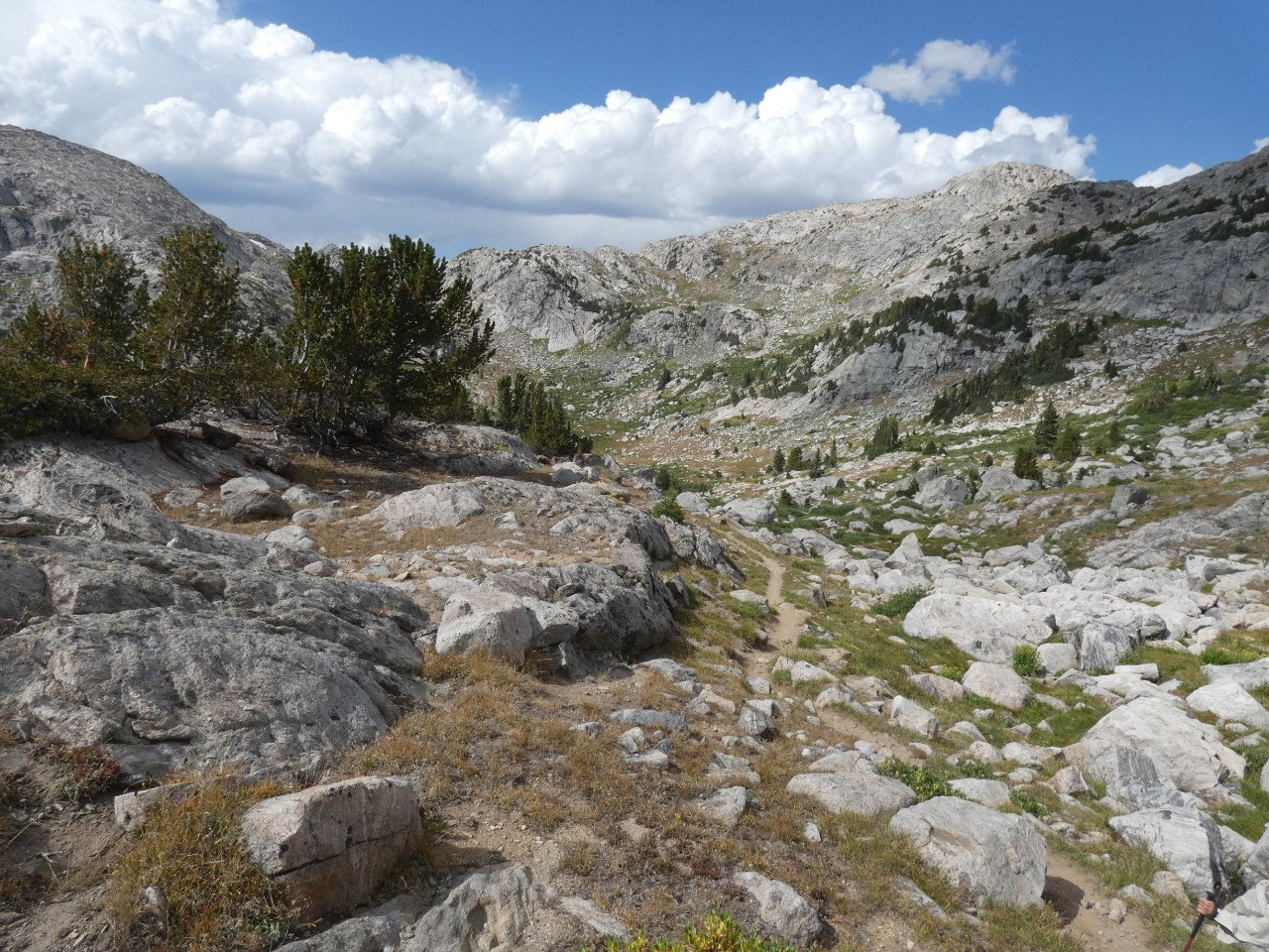
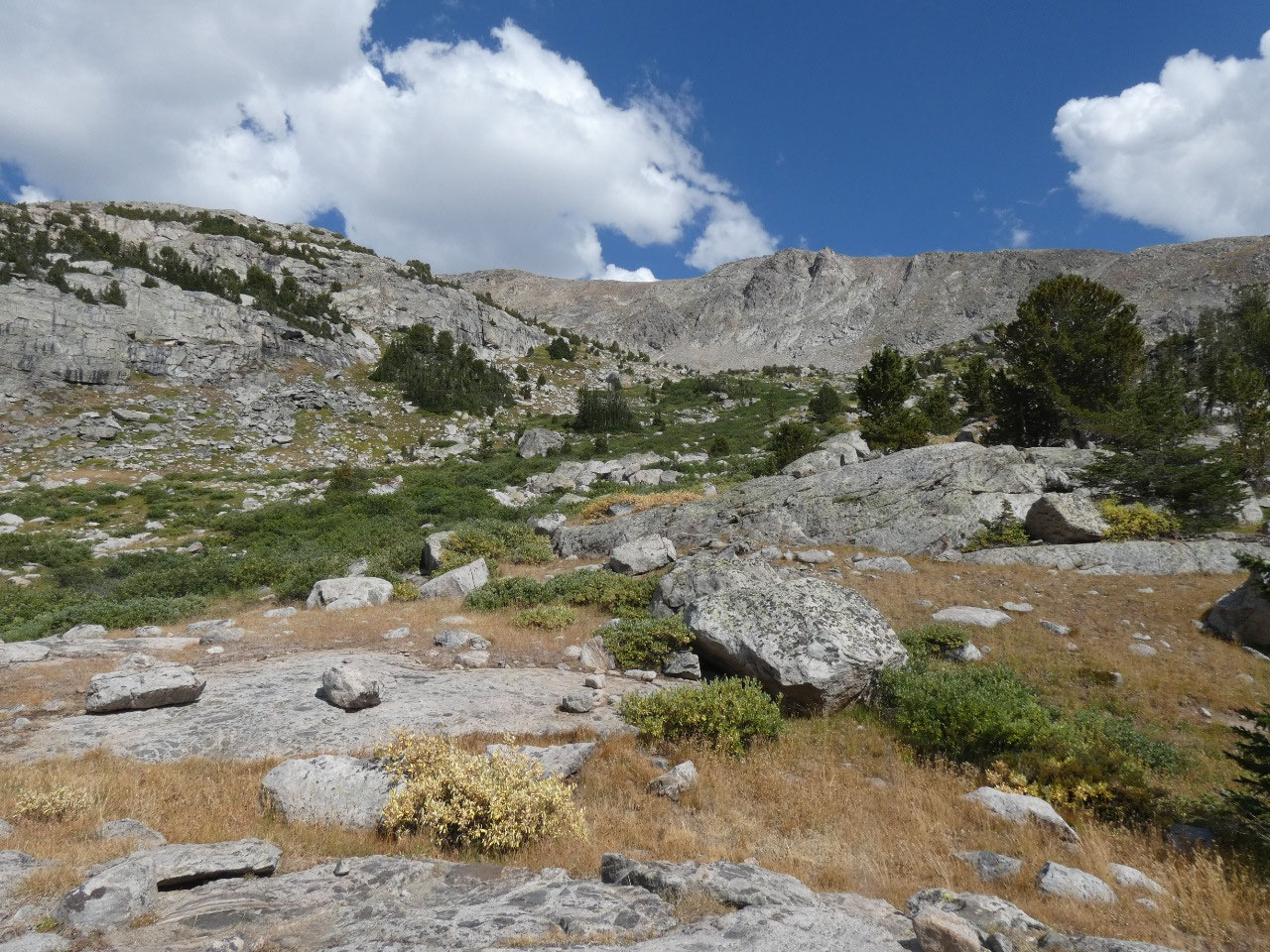
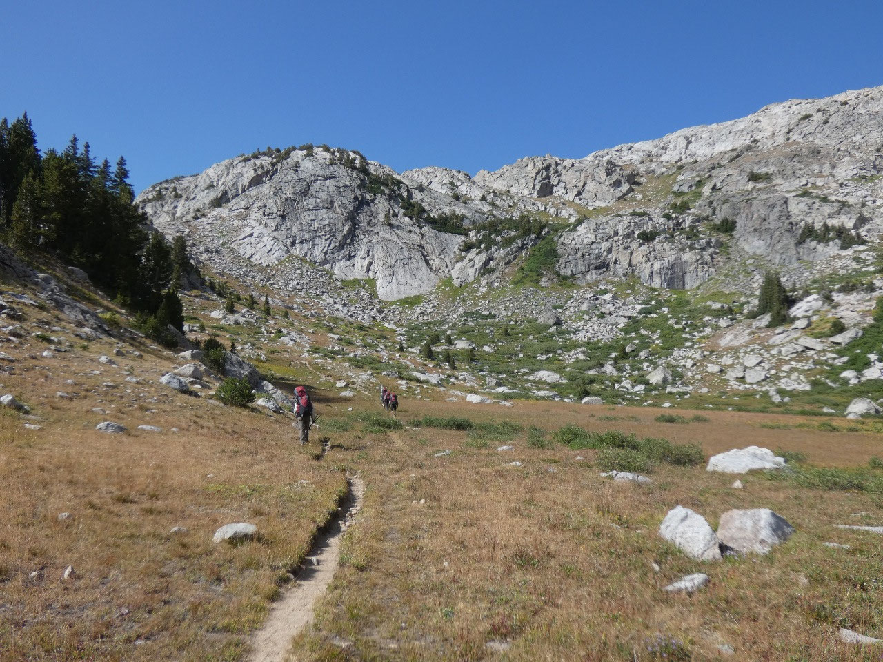
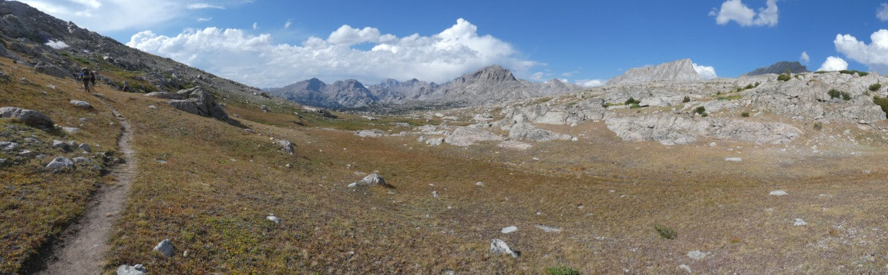
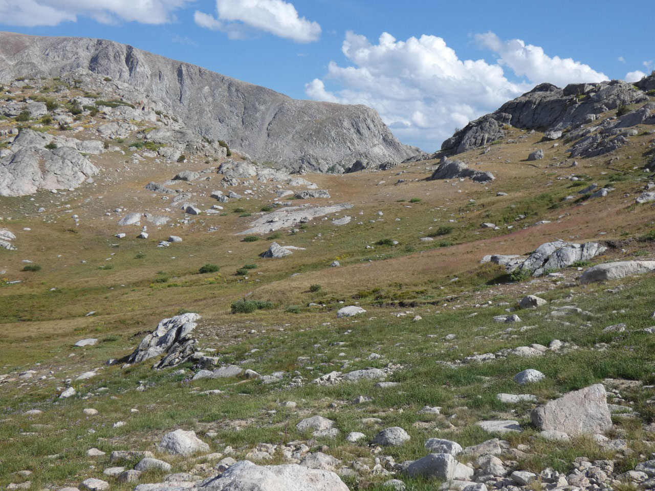
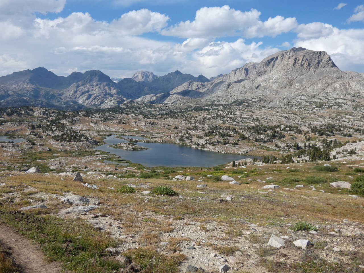
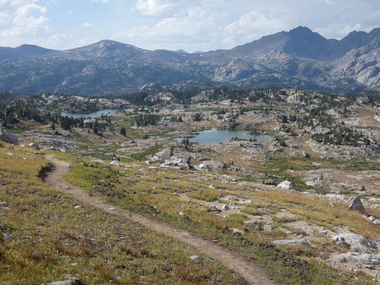
The trail gradually climbed past
numerous small lakes, many unnamed, and through rocky ground through meadows
and stunted forests gaining elevation along the way. Then things started
getting steep on the approach to Hat Pass at 10,882 feet, crossing the first of
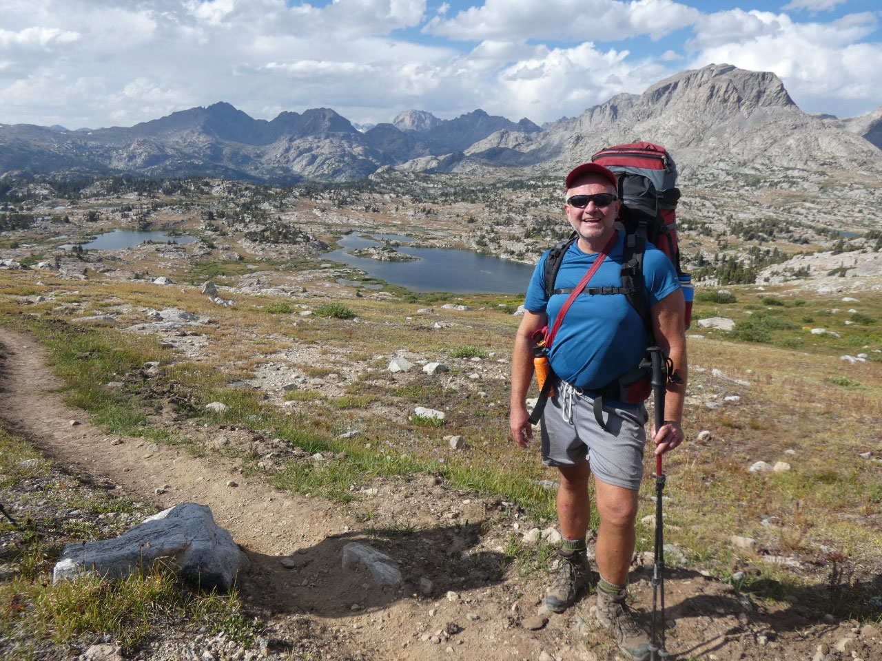
many sort of ribs off the main spine of the Wind River Range. Although not the
highest pass on the trip, for me it was the hardest. My chubby body fell a bit
behind the rest of the group on the ascent, something I never enjoy because I
feel like I’m holding other people up.
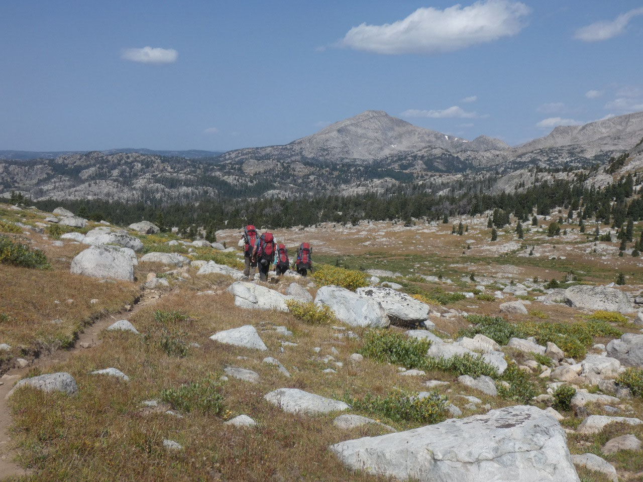
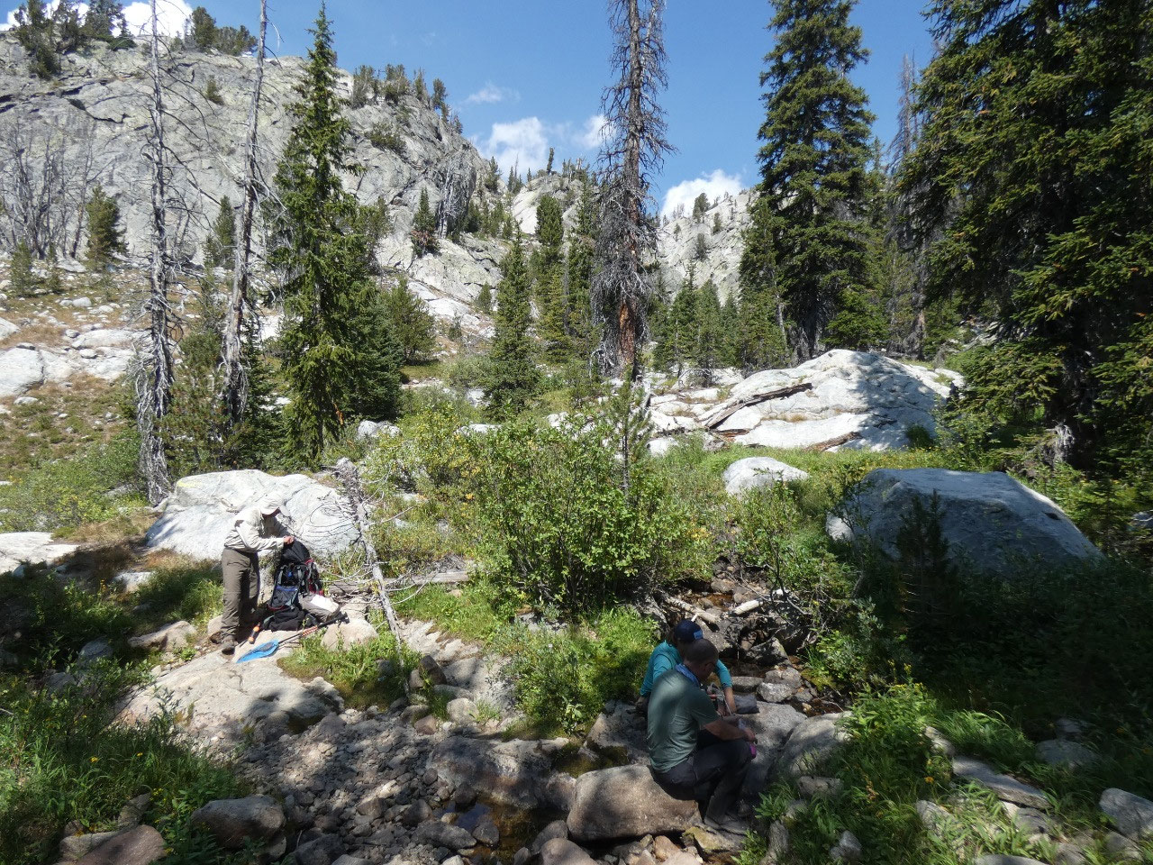
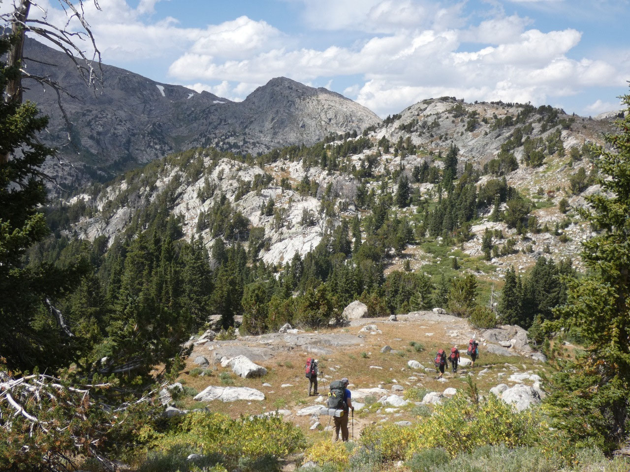
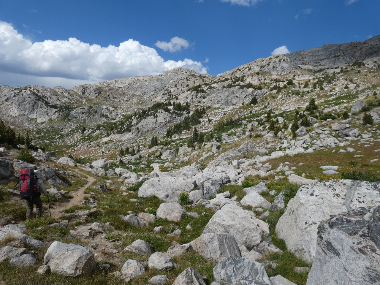
Based on Jenn’s description of the day, or rather lack of
full description of what was ahead, I erroneously that that would be the worst
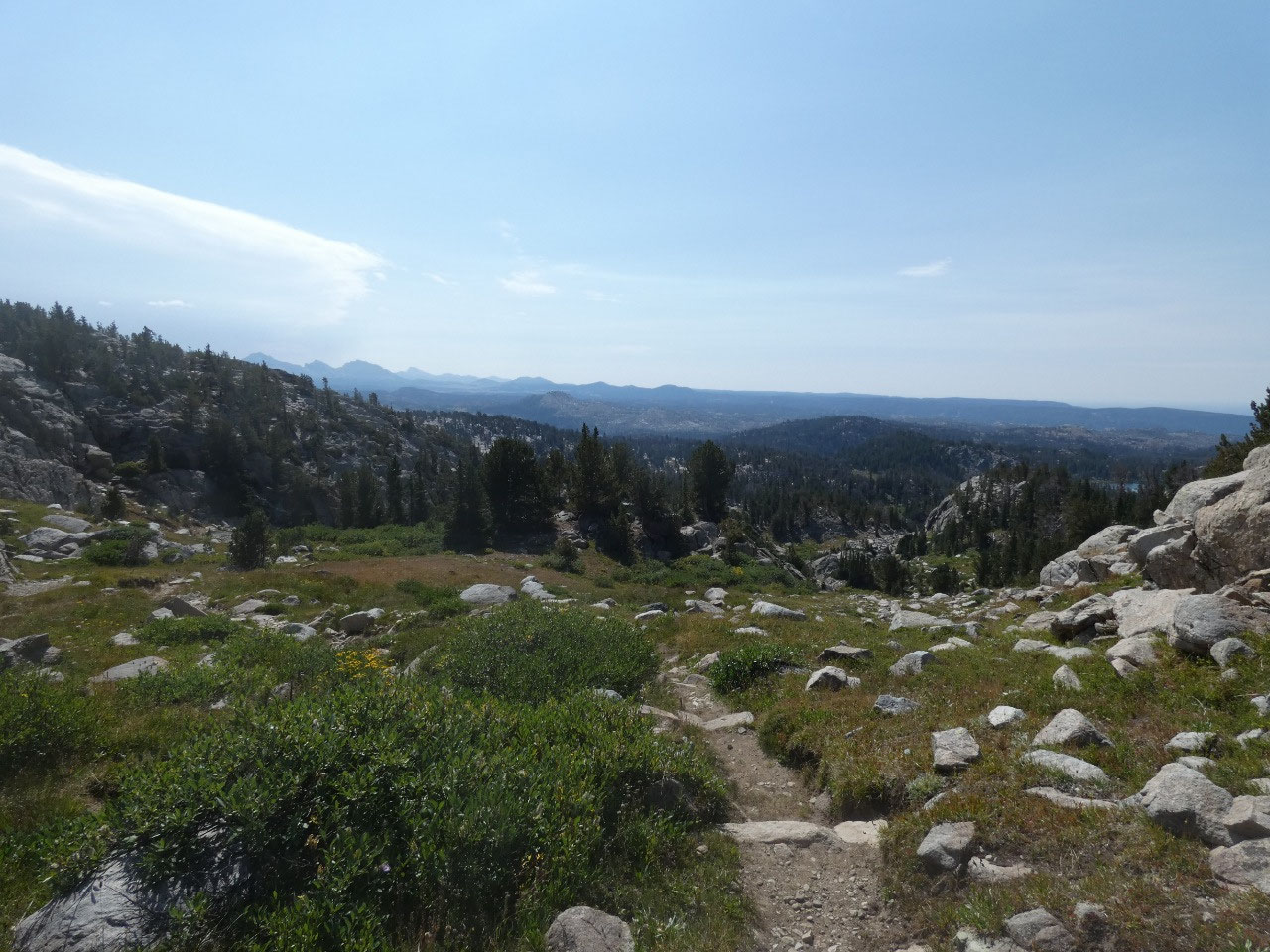
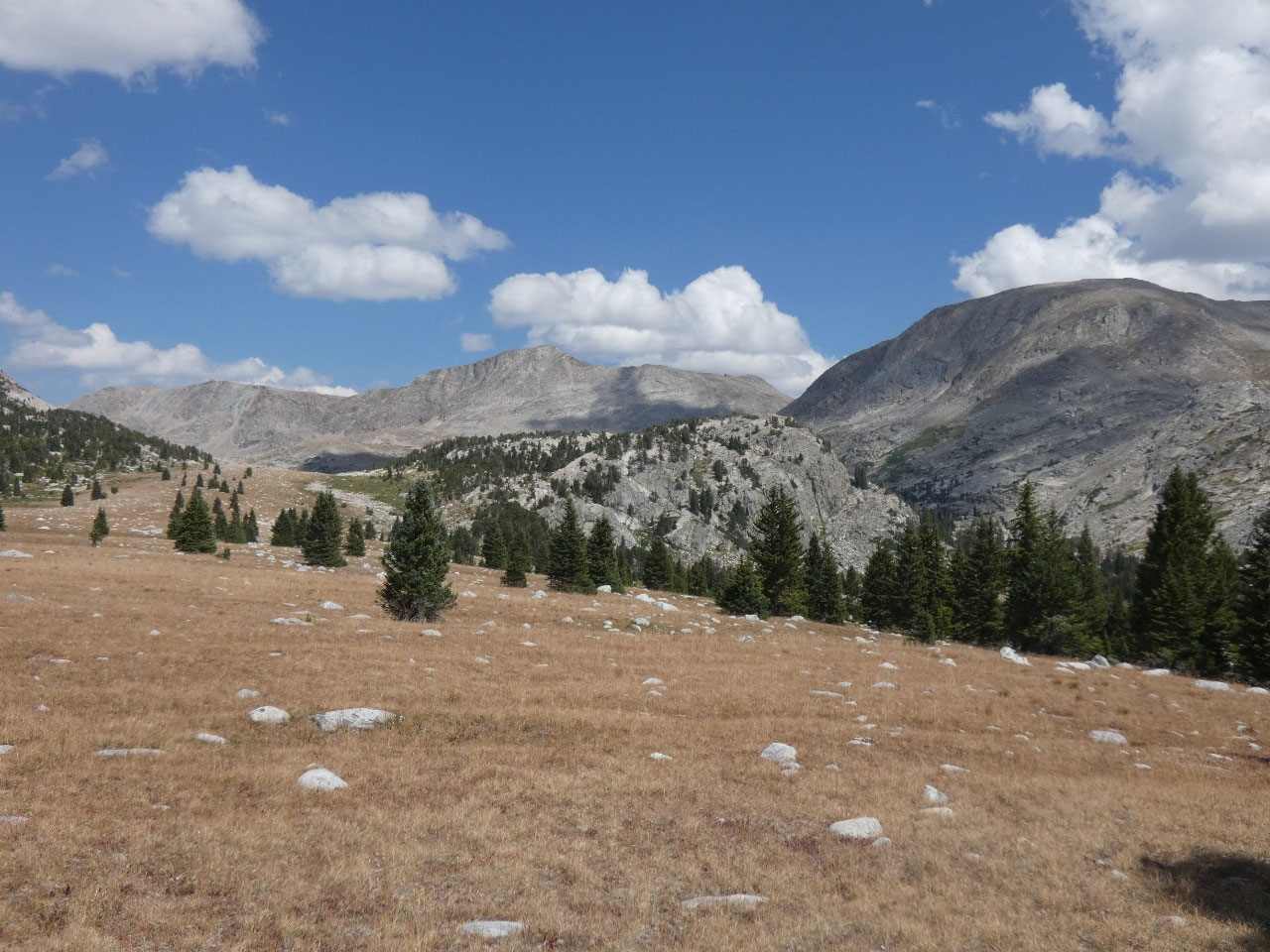
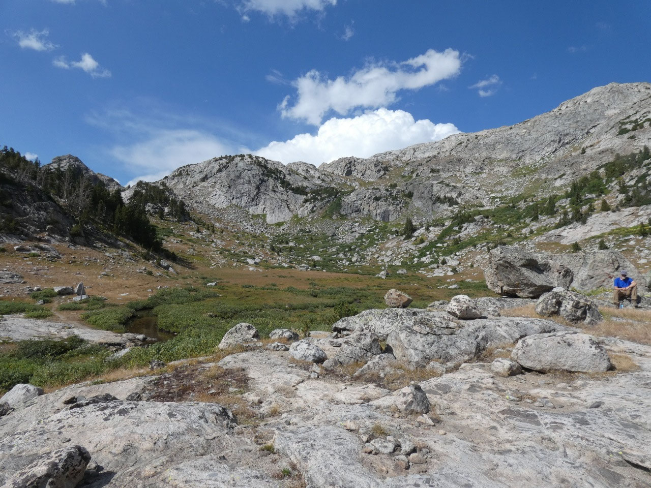
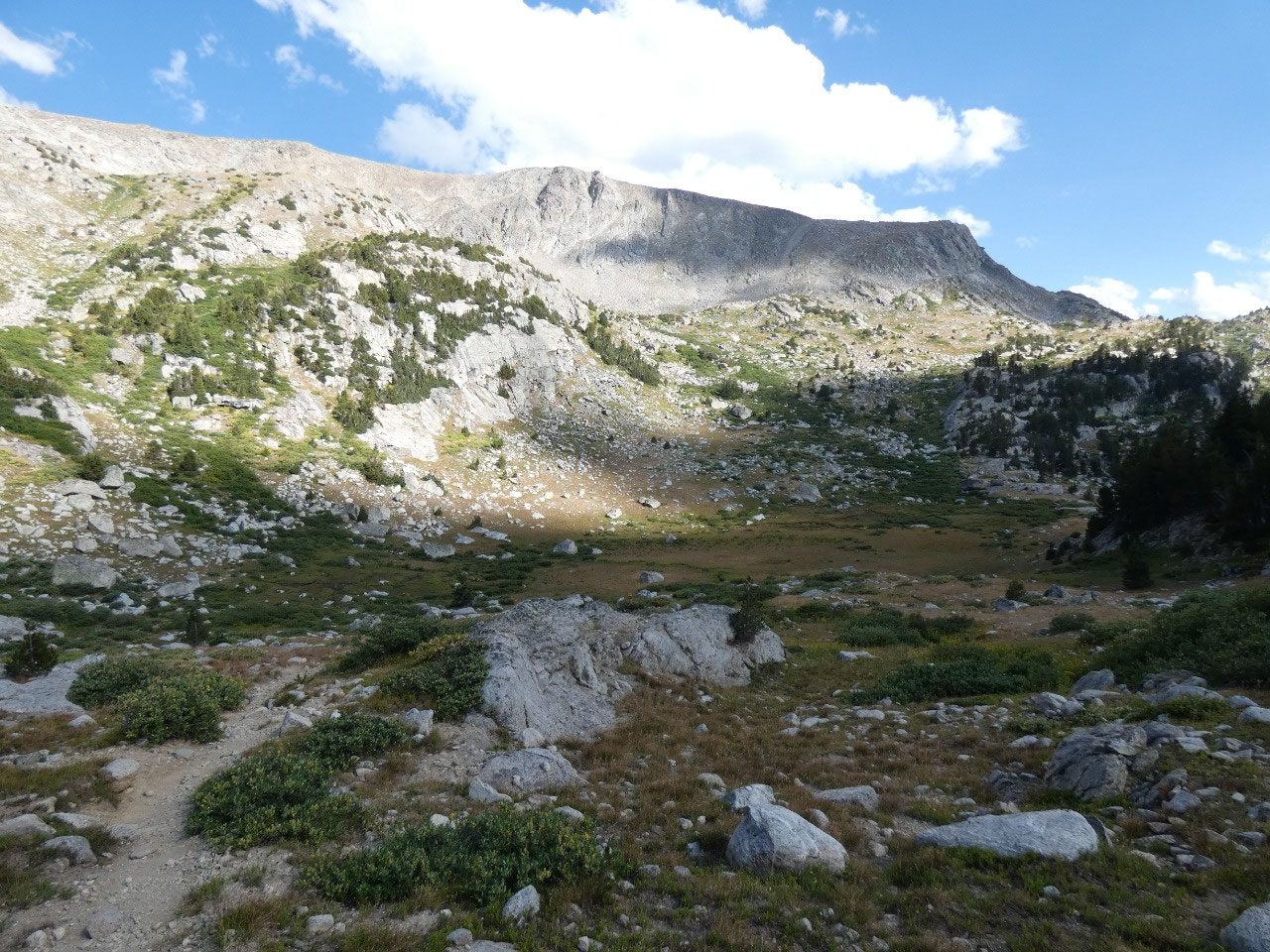
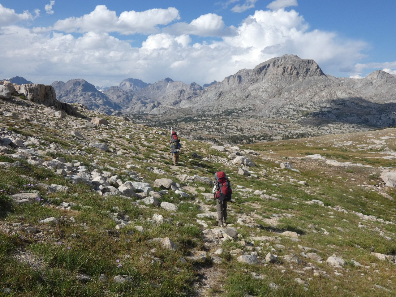
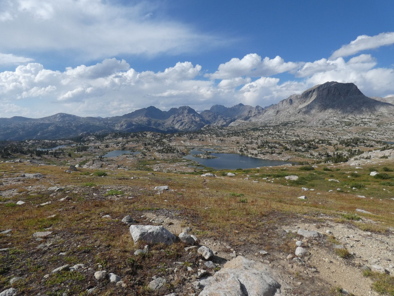
of it for the day, but that was not the case. We descended to a spot for lunch,
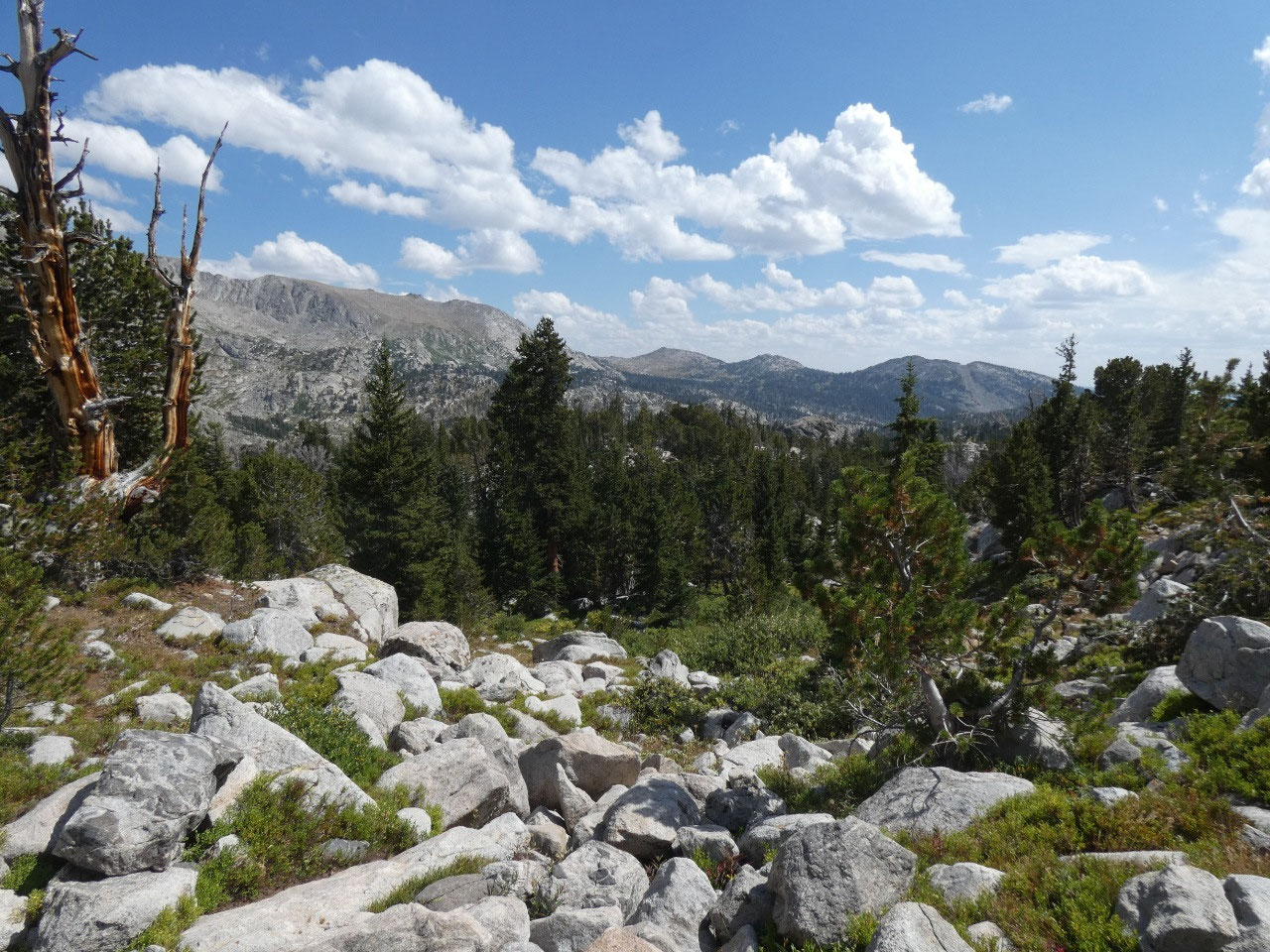
then through forest and more lakes to another very significant ascent to a high
point or pass whose name I don’t know. If it was not officially a pass, it sure
felt like one because the scenery from ahead from the top was impressive and
the descent into Baldy Lakes Basin a long one.
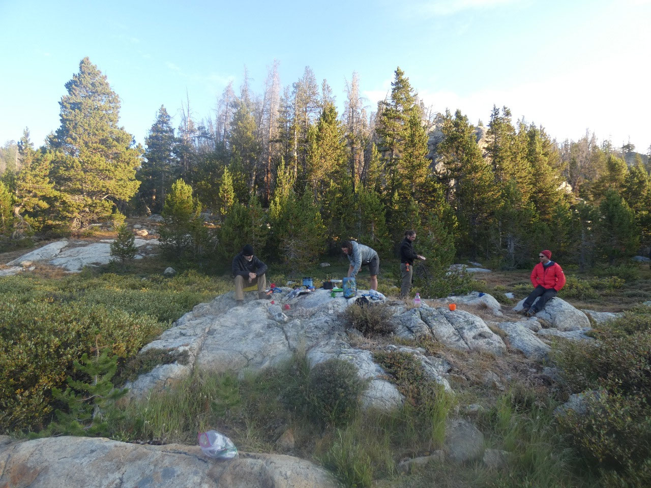
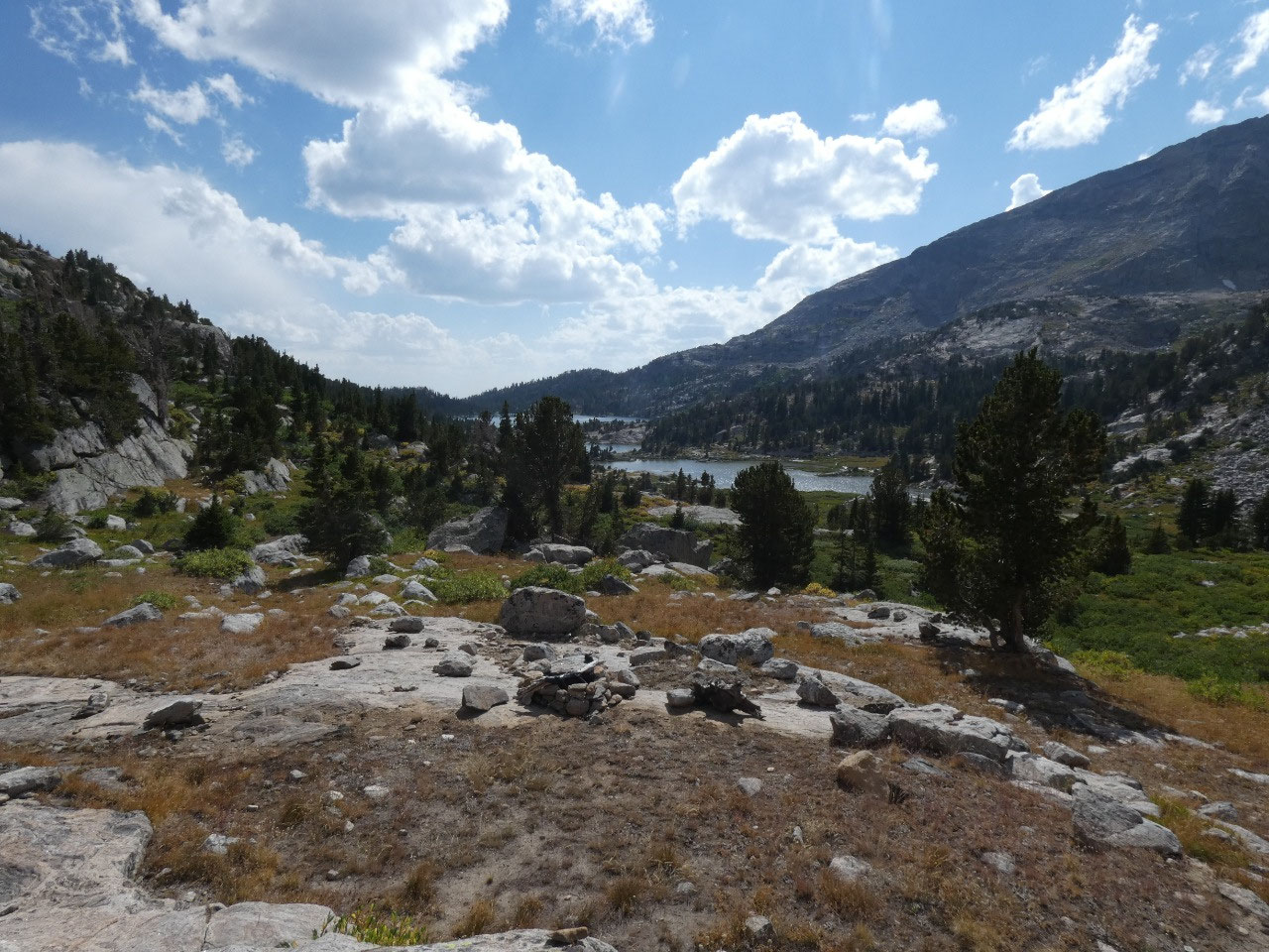
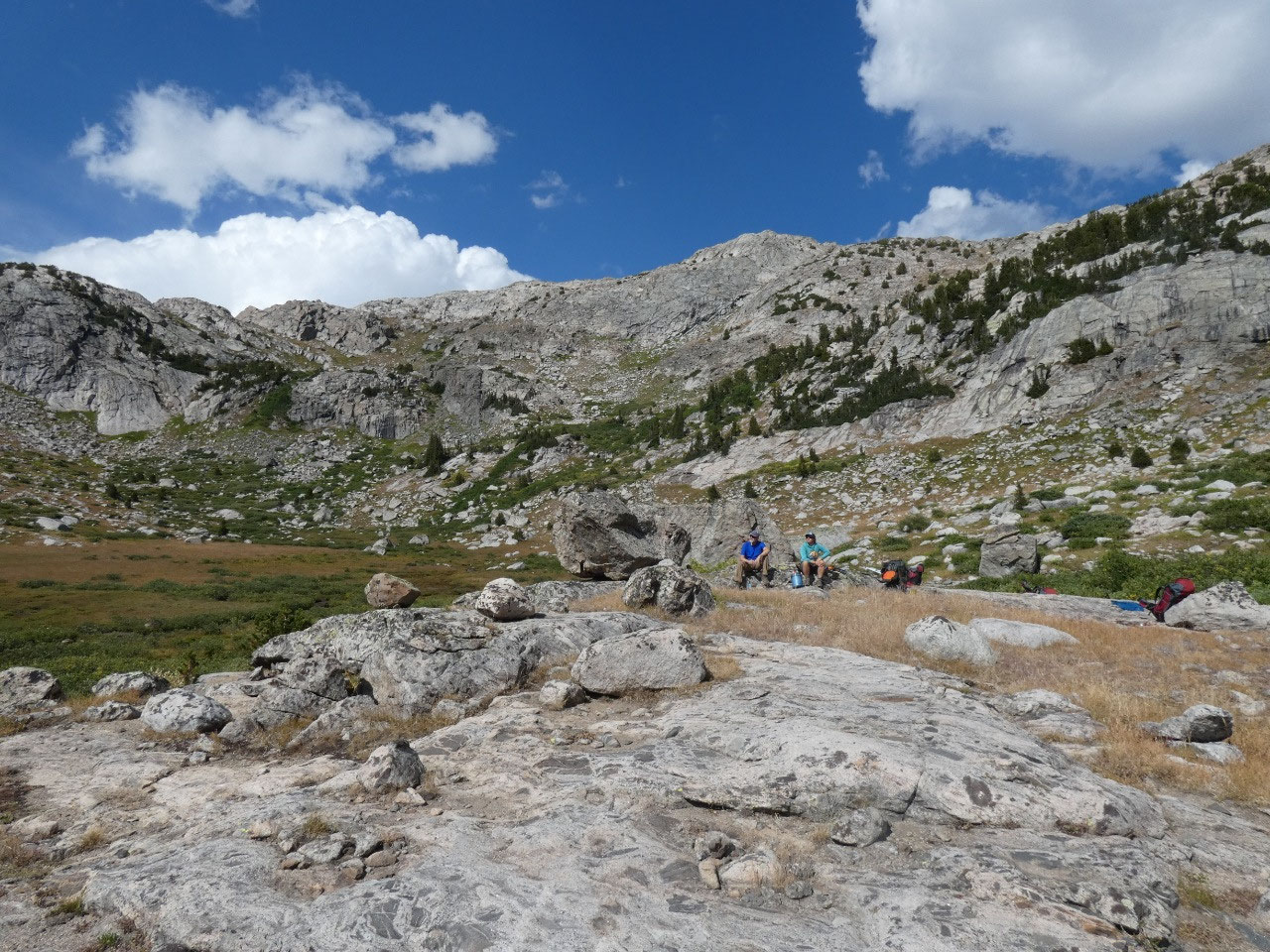
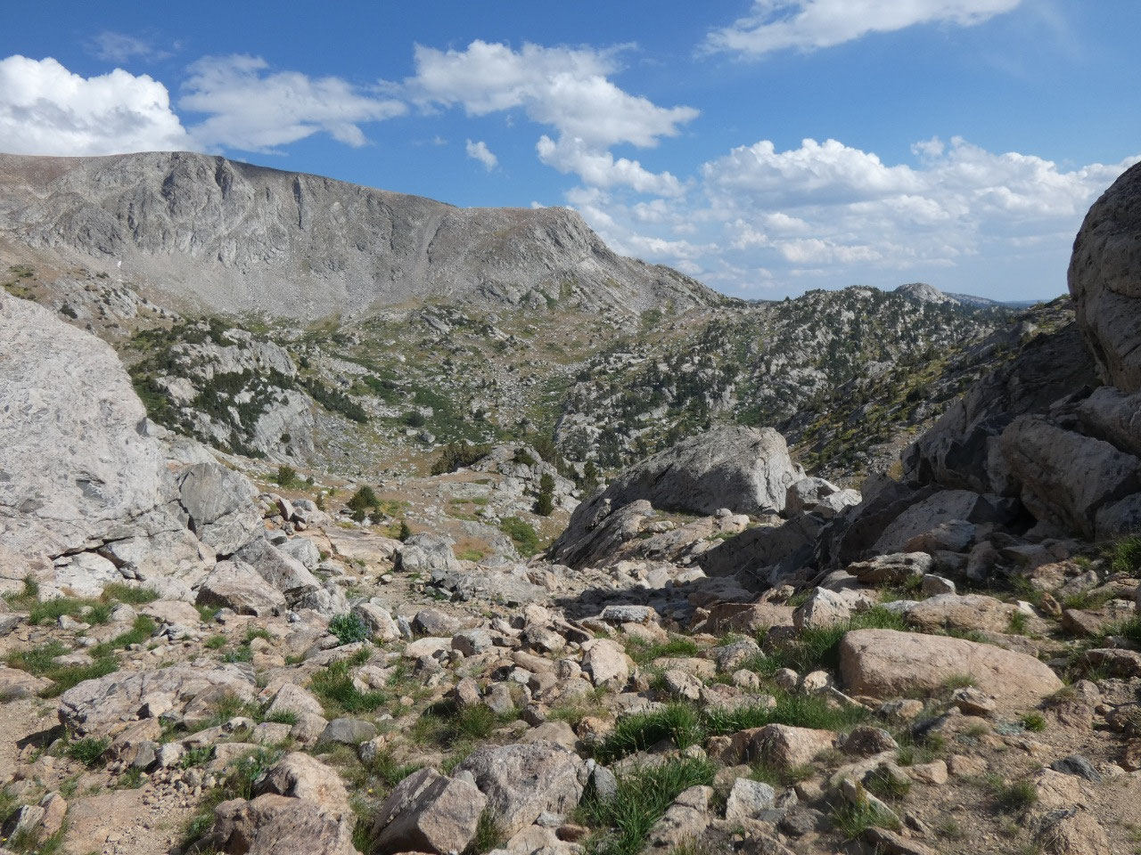
We took a long rest on the rocks
near the low point on the trail.
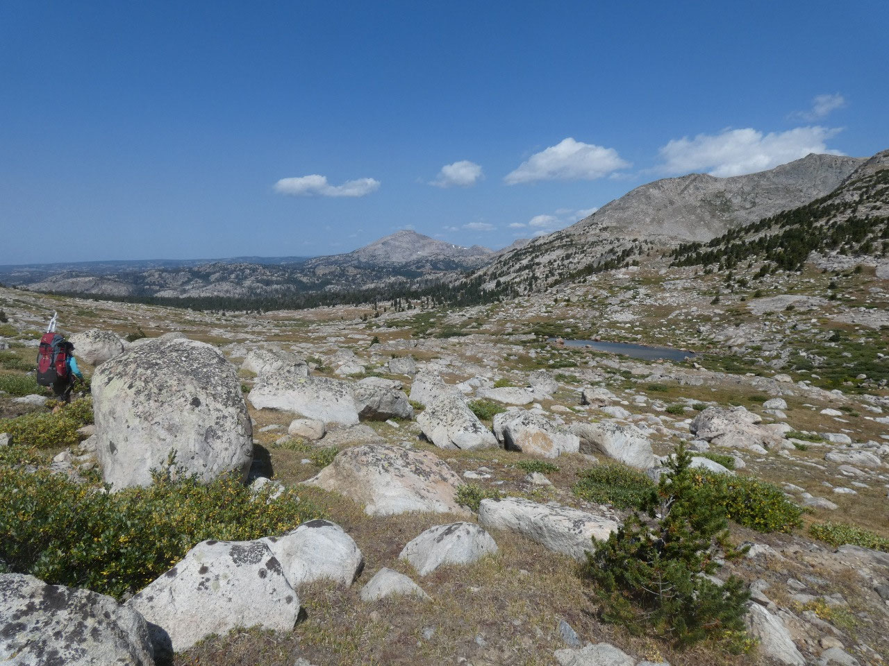
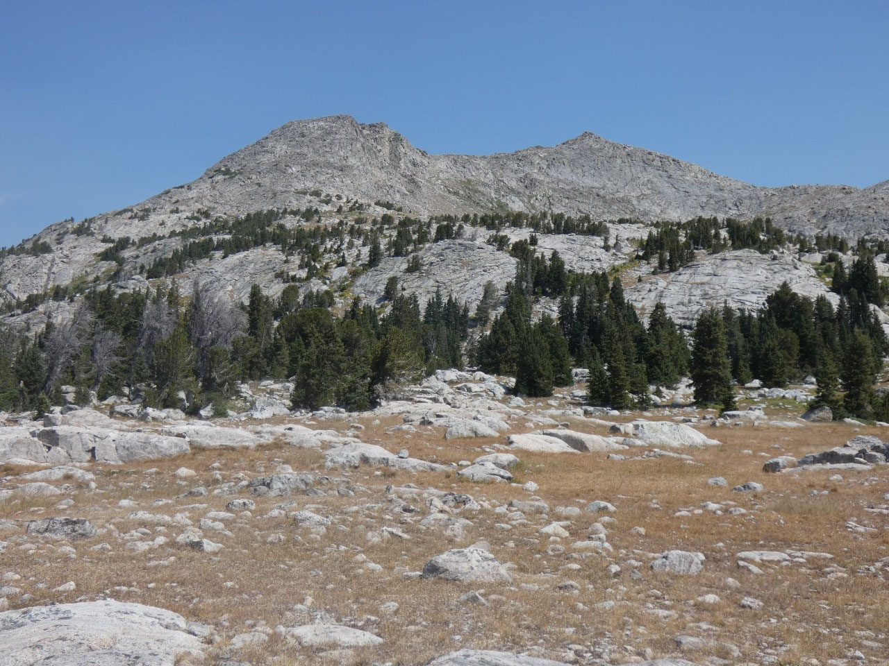
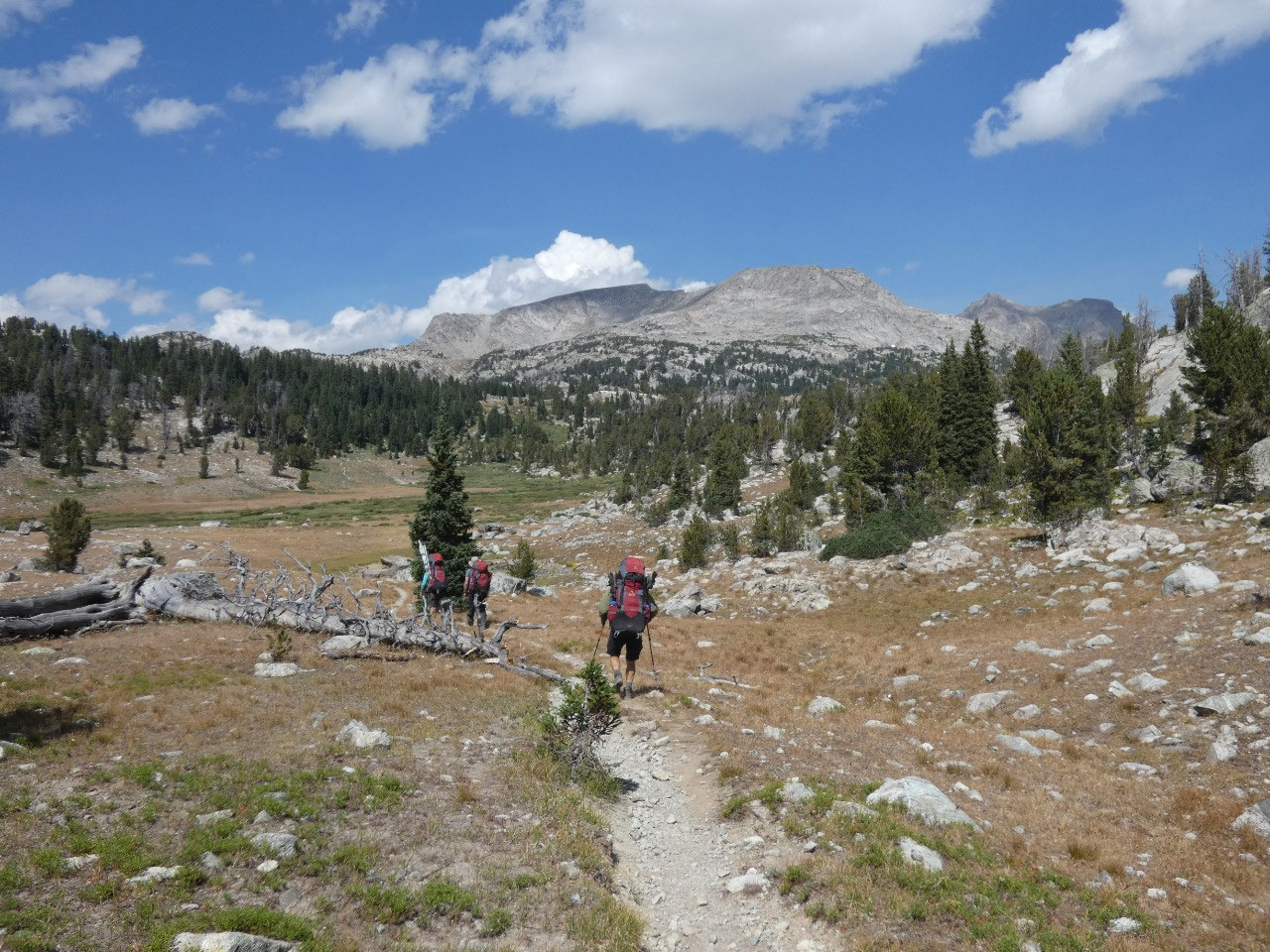
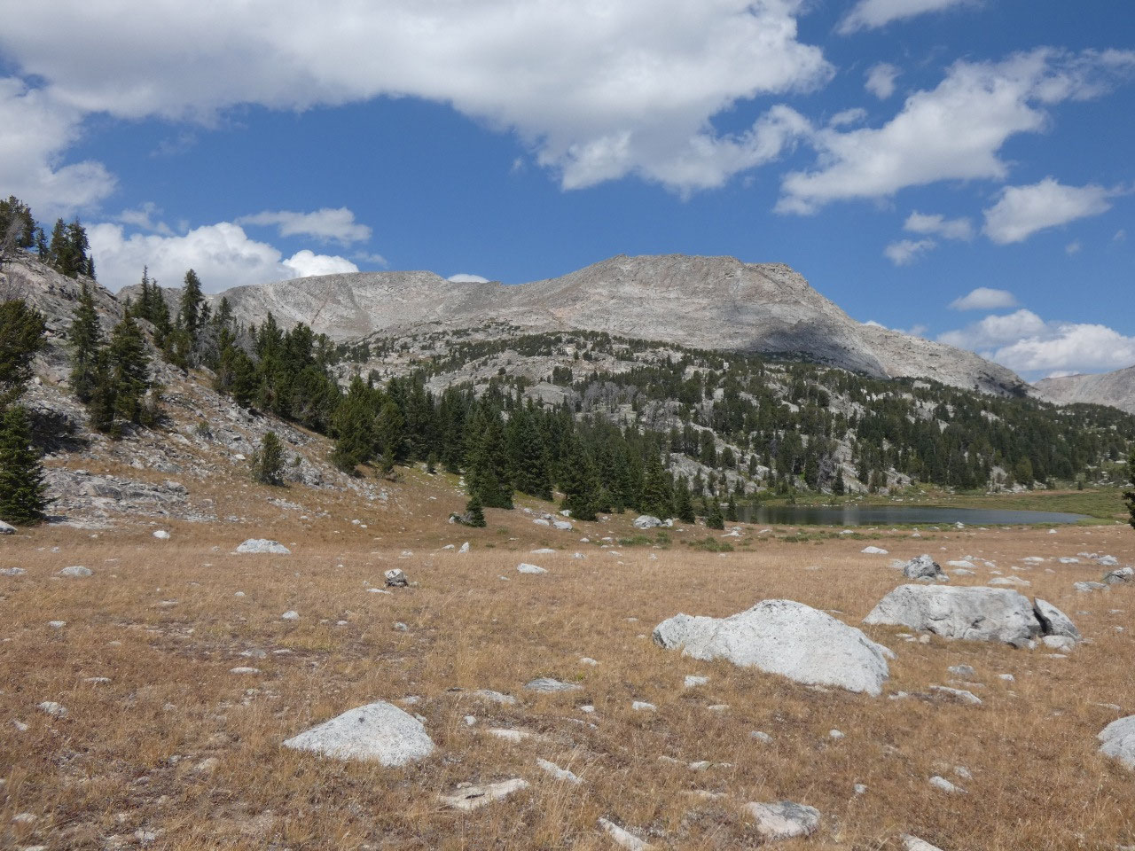
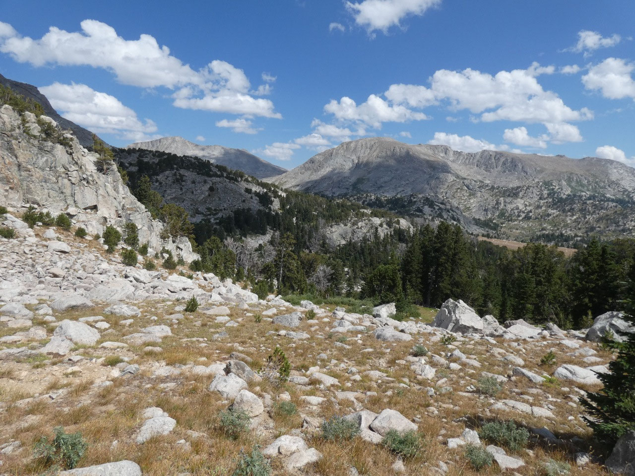
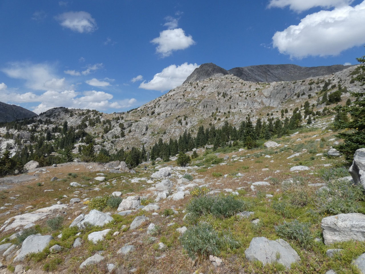
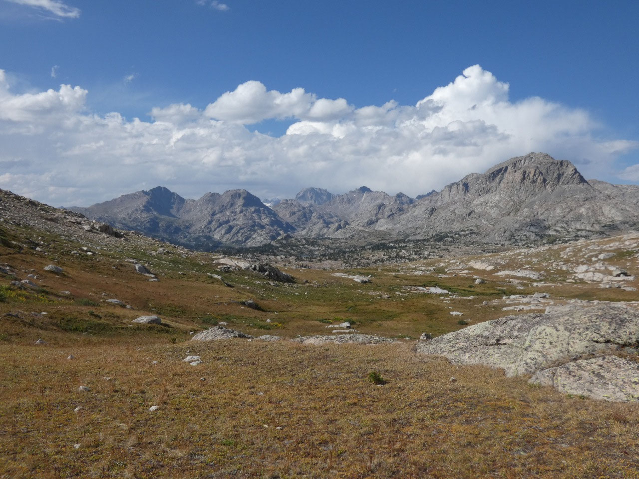
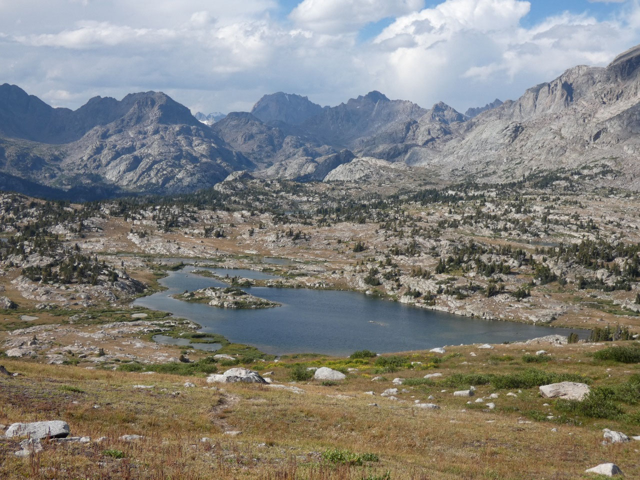
Not out of the woods yet, there was another climb of
probably at least 500 feet to the divide between Baldy Lakes Basin and Bald
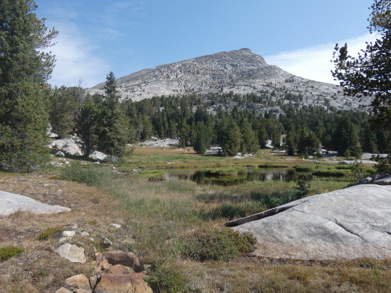
Mountain Basin. The summit revealed a
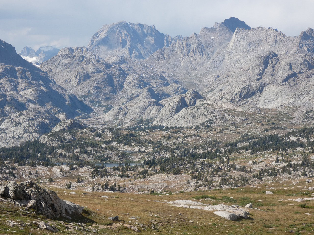
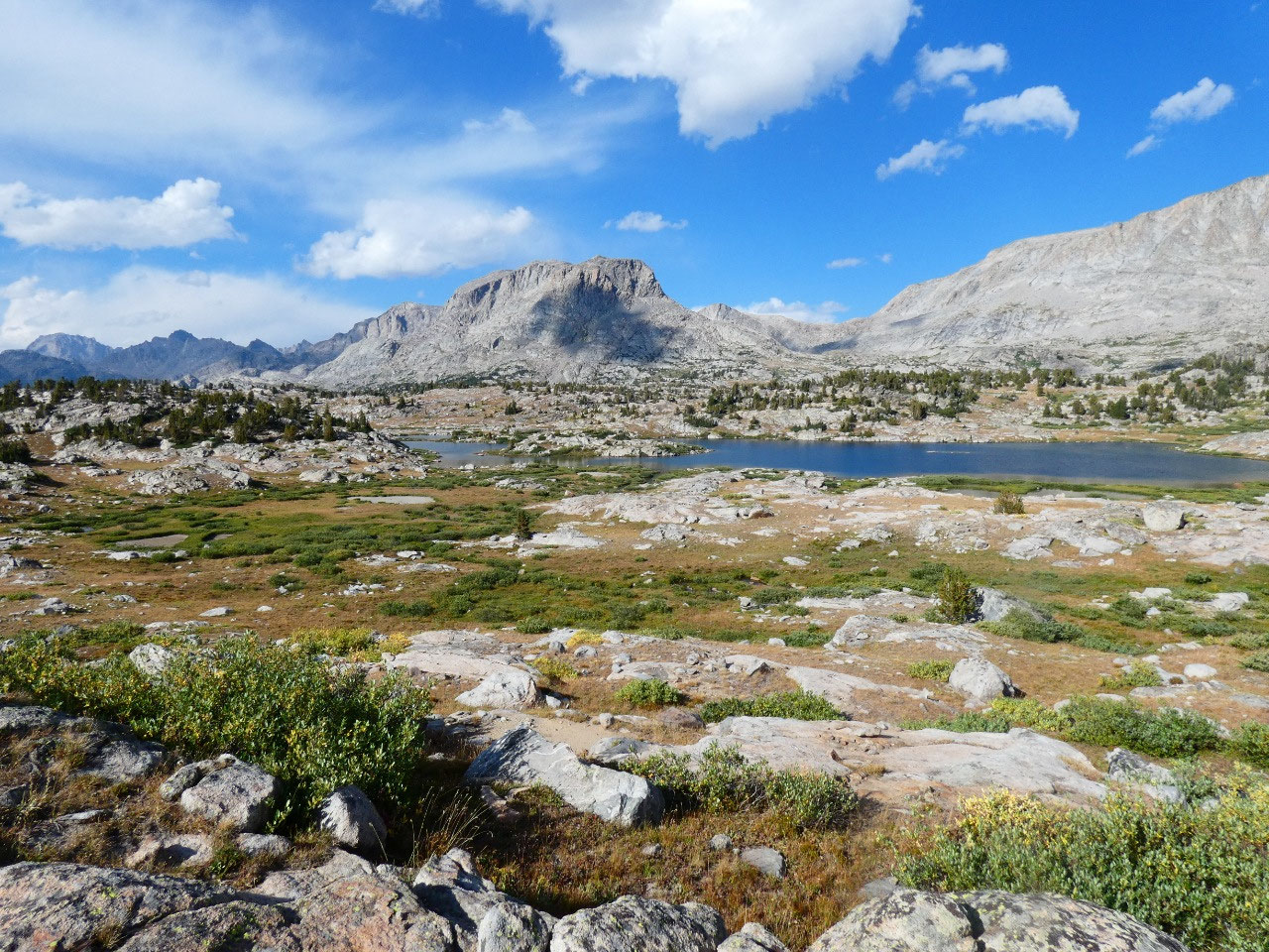
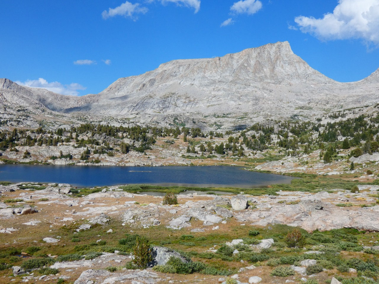
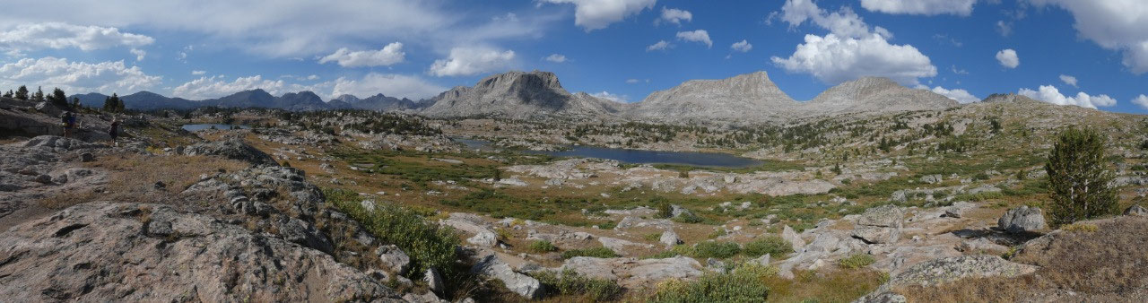
knock-your-socks-off view ahead to the high peaks of the Wind Rivers beyond the
basin – massive pyramids of austere gray granite pointing dramatically into the
sky. Now this is the kind of scenery I
signed up for!
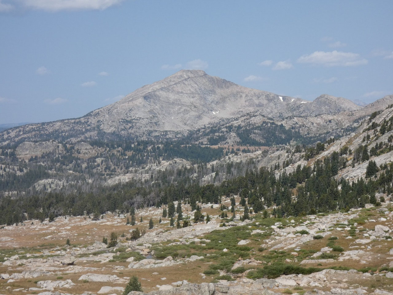
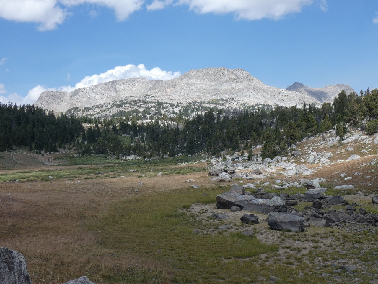
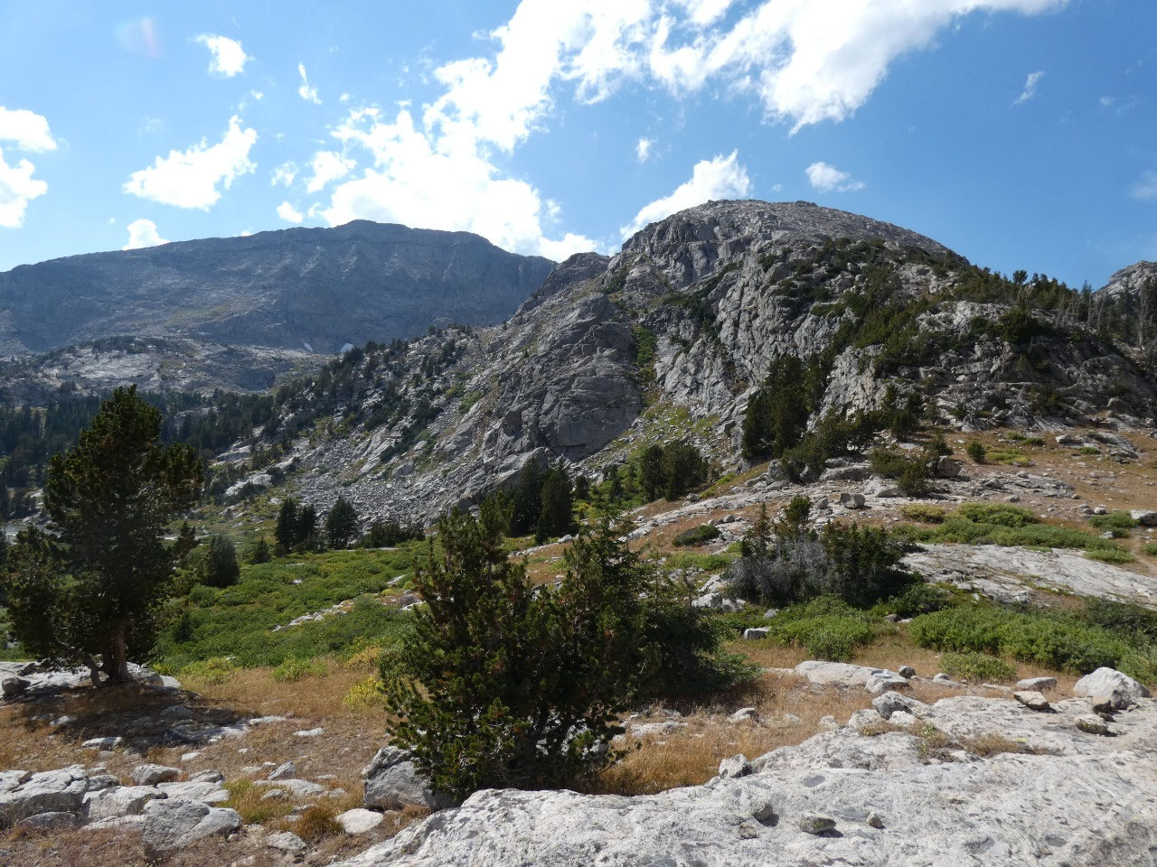
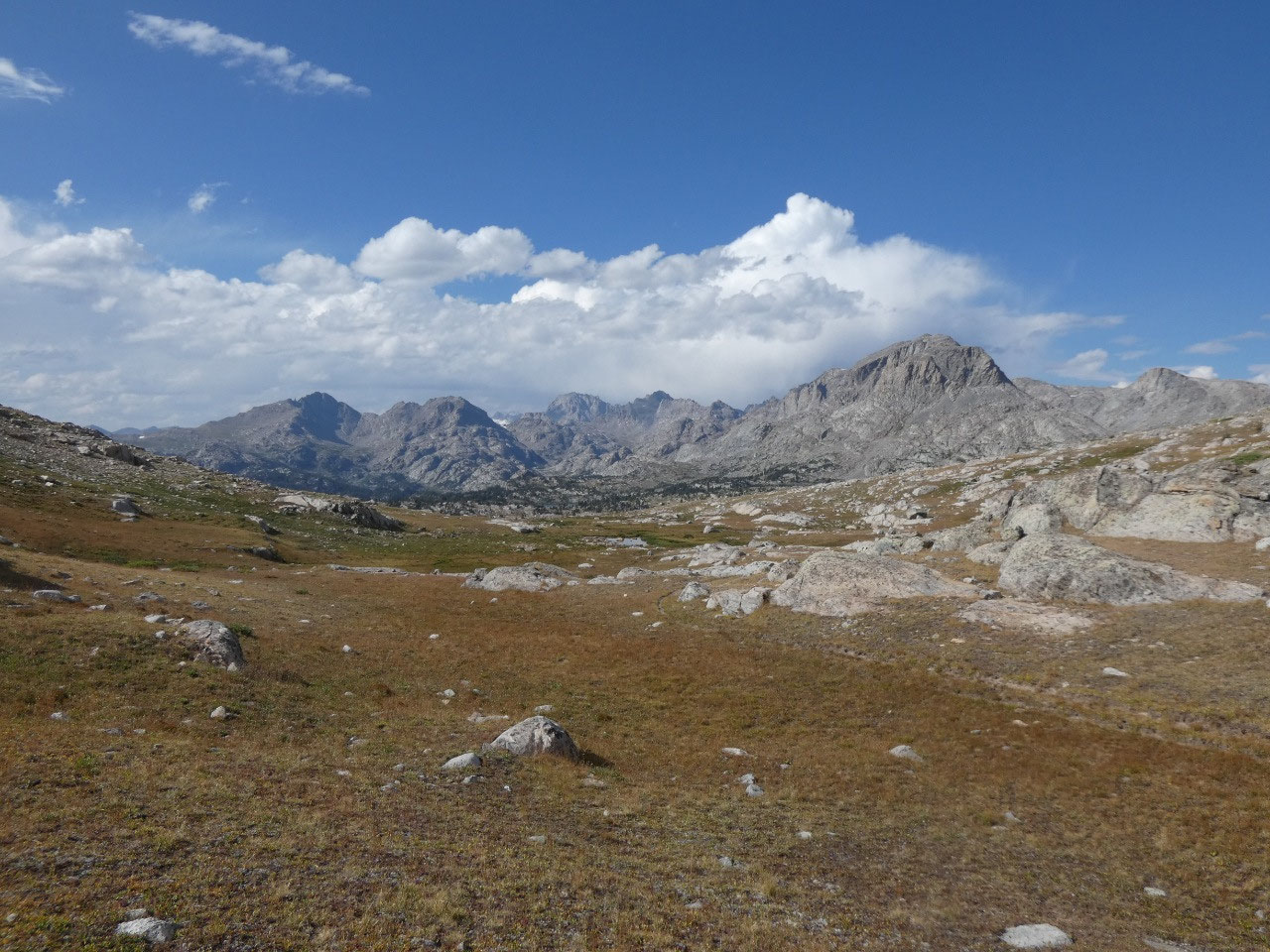
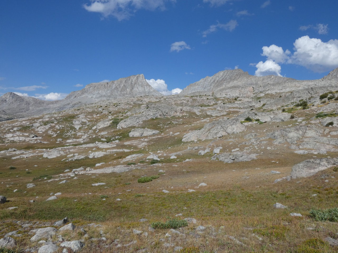
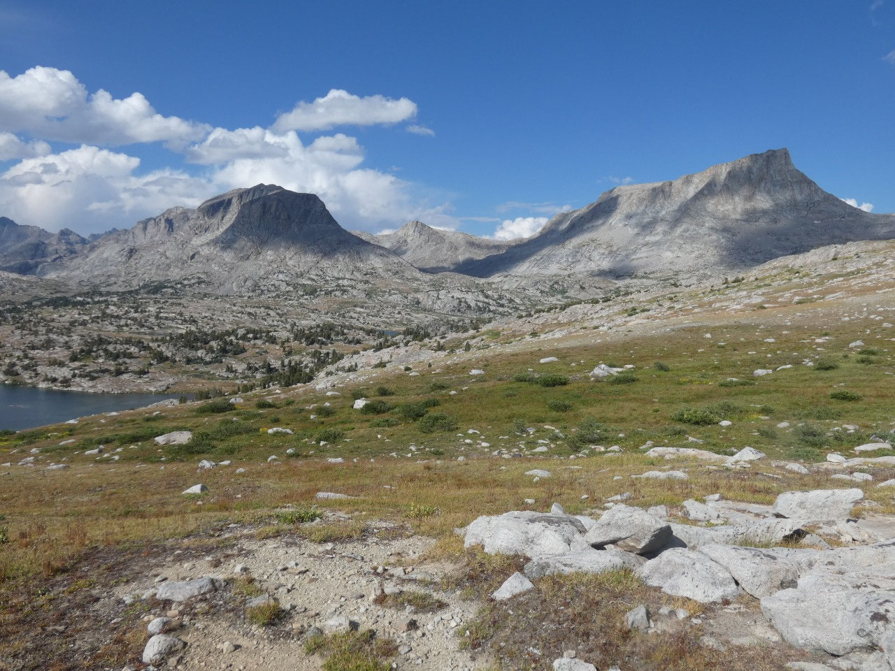
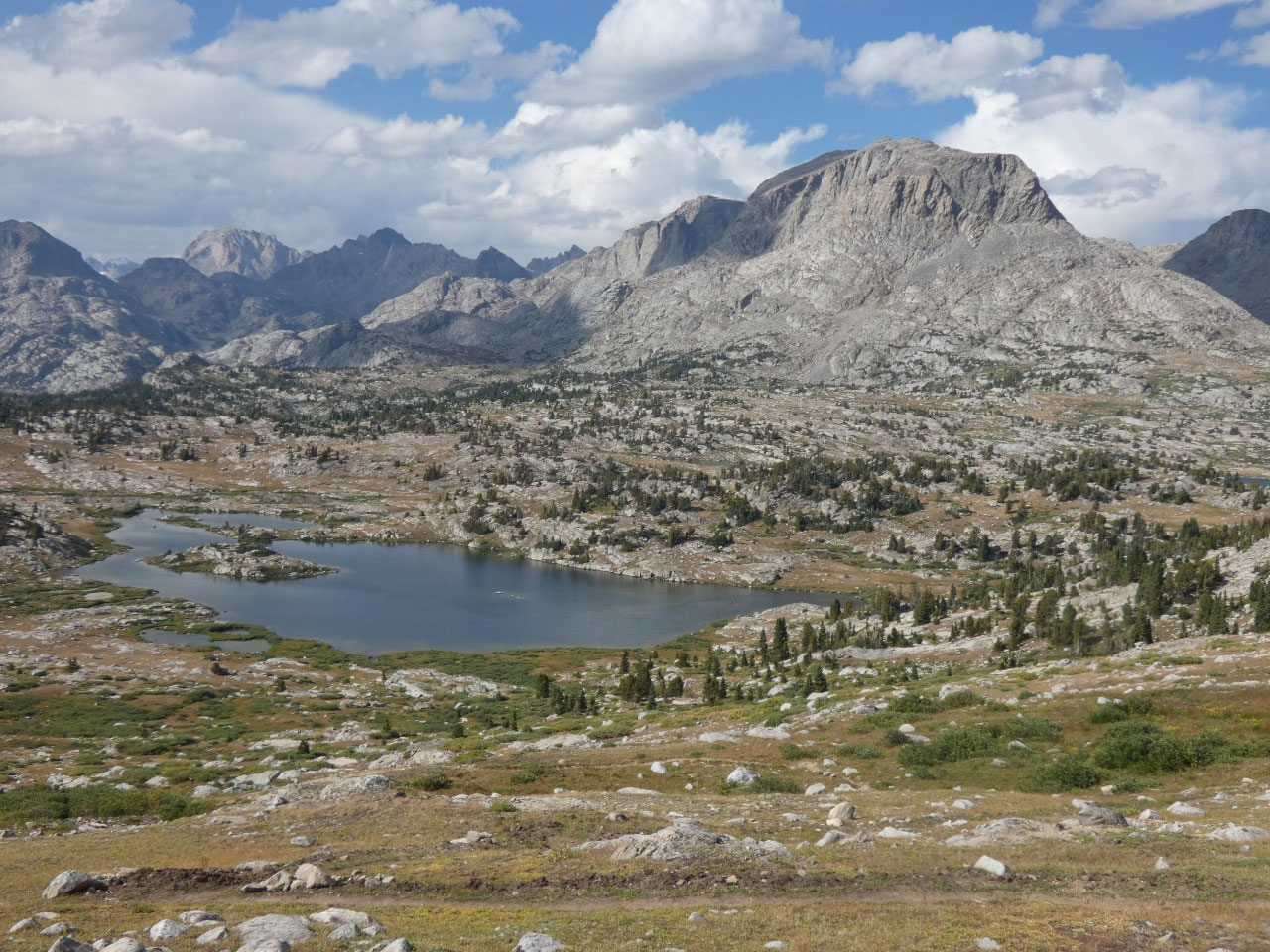
The Wind River Range resembles the Sierra Nevada in
California in being composed mostly of granite, similar in scenery and somewhat
so in vegetation. One characteristic of
the rock is that water doesn’t seep through it, creating an immense number of
lakes in the range. In some places there
seems to be almost as much water as land, including in places where it doesn’t
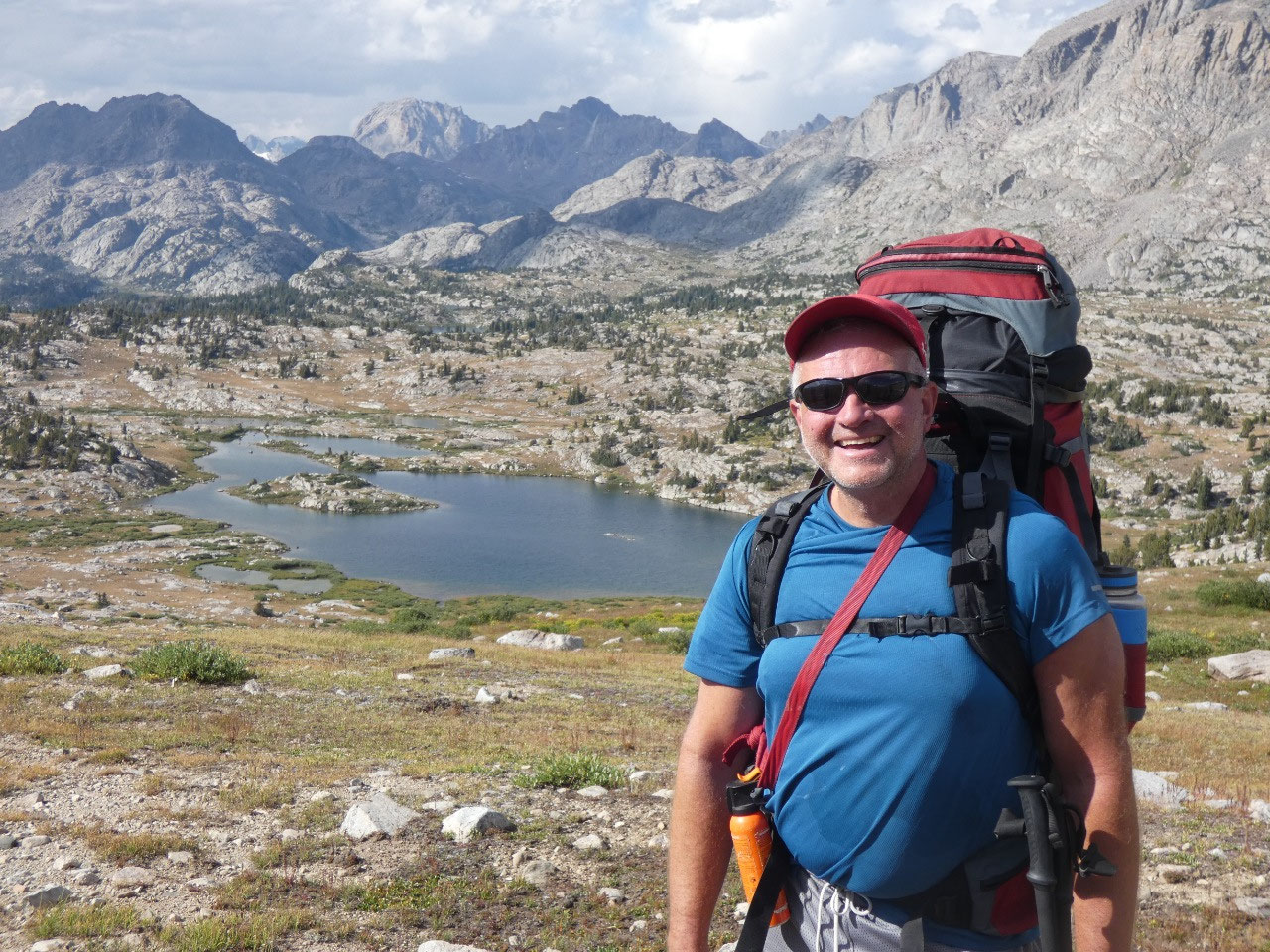
seem like a lake should be. One of the passengers on the trip, Dan, was a
geologist who was able give short lectures on what we were seeing geologically
as we went along.
Bald Mountain Basin was an absolutely stunning site to camp
at.
But one problem was almost no trees,
certainly not significant ones. That
means no good places to tie a tarp overhead for shelter for cooking and other
activities before turning in for the night.
Although the day’s weather had been very good, cloud tops from obvious
thunderstorms blew overhead soon after our arrival, indicating storms were
likely coming. And so they did. Jenn and some of the others managed to stretch
a tarp between two irregular rocks and two hiking poles to create a modicum of
shelter to prepare and consume food during the first of the storms. The bigger storm rolled in later, shortly
before dusk, as I was already in my tent, with some rather nearby lightning
strikes. Jenn insisted we were in a good spot because we were relatively low,
but to me we still seemed way out in the open. I couldn’t help but think, “Maybe
this is it. If I’m destined to die, I’ll die”.
The storm ended and absolute quiet followed for hours. Then around 3:30 in the morning I again heard
the pitter-patter of very some precipitation on my tent. “I hope this doesn’t turn to snow. I hope
this doesn’t turn to snow!” All well,
though, with no sign of new snowfall at dawn even on the higher peaks around us.


2025-05-22