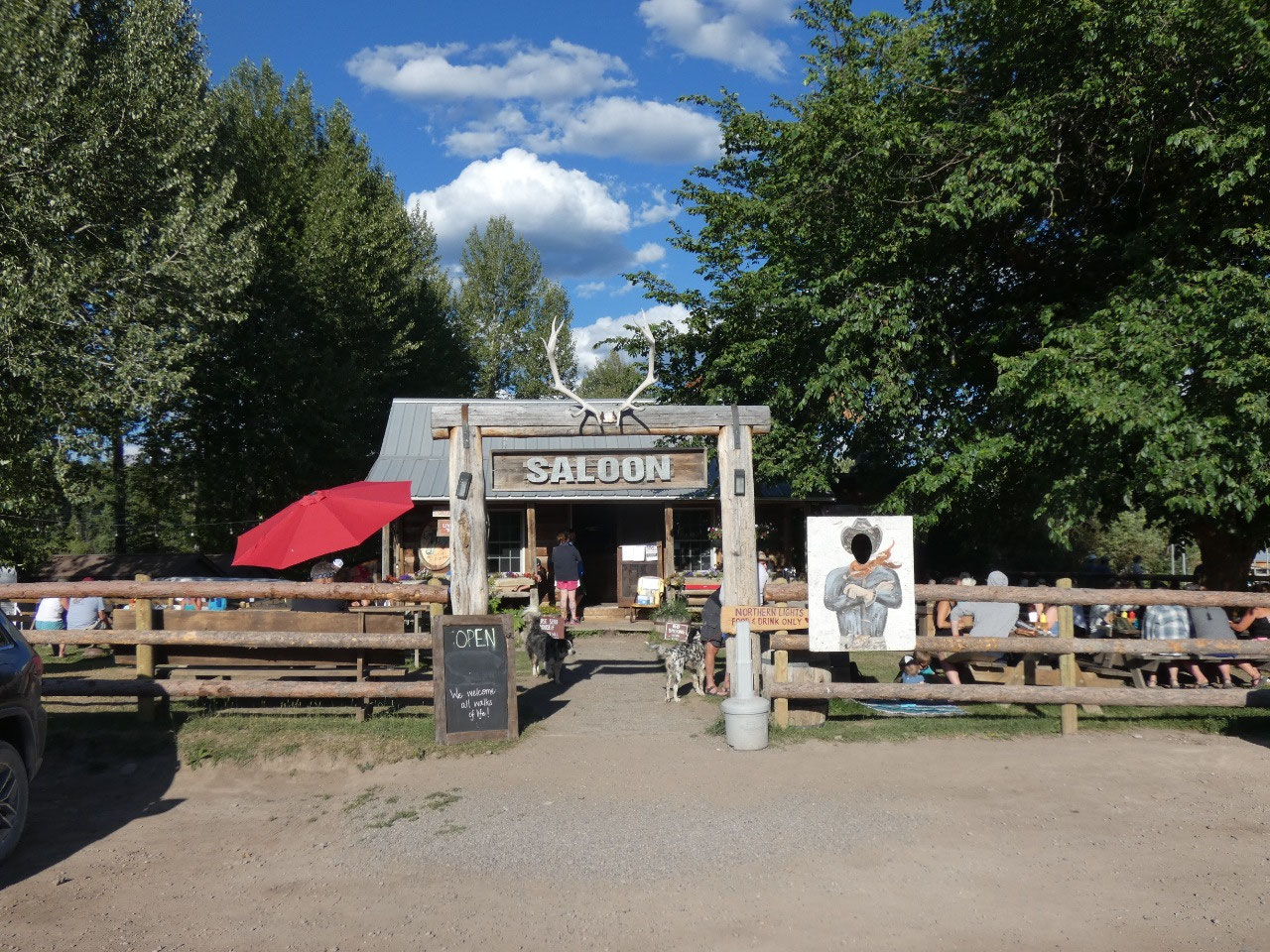
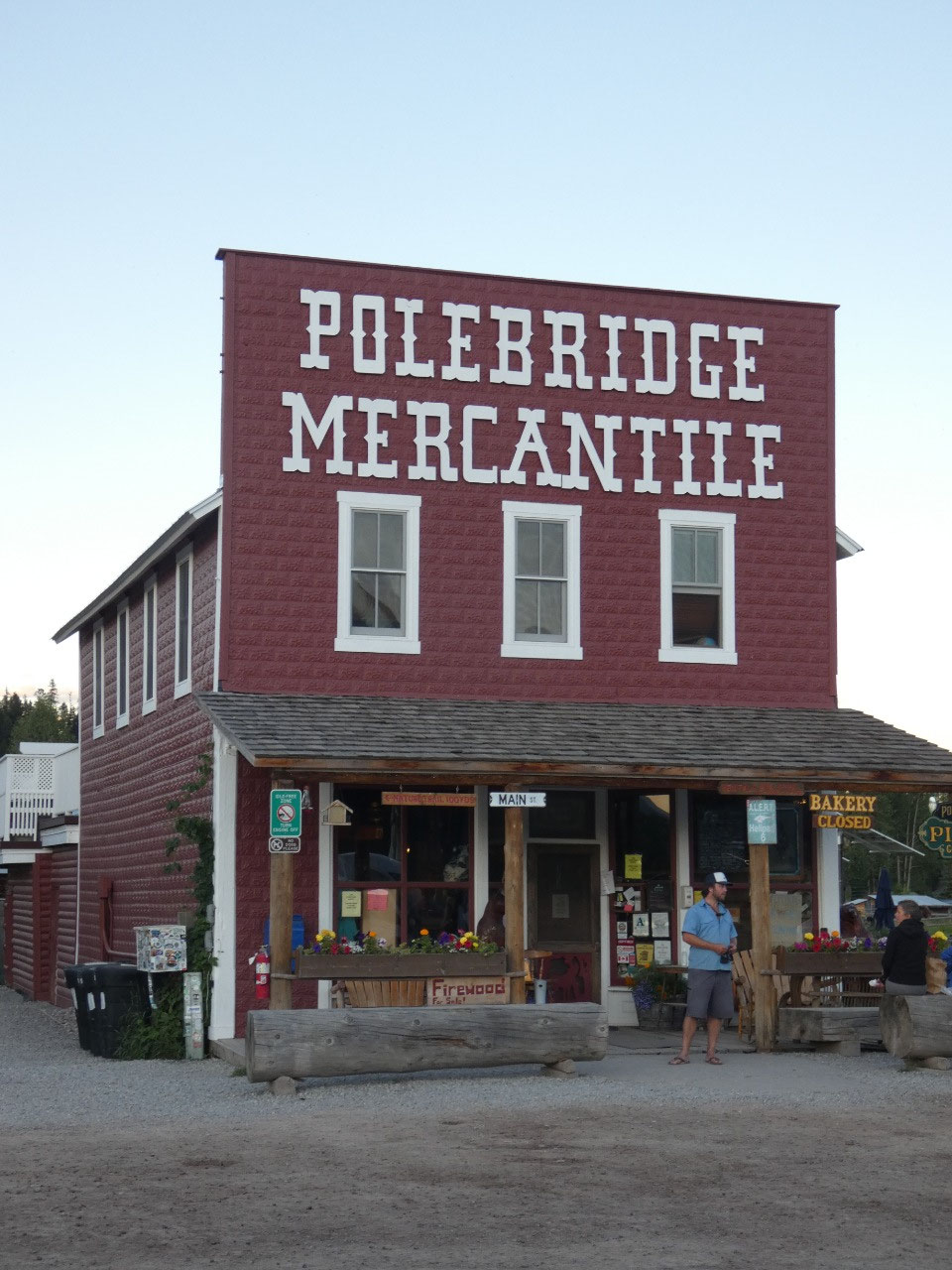
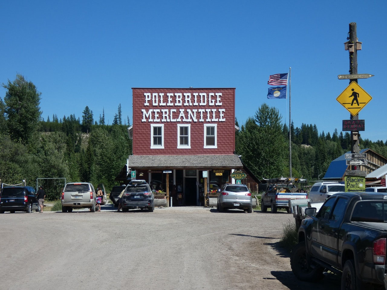
 Polebridge Mercantile & Bakery, Montana, United States
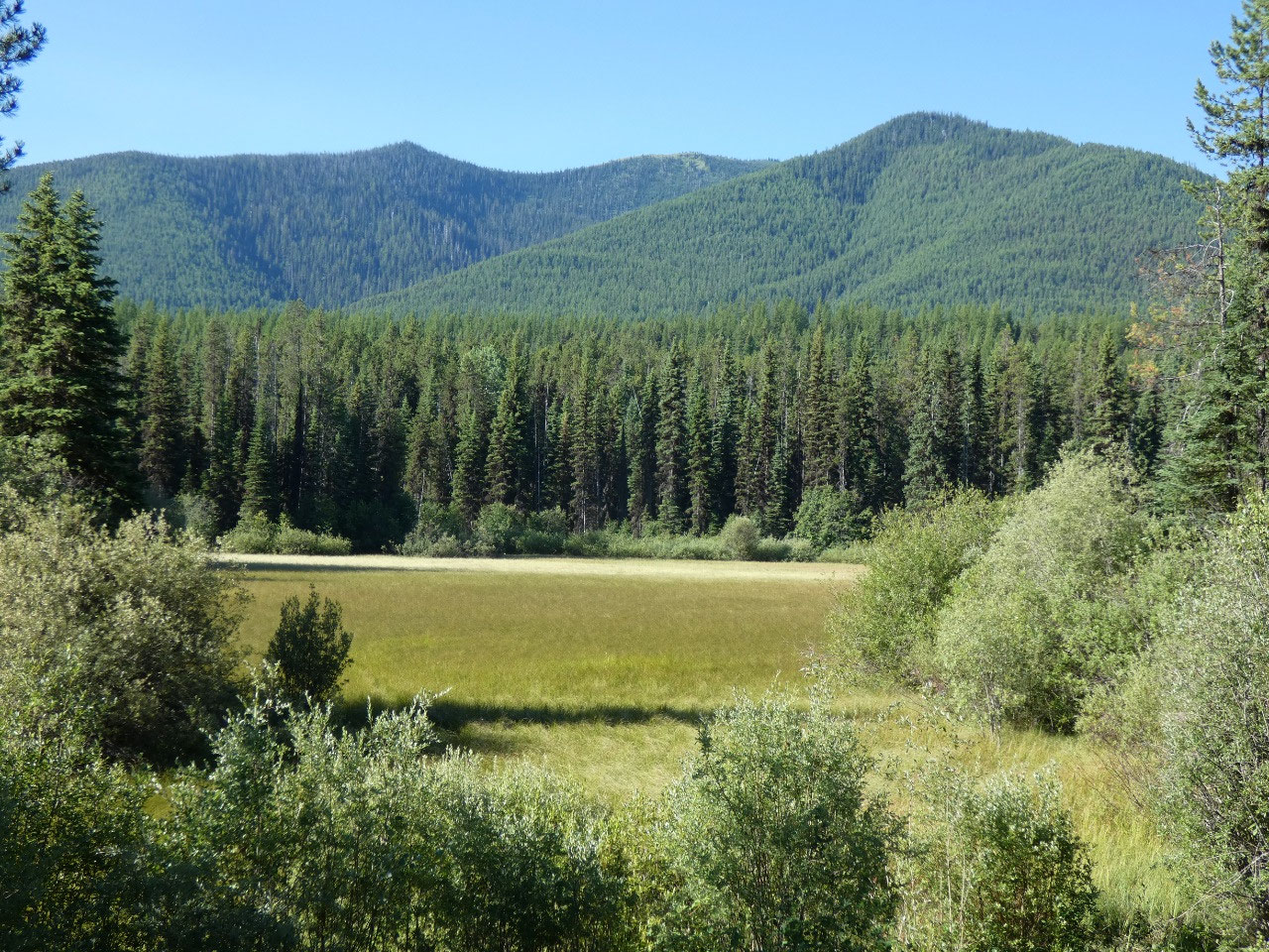
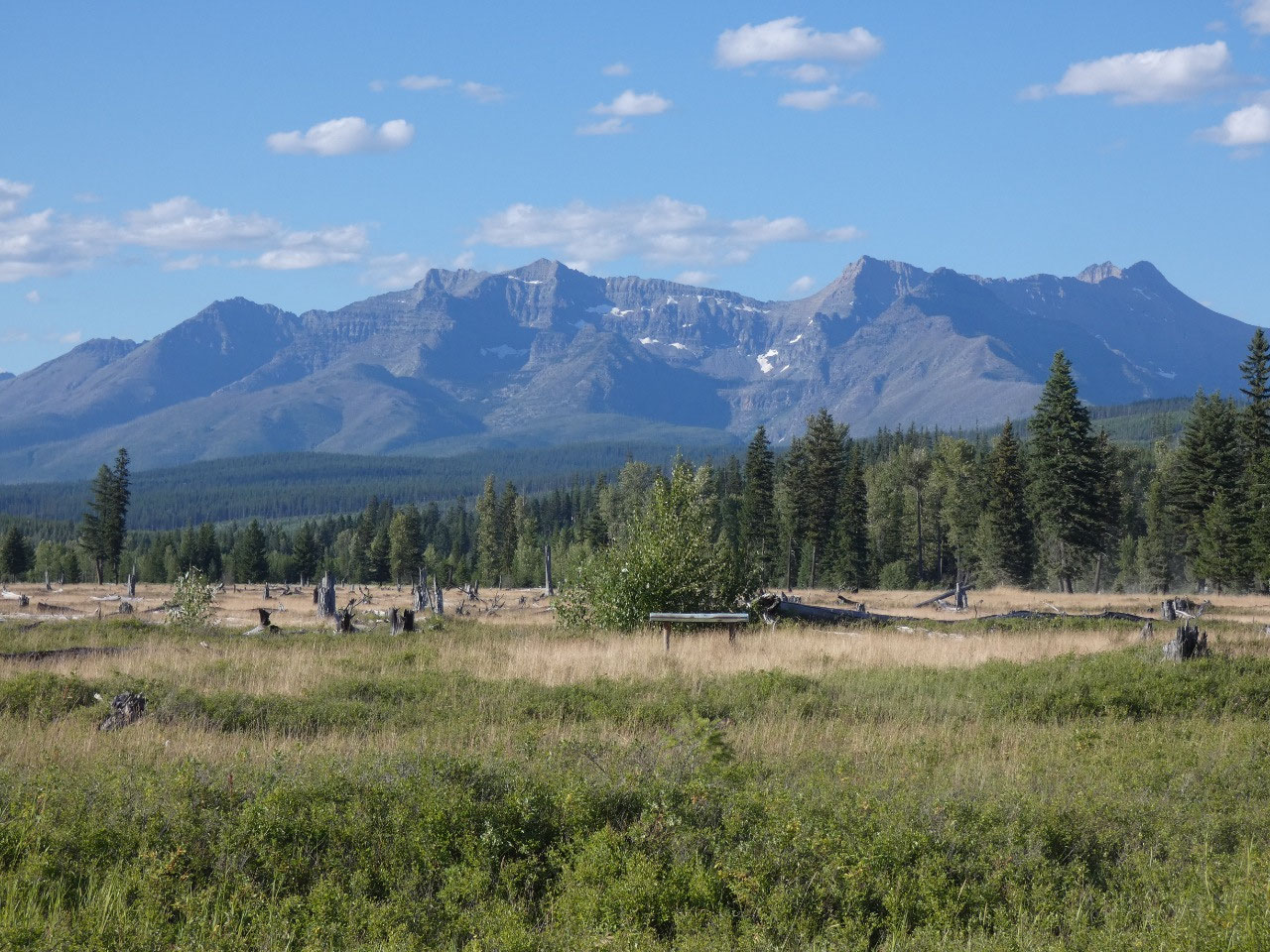
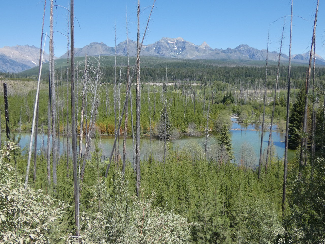
The remote northwestern part of Glacier National Park near
the Canadian border is a part of the park I’ve never been to. Accessed by a single backroad along which
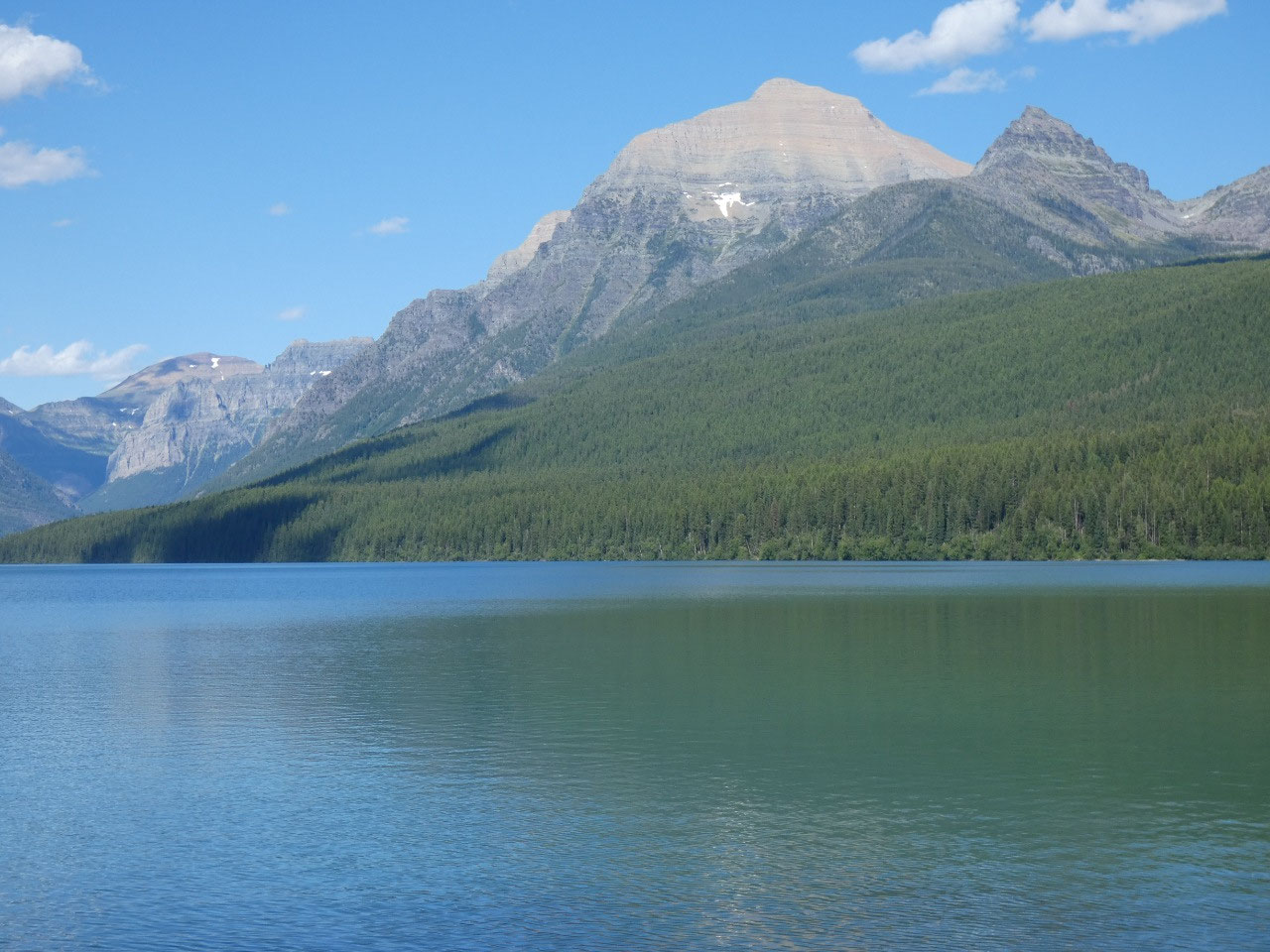
there are virtually no services, rutted dirt roads lead to several lakes like
Kintla and Bowman with stunning mountain backdrops. The area is called the
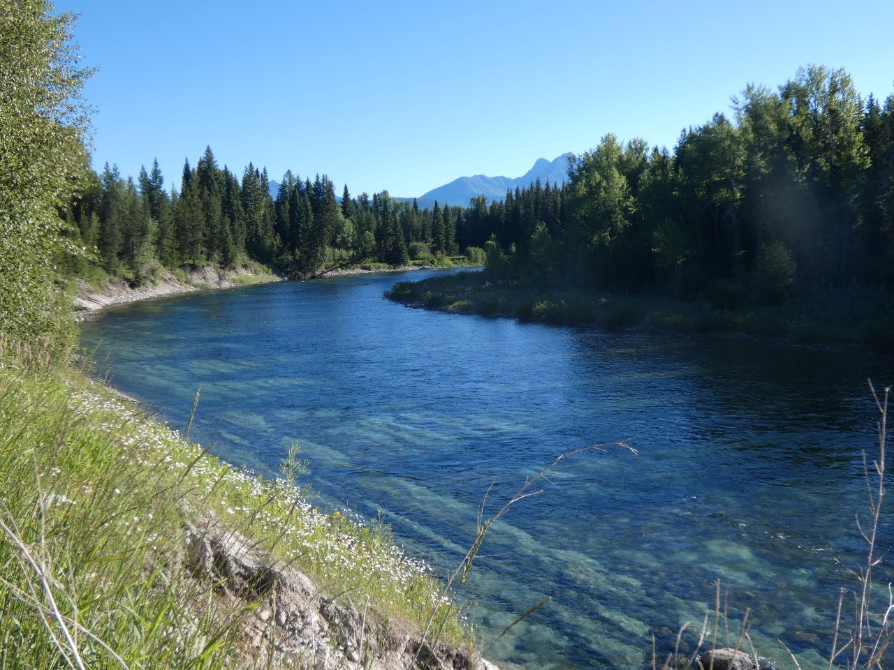
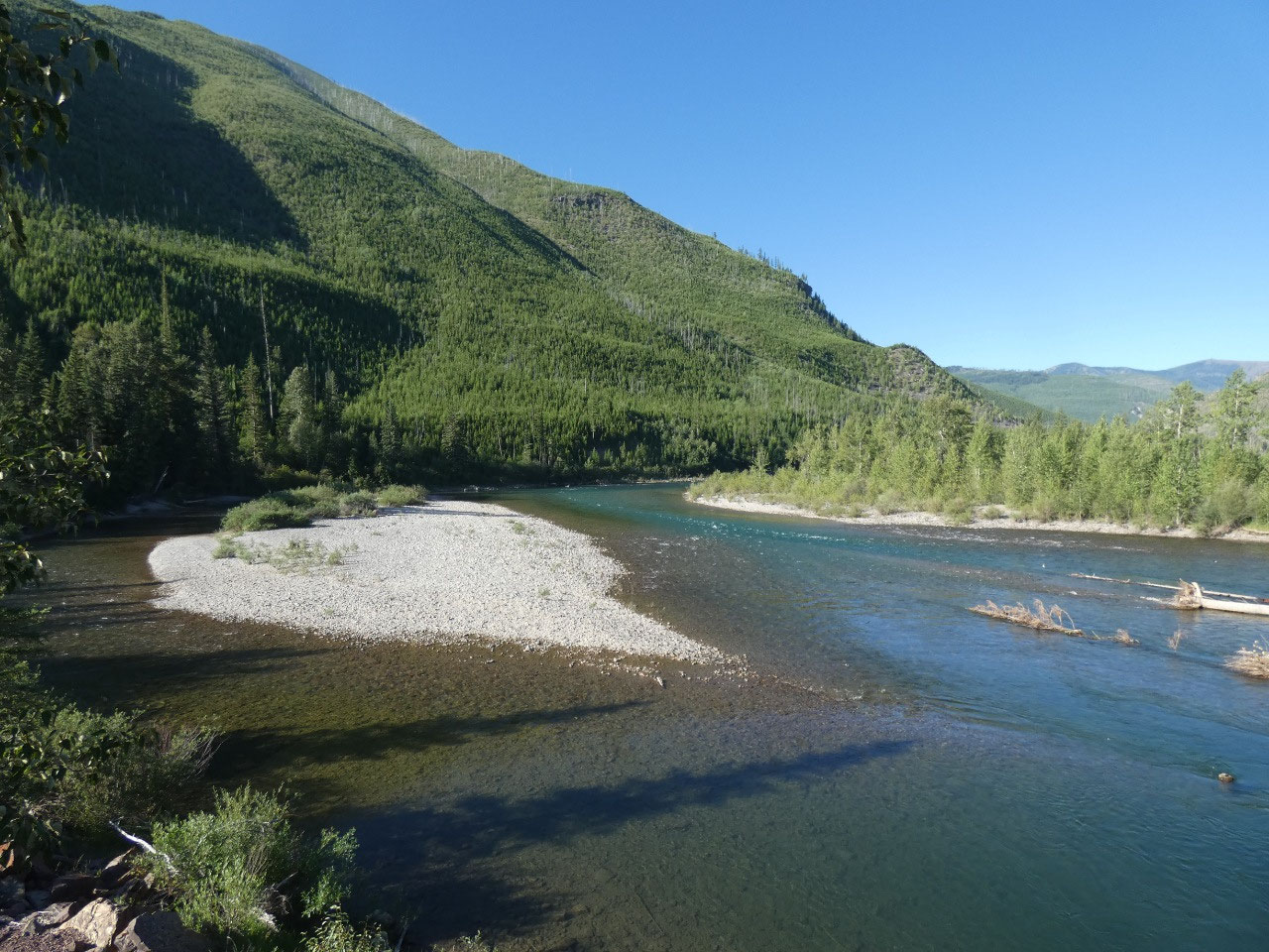
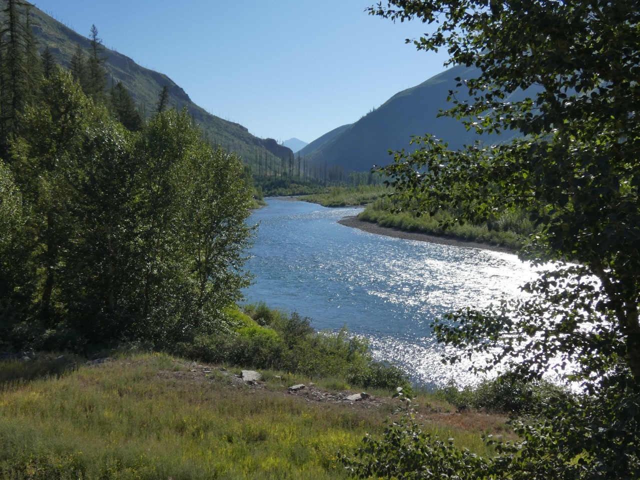
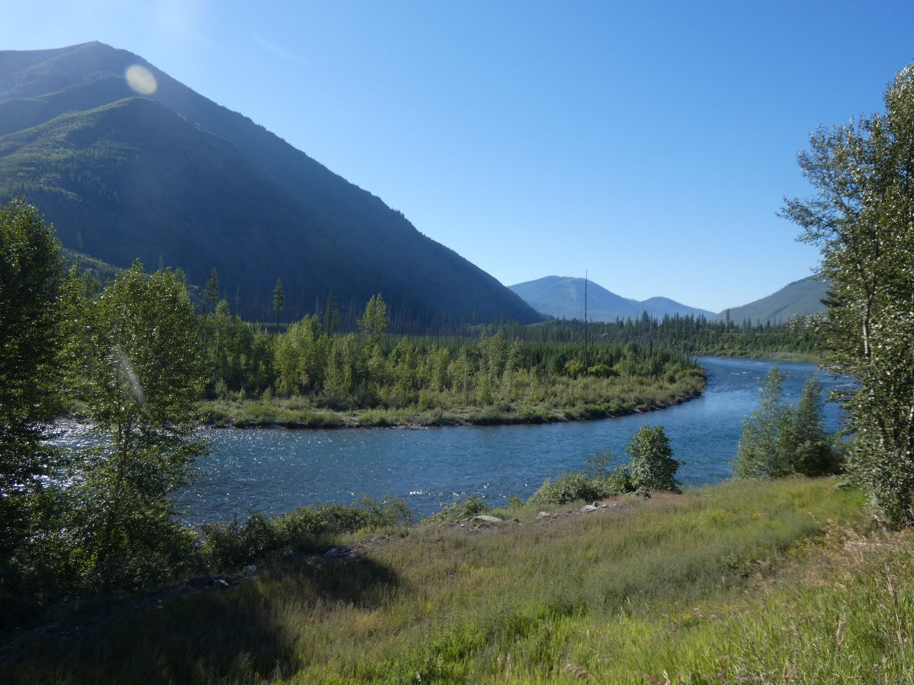
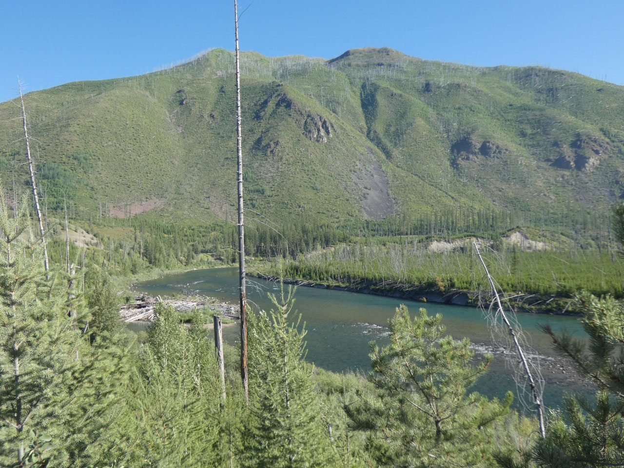
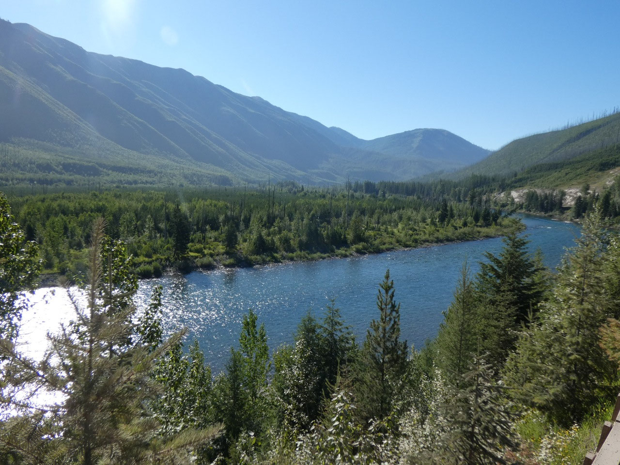
North Fork Valley for the north fork of the Flathead River which forms the park’s
western boundary north of its confluence with the Middle Fork near East
Glacier. The North Fork is nowhere near as busy as other parts of the park, but
folks say it’s also not as undiscovered as it was only a decade ago.
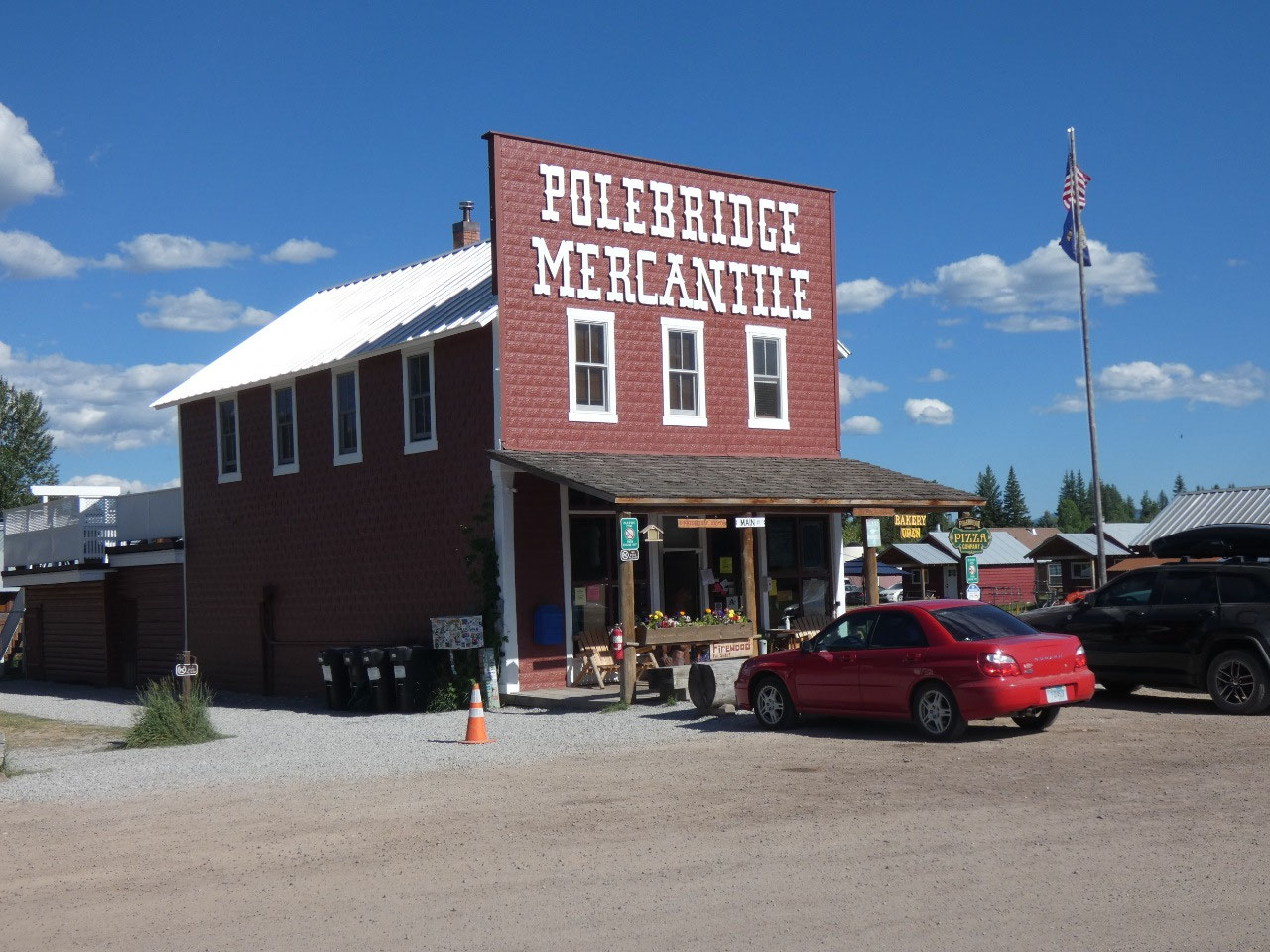
The road north to Polebridge, the only village in the North
Fork, is mostly paved and better than I expected, although beyond Polebridge
into the park things get a little bumpier and more adventurous. I’ve heard
Polebridge described as a little hippie town.
That could be, since it seemed to be the haunt of lots of beardy young river
rafting guides, but on the other hand the political signs along the road in
most of the North Fork were for Trump and Republican candidates, and rural
areas in these parts are known for their right-wing sympathies.
I suppose
nowadays crunchy hippies and militant righties have a few more things in common
than just the beards.
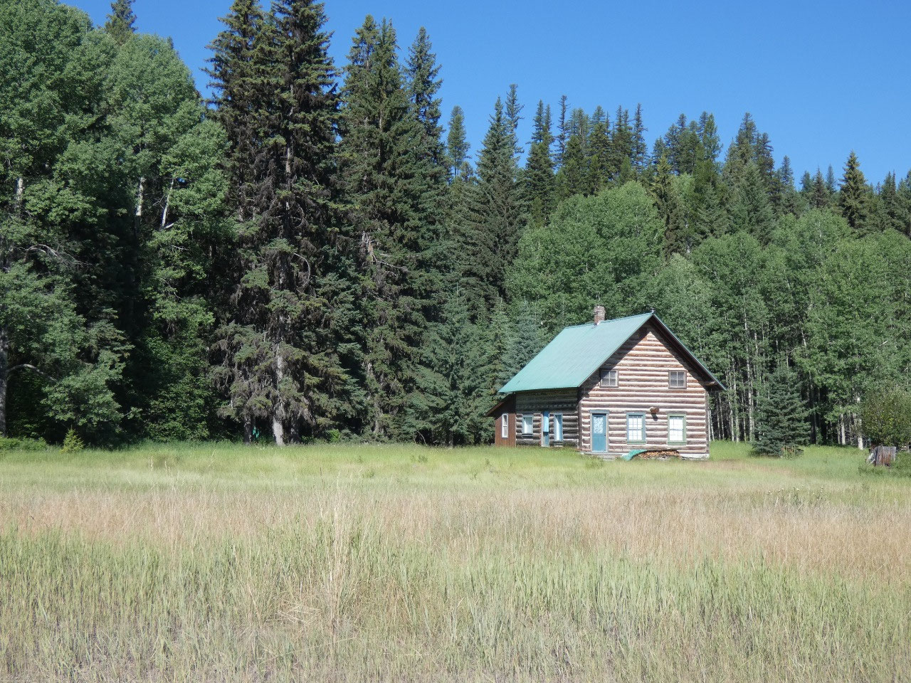
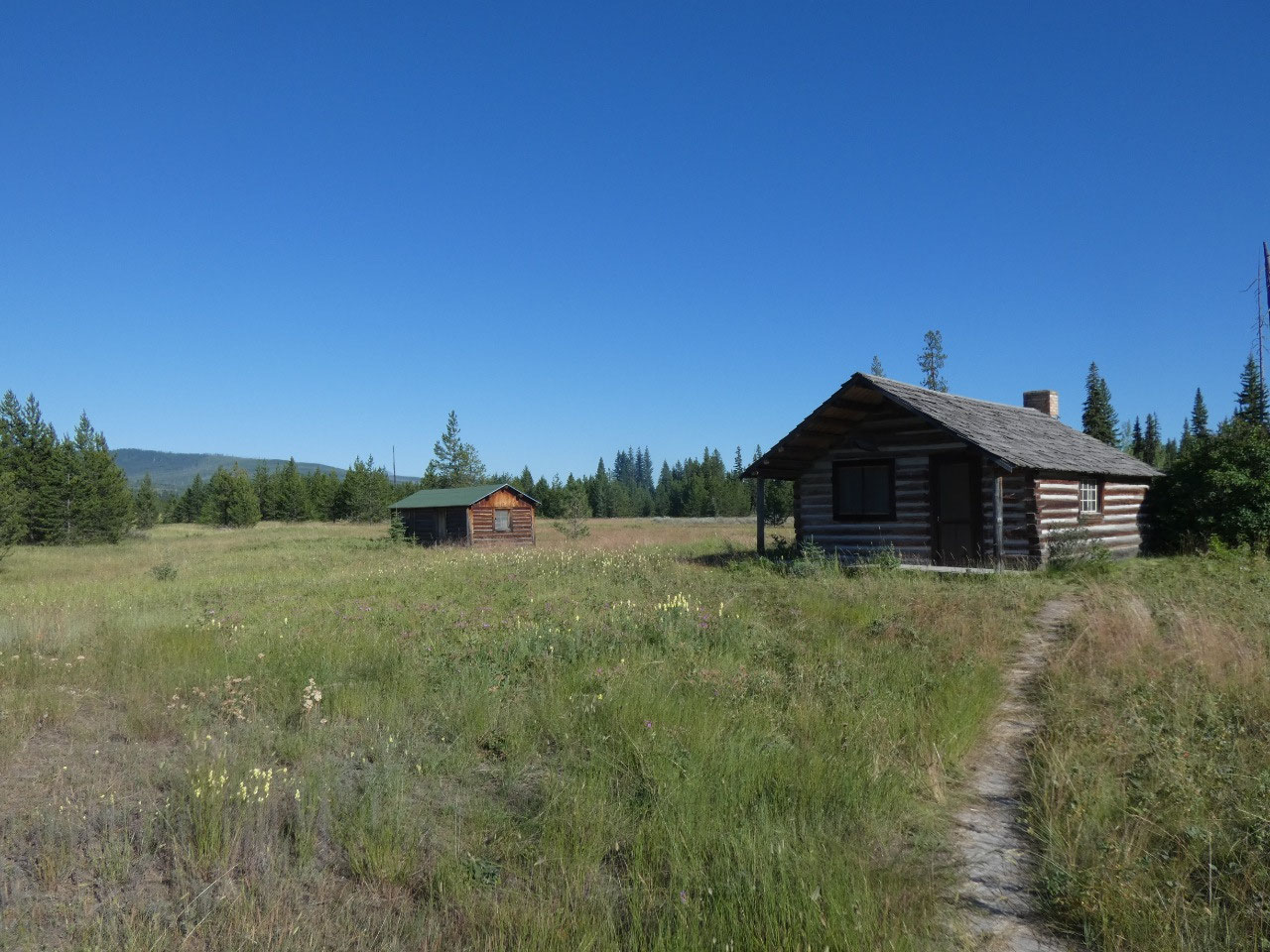
I think Polebridge has a population of about 30, with one
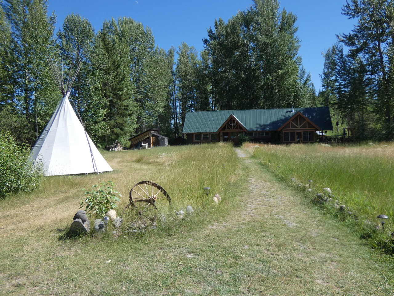
restaurant, one famous store (Polebridge Mercantile, a youth hostel, and lots
of cabins for rent. It’s a perfect place
for car camping, and it seems like outside the national park boundaries there
are lots of spots on public land where you can just pull off the road and set
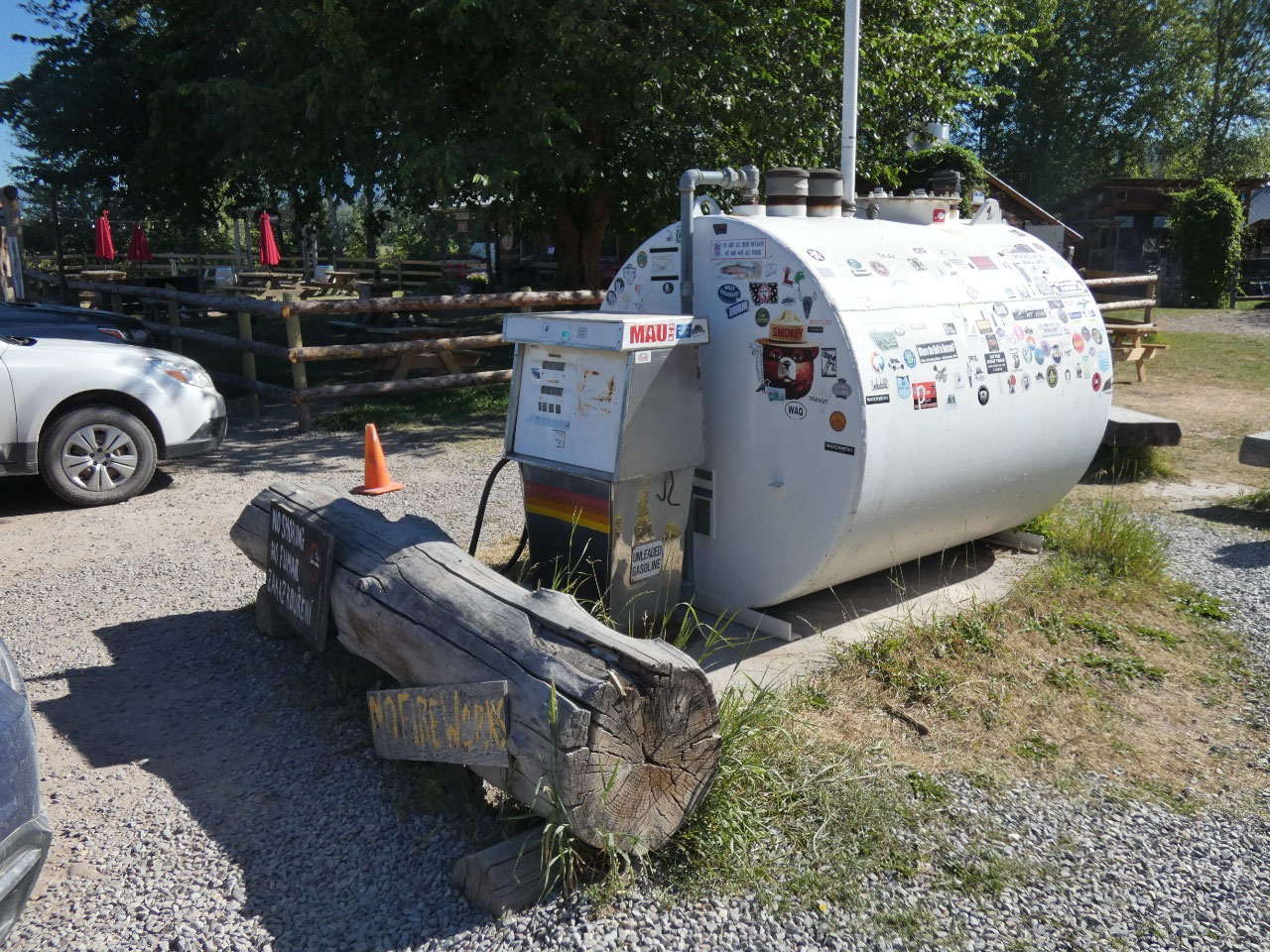
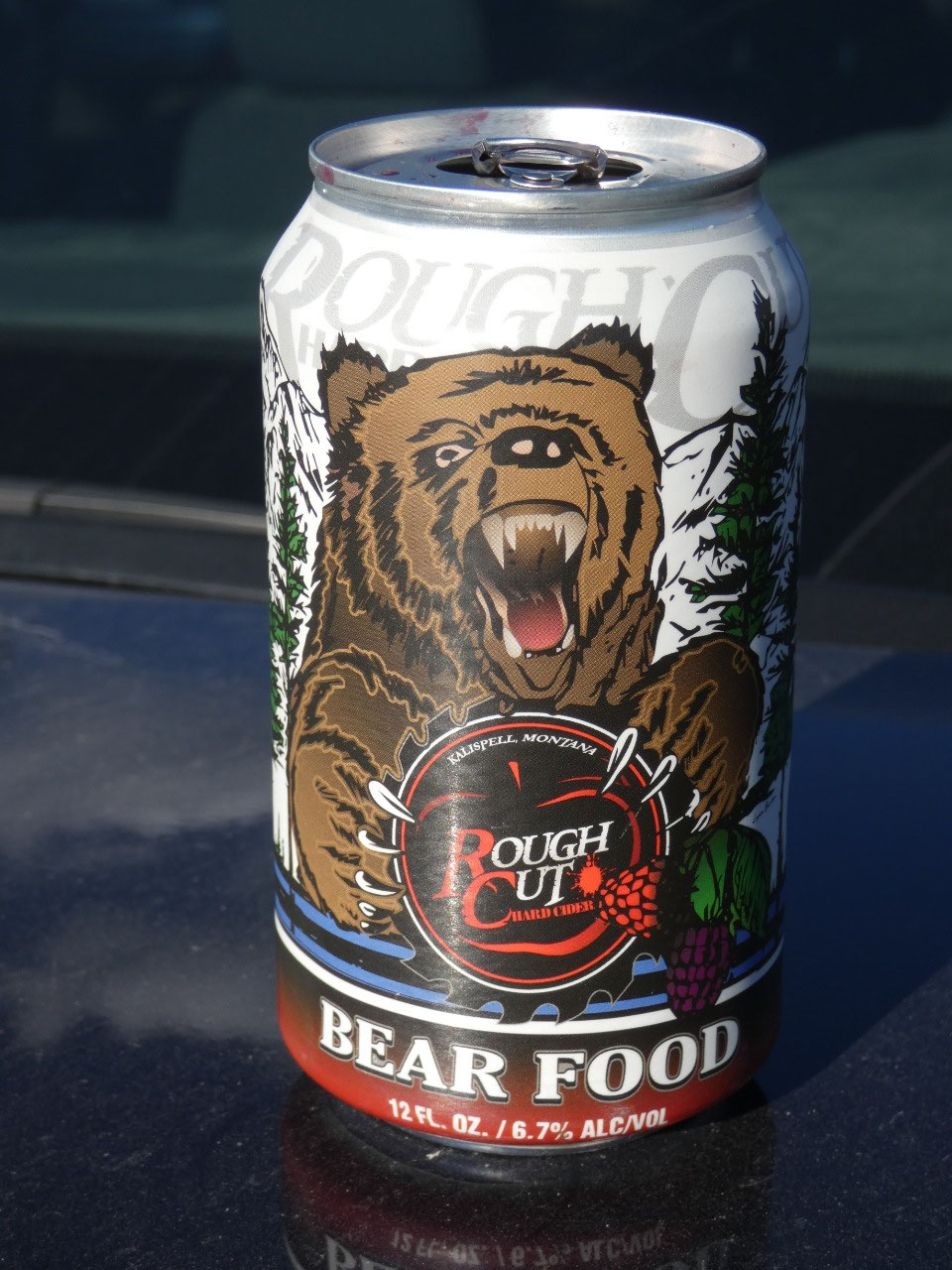
up a tent. Polebridge Mercantile is known for its baked goods, especially its
Huckleberry Bearclaws, but everything I sampled over two days was delicious.
Oh, and there’s also the gas station, which consists of a single pump beside the
dirt road attached to a small above ground tank.
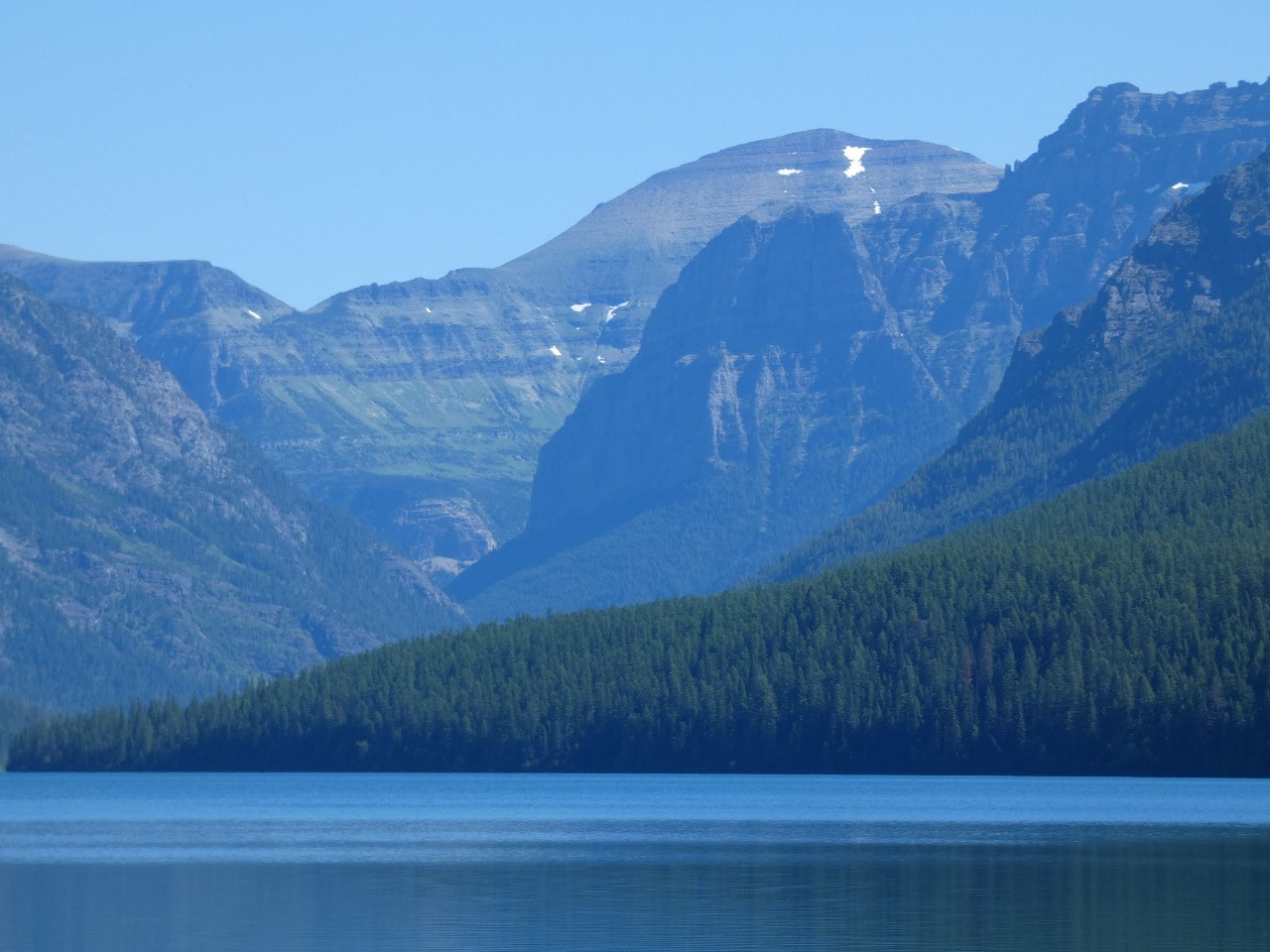
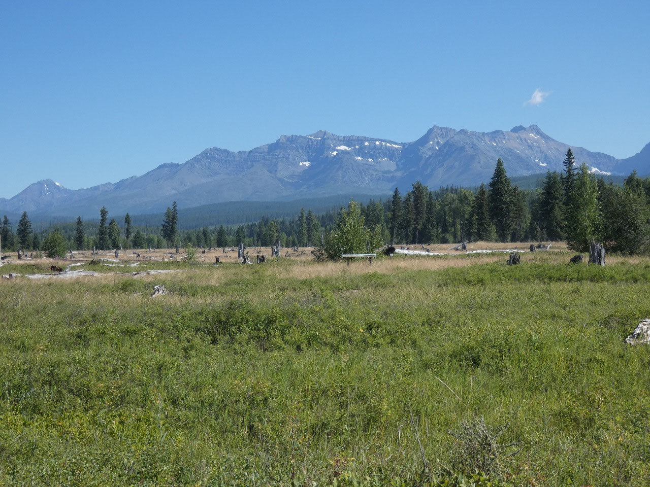
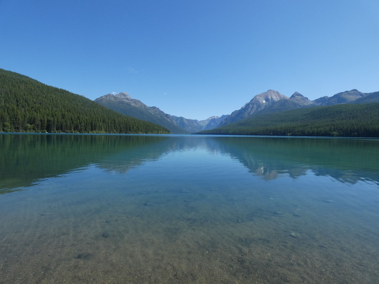
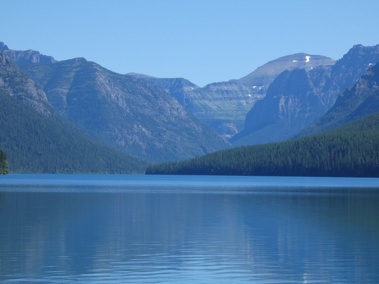
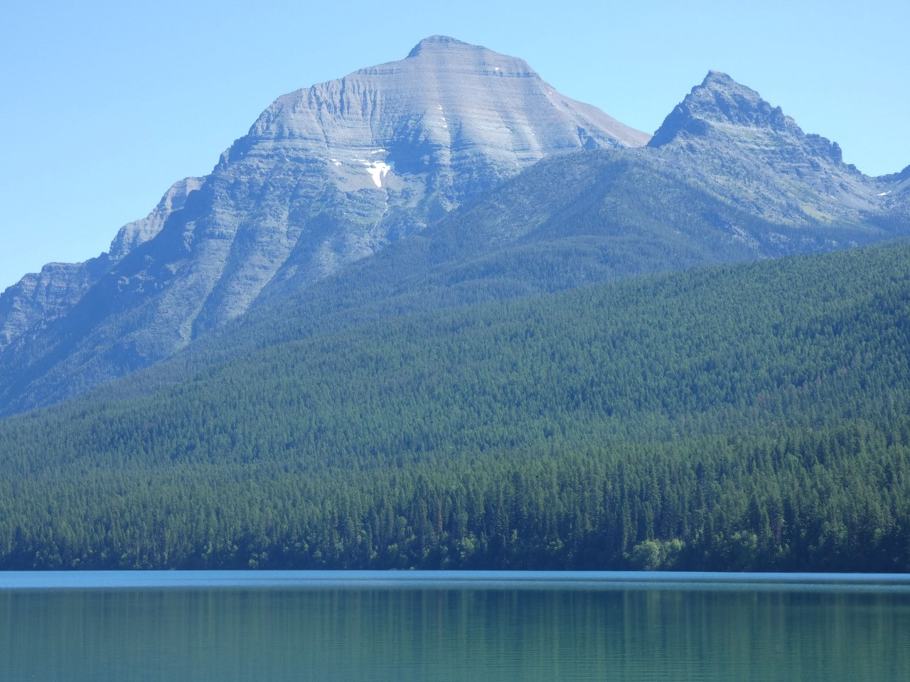
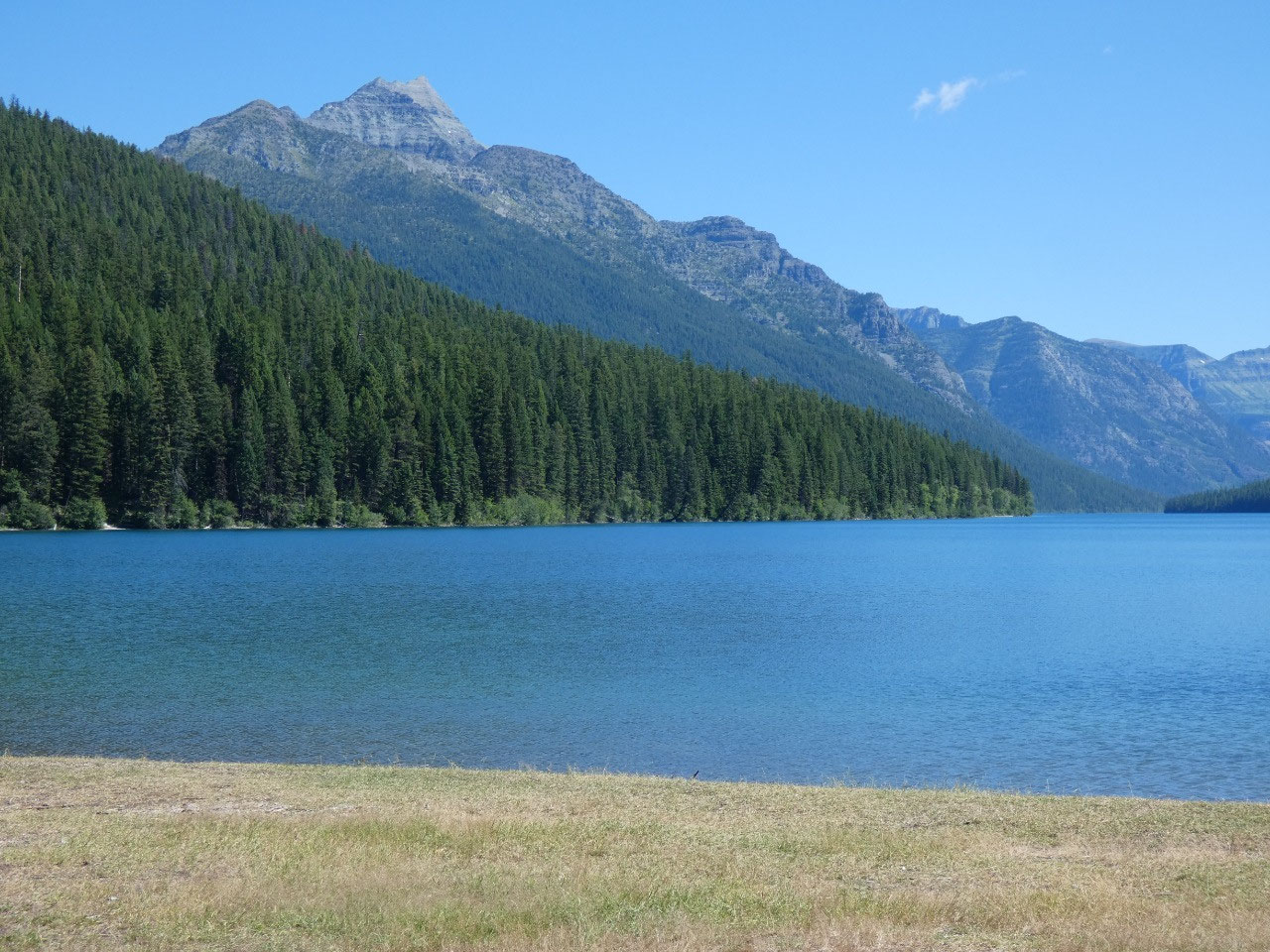
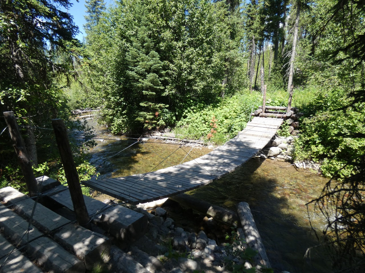
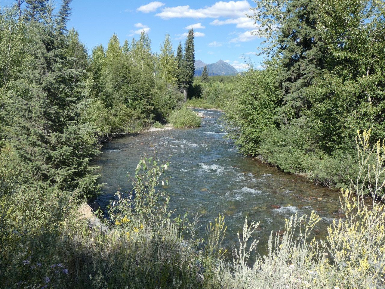
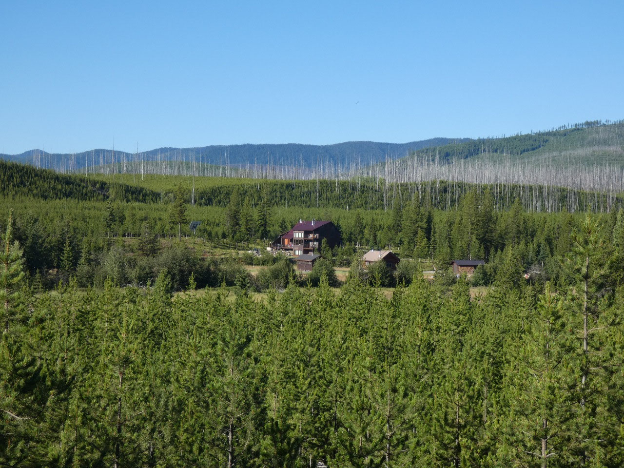
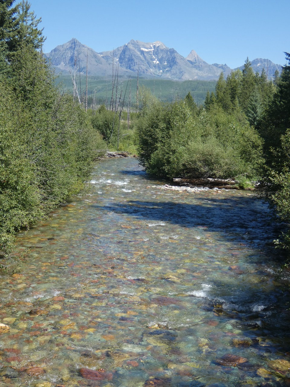
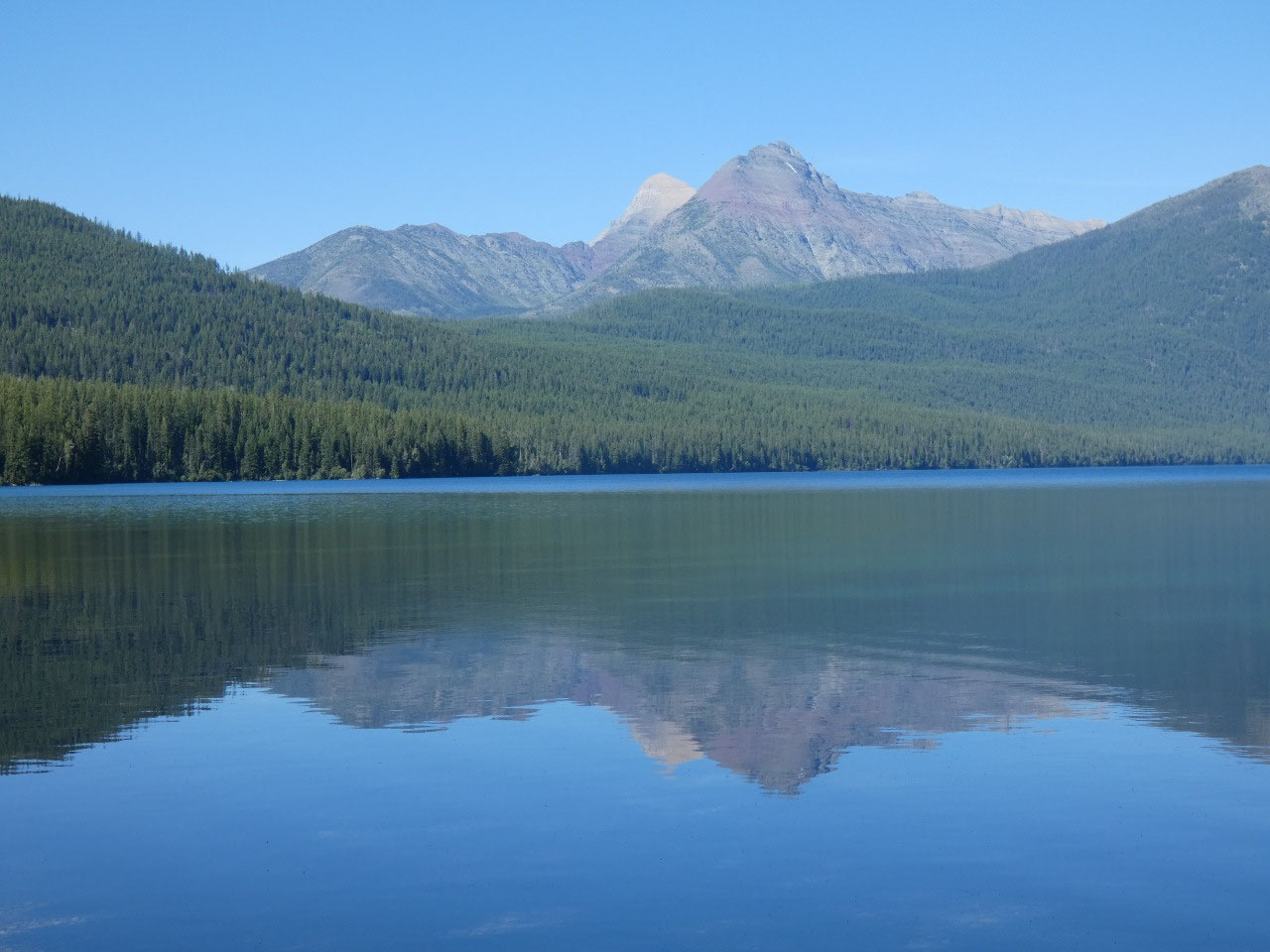
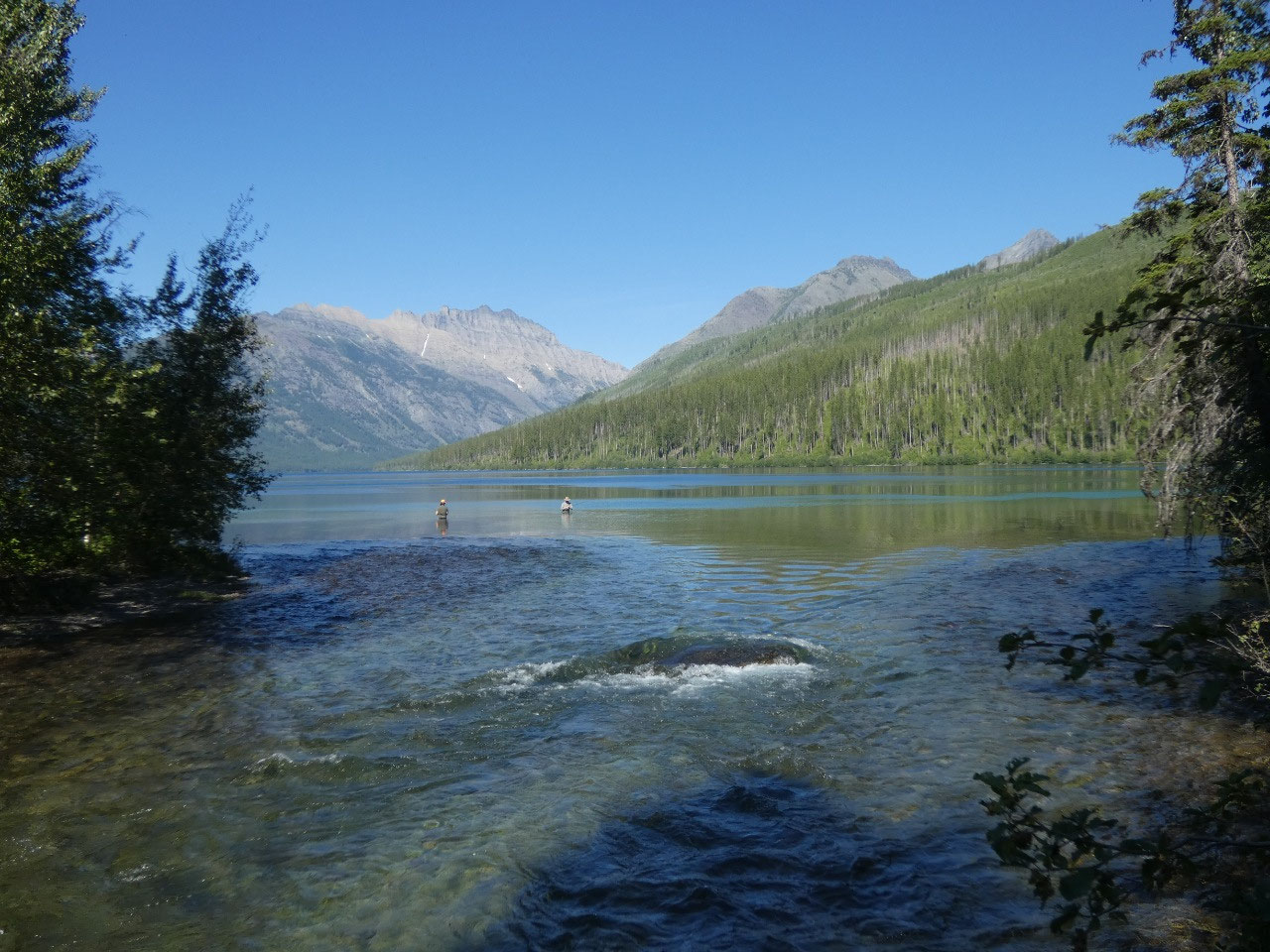
My first day I drove into the park to Bowman Lake, start of
a 12-mile round trip hike to Lake Akokala, a smaller more remote lake with no
vehicle access. It was a long hot walk
in quite low altitude country, with very gradual climbs over a ridge and then up
along the creek to the beautiful lake. A
foursome hiking out after camping the night at the lake warned me about a black
bear ahead along the trail, but I didn’t see it.
Black bears – nothing to be concerned about.
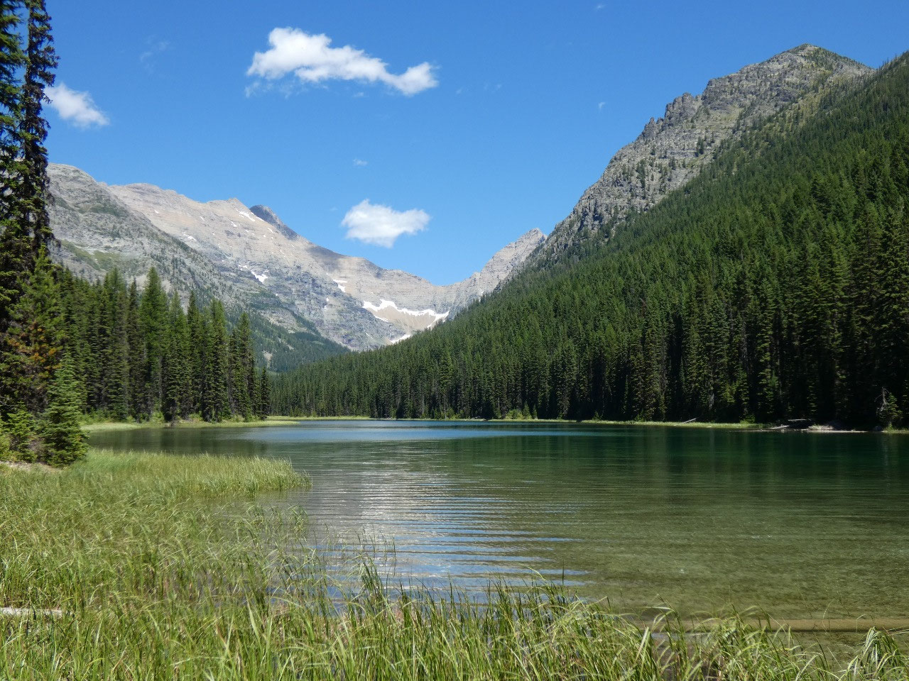
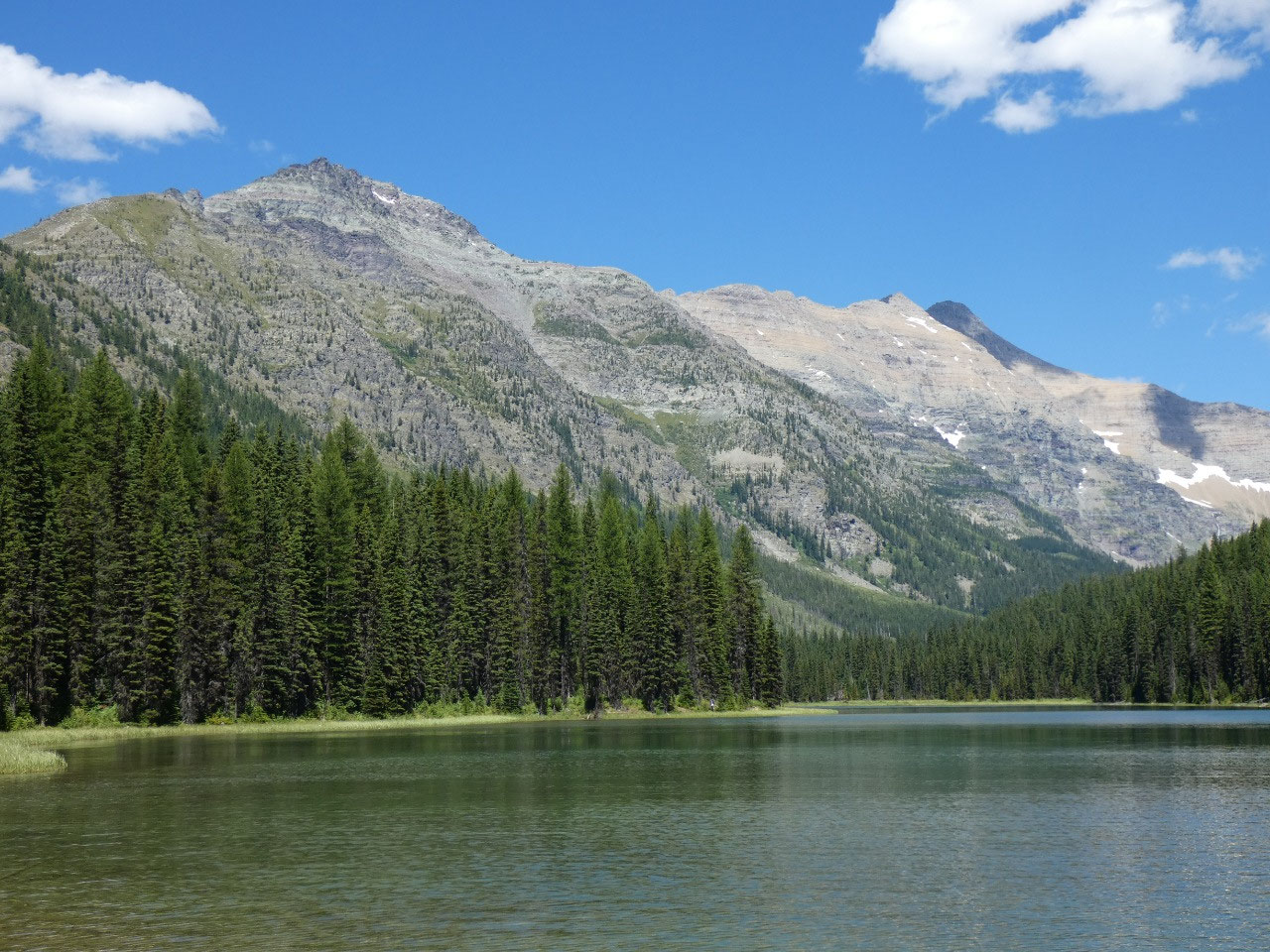
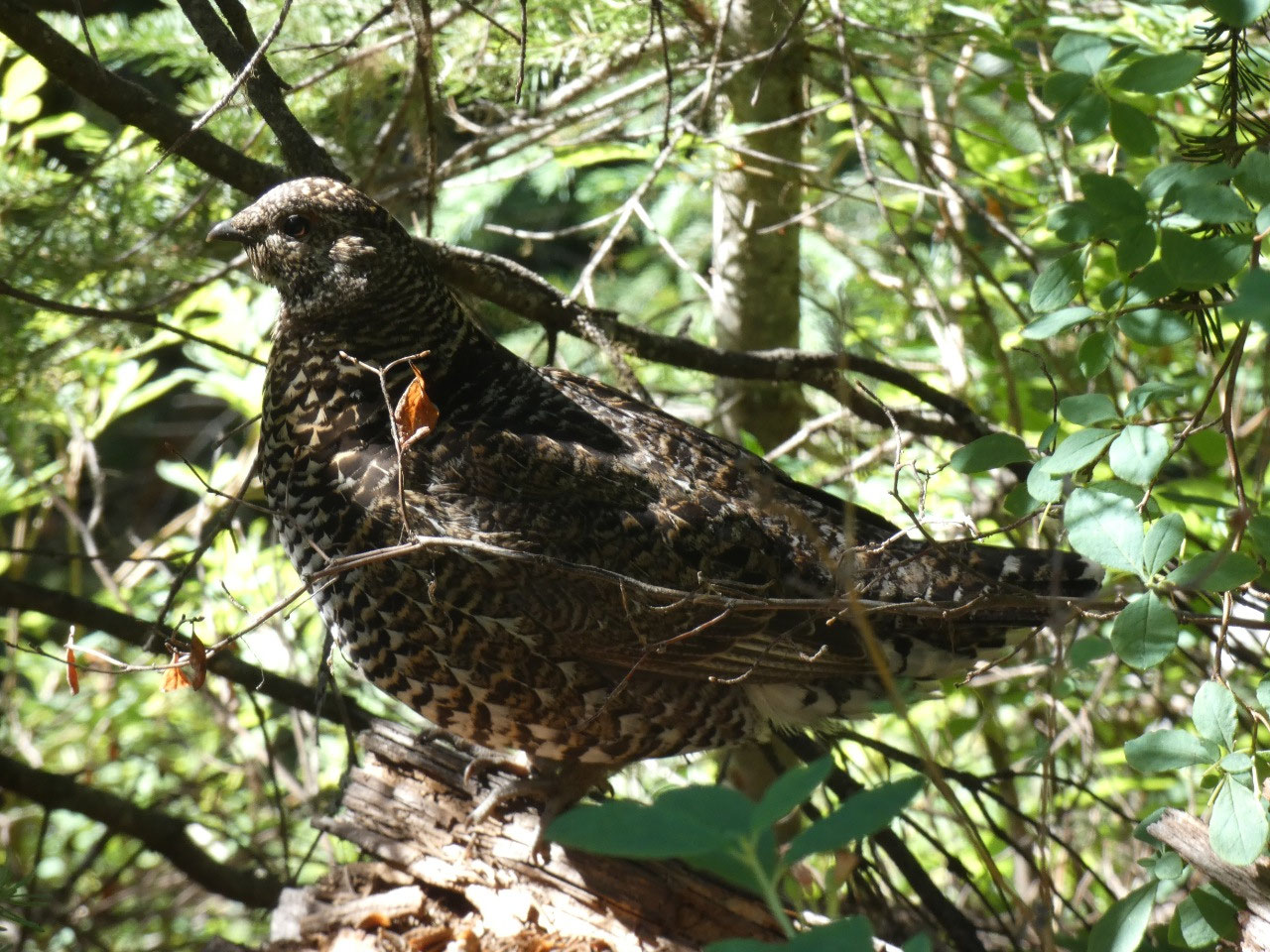
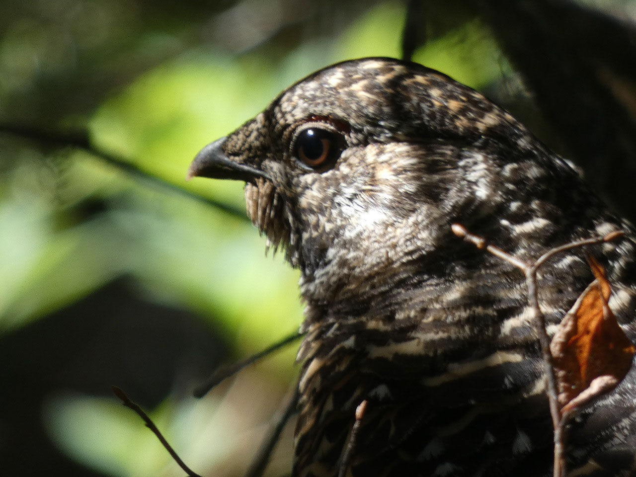
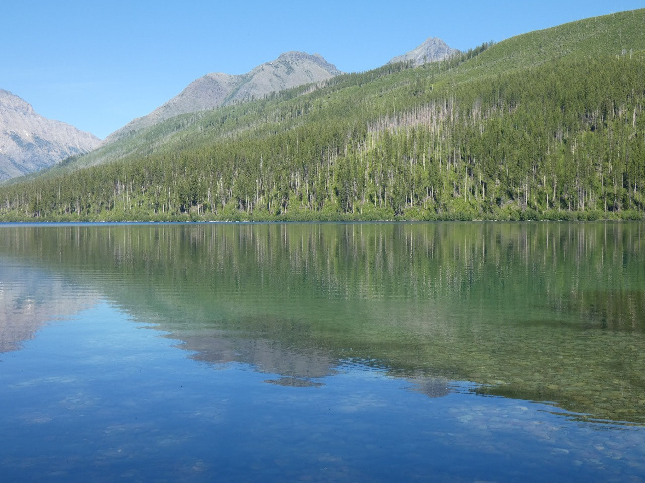
Akokala’s shore is thickly wooded, so it was hard to find a
good place with a view for lunch. And
even then the insects made it unpleasant to stay for very long. Glacier Country
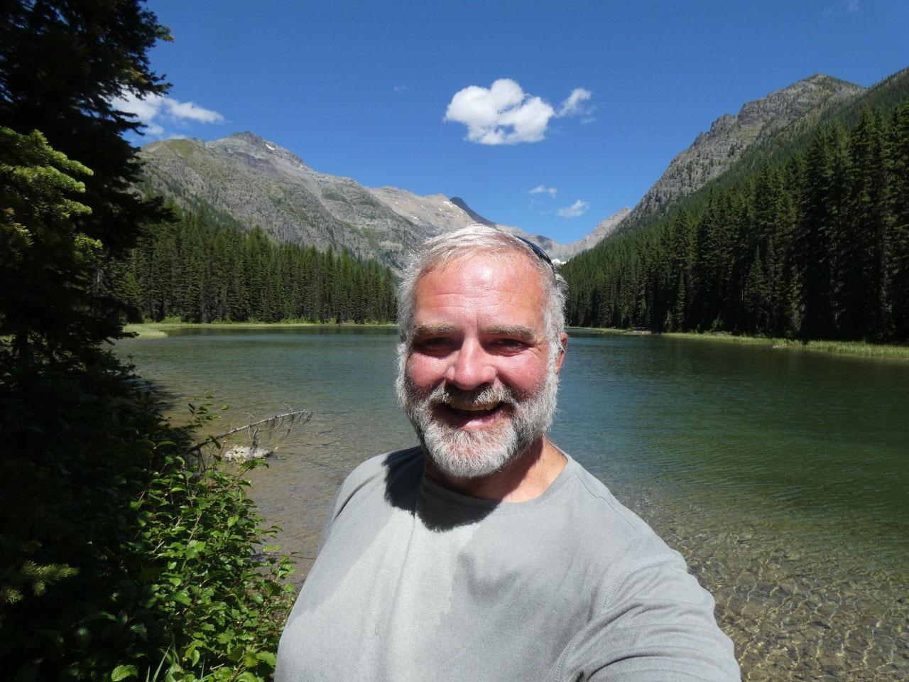
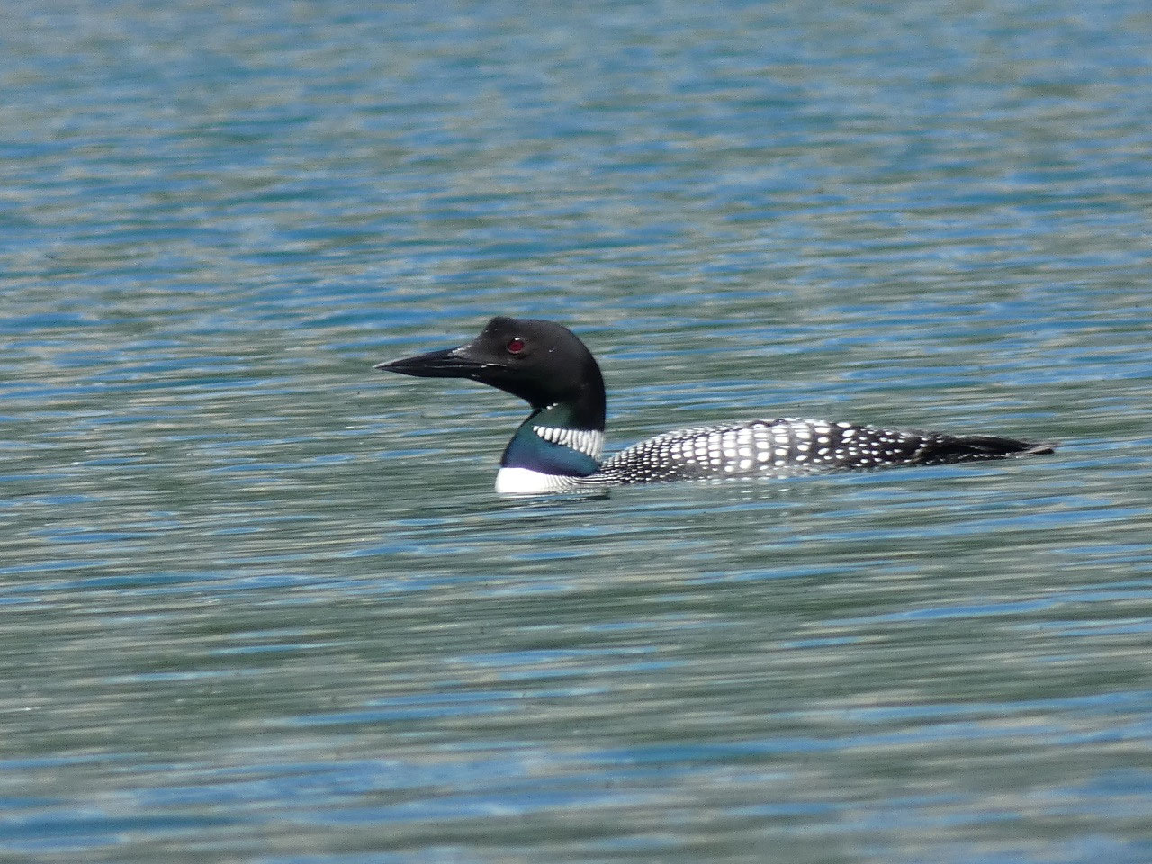
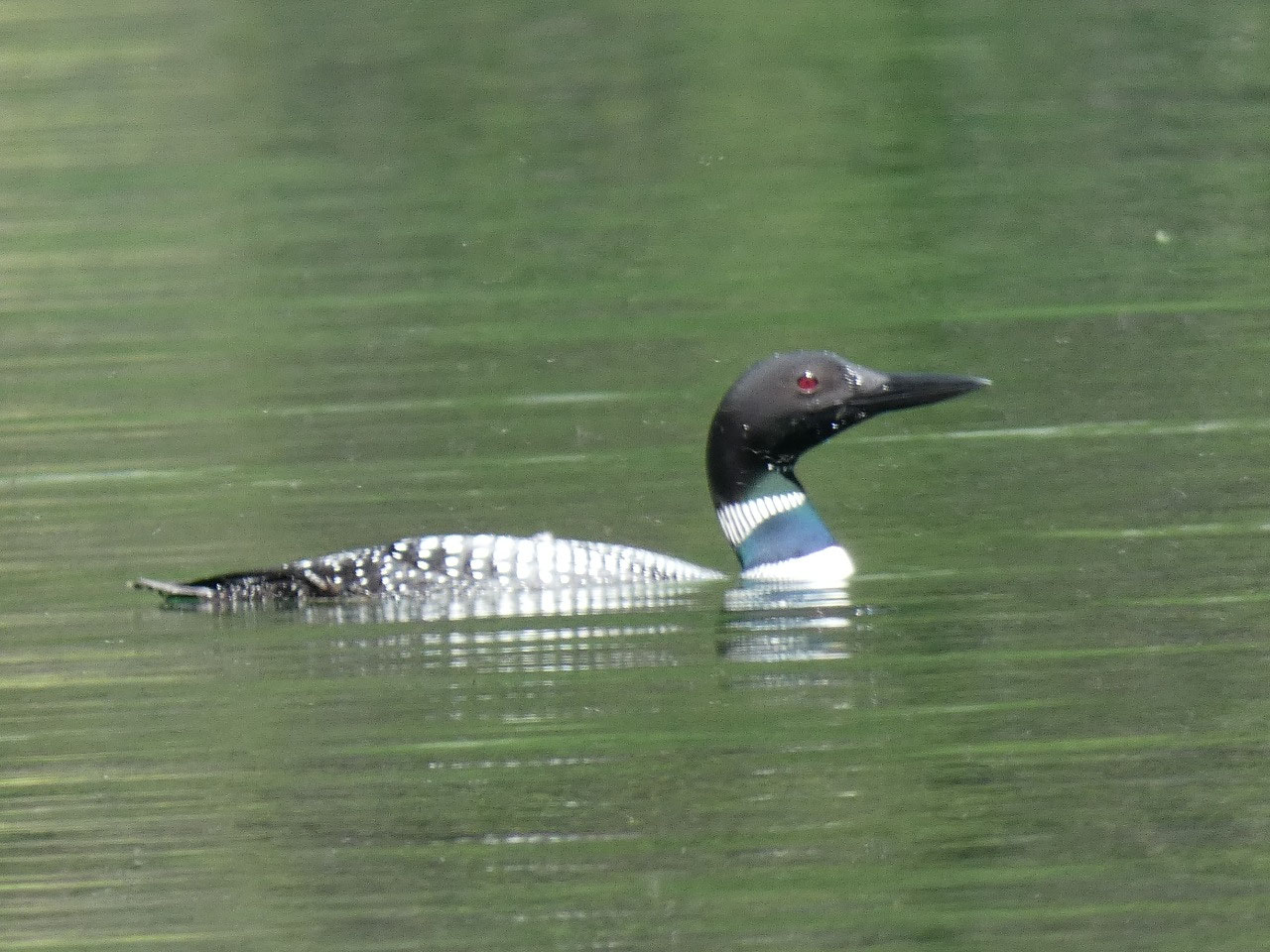
is definitely much buggier than Yellowstone Country. I got to see my first loon ever on the lake,
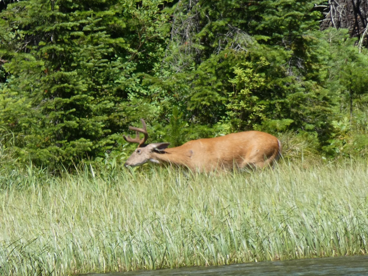
and got a good chuckle when the deer I noticed in the distance circling the
lake got a good shock as it turned a corner from behind a bush and first
noticed me just twenty feet away.
For my hike the next morning, I decided on an early start and
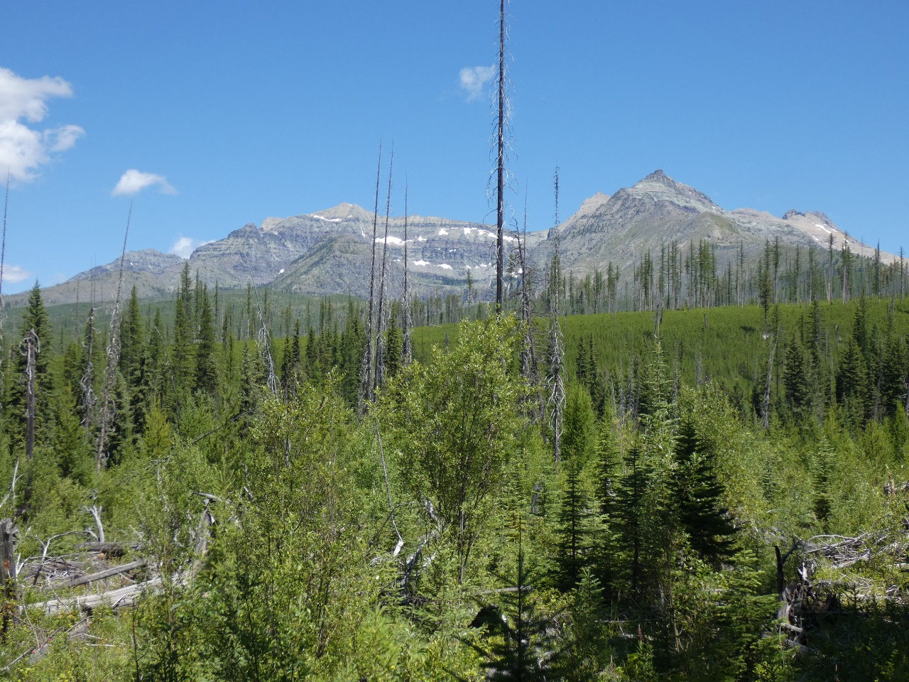
a destination with a view. Thoma Lookout
is located in Flathead National Forest in the Whitefish Range, the mountain
range west of the national park, just about two miles south of the Canadian
border. The northern part of the
Whitefish Range and North Fork Valley is supposed to have the densest
concentration of grizzly bears in the Lower 48, so it was one of those places
where I walked carrying my bear spray in my hand for instant access rather than
just on the outside of my daypack where I usually keep it.
Oh, and lots of
singing to the bears to let them know I was coming through.
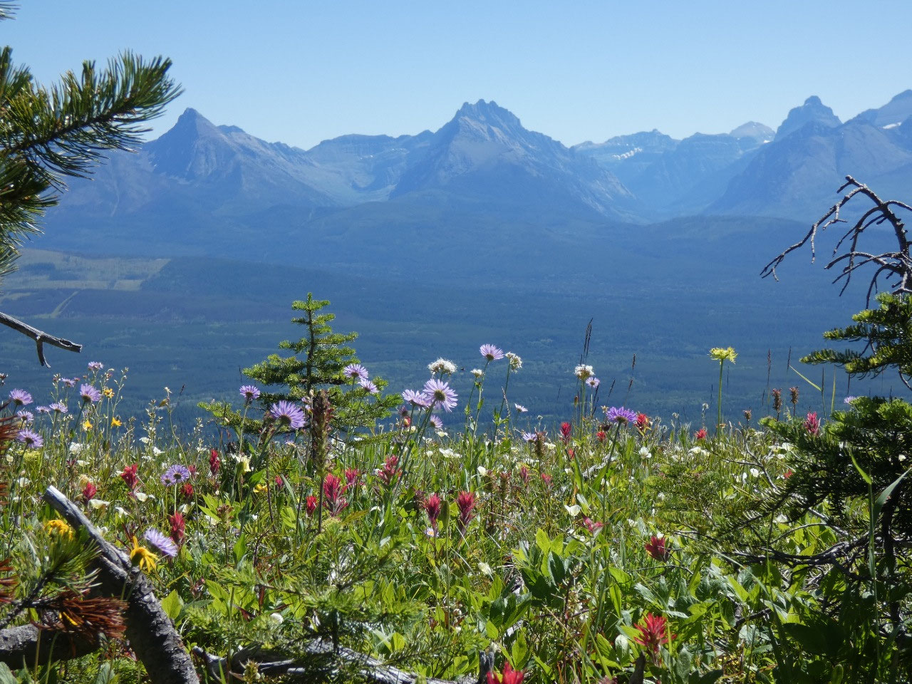
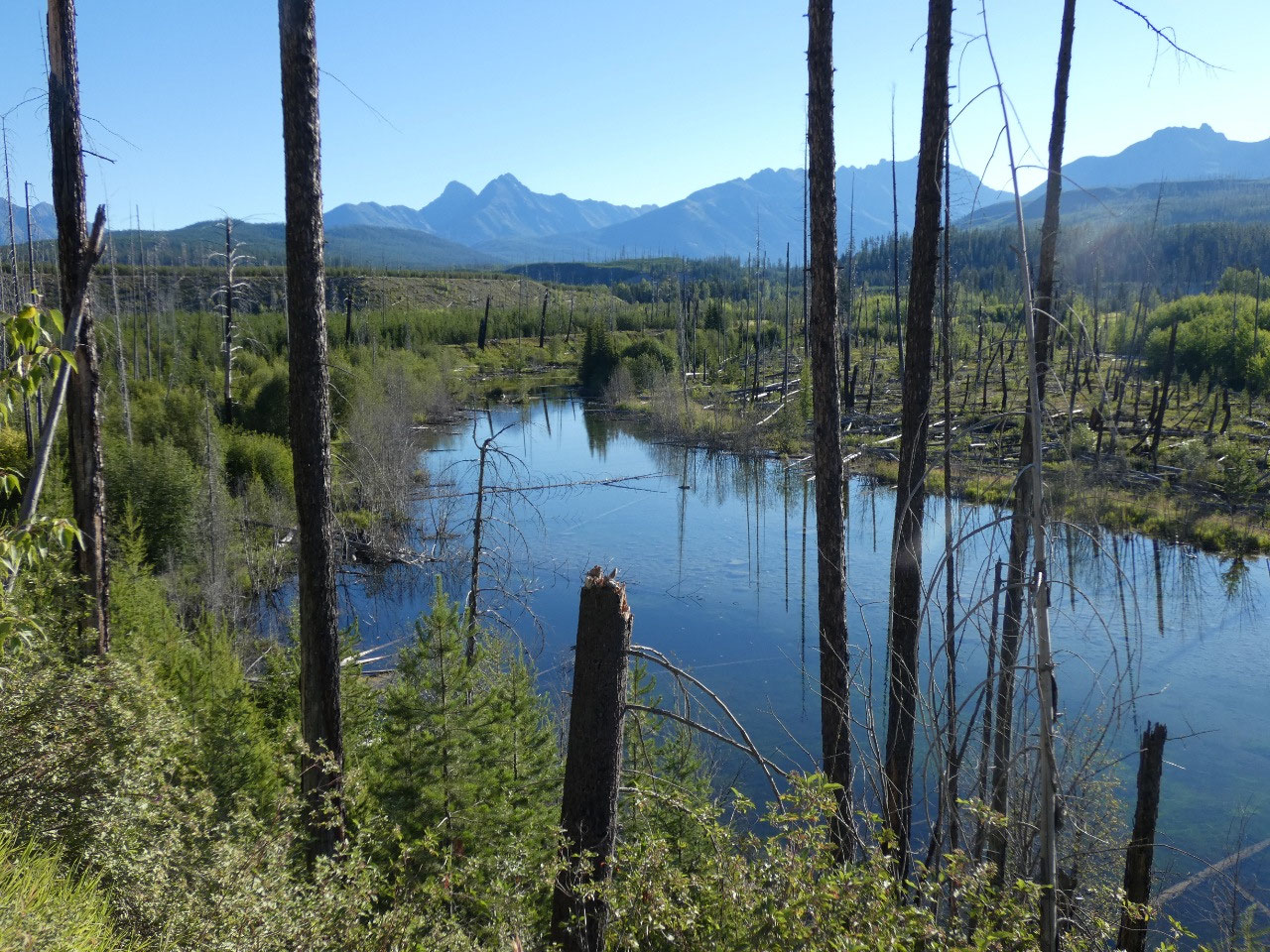
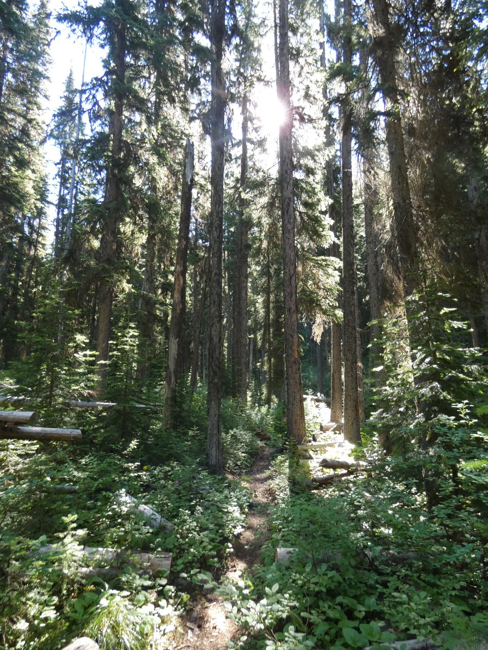
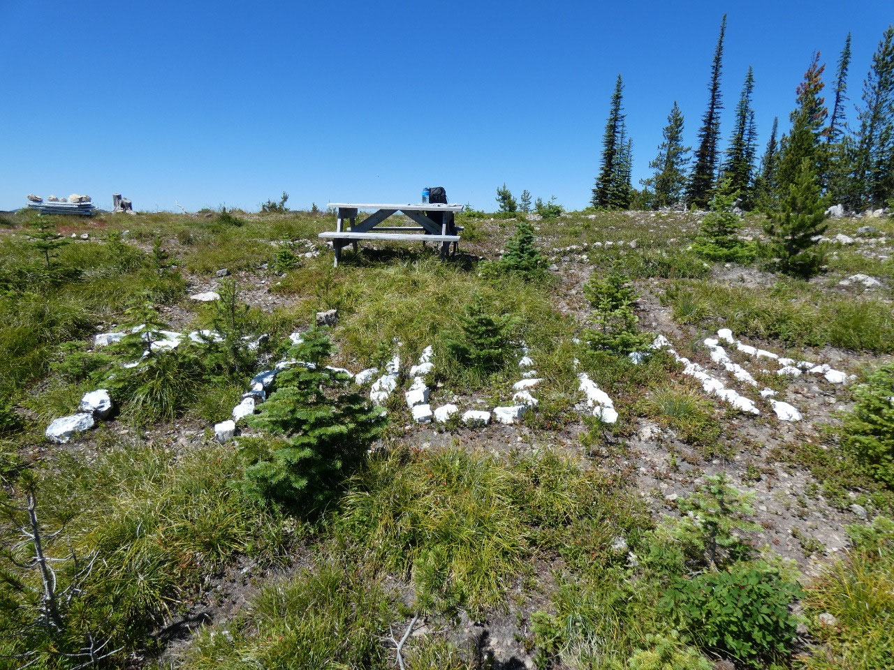
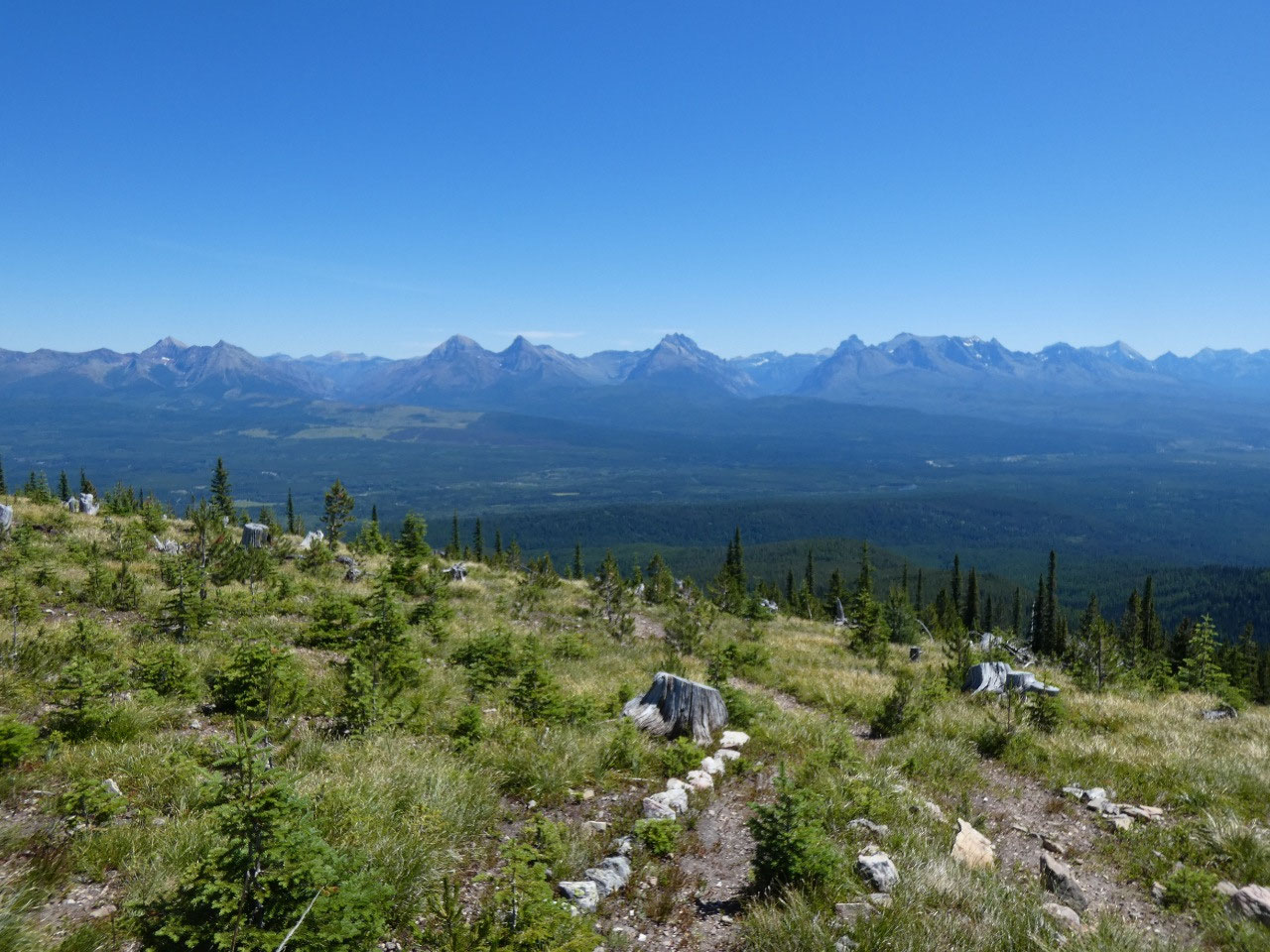
The 7-mile round trip hike to the lookout gains about 1,700
feet, mostly through thick, lush forest with many obstacles in the form of
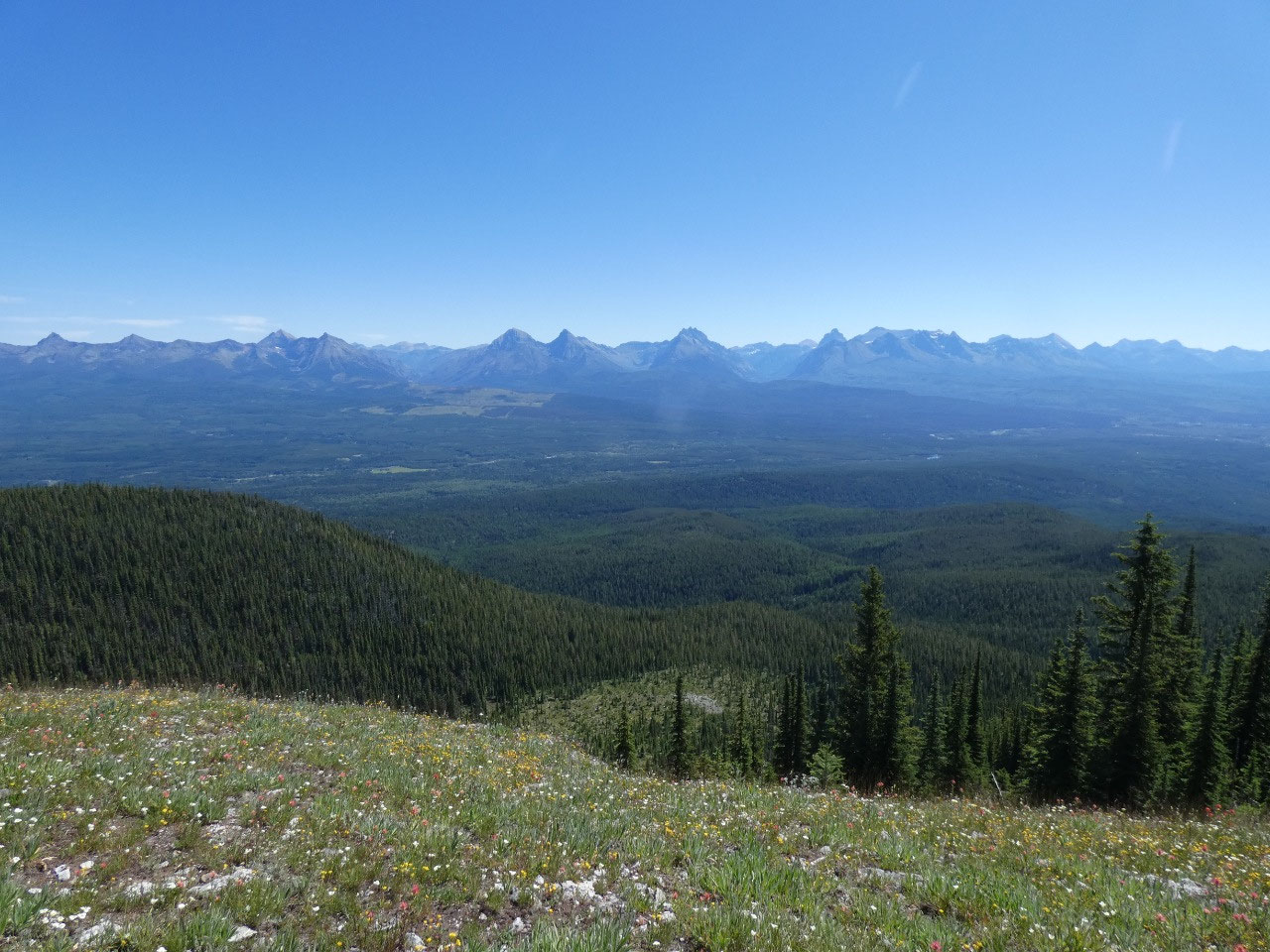
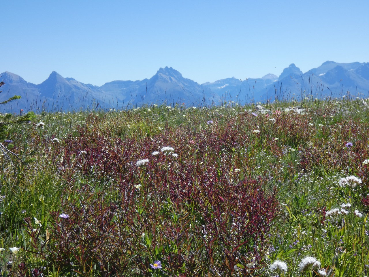
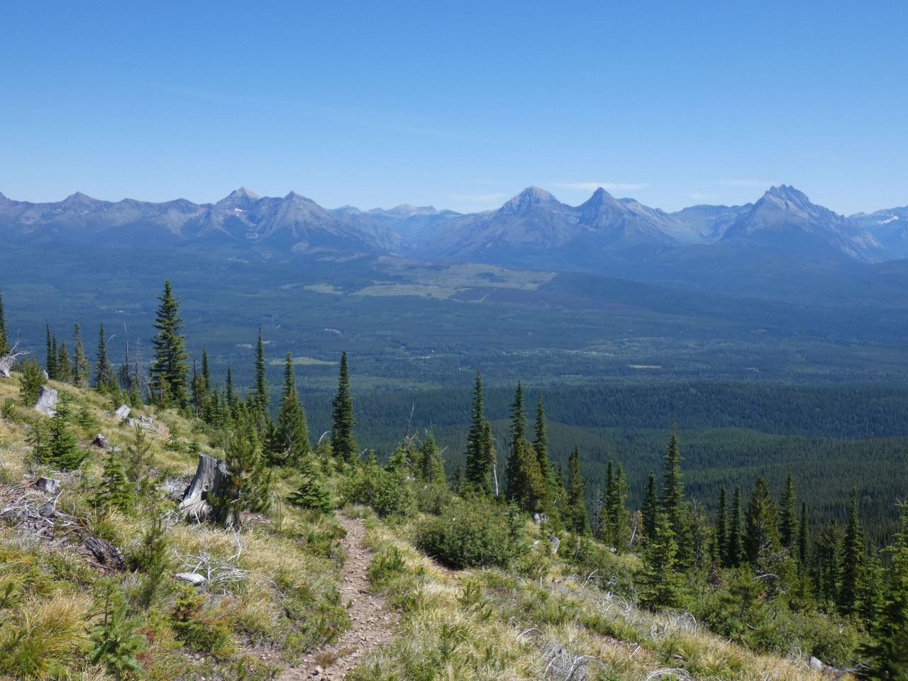
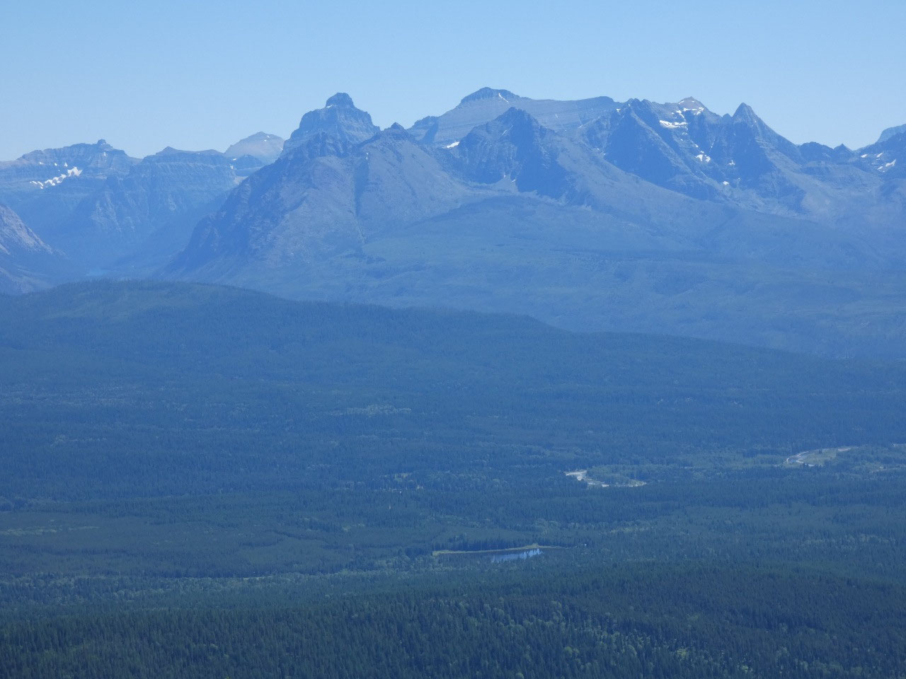
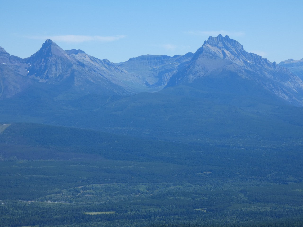
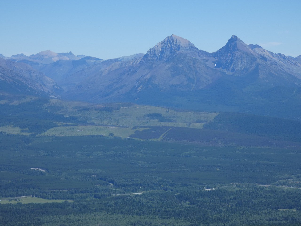
downed trees. The last mile is mostly along a ridgeline with stunning views of
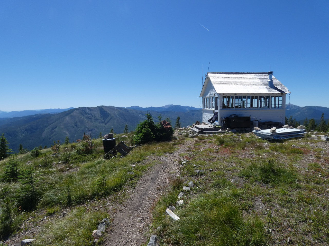
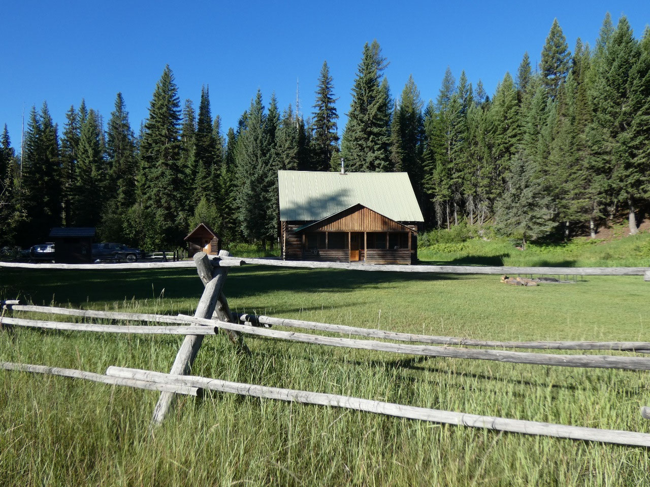
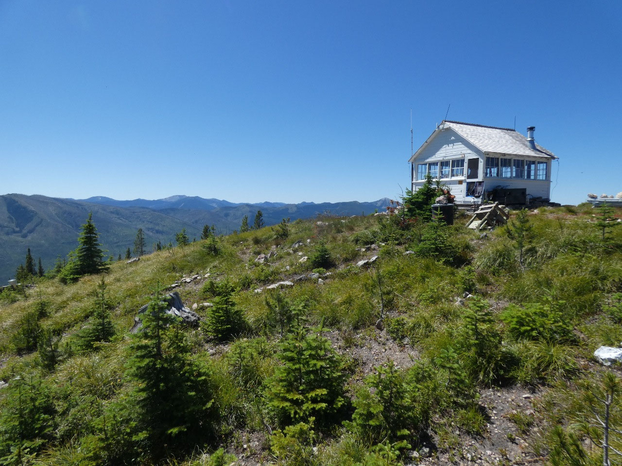
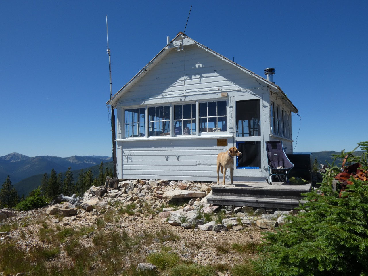
the peaks in Glacier National Park opening to the east. At the cleared point stands a small fire lookout
building with outstanding views in three directions. The view in the fourth direction is blocked
by Mount Hefty just to the north, but that’s Canada on the other side of the
peak, so any fires there are someone else’s problem.
I was greeted by a very handsome dog named Ollie, followed
shortly by his bearded human who’s name I did not catch. He was chatty in the way someone who gets a
visitor only about twice a week is inclined to be, so I learned quite a bit
about fire spotting as I ate my lunch and enjoyed the views.
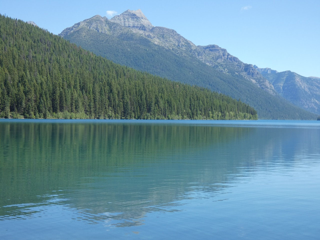
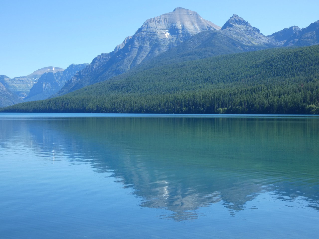
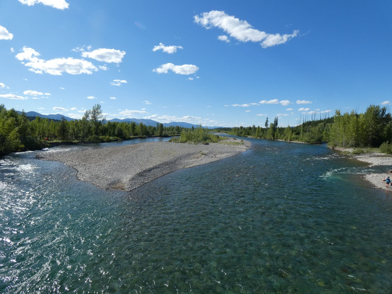
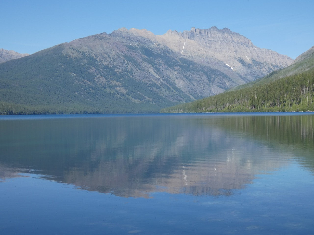
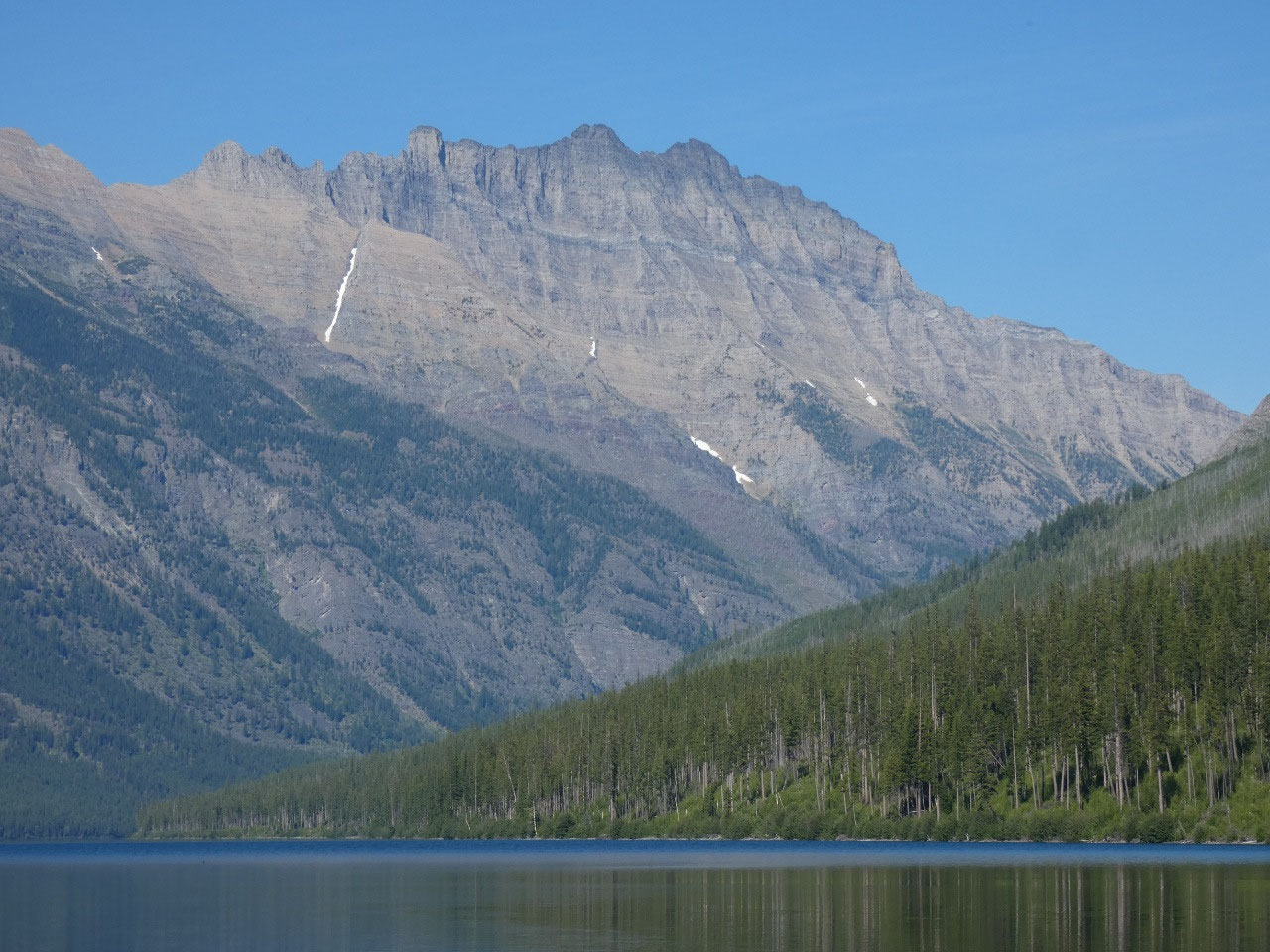
I finished my second day in the North Fork with
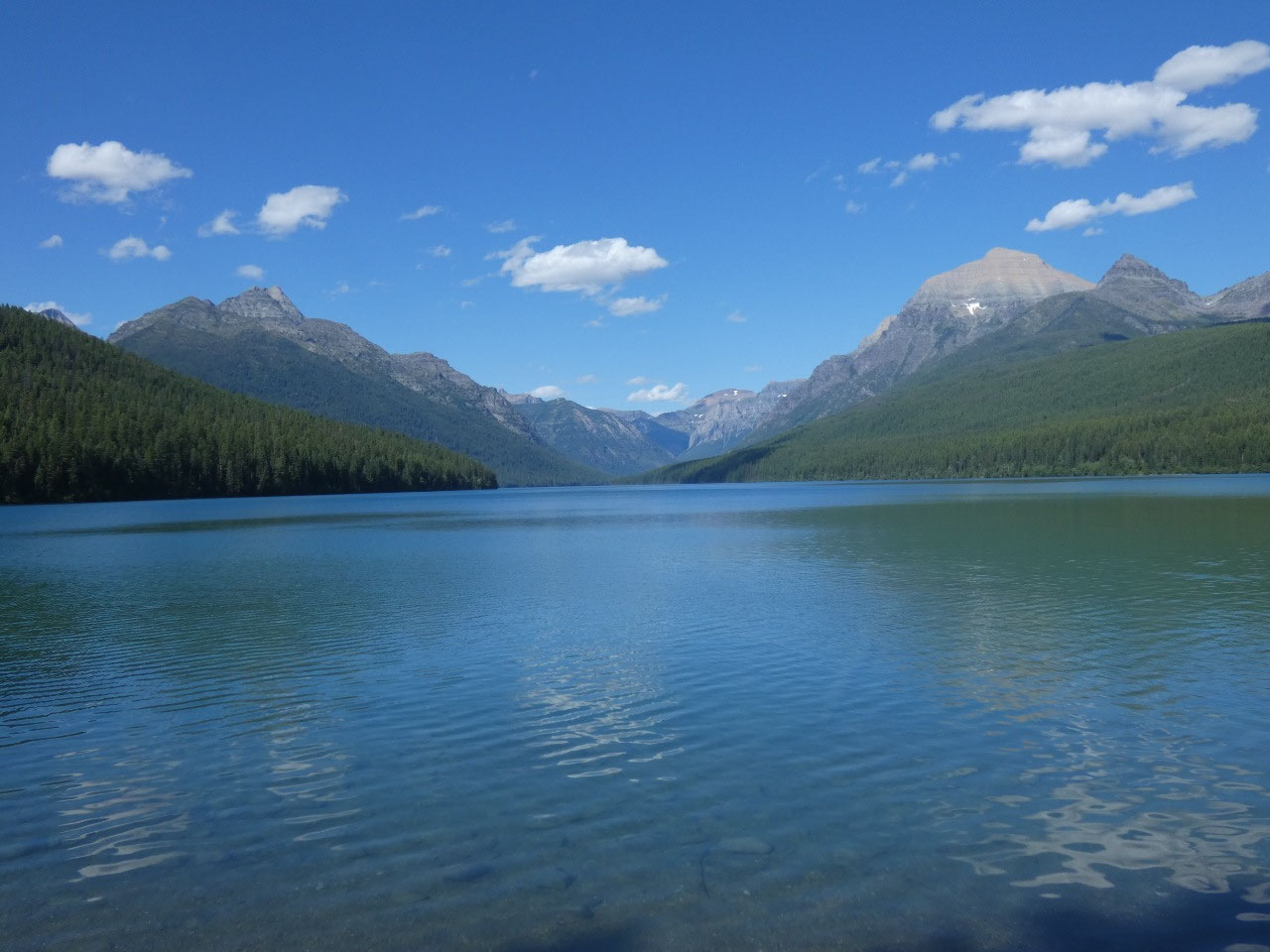
the long bumpy drive to beautiful Kintla Lake, the northernmost lake on Glacier’s
west side before another evening in Polebridge.
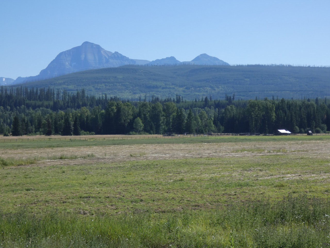
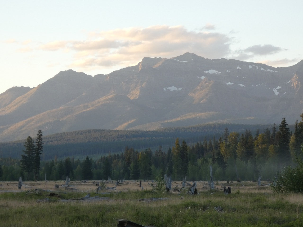
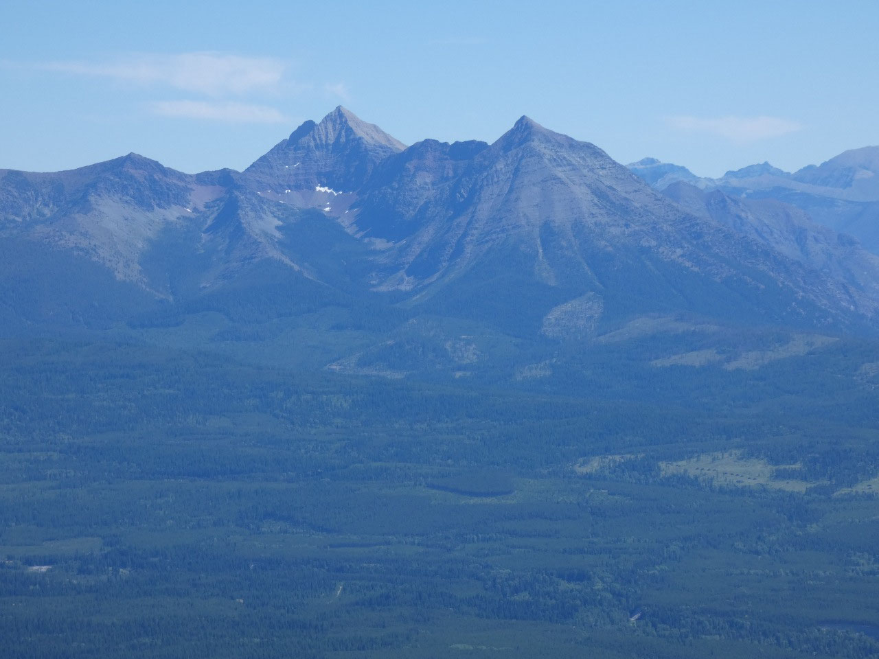
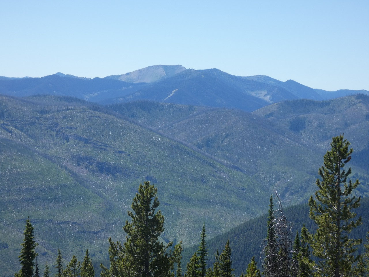
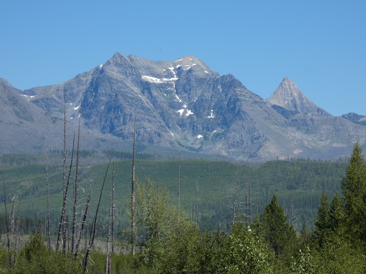
I had given some thought to climbing another mountain the next day. Nasukoin Mountain, which I was able to see
from Thoma Lookout, is the highest peak in the Whitefish Range and supposedly a
quite challenging hike. My excuse for taking the day off from the mountains and
going to Whitefish, though, was that I wasn’t 100% certain I had enough gas to
get me back to civilization by the more circuitous route via Nasukoin. I really just wanted a break from the trail.


2025-05-22