Red Rain over Gibraltar
Let it rain
Yesterday they announced rain
and guess what it did rain this morning: now we only have one day to go to
Gibraltar, so we decided to hope for the best and we would be fine with clouds,
as long it is not pouring down. At least it didn’t look windy today – that’s
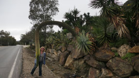
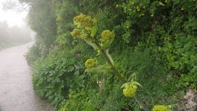
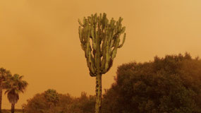
good, right. As we left, we drove by a super funky cactus fruit… we did have to
stop as it was so unique and we did had to have a quick stop as we had some
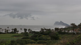
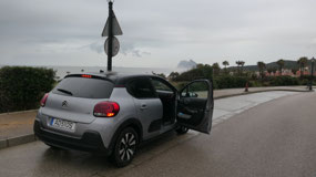
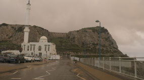
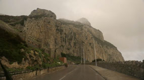
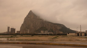
cool views on the Rock of Gibraltar along the road.
Driving and Parking in
Gibraltar
We brought the Passports, as we
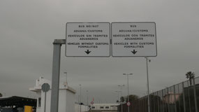
are entering another county today. There are 2 options: #1 is you drive in and hope
to find parking and hope the line up is not so long, or #2 you park in Spain,
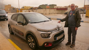
walk over the border and then take the bus… Paul said: we drive. Ok, so we had
to drive around and wait a bit for the border, but in less than 20 Min Paul got
its stamp in his passport.
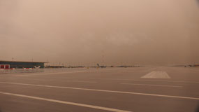
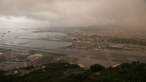
Gibraltar runway: it’s
1680m long and to drive into Gibraltar, the first thing we did was driving over
the runway, it got built in 1939, to extend the runway they used rock dug out
from the tunnels. Lucky for us we could still drive over, as we read that this
is soon a thing of the past as a tunnel will open soon.
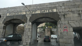
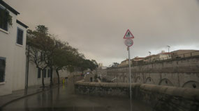
A bit confusion, as the roads
are super busy, lots of one way, circles, lights and we came to the parking lot
and found a parking spot: first we parked at the for residents only, but then
found a spot for us: you think the lot is empty because it is raining!!! Oh and
it’s not cheap either, as we have to pay in British pounds.
Gibraltar: we add another
country to our list
- It is a British overseas territory and the most southern point of the Iberian Peninsula
- The name comes from the Arabs meaning “rock of Tariq” named after the 8th century Moorish military leader Tariq who commanded it from 710 on. He was the one crossing over from Africa and starting from here the Moorish conquest of Spain and named it after himself
- Then for a while it was Spanish: in 1462 the Spanish captured it, sold it to a convent in 1474. In 1704 in one of the Spanish wats it was taken by the Great Alliance and after the treaty of Utrecht it was negotiated that Britain will get control of Gibraltar if they withdraw from the war. Spain tried several times to take it back in 1727, 1779-82
- It was several times the base for wars: like the Napoleon war (or Spanish Independent war) 1804--14 when it was an important fortress with Halifax, Nova Scotia, Bermuda and Malta, then again during the Crimean war 1853-56
- The Value increased even more, when the Suez canal opened
- During WWII all civilian population was evacuated to London. The French bombed it in 1940
- In 1950s under Franco in Spain the border to Gibraltar closed, it partially reopened in 1982 and then fully when in 1985 Spain entered the EU
- There is an agreement negotiation that Gibraltar is part of the Schengen Area to avoid a hard border
- The Schengen aera consists of 26 European countries: they abolished passports and border controls as one single jurisdiction for travel with common policy. It got named after Schengen in Luxemburg where the agreement was signed in 1985: it is the EU + EFTA (European Free Trade agreement member) and some other close states. In the Schengen area live 420 Mill People and 1.7 Mill cross the borders daily for work
Clouds on top of the Rock
Ok, there are plans on what to
do – but will the weather cooperate??? we did buy a round the way ticket, as
well as the entrance for the nature park: let me tell you it’s not cheap –
welcome to the tourists!!!!! And amazingly we were not the only ones in the
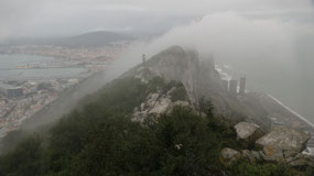
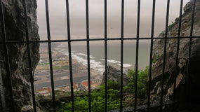
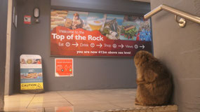
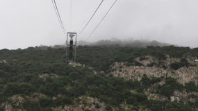
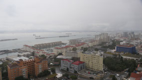
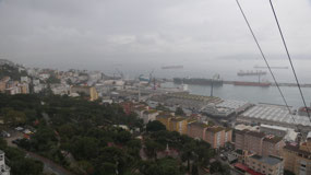
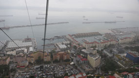
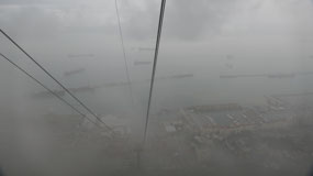
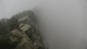
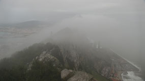
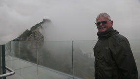
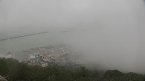
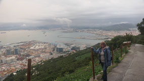
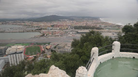
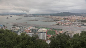
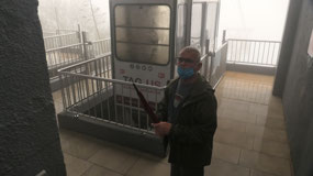
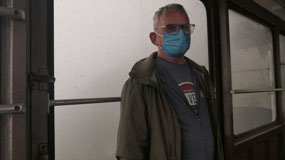
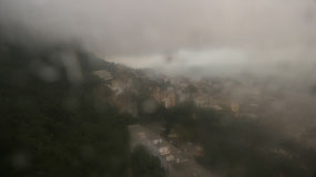
cable car. On the way up we could see some outlines and as we walked out at
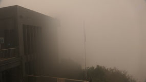
412m we were in the middle of the clouds. When Paul asked Gine what do you take
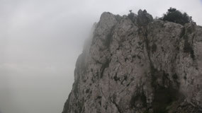
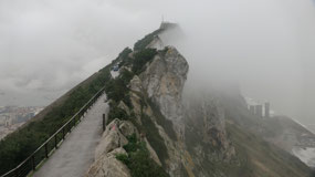
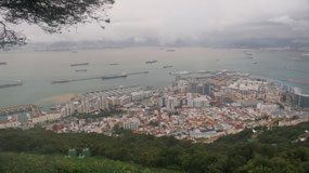
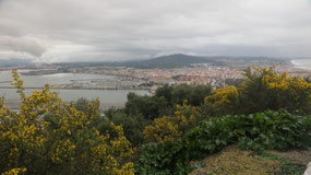
pictures off… but the clouds lifted and we could see down to the ocean and the
end of the rocks, the best was to see the clouds blowing over the rock – that
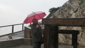
was super cool, and it was really very sporadic – as well it kind of drizzled
rain.
Jumpy Apes at the skywalk
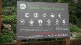
We then entered the nature park
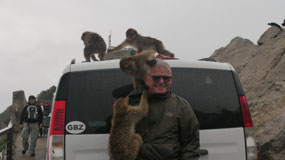
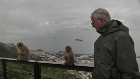
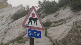
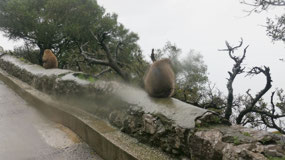
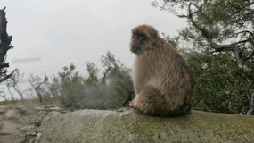
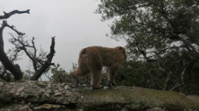
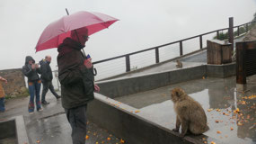
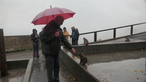
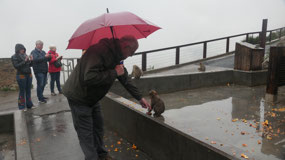
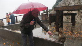
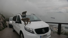
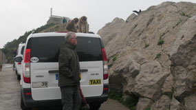
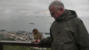
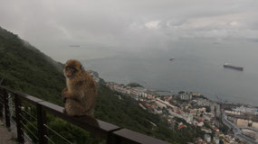
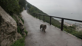
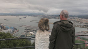
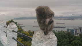
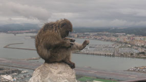
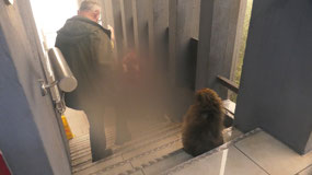
and saw the first ape (which are actually monkeys) – which was cool, until Gine
nearly freaked out, as one of them jumped on her back and backpack like an
attack. He also stole our Tissues… and there was no way to get it back, Paul
then made sure the backpack is super closed, as they already started to jump
back and check out what else they can pull out of it. Really – why can’t they
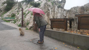
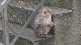
jump on Paul!!!! We had a lot of fun around them at the feeding station and
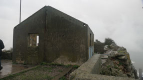
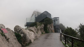
then walked over to the Sky walk – a quick stop at an abandoned old empty house,
here you find a lot of leftovers from the military use and I may should mention
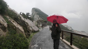
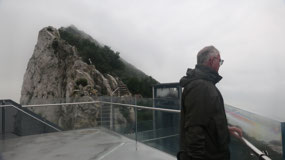
that I’m busy drying of the camera as it drizzles constantly, still we could see a bit and walk on the reinforced
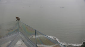
glass, what was cool we could see the clouds going over the rock. I guessed we
missed seeing Marocco đŸ˜Š.
The Barbary Macaques:
- They are the only Macaques outside of Asia
- First, they were thought to be Apes because of their stocky bodies, stocky tails and spending more time on land than on tree, but they are monkeys
- Gine then read that they are very clever and curious: better watch your bags, because they will take them off you: didn’t we realize that too!!
- How they arrived on the rock is a mystery, but it is suspected that merchants who arrived here brought them from Marocco: in Marocco and Algeria they are endangered species – but in Gibraltar they thrive: there are around 250 of them living on the rock
- They can live for 15-20 years
It’s a long walk down
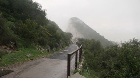
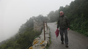
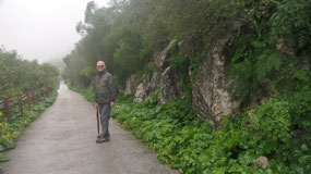
Gine said we walk down: its
1.9km to the tunnels – doesn’t sound that far correct, so back up towards the
top cable car station and then we start to head down, on the maps they called
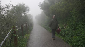
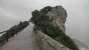
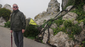
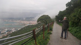
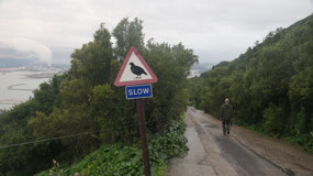
those “major roads” they are old narrow roads. A few viewpoints – a lot of
greenery – and sometimes more and luckily mostly less rain…. And it was a long
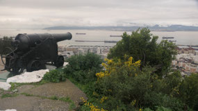
way down. At the military viewpoint we saw another one of the monkeys, and then
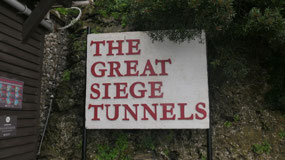
it went uphill to the Great Siege Tunnels.
Tunnels inside the
Gibraltar rock:
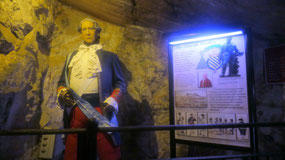
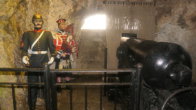
- They were built over nearly 200 years and mostly by the British Army
- There are around 55 km of tunnels (nearly twice as much as the entire road network of Gibraltar)
- The first tunnels were built for easier communication passages between artillery positions in 1782-99, more tunnels were dug in the 19th century to have easier access to more remote areas of Gibraltar 1880-1915
- From 1935-38 an underground hospital was built, several underground reservoirs and the tunnels were extended from 8 to 11 km
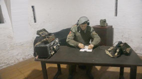
- From 1939-45: the tunnel system was extended to 40 km in length, as Gibraltar played a vital role in WWII an underground fortress was dug out to accommodate up to 16.000 people with enough supplies, ammunition and equipment so they could withstand up to 16 months, there was also an underground telephone exchange and power generator, a water distillation plant, hospital, vehicle maintenance workshops. As well as some secret places in case if it had fallen to a German invasion – one of it was only discovered in 1997.
- 1958-68: the final tunneling took place during the Cold war, the last tunnel was completed in 1967 and tunneling ceased for good in April 1968
- Some of the tunnels are now open to the public: Great Siege Tunnels, as well as some of the WWII tunnels, Keightley Way (from 1960) and Dudley Ward Way (dug from 1962-65)are open for vehicle traffic
Dark and Wet in the Great
Siege Tunnels
- The Great Siege was an unsuccessful attempt by Spain and France to capture Gibraltar during the war of American Revolution
- This ended when finally in 1782 agreements were signed, to give US independence, but that the British could keep Canada with the agreement that Britain will not ally with Spain or France to take any territory in the South (Florida) and that Britain will keep Gibraltar after they defeated Spain in 1783
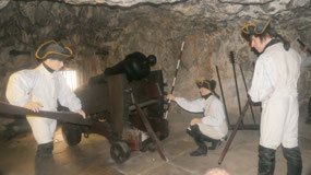
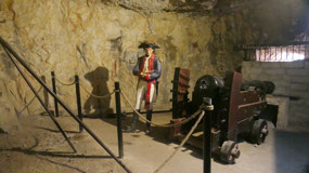
- They started to dig in 1782 and in 1783 the first 3 guns were placed inside the 82 ft long tunnel
Once we reached them, we went
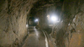
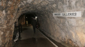
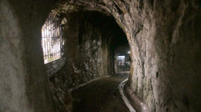
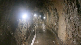
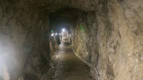
inside those small narrow and downhill going tunnels – this are the once from
the first tunneling, once in a while there was a small window to the outside or
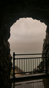
a bigger one for a cannon. We started in the Windsor Galleries, then went down
to the Cornwalls Hall, then ended with the holyland tunnel where you come to a
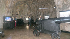
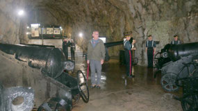
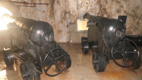
final lookout over the ocean. And the large St. George’s Hall with several
cannon: I can’t even imagine how loud it must have been when they were shooting
one of them. Then all the way back up: and you should think it is dry, because
we are in a tunnel – that is so wrong, as it dripped everywhere and you got as
wet inside as you got in the rain outside. By the way we read that by accident
they once got a hole to the outside that is when they discovered on how
convenient it would be to put the cannons in there.
A free bus ride
As we left it really started to
rain and by the time we arrived at the WWII tunnel we were wet and cold and not
interested into going into another cold dark and wet tunnel to get more wet, as
we still have to go all the way down to the town in the rain!!! After the
Moorish Castle (no we didn’t go inside, as we saw enough other castles) we came
to a bus stop and Gine said let’s take the bus: as in the meantime our jackets
were soaking wet: and see there the bus goes to the cable car station, and as
the bus system broke down today, the ride is free!!! That is so cool, we
discovered it was still quit a bit to
the base of the station.
Coffee on top of the rock
Once there Paul said: we never
used our down ticket and Gine said they never scanned our up-ticket: Paul said
let’s have coffee at the top, so we walked in through the pre-paid line without
stopping (yes you normally should), and the Guy never really looked at the
ticket very closely, so we had another ride up, went and had likely our most
expensive coffee with view from 412m to the ocean and could get a bit warm
again. Before we took the cable car down again – and the cable car was never
full!!
Narrow Roads and eery rain on
the way to Europe point
We decided to drive around the
whole Gibraltar rock, you know it is not that simple, one-ways, narrow roads,
quick turns, crazy circles, cars everywhere, and you are lucky if you have
enough space for driving in between. Through the town we went and then stopped
at the Europe point:
- They say Hercules passed through here and created the pillars: at that time the Mediterranean was land locked, as the fissure developed todays Straight of Gibraltar the Atlantic gushed in filling the Mediterranean basin in just under a hundred years with a huge waterfall at the entrance
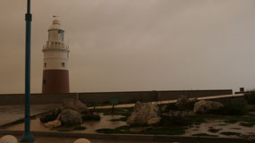
- We could see the trinity lighthouse as well once we turned the car around look up on the rock
- They say it’s Europe most southern point: but it doesn’t look like that on the map: that would be Tarifa
We didn’t g ooutside as it was
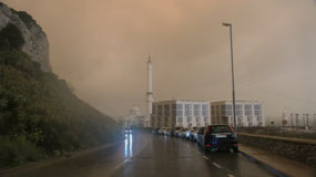
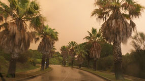
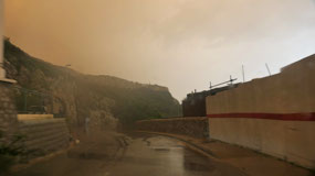
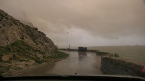
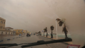
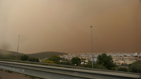
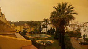
pouring rain and the sky started to get eery red…
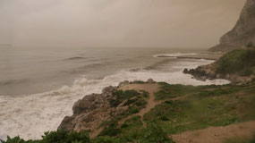
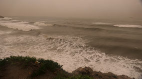
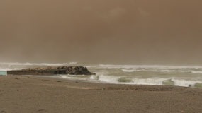
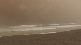
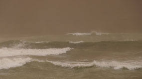
Red Rain along the ocean
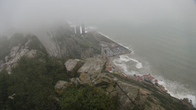
The next stretch was beautiful
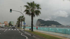
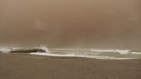
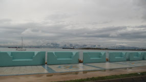
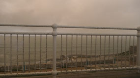
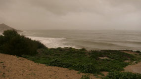
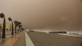
we had the Gibraltar rock on one side and the ocean on the other side, we did
stop at one time to go outside and walk a bit down towards the ocean: watching
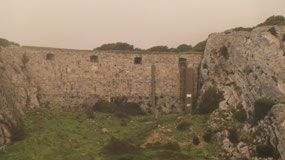
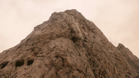
the waves, looking up and discovering more holes, windows in the rock. And the
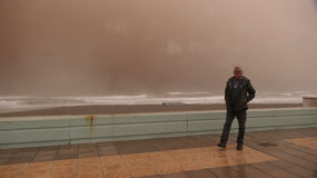
sky got more yellow as we watched…. You are like in an end-of-the-world-movie.
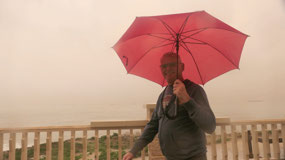
Then the road turned inland and
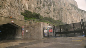
we drove through one of the tunnels to the other side of the rock. One more
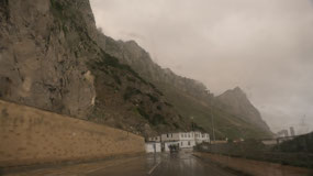
stop to look up at the rock, but we already discovered that the rain drops are
kind of “dirty” they are reddish… and live red drops on our jackets.
Stop you need a stamp:
Time to leave and head back… as
we came to the border, it was a bit of a wait, and as we drove slowly forward,
we came at one border, the cars in front of us, all went through, so the lady
said Ola, and we went through too, when we got stopped but a guy who told us,
that this was a passport control and that we have to show our passports and get
stamps. he took our passports and when Gine asked if she should come, it
sounded like a yes, but when I got out of the car, he said to stay inside… we
got our passports back and Paul has another stamp in it.
Back with end of the world
skies
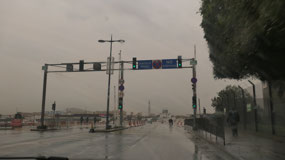
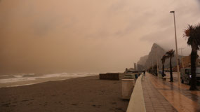
As we are heading back the sky
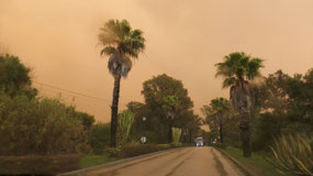
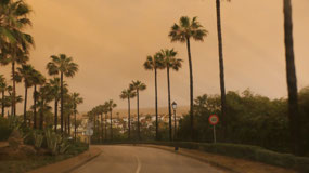
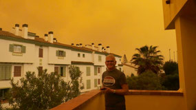
gets more orange nearly red – if someone would film a “end-of-the-world” movie
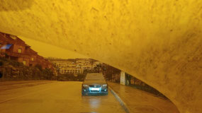
– this would be definitely the right setting it is totally weird and the
windshield gets dirty. By the way our jackets get dirty, if you open the window
and a raindrop falls inside the door inside the car is spotted with red drops…
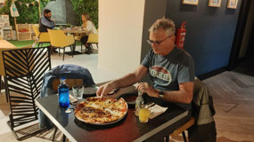
we went back in our hotel and after a late coffee and always looked out on this
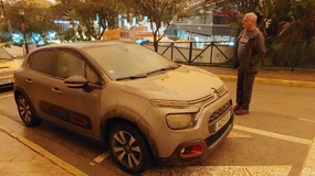
weird colored sky. When we left for supper, we couldn’t believe on how dirty
our car was… it was so dirty you could not see anything through the windshield…
and only in that little time in the restaurant it got worse… the whole ground
is covered in the red mudish rain….
It will be interesting how it
looks like tomorrow morning.
Blood Rain in Southern
Spain:
- Calima or Sahara desert dust when mixed with rain the phenomen of blood rain occurs: and yes it is really red rain drops: the car, coats – everything gets red spots from it
- One like this one hasn’t occurred in Spain for decades: it is called exceptional (I guess that is one rare thing we didn’t needed to see)
- By the way until the 17th century, it was believed to be blood and considered a bad omen – as it was caused already in ancient times, the earliest it was reported was by Homer
- According to the internet it is not new: the number of incidences of blood rain in Spain increases since 1990 and the phenomen is reported due to climate change: it is caused by an increasingly frequent movement of air currents from North Africa which reach the Mediterranean

 Gibraltar, Gibraltar






2025-05-22