Cape Reinga
Drive to the Top of NZ
Today we woke up to clouds – ok we
hope that like in the last days the weather gets better during the day and so
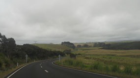
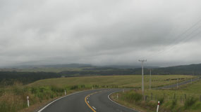
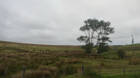
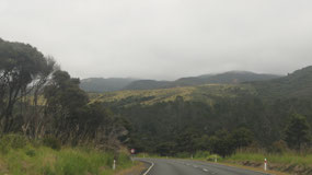
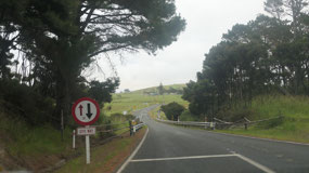
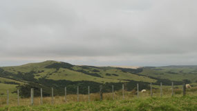
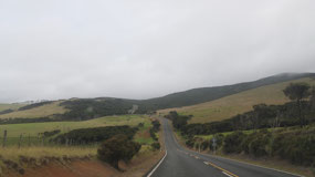
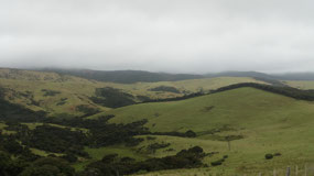
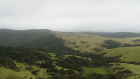
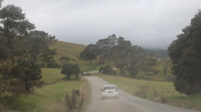
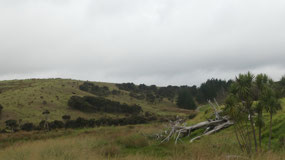
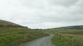
we head north – we are driving literally to the end of the road. It was another
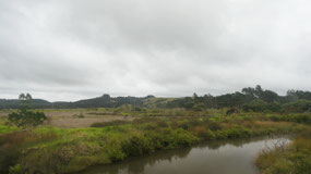
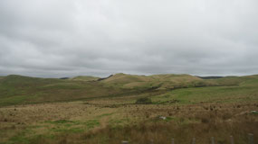
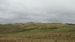
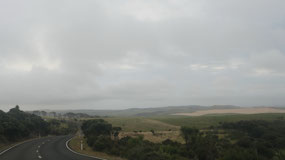
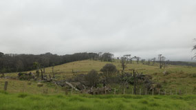
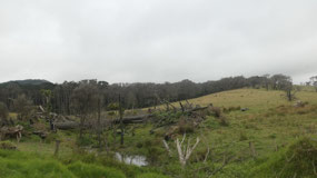
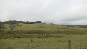
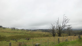
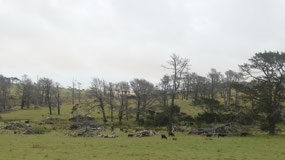
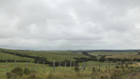
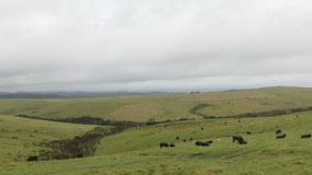
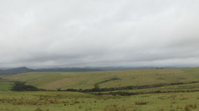
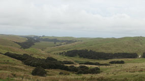
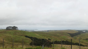
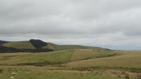
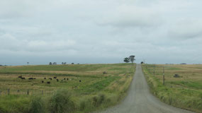
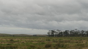
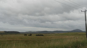
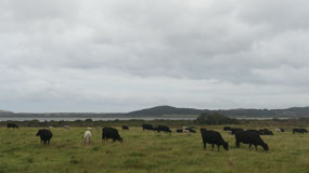
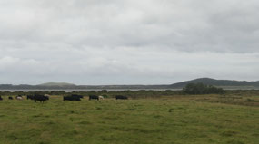
super curvy scenic road in between the green rolling hills with cows and sheep.
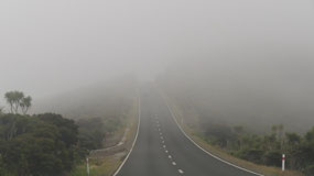
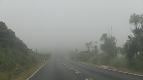
And we had several one-lane bridges. And as we approach the northern part we
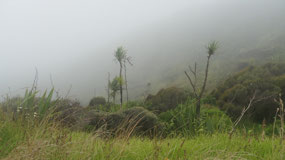
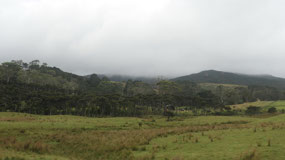
drive into the mist and the clouds.
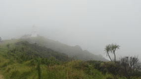
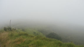
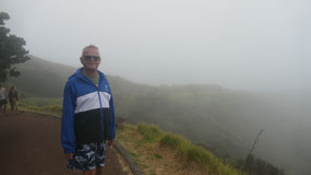
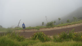
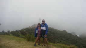
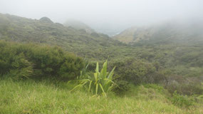
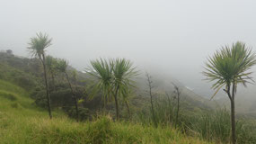
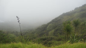
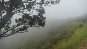
Cape Reinga in the clouds
Arriving we are surprised: I mean
it is a cloudy misty day and the parking lot is packed full we couldn’t believe
it. When Gine asked, she got told that it is long weekend and on Monday is a
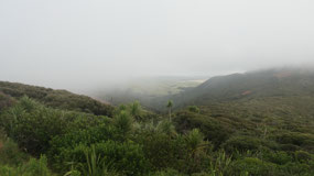
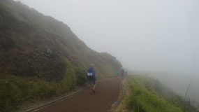
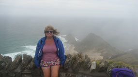
STAT holiday. It’s windy, so we put the rain jackets on and then started a walk
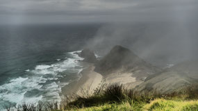
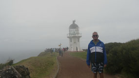
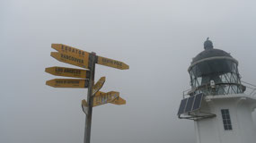
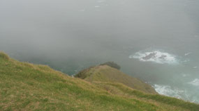
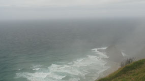
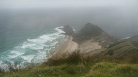
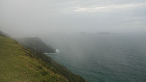
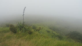
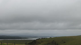
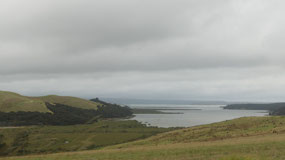
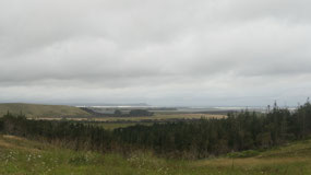
in the clouds – as we arrived at the lighthouse we could see a bit of the ocean
outlined as well a beautiful beach down there, and glimpses of the islands off
in the distance. By the way there is a sign stating that we are 6211 km from
the South Pole and 11222 km from Vancouver. We walked around and enjoyed the “views”
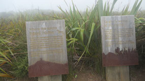
– read some of the signs and then went on the walk back up again. I may should
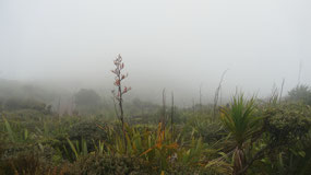
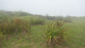
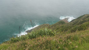
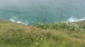
mention that here are some cool plants along the way: the New Zealand Flax – we
see it all over during our drive.
The spiritual significance
of Cape Reinga:
- Kupe is the earliest known voyager from Hawaiki – the original home of the Maori in the eastern Pacific: he gave this place the name Te Rerenga Wairua: he saw it as the point from where his people would return to their homeland after death
- This is the most spiritual place for all MaoriL it is said that the spirit of the deceased makes it journey to Te Reinga along the spirit Trail Te Ara Wairua: The soul of the departed makes its way down to Moetatau at the waters edge climbing onto the hanging branches of the Kahika waiting for the seaweed to separate to expose the underground cave Te Pokatorere. It then drives into the water follow the current, surfacing at Te Nuku o Maurea where the Pacific and Tasman seas meet. Upon reaching Ohau at Three Kings Island the last lament is sung before leaving to return to the ancestral homeland of Hawaiki
- In 1928 a Maori healer came here and he heard the atua peruperu (the sounds of the spirits of the dead) as they passed along the spiritual pathway
- Weather permitting you can see the Three Kings Islands at the horizon, named by Abel Tasman in 1643 on Jan 6
- It is nearly the northernmost point in the country – here the roads end the most northern end of Highway 1
- The historic lighthouse was built in 1941, it flashes every 12 seconds (but we couldn’t see it)
Auckland Anniversay Day /
Northland Anniversary Day
When we looked up New Zealand
holidays, there was none on January 29, which confused us, so after some more
investigation we found the holiday: Auckland Anniversary Day
- It is a public holiday in the northern half of the North Island and a provincial anniversary day (everything above the 39th parallel. It is in the historic Auckland province (even there are no more provinces since 1876)
- It is always on the Monday closest to Jan 29: the anniversary of the arrival of William Hobson: the first Governor of New Zealand in the country in 1840: it got first celebrated in 1842 (at that time on the Saturdays). Even it is strange that the Holiday is on Jan 29 as it happened on Jan 30, 1840 that he proclaimed British Sovereignty in New Zealand and the union flag was flown on the Heral, the ship that brought Hobson to the Bay of islands. They didn’t celebrat it in 1841 because they were too busy moving the capital to Auckland.
New Zealand Flax:
- Sometimes it is called New Zealand hemp
- A perennial plant, native to NZ and it is an important fibre plant (and yes also a very ornamental plant): it grows in a clump with 2 m long straplike leaves in the midst comes up a dramatic yellow or red flower
- The Maori used the fibre for clothes, ropes, sails and flax baskets– they planted plantations for flax
- It is an invasive species in some parts of Australia and the Pacific Islands
- They have a similar look like Yucca plants
- When the Europeans came they started flax mills starting around the 1860s, most was done in 1916 when they exported 32.000 tons of flax, it collapsed during the great depression and by 1963 the were 14 mills left and the last closed in 1985
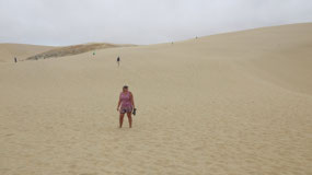
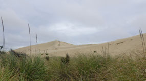
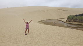
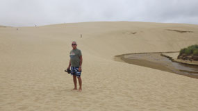
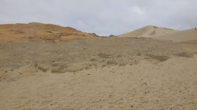
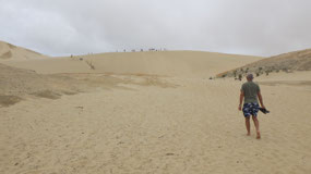
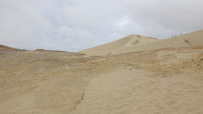
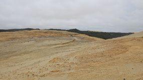
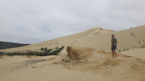
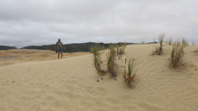
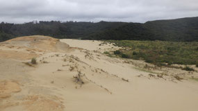
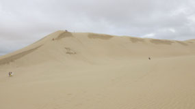
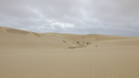
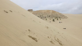
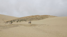
Windy at the Te Paki Sand Dunes
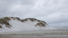
Our next stop is at those sand
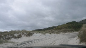
dunes (that is where we also learned you should only drive on the 90-mile beach
if you have a good 4x4 and we discovered right away why: as you have to head
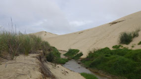
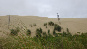
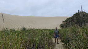
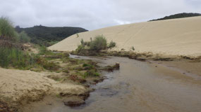
down the river. We are already amazed at the sand dunes – first we went a wrong
path through the high hard grass (taller than us) and end up at the Te Paki
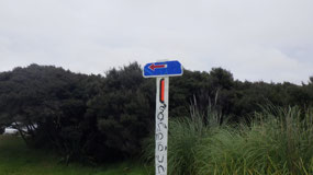
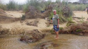
stream – back we find the everyone-use path (as per Paul you should always walk
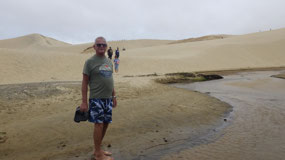
where everyone goes) and walk through the stream and over the super soft wind
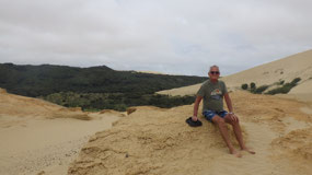
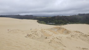
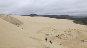
sand up to the rocks and the sand dunes. Paul watches the sand boarder (getting
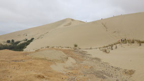
very sandy everywhere) – Gine walks up on the sand dunes to see a bit more: it
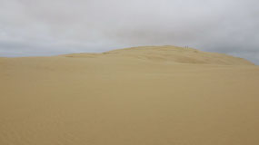
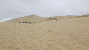
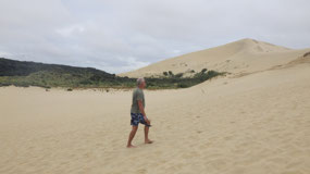
is a sand-slippery walk up (way easier down) and then you can see: yes, a lot
more and a lot higher Sand dunes – this is so cool. The sand is super soft and
super fine. We feel like we have sand everywhere from the wind and feel sandy….
And yes today because it is a Holiday it is very busy with sand boarders.
Where does the sand come
from???
- They are a series of giant dunes, some of them 150 m high, they are made up of fine sand which is carried by westerly winds from the Tasman Sea and accumulate here
- Te Paki was once its own island, over million of years sand built up from the volcanic activity led to the formation of the sand dunes
- The Paki means “the clearing of the storm” and it got the name after warfare with the settlers, and they got trapped because of the river during a storm
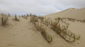
- When farmers came here, they were not so impressed with the shifting sand on their animal pastures and they started to plant marram grass to stabilize them, this grass has spread like weed on the sand dunes – it binds the sand, but it destroys the local fauna
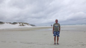
A quick stop at Rarawa Beach
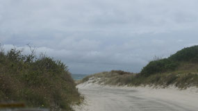
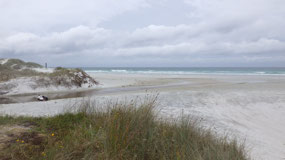
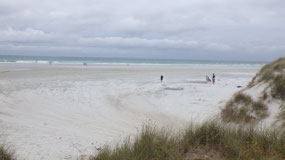
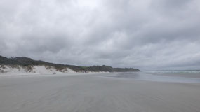
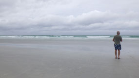
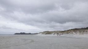
Our next stop was this beach with
the beautiful white sandy sand dunes and ocean – first we had to make sure we
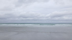
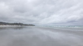
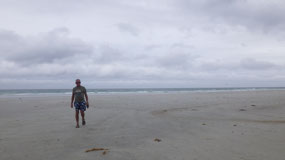
don’t drive to much into the sand – and then we walked out towards the ocean –
it is really beautiful and would be totally perfect in sunshine: as the sand it
super white – we still walked a bit along the beach and checked out the super
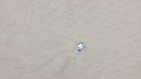
nice black-white shells, we never saw those and they are so pretty.
Coffee – car clean up and
laundry
We decided to head back and have a
cup of coffee, then Paul cleans the car as it is super dirty after driving so
much gravel road (I know we bring special towels along!!!). Also important was
to do laundry as we feel everything is sandy …. And as we wait for the washer
it starts to rain and we can smell the fresh rainy air. After the rain stopped,
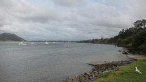
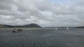
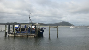
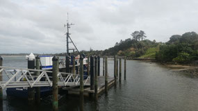
we walked down to the Wharf for another view on the ocean and there we saw
another of those really weird small RV’s a Mitsubishi – they do have some weird
RV’s here.
Leaving Early
Today we have the longest drive
ahead of us – so we get up early (that we arrive early). It is not
kilometer-wise a long distance, but the roads are super curvy and SH1 (State
highway 1) is closed in a part since August and will be closed until December (What!!!)
so we have to do a detour and as per Government of NZ you should count in some
extra time.
Getting up and coffee to go and
within 45 Minutes we are on the road.
Good Bye Far North

 Cape Reinga Lighthouse, Northland, New Zealand


2025-05-23