They stood there with their mouths open, looking at each other in disbelief and then back at us. Then they repeated the warning, "Don't go down that road, it's too dangerous".
Angkor is what the entire area of ancient temples in Cambodia has come to be called
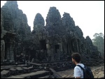
. It is now known as the Angkor Archeological Park. The area, including forests, is the size of modern day New York City, and includes many Wat's, several of which were the capitol of Cambodia at various times during the centuries. They were built between the 9th and 12 centuries.
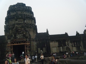
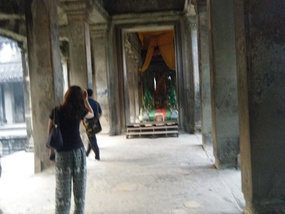
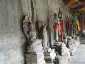
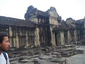
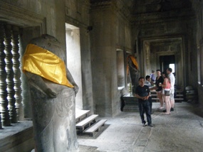
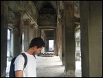
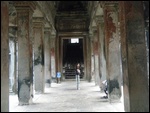
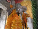
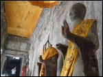
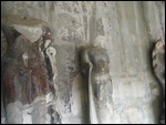
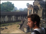
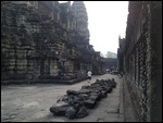
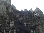
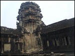
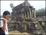
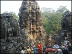
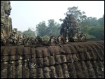
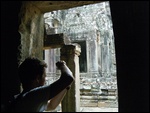
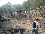
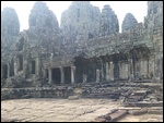
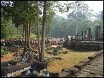
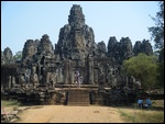
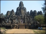
Angkor Wat is the best known temple in the Angkor area. It was built by King Suryavarman II in the early 1100''s. He unified Cambodia and extended Khmer influence across much of mainland SE Asia. Unlike other Kings in the area, he dedicated the temple to Hinduism instead of Buddhism. The temple changed from Hindu to Buddhist and back and forth a few times over the centuries. During the reign of one Hindu ruler, the heads of the Buddhist statues were removed and many replaced with Hindu heads. In the photos, you can see many statues still without heads.
Angkor Wat is the largest religious structure in the world. It's the pride of Cambodia
. It is the Khmers' national symbol, and is on Cambodia's national flag (Khmer means Cambodia). It's the 'Temple that is a City’.
Angkor Wat is on the list of the 'Wonders of the World', often in the 7th or 8th spot, although the list changes from year to year.
Angkor Wat was built to represent the larger universe in miniature. The central tower is Mount Meru, The Mt Olympus of the Hindu faith and the abode of the ancient gods (actually, heaven on earth). It is surrounded with smaller mountain peaks. These are bounded by continents (represented by the lower courtyards) and the ocean (the moat). The naga (dragon-like serpent) lines the bridge entering the Wat for humans to reach the adobe of the gods.
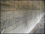
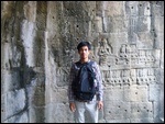
Stretching around the outside of the central temple complex is a 1/2 mile series of bas-reliefs, which you look at in an anti- clockwise direction. Bas-reliefs are etchings that are just barely more promient than the flat surface they are etched into
. I got a good picture of them in some of my photos, so you can see for yourself the great artistry involved and imagine the time involved in creating them.
At its peak, the area of Angkor had over 1 million peope living there. The kings constructed vast waterworks. Two large reservoirs 5 miles long each and many smaller reservoirs to flood the rice fields and serve other water needs. The area, the size of modern day New York City, was connected with this elaborate system of reservoirs and canals and dams.
There were over 100 grand temples in the Angkor area. The two main ones that served as the capitol over time were Angkor Wat and the even larger Angkor Thom. Both are surrounded by perfectly square moats.
The Empire's military held power over much of what is modern Cambodia and also much of Thailand and southern Vietnam and Laos.
Antonio and I will attempt to bicycle this 155 square miles over the next two days
. We want to visit all the major temples, plus maybe a few minor one. We will see the countryside in the process.
I met Antonio (from Portugal) in the guesthouse last night as we were both getting maps and bicycles rented for the next day. We compared notes and Antonio asked if I would like to ride along with him. Many people take a tuk tuk, tour bus, or other transport to get to the Wat, but we are both determined to do it by bicycle.
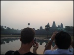
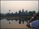
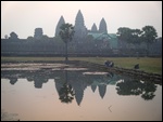
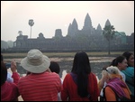
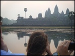
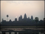
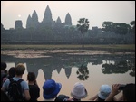
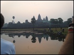
We started out on our bicycles at 5 a.m. in the darkness of the morning. We wanted to ride the 5 miles to Angkor Wat for the sunrise. Seeing the sun rise over Angkor Wat is one of those unforgettable events. The goal is to get a picture of the reflection of the Wat in the pond in front of it.
A ride though the town of Siem Reap, through the light early morning traffic, soon got us into the countryside heading towards Angkor Wat. About an hour later daylight began to break
. We pushed the bicycles a little harder, not wanting to miss the sunrise.
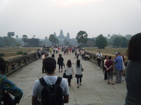
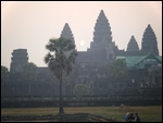
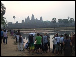
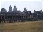
We saw the huge moat that surrounded the temple long before we saw the temple itself. Then, there is was. An imposing sight with it's 5 towers sat against the early morning light.
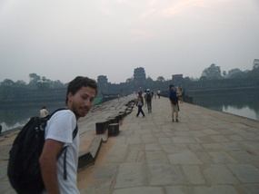
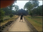
We found a place to park our bikes and headed to the causeway that crosses the moat and leads to the entrance of the temple.
The moat itself was a wonder and it was difficult to decide whether to look at it or the majestic entrance we were headed for. The moat surrounding Angkor Wat is over 70 feet wide and forms a perfect square around the Angkor Wat.
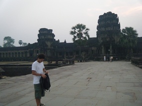
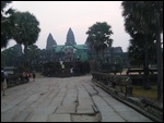
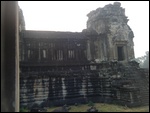
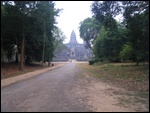
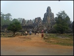
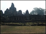
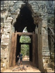
The wall surrounding the Wat is 2.2 miles long. There is a gate in each side of the wall, but the west gate is the main entrance and has beautiful intricate carvings as you enter. You can see the towers inside the complex as you head for the entrance
.
Once you pass through the west gate, you walk down an "avenue". It is 1500 feet long and 30 feet wide and lined with naga balustrades. The naga balustrades are the dragon/serpent-like heads with the long snake-like body lining the walkway. The seven-headed naga (serpant/dragon icon) lined the long walk across the causeway. It represents the bridge for man to reach the abode of the gods. It leads from the main entrance to the central temple, passing between two libraries.
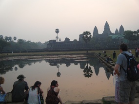
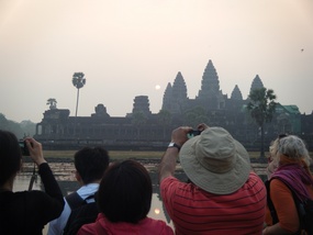
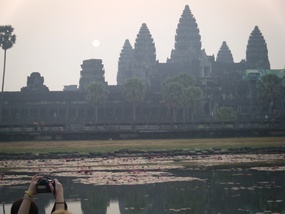
Then you come to two ponds. One of them is the one that is popular for watching the sunrise and getting the Wat reflection in the water as the sun rises. I was able to get a good picture of the reflection in the water, but the shots I took of the sun rising over the temple were a little disappointing. You can see the sun in some of the shots, but the sun didn't show up well in others.
Leaving the pond, after getting our sunrise photos, we continued down the avenue to the central temple complex
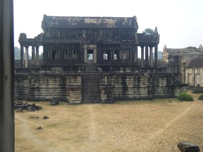
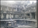
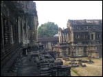
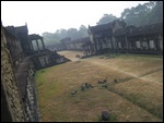
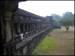
. It consists of three stories. There is a square surrounded by galleries. The Gallery of a Thousand Buddhas (Preah Poan) used to house hundreds of Buddha images before the war, but there are just a few left today.
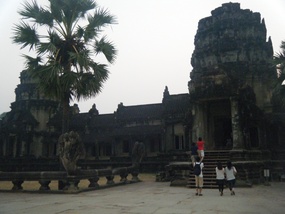
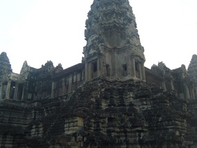
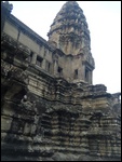
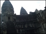
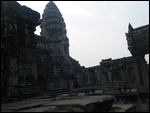
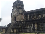
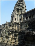
The corners of the second and third stories are marked by towers, each topped with symbolic lotus-bud towers. Rising 101 feet above the third level and 180 feet above the ground is the central tower. This imposing tower seems to tie the whole complex together and give it unity.
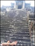
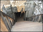
Next we get to the upper level. The stairs to the upper level are immensely steep, because reaching the kingdom of the gods was no easy task. You can climb these steep stairs and complete the pilgrimage to the summit. From here the views are amazing as you look out over the the awesome Angkor Wat.
The gigantic sandstone blocks that Angkor Wat was built with were quarried more than 35 miles away
. They were then floated down the Siem Reap river on rafts. As I look at the huge stones, I can't imagine the manpower and time it must have taken to move these stones 35 miles down the river. According to inscriptions, the construction of Angkor Wat involved 300,000 workers and 6,000 elephants, yet it was still never fully completed.
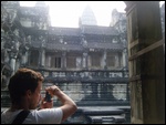
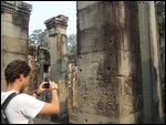
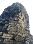
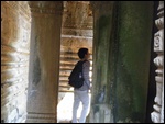
We climbed stairs and enjoyed the views for several hours. Visiting these temples is great exercise and hard work. Often the steps are steep and very narrow. You really have to watch your step, and often you climb on all fours up some of them. We took our time, though, and went up all the stairs and roamed around inside the buildings. We looked at how the ceilings of blocks were locked together, just holding each other in place over our heads. The intricate carvings in the block walls is unbelievable.
After several hours at Angkor Wat, we headed to find our bikes, looking back over our shoulders at this Wonder of the World, just for one last view
.
We have a long ride today. We hope to see as much of the Angkor area as possible today and tomorrow.
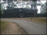
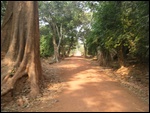
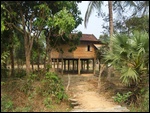
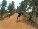
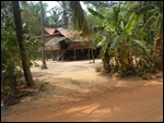
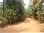
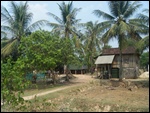
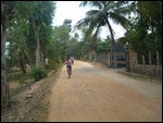
Following our crudely drawn map, we head into the countryside. Over bridges and down dirt (not gravel, usually) roads. We stop for photos now and then, and see very few people as we ride. After a while, we come to a paved road crossing our dirt road. The map is not clear and Antonio thinks we need to cross the paved road and keep going straight. I think this is where we should turn, but I am not sure which way.
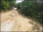
We decide to follow Antonios' instinct first and see how the road ahead looks. The dirt road deteriorates the further we go. We are looking for one of the large reservoirs that Angkor built to water their rice crops and fulfill their other water needs.
It's good we are on mountain bikes, because this road is a challenge now
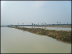
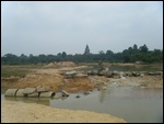
. It becomes smaller and rougher until we are surrounded by woods and end up on what looks like two reservoirs. Antonio thinks maybe this is the one we are looking for and is just small because this is the dry season. I don't agree. There were a lot of these smaller reservoirs built but the two large ones were 5 miles long each. This cannot be one of them. Besides, we have come to the end of the road. From here there is not much more than a trail to follow.
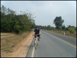
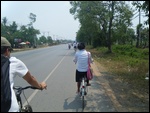
We turn around and head back to the paved road we crossed. We make a guess which way to turn and head along this two lane road. The traffic is light and the riding is easy, as most of Cambodia is very flat.
As we ride along this sparsely inhabited road, kids see us and come running to the side of the road, yelling, "Hello". We yell 'hello' back and they wave. These are the younger kids, 4, 5,6, or 7 maybe, but the teenages and young adults are just as friendly, we have found out
.
Everytime we say hello, they say hello back and smile their big Cambodian smiles. This might be the only English they know, but they are proud to be speaking English. They like to speak English with foreigners and like it when you say hello to them.
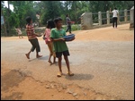
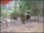
One little boy came running down his dirt driveway to the edge of the road at one point, yelling hello. I called 'hello' back and waved. Then there were several other kids come running down the drive, all waving and yelling 'hello'. I stopped to take a picture of them, but motioned for them not to come onto the road. They were on the other side of the road and I was afraid they would cross the highway.
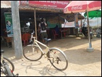
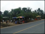
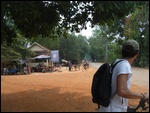
Miles down the road we came to an intersection. There were a few roadside food stands and we decided to stop for something cold to drink and get lunch. No one spoke English except one boy about 12 or so. He had to interpret for us, so we could get our food
. Then we showed our map and asked if we were on the right road. He said to turn a few miles down the road to the right to get to the lake/resevoir.
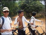
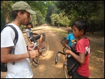
We followed the directions the best we could and made a right turn onto a gravel road. We got lost in a remote, small airfield. Contining on around the airfield we got further from civilization. A few schoolboys (we could tell because they all wear uniforms) came along riding bikes. We asked them and they decided we should go down the next road to the left until we eventually would come to a paved road.
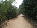
We rode through the dirt roads for a couple of hours. Occasionaly, we would pass another few school kids. We would say hello and they would respond with their hellos and smiles, and wave. Kids here are not afraid of strangers like the kids in the U.S. are these days. And the teenagers are just as friendly. Foreigners are a rare sight and they love to see us.
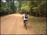
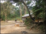
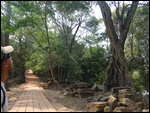
The bike ride was pleasant, often through overhanging trees, giving us shade from the hot sun
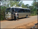
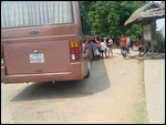
. In the early afternoon, we finally came to a paved road. There was a tour bus parked at the intersection.
I stayed with the bikes and Antonio walked across the street to see if he could find out where the lake was and where we were.
They were two Cambodian bus drivers. Antonio showed them our map and asked where we were. We were not far from the lake now, as it turned out. Pointing in the direction we should go, they said, "But whatever you do, don't go down that road. It's too dangerous".
"But," Antonio said, "we just came through that road". Their jaws dropped and they looked at each other in silence for a minute. Shaking their heads they repeated, "Never go down that road, it's too dangerous".
We still don't know why the road was so dangerous, but we rode it for a couple of hours without issue. There are a lot of drugs in Cambodia and we suspect maybe we had wandered off in that territory
. Maybe the fact that it was mid-day and we never left the road for any reason worked to our advantage.
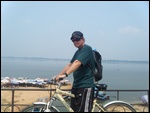
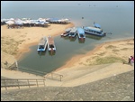
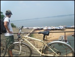
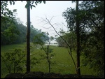
Off in the direction we had been pointed to and up the first hill of the day, we found our lake. It was huge. We were hot. We wanted to swim, but you are not allowed to bring bicycles down the levy to the beach and we did not have bicycle locks ... so no swimming for us.
There was a tour bus parked at the levy and several little kids had baskets with hand-made trinkets they were trying to sell to the tourists. There is no mandatory school here, and a lot of parents take their kids out of school to help earn money for the family. They swarmed the front door of the bus, hoping to make a sale.
Back down the levy, we passed the 'dangerous road'. This time we kept riding down the paved road, taking the advice of the bus drivers. This would be a longer way around, I think, but is probably the road we should have come in on
. We made a turn too quickly after leaving the lunch place, I think.
Antonio and I joked the rest of the day about starting a bike touring company to take people riding on dangerous Cambodian roads.
On the way to the next Wat, while riding some back roads, we saw some wild monkeys playing on the ground under some trees. We tried to lure them to where we could see them better, but they hightailed it back into the woods. While looking to see where the monkeys went, three school boys came biking along and the 'hello' from us got them to stop and talk awhile. They said there were monkeys all through the woods and we would see more while on our trip.
There is a lot of daylight left in the day and we will continue our tour of the other Wats. But I will update you on the rest of the day in the next post, and tell you of our mafia encounter later in the day.
I added an artists drawing of Angkor Wat at the end of the pictures for you to get an idea of what it might have looked like in its day
.
Danger in Cambodia
Saturday, March 09, 2013
 Siem Reap Province, Cambodia
Other Entries
-
47700 Years Ago
Feb 1225 days prior Chiang Mai, Thailandphoto_camera160videocam 0comment 0
 -
48My Feet
Feb 1324 days prior Chiang Mai, Thailandphoto_camera81videocam 0comment 0
 -
49The Magic Buddha
Feb 1423 days prior Chiang Mai, Thailandphoto_camera194videocam 0comment 0
 -
50The Little Bag
Feb 1522 days prior Pai, Thailandphoto_camera118videocam 0comment 6
 -
51Bye Pie
Feb 1621 days prior Pai, Thailandphoto_camera70videocam 0comment 0
 -
52I Know My Name Is Sam
Feb 1720 days prior Chiang Mai, Thailandphoto_camera48videocam 11comment 0
 -
53This Kiss Means Nothing
Feb 1819 days prior Banan, Cambodiaphoto_camera22videocam 3comment 4
 -
54Mauling or Ripping My Limbs Off Not Allowed!
Feb 1918 days prior Chiang Mai, Thailandphoto_camera31videocam 1comment 0
 -
55Volunteering Again
Feb 2017 days prior Chiang Mai, Thailandphoto_camera14videocam 1comment 0
 -
56Long Necks
Feb 2116 days prior Chiang Mai, Thailandphoto_camera20videocam 1comment 0
 -
57Back To Work!
Feb 2215 days prior Chiang Mai, Thailandphoto_camera102videocam 13comment 0
 -
58The Charging Elephant
Feb 2314 days prior Chiang Mai, Thailandphoto_camera123videocam 9comment 4
 -
59A Sad Note
Feb 2413 days prior Chiang Mai, Thailandphoto_camera6videocam 0comment 2
 -
60It's A Foot
Feb 2512 days prior South Pattaya, Thailandphoto_camera171videocam 3comment 0
 -
61The Island
Mar 018 days prior South Pattaya, Thailandphoto_camera128videocam 1comment 0
 -
62Fleeing Thailand
Mar 072 days prior Bangkok, Thailandphoto_camera52videocam 0comment 0
 -
63The Kingdom of Cambodia
Mar 081 day prior Siem Reap Province, Cambodiaphoto_camera75videocam 0comment 3
 -
64Danger in Cambodia
Mar 09 Siem Reap Province, Cambodiaphoto_camera155videocam 0comment 0
 -
65Is the Mafia After Me?
Mar 101 day later Banan, Cambodiaphoto_camera80videocam 1comment 0
 -
66The Mugging
Mar 112 days later Siem Reap Province, Cambodiaphoto_camera136videocam 2comment 0
 -
67These Stats are Horrendous
Mar 123 days later Siem Reap Province, Cambodiaphoto_camera61videocam 2comment 2
 -
68The Phantom Bus
Mar 134 days later Siem Reap Province, Cambodiaphoto_camera104videocam 1comment 0
 -
69The Wedding - Cambodian Style
Mar 145 days later Banan, Cambodiaphoto_camera24videocam 1comment 0
 -
70The Bamboo Train
Mar 156 days later Banan, Cambodiaphoto_camera41videocam 6comment 0
 -
71The Story of a Lost Stick
Mar 167 days later Banan, Cambodiaphoto_camera117videocam 1comment 0
 -
72Dining Cambodian Style
Mar 178 days later Banan, Cambodiaphoto_camera65videocam 0comment 0
 -
73Blessed With Good Luck
Mar 2617 days later Siem Reap, Cambodiaphoto_camera176videocam 7comment 0
 -
74Nightmare in Cambodia
Mar 2920 days later Battambang, Cambodiaphoto_camera63videocam 3comment 0
 -
75A Dead City Comes to Life
Apr 0123 days later Phnom Penh, Cambodiaphoto_camera120videocam 0comment 0
 -
76Torture in A School
Apr 0224 days later Phnom Penh, Cambodiaphoto_camera113videocam 0comment 0
 -
77Killing Fields
Apr 0325 days later Phnom Penh, Cambodiaphoto_camera57videocam 0comment 0
 -
78Lost in A Maze, In the Cambodian Mountains
Apr 0628 days later Sen Monorom, Cambodiaphoto_camera101videocam 7comment 0
 -
79A Cambodian Birthday Party
Apr 1335 days later Battambang, Cambodiaphoto_camera185videocam 2comment 0
 -
80HAPPY NEW YEAR! "2557"
Apr 1436 days later Banan, Cambodiaphoto_camera141videocam 12comment 0
 -
81It's A Lotus!
Apr 1537 days later Quận 10, Vietnamphoto_camera107videocam 6comment 0
 -
82Saigon - The Old and New
May 0557 days later Ho Chi Minh City, Vietnamphoto_camera51videocam 6comment 0

 Siem Reap Province, Cambodia



2025-05-22