 Guadalupe Mountains National Park, Texas, United States
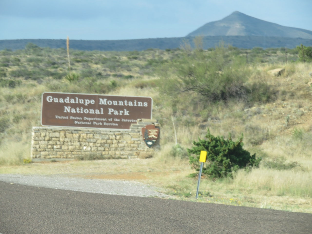
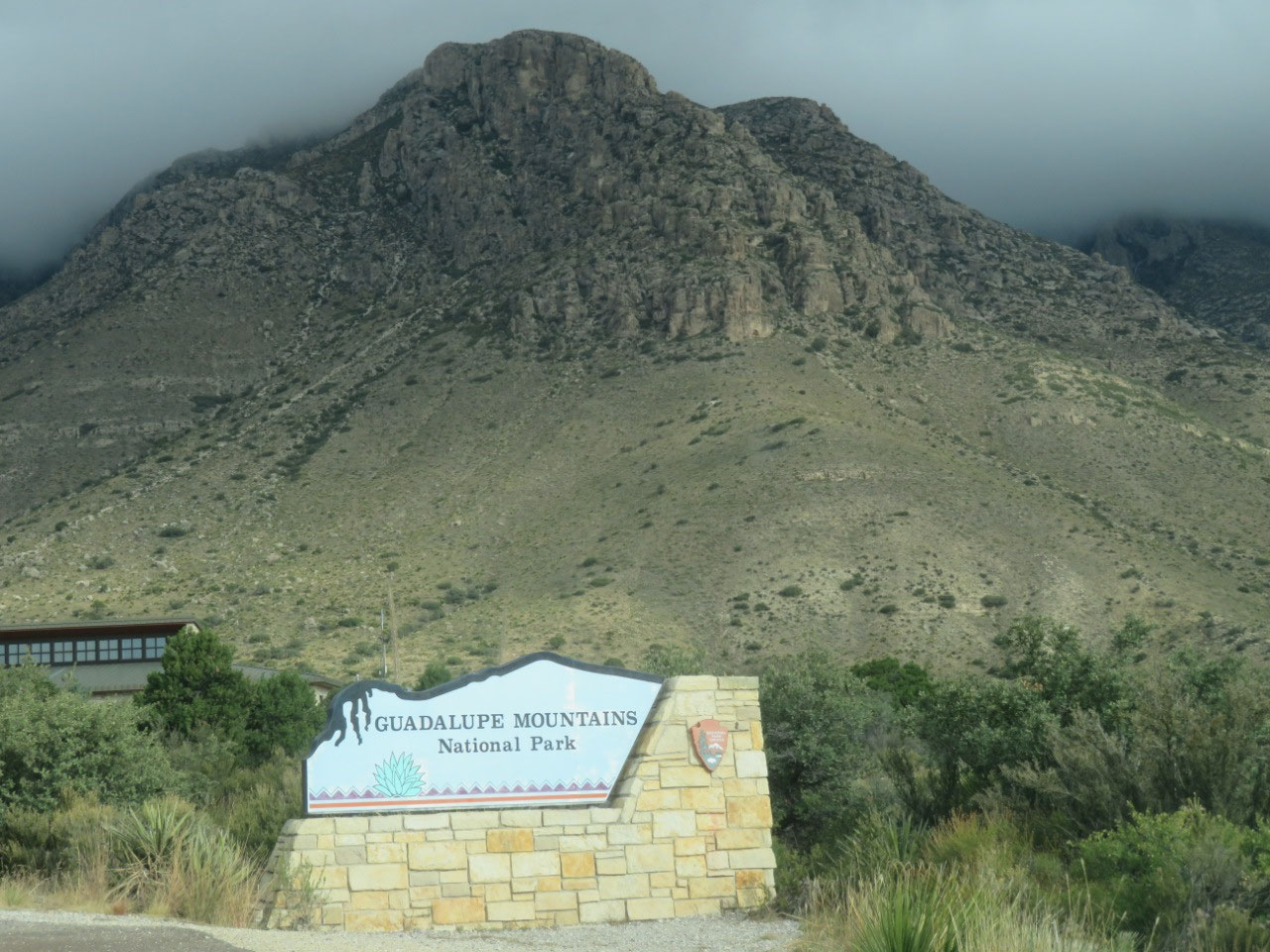
Today we visited the last National Park site of the trip: Guadalupe Mountains National Park, about 48 miles south of Carlsbad. Doing this today was the result of a forced reordering, due to the NPS having changed the hours of the Chamizal National Memorial right before we left home, changing from open 7 days a week to closed Sunday and Monday. It, too, is south of Carlsbad, but it's about 170 miles south. The idea was for us to visit Guadalupe Mountains yesterday, then Chamizal today, whence we would head straight to Las Cruces--a distance of only about 48 miles. So instead of doing a 96-mile round-trip on Sunday and a total drive of about 220 on Monday, we had to do a round-trip of 340 miles on Sunday and a total drive of about 220 miles today. Oh well! The best laid plans of mice and men....
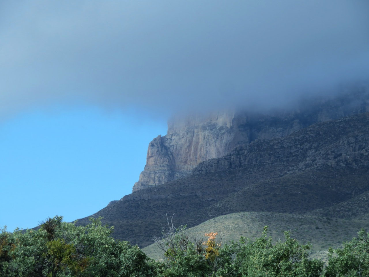
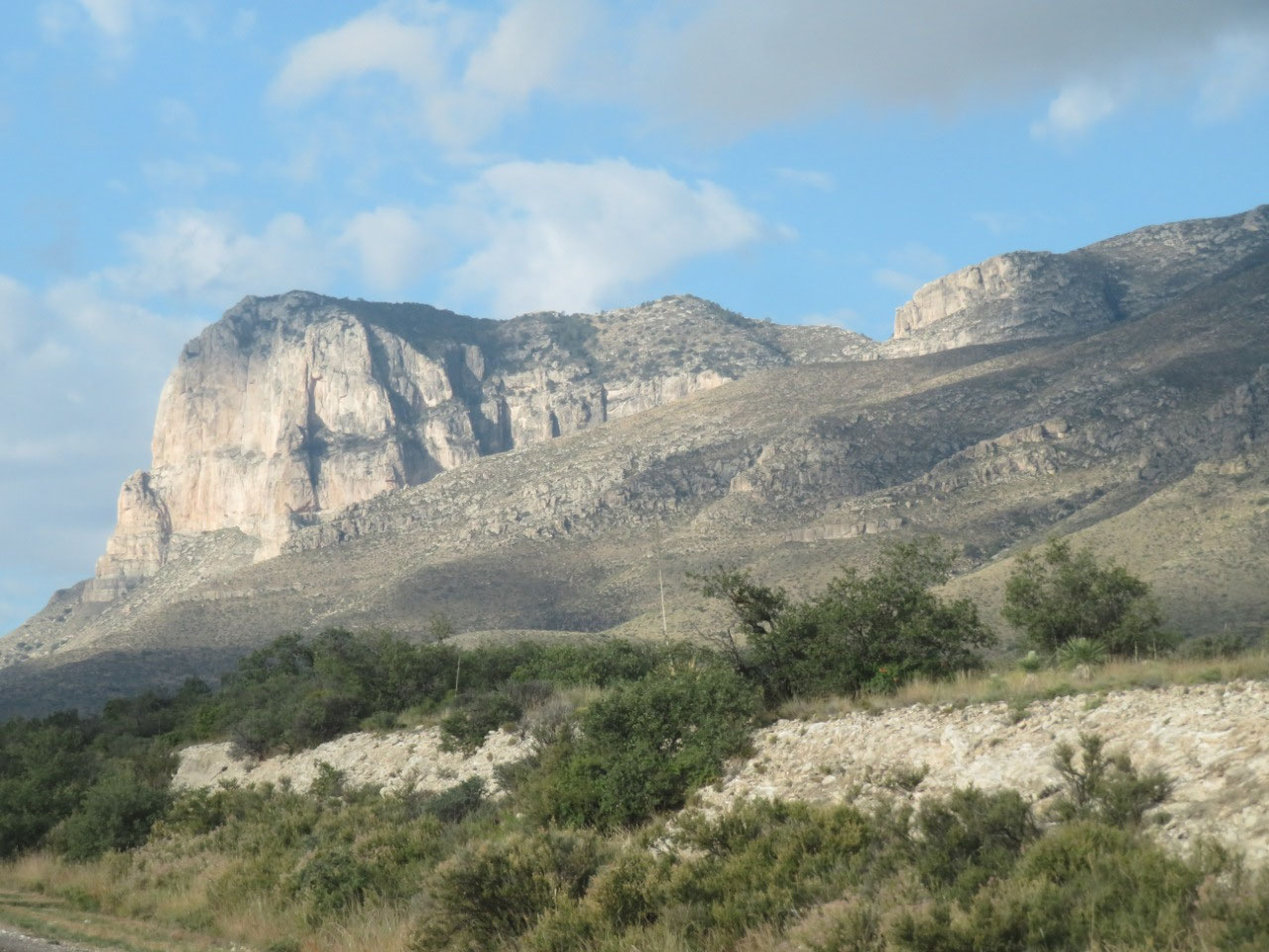
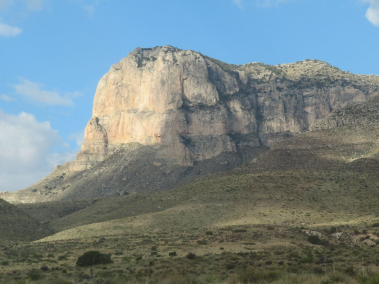
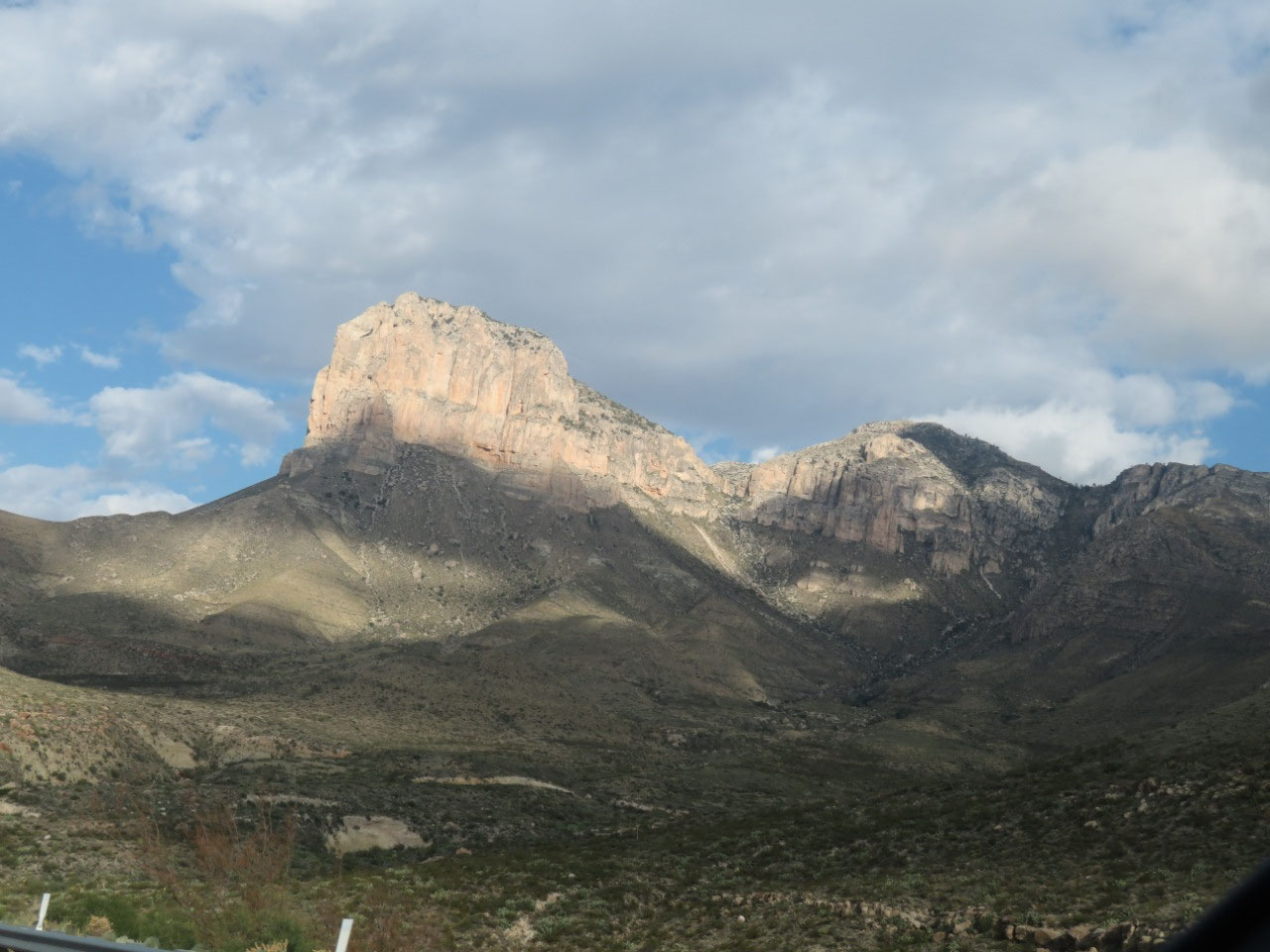
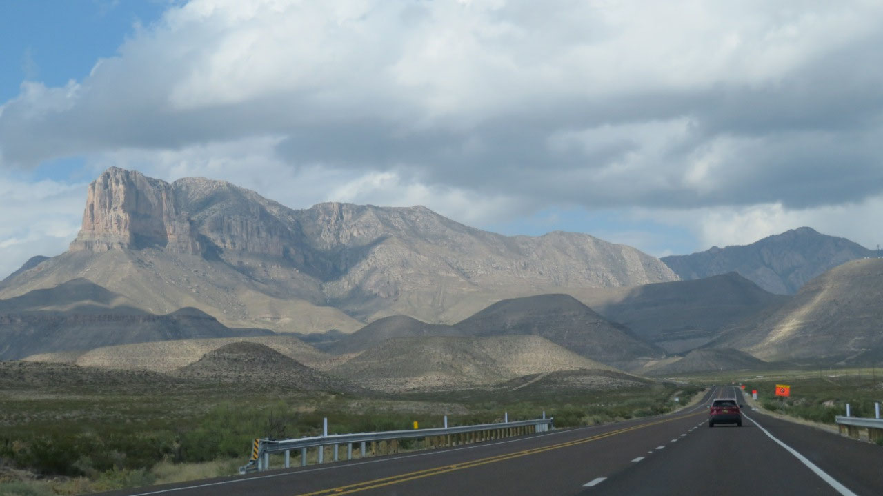
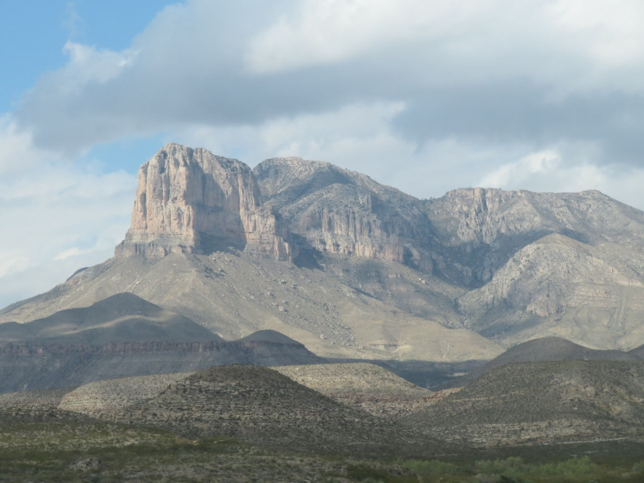
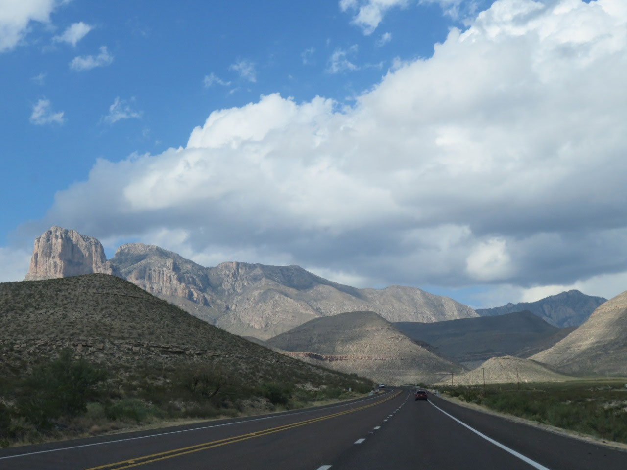
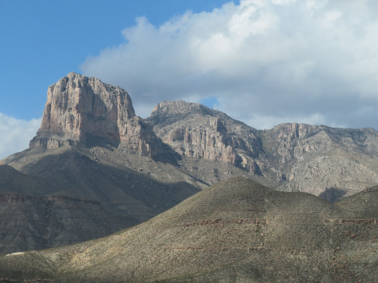
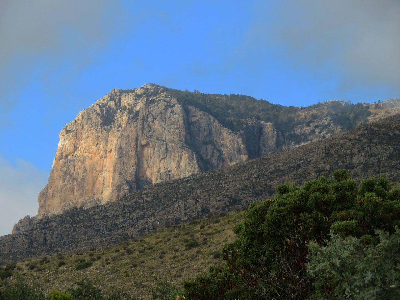
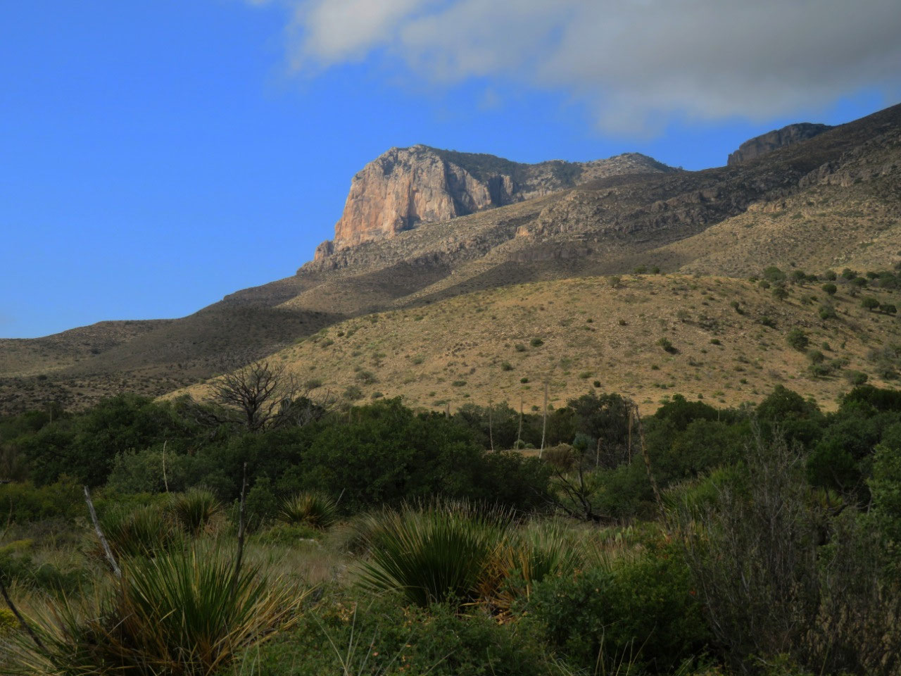
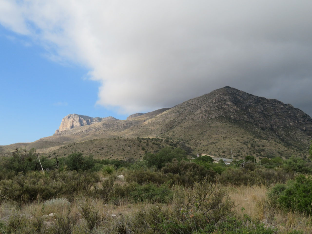
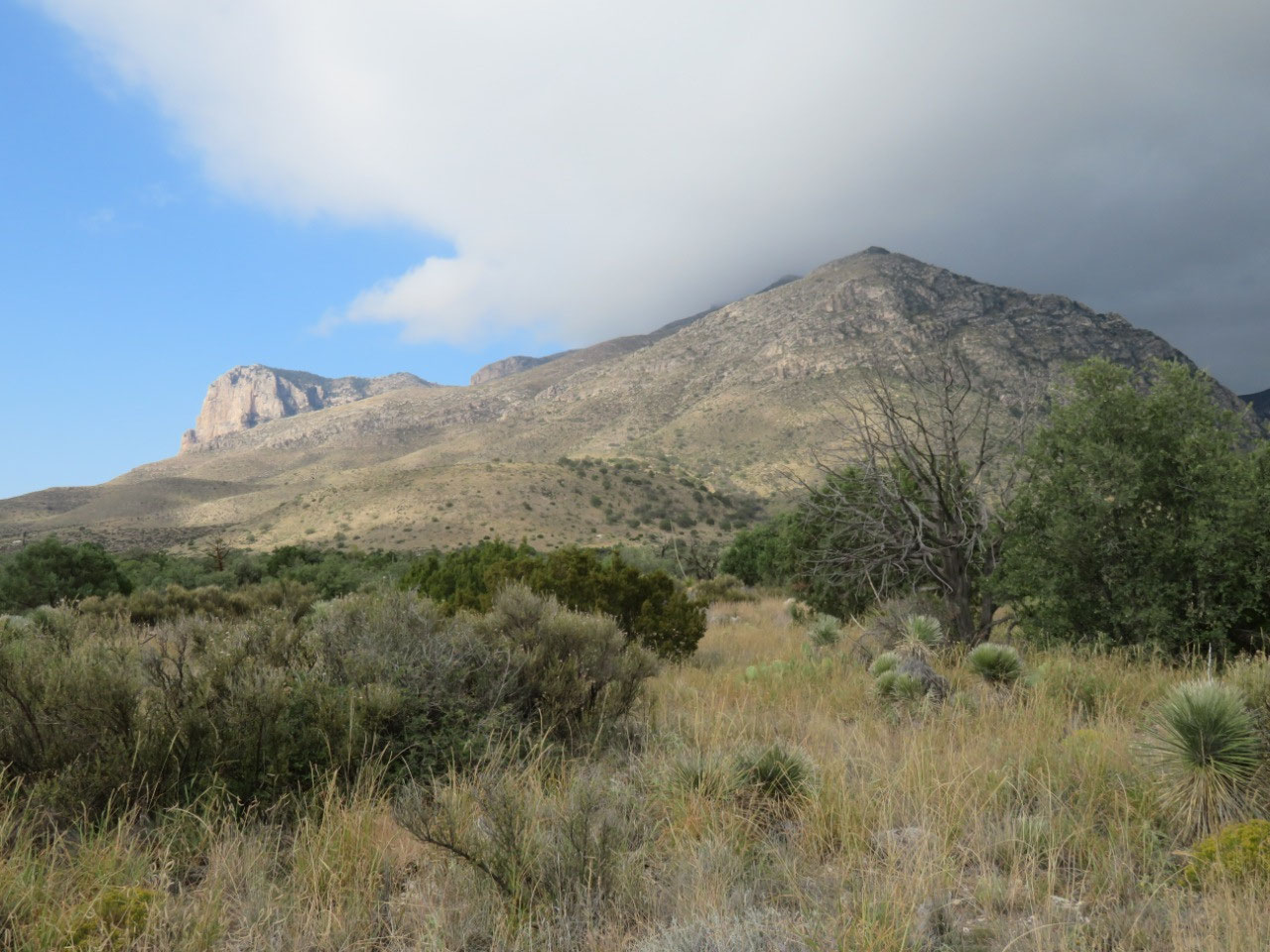
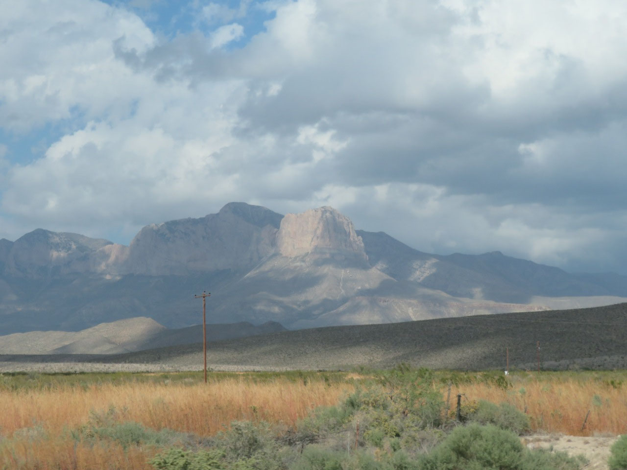
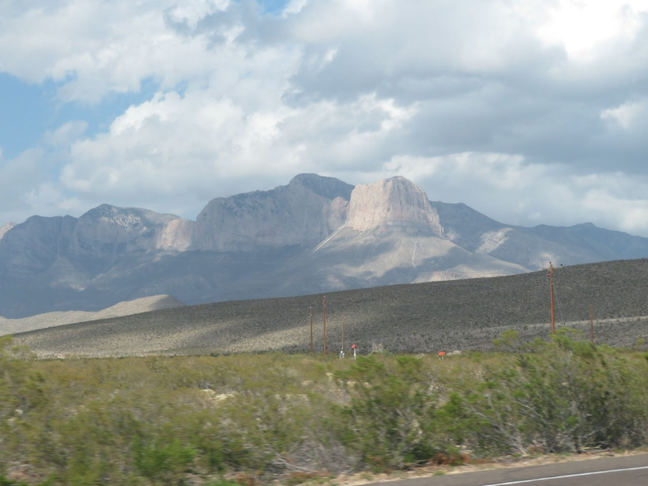
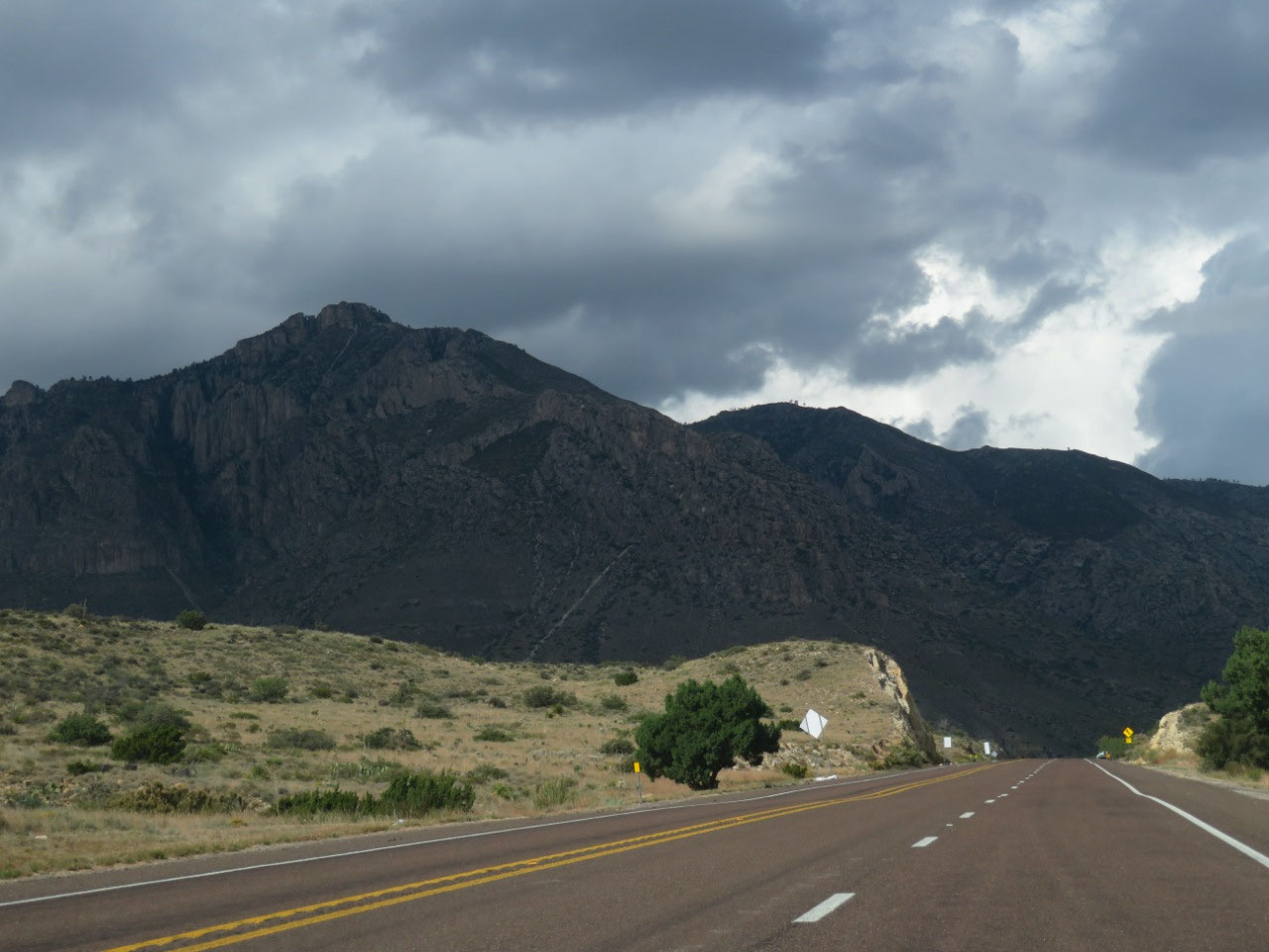
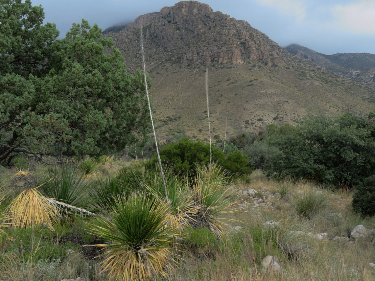
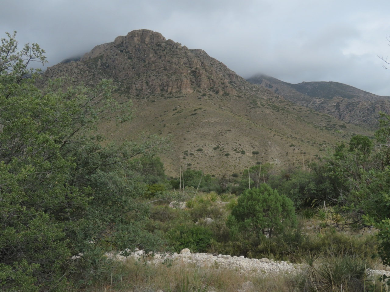
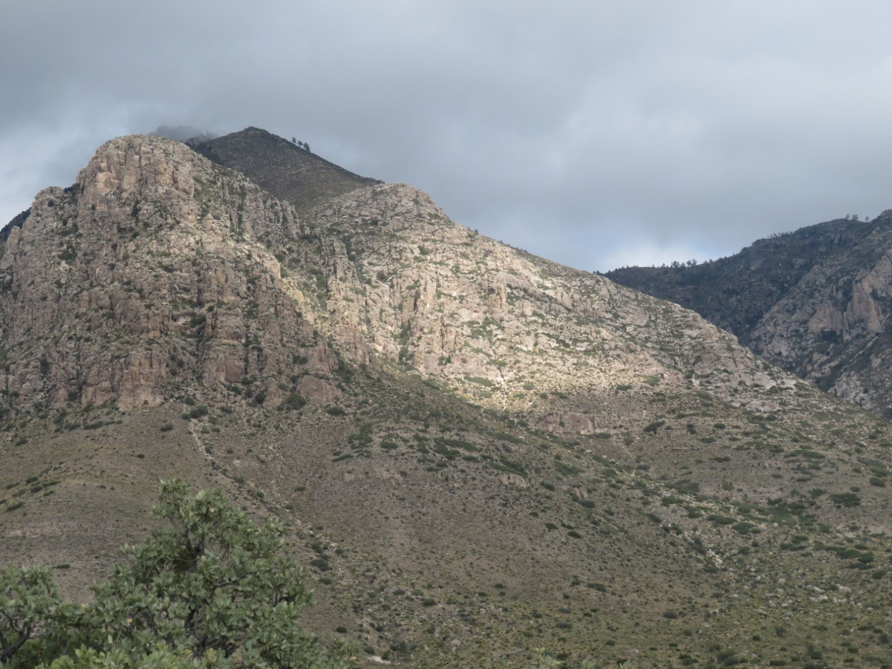
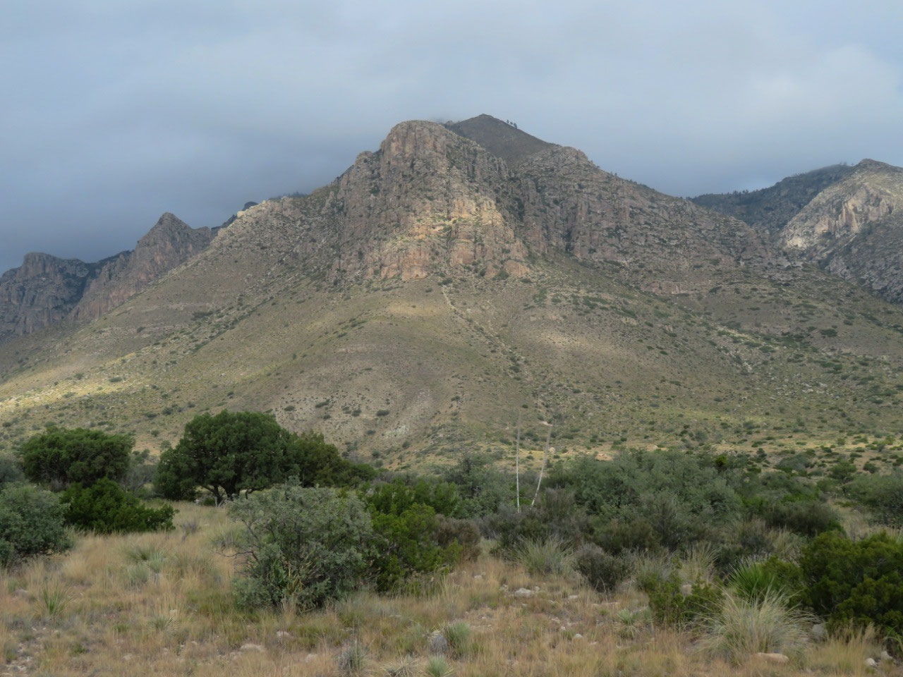
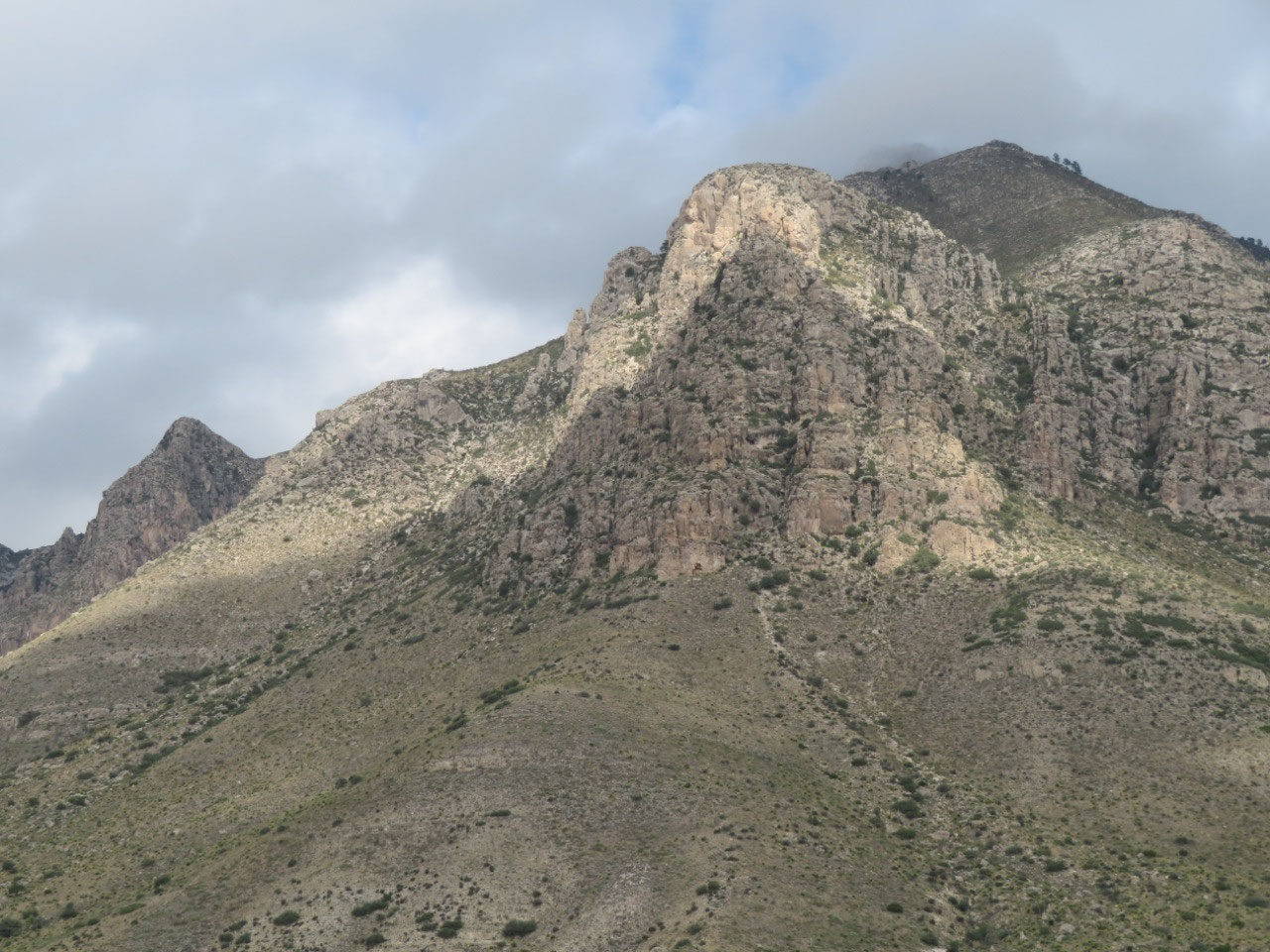
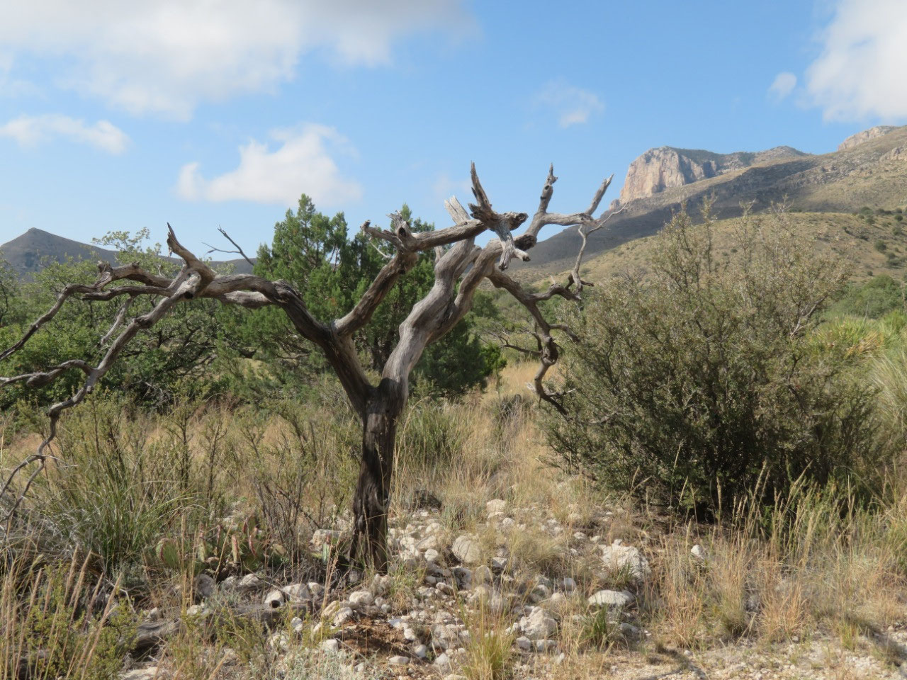
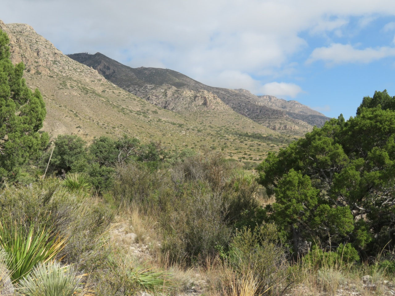
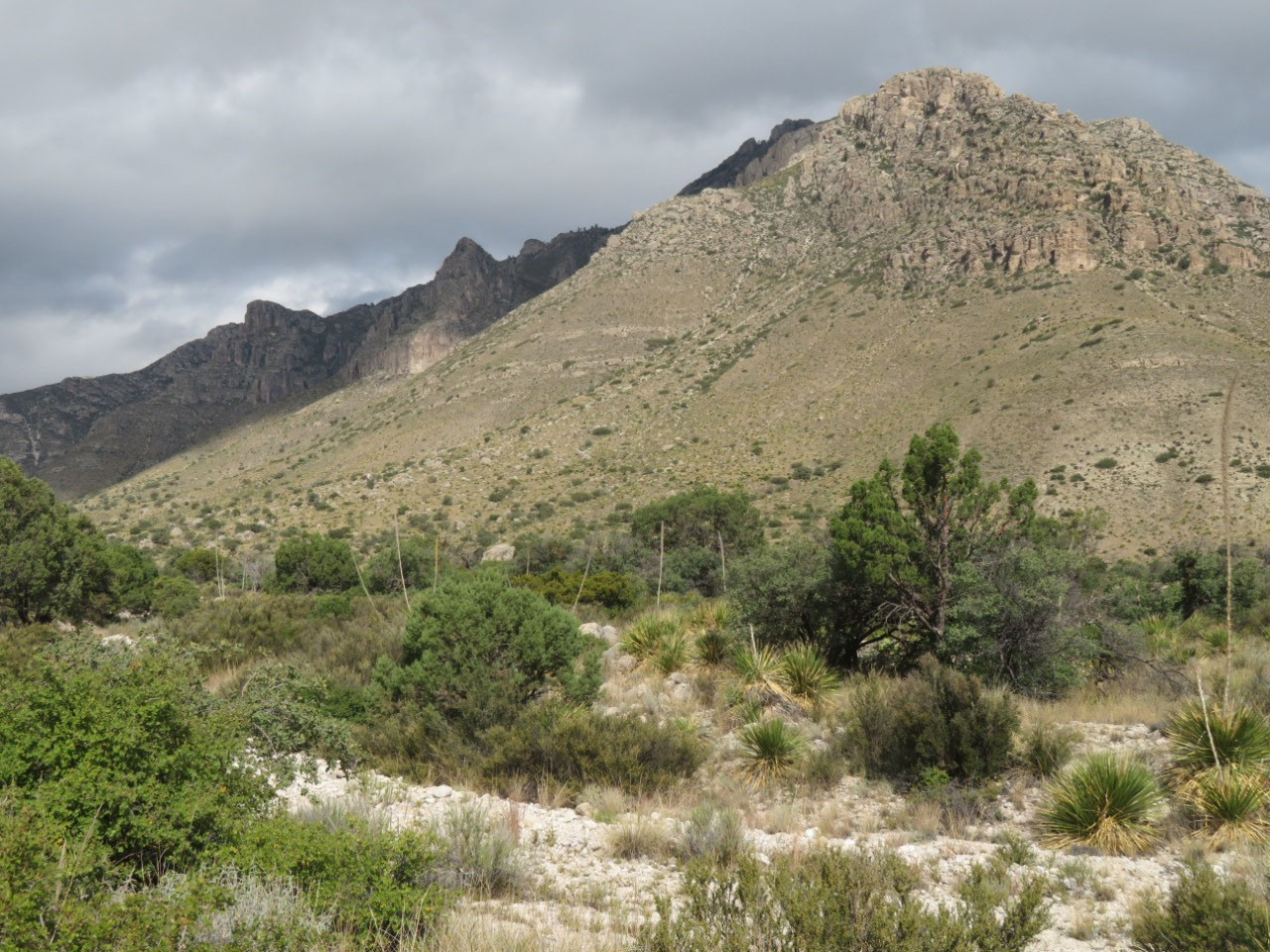
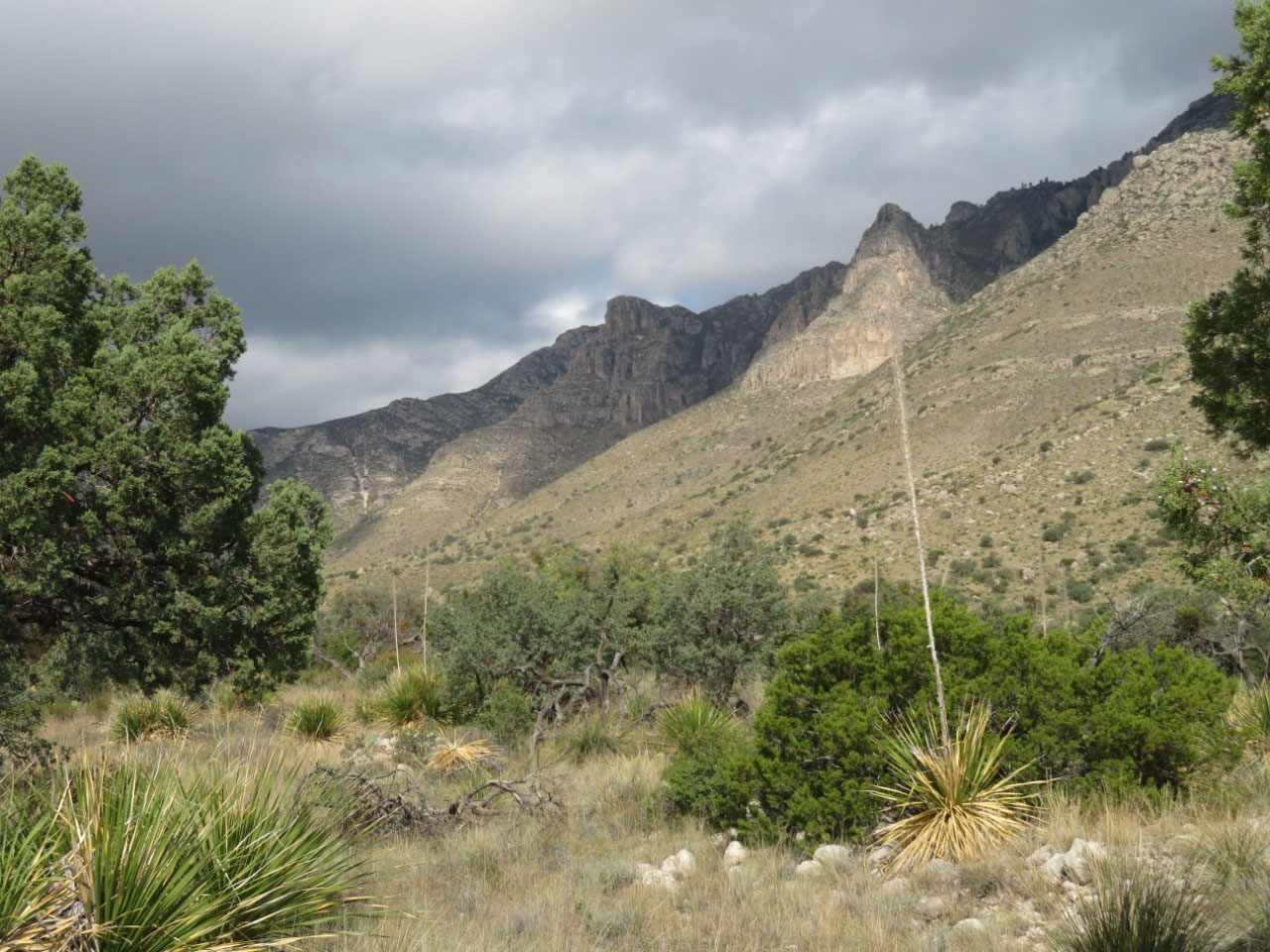
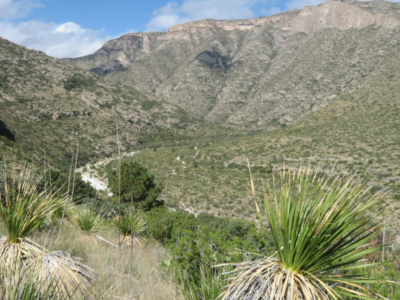
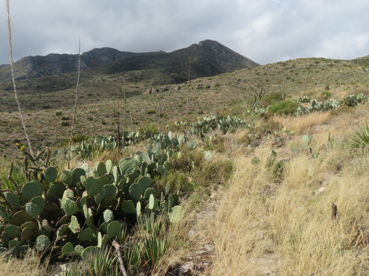
The Guadalupe Mountains are formed out of the world's largest exposed fossil reef. The formation of the mountains started about 250 million years ago, when there was a huge inland sea here. Eventually the sea receded and the fossils, which had formed deep layers which now constitute the reef, remained.
Uplift of the earth turned this fossil collection into mountains.
Guadalupe Mountains NP is a wilderness park, which is to say that there is very little to do here, unless you are up for back-country hiking and camping. The "easier" hikes are still likely to take all day. For example: the hike to Guadalupe peak is 8.5 miles round trip. It takes 6 to 8 hours (or no doubt longer if you were me), and requires a steep increase of 3000 feet in elevation. That is one of several quite demanding hikes of which you can avail yourself if you come here. That was never going to happen.
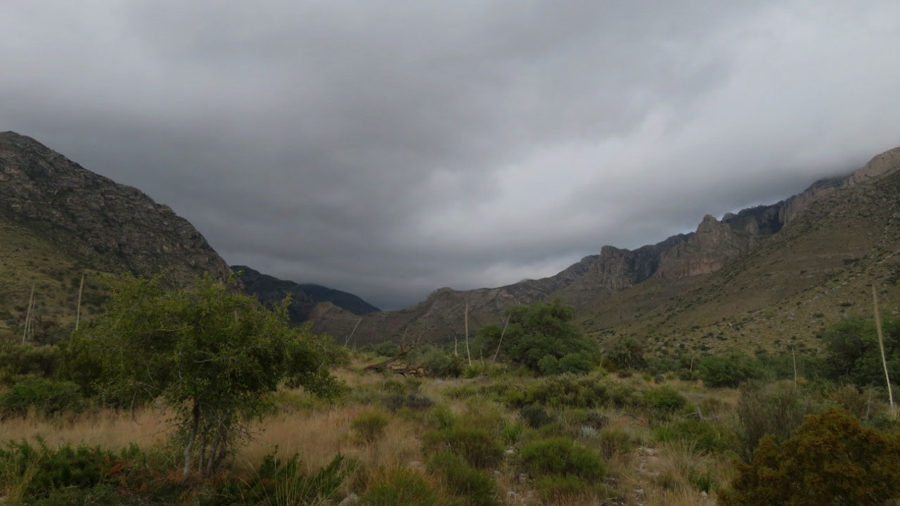
So we did the wimpy tourist version of visiting Guadalupe Mountains: we went to the visitor's center (takes about 15 minutes), then we did the nature trail hike from there (1 mile--paved, wheelchair accessible; change in elevation negligible). From there, we went on up to McKittrick Canyon, a piece of the park which incorporates a canyon carved by a large creek (or a small river?). The land was owned for many years by a guy named Wallace Pratt, who was shown the canyon by a friend, and who thought it was the most beautiful place he ever saw.
The little film in which Pratt described his experience did not make clear when or how, but he acquired the land and built a cabin on it. Many years later he donated the land to the National Park.
McKittrick Canyon is labeled a "must see" stop in the park, but the hike is 2-4 hours (probably more for me!) if you go just to Pratt's cabin, and is, of course, uphill all the way out. Also in McKittrick Canyon is the hke to the top of McKittrick Ridge, labeled "the hardest hike in Texas." A complete non-starter. We settled instead for the nature trail by the visitor's center (which really isn't a visitor's center but is rather a launching point for hikers. There is a ranger there for information and a little 8-minute video out on a patio and that's about it.). This trail is a mile, too. What they don't warn you is that it requires about 230' of elevation change in the first half-mile to an elevation of 5240 feet--just a few feet short of being equal to Denver. I made it up the hill, but I have to confess: I was right pooped by te time we got back to the car.
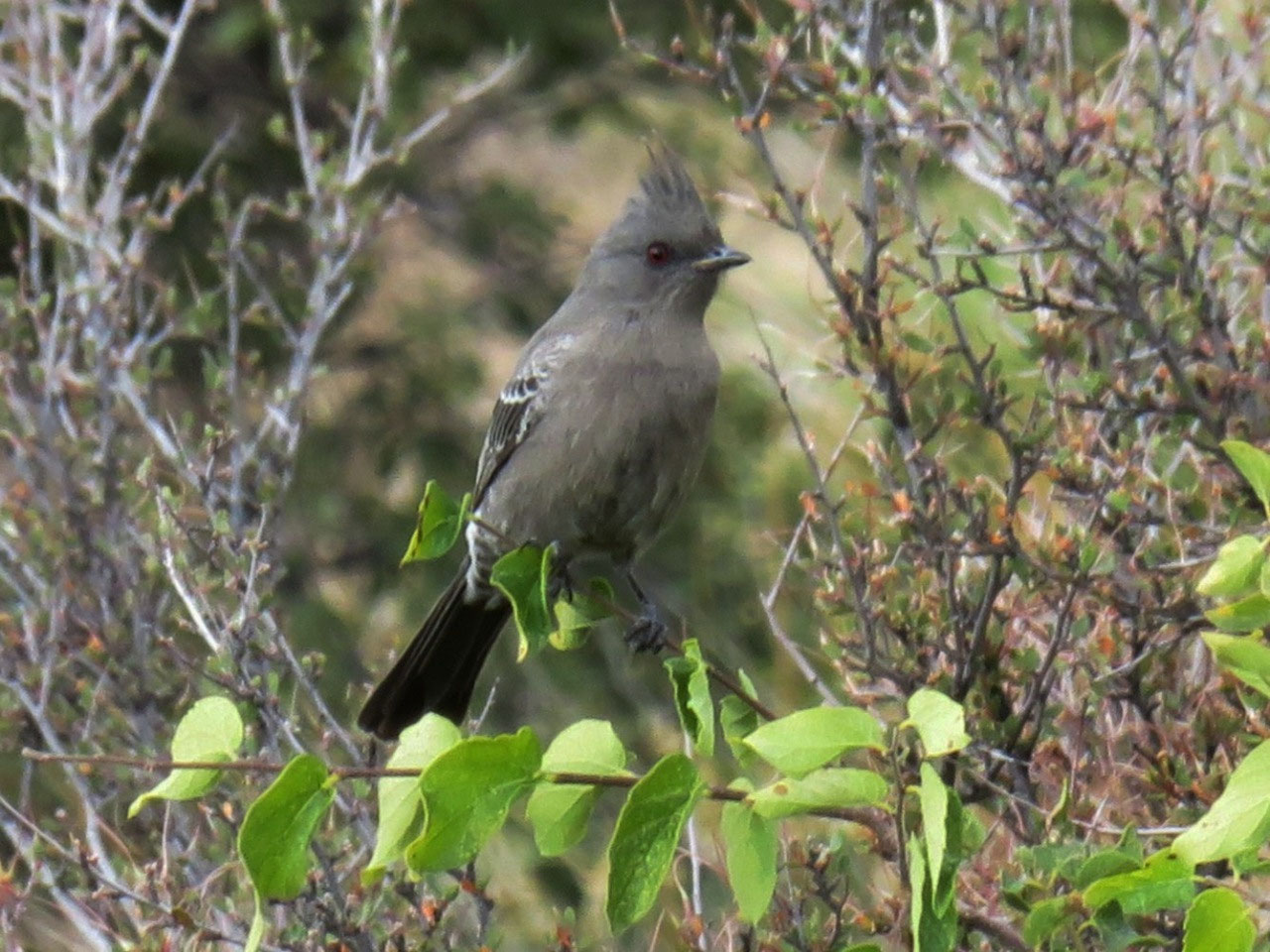
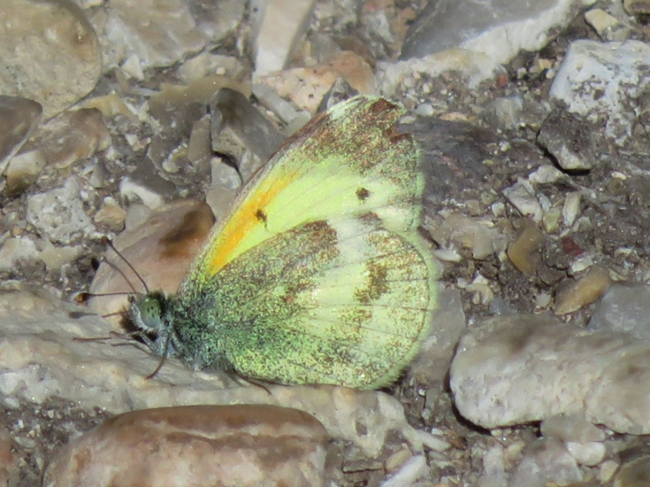
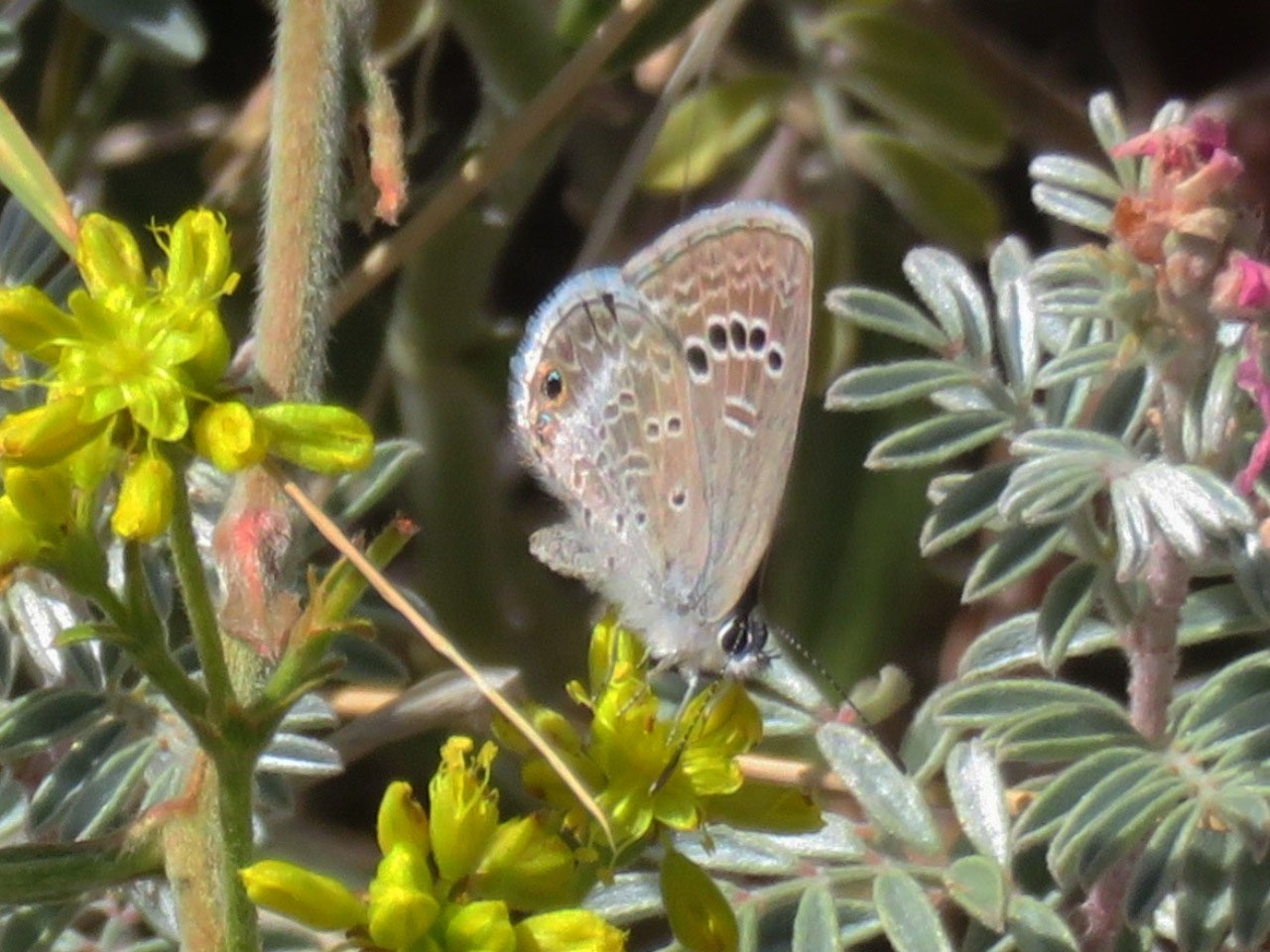
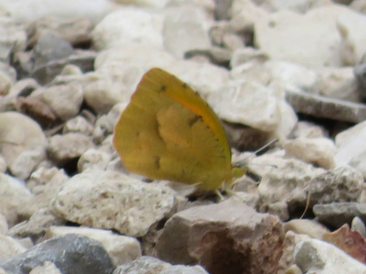
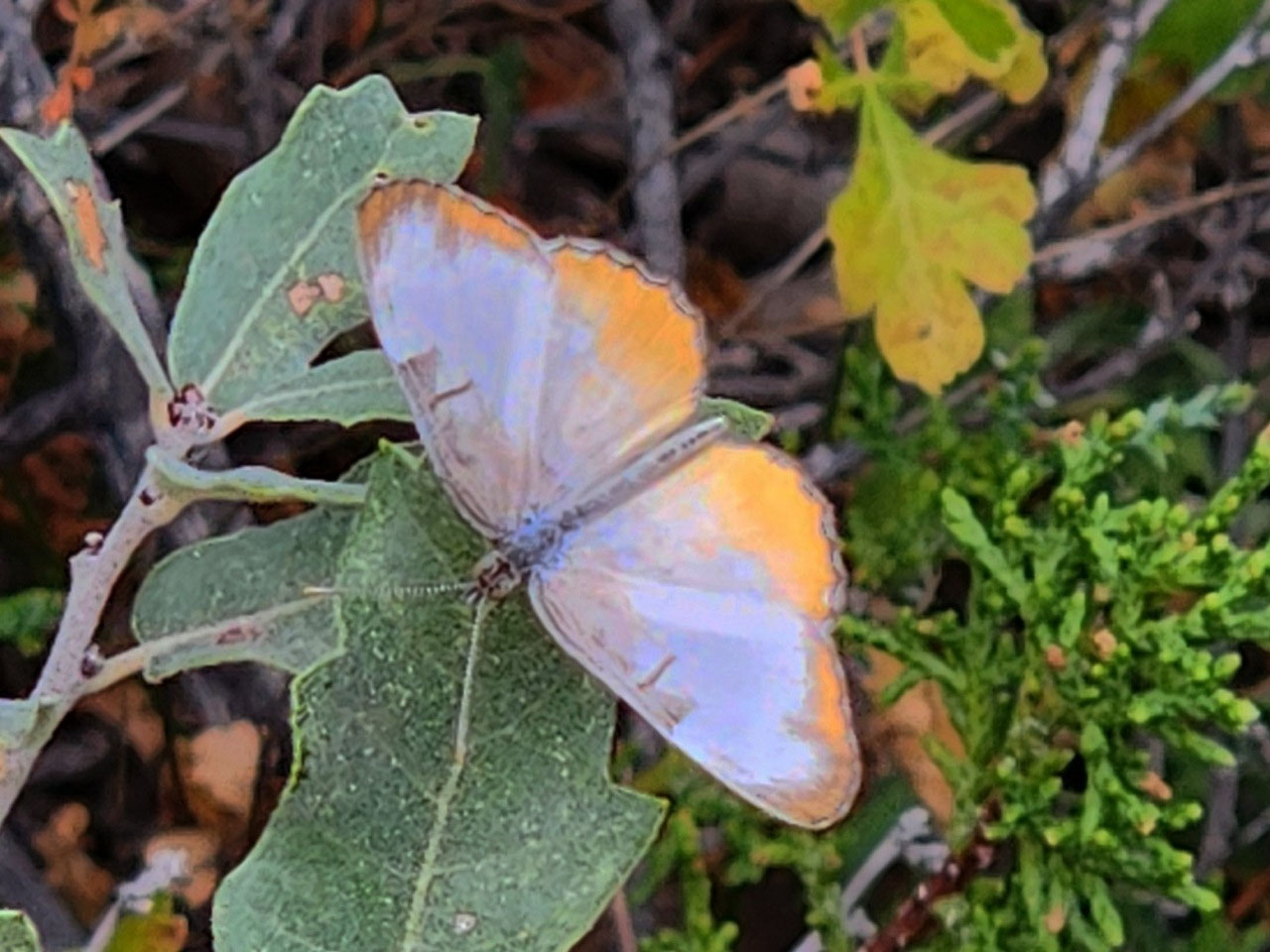
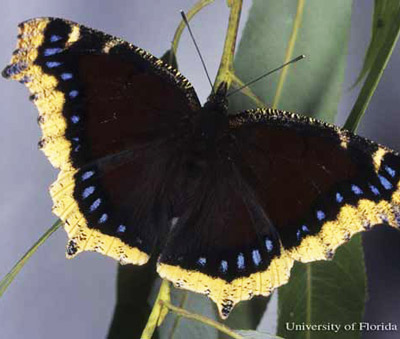
We did, however, see right many butterflies, of which I did get a few pictures. We saw a good dozen Monarchs (no pictures) and a Queen (no picture) and, a real treat, a Mourning Cloak (also, alas, no picture). These are truly striking butterflies (see photo here), and we get them at home, but only in the very early spring--early March. In Texas, it turns out, you can see them just about year-round, so that was a nice treat for us! We saw several kinds of sulphurs--Dainty, Little Yellow, and Cloudless for sure, as well as Sleepy Orange. We also saw a species we had never seen before: Common Mestra.
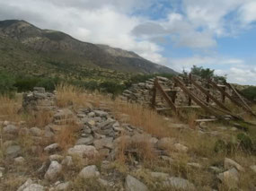
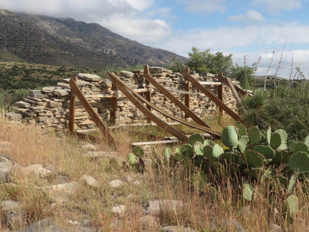
Our last stop in the park was the Frijole Rance, so named because the various people who have lived here ate beans a LOT. Here's how the park website describes Frijole Ranch: "Frijole Ranch is a delightful oasis on the edge of the dry, lower slopes of the Guadalupe escarpment which truly captures the rugged sprit of the American West." I'm sure they couldn't say it it wasn't so. The ranch was begun here in 1876 when the ranch house was a two-room structure; it was expanded on by later owners, and people were living in it until 1977.
The ranch house is now on the national register of historic places, and it is a museum for visitors to the park.
And here is some FINE descriptive writing from the website about the significance of the ranch (if you can understand it, give yourself a gold star!): "The Frijole Ranch (also called Guadalupe Ranch) is a vernacular historic cultural landscape that has retained integrity in location, setting, feeling, association, design, workmanship, and materials. It is no longer a working ranch but many structures and features located within the area have retained their original exterior fabric and many historic landscape patterns are still evident."
Once we finished at the park, our vacation was essentially over, and what remains is for us to head home. Tonight we'll spend in Las Cruces (see next short entry), and tomorrow night in a hotel half a mile from the Tucson airport.
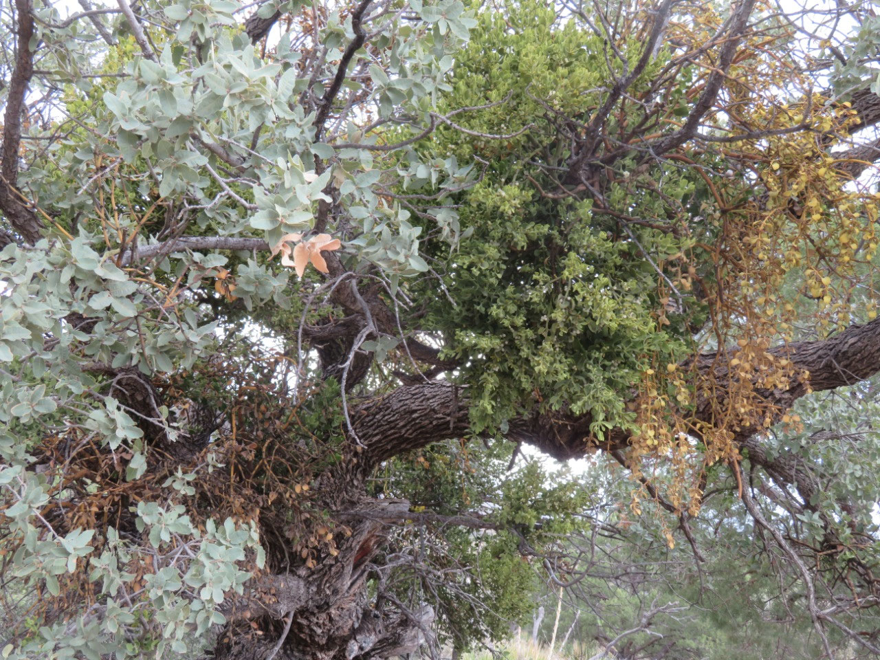
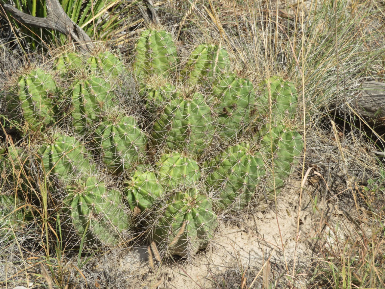
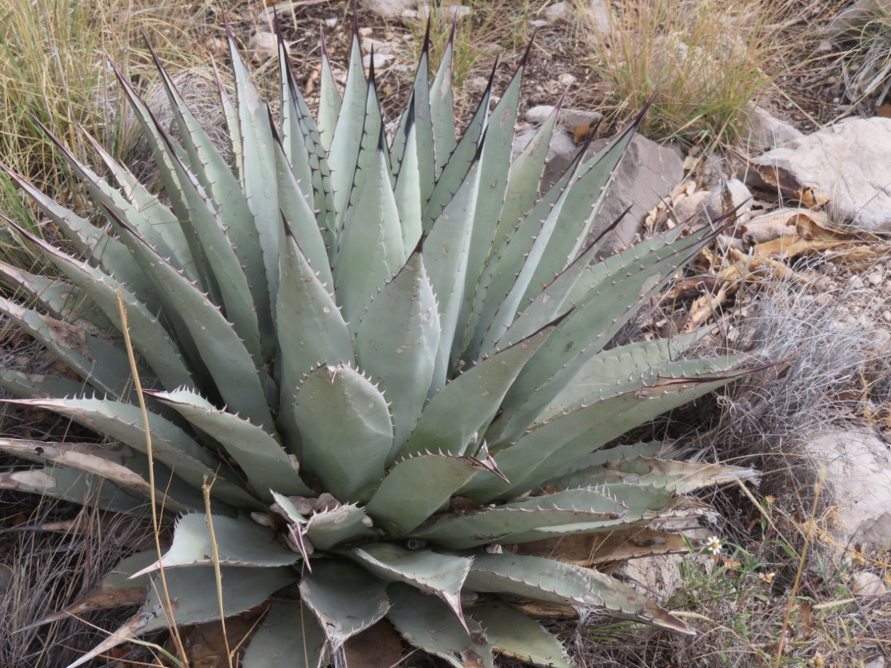
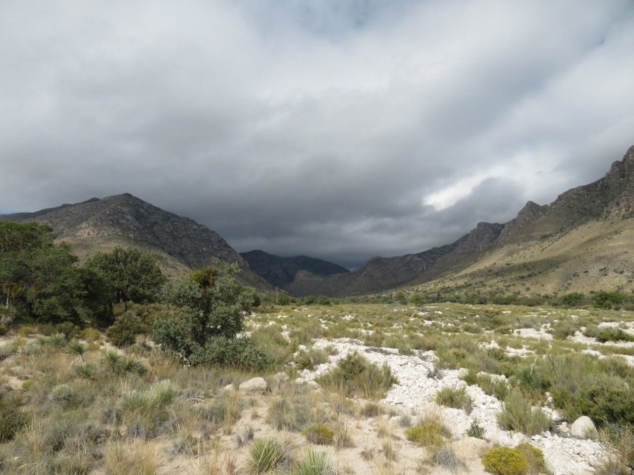
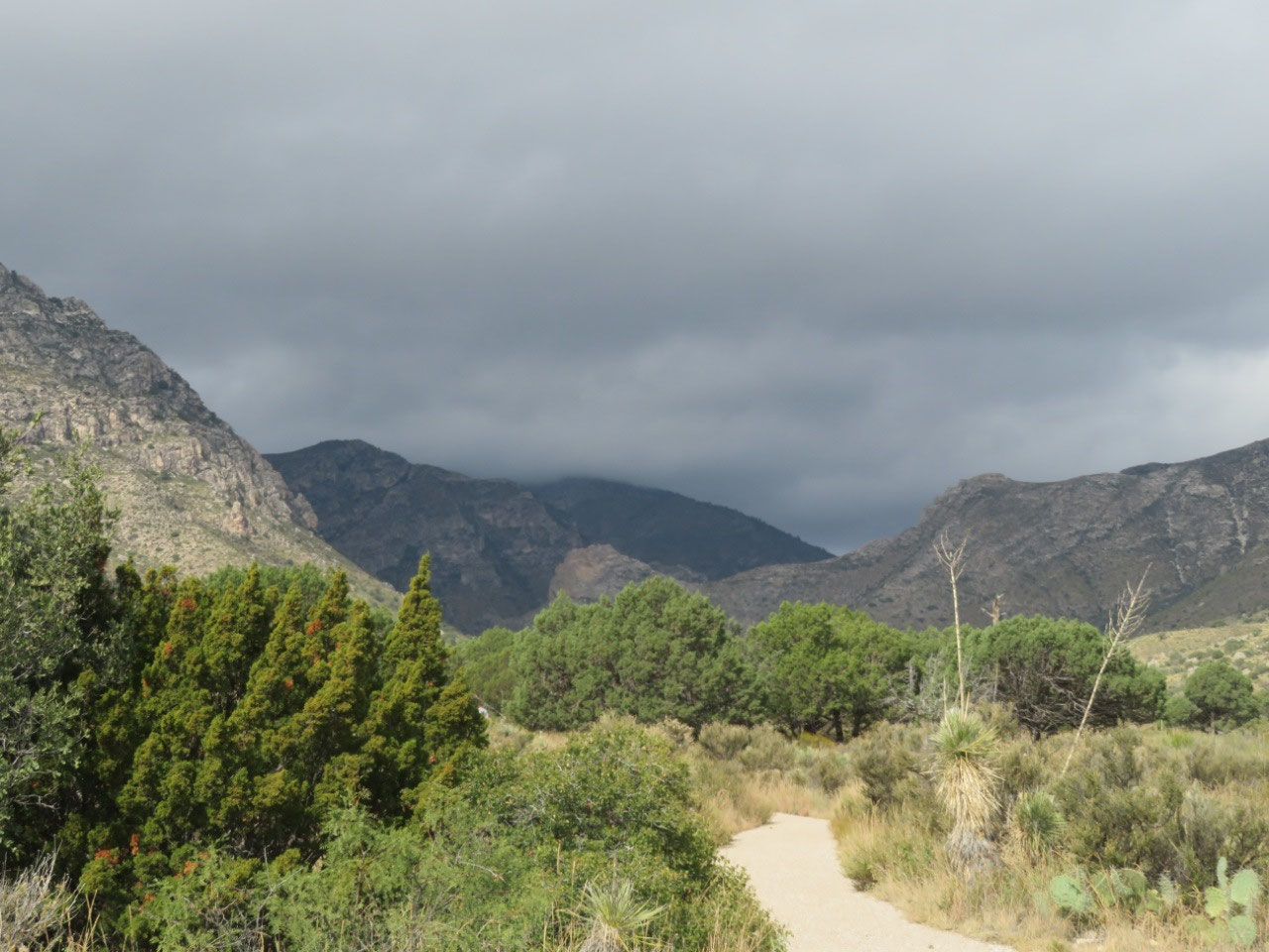
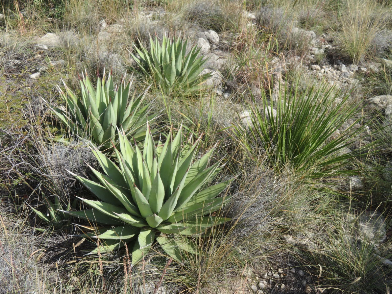
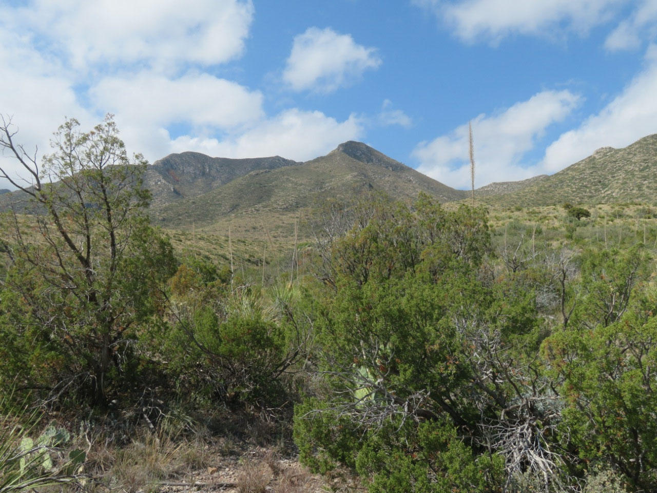
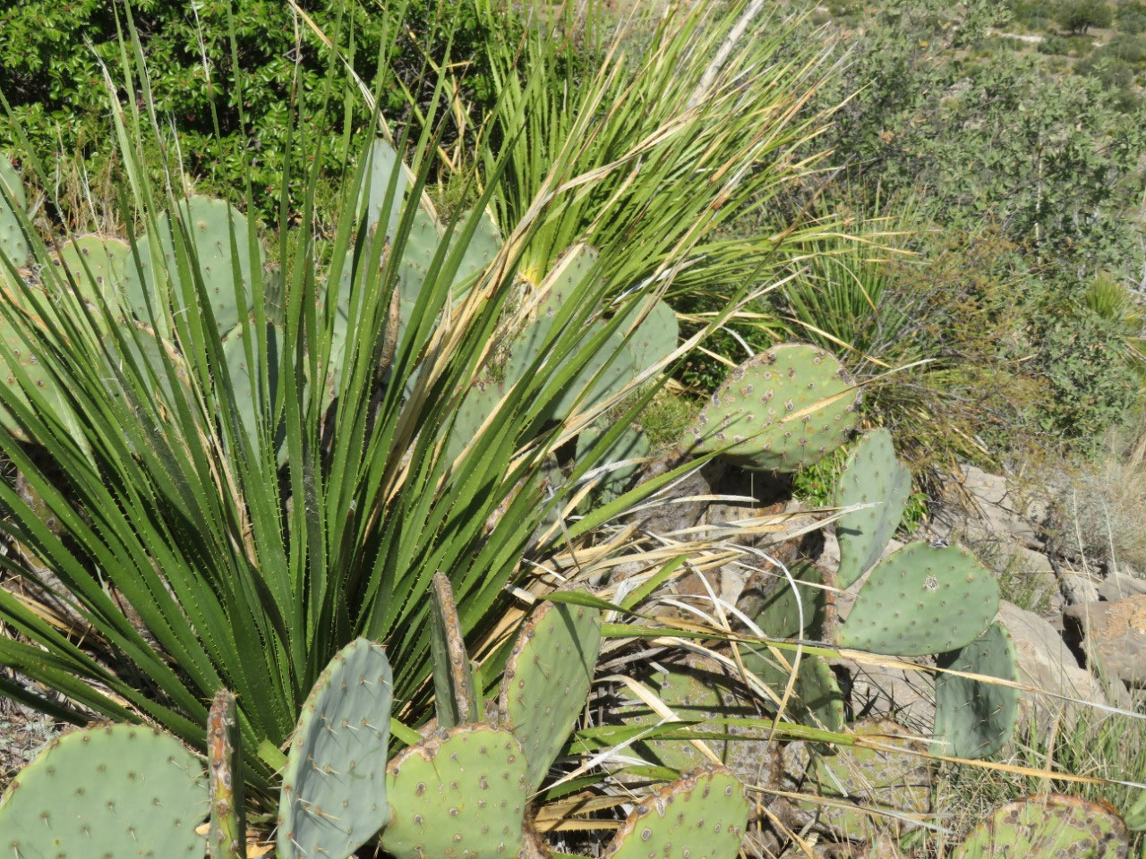
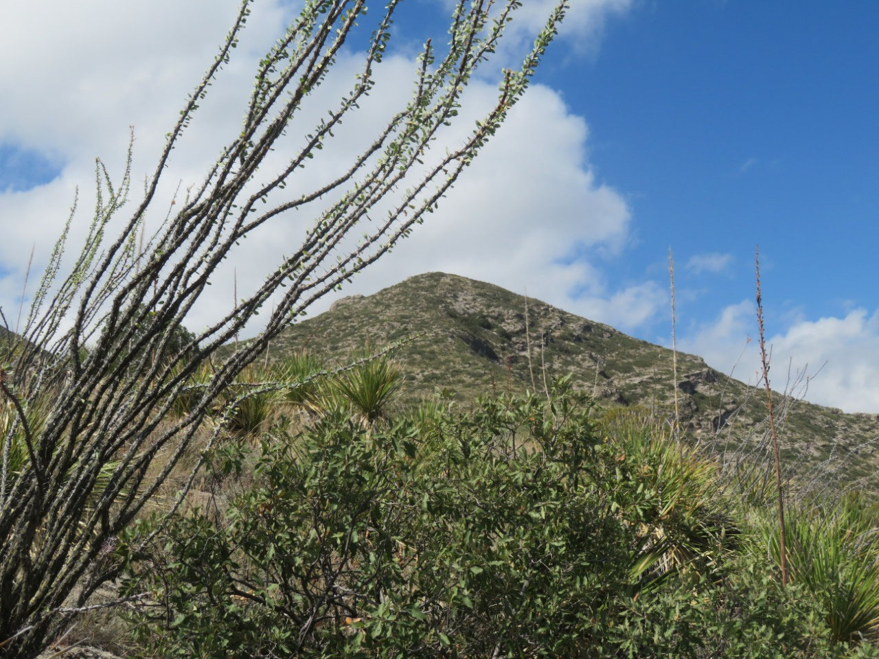
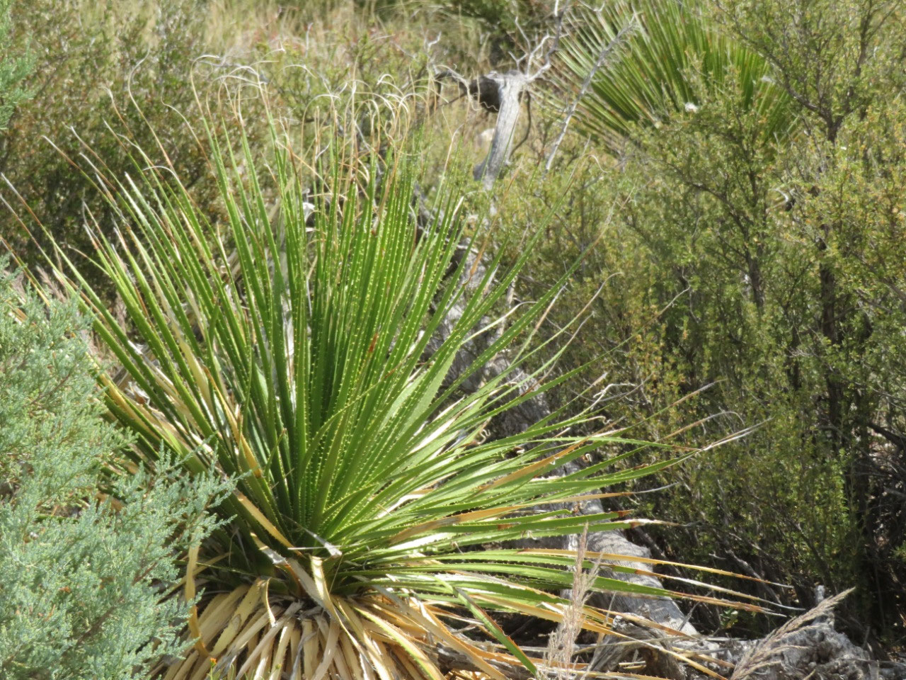
The photos are mostly just landscape shots--I think this is very beautiful country; from the perspective of seeing scenery, this has been my favorite park of the trip.


sally beauford
2024-10-22
My husband "JB" was born in Las Cruces. I have never been there. Thanks for the information and photos.Looks like a good trip.