 Fort Logan, Montana, United States
Well, I decided the time was right to take my planned summer
trip to Glacier. I’ve drawn up a whole list of summer season road trips I want
to take in and around Montana. There is,
of course, no urgency to get them all in in one summer since I plan to live in
the area permanently. Glacier National
Park, though, is special because it’s especially stunning scenically and rather
different from the Greater Yellowstone area where Bozeman is located. I decided
to make a loop of it with stops in Great Falls, some exploration and hikes
along the Rocky Mountain Front between there and Glacier, and finally meeting
up with a Colorado friend in Missoula at the end of my road trip.
If you mostly use the interstate highways, you can probably
get from Bozeman to Great Falls in about 2 ½ hours via Helena, but that’s no
fun. I decided on an alternative route
that would take me on back roads. At first I was thinking of U.S. 89 north over
a low mountain range north of White Sulphur Springs to Belt, a route known as
Kings Scenic Byway.
But then I realized the Smith River Country Scenic Byway
was another far more backwoodsy alternative. I read about it briefly a few
months ago as one of the top scenic backroads trips in the state but only
realized shortly before my departure that it went quite directly to where I
planned to go.
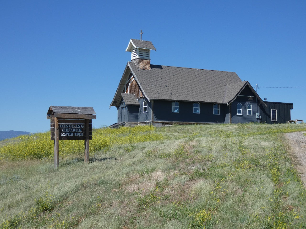
My route took me through White Sulphur Springs which I
visited on a daytrip through Meagher County in early June. Back then the town
looked absolutely dead, but on this day it was bustling. I realized it was because it was the start of
the four-day Red Ants Pants music festival on the outskirts of town, apparently
a quite big event, one my cousin Deb even talked about going to for a day this
weekend, extending an invitation to me if it seemed like a plan.
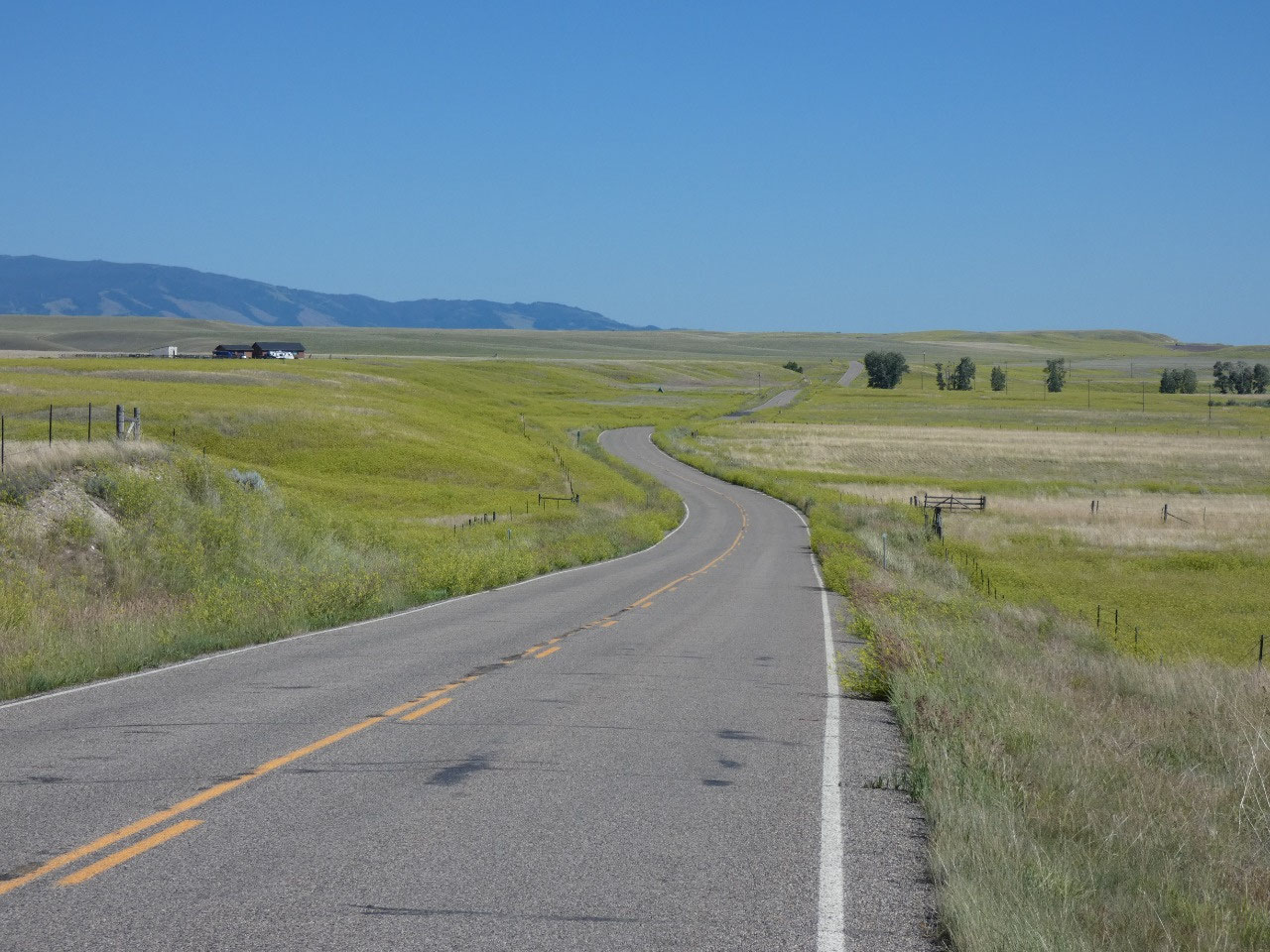
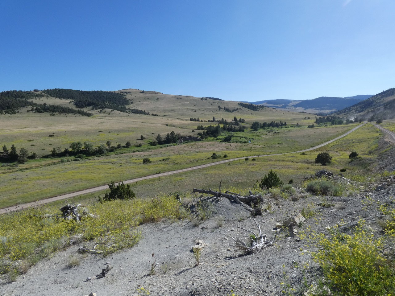
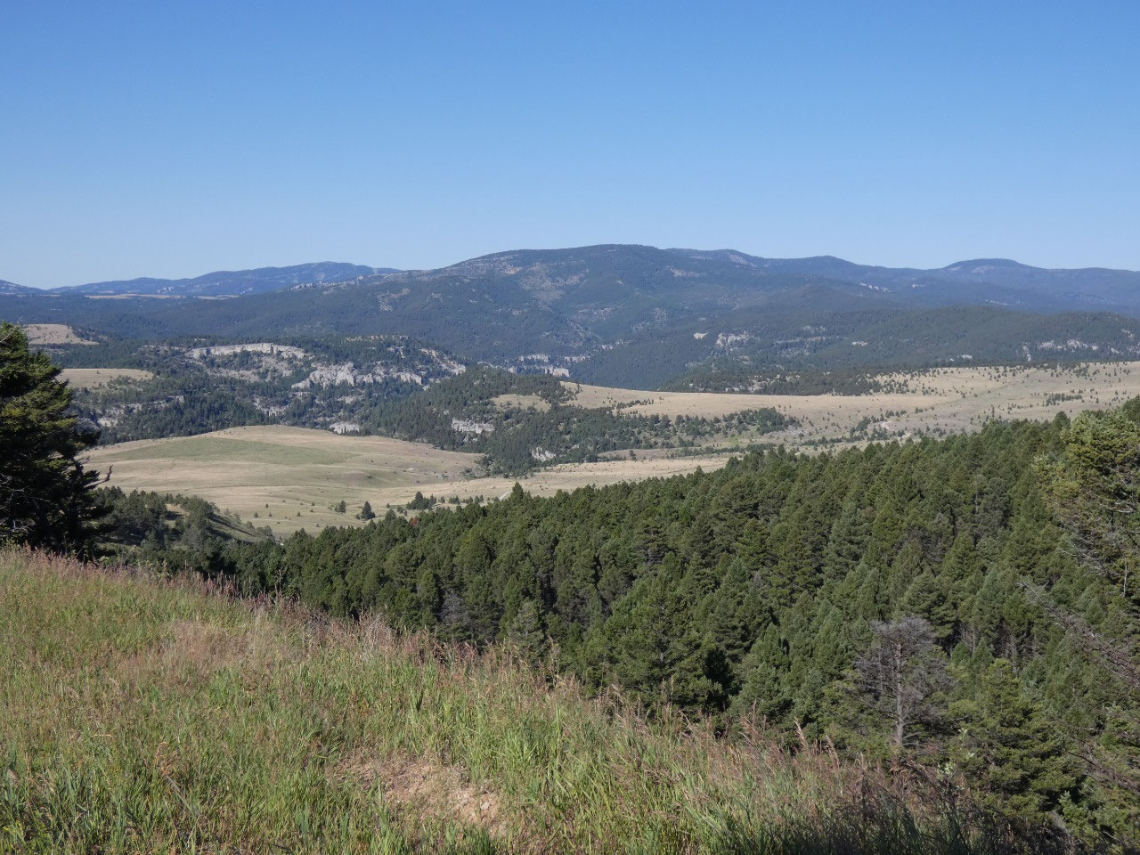
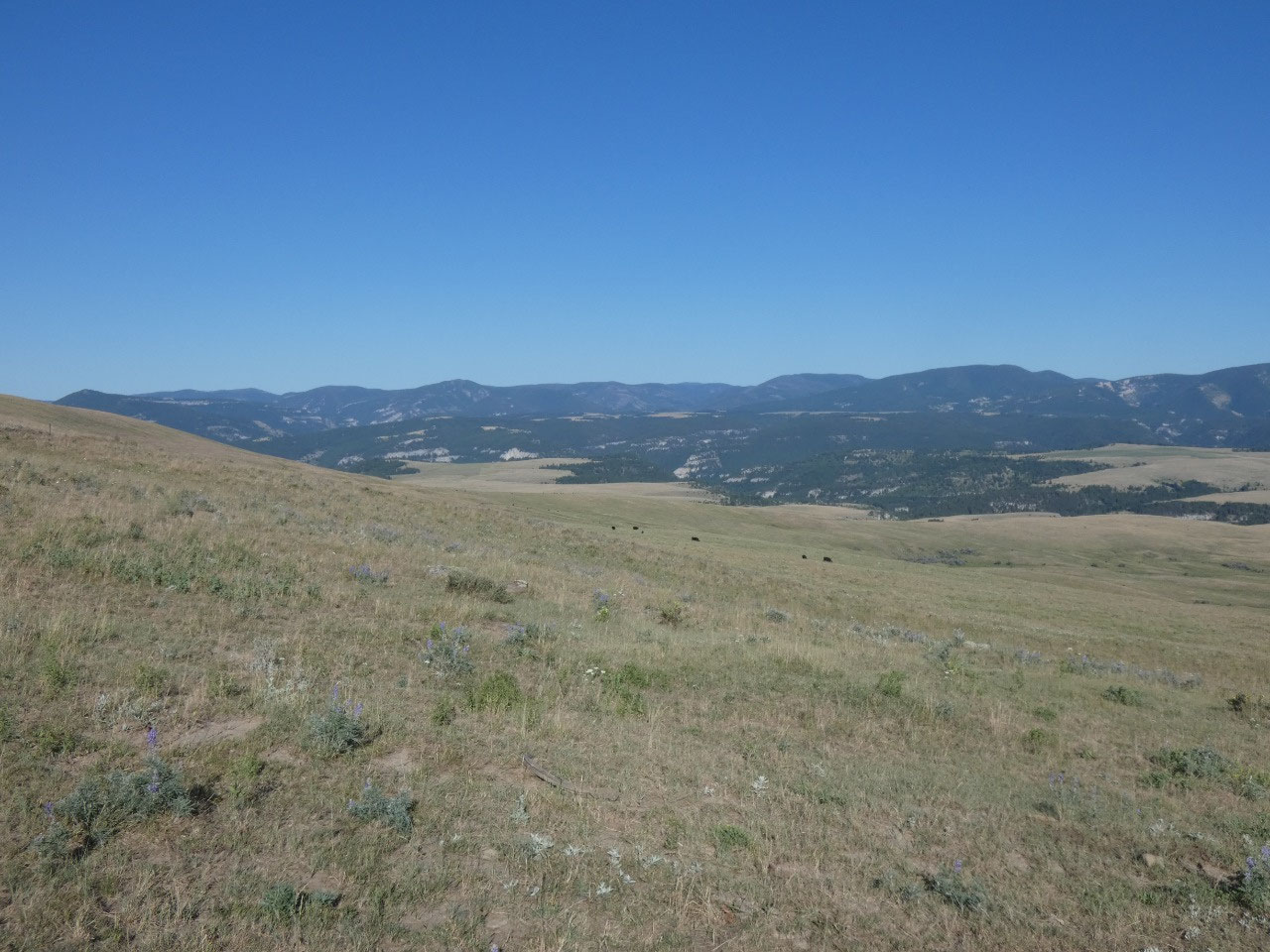
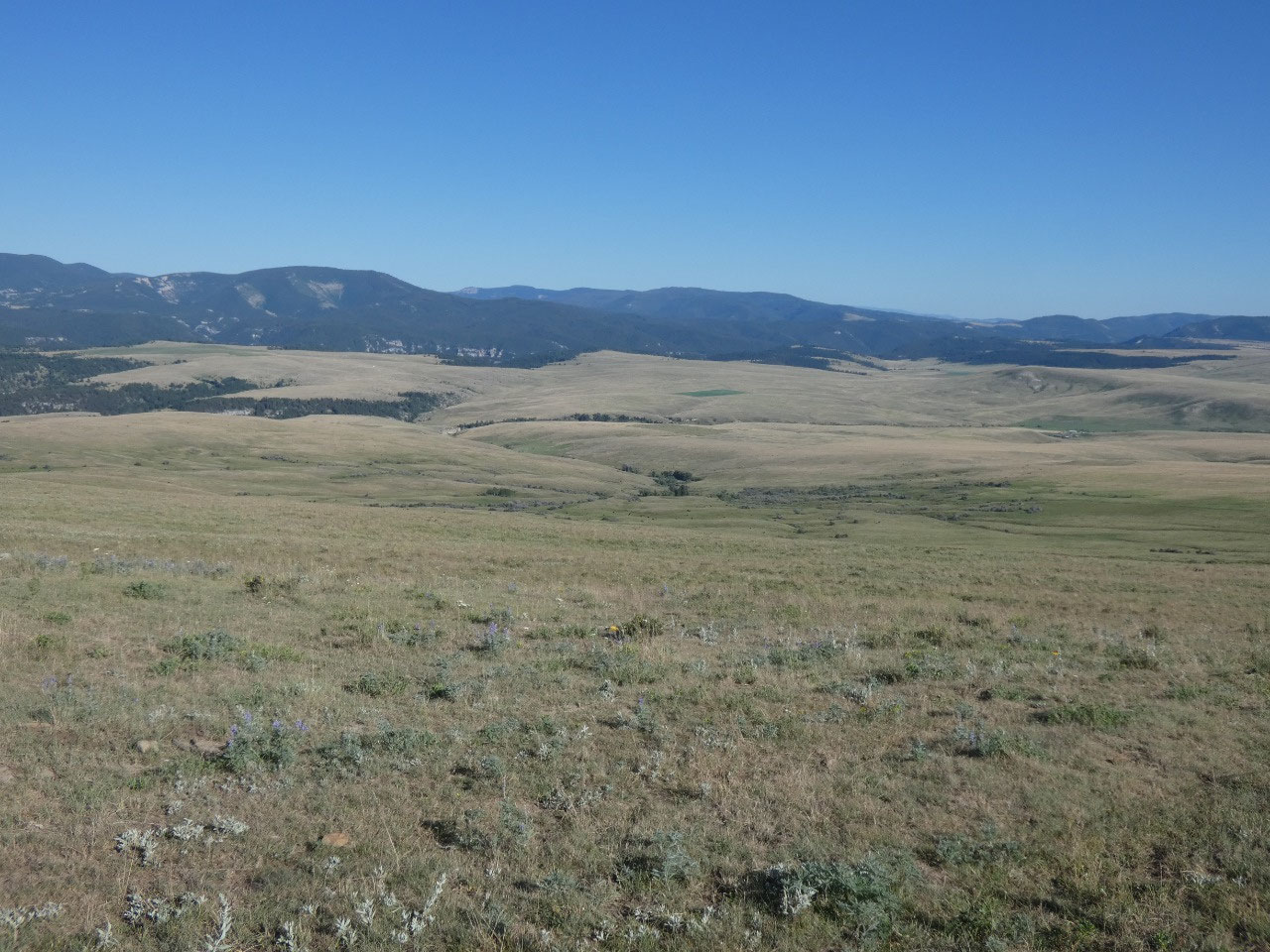
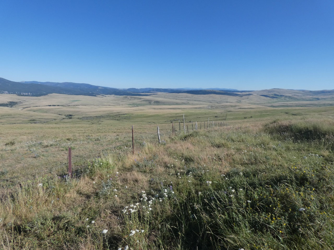
From there the drive heads west a short distance before
turning northwest and then north with lots of zigs and zags along the way as it
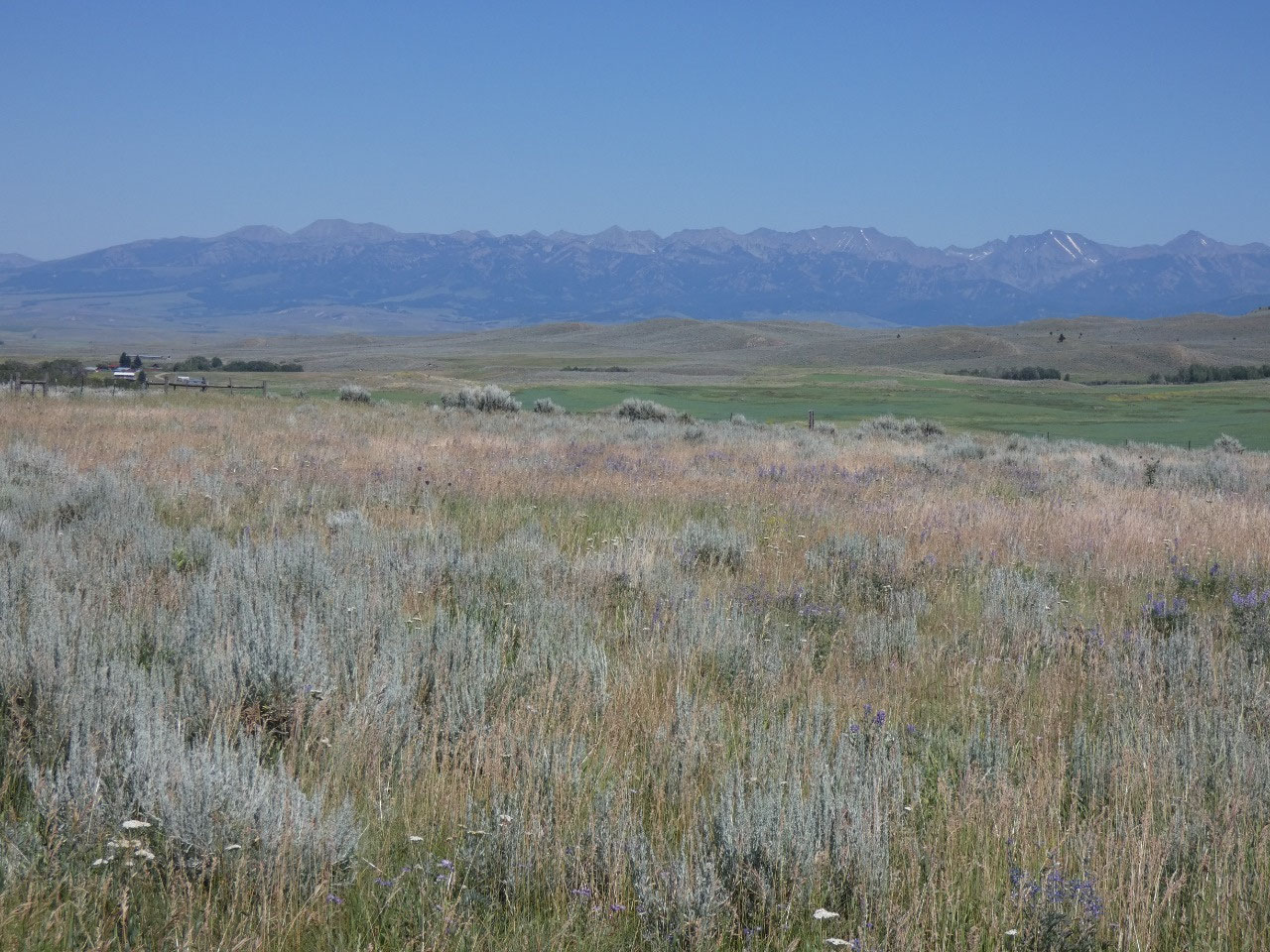
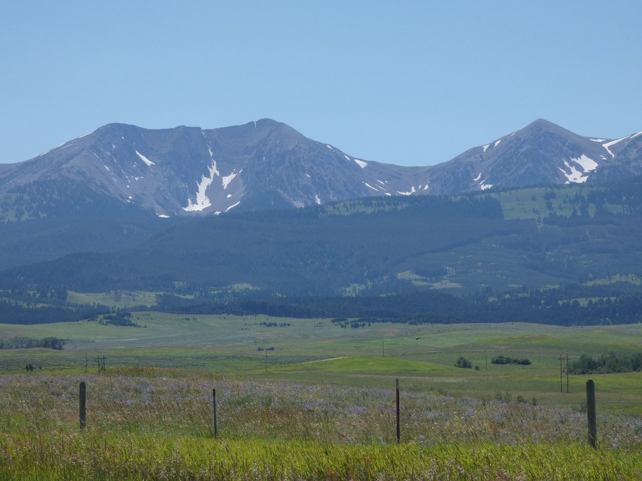
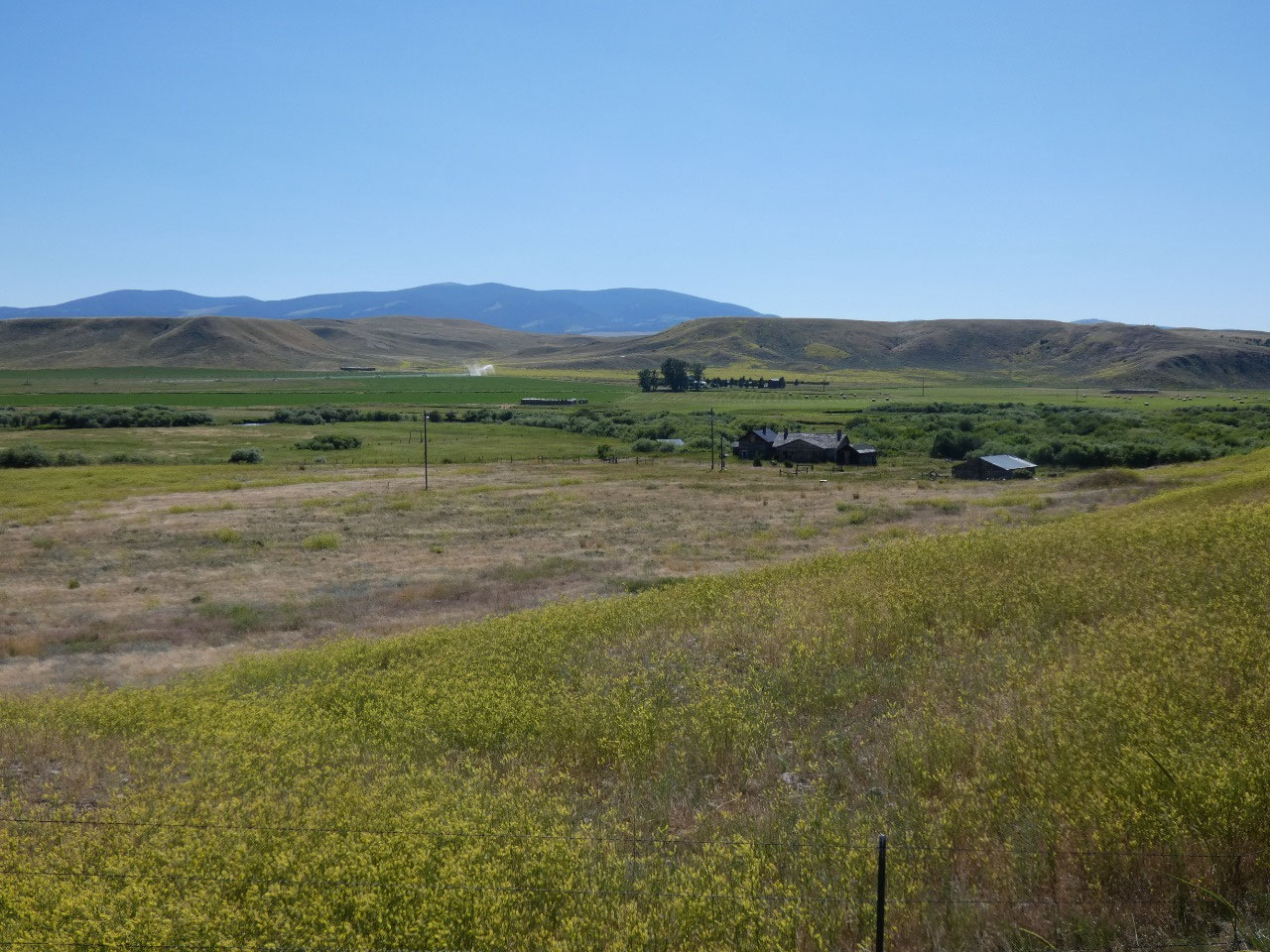
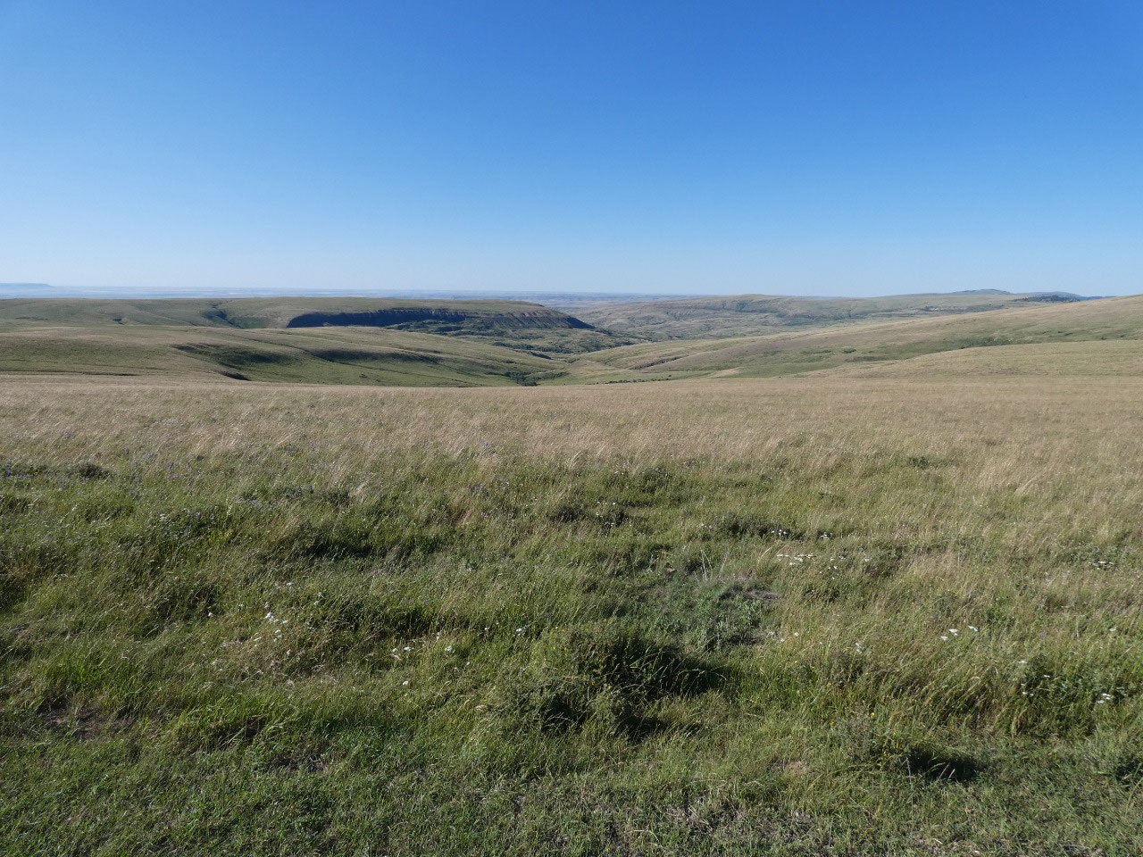
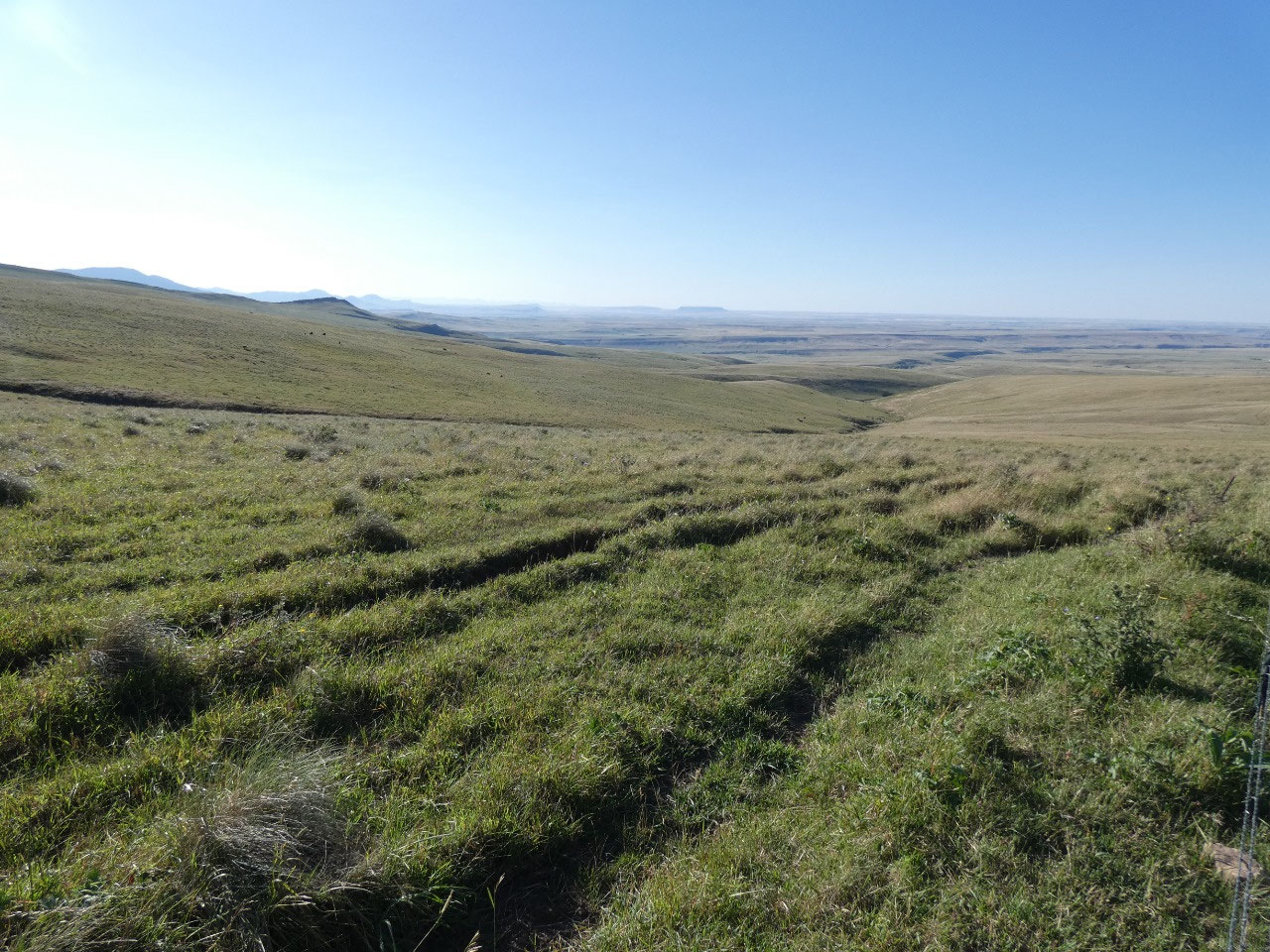
goes through ranch country and then gradually into hilly low mountainous
country between the higher, greener mountain areas that are part of Montana’s “Island
Ranges”, those lower mountain ranges east of the main Rockies chain that are
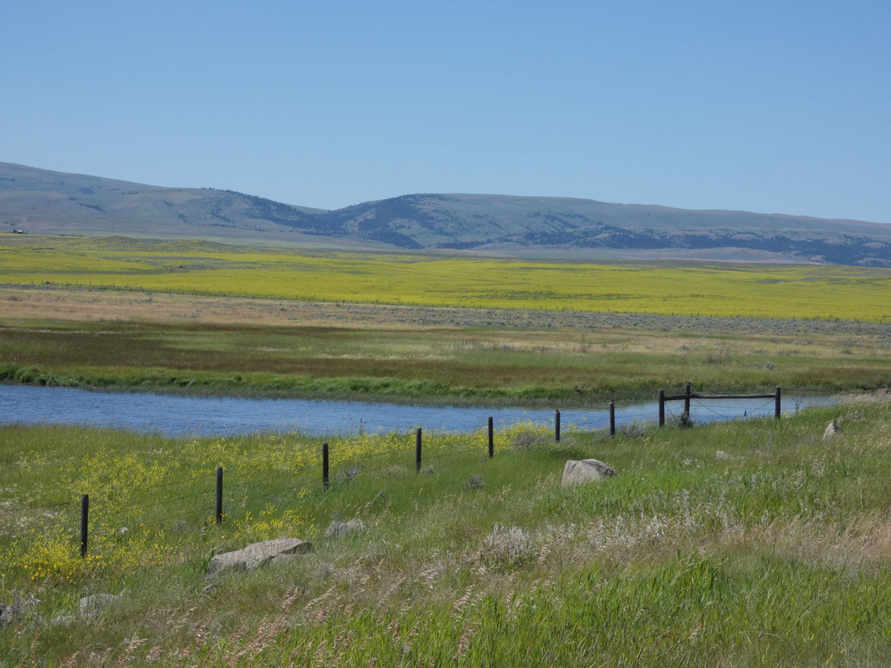
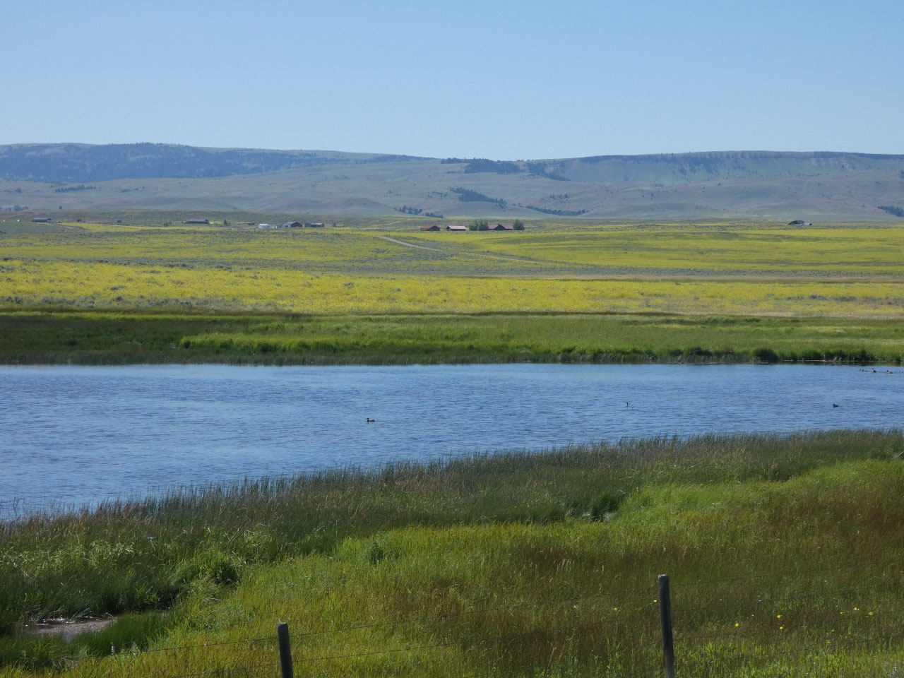
rather isolated like islands in the prairie.
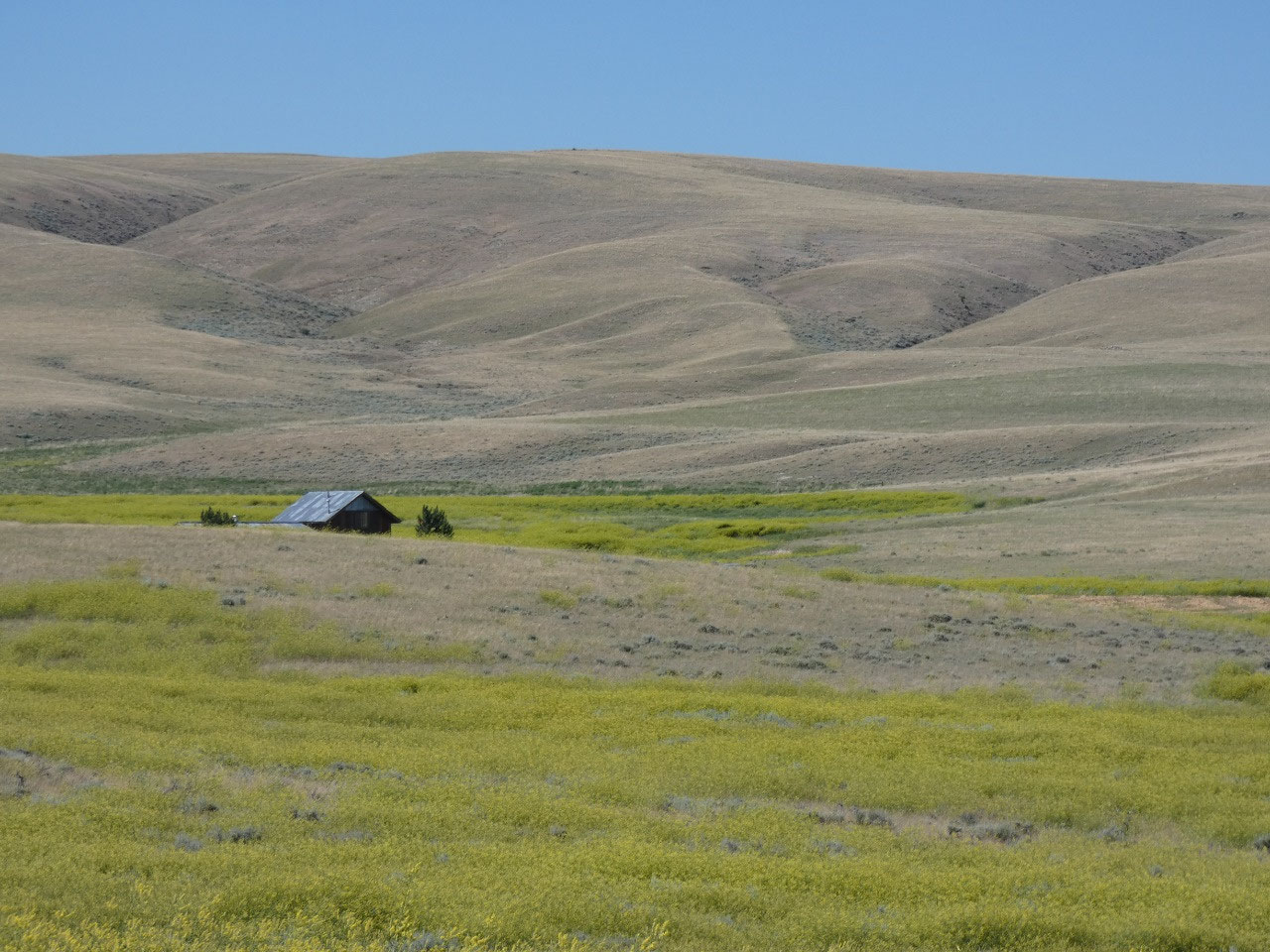
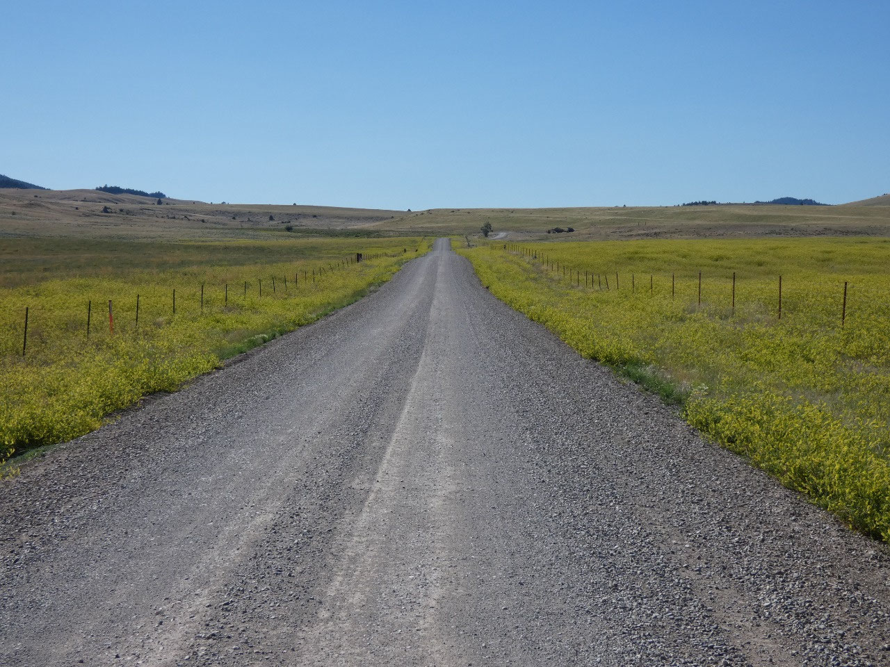
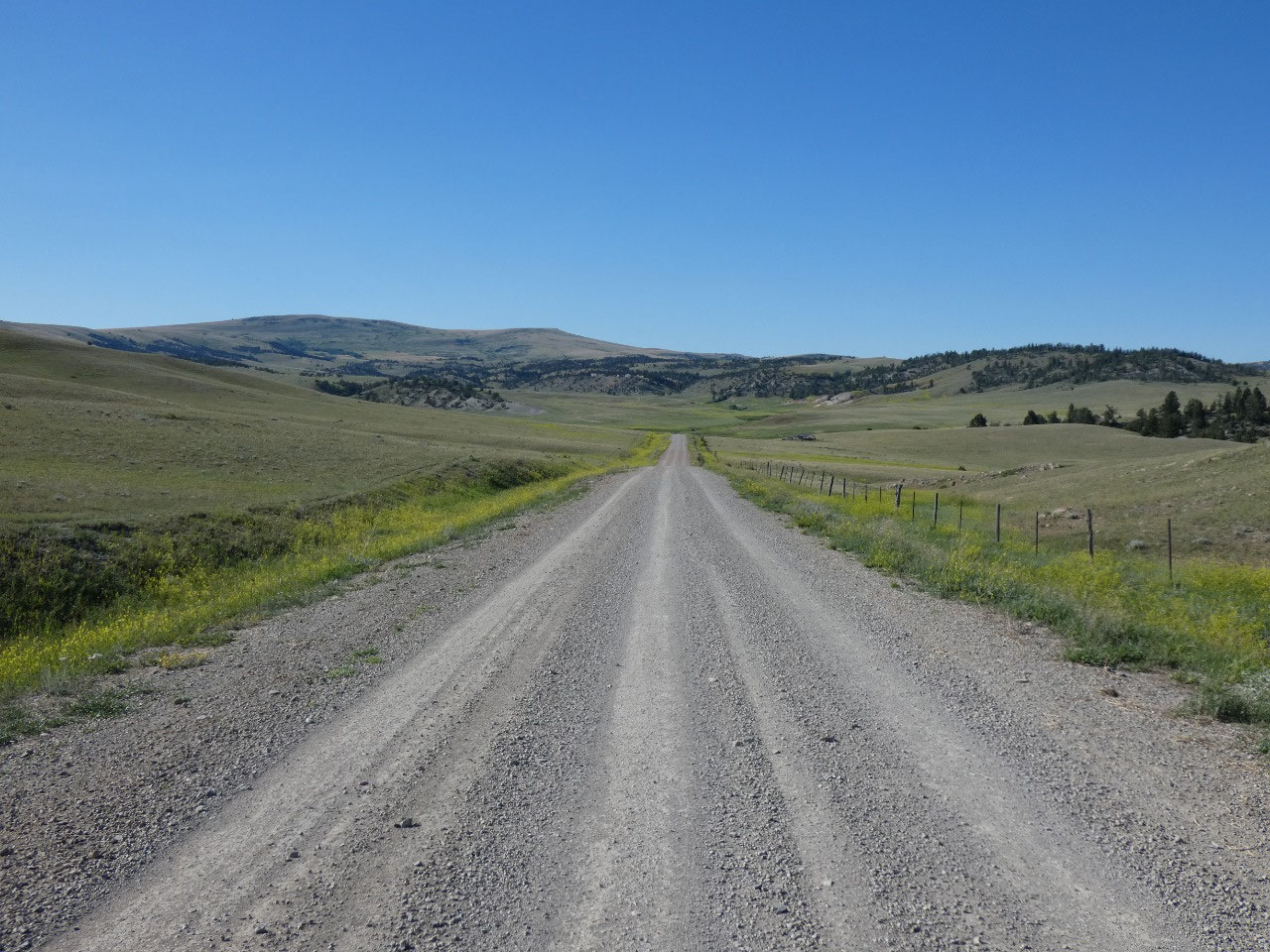
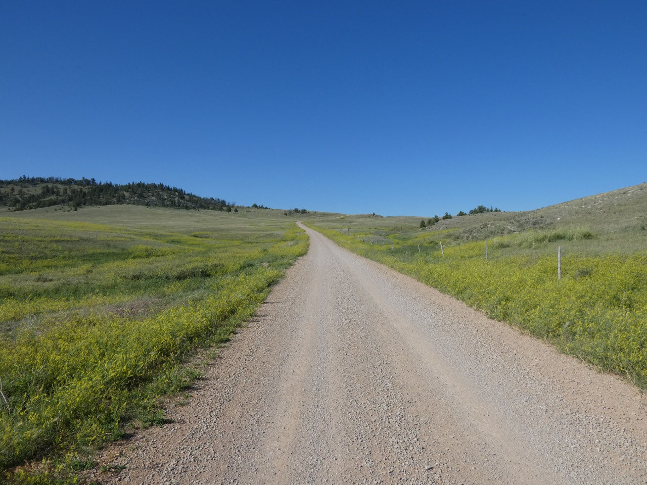
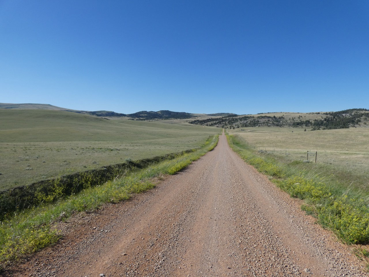
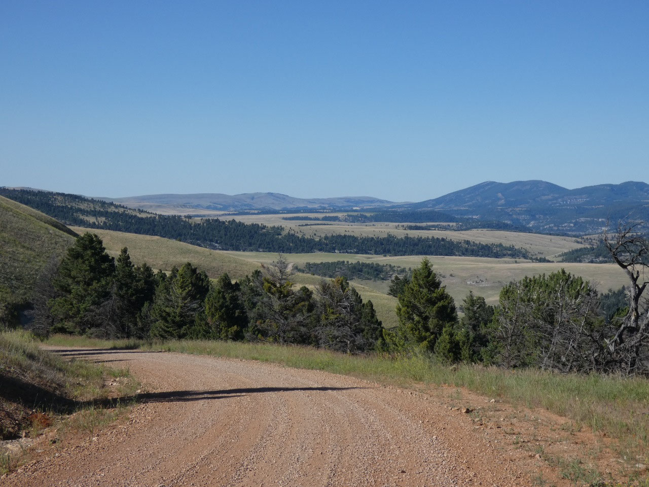
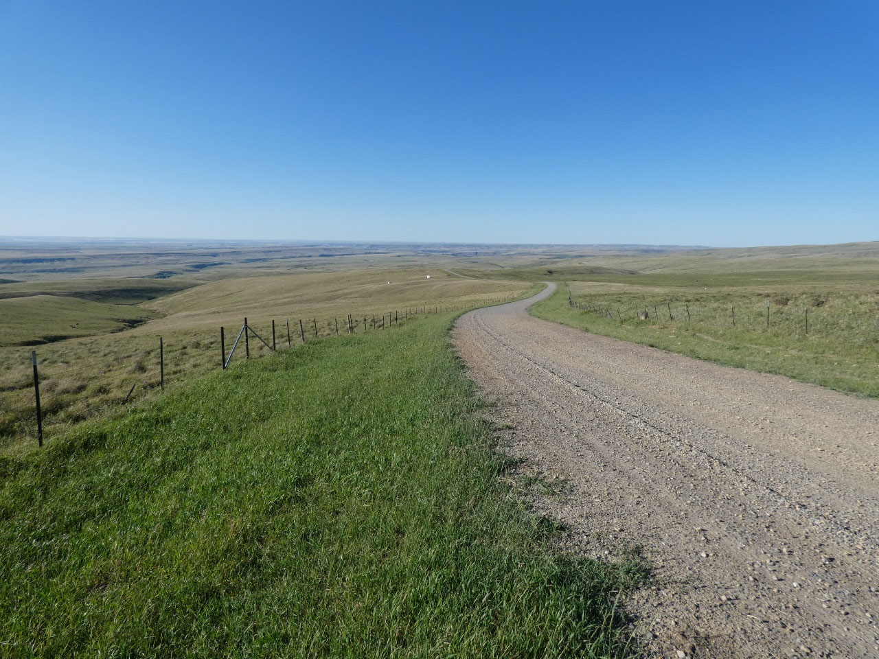
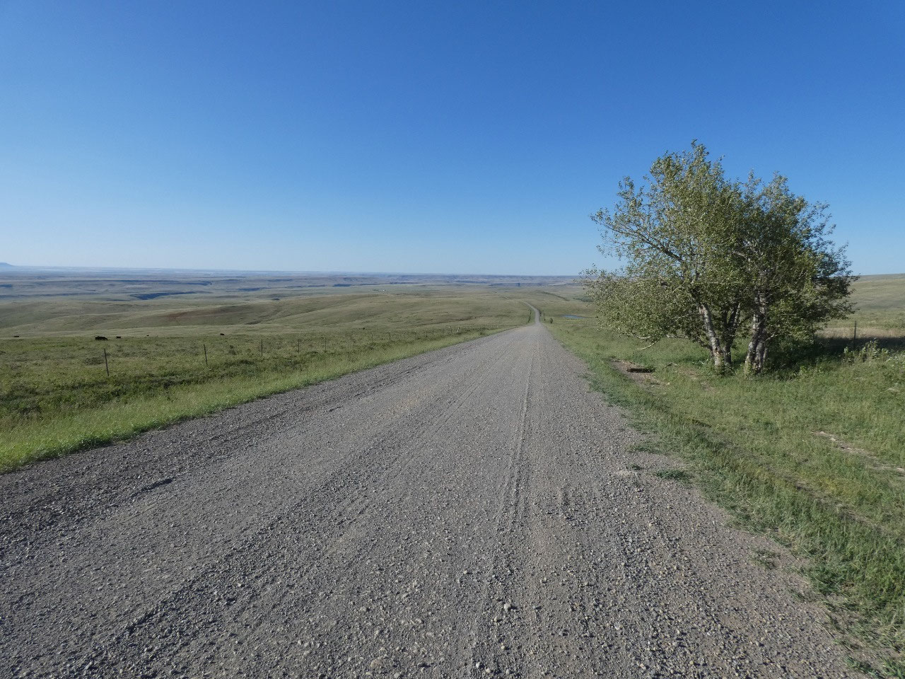
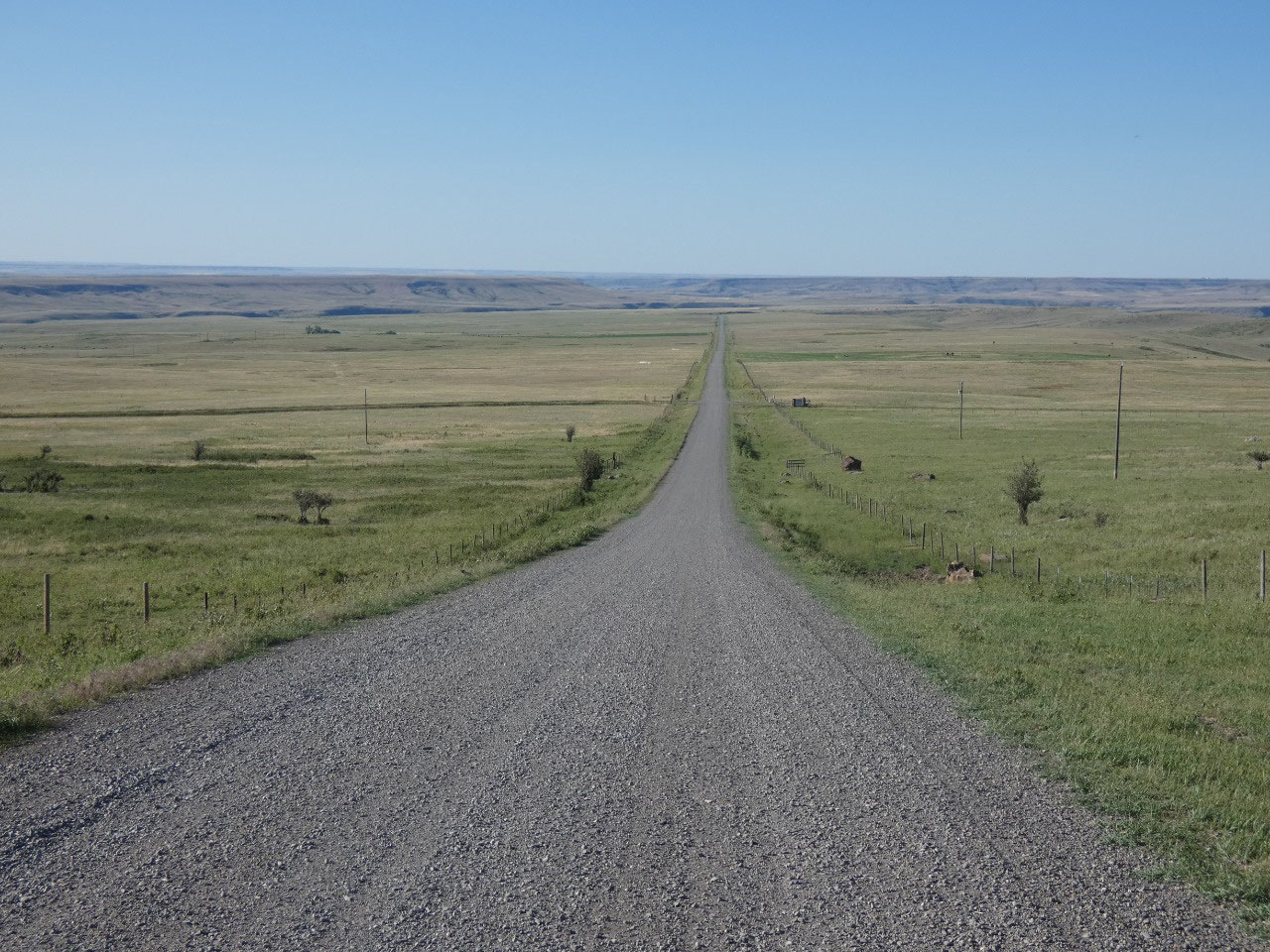
The first 10 miles or so of the route are paved before it changes to a well-graded
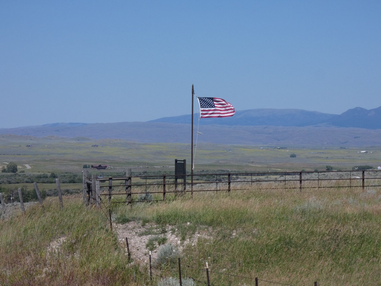
dirt and gravel road for about the next 70 miles of near wilderness scenery
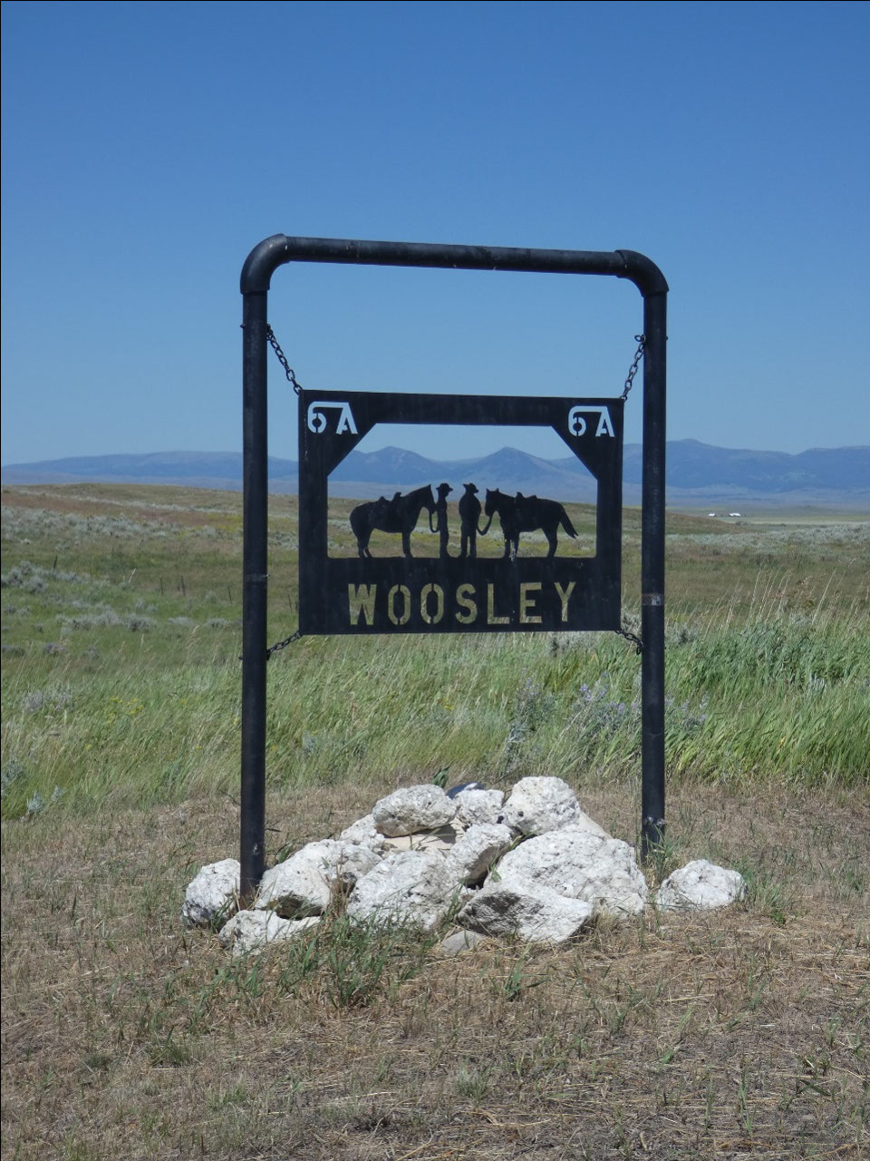
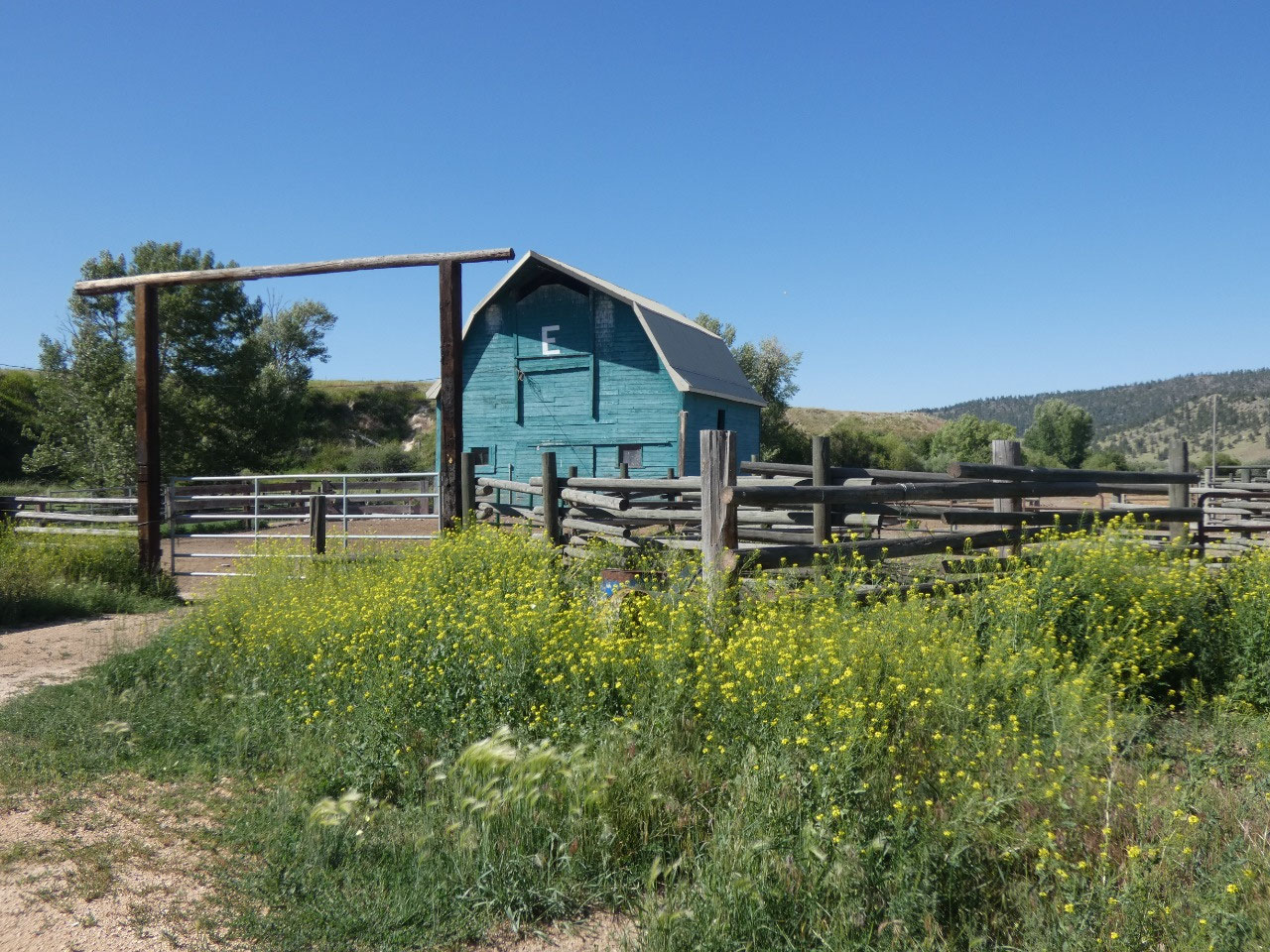
with only an occasional ranching operation.
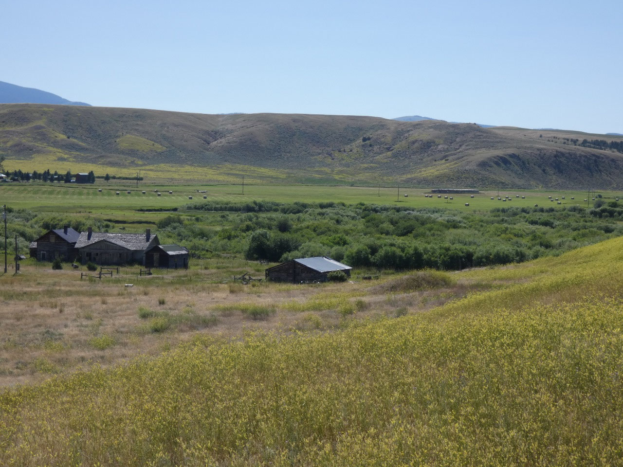
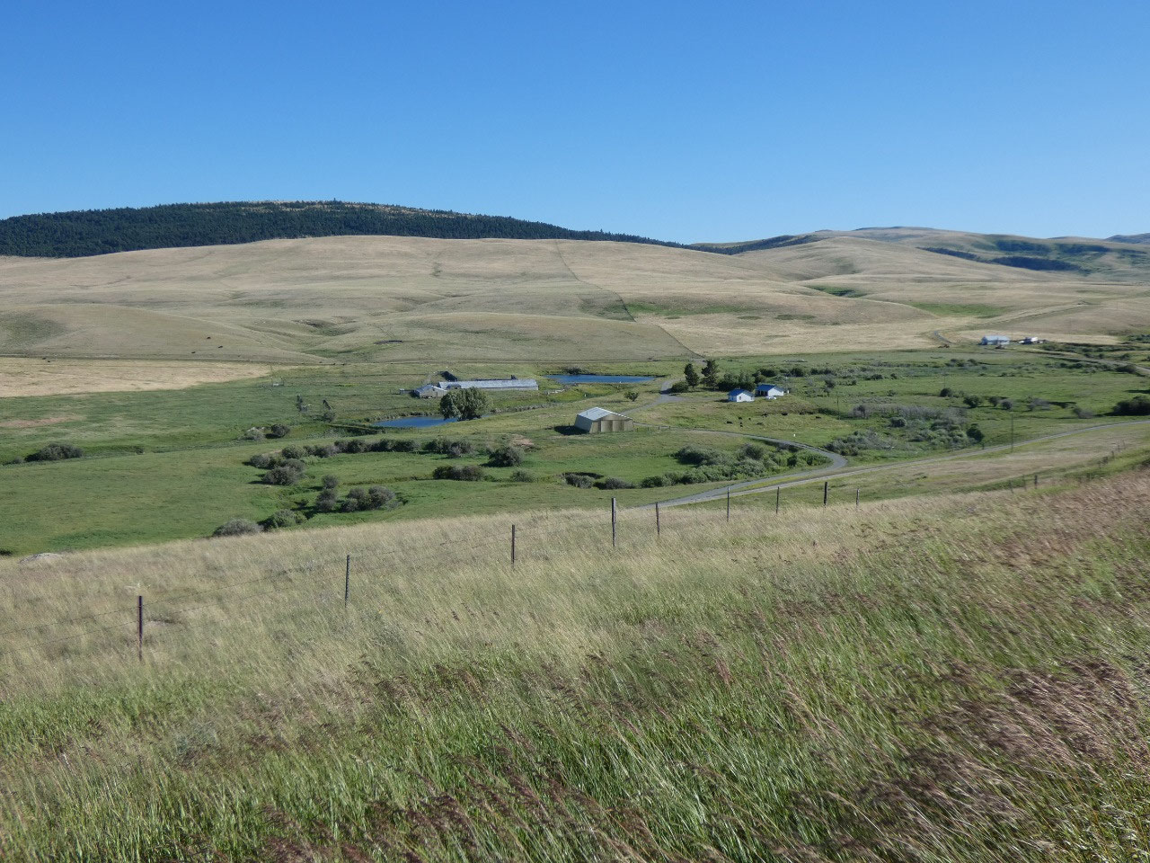
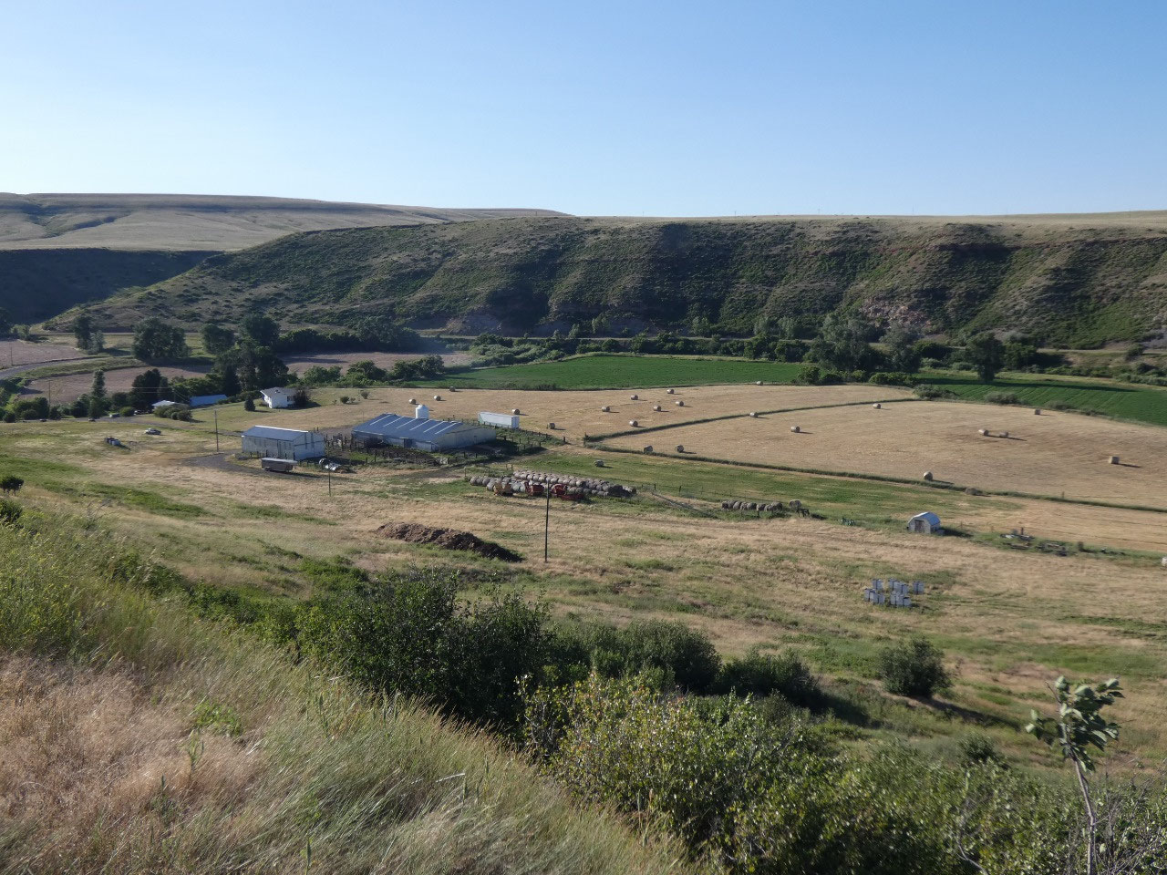
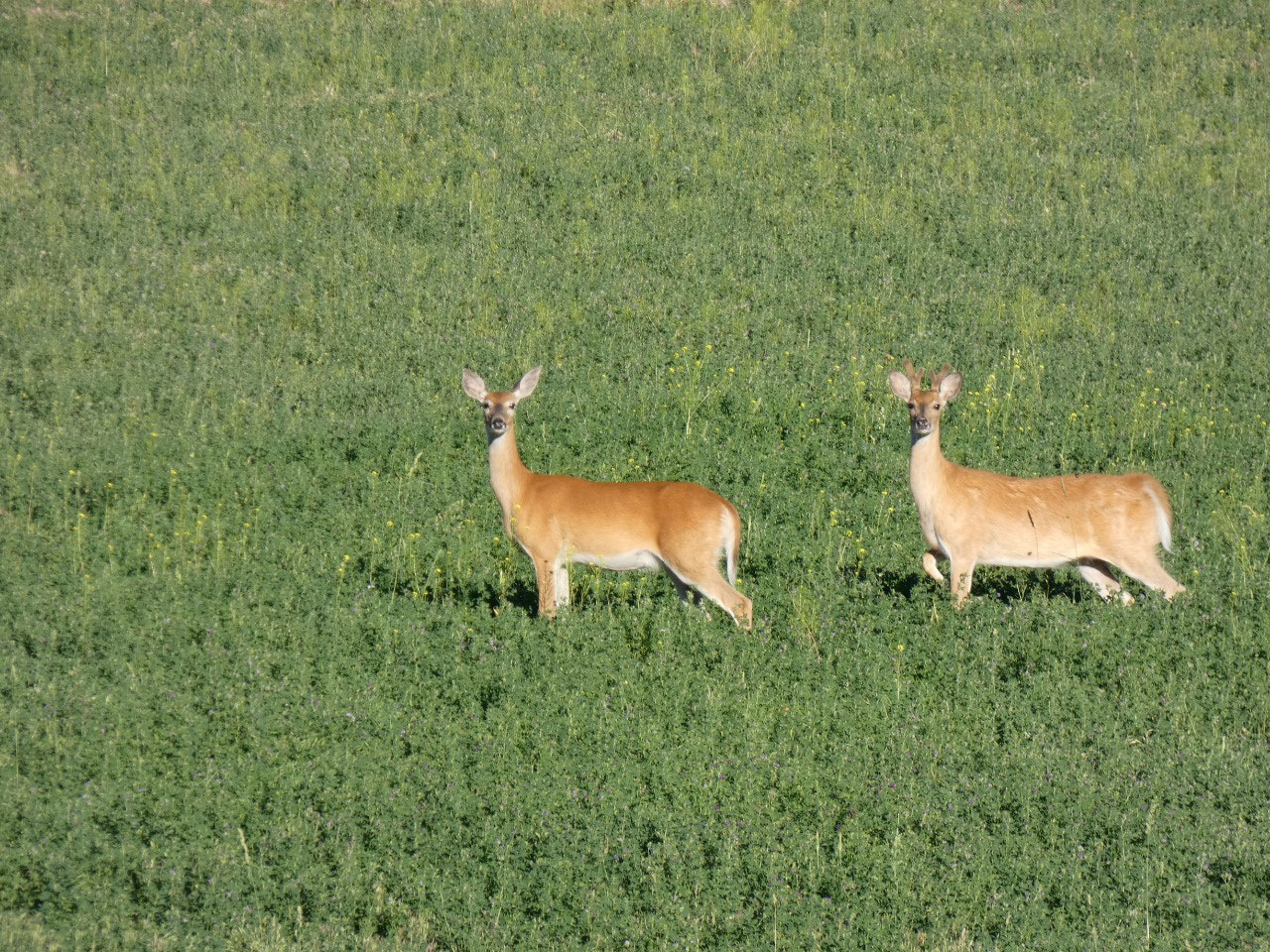
I stopped at one rather scenically appealing ranch just
before the pavement petered out to take a few pictures. A truck driver
associated with the ranch stopped, got out of his truck, and approached
me. I couldn’t help but think there was
going to be a gentle confrontation, that I’d be told not to trespass on the
ranch. That’s the Easterner and city guy in me thinking. The man asked me if I
was lost and needed directions. I told him my planned route and that I was just
a “Sunday driver” who liked to take backroads and lots of pictures. He told me
the route ahead was beautiful and one of his favorites and wished me a nice
day. People in Montana are so friendly!
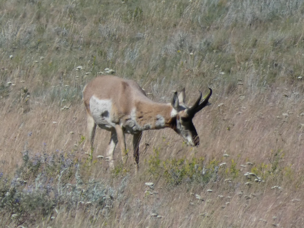
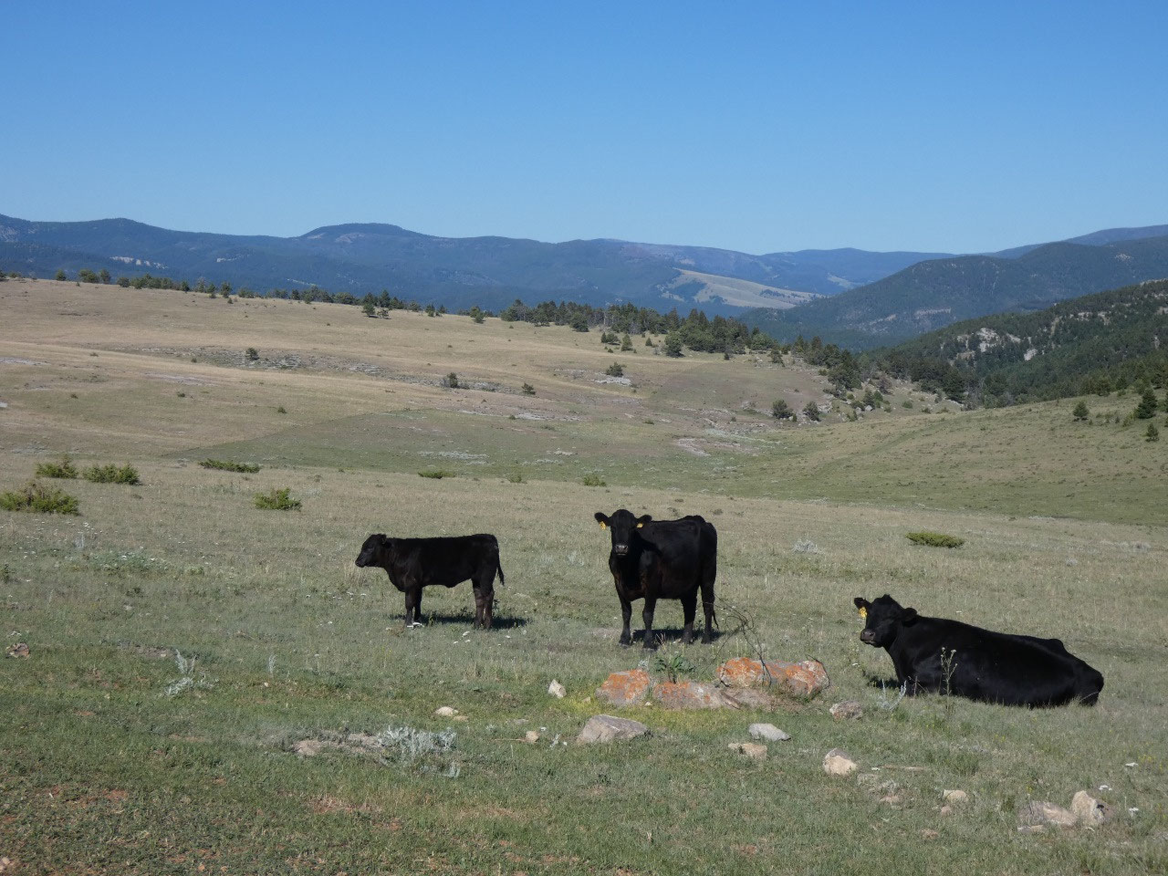
Beyond that I encountered few other vehicles for the rest of
the first half of the route and then only a few more as I got into what was
clearly ranch country after passing from Meagher County to Cascade County.
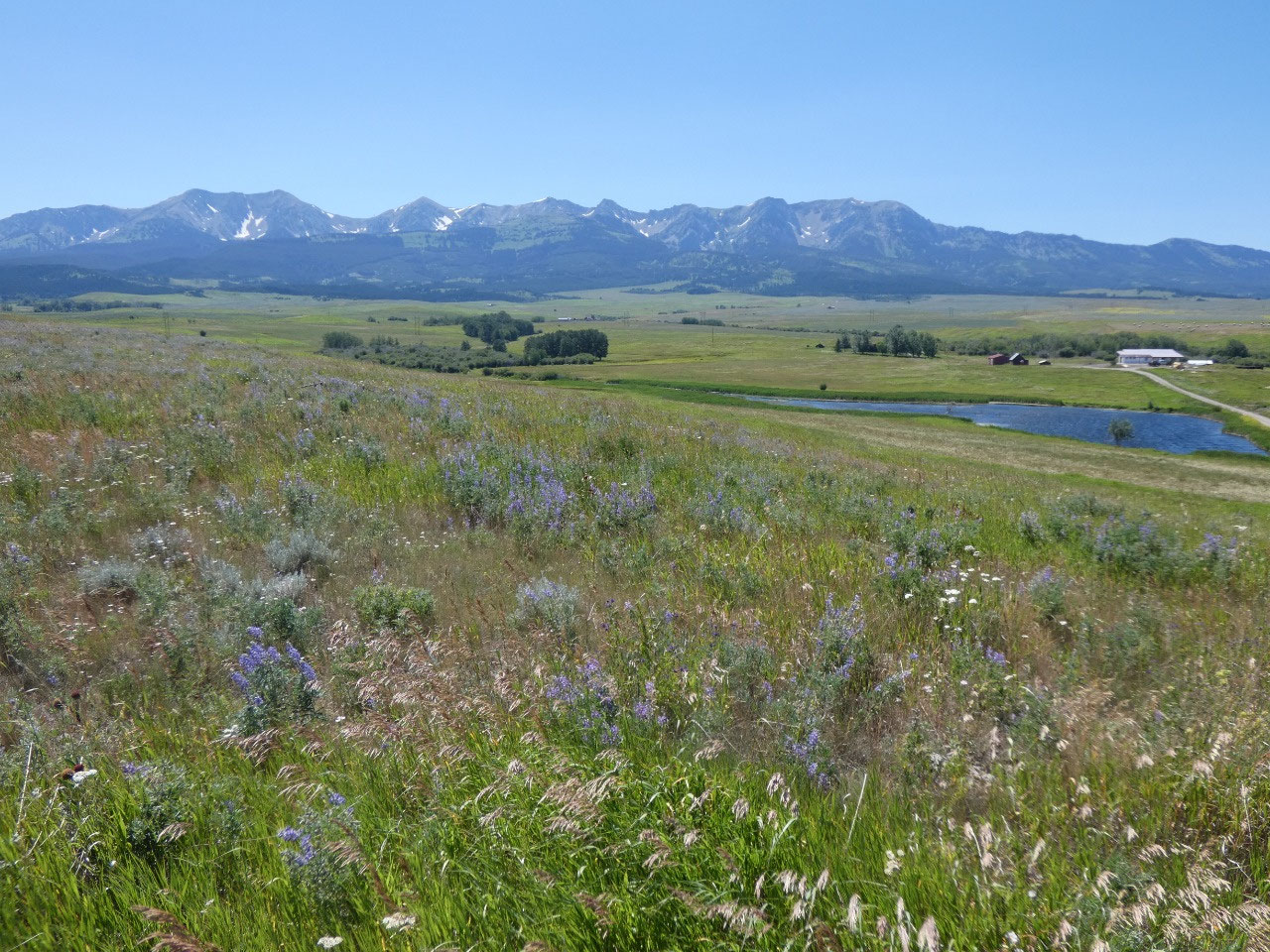
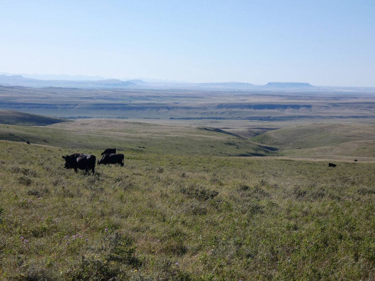
I
honestly find the open undulating landscape to be absolutely stunning, in some
ways preferable to more densely forested landscapes where you don’t get such
extensive vistas in all directions.
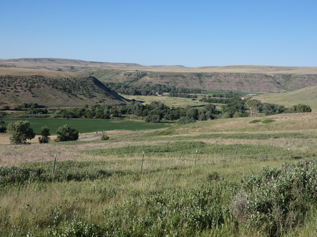
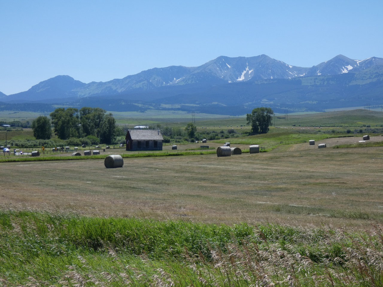
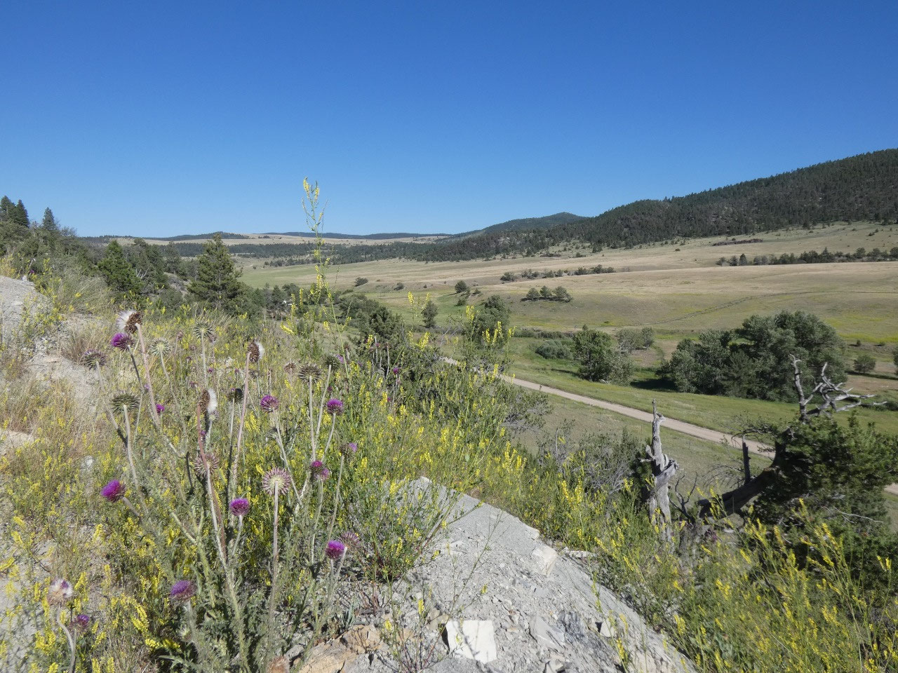
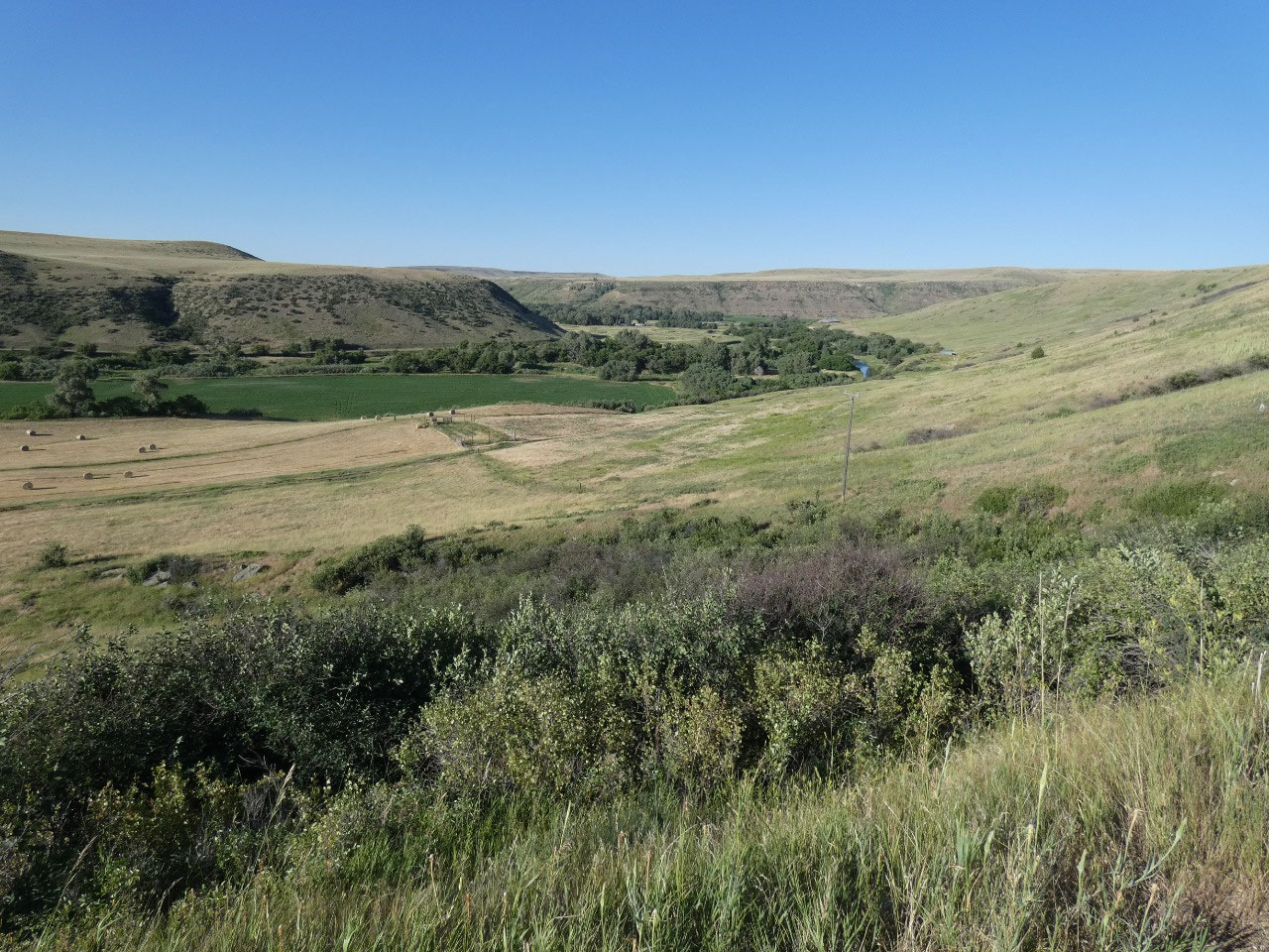
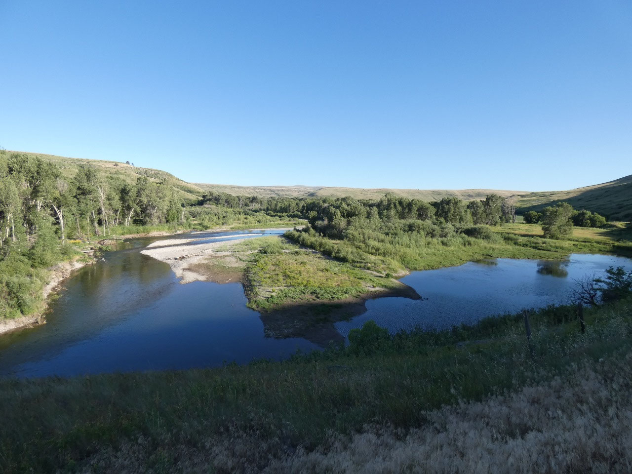
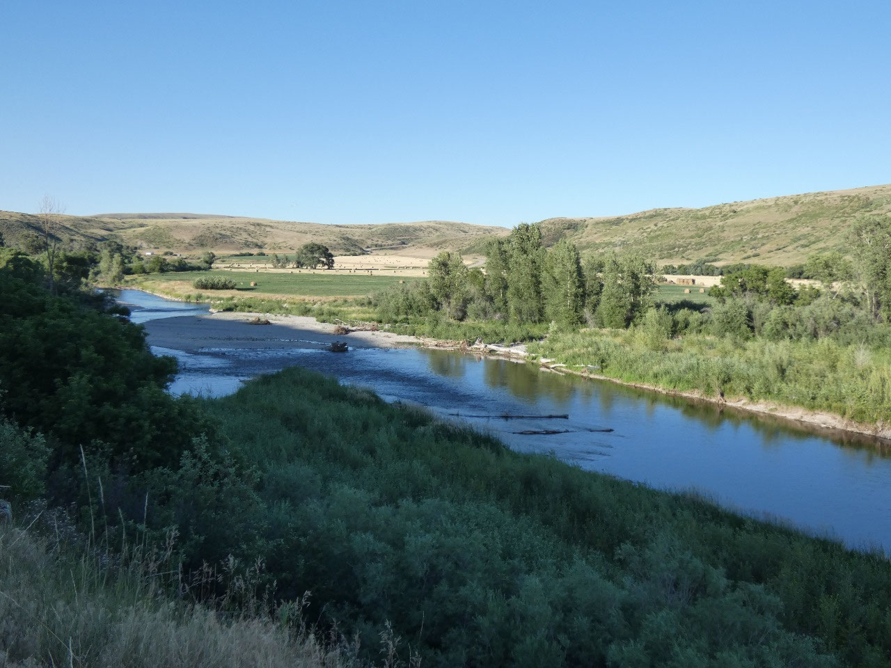
While called Smith River, the drive is really only along the
river for the last 15 miles into Ulm. The rest of the time the river is in a
canyon or valley several miles away from the road in relative high country. But
the last part of the Smith before its confluence with the Missouri River is a
state park and popular for floating trips. Maybe that’s something else I’ll do
some day in Montana.
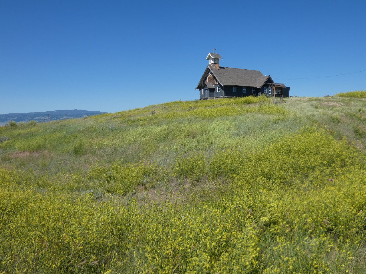
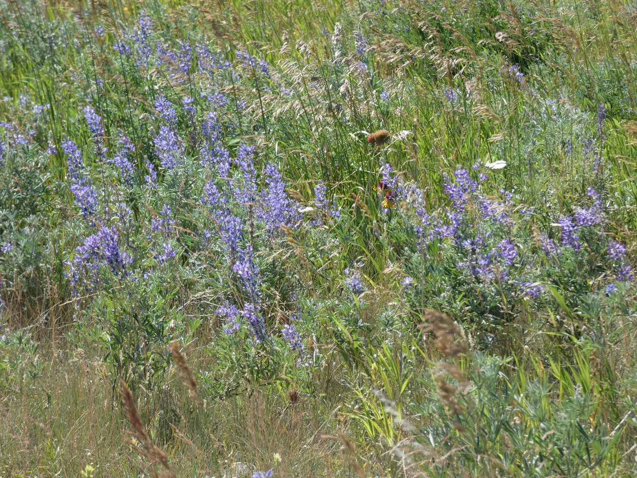
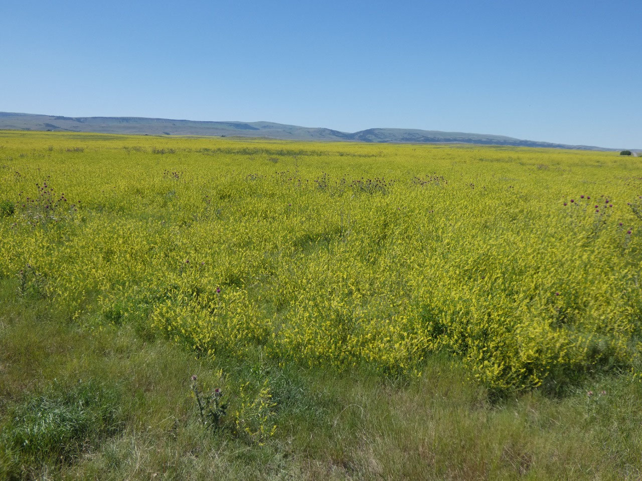
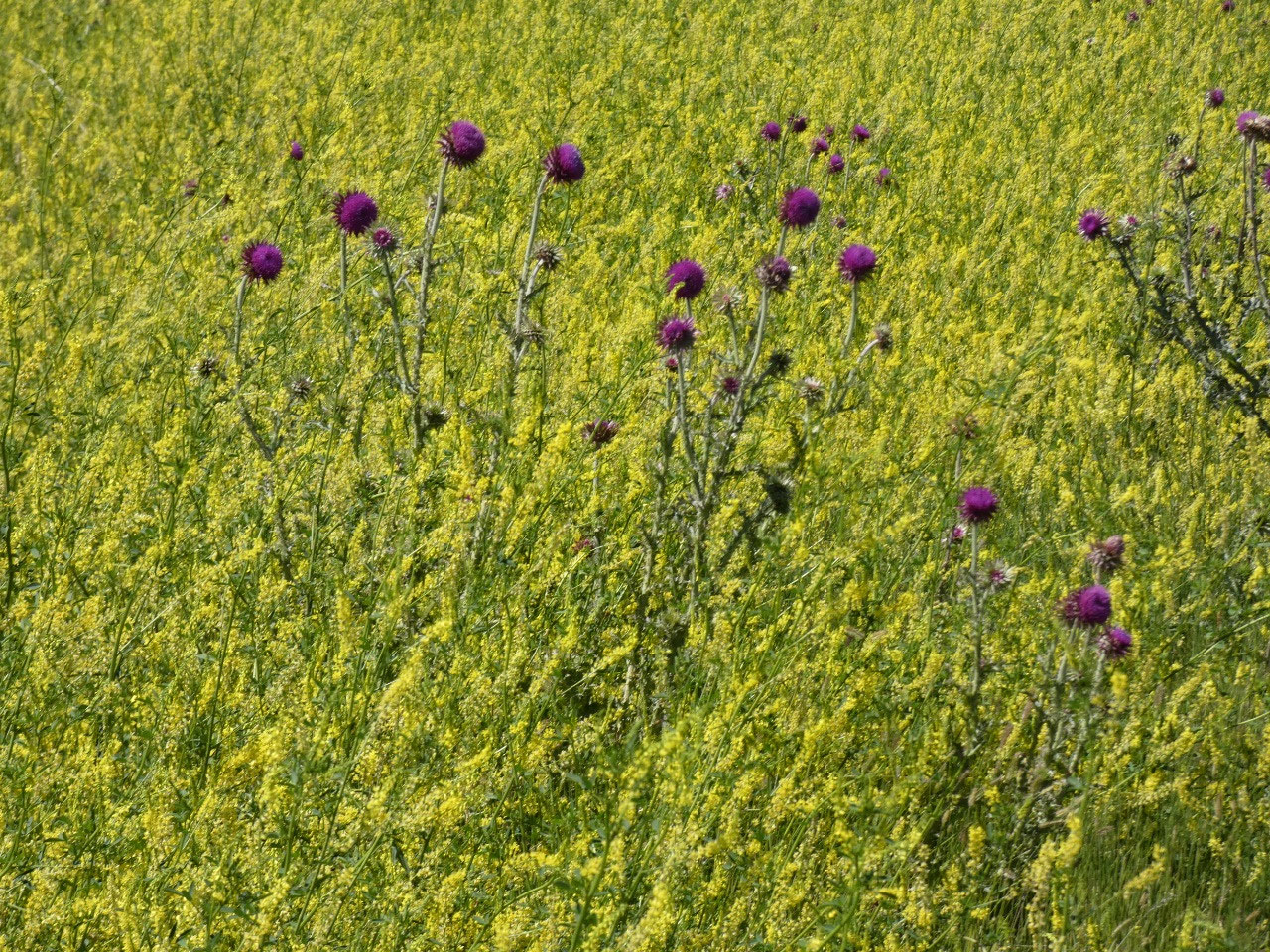
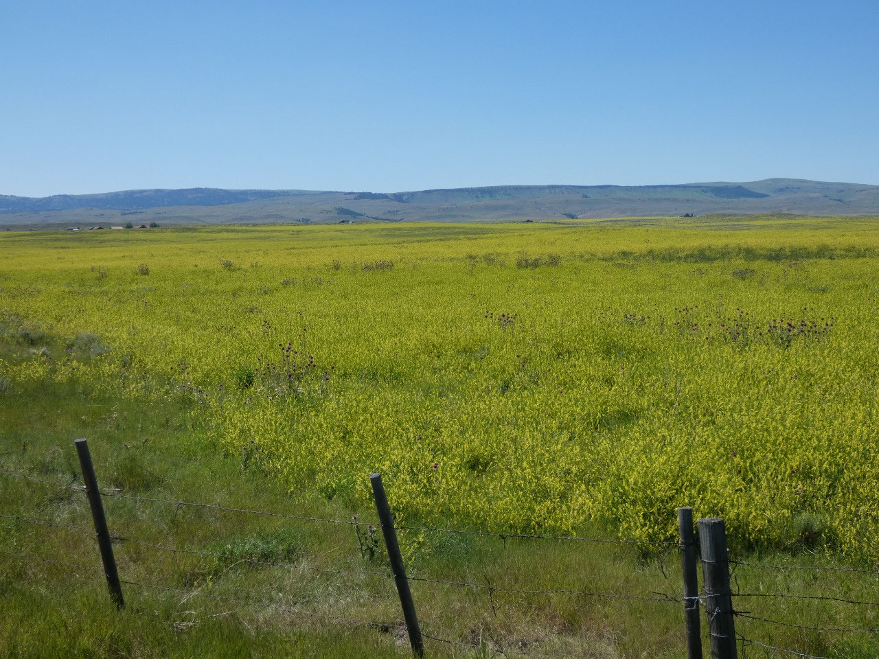
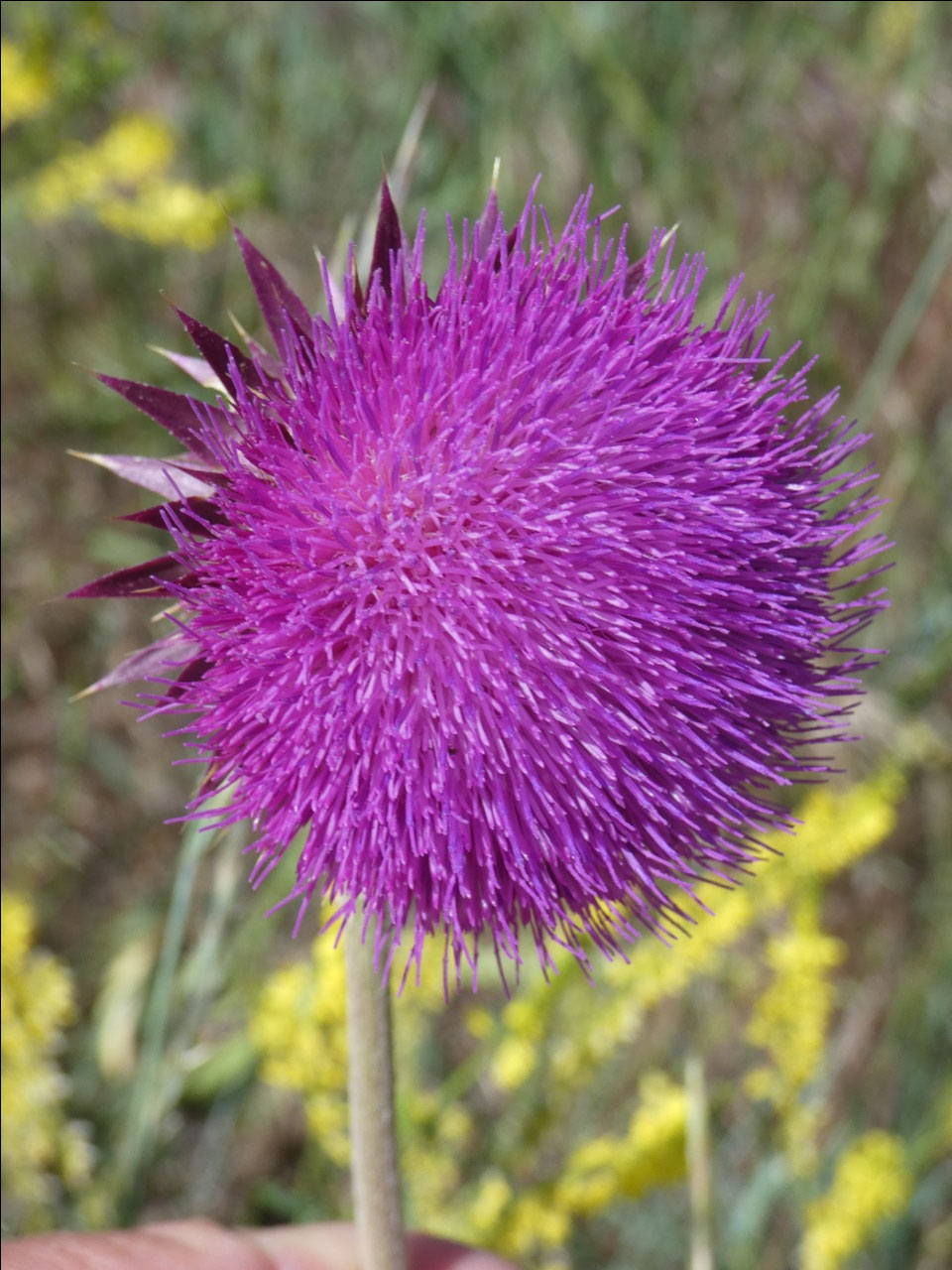
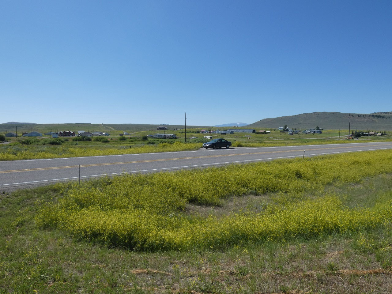
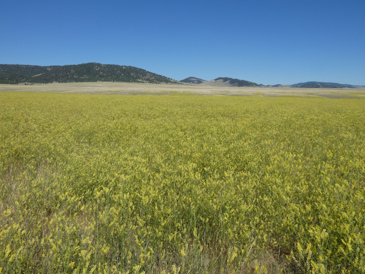
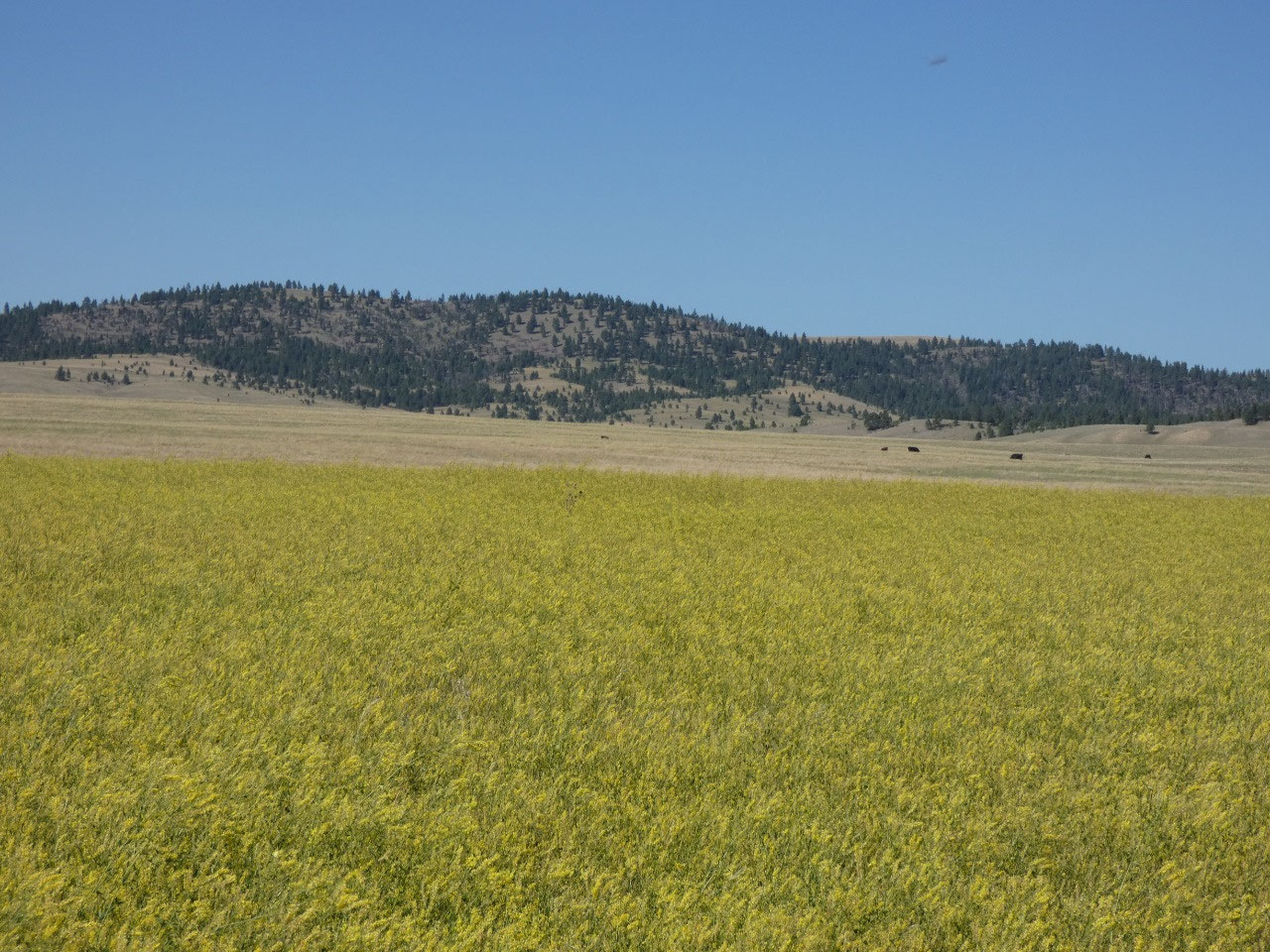
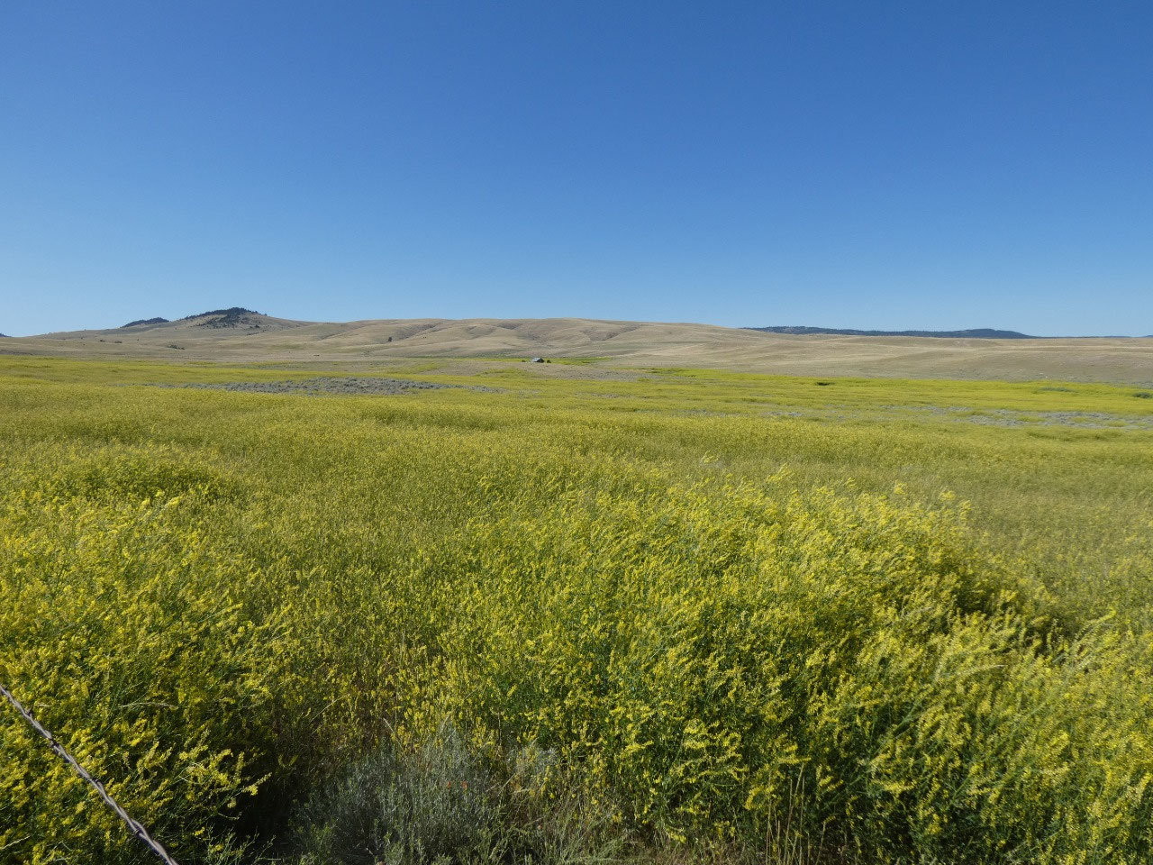
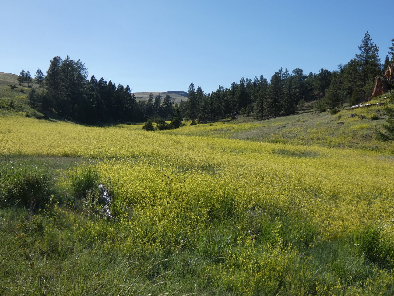
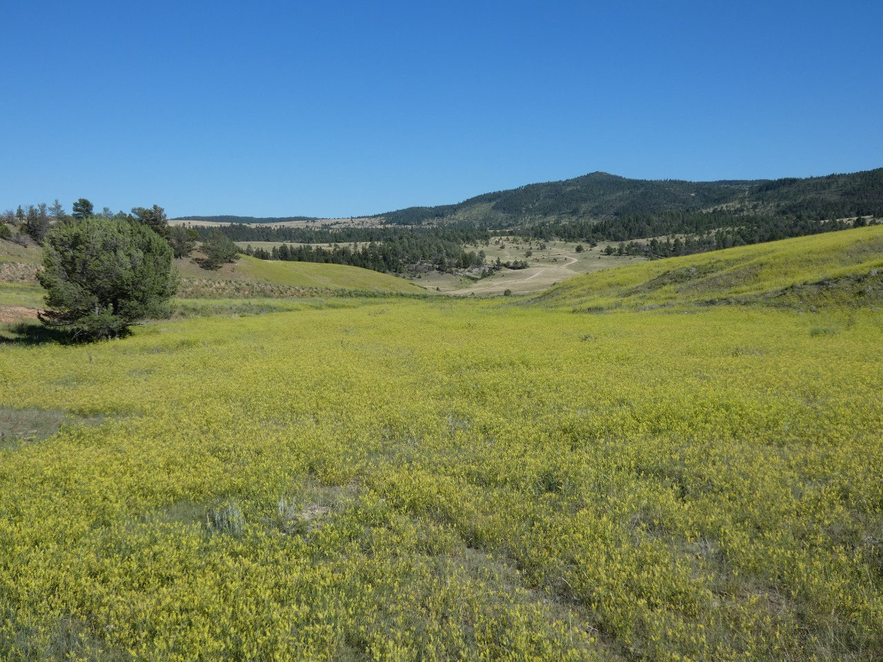
One of the most notable features of the landscape through
much of central Montana is the yellow wildflowers that line the roads and fill
uncultivated fields. They actually look
quite a lot like the cultivated fields of canola. But what are they?
Goldenrod? My best understanding of the stunning
yellow flowering plants is that they are an invasive weed, a kind of wild
mustard.
I got into Great Falls early in the evening about an hour
before sunset and found a brewpub with a full liquor license to spend the
evening with dinner and beers. Named for the nearby Rocky Mountain Front, Front
Brewing Company has good barbecue as well as beers and stays open until 11:00,
whereas breweries without full licenses that serve in taprooms can only stay
open until 8:00.

2025-05-22