 Sacagawea Peak, Montana, United States
It’s never fun to try at something and not succeed.
I always feel like I have to try again to
prove I can do it. So it is with Mount
Massive in Colorado, the only fourteener I’ve tried to summit and failed twice
because of weather conditions. And also
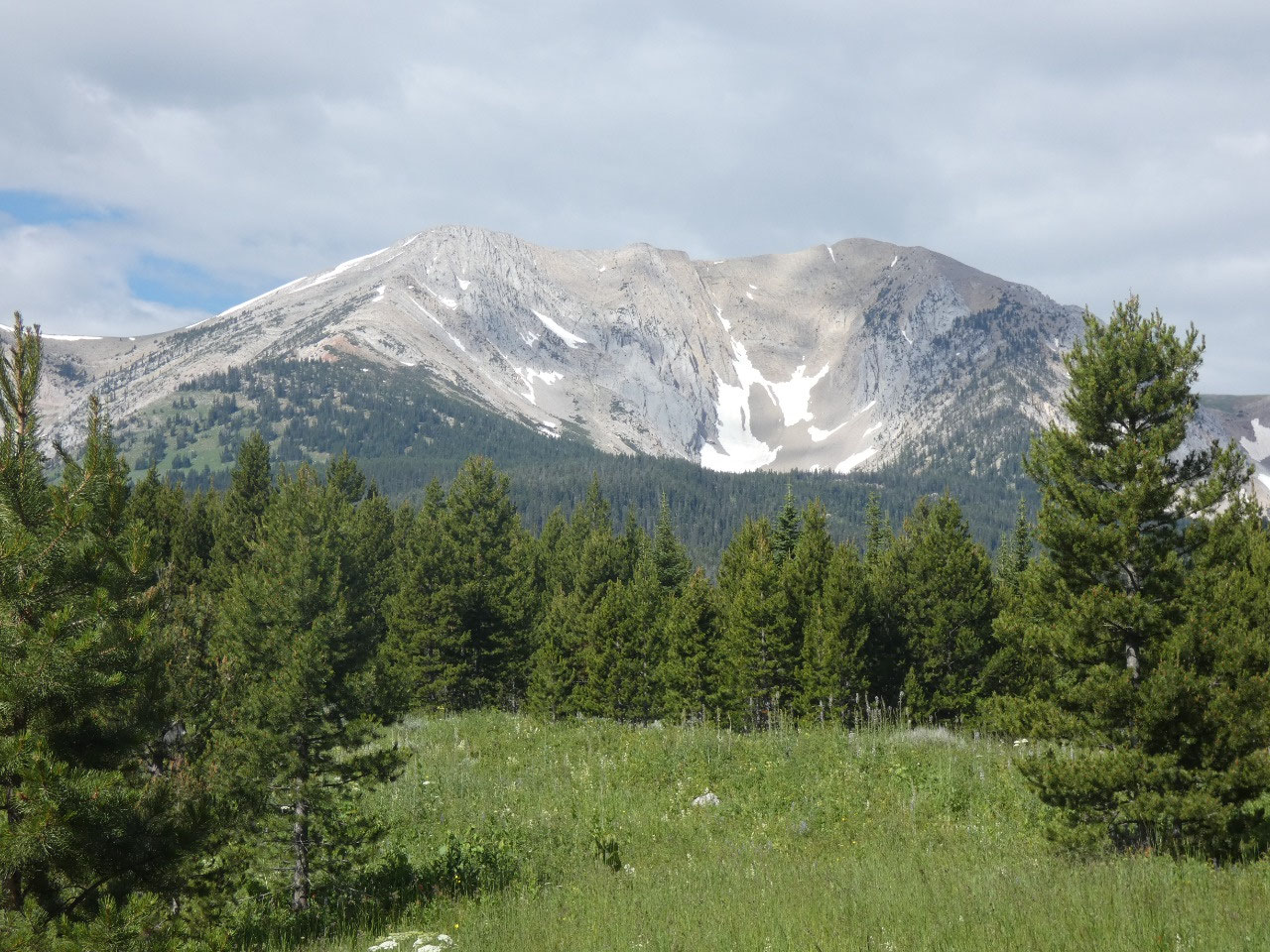
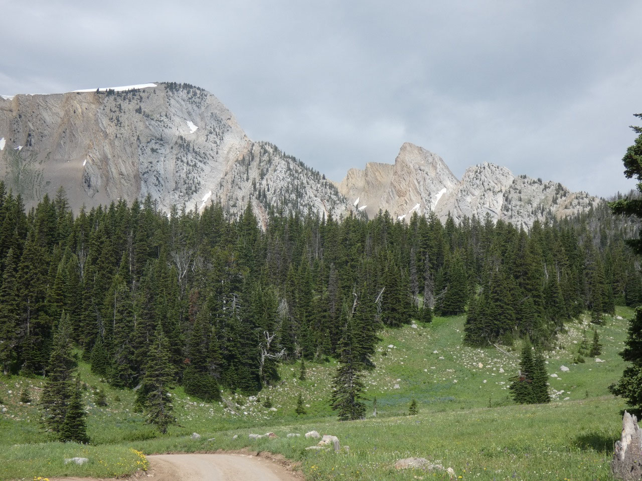
with Sacajawea Peak, at 9,665 feet the highest summit in the Bridger Range near
Bozeman. On a visit back in September 2010, I tried to climb the mountain with
my cousin Deb’s husband John. It was
about two days after the season’s first snow storm, so there was a thin layer
of wind-blown snow around, but that wasn’t the issue. Although beautifully
sunny, it was so windy once we ascended the ridge that we chose not to
continue.
Since arriving back in Bozeman nearly nine years later, conquering
Sacajawea has been a goal above all others for outdoor pursuits. I’ve waited
patiently for nearly four months for the right conditions. Although not
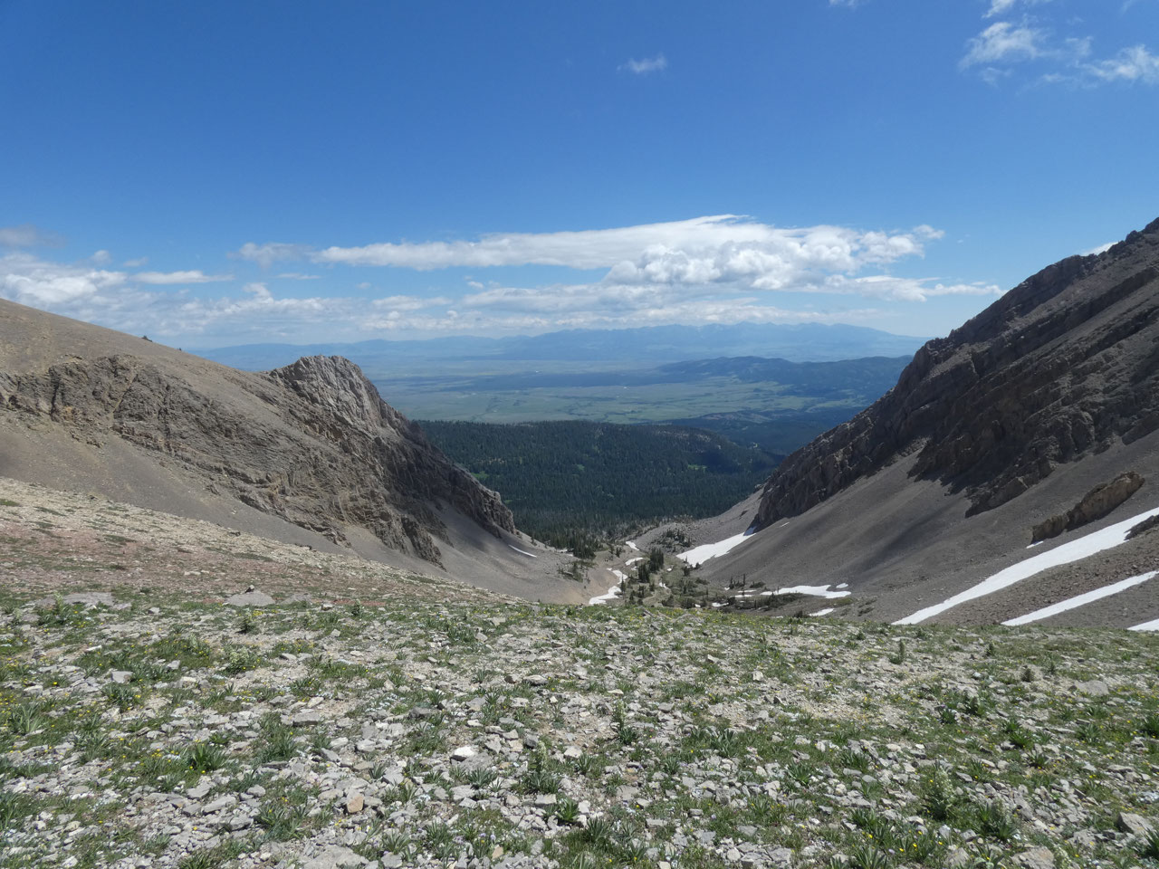
particularly high or especially difficult, the gully on the east side of the
ridge through which the trail climbs holds snow relatively late in the season,
so isn’t fun unless you have snowshoes.
I
had my fill of steep snowy ascents and descents on my Pyrenees trek in 2008 to choose
other hikes until the snow mostly melts before tackling a hike, especially a
peak.
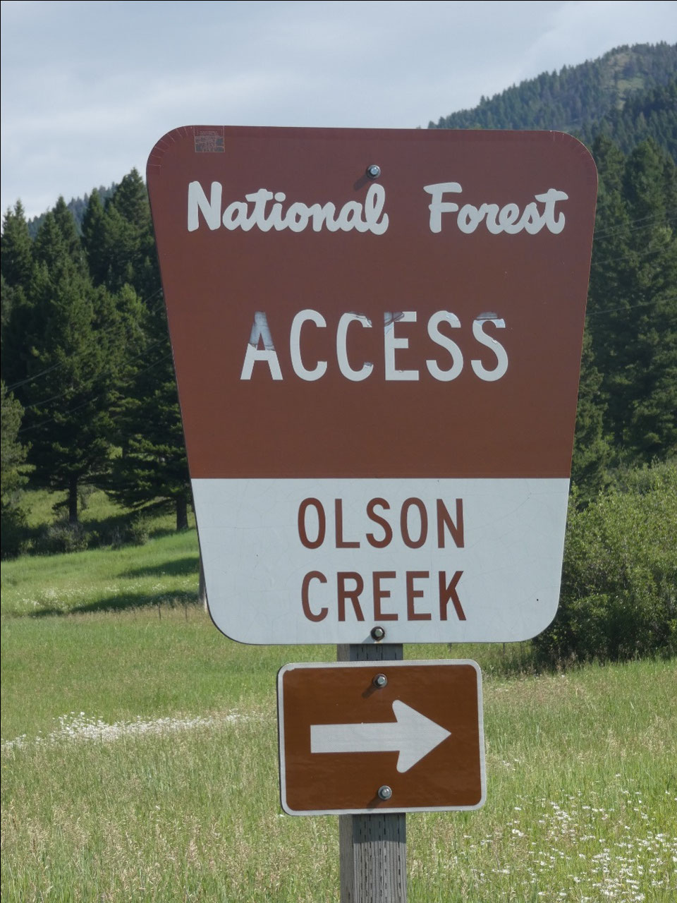
The usual way to climb Sacajawea involves an 8-mile drive to
the base at Fairy Lake from the Bridger Canyon road on a dirt track. I was
warned by my cousin Deb that the road was in terrible condition and I wouldn’t
be able to make it in my Buick. Reports in the Bozeman hiking group on
Facebook, though, were that the road was finally graded this season in time for
the July 4th holiday. Yes, in
Montana it sometimes seems like summer starts with Independence Day rather than
Memorial Day. There were already a few
big holes in the road and a bit of washboard only a few weeks later, but
nothing an intrepid mountain man in a Buick couldn’t handle.
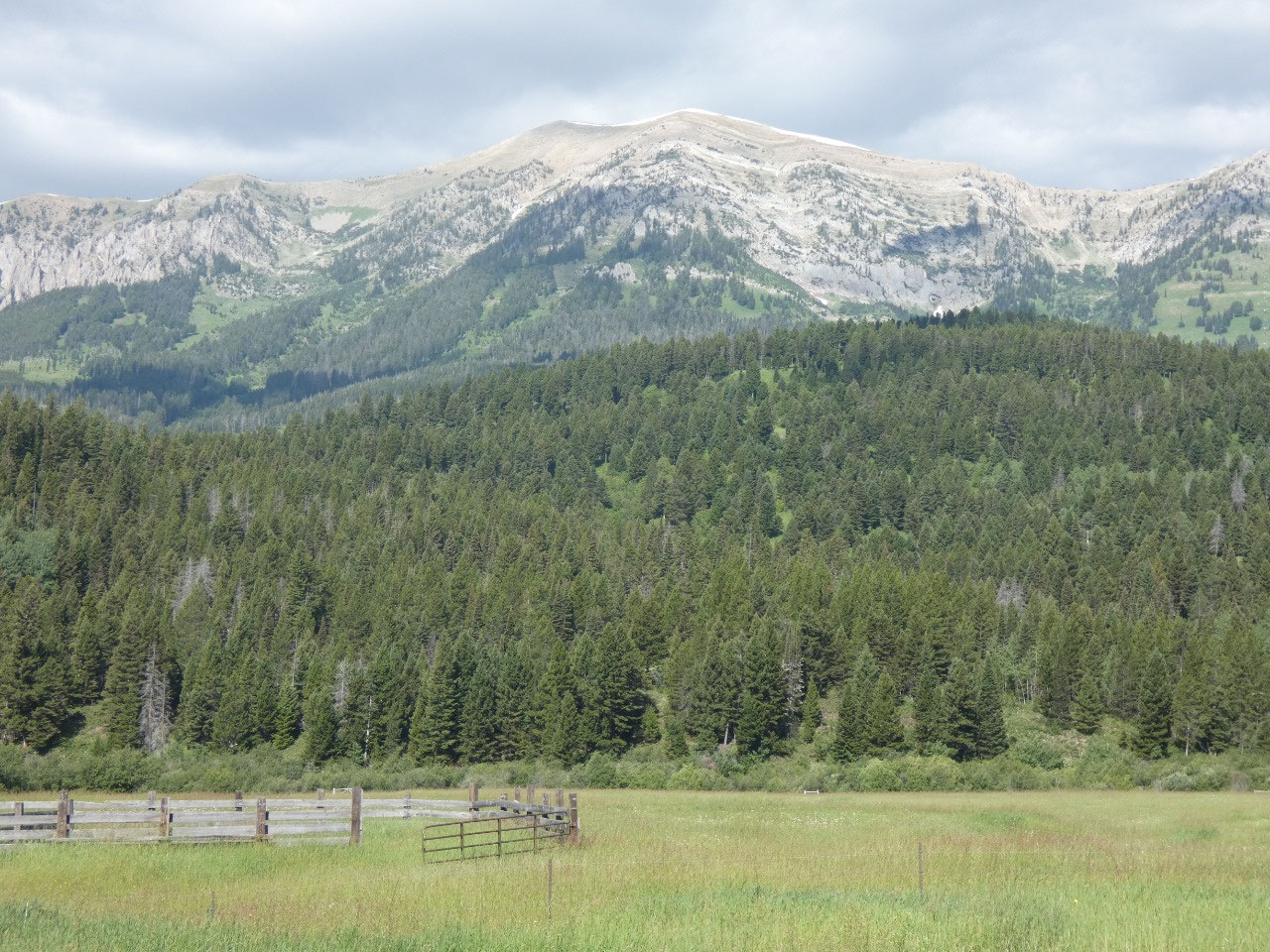
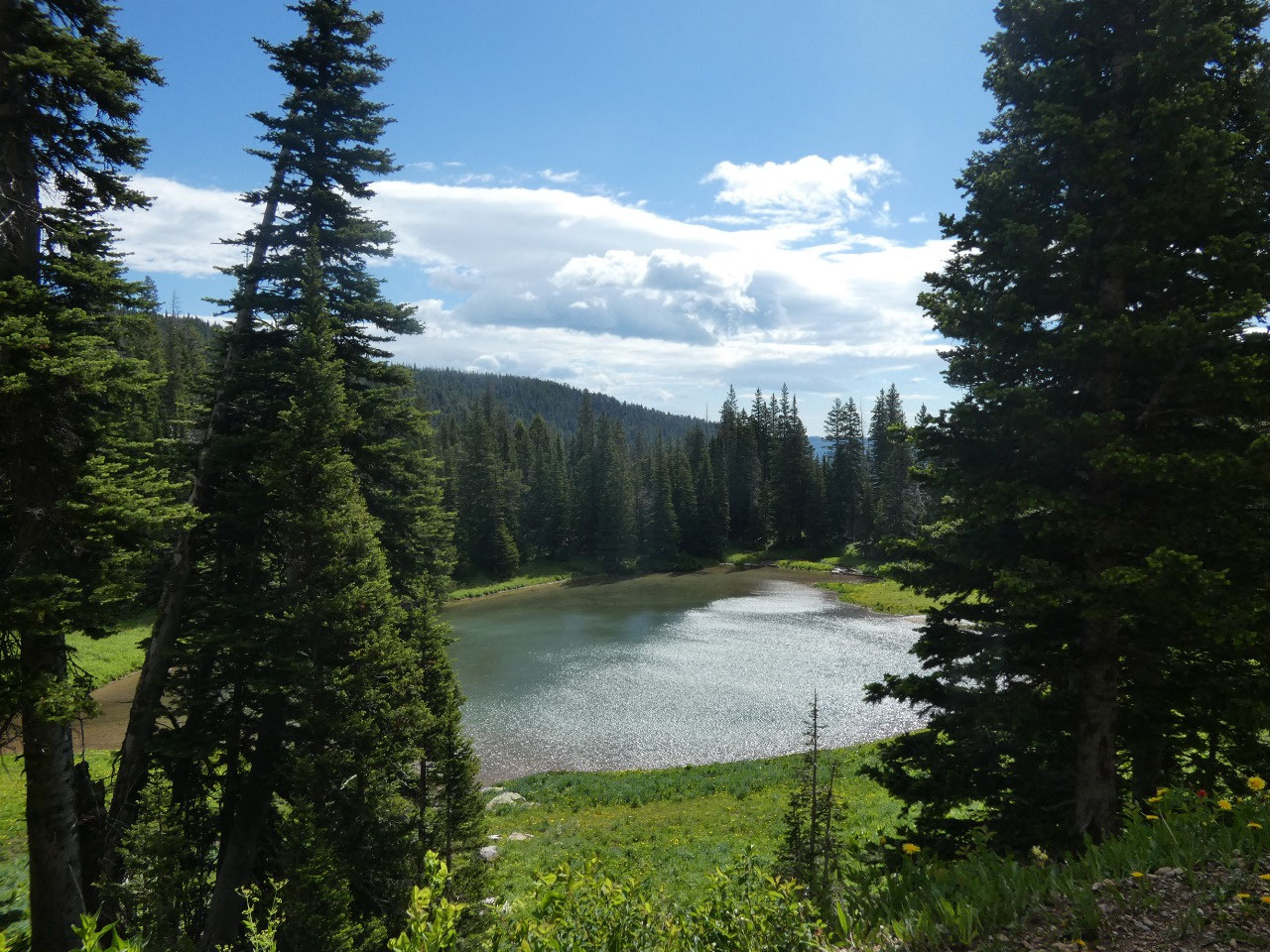
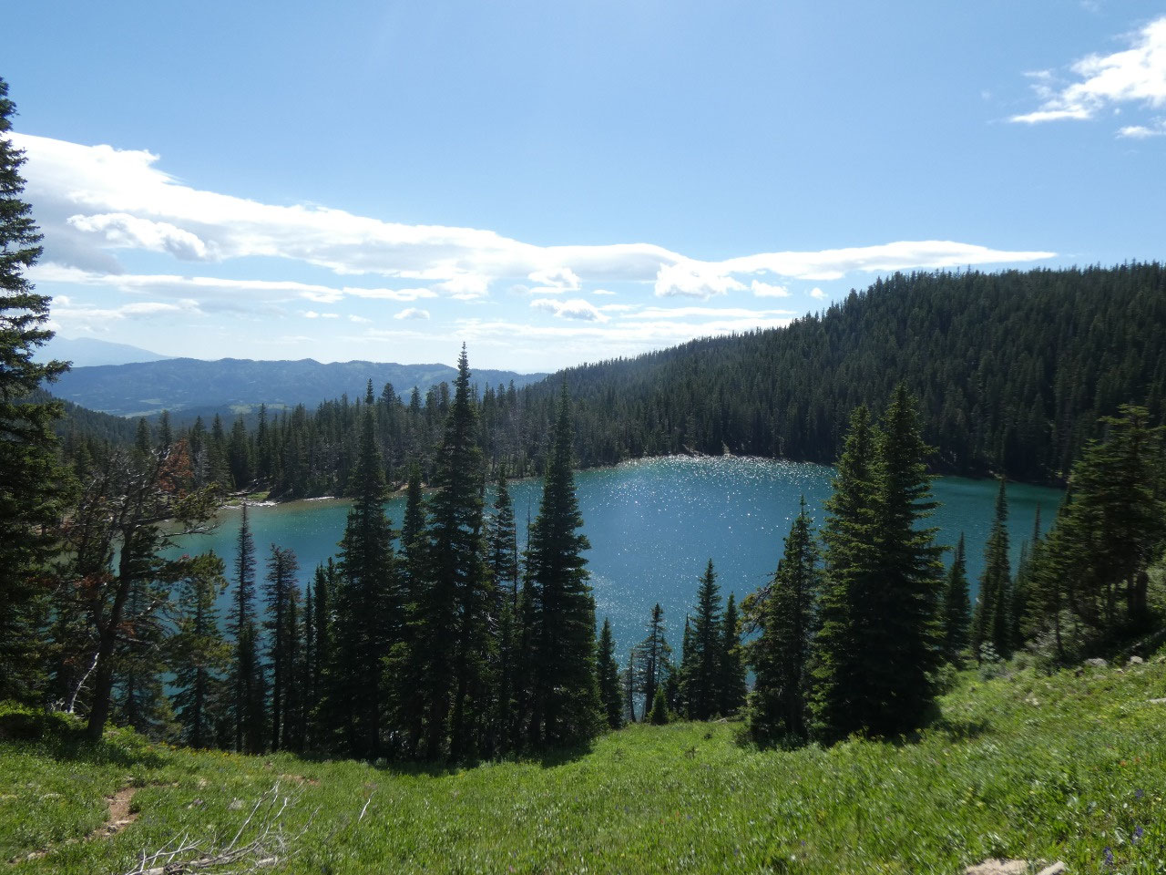
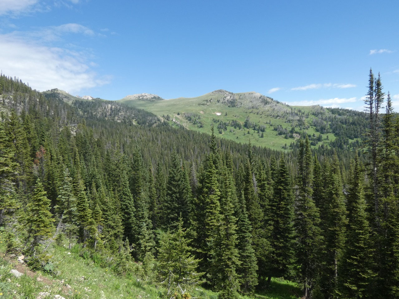
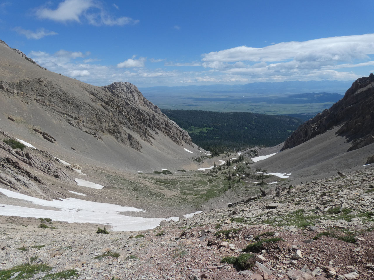
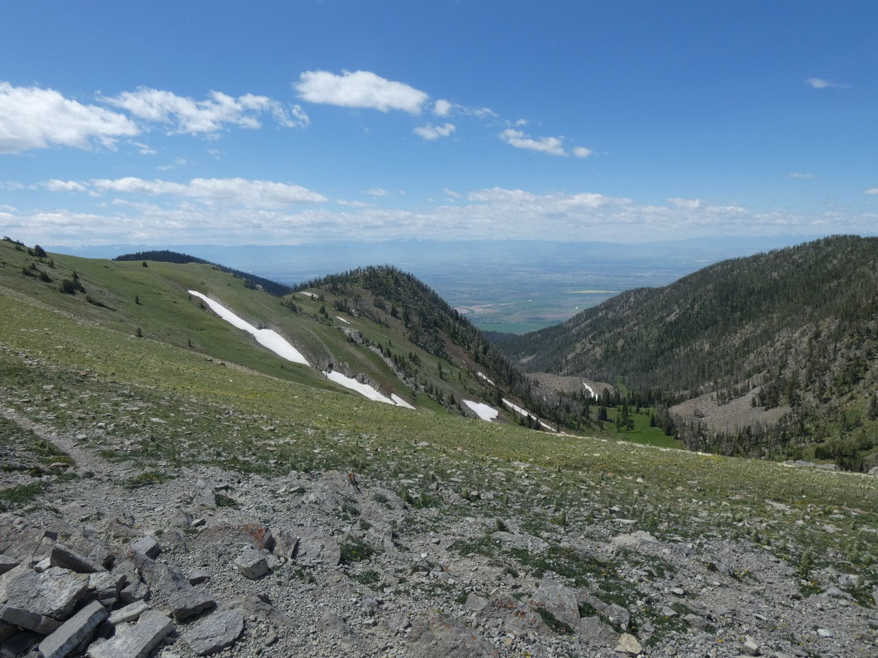
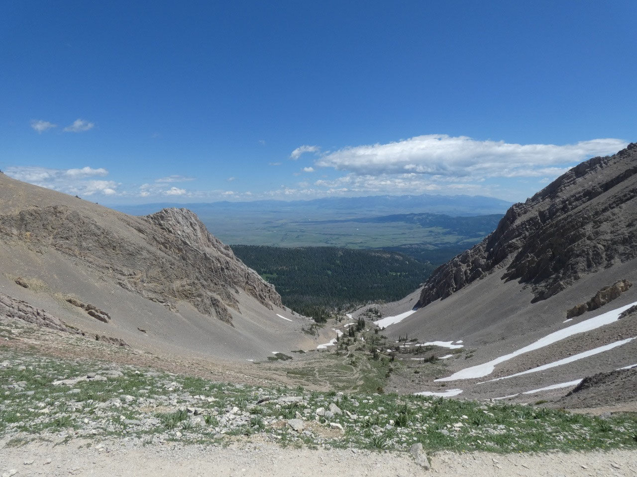
The trail to Sacajawea starts at over 7,600 feet near Fairy
Lake, a very round and very blue lake surrounded by thick evergreen
forests. The trail climbs steadily
through the forest before emerging into a basin about .
7 miles later, then
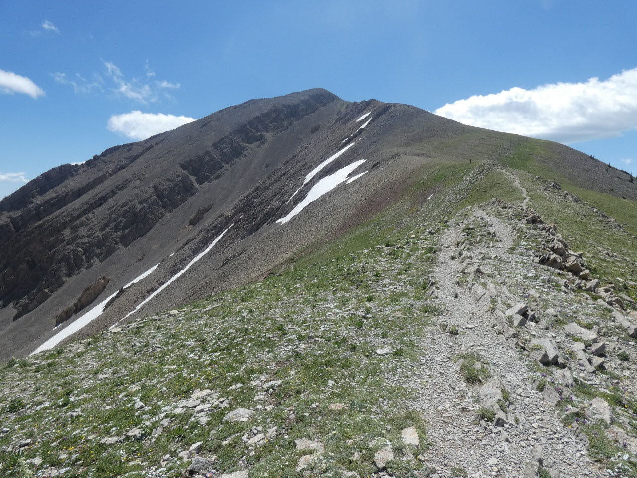
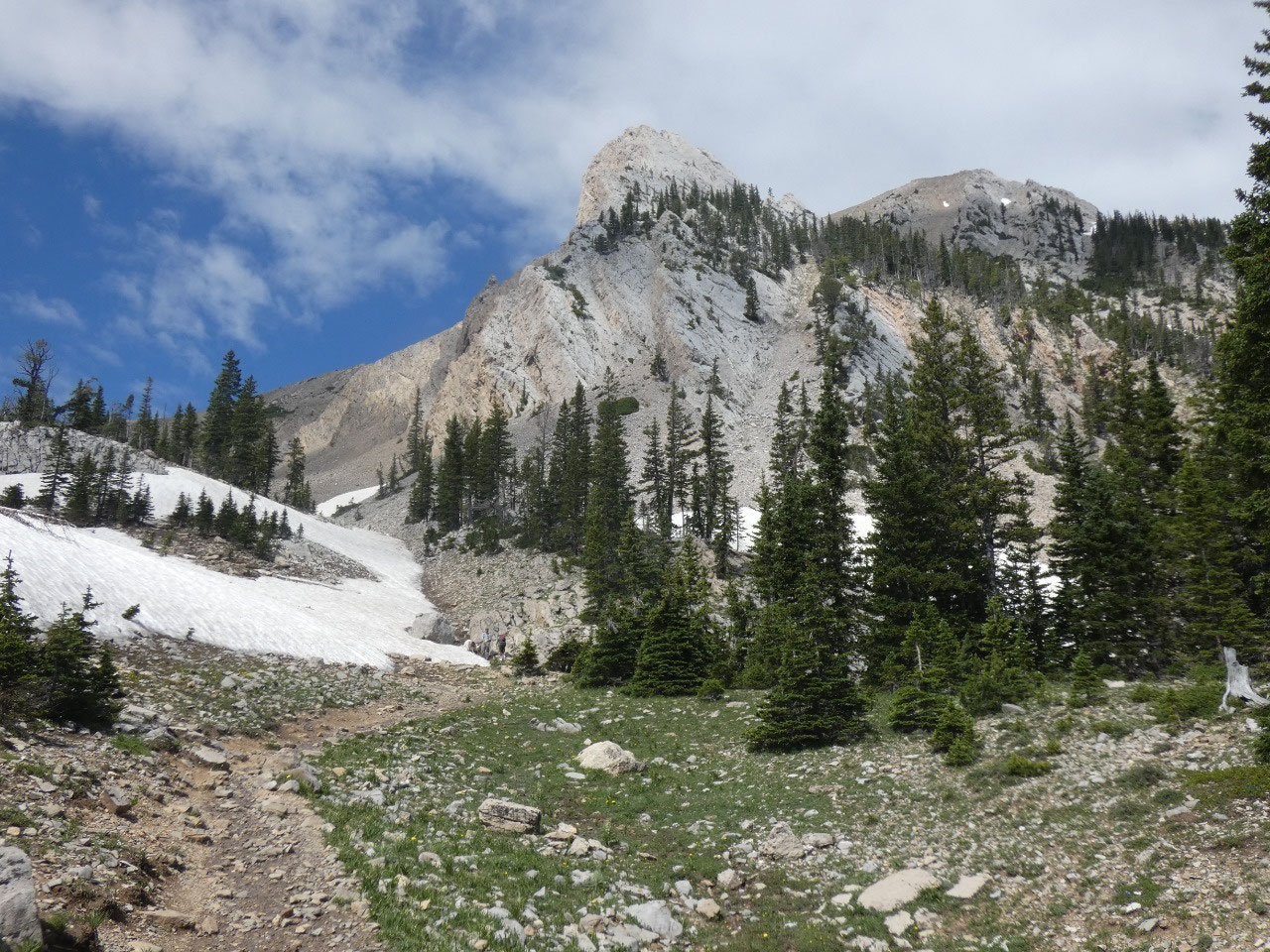
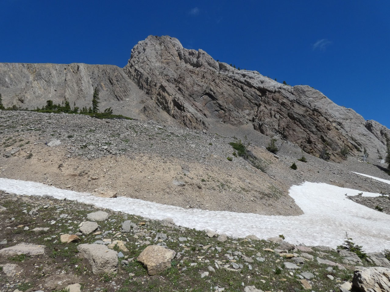
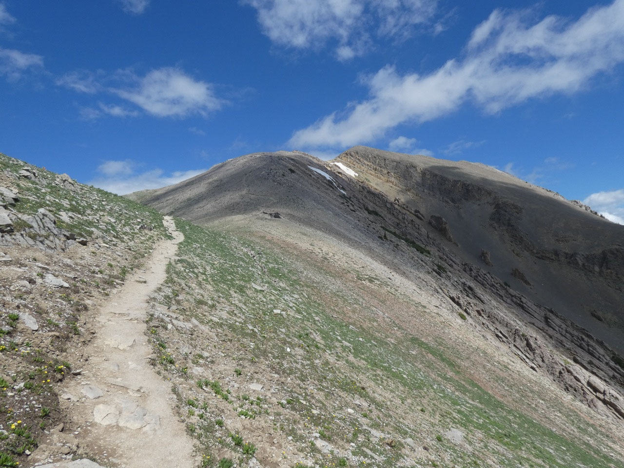
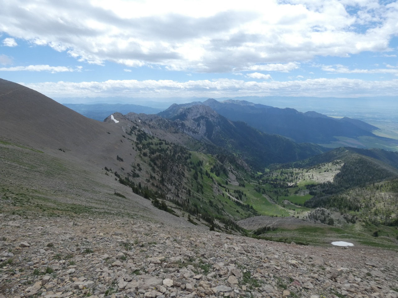
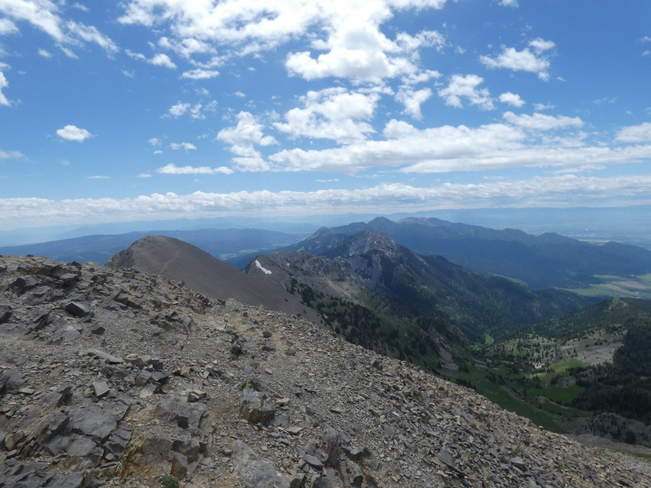
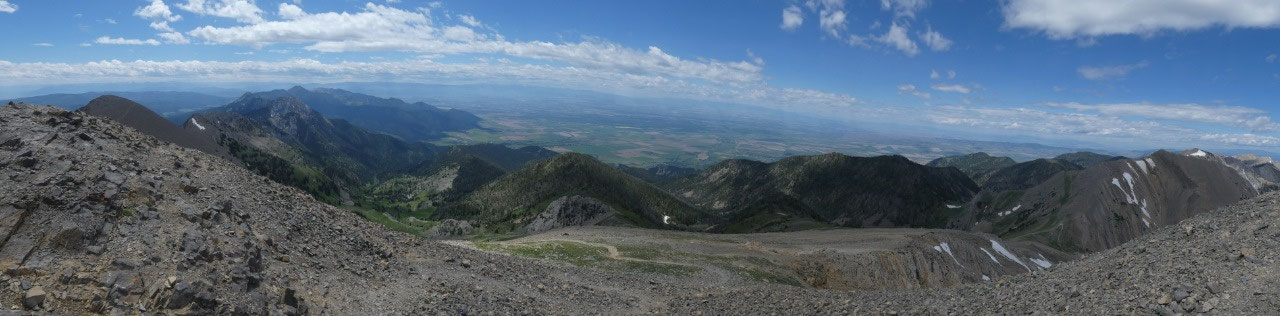
climbs in switchbacks to a ridge between Sacajawea Peak and Hardscrabble Peak,
only about 100 feet lower than Sacajawea.
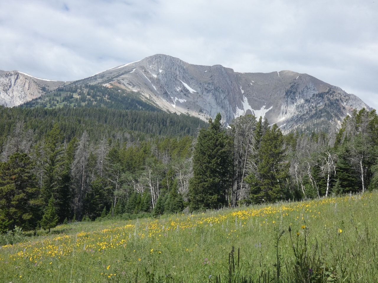
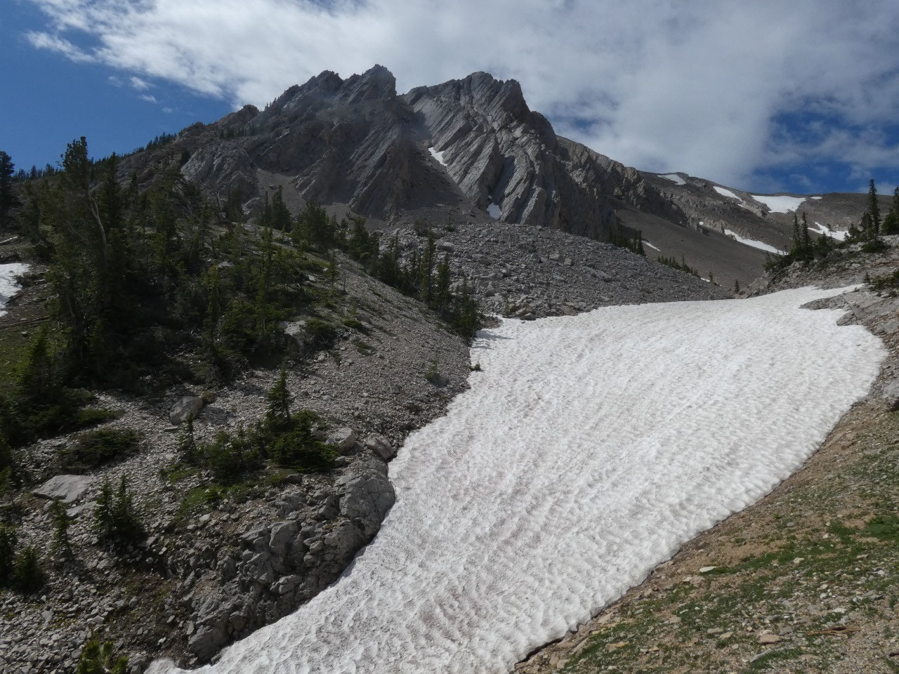
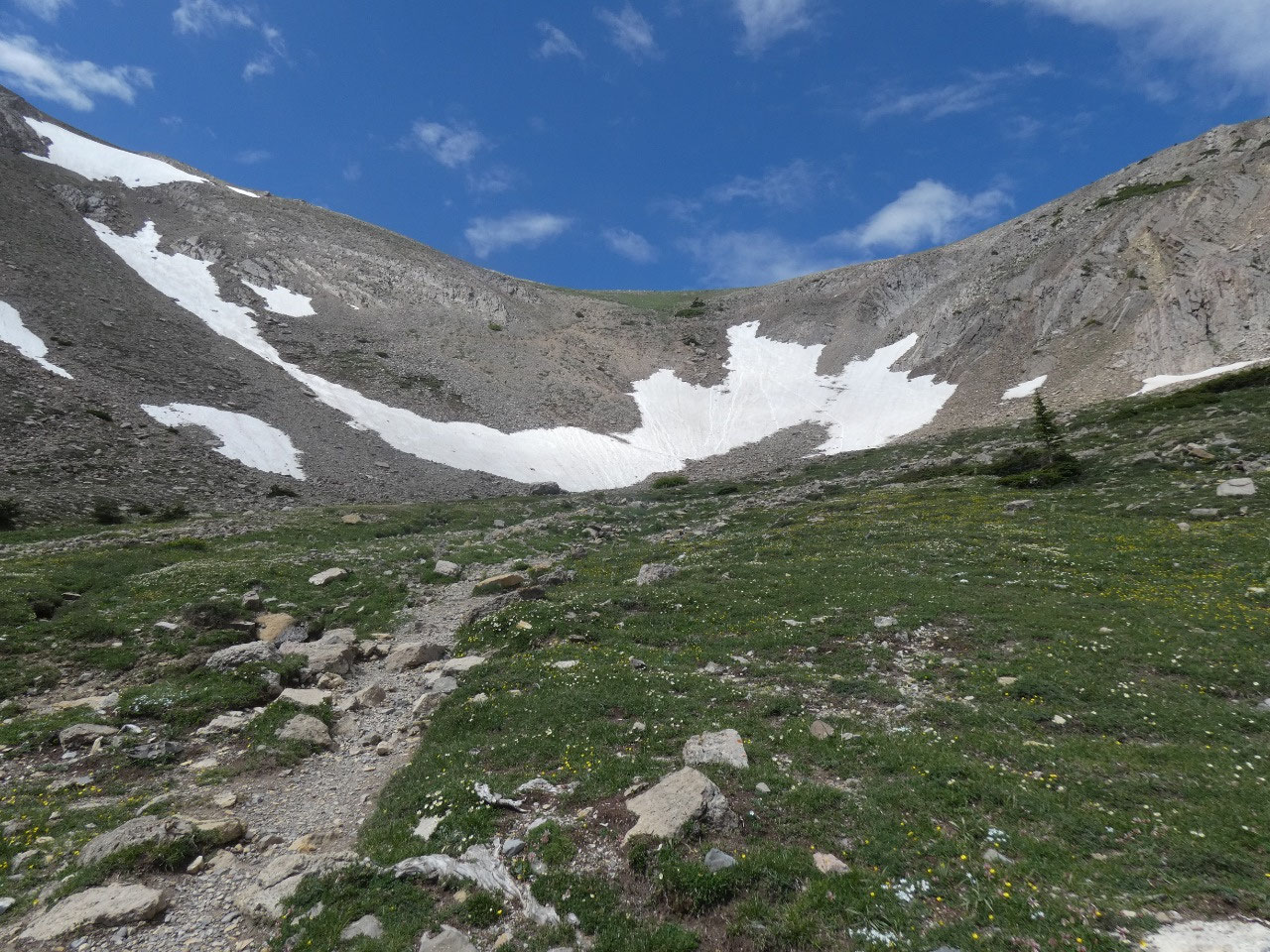
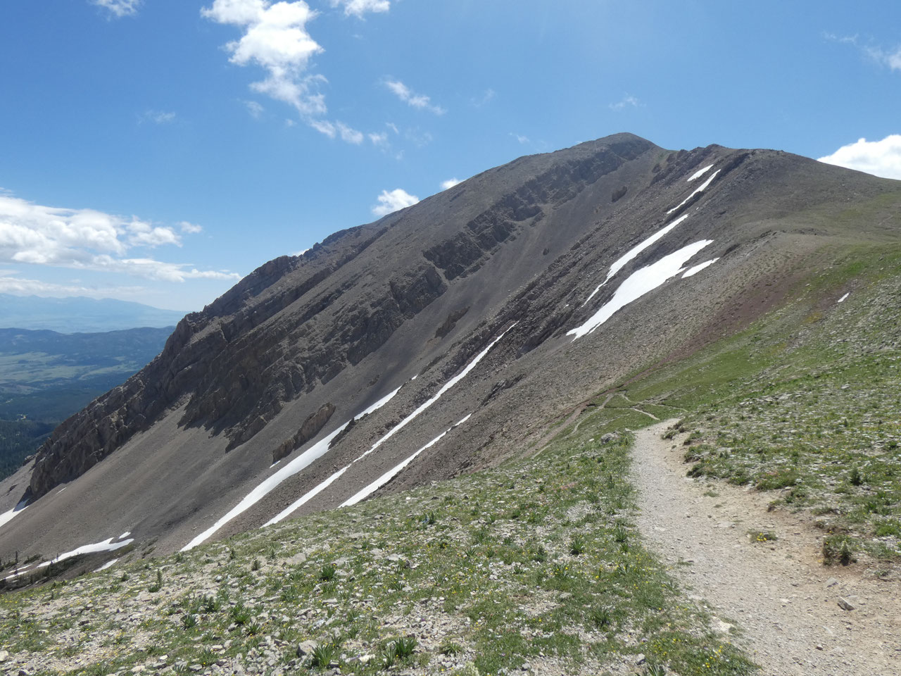
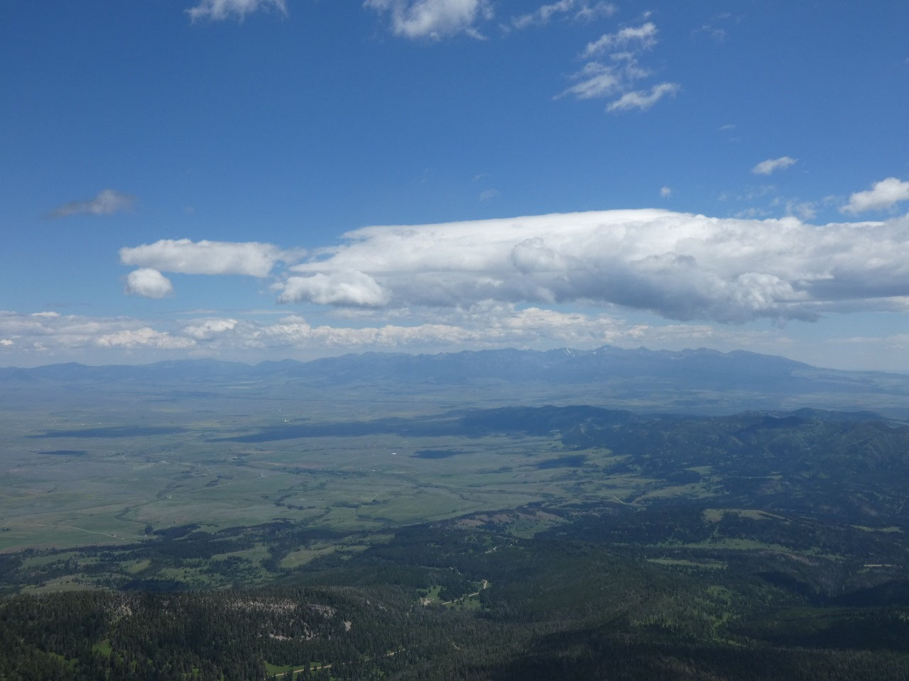
On July 18th there was still a substantial amount of snow in
the basin below the ridge, but the trail avoided all but a few snowfield
crossings. I saw a young trio climbing with skies, but it wasn’t clear to me
where they were heading that there would still be enough snow to make the
effort worthwhile.
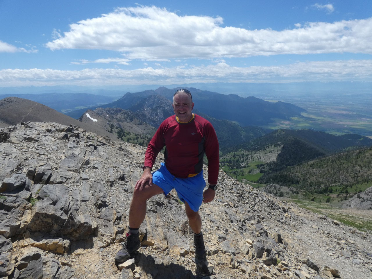
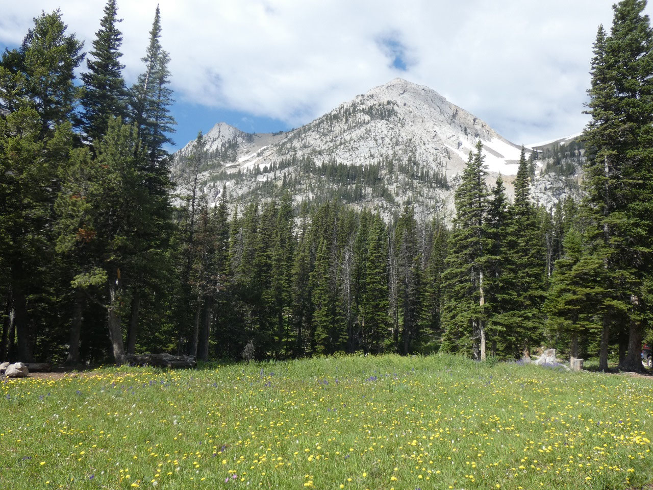
What’s this with the wind?
The weather forecast was for close to 0% chance of rain and partly
cloudy skies, but no one said anything about wind – at least not for Bozeman.
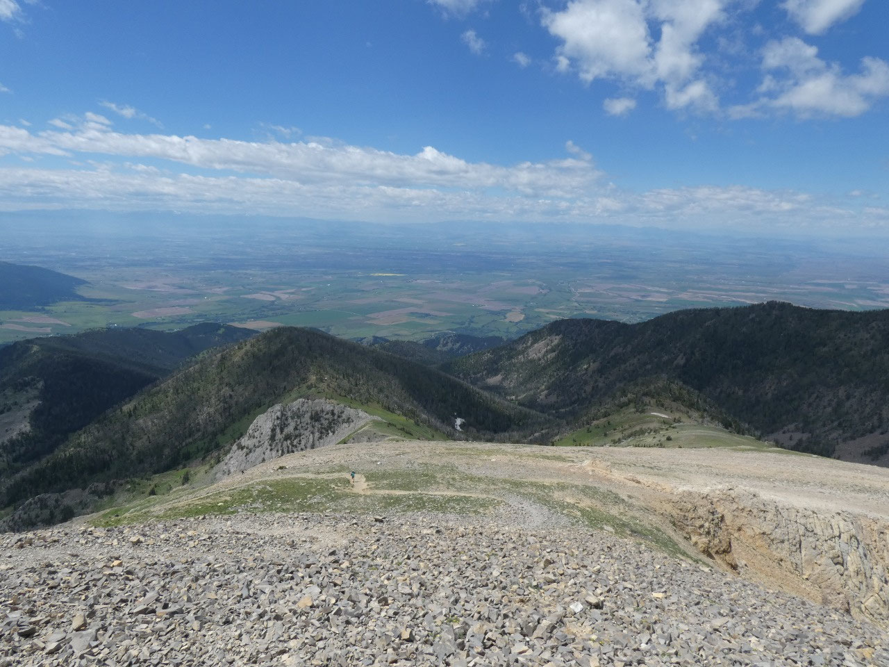
The strong wind was unpleasant on the ridge and then slightly less so for the
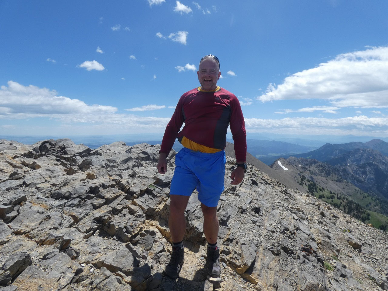
remaining .7 mile and 700 vertical feet to the summit. The trail to the summit
is not difficult at all, and once you get to what looks like it will be the
top, there are no surprises- no false summit with further ascent to the
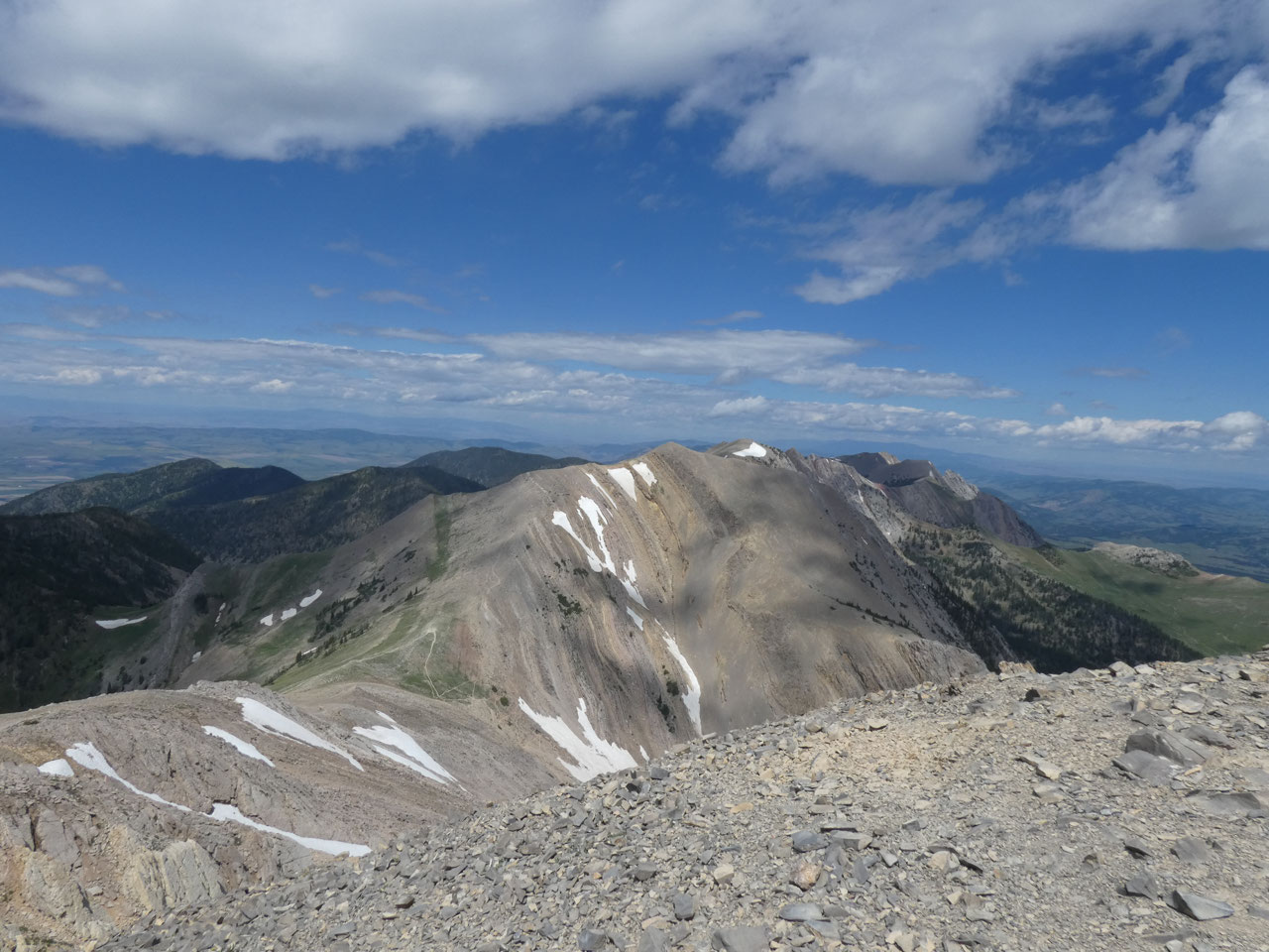
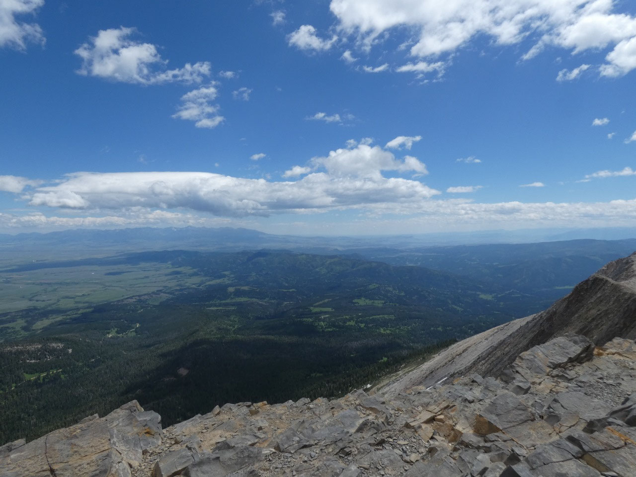
top. You’re there and there’s a stunning
cliff of almost 2,000 feet on the other (east-facing) side. With somewhat of a fear of heights compounded
by the wind, I kept low to keep from being blown over and didn’t linger long.
Lunch would have to wait until I descended a distance to more pleasant
conditions.
Despite its prominence, Sacajawea Peak is actually a
relatively easy hike, only about 5 miles round trip with a 2,000-foot altitude
gain. My hiking guidebook described it
as taking three hours. It took me about
20 minutes longer than that with a few minutes stop at the peak and a lunch
stop. I always feel pleased when I can go at approximately the suggested
pace. I’ve become so used to being a
chubby laggard over the years.


2025-05-22