For my next hike I wanted to go someplace a little
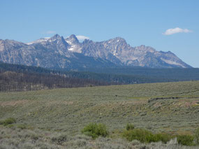
different. The mountain range to the
east of the Sawtooths and the Sawtooth Valley, still within the national
recreation area, is named the White cloud Range. With different geological
origin, the peaks have a somewhat different appearance to the Sawtooths. The one I chose is apparently a quite popular
one since the parking lot at the trailhead filled up quite early on a
weekday. The Fourthof July Creek
trailhead is quite easy to reach, the turnoff being about 15 miles south of Salmon
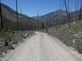
and then ten miles east into the mountains on a good gravel road that climbs
gradually up a valley burnt some time ago in a forest fire.
At 8,720 feet, the Fourth of July Creek trailhead is
actually higher than I got at the top of my last three hikes in the Sawtooth
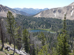
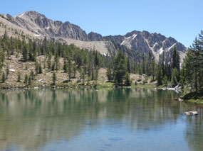
Range. The hike I decided on was eight miles round trip to Born Lakes in the
next valley to the east, a trail that follows Fourth of July Creek up through
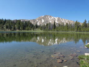
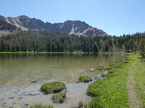
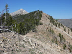
the forest to Fourth of July Lake, then ascends a dividing ridge between two
valleys, and finally descends into Ants Basin to a string of small lakes called
Born Lakes.
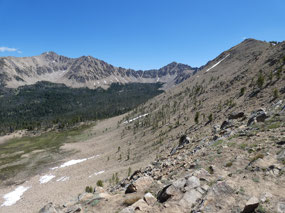
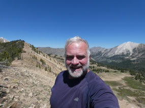
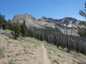
The trail was pleasant and pretty easy for the three miles and
1,200-foot ascent to the ridgetop divide at 9,920 feet where the view was one
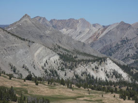
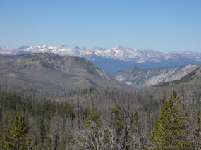
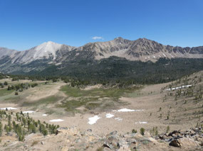
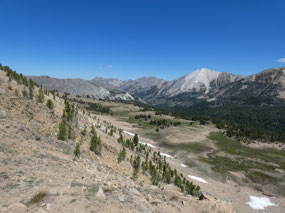
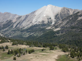
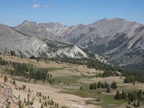
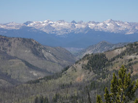
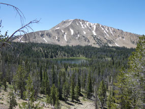
of those stunning knock-your-socks off ones that you don’t see coming. The amazing view across the valley was to a
wall of mountains called the White Cloud Peaks, including 10,782-foot Patterson
Peak and an unnamed 11,31-foot peak. The
shapes and colors of the peaks were completely different from the Sawtooths,
ranging from light silver, almost white, to shades of pink, gray, and brown.
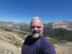
I took a rest, had a snack, and decided suddenly that I had
enough. The view wouldn’t get any better if I descended the switchbacks several
hundred feet into the basin and completed the hike to Born Lakes. And all those
other hikes I might do in the days ahead in the Sawtooths – Alpine Creek, the
Toxaway-Pettit Loop, and more – can wait for another time. I felt satisfied with what I had seen and
ready to call it a trip. I made my snack
spot on the ridge into a full lunch stop and enjoyed the views for a while in
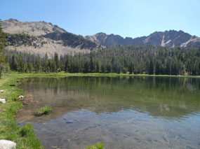
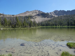
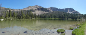
the warm sunshine at nearly 10,000 feet elevation. I backtracked down the trail past pretty
Fourth of July Lake and continued on my merry way beginning the trip home.
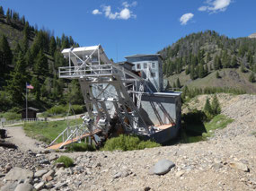
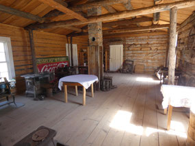
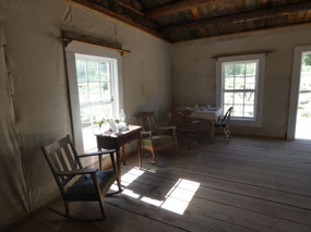
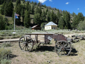
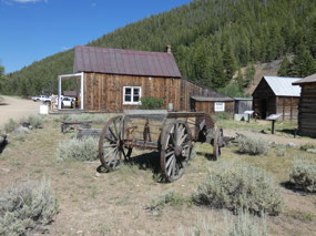
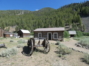
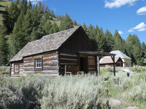
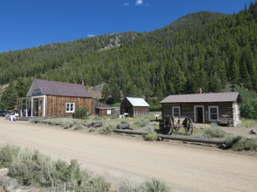
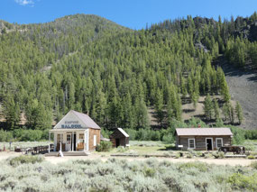
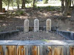
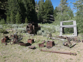
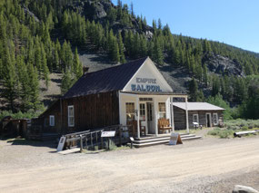
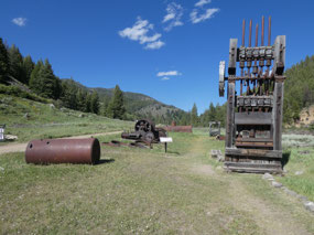
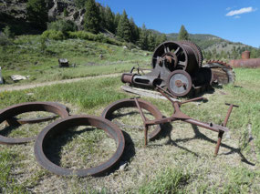
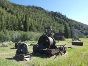
A sight on the map about 15 miles east of Stanley piqued my
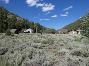
interest for a visit. The ghost town of Custer lies about 10 miles north of the
Salmon River along the Yankee Fork of the river. It dates from the mining
heyday of the late 1800s and is reached by a good gravel road that parallels
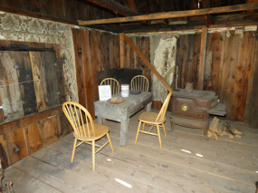
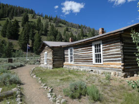
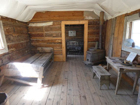
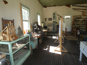
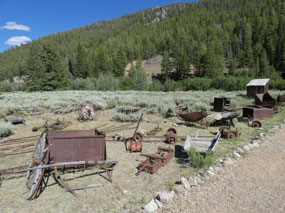
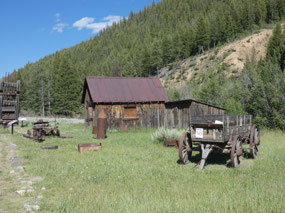
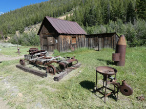
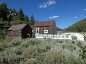
the river so is quite easy to access. Located on forest service land, many of
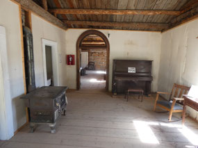
the buildings in the townsite are well preserved and function as a museum.

 Clayton, Idaho, United States


John Sherer
2020-07-19
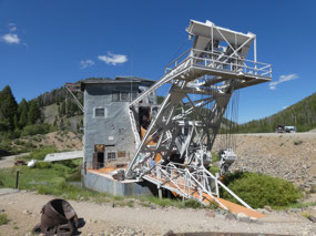
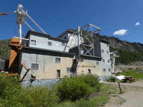
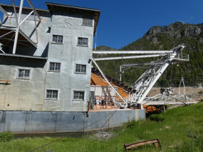
Deb and I got a tour of the inside of the Yankee Fork gold dredge Maybe in 2008 or 2009 by a guy who used to work on it. Don’t know if that is still done or not but it was fascinating.
modernnomad67
2020-07-19
I missed the last admission to the dredge by a few minutes so wasn't able to go in.