Driving up to the Volcano
ok
so Gine read: you need to be there before 10 am when the clouds
come... so we get up at 7 am, ok it took us longer and when we were
heading out it was already 8.15. But then it is our first real day in
Cost Rica.
Already
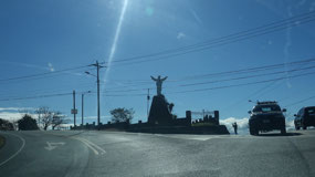
in town we started to drive up... and from then on all the 35 km went
up – I mean there is not one area where it is levelled. But then
Cartago is at 1450 m elevation (guess that is way it gets cold at
night) and the volcano is at 3450 m. IT started out in a traffic jam
in town... good thing we know there are a lot of streets going in the
same direction and all what we did turn once right and see there
traffic jam gone. What we couldn’t believe is all the people riding
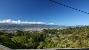
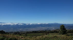
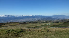
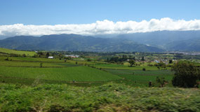
up a bicycle!!! and we had amazing views on the Central Valley and
the Highlands – yes we were reading that it is a scenic drive but
it was so amazing. Then we started to slow down that is when a car
passed us and then Paul decided what they can do he can do... I mean
really passing on a curvy street!!! Gine sometimes nearly got a heart
attack. But then at the entrance there was only one vehicle in front
of us.
- The Central Valley and the highlands is a mountain plateau wiht lots of coffee plantations, with fertile soil from the volcanoes
- even it is quite small 2/3 of Costa Rica’s population lives here – most of them in San Jose (no wonder there is so much traffic)- total population is 5 Mill (that means 3 Mill alone here)
- even it has fertile land there were only a few settlements. Until 1824 there was only one road a mule path to Nicaragua. It was only after the independence int he 1800s that the central highland began to propser with the expanded culitvation of coffee: the grana de oro – the golden bean: in 1808 Tomas de Acosta Costa Ricas governor brought the coffee here from Jamaica
- coffee is a highland plant and flourishes in the mineral rich soil – San Jose council gave free land and coffee seedlings to settlers and in Cartago the families were ordered to plant coffee bushes in their back yard
- in 1844 the London market for Costa Rica opened up and it was the country’s main source of income until the 1930s
Volcano
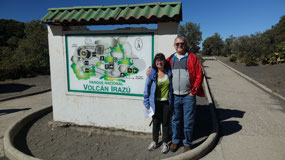
Irazu NP
lucky
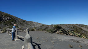
for us, we passed all the buses and when we went there were not too
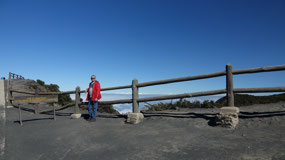
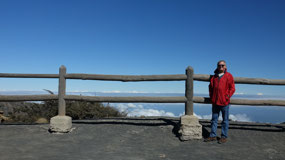
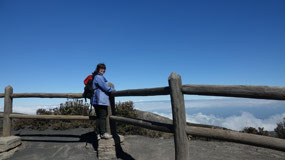
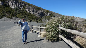
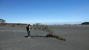
many people up there. But it was super windy and quit cold. We were
glad we had the sweaters, jackets and long pants on. The first
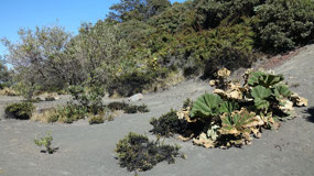
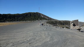
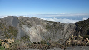
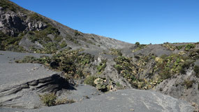
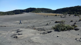
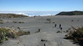
glimpse got inside the Playa Hermosa Crater and the greyish volcanic
ash.
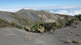
Diega
de la Haya Crater: was the first one we had a glimpse in: 690 m in
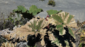
diamter and 80 m deep – yes it did look like a crater, the cool
part are the plants here: by the way this one erupted in 1723 for 10
month!!!
Main
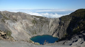
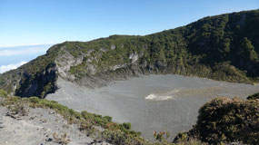
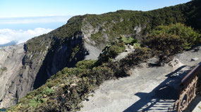
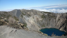
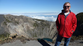
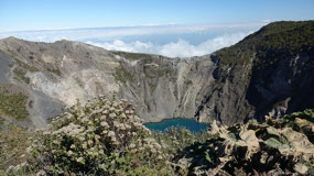
Crater – Crater Principal: we got there and then you glimpse down
into the 300 m deep crater with steep ash-grey walls – 1 km in
diamter: it’s impressive and on the other side you can see the
clouds simmering below the summit. And one of the coolest parts is
seeing that greenish lake inside.
From
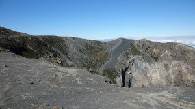
there we walked along the main crater – once in a while we had to
stand on the fence to get a better view on the lake... it was so
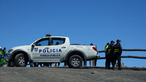
cool!!!! When looking back we saw the bus tours coming and the
policia came and made sure no-one did anything stupid. Once in a
while we could actually smell some sulphur. Arriving at the end of
the crater we crossed the ashy Playa Hermosa and had to quick go back
to the main crater for a last view.
By
the way you can really feel it that you are that high up, you nearly
feel a little bit light headed and Paul said he realized it with the
breathing.
Back
at the car that was when we discovered we forgot our cooler with the
drinks at the Airbnb!!! Guess that was not our smartest move – but
then the next part of the day is going via Cartago – so we could
pick it up.
Parque
Nacional Volcan Irazu:
- With 3430 m it’s Costa Rica’s highest Volcano
- Is historically Costa Rica’s most active volcano: 1st written eruption in 1723, several devastating eruption between 1917-1921, it’s famous eruption on March 13, 1963 – also the last one– there were 15 major eruptions since the 18th century
- Irazu comes from the Indian word istaru and means: mountain of thunder
- Fumaroles exclude smoke from the 2 main craters
- and the local Legend: Aquitaba a local chief sacrificed his daughter to the volcano gods. Later in a battle with an enemy tribe he called on the gods for their aid. The volcano erupted spewing fire on the enemy while a boiling river of mud swept away their village.”
What
is it about the Volcano’s in Costa Rica?
- There are > 200 volcanic formations in Costa Rica – some as old as 65 Mill years
- volcanic soil is rich in minerals and nutrietns: this is one of the reasons for the lush landscape
- it is part of the ring of fire: with 452 volcanoes: 75 % of the world’s volcanoes are on that ring – it is the result of shifting tetonic plates
- the 6 most famous volcanoes in Costa Rica are: Arenal, Paos, Irazu, Turrialba, Rincon de La Vielja, Tenorio
It’s
going downhill
and
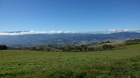
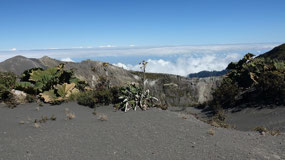
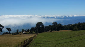
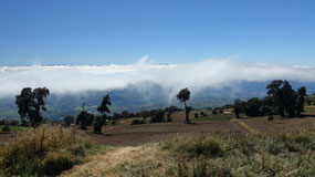
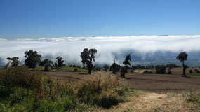
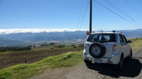
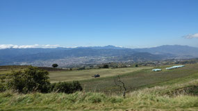
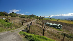
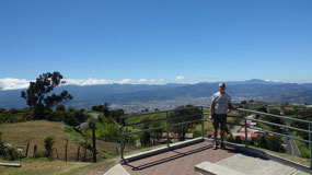
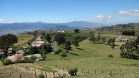
on the way down because we were so ahead of our time schedule we
could stop several times: the first time to enjoy the great views on
the valley and also to change the our long pants into shorts. What
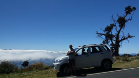
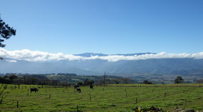
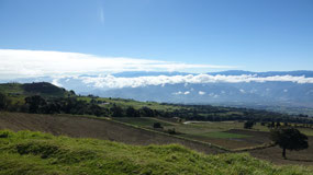
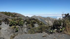
looked truly amazing were the clouds hanging below us... and we could
see over to the other part of the mountains – it is something you
need to see to believe it. Paul had the fun when the cows walked on
the road – and once in a while we saw some eating on the grass at
the side of the road.. Another quick stop (because it is too windy to
stop for longer) was at an actual viewpoint. And I think it is super
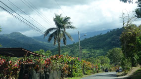
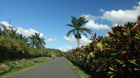
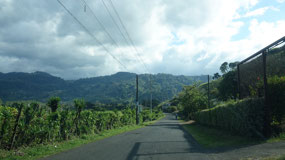
amazing all those amazing tropical plants alongside the road –
which makes each road like driving through a tropical garden. And on
the way back: Google map once send us actually the wrong way into a
road!!!
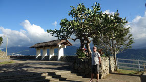
Mirador
Orosi - Viewpoint coffee break
After
making the coffee we are heading out again to have the coffee at the
Mirador Orosi. Which is part of the 32 km scenic loop ... which was a
lot of fun for Paul to drive and Gine to enjoy.
At
the viewpoint with proper parking we expected that we have to pay:
but no it’s for free and at the entrance all they want is your
passport (drivers lisence was ok) to write down the name and number –
and they automatically assumed, that Paul is from the USA (I think
Paul will be well known all over Costa Rica) – up the steps and
here it is warm and in the sun: perfect for a coffee with cookie and
also getting some Vitamin D and sunshine.
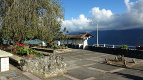
After
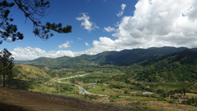
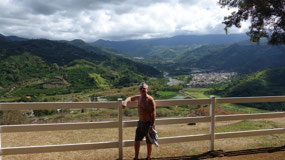
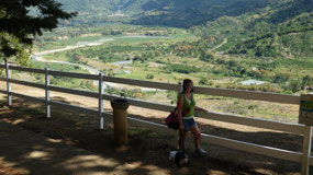
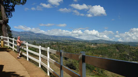
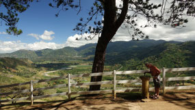
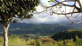
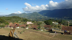
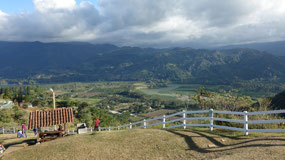
a short break we had to check out the view – along the outside we
had some great views on the valley and the river. And as well they
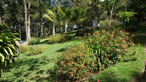
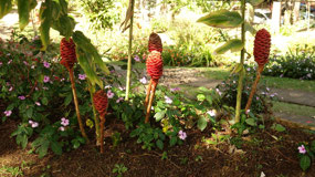
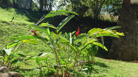
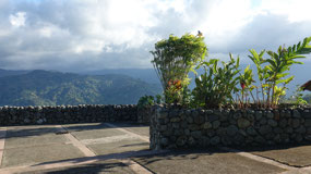
had a little botanical garden there: some of the flowers here are so
amazing.
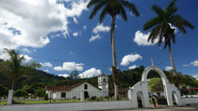
The
Town of Orosi
on
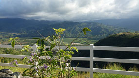
the way here what I loved where those purple colored tropical plants
along the side of the road – they looked so nice.
they
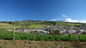
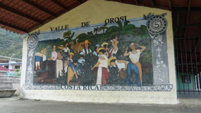
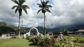
say it is one of the most picturesque villages in Costa Rica. I mean
yes it is a cute little town and first things first we stop at a
Supermarket – got some more milk, as well as water and tomatoes. At
another one we some spices for the tomatoes. And if there is a
panaderia than this is perfect to check out and get something for
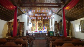
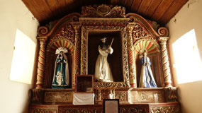
supper. And last but not least we stopped in front of the cute old
church and went inside where we got greeted with some nice music. And
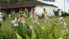
what we really like a lot are all the flowers here. Also in that
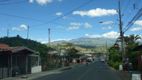
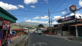
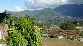
little town you always had the nice views on the mountains around –
which makes it very cute.
What
is so special about the Orosi Valley?
- The first colonists arrived in 1564 to convert the indigenous people who were led by a chief = cacique, who was named Orosi
- it is a beautiful river valley – they also call it garden of Eden
- the iglesia Colonial Orosi is one of the few, which survived the earth quakes – so yes this church is really from 1743 no rebuilt. And it is the oldest still in use church.
The
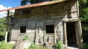
Dreamers House – Casa del Sonador
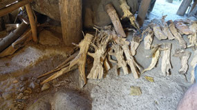
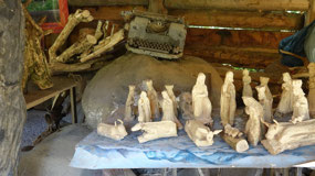
Gine
read about this: a little wooden and bamboo cottage decorated with
depictions of rural people made by the wood carver Macedonion Quesada
who died in 1995, his sons run the wood caring shop. It is so tiny
you nearly miss it, we park and the outside is kind of cute and the
figures inside are made from coffee tree wood and roots... a quick
check and we are on the way again.
a
suspension bridge
continuing
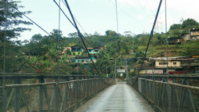
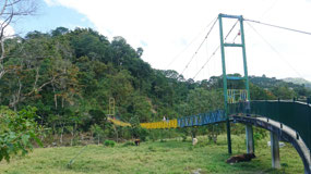
on we came to a small bridge: single lane only: I thought it was
funny that they had a huge sign stating solo un vehiclo... Paul would
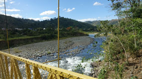
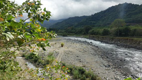
have loved to stop at the river and then only a little bit later
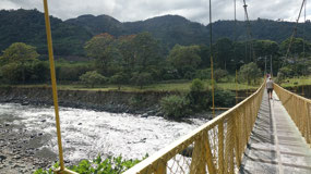
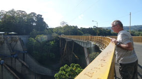
there was a yellow suspension bridge, with parking across the road so
we did cross the river by foot and could enjoy the views on the
valley as well as the cows.
over
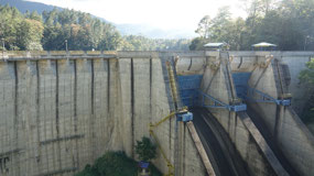
the Dam of Cachi lake
we
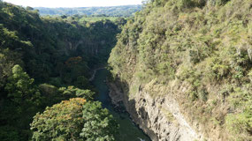
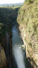
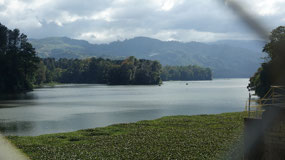
saw some glimpses of the Lake and suddenly we drive over a Dam...
that means we have to stop and walk over it: one one side there are
some cool views into a quite deep valley and back on the other side
we could see the lake Cachi with lots and lots of water hyacinths...
guess it’s not the cleanest lake.
- The dam got built in 1959-63
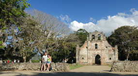
Ruinas
de Ujarras
if
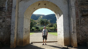
there are ruins, then Gine needs to see them, a quick detour to this
one. And we got the last parking spot – and already we are well
versed in the habit: Gine brought the wallet so that we have the
driving lisence ready: this time they couldn’t even find Paul’s
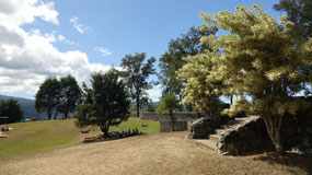
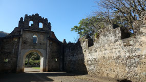
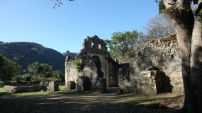
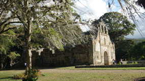
name. It’s a nice tropical garden with beautiful flowers and trees
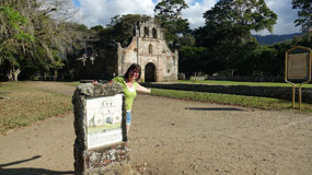
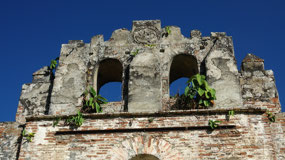
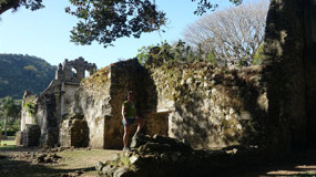
and then we come to the ruins of that church. It is not huge, but it
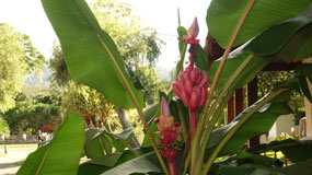
looks very nice between the plants – by the way here we also saw
some young still red banana fruit and flowers. And we heard there a
lot of birds – it took us awhile to discover the green parrots
sitting on the ruins. Gine told Paul the legend on why there is a
church here... but I think Paul is not totally convinced about it’s
truth.
- The town of Ijarras was damaged by an 1833 flood and abandonded
- the ruins are of the Iglesia de Nuestra Senora de la Lumpia concepcion from 1693
- the legend says: a converted Indian found a wooden box containing a statue of the Virgin Mary.. He carried it to Ujarrasi, where it suddenly became to heavy for even a team of men to lift. The local priest considered this a sign from God that a shrine should be built here. When the pirates led by Henry Morgan attacked the region in 1666, the locals prayed to the shrine. A defensive force led by the Spanish governor routed the pirates and in gratitude they built a church in honor of the virgin del Rescate de Ujarras = the Virgin of rescue
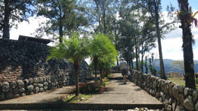
Mirador
Ujarras
we
decided now would be a good time for a coffee – and what better
than on a coffee plantation – guess they only do tours... no coffee
and so we continue on, since it is only 15 more Minutes back home.
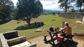
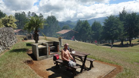
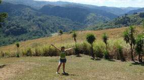
And as we headed back we see the Mirador Ujarras from ICT (Instituto
Costarricenses de tourismo): which we already know are nice parks to
visit for free. And Gine loves viewpoints... the sun is out: this is
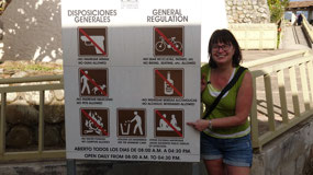
a must stop. Even I think it is so funny that they have a sign which
prohibits excessive public display of Affection – guess not kiss in
the park here. We could even see the ruins from here. And again they
have some beautiful picnic spots... it is really nice made. And we
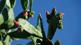
admired a huge Cactus tree.
We
need more cookies
back
it is time for a coffee even it is a little bit later – but then
that’s why we have this cute little garden patio. And then we walk
into town because we loved the cookies we had the other day... and so
we walk all the way up to the panaderia Colombian: and the same girl
is there today and she loved when we bought all the cookies she had
left....
and
for a perfect ending of the day: even the train came by!! And Paul
thought he wants a picture on the train goes up Gine takes and the
train starts driving!!!! good thing the train started slow and Paul
could still jump down – even the locals had to smile. Now it’s
time to head back because it is getting cold!!!
Good
bye to the cooler summer
everything
gets packed and then we are on the road towards the warm sunshine:

 Irazú Volcano, Cartago Province, Costa Rica

2025-05-23