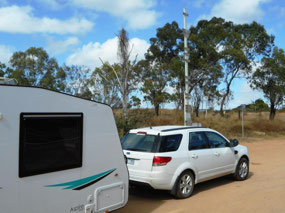
Just East of Charters Towers is the Macrossan Bridge which crosses the Burdekin River. Here there is an historical flood level marker. It can be seen from the photo that many of the floods would have easily covered the caravan and the highest marker is for the flood of 1946 which reached 21.79m! This is not much higher than the most recent significant flood of 2009 when the River reached 20.75m.
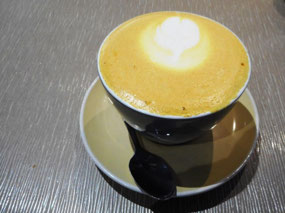
Although we were slowed by roadworks, we arrived at our home for the next four nights, the Townsville Tourist & Lifestyle Village, around 11:00am and after being offered a selection of sites, we set up on Site 8. With no sight-seeing planned for today and with the fridge and pantry looking a bit empty we headed to the Willows shopping centre for some lunch and to re-stock. We lunched at Baker and Barista where we had chicken in a beetroot roll and Lucinda had a turmeric latte - for something different.
Back at the van, Lucinda took the opportunity to do a couple of loads of washing, which was dry in no time due to the windy weather. The afternoon's entertainment was some of the RAAF planes passing overhead several times and making quite a racket in the process. It will be interesting to see if this is a daily thing.
So it was dinner time and the Weber came out to cook lamb chops which we enjoyed with an Asian salad. Banana with creamed rice followed by a cup of tea and a biscuit rounded out dinner. Tomorrow we will begin our exploration of Townsville, the most northerly point of this trip.

 Townsville, Queensland, Australia


2025-05-23