 Boulder, Colorado, United States
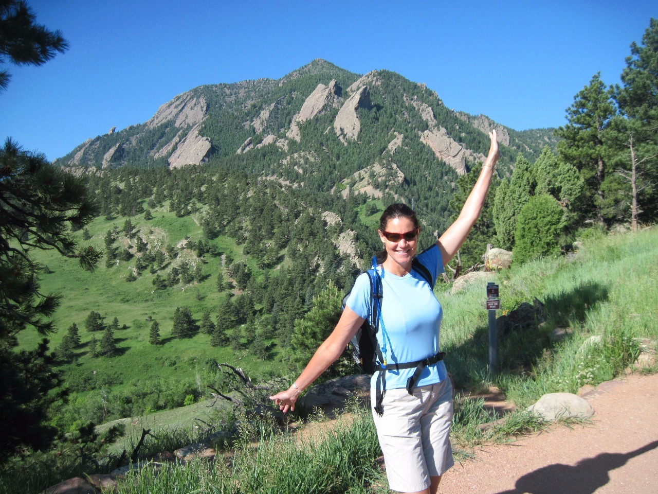
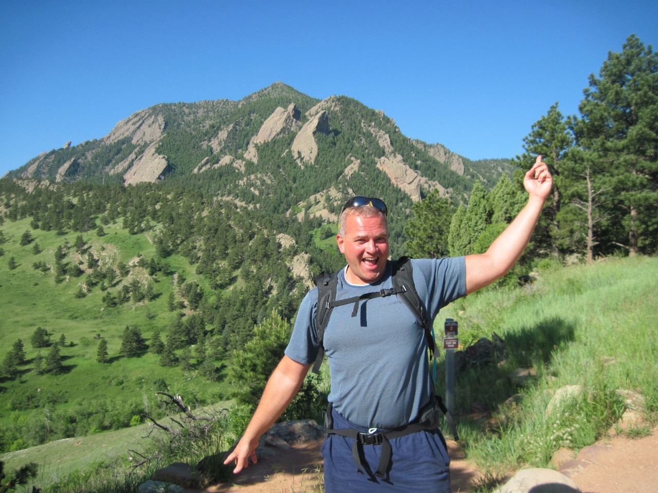
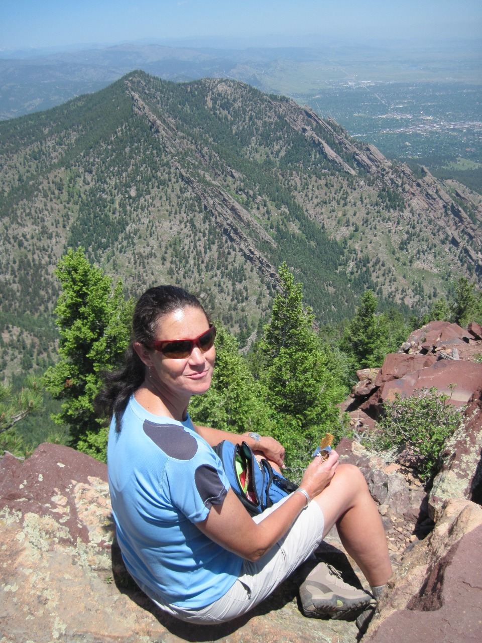
Although I lived in Boulder for several years I sometimes now realize how few of the great hiking trails immediately around the city I actually hiked when I was in graduate school. I feel ashamed of myself. My friend Myra, though, is mother to two canines who love to get out for a walk, so she seems to know them all. She knows I like walks with a destination and good views, so we decided on a mid-week hike to the top of Bear Peak, the highest mountain in the Flatirons on the south side of Boulder.
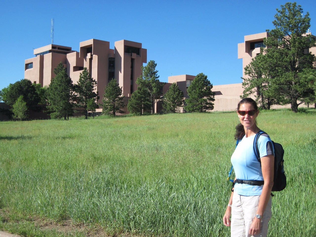
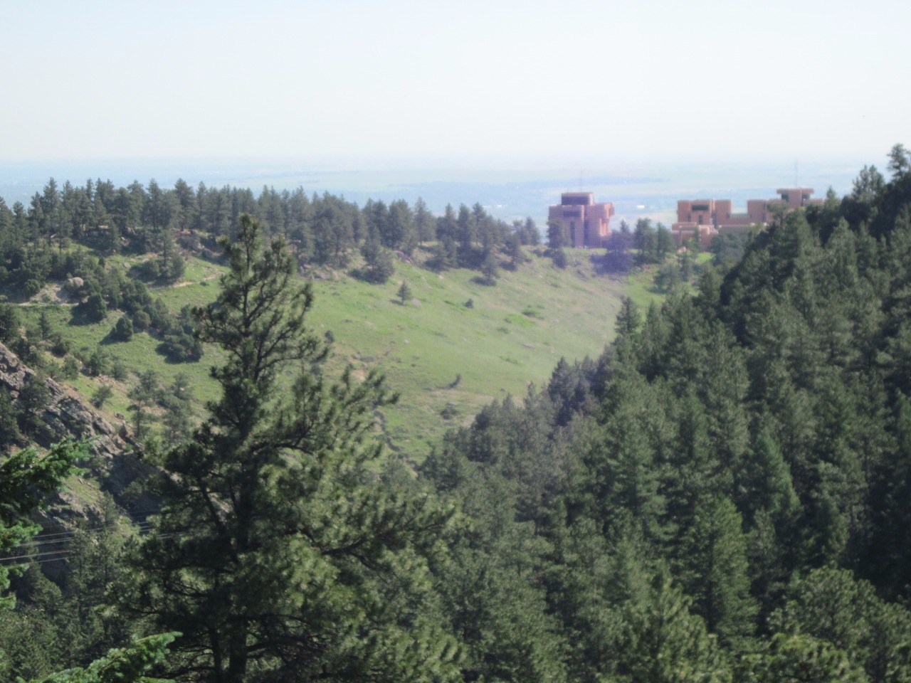
We started at a trailhead along the Mesa Trail at NCAR (National Center for Atmospheric Research), the modernistic government research facility on Table Mesa at the edge of the foothills
. The route Myra chose for us was to follow the Mesa Trail some distance south, then head west up Bear Canyon and then turn east again to approach the peak from its western side, the least steep and easiest route up. We'd then take the more direct and much steeper Fern Canyon Trail back down. Although I don’t carry a GPS device and find combining listed trail distances to be somewhat imprecise, I believe our route was about 6.5 miles in total with an elevation gain of about 2,600 feet to Bear Peak’s summit at 8,461 feet.
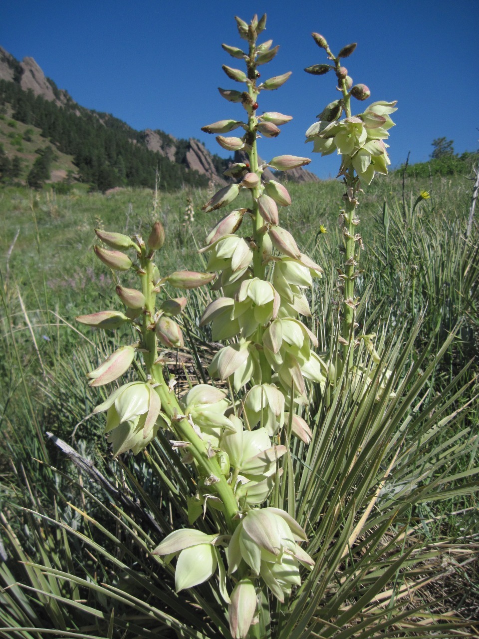
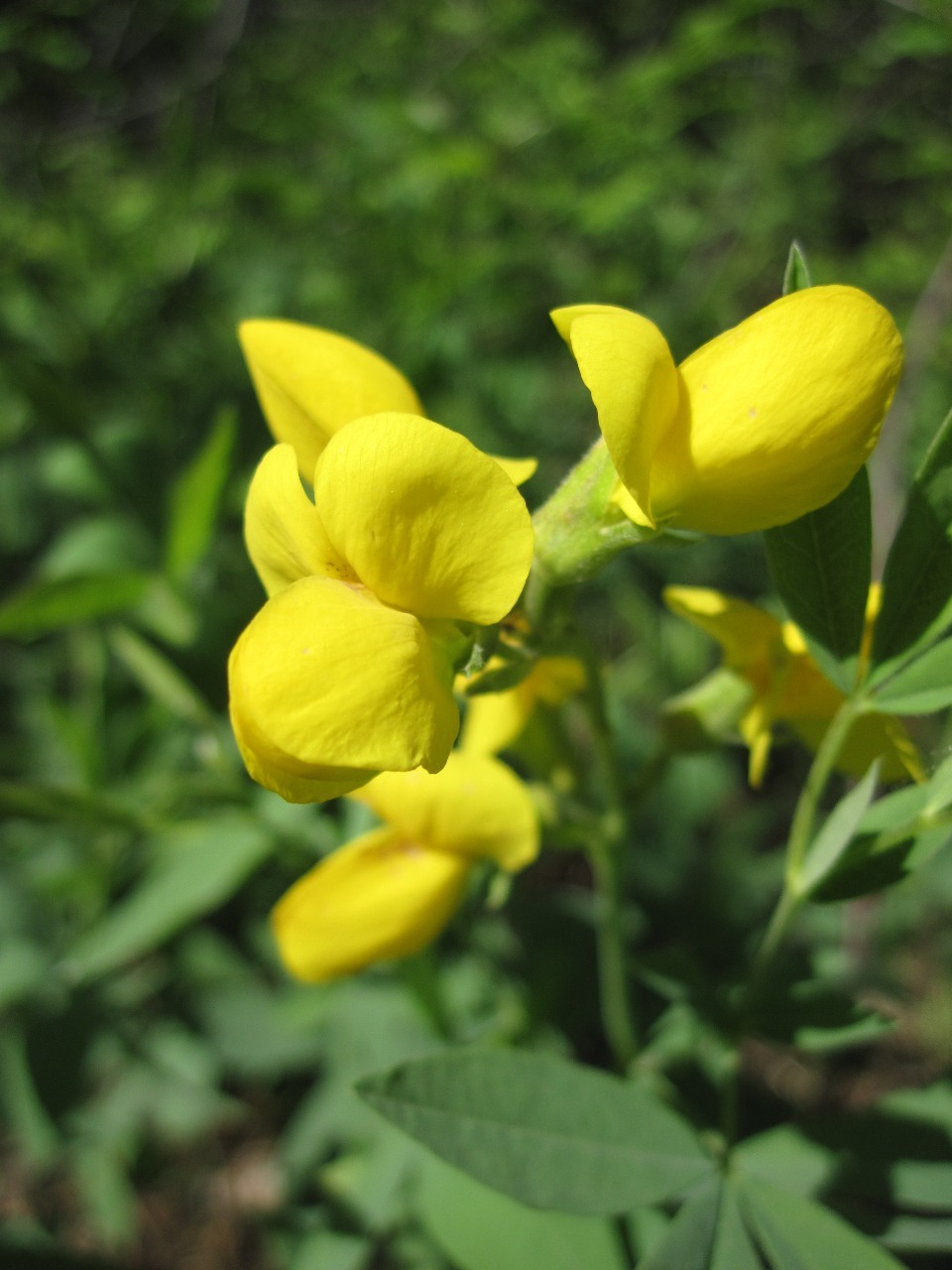
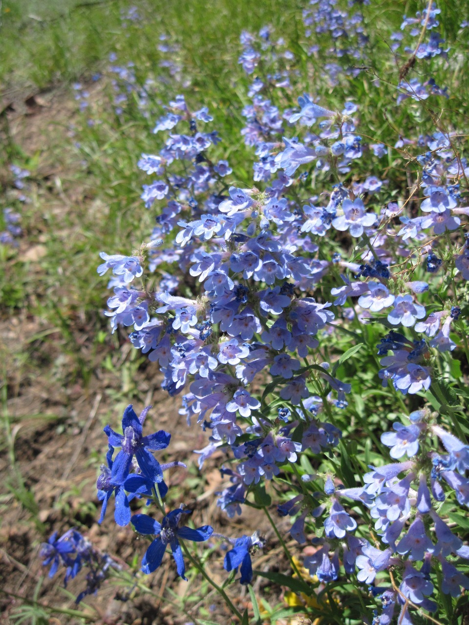
We were lucky to have a beautifully sunny and dry day, but at elevations not much above those of the plains in the Denver/Boulder area, the going quickly gets hot and sweaty in June. Naturally, Myra was way ahead of my chunky self on the trail. It is a lovely walk through the pine forest, though, that only gets steep as you approach the peak.
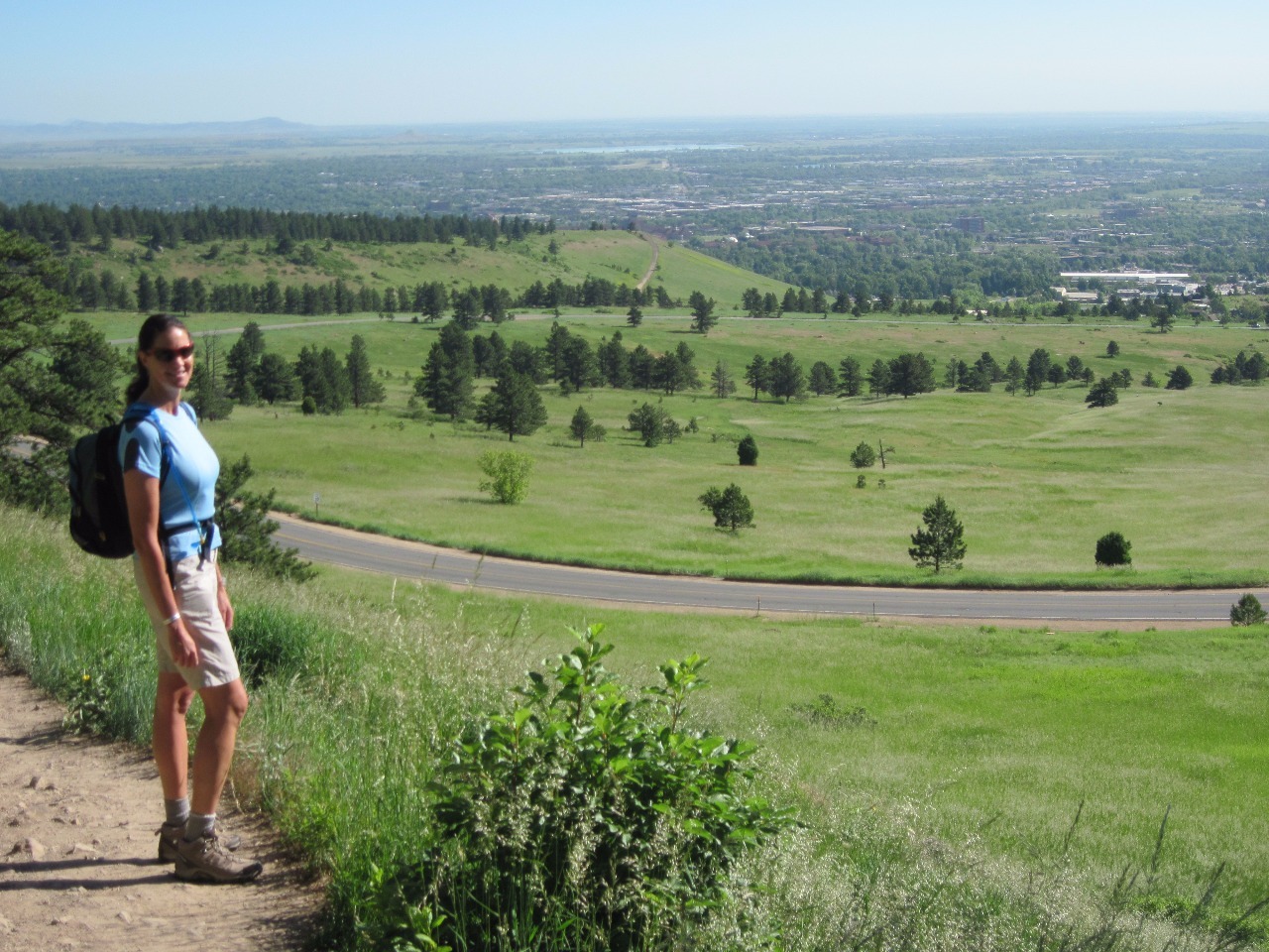
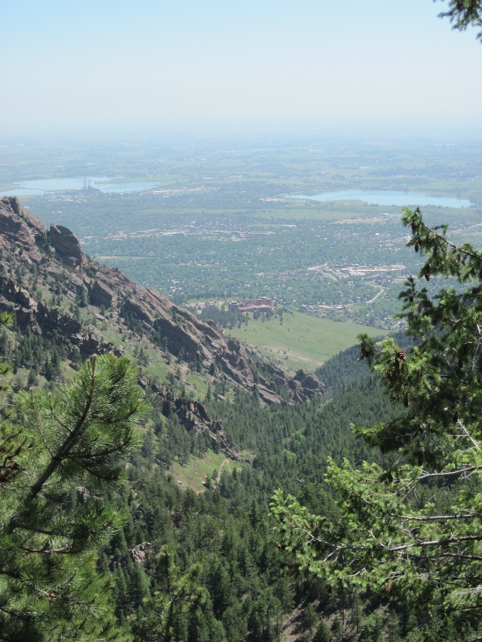
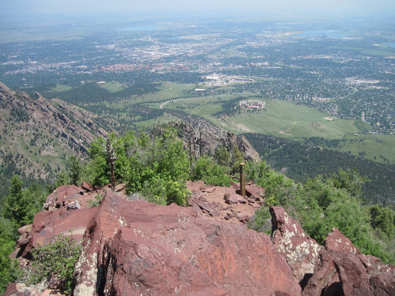
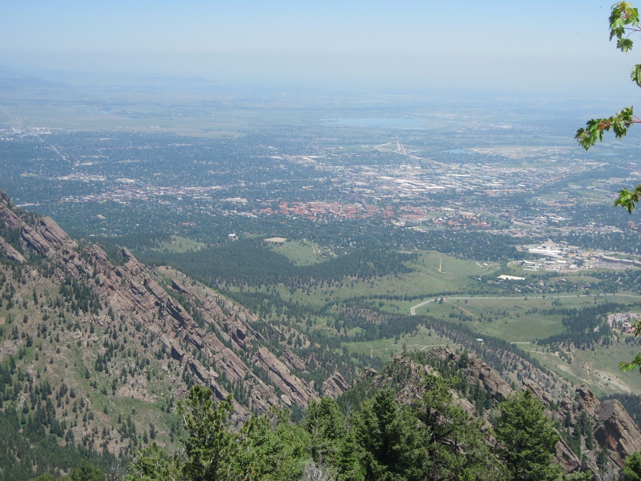
And what views at the top! To the east you have the whole suburbanized region of the Denver-Boulder area ahead of you with all its landmarks, including the approximate location of Myra’s house in Superior
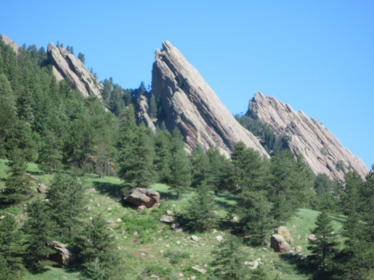
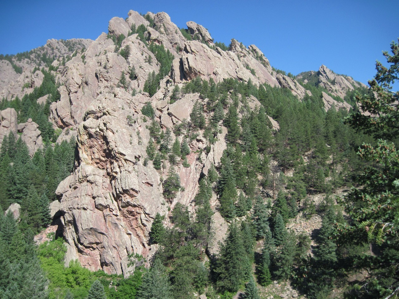
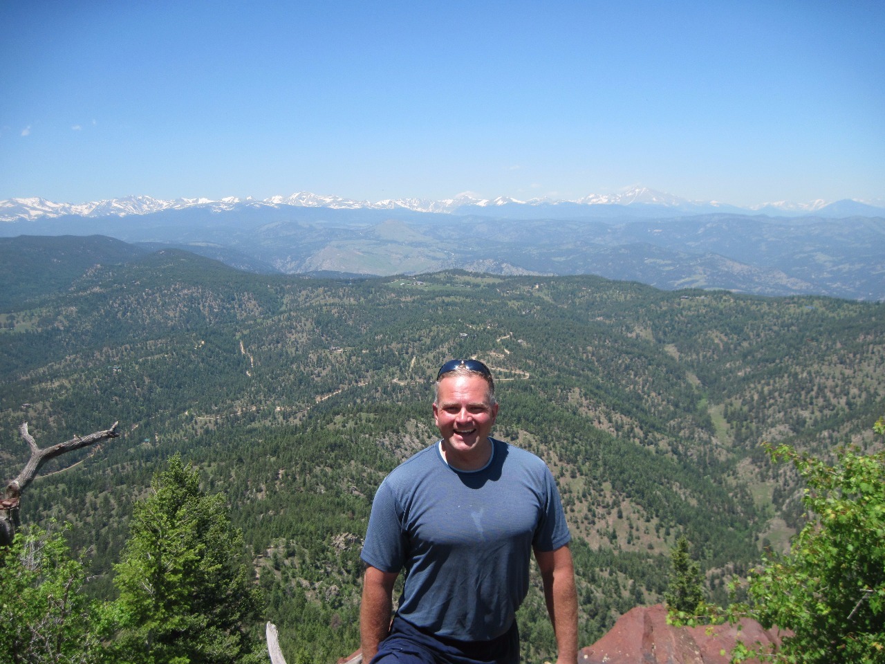
. To the west is the rumpled foothill country of pine forested ranges cut by steep-sided canyons, and in the distance the still snowy peaks of the Front Range, real mountains in the 12,000 to nearly 14,000 foot range, well above our 8,500 foot viewpoint.
There’s a reason Fern Canyon gets its name. There actually are ferns in the shadows of the thick tree cover in Fern Canyon, rare for such relatively low elevations along the generally dry Front Range. Well, that was all in a morning’s work, a hike of about four hours with a long rest in the sun at the top. When all done Myra and I treated ourselves to lunch of burritos and beers at the Southern Sun Brewery on Broadway at the Base of Table Mesa in Boulder. It’s so convenient to microbreweries all over the place in Colorado!
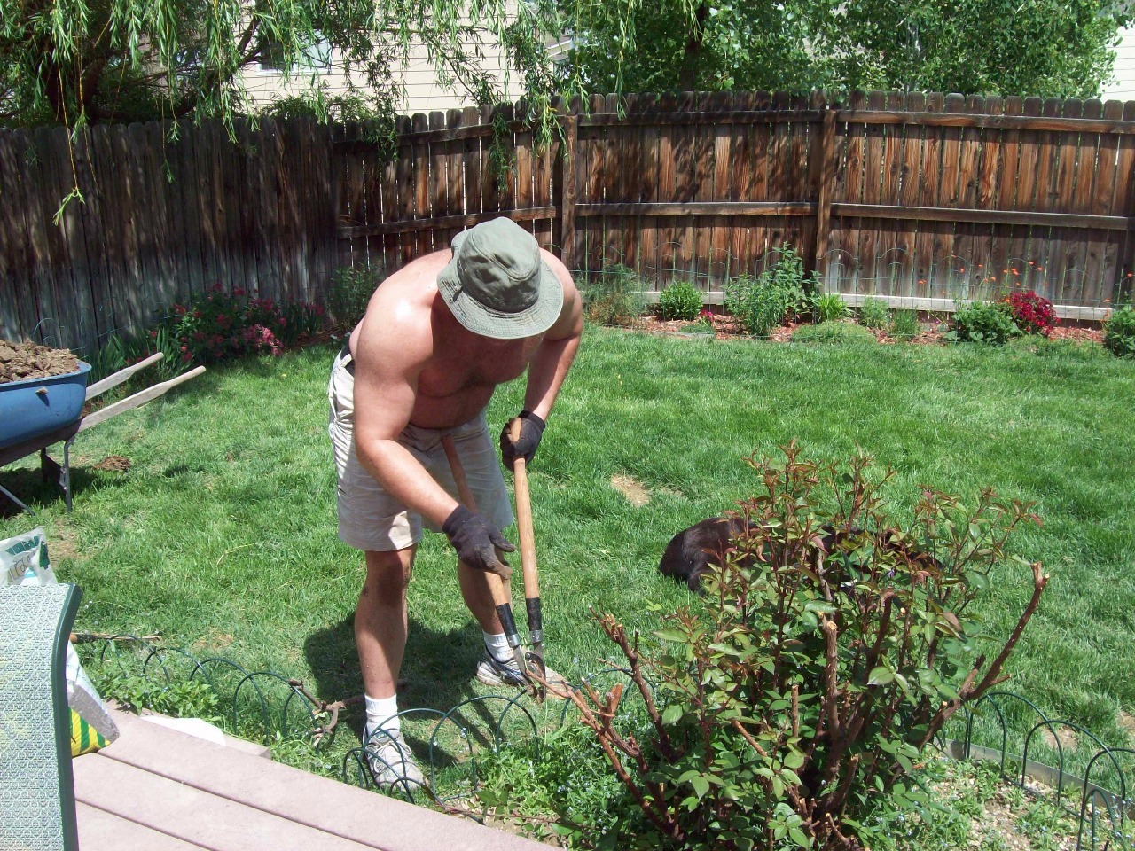
Myra put me to work at her house the next morning, though. Her canine children tear up her yard and make big ugly muddy spots, so she wanted me to put in paver stones to replace their favorite digging grounds, move the excavated soil to a low hole like spot farther back in her backyard, and then cover it with sod. Oh, and also thicken up the pebble beds around her house’s foundation with a mound of little rocks she had dumped on her driveway.
"Myra, that’s a lot of work to do for just lunch and beers!" She made mojitos too, but I still don’t think I got a very good deal.
Bear Peak/Flatirons Hike with Myra
Sunday, June 21, 2009
 Boulder, Colorado, United States
Other Entries
-
Mar 04109 days prior Gold Hill, United States
 -
May 3022 days prior
Denver, United States -
Jun 21
Boulder, United States -
Jul 1625 days later
Keota, United States -
Jul 2534 days later
Cheyenne, United States -
Aug 0242 days later
Franktown, United States -
Aug 0343 days later
Roxborough, United States -
Aug 0747 days later
Trinidad, United States -
Aug 0848 days later
Cuchara, United States -
Aug 0949 days later
Great Sand Dunes National Park and Preserve, United States -
Aug 1050 days later
Crestone, United States -
Aug 2464 days later
Eldorado Springs, United States -
Aug 2767 days later
Cripple Creek, United States -
Aug 2868 days later
Farisita, United States -
Sep 0374 days later
Saint Marys, United States -
Sep 1283 days later
Silver Plume, United States -
Sep 2798 days later
Copper Mountain, United States -
Oct 17118 days later
Golden, United States -
May 25338 days later
Denver, United States -
Jun 06350 days later
Rocky Mountain National Park, United States -
Jun 19363 days later
Denver, United States


2025-05-22