El Dorado Canyon Hike
Monday, August 24, 2009
 Eldorado Springs, Colorado, United States
 Eldorado Springs, Colorado, United States
I decided to write a blog about my experiences traveling
around Colorado well after I had done much of my travel around the state in
trying to keep it consistent with my other travel experiences in America and
abroad . In this case I’m combining three hikes in the same general vicinity on
three separate days in August and September 2009 into one entry.
Boulder is kind of a strange place but one for which I feel
a strong sense of identification having gone to graduate school there and lived
there for over three years. It was a point in my life when I started thinking
outside the box of what I grew up anticipating what my future life would be
like. I came from a background that emphasized American values of hard work and
achievement. Maybe it was Boulder that did it to me, but it was in that era I
seriously started questioning those values. “Why do I have to spend most of my
life working?” I began thinking of ways to escape from the straight and narrow and
began leading a physically more active life of cycling, hiking, and skiing a
lot and got seriously into weight training.
Over my two years of Ph.D. coursework in economics I determined being a
professor wasn’t my goal and that I might as well stop with a master’s degree .
So when I return to Boulder and the area around it which
were my stomping ground in the early 1990s, I still think about that era of my
life. Each street and bike path and each hiking trail I walk bring back some
memories of that era. So what does that have to do with this blog entry? Well,
most of the places I’ve included pictures of are such places that I visited or
frequented back then.
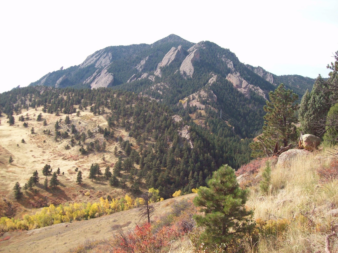
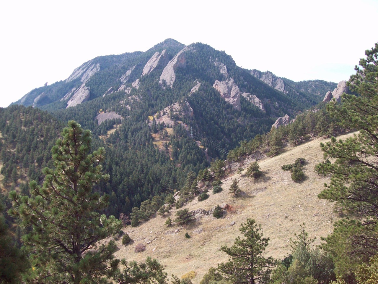
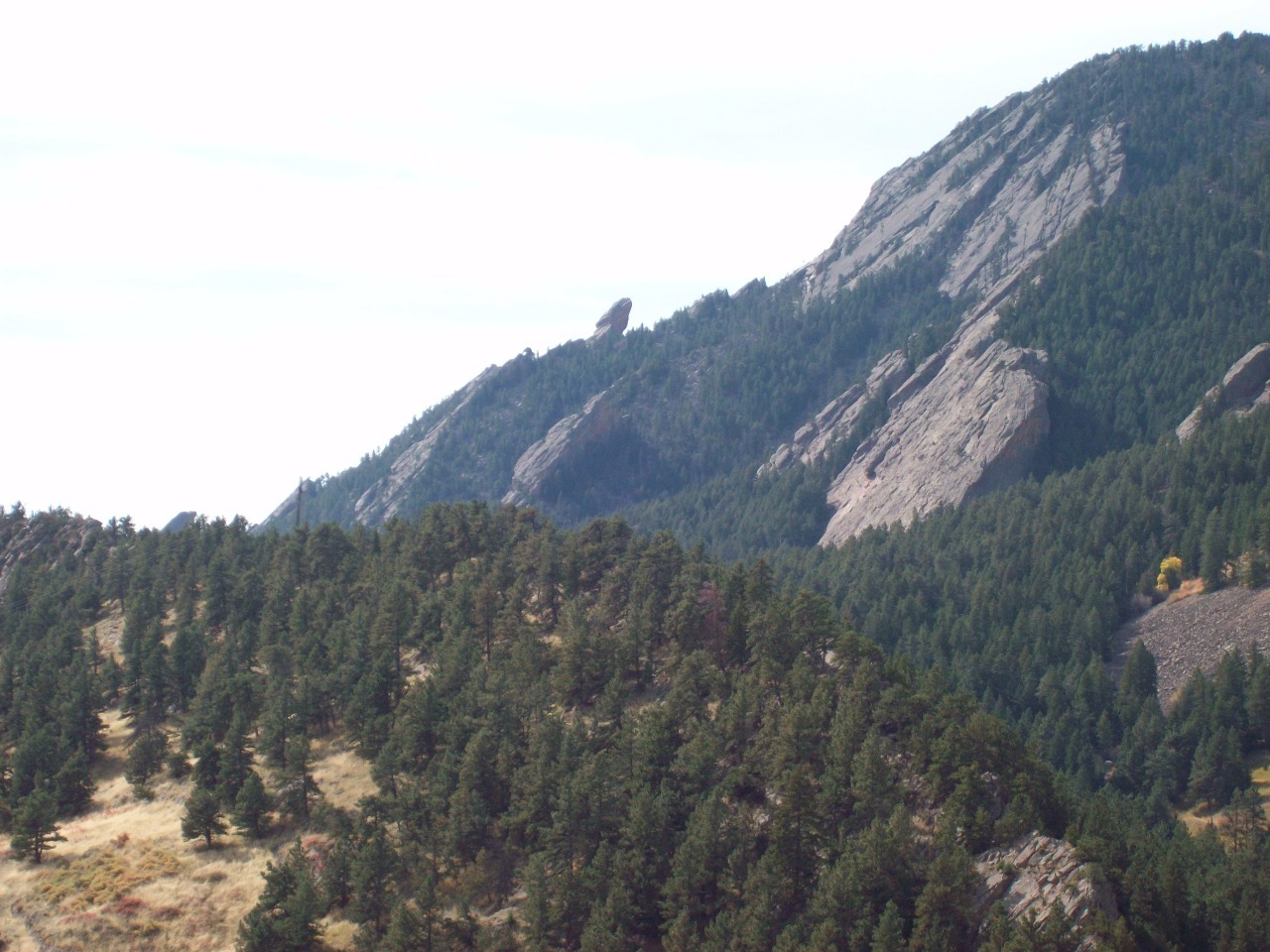
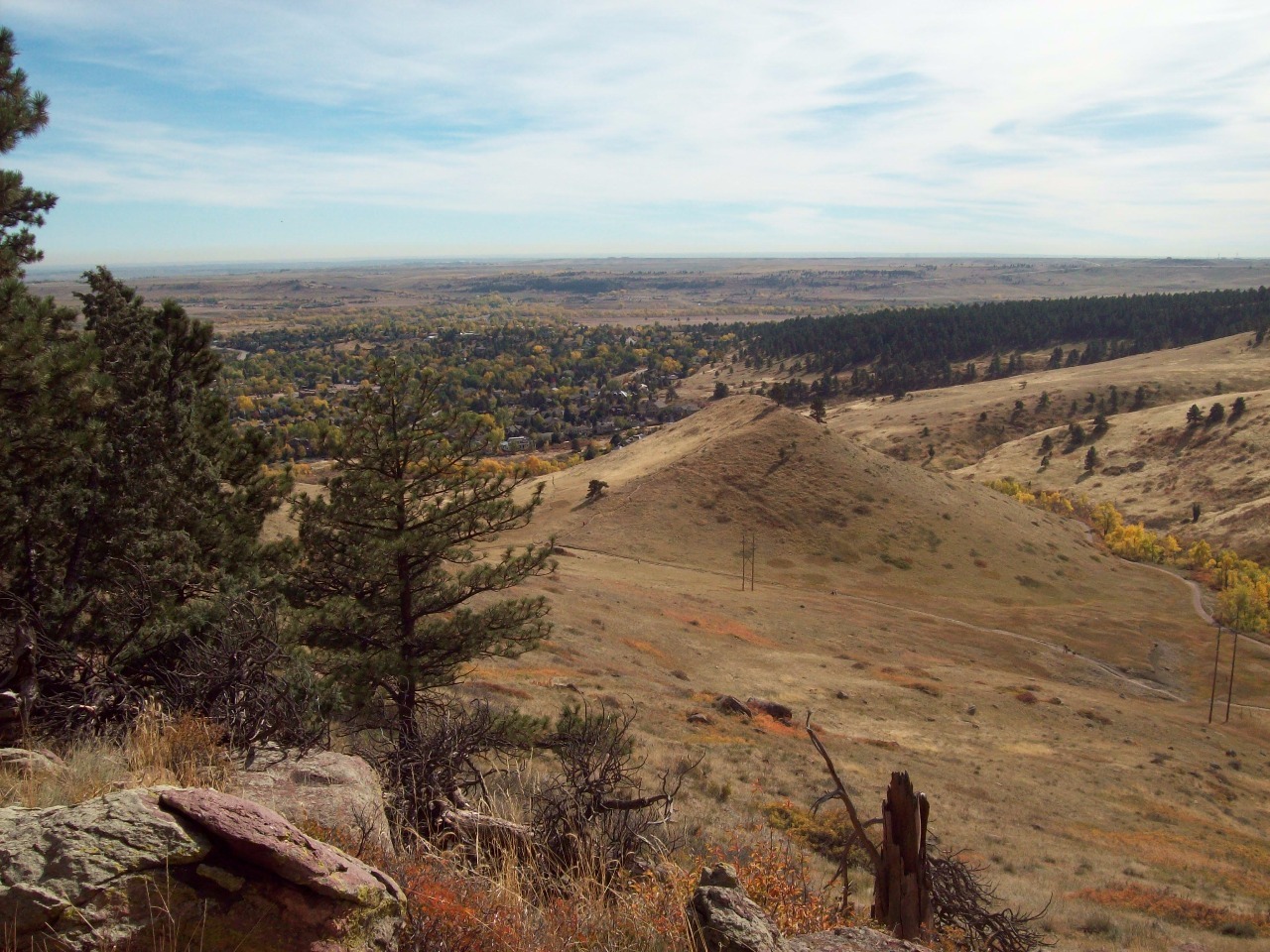
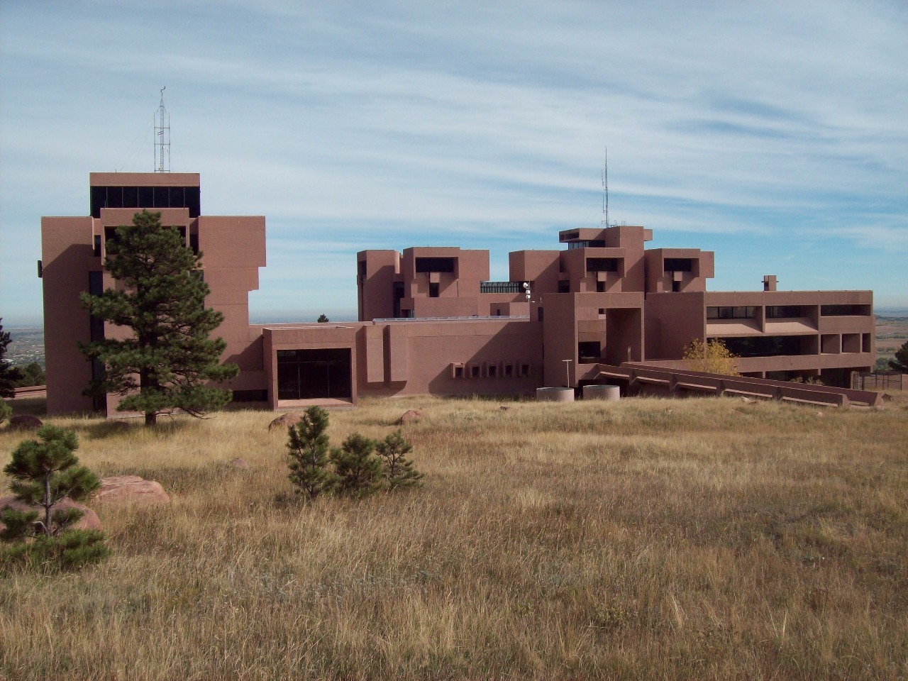
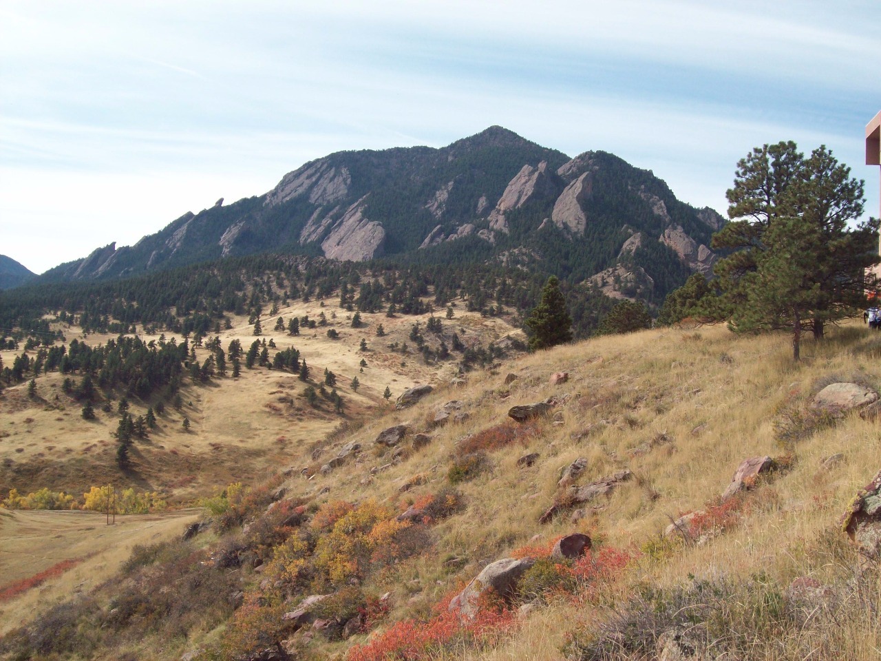
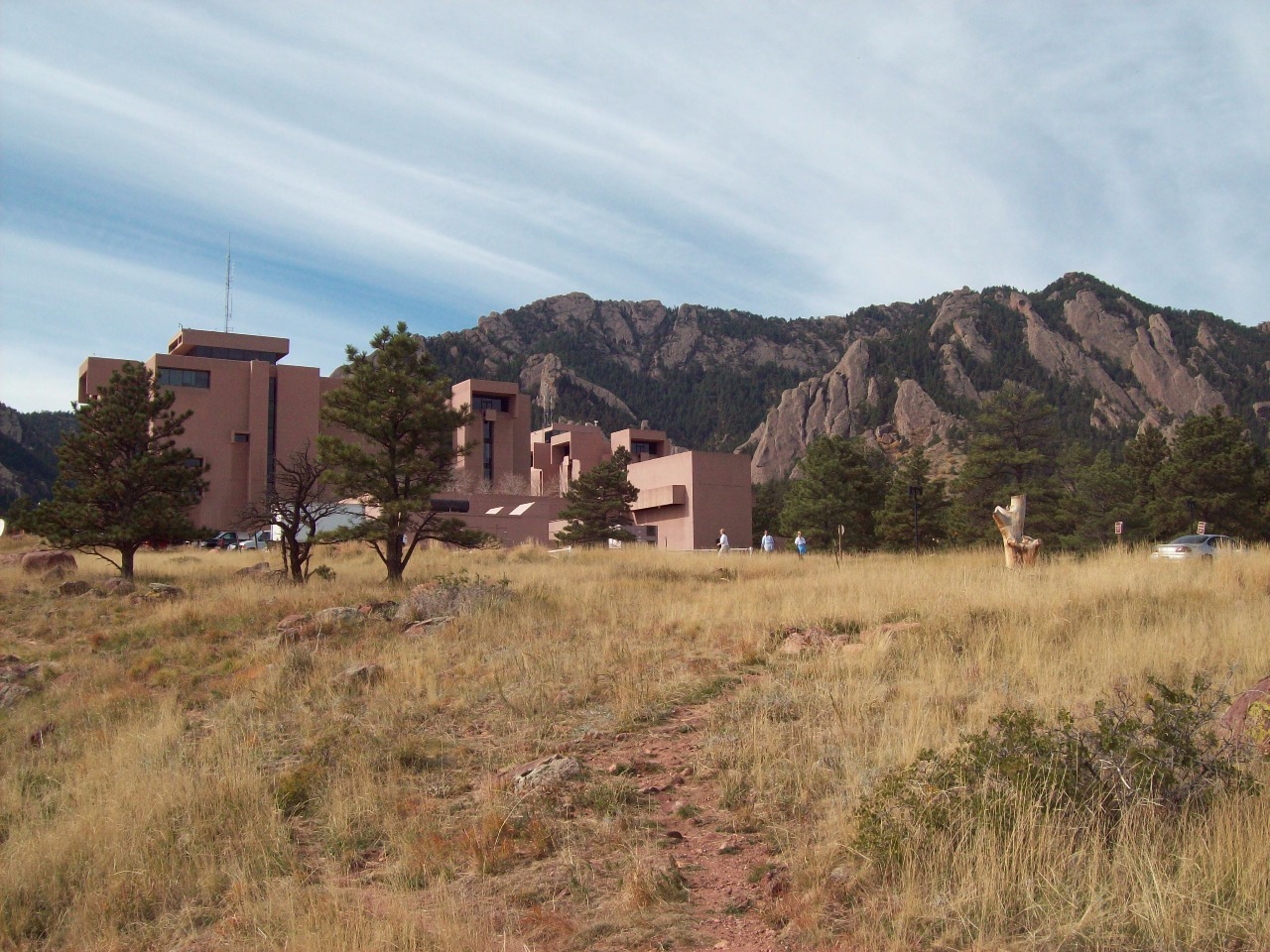
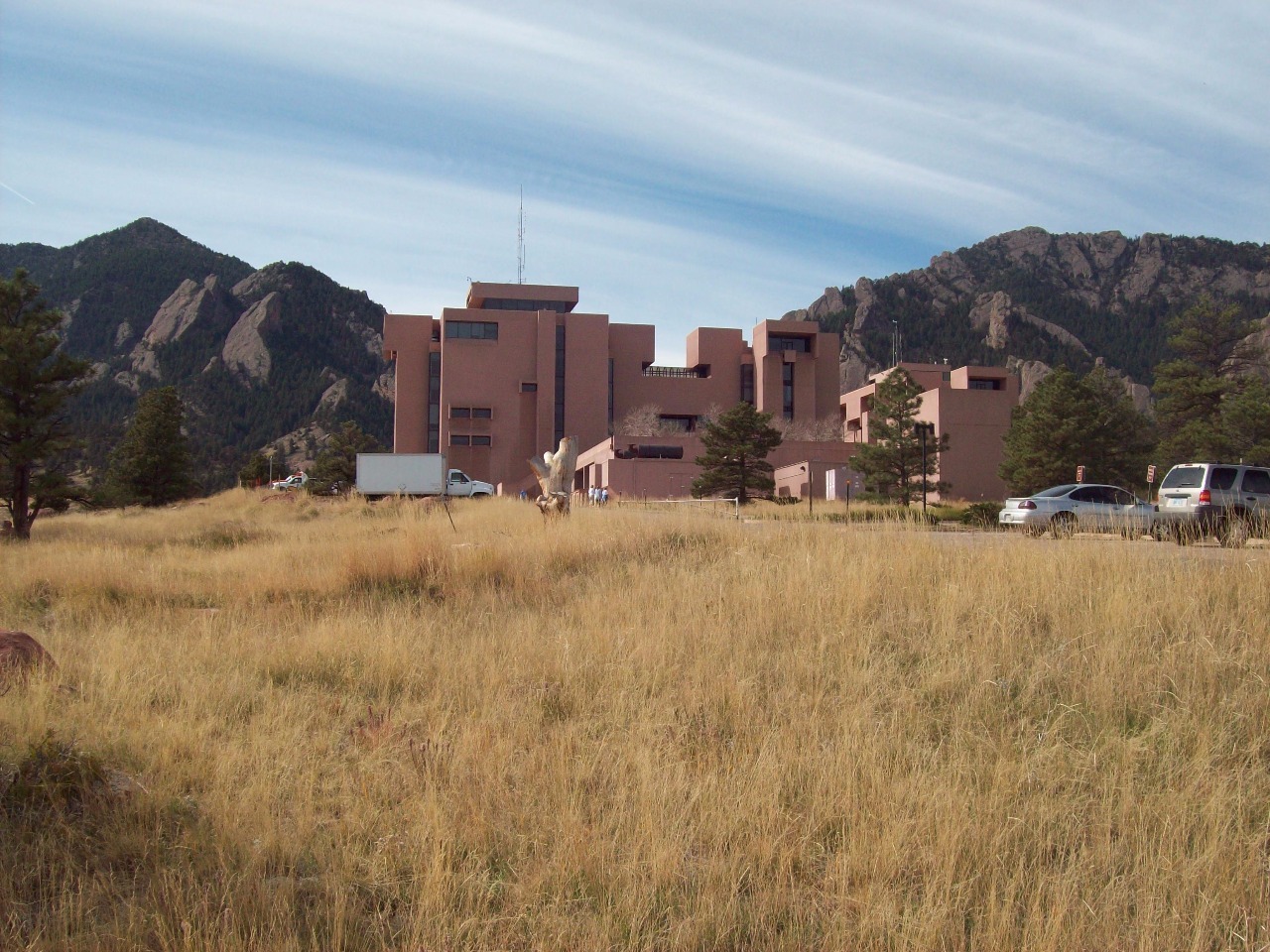
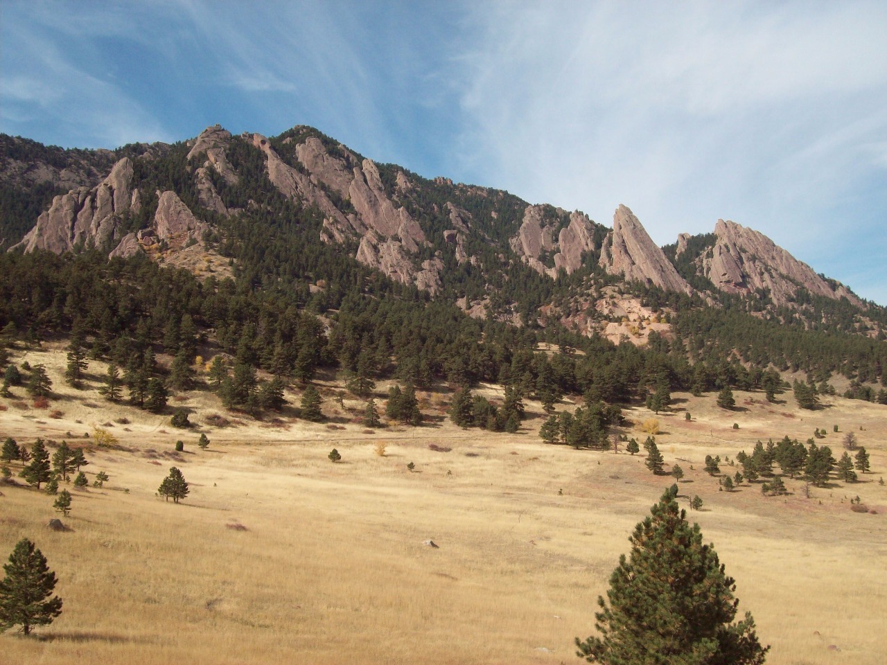
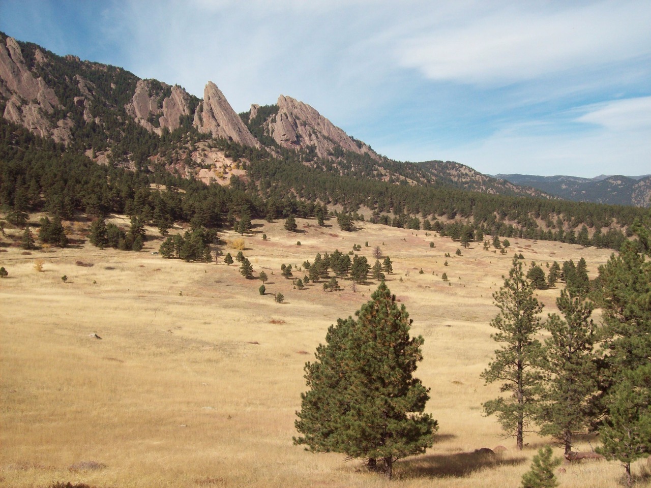
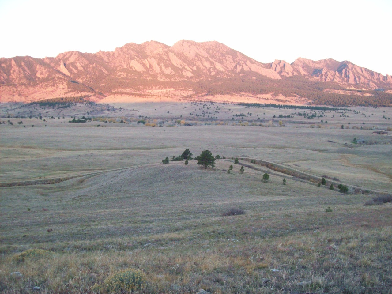
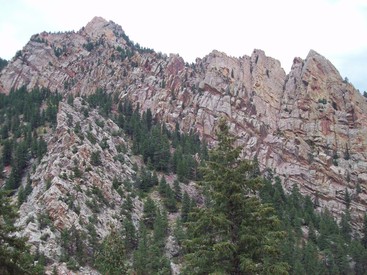
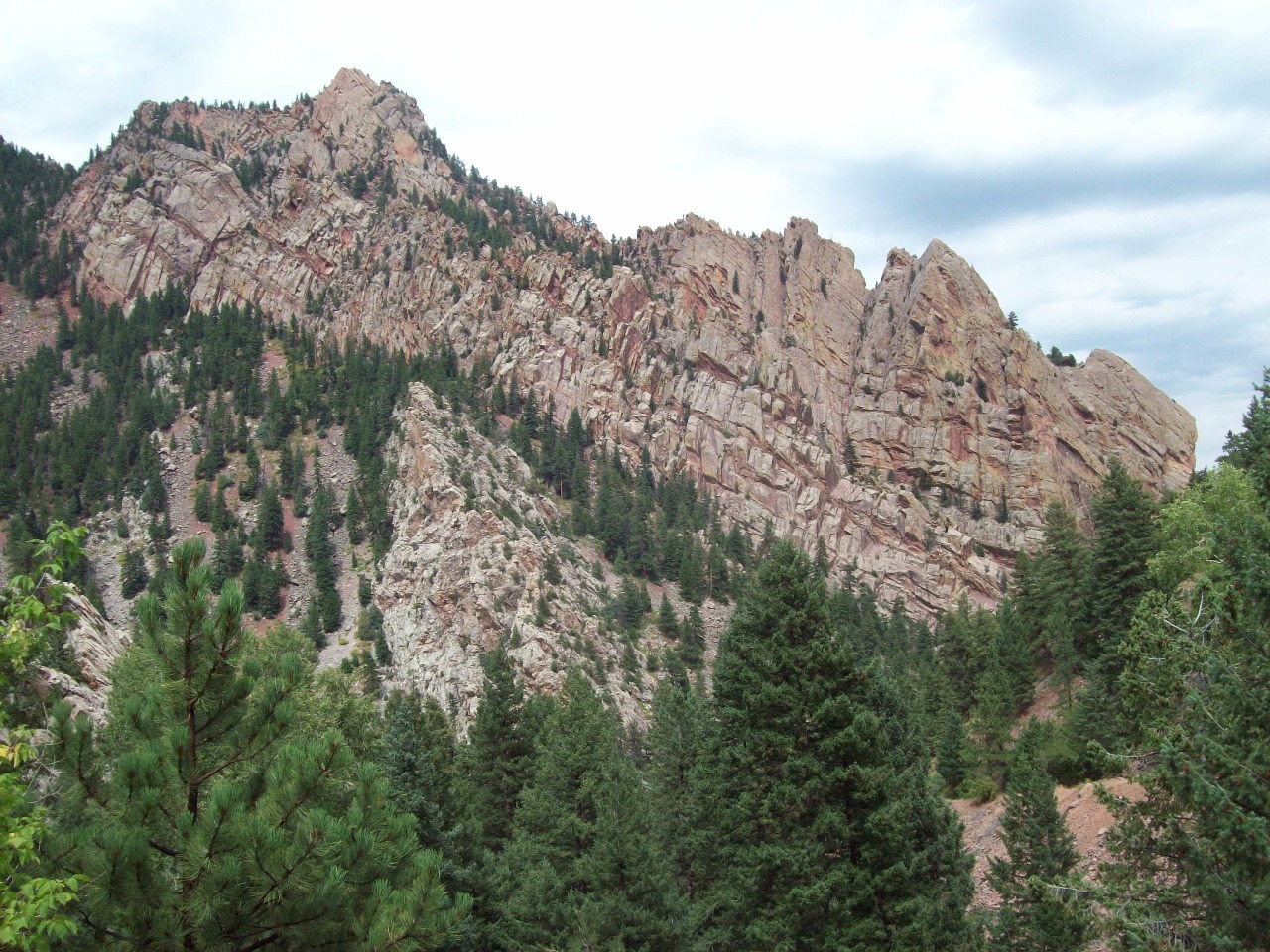
Among those is Table Mesa and the hiking trails around the
Flatirons, the mountains to the southwest of Boulder which rise dramatically
from the plains with huge red sandstone formations. As well as hiking those
trails frequently, I often used to ride my bike up Table Mesa, the South
Boulder neighborhood that abuts the open space below the Flatirons and onwards
to NCAR (National Center for Atmospheric Research), the modernistic government
research office complex high on a hill below the peaks. Could there be a more
beautiful place to work in America?
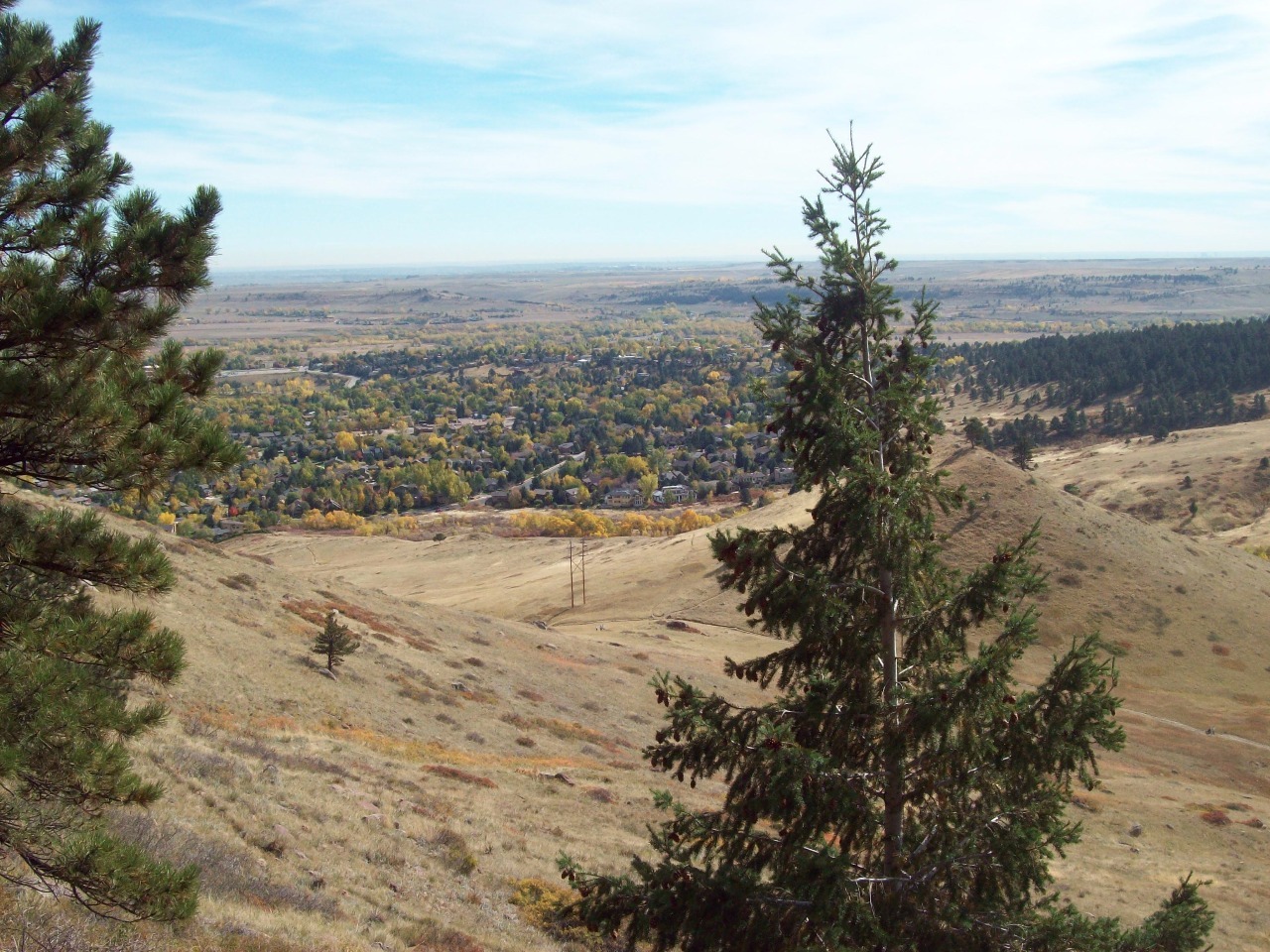
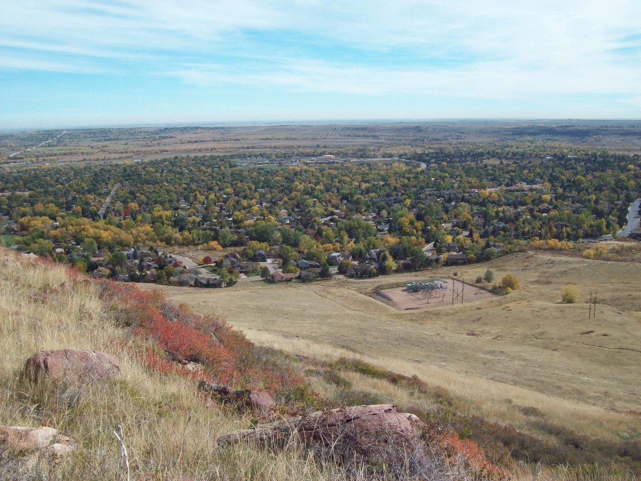
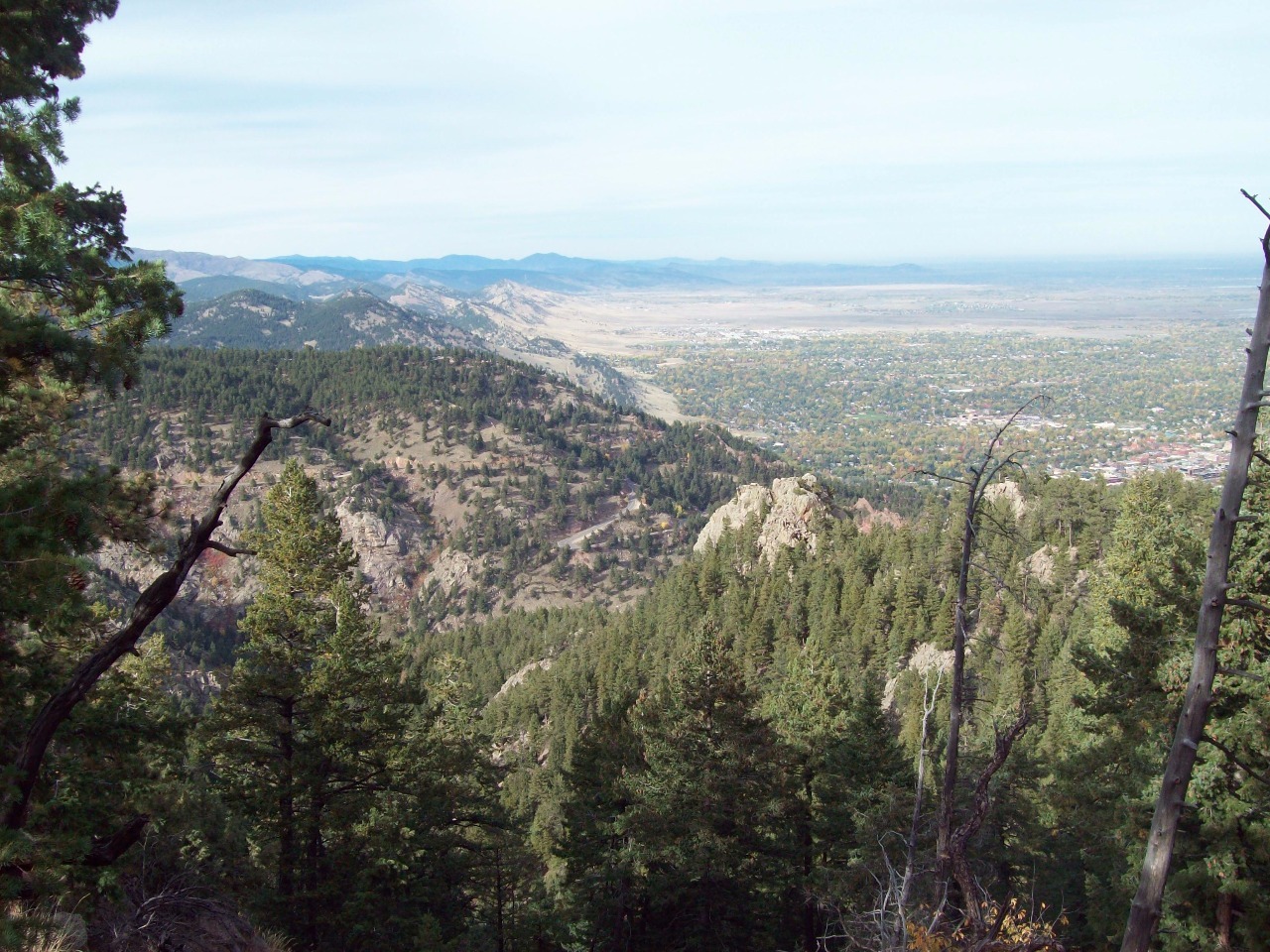
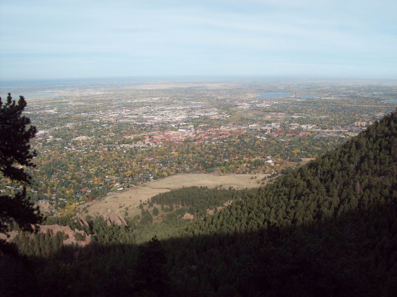
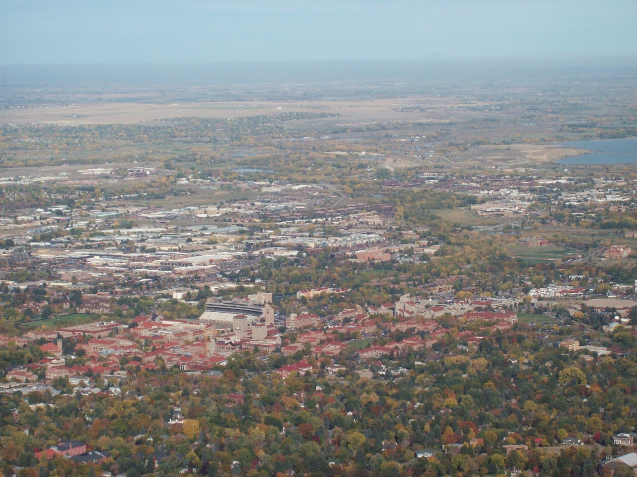
For old time sake I then drove up Flagstaff Mountain, the
lower mountain immediately adjacent to downtown Boulder with an altitude of
around 7,000 feet . That’s piddly by Colorado standards, but the squiggly road
in switchbacks to the top takes you up over 1,500 feet from town and provides
dramatic views over the city and the whole “Boulder Valley”, really just a
slight depression on the Plains at the edge of the Rockies. I used to ride my
bike up Flagstaff Mountain sometimes too, but that was when I was younger and
skinner and my knees didn’t hurt as much climbing steep hills. What I always
loved about the viewpoint on top of Flagstaff Mountain is the warnings about
what to do if you see a mountain lion.
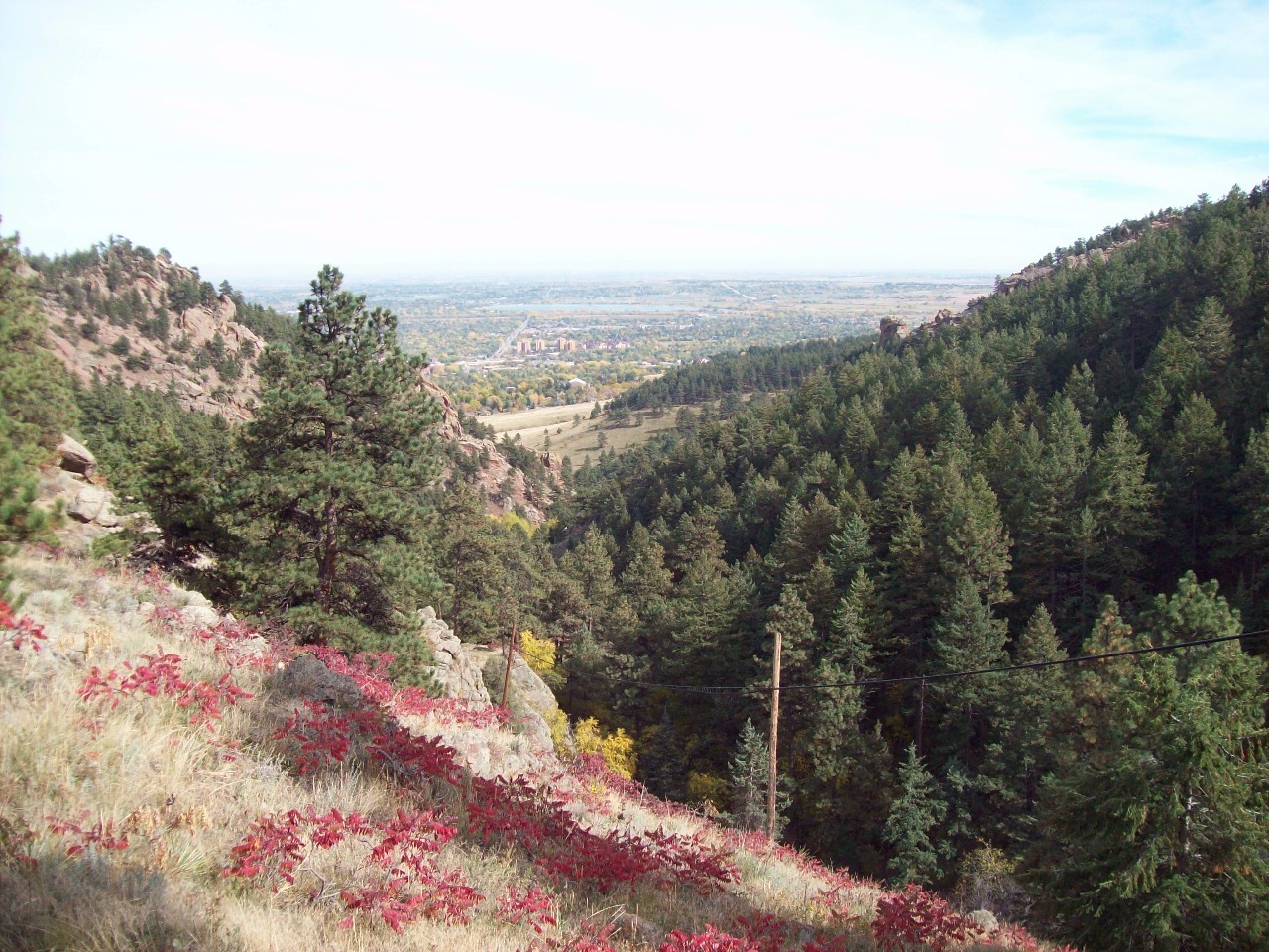
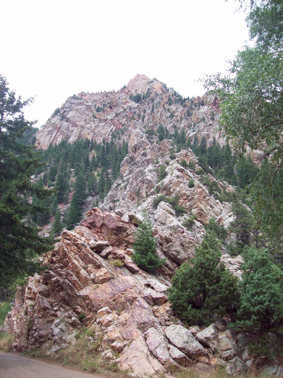
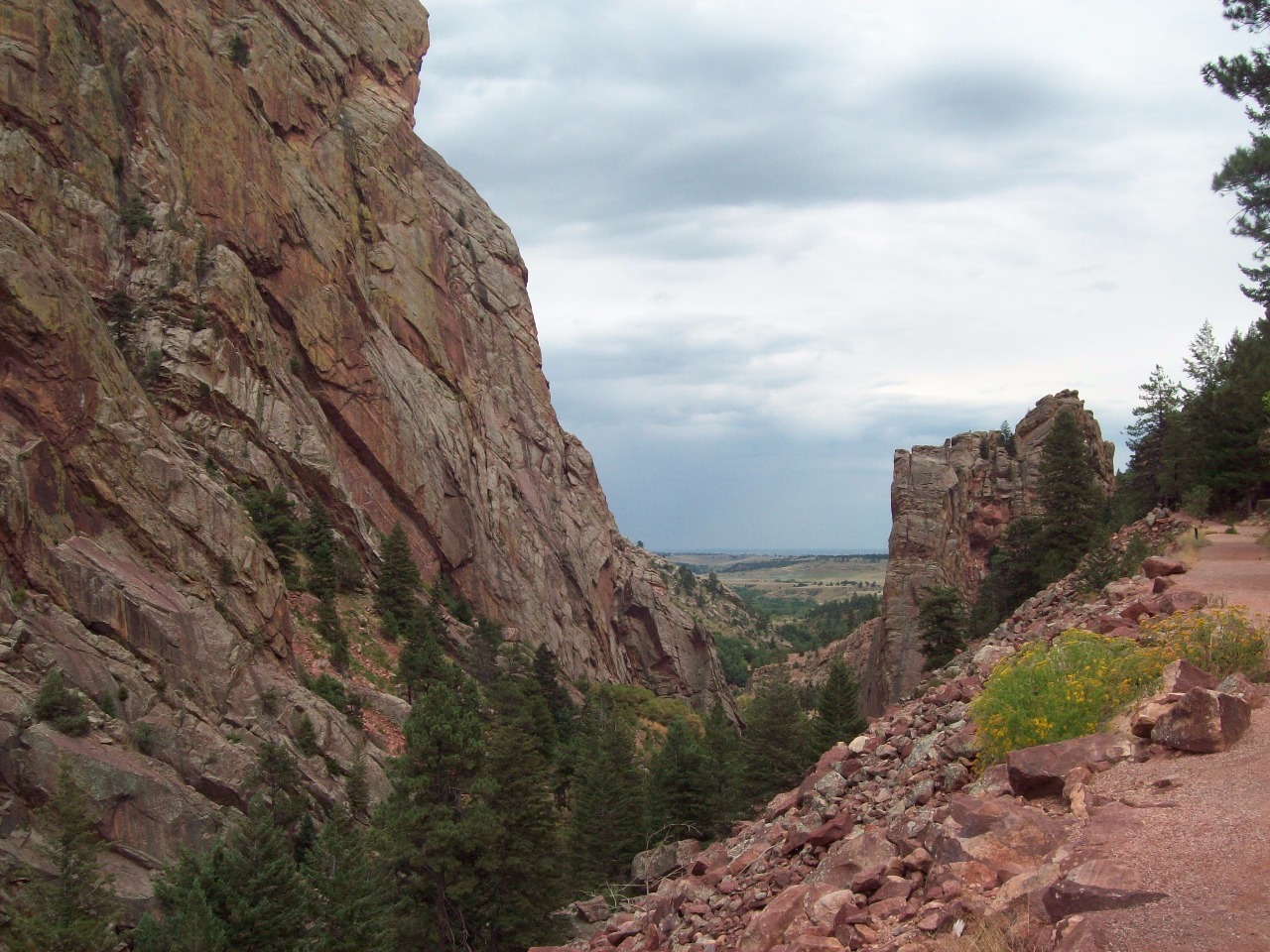
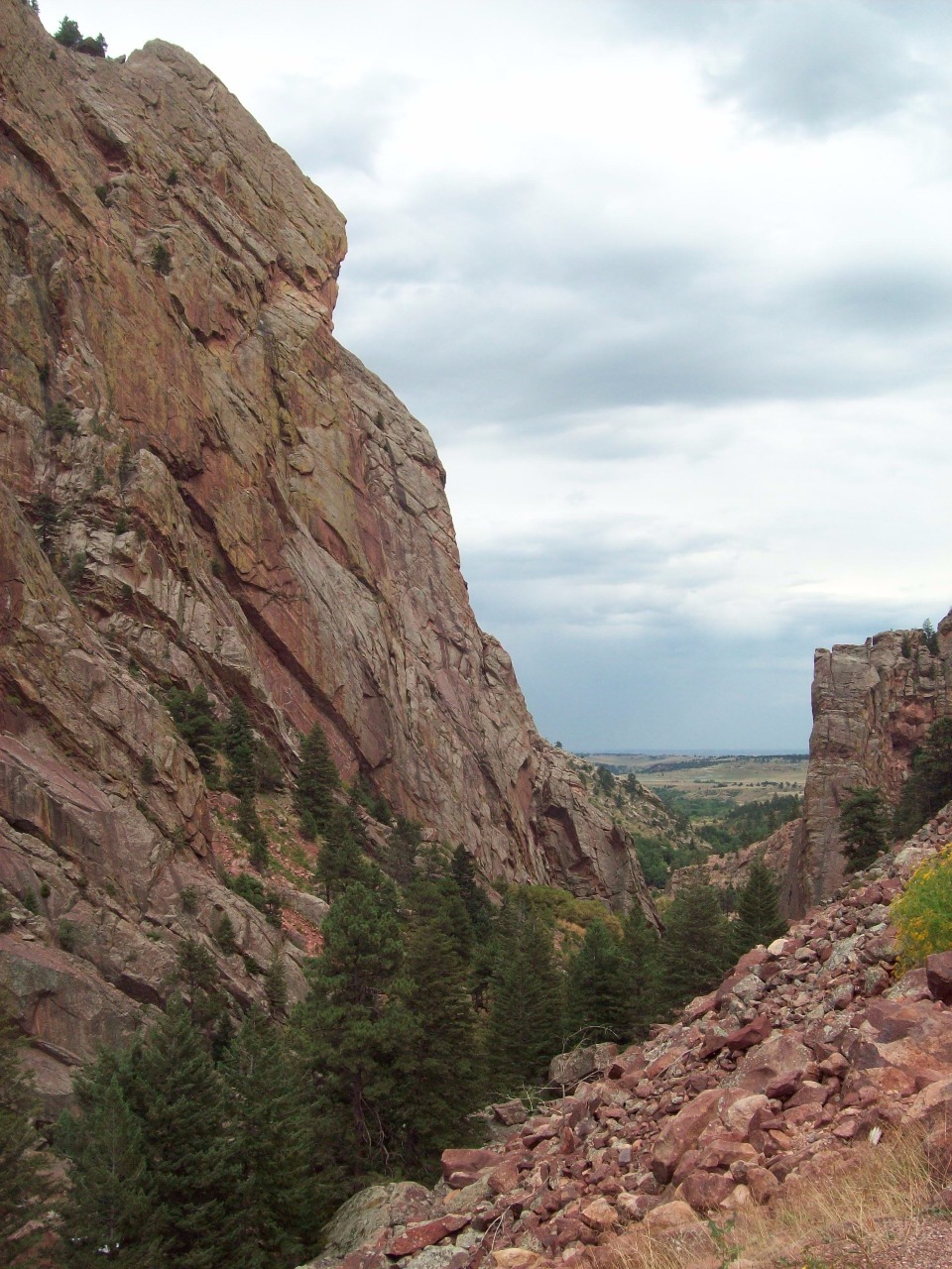
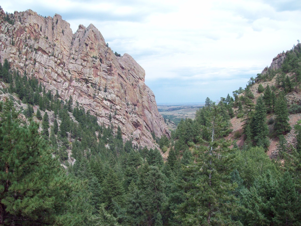
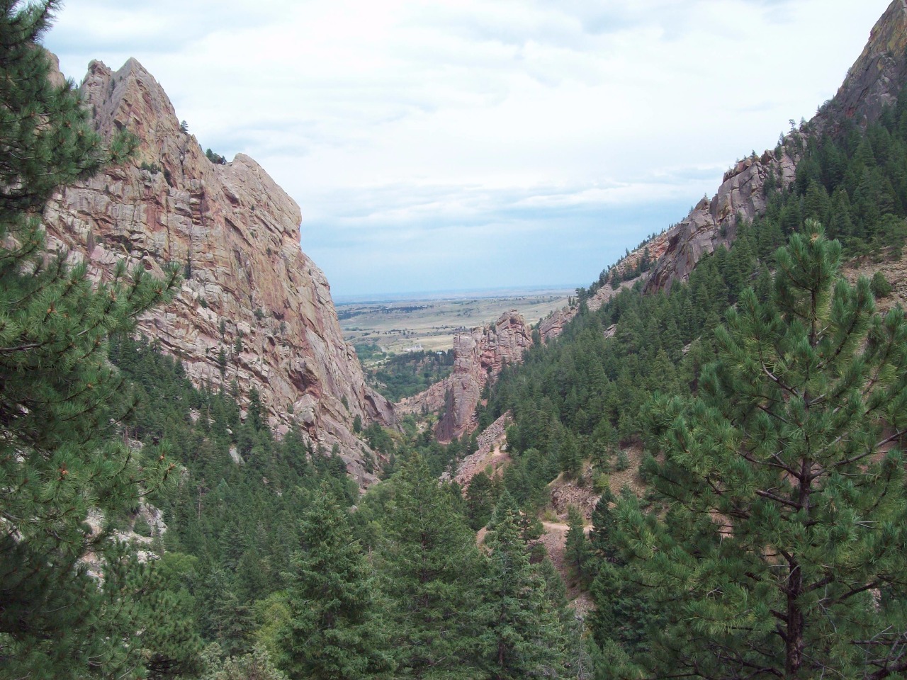
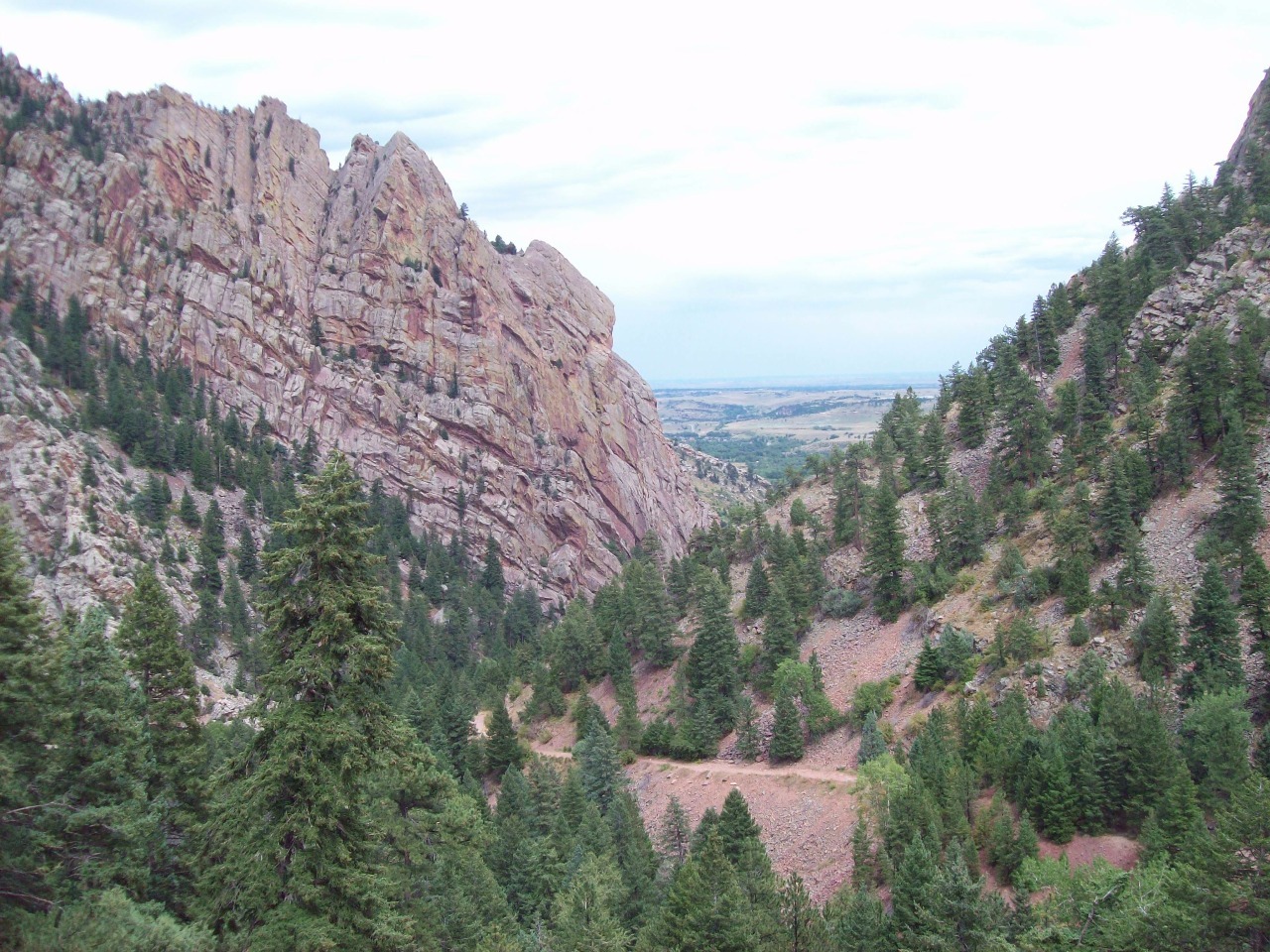
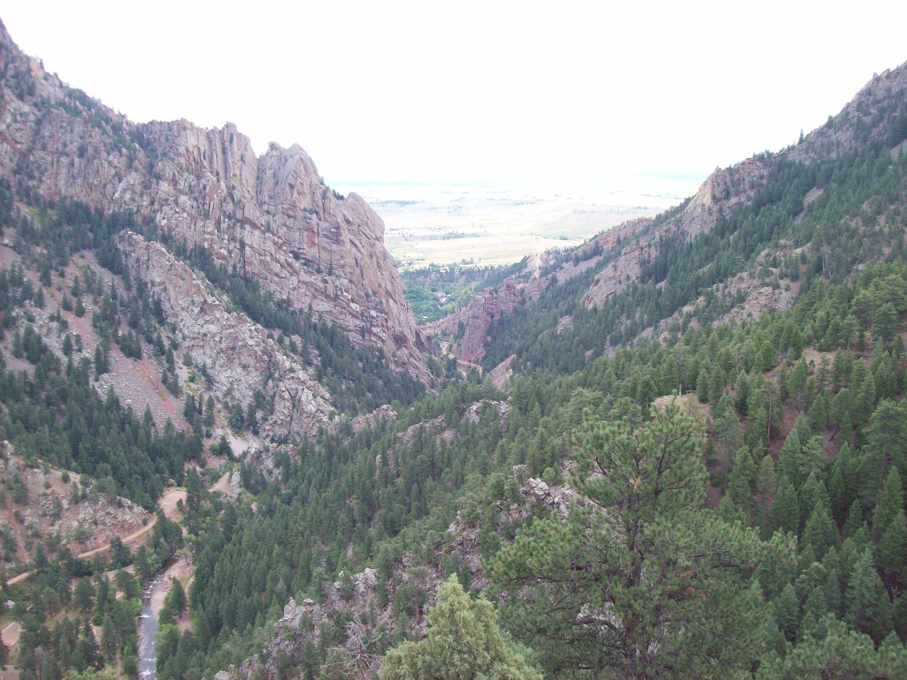
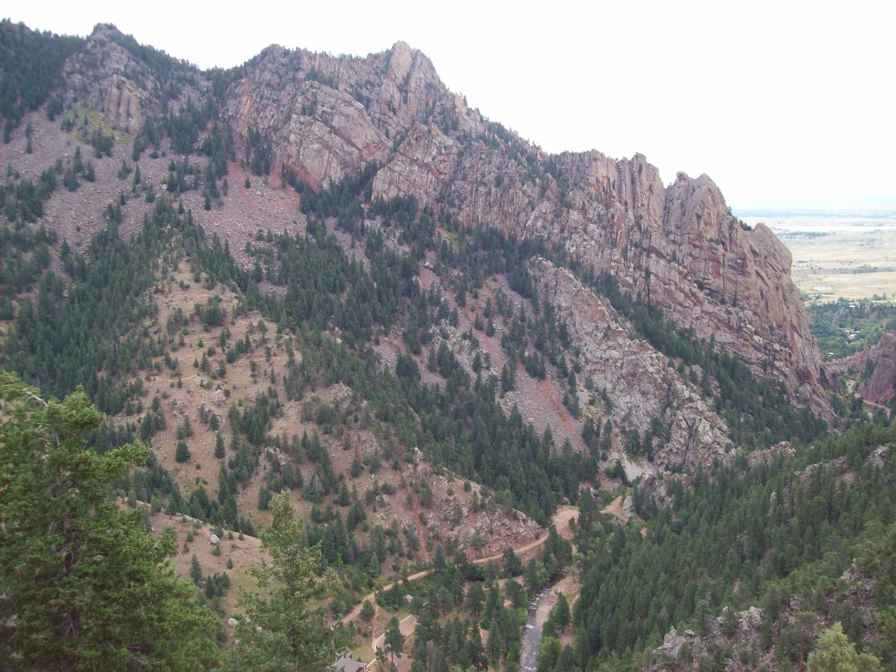
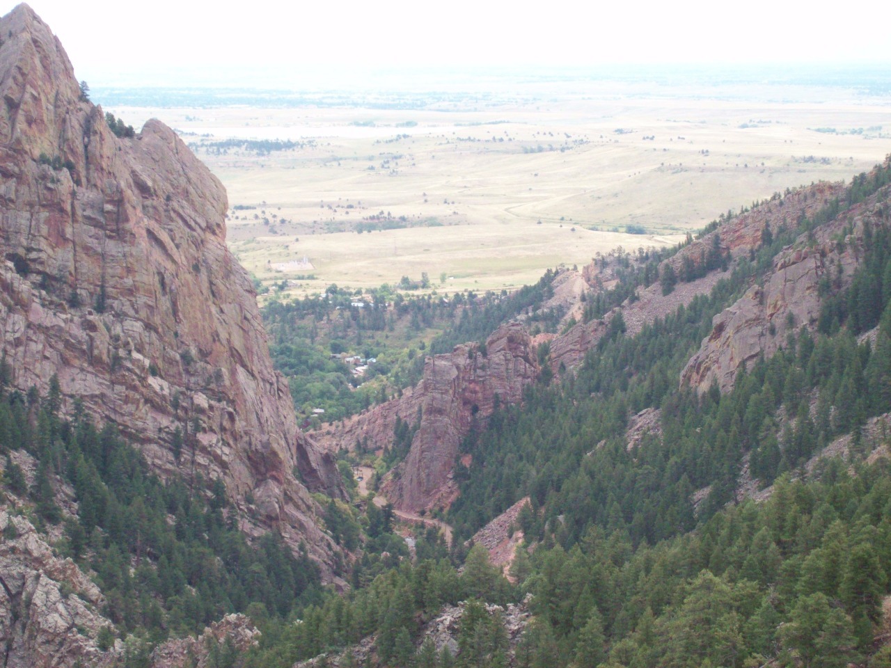
El Dorado Canyon State Park is situated about five miles or
so south of Boulder where South Boulder Creek exits the mountains through a
quite narrow and vertical walled canyon that’s considered one of the best
places in the world for rock climbing. With my fear of heights, rock climbing
has never been an activity I’ve engaged in, but I frequently rode my bike to
the canyon entrance along a very nice gradually sloping road. I never went into
the state park, though, so it held a small aura of mystery for me when I
decided to spend a day hiking in the park, one of the few notable sights I
missed along the front range . The trails in the park are steep, and it doesn’t
take long until you’re up 1,500 feet above the floor of the narrow canyon looking
back out at the Great Plains as if through a narrow slit.
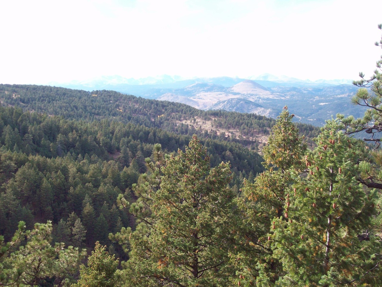
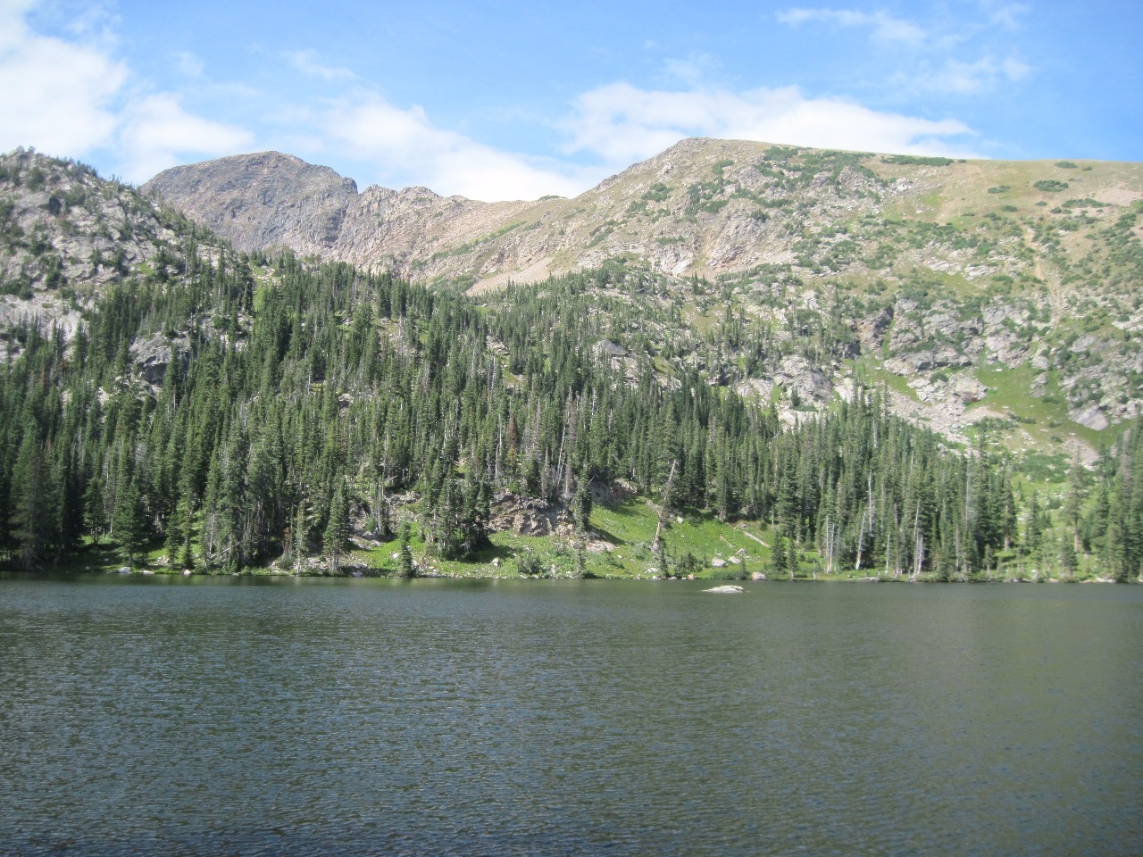
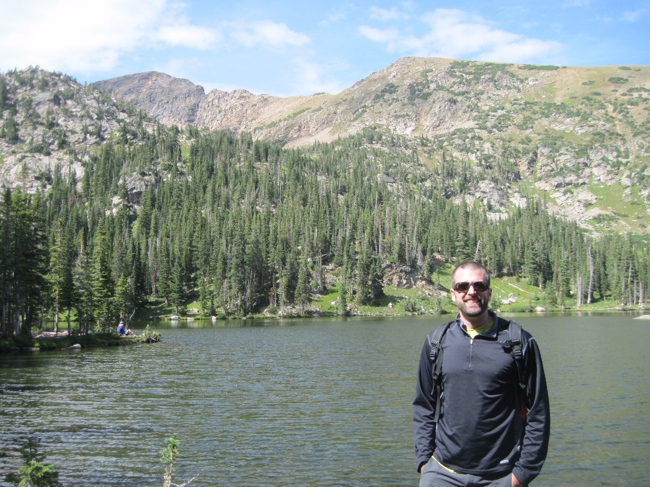
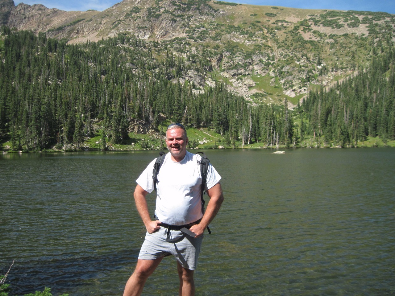
One of several new outdoor activity buddies I made over the
year of my return to Colorado is my friend Kevin. We’ve done a couple of hikes
together and decided on one in September in the Front Range. Gilpin County is
located on the Atlantic side of the Continental Divide and is small in both
area and population but with a rich mining history. Nowadays it’s best known
for casino gambling in the former mining towns of Black Hawk and Central City,
but there’s also good hiking in the higher elevations near the divide. We drove
further into the mountains from the hamlet of Rollinsville, also along South Boulder
Creek to the trailhead near the Moffat Tunnel, the railway tunnel through the
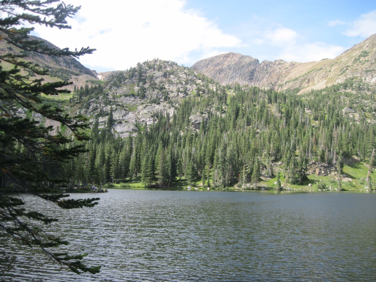
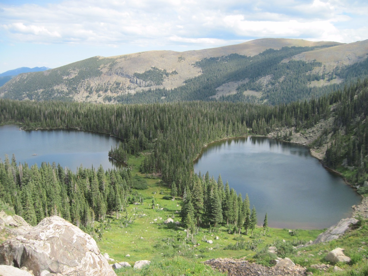
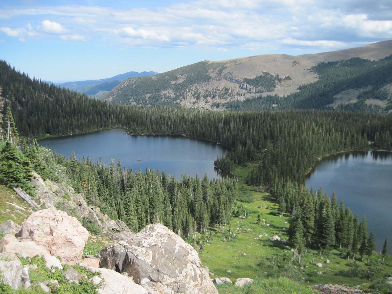
Divide which connects Denver with points west. Our goal was the Crater Lakes,
three small lakes nestled in thick forests below the alpine tundra of the
divide . Although the destination at the lakes was pretty, I have to admit it
wasn’t one of my favorite hikes. I’ve gotten to like hikes out in the open with
good views all along the way, but this trail was through thick evergreen
forests most of the way. I guess I’m just spoiled by having so many trails in Colorado
with beautiful views all along the way.
Other Entries
-
Aug 0915 days prior Great Sand Dunes National Park and Preserve, United States
 -
Aug 1014 days prior
Crestone, United States -
Aug 24
Eldorado Springs, United States -
Aug 273 days later
Cripple Creek, United States -
Aug 284 days later
Farisita, United States -
Sep 0310 days later
Saint Marys, United States -
Sep 1219 days later
Silver Plume, United States -
Sep 2734 days later
Copper Mountain, United States -
Oct 1754 days later
Golden, United States -
May 25274 days later
Denver, United States -
Jun 06286 days later
Rocky Mountain National Park, United States -
Jun 19299 days later
Denver, United States -
Jul 14324 days later
Idaho Springs, United States -
Aug 19360 days later
Allenspark, United States -
Sep 02374 days later
Bakerville, United States -
Sep 11383 days later
Jefferson, United States -
Sep 18390 days later
Blue River, United States -
Sep 21393 days later
Boulder, United States -
Sep 25397 days later
Rocky Mountain National Park, United States -
Sep 28400 days later
Leadville, United States -
Sep 29401 days later
Aspen, United States

2025-05-22