Late Spring in Rocky Mountain National Park
Sunday, June 06, 2010
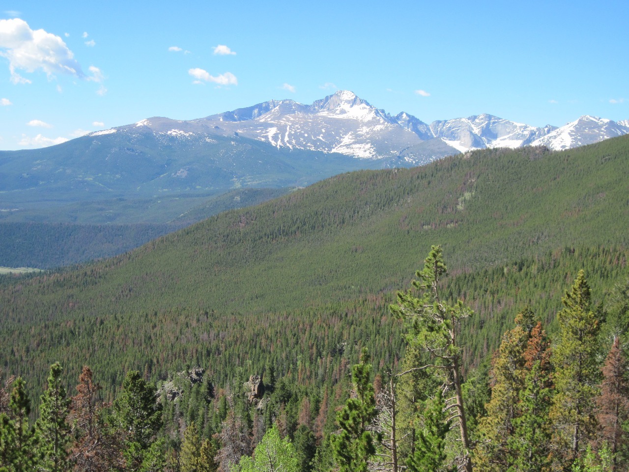
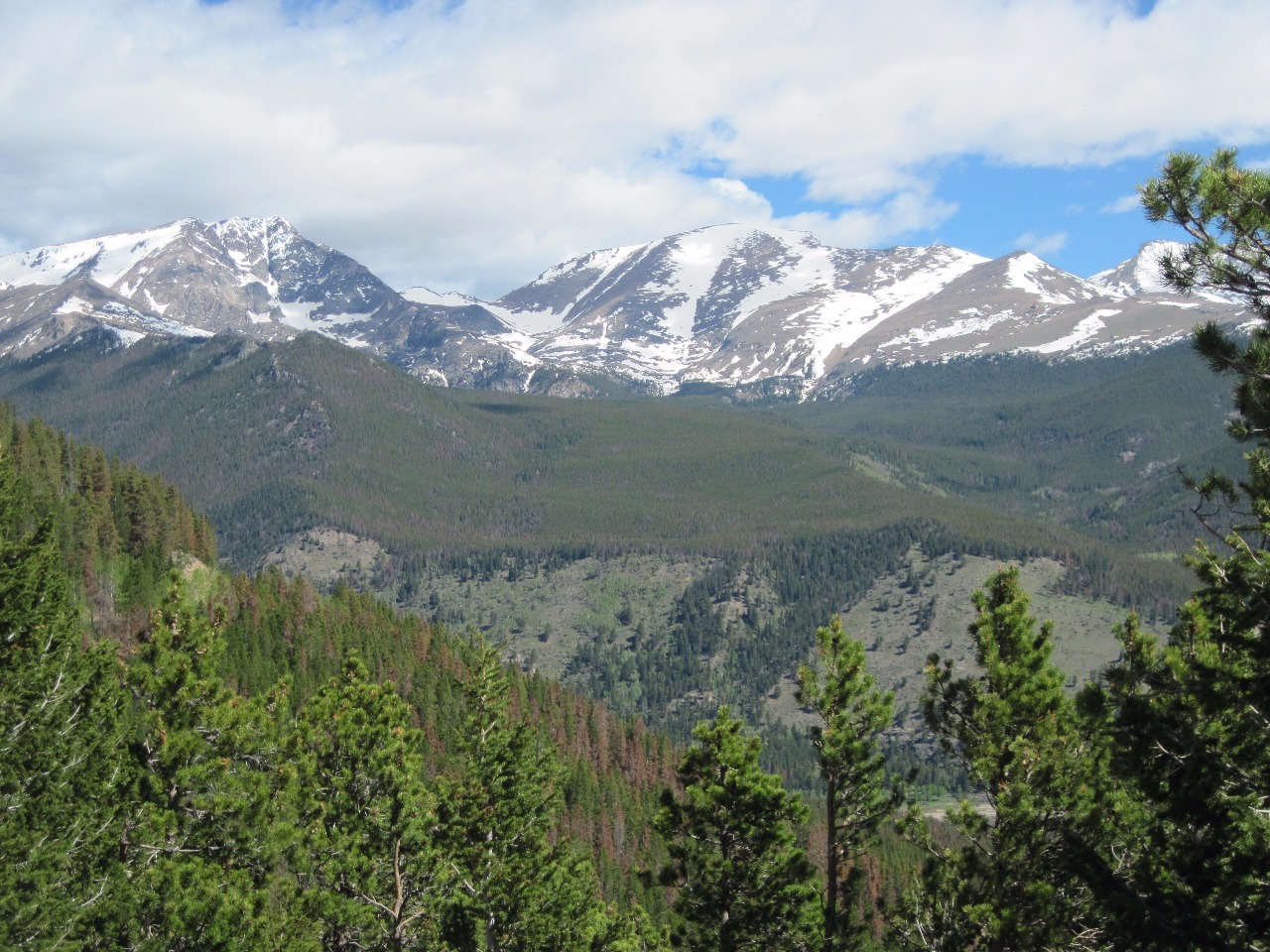
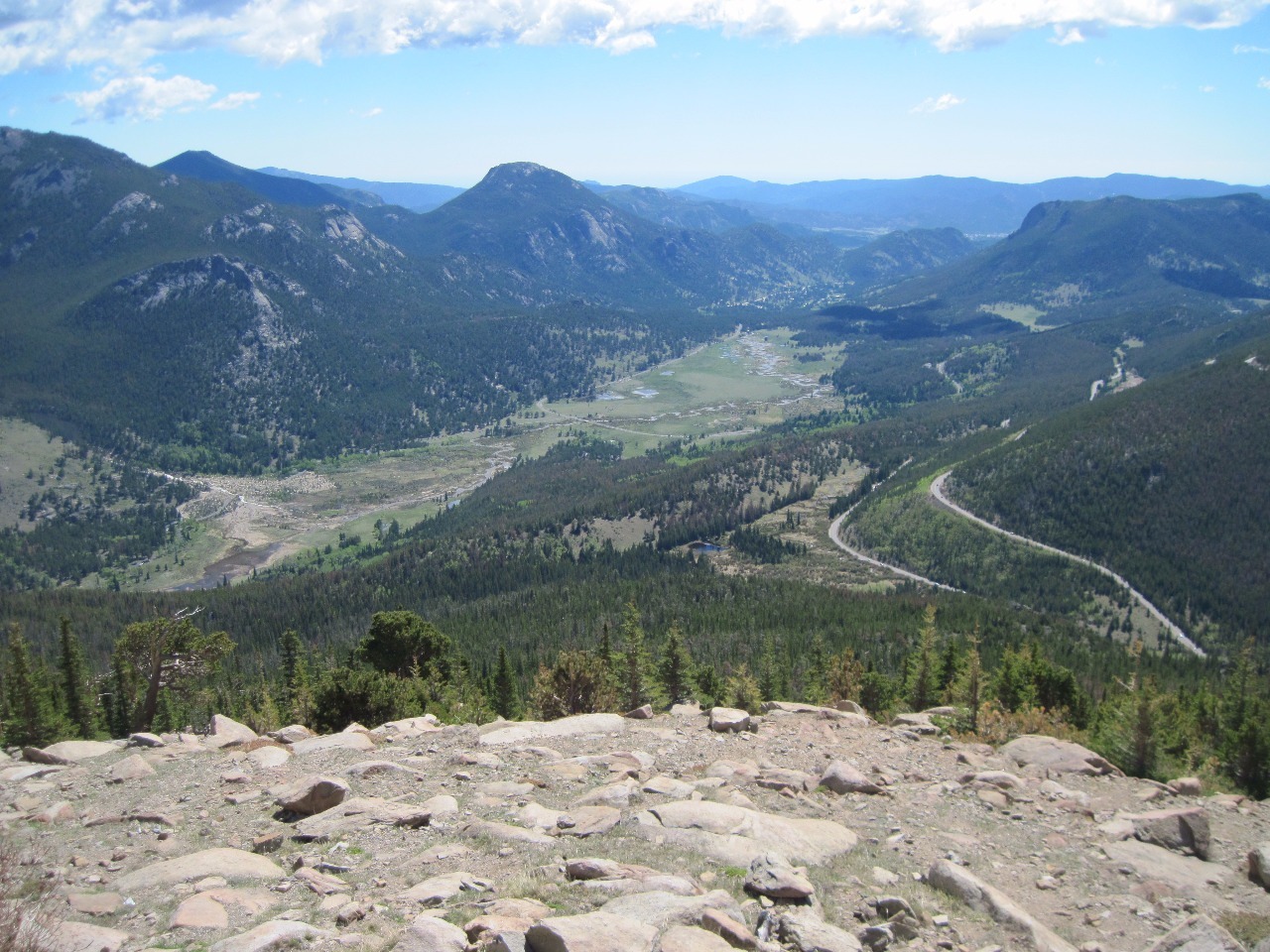
 Rocky Mountain National Park, Colorado, United States
 Rocky Mountain National Park, Colorado, United States
The months of May and June are two I don’t go to the
mountains too frequently in Colorado . Depending on winter snowpack and spring
weather conditions, those are the months when a lot of the snow is melting, the
traditional “mud season”. Besides being muddy, higher trails are usually still
snowpacked and make for difficult hiking or require snowshoes. June also tends
to be one of the least sunny months in Colorado with quite a lot of
thunderstorms, so generally not the best times of year for hiking and other
outdoor activities, at least not at very high elevations.
So when my friends Timby (Tim and Toby) invited me along for
a weekend day trip to Rocky Mountain National Park for a drive across Trail
Ridge Road and a hike somewhere, I was a little skeptical about the hiking
part. It was the first weekend in June and Trail Ridge Road typically doesn’t
even open for the season until Memorial Day weekend. “Ummm, I’m not sure how
good the hiking is going to be. We may have to find something at a rather low
elevation”.
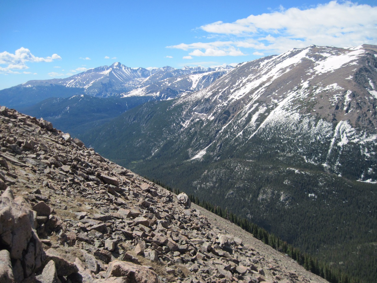
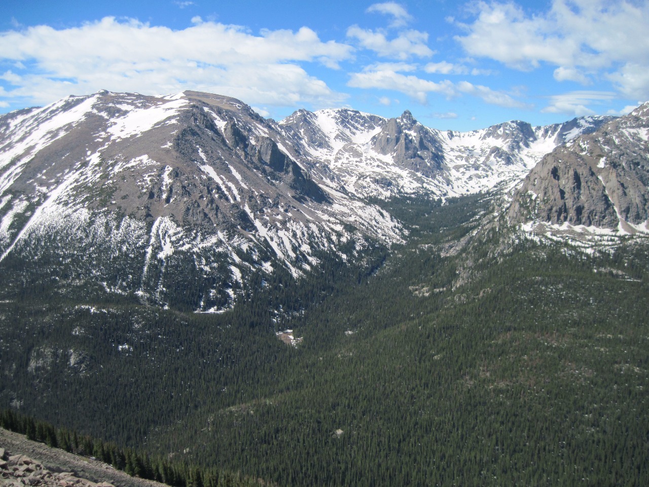
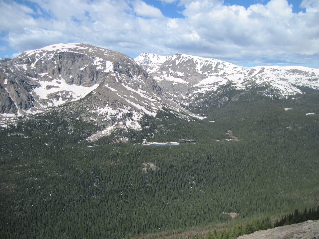
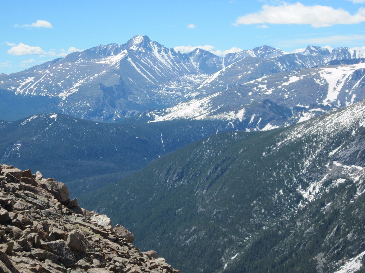
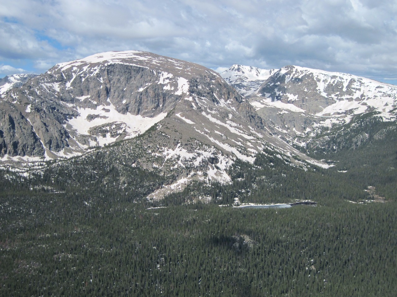
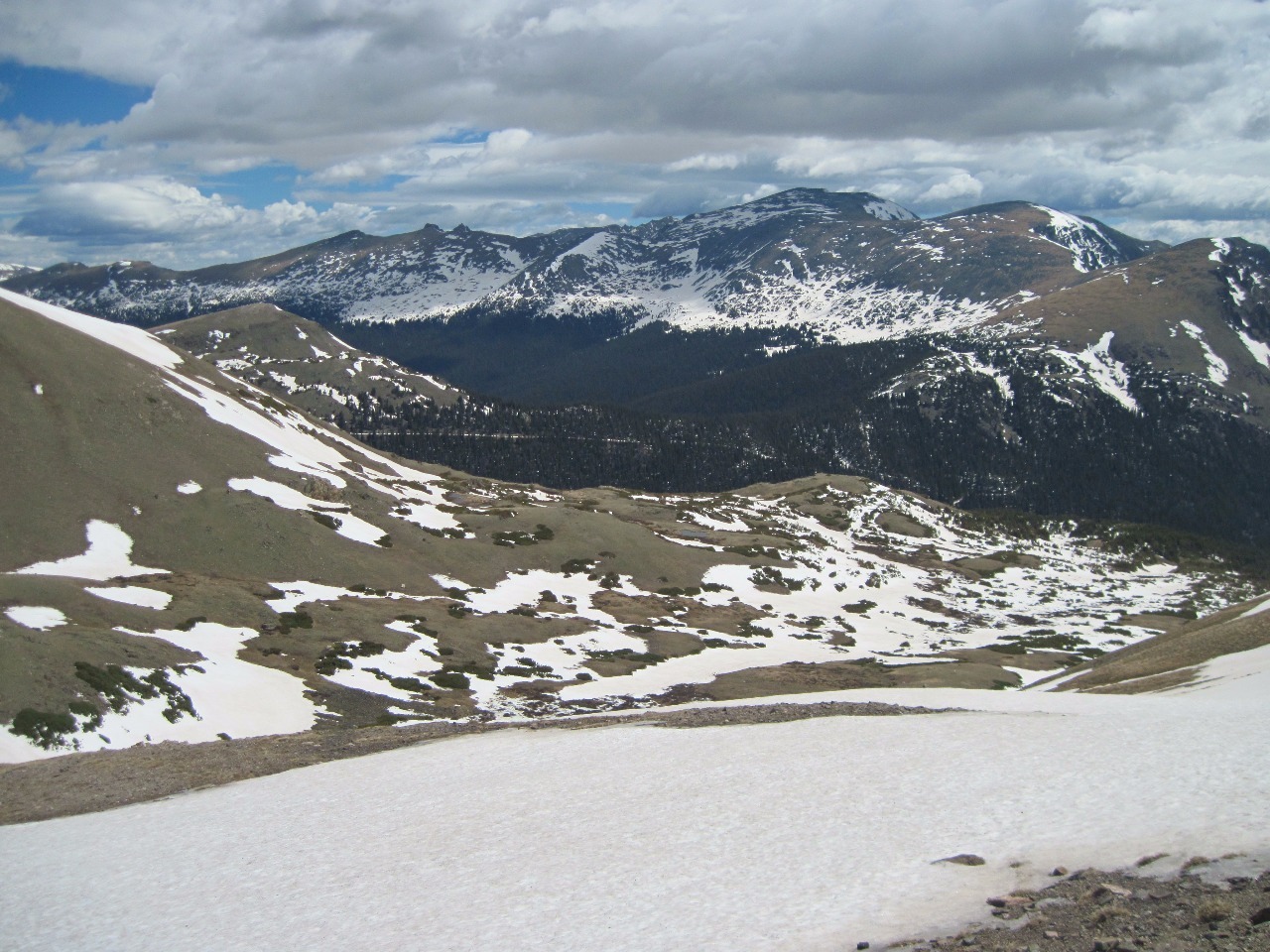
It turned out to be a very beautiful start to the day as
most June mornings are . The drive across Trail Ridge Road, the highest through
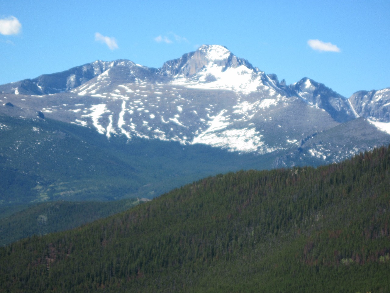
road in America at 12,183 at the summit was spectacular as always, and maybe a
little more so this time because there was still so much snow in many spots.
Usually I drive across later in the season when there are only a few patches of
snow and things look far more barren. I often have fairly pleasant temperatures
when I hike in the mountains during summer months, even when climbing
fourteeners, but there’s something about Trail Ridge Road that the upper parts
are always frigid and windy regardless of how sunny it is. This day was no
different.
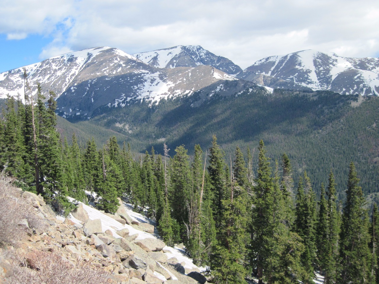
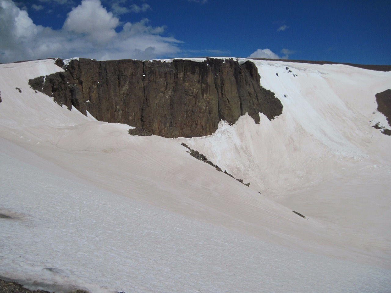
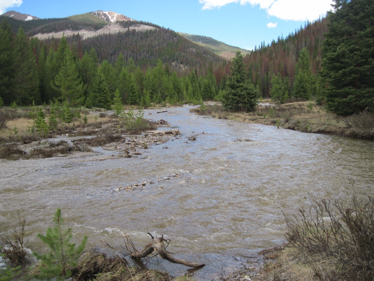
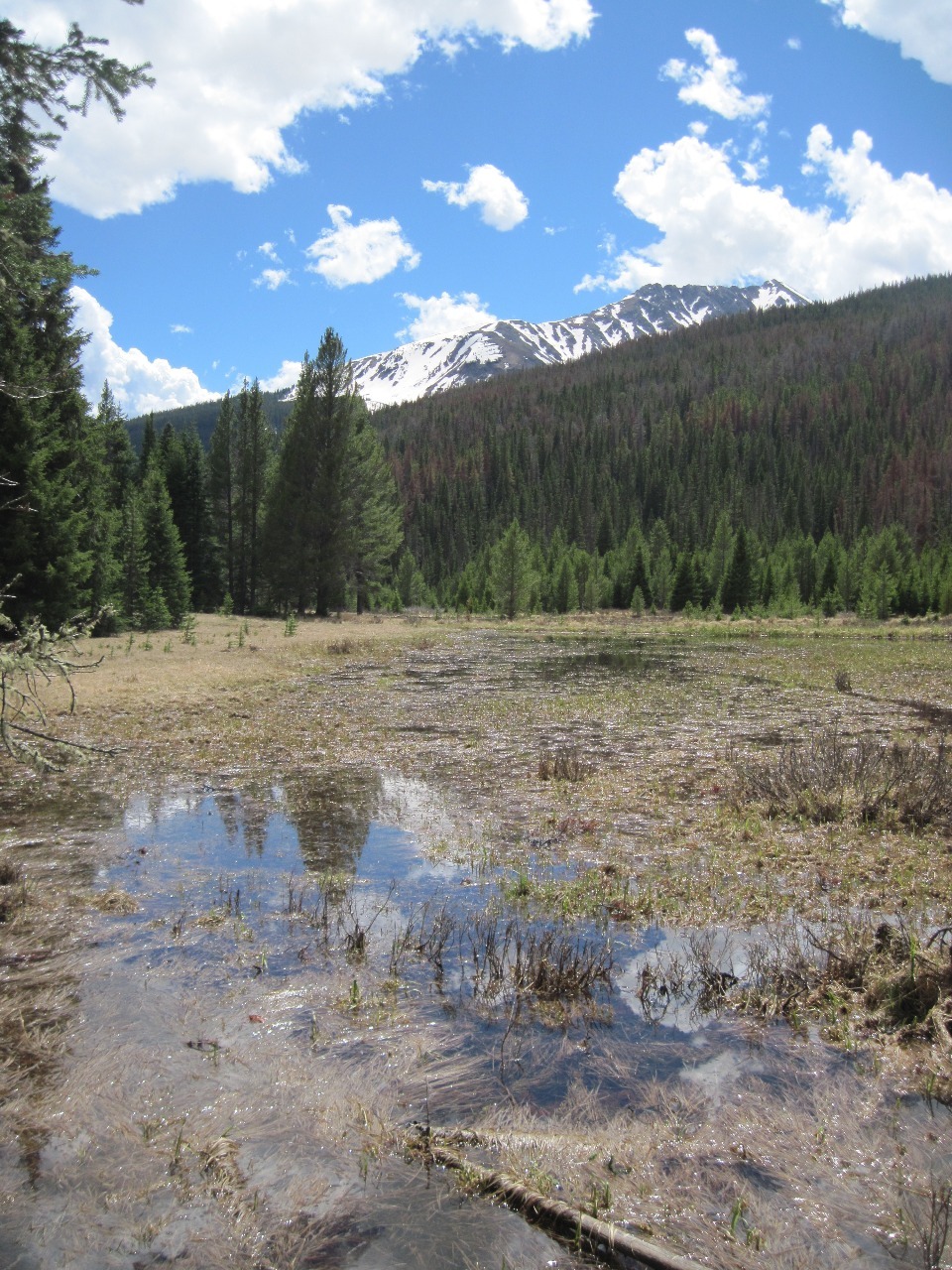
The hike we decided on was in the western side of the park
below Trail Ridge Road’s steep descent into the Colorado River Valley. We did,
in fact, start from the Colorado River trailhead and followed the trail
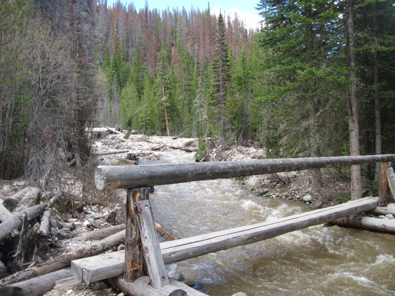
northwards through the woods and the river. The Colorado’s headwaters are in
the park, so at this point the river is more of a stream even with heavy spring
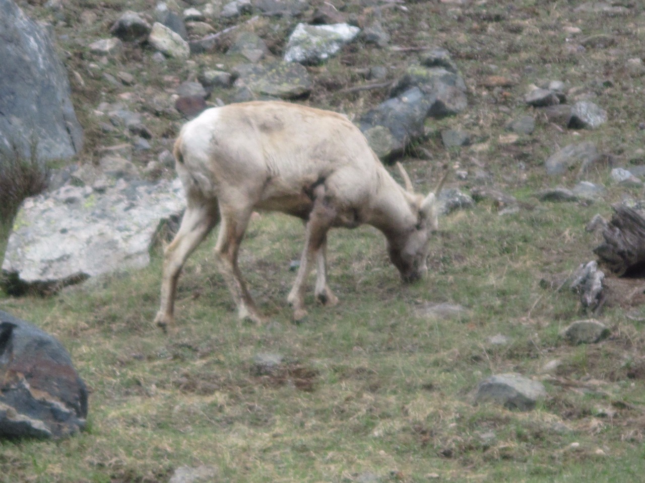
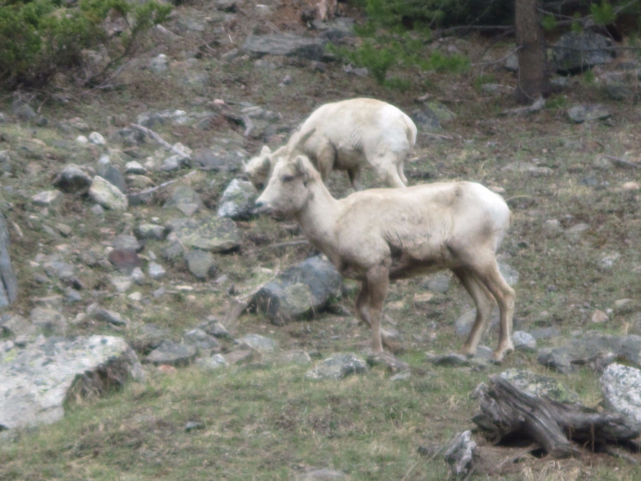
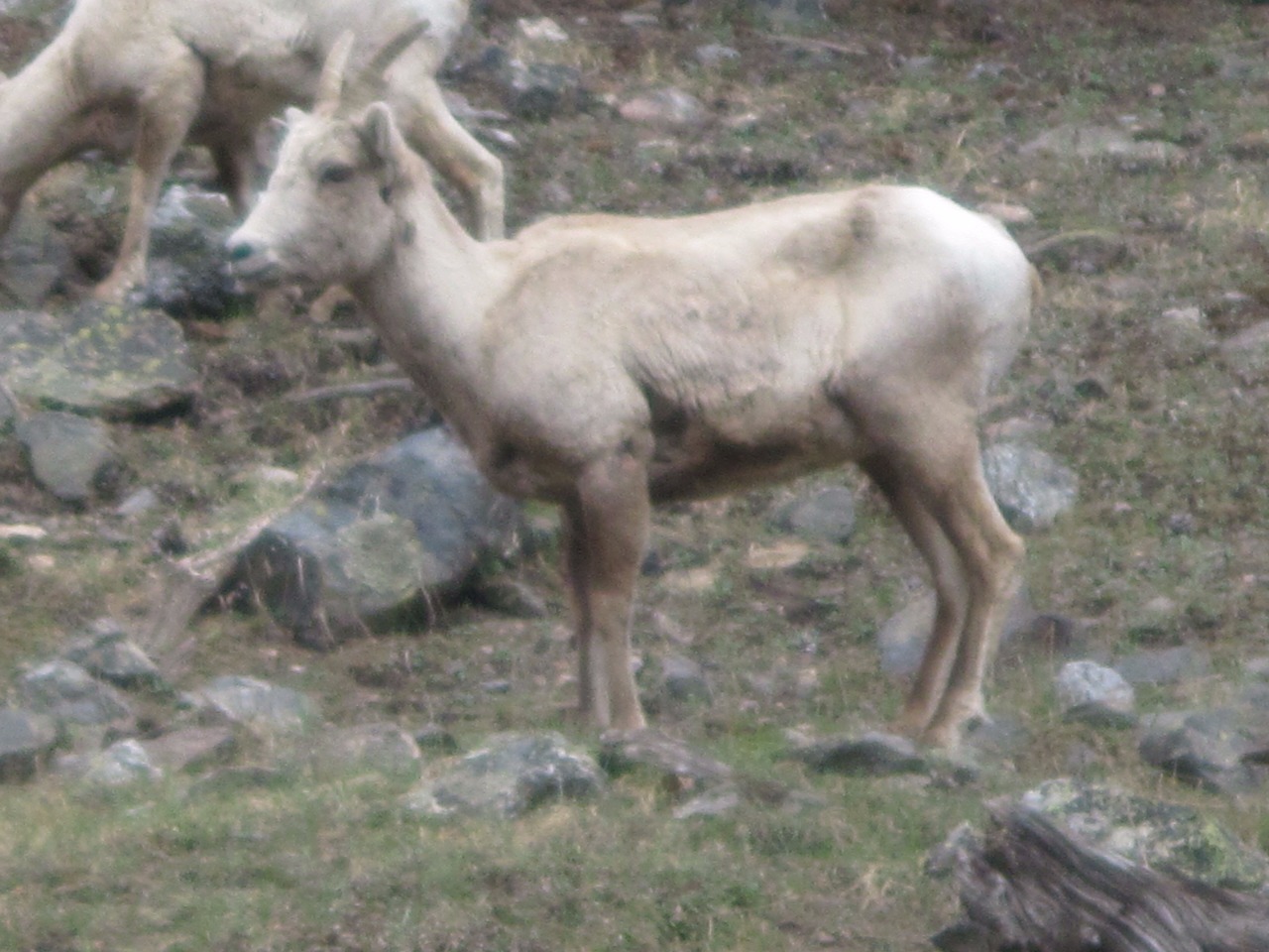
runoff. We continued for a few miles to Shipler Park area but found our way
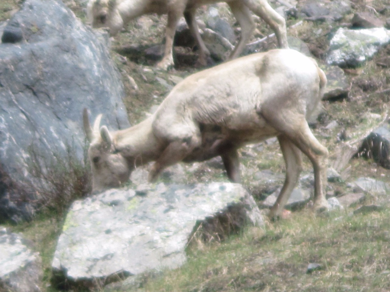
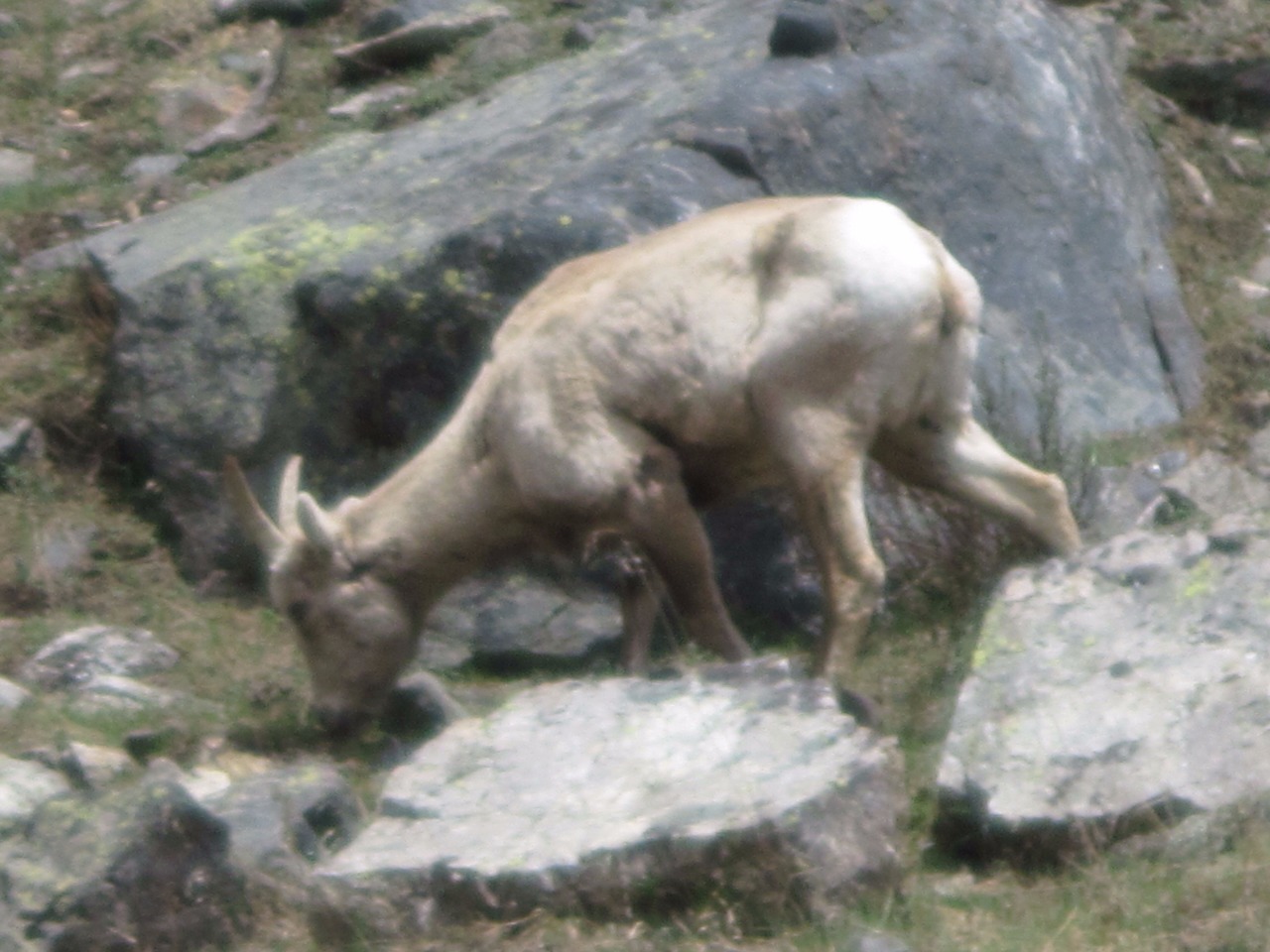
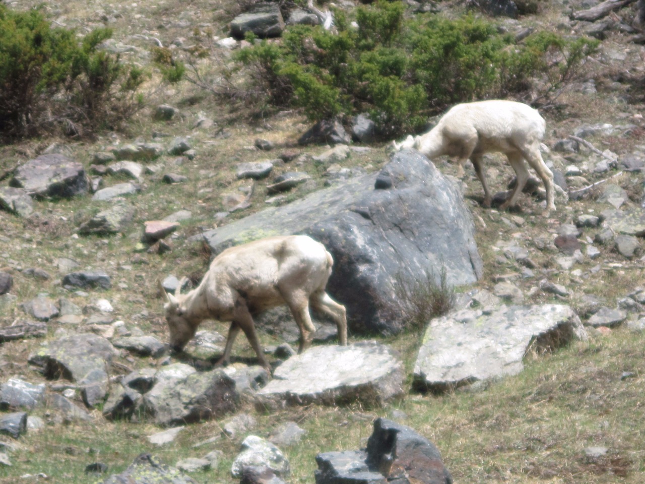
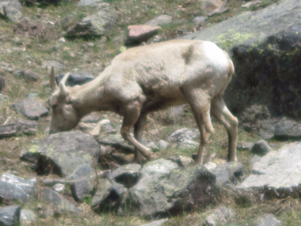
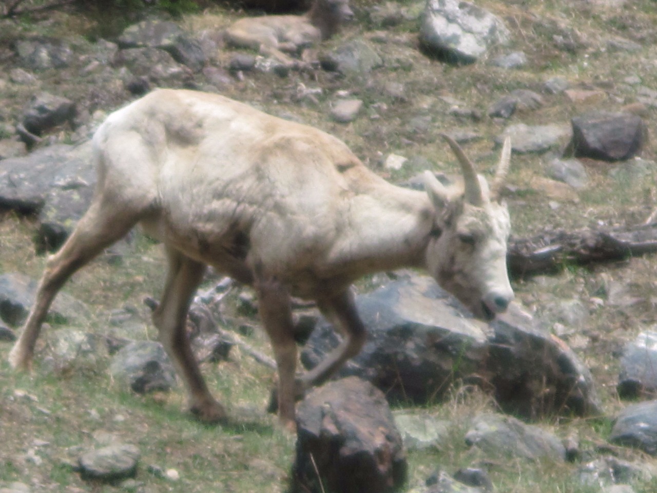
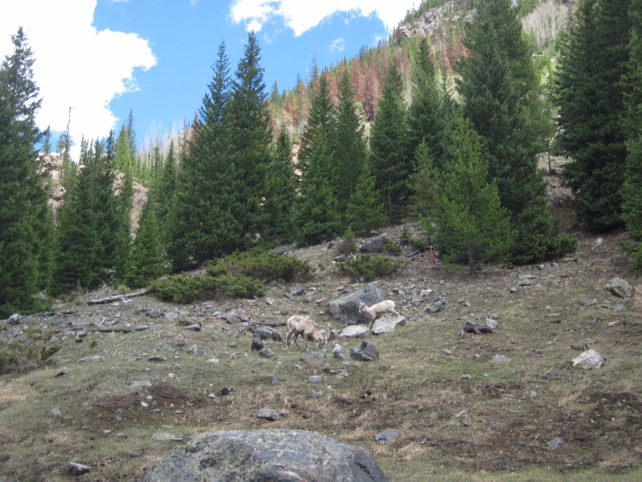
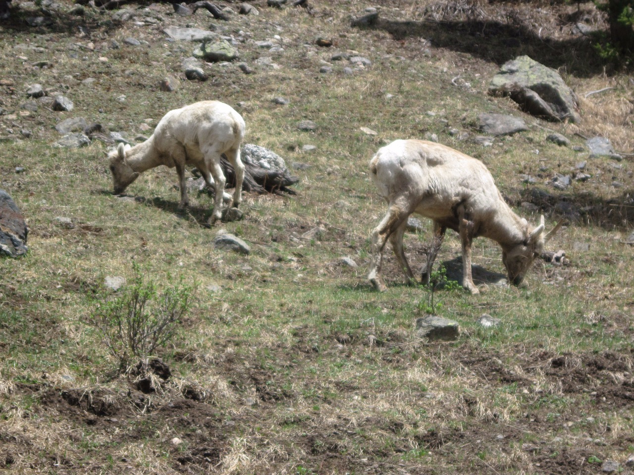
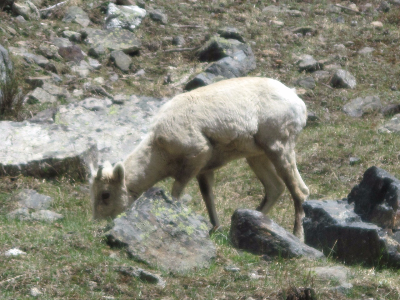
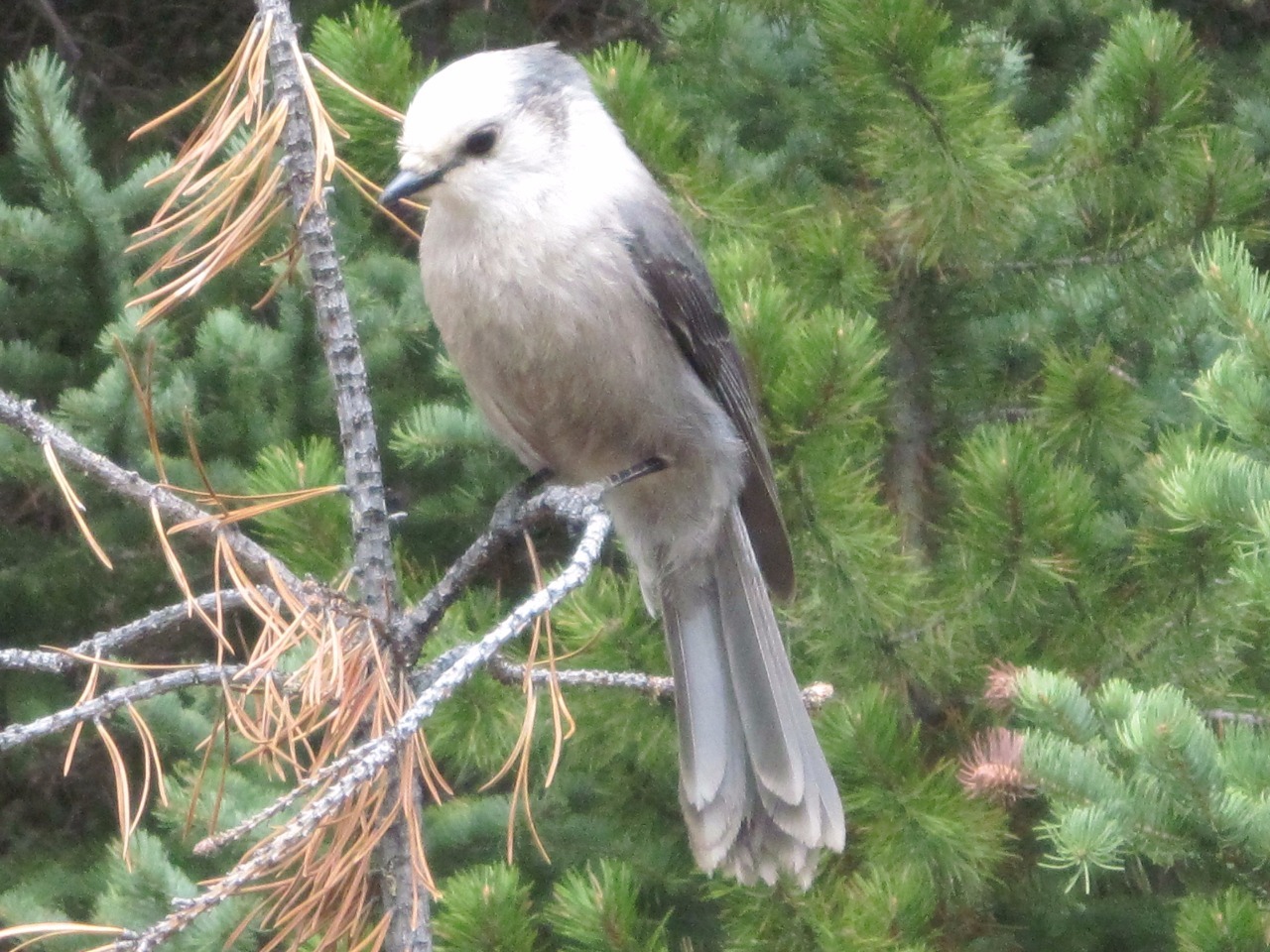
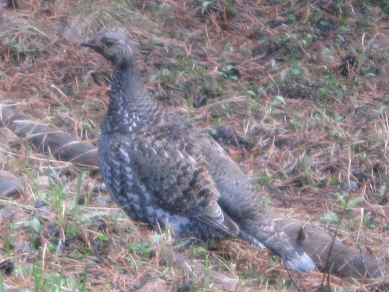
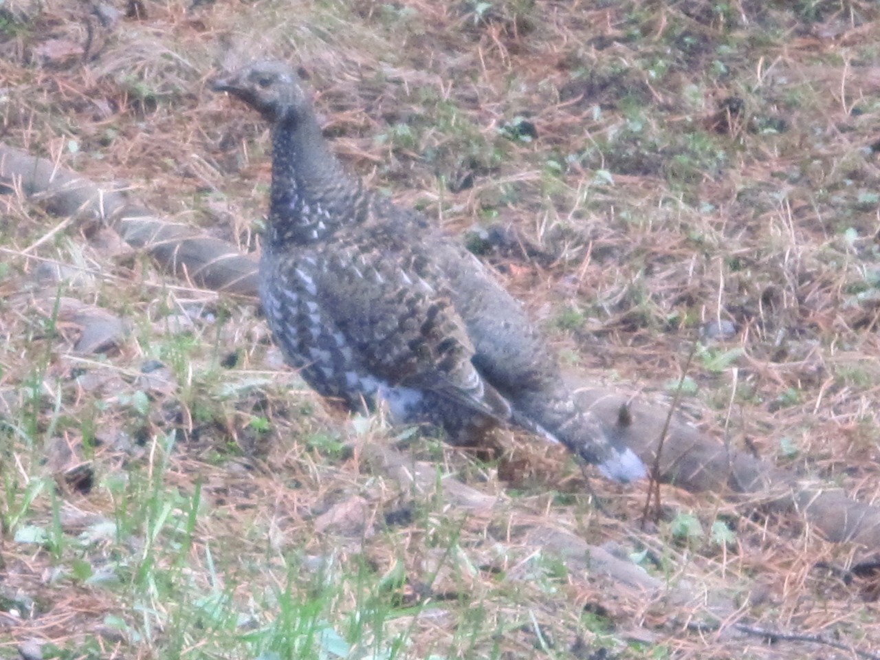
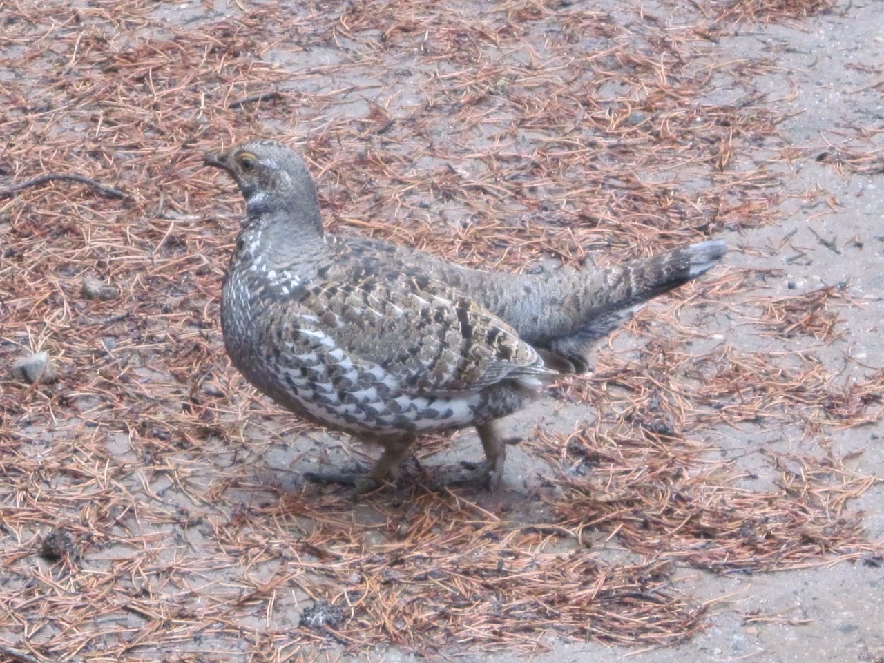
blocked by mounds of hard, slippery, dirty snow . We did see a fair amount of
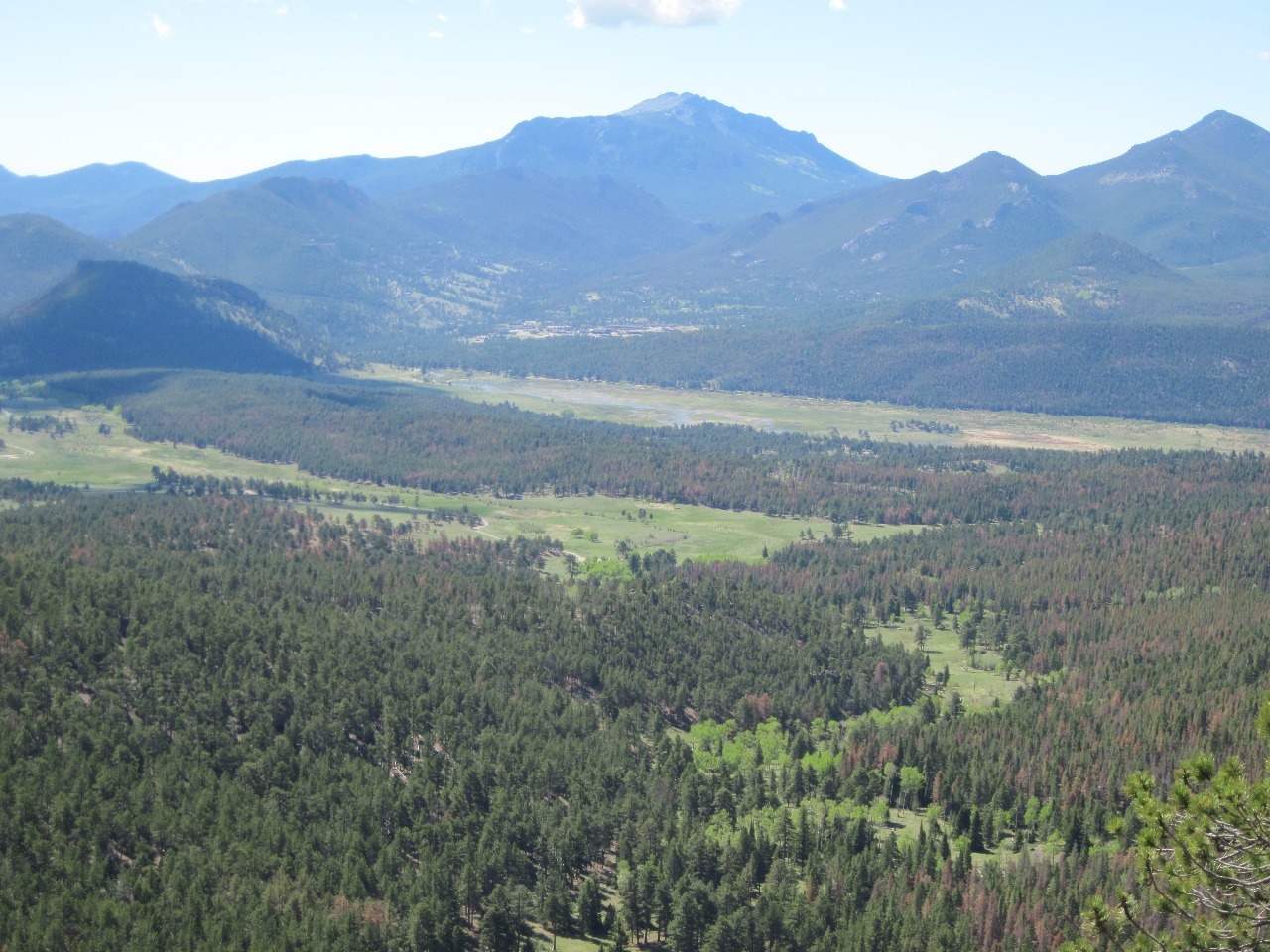
wildlife, though, including bighorn sheep, a mule deer, and ptarmigan already
in their brown summer plumage. The trailhead was around 9,000 feet with a
gradual rise along the few miles of the route, not particularly high by the
standards of Colorado mountains, so it was surprising to still see so much
snow. Normally I’d prefer higher altitude hikes with more expansive views, but
this was probably the best we could do at this time of year.
We made a loop out of our day trip, traveling south through
Grand Lake, Granby, and Fraser and then over Berthoud Pass. By evening it was
clear skies again and we stopped in Granby for dinner at a Chinese restaurant.
My Moo Shu Chicken was surprisingly good for a place so far out in the boonies.
Other Entries
-
Oct 17232 days prior Golden, United States
 -
May 2512 days prior
Denver, United States -
Jun 06
Rocky Mountain National Park, United States -
Jun 1913 days later
Denver, United States -
Jul 1438 days later
Idaho Springs, United States -
Aug 1974 days later
Allenspark, United States -
Sep 0288 days later
Bakerville, United States -
Sep 1197 days later
Jefferson, United States -
Sep 18104 days later
Blue River, United States -
Sep 21107 days later
Boulder, United States -
Sep 25111 days later
Rocky Mountain National Park, United States -
Sep 28114 days later
Leadville, United States -
Sep 29115 days later
Aspen, United States -
Sep 29115 days later
Ashcroft, United States -
Sep 30116 days later
Snowmass, United States -
Sep 30116 days later
Crystal, United States -
Sep 30116 days later
Marble, United States -
Oct 01117 days later
Paonia, United States -
Oct 01117 days later
Crested Butte, United States -
Oct 01117 days later
Tincup, United States -
Oct 02118 days later
Buena Vista, United States


2025-05-22