West Spanish Peak - One Hell of a Steep Climb!
Saturday, August 08, 2009
 Cuchara, Colorado, United States
 Cuchara, Colorado, United States
Although I’ve included some other sightseeing on this mini
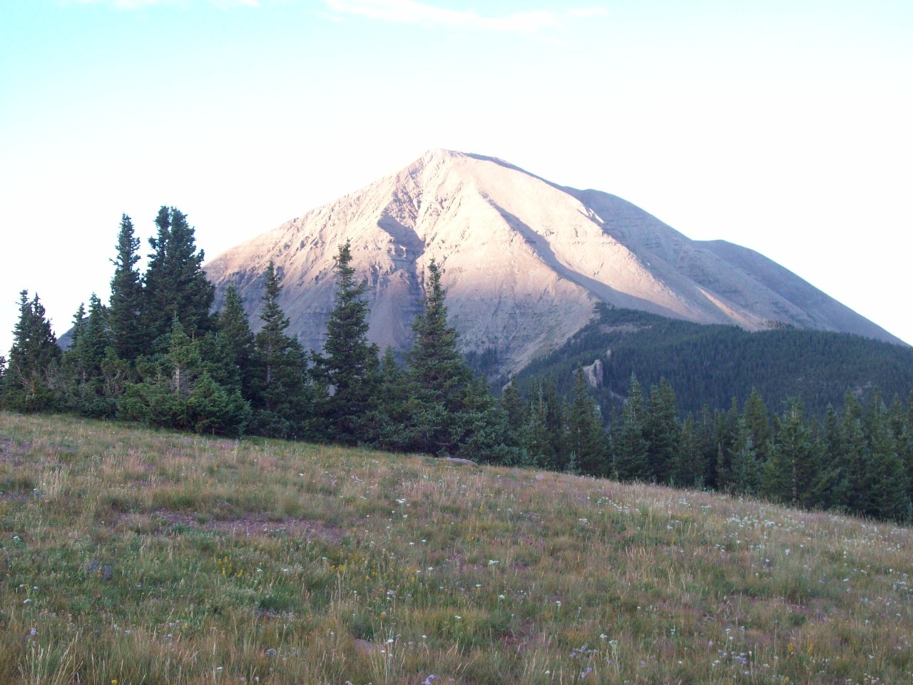
road trip in Colorado, the primary goal of the tour is to climb West Spanish
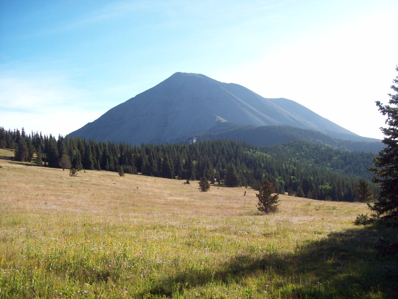
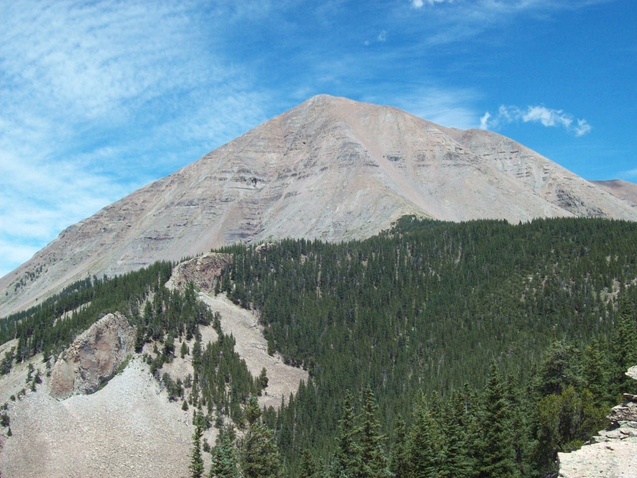
Peak . At 13,631 feet, West Spanish Peak is not one of the highest points in
Colorado and not even a fourteener. However, it has several superlatives. With
a summit about 6,000 feet below its northern base it is one of the most prominent
peaks in the state. Set apart from the Culebra sub-range of the Sangre de Cristo
Range, both West and (lower) East Spanish Peaks stand out on their own away
from the state’s main mountain ranges. That also makes West Spanish Peak the
easternmost peak higher than 4,000 meters in the U.S.
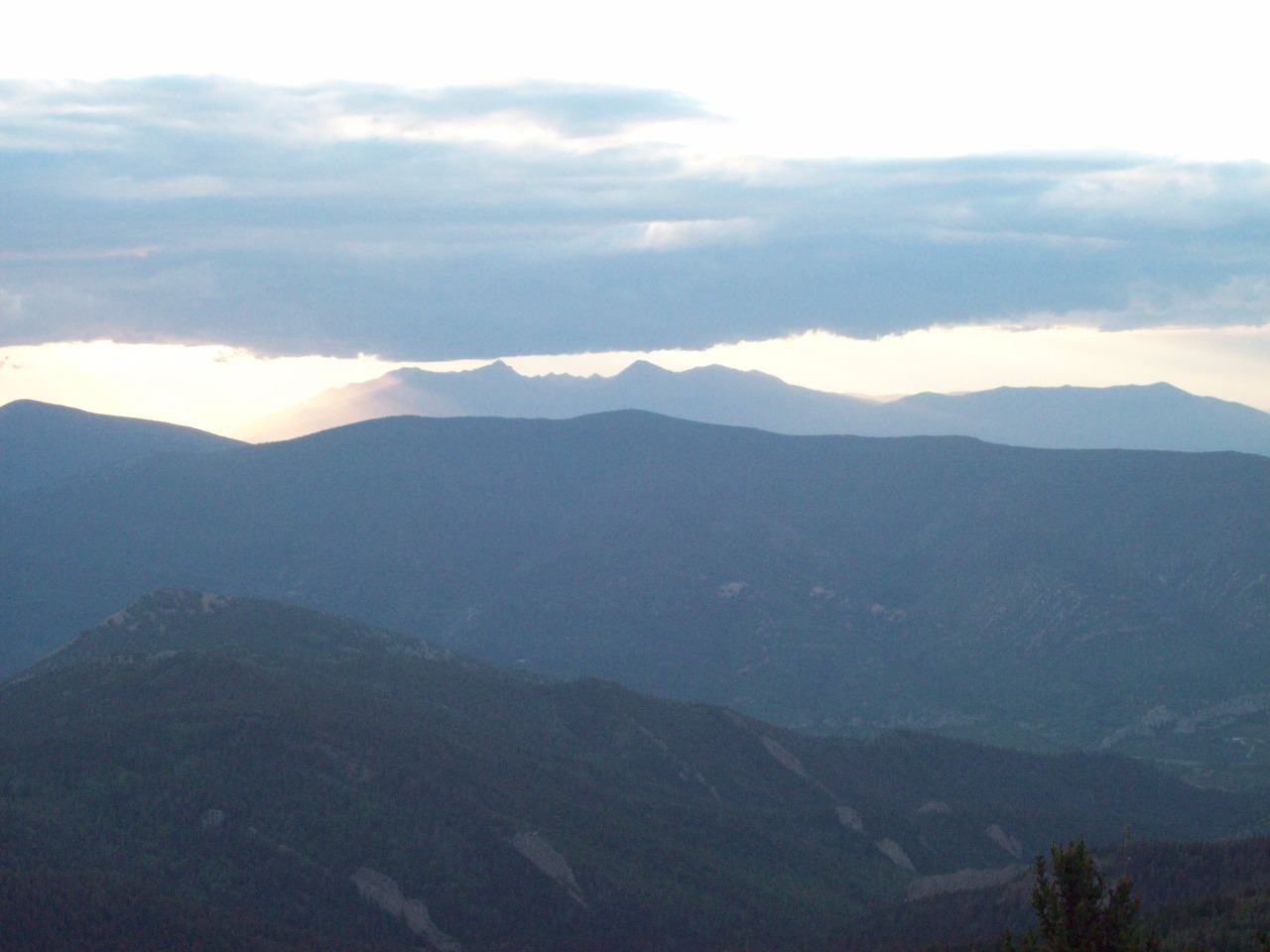
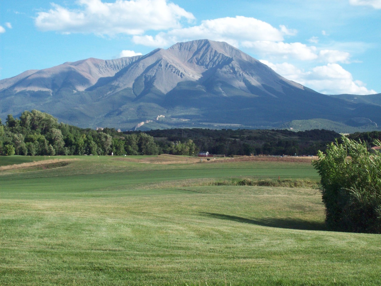
Traveling through southern Colorado to New Mexico on I-25
you can’t help noticing the two mountain peaks that stand out towards the
plains separate from the wall of the Sangre de Christos. Those two big
breastlike forms are the Spanish Peaks. Having climbed many of Colorado’s
fourteeners over the years, my goal recently has been to hike prominent
mountains in other areas of the state I generally haven’t hiked in before for
some scenic variety.
From Trinidad I took mostly unpaved forest service roads
directly toward the peak . The Las Animas County backcountry is still given over
to cattle grazing within and outside of forest service land, and the landscape
in the area is scenic in a kind of old southwestern New Mexico like way. The
road rose and dropped gradually for what seemed like an eternity before rapidly
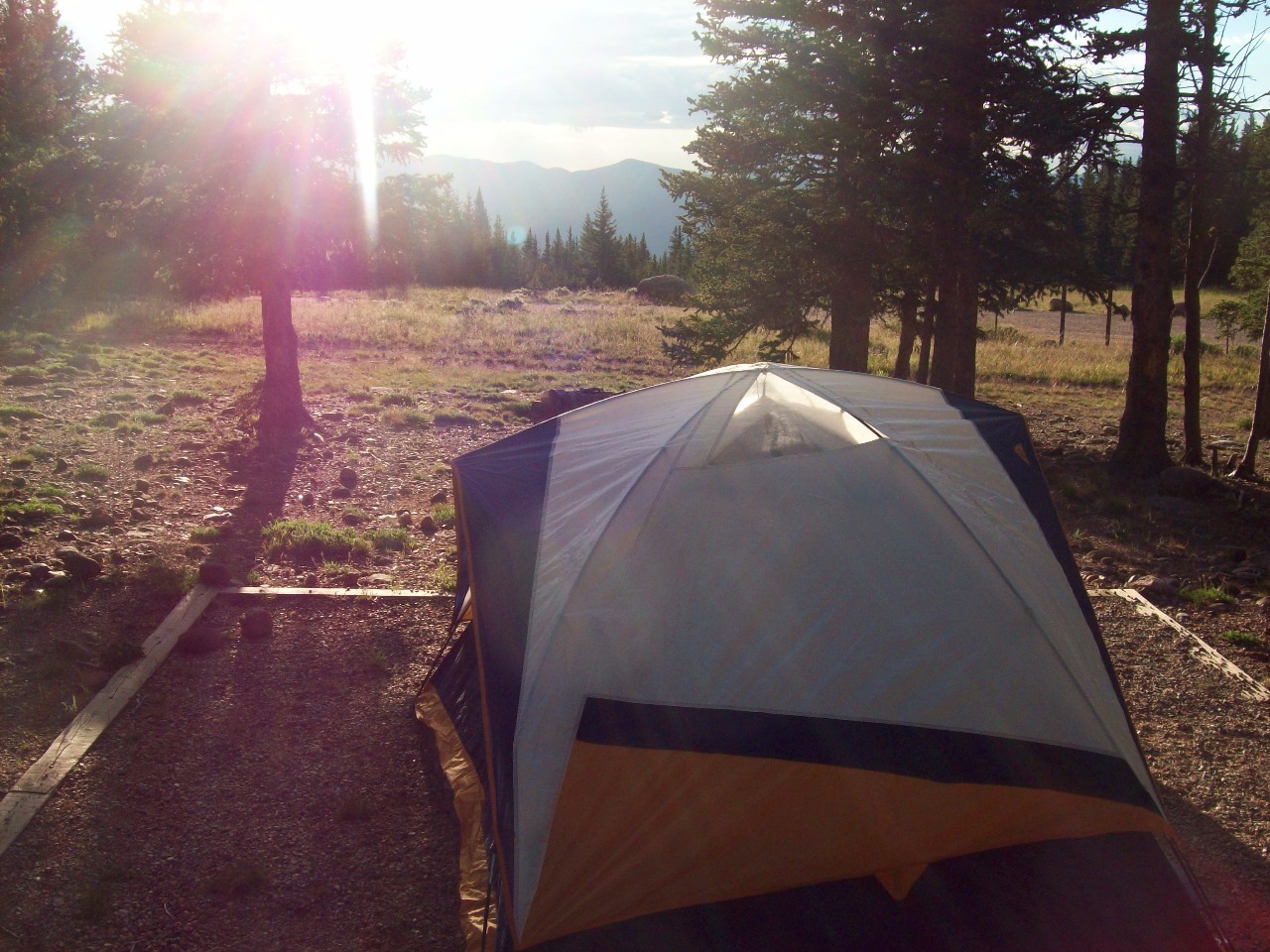
picking up elevation towards Cordova Pass at 11,248 feet to the southwest of
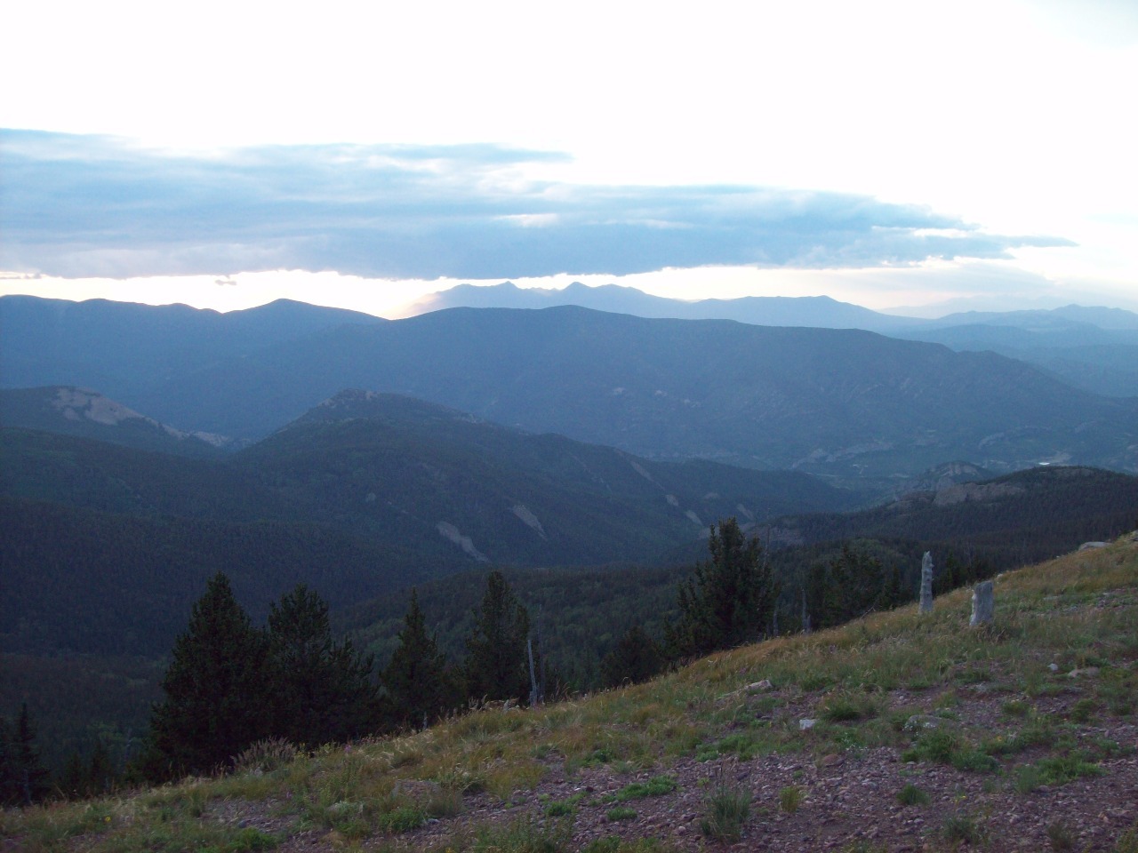
the peak. I set up my tent for the night, took a short walk for some sunset
pictures, put on my warm clothes, and ate my sandwich for dinner while
preparing for a cold night. At 11,000 feet in Colorado nights are usually close
to freezing.
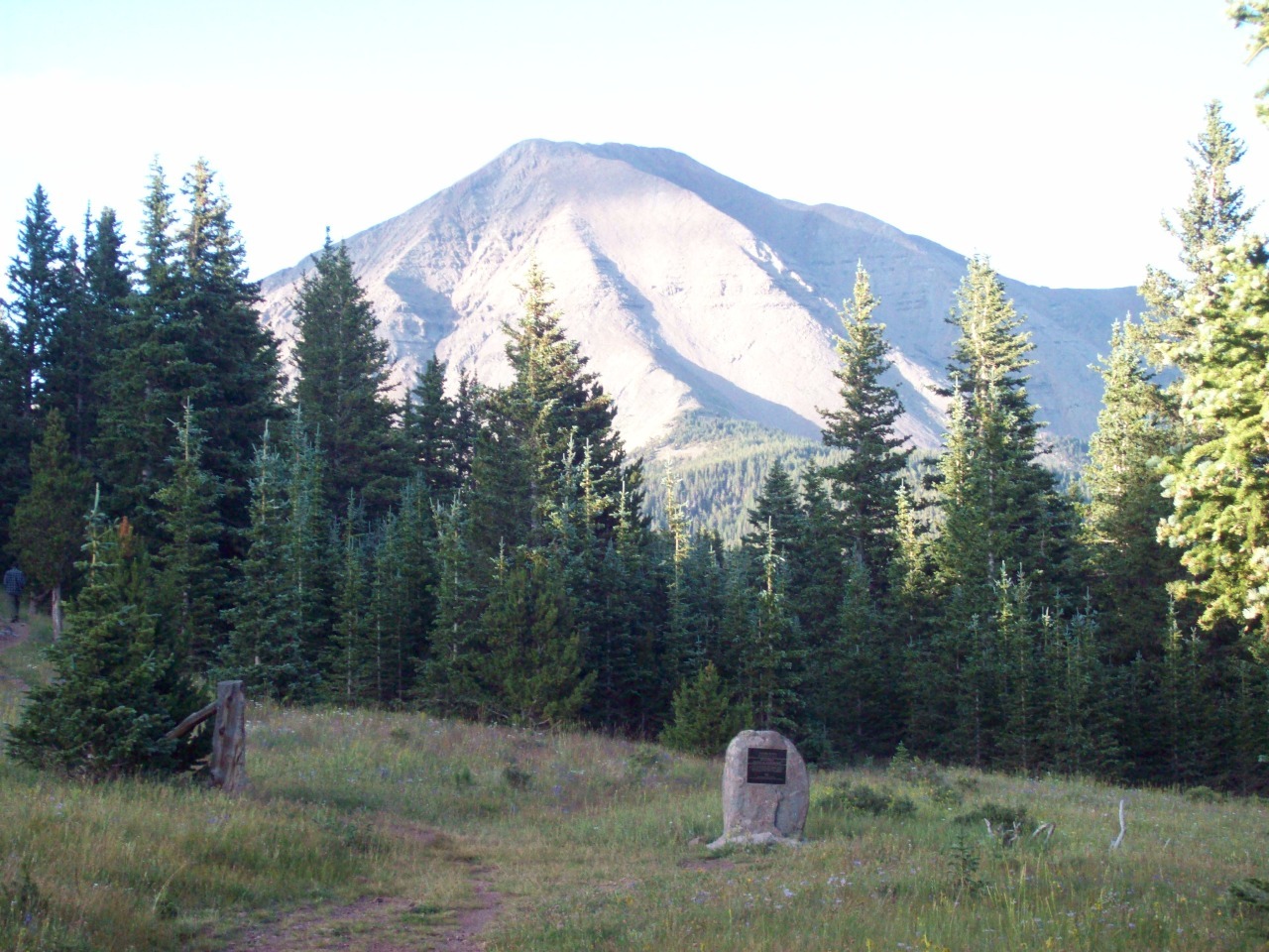
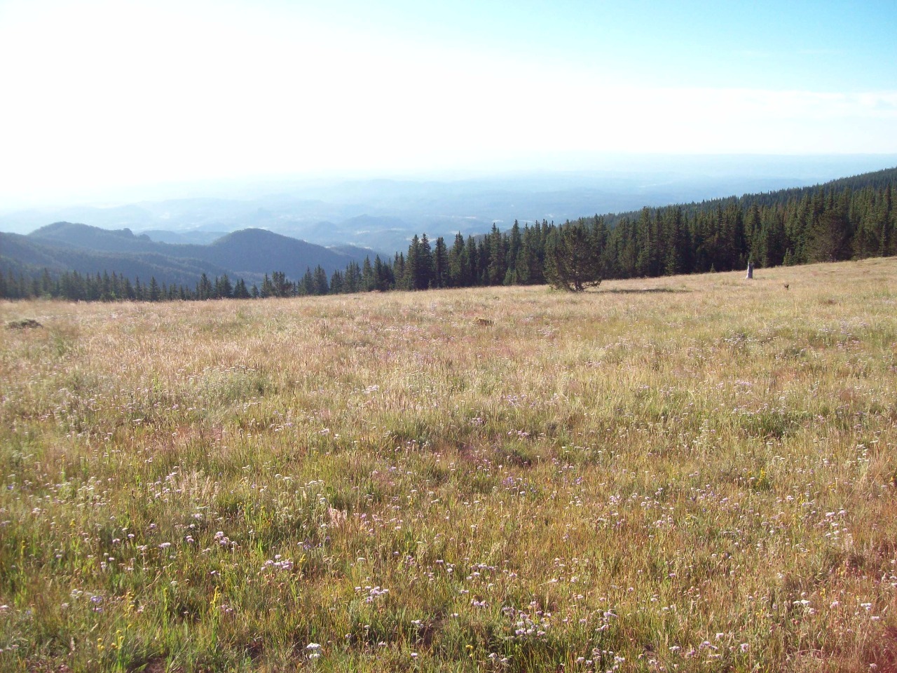
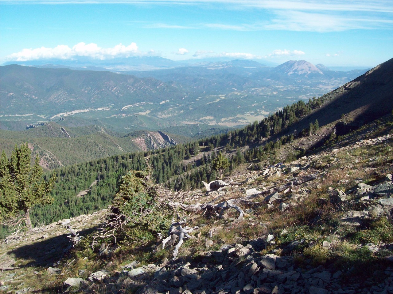
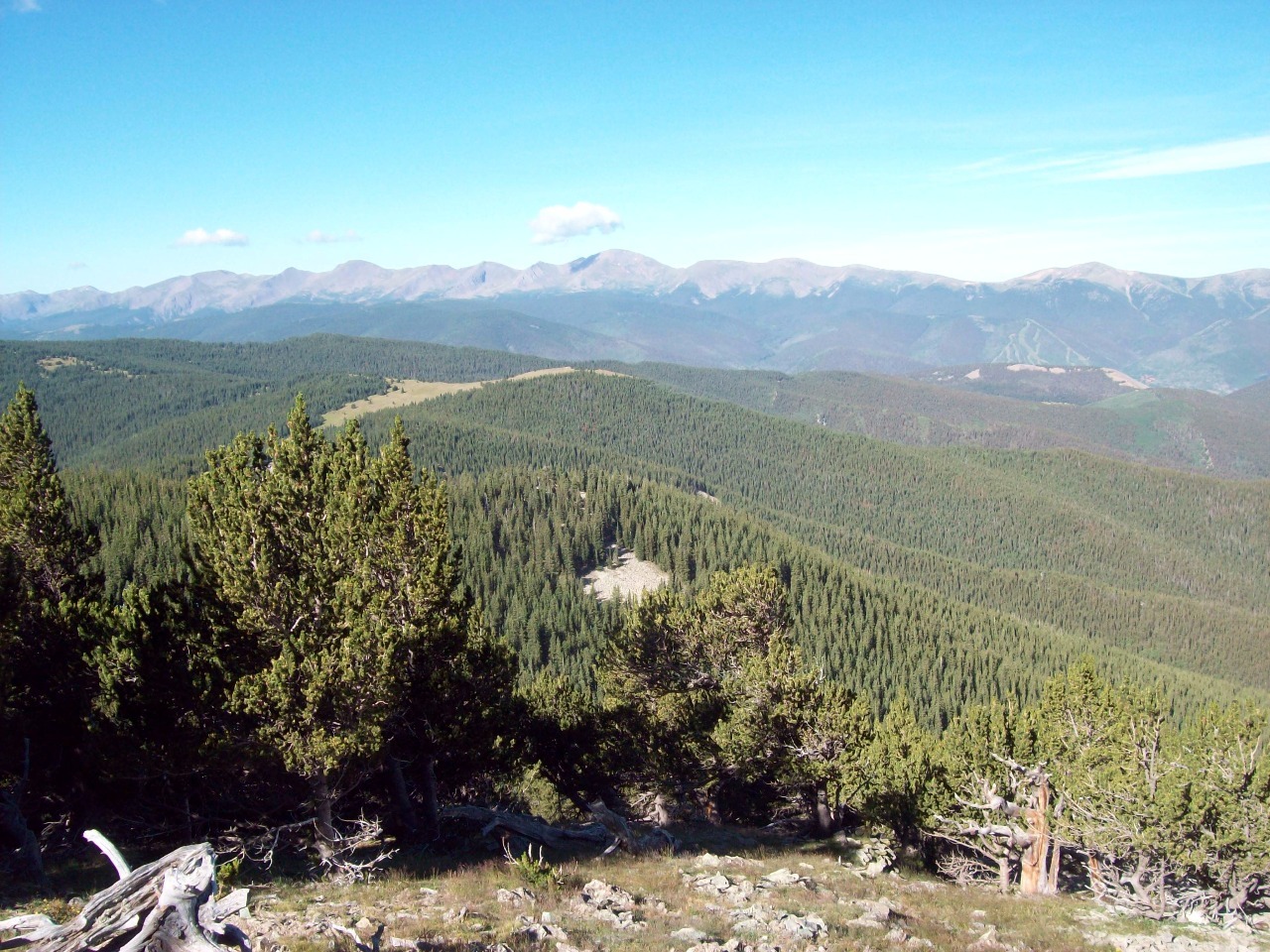
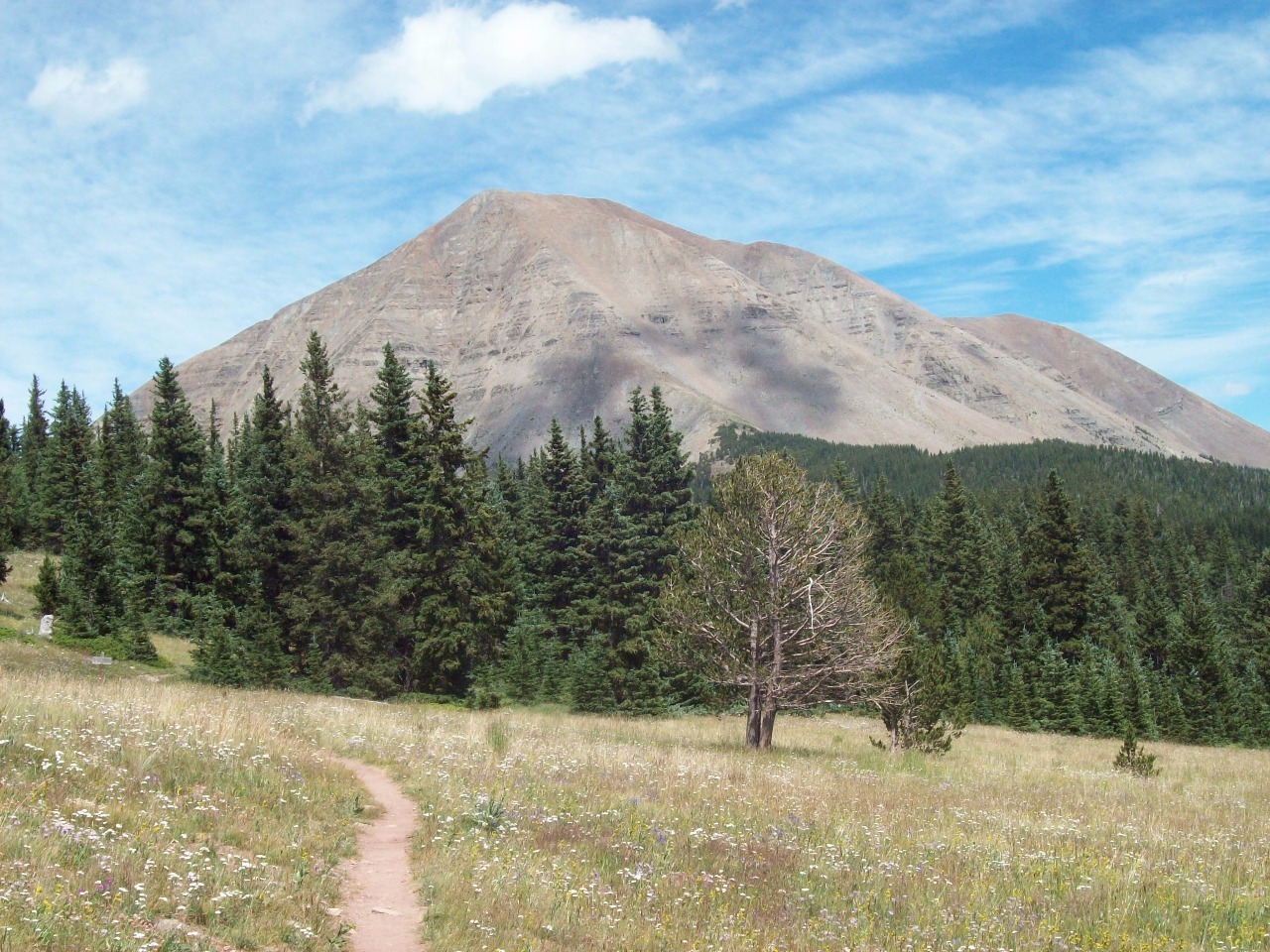
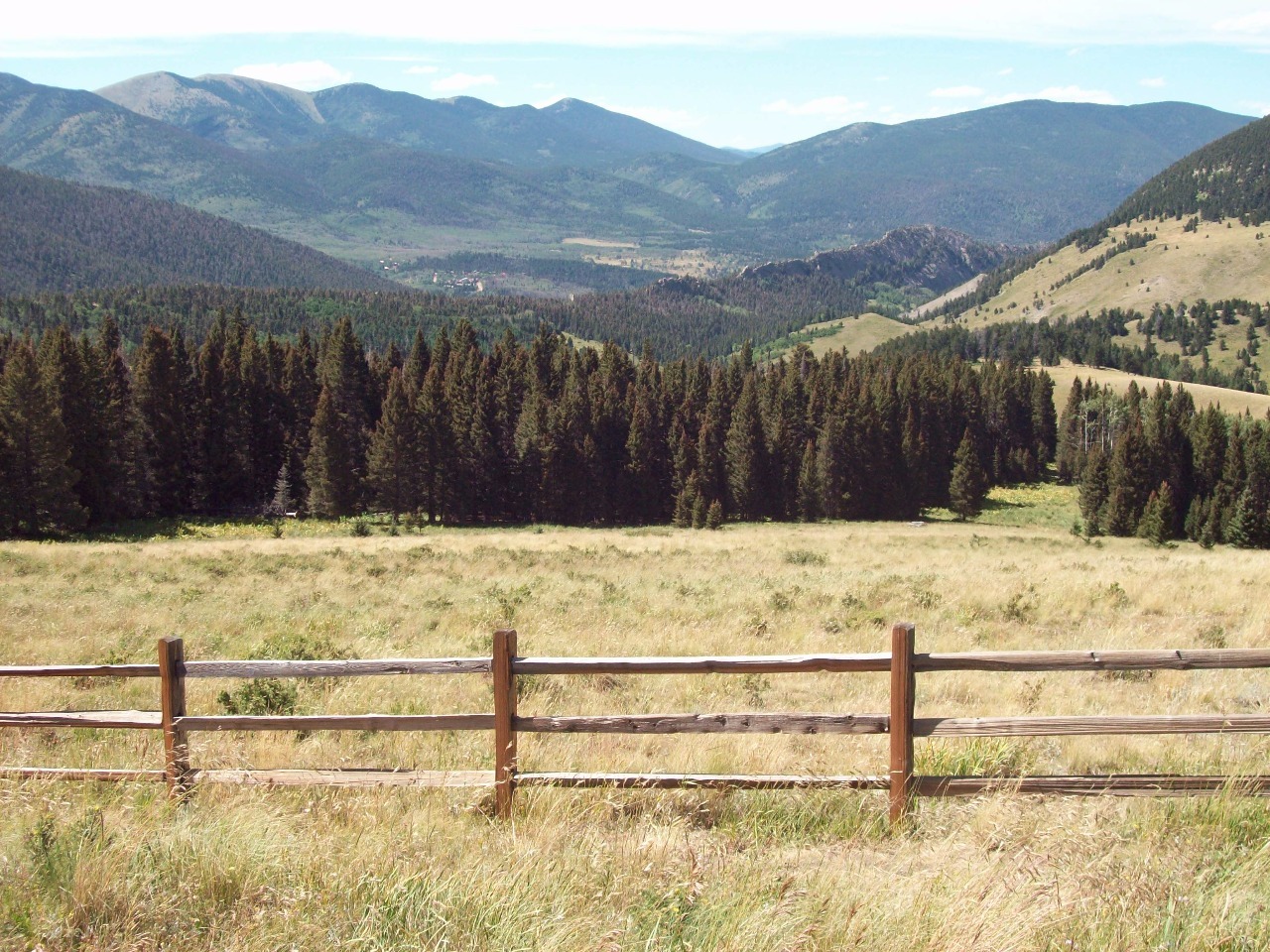
The trail to West Spanish Peak is only about 3.5 miles each
way from the trailhead. An elevation gain of 2,400 feet over that distance
shouldn’t be particularly difficult to do, but with West Spanish there’s a
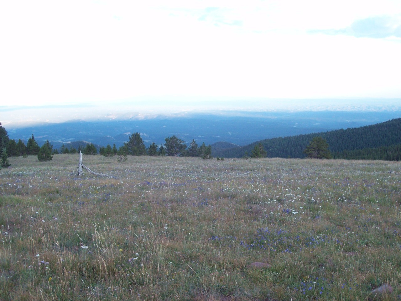
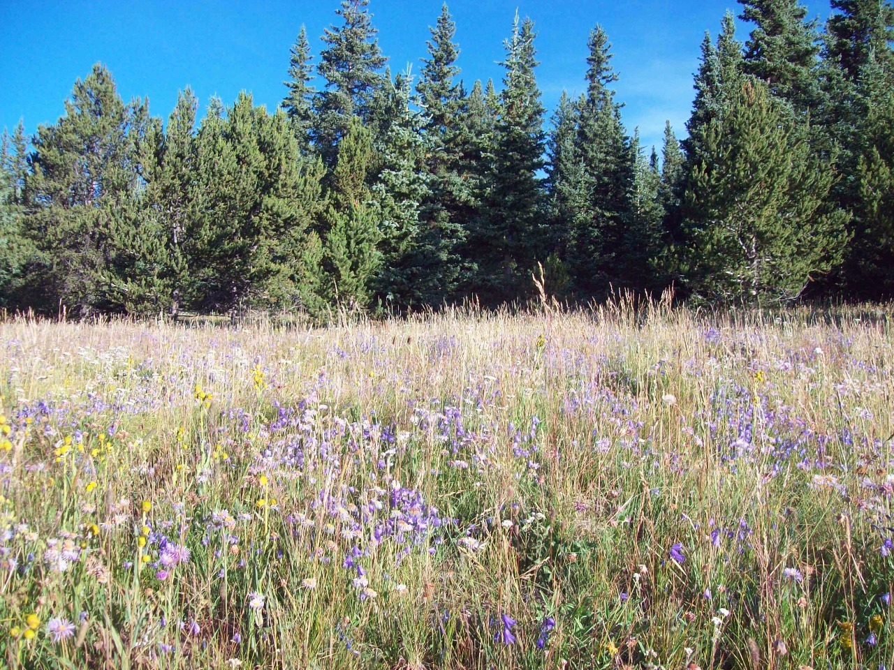
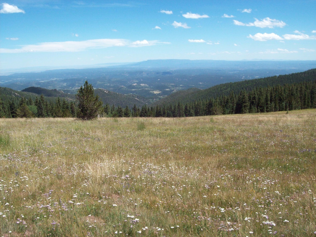
catch. The first two miles of the trail are close to level, rising only very
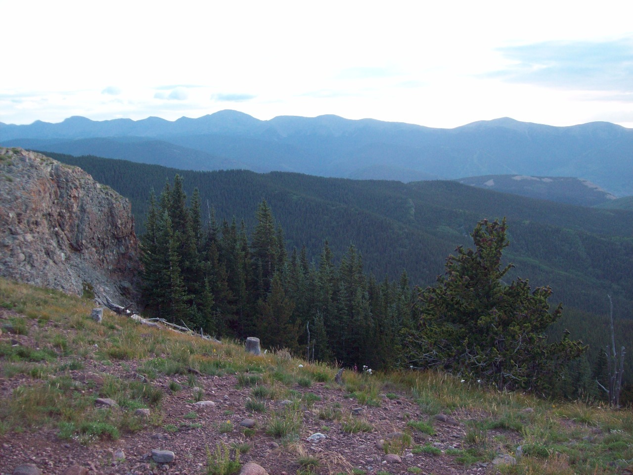
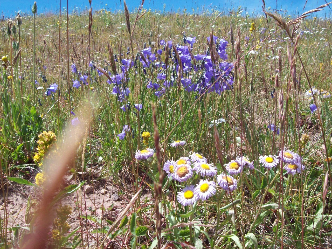
gradually through meadows and then thick evergreen forest to timberline. That
was the pleasant part and really quite beautiful in the early light of morning .
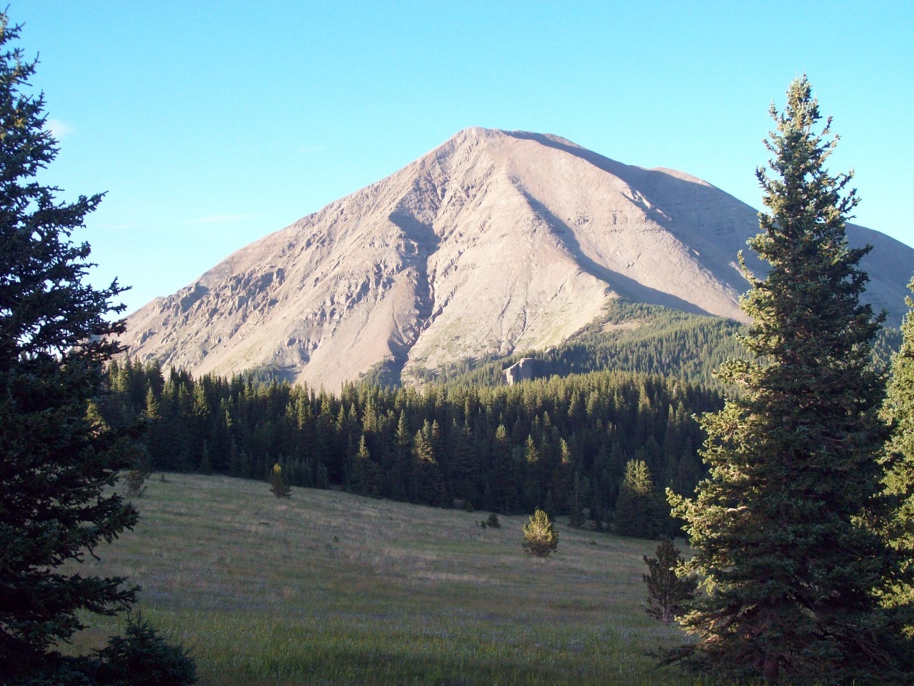
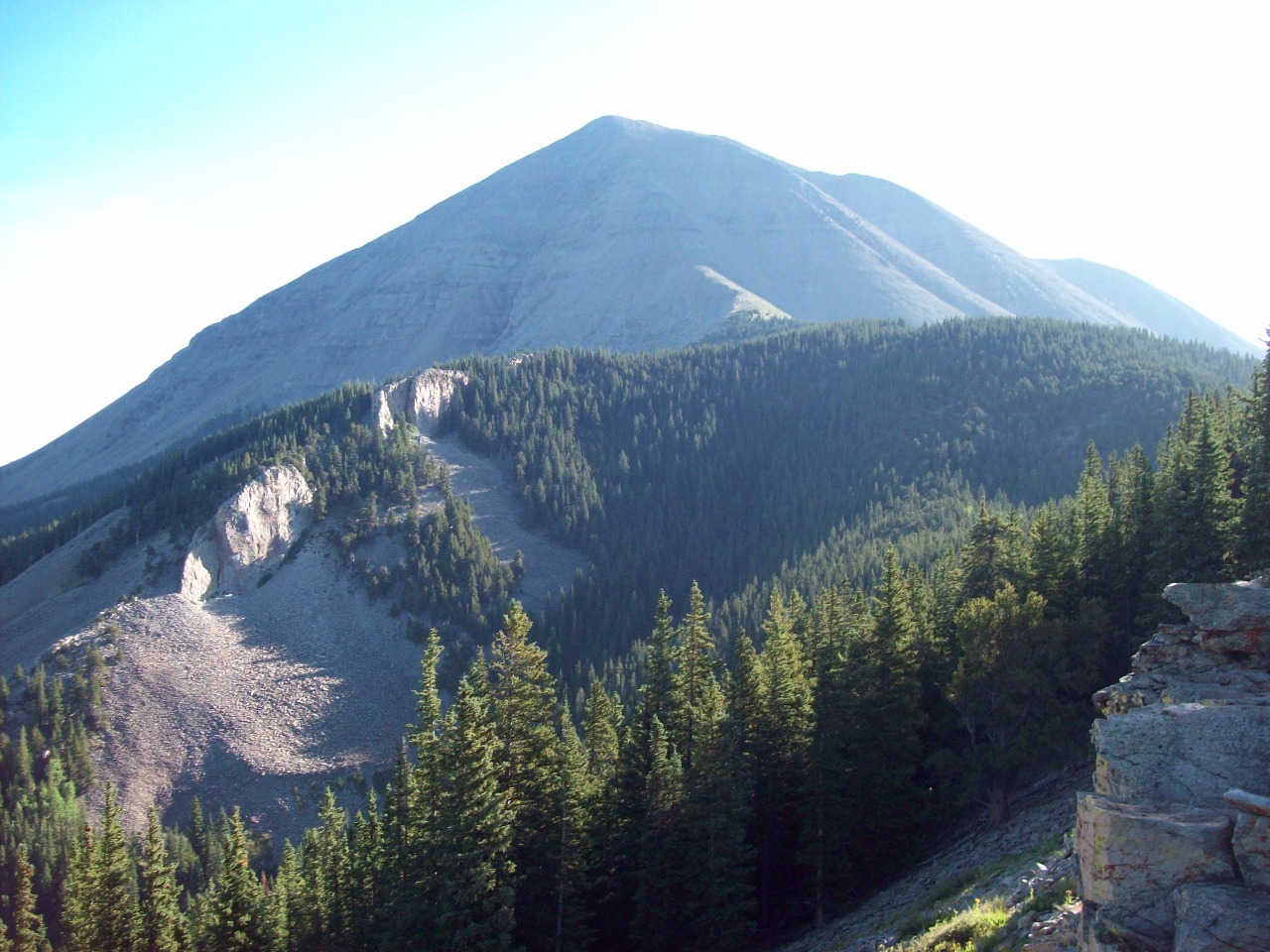
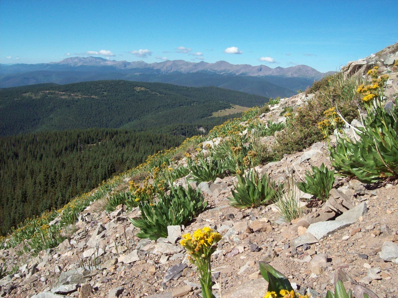
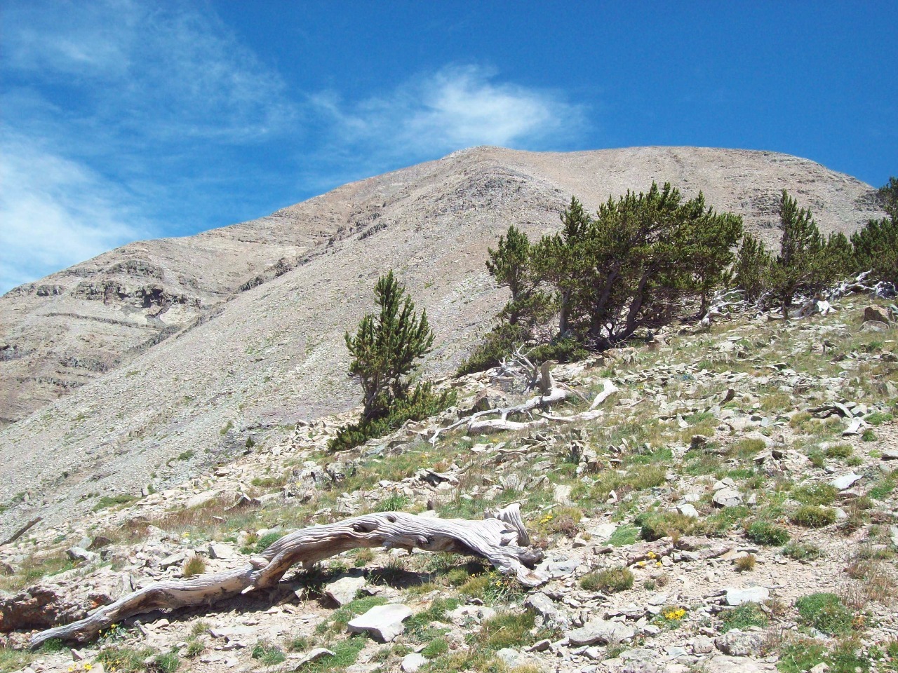
Then the hard part begins. The last 1.5 miles include almost all the elevation
gain and are on a steep scree slope that’s one of those “take two steps up,
slide one step back” kinds of surfaces. I hadn’t come across any descriptions
warning me that it would be this hard, but I think it turned out to be one of
the hardest and least pleasant mountain hikes I’ve undertaken in Colorado.
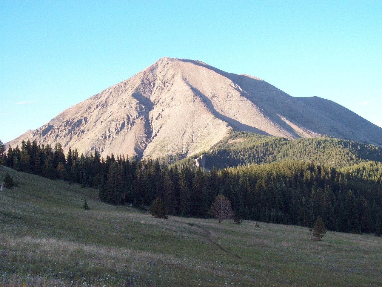
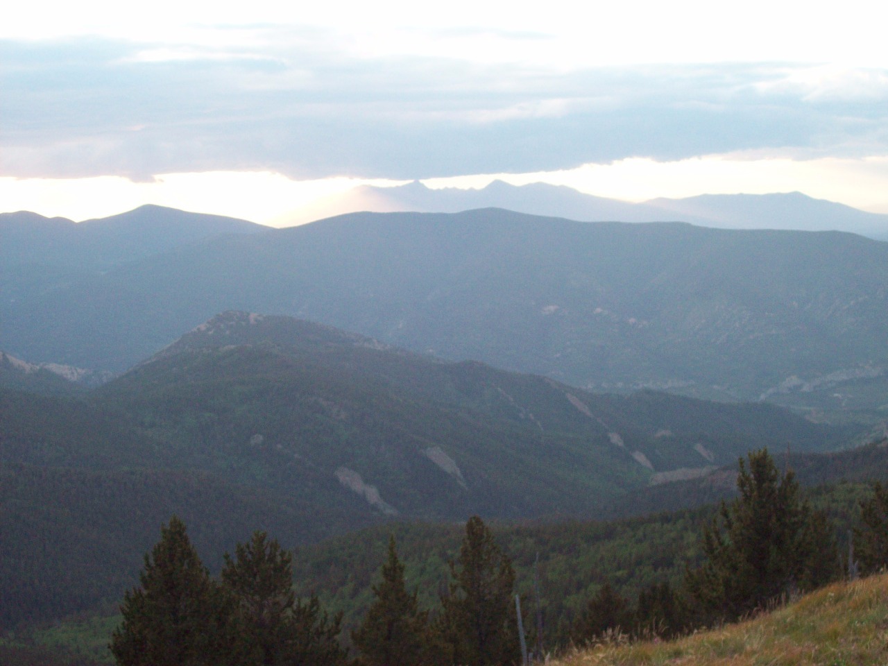
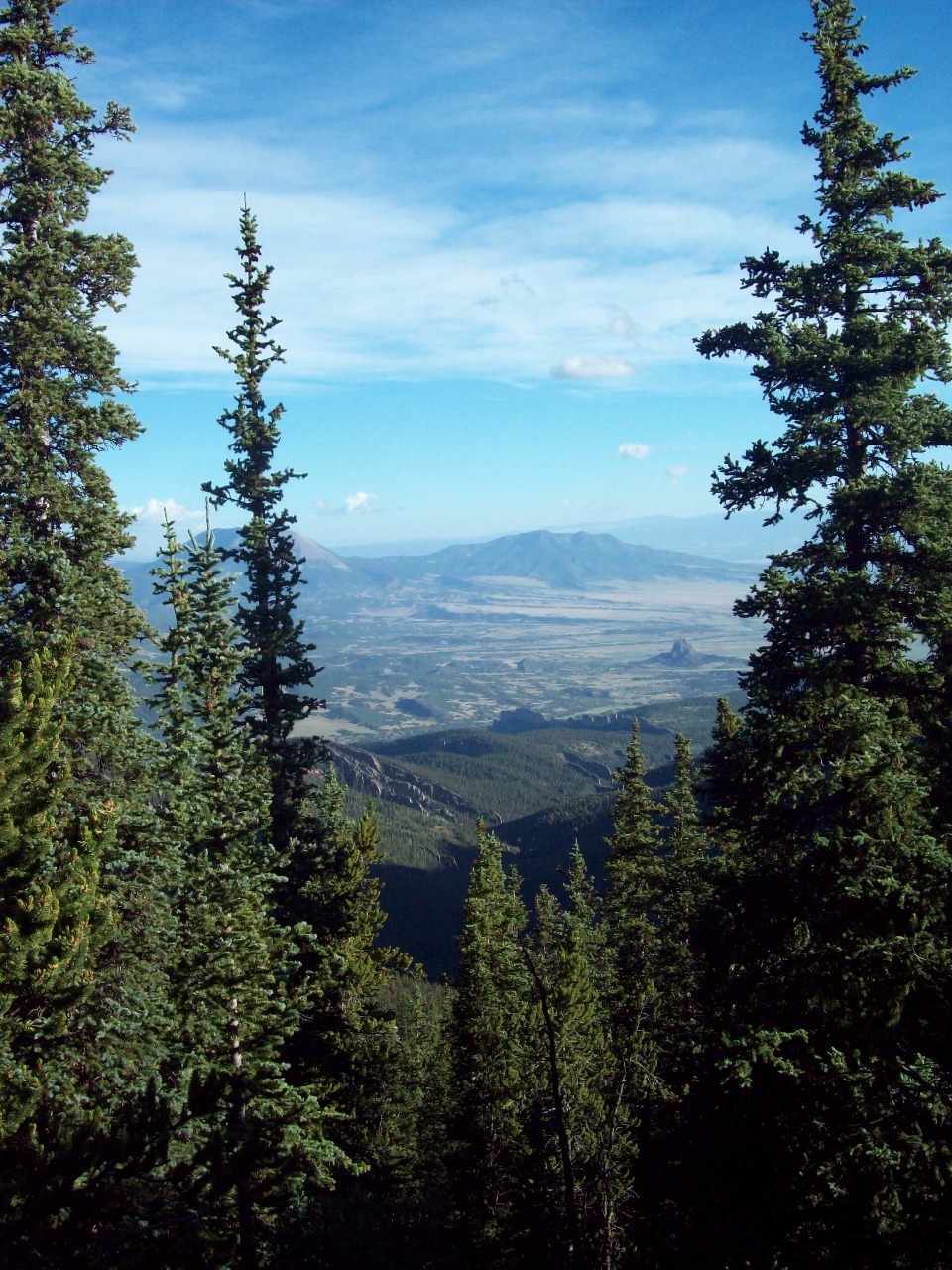
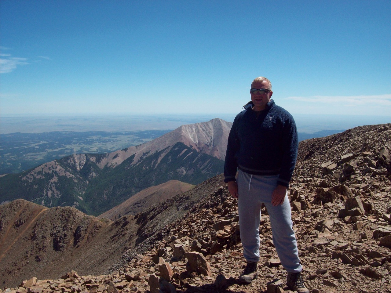
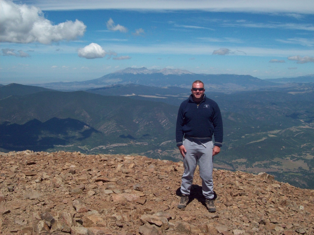
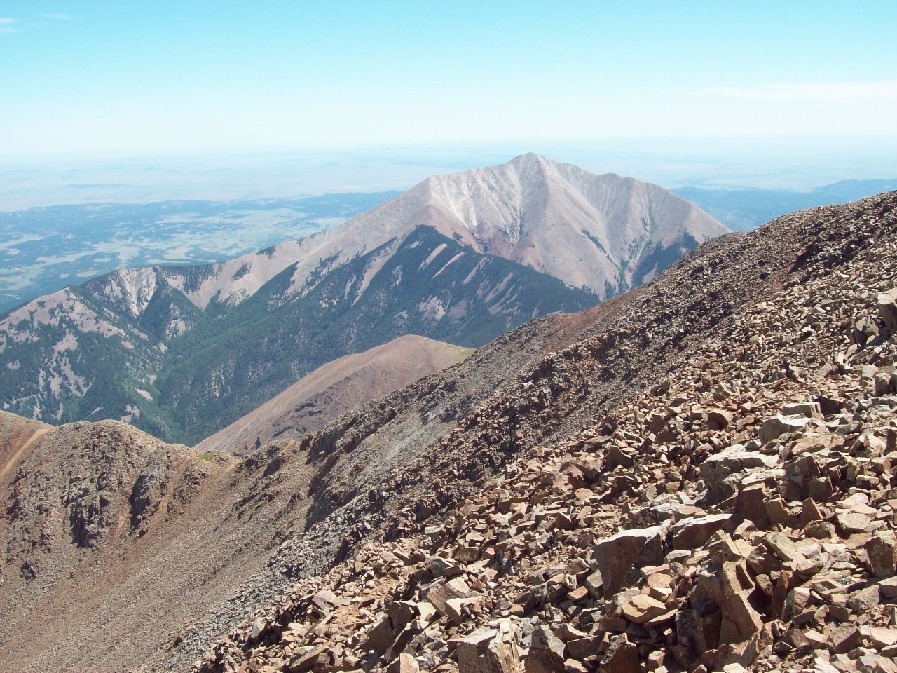
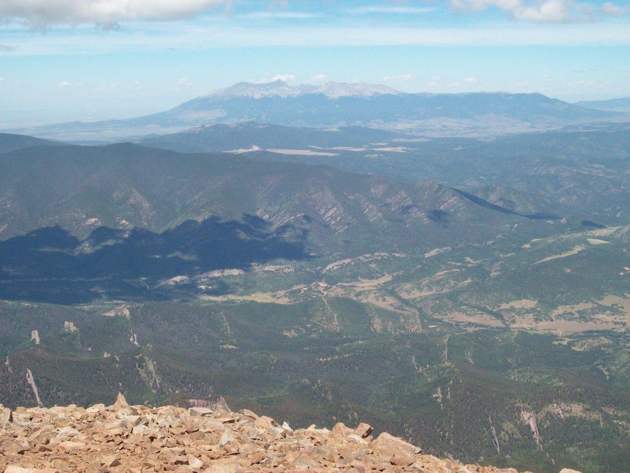
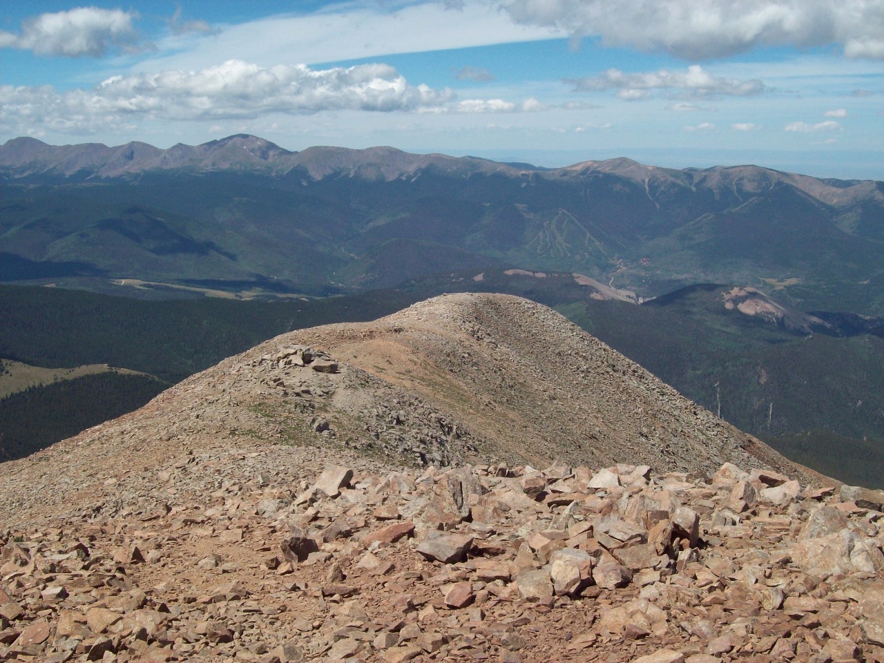
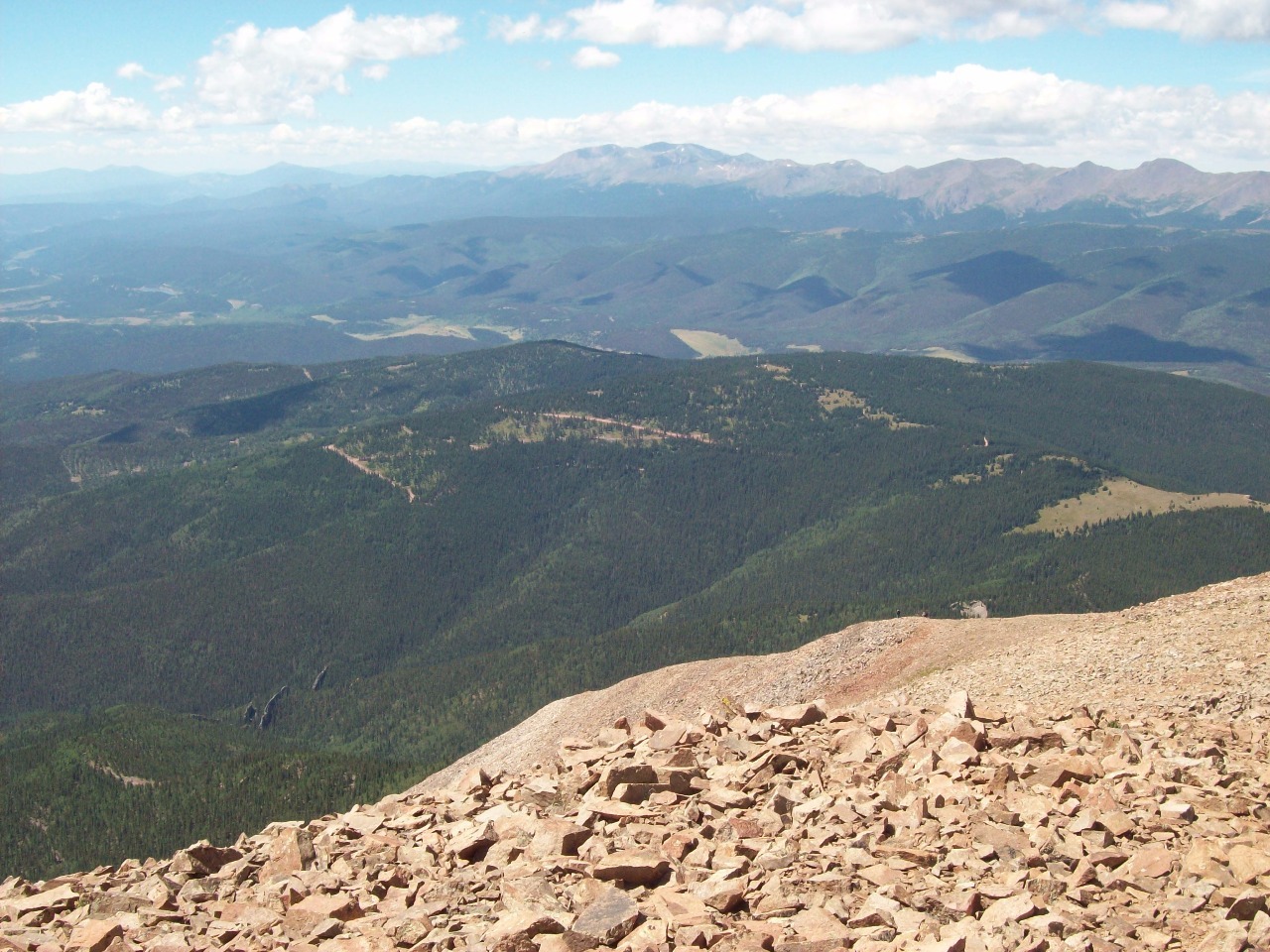
But I made it to the top and the views are stupendous in all
directions. To the west is the wall of the Sangre de Christo Range and to the
east East Spanish Peak and beyond it the Great Plains. An interesting feature
of the area is lines of rock called radiating dikes running out from the peak’s
lower flanks, volcanic formations of batholithic rock that look like walls.
Scree is fortunately fast and easy to descend, and
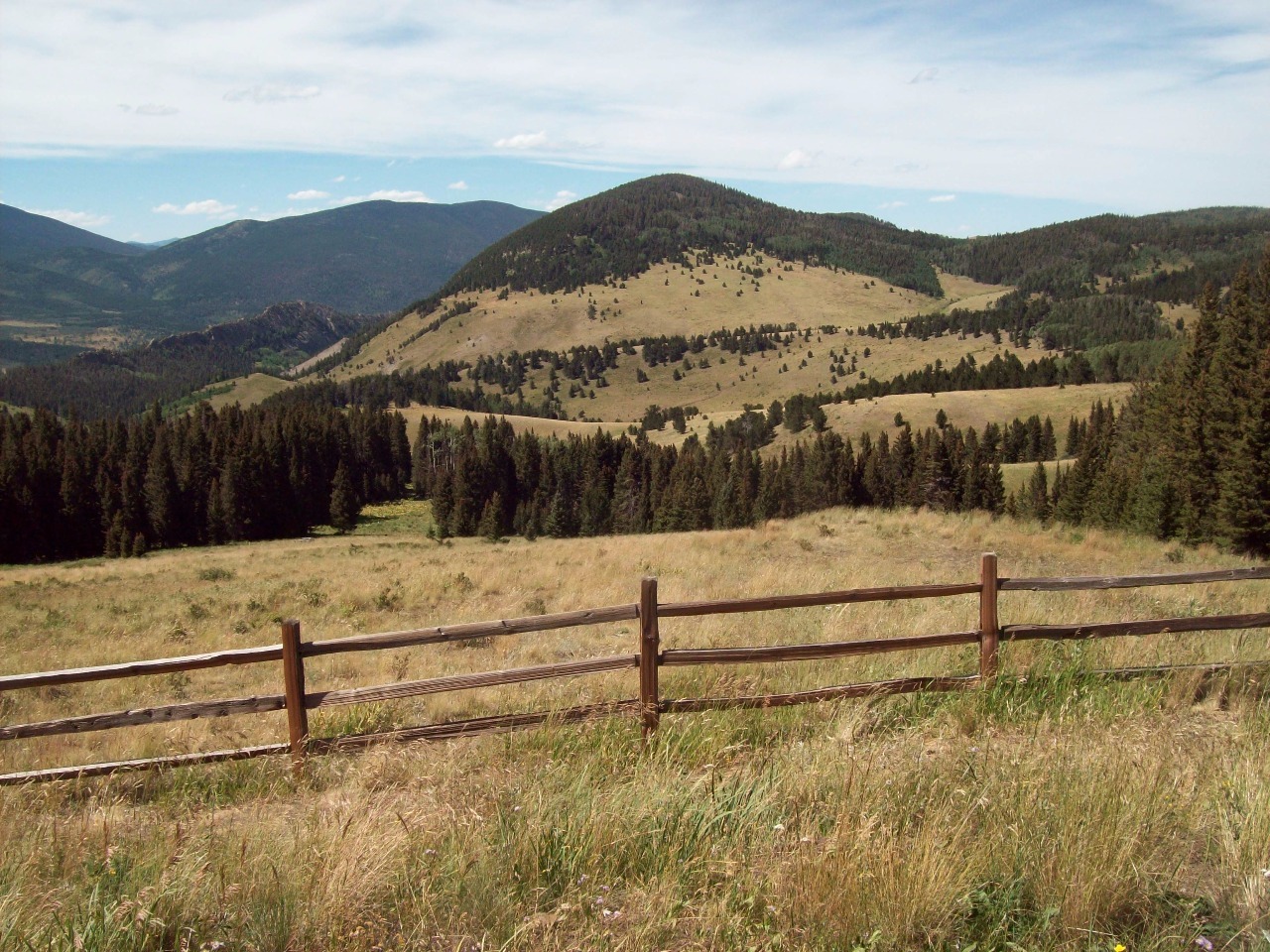
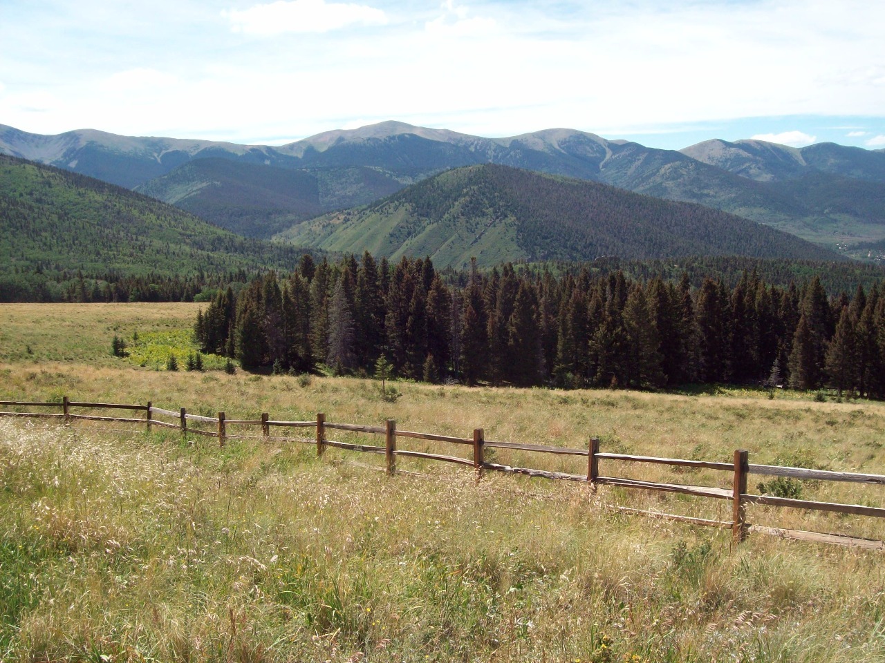
altogether the nearly eight mile hike was not too taxing. I continued west from
Cordova Pass through San Isabel National Forest to the junction with CO-12
where I stopped at a lodge for a beer and a huge burger smothered in green
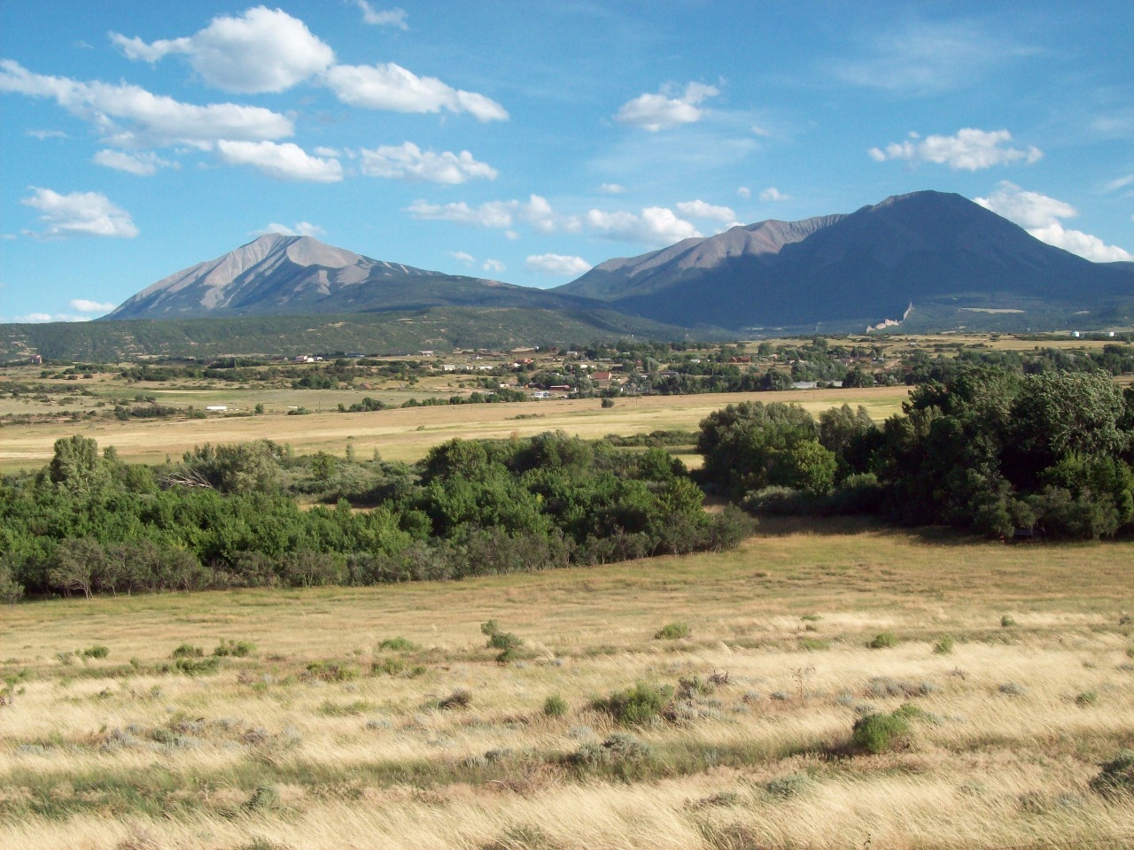
chili and jalapenos . The area from Cuchara Pass down and north to La Veta is an
especially beautiful part of Colorado, particularly as you get closer to the
town and can see the massive bulk of the two peaks in the distance. Yes, I was
on top up there just a few hours ago!
Other Entries
-
Aug 035 days prior Roxborough, United States
 -
Aug 071 day prior
Trinidad, United States -
Aug 08
Cuchara, United States -
Aug 091 day later
Great Sand Dunes National Park and Preserve, United States -
Aug 102 days later
Crestone, United States -
Aug 2416 days later
Eldorado Springs, United States -
Aug 2719 days later
Cripple Creek, United States -
Aug 2820 days later
Farisita, United States -
Sep 0326 days later
Saint Marys, United States -
Sep 1235 days later
Silver Plume, United States -
Sep 2750 days later
Copper Mountain, United States -
Oct 1770 days later
Golden, United States -
May 25290 days later
Denver, United States -
Jun 06302 days later
Rocky Mountain National Park, United States -
Jun 19315 days later
Denver, United States -
Jul 14340 days later
Idaho Springs, United States -
Aug 19376 days later
Allenspark, United States -
Sep 02390 days later
Bakerville, United States -
Sep 11399 days later
Jefferson, United States -
Sep 18406 days later
Blue River, United States -
Sep 21409 days later
Boulder, United States

2025-05-22