 Dillon, Montana, United States
Beaverhead County is the southwesternmost county in Montana
and also its largest in terms of land area, ranging from Red Rock Lakes near
Yellowstone National Park to Big Hole Battlefield. Despite its location, it is entirely on the
Atlantic side of the Continental Divide, which makes up its southern and
western borders. The scenery is mostly broad dry valleys, sagebrush country,
and ranches between mountain ranges, a true wild west scenery with a pioneer
and outlaw history to match.
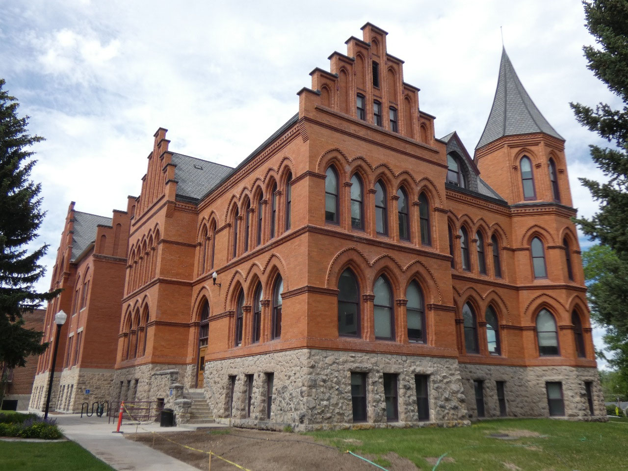
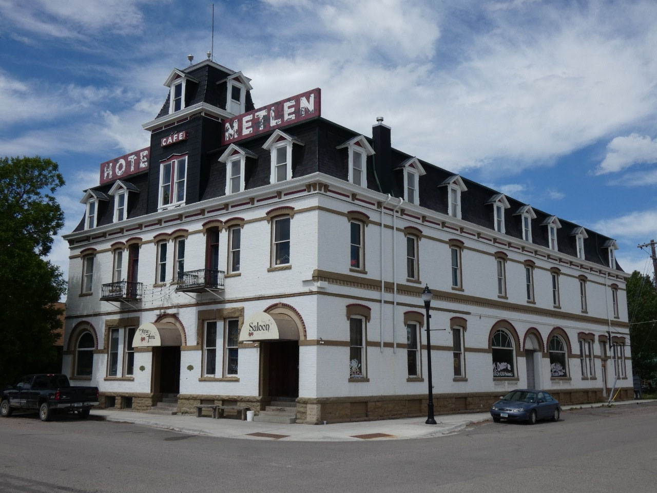
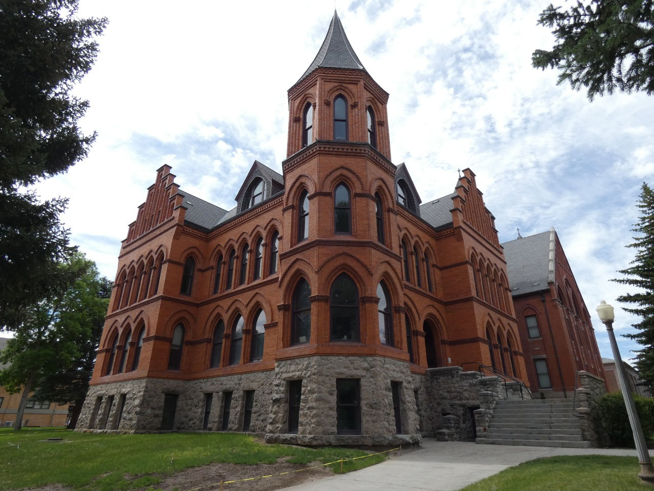
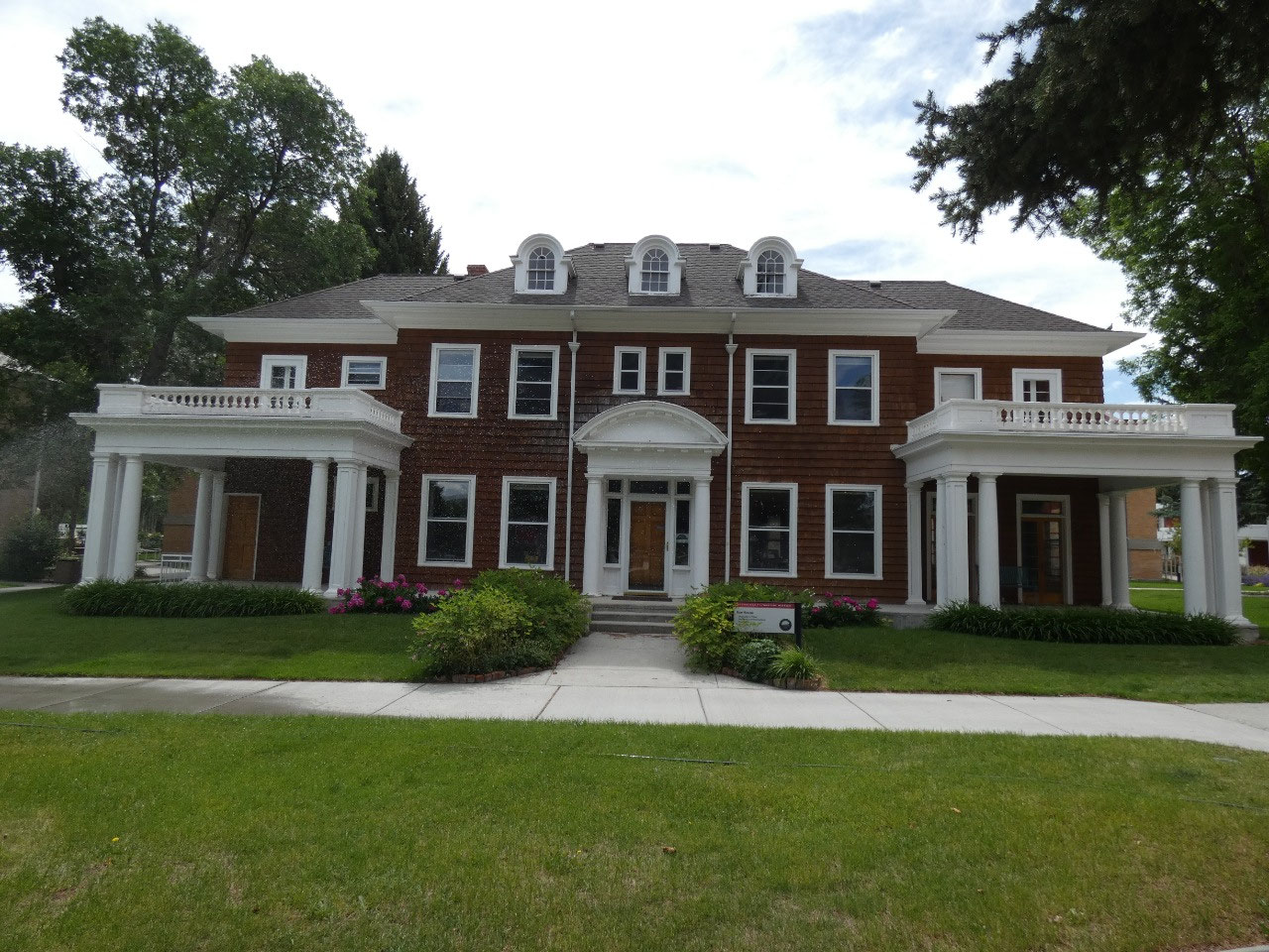
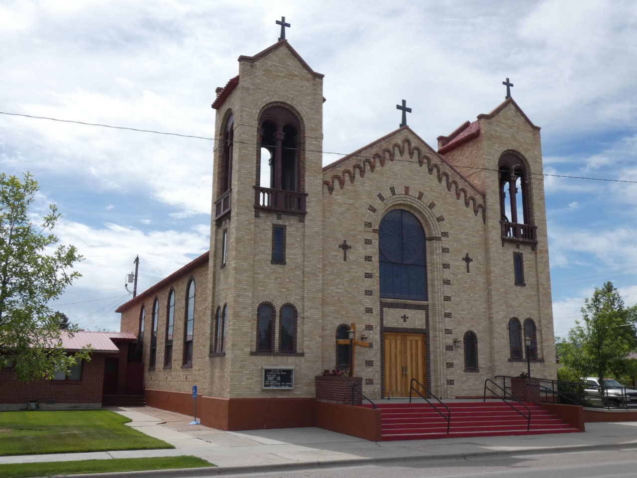
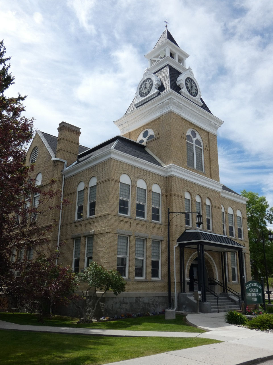
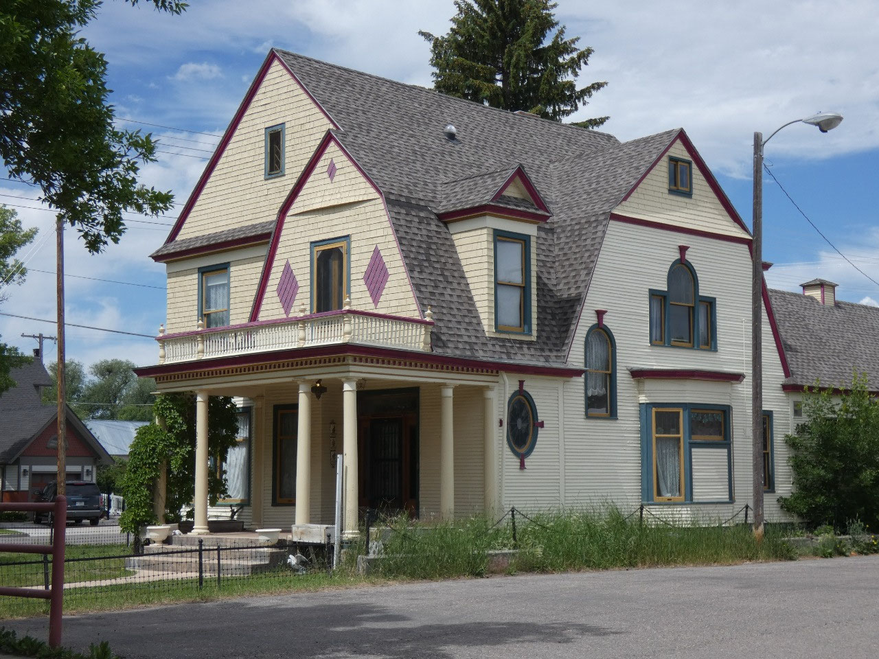
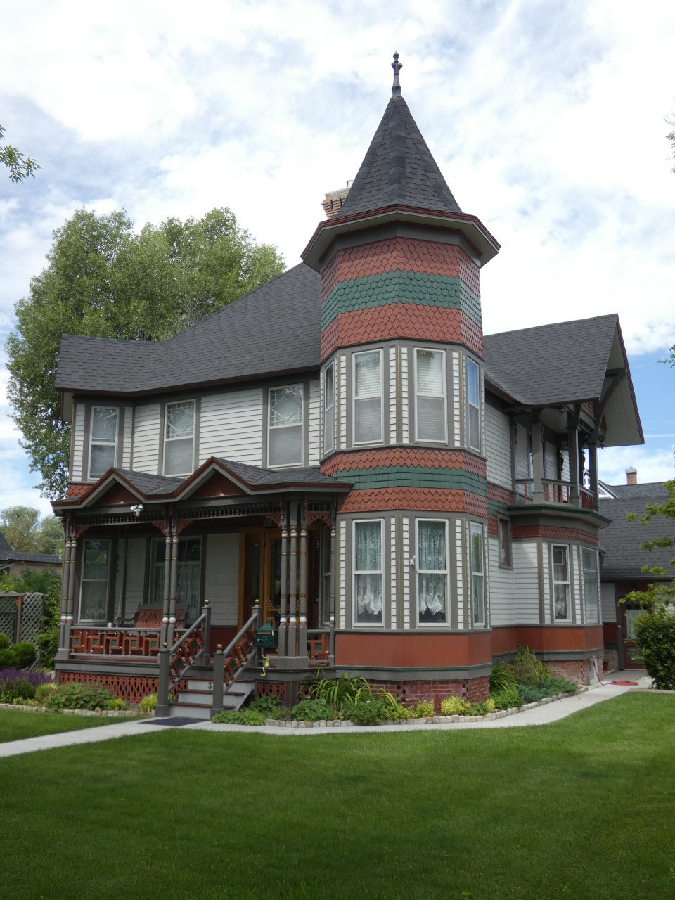
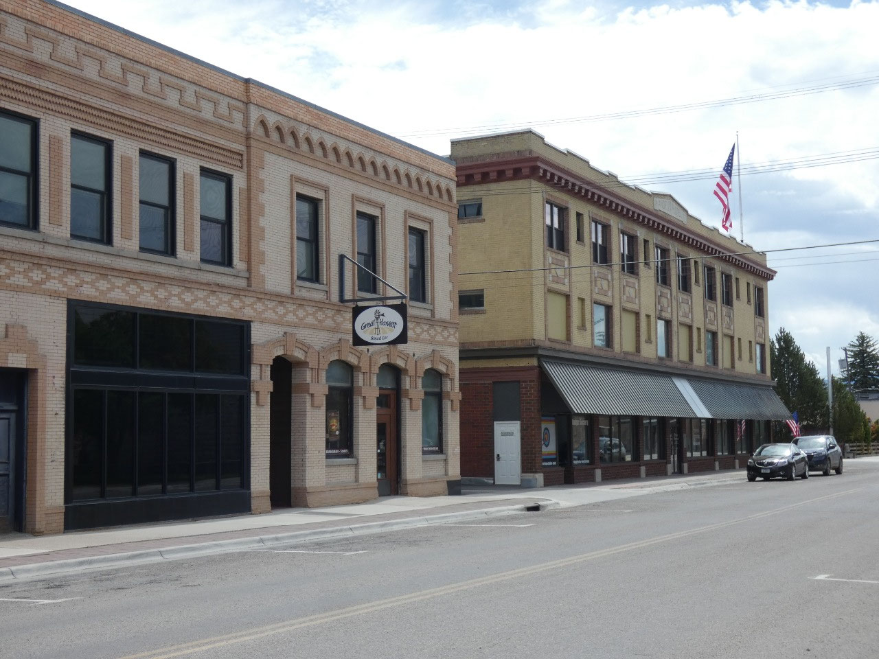
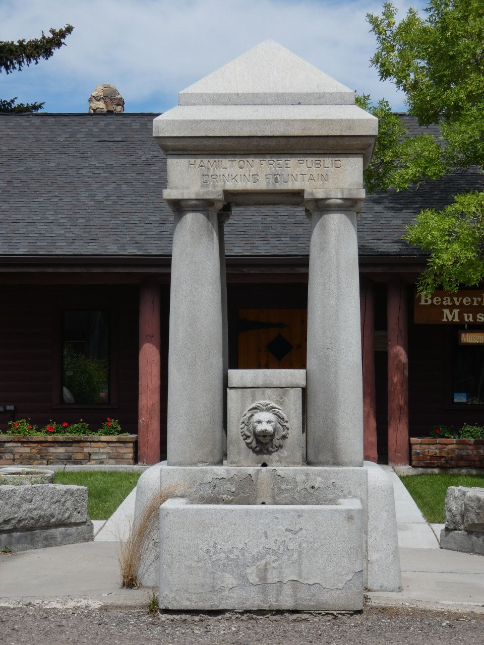
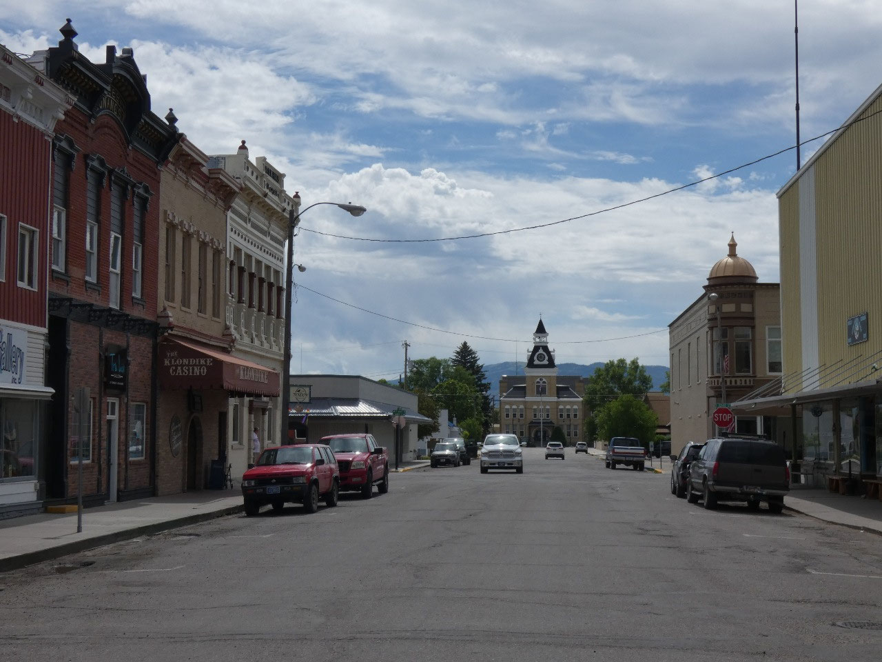
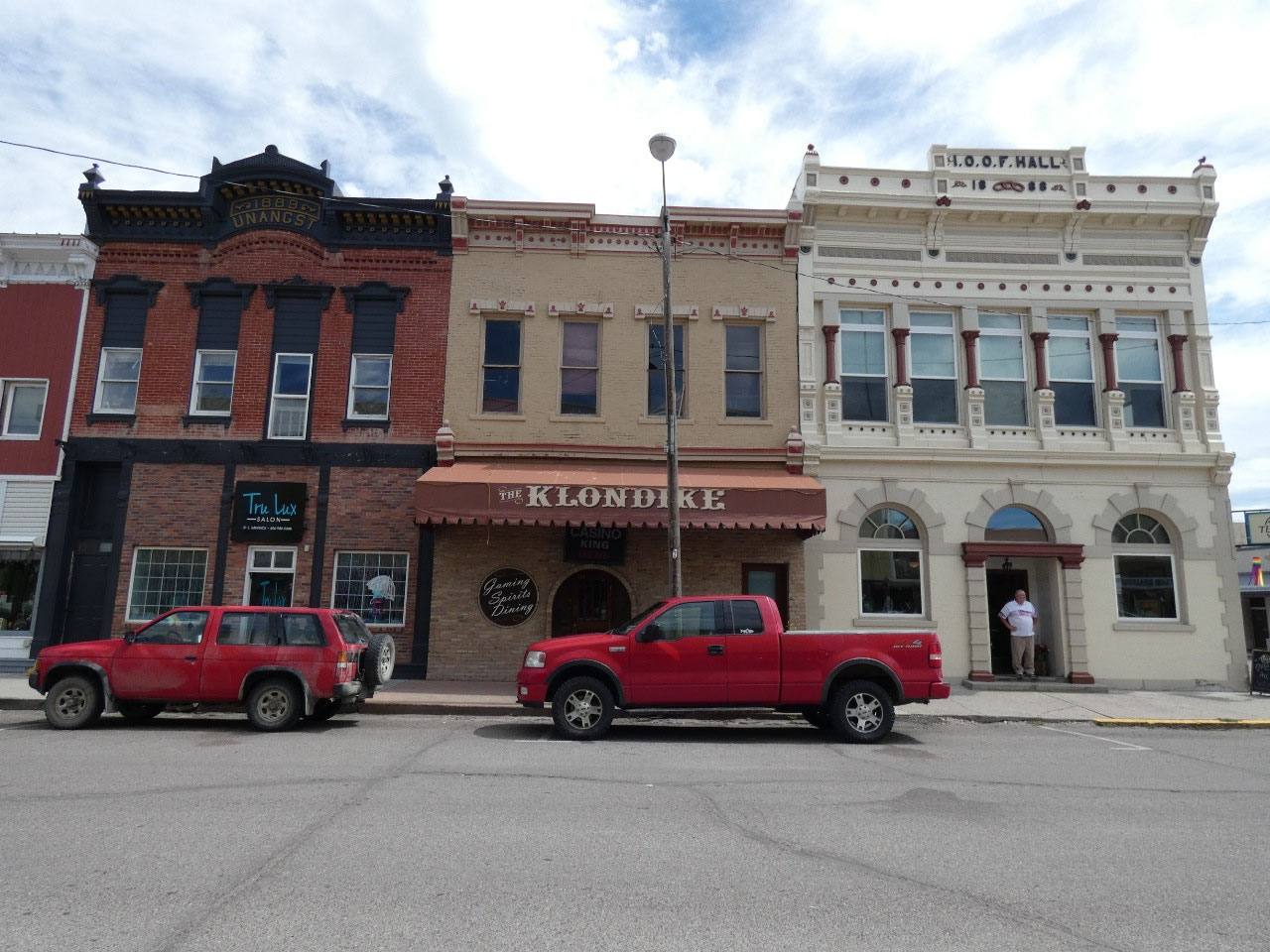
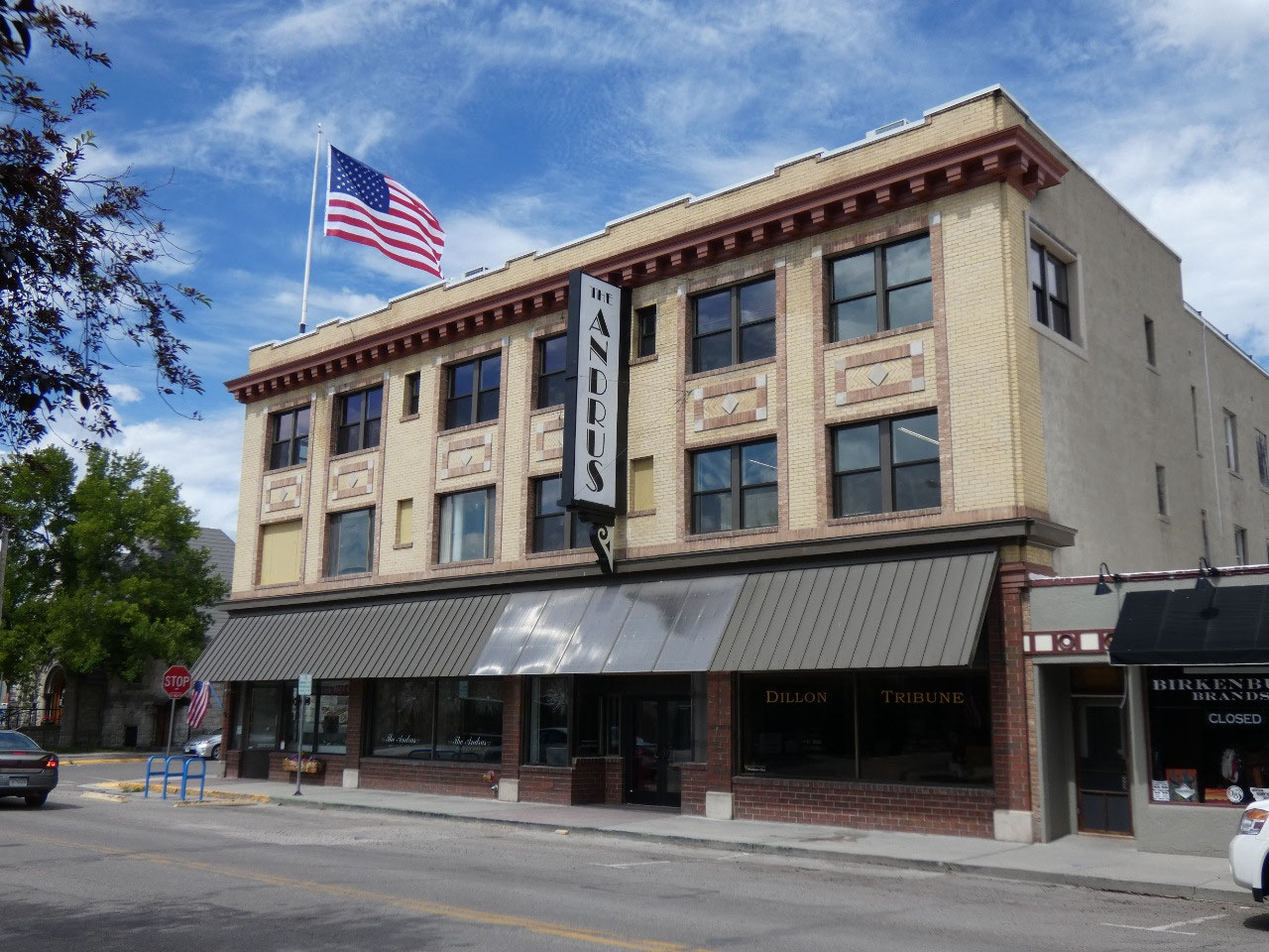
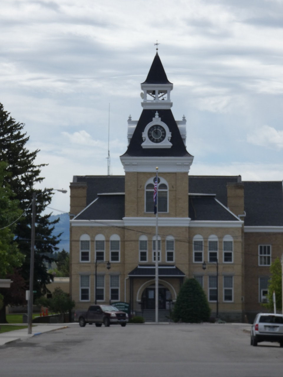
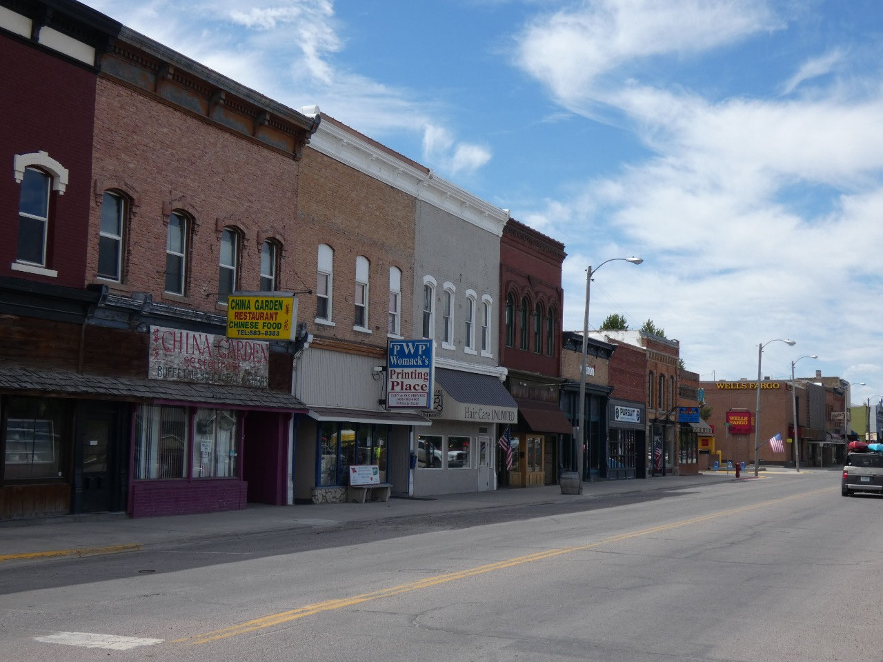
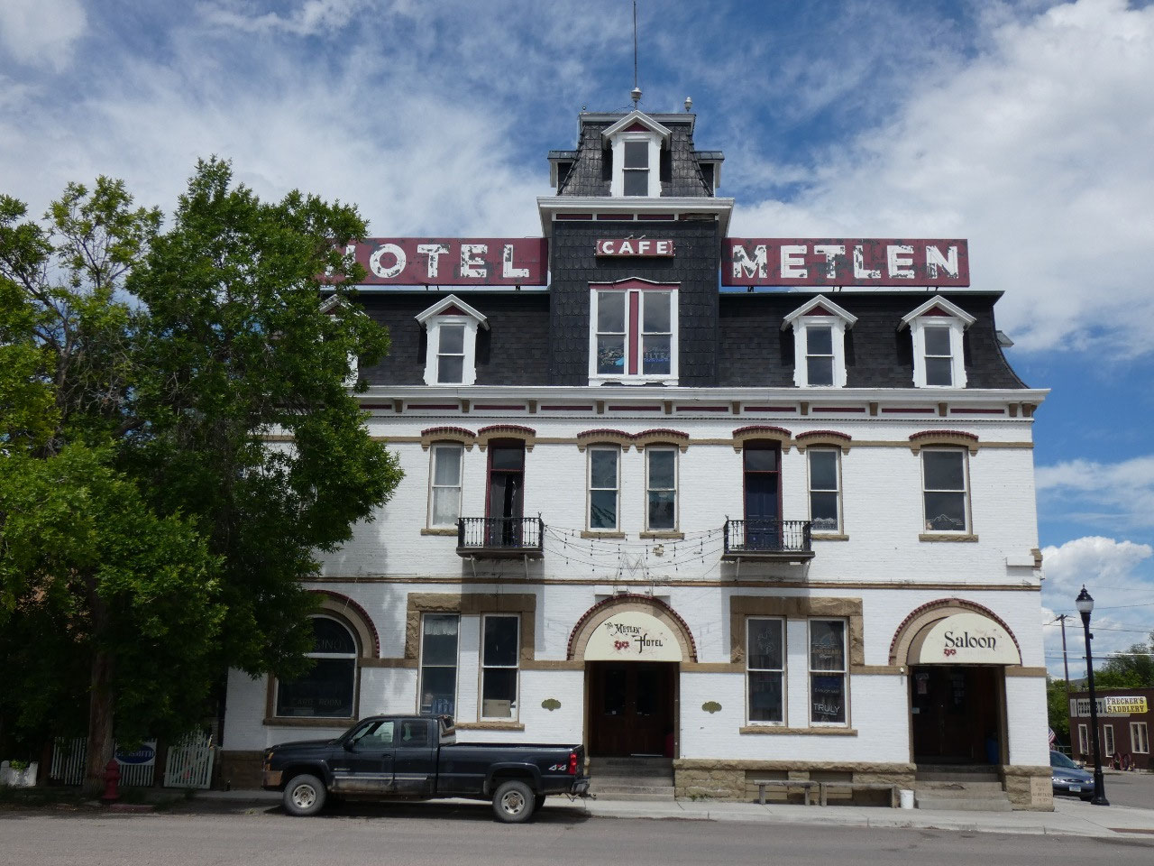
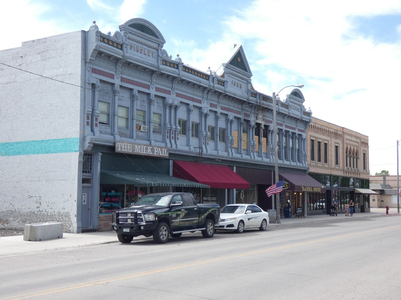
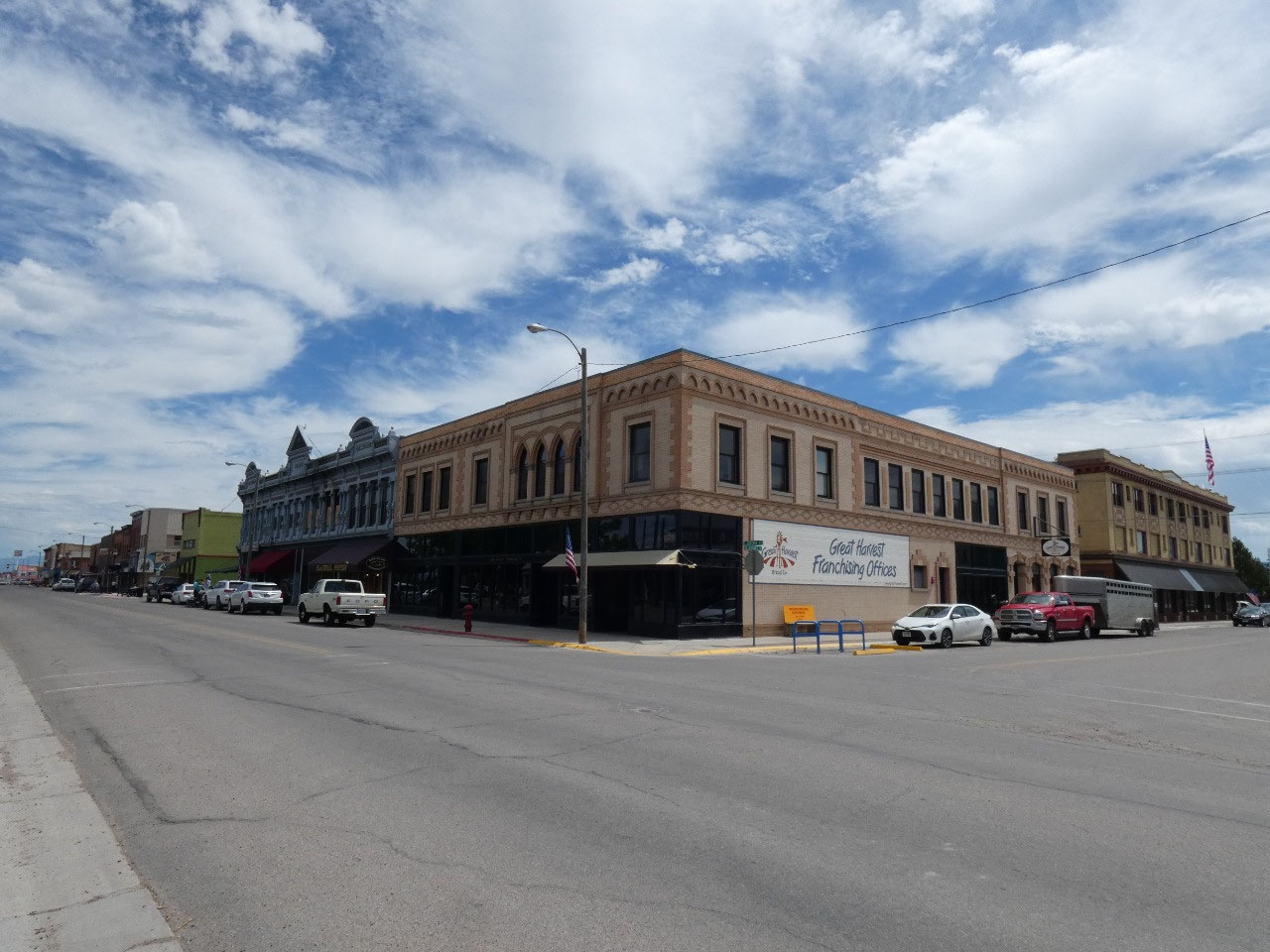
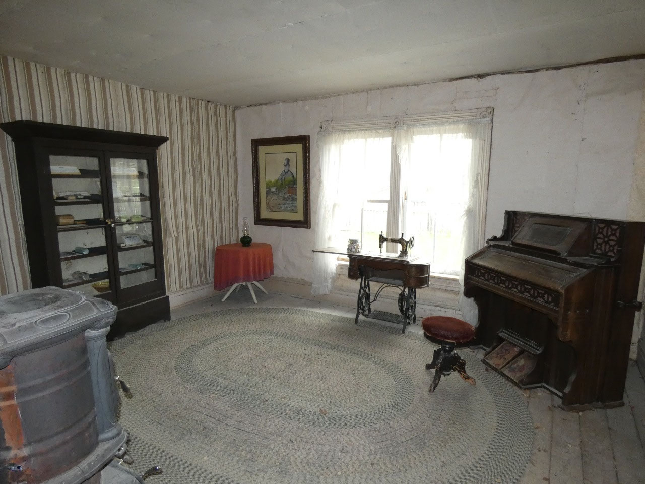
Dillon is the county seat and one of the state’s quaint
historic towns, also home to Western Montana University. I stayed there for a night on a winter trip
to Montana in 2012 and really liked the town, and in summer the rather
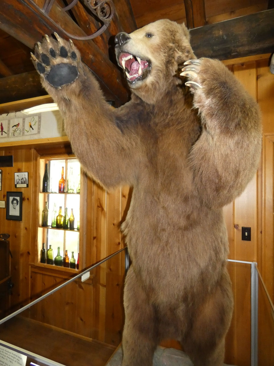
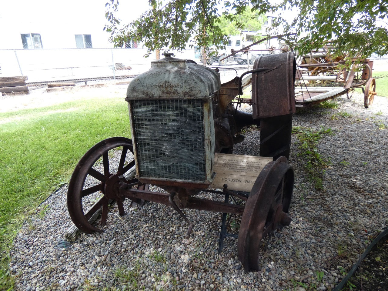
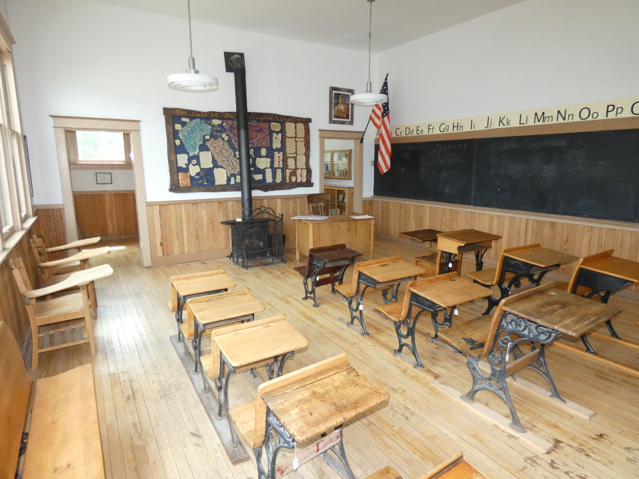
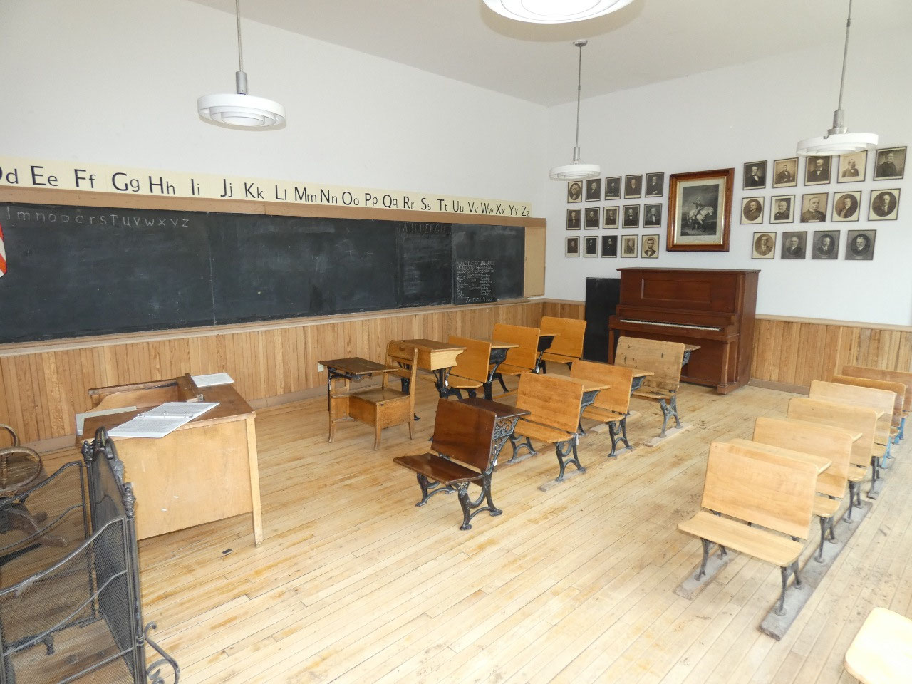
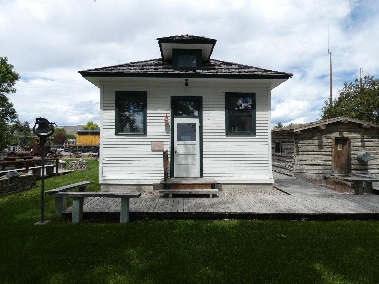
impressive Beaverhead County Museum was open this time around. While in the museum, I heard people asking
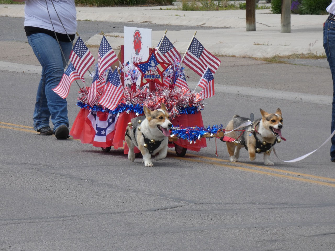
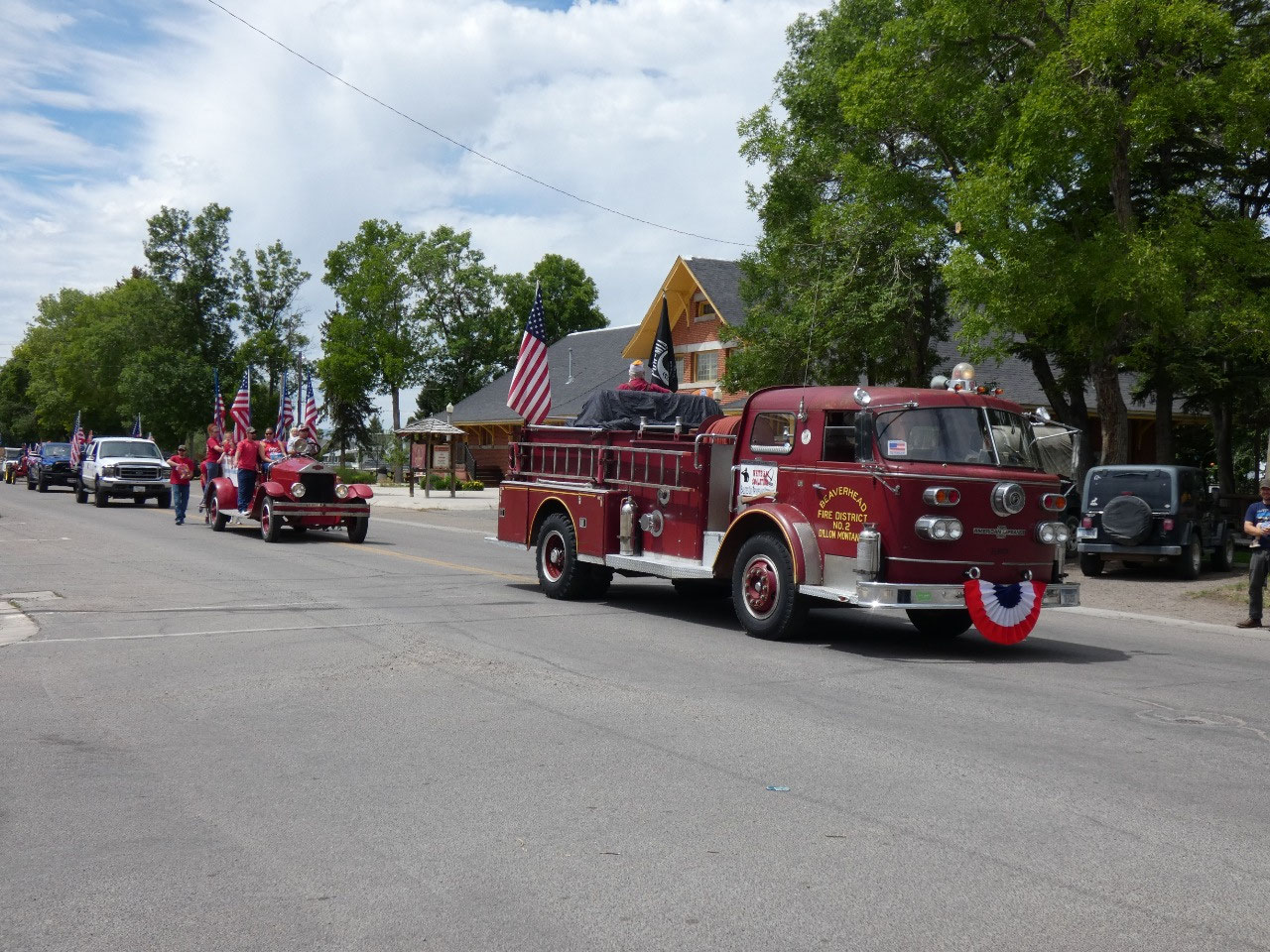
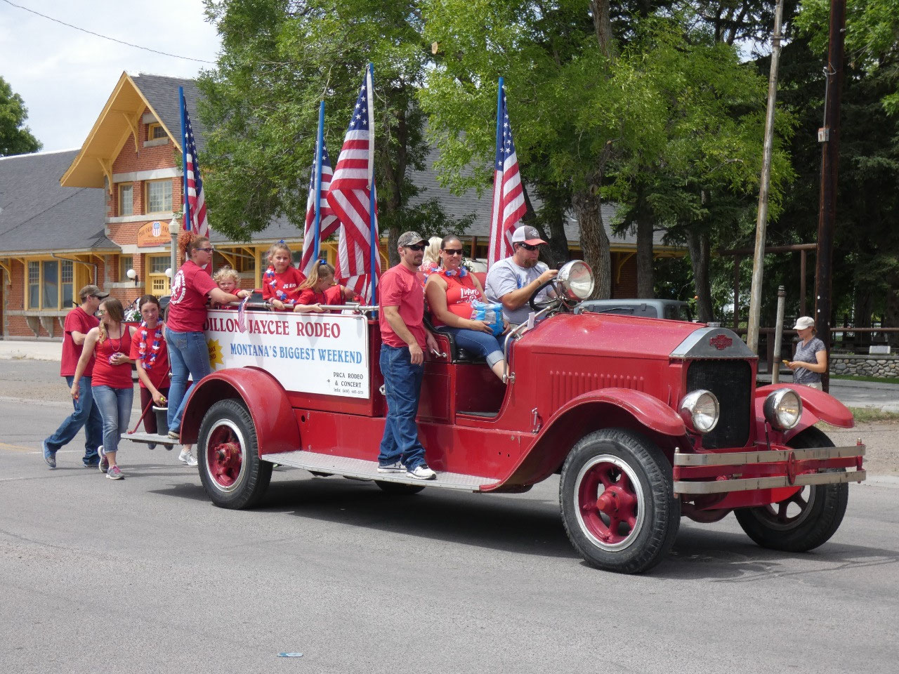
about the parade. It’s Fourth of July
but almost all events have been canceled because of the Covid-19 plague,
including the big ones in Ennis and Livingston which were planned to go on
until only a few weeks ago.
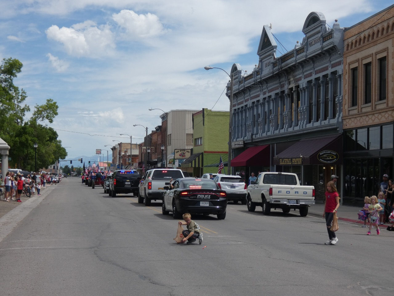
I observed the crowd, well a crowd by small town
Montana standards (which is just a few dozen people), gathering and went out to
see. It was one of those blink- and-you’ll-miss-it
kind of things, but the cars and few small groups walking by tossed candy for
the children. Ooooh, and there’s a
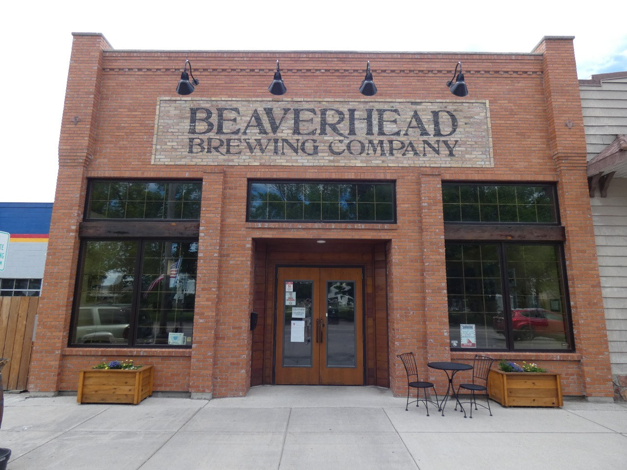
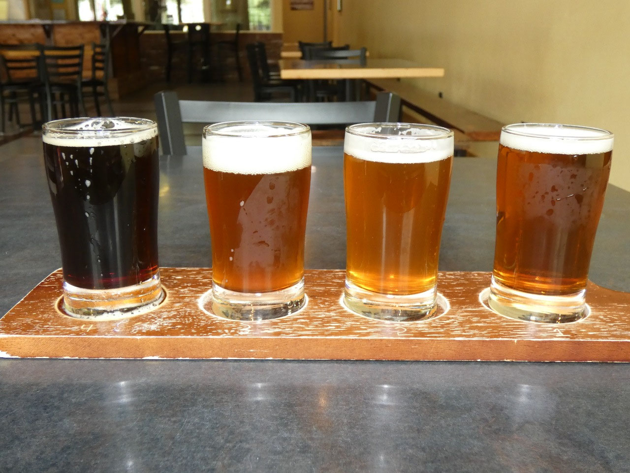
brewery – naturally the Beaverhead Brewery – where I couldn’t resist sampling
some of the local specialties, breaking my usual policy of no day
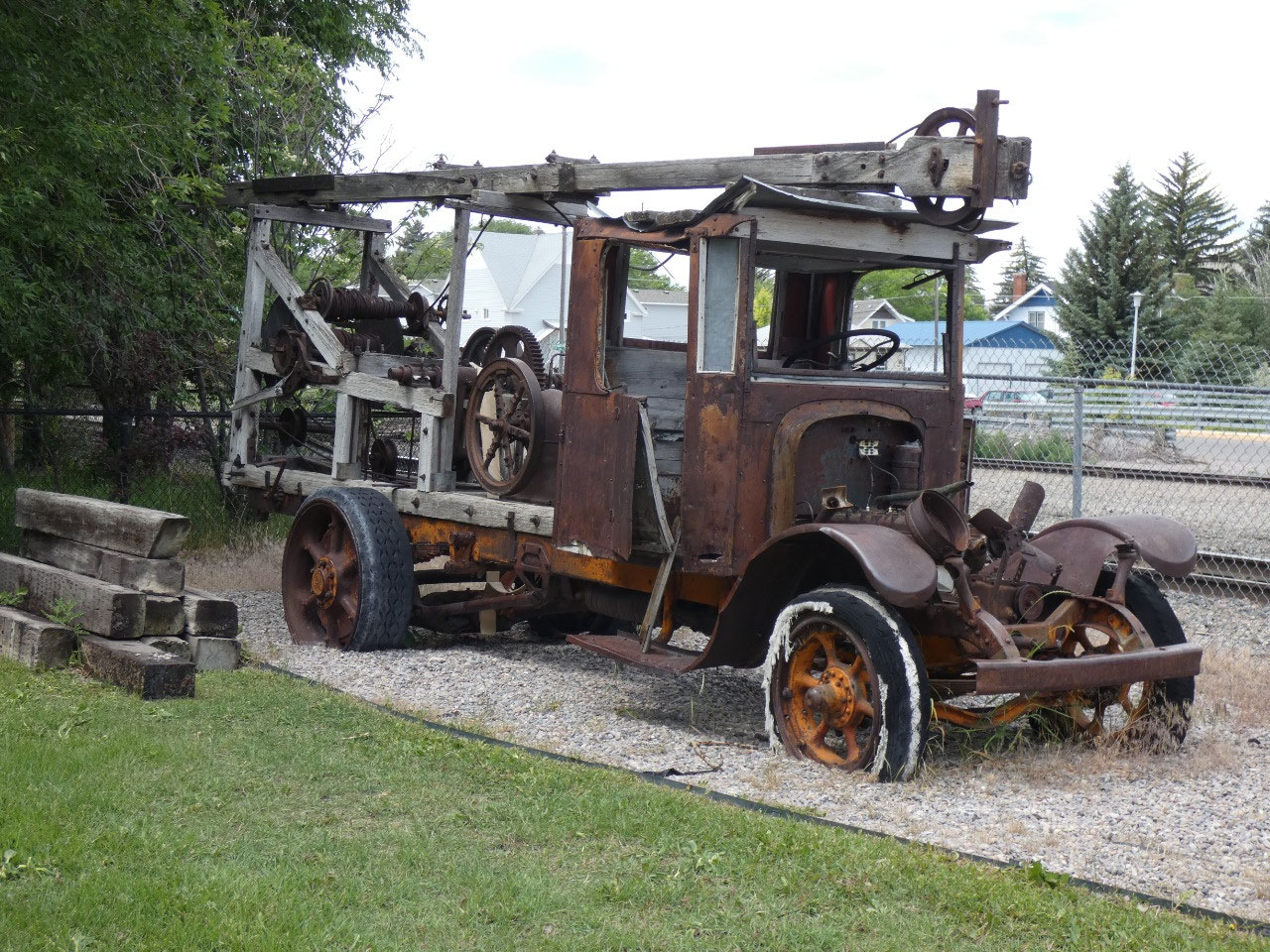
drinking. And at the museum I learned
that beaver slides, the strange large wooden contraptions still seen on ranches
for bailing hay, were invented in Beaverhead County and named for it, although
the -head in the name was eventually dropped.
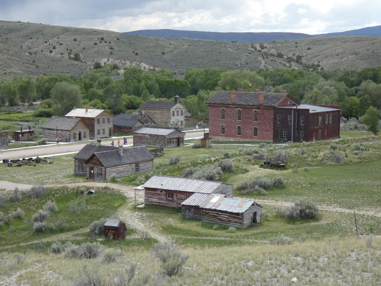
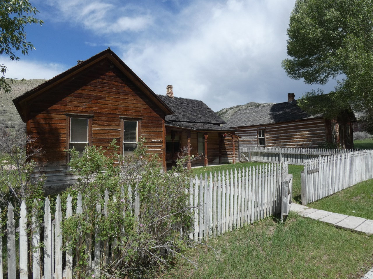
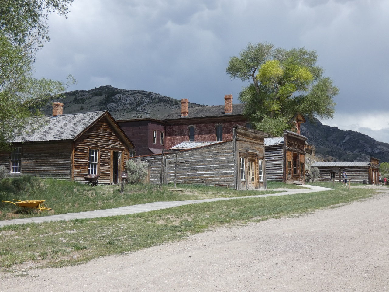
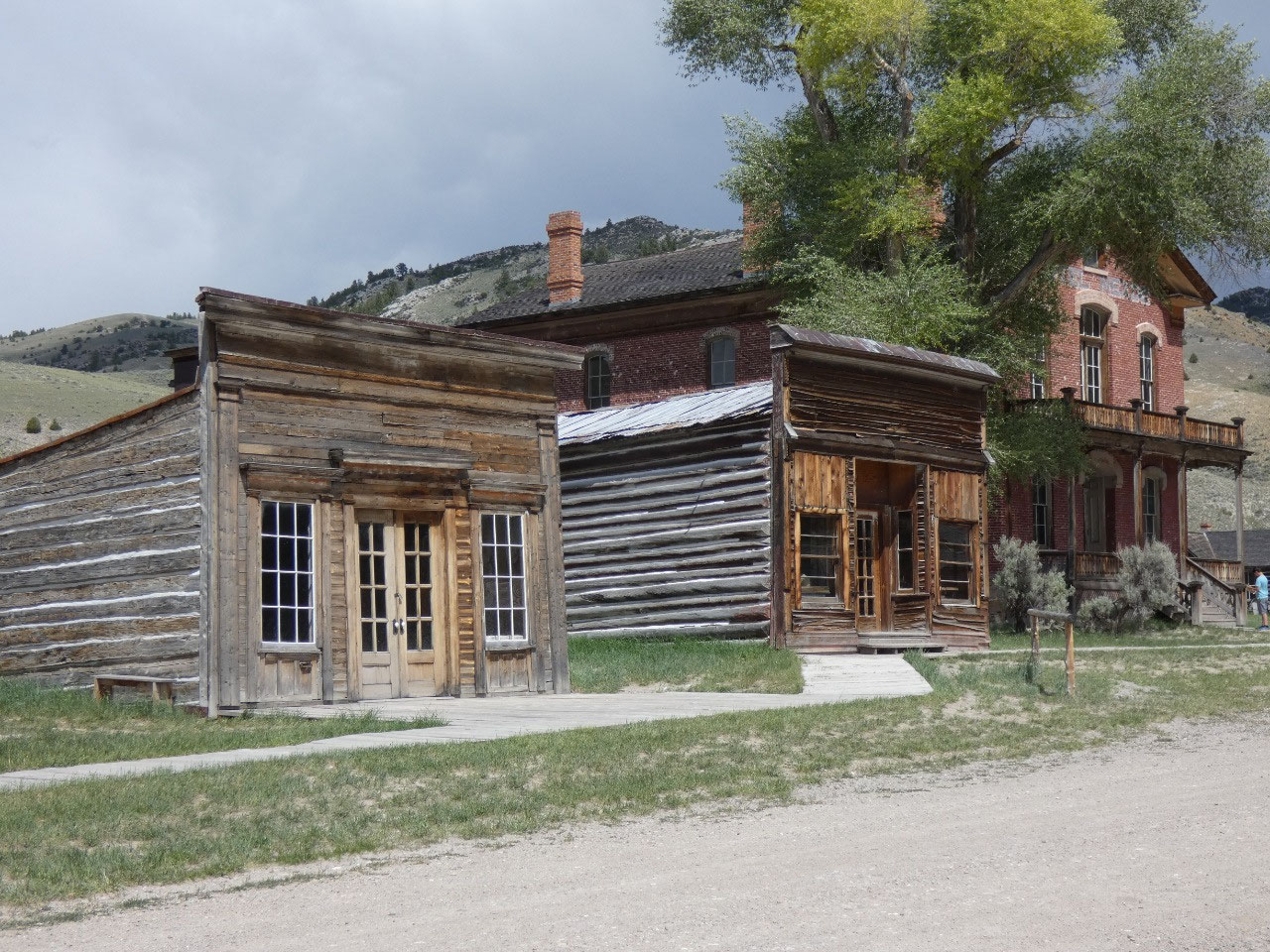
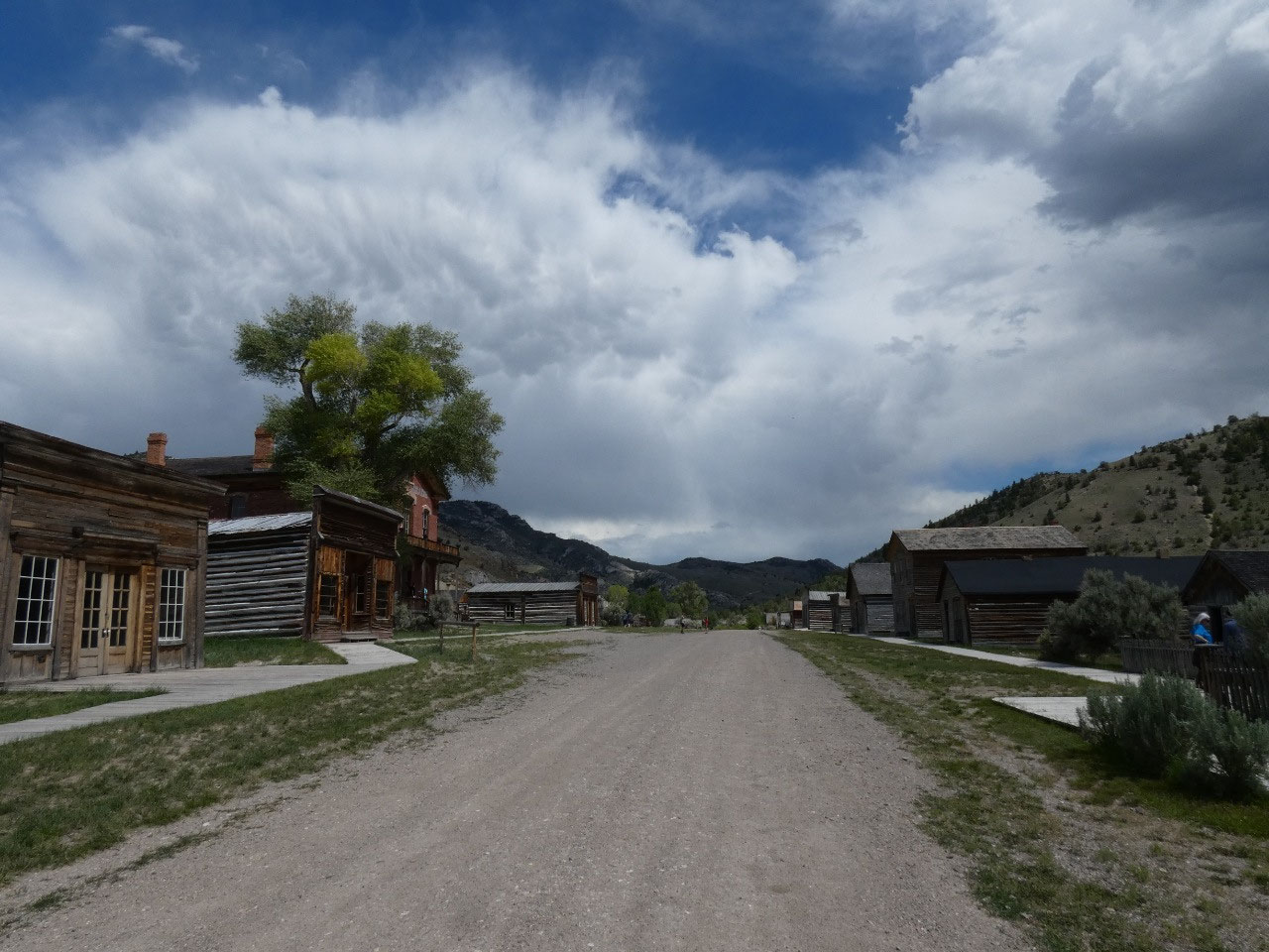
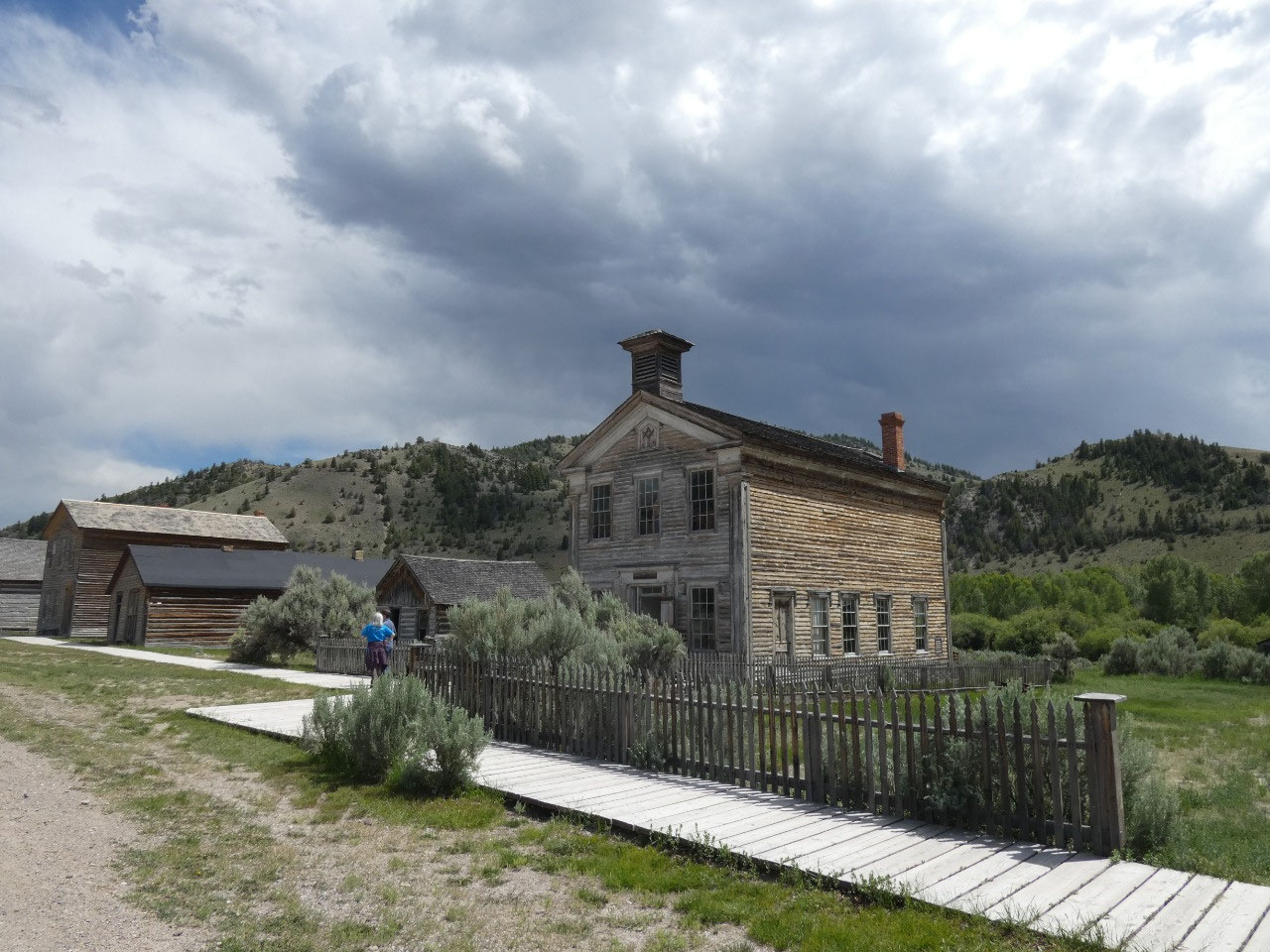
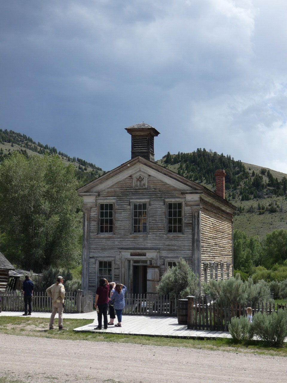
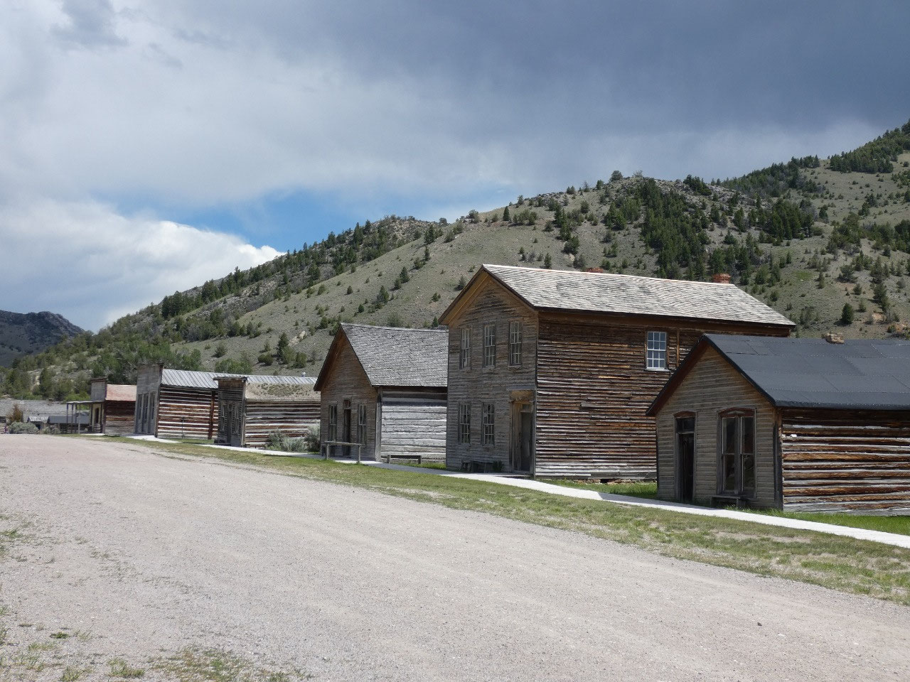
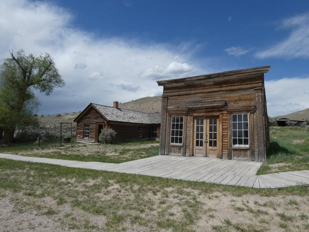
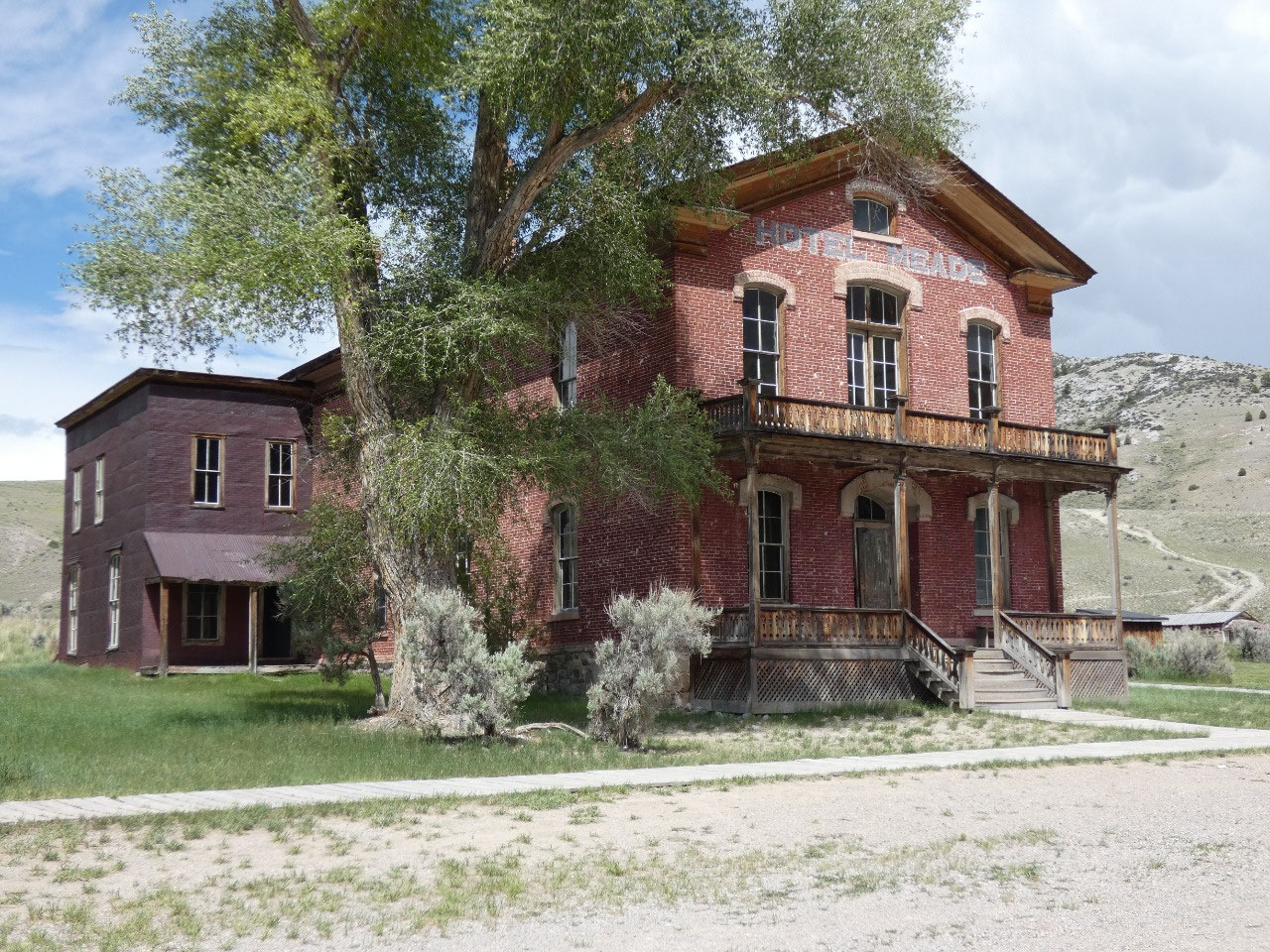
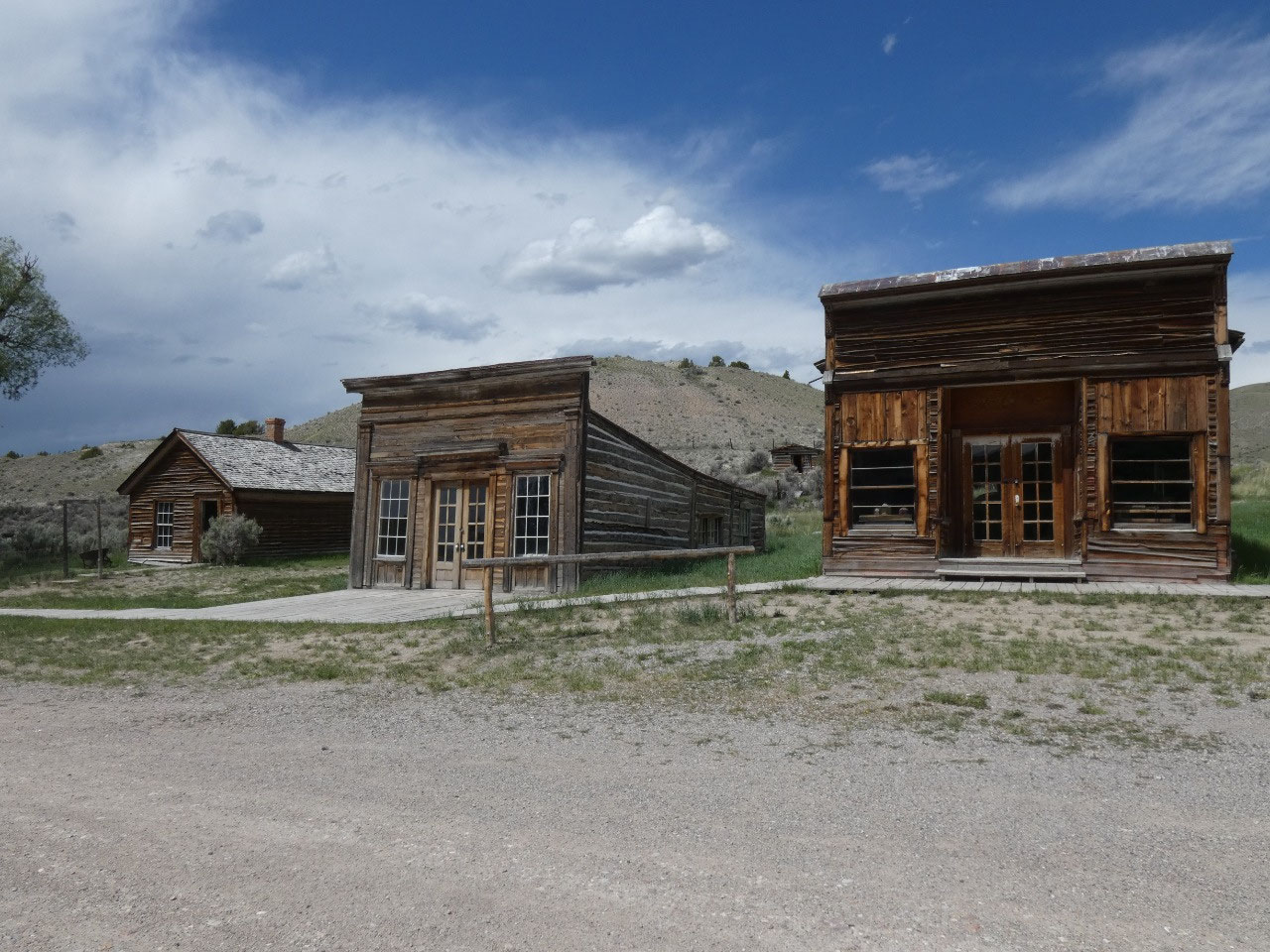
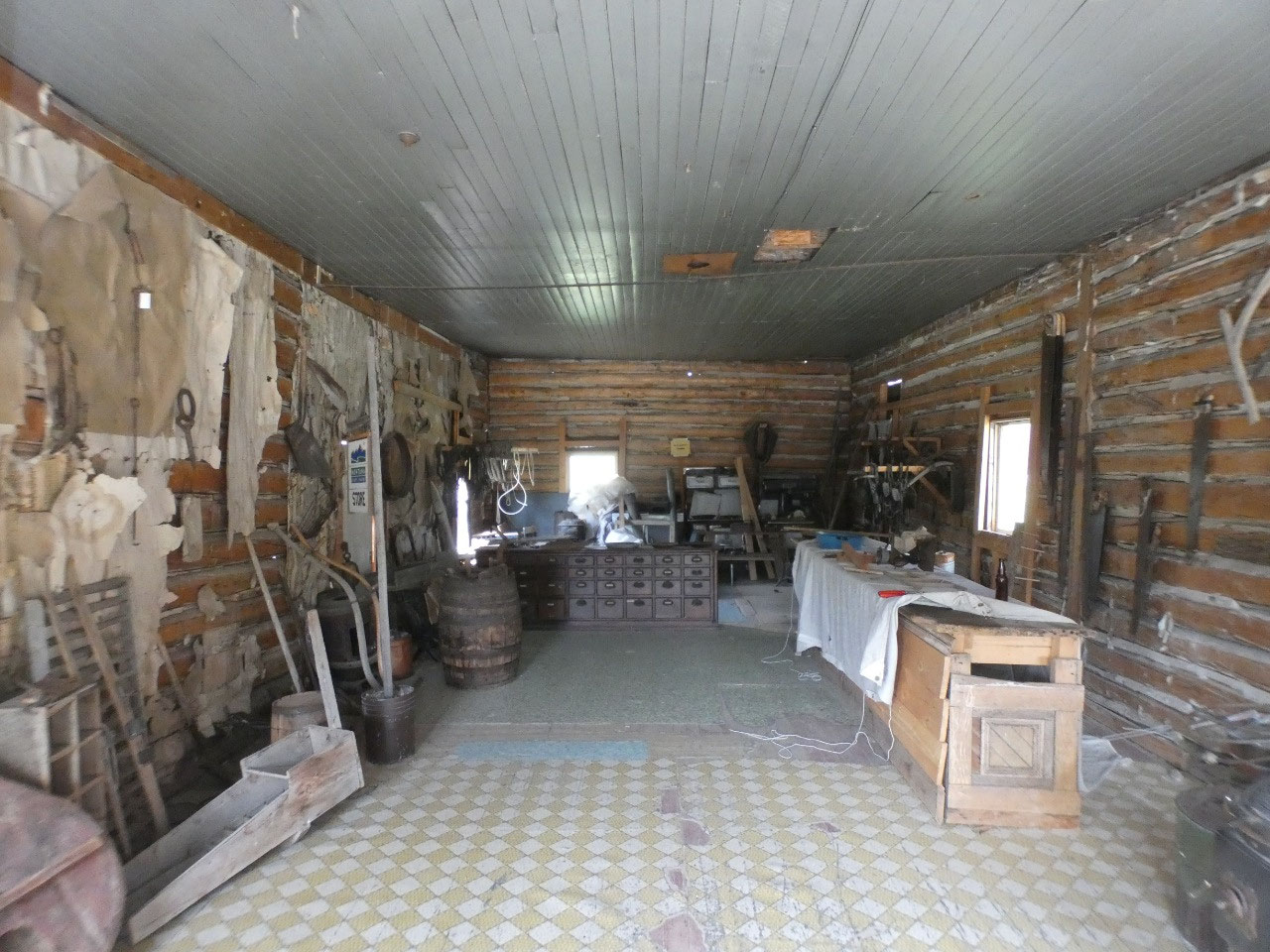
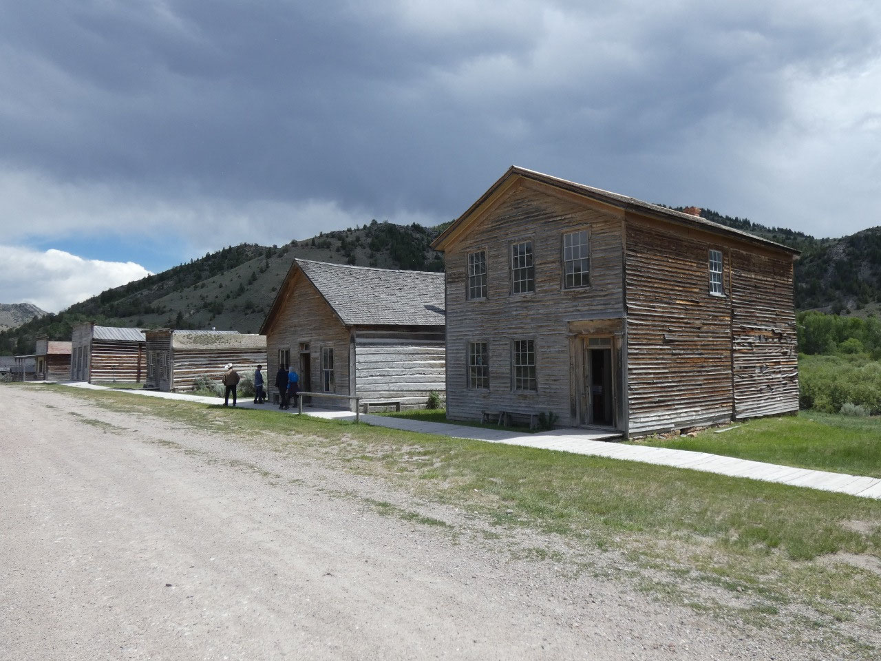
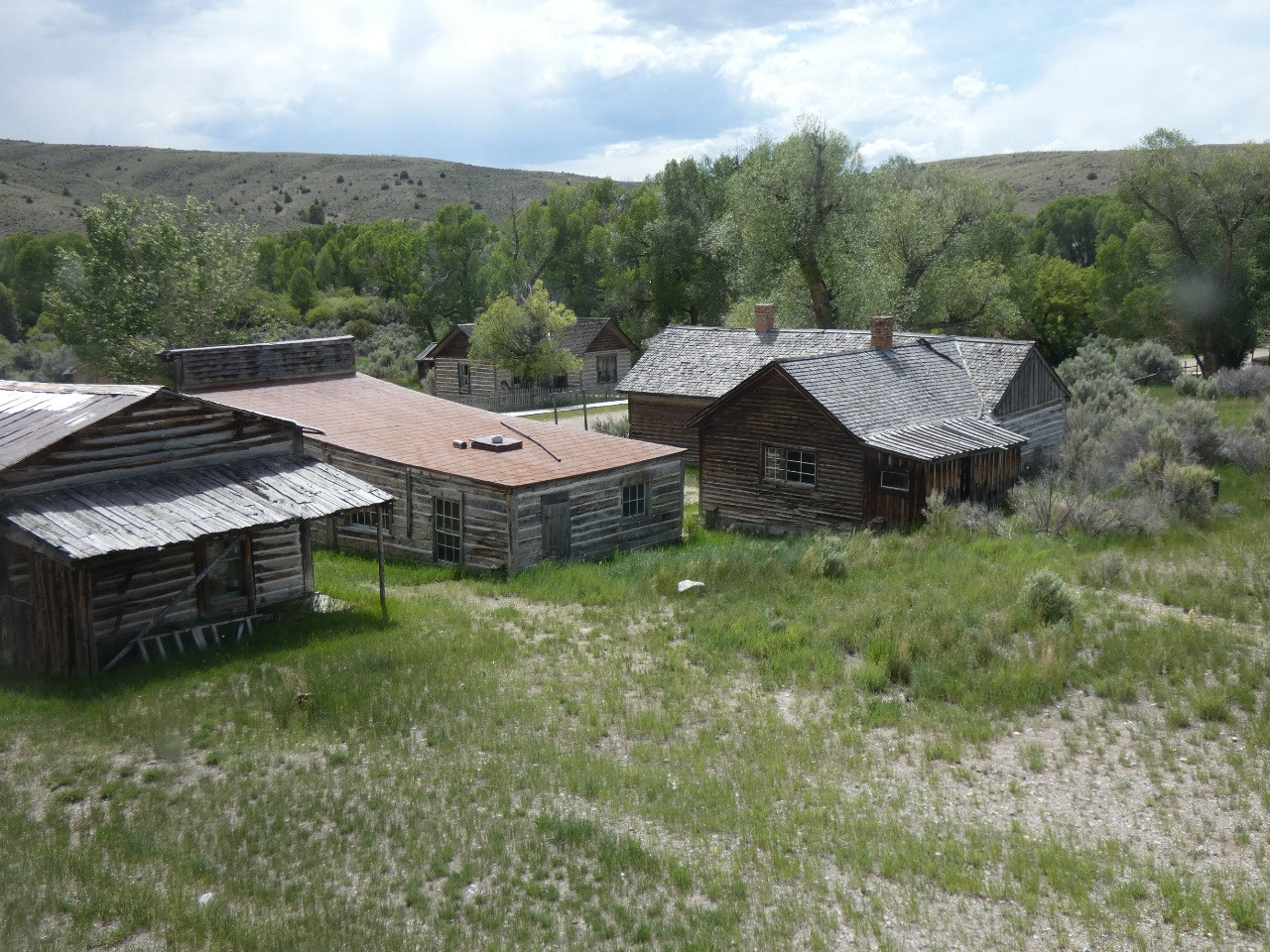
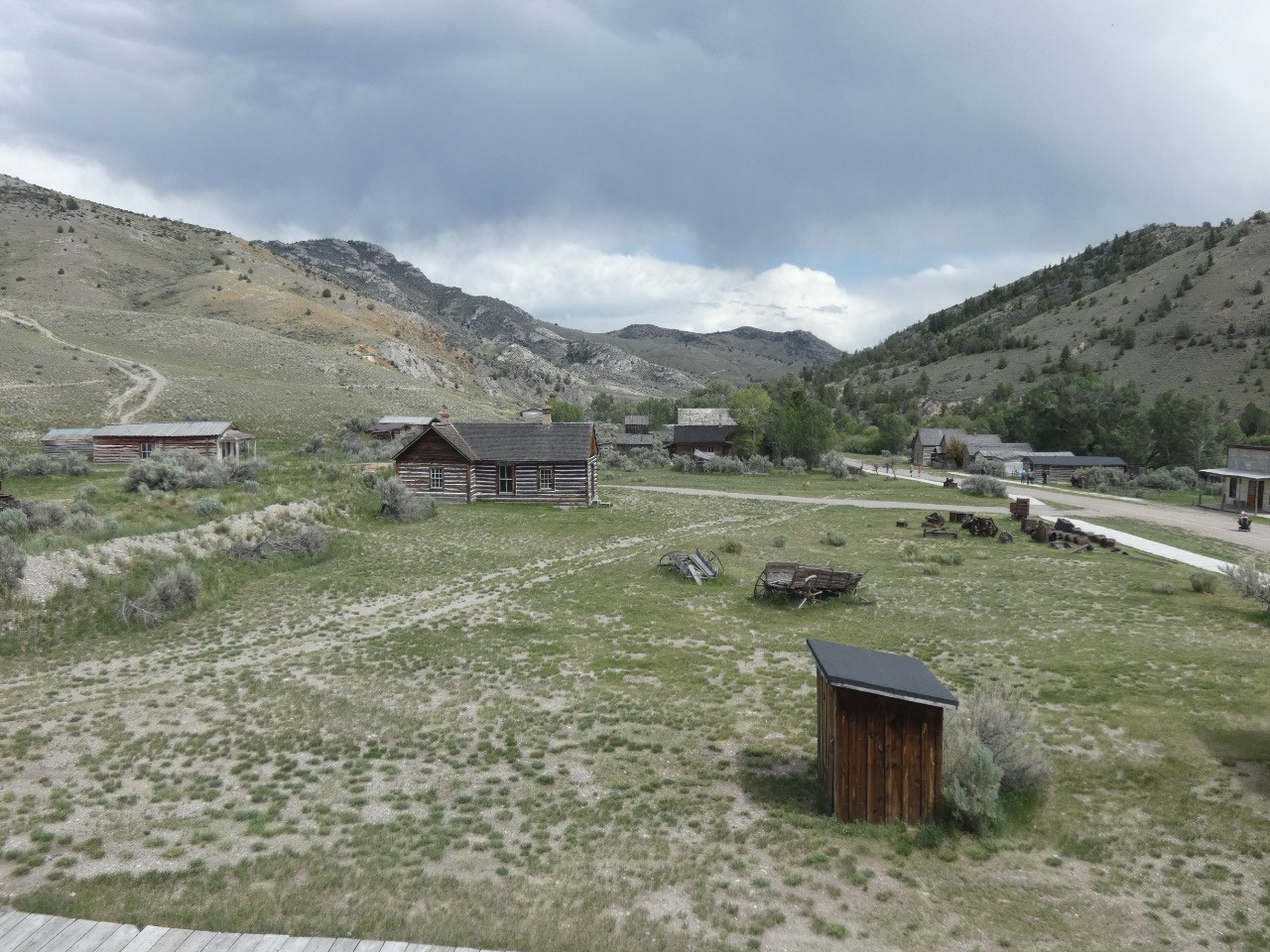
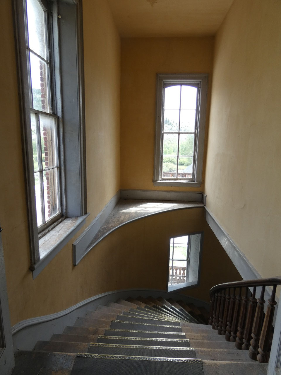
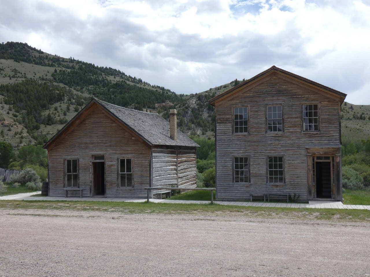
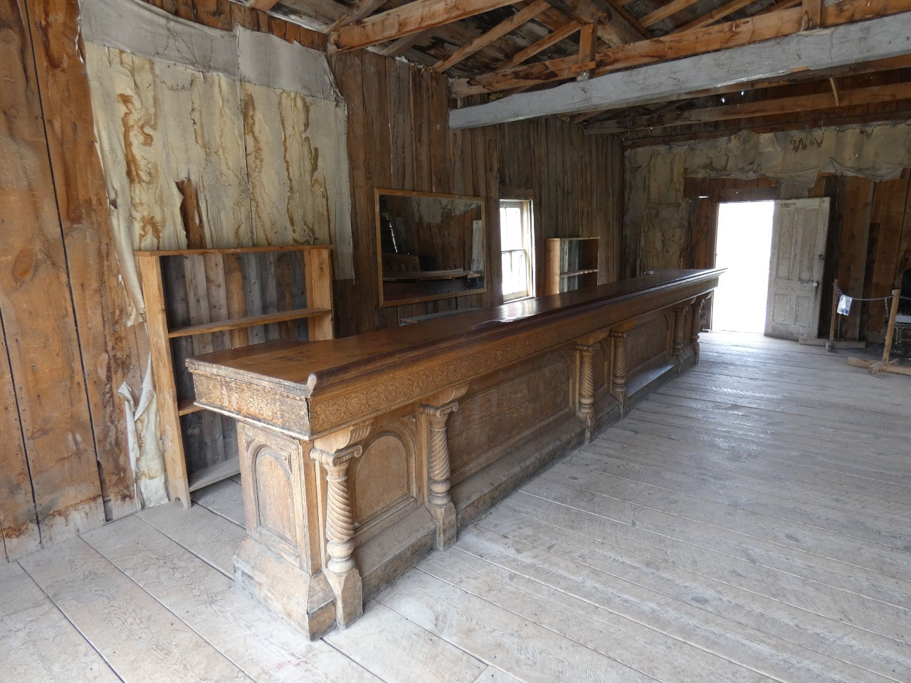
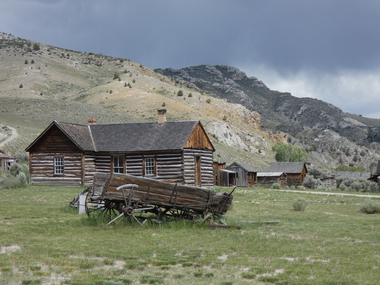
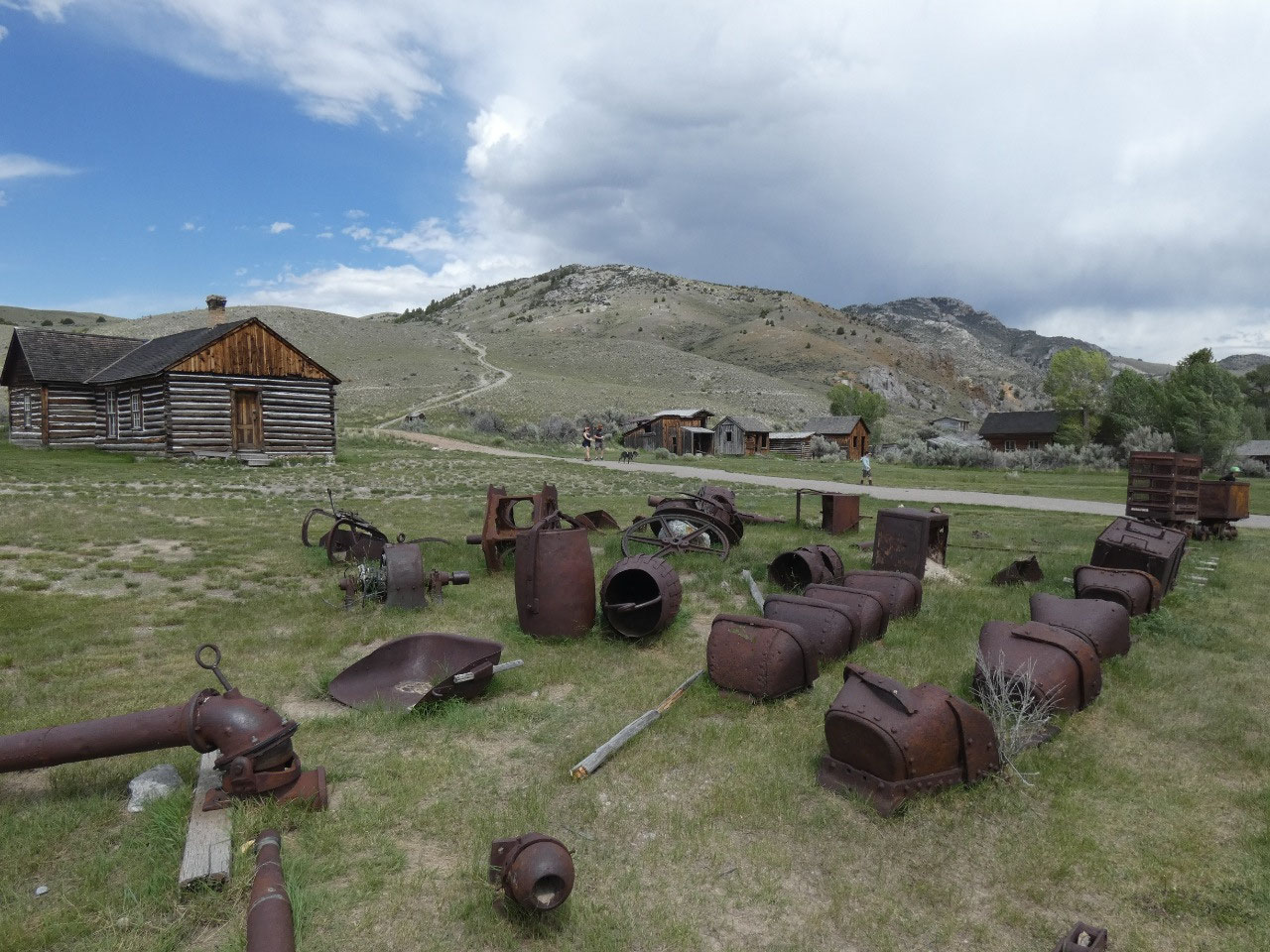
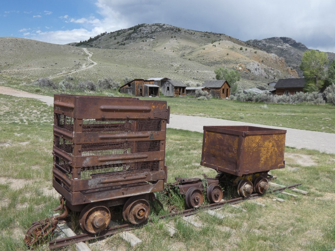
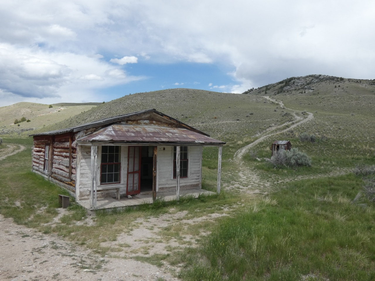
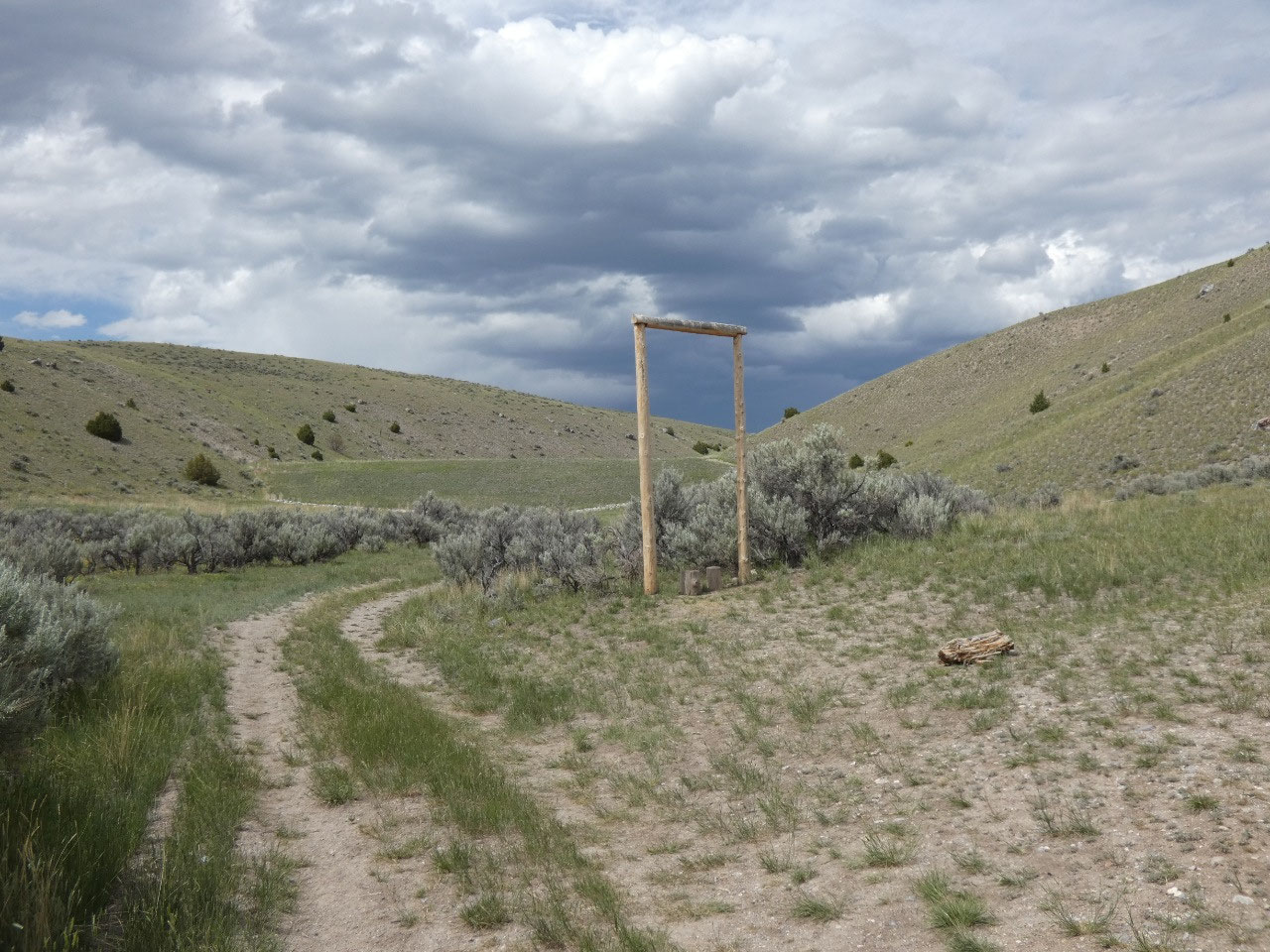
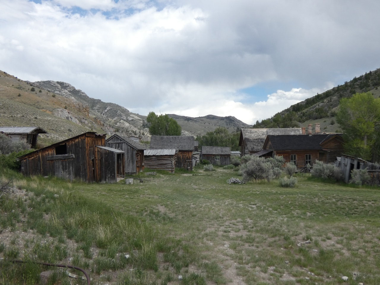
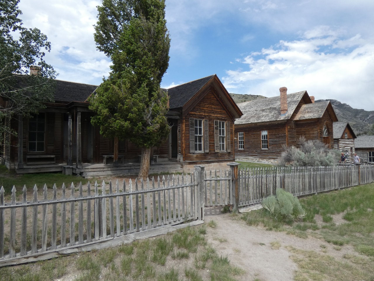
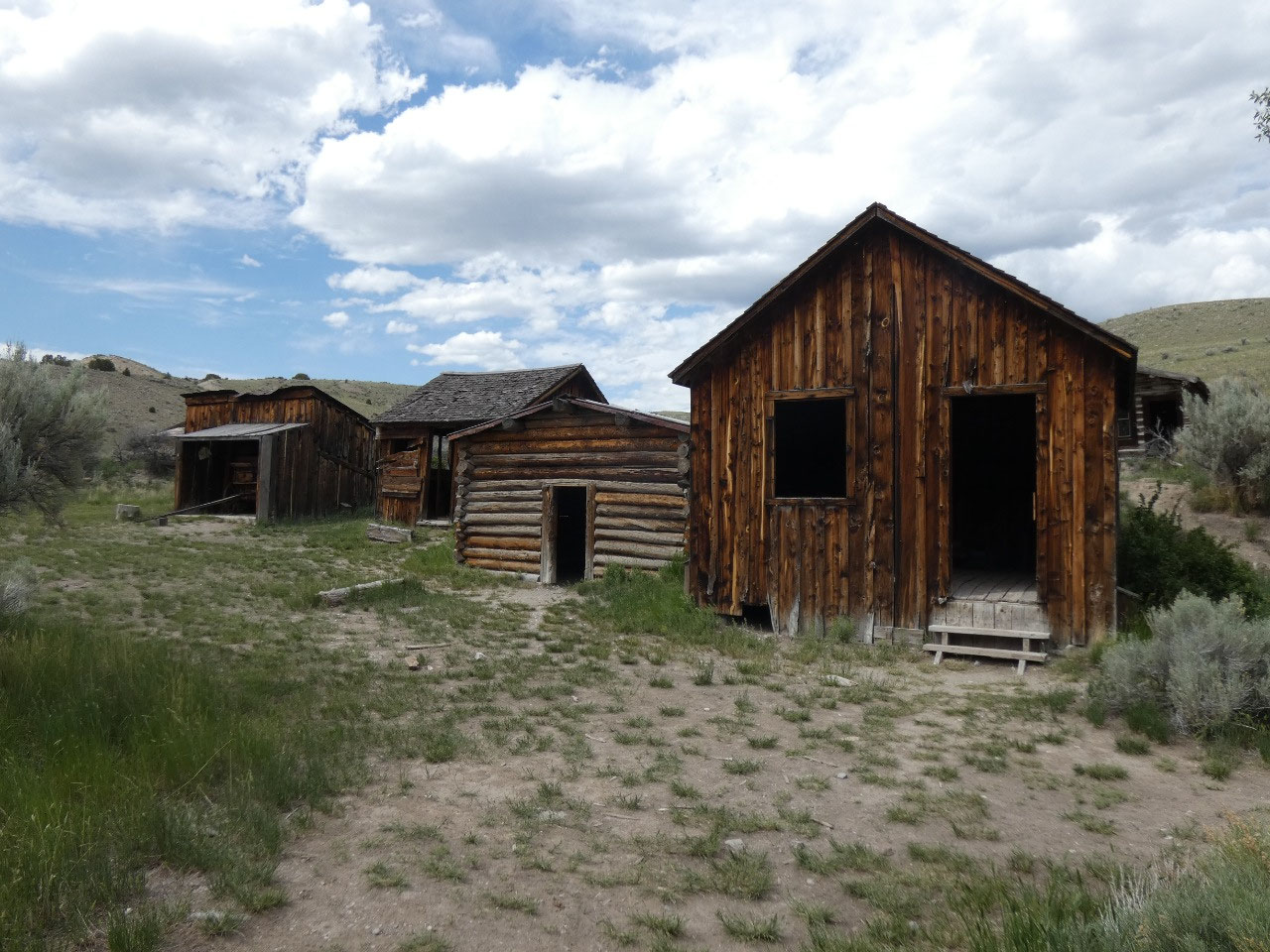
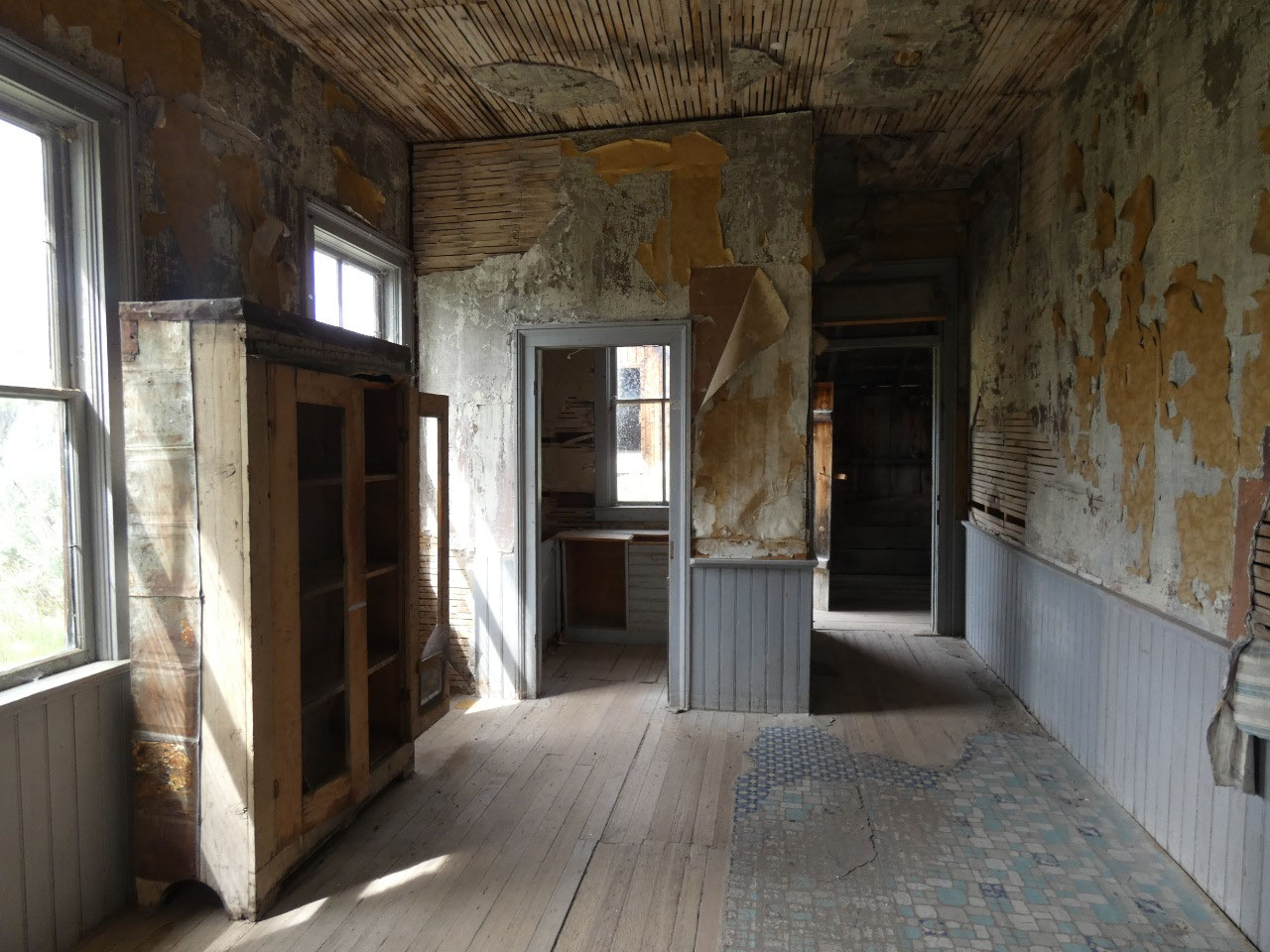
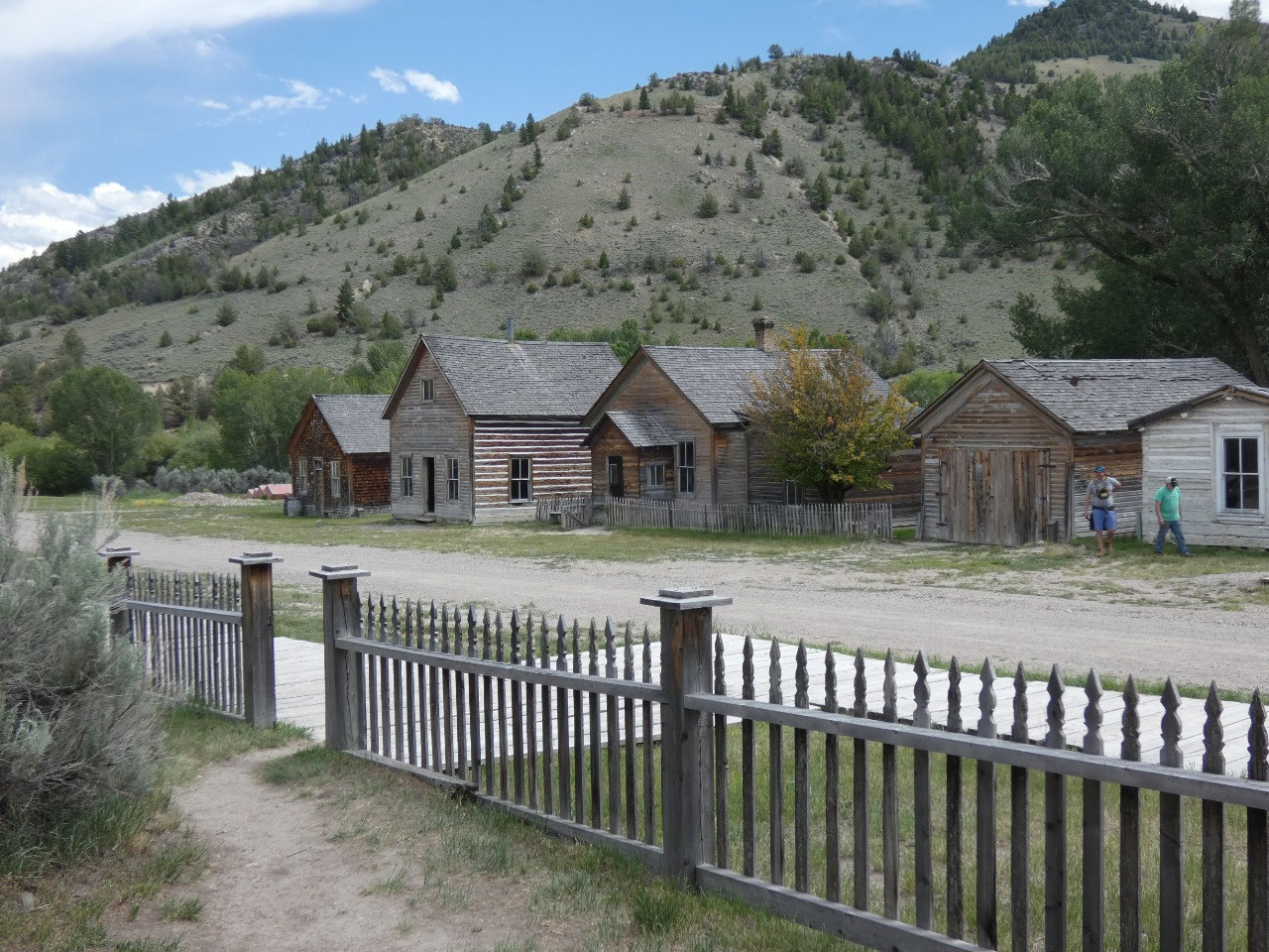
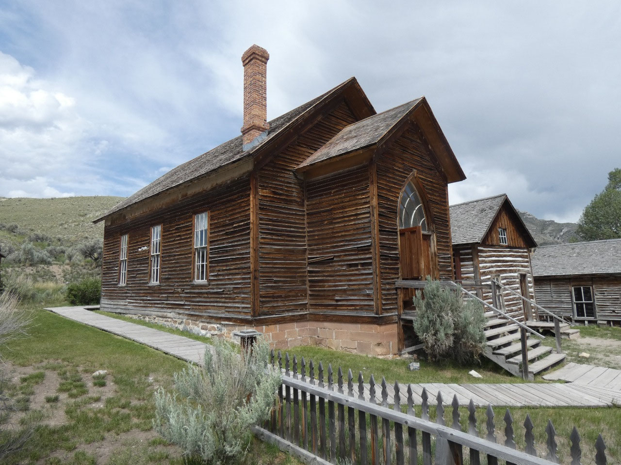
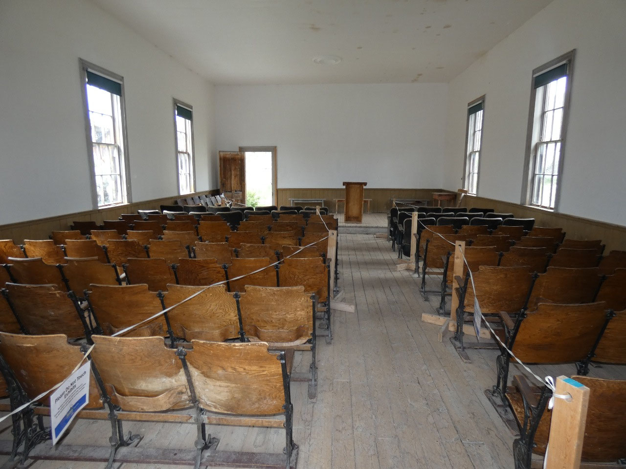
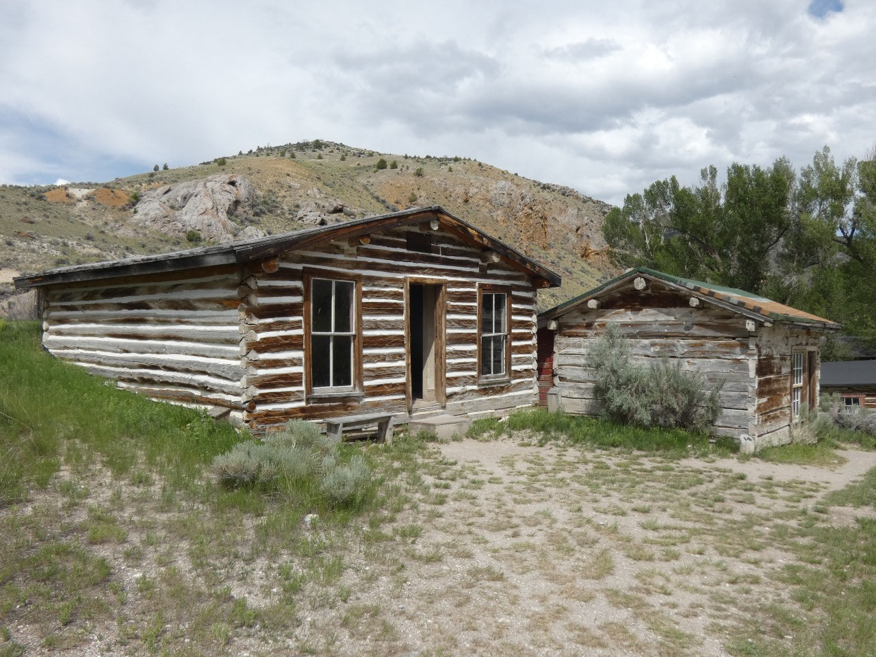
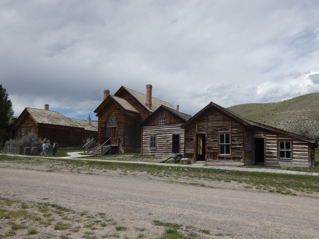
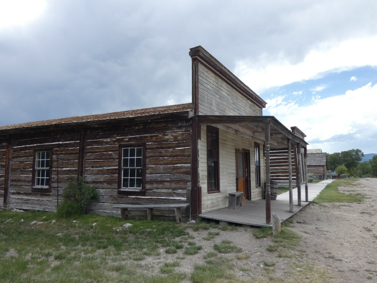
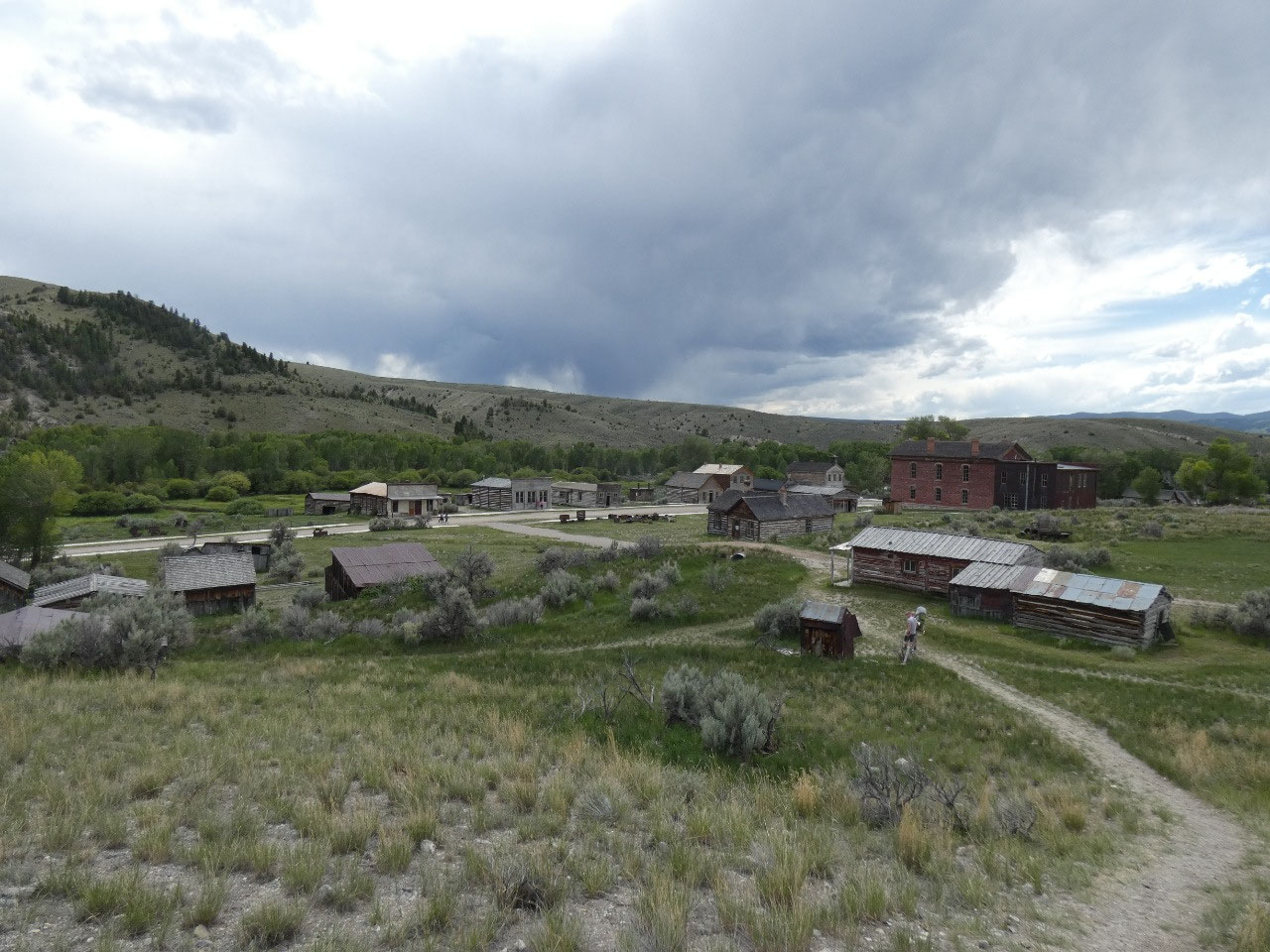
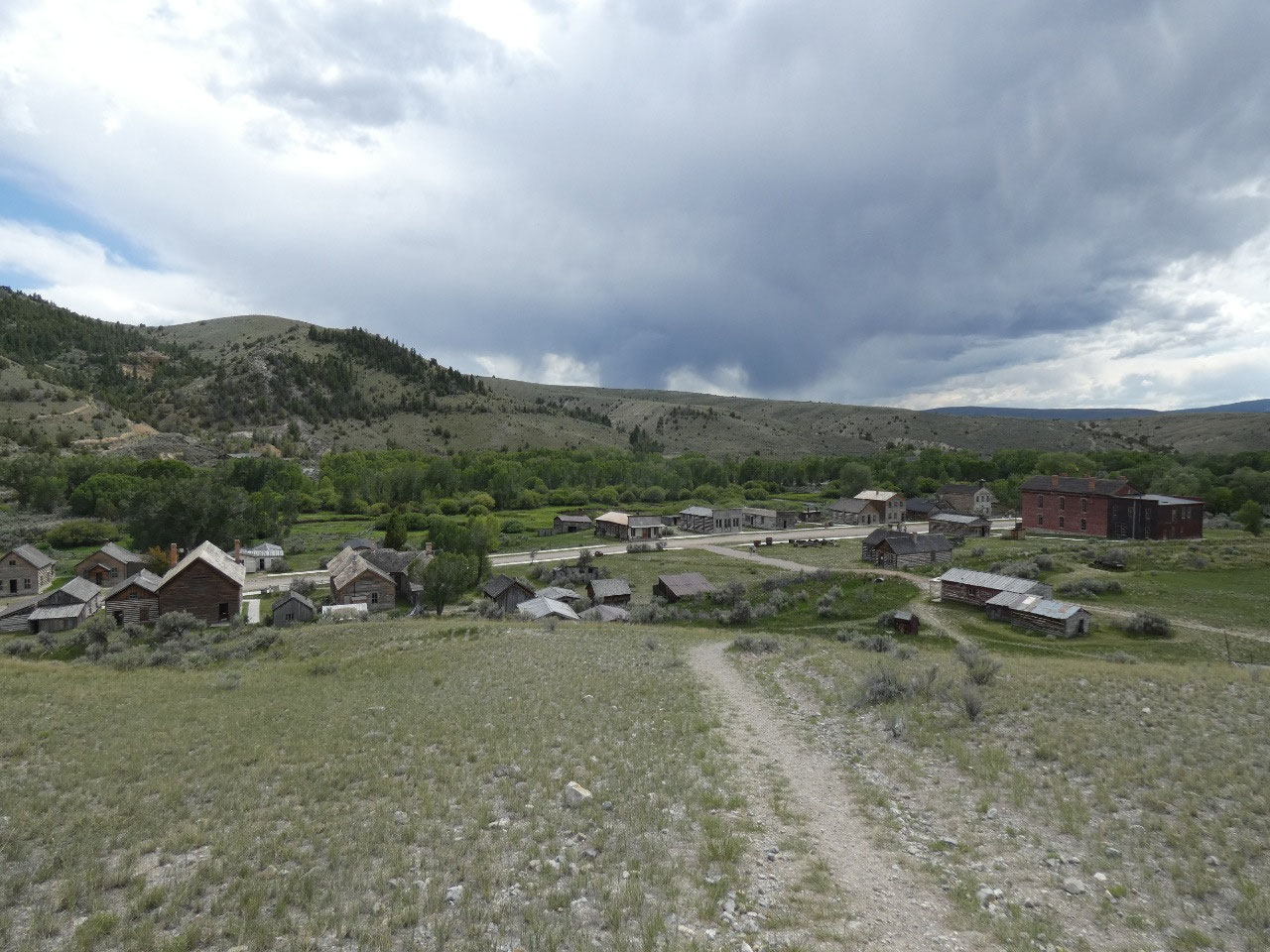
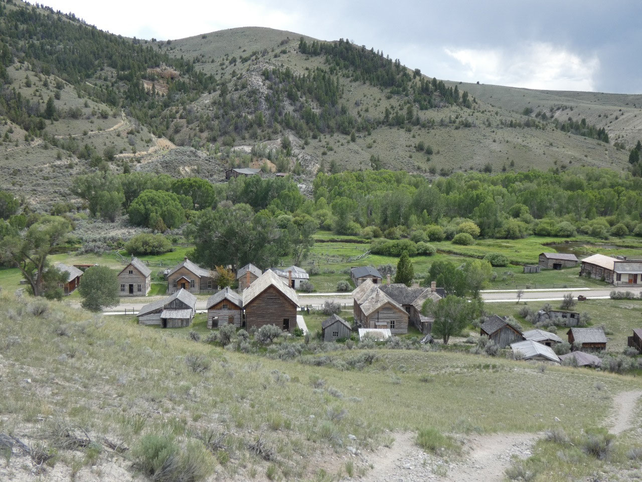
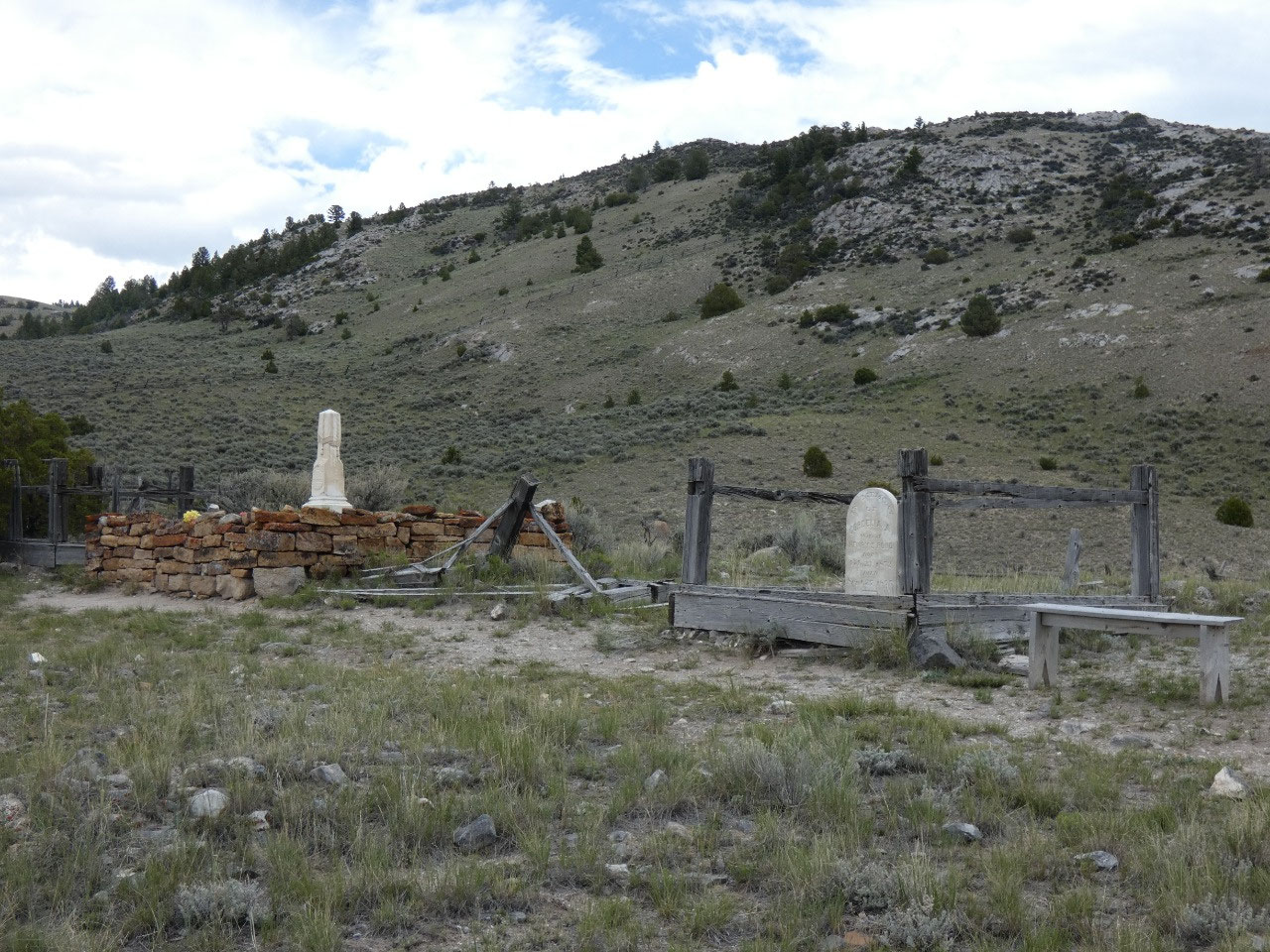
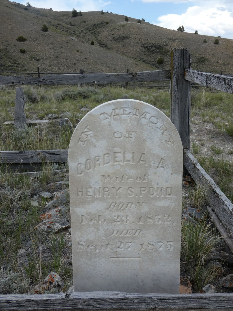
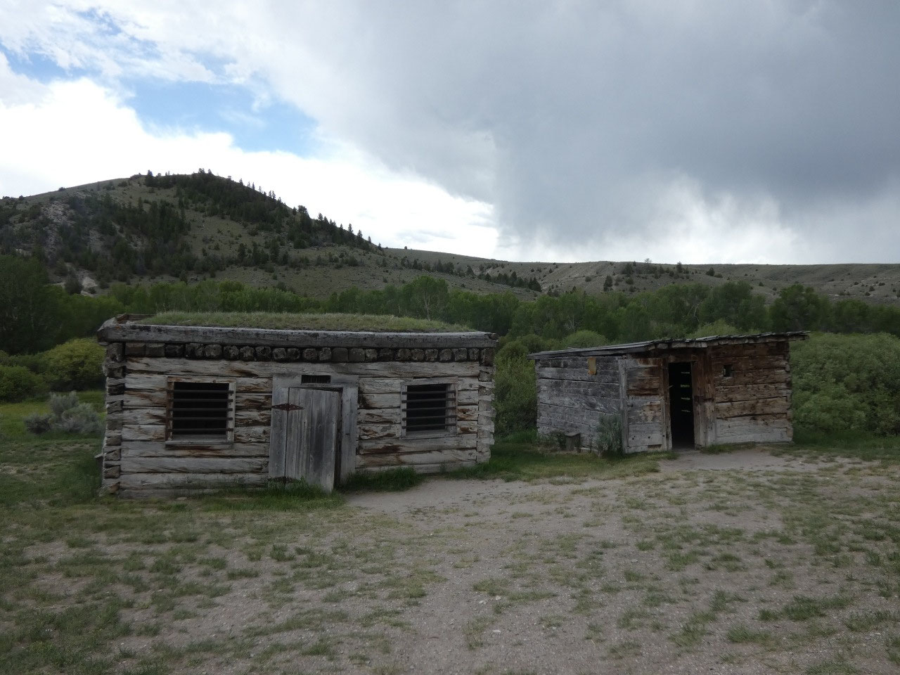
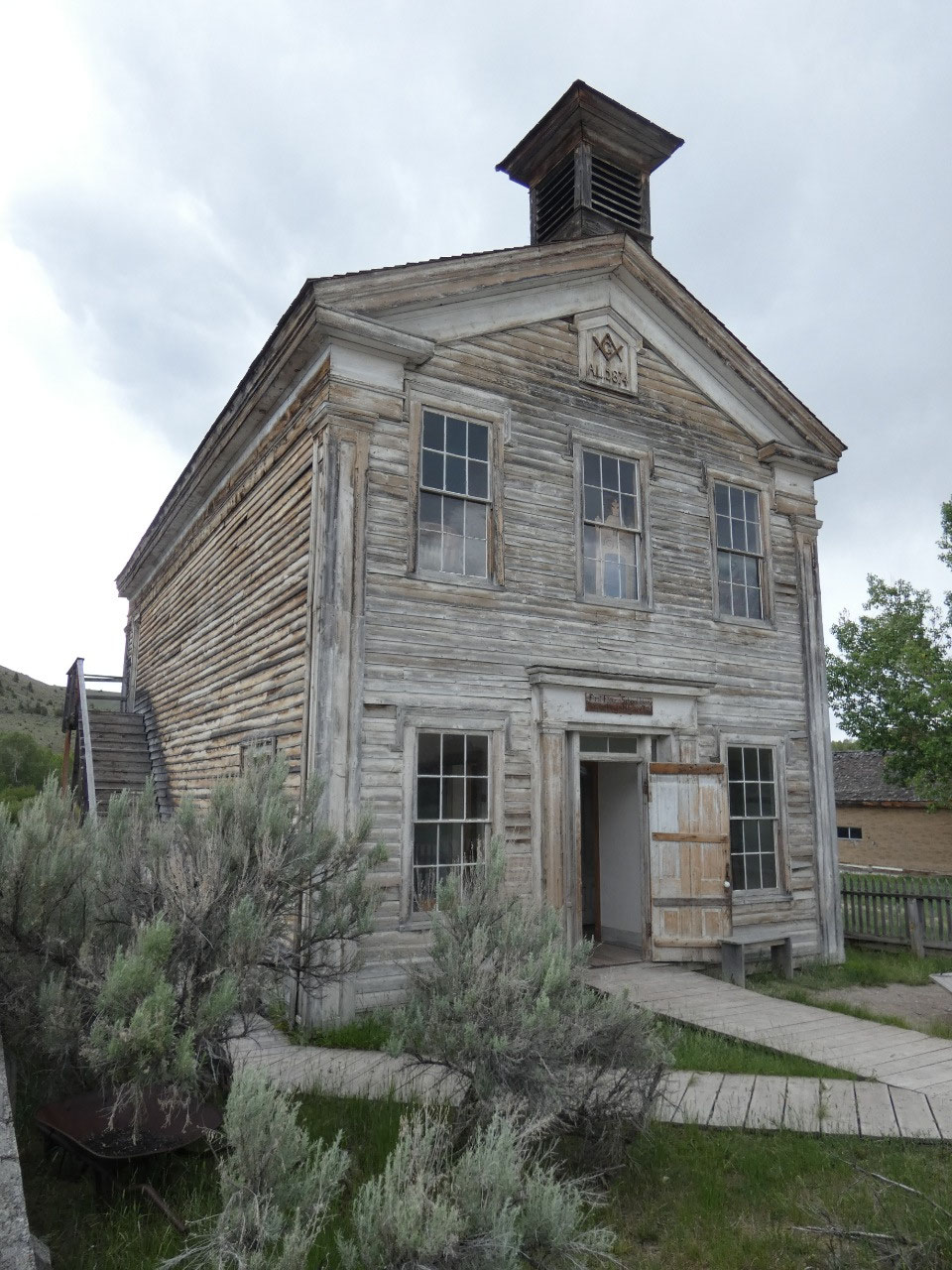
One of Montana’s premier attractions is located in a gulch
in remote sagebrush country about 20 miles west of Dillon. Bannack was first mining town in the state
and is one of the best-preserved ghost towns in the country as well as the
state. I stopped there on my 2001 trip
through Montana but forgot just how impressive it is, with dozens of decaying
historic buildings in what might be Montana’s best-known state park, a true
town in contrast to many old ghost towns which are now just a handful of
buildings and foundations. It’s all very
atmospheric in an Old West kind of way.
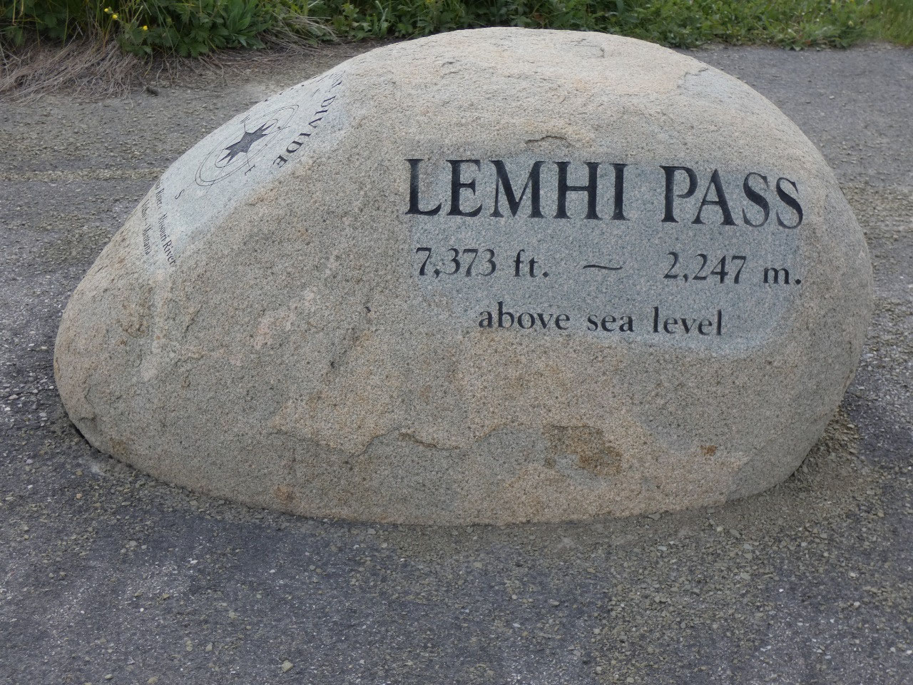
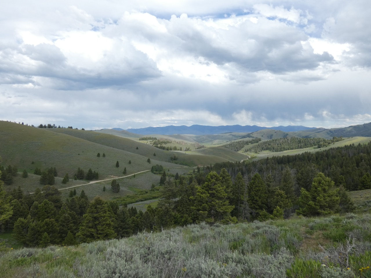
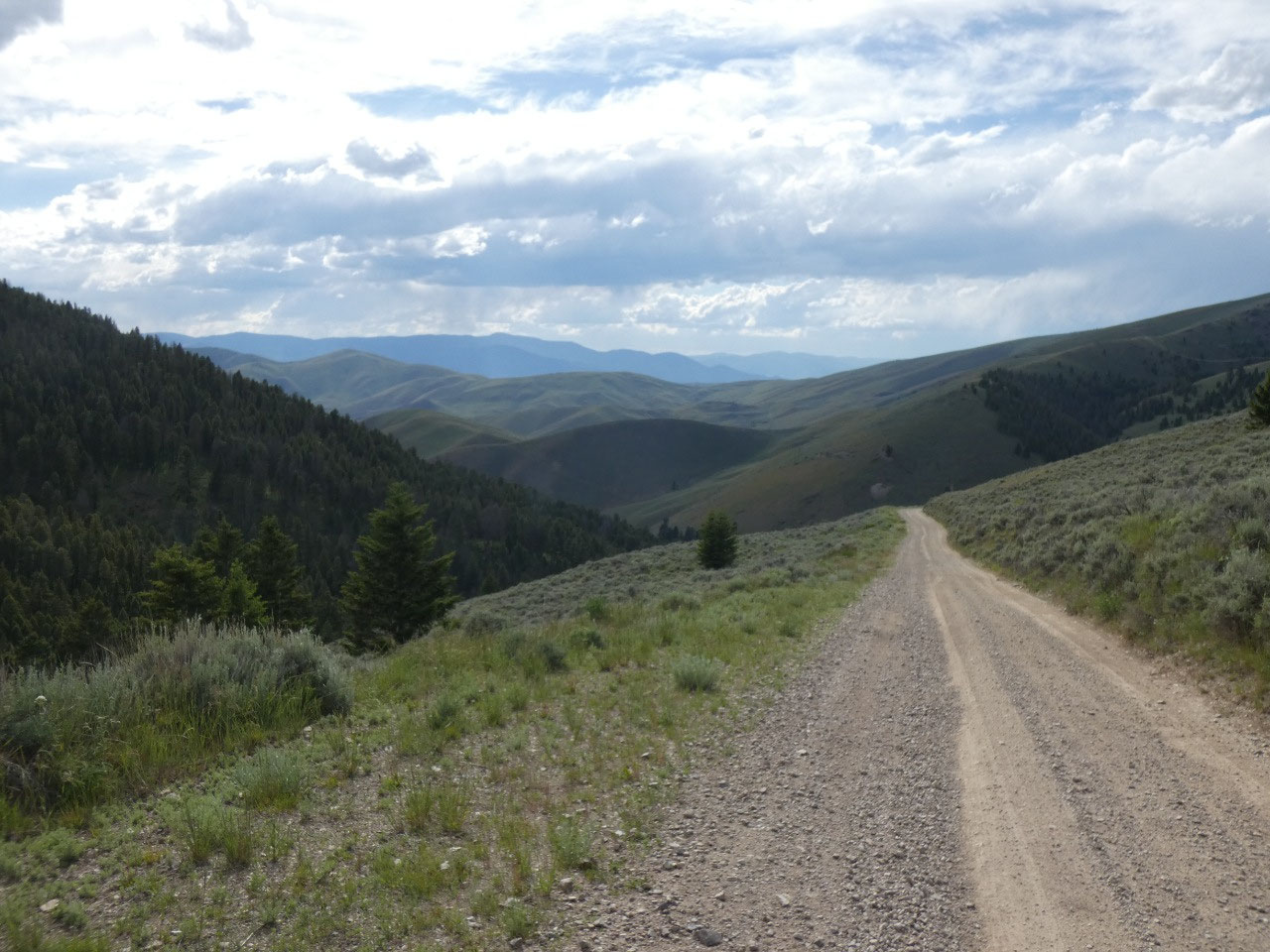
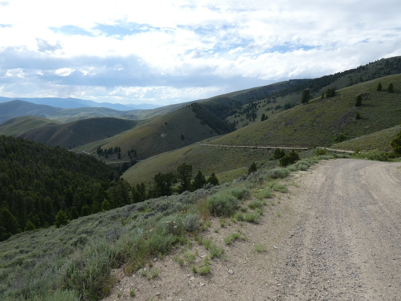
There are much better roads across the Bitterroot Mountains
between Montana and Idaho than the Lemhi Pass road, but with all the Lewis
& Clark history I’ve had recently I decided to take the twisty scenic route
over the mountains which follows their route. The pass on the crest of the
range is over 7,000 feet and the rather scary road on the Idaho side descends
steeply on the western side – not for the faint-of-heart or the weak-of-breaks.
It was definitely one of the steepest unpaved roads I’ve taken in many years.


2025-05-22