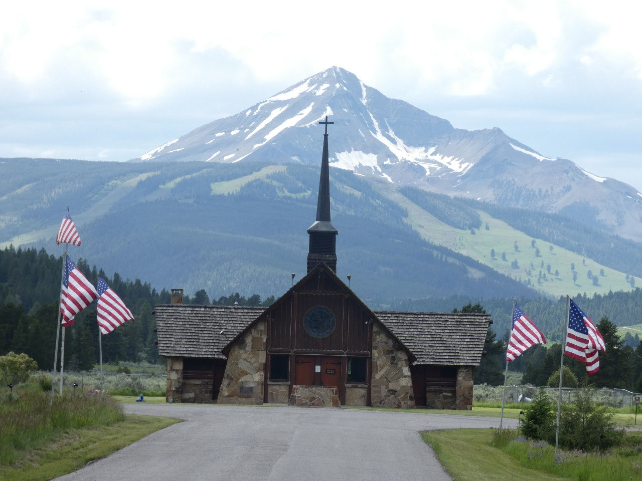
 Lima, Montana, United States
Adventure number three of plague summer begins. In keeping with my theme of social
distancing, my early/middle July summer road trip is to central Idaho. I’ve been to the Sun Valley area before, but
it was a long time ago, in winter, and I didn’t do it justice. The scenery and hiking in the area is
supposed to be great, and I consider it virtually new territory to explore.
There are more direct routes to Idaho, but I decided on a
somewhat circuitous one to take in a few sights in southwestern Montana I
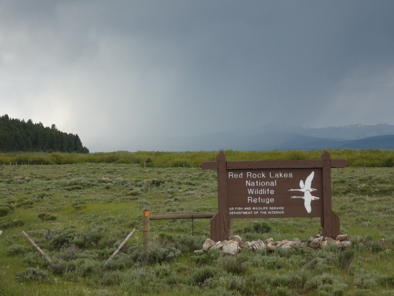
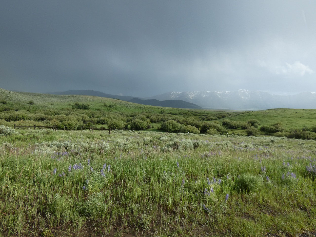
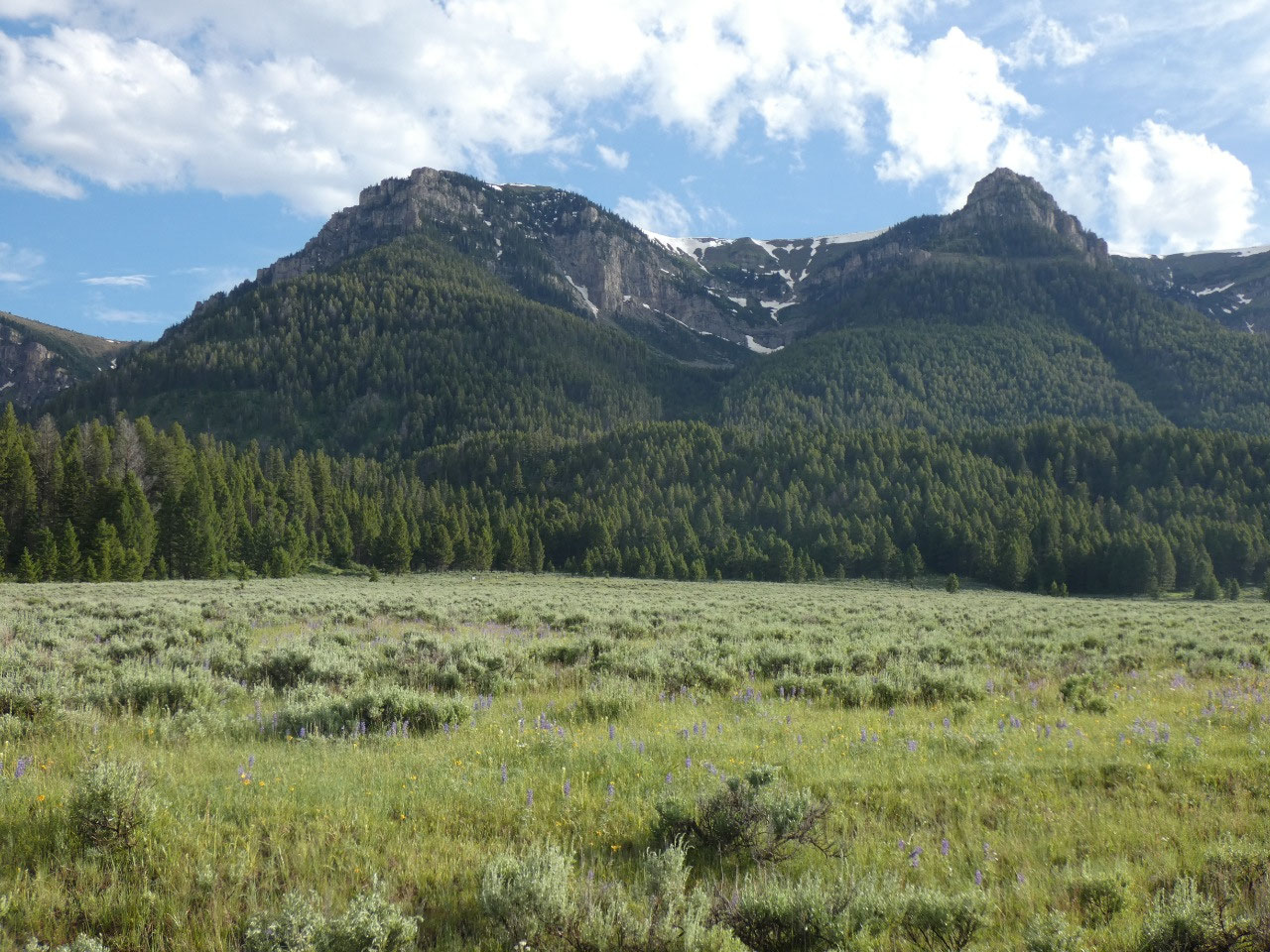
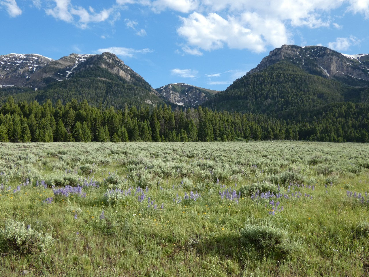
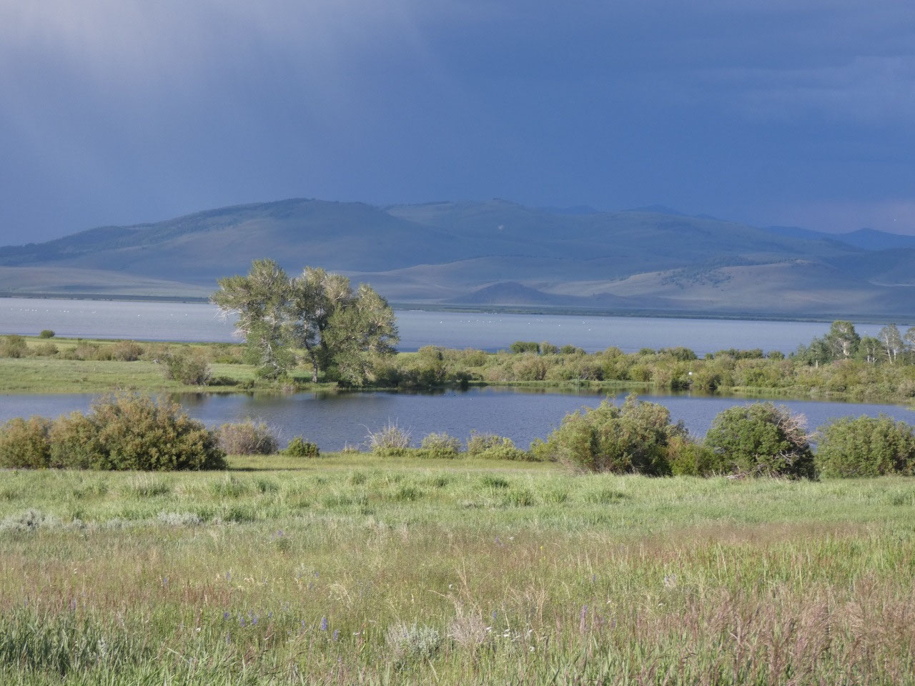
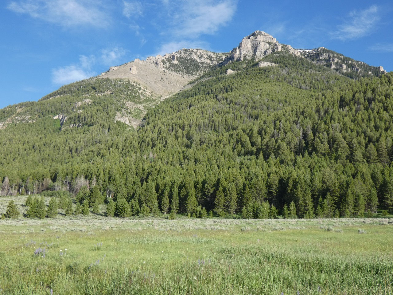
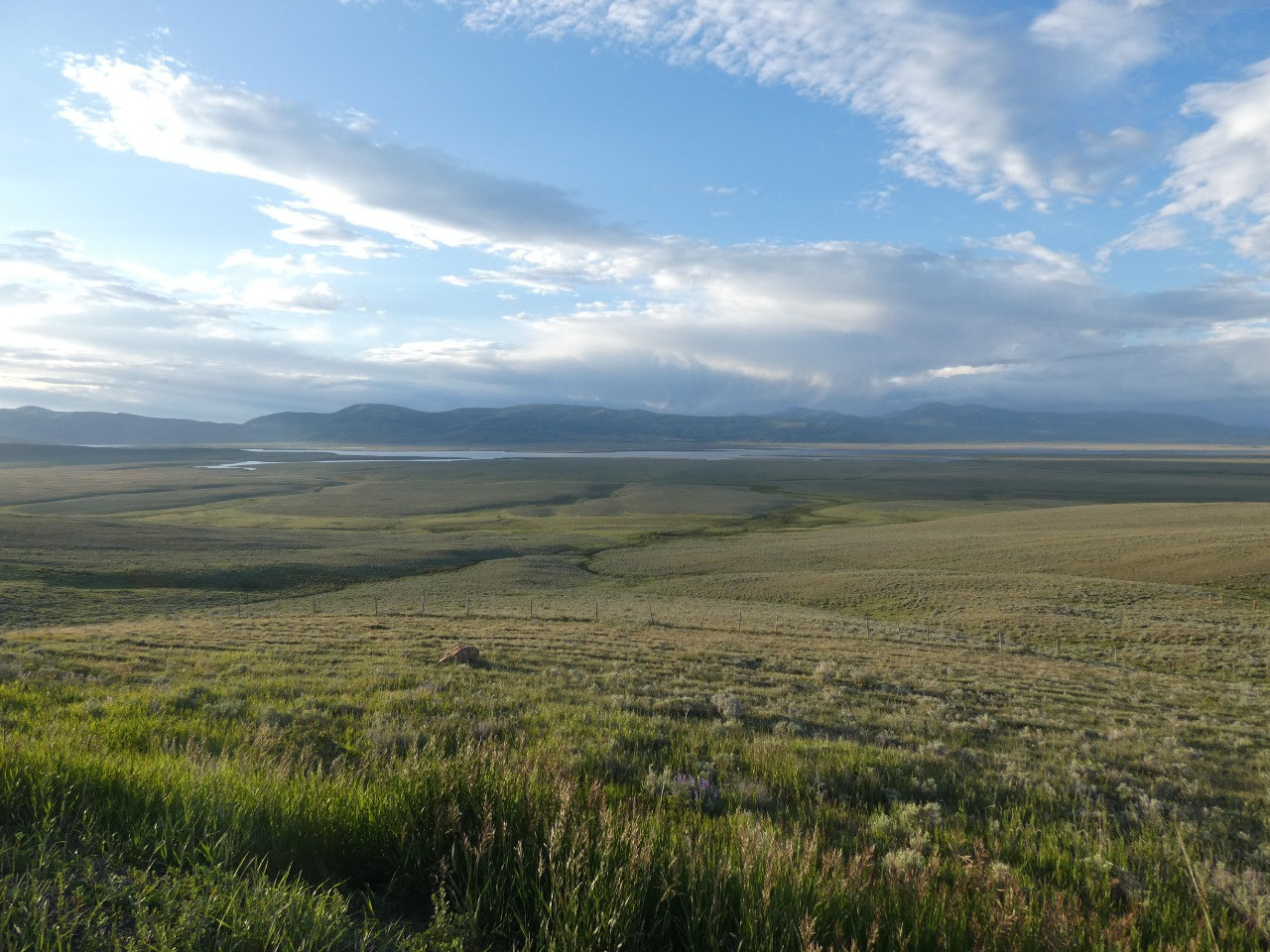
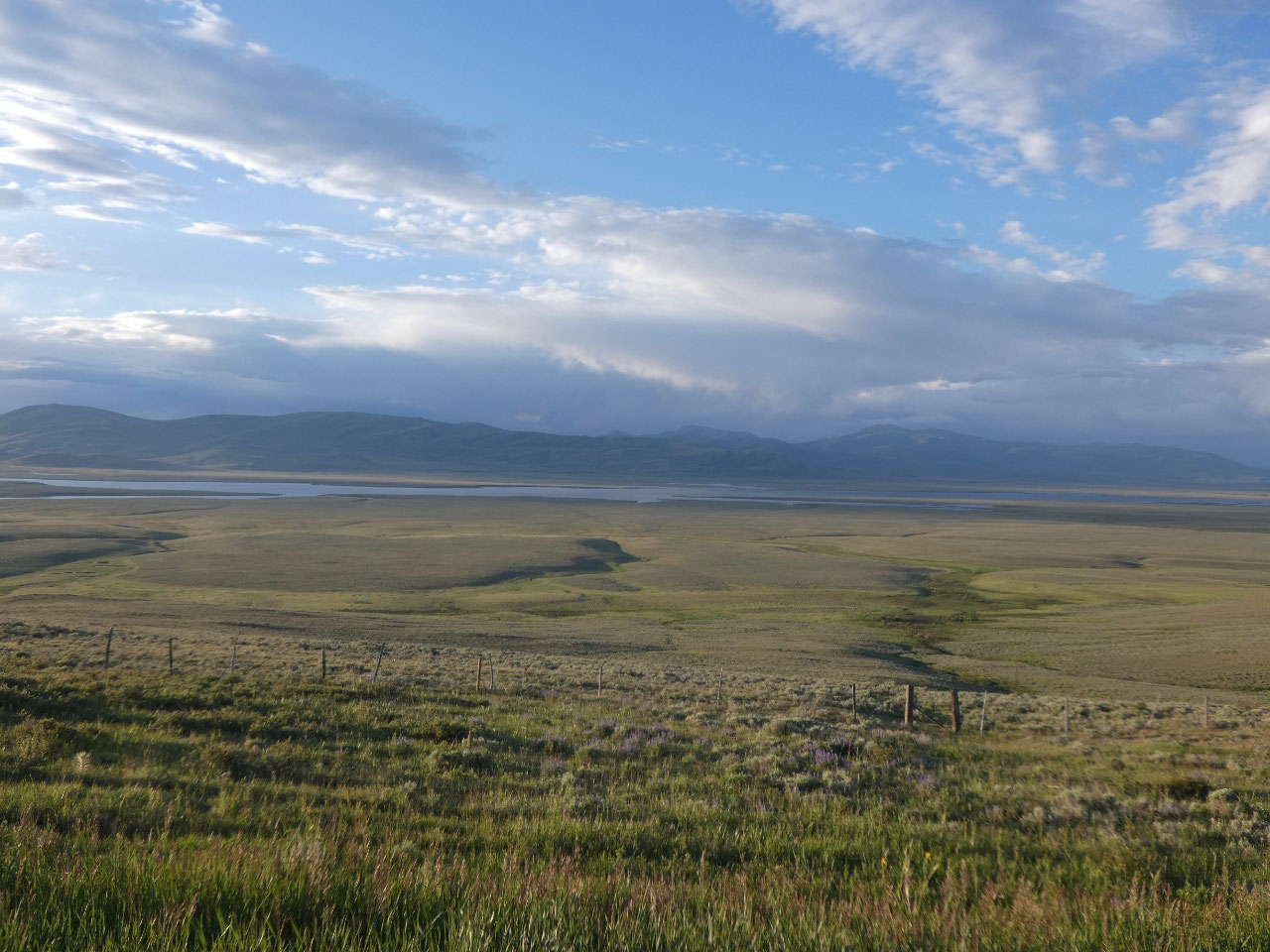
haven’t seen before. Located in the Centennial Valley just north of the Idaho
border and west of Yellowstone National Park Red Rock Lakes National Wildlife
Refuge is considered to be one of the crown jewels of the refuge system, high
altitude lakes in an open environment that are leading nesting ground of the
once-endangered Trumpeter Swan. Although
not really that far from major attractions like Yellowstone National Park, Red
Rock Lakes is super remote, accessed only on unpaved roads a long drive from
I-15 to the west or over a pass from Henry’s Lake and West Yellowstone to the
east.
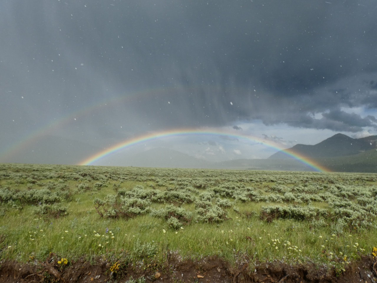
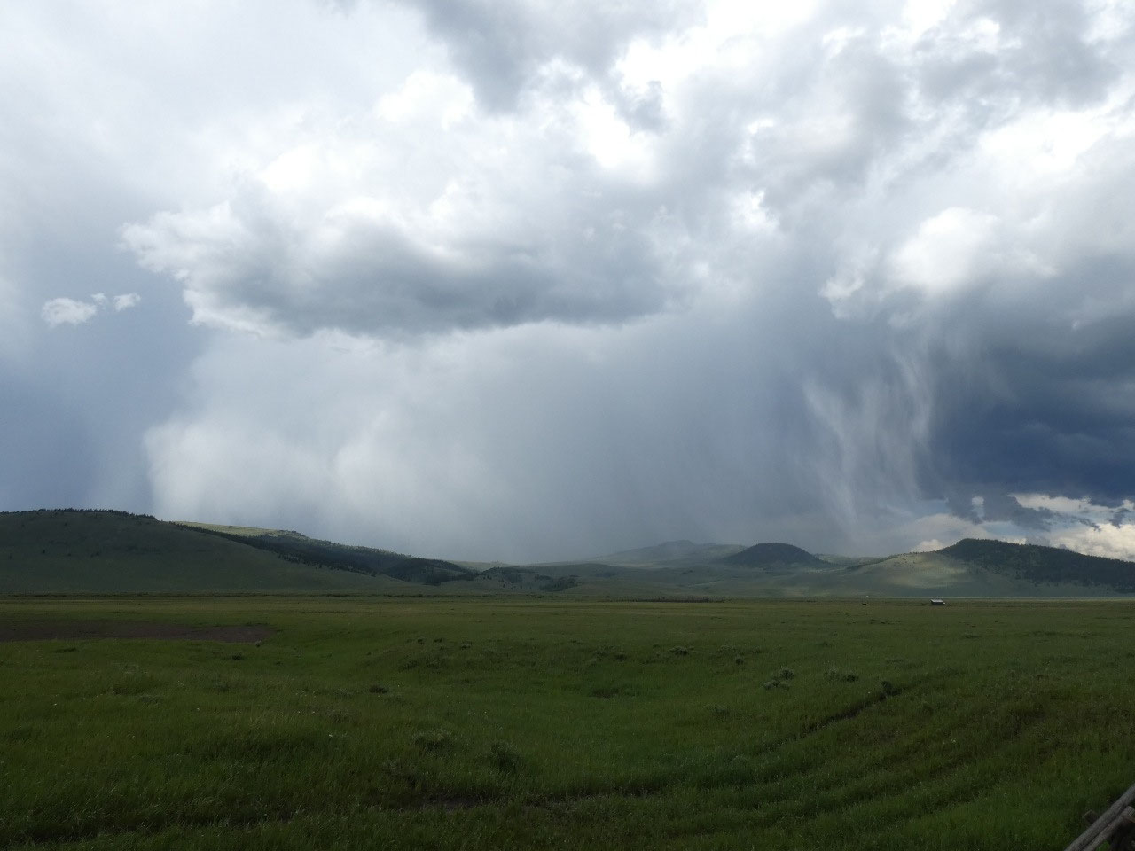
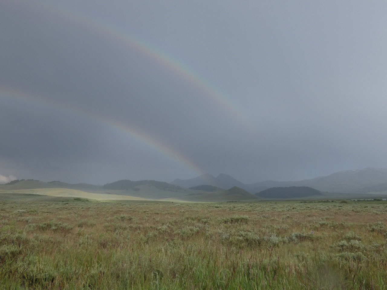
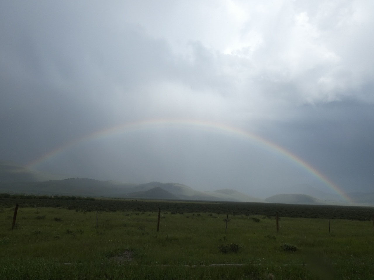
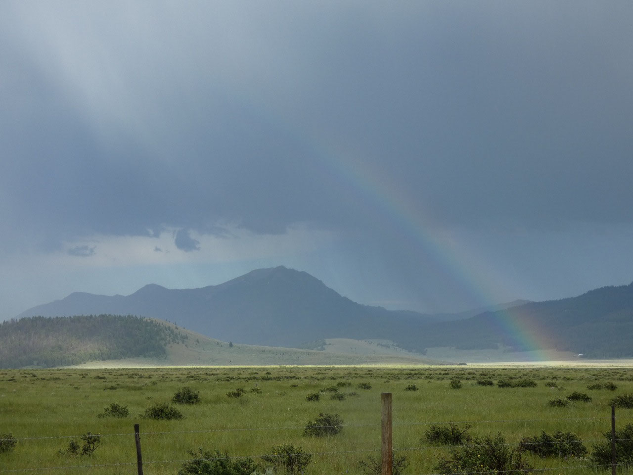
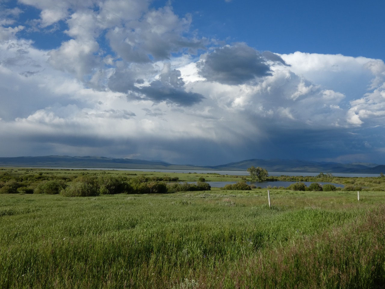
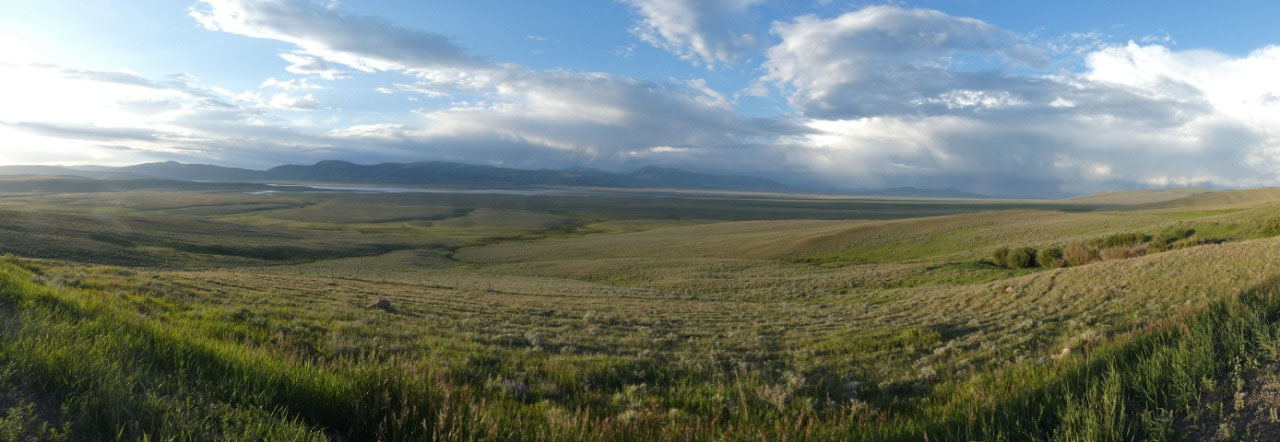
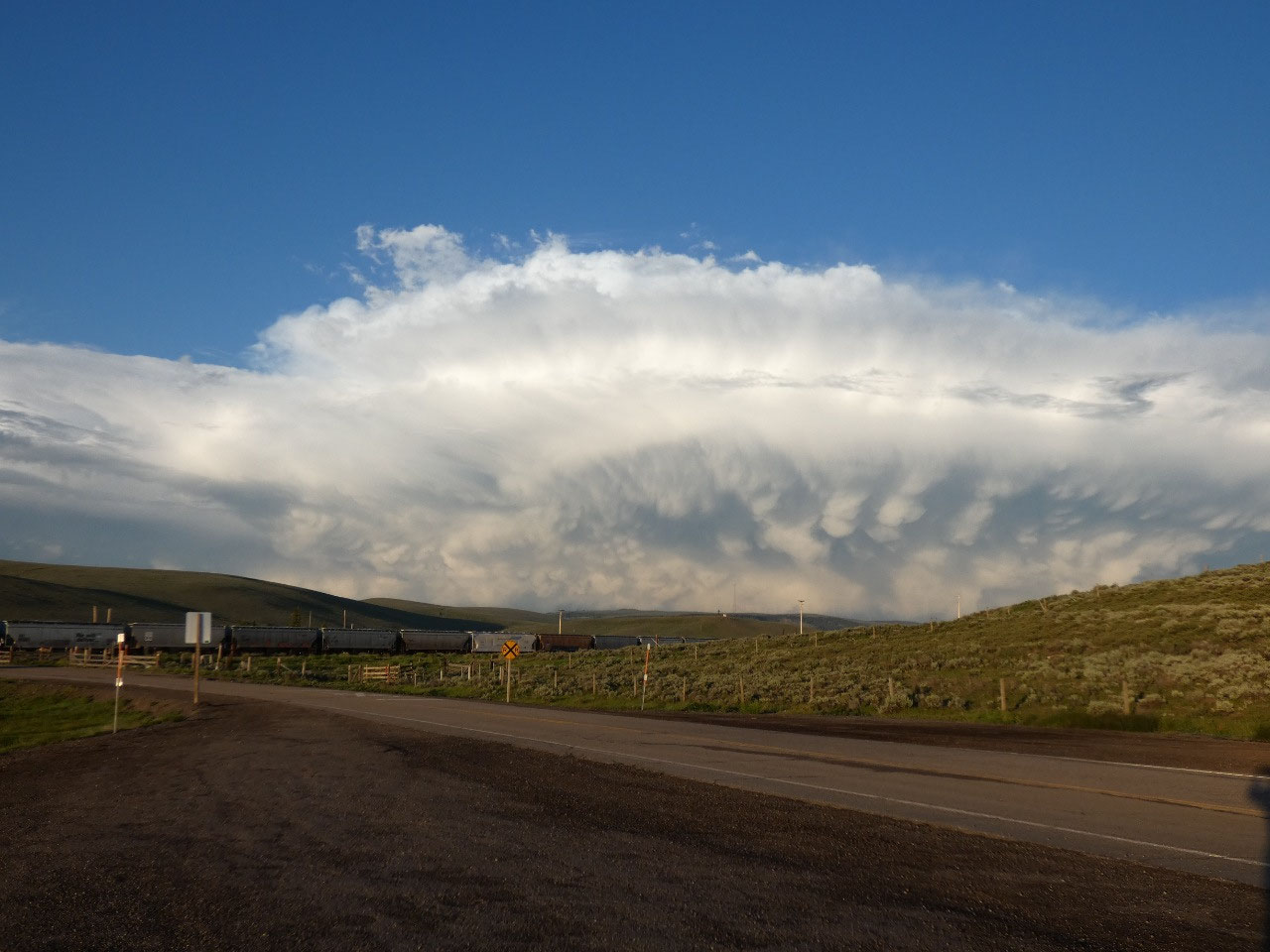
The drive south from Bozeman went
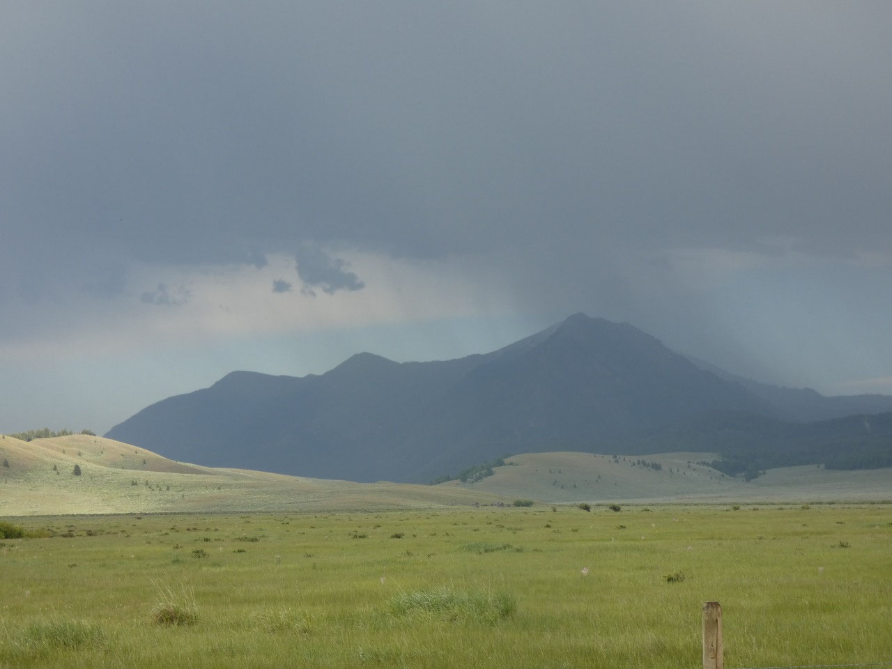
well enough, but skies started looking ominous as I approached Red Rock Pass.
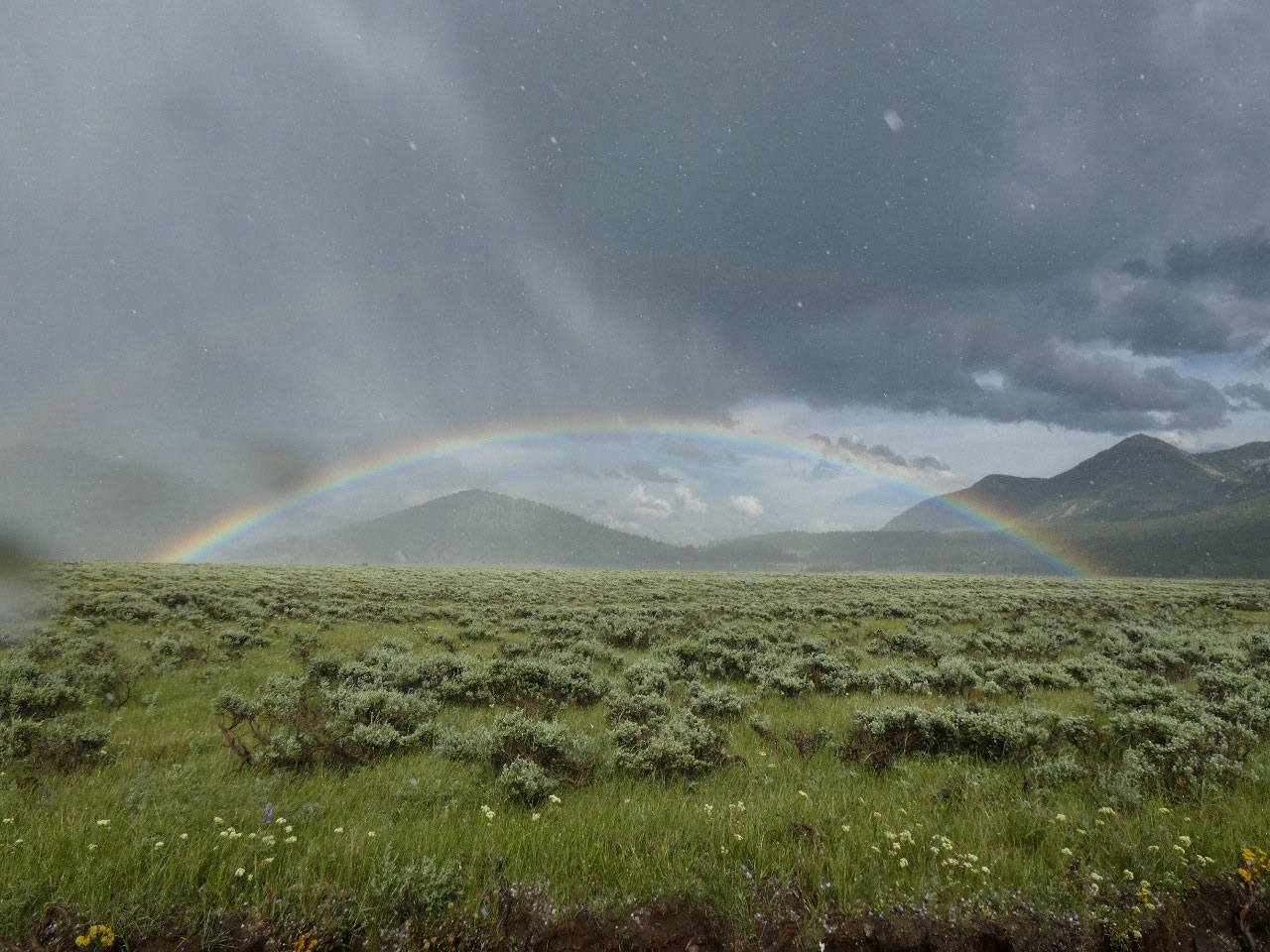
Once I cross to the Centennial Valley the heavens opened not only with rain but
with hail, and the road turned to slippery gumbo. A single storm can be bad
enough, but the initial one was followed by two more hail-free ones as I
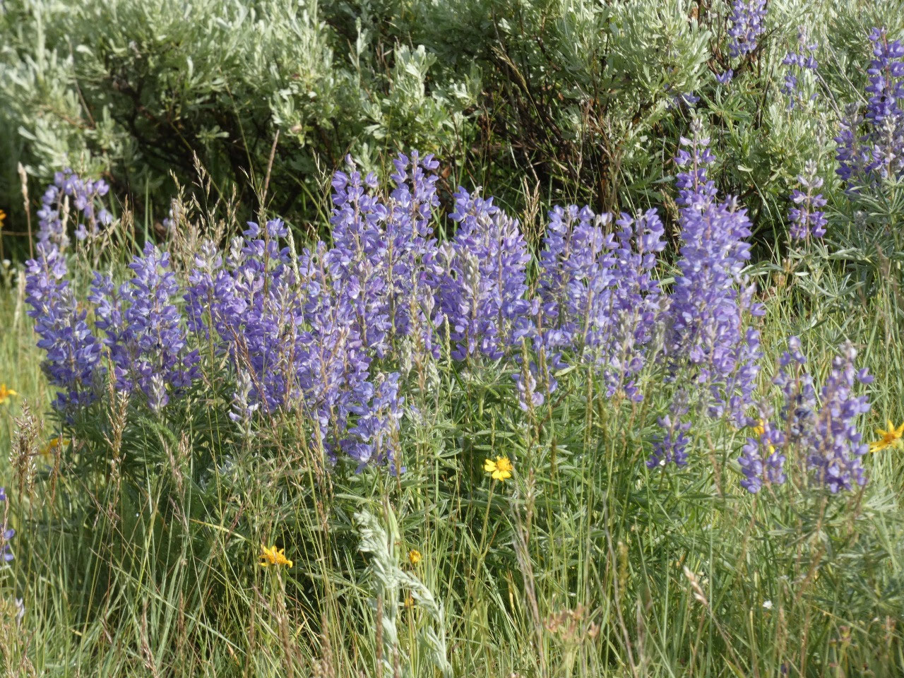
traveled west through dramatic skies and impressive rainbows. Well, I don’t know if the Trumpeter Swans
were out because I didn’t get out to hike down to the shores of the lakes in
the conditions. The birds are huge, and
I assume were some of the white dots I saw in the distance in the lakes. I car
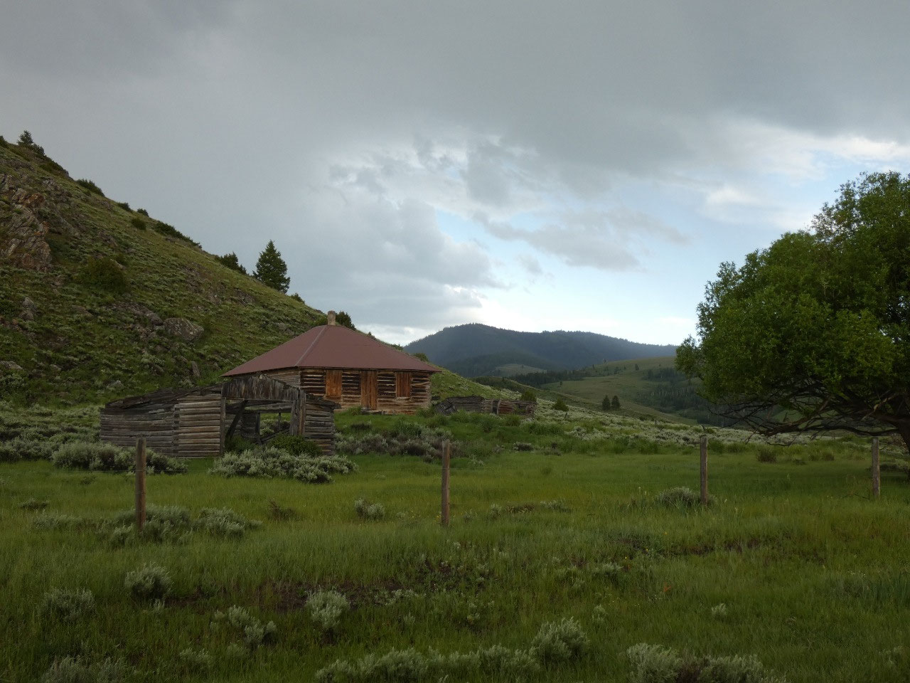
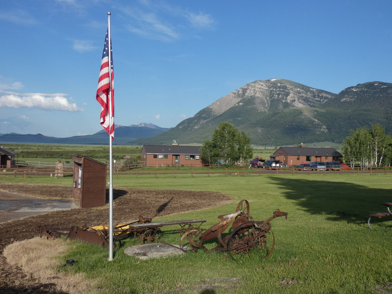
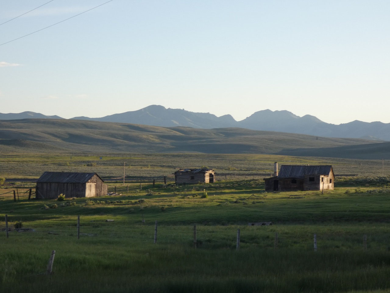
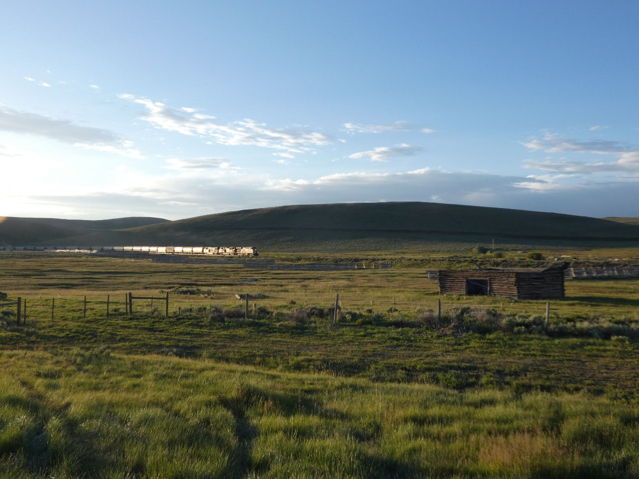
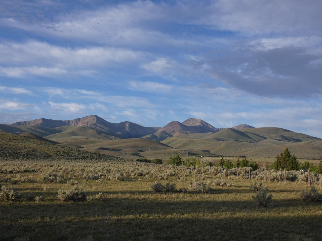
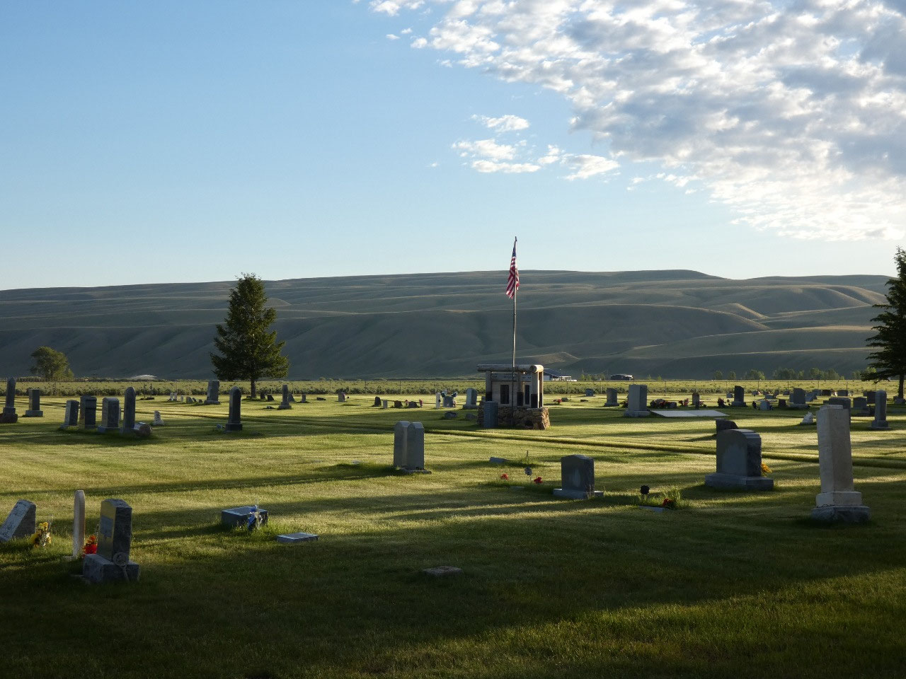
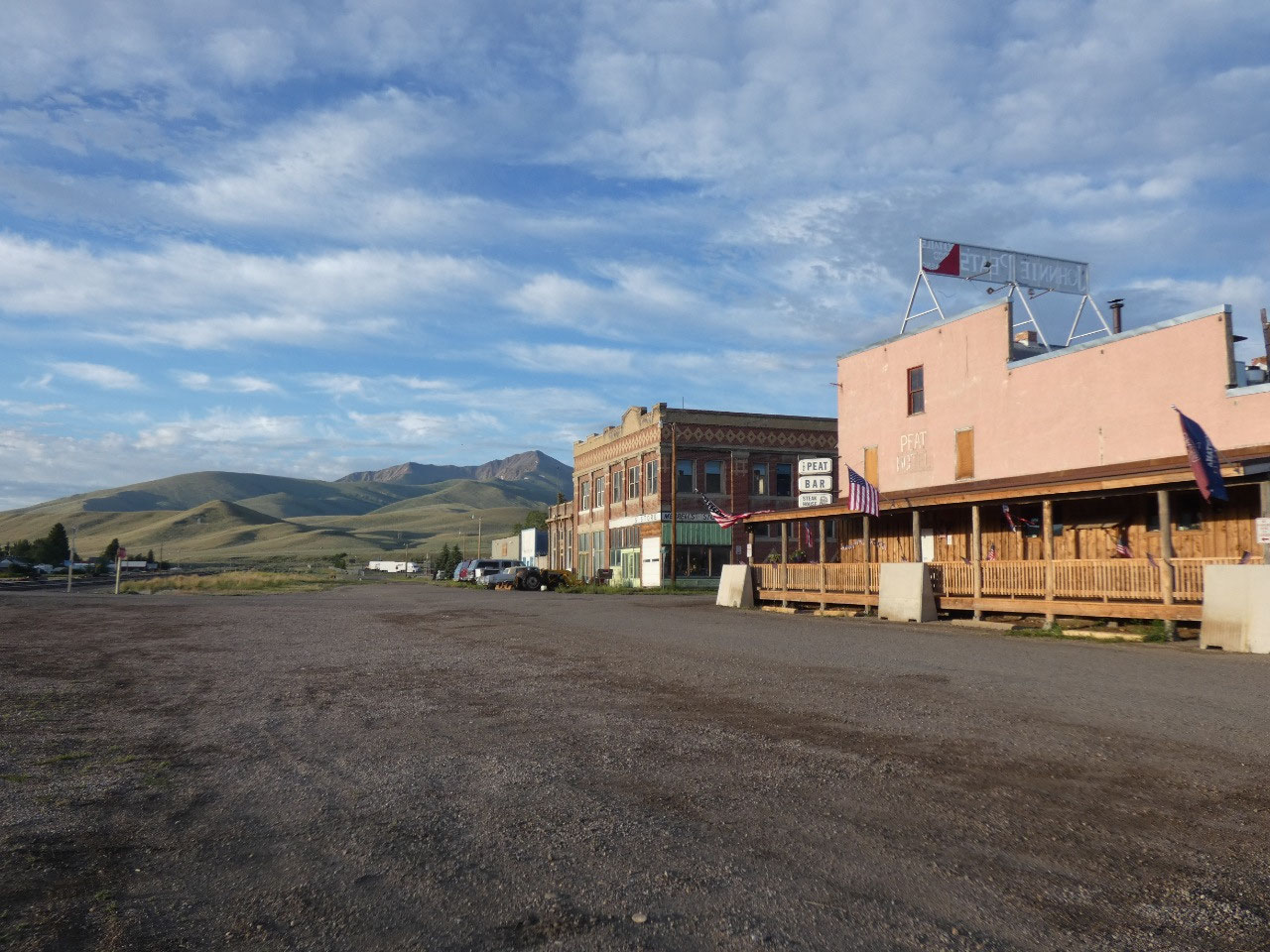
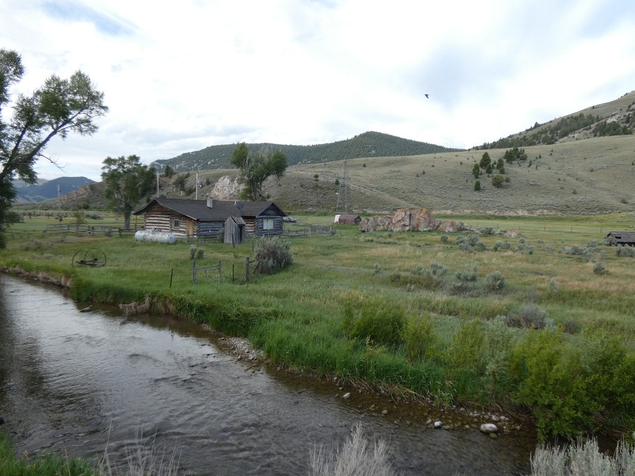
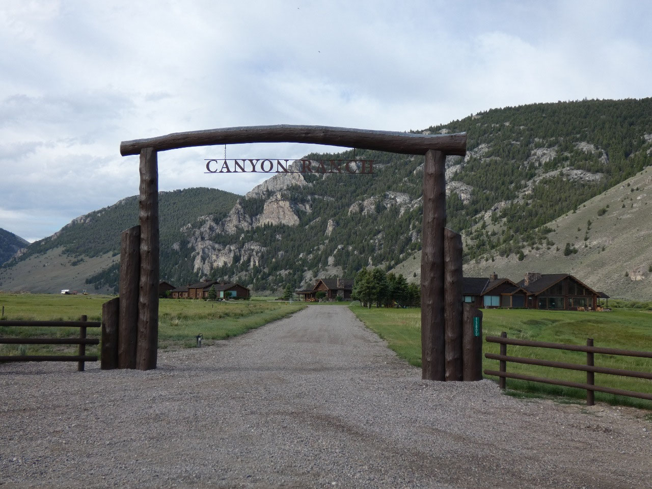
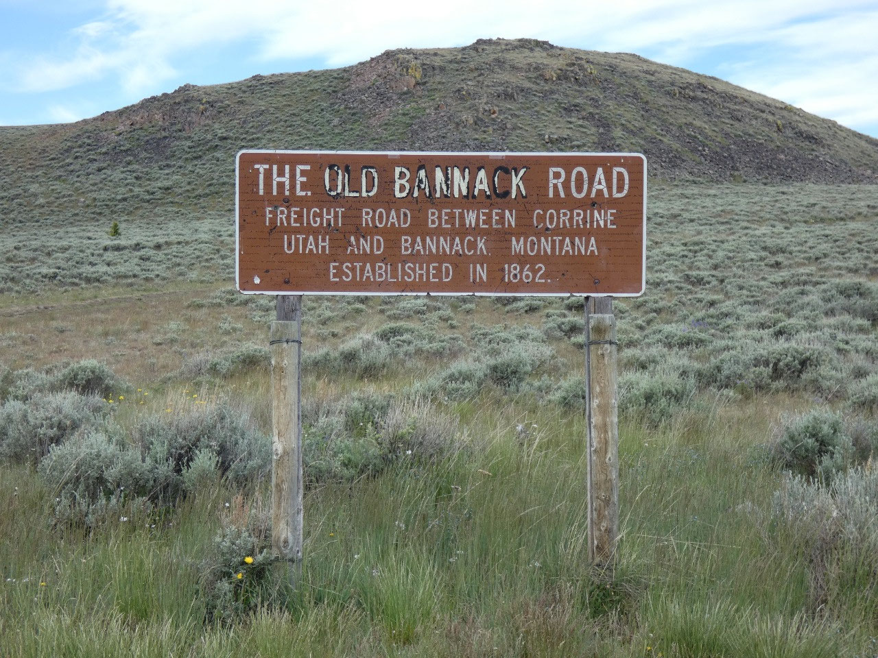
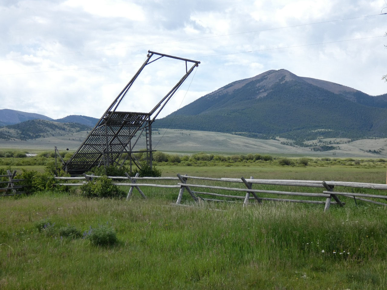
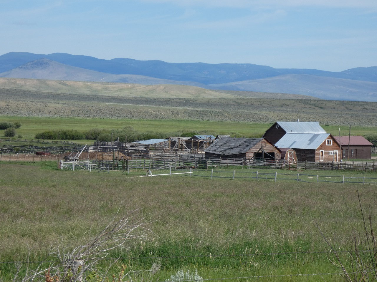
camped outside Lima, one of the oldest towns in Montana along the old stage
route to Utah, now just another quaint ramshackle Old West kind of town.
Among the many Falcon guide books I have is one to scenic
byways on BLM land across the West. At the current moment, to most people BLM
means Black Lives Matter. But in the rural West, the acronym is still
recognized and Bureau of Land Management, or jokingly Bureau of Livestock and
Mines.
More federal land is under its jurisdiction that either the National
Forest Service or National Park Service.
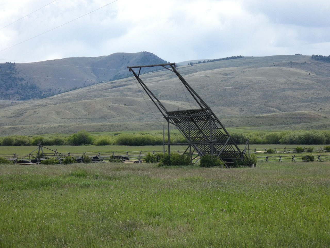
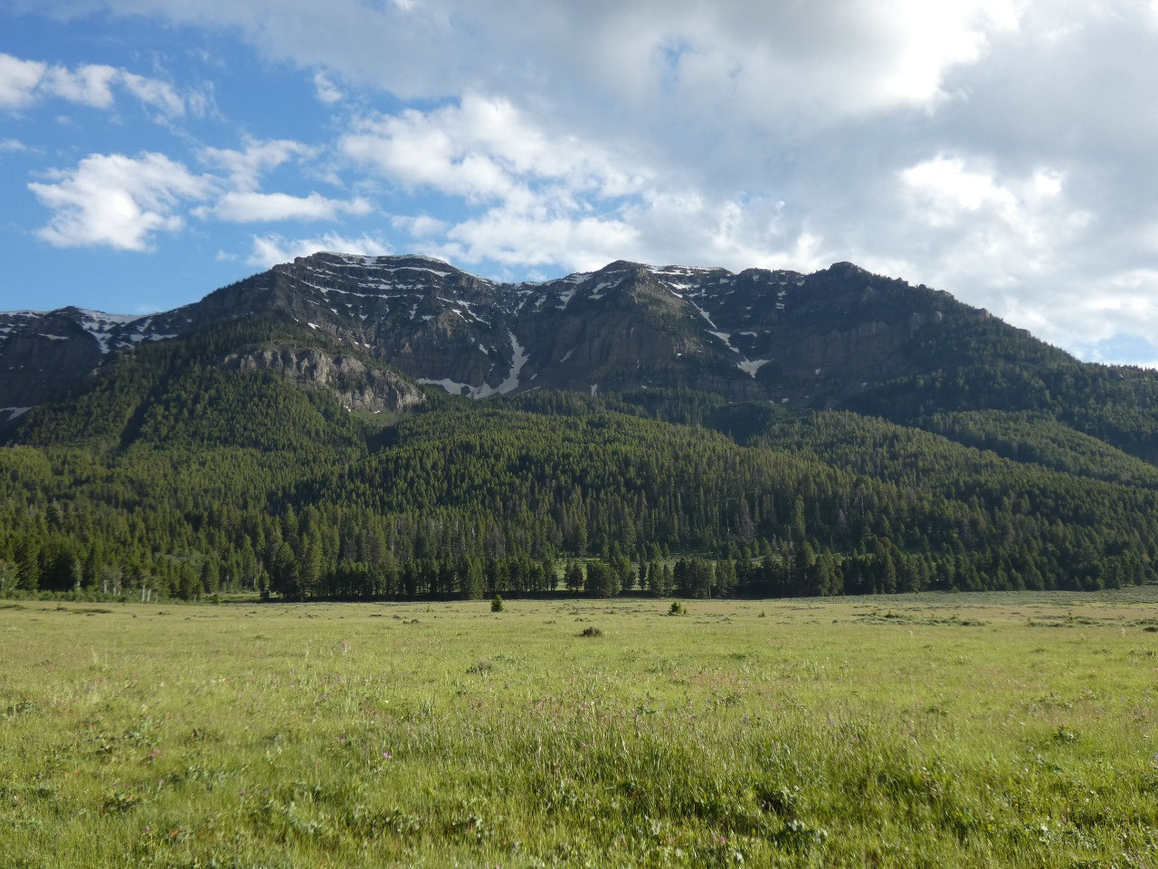
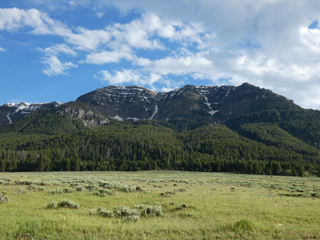
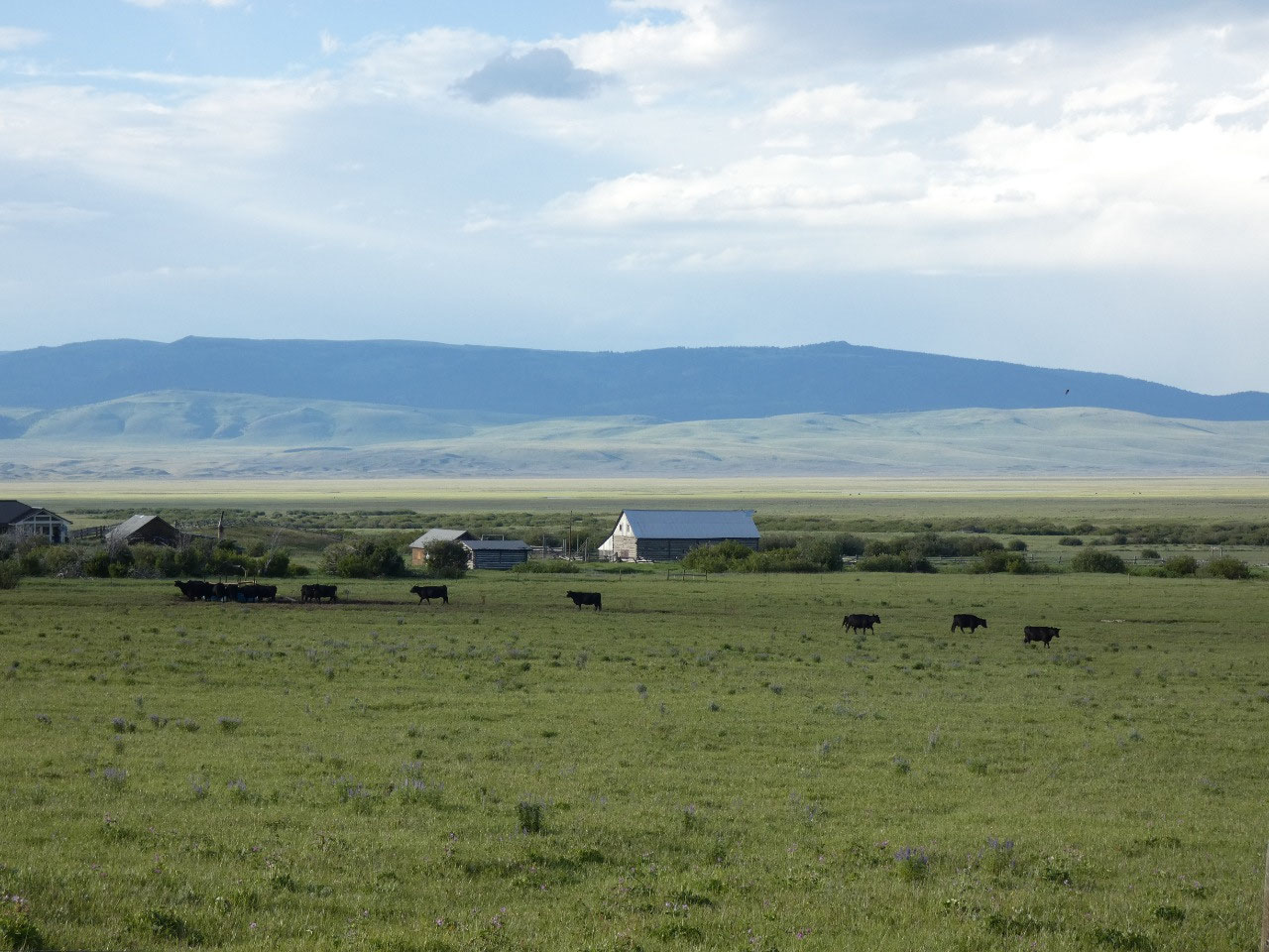
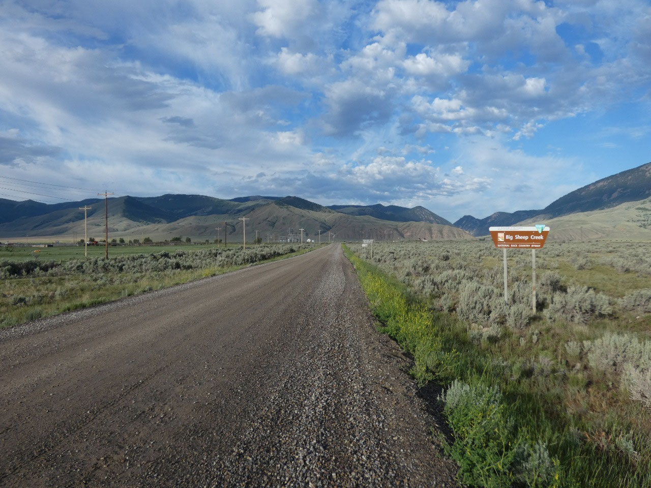
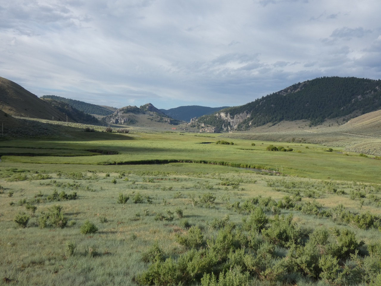
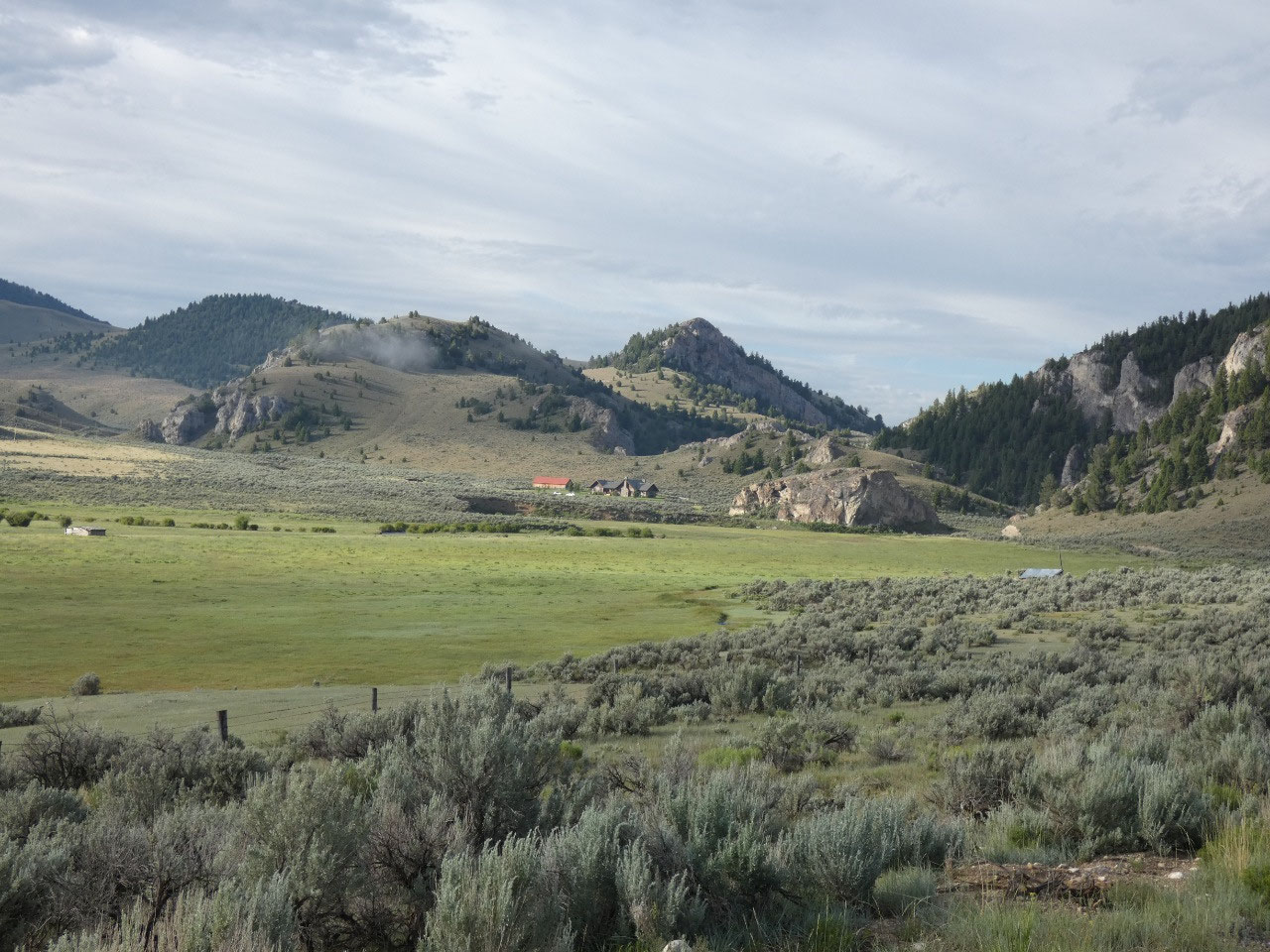
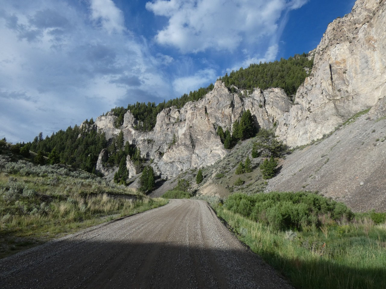
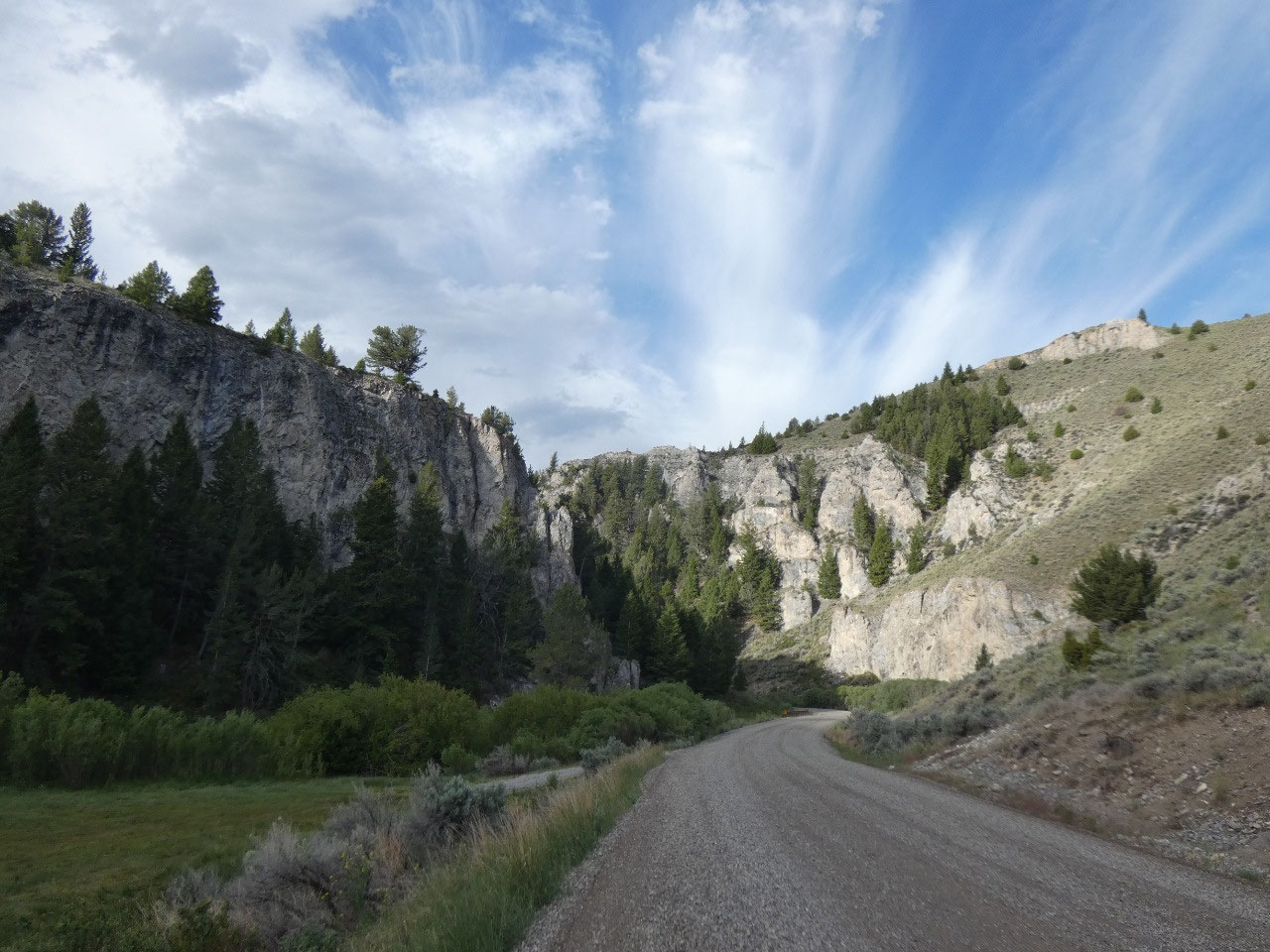
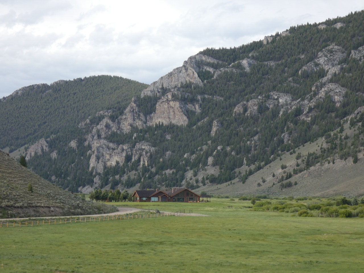
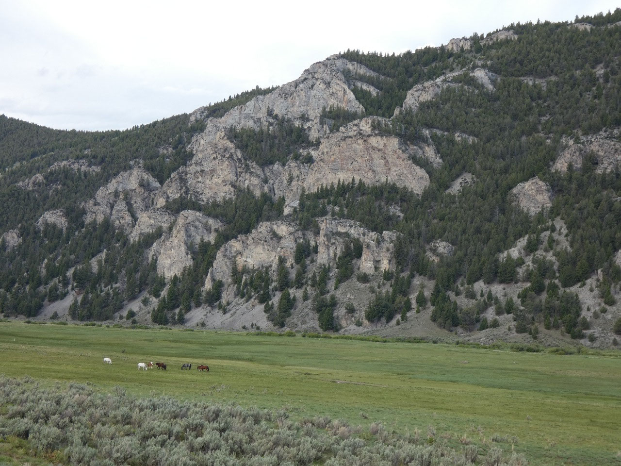
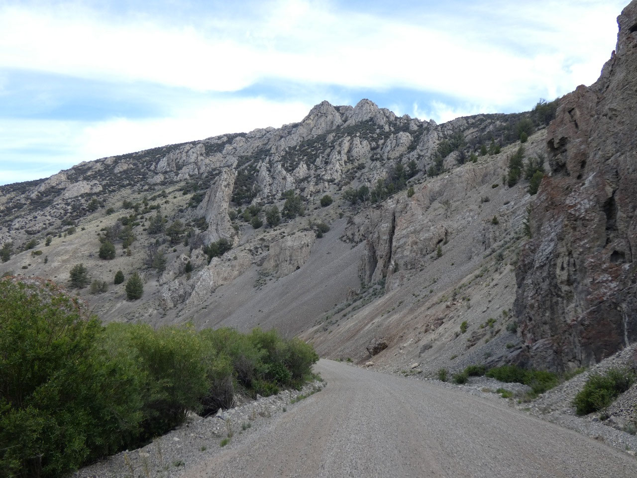
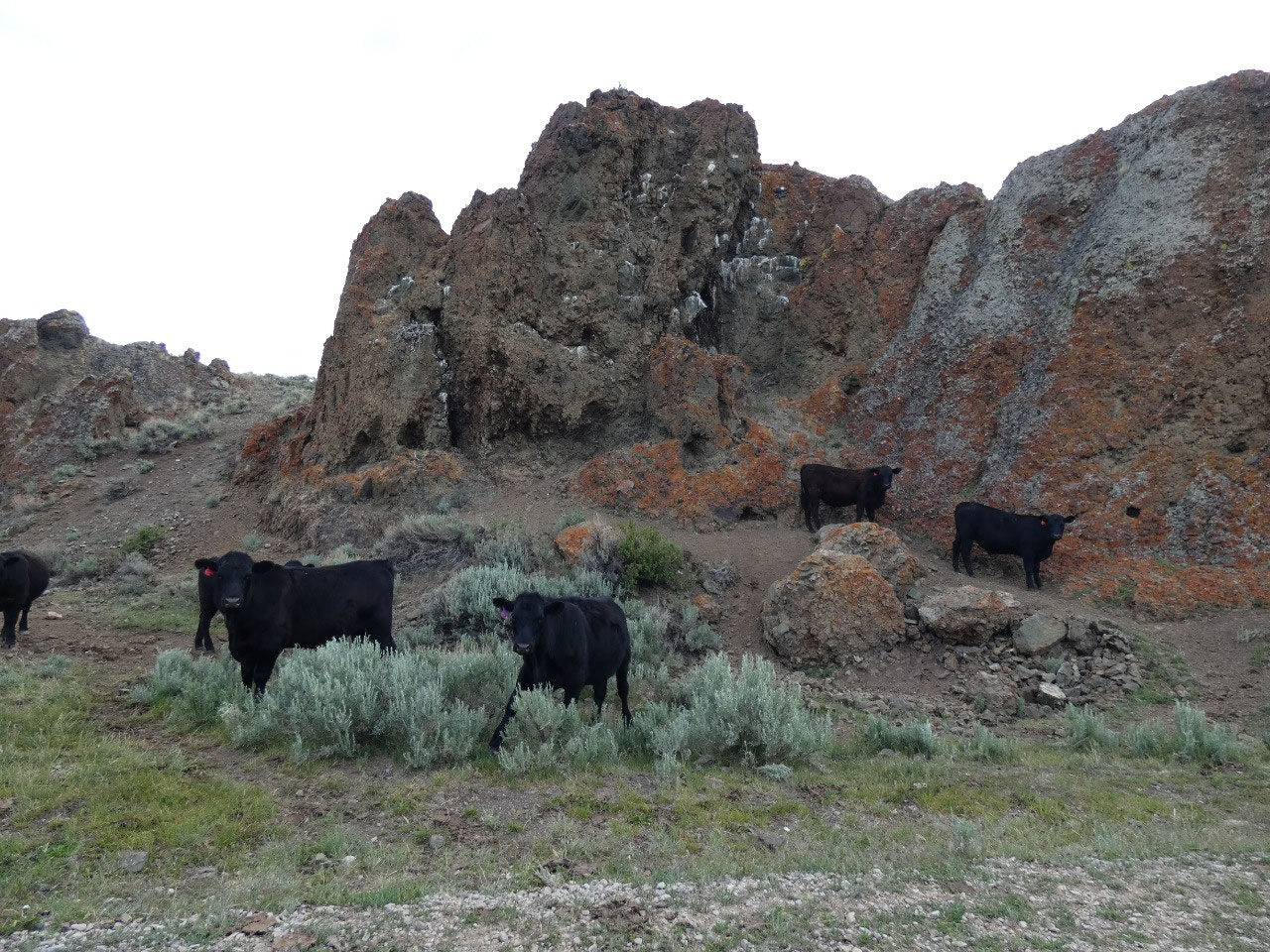
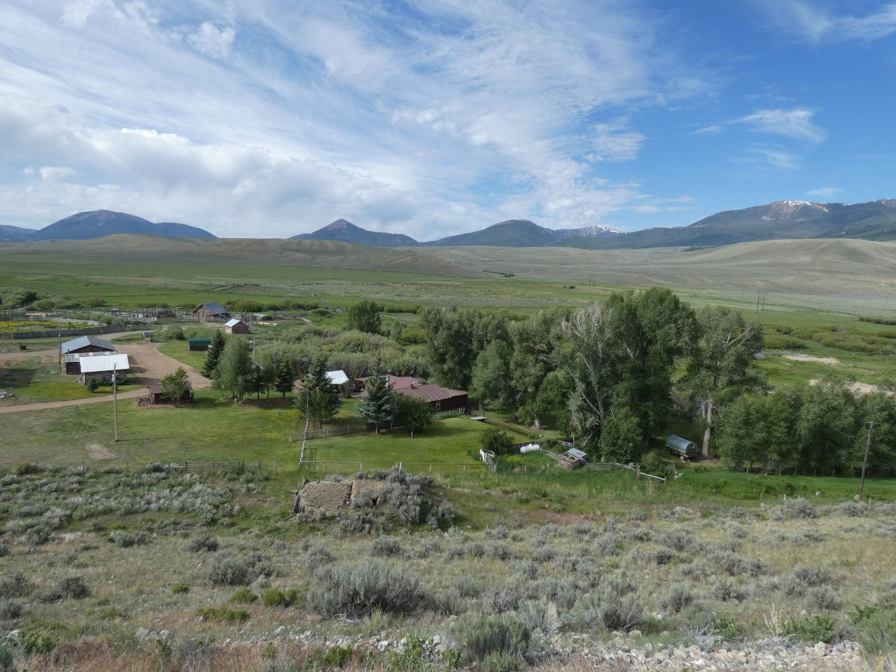
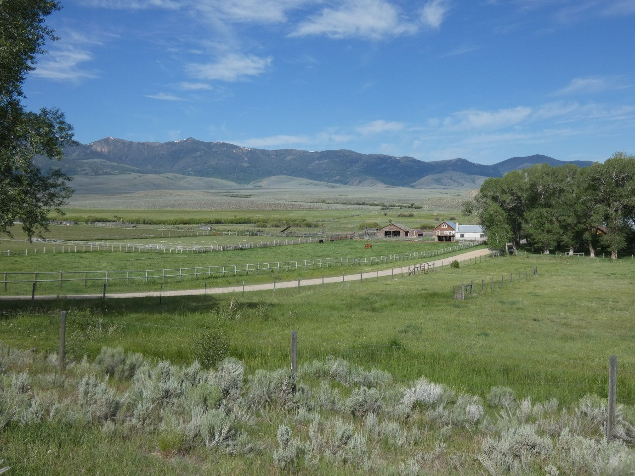
Anyway, much scenic desert and canyon lands are included, and the
50-mile long Big Sheep Creek Scenic Byway in the extreme southwestern corner of
Montana Runs through it. There usually aren’t really any specific attractions
on these BLM scenic byways, just remote western scenery of broad valleys,
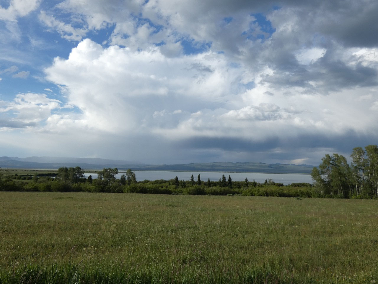
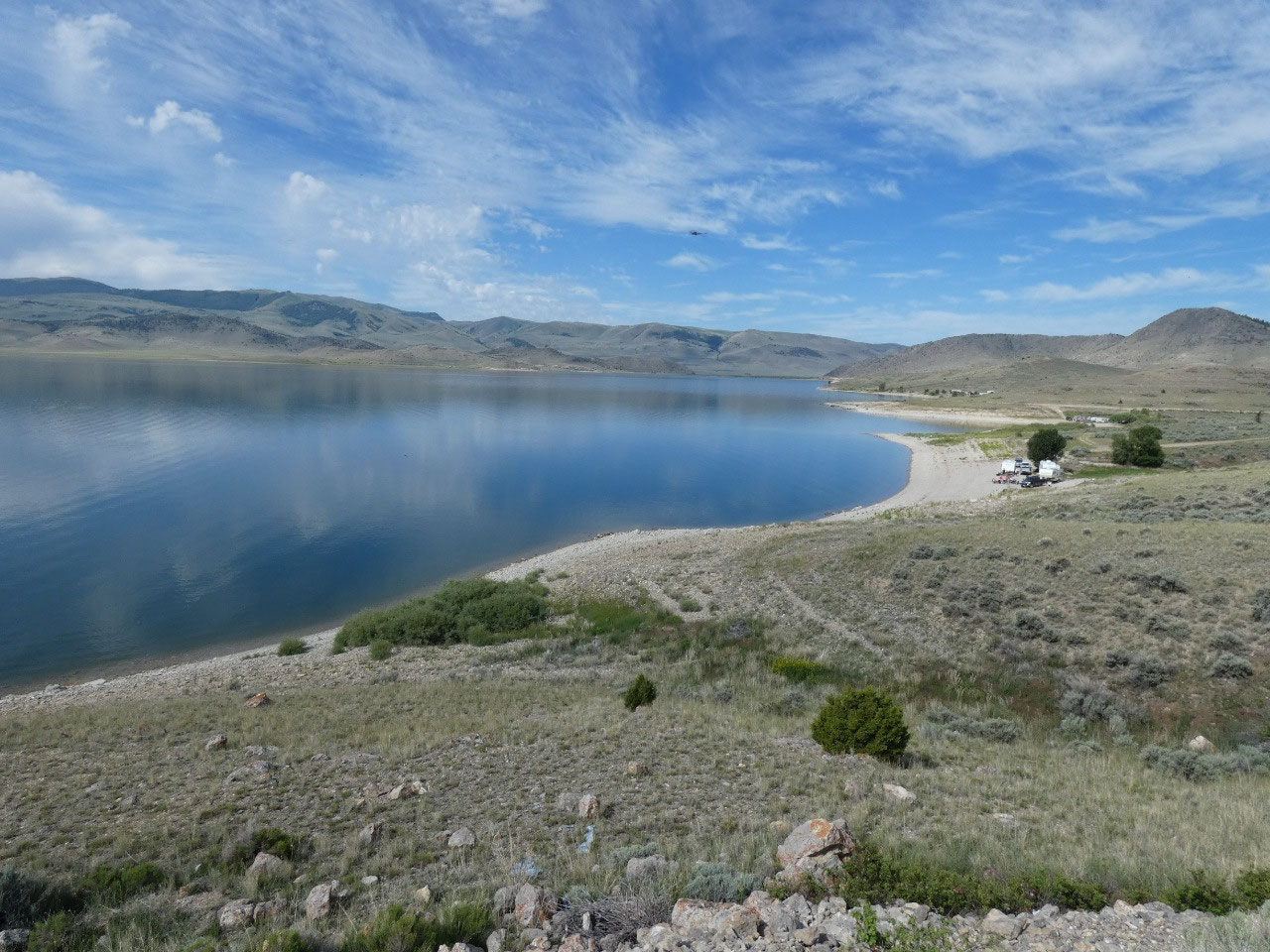
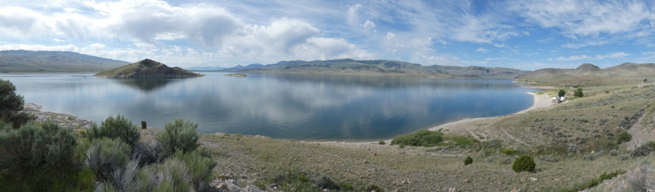
canyons and ranches. The route ends near
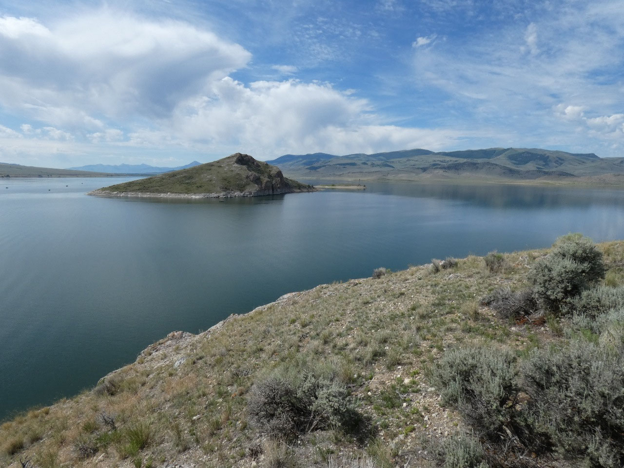
Clark Canyon Reservoir, created by the dammed Beaverhead River, underneath
which was a significant site on Lewis & Clark’s Voyage of Discovery. There
Sacajawea negotiated with the Shoshone tribe for horses for the explorers’
portage over the Bitterroot Mountains and realized she was talking with here
long-lost brother. At that place the river voyage ended and an overland trip
began until they reached a navigable river in the Pacific drainage.

2025-05-22