 Winter Harbour, British Columbia, Canada
Holberg /
Winterharbour - July 7, 2021
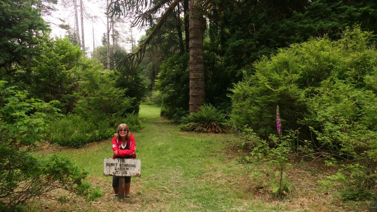
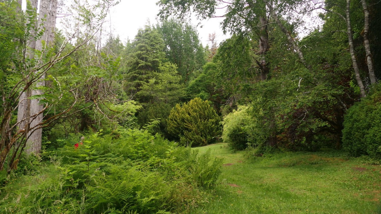
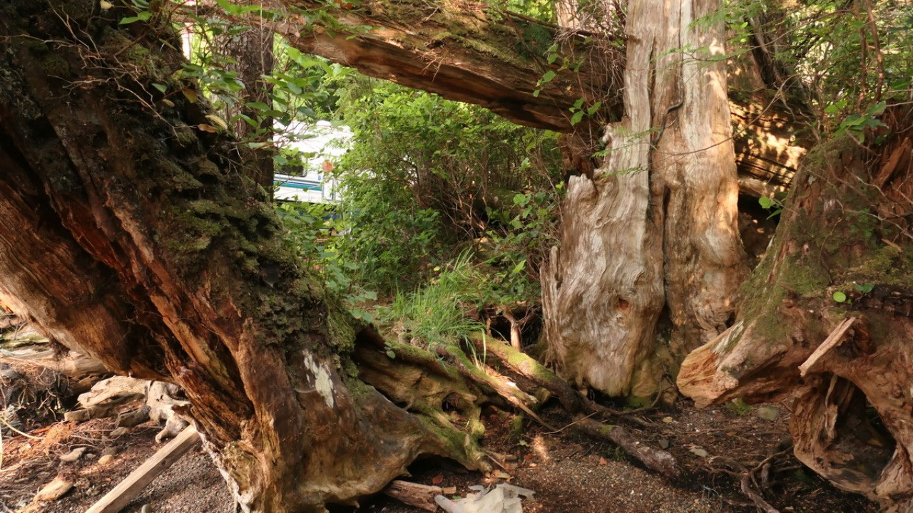
Ronning Garden
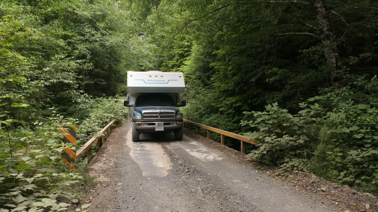
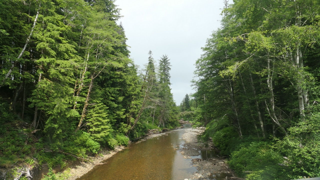
We left the San Joseph
Bay area and only a few km on the San Joseph Main Road back comes the turn off
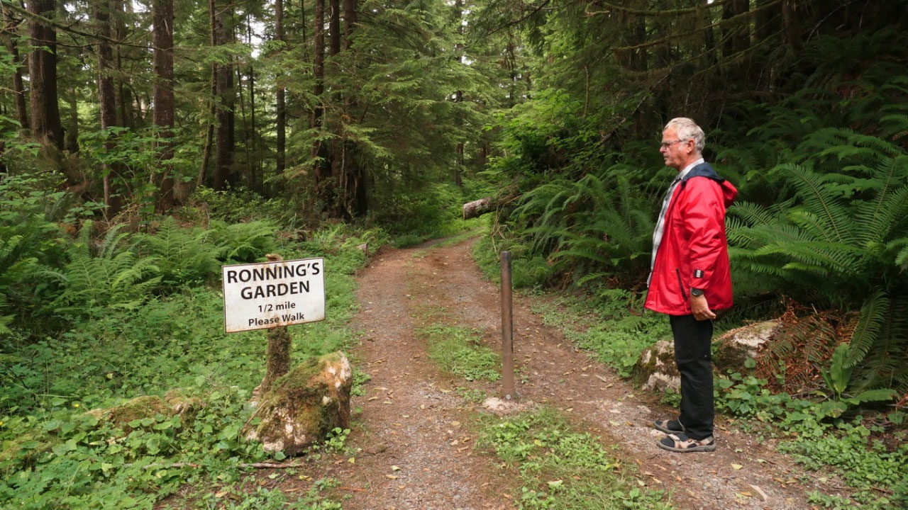
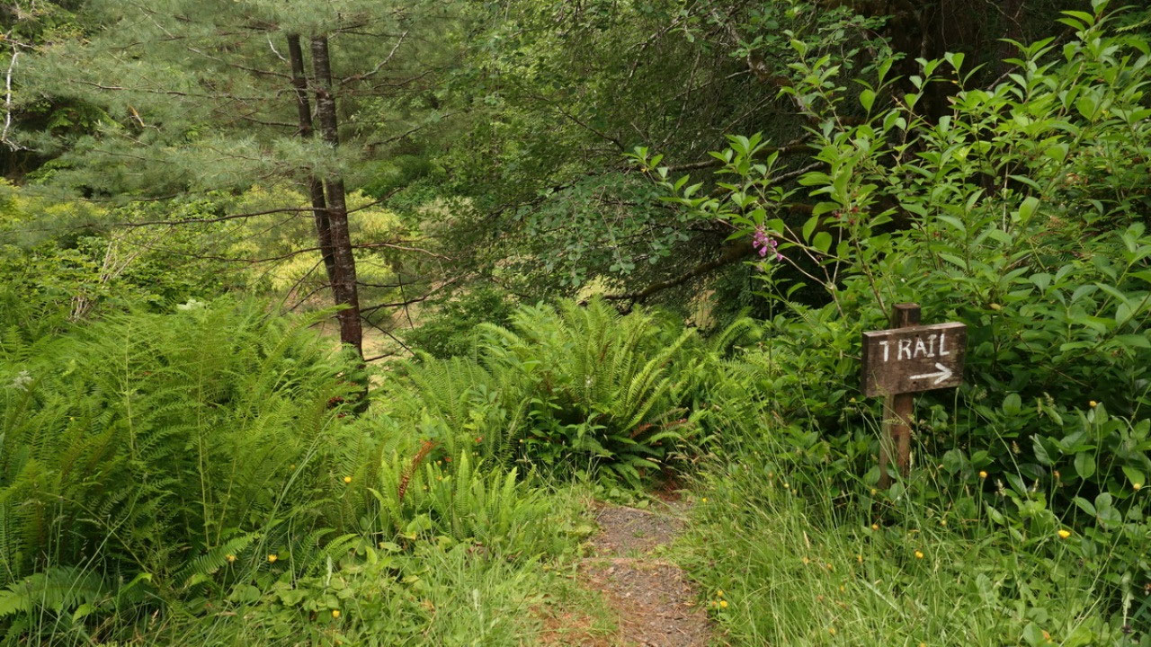
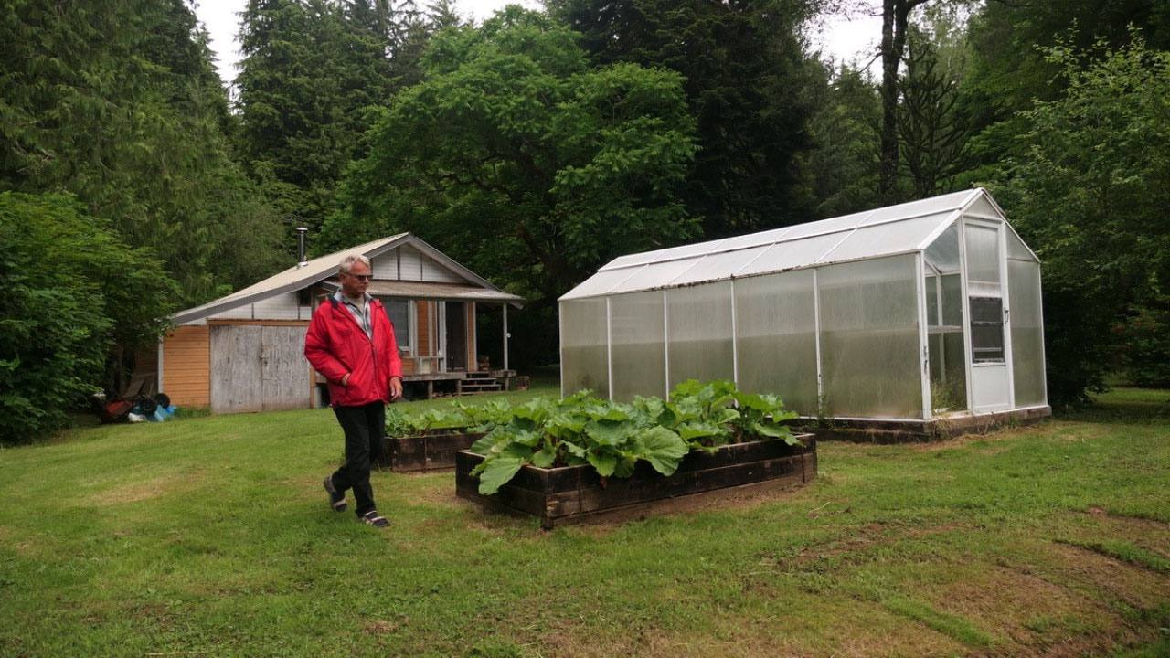
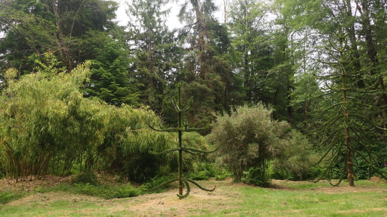
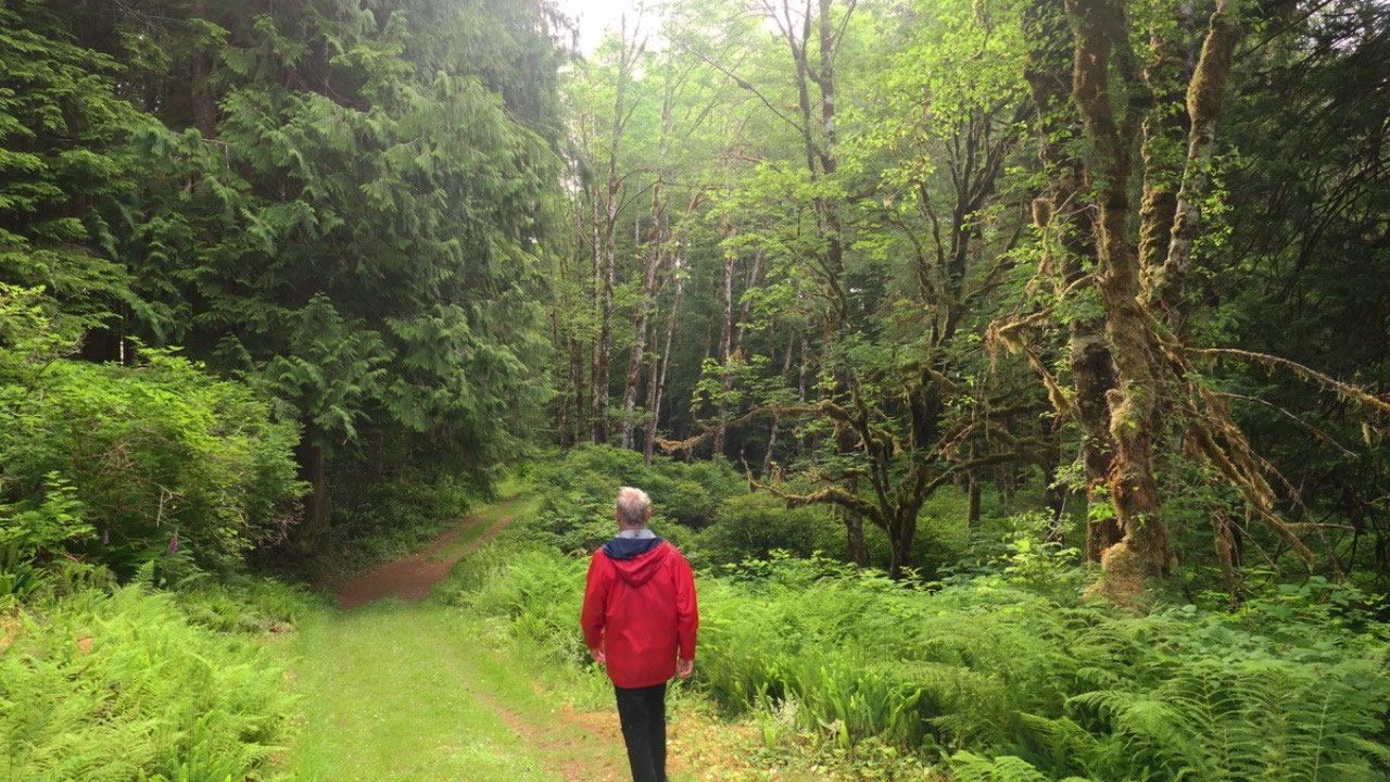
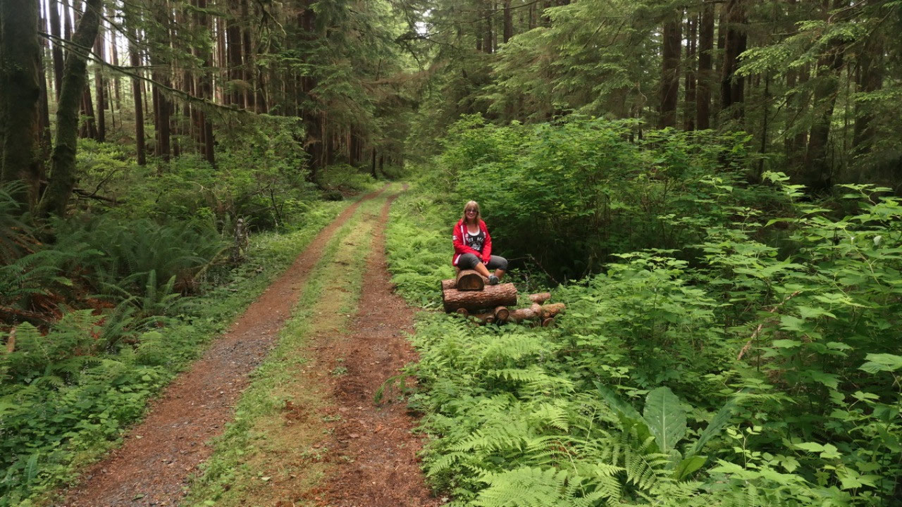
to Ronning Garden, a bit in there is even a parking lot and from here it’s ½
mile to the garden. As we walk through the forest on the old wagon road they
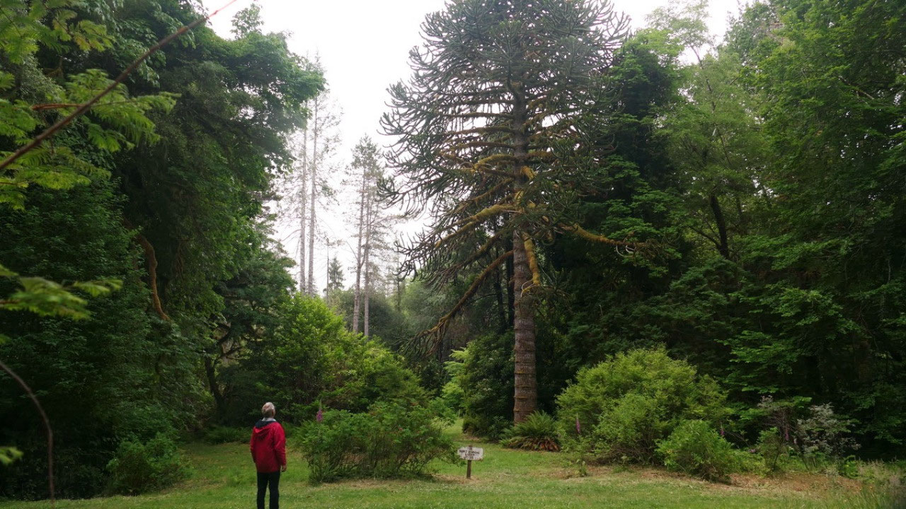
took to San Joseph Bay, we come to the opening and can see the first few monkey
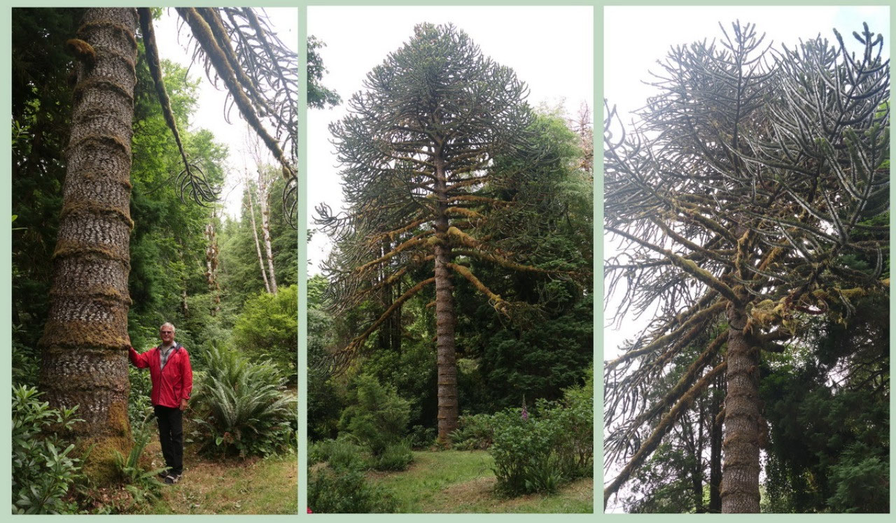
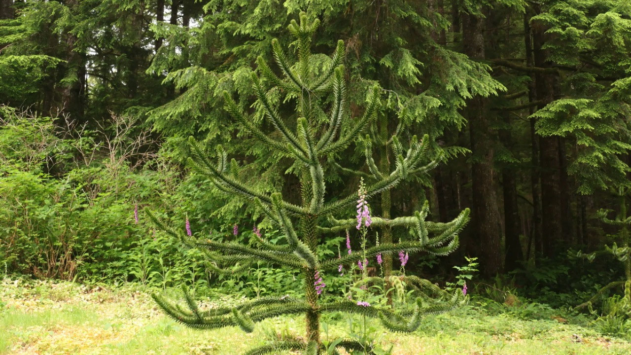
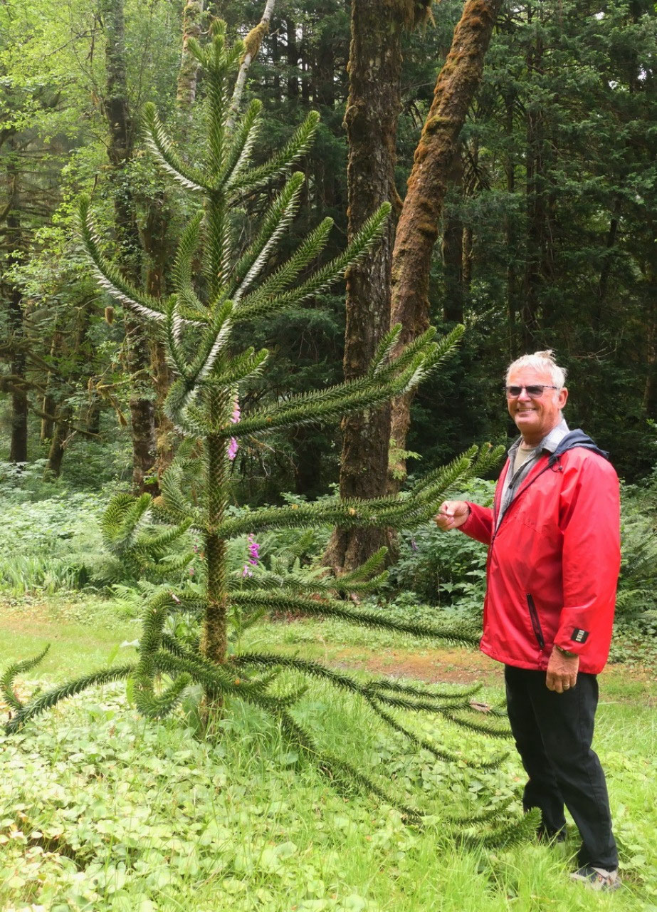
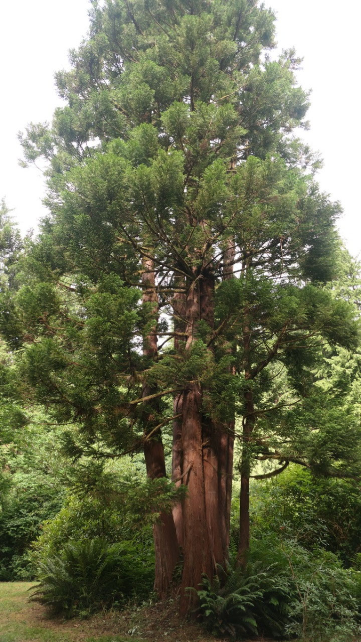
trees and as we turn around there is this gigantic Monkey tree: it’s
unbelievable to see that huge tree. We walk down onto the trail and as it winds
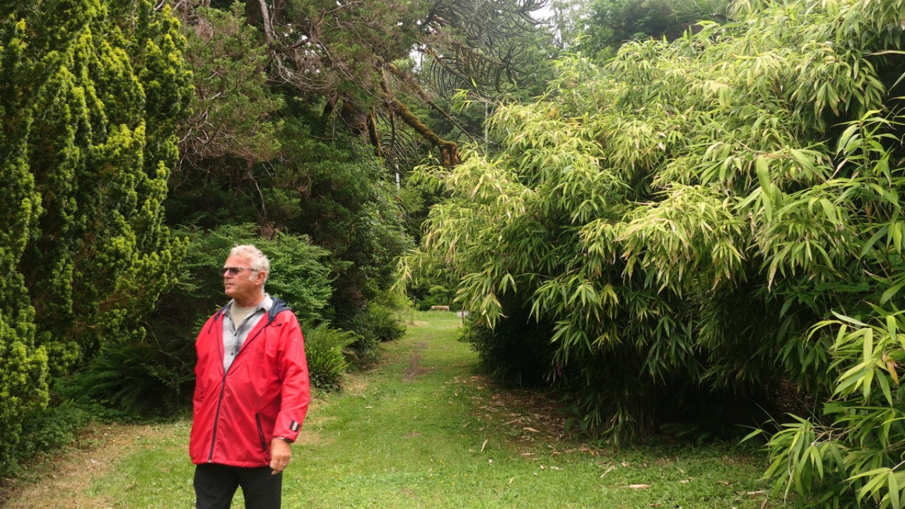
down we come to another opening and we are not real botanist, but we can see
the bamboo as well some other trees and huge shrubs which are not native for
here. We came by the old house and the little greenhouse and it makes us wonder
what brings people that they came here literally into no-where into the rainforest:
it’s a long lonely ride, then they have to clear and start out….
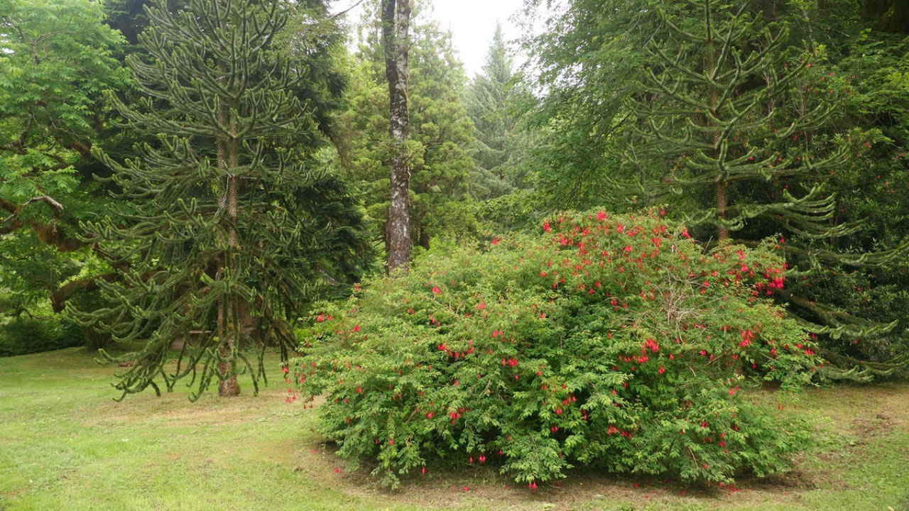
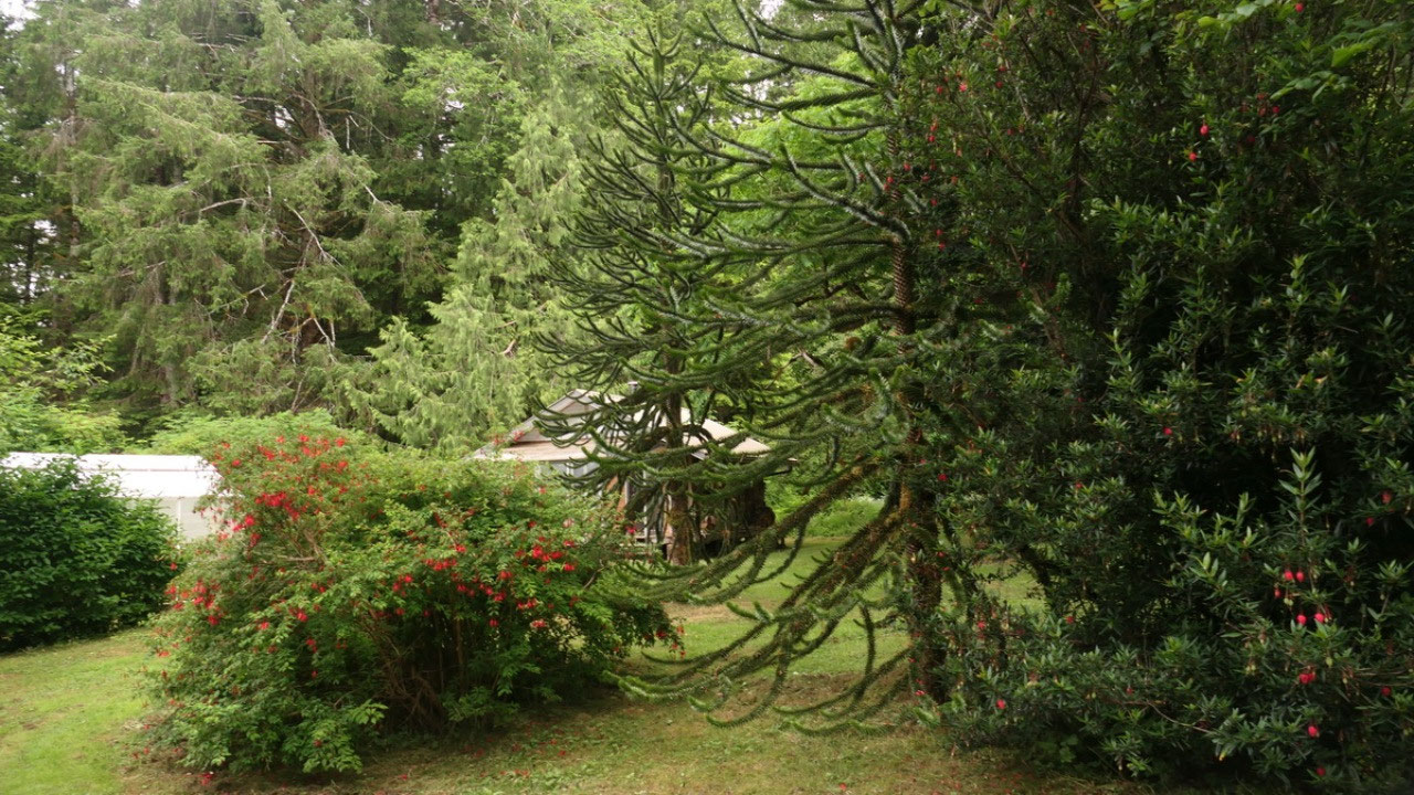
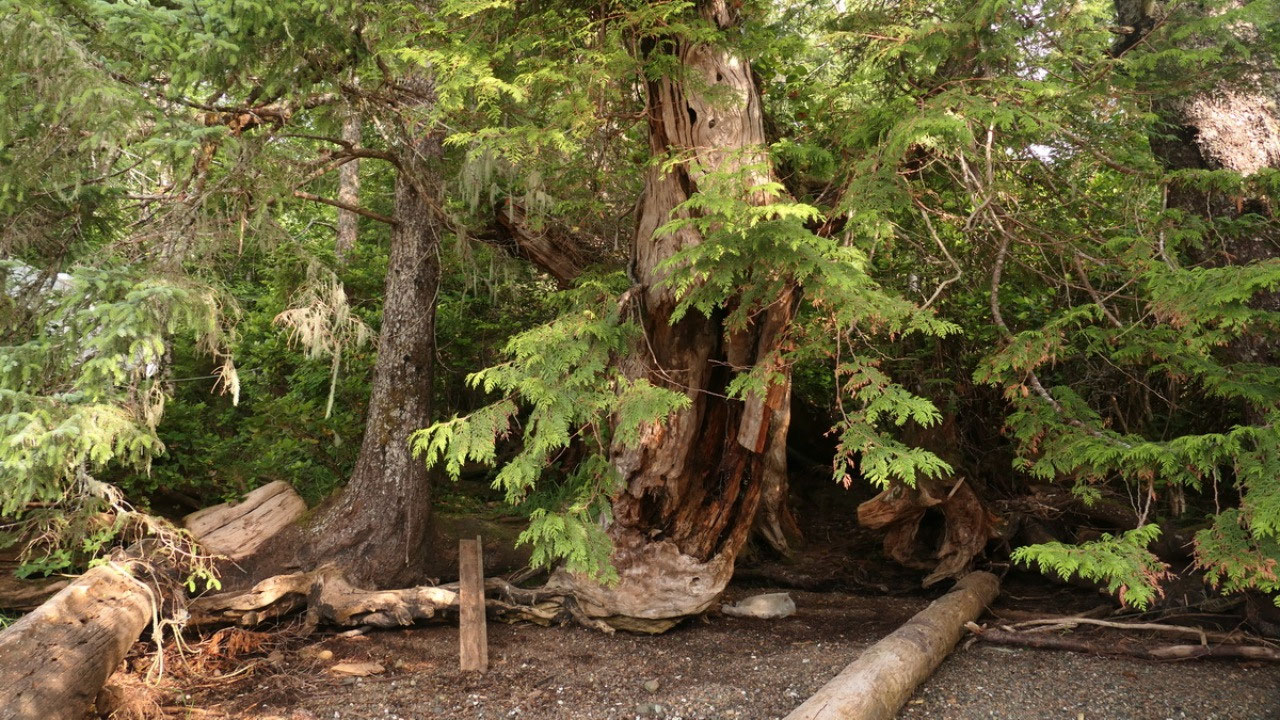
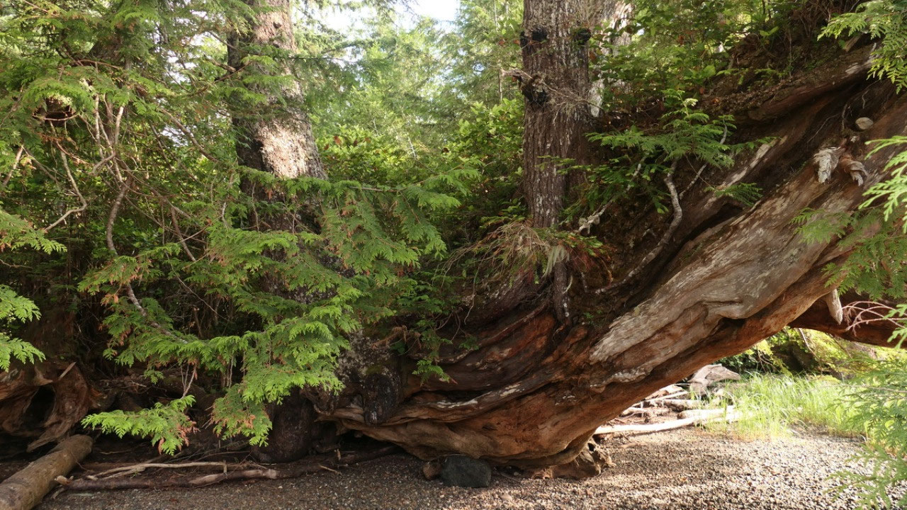
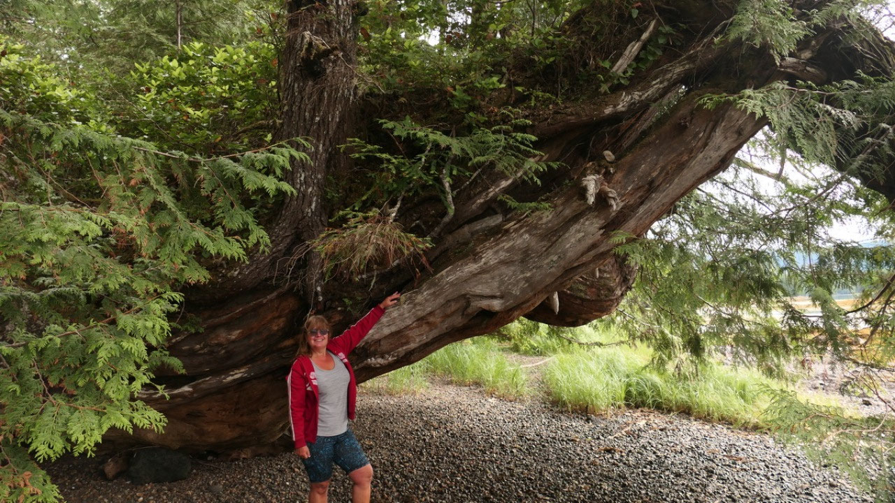
The story of the Monkey tree on Vancouver Island:
- Ronnings Garden is a homestead with exotic trees – especially known for the Monkey trees
- Brennt Ronning a Norwegian homesteader started the garden in 1910 from seeds and cutting of trees ordered from around the world, Ronning died in 1963
- You walk along the old original wagon road towards Cape Scott
- In the late 60s the garden nearly disappeared under the encroaching bushes and alders, most of the flowers got lost – today it is freed from the invading rainforest
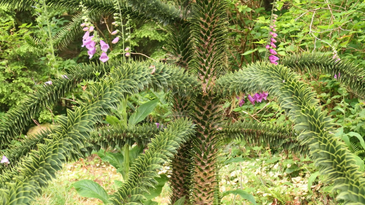
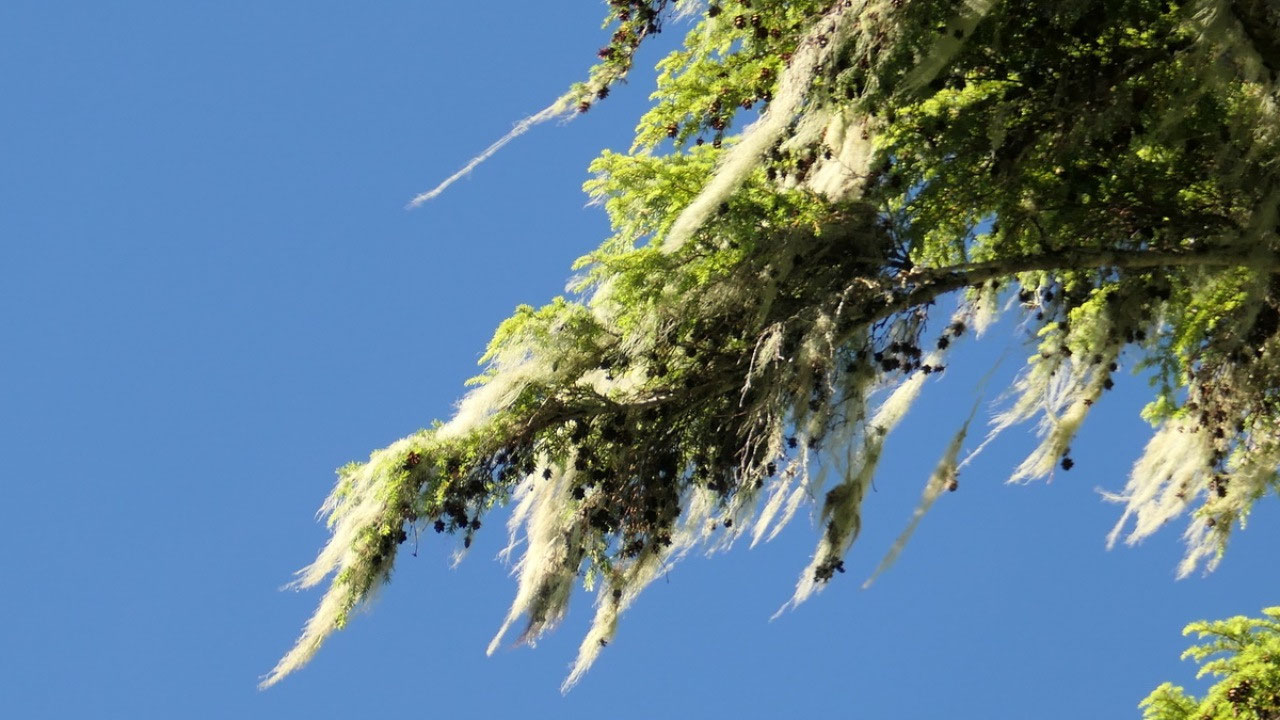
- The Monkey tree is native to Chile and western Argentinia, typically over 1000m elevation\
- The leaves are scale like with sharp edges like the unrelated succulent plants and the leaves can live up toe 24 years
- There are male and female monkey trees – once in a while a tree bears cones of both sexes
- Some of them are up to 1500 years old, they say the one in Ronnings Garden is the largest one in Northern America
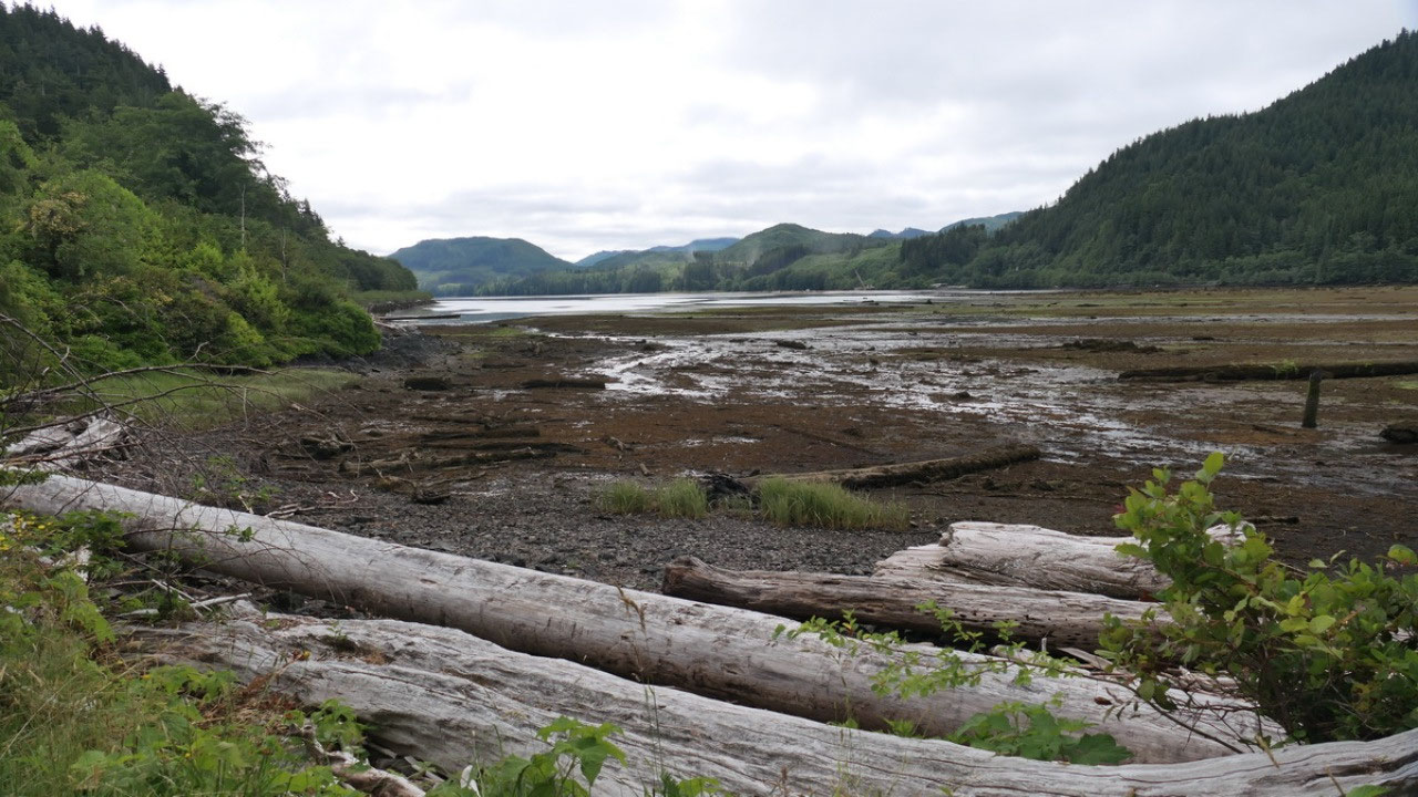
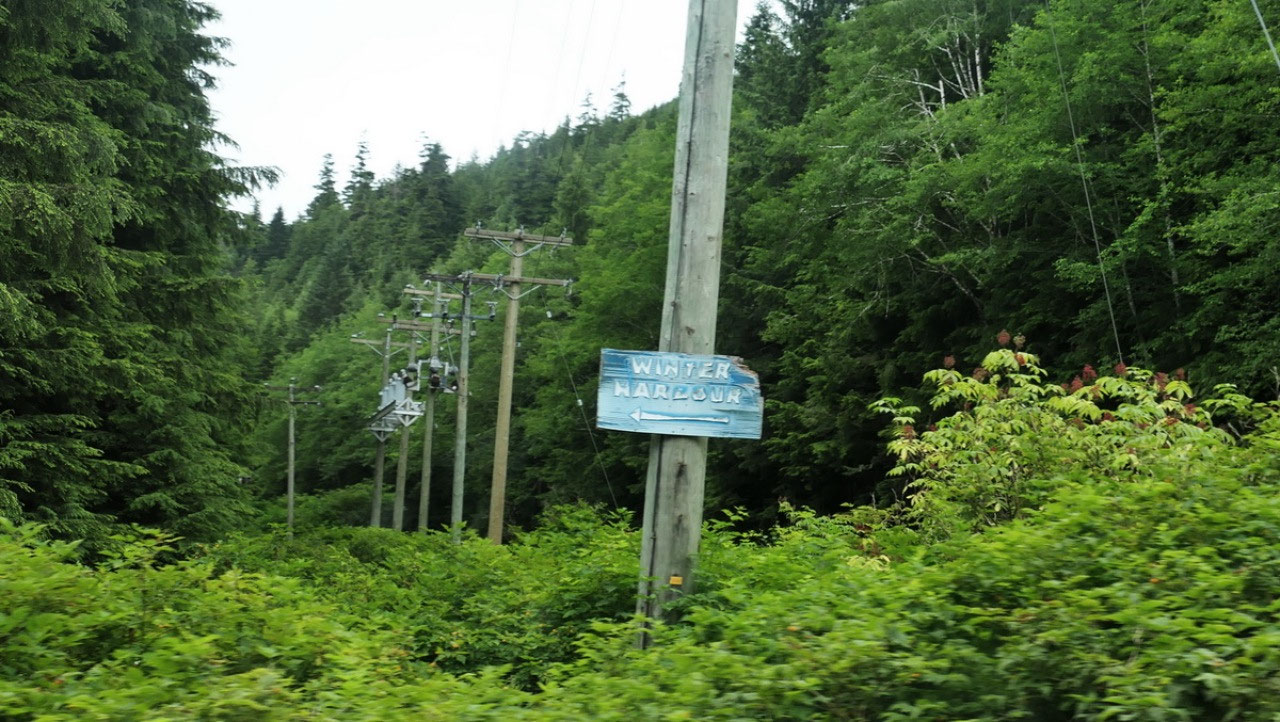
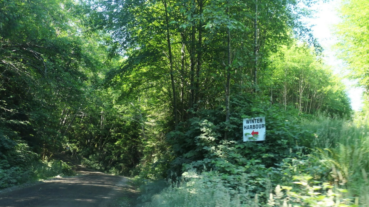
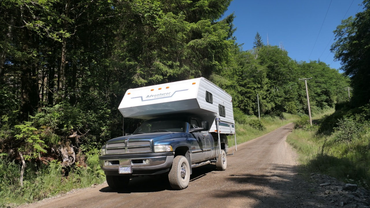
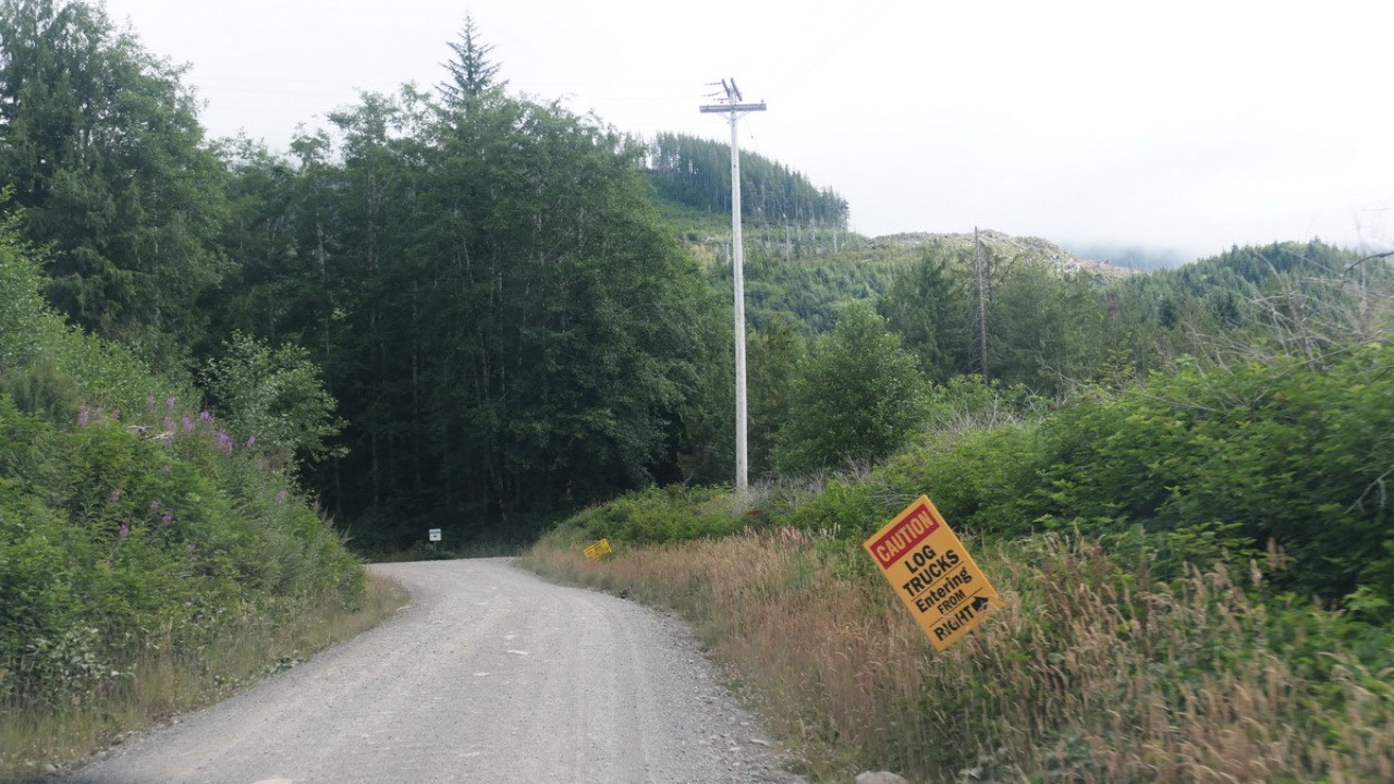
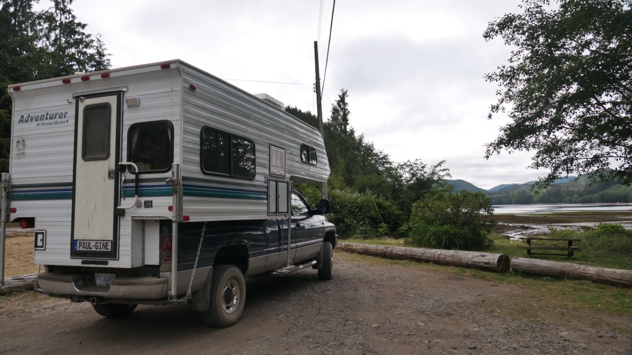
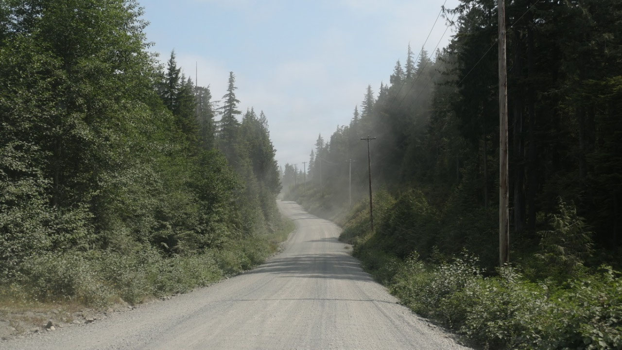
The Road to Winter
harbour
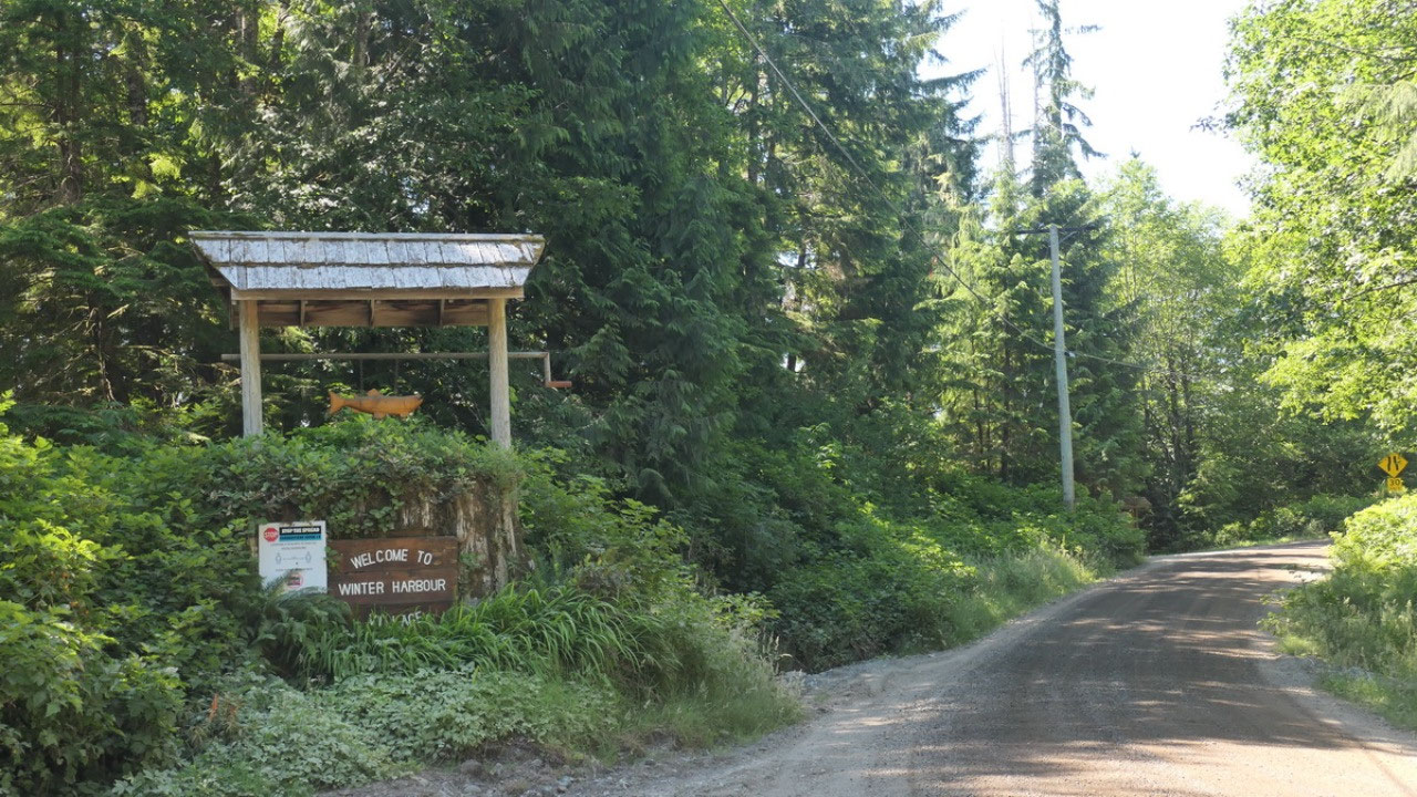
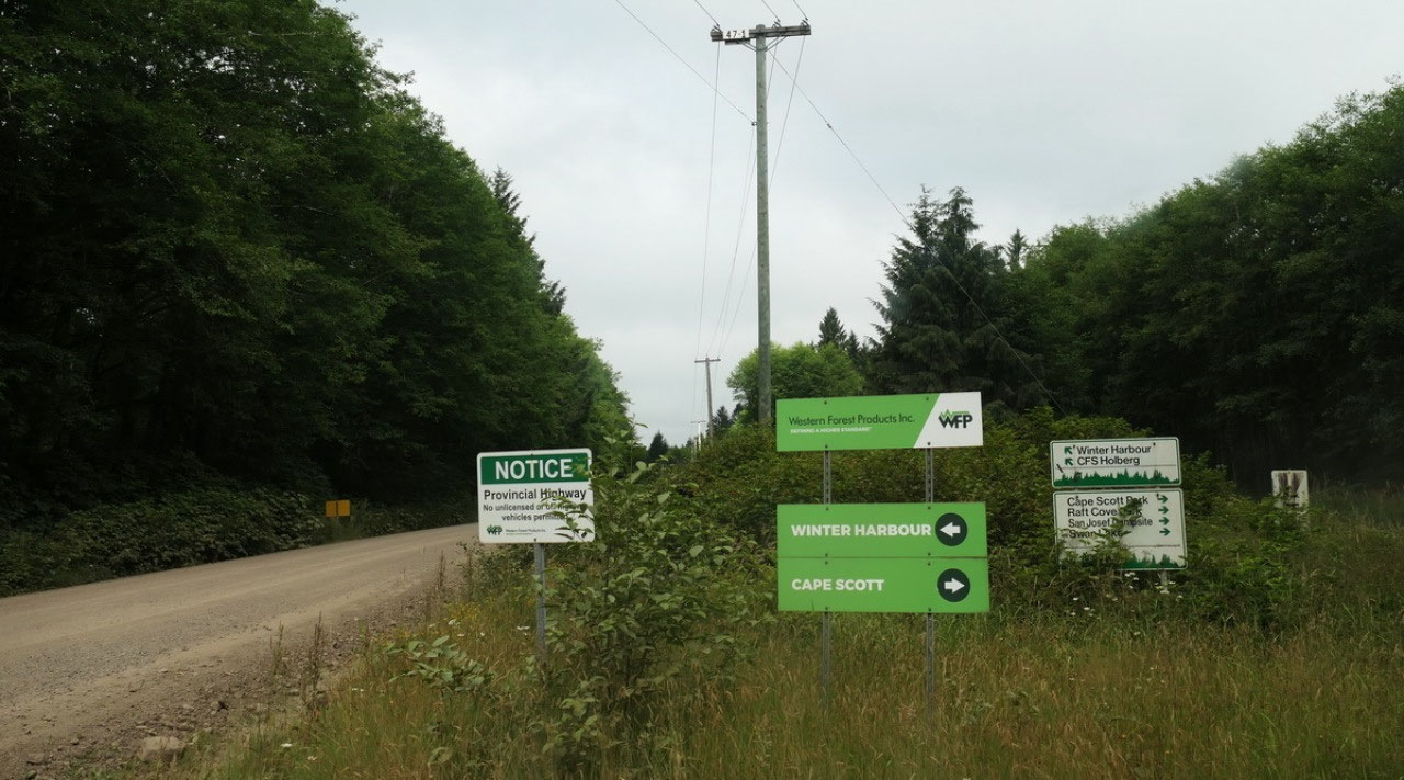
Then comes the turn
off to Winter harbour. In case you wonder on how well known that town is,
google map is unable to give you the way, even you can see the roads on the
map. It’s around 22 km on dusty gravel road you can see it goes through a town
as we follow the electricity poles. And along the road you can always find
those small white signs with red writing “Winter harbour” or the sings from
Wester forestry site. As we approach the sky gets blue and the sun is out.
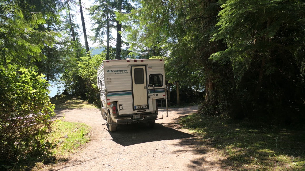
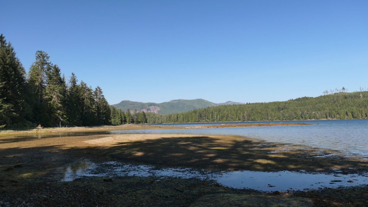
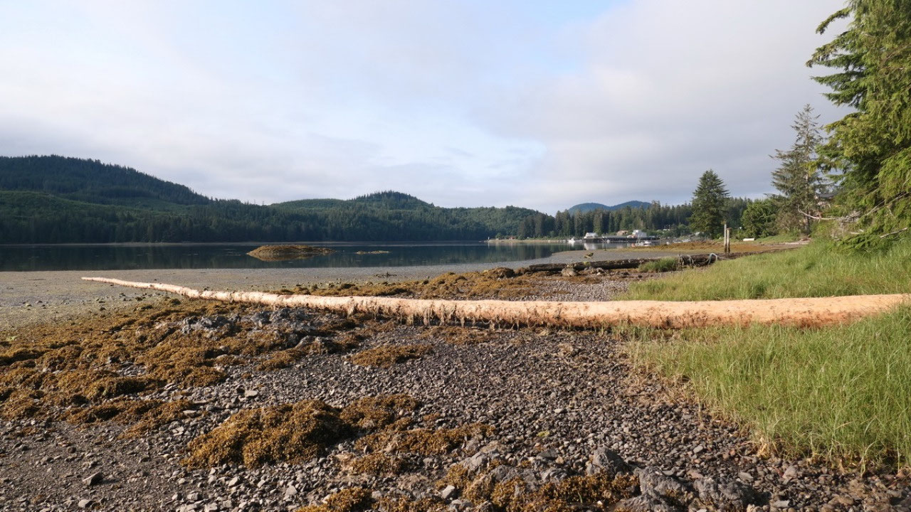
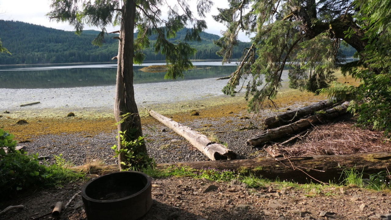
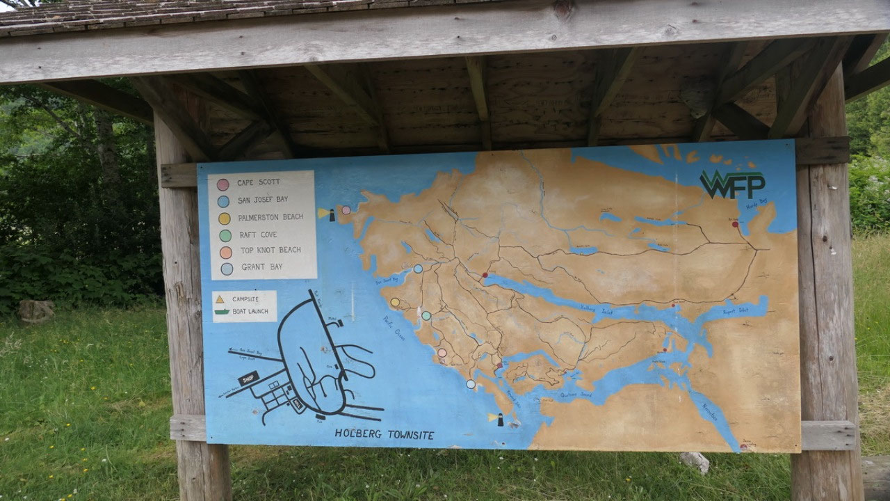
The Kwasistka Regional
Park
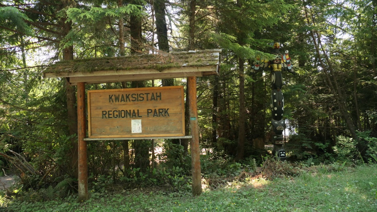
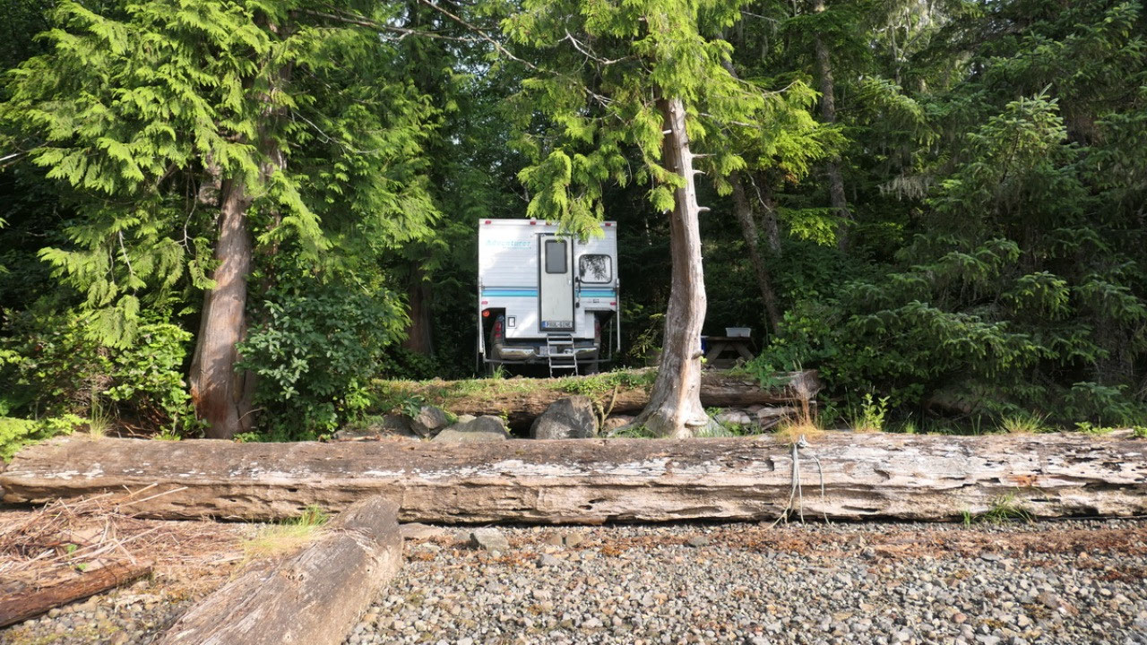
Is 1 km before the
town and right on the water inlet, it’s looks super cute and there is another
couple here, they told us, that they were alone the last nights so they would
be happy if we are here too, then it’s not so lonely. As the site is in the
shade we decide to check the town our first.
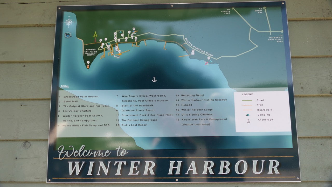
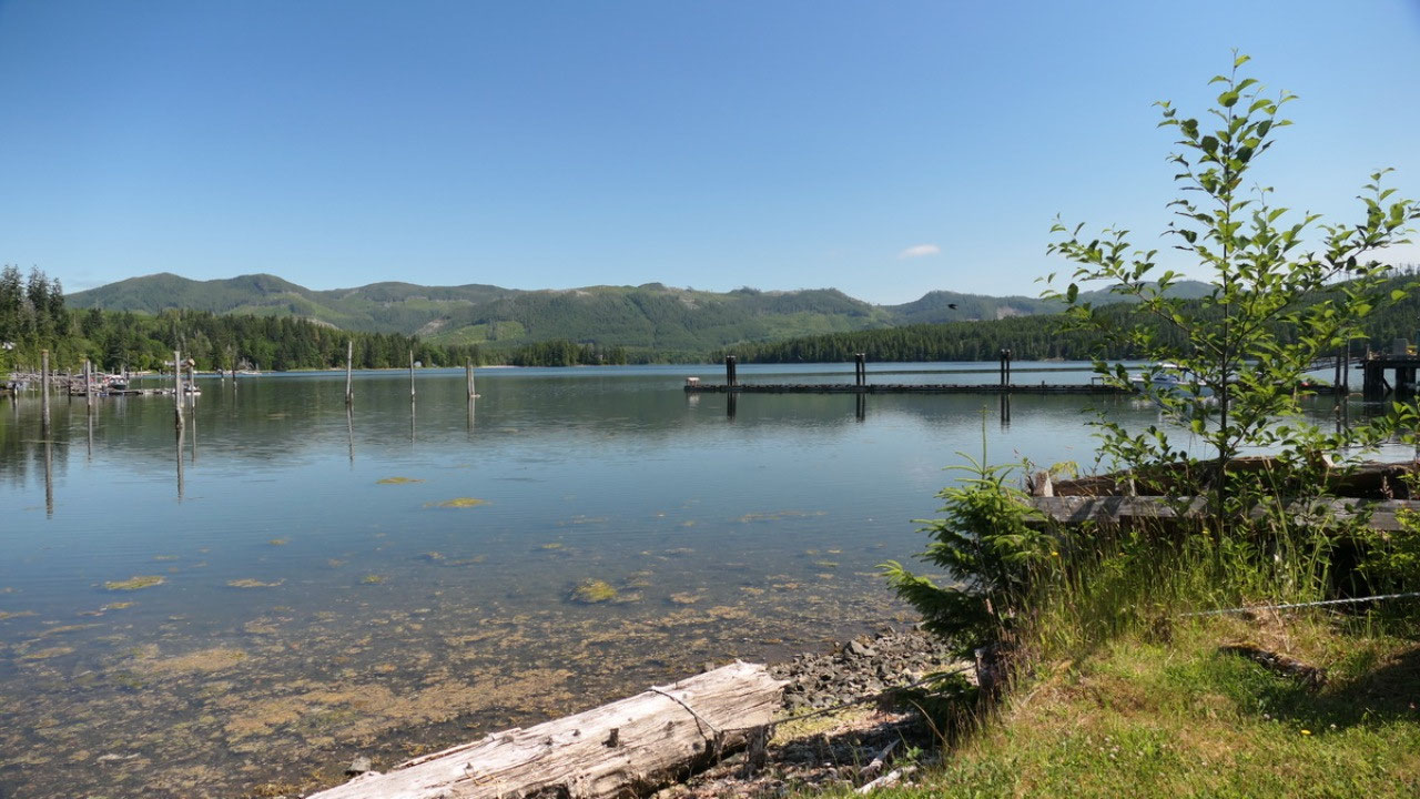
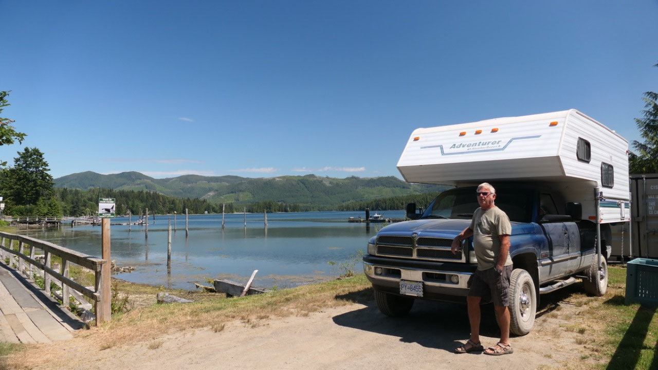
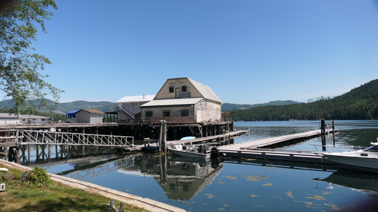
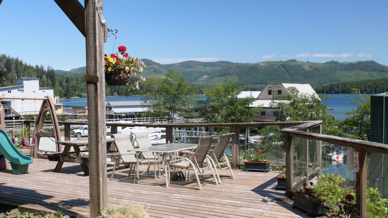
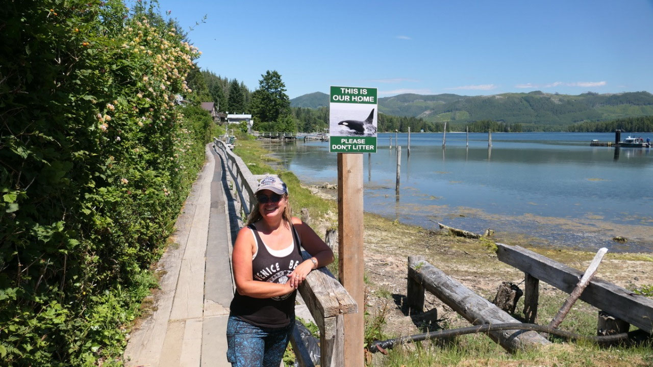
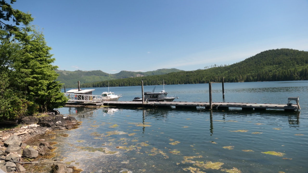
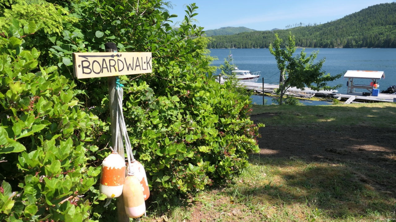
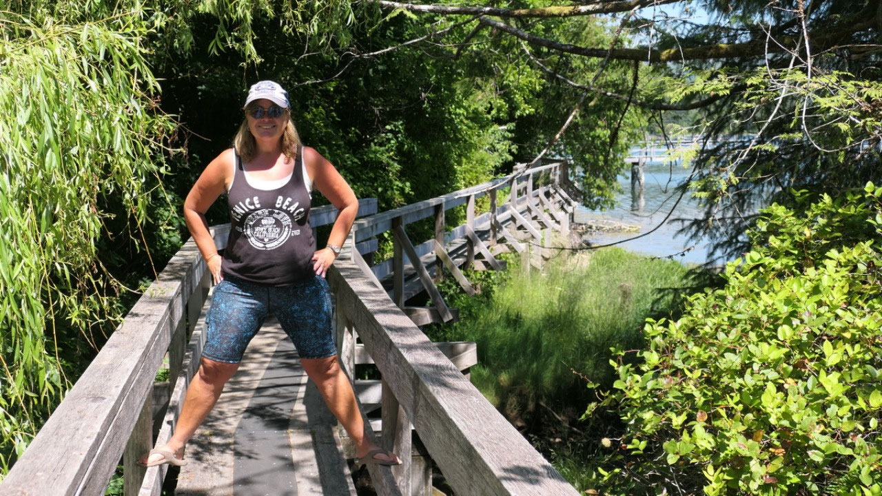
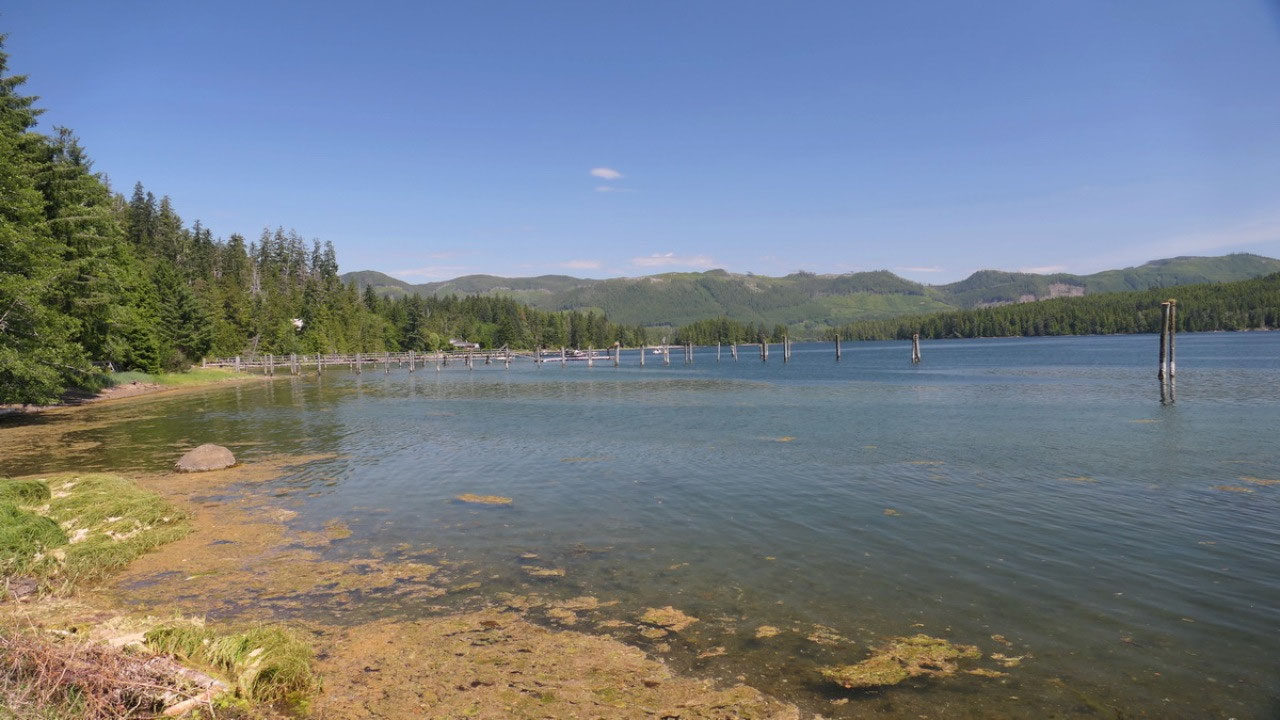
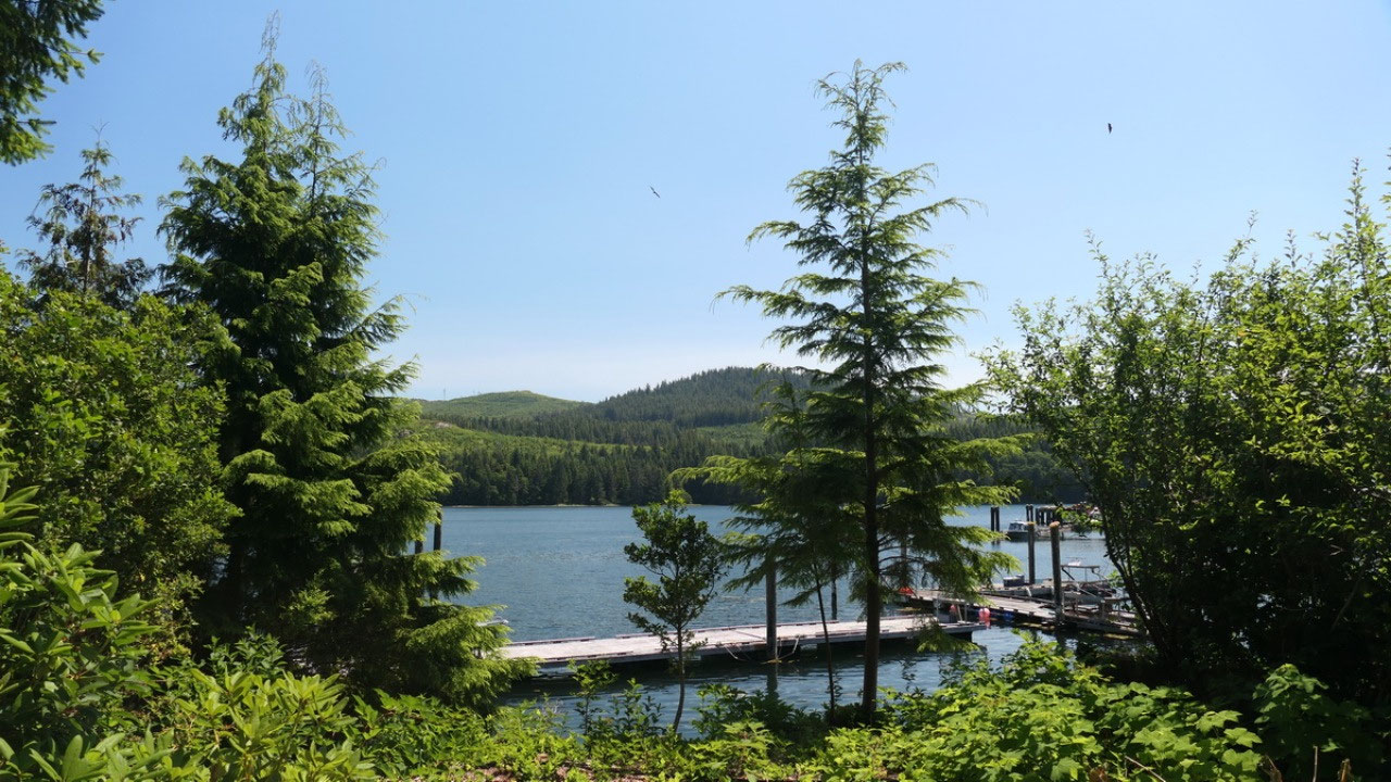
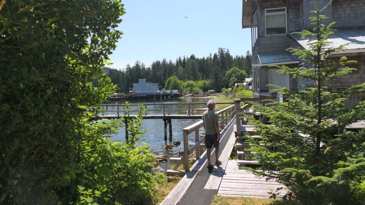
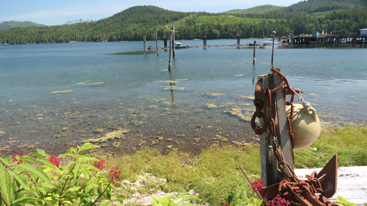
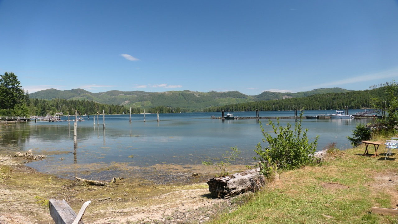
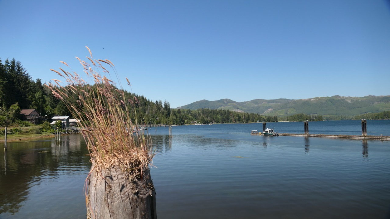
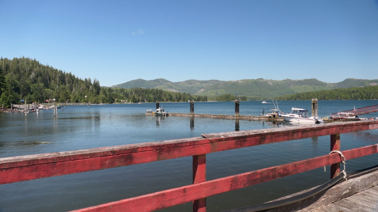
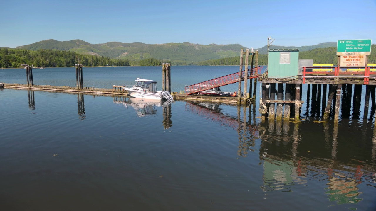
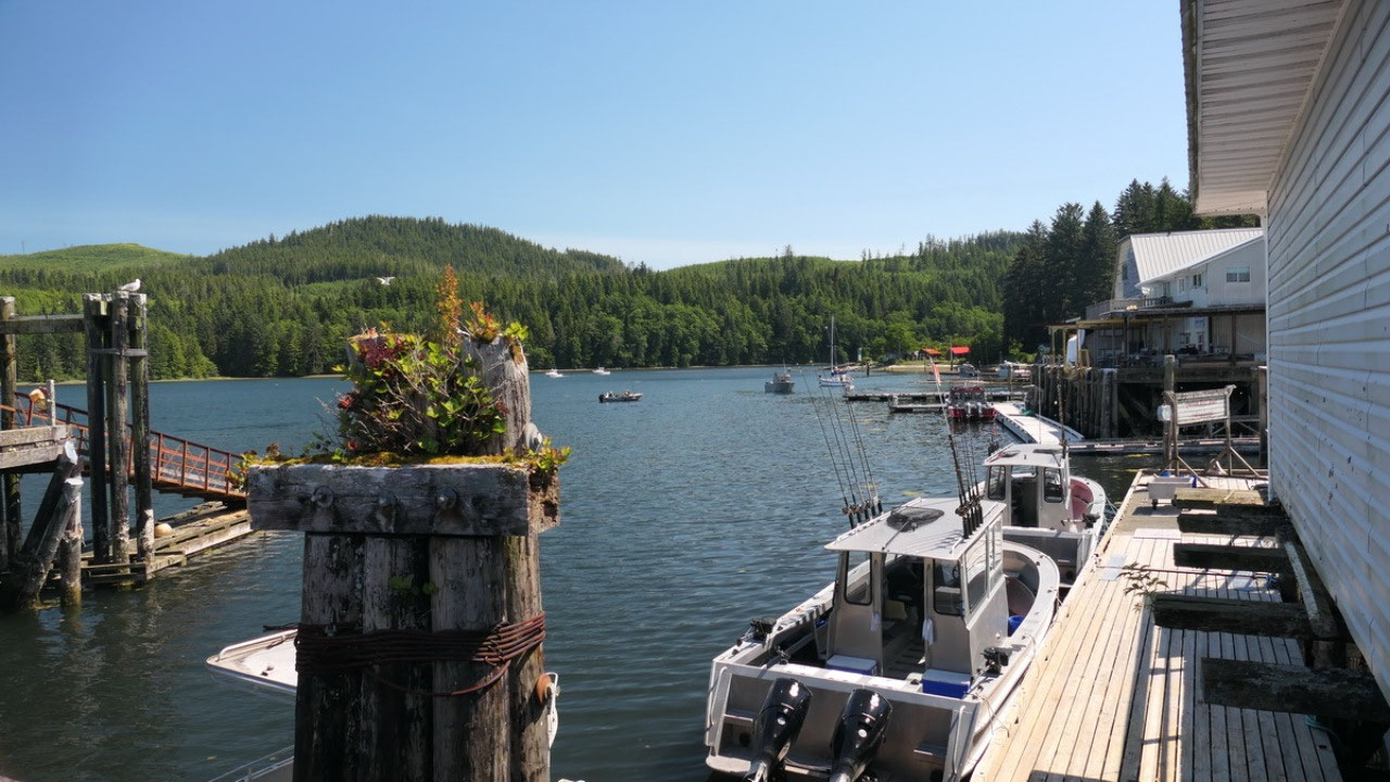
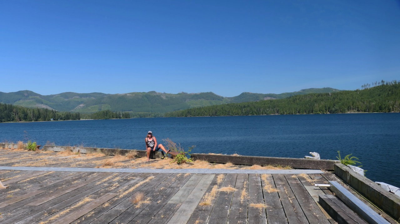
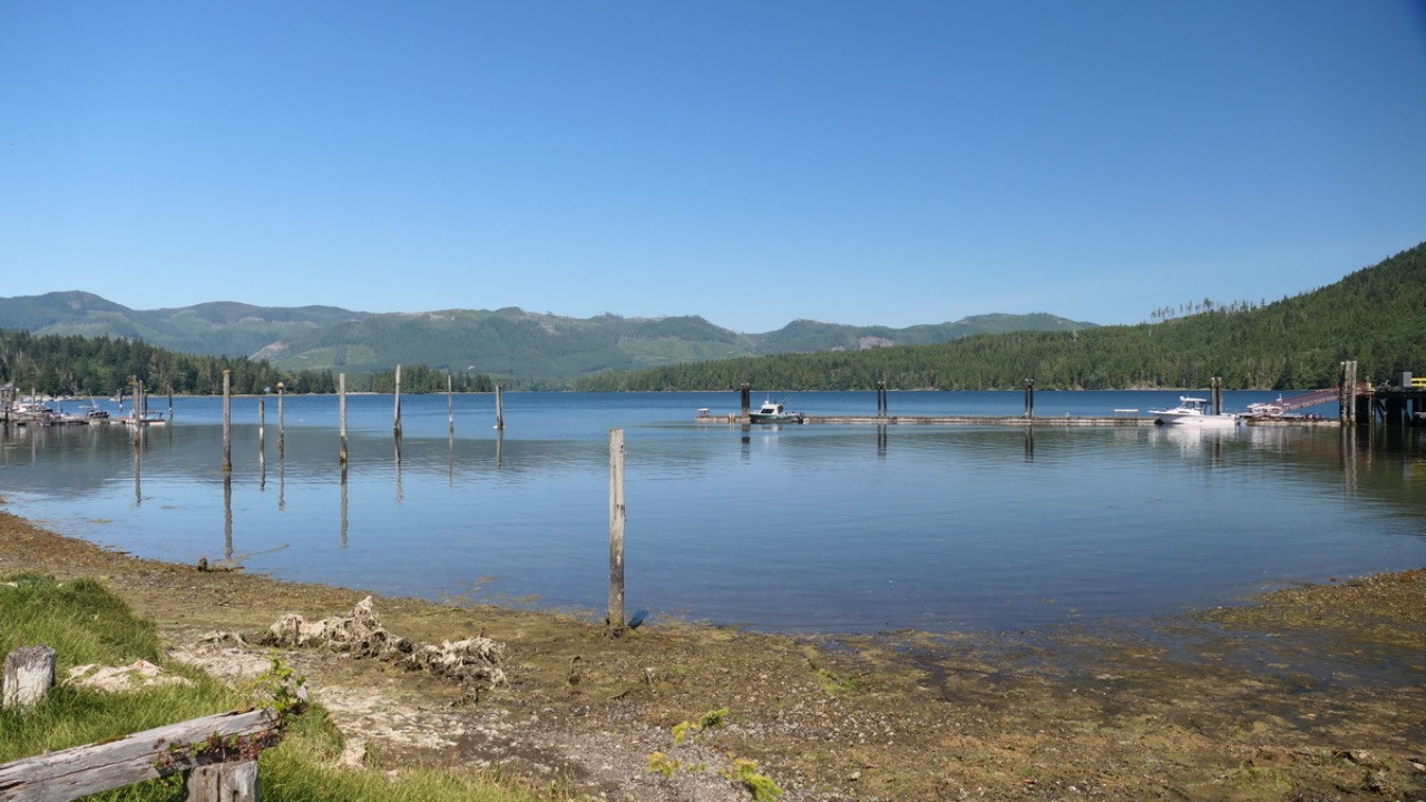
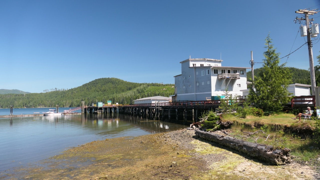
The Town of Winter
harbour
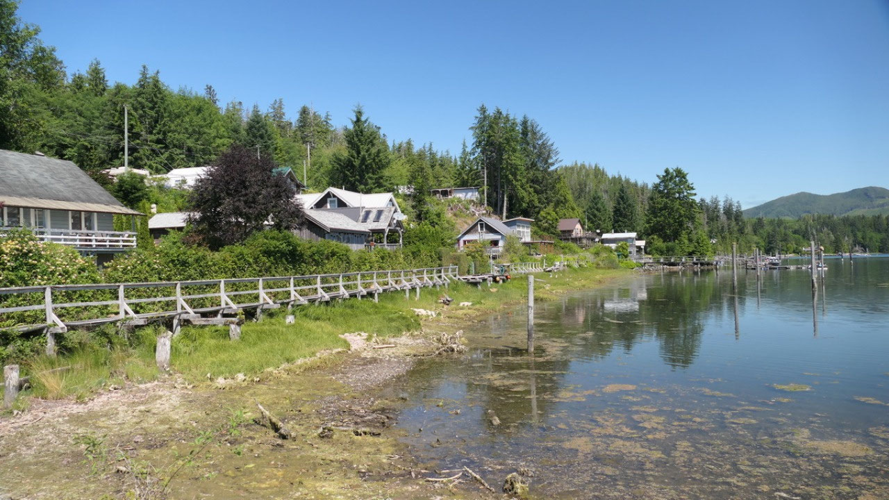
Only one road goes in,
but there is a sign Welcome to Winter harbour. We drove all the way to the end
where the store is, turn around and then park near the Government Marina, there
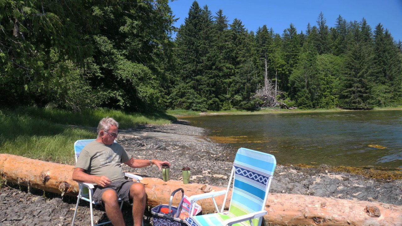
is a perfect spot, and we ask in the post office if we can park there. It is
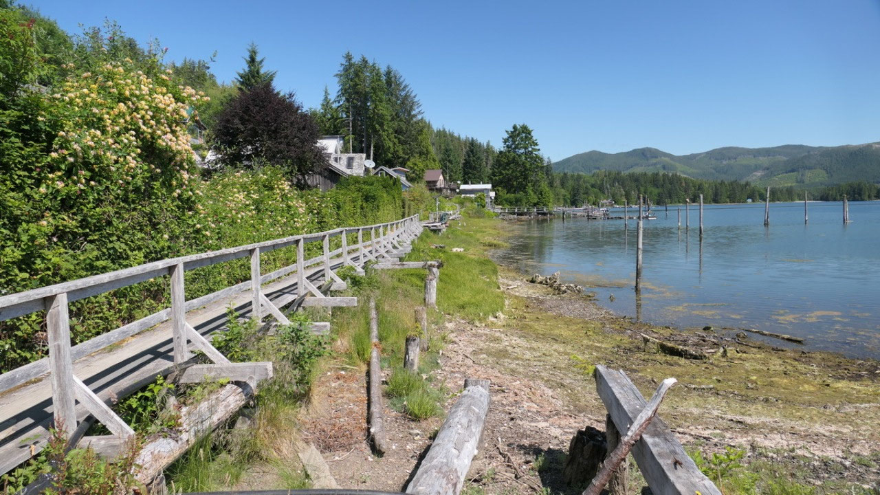
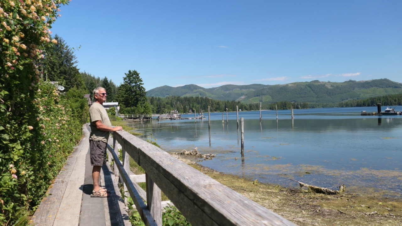
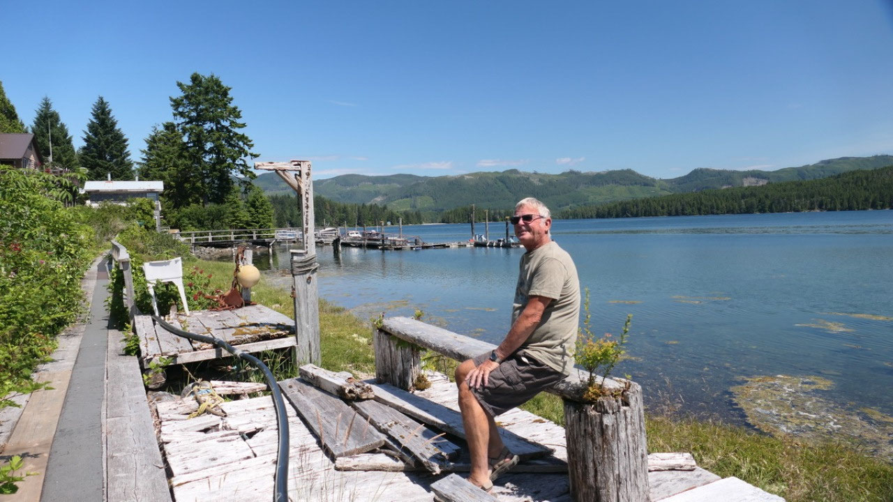
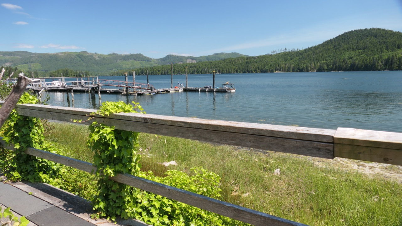
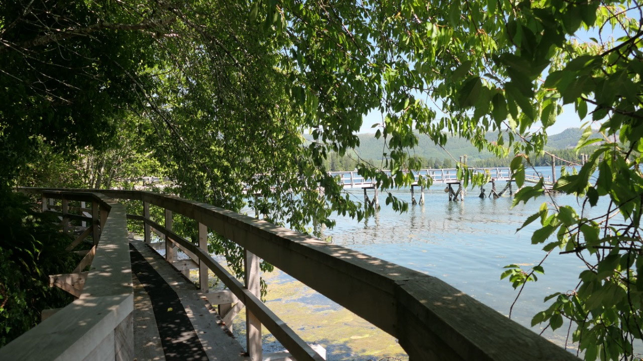
super sunny and warm and we have an early coffee afterwards we walk the
boardwalk first one direction towards the store and then along the other side
along some wharfs – always beautiful views on the inlet.
Back we decide that
maybe we head back to the campsite as it is so public
Winter Harbour the town at the end of the road?
- Today there are 12 people living here year around
- They say it is at the end of the road: an outpost community off Quatsino sound
- The sailing ships stopped here already in the 1800s because of the protected inlet especially in winter
- Quatsino sound comes in from the Pacific ocean and goes all the way to Port Alice: that huge sound is nearly separating the North Island
- There are around 30 houses here, most of them are cabins
- It is part of the Regional District of Mount Waddington – we were wondering who makes the decisions
- And we found out it’s nearly a 2 hour gravel road drive to Port Hardy the closest town with shopping
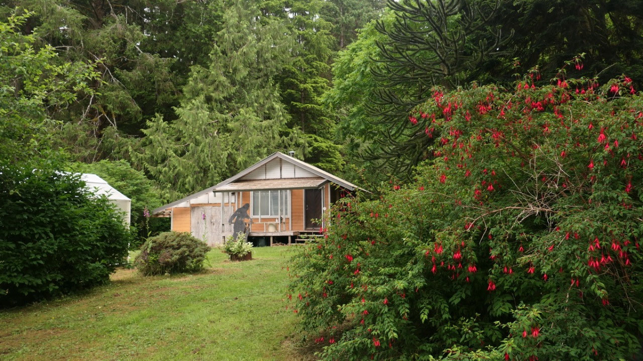
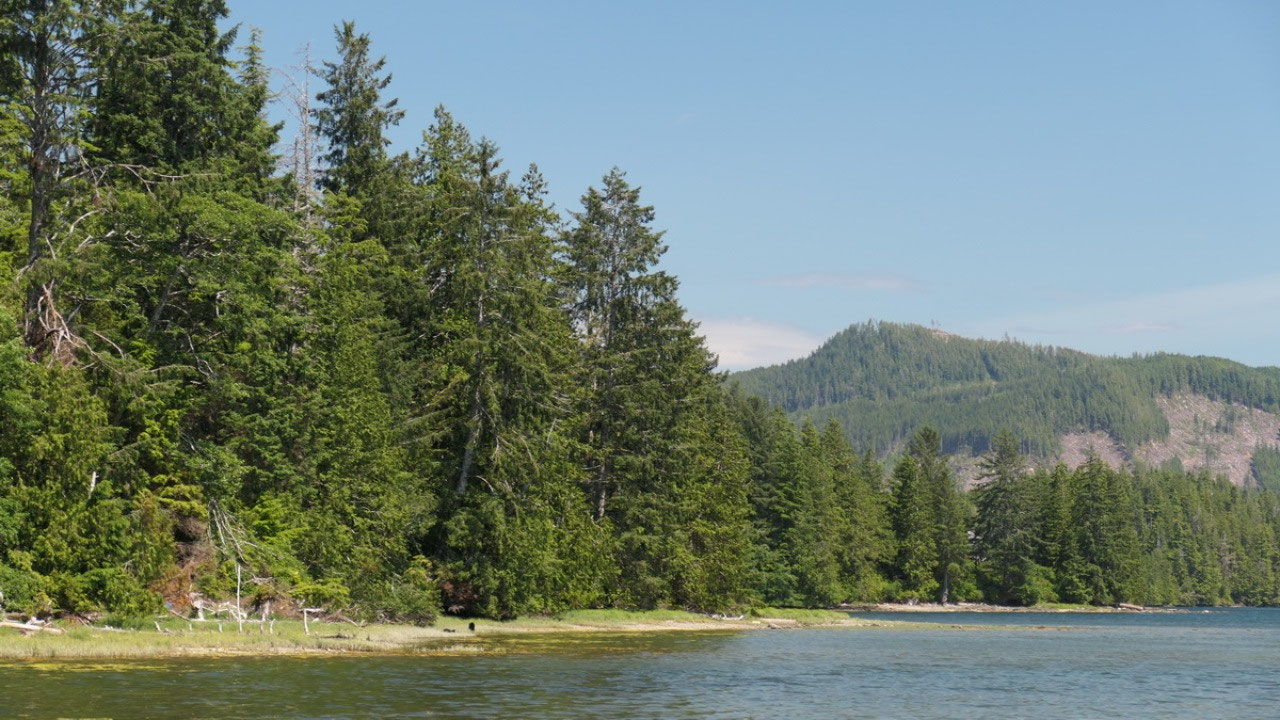
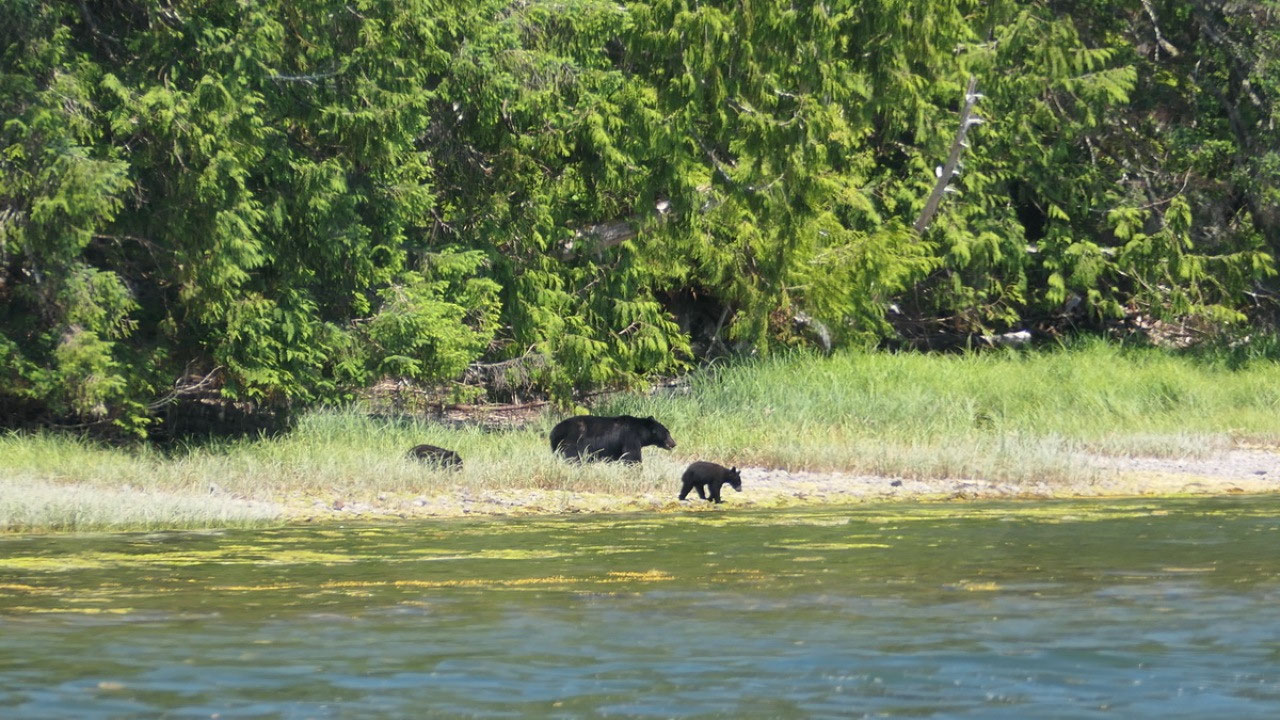
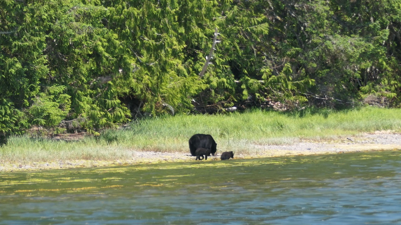
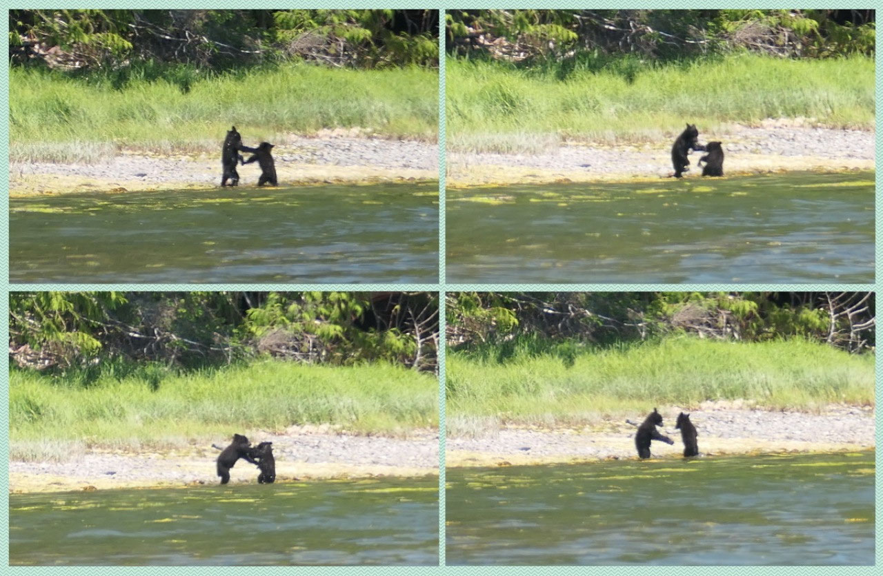
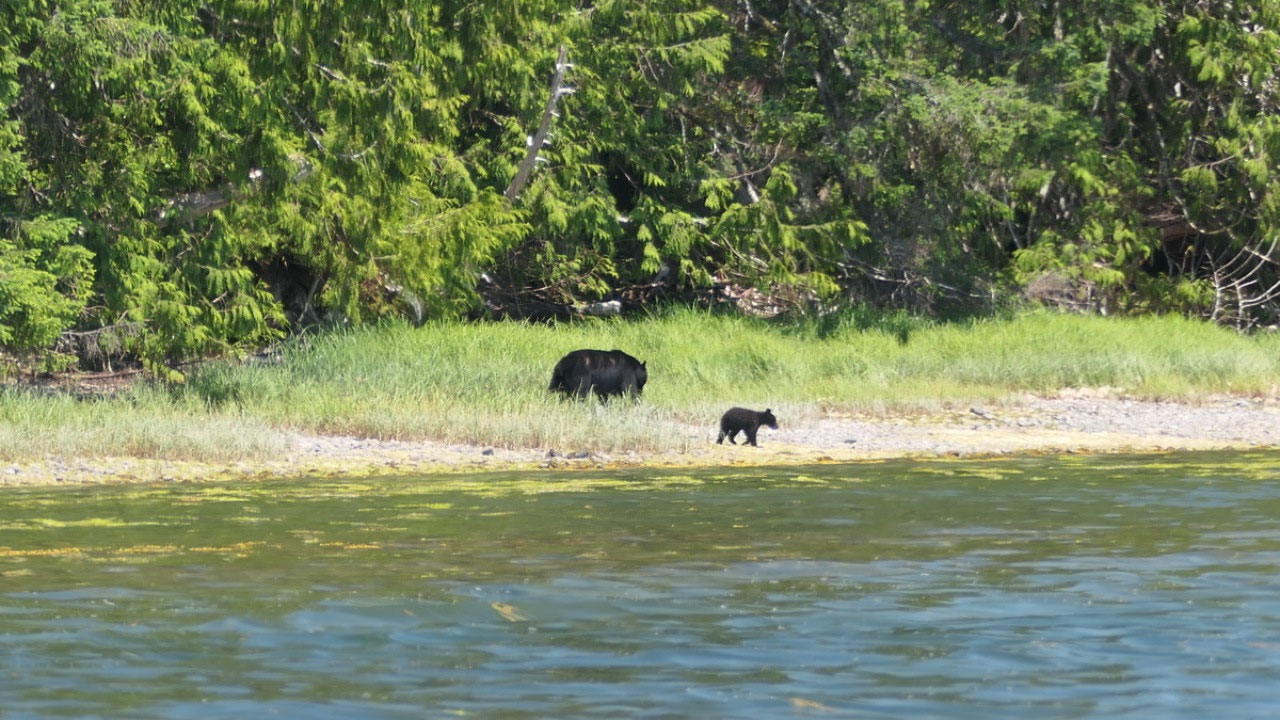
The Bear family at the
campsite
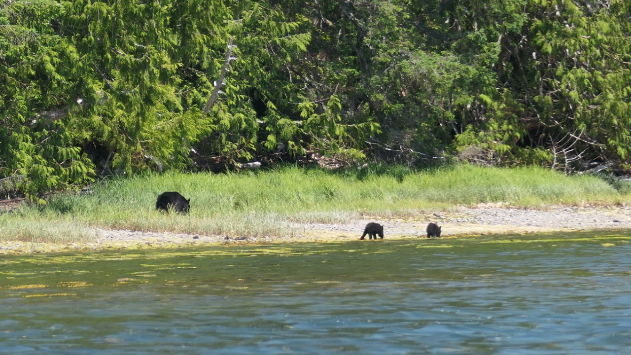
As we came back we
went down the boat ramp to check out if we can sit there and discovered it is
quite windy, as we decided that it’s not perfect we saw a Bear Mom with her 2
little bear puppies coming to the water and the youngseter playing along. It
was super cool to watch
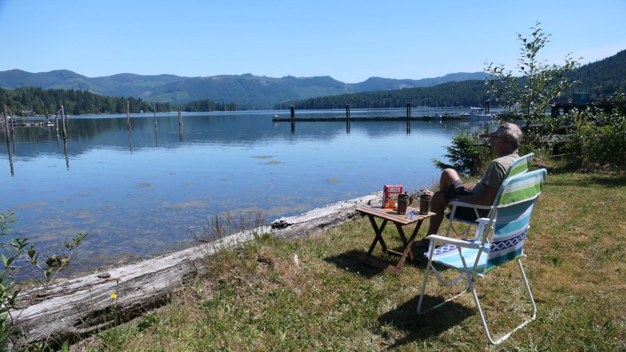
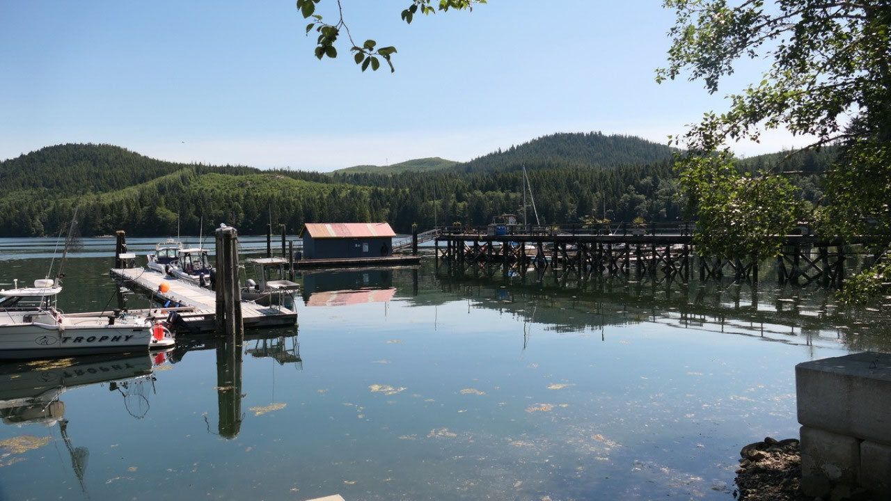
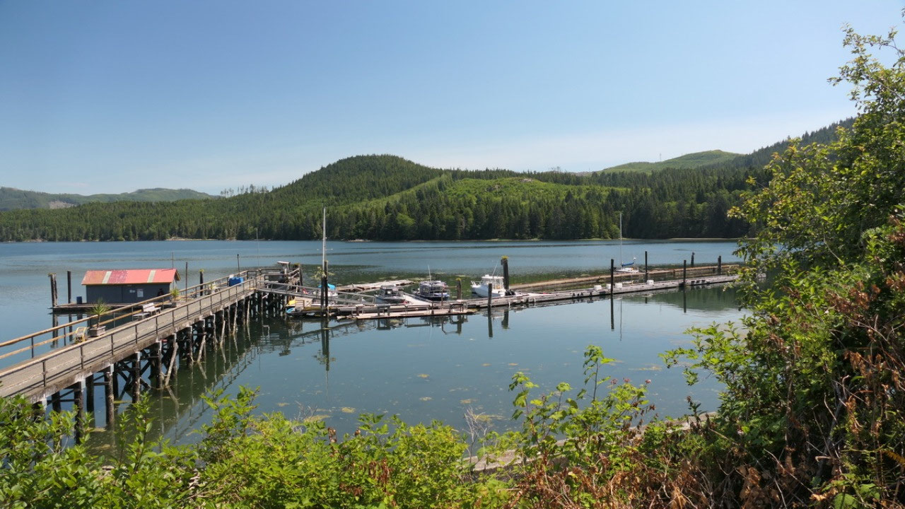
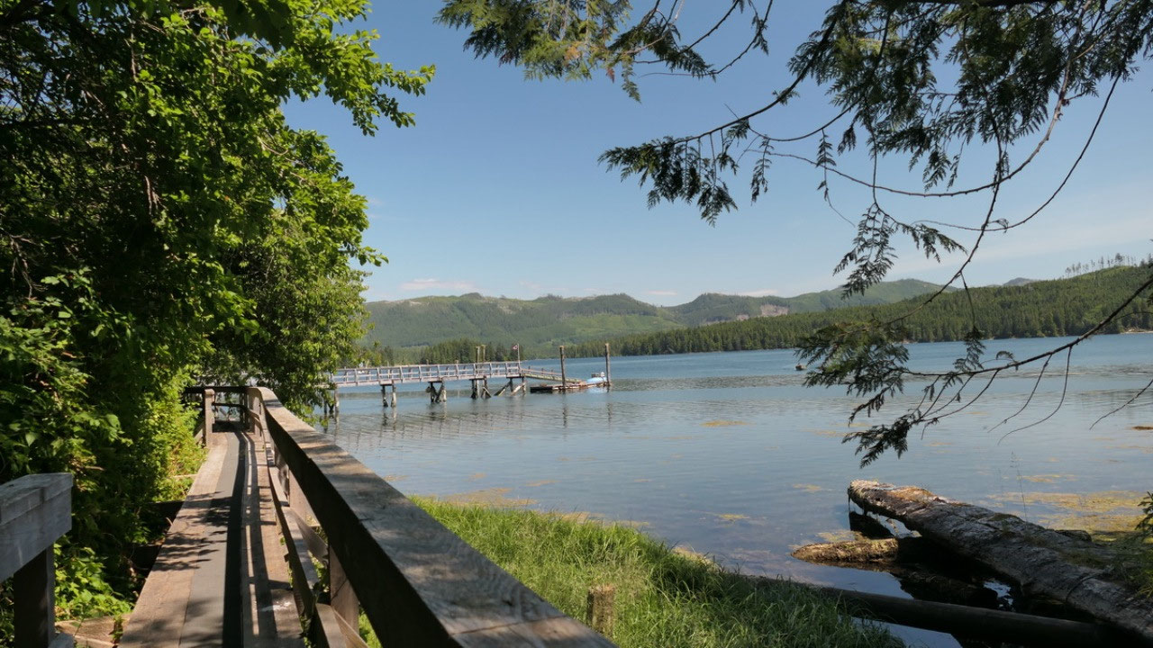
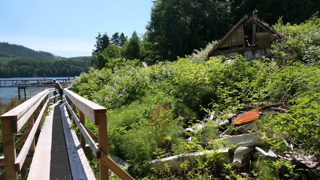
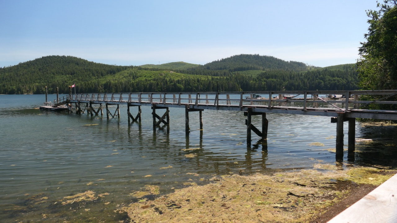
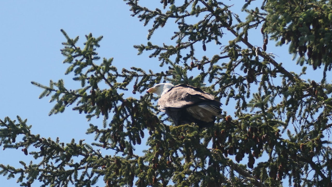
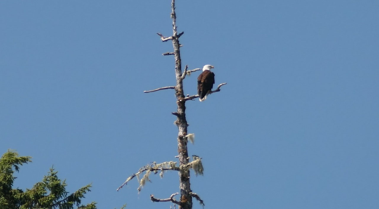
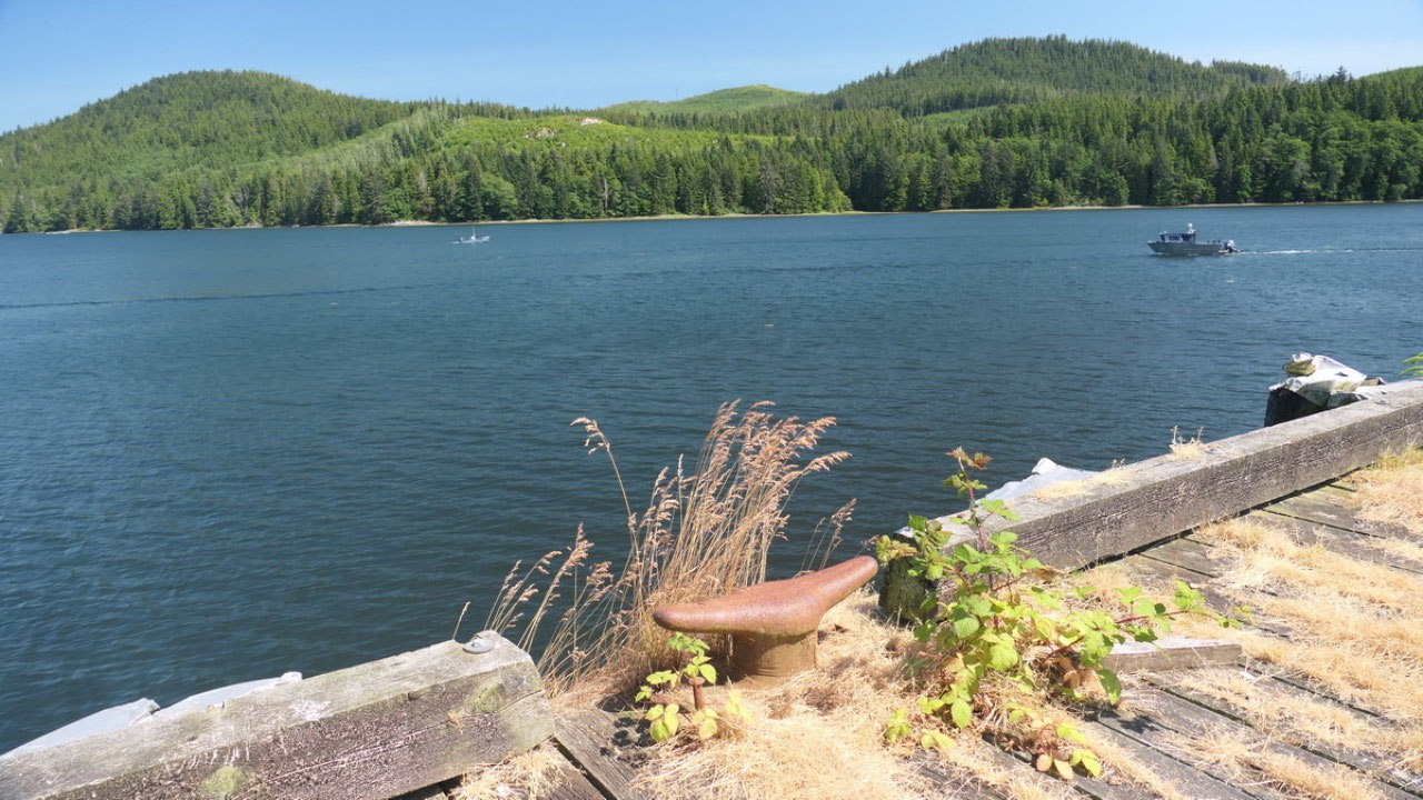
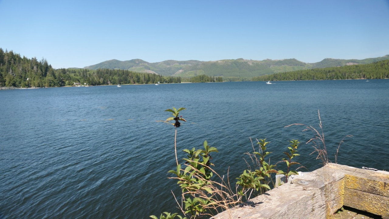
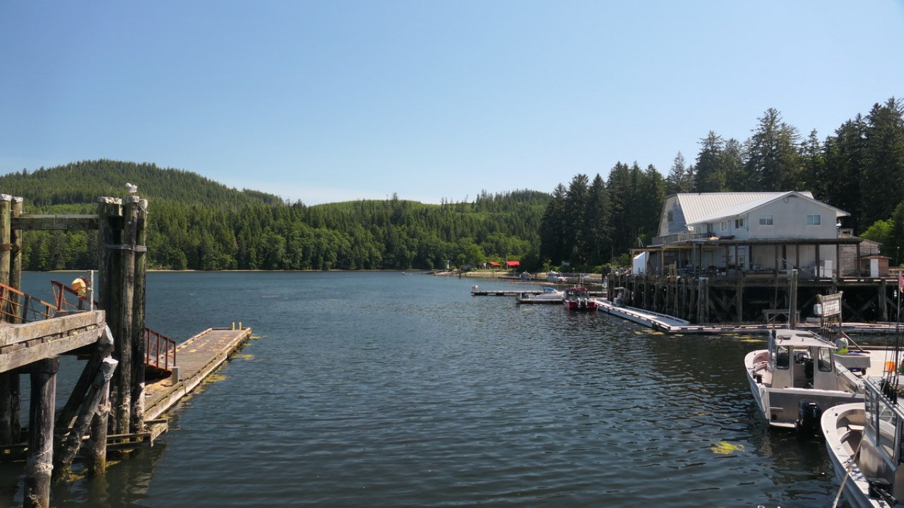
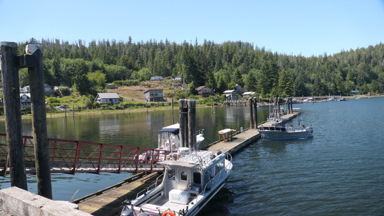
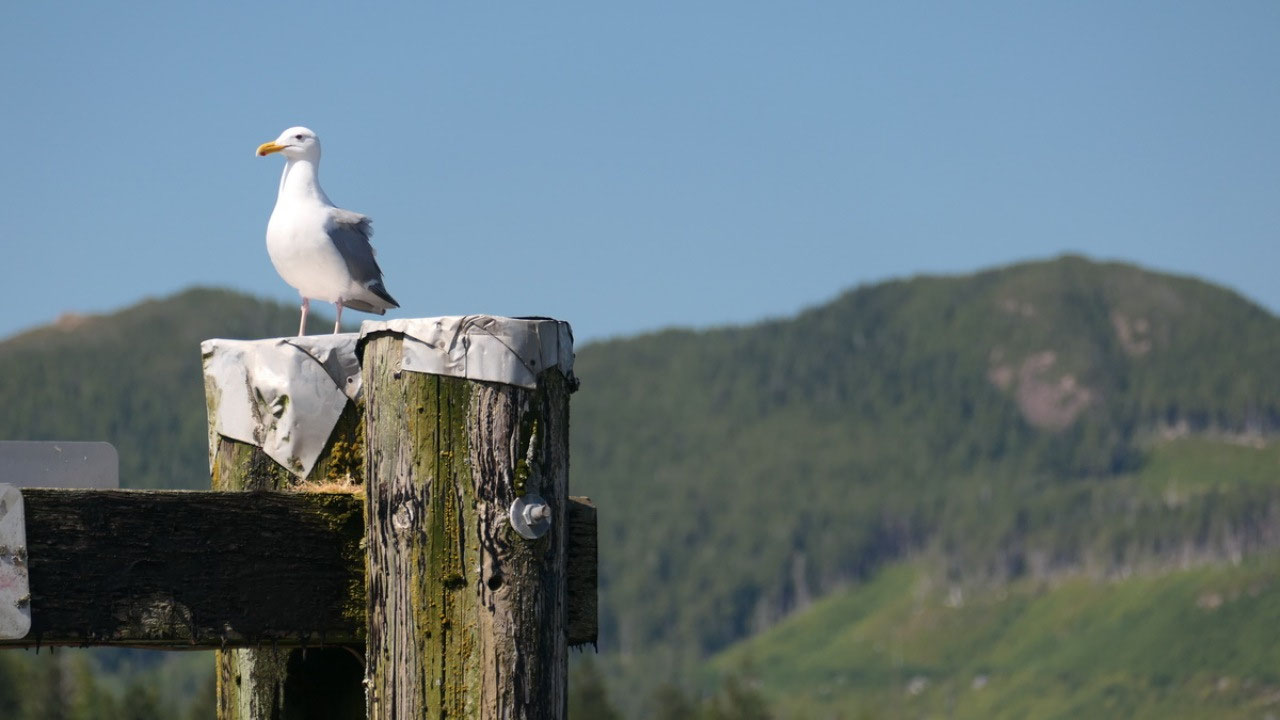
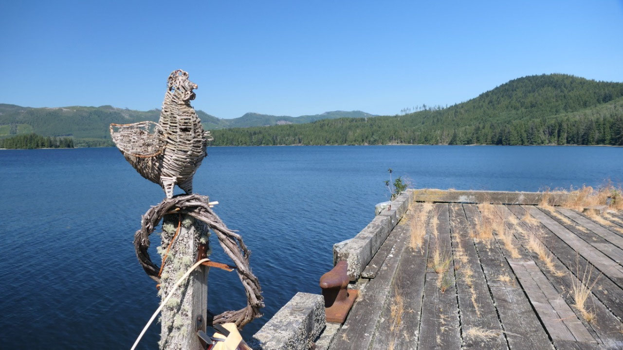
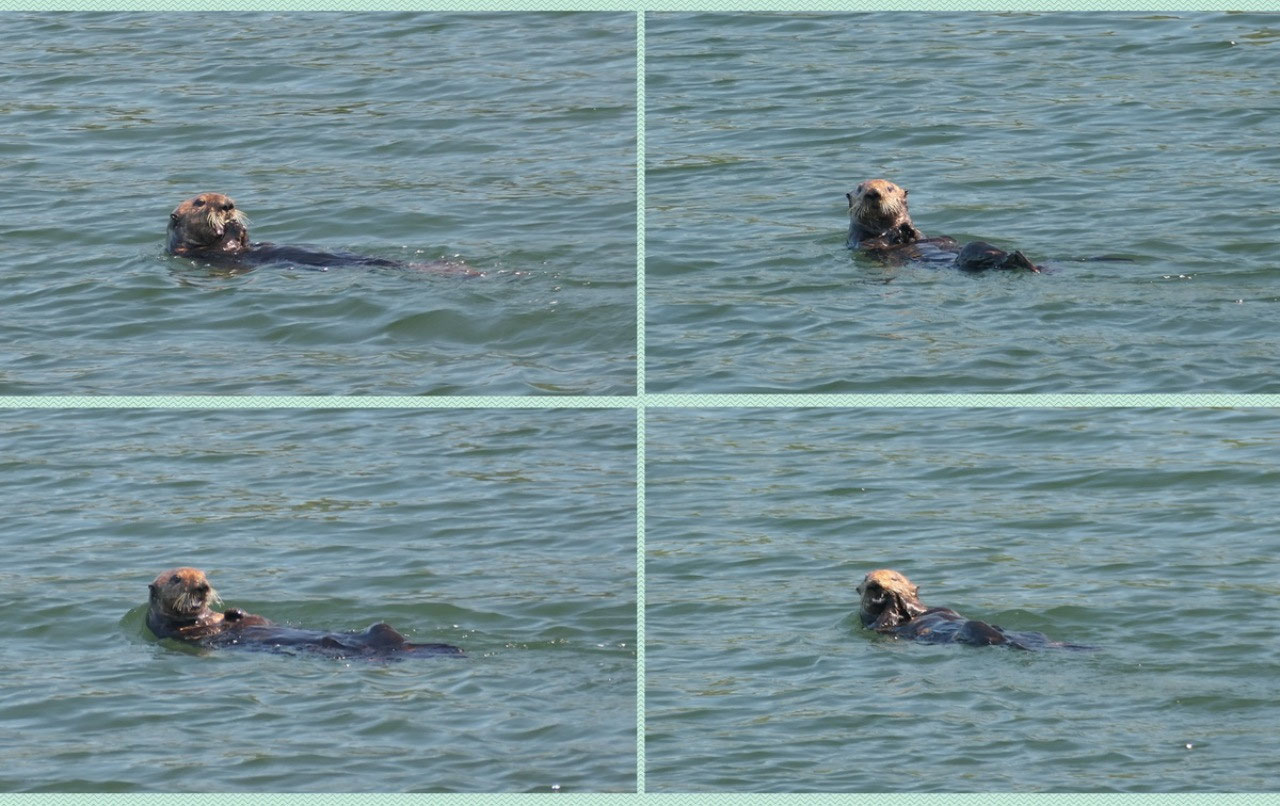
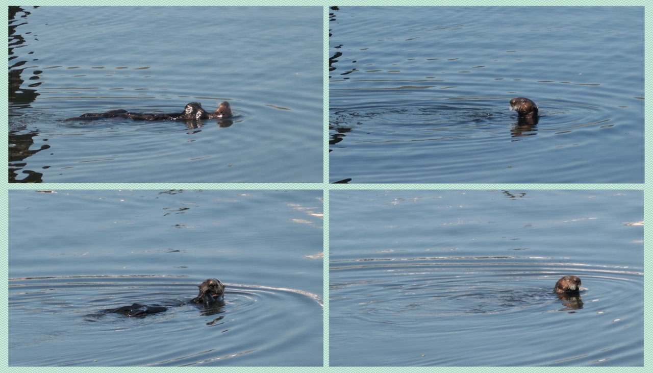
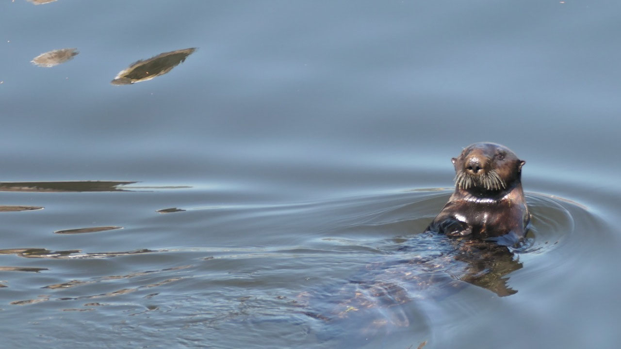
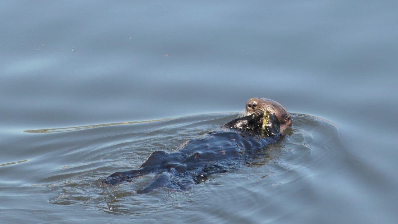
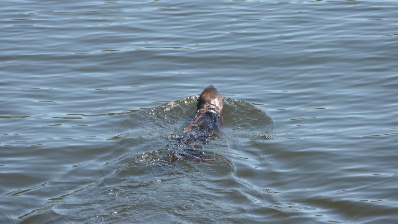
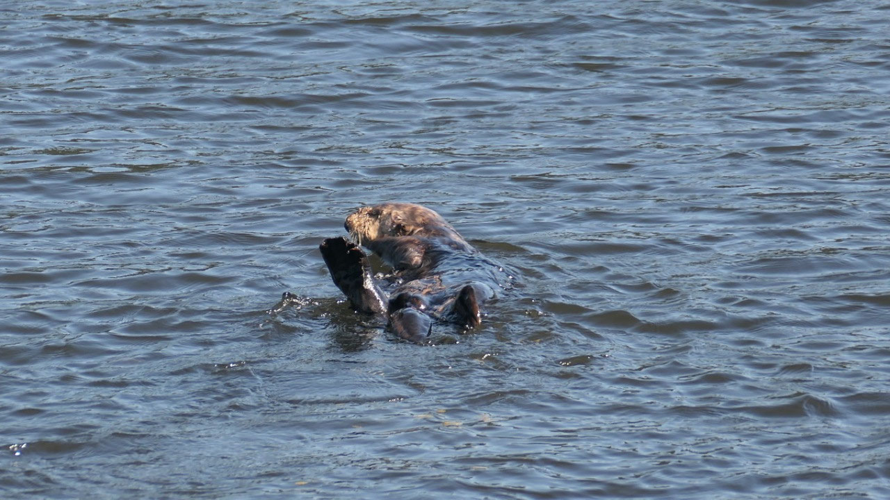
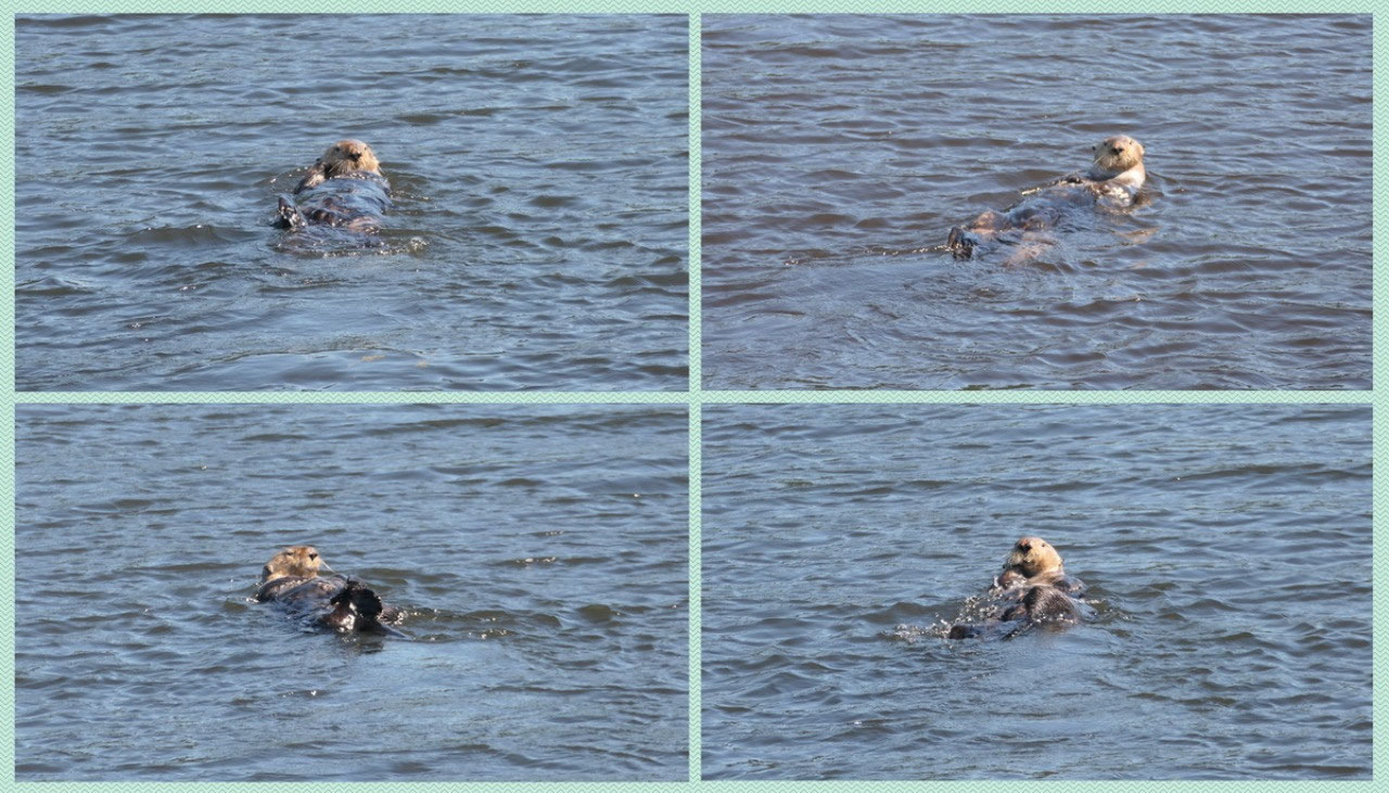
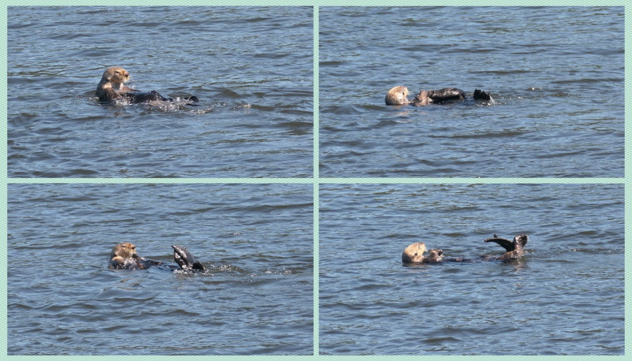
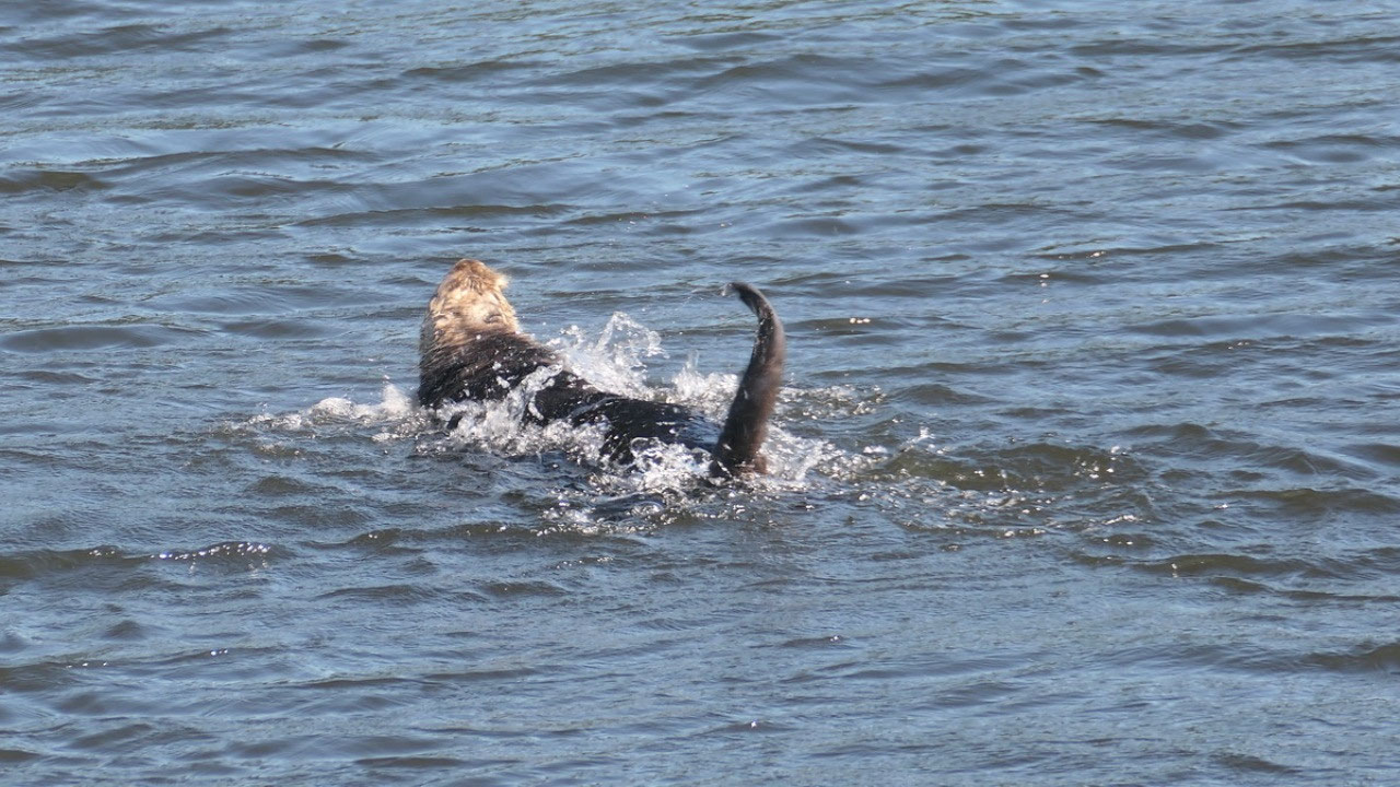
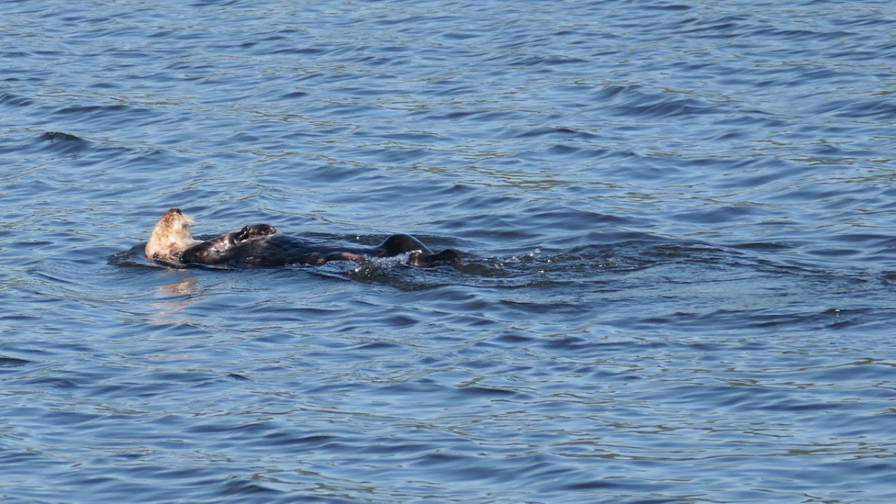
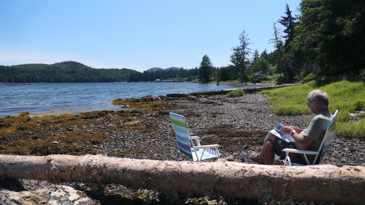
Otters at the government
wharf
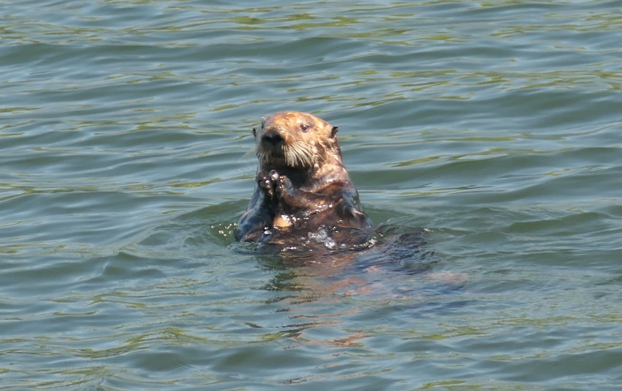
We headed back to town
as it was not that windy there and walked out to the wharf, enjoyed the view, were
sitting down and reading and getting hot. And then also we saw several sea
otters having fun in the water – it was so cute. And the view super cool
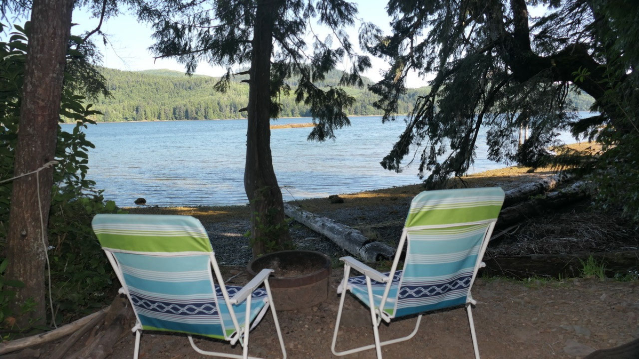
Sunset views from the
camper
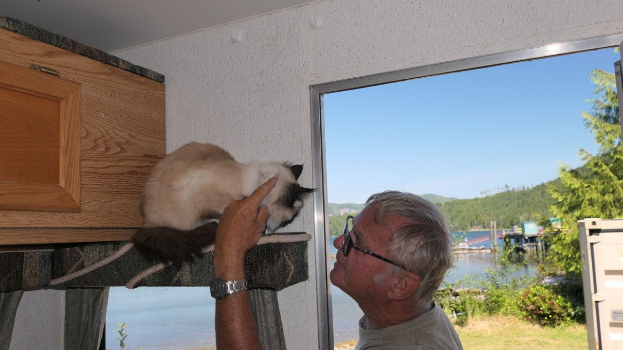
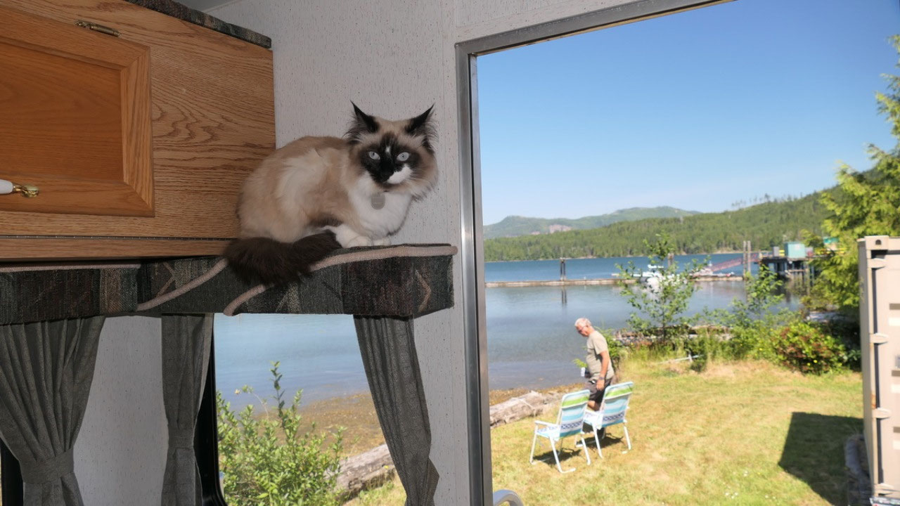
Back in time we made
hot water so Gine could wash her hair and Paul could shave – no we are both
nice and clean again – which feels so nice. Even better we ate inside and also
spend the evening inside: away from the mosquitos and the cold and still with a
nice view on the glowing water and inlet.
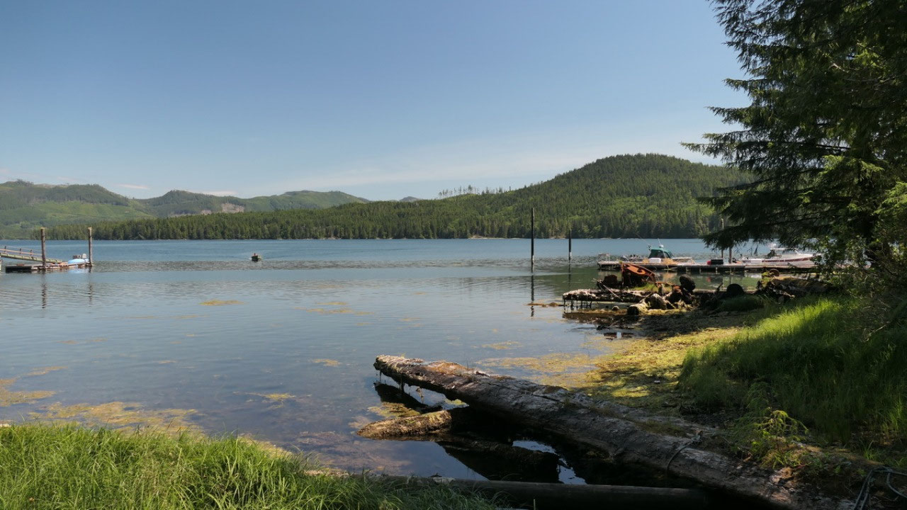
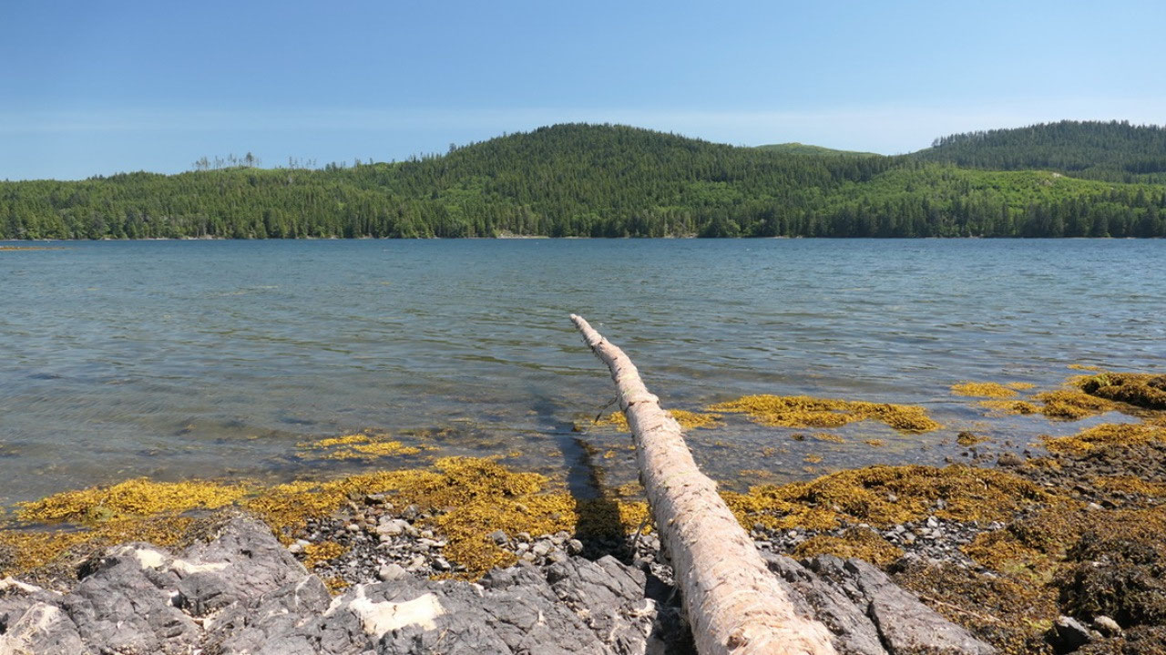
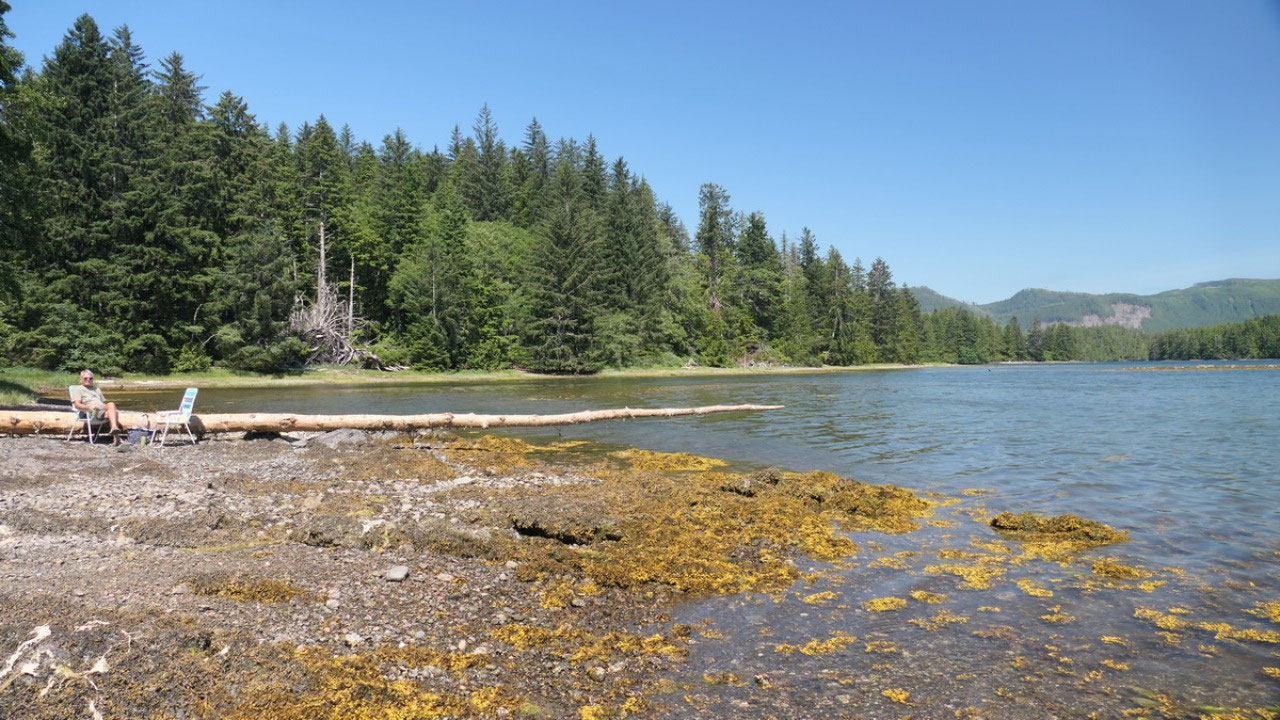
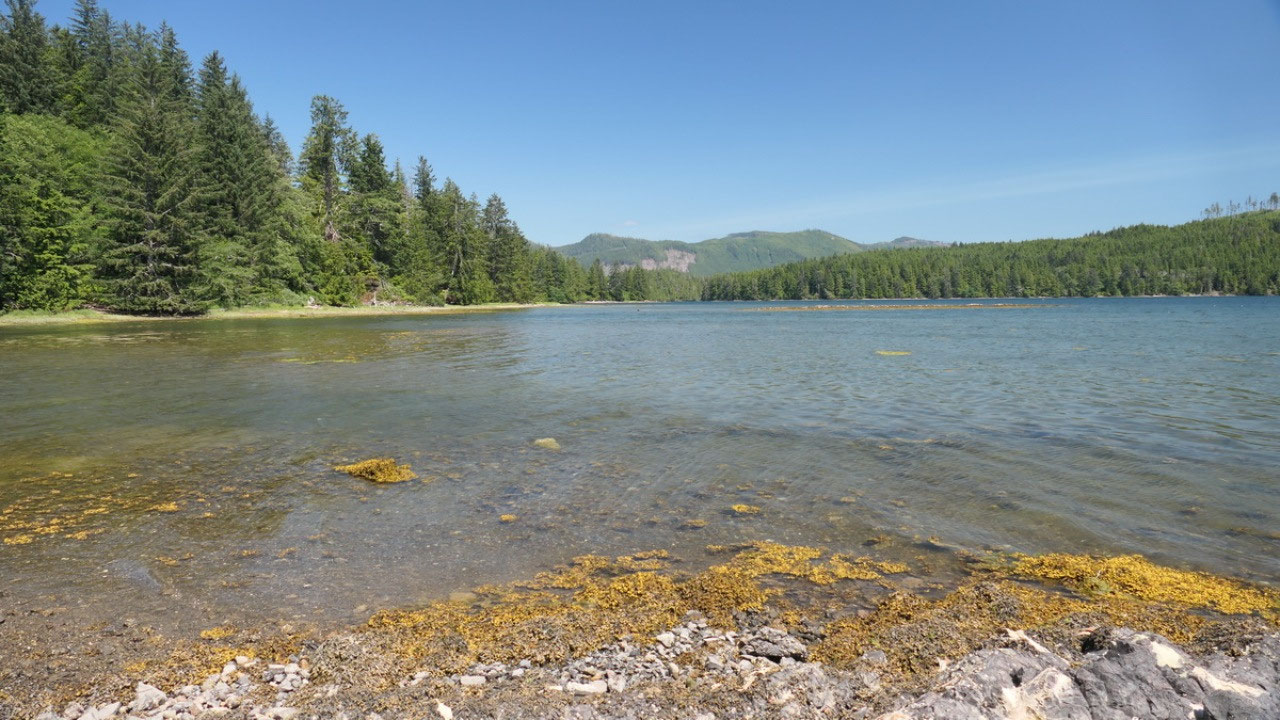
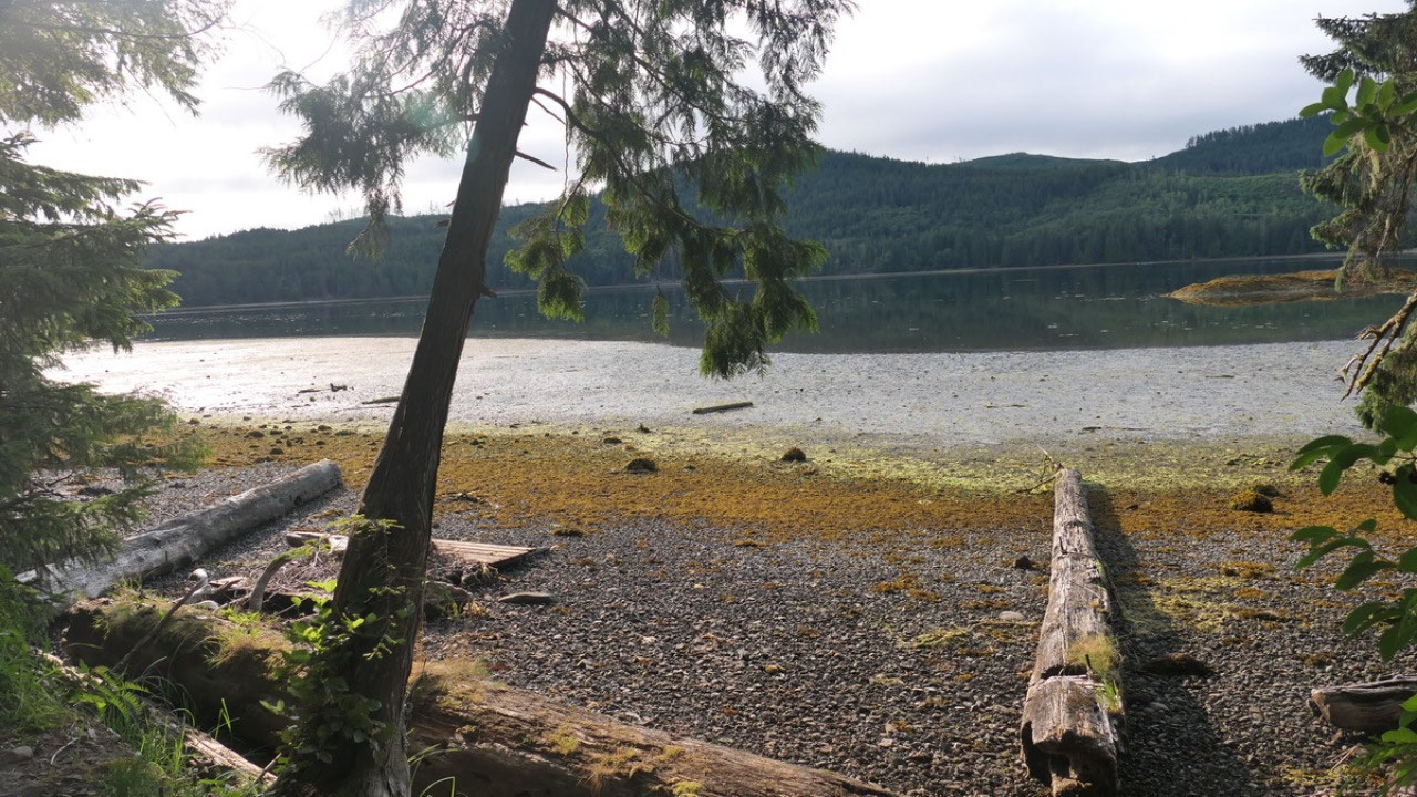
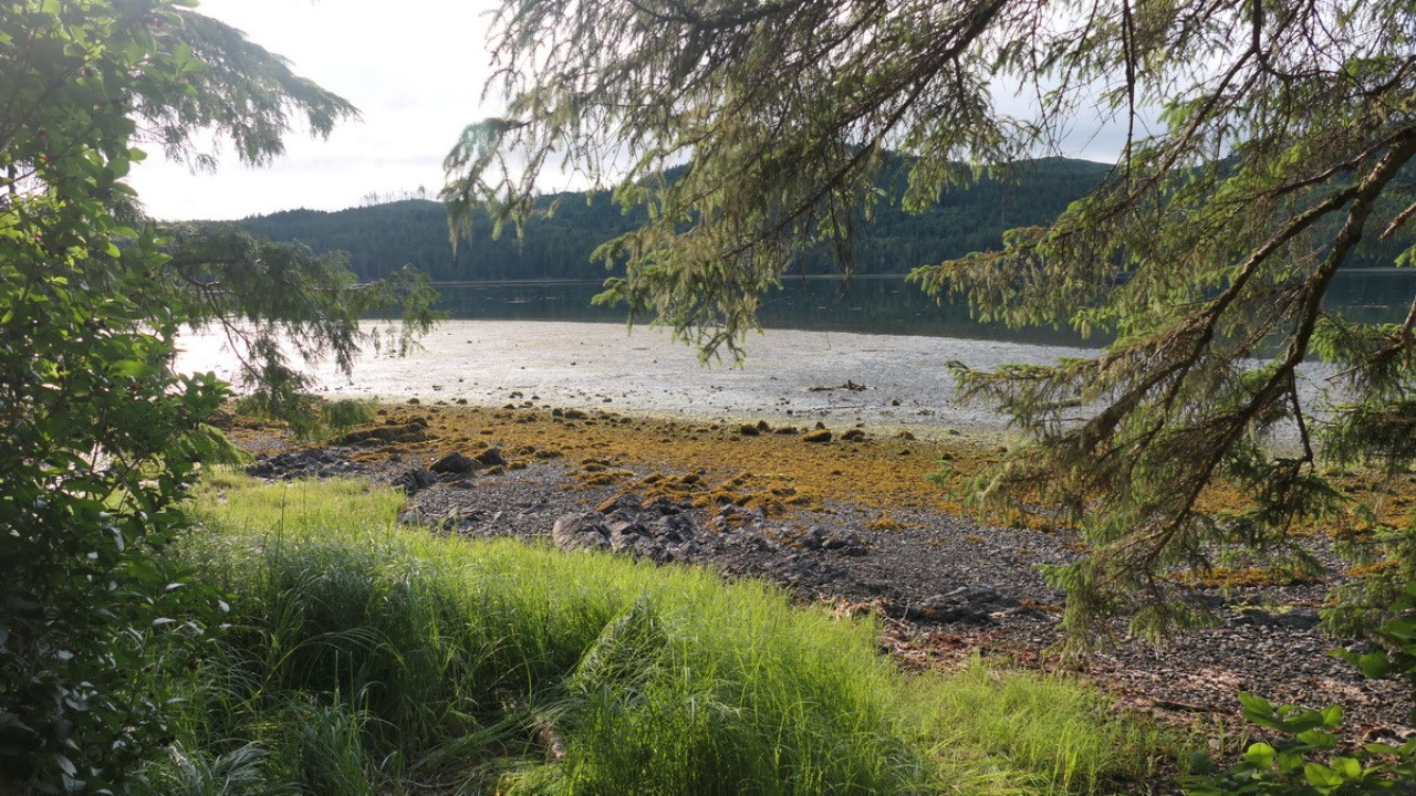
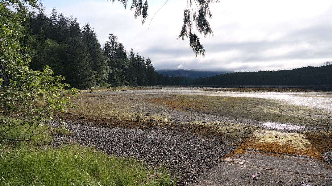
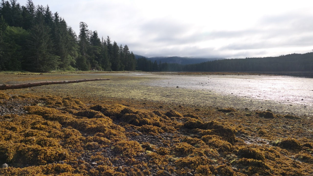
And the tide is out
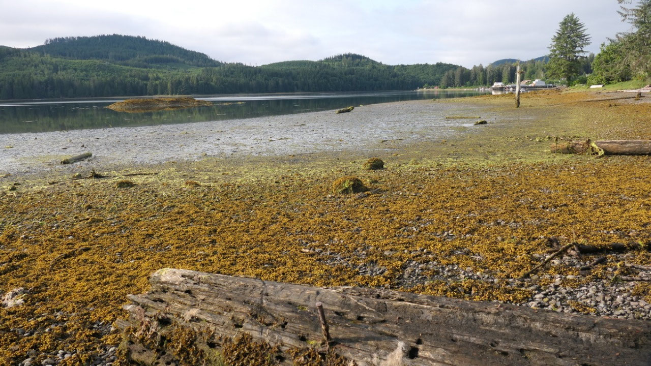
This morning it was
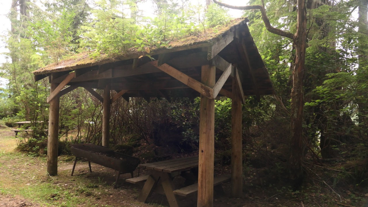
cloudy and the tide is out: the seaweed makes the color looking really cool.
Gine went down and walked along the beach and discovered that we can easily
walk down and that there is a huge tree – as well the “cooking shelter” has
tree growing on top of it – we wondered how big the tree’s need to be, that it
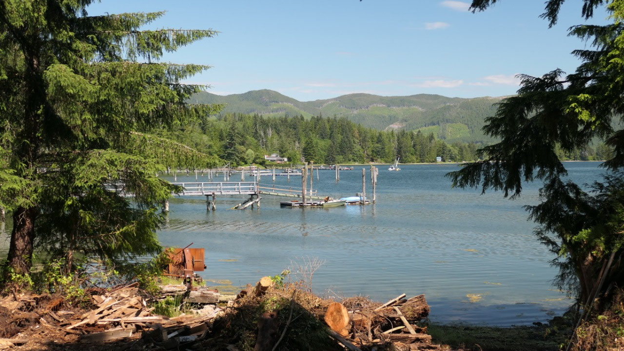
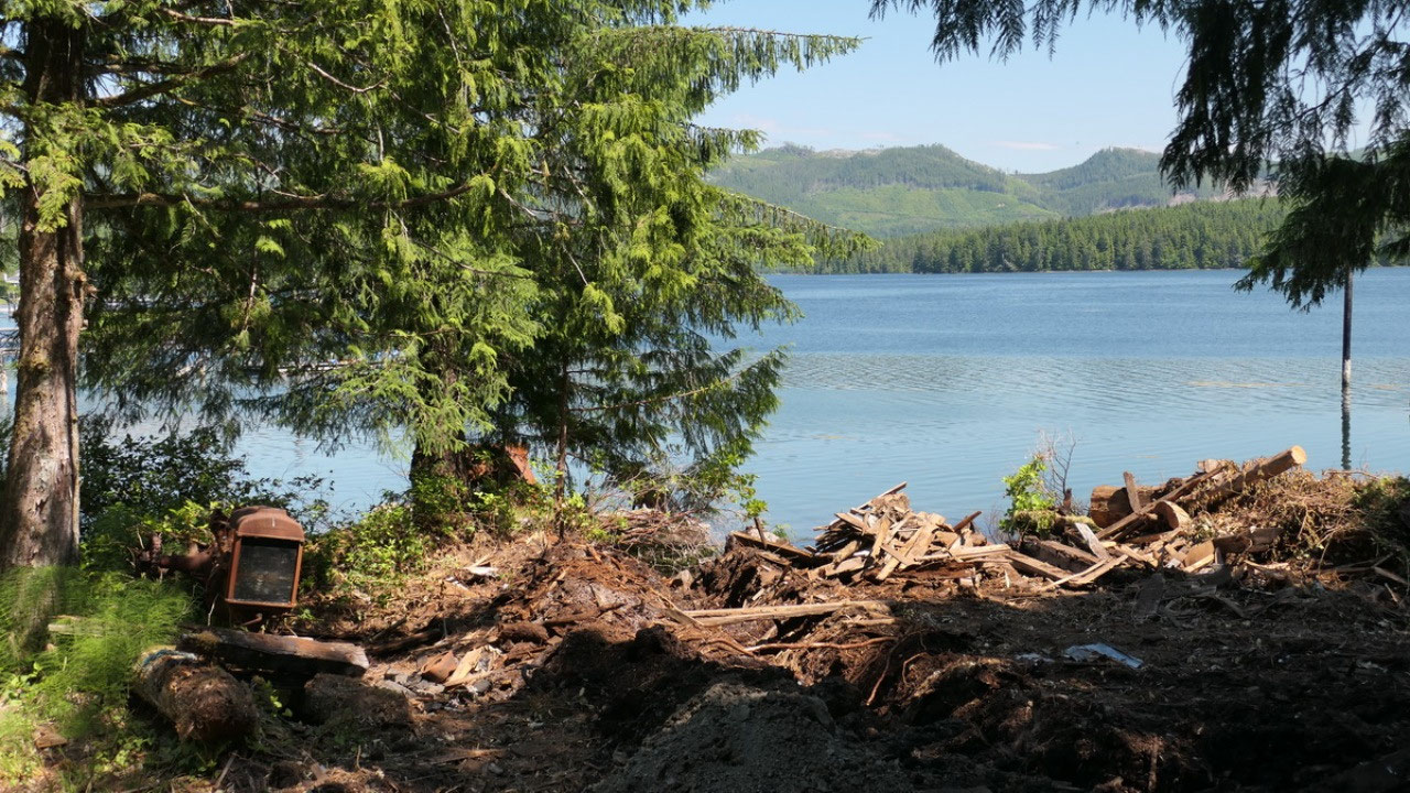
breaks the roof. Good bye Winterharbour
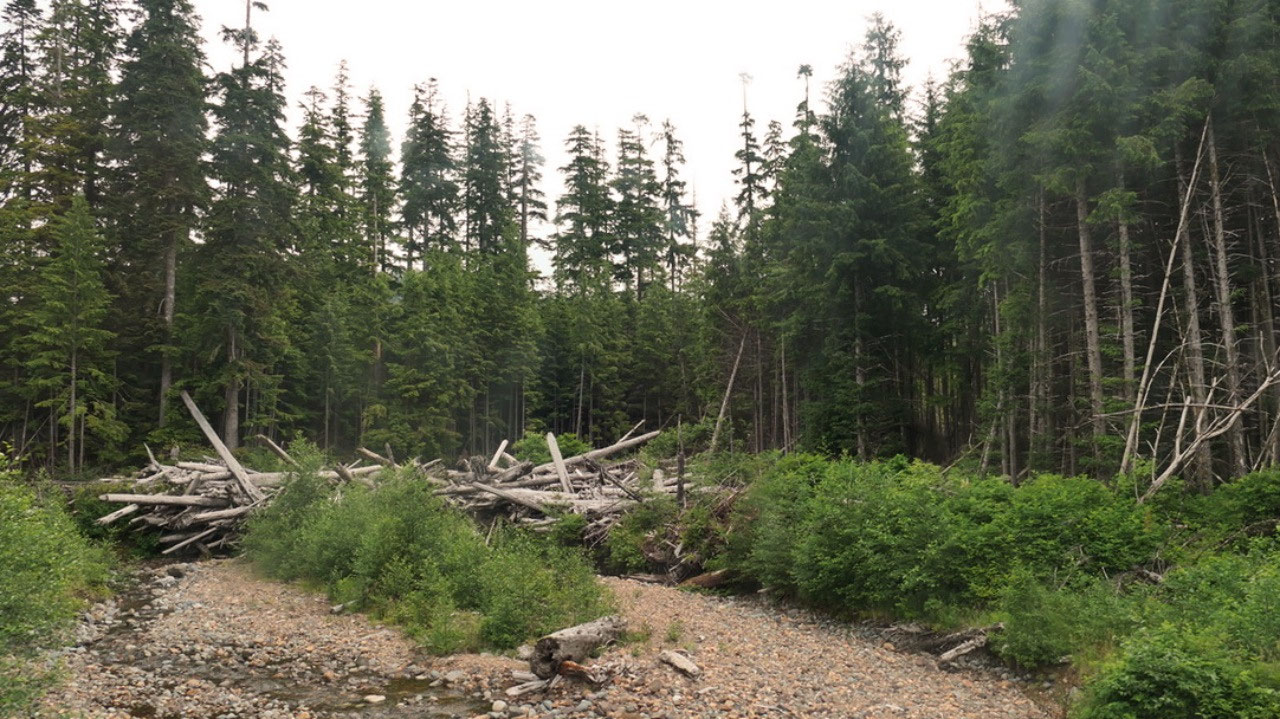
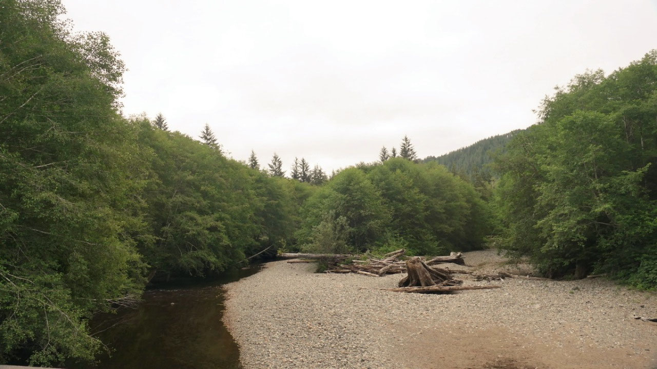
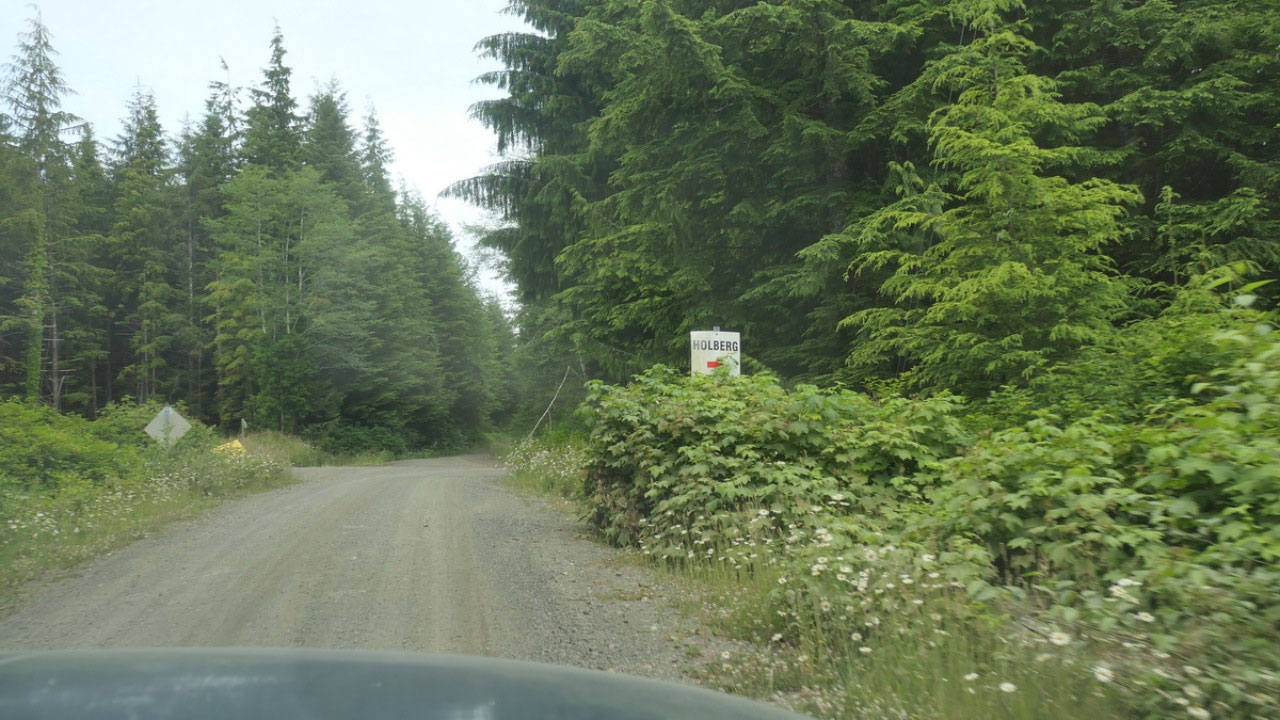
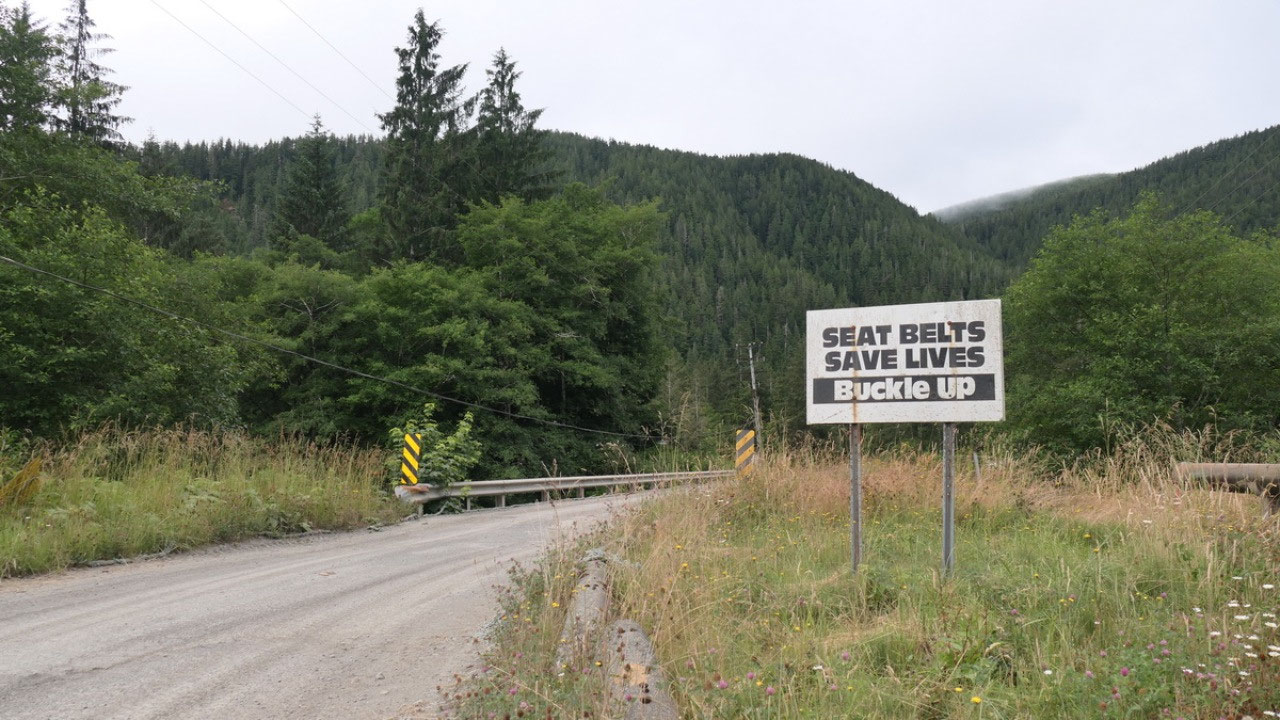
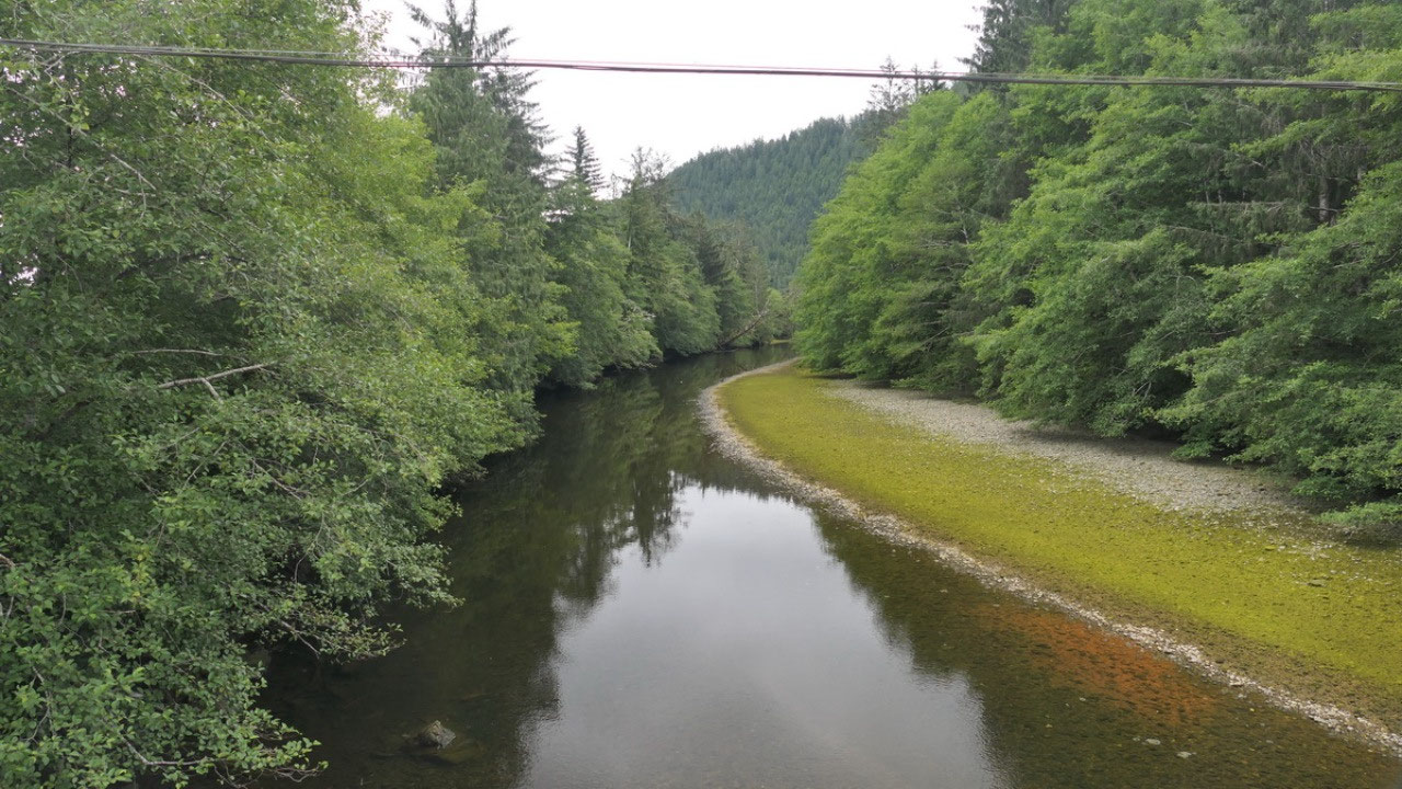
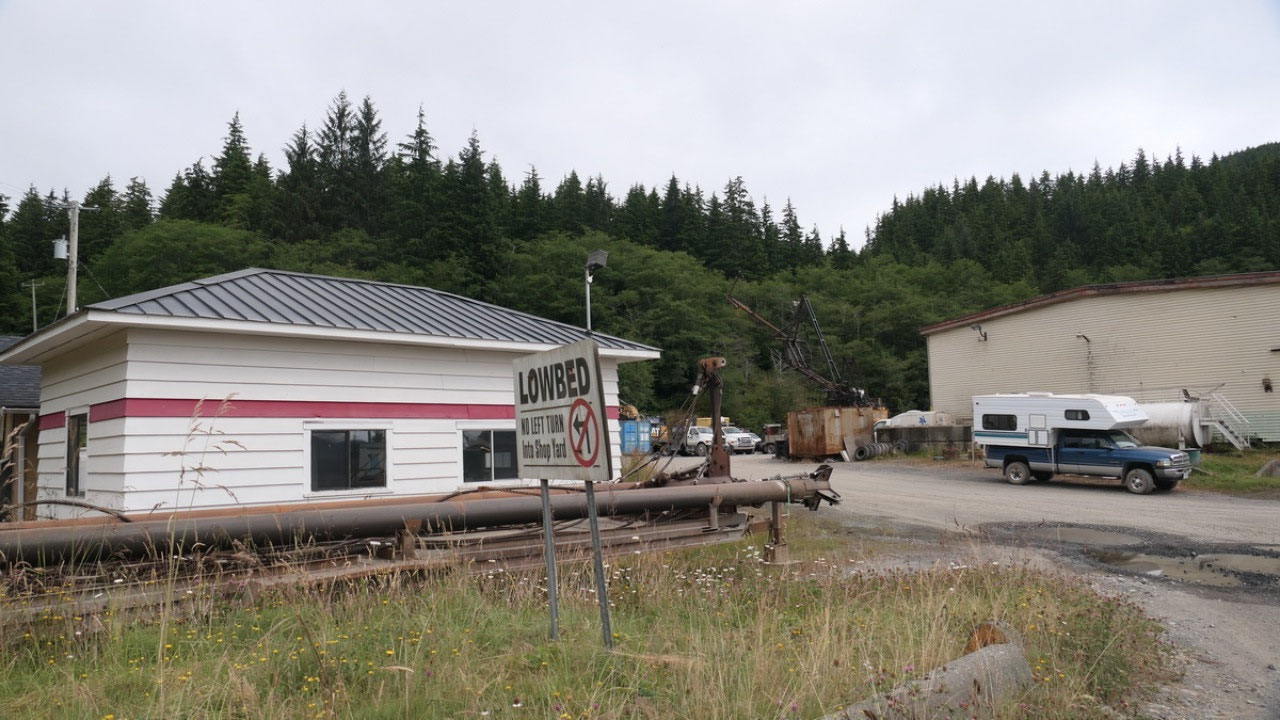
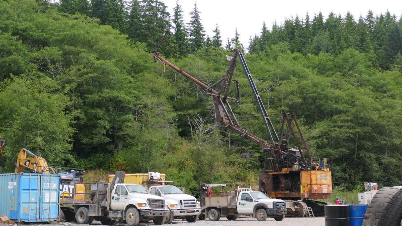
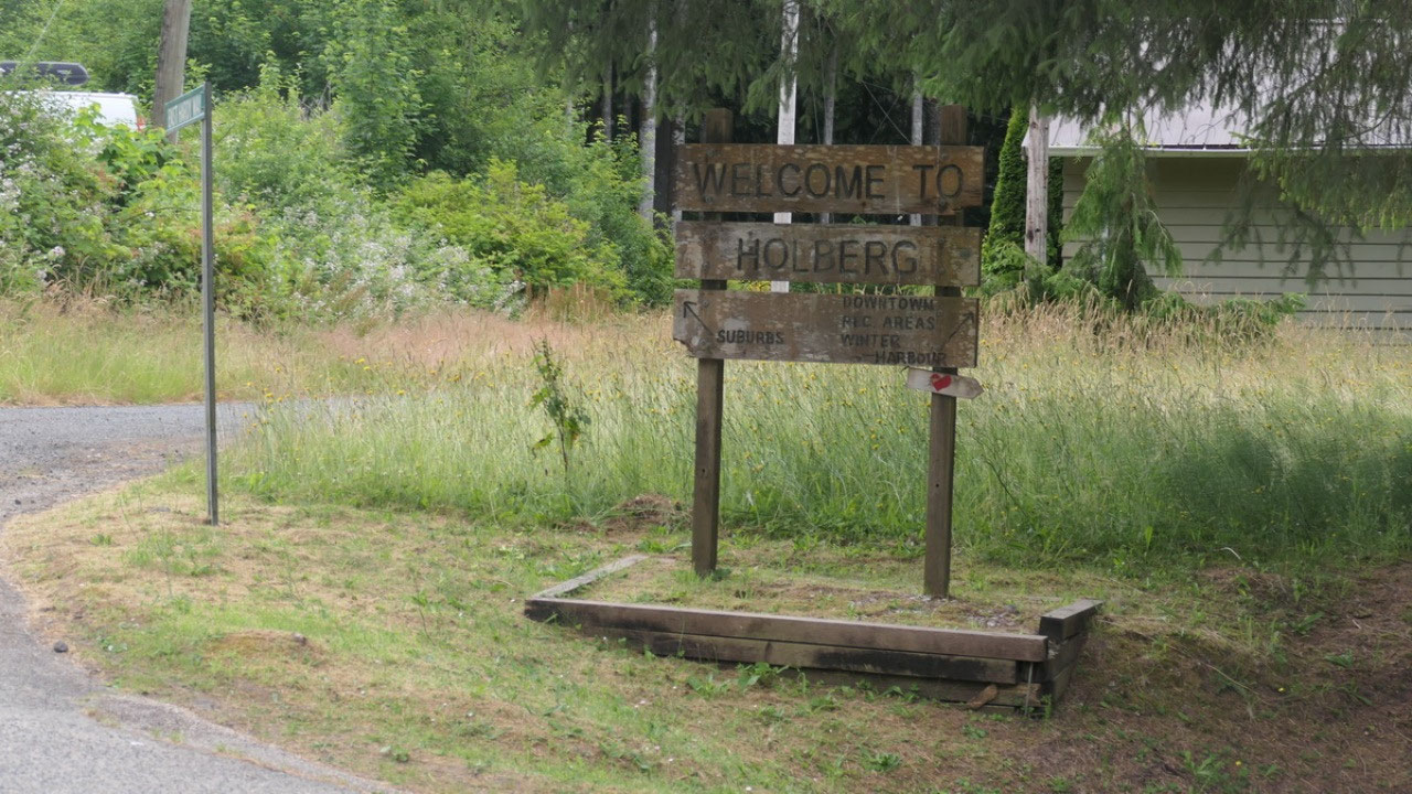
The “town” of Holberg
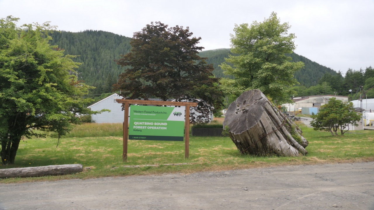
After a half hour of
gravel road we arrive in the town of Holberg. We first turn and stop at the
bridge and discover that “river” is actually salt water – as where this was not
so exciting we were right in the yard of the Western Forest and saw a huge cool
equipment, an ambulance station, the schedule on where they log when. This is
really where logging happens. We drove through the town and stopped at a picnic
spot with nice view on the inlet. And then we were already out of the town
again. There is even a “Welcome to Holberg” sign and I thought it’s funny when
it has an arrow pointing to the “suburbs”.
The Story of Holberg:
- Today it has 35 permanent residents
- It was originally settled by Danes in 1909
- It’s named after Baron Ludvig Holberg a Danish historian
- In 1910 a ferry started which came twice a month to Holberg : the Canadian PAcificCoastal Service – starting in 1917 the ferry went to Port Alice and stopped once a month in holberg and stopped in the 1930s
- In 1918 the wagon road opened and in 1965 the Holberg – Port Hardy forest service road opened
- As promised they started to built a wagon road but when WWI started, the road work ended and it took until the 1930s until the road was completed: by 1939 the population was 27 – in 1943 53 people lived here this number likely included the loggers
- A store opened in the 1920s, The Scarlet Iris pub opened in the early 1970s and is likely the most remote restaurant
- In the late 1930s logging started on a large scale, the logs were assembled into log rafts and towed to Port Alice pulp mill
- The Holberg logging camp with 250 people was one of the largest – they were float camps and could be towed to the logging sites along the shoreline but they were phased out in the 1950s for land camps
- After WWII during the cold war 44 radar stations in Western Canada were established: one at Cape Scott – as well as one in Holberg: the tracking station was on Mt Brandes Peak and the base station at the foot of Mt Hansen, 6 km from holberg: the RCAF Holberg started to operate in 1954. At it’s peak 850 people lived there, 53 Aircraft and Warning Squadrons in 1956, 53 Radar Squadrons in 1958. From 1958 on they reported to Seattle. In 1973 it became reduntant but was kept as a backup facility: they had a Hudson Bay store, a radio station and even got cable TV in 1981: they even had a local program which operated 28 hours a week.
- The Base finally closed in 1990 and all the buildings were removed – all what is left are overgrown roads
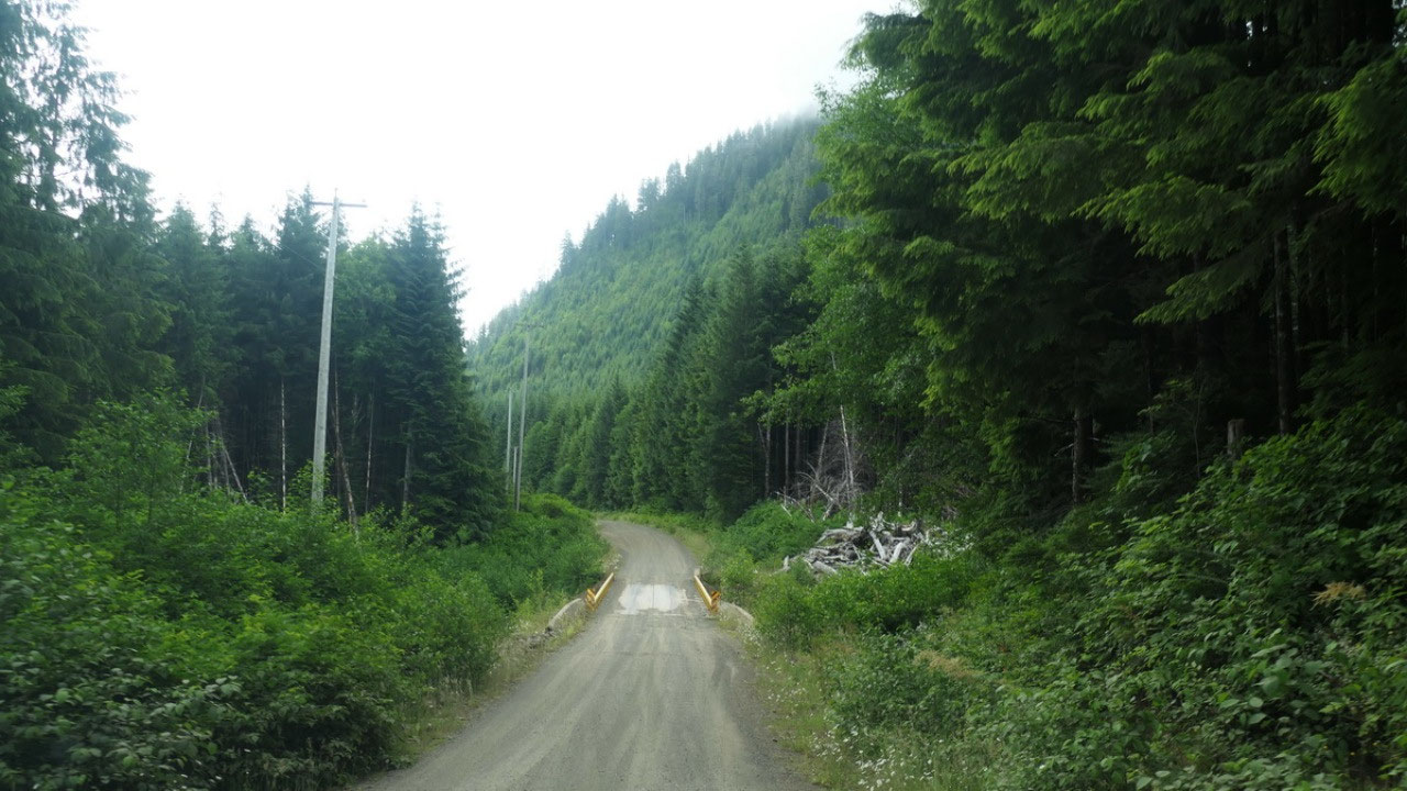
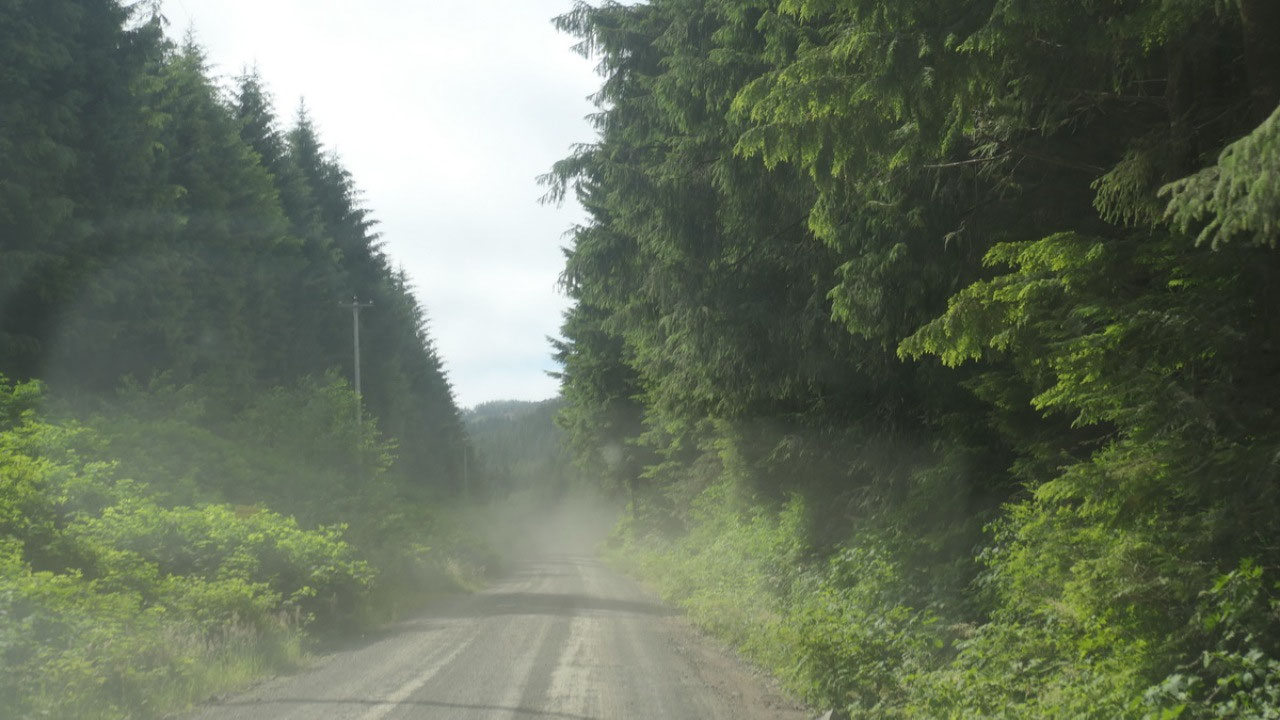
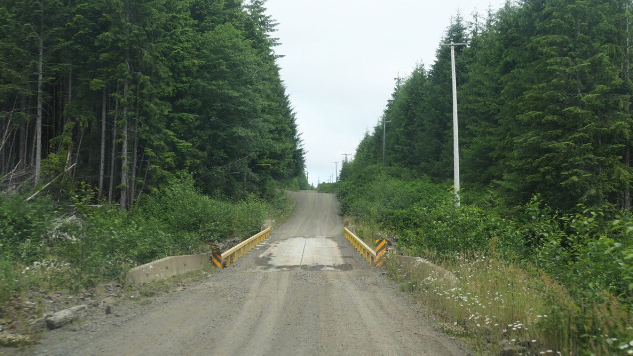
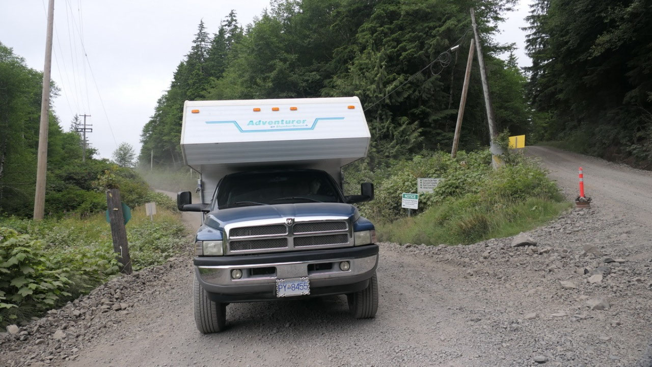
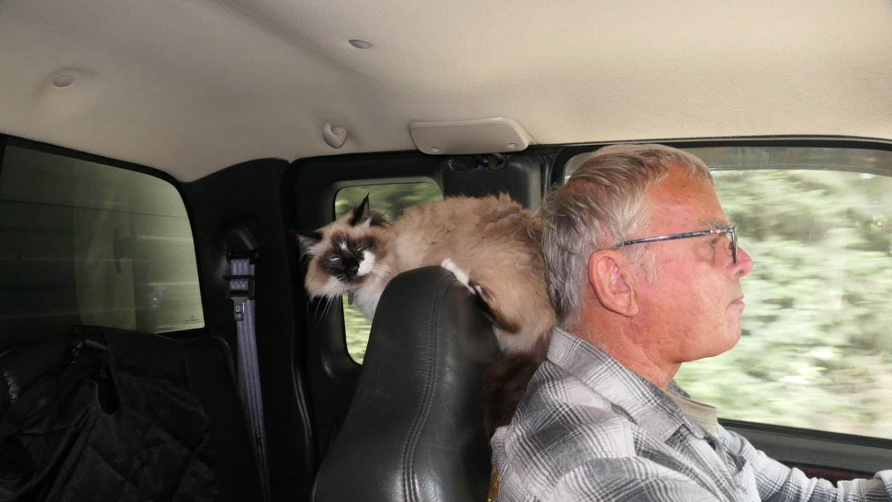
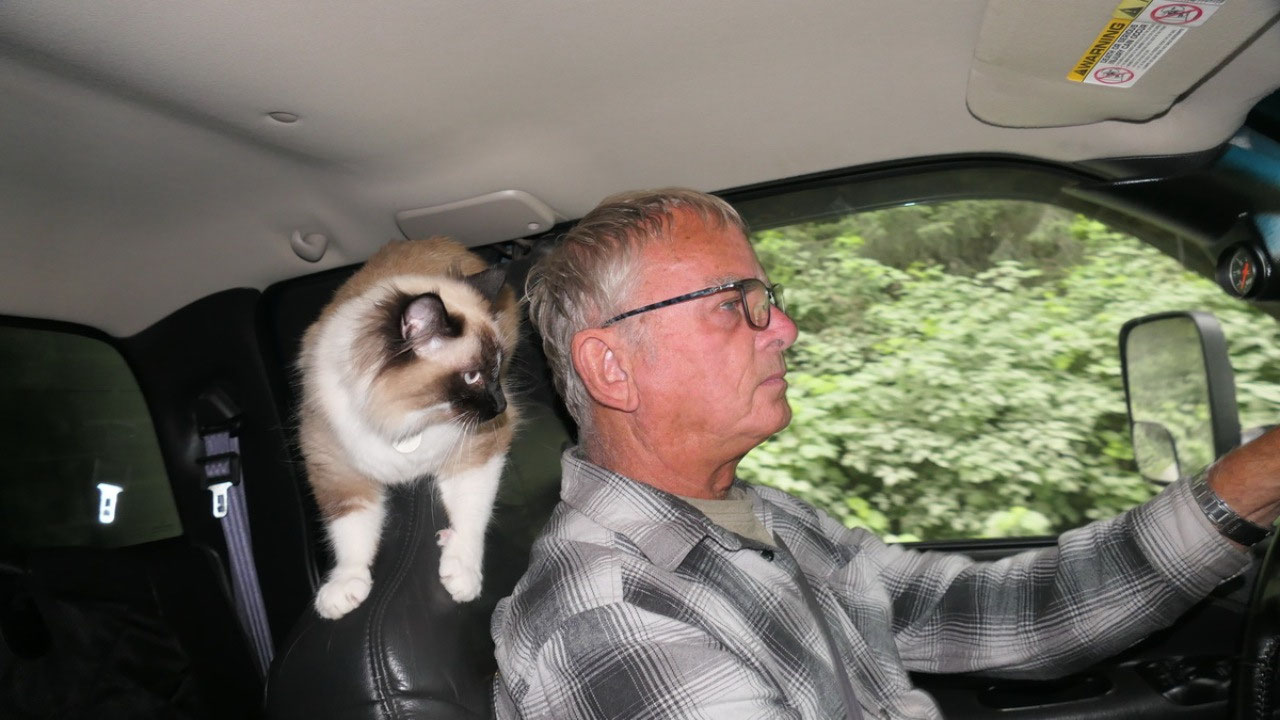
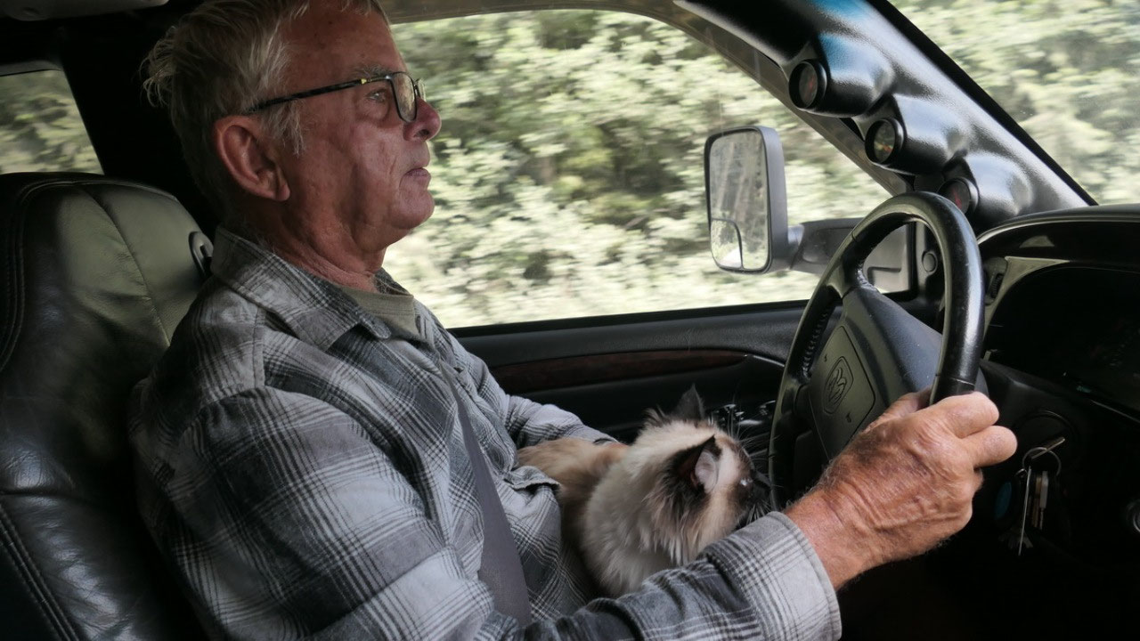
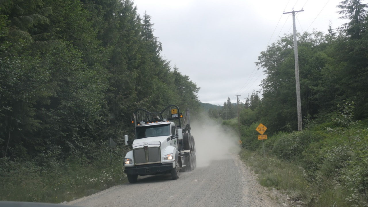
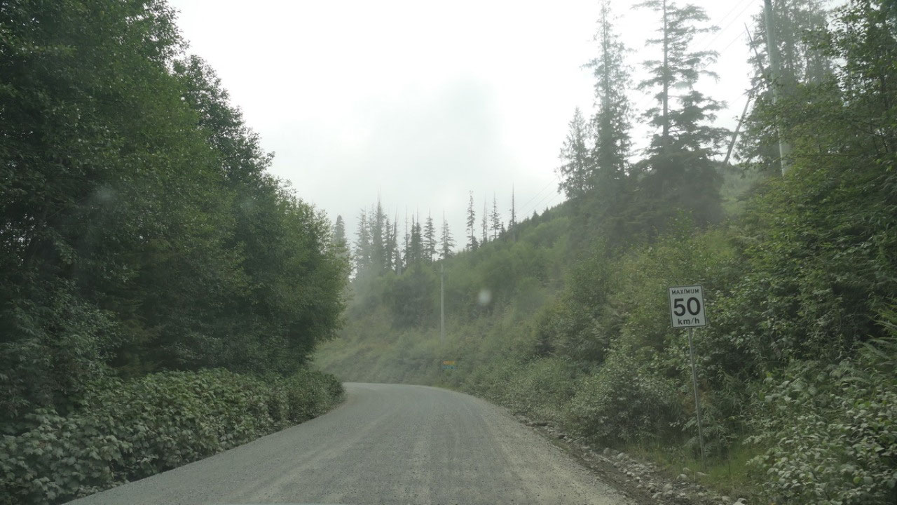
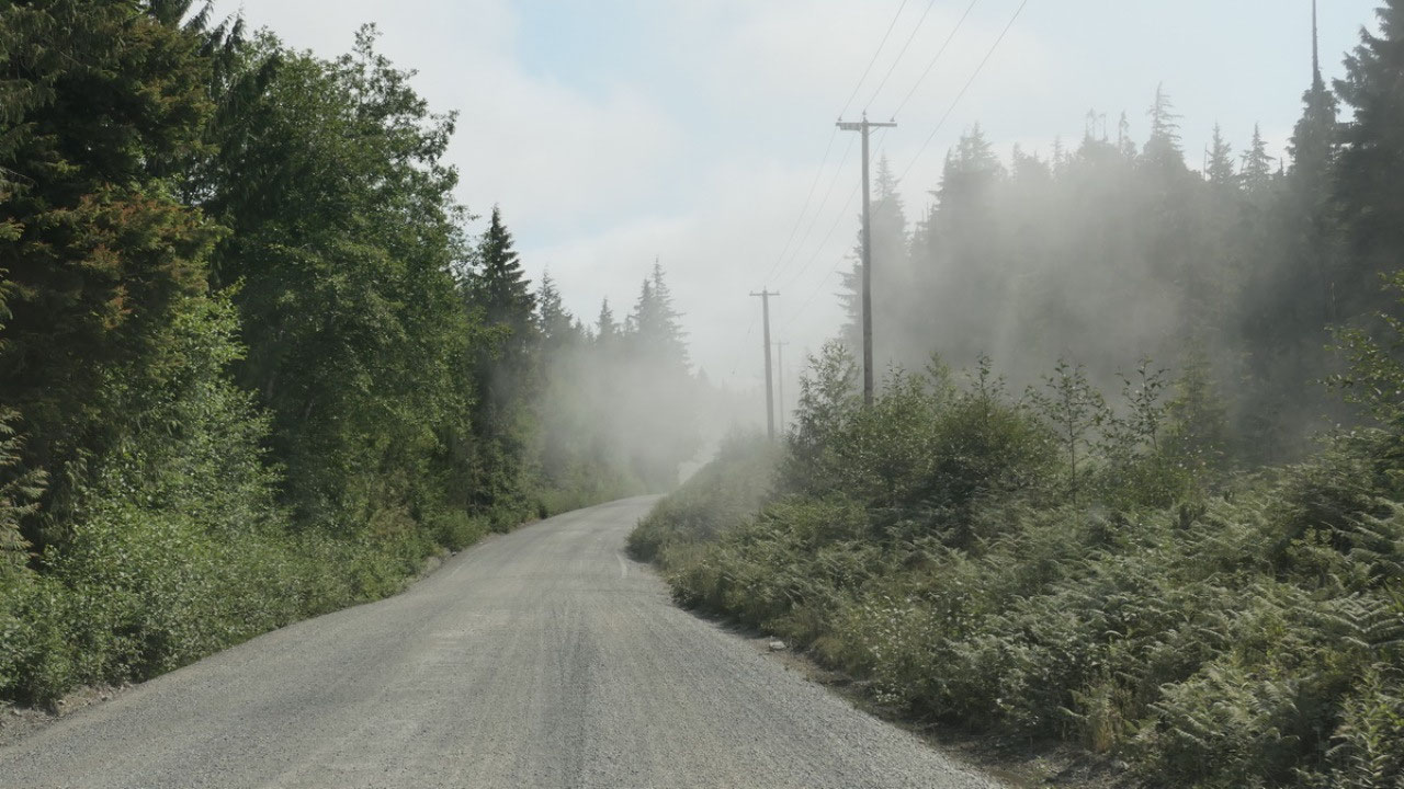
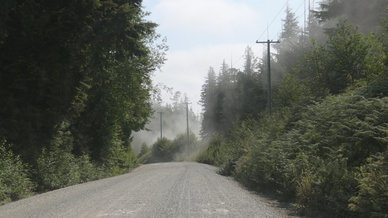
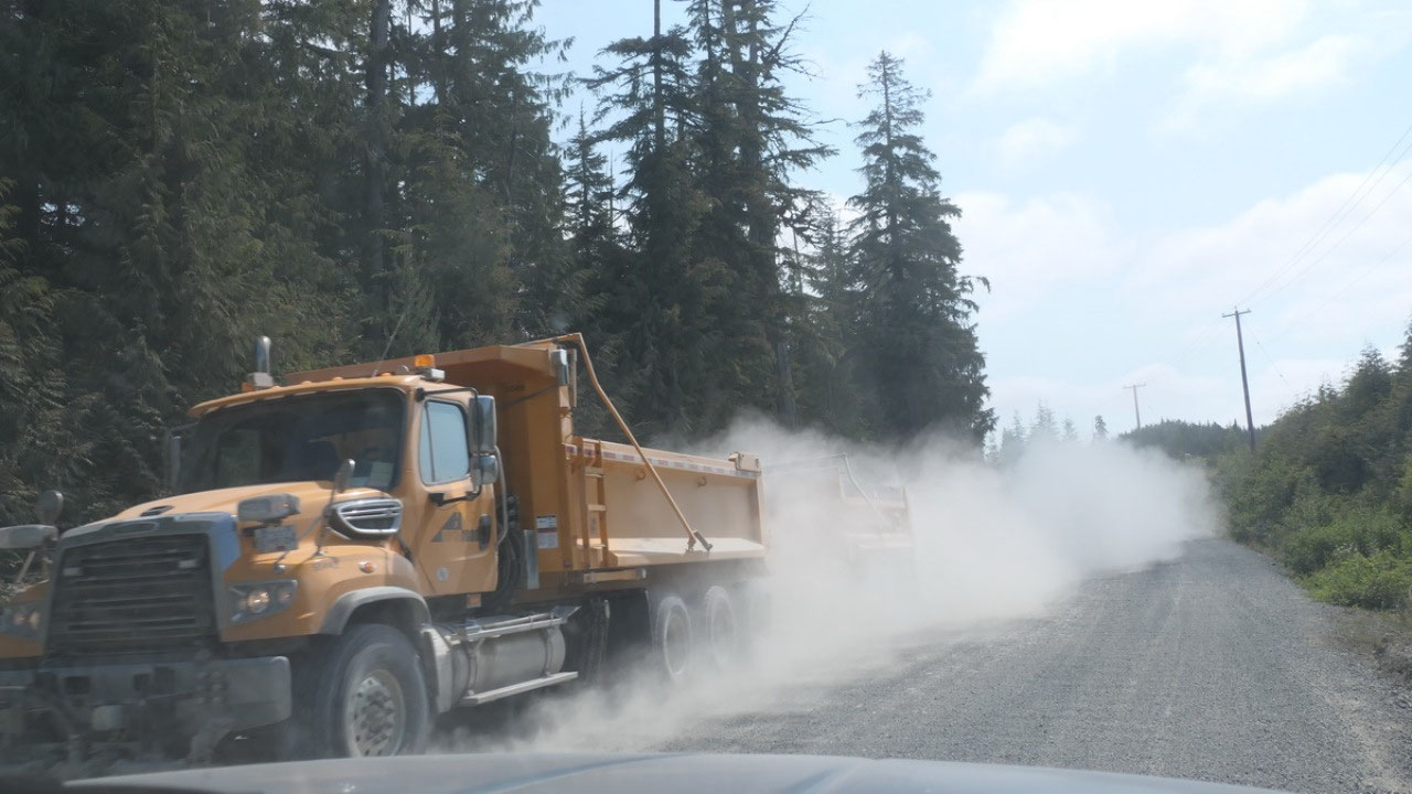
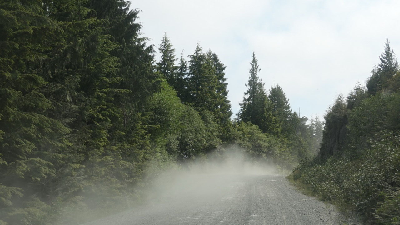
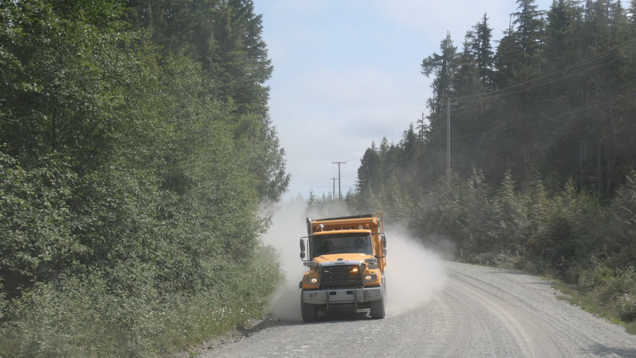
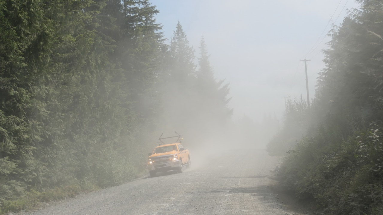
The long dusty road
back to civilization
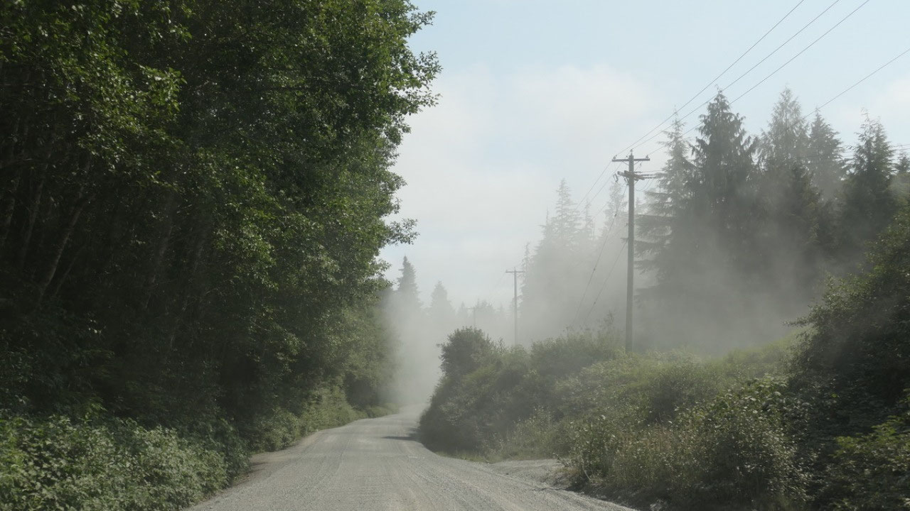
From Holberg we had
another 45km to Highway 19. What Gine thought was super funny, is when you read
a sign and it says “Provincial Highway” and you are on a washboard gravel road.
I think Mandy was not very impressed at all, she did complain today a lot – but
then we drove solid 2 hours on gravel and once in a while even Paul missed a
hole in the road. Also we came across a lot of logging trucks and other
vehicles and even if not the air was full of dust – it is unbelievable on how
much dust we have on the truck.
Only good thing is, as
we drive out the clouds go slowly away and the blue sky comes out. But it
really made us wonder – why would someone live here


2025-05-22