 Narkand, Himachal Pradesh, India
Narkhanda - 2700 mtrs (8900 ft)
Today was always going to be a special driving day.
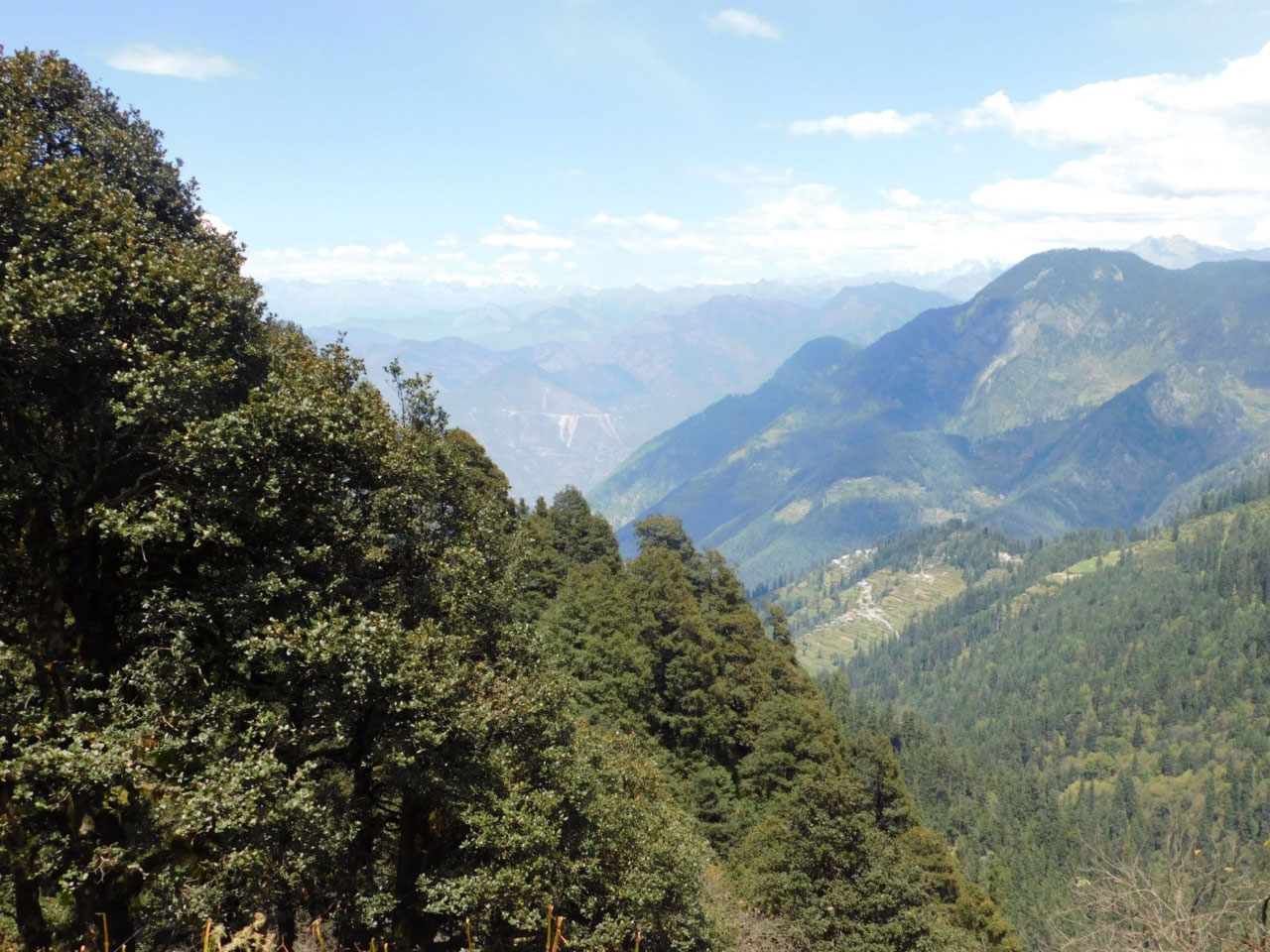
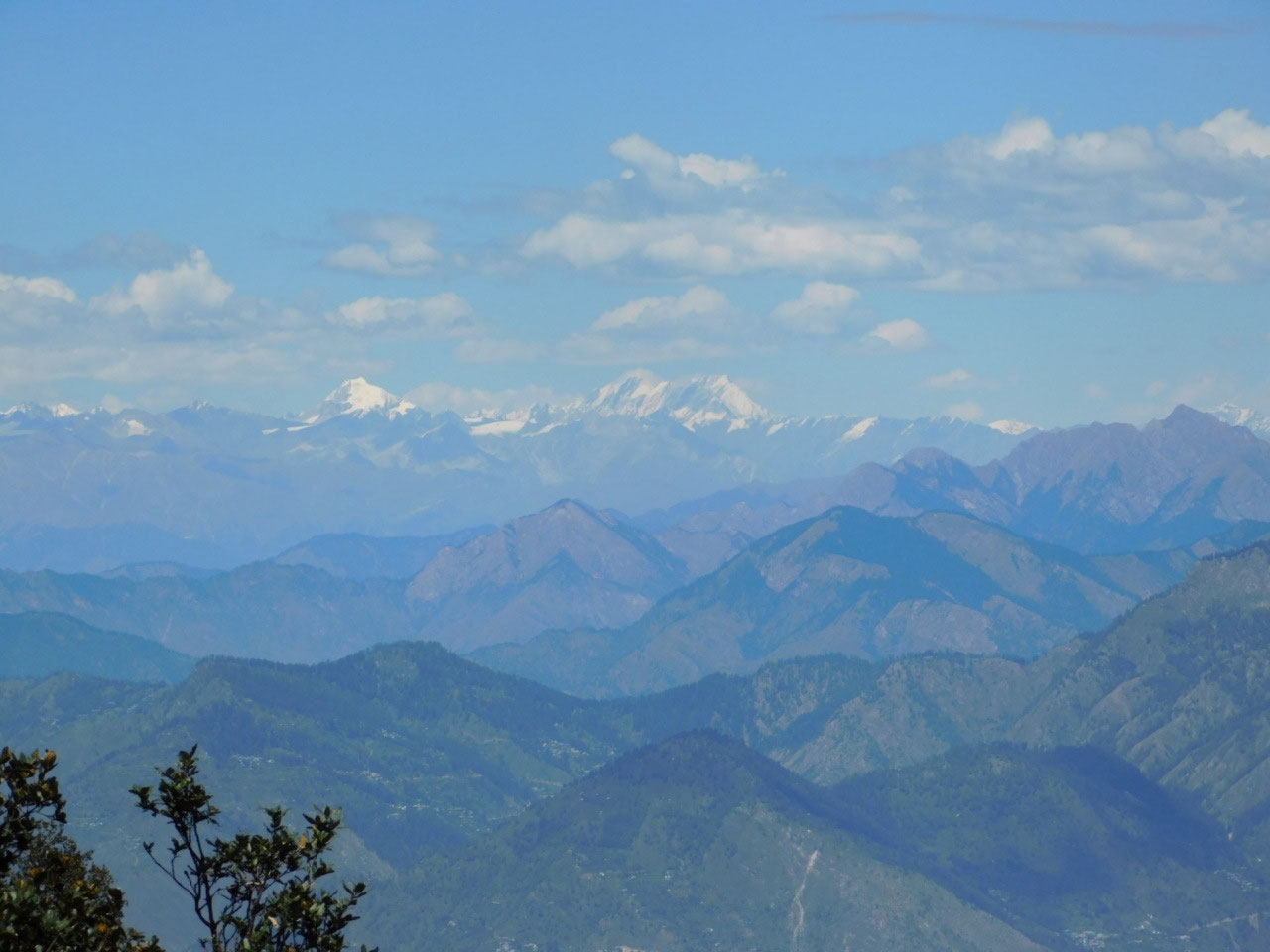
One of the challenges of this trip was to cross the Jalori Pass which separates the Kulu valley from the Shimla region. Jalori at 3100 metres ( 10,300 ft) is not a very high pass, unlike the more famous Rohtang , Kunzum or Sachh passes which are all above 4000 metres. But Jalori has one of the steepest ascents and descents of all - in fact by some reckoning the second steepest in the world after Sani pass in Lesotho of all places. I have no idea how they determine such things, but whatever any ranking, it is a mightily steep pass. Jalori is open some 9 months of the year, but during peak winter it is snowed in completely and closed. We are not in winter now, so the pass is very open.
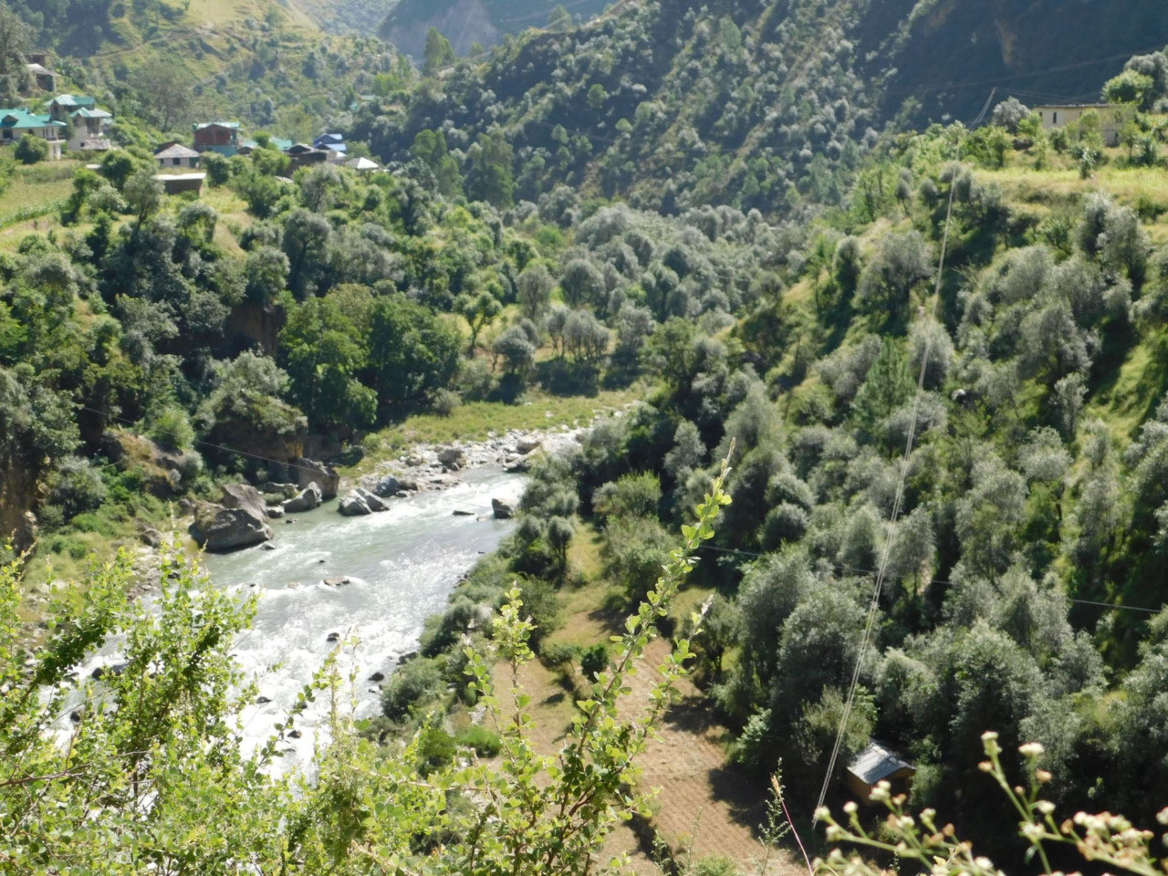
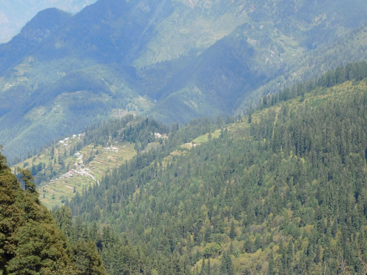
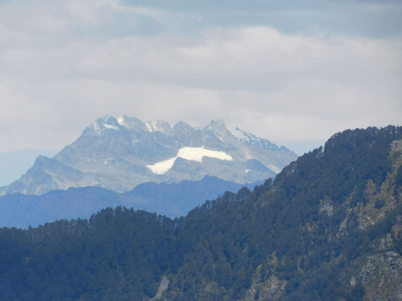
I drove from Bir to Narkhanda, where I am staying today, a distance of about 230 kms, but on steep and narrow mountain roads. Thankfully the roads were all good. The scenery was jaw dropping. The majestic Dhauladhar range was the landscape with the Sutlej keeping company right through the journey. The Sutlej is one of the five Punjab rivers (Punjab means Five Rivers).
Sutlej and Beas flow through India, Ravi flows on the border and Jhelum and Chenab flow in Pakistan.
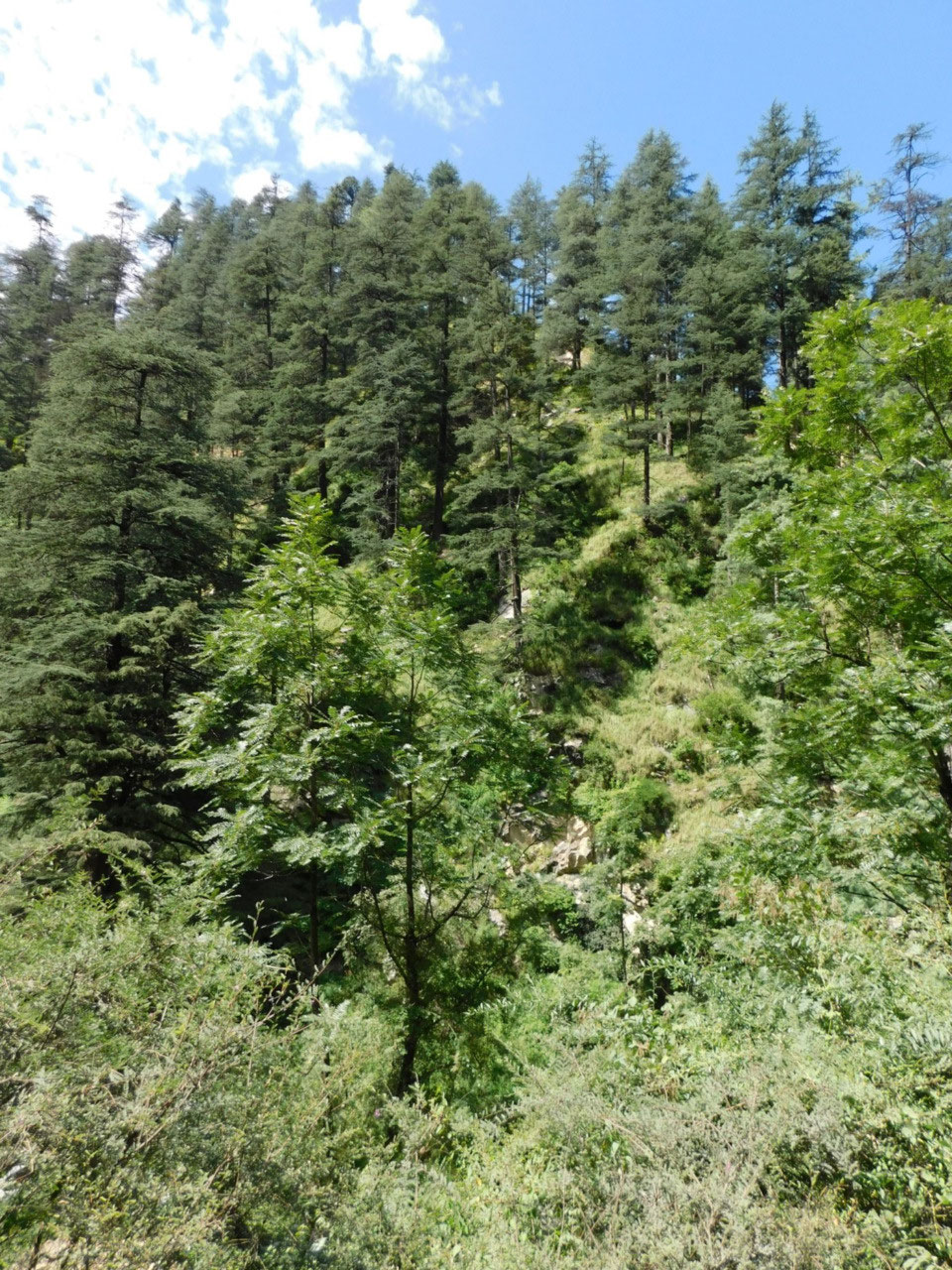
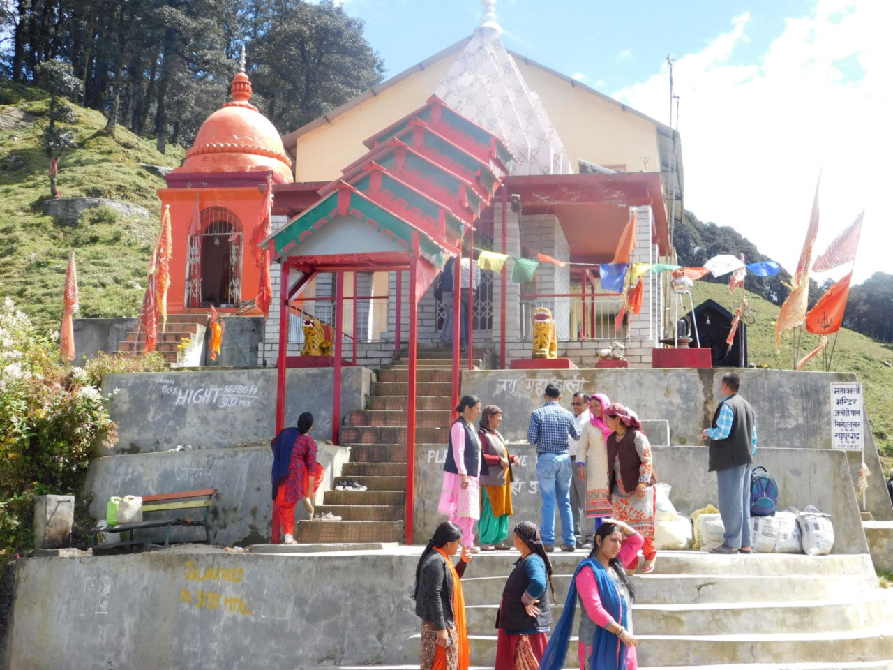
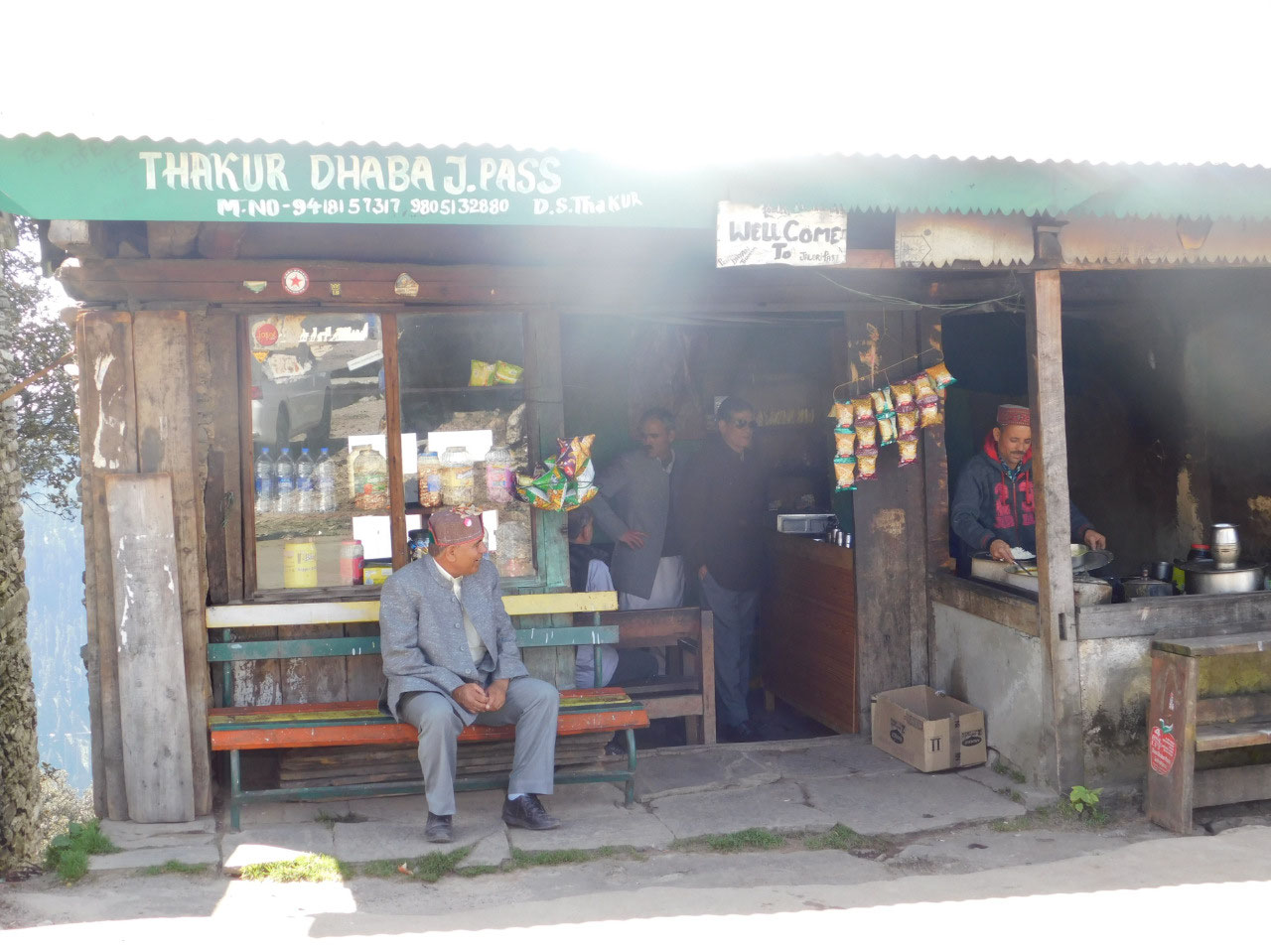
I arrived at the foot of the climb to Jalori in good shape and time. The sun was shining. In a distance of just 10 kms, I had to ascend 1000 metres !! Steep gradients, innumerable curves and narrow roads. Athough my car is an automatic transmission vehicle, I switched over to manual control and the pass has to be entirely taken in 1st and at best 2nd gear. My companion was completely in element, and took this without a stutter. I reached the top of Jalori pass and had a wonderful lunch of Rajma Chawal at a dhaba (shack) there (I hope this qualifies for the obligatory food post for this trip !!) An opportunity to give my companion a well deserved breather
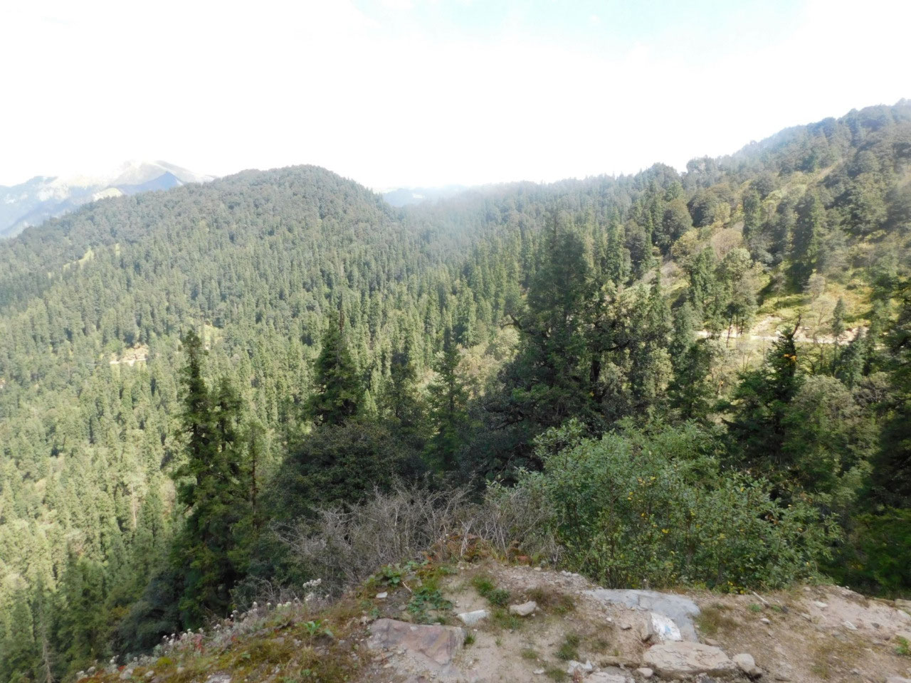
Time for the descent. That is eqully challenging given the gradient. Almost entirely first gear. Once down, it was the usual mountain driving - one stretch was particularly narrow and it was a struggle to let the oncoming vehicles pass. Frequently, I had to reverse to come to a passing spot. After 9 hours of careful driving to cross 230 kms, I have come to Narkhanda on the Himalayan Tibet Highway.
It's just a night halt at Narkhanda, but more on the place tomorrow as there is an interesting story about it. You may also have noticed that I have begun the post by stating the altitude I am at . This is an important factor in the trip from now on ; more on it tomorrow.

Suja
2018-09-20
Oh wow, the scenery is amazing! You are quite high up already, aren't you! Wonder what the snowline is at your latitude..let me look it up...Well, wiki says that in the Himalayas, the snowline is as high as 6000m. Here in Switzerland it is much lower, between 2800m-3200m. In fact, there is a ski lift near Les Diablerets (just an hour from where we live) which is to 3000m and that has perpetual snow. People in the pics are not wearing heavy coats so it isn't that cold there I guess. I do see some snow-capped mountains in your pics though. You've had an adventurous day, haven't you!
indigoite
2018-09-21
@Suja - Yes, the snowline is much higher here. In fact I won't encounter snow at all in this trip even though I will be climbing quite high. Too early in the season for that. Not too cold at the moment although as I go forward the mercury has slipped below zero in the night.
Vaingluory
2018-09-21
What is the famous Suja test?
Sandhya Sriram
2018-09-21
The scenery is indeed breathtaking... never knew such places even exist.. give us some dope on what people do here for a living, .. I am guessing tourism/ industry is not an option owing to access... so is it agriculture/ plantation? How do they access mainland? Do share some more pics of the people here
indigoite
2018-09-21
@Vaingluory - Ahh. In one of my older blogs, Suja, who comments here regularly laid a standard for accomodation. Let us just say it has to be significantly above basic. Since then, I have adopted it as the Suja test !!!
indigoite
2018-09-21
@Sandhya - Oh - there's plenty of agriculture. Fruits gwon aplenty. Toursim as well - homestays abound. Nowadays, oads have become very good in Himacahal. Every place is easily accessible.
Dada
2018-09-22
Fabulous scenery and great adventure. Drive safe. One of these days...
indigoite
2018-09-22
@Dada - Thanks Dada. Wht do you mean one of these days .... you've been to a dozen even nicer places :)
Vincy
2018-09-27
Crossing the Jalori pass during this travel has been by and large quite close to a thriller. Yaay you have crossed the steepest pass, yeah the second steepest one in the world. Your companion is for keeps. :-) :-)
indigoite
2018-09-27
@Vincy Nice, isn't it. Sometimes, the journey is as good as the destination. That is so, especially on this trip. I am completely floored that you are seeing every photo, commenting, reading every post, commenting. Much appreciated.
Gils
2018-09-28
!!! Antha car is gettingfree publicity and really positive and real time reviews. Ivlo thoora travella verum hindi English vachu opethiteengala? No baashai issues?
indigoite
2018-09-28
@Gilsu - This is all Hindi land Gilsu. Mother tongues are Hindi. Literally, you can go anywhere in India now and easily communicate in Hindi, except in Tamil Nadu ! Hindi mein bholiye Gilsji :)
Gils
2018-09-28
Bholi ya.. Thenga bholiya Ila regulara? Ek gaav mein ek kissan ragu thaatha
Vinod
2018-10-03
Great going! Awesome pics! Looks like the best part of yourtrip! Wish you safe descent and return!
indigoite
2018-10-03
@Vinod - Oh No. This is the appetiser. Read on !