Last part of our Cape York trip.
Saturday, June 18, 2016
 Mareeba, Queensland, Australia
 Mareeba, Queensland, Australia
Lakefield
National Park to Cooktown, Cape Tribulation, Daintree NP, Mossman
back to Mt Carbine
It was time to
leave the van again and finish our Cape York trip. Our first few days
were in Lakefield National Park now that the roads had re-opened
after the storms. The north of the park was still not open so we had
to enter via Laura 179 klm from Mt, Carbine. From Laura its another
hour to get into the park.
We stop at
Lakeland to try and post the blog from the second part of our Cape
York trip but the wifi connection was not strong enough for the
photos to transmit so it will have to wait until we get to Cooktown
in a week.
Our stop for
first 3 days is Kalpower crossing. This is on the Normanby river and
the river crossing is into Cape Melville and the east coast.
We find our
allotted camp site and have lunch as it was 1pm before we open the
roof top tent and set up.
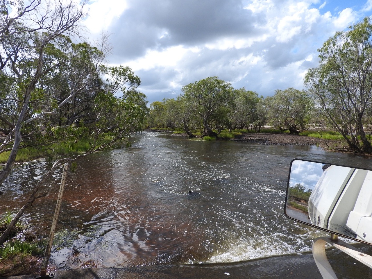
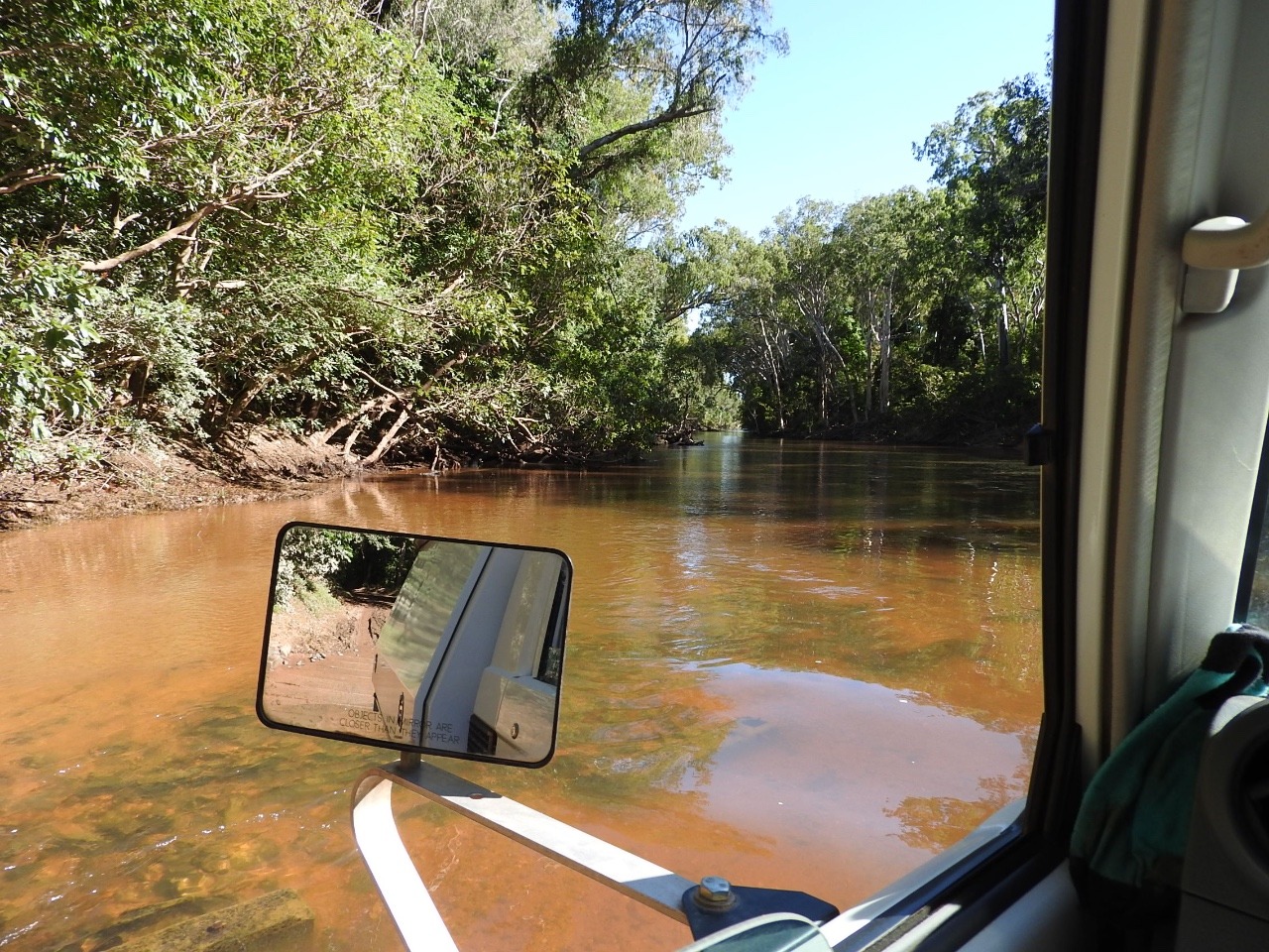
Then we go down and see the river
crossing.The river was flowing quite fast still and the crossing
still a little dangerous as it has an unseen curve in it and the
water was over the top of the posts showing the way.
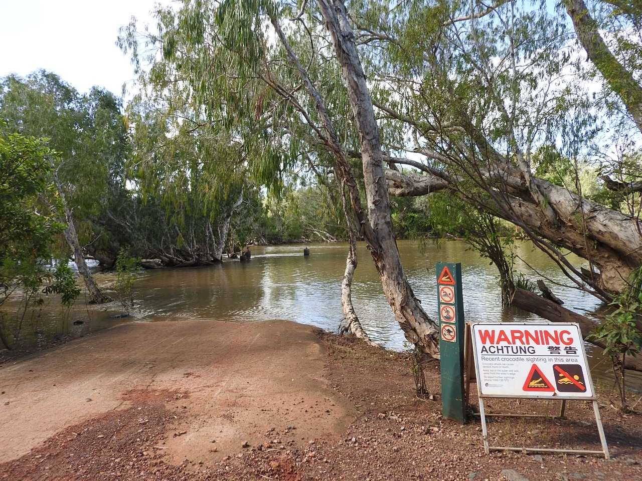
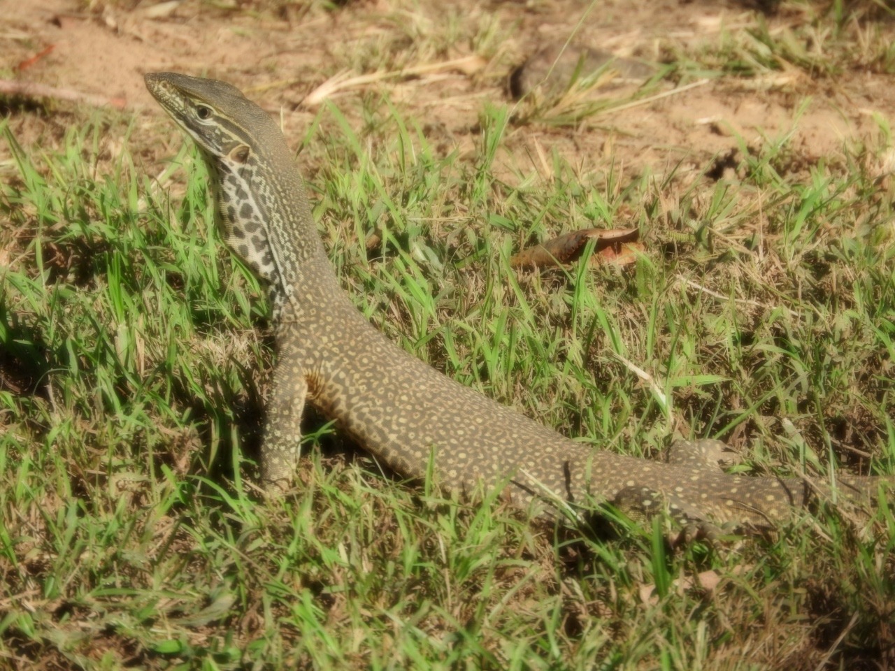
A new sign says
crocodiles have recently been spotted. So signs say watch for crocs
and snakes and our visitors are a juvenile yellow spotted monitor
which just went digging and found something to eat, we do not know
what.
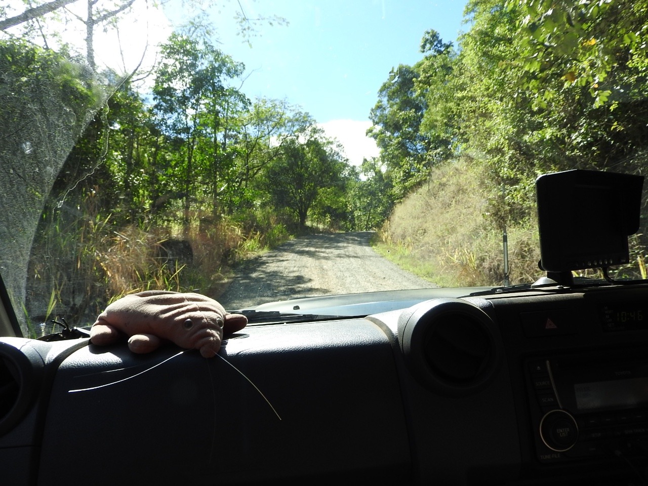
Then when we turned the water tap on and we got all this little
frogs in the bucket, some just hopped away some stayed for a photo.
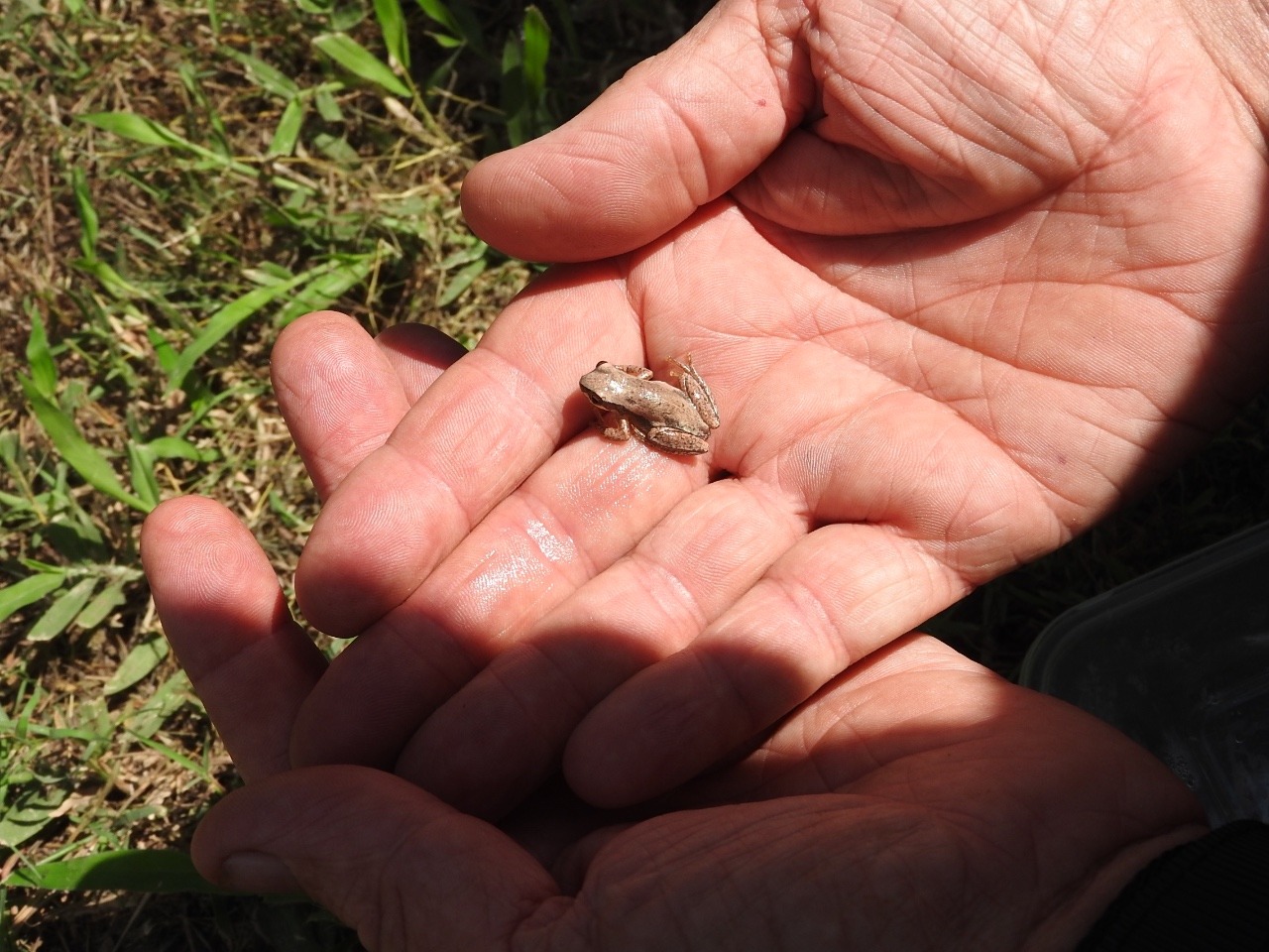
Later as we sat having cup tea one of these frogs jumped onto Larry
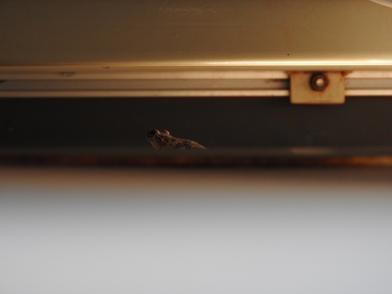
then onto the car and we lost it. We found our hitch hiker some days
latter on the roof under the tent and it jumped into the spare tyre
and it was another day or so before we found it again and we think it
jumped off as it was not seen again.
We did not see any crocodiles or
snakes.
A couple of cars
came across the crossing they obviously new the road because of the
road shape, which you could not see.
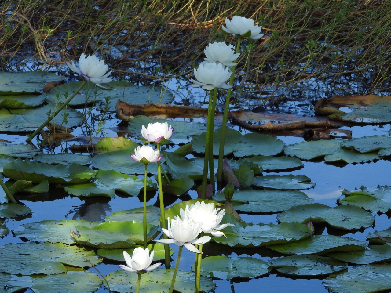
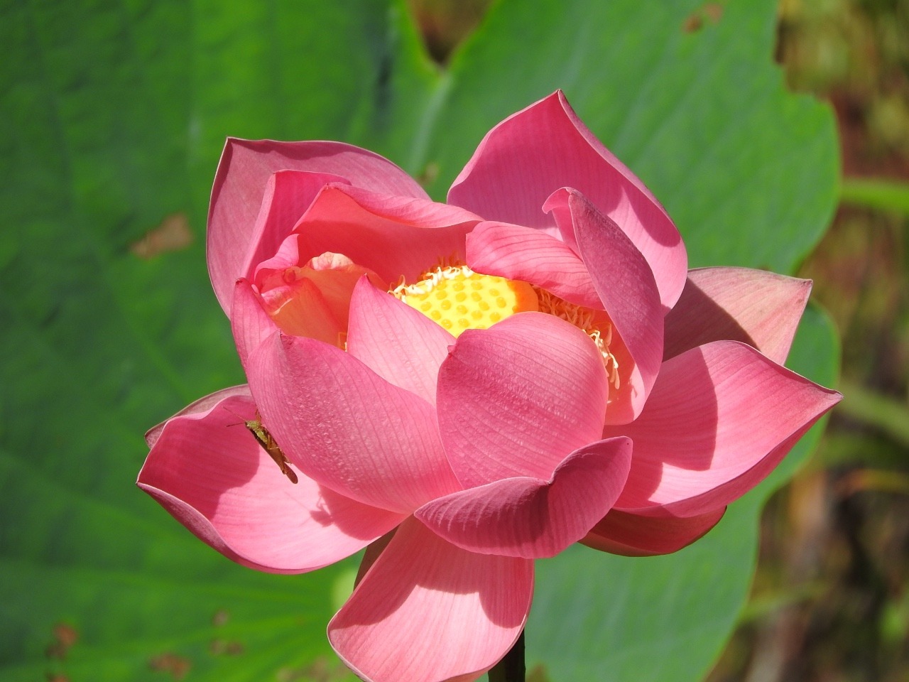
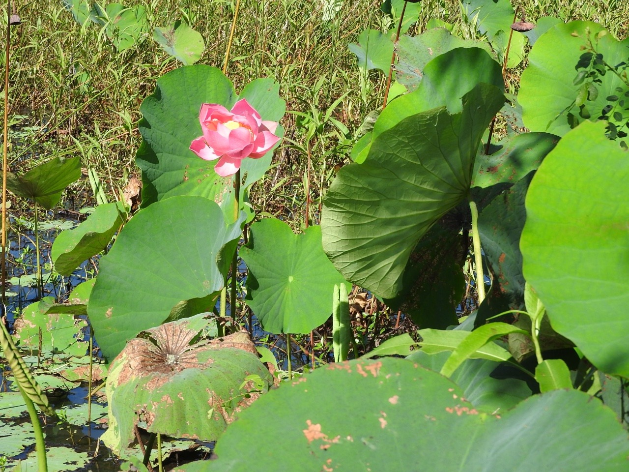
Friday 3 June we
drove to the north of the park for the day, crossing Hann river and
visiting white water lily lagoon and pink/ lotus water lily lagoon
and onto Salt water crossing. All the camping areas in this area were
still closed but people were still camping. The pink or Lotus lily
lagoon has a short board walk which is fenced because of the
crocodiles living there.
We come across a
lot of burnt places and the rangers are still burning in places.
As
we drive back to camp the rangers are burning the roadside into camp.
No wonder we have not seen much in the way of wildlife, just some
birds of prey circling overhead trying to catch what ever tries to
escape the fires. We did see one very fast black snake on the road
opposite a burning area, too quick for a photo though. Everything
gets covered in ash and its a dash to get it off when it starts
spitting with rain.
On Saturday we
move to 12 mile lagoon camp . On the way we look at Mick Fien
lagoon, the road in is not good and when we get there it has just
been burnt so its back out again to the main track . Next is Old
Faithful waterhole 6 klm in and another bad track . We do see a
couple of walabies and some pheasant coucals and get photos. Next is
Catfish waterhole where we do not see any catfish as you can not get
close enough to see in to the water thats close to the bank because
of trees and shrubs. We are not having much luck are we, well things
get worse as the road into 12 mile lagoon is 13klm of wet , muddy,
deep ruts and narrow no passing track. I do not know why they
re-opened this track. It took an hour to go the 13 klm with the car
not going where it is pointed again just following the ruts all ready
there. We finally get to our camp site which is just back from the
river bank behind a row of trees in a clearing. It is a nice site
really, birds signing, butterflies and we are visited by a couple of
wallabies .
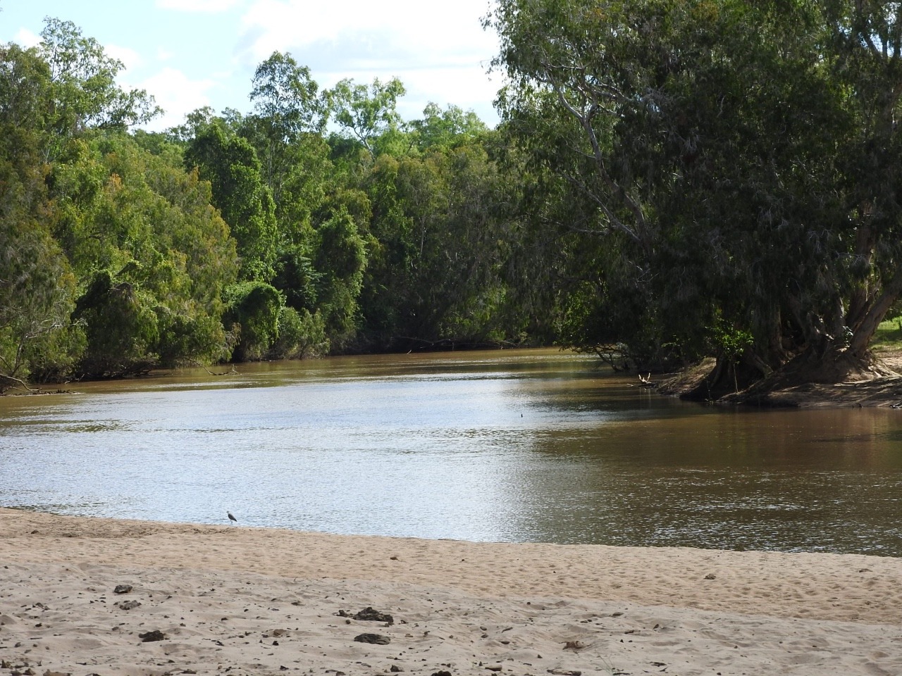
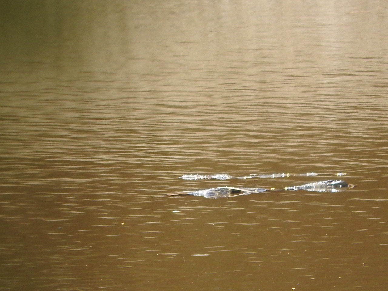
We go for a walk starting by sliding down the bank close
to us and yes there are crocodiles and further along is a sand bank
where a couple were hauled out sunning themselves but they heard us
coming and slid into the water before we could get cameras even
turned on and focused. They are here because the river is still
flowing and has not dried enough to leave the lagoon. Any how the
crocs are quick they have good eye site even under water and must
have good hearing as we crept up behind trees and they still new we
wee there. They are of cause ambush predators, thats why some people
do not see them until its too late.
We get a visit
from the fisheries and wildlife in the afternoon checking on fishing
and boat licenses, of course we are fine we don't have a boat and
don't fish. One of these men said they had had lunch sitting by Old
faithful waterhole and a 3 metre croc just got out the water and
laid on the bank in front of them , see we did not see anything when
we were there hours before.
We headed out
early not knowing how long it would take us or where we were going
that day. Getting out was not quite as bad , it had dried out a
little.
We stopped at the Old Laura homestead for a look .
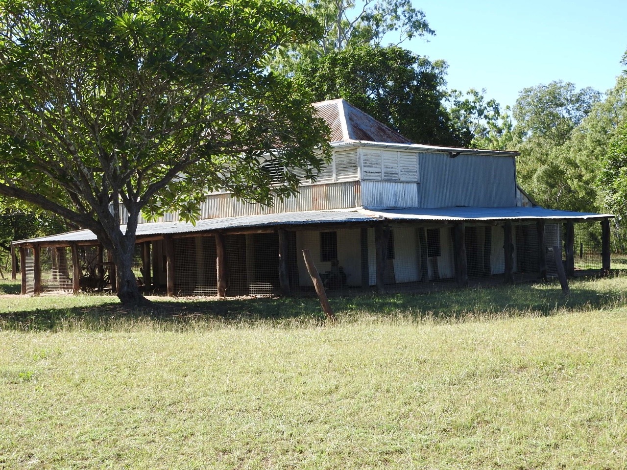
This place
was built in the gold rush days back in 1870s and remained a cattle
station until it became part of the park in 1978. Laura station was
one of the first cattle stations in Cape York peninsula. It is a
peaceful place now beside the Laura river but I suppose back in
1870s it was a hard life.
We cross the
Laura river and go past where we should be staying, Horseshoe lagoon
. It is open it was closed when we came past into the park just days
ago,so we go in to our booked camp place .
Well would you
believe this is the best looking camp site we have found in this
park, its beautiful and we are here alone after some day visitors
leave.
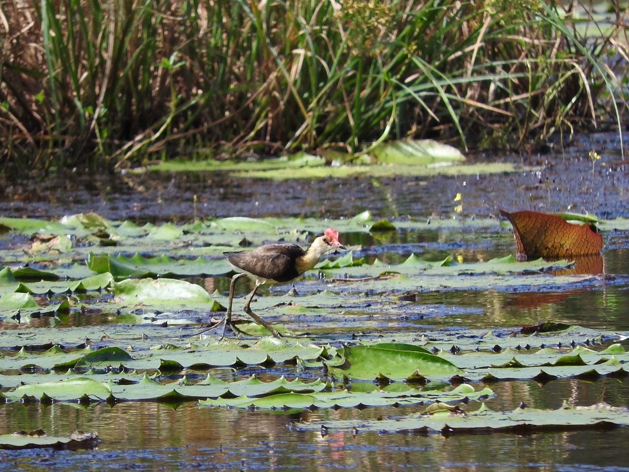
Its got lots of white lilies , and a few birds, ducks and some
wild pigs. Its fun watching the little comb crested jacanas walking
on top of the water lilies looking for insects.
It was a very
peaceful night apart from the visiting wild pigs to wallow in the
mud beside lagoon just in front of us making lots of grunting noises.
Then a heavy mist or fog descended making everything very wet but it
did make a good photo across the lagoon
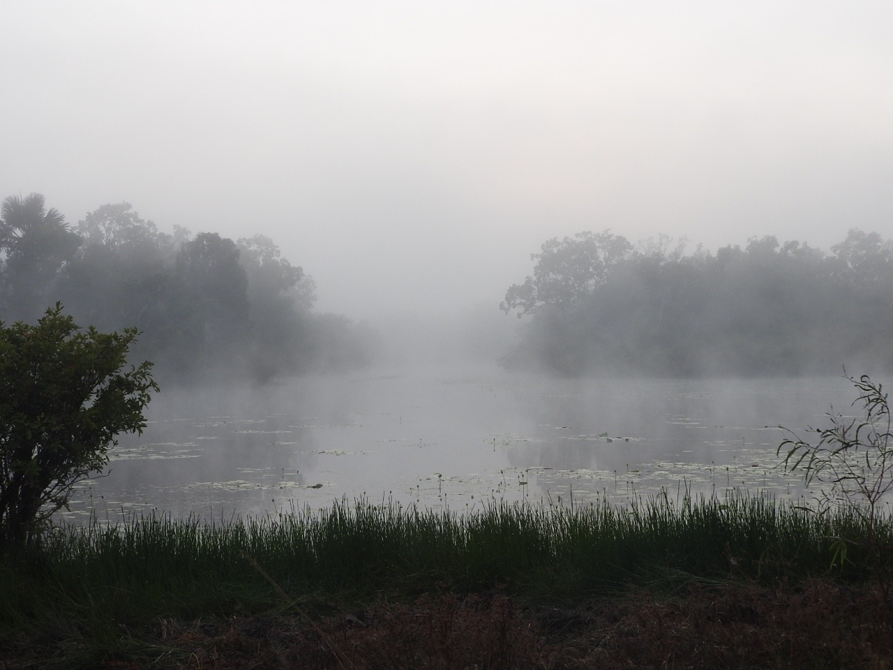
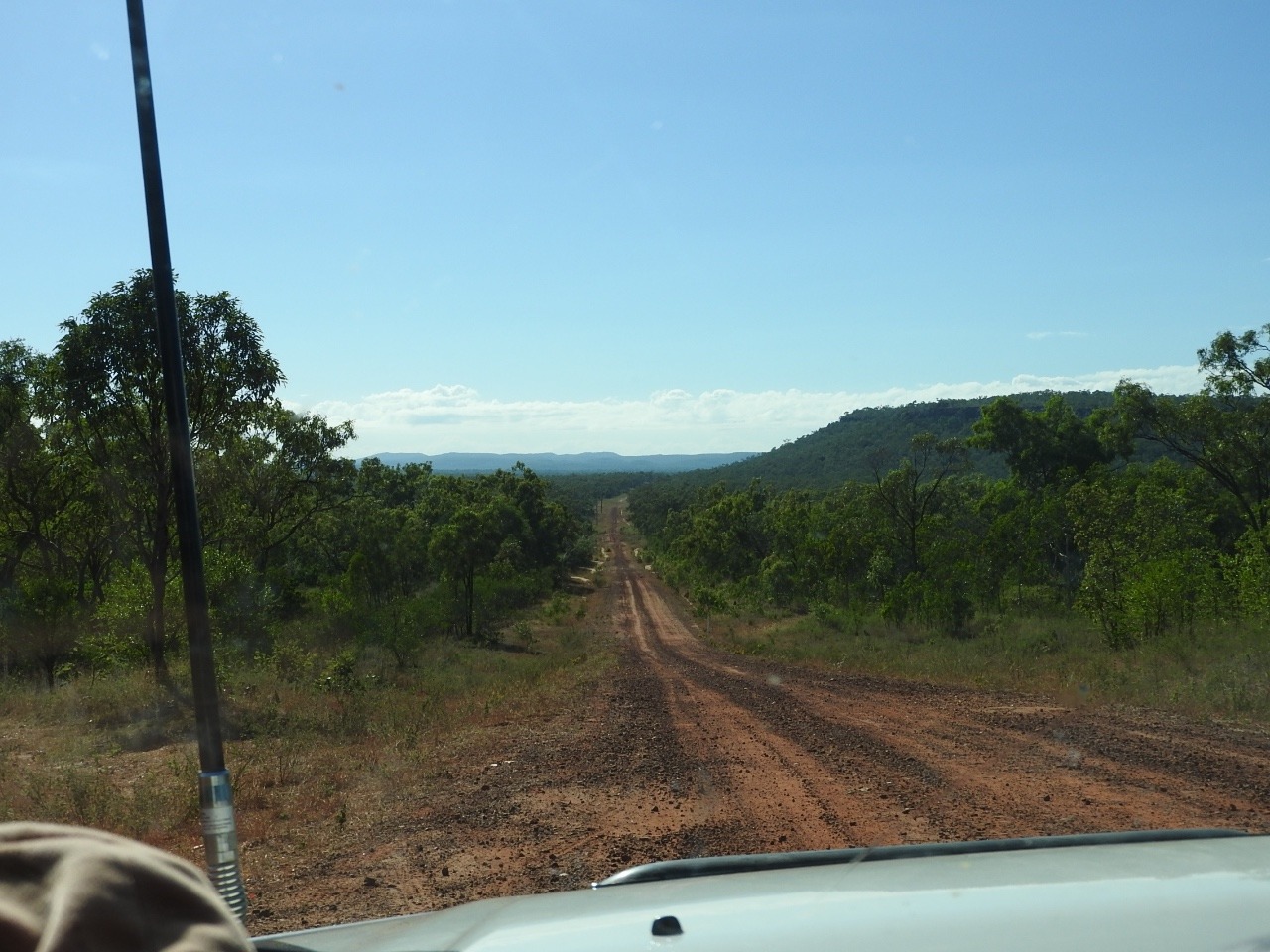
.we head out of the Lakefield
National park heading towards Cooktown. This road is Battlecamp road
,it winds its way over the Great Diving range and is mostly gravel
with some made bitumen bits over the steepest places.
The road
workers are here so it looks like more is to get its bitumen surface
as this road gets closed when its wet. This road and another the
coastal Bloomfield track head into Cooktown and are gravel . There
is just one road into Cooktown that is sealed all the way and it
leaves the coast at Port Douglas and heads inland a bit over ranges
gets joined by a road heading north from Atherton table lands before
heading back over mountains into Cooktown.
We stop at
Isabella falls and think about a swim , it is safe but does not look
very inviting nor does the little camp area so we head on.
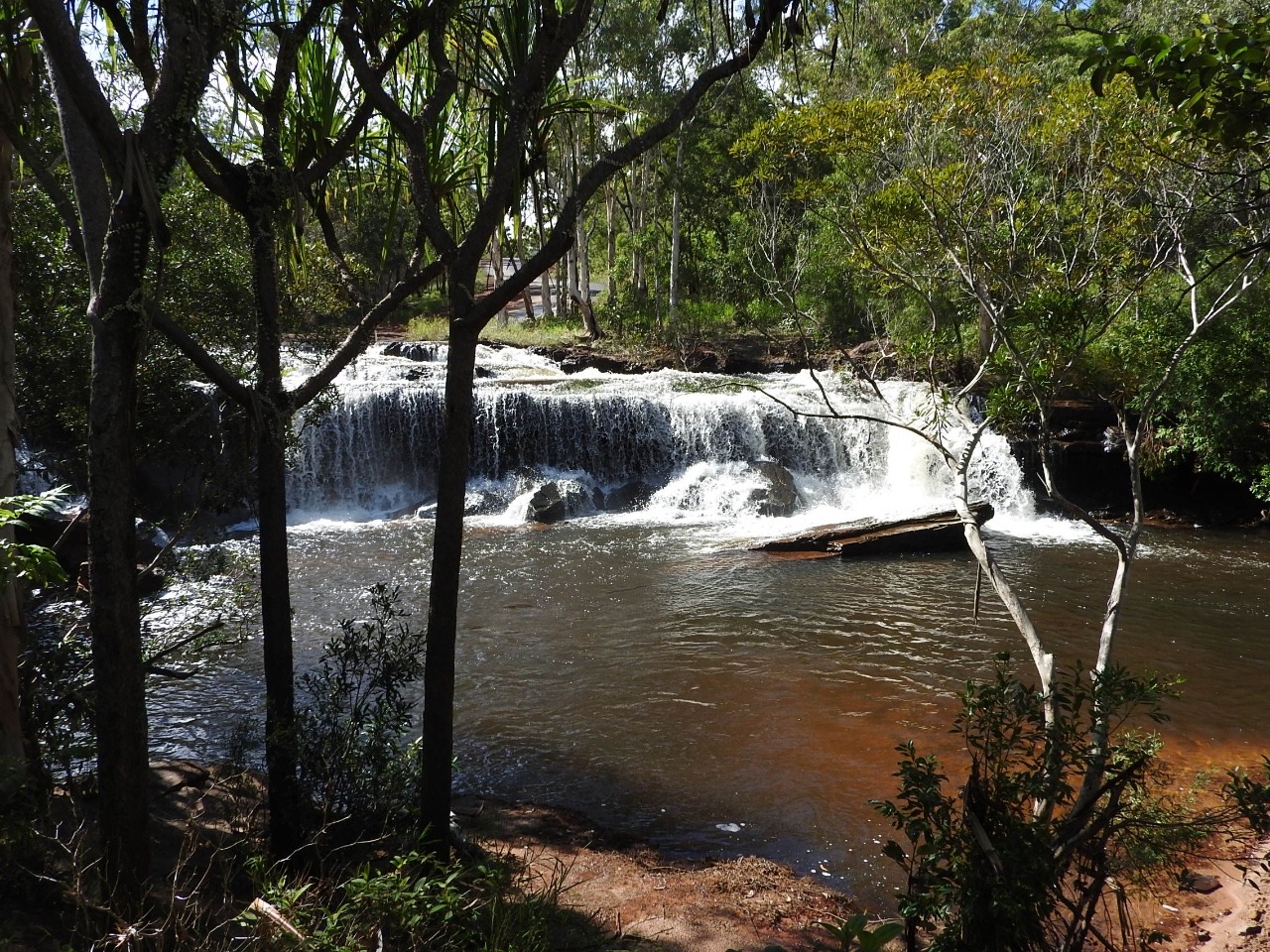
You have
to drive across the top of the falls which is really just the creek
crossing the road then dropping down the rocks and flowing on.
We take a look
at a private farm stay camp but for what you get and price we might
as well go into Cooktown. Its mostly fishermen here. We did stay at
Endeavour falls caravan park before , it has not changed and has no
swimming so Cooktown it is.
Well the caravan
parks here leave a lot to be desired so we just find one that will
do for a couple of days so we can see the sights. All parks are
above $35 a night with power but we decide we will have power to
charge everything a bit quicker than our portable solar can. At
least we are given a site with neighbours on one side only so me
climbing down from roof top tent during the night to go to ladies is
out of sight from most. Yes I do put something on to come down but
not much just a slip on short dress thats easy to get on. In the
national parks and some camps you have tress or bushes separating
campers.
We try their
small pool to relax in but a family with small kids arrives letting
the kids jump in the pool. Yes we get out , old grumpy us again.
We have phone
reception some time so ring or text family and post the second half
of Cape York blog.
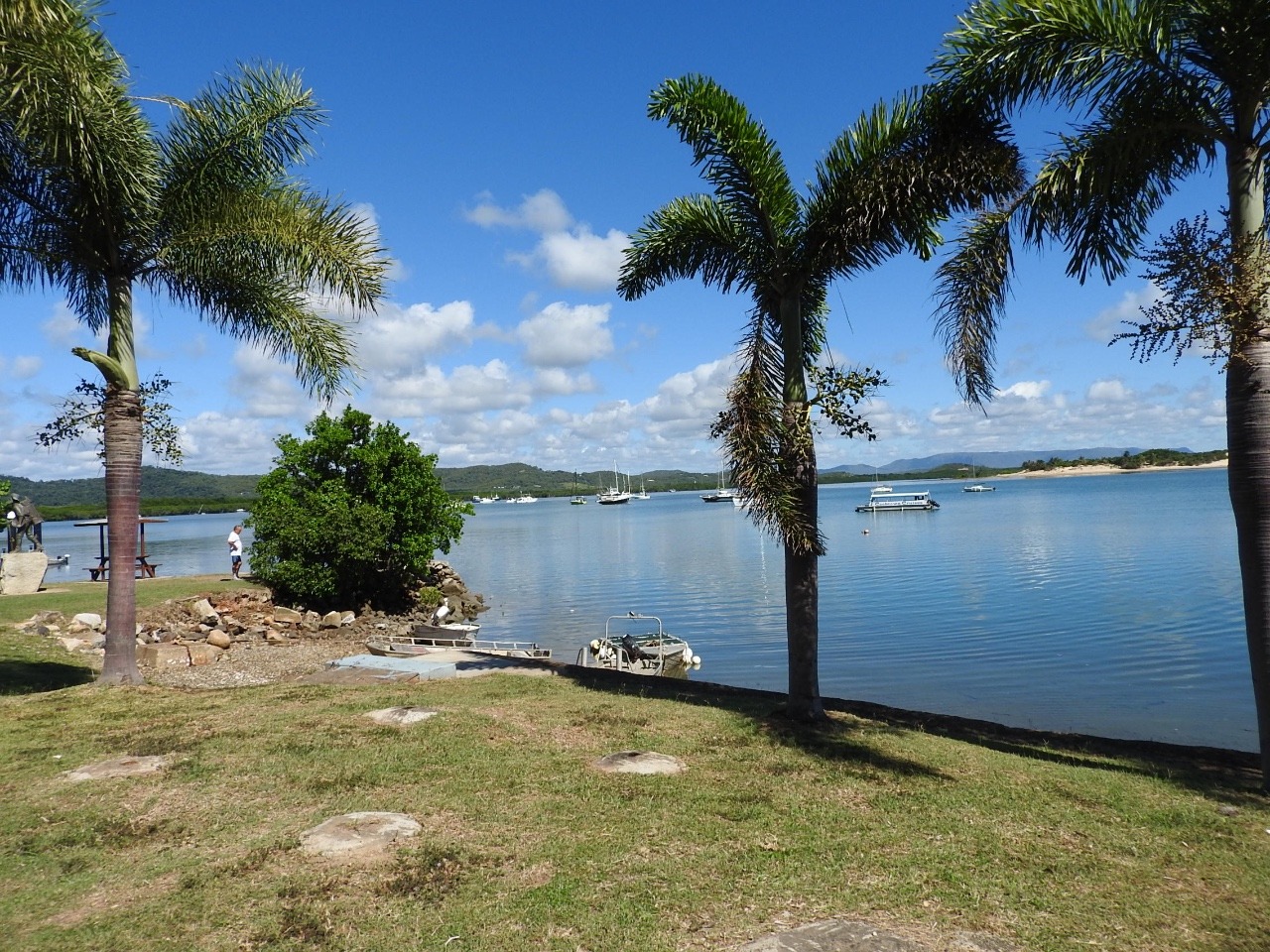
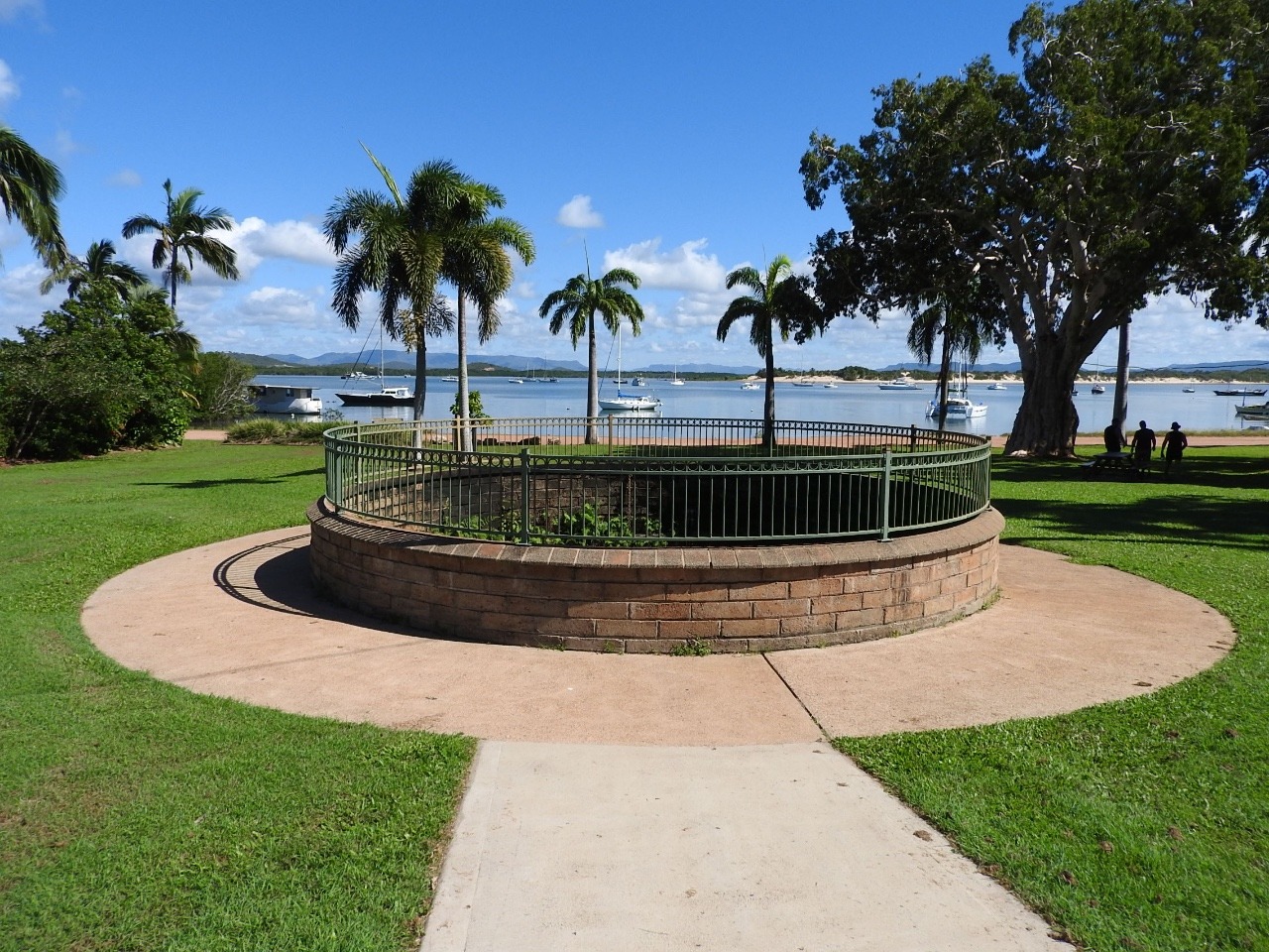
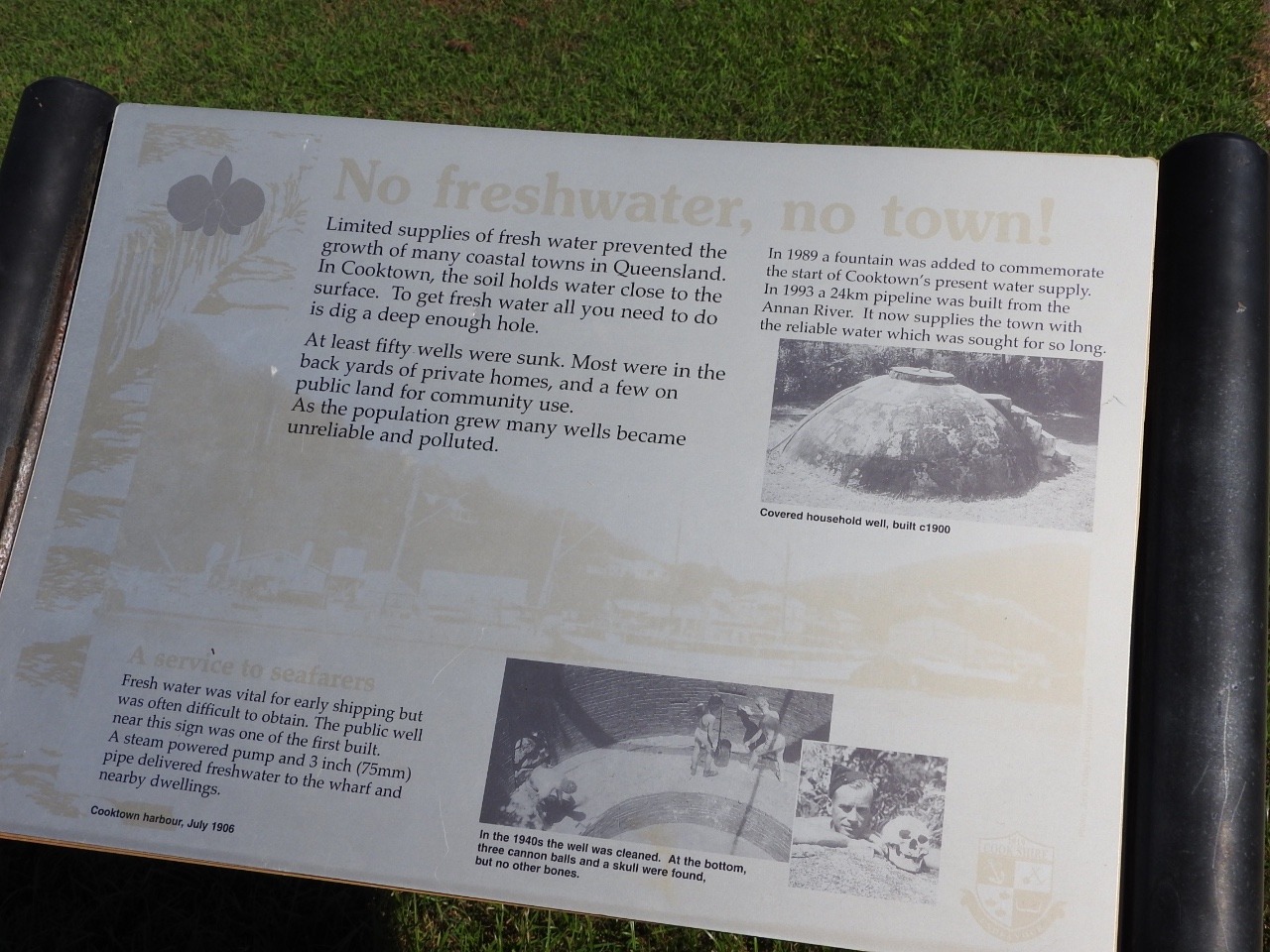
We walked the
beach area with its statues and information boards.
Cooktown
population goes up and down in the gold rush it was 3-4000, then it
dropped right down to only hundreds but with the main road being
upgraded and sealed it brought more and more tourists and some people
stayed so know is back to between 3-4,000.
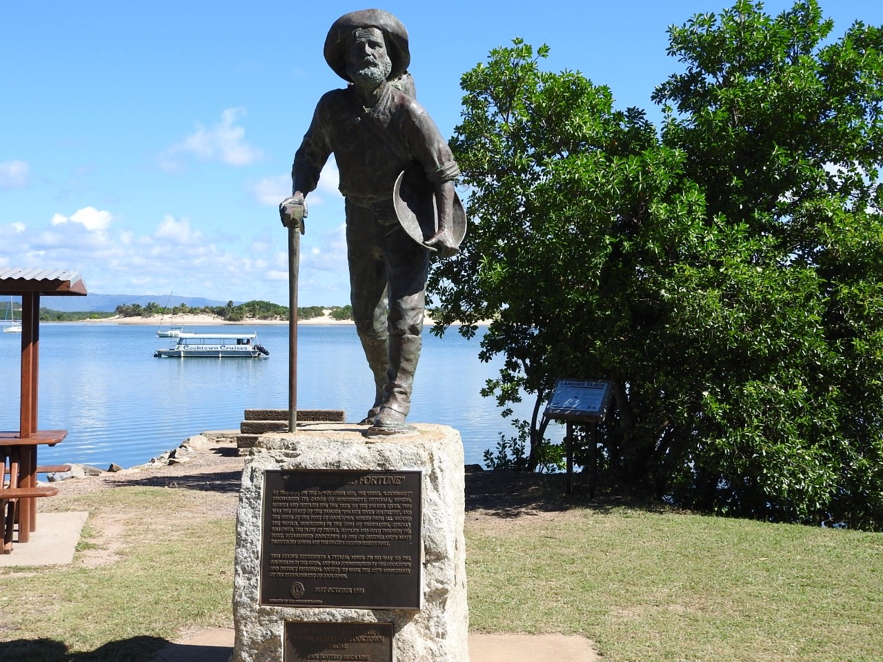
Mick the miner
statue in memory of the 1873 Palmer river gold rush
James Cook
statue marks the site of the re-enactment of Cooks landing
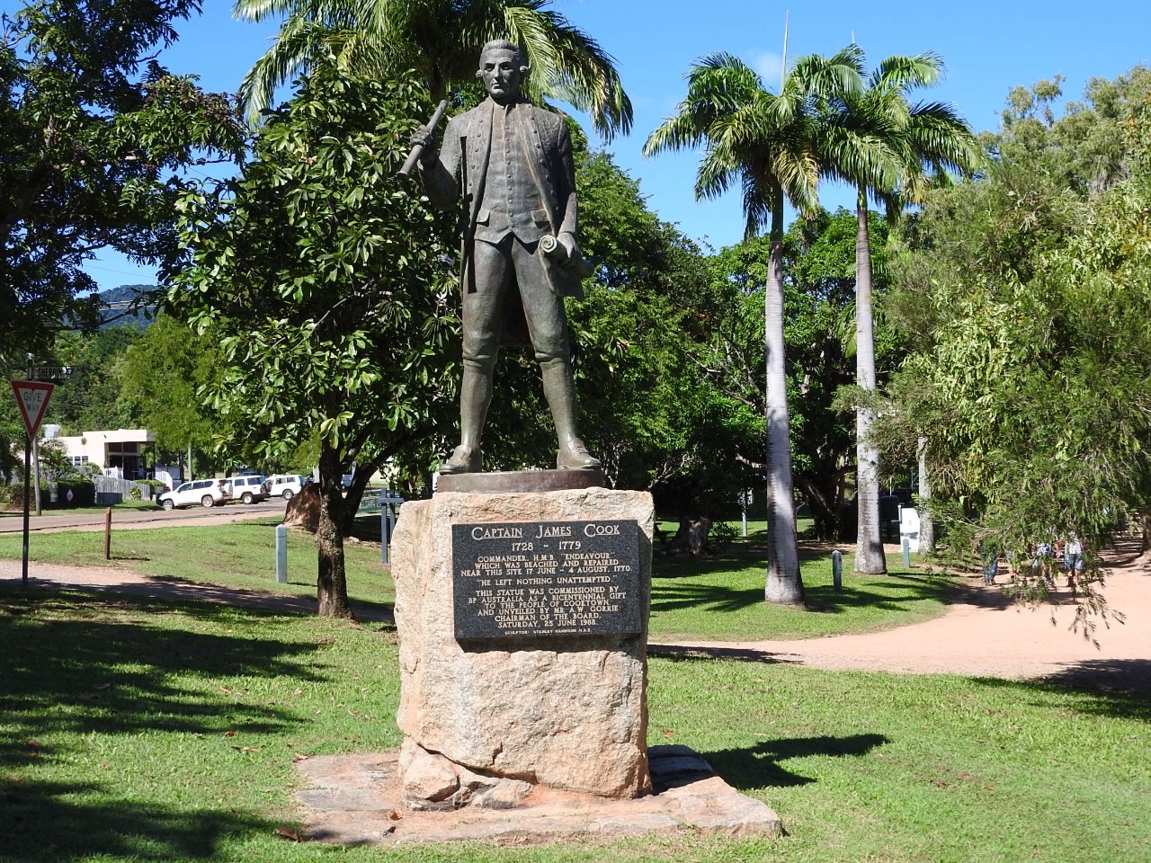
. This
re-enactment takes place in June during the Queens birthday
celebrations every year. This commemorates Cook's landing 17 June
1770.
The cannon here
dating from 1881 to protect Cooktown from the Russian invasion is
also fired once a year at this time .
We walked around
the Botanic gardens ,established in 1878.
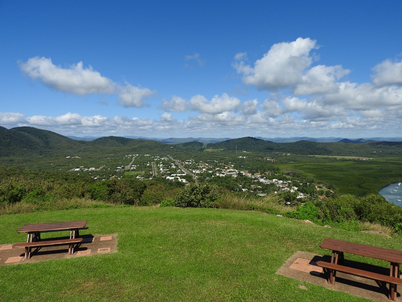
Went out to
Grassy hill and Light house lookout. Lighthouse from 1885 was
automated in 1927. Good views of Cooktown. Endeavour river and the
Coral sea.
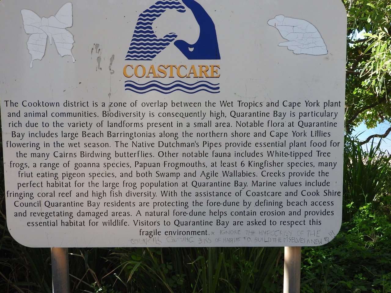
We also went to
Quarantine Bay and walked along the beach.
Mt. Cook which
has a very steep walk from the carpark but has views of the Great
Barrier Reef. Mountain named in honour of the then Lieutenant James
Cook.
Black mountain a
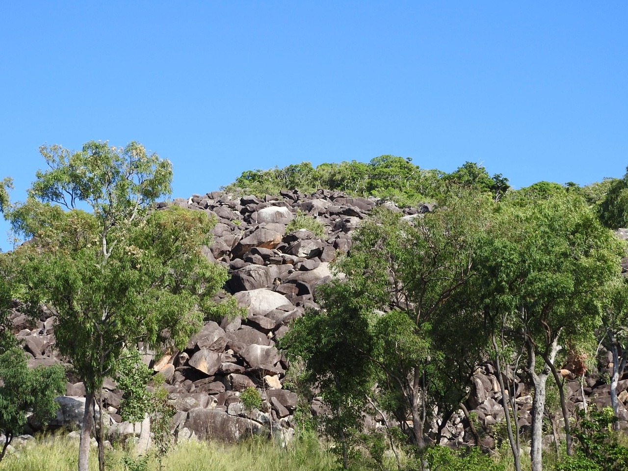
260 year old rock formation. It looks black but is granite boulders
which are usually pink , covered with microscopic algae and lichens.
This area has some of its own wildlife. Black mountain skink,
gecko and boulder frog. Also here is Godman's rock wallabies but
because of cultural significance of the area we are not allowed past
the viewing area.
Our other place
we spend time is at Keating's Lagoon conservation park a wetlands
surrounding Meldrum creek.
This used to be
a hunting ground for the Traditional owners for food and medicine.
It is now a
refuge for thousands of water birds especially in the dry season.May
to October yet this is June and we find very few birds but water
very murky maybe the crocodiles have taken over.
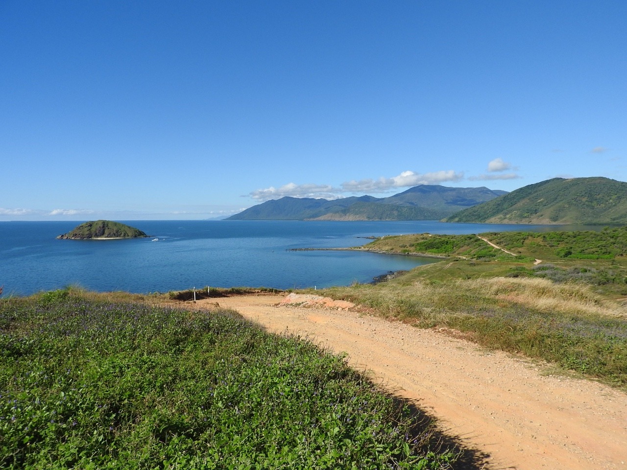
It is time to
move on so we go to Archer point 15klm south of Cooktown and 10klm
into the coast.
There is another lighthouse here and we can see one
way out to sea maybe on an island.
From here you
look out to the Hope islands on the Great Barrier reef and down the
coast to Cape Tribulation.
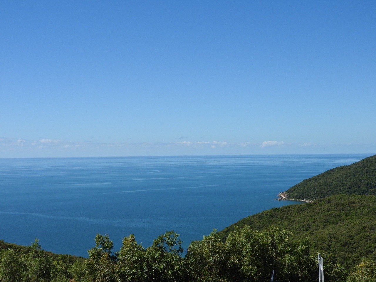
We also see more ships on the route
through the reef including the cargo ship going back to Cairns from
the top of the Cape.
At low tide it
shows the area close to us is full of rocks which leaves pools big
enough to cool off in . We are not mad enough to go out spear fishing
like one group or into the sea in an area with no rocks.
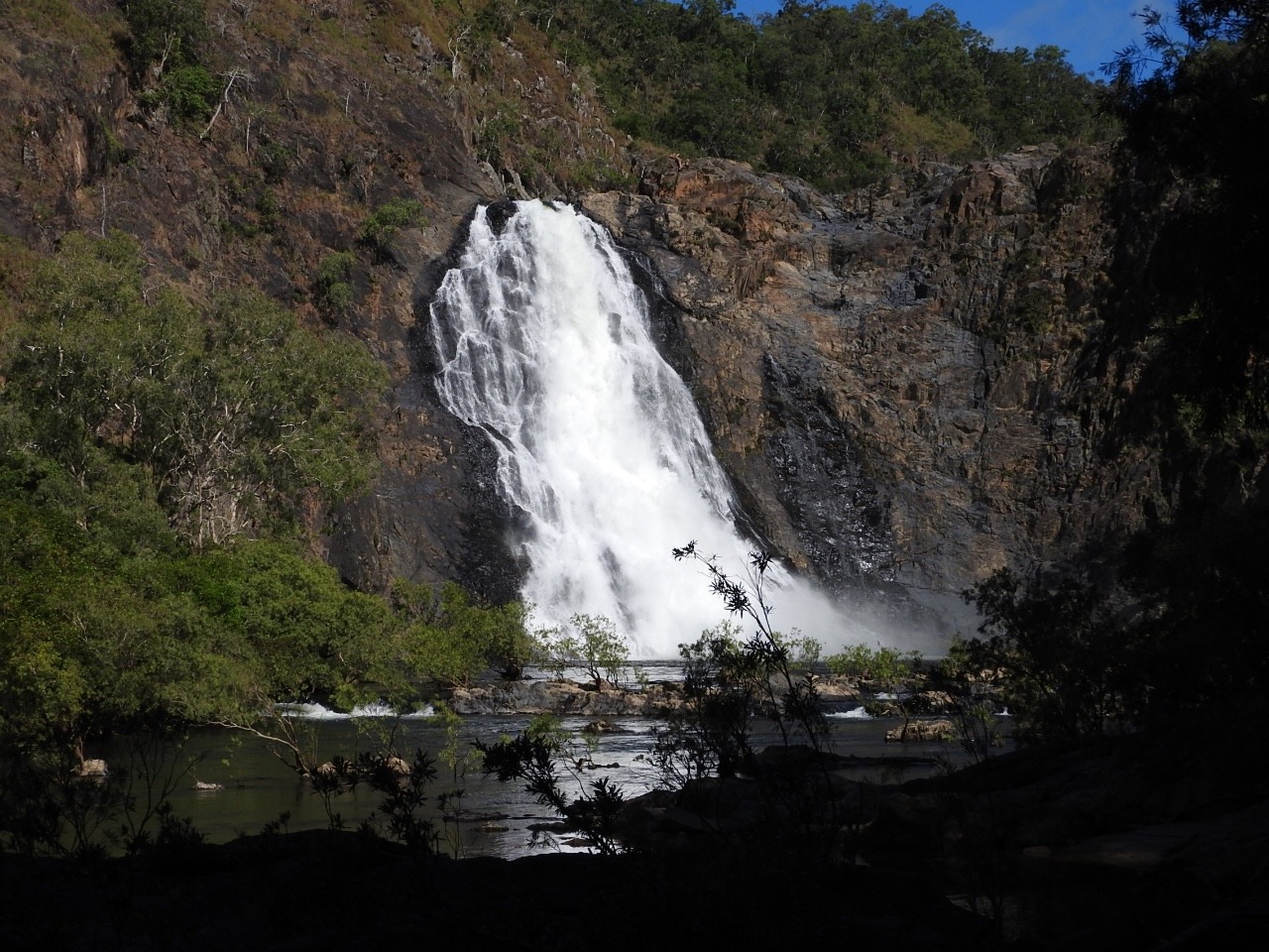
We move on again
driving down the Bloomfield track. We see the falls first before
driving across the new bridge across the Bloomfield river.
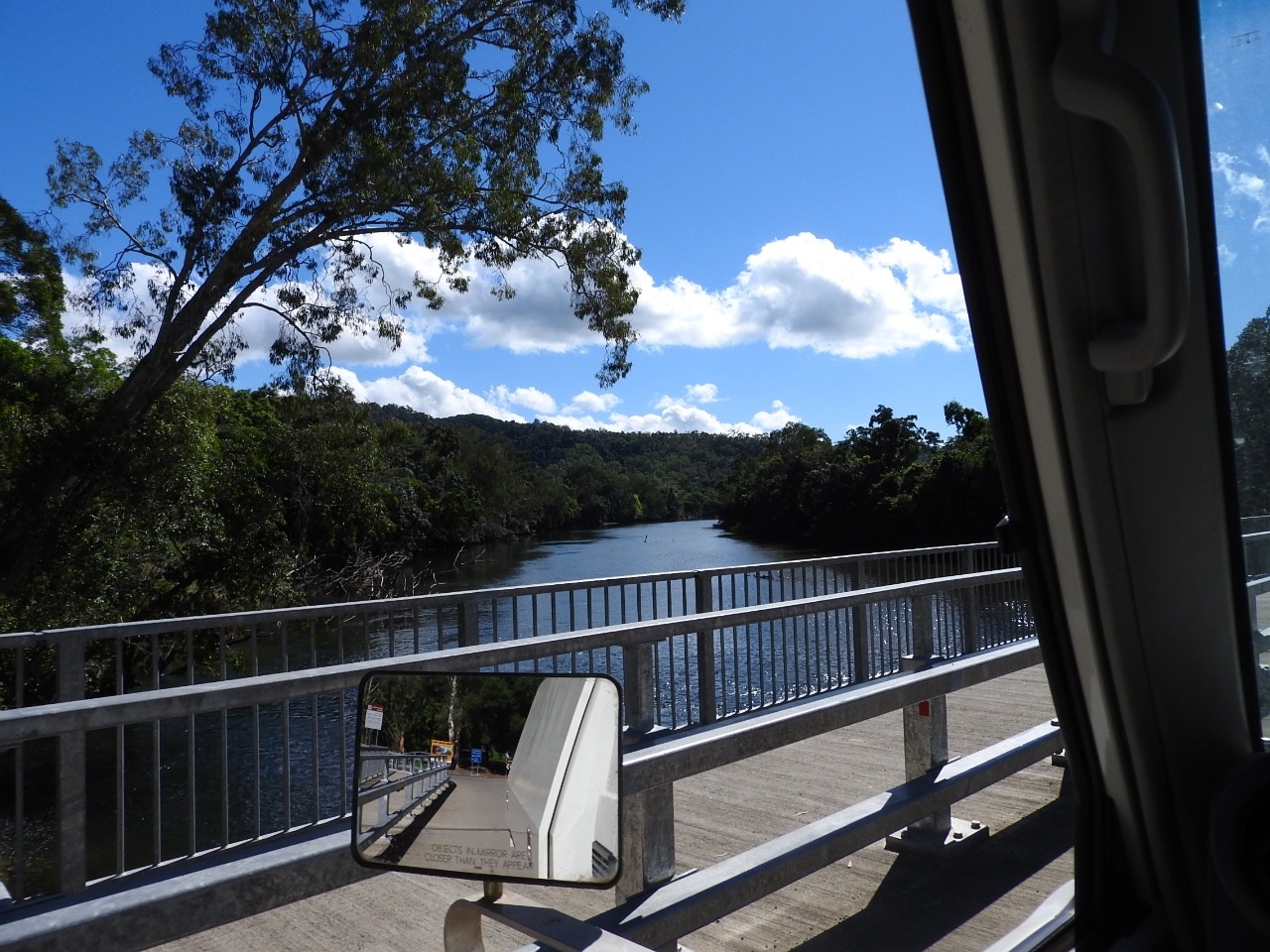
This is
tidal and last time we were here you only crossed at low tide. There
is also a bridge over one other place but the rest is still creek
crossings on a unsealed track which is very steep in places as goes
through the Donavan ranges heading south along the coast towards Cape
Tribulation and the Daintree.
In Cape
Tribulation we walked along a few beach and rainforest walks . There
are too many people around for us to see any wildlife. The Bat house
is closed . We stay the night in Cape Tribulation and had a stone
fired pizza for dinner. Everything is expensive here because of all
the tourists, lots of overseas people here. Stay the night $15 per
person per night with no power just access to shower and toilet. The
pizza was $18 for mine , on each slice I only had 2 small strips of
roasted capsicum, 3 thin slices of mushroom and a slice of tomato
with basil pesto and only a tiny bit of mozzarella cheese so no
stretch of cheese when you took a bite. Larry's was $20 dollars with
each slice having only one slice of salami and capsicum. There are
only 3 or4 places to camp here all charge the same as they know
tourists have to stay some where.
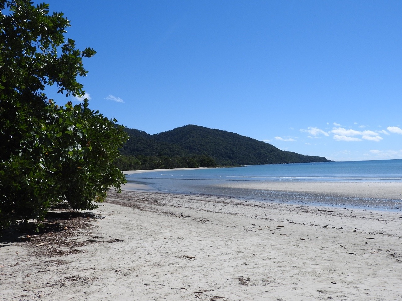
We walked the
beach in front of camp and then went to the butterfly and insect
house. This is one mans collection from all over the world over
40years. It is a not bad collection , but wouldn't you know the day
we visit he is cleaning the local butterfly exhibit and we do not get
to see it. They have also closed the live exhibit because of all the
rain lately, not to good on plants needed for food. So some of the
photos we have taken over the last 2 months that I can not identify
from my book I still have no idea what they are and the owner as I
say was not there.
We move down the
coast a bit to Lynkhaven wildlife stay. Here they have a rescue
centre for some of the wildlife aswell as camping with walks into the
rainforest. They have pythons, wallabies lizards and birds. Some of
the cages are walk in avery type with a mixture of animals. Of course
we can not enter but photo of one with rainbow lorikeets and a blue
tongue lizard and a couple of eastern water dragons. One of the
cheeky lorikeets flew over landed on the branch a water dragoon was
asleep on and calmly walked over him to get along the branch to get
to the corner where I was standing looking at the lizard.
There was also a
resident cassowary that had been they think sitting on eggs and had
reappeared a few days ago with no chicks. They say he manages to
hatch some chicks last time but it appears he did not this time. It
is breeding time and the males do the hatching and raising of chicks.
He did not appear while we were there.
So now we head
into the Daintree national park, we did not stop at Thornton beach
where the lady went missing via a crocodile attack. They should have
more sense as there are big signs about crocs and a sign that is
advertising going an a cruise to see them in the area. Now wouldn't
that tell you if you can go on a crocodile cruise that they are there
or the business would not make money.
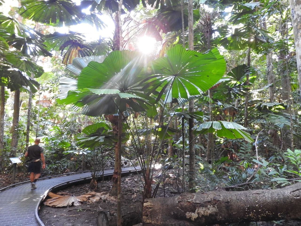
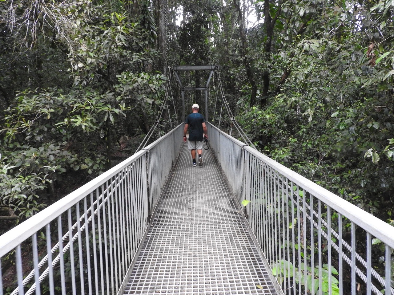
In the Daintree
we walked both walks . First nearly 3 klm up the mountain walk
climbing over rocks and tree stumps with no actual made track. So no
t many flat spots to put your feet so it was walk a little stop and
look around as especially me I could not walk and look I had to keep
my eyes on where I was putting my feet. This did give me a breather
though each time I stopped to look, but it meant we probably missed
seeing a lot. This part took us over two hours it then joins the
boardwalk walk which is easy going but we still did not see much in
wildlife, just the plant life.
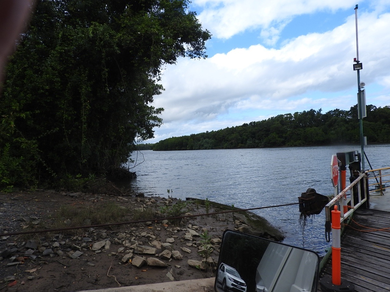
It is on to the
Daintree river ferry $14 dollars each way per car and is a cable
ferry the same as the Jardine river ferry.
We have had
enough of tourists , yes I know technically we are but we like quite
to walk around and see things , some of the tourists are very loud.
We are not far
from Mossman were we intended to stay the night, but we decide to do
a little shopping and go see Mossman gorge again then head for the
caravan and Mt. Carbines peace and quiet.
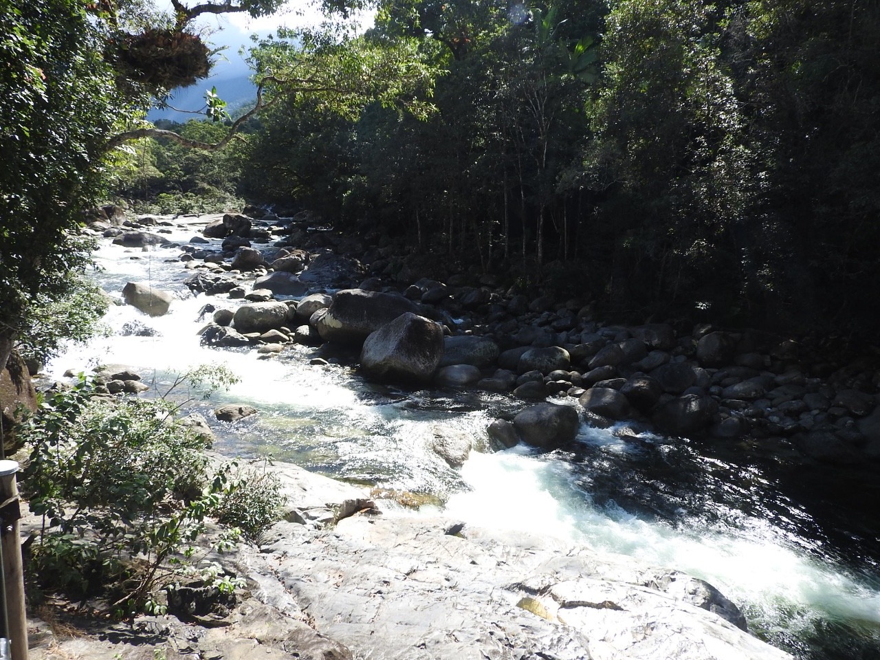
Mossman gorge is
a long walk in then a 3lk walk around or take a bus to the start of
the walk from the information place at the start. We took the bus in
as you can not drive this very narrow track , no passing and we had
already down a steep 3klm walk in the morning. Last time we walked it
all and swam in the river as well. This is allowed in parts as long
as you do at your own risk as the water flows fast over rocks. We
walked around and and did not swim as water flowing and not deep and
full of people who are here to swim and not walk.
Late afternoon
we head to Mt. Carbine and our caravan just about an hours drive
away.
Other Entries
-
May 1534 days prior Seisia / loyalty beach, Australia
 -
Jun 0117 days prior
Cooktown, Australia -
Jun 18
Mareeba, Australia -
Jul 1022 days later
Normanton, Australia -
Aug 0144 days later
Julia Creek, Australia -
Aug 2871 days later
Finch Hatton, Australia -
Sep 1690 days later
Bundaberg, Australia -
Oct 12116 days later
Warwick, Australia -
Nov 05140 days later
Port Stephens, Australia -
Nov 30165 days later
Tilba Tilba, Australia -
Jan 31227 days later
Benalla, Australia -
Feb 23250 days later
Ceduna, Australia -
Mar 10265 days later
Drummond Cove, Australia -
Mar 28283 days later
Karratha, Australia -
May 05321 days later
Port Hedland, Australia -
May 28344 days later
Kununurra, Australia -
May 28344 days later
Kununurra, Australia -
Aug 18426 days later
Mareeba, Australia -
Aug 18426 days later
Mareeba, Australia -
Aug 18426 days later
Mount Isa City, Australia -
Aug 18426 days later
Mungindi, Australia

2025-05-22