Mummy Range Hike in Rocky Mountain Nat Park
Saturday, September 25, 2010
 Rocky Mountain National Park, Colorado, United States
 Rocky Mountain National Park, Colorado, United States
I can’t just get enough of the Colorado mountains in the
fall . Only a week after a beautiful mountain hike to Mohawk Lakes the weather
was forecast to be sunny and quite warm again for the weekend. OK, so where to
go? I’ve got it – if we go to Rocky Mountain National Park I get to use my
annual National Park pass to get in free and I can feel like we’re saving some
money. Brilliant!
One hike in Rocky Mountain National Park that very much
interested me is one in a part of the park I haven’t hiked in yet that seemed
to meet most of my criteria for being a great hike. I suggested it to Jerad and
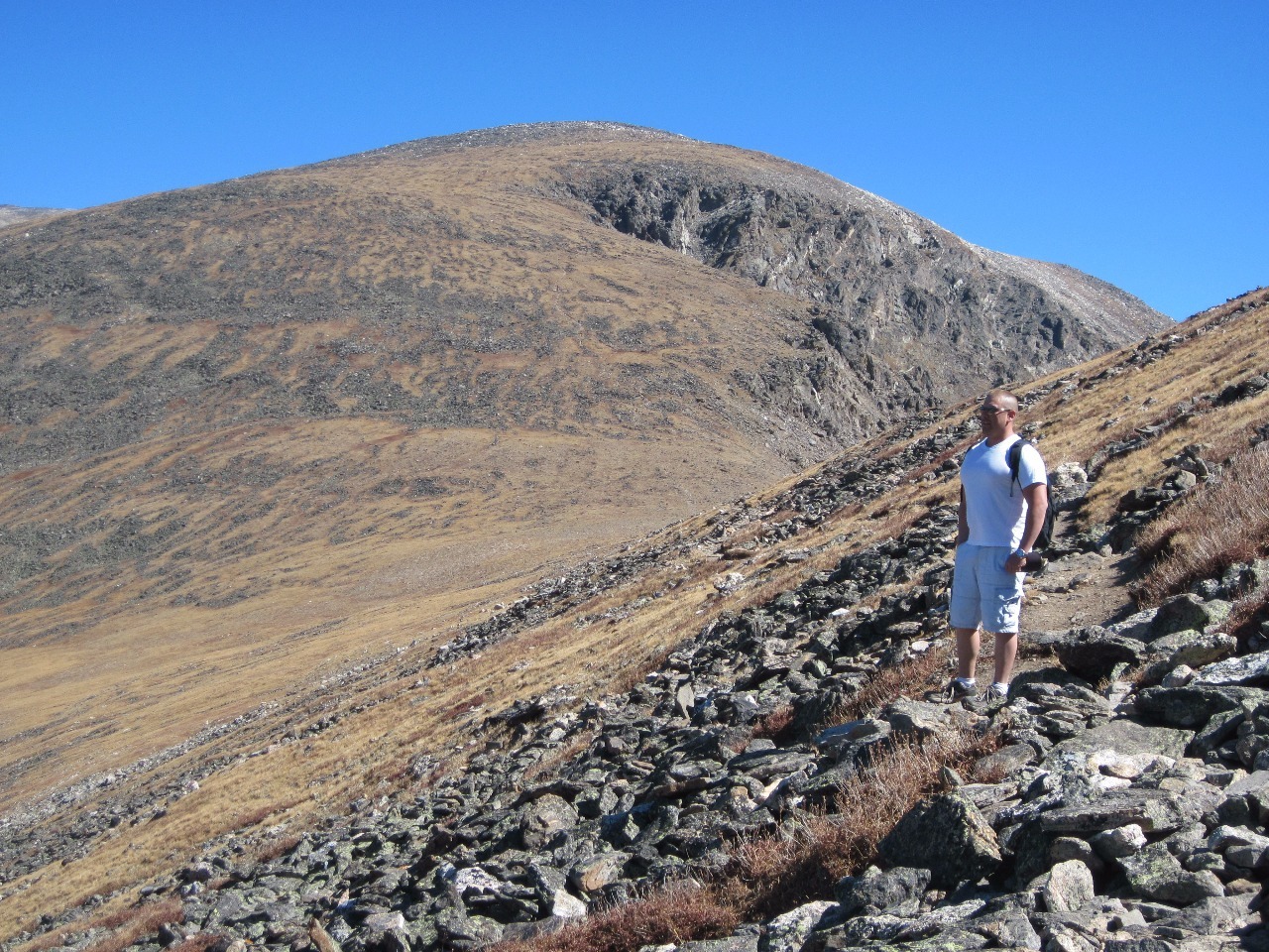
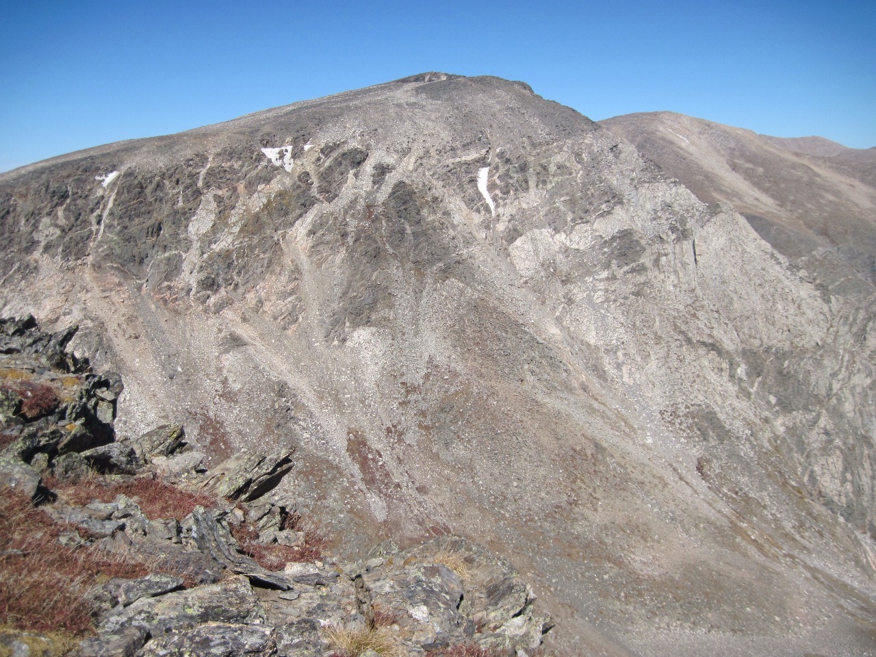
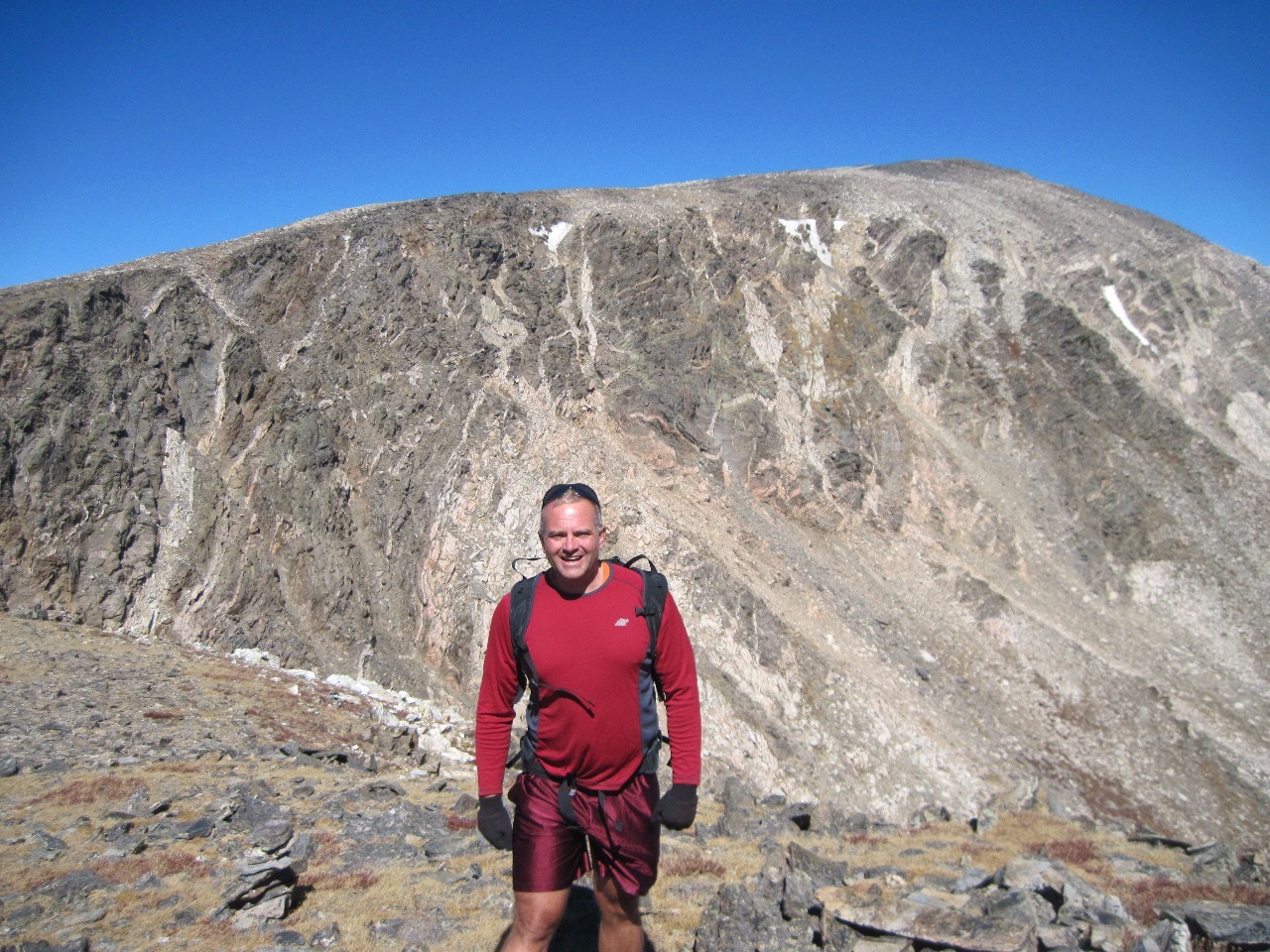
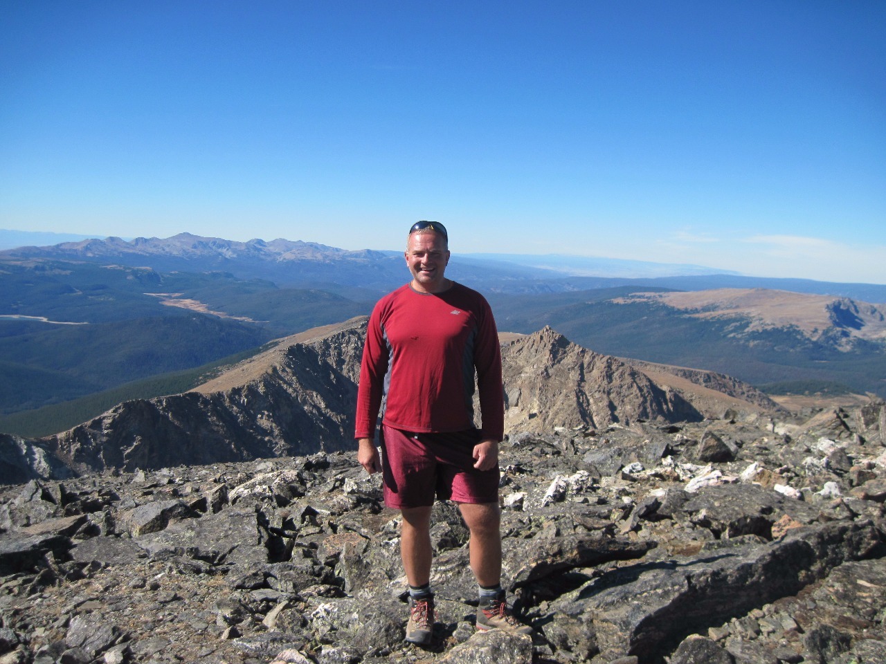
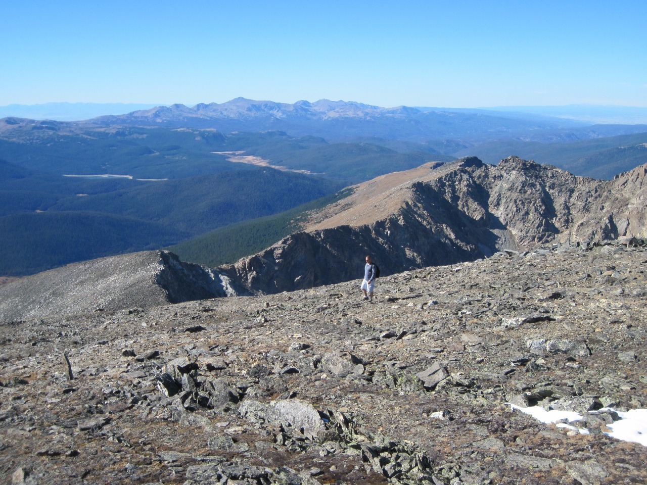
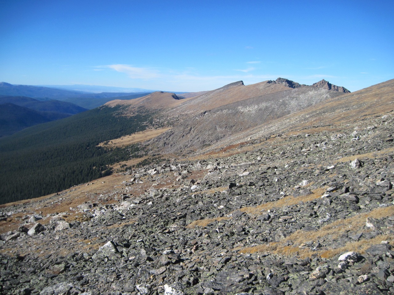
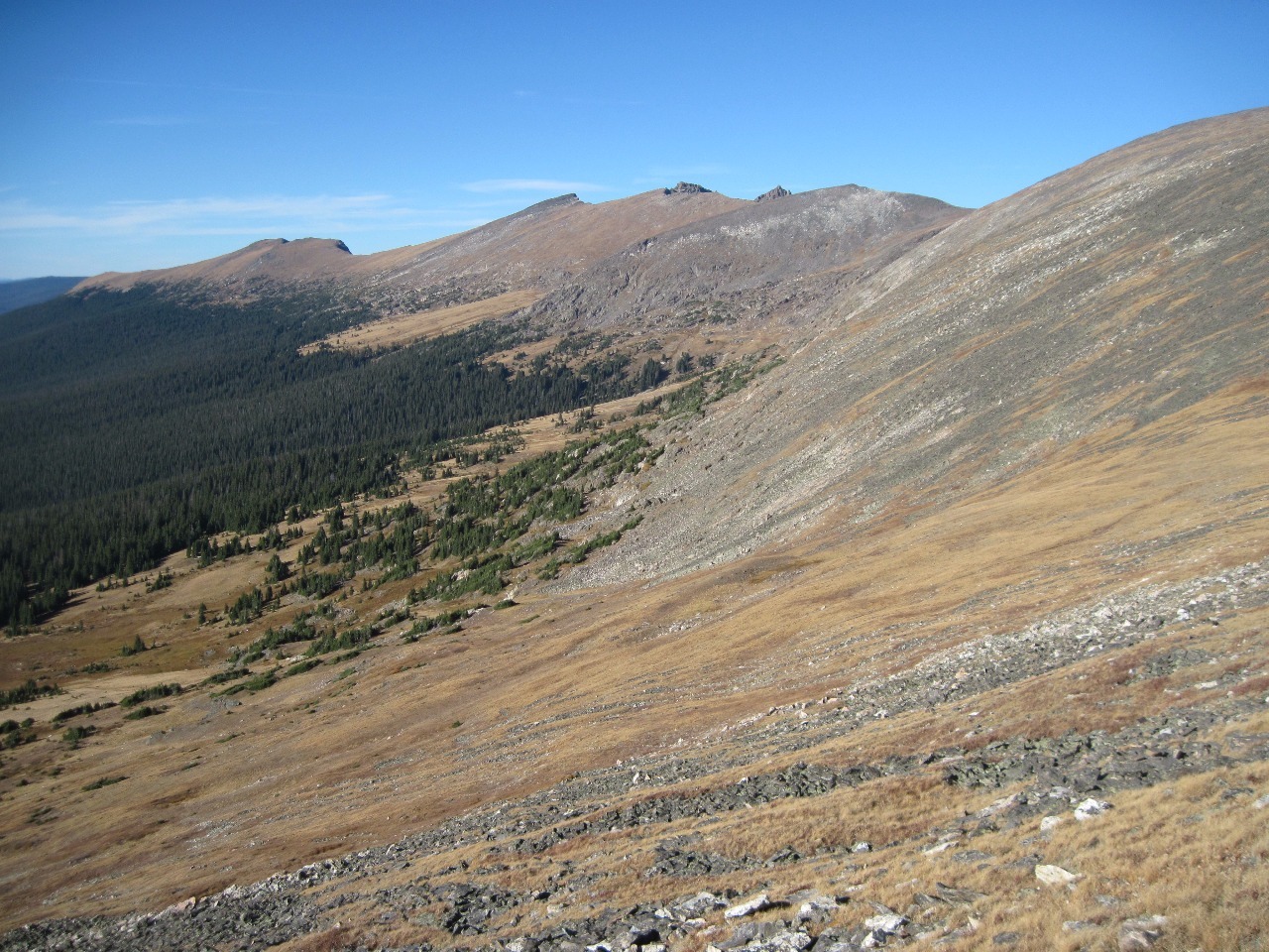
he was game for the outing. The hike to Mount Chiquita and Ypsilon Mountain
starts at a trailhead near timberline at Chapin Pass and follows the allows
access to the three peaks of the Mummy Range in the northern part of the park.
I said it meets all my criteria. By that I mean that the trailhead is at a high
elevation (around 11,050 feet), the ascent to the peaks isn’t too great (about
2,500 feet in total to Ypsilon Mountain at 13,514 feet, the ascent appears
relatively gradual and not too steep, the trail is above timberline most of the
way, and takes you to the top of two mountains and possibly three if you also
climb Mount Chapin . Who could ask for anything more than that?
And an additional bonus is that access to the trailhead is
via the unpaved one-way Old Fall River Road which parallels and eventually
meets Trail Ridge Road (the main road across the park) near the Continental
Divide. It’s a route through the park I’ve never taken before.
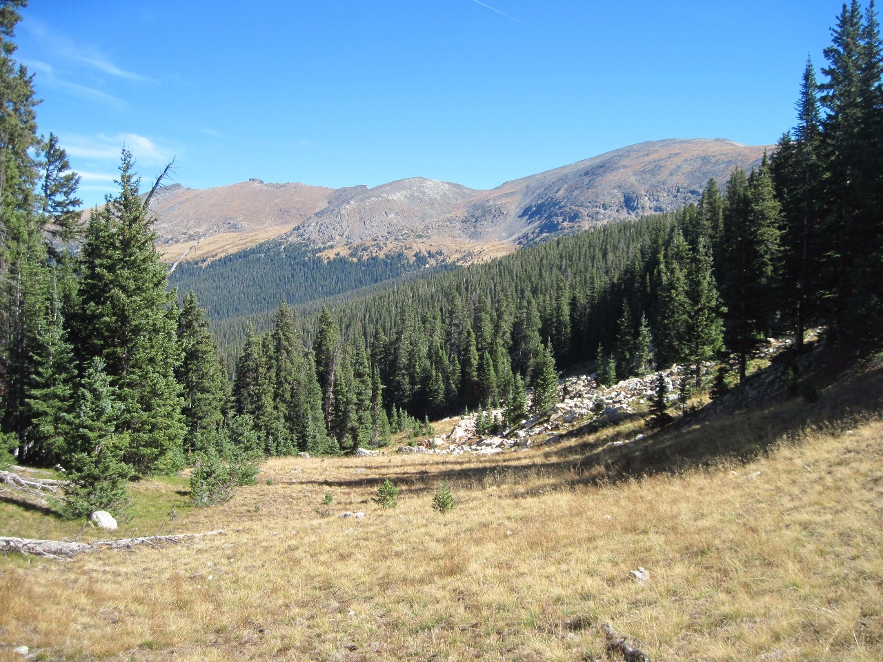
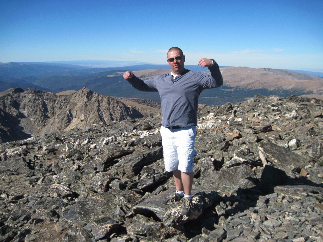
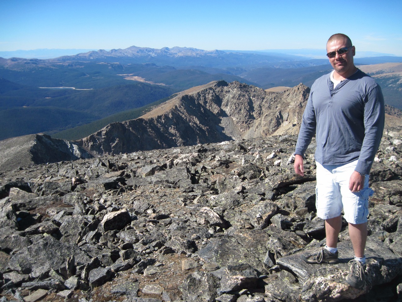
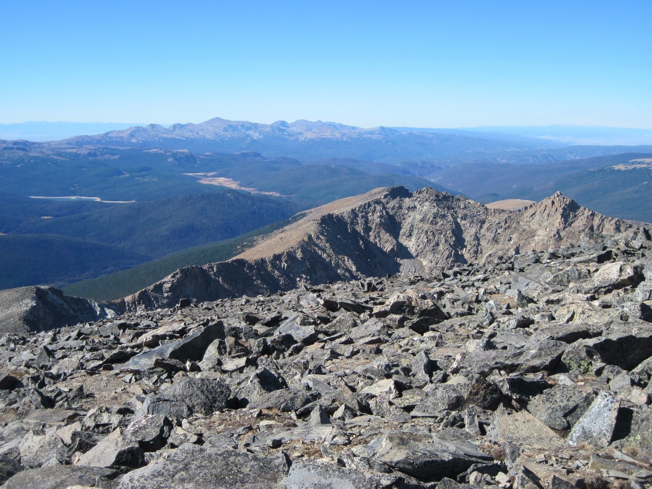
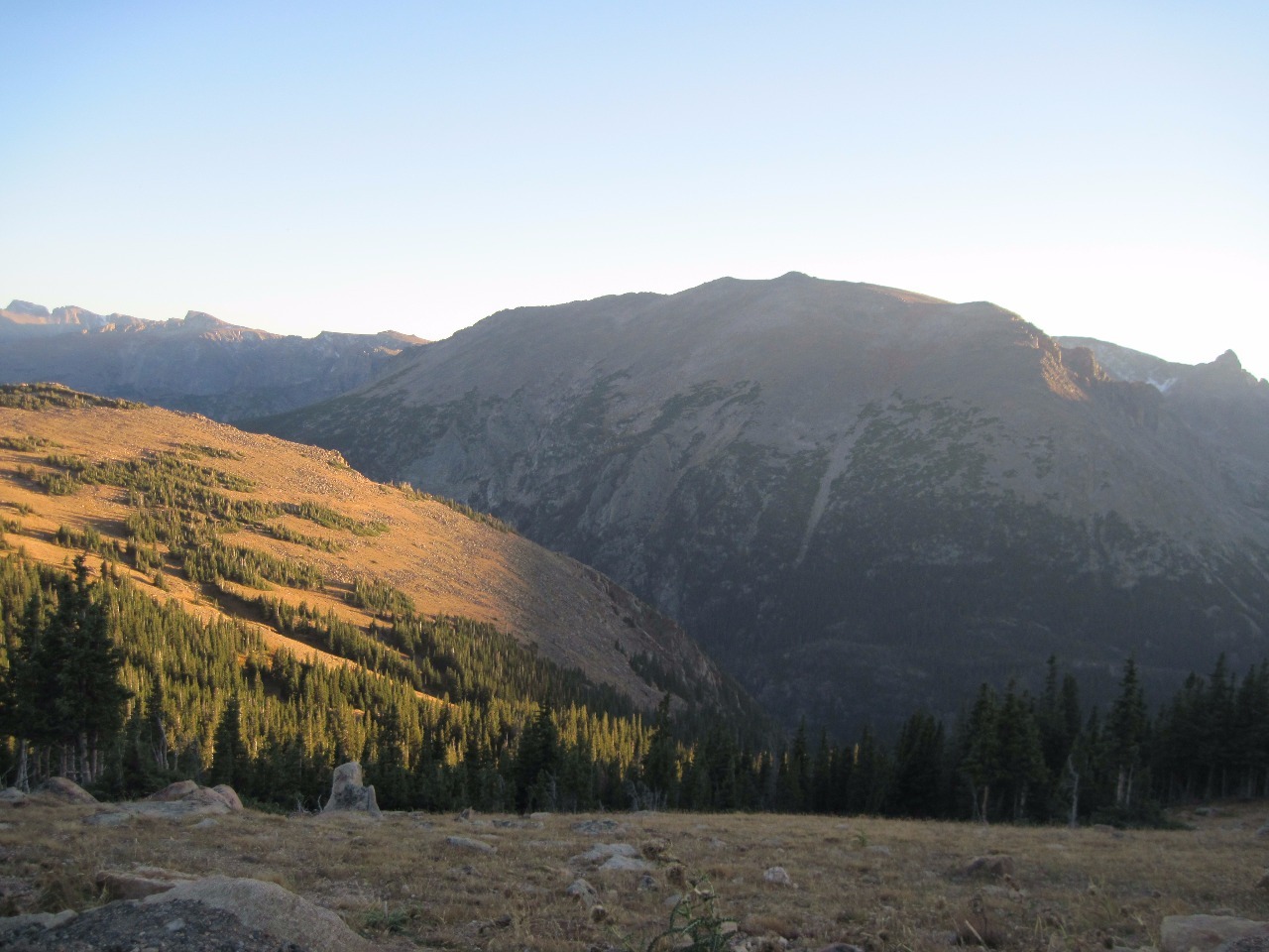
Well, it was quite a long drive to get to the trailhead, but
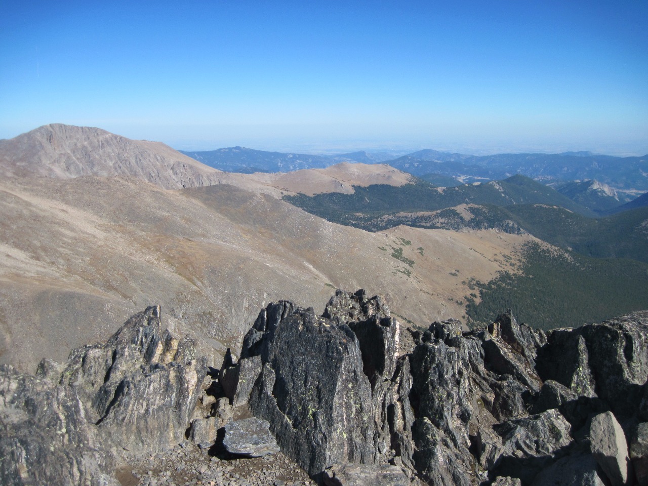
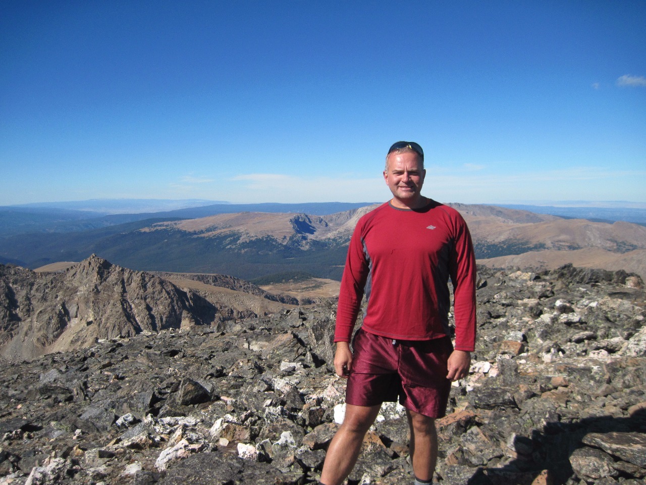
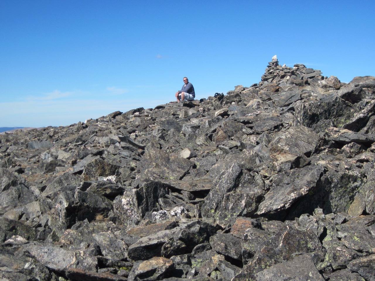
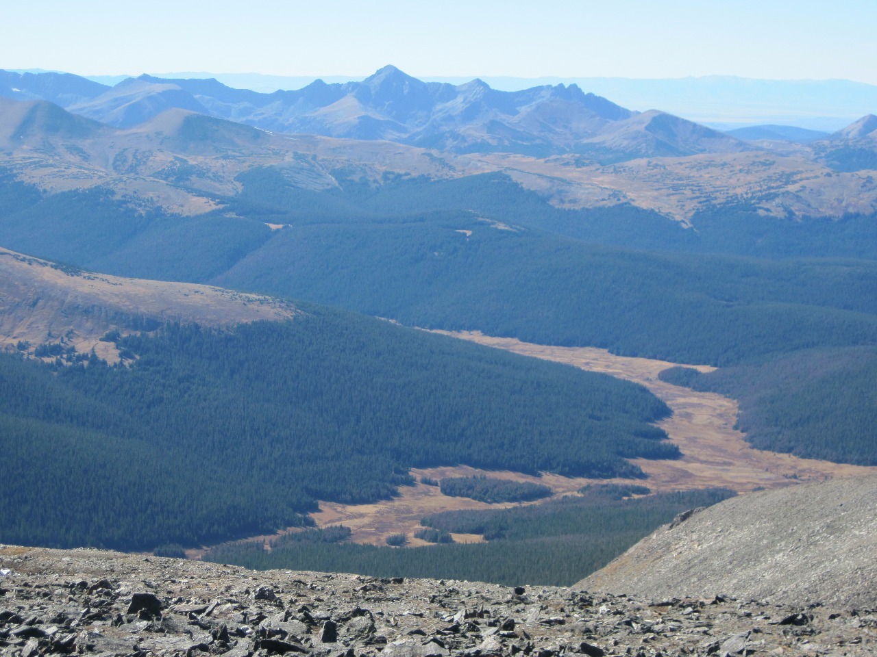
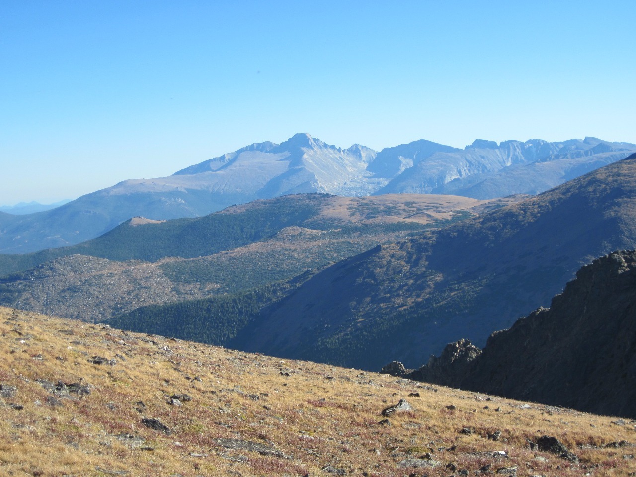
the hike was everything I hoped it would be with stunning views for almost the
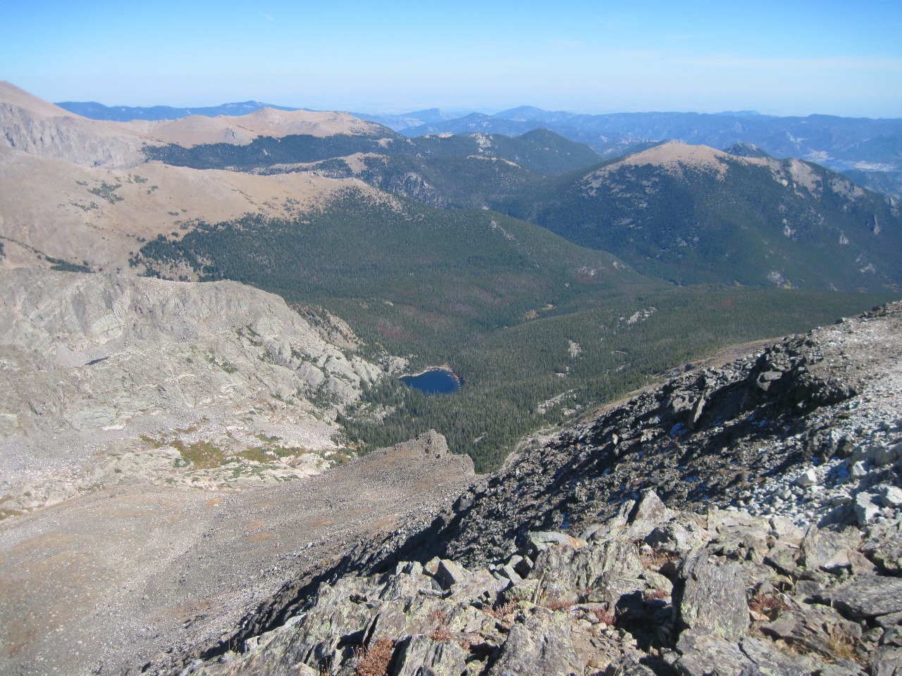
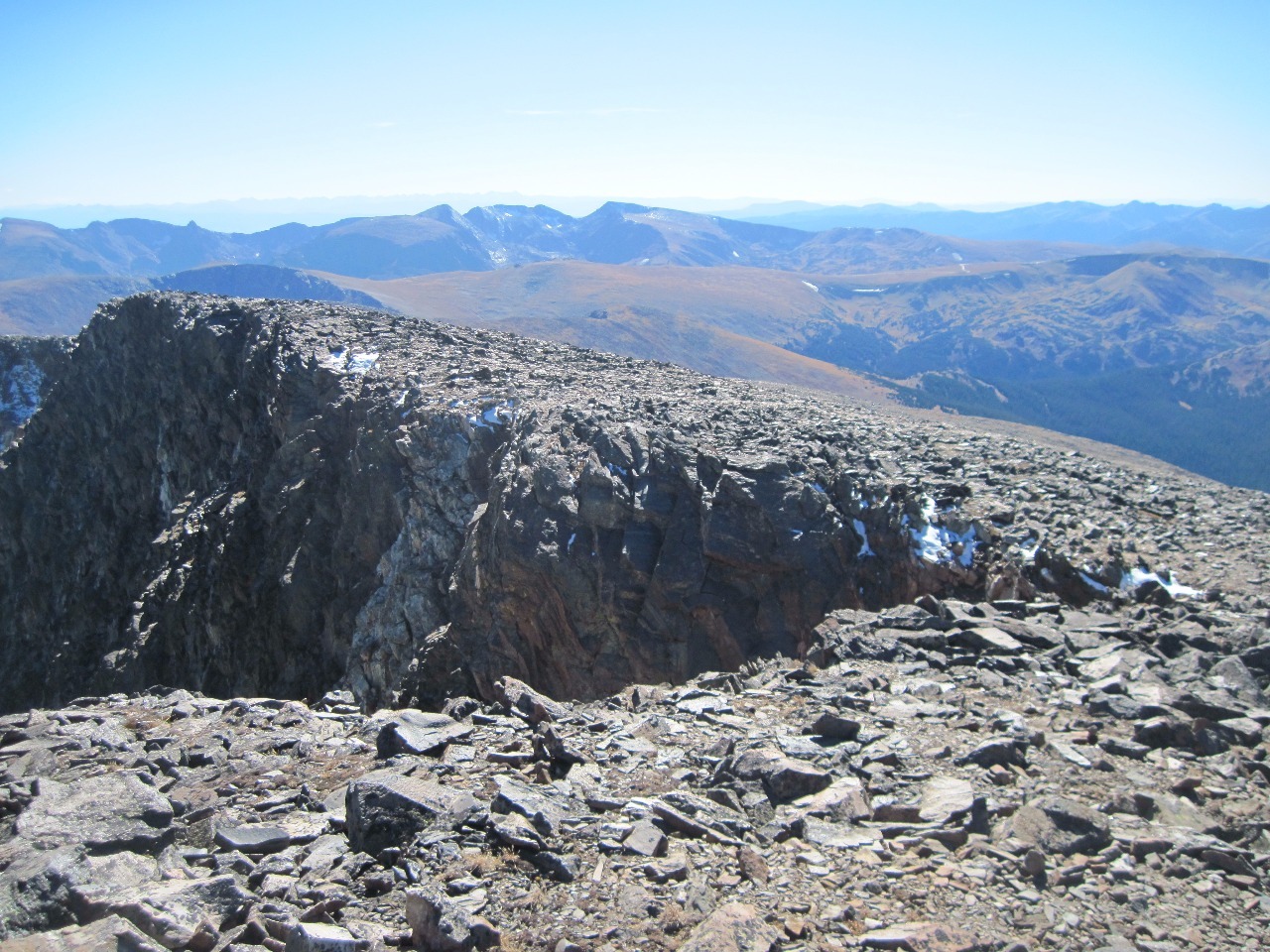
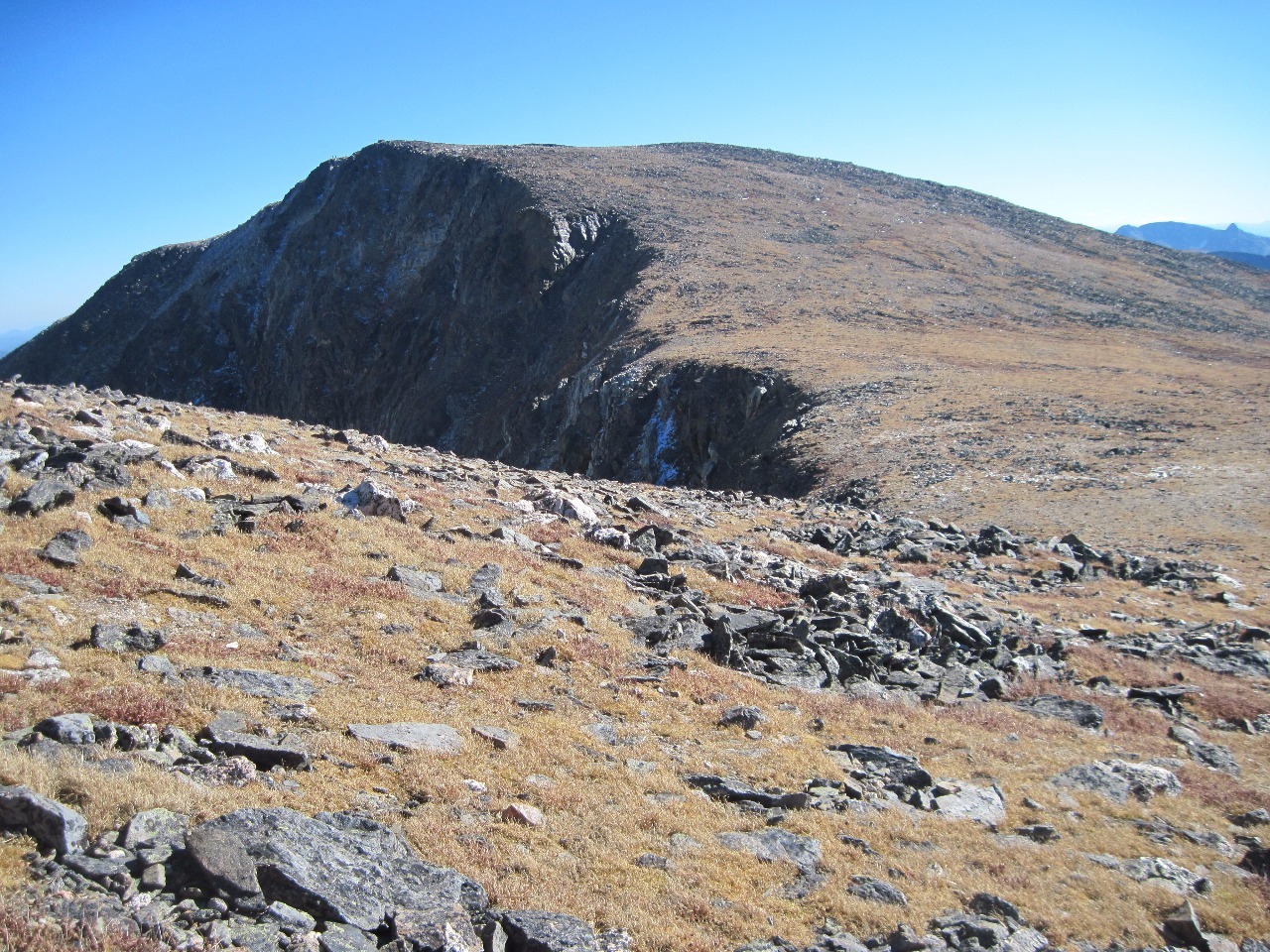
whole eight mile round trip to Ypsilon Mountain. The topography of the range is
similar to hikes I did about two years ago with my friend Kelly to Flattop
Mountain and Hallett Peak along the Continental Divide farther south in the
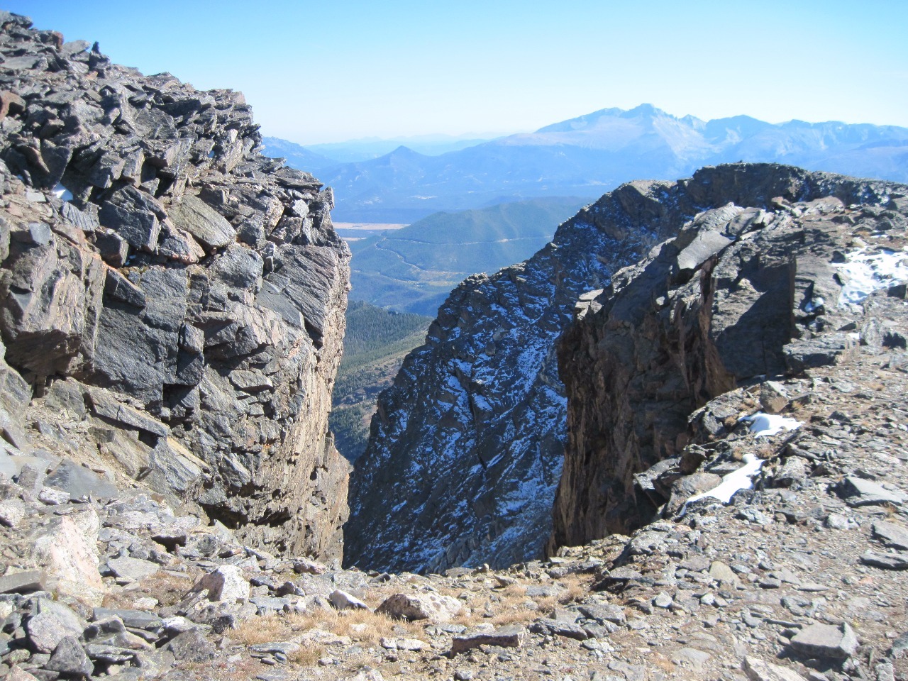
park in that the west sides of the peaks are grassy and rocky, typical alpine
tundra, while on the east side of the peaks are massive cliffs that drop
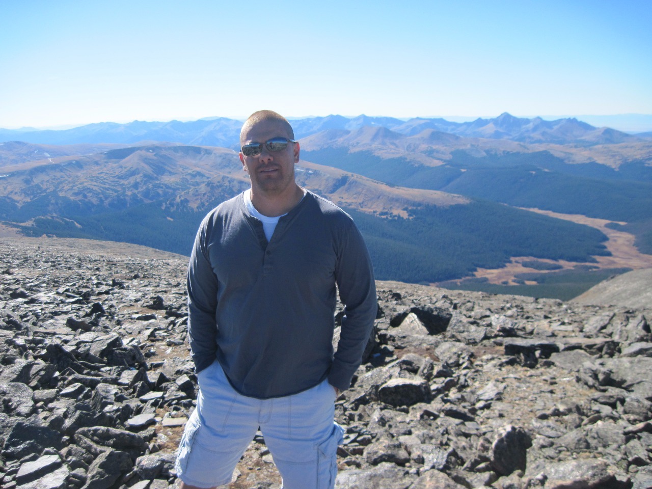
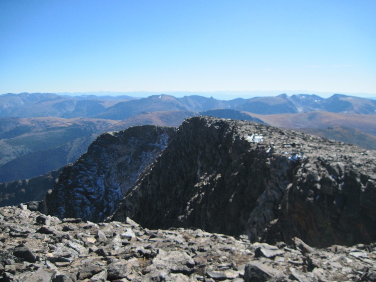
several thousand feet to the valleys below. I guess I only have a fear of
heights when I sense there’s a risk of falling, so I stay away from cliff
edges . Or if I want to get close to them, I do so not just on hands and knees
but on my belly. Jerad experienced a bit of a panic attack, though, on the top
of Ypsilon Peak even though he wasn’t close to the edge, just from the feeling
of being so high up.
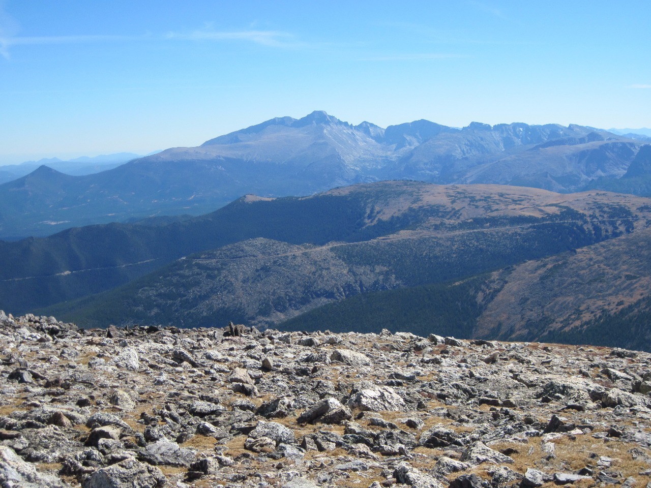
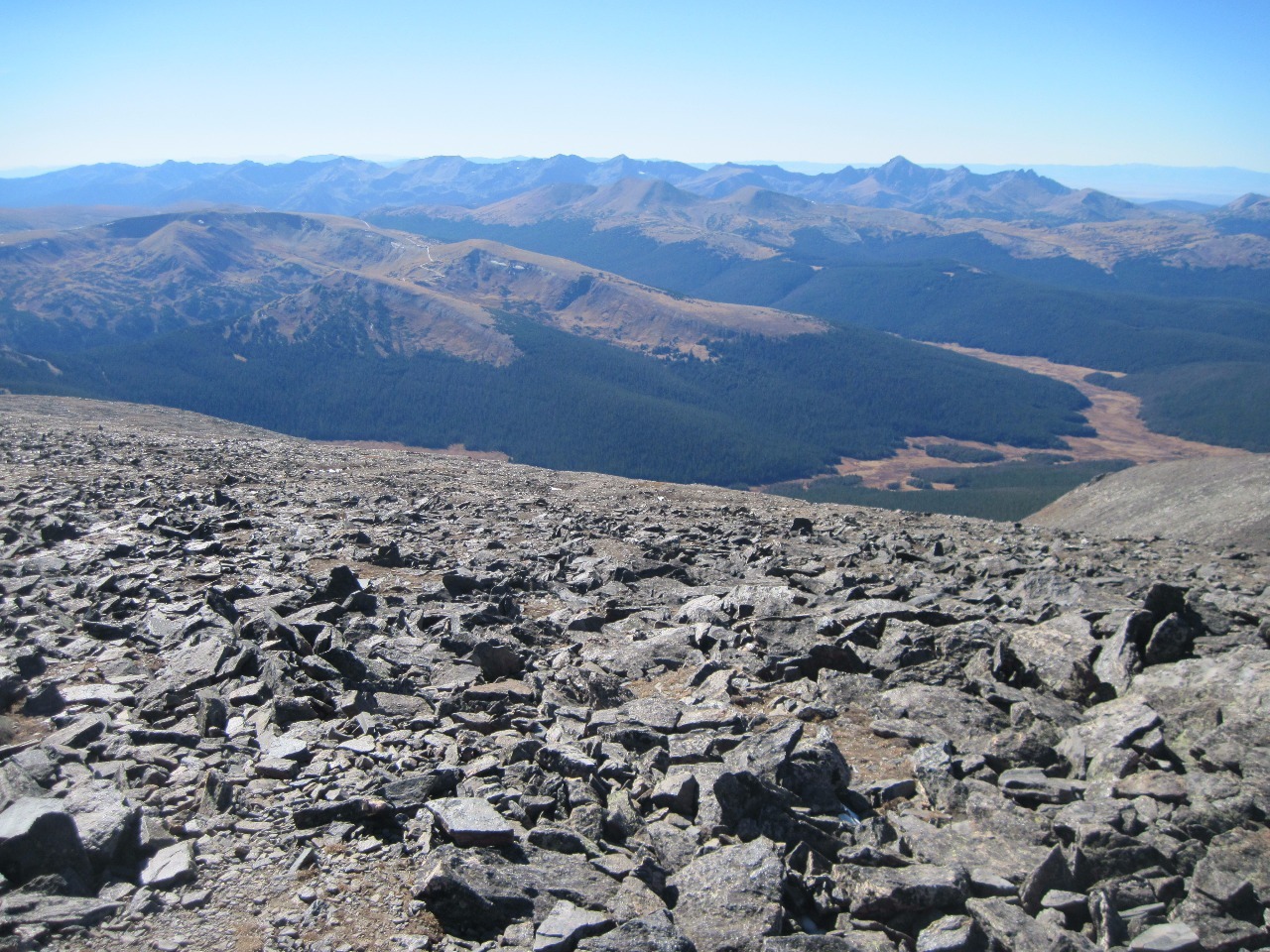
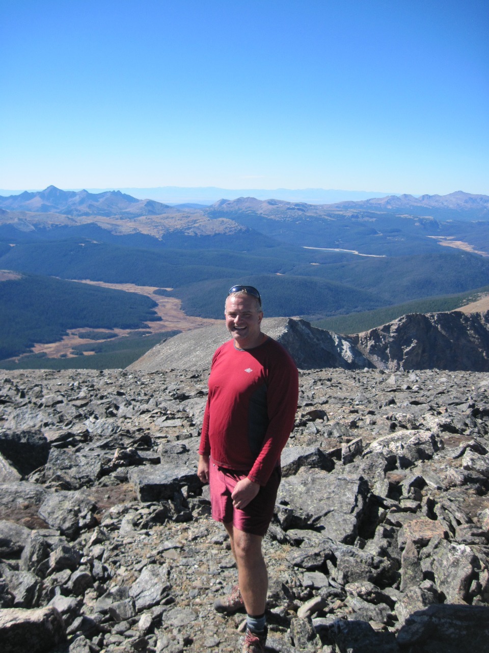
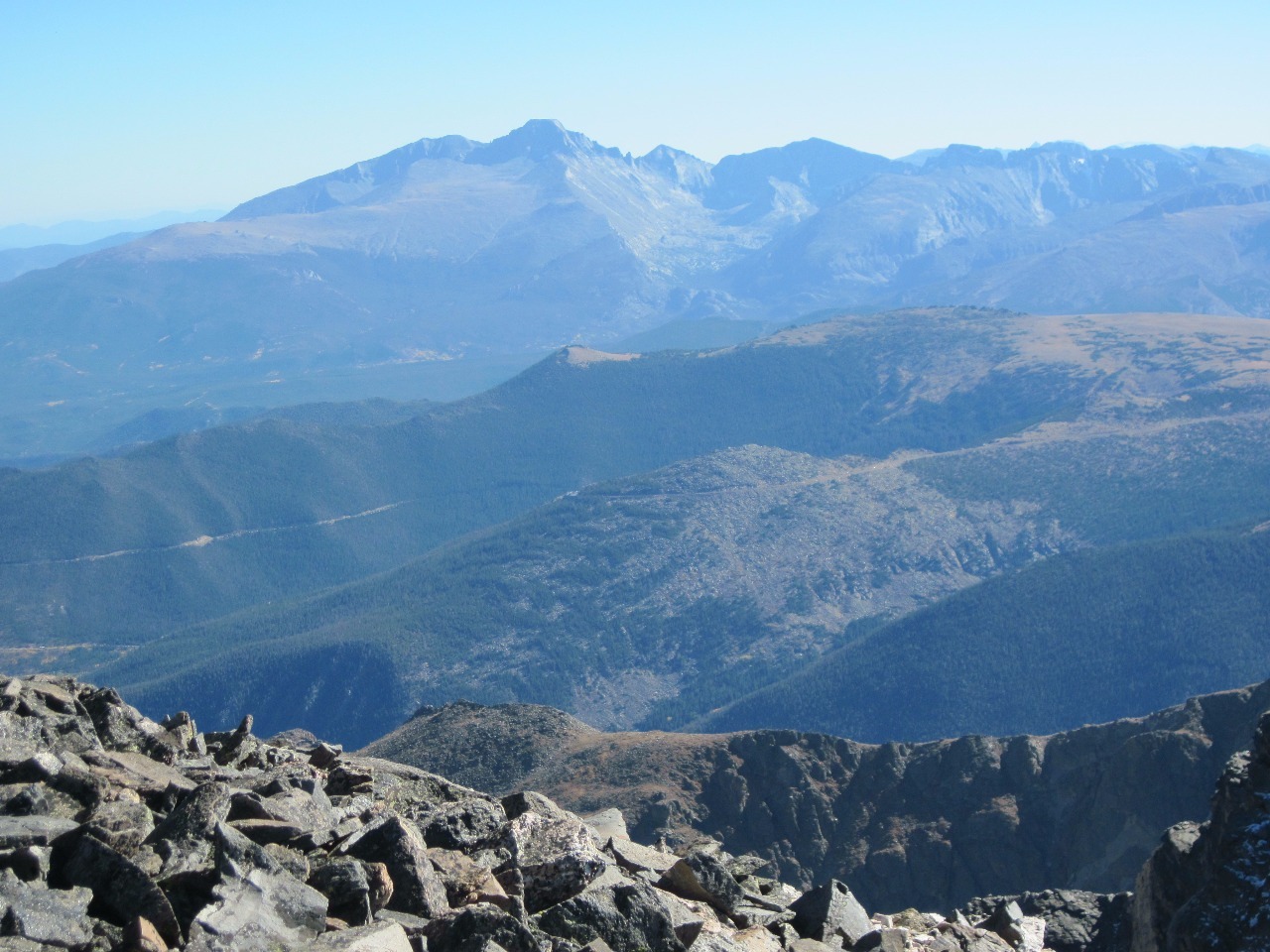
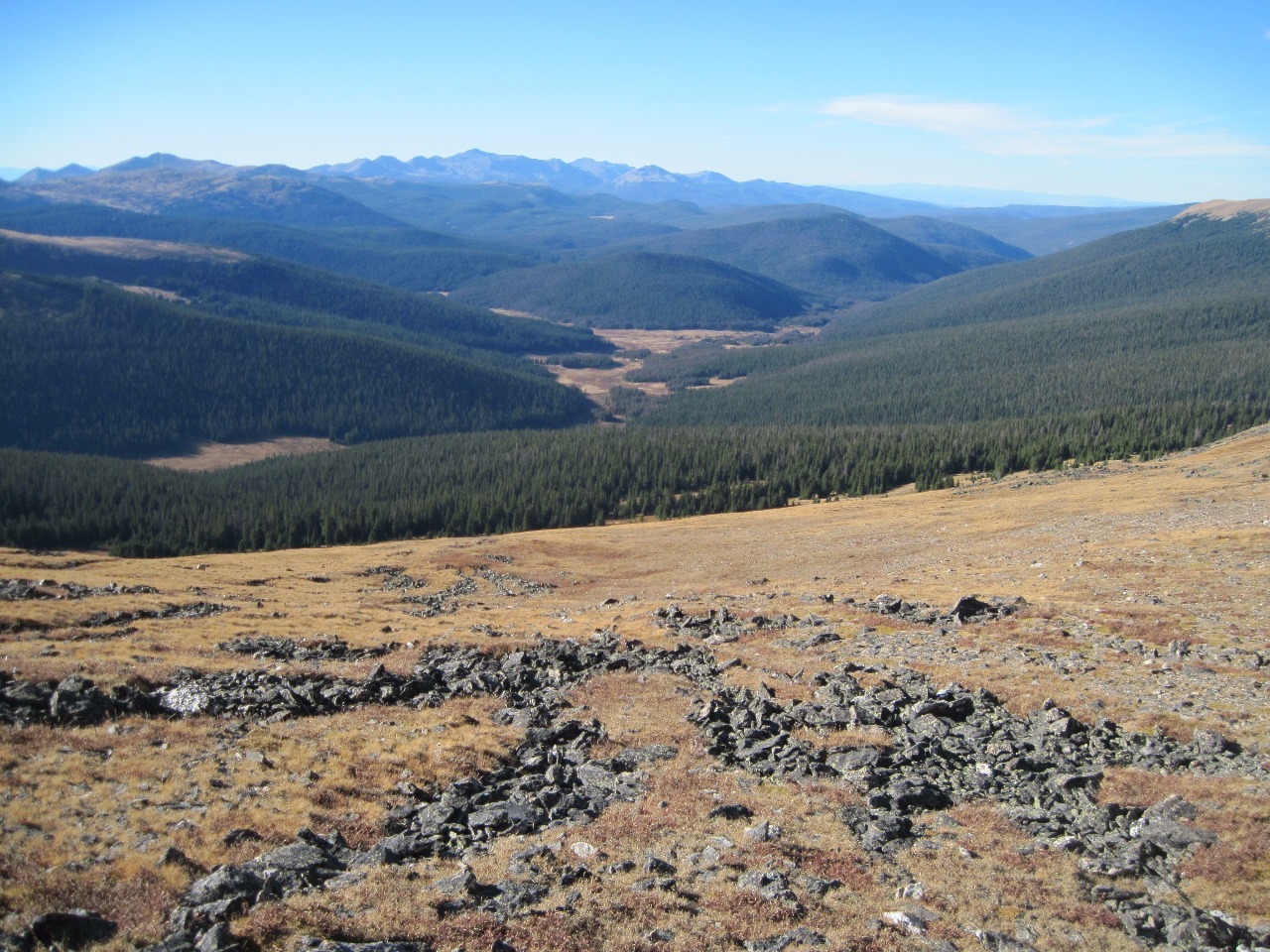
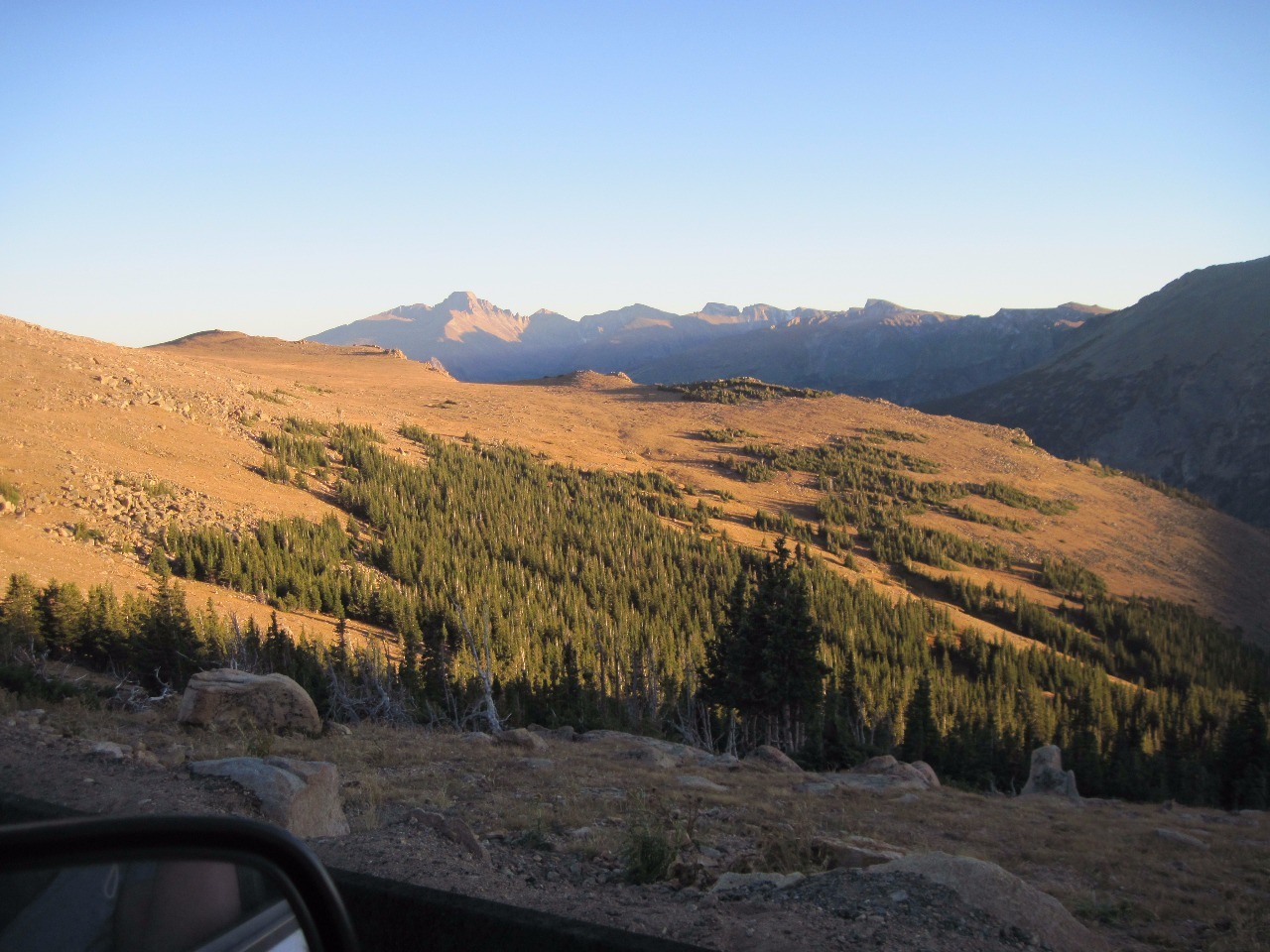
Even though I’ve now hiked in the northern part of the Front
Range, what lies north of Trail Ridge Road in RMNP and onwards towards Wyoming
still always seems a little mysterious to me. I loved looking at the contours
of the land, the mountain ranges, and the valleys in this part of the state. I
know places in the Rockies in the central part of Colorado much better because
of the views from the ski resorts in the area and the many “fourteeners”
(14,000 foot peaks) I’ve climbed over the years. But up here the topography is
like a new discovery.
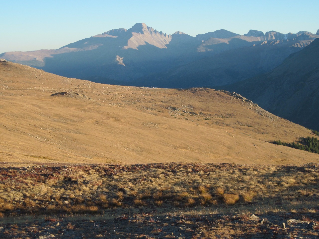
When we got back to the car it was quite late in the
afternoon and we had to continue going up the one way road westward to its
junction with Trail Ridge Road . The drive back east on Trail Ridge Road as the
sun began to set was the most spectacular I’ve ever seen it in the fading
light. Most times I’ve crossed have been during the bright light of mid-morning
to late afternoon in summer, but it’s completely magical when the light is
lower near the end of the day (or at dawn I’m sure). It was a beautiful end to
another wonderful day in the Colorado high country.
Other Entries
-
Sep 187 days prior Blue River, United States
 -
Sep 214 days prior
Boulder, United States -
Sep 25
Rocky Mountain National Park, United States -
Sep 283 days later
Leadville, United States -
Sep 294 days later
Aspen, United States -
Sep 294 days later
Ashcroft, United States -
Sep 305 days later
Snowmass, United States -
Sep 305 days later
Crystal, United States -
Sep 305 days later
Marble, United States -
Oct 016 days later
Paonia, United States -
Oct 016 days later
Crested Butte, United States -
Oct 016 days later
Tincup, United States -
Oct 027 days later
Buena Vista, United States -
Sep 05345 days later
Colorado Springs, United States -
Sep 06346 days later
Colorado Springs, United States -
Sep 07347 days later
Monument, United States -
Nov 15416 days later
Denver, United States -
Jan 12474 days later
Denver, United States -
Sep 01707 days later
Fort Collins, United States -
Sep 05711 days later
Fraser, United States -
Sep 06712 days later
Rocky Mountain National Park, United States


2025-05-22