 Chelsea, Québec, Canada
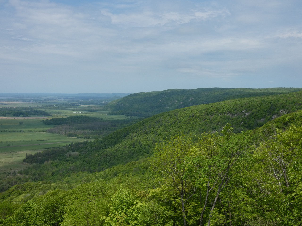
Ottawa is situated along the Ottawa River, its alluvial
valley part of the Saint Lawrence Lowlands but just south of the hilly and
rocky Canadian Shield. Just to the north of the city on the Quebec side the land
rises rapidly and the ridge and lake region a few miles from the city is
preserved as Gatineau Park. I can only take so much urban time so decided to
spend some time in the park after my two days in Ottawa. My previous experience
in Gatineau Park was on my summer 1990 trip to Canada with my friend Larry. We attempted to camp somewhere in the park
where we weren’t supposed to, got caught by a ranger, and were forced to take
our tent down in pouring rain. We ended up that night in an overpriced hotel
room in Gatineau town.
The weather forecast was for an unusually warm humid day for
May, mostly cloudy with a high probability of showers. When I arrived in the
morning and found most of the roads closed to cars for cyclists only, I almost
said “screw it!” But the roads opened up to cars at 11:00 and the sun came out for
most of the day.
The weather forecasters can be wrong in ways that turn out to
be good as well as bad.
Gatineau is mostly for recreation rather than major sights,
but I planned out three short hikes to the most significant spots in the park.
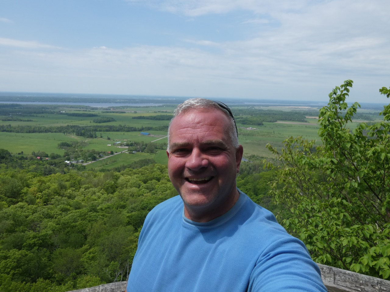
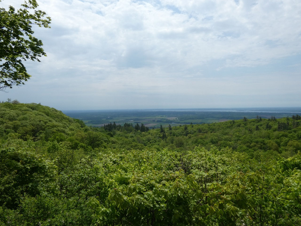
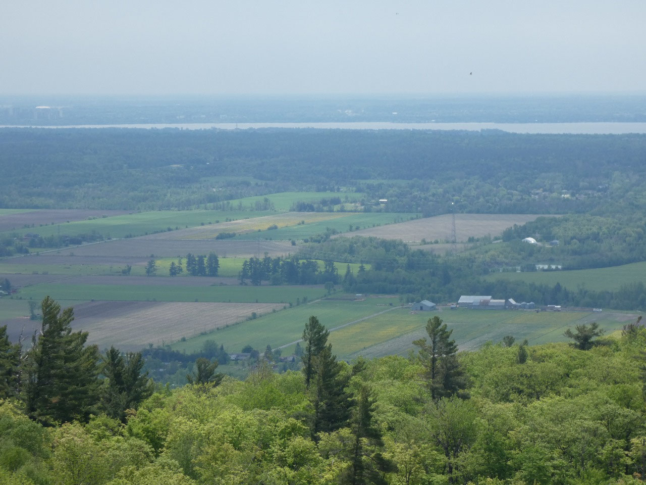
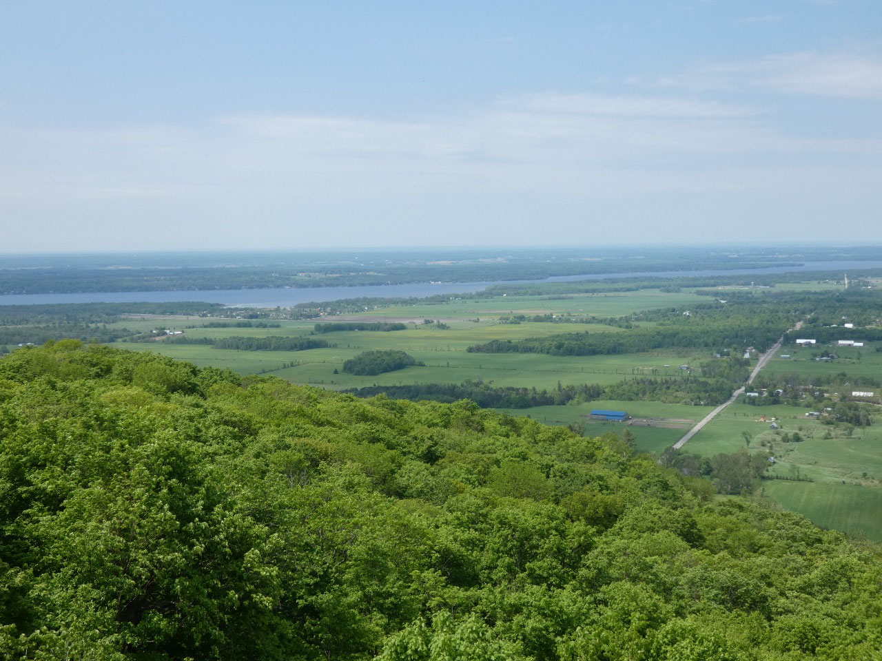
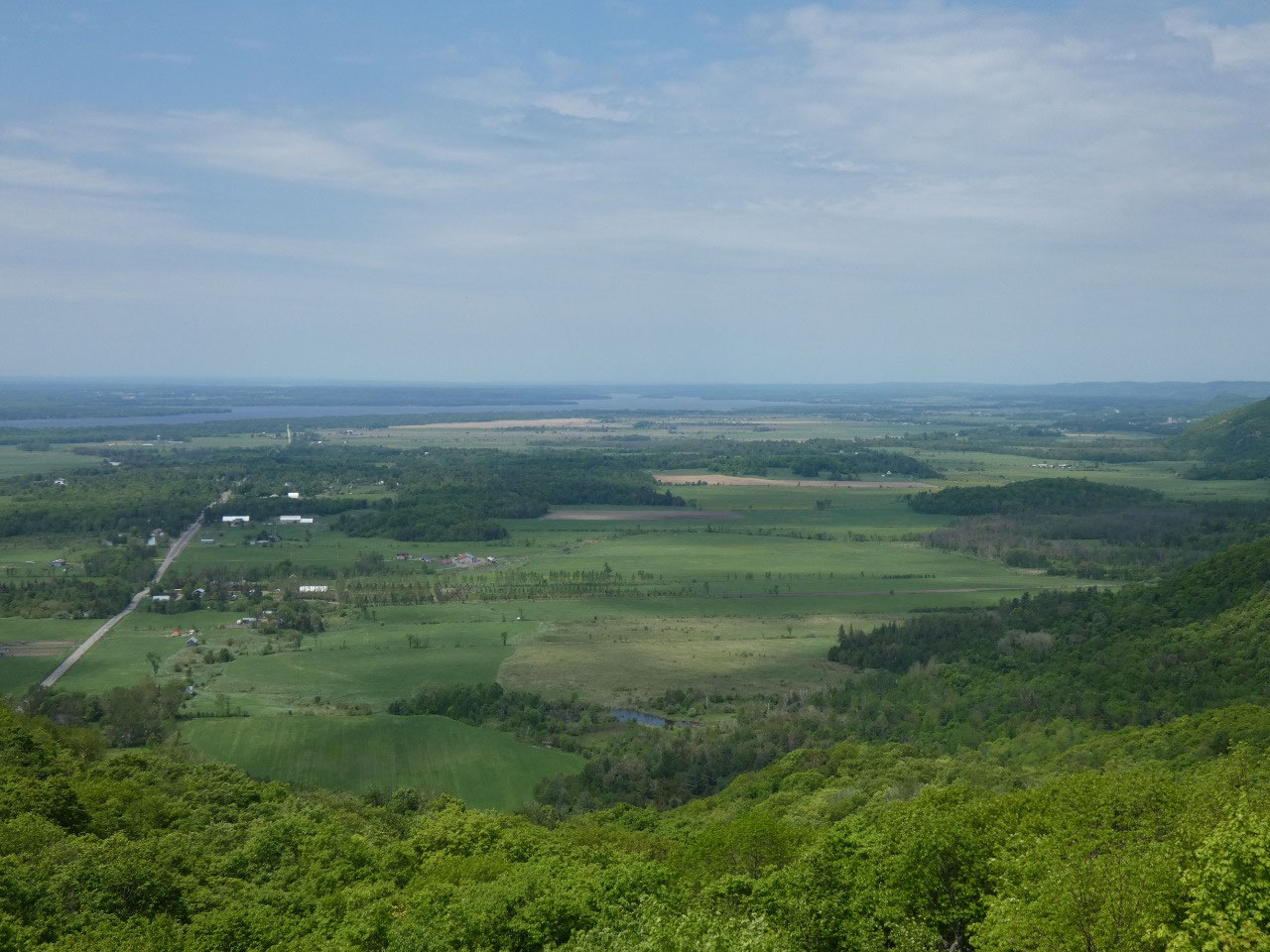
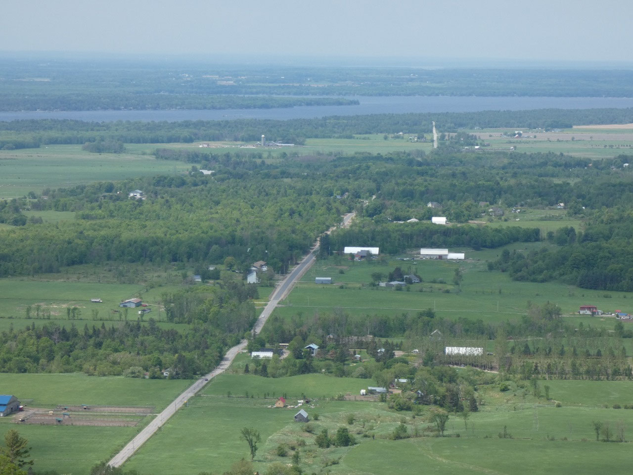
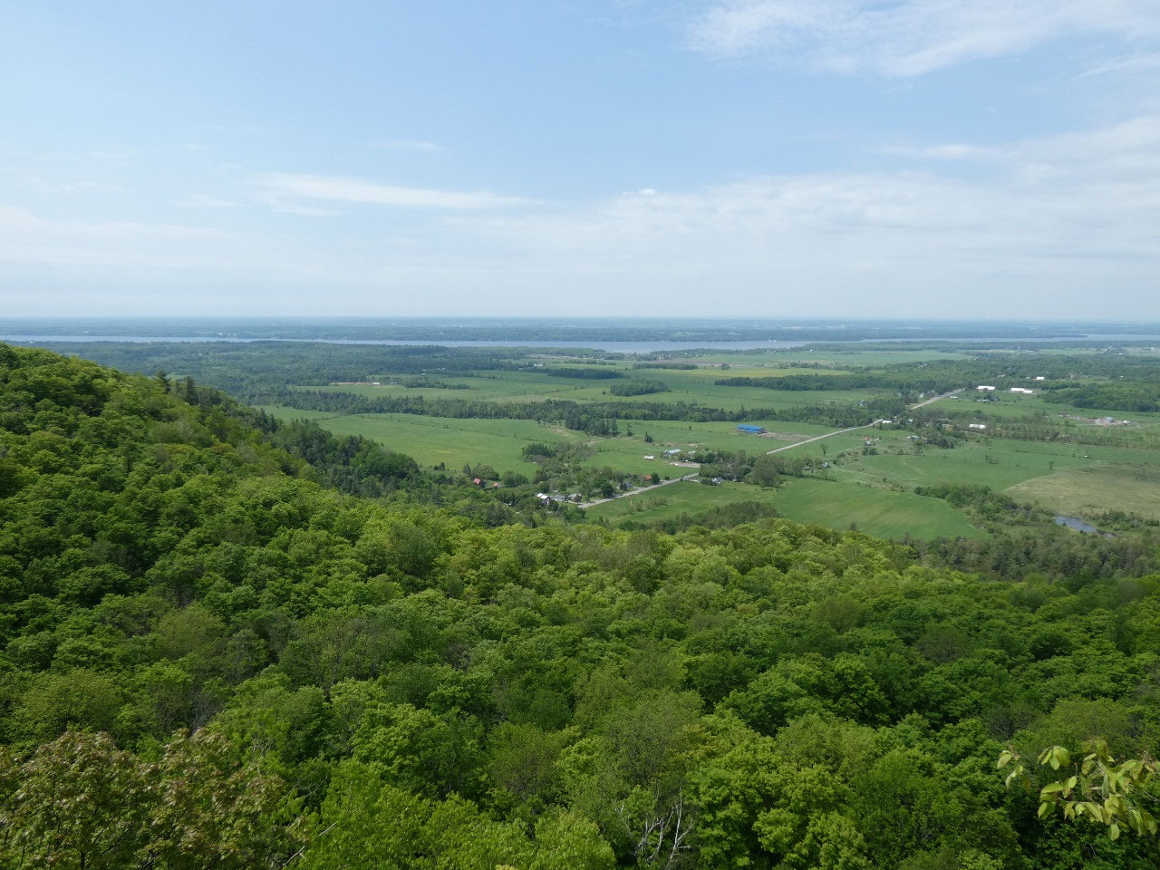
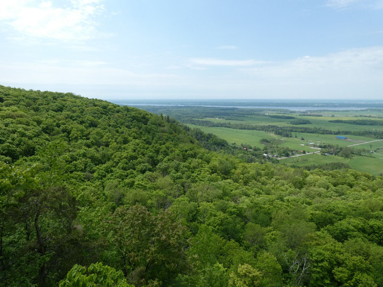
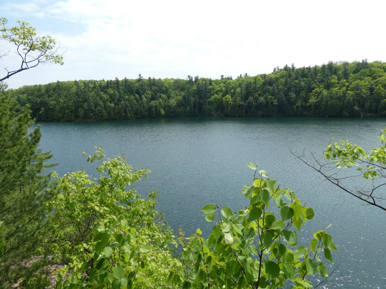
One of those is the Champlain Overlook, a viewpoint along the escarpment about
1,000 feet above the Ottawa River Valley with some very good views. The end of May,
though, must start mosquito season in this part of Canada, and I had to douse
myself with repellent. They were out in heat of day, not just evening as well.
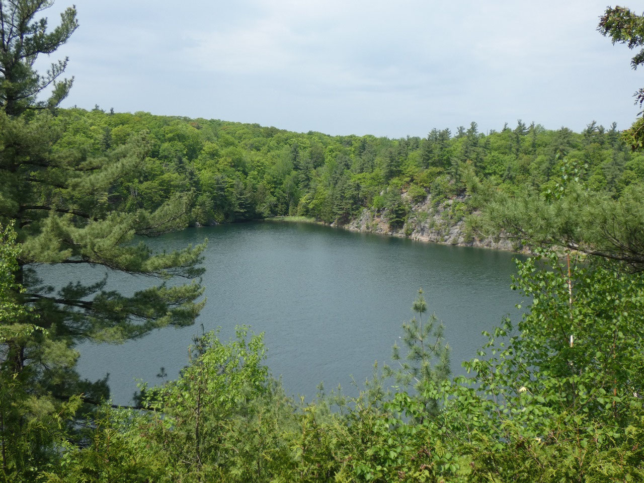
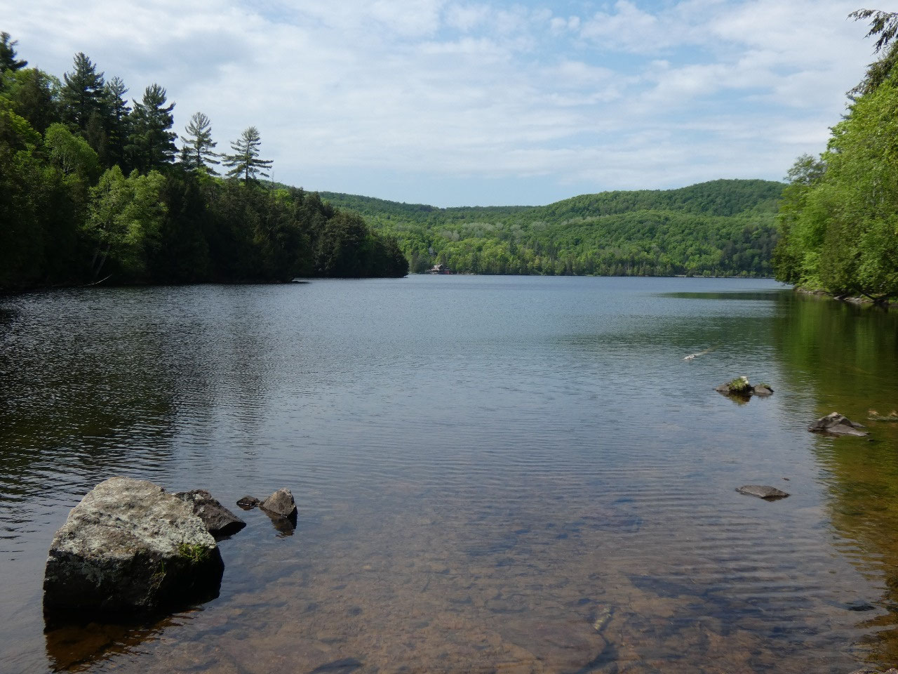
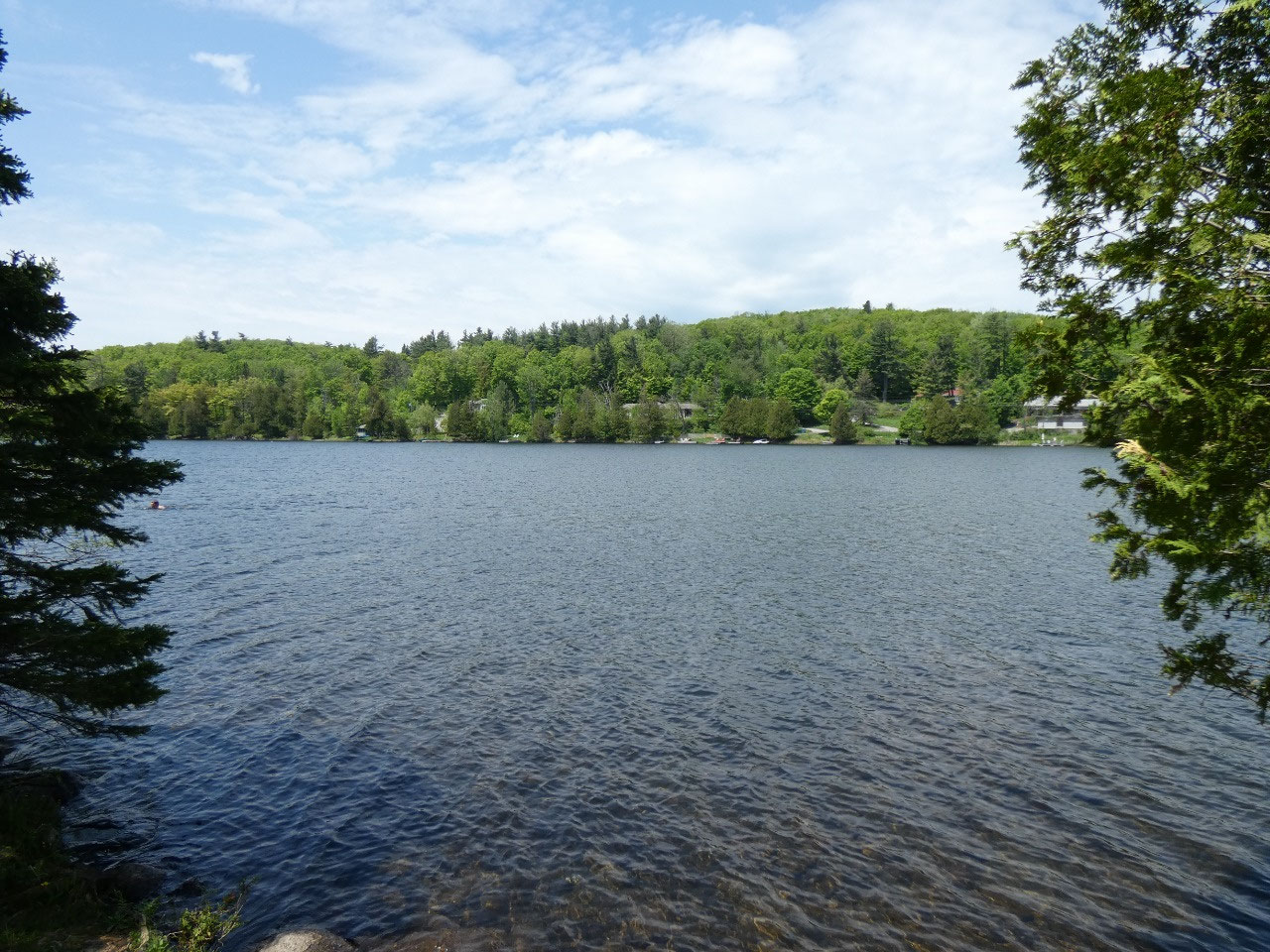
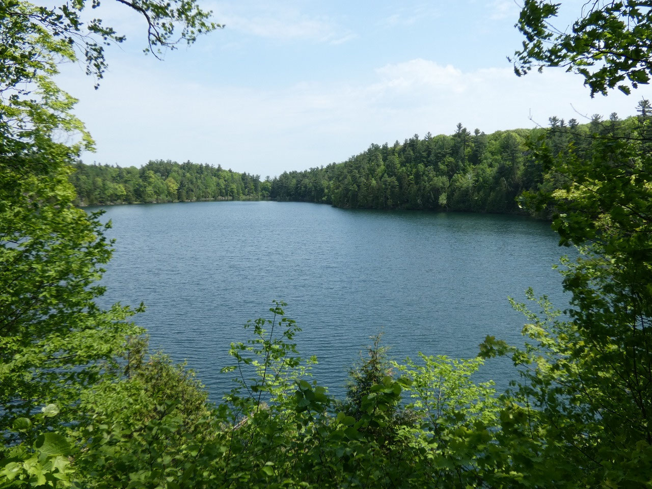
The there’s Pink Lake, another park highlight that was
recommended to me. The lake has a fun 1.5-mile hike around its perimeter with
lots of ascents and descents on wooden stairs for a decent workout. Despite its name, Pink Lake is actually
green, Pink being the surname of some original settlers along its shore. I have
see pink lakes in other parts of the world, though. The green color comes from
eutrophication because unusual depth and shore cliff conditions prevent mixing
of the lakes deep and shallow waters.
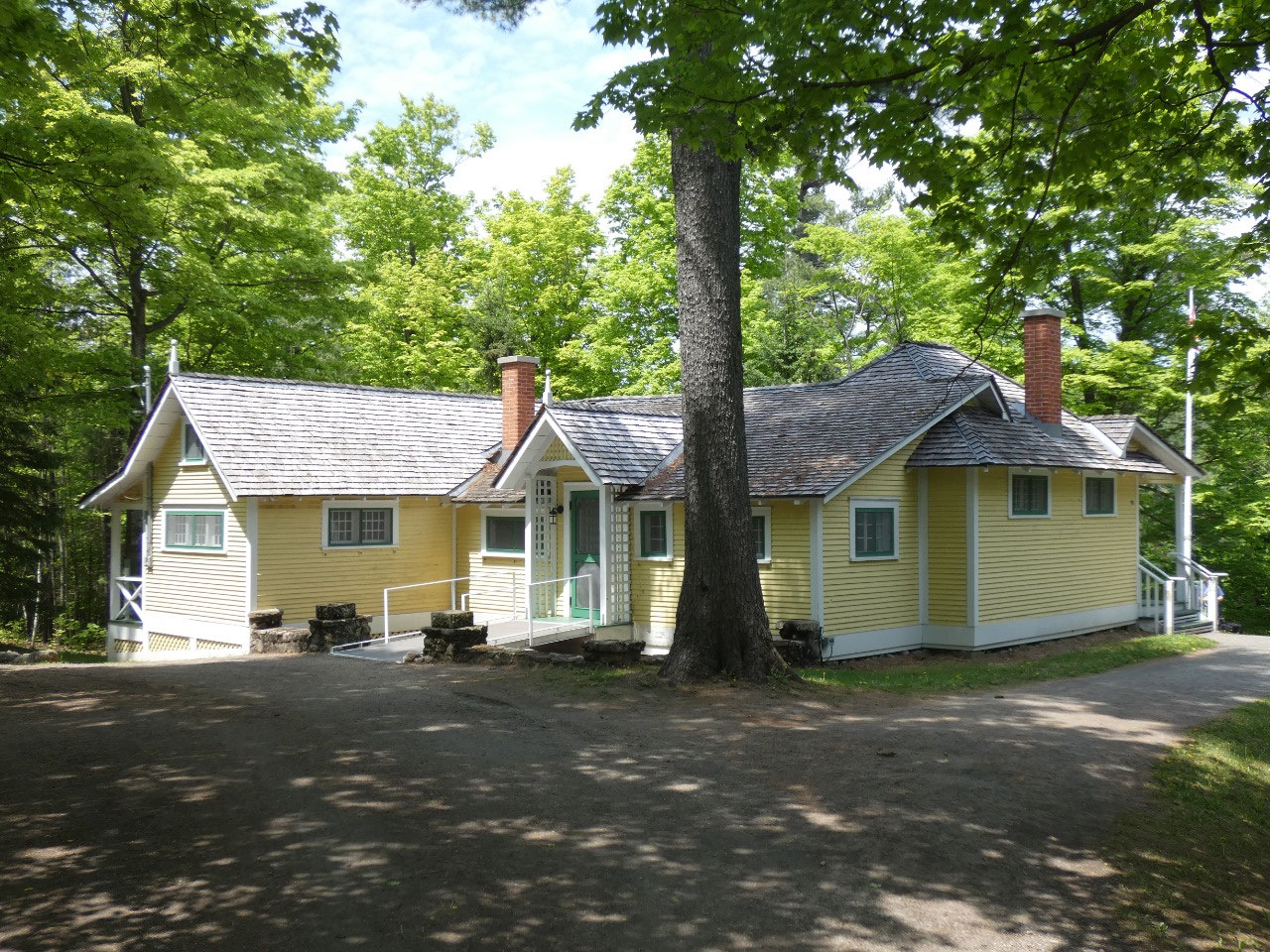
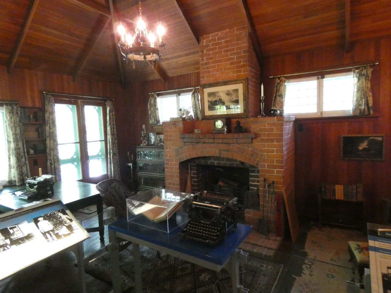
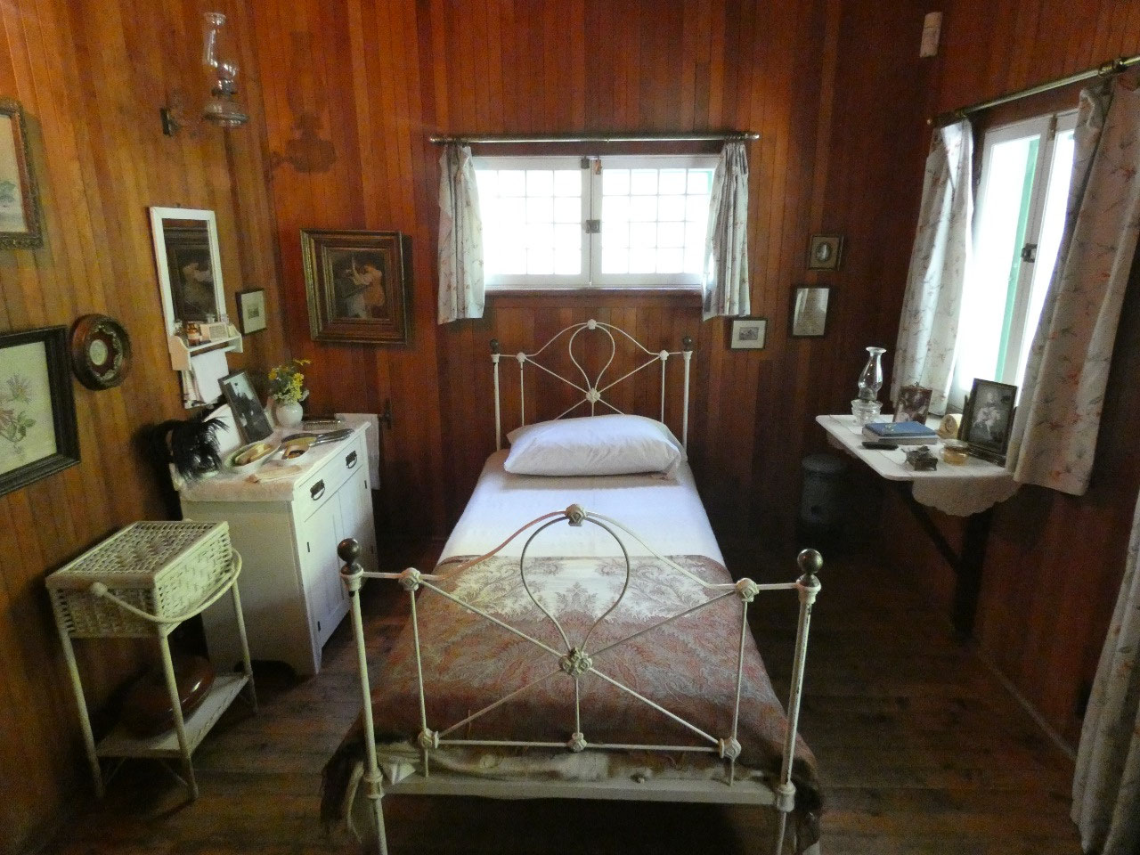
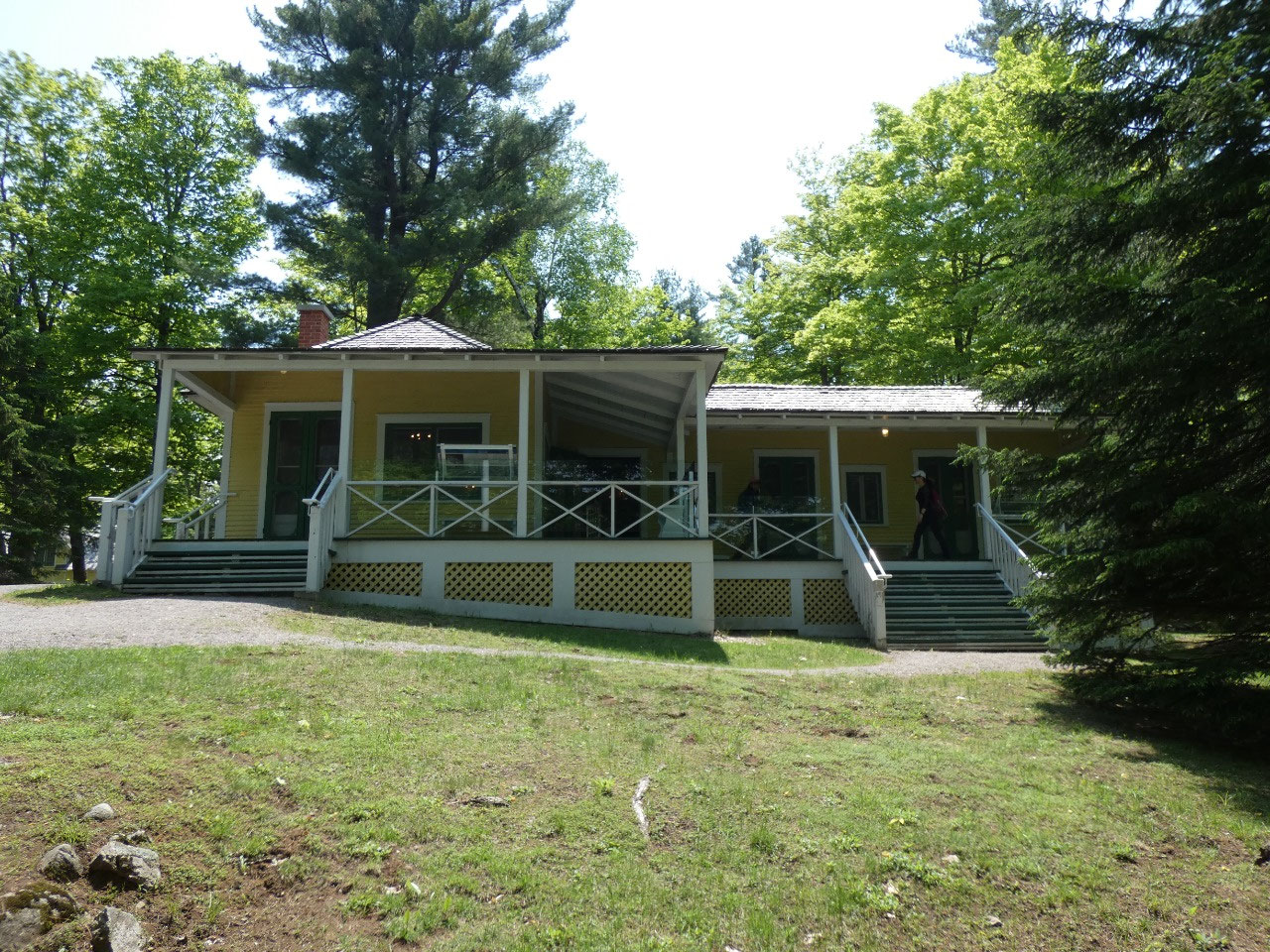
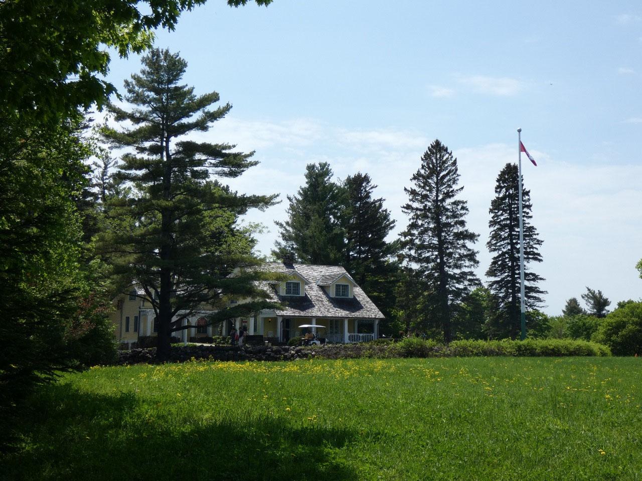
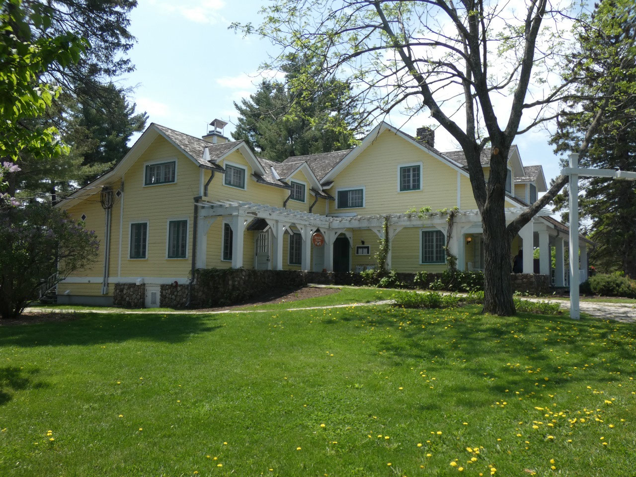
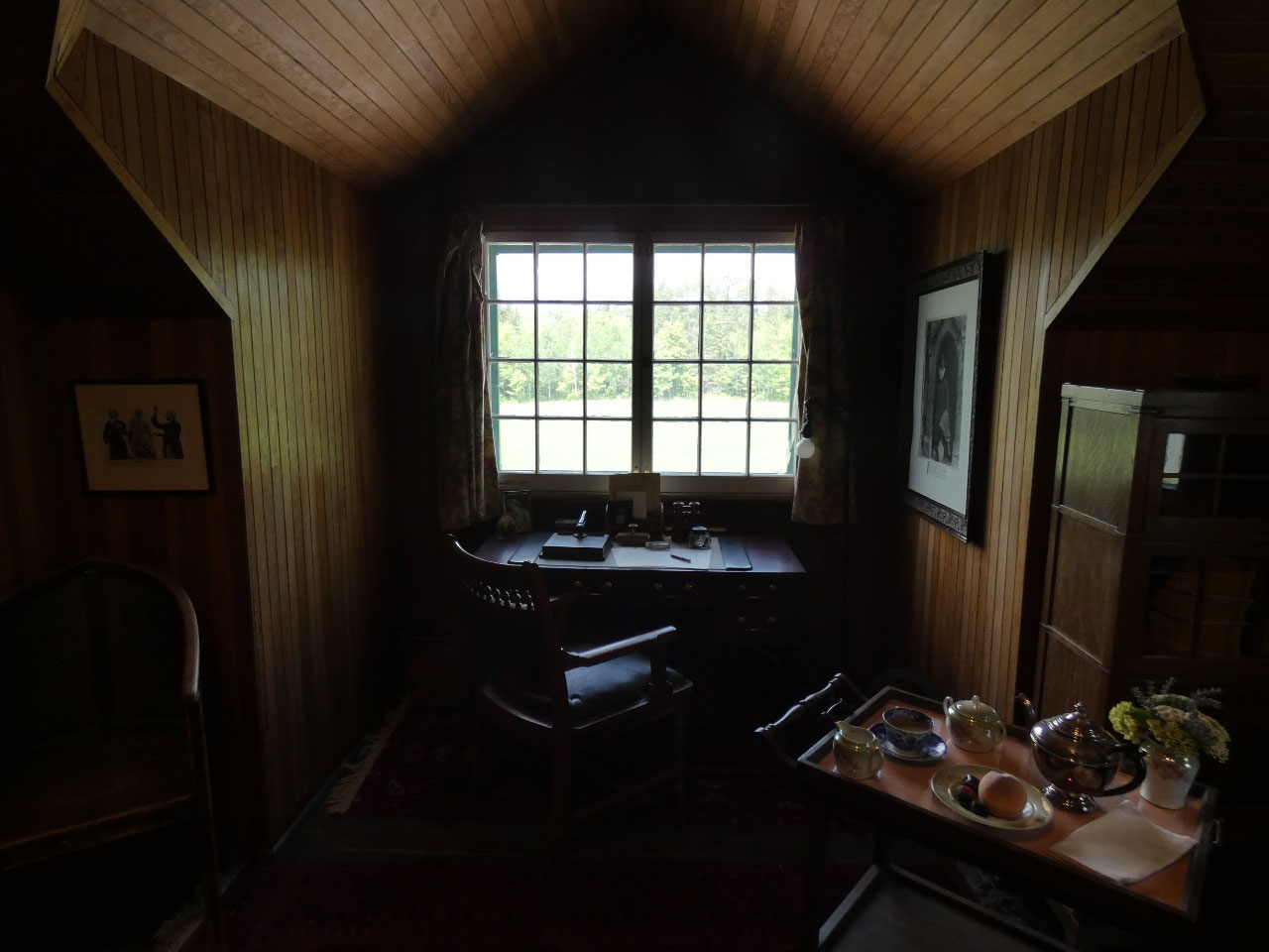
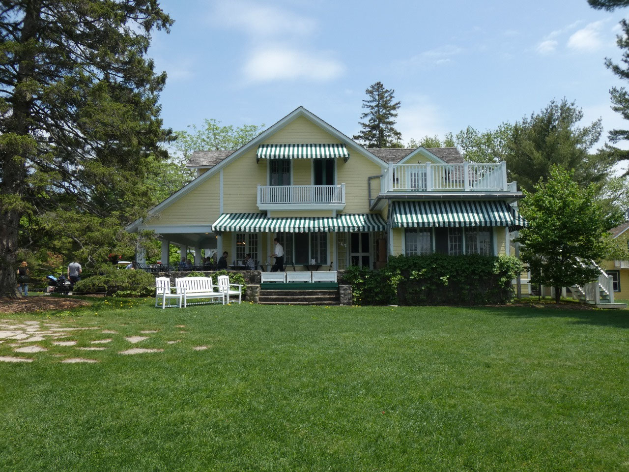
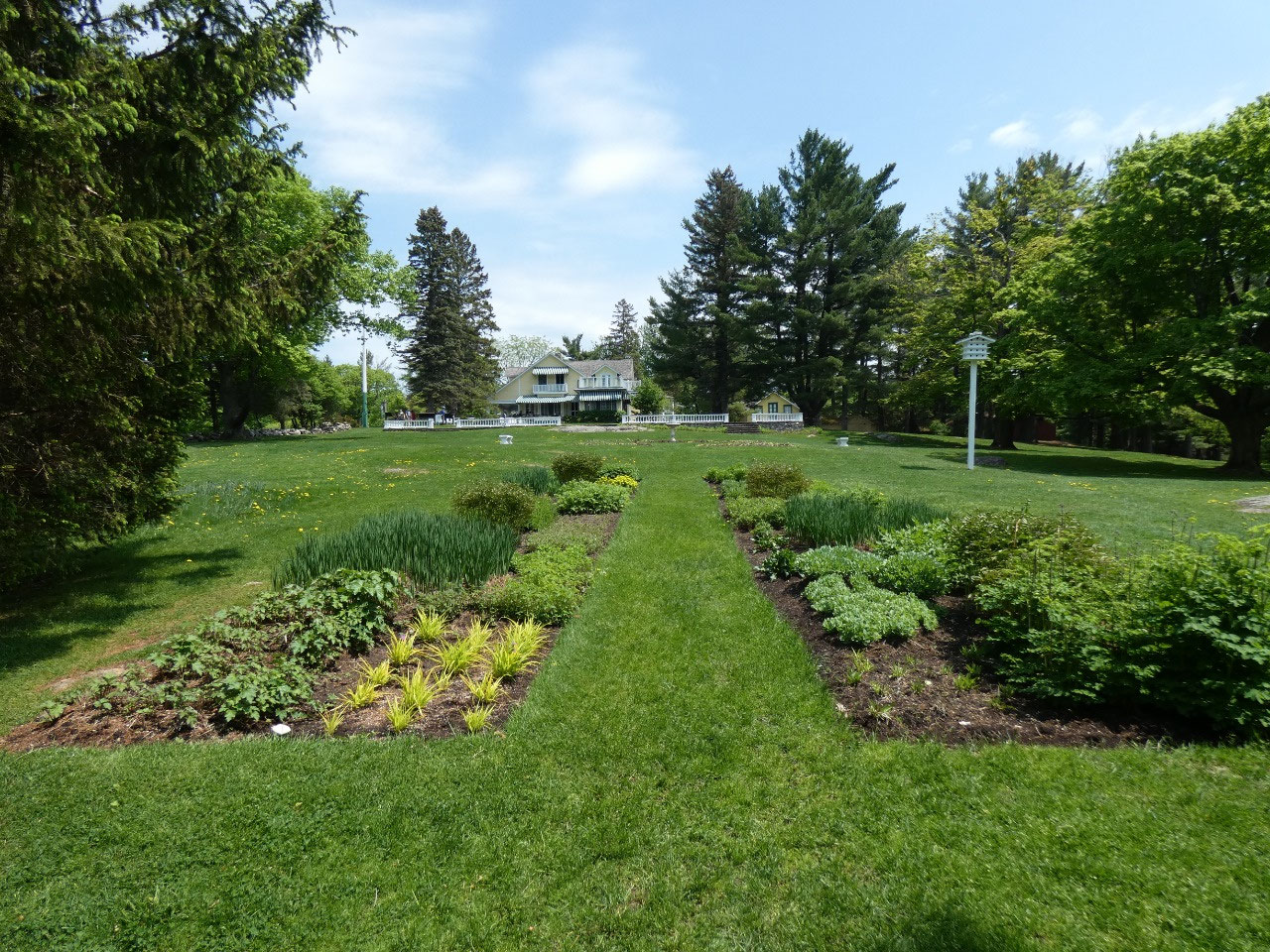
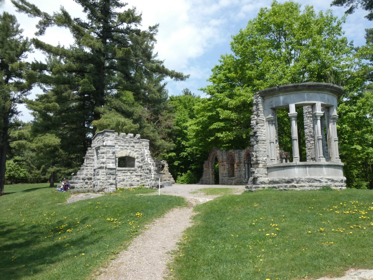
The chief manmade attraction in the park is the MacKenzie
King estate, the private residence of Canada’s prime minister for 22 years
during the 1920s through late 1940s, including the WWII era. I probably know more about Canada than most
Americans, but don’t know very much about its political history beyond being
able to name most of the prime ministers during my lifetime. I didn’t even know
McKenzie King was the prime minister during WWII let alone the longest-serving
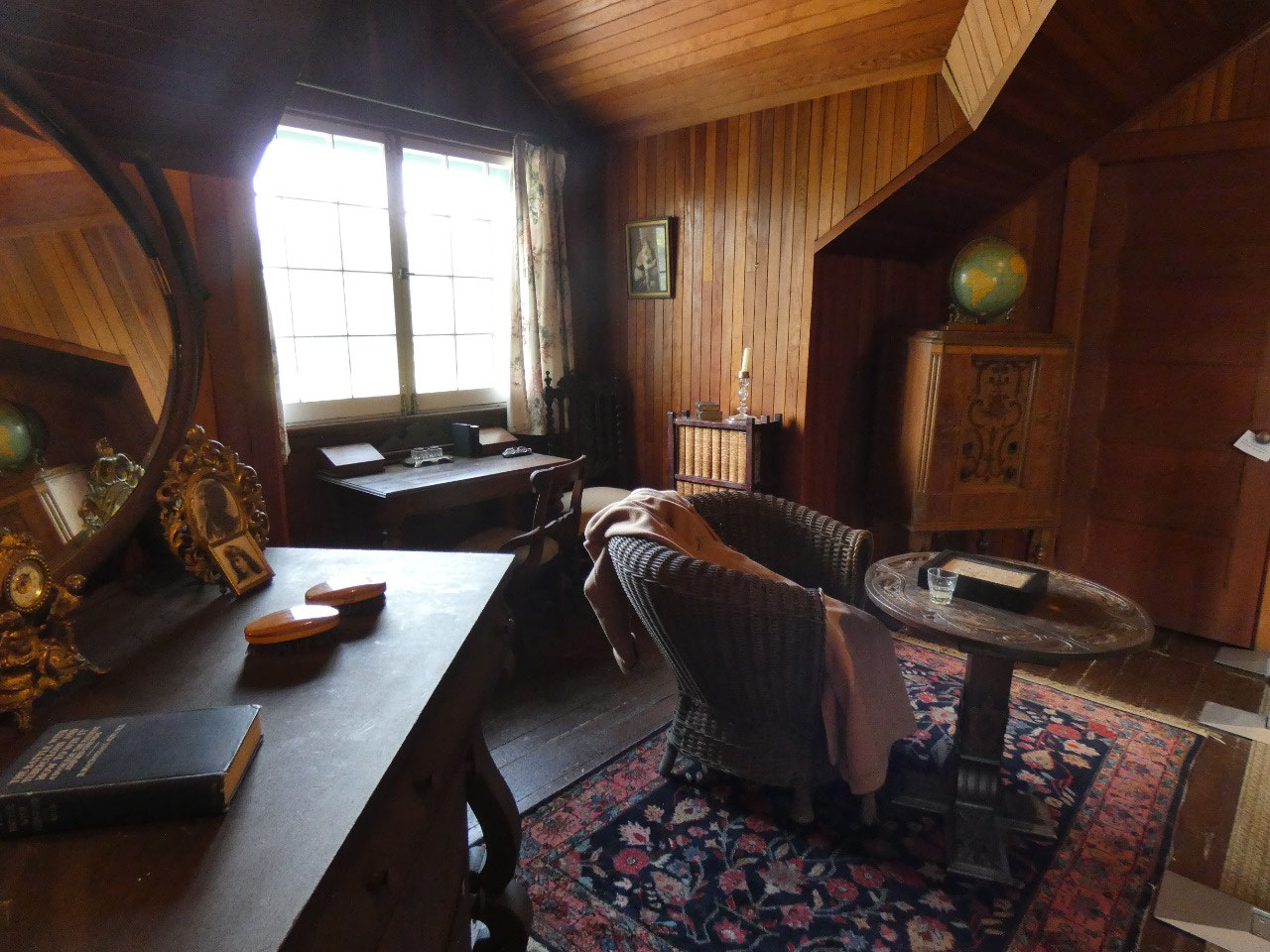
prime minister in Canadian history. The docent at the subdued lakeside cottage
told me, though, that Canadians themselves don’t know their past prime
ministers the way Americans do their presidents because they’re technically
leaders of their party rather than directly elected. I wonder if that’s the case of other
countries with parliamentary systems as well. Anyway, the King Estate is quite
modest by the standards of the homes of many American presidents and consists
of a rustic original lakeside cottage complex and a somewhat larger house King
built later after great success in his political career.
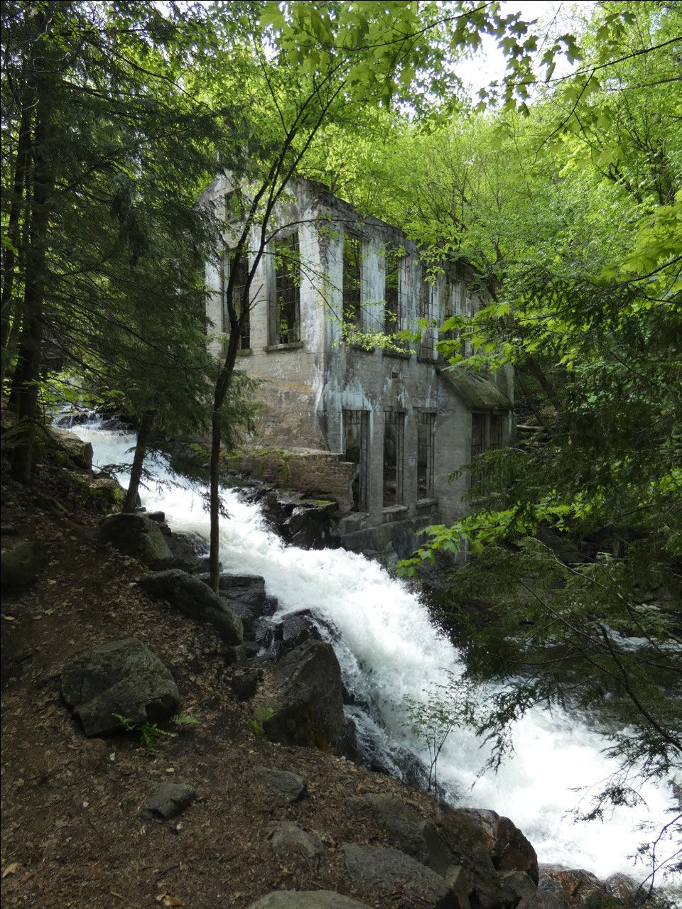
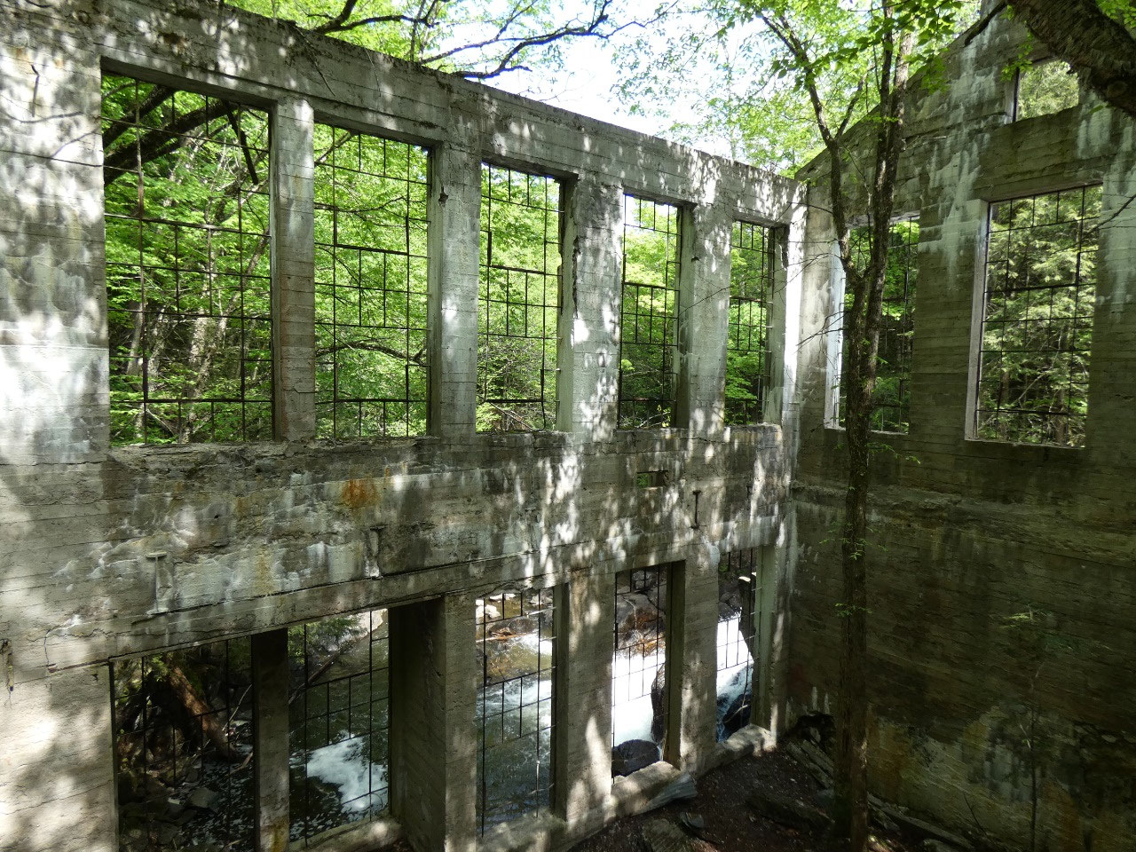
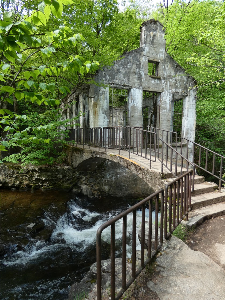
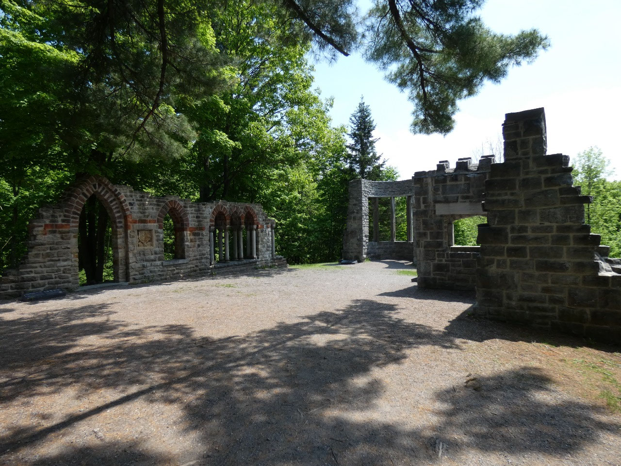
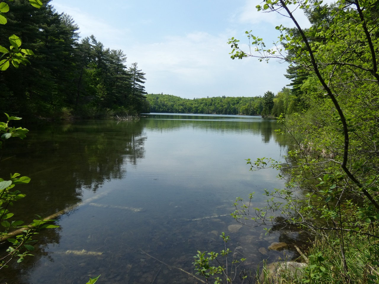
My last park sight was a hilly hike along the shore of Meech
Lake to the “Carbide” Willson Ruins, the remains of a streamside industrial
workshop of an inventor who dabbled in research on chemical explosives. Over the years on travels to Canada I’ve frequently
heard mention of the “Meech Lake Accords” which defined the status of Quebec in
Canada back in the 1990s when there was a push for Quebec independence. Anyway, it was somewhere along the shores of
this little lake that the terms were hashed out.


2025-05-23