 Baie-Comeau, Quebec, Canada
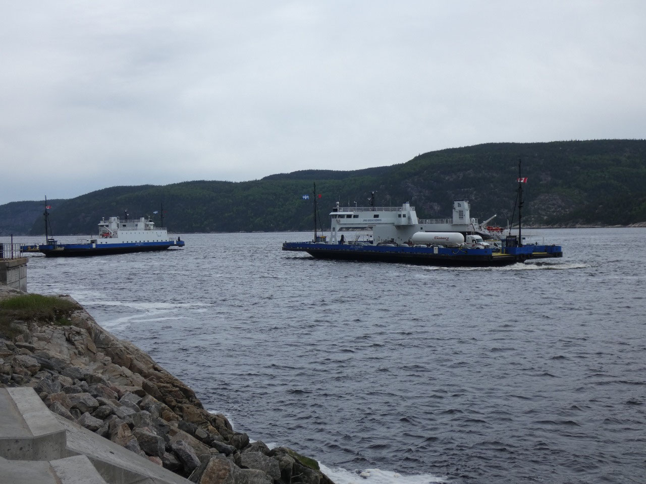
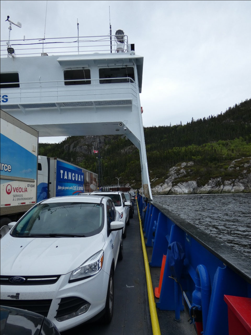
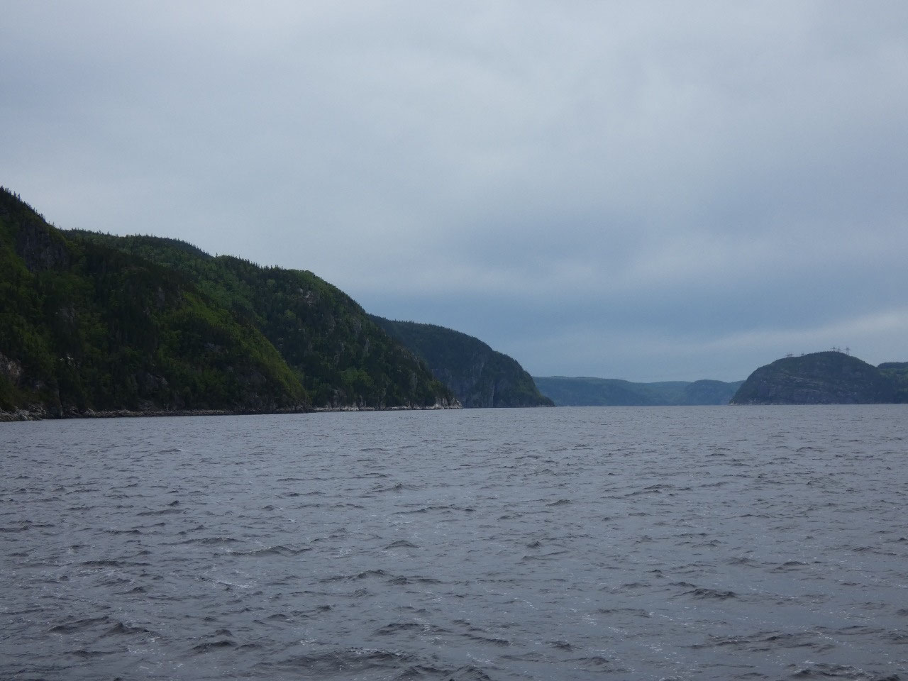
Near Tadoussac I crossed the entrance to the Saguenay Fjord
on a short free ferry. The body of water that runs about 75 miles inland from
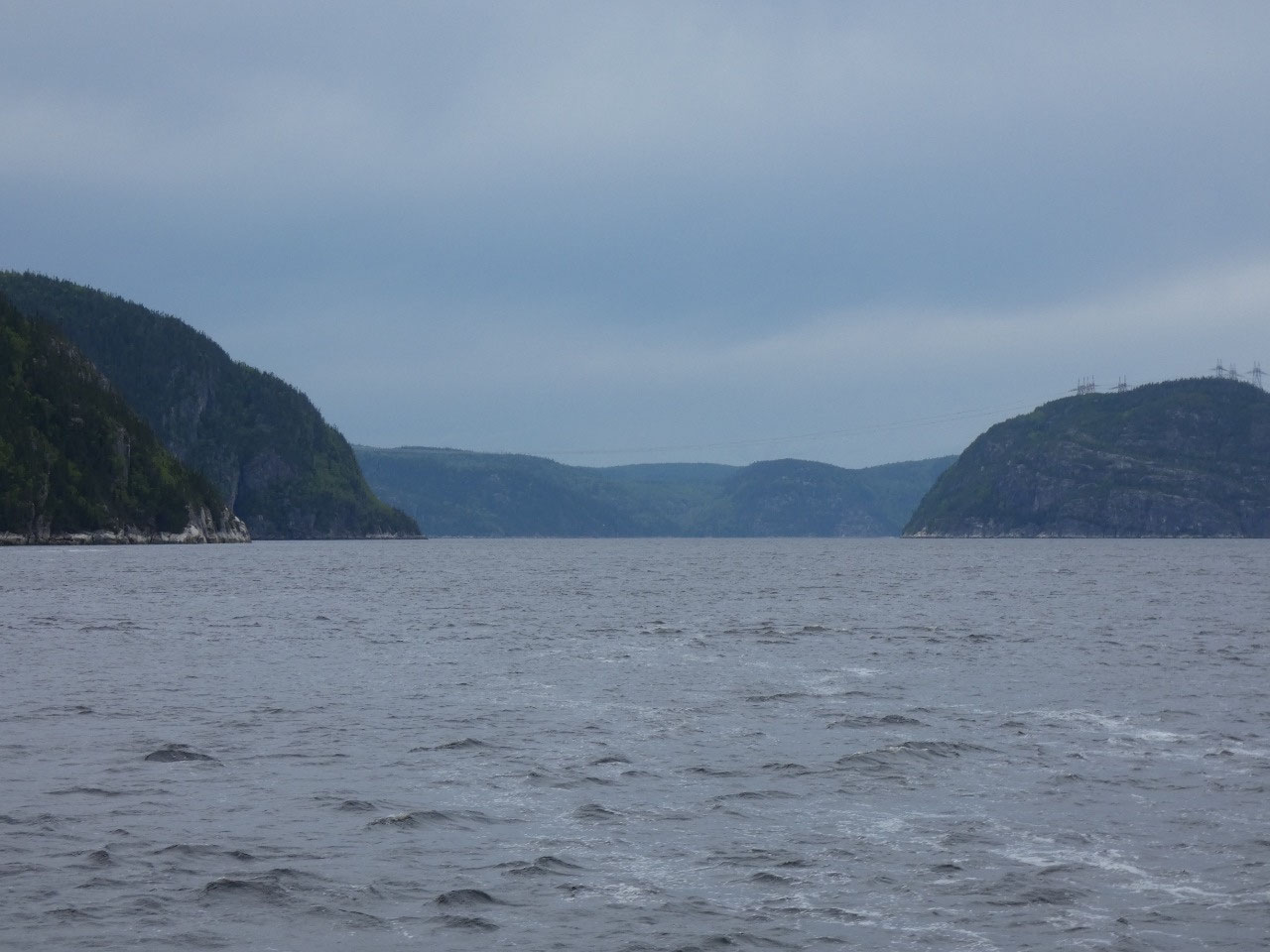
the Saint Lawrence is a true steep sided glacier-carved fjord like the ones in
Norway. Along its shores are provincial parks with interesting sounding trails
to viewpoints high above the fjord. I had tentatively planned to drive around
the fjord and do some of those hikes but decided to skip it in the drizzle.
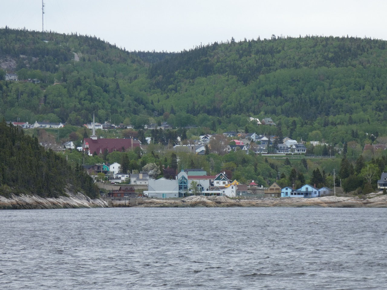
Meanwhile, the Saint Lawrence River, actually here really
just a fully salt water extension of the sea, is part of a Parks Canada Marine
Wildlife Sanctuary and considered one of the best places for whale watching. Of
course, early June is still to early for both the whale watching excursions and
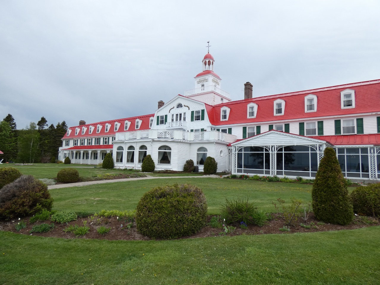
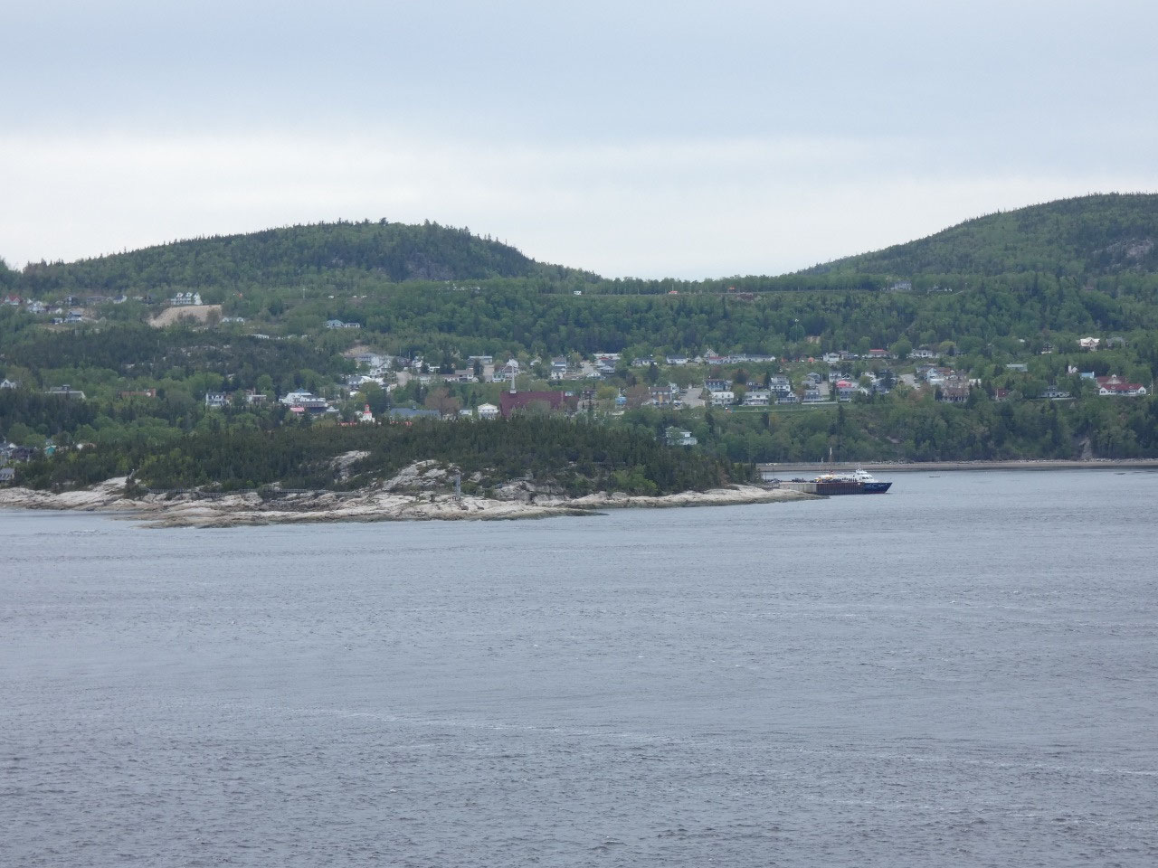
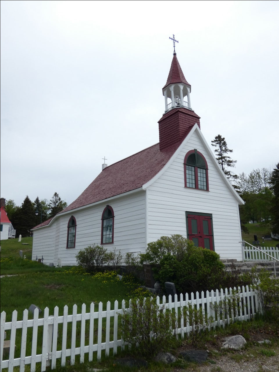
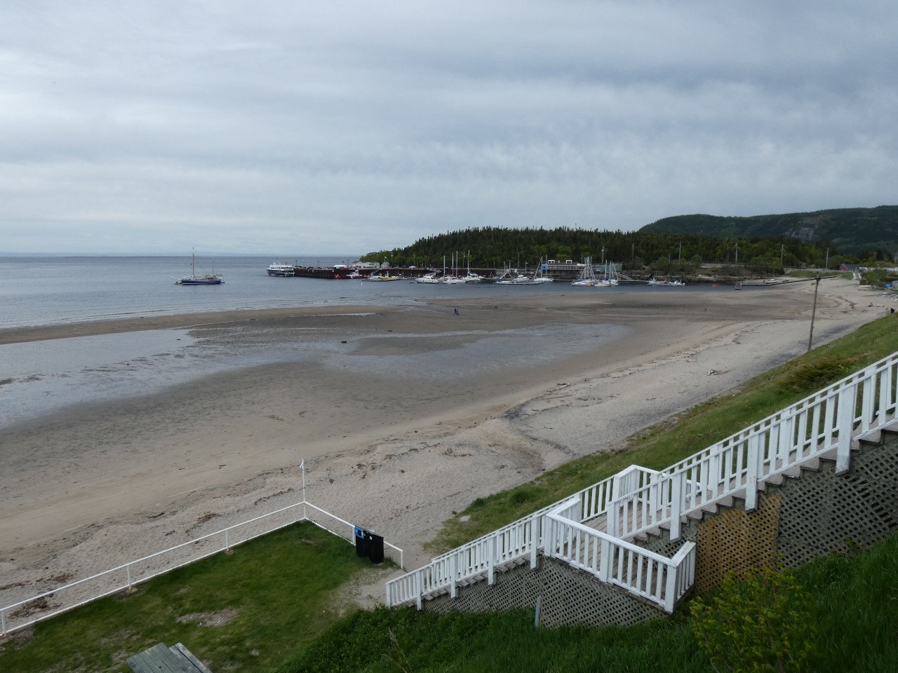
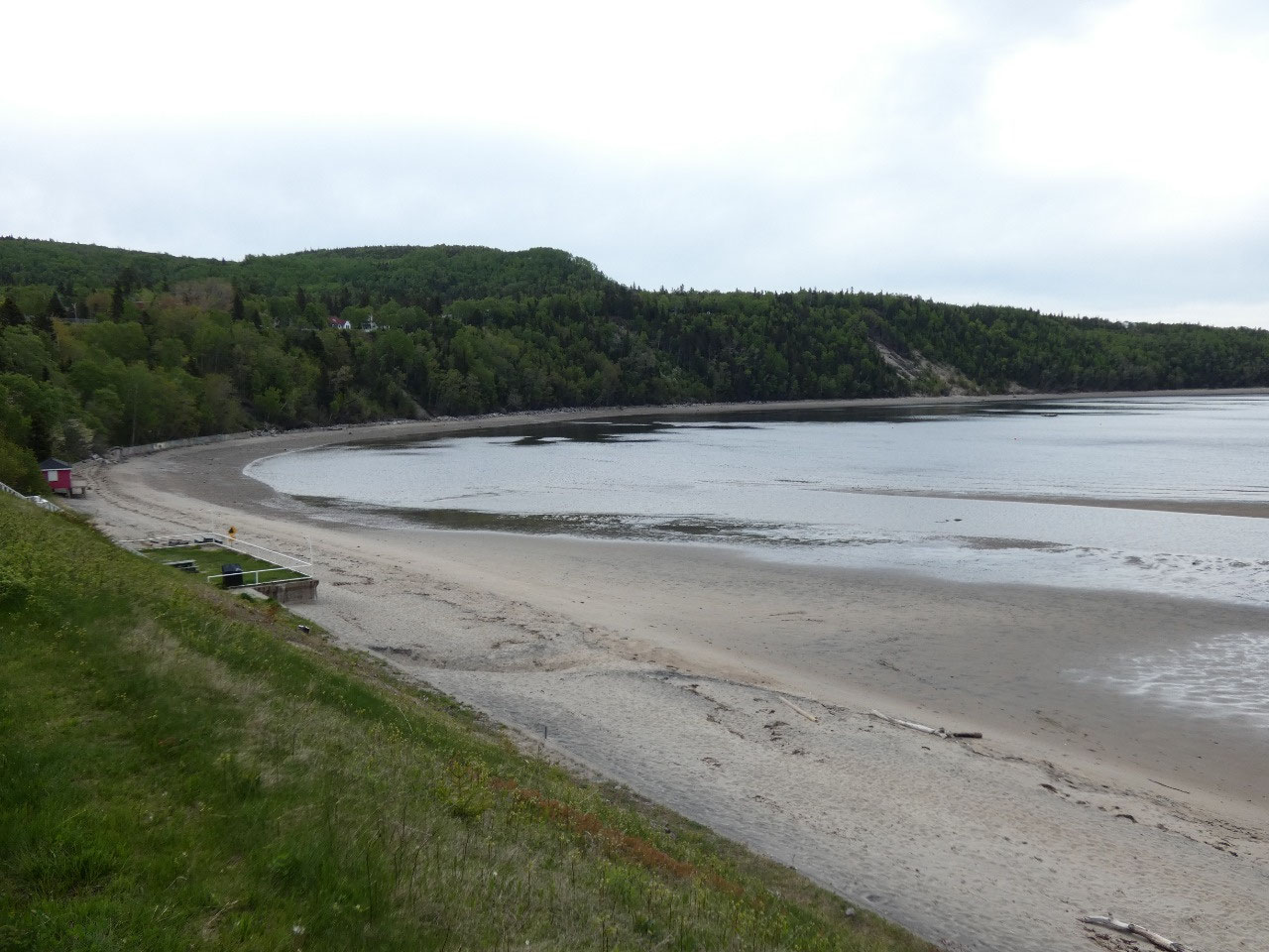
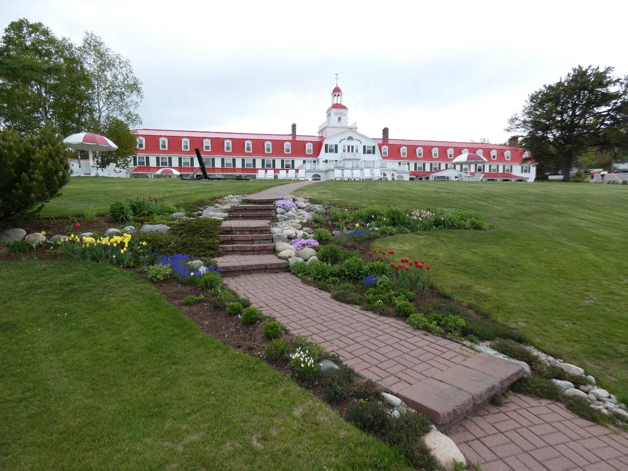
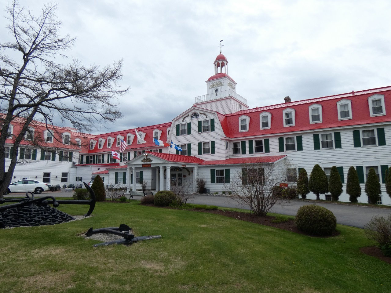
the boat trips up the fjord that operate out of Tadoussac. The small town has a
grand old hotel overlooking its bay with a sandy beach. I was there in time for
a good lunch time buffet, one which seemed to be put on entirely for one big table
of business people staying at the hotel for a conference.
When they left I had
the buffet all to myself….and found the soup and appetizers had already been
cleared when I went back for seconds.
North of Tadoussac the north shore of the Saint Lawrence is
called the Cote Nord and becomes on the one hand more wild and less settled but
on the other less dramatically hilly. I continued on to Baie Comeau, a rather
large spread out and modern town with significant port facilities and lots of
people working for Hydro-Quebec. I found what is supposedly the cheapest motel
in town for $88 (Canadian) for the night, much needed recovery after three
nights of car camping, before heading north and inland through the wilderness.
Now the adventure truly begins! It is about 380 miles to
Labrador City just over the border in Labrador, a distance I can make on a full
tank of gas, although I understand there to be one or two spots along the way
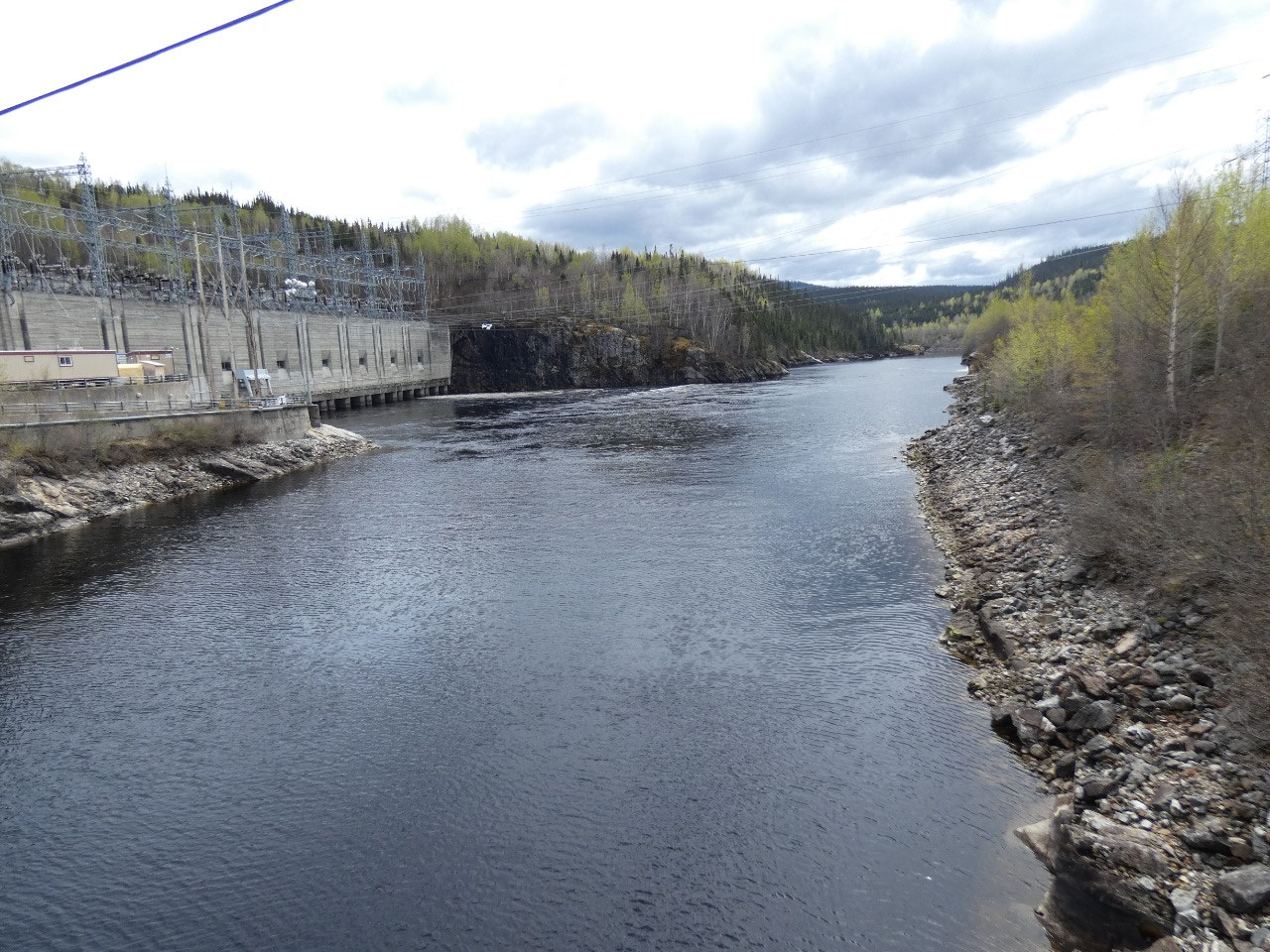
where gasoline is available. The road mostly services the Hydro Quebec dams
along the Manicougan River and farther north the iron mines near Fermont.
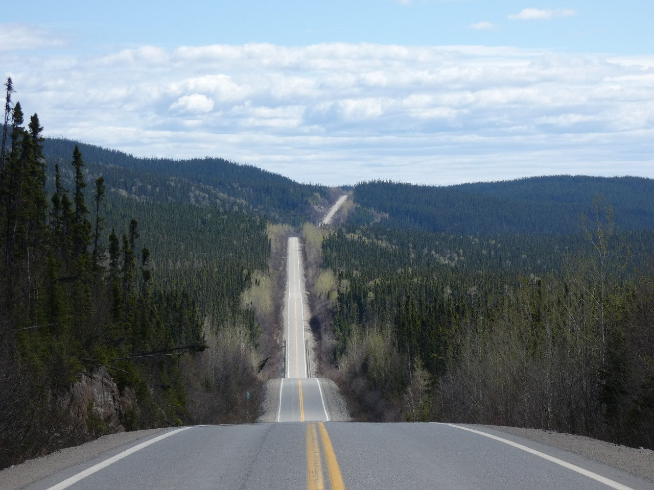
Things started out kind of slow on a very twisty but paved
part of 389 past the Manc-Two dam. I then got stuck behind a slow-moving truck
on a stretch of road where there was almost no traffic coming in the other
direction but no places where passing was possible. If it’s going to be like
this all the way I might not be able to make it to Labrador City in one day!
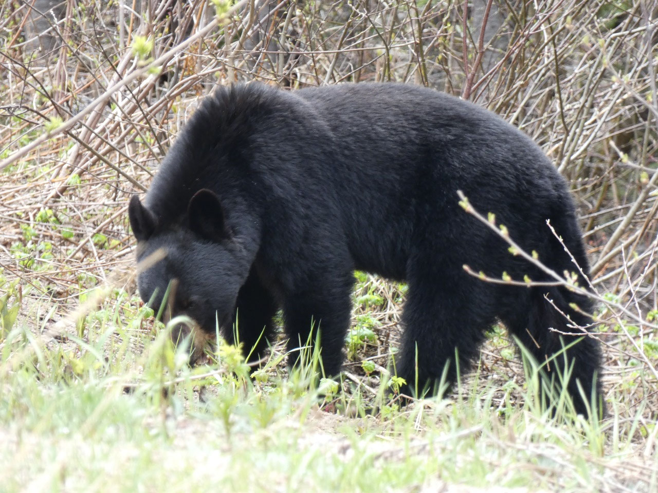
It didn’t stay that way, though. After about 80 miles or so
the terrain opened up somewhat, the road became straighter, and the weather
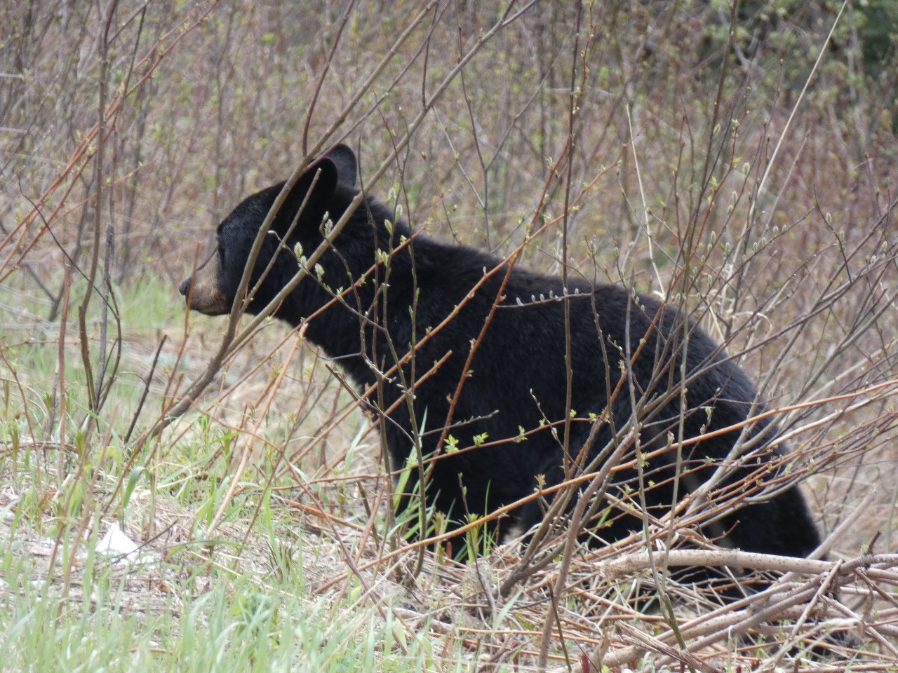
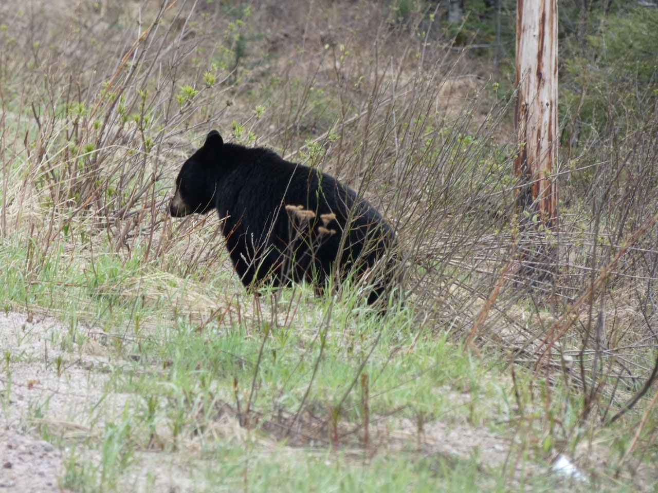
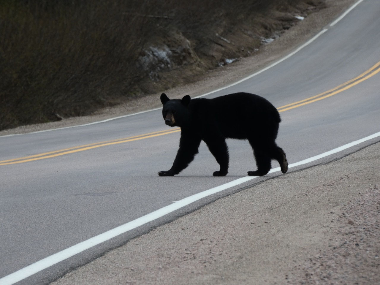
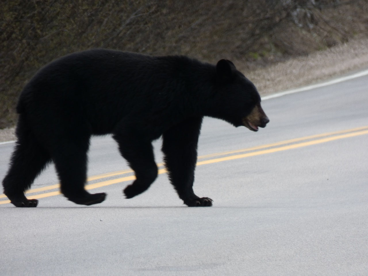
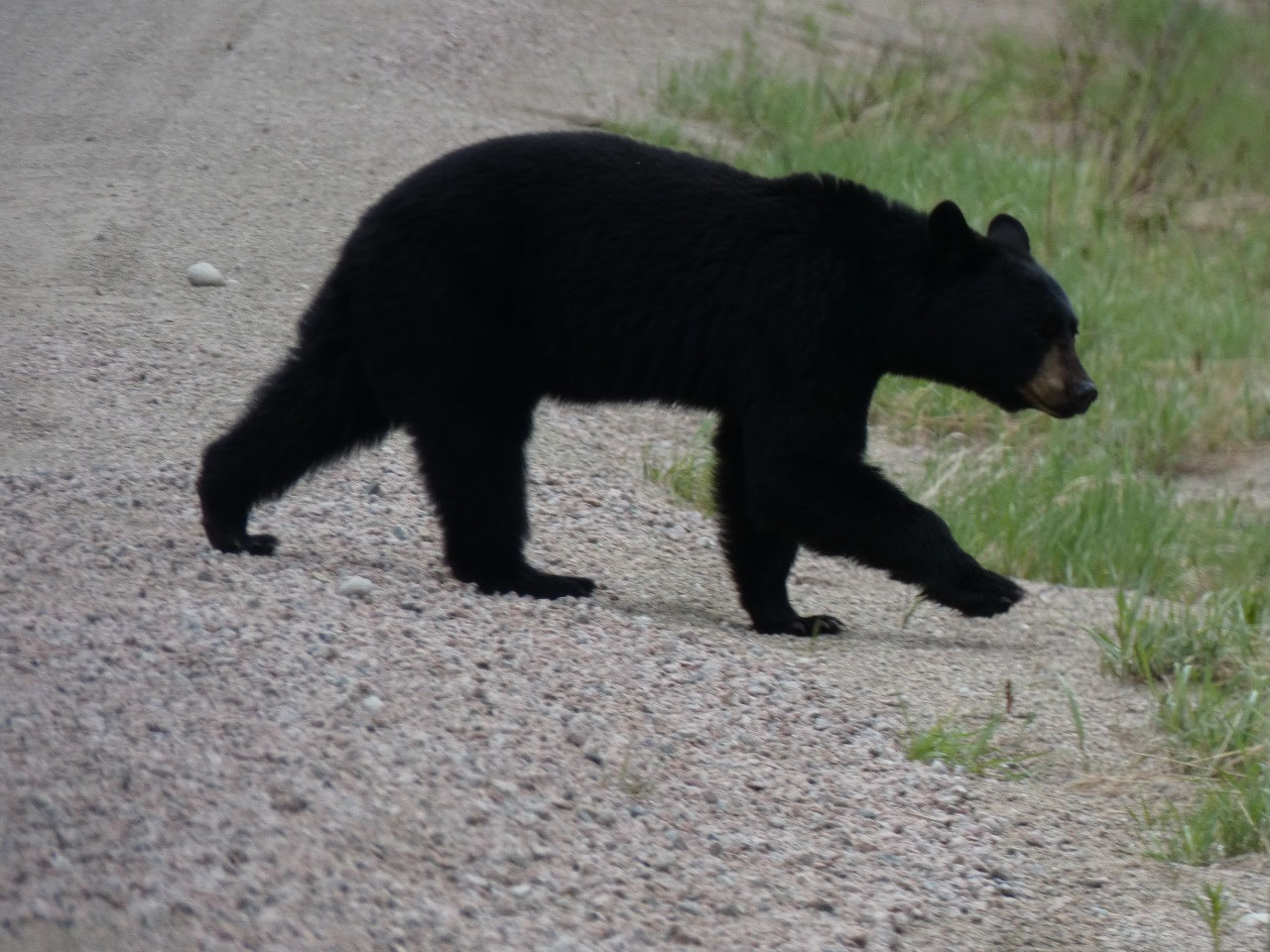
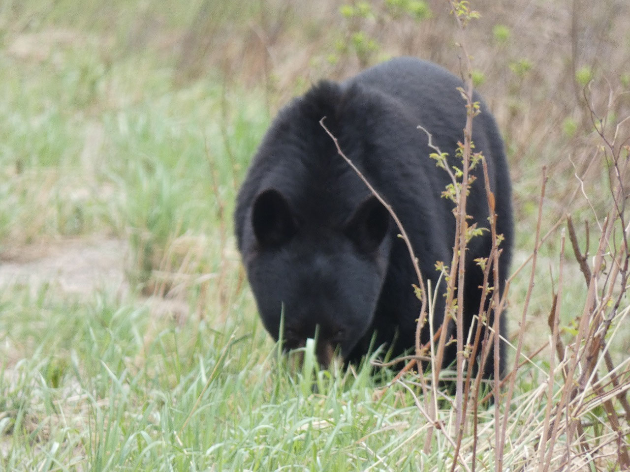
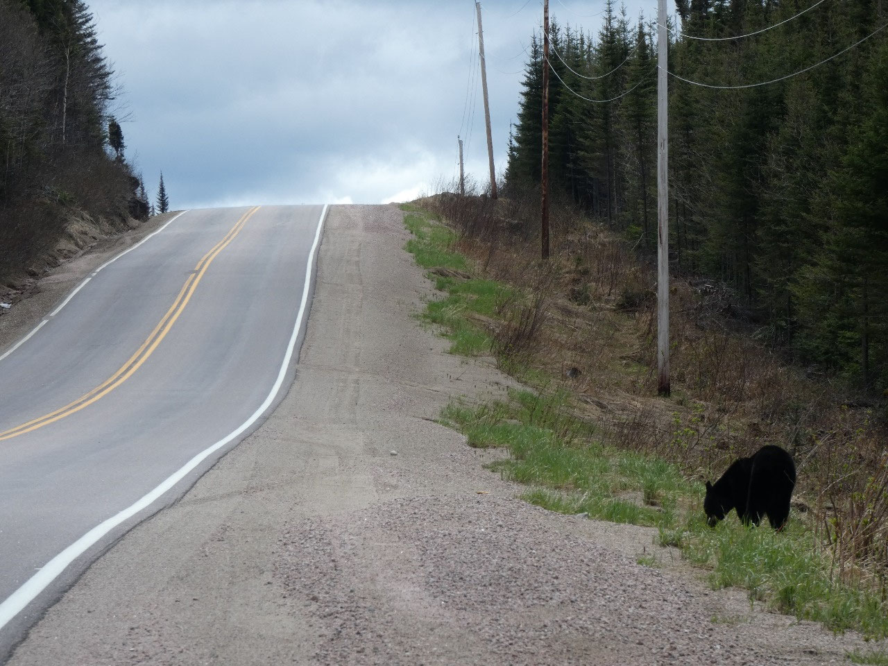
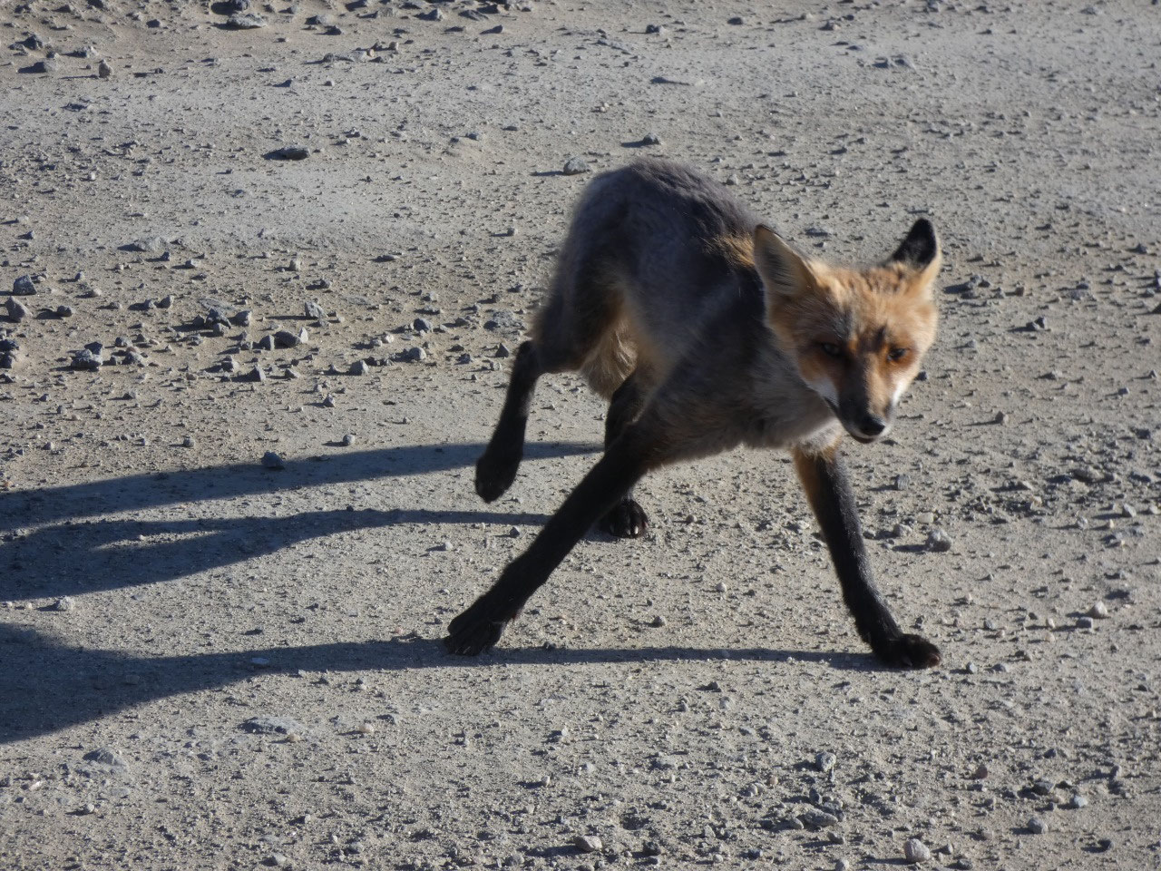
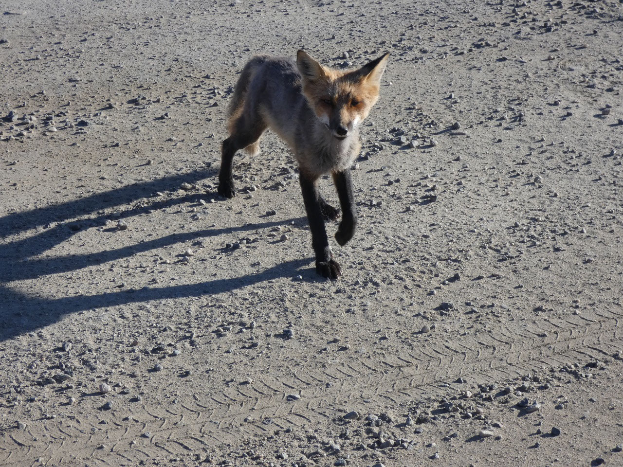
started clearing out. And then I saw something black moving across the road ahead
of me. A bear! It scampered into the brush,
but I pulled over and waited. Sure enough when it came back out and foraged for
a while in sight and crossed the road again twice. That made my day.
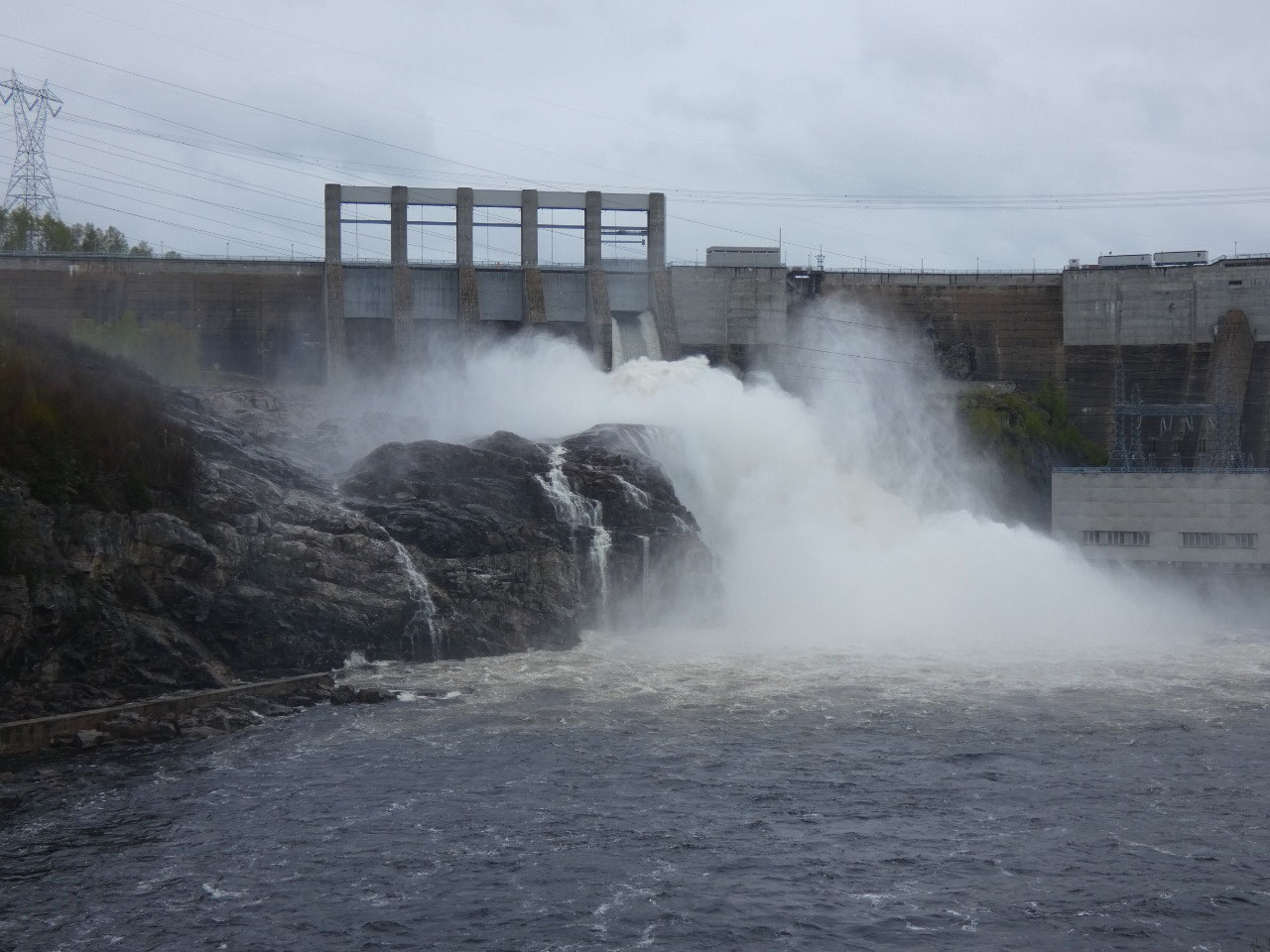
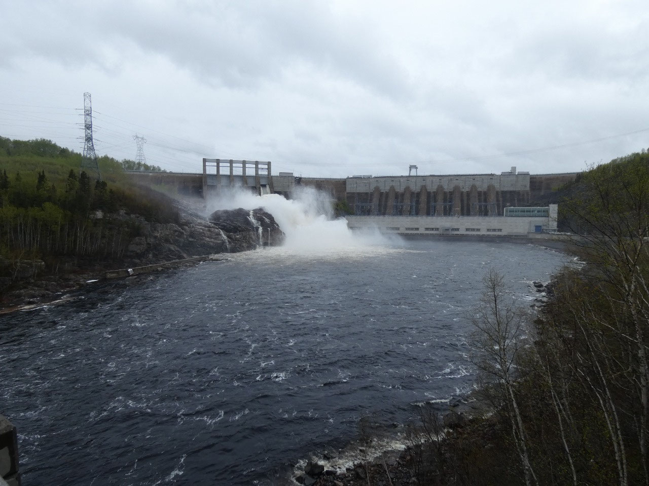
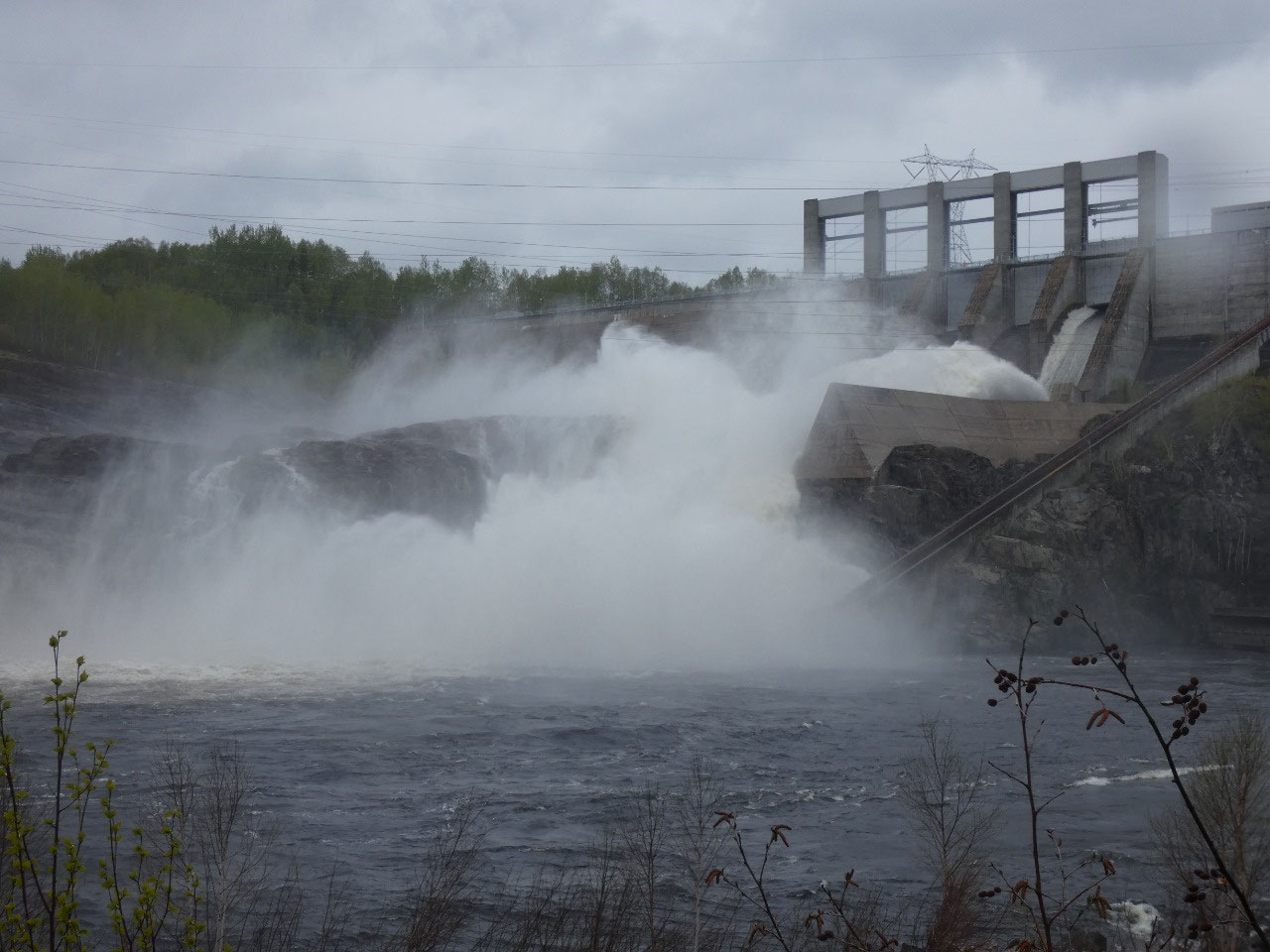
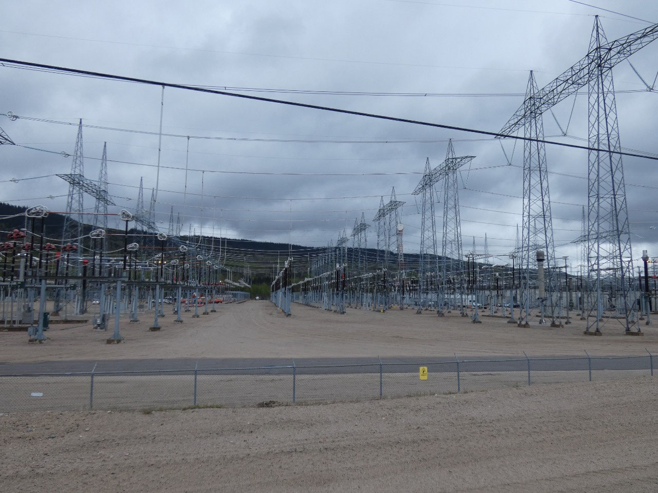
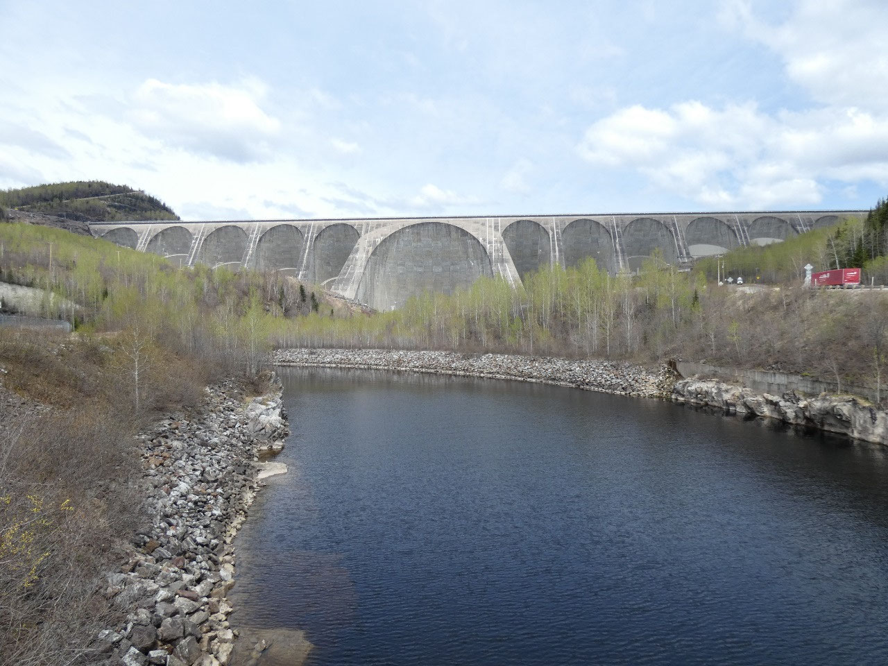
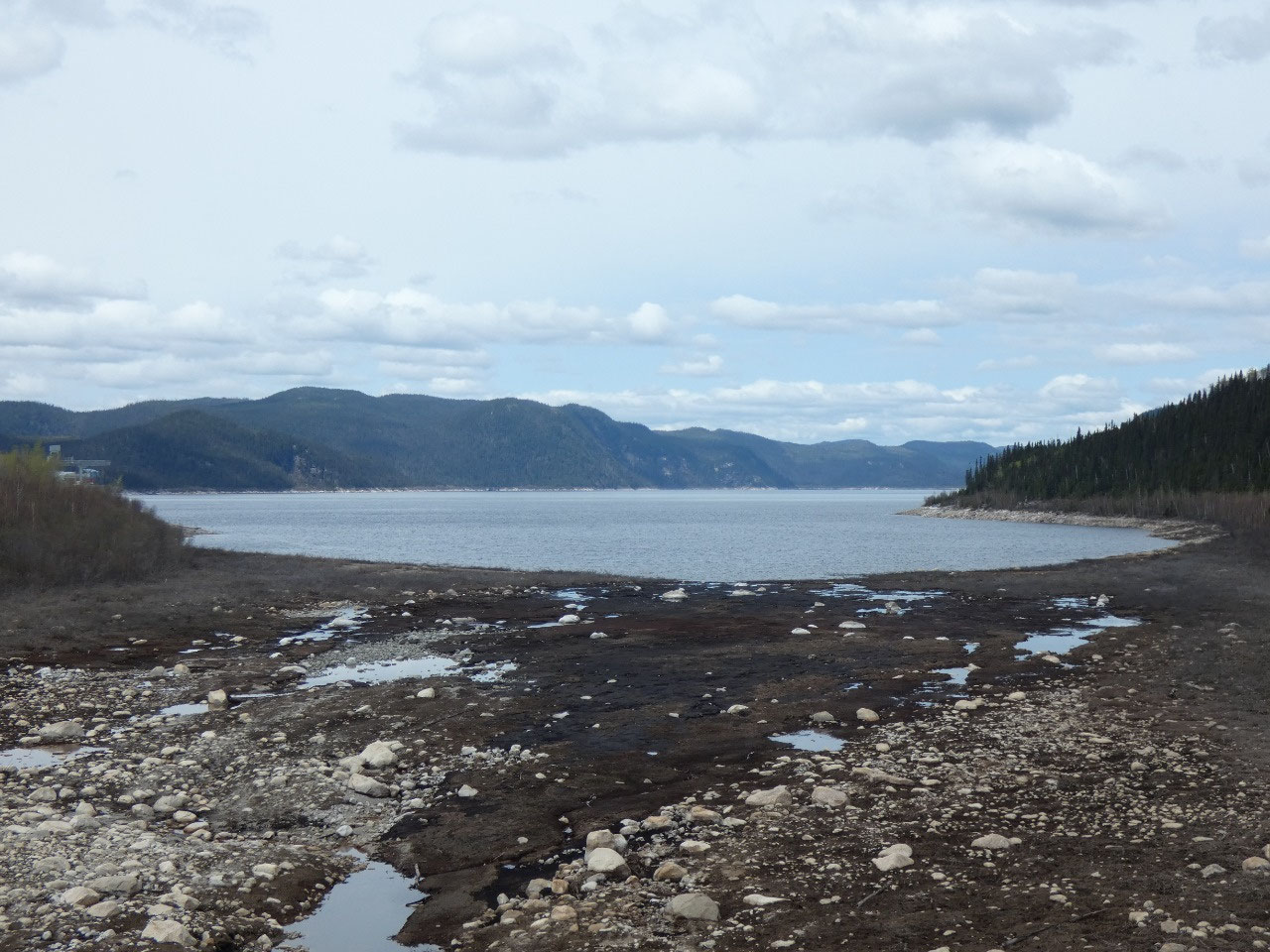
The Manicougan-5 Dam, the largest in the Manicougan River
portion of the Hydro Quebec system is around 120 miles north of Baie Comeau.
Apparently there are tours in summer but they don’t start until mid-June, so I
was out of luck there again with my eagerness for an early start to my summer
adventure.
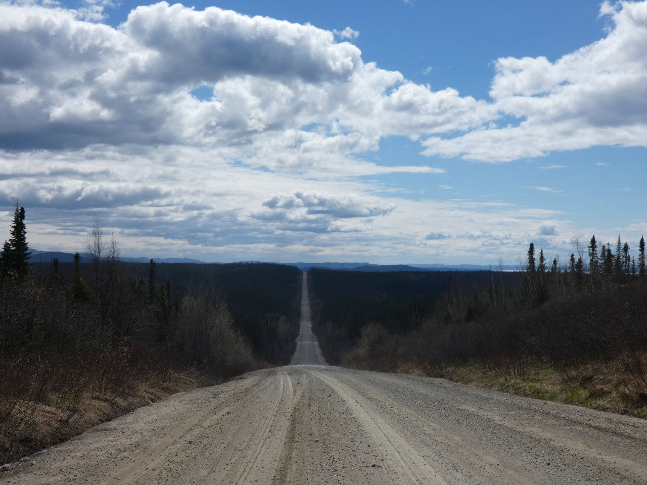
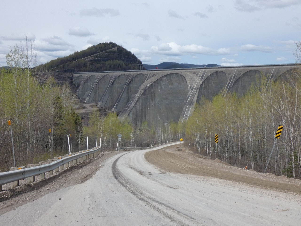
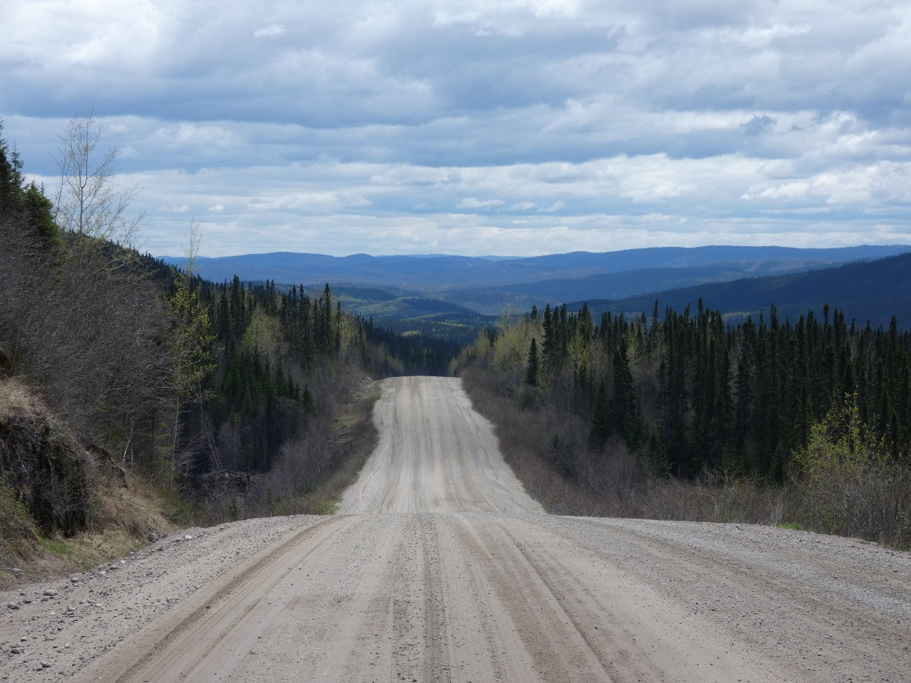
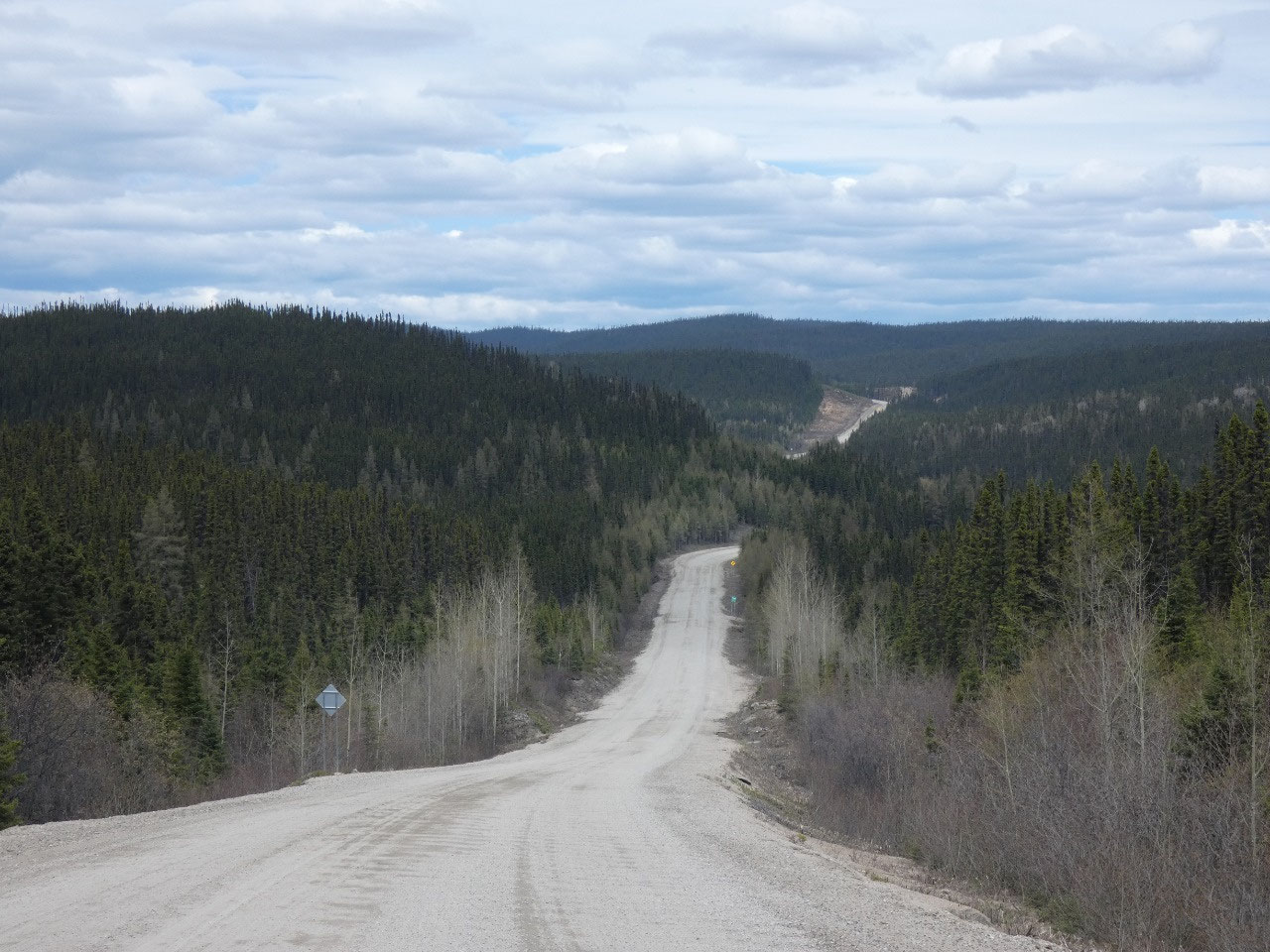
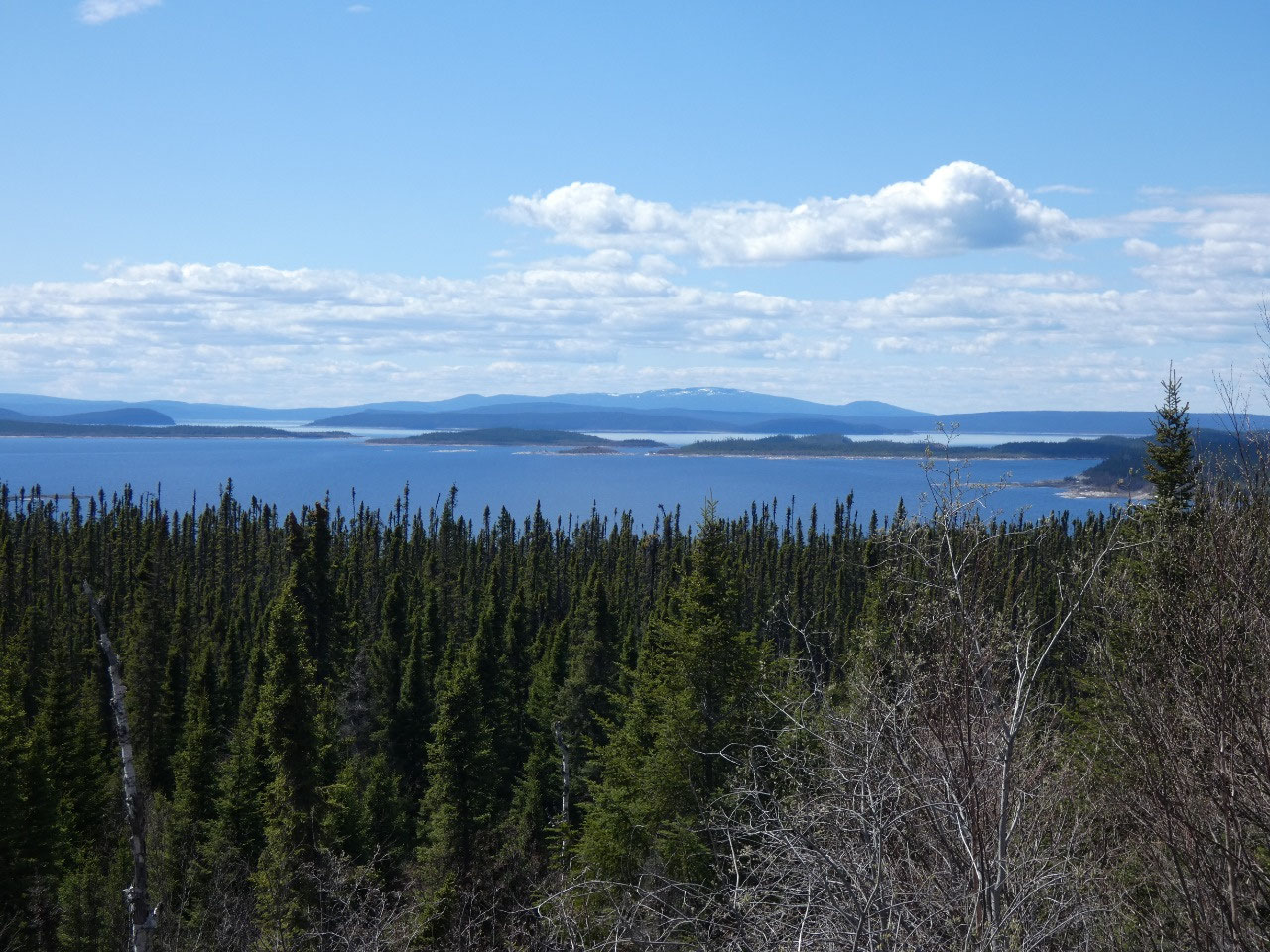
The road then turns to dirt and rises rapidly to the height of the
top of the dam, the huge Manicougan Reservoir backed up behind it. Maps show most of the reservoir as being
shaped like an almost perfect near ring, an indicator that the area is another
massive meteor impact crater.
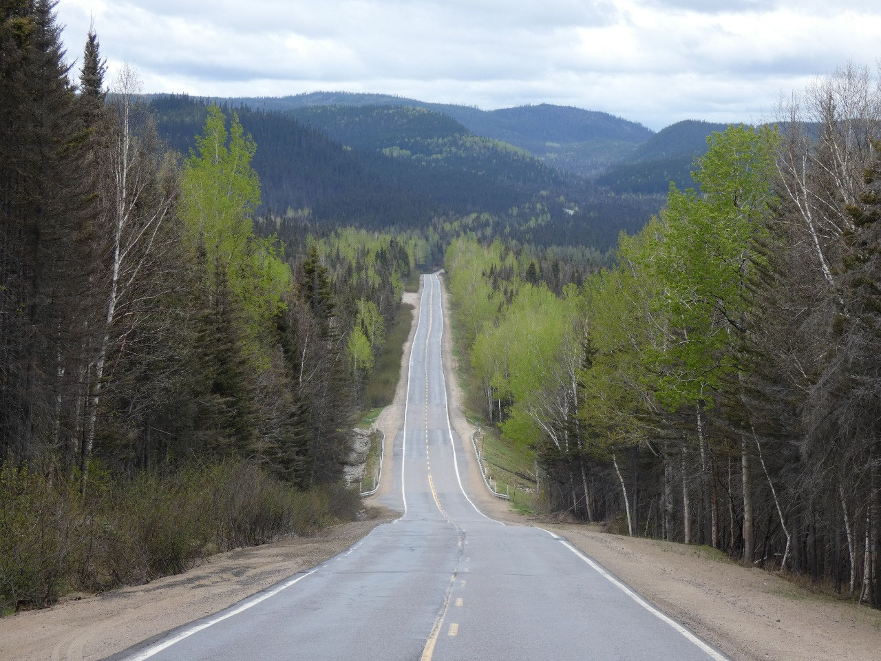
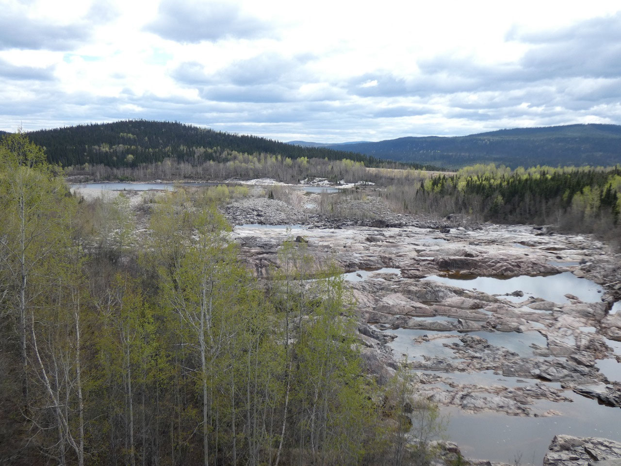
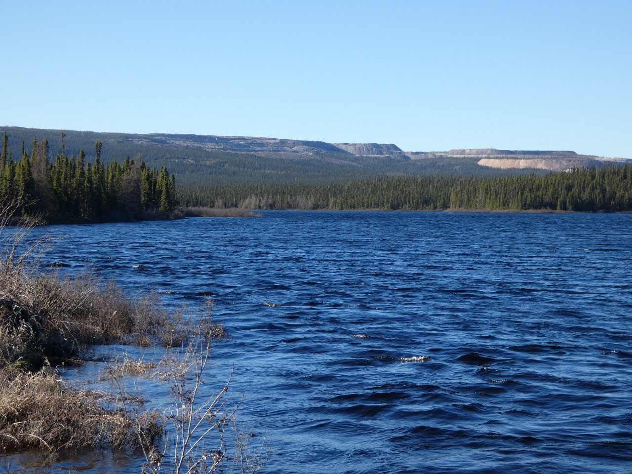
The graded dirt road north was actually pretty good, so I
can’t complain. It reminded me a lot of my 1988 trip to Alaska on the Al-Can
Highway, significant portions of which were also not yet paved at the time. This
feels like a real wilderness adventure on the Canadian shield, actually fairly
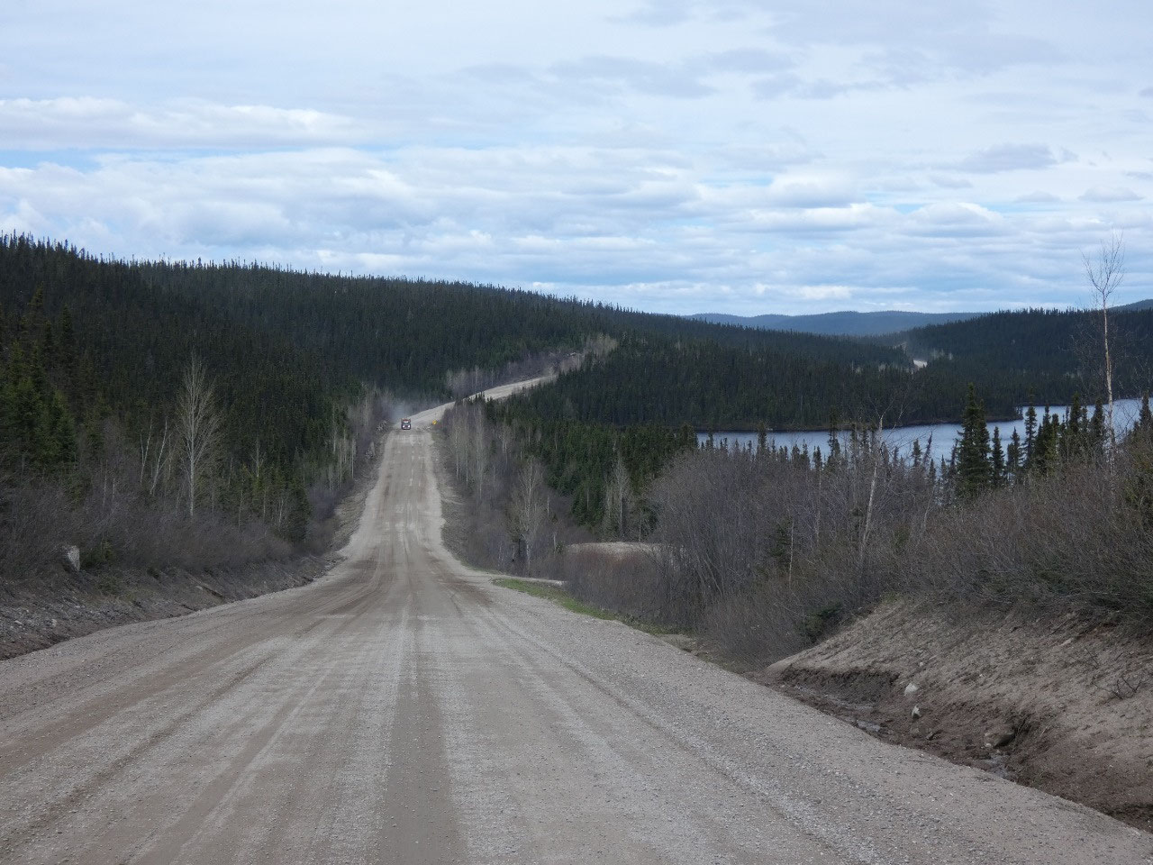
high elevation of nearly 2,000 feet for much of the way. Near the halfway point
there’s a small store and restaurant, a gas pump, and lodge with a few rooms at
a place called Relais-Gabriel. I stopped for lunch, served by a very friendly
lady who spoke no English at all.
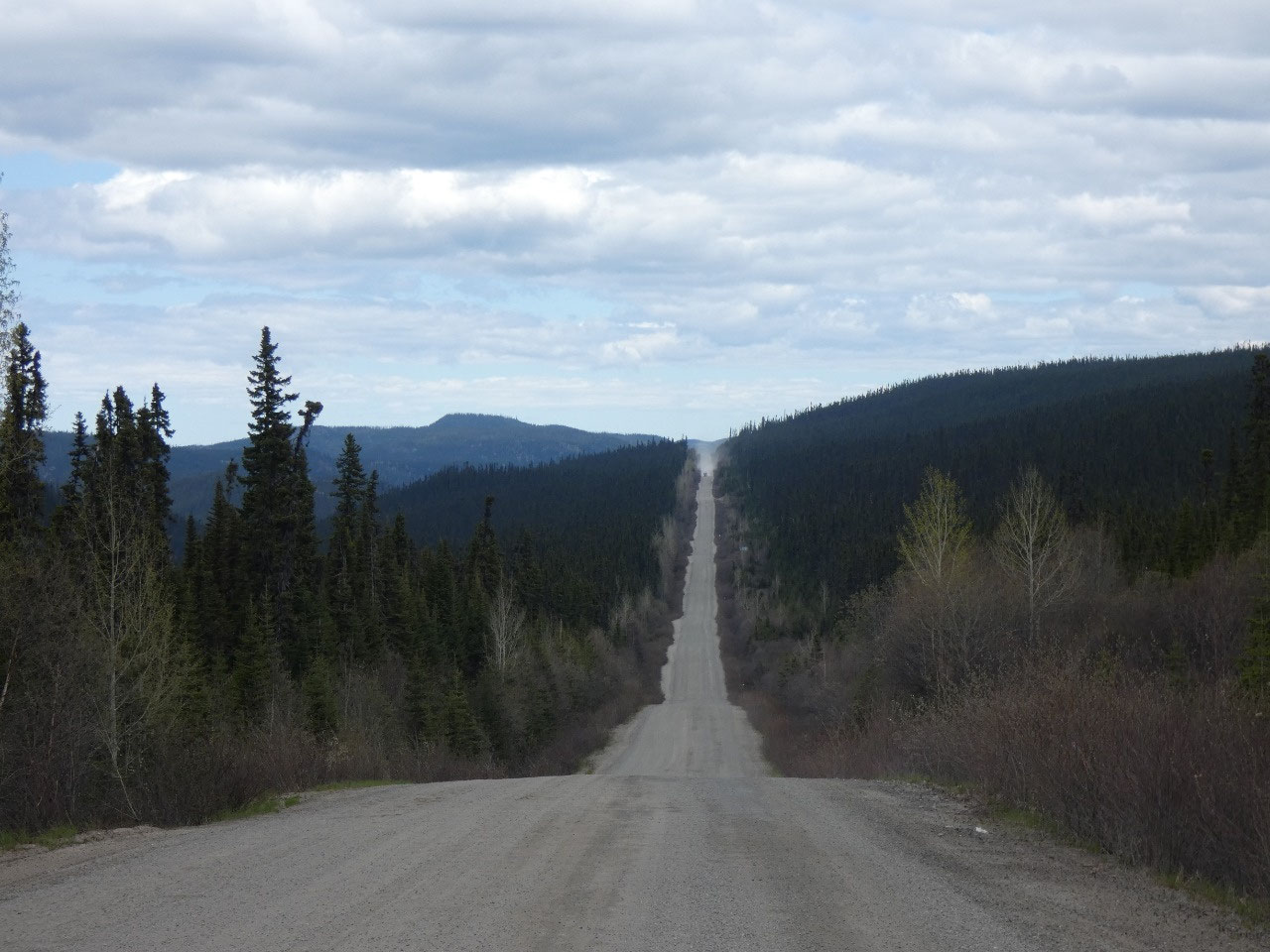
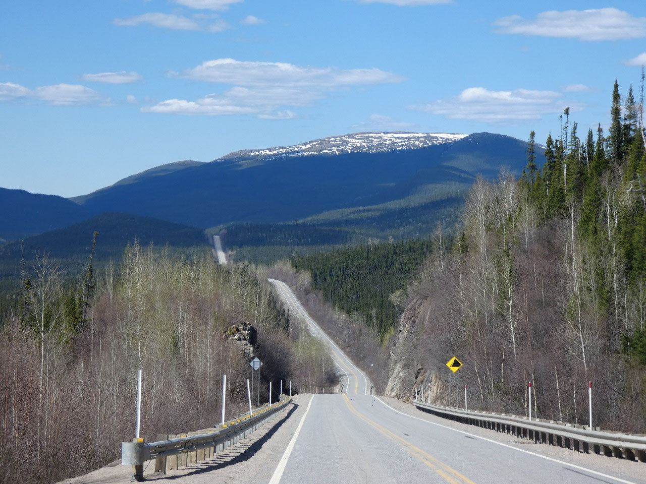
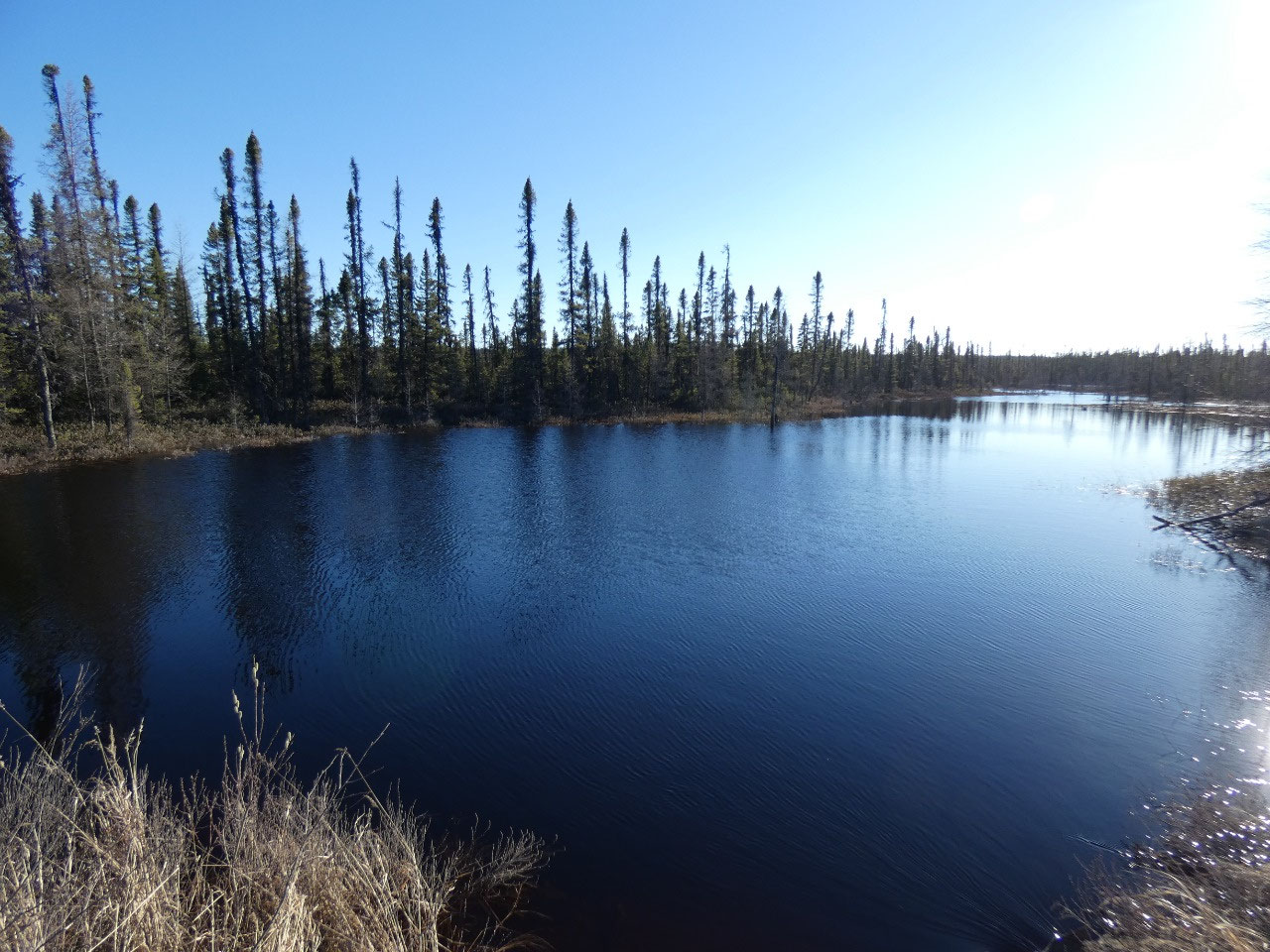
And then the pavement began again for about another hundred
mile through completely wild country in brilliant northern sunshine. All good
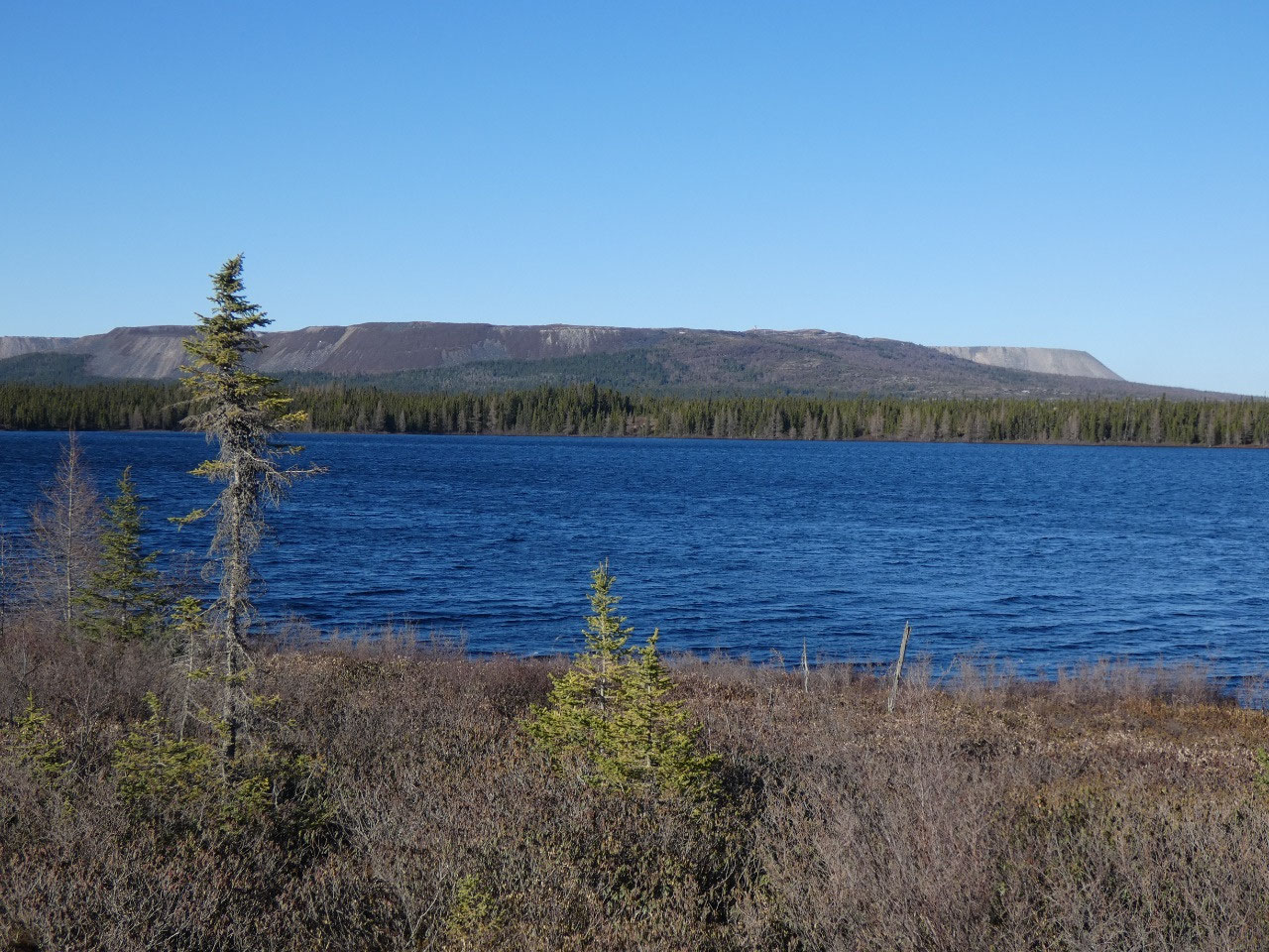
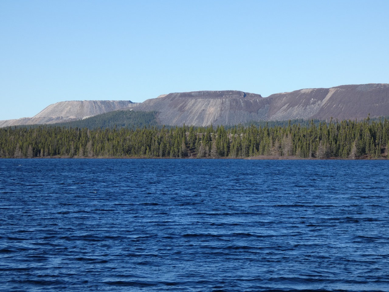
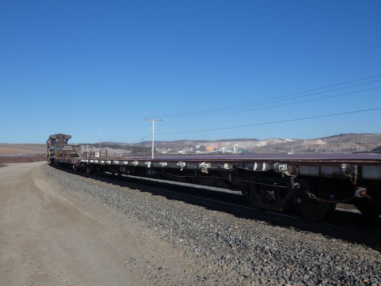
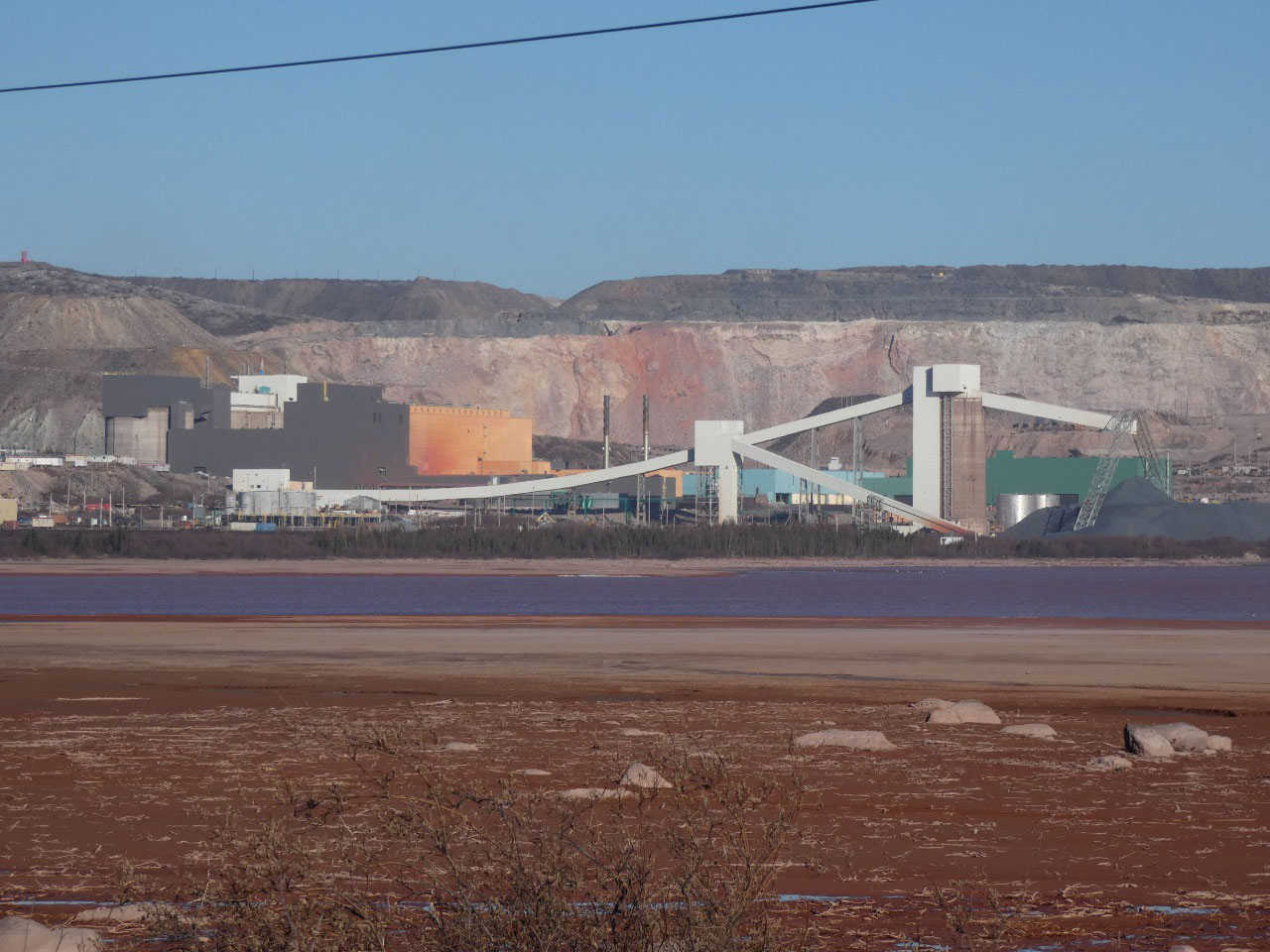
things come to an end with another sixty plus miles of dirt road to the huge
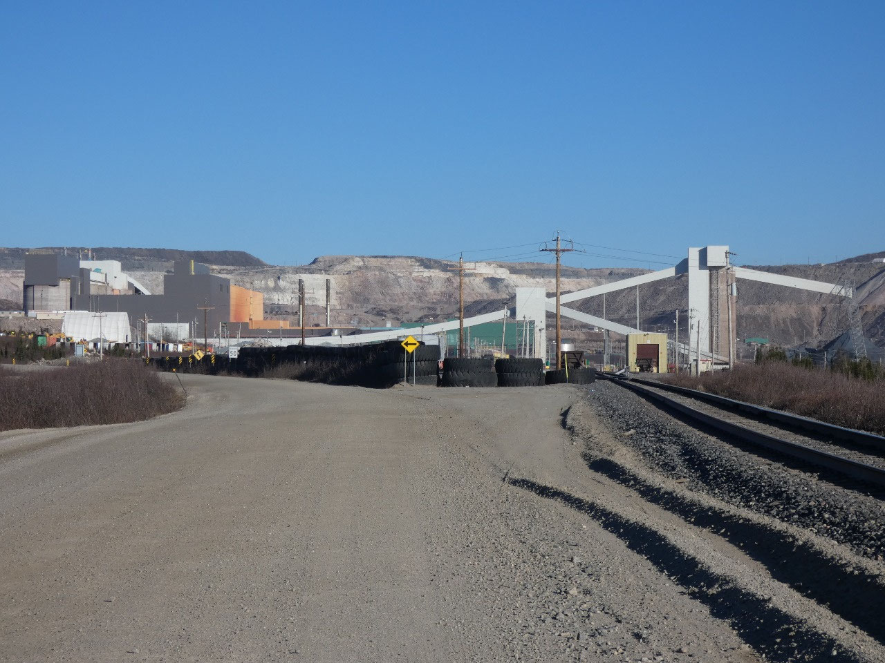
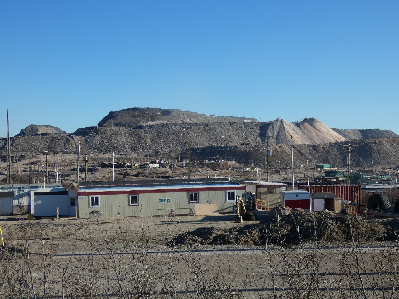
iron ore mine near a service town named Fermont. Reaching a polluted ugly industrial
place after so long through the wilderness seemed completely incongruous. From
there it was just a few miles farther to the Labrador border and a few more
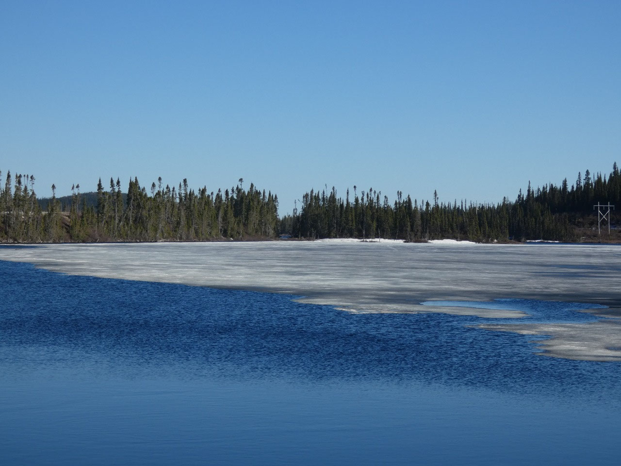
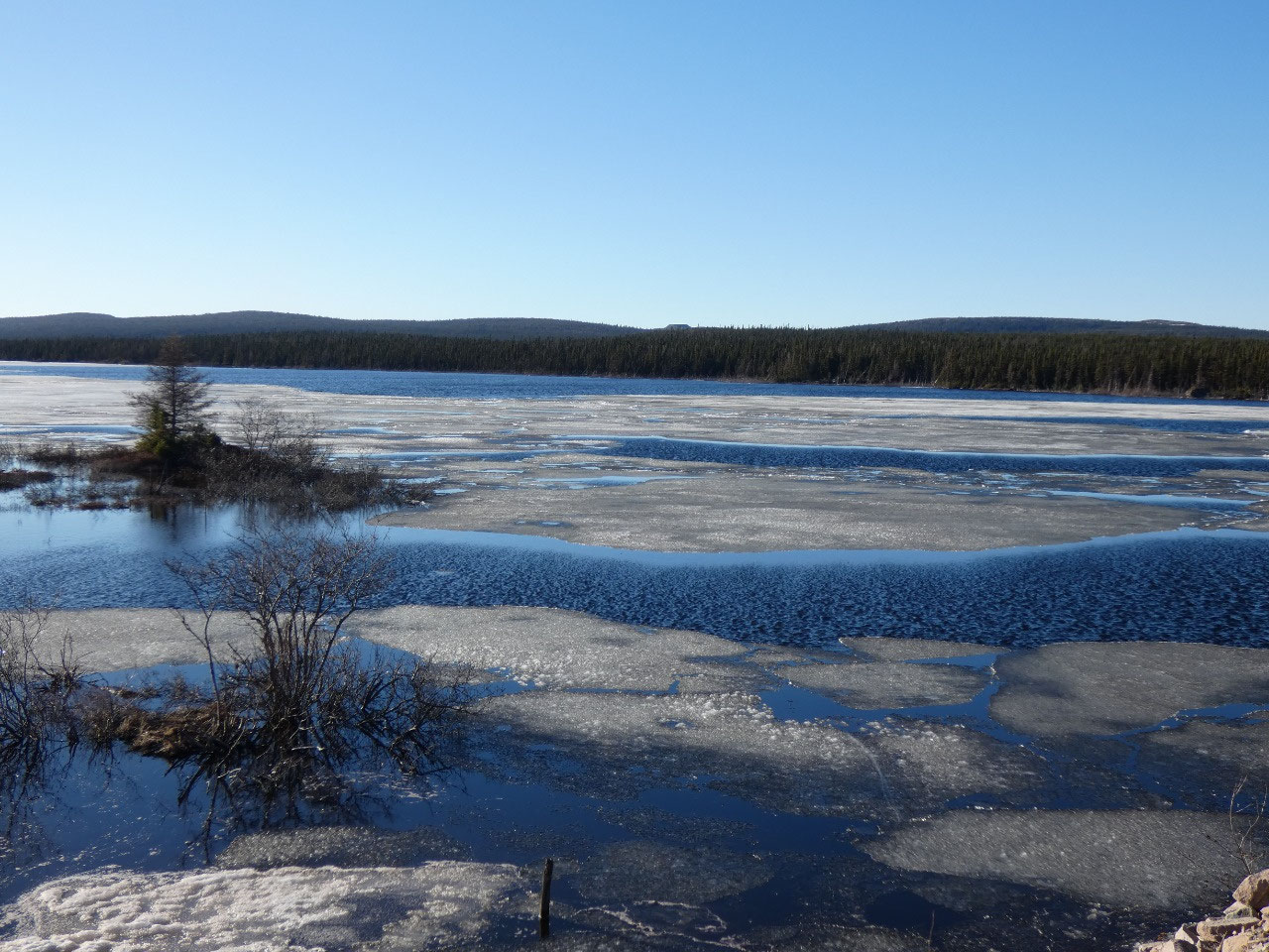
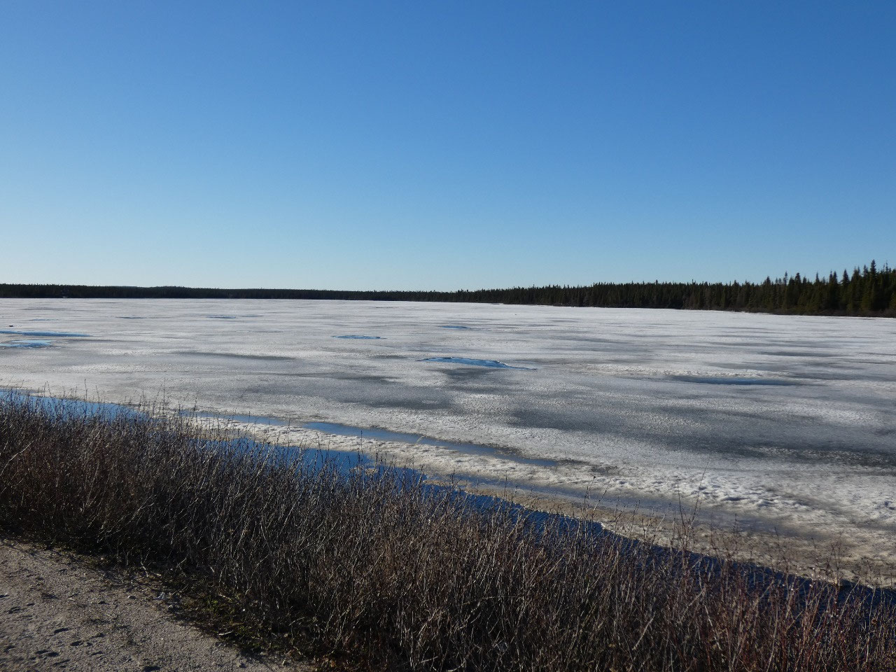
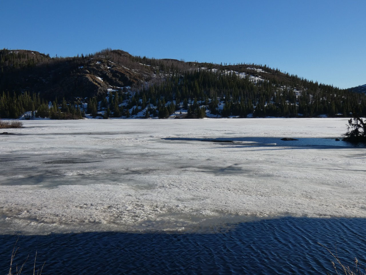
into Labrador City. It amazed me that there was still so much snow on the
ground and the lakes in the region were still largely frozen on June 5th,
but this is technically considered the subarctic.


2025-05-23