 Ekalaka, Montana, United States
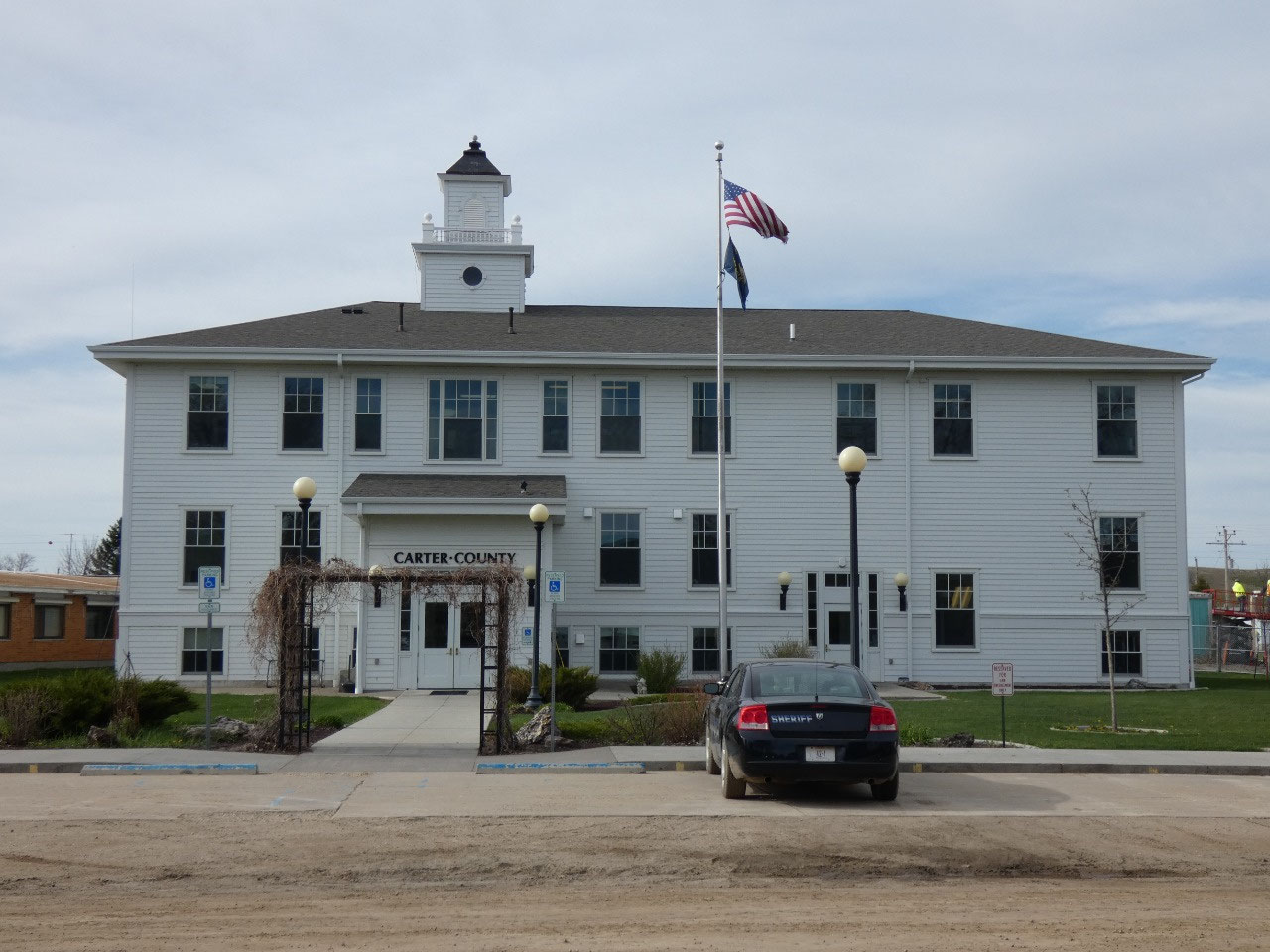
Carter County is the southeasternmost in the state and in
many respects one of the most remote. Although situated on the high plains
without any significant geographical barriers, there are no major roads through
it, making Ekalaka, the main town, one of the hardest to get to towns from
elsewhere. With a population around 1,100 spread over 3,000 square miles of
land, Carter County is also one of the most sparsely populated in the state and
the nation. Social distancing!
To me that makes it absolutely enchanting. I passed through
the county south to north once before, Memorial Day weekend in 1998 on a long
weekend road trip as far north from Cheyenne as Regina, Saskatchewan. There’s
something about the plains and buttes and pine-covered hills of the area that
seems quintessentially wild west, even for someone like myself who had been around
the West quite extensively by then. But
I just drove through without stopping. Since then I learned there are some
specific beauty spots in the county well worth returning for.
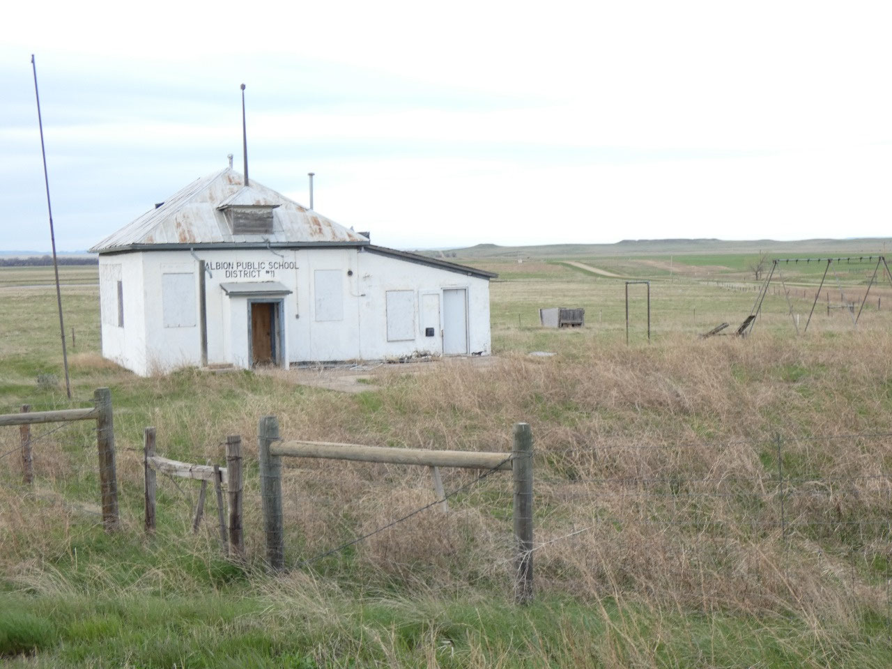
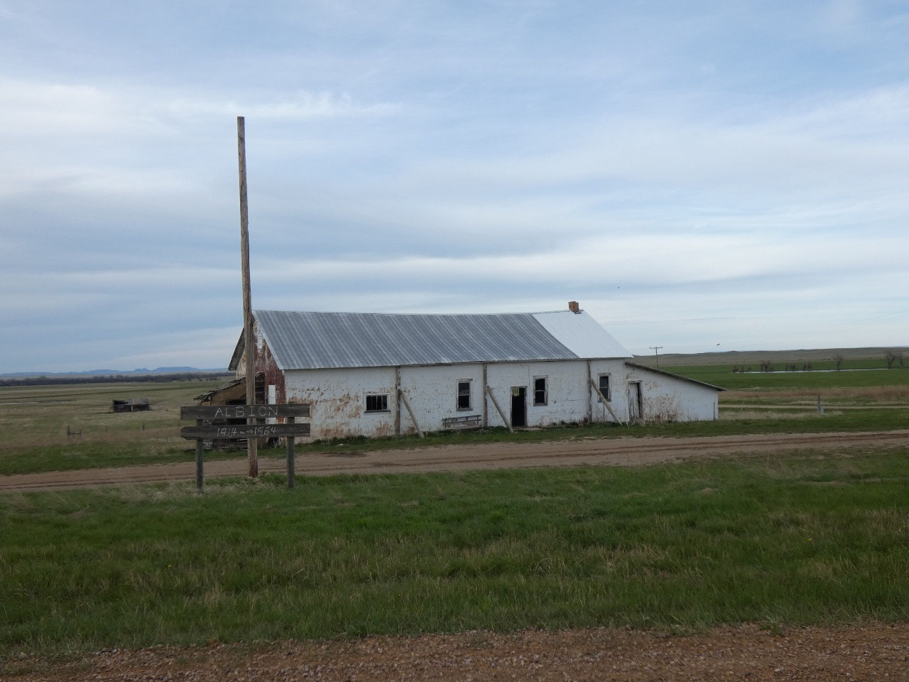
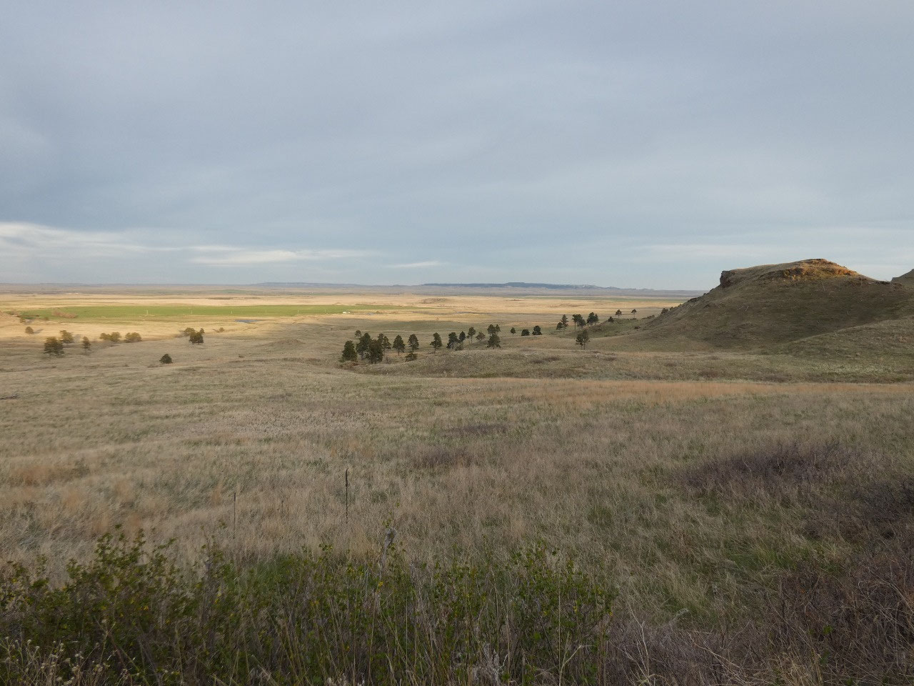
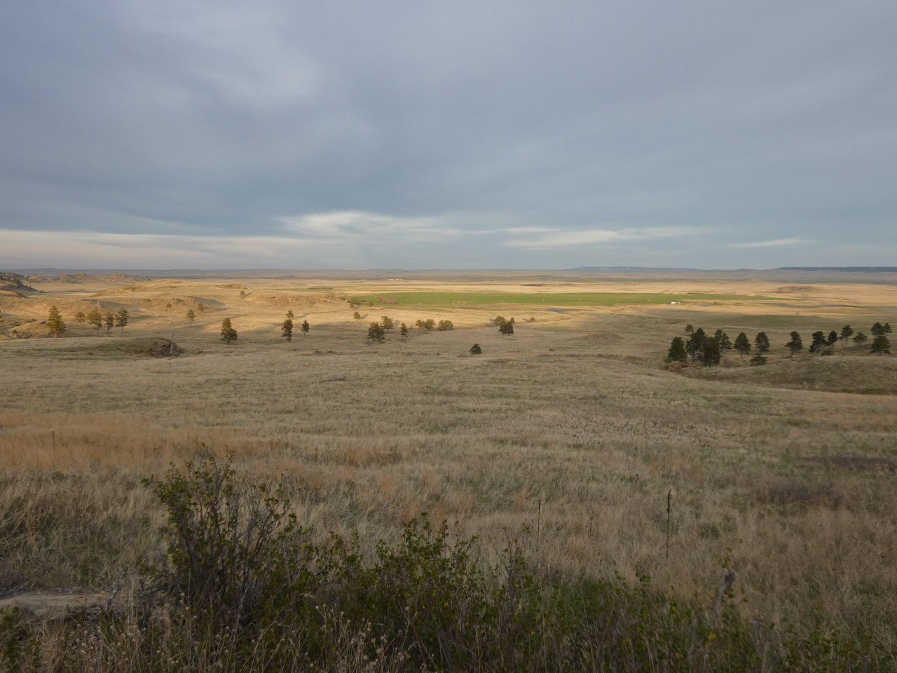
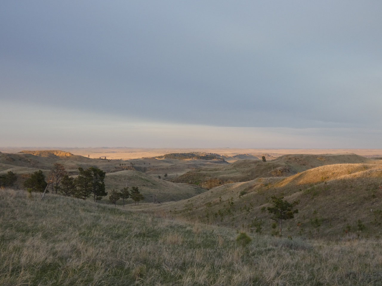
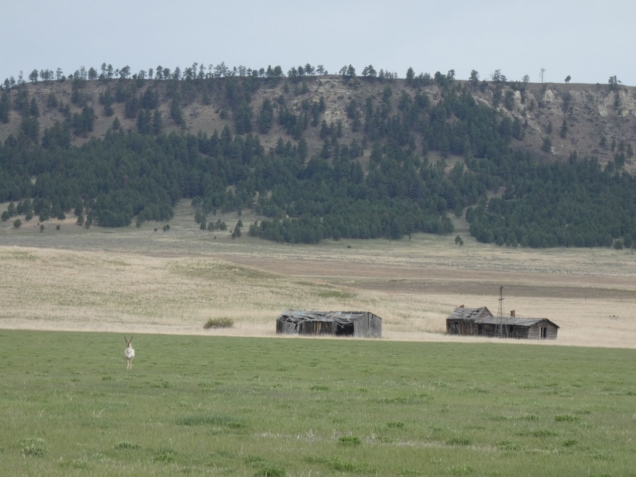
I again crossed Carter County from south to north but this
time took some even more backroads, leaving paved route 323 at an abandoned
village named Albion and taking a dirt road through the Little Missouri Valley
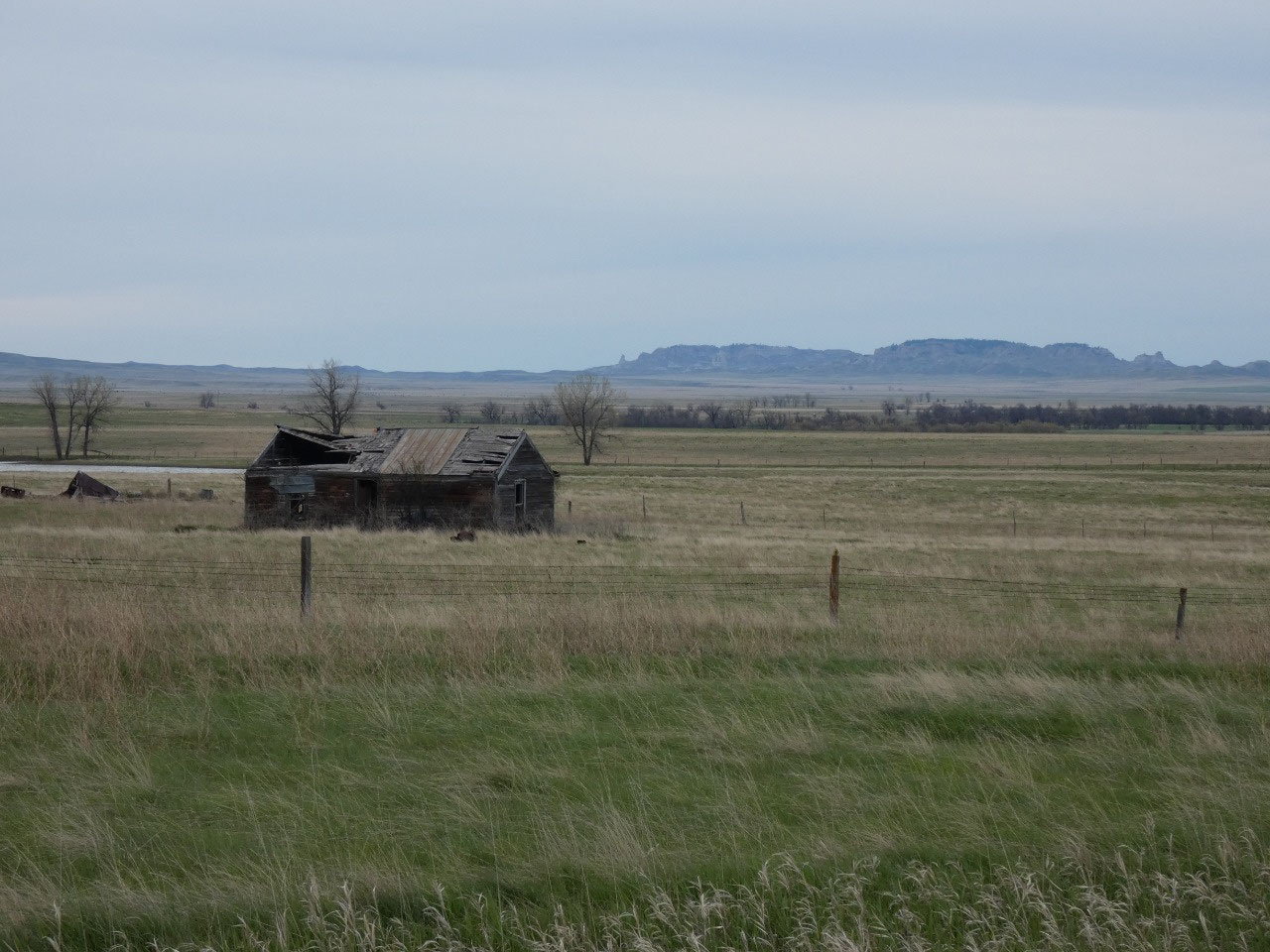
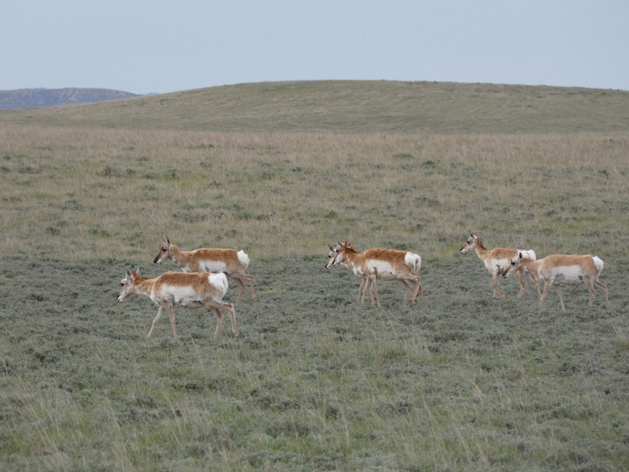
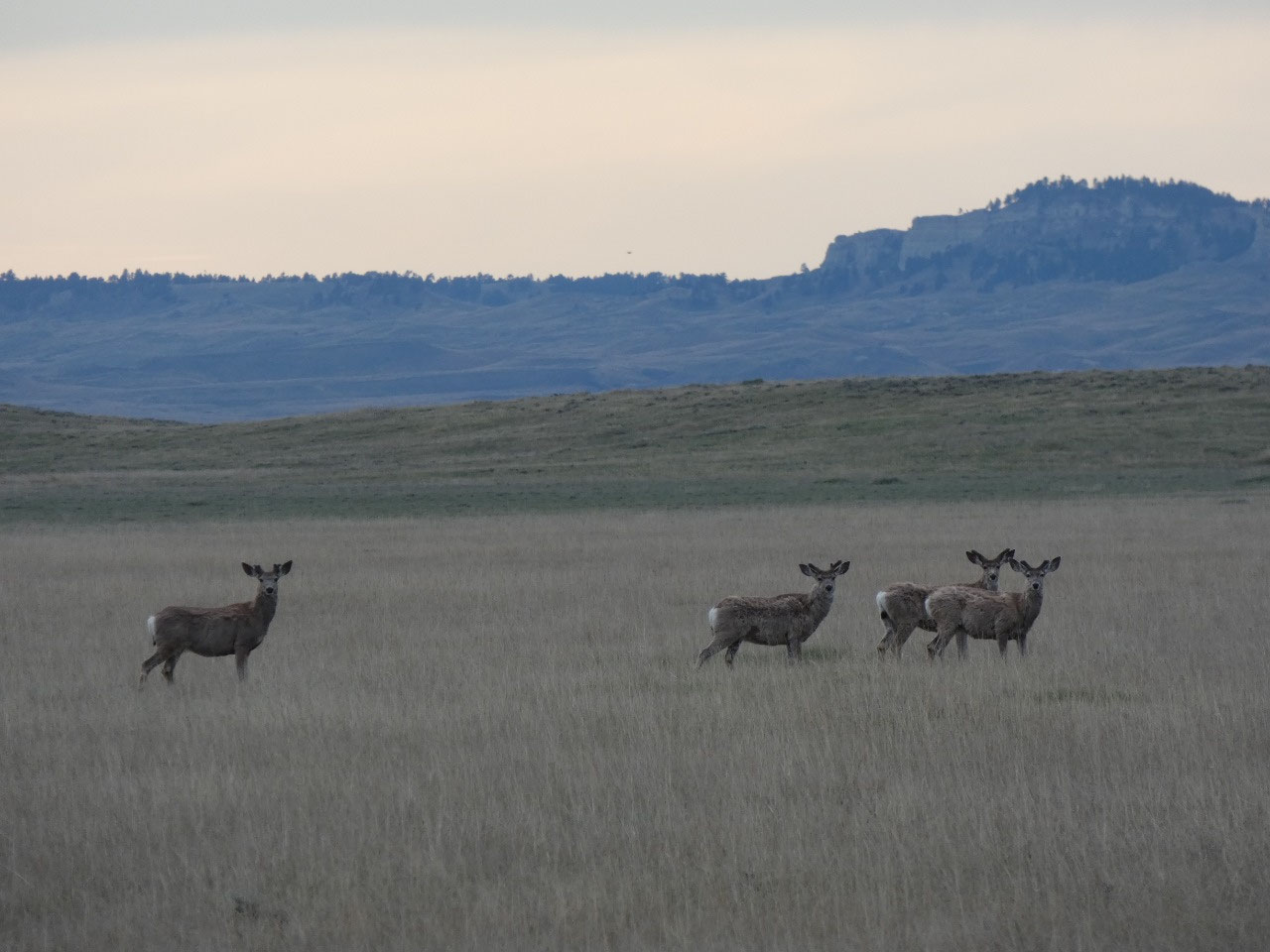
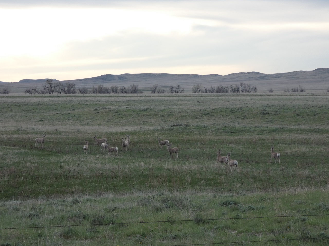
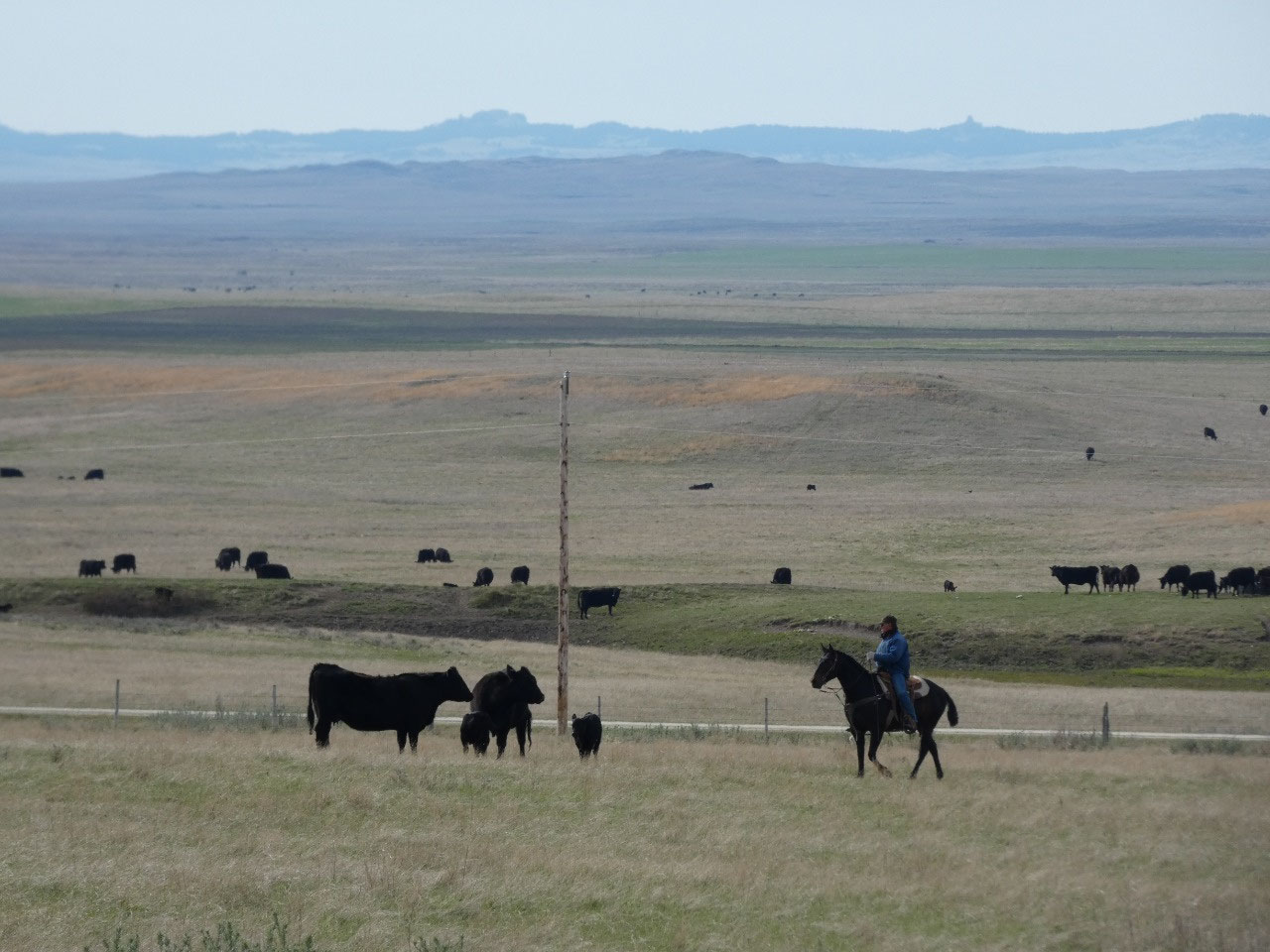
near the South Dakota border toward Capitol Rock. It was getting toward dusk on
a somewhat overcast evening and felt like I was traveling through an American
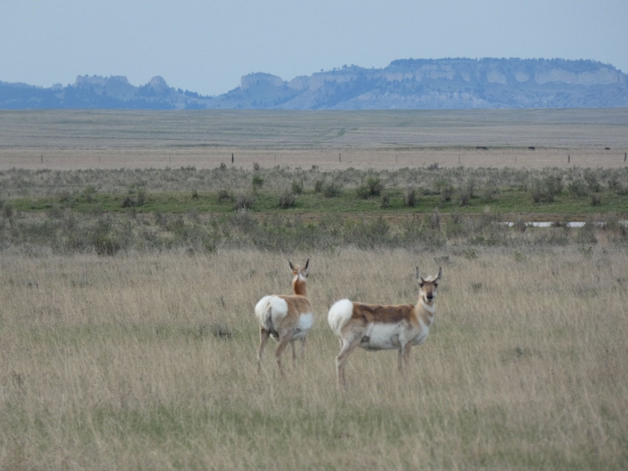
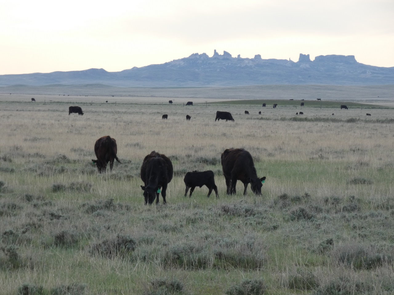
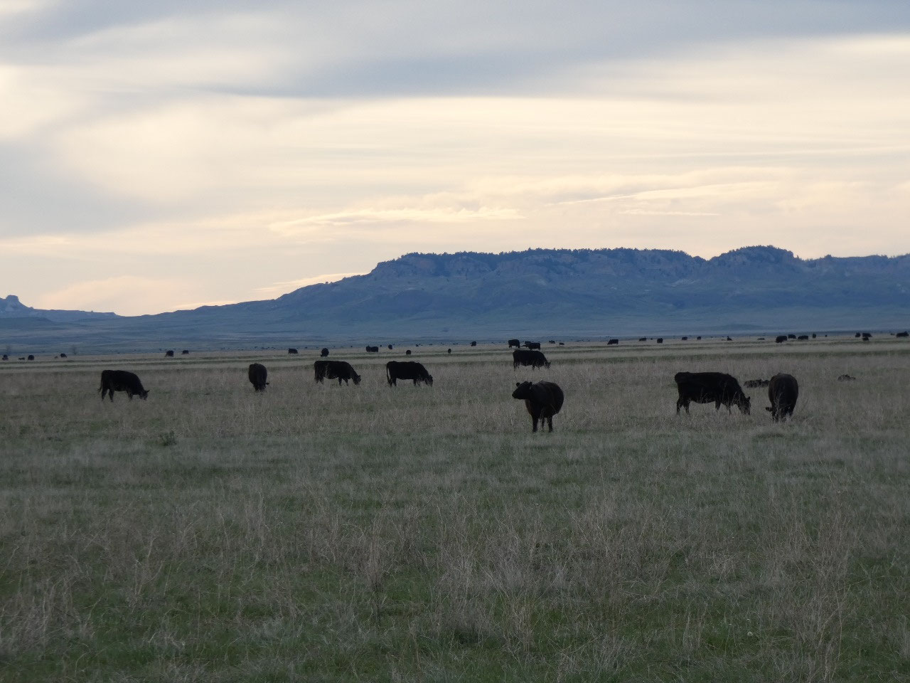
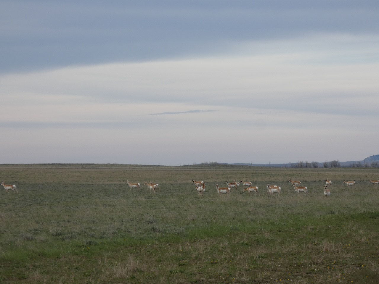
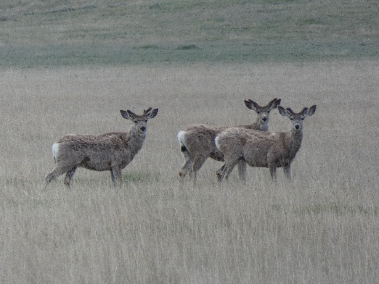
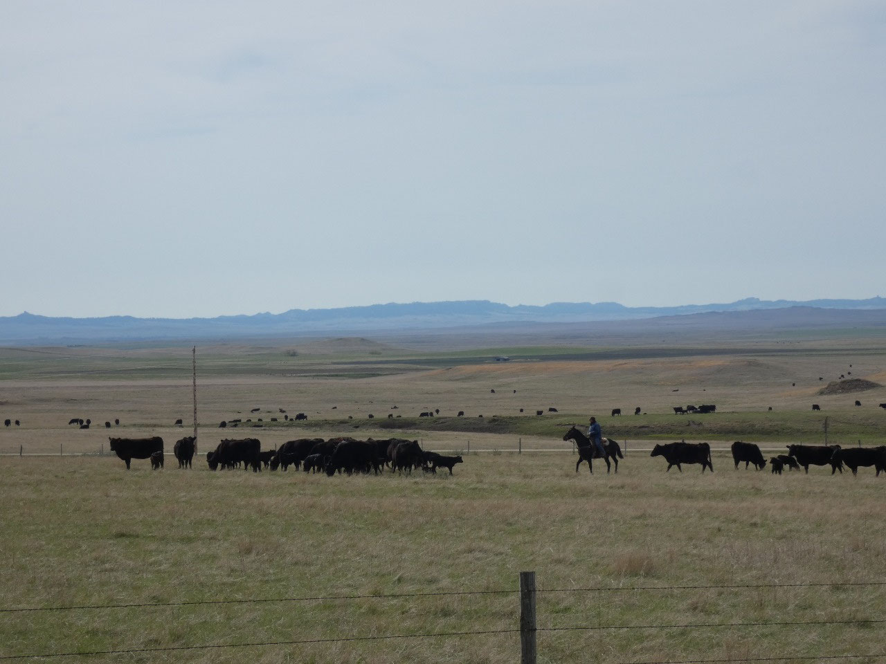
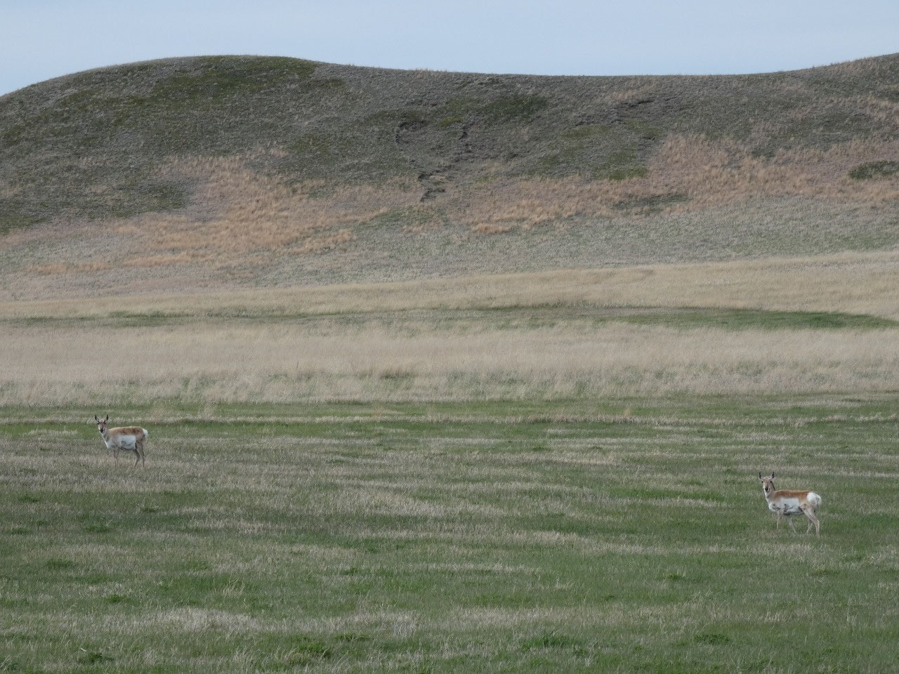
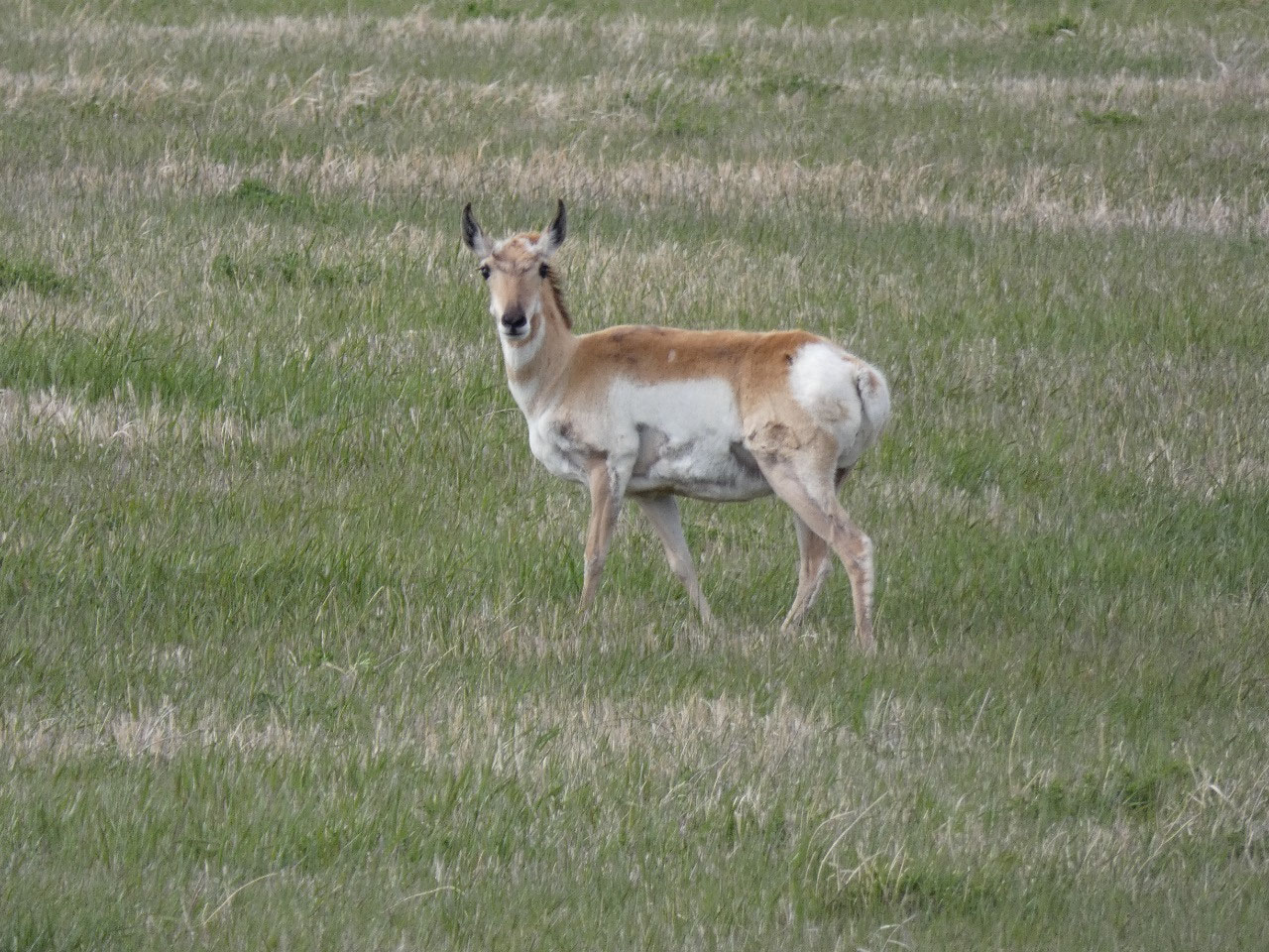
Serengeti. Although mostly ranchland
with plenty of cows, I’ve never seen such a concentration of wild hoofed
animals – pronghorns, mule deer, and white-tailed deer, none particularly
exotic but all usually presenting themselves in small groups rather than quite
large herds. Wow!
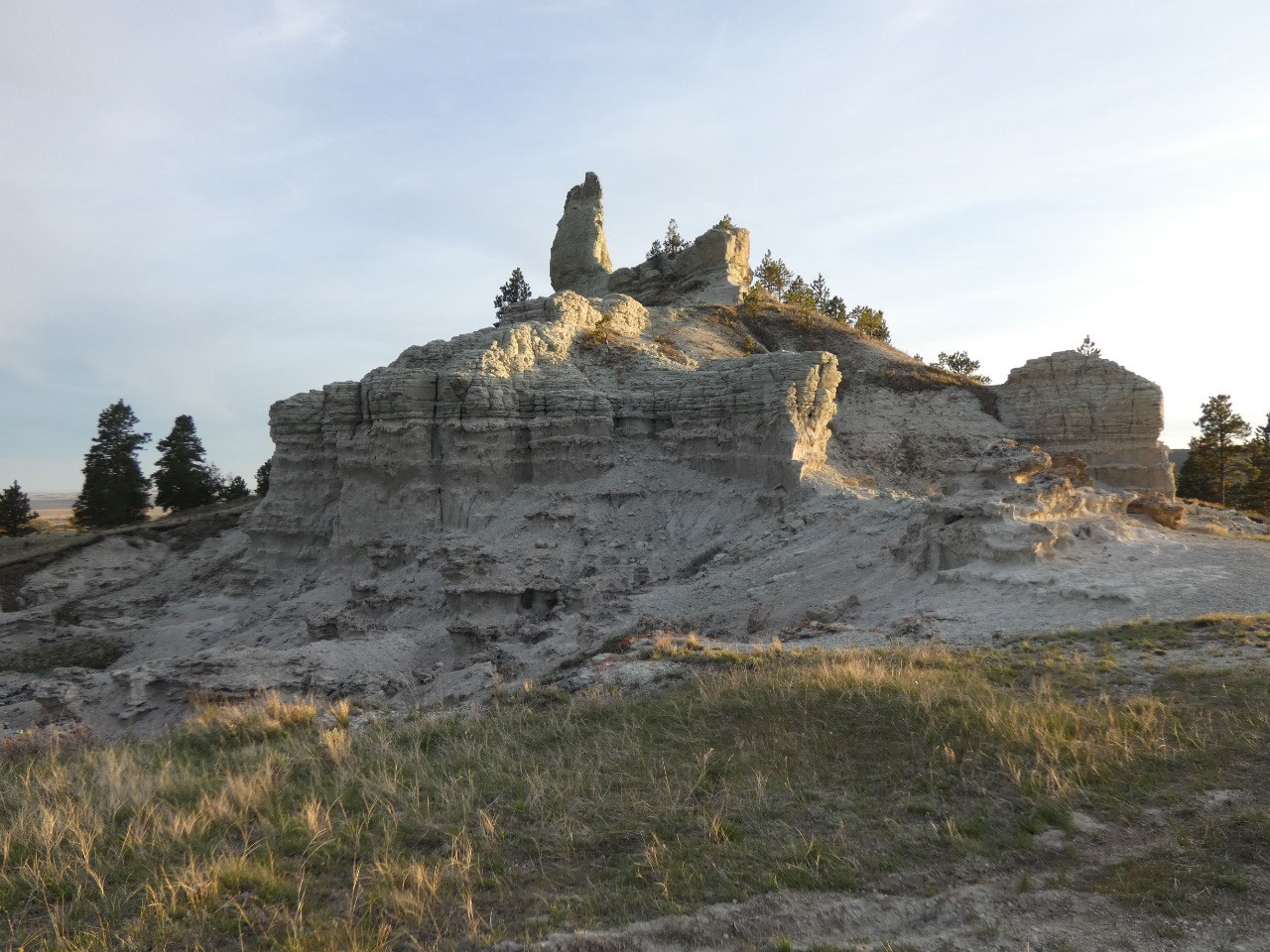
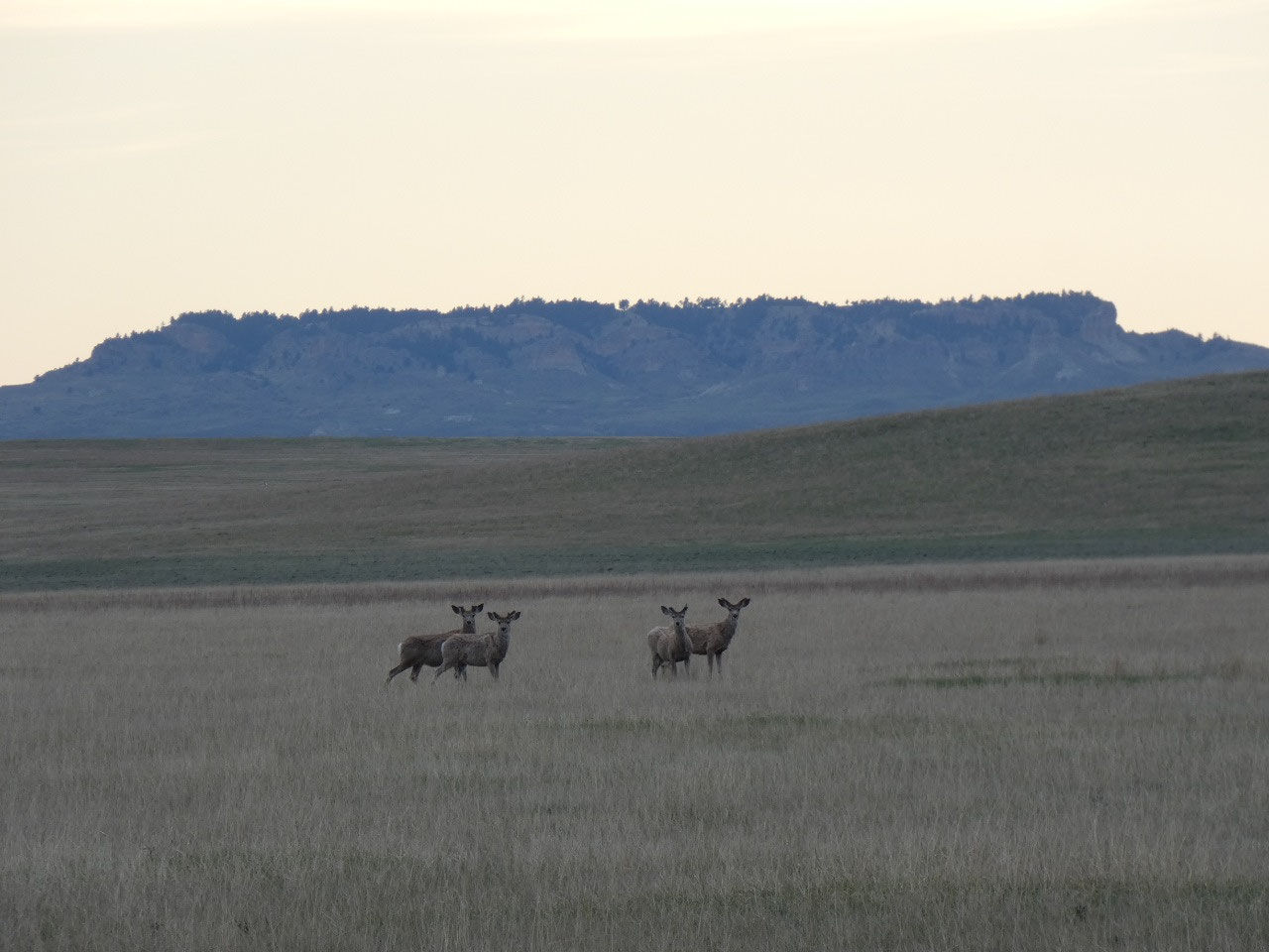
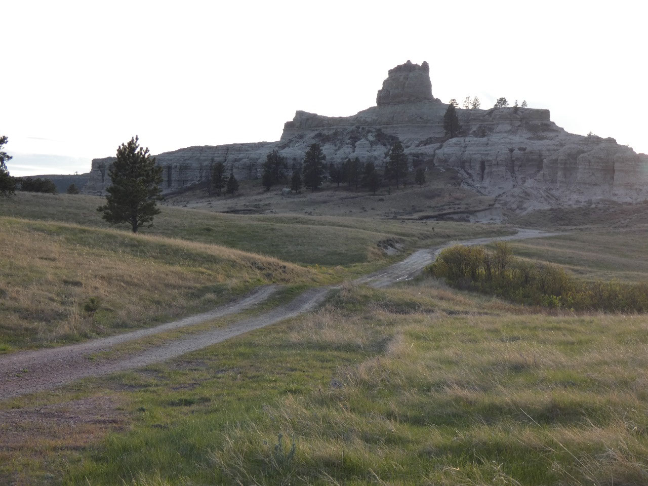
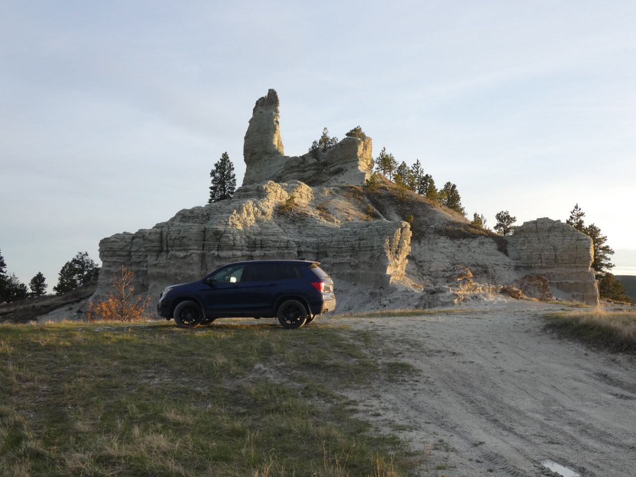
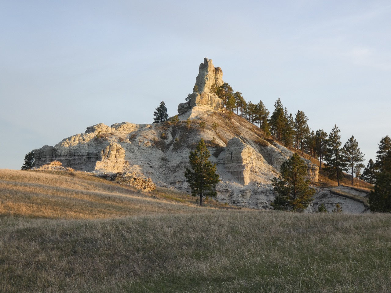
After crossing about 50 feet into South Dakota, my route doubled
back and I could see my destination. Capitol Rock stands on a hill in a remote
unit of Custer National Forest and can supposedly be seen from 50 miles to the
east on clear mornings. The road up is fairly rough, probably beyond the
capability of my old Buick, but well worth it. The light was beautiful at dusk,
and again I had the place to myself.
Social distancing! I contemplated spending the evening at the
base of the rock but decided to get down lower just in case it were to rain
during the night and make the road a muddy mess. I followed the signs to Wickham Gulch
campground, a remote spot in a forested gulch and fantastic place to spend the
night. I was the only one there, and
likely the only human within several miles.
The night sky and absolute serenity were amazing. Social distancing!
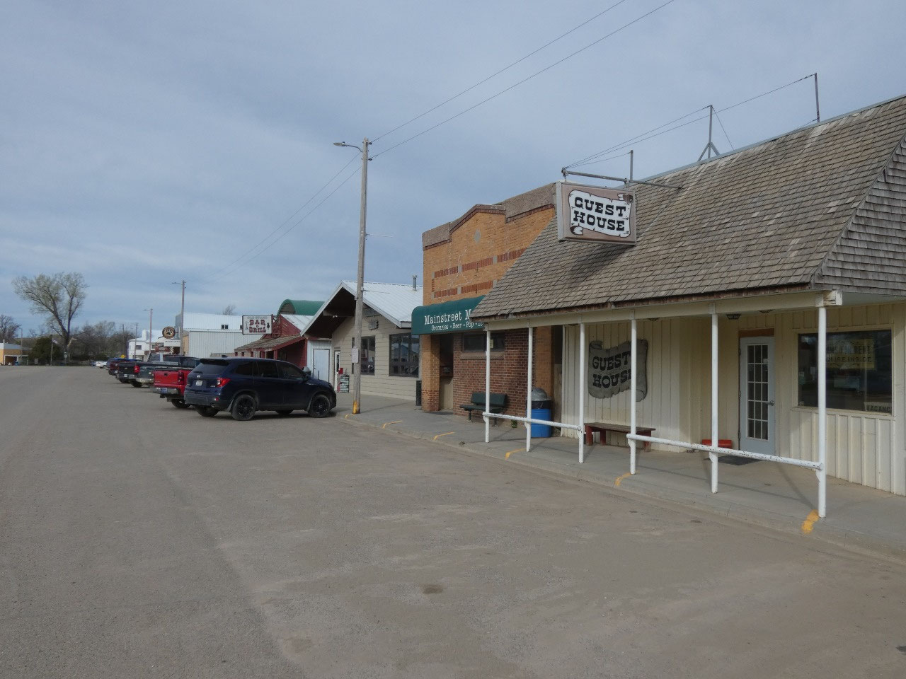
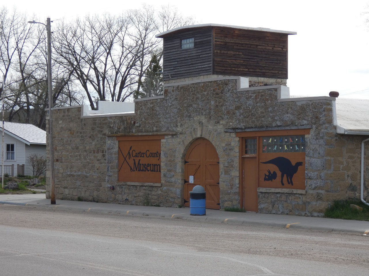
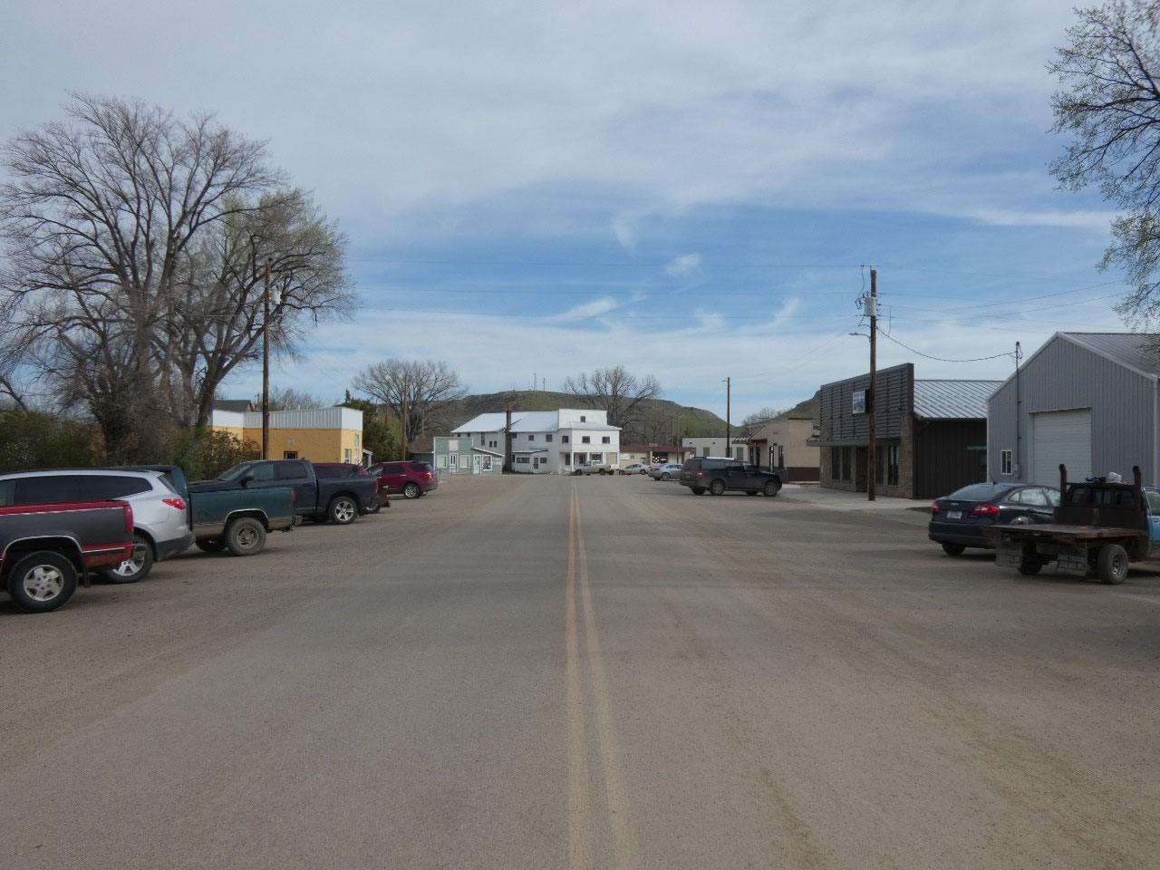
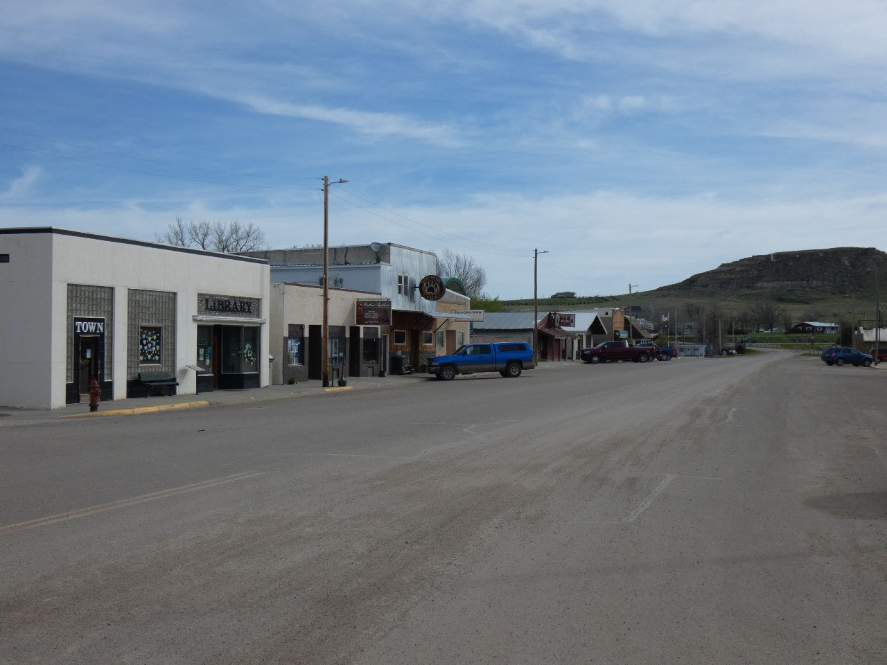
It was still quite a long way in the morning to Ekalaka, the
county seat and main town. The day started off (and continued to be) windy in a
typical High Plains kind of way. It wasn’t
even 7:00 A.M. yet, but the Wagon Wheel Café was open. They (the waitress/proprietor?) seemed
overjoyed to see me. Maybe just to have a customer she didn’t know from town! I was actually the only one there. Social
distancing! As well as having breakfast
(ham and cheese omelette, pancake), I was able to sit near an electrical socket
and recharge some of my gadgetry. When I
paid I learned the coffee was only 50 cents.
I had three refills. I tipped
very well.
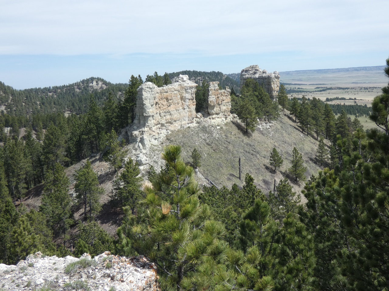
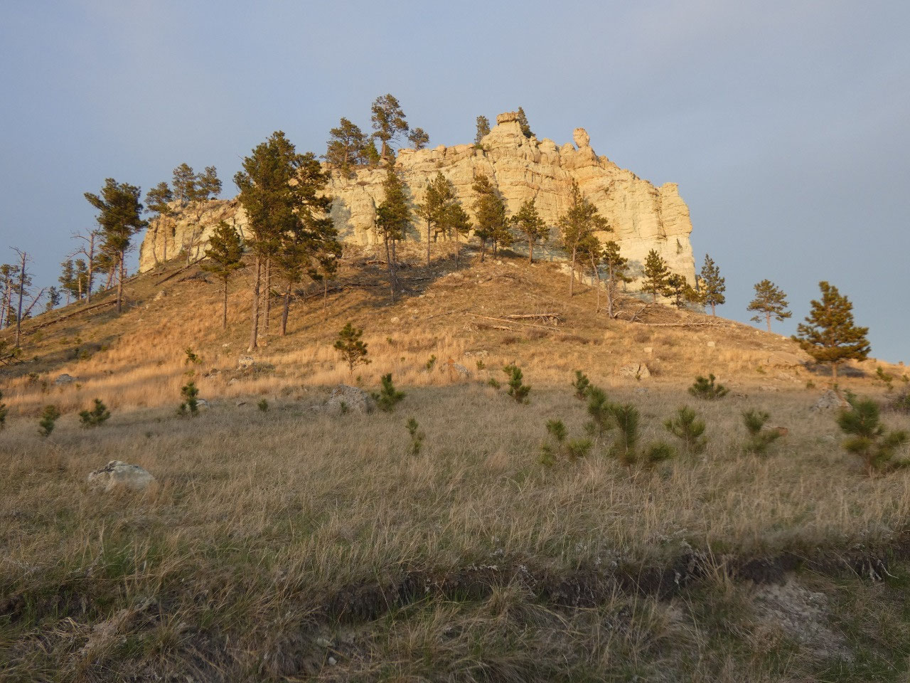
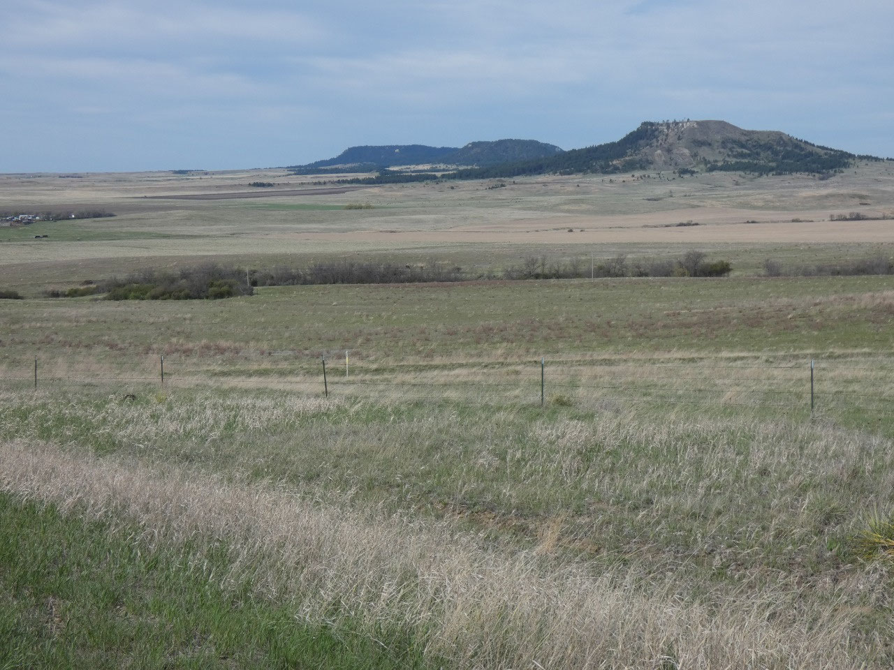
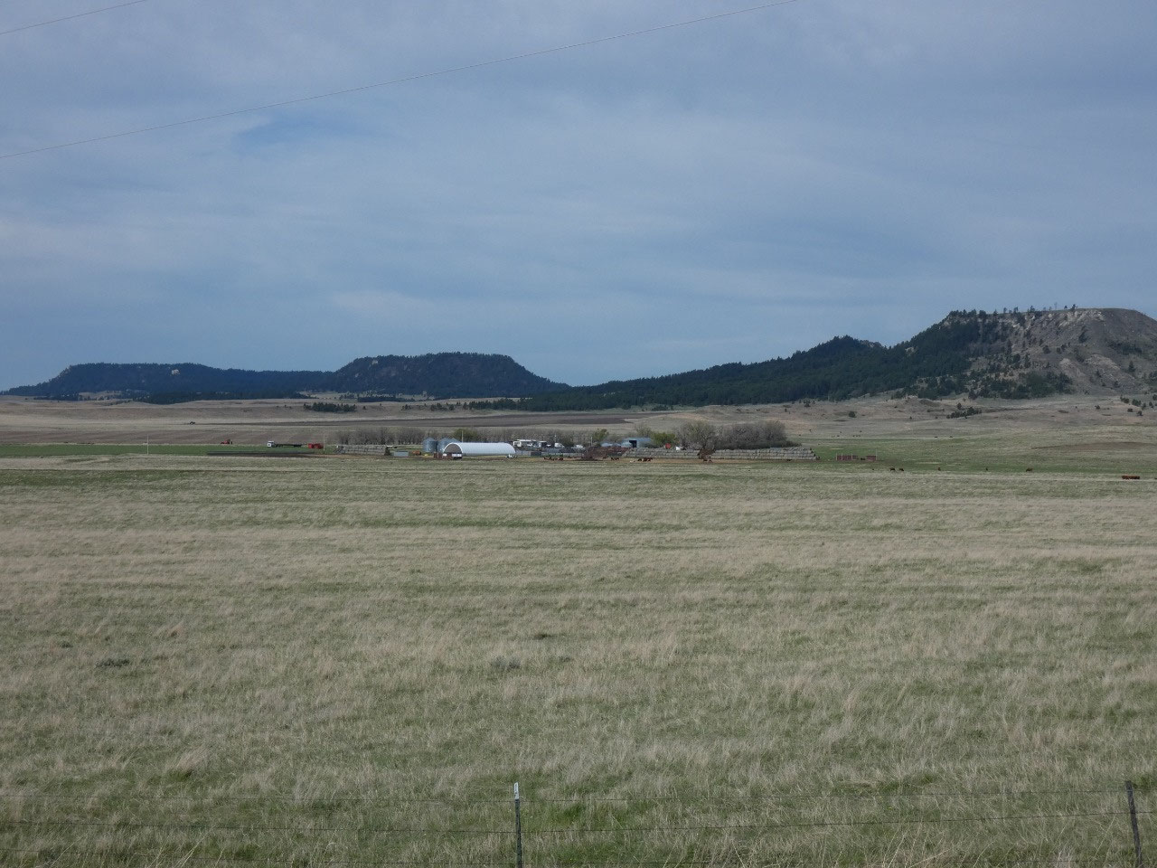
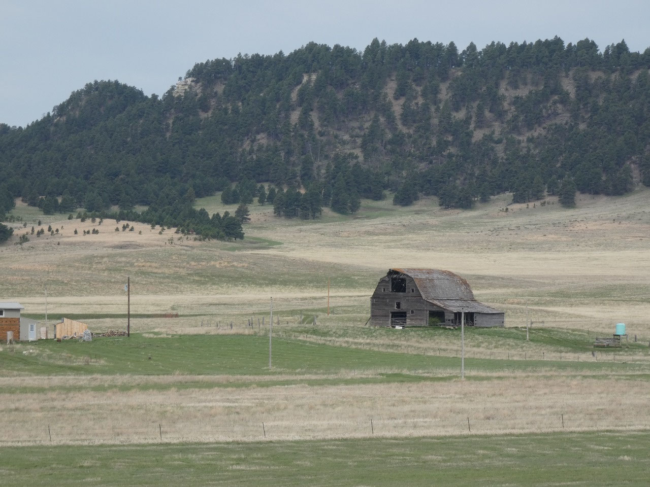
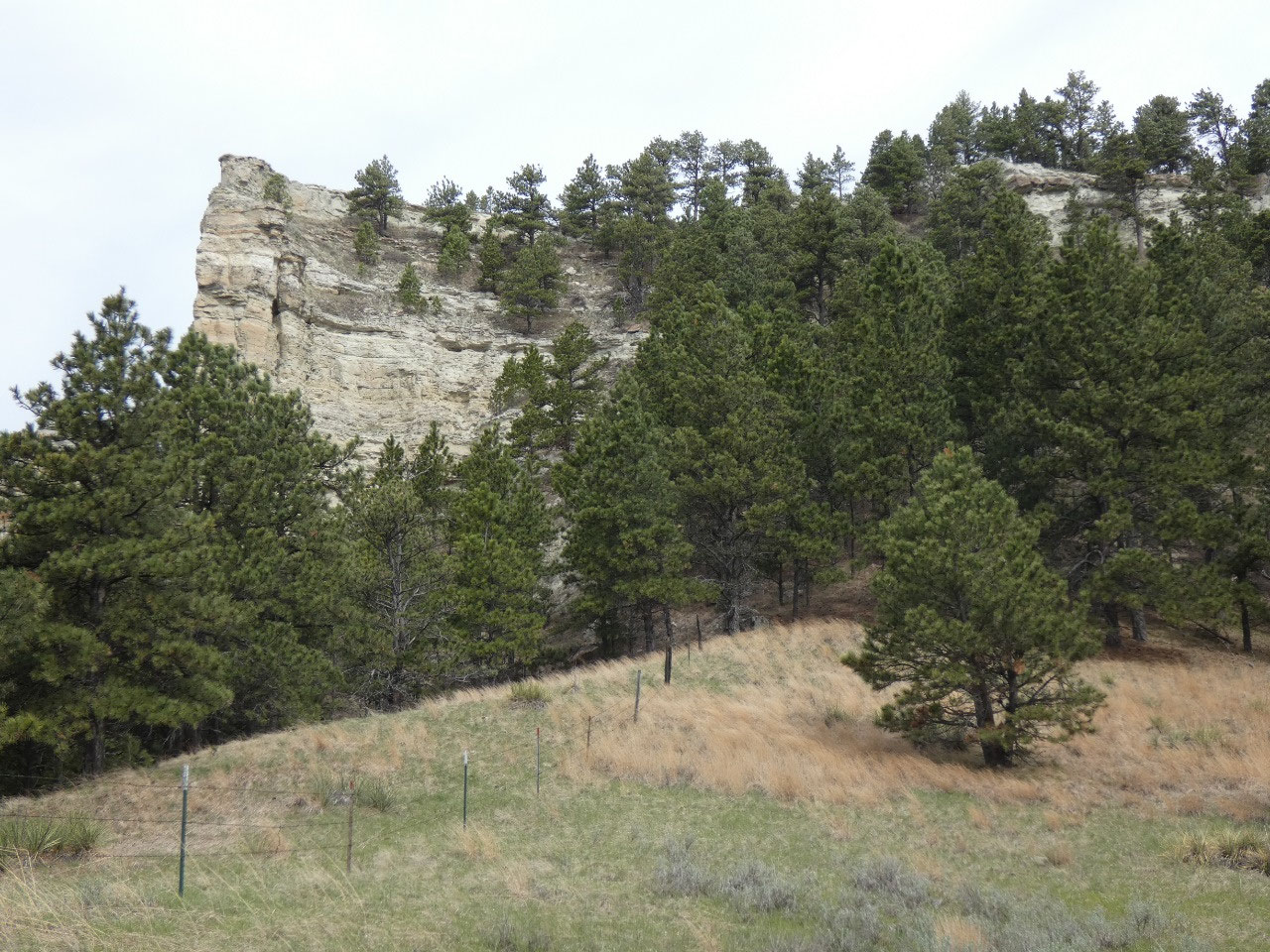
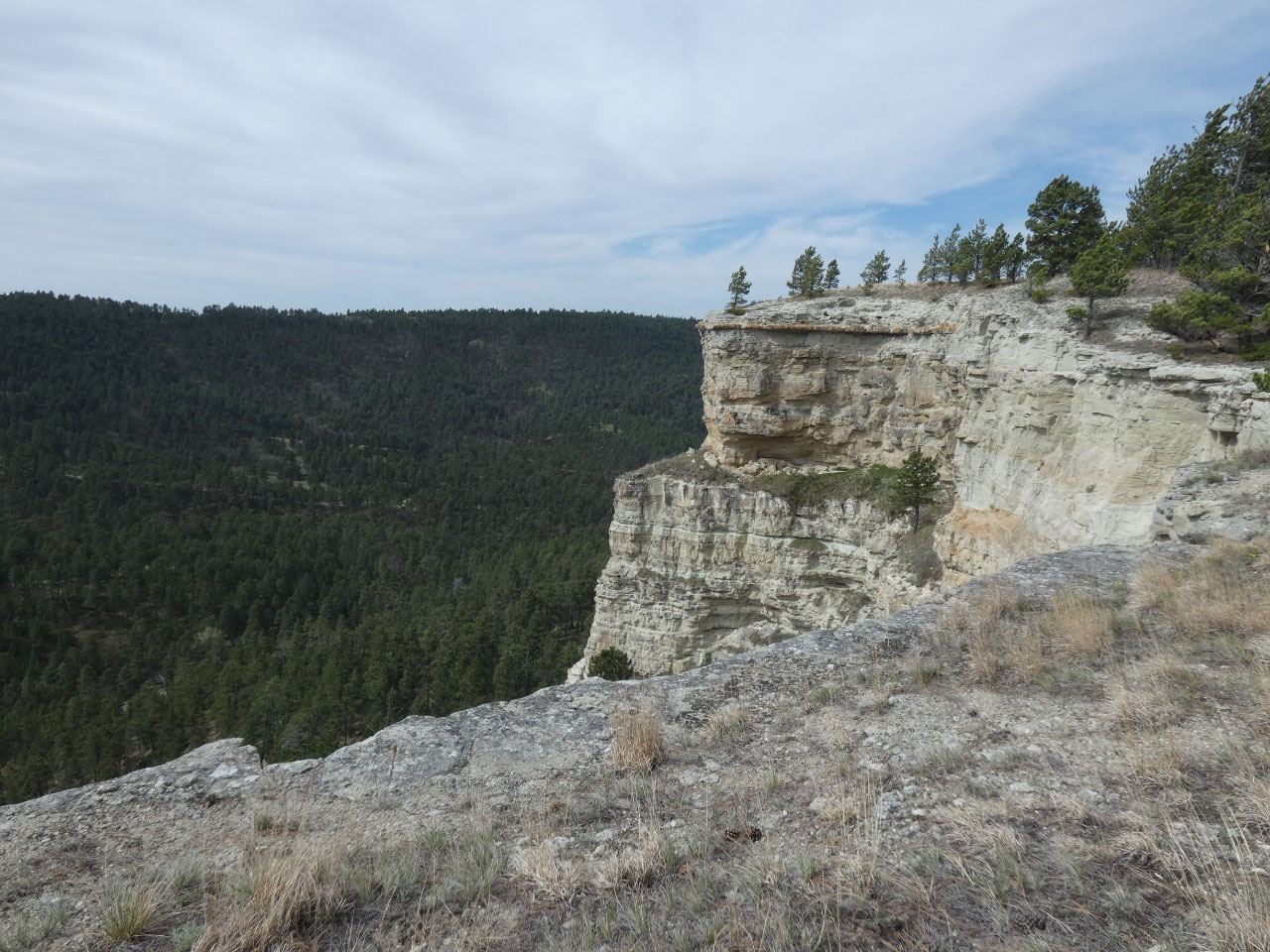
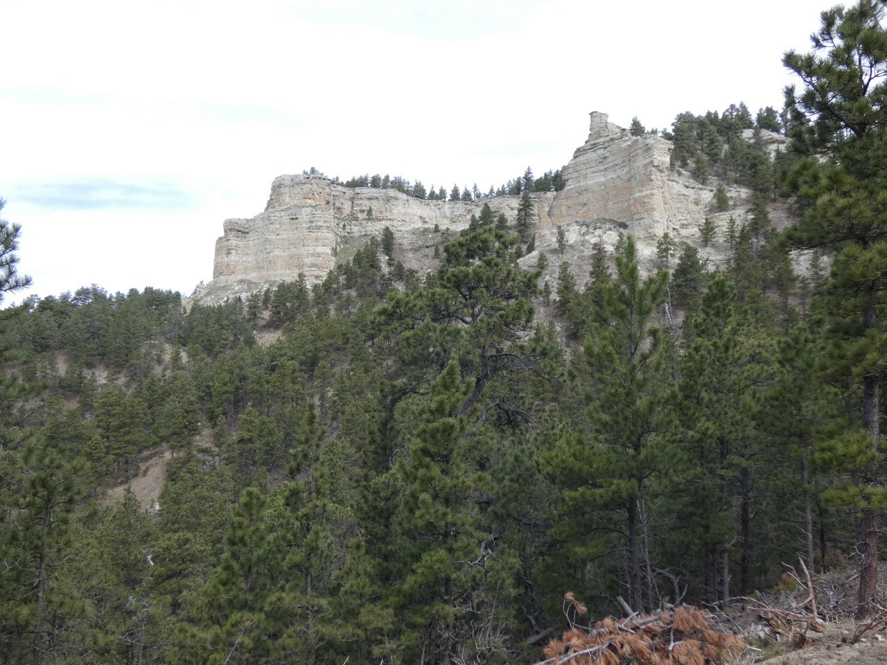
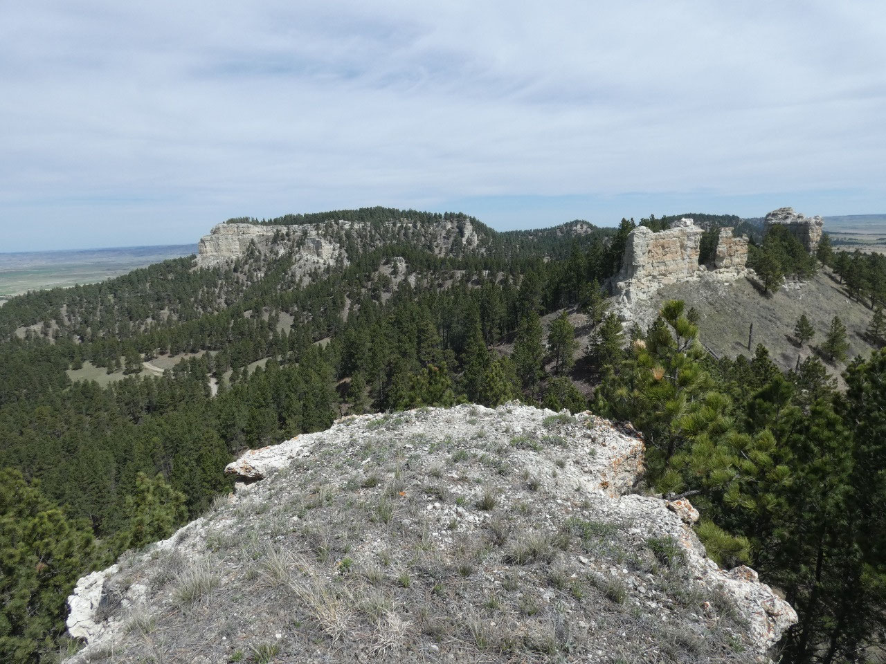
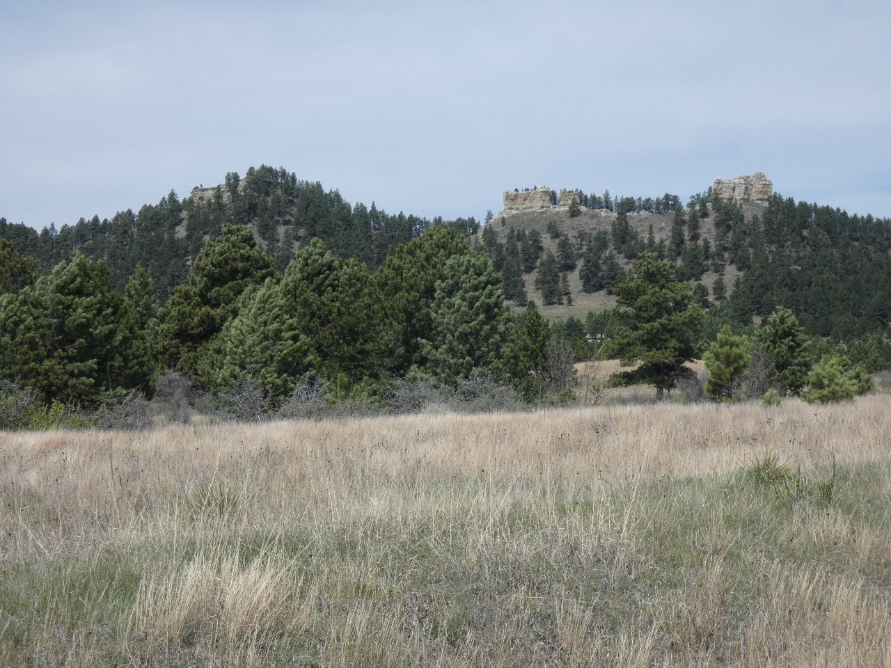
My hiking guidebook includes one for the Chalk Buttes, about
15 miles southwest of Ekalaka. Buttes are steep-sided mountainous islands scattered
through the West, high remains of what has been eroded away. These are covered with pine forest and
surrounded by a sea of grassland, and like their name indicates, made of a
chalky substance. I don’t pretend to know much about geology, so I’m not going
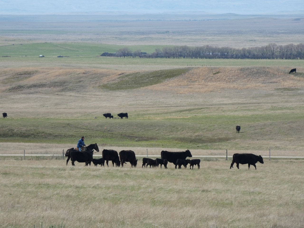
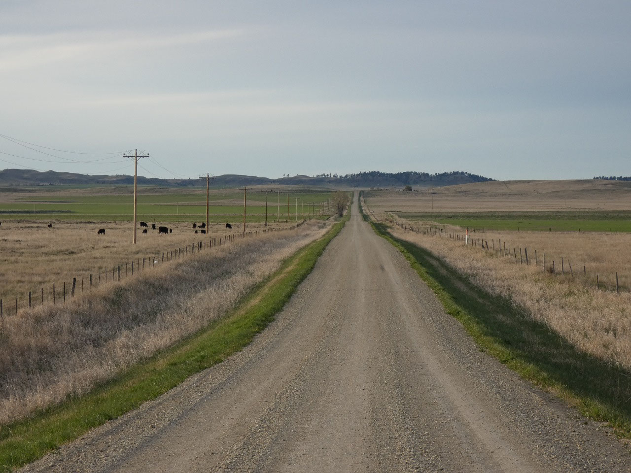
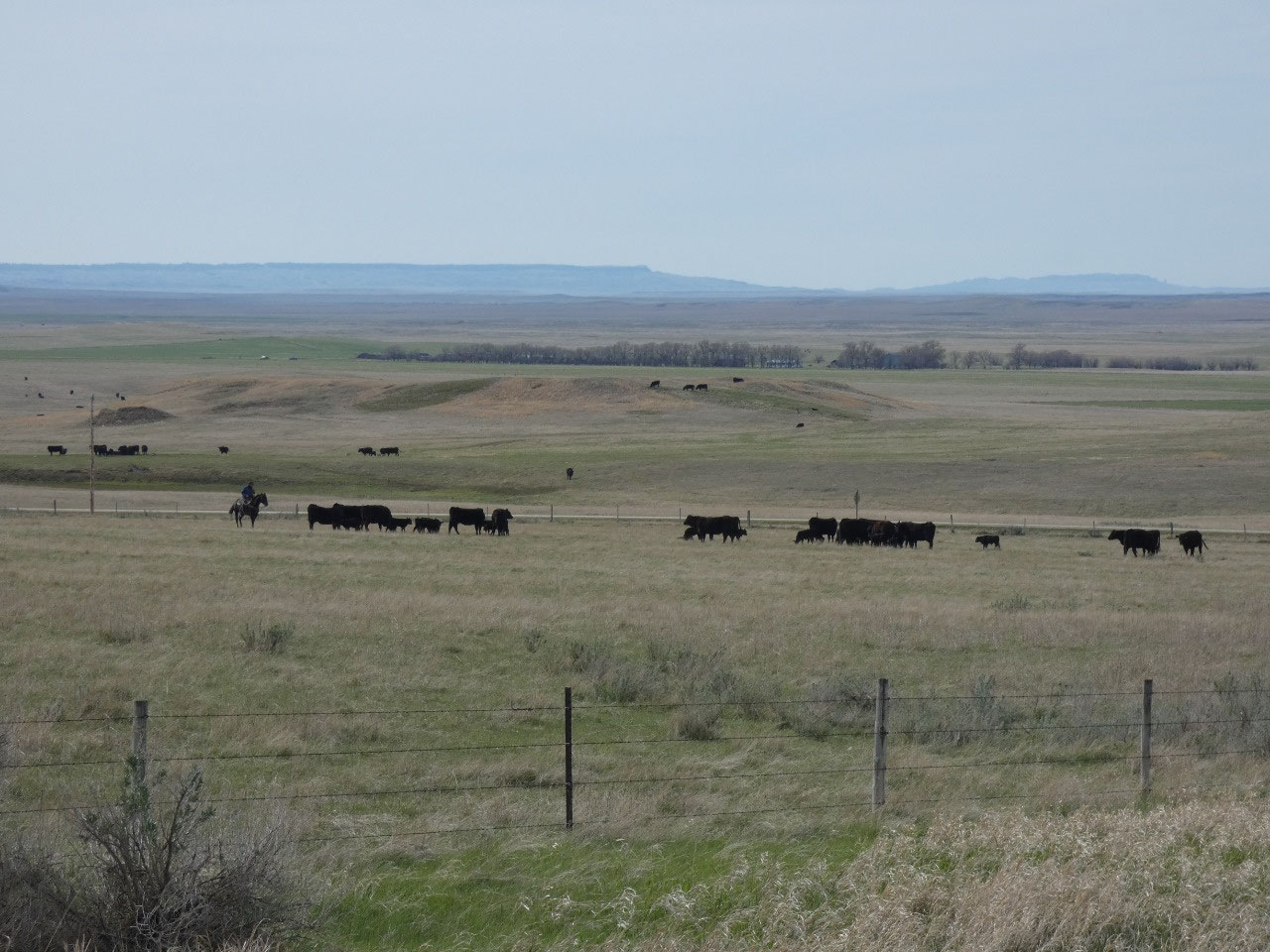
to try to explain further. The road to
the buttes is through more perfect western scenery with actual working
cowboys. I found the turnoff road to the
buttes, turned off on it, and a mile later came to the gate. “Now what am I supposed to do?” I consulted my hiking guidebook. It said to open the gate, go through, and
close it behind you. So that’s what I
did, and then continued about a mile to the spot where the road started getting
steep and rough that is recommended as the place to stop and start walking.
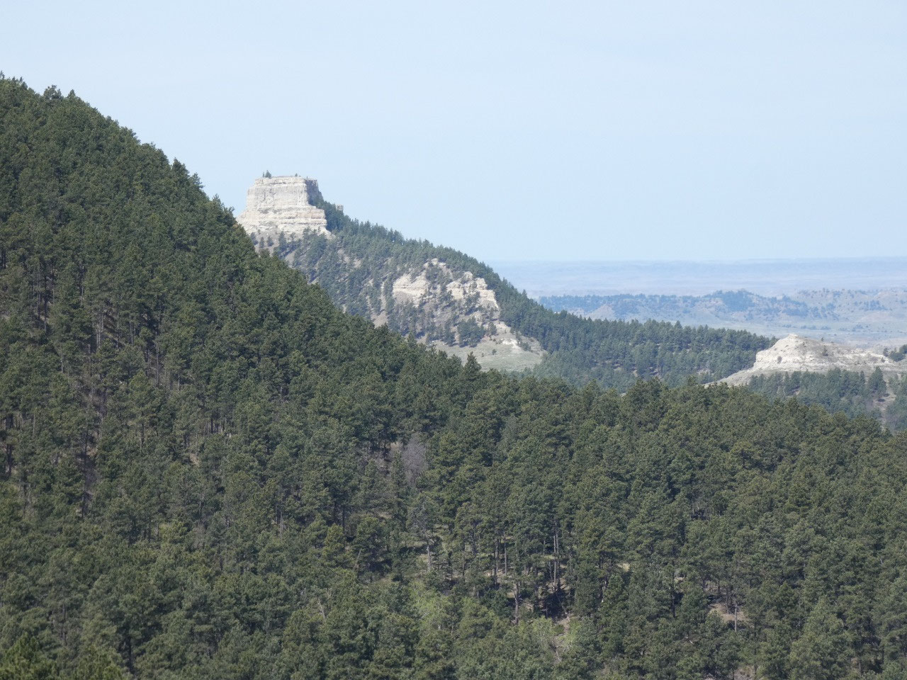
The uphill walk along the road isn’t far to the smaller northern
butte.
The directions go somewhat like, “Go uphill staying to the right of the
fence. The route becomes steeper. Follow game trails that might be easier
routes up. Find the notch in the cliff face where you can climb up to the flat
top……” I did that, and it was steep, difficult, and just a little scary. What
is I hurt myself? Will anyone ever find me?
How long will it be until anyone even finds my car?
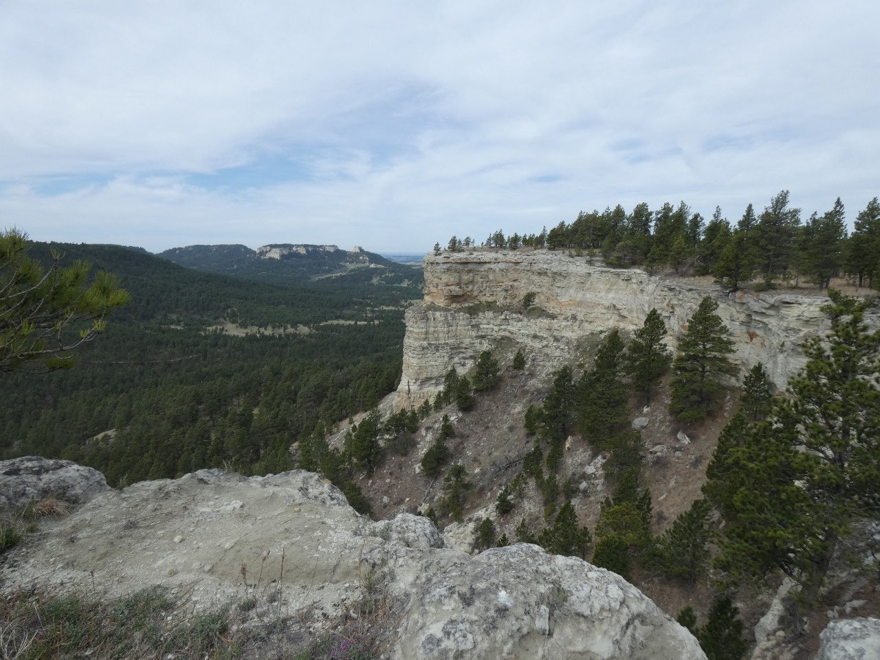
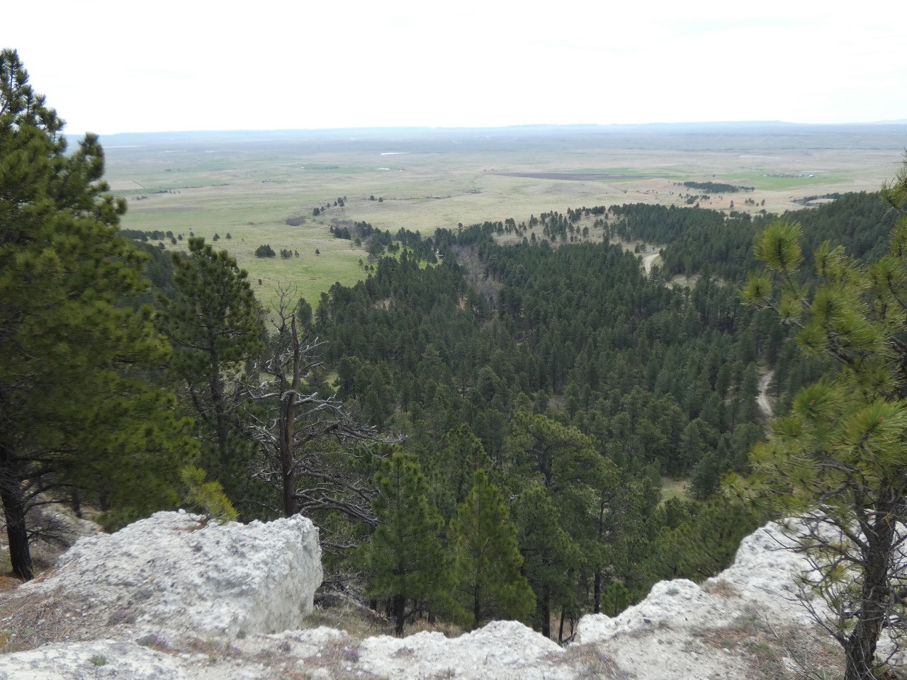
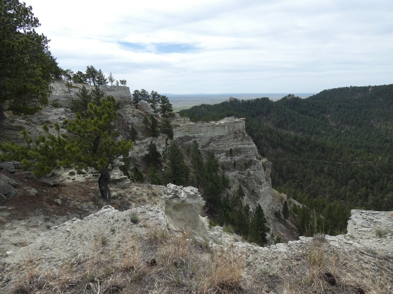
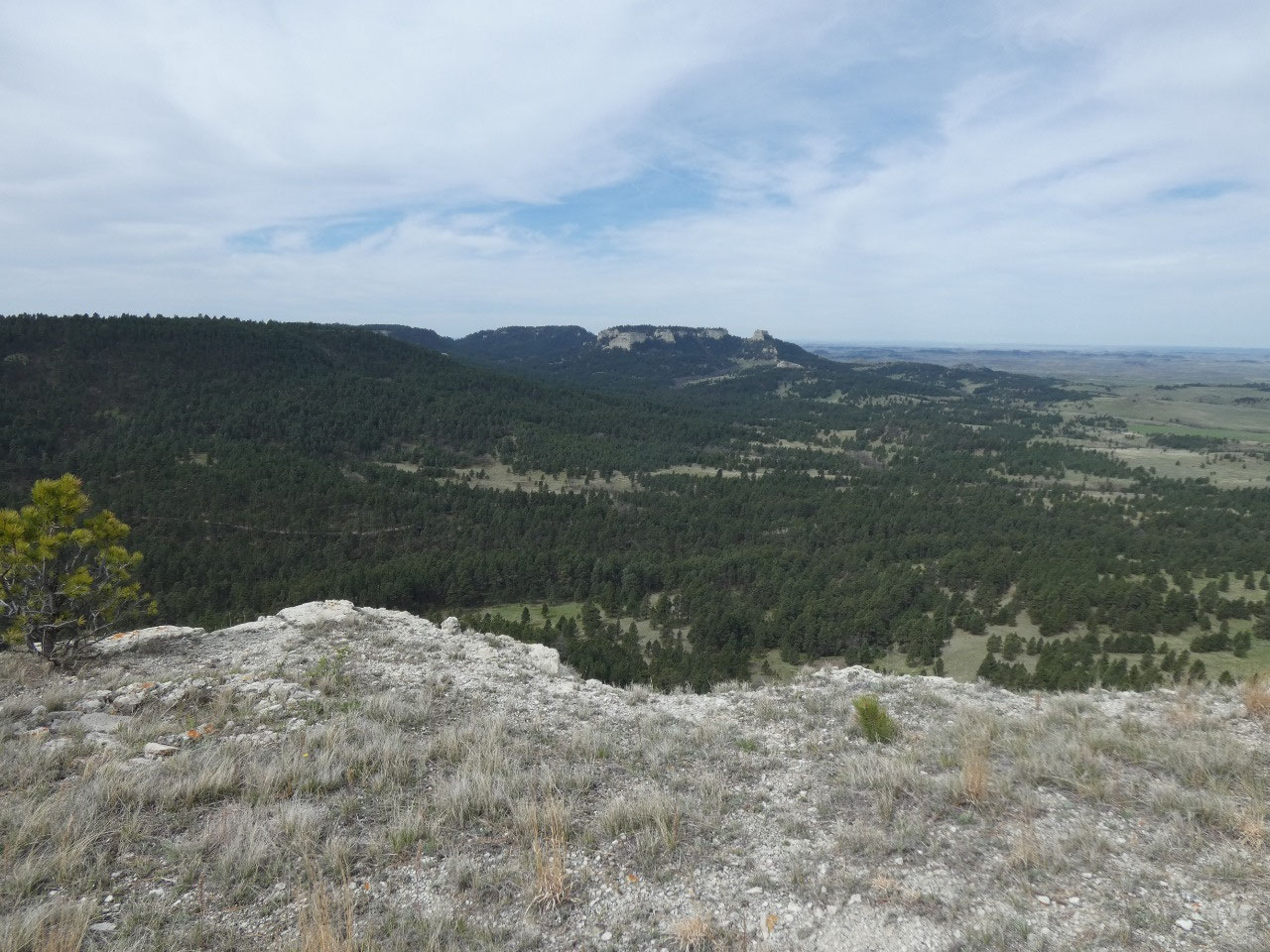
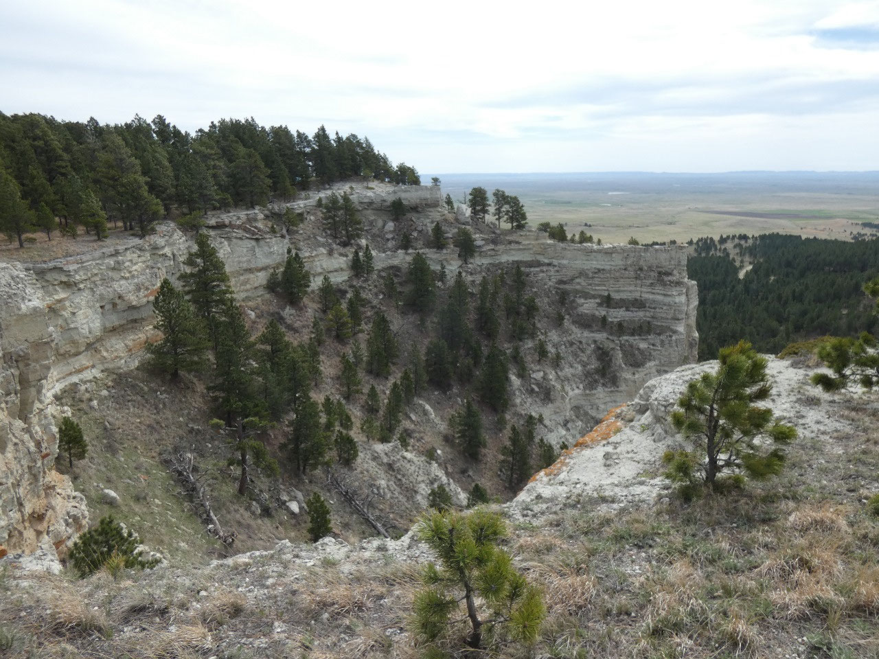
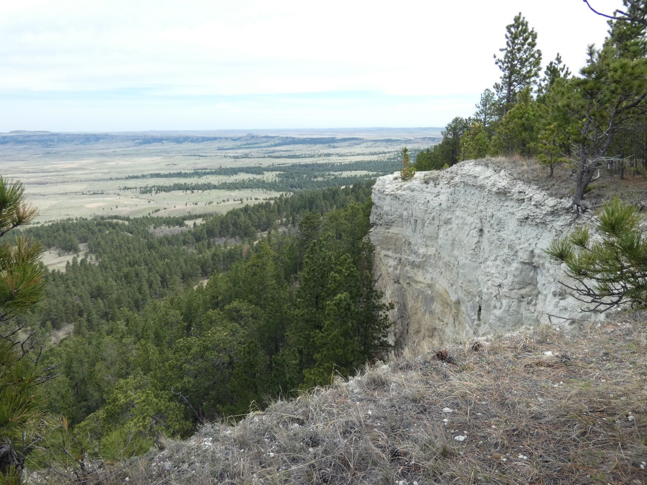
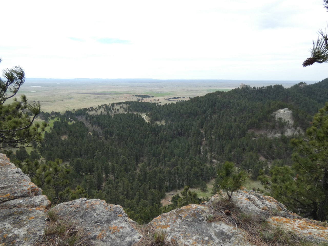
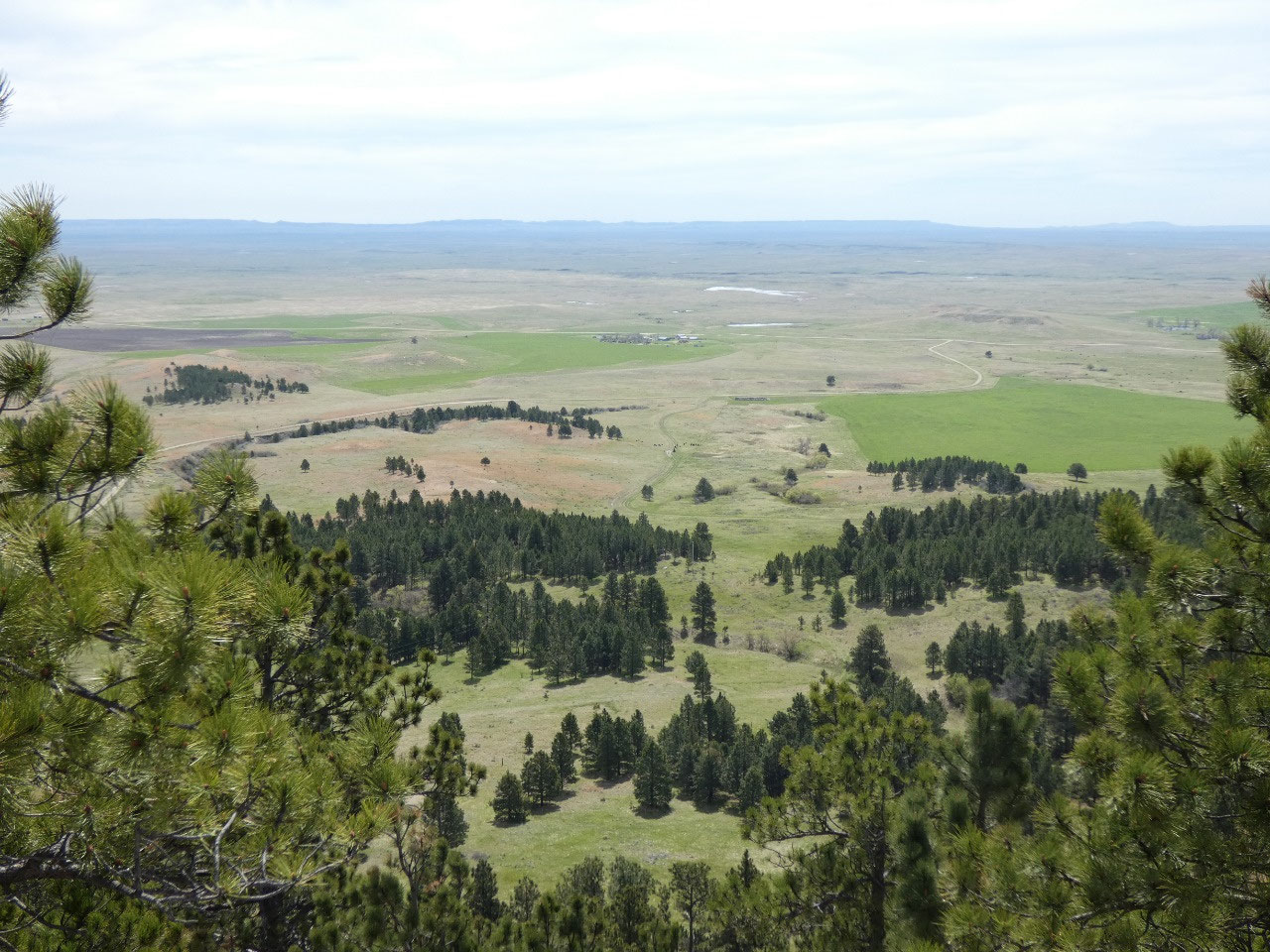
The views across the plains and toward the other buttes from
the top are amazing. After hanging out for a while I backtracked and made my
way back to the road. I continued along it for about a half mile until I came
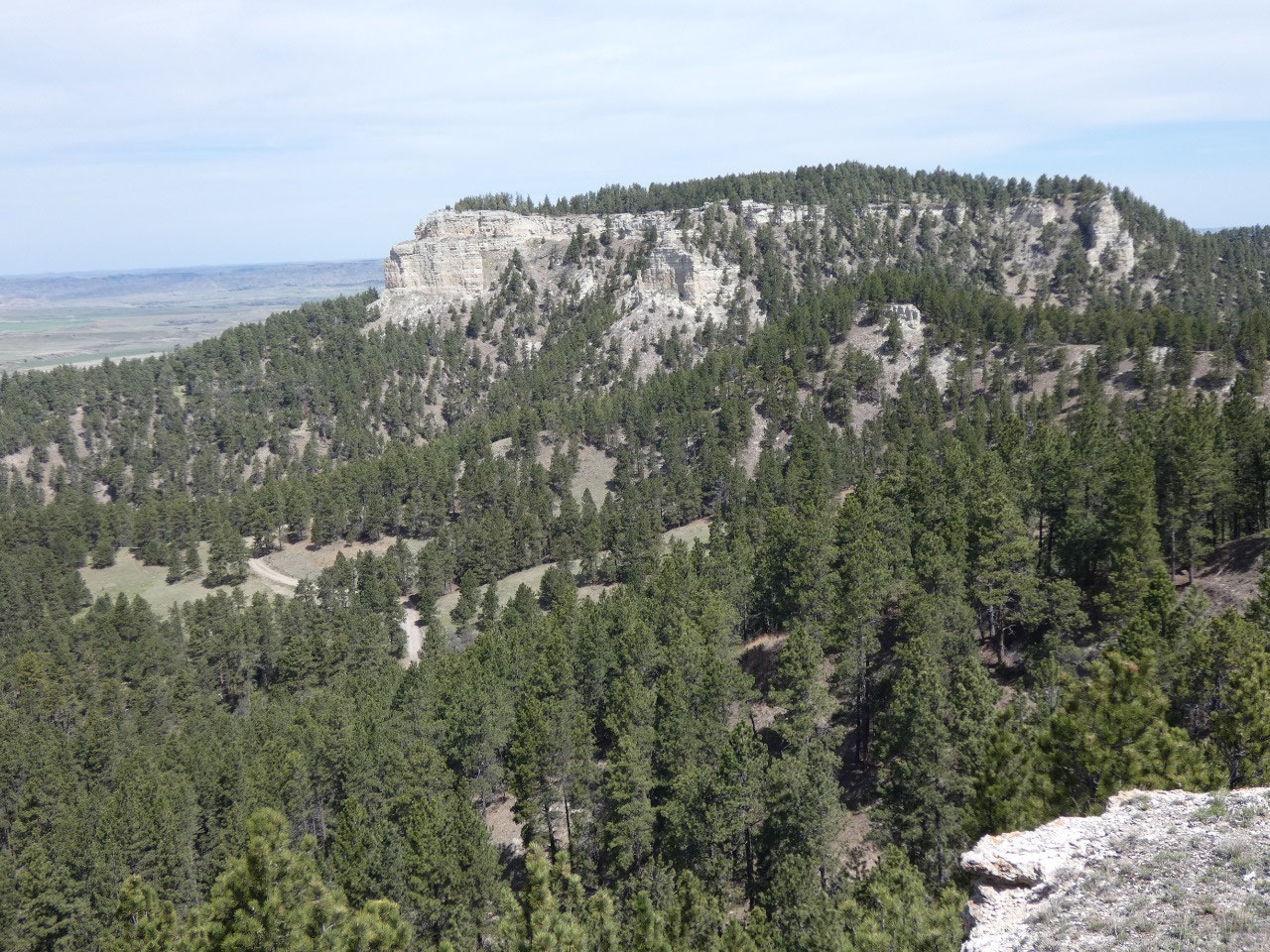
to the route description for the next and larger butte. The directions went
somewhat like, “when the road makes a sharp turn to the right, head uphill to
the left through a meadow that gradually becomes more forested, following game
trails along the way to the ridge. Stay to the left of the rocky ridge line……” Well, I think I turned left and went uphill
too soon, because from the high point I got to it was clear I was at my own
little island in the sky and not the larger butte that was my goal.
But that’s OK,
because the Chalk Buttes are beautiful and I got in some great views.
When I got back to my car, a couple in a camper van (also
Bozeman residents) had just arrived. They were very chatty about route finding
up to the buttes. I went back to the
Wagon Wheel in Ekalaka for lunch where the server/owner? inquired extensively
about my experiences on the buttes. Country people are so friendly!
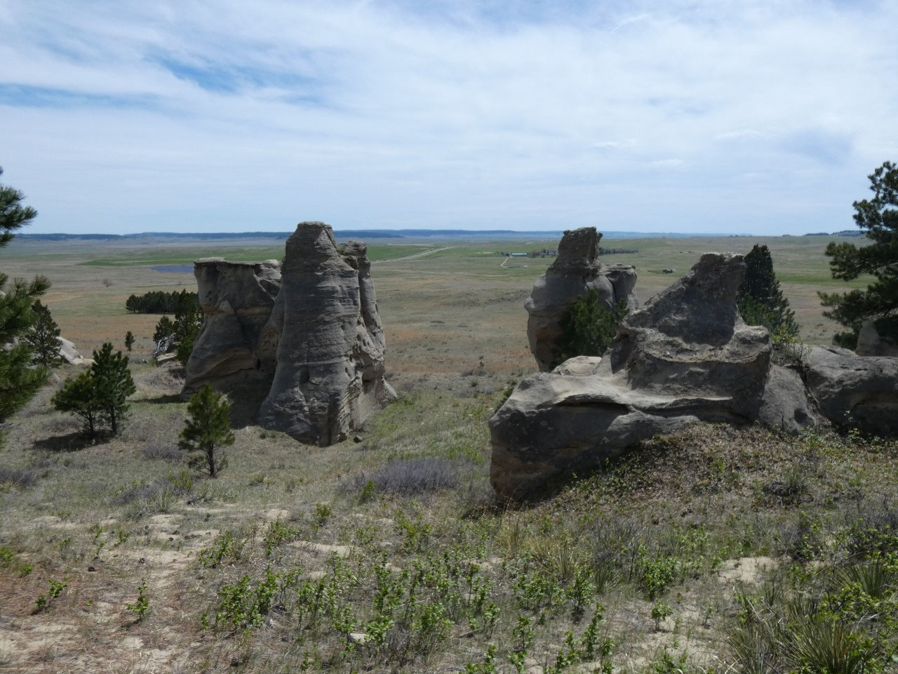
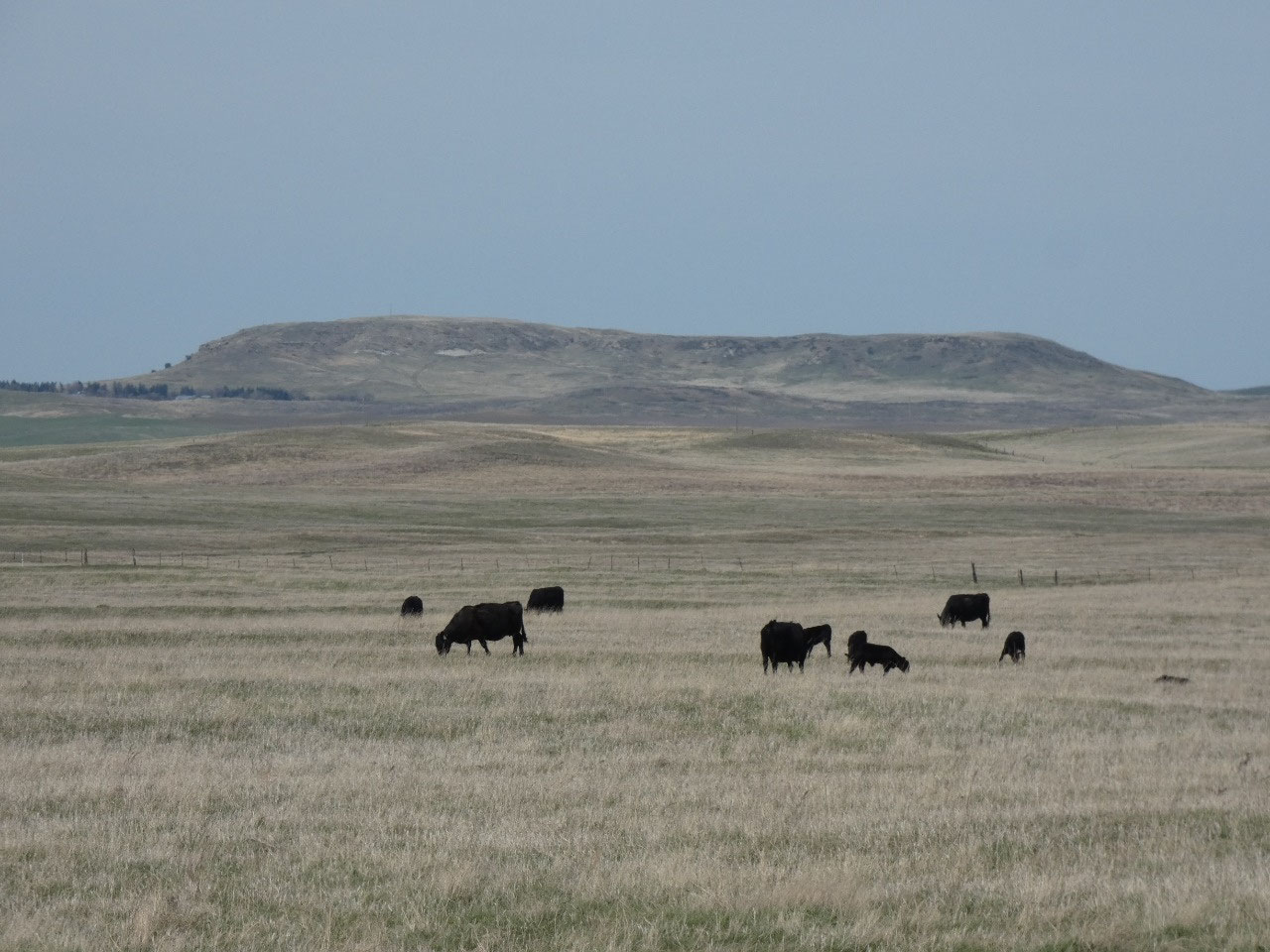
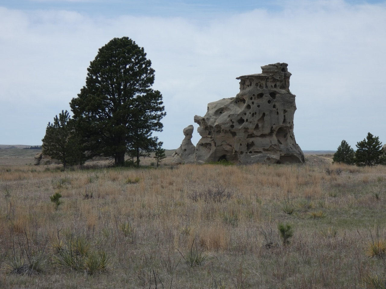
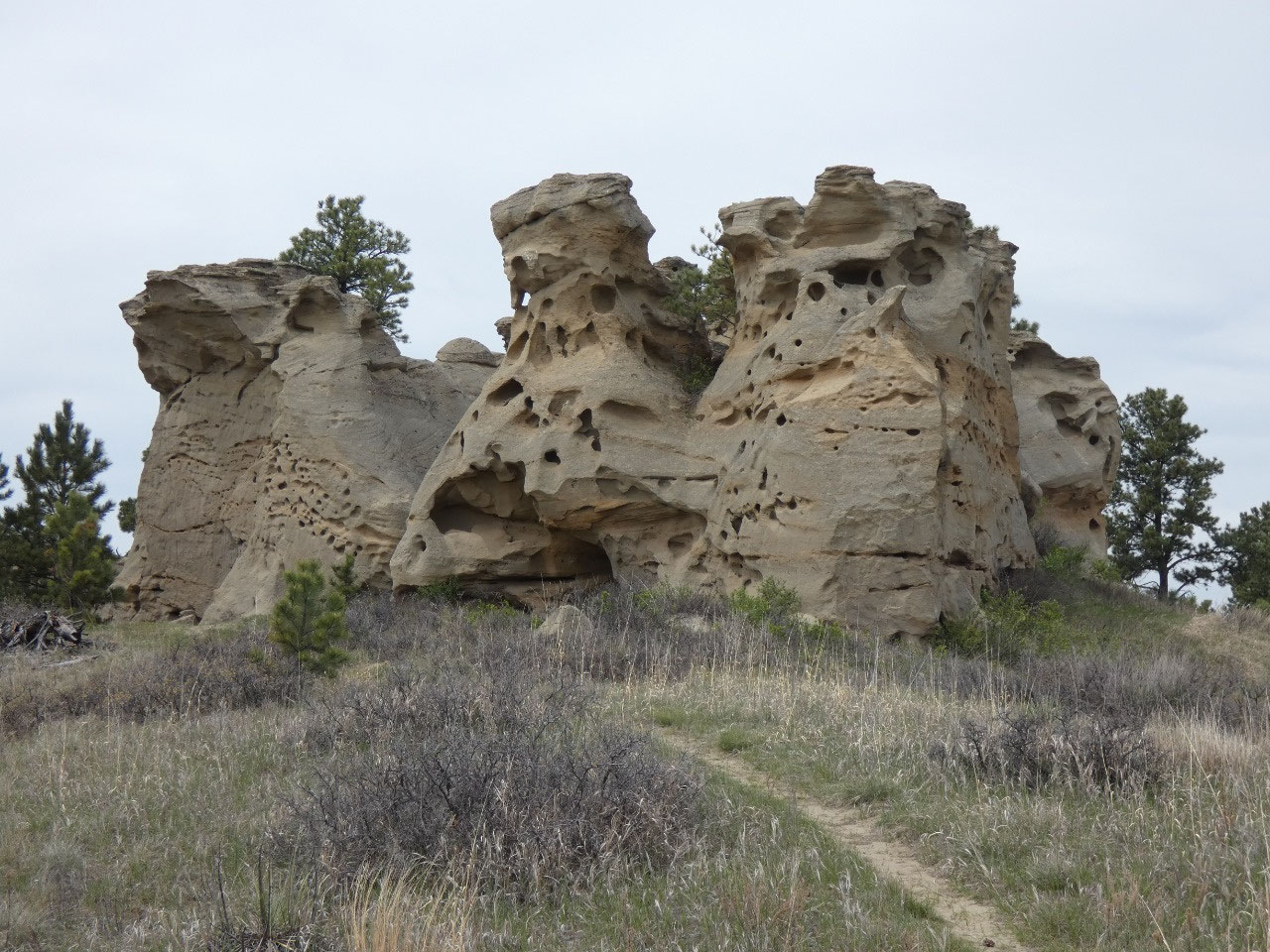
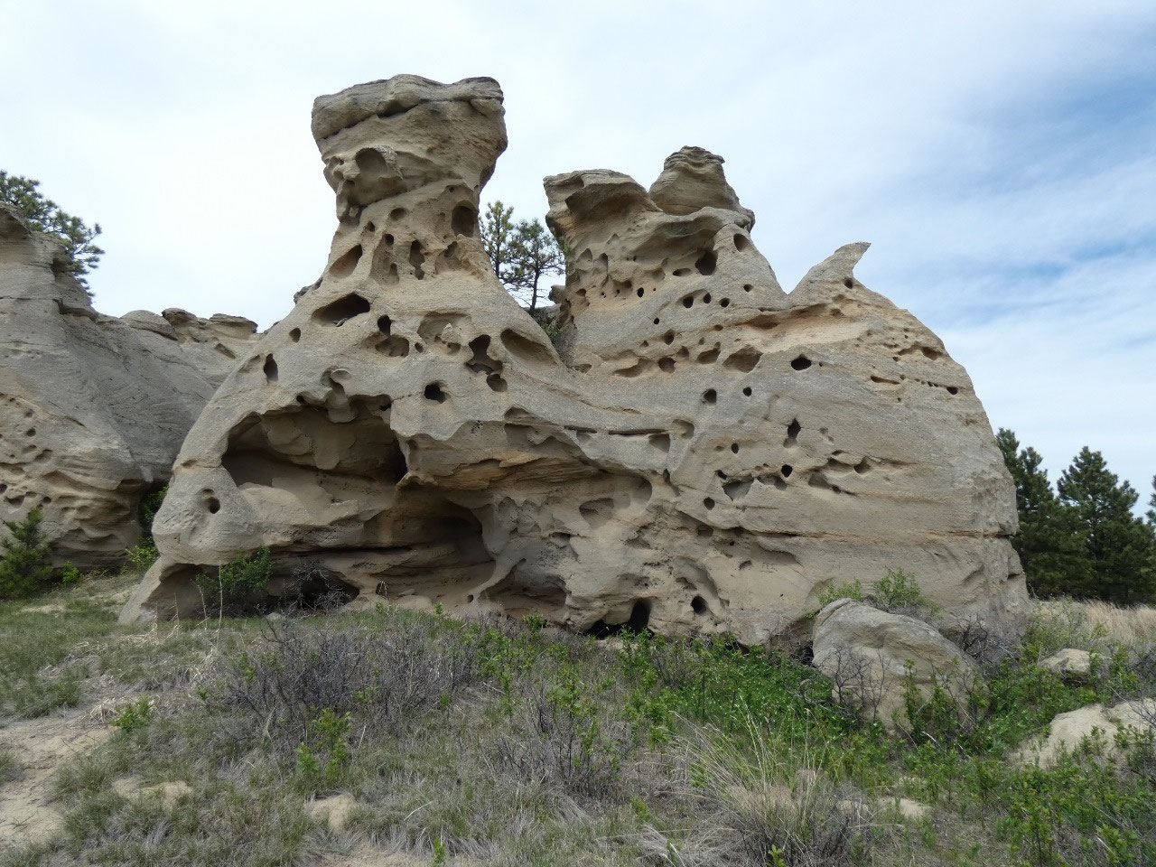
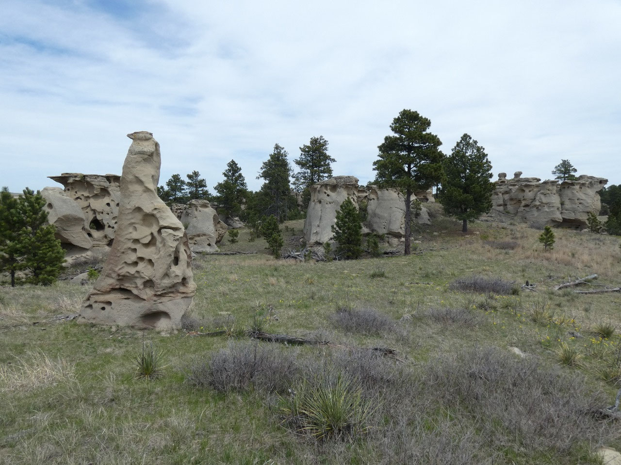
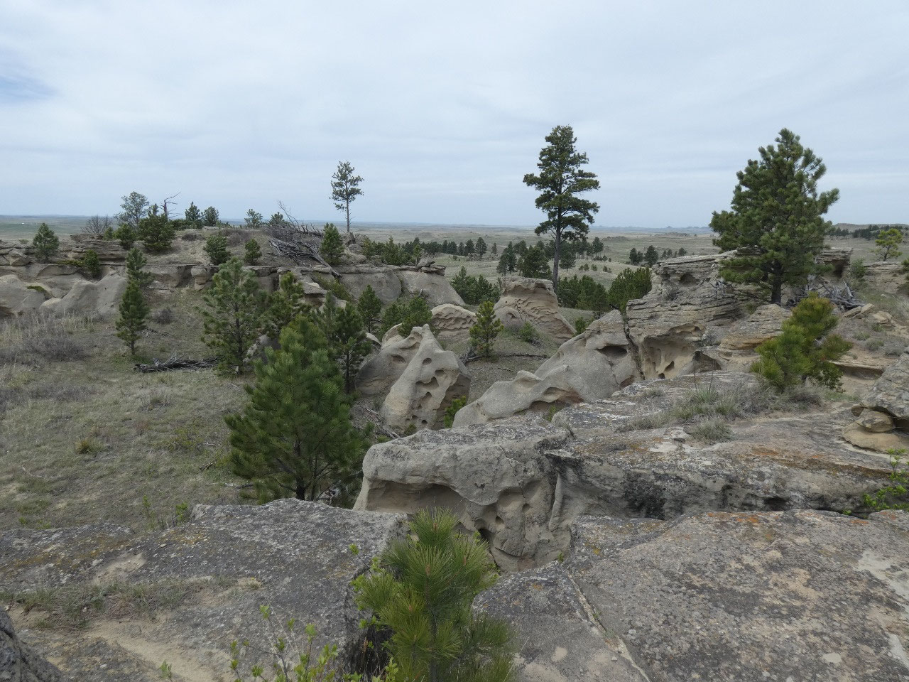
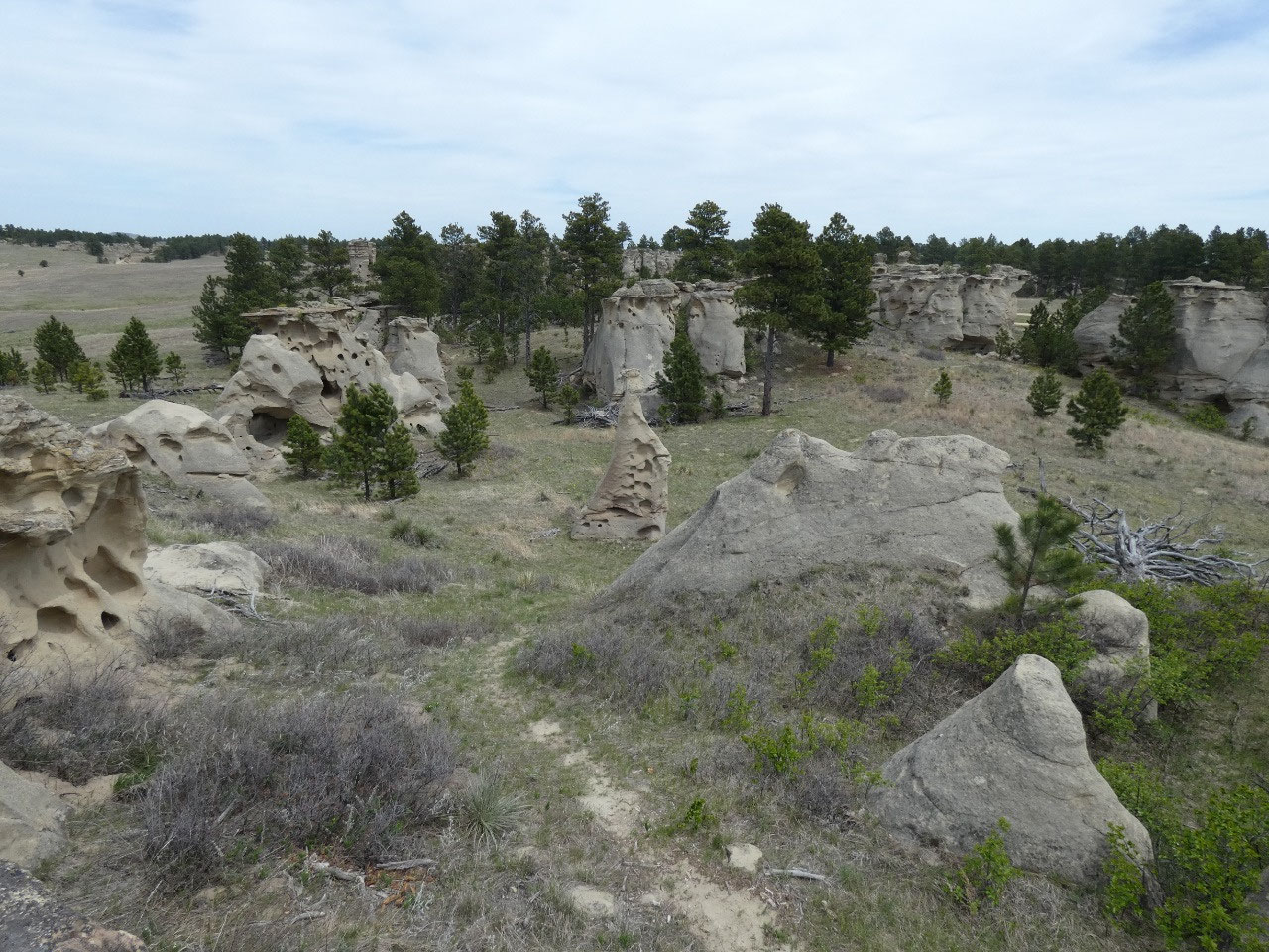
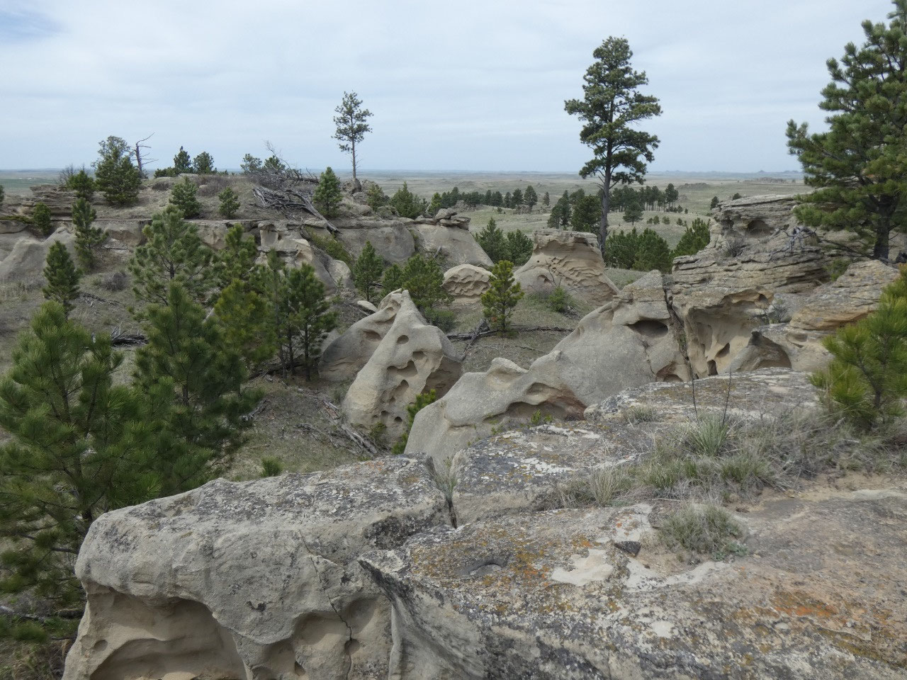
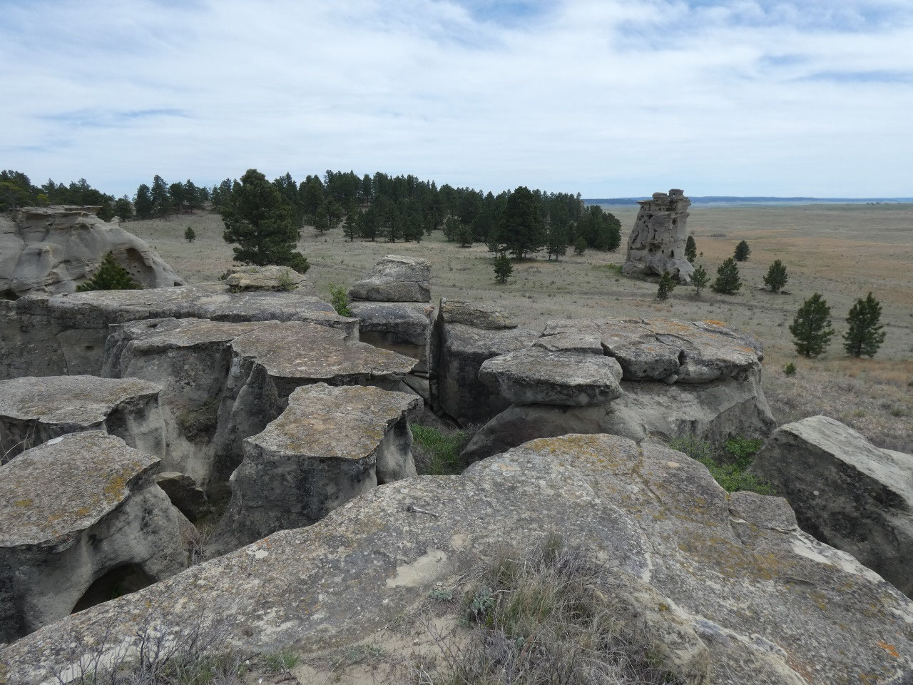
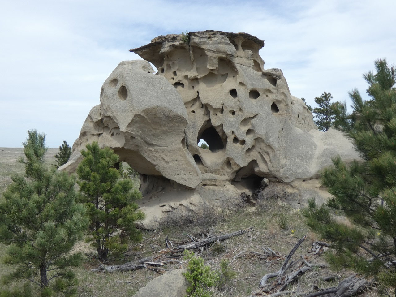
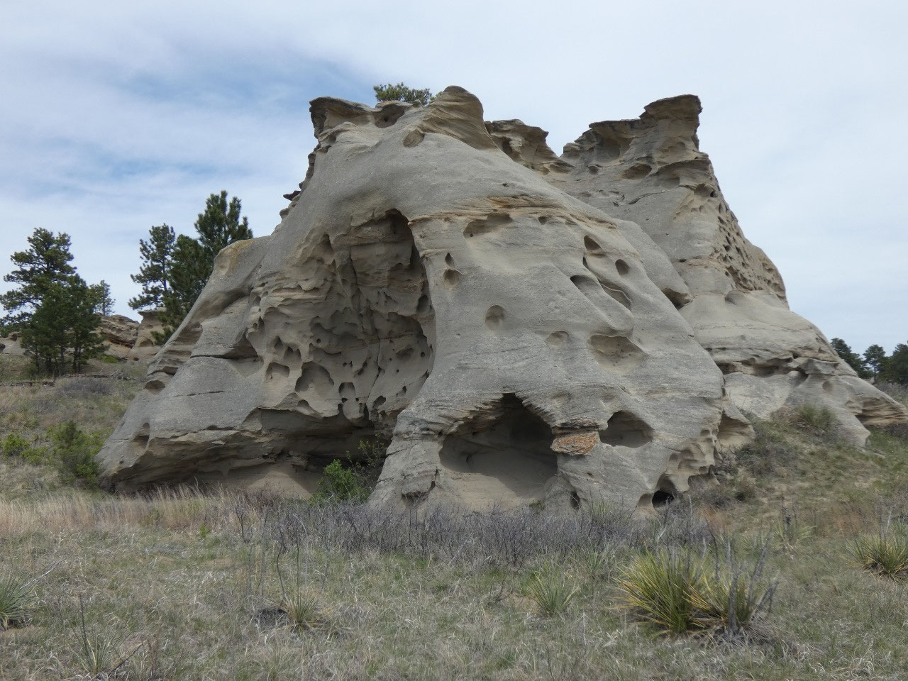
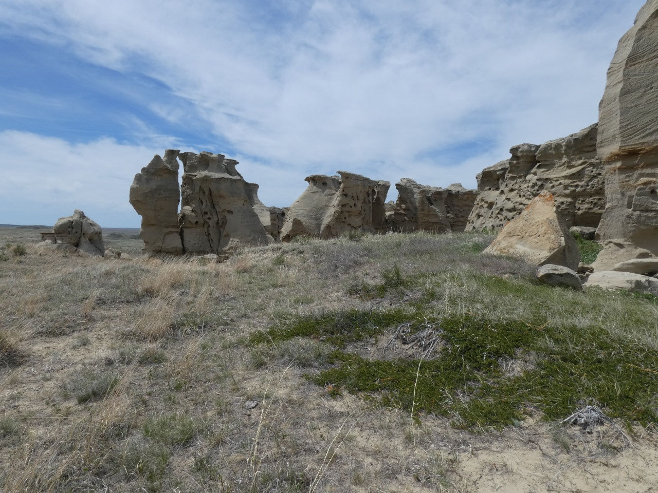
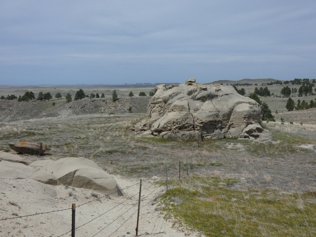
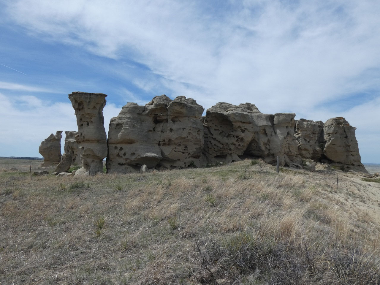
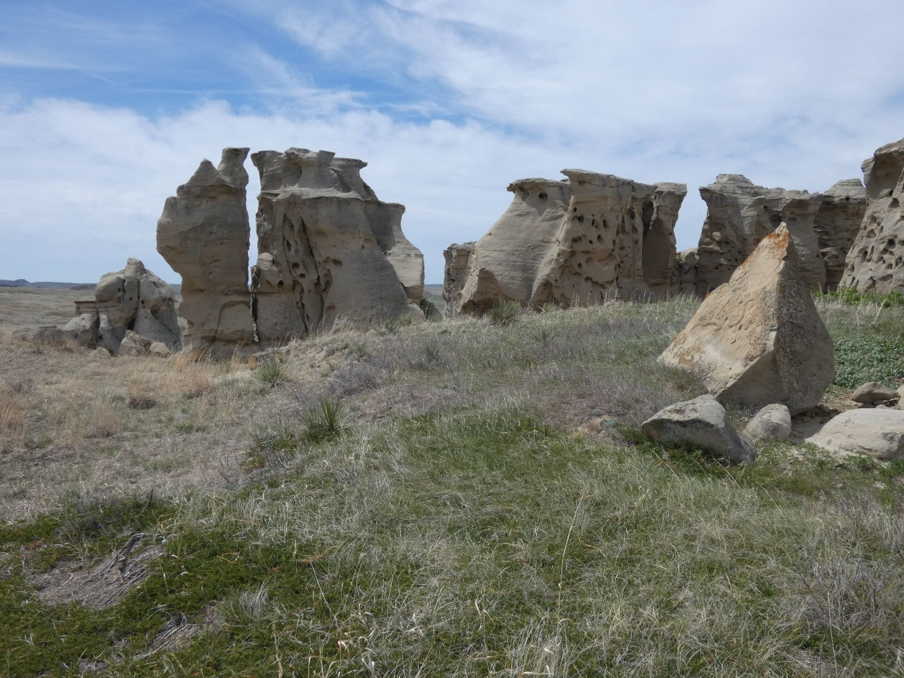
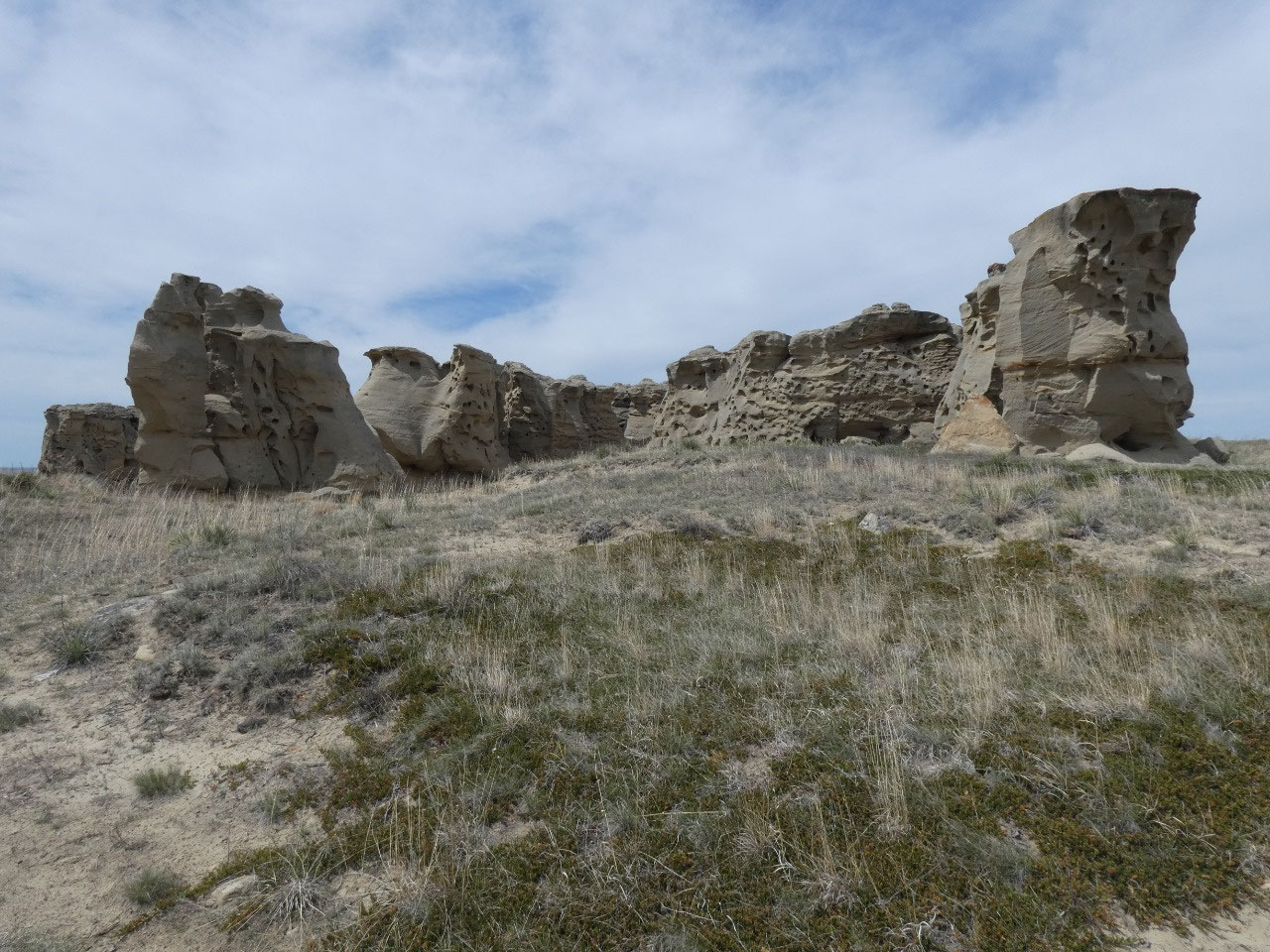
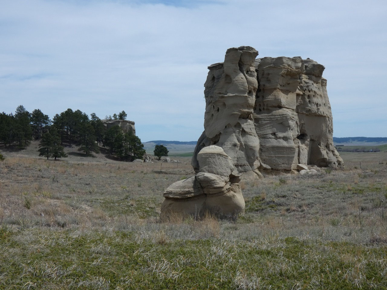
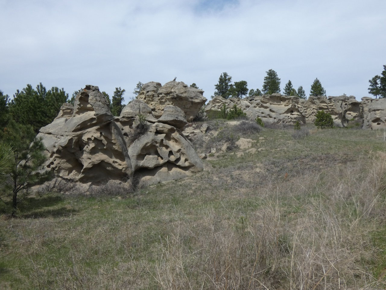
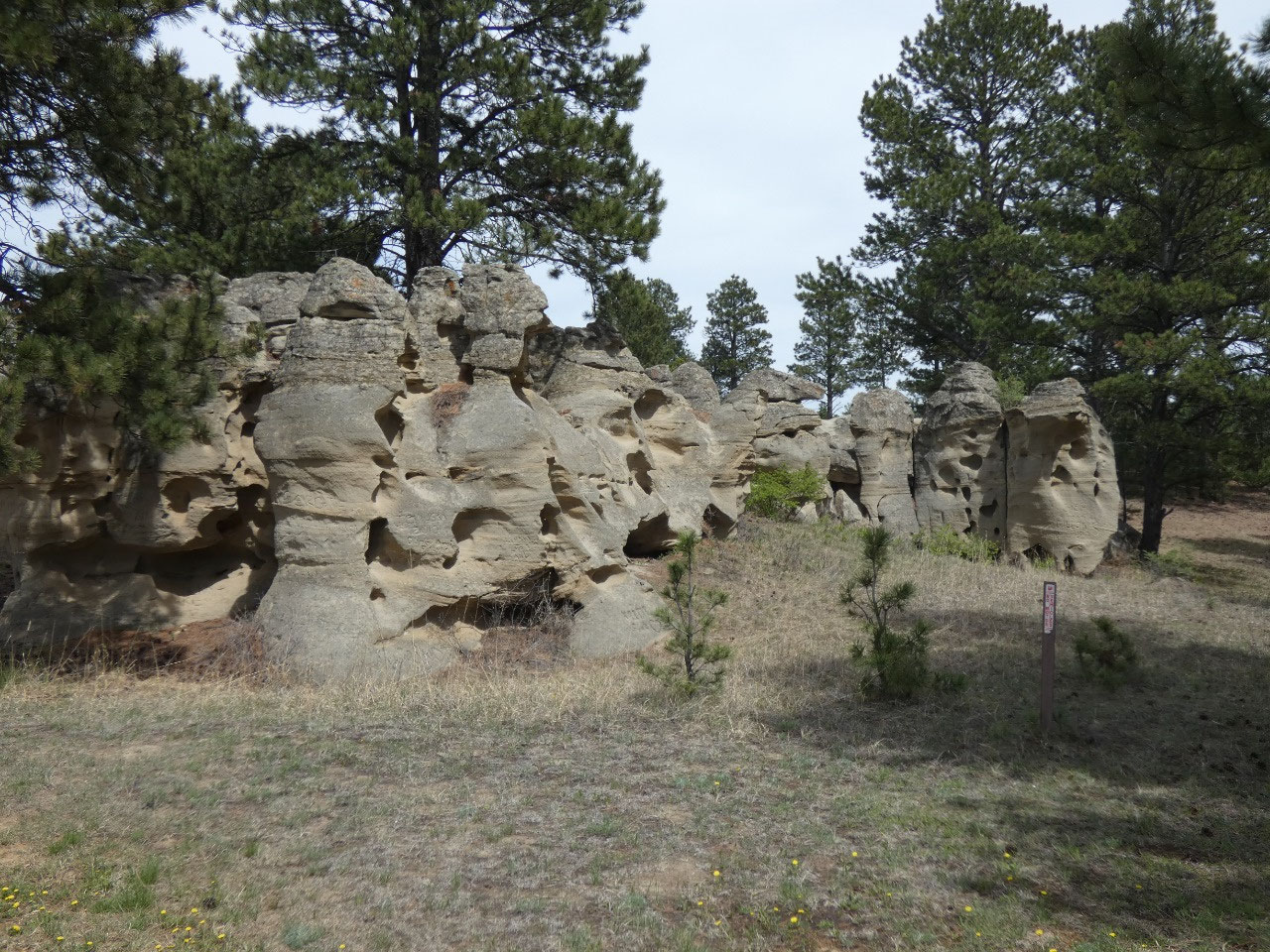
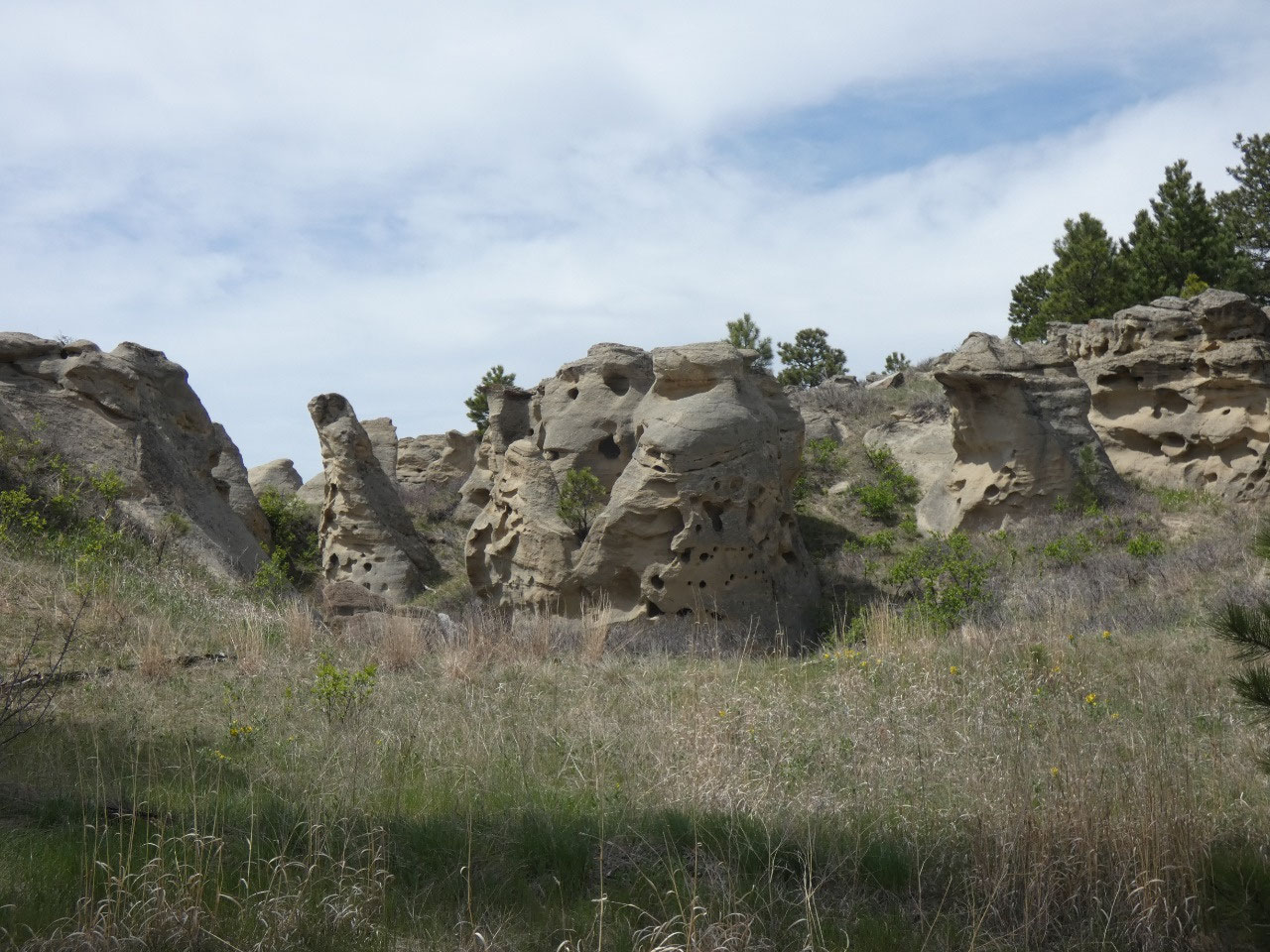
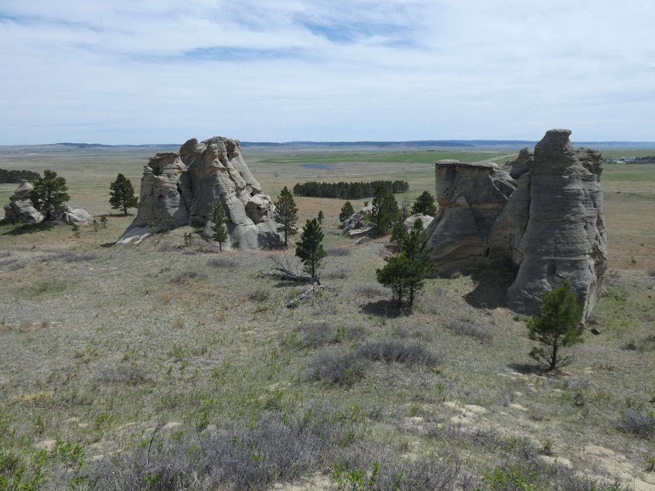
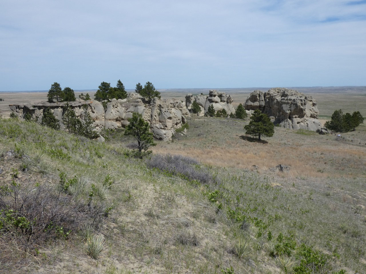
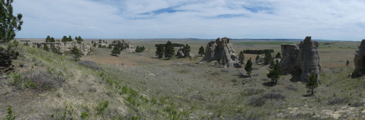
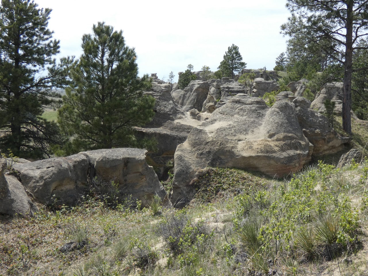
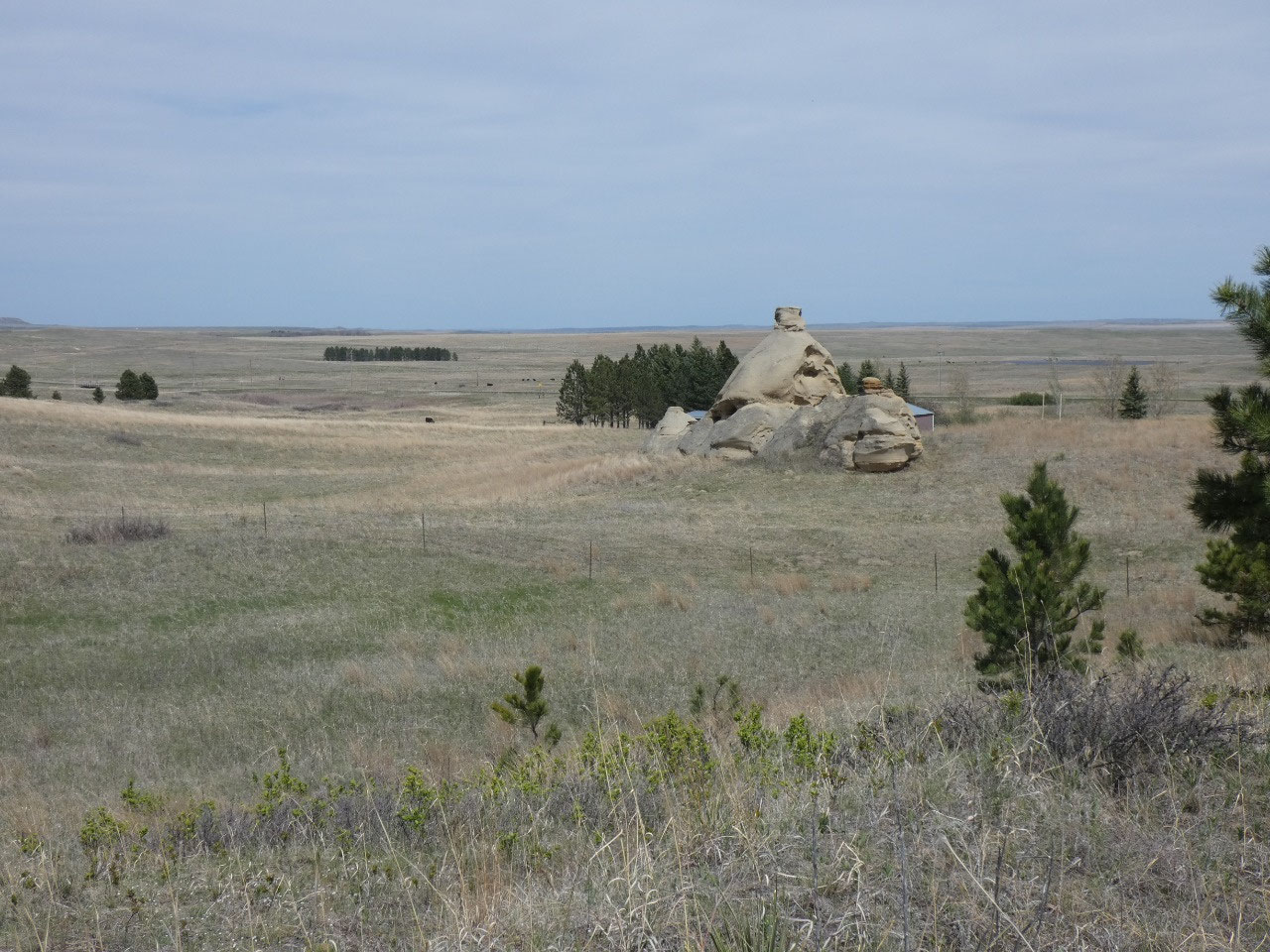
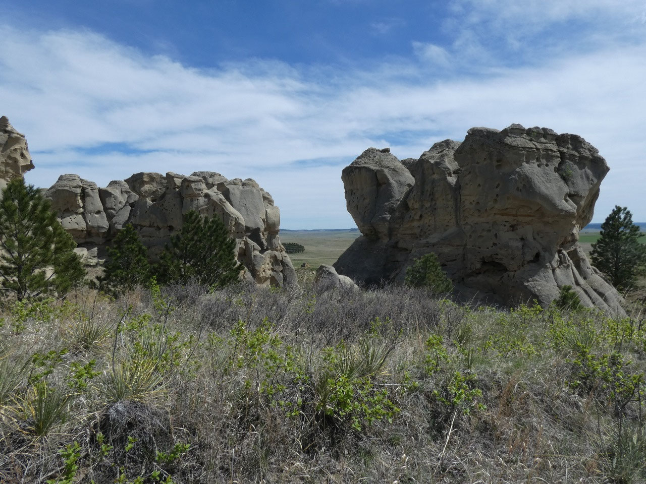
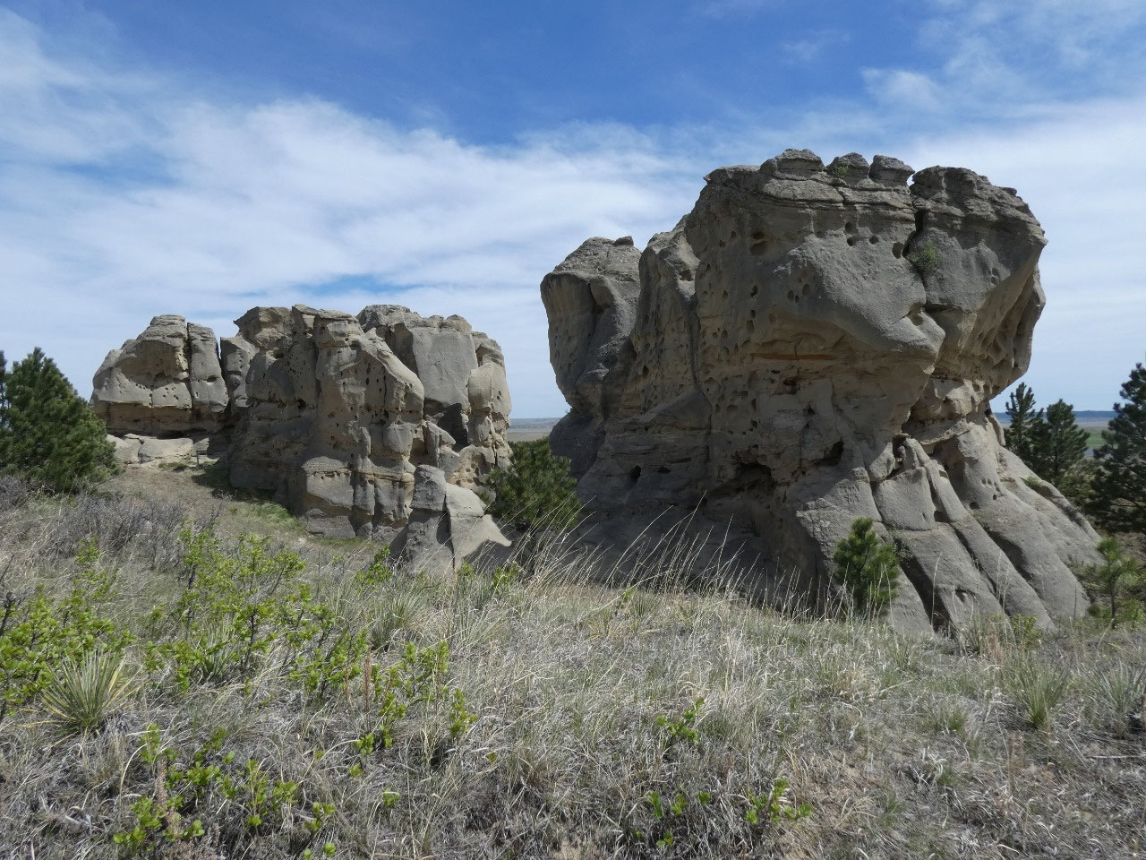
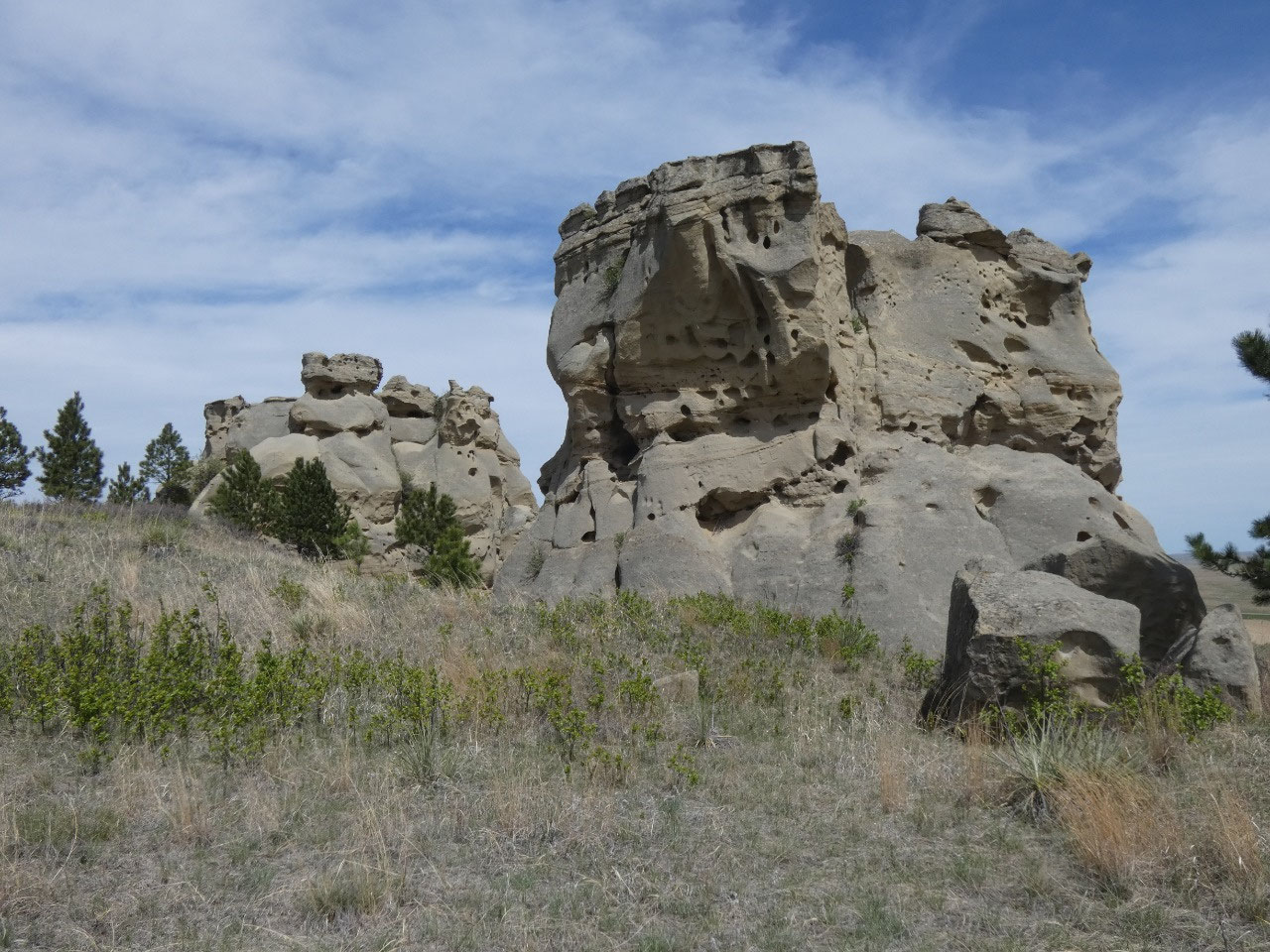
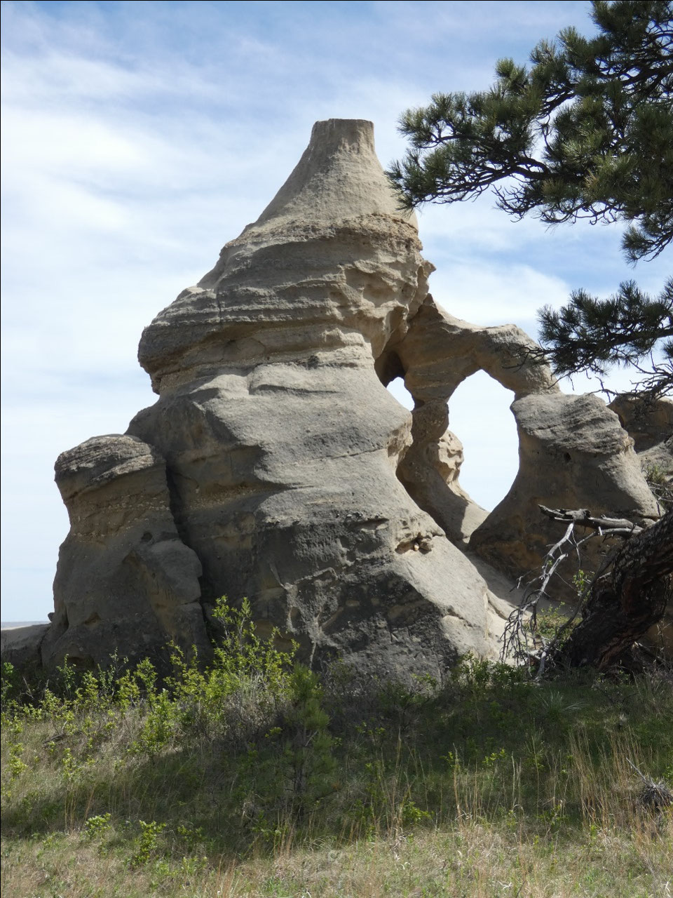
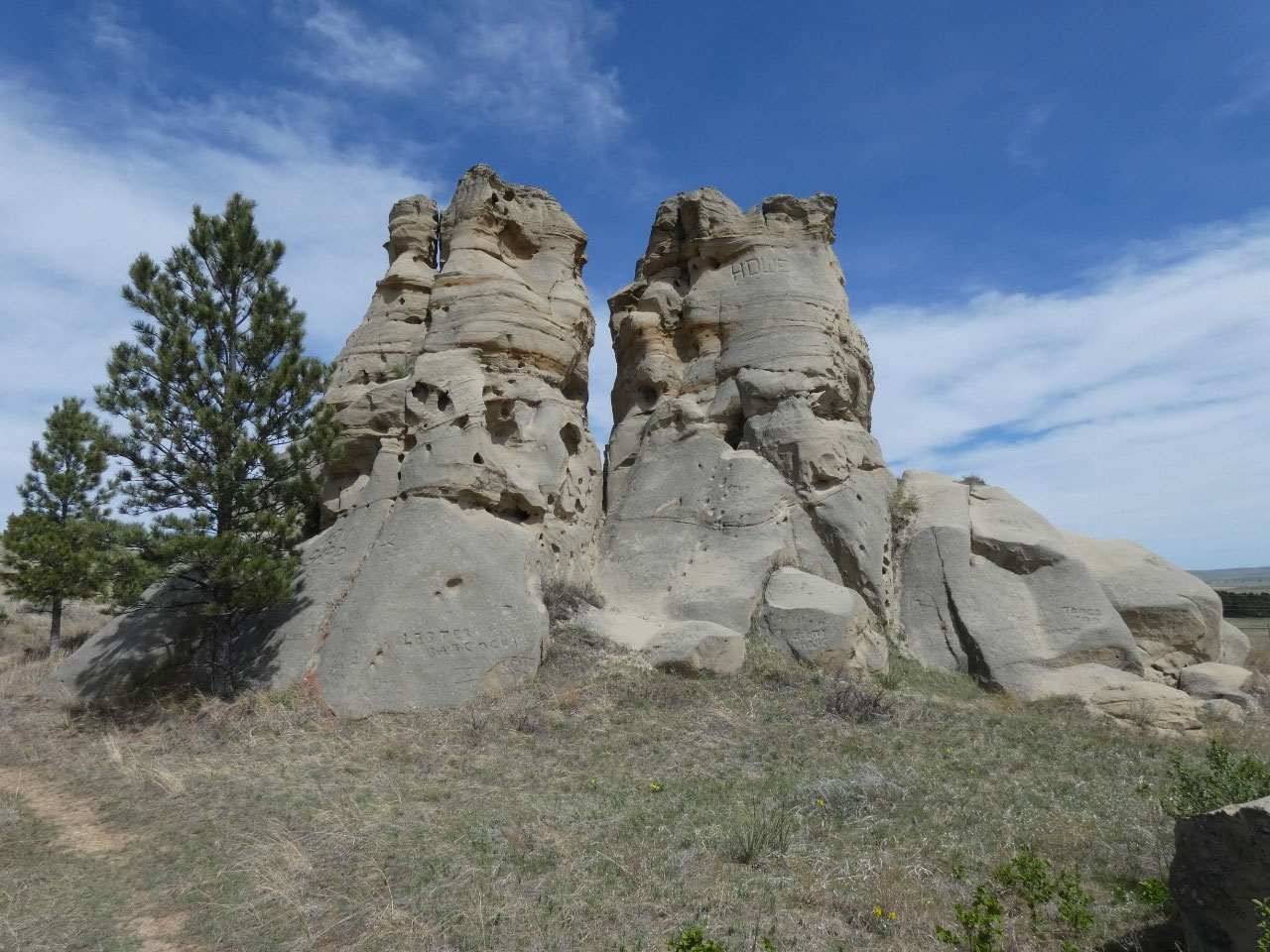
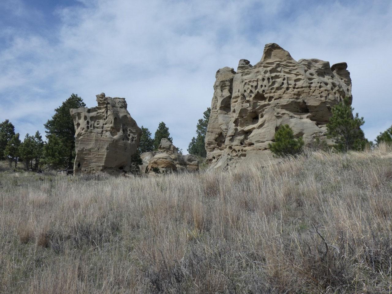
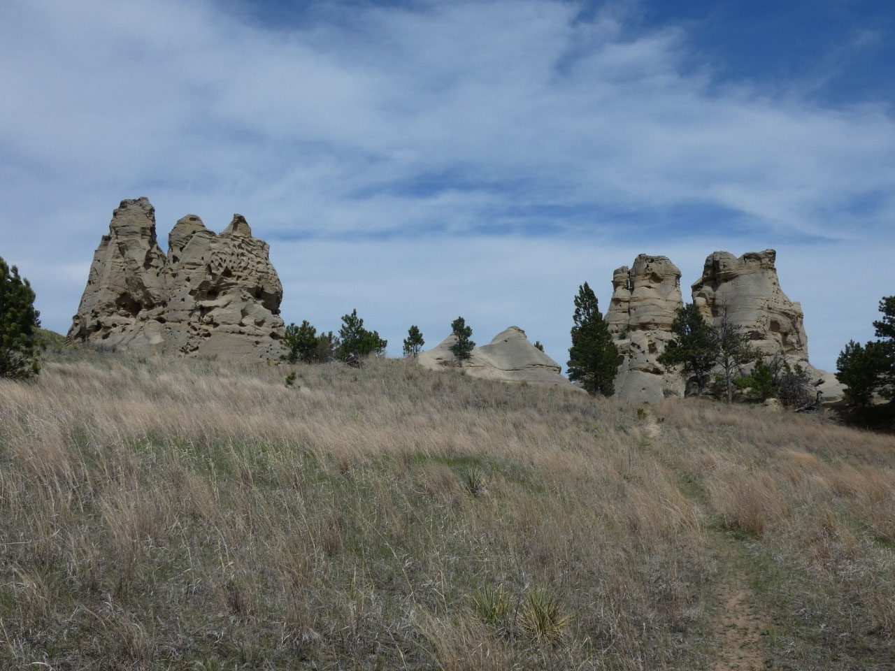
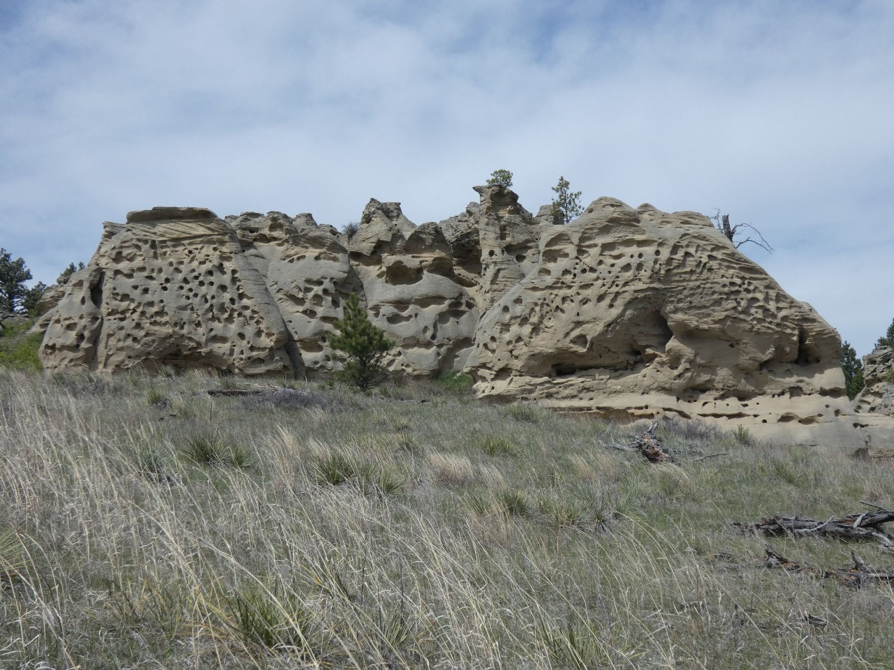
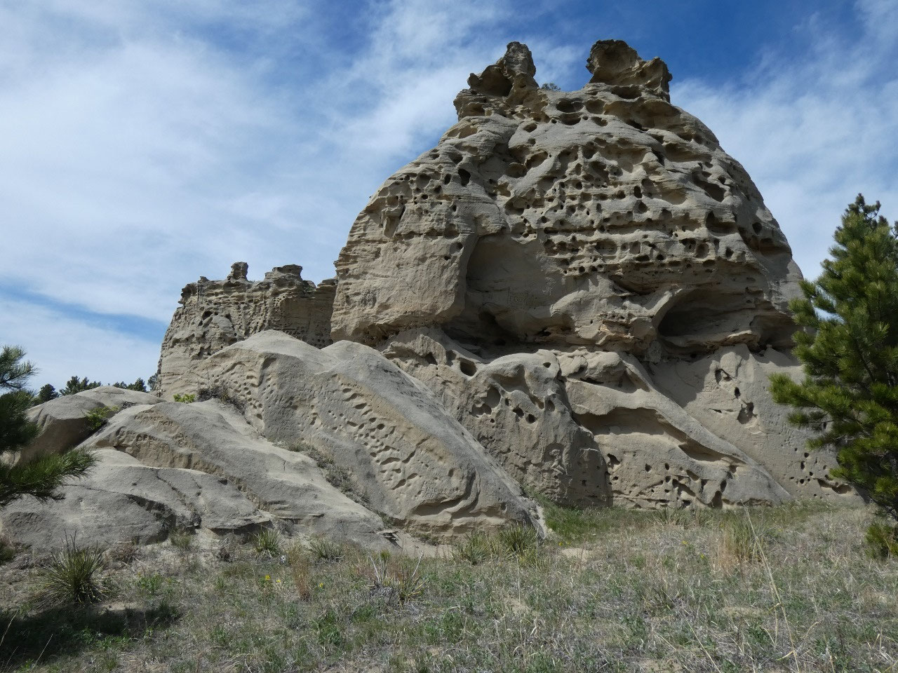
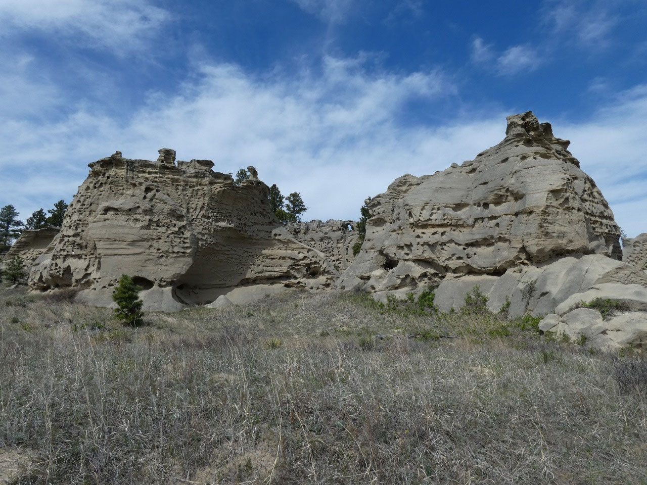
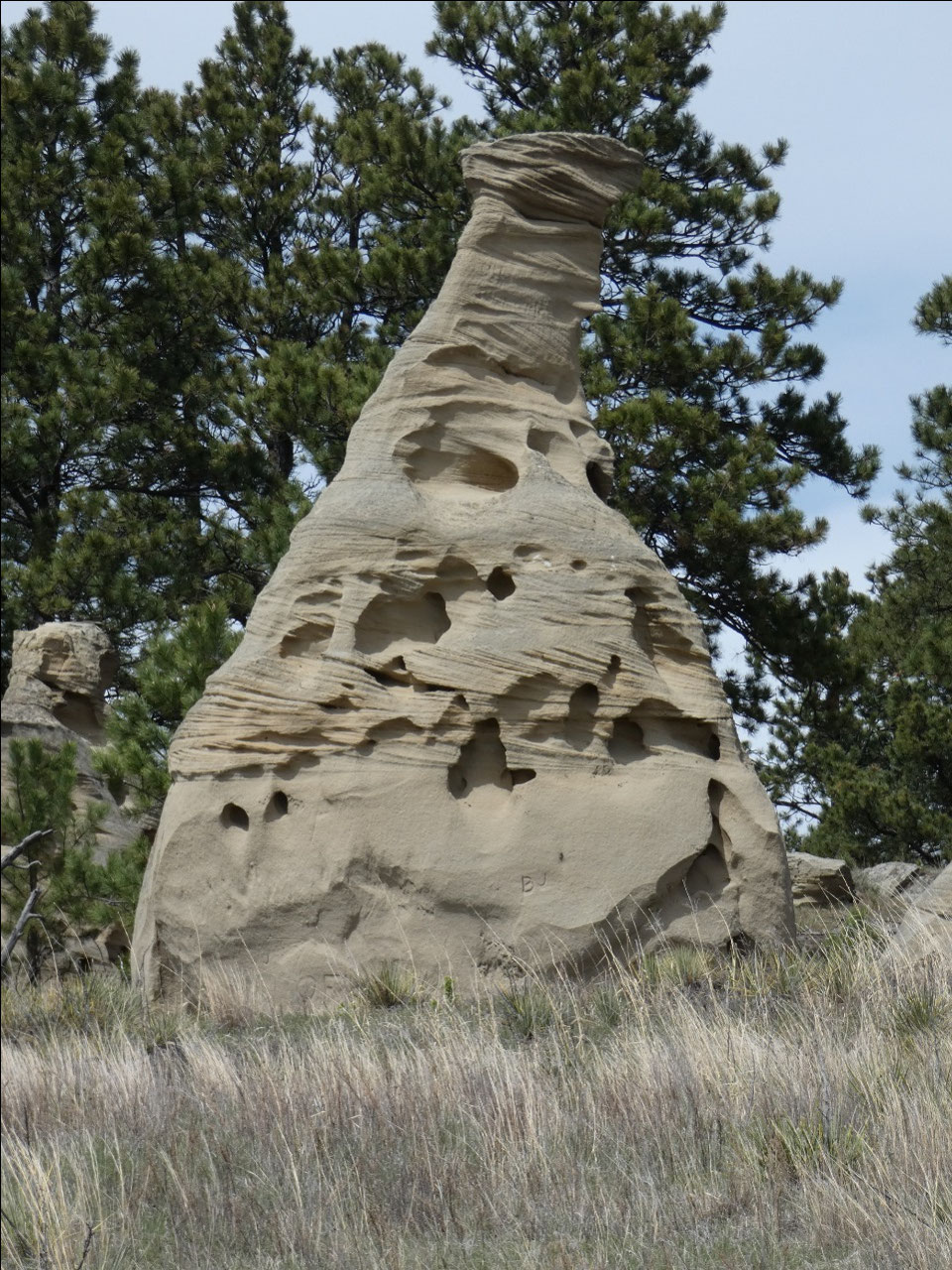
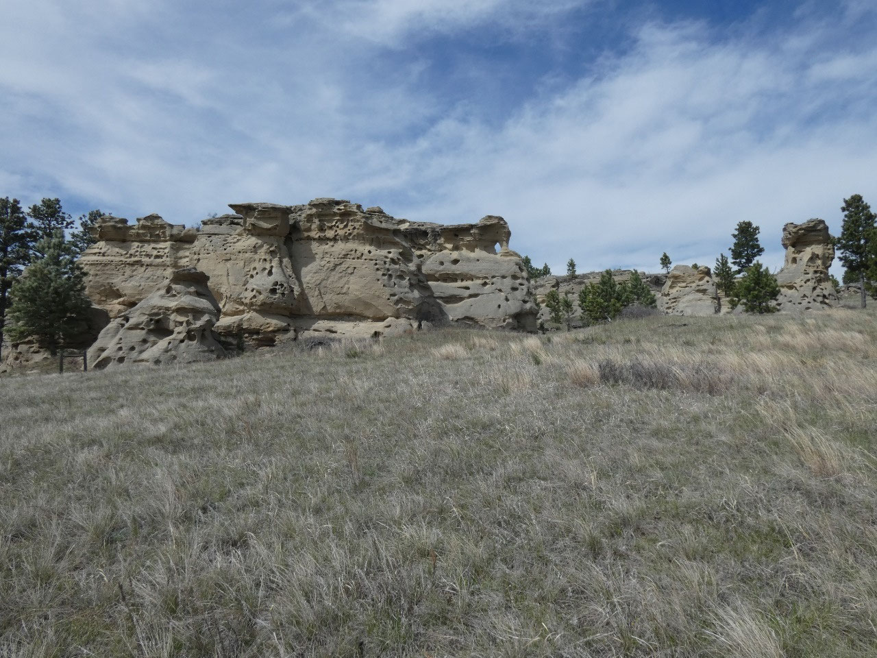
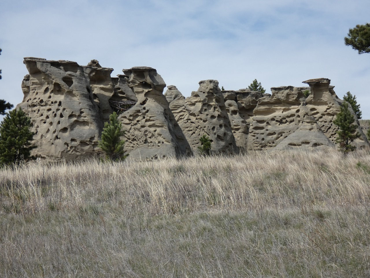
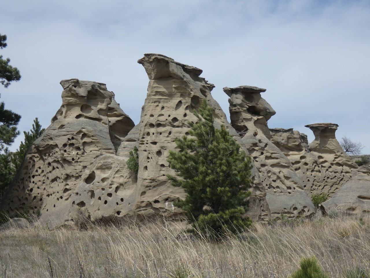
Medicine Rocks State Park is about 10 miles north of
Ekalaka. The site is one of sandstone rocks jutting up abruptly from the
plains, weird formations with odd shapes and holes through them created largely
by wind erosion. Plains Indian tribes
considered the weird formations to have supernatural powers, to be places of “big
medicine”. Nice hiking trails snake
through, around, and in a few cases on top of the rocks. I didn’t camp, but as seems to be the case
with many Montana state parks, campsites are dispersed around them throughout
the park rather than being concentrated in a crowded campground. While I saw
some occupied campgrounds, I only passed one group of two young men on the
trails through the park. Social
distancing!


2025-05-22