 Radersburg, Montana, United States
Most places in Montana are quite distinctive. To me, Broadwater County isn’t one of them.
Up until this point I’ve known it only as the corridor between Bozeman and
Helena, the broad valley through which the Missouri River flows with the Elkhorn
Mountains to one side and the Little Belt Mountains to the other. It seems like
mostly farms and ranches with a few exurban ranchettes toward Helena
contributing to some population growth in recent decades while more remote
places have been in decline. It’s main attraction to me to this point has been
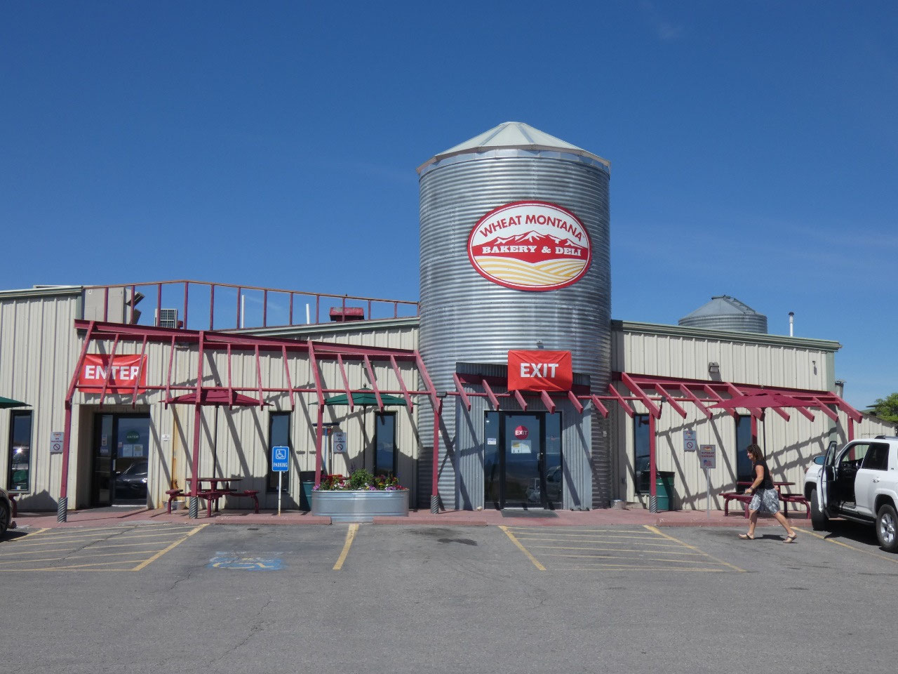
stopping at WheatMontana, a bakery/deli connected with a large farm in the
area, when I’ve been on the road heading north or west.
I’m always looking for new scenery and new places to hike,
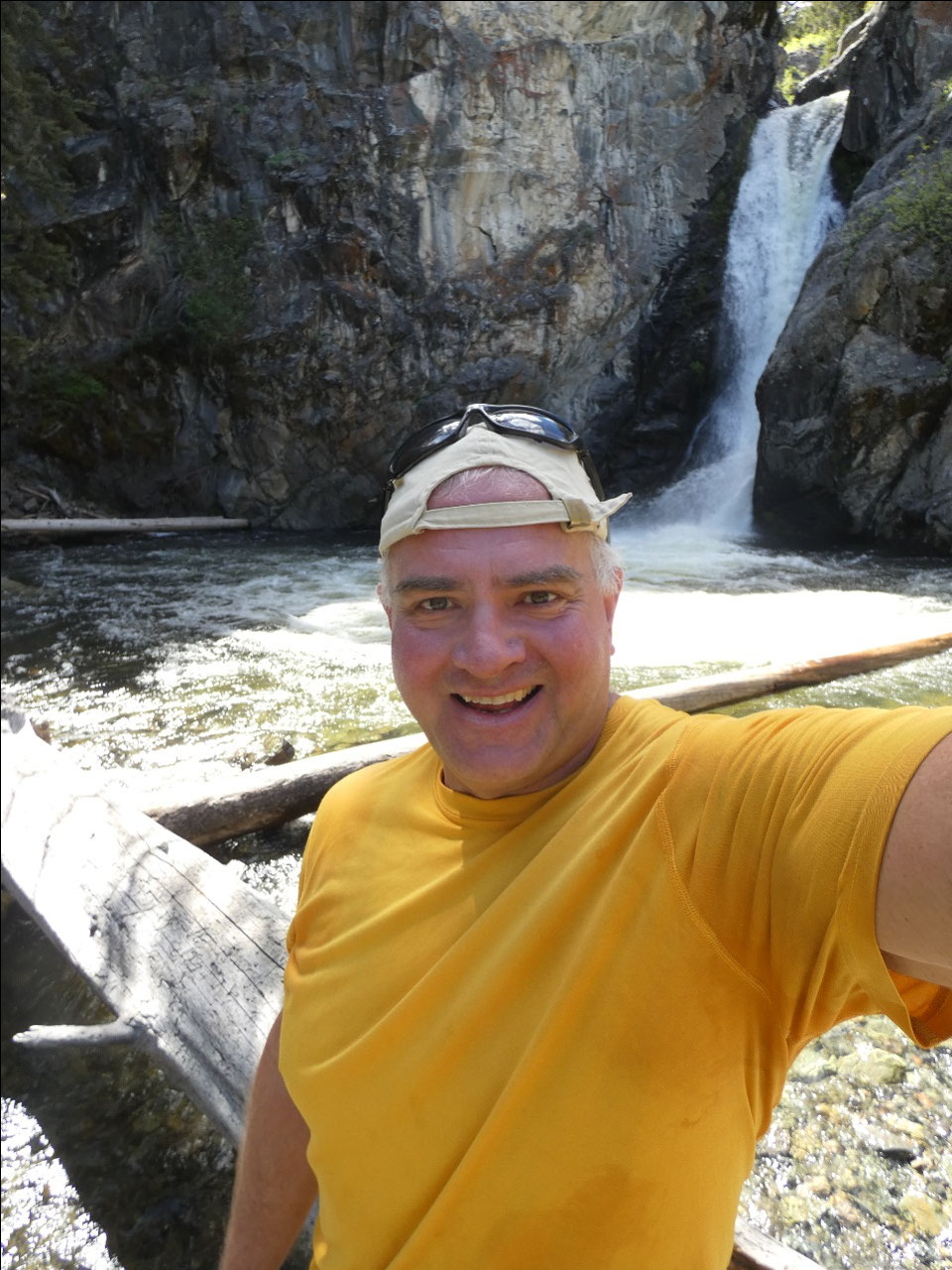
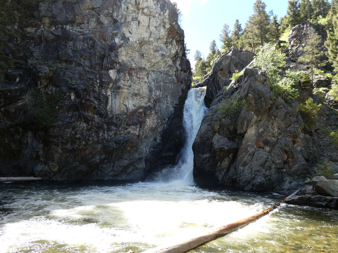
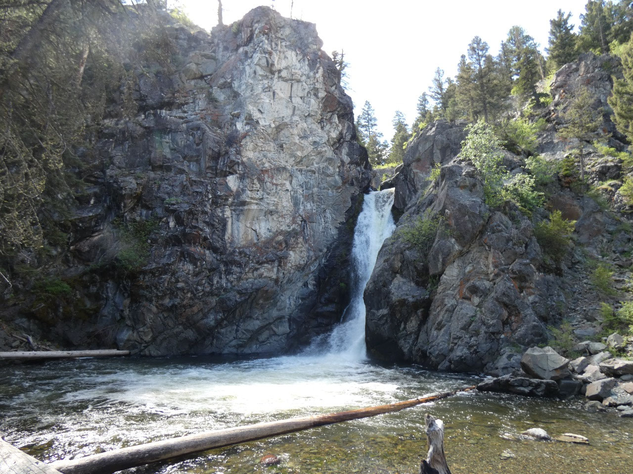
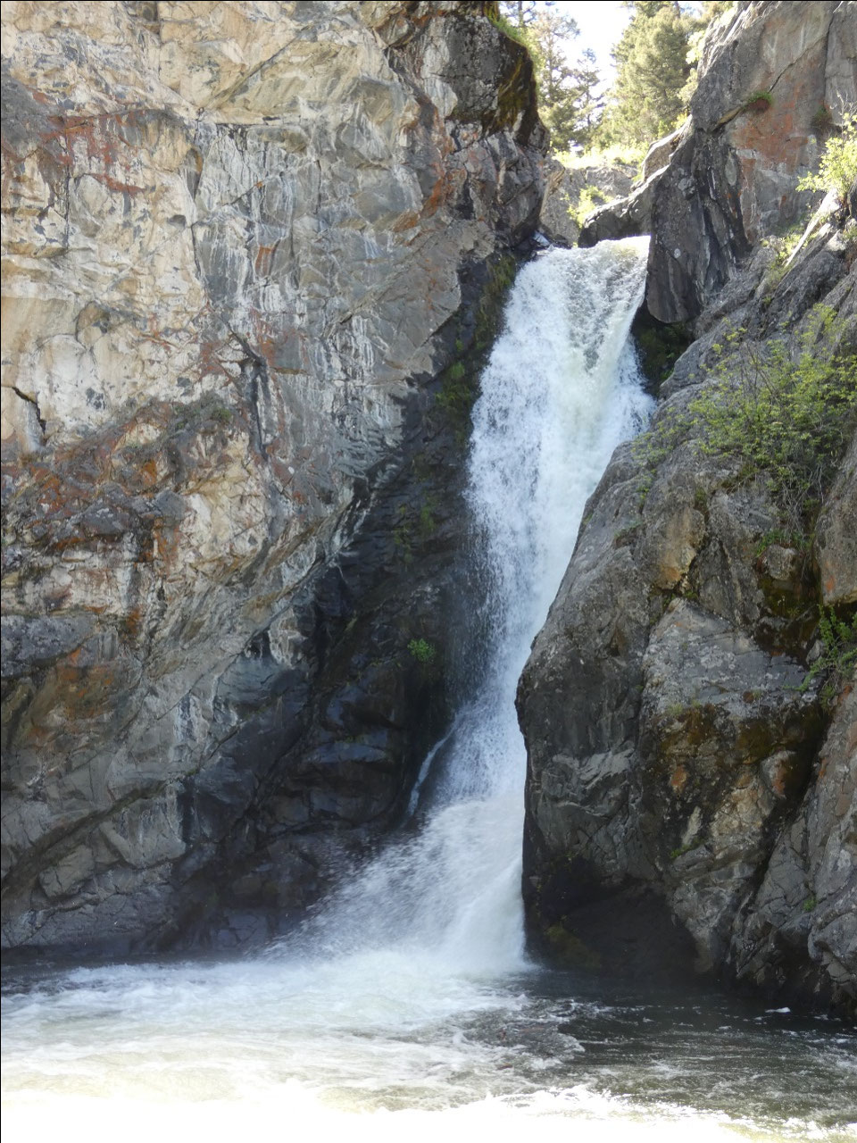
so became interested when I found Crow Creek Falls in both my hiking guidebook
and mentioned online as one of the top falls to see in Montana. And better yet,
the hike was described as relatively easy. And another part of its appeal to me
is that it’s located in the Elkhorn Hills, a low mountainous area somewhere
near the middle of the triangle formed by Helena, Bozeman, and Butte and technically
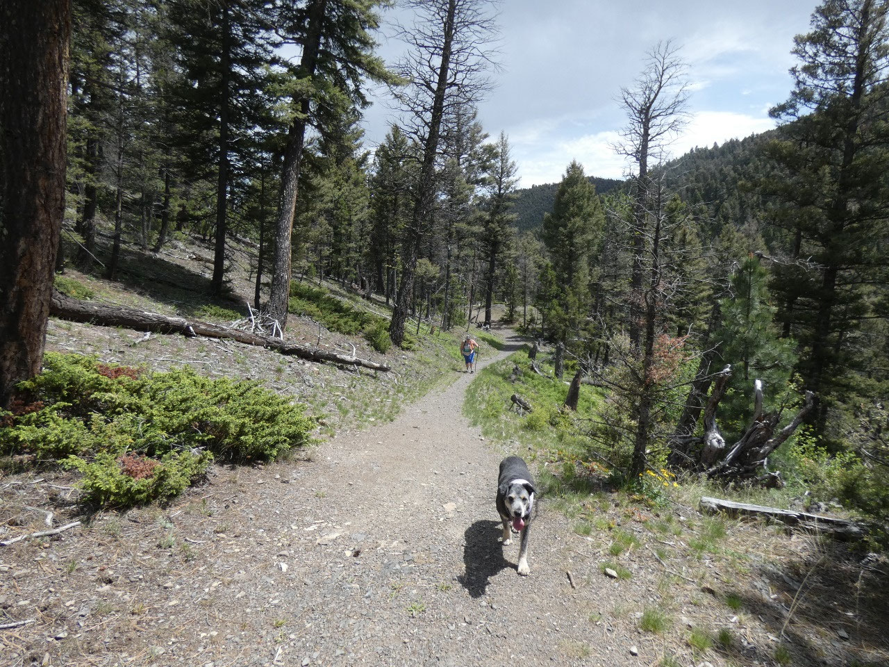
in Broadwater County. Given its supposed
ease, I thought I’d invite my cousin Deb and her pooch Gracey along for the
day.
Crow Creek Falls isn’t really that far away as the crow
flies, but it’s another story getting to the trailhead. From 287, the main road
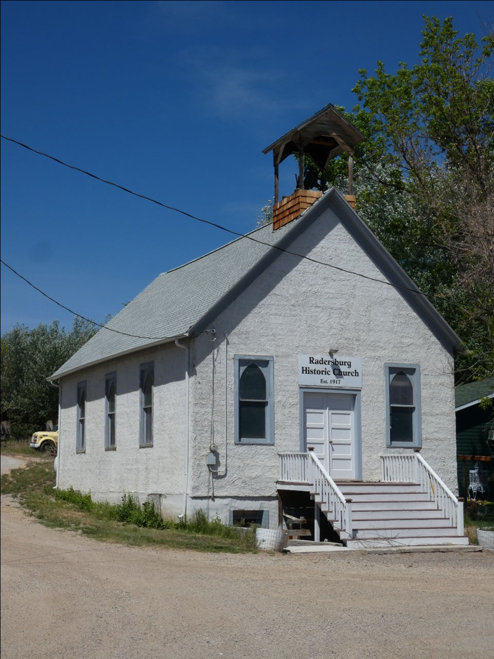
between Three Forks and Helena, it’s about seven miles to a little hamlet named
Radersburg, not really a ghost town since about 70 people reside there, but a
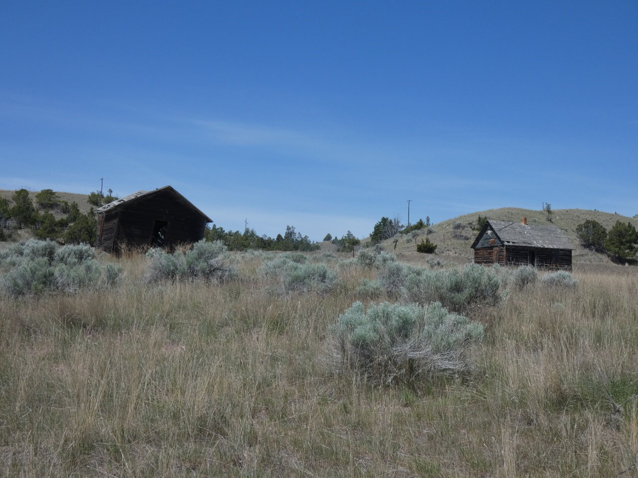
ghost of its former mining self as evidenced by the town’s historic buildings
and decaying wooden houses on its outskirts.
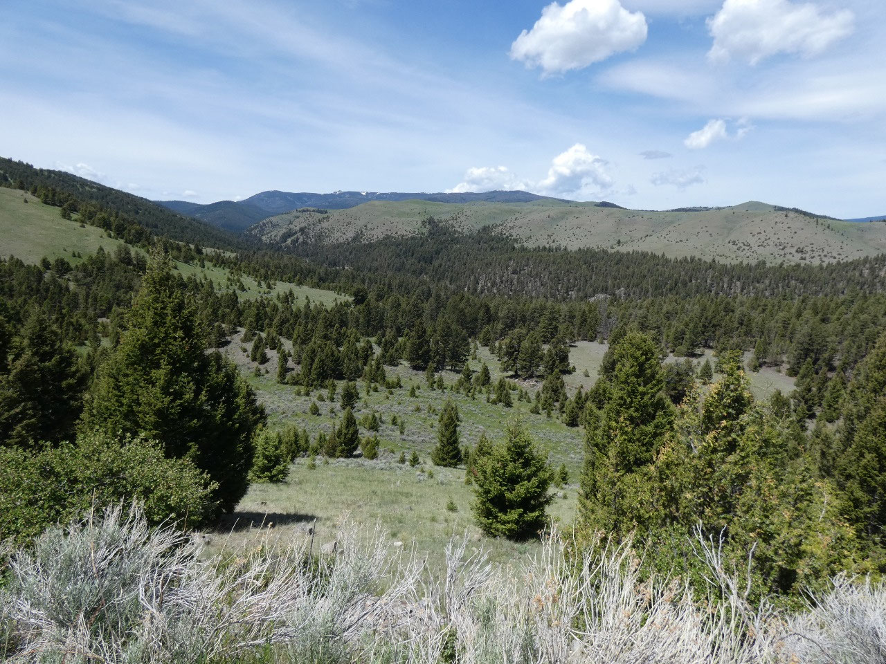
From there it’s another 17 miles
to the trailhead, but on gravel roads that eventually turn to rocky dirt one,
it feels much longer than that and takes a good part of an hour to get in and
out as it climbs into the hills, crosses undulating uplands, and then descends
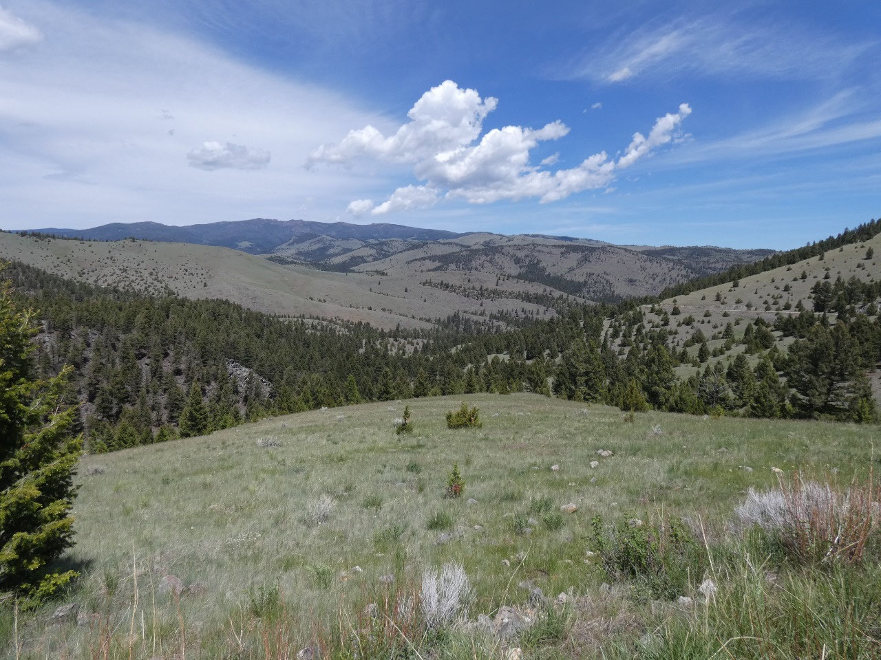
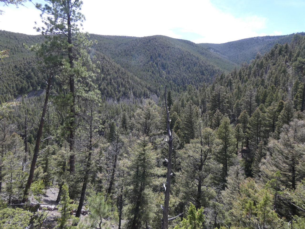
into the Crow Creek Valley. Compared to many ranges in Montana, I’d describe
the Elkhorn Mountains more as hills, mostly rounded and forest-covered.
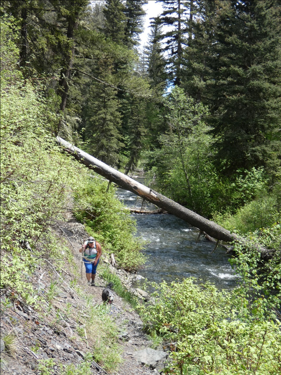
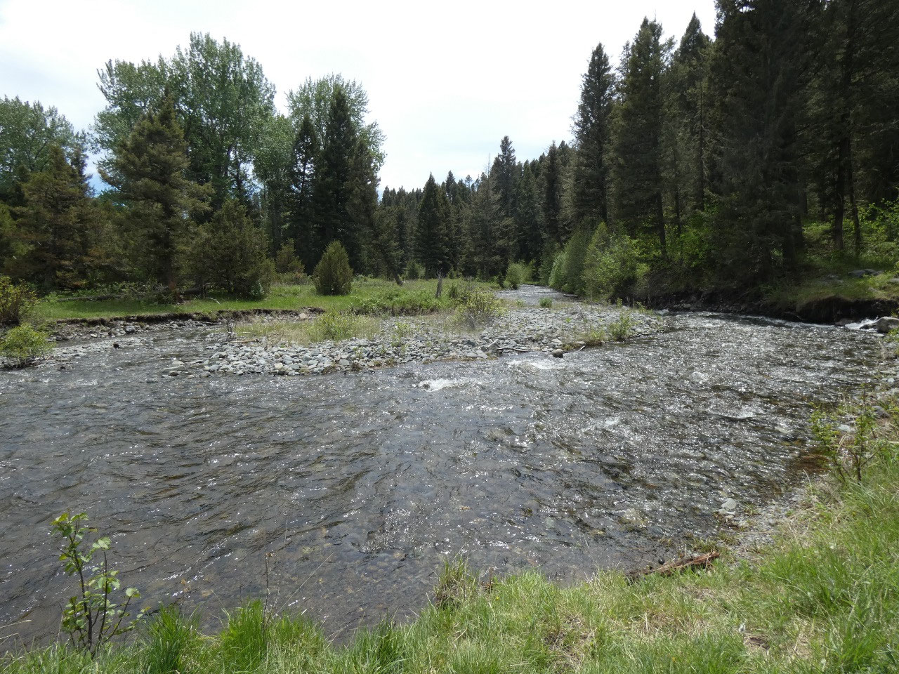
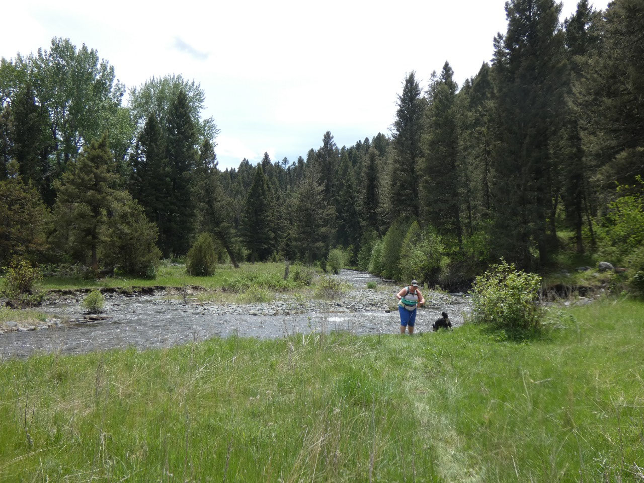
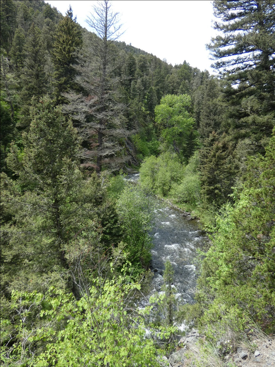
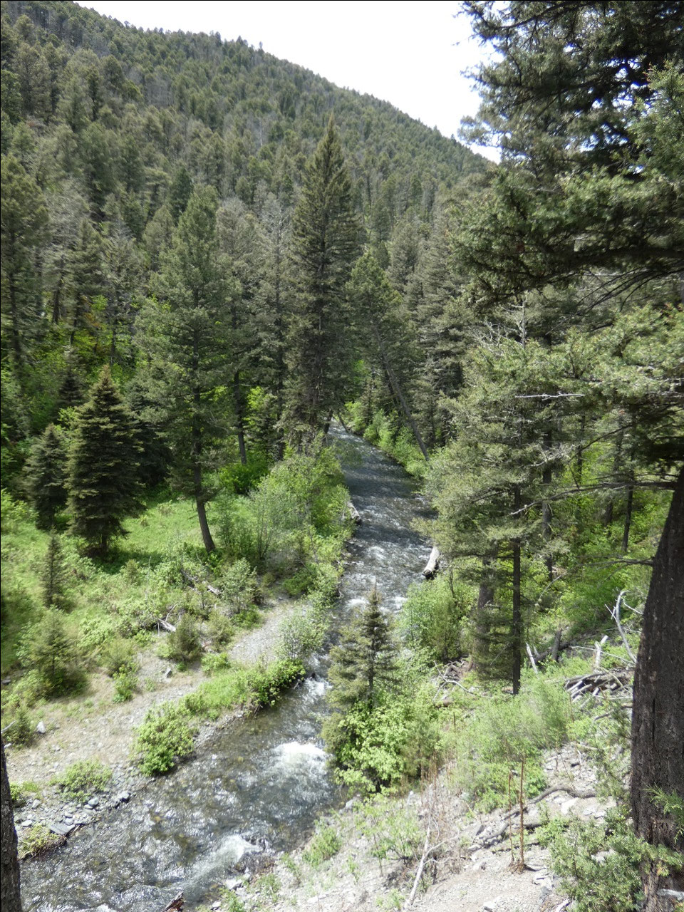
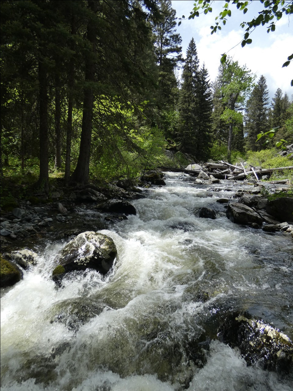
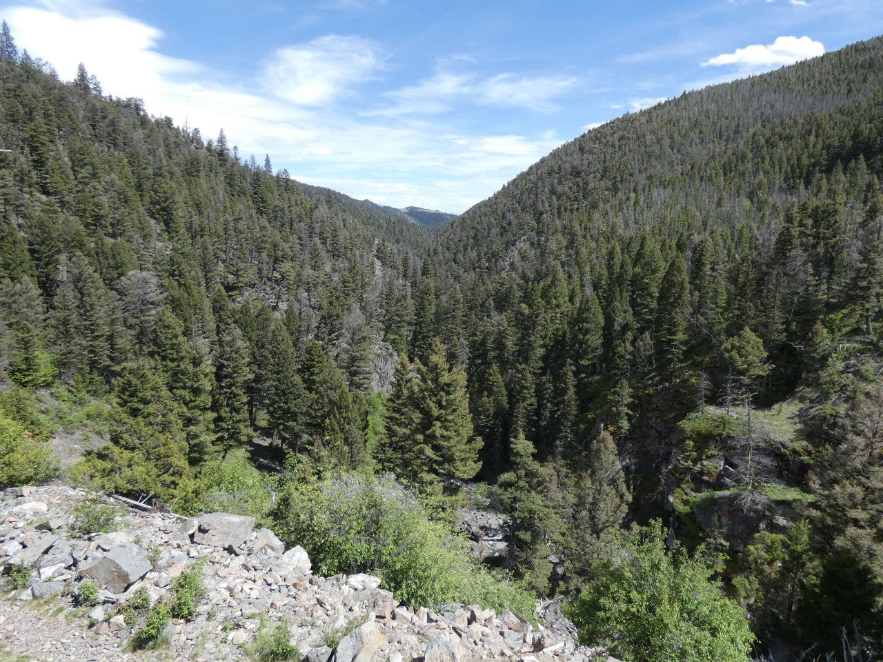
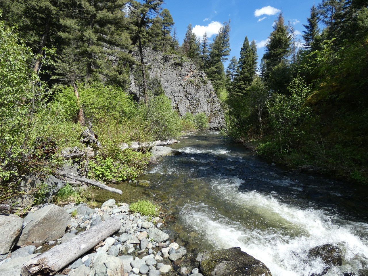
From the trailhead, the trail to the falls is about three
miles in each direction. It first descends
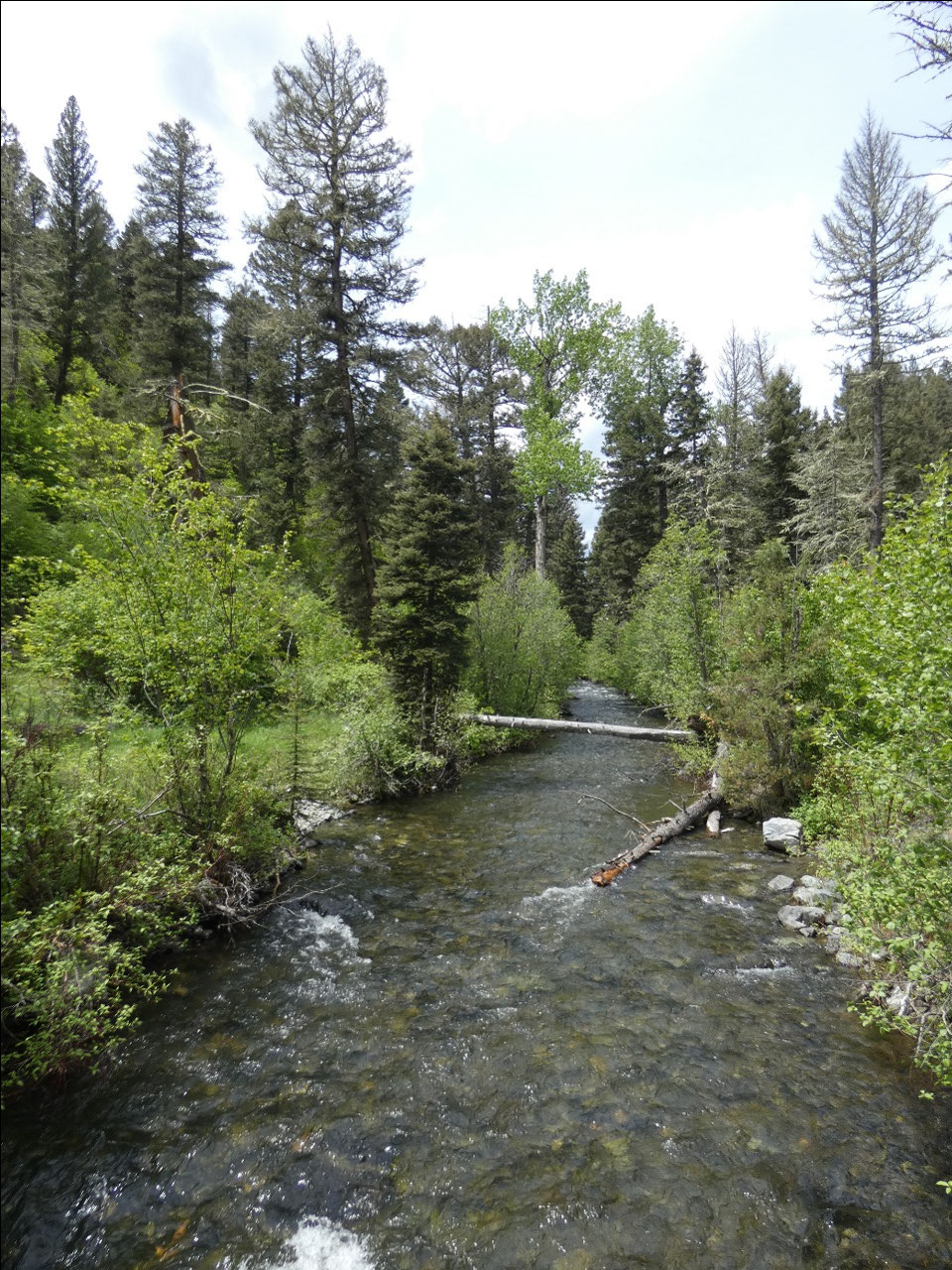
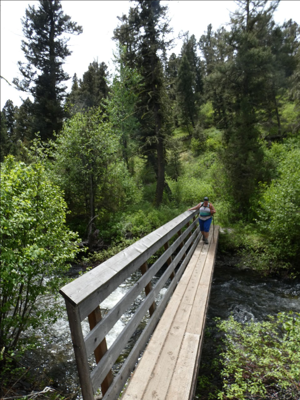
into the valley to cross the creek, then follows the creek through the forest
for over a mile, before climbing steeply above the creek. At the end, the trail descends steeply back
into the valley to the base of the falls.
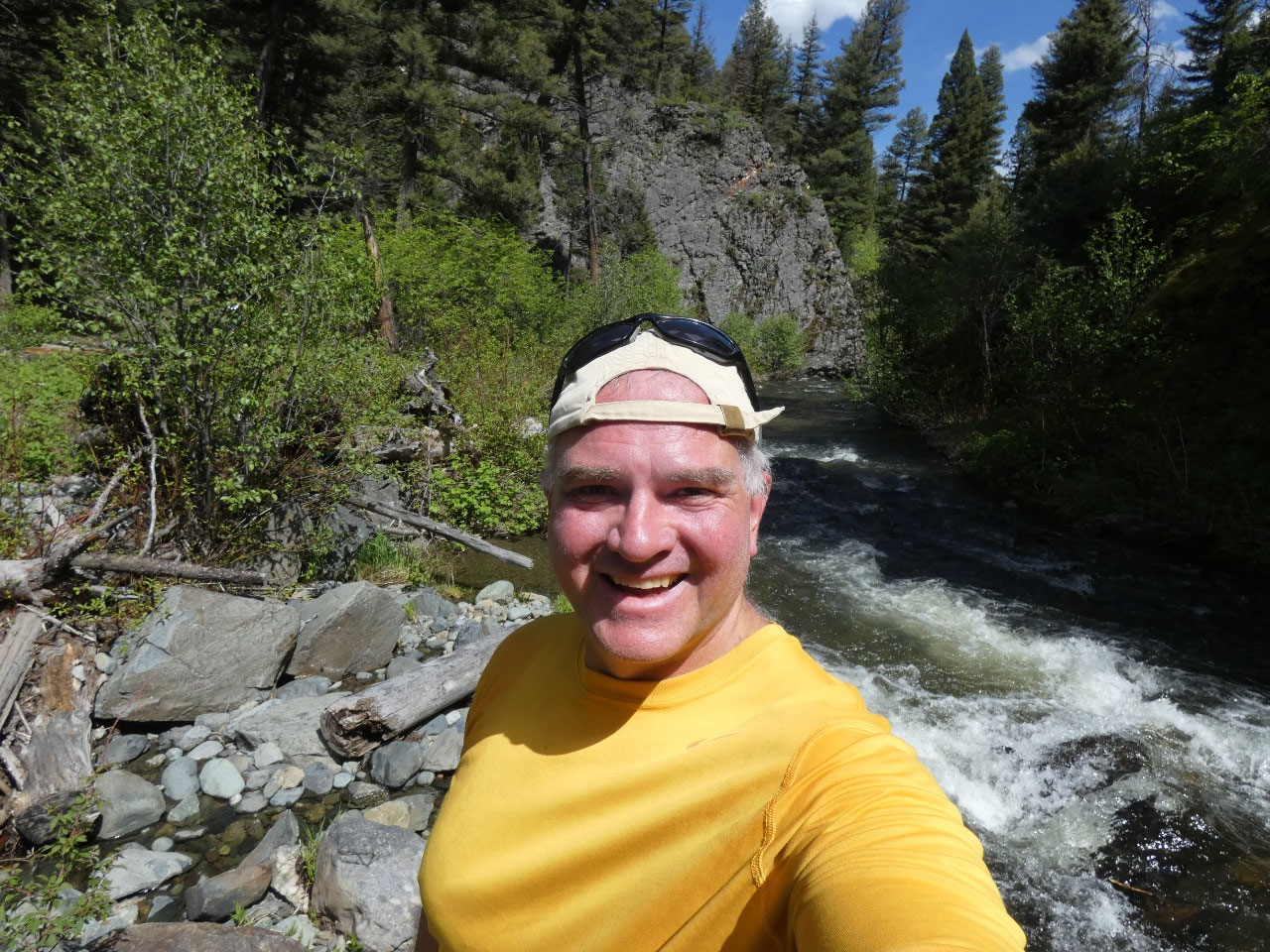
The six-mile trip honestly felt like six very long miles. Maybe it’s because I was walking more slowly
with Deb and Gracey, but I think perception of distance has something to do
with it. TO me a trail seems longer when
you are deep in the woods and can’t see very far ahead, in contrast to wide
open spaces where it is possible to see the trail far ahead.
Anyway, turned out to be a mostly shady hike on quite warm
day, one which took us much longer than the six miles without major elevation changes
would suggest. Nevertheless, by the time
we got back to the car and eventually got home, I was feeling quite beat.


2025-05-23