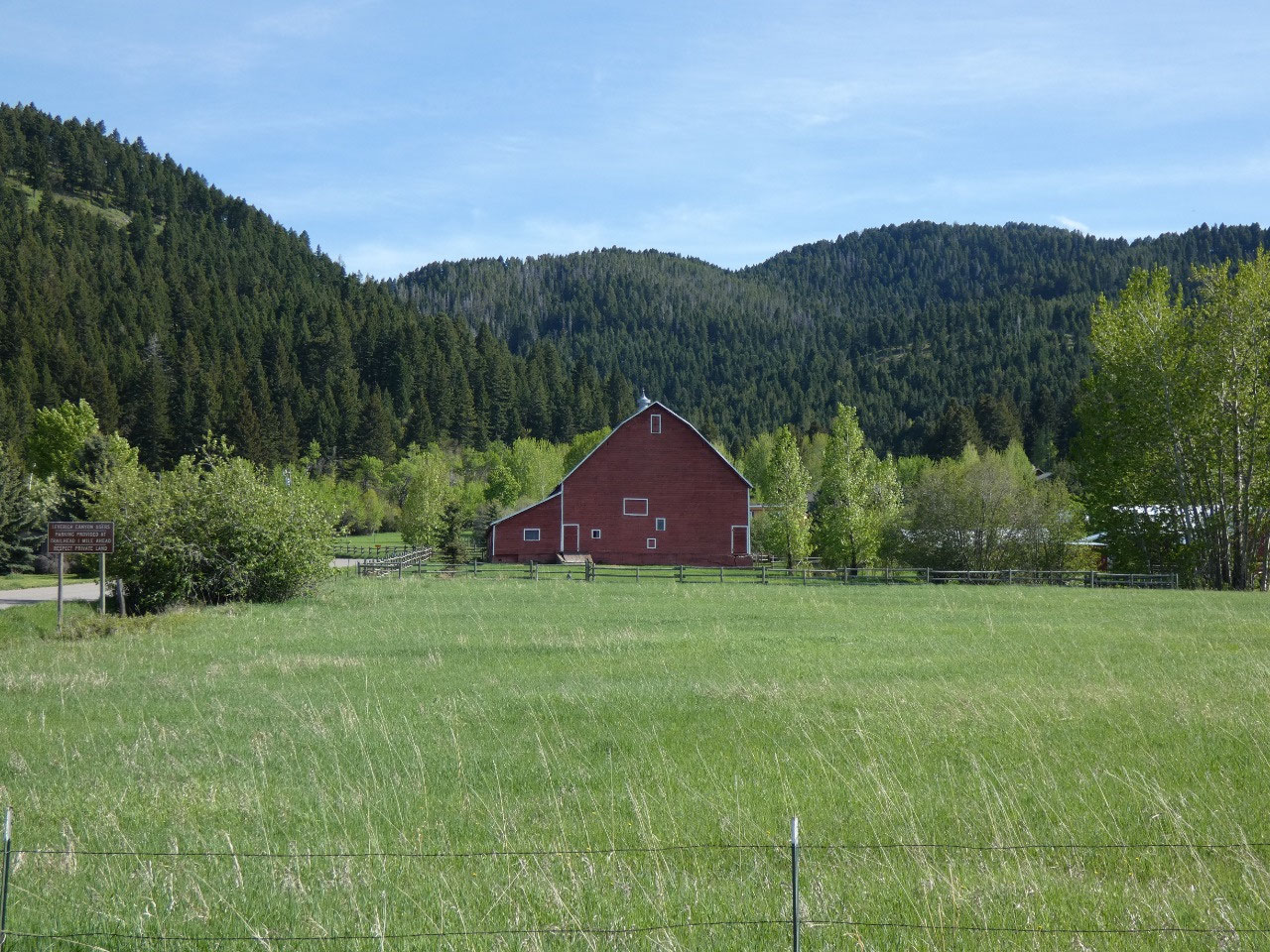
 Bozeman, Montana, United States
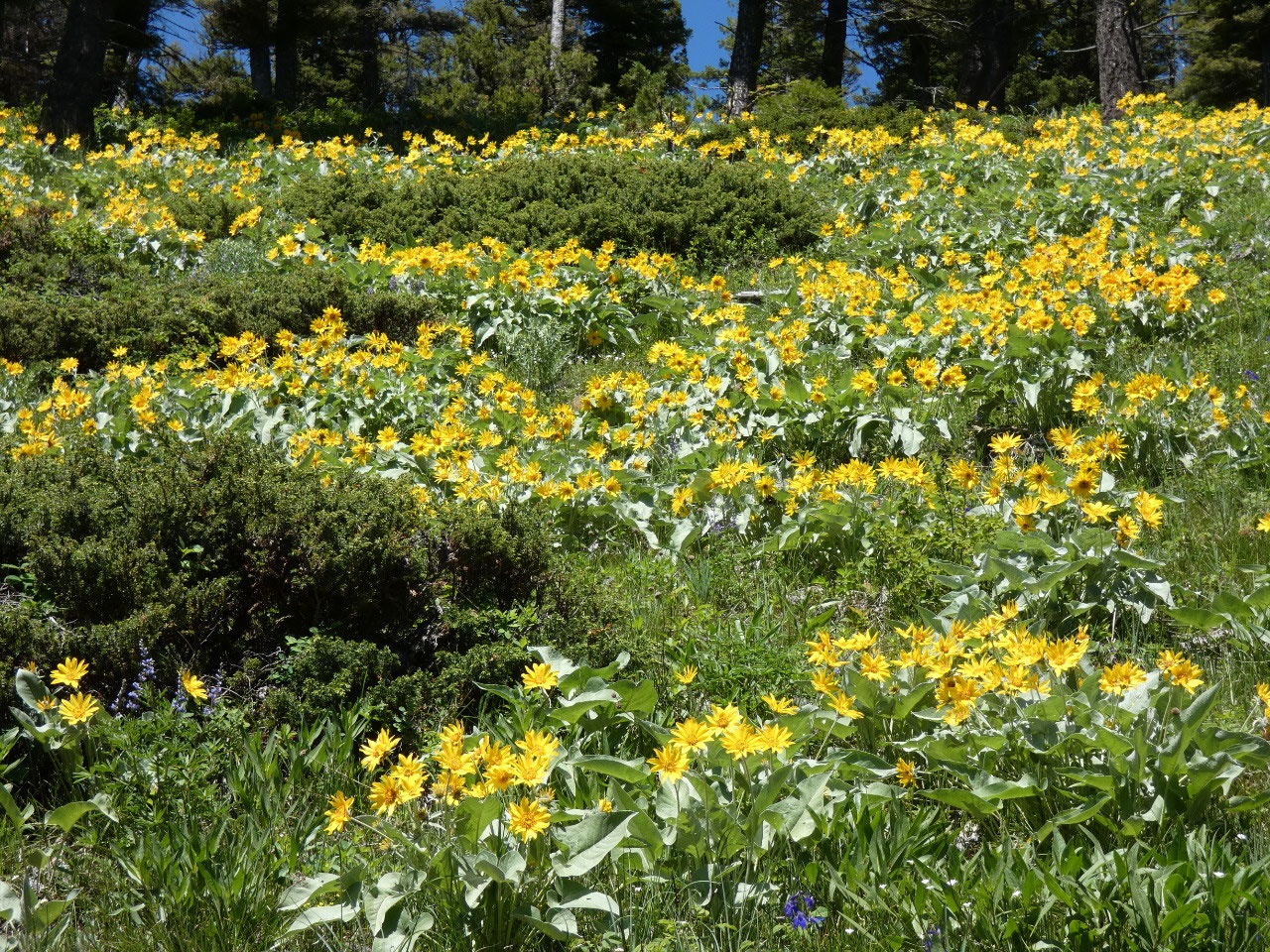
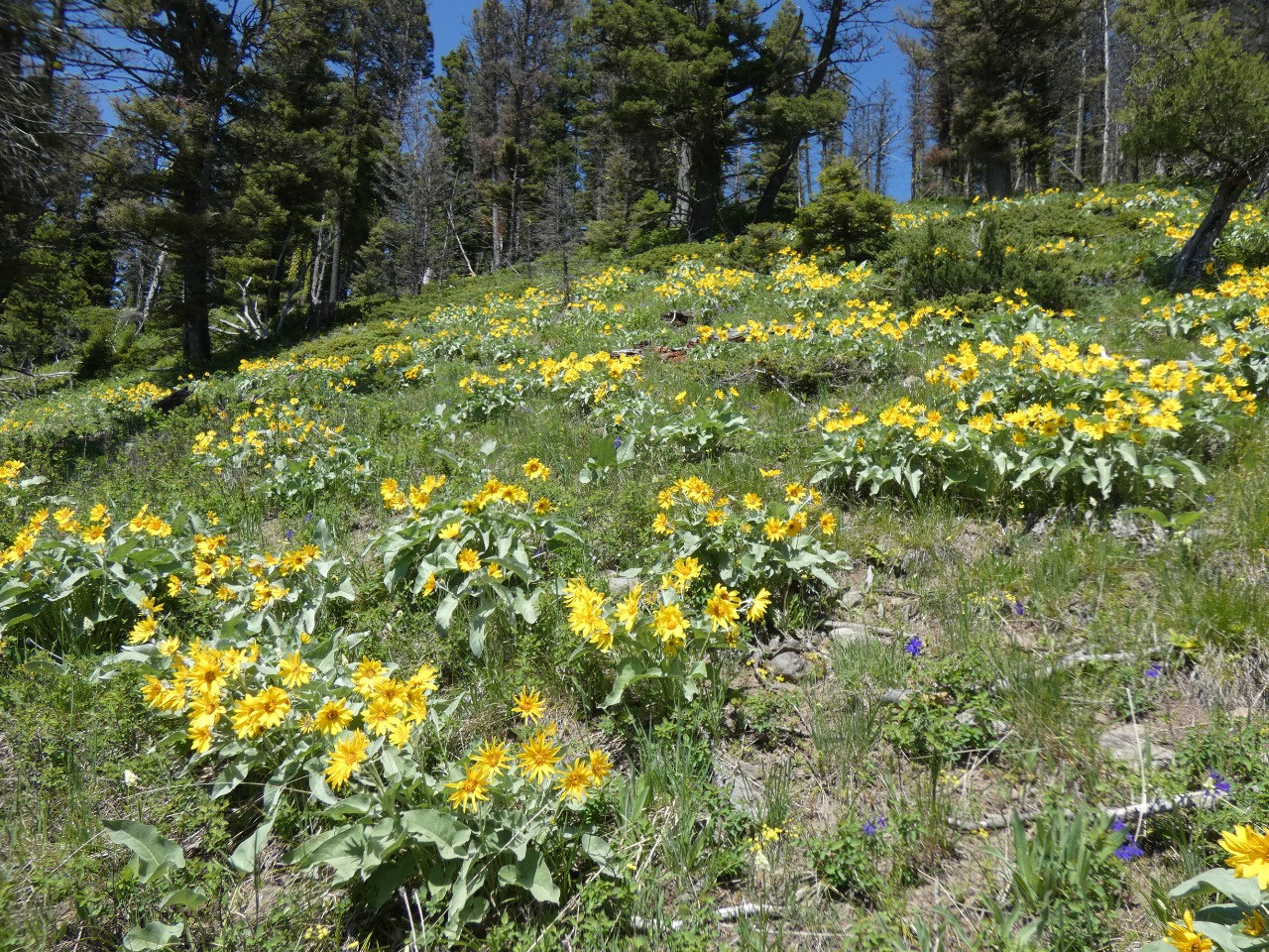
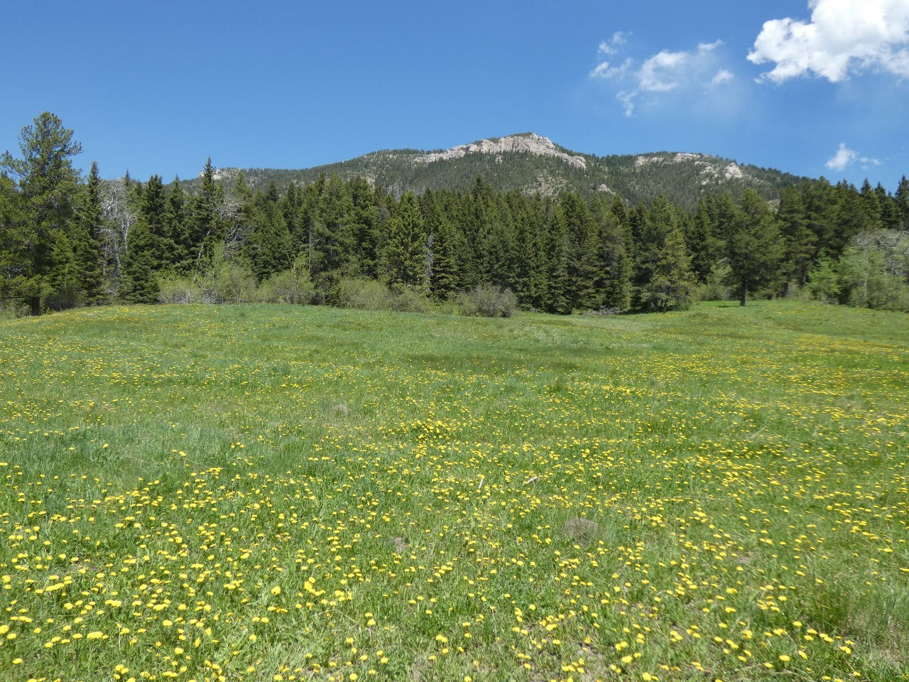
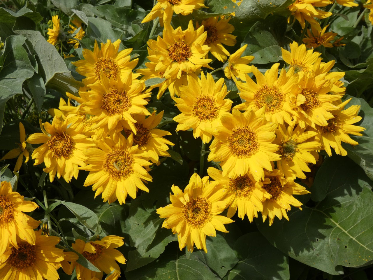
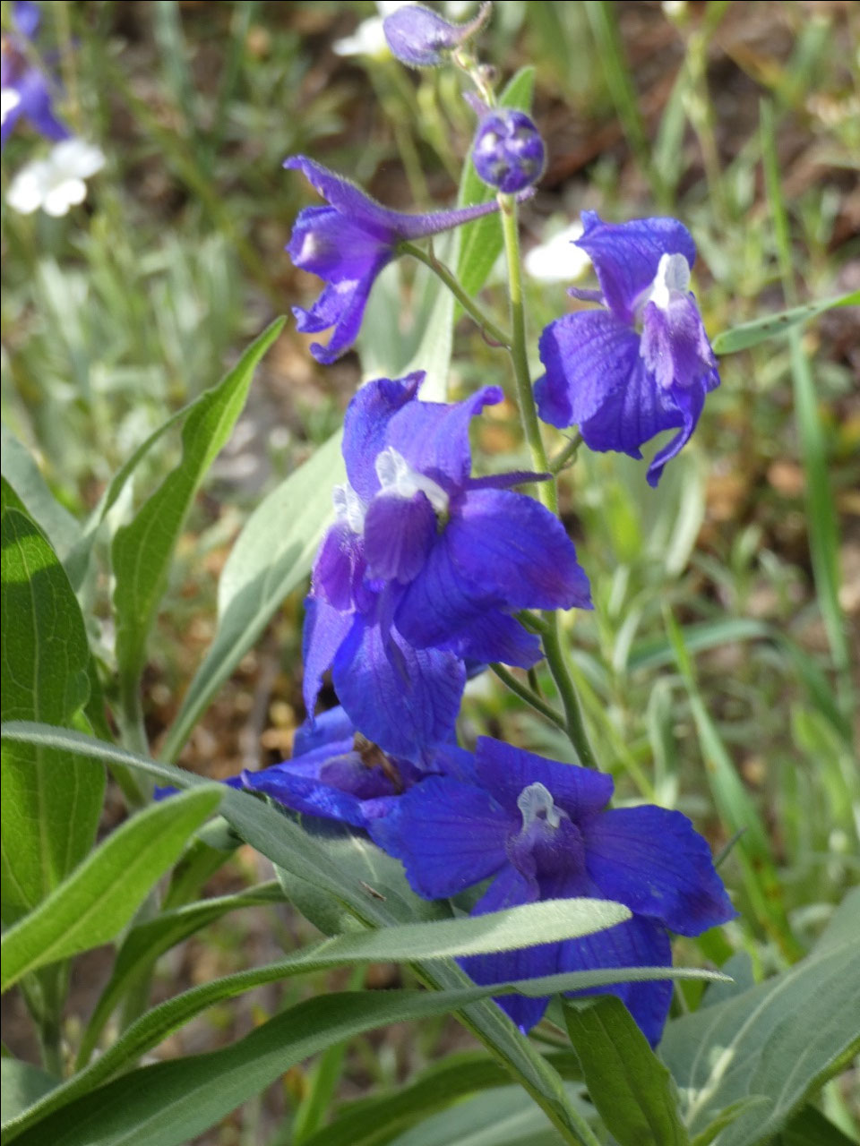
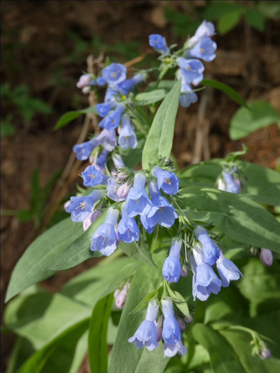
In some ways June is one of the best months to experience
the outdoors in these parts. Things are probably at their greenest, and
wildflowers are at their peak in the lower elevations. In other ways, it’s one
of the poorer months for the outdoors. June is the wettest month in Montana,
skies are cloudier than later in the summer, and higher elevation hikes are
still blocked by snow. That influenced
my choices of where to go during the month and also in favor of day hikes from
home rather than more distant multi-day trips. It also means not going too far
into the high country.
Whereas last year the area was all new to me, and I was
doing a blog entry for every day hike I took, the scenery has now become more
familiar. It’s still great to get
outside and enjoy the beauty, but I’m not taking quite as many pictures as I
did last year. Thus, I’ve combined multiple hikes in the area into a single blog
entry. These are all in the Bozeman area, none more than about 15 miles from
town, check offs in my Bozeman area hiking guide.
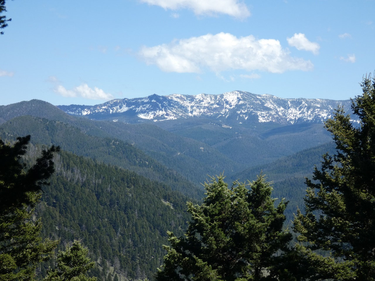
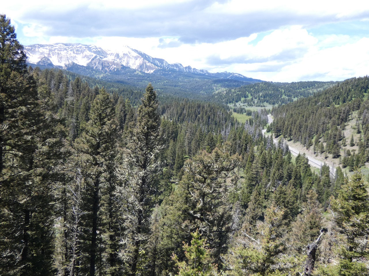
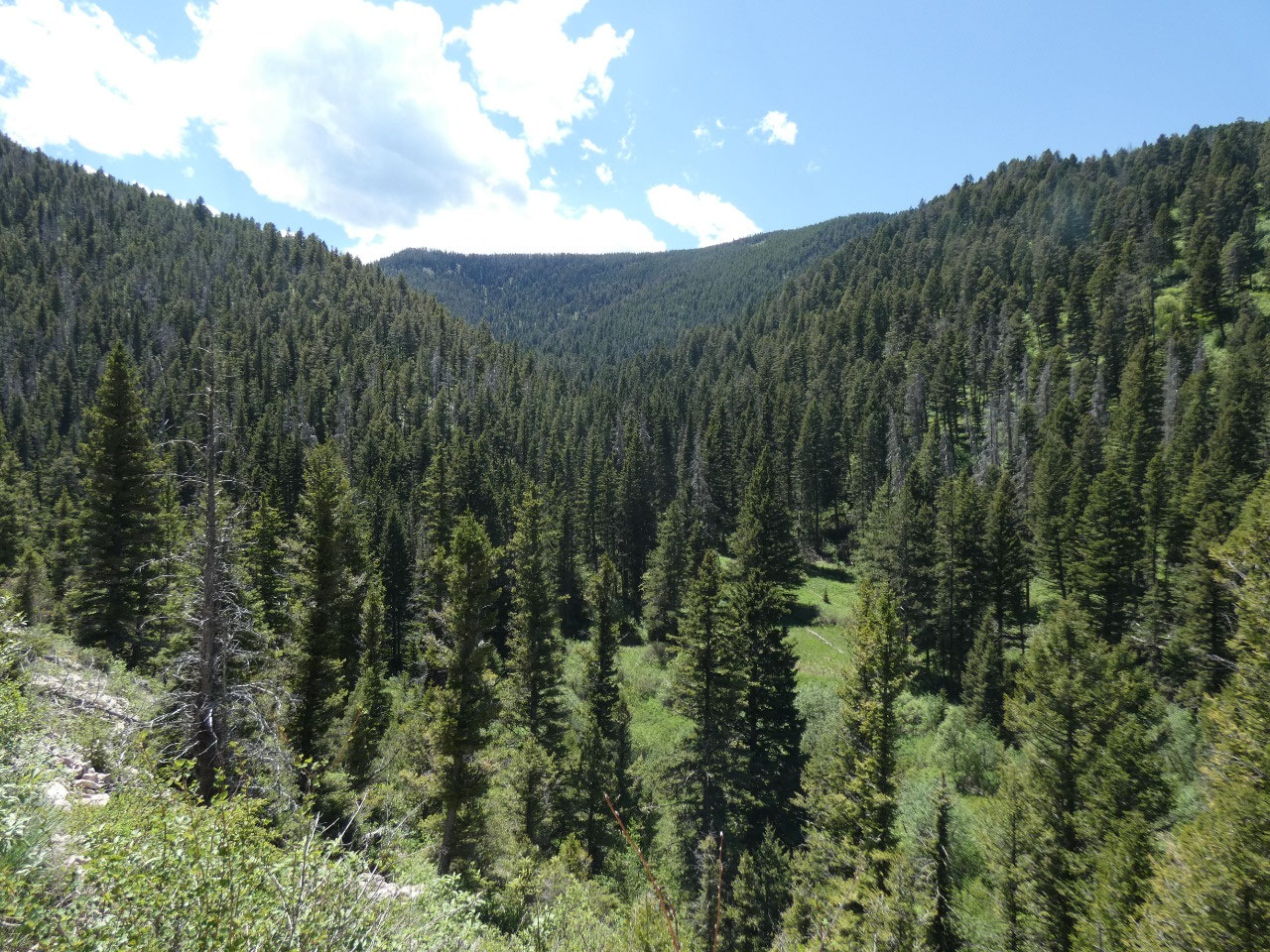
My first hike was to Leverich Canyon, one of several canyons
in the foothills of the Gallatin Range a few miles directly south of town.
Unlike some of the others with long creeks running from the high country,
Leverich is a short canyon, the five mile trail starting steeply up in switchbacks
to a ridge with views toward the east and southeast and then mostly leveling
out as it circles about 1,200 feet above Leverich before descending on the
other side. The trail was a good one, not too steep and used mostly by mountain
bikers. It was a still strenuous enough, though, to justify treating myself to
beer and a T-Rex pizza at Bridger Brewing on my way home.
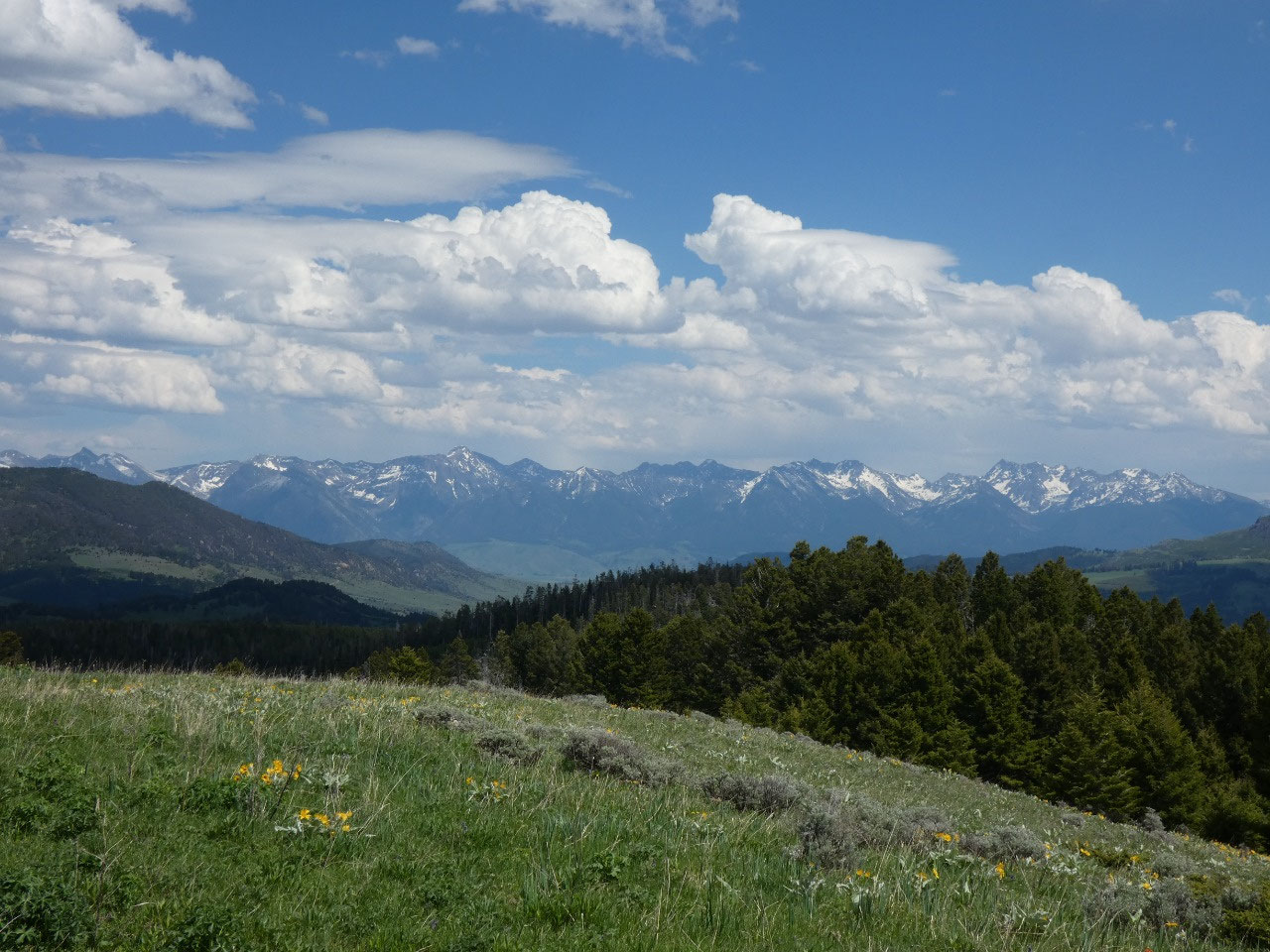
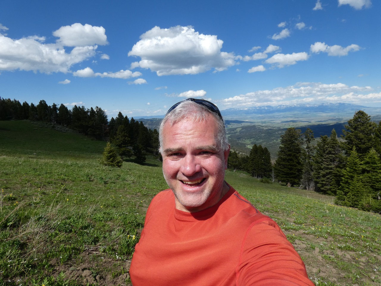
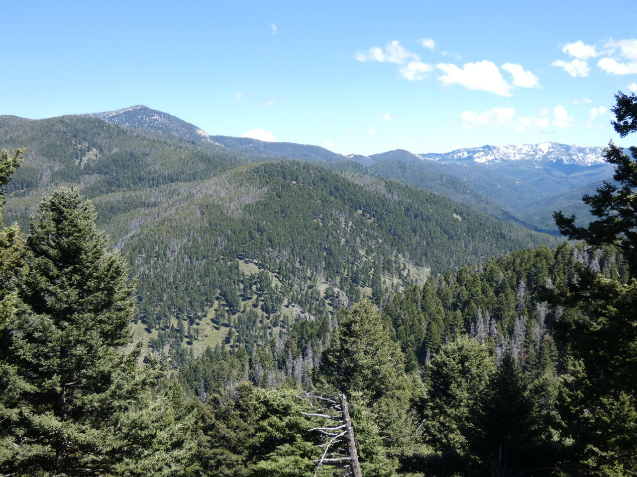
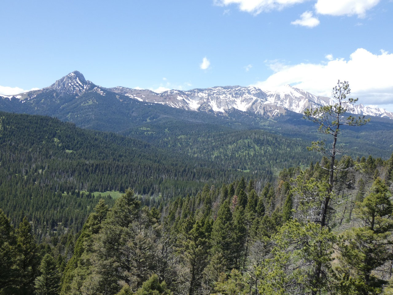
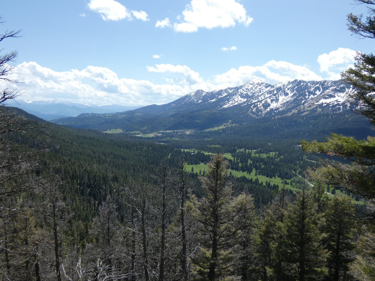
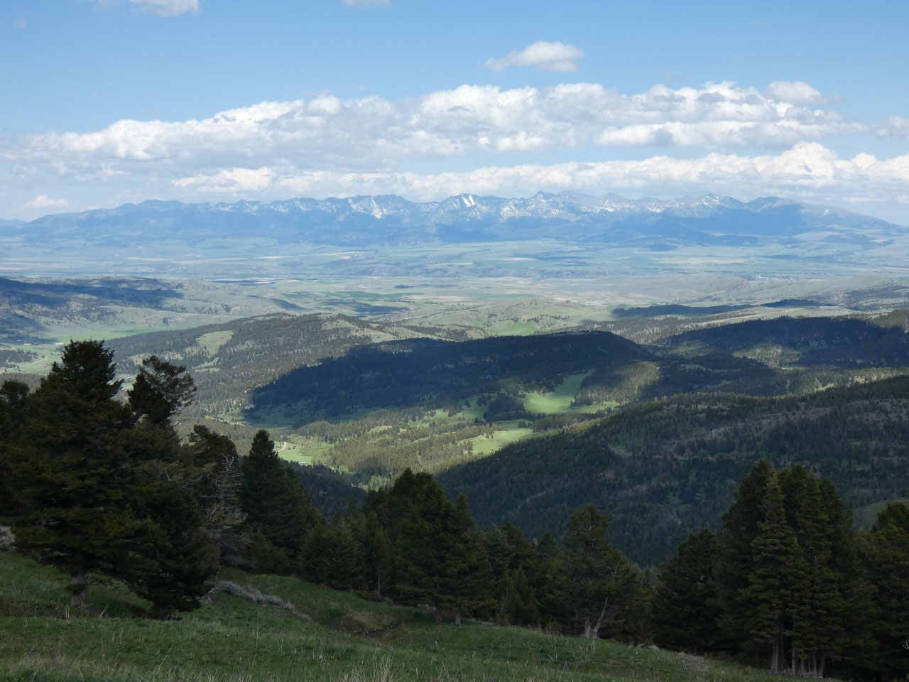
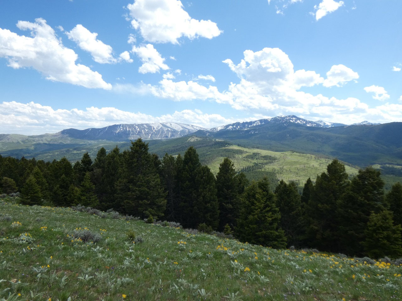
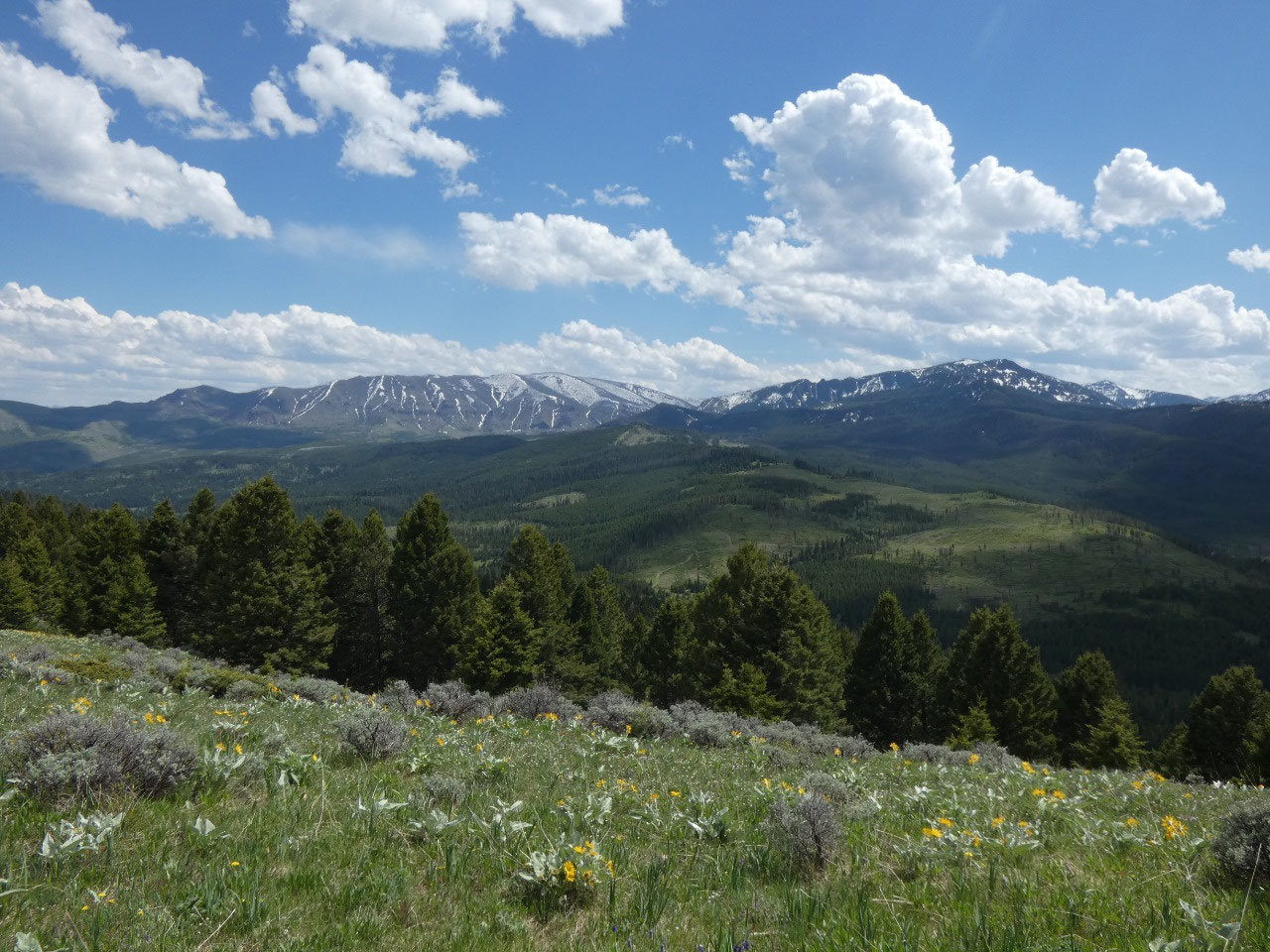
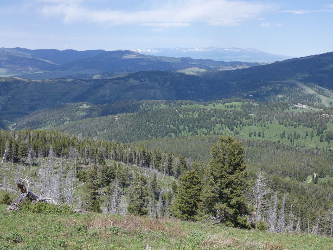
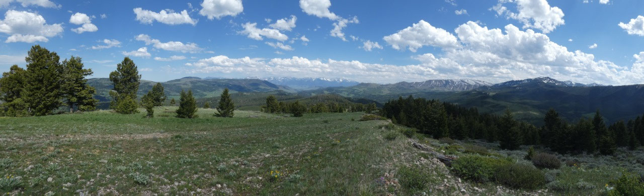
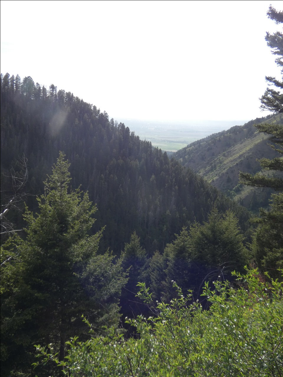
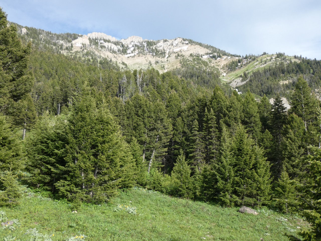
The next hike I undertook was to Grassy Mountain in the
Bangtail Hills northeast of town, roughly across Bridger Canyon from Bridger
Bowl ski area. The Bangtail Hills are a lower range with the peak of Grassy
Mountain, one of the highest points, already snow free at 7,600 feet. The 1,400-foot
elevation gain is gradual through the forest over the four miles to the summit
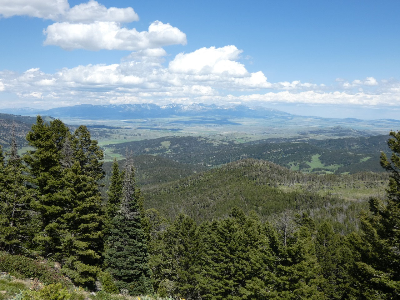
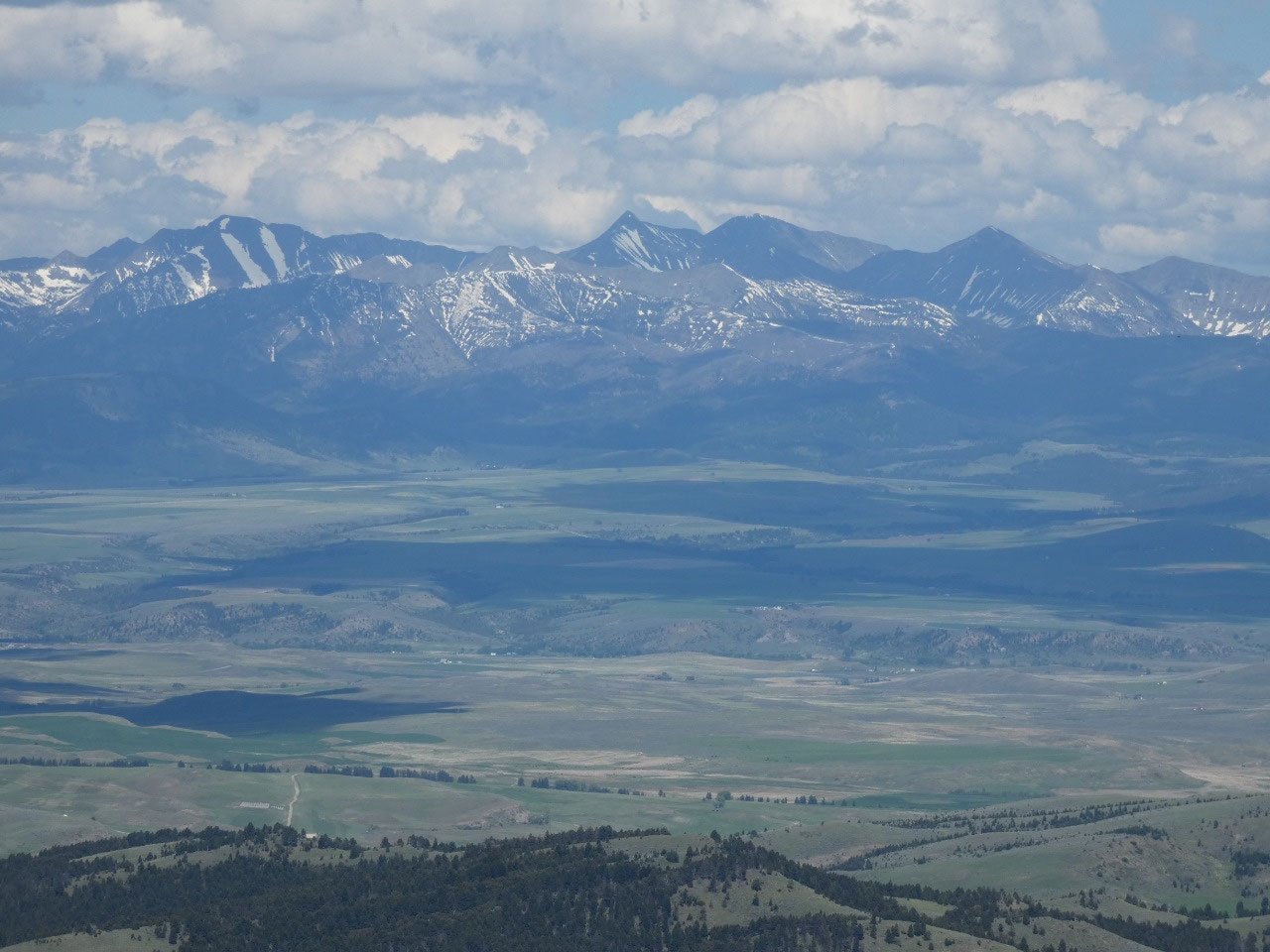
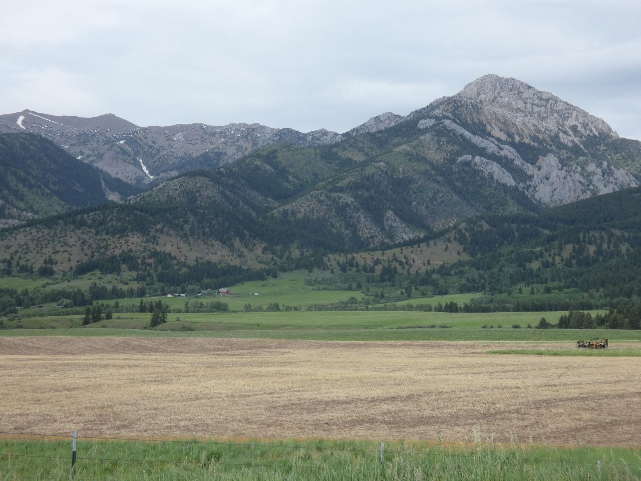
ridge, from where there are pleasant views of the Bridger Range to the west and
the more dramatic Crazy Mountains across the Shields Valley to the east.
The
eight-mile walk definitely justified a stop for a pint in the beer garden at
MAP Brewing.
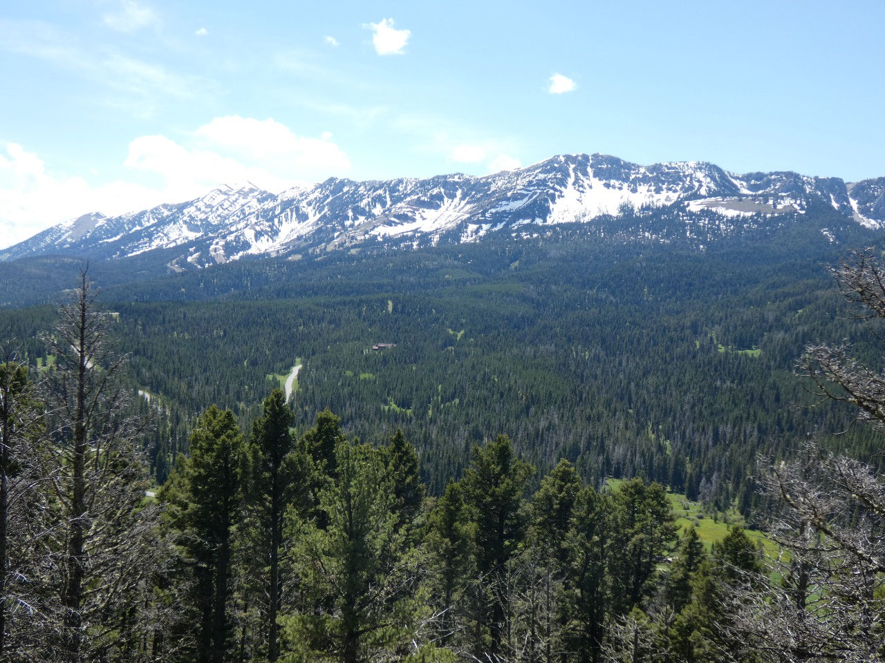
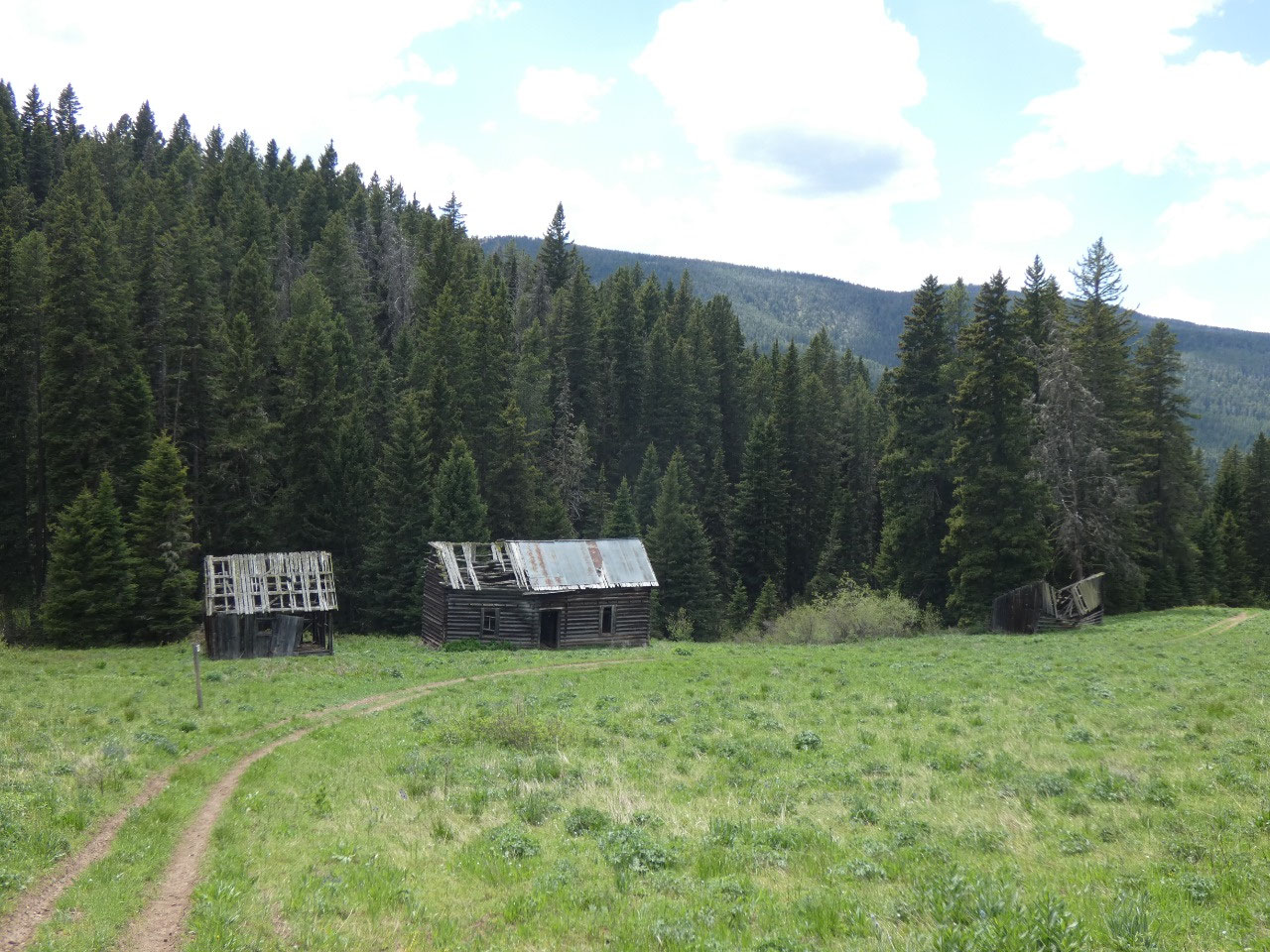
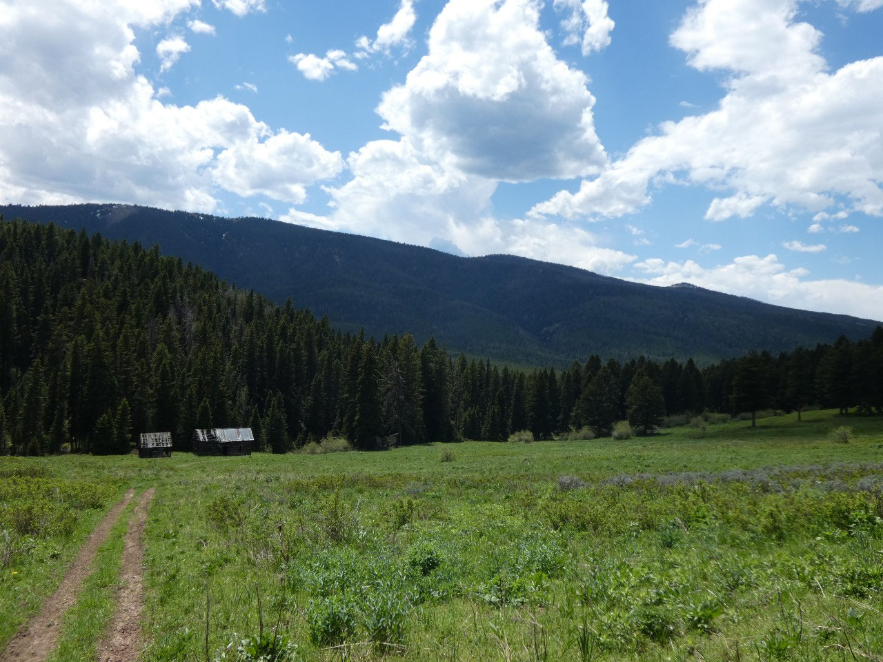
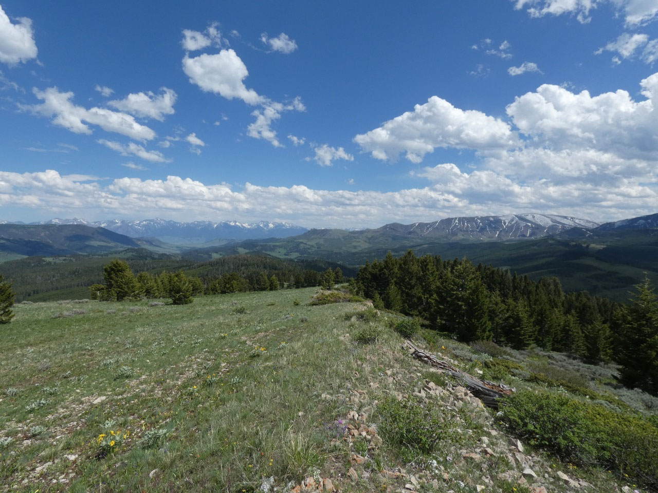
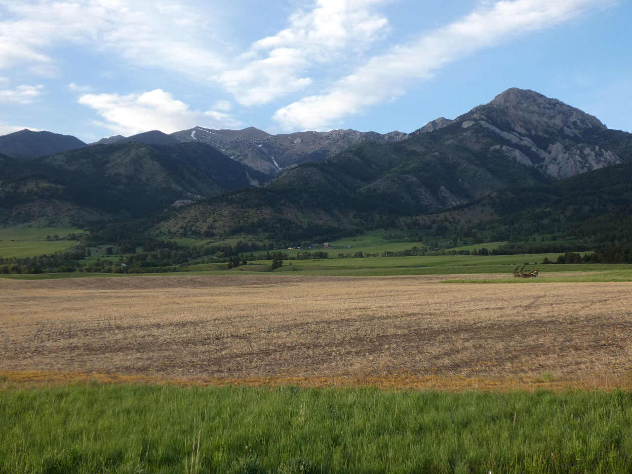
For a long time Bear Canyon and Chestnut Mountain have
intrigued me. With a trailhead situated at the extreme southeast corner of
Gallatin Valley, Bear Canyon is the starting point for numerous hikes, while
Chestnut Mountain is the prominent ridge to its east that stands prominently
above I-90 east of town as it climbs to Bozeman Pass. While it looked gentle
and as though it might be popular, beyond the first mile or so I saw no other
hikers and only a few mountain bikers.
The hike up the canyon, up to the ridge, and then continuing to gain
elevation along the ridge to the high point of Chestnut Mountain is officially
10 miles with an elevation gain of over 2,000 feet. However, it took me most of the day and
seemed significantly longer than that. I’m not sure I trust distances and
altitude changes reported in my little purple local hiking book.
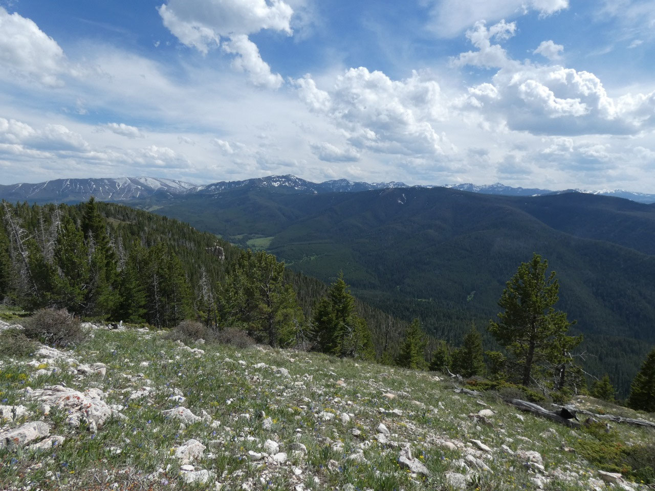
Saturday the 13th turned out to be a very warm,
sunny day – perfect for a hike. My
motivation level wasn’t the highest, though, after going for long hikes the previous
two days. And warm isn’t good if you’re going to be climbing from a relatively
low elevation. I decided to wait until
late afternoon to tackle Truman Gulch, one of several access points on the west
side of the Bridger Range. A true walk in the woods, the trail follows a stream
for 2.5 miles up the gulch and then zigzags in easy switchbacks favorable to
mountain bikers up the side of the mountains to where it meets up with the
north-south Bridger Mountains ridge trail. My guidebook said I went up 1,000
vertical feet, but the views and the effort suggest to me it was actually more
than that, still a perfect evening hike.


2025-05-22