 Crypt Lake Trail, Alberta, Canada
The hike to Crypt Lake has long been on my list, a literal
list on a spreadsheet on my computer. But times I have been in Glacier National
Park in recent years I chose not to bother with the hassle of border crossing
to make the trip to Waterton for it. Instead I’d leave it for a Canadian trip.
With planning to continue on to Saskatchewan after Under the Big Sky festival,
this seemed like the opportune time to do it.
Over the years the hike to Crypt Lake has made several lists
of best day hikes in the world and more of best in North America or Canada. Why
so? What makes Crypt Lake so great? My understanding has always been that
destination and scenery along the way are impressive, but what makes it special
are some distinct features rather unique to hikes in North America, including
having to ascend a ladder, crawl through a tunnel, and hold onto an iron chain
bolted into the rock to traverse a narrow ledge on a cliff. It makes me wonder why I did not do it back
in 2001 when I was in Waterton. I might
have been that I was somewhat intimidated by its reputation, but by that point
I had done many fourteener hikes in Colorado that challenged my modest fear of
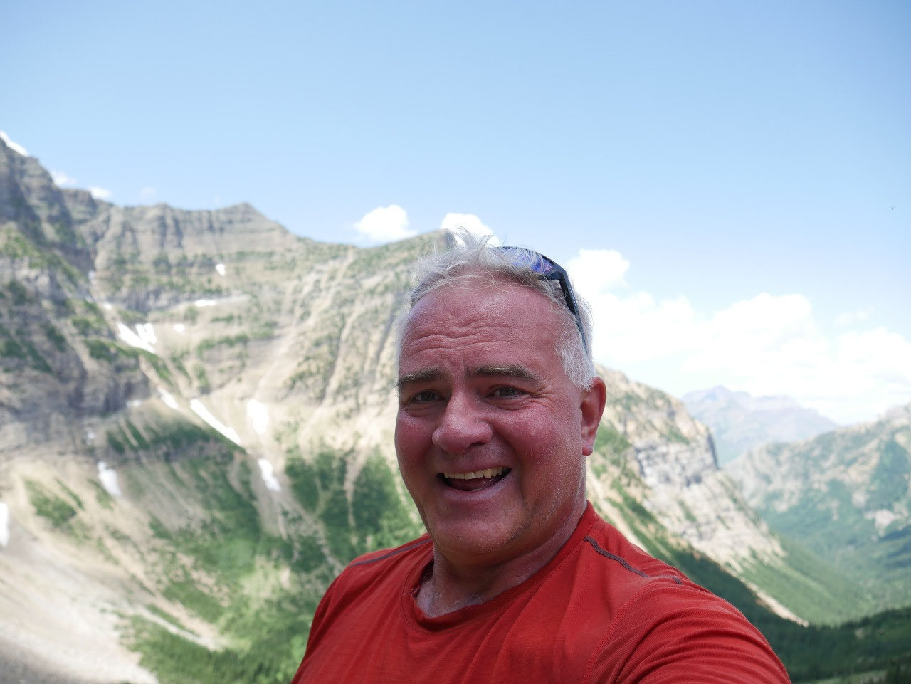
heights at least as much. Anyway, this
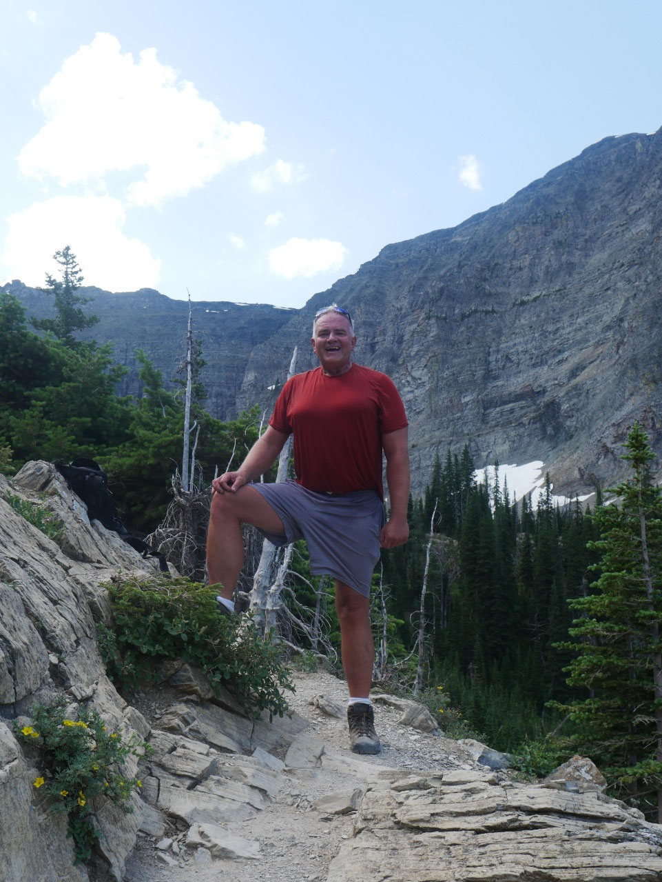
year I’d make Crypt Lake my 57th birthday challenge.
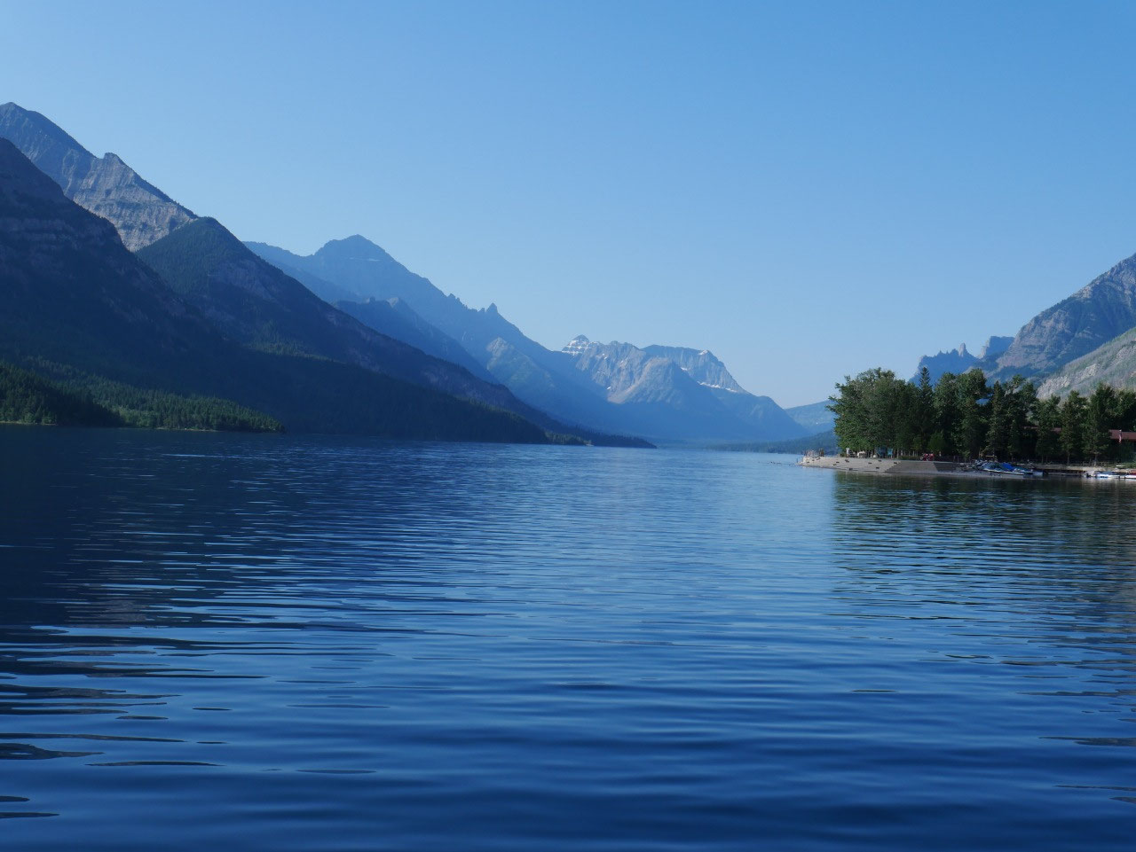
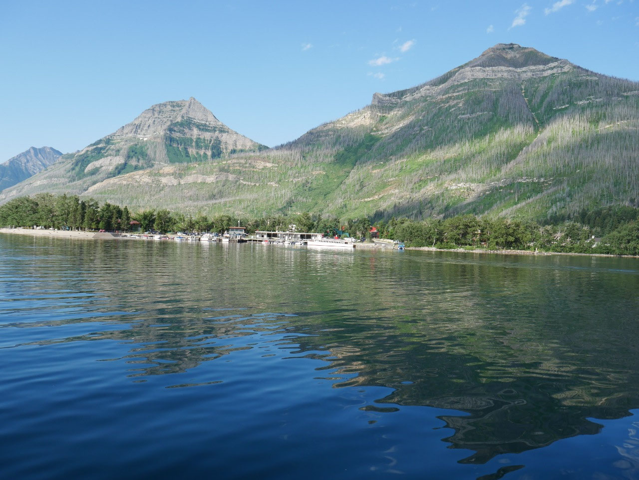
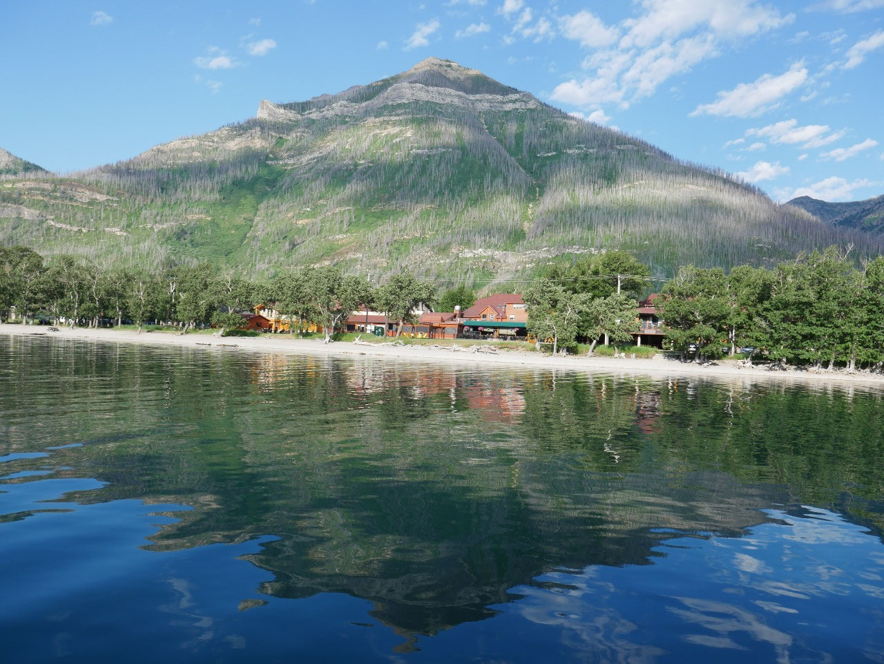
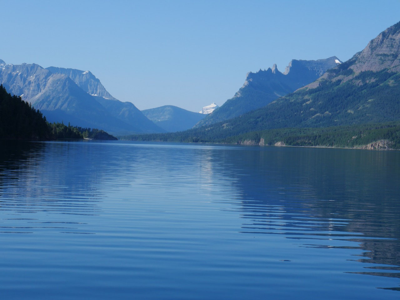
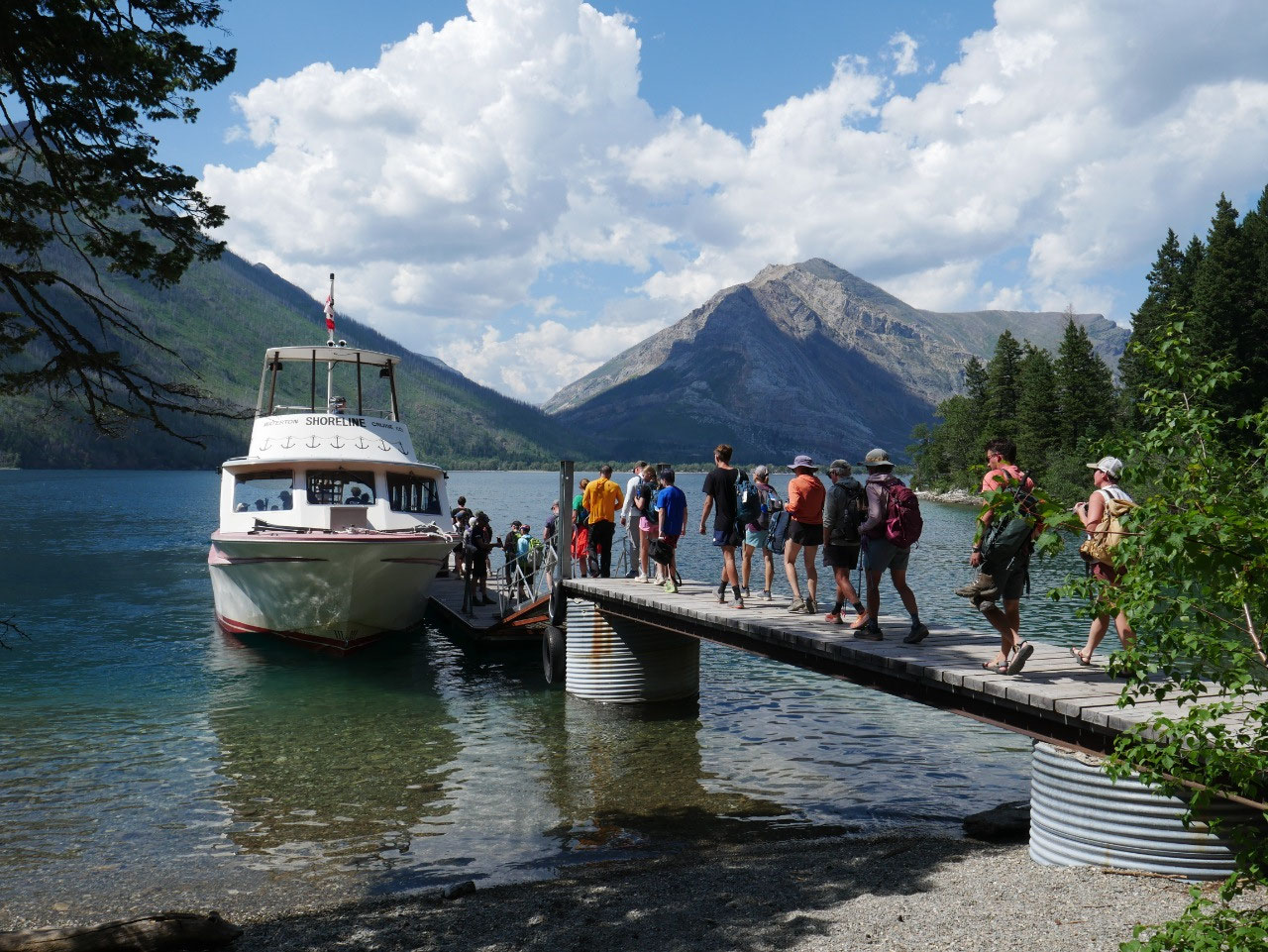
The trailhead for the Crypt Lake hike begins at the opposite
side of Upper Waterton Lake from the townsite.
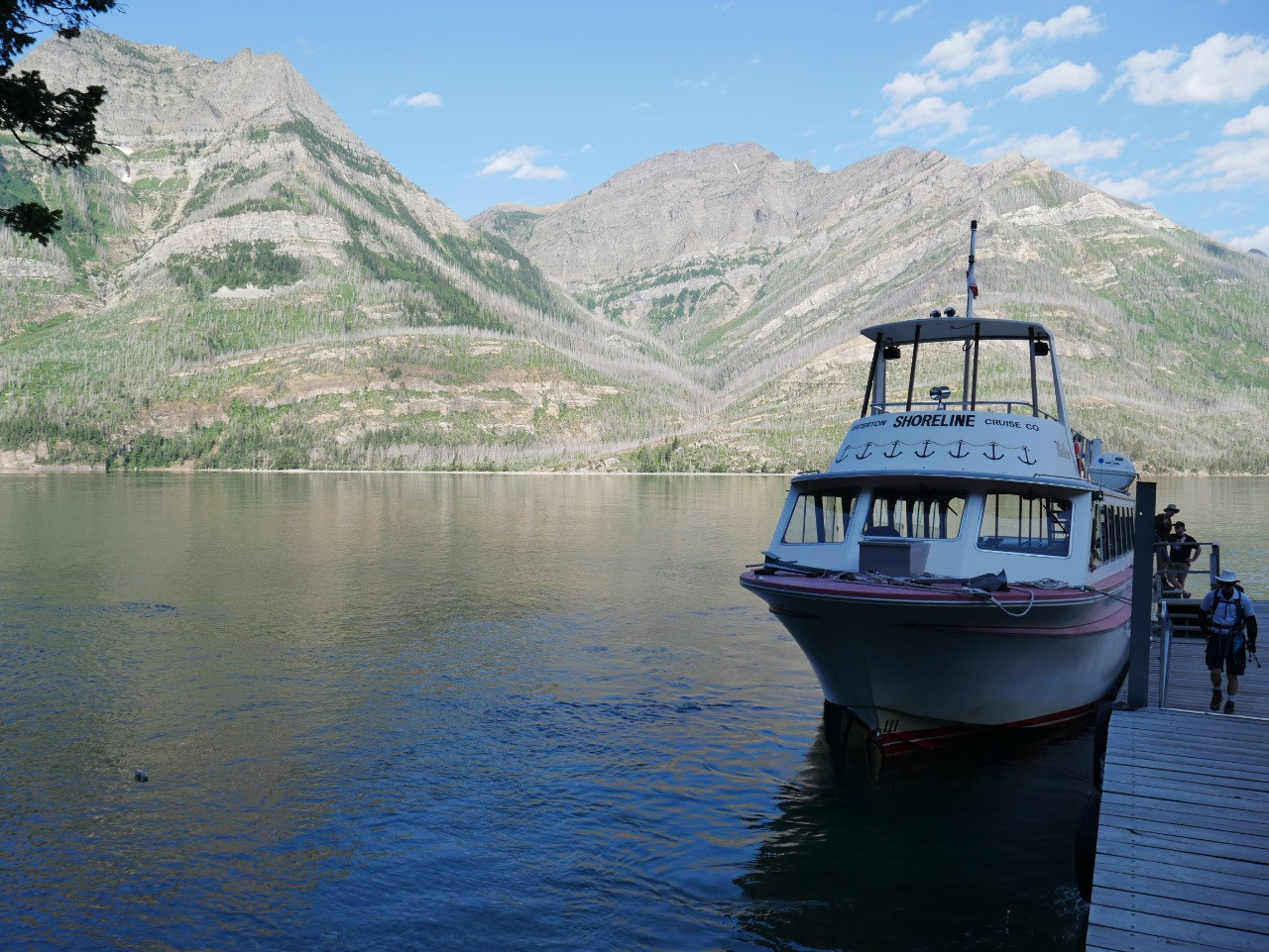
That means the only way to get to it (unless you’re a really good
swimmer) is to take the ferry from the marina across the lake.
Round trip that’s
$35 Canuck bucks, but you have no choice. Two boats leave at 8:30 and 9:00 in
the morning and return to town at 3:30 and 5:30 in the afternoon. If you miss the last one, you’re out of
luck. I got the first boat over, but
wasn’t sure I’d be able to make the first one back since the round-trip hike to
the lake is almost 14 miles and involves an ascent of about 2,500 feet. A guide on the boat described what to expect
on the hike, recommendations for the choice to make a detour for Hell Roaring
Falls, and the hopeful note that even though the trail looks scary, no one yet
has died on it. That doesn’t mean, though, that the forest below the cliff face
isn’t littered with dropped cellphones.
But I decided to hike fast and with a purpose – no dilly-dallying
breaks and only the shortest of stops for pictures or occasionally to catch my
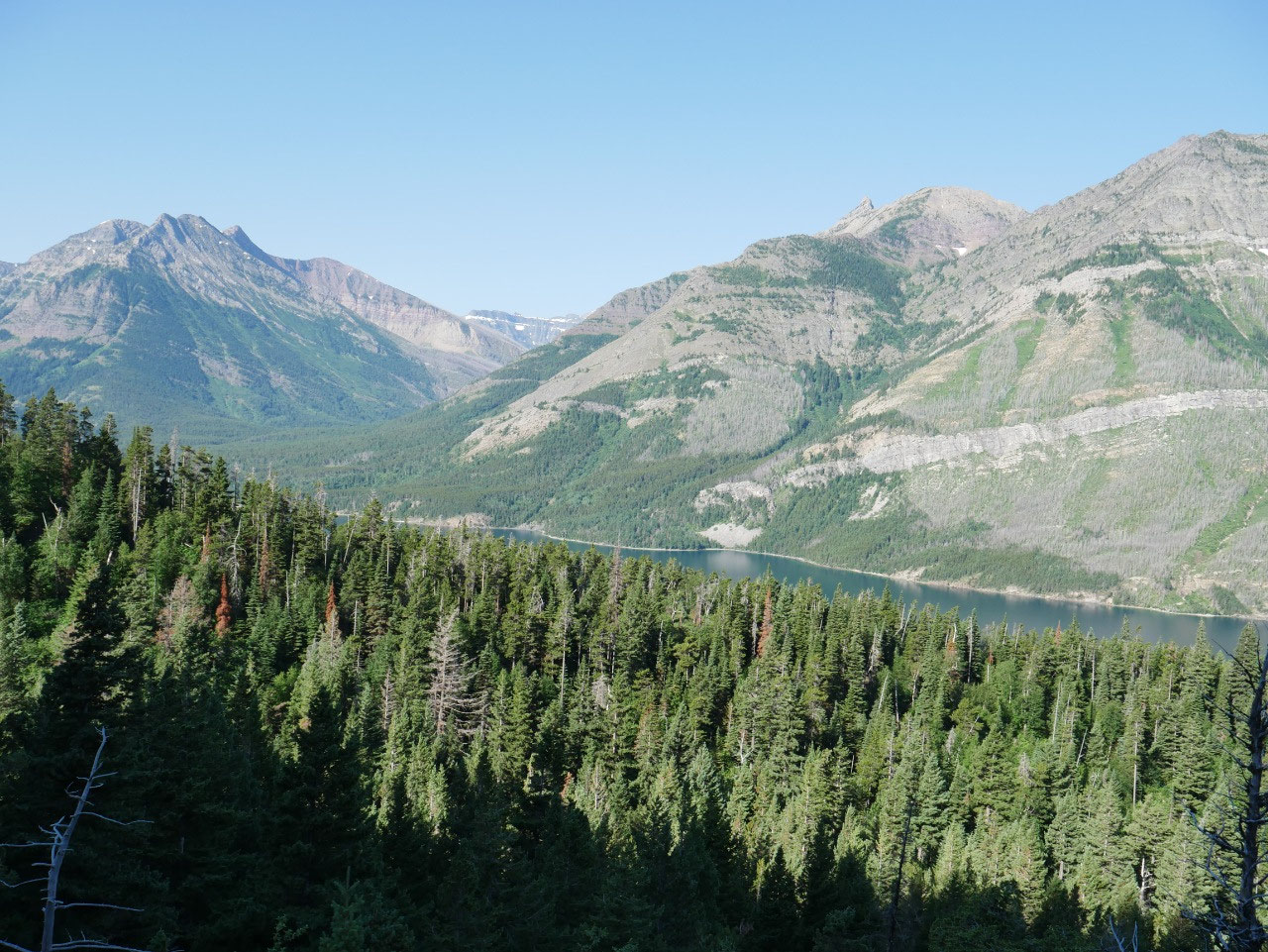
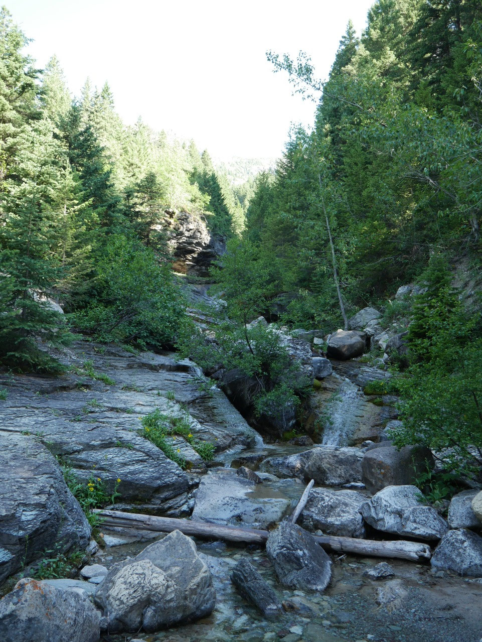
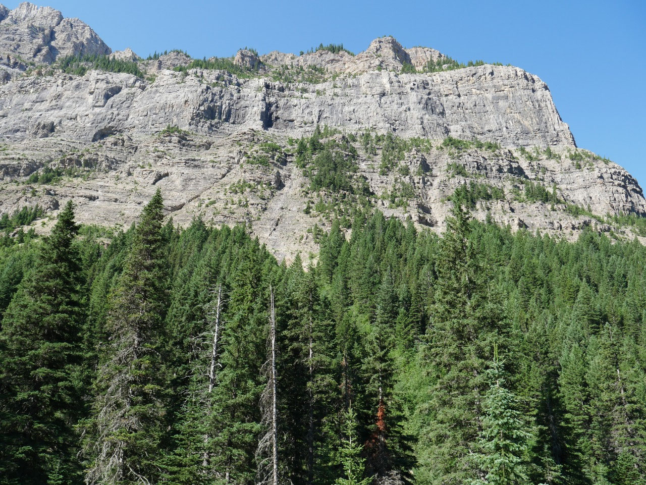
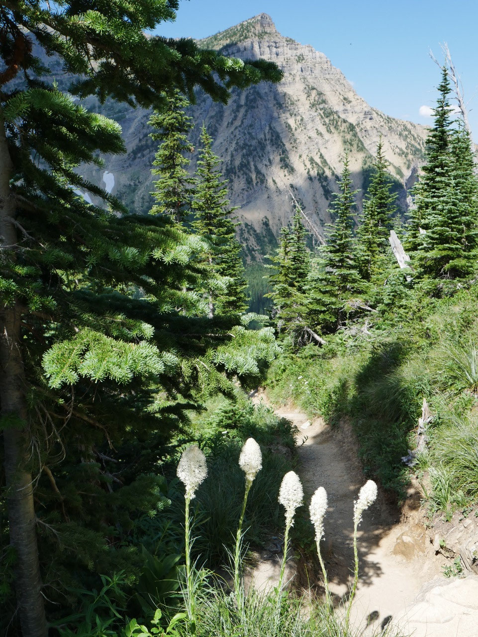
breath. The first part of the hike
ascends rather gradually through the forest in twists and turns and
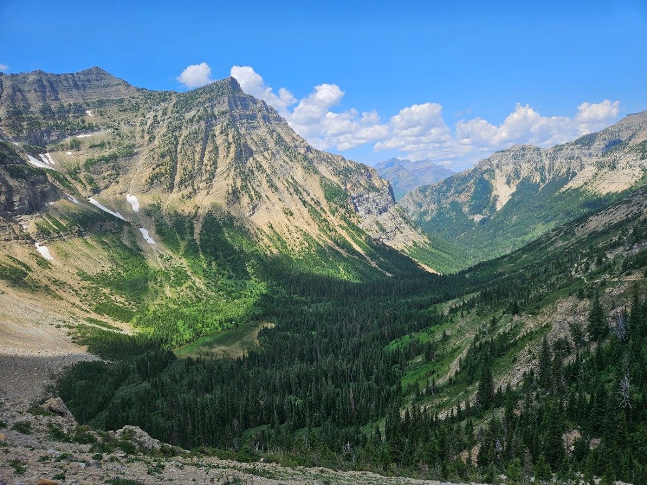
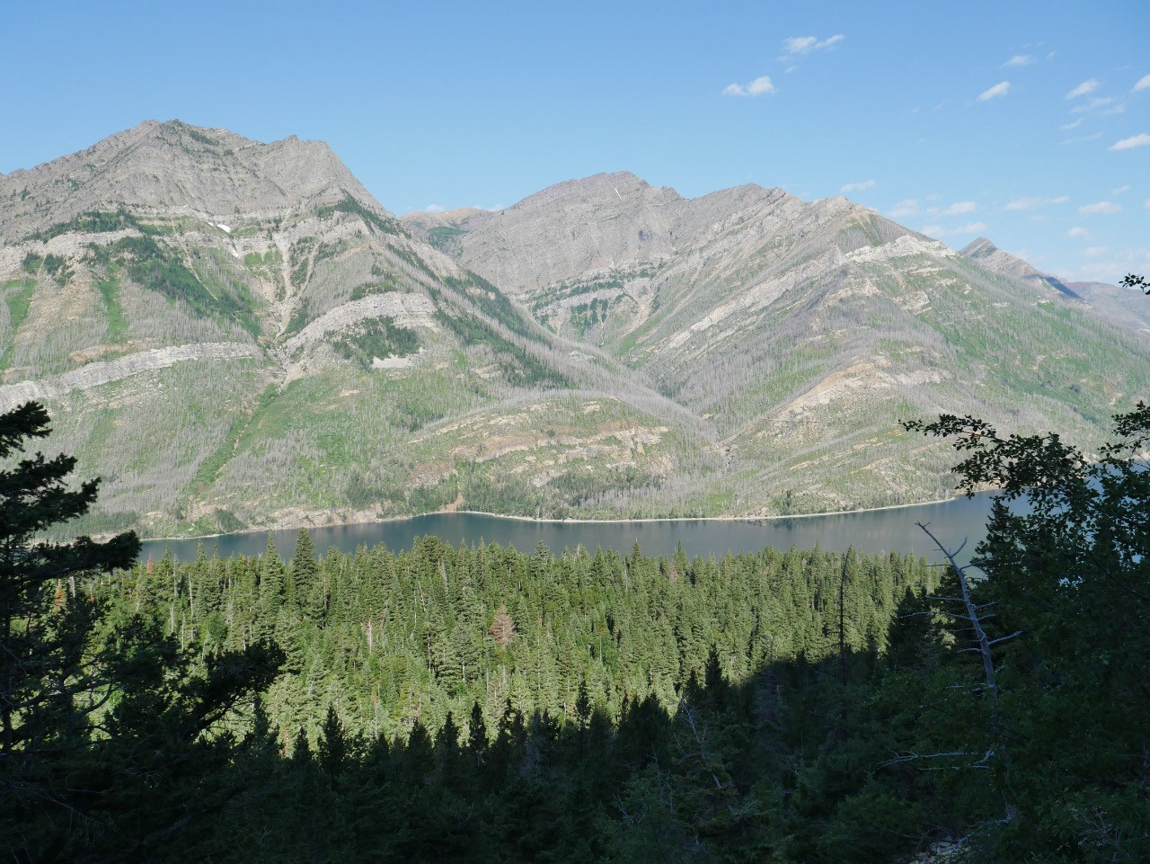
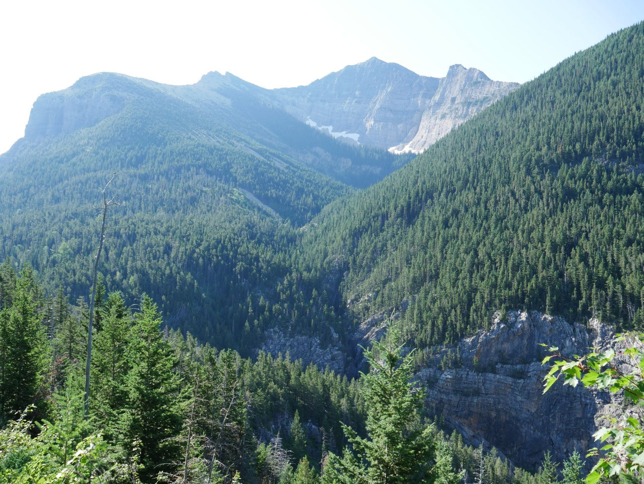
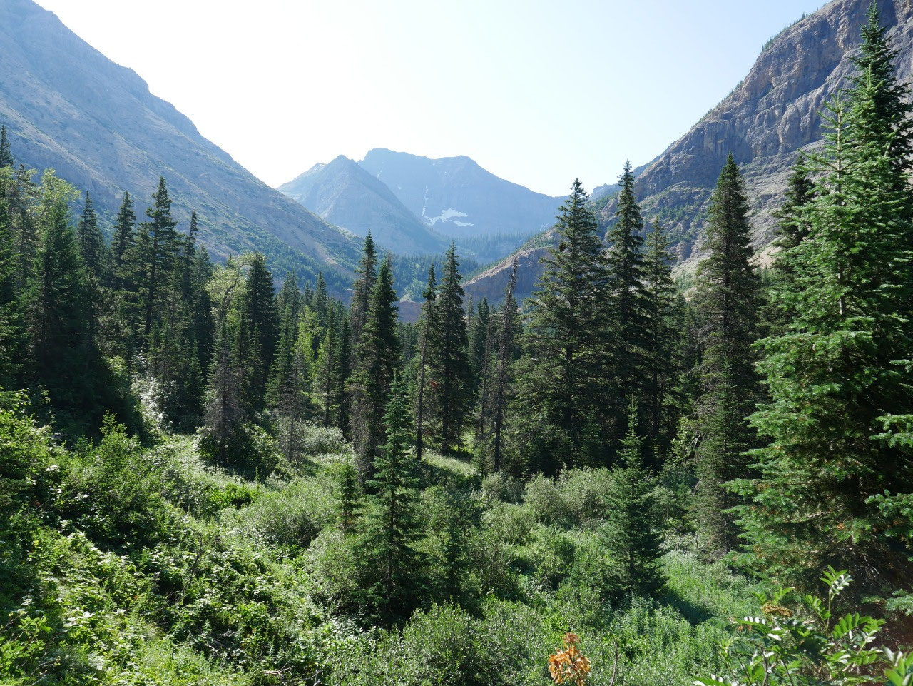
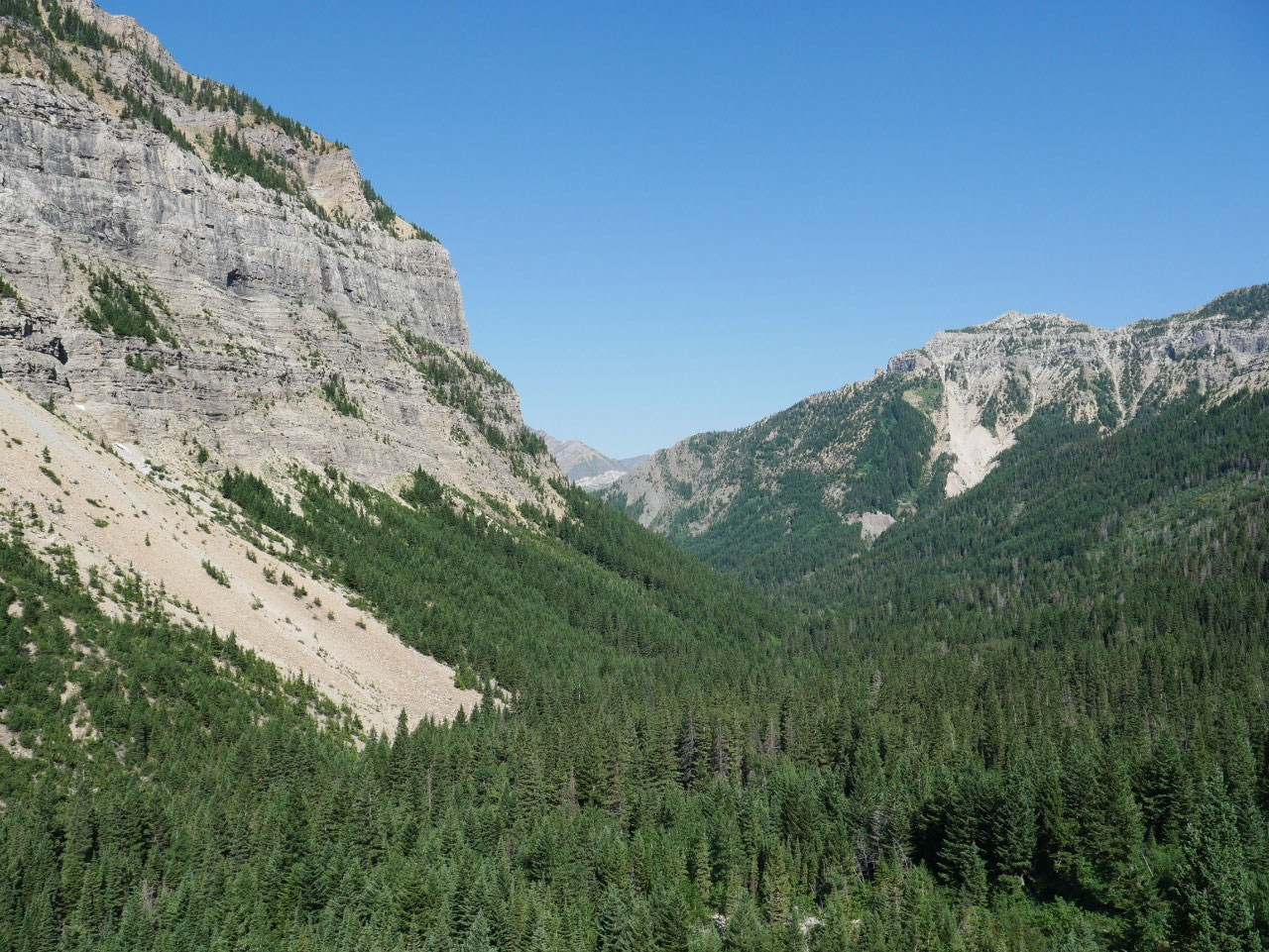
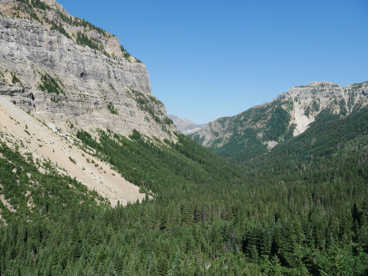
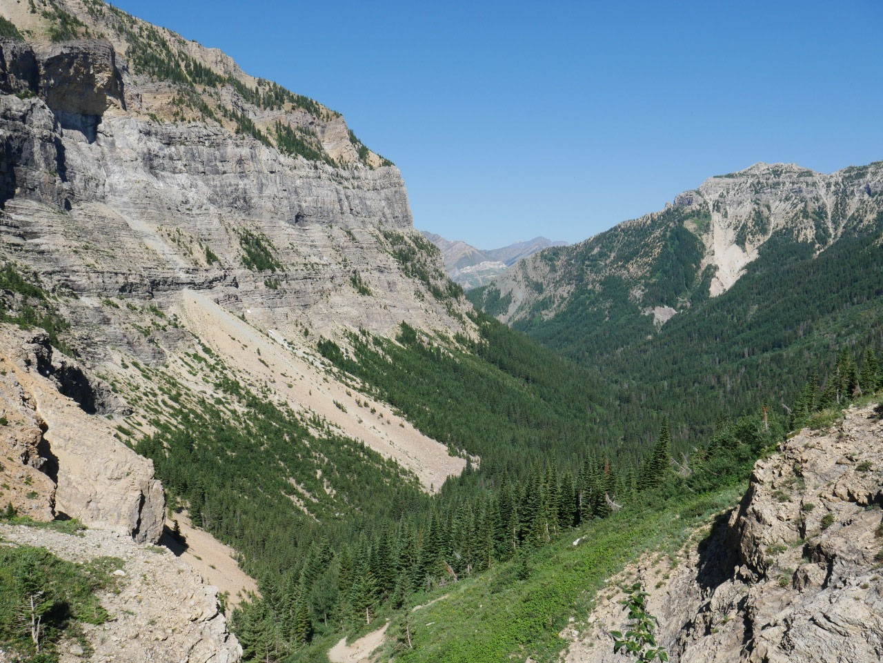
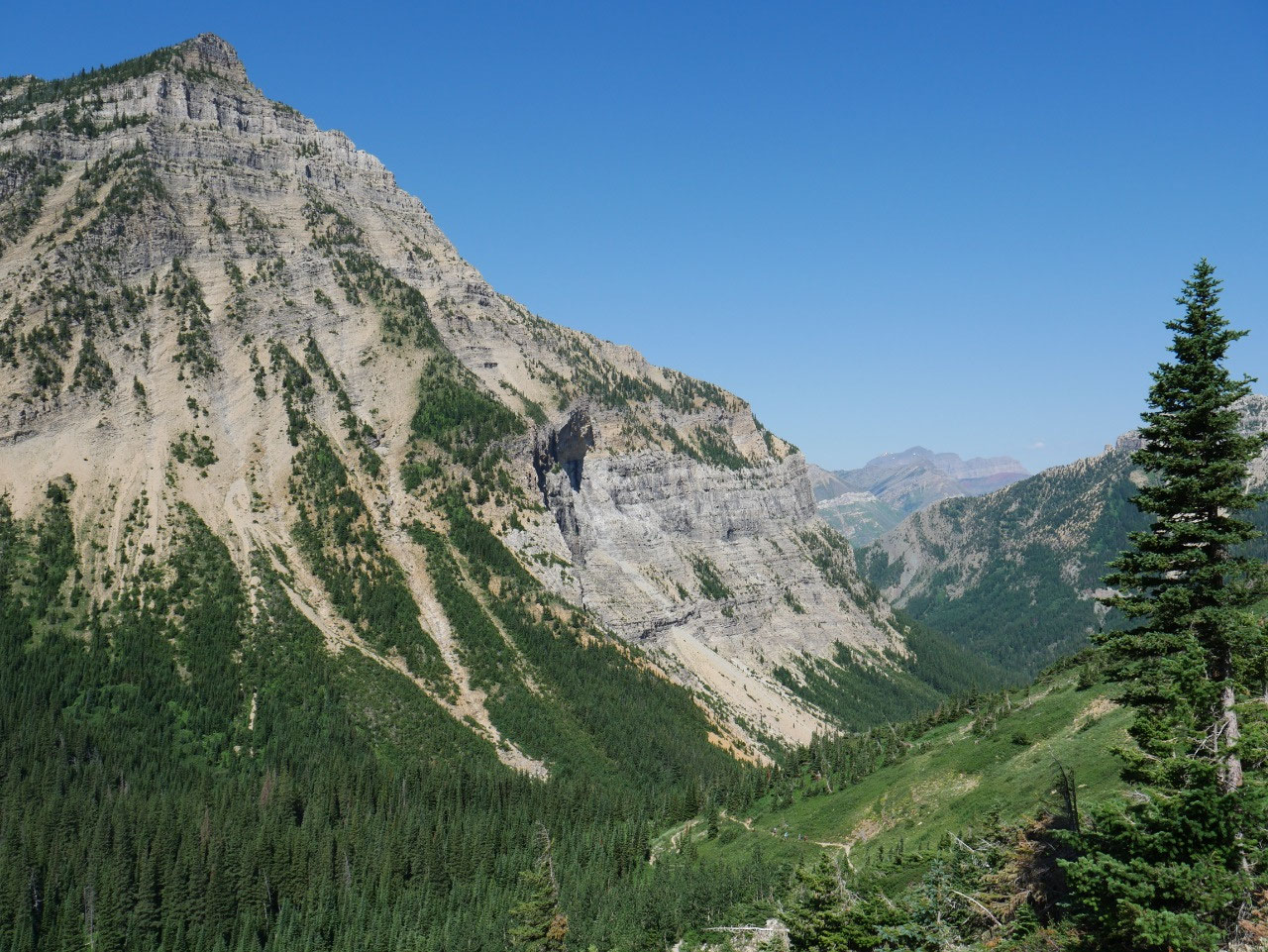
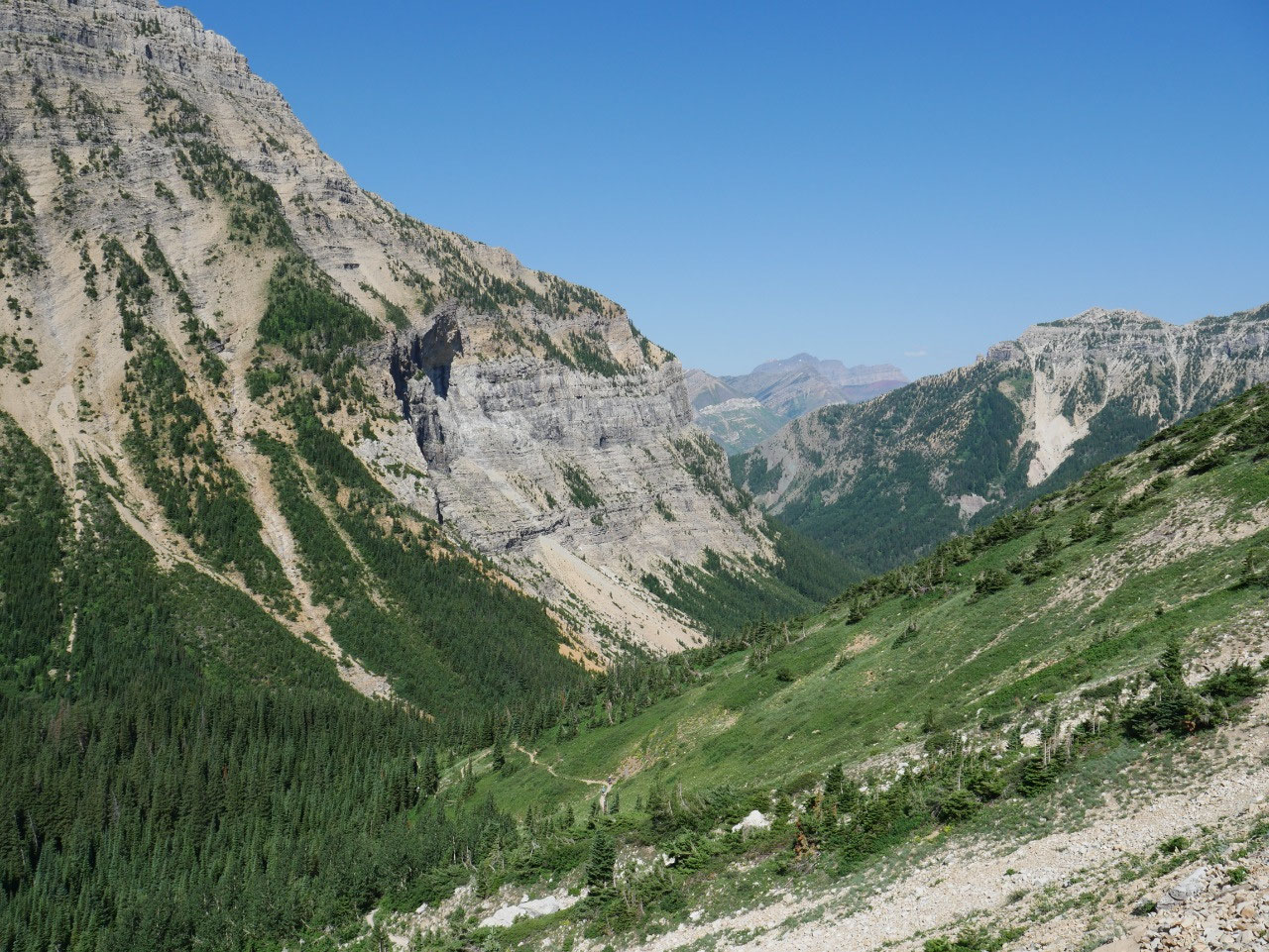
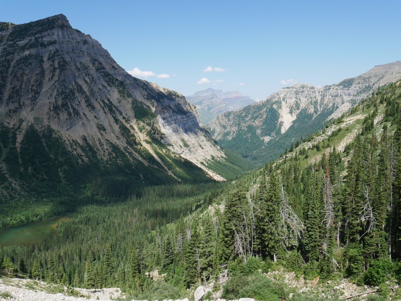
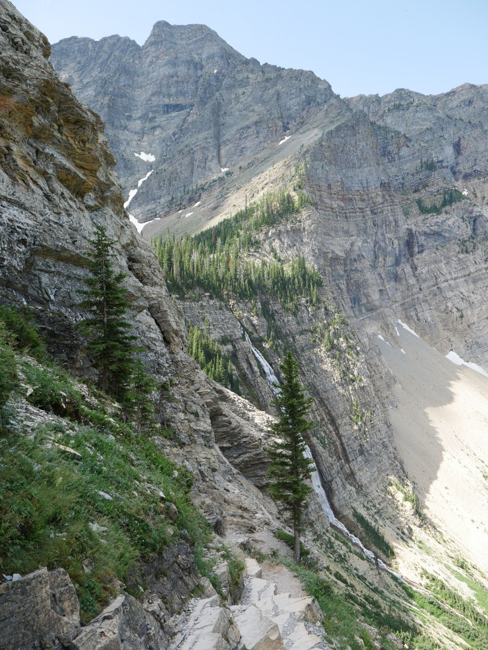
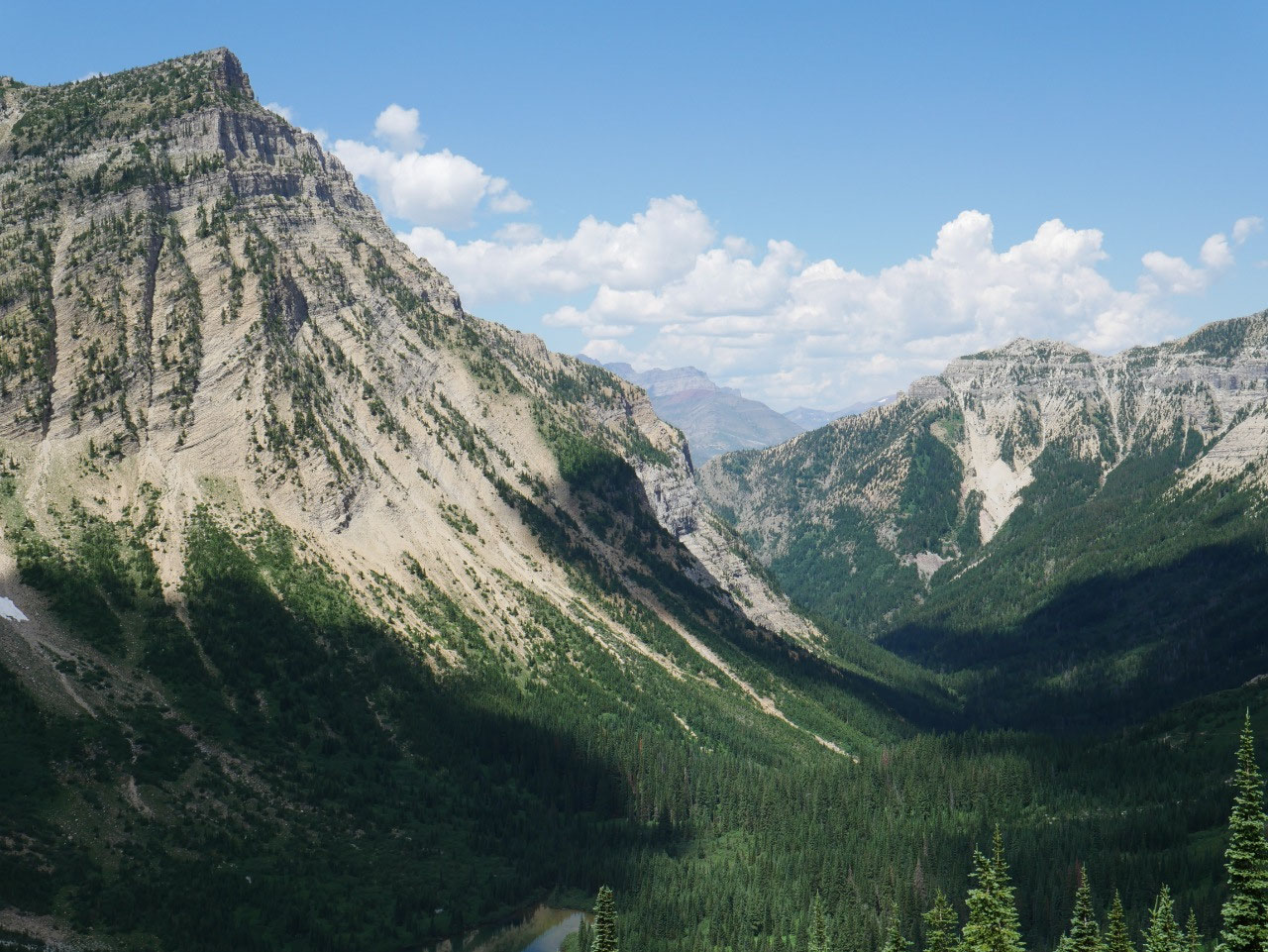
switchbacks. You then enter a glacial
valley above Hell Roaring Falls where the trail flattens out and even descends
somewhat at spots, still mostly in the woods.
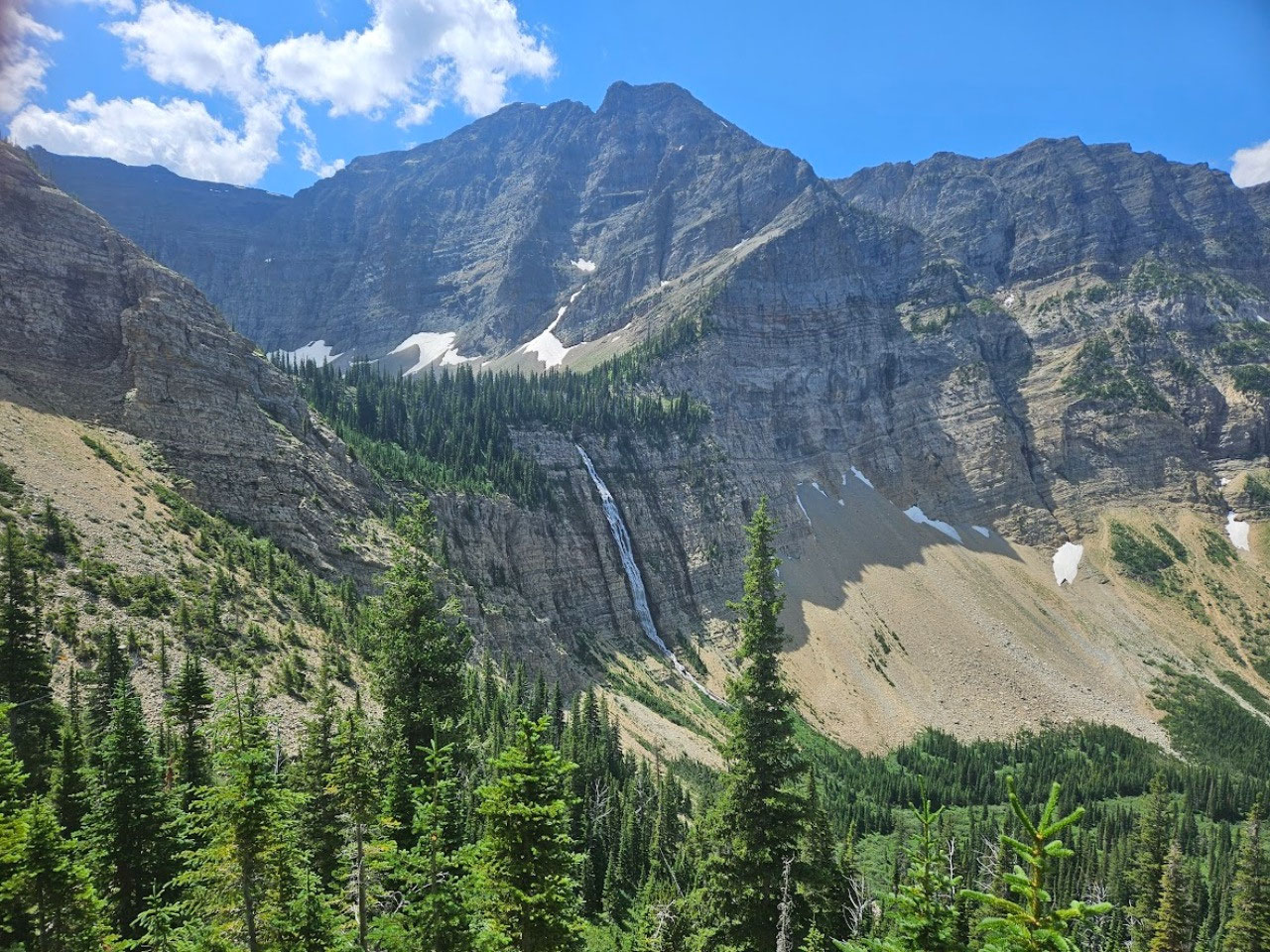
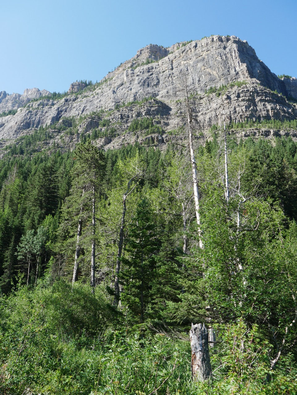
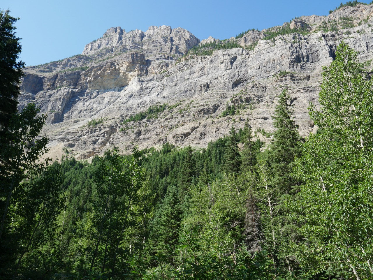
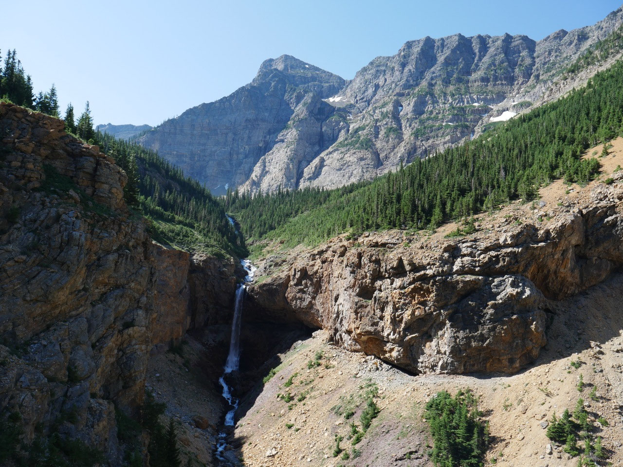
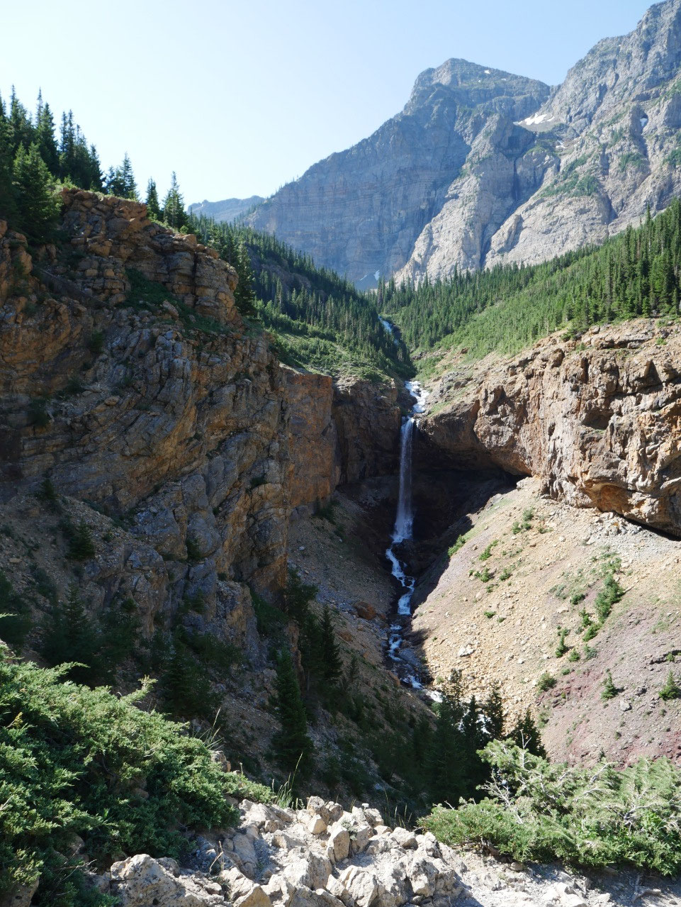
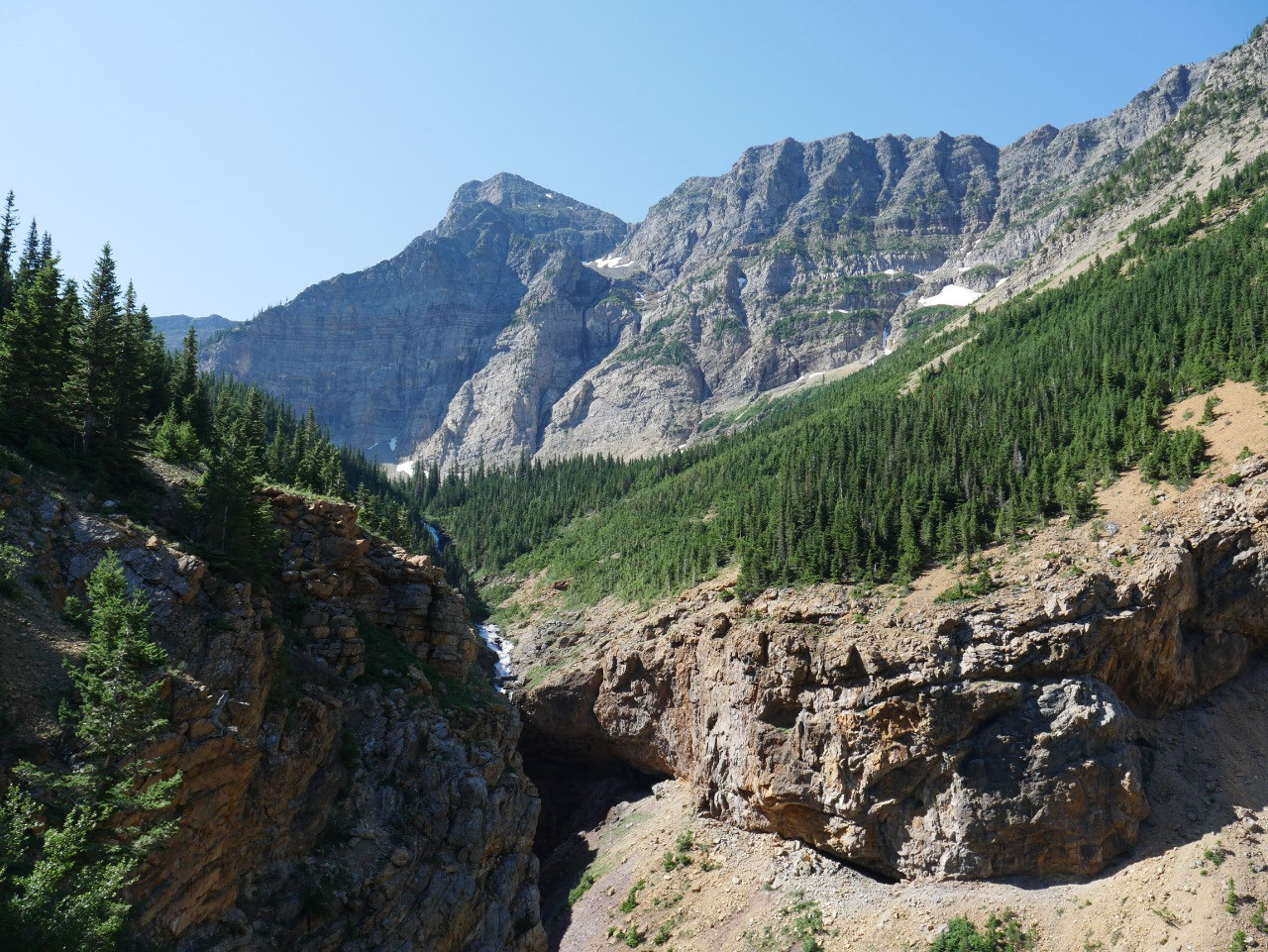
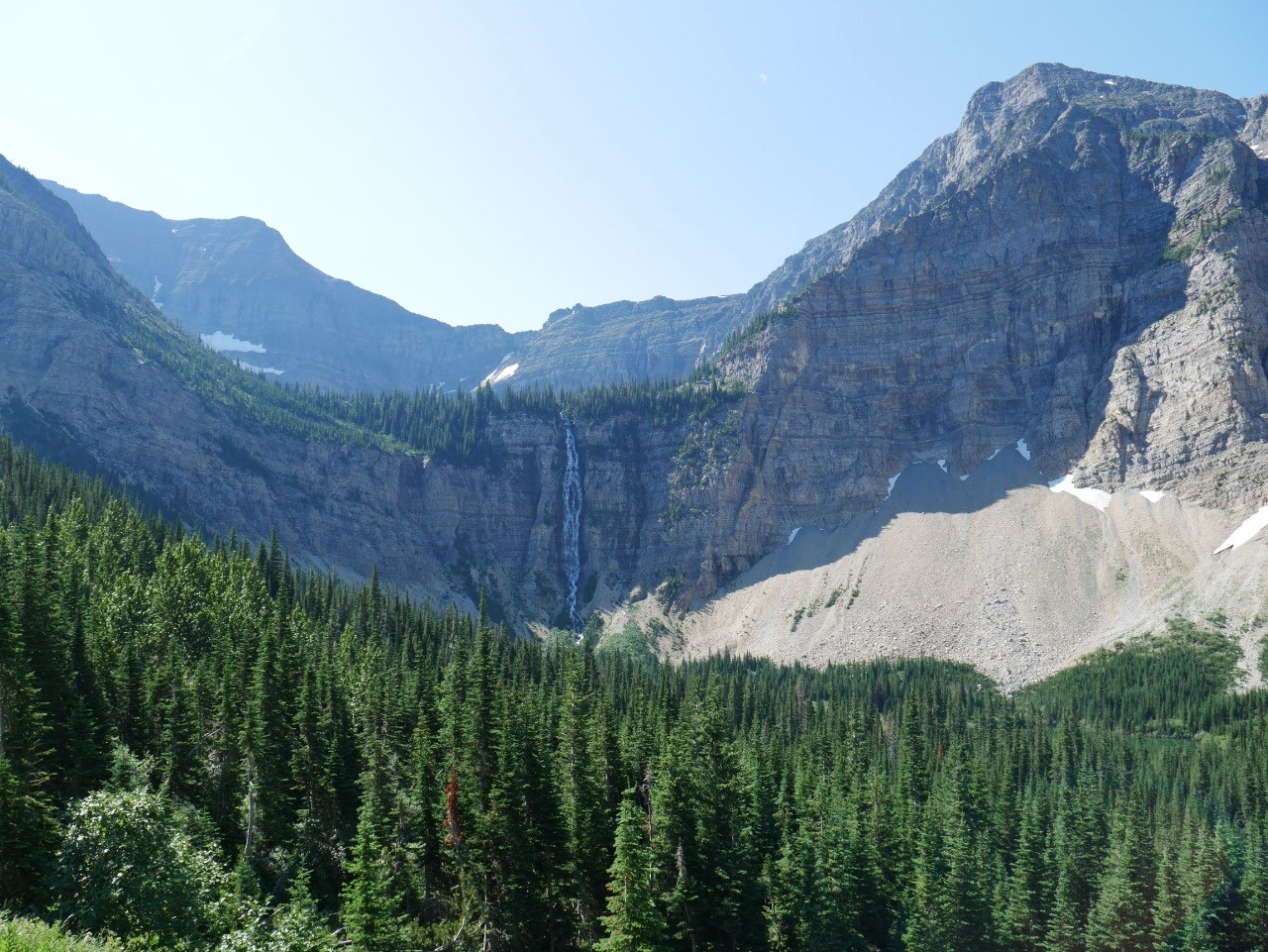
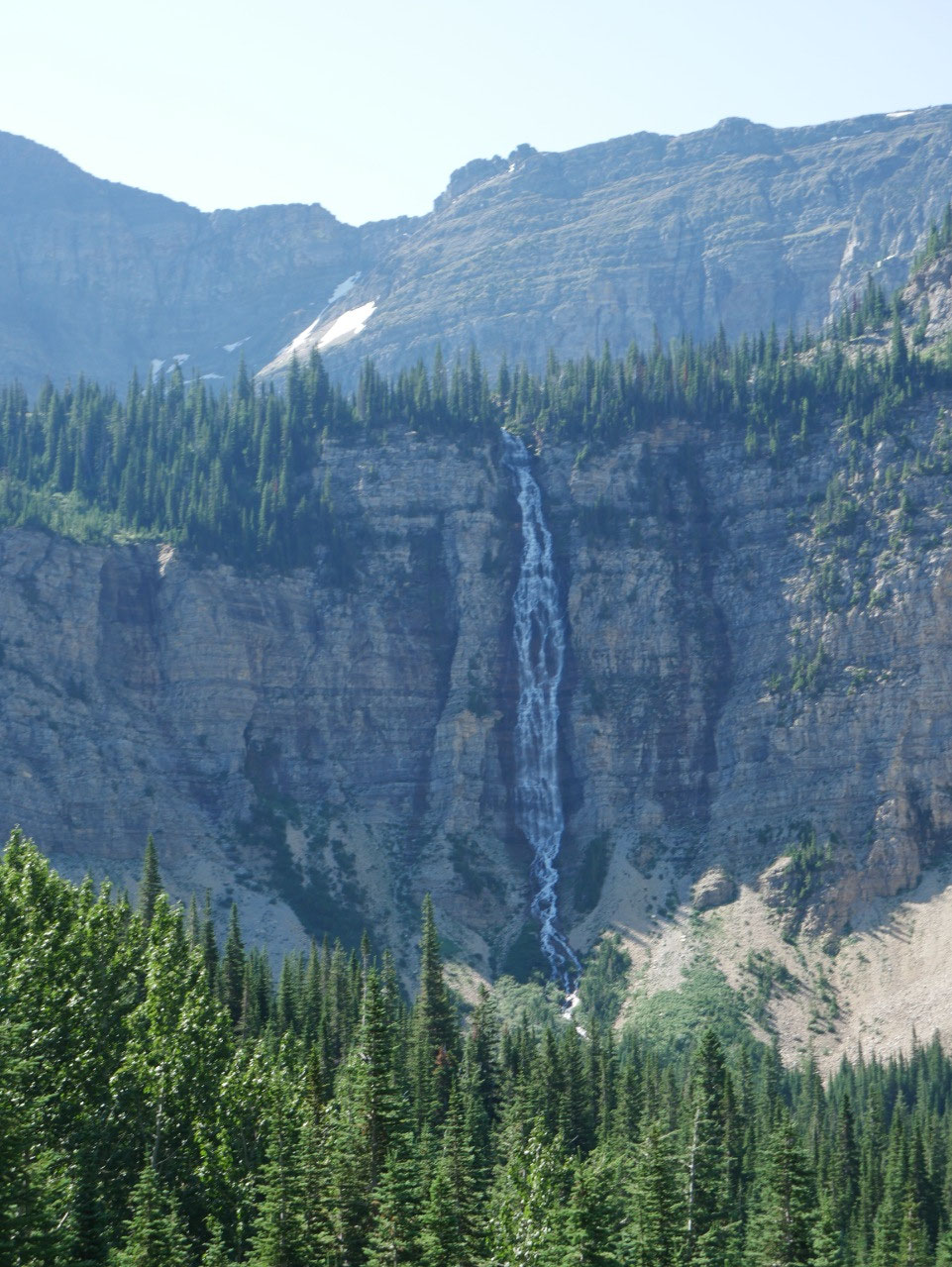
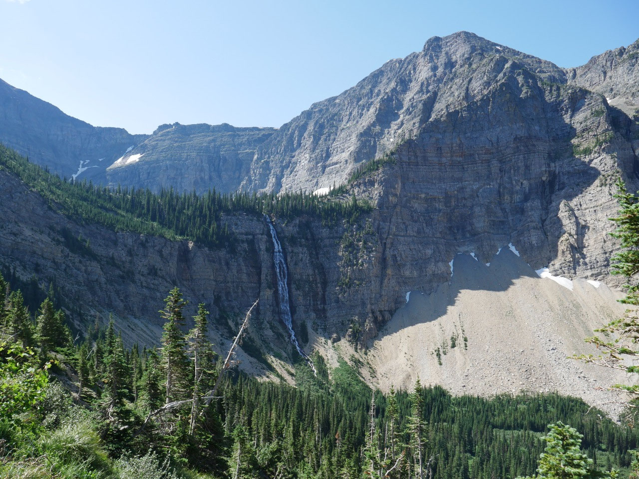
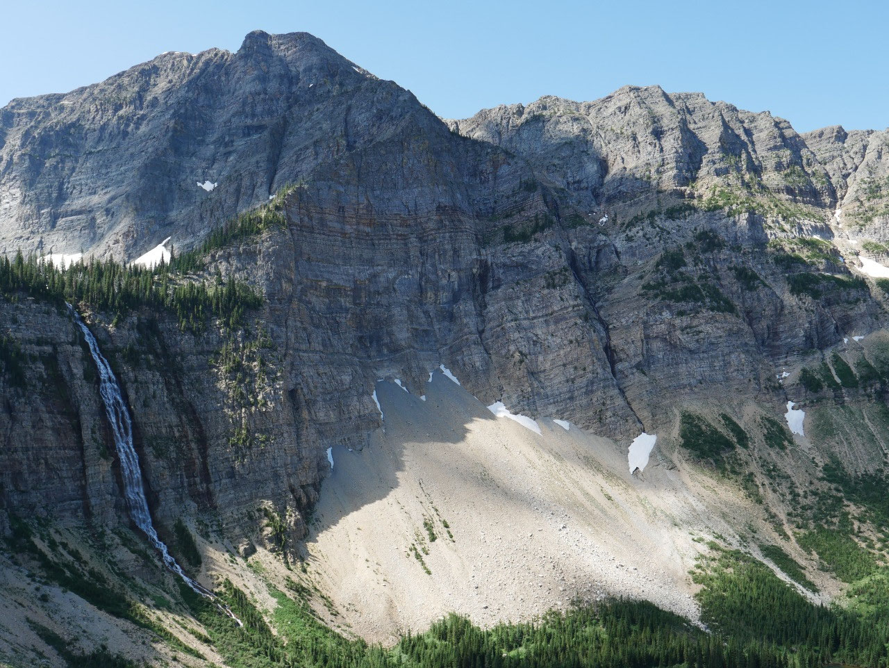
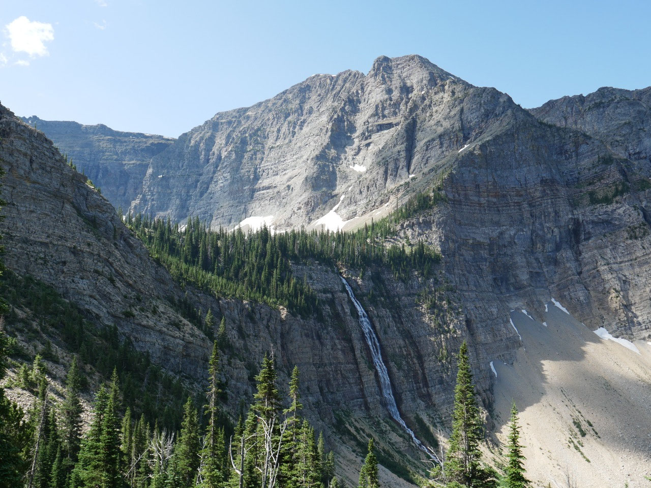
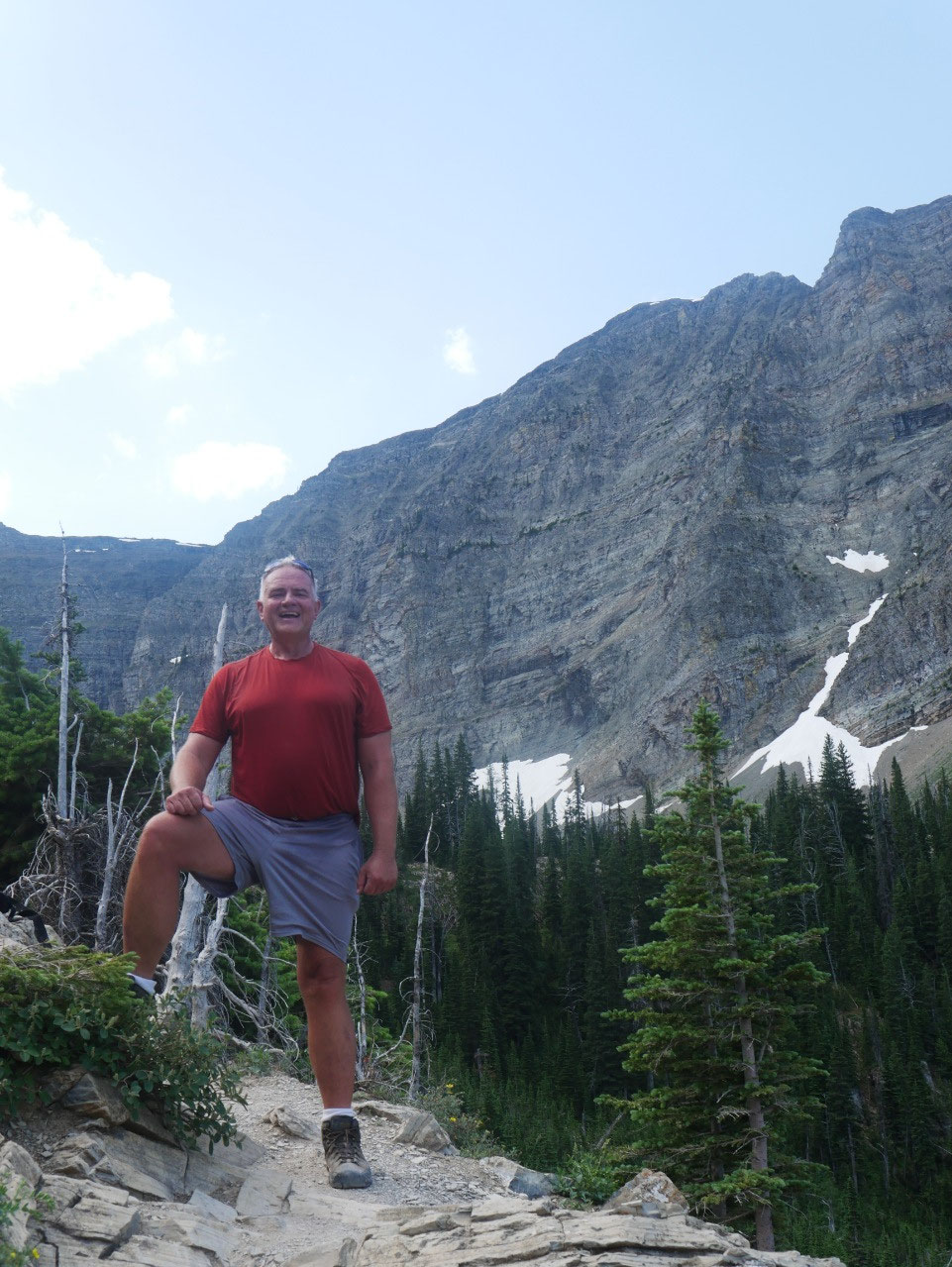
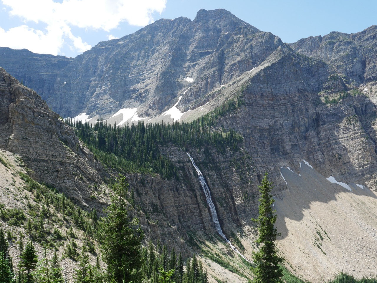
The canyon walls tower above on
both sides while two impressive waterfalls in the distance carry the discharge from
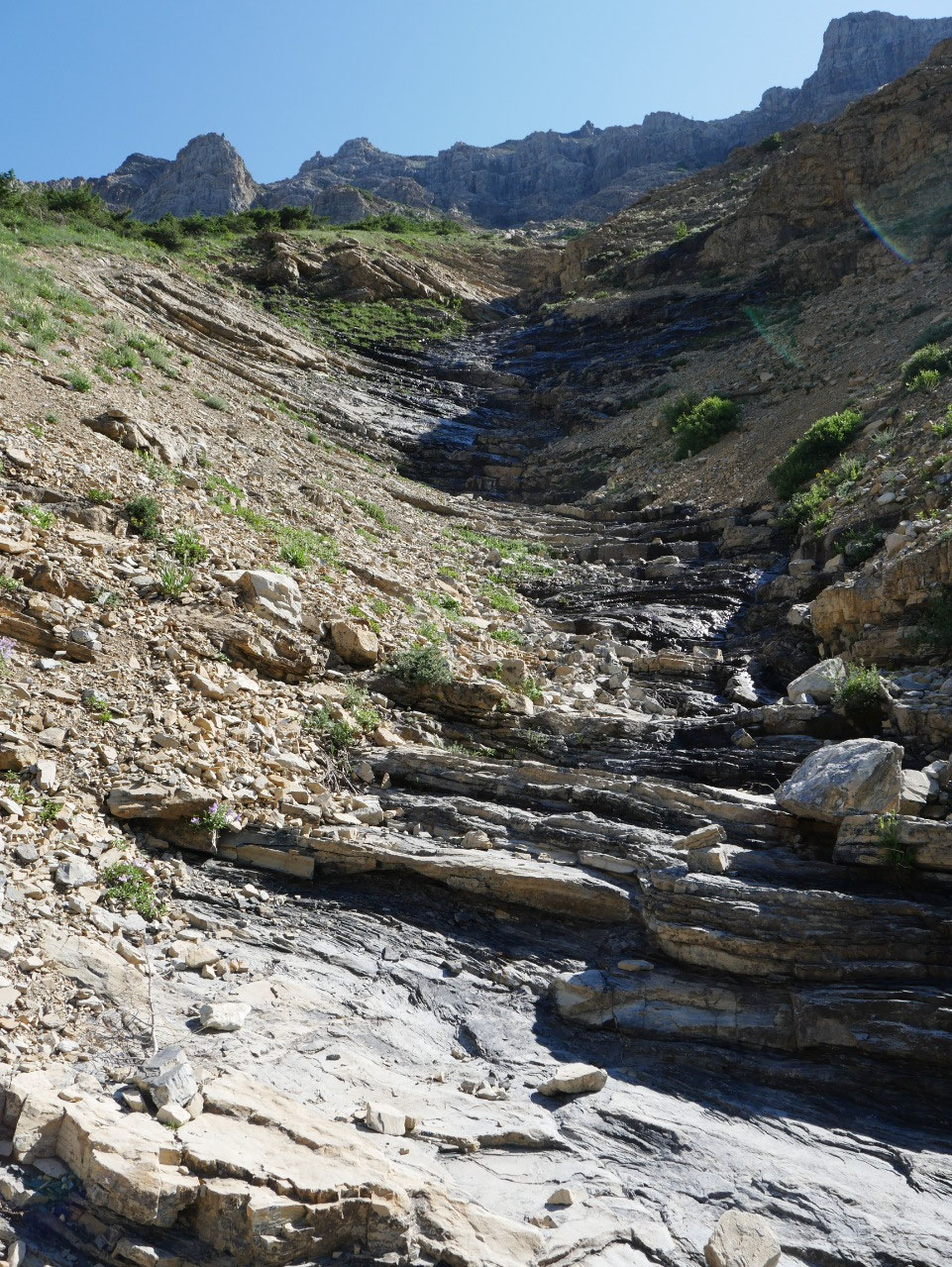
the final destination. The trail then
ascends somewhat more steeply, largely in the open, something that was not
pleasant on a very warm day. You might expect
Waterton’s northerly latitude to usually provide cool weather, but compared to
say Colorado or even the Yellowstone region, the lower elevations in this
region more than compensate for the higher latitudes in summer months. It can get hot!
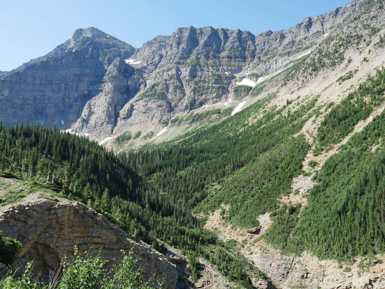
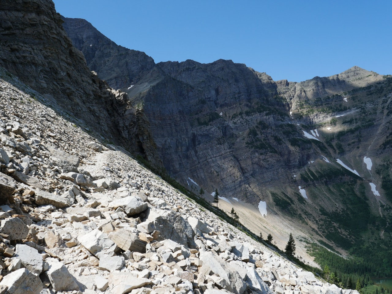
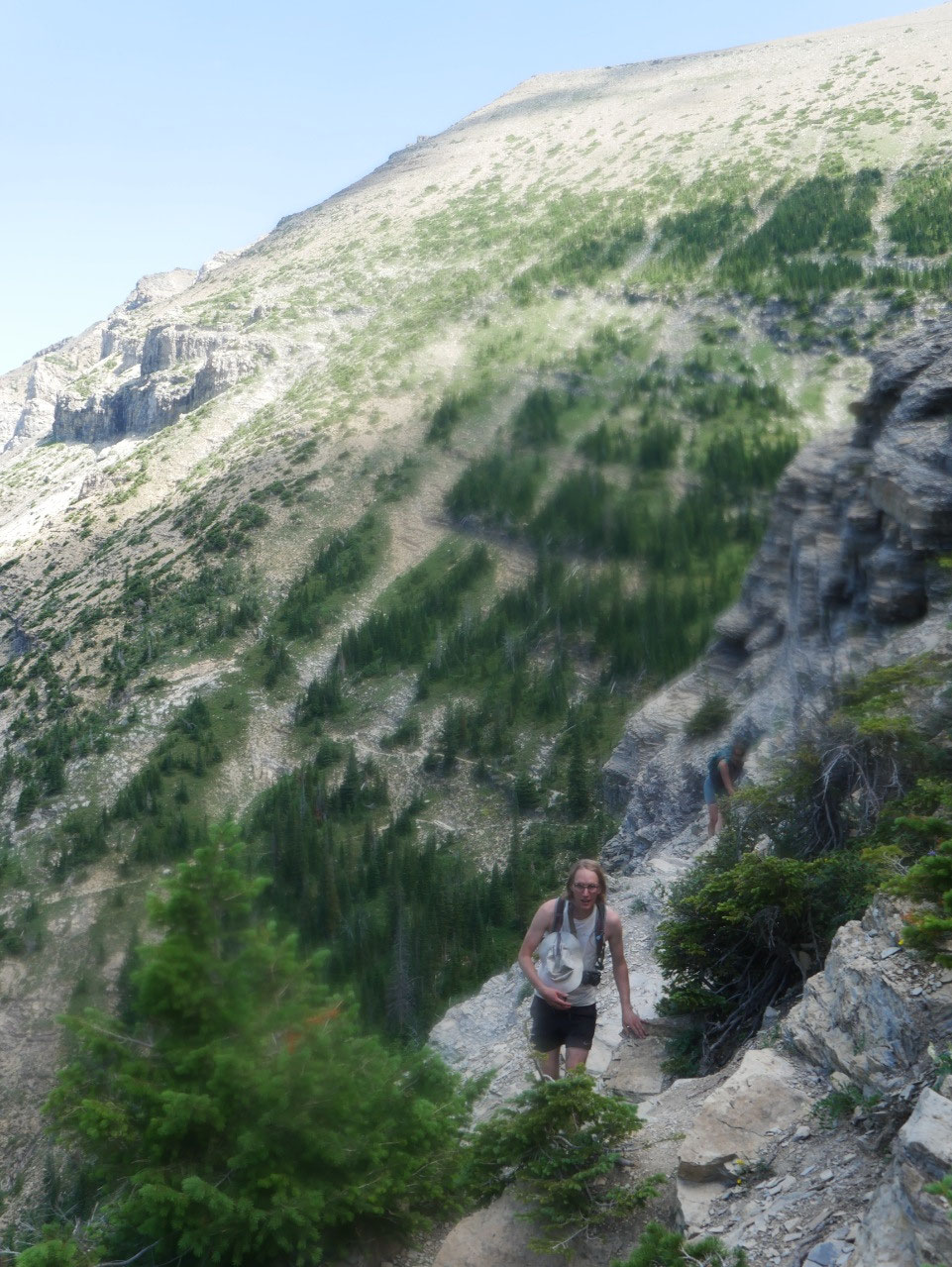
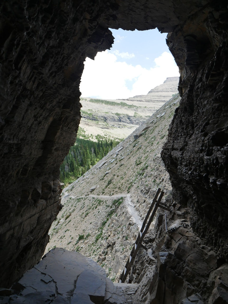
It is obvious for quite some distance where the trail is
going to end up, and as you arrive at the approximate elevation of the lake the
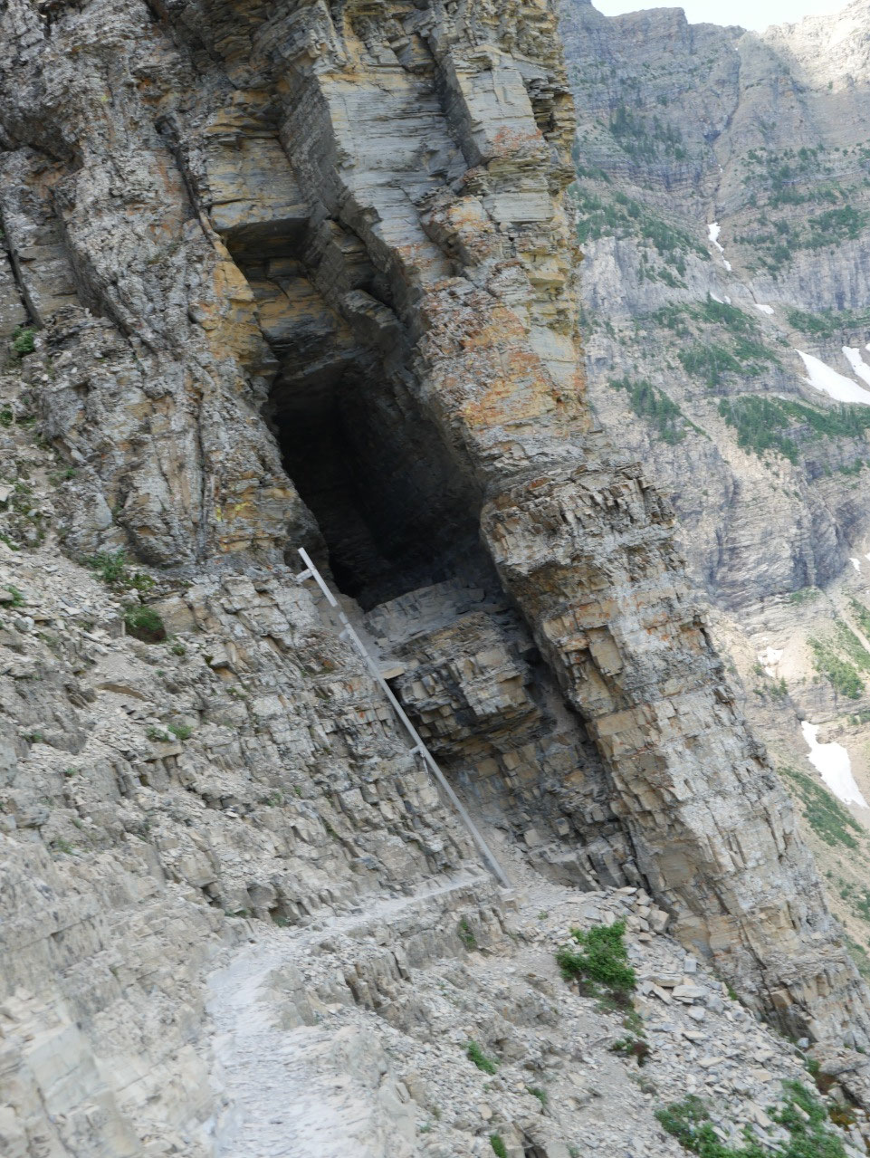
stretch that makes the trail so famous comes into view. It looks like a sheer cliff and you think to
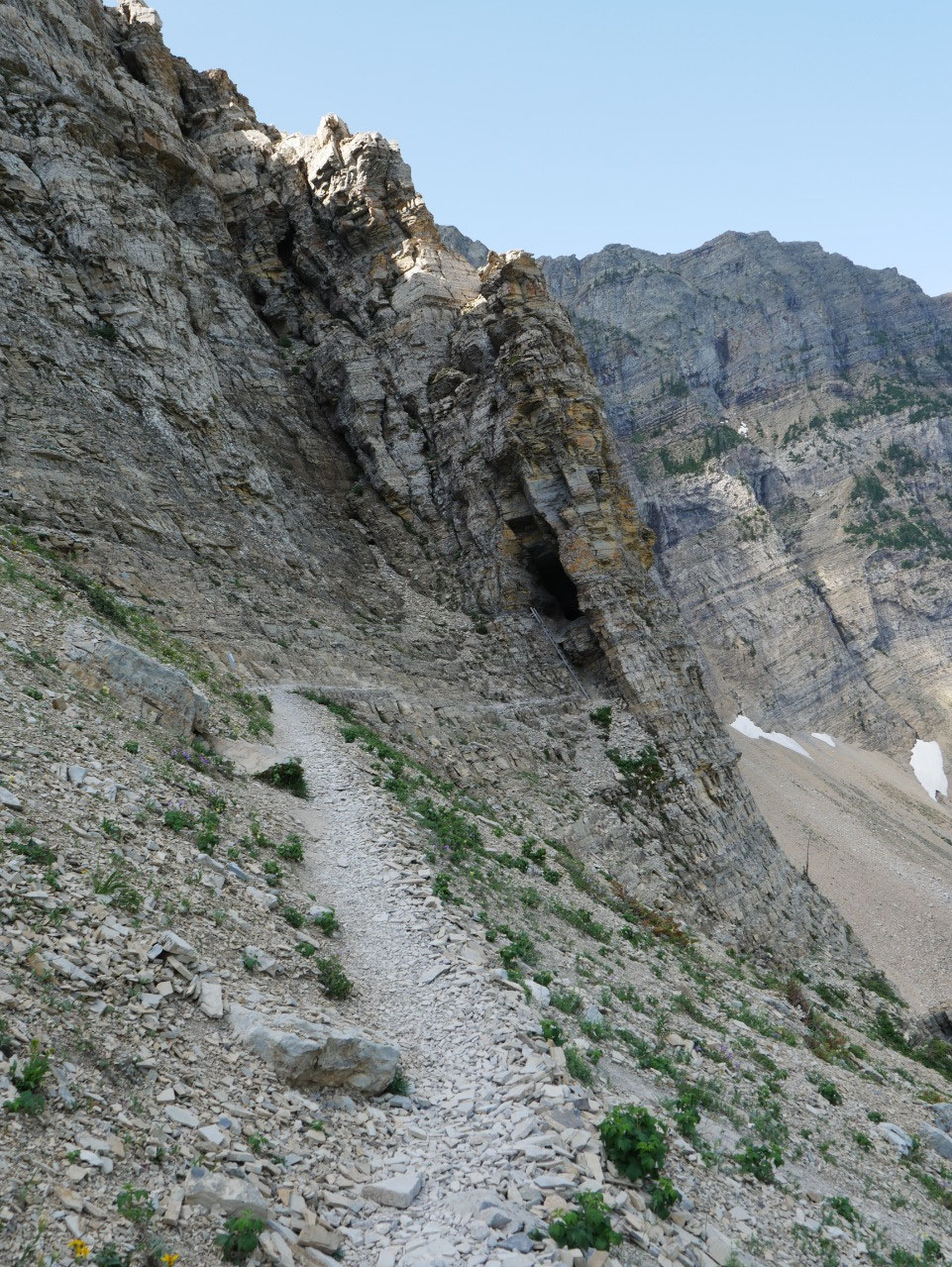
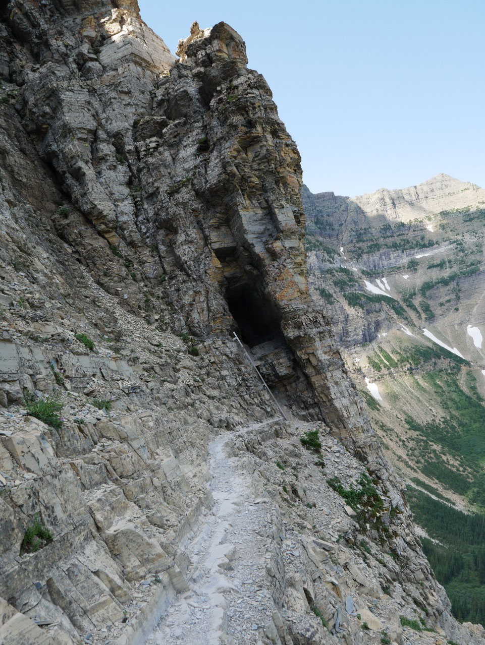
yourself, there’s no way you can get from here to there. The trail traverses a steep
talus slope and you can see the entrance to the tunnel. But the tunnel is significantly above and you
have to climb a steel ladder bolted into the cliff. If I recall correctly,
there were 11 rungs, but it was stable and solid.
Luckily, on my way up everyone was going in
the same direction, so there was no passing involved in the tight quarters of
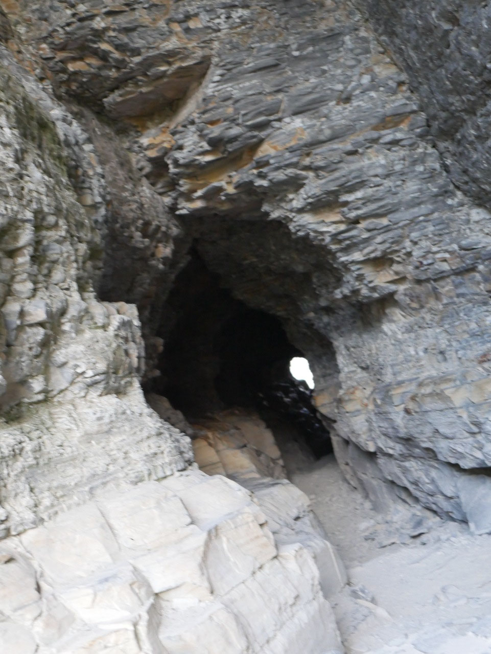
the tunnel. And this tunnel is not the smooth sided high straight Ptarmigan Tunnel
in Glacier National Park that horse and mule trains can walk through. This one is irregular, quite dark toward the
center, and low enough that you have to take off your backpack and duck low to
fit through. It’s more like caving, and
I think my claustrophobia in the tunnel exceeded my acrophobia on the cliffs.

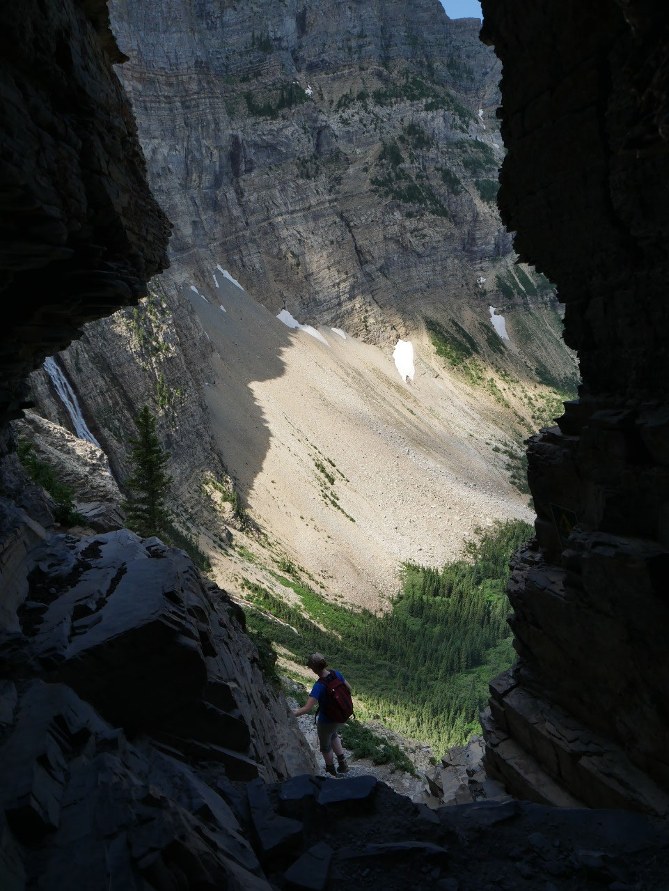
Then the real fun begins once you exit the tunnel. While it
is not a true via ferrata like those in the Alps, what you do have is a two to
three-foot wide ledge on a cliff face above which an iron chain is bolted into
the rock. While it would be possible to traverse it holding or leaning onto the
rock without using the chain, the chain helps with confidence and sense of
safety. The ledge is also not flat but
rises and falls for about two hundred feet.
When you get passed it you feel a mix of relief and dread, the latter because
you know you’ll have to do it all over again on the way back.
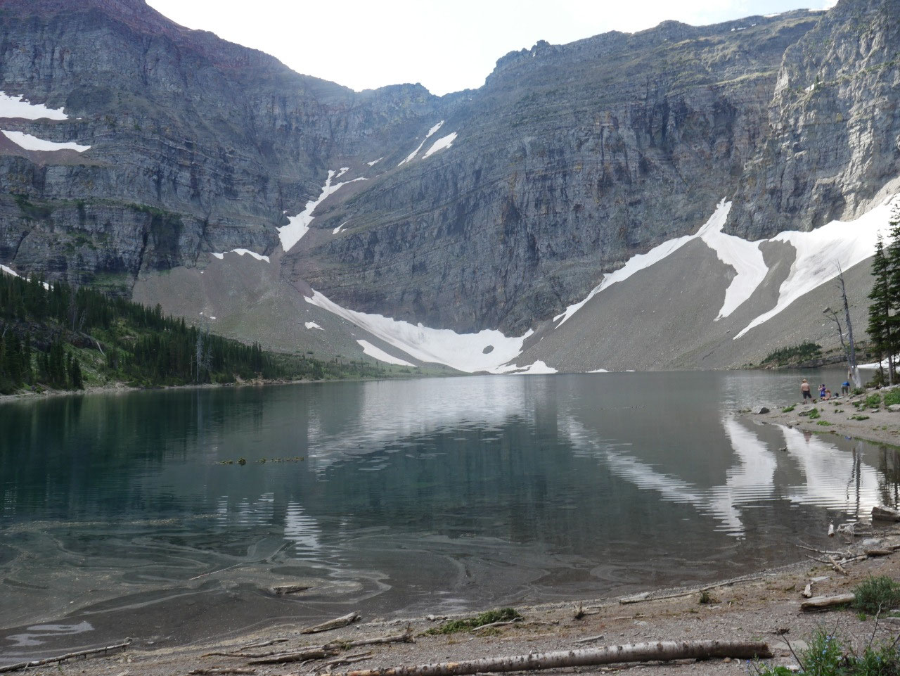
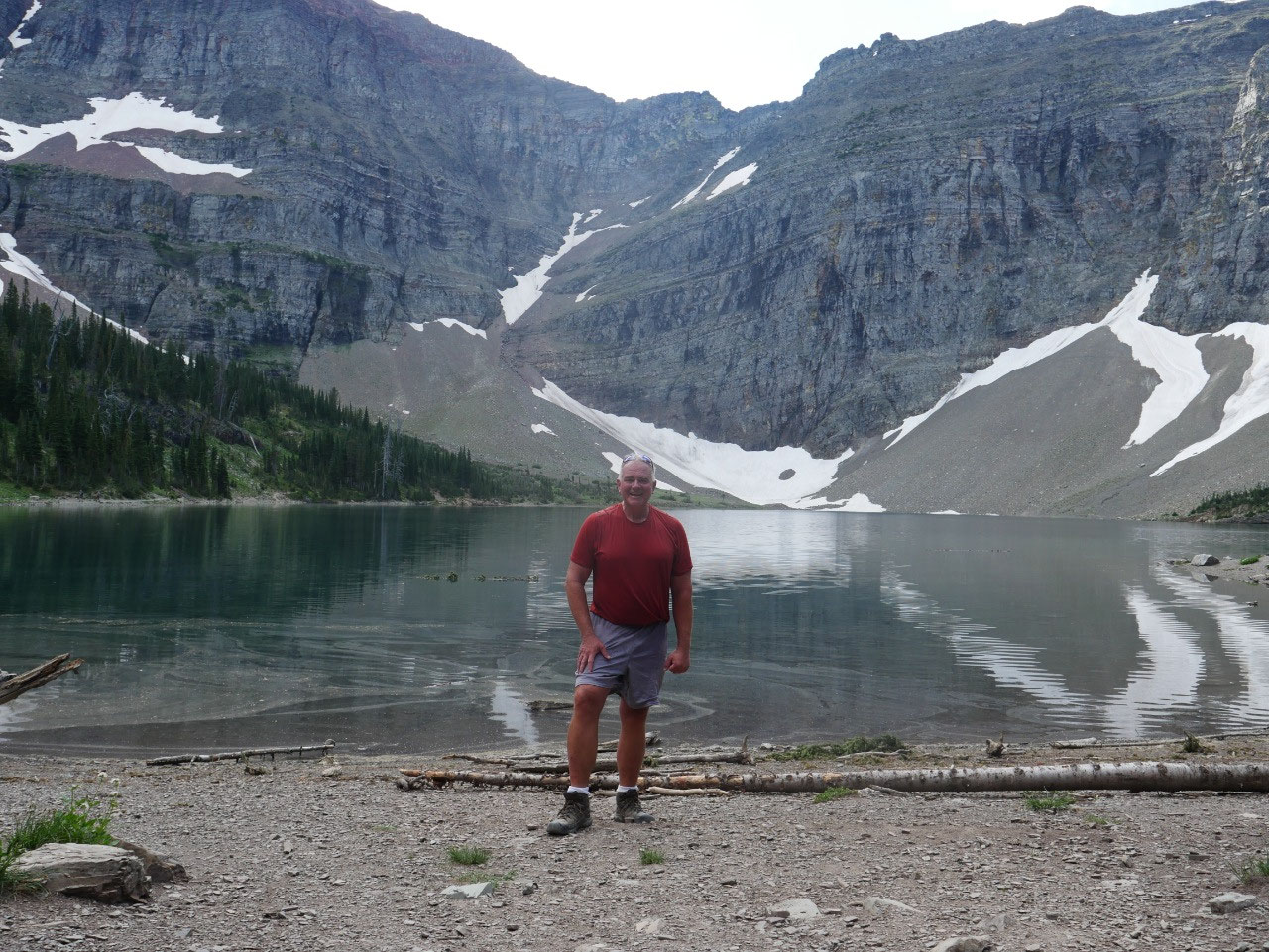
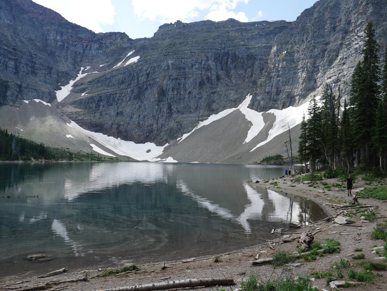
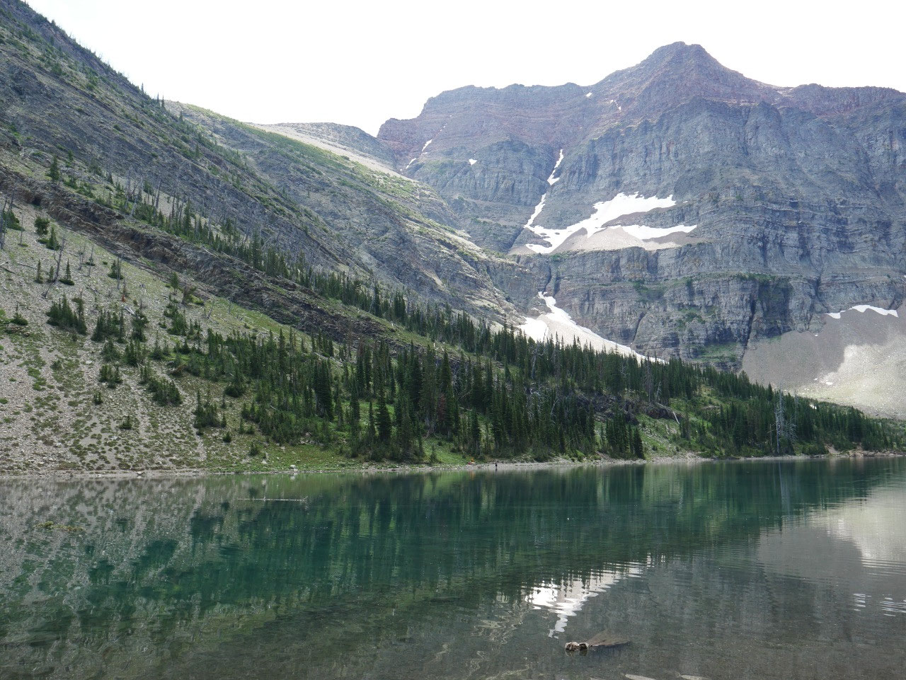
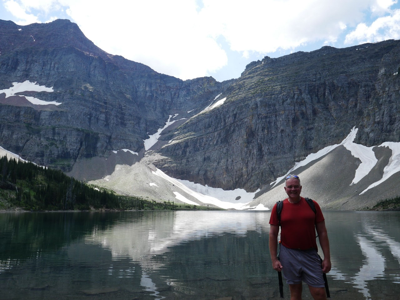
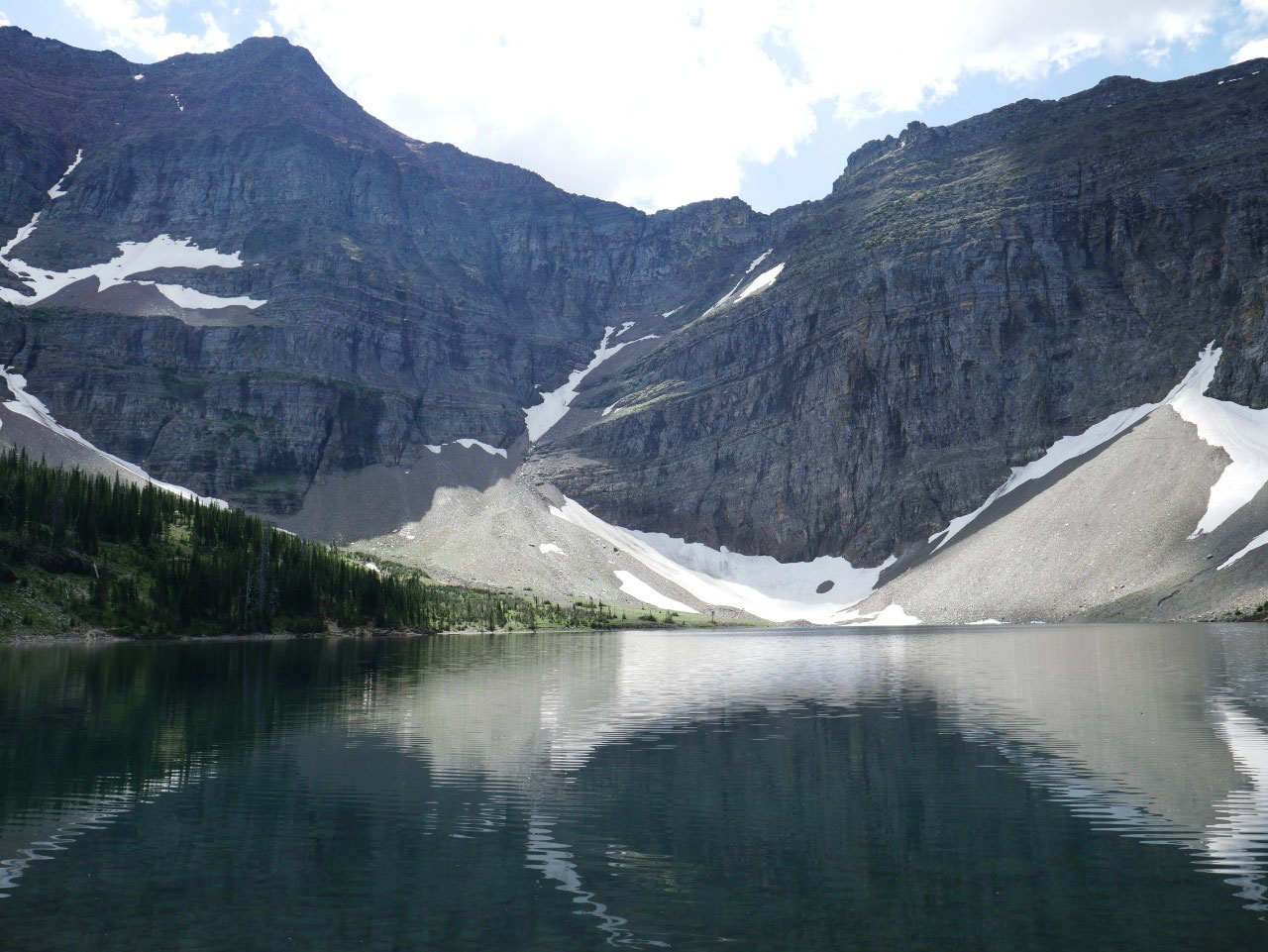
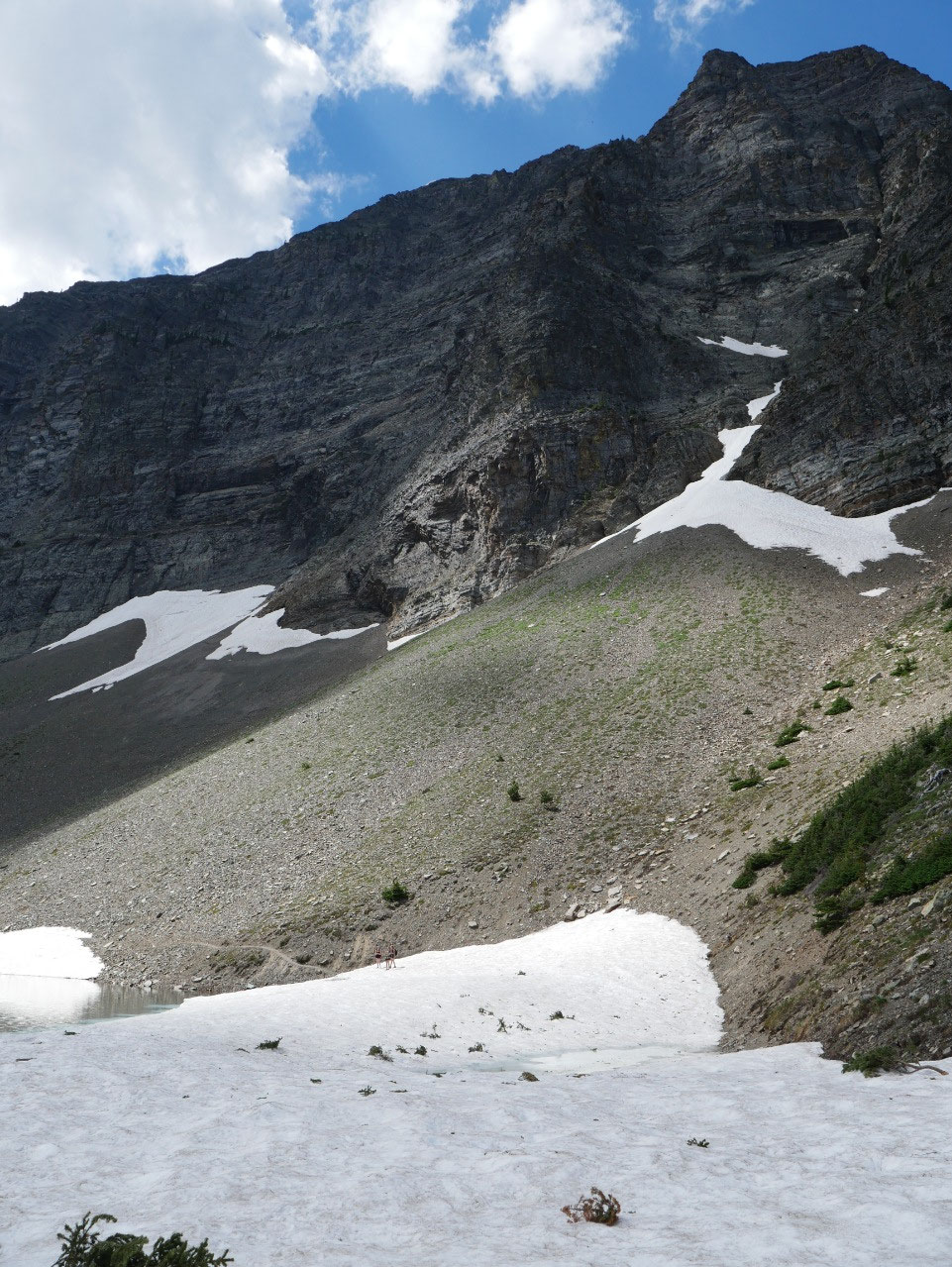
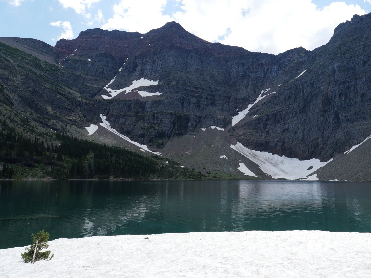
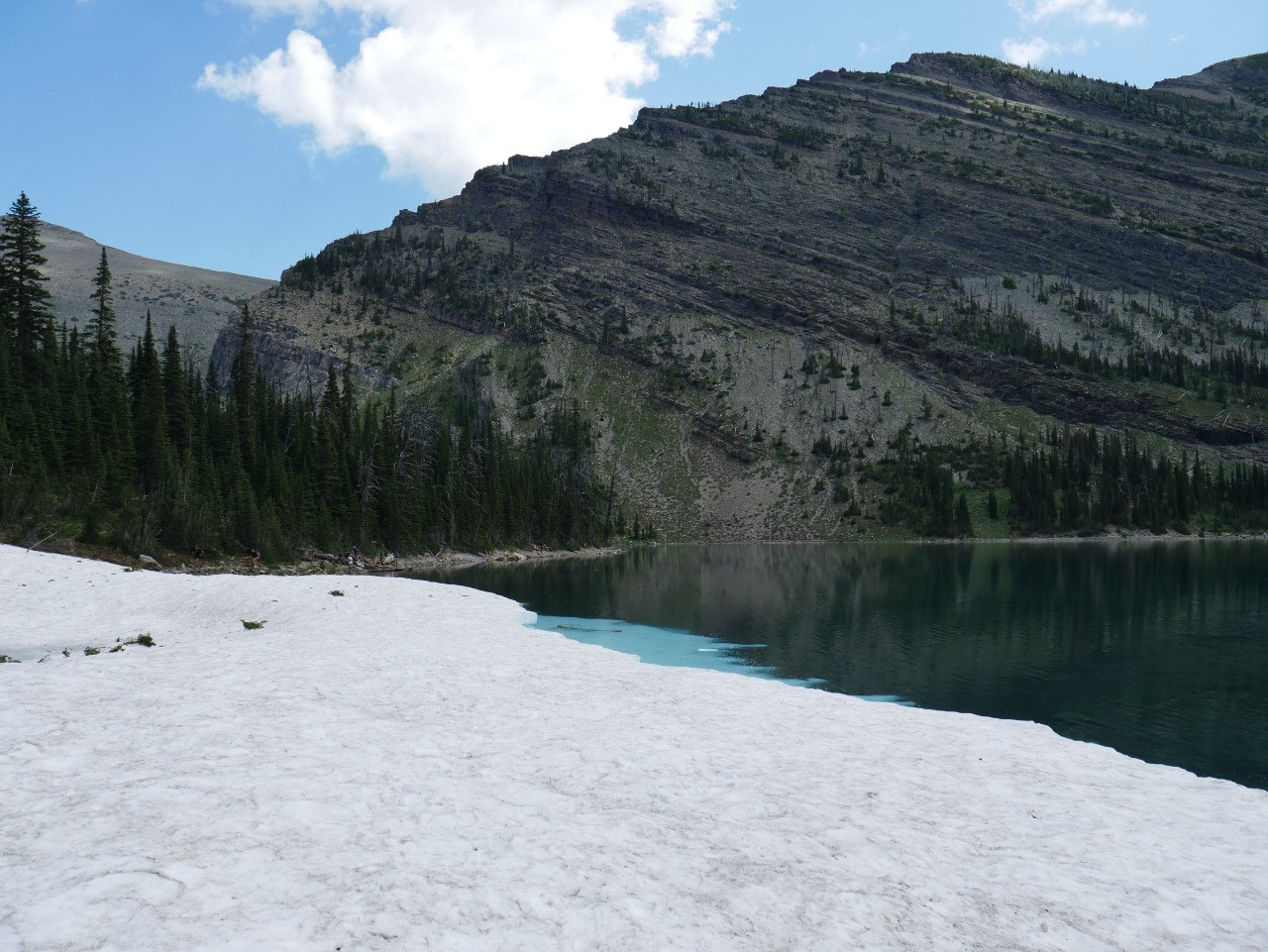
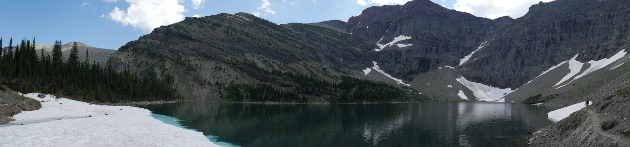
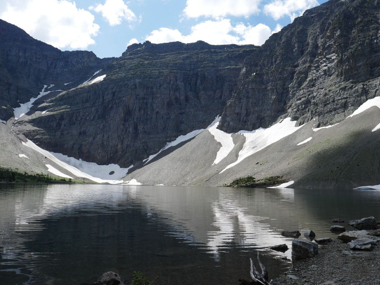
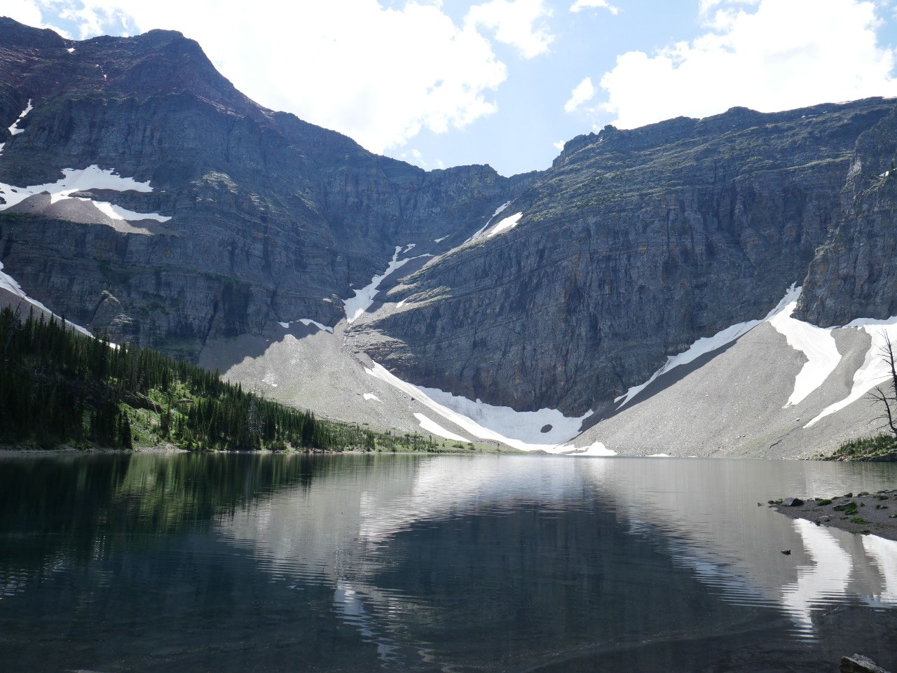
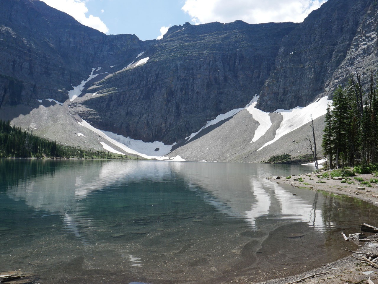
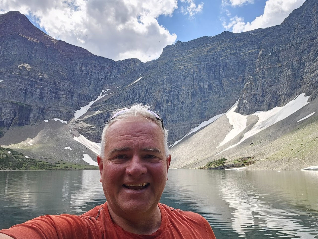
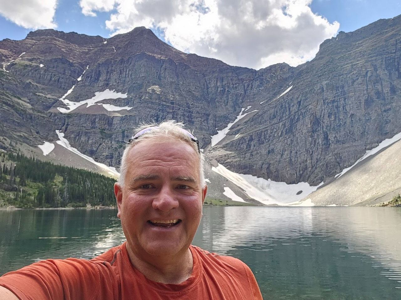
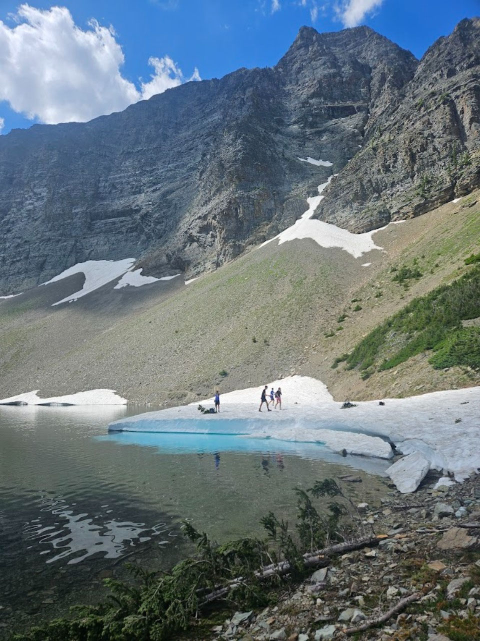
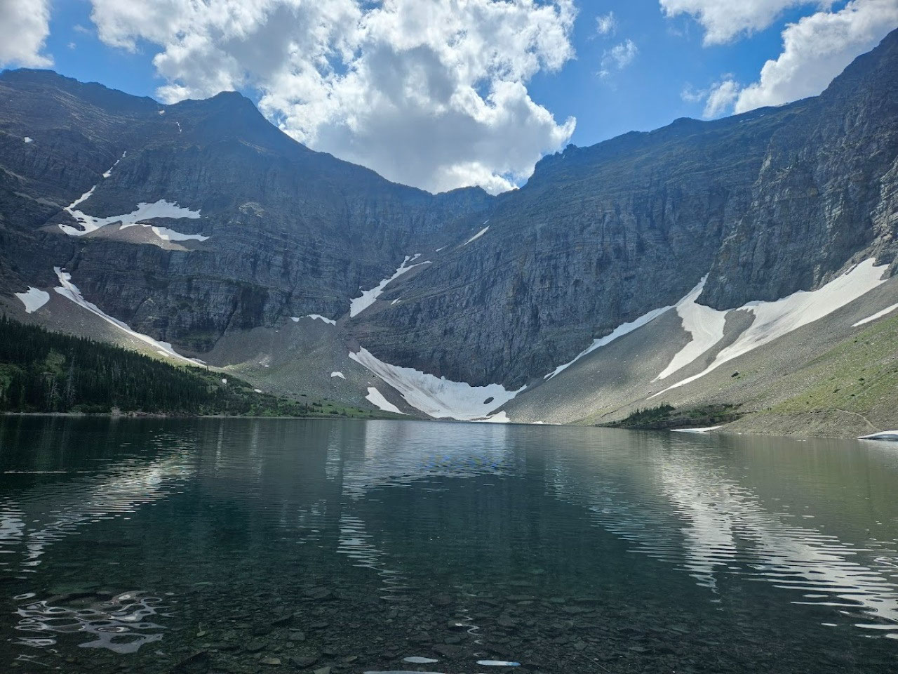
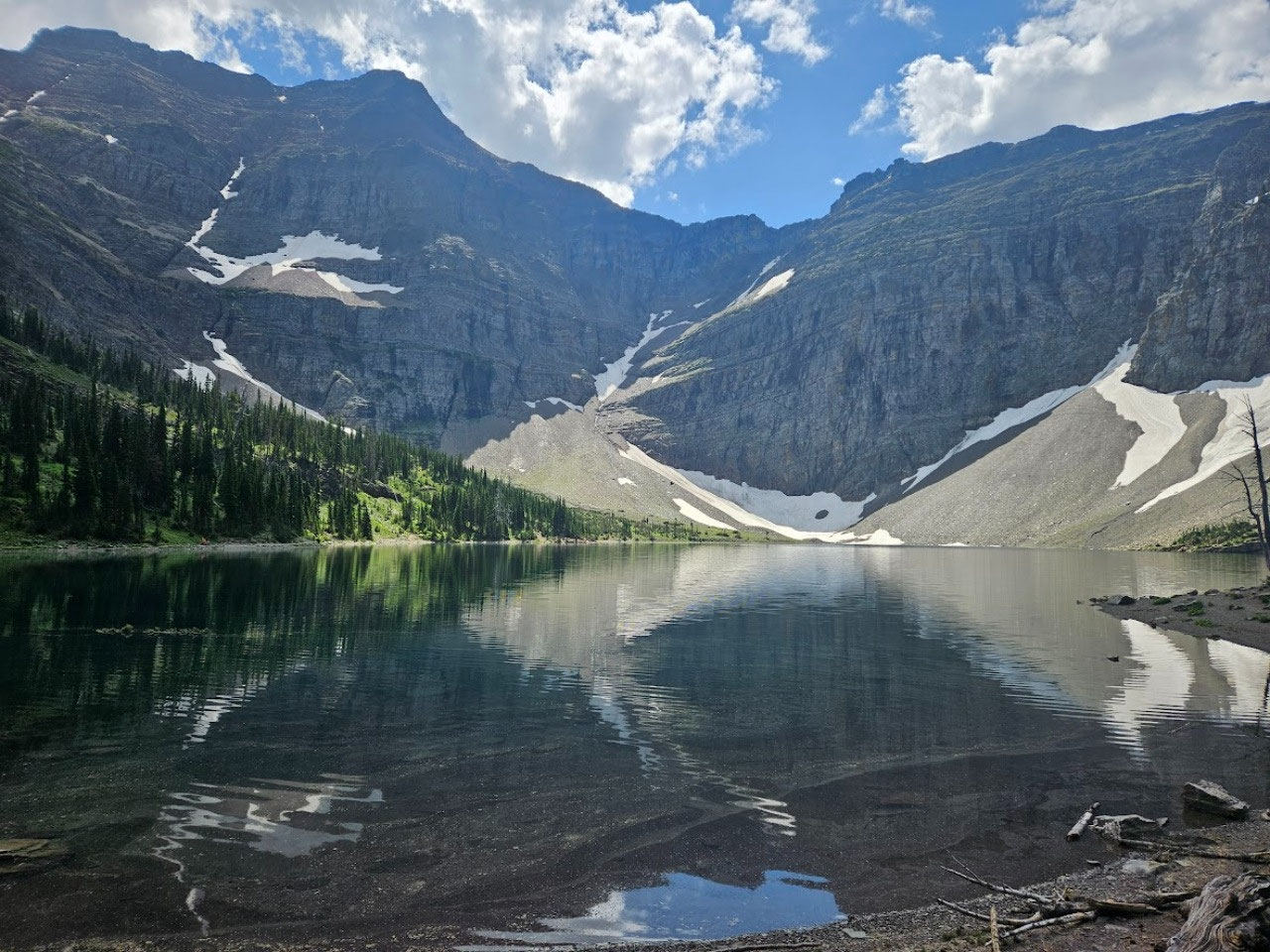
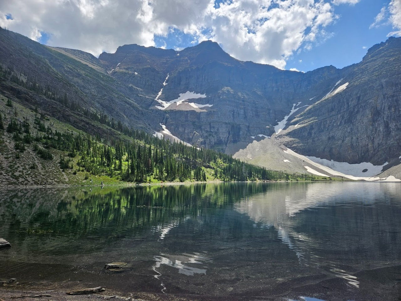
Then it is an easy half-mile and fifteen minutes or so to
the lakeshore. Crypt is one of those glacial hanging lakes with steep walls
around three sides. It is possible to
walk all the way around the lake if you don’t mind walking on some snowfields,
something not unusual for hikes in Glacier and Waterton in mid-July. The far end of the lake is actually in
Montana, but there is no border guard to pester you for your passport, and it
would be impossible for anyone but a world class rock climber to scale the
cliffs beyond the lake to invade the U.
S. or ask for “asylum”. I decided to pass on circumnavigating the
lake to keep my time at the lake relatively brief in hopes of being back in
time for the first return ferry.
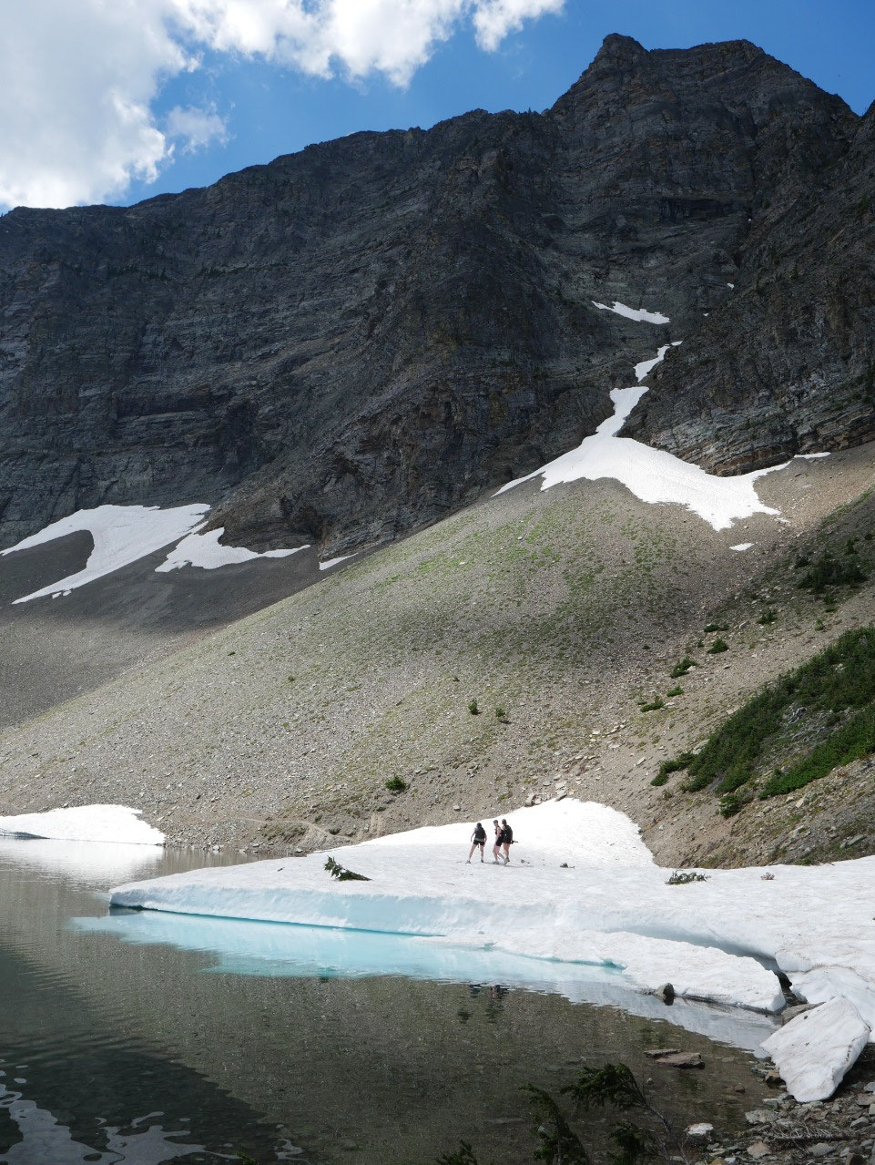
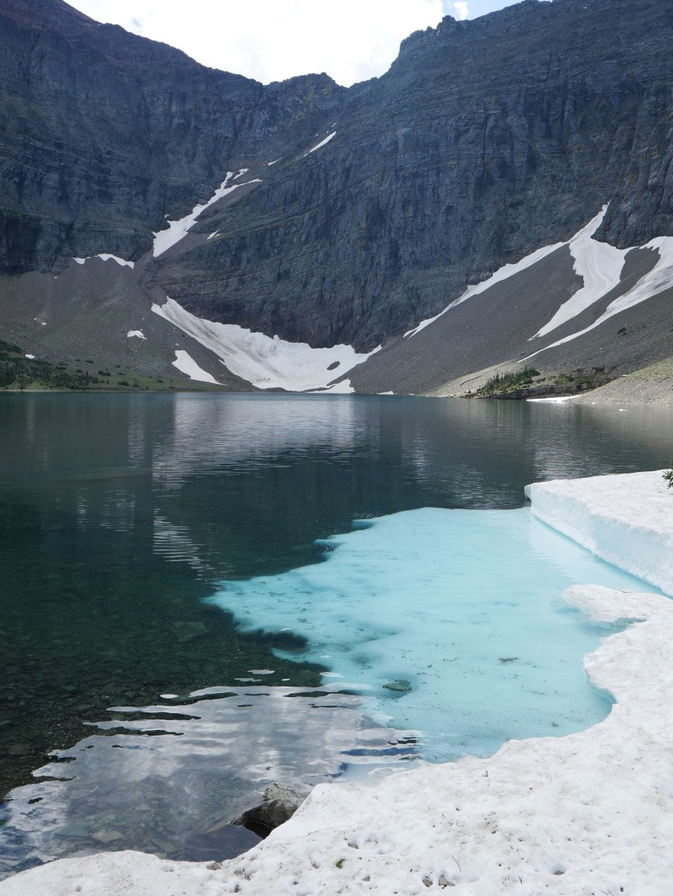
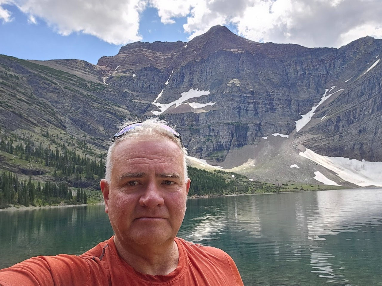
It is also possible to go for a swim in Crypt Lake….if you
are a member of the Polar Bear Club. I saw several people do a quick dip in the
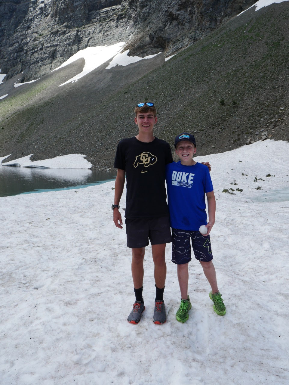
icy lake, but none stayed in the water for more than a few seconds. Then as I
was traversing one of the snow fields at the edge of the lake I noticed to two
boys, most likely brothers, wearing shirts of my two alma maters – Duke and
Colorado. What’s the likelihood of
finding such a combination in Canada? I had to take a picture.
The return trip was long and hot, but at least there was
about 50 percent cloud cover to keep it from being too excruciating. They
suggested bringing three liters of water per person on the hike on such a warm
day. I had four liters with me and had finished it all by the time I got back
to the trailhead shortly after 3:00. I even found myself rationing it for the
last two miles of trail.
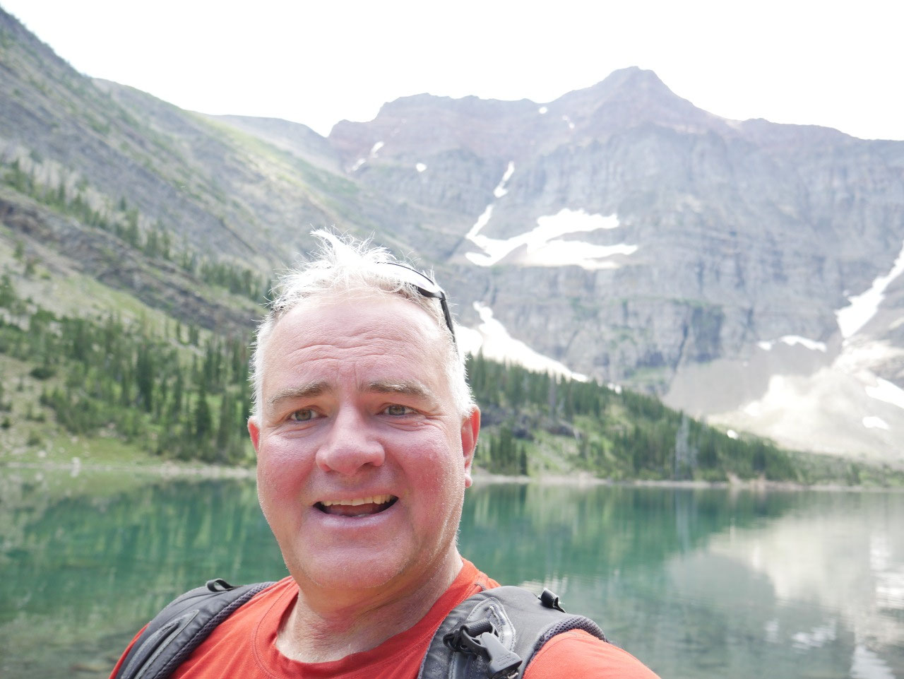
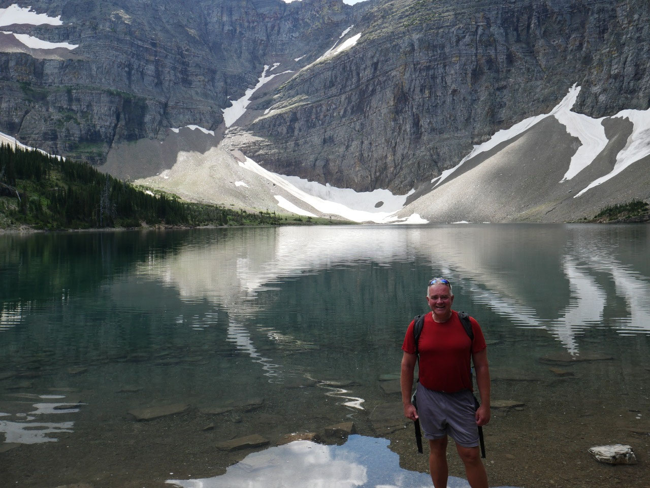
Overall, it was a good day. Mission accomplished! This now 57 year old can still do a 14-mile
mountain hike.


2025-05-22