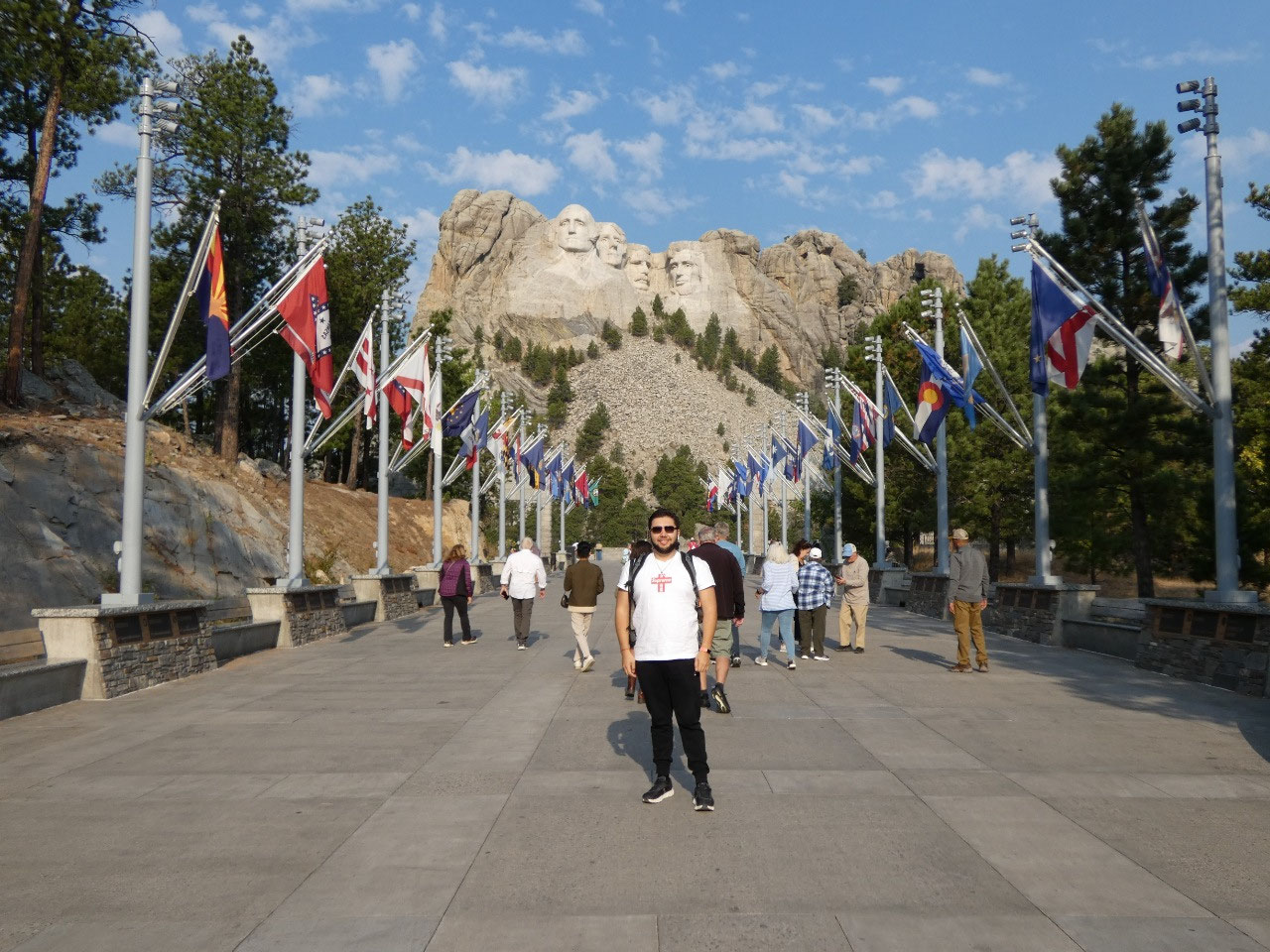
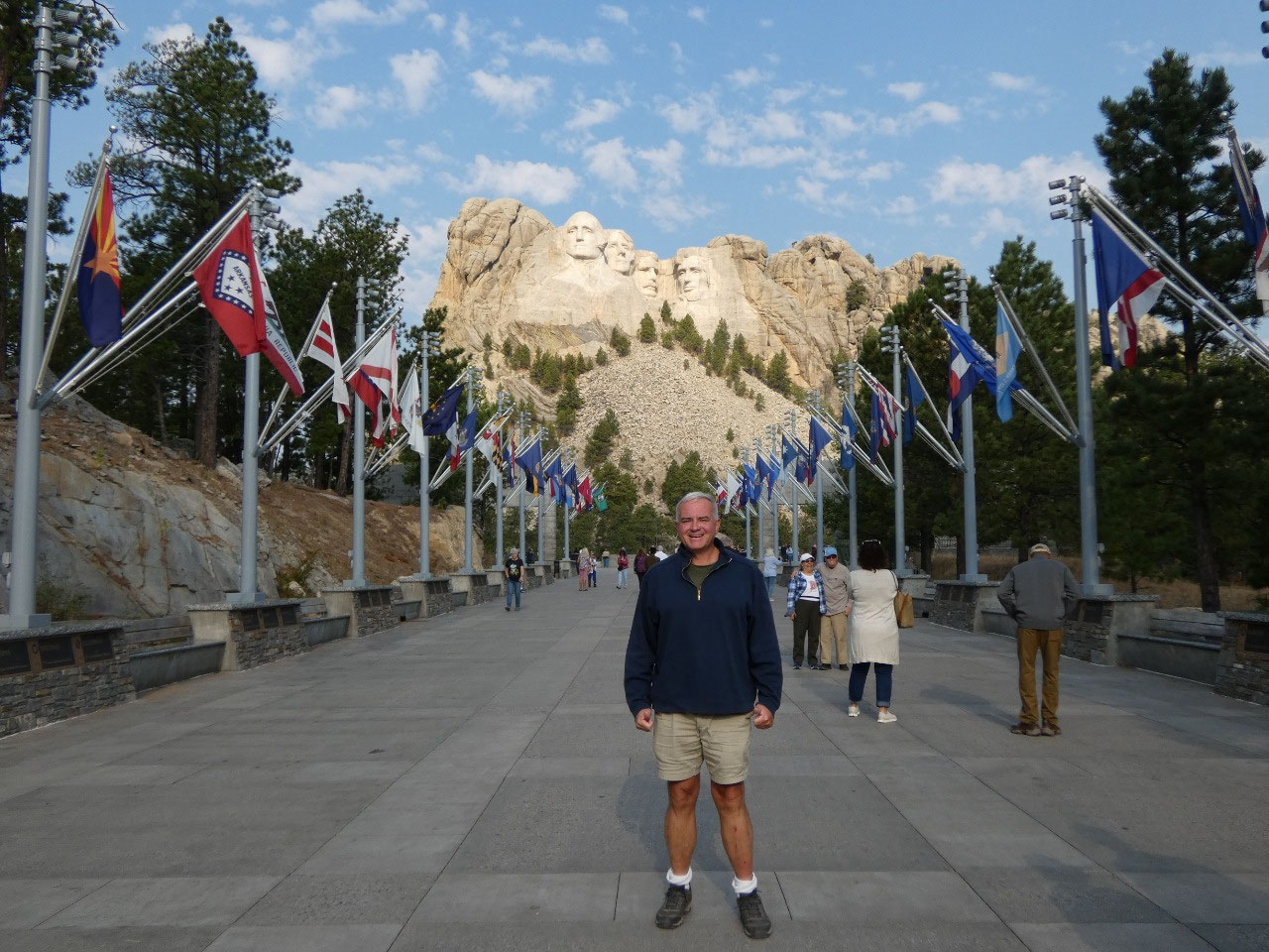
 Mount Rushmore National Memorial, South Dakota, United States
I think every kid in America still learns about Mount
Rushmore in school, although I don’t know if kids still have as much of a
desire to go see it as they used to since the patriotic aspect of the teaching
of history/social studies has been so watered down in recent decades. It was a
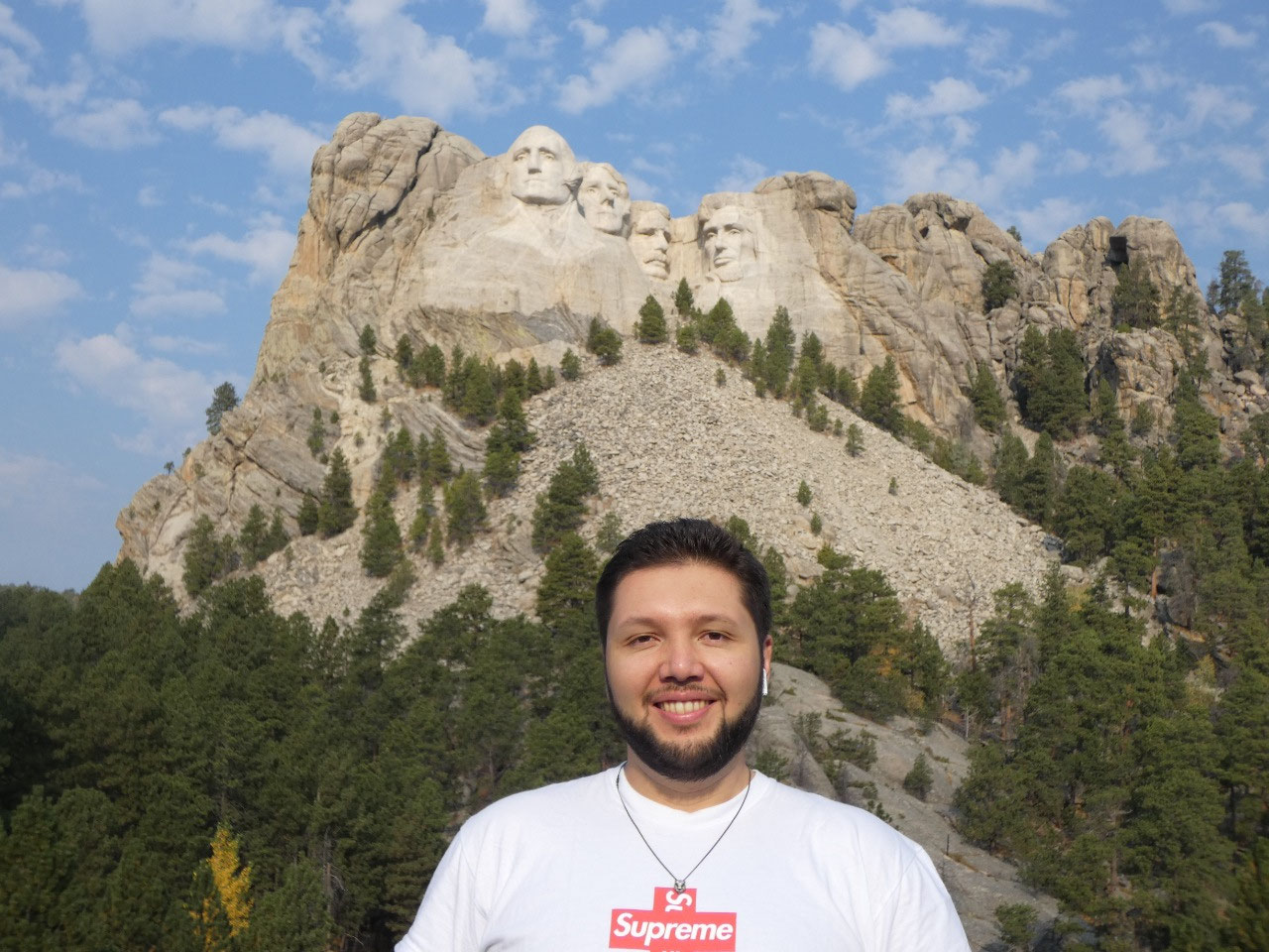
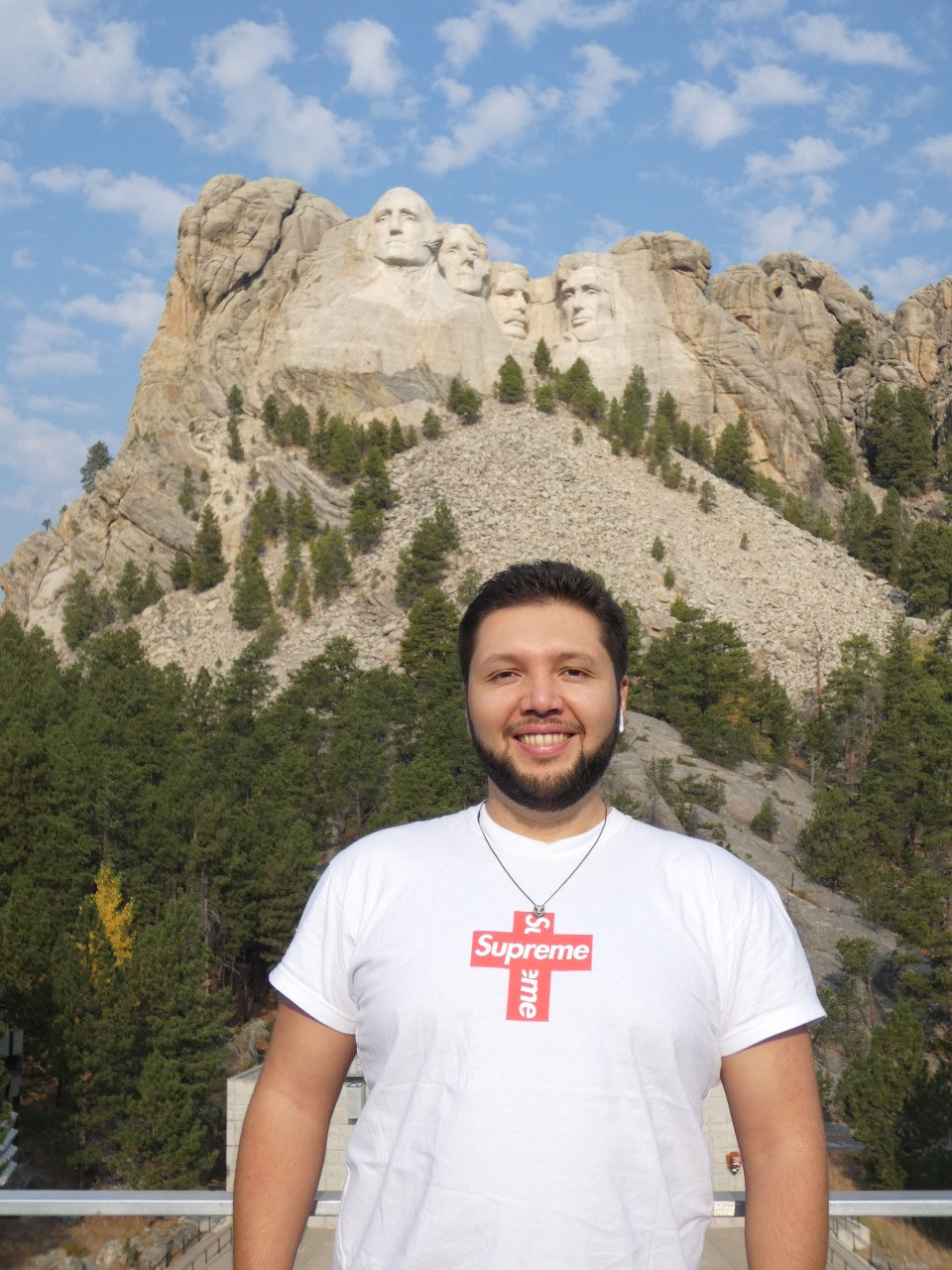
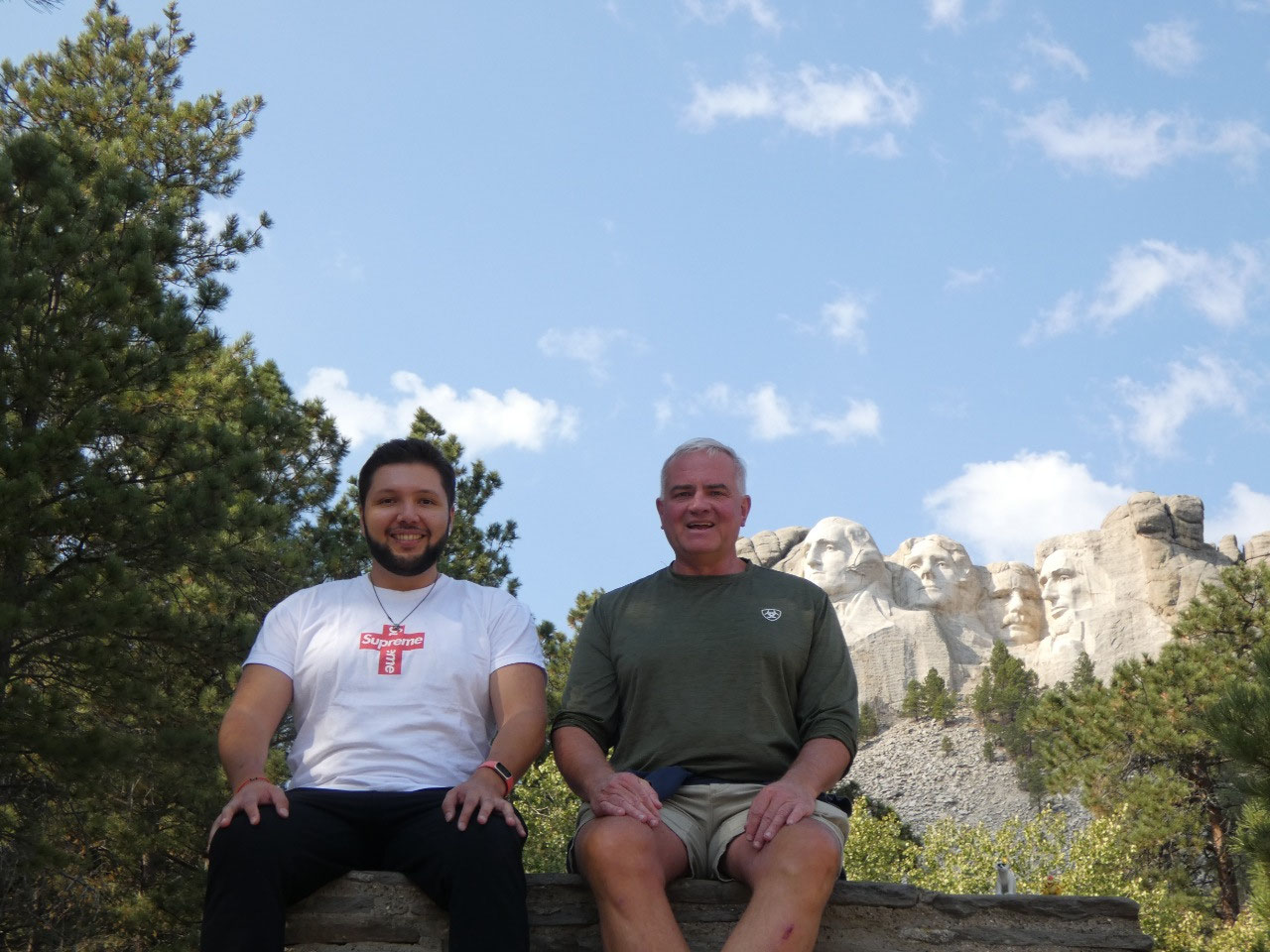
top site for me when I first saw it in 1988 and was a dream of Rodrigo’s to
see, one reason we chose on South Dakota for a road trip during his visit.
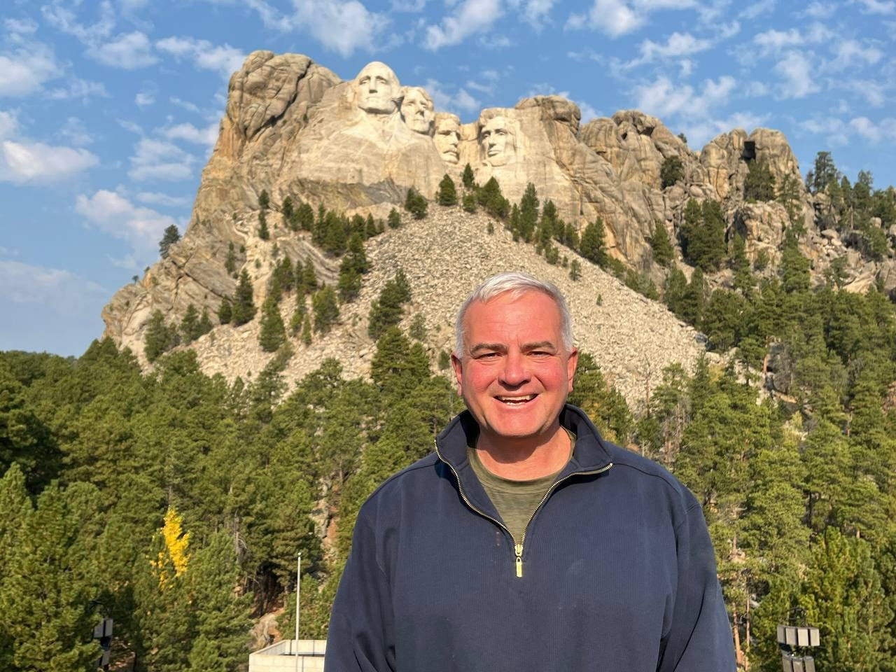
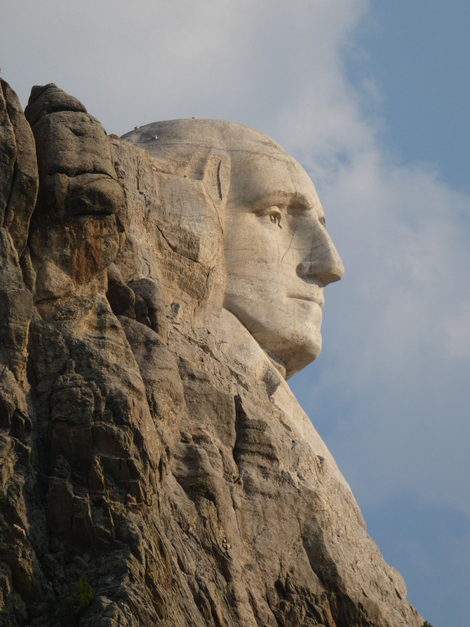
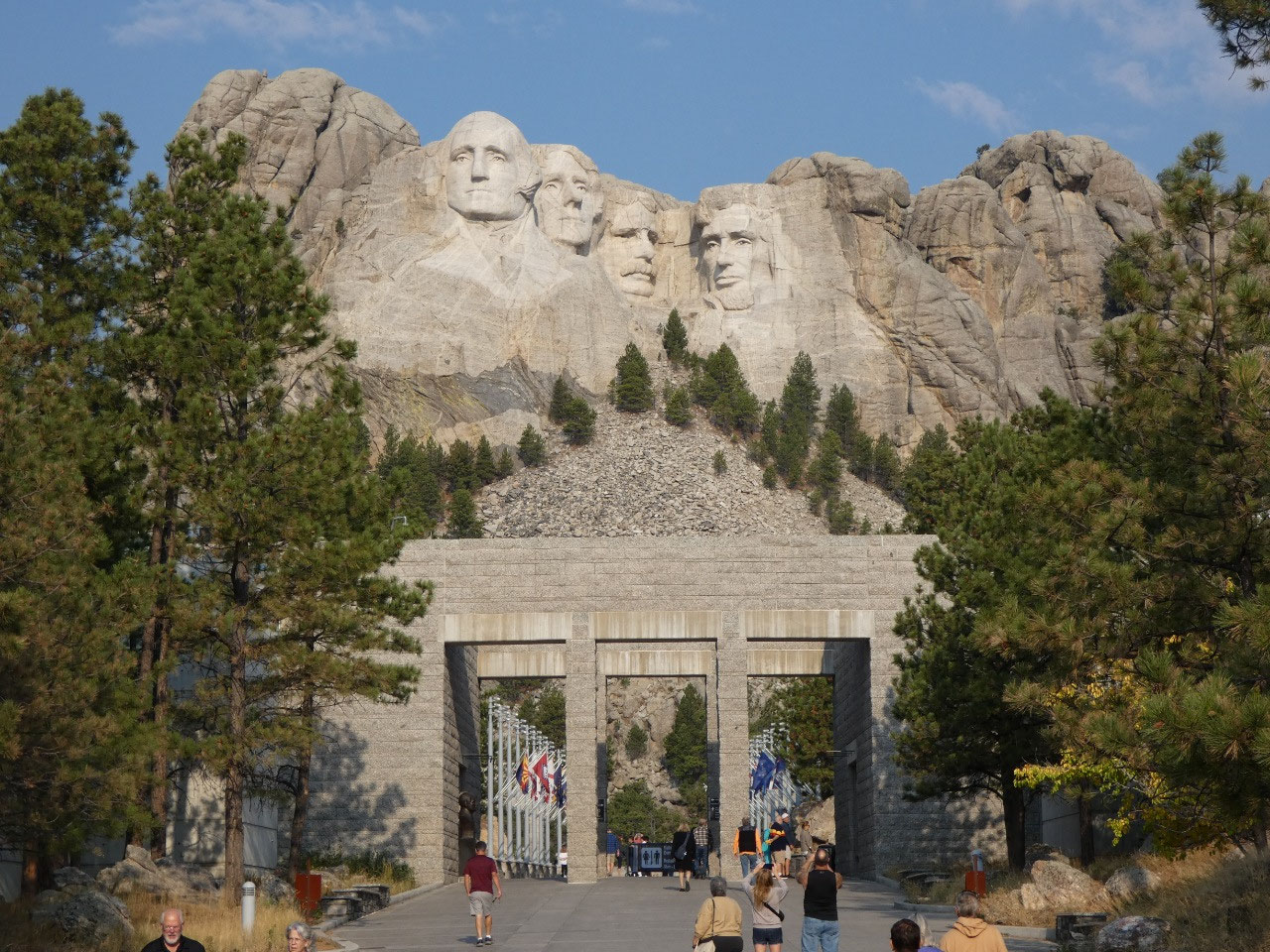
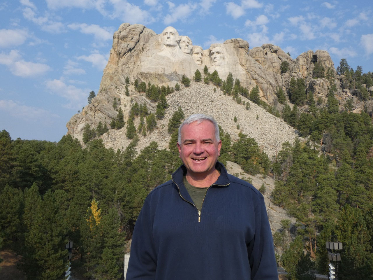
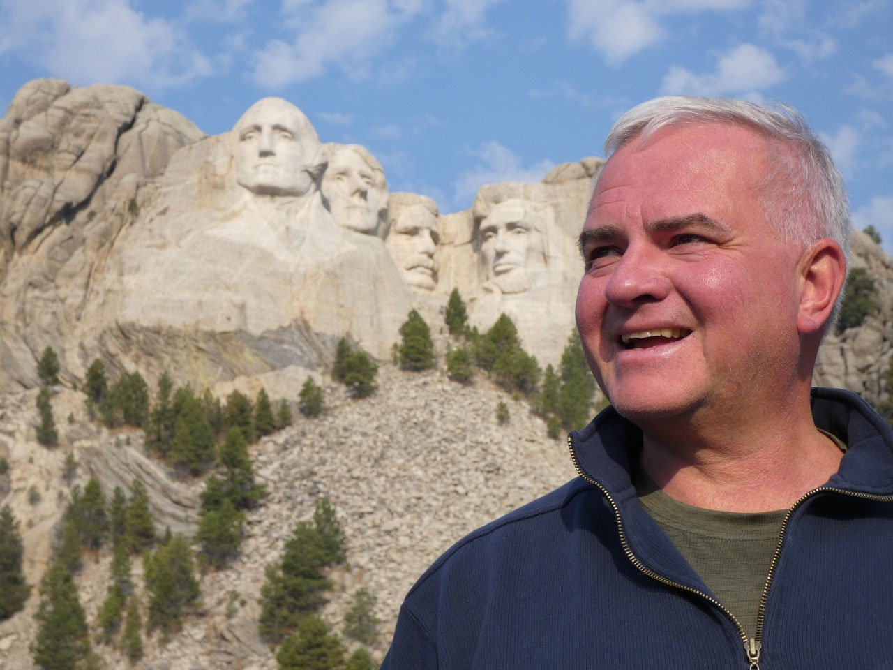
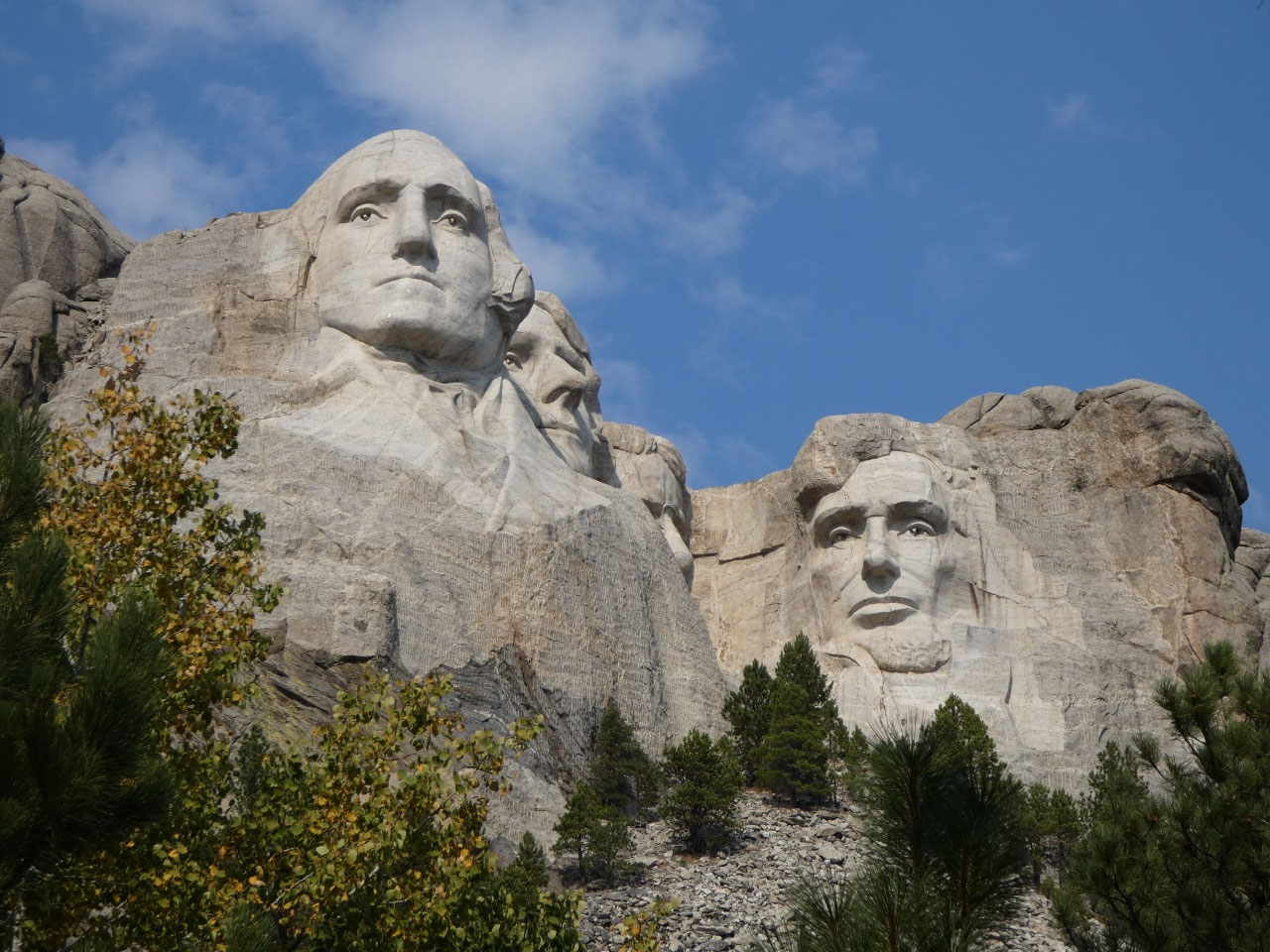
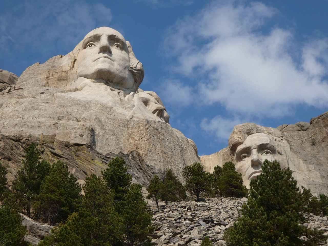
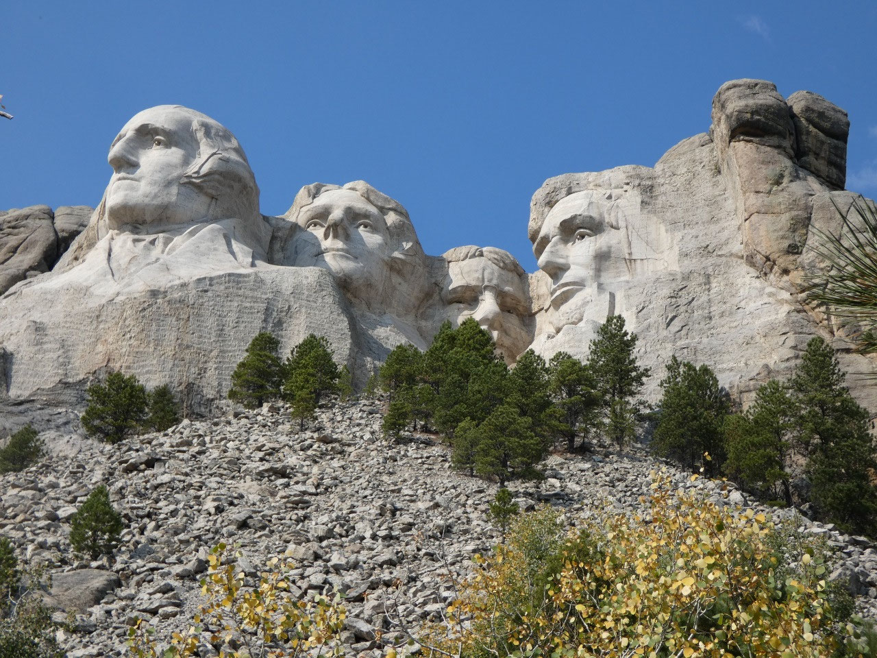
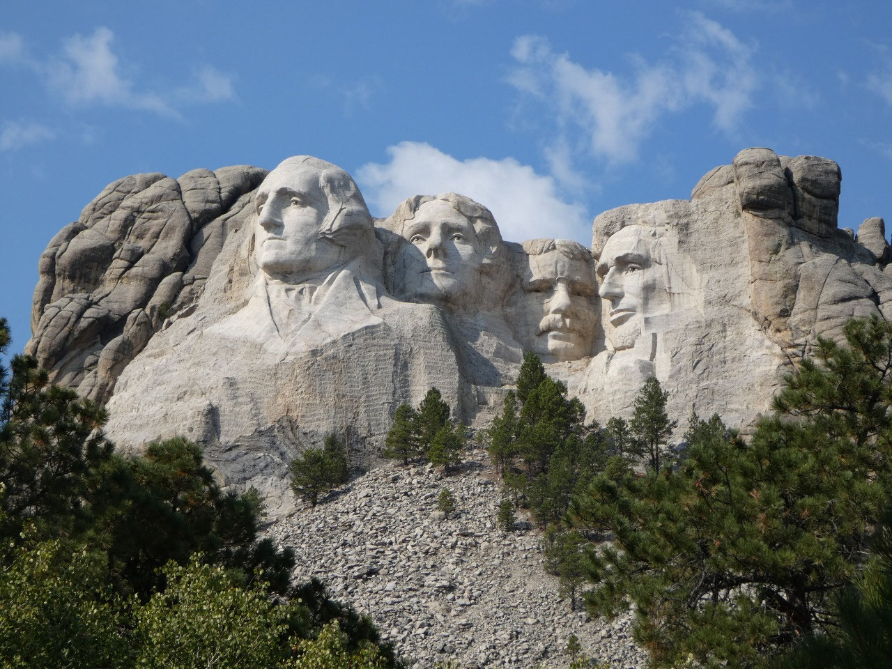
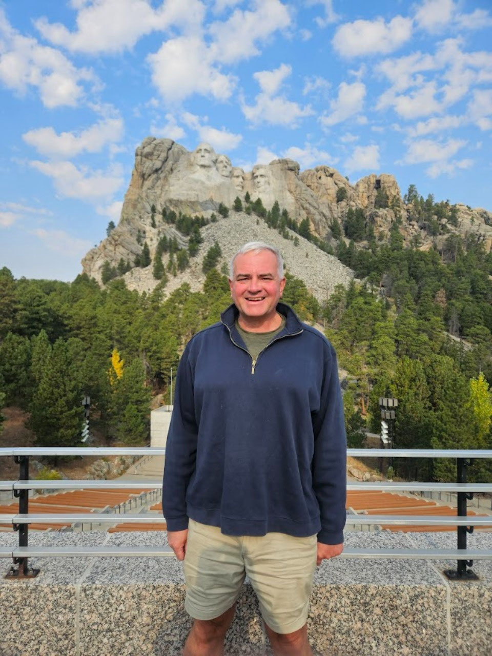
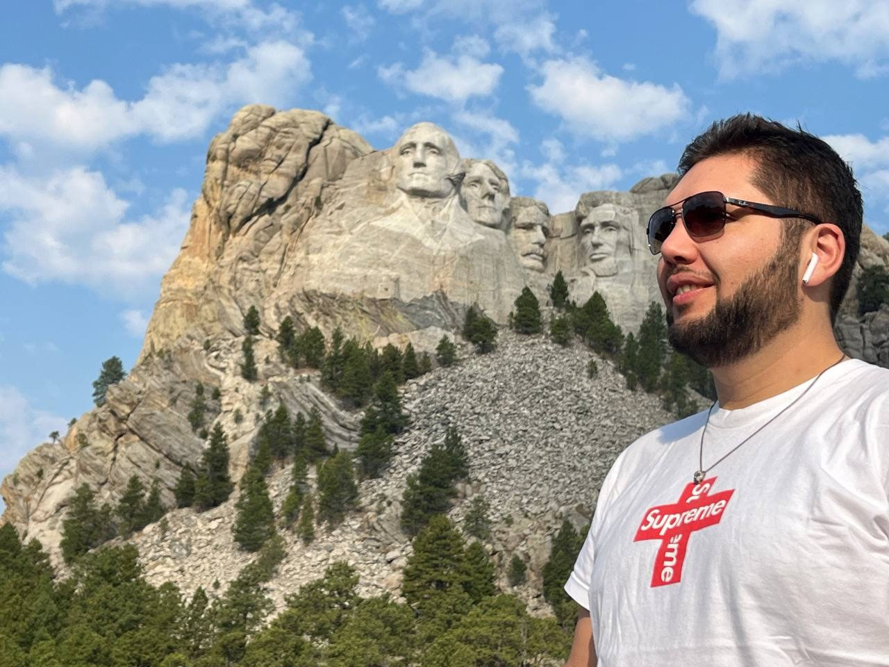
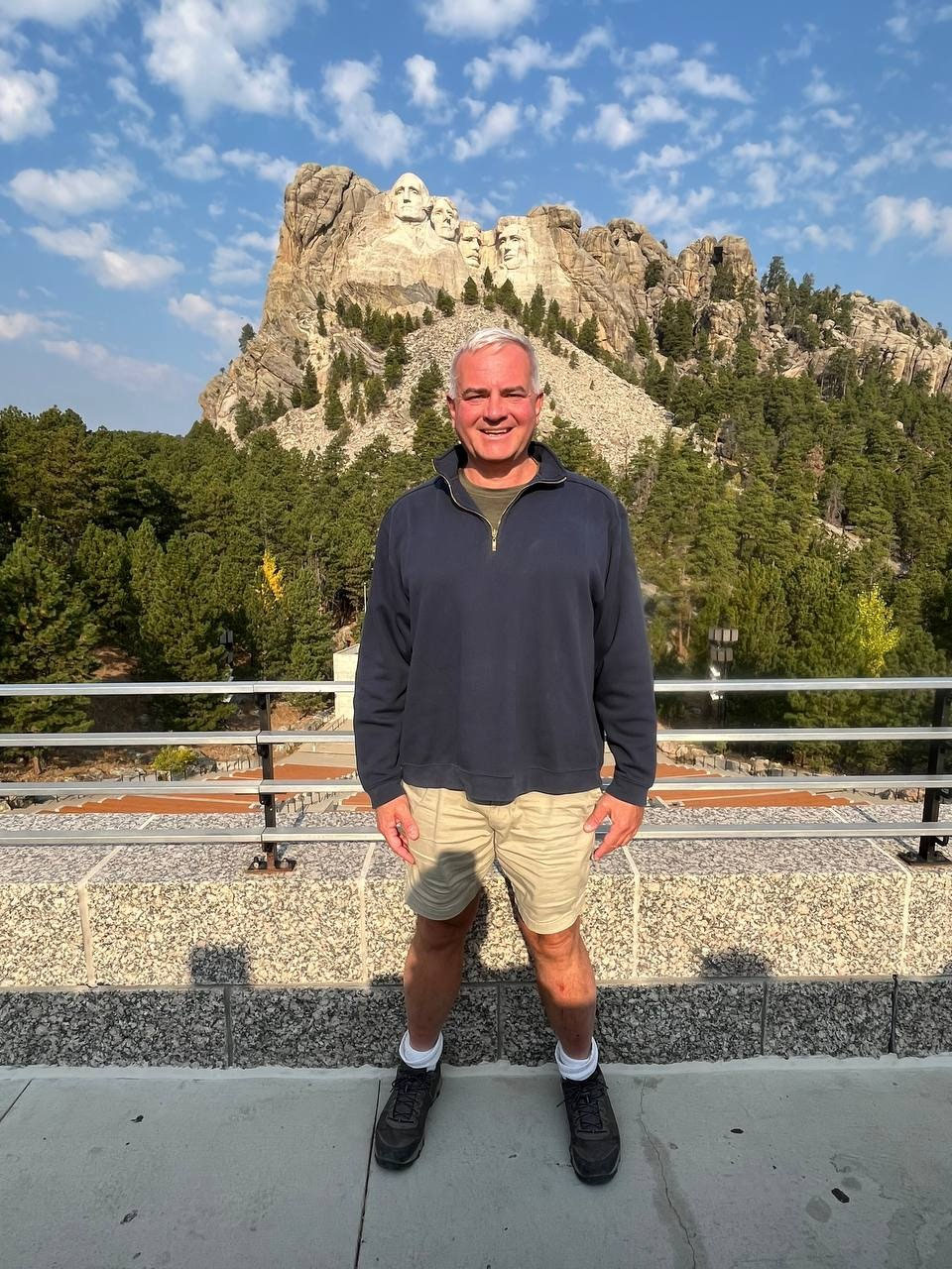
I think this is my fifth time at Mount Rushmore, and it’s
still as impressive as ever. There
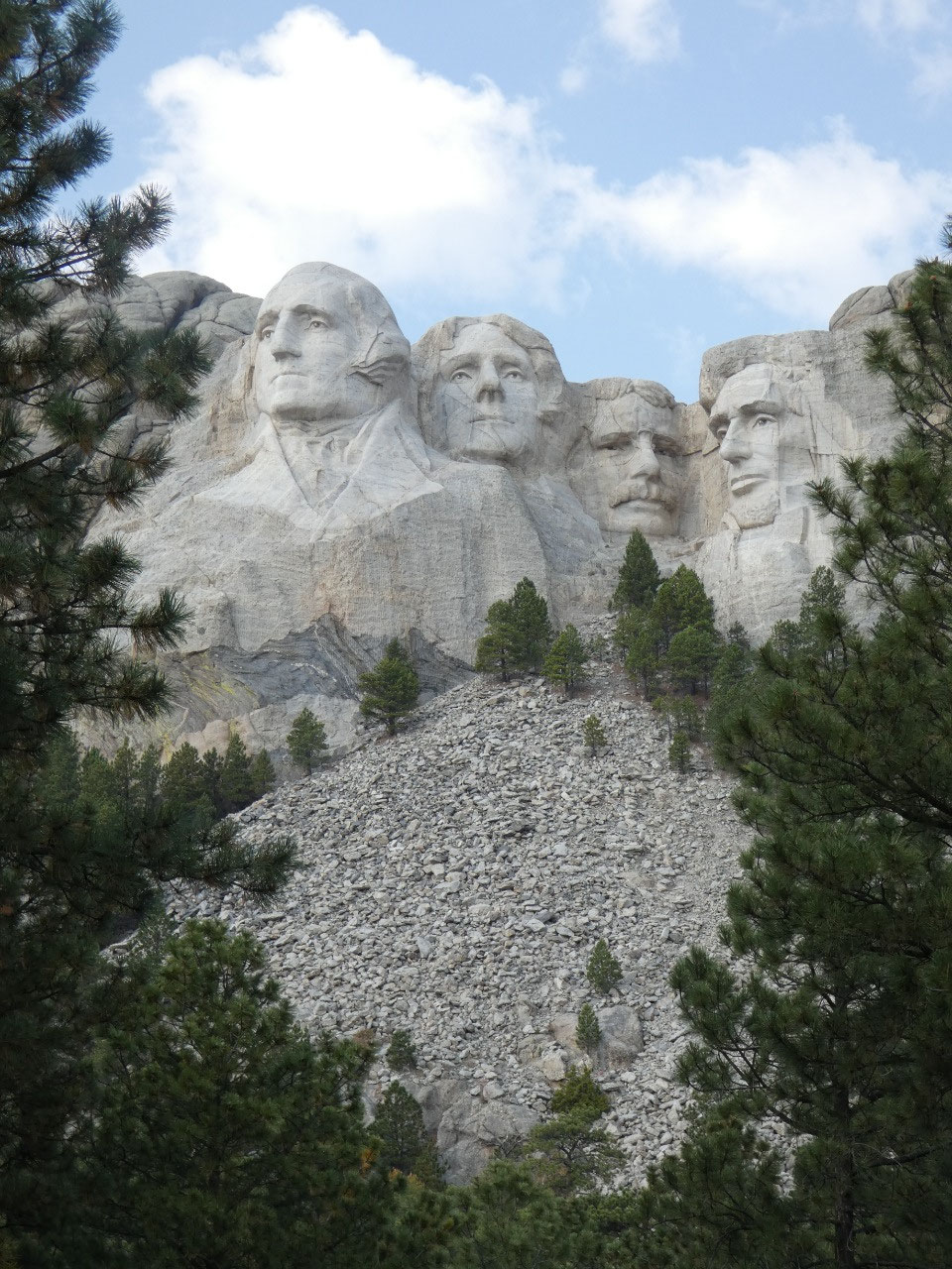
really isn’t too much to do at the national monument other than look up at the
presidents and take pictures. This time
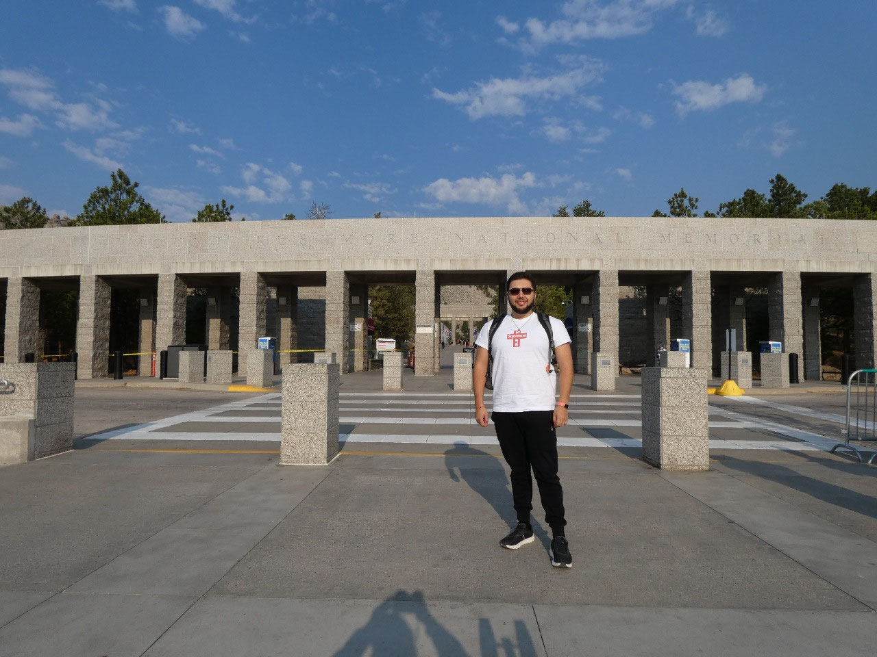
around I think we spent more time in the visitor center and museums than I had
in the past, so I probably learned a thing or two about Mount Rushmore that I
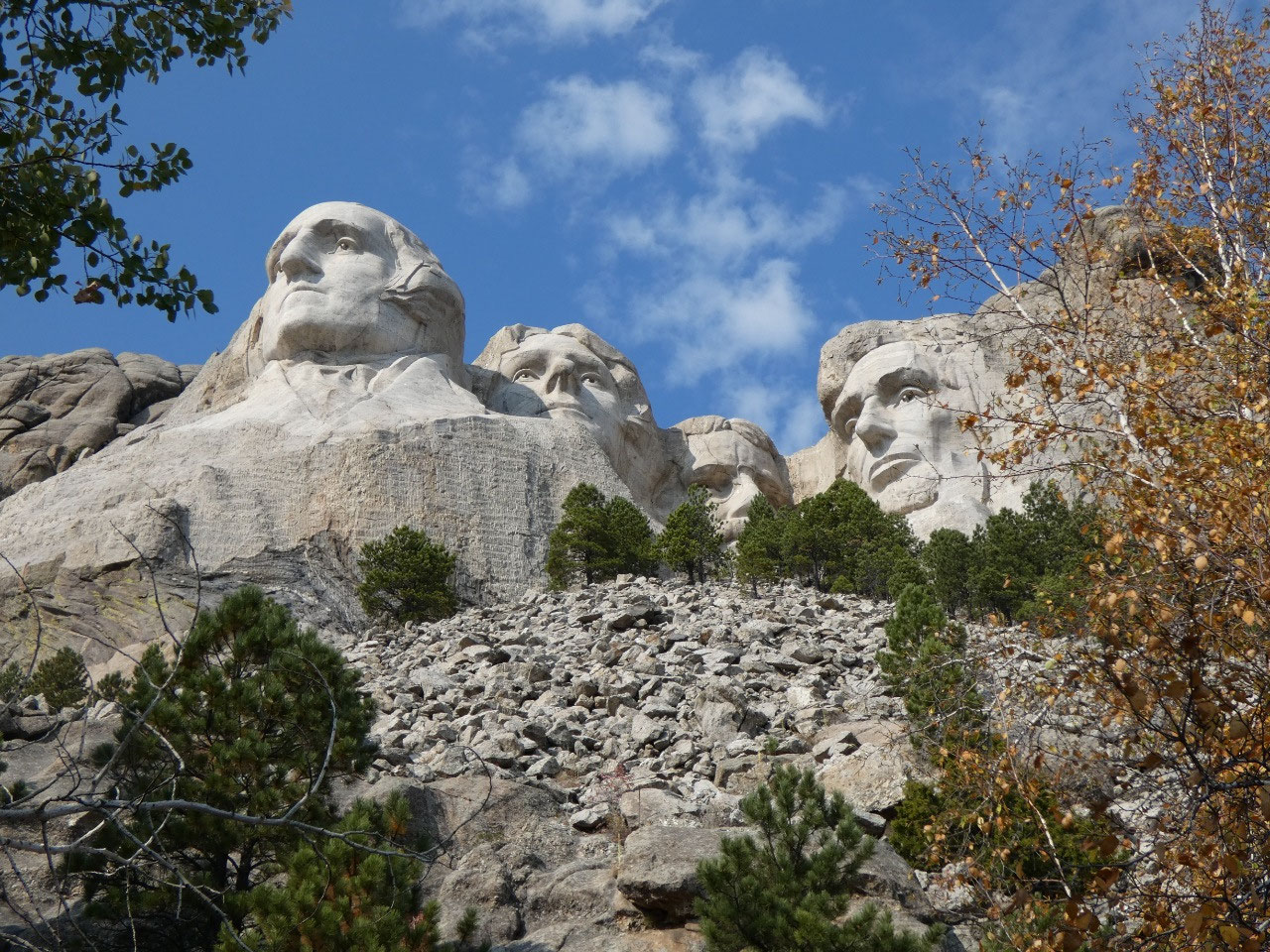
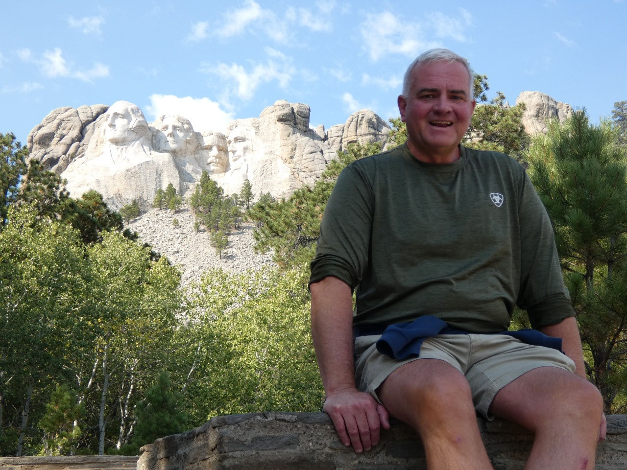
didn’t know previously. We also walked the .6 mile-long trail to the base of
mountain below the sculpture, the most exercise we got in a few days. One of
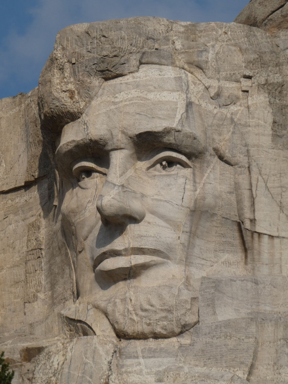
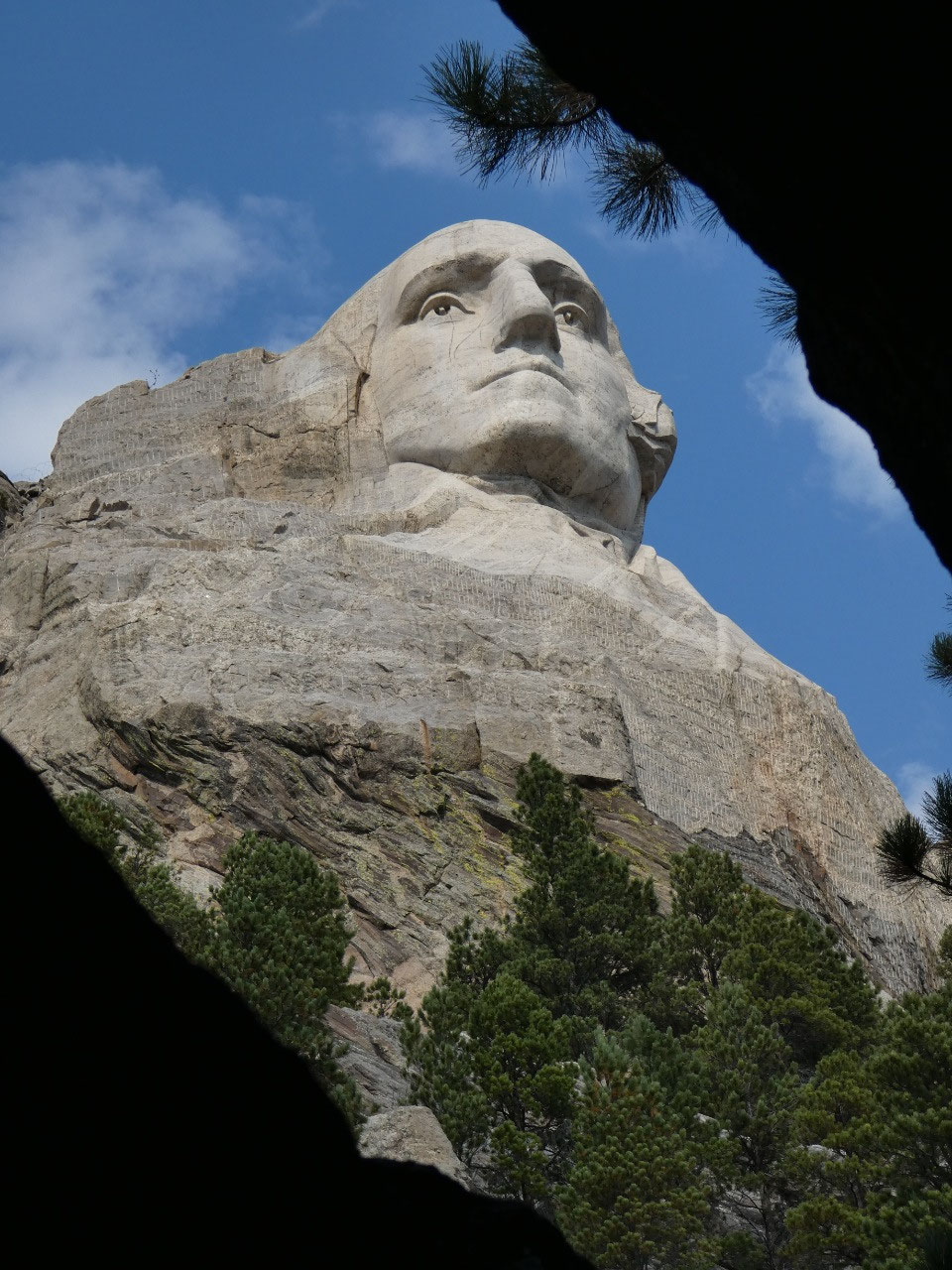
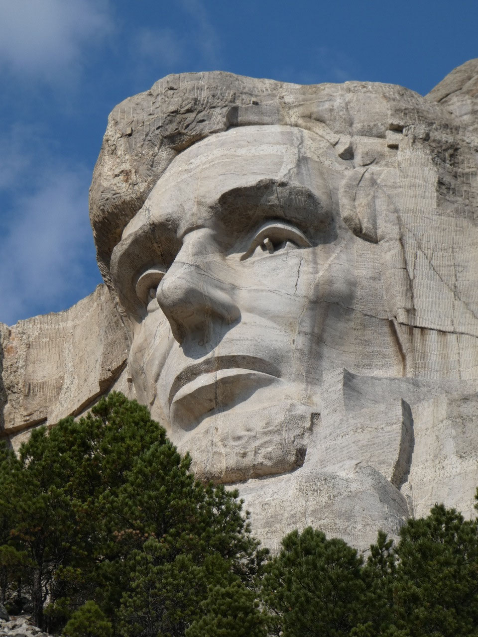
the things I remembered from previous visits is that the light on the mountain
is better for pictures in the morning that late in the day because the
presidents face east.
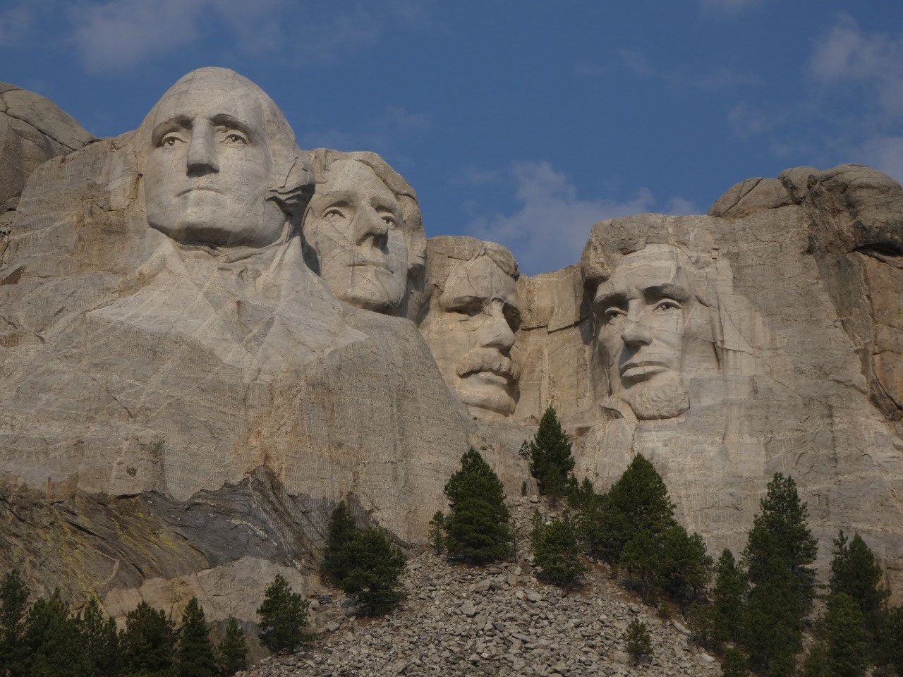
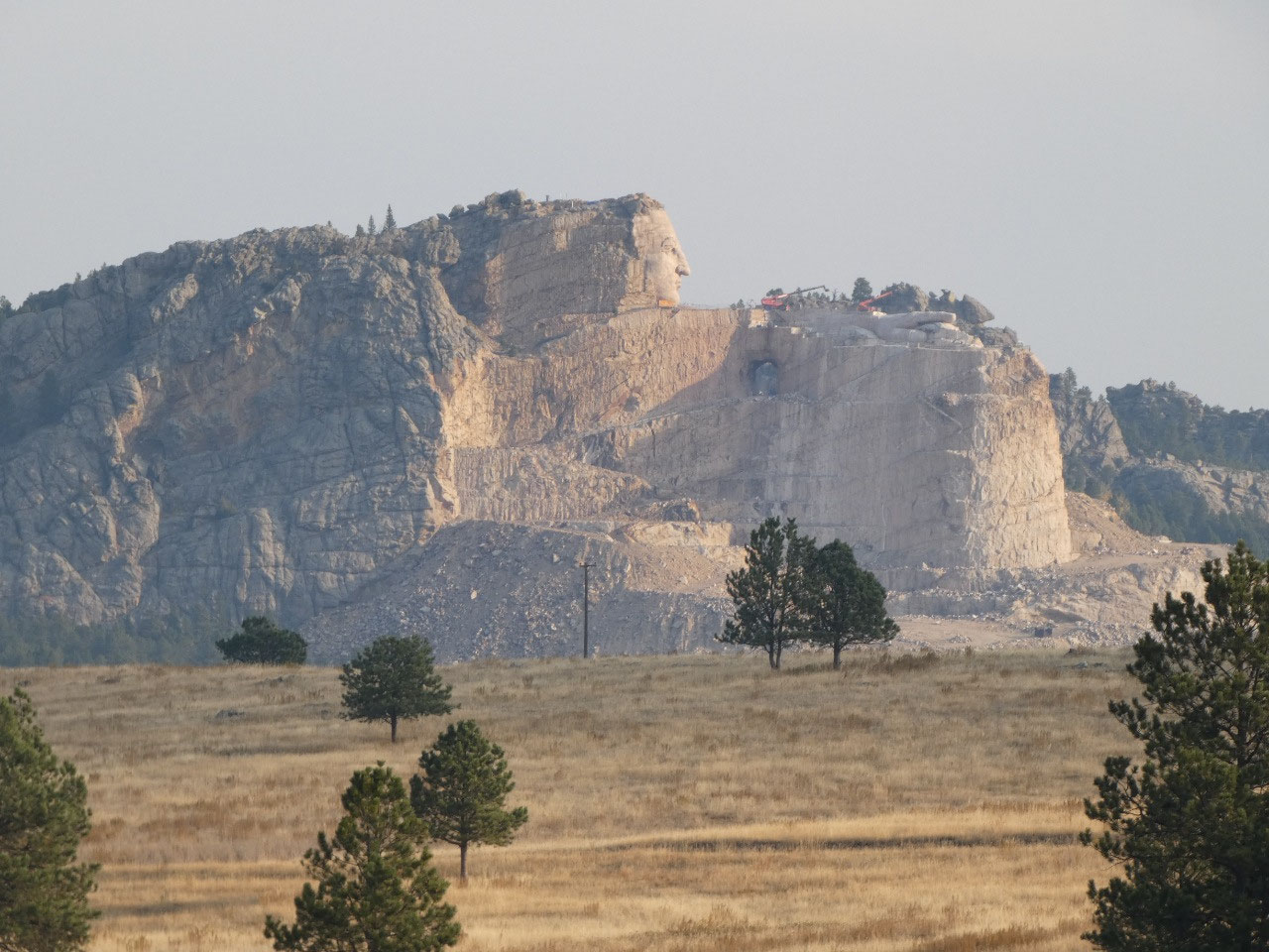
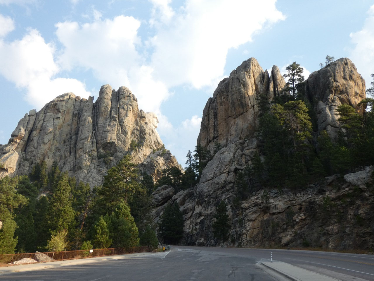
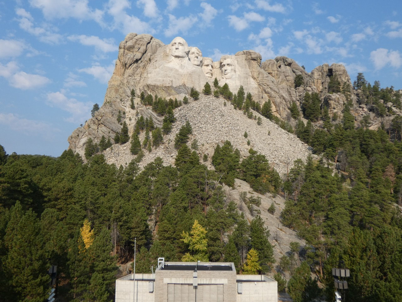
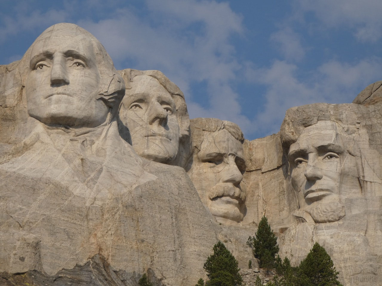
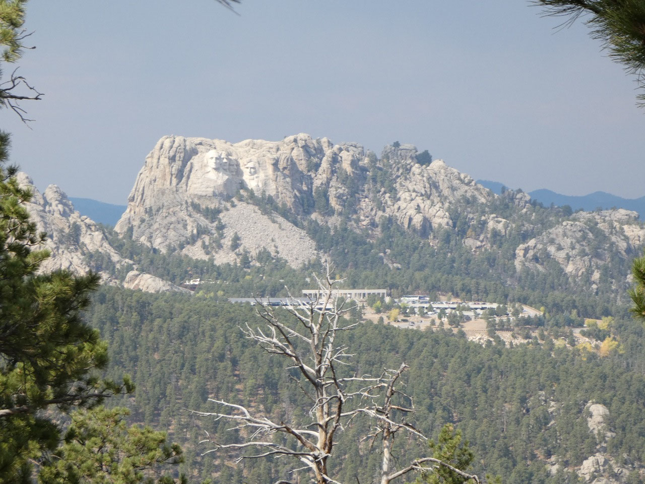
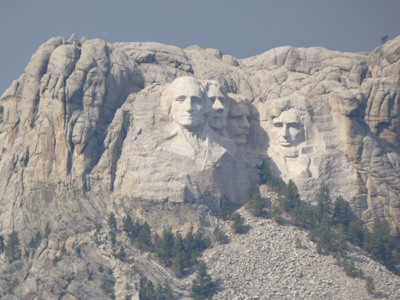
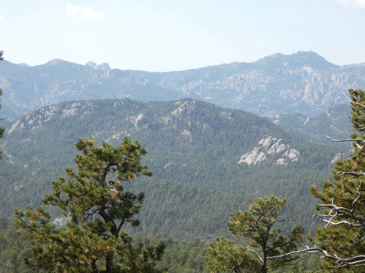
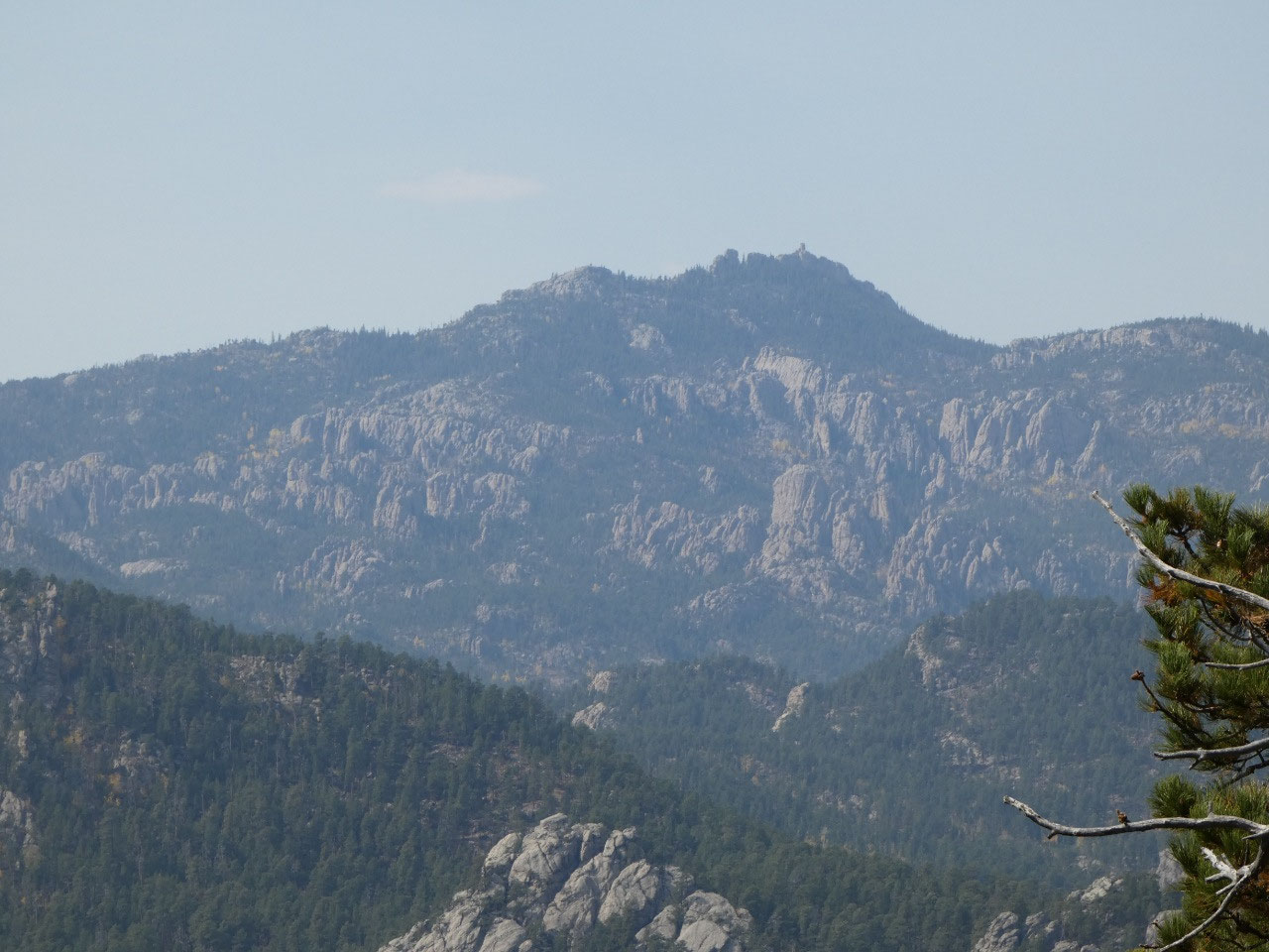
The granite outcrop of Mount Rushmore on which the faces of
four presidents are carved is only one of many such granite peaks sticking upwards
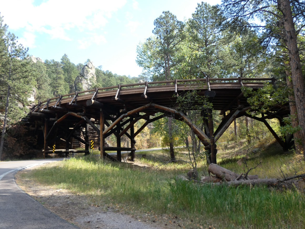
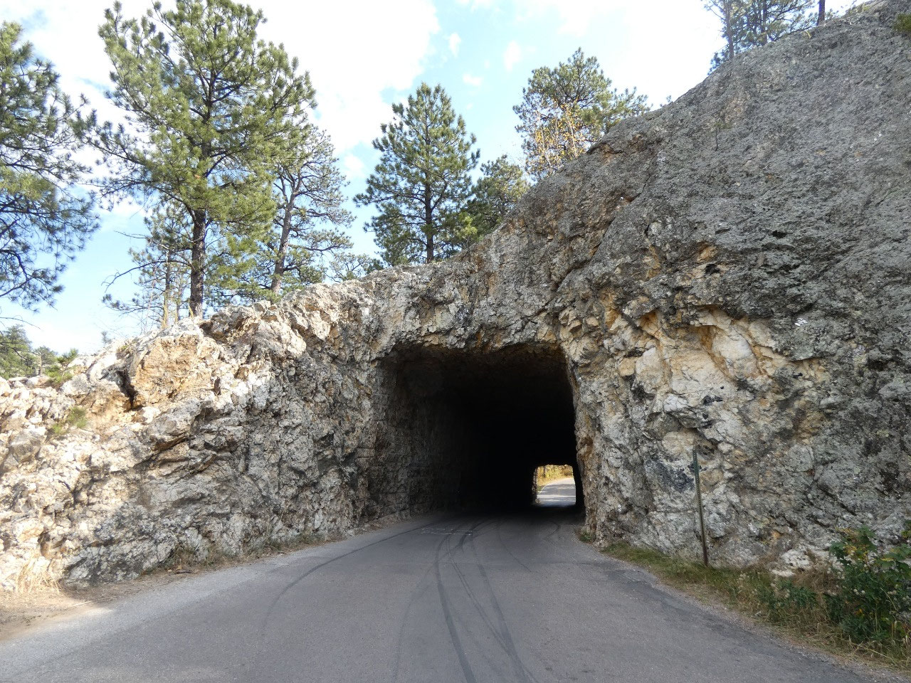
in the central Black Hills. The thinner formations are called Needles or Spires
and dominate the highest areas in South Dakota between Mount Rushmore and
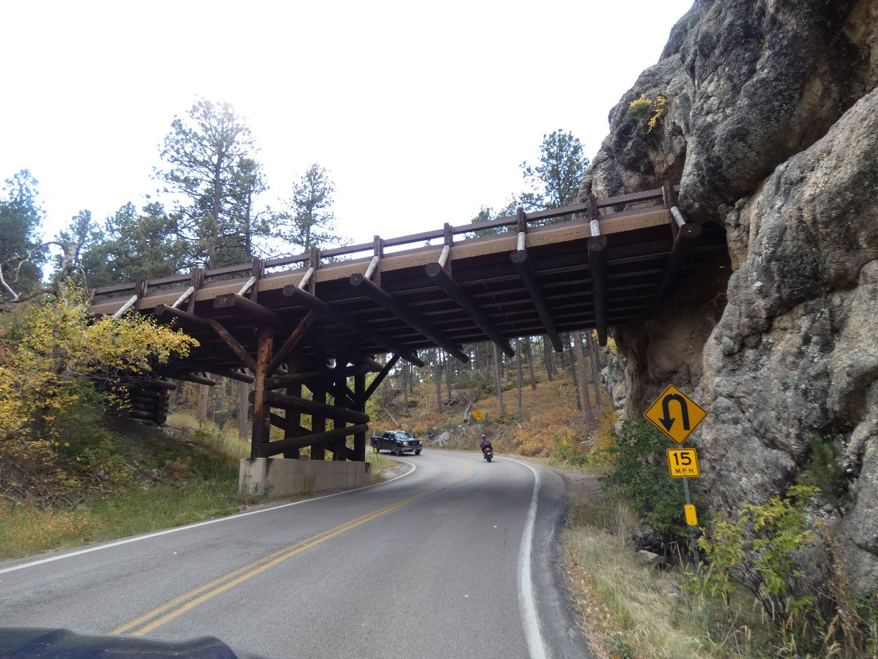
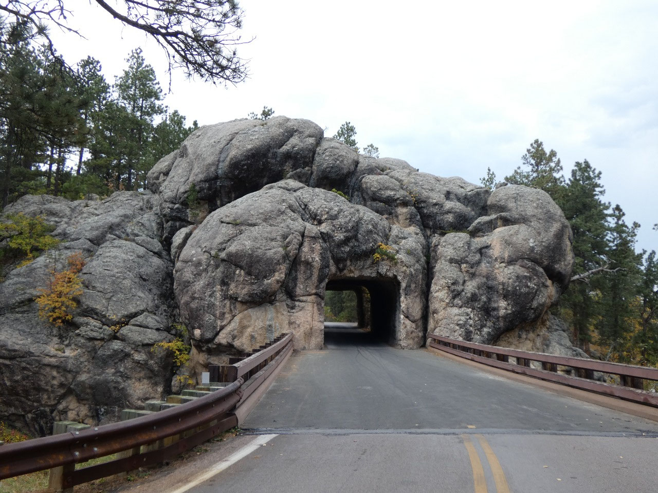
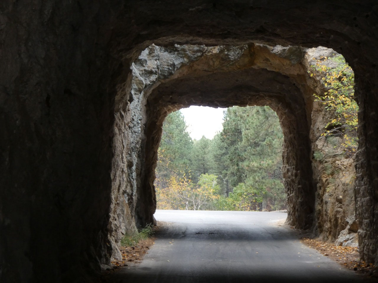
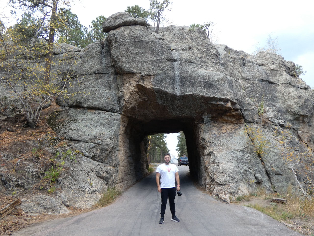
Custer State Park. This scenic high country is traversed by two scenic roads we
drove, the Needles Highway and the Iron Mountain Road, both of which include
numerous switchbacks, one lane tunnels through the rock, and so-called pigtails
where the road makes a big circle and passes over itself on a bridge.


2025-05-22