 Caracol Natural Monument Reservation, Cayo District, Belize
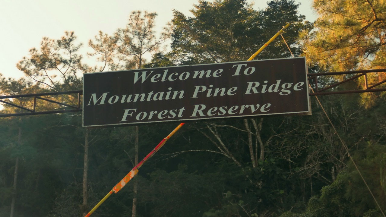
Caracol / Mountain Pine Ridge
The First for breakfast
the plan is to be at 9 am at the
ranger station, you need 1.5 hours, we want to be 15 Min early and need 15 Min
in case we are slower. That means we want to leave between 6.45 and 7, they
offer breakfast at 6 am: guess we will set the alarm for 5.50, that leaves time
to put on cloth and get ready and have breakfast. We were on time – and they
had bananas and cinnamon bread!!
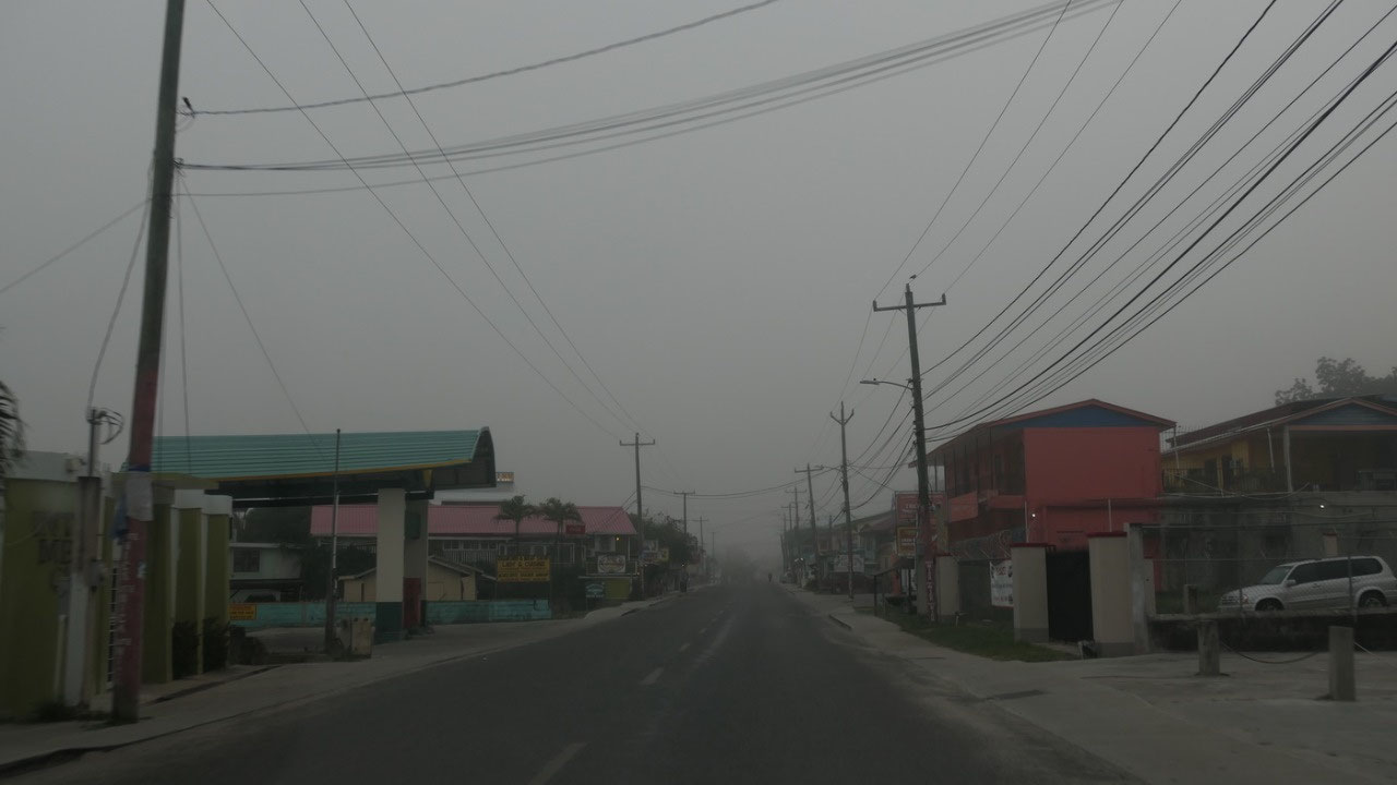
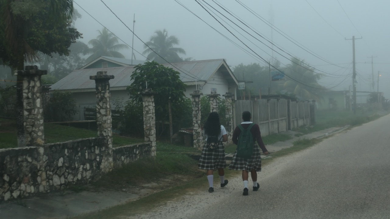
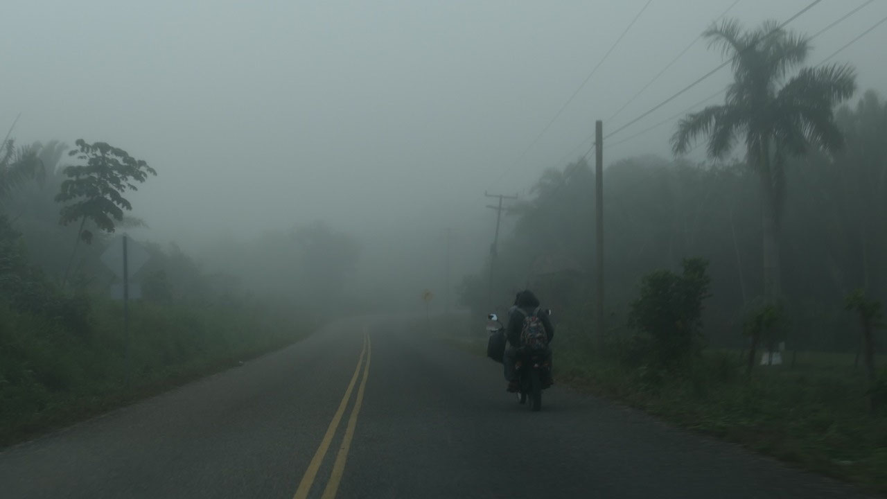
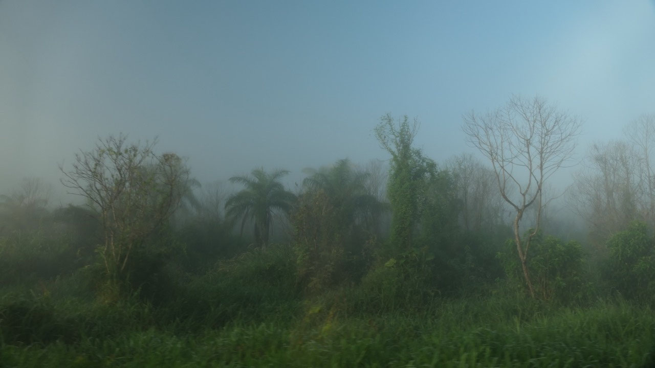
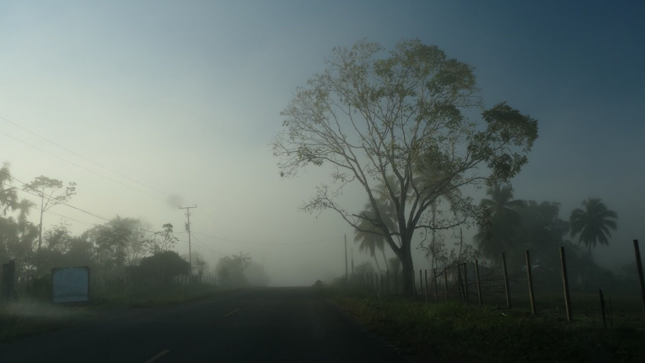
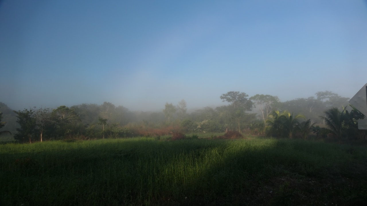
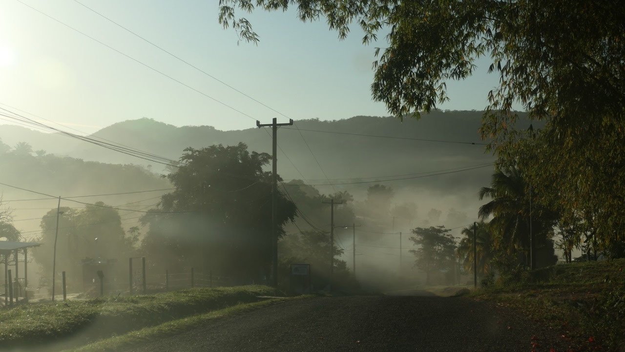
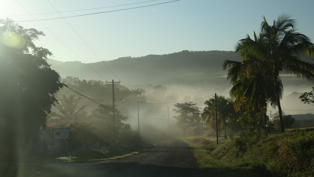
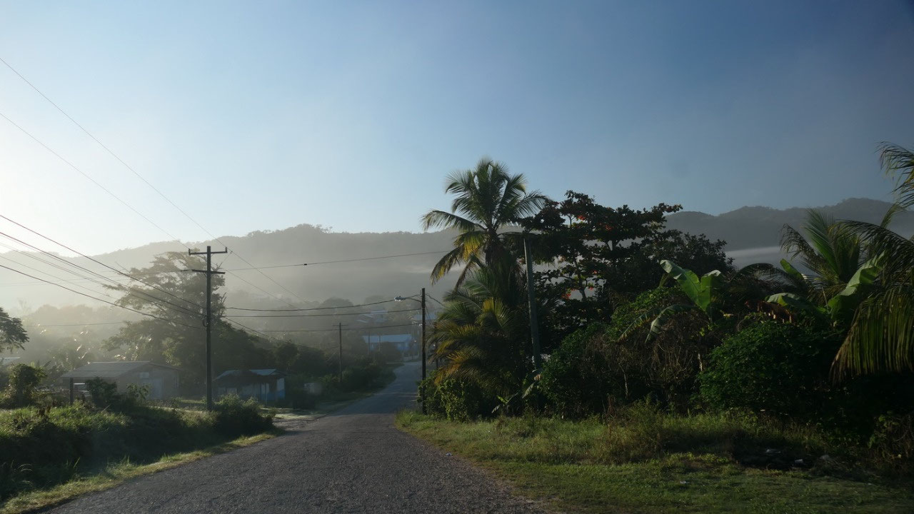
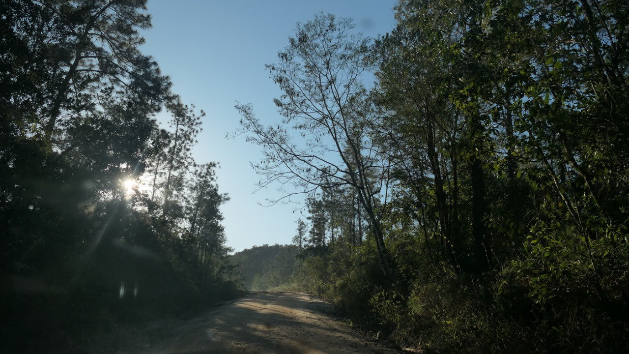
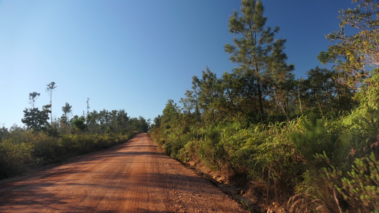
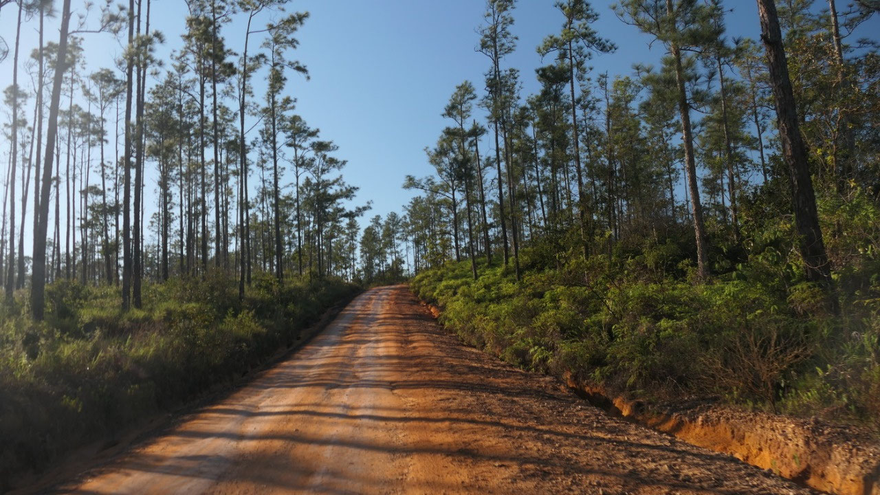
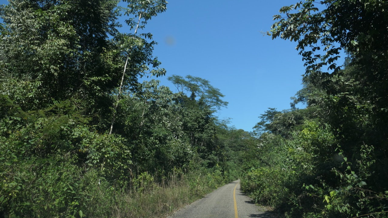
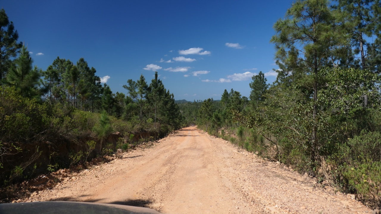
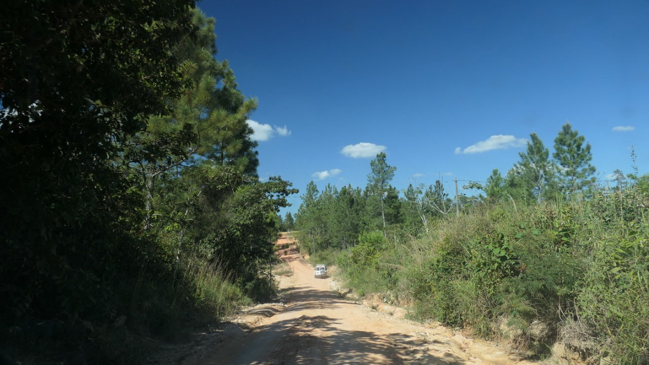
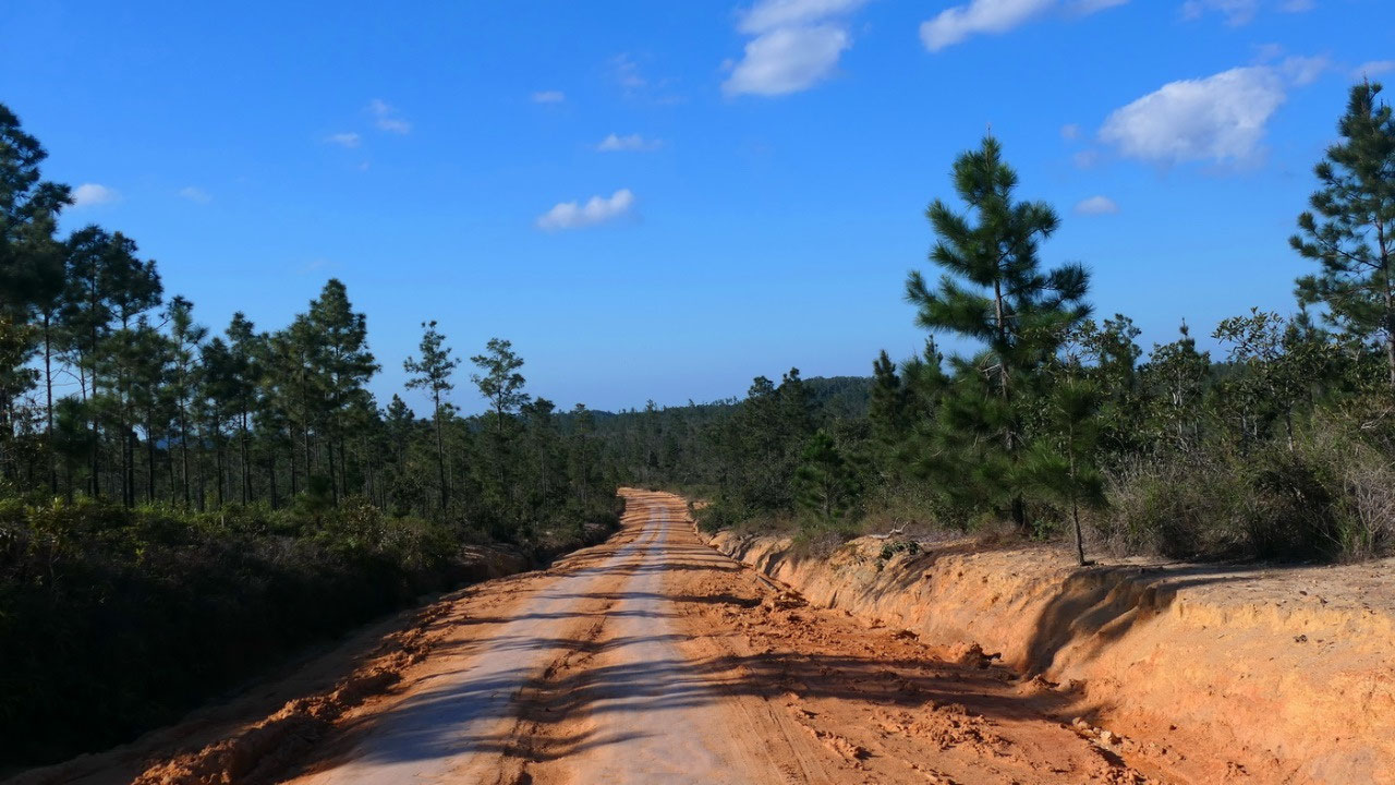
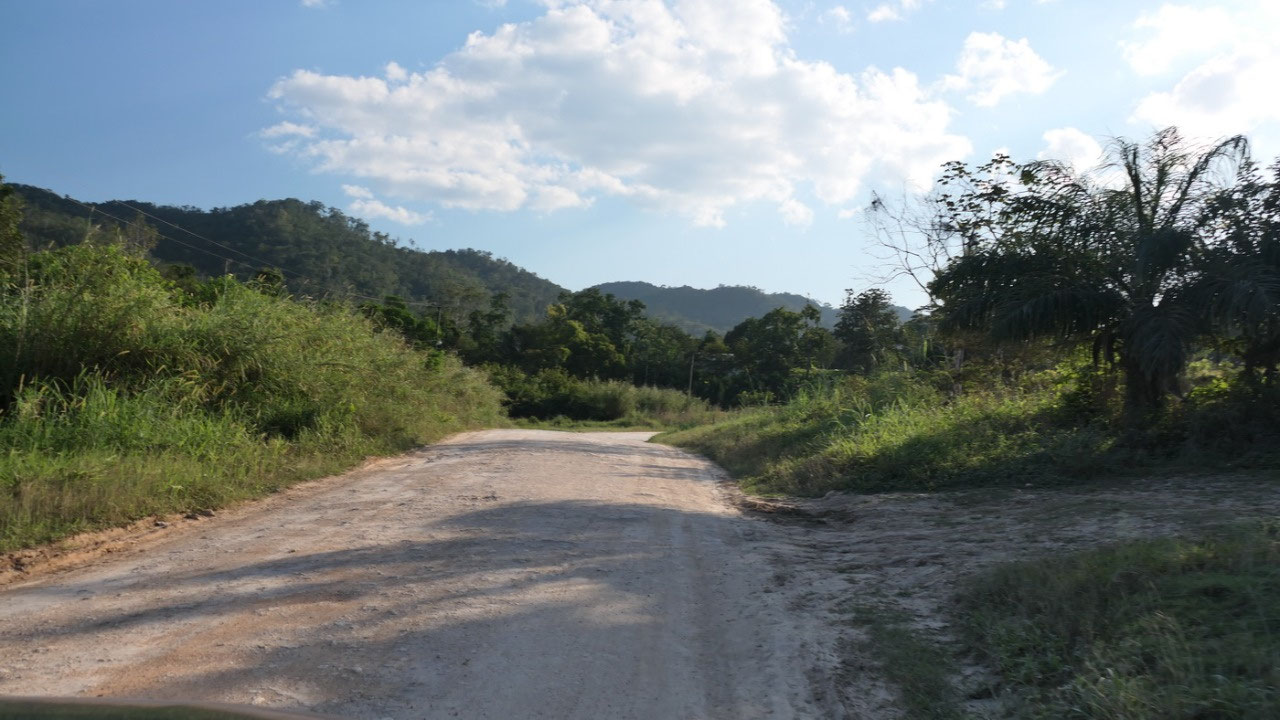
Morning Fog
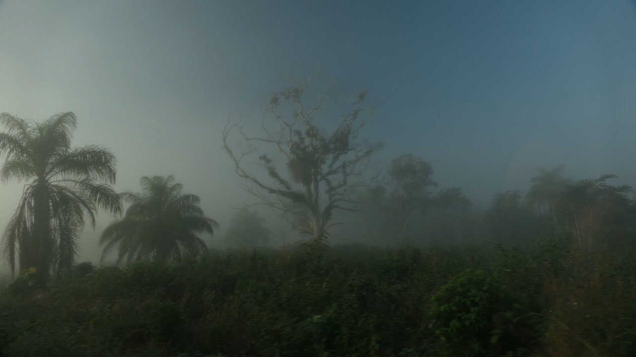
when we left – there was a mist in the
air – and it was kind of cool driving through the fog and then we could see it
slowly go away and give way to the beautiful blue sky... did I mention that as
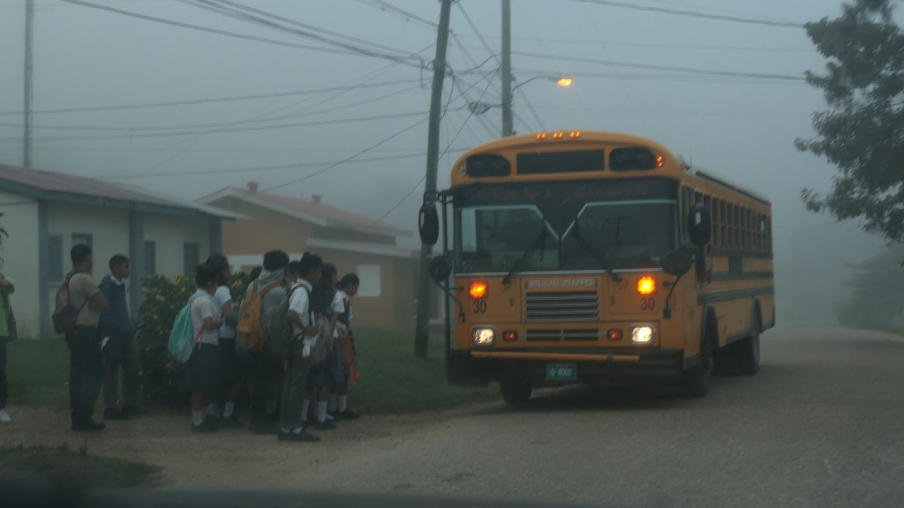
soon as we left San Ignacio we were on a gravel road – with a short break
driving through one of the Mayan towns where the kids were already on the way
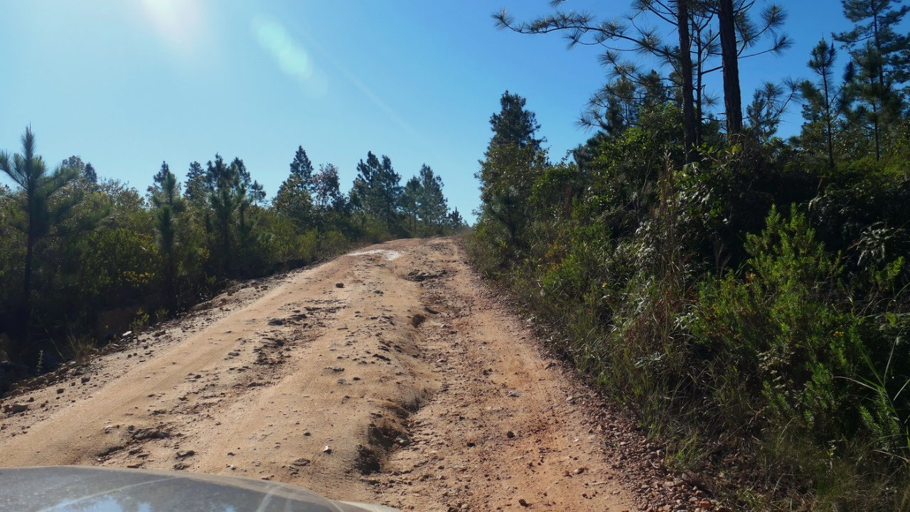
to school at 7 am. And the road did not go better, once in a while some deep
ruts, stones, potholes, washboard... whatever you want – except speeding.
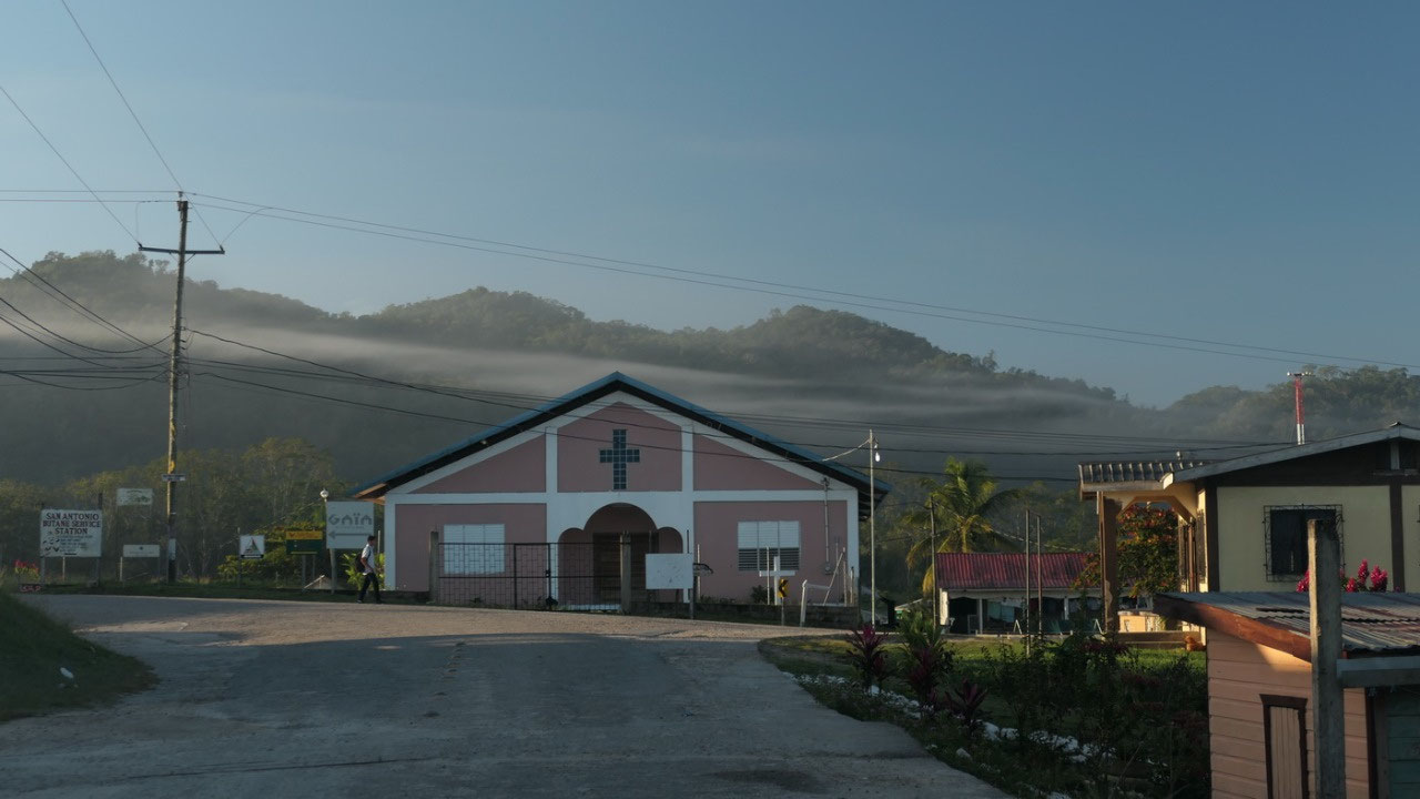
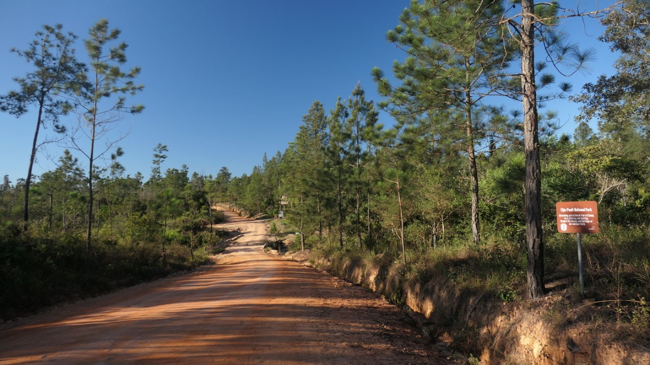
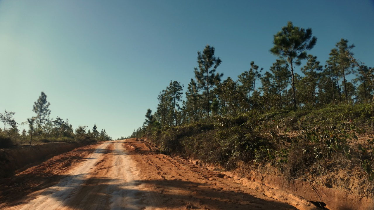
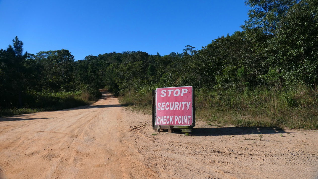
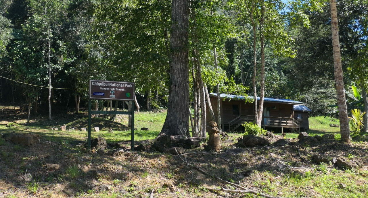
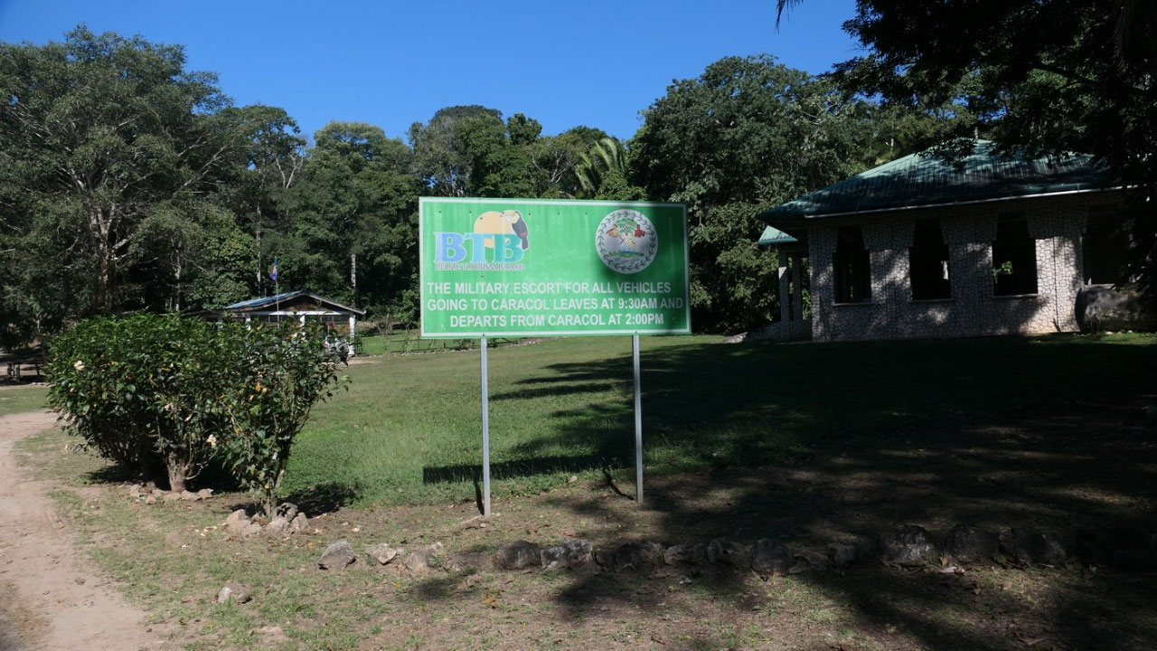
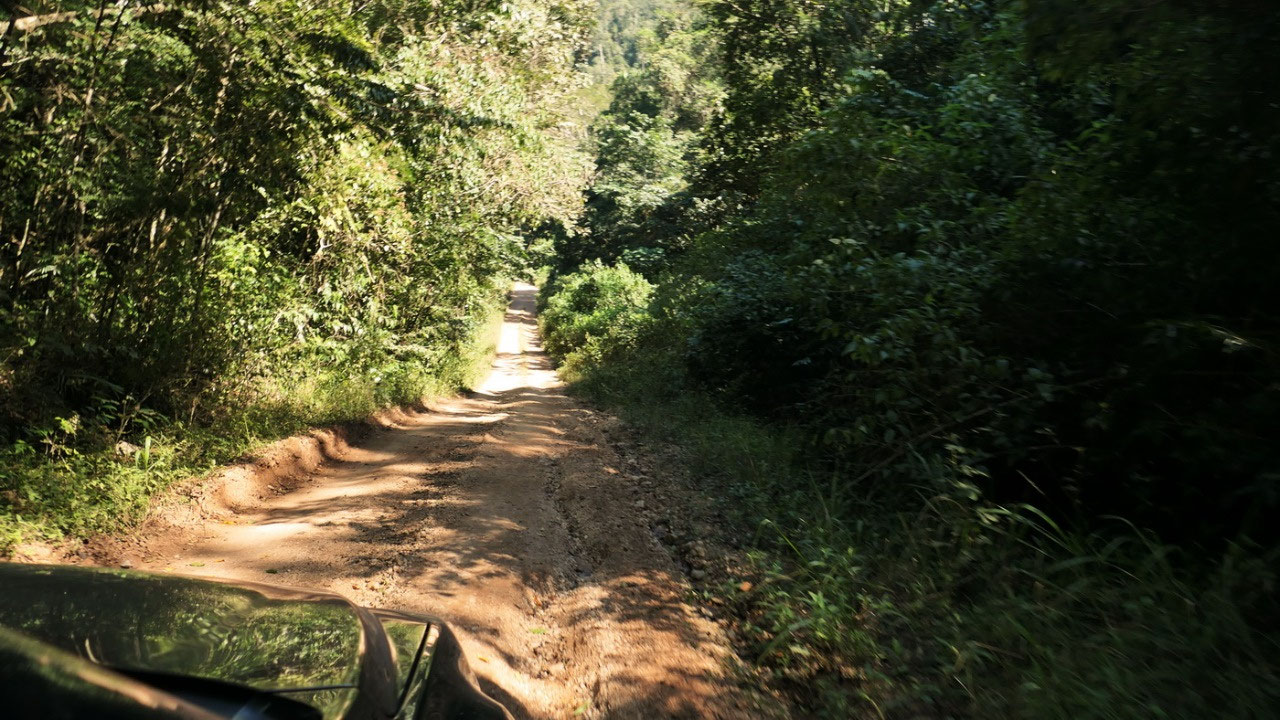
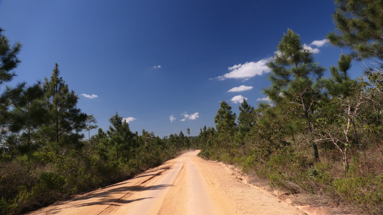
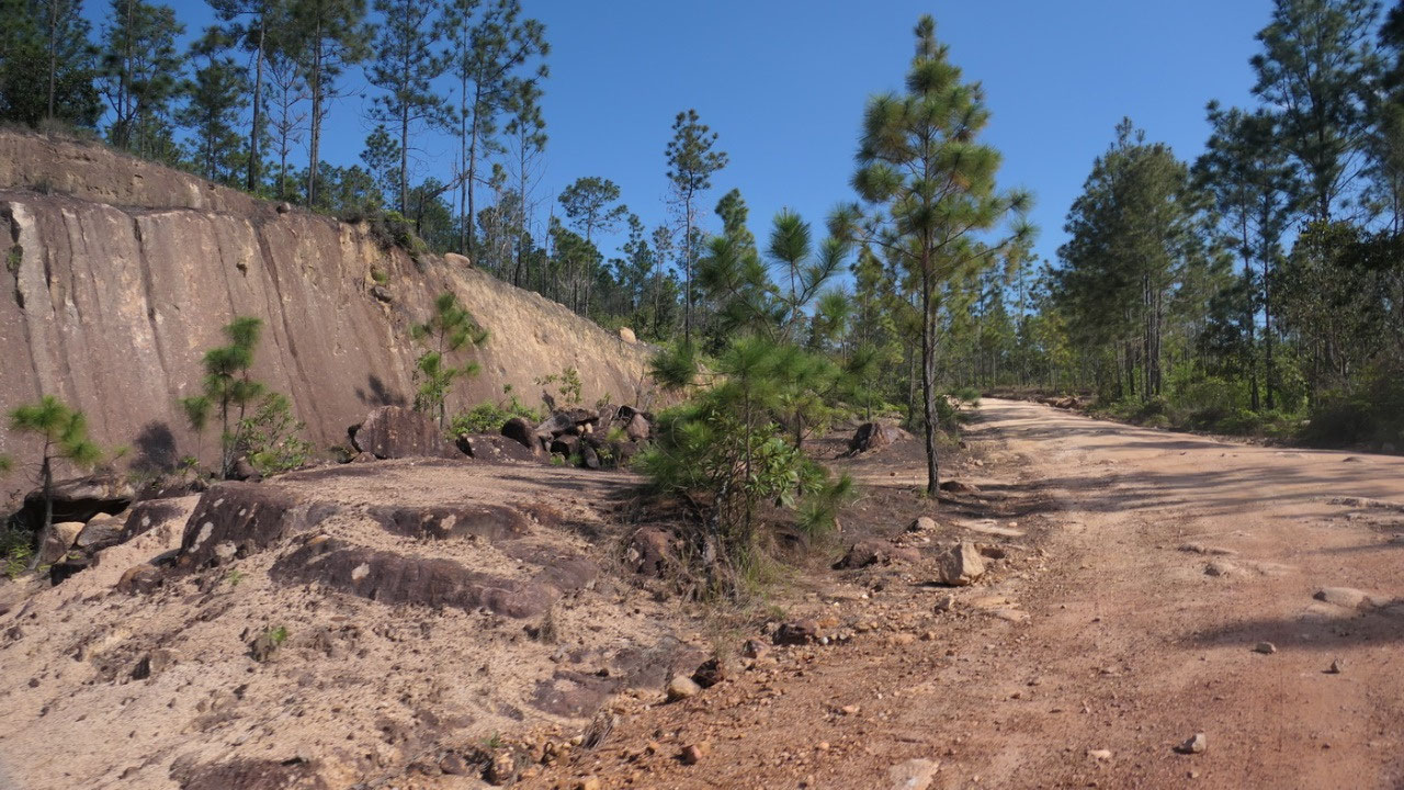
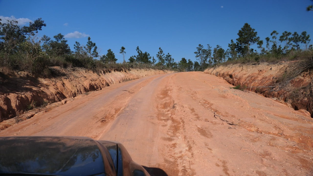
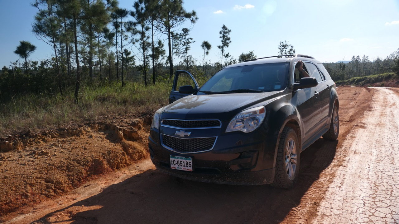
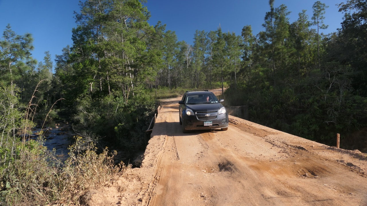
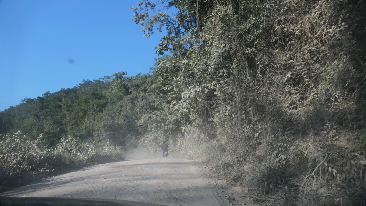
The Checkpoints
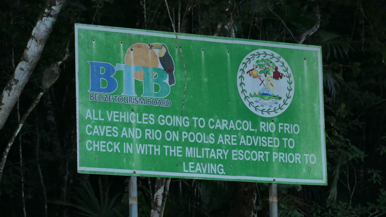
when entering the Mountain Pine Ridge
Park, we had to register our car with name & licence plate number, they
keep track on who goes in and out. 15 km further in after a lot more rough
gravel (good thing we have a 4x4) we came to the Douglas Da Silva Ranger
Station. There we had to register our car and us again, as well the time we
went in was recorded and where we want to go. From here you can have a military
escort which would leave between 9.00 and 9,15 – another tour guide was there
driving in, so we decided to follow him along – but we soon lost him, because
he was so fast even he drove a van.
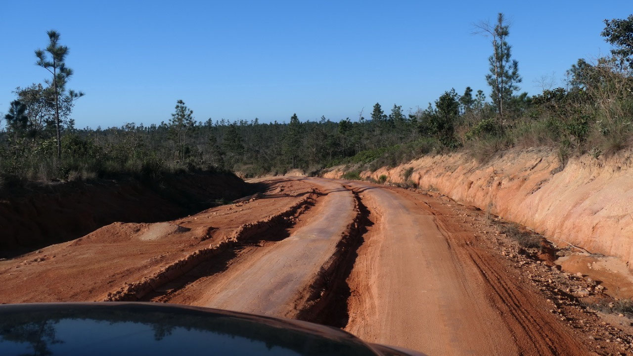
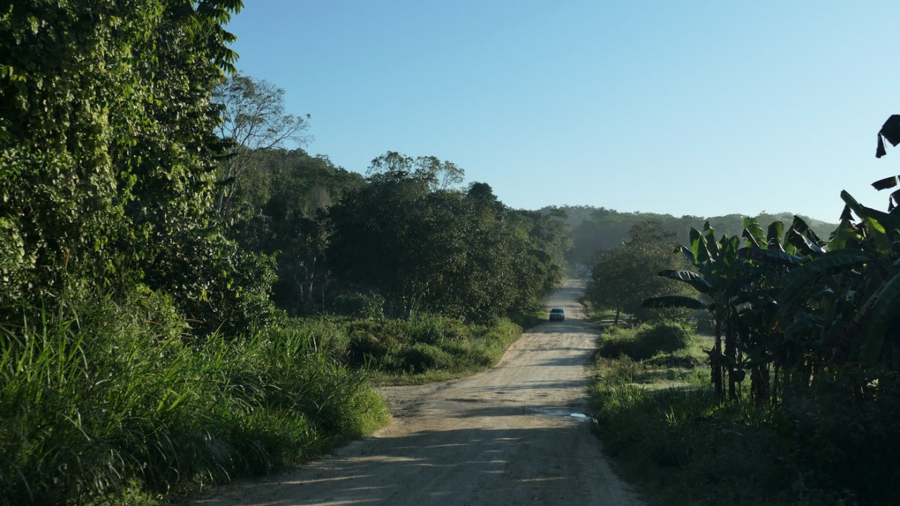
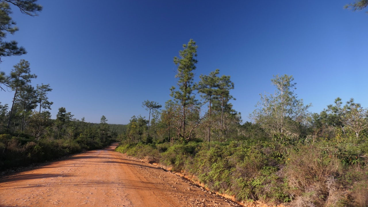
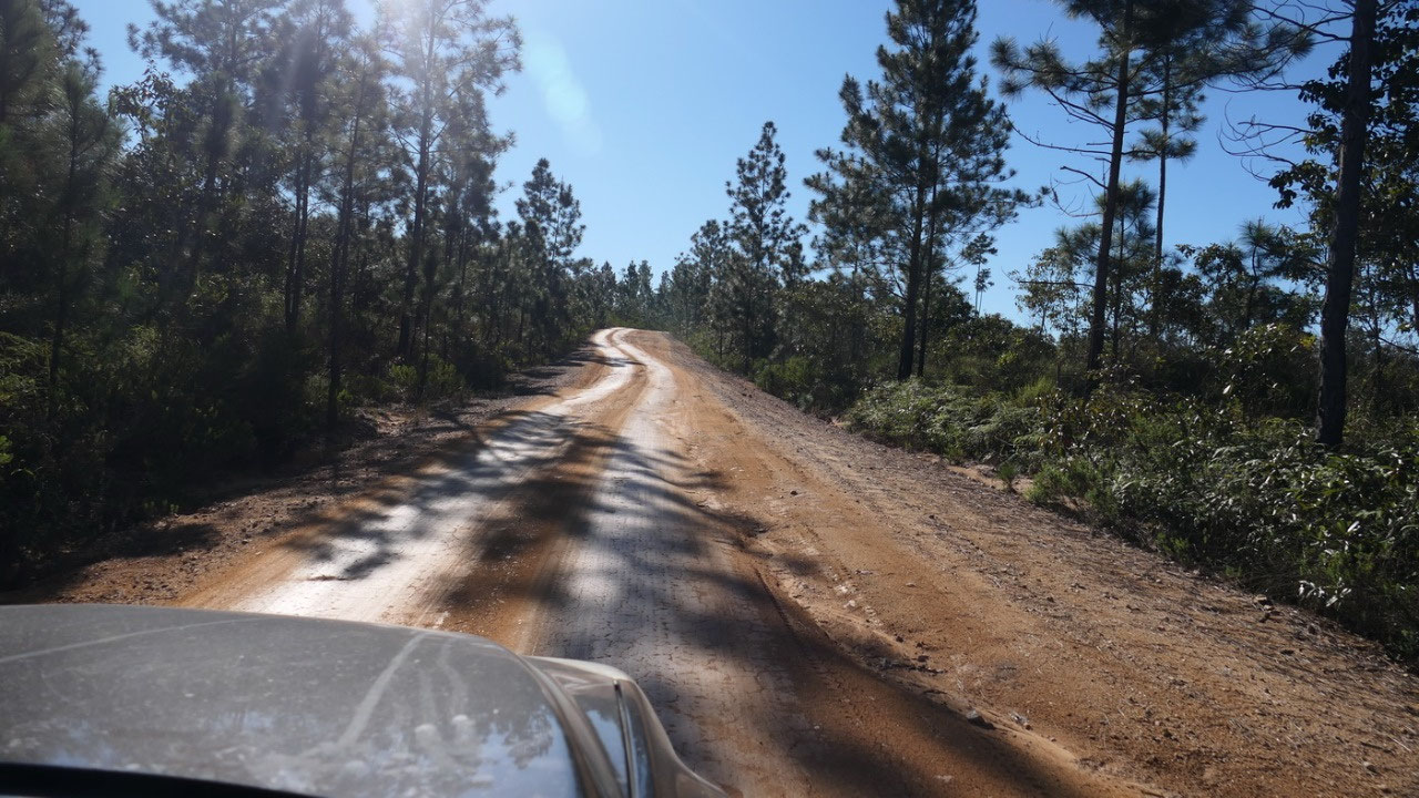
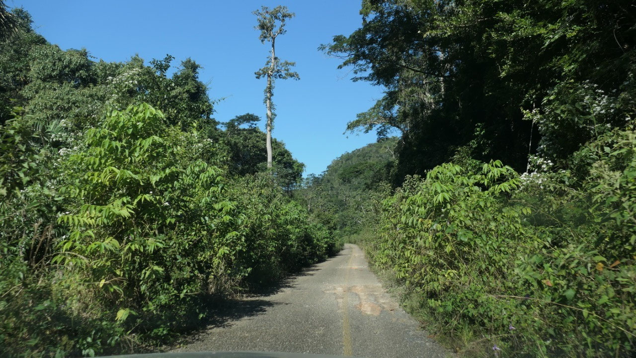
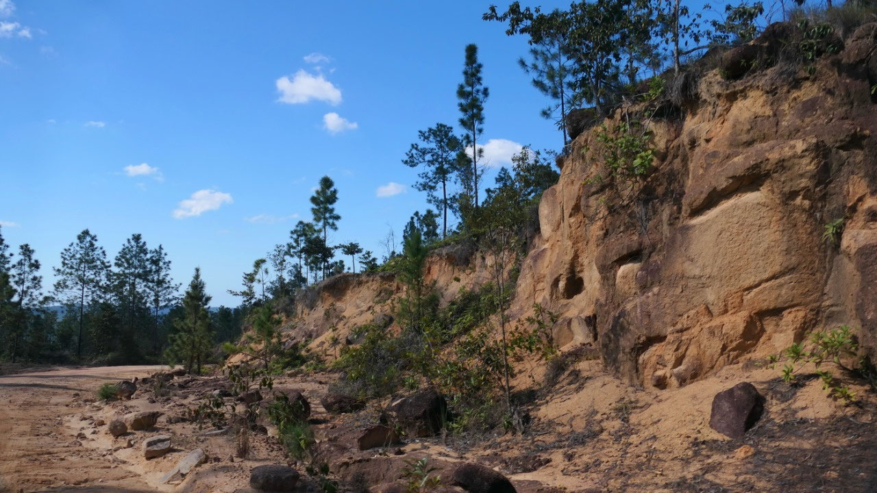
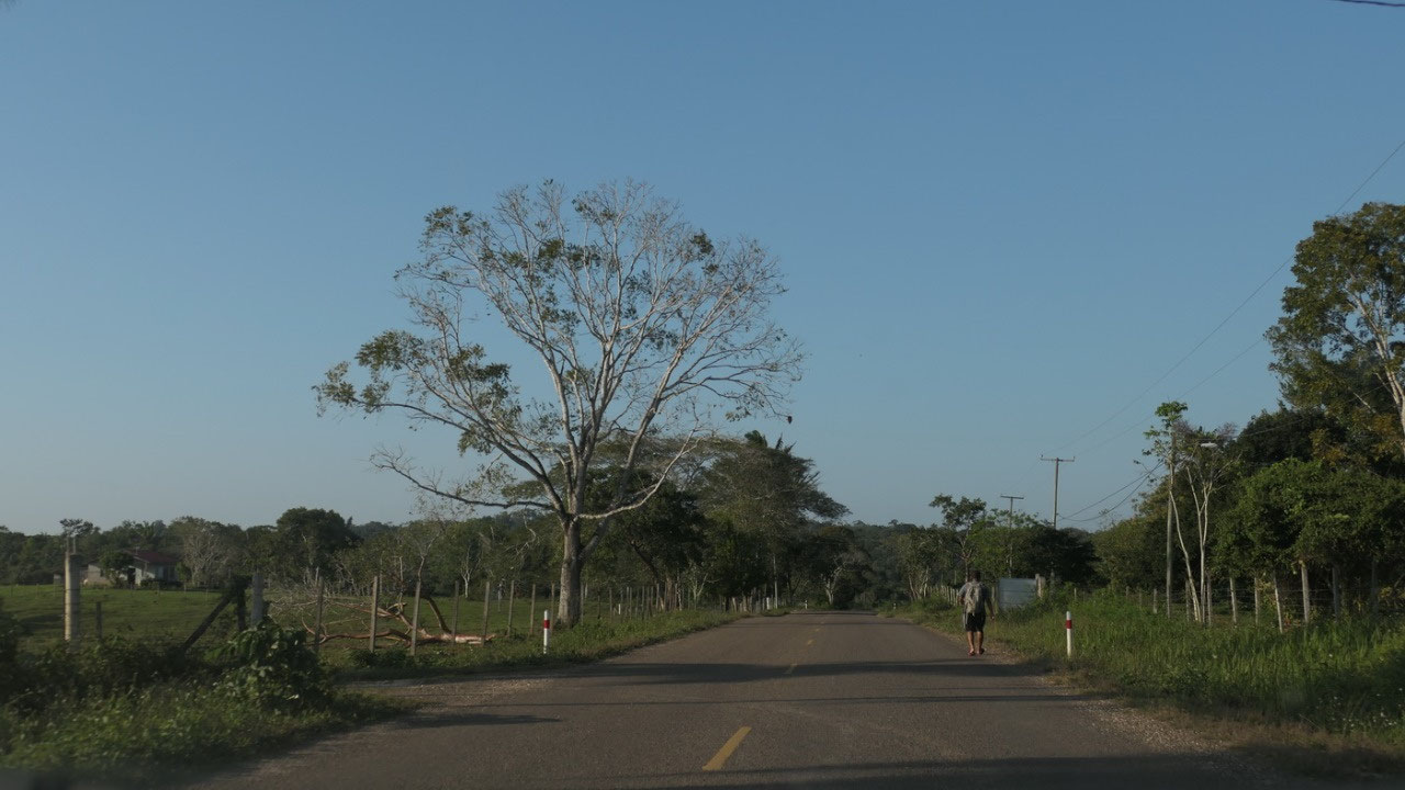
and that is when the fun started: a
quite narrow road with a lot of 4x4 driving, and on top of it going up and down
– sometimes Gine nearly freaked out. Especially the bridges were kind of fun.
It was a super amazing ride. Oh and then suddenly it was paved we couldn’t
believe it as well there was a yellow line in the middle (even the whole road
was only as wide as the car) and we wondered when they paved it and how old
that road is., Overall 83 km of gravel – it took us close to 3 hours, but
finally we arrived in the famous Mayan city of Caracol (by the way we are only
a 0.5 mile from Guatemala)
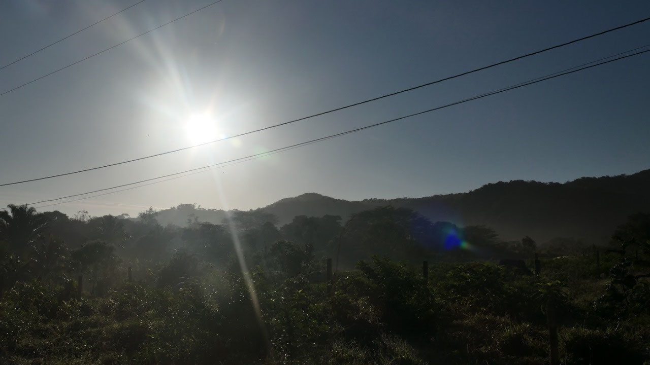
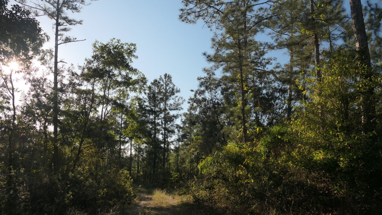
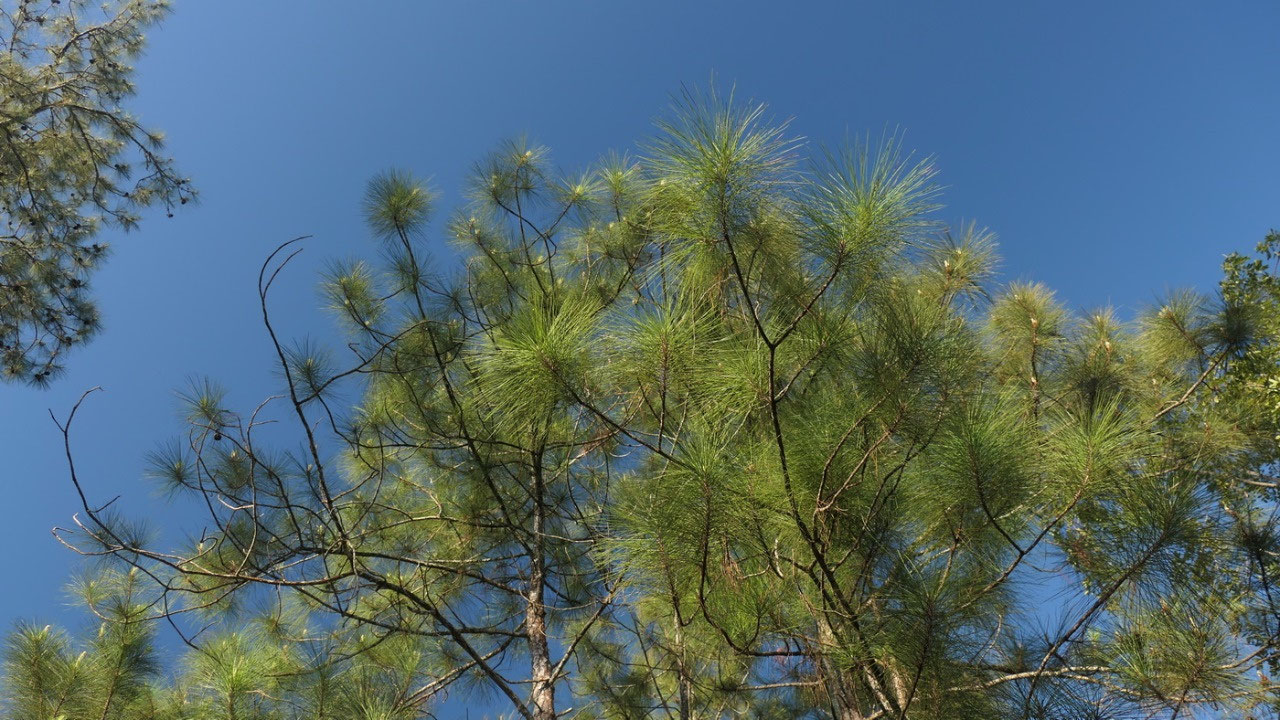
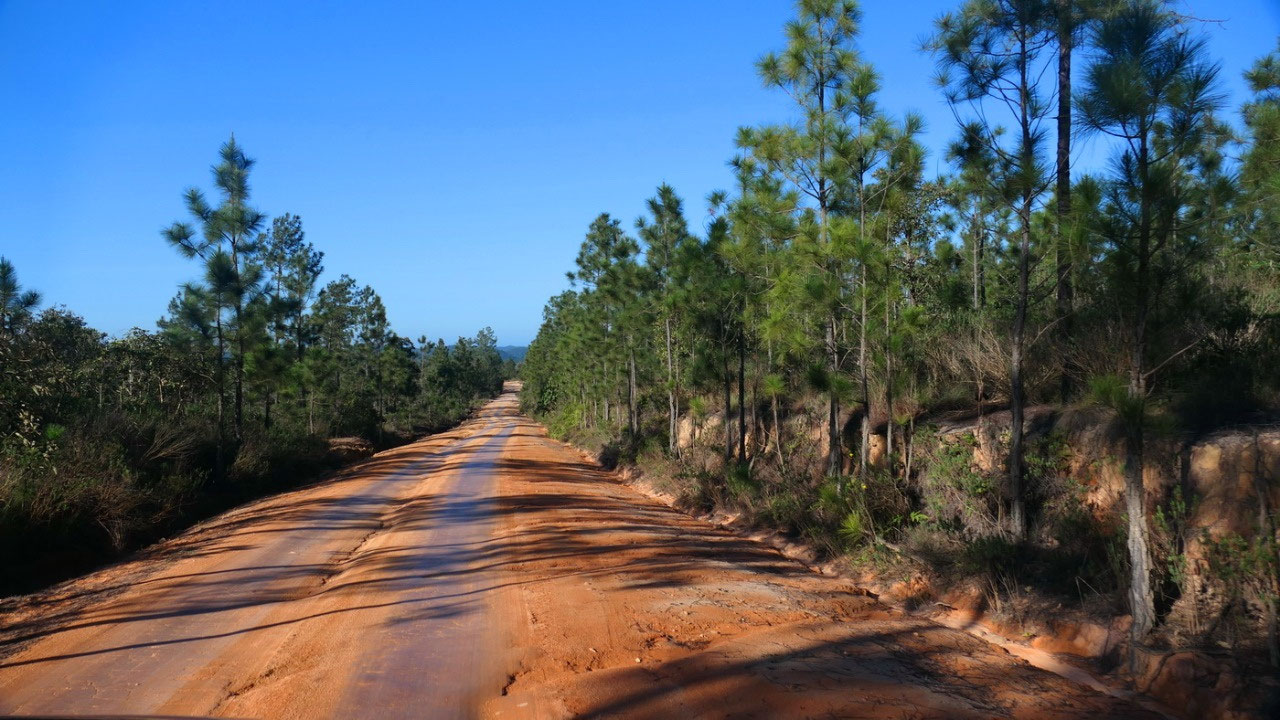
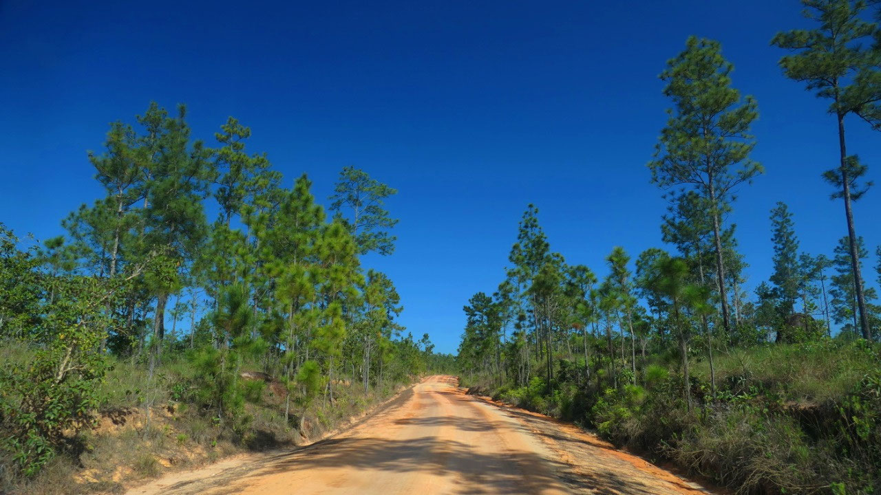
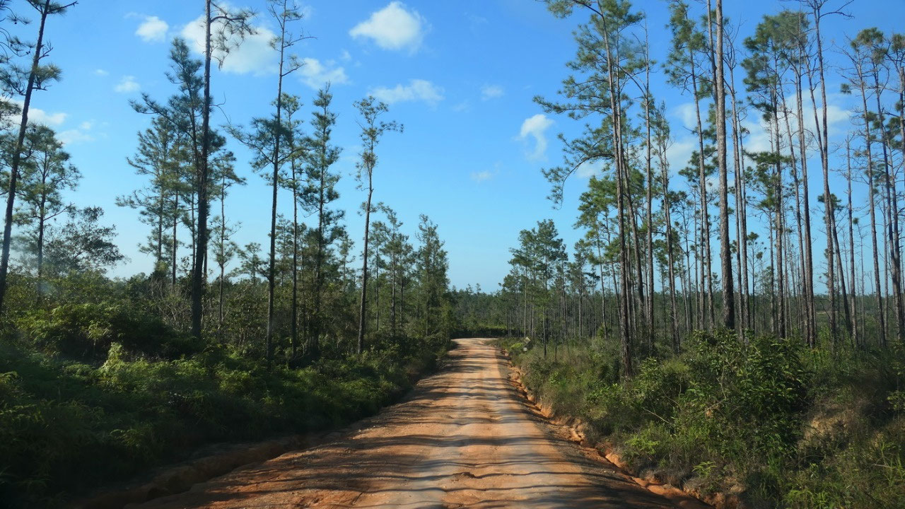
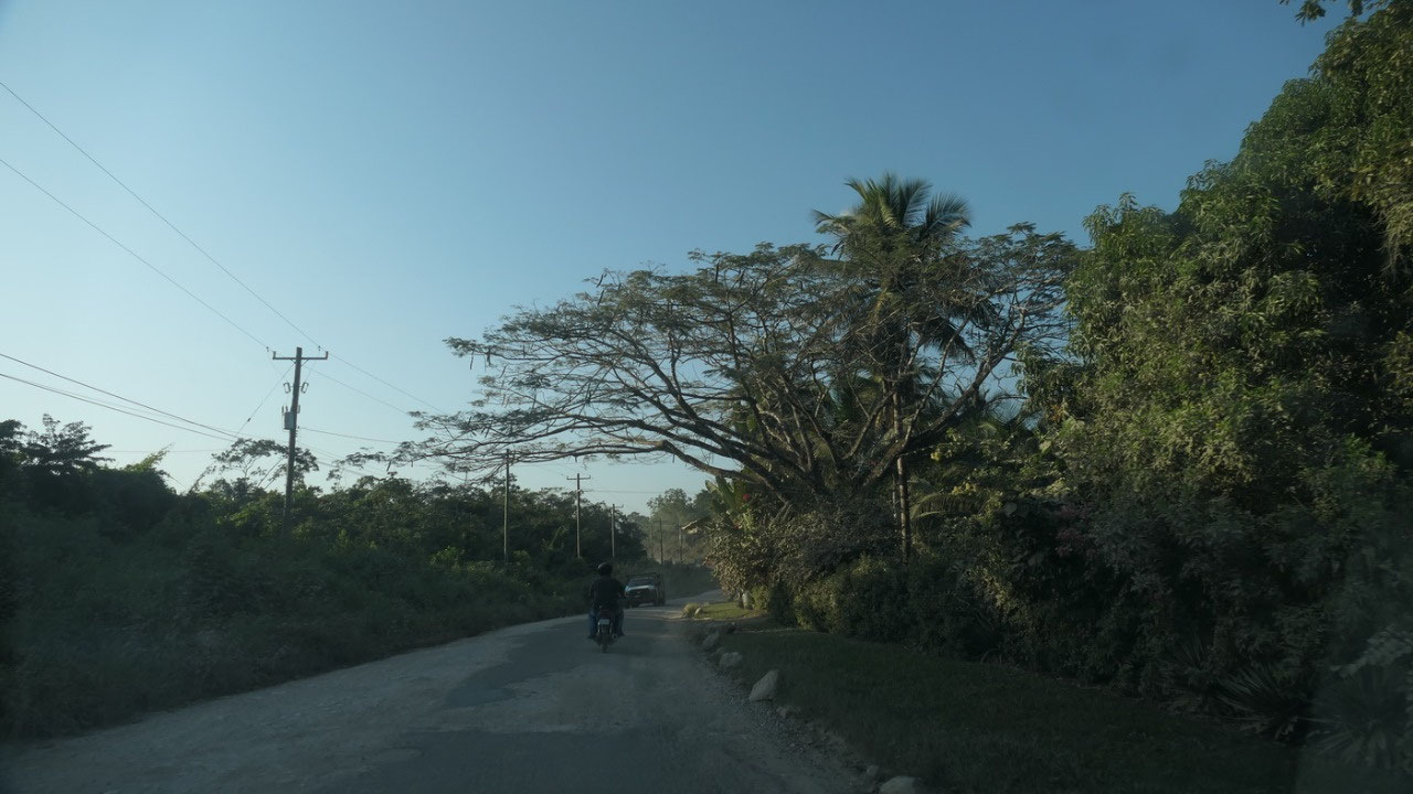
Mountain Pine Ridge Forest Reserve
And let’s not forget the drive was
through Mountain Pine Ridge Forest Reserve: and yes there are a lot of Pine
trees: They look a bit like our Pine trees at home but they are Honduras Pine
or Caribbean pine – it is so different to see this here when you expect a
tropical jungle.
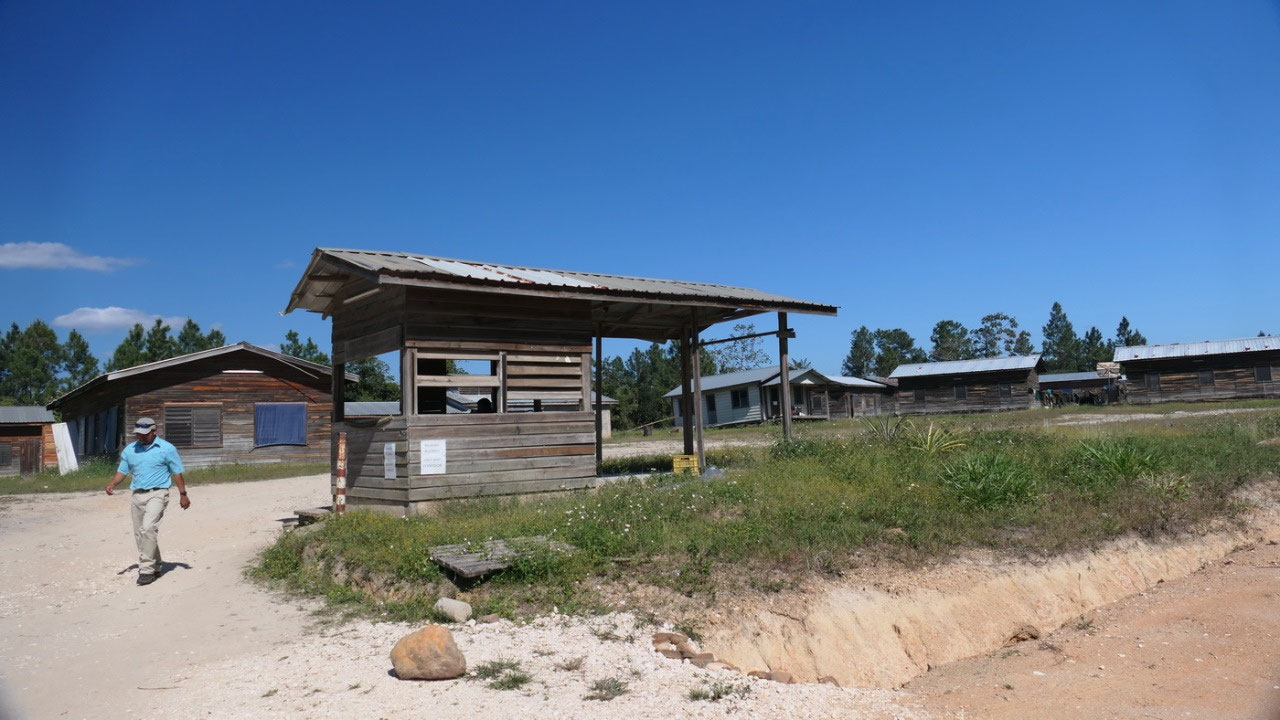
Checking in with the Warden
once we paid we talked with the
warden, it was very interesting, we learned that he works here for 10 days and
lives here on site as well as the other workers, military personnel and
archaeologists and then he drives home for a few days before coming back – on
the day he comes to work he leaves at 5 am at home so that he is around 7.30 at
the ruins. He also told us that the road got paved 10 years ago – wow that blew
our mind, I guess without any underwork and only a thin sliver of asphalt on
top the jungle soon takes over. And he told us that we are only 0.5 miles away
from the Guatemala border and that is way there are so many guys with machine
guns.
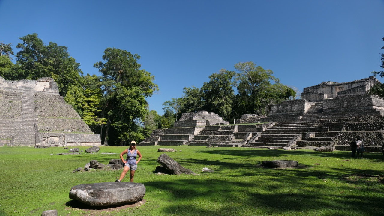
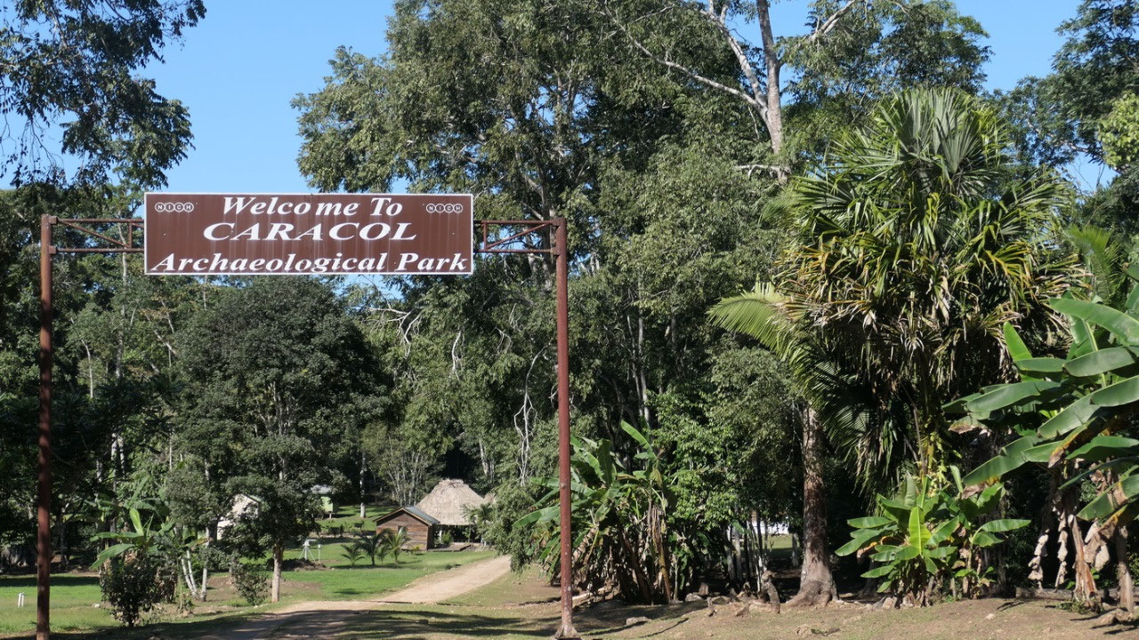
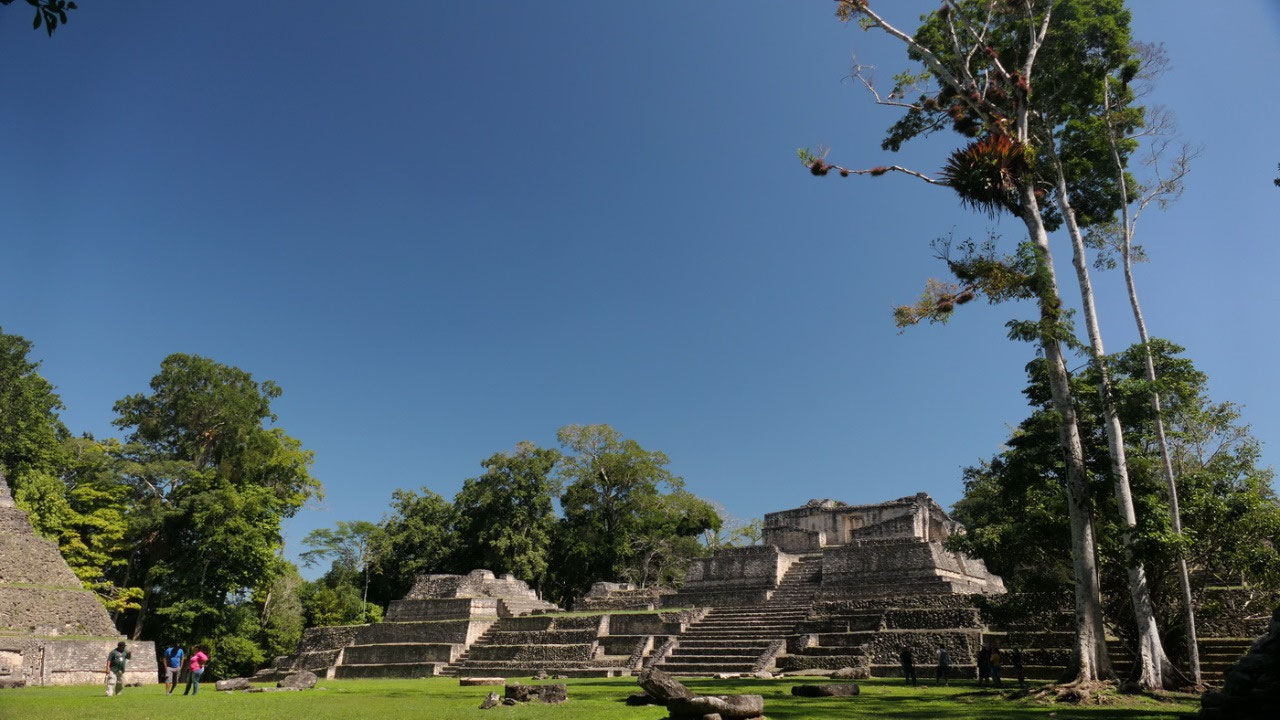
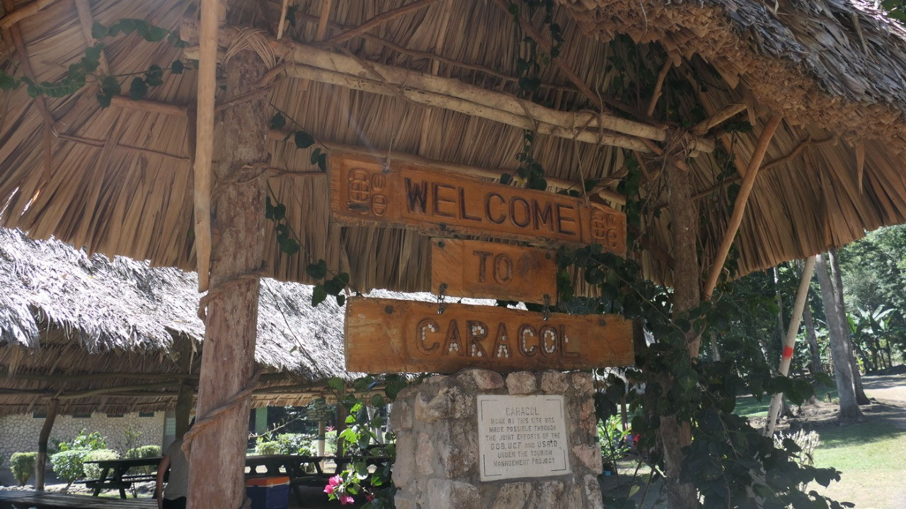
Caracol Ruins
We are in the most important Mayan
City in Belize:
- It’s deep in the jungles of Chiquibul Reserve (yes we came by a sign that we entered it) and the largest and one of the most important Maya site in Belize – and one of the largest one in the world – it even at one time toppled Tikal!!
- The name Caracol is Spanish and means snail, because of the large number
of snail shells they encountered – the Mayan name was Oxwitza “three hill
water”
- it sits high on the Vaca Plateau 1650 ft above sea level in the foothills of the Maya Mountains - once 150.000 people lived here
- Is was occupied as early as 1200 BC, officially the city likely was founded in 331 AD, with its peak at 650 AD, a dynasty from 400 – 900 with 14 identified kings is known
- They had no natural water source, they dug artificial reservoirs to catch rainwater and built agricultural terraces
- Early on it was a vassal of Tikal – but later joined forces with Calakmul, the bitter rival of Tikal: They had the great warrior king Yajaw Te’K’inich: lord water in 553 AD: they commenced a series of wars and changed the destiny of the entire Peten area, his greatest military campaign was against Tikal with a victory in 562 AD (showing on a stelae) and took over it for 120 years
- From Stela and inscription they know that there were for sure 9 wars Caracol was fighting
- Caracol’s grip on Peten weakened at the end of the 8th century when Tikal and Naranjo were rising up
- The last recorded monument at Caracol is from Jan 22, 859 on Stelae - and as all other Mayan cities – even this important city was abandoned
What’s up with all those cities?
- The Mayan’s had city-states: each one with its own god-like ruler called ahau (the Axtecs and the Inca’s were an empire)
- it was discovered that warfare was common, one of the most famous battles recorded lasted more than 200 years which was the one between Tikal and Calakmul allied with Caracol
- the elite made up around 10 %: they were the wise people = its’at winik, they could read, write and were wealthy, you had to be born into the elite
- most Mayans were ordinary workers and farmers and they are not described on the stelae or codices
- they built elaborate ceremonial and residential centers and had advanced concept of engineering: they constructed bridges, aqueducts, canals, paved roads and sophisticated irrigation systems
- new constructions were commonly built over existing ones
- the causeways = saboab meaning the white way were long white limestone roads – and here in Caracol they found of 60km of them
What’s up with the pyramids?
- Some were used as burial chambers and some were used for rituals and sacrifices when the priest climbed on top for the religious ceremonies
- if it was a sacred pyramid to a god, they were not climbed or touched by humans and had very steep steps: on the top where they built a temple
- the pyramids were often tall to that they could reach up into the sky – the home of the sun god
- the Mayans also learned to shape stones to fit together without any mortar
Rediscovering Caracol:
- In 1937 a logger stumbled upon the ruins, in 1950 a recorded the stone monuments.
- They started excavating the in 1950s, most of it being done after 1985: but it is not only excavating – it also means to stabilize the buildings
- They excavated over 100 tombs and underground chambers
- In 1978 they investigated agricultural terraces – which is 5 km from the center where we are at
- In 2009 they did Lidar and discovered that the whole city likely was 200 sqkm
- And at the moment (it’s prior election) they already are planning on re-paving the road
Learning first: the Museum
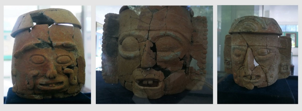
Guess when not a lot of tourists come
and 99% come with a guide, it doesn’t matter if you can read the signs anymore:
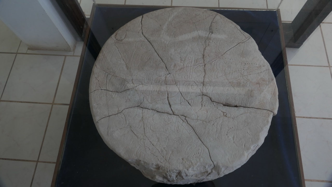
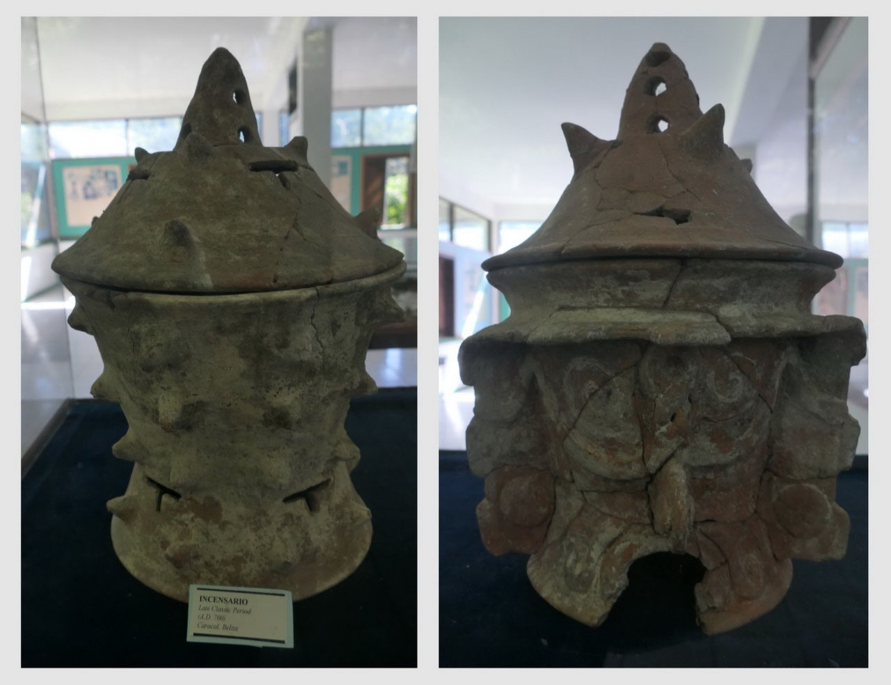
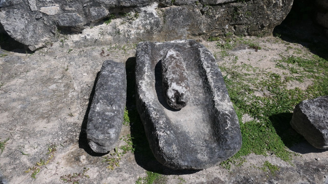
- Unusual vessels: so here they found like everywhere the ceramic vessels, but then they also found some weird ones which they discovered got staged on top of each other and they had the remains of human fingers!! Ok I think I like the face-look like vessels better
- Excavations: as always they show process on how they excavated sites, which can be very interesting when you see a picture on how a temple looked before and after reconstruction. Or here when they showed a picture on how they repainted a stela to read it (let’s hope they didn’t made a mistake)
- They also found bone artefacts with hieroglyphic writing on it (I think that is so weird) – most of them they found in tombs
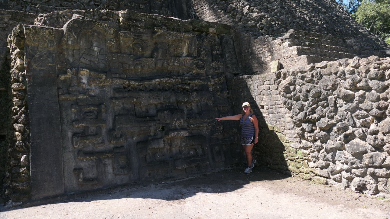
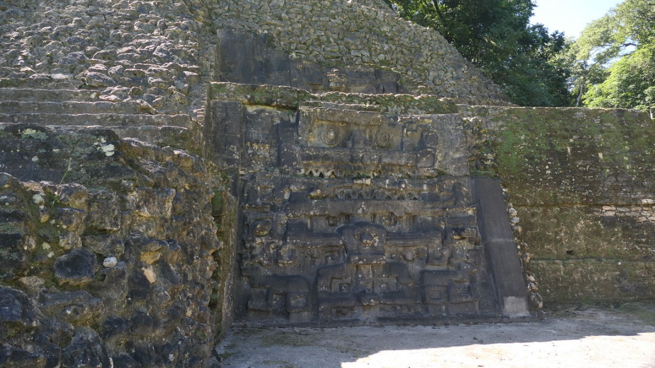
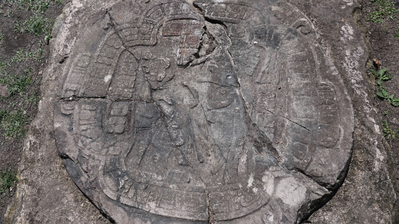
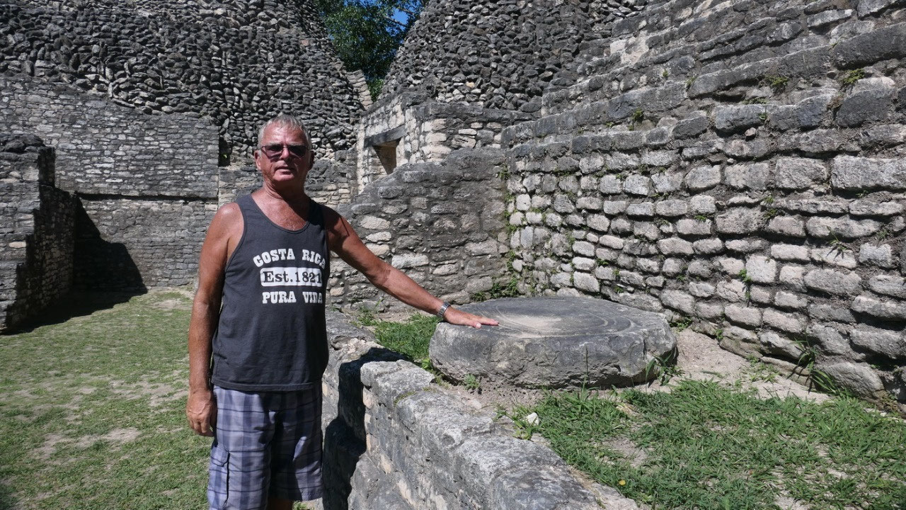
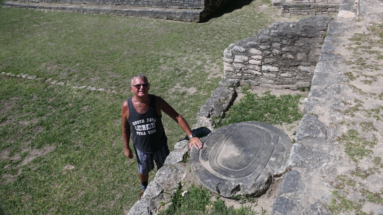
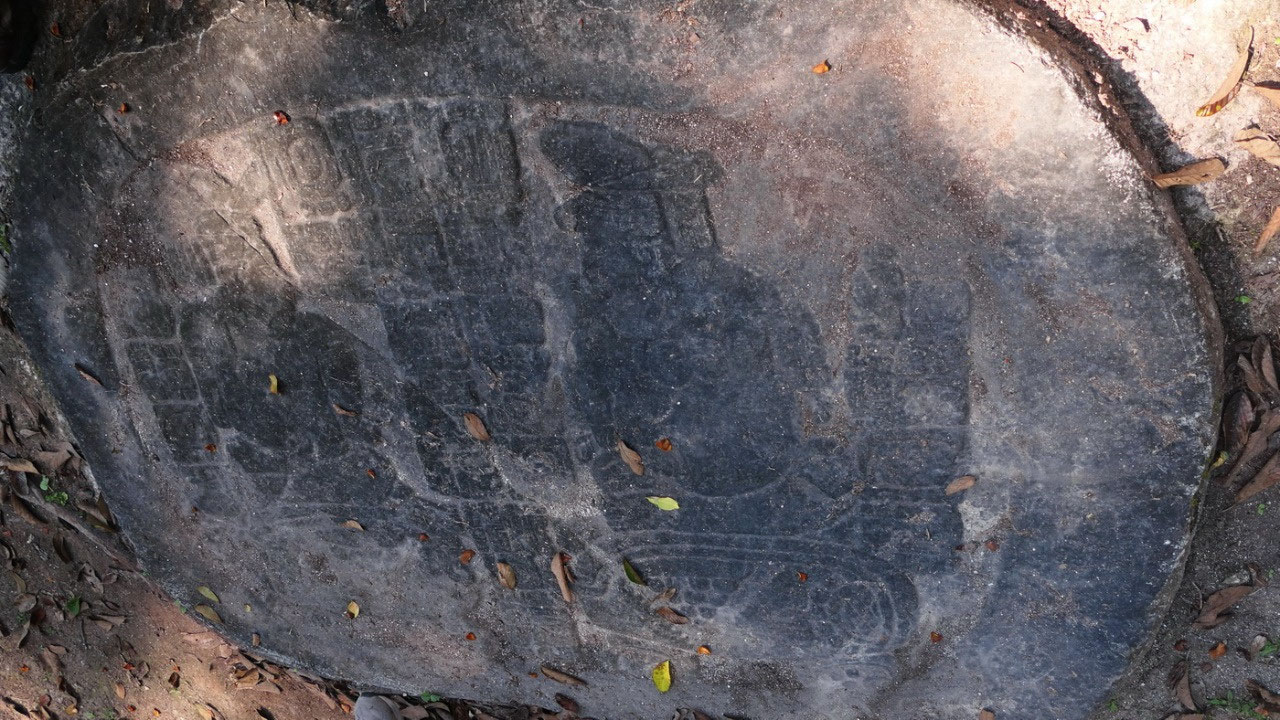
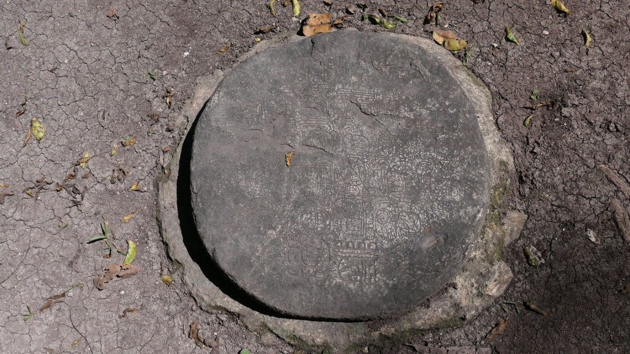
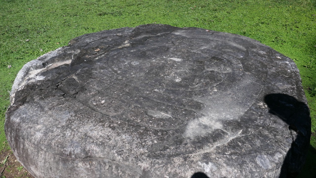
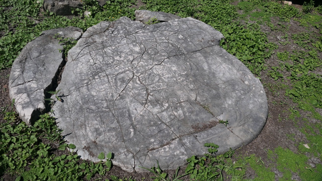
- And we saw a beautiful decorated ball court marker
Time to explore the site. And as we
don’t have a guide we start out with one of the most important buildings: (Did
I mention: if you don’t bring along your own site map – you will not have one)
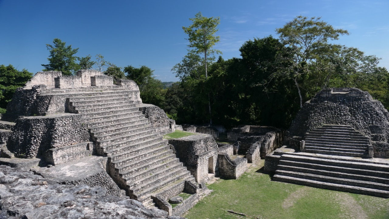
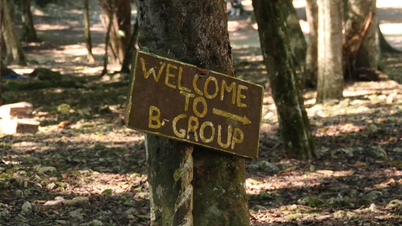
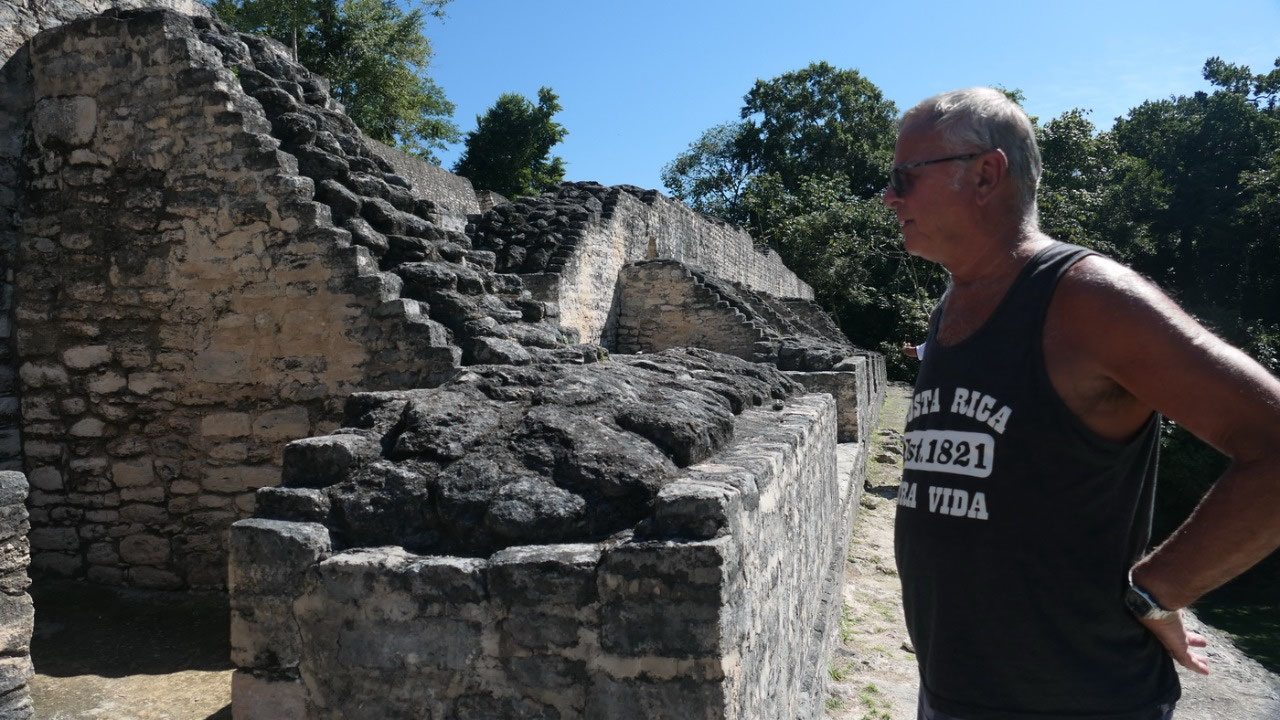
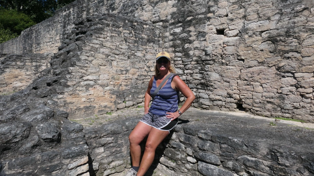
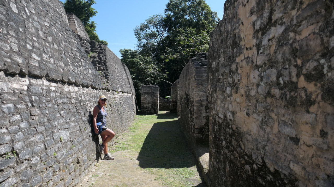
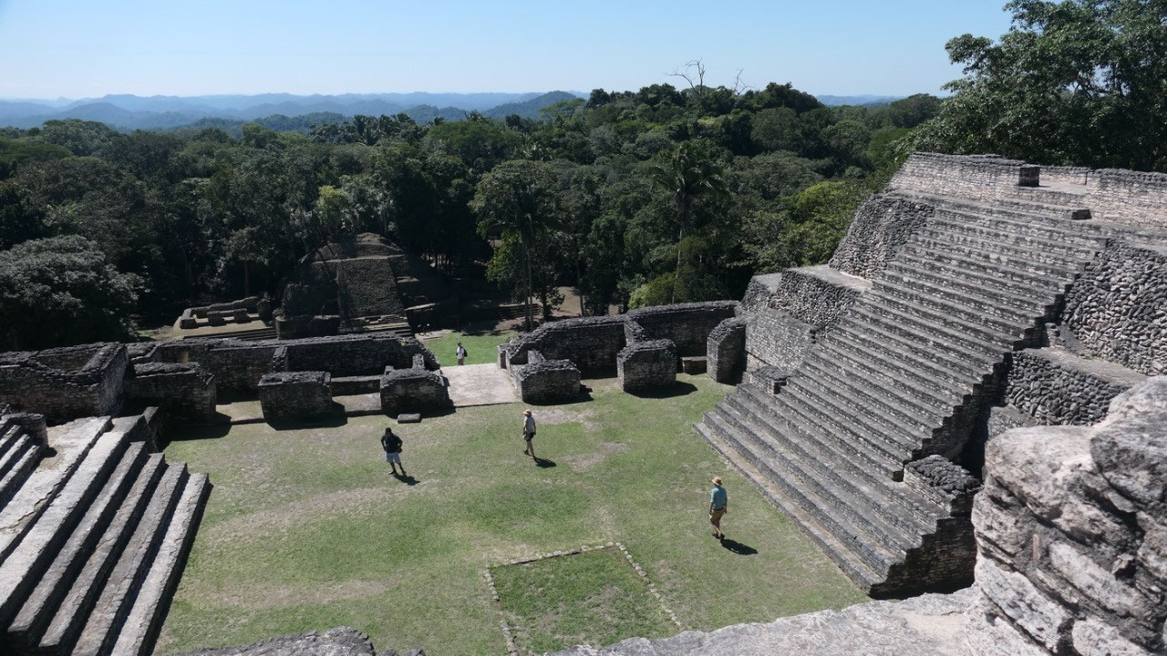
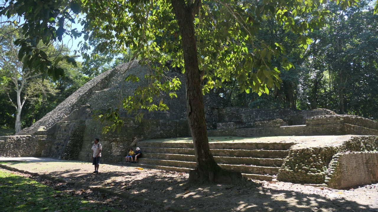
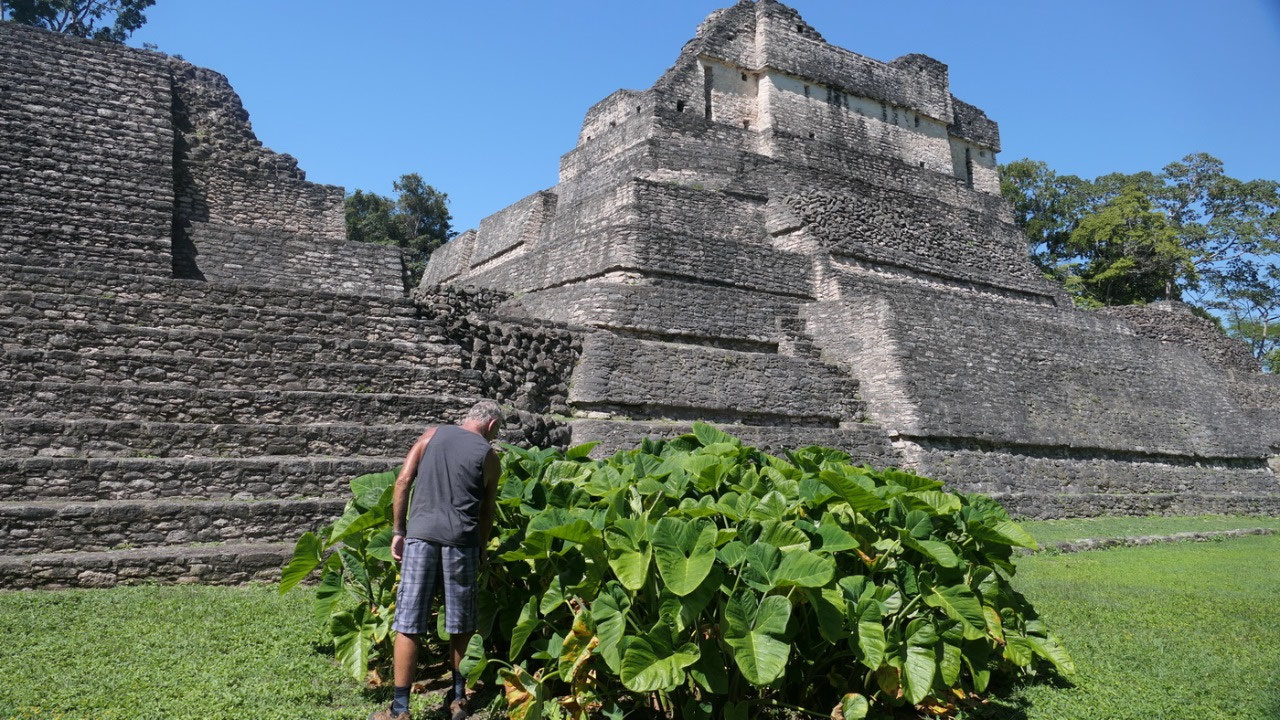
The B-group
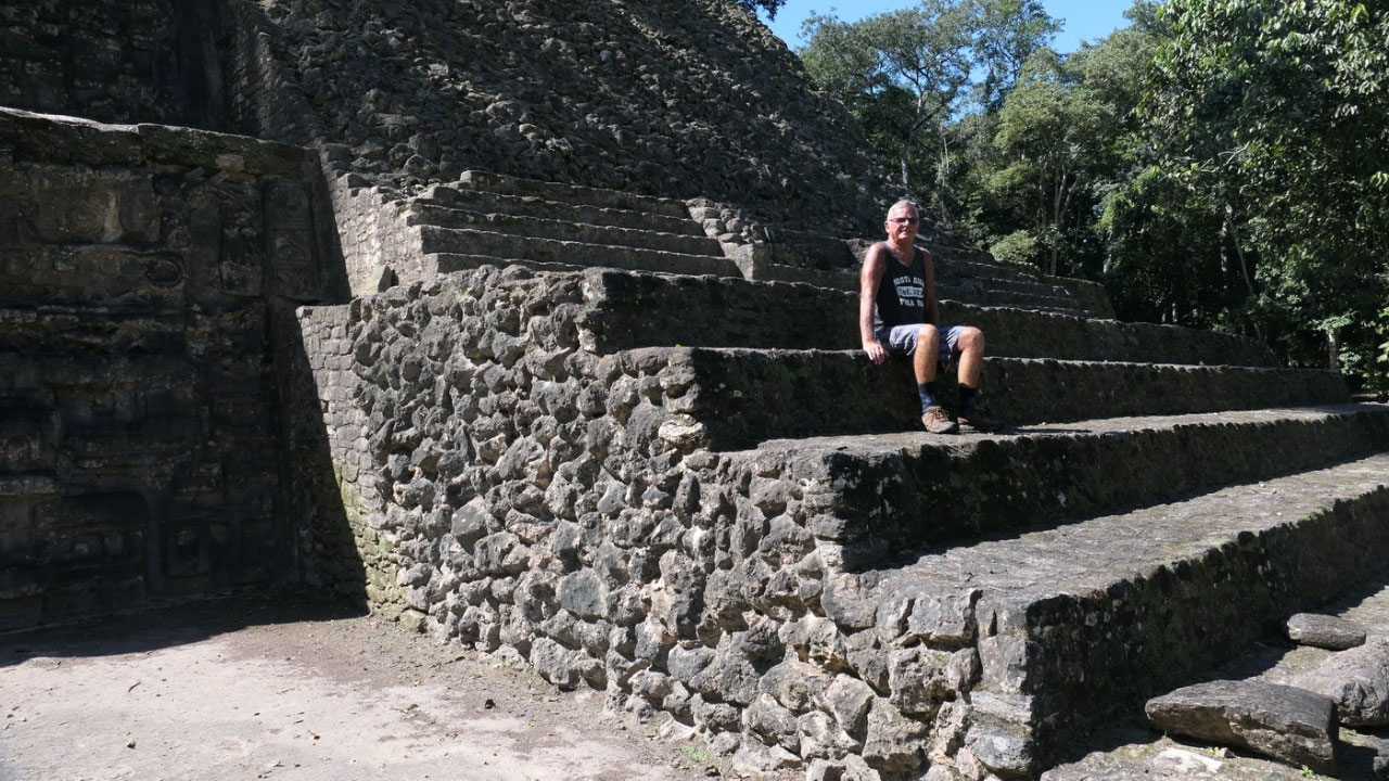
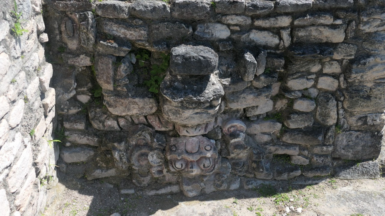
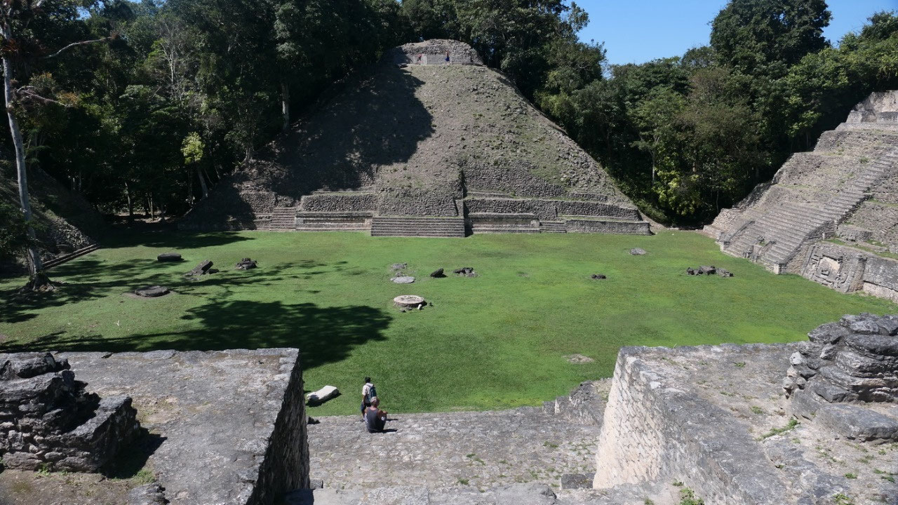
Entering we saw the famous Sky Palace
in front of us – to enjoy it the best and get inspired we were sitting down on
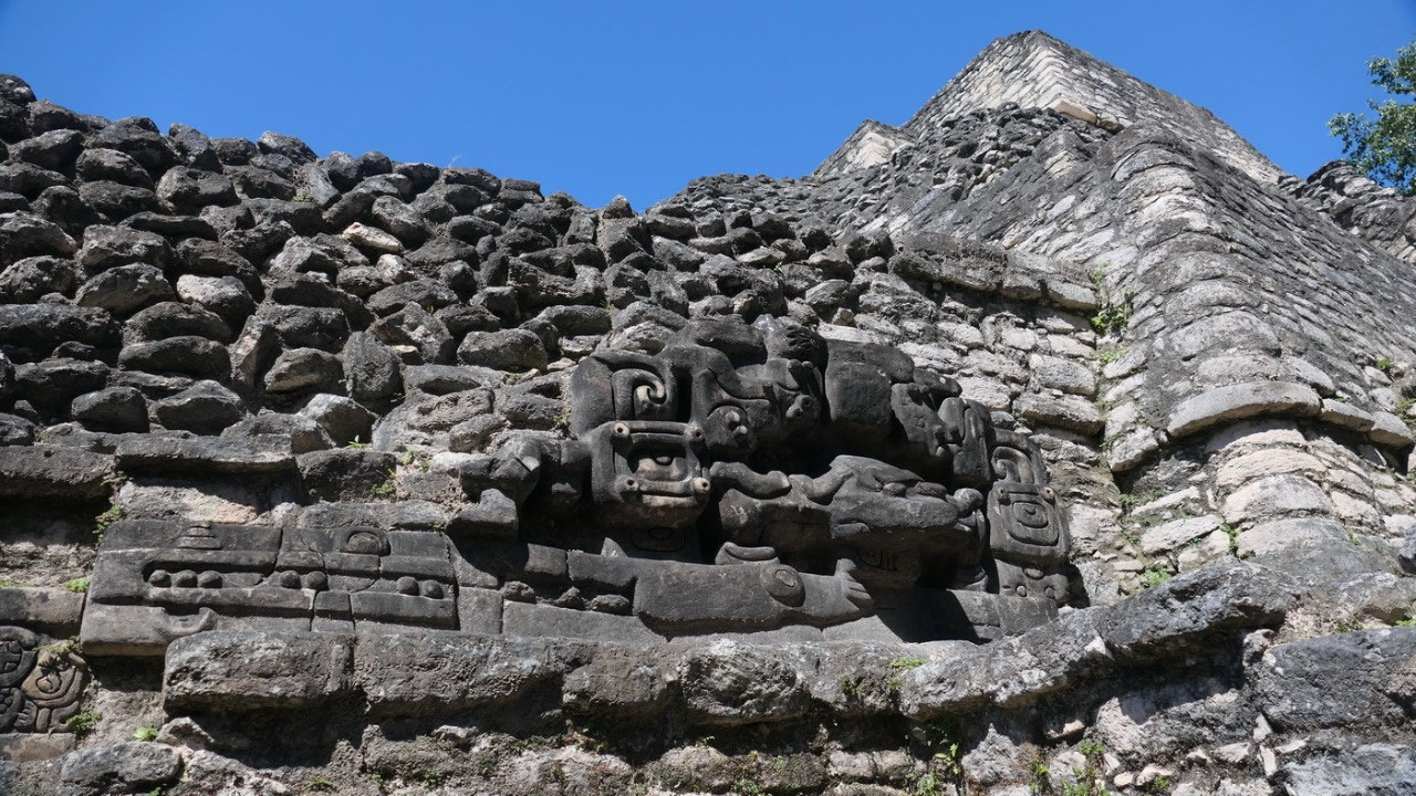
the steps of the temple complex across from it. The B4/B5/B6 complex even had
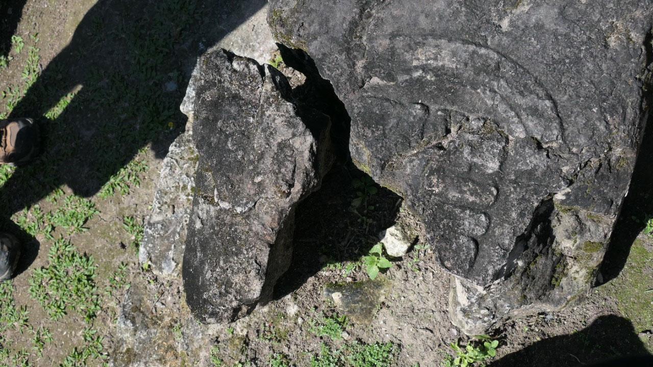
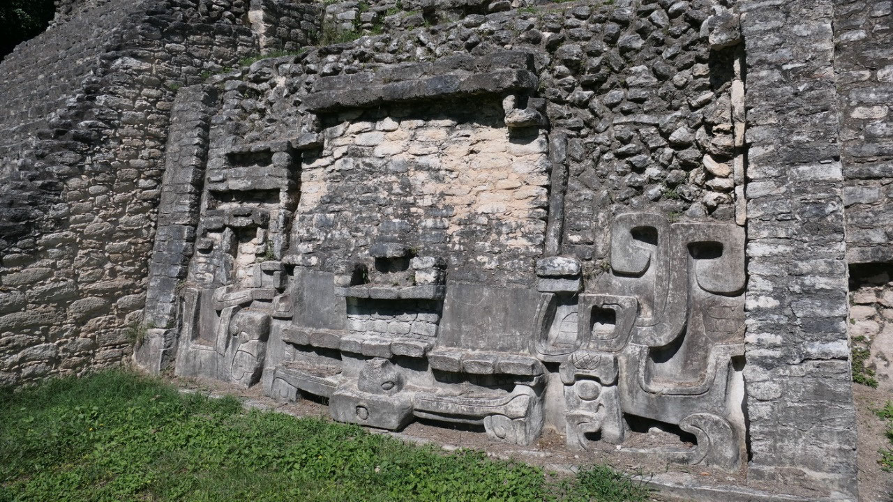
some masks near the stairs – Super cool, as well if you look closely on the “stones”
on the ground: yes they are likely stela and you can see still carvings on
them.
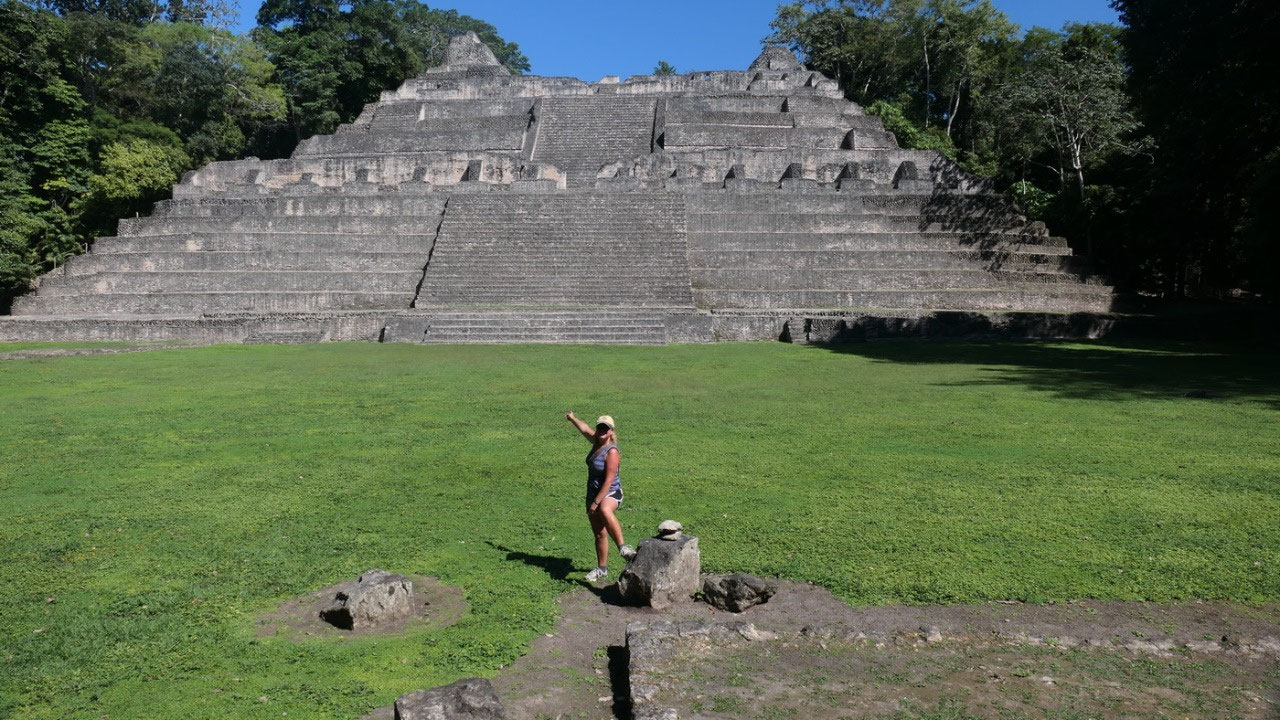
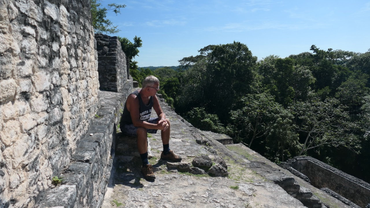
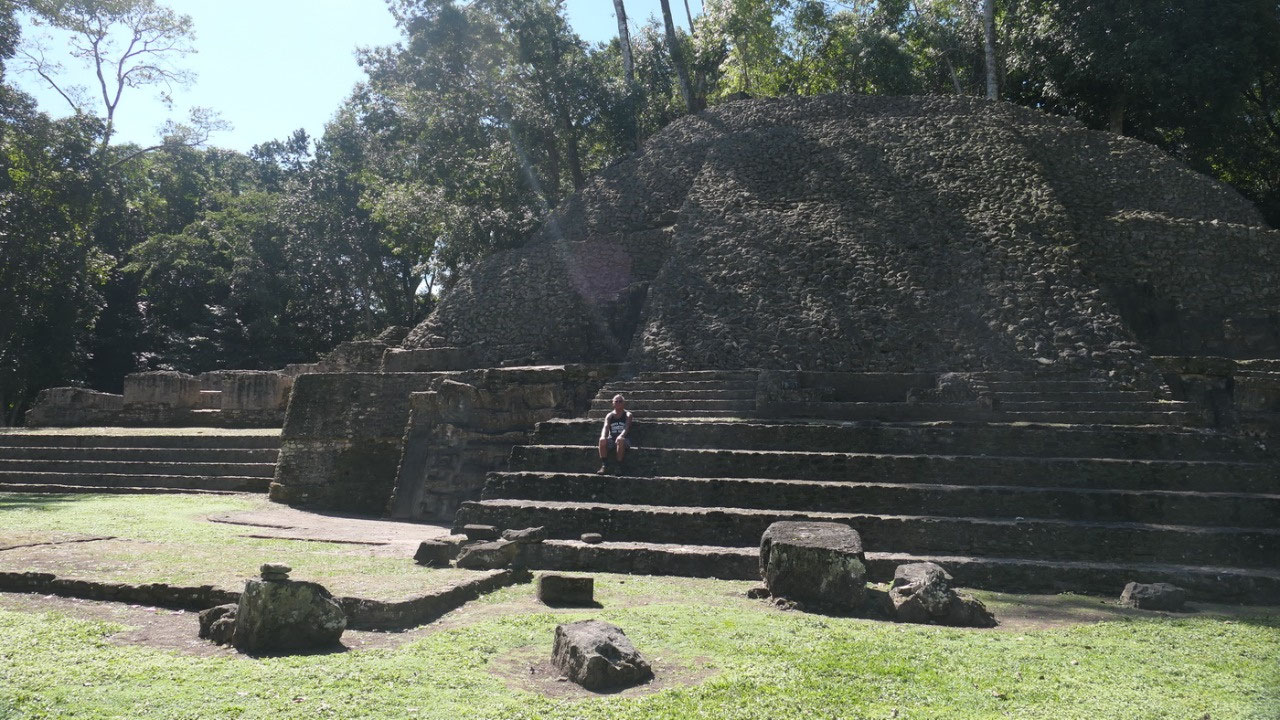
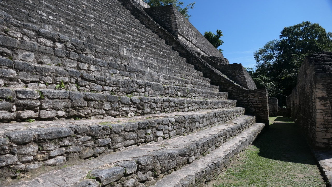
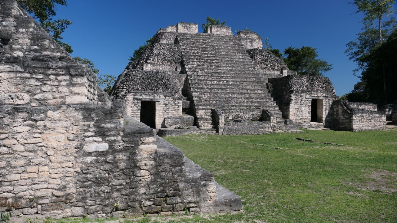
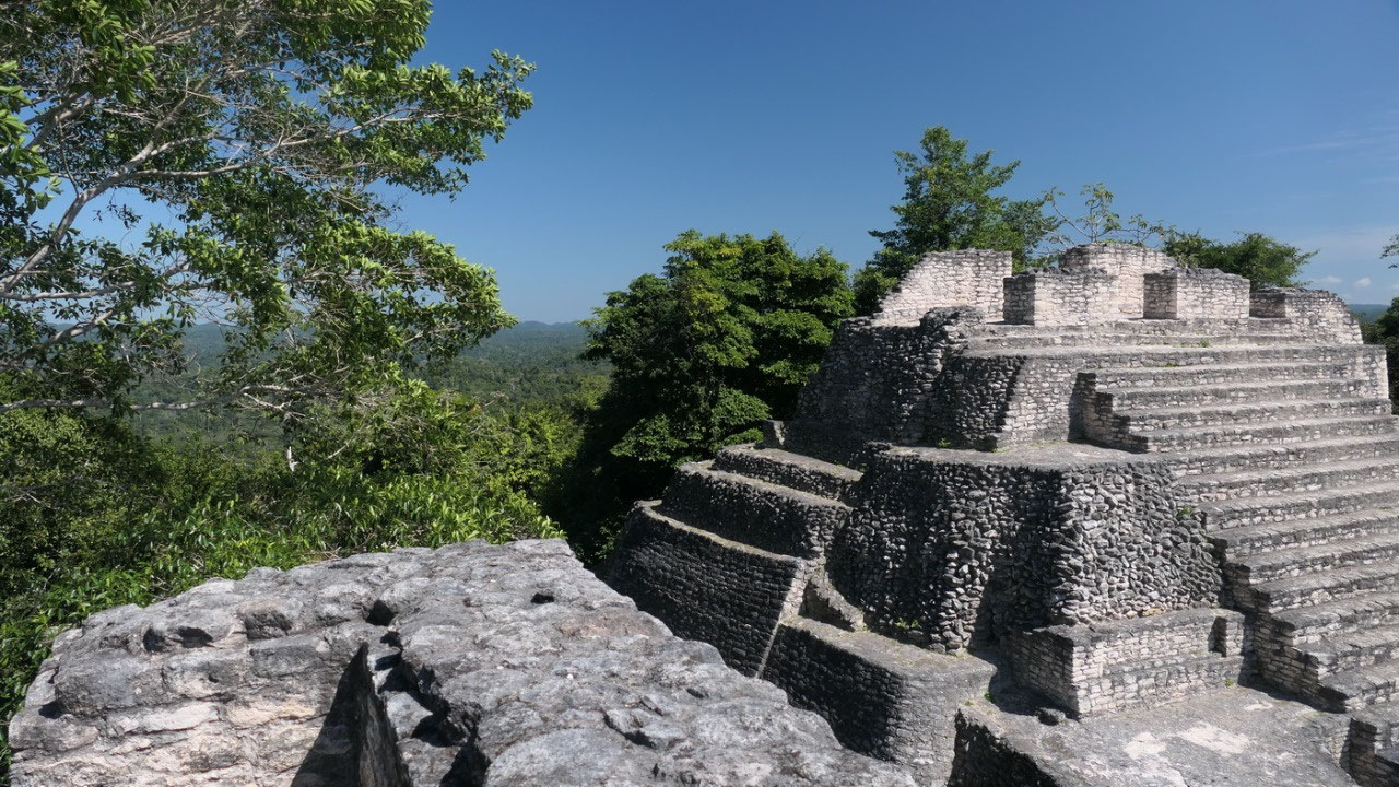
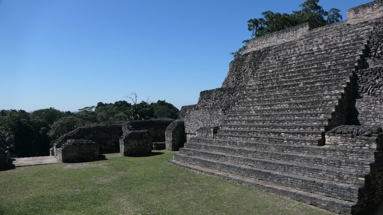
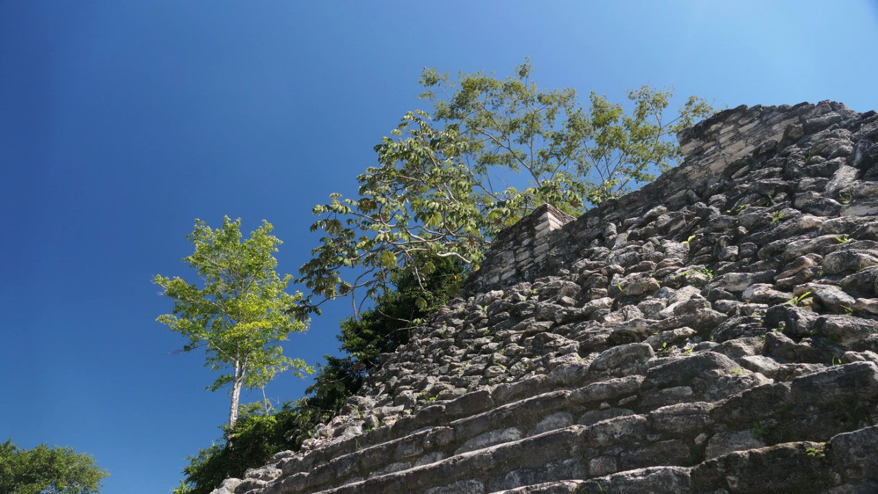
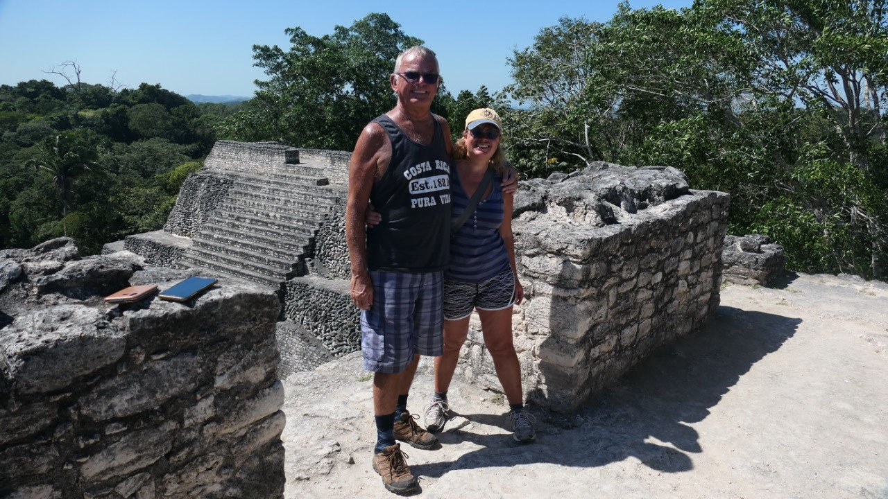
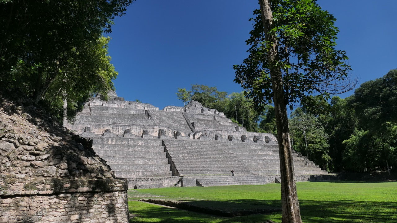
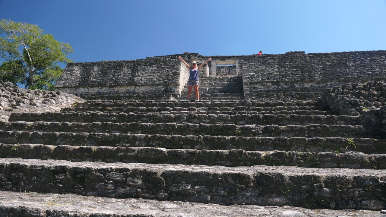
Up on the Caana = Sky Palace
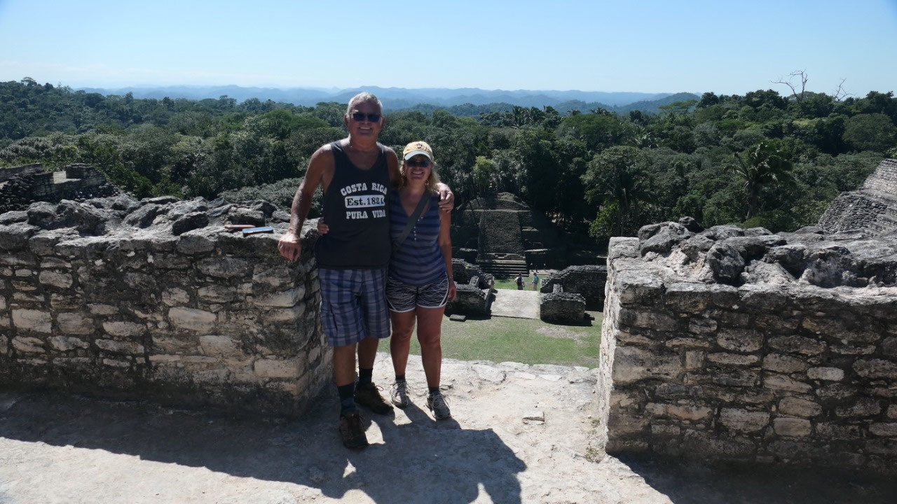
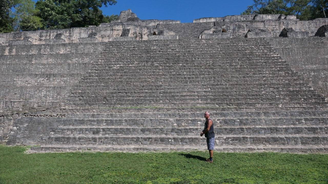
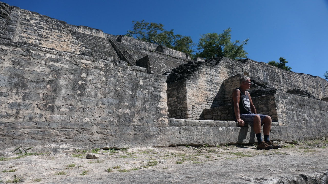
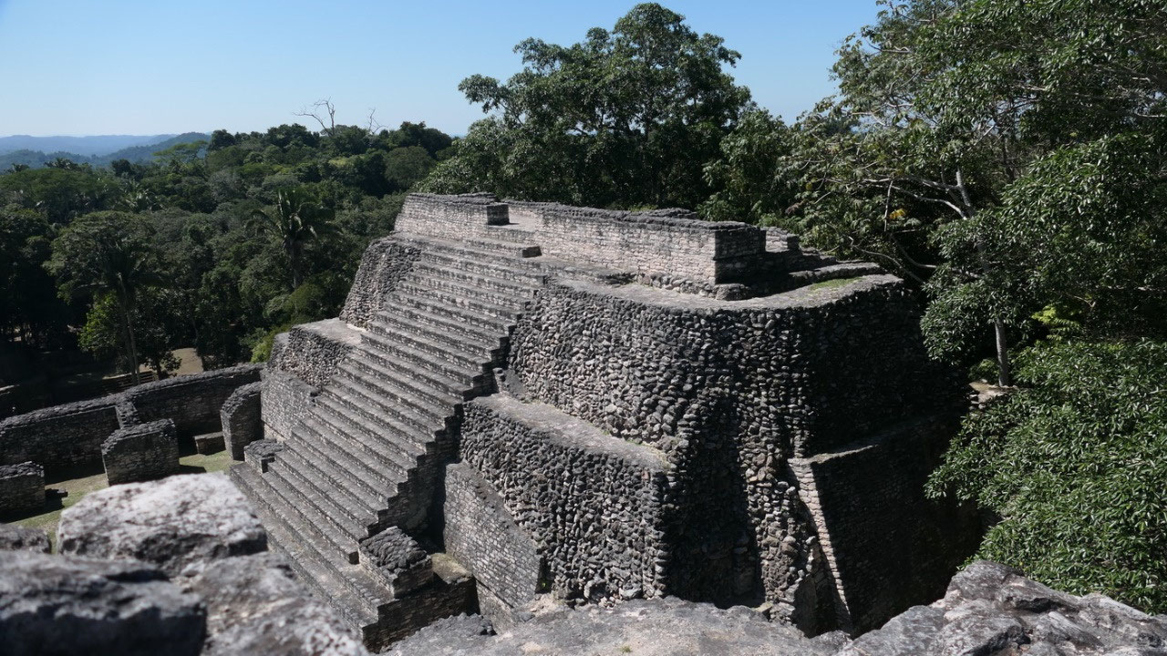
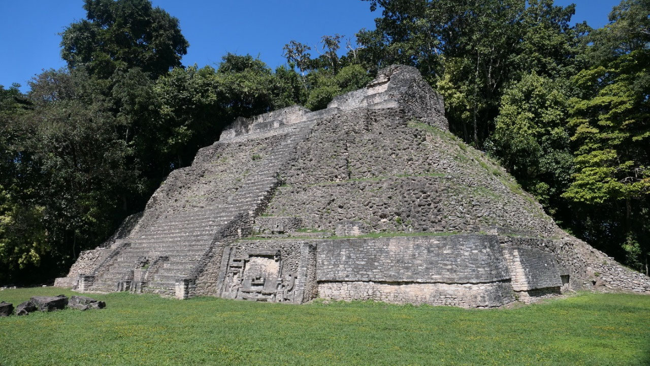
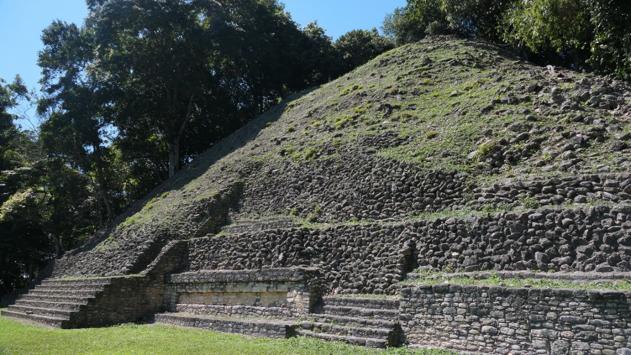
- Entering Plaza B you can’t miss the main Pyramid or Sky palace = Caana
- It’s with 42 m, the tallest building capped with 3 temples: B18 / B 20 and the B19 in the middle – it is the tallest Mayan building in Belize as well as the largest man-made structure in Belize
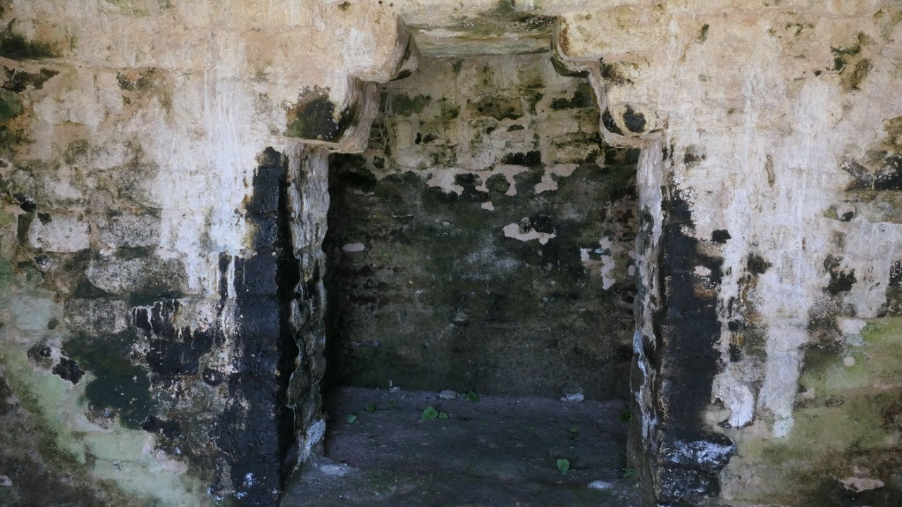
- In B19 they found Caracols largest and most elaborate tomb, with the remains of a women possible Lady Batz Ek from Calakmul who married into the Caracol ruling dynasty in 584. It was painted in red with black hieroglyphs so we know it is from 634 AD: and built by her husband Lord Water (yes he is the one who helped defeat Tikal)
- It contains 4 palaces, they say originally, they were coated with white stucco and decorated with red paint – it has 71 rooms with 45 benches
- They cleared it in 2005 and now we can admire it
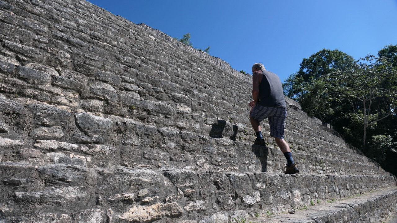
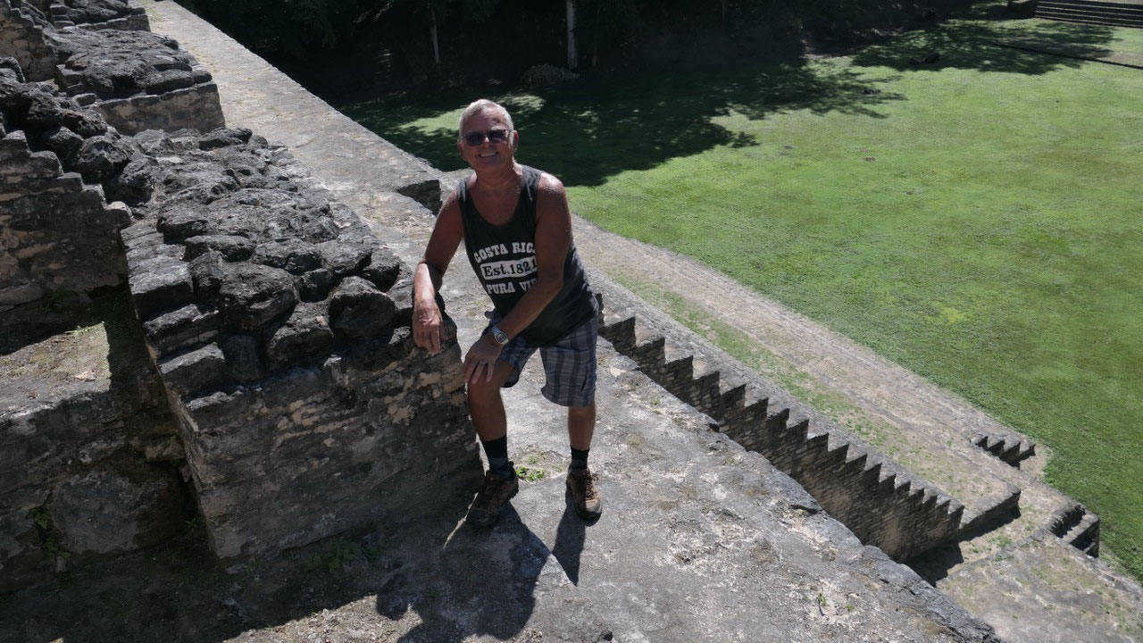
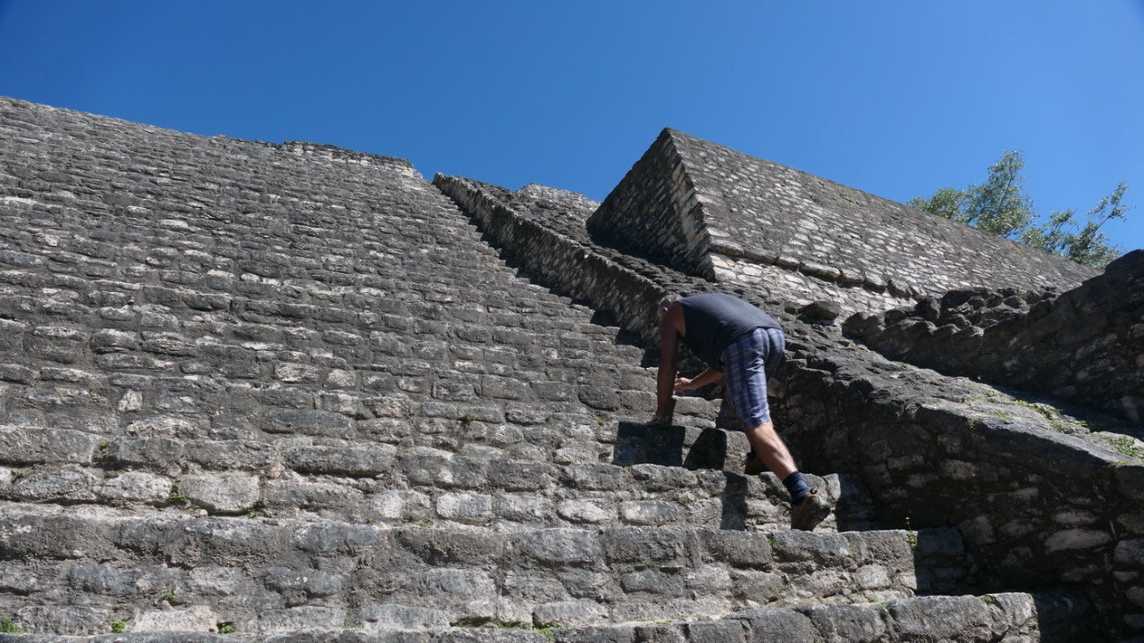
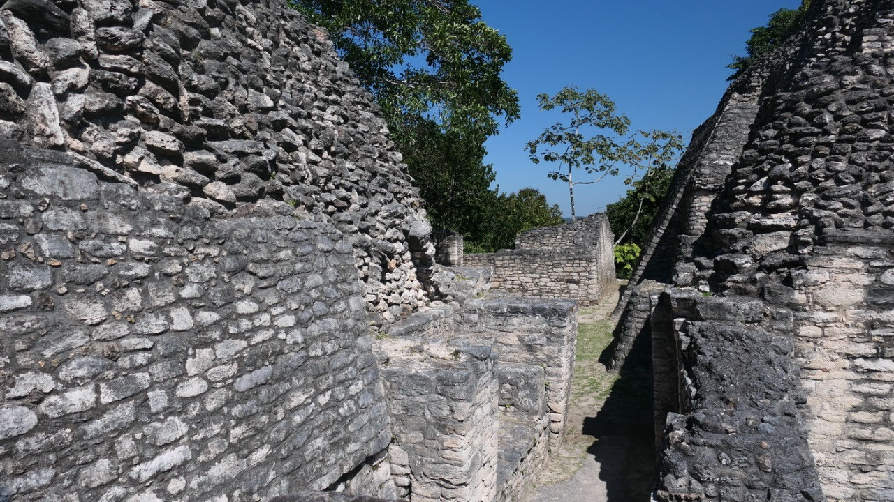
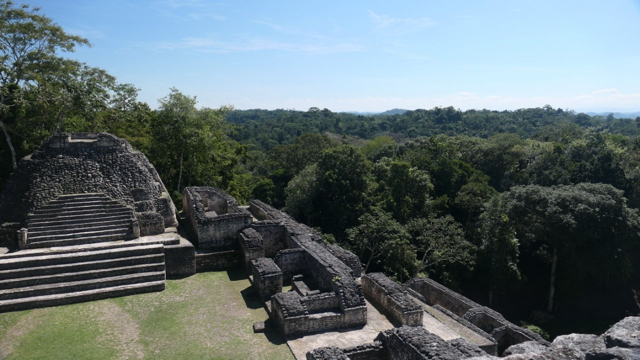
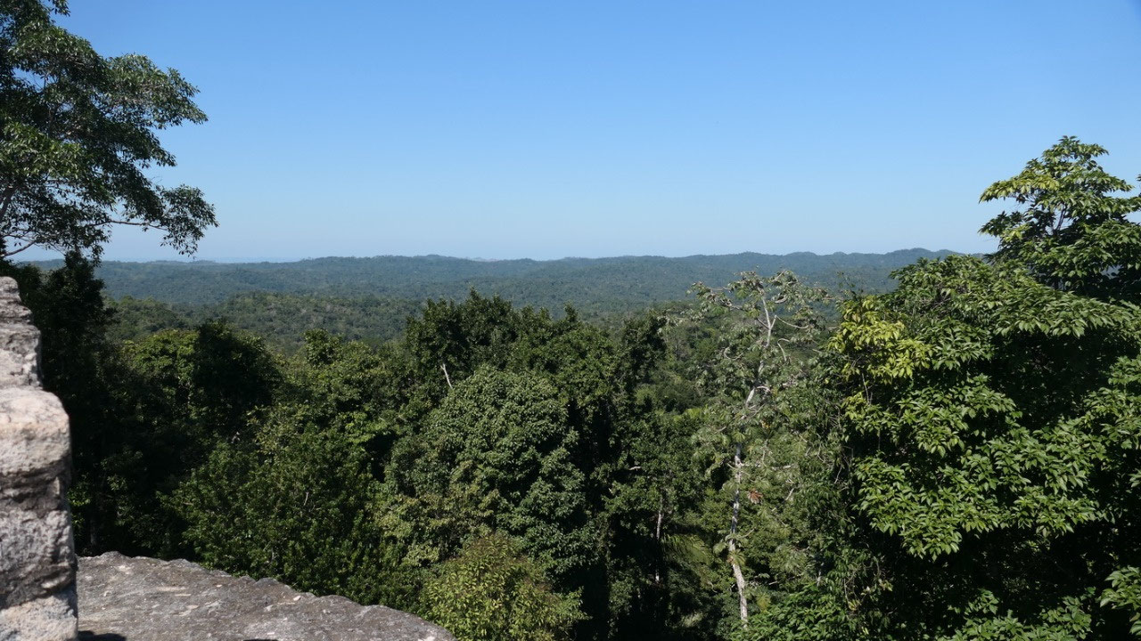
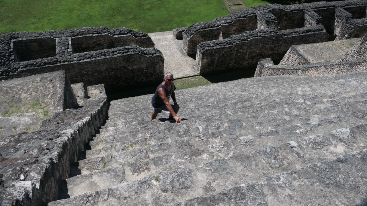
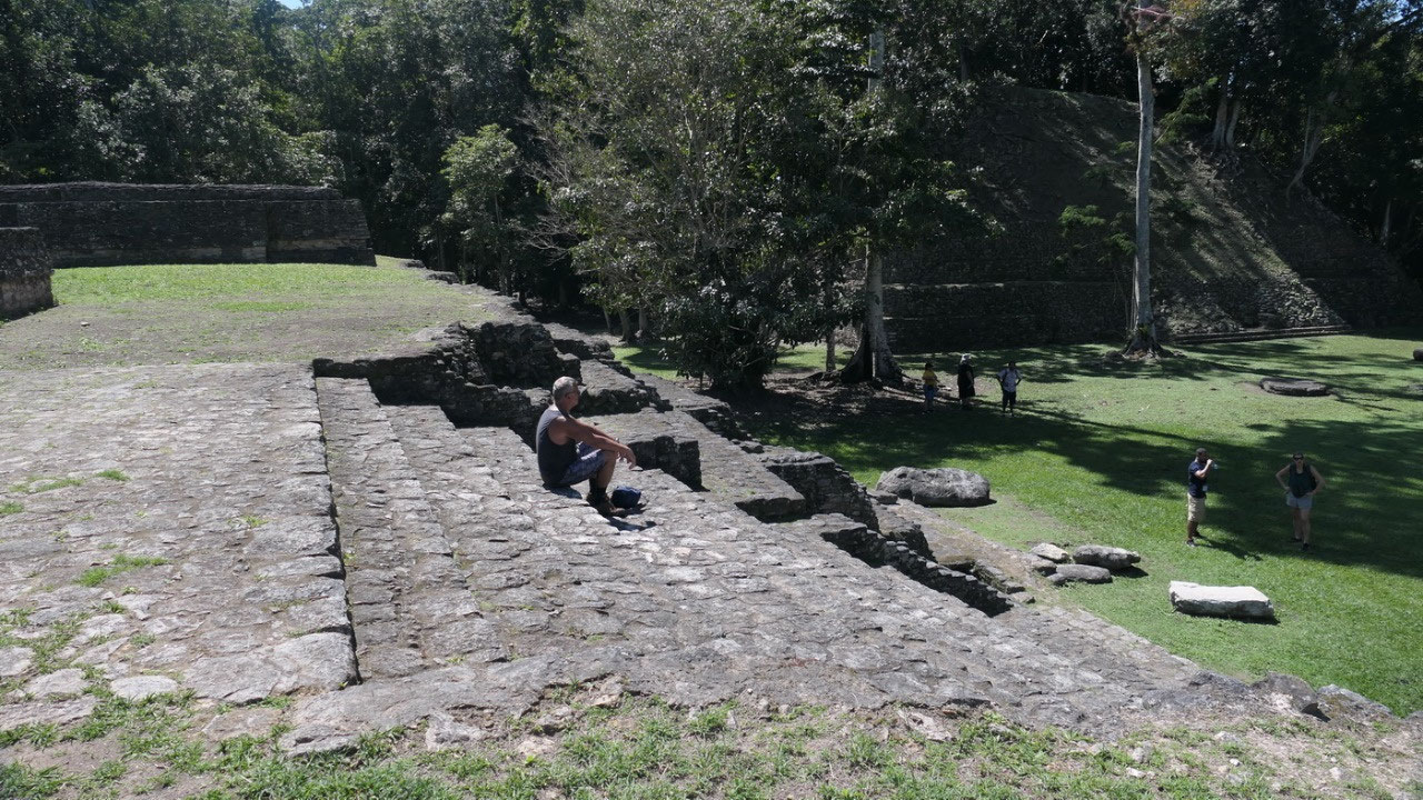
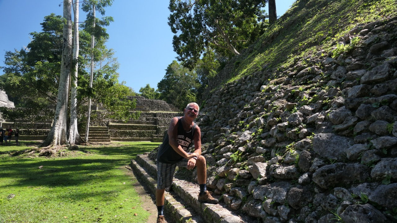
Good thing we are still fresh and so
we climb up on top, to what they say the best views. When you actually stand in
front of it: it is huge, but what you don’t see is once you climbed all up you
are actually on a quite large elevated plaza and from here are 3 more temples
you can climb: only once you climb up on the very top: you are really on top.
And Because there is so much to explore you go up in 3 steps: after the main
stairs we come to a platform with a whole lot of ruins, once you go through
them comes the next set of stairs to the plaza for the elite đŸ˜Š and last
set on top of the little temple the famous B19 temple (which is the highest
spot)
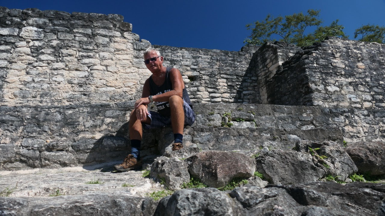
this was likely a resident for the
elite – I said to Paul imagine you are all the way down in the Plaza and forgot
something up in your room and you have to climb all the way up (upps I forgot
that would be the slaves climbing up). Living with such a view must be amazing.
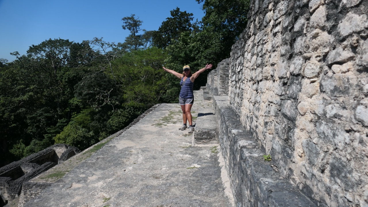
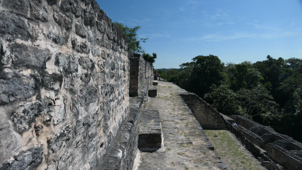
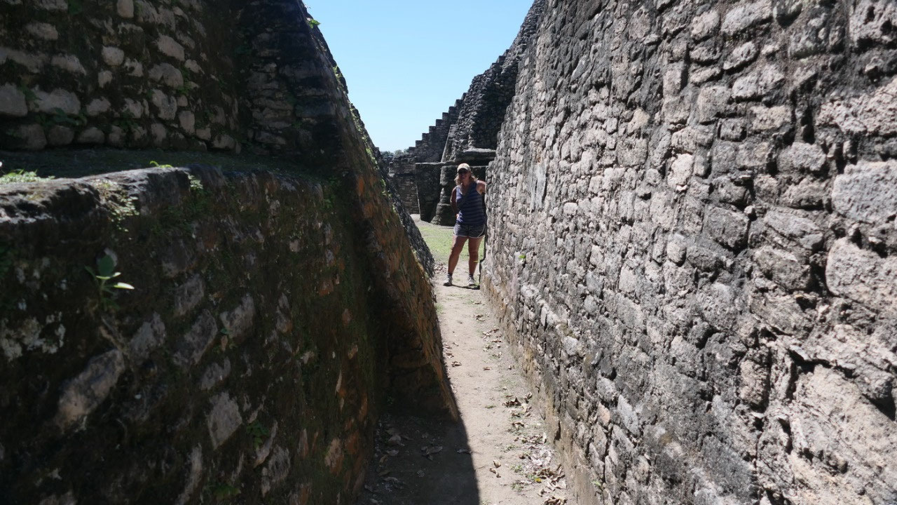
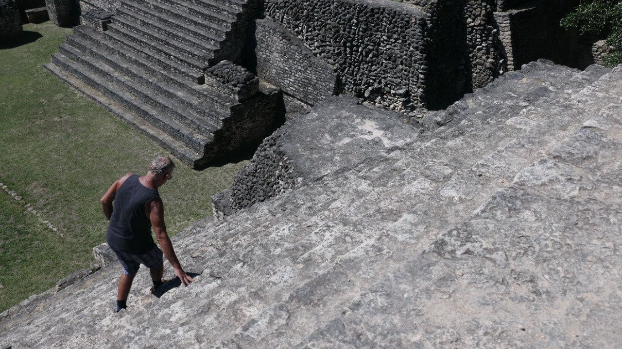
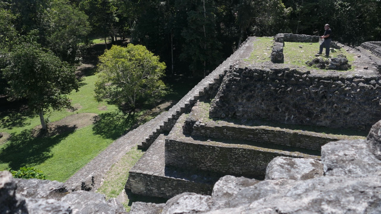
Once you are up the first set off stairs you can actually walk around the whole
pyramid in hallways on the outside (yes it is only restored in the front). Gine
also went up on the B18: I mean the views are amazing!! We both went up on the
B19 – and you don’t only need a drink because it is so hot: but also a break. What
we also discovered is going up is easier then down – when you can see how steep
and far it goes down (no in those old days they did built railings). And we did
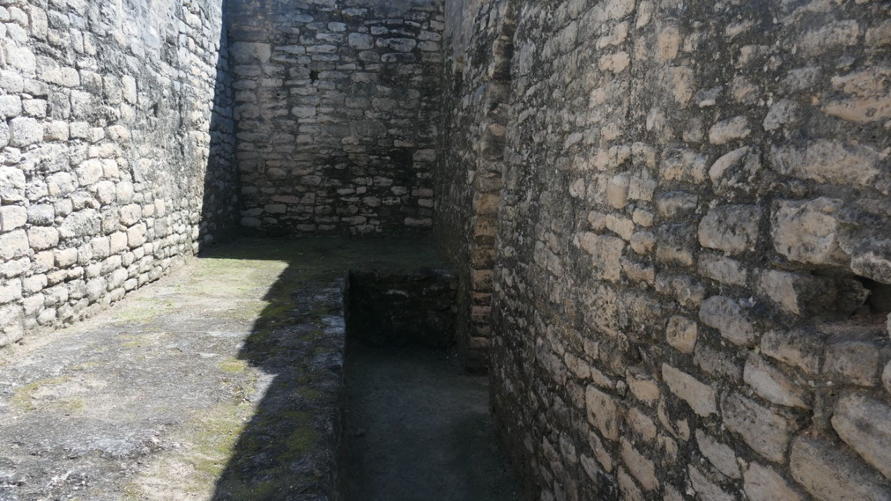
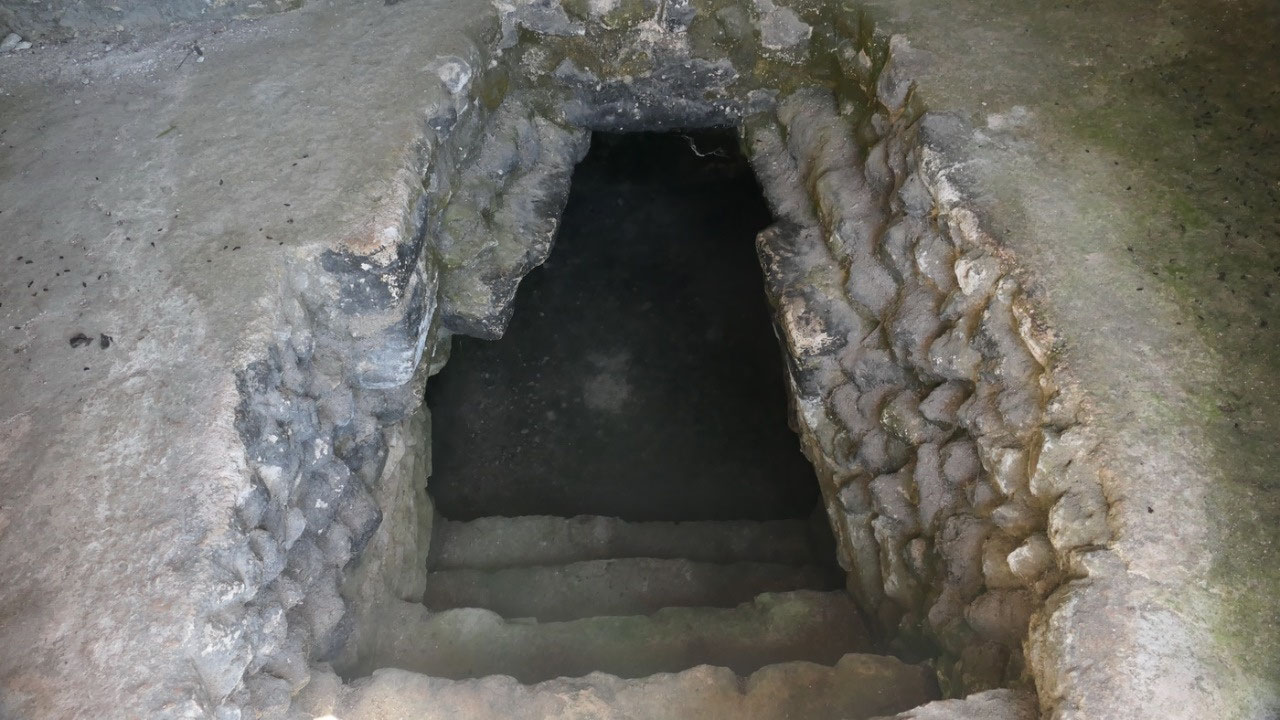
look into the tombs they found in the B19 structures – but the entrances were a
bit to creepy to go all the way in. But we did walk around all the pyramids up
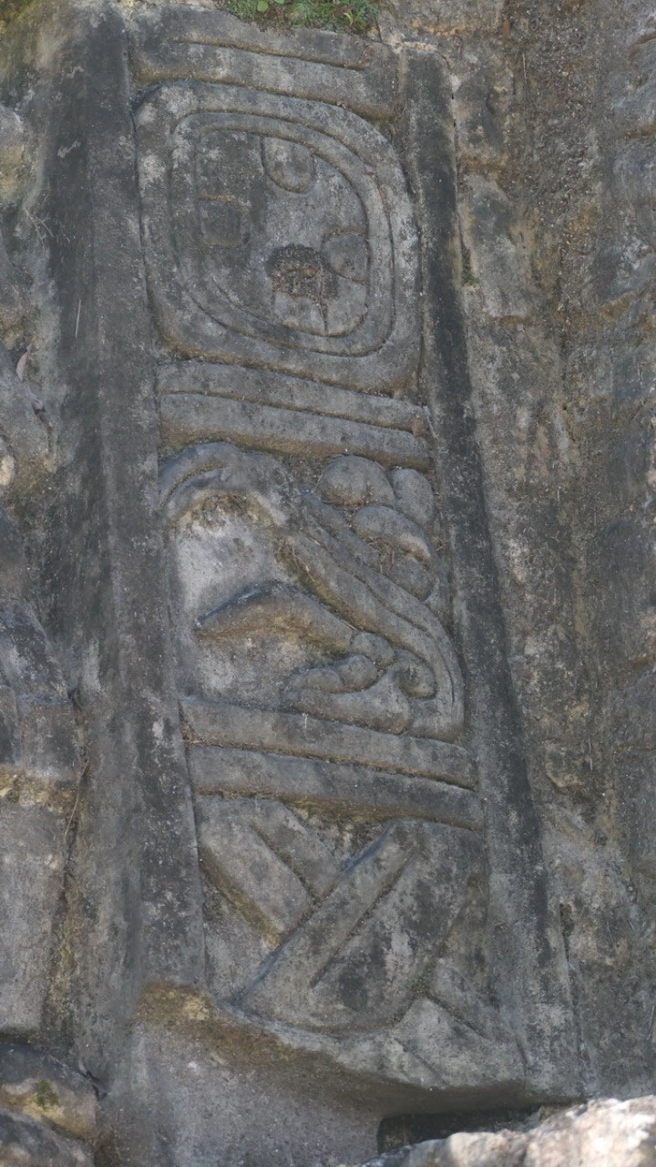
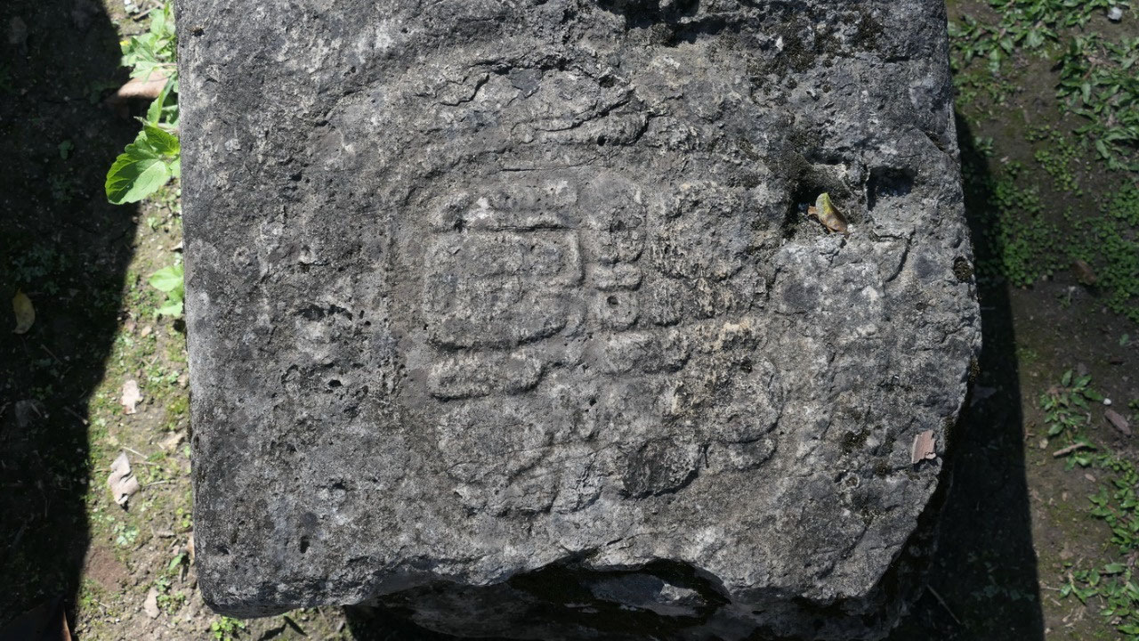
here. On B20 were a few hieroglyphic writing which Gine freely translated to
Paul (I think I did a better job than the guide who did it after us).
We also wondered on how long it took
to built one of the monuments, one of the guides said that they were not built
in one setting. It started with the first ruler building the bottom part – the
next one buried then his father and built on top and so on.... if you know
enough you can actually see the different stages of building.
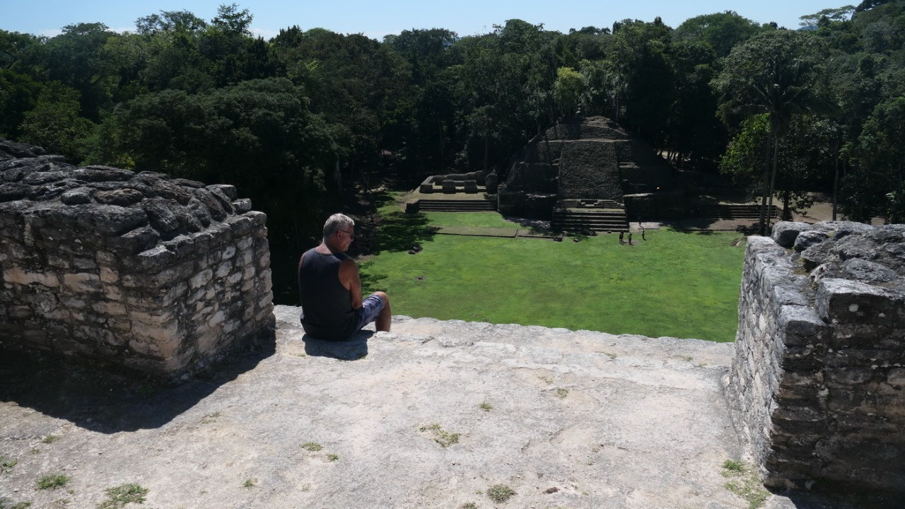
Howler Monkeys
Back down the plan was to check out
some stela and the carvings – but then the Howler Monkeys started to howl –
they are so noisy!! It was super cool to listen and try to figure out where
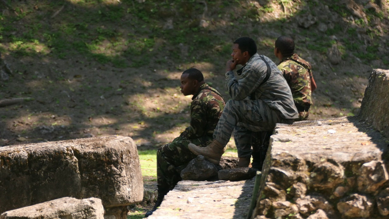
they were. That is when we also saw a whole lot of military guides making sure
we are safe.
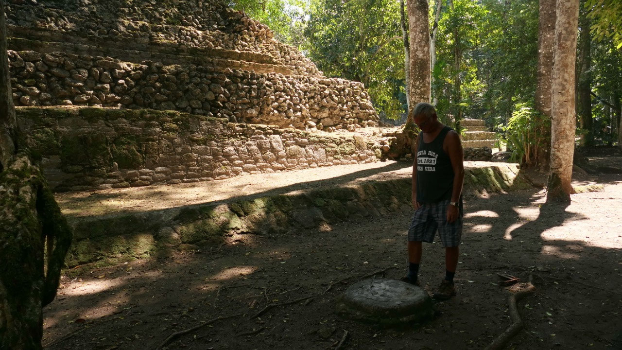
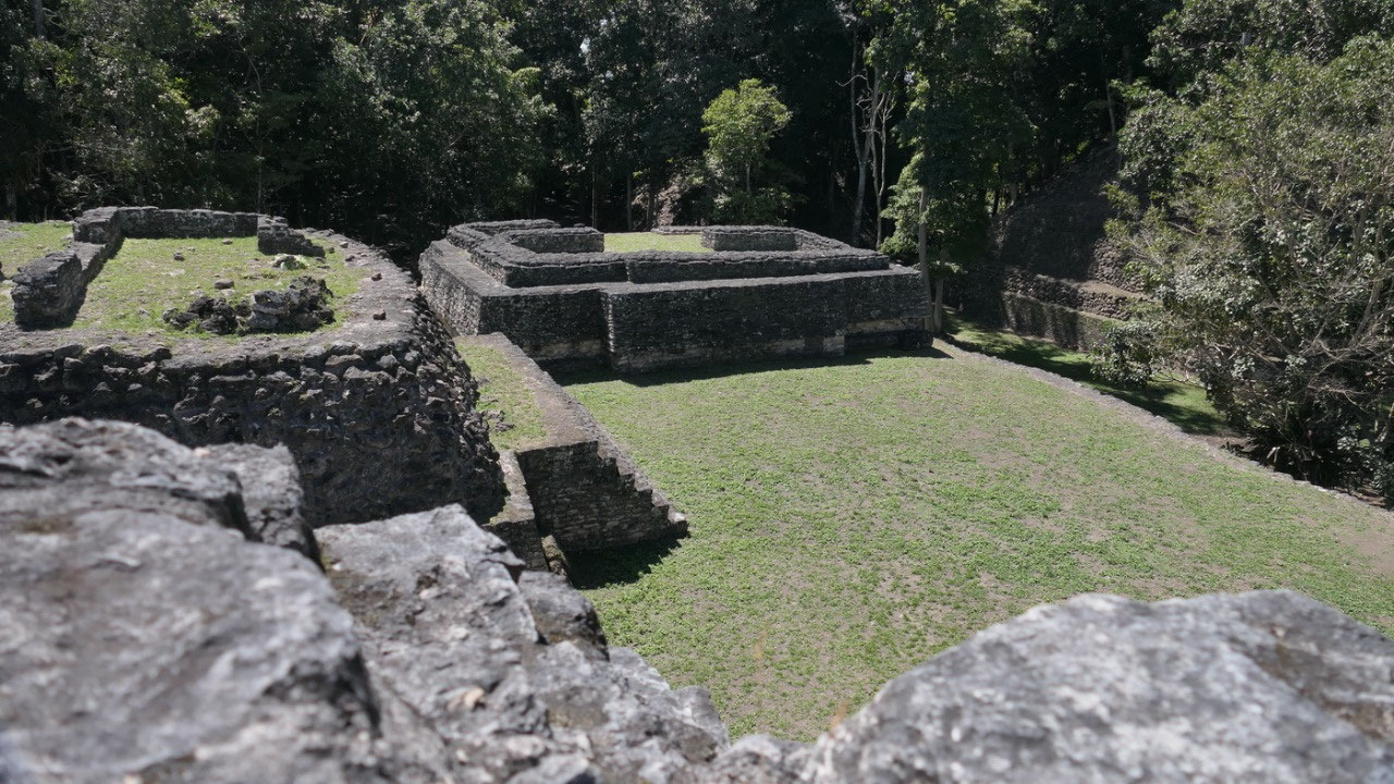
What else did we see:
- Ball court: and here there was a super cool ball court marker
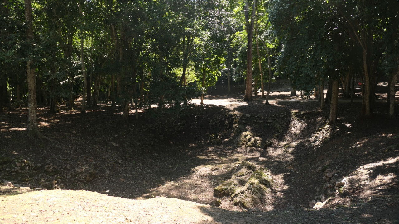
- One of the water reservoirs: ok that is actually not so big – and that really makes you wonder: I mean who comes on the idea to built a city away from the water in the middle of the jungle where you have to collect rainwater in a country where you have every year 4 month with nearly no rain???
- A6: is from 70 AD and the largest building at Plaza A and that is nearly all information what we could find about this building – lots of steps, some rooms a some little temples on top. But no question we have to go up and from here we can see a whole lot of temples and see Plaza A with exciting names like A1, A2 and A3 – that clearly shows us how little we really know.
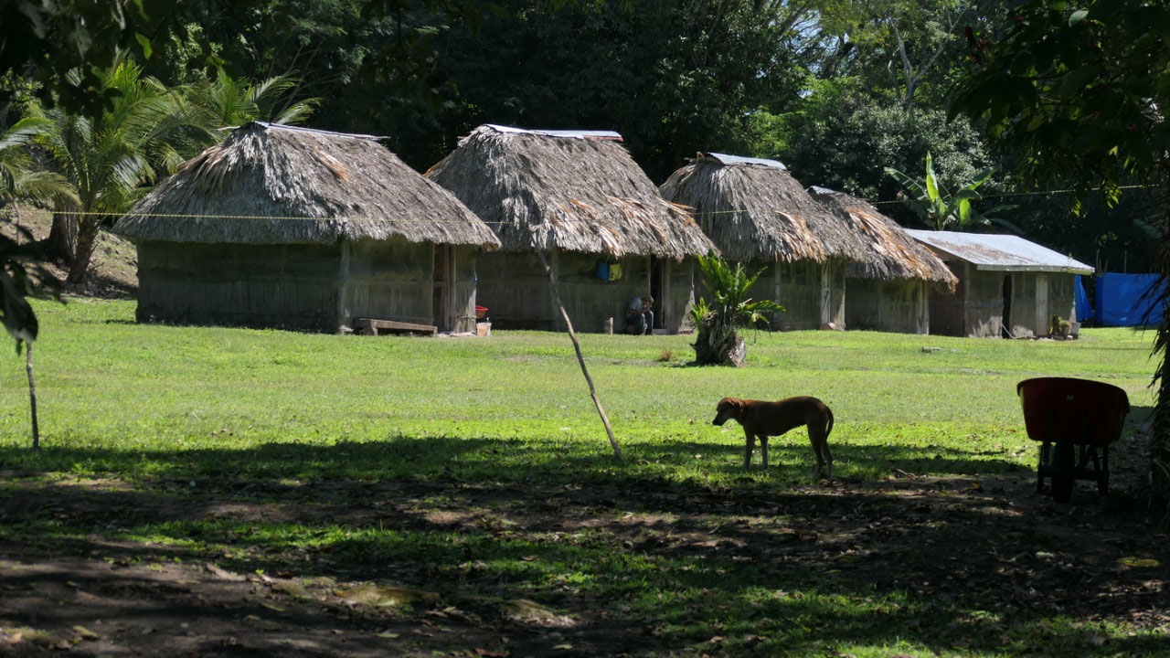
- Plaza A: here we are in one of the earliest plaza’s of the site or so they say, A3 had some partial masks you can see how they started to make them (no they are not original, everytime when you can actually really see one it’s fiberglass), A1 right across from where we started has only the first few bottom stairs restored and all other is overgrown big green mountain. And you can find a lot of markers or stela(?) here with some hieroglyphs on them
- A Maya village in Caracol: I thought that was super interesting that actually several
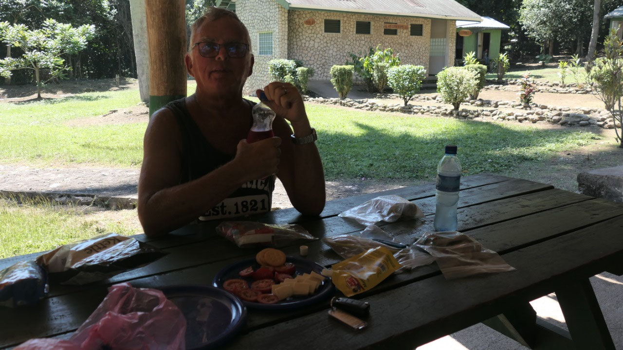
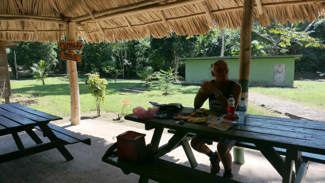
lunchtime: after
that we decided that we saw enough– at least all the big temples walking and
climbing for 3 hours and finished all our drinks and it is super hot: that
means we don’t have to see every little pile of stone and it is lunch time: we
brought crackers, cheese and tomatoes and had it with some ice cold drinks on
one of the picnic tables (in the shade). When looking around, we are the only
ones without a tour guide.
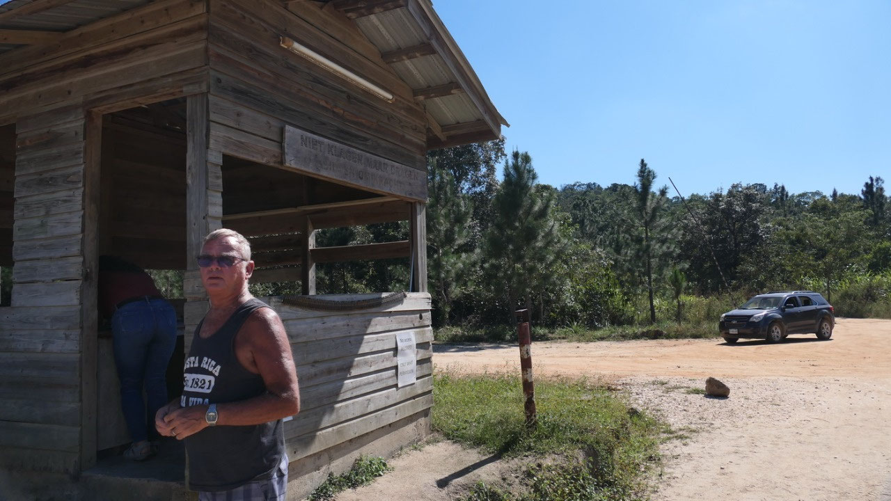
With or without military escort?
Ok big question should we drive back
by ourselves or wait for the escort – a guide said if you break down then
someone else is around and the warden said: the guys from Guatemala come
sometimes over to steal some plants and if they can’t get anything they want to
steal from tourists – we decided that we drove in by ourselves – we should be
able to drive out by ourselves – and Gine told Paul if a guy comes with a gun
you drive as fast as you can and we hope for the best (I mean we have a 4x4 and
they are on foot). The funny part was, we left and soon a car passed us and
then 2 more came and we were a convoy of 4 vehicles driving out. And see there
time to sign out at the Ranger Station and then 5 Min later we are at the
parking lot for the:
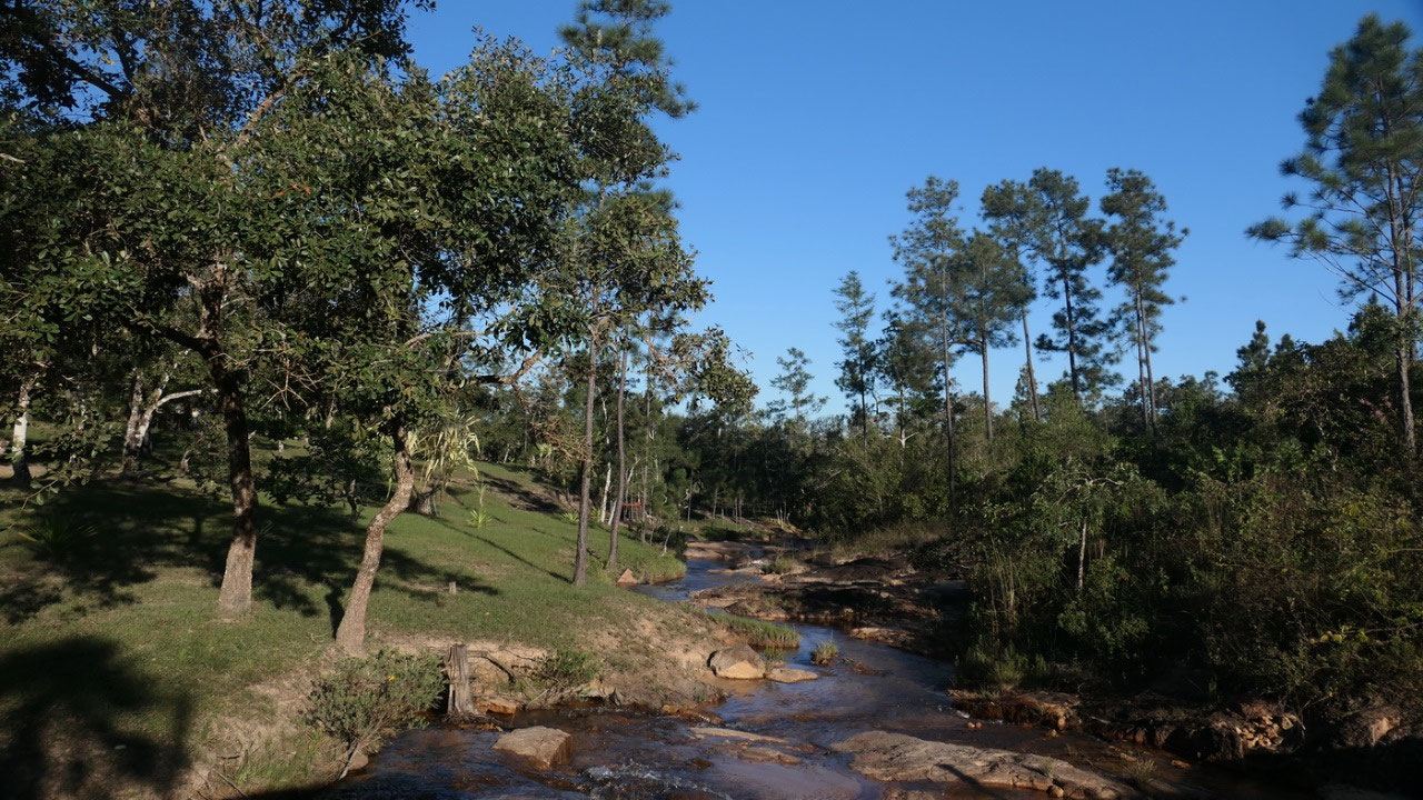
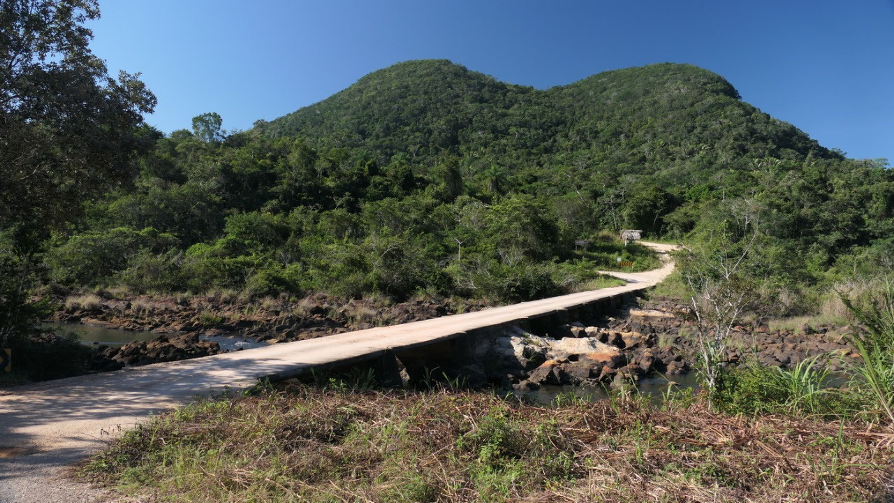
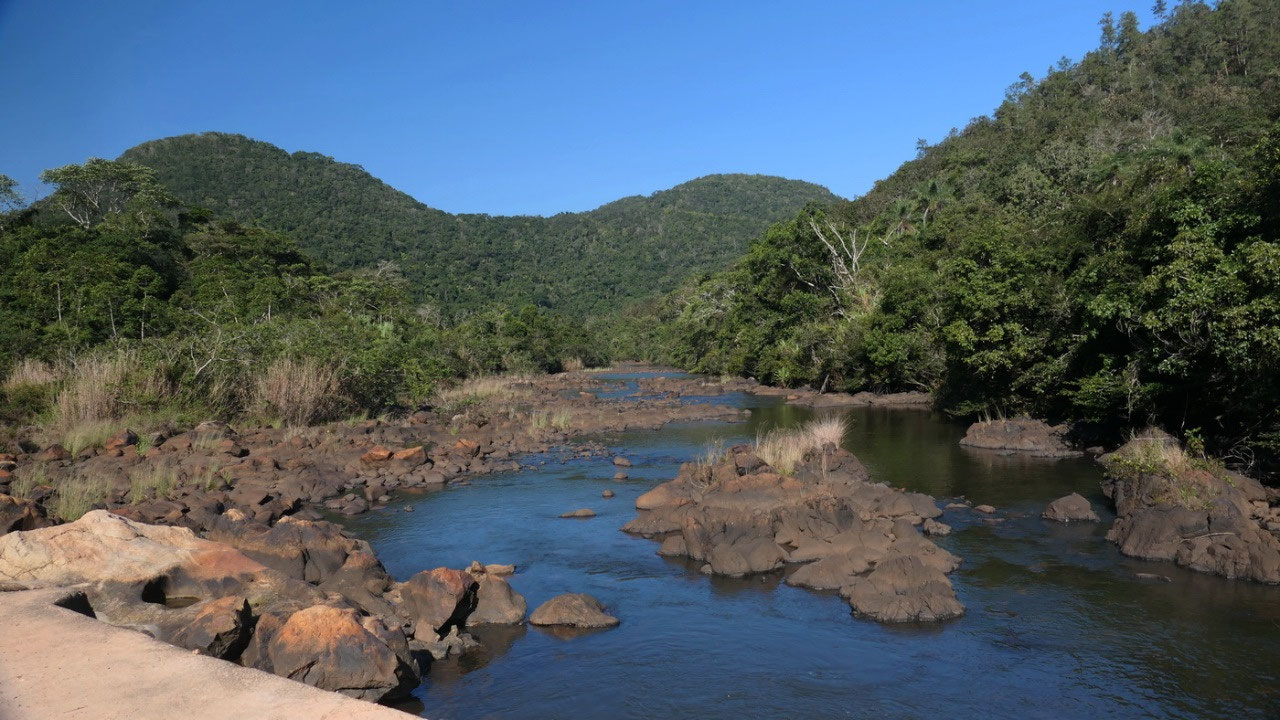
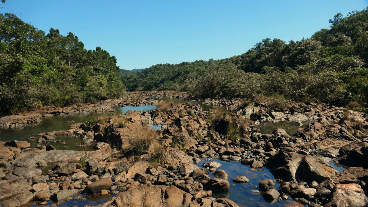
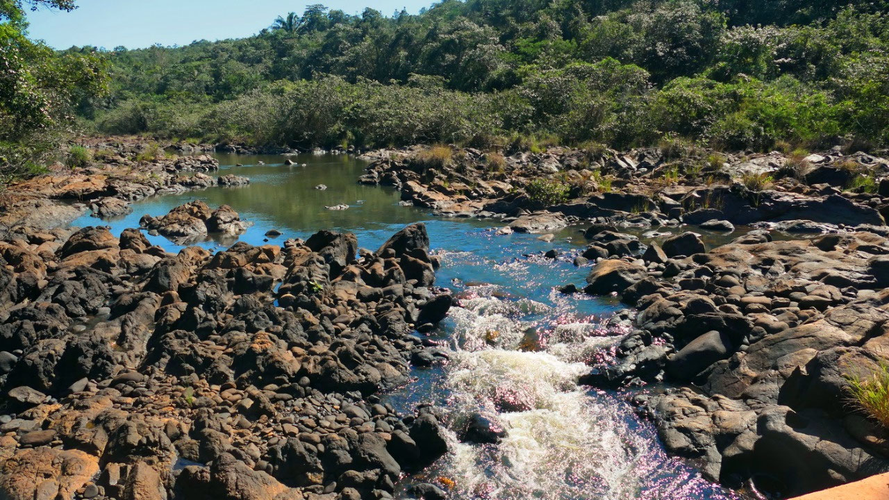
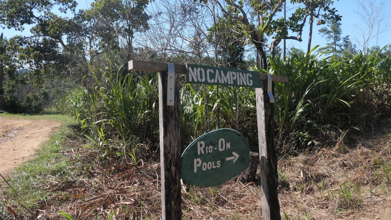
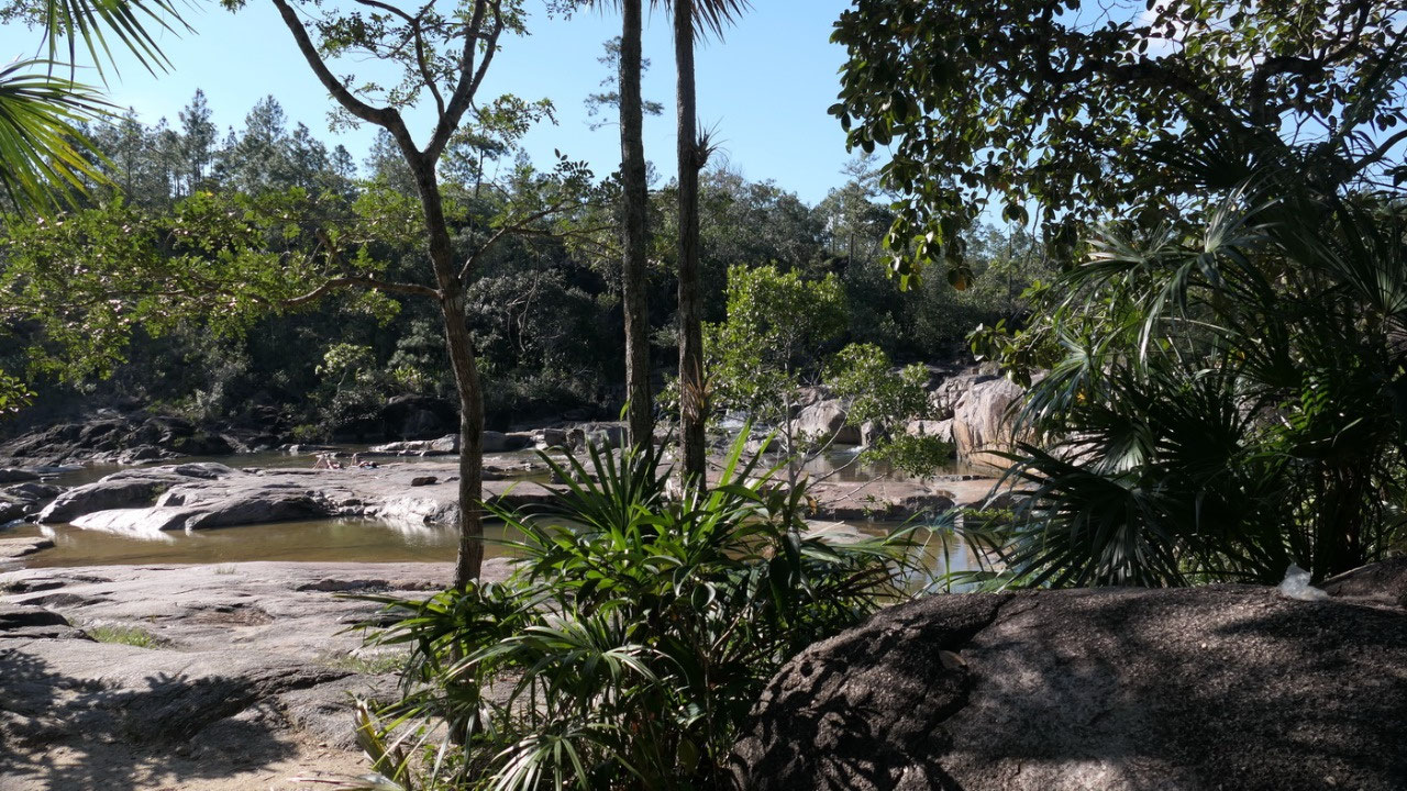
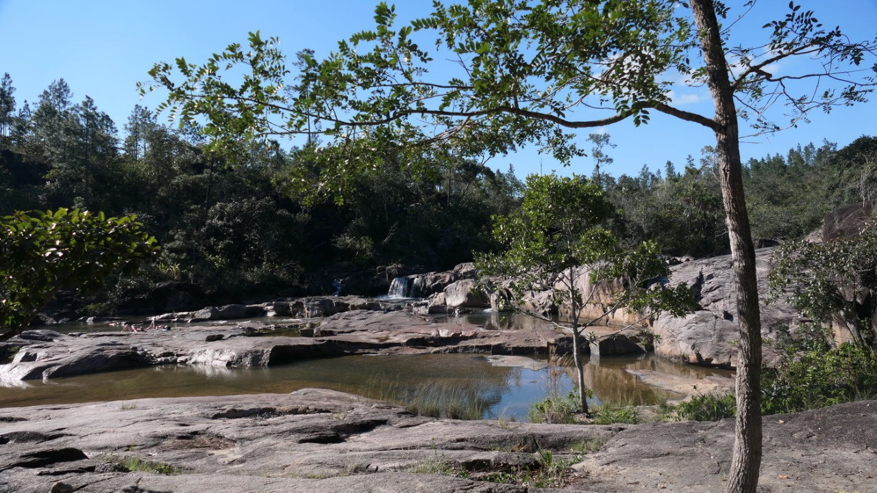
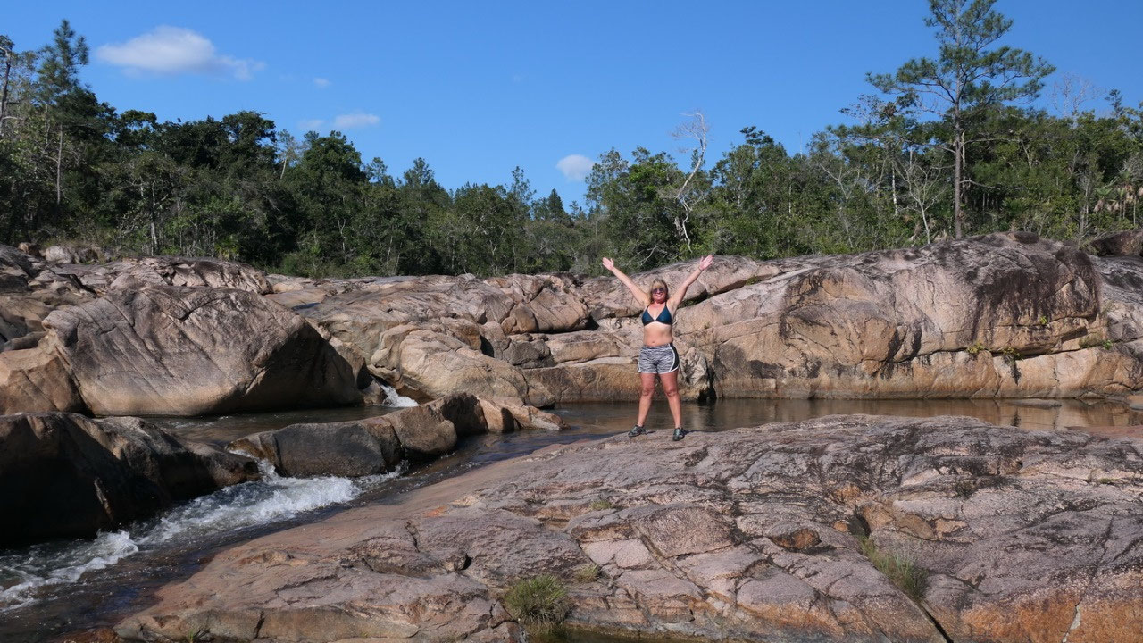
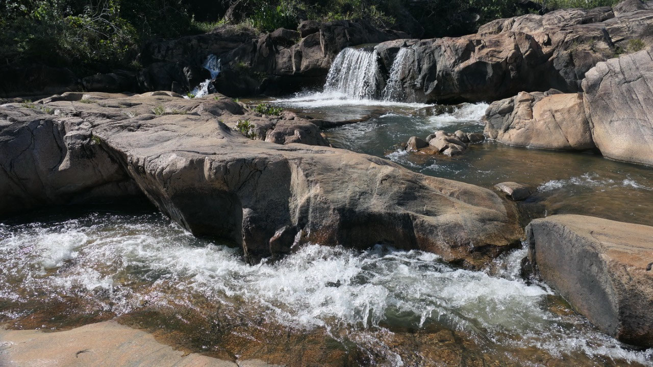
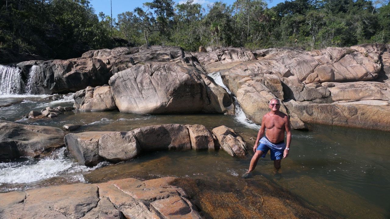
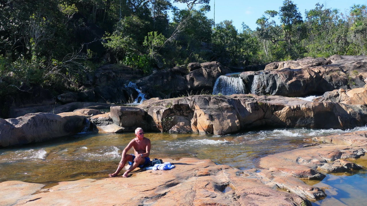
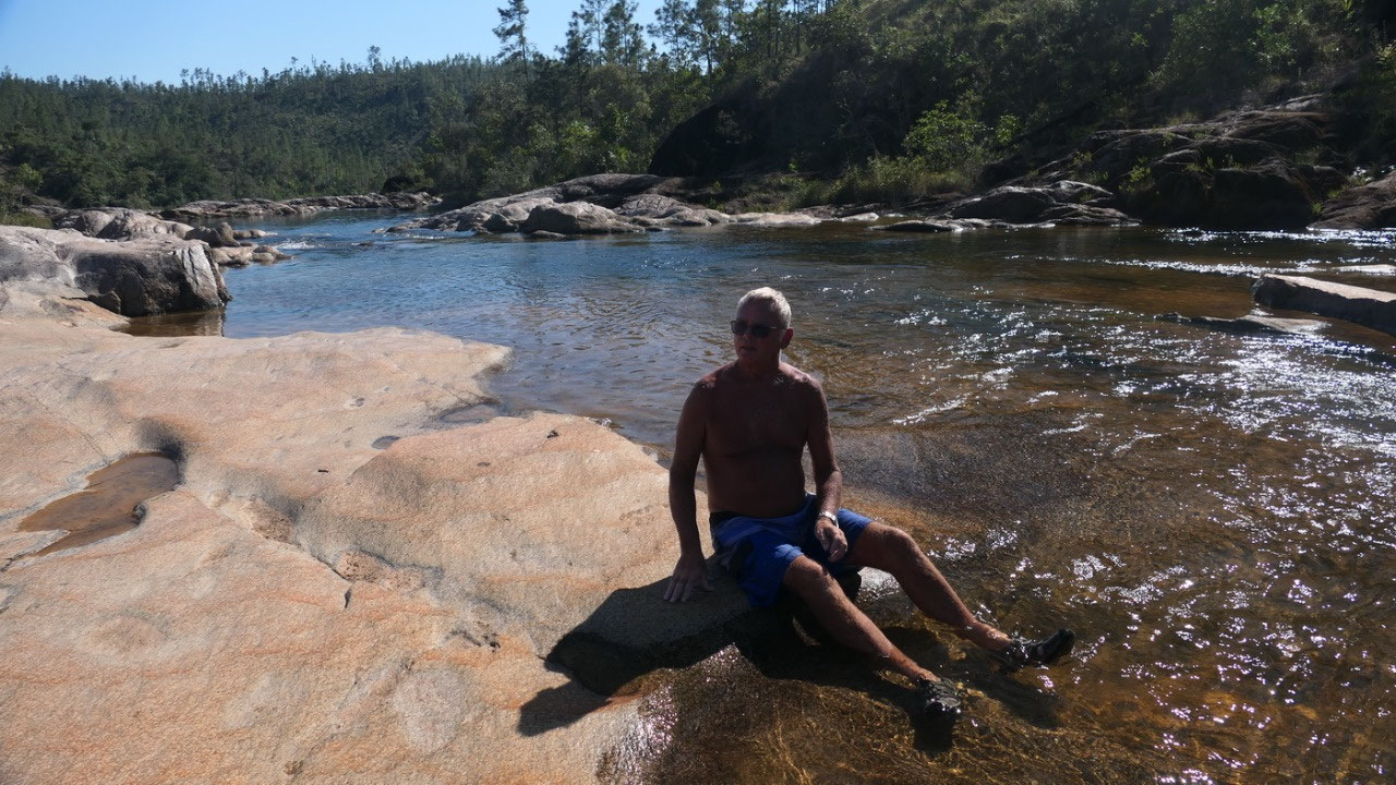
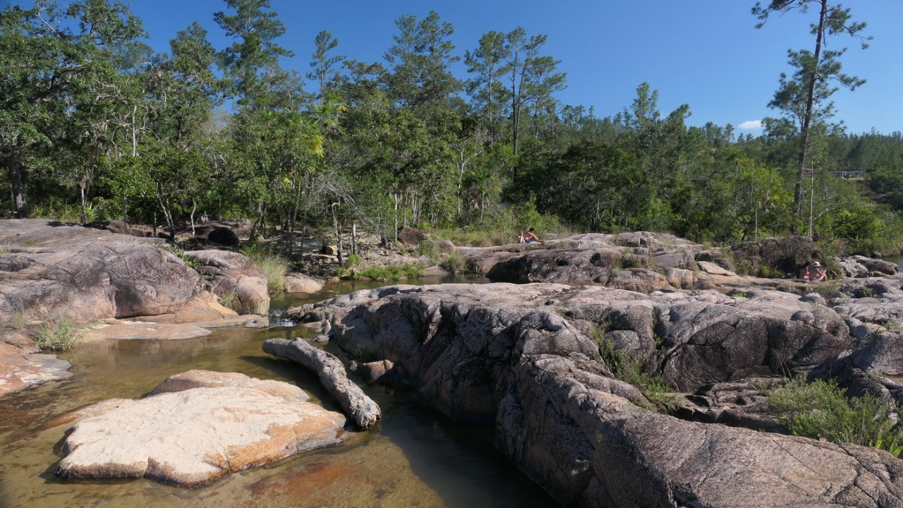
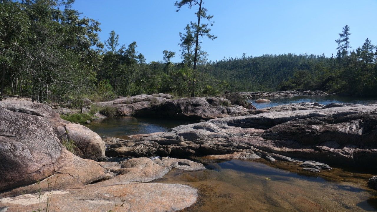
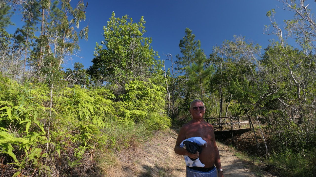
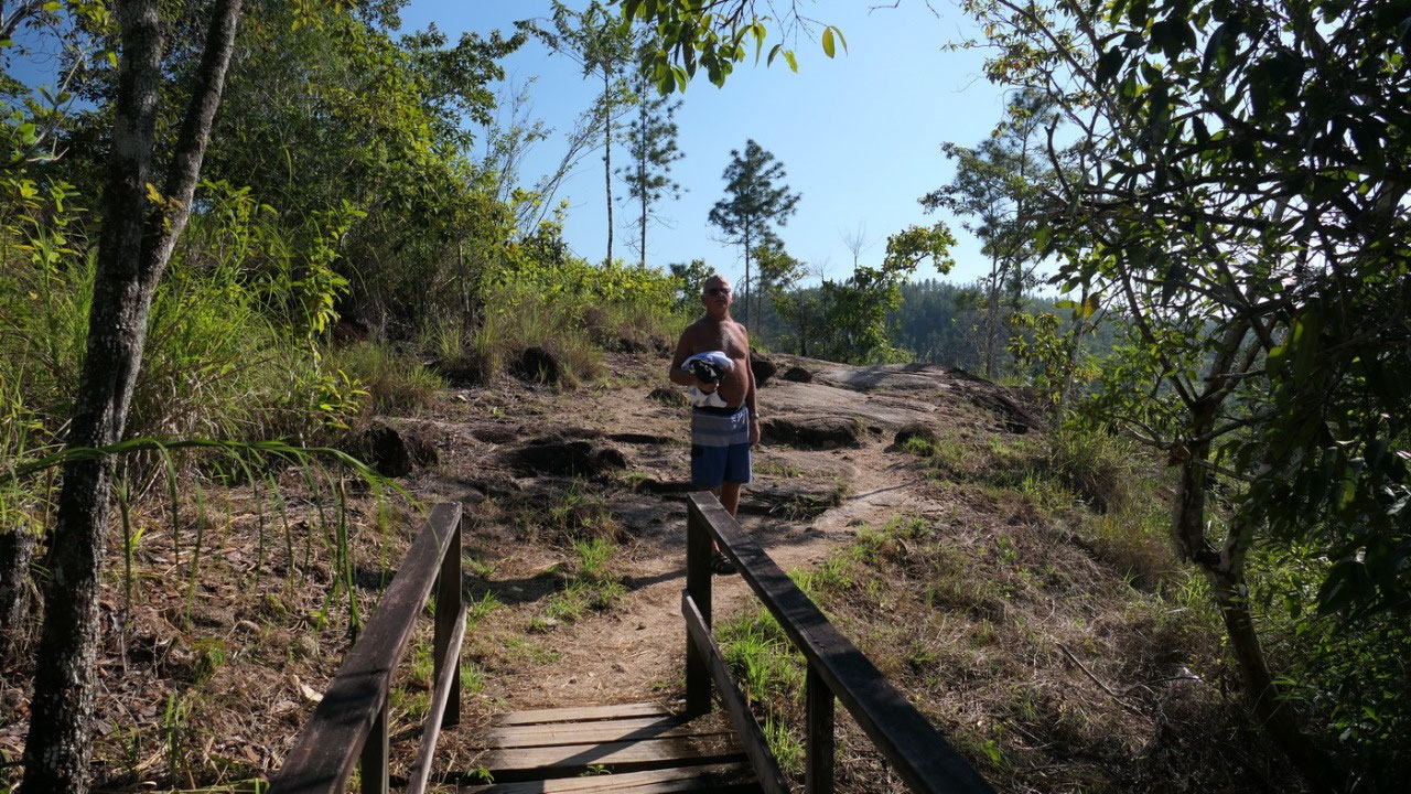
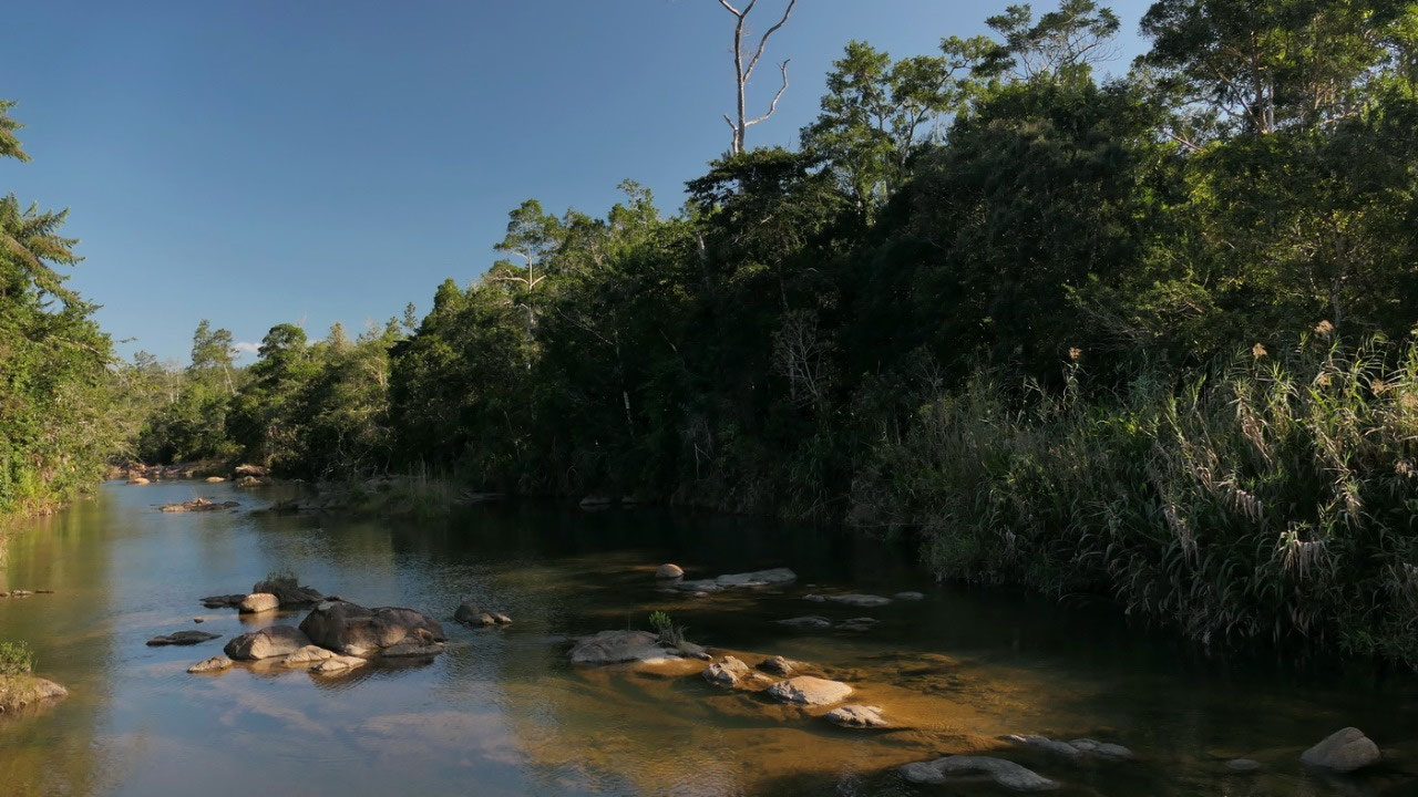
Rio on the pools
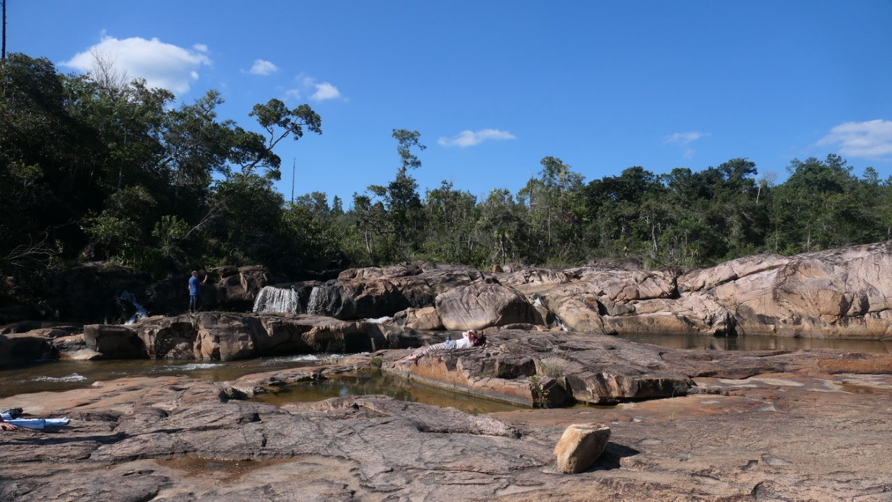
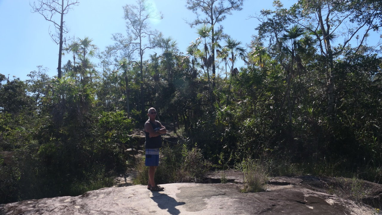
- they are in the Mountain Pine Ridge Forest Reserve: which is on a granite massive
- in the reserve you find not only Caracol, Rio on the pools, the Barton Creek Cave but also a lot of other waterfalls (we didn’t had time to visit them: the gravel road takes up to much time)
- most of it is 2nd growth: through forestry and then a massive fire in 1949
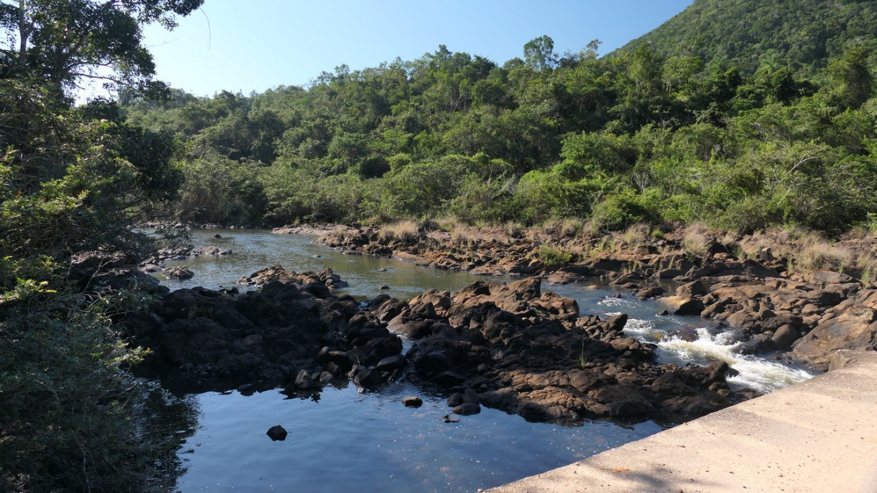
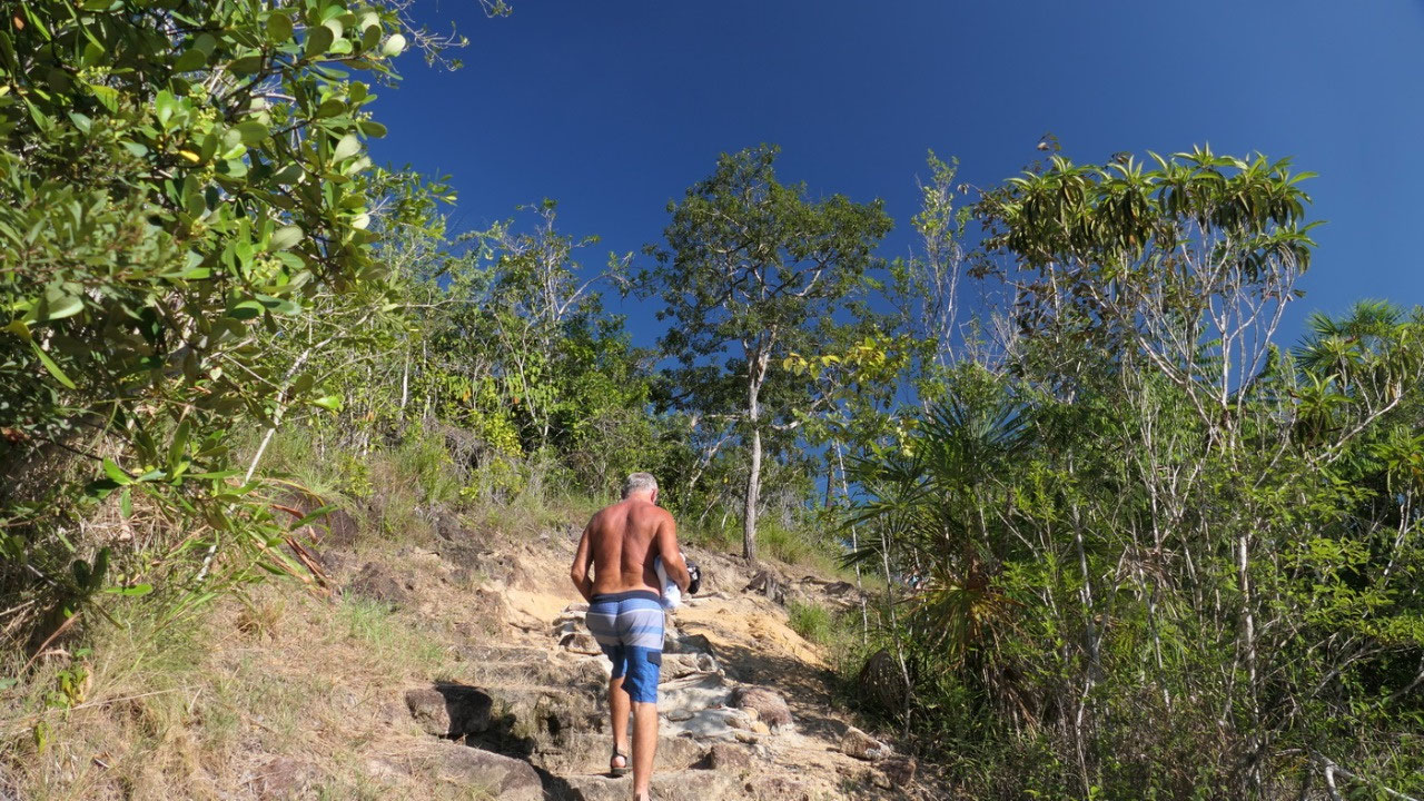
we changed in the swimsuits and walked
down over some huge rocks to the pools. With dry season and not a lot of rain
last year, at the moment there are some tiny waterfalls with a lot of huge
rocks and little pools – going into the water was so super: you could stay here
for a long time – but we still have over one hour of gravel road left!!!
Back after a long day
And after all this adventure our car
was super dirty: you nearly couldn’t see out of the windows anymore... and
tomorrow we will back on gravel – Gine said: not worth for washing it. We were
gone for over 10 hours, it was a super long day and always with the brain
working.... tonight we didn’t do a whole lot except supper and then relaxing!!


2025-05-22