 Chapman Lake Airstrip, Yukon, Canada
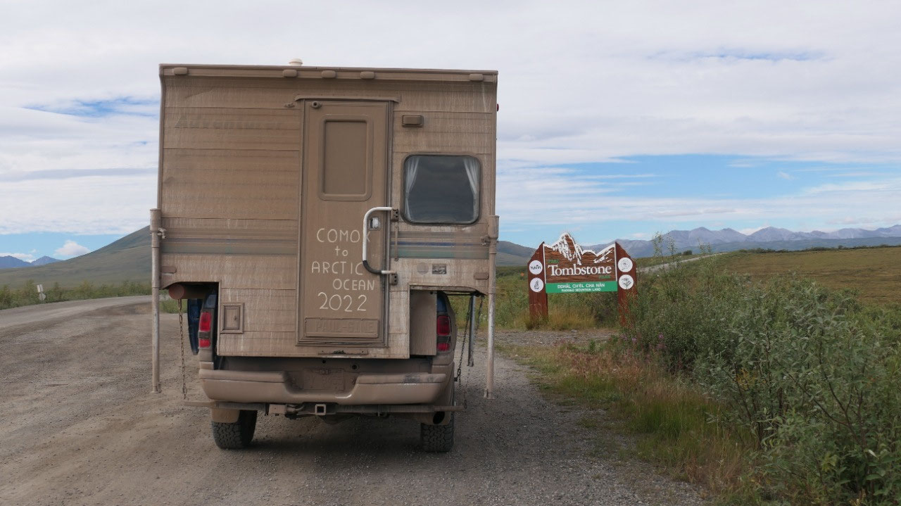
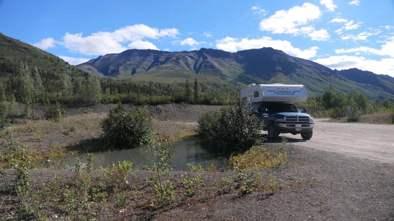
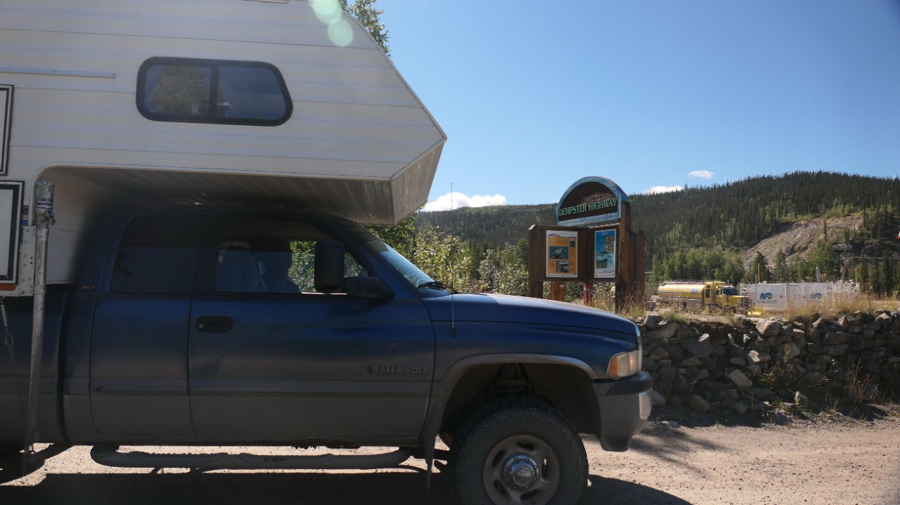
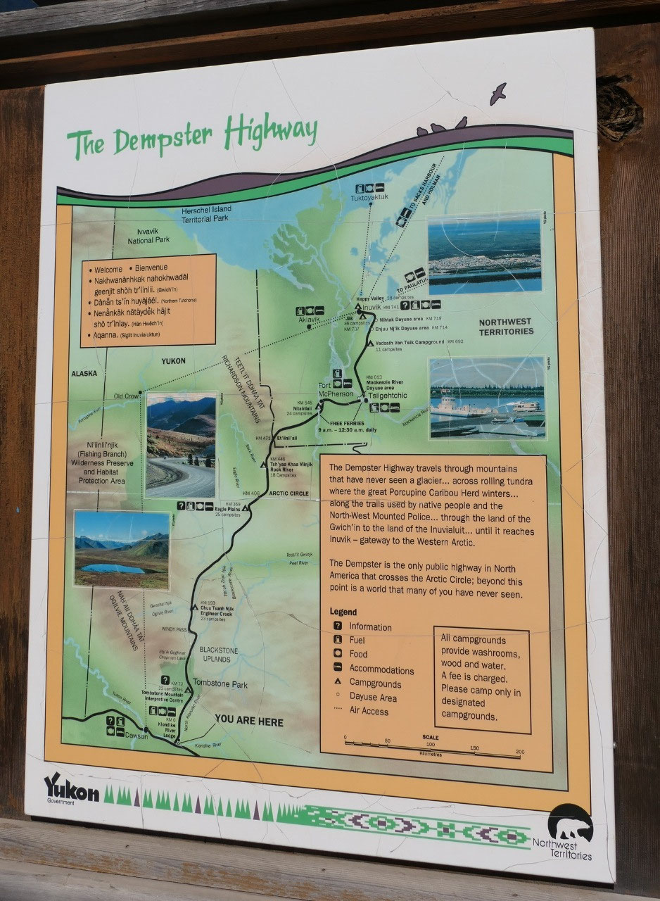
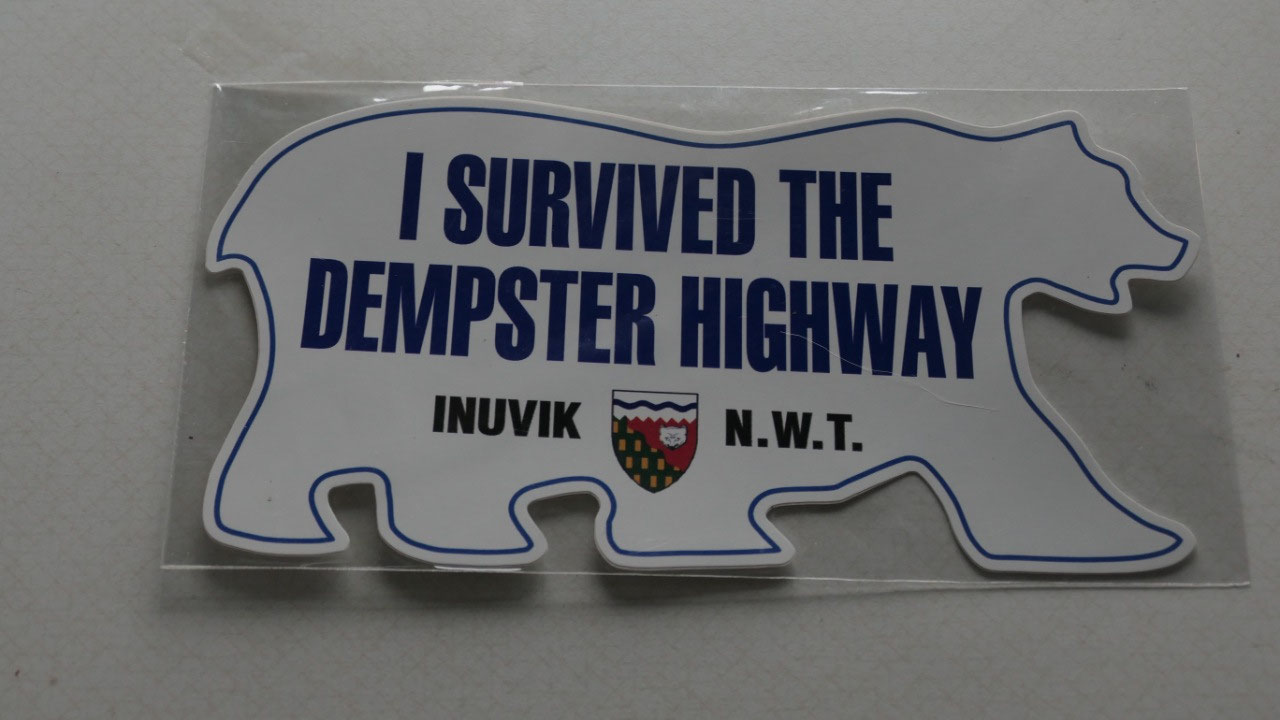
We survived the Dempster Hwy
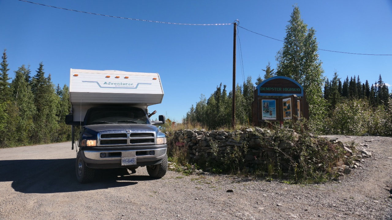
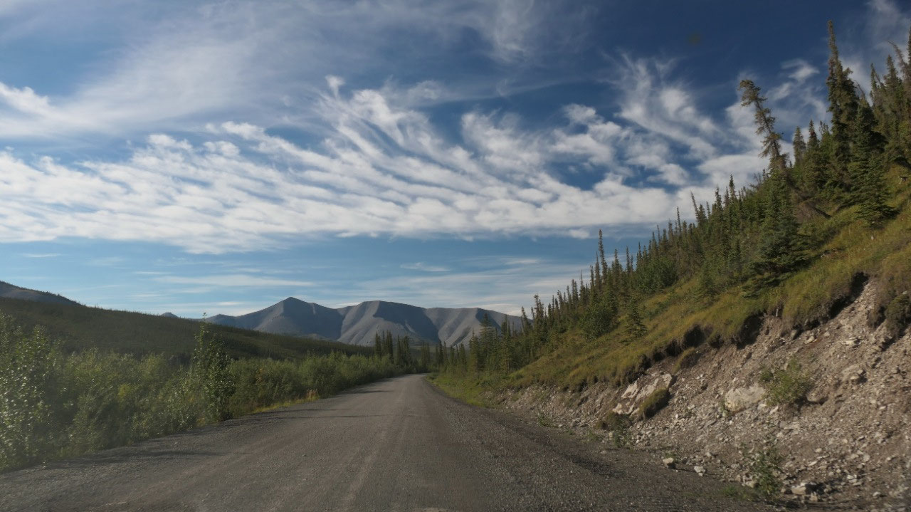
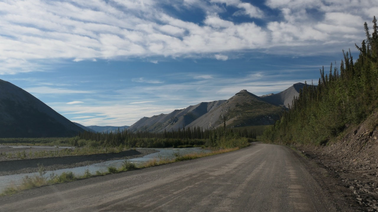
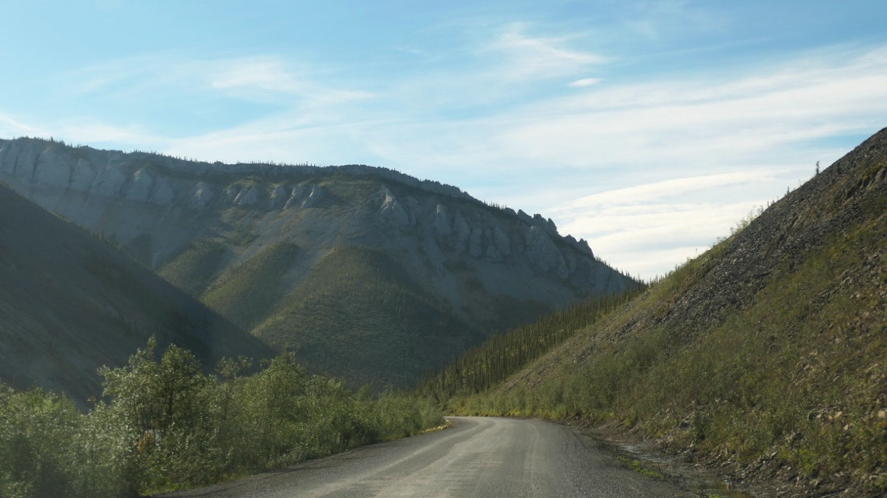
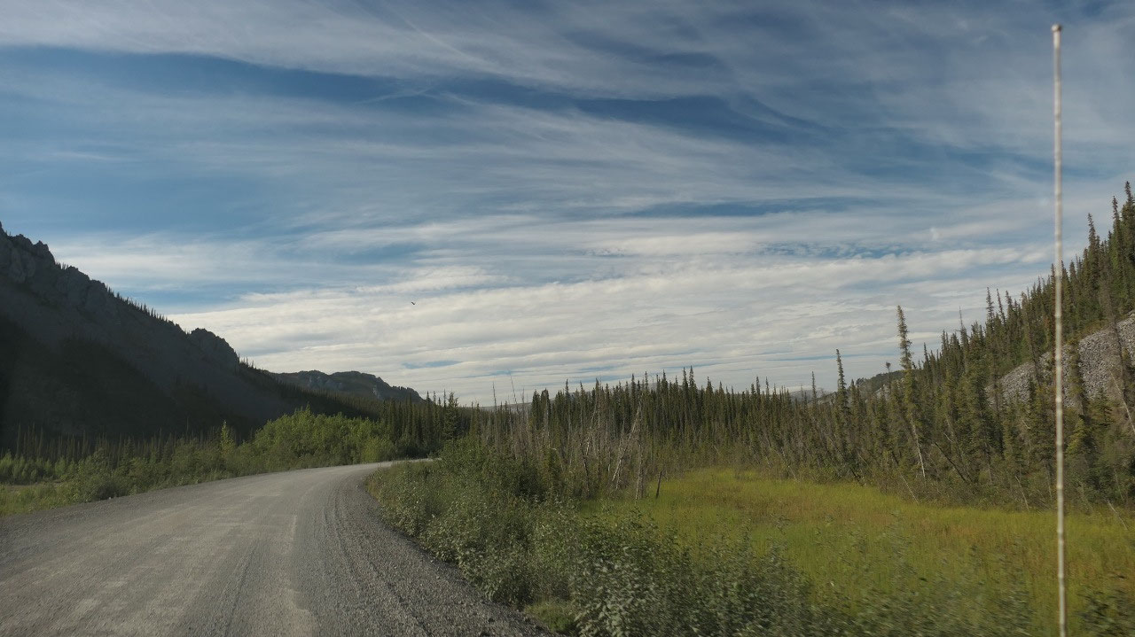
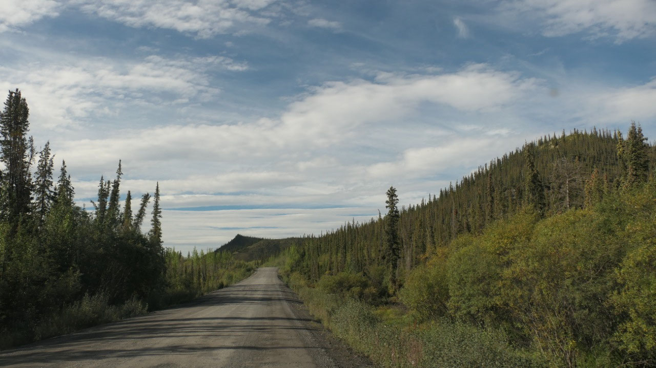
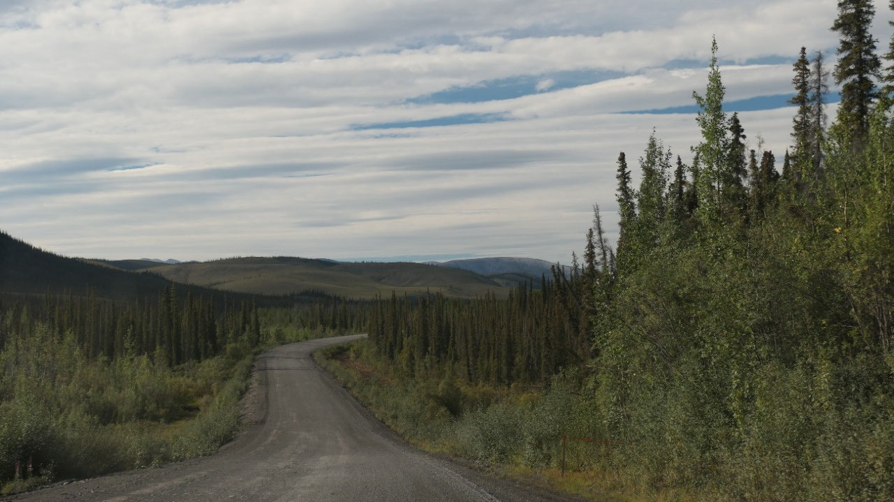
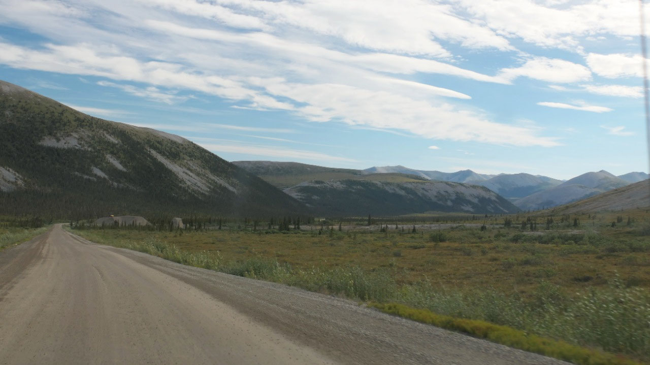
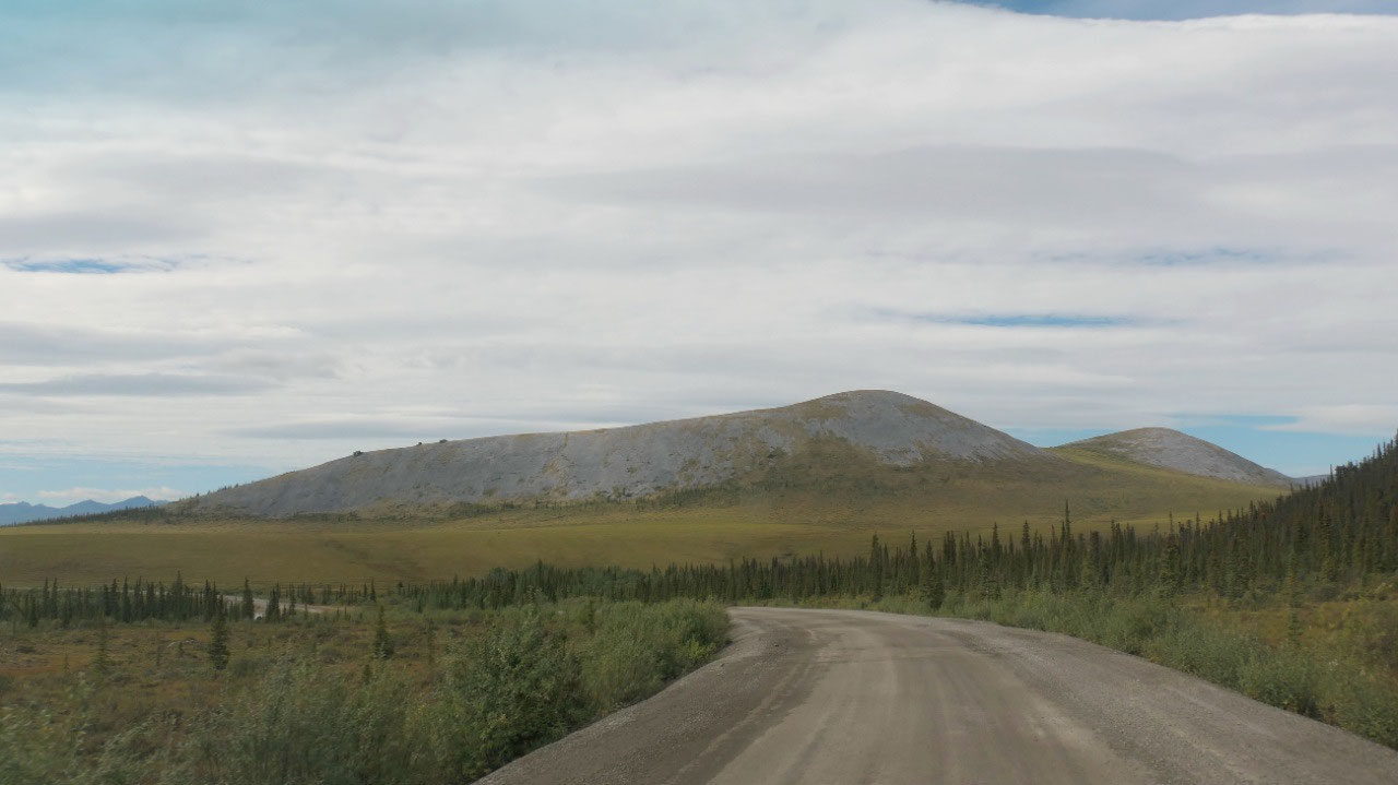
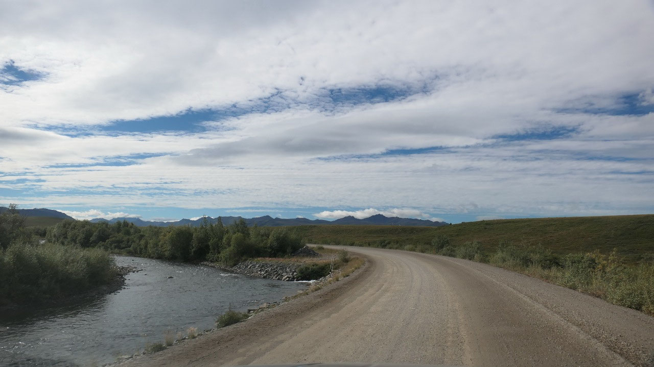
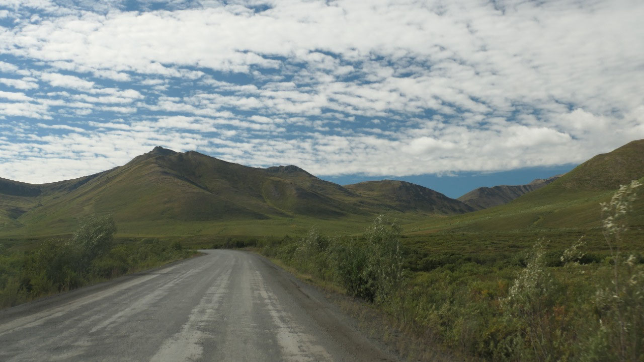
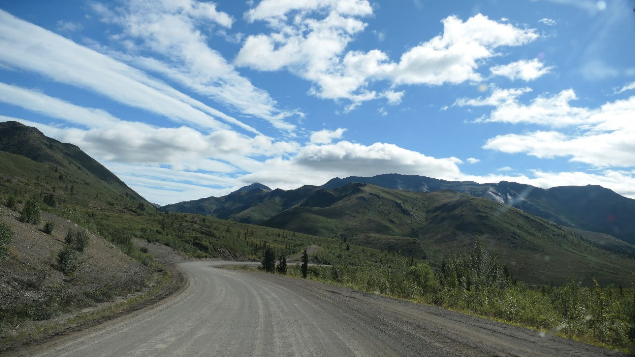
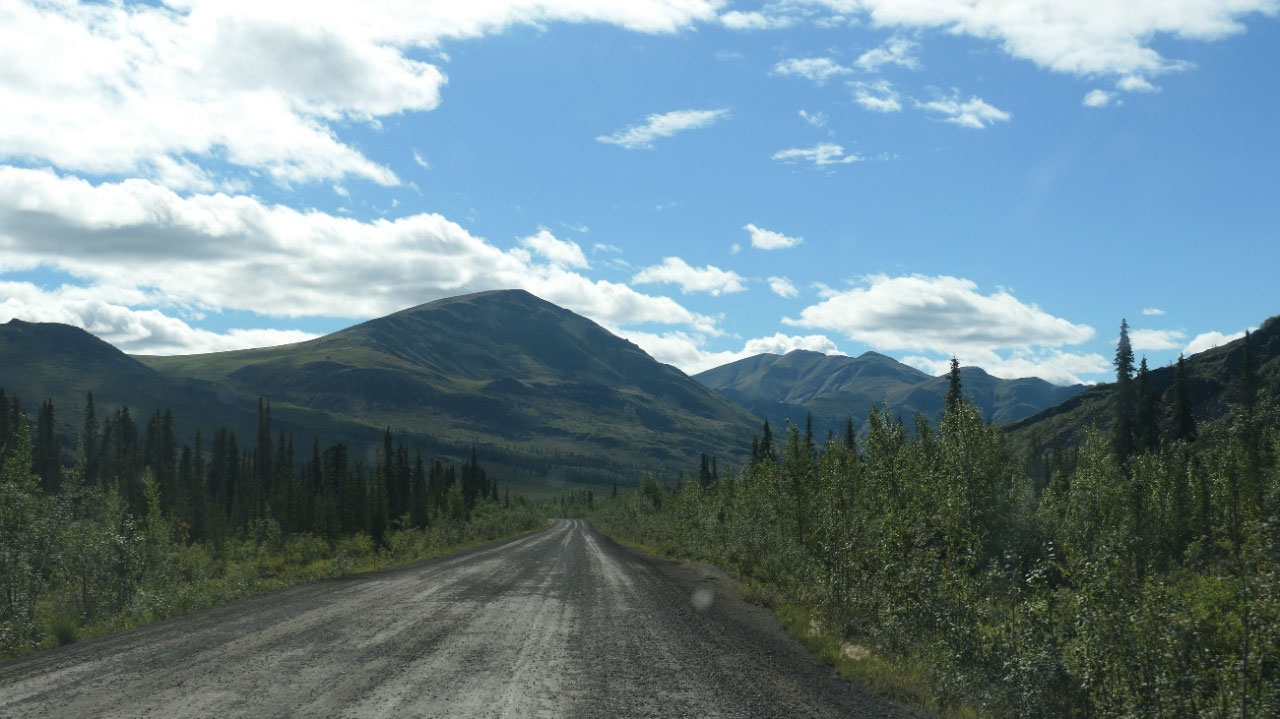
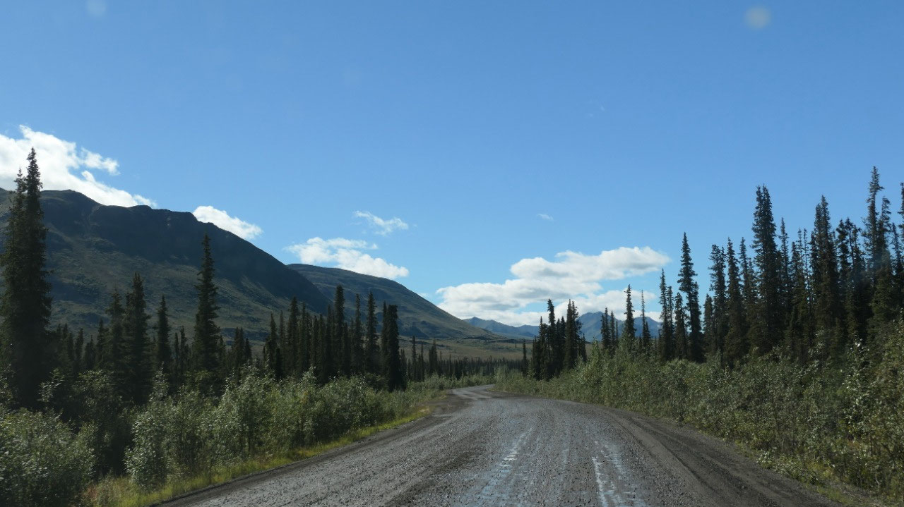
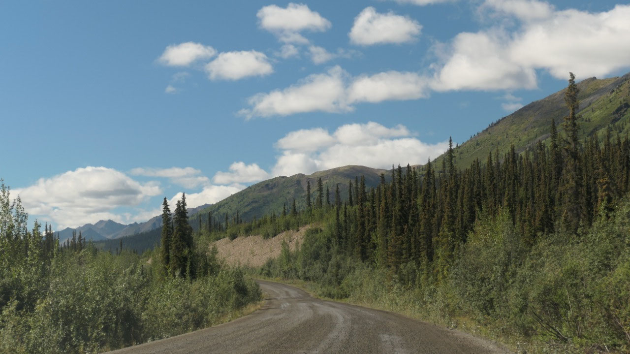
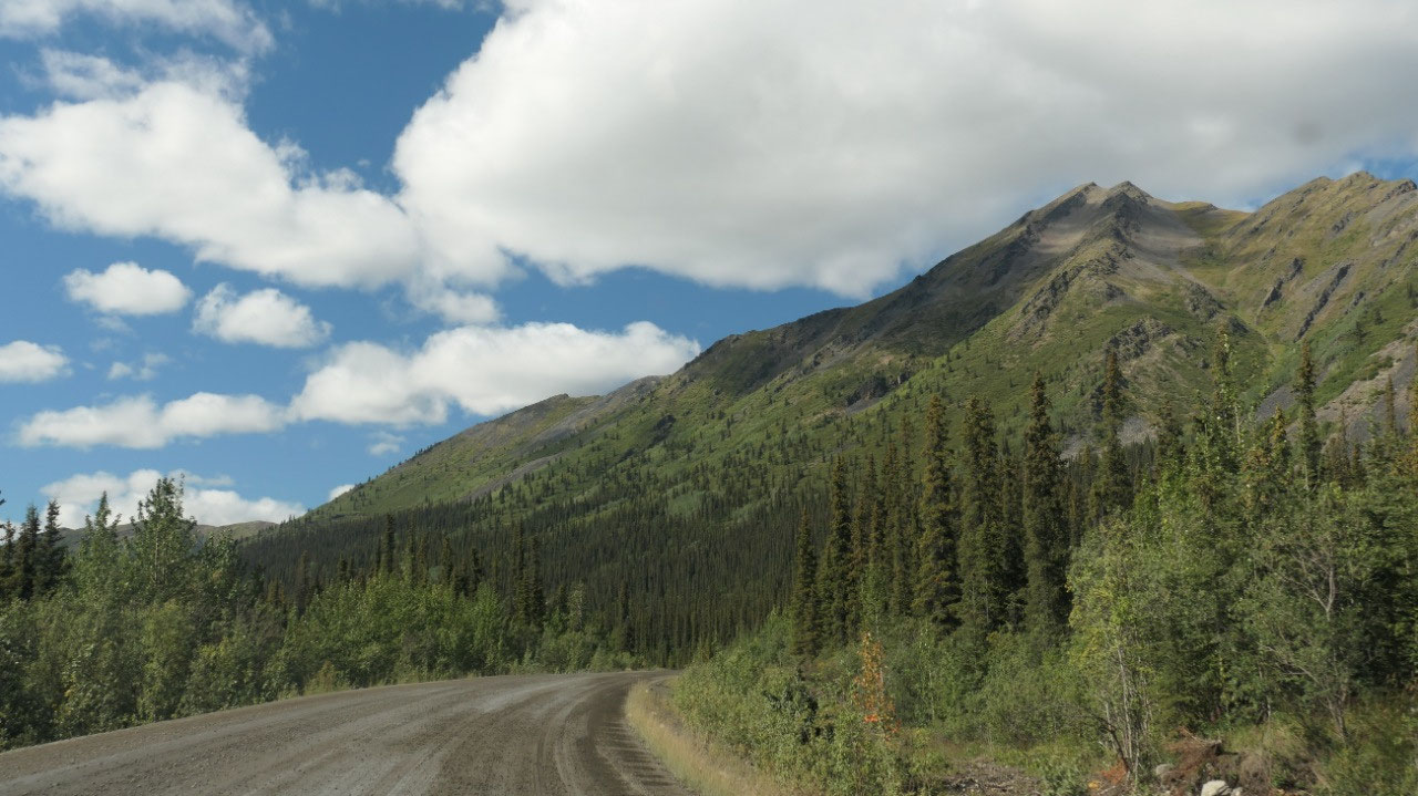
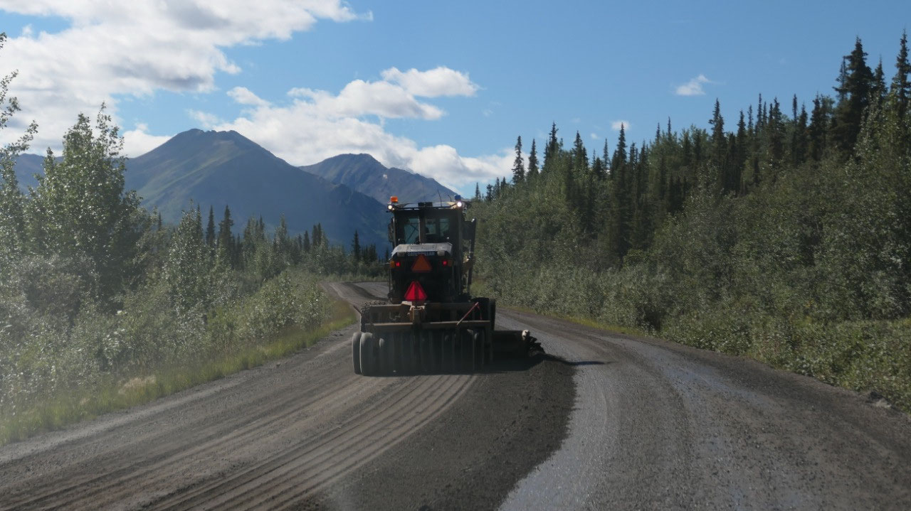
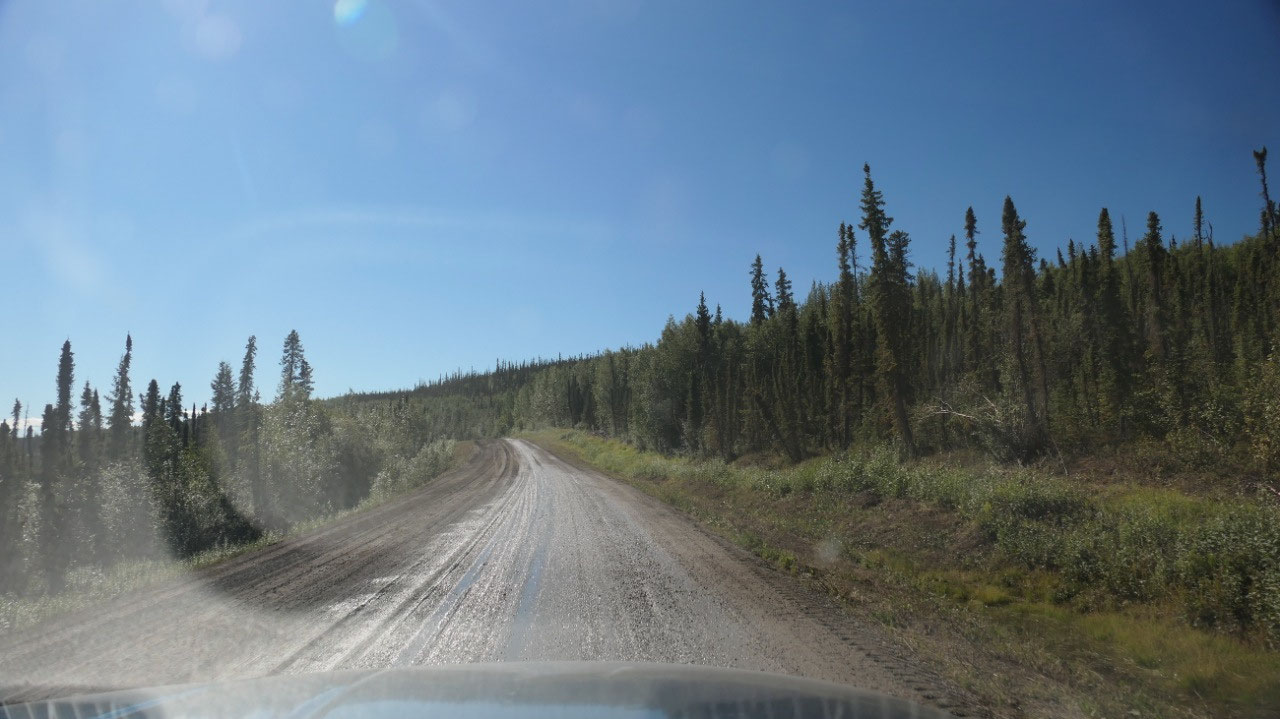
Heading down the (Gravel) Highway – looking for Adventure
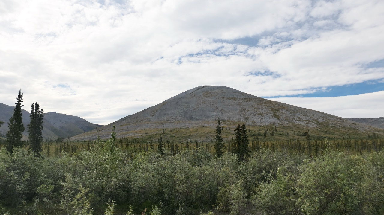
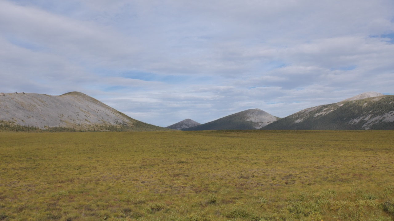
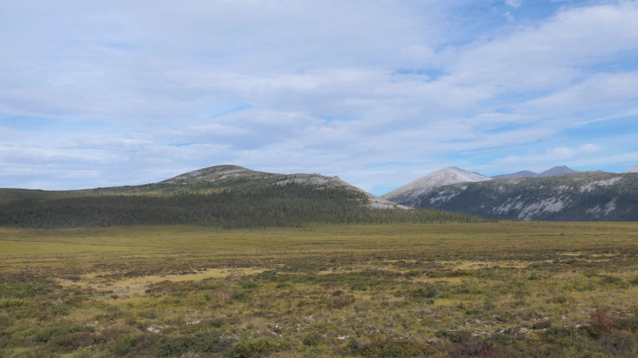
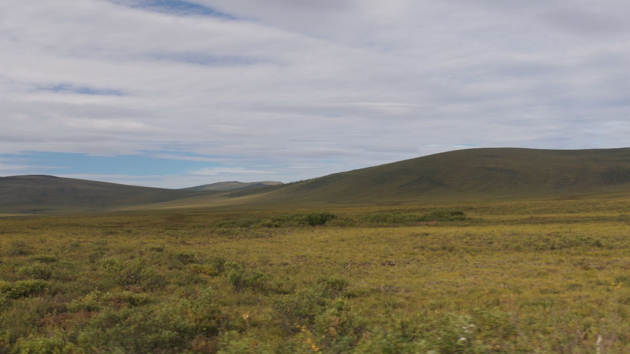
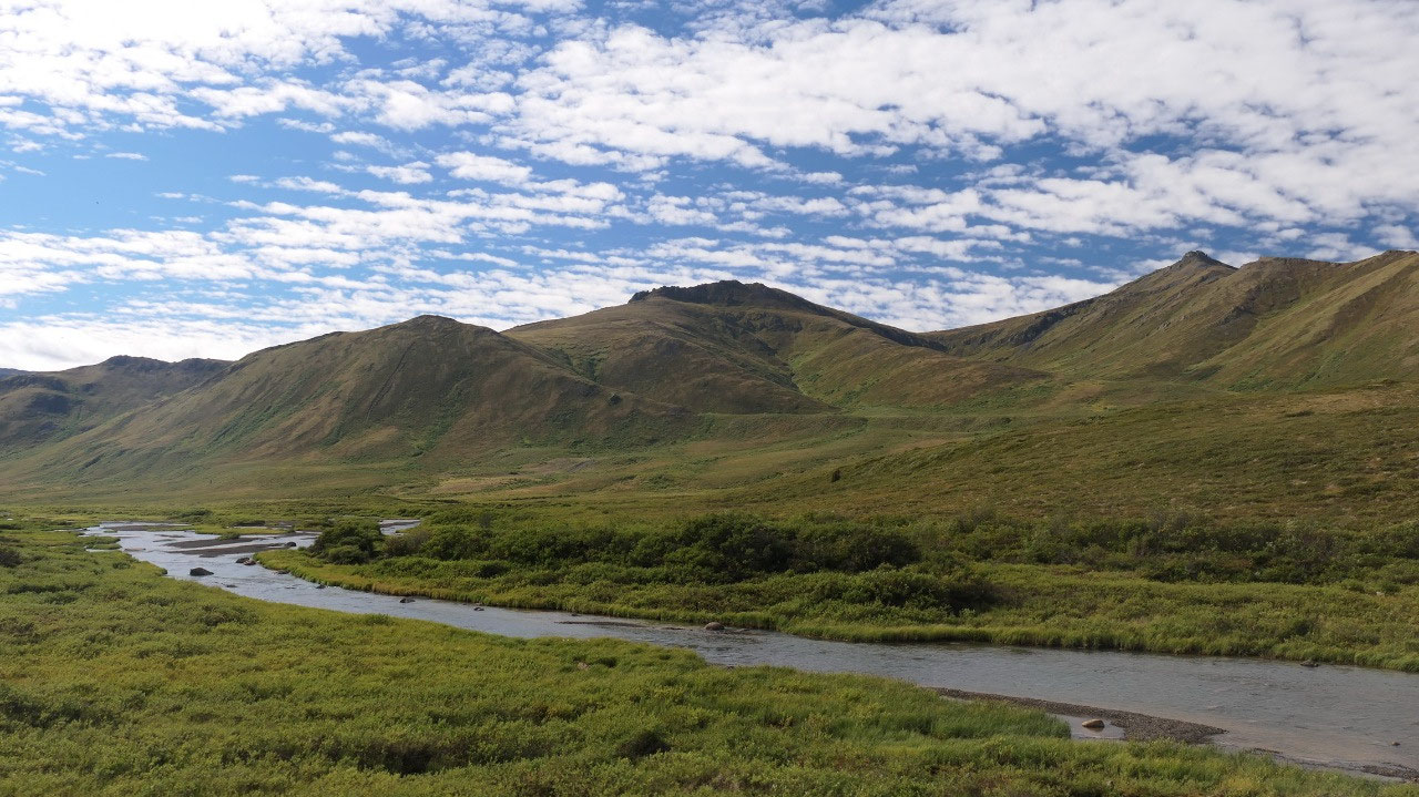
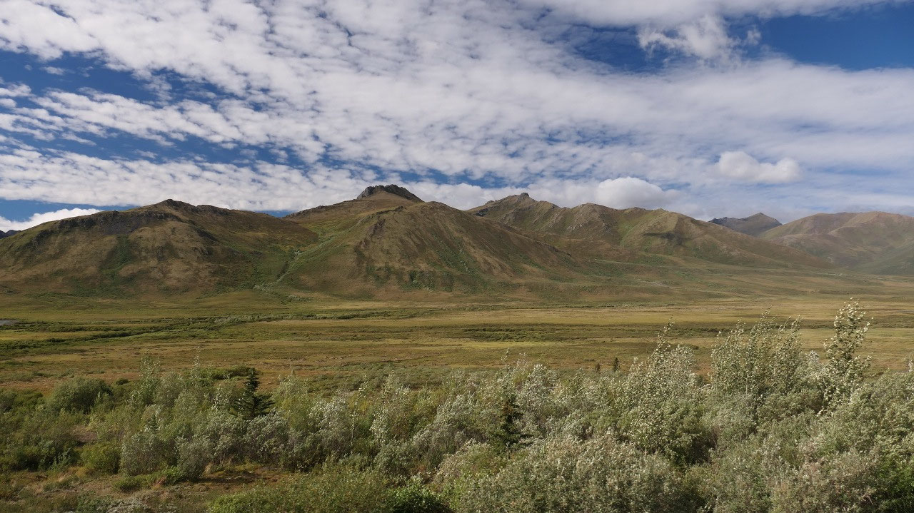
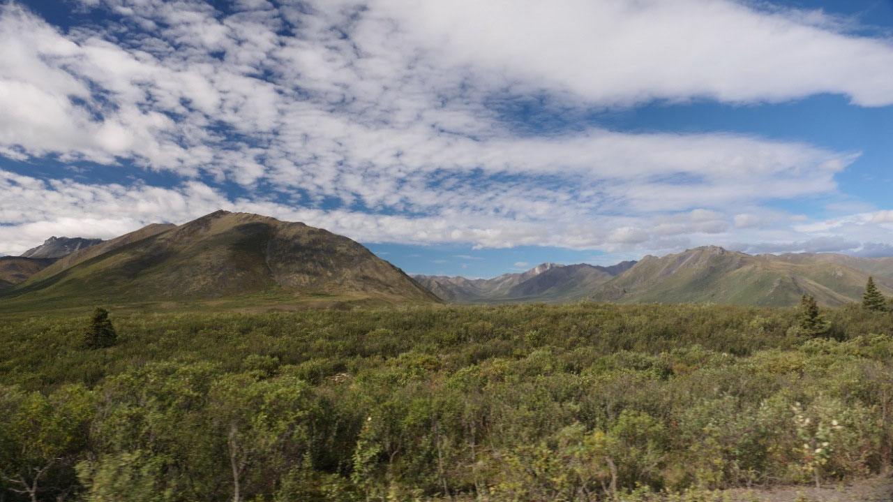
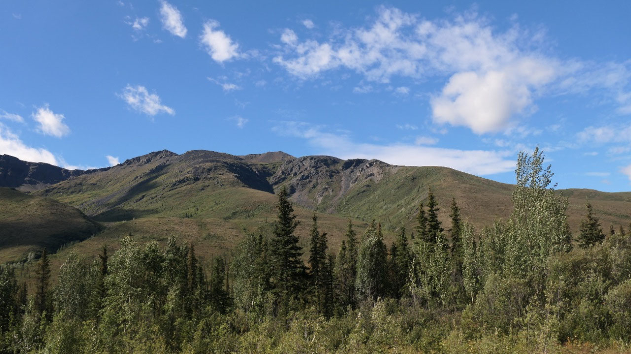
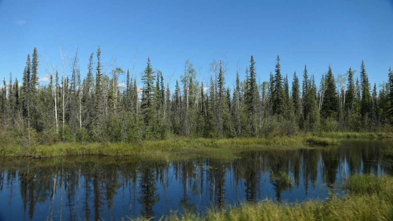
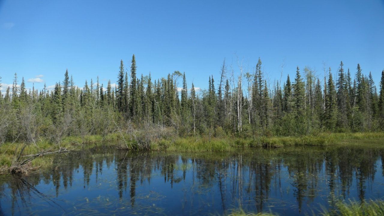
I think in that one week we were coming by here, some of the plants are getting more into fall colors – still green – but a hint of yellow and slight brown – with the sunshine it is super nice to look at.
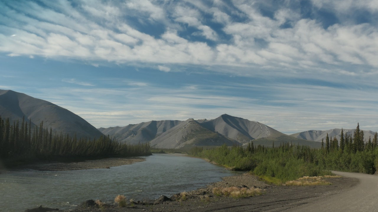
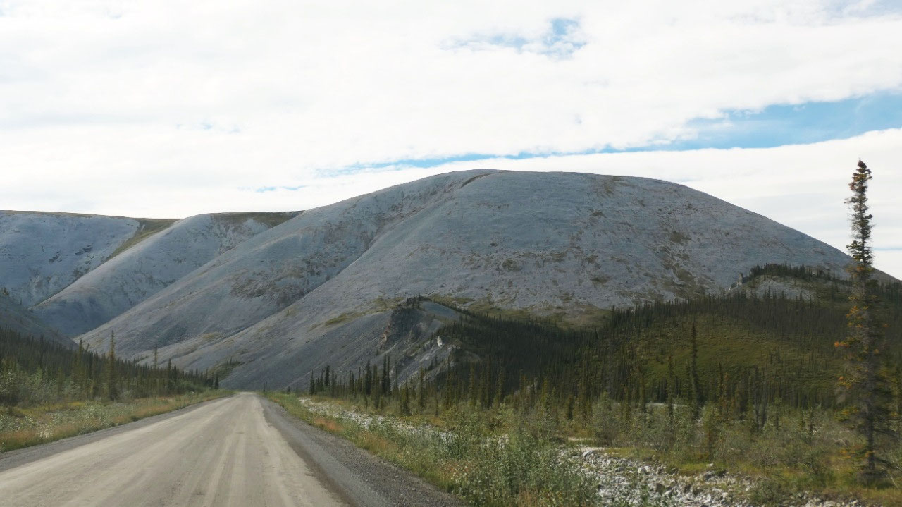
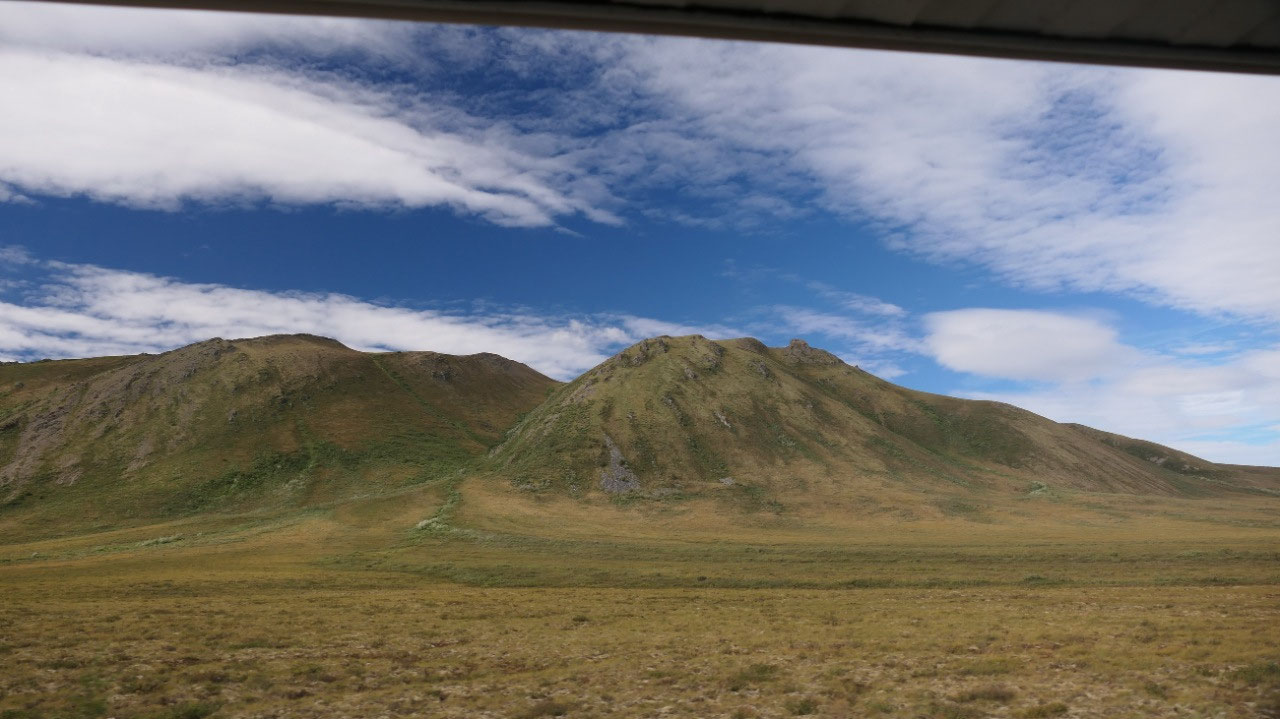
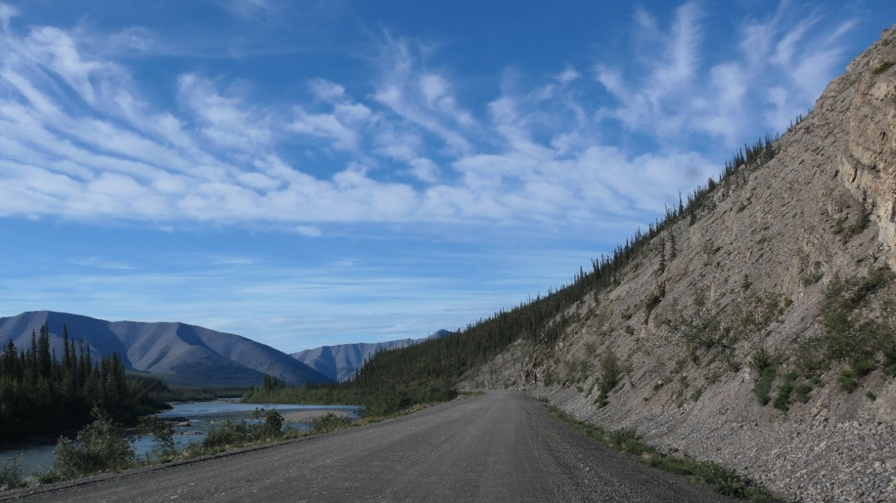
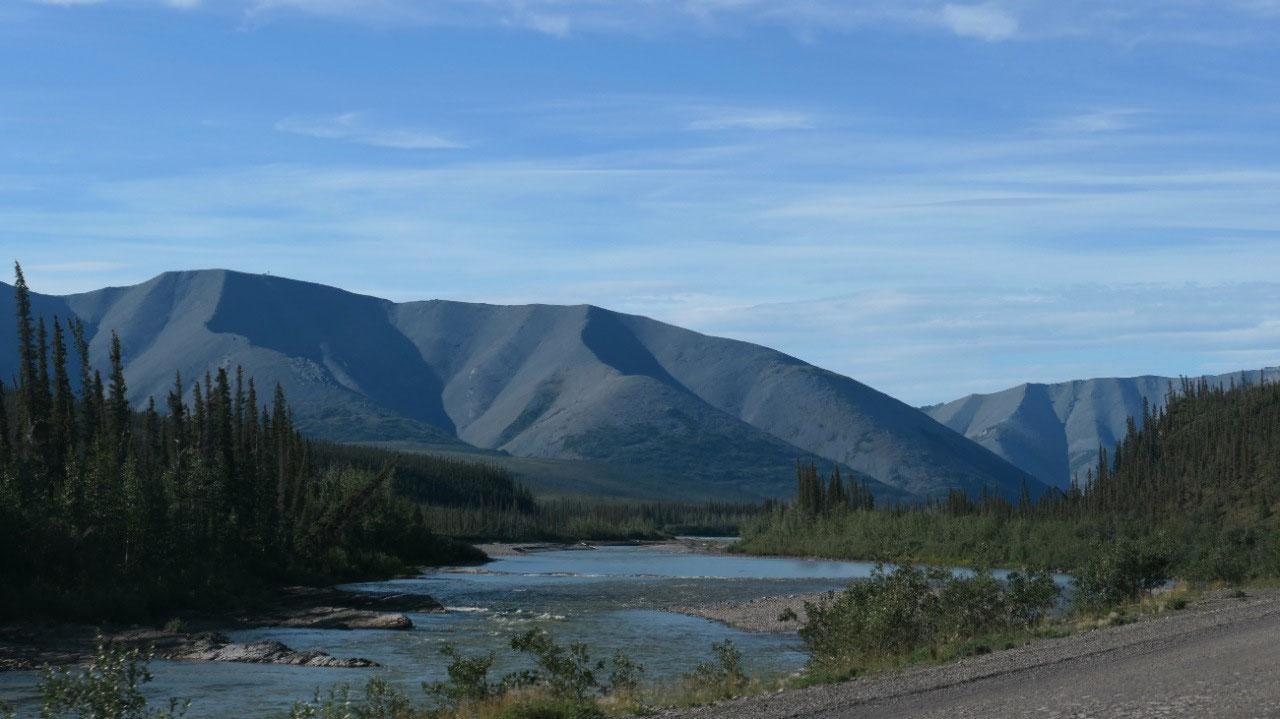
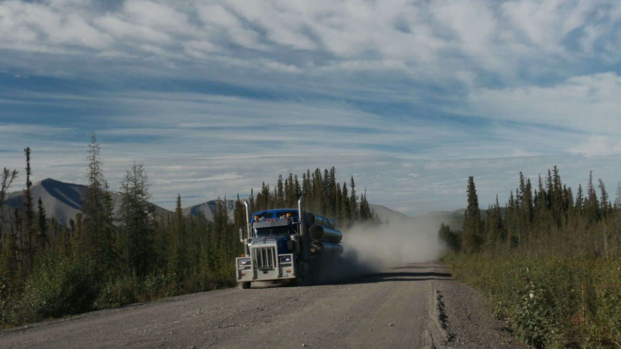
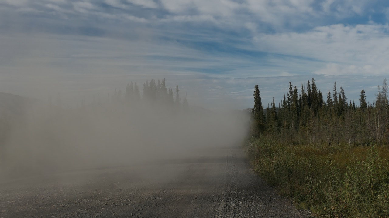
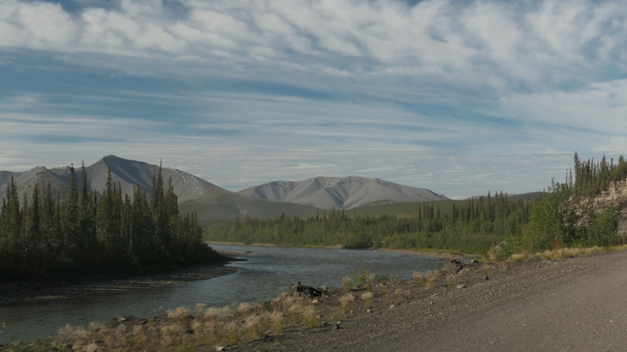
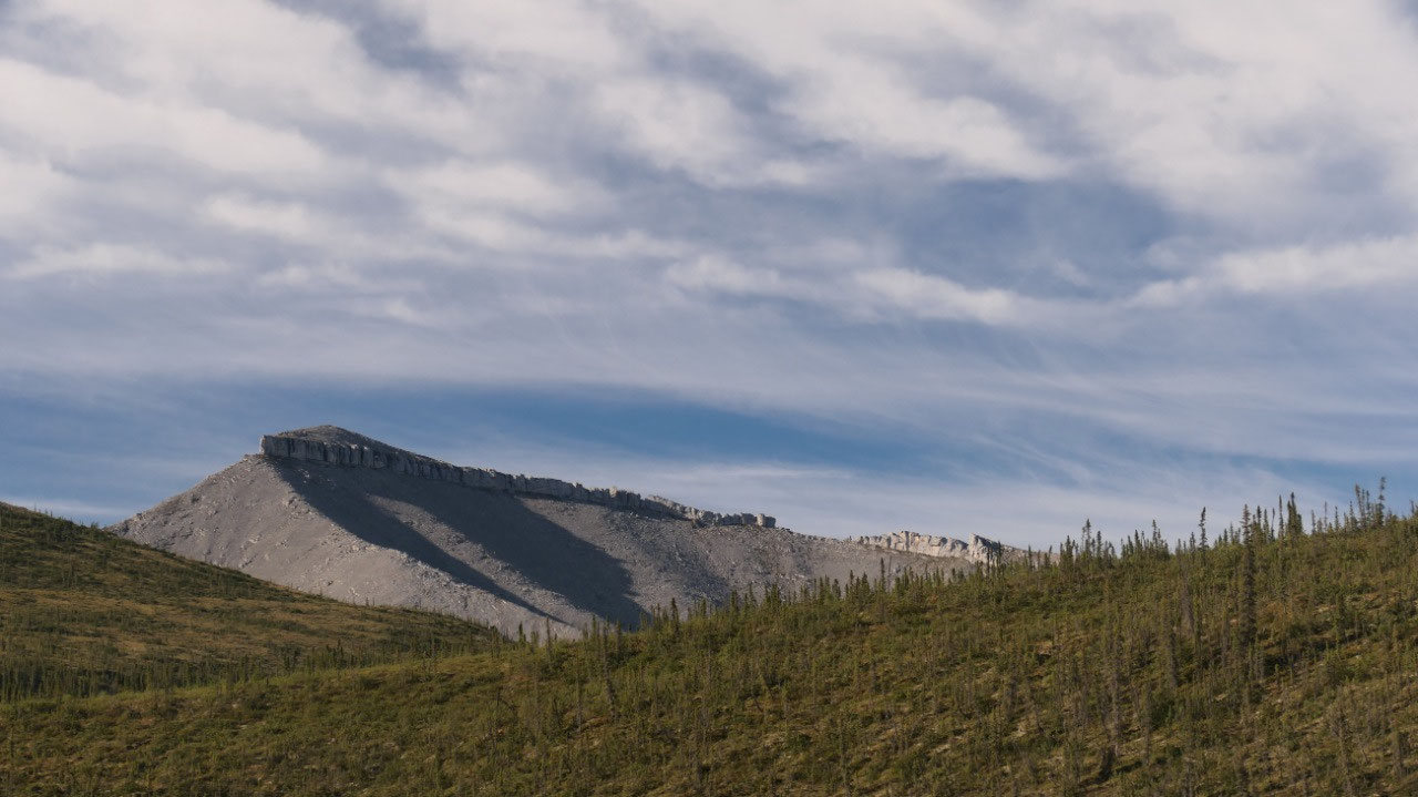
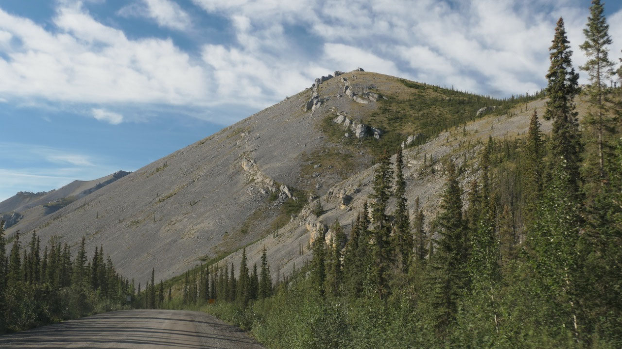
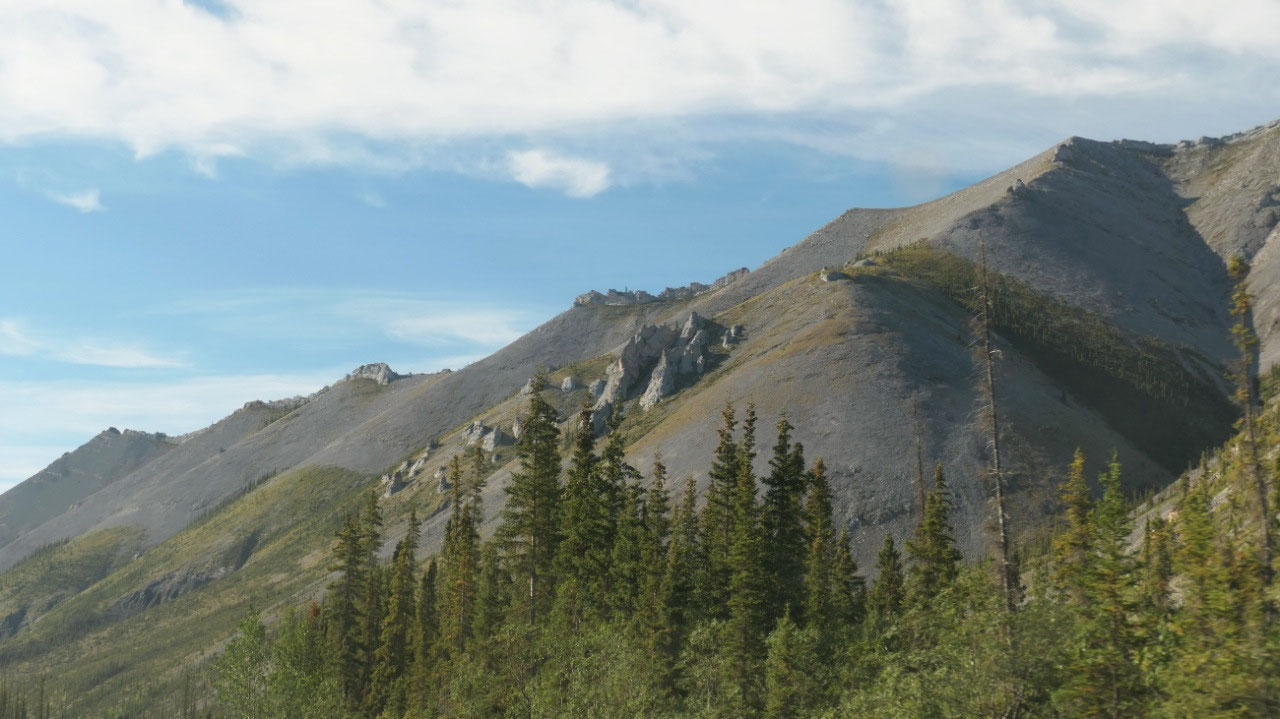
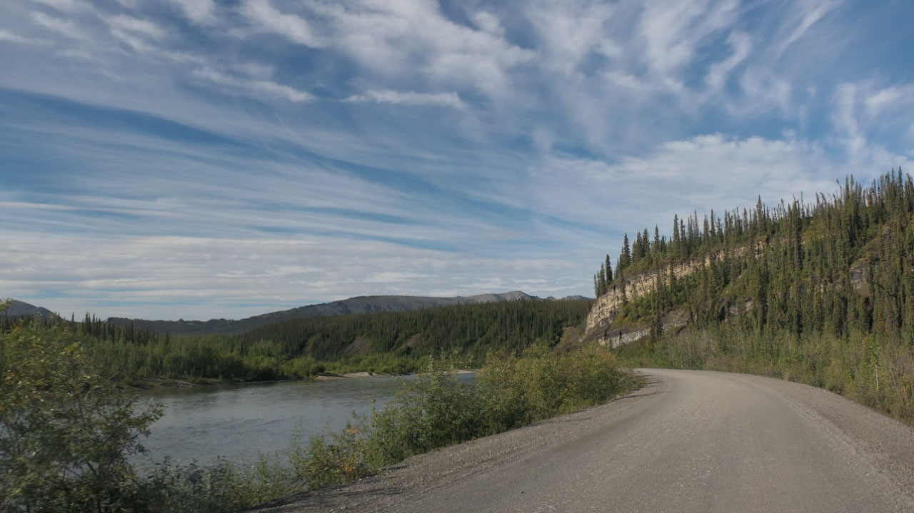
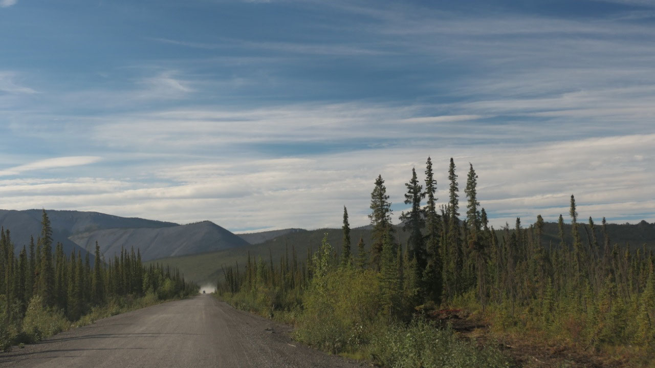
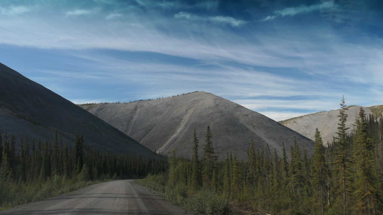
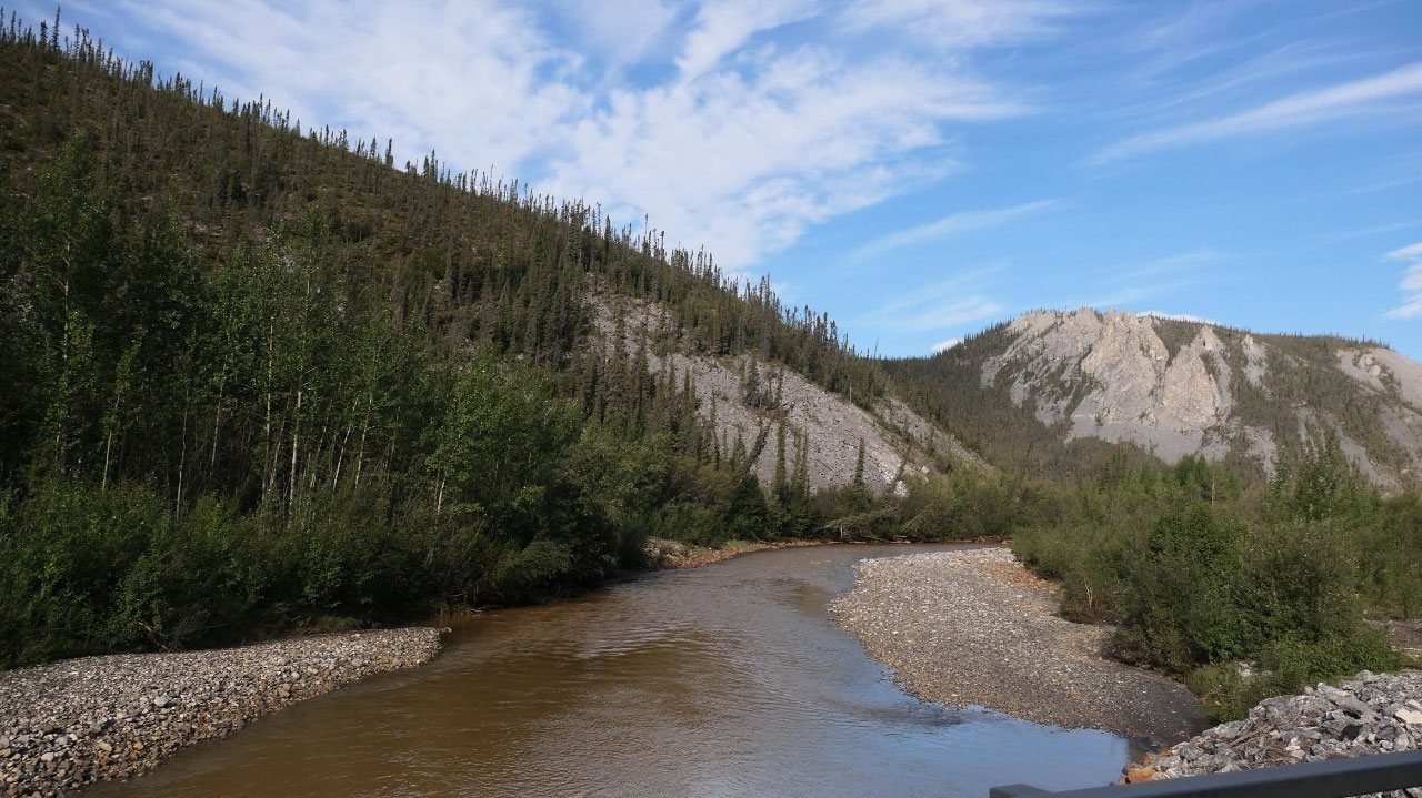
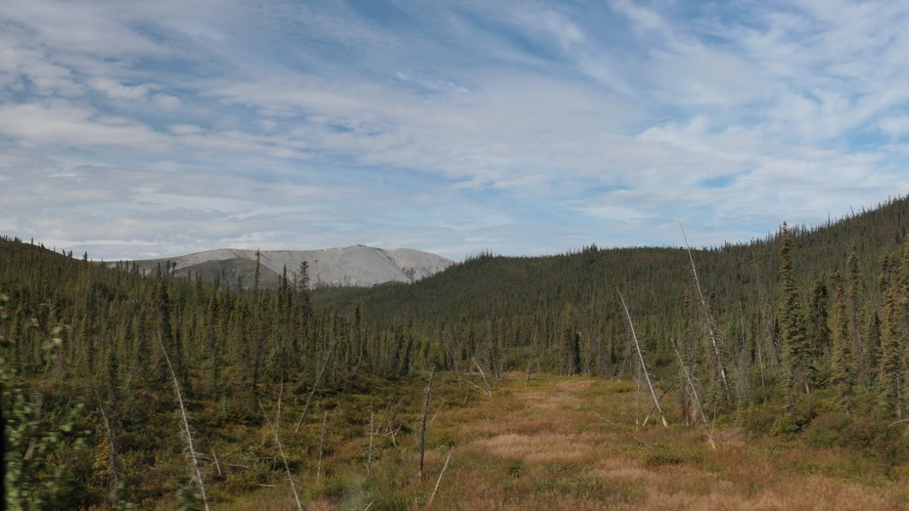
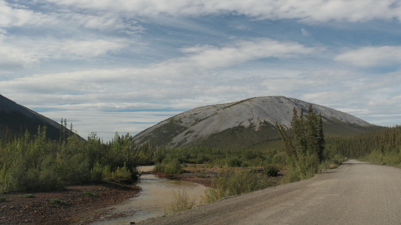
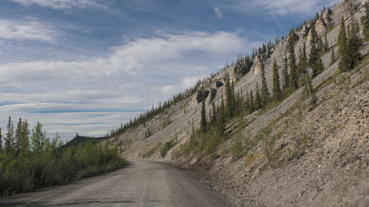
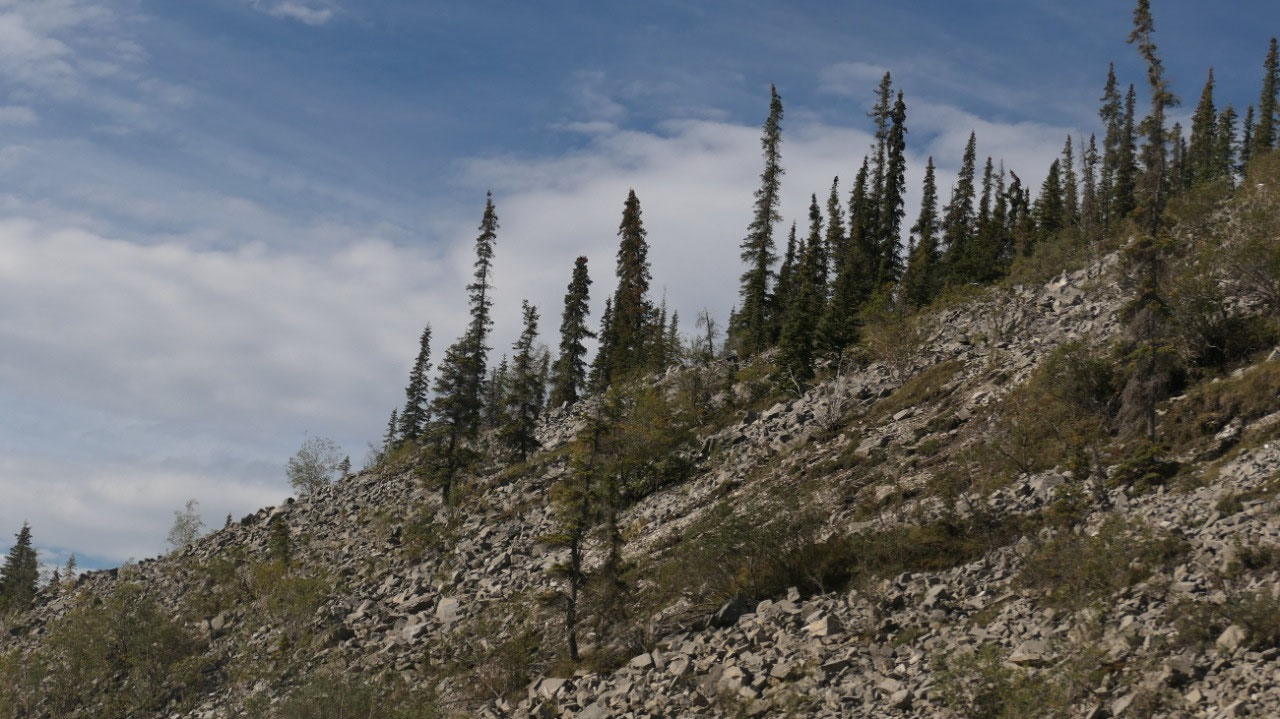
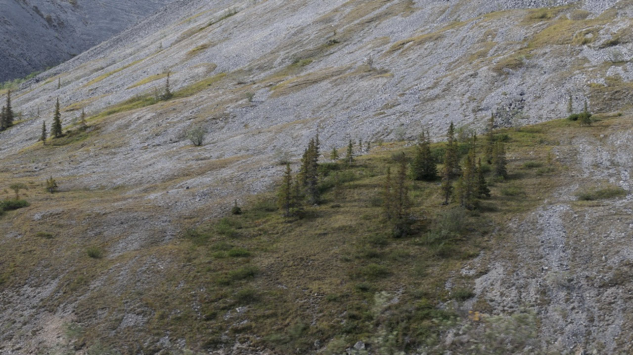
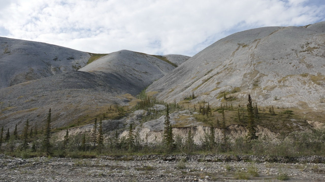
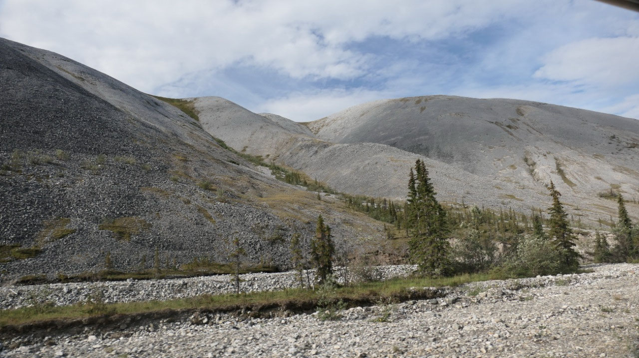
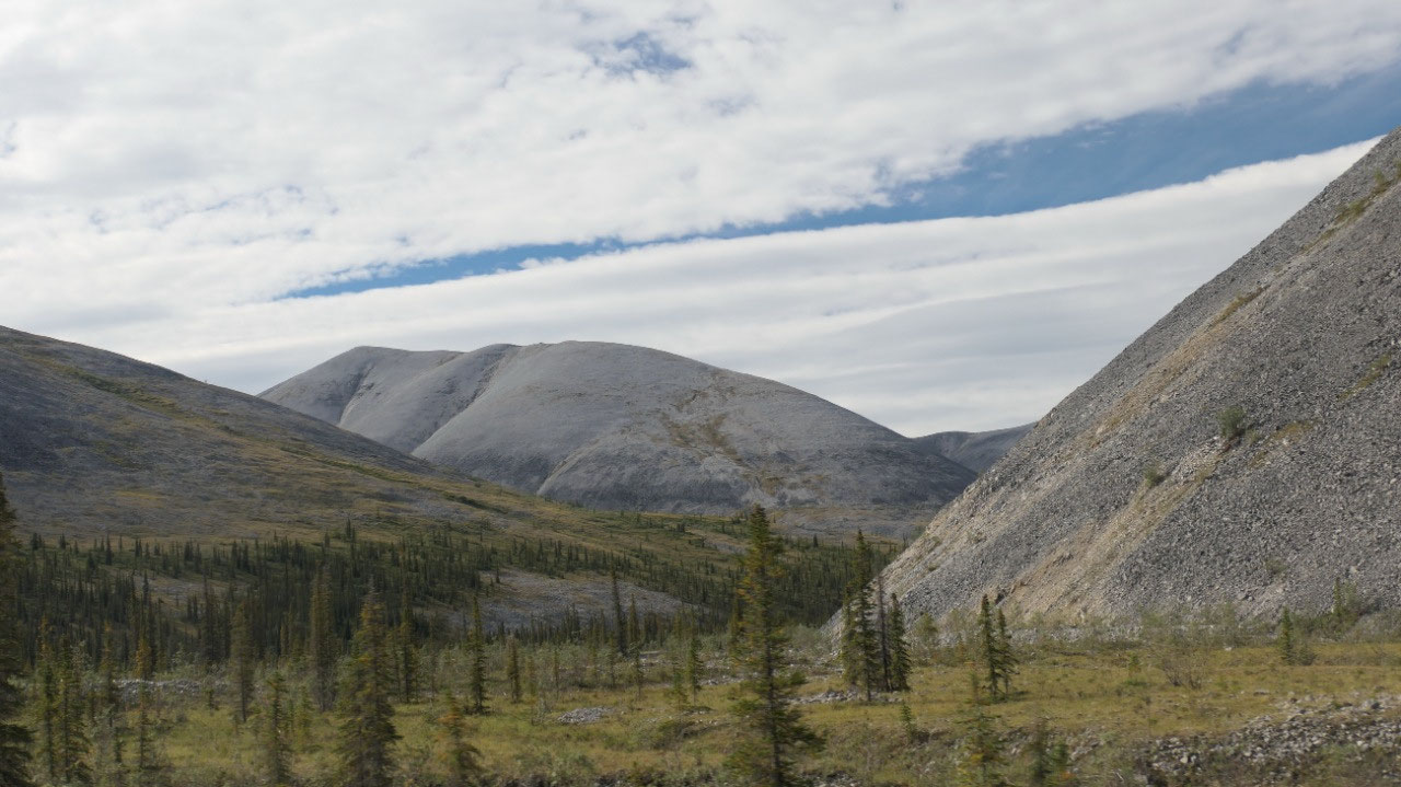
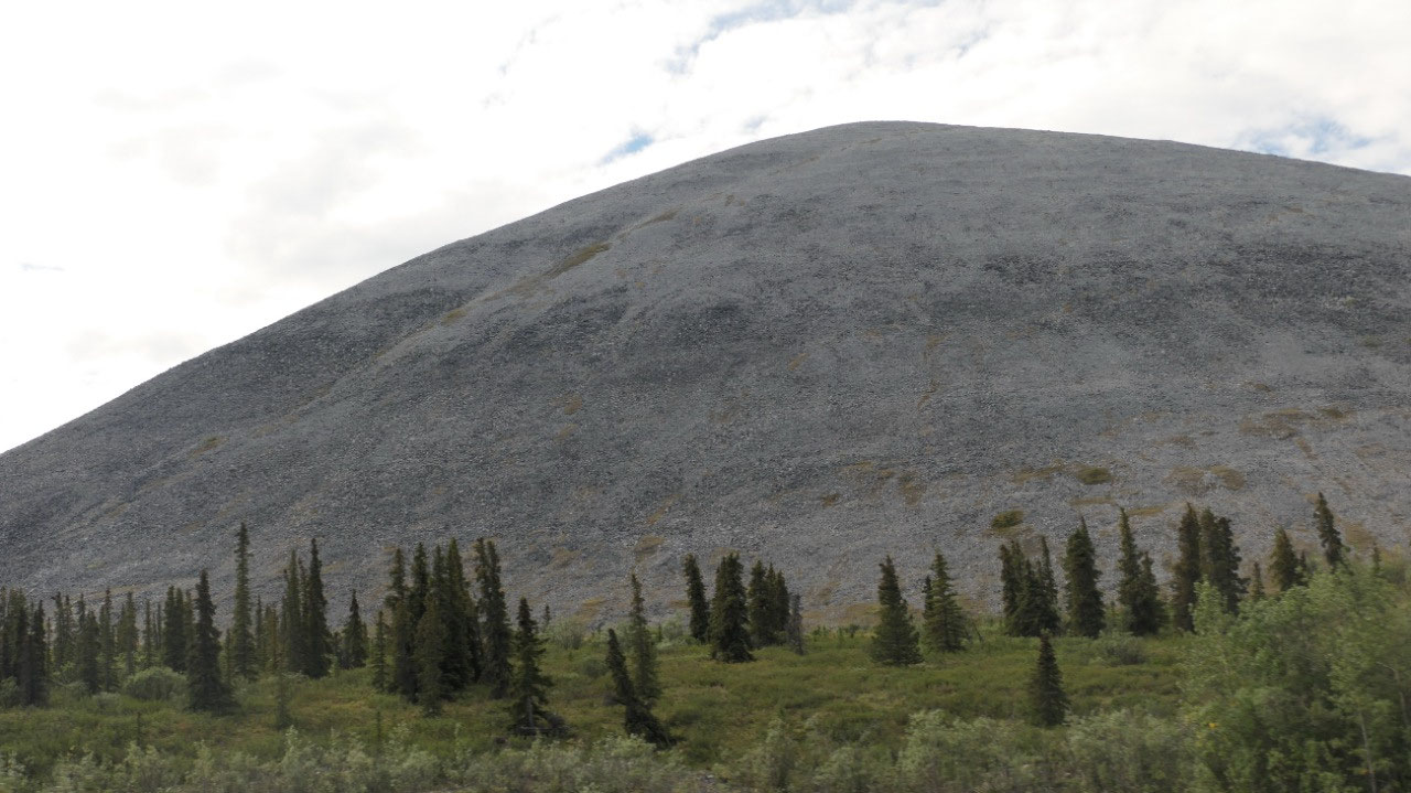
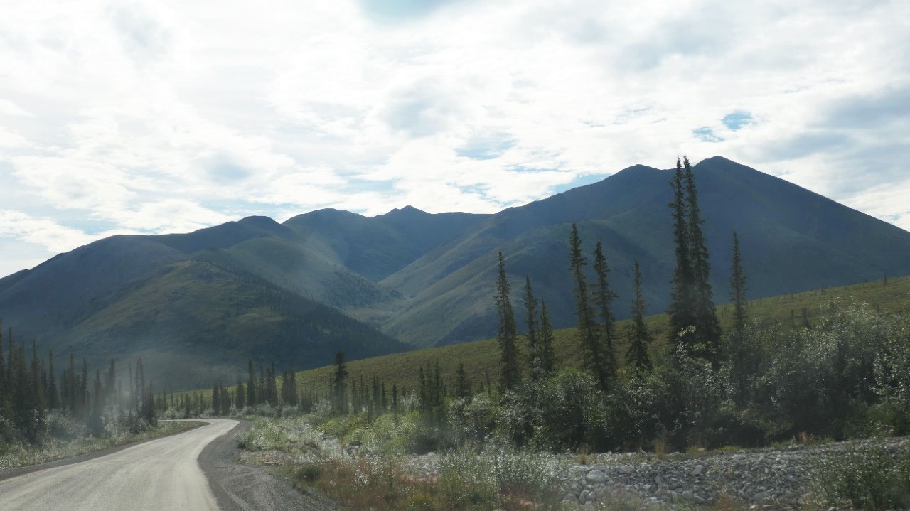
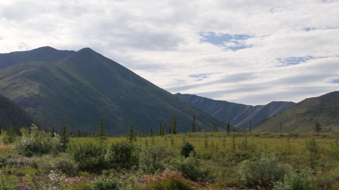
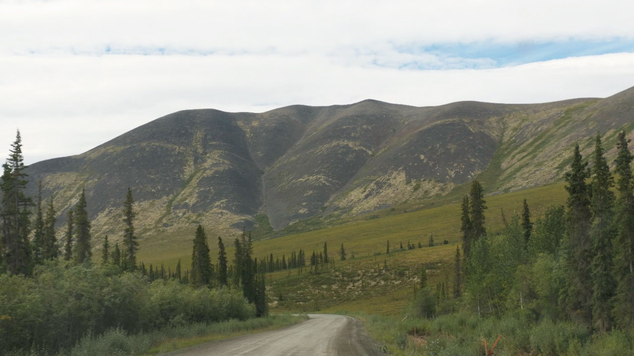
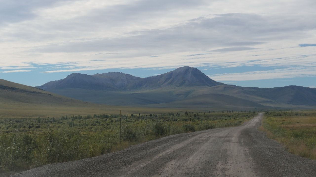
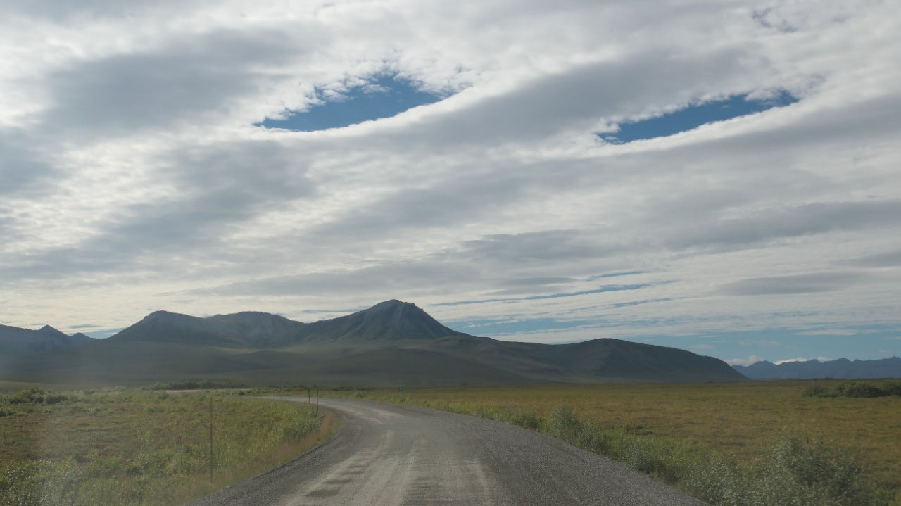
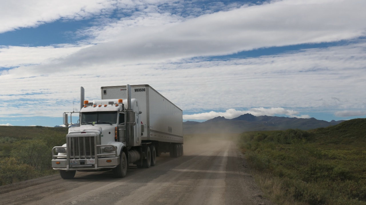
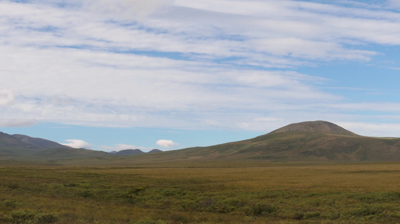
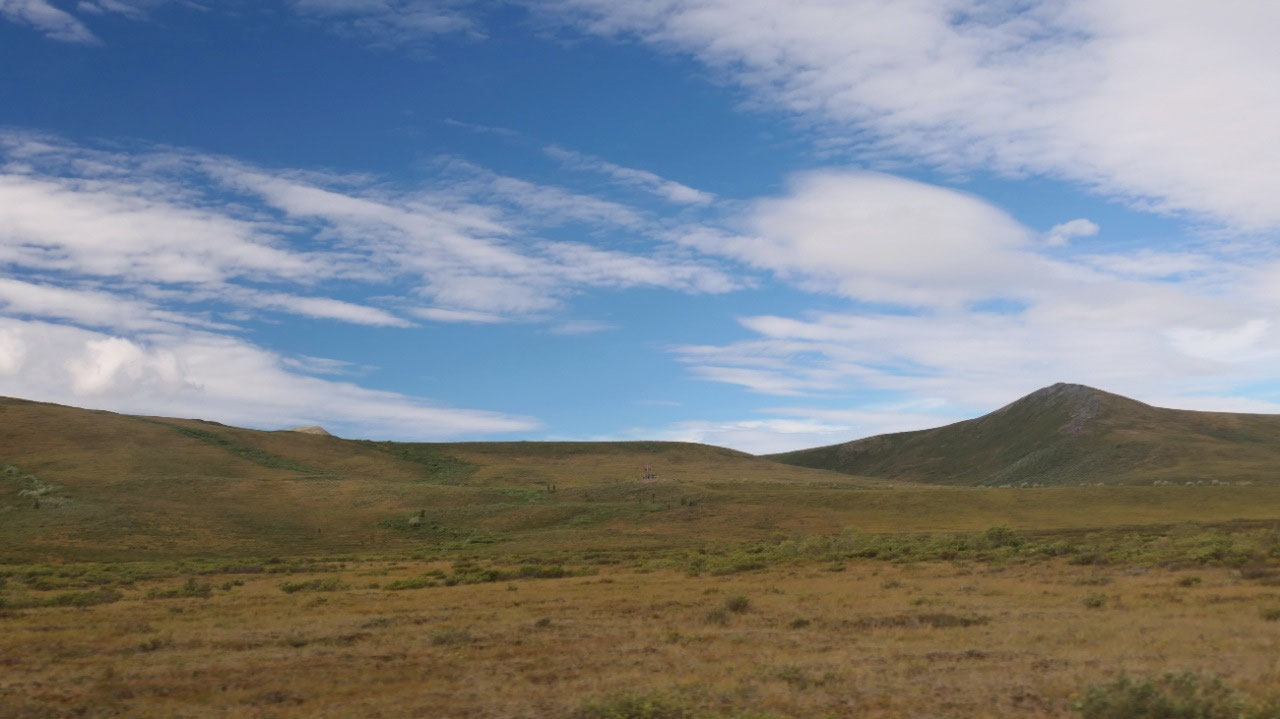
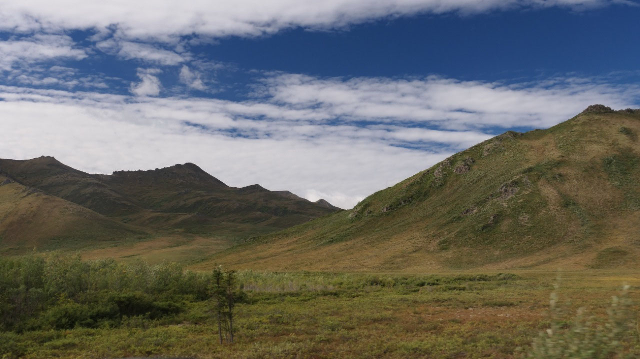
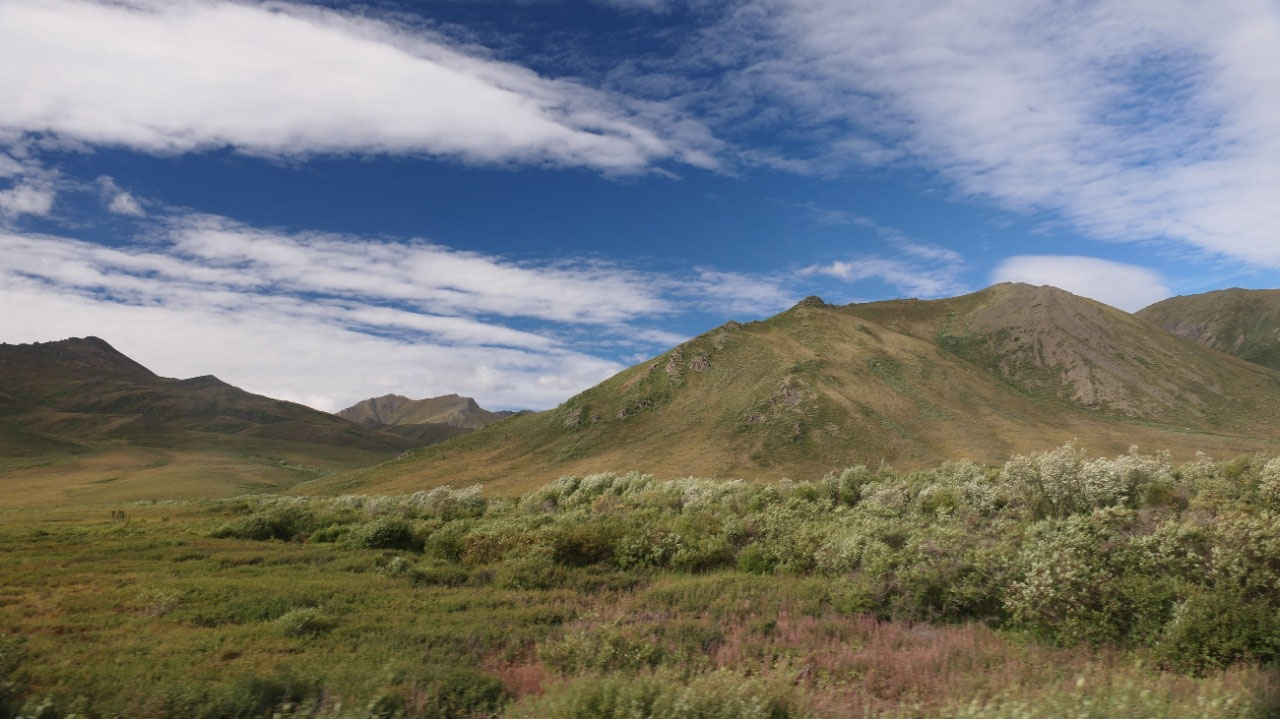
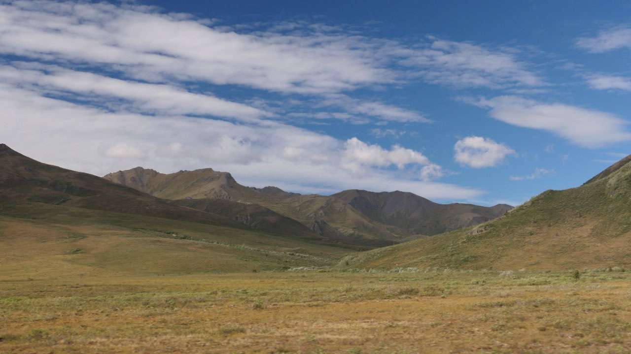
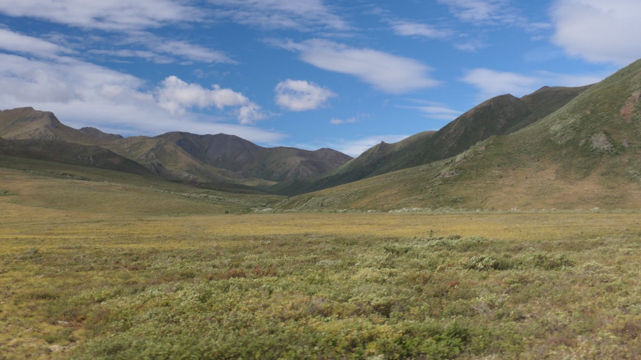
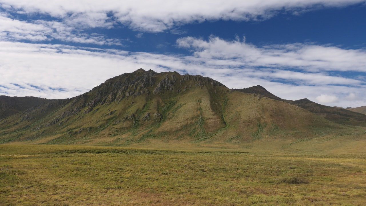
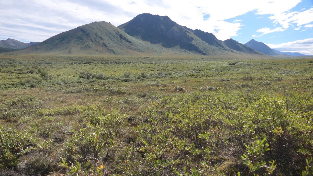
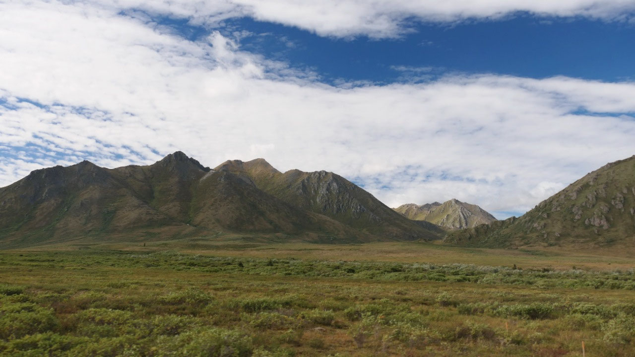
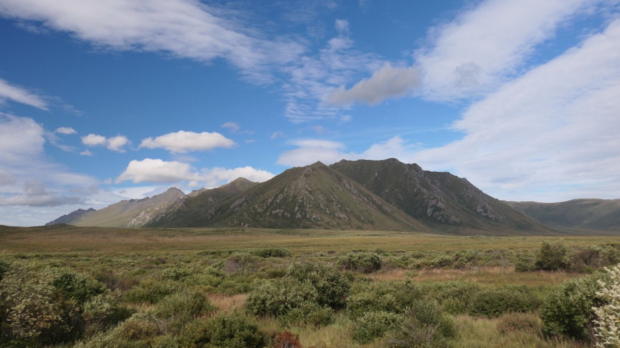
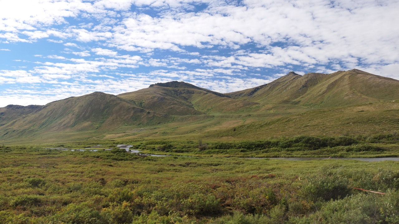
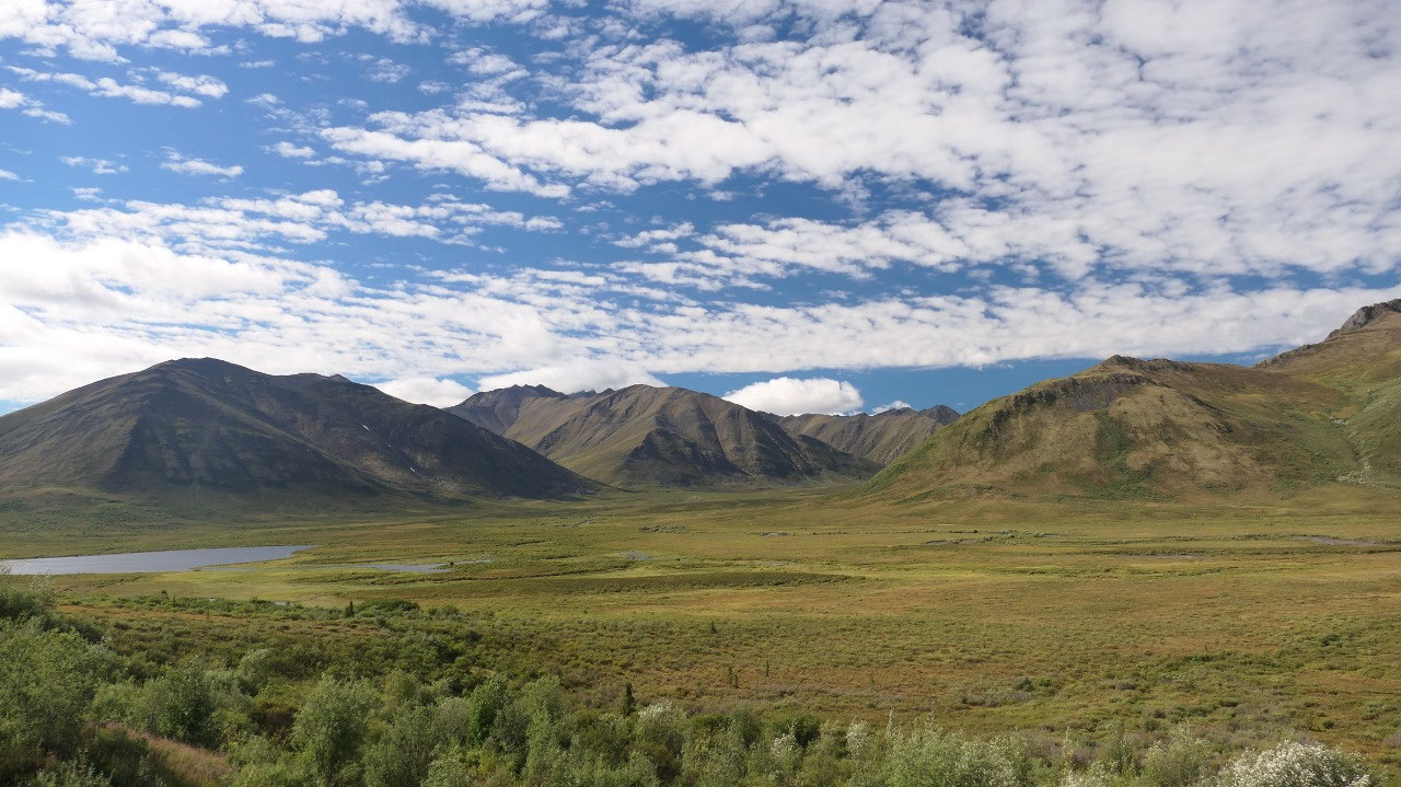
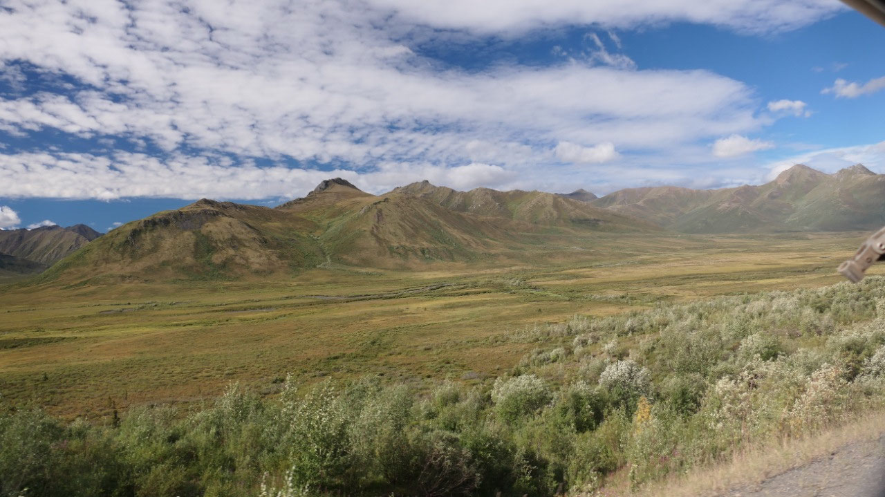
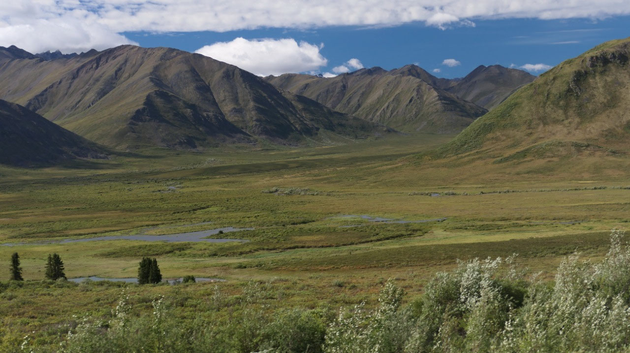
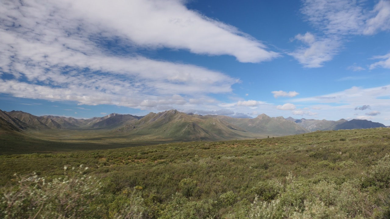
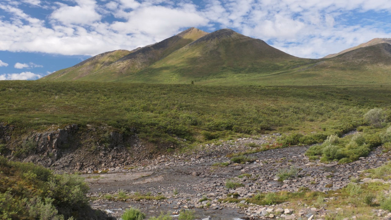
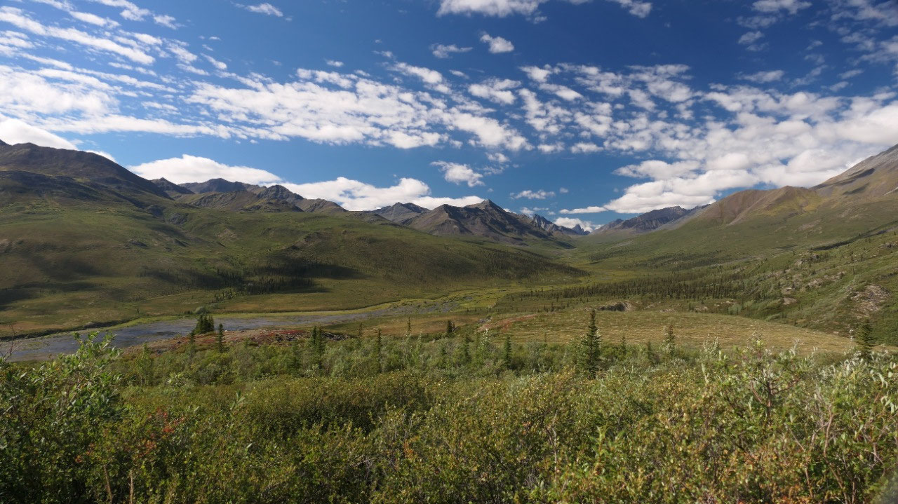
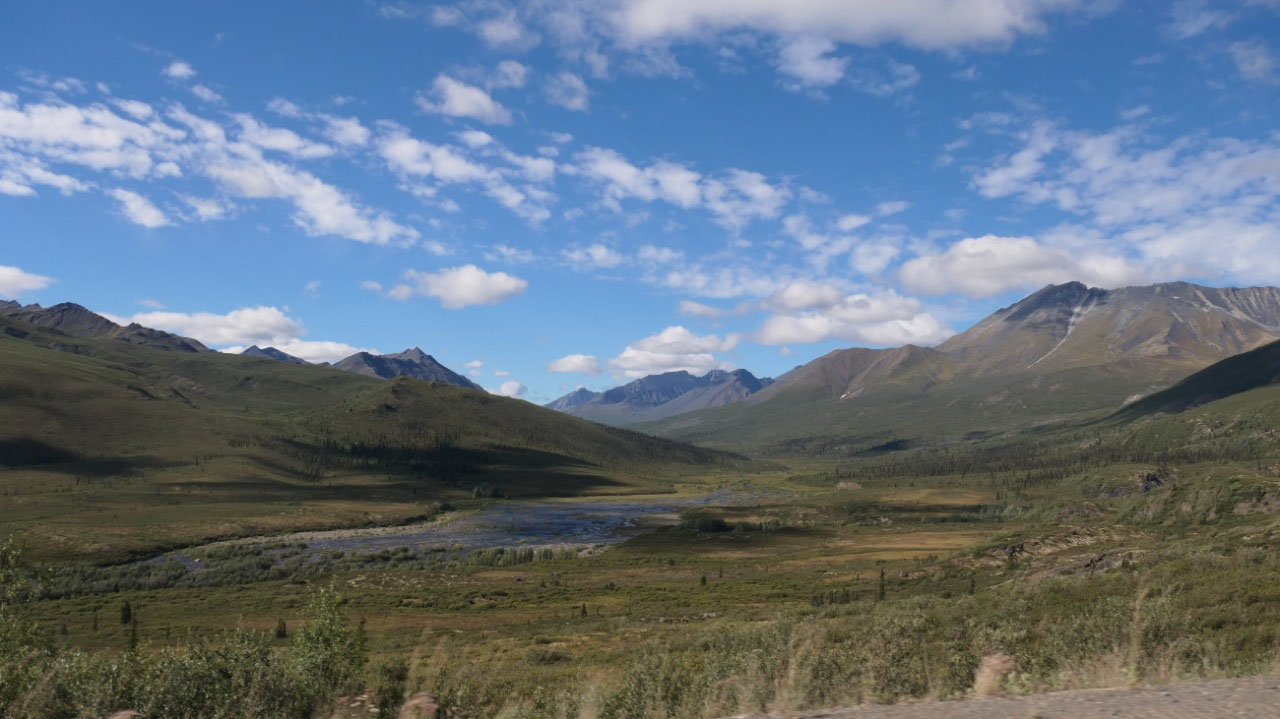
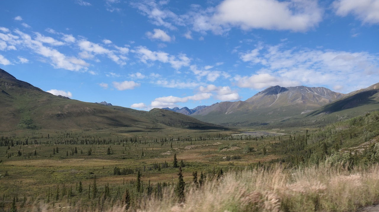
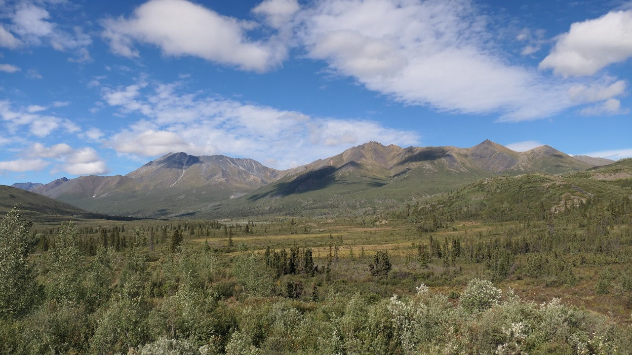
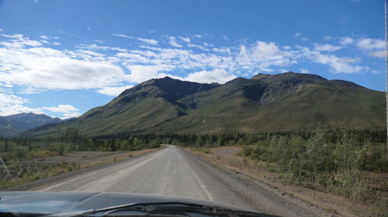
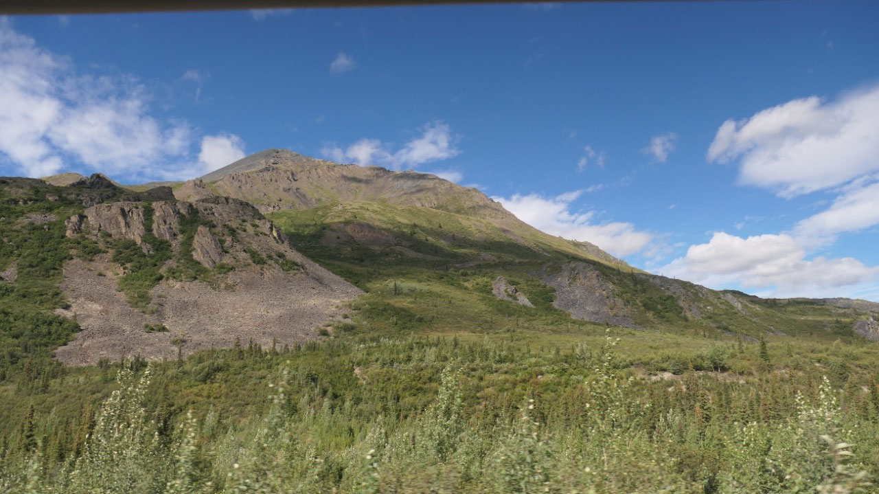
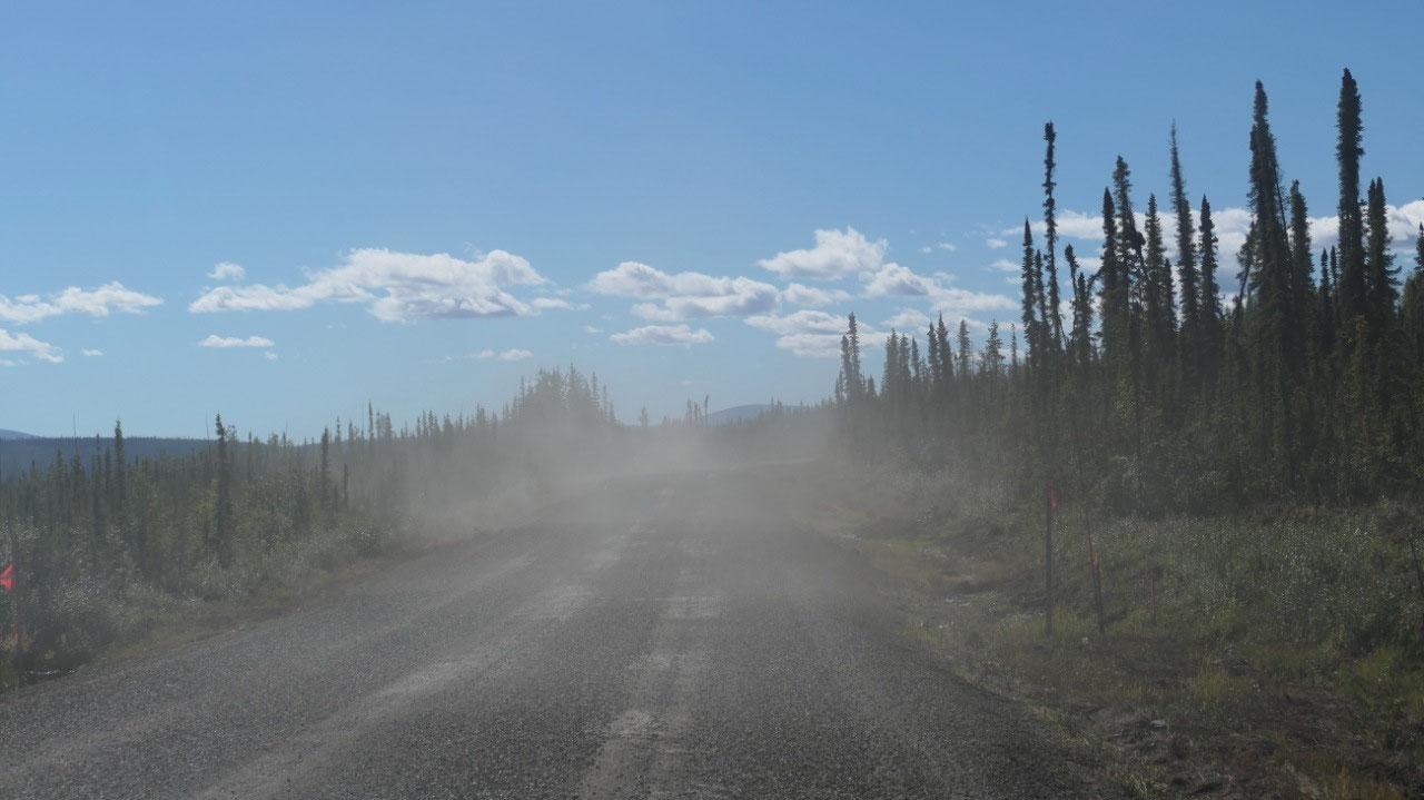
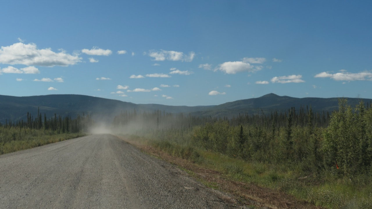
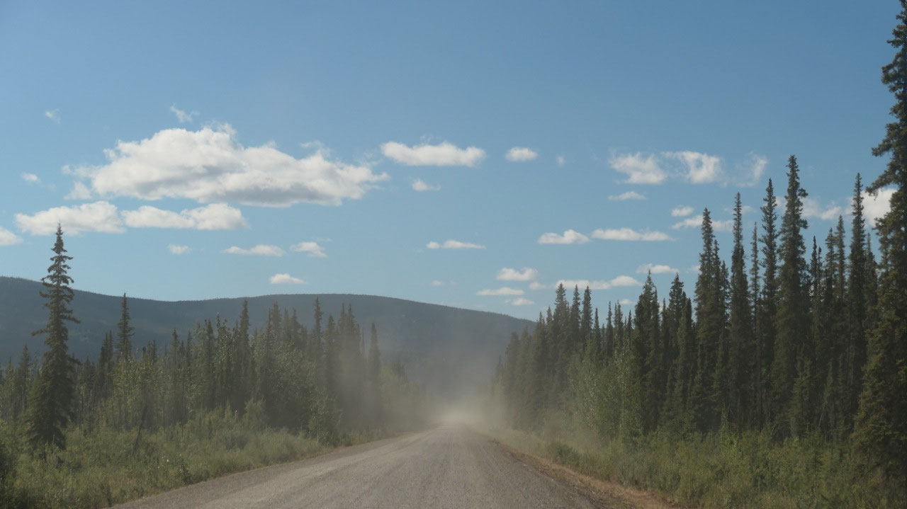
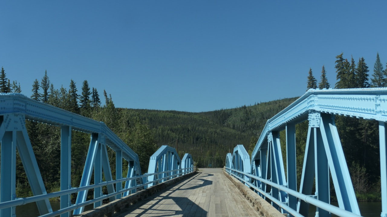
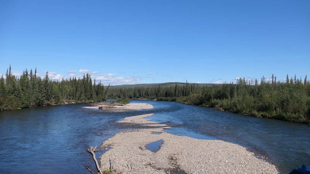
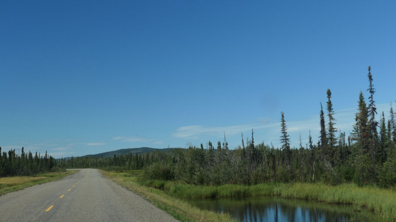
As we head out with beautiful blue sky we go towards those cool “Gravel-Mountains”, encounter trucks with lots of dust, drive along rivers, wide open spaces with the boggy-grassy-shrub areas, see again those “laughing mountains”, smell the sulphur of the Engineer creek and see the red colors, drive through forests – a lot we remember and still coming the other directions it still amazes us.
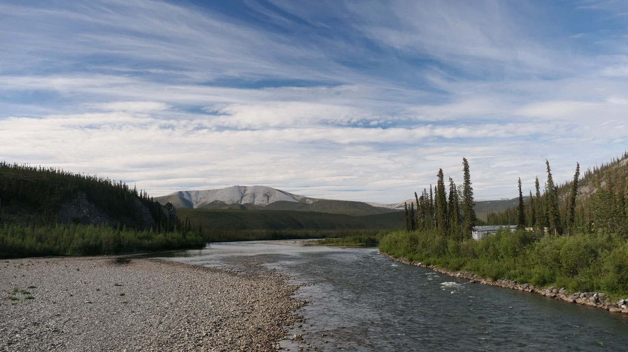
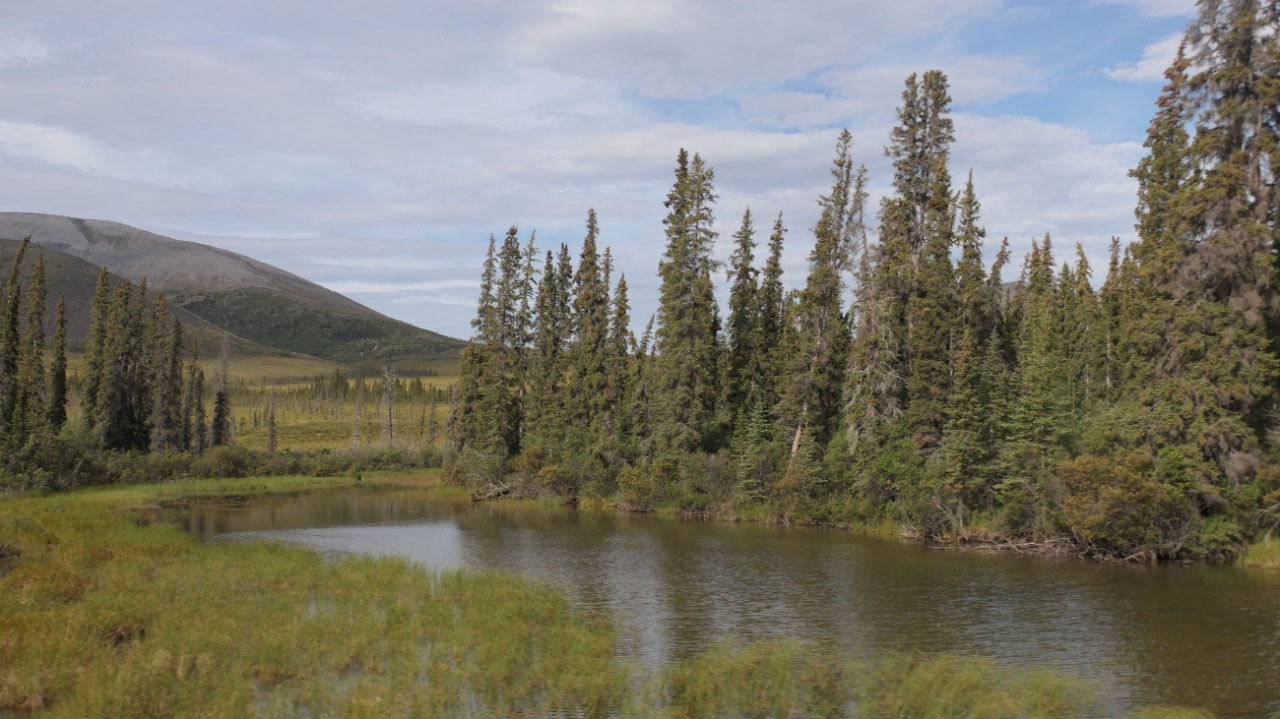
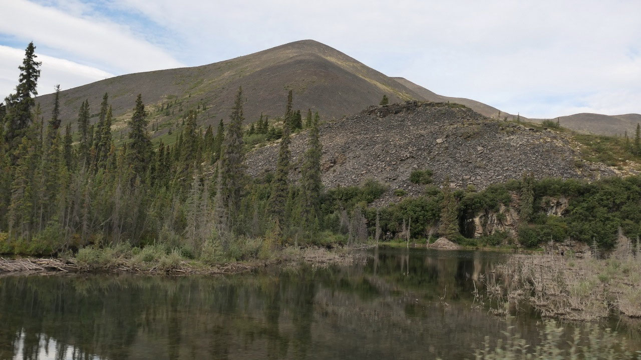
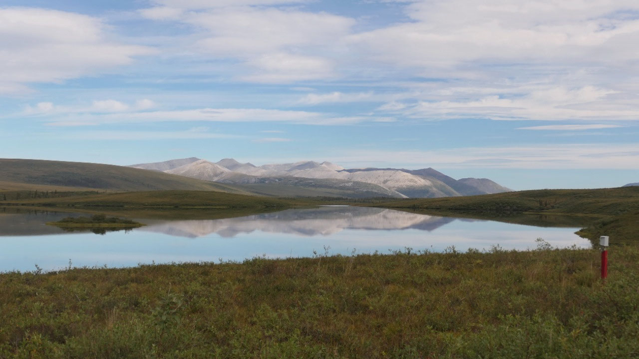
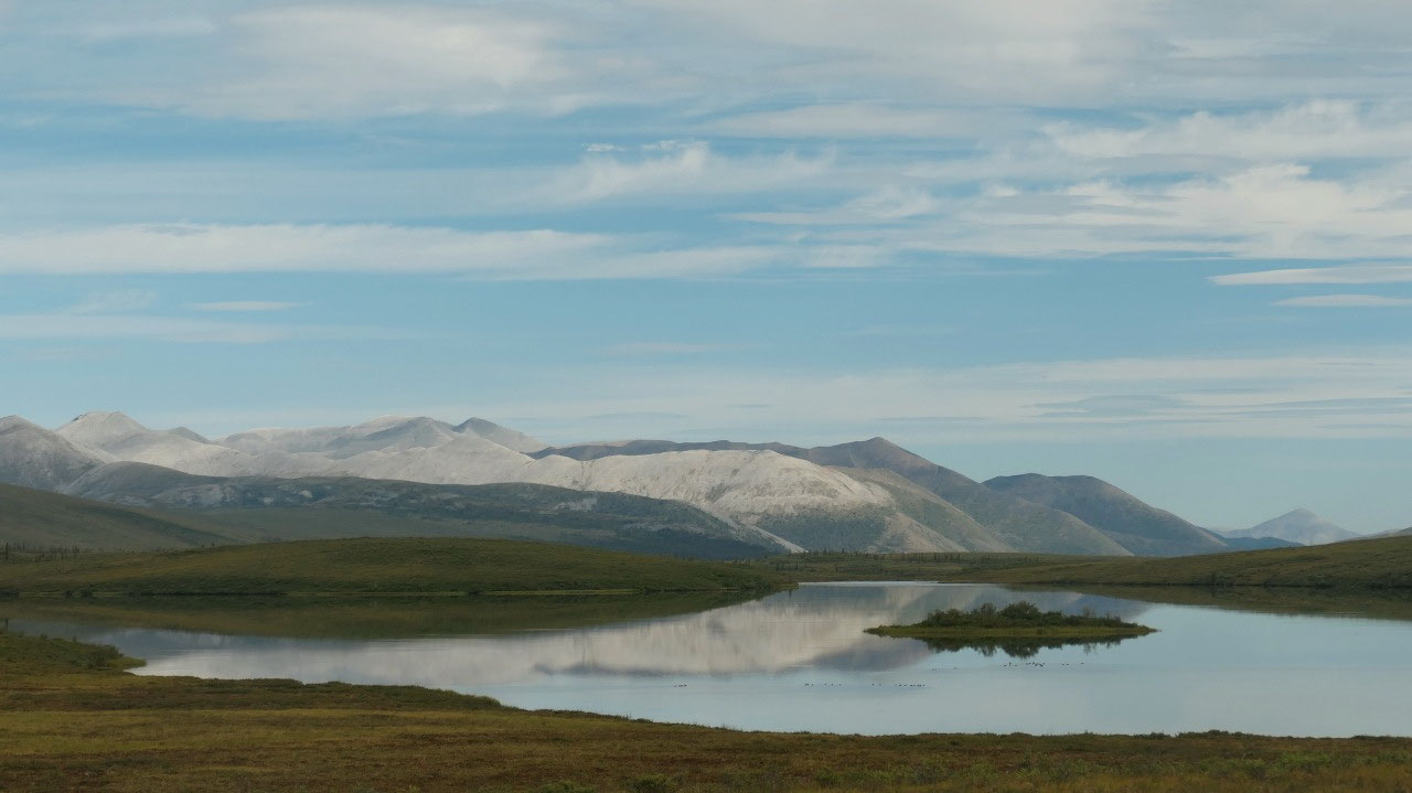
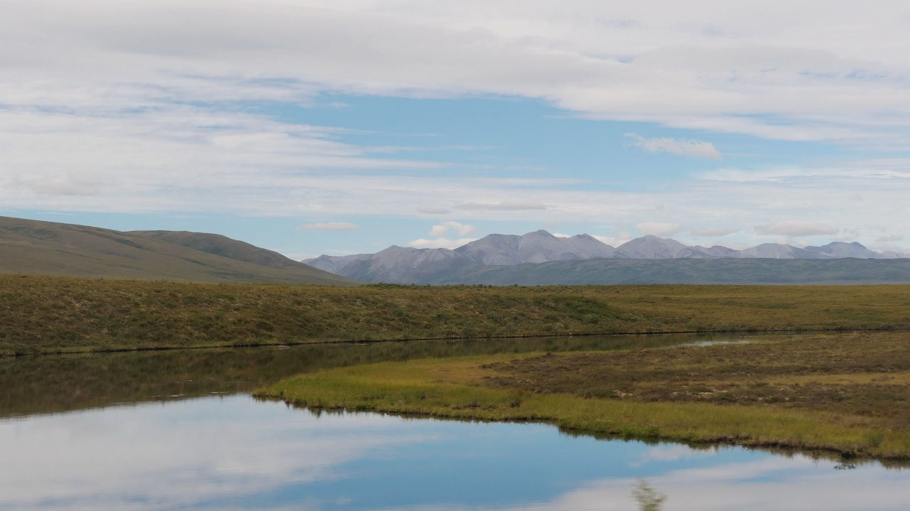
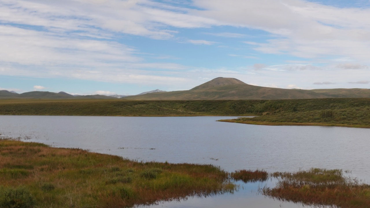
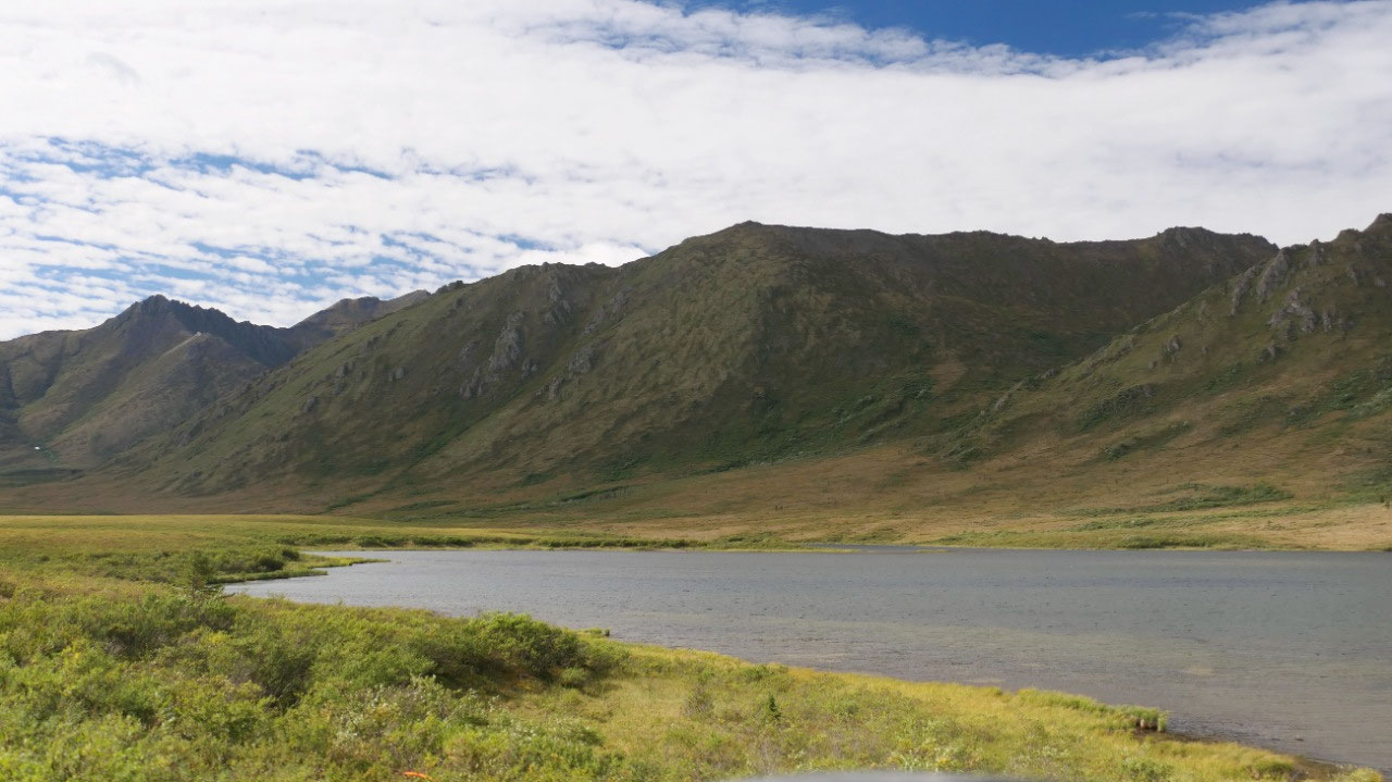
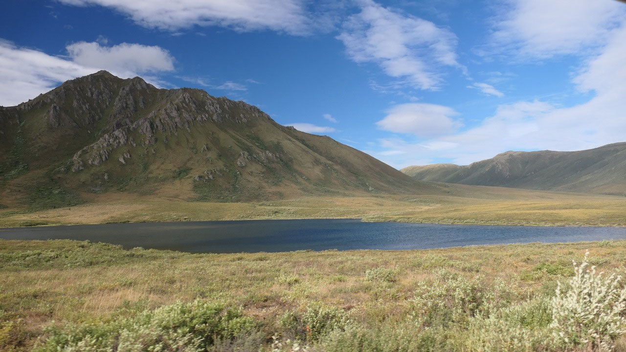
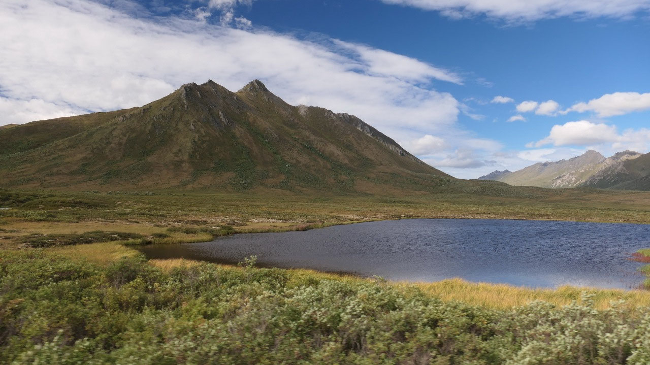
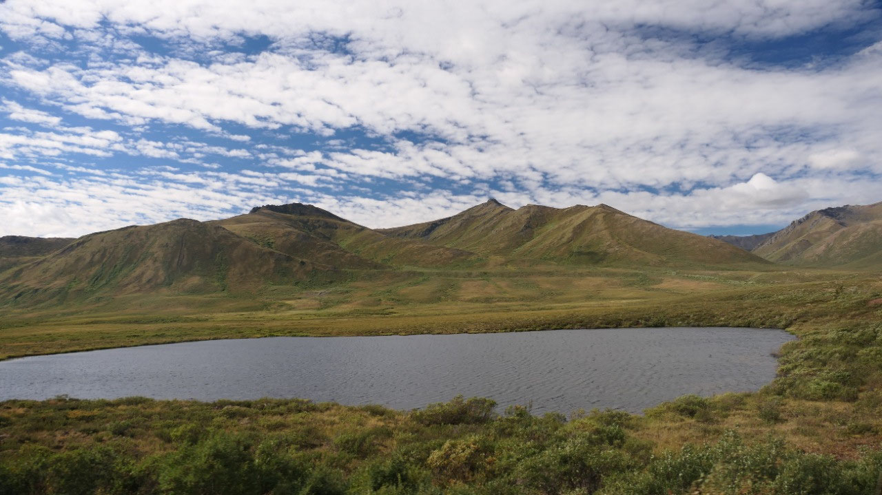
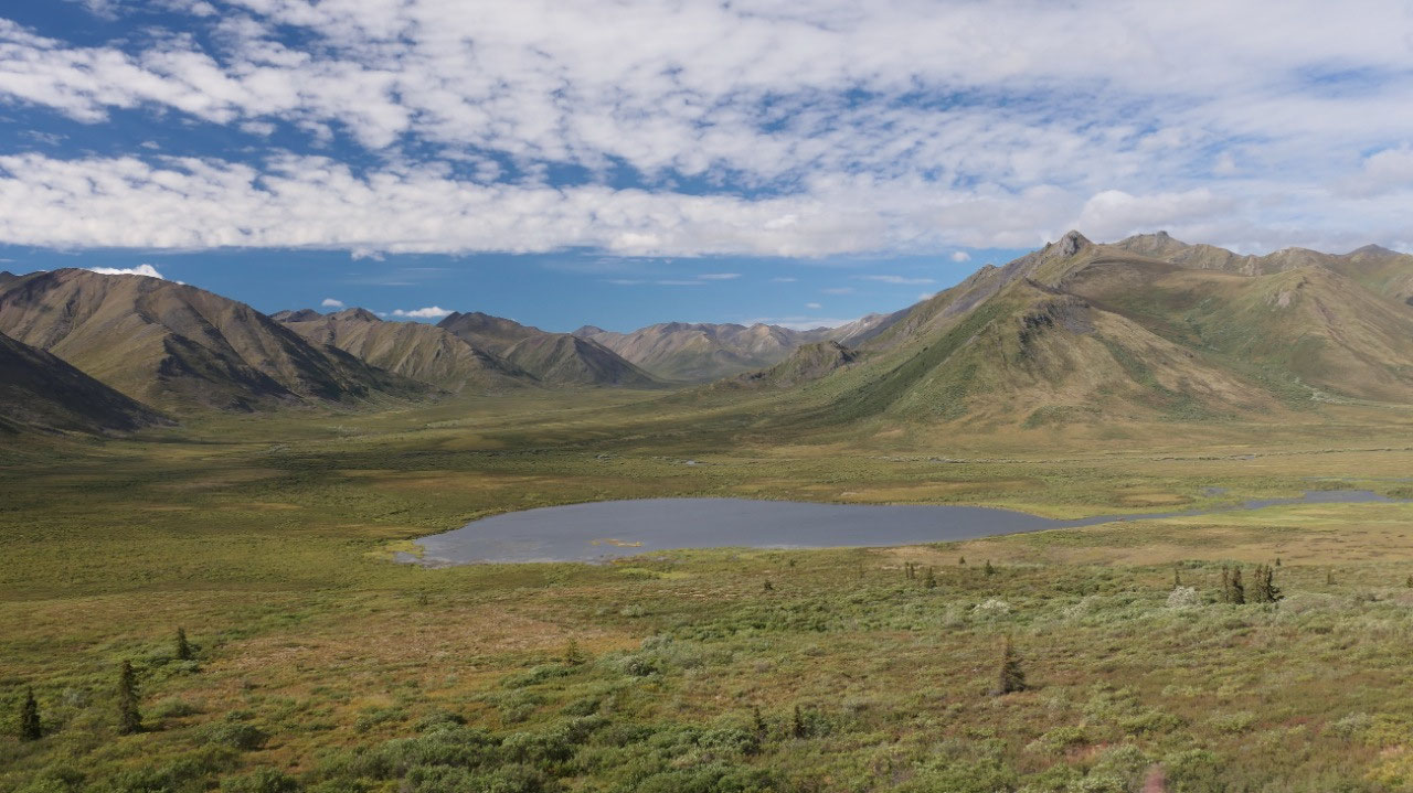
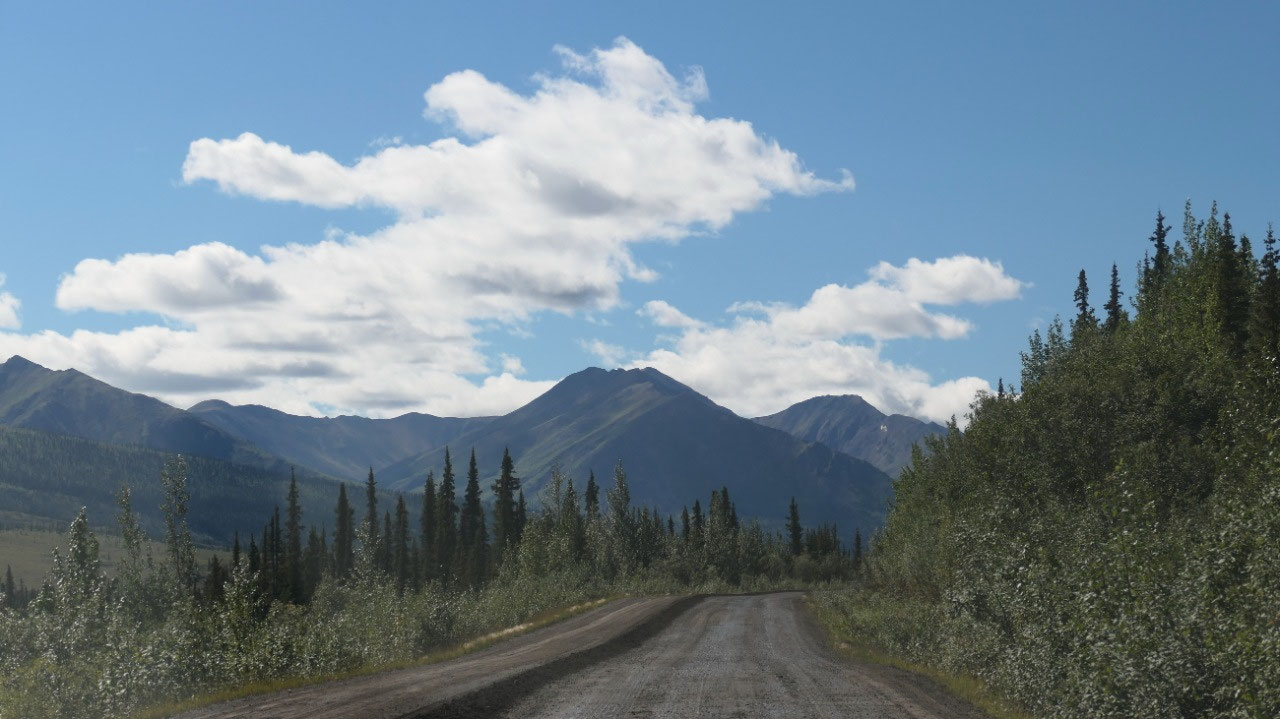
Chapman Lake: at the entrance to the tombstone TP with the largest Lake along the Dempster Highway the Chapman lake – it is super nice, as it is calm with an island and the mountains mirror in it. Soon after comes Moose lake, as there are no Moose – we don’t stop.
- Ernest Chapman was a trapper and prospector
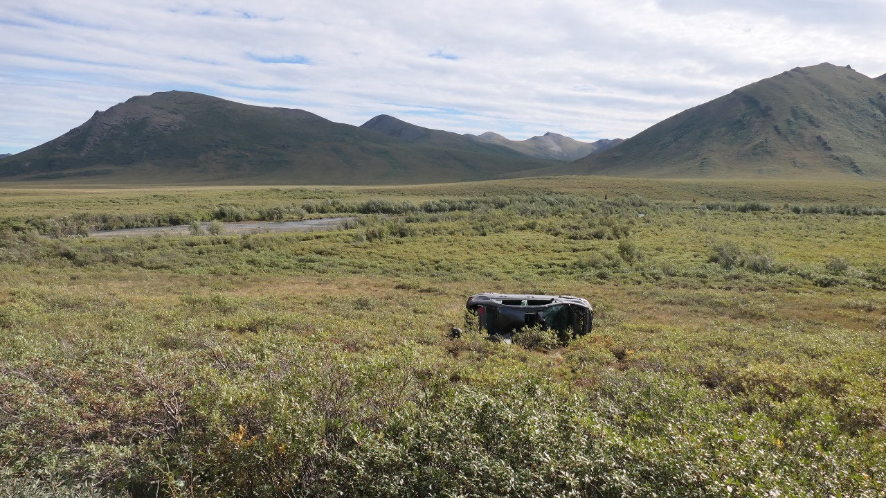
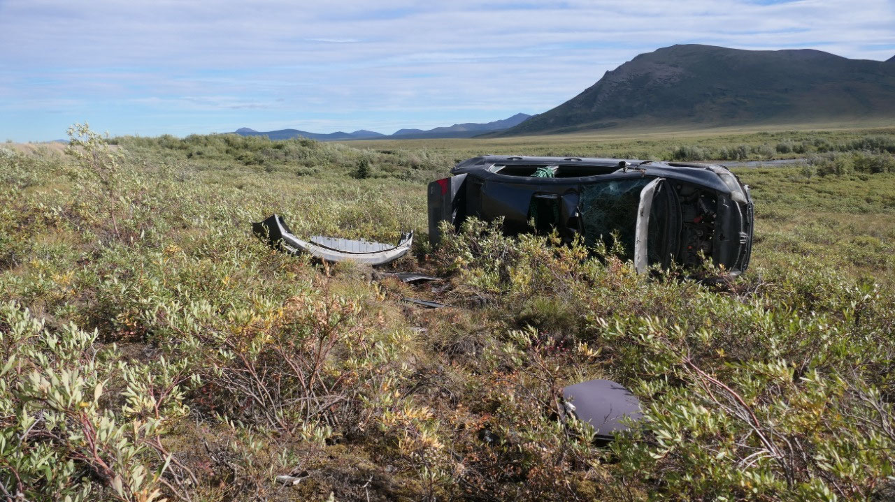
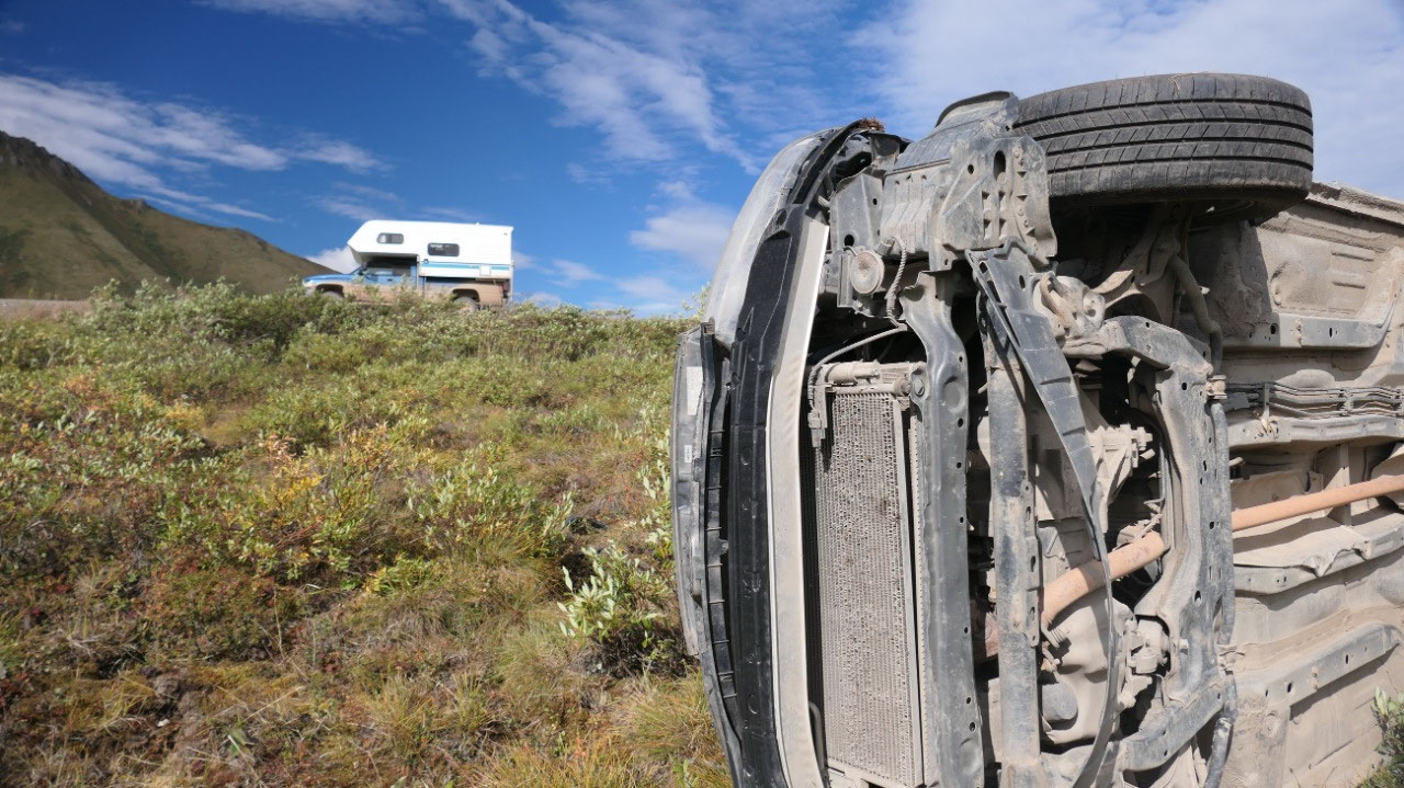
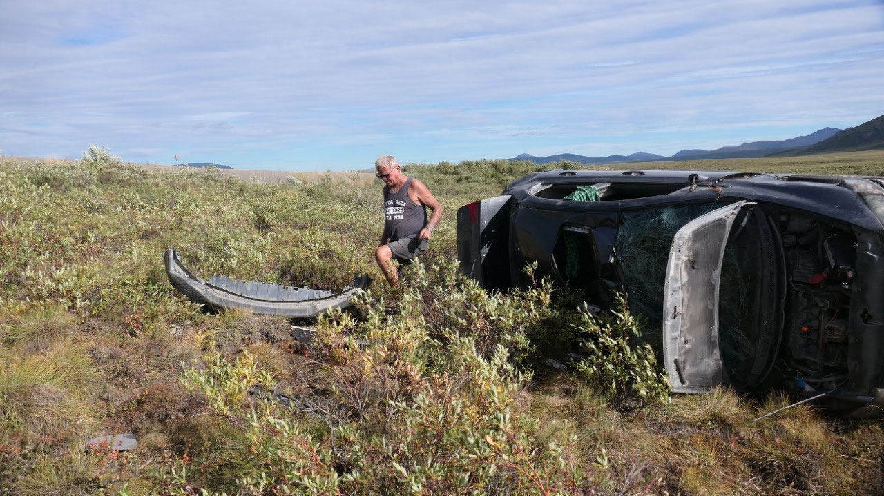
The car which does not drive anymore: on the way there we saw a car flipped over and a few meters away from the Dempster, this time we stopped to walk over and what was the most fascinating: if you walk on the ground it is like a super huge bungy cushion, you kind of sink into it, even it is not wet – it was totally weird to walk there.
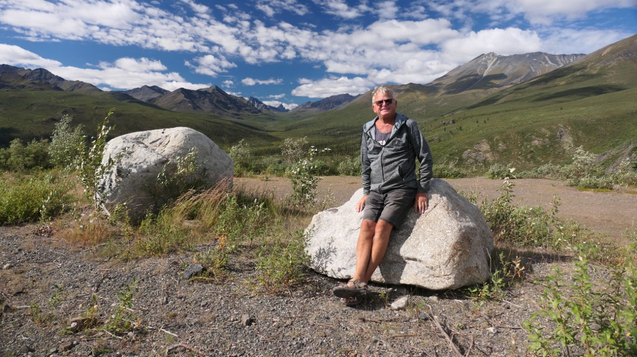
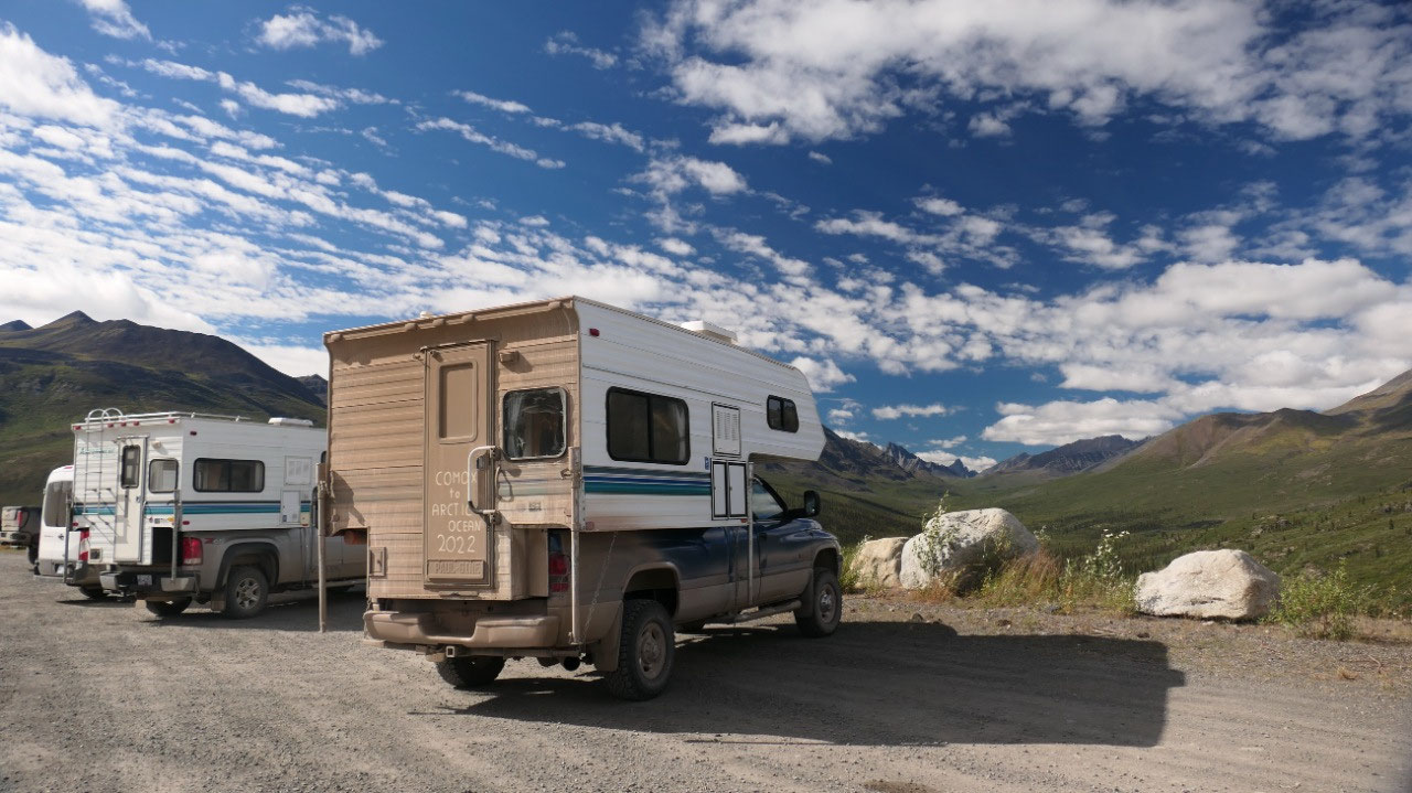
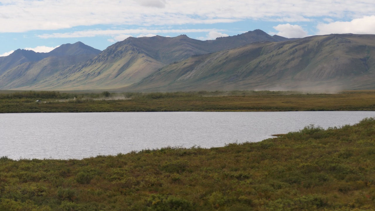
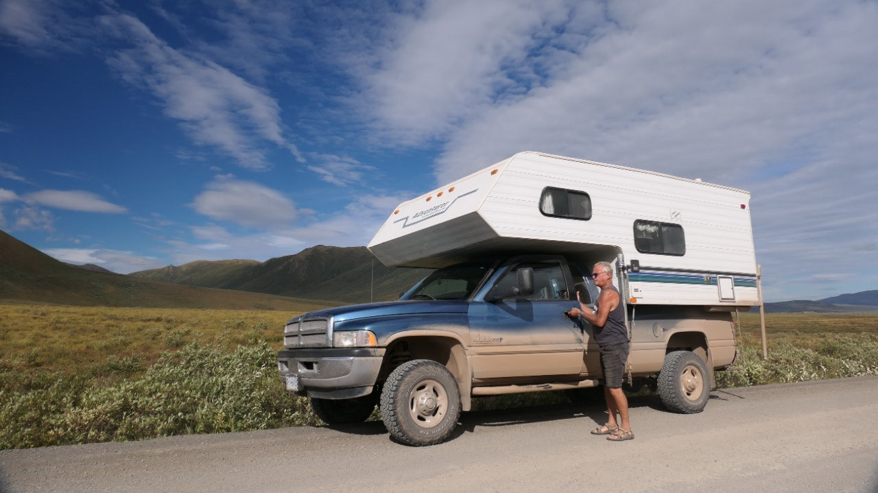
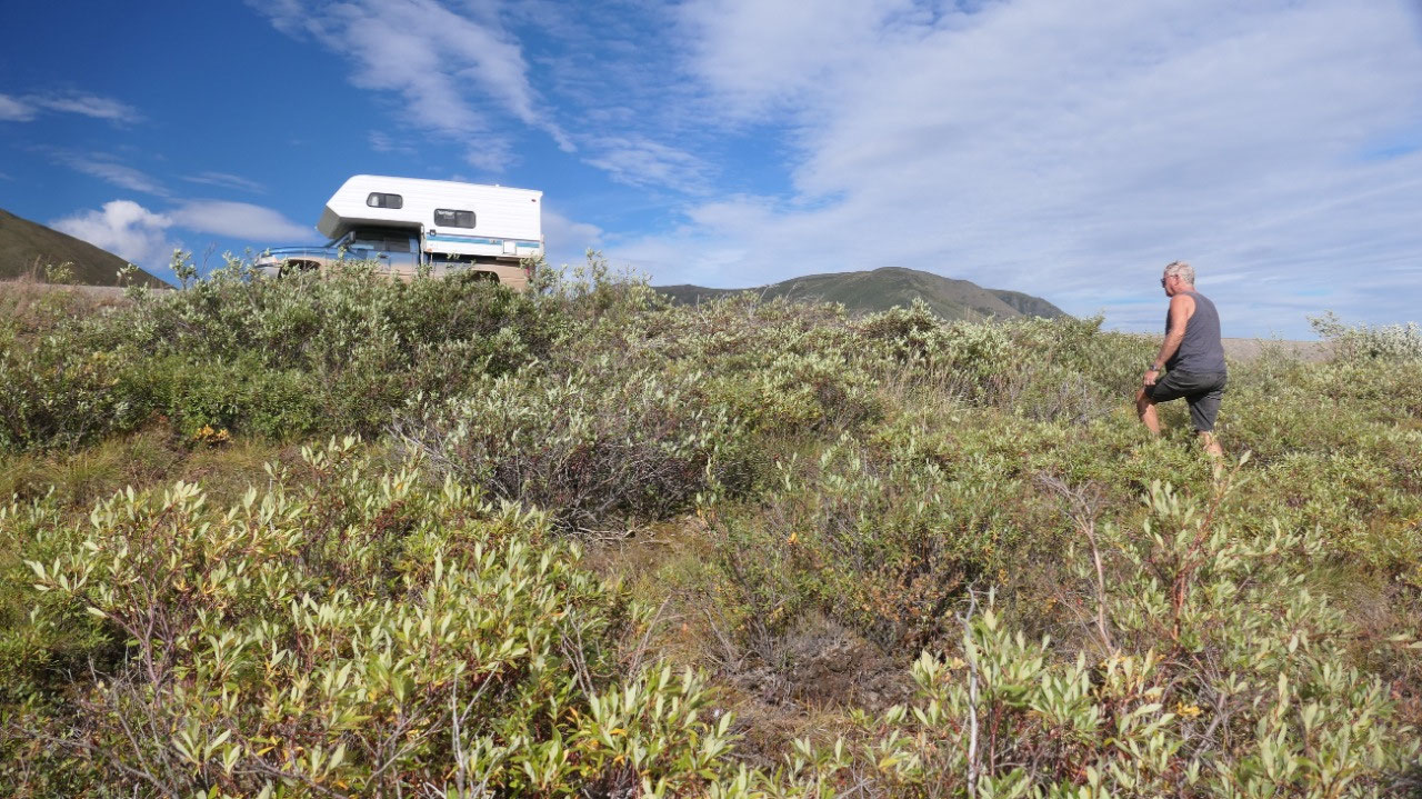
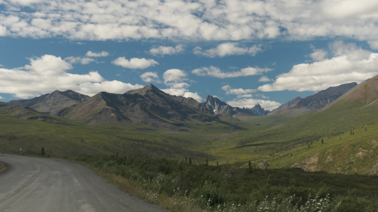
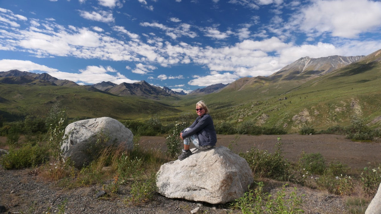
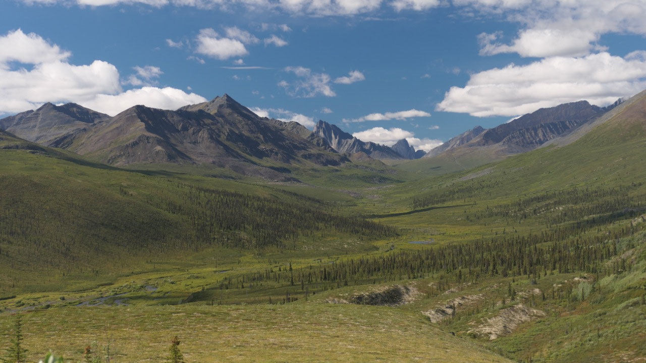
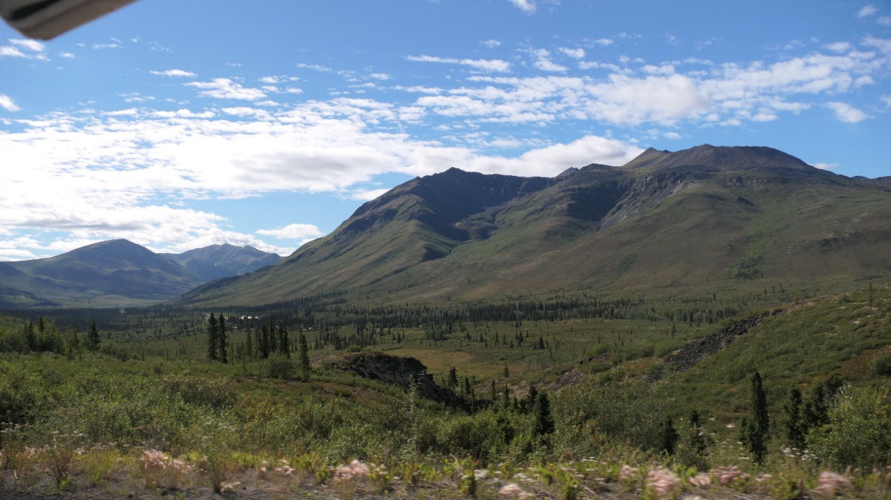
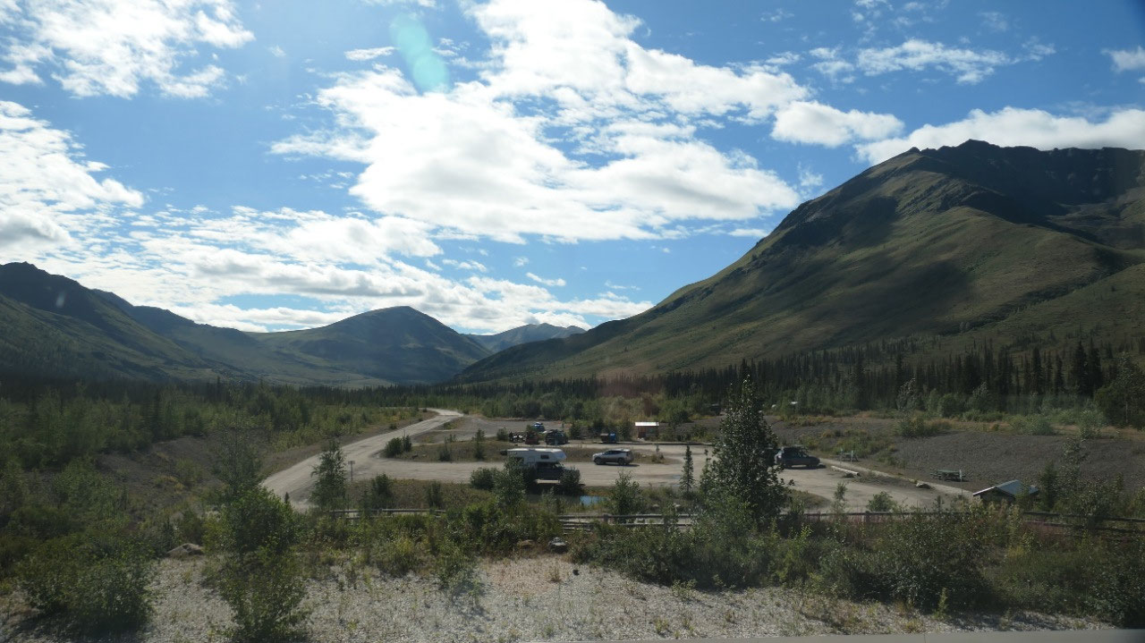
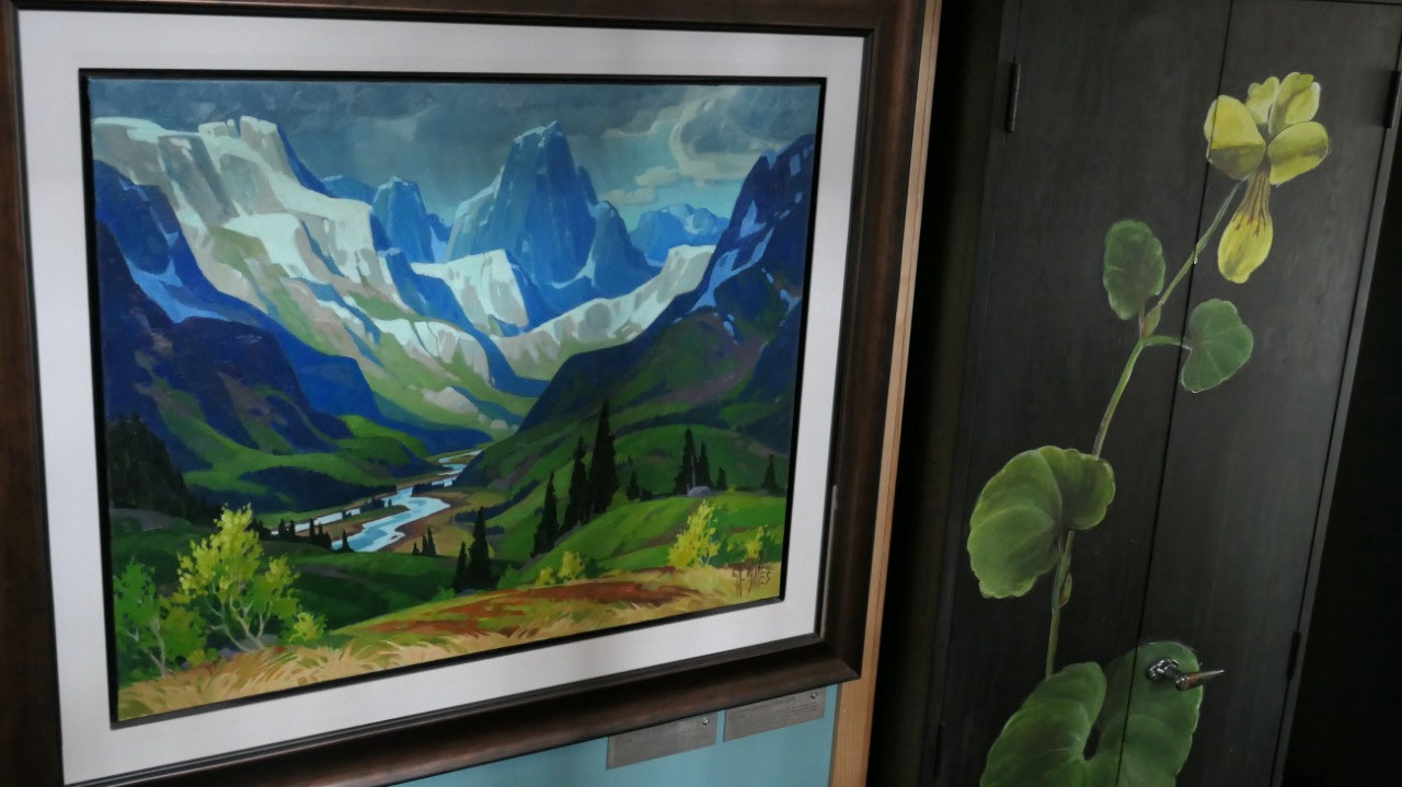
Coming by more beautiful lakes inside the Park we approached the Tombstone viewpoint and have today a gorgeous view on the Tombstone mountain. It’s funny when we parked here, we stopped right near a truck an d camper and the camper is the same year than ours also an Adventurer Slumber Queen but an 8-ft instead like ours a 8ft 11 in – and his was clean and white (like before Dempster) as ours was brown (like after Dempster)
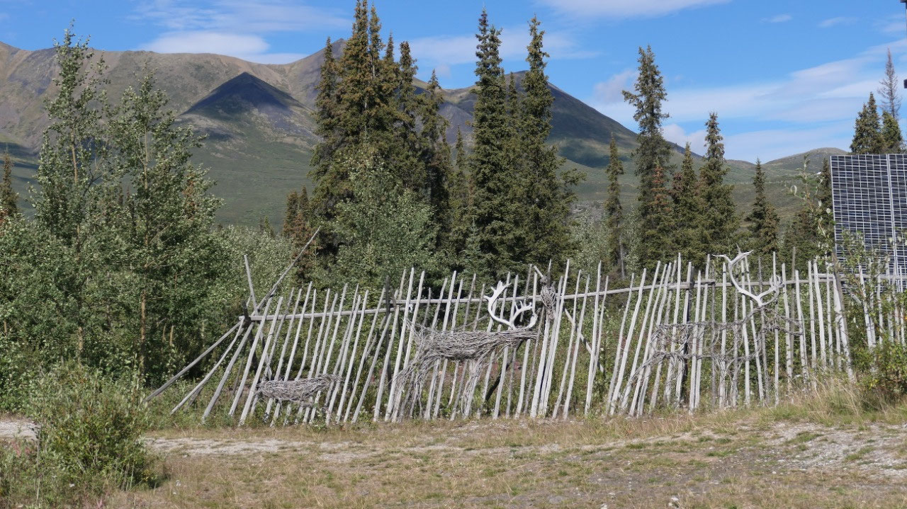
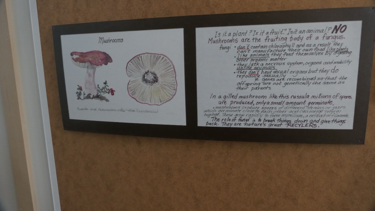
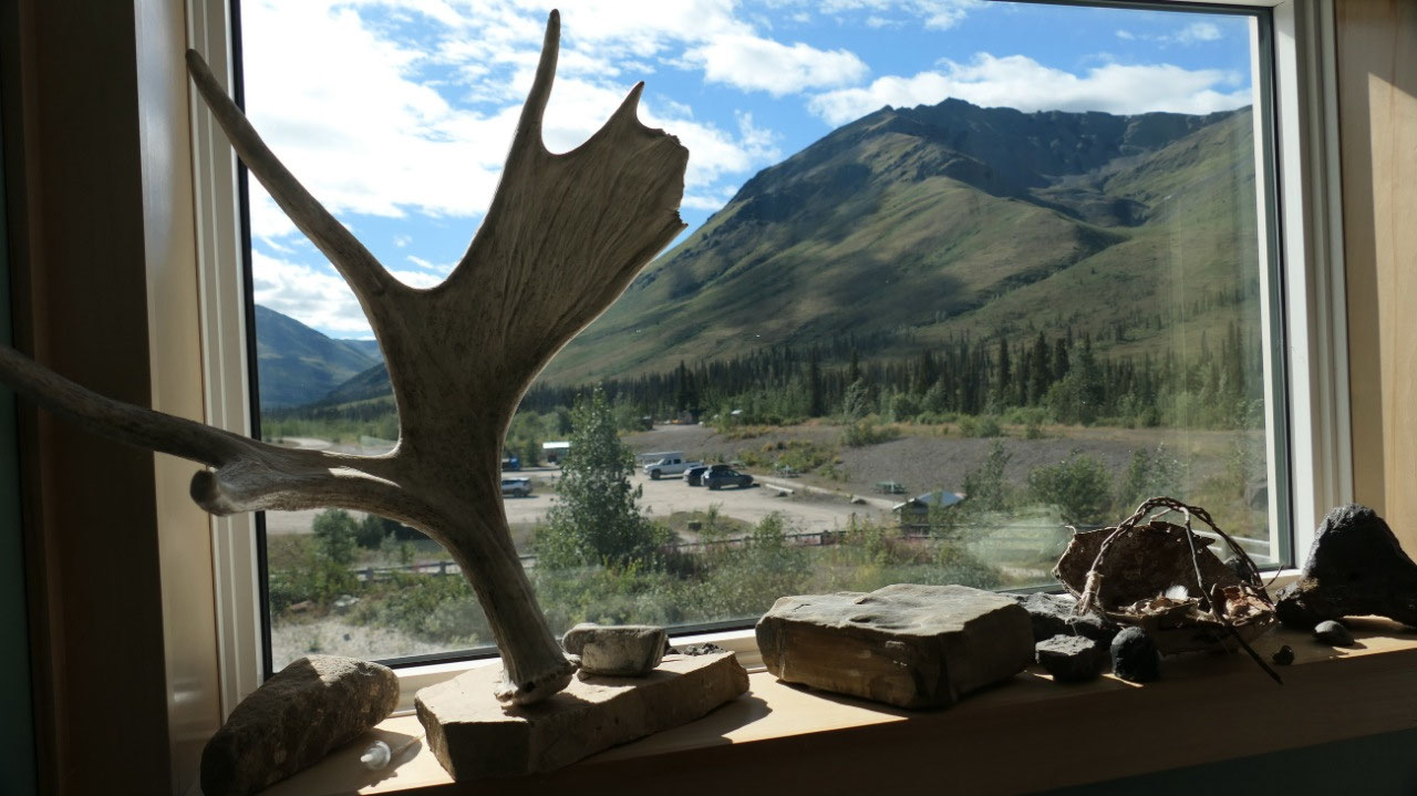
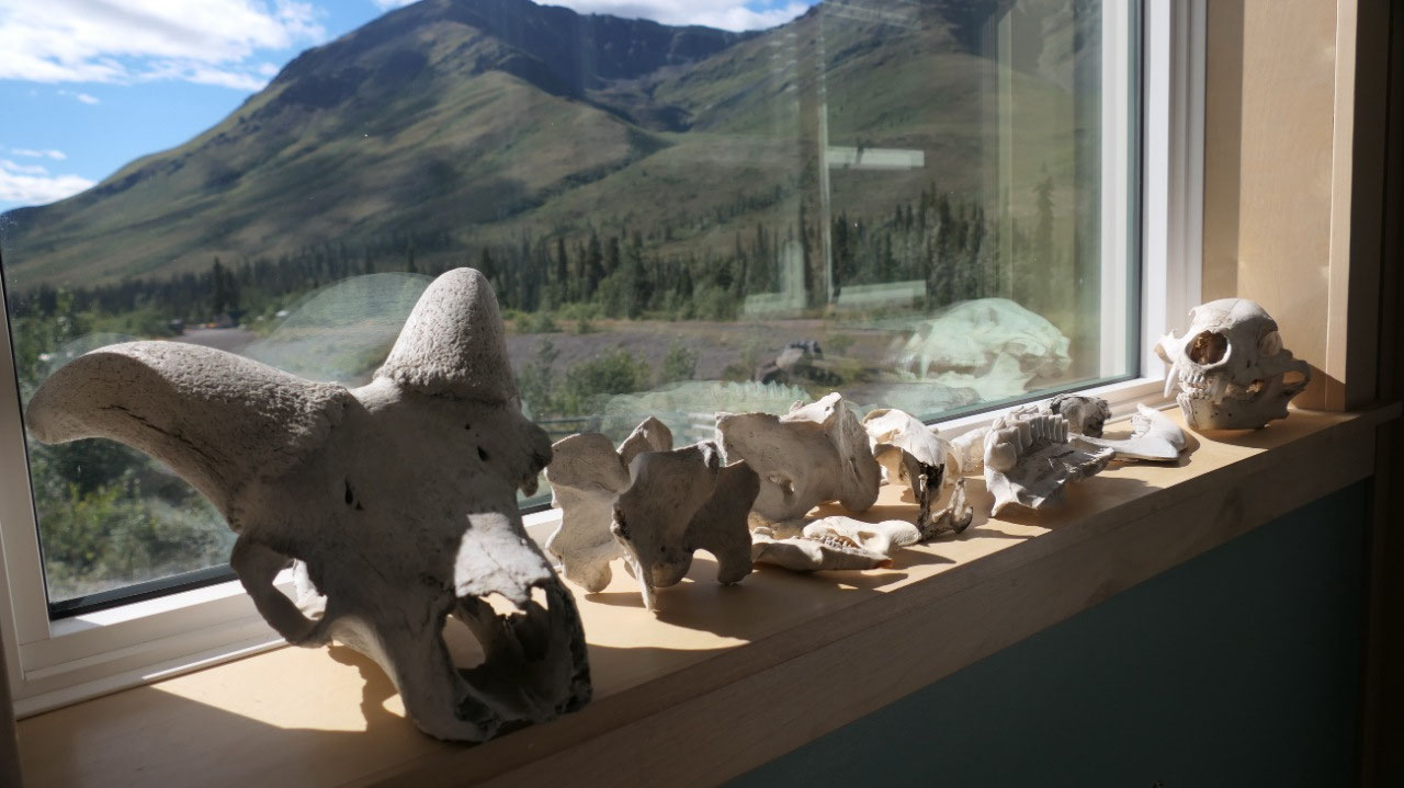
Tombstone interpretive Center
Today when we stop we drop off our Dempster-Road-guidebook and also check out all the info, as on the way in, we didn’t took the time.
- “open your eyes” – a local held this sign in 1979 when they opened the Dempster – as this road did not only goes to Resources but opens the eyes too so much more
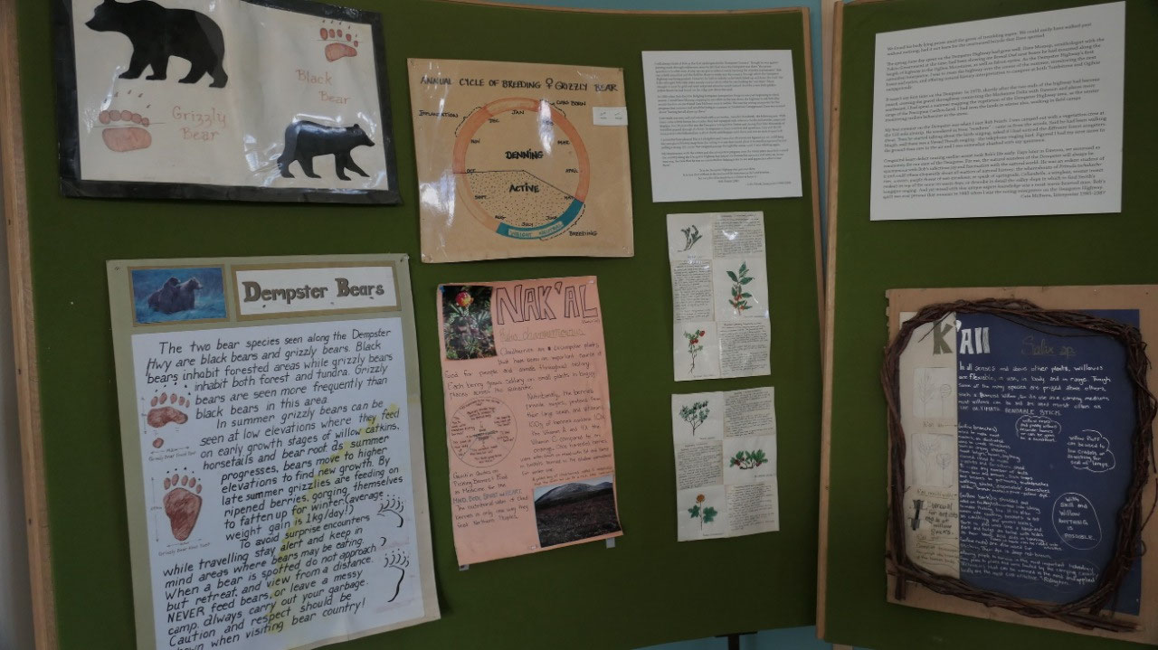
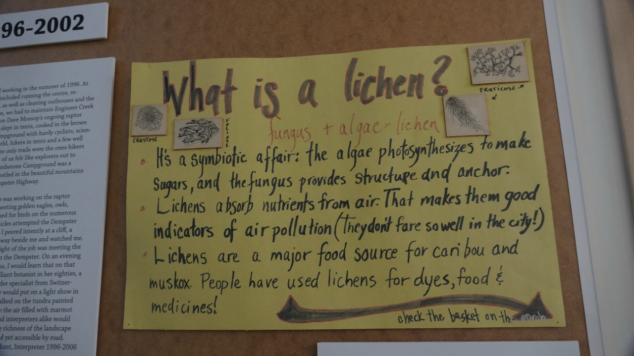
- The Interpretive center was born as they thought the highway could have a negative impact on the wilderness. Dave Mossop a Biologist took the Dempster as a unique research opportunity into the inaccessible subarctic region, counted nests of gyr and the Pelegrin falcon, counted the Ptarmigan to map their 10-year-cycle
- In 1985 they opened the first interpretive center
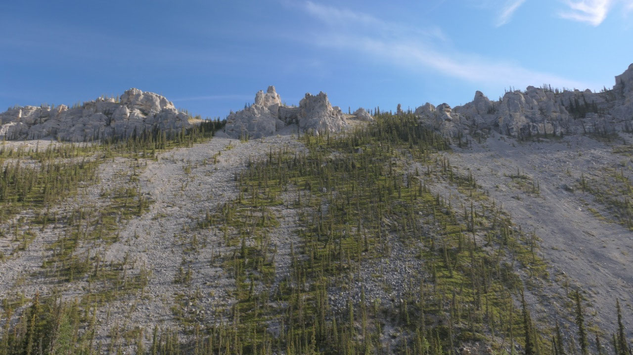
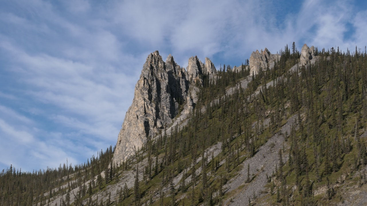
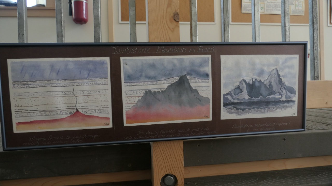
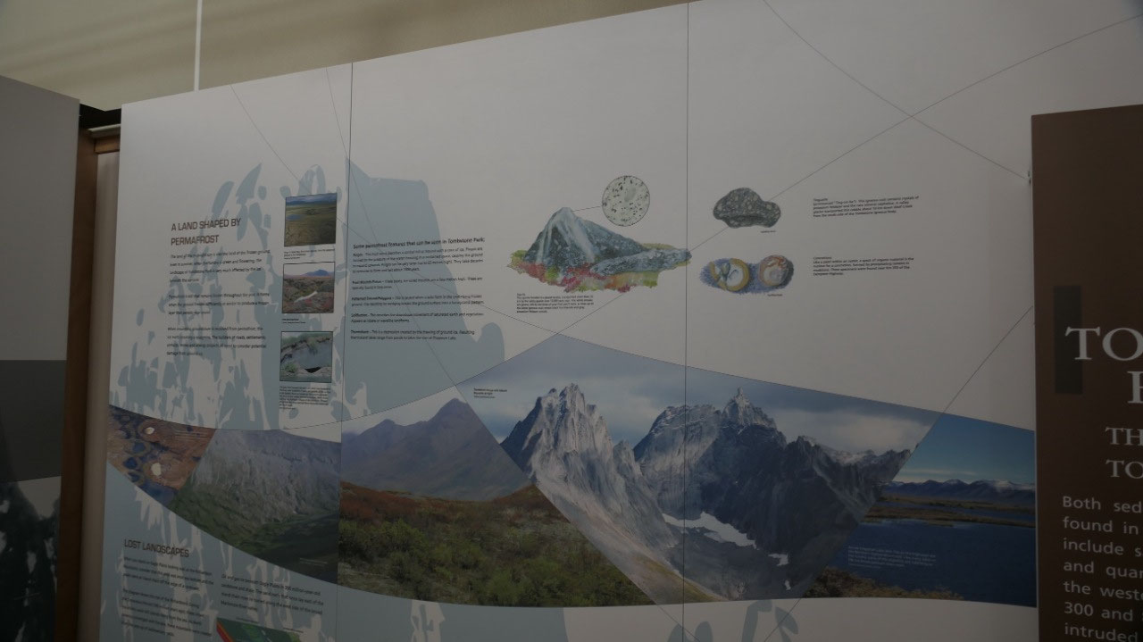
- The Gwich’in called it Ddhah Ch’aa meaning “among the sharp ragged rocky mountains” – it is one of the highest mountains in the region with 2193m and a prominent landmark – it guided the early people travelling in the area
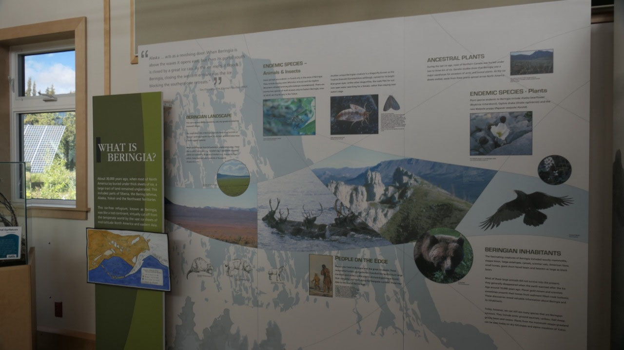
- The Beringa: around 30.000 years ago most of North America was buried under a thick sheet of ice but a large tract of land remained unglaciated this includes part of Siberia, the Bering Isthmus, Alaska, Yukon and the NWT. This ice-free refugium is known as the Beringa and it was like a lost continent cut off from the rest of the world by a huge sheet of ice.
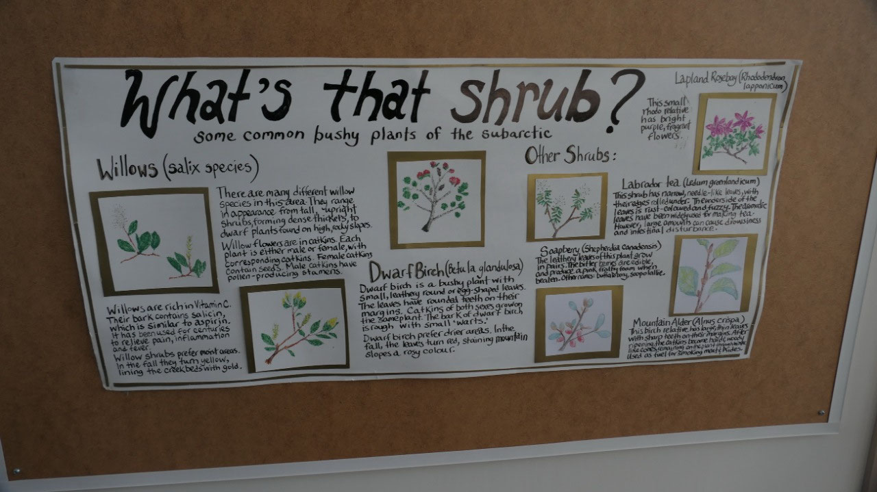
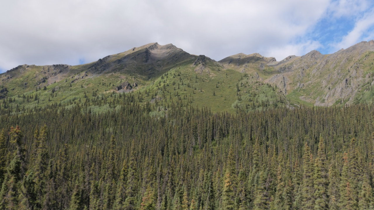
- Also we could learn of the different kind of mountains here
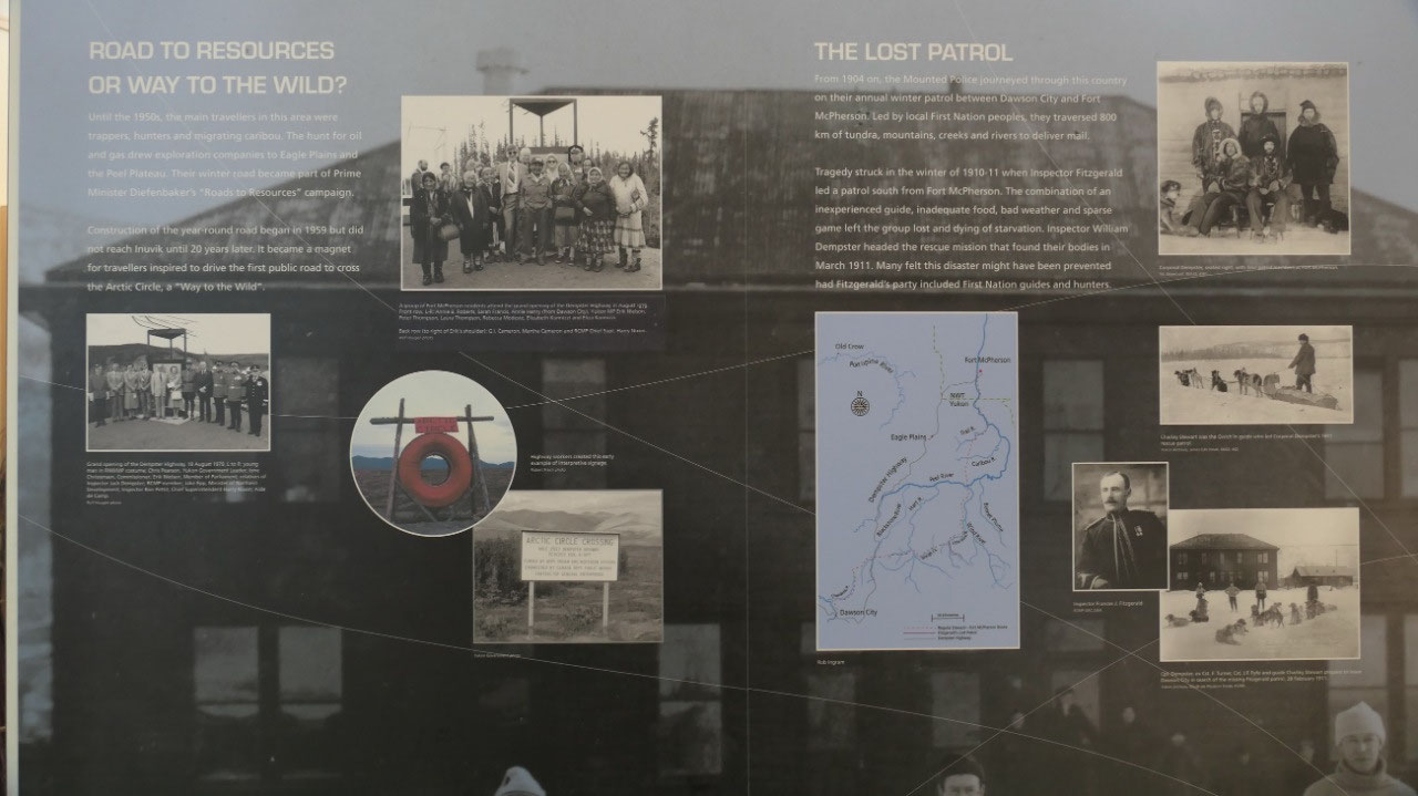
- The way to the wild: the road started out as a road for rescources and was used by hunters, trappers – as well the search for oil and gas where they looked for it at Eagle Plains and the Peel plateau
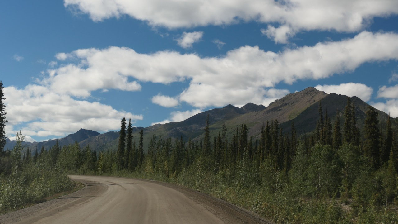
After the Interpretive Center the road was actually the worst with the most pot holes as well red and muddy– guess we really had to enjoy our last 70 km of gravel.
We also learned another interesting story about the Dempster (as there are only two: the lost patrol and the Mad Trapper of Rat River:
- As the story goes in 1932 one of the most dramatic man hunts in Canadian History were here at Eagle River, when the RCMP shot Albert Johnson known as the Mad Trapper. He arrived in the NWT during the great depression and had a small cabin at the Rat River. After receiving complaints that he raided traplines, the RCMP tried twice to talk to him, when Johnson wounded one RCMP officer. In the next 7 weeks, the RCMP, local Inuvaluit and Gwich’in as well a WWI aviator searched for him in blizzard conditions. He was killed on Feb 17, 1932 during a shootout when another RCMP officer got injured
By the way it is 2.30 – but we are eager to finish off in the wonderful sunshine and we skip lunch and continue on.
We leave the Dempster:
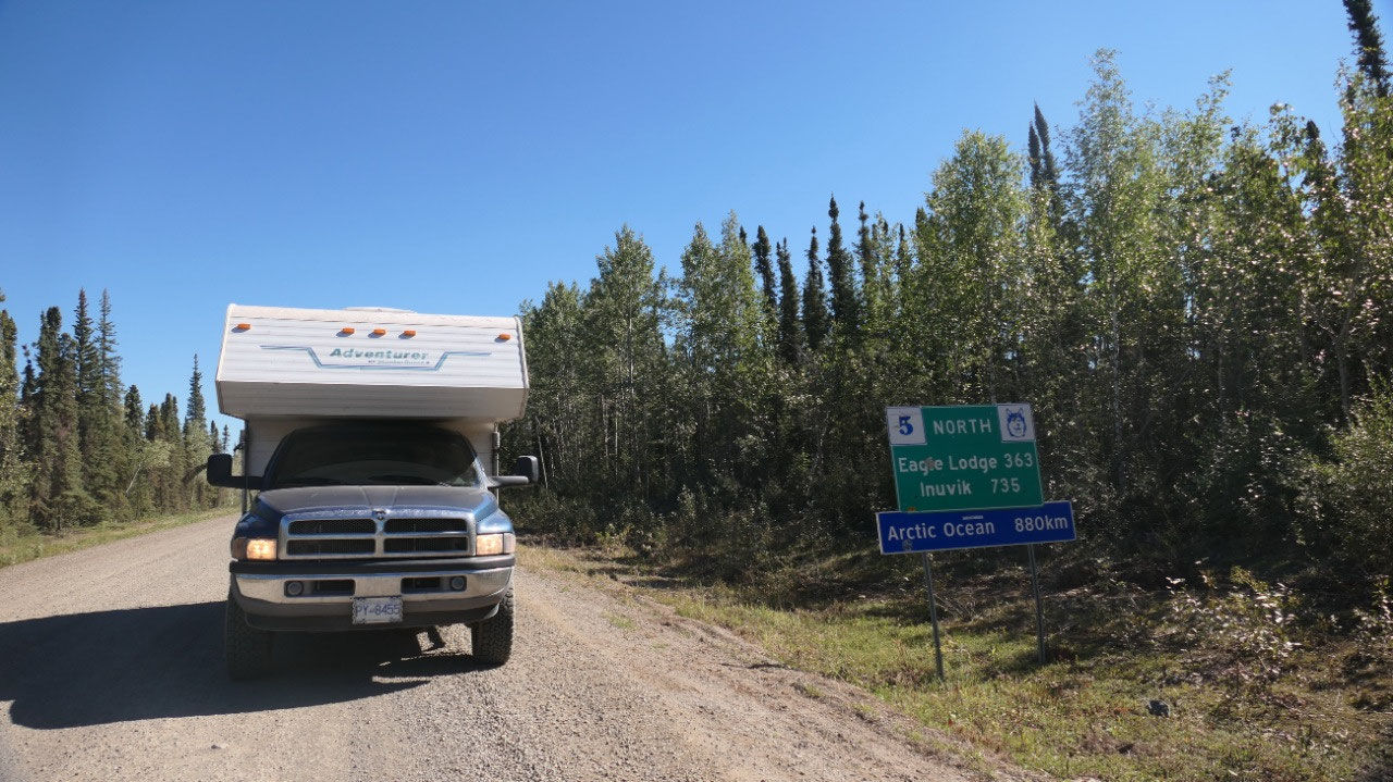
They say “it is a way into the wild” and we did it. We did have to stop at the sign indicated what we did Arctic Ocean: 880 km – as well as the sign saying Dempster Highway and now we are back on paved highways. Wow – are we spoiled!!
Ok we didn’t read the sign before but now we know some useful tips like: When approaching a vehicle reduce speed to minimize dust and reduce flying gravel (if only everyone would have read that). We also read that “Please camp only in designated campgrounds” – mmhh maybe if the campgrounds would have nicer views we would do it.
Time to wash the truck
There are 2 car washes near each other, one is cheaper but when Paul watched he was not impressed with the pressure so we went to the other and after 30 Min of powerwashing the camper was white, the truck blue and silver and it no mud on the running boards… still even after all this the truck is not clean-clean. They also have air pressure: great, so we can inflate the tires again and we are ready for the road again.
More catch-up to do
We stop at the Visitor info for internet, so we can catch up with everything going on – which takes longer than we thought, but then we have a late coffee here and it is super hot!!!! Afterwards we head to the campground to do some laundry: which was super cool as Gine talked with the lady owning the campsite and she was once a lab manager in Maple Ridge and they bought the campsite for retirement. So hopefully soon everything will be clean again – having shower – in between go quickly to the store.
We move to our overnight destination and set up near the visitor info with super late supper. I think we need a day to relax!!!!


2025-05-22